Nancy, Bob, Janet, Allen, Savannah, and I did the Ballantine Cabin & Corral hike on Friday. When we were done, my GPS showed a distance of eleven miles with over 2300 feet of total ascent.
For many of my hikes, I simply use the GPS as a trip computer, however, for this one, we used it to find our way for several miles of the hike. If you do this hike, I recommend using one of the GPS tracks for this hike as it is easy to miss a turn past Ballantine Cabin.
We started just after 7:00am; we got to see the sun rise as we drove to the trailhead. This was one of the views as we hiked up the Pine Creek Loop.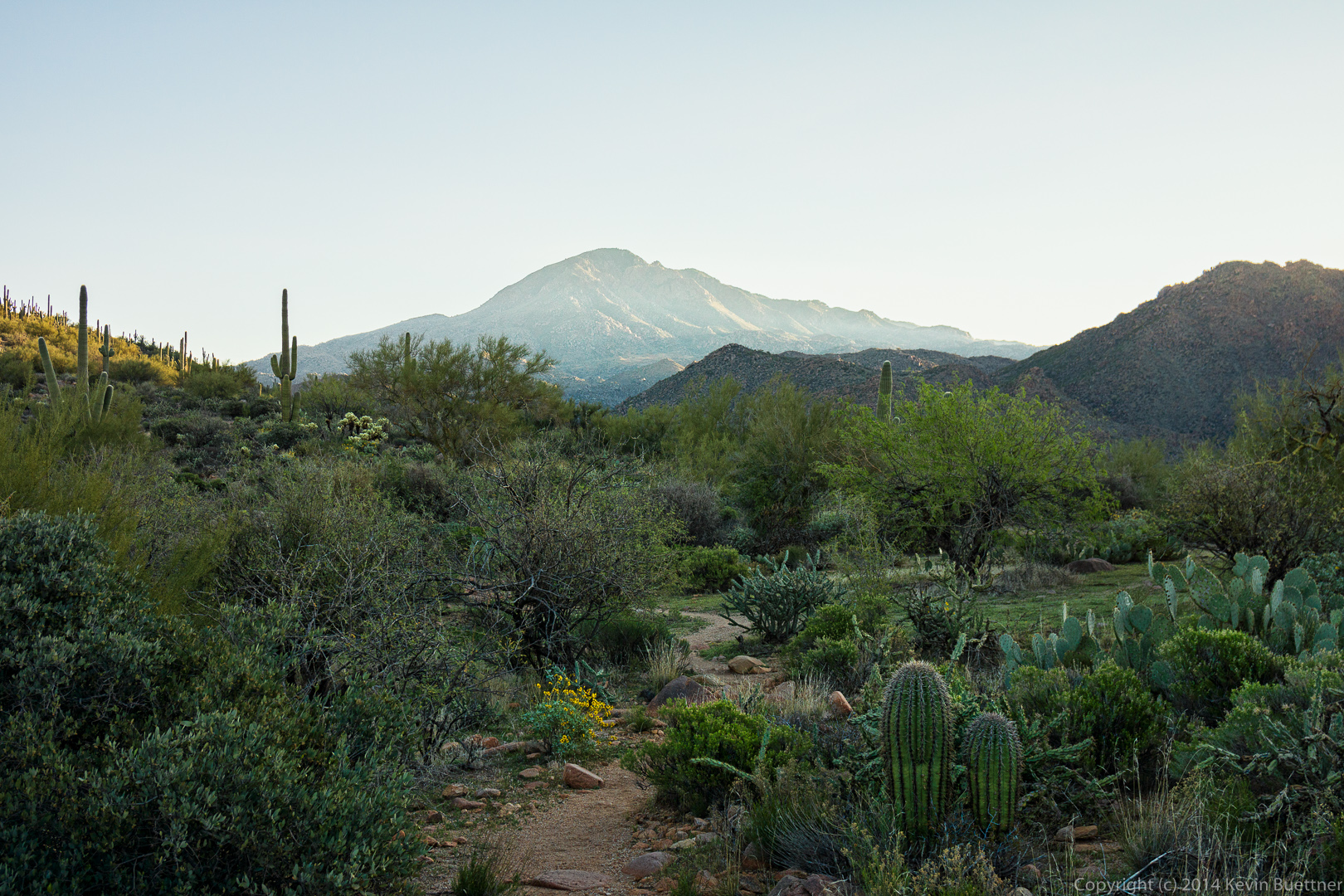 Another view from the Pine Creek Loop. We went up the steep way so that we’d have an easier descent on the way back.
 Another view from the Pine Creek Loop.
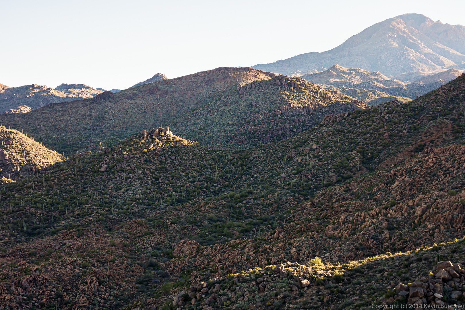 The Pine Creek Loop is about 2.5 miles long. The Ballantine Trail intersects the Pine Creek Loop halfway around the loop. We took the Ballantine Trail out toward Boulder Flat.
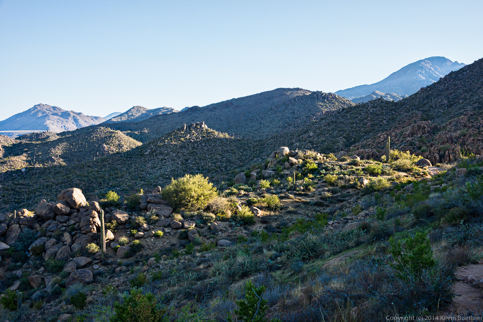

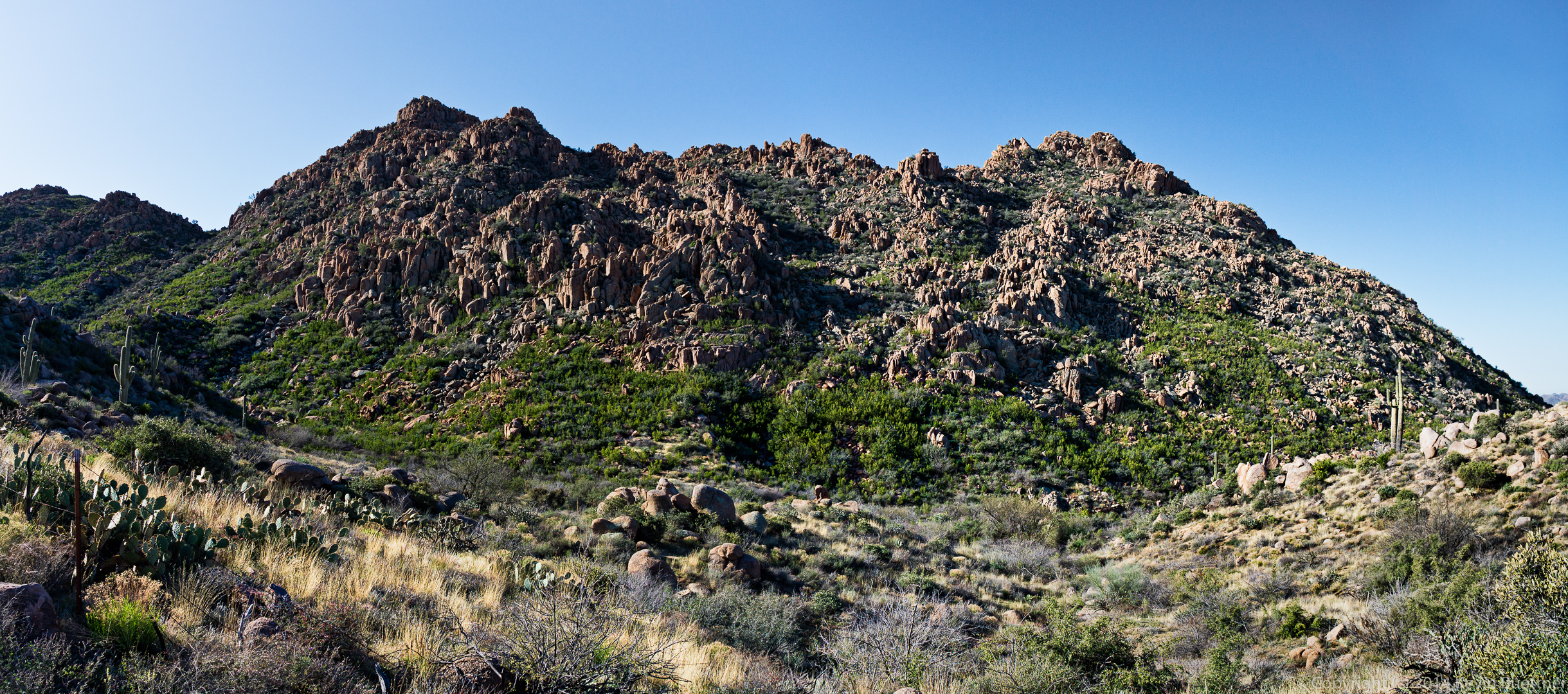
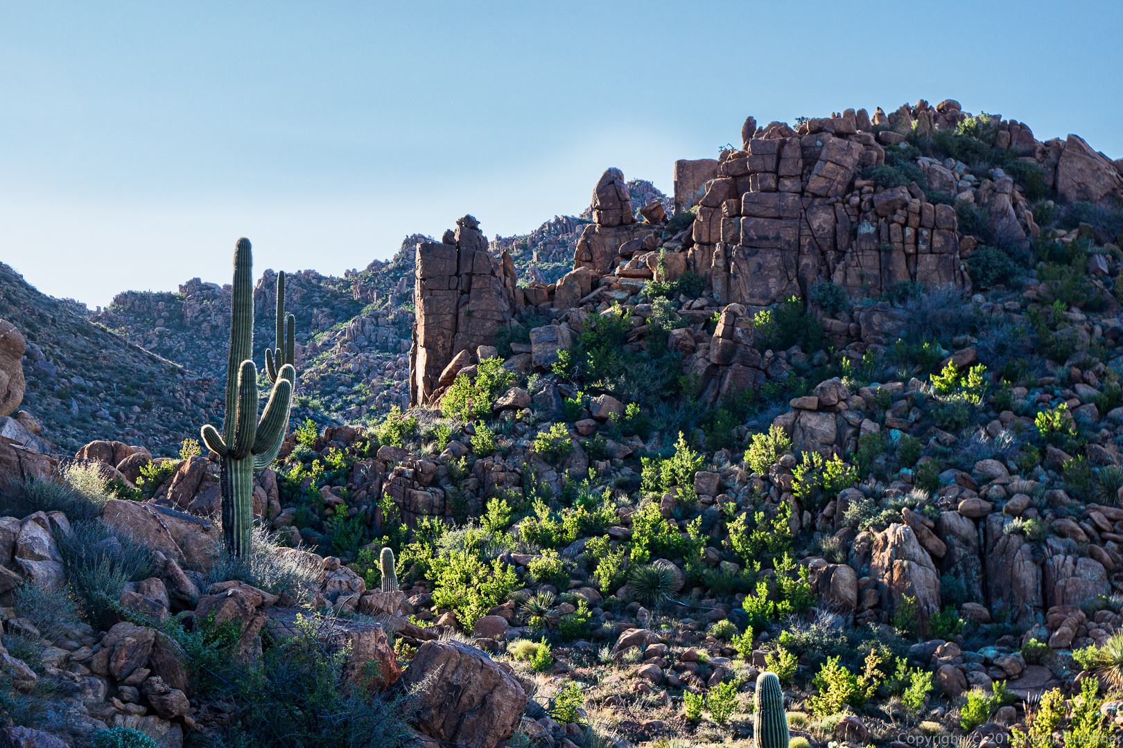 One of many interesting rock formations along the hike:
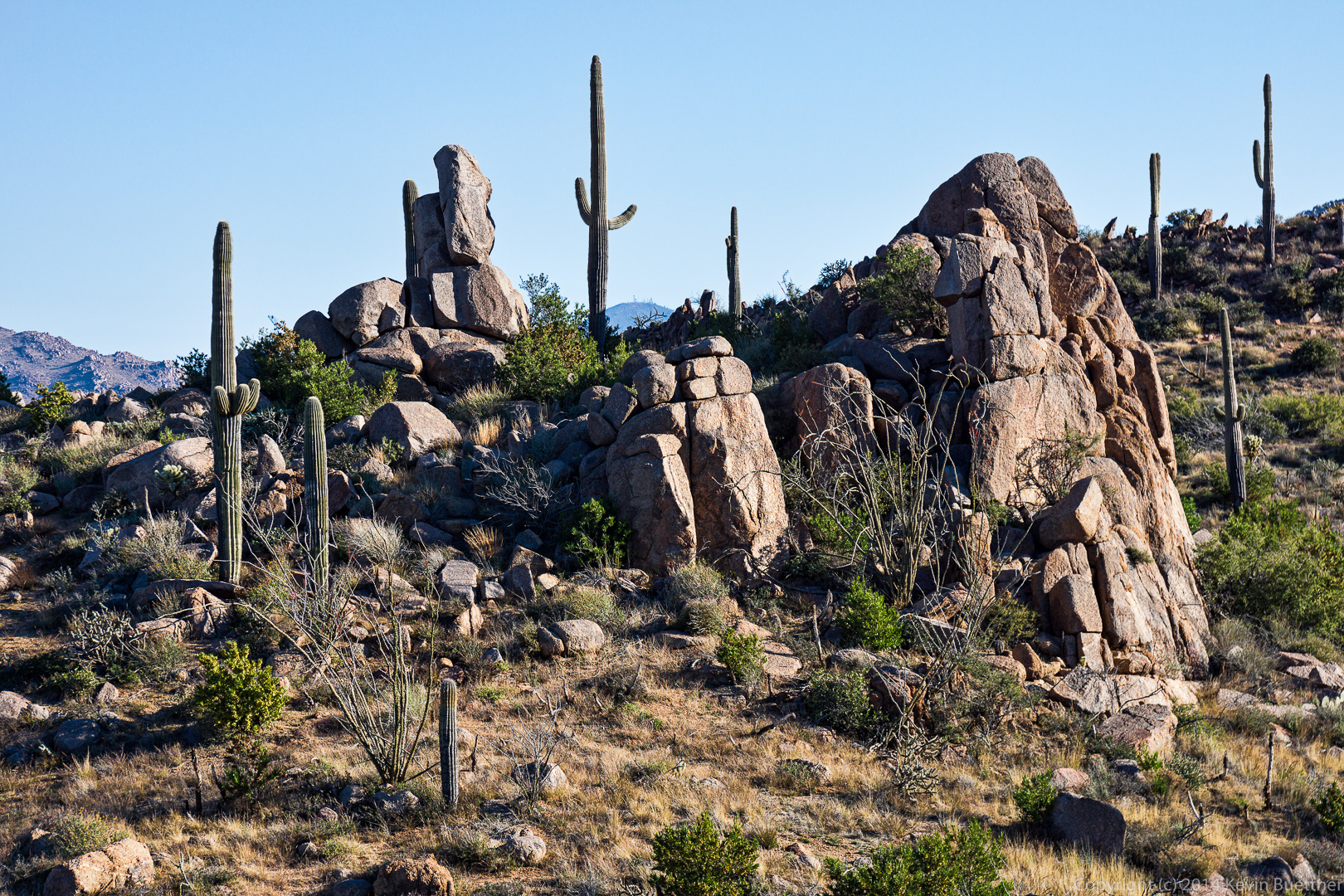 This rock formation can be seen at the 2.5 mile point in the hike.
 Nancy, Savannah, Allen, Janet, and Bob:
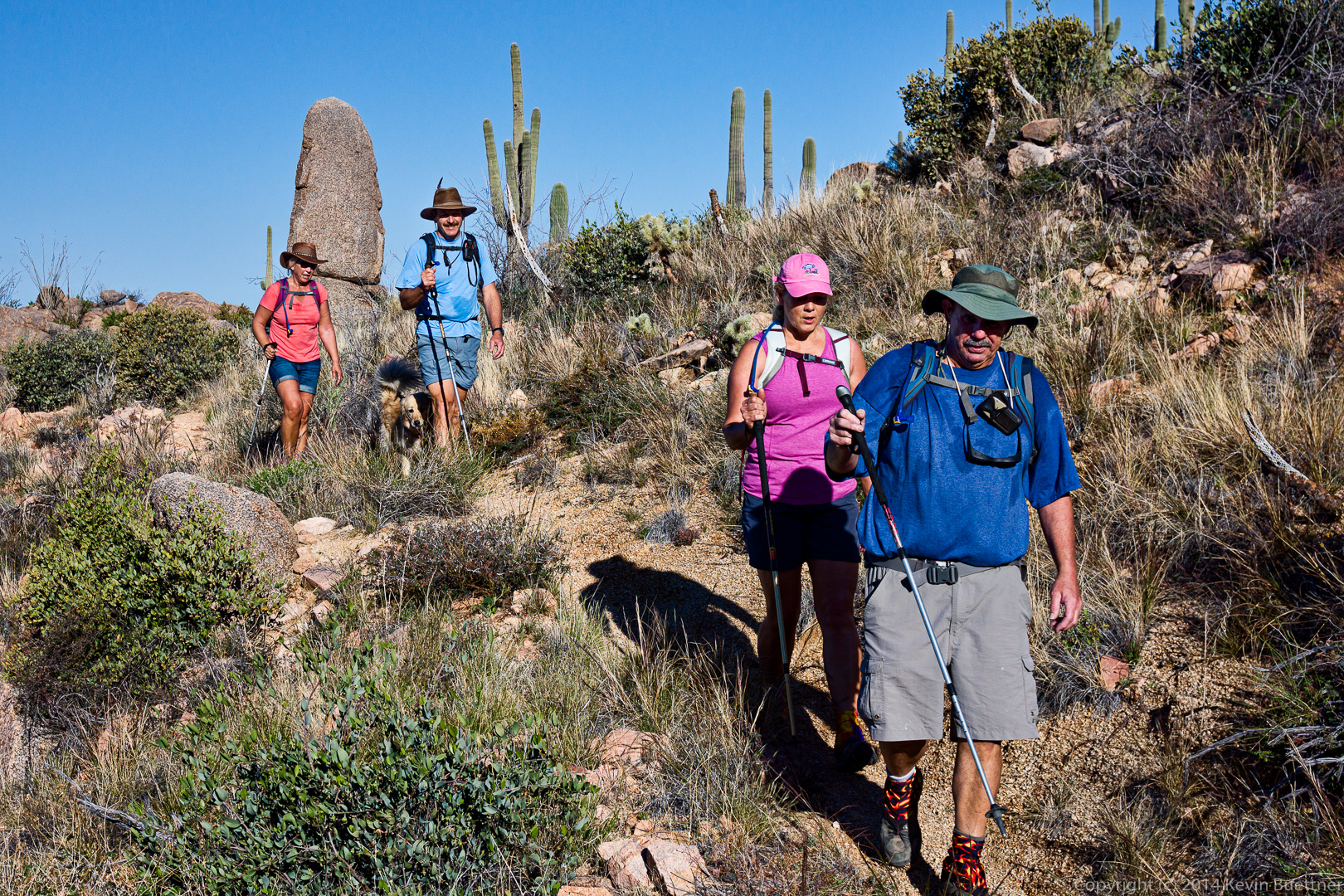
 Bob, Janet, Allen, and Nancy. (I’m sure Savannah is in there somewhere too.)
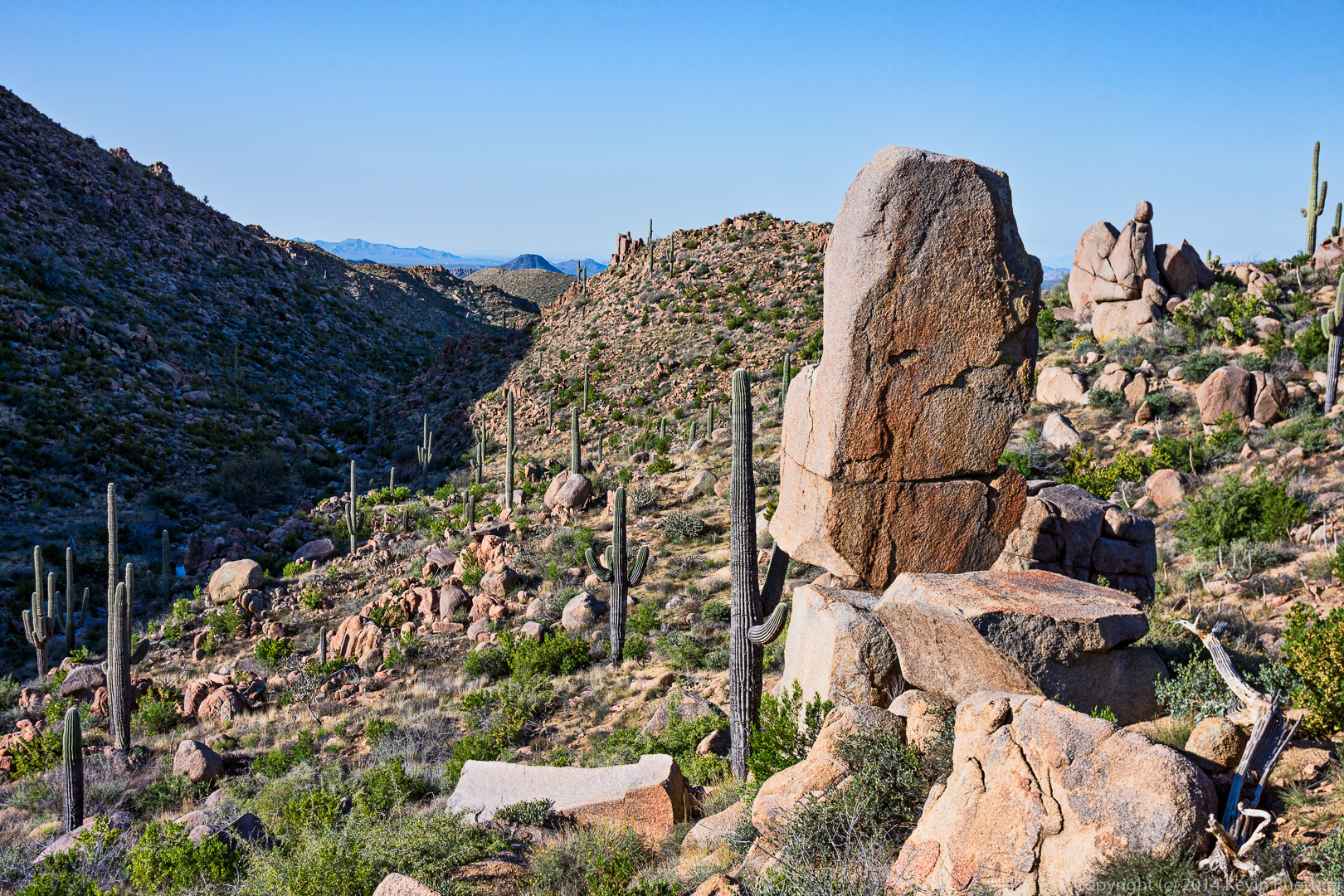
 This prominent rock formation is just on the other side of Camp Creek.
A fence can occasionally be seen while hiking. I always marvel at the fact that there are fences out here. This hike is quite strenuous. The ranchers who constructed these fences must have been in excellent physical condition.
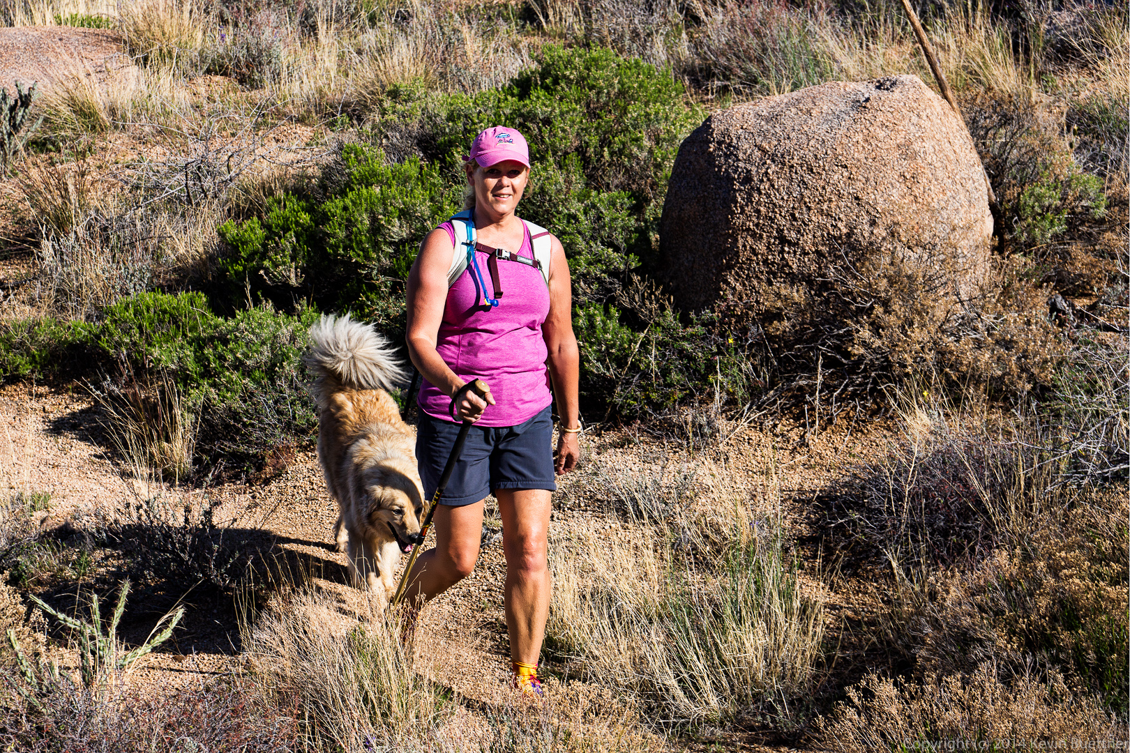 A view of that same reddish rock formation from high on the hill that we had to climb to get to Ballantine Cabin.
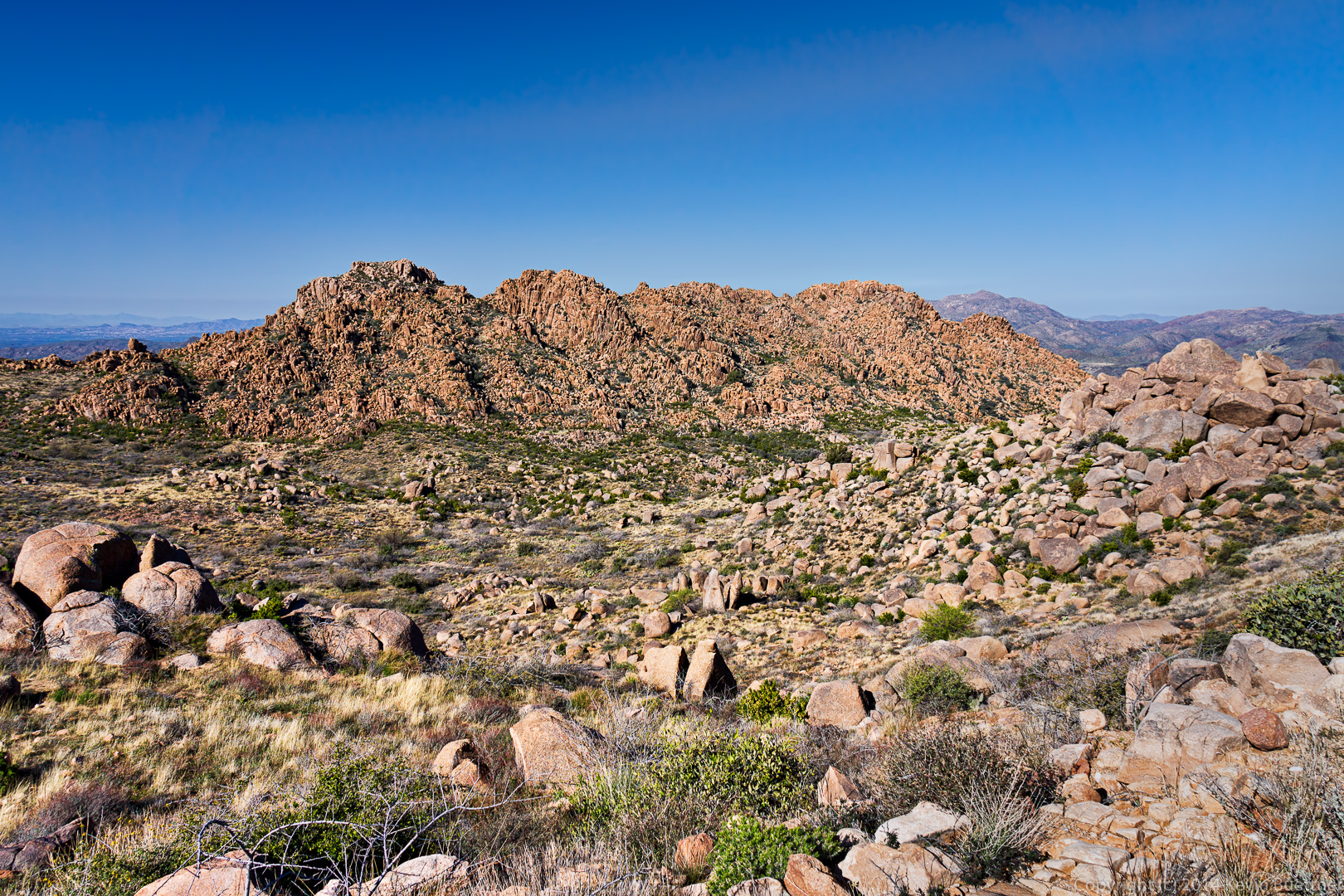 We got our first view of the cabin shortly after reaching the top of the hill. From there, we had to descend a steep(ish) trail with occasional loose rock.
A view of Ballantine Cabin. I didn’t take many photos of it this time and I had gotten more than a few from last year’s hike out to the cabin.

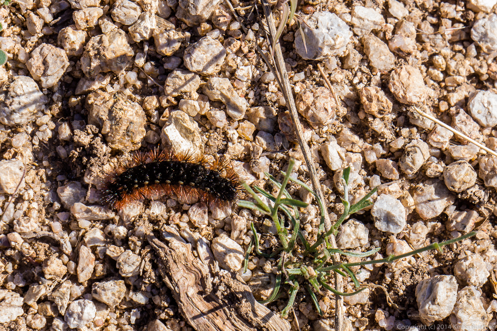
We continued on our way to the corral crossing through an opening in the fence in the process. There was probably a barbed wire gate here at one time.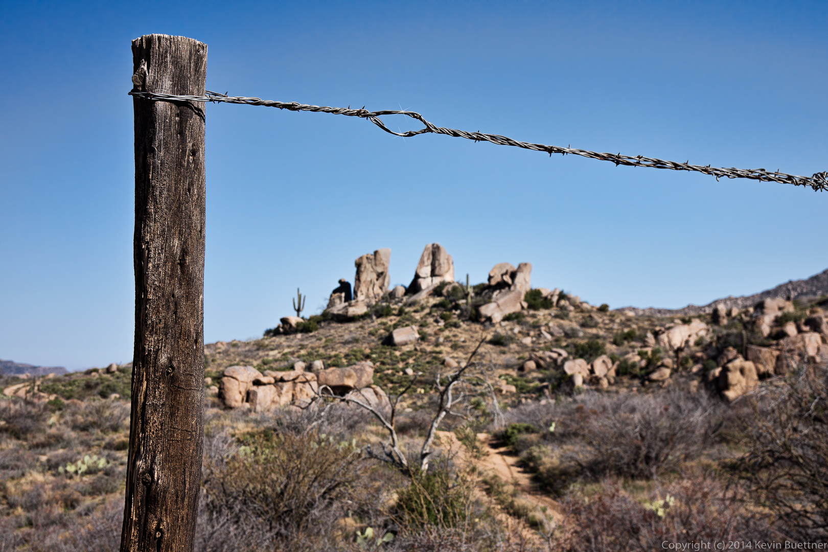 We saw a lot of black caterpillars on a short (1/2 mile to 1 mile) of the trail. The caterpillars looked much darker than this; I used the +2 EV exposure for this photo in order to get a better look at it.
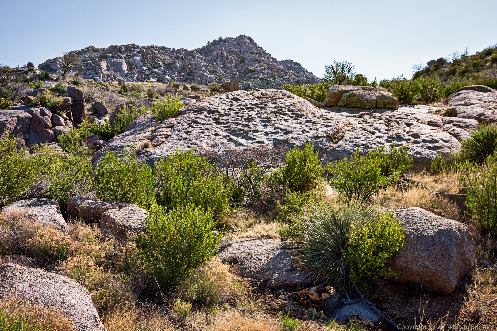
 We saw this large flattish slab of rock along the way.
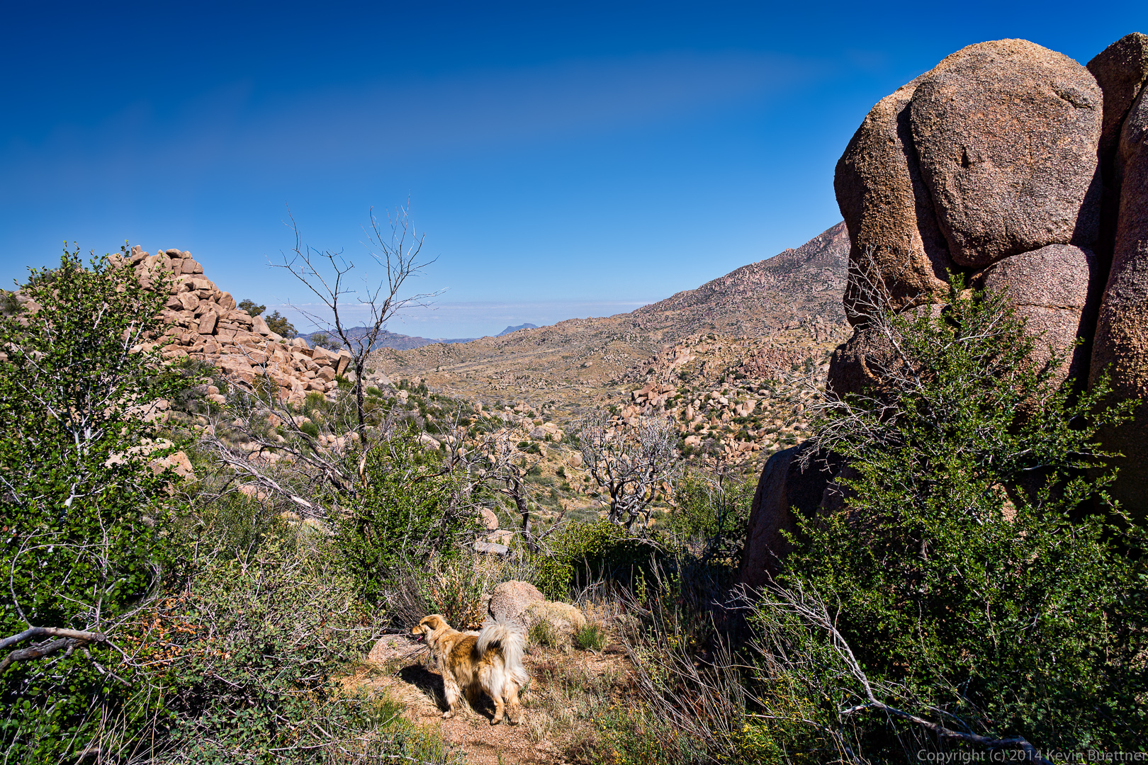
 Savannah waits for the rest of the group to ascend the steep, thorny path on our way to the corral.
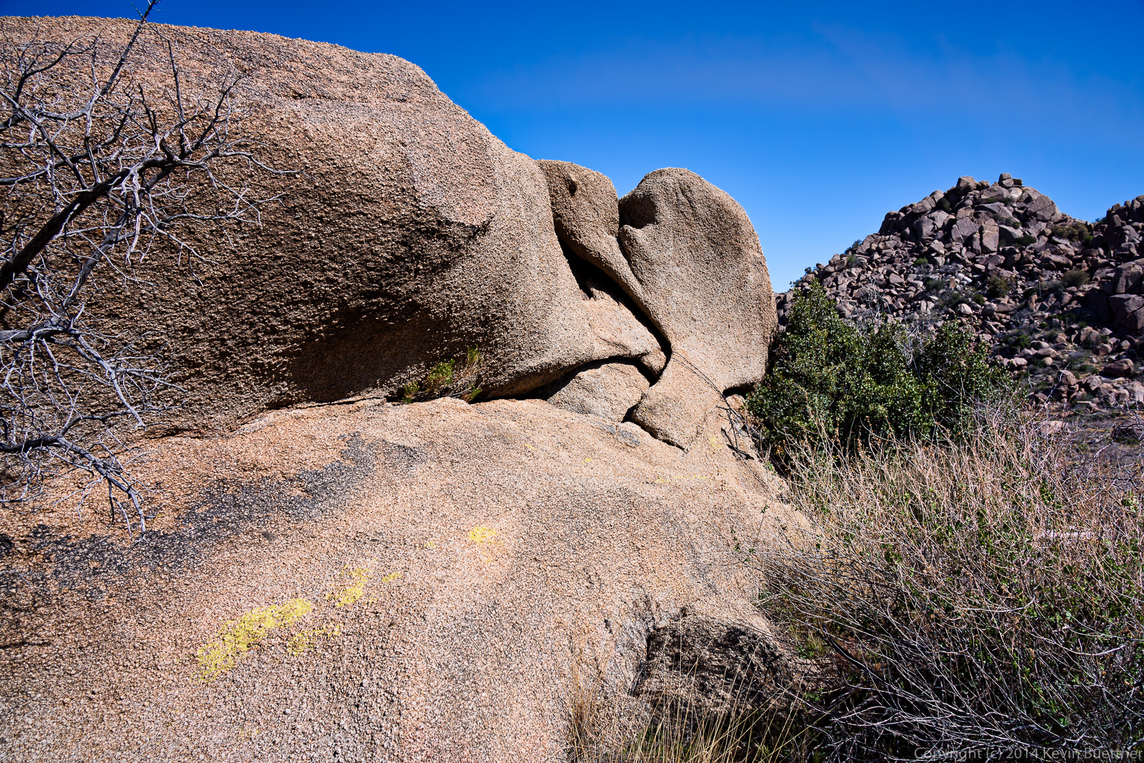
 An interesting rock formation somewhat past the corral.
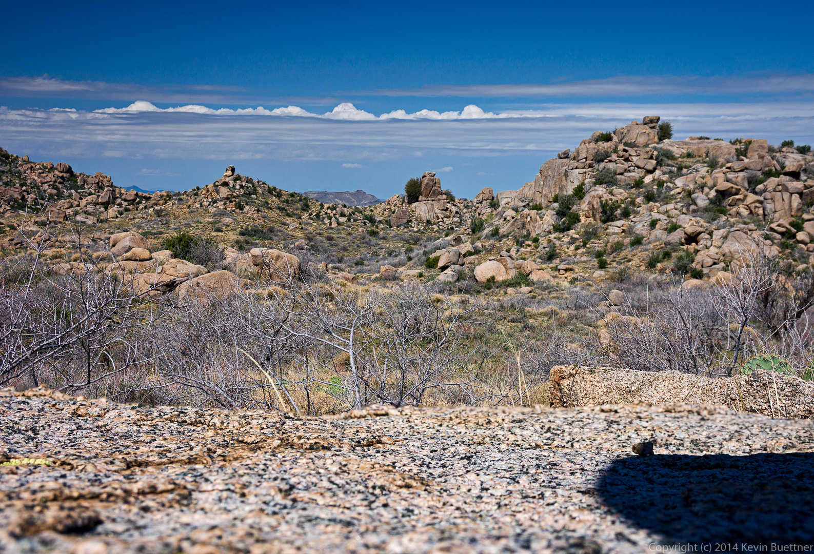
 I took this photo from a large granite slab.
 This is the start of another steep, loose, and rocky descent.
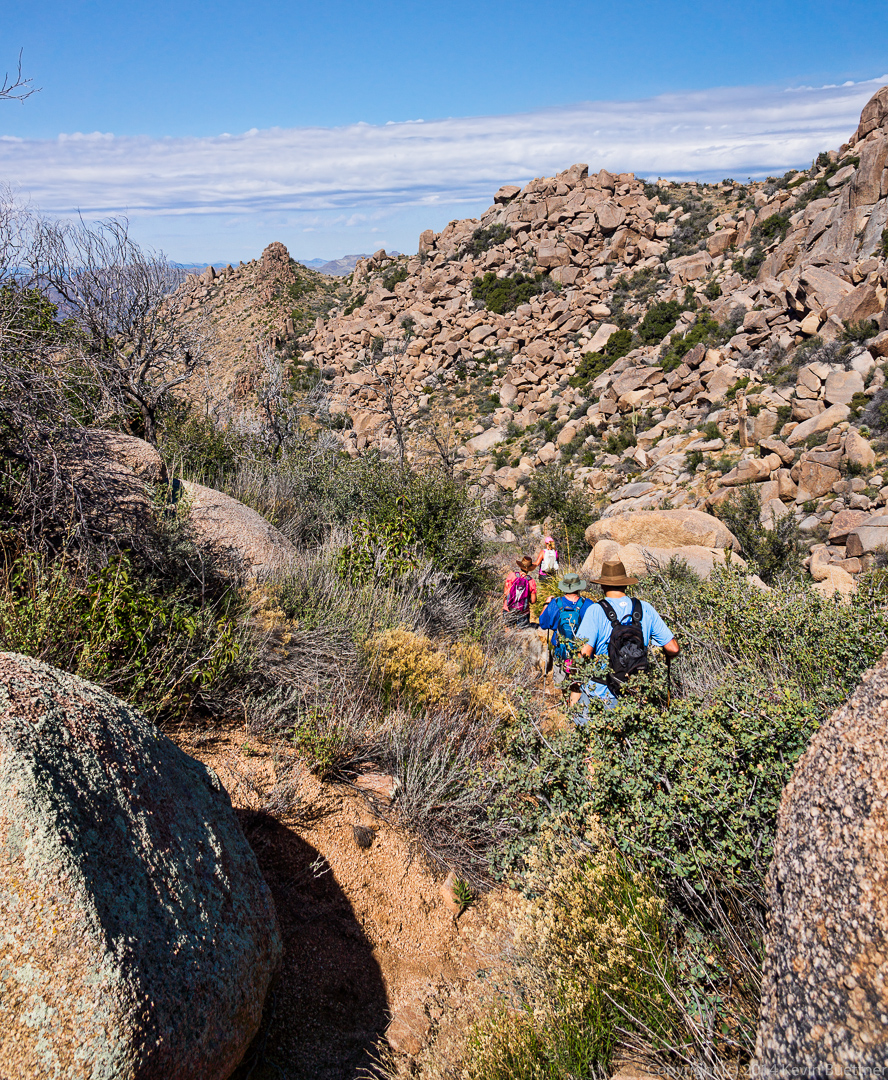 But the views are great from this location! I took several photos here…
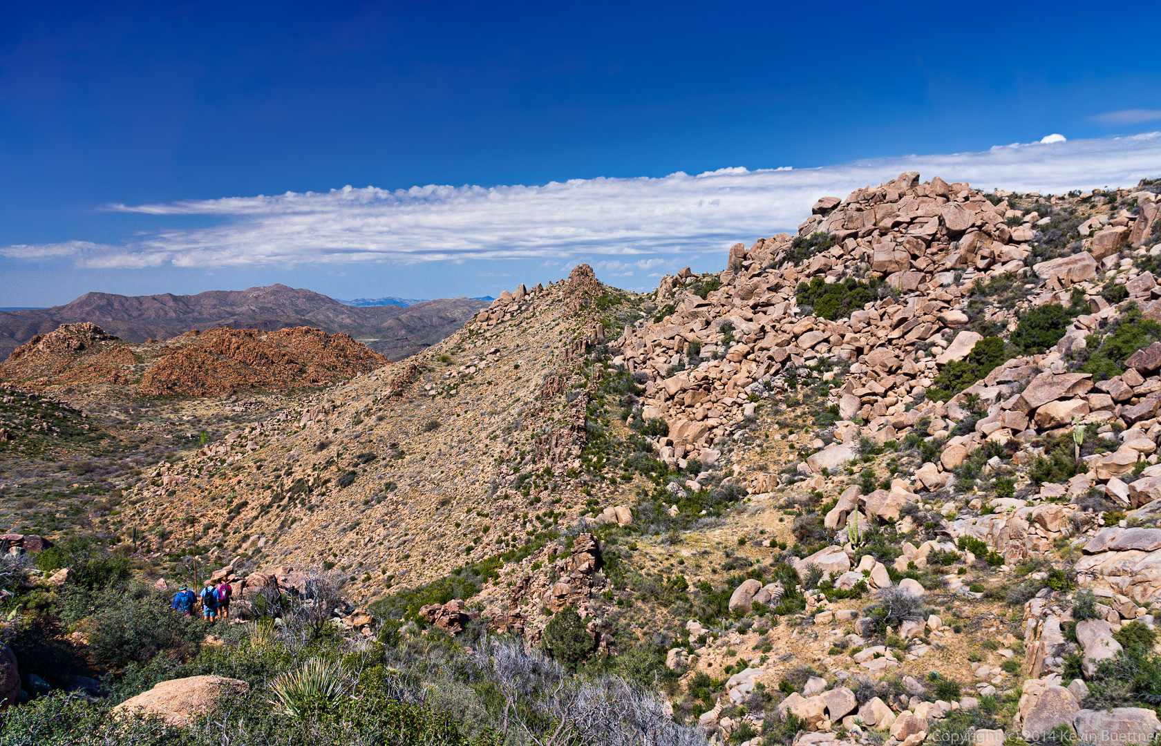 I think this is the same reddish rock formation that we has passed earlier on the way out.
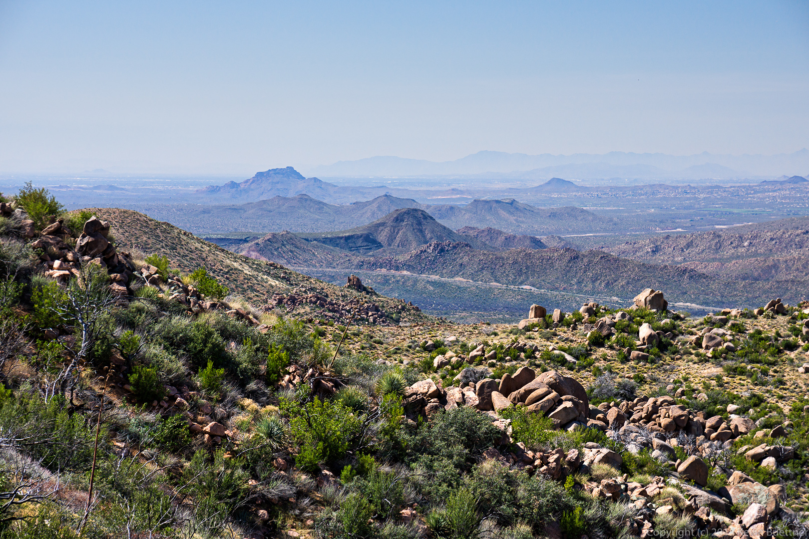
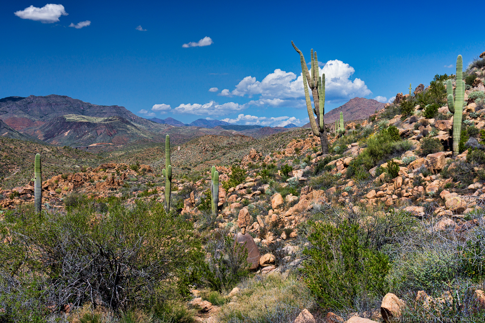
 A view of Red Mountain off in the distance. Fountain Hills is off to the right.
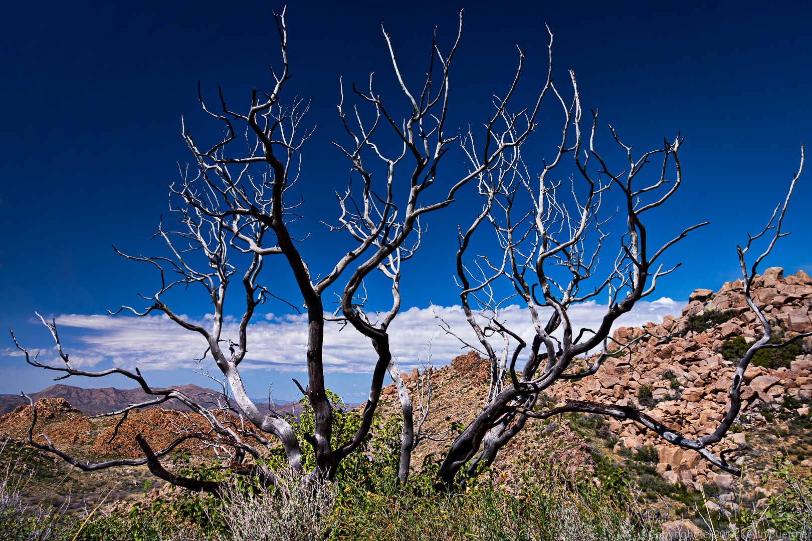
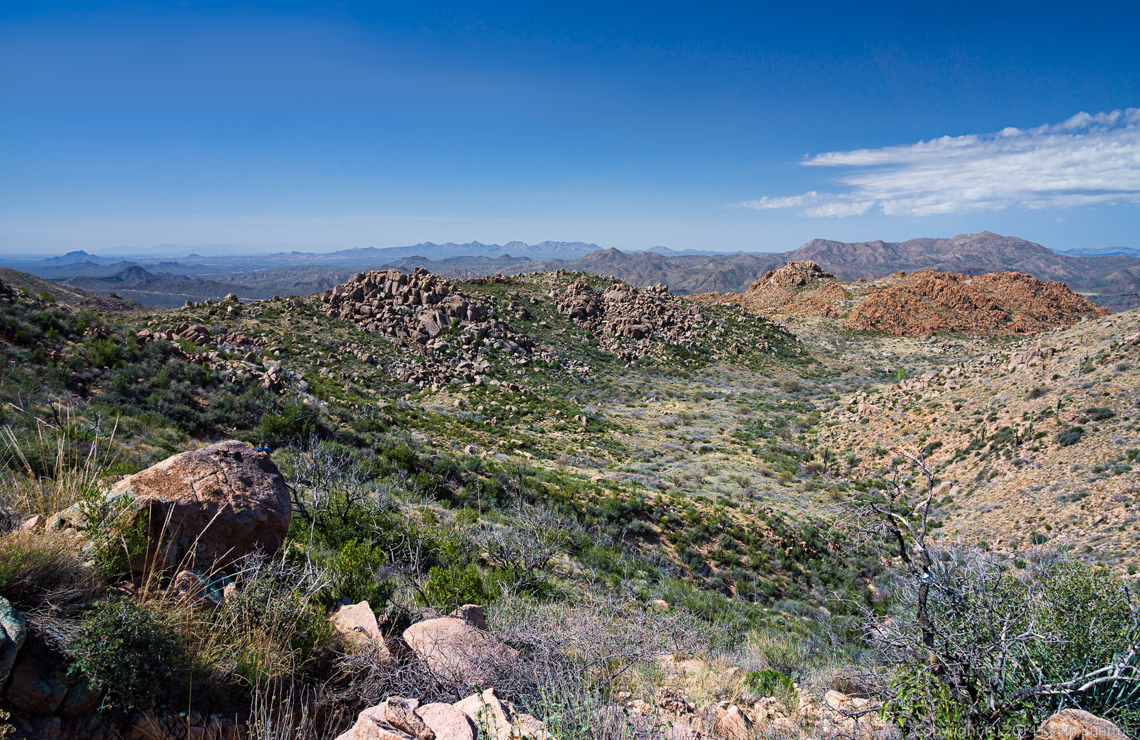 I saw this dead tree as I was making my descent.
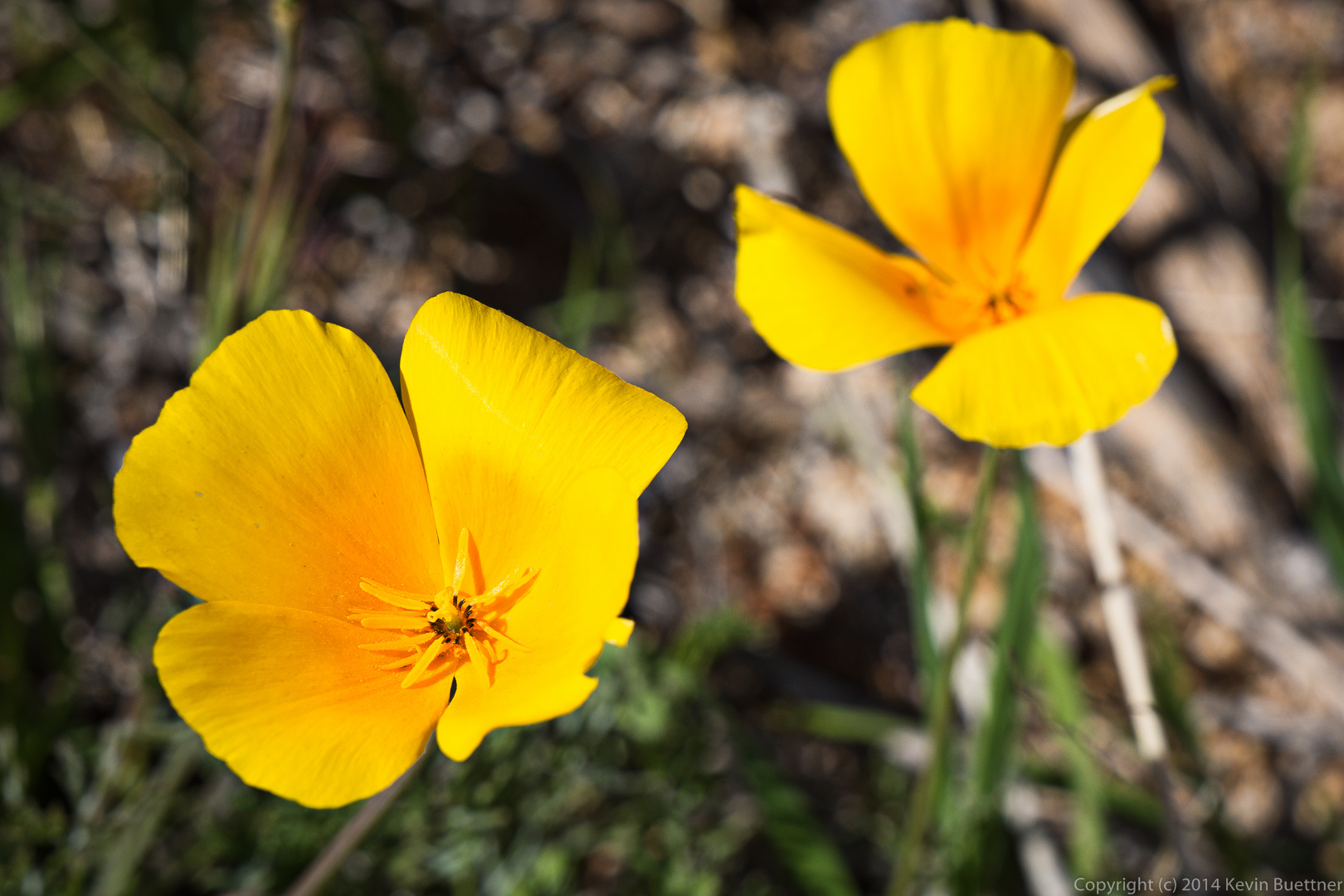
Poppies:
 A look back at where we had come from:
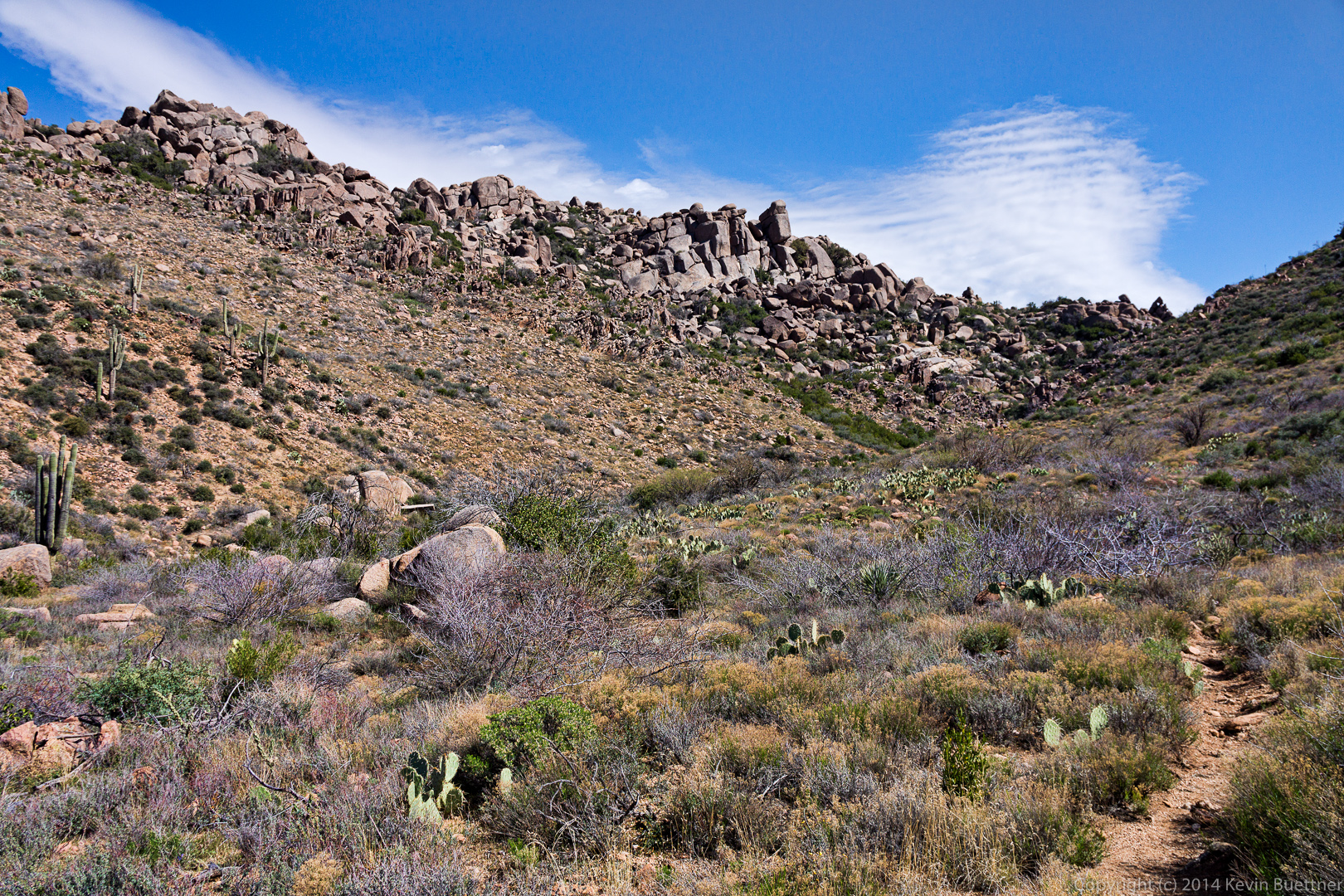 Looking ahead again as I try to catch up with the rest of the group.
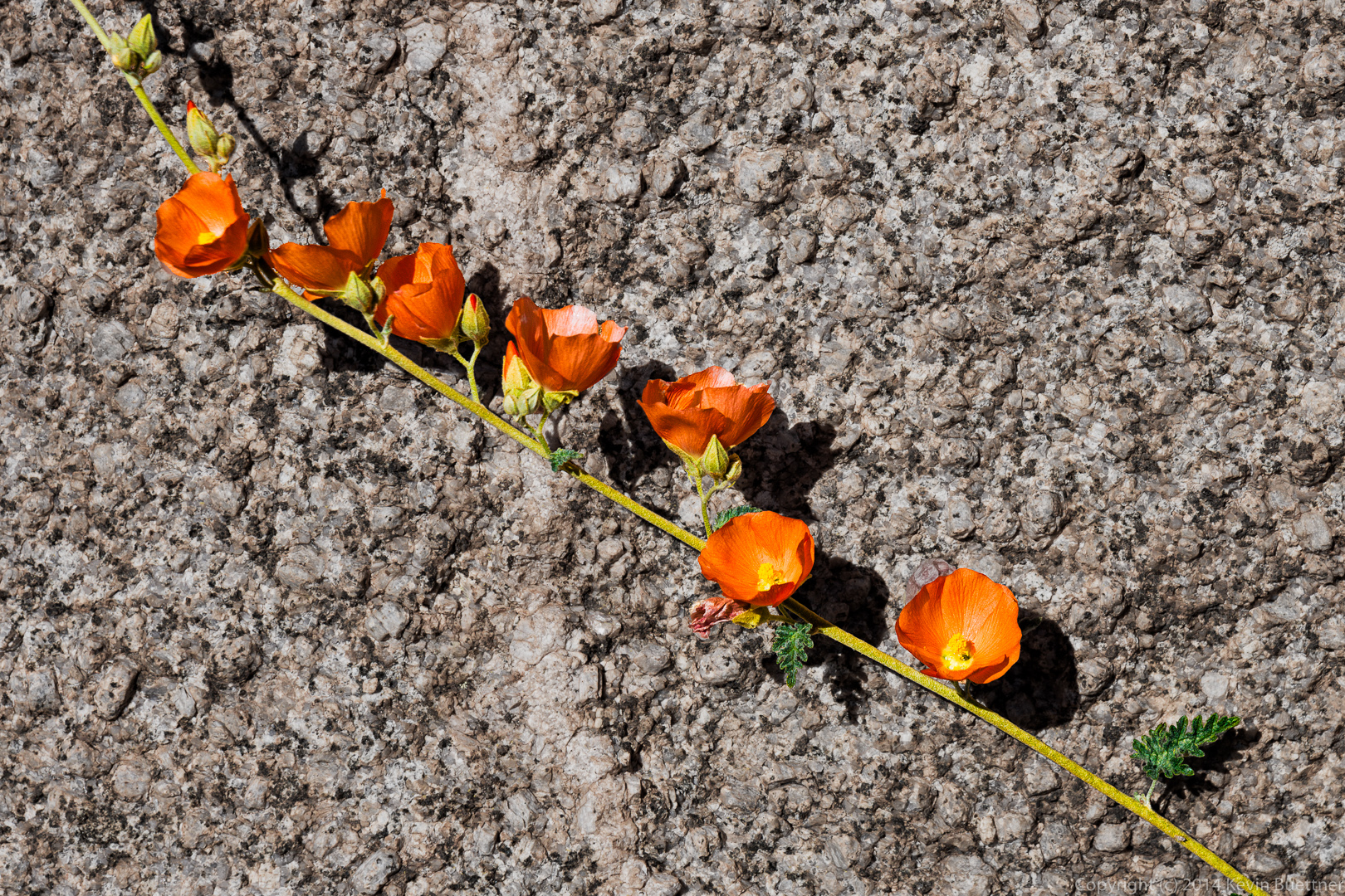
 Globemallow:
 Nancy waits by the prominent rock formation at the intersection with the trail leading over to the cabin (which we had hiked earlier in the day).
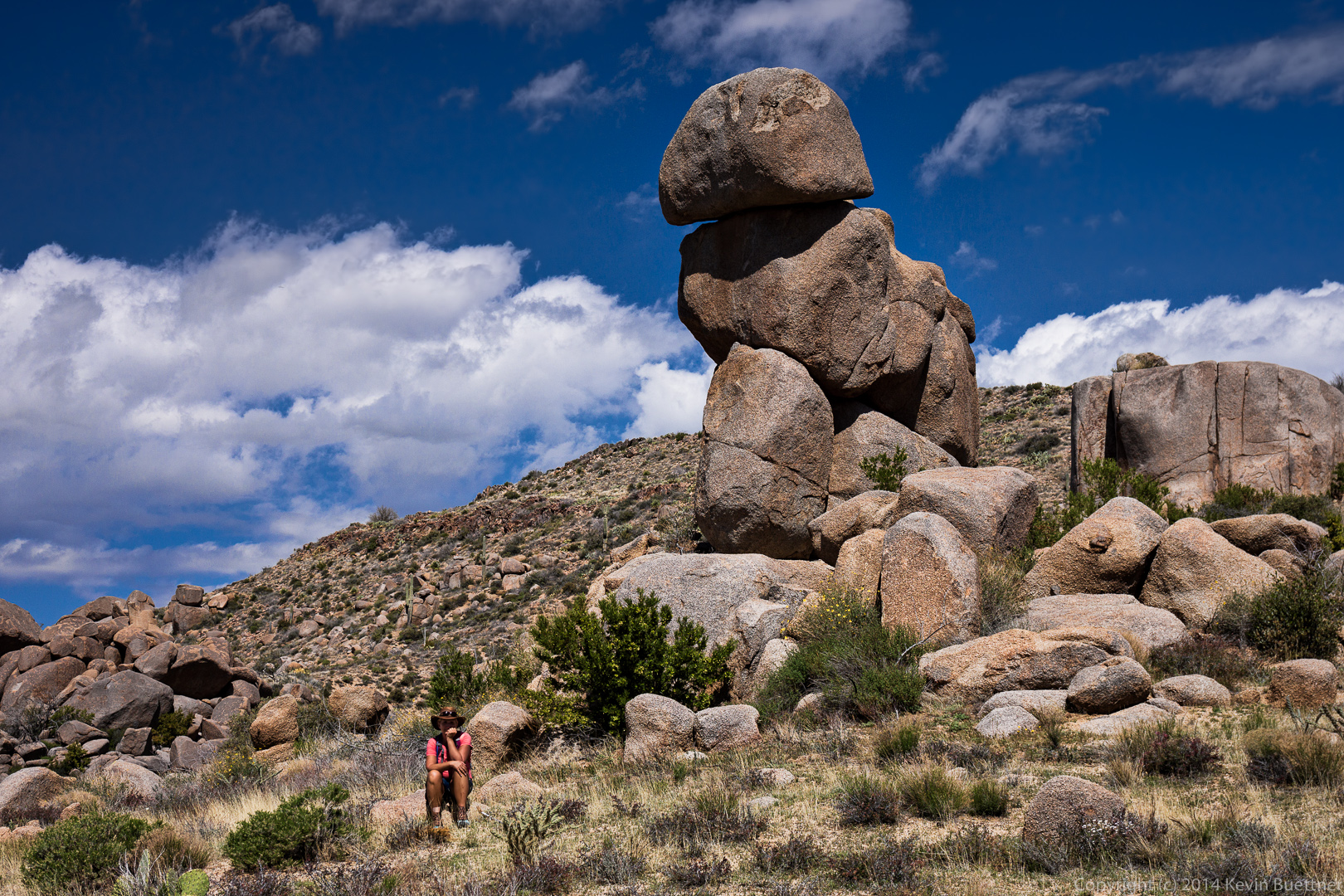 We had some big puffy clouds for a while, which made the sky more interesting.
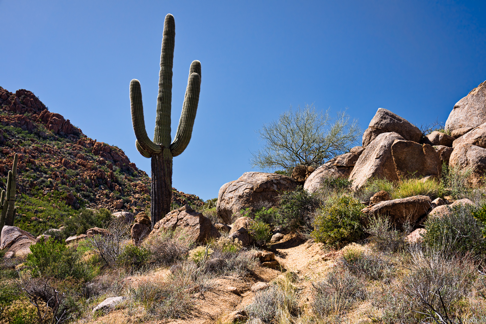
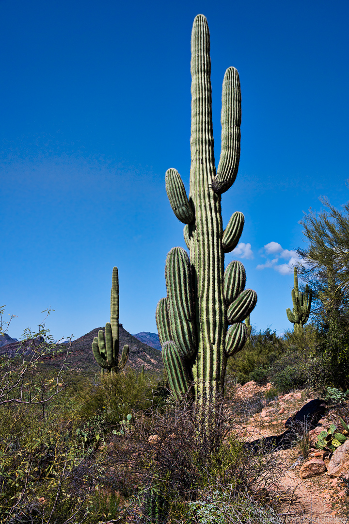
 A saguaro at the top of a small rise on the way back.
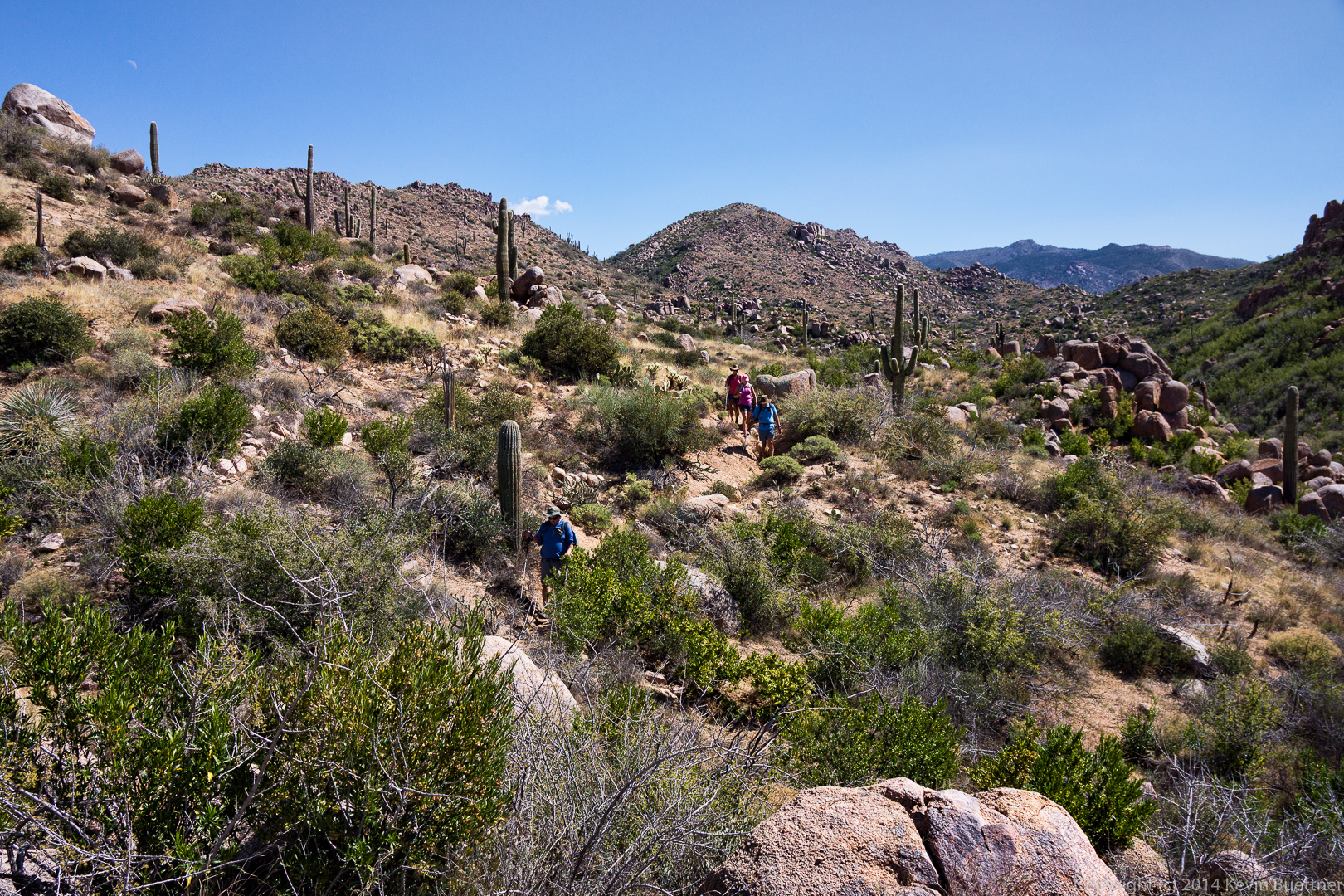
 A look back as Bob, Allen, Savannah, Janet, and Nancy make their way along the Ballantine.
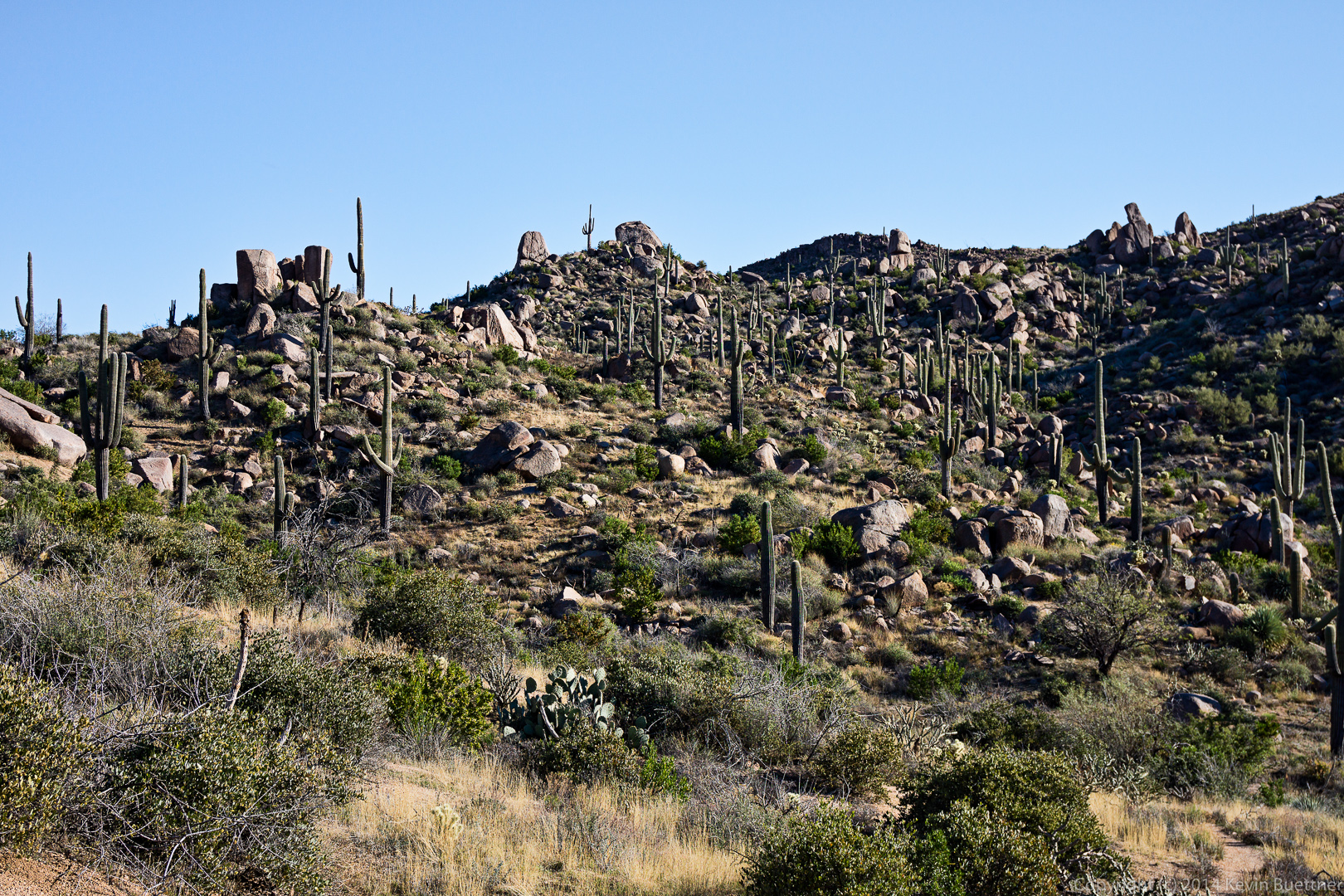
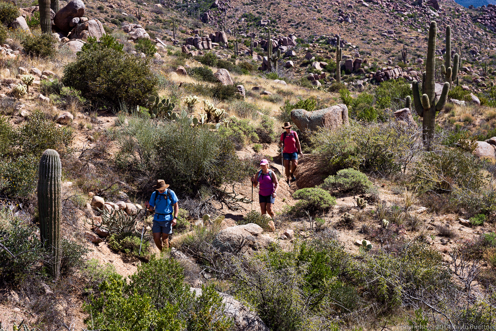 We had some great views on the way back too…

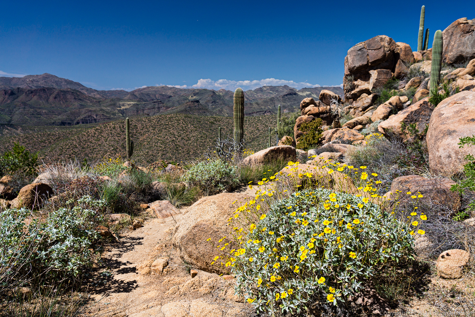
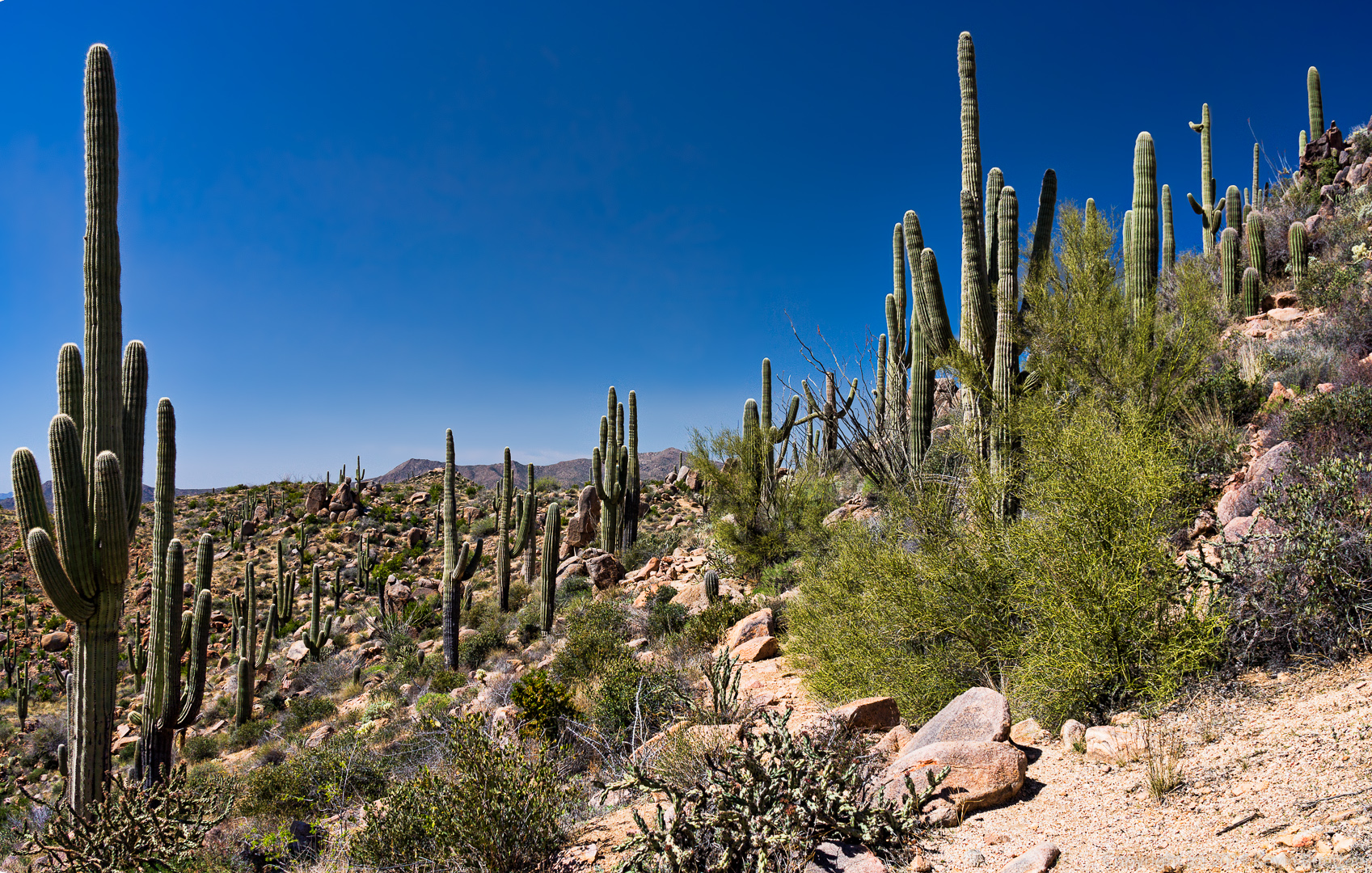 Brittlebush (and a great view):
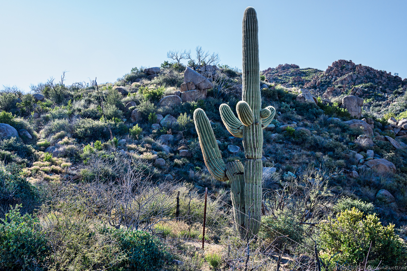
 A saguaro with lots of arms crowded together. It has even more on the other side. This saguaro is on the Pine Creek Loop with less than half a mile to go to the parking area.


Susan says:
Kevin! These are AMAZING photos!!! Some are just sooo exotic looking!!! Wow–is all I can comment!! And a rugged group you all are!!!
March 9, 2014 — 4:50 pm
Kevin says:
Thanks!
March 9, 2014 — 5:35 pm