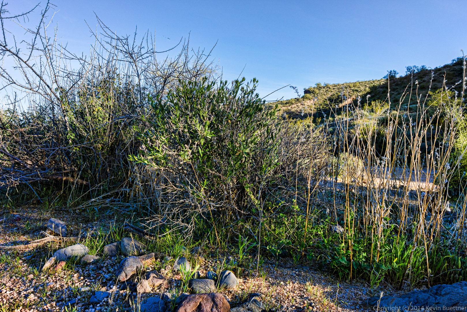
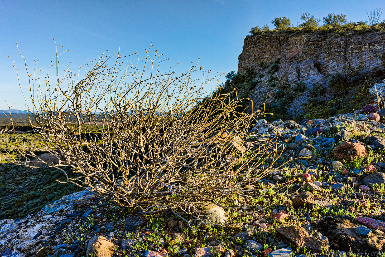
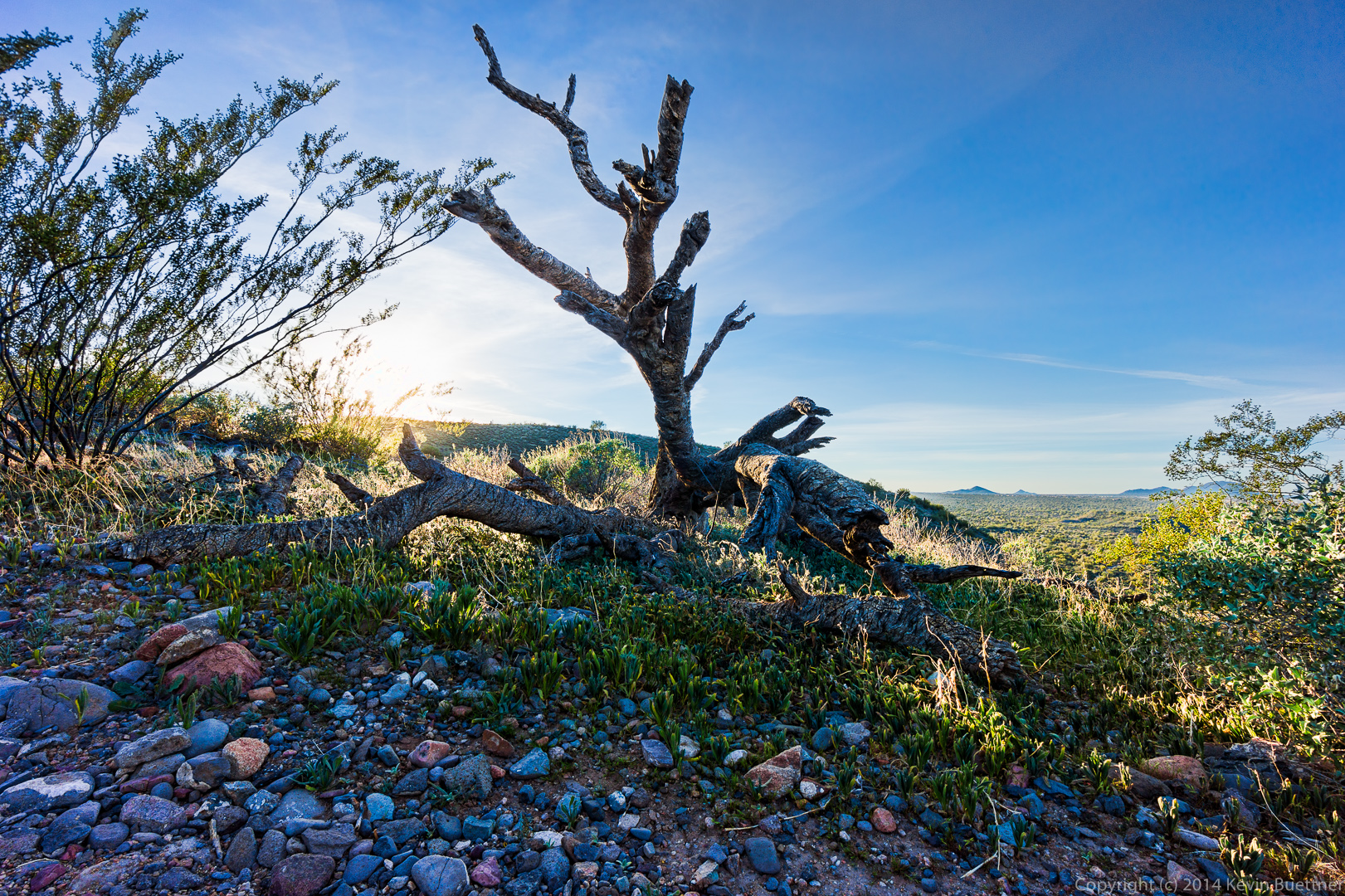
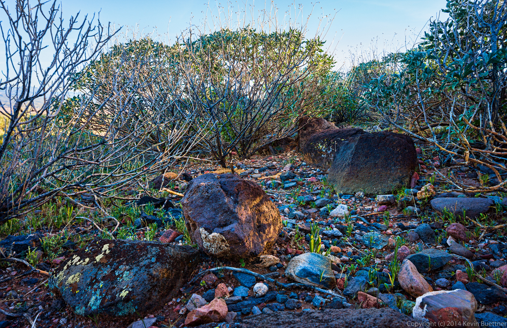
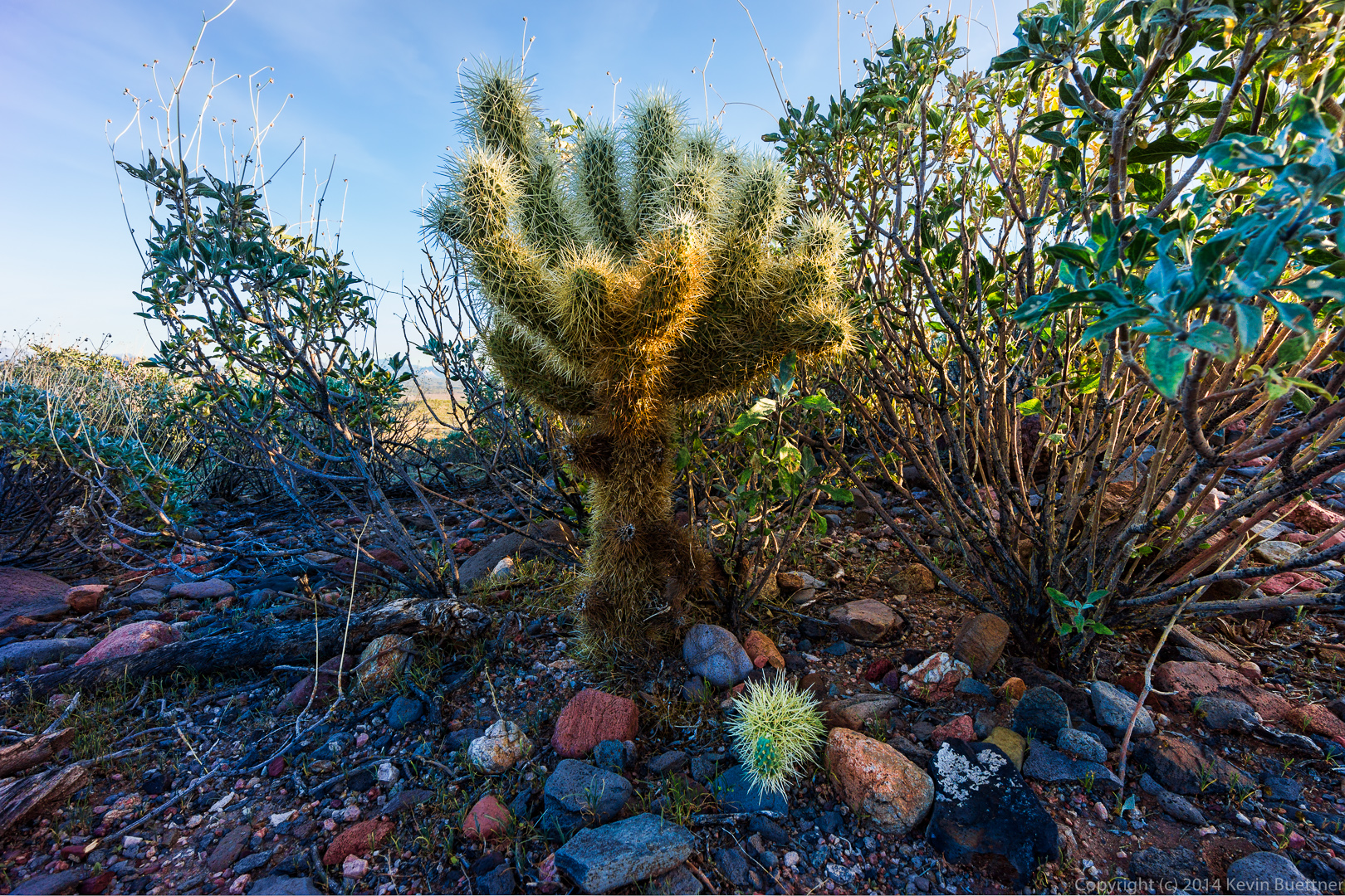
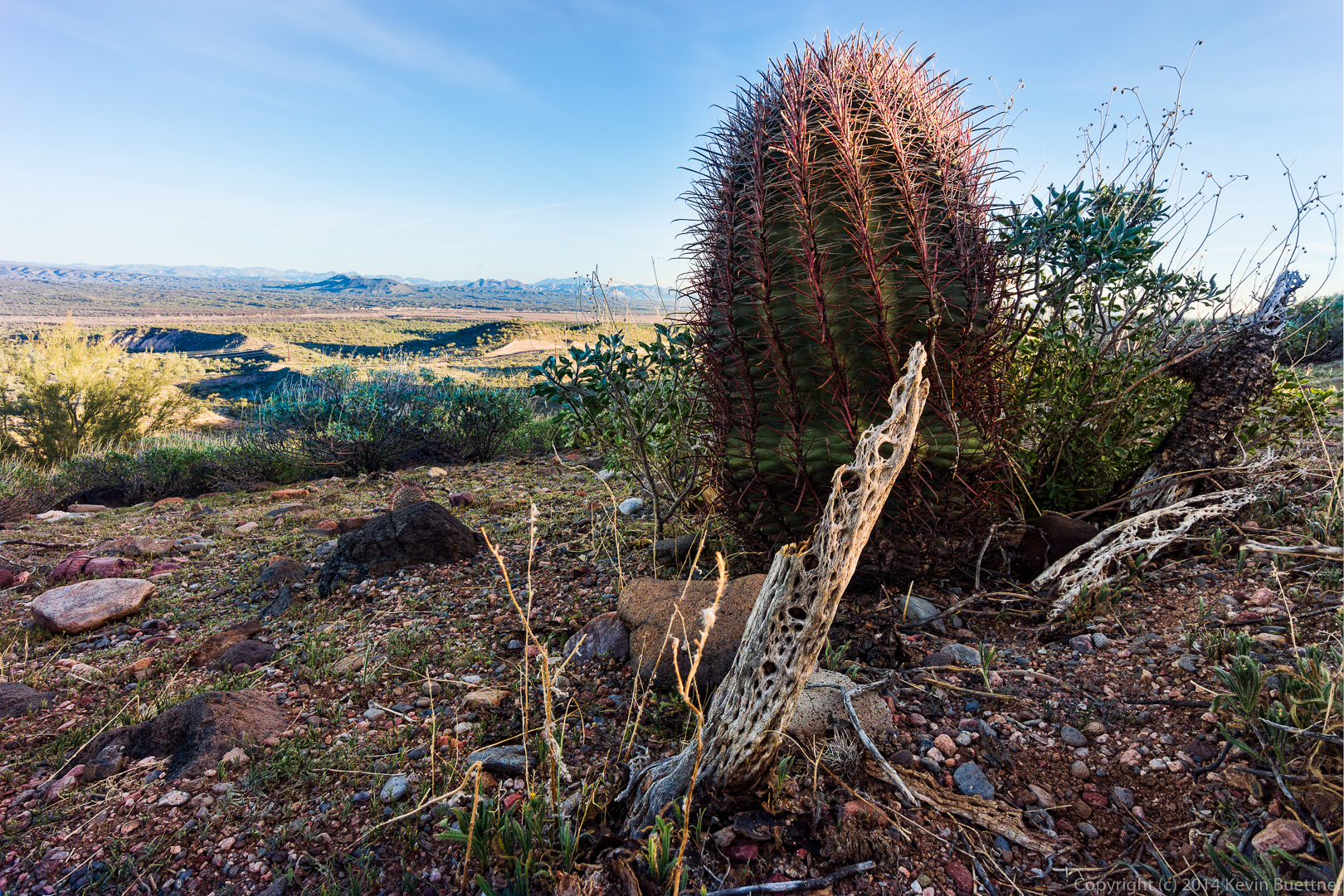
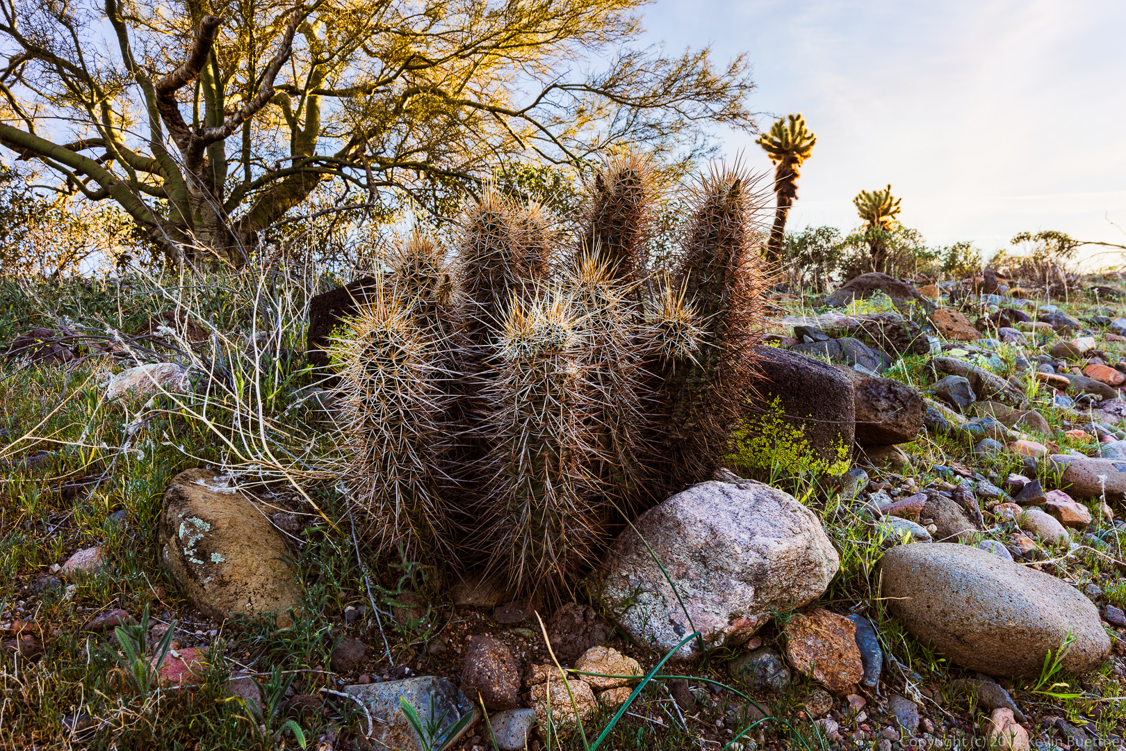
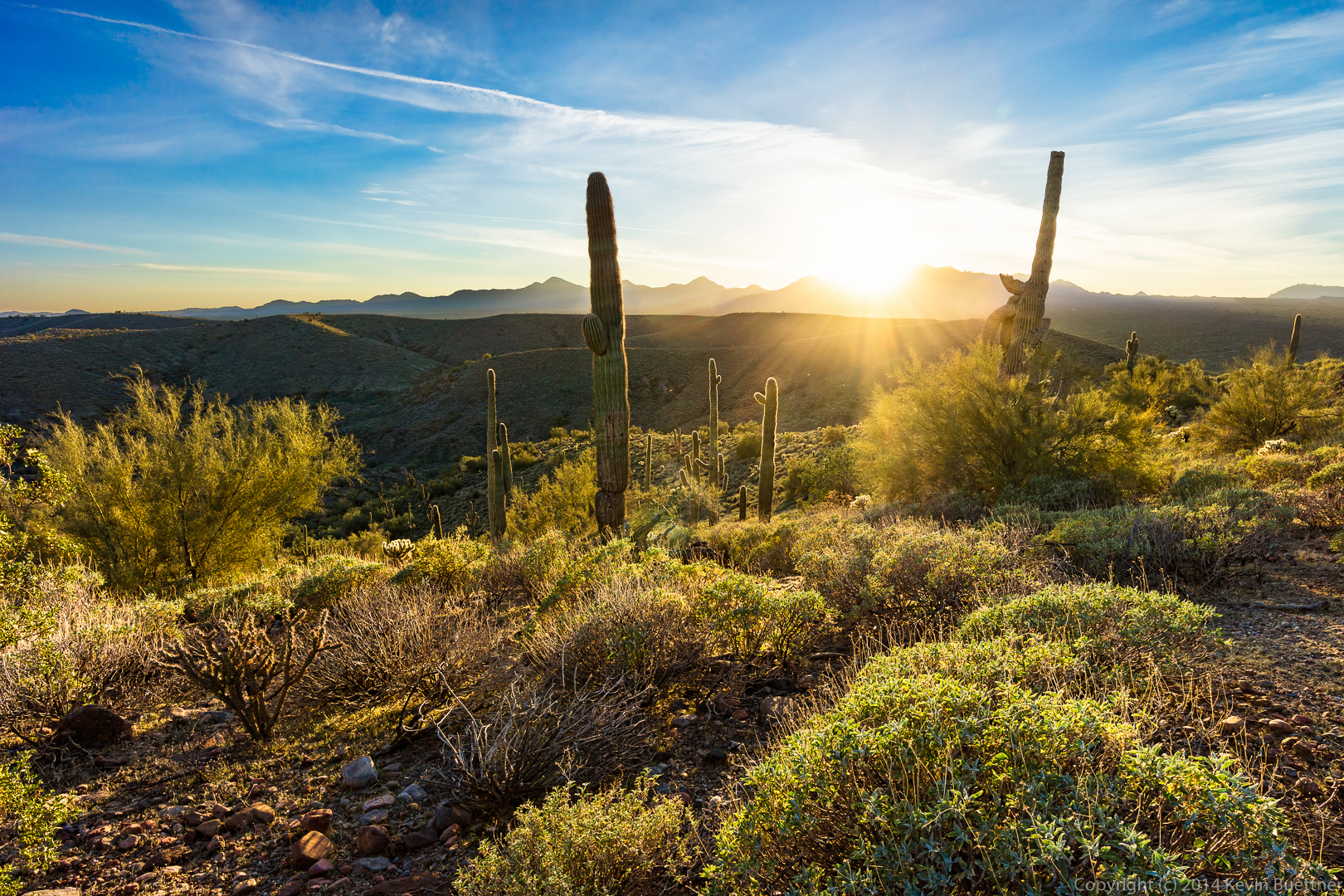
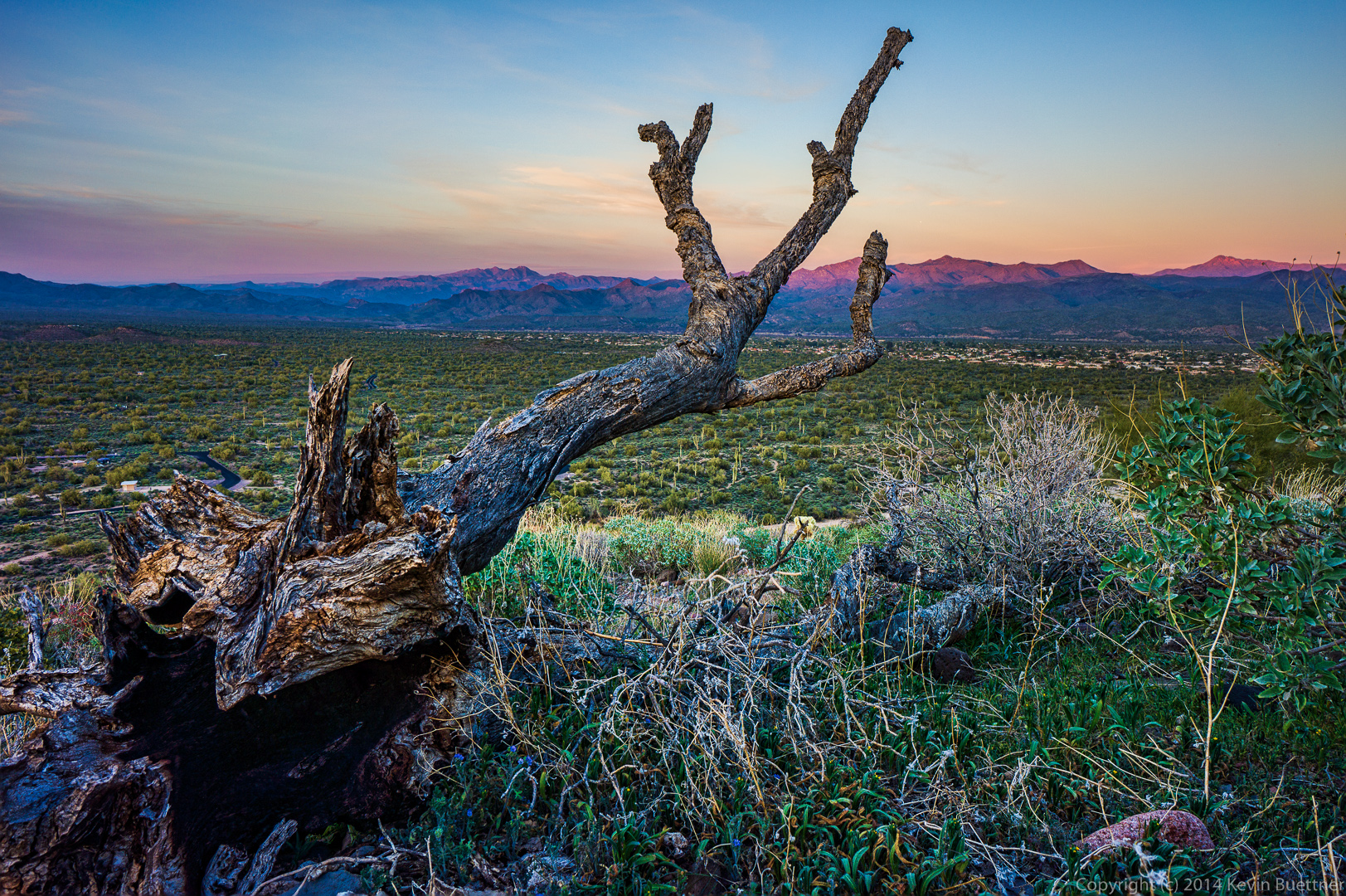
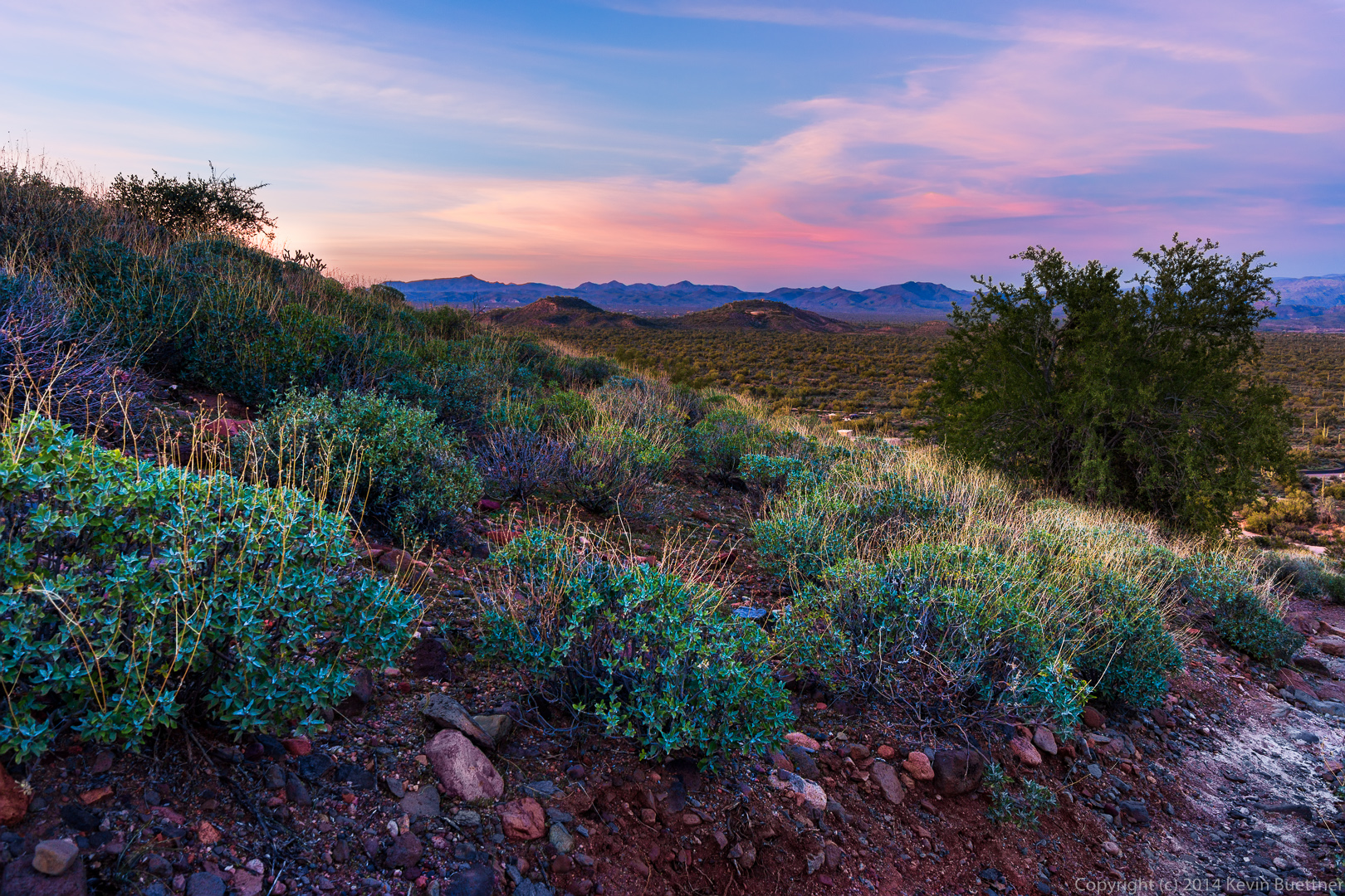
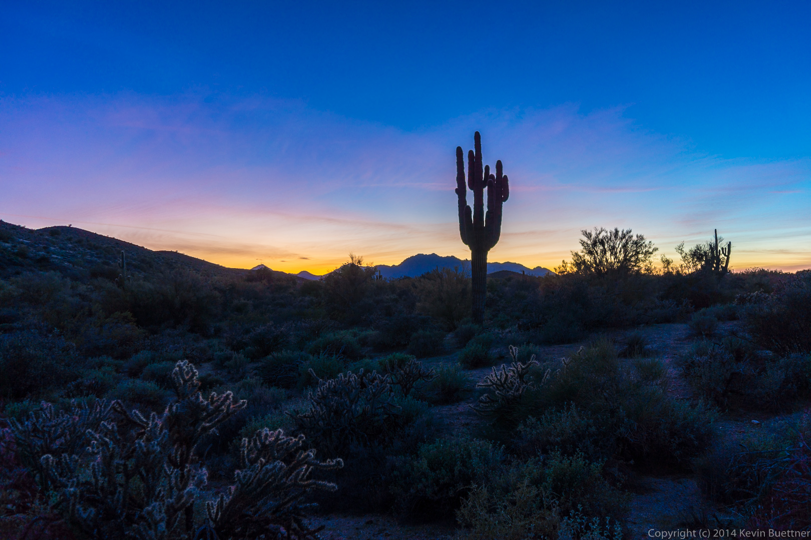
I took this photo in the backyard:
Month: February 2014 (page 2 of 2)
Friday’s hike was on the North Trail in McDowell Mountain Park. Some of us hiked out to Cedar Tank via Chuparosa, Pemberton, and other trails in the that area.
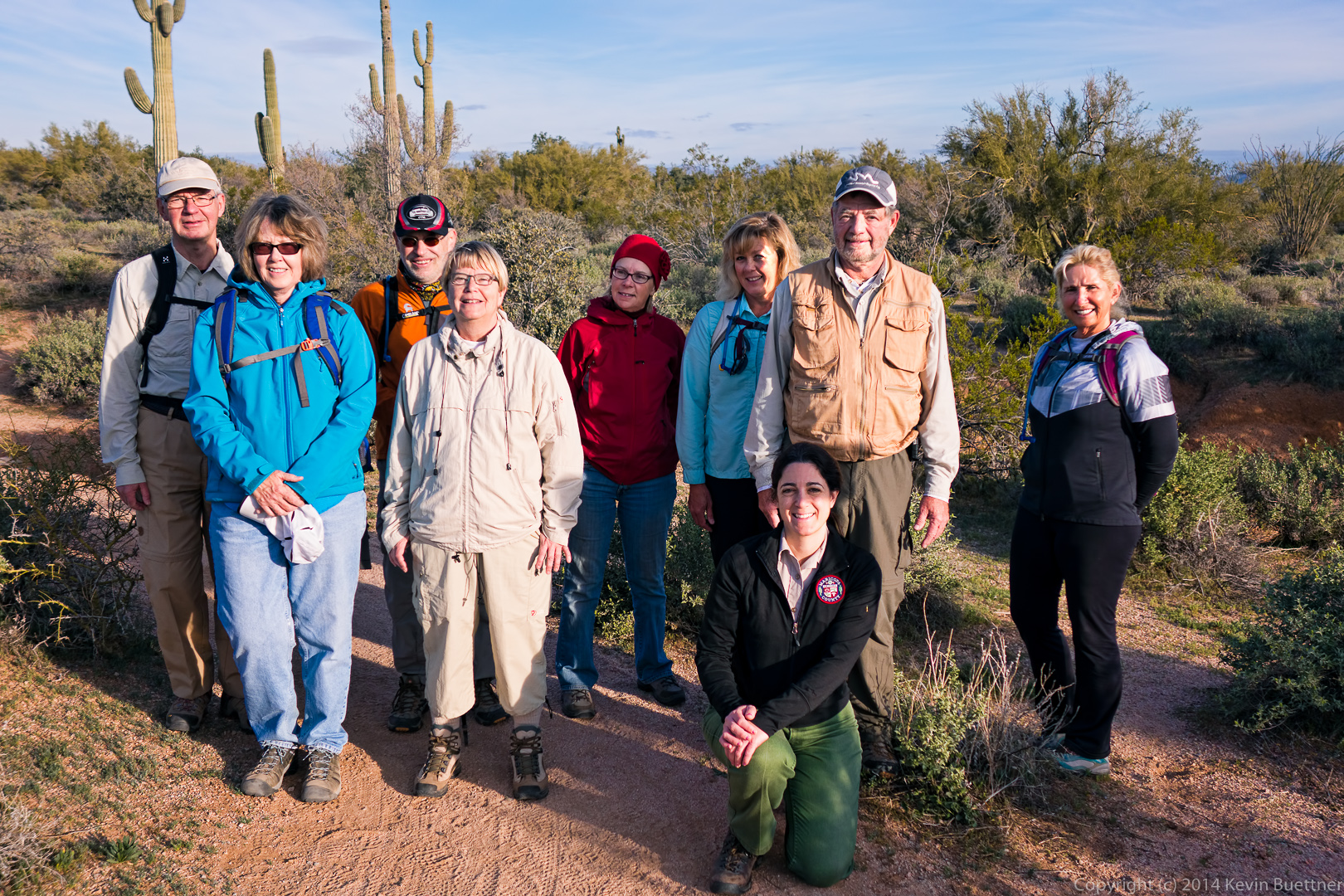
When we got to the Chuparosa Trail, Mary Lou and Virginia hiked back with Amy. We took this photo at that intersection. From left to right are Per, Virginia, Nick, Christina, Mary Lou, Janet, Amy (in front), Bill, and Nancy.
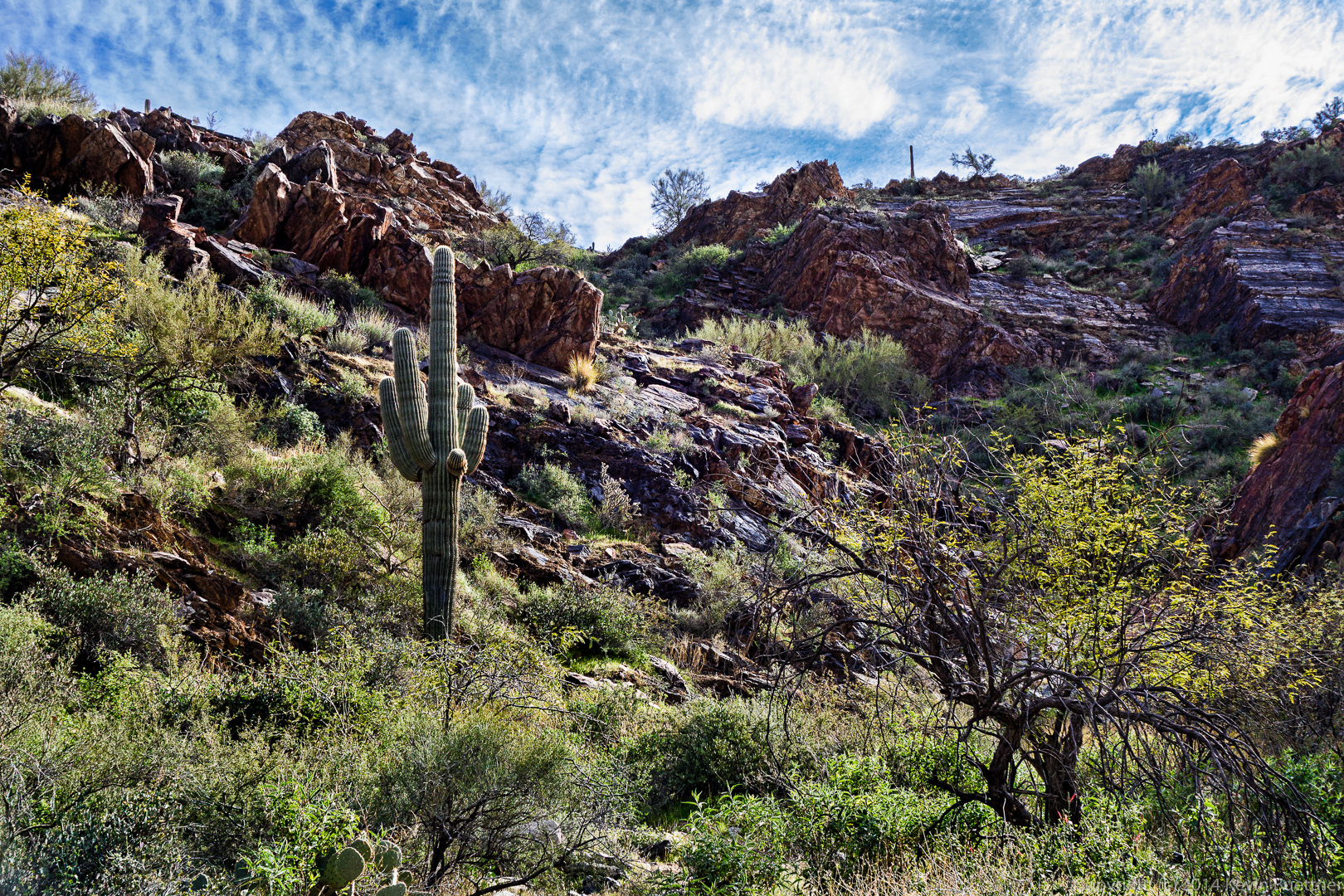
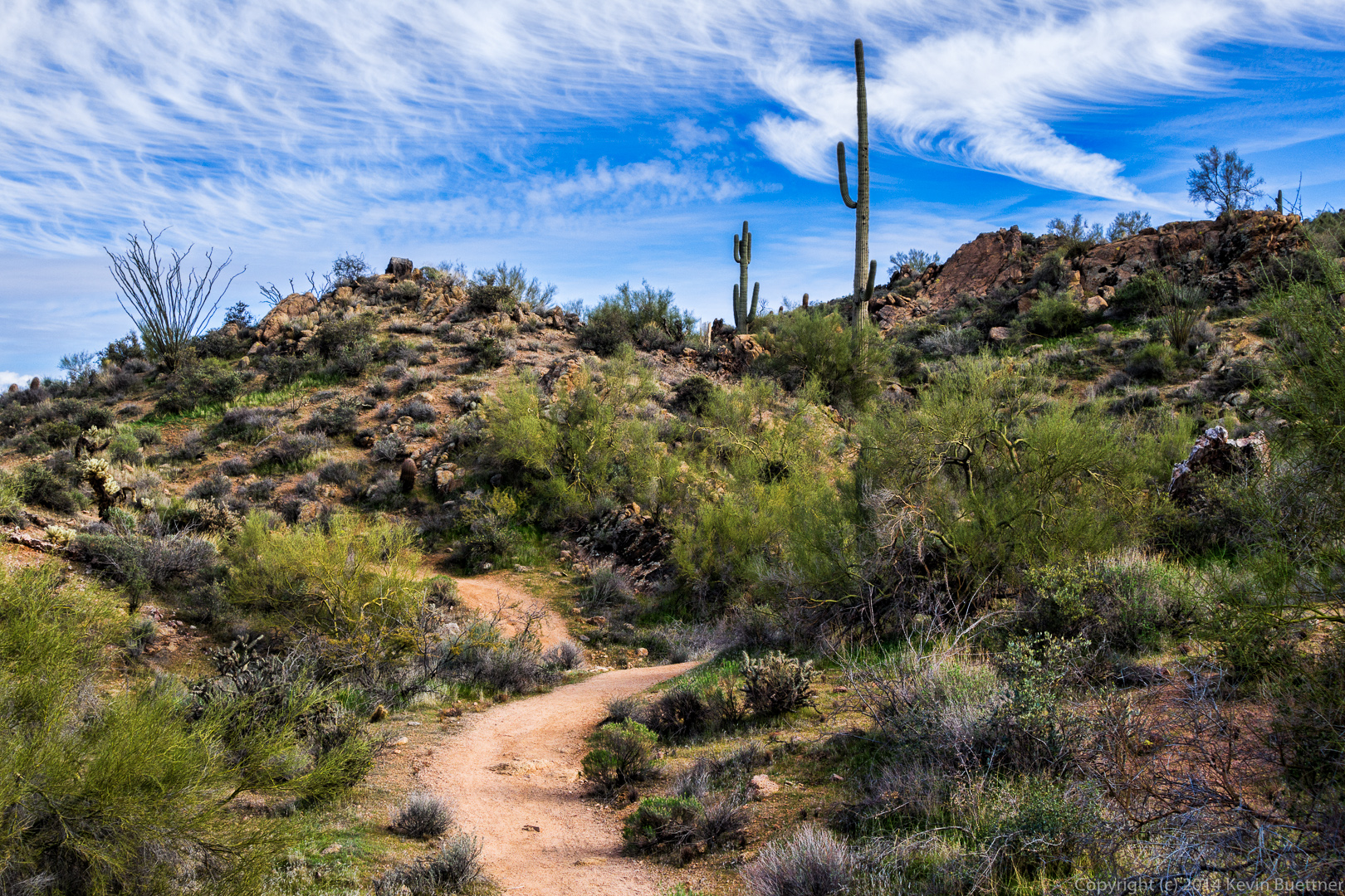
 There are some nice looking saguaros in the area…
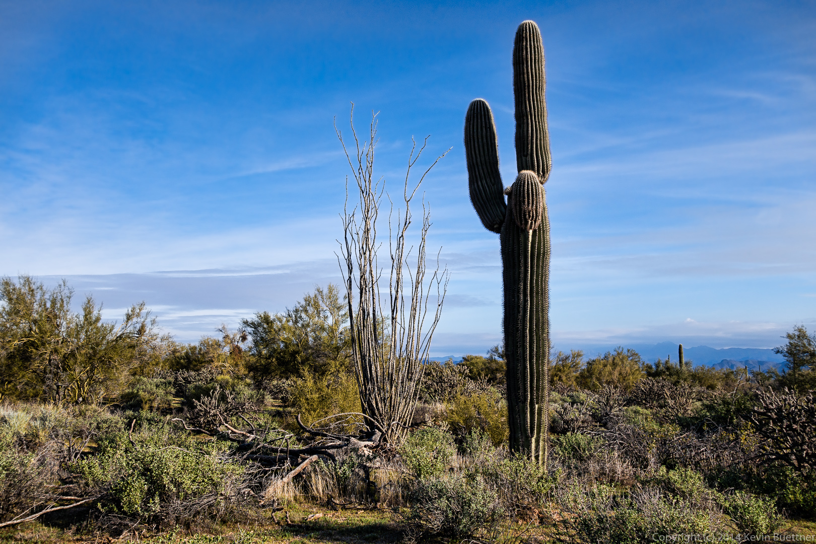
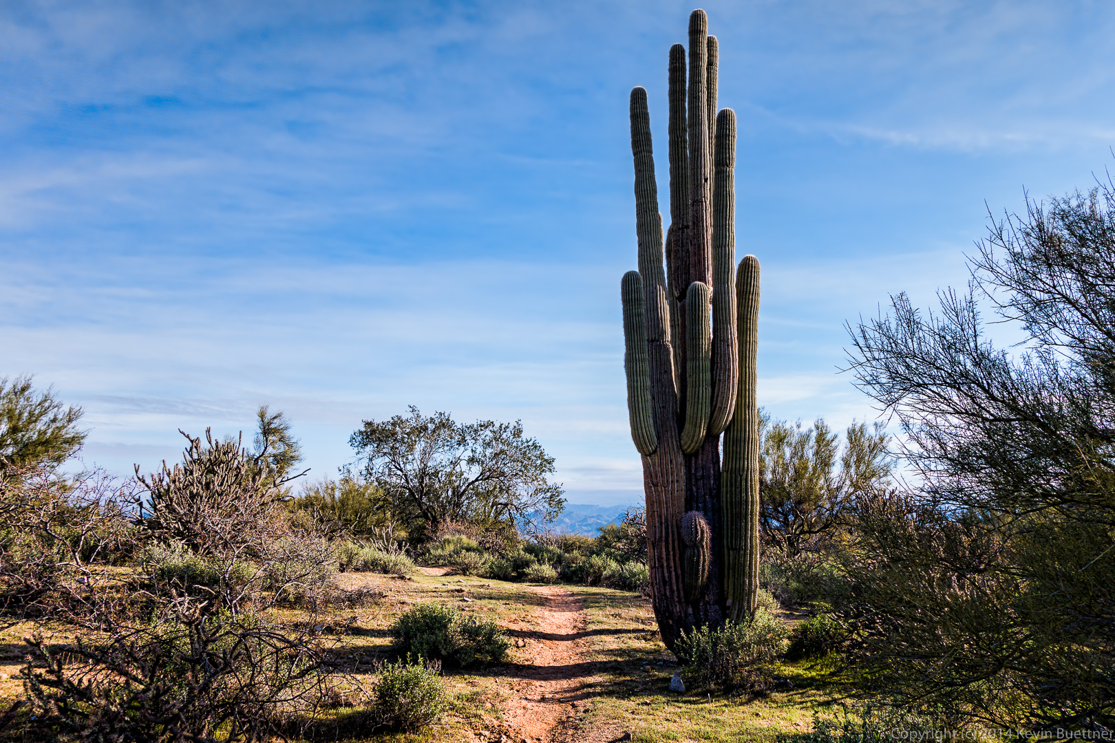
I tried a different treatment for this photo. It’s the same saguaro shown in the photo above, but the shot was taken from a different angle.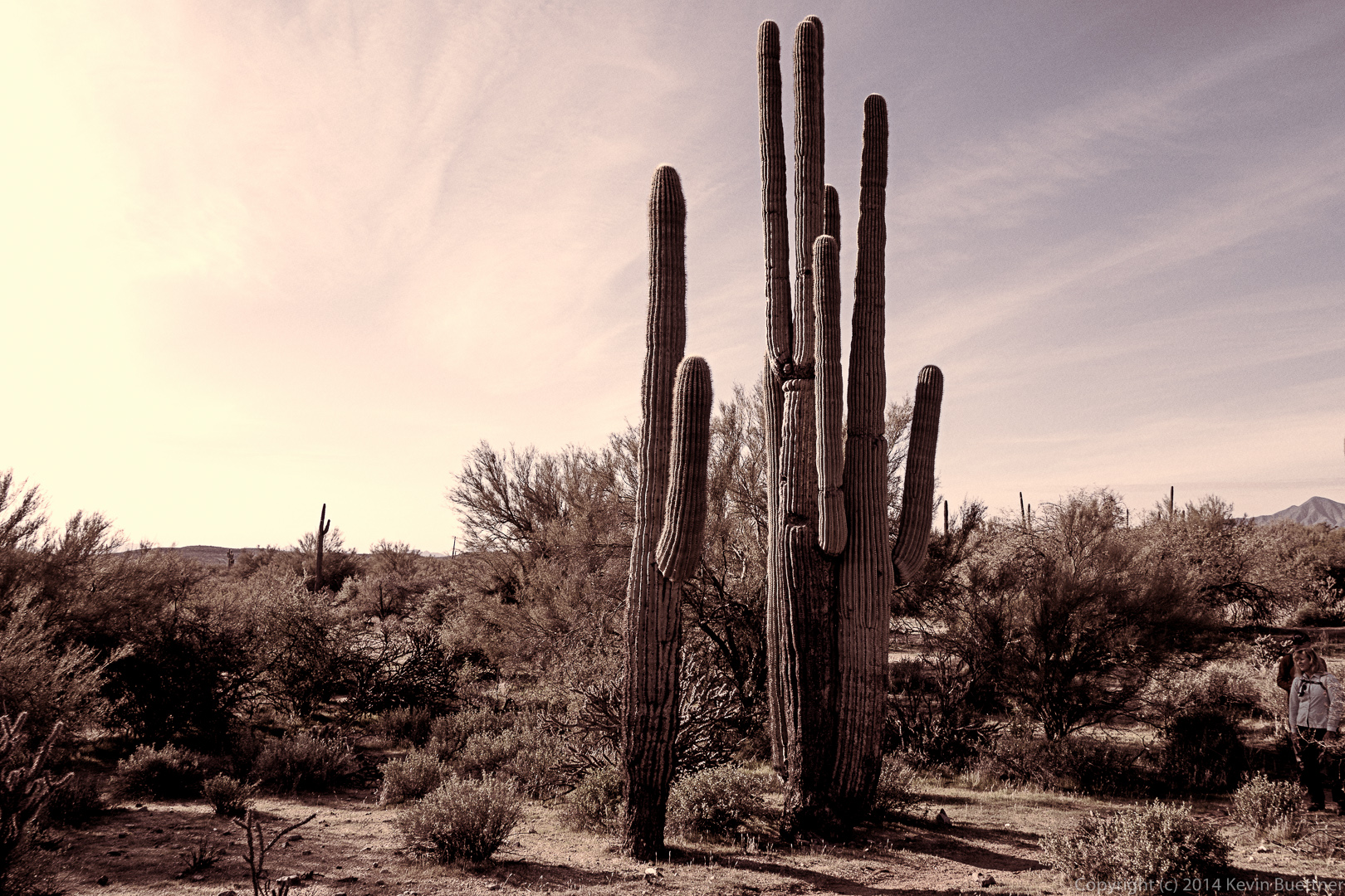
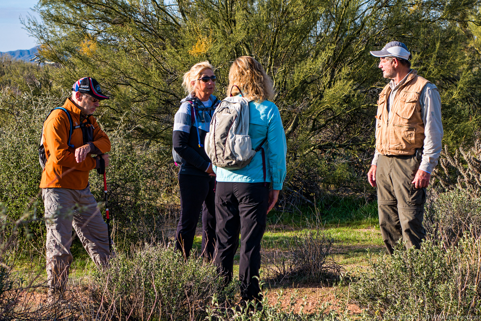
Nick, Nancy, Janet, and Bill chat while I take photos. Per and Christina had turned back at this point.
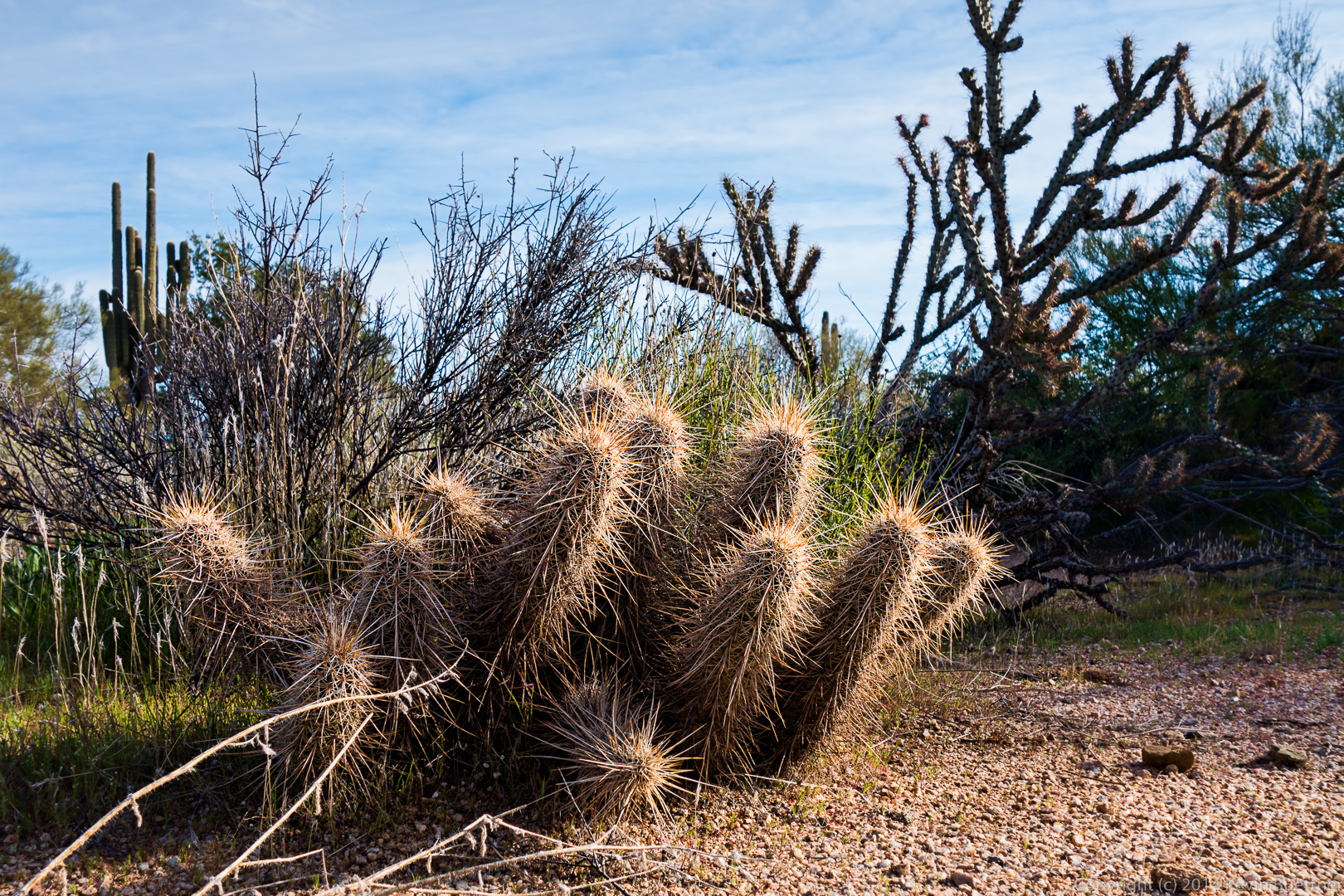
A hedgehog cacti:
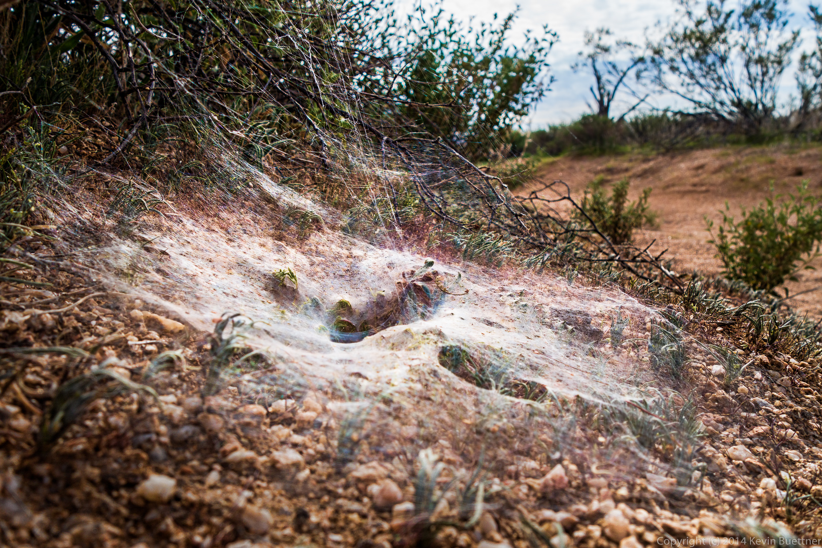
Bill told us that this is the nest / web of a Wolf Spider:
Cedar Tank:
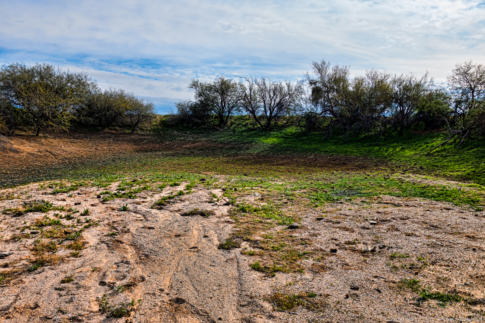 Another view of Cedar Tank. There’s an old, rusty, bullet riddled metal tank at the right of the photo. But that’s not Cedar Tank. Cedar Tank is actually the depression where water collects.
 We saw a Fairy Duster in bloom:
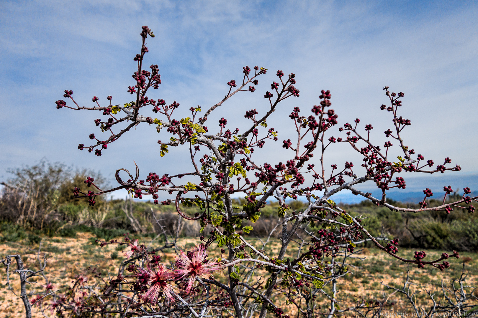
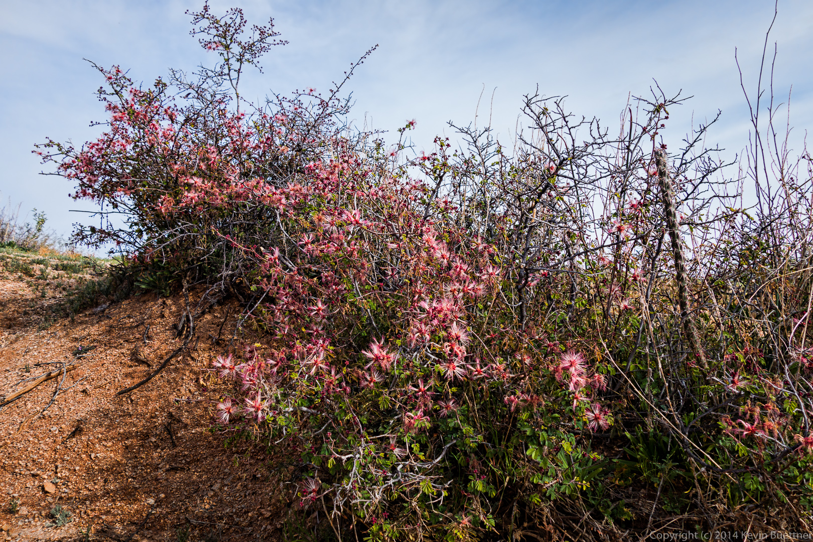 But the very top of the plant was not quite in bloom:
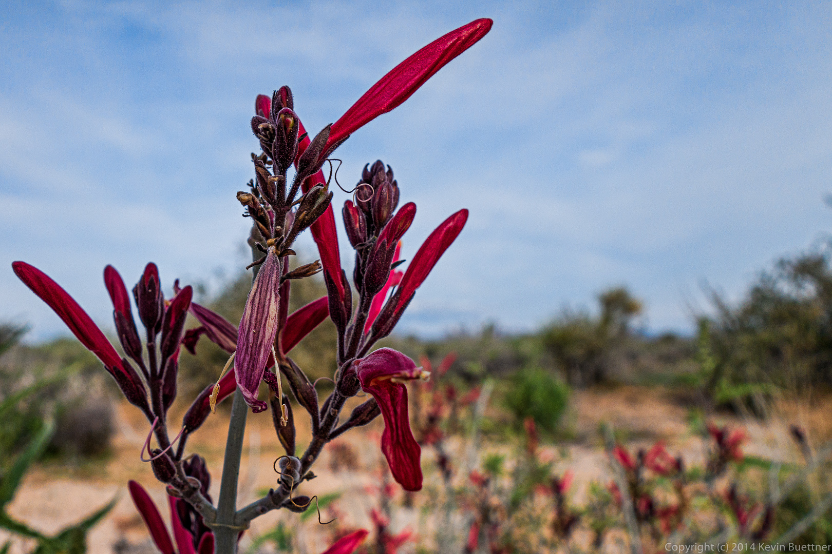
 A close up of a chuparosa blossom:
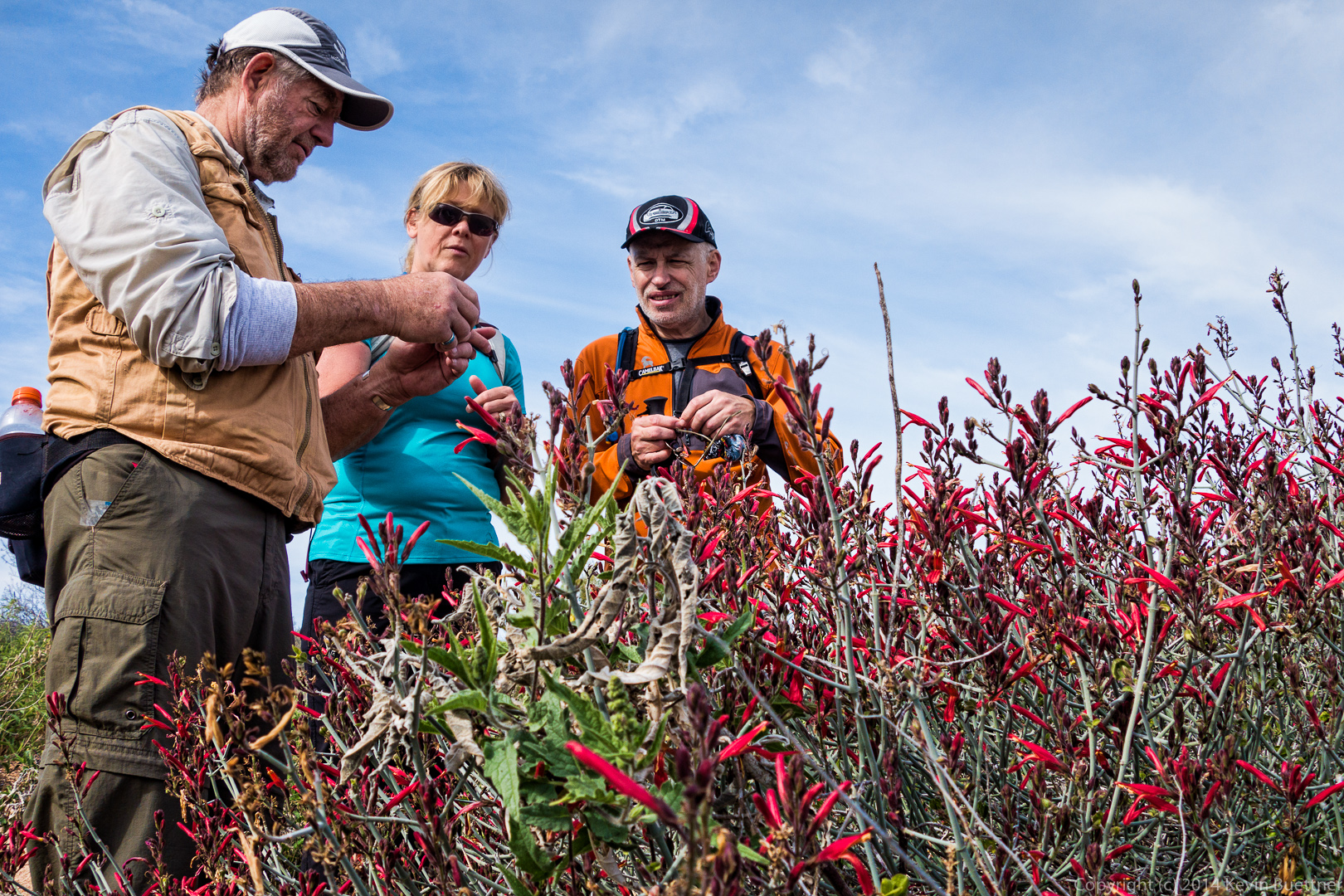
 Bill, Janet, and Nick examine the chuparosa plant.
 We came across this survey marker on the way back. It’s perhaps 10 yards off the Chuparosa Trail. $250 back in 1919 was quite a lot of money. It’s equivalent to $3,500 in 2014.
Friday’s hike lead some of us all the way up and then down the Western Loop Trail via the Dixie Mine, Sonoran, and Promenade trails. Those of us who made it that far hiked a total of ten miles with over two thousand feet of total ascent.
We were happy to have Amy with us again. She hiked out to the intersection of Dixie Mine and Sonoran with us. She says her back is feeling better now, though I don’t think she’s totally recovered yet.
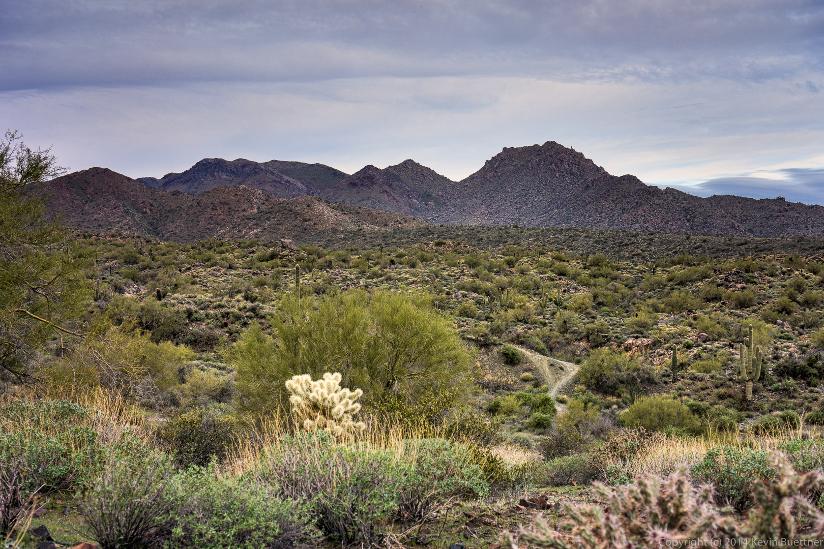
We took this photo, below, just after entering the park proper. From left to right are Richard, Bill, Amy, Janet, Venie, Doug, Linda, Alex, and Ellen.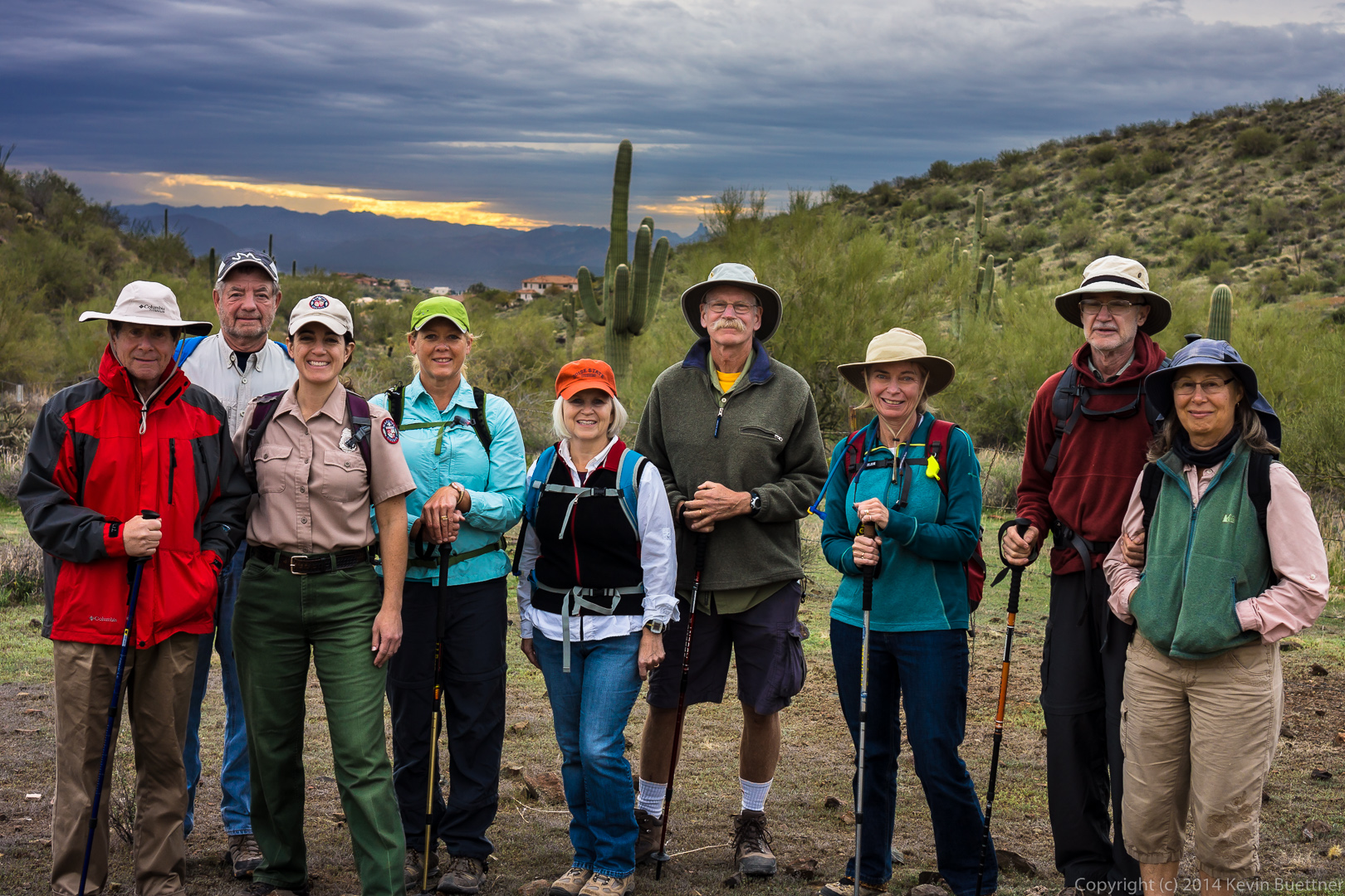 A view of the McDowells from the Dixie Mine Trail:
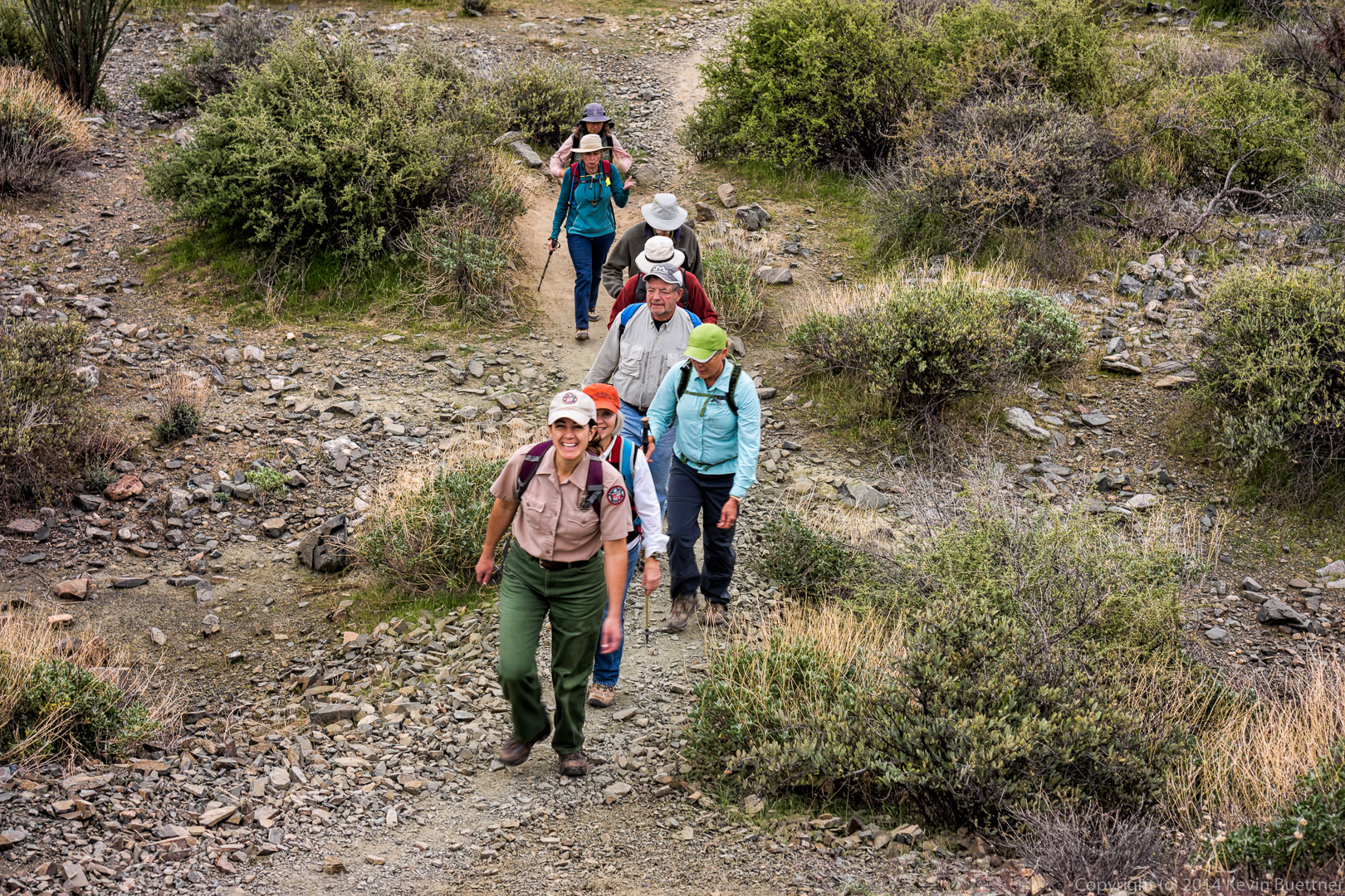
 Amy leads the way up one of the short hills on the Dixie Mine Trail.
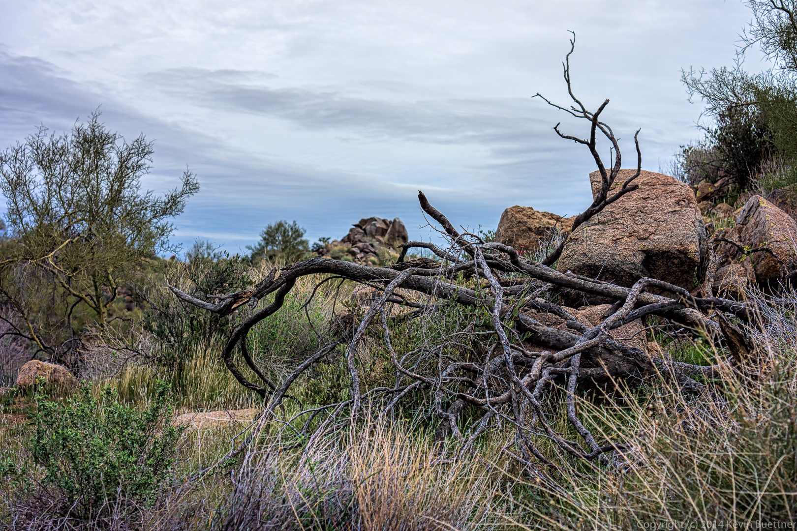
 Dead branches and boulders along the Dixie Mine Trail.
 I think this is a view from the Sonoran, though still within McDowell Mountain Park.
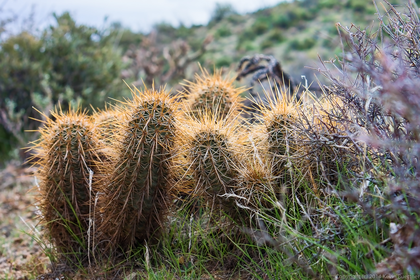
 Hedgehog cacti (I think):
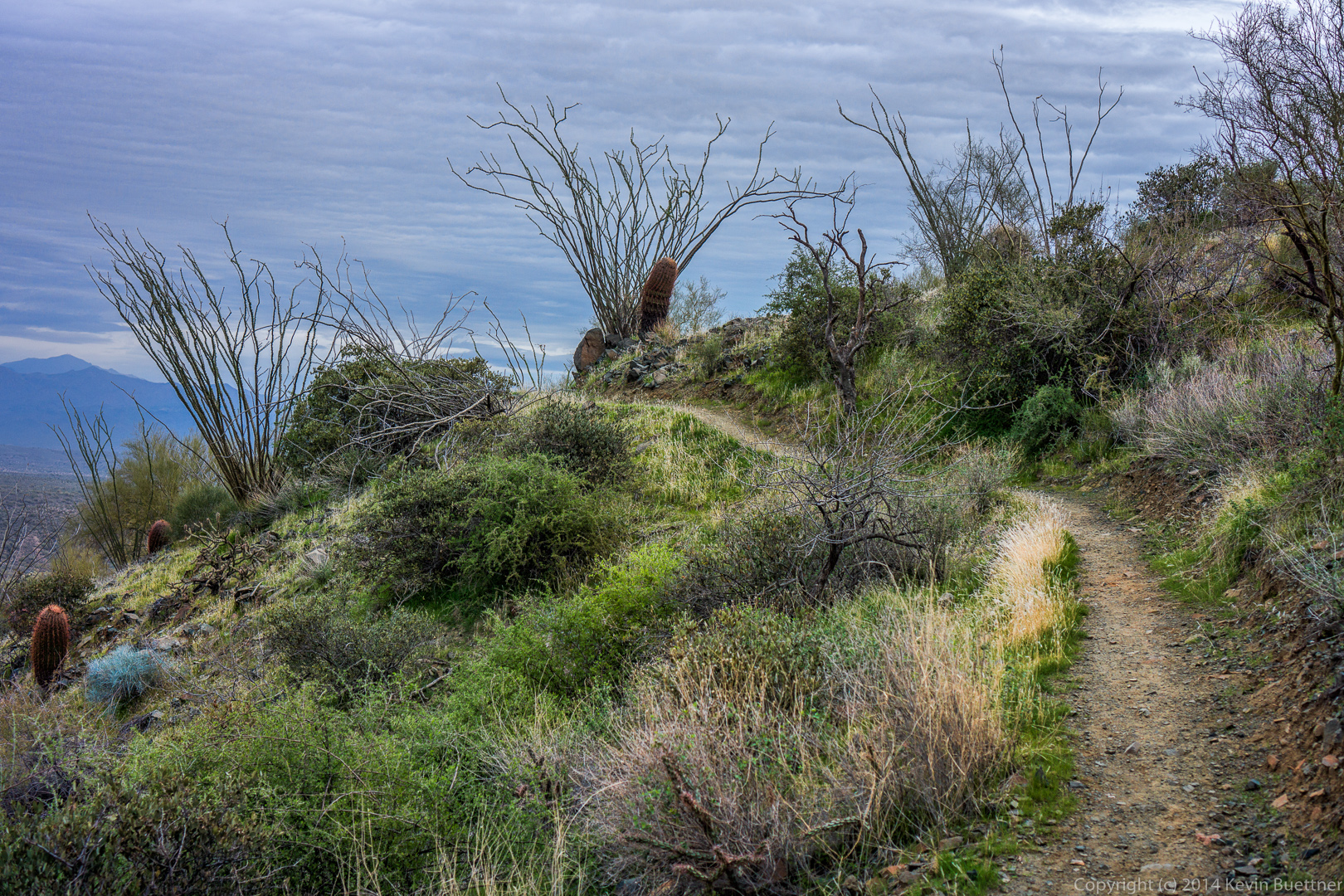
 A view of the Sonoran Trail.
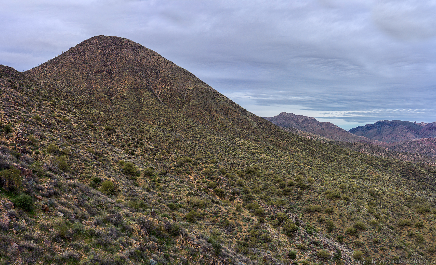
I think we were on the Western Loop Trail when I took this photo. Tom’s Thumb is barely visible on the far right.
 Venie, Ellen, and Alex enjoy the view from the Western Loop Trail.
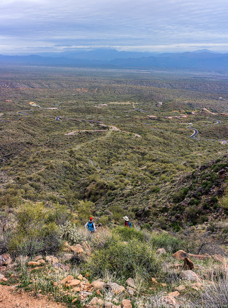
Yet another view from the Western Loop Trail.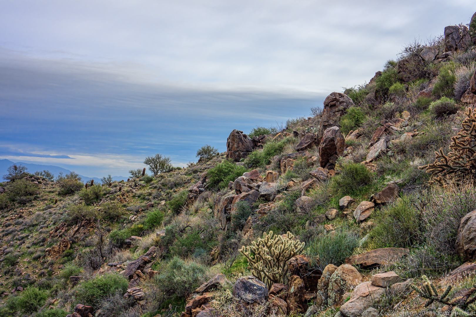
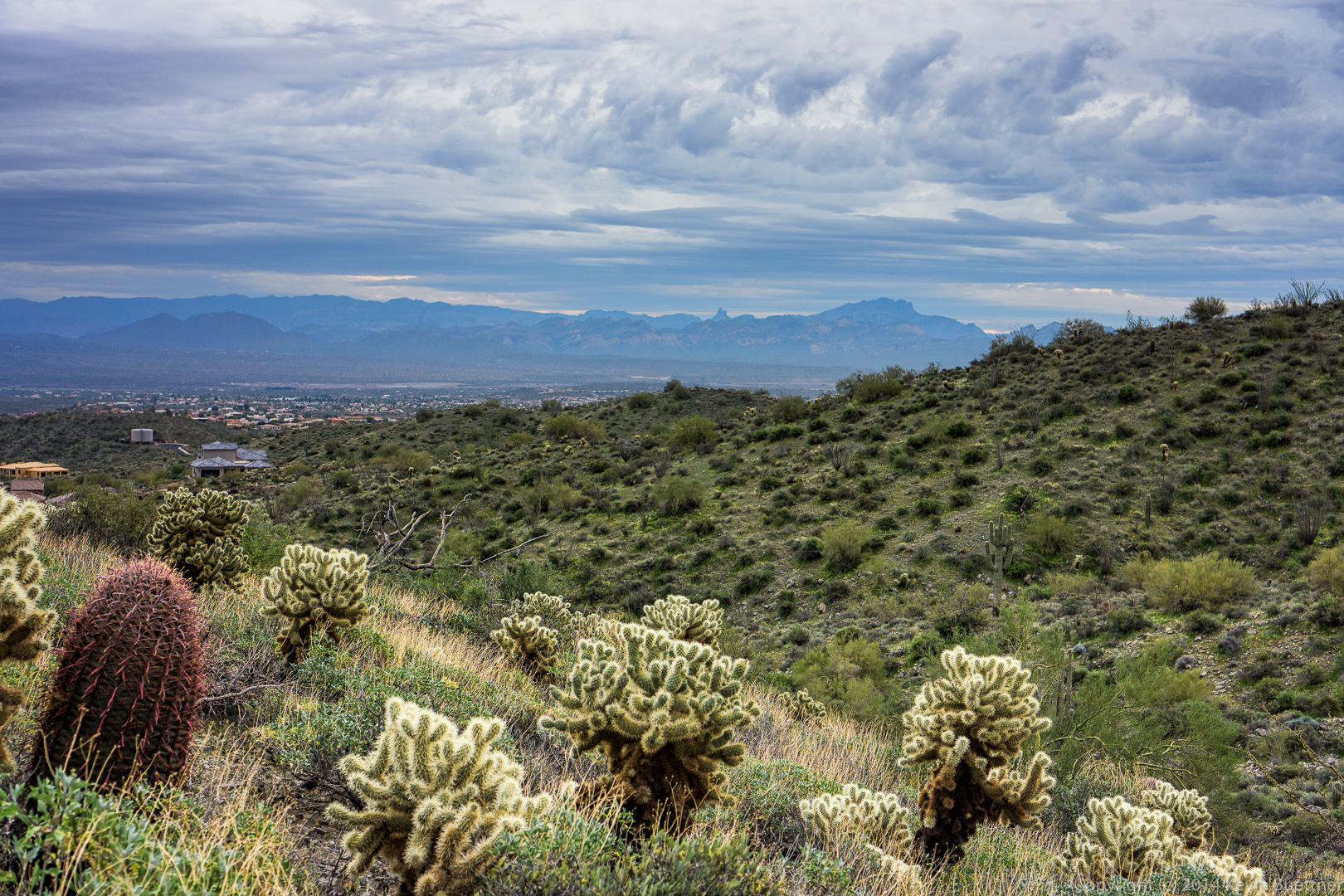
A view from the Western Loop Overlook: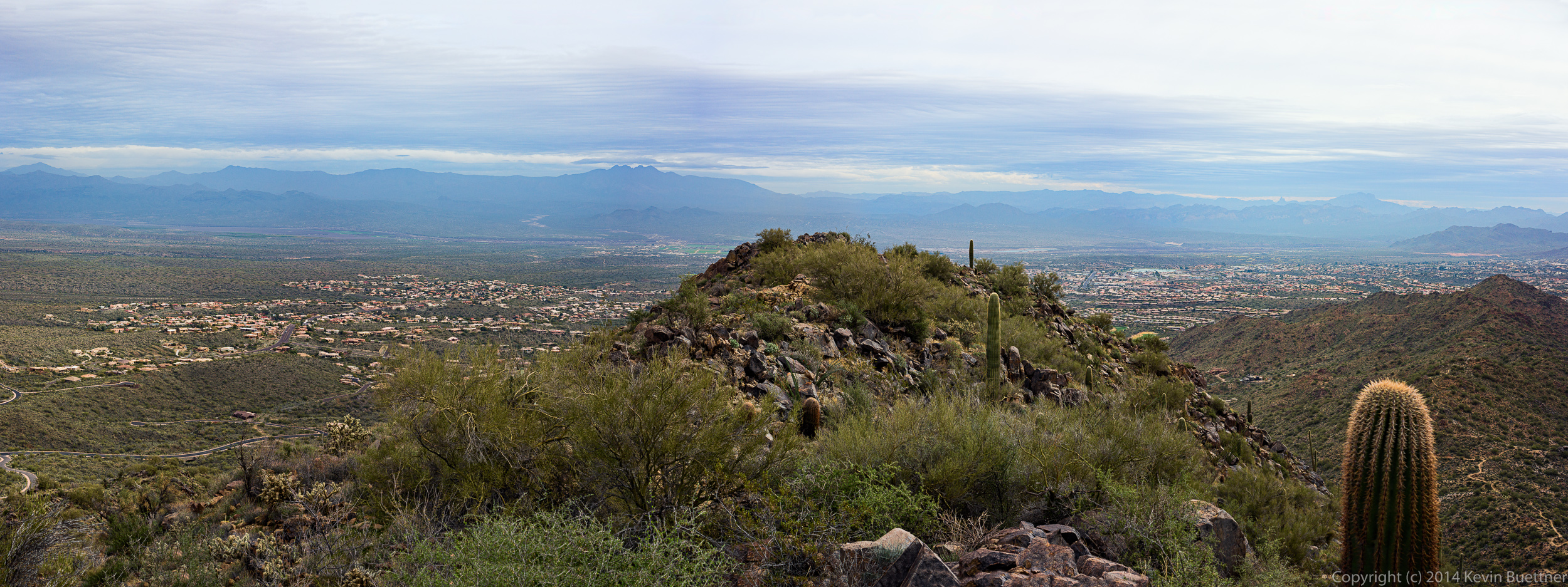 Weaver’s Needle and Red Mountain are visible in the haze in the distance.
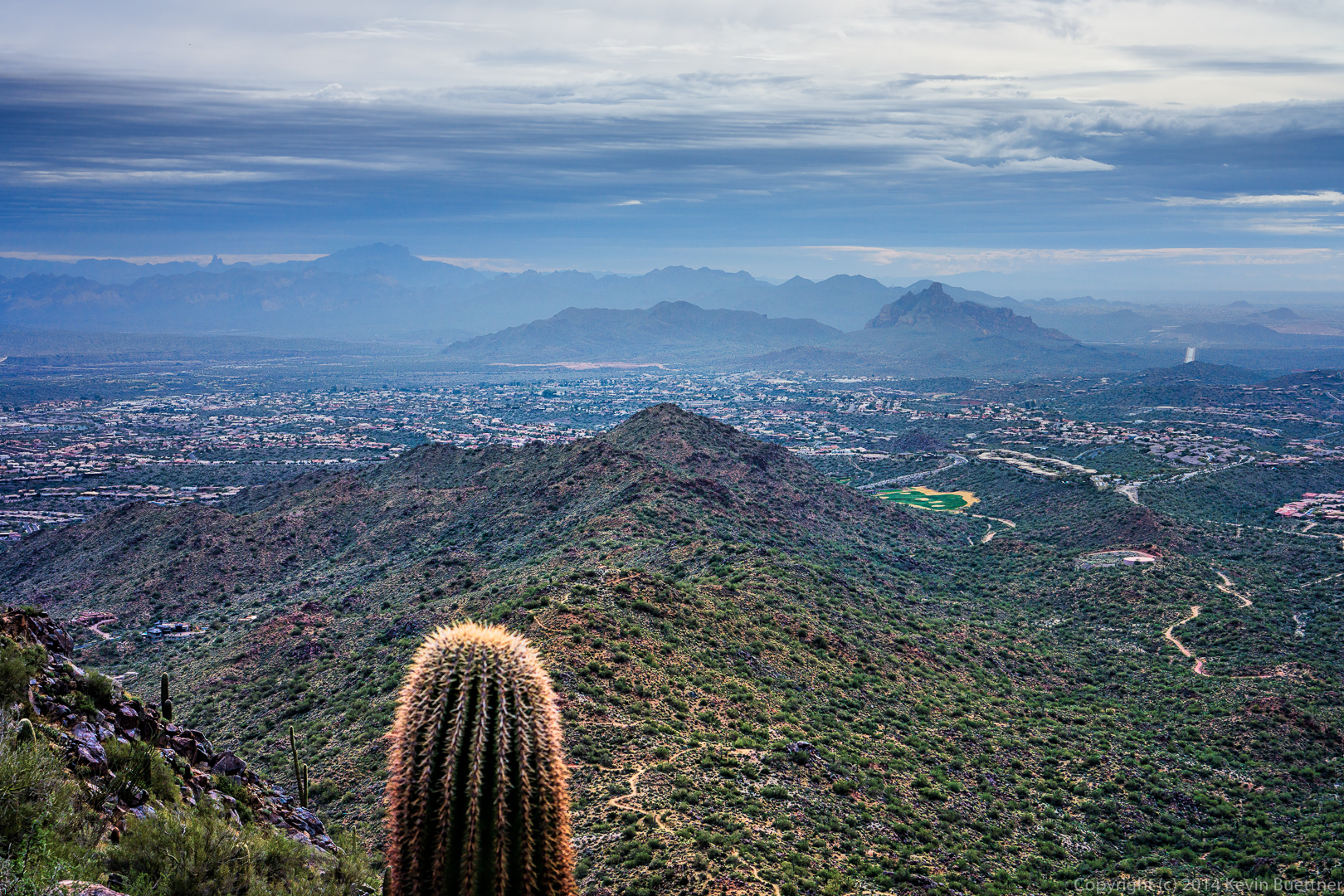 Another view from the overlook:
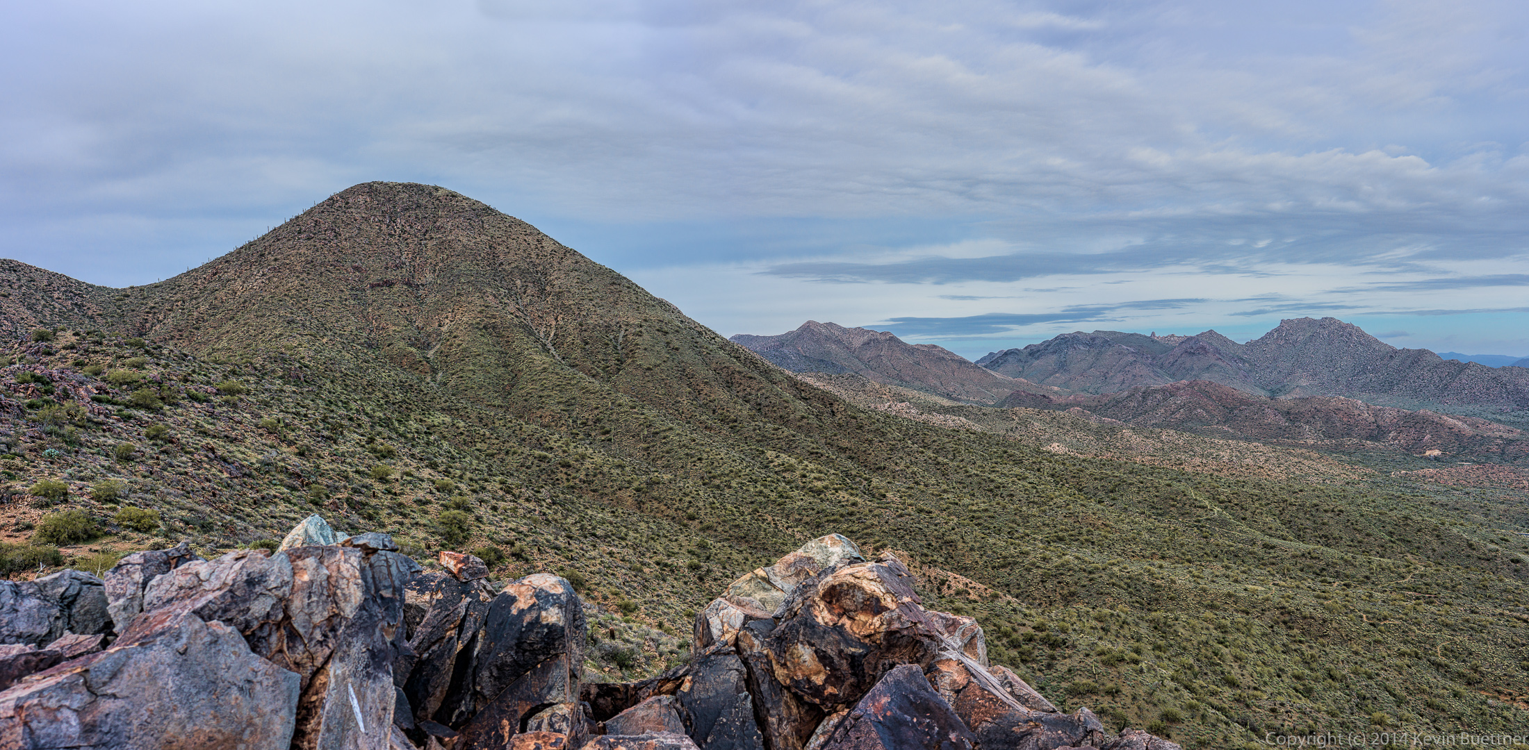 A view while descending the Western Loop Trail:
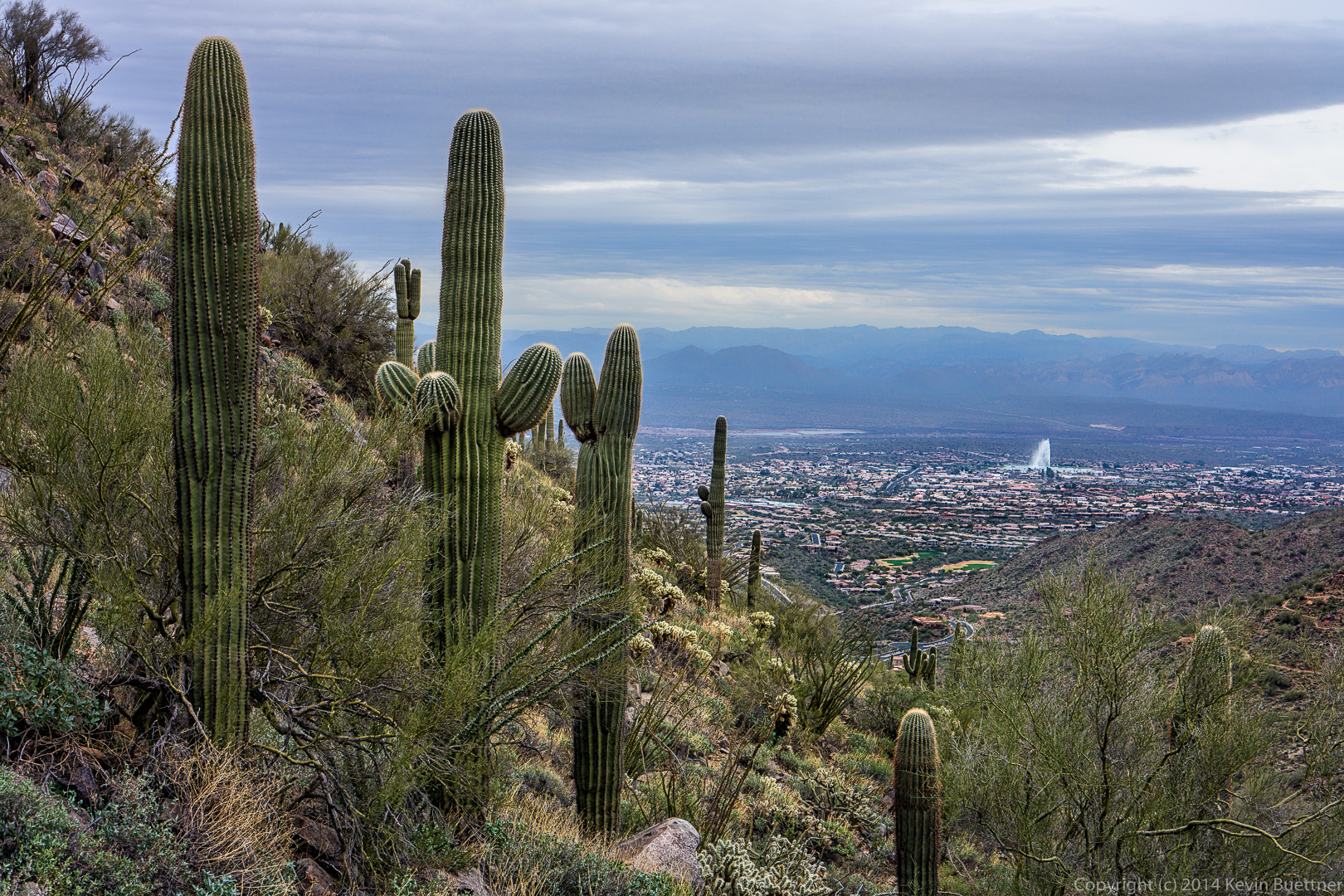
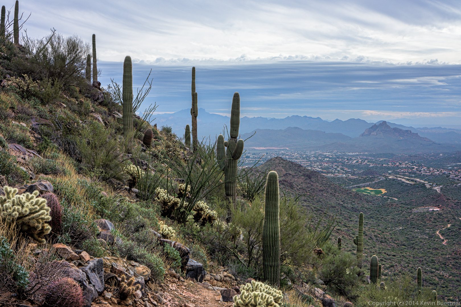 We saw the Fountain several times during our hike.
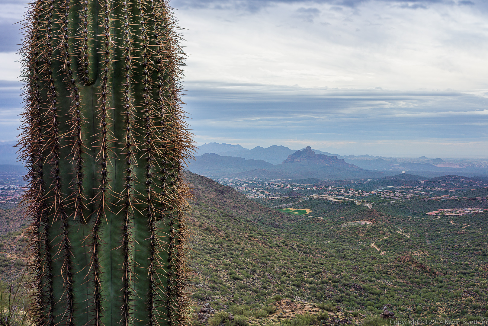
 I tried to get both the saguaro and the background in focus in this shot below. I combined two exposures to do this. Unfortunately, there’s some blurred areas around the needles lower down which could not be blended very well.
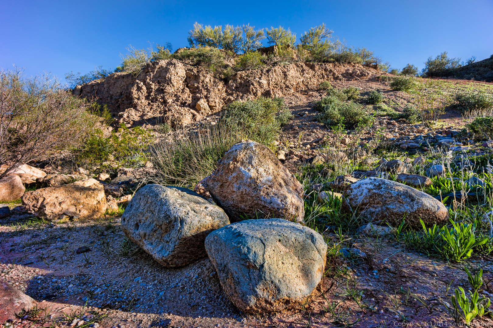
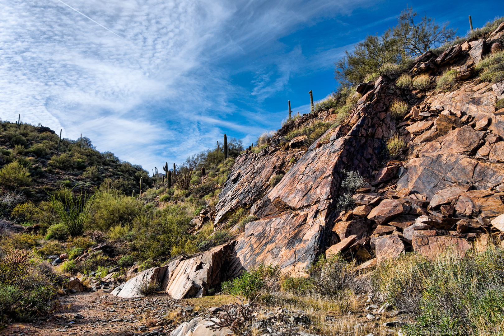
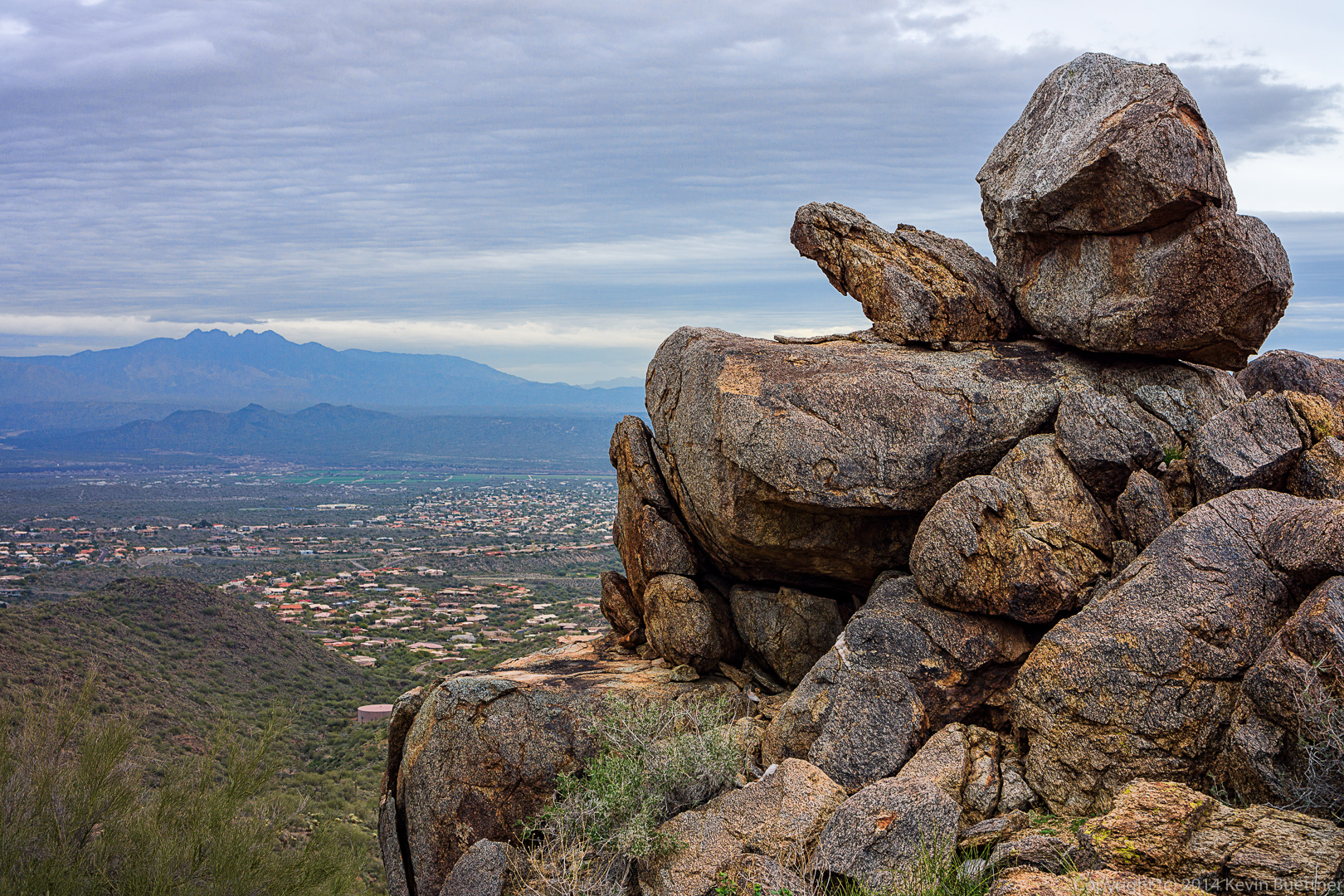
 We passed this rock outcropping on our way down the Western Loop Trail.
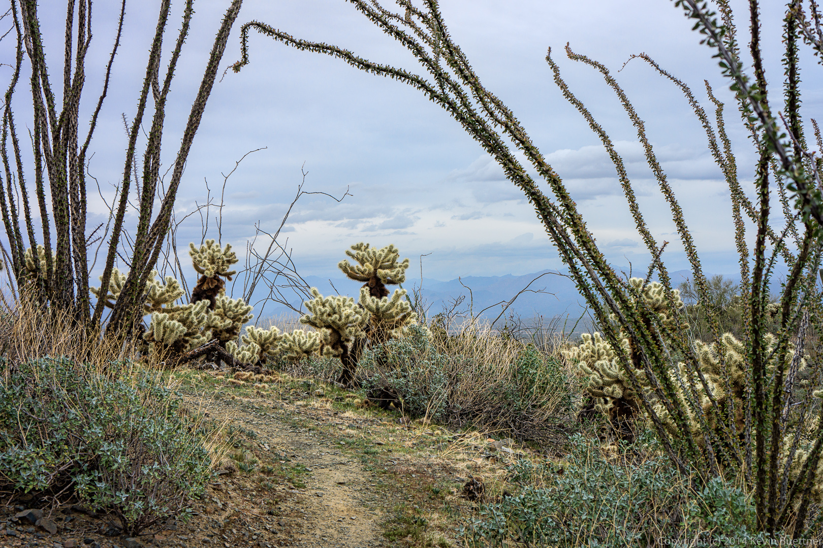
 There were several points where we passed beneath ocotillos, many of which are hanging lower than I remember from past hikes.
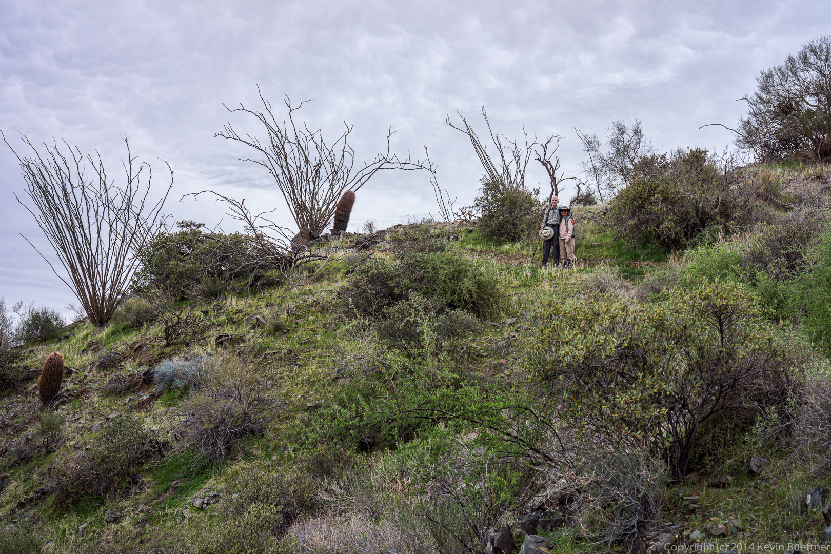
 Alex and Ellen pose on the Sonoran Trail.
 Several panoramas…
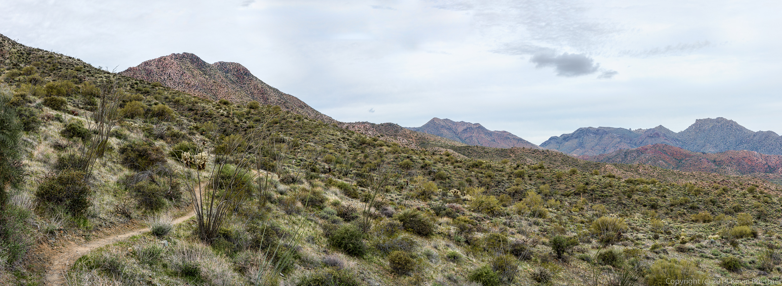
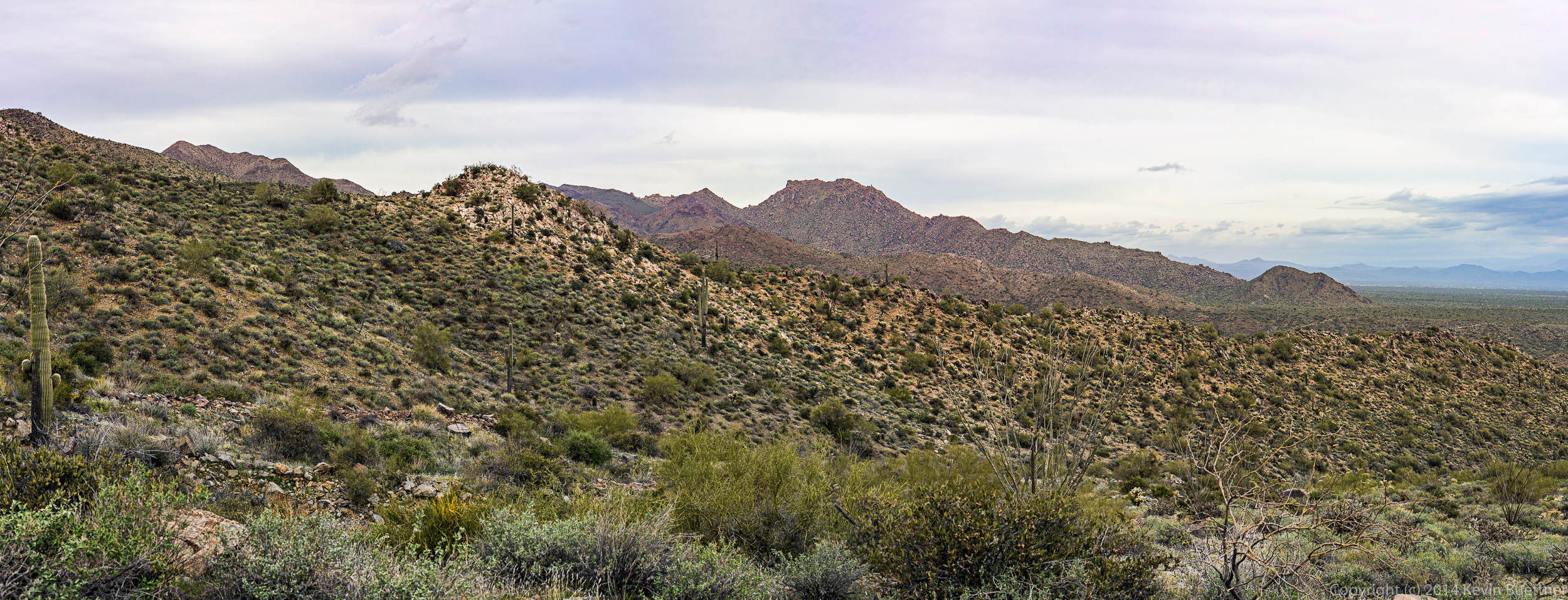 Back in the park at this point…
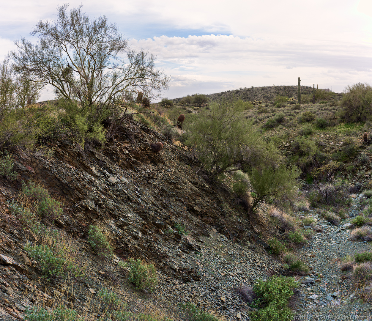
This is a wash near the Dixie Mine Trail. This photo was constructed from six different exposures. I only had a 35mm lens with me, so I took six photos of the scene and stitched them together. Some of the panoramas, above, were constructed from as many as ten or more exposures. (I lost count while doing some of them.)