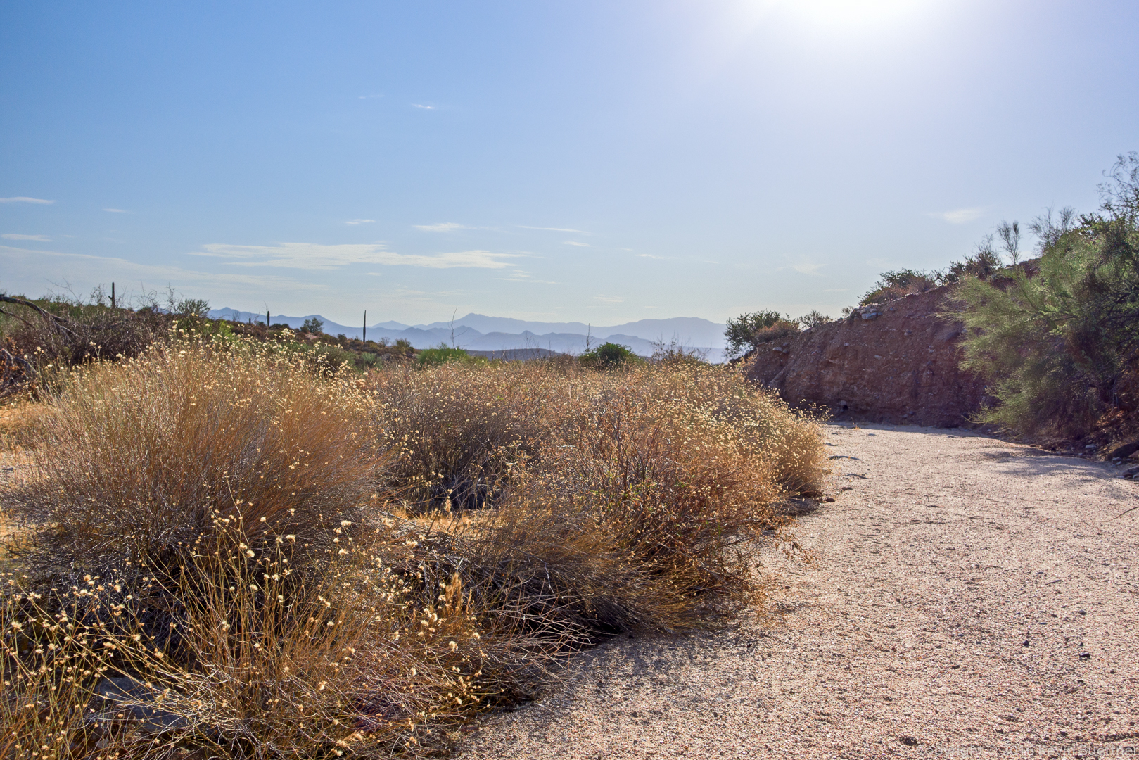
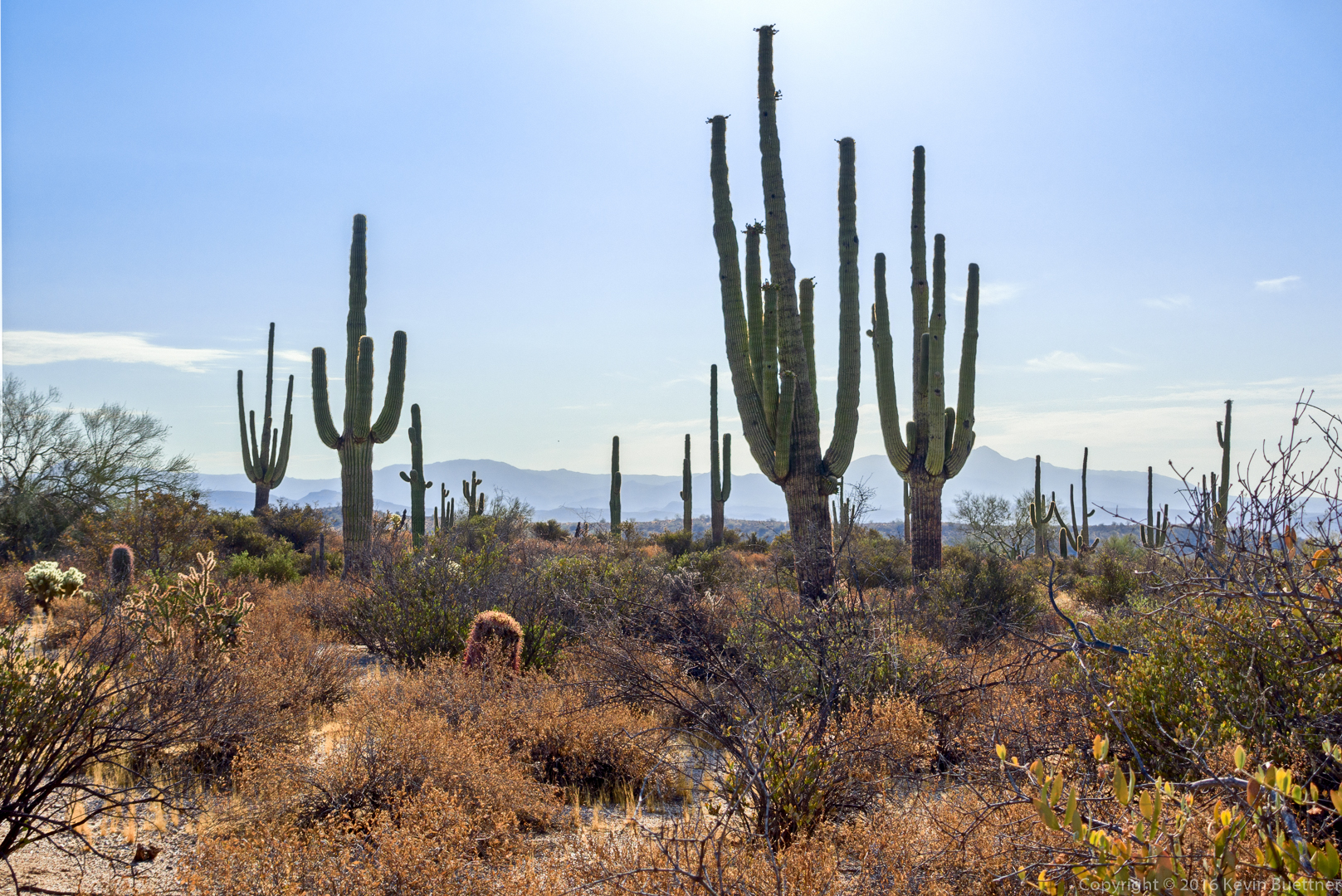
Bob, Mike, and I hiked 7.2 miles starting from the Trailhead Staging Area. Aside from about two miles on the Pemberton Trail, most of our hike was through washes in the area.
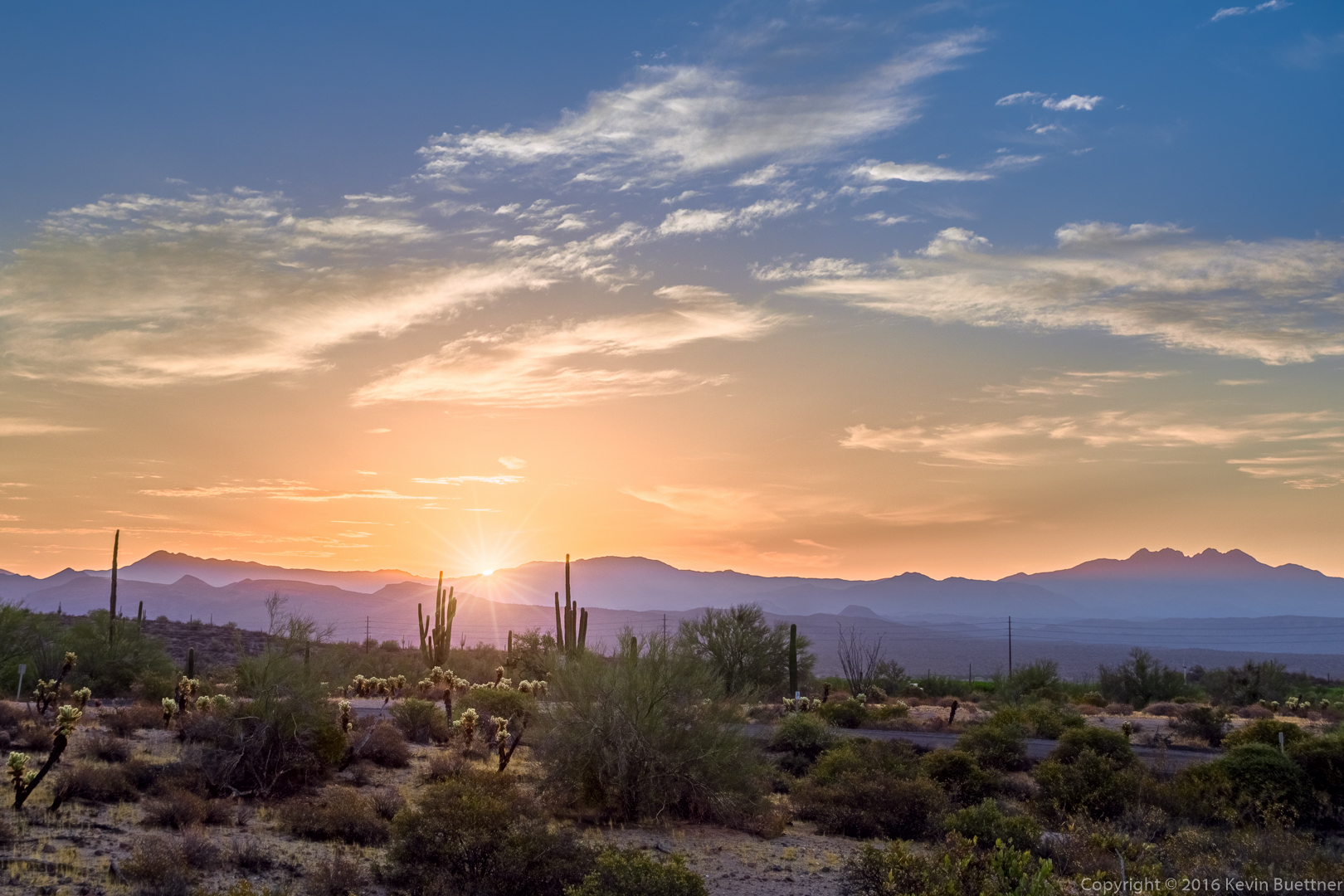
Sunrise; I took this photo from the road, shortly after passing the entrance to the Horse Staging Area.
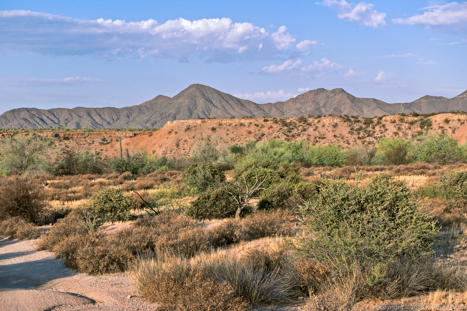
A view from the Pemberton Trail, shortly after crossing Stoneman Wash, but prior to reaching the intersection with the Tonto Tank Trail.
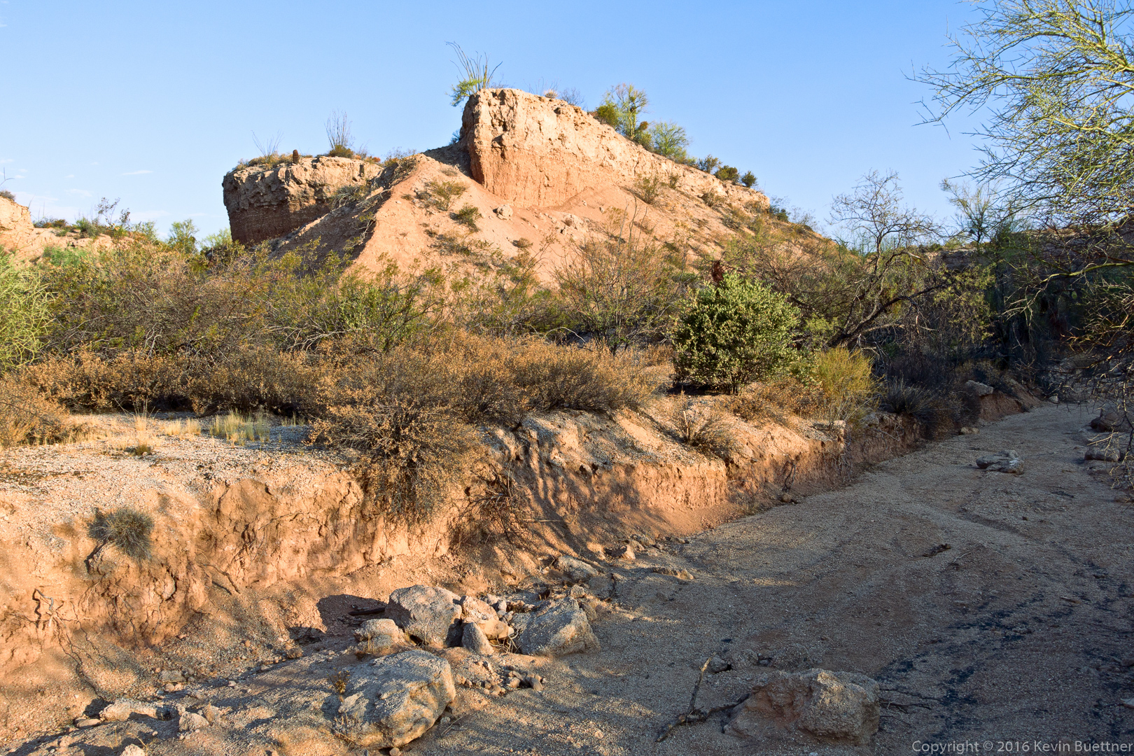
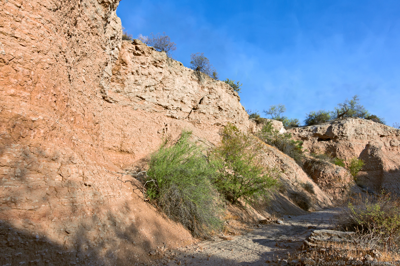
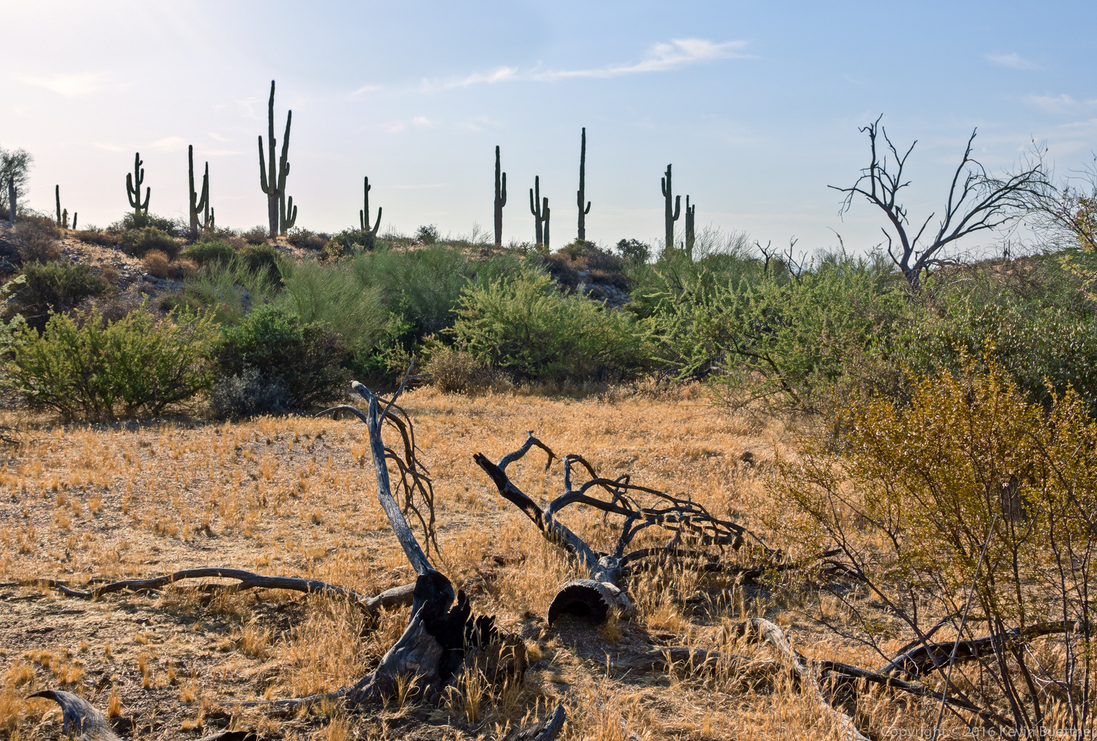
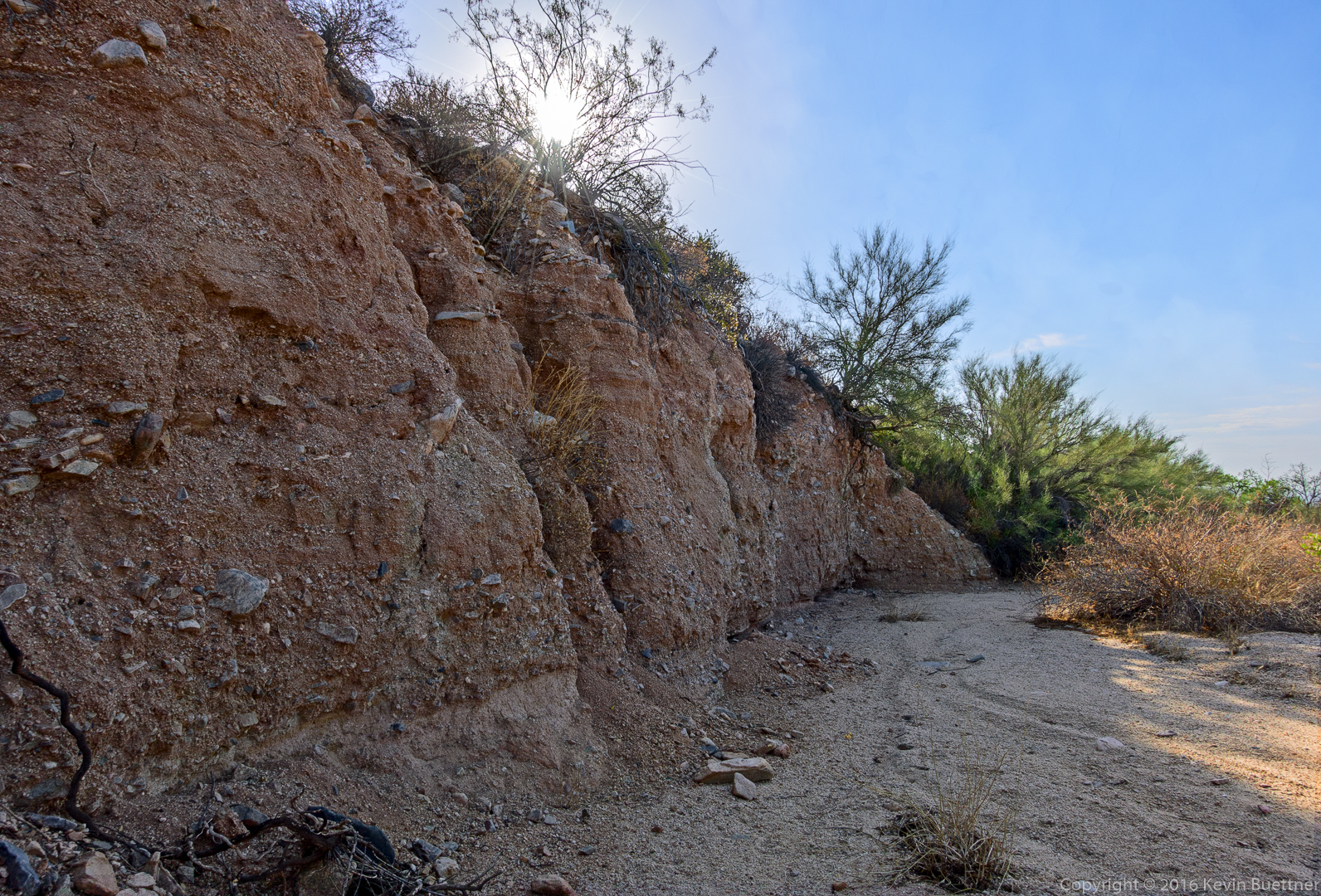
Wash Views…
Linda says:
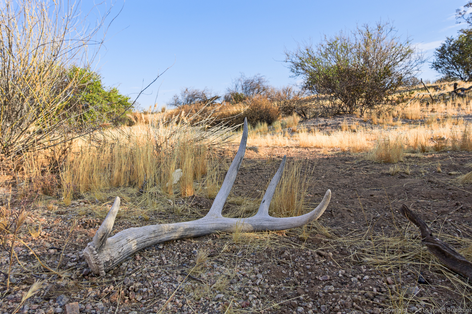
The antler was a great find! Looks like it was pretty large.
August 1, 2016 — 8:21 am
Kevin says:
I think it’s a mule deer antler. It was pretty big, though I think it looks bigger than it really was in that photo. (Probably due to the use of the 24mm (equiv) focal length.)
August 2, 2016 — 10:54 am
jon leverenz says:
If you haven’t already done so, it would be interesting to see a booklet with your photos arranged by trails taken. Little maps of where photos were approximately taken. Your photos are super and an assembly of them in this manner would be quite interesting and maybe even commercially viable ???
August 1, 2016 — 9:55 am
Kevin says:
Hi Jon,
I’ll think about this. There are technological means by which such a map might be easily created. Some cameras have the capability to record GPS coordinates. Even for those that don’t, if the time on the camera is accurate (i.e. synchronized to that of the GPS system), it’s possible to obtain coordinates for the location at which a photo was taken by referencing a track created with an external GPS device, possibly a phone or GPS watch.
Kevin
August 2, 2016 — 10:49 am
Susan Davis says:
Agree with Linda and jon!:) What we who have done a lot of tramping ore’ the trails take for granted, you allow us to “stop” and “look-see”. Thank you!
August 1, 2016 — 10:01 am
Andrea petersen says:
Love them
August 1, 2016 — 4:14 pm
Kevin says:
Thanks!
August 2, 2016 — 10:43 am