Bob and I hiked a big loop starting at the Tom’s Thumb Trailhead. We hiked about 10.5 miles with over 2,000 feet of total ascent. The first three miles took three hours!
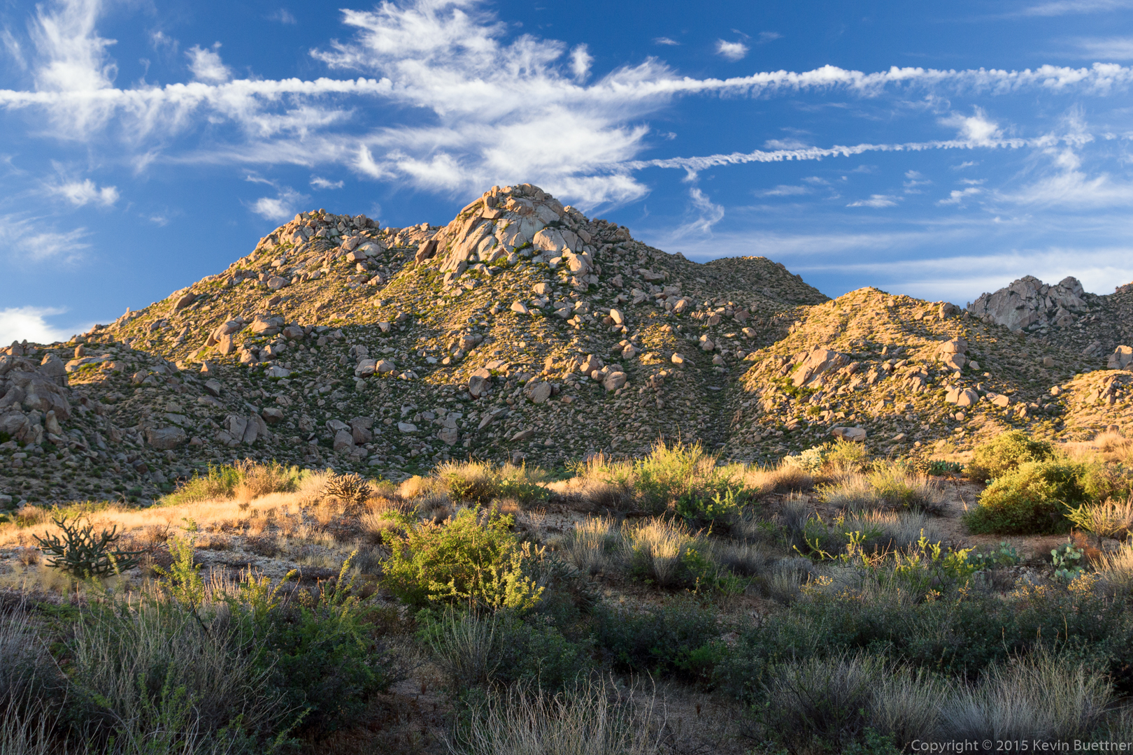
This is a view of Morrell’s Wall from the parking area shortly after sunrise. (We arrived too late for me to get a sunrise photo.) Gardener’s Wall is also visible at the far right.
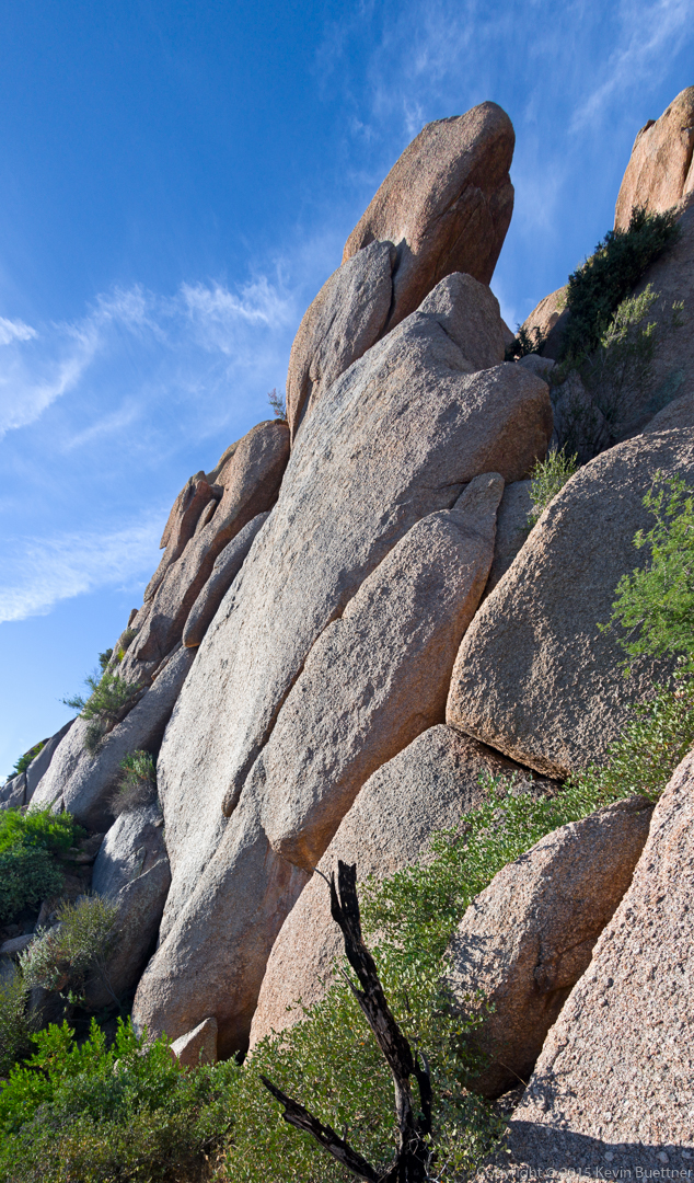
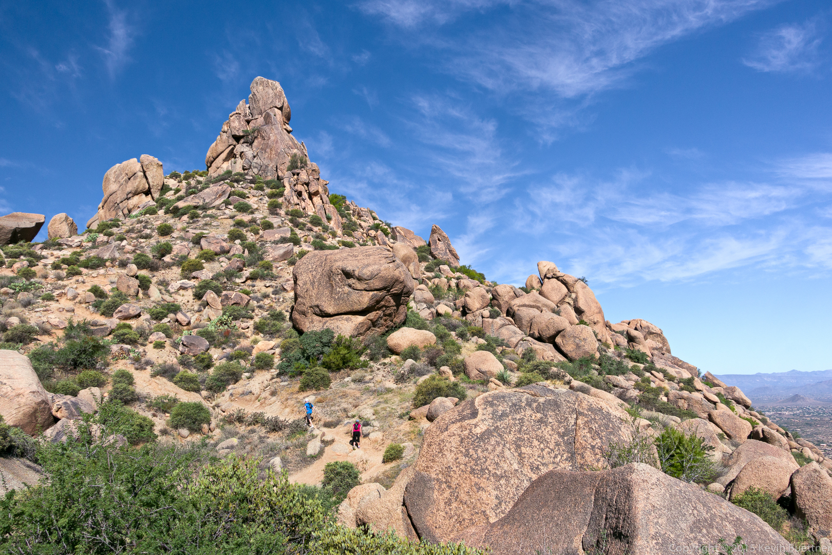
We hiked the Tom’s Thumb Trail to the first climber’s access trail. This is a view looking up the mountain from that trail. The largish slab about a quarter of the way from the right edge and a quarter of the way down from the top of the photo is the Half and Half Wall. The rock formation above it and somewhat to the right is (I think) the Lost Wall. The rock formation just slightly left of center is Lost in the Air. Bob and I visited the top of the Half and Half Wall where we saw a number of rappel anchors at the top. We then followed a trail over to Lost in the Air. I don’t think Lost in the Air gets many visitors. This portion of the trail did have occasional cairns (which were often just a single rock placed on another boulder) and ribbons. One of the challenges was to spot these markers. The other challenge was to move in that direction. There was one spot in particular that I found exciting. The move wasn’t especially difficult, but there was just enough exposure to make it mentally challenging. 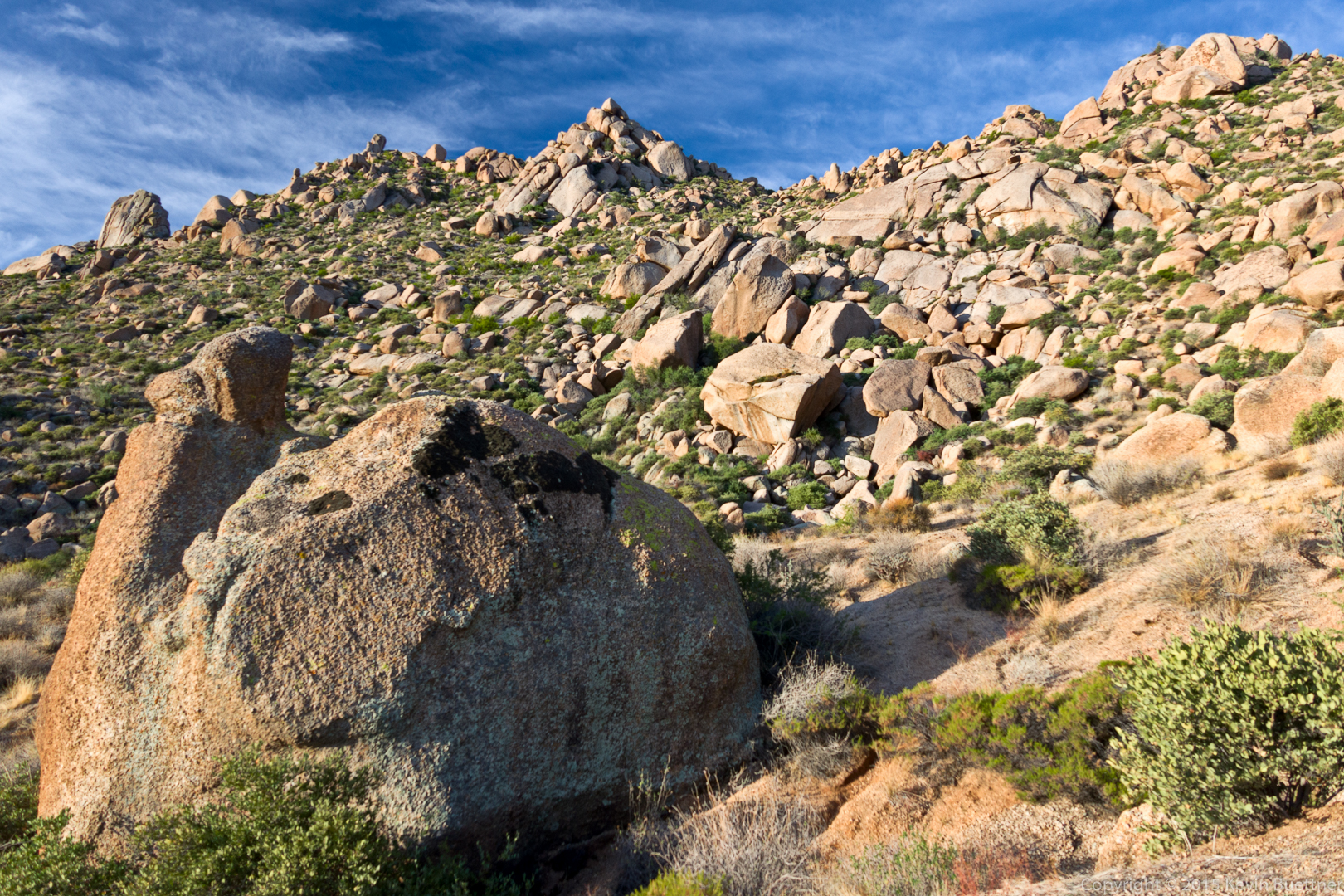
This is a view from the Half and Half Wall.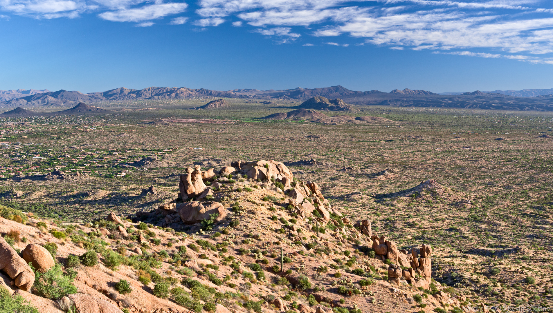
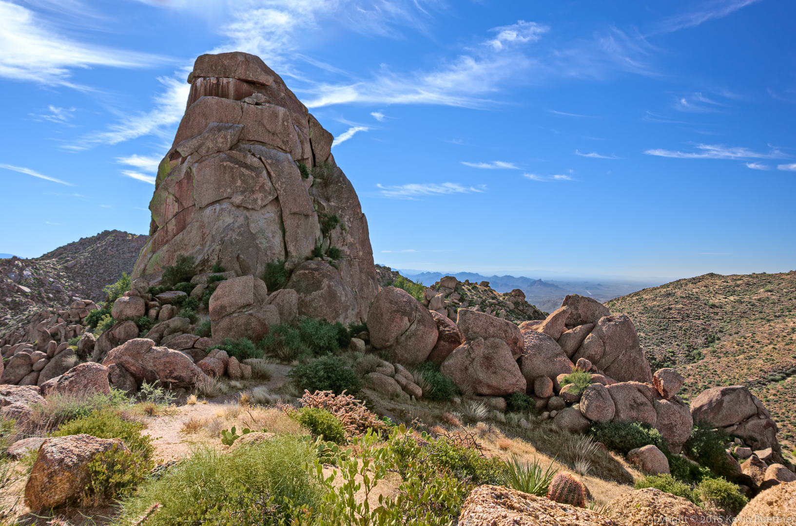
This is part of the Lost in the Air formation. I think I stitched together six shots to make this one photo.
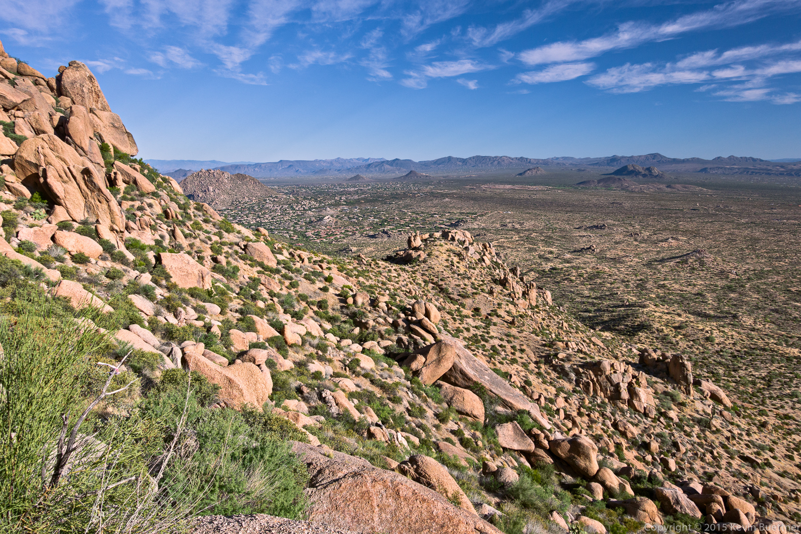
This is the view to the north from Lost in the Air. The top of Half and Half Wall is just right of center and up about a quarter of the way from the bottom of the photo. It’s not especially steep at the top. We had to walk down twenty to thirty feet to get to the rappell anchors.
We found a way to hike up past Lost in the Air.
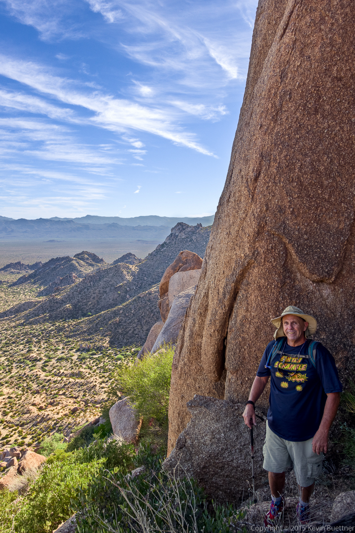
Tom’s Thumb and the Rist were visible when we got to the ridge. (Glass Dome and the top of Gardener’s Wall are visible in this photo. Weaver’s Needle and Four Peaks can be seen far in the distance.)

Tom’s Thumb:
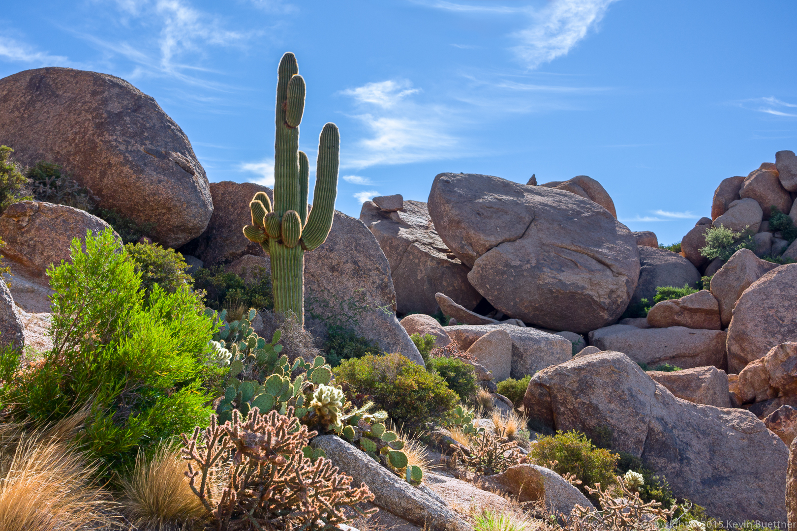
We came upon this saguaro and boulders as we made our way around Tom’s Thumb.
This is a view of Glass Dome from the Tom’s Thumb Trail. I had stopped to dump my spare 40oz water bottle into my 3L CamelBak reservoir prior to our descent of the East End Trail. I drank all of my water on this hike.
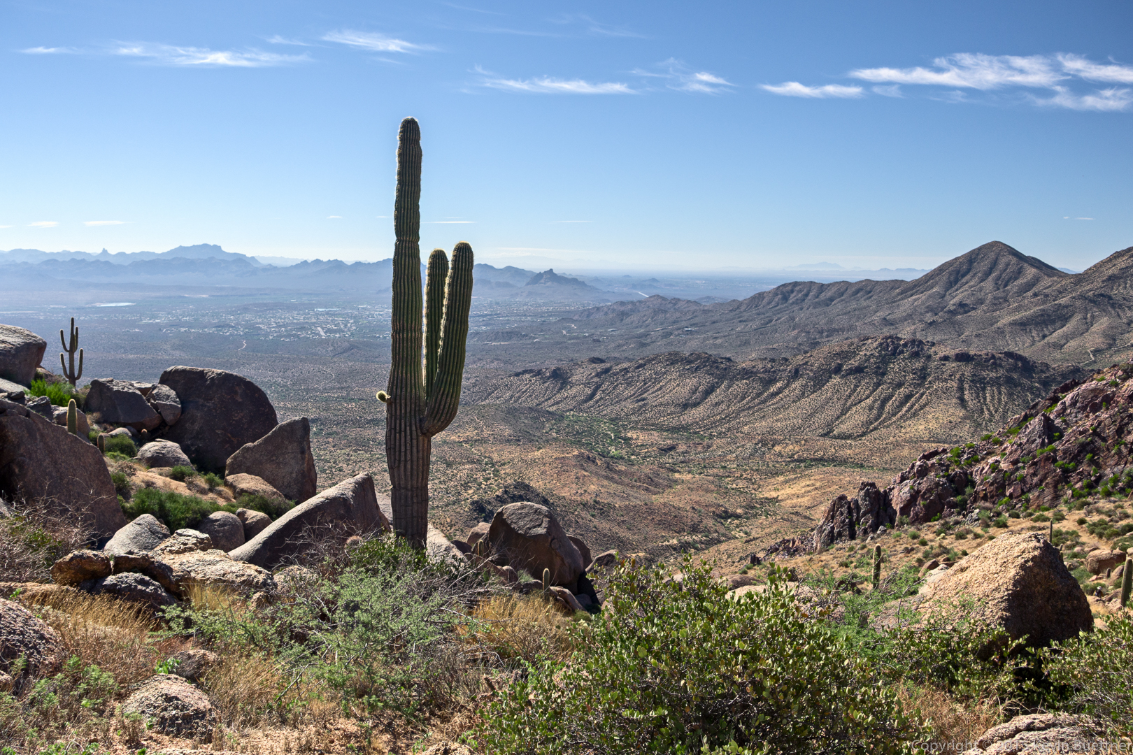
A view looking toward Fountain Hills from the East End Trail:
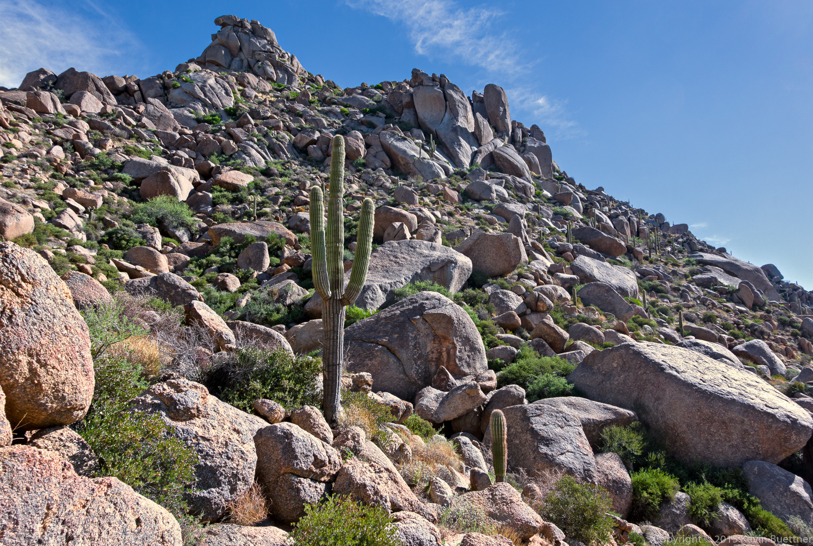
Another view from the East End Trail. The rock formation at the very top of this photo is Goat Hill. The East End summit is a short ways (less than a quarter mile) beyond that rock formation.
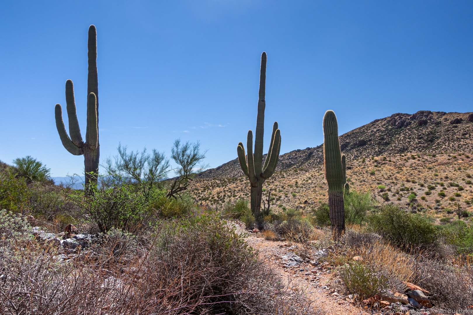
Saguaros on the Windmill Trail:
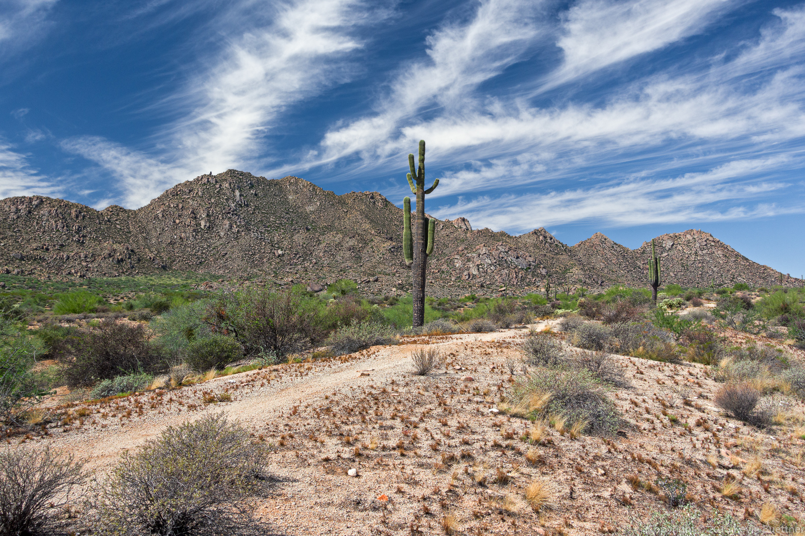
A view looking back at Windgate Pass. I think we’re still on the Windmill Trail here.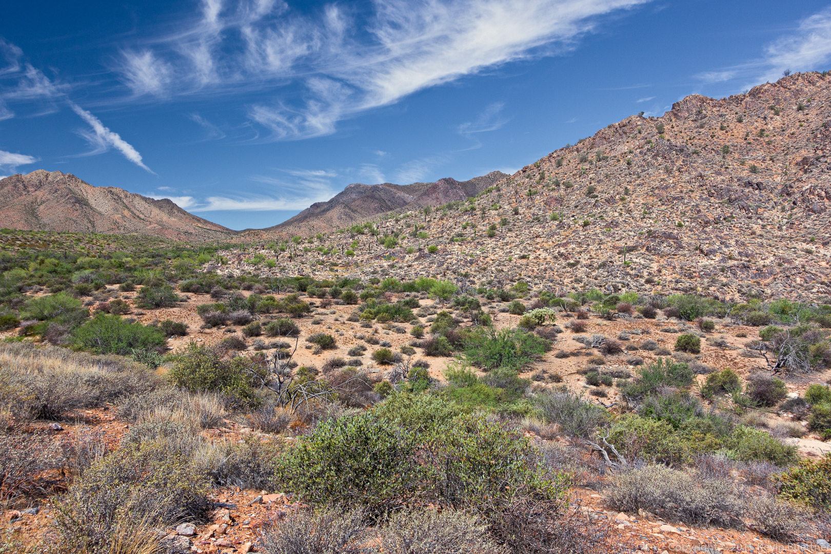
We hiked down the Coachwhip Trail, turned left on Pemberton, and then left again on Boulder. This shot was taken from either the Boulder Trail or the Pemberton Trail.
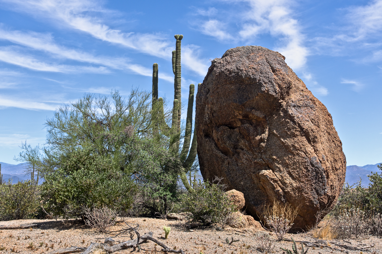
This large boulder is on the Marcus Landslide Trail. We hiked the Marcus Landslide Trail back to the parking lot.
Gary Wietgrefe says:
I understand why you consumed all your water–the last half takes more. Very very good pics and description…Gary
September 20, 2015 — 9:08 am
Sue says:
Wonderment!! Thank you!
September 20, 2015 — 12:21 pm
Linda says:
Whew! I’m tired just reading this hike….lol. Great photos and description of the route……Linda
September 20, 2015 — 4:04 pm