Marilyn, Bob, Linda, and I hiked a six mile lollipop-loop in the Dixie Mine area. We visited the mines, petroglyphs, and dry waterfall prior to returning.
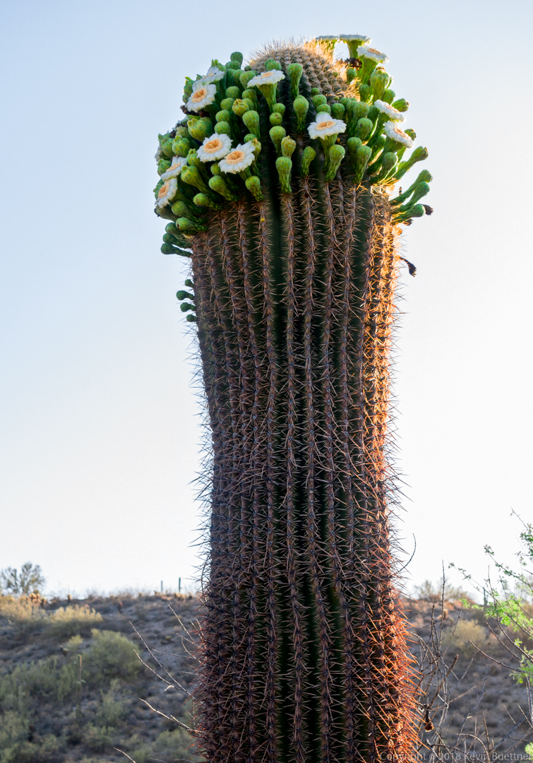
Saguaro blooms:
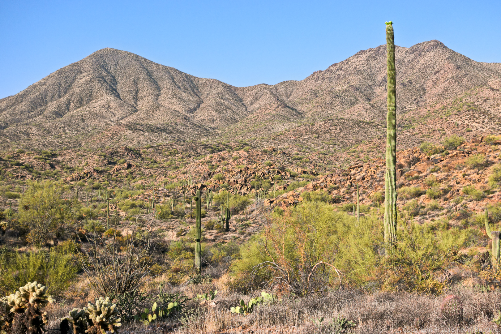
A slightly different view (than what I normally photograph) of the mine tailings and hills / mountains beyond.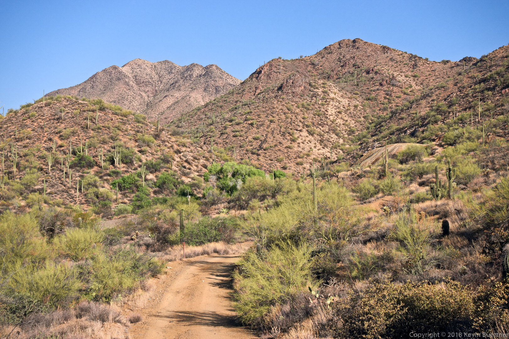
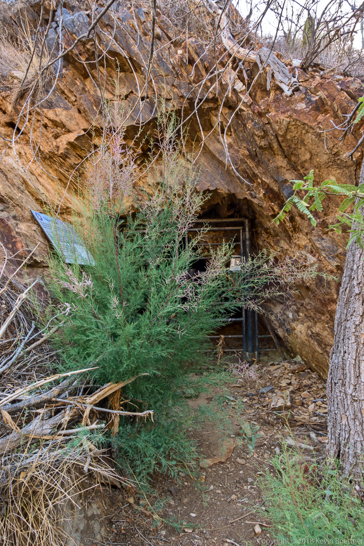
Despite a recent effort to eradicate it from the area, tamarisk is once again growing in front of the gated adit.
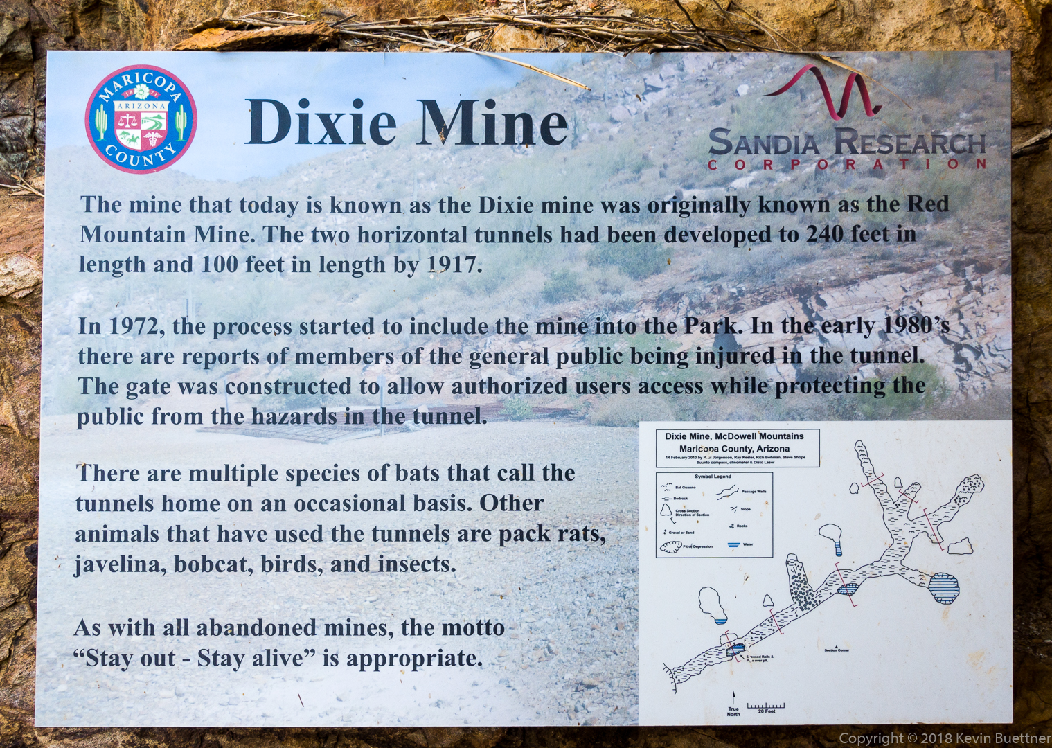
It’s a shame that the sign doesn’t say what was taken out of the mine…
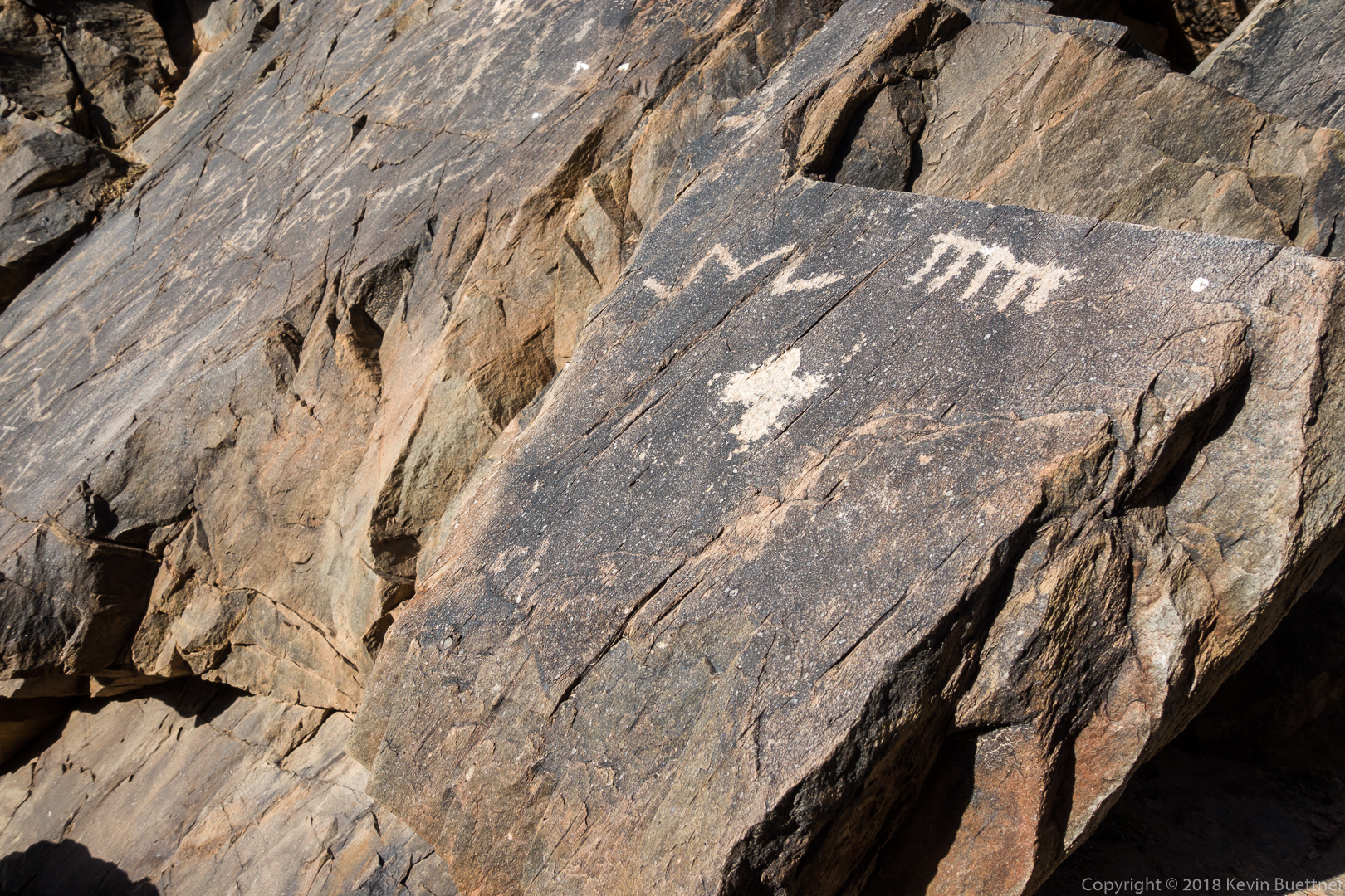
This is part of the main petroglyph panel:
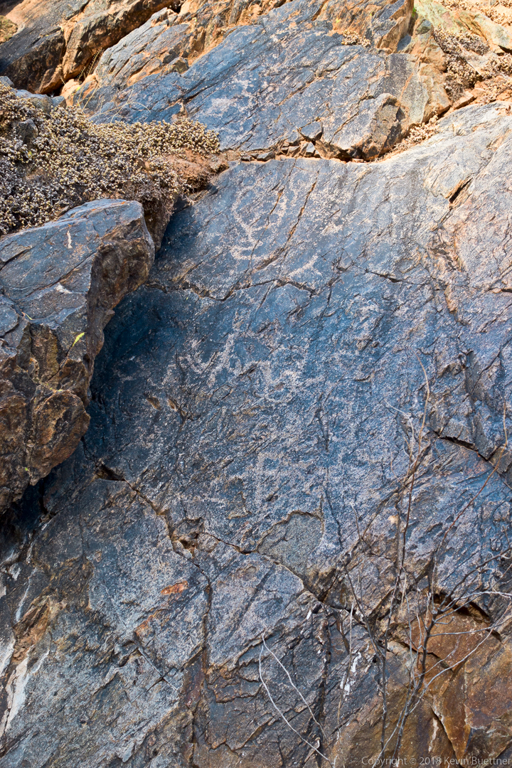
We saw these petroglyphs just prior to arriving at the dryfall:
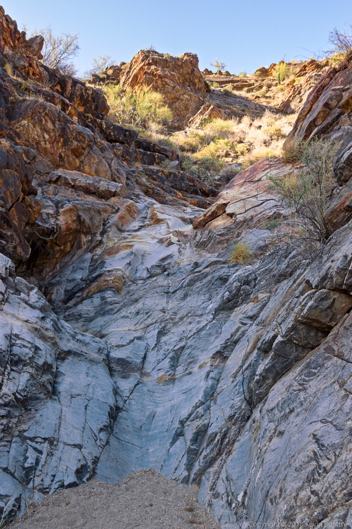
The dryfall…
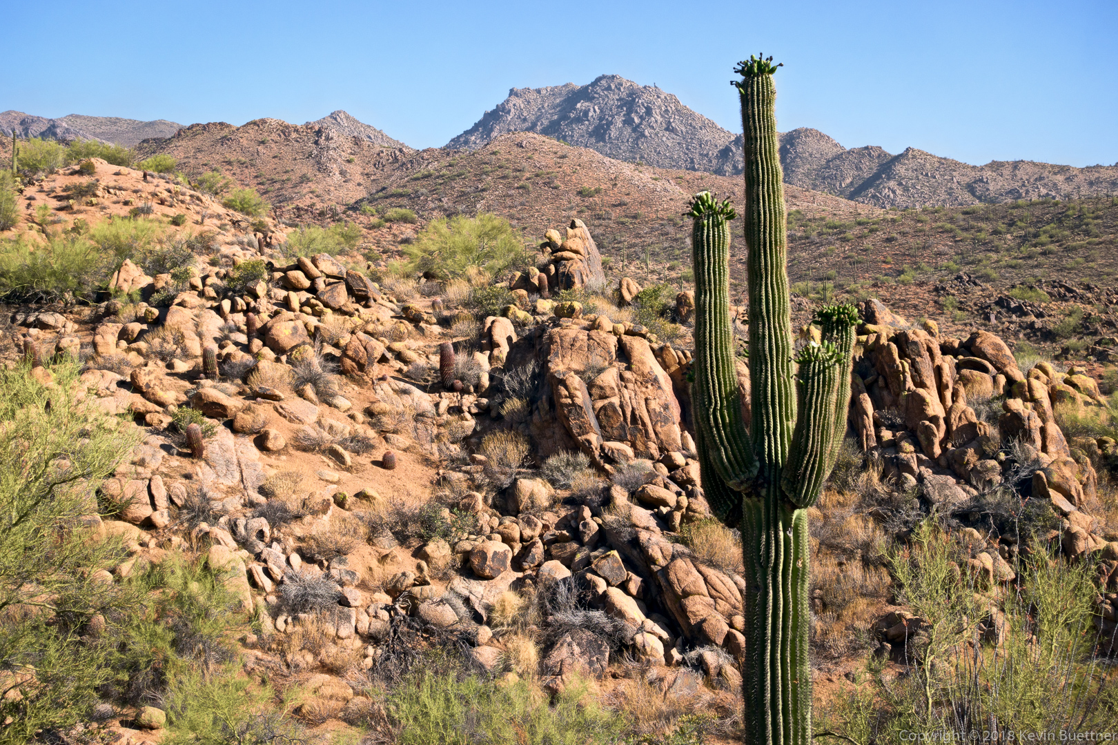
A view from the Dixie Mine Trail on the way back:
jon leverenz says:
Great, again. The petroglyph that looks like a JML is the same angular shape and merge my initials took when I was a lad and carving it in study-hall desks in the 1950s. Which when found out got me the task of sanding and refinishing all the desks in the study hall! I did not put the JML petroglyph on that rock, however. Promise.
May 19, 2018 — 8:04 am
Amy says:
No critters?! It seems like they are not as abundant since it’s been soooo dry. Love the “dryfall” caption. Certainly appropriate!
May 19, 2018 — 8:33 am
Kevin says:
We saw a few rabbits, but that was it.
May 19, 2018 — 11:03 am
Susan Davis says:
Occasionally I see a ‘Jack’ on my walks–so they are out there:) Love these pics of a very dry desert!
May 19, 2018 — 9:09 am