Heather, Mitra, Ben, Nora, and I hiked the Robber’s Roost route in the Superstition. Starting from the Lost Goldmine Trailhead, this route goes west on the Lost Goldmine Trail, then north and up, up, up on the Carney Springs Trail. At the top, a somewhat less defined trail heads first east, visiting the “roost” area from which the Robber’s Roost area gets its name, then heads northwest and then somewhat east, descending to Fremont Saddle. From there, it follows the Cave Trail, returning on Bluff Springs to the Peralta Trailhead. A short hike on the road leads back to the Lost Goldmine Trailhead. When we did this route, we took a detour to an overlook with a good view of Weaver’s Needle. Our hike was 8.5 miles long with over 2400 feet of total ascent, most of which occurred early on while hiking up the Carney Springs Trail.
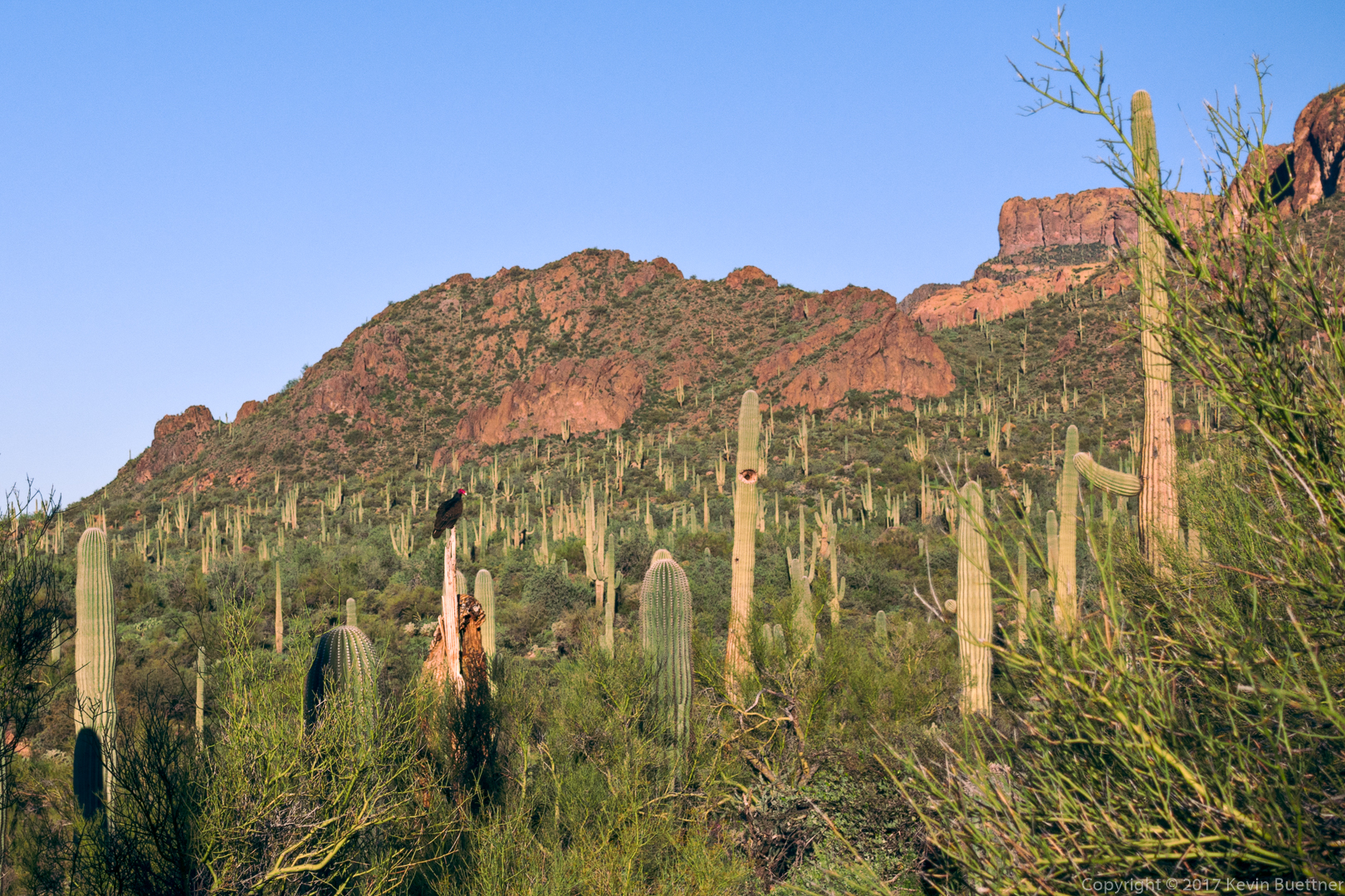
We saw a turkey vulture while hiking the Lost Goldmine Trail:
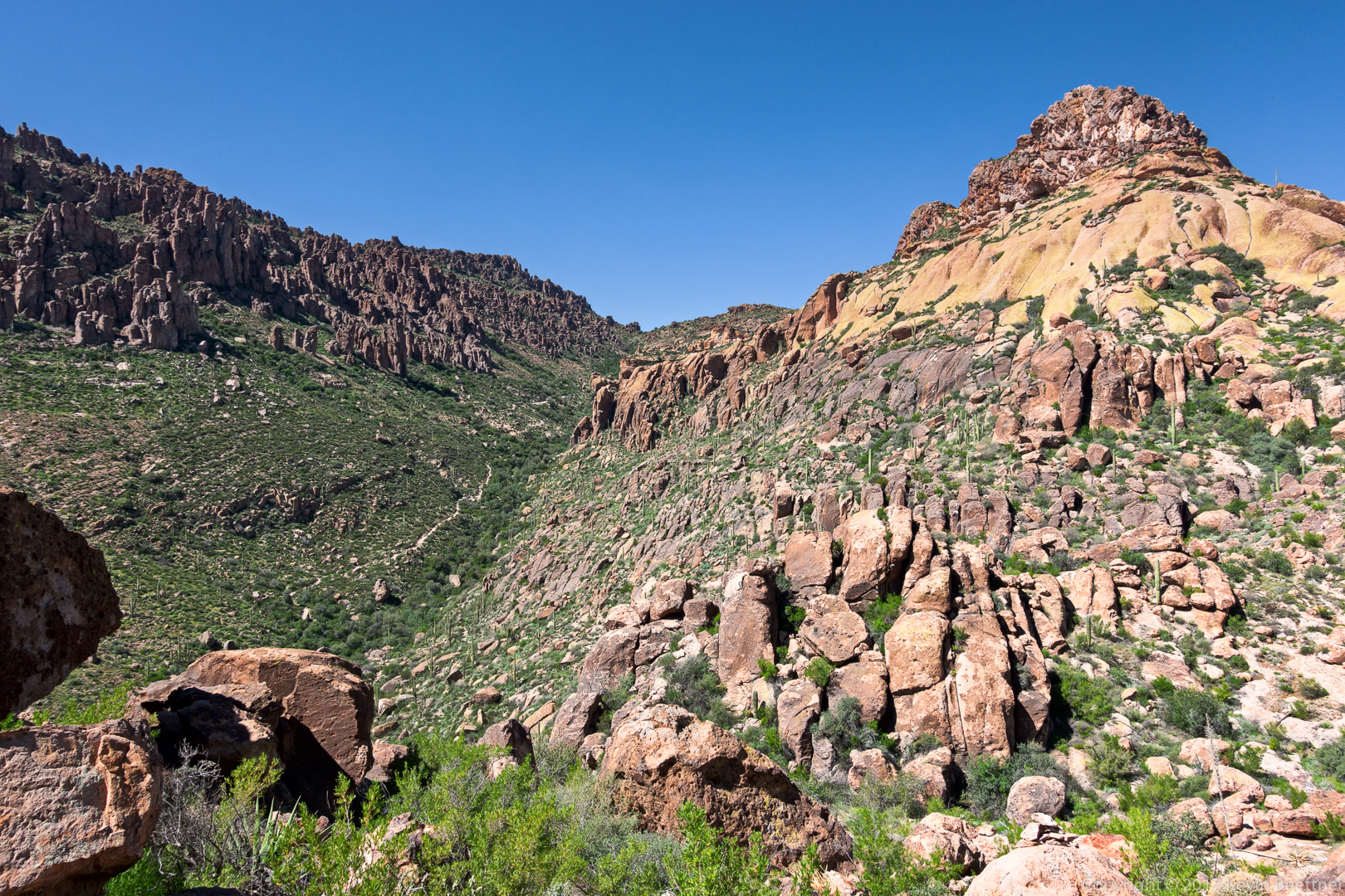
The Carney Springs Trail goes up the side of the canyon below the prominent rock formation in this photo:

I think this is brittlebush. (But I thought it was goldeneye when I encountered it on the hike.)
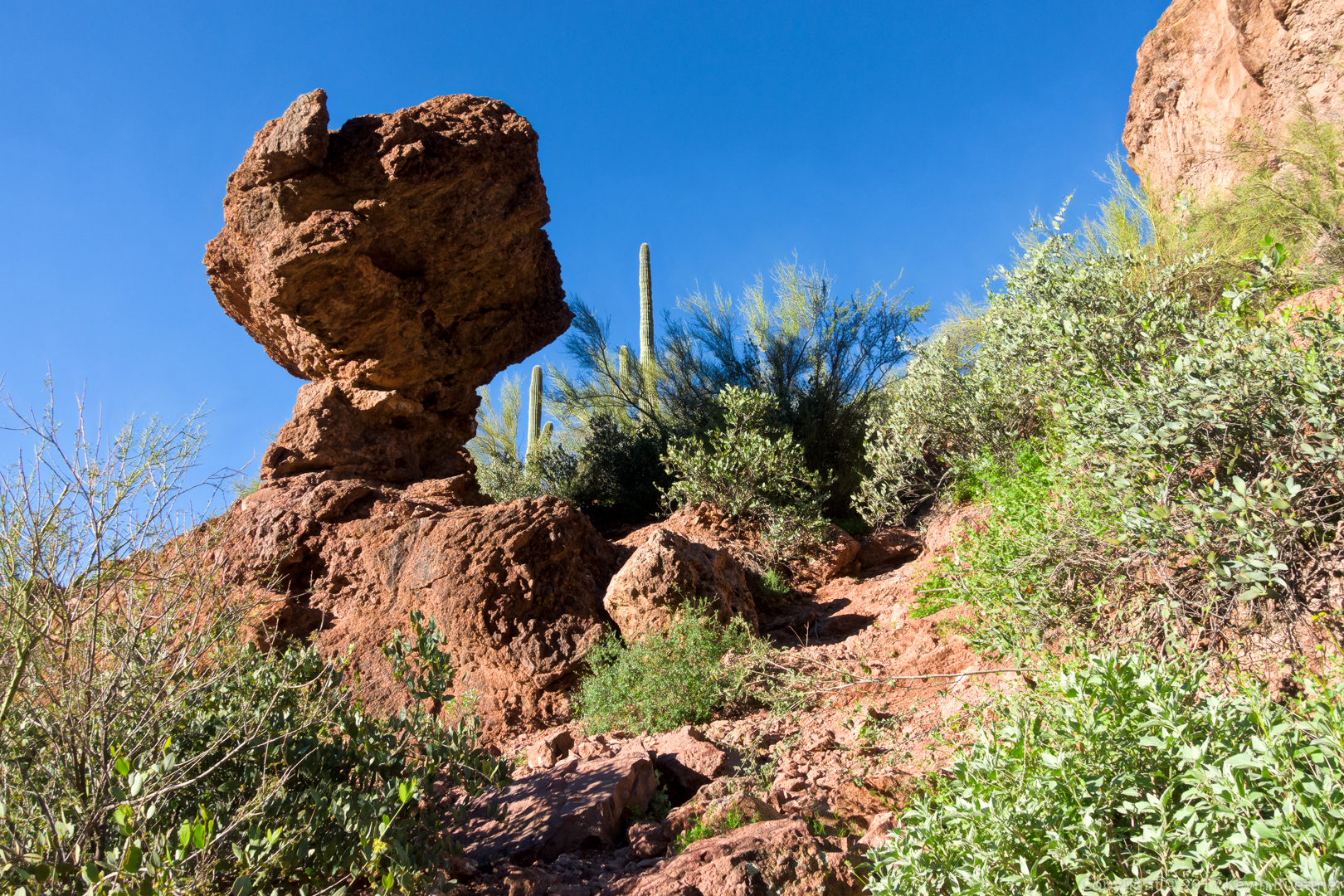
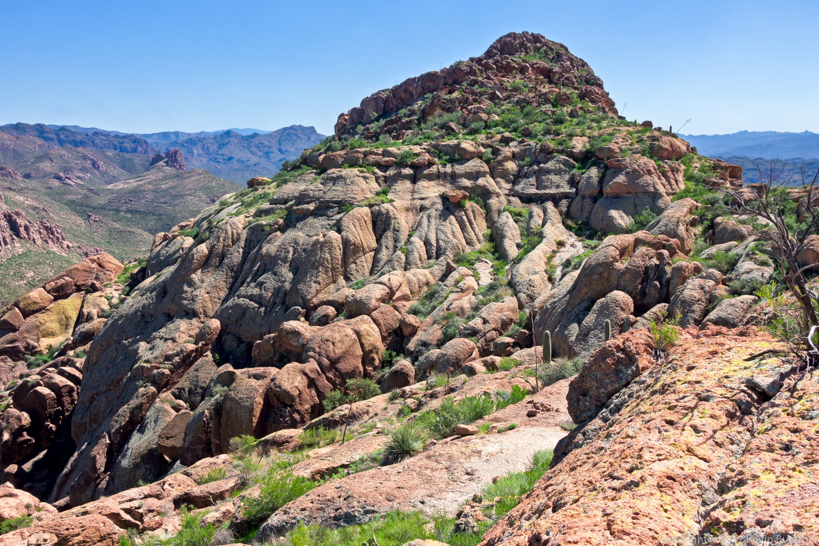
An interesting rock formation on the Carney Springs Trail:
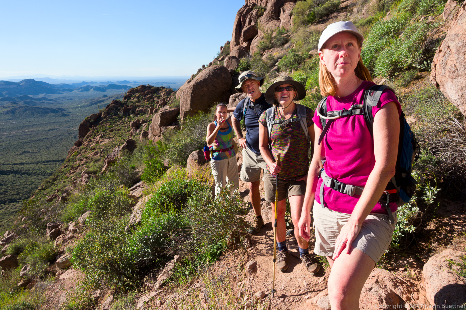
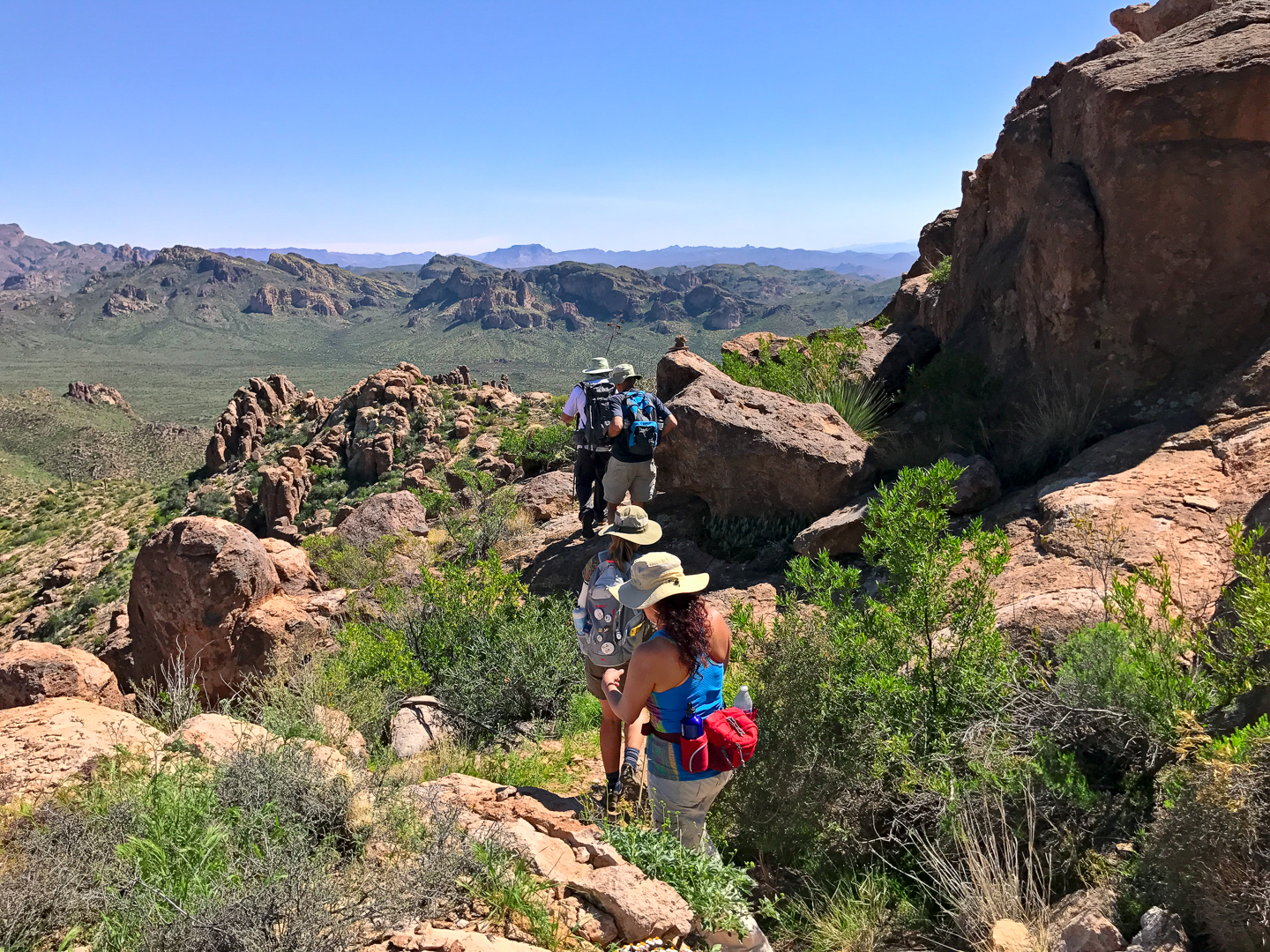
Mitra, Ben, Nora, and Heather on the Carney Springs Trail:
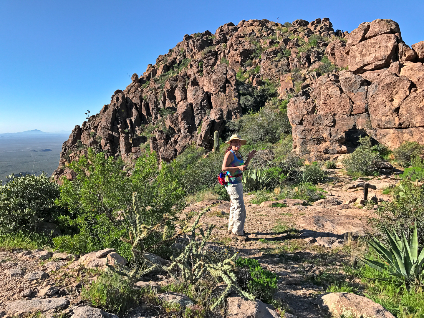
Mitra at the top of the Carney Springs Trail:
(Photo Credit: Heather Sestili)
Deer Vetch around a small (hedgehog?) cactus:
A view of Peralta Canyon:
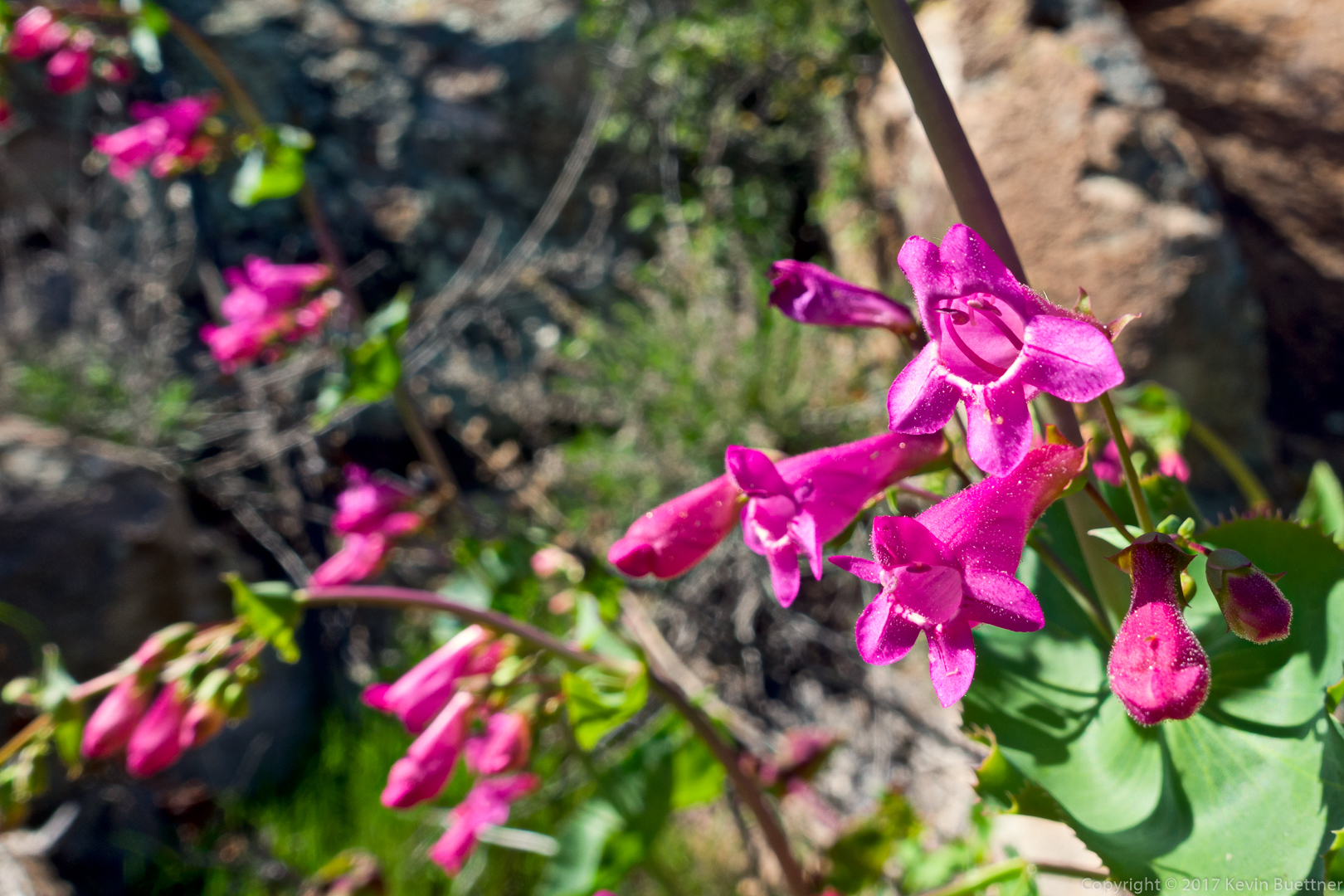
Desert Penstemon:
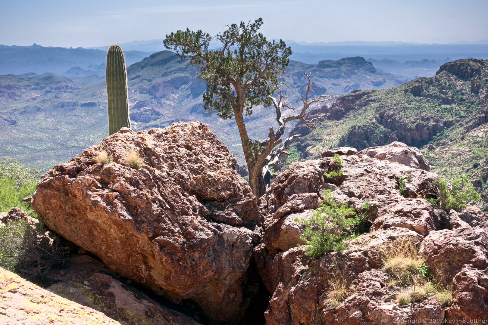
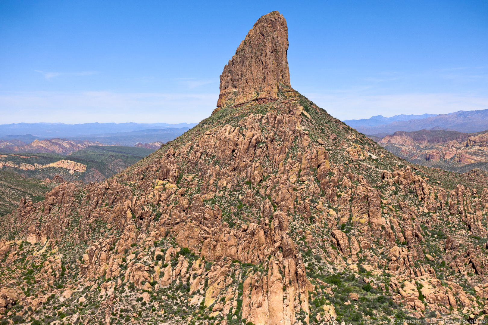
A view of Weaver’s Needle from the trail down to Fremont Saddle:
Another view of Weaver’s Needle, this time from the overlook by the pine tree:
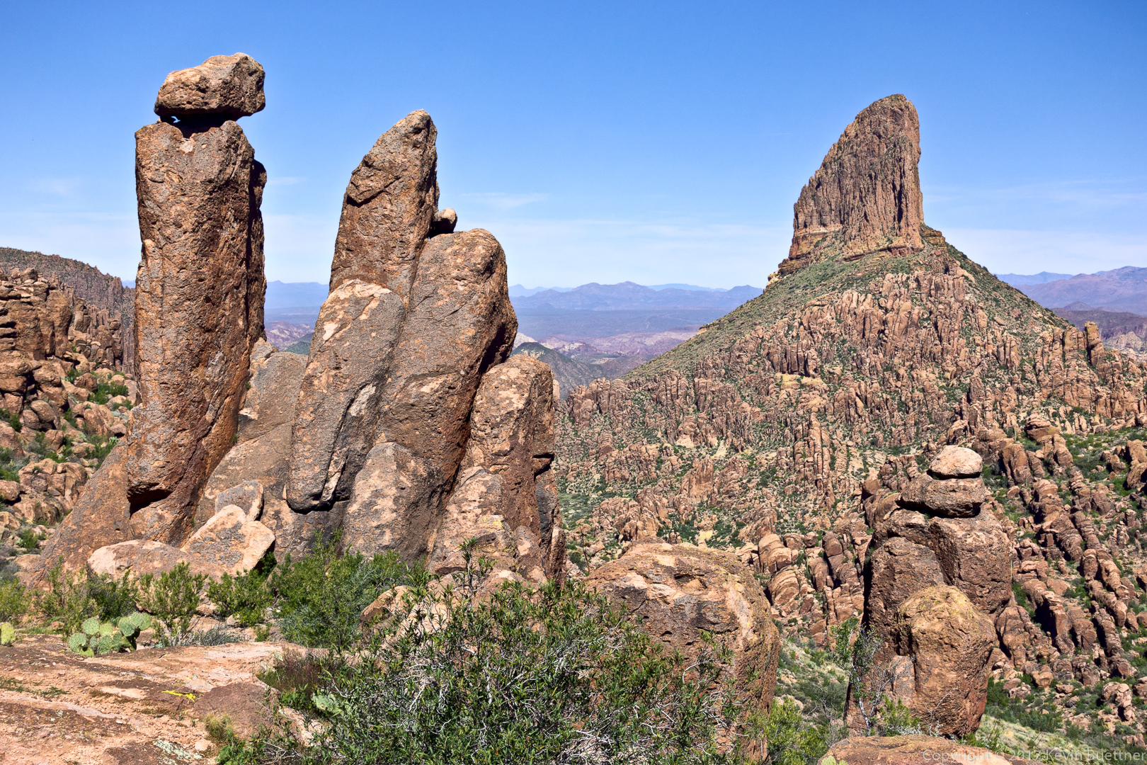
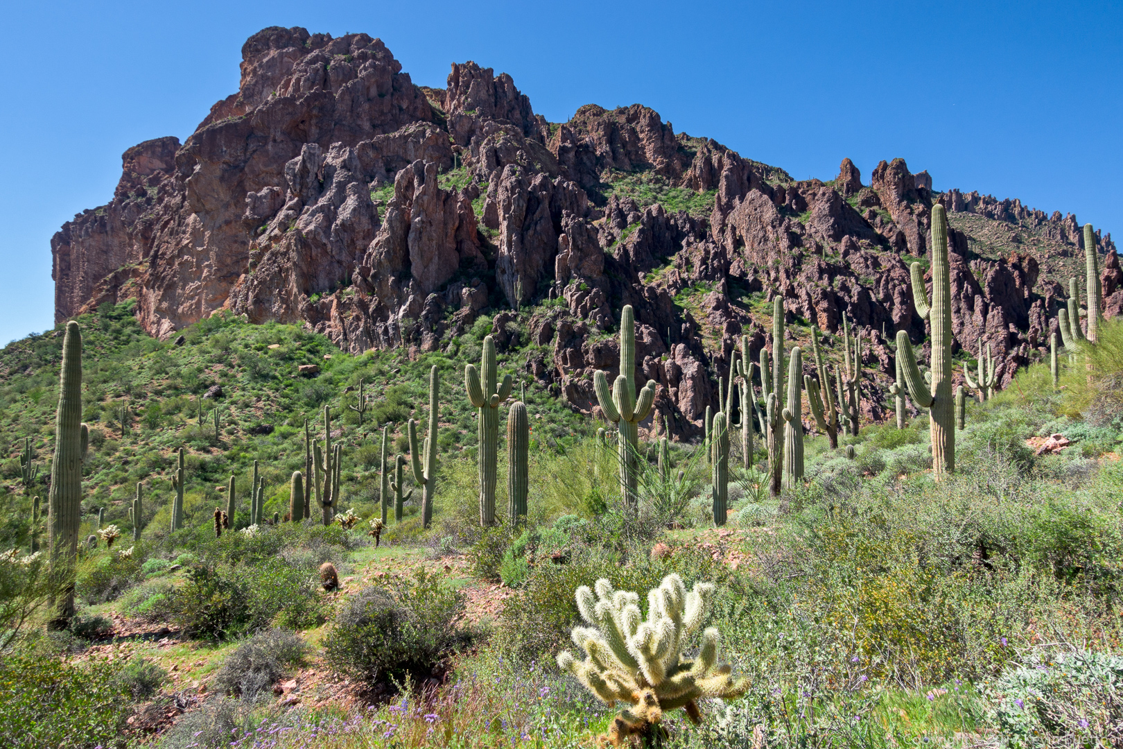
One of the formations that can be seen from the Cave Trail. I think we went around this formation to the right on the way to the caves:
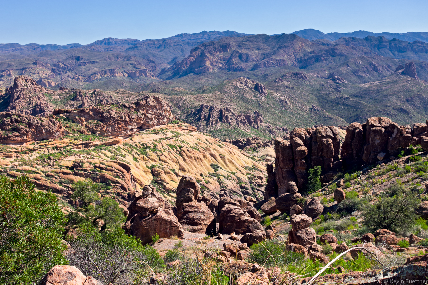
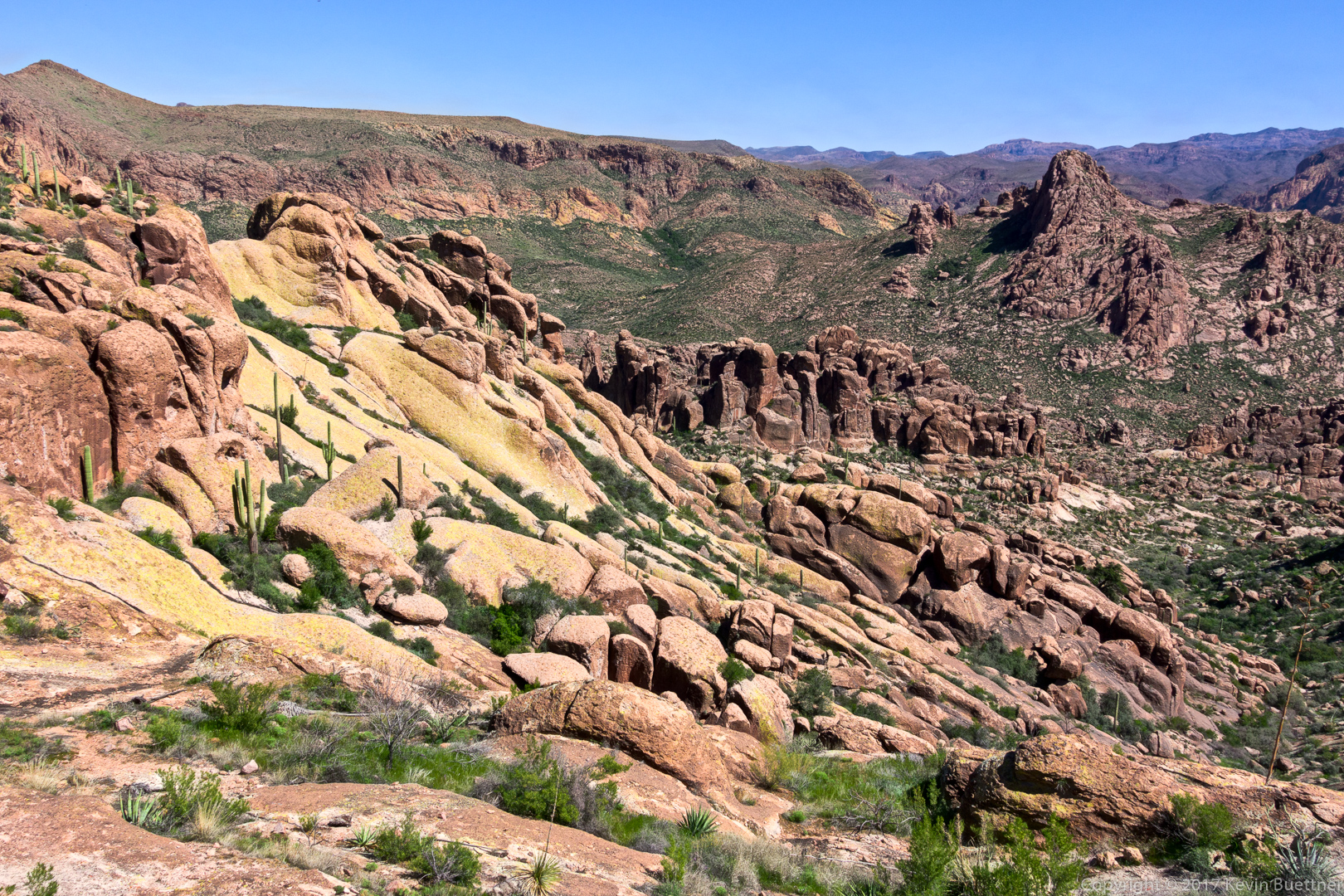
Another view from the Cave Trail:
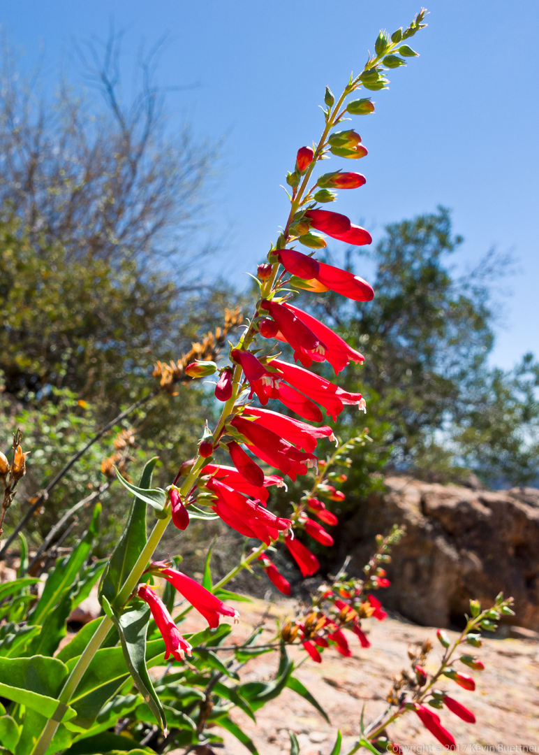
I think this is Hackberry Beardtongue / Arizona Scarlet Bugler:
Gilia:
Another view from the Cave Trail:
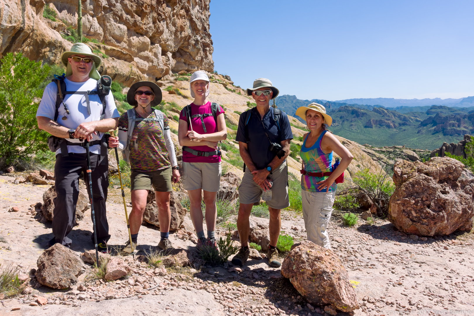
Kevin, Nora, Heather, Ben, and Mitra:
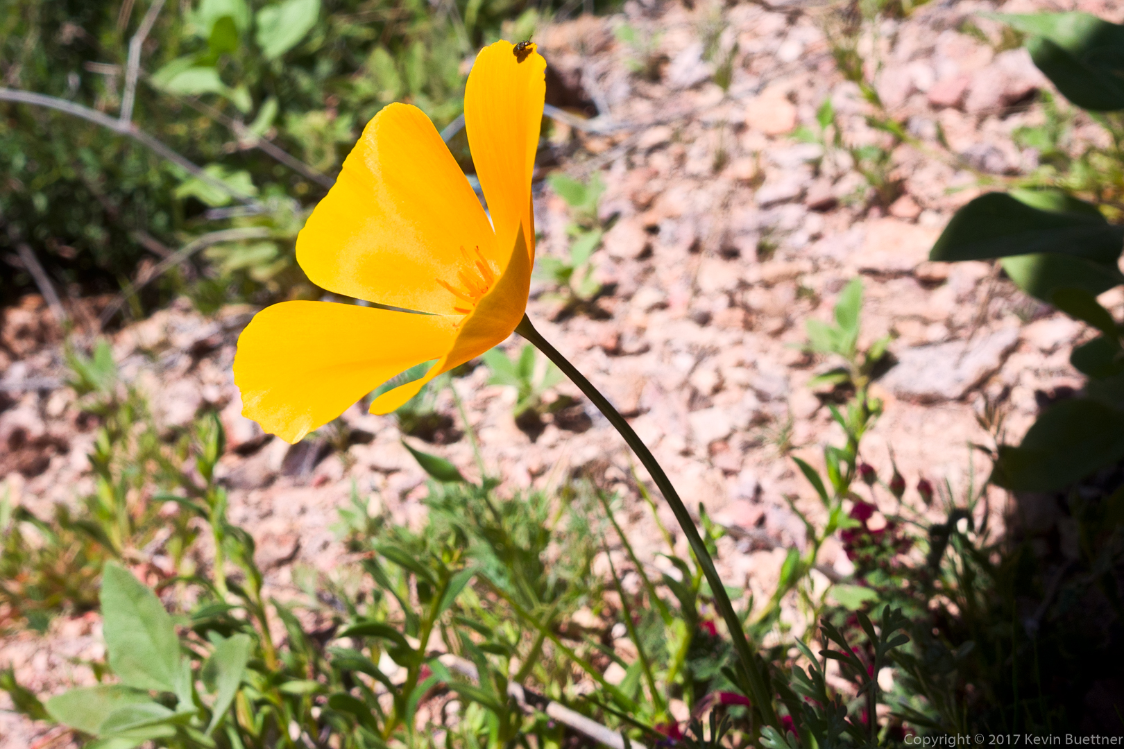
Mexican Poppy:
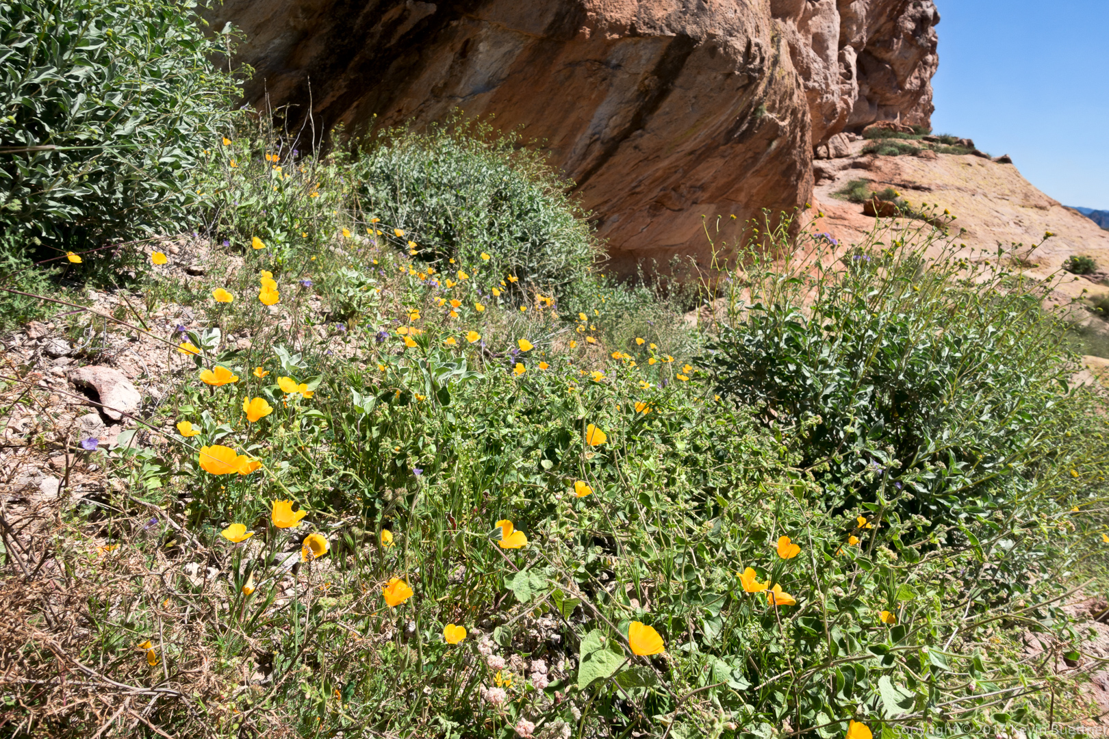
More poppies just before the first shallow cave on the Cave Trail:
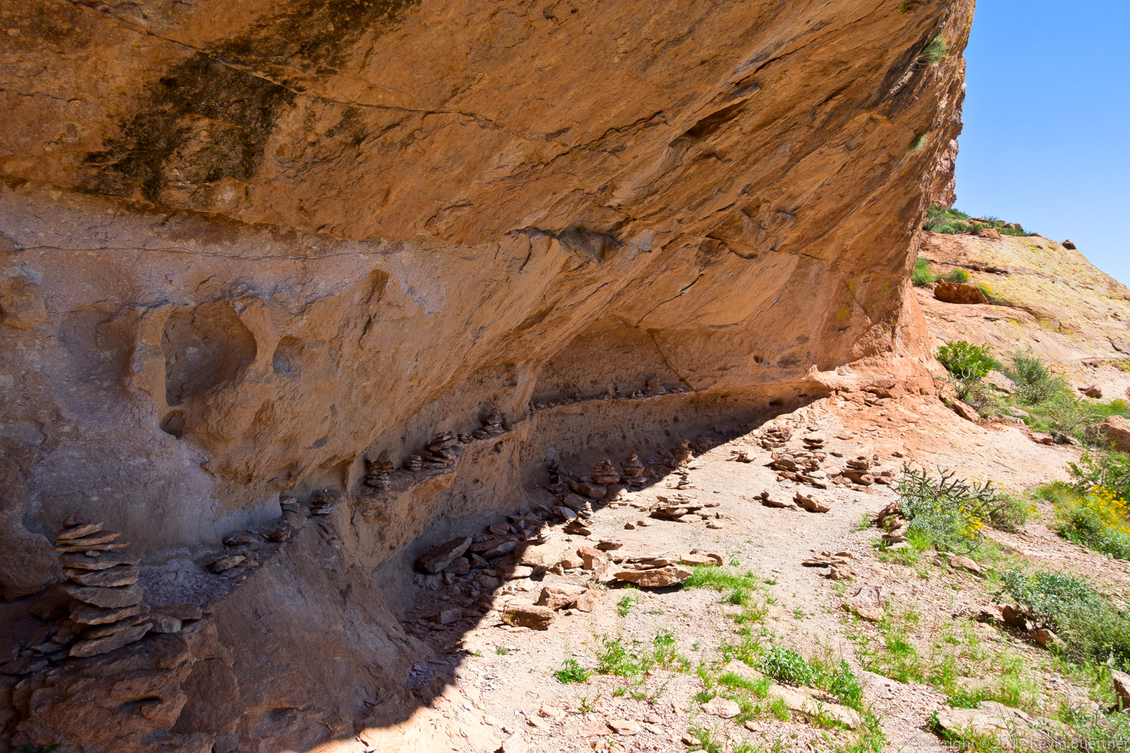
Someone got carried away with making cairns!
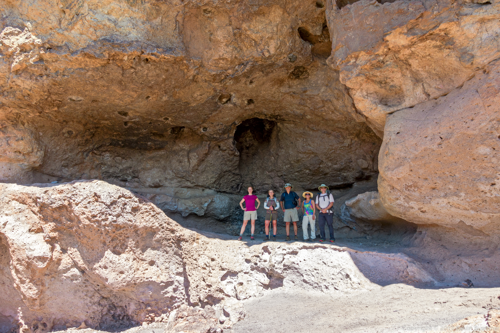
This is the larger cave on the Cave Trail:
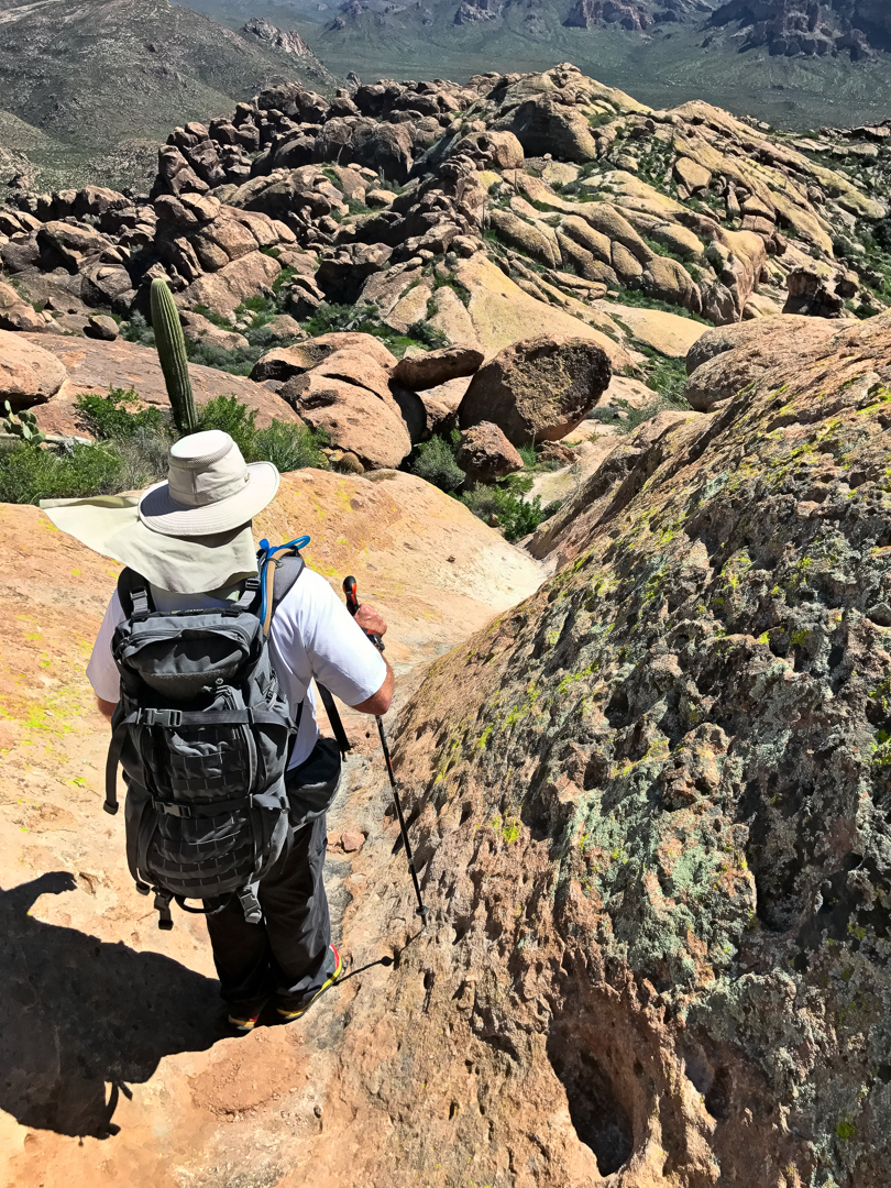
Starting down the Devil’s Slide…
(Photo Credit: Heather Sestili)
Descending the “Devil’s Slide”:
Below the Devil’s Slide. There is another, somewhat steeper section below this, named the “Bald Man’s Forehead”.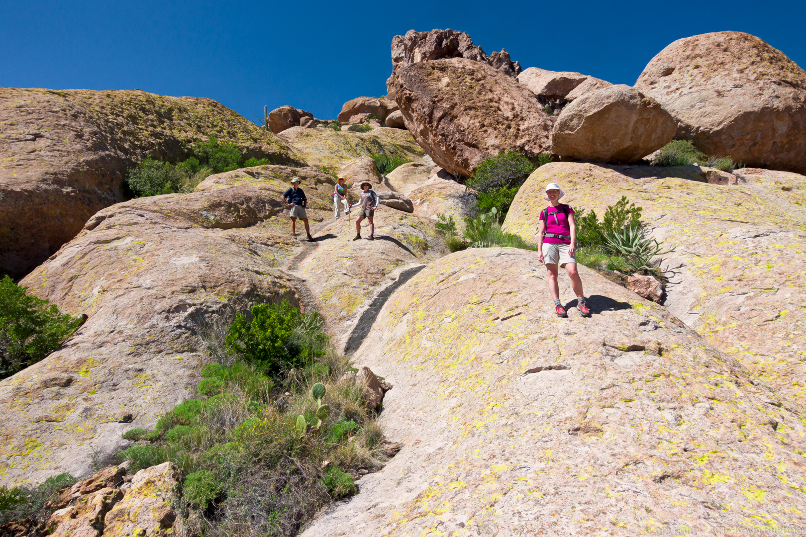
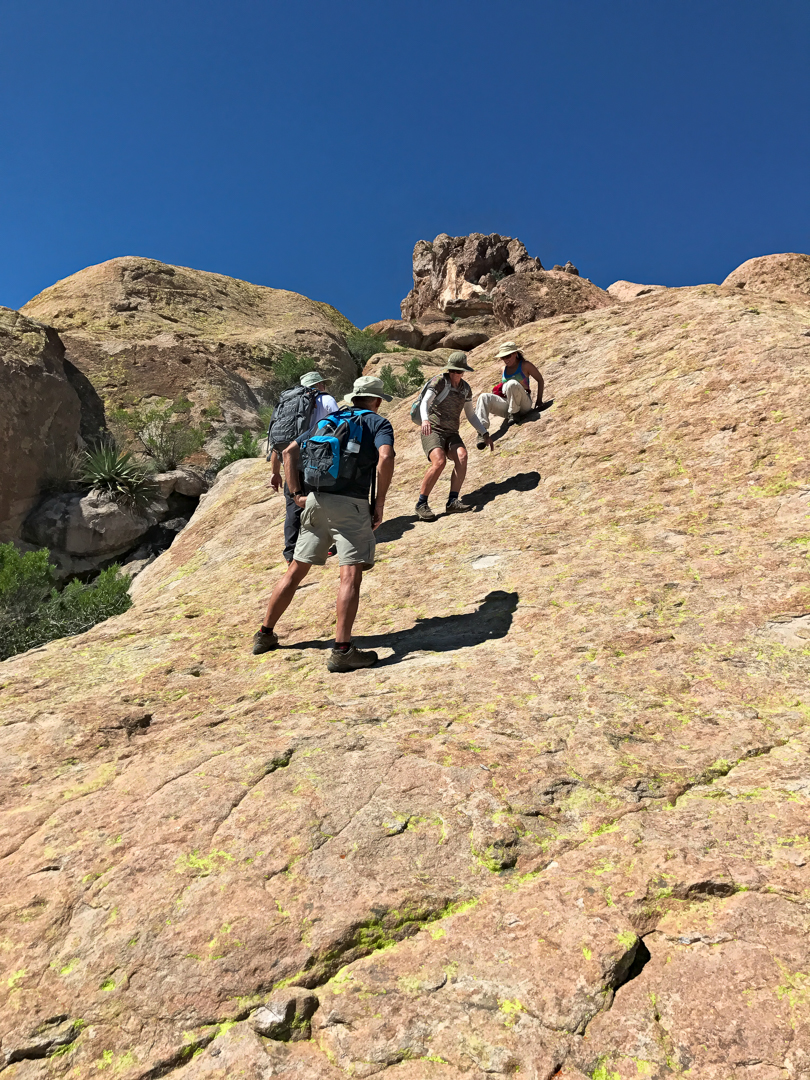
Nora and Mitra descending the lower portion of the “Bald Man’s Forehead”:
(Photo Credit: Heather Sestili)
The Cave Trail took us around the upper part of the formation on the right. To the left is Peralta Canyon. We hiked down from the other side of the canyon earlier in the day.
Globemallow:
Nearing the end of the Cave Trail…
(Photo Credit: Heather Sestili)
Nearing the end of our hike – this photo was taken from the Bluff Springs Trail:






Anonymous says:
Wow what a beautiful hike, so sorry I missed the opportunity to hike with you but glad Ben had a fantastic time.
Thanks for sharing. Marilyn
March 12, 2017 — 6:24 am
Linda says:
More stunning photos from the Superstitions! Love all the wildflowers!
March 12, 2017 — 7:34 am
Heather S says:
What a great hike!! Thanks Kevin
March 12, 2017 — 9:05 am
Susan Davis says:
Whoa! Great pics!!! I know I’d be “descending” much like Nora and Mitra:) Such great topography we can experience through these wonderful pictures. Thank you all so much for being fearless pathfinders!
March 12, 2017 — 9:47 am
jon leverenz says:
Thank you all. Nice hike. Keep letting me live at a distance with you all.
March 13, 2017 — 9:14 am