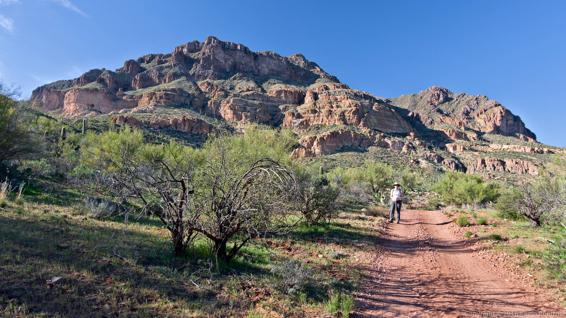
Marilyn and I hiked the Pine Creek Loop on Sunday.
Marilyn and I hiked the Pine Creek Loop on Sunday.
Doug, Eva, Bob, and I hiked to the top of Brown’s Peak on Friday. Brown’s Peak is the highest of the Four Peaks; it is the left-most peak when viewed from the Phoenix area.
We hiked Brown’s Trail #133 to the Amethyst Trail #253. After pausing for a few minutes at Brown’s Saddle, we continued up a well-traveled trail of use to the summit. After descending to the saddle, we hiked back down the Amethyst Trail to the Four Peaks Trail. Sections of the Amethyst Trail between the intersection with Brown’s trail and Four Peaks trail are still in bad shape (and is very hard to follow) from the fire in 1996. Four Peaks Trail led back to the Lone Pine Trailhead where we had parked. We hiked six and a quarter miles with just over 2200 feet of total ascent. (We gained a few more feet while getting lost and then un-lost on the Amethyst Trail.)
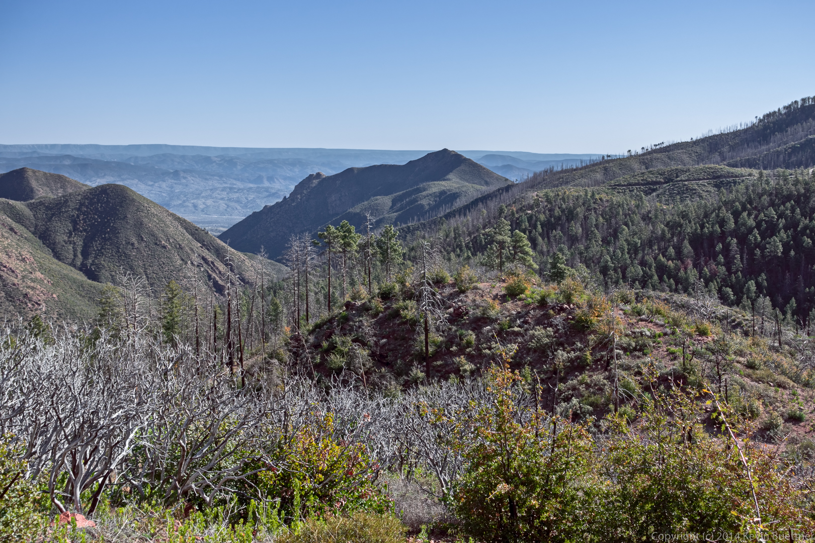
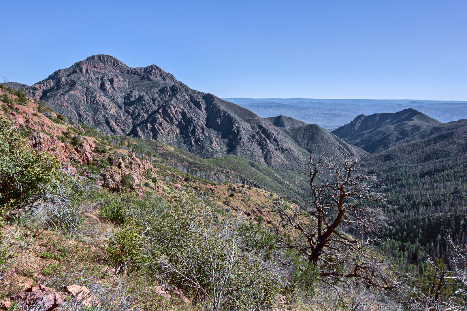
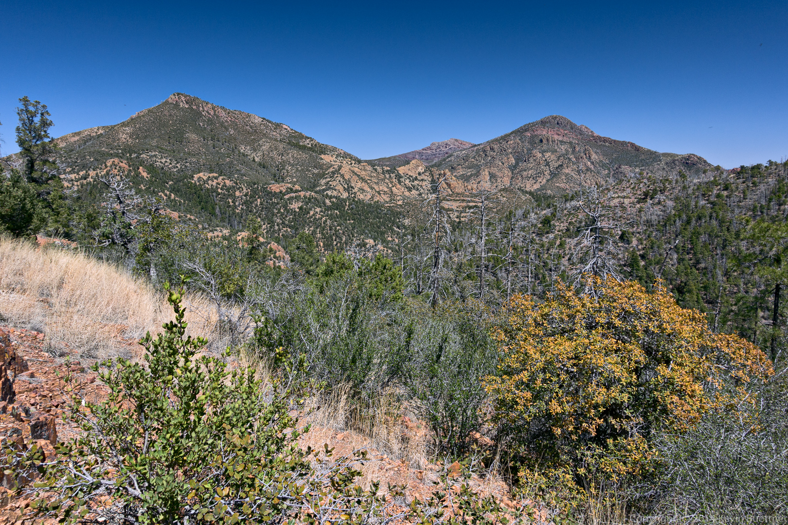
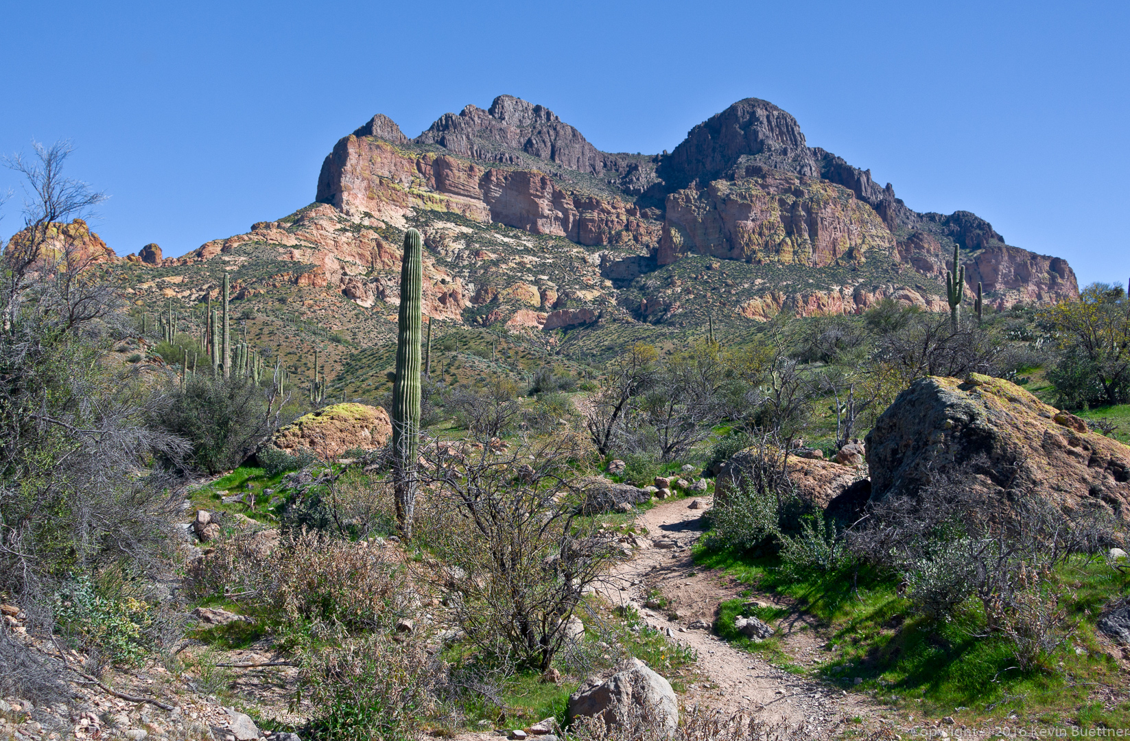
A view from early in the hike on Brown’s Trail:
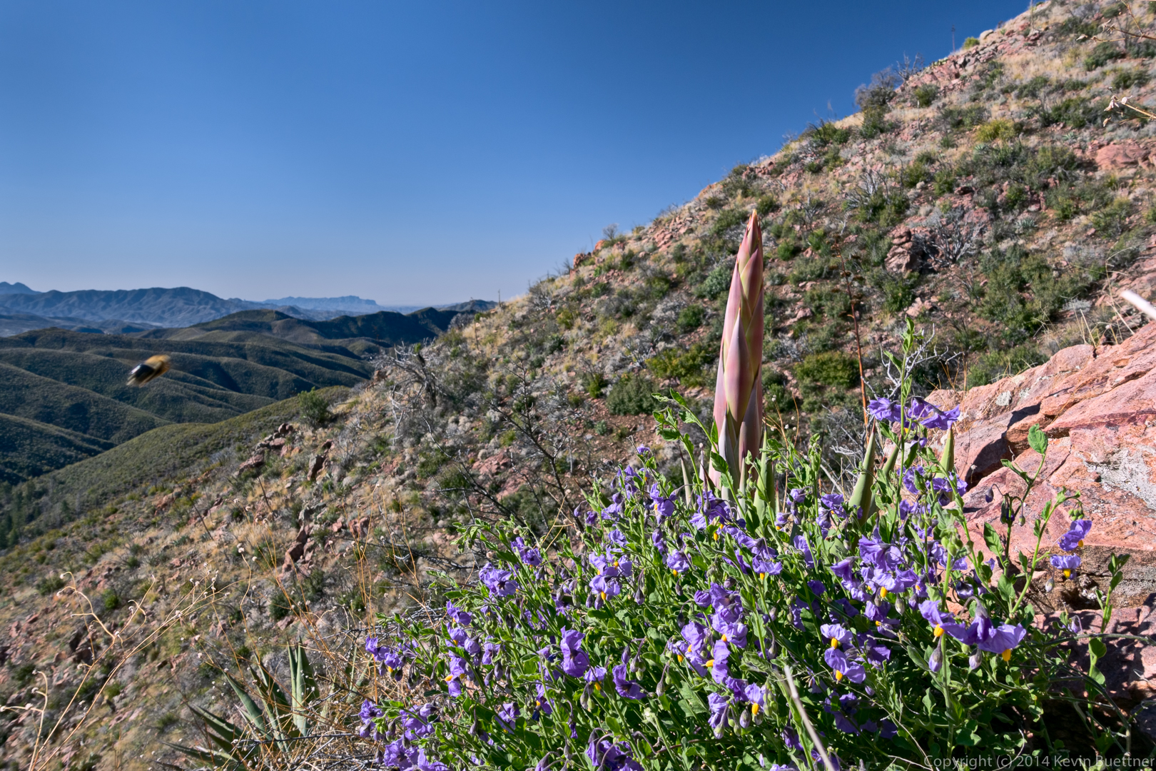
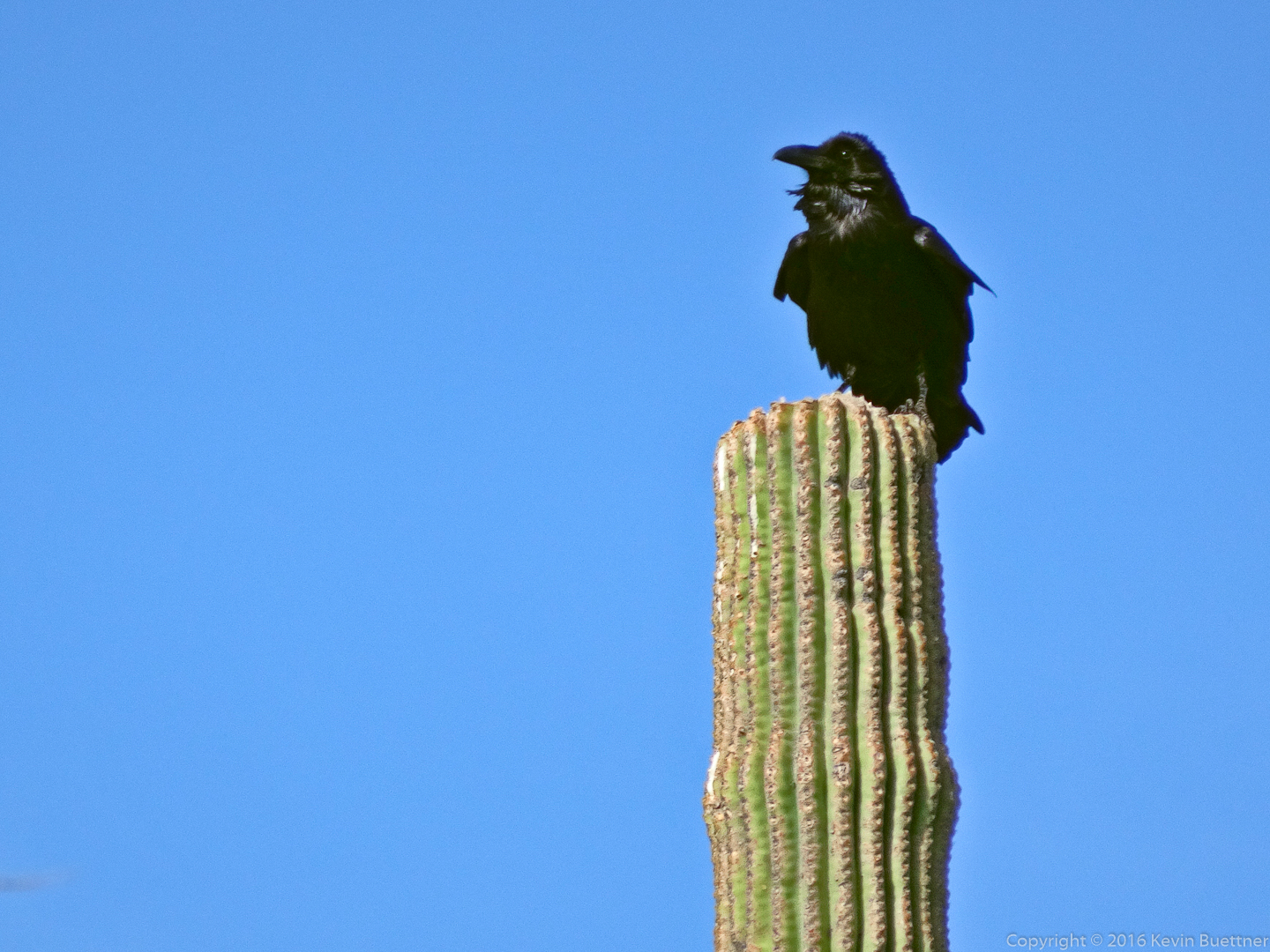
“Snoopy” (or maybe “Woodstock”?) :
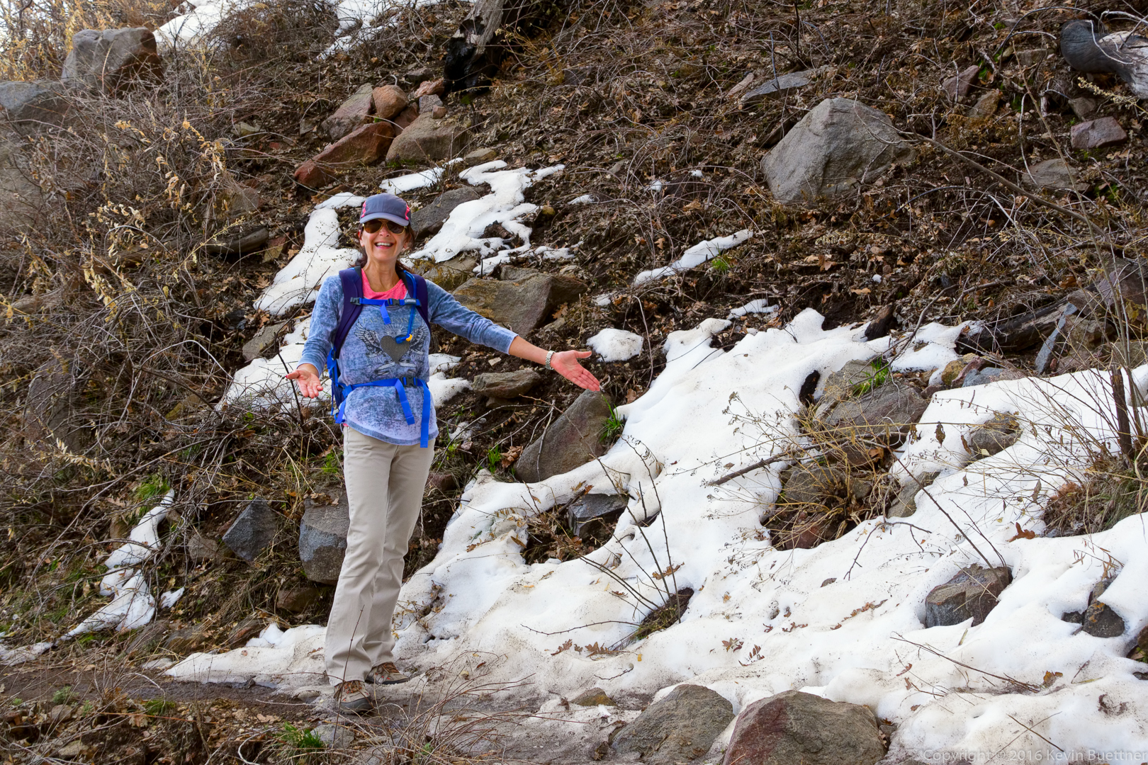
We encountered patches of snow along the way. Eva shows us some of the white stuff she thought she had left behind in Toronto.
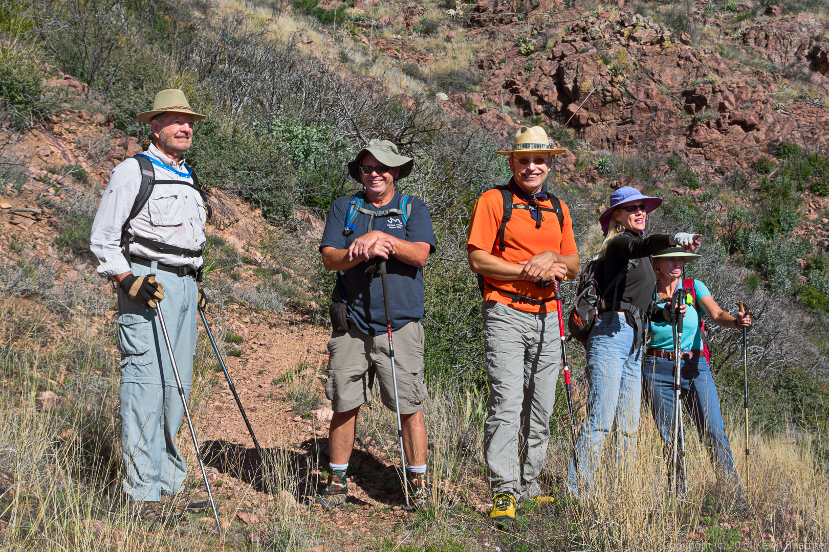
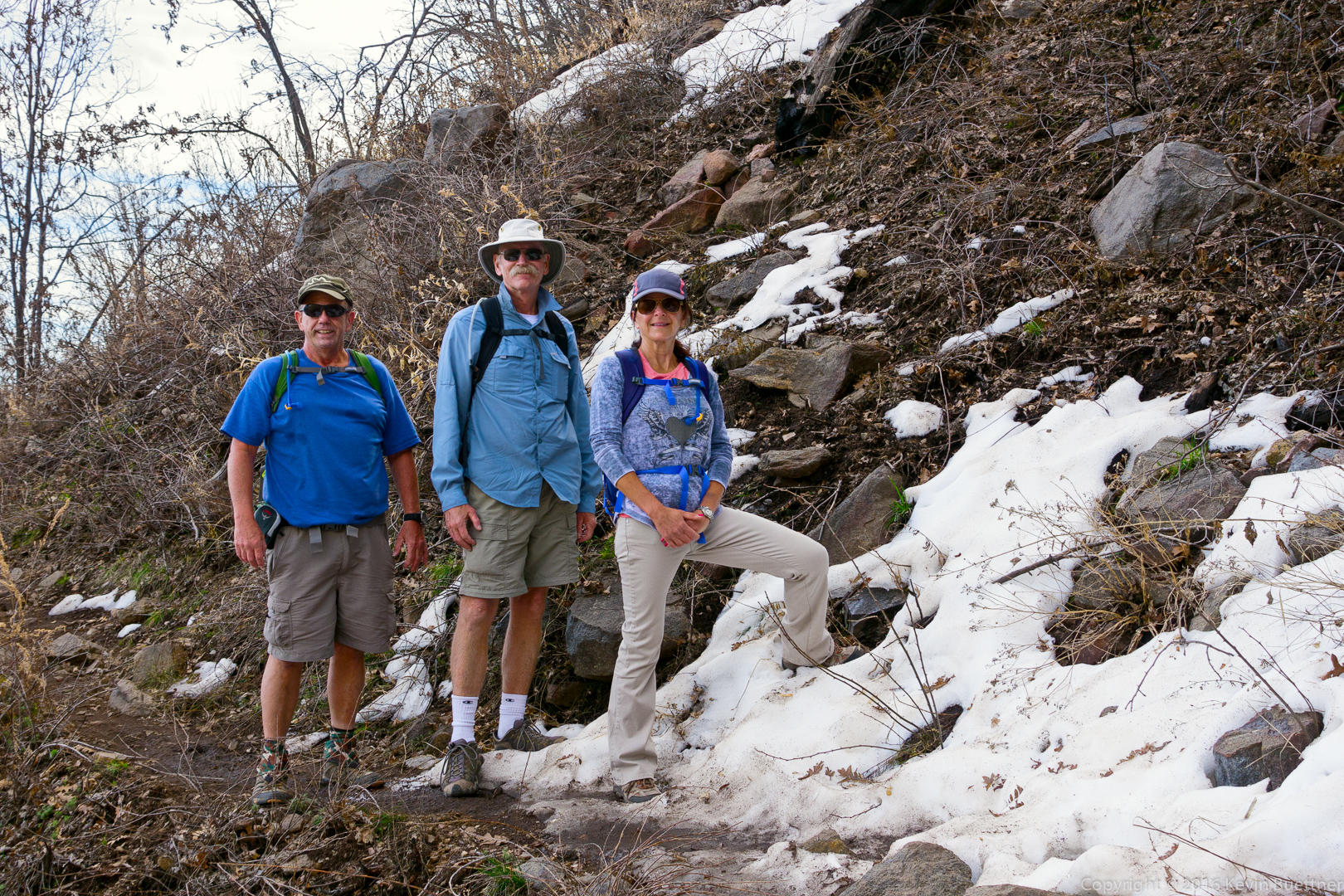
Bob, Doug, and Eva:
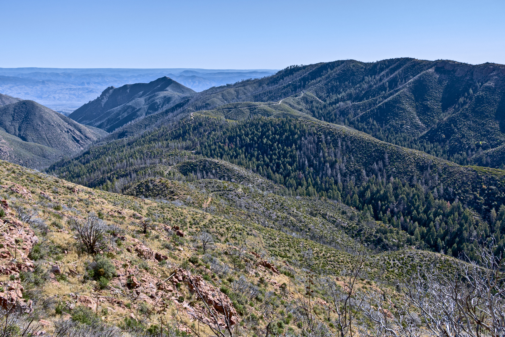
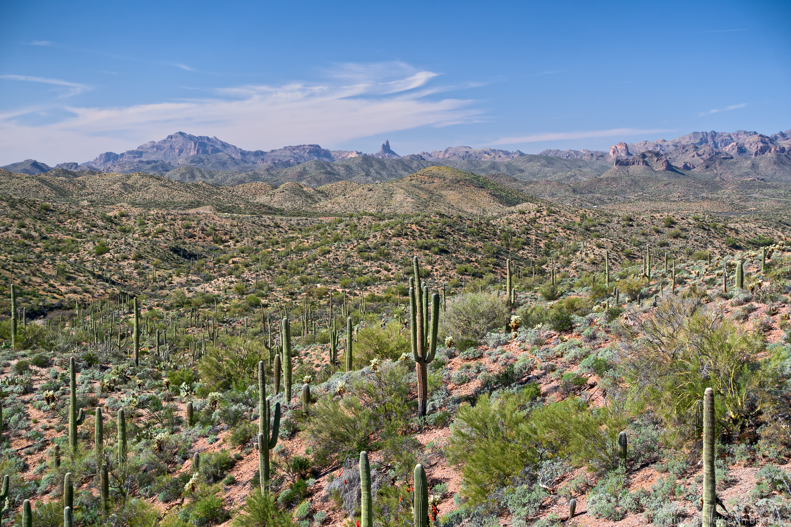
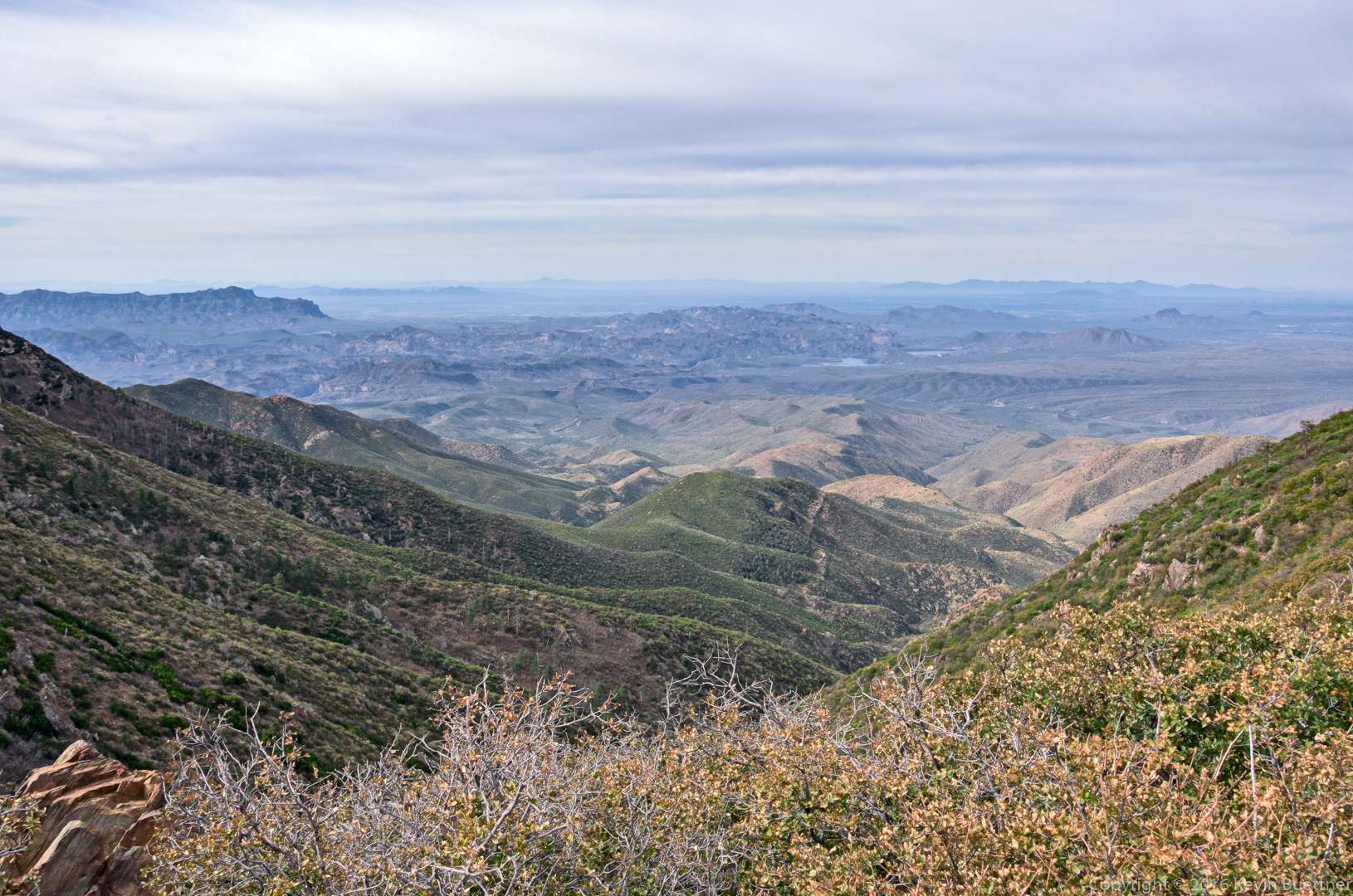
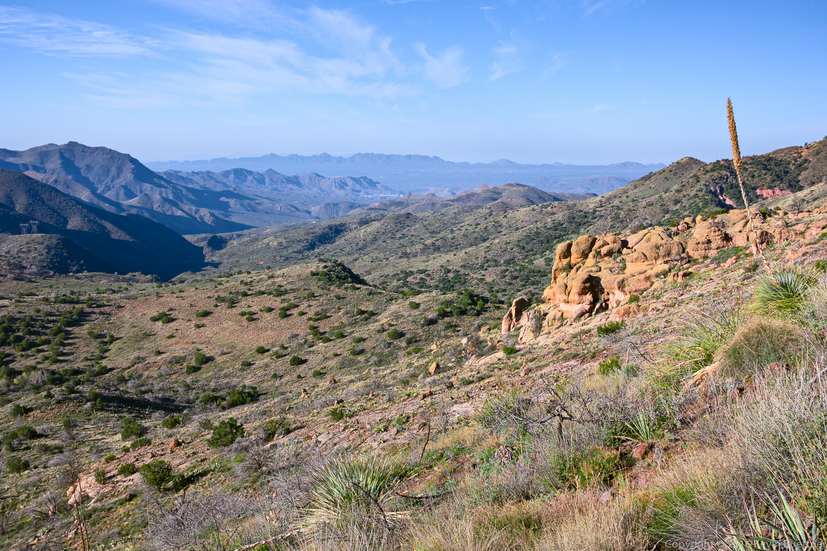
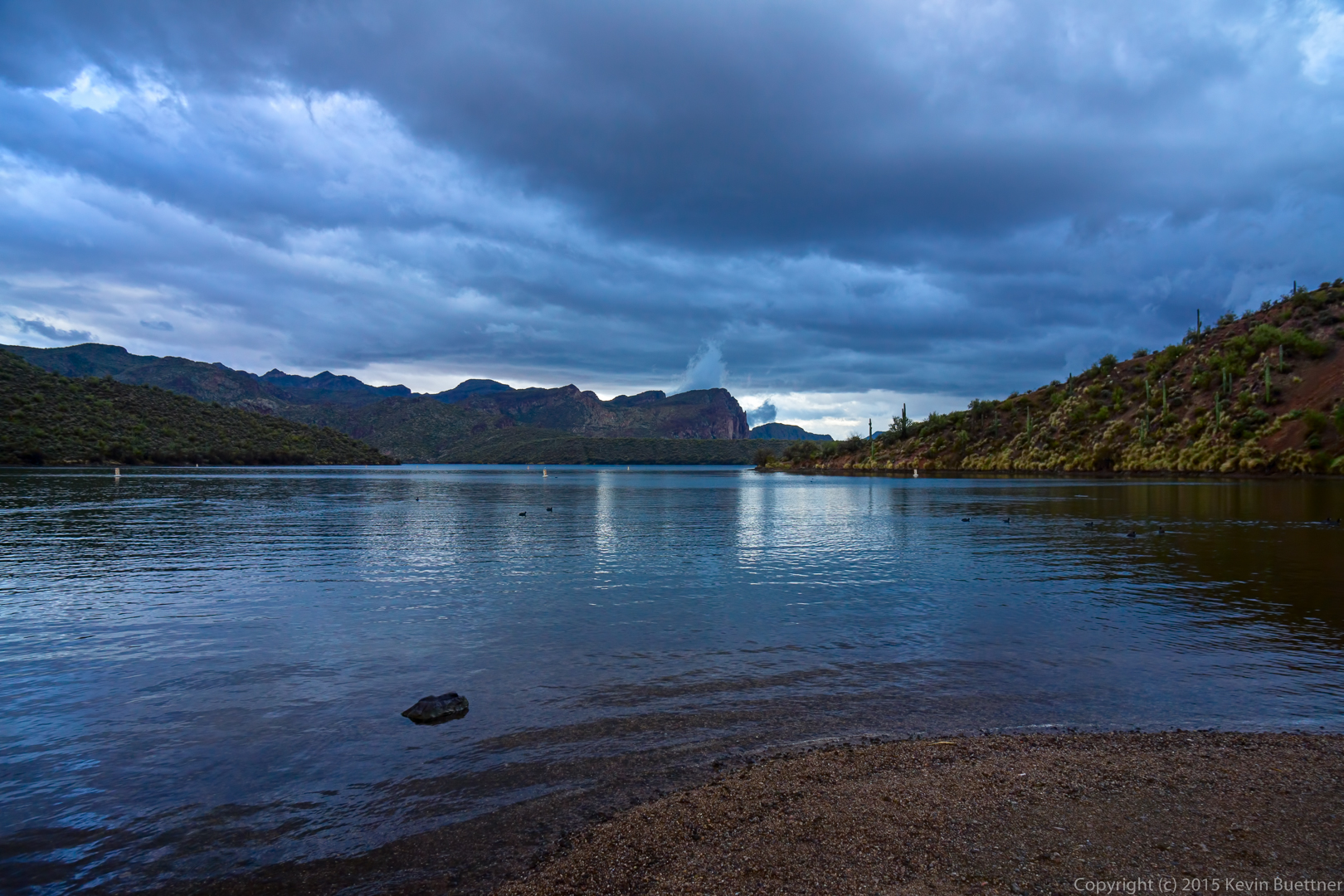
A view from Brown’s Saddle. The Flatiron (in the Superstition Mountains), Saguaro Lake, and Red Mountain (which is near Fountain Hills) are all visible in the distance.
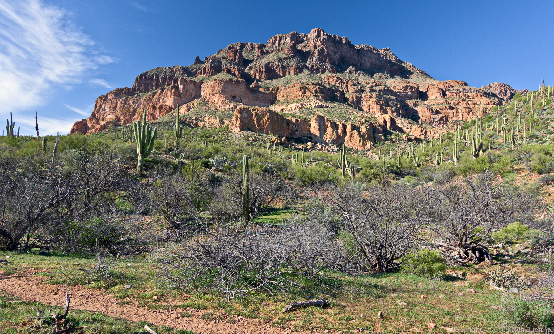
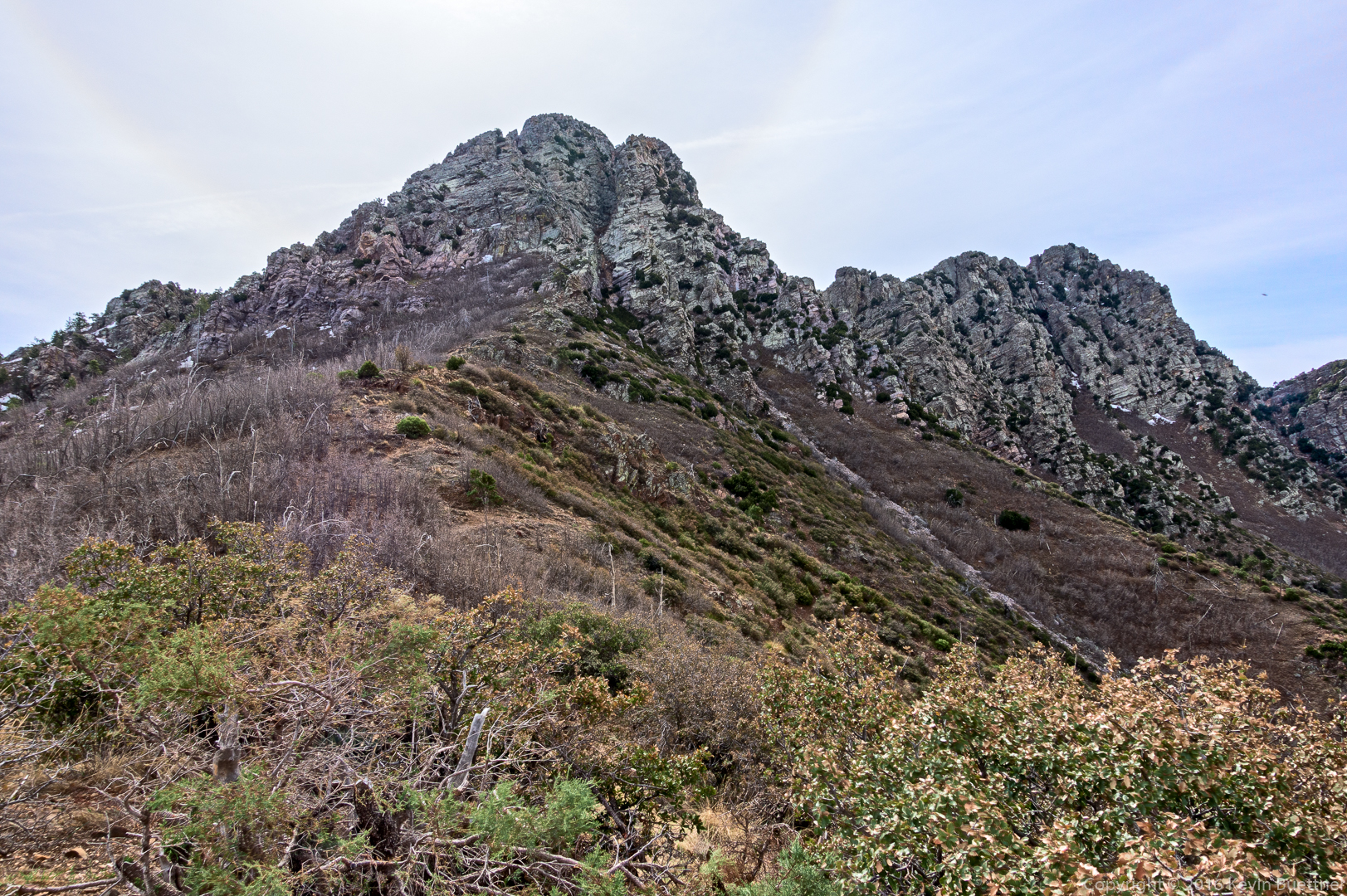
A view of Brown’s Peak (left) from Brown’s Saddle.
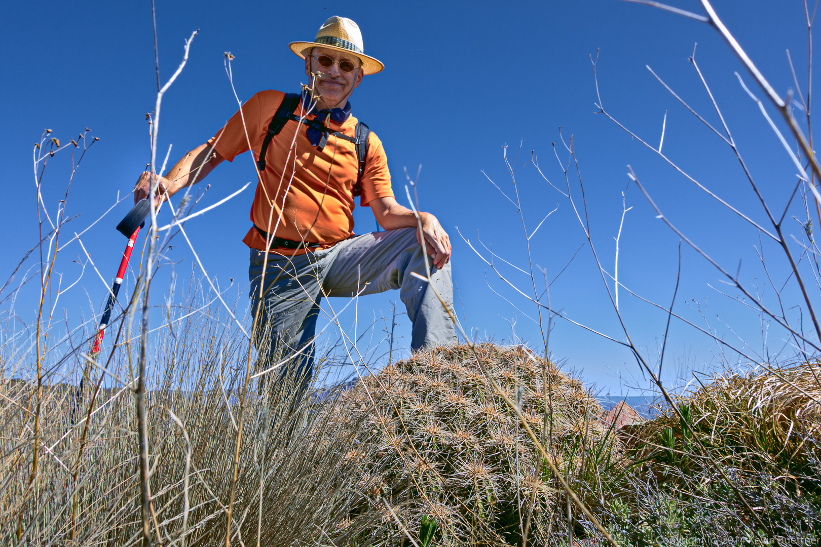
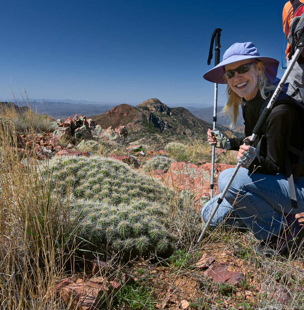
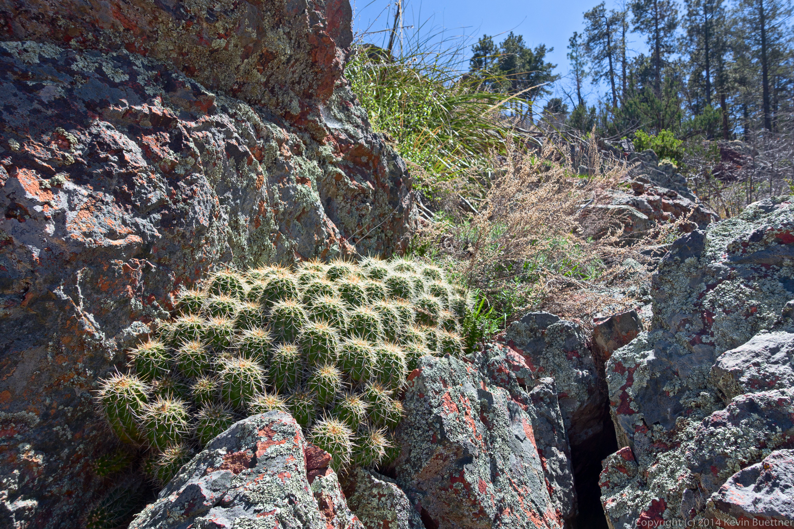
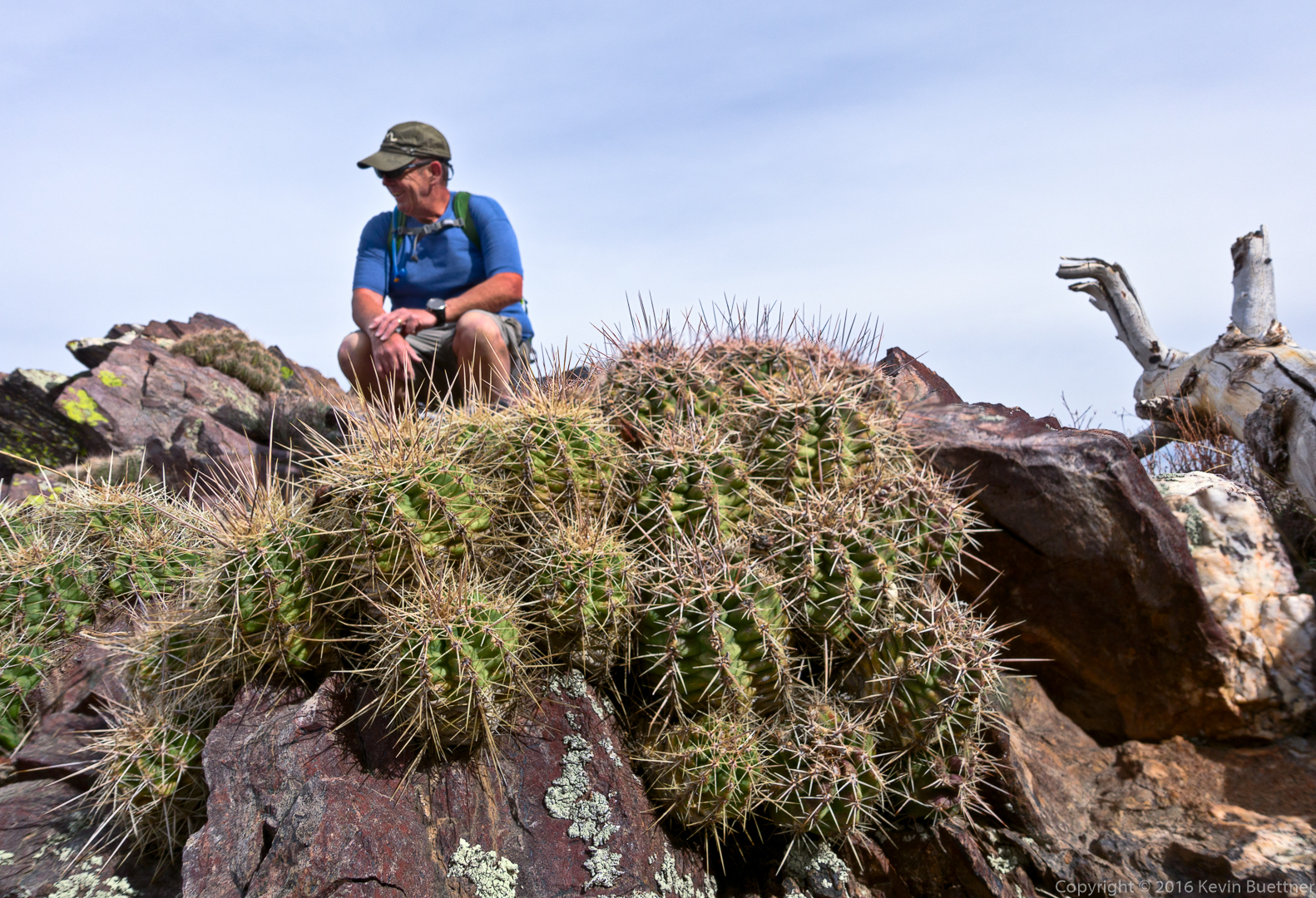
Bob, with some small cacti in the foreground:
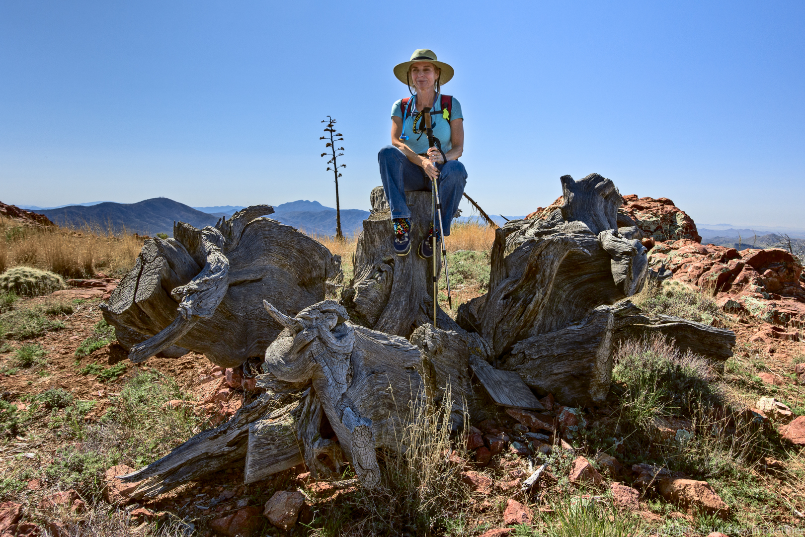
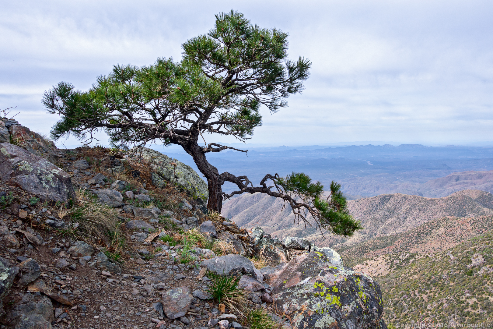
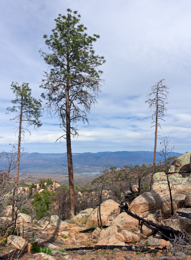
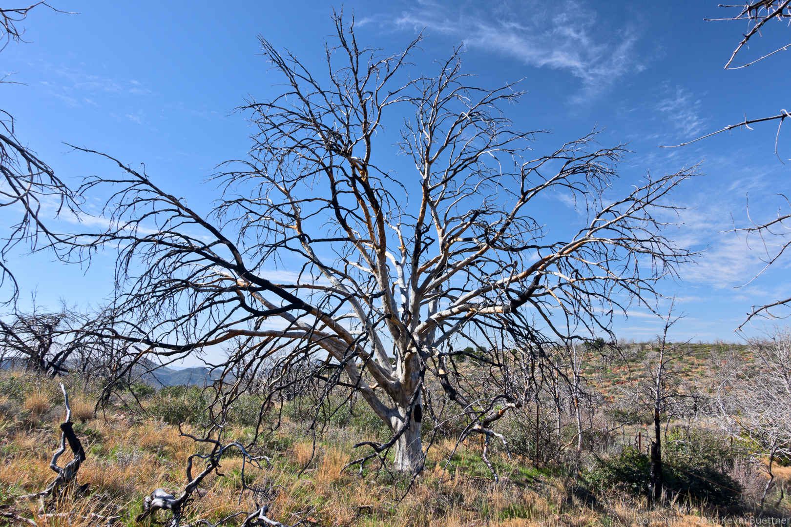
We saw this interesting looking tree after leaving Brown’s Saddle:
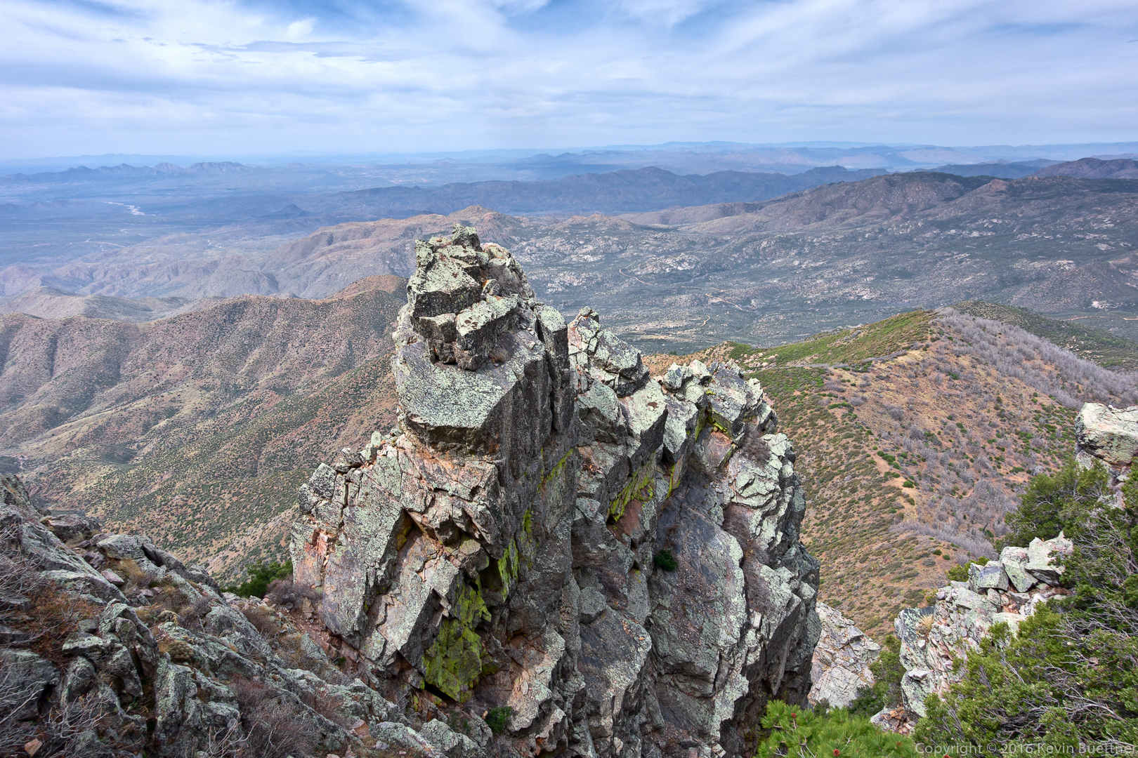
Our route followed the couloir and then went left to the peak.
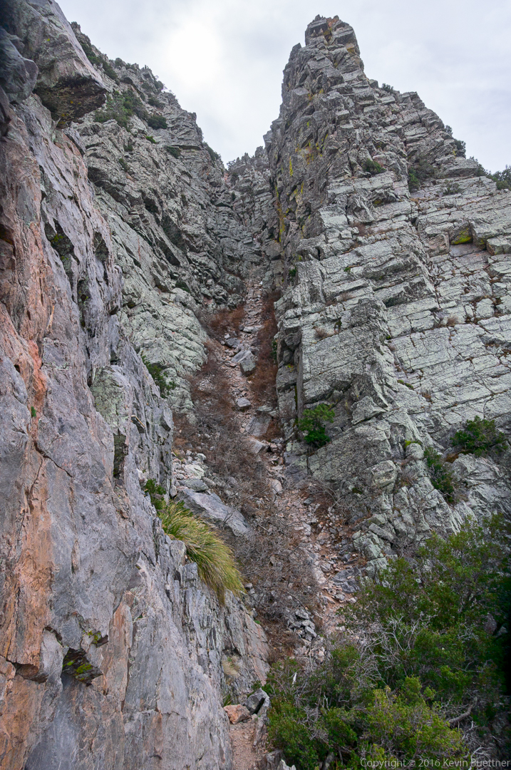
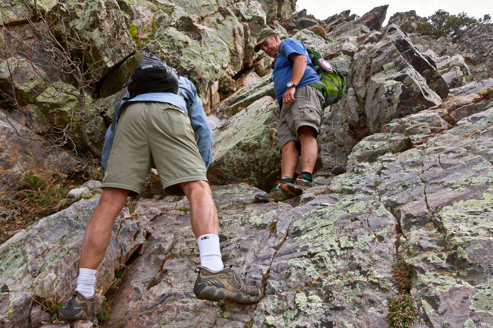
The route that we took to the couloir required climbing down some ledges. (There’s an alternate route which goes through a lot of scree.)
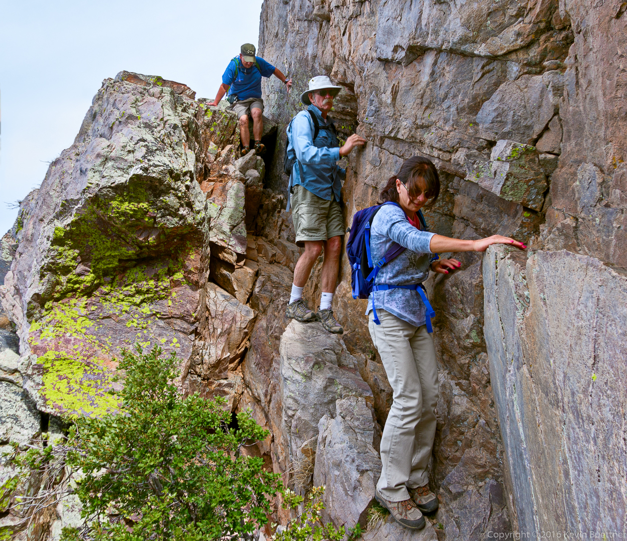
Looking down from a ledge on the way up.
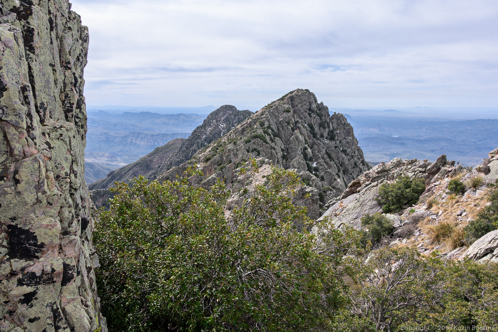
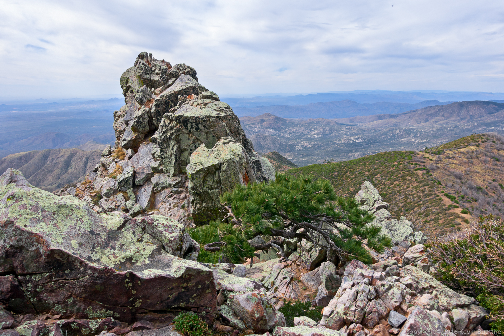
A view of two of the other peaks on the way up.
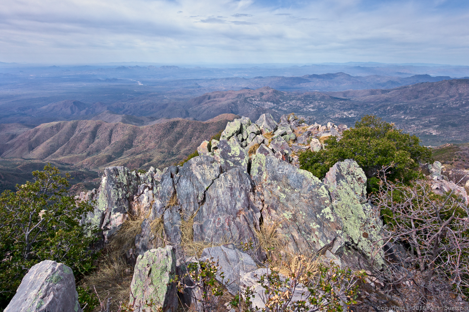
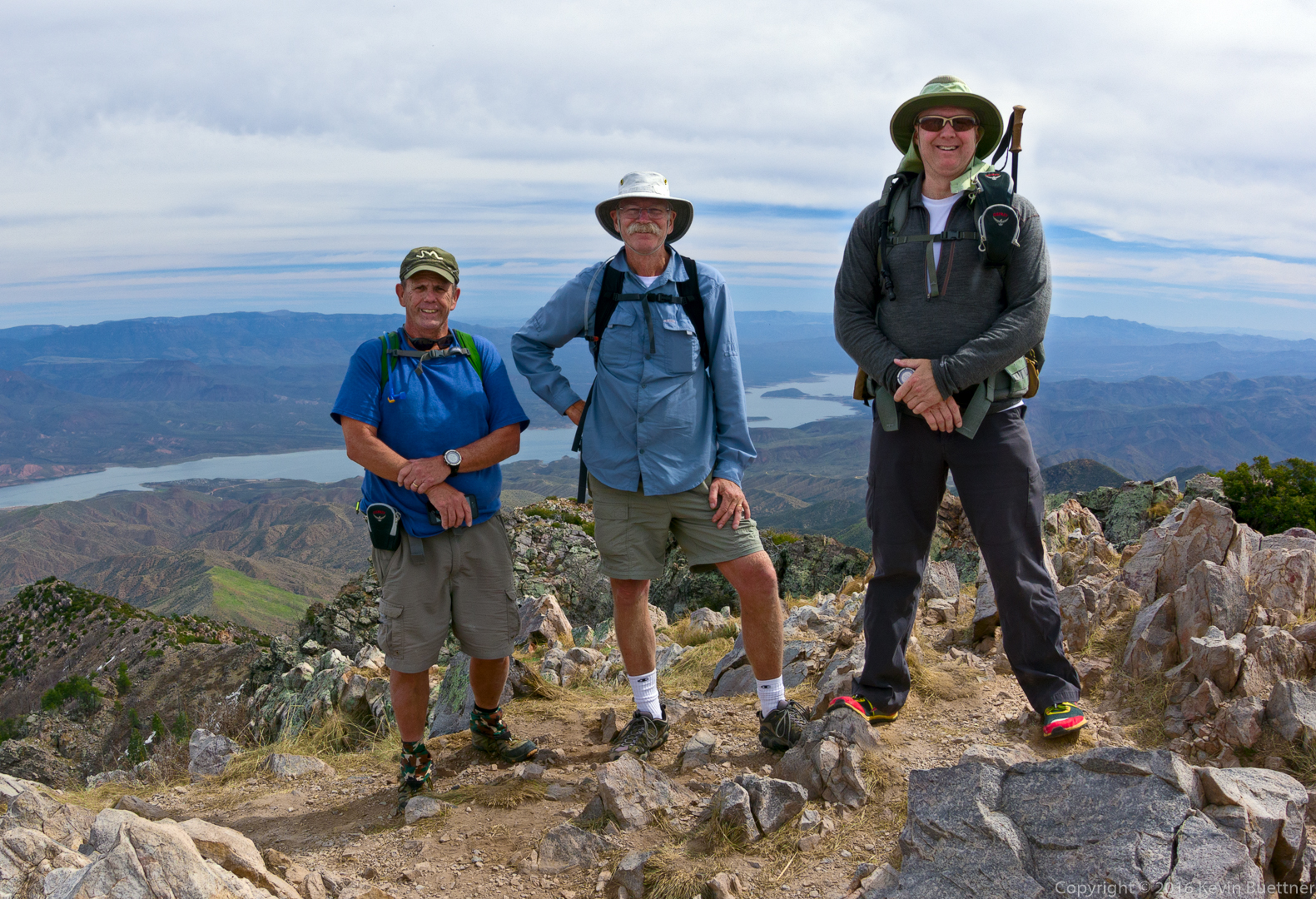
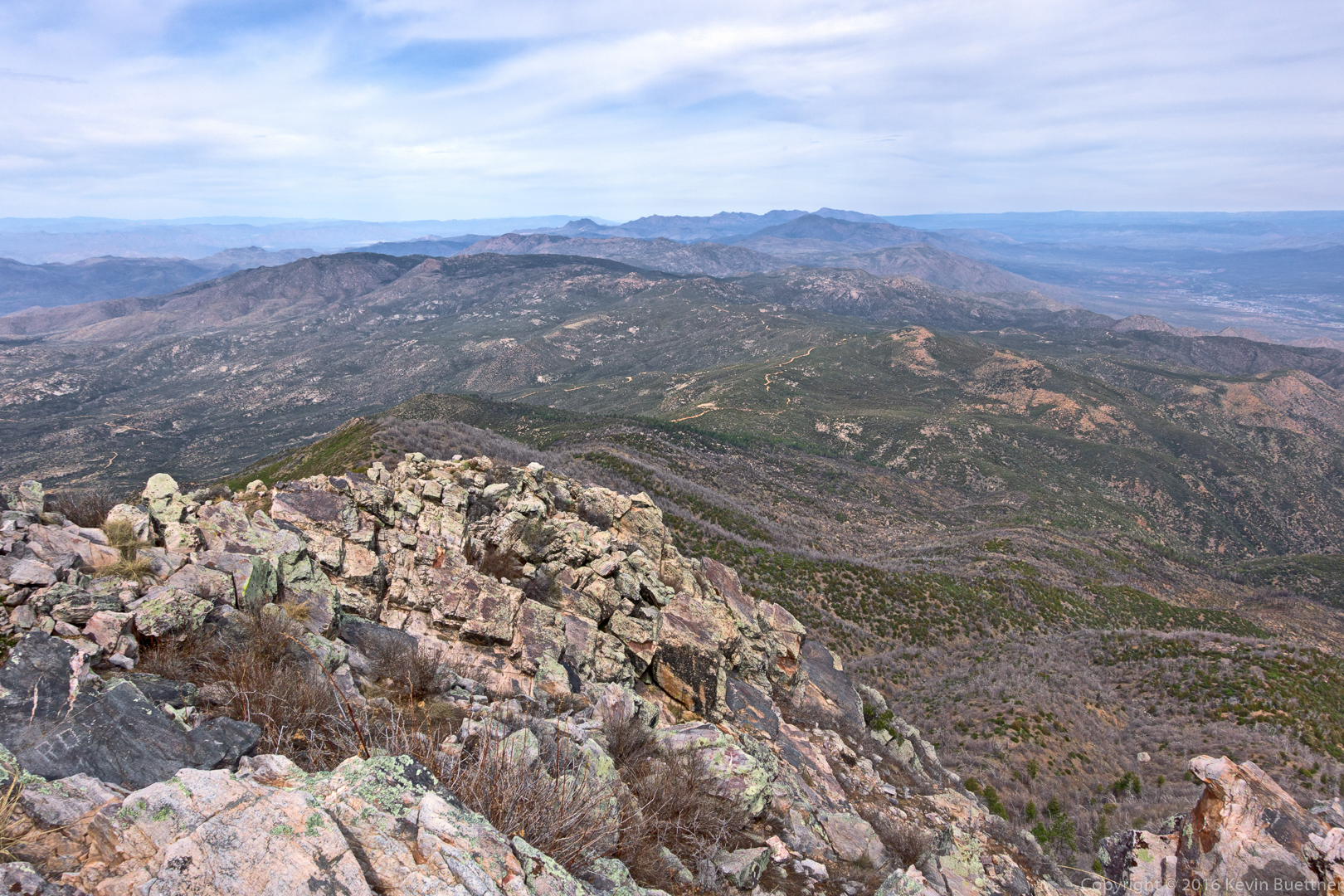
A view from the top:
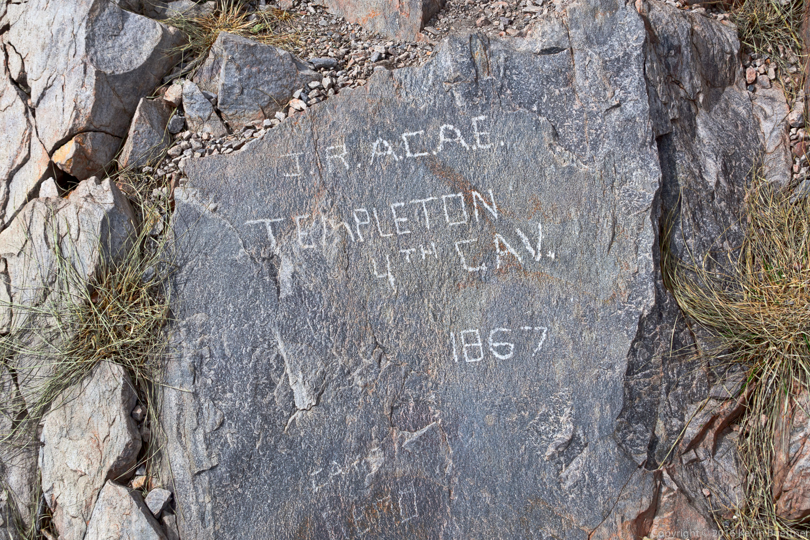
Templeton of the 4th Cavalry made it to the summit in 1867. Major William H. Brown, for whom the peak was named, commanded the 5th US Cavalry.
Bob, Doug, and Kevin:
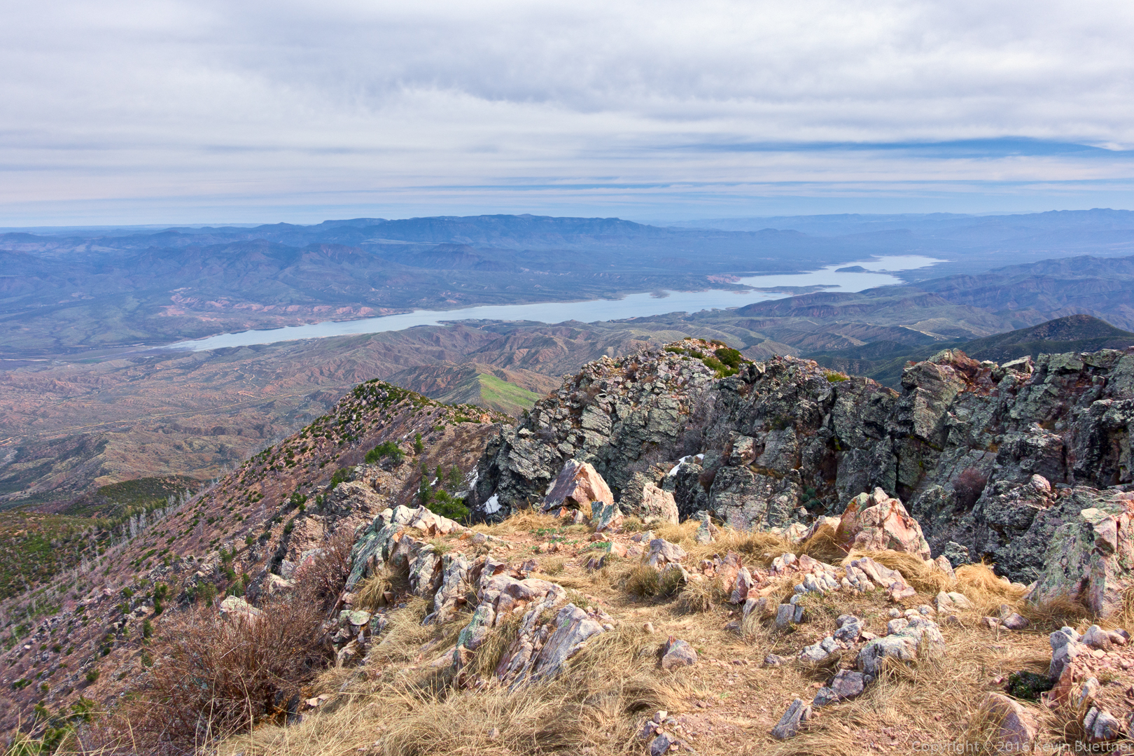
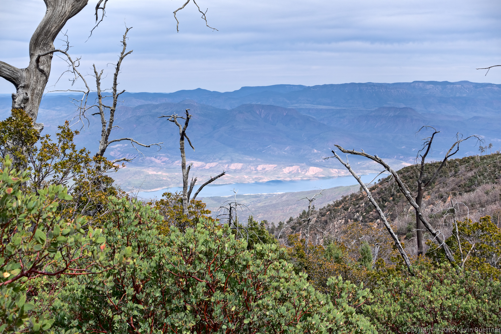
A view of Roosevelt Lake:
We could see the other three peaks from the summit of Brown’s Peak:
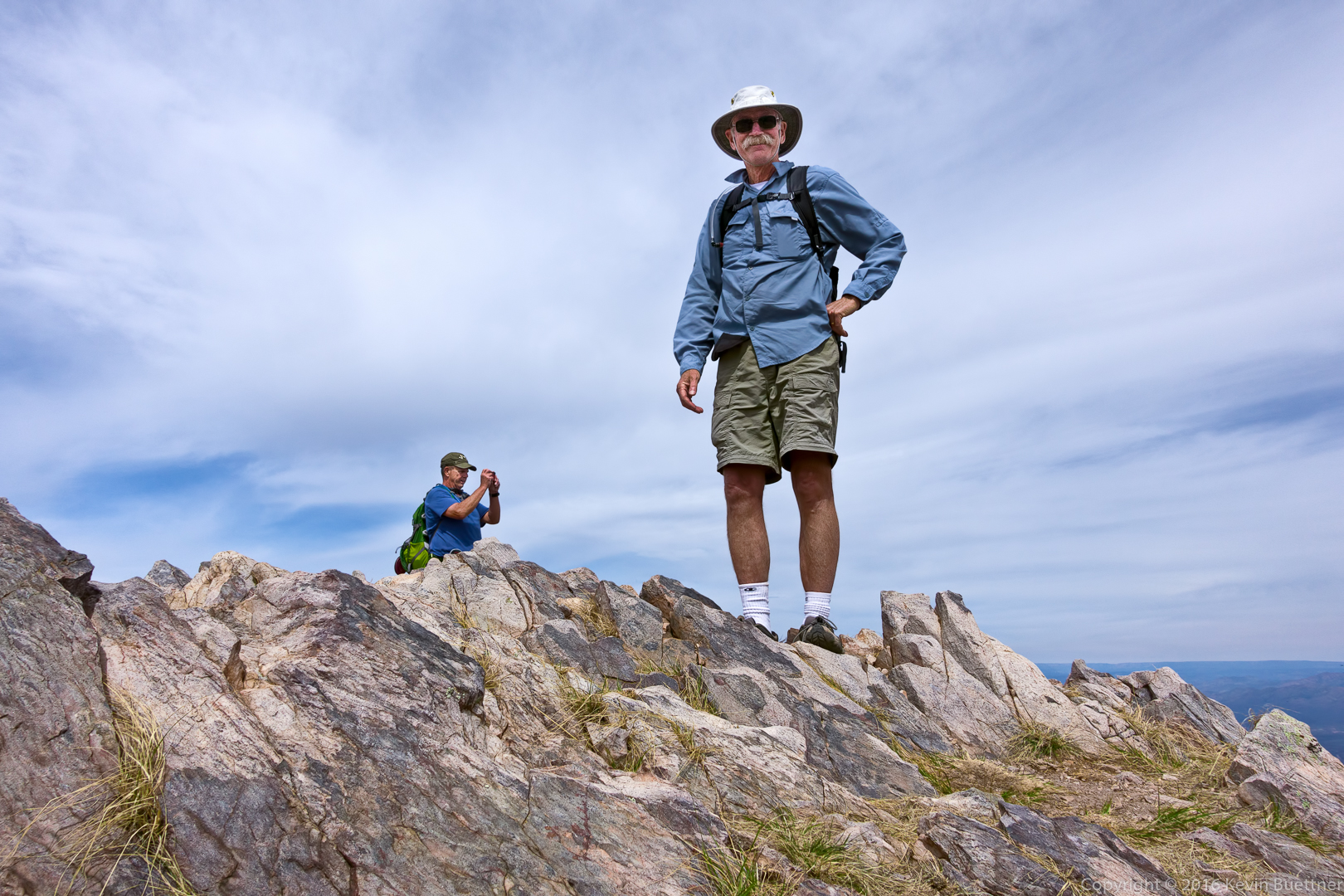
Bob and Doug near the summit:
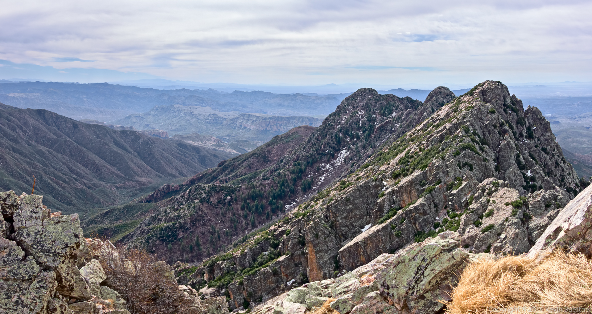
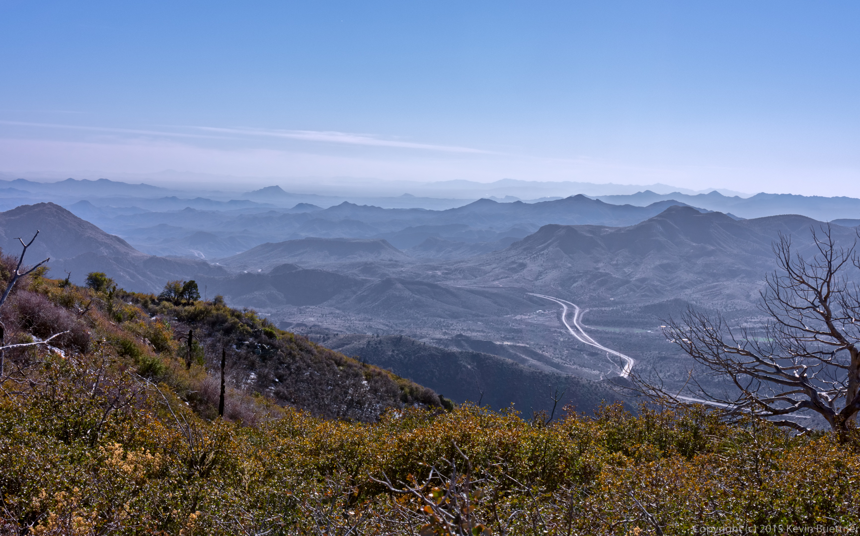
A view to the west. Parts of the road that we drove in on are visible in this photo.
Starting our descent…
Doug and Bob, descending one of the steep(ish) sections.
The way down…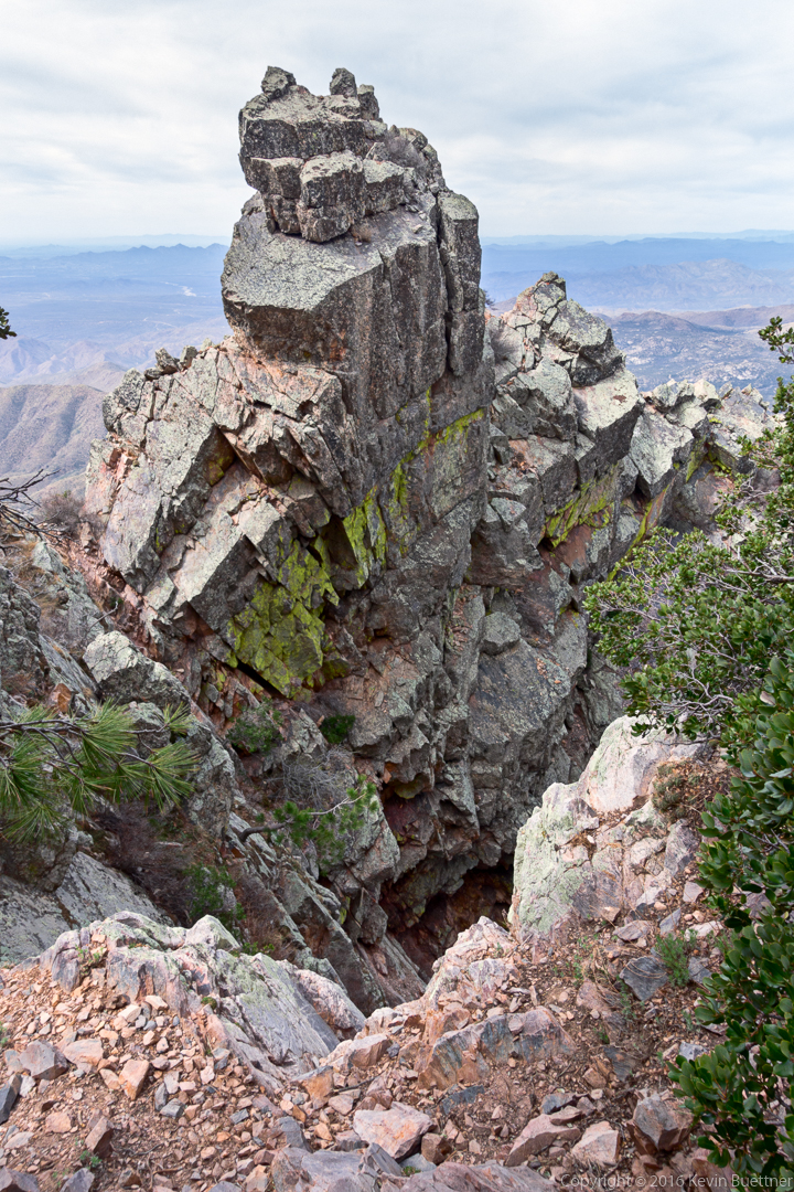
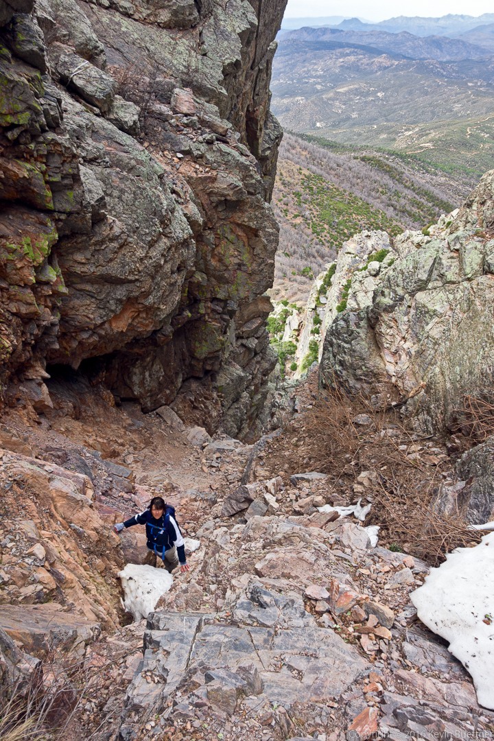
Eva patiently waited for Bob, Doug, and me to go up to the summit. She said it was cold waiting in the couloir.
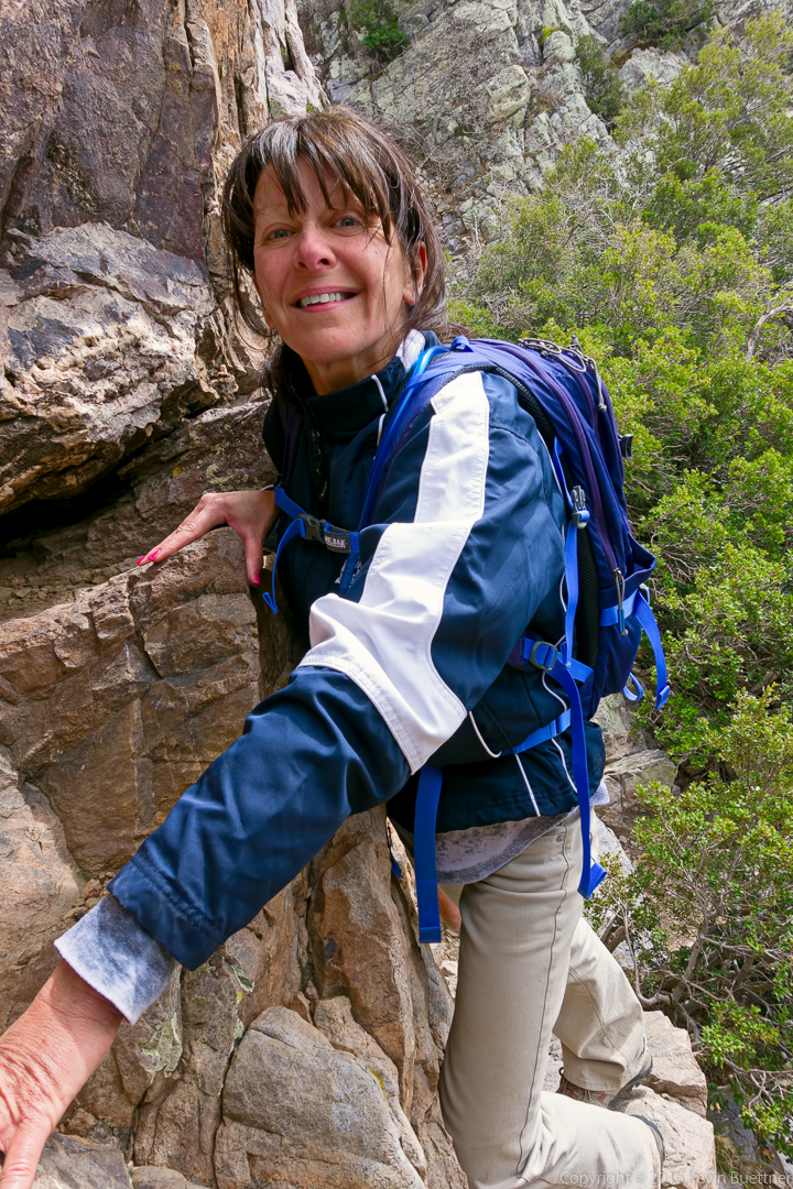
Eva on one of the ledges on the way back from the couloir:
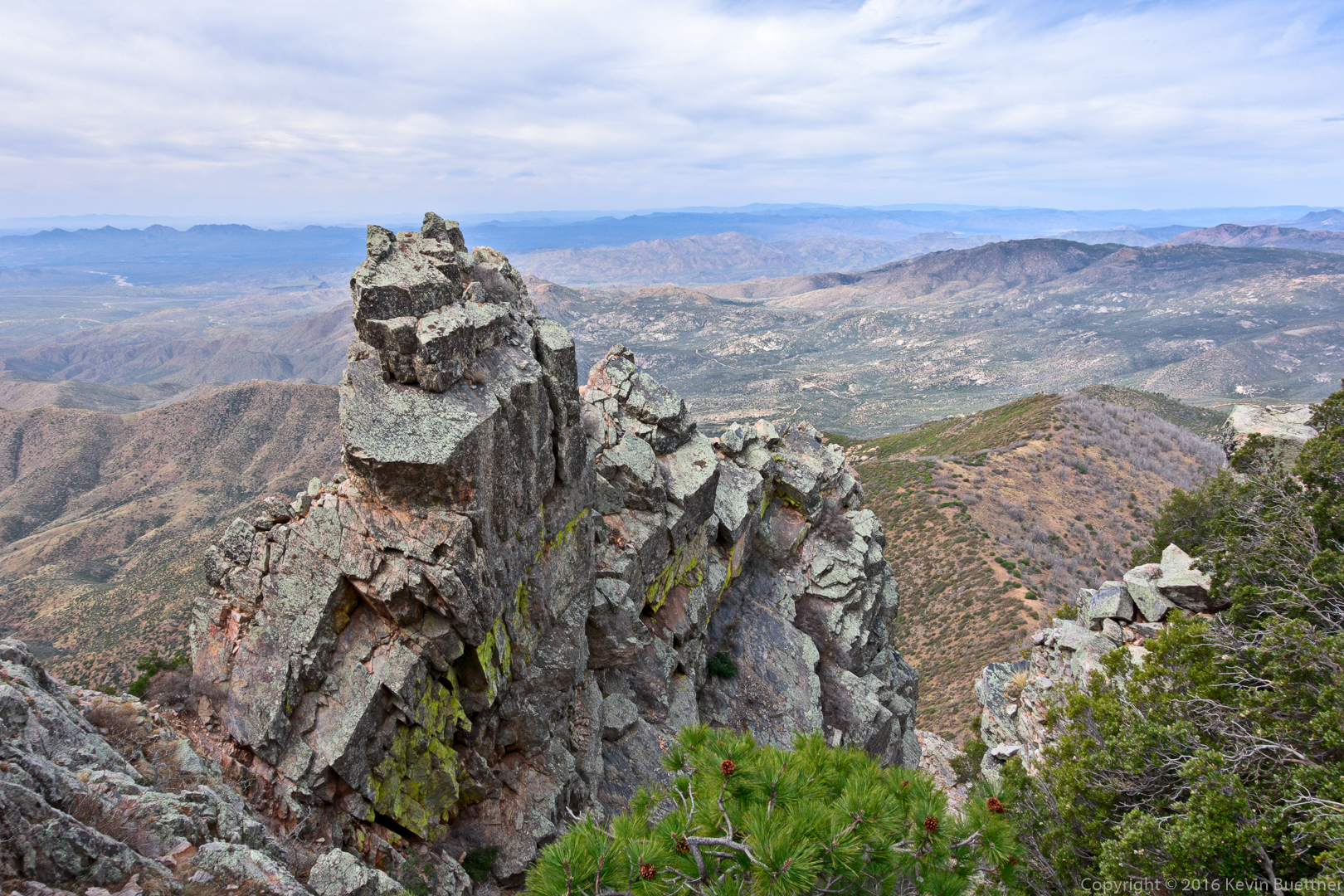
Another interesting view as we made our way down:
Views from the Amethyst Trail…
This is the Four Peaks Trail, at the end of the hike:
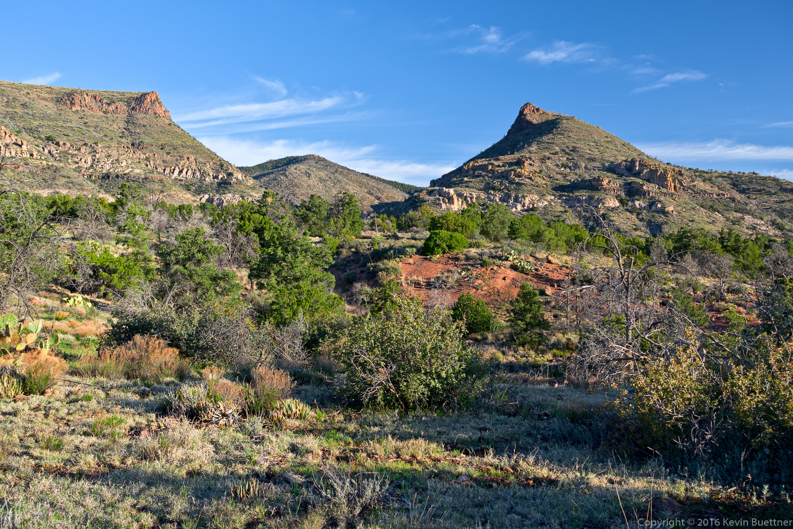
Nancy, Eva, Linda, Doug, and I hiked the Black Ridge Loop on Friday. Starting from the Cross F Trailhead, this loop utilizes FR 393, a short portion (several hundred yards) of the Sunflower Trail, an old rancher trail to Brunson Tank and more of the same to the Little Saddle Mountain Trail. From there, the Little Saddle Mountain Trail (which is also the Arizona Trail) leads back to the trailhead. We hiked eight miles in about six hours with just over 1900 feet of total ascent. Route finding was somewhat challenging on this route; we wouldn’t have figured it out without the GPS track posted at the hikearizona.com.
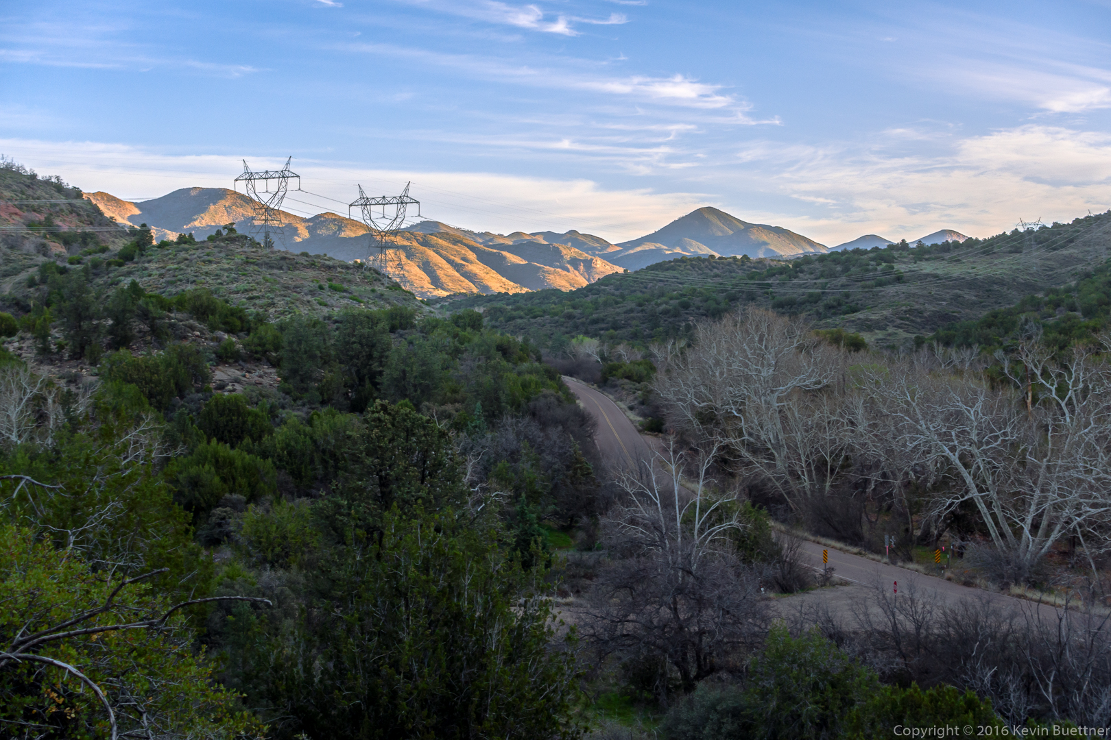
A view of the old Beeline Highway from FR 393:
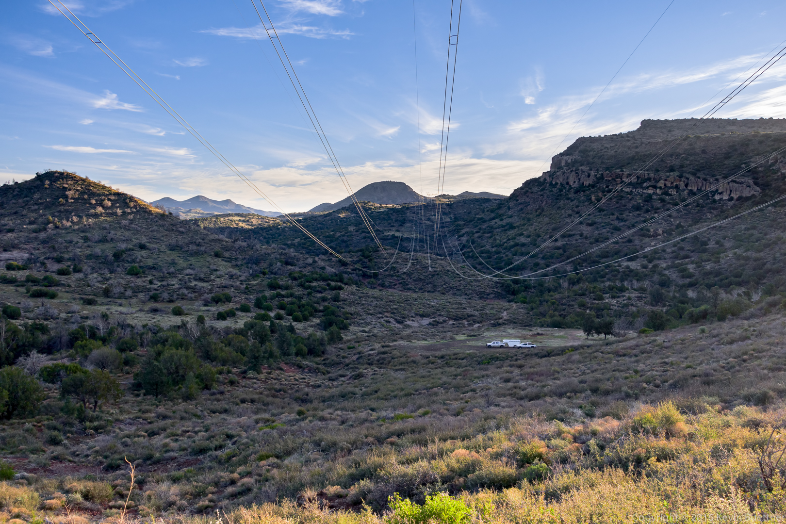
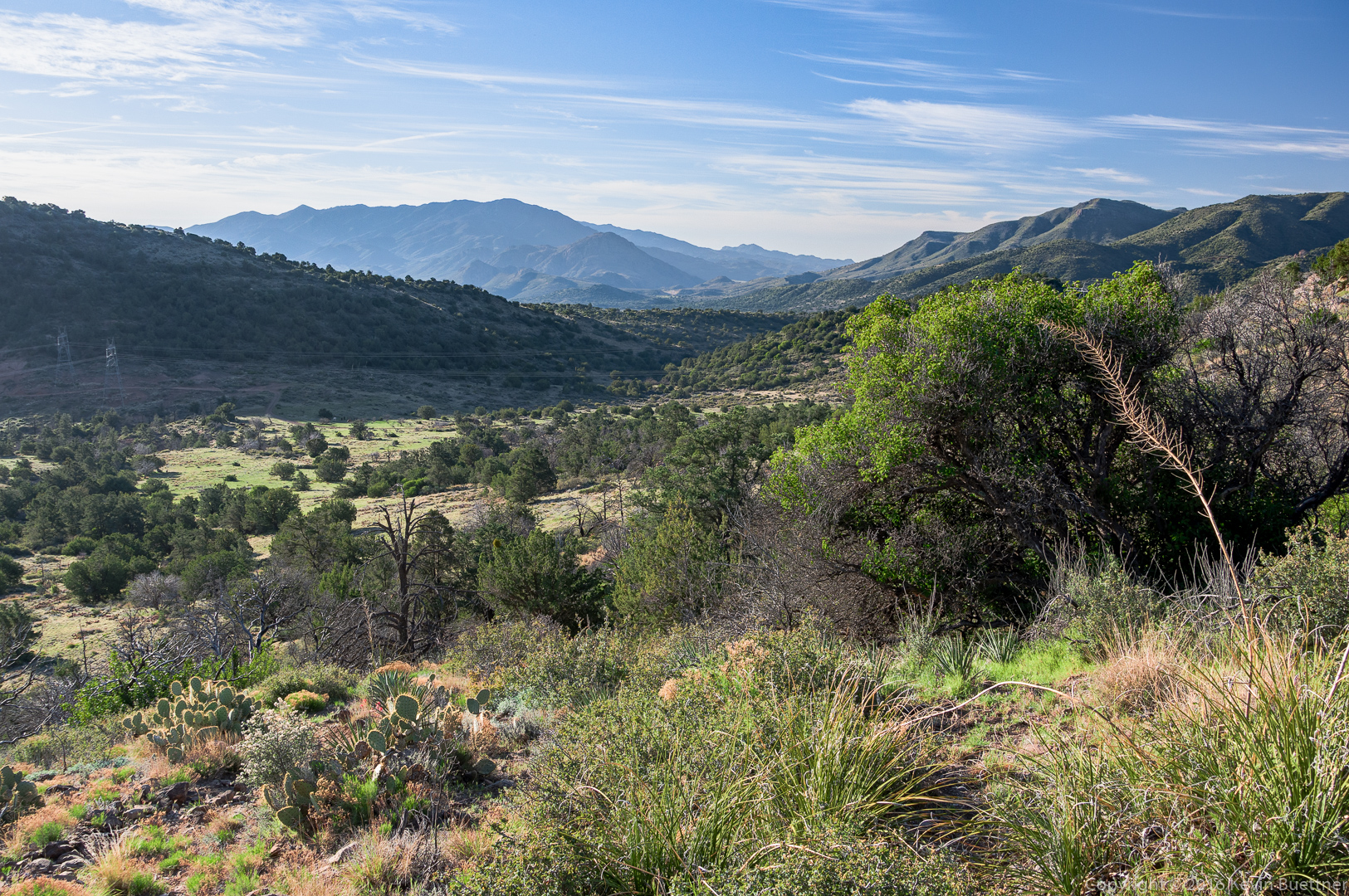
A view of the power lines from FR 393. The horse trailer and truck are parked at in the clearing at the end of FR 3460. (I inadvertently hiked up 3460 on one of my scouting hikes.)
Another early morning view from FR 393:
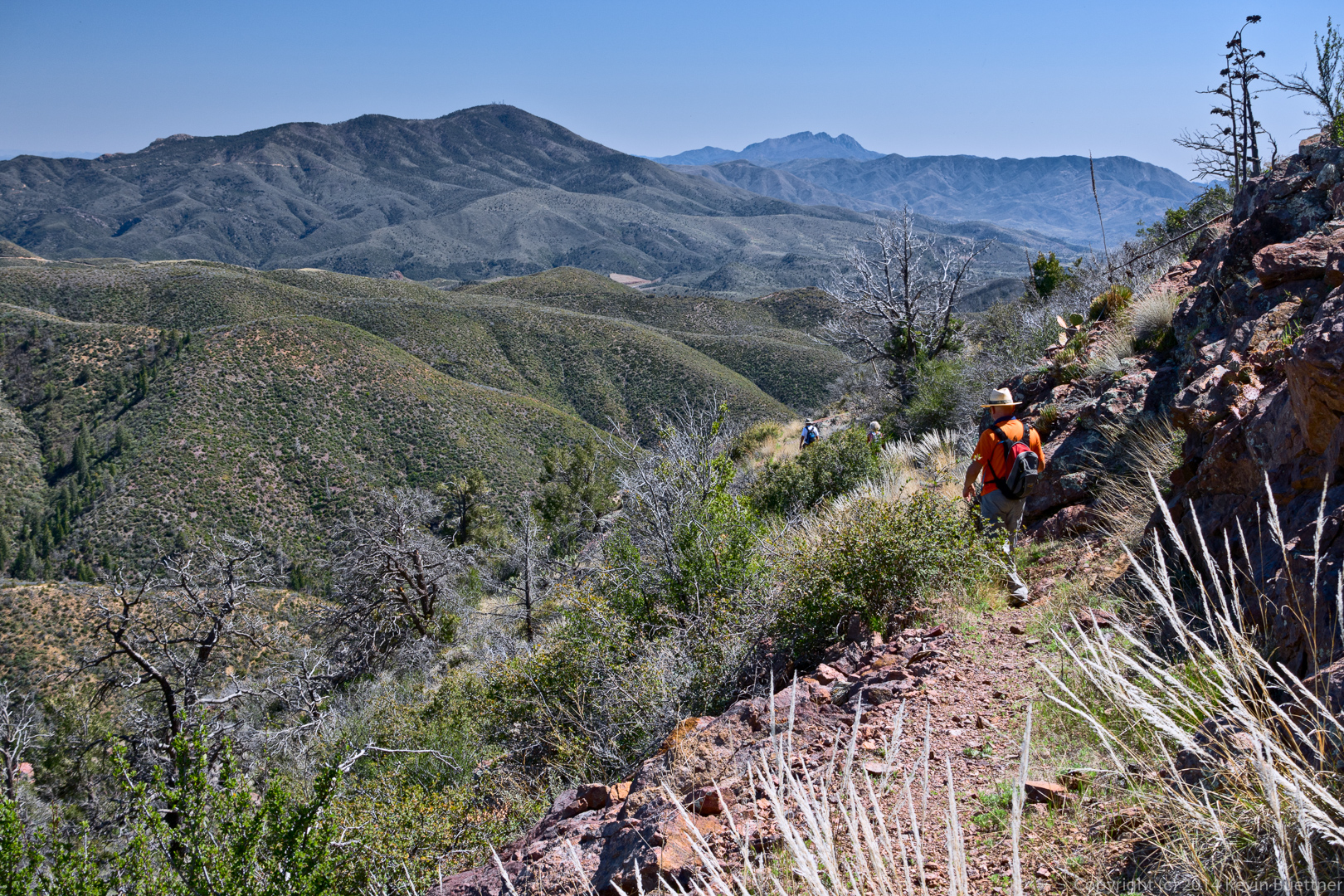
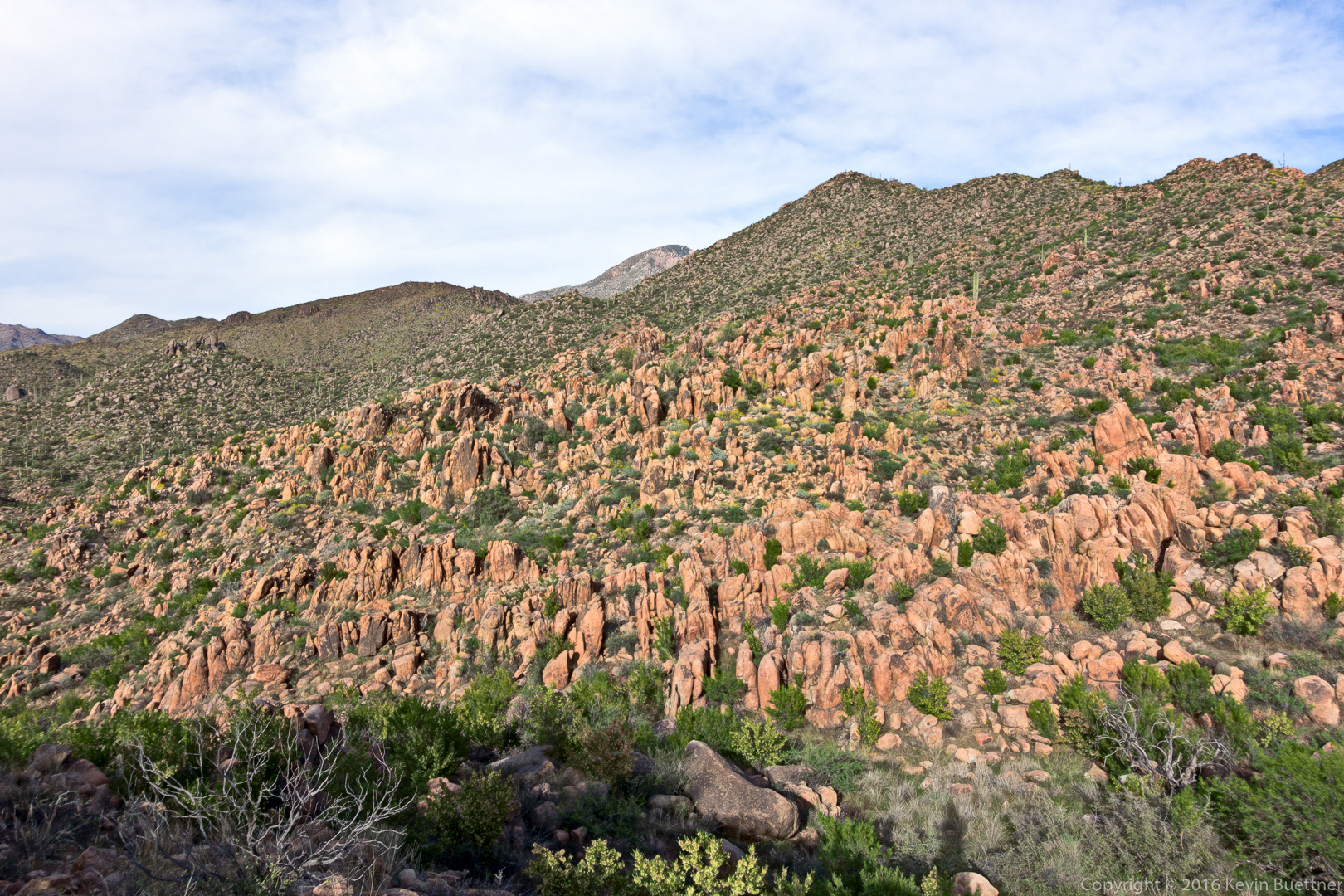
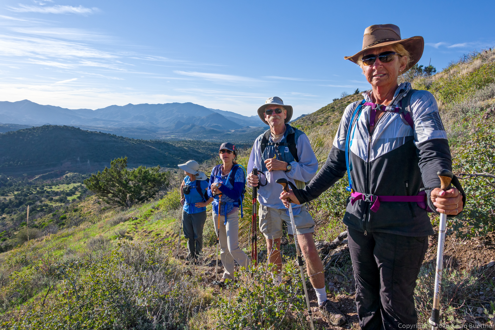
A view from the trail leading up to the ridge:
Linda, Eva, Doug, and Nancy:
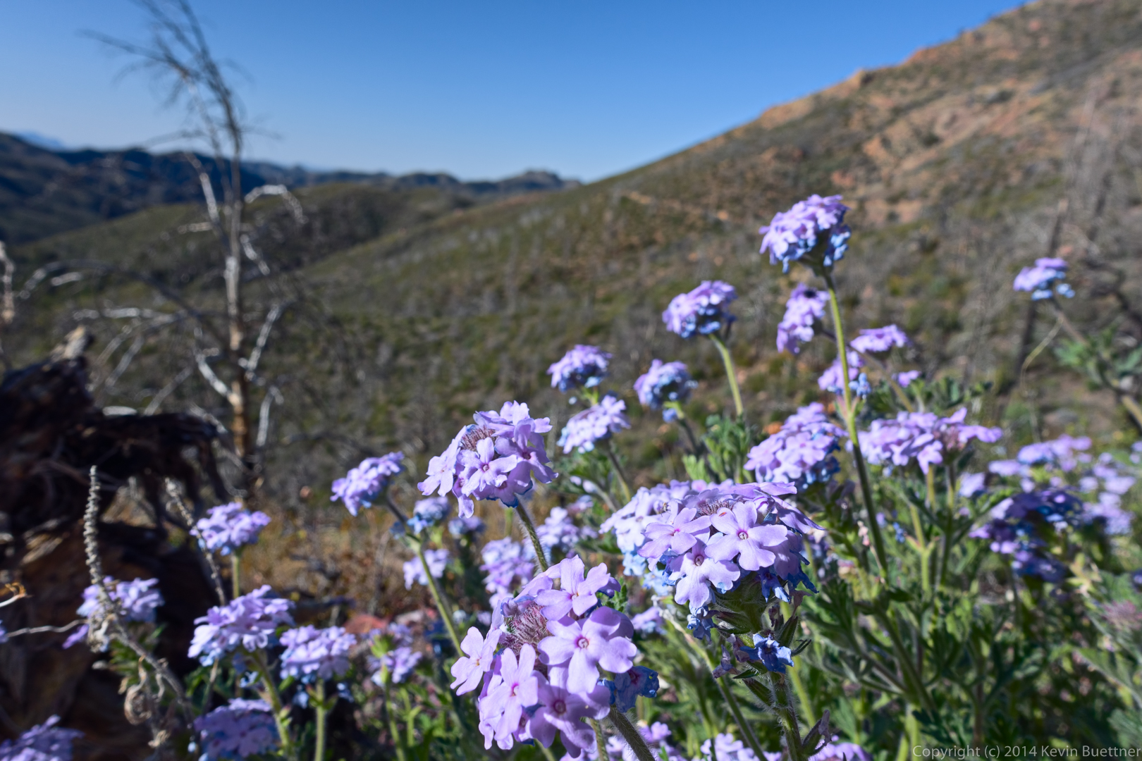
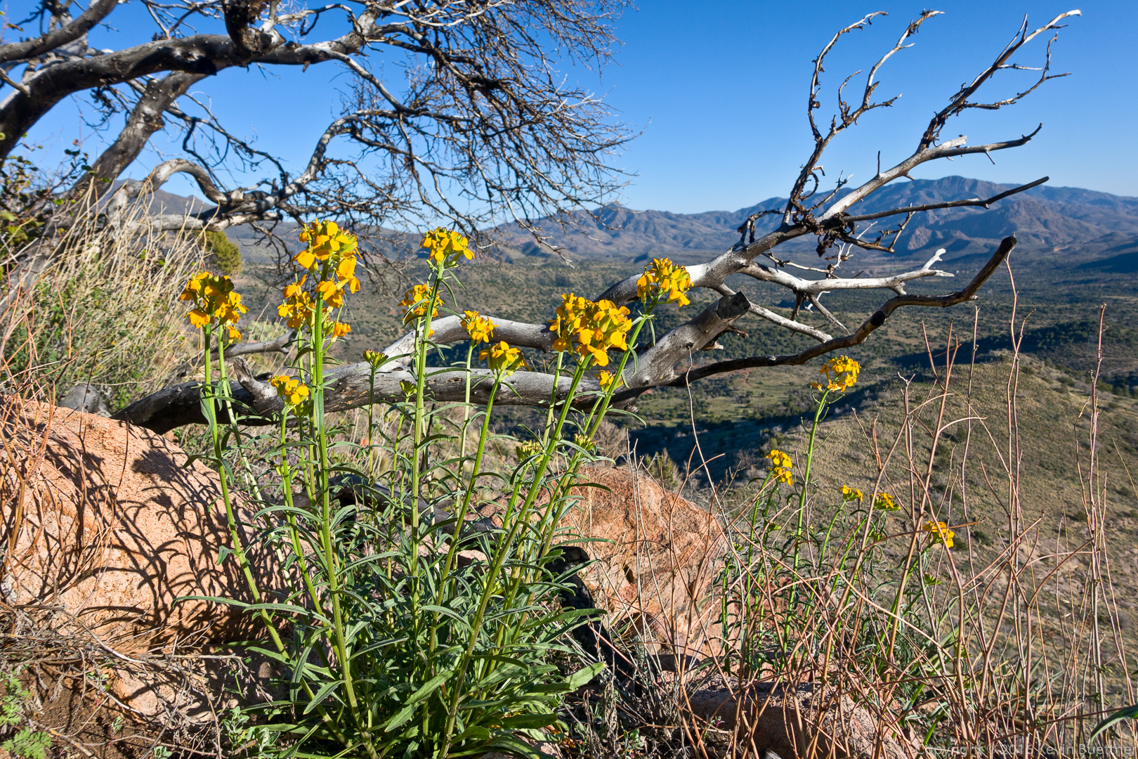
We saw a lot of flowers on our hike. I think this is Lupine.
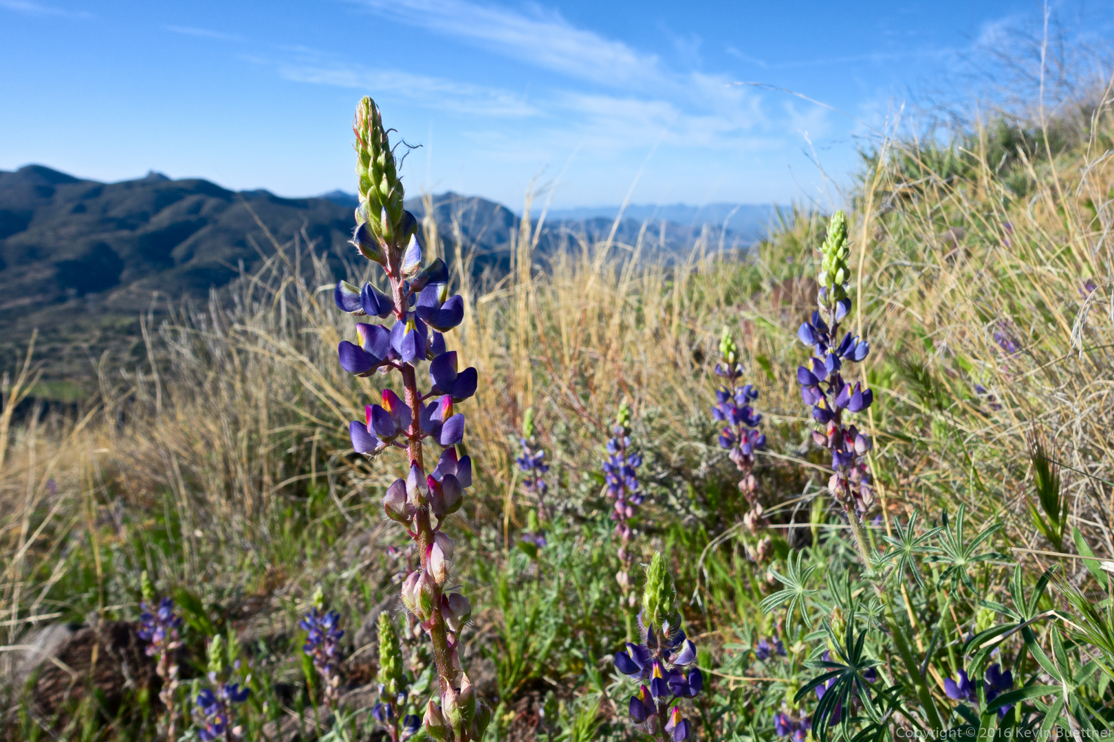
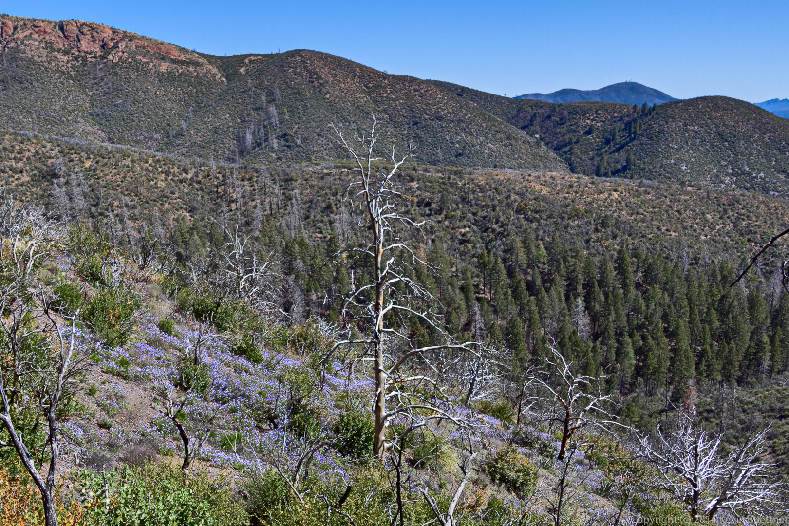
A view from the ridge:
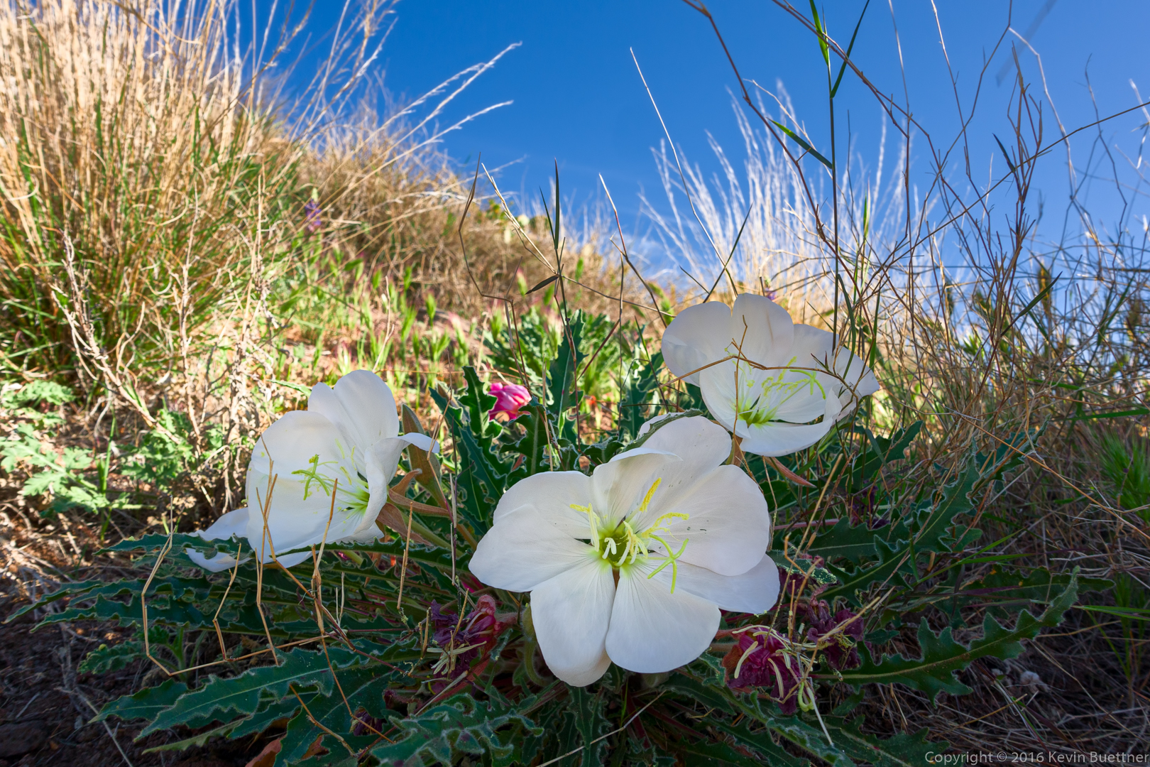
This might be Jimson Weed / Thorn Apple.
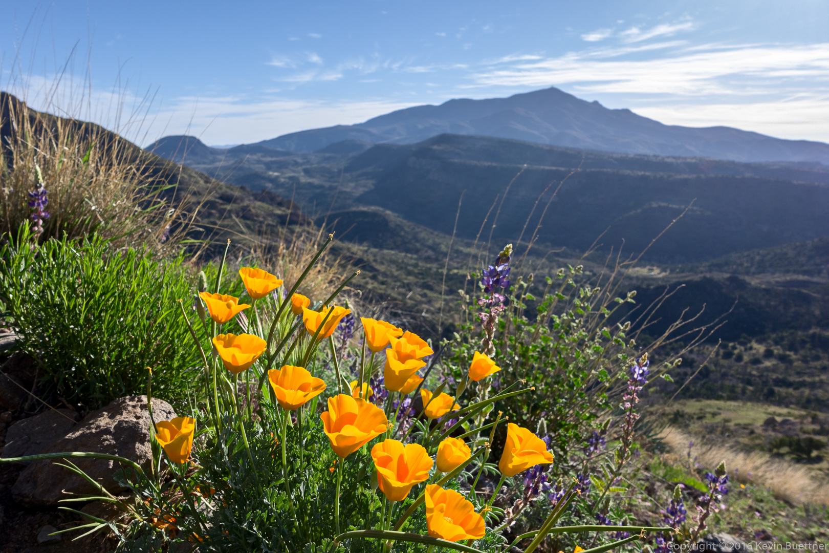
Poppies and Lupine:
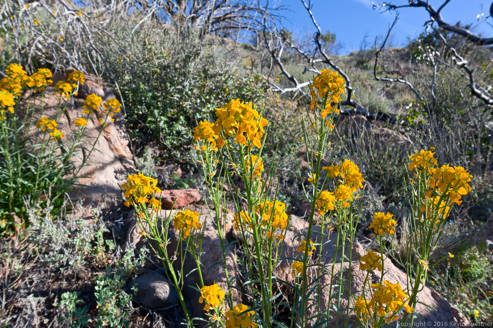
I don’t know what these are:
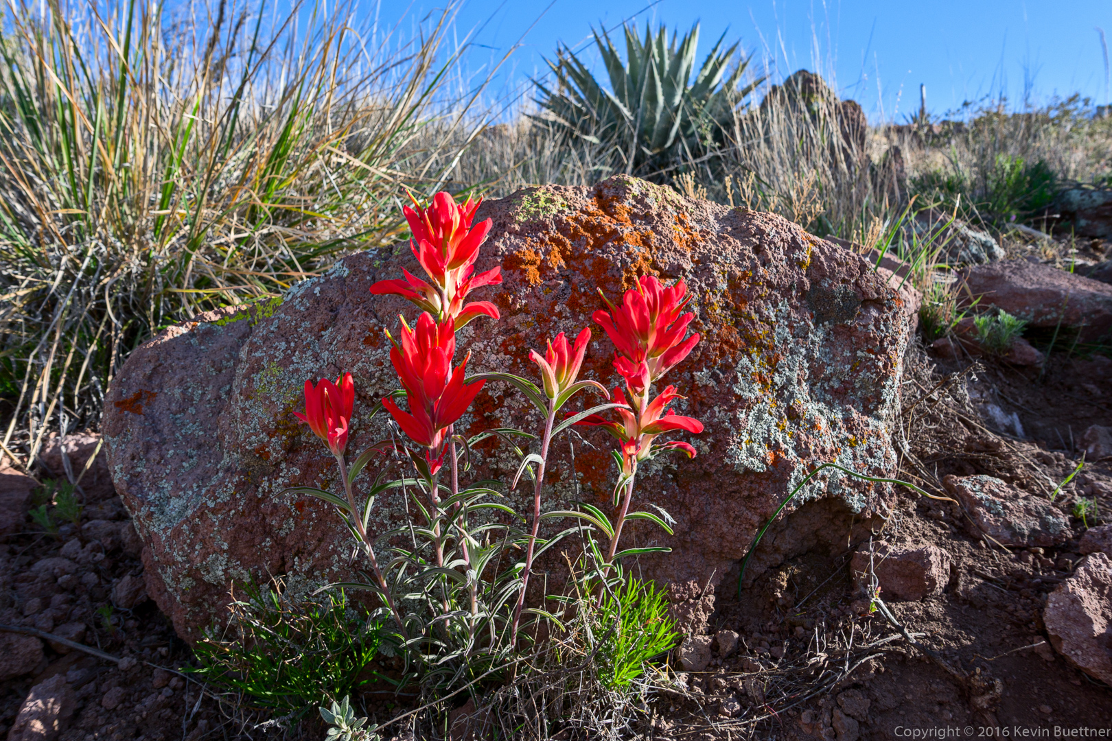
Linda identified this as Indian Paintbrush:
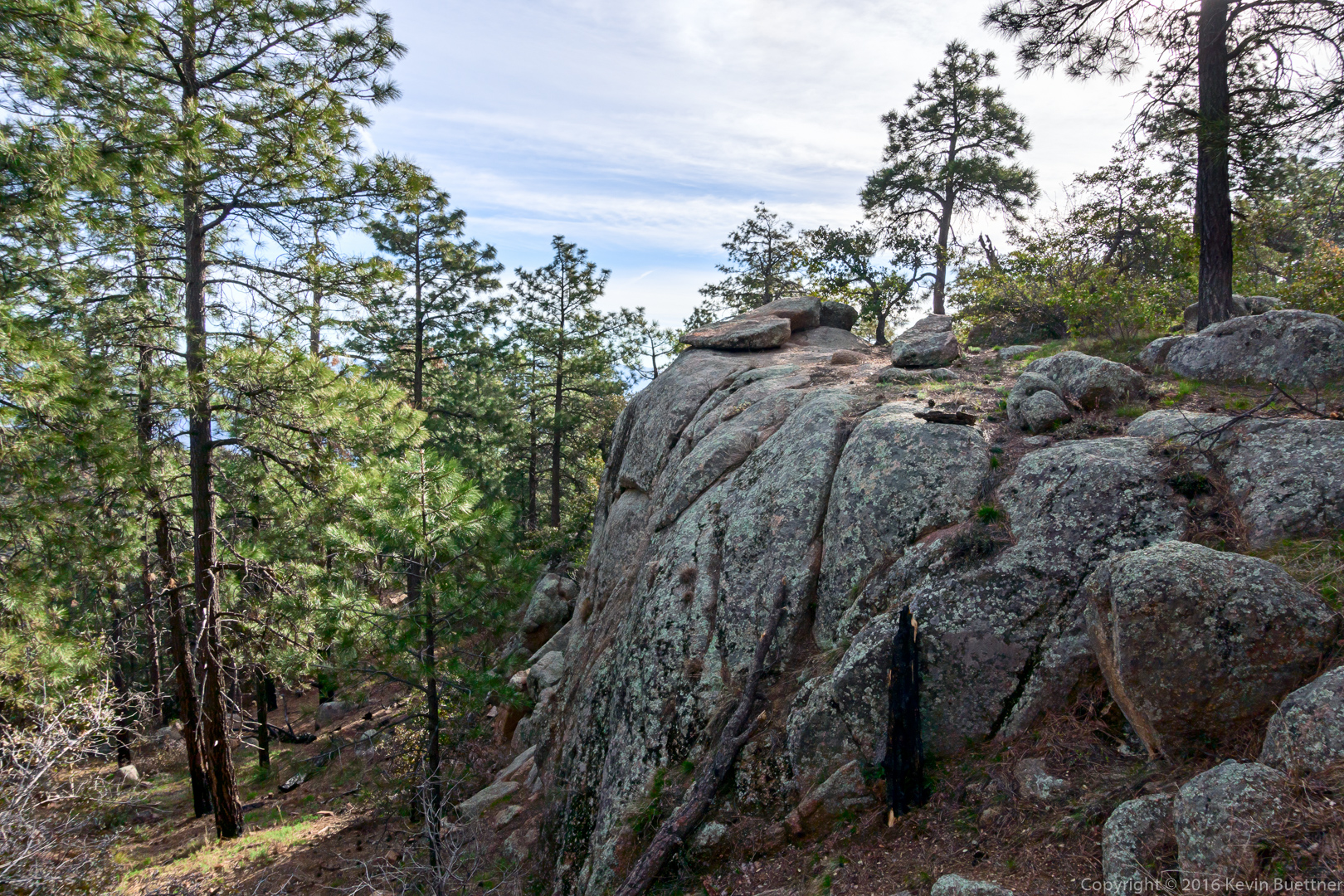
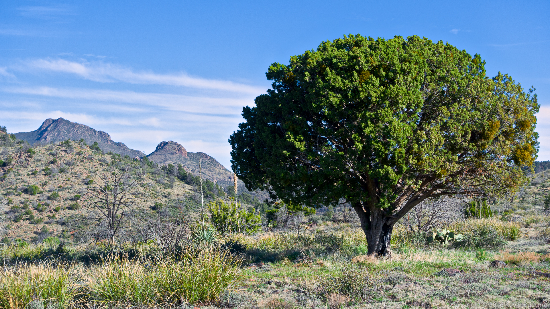
A nice looking tree at the top o fthe ridge:
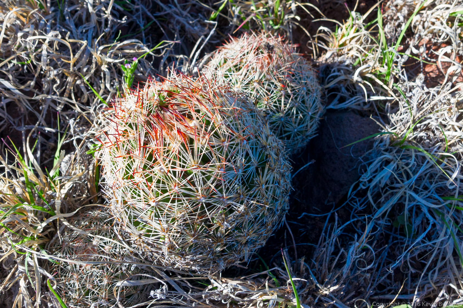
I nearly stepped on these small cacti while walking back to the trail after photographing the tree. There were a lot of them in the area.
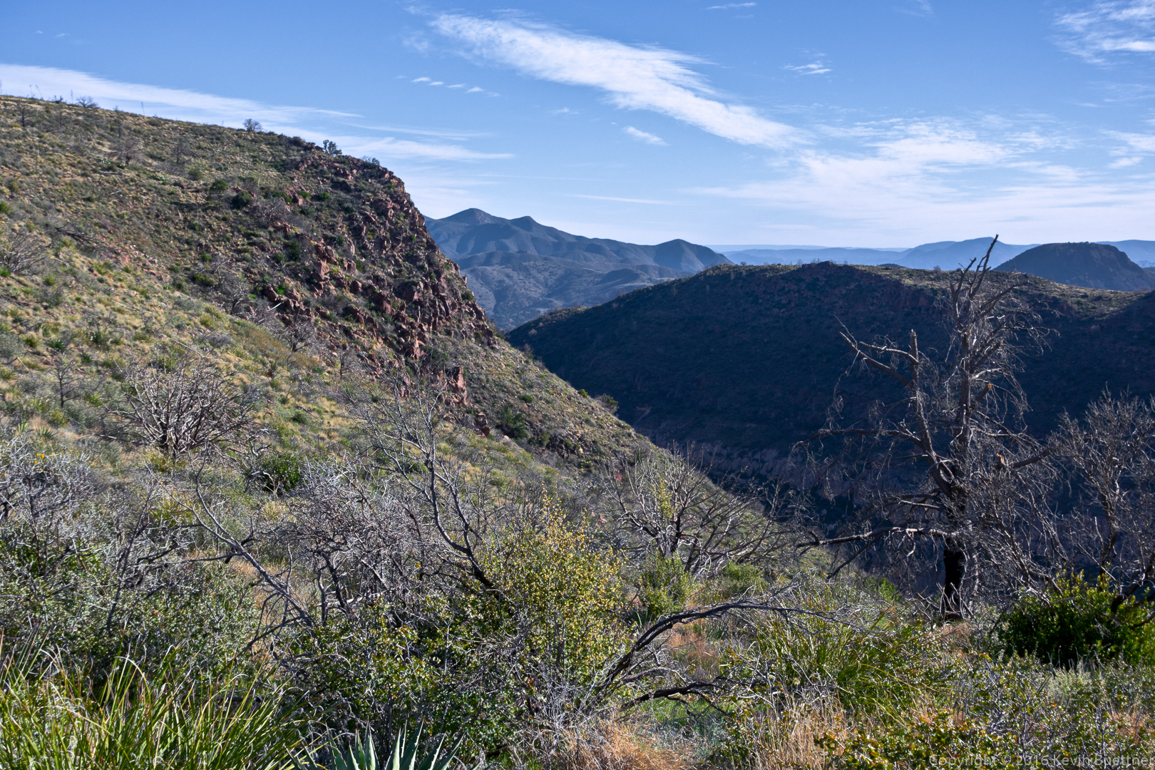
Another view from the ridge:
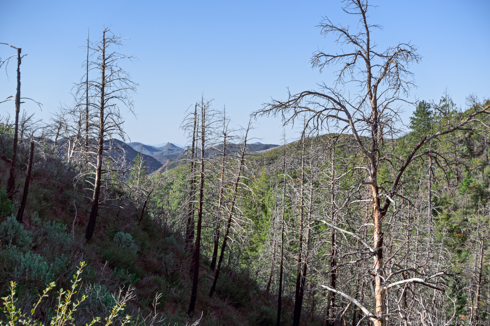
We saw this dead tree as we neared Brunson Tank:
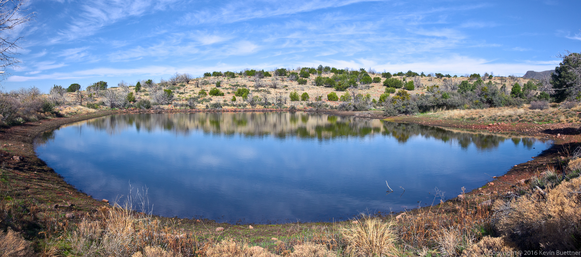
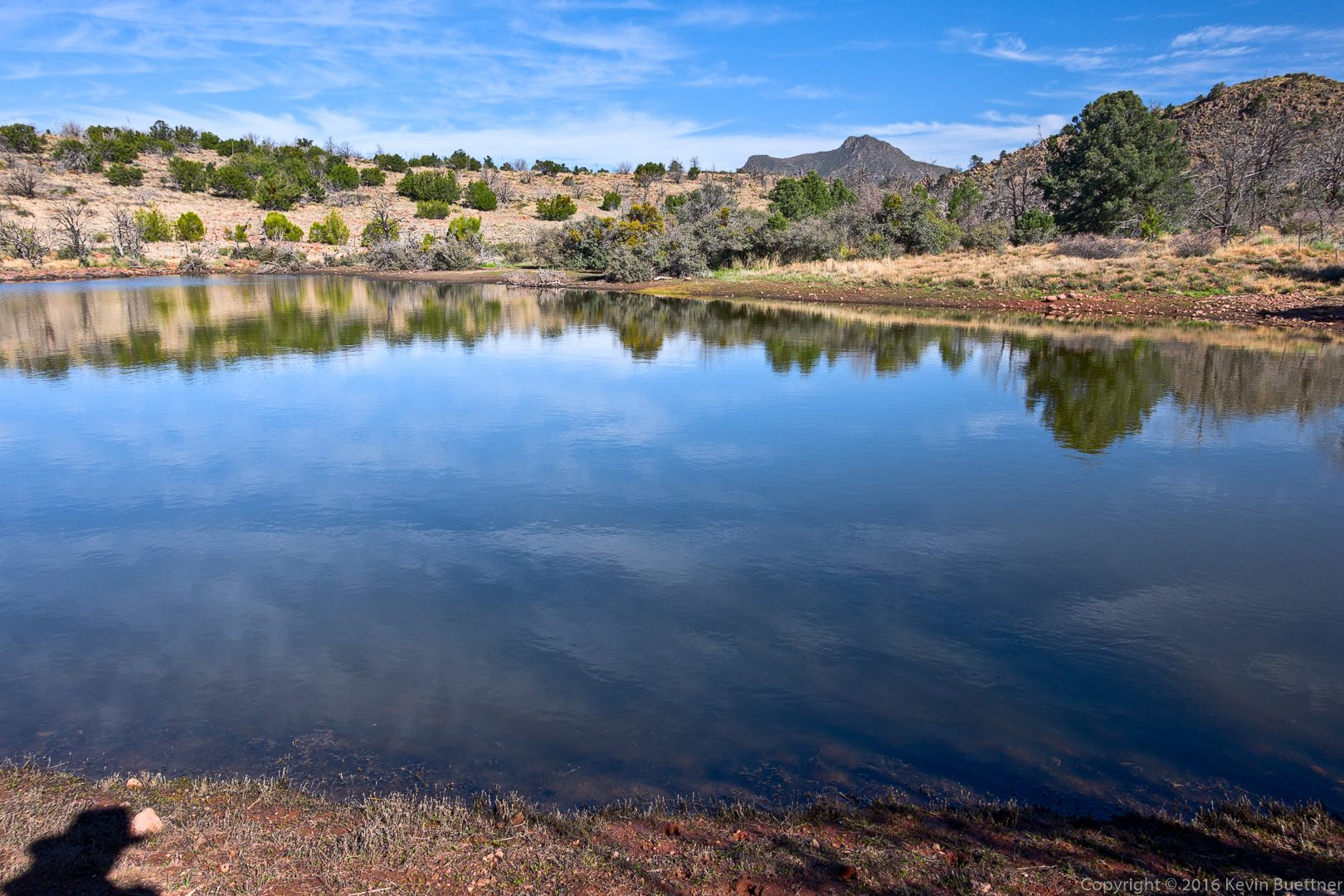
Two views of Brunson Tank…
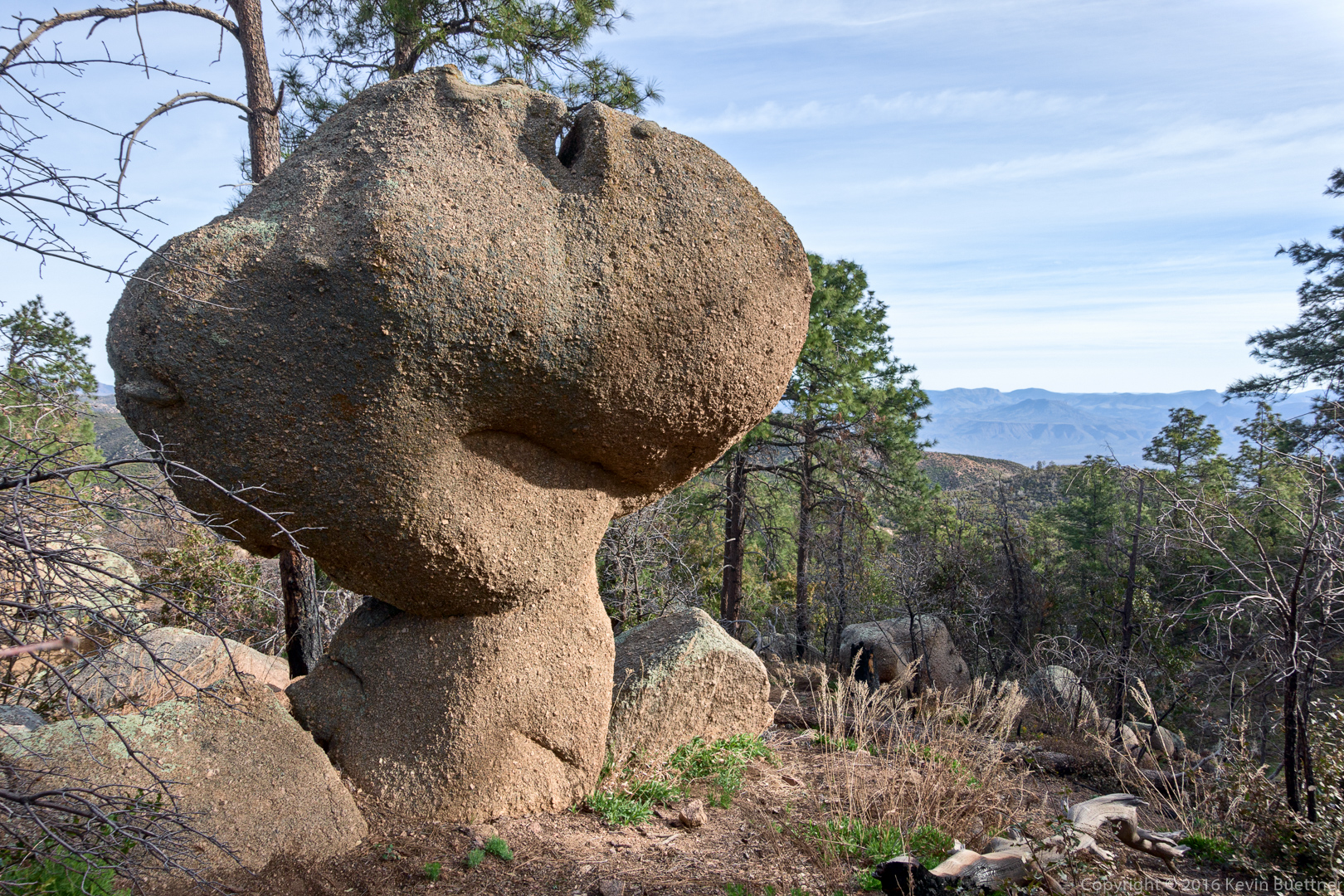
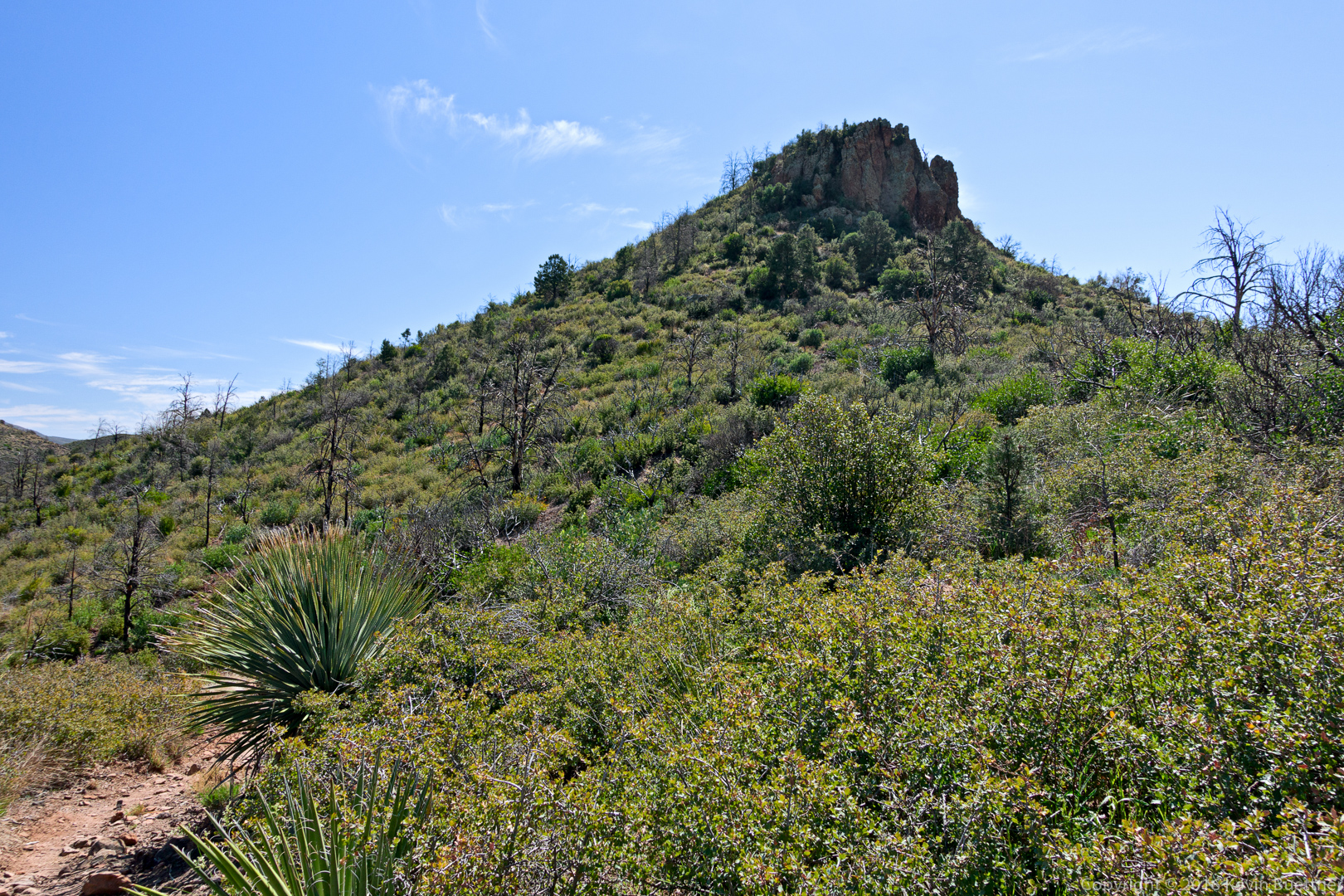
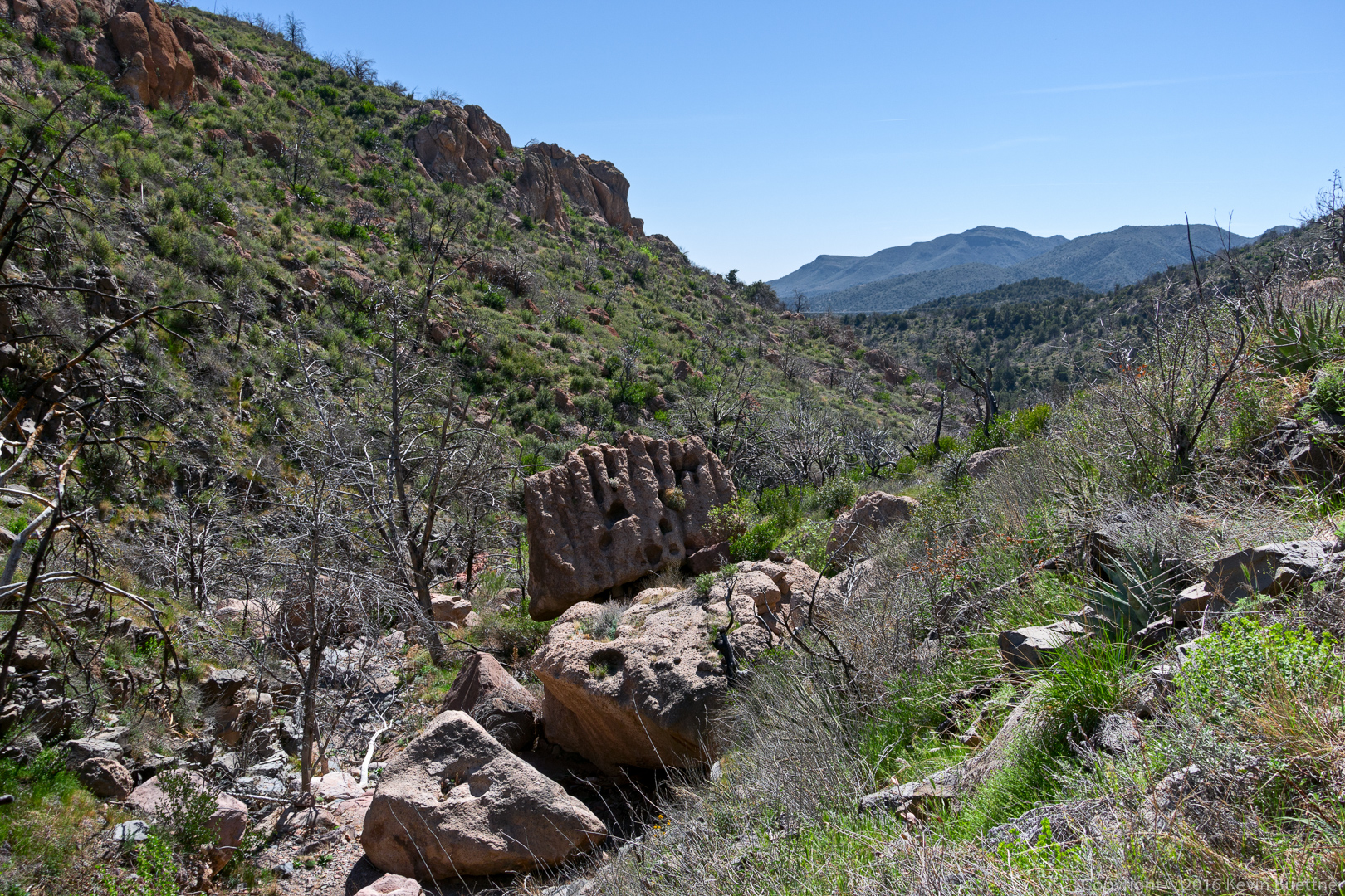
An outcrop near the intersection of the Arizona Trail and the rancher trail:
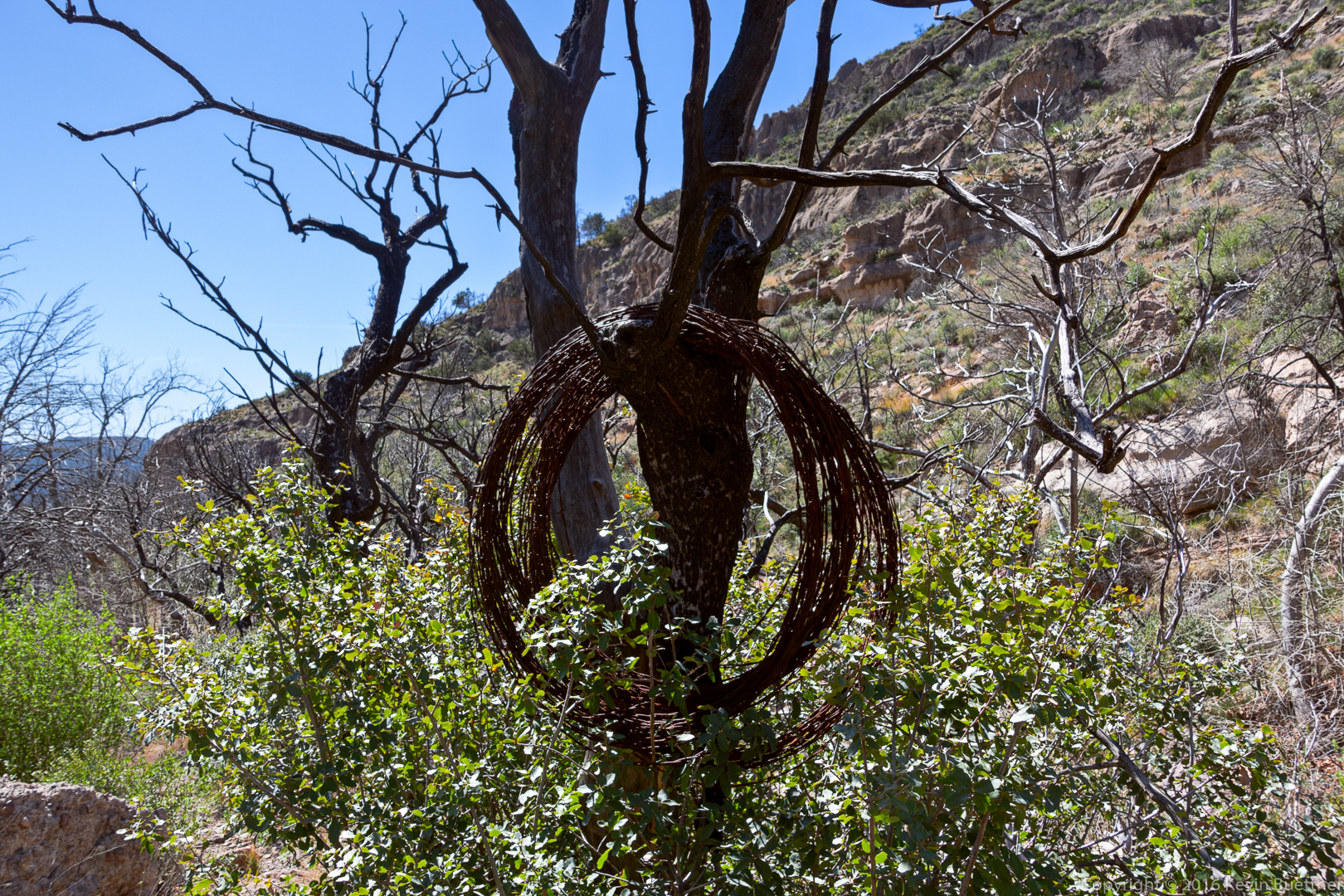
Old rusty barbed wire hanging from a tree:
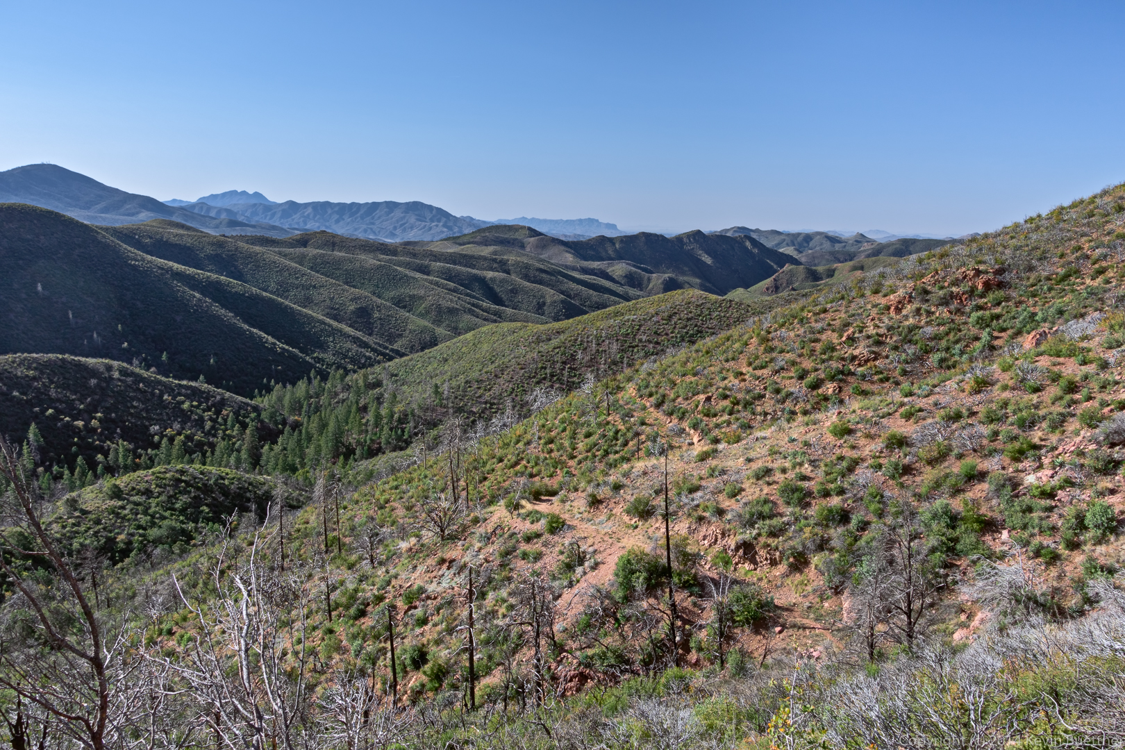
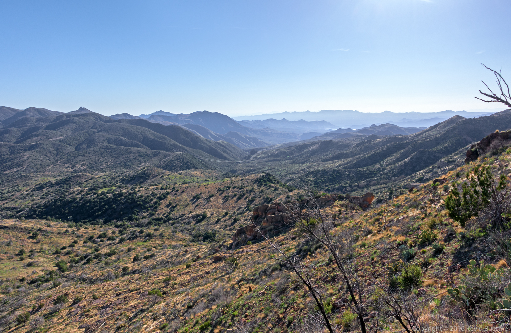
A view from the Little Saddle Mountain Trail:
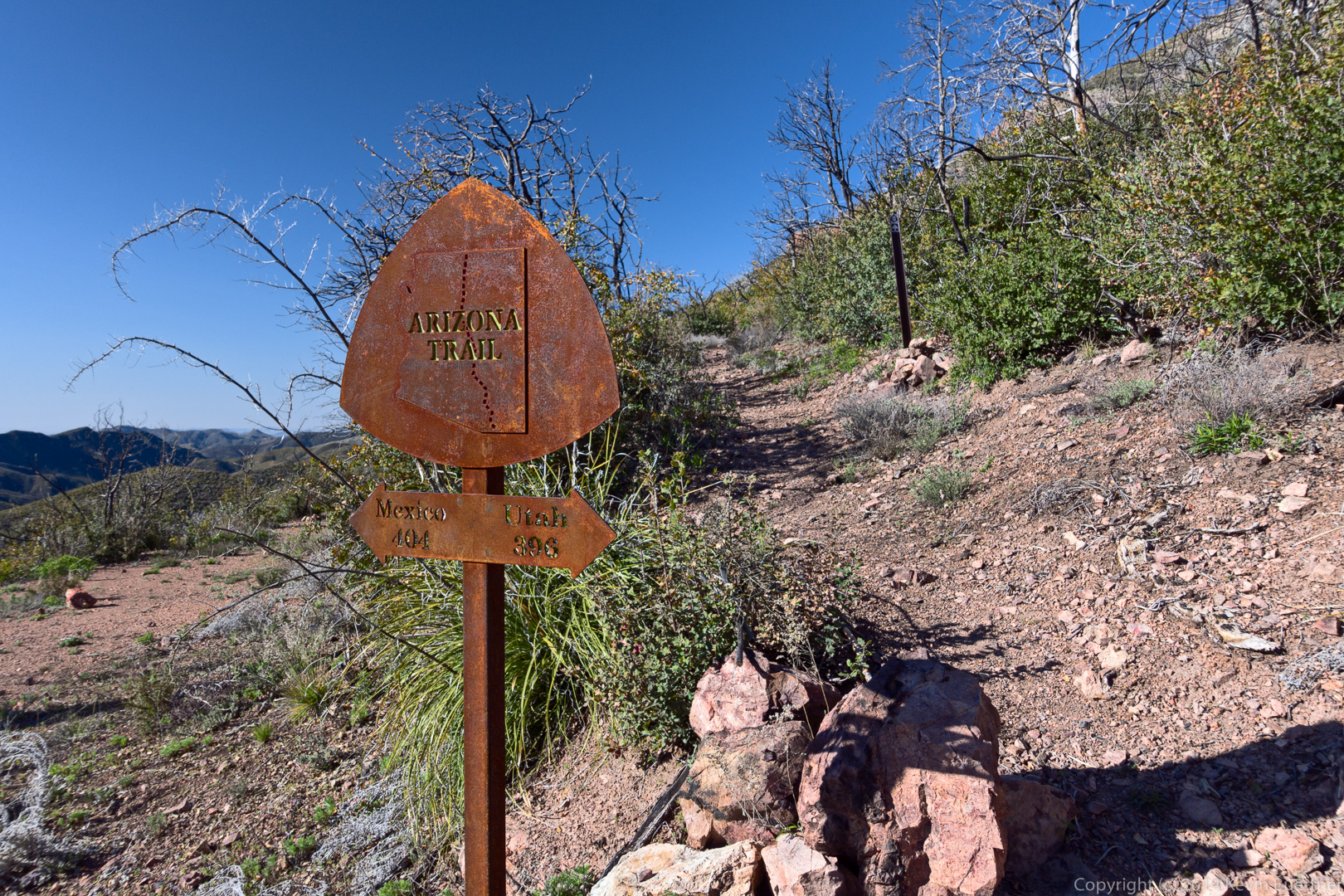
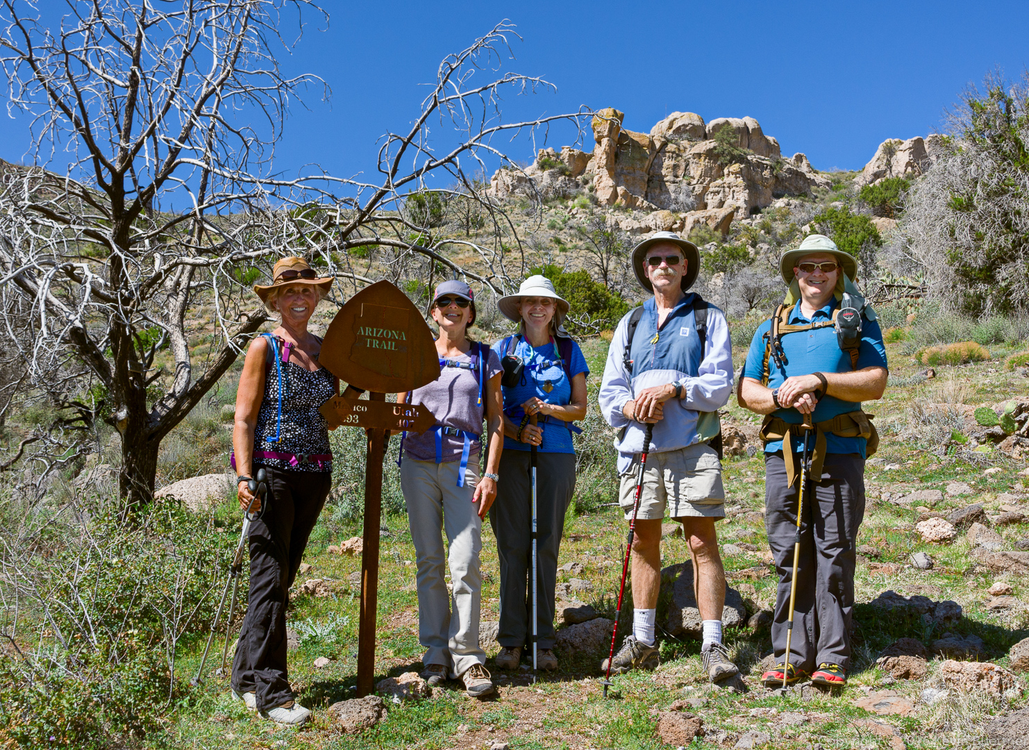
Nancy, Eva, Linda, Doug, and Kevin at the Arizona Trail sign. It’s 393 miles (along the Arizona Trail) to Mexico and 407 miles to Utah.
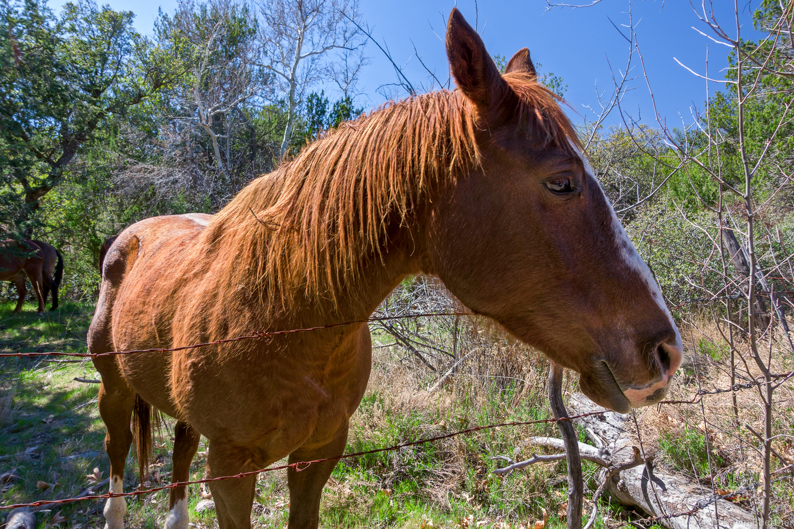
We saw some of these horses earlier in the hike too.
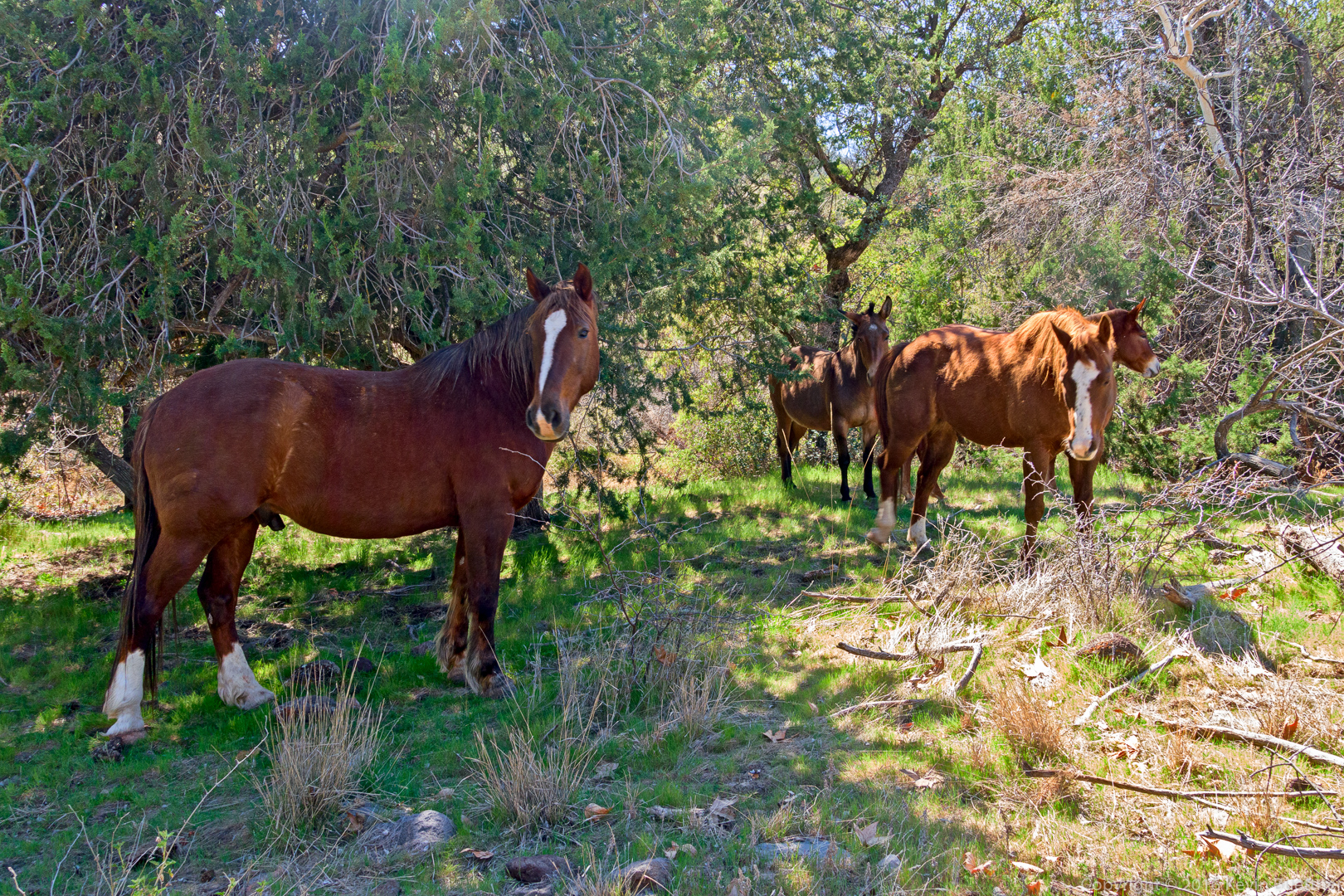
This one was friendly – it was curious about my camera.
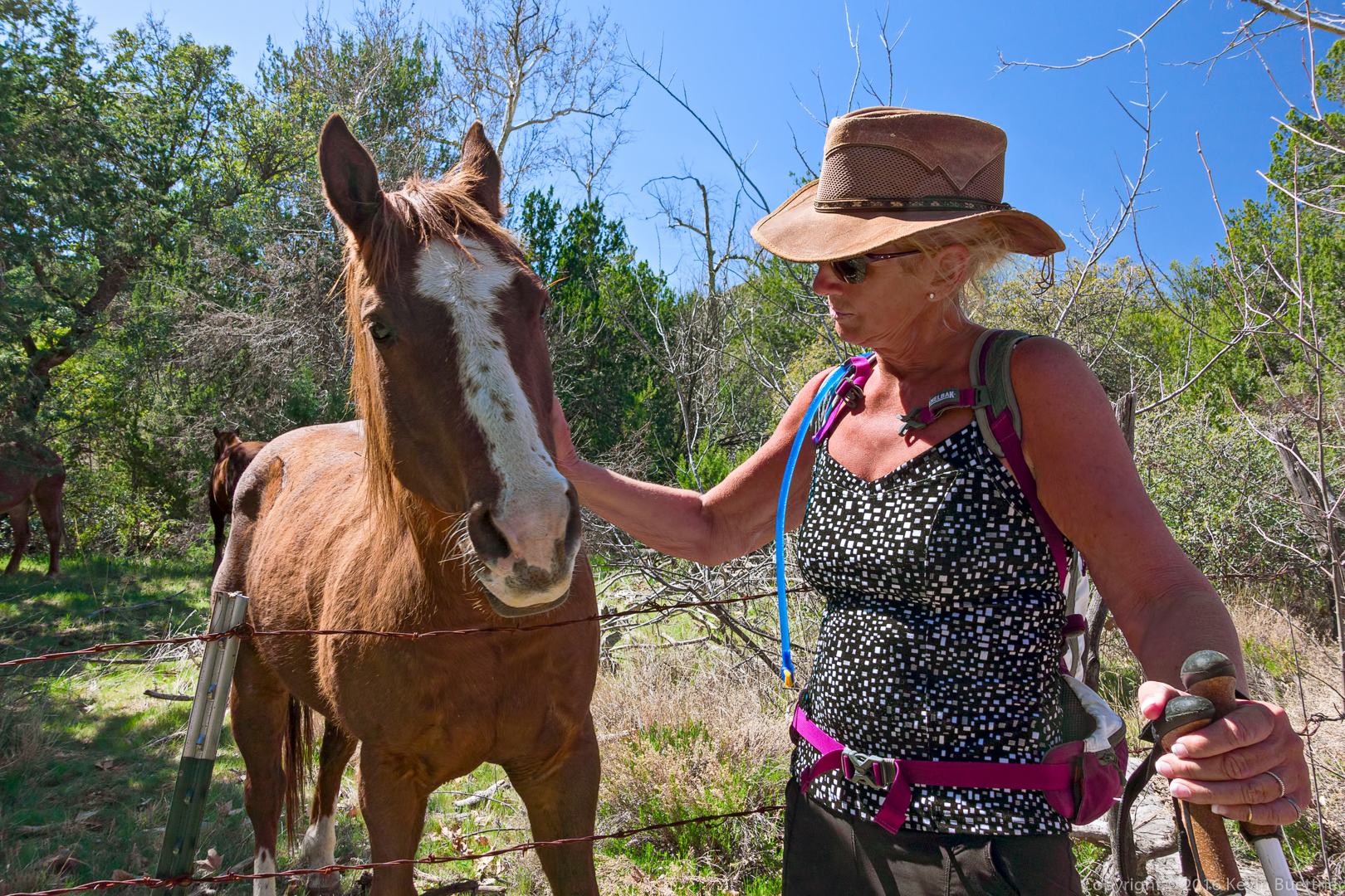
Nancy with the horse:
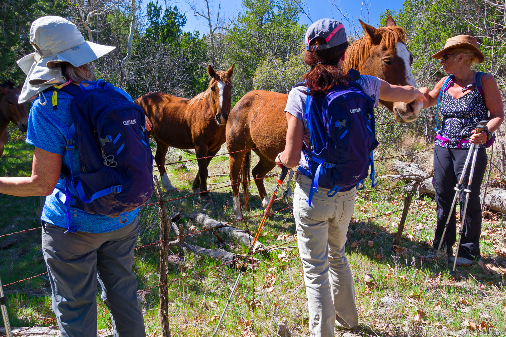
Several other horses wanted attention too…
Starting from the Cross F Trailhead yesterday, I scouted part of the Black Ridge Loop to see if it would be suitable for a hike in March.
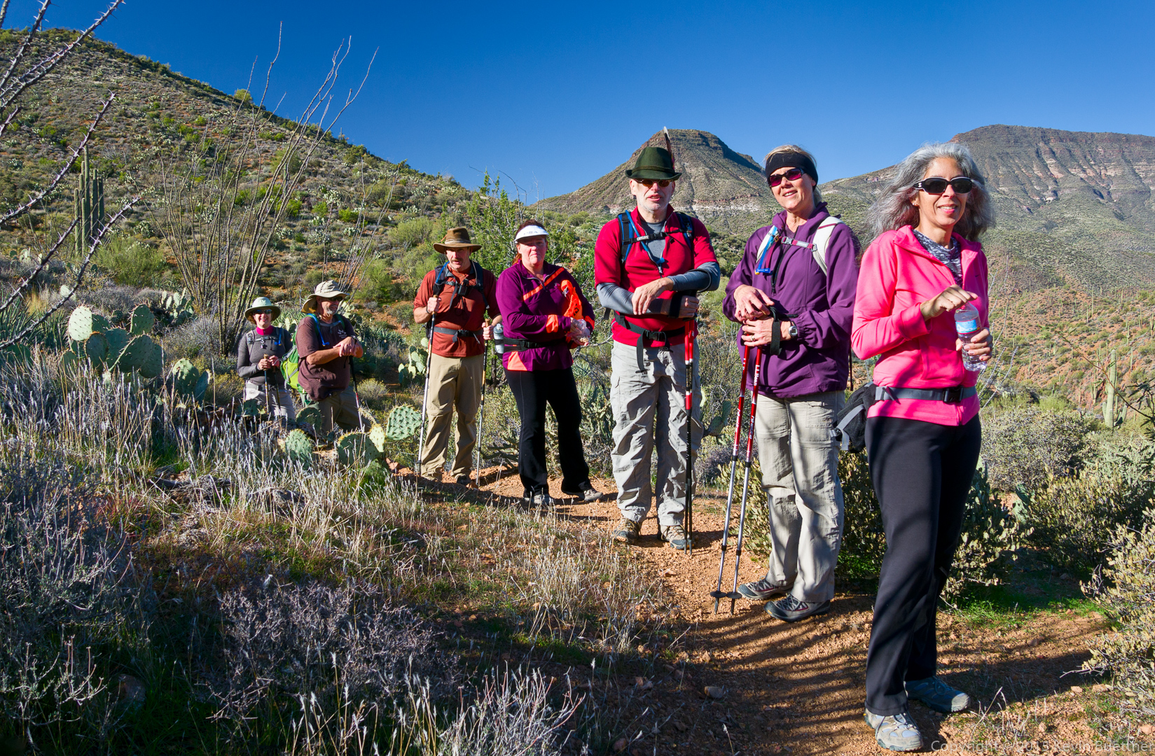
On January 1, Bob, Janet, Allen, Nick, DeAnn, Sandy, Marilyn, and I hiked from Spur Cross to Skull Mesa. (Not all of us went to the top.) My GPS watch tells me that I hiked 12.6 miles with over 3100 feet of total ascent.
The mile to the top of the mesa has approximately 1,000 feet of elevation gain, which is quite a lot for just one mile. It was not as difficult as I expected, however, since the trail was both easy to follow and in good condition with numerous switchbacks.
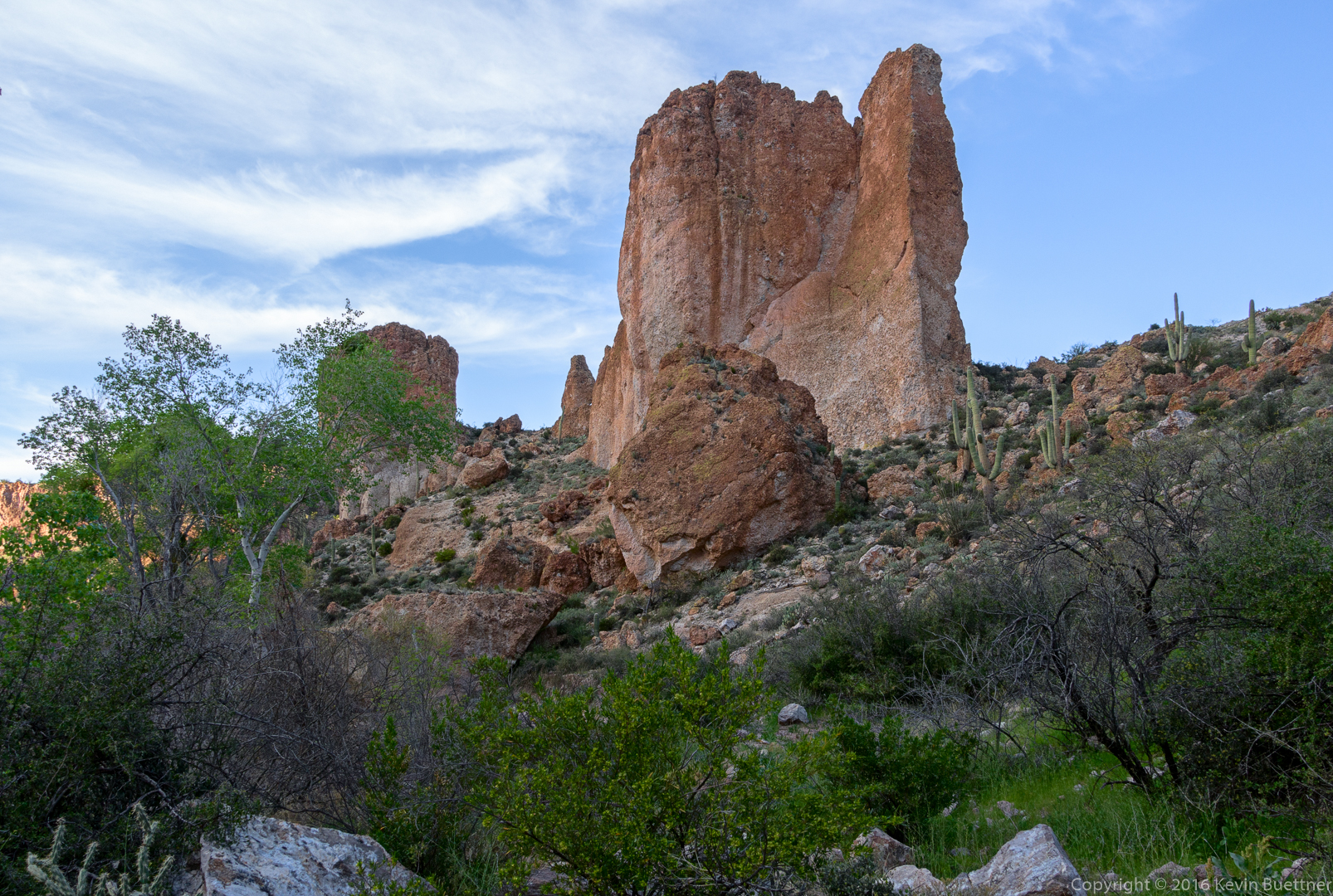
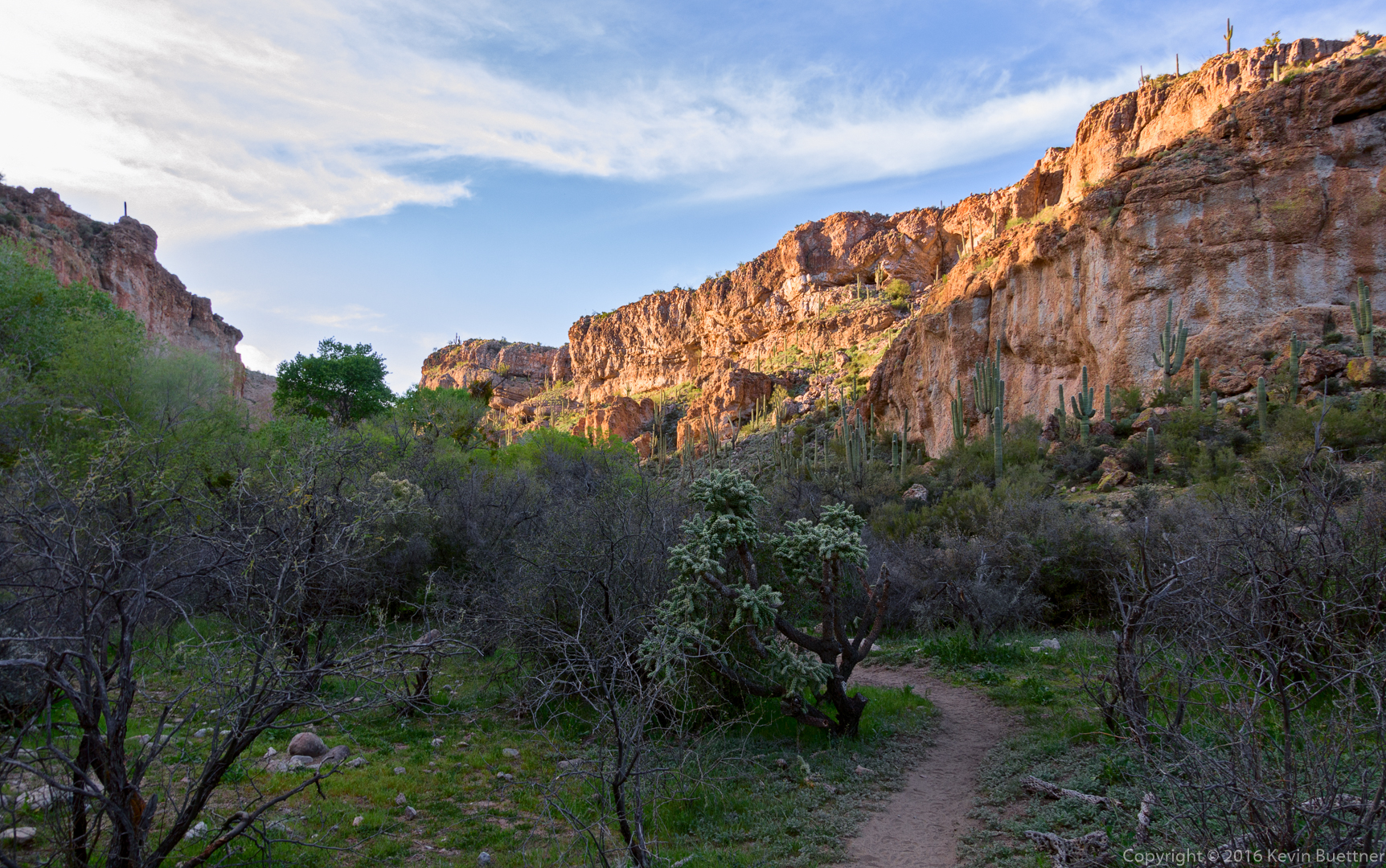
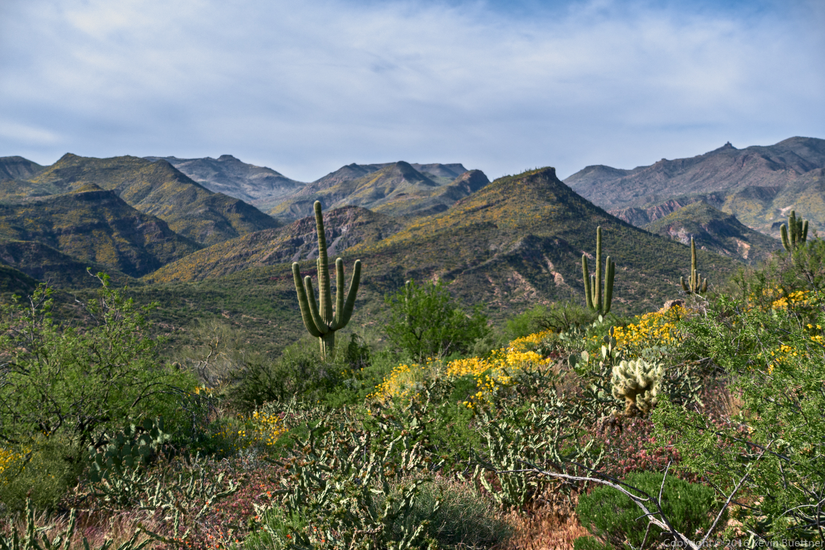
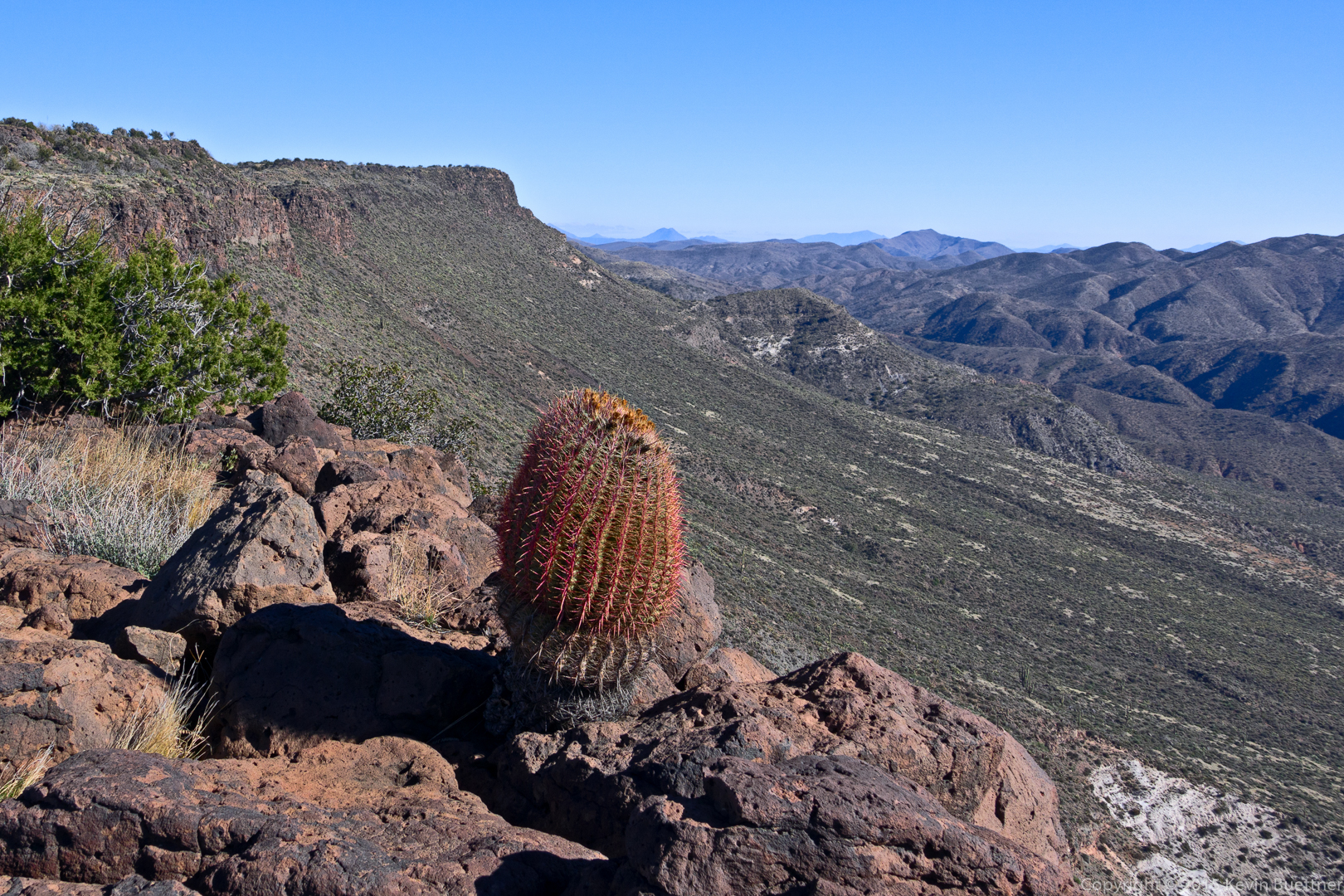
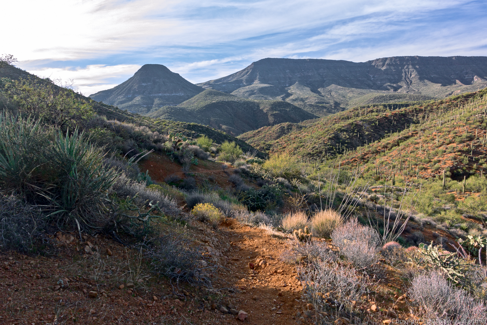
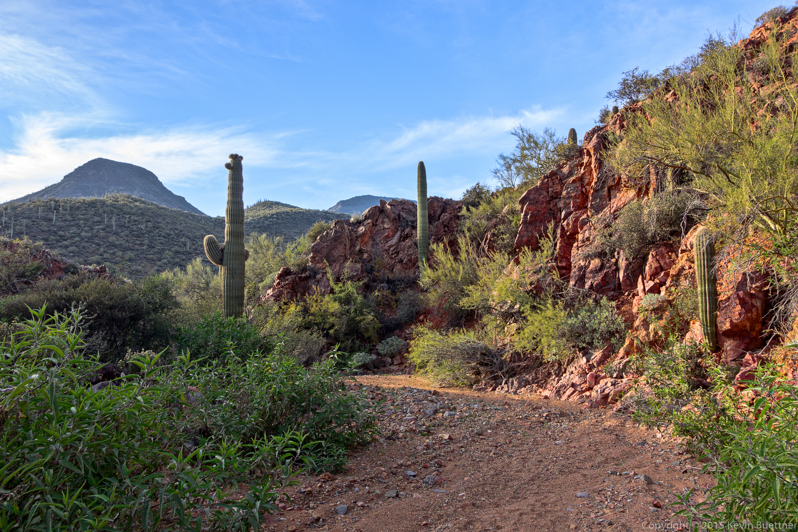
Views from early in the hike…
Marilyn, Bob, Allen, Sandy, Nick, Janet, and DeAnn:
A view of Skull Mesa:
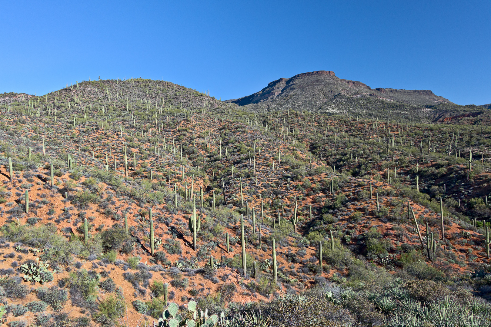
Another view of Skull Mesa:

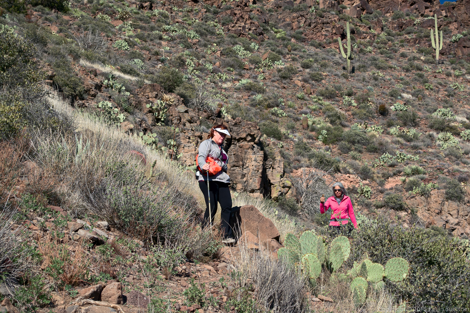
DeAnn, nearing the summit:

The top of Skull Mesa is grassy and expansive.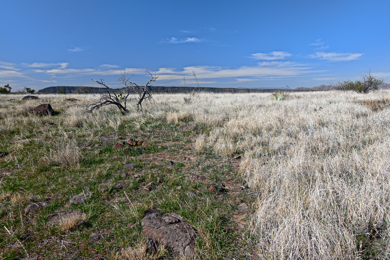
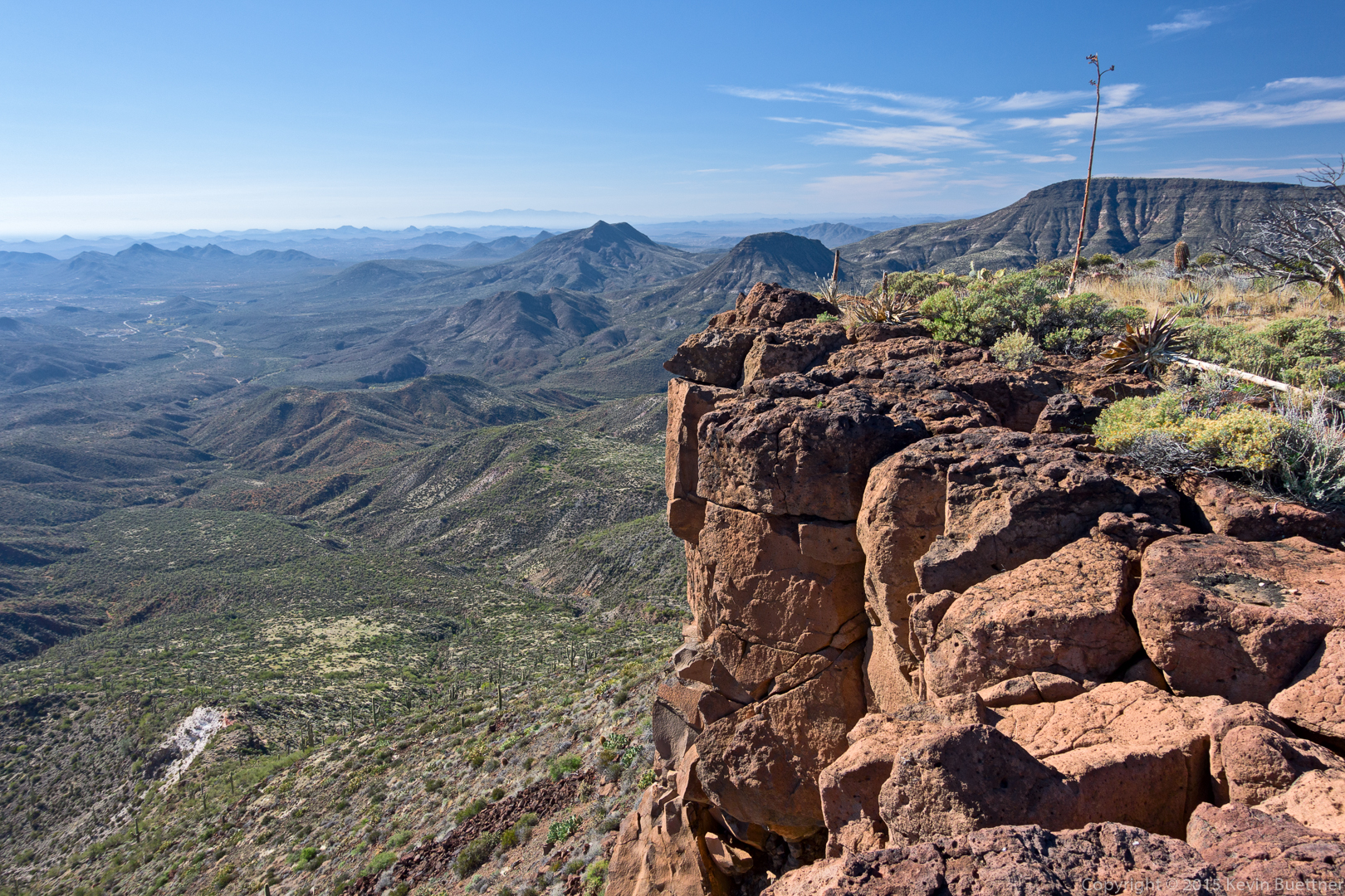
Views from the top of Skull Mesa…
Sandy and DeAnn descending the trail from the top of Skull Mesa:
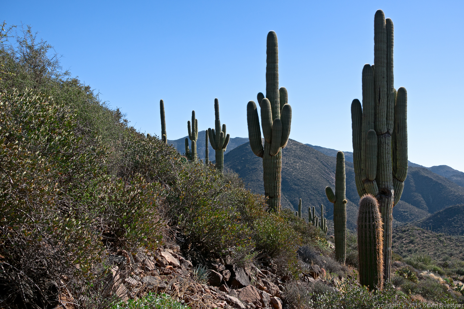
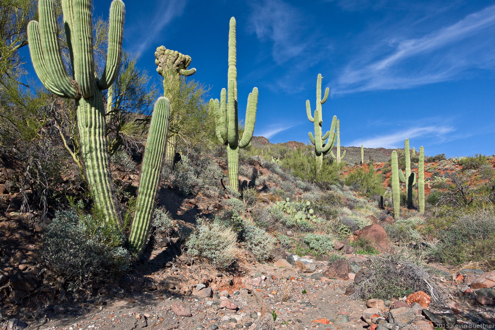
I saw these saguaros on the way down.
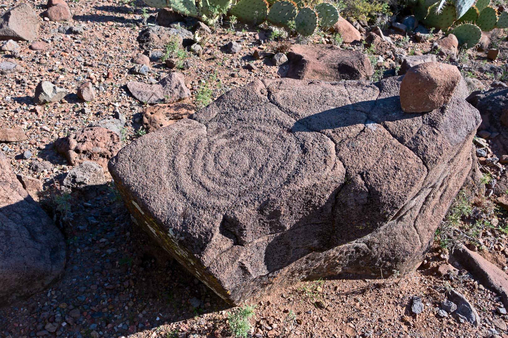
We saw this petroglyph on the way down too:
A semi-crested (?) saugaro:
A late afternoon view. (We started our hike at about 8:30am and got back somewhat before 5pm.)
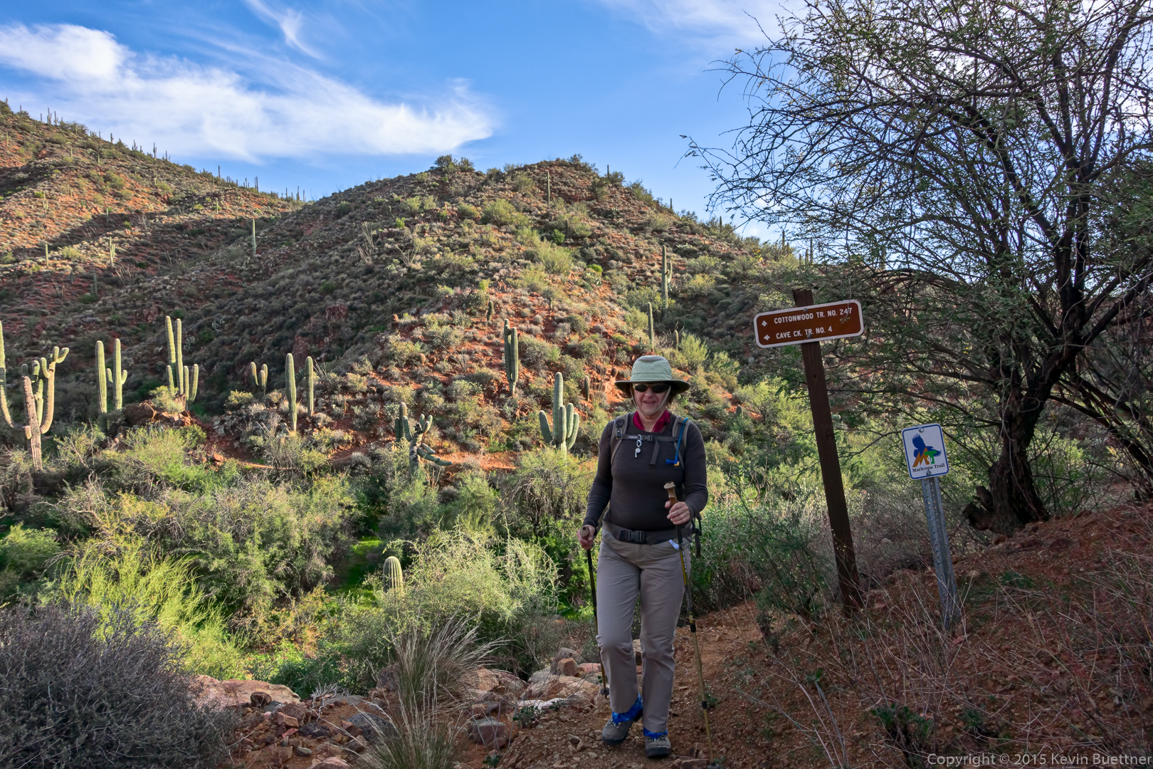
Marilyn at the end of the Cottonwood Trail:
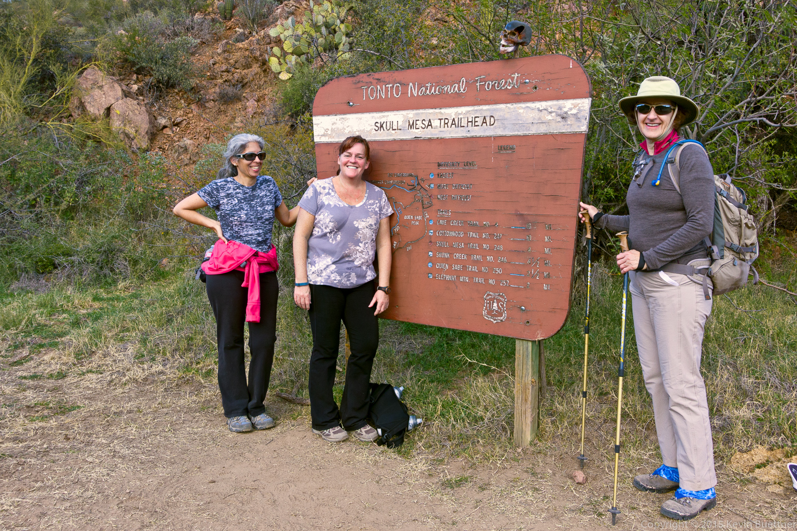
DeAnn, Sandy, and Marilyn by the Skull Mesa Trailhead sign. Note the skull at the top of the sign.
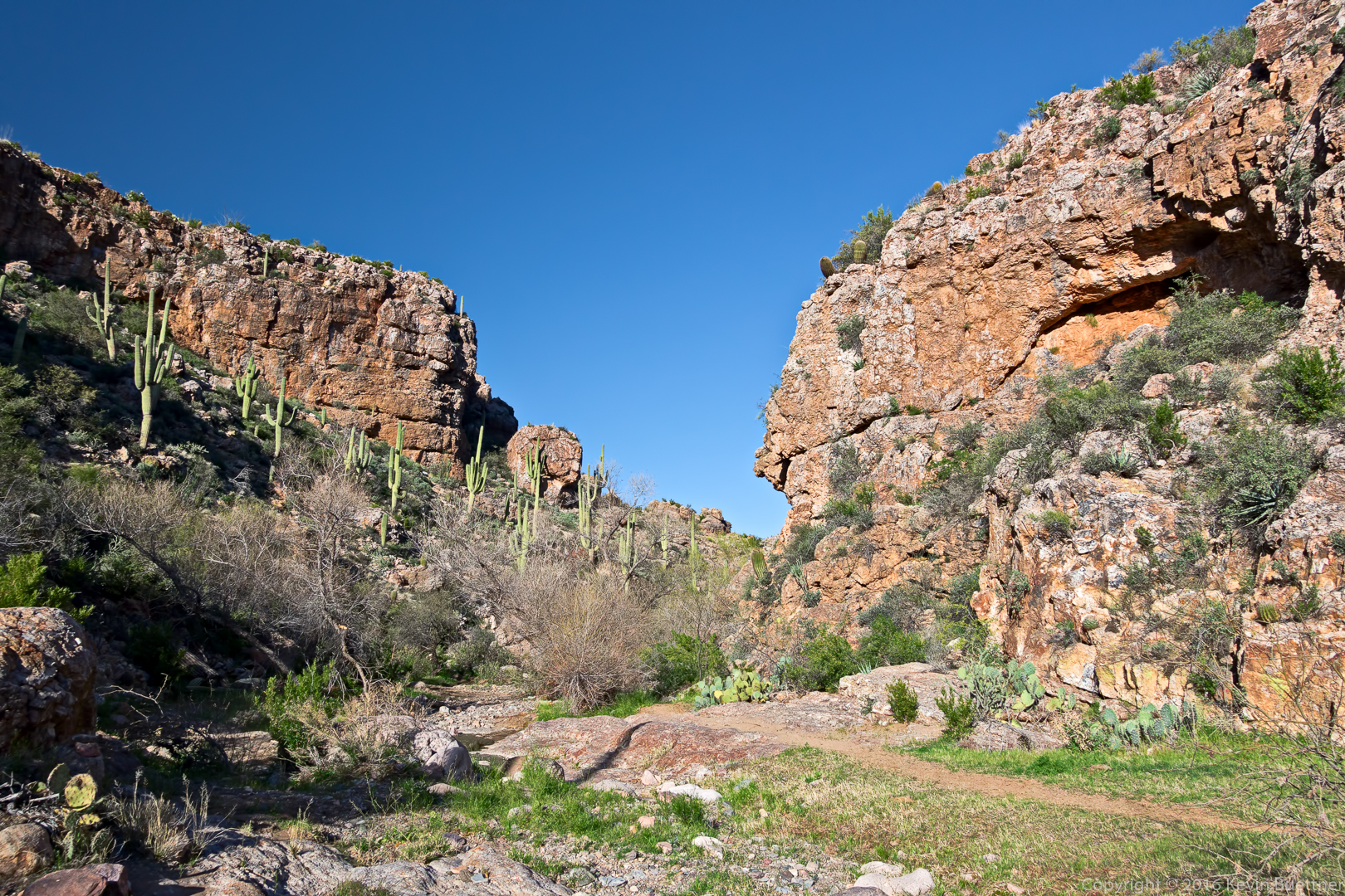
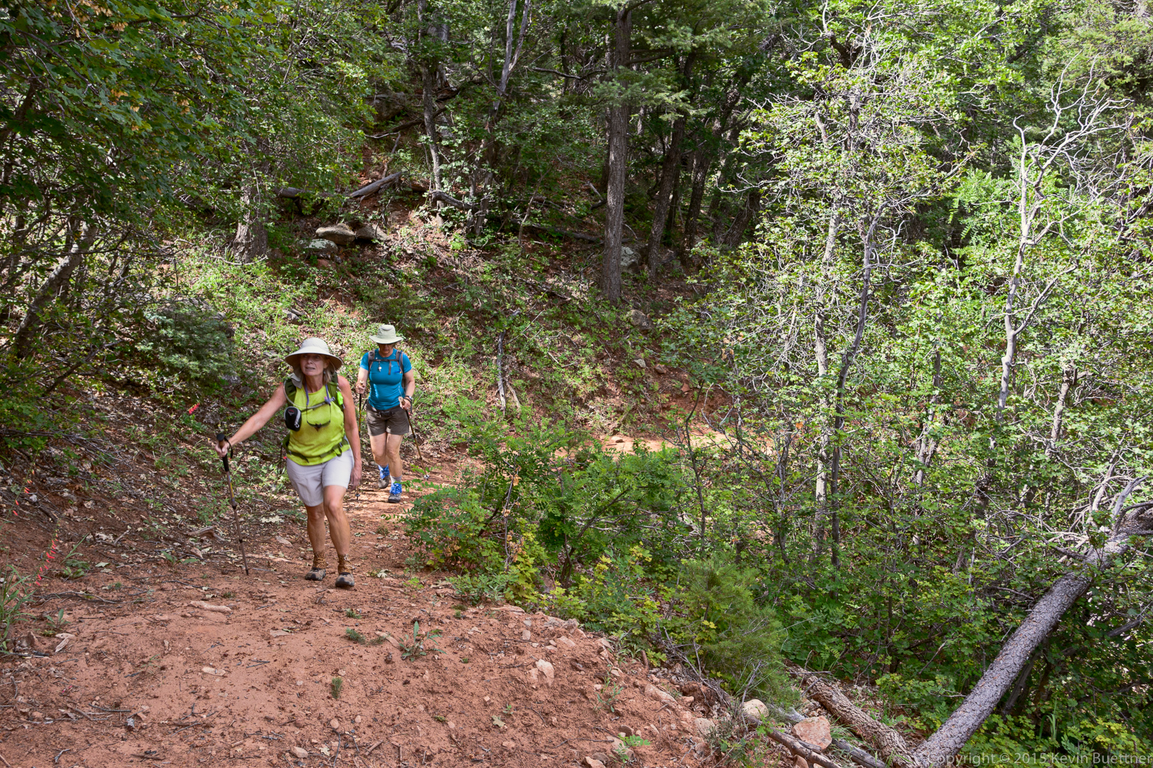
On Friday, July 3, Linda, Marilyn, and I hiked a loop that took us to Horton Spring and back. We hiked the Derrick, Highline, and Horton Spring trails for a hike that was somewhat over nine miles in length.
Linda borrowed my RX100M2 for the hike. These are some of the photos that she took with that camera. I had set it to save the files as both RAW & JPEG. I processed the RAW files using my usual workflow. (I set it to save JPEG files just in case she wanted to bring the camera home and download the files herself.)
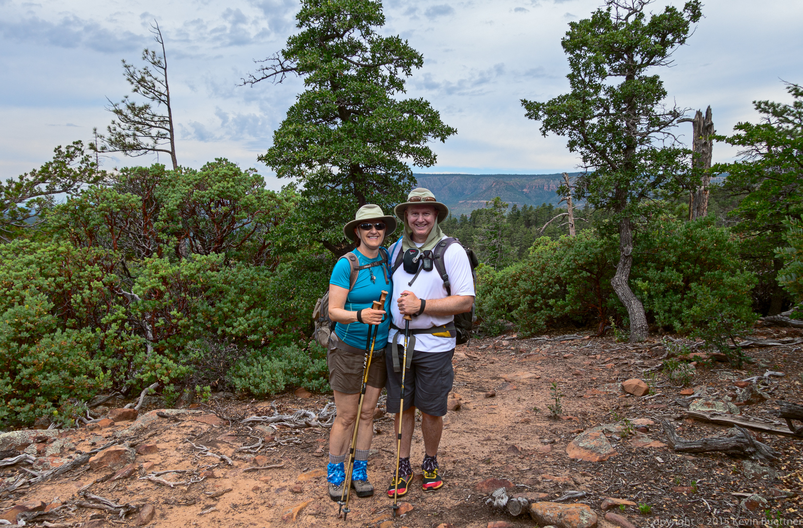
Marilyn and Kevin:
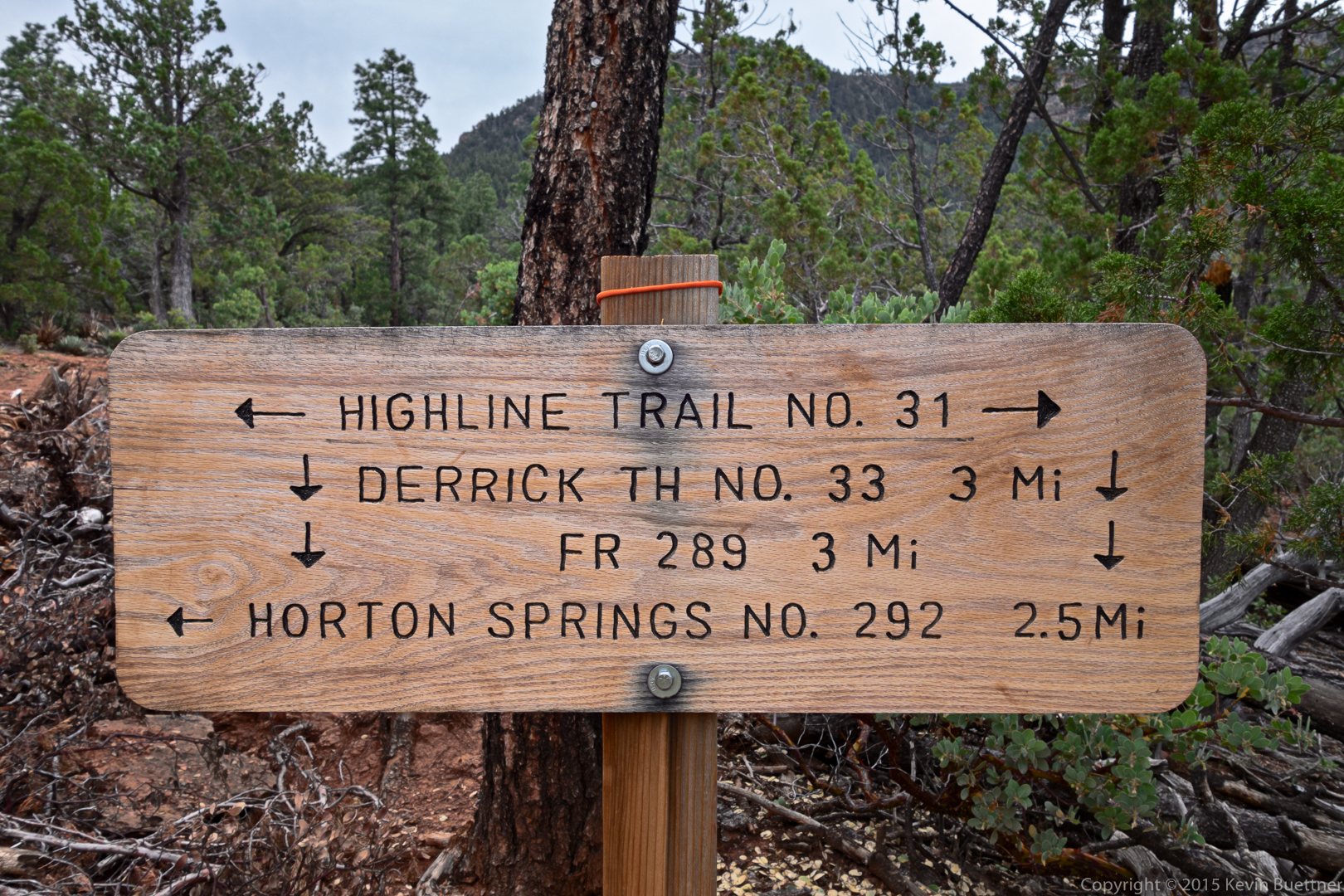
This is the sign at the intersection of the Highline and Derrick trails:
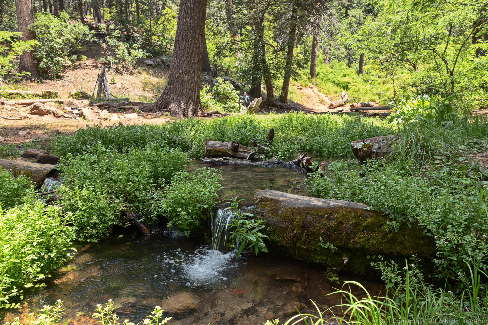
Horton creek, several hundred yards from the spring.
I’m setting up my tripod to take a picture of Marilyn next to the creek.
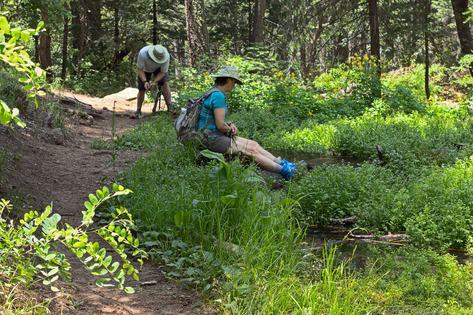
Here, I am taking photos of orange butterflies on lavender flowers.
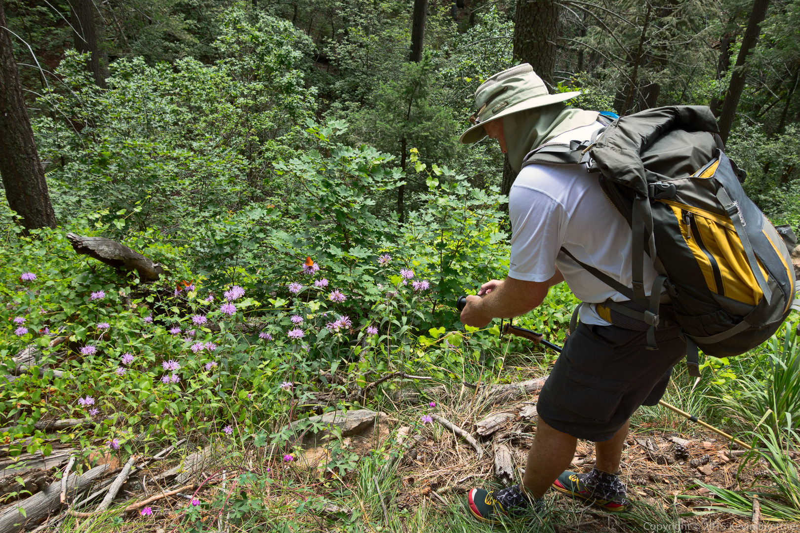
These are the photos that I took with my RX100M3:
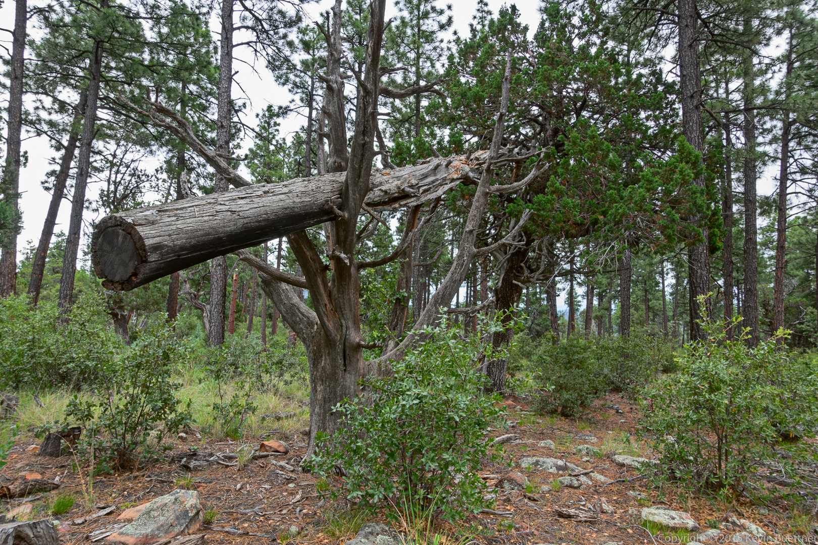
We saw a felled tree held up by other trees on the Derrick Trail.
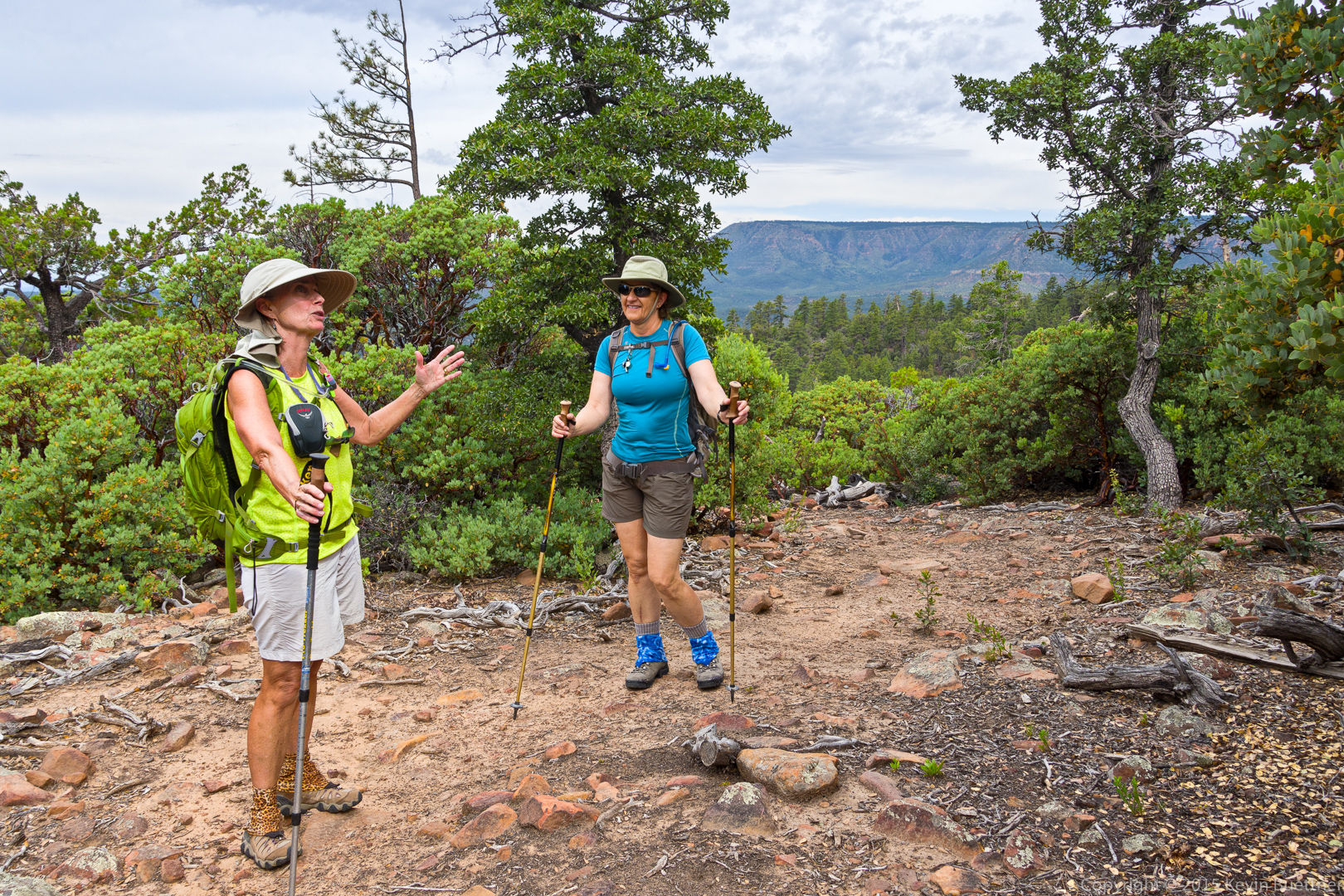
Animated discussions on the Derrick Trail.
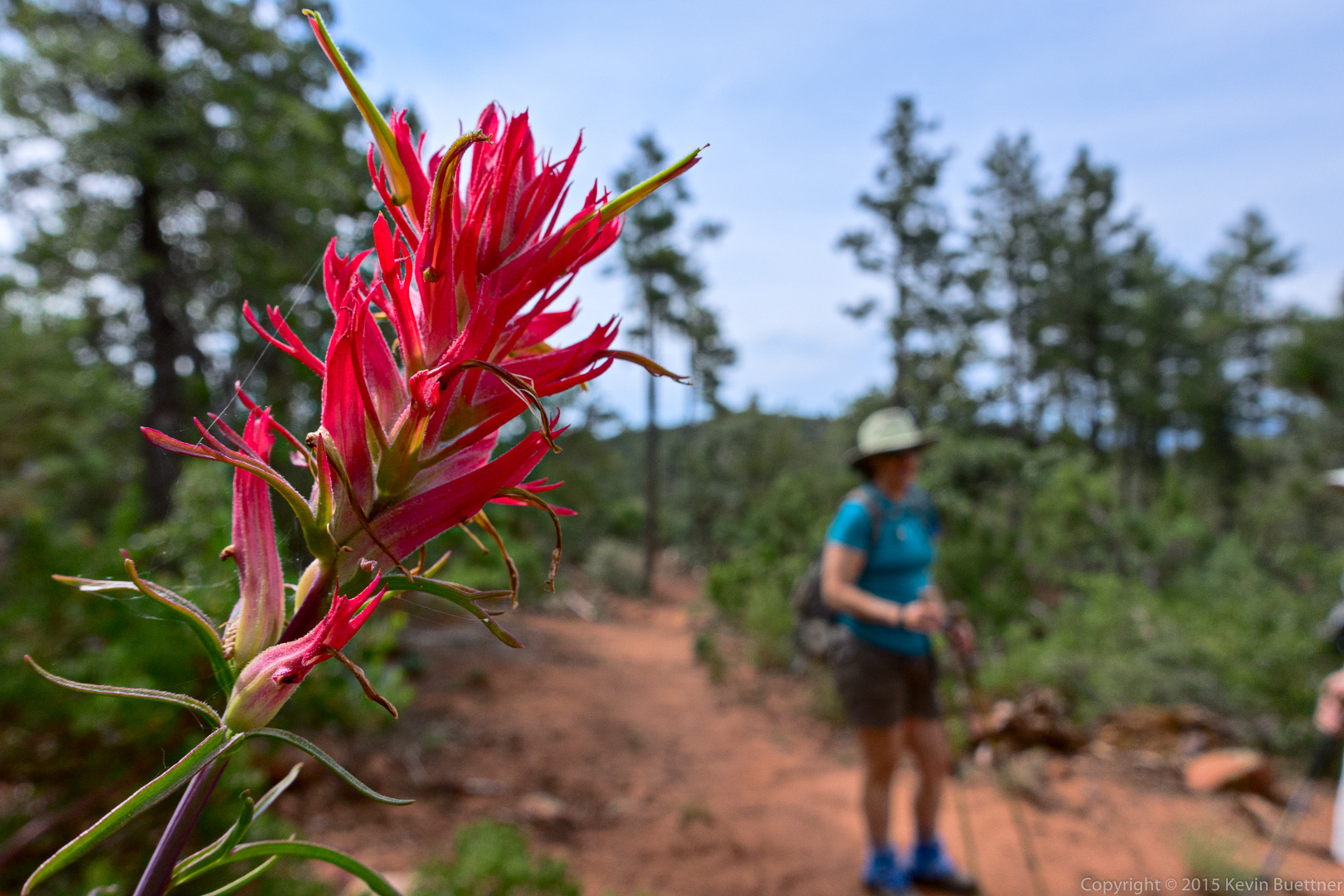
Linda guessed that this might be Indian Paintbrush.
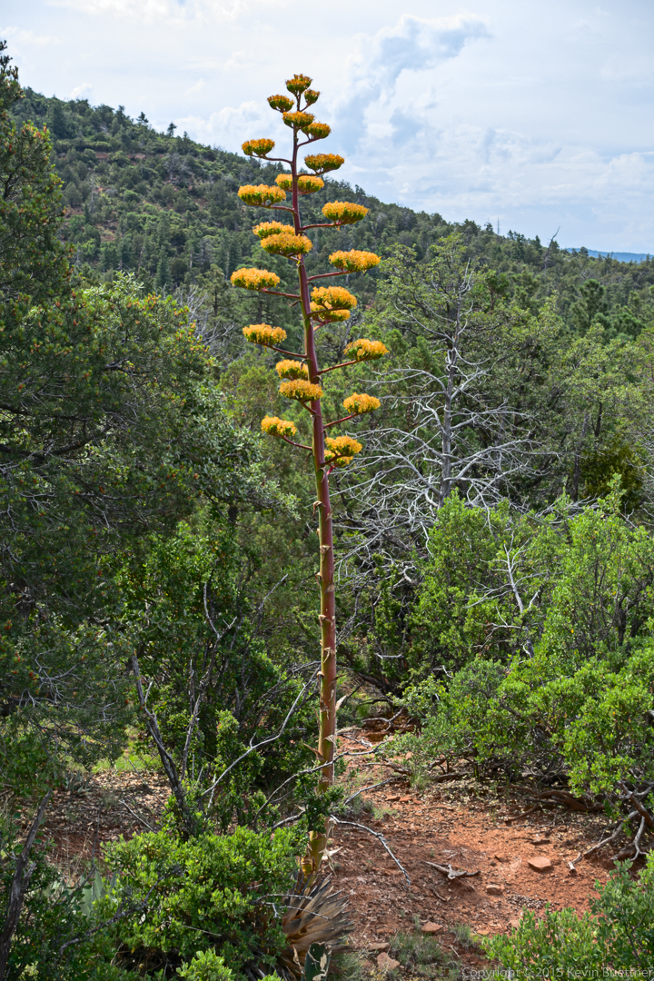
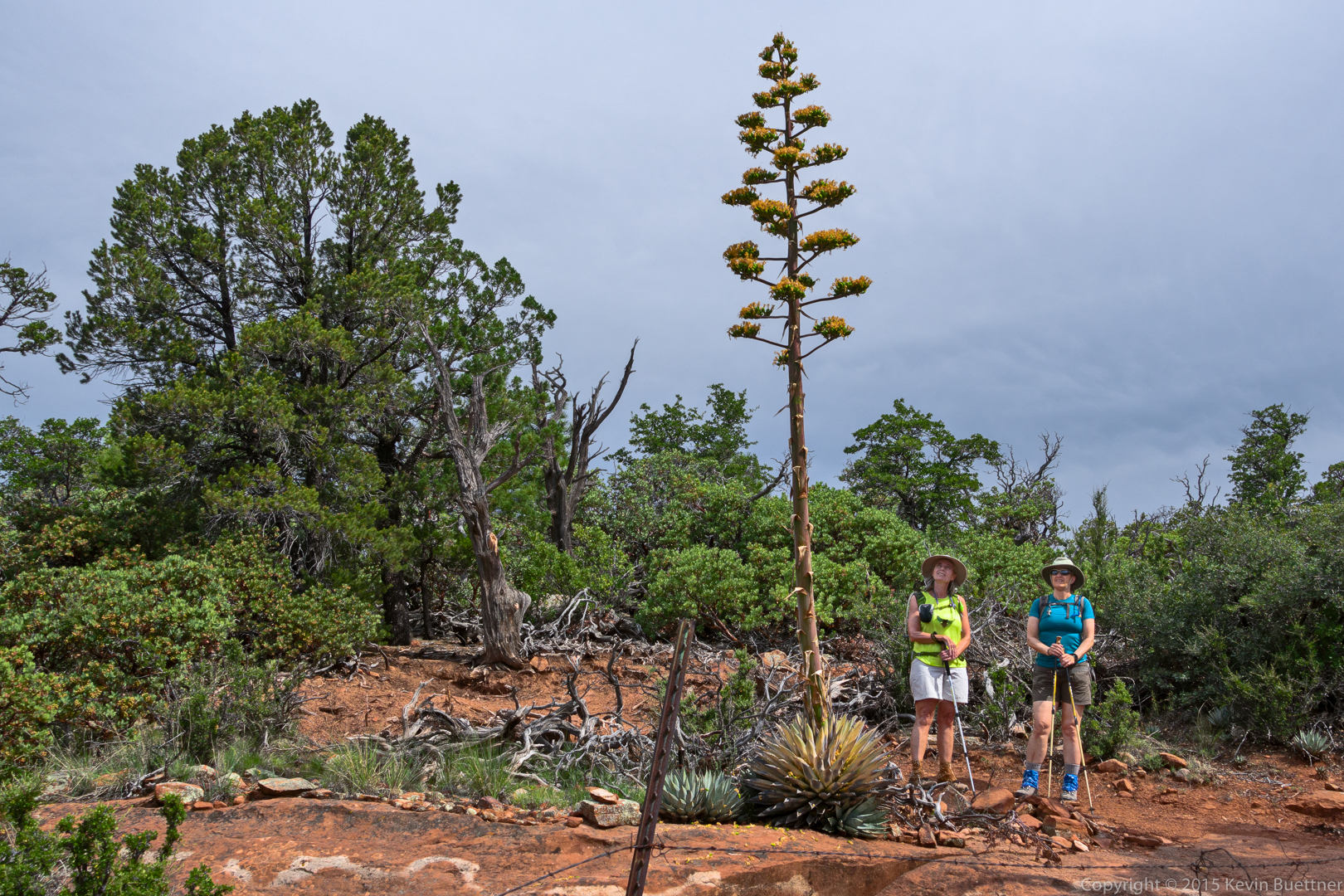
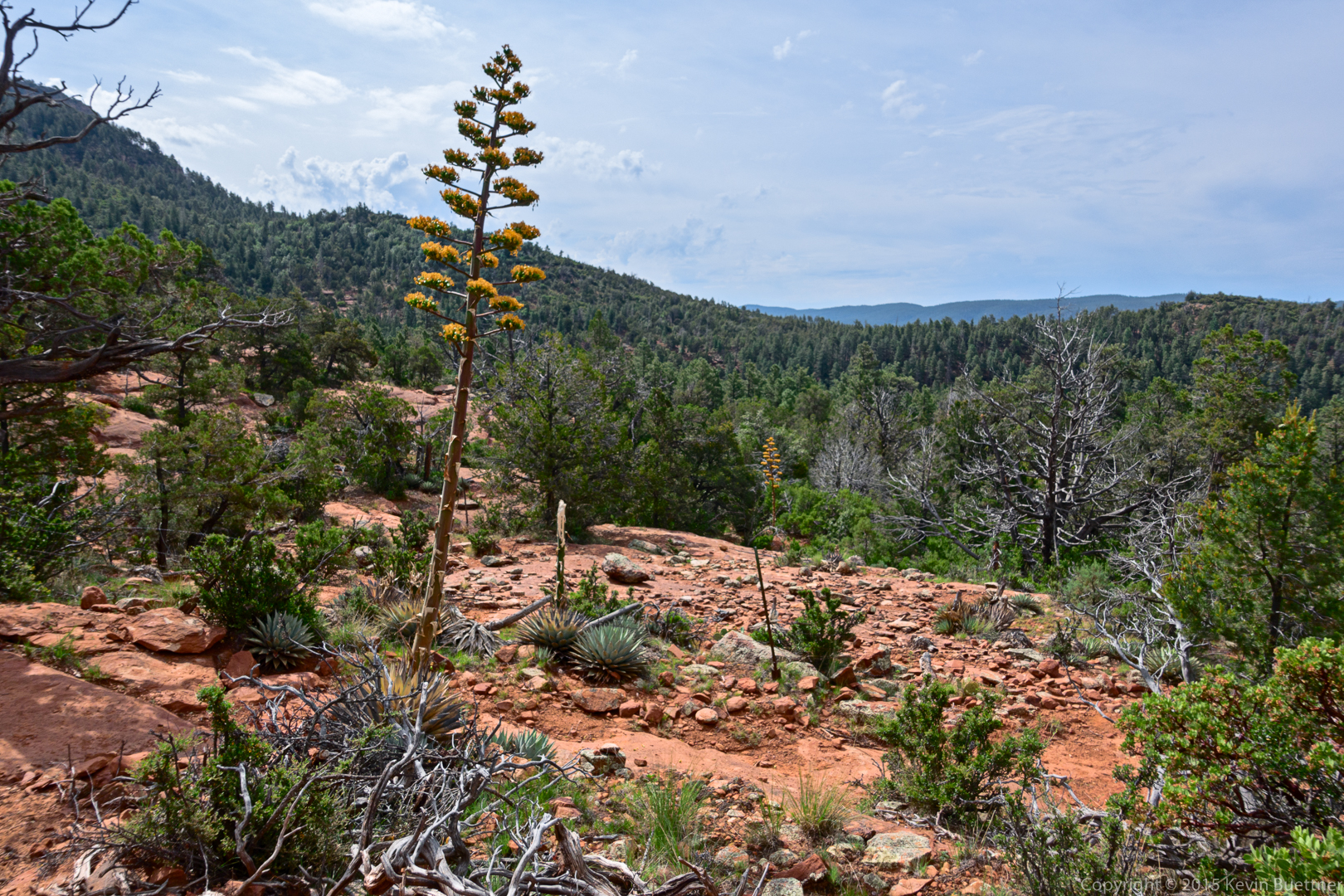
We saw many agaves in bloom. I think I saw more agaves of this type in bloom on this hike than I had in my entire time in Arizona.
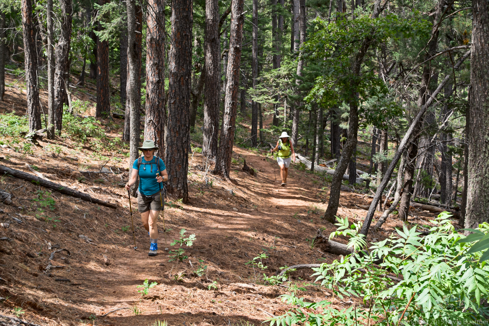
Marilyn and Linda, hiking:
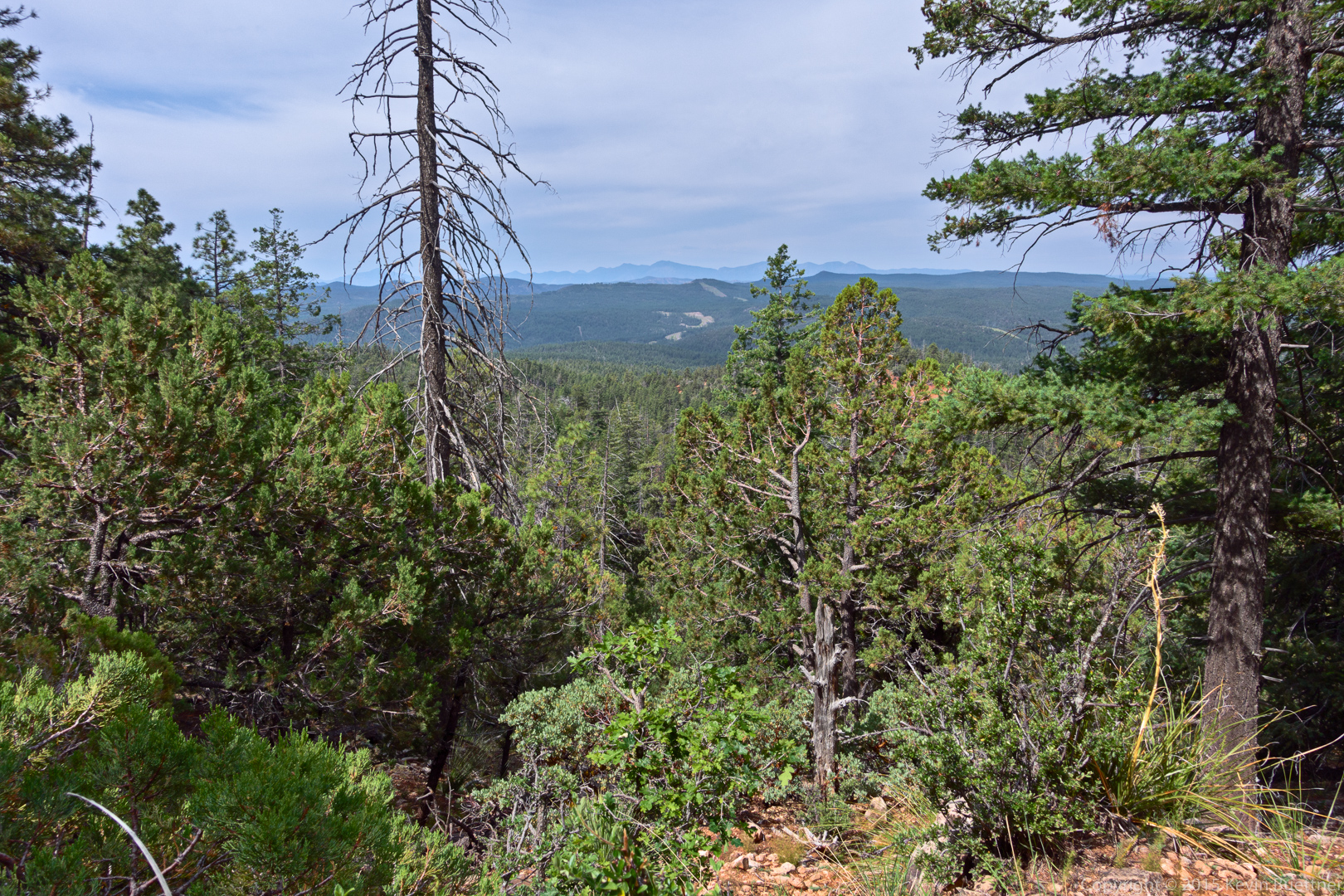
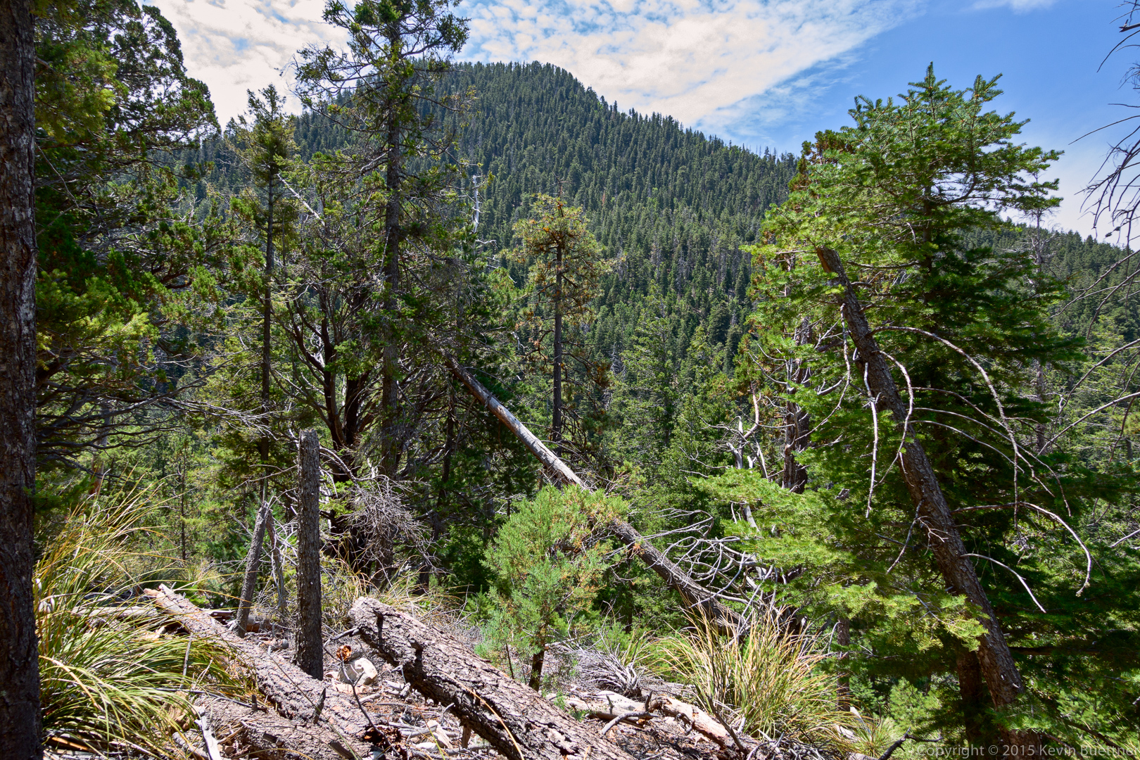
A view from a gap in the trees.
Marilyn and Linda hiking through even more trees.
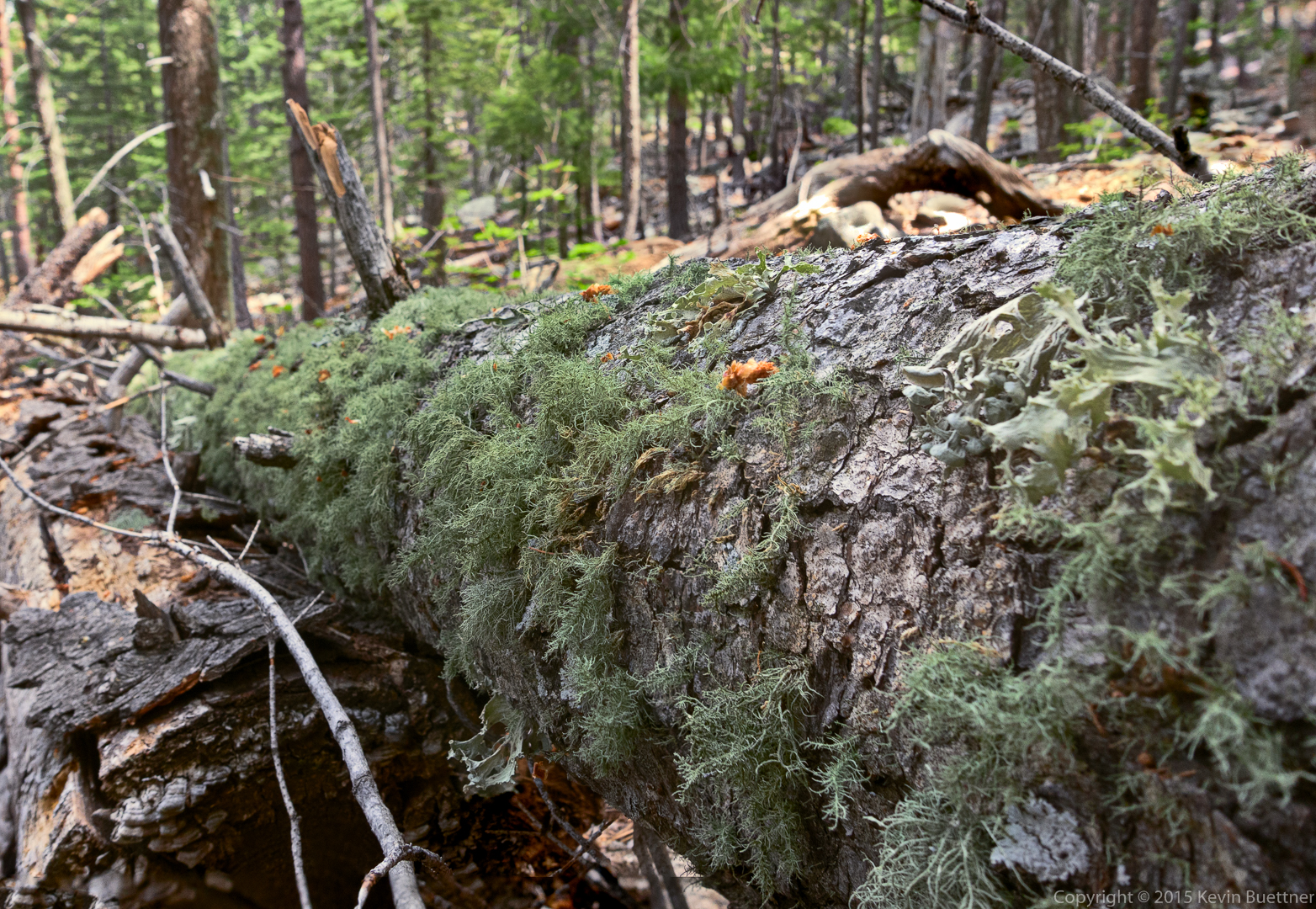
Moss on a fallen tree:
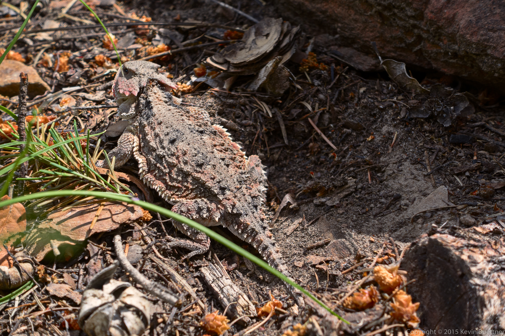
Two photos of a horned lizard:

I think this is a type of Penstemon:

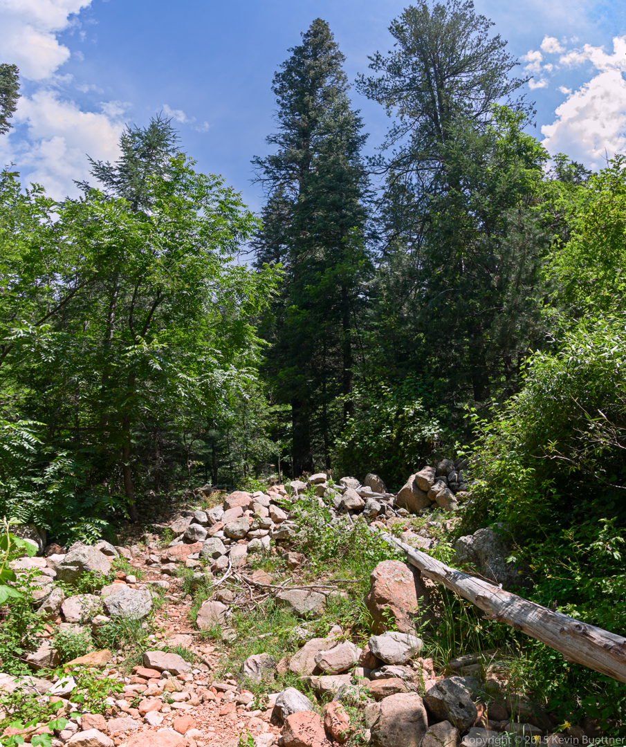
This is a wash that crosses the Highline Trail.
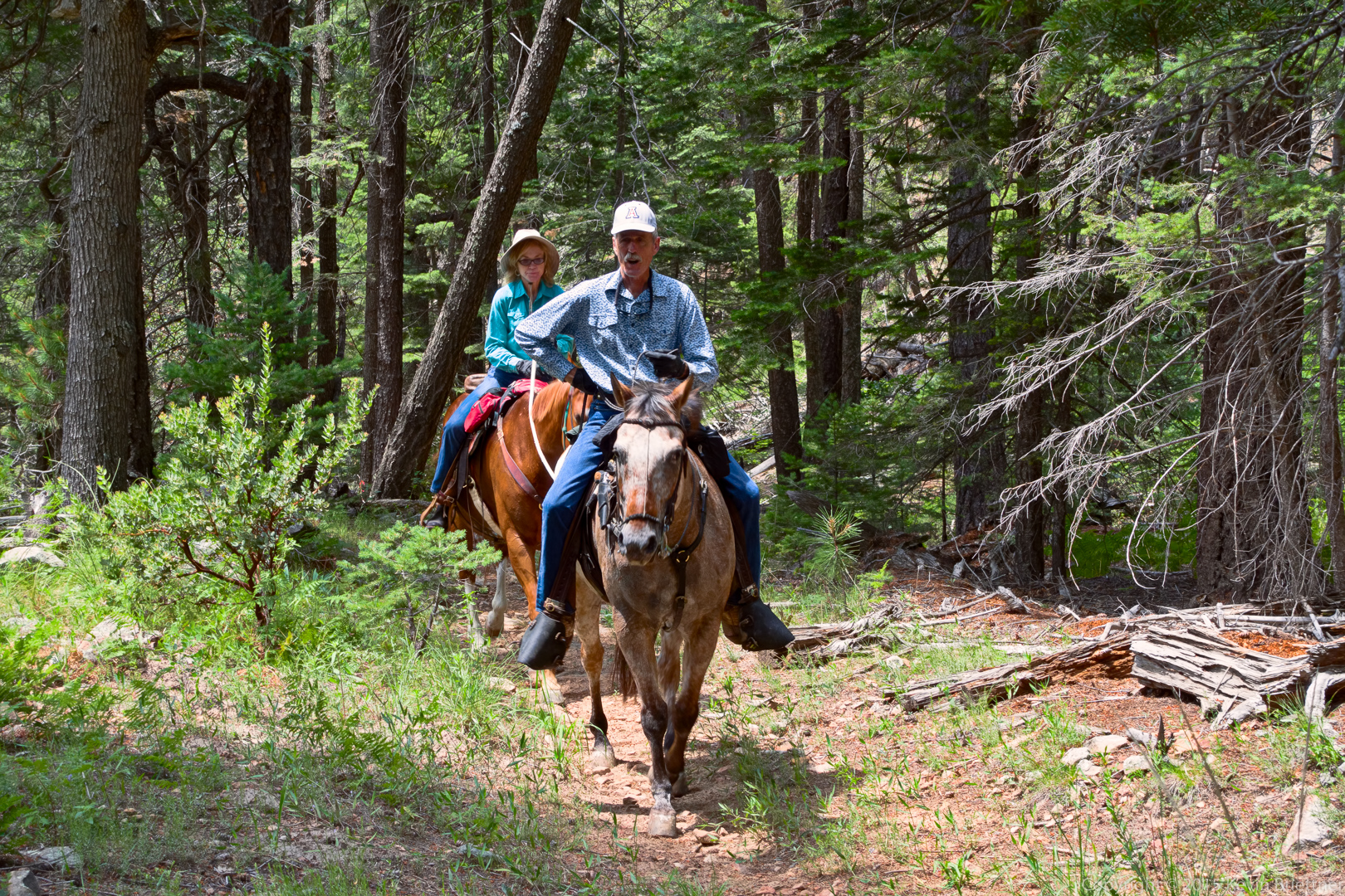
Equestrians:
Another gap in the trees…
Yellow columbine flowers were growing in Horton Creek.

This is Horton Spring.

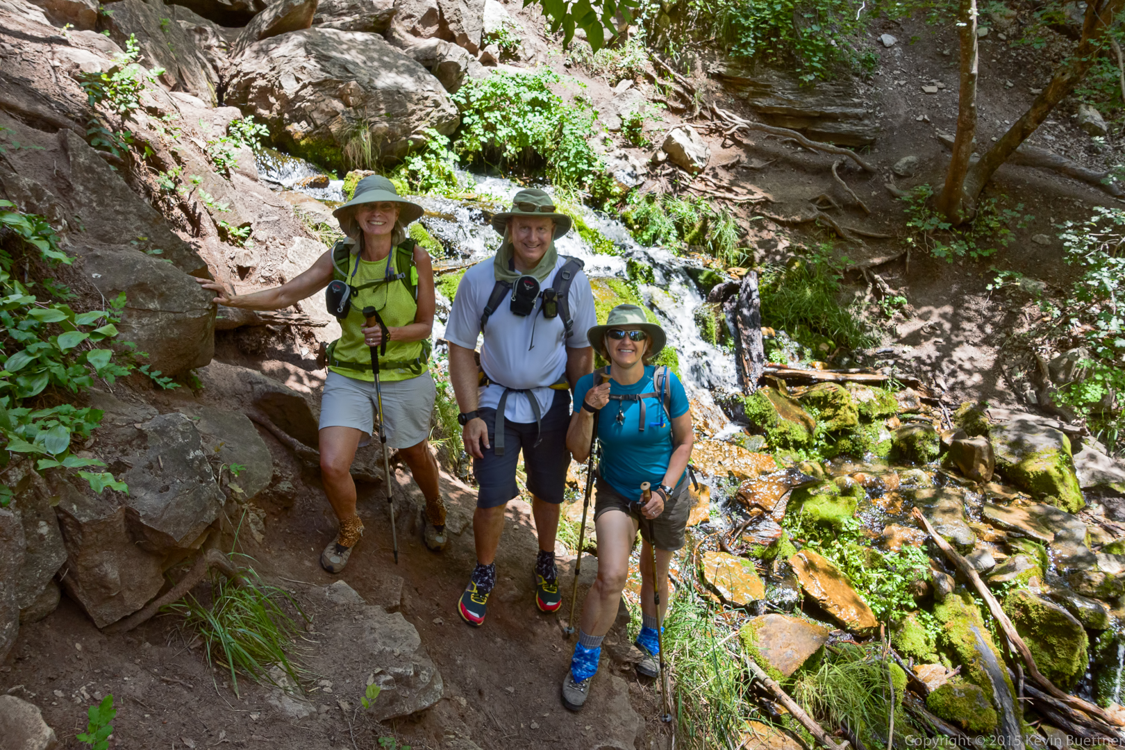
Linda, Kevin, and Marilyn at Horton Spring.
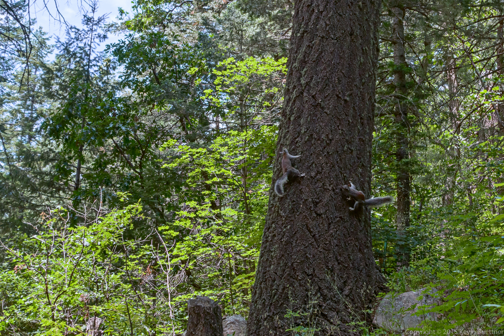
These squirrels were chasing each other. They would race around the tree spiraling upward each time around.
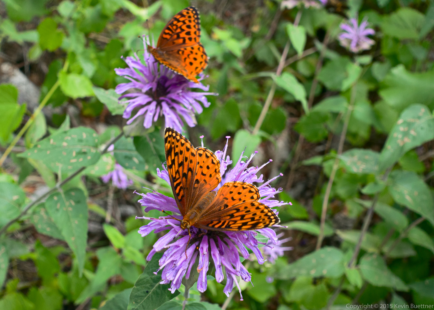
Orange butterflies on lavender flowers.
This photo was taken on February 17, 2013.
This photo was taken on March 1, 2014. I had never posted it before because I wasn’t able to arrive at an edit that I liked.


Bob, Nick, Bill, Denise, Linda, and I hiked to the top of Mt Peeley on Friday. The ascent consists of roughly two miles of hiking on the Arizona Trail (which is the Mazatzal Divide Trail through that section) followed by half a mile of less defined trail to the top of Mount Peeley. When we descended the half mile portion, we hiked a bit more of the Mazatzal Divide Trail before turning back. Total distance was 7.9 miles with 1500 feet of total ascent.