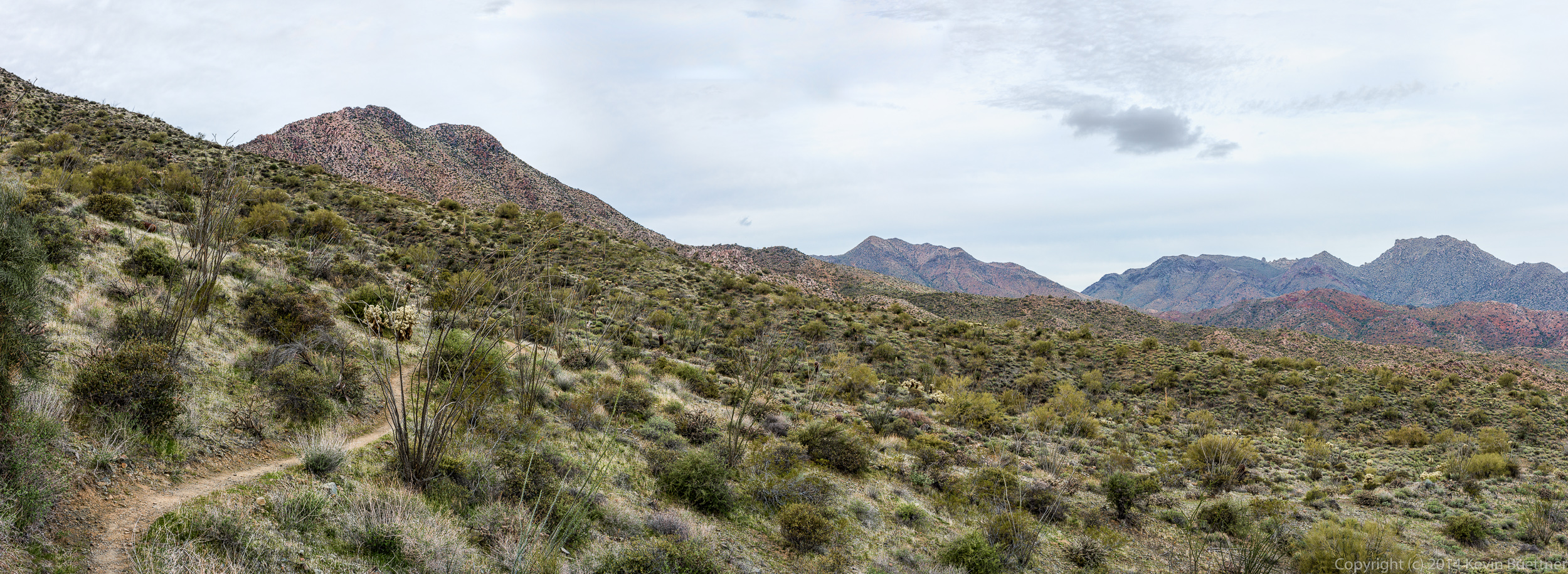
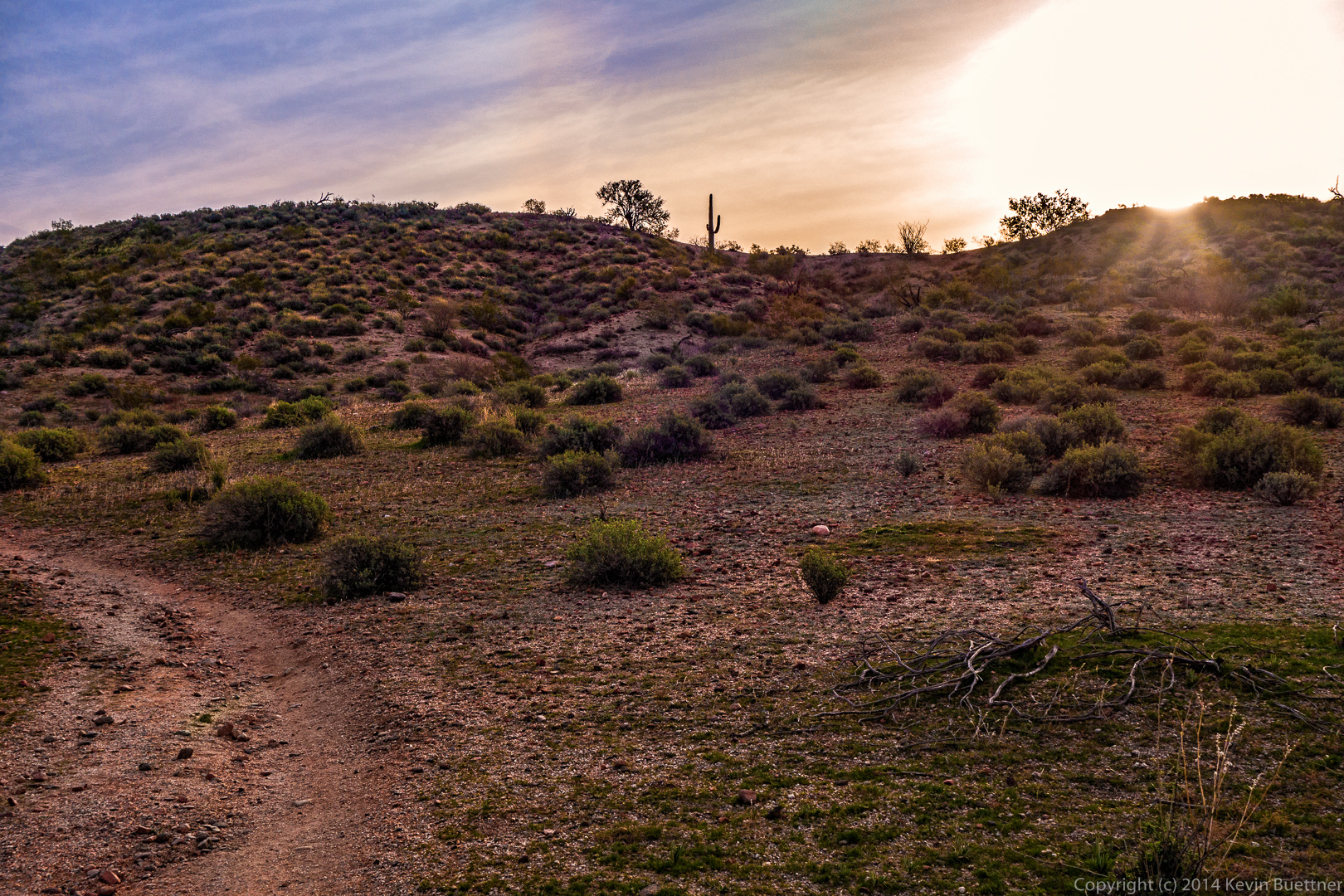
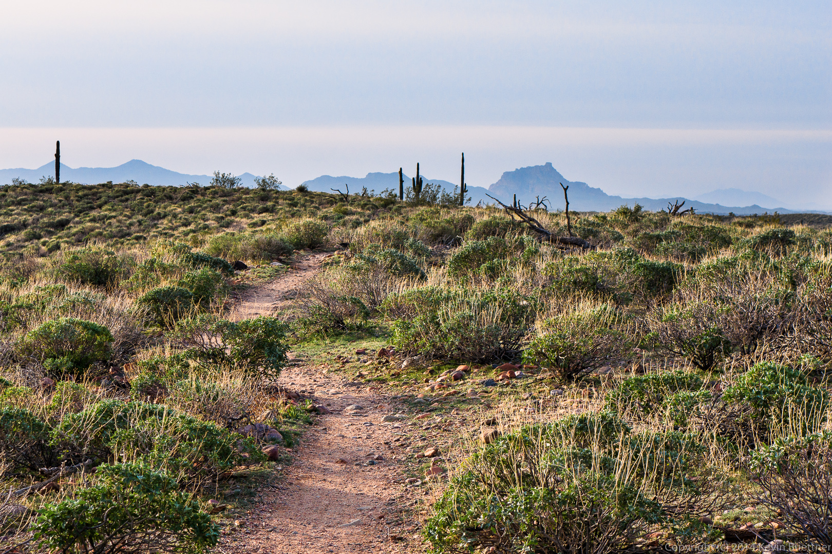
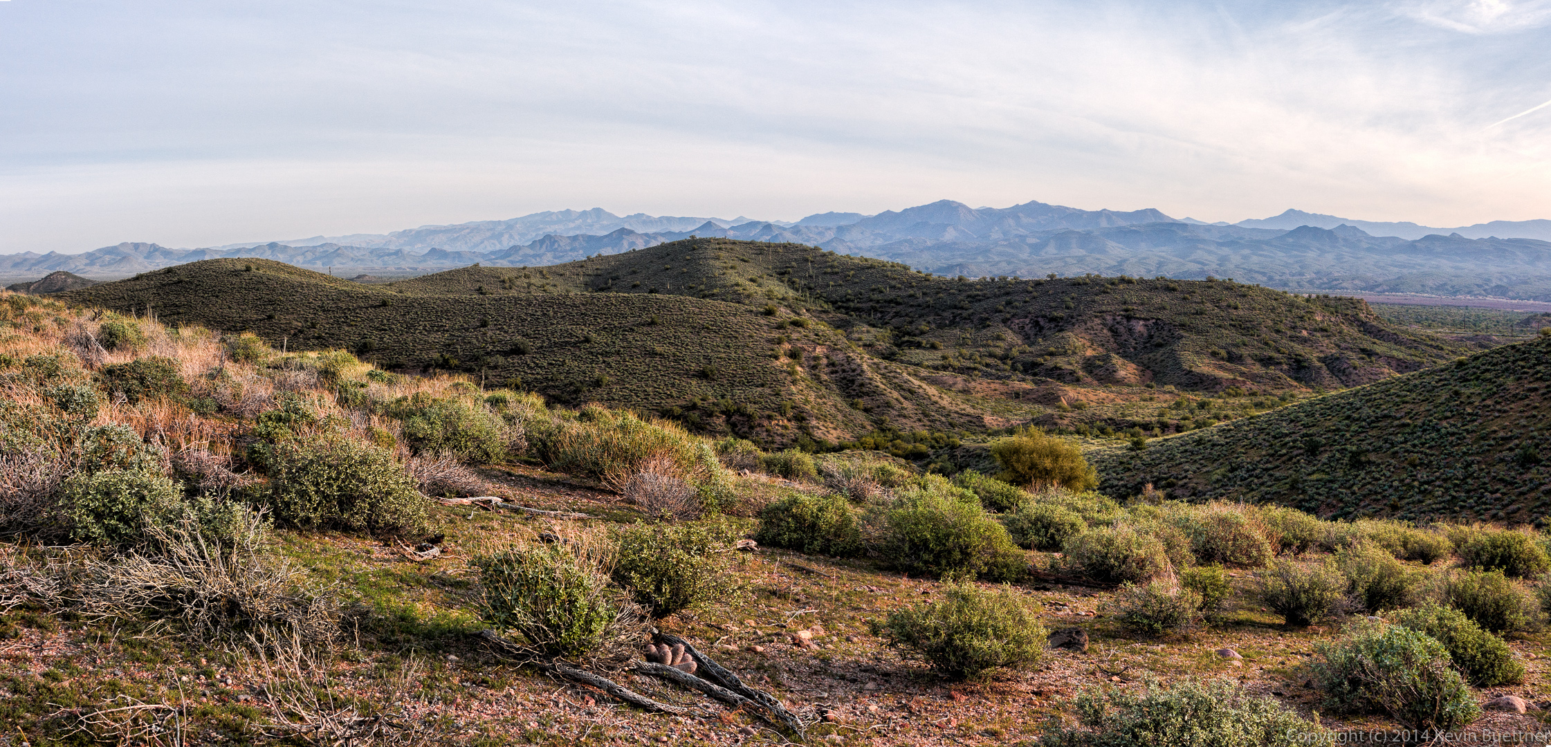
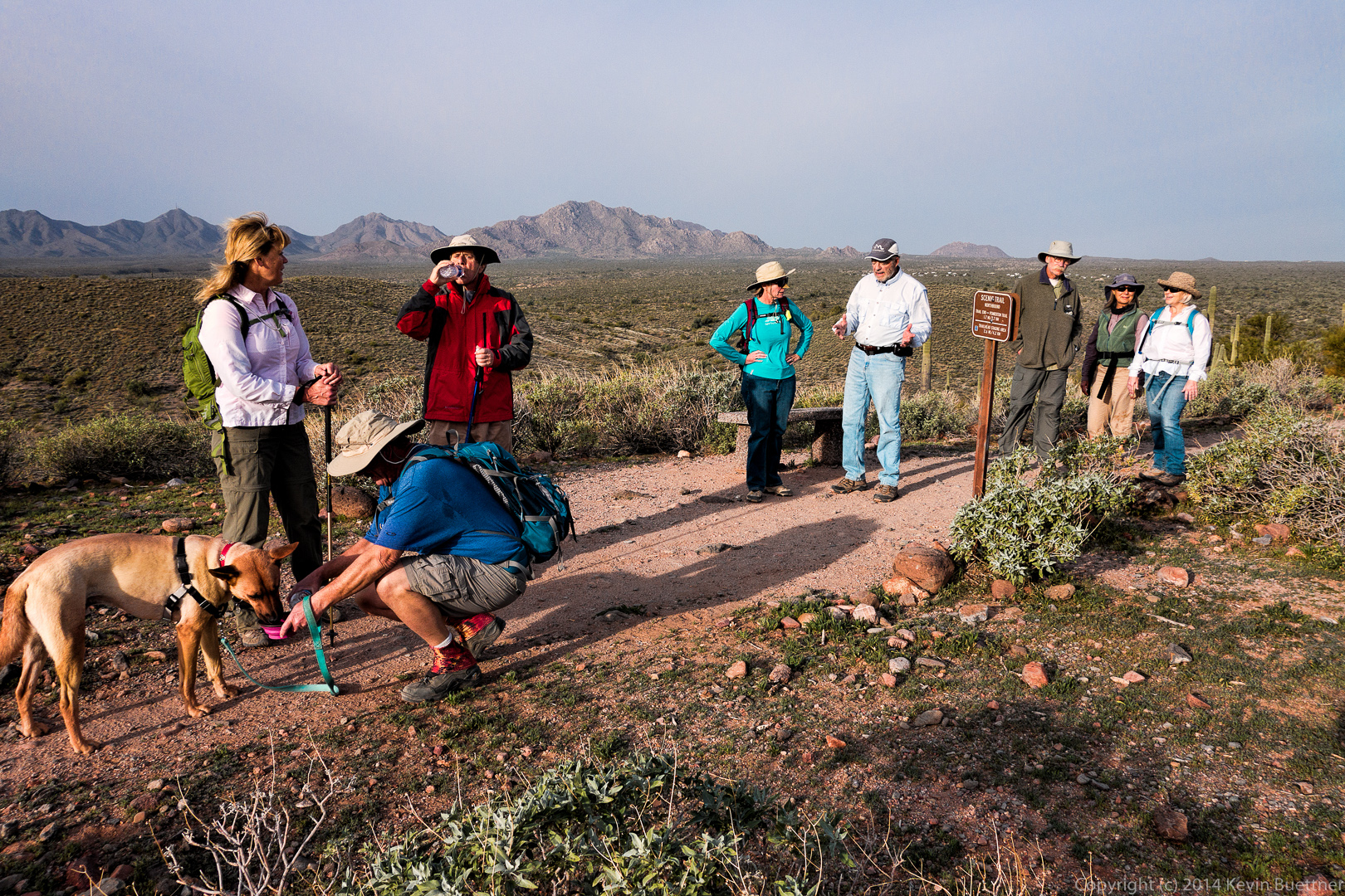
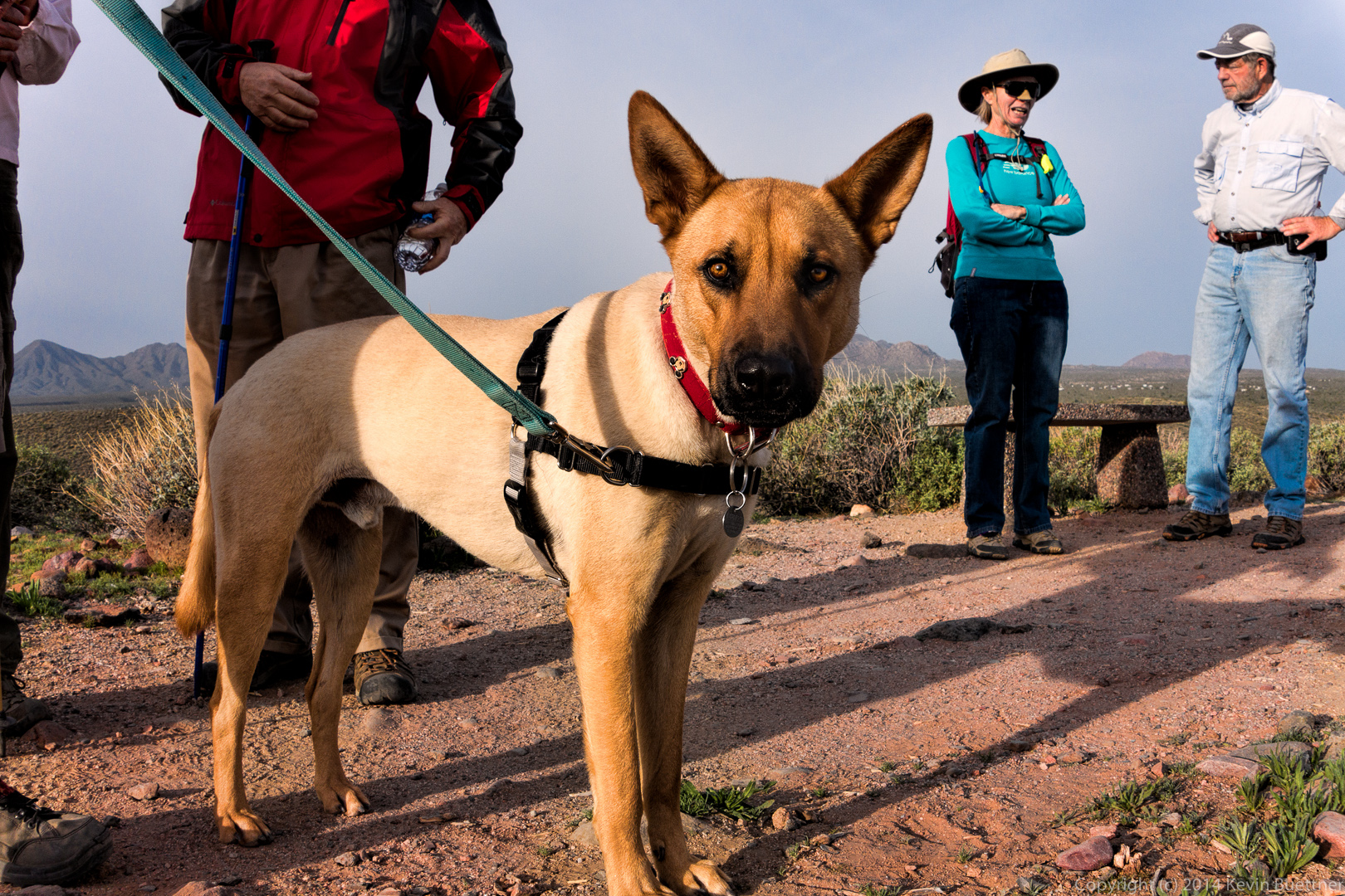
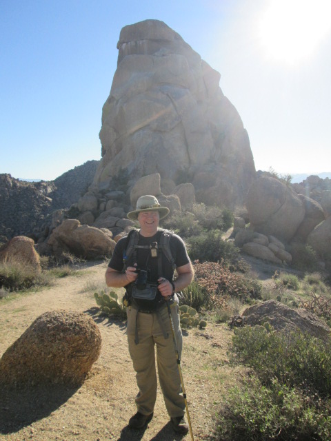
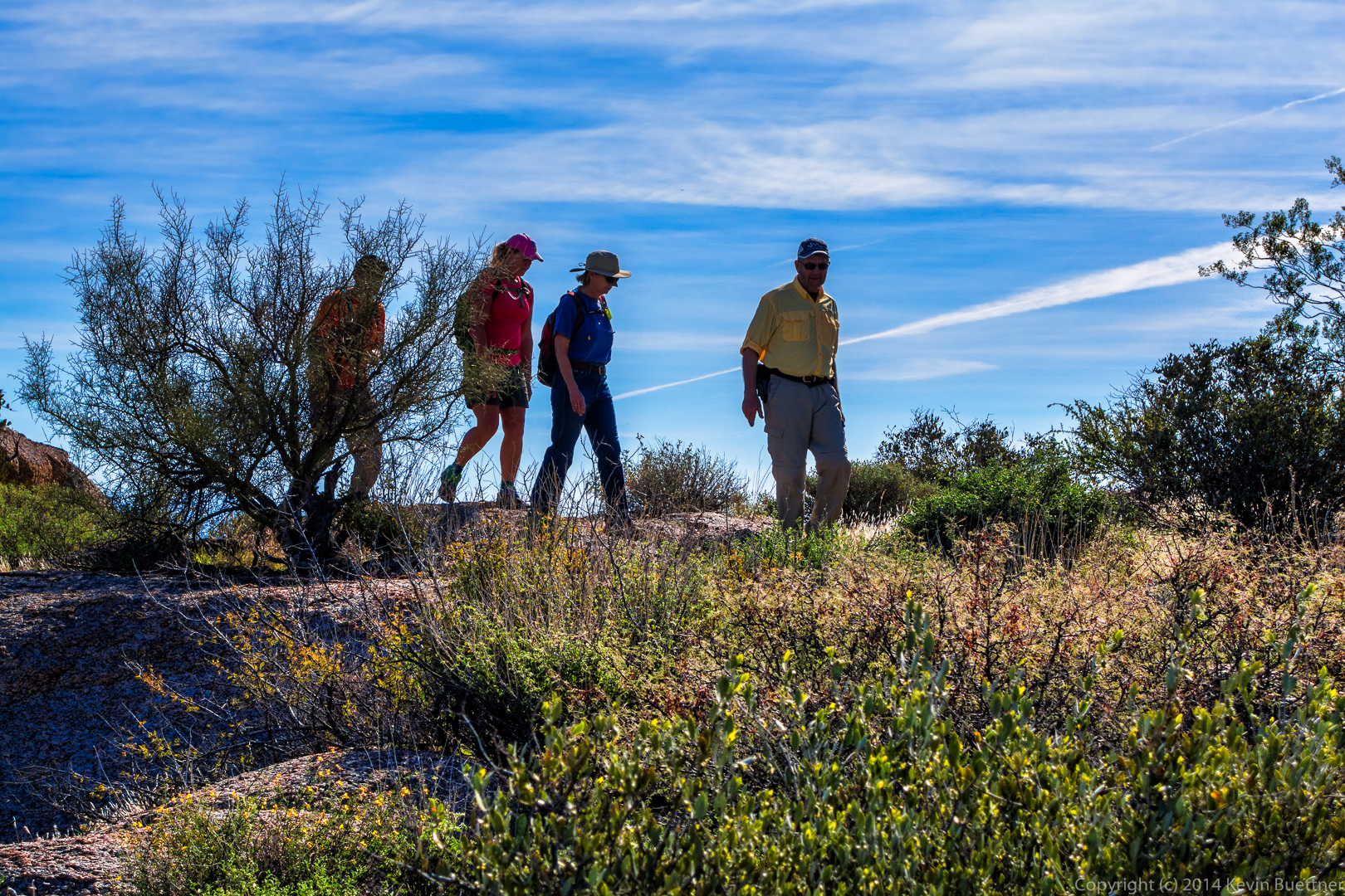
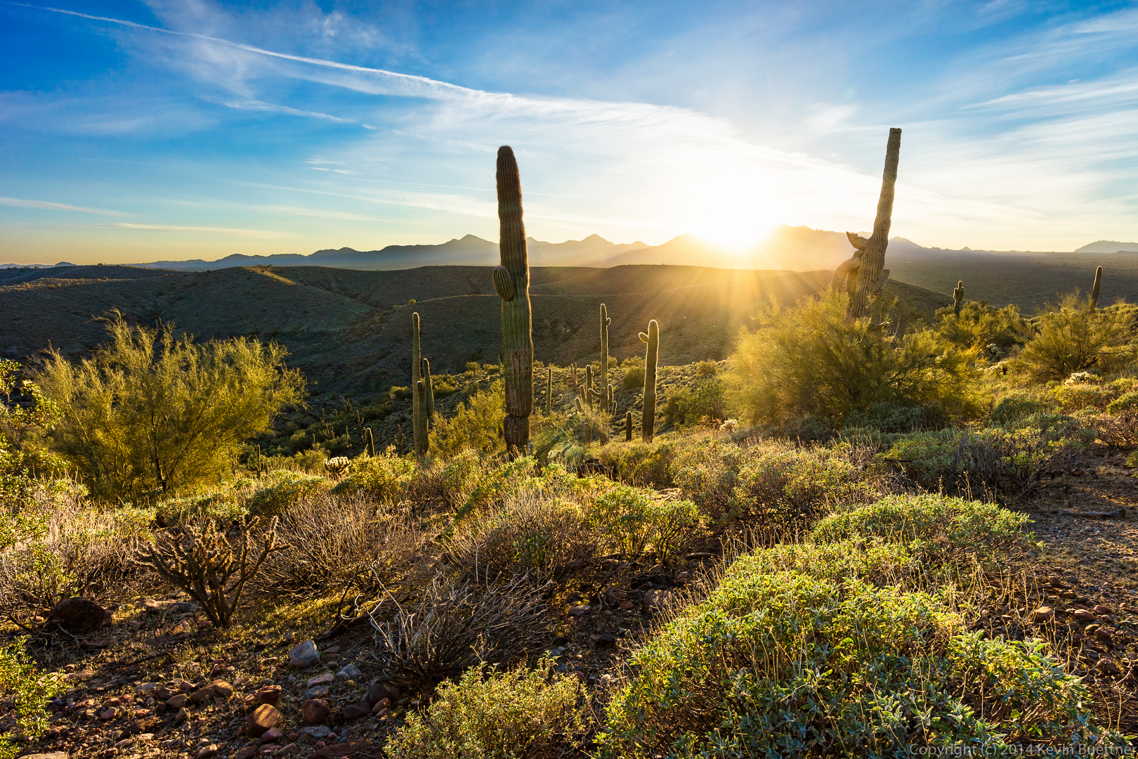
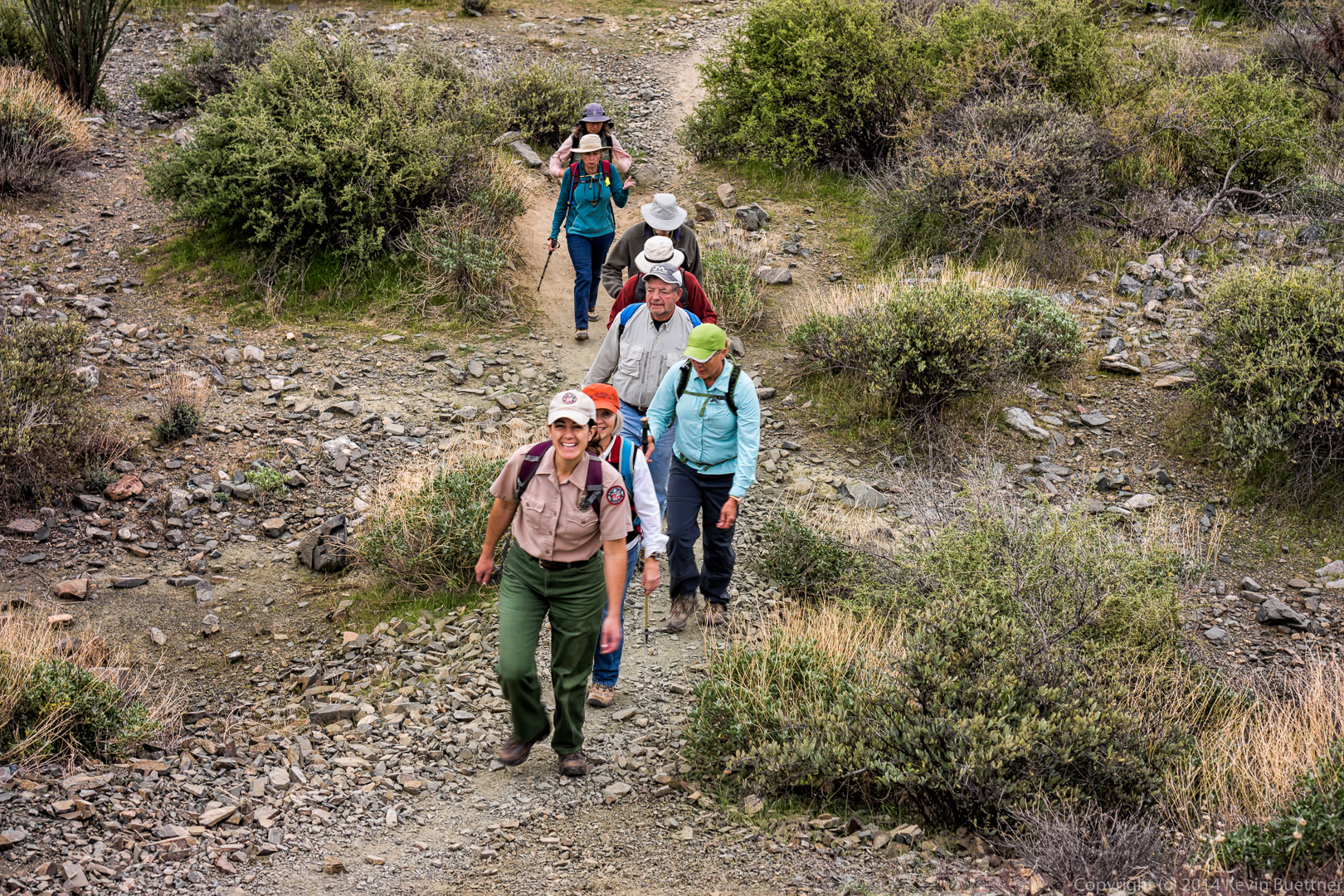
Fourteen hikers showed up for the February 14 Fitness Hike. Starting at the Wagner Trailhead, we crossed the road and took the Tortoise Trail to the Pemberton. From there, we hiked Pemberton to Stoneman Wash, and Stoneman Wash to the Bluff Trail. At that point the group split up with Amy leading the majority of the group back to the Wagner Trailhead. Bill, Janet, Nick, Linda, and I went the other way on the Bluff Trail, eventually returning on the Wagner Trail as well.
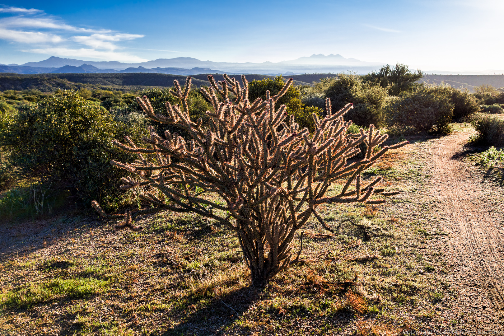
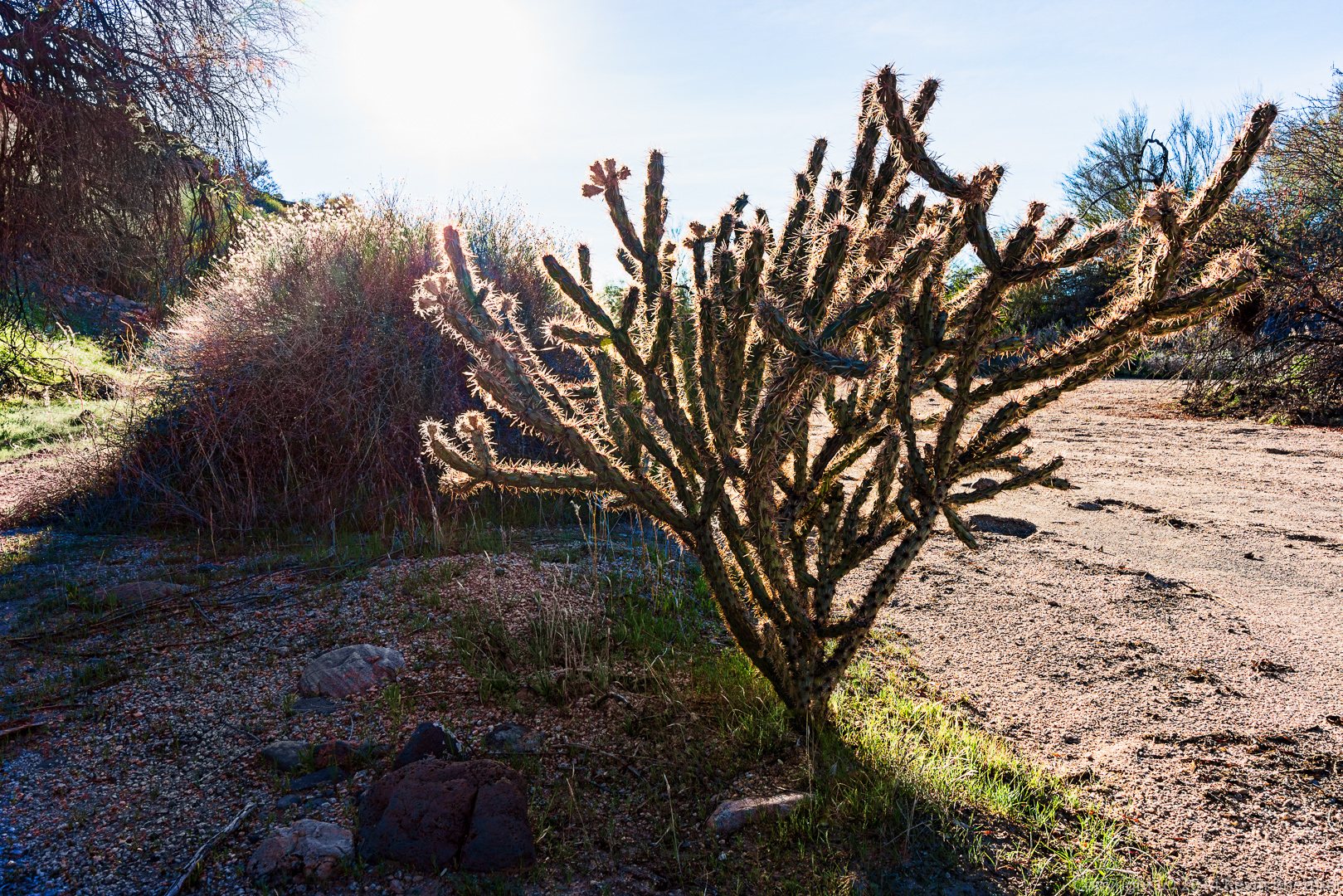
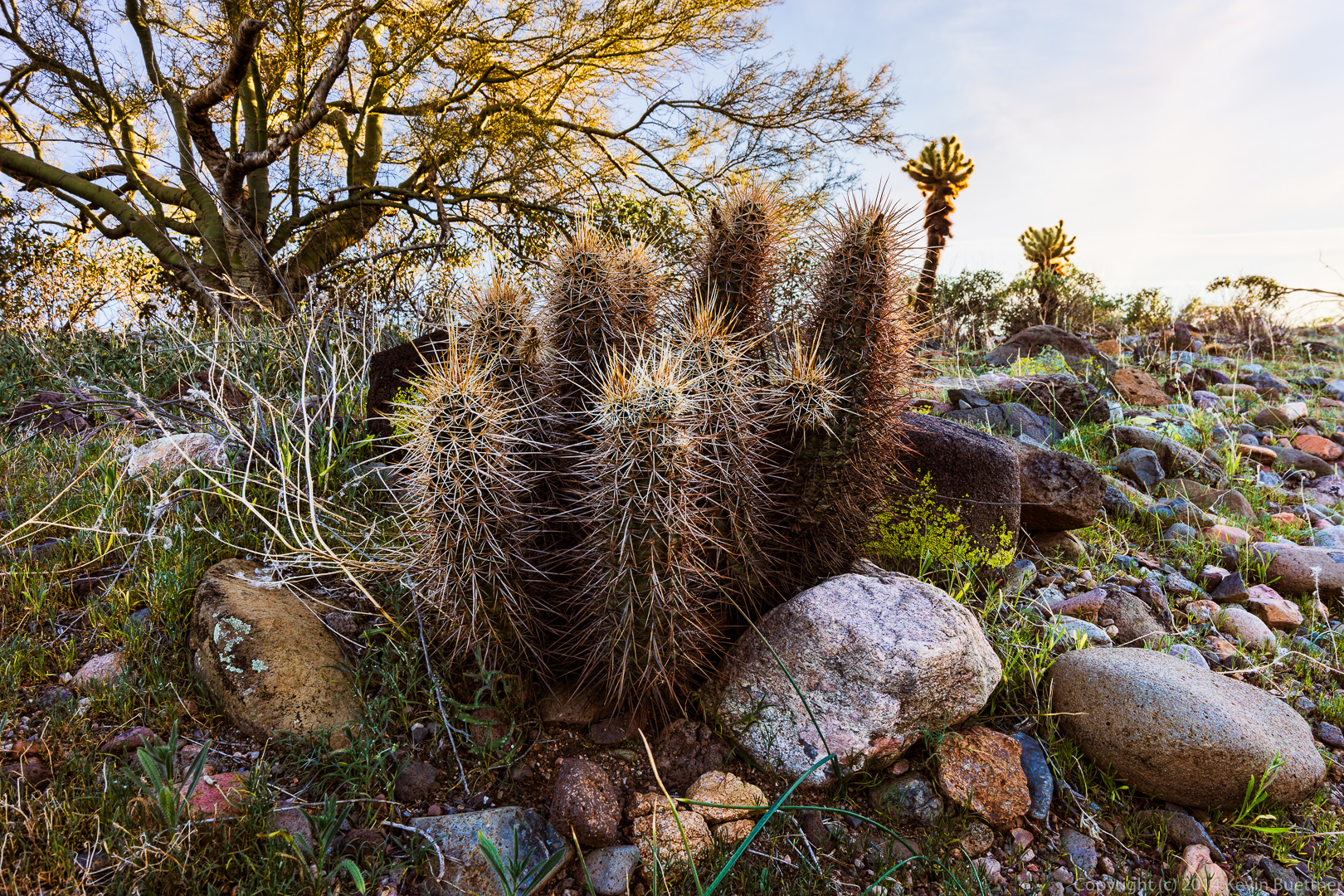
A buckhorn cholla on the Tortoise Trail:
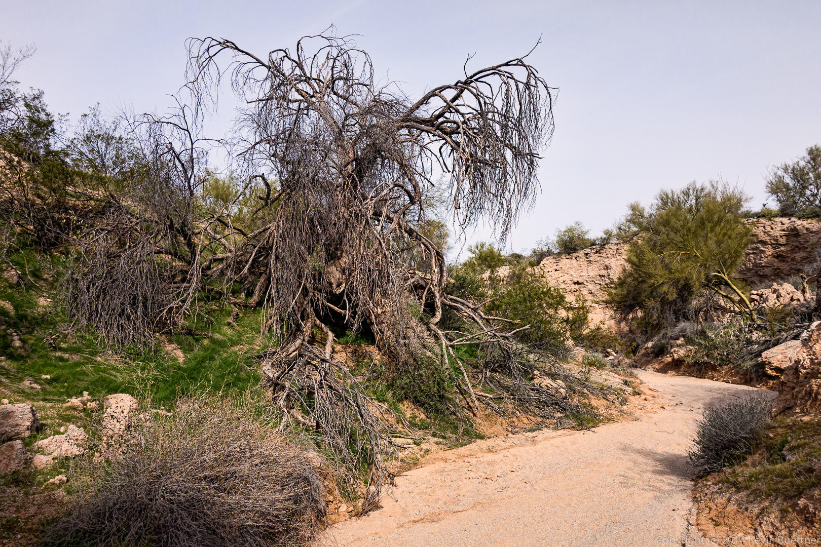
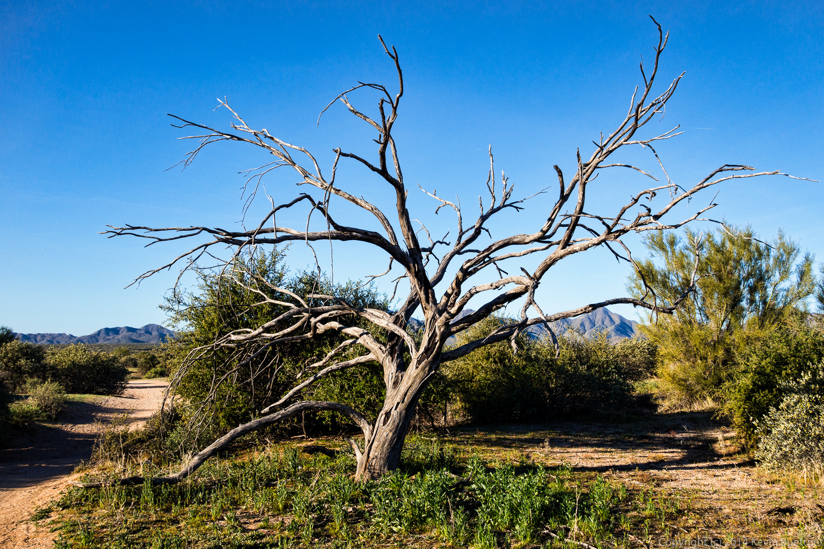
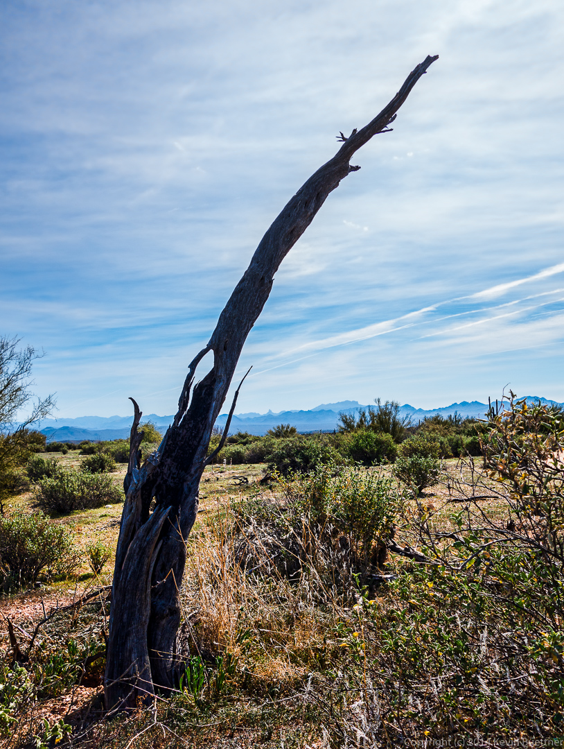
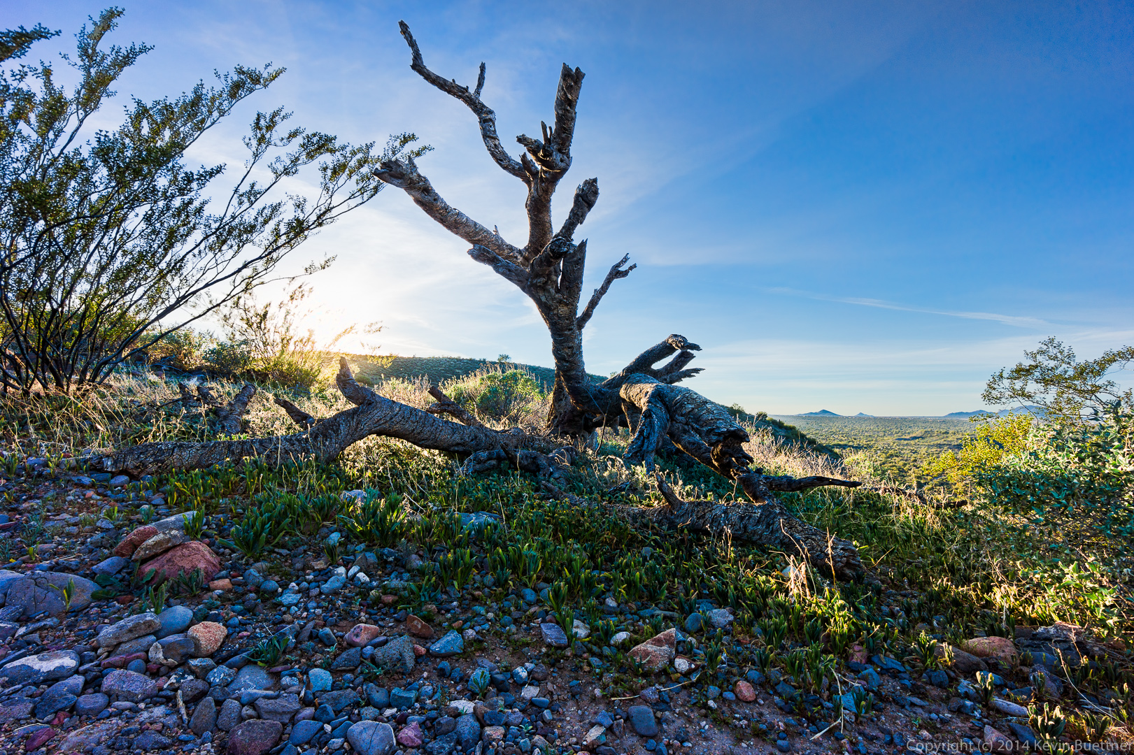
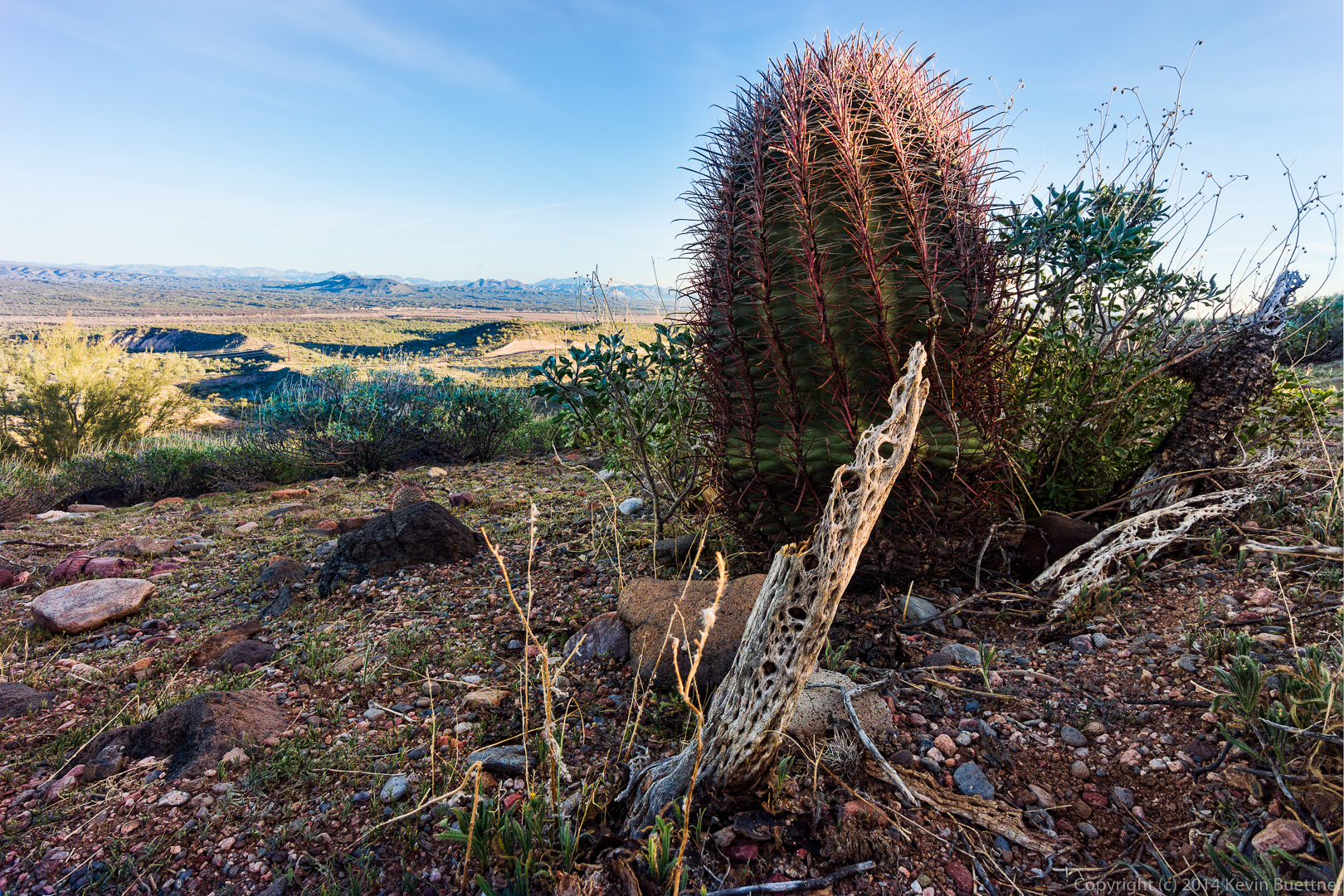
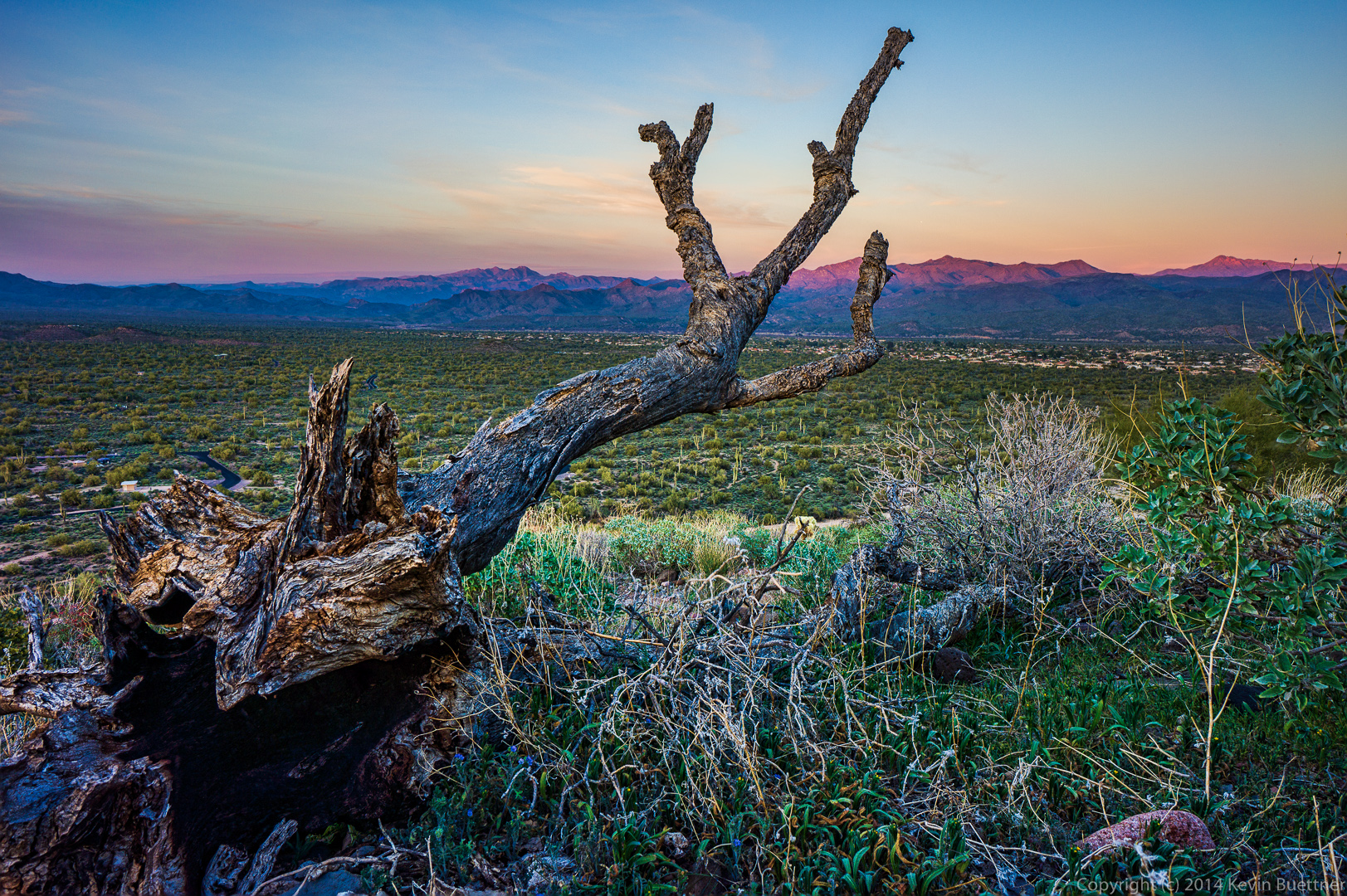
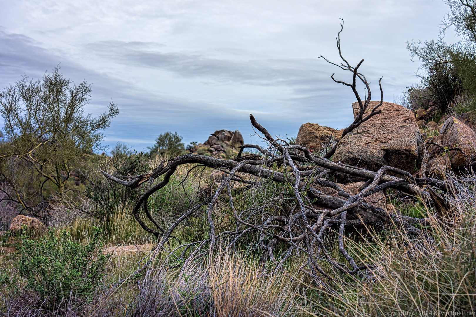
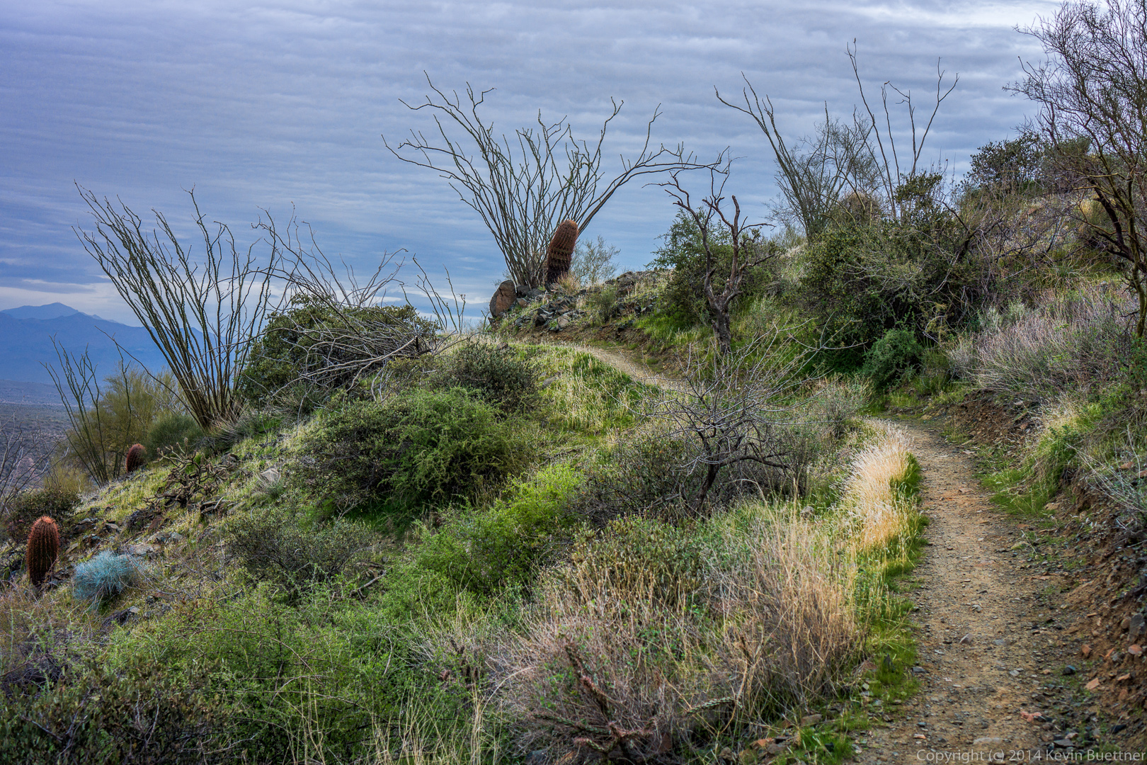
A dead tree on the Pemberton:
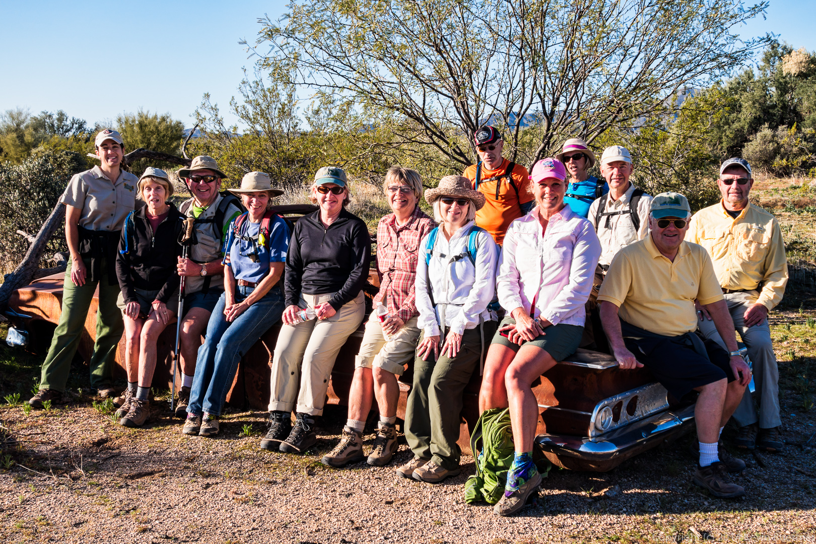
Anders said that this is a 1960 Chevy. There had been speculation in the past that it was a ’59, but Anders said that the 1959 Chevy had bigger fins.
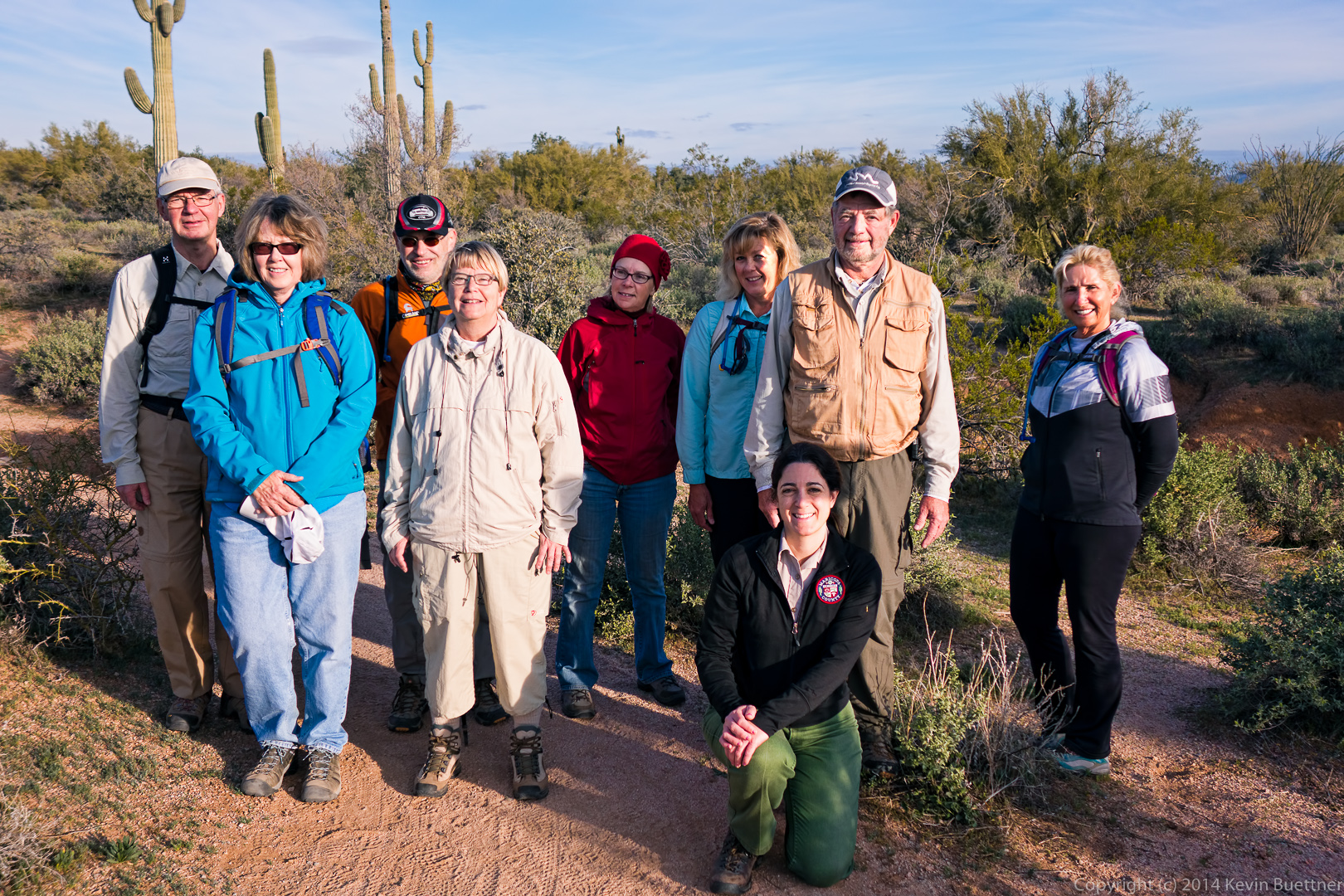
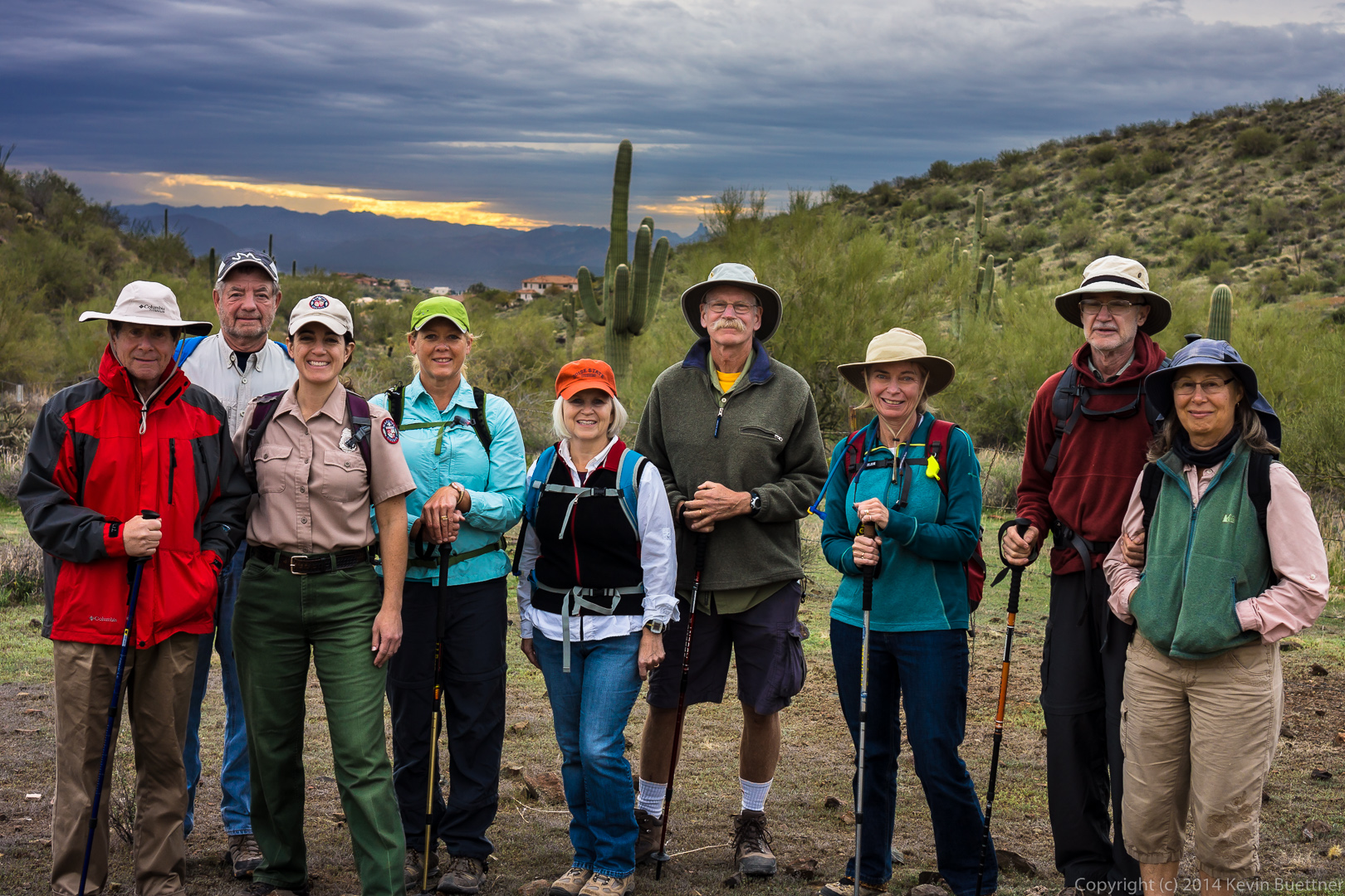
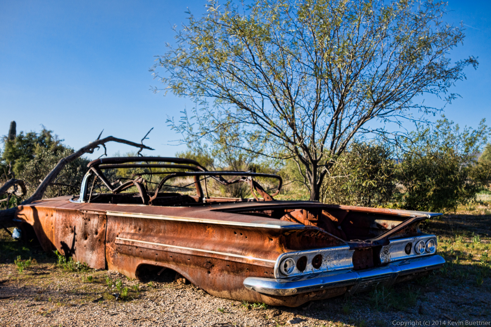 From left to right are Amy, Jill, George, Linda, Mary Ann, Christina, Venie, Nick, Janet, Mary Lou, Per, Anders, and Bill. We had such a big group today that not much of the car is visible in this photo! (And they made them really big back then!)
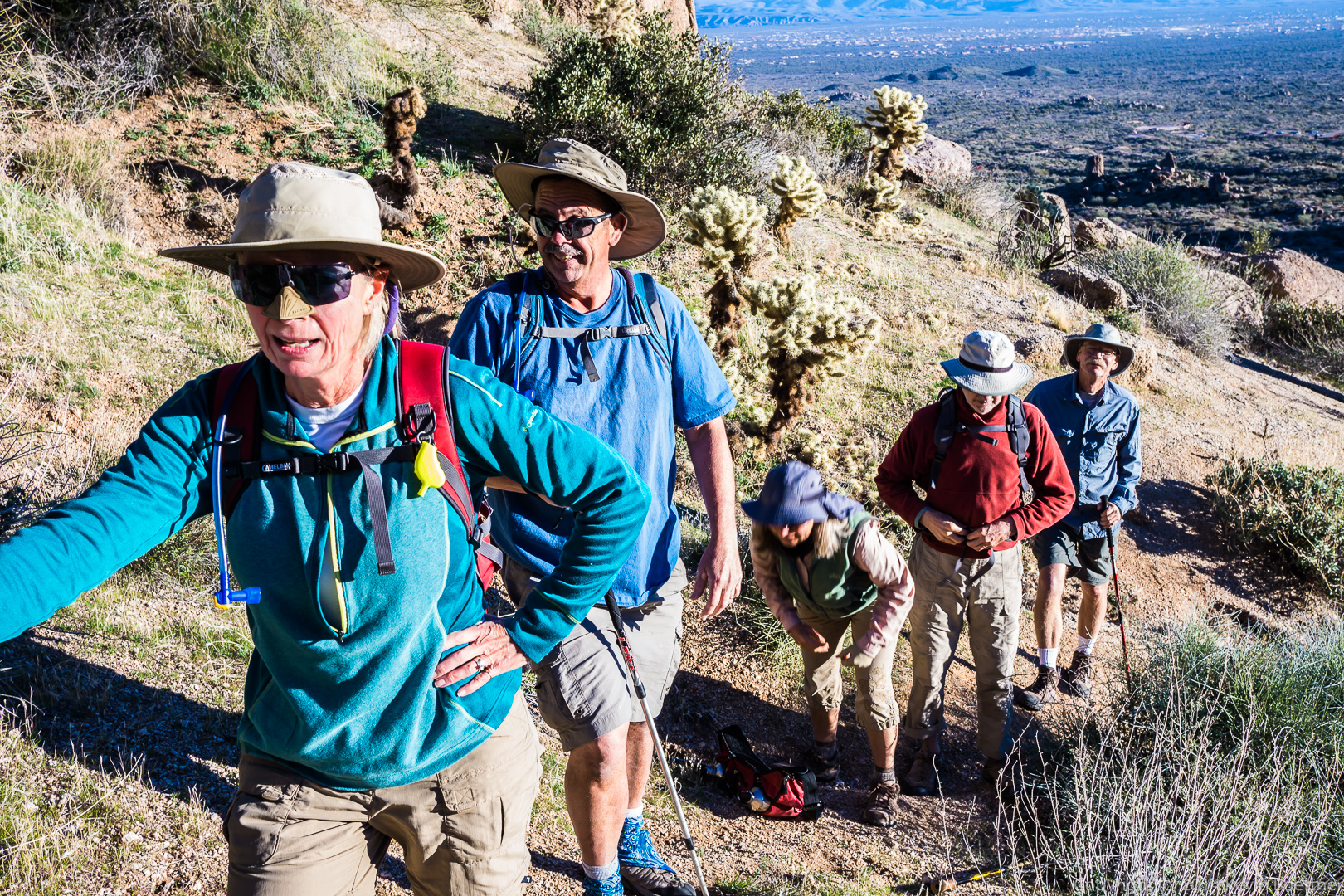
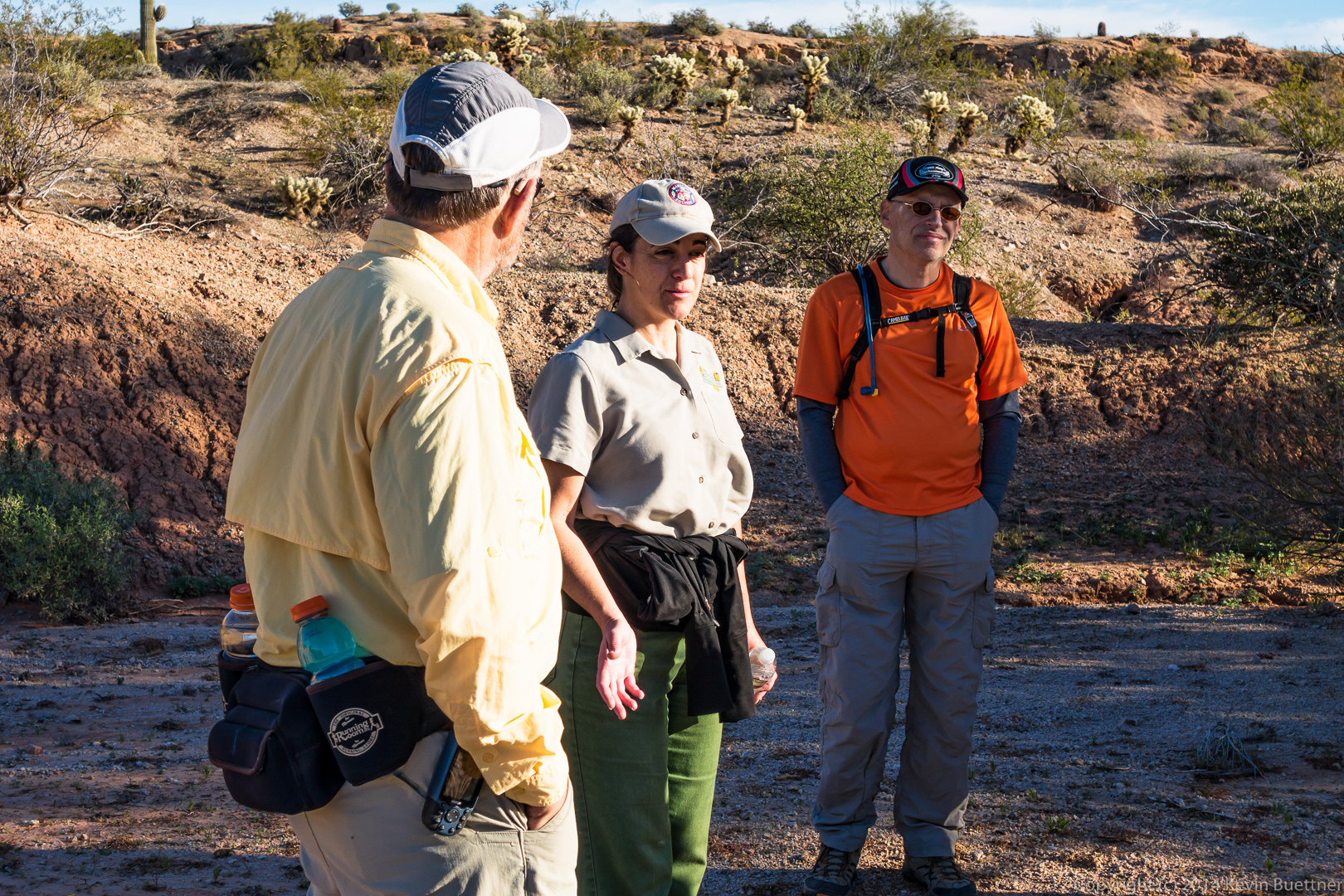
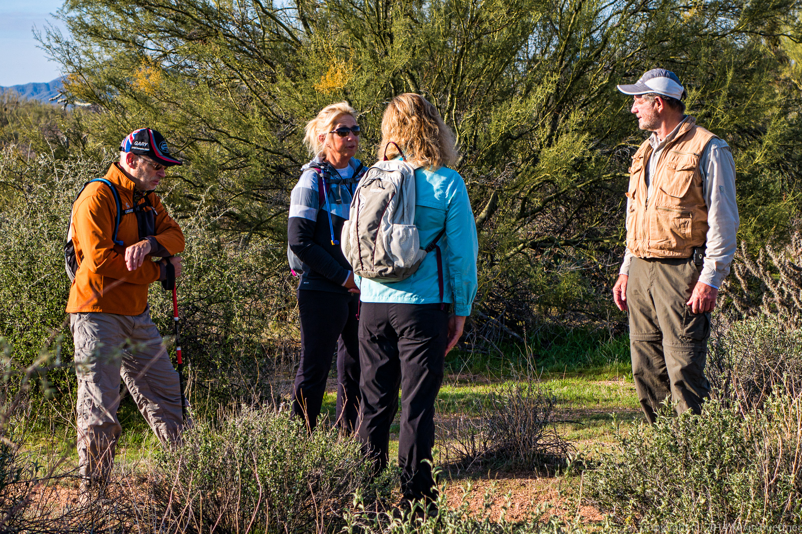
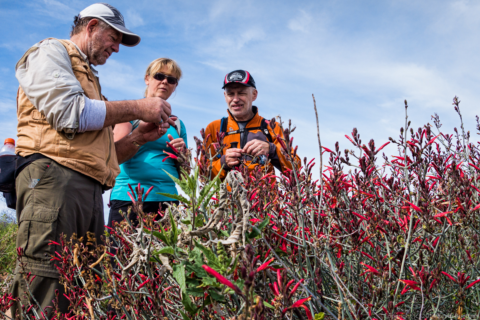
 Even though it’s a fitness hike, Amy tells us about desert mistletoe during one of our water breaks.
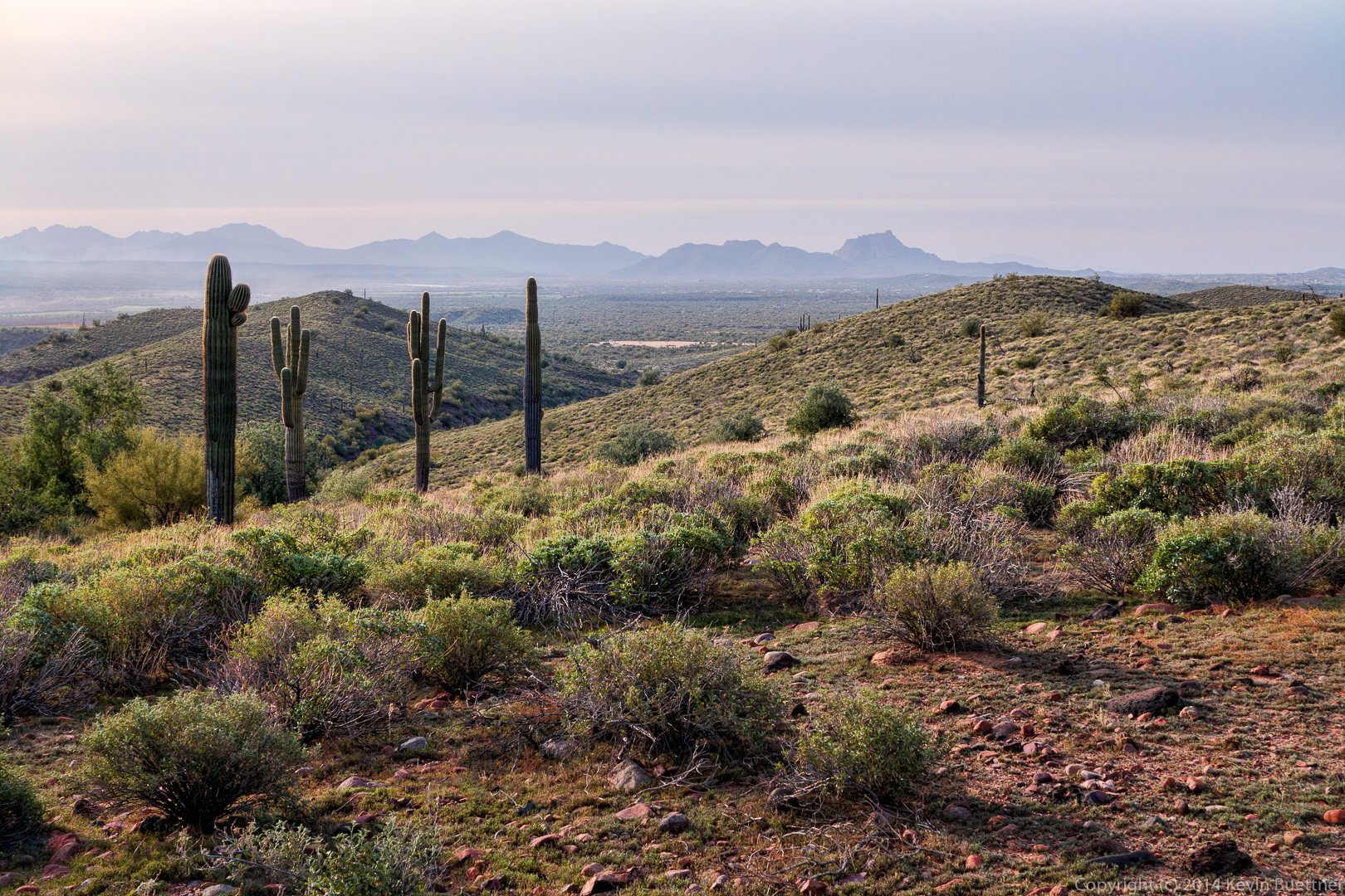
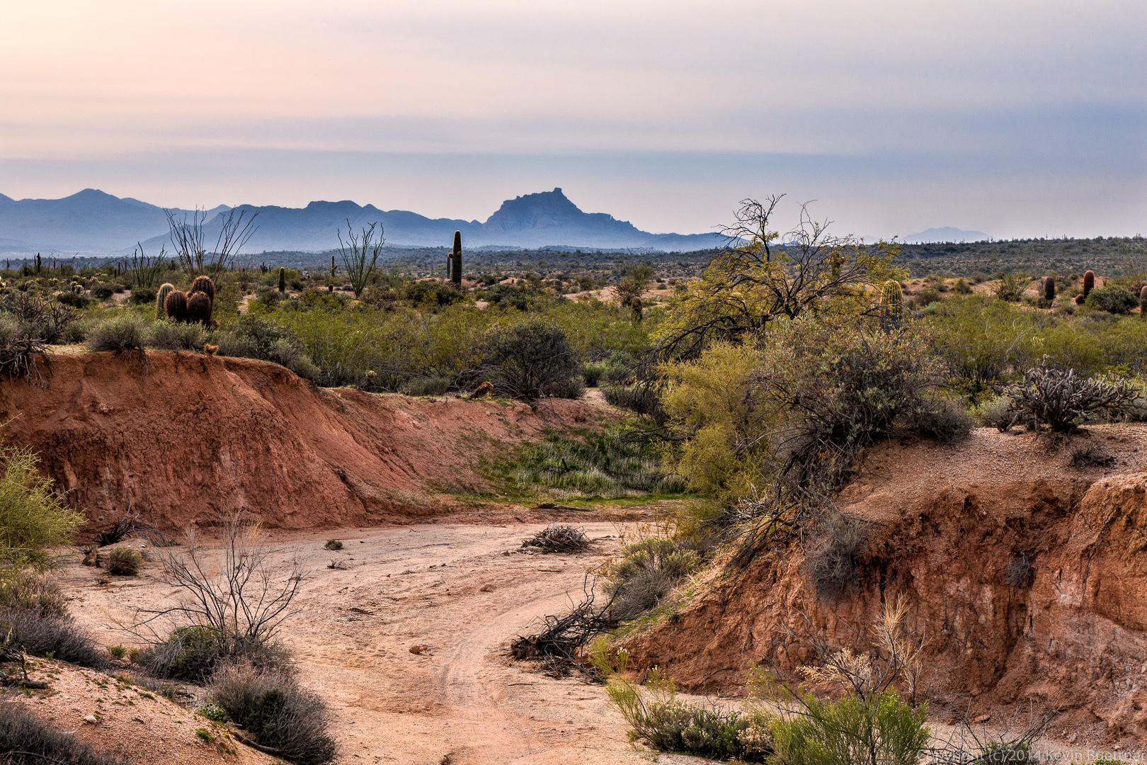
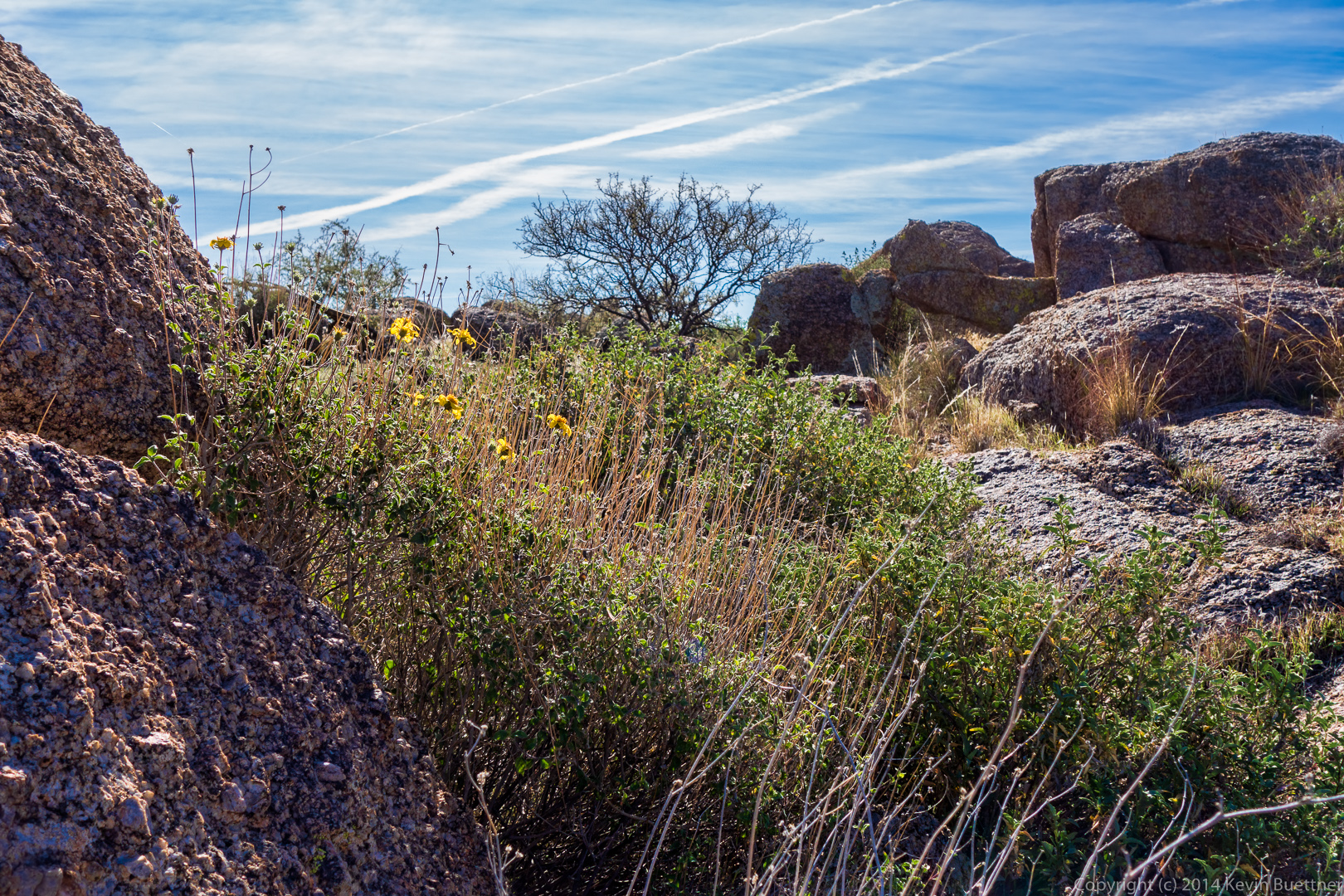
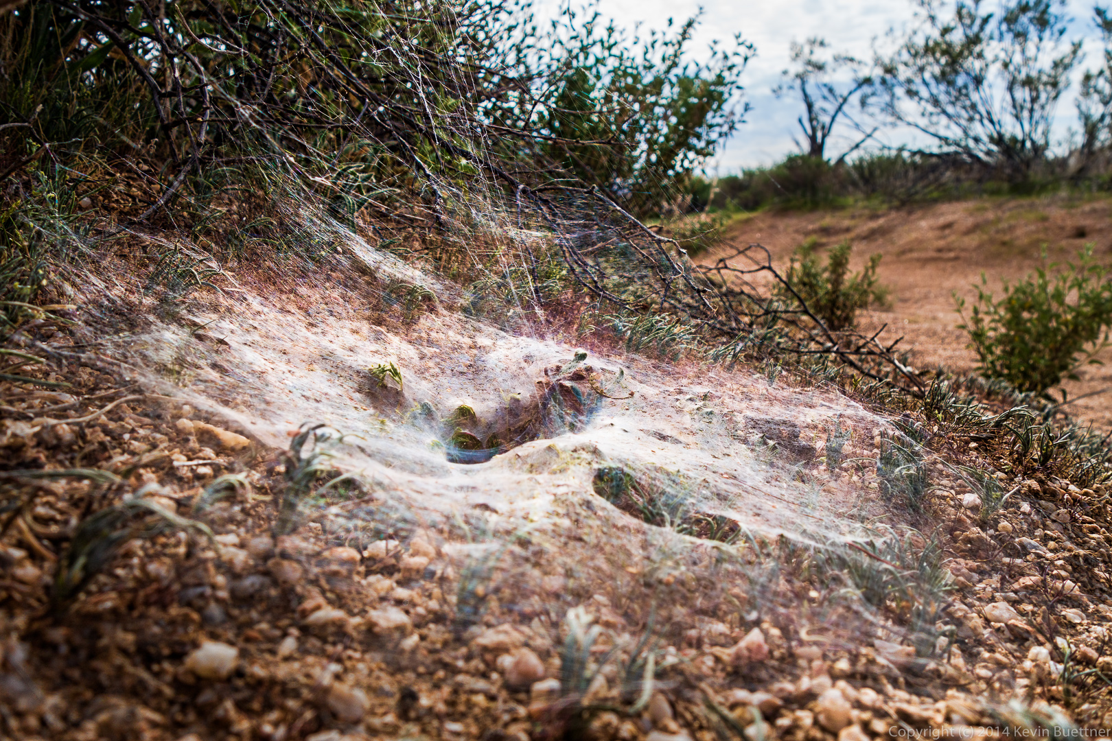
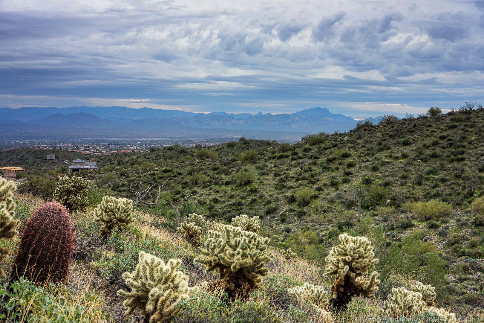
A view of Stoneman Wash. The green plant at the lower left is called Bebbia, but is also known as Sweet Bush or Chuckwalla’s Delight. (Thanks to Amy for researching this and sending me this information after the hike was over.)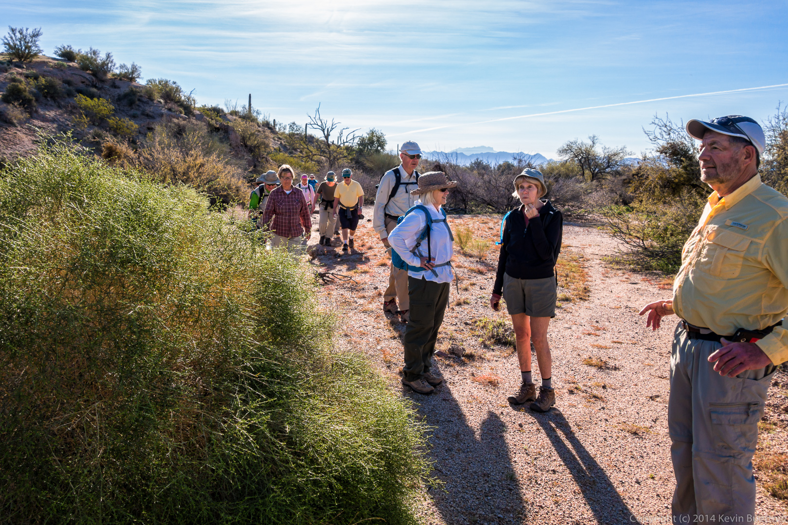
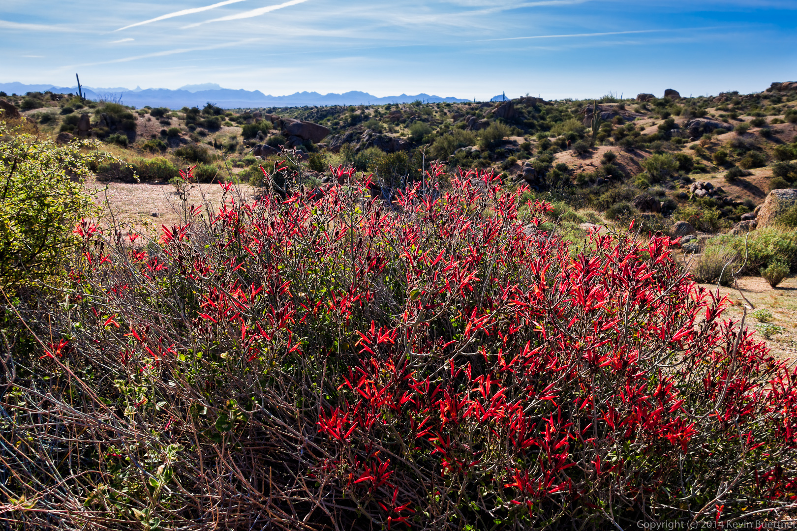
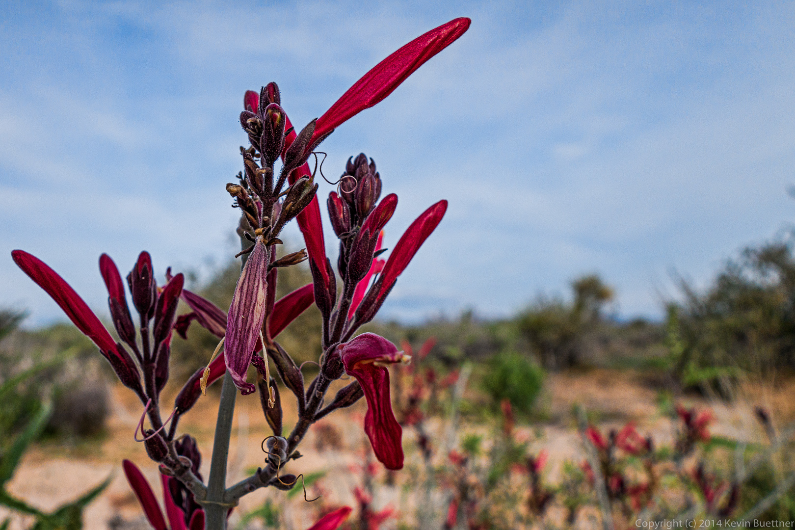
A chuparosa bush in bloom:
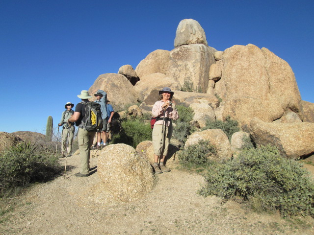
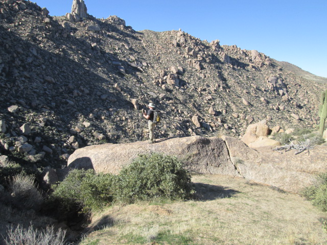
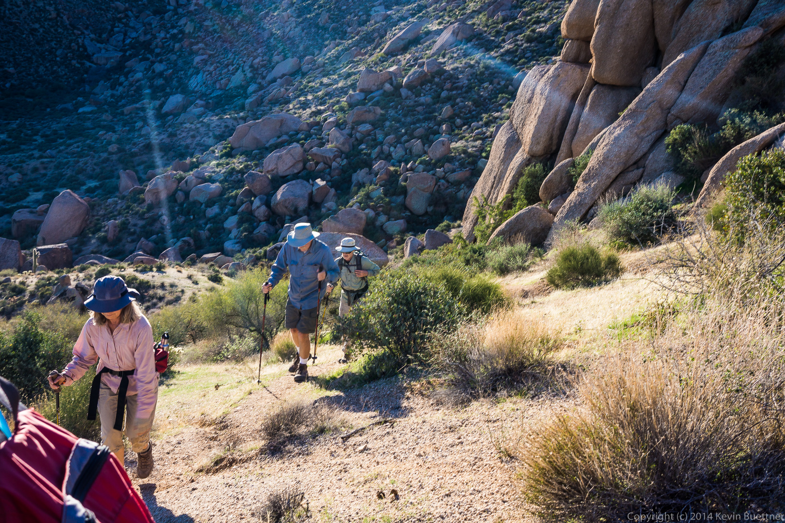
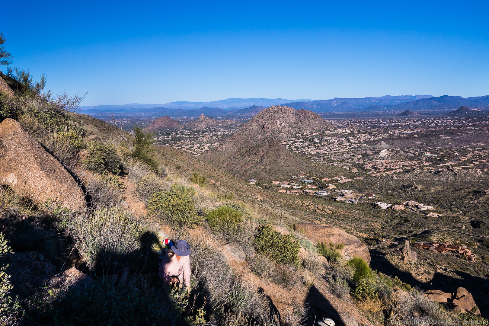
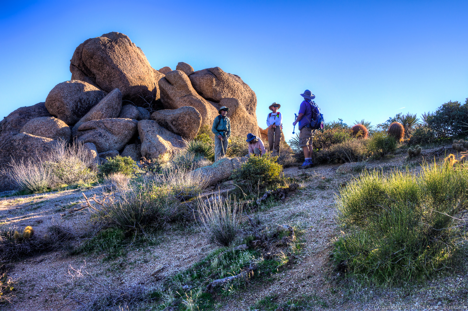
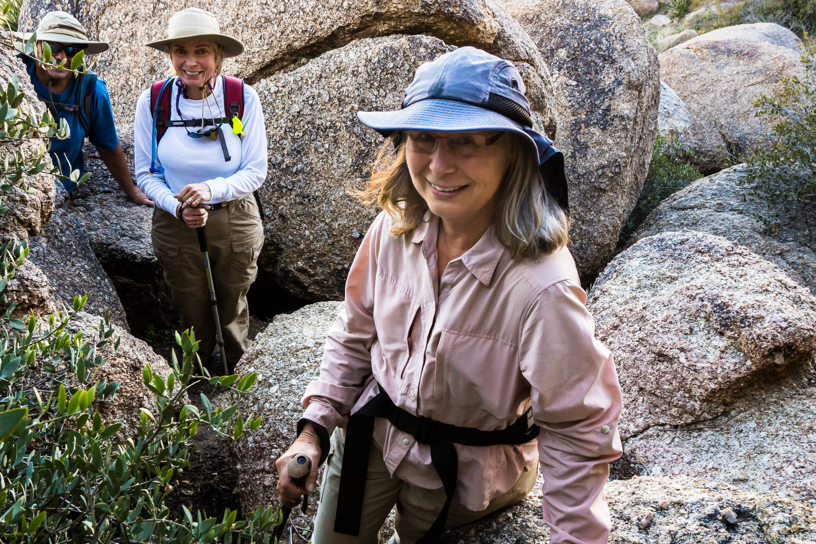
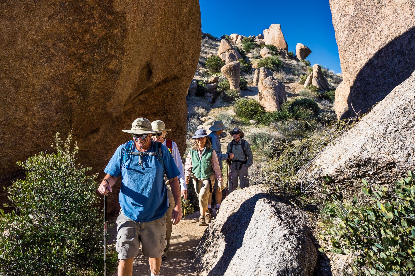
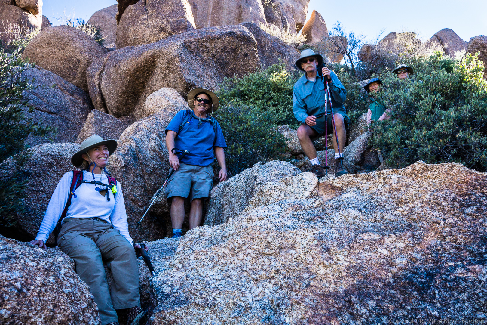
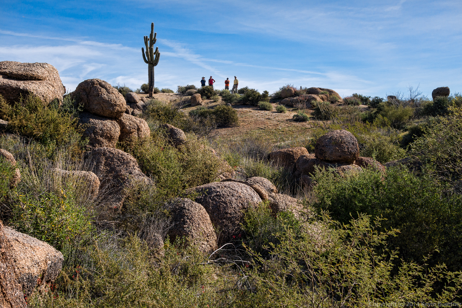
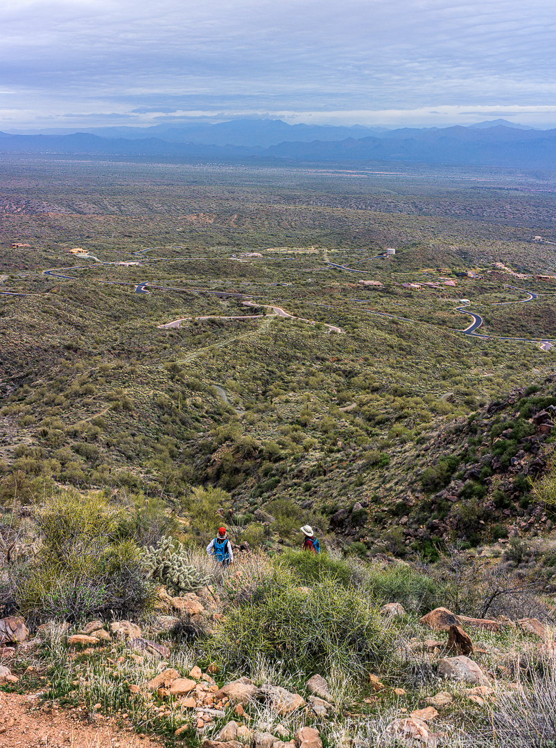
 Janet, Nick, and Bill wait for me on some rocks.
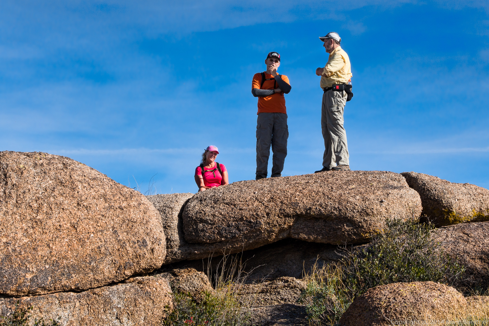 Linda took this photo of me next to a chuparosa bush. An ocotillo is behind it.
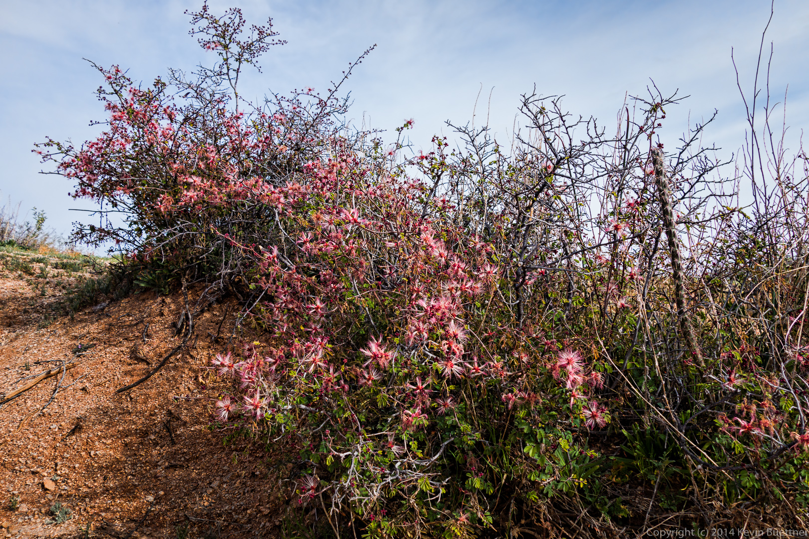
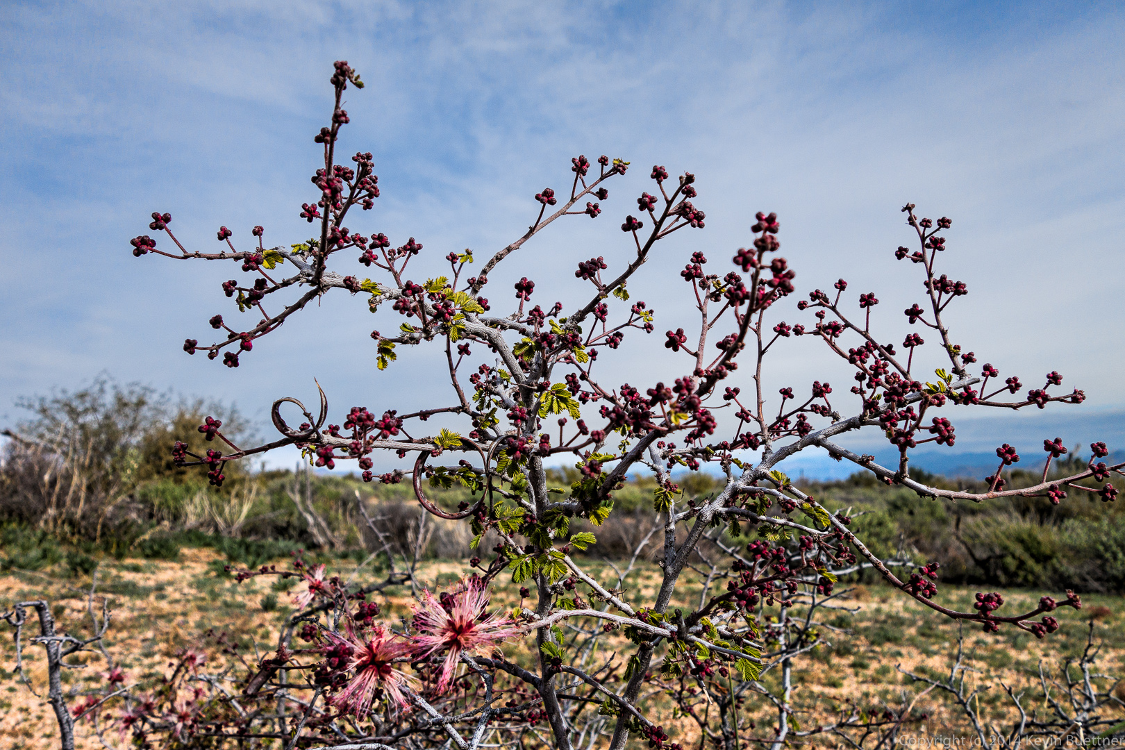
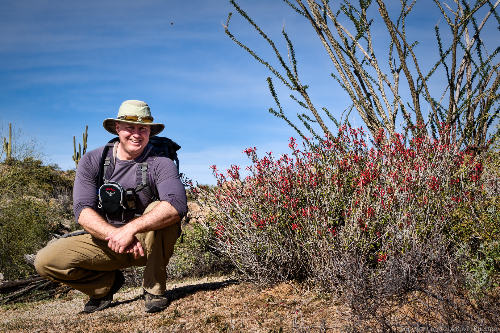 A fairy duster in bloom:
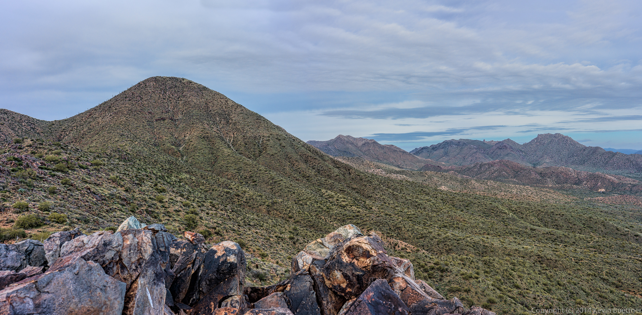
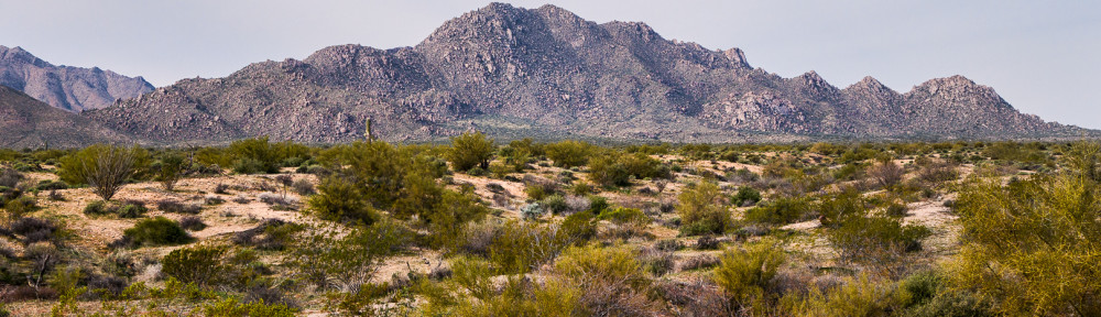
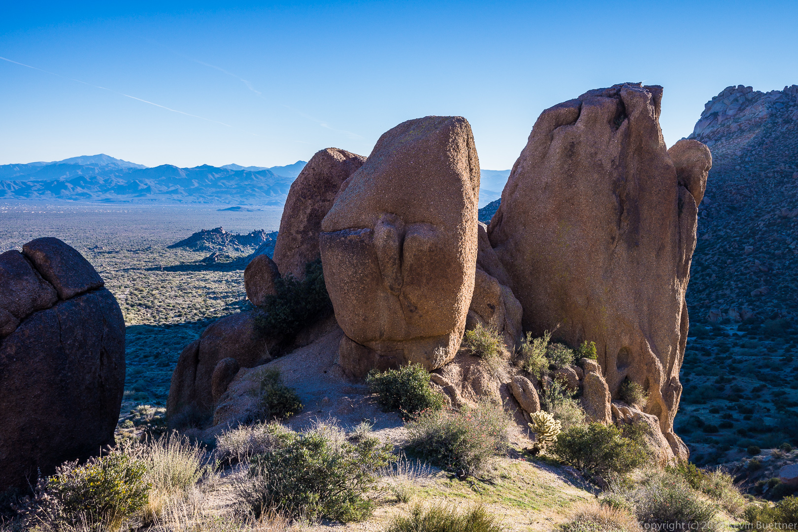
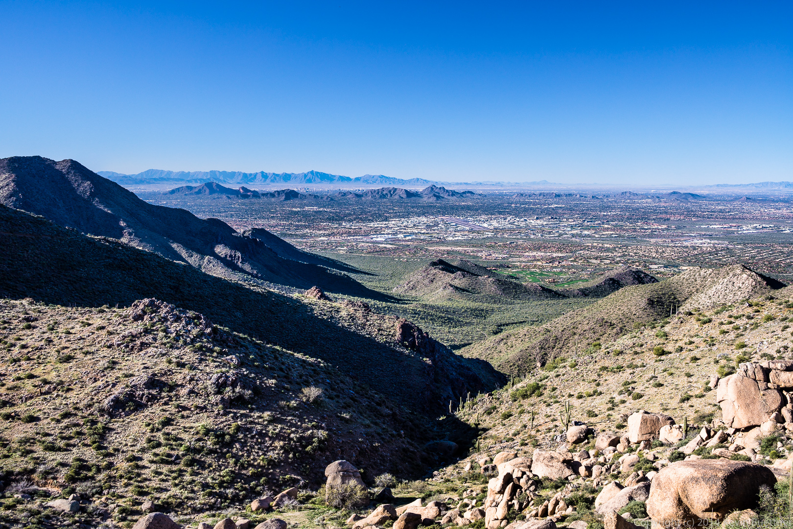
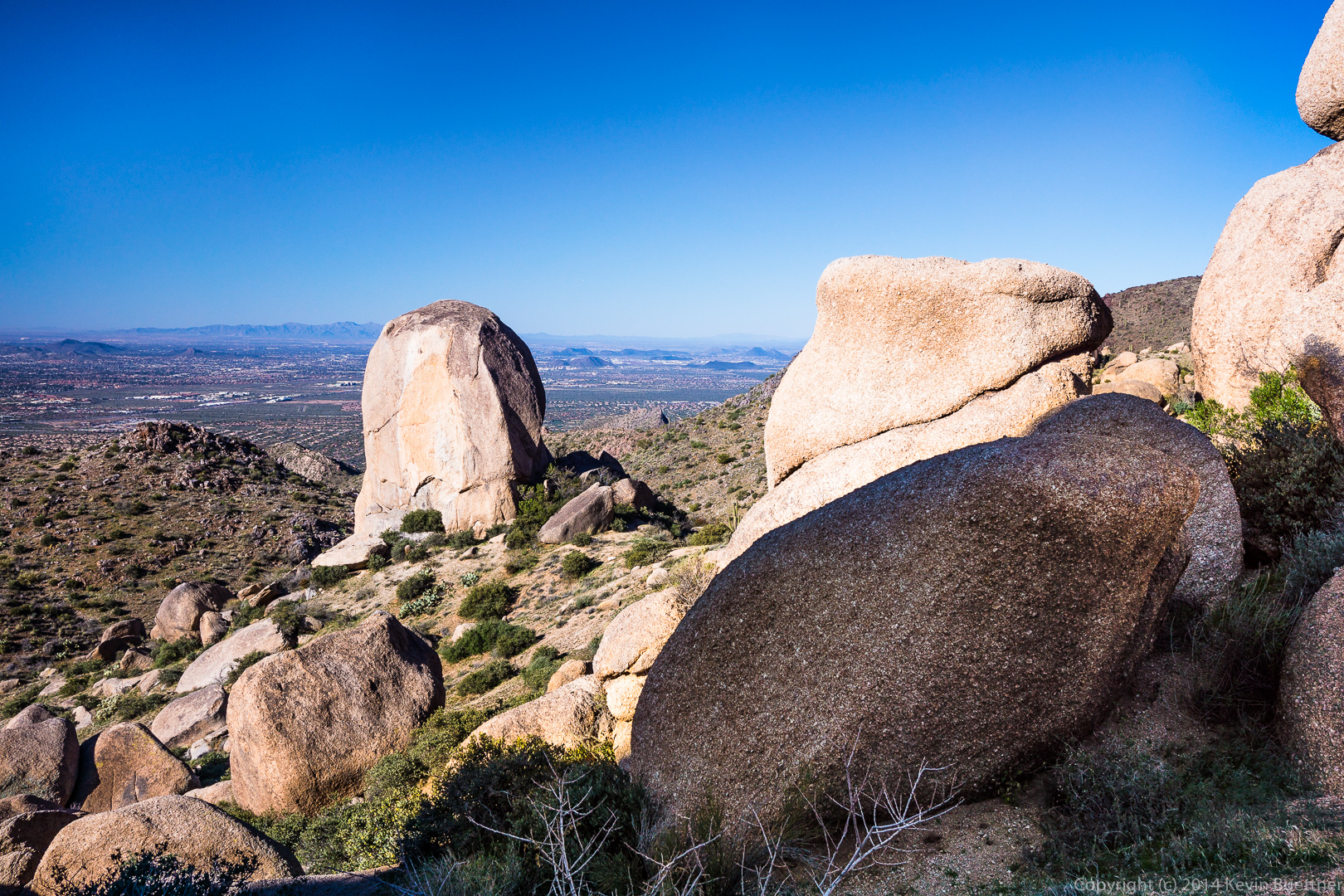
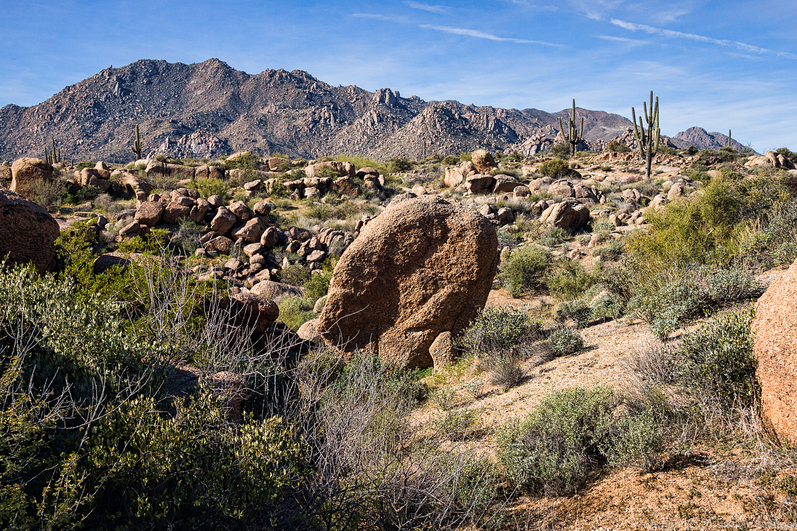
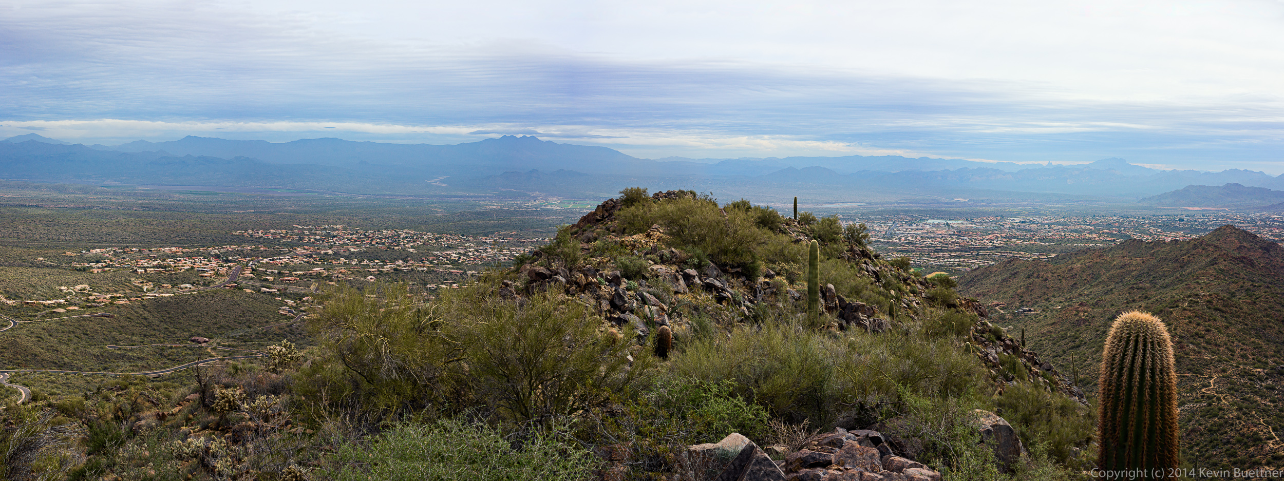
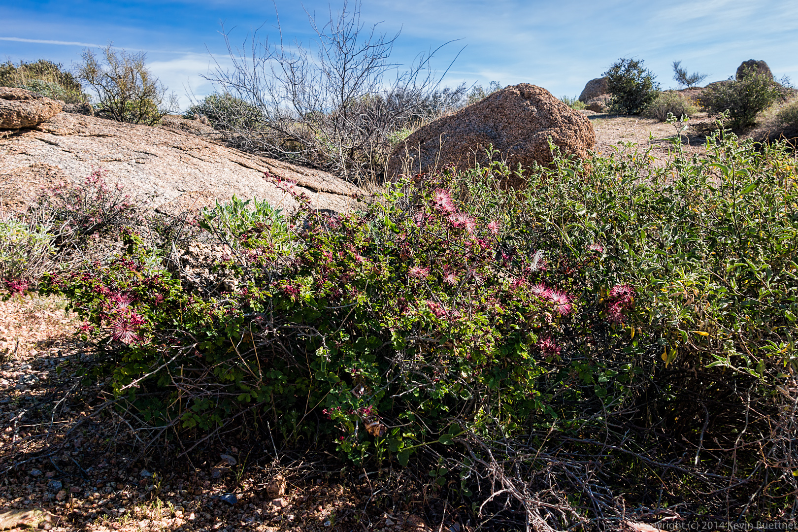 The McDowells with a bunch of boulders in the foreground.
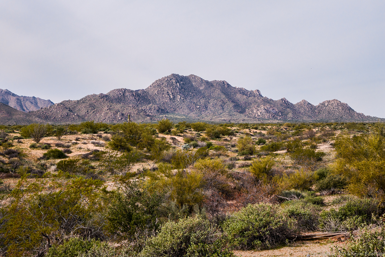
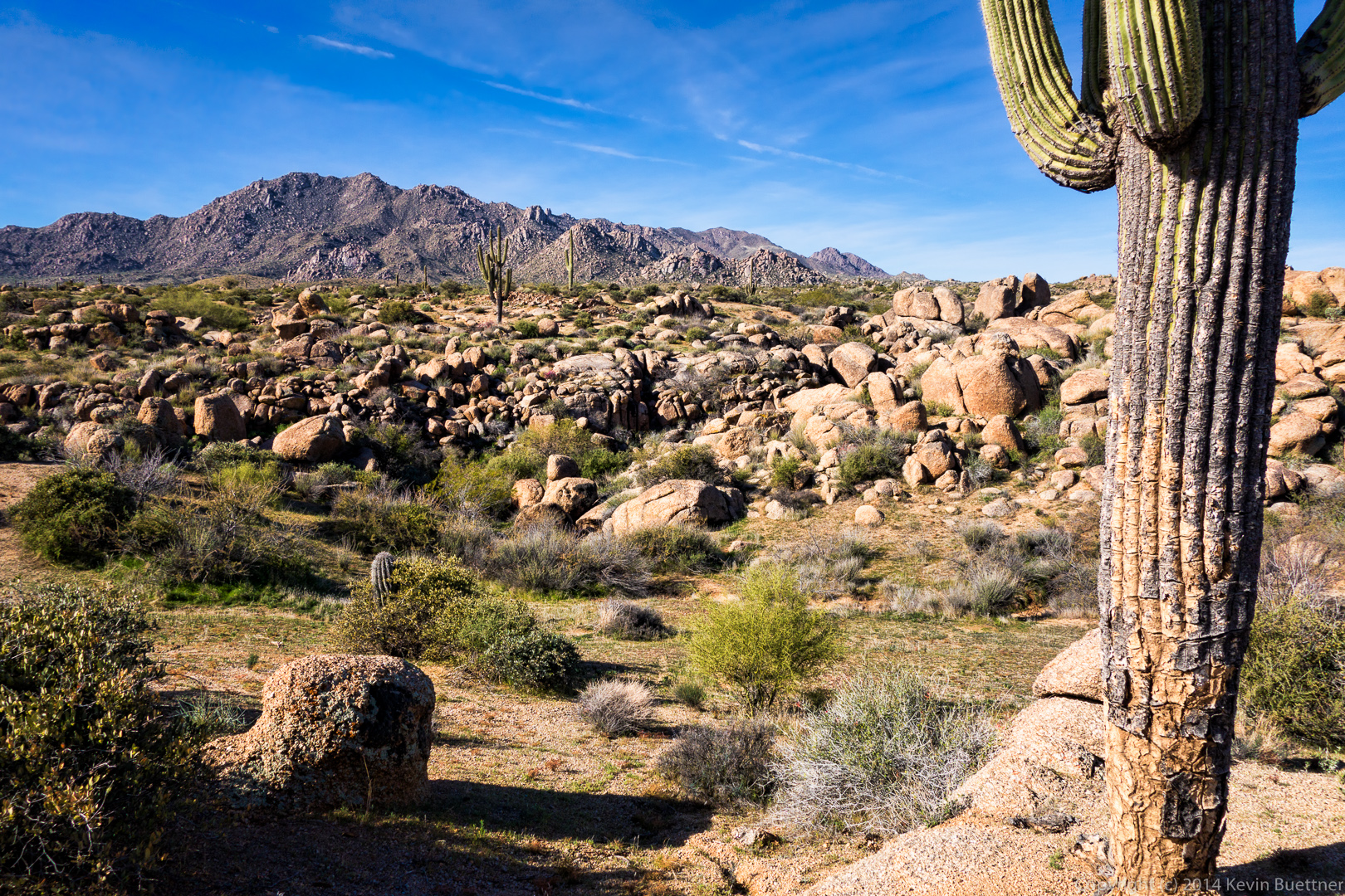
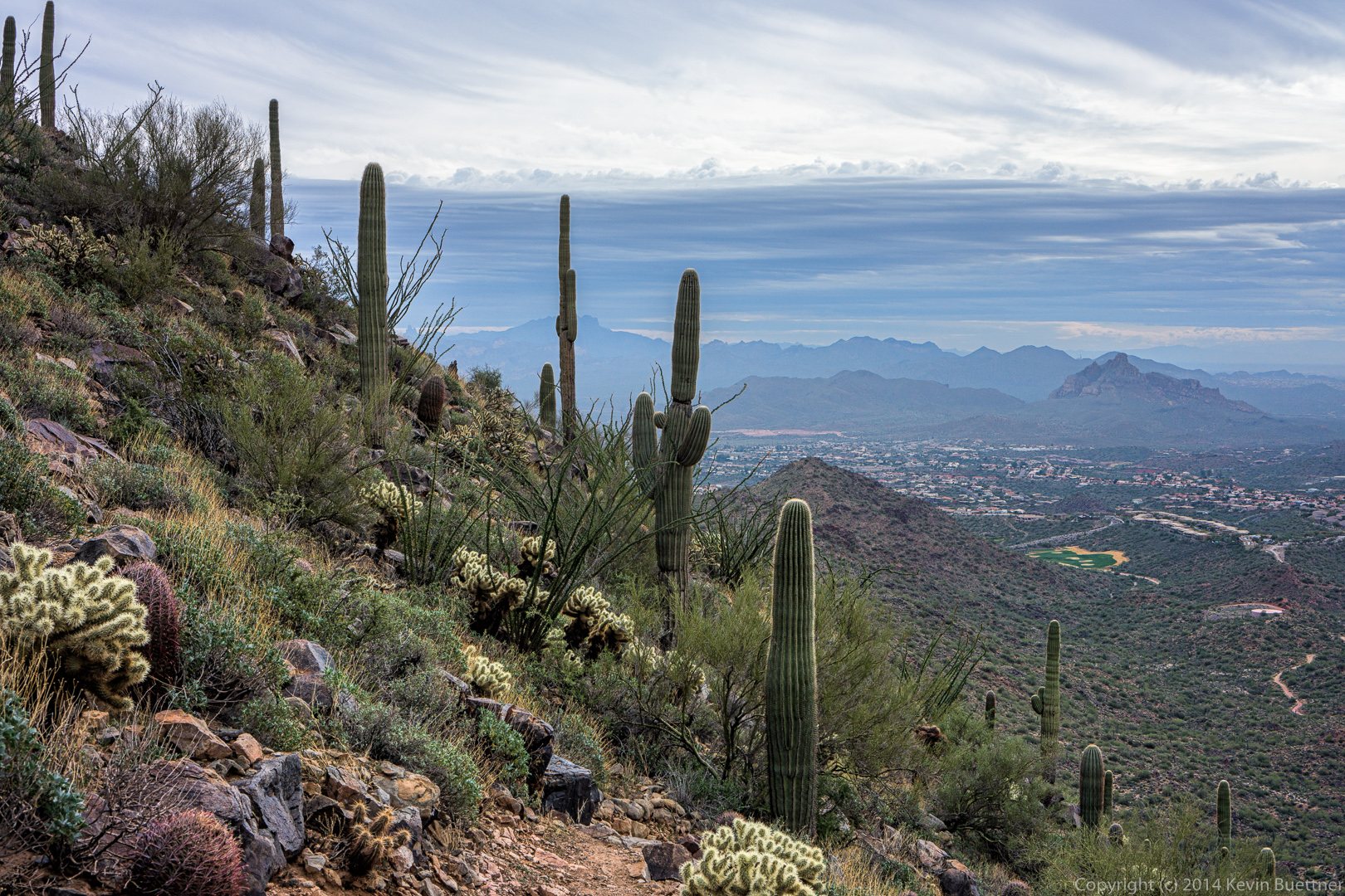
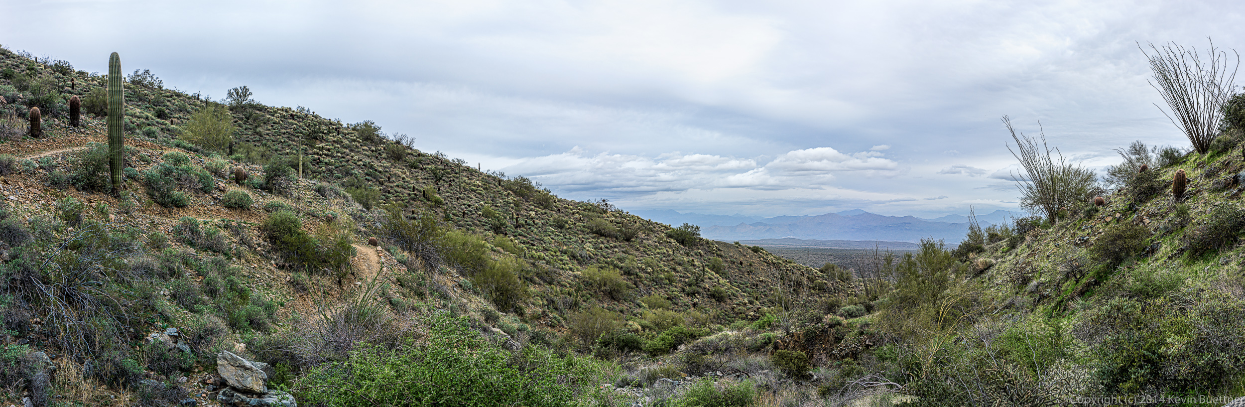
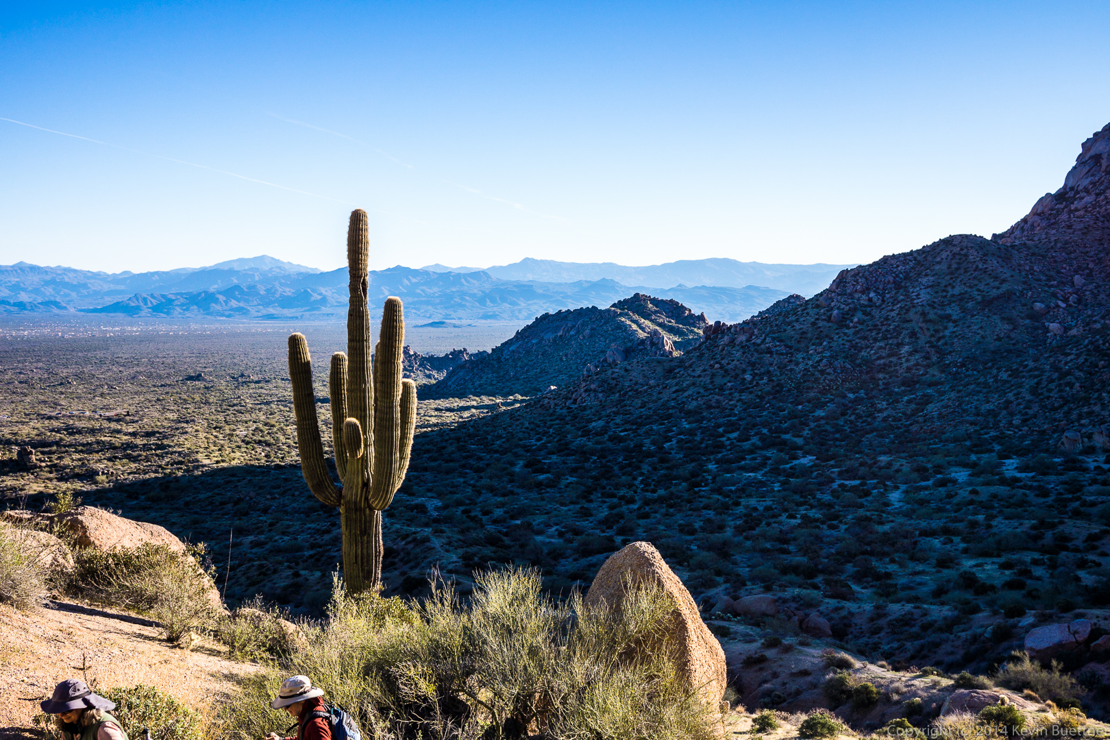
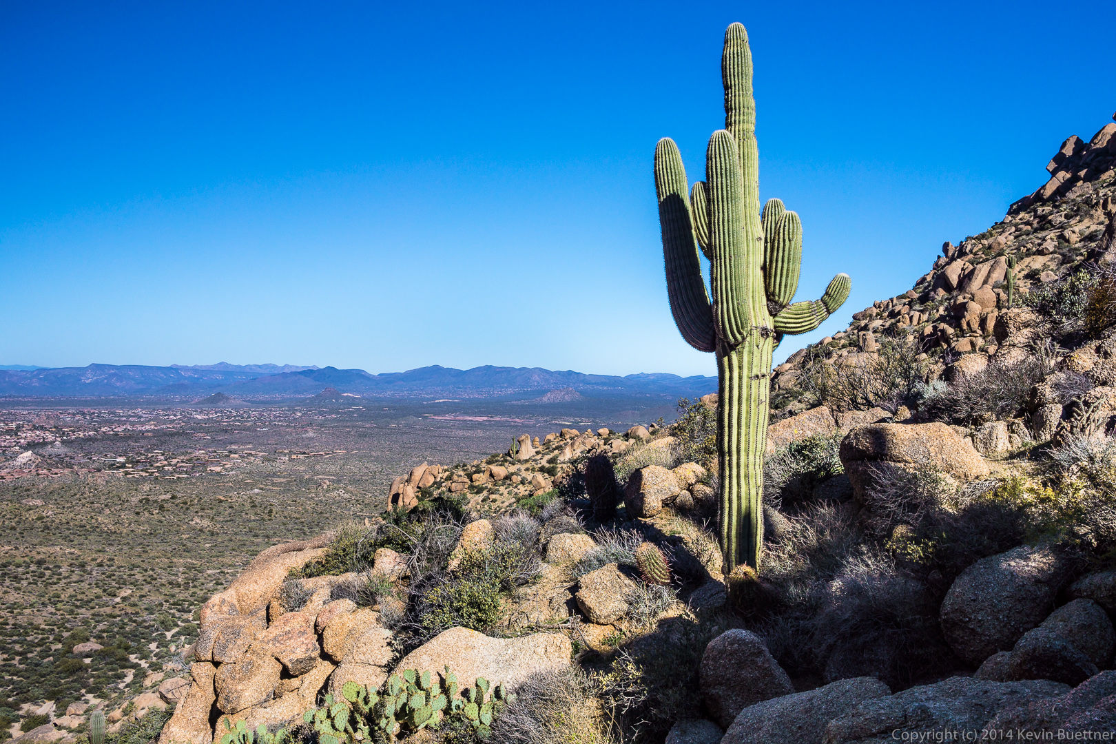
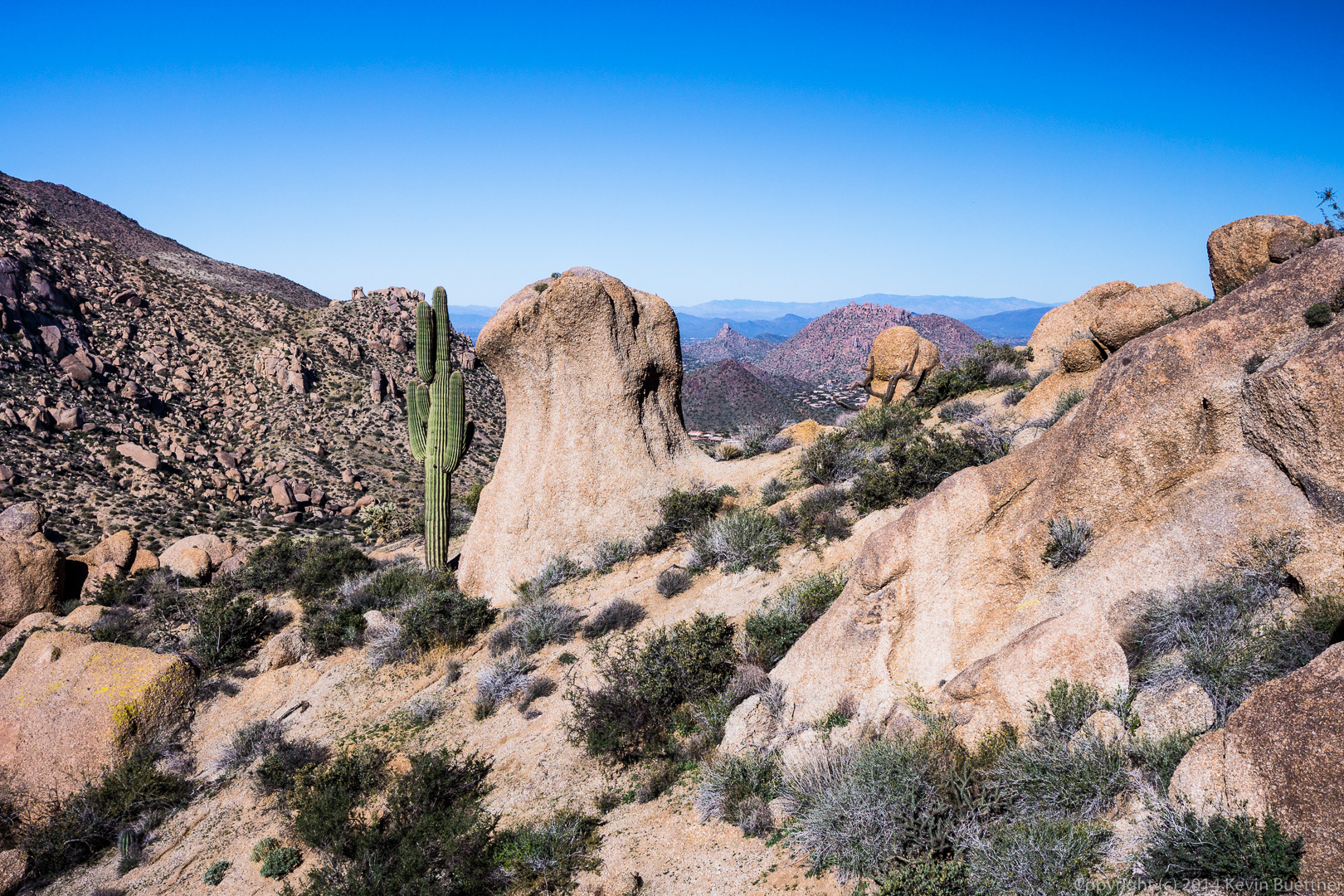
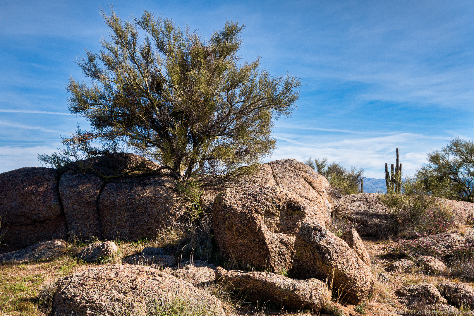
 A similar view, but this time with a saguaro in the foreground too.
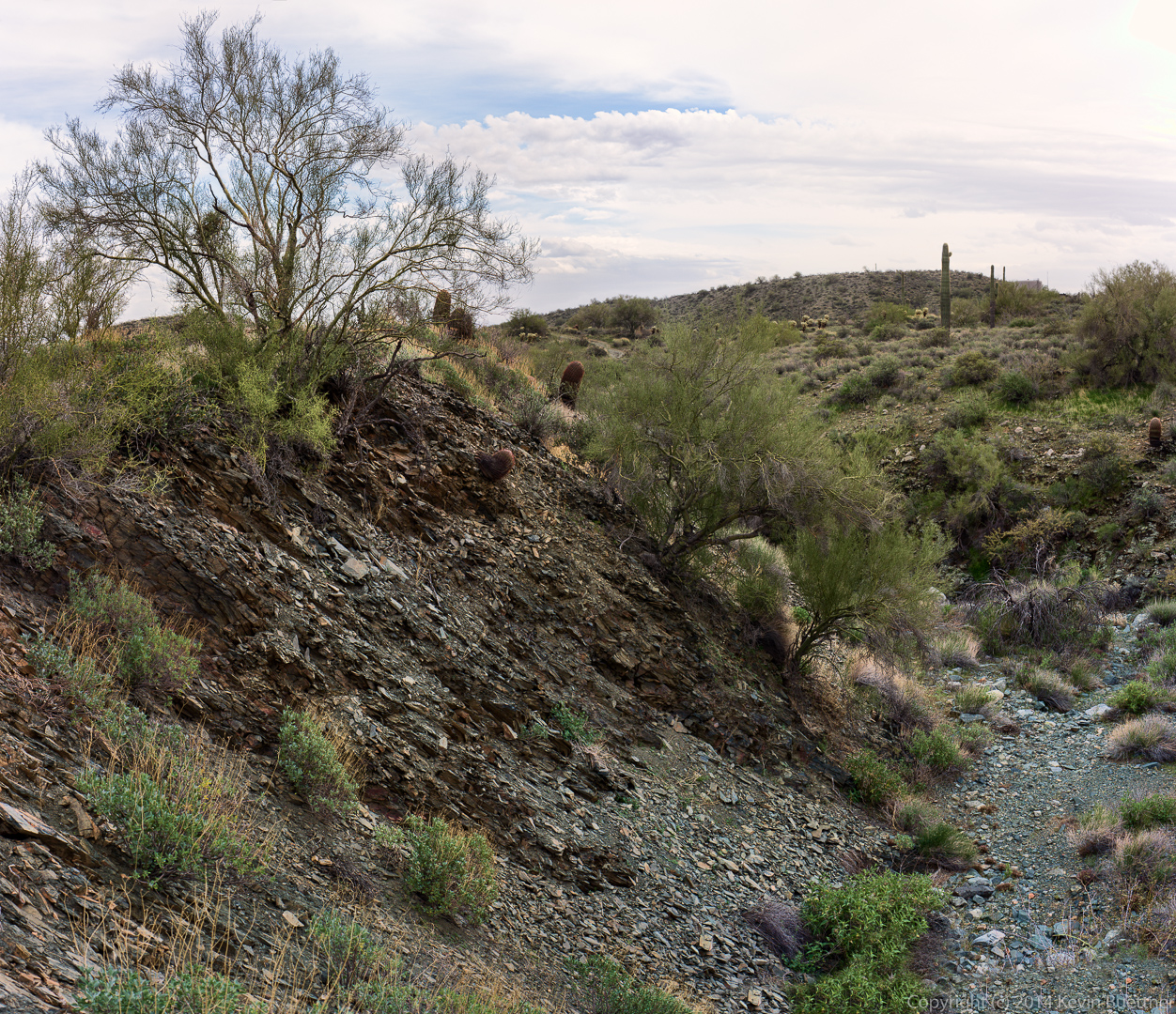
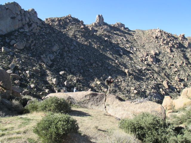
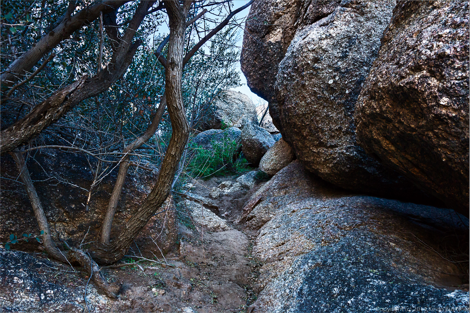
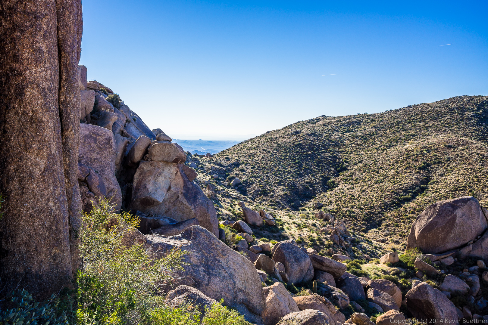
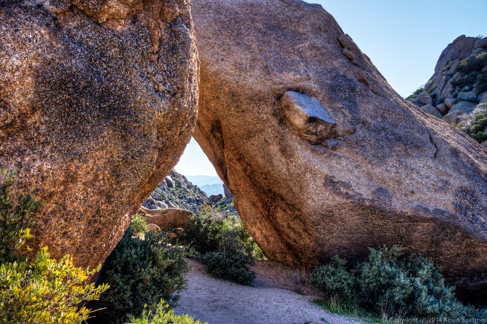
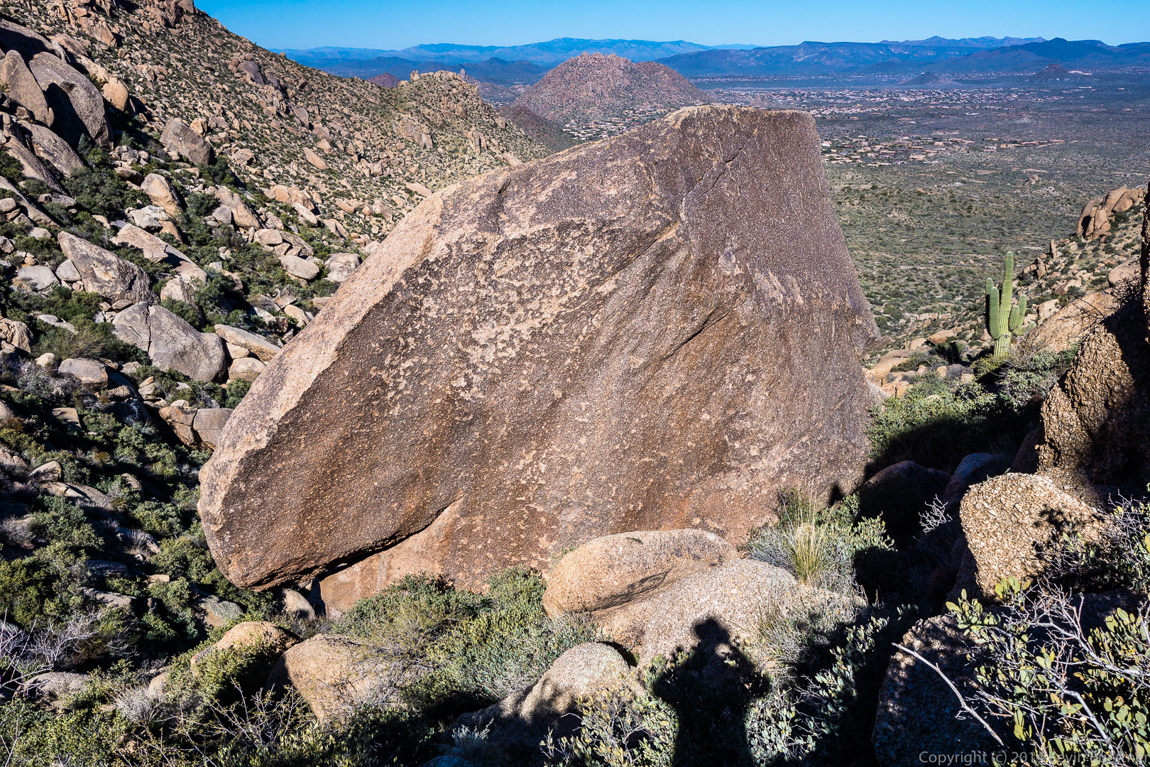
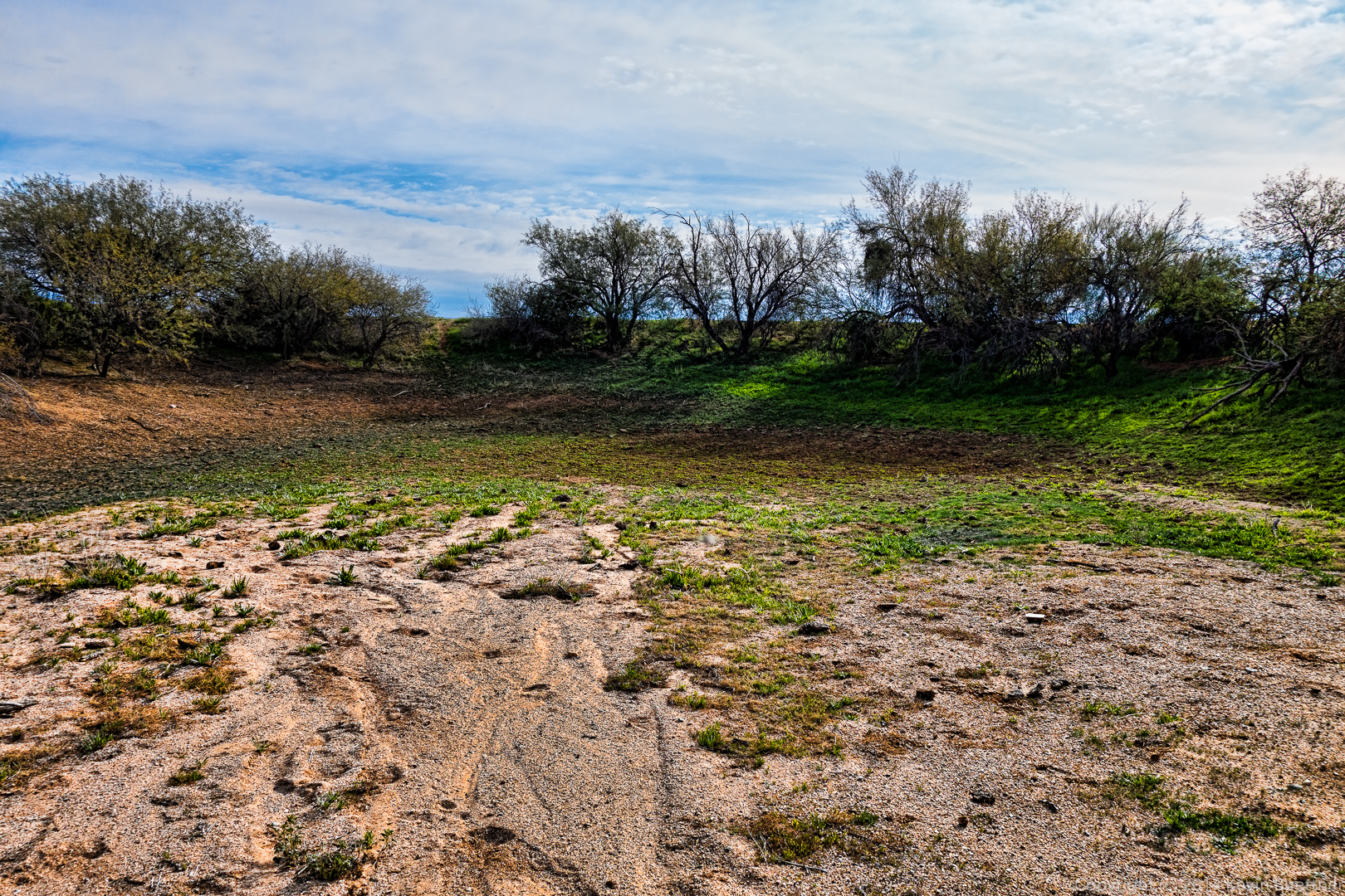
 A boulder strewn wash:
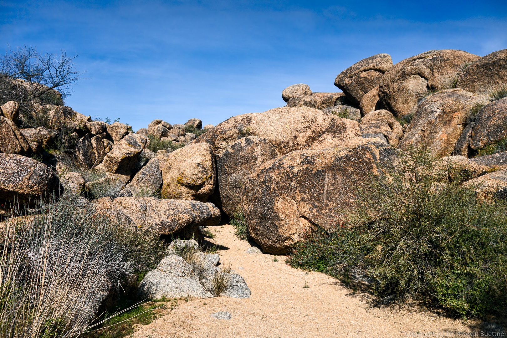 A view from the wash:
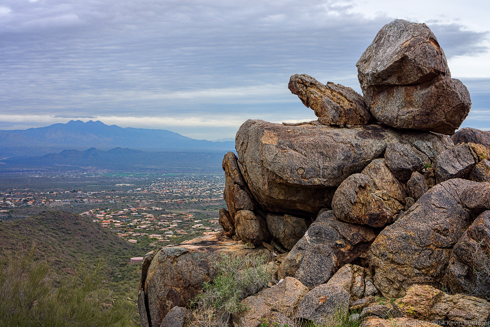
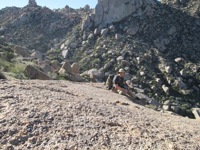
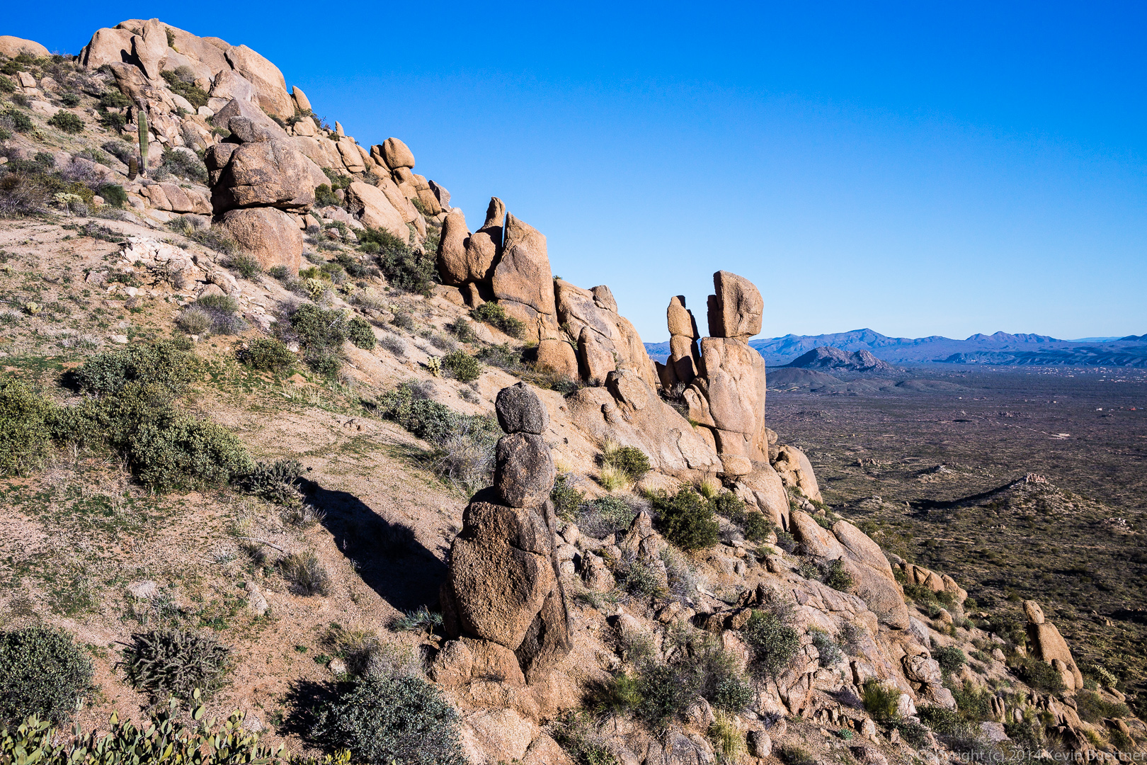
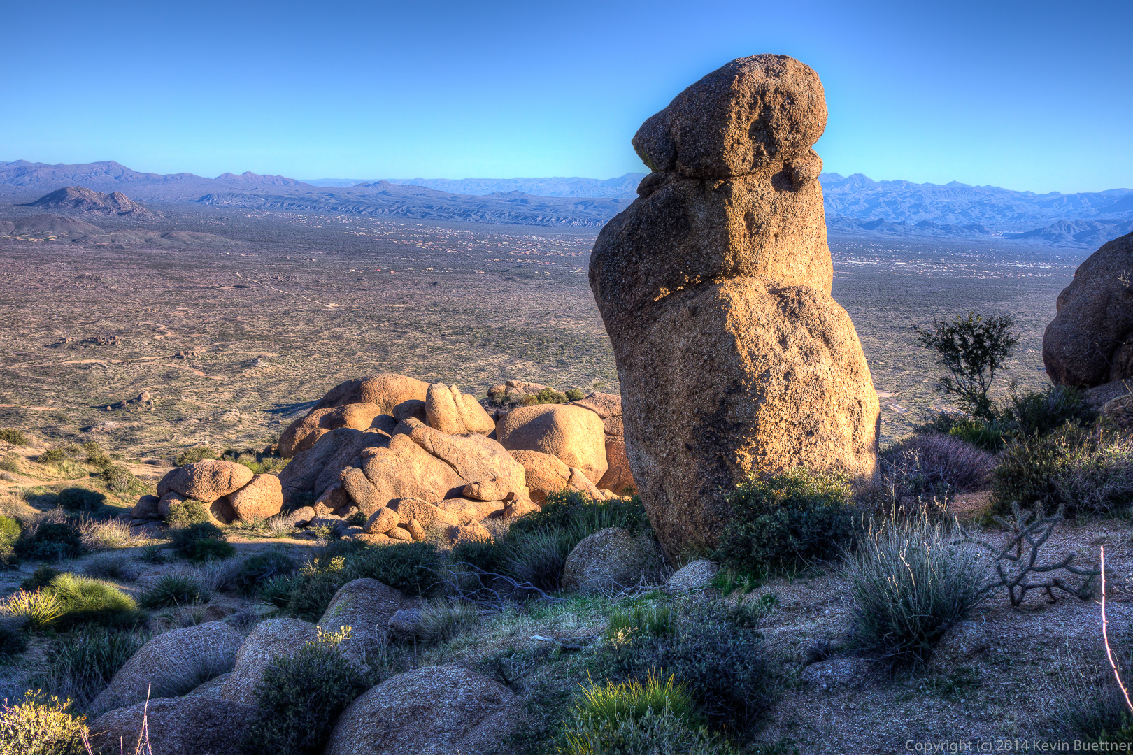
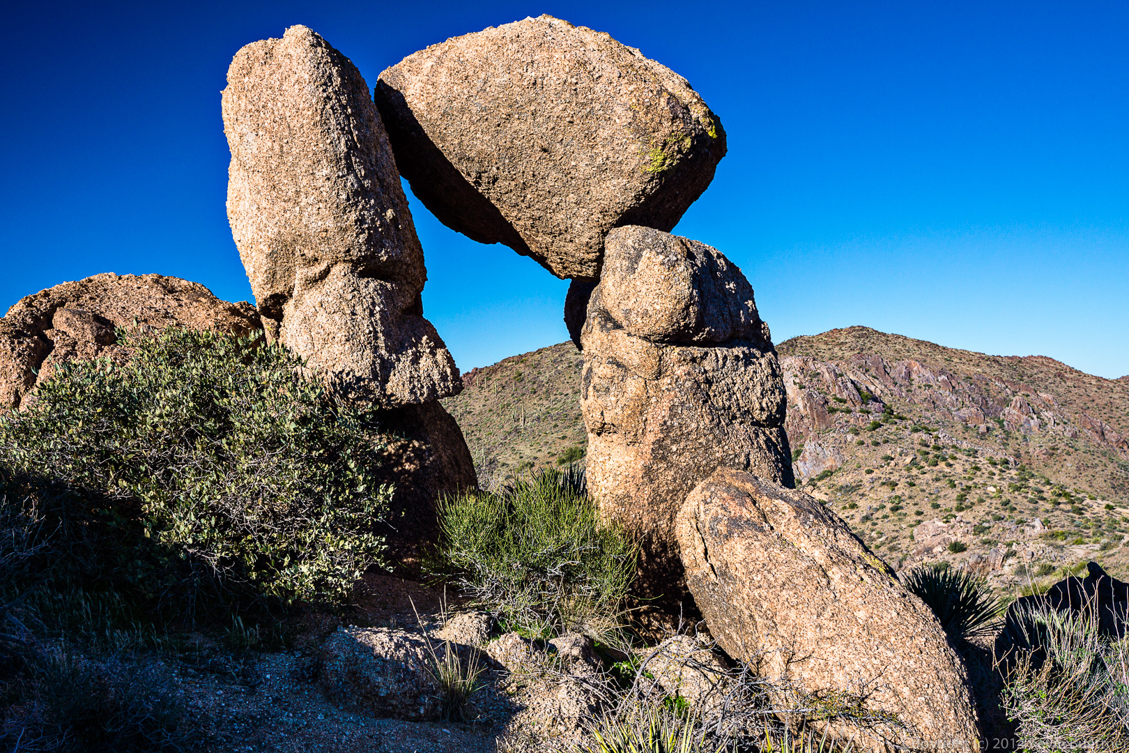
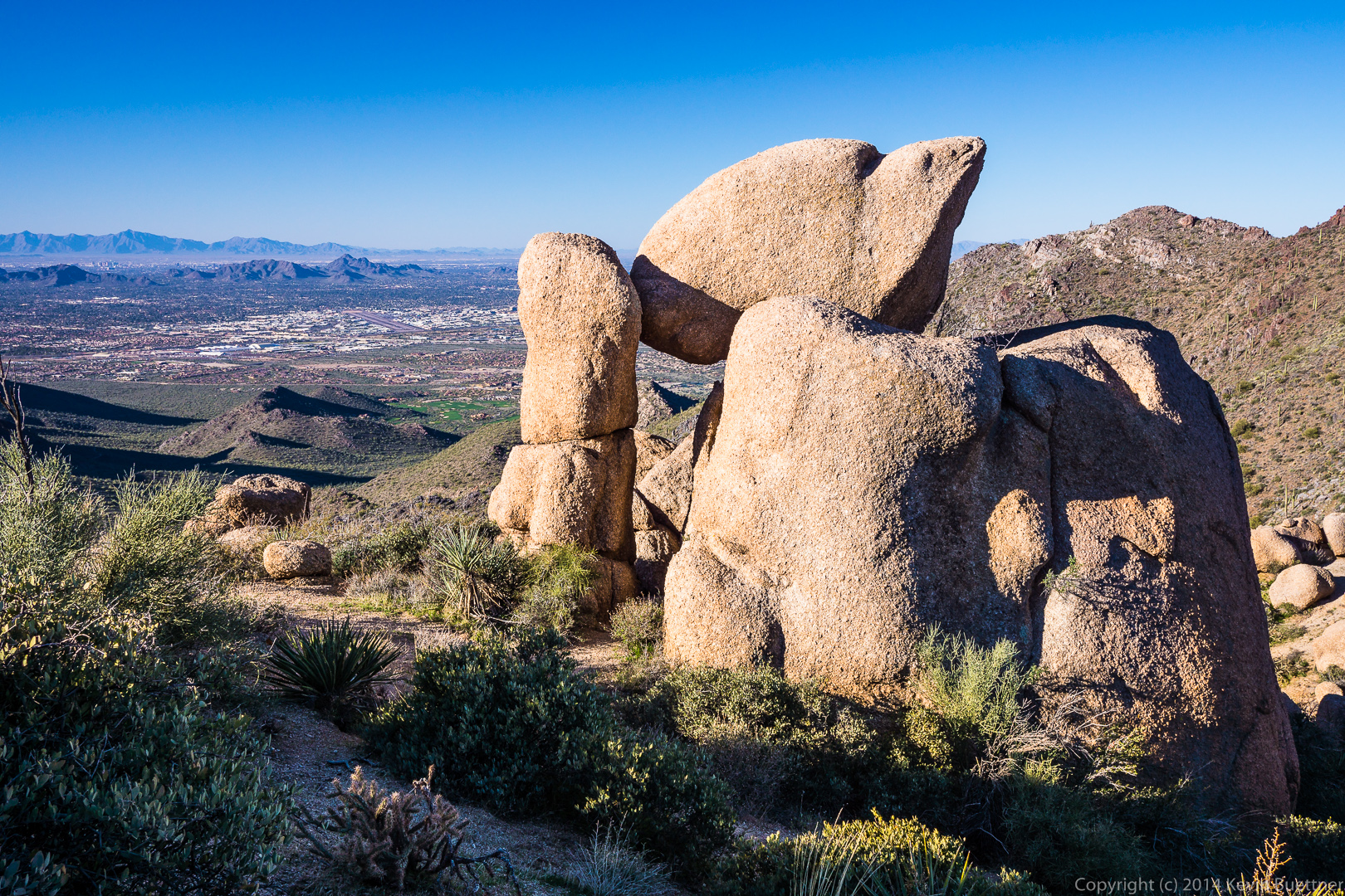
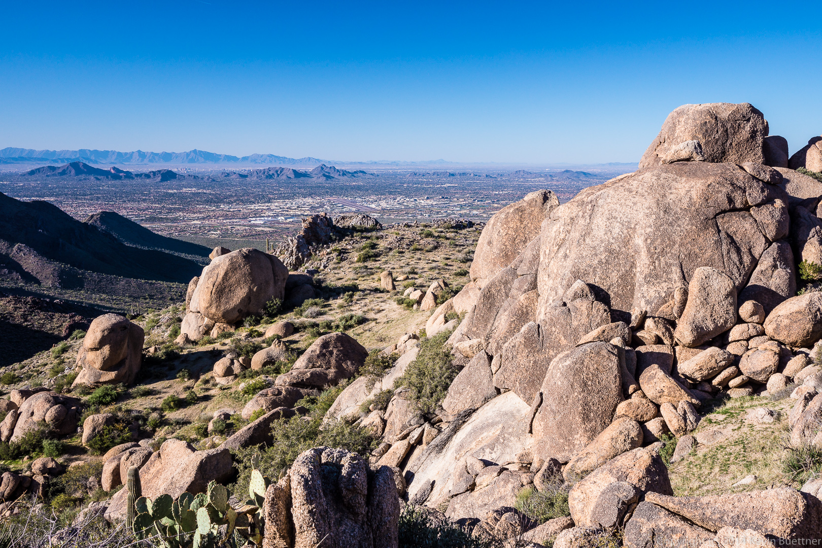
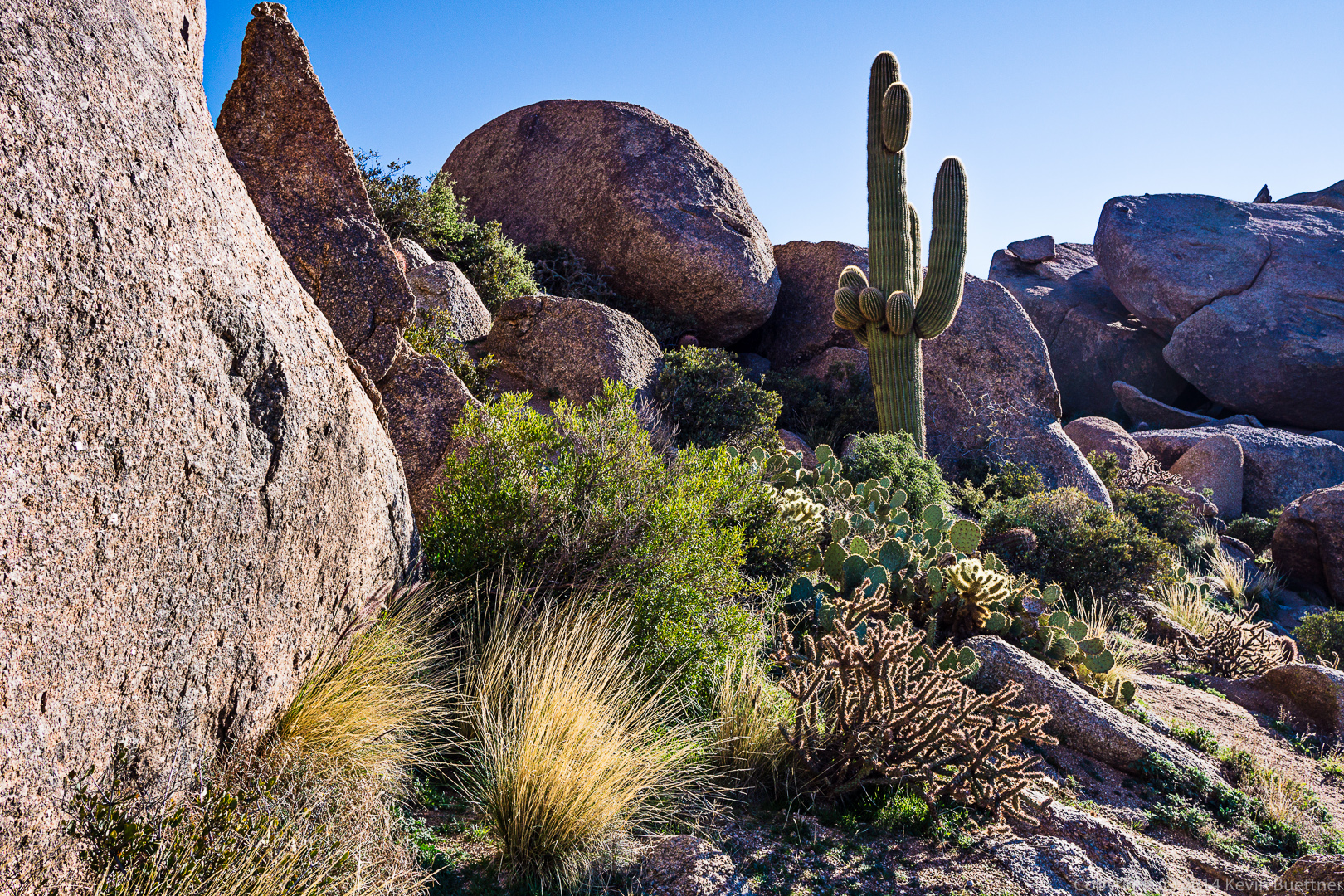
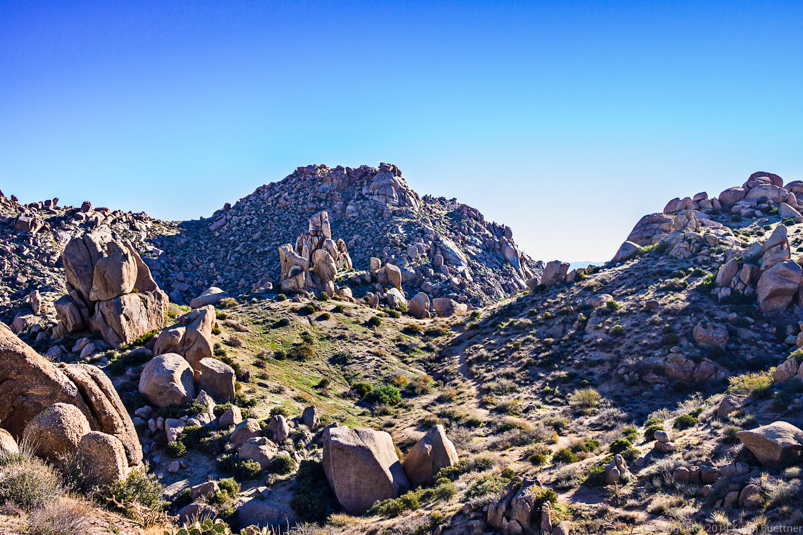
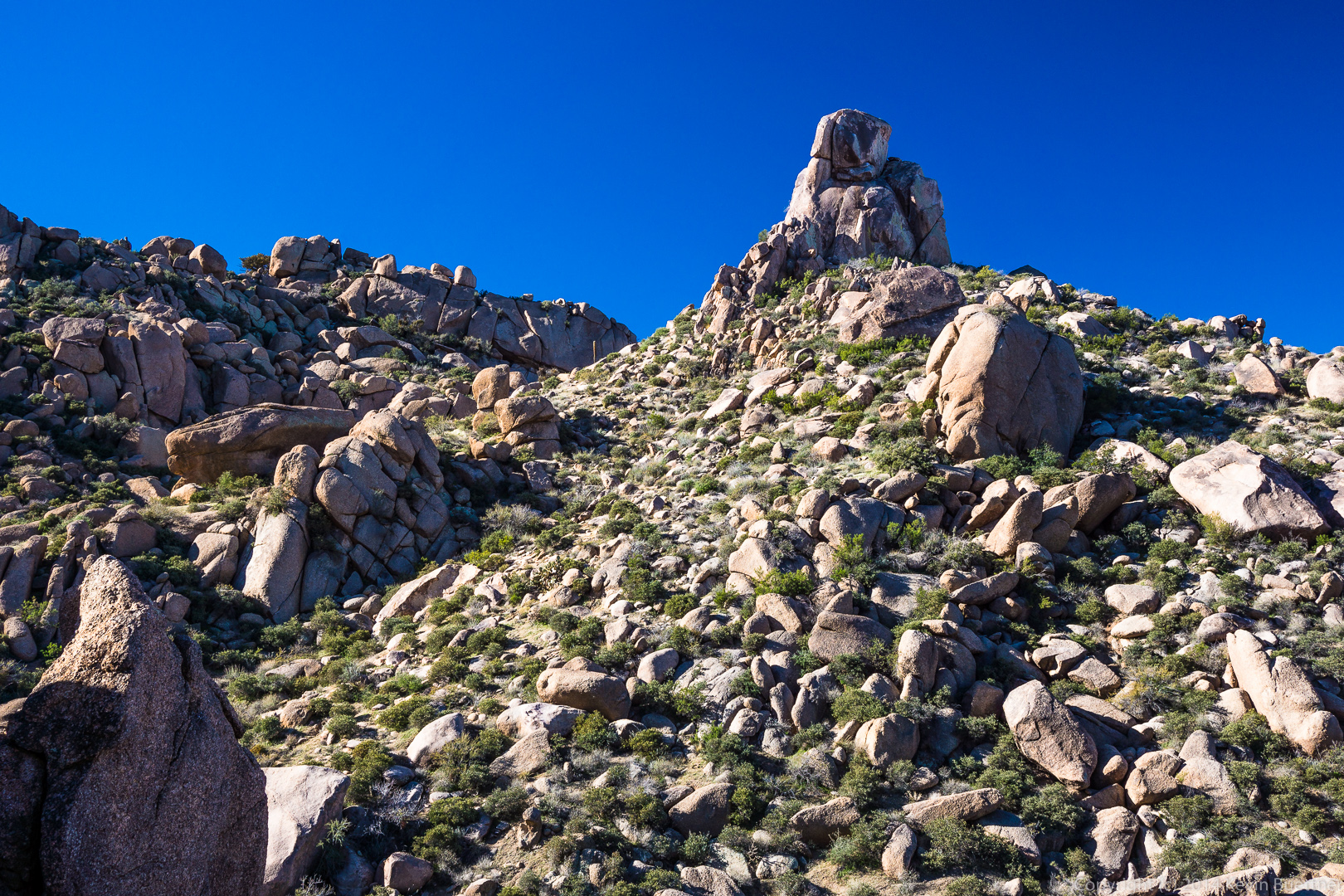
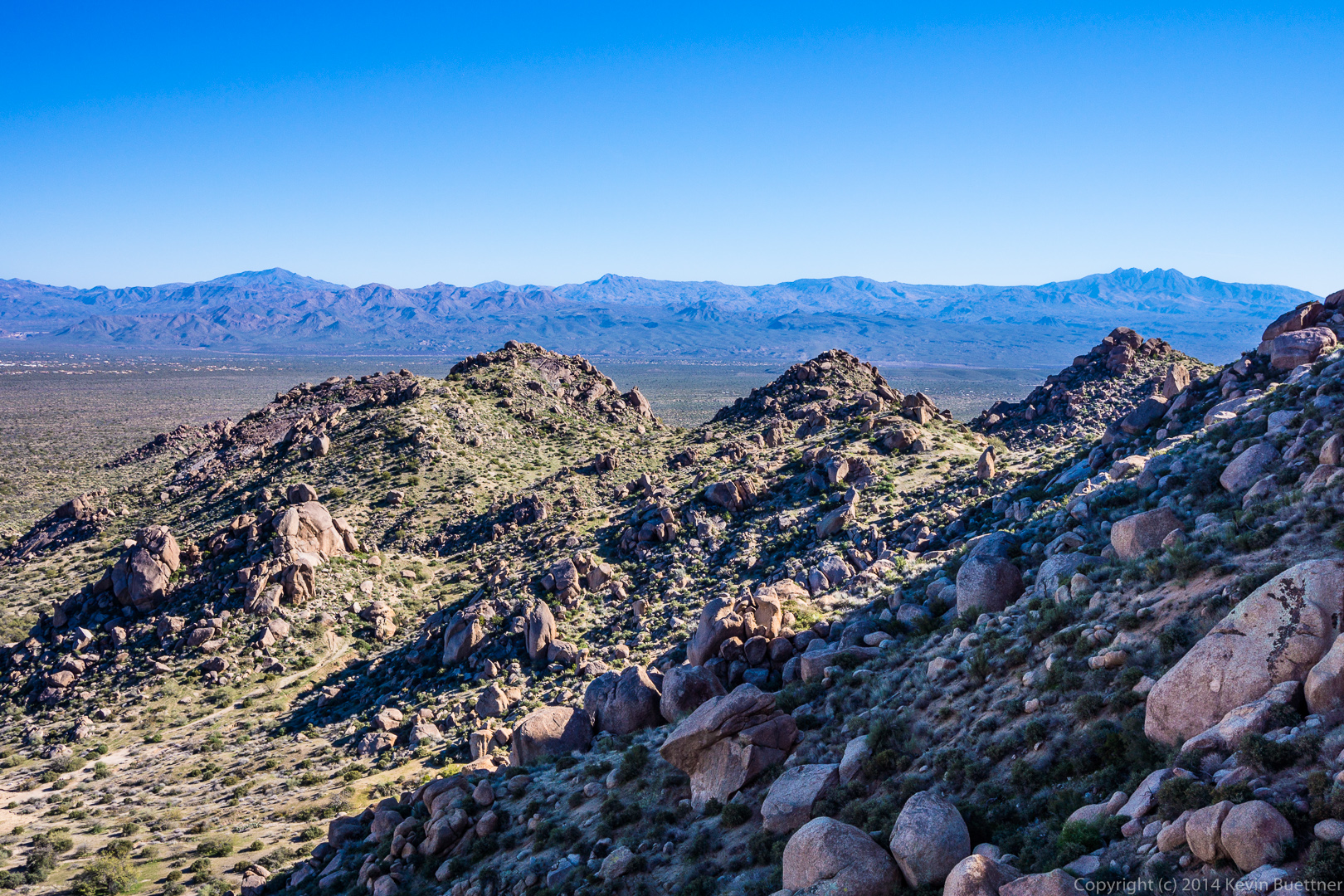
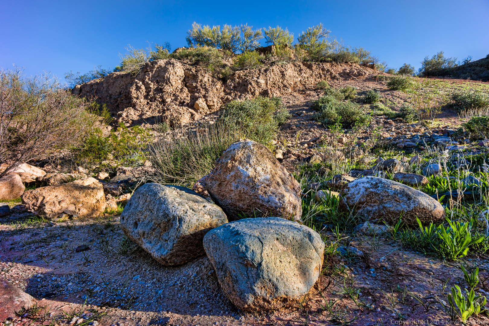
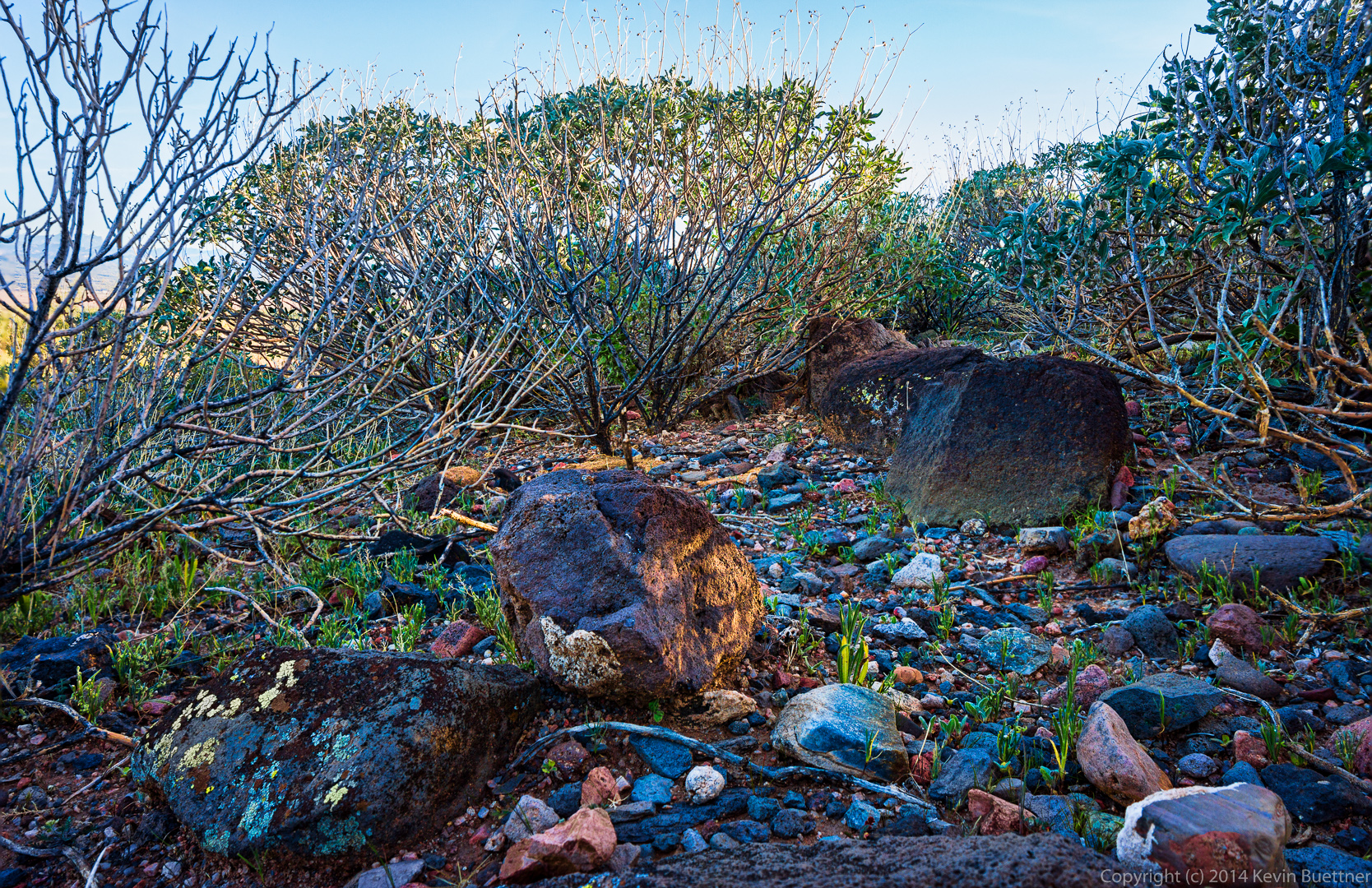
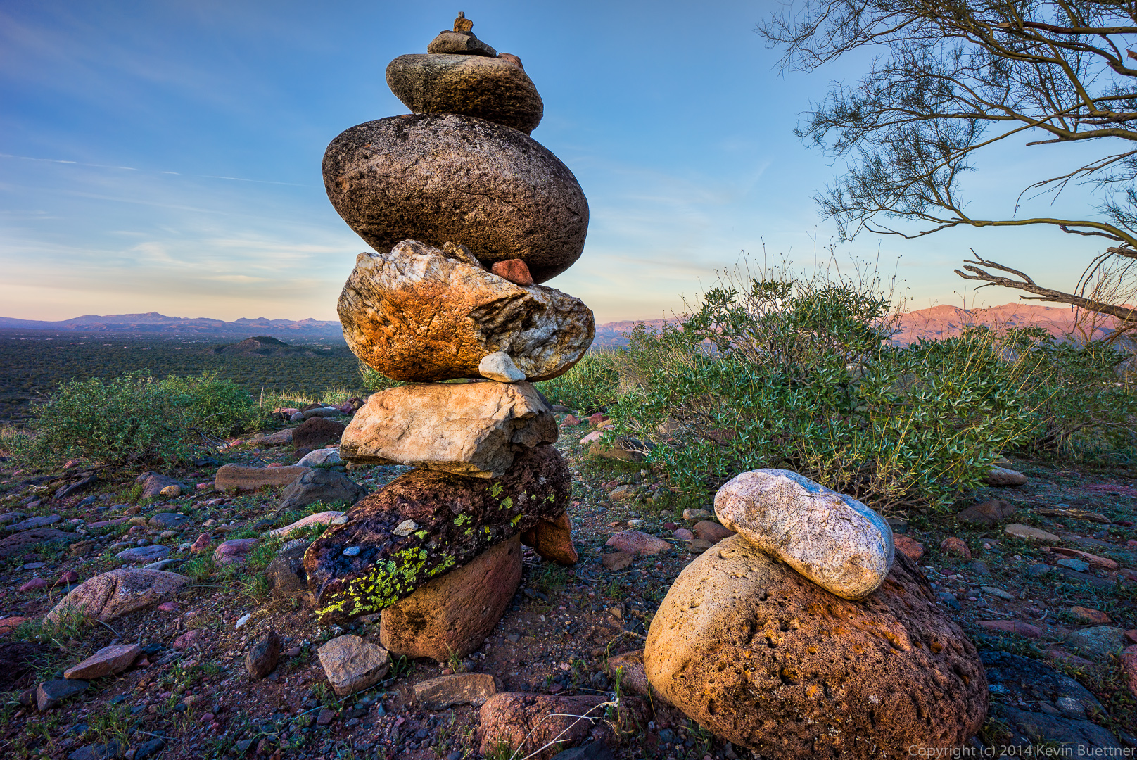
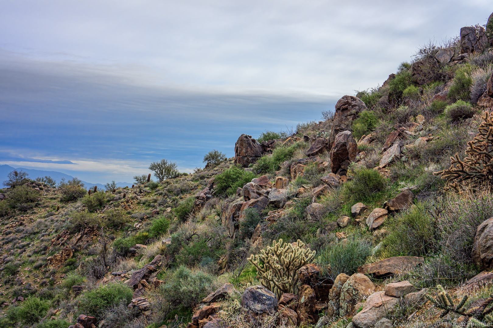
 We encountered many large boulders on our hike.
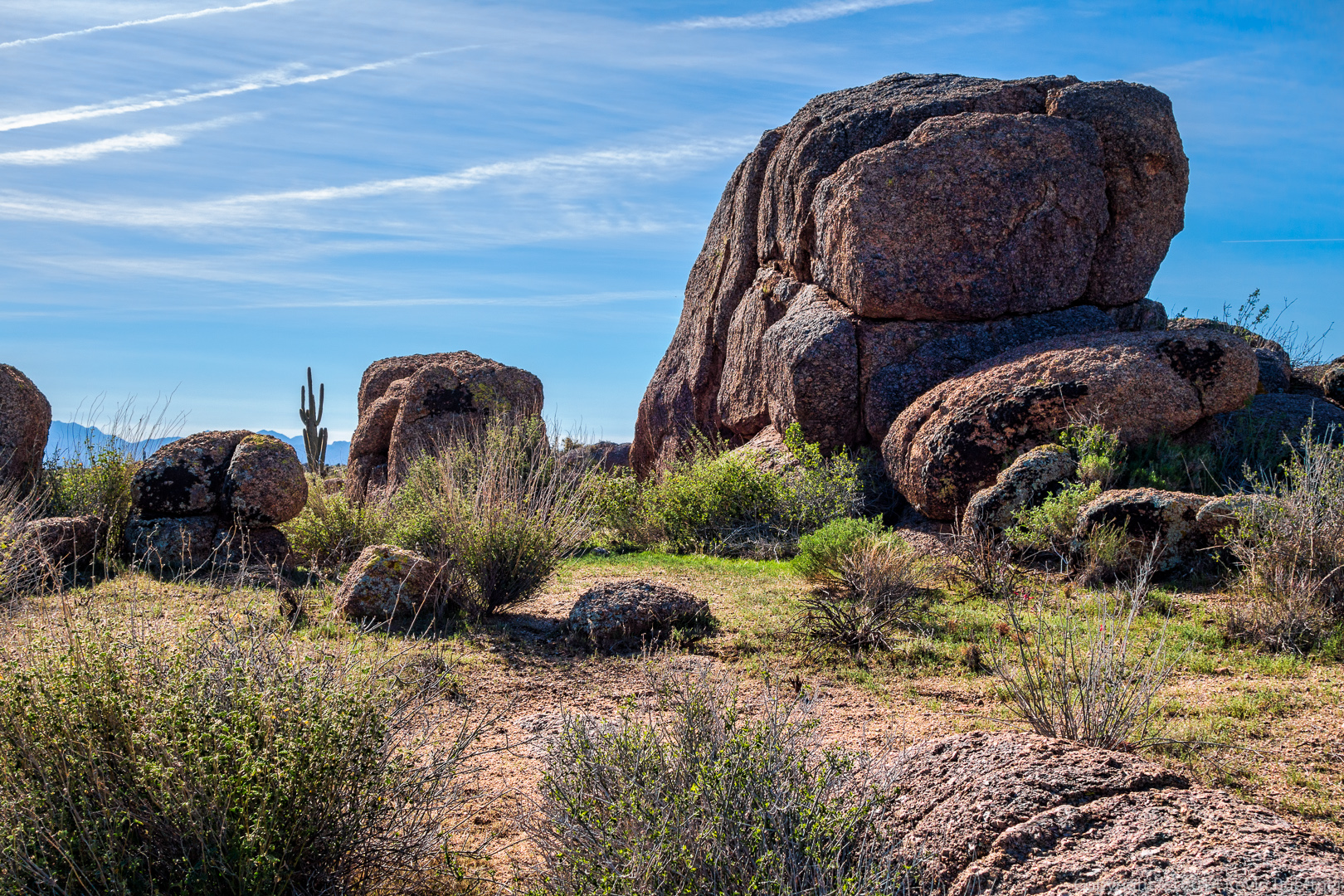
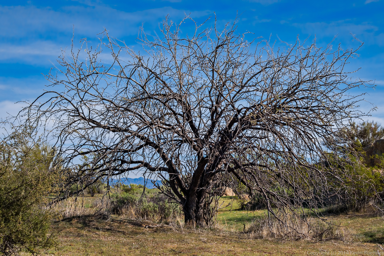
 Another dead tree:
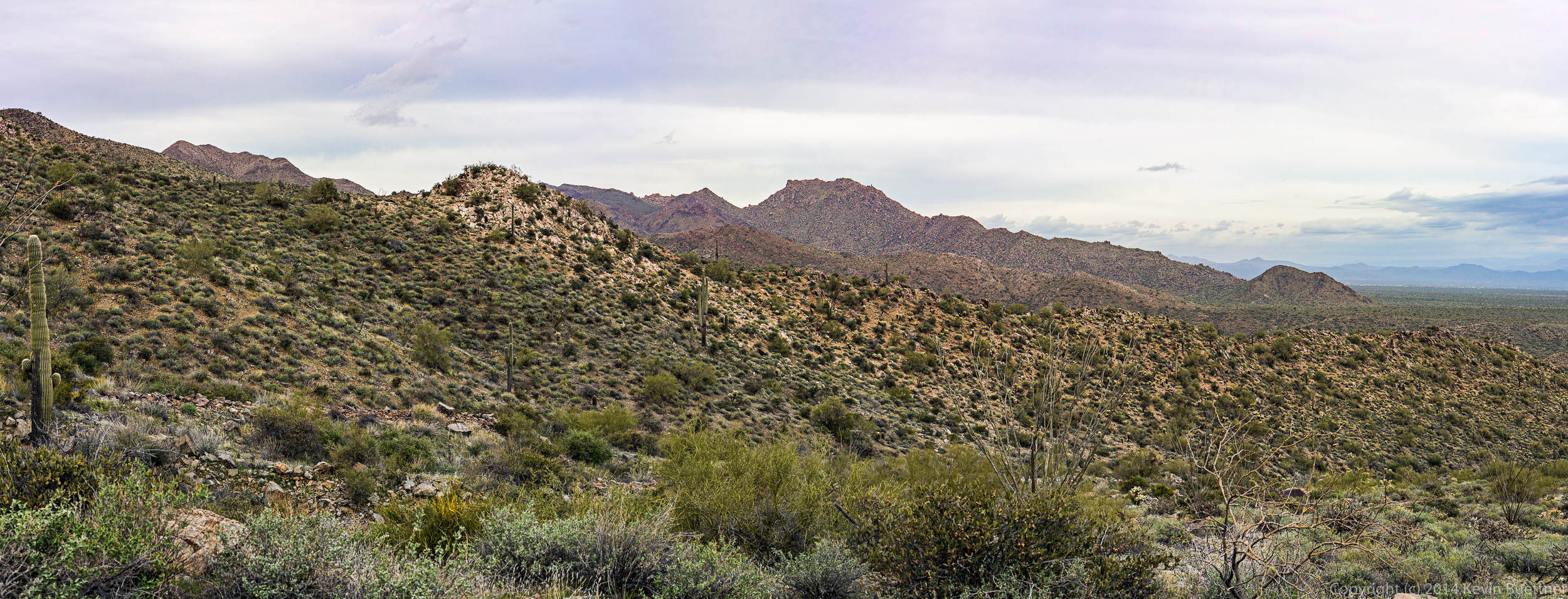
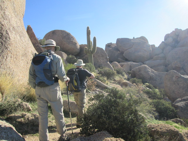
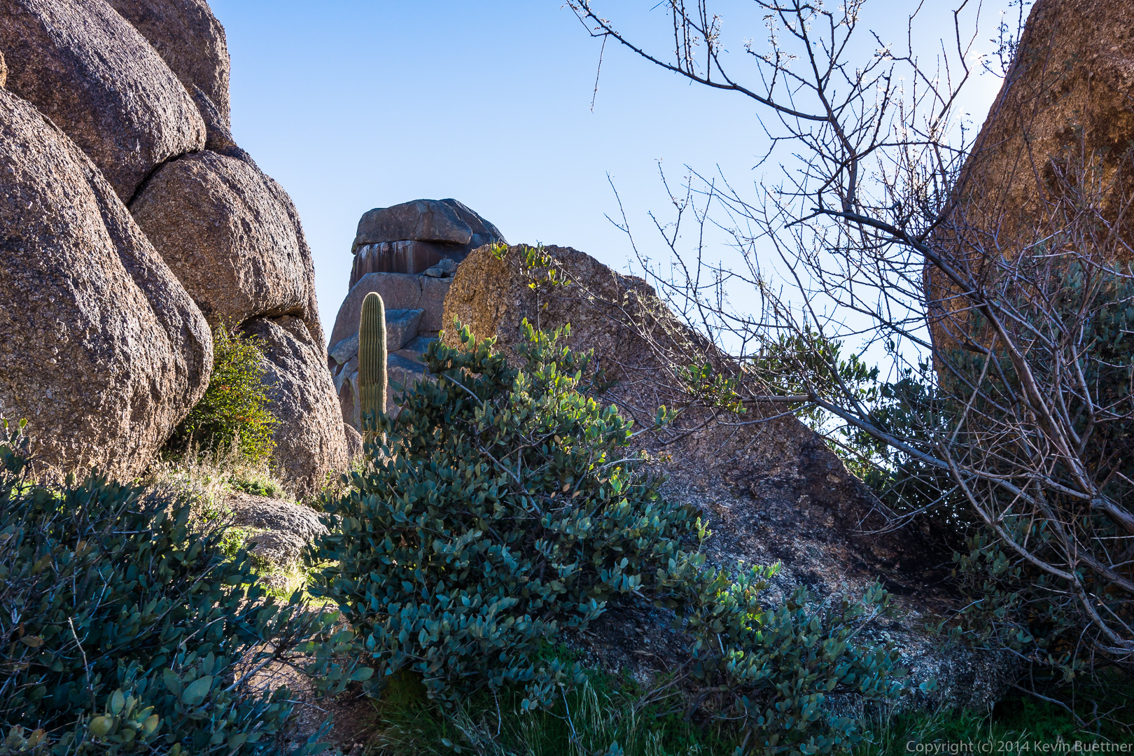
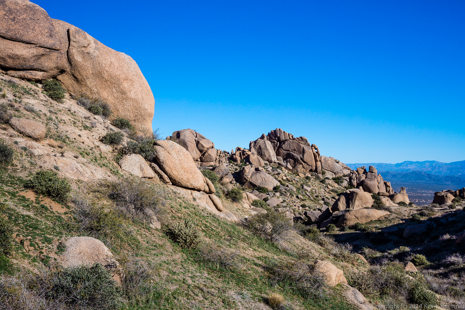
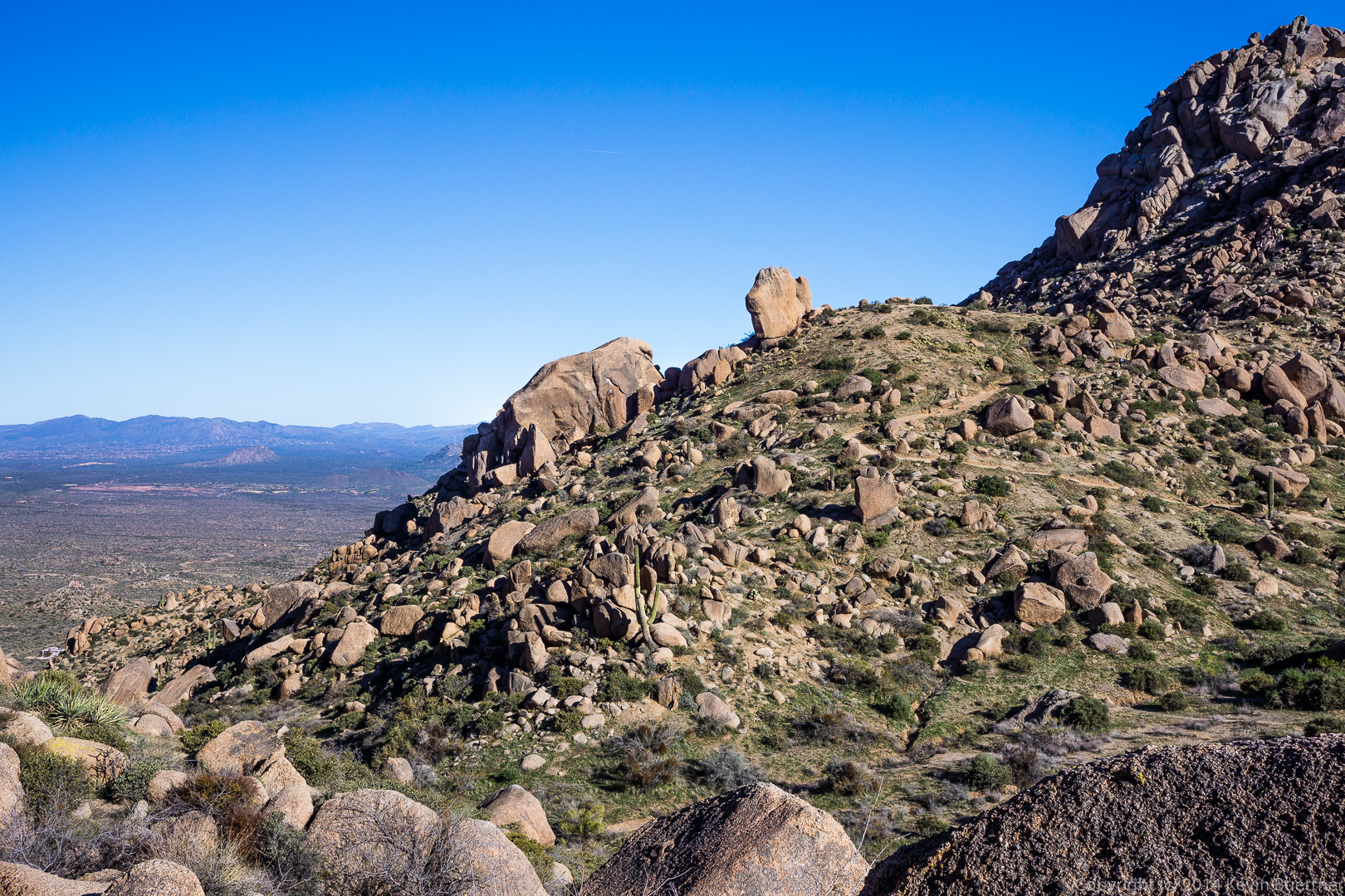
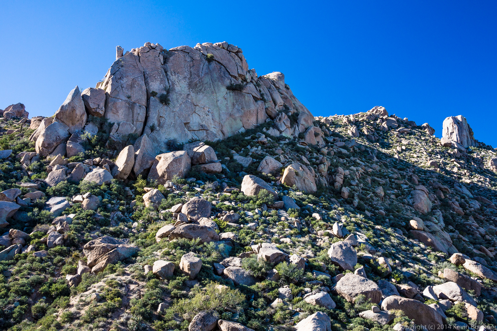
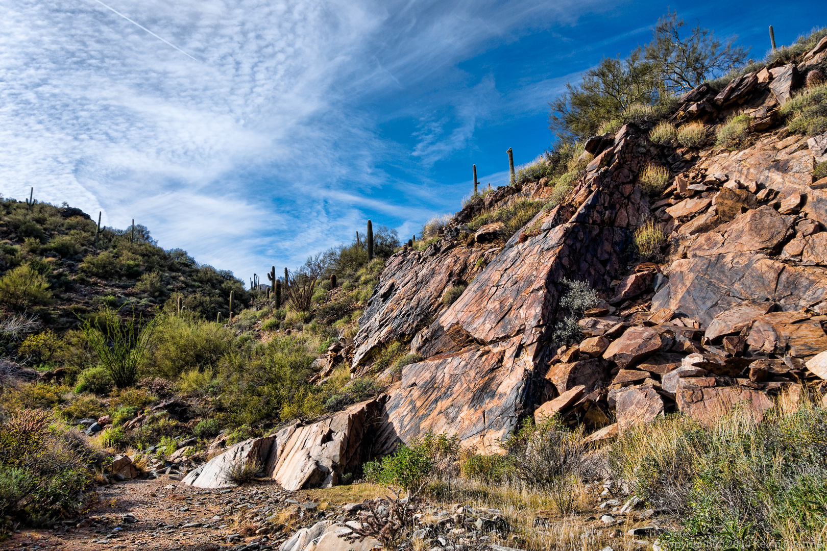
 Making our way towards a quartz outcropping:
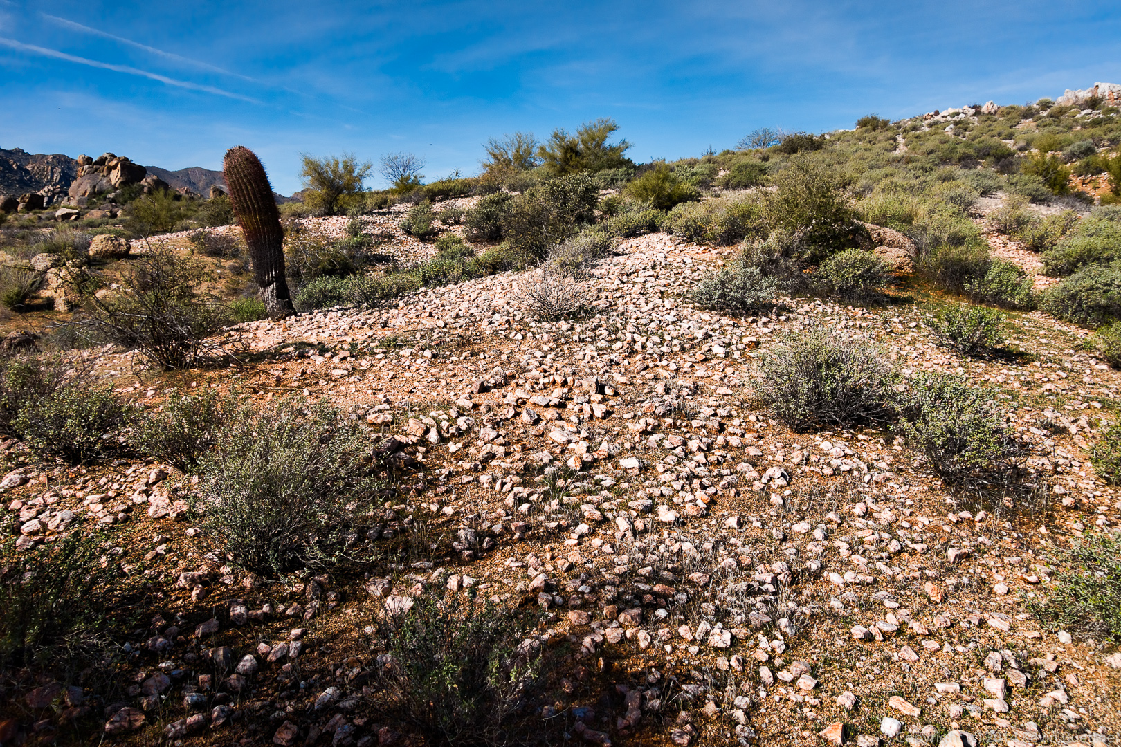
A field of small quartz rocks:
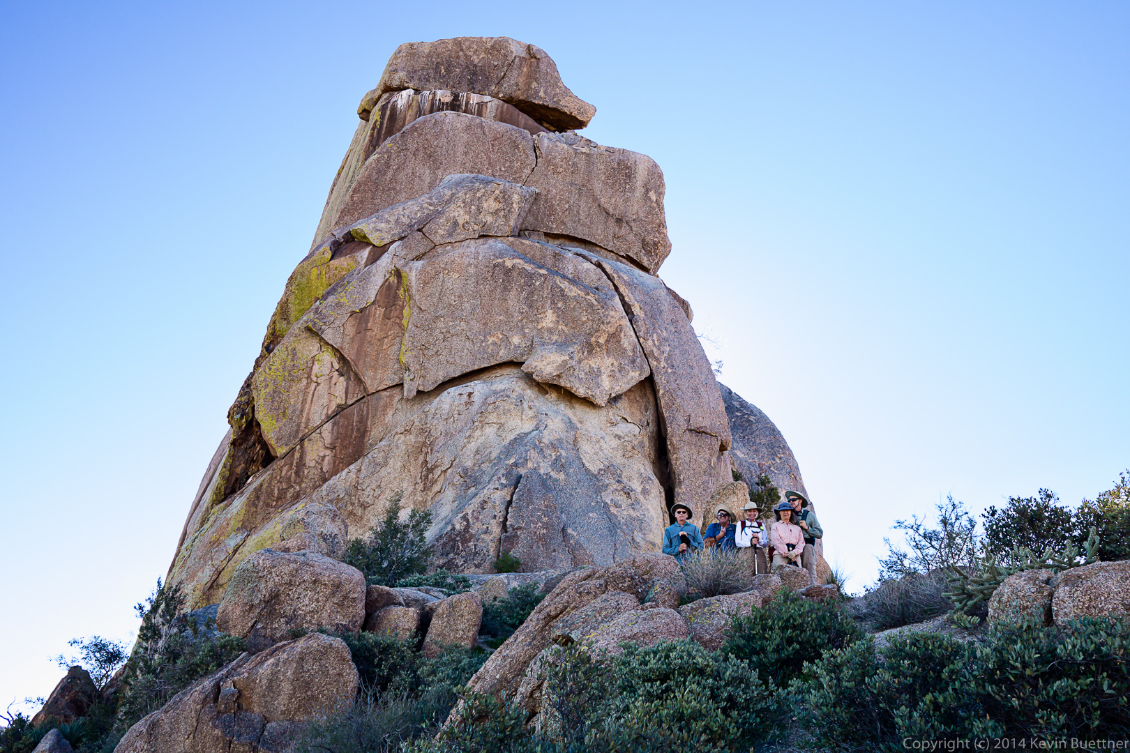
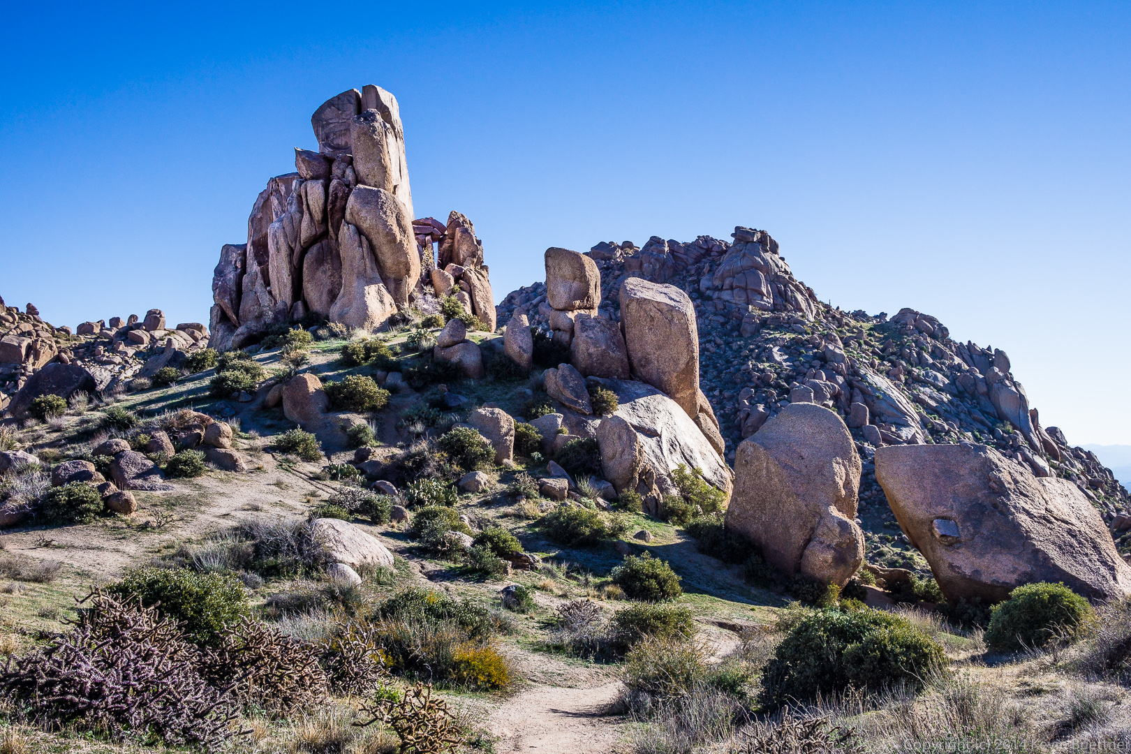
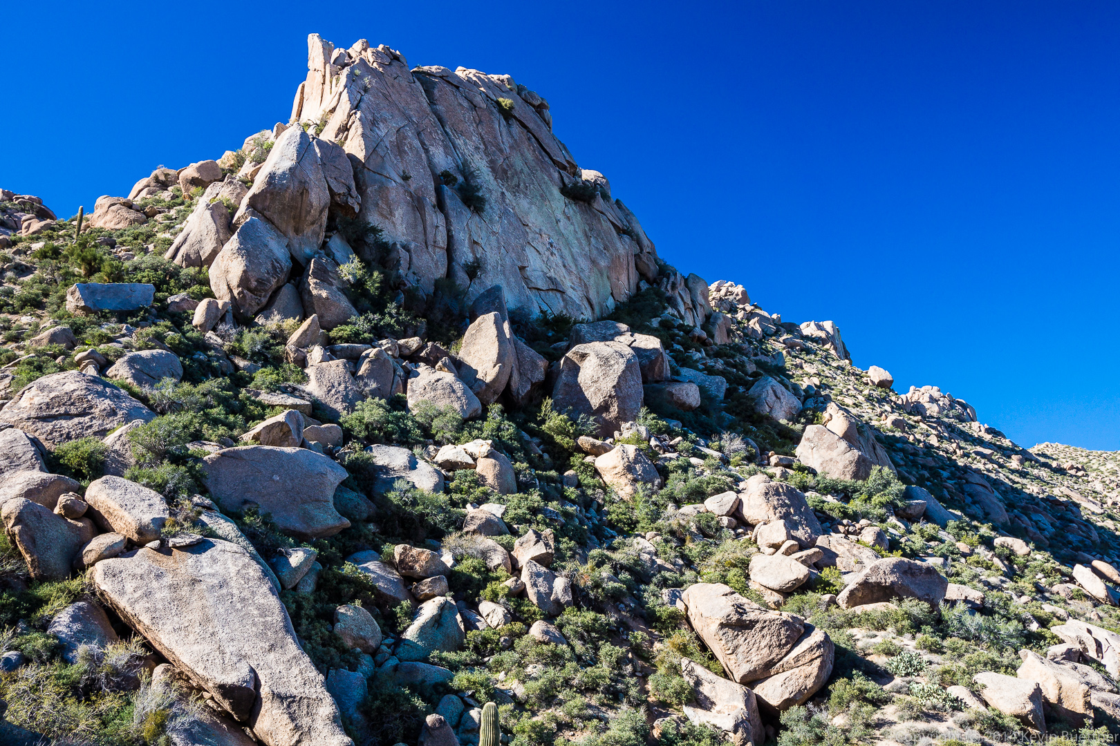
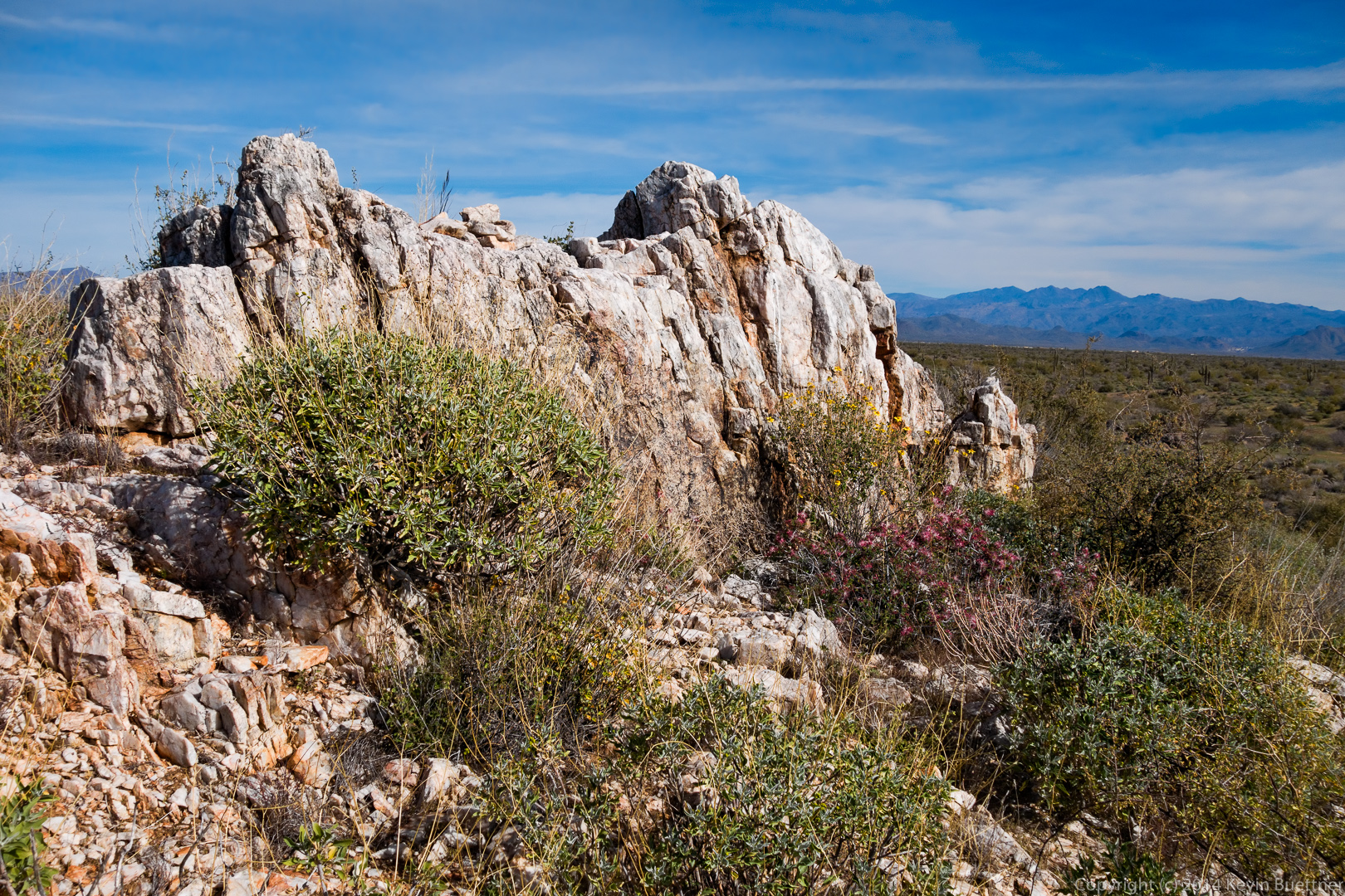
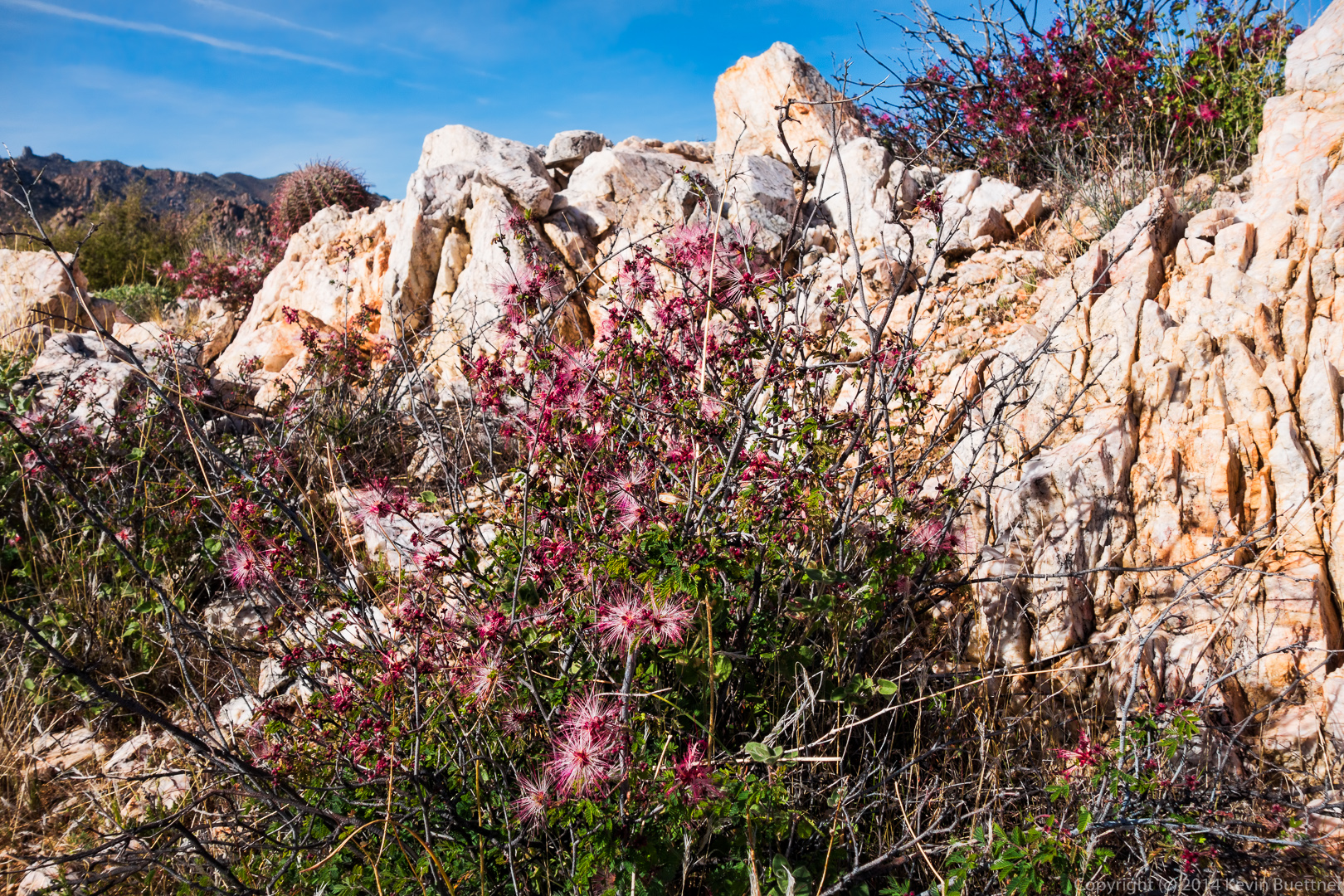
 Two views of the quartz outcropping atop a hill:
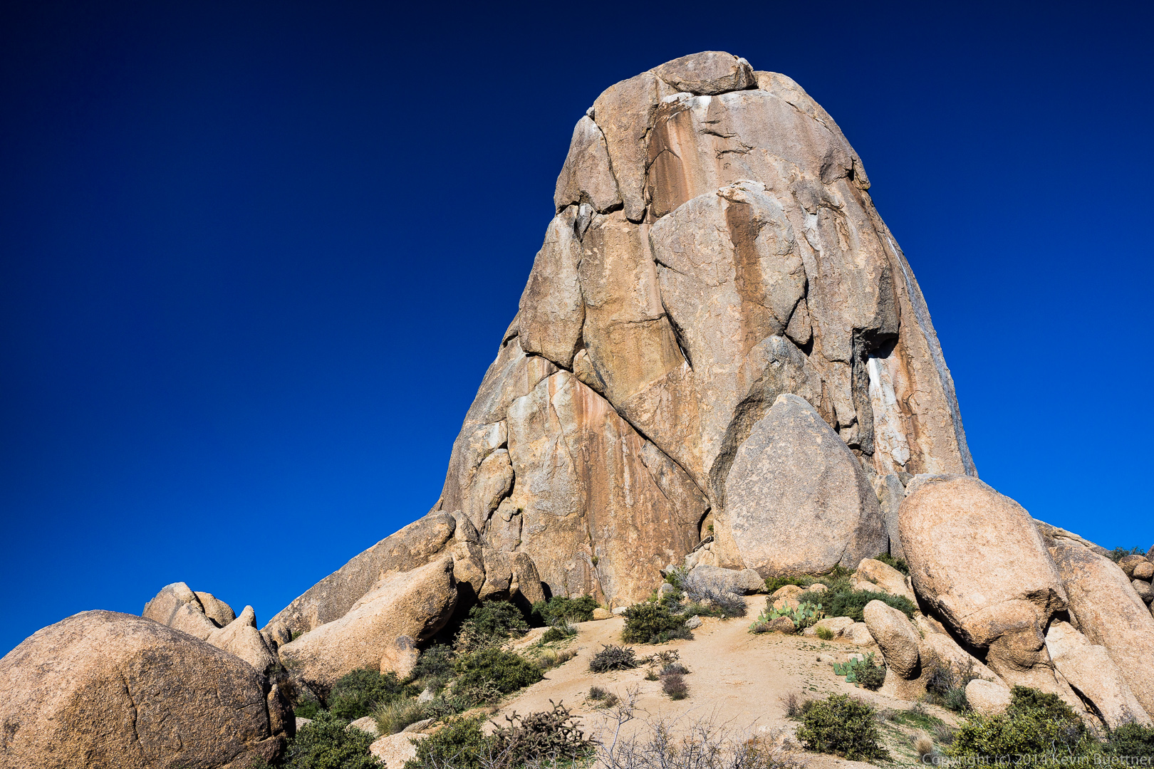
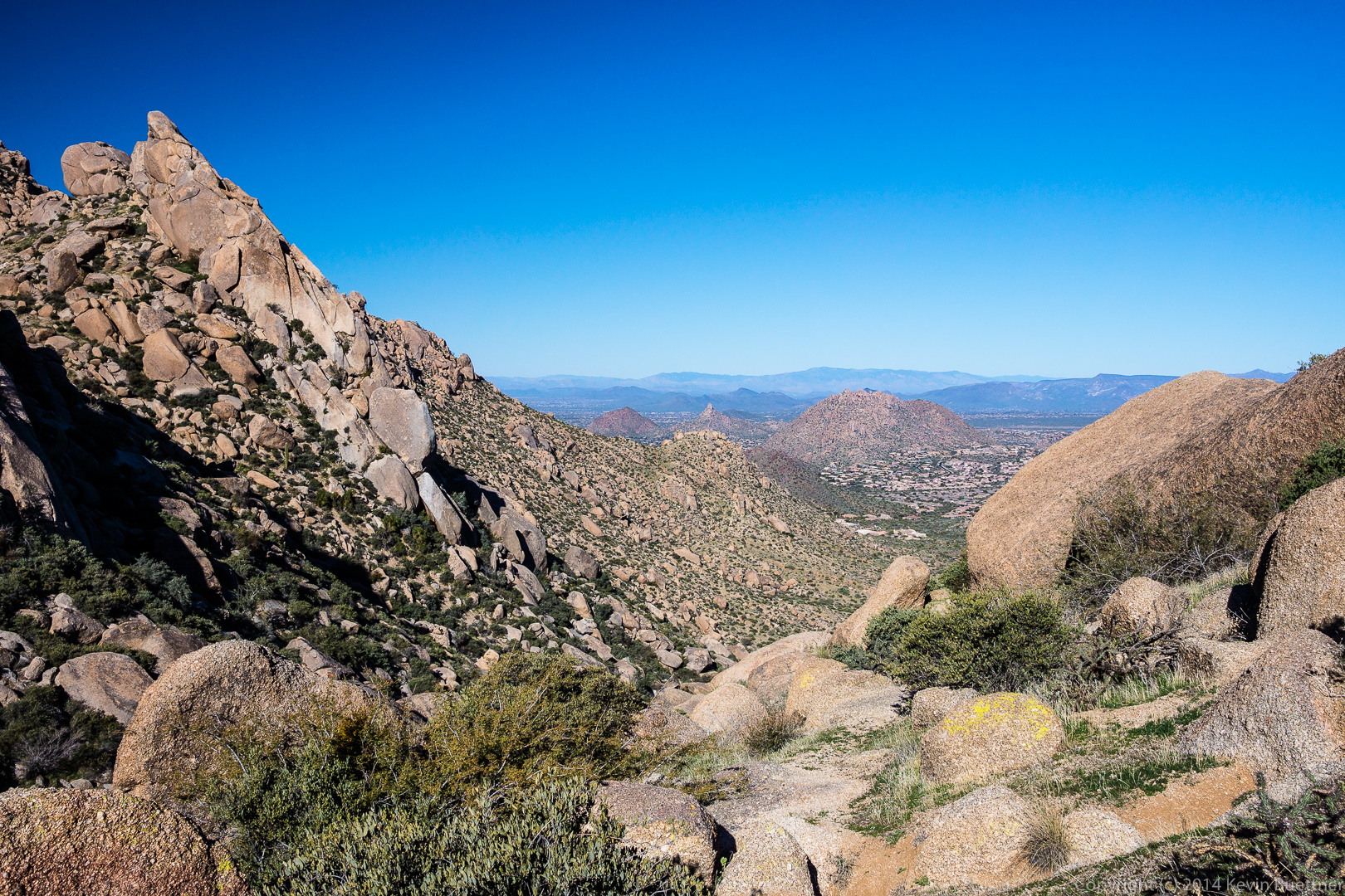
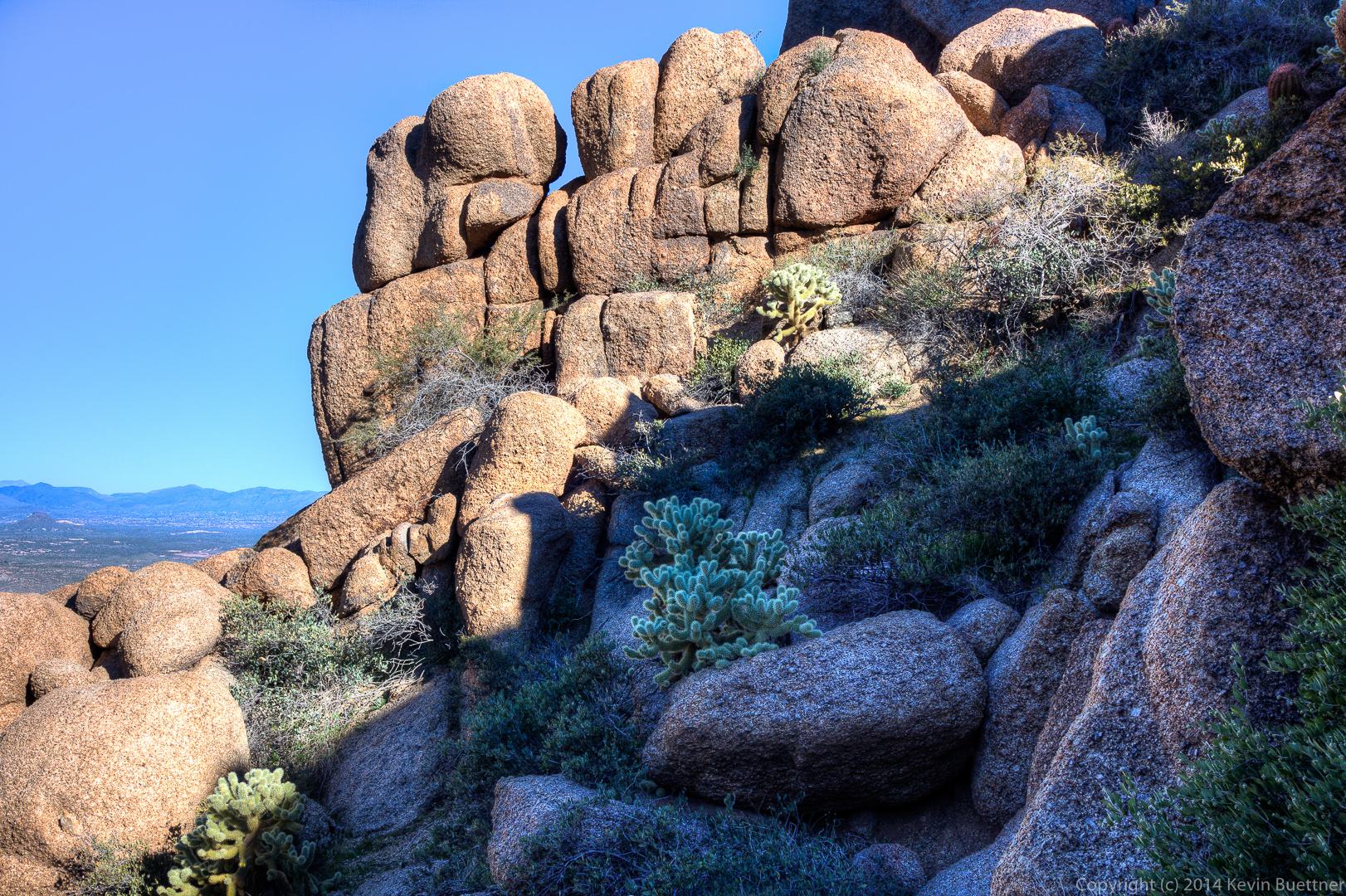
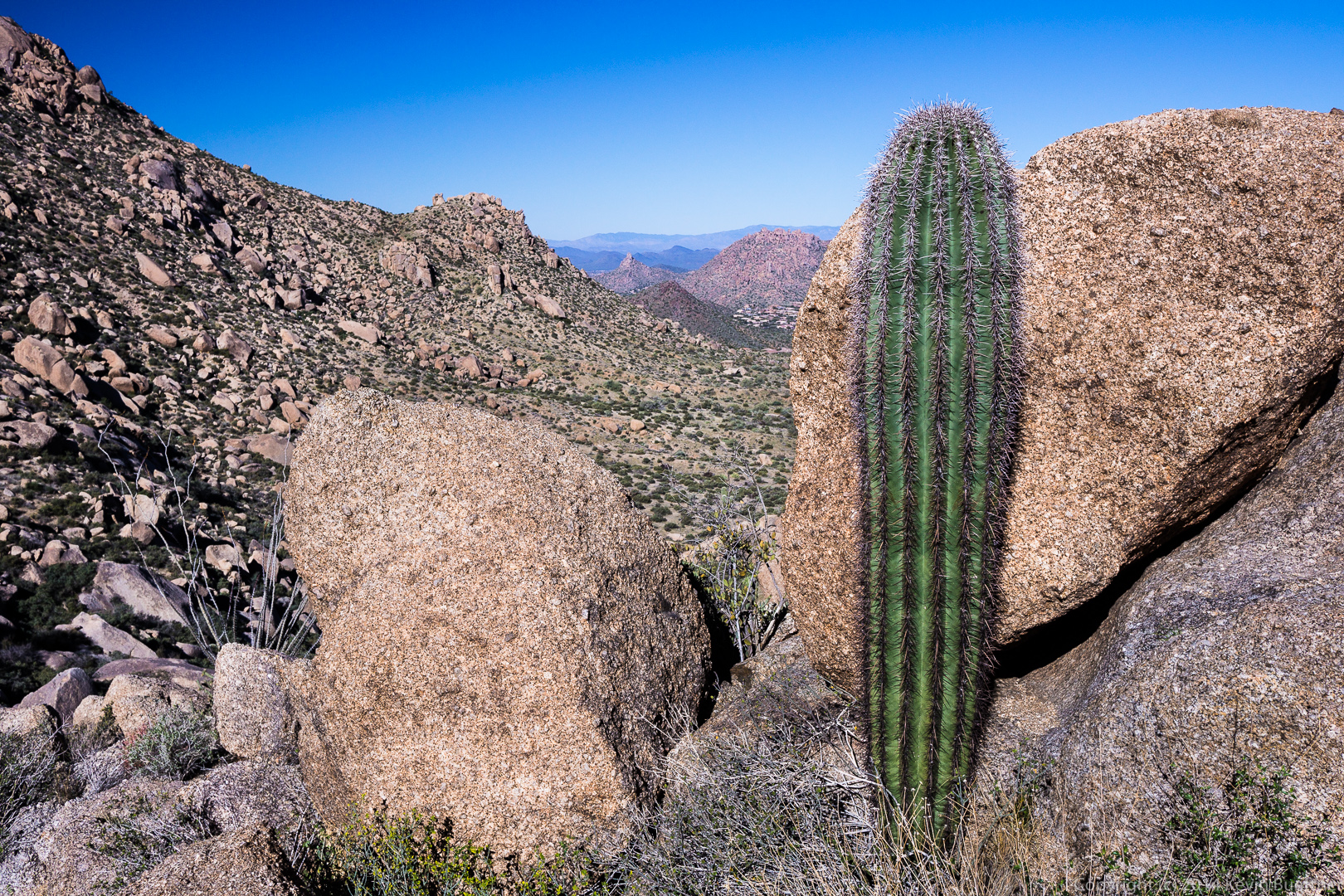
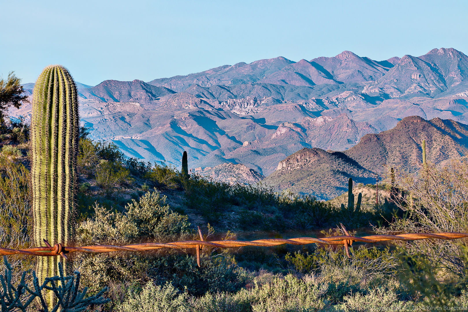
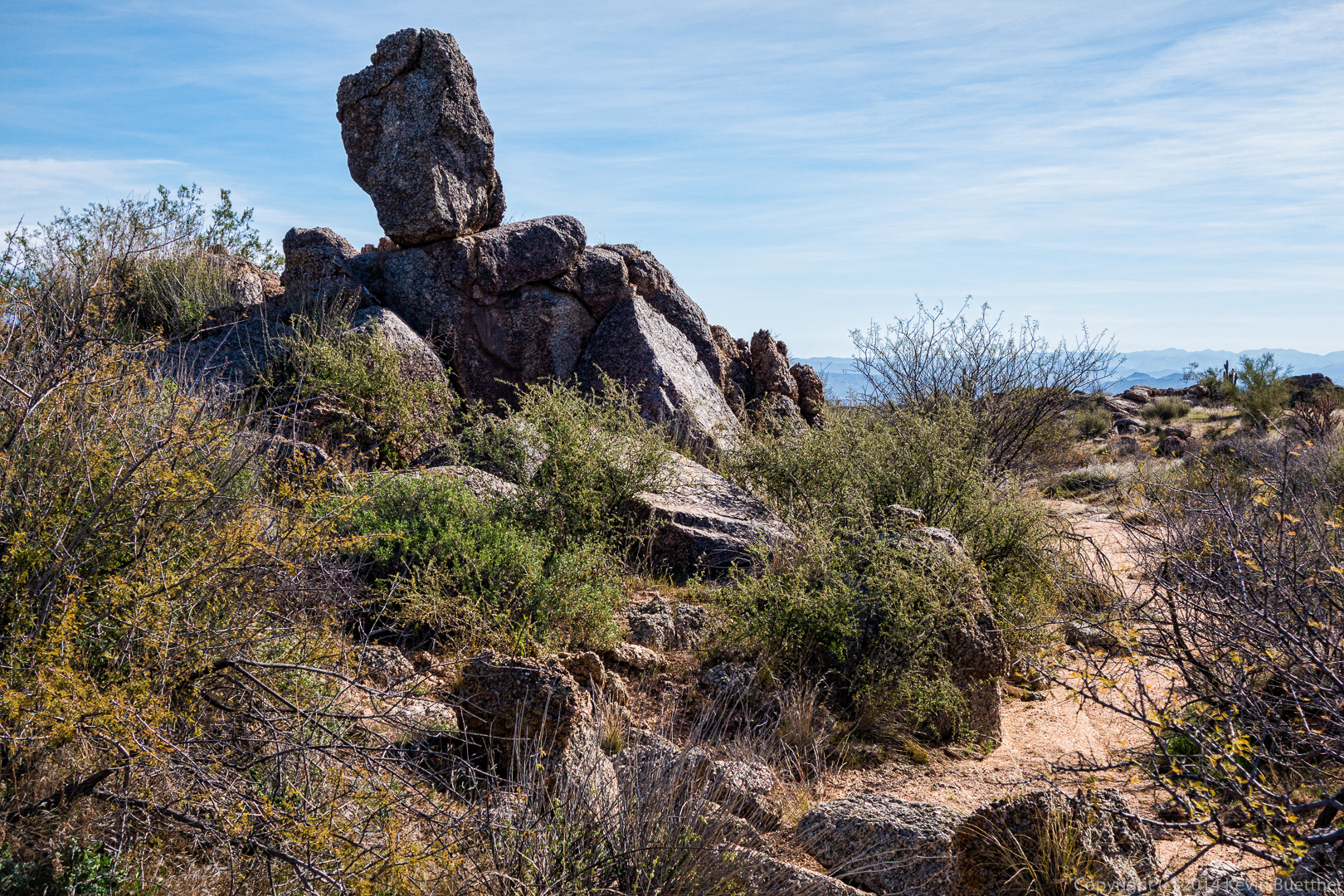
 Another rock formation beside a wash:
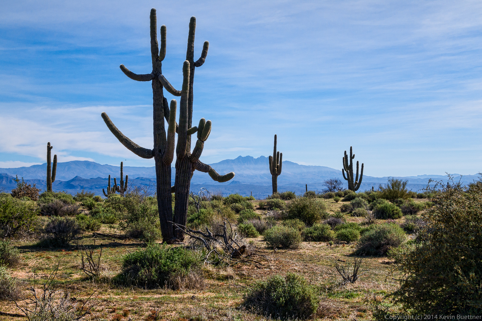
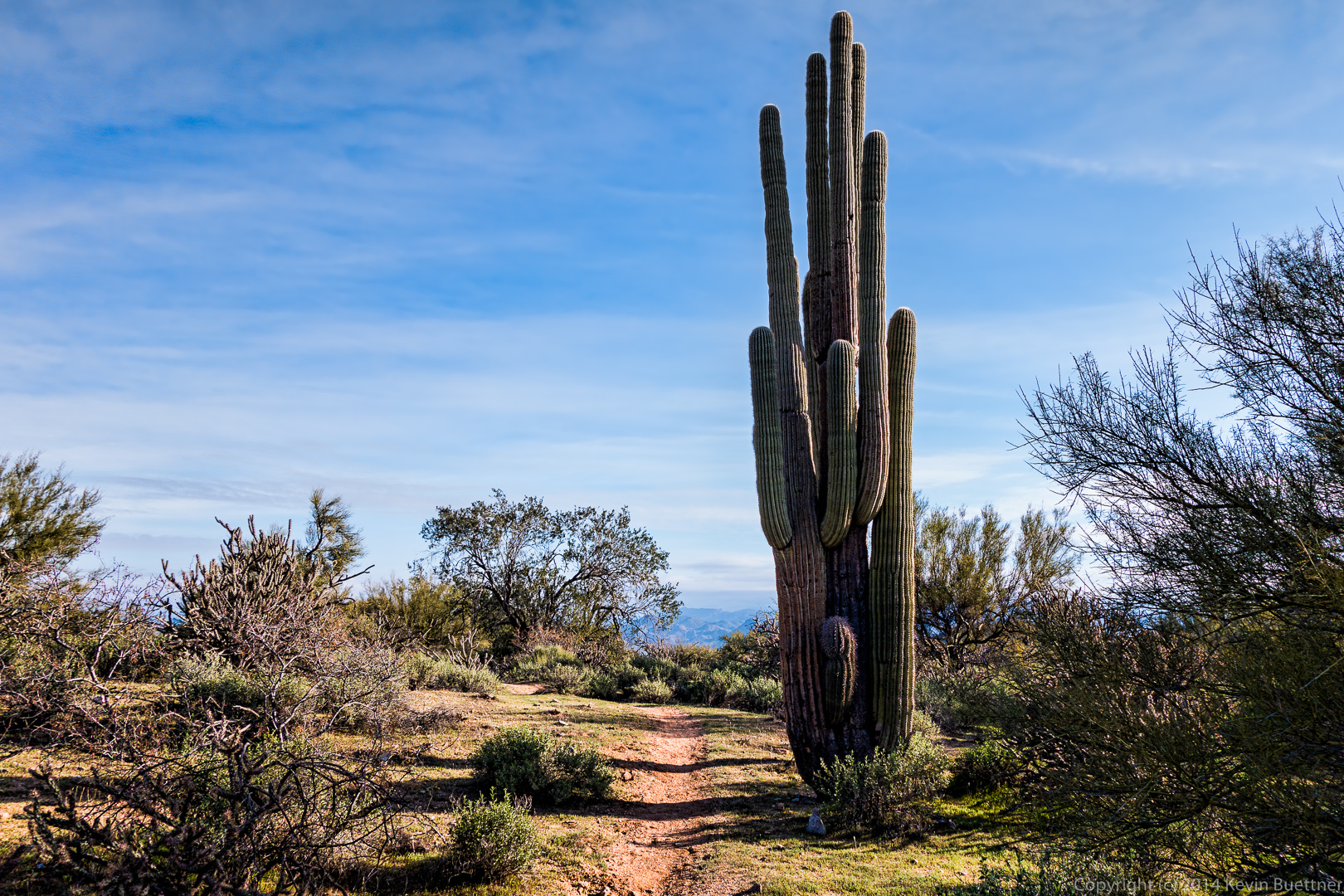
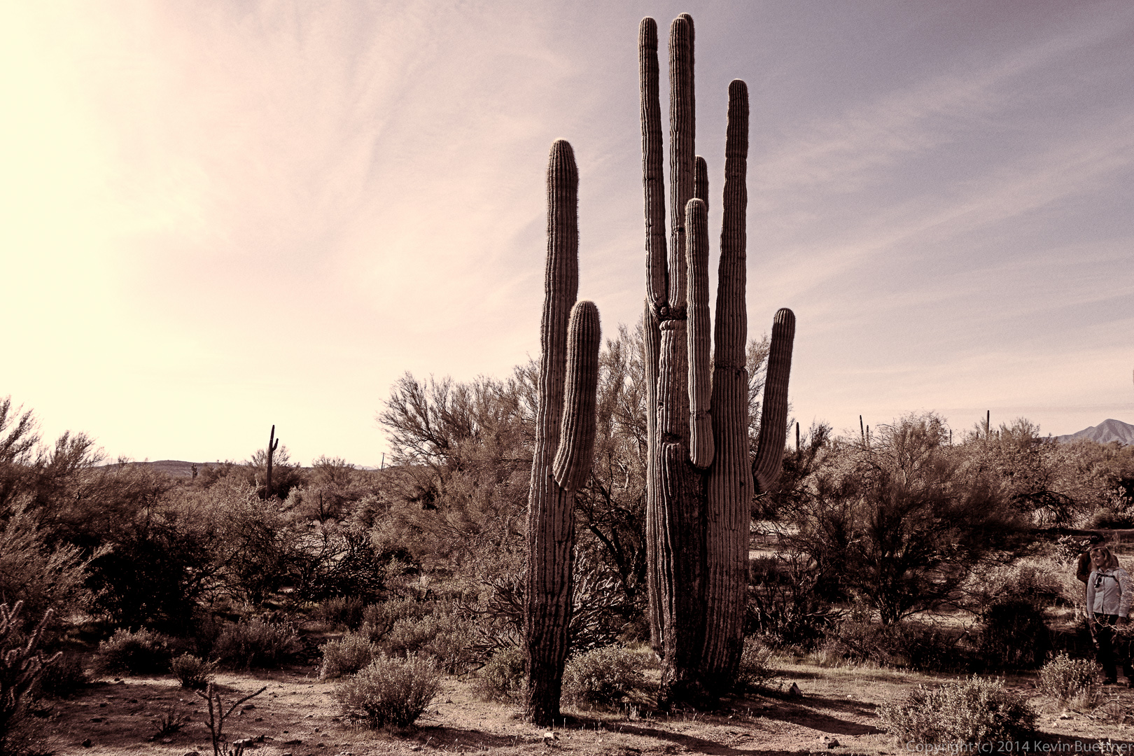
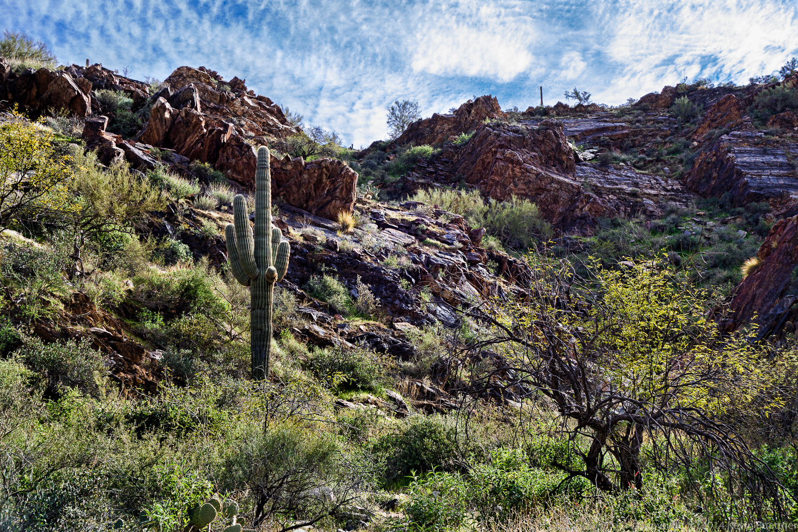
 An unusual saguaro:
 A dead saguaro; it seems to have fallen recently.
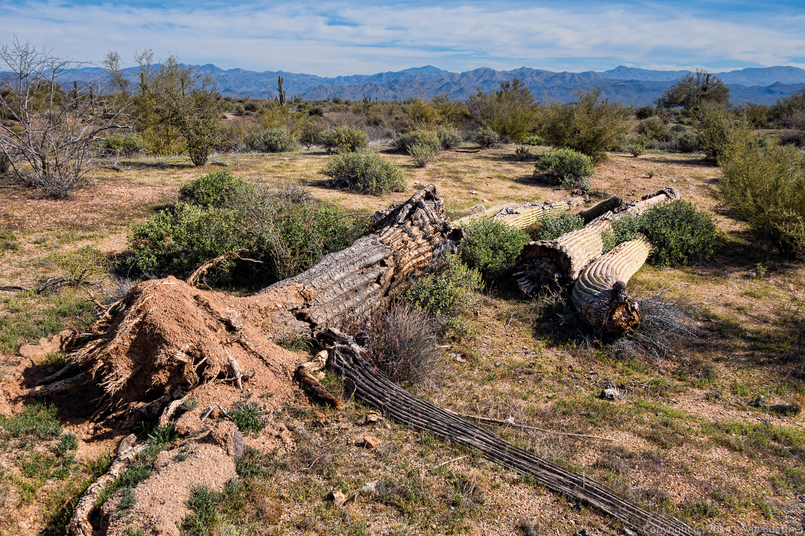
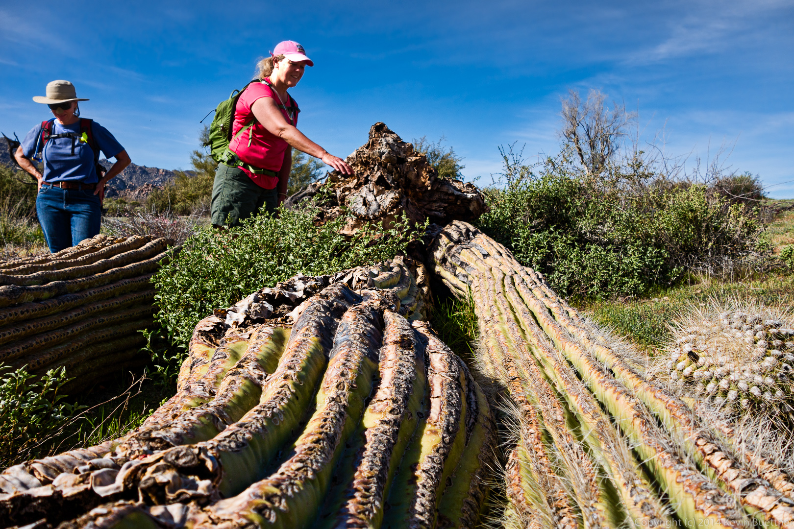
Janet examines the roots of the fallen saguaro.
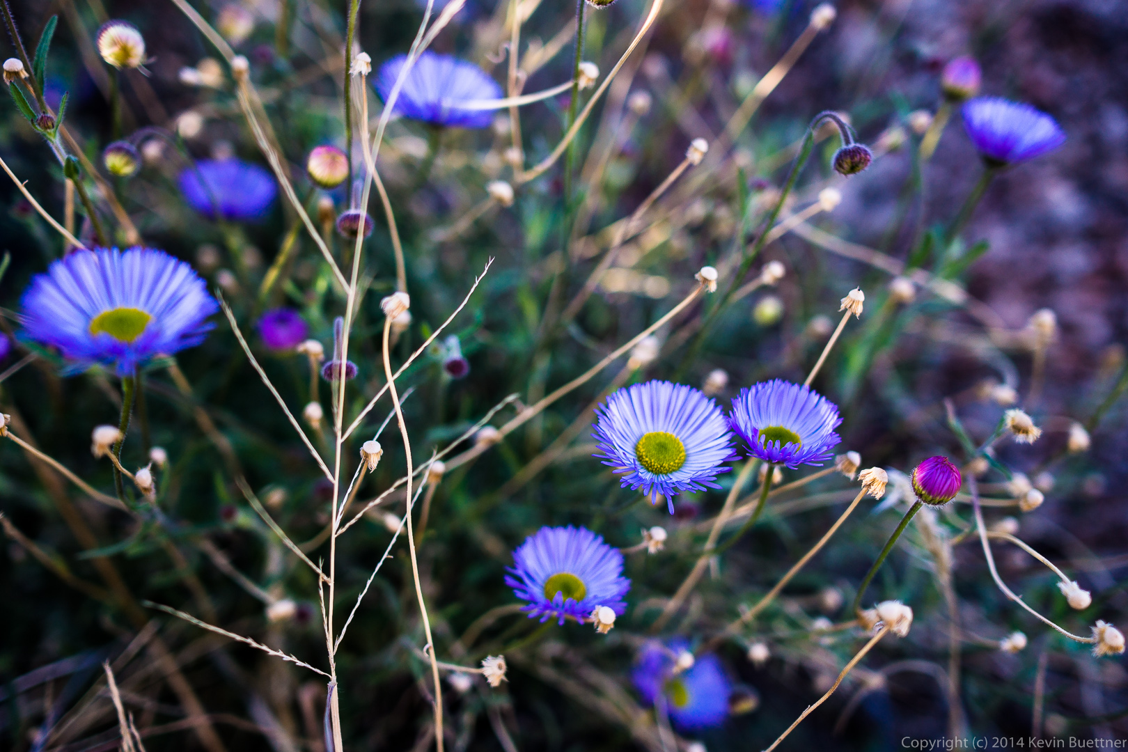
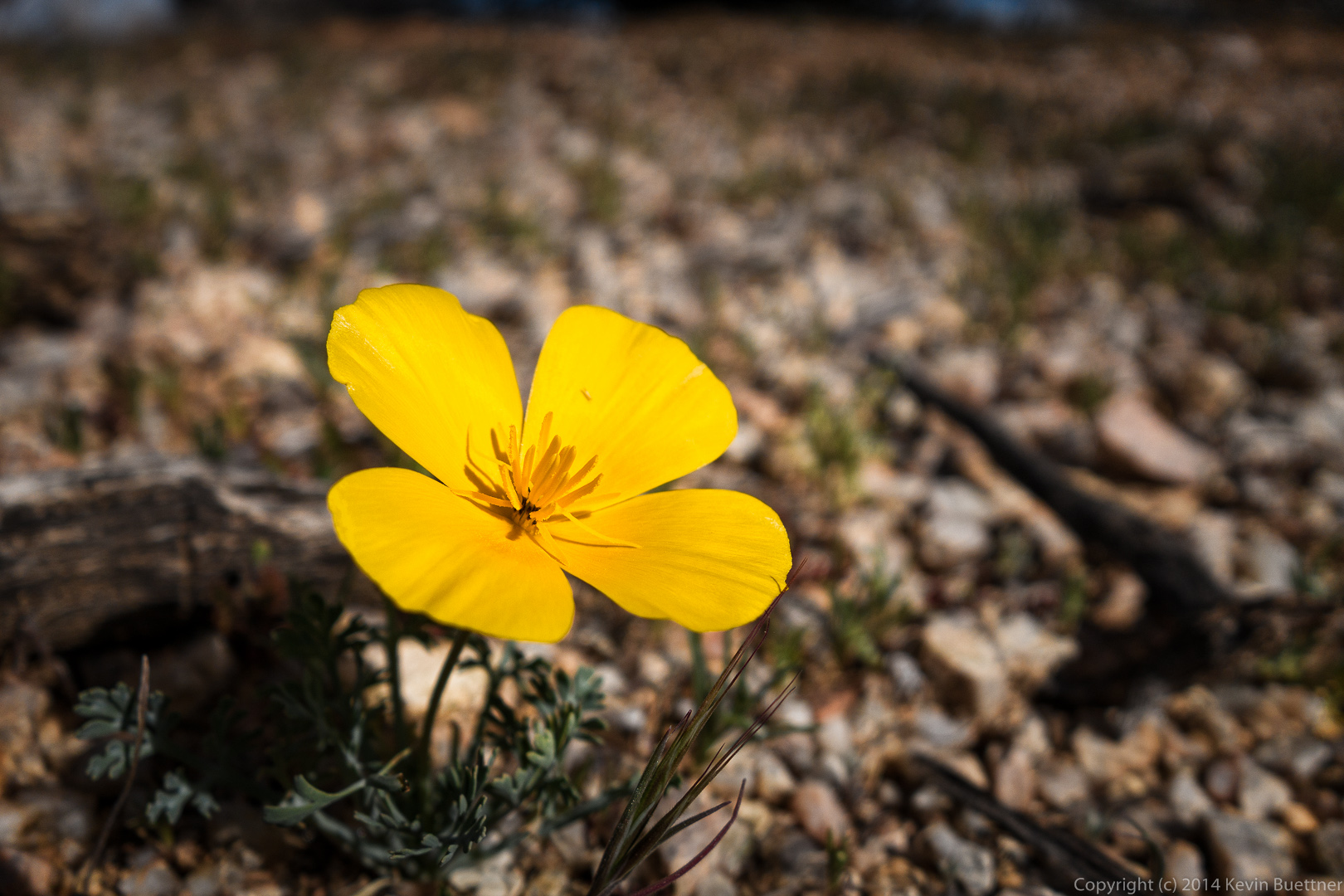
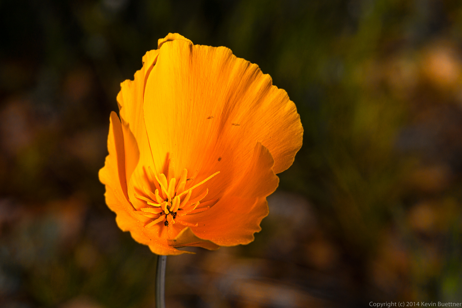
 A poppy:
The remains of a burnt tree on the Delsie Trail:
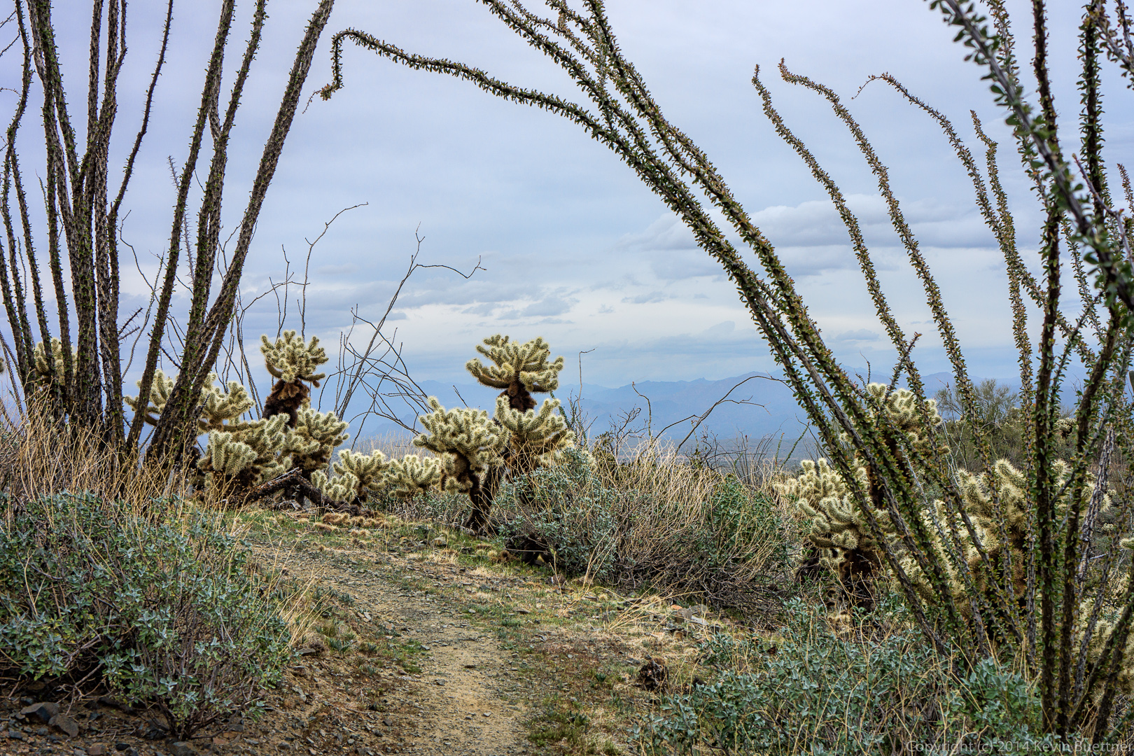
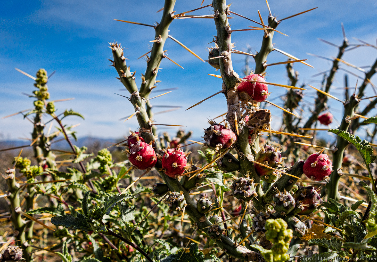
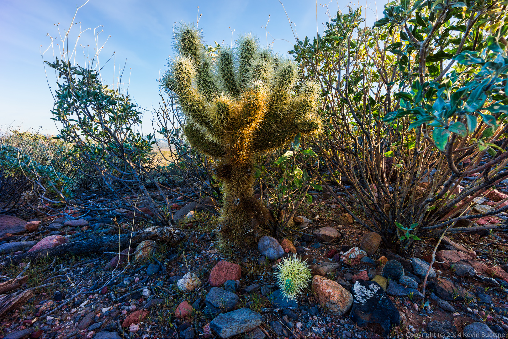
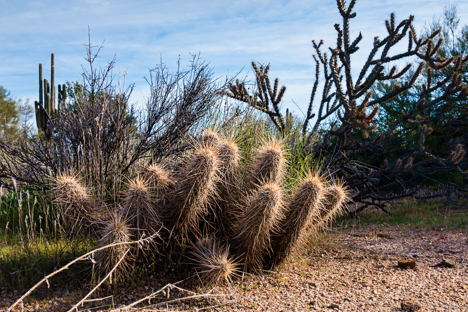
 Christmas Cholla:


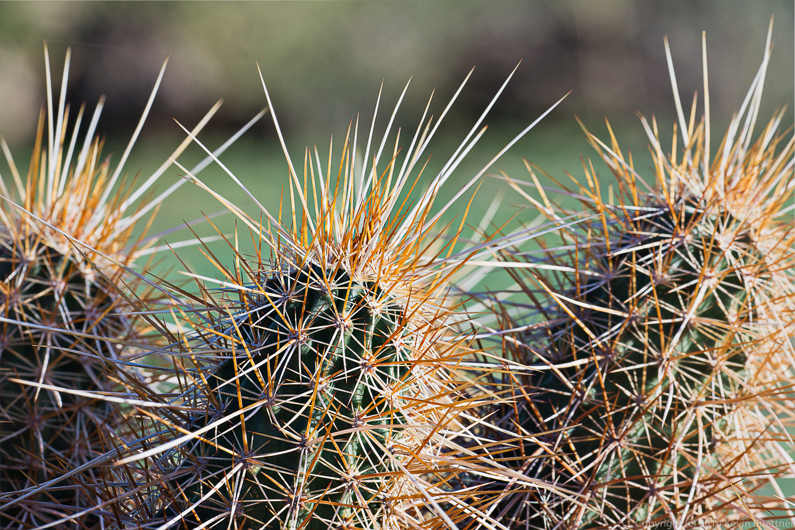
 A
A