Tag: Arizona (page 1 of 74)

La Barge Lowest Loop (in the Superstitions)

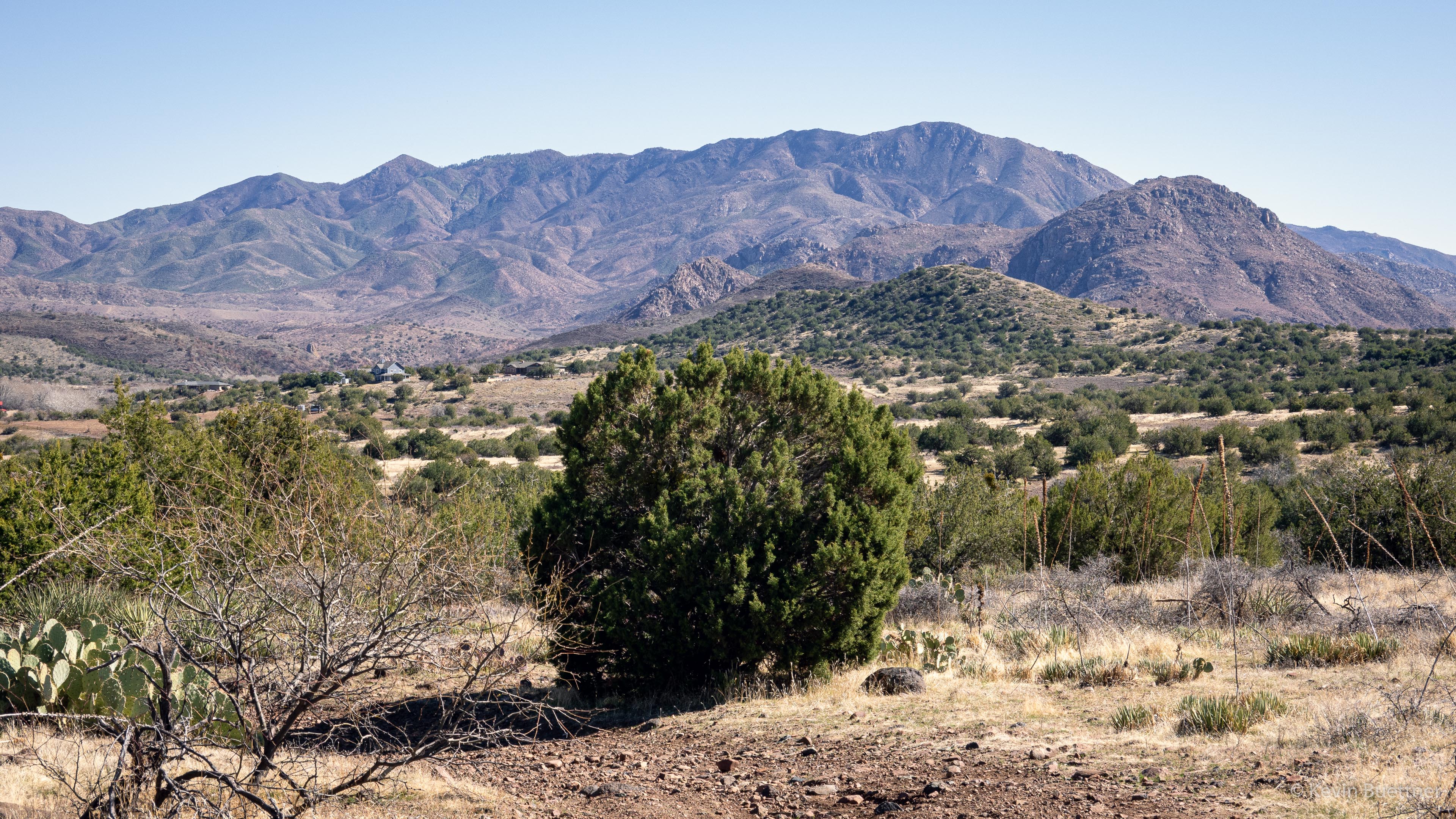
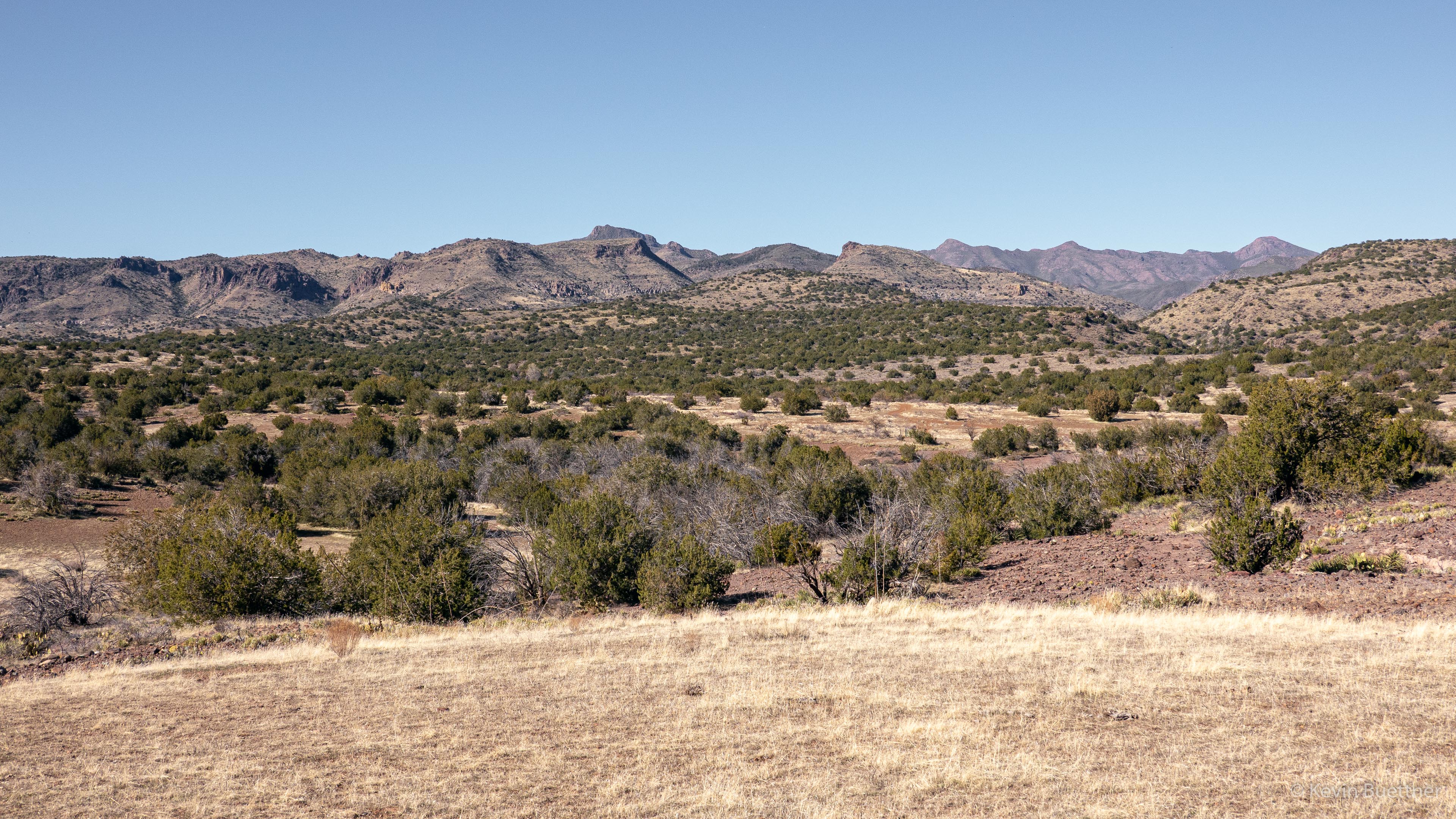
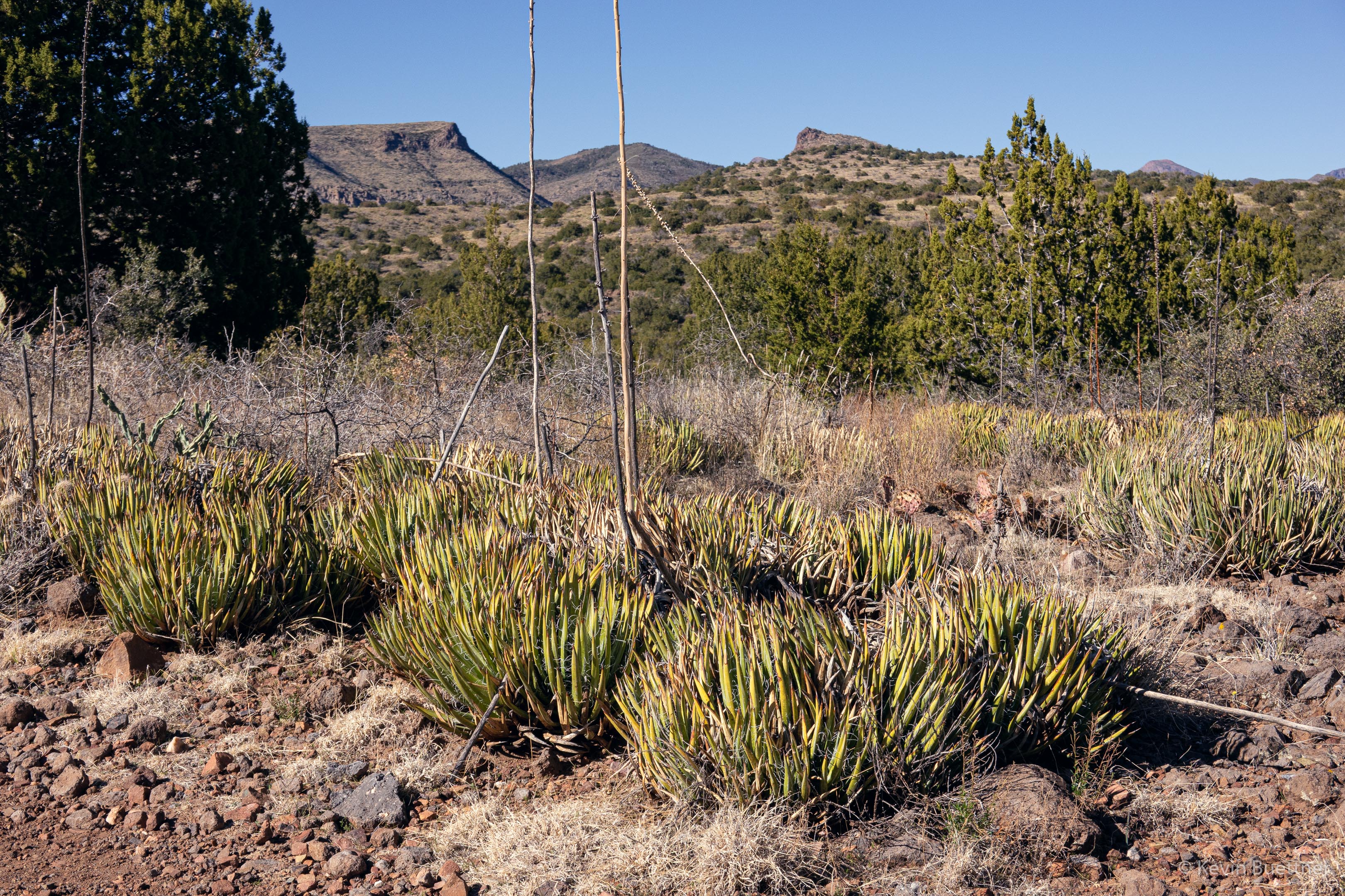
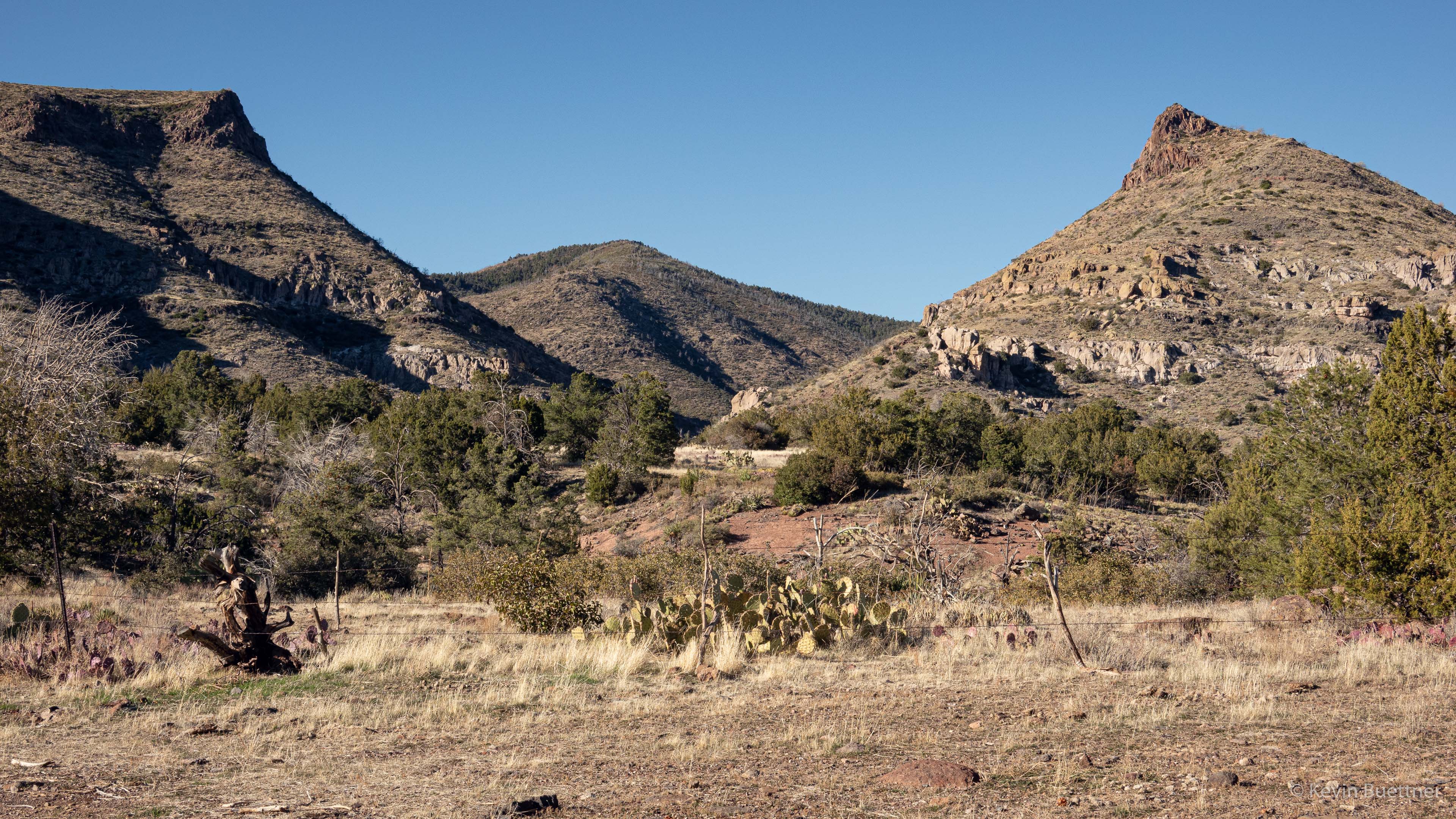
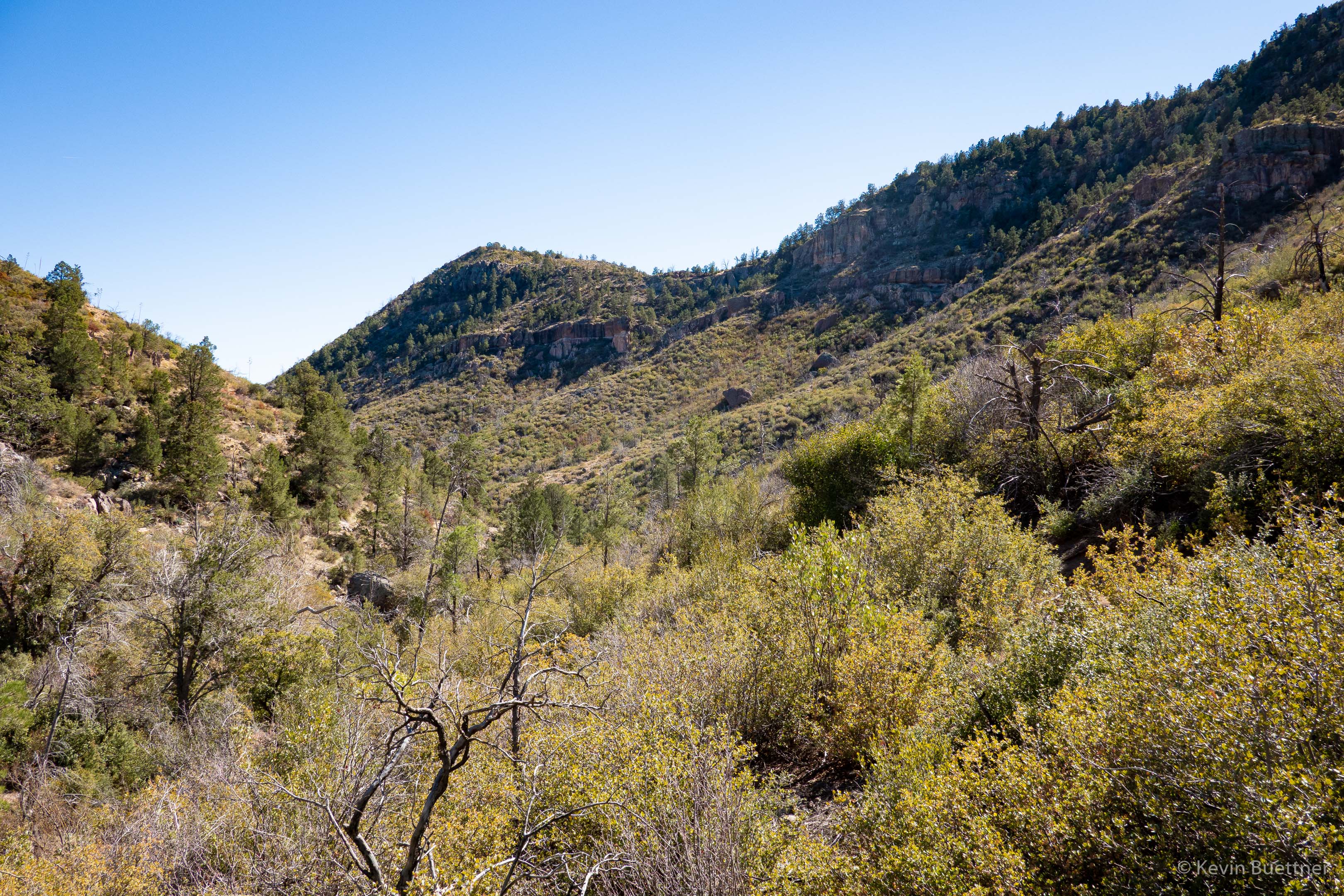
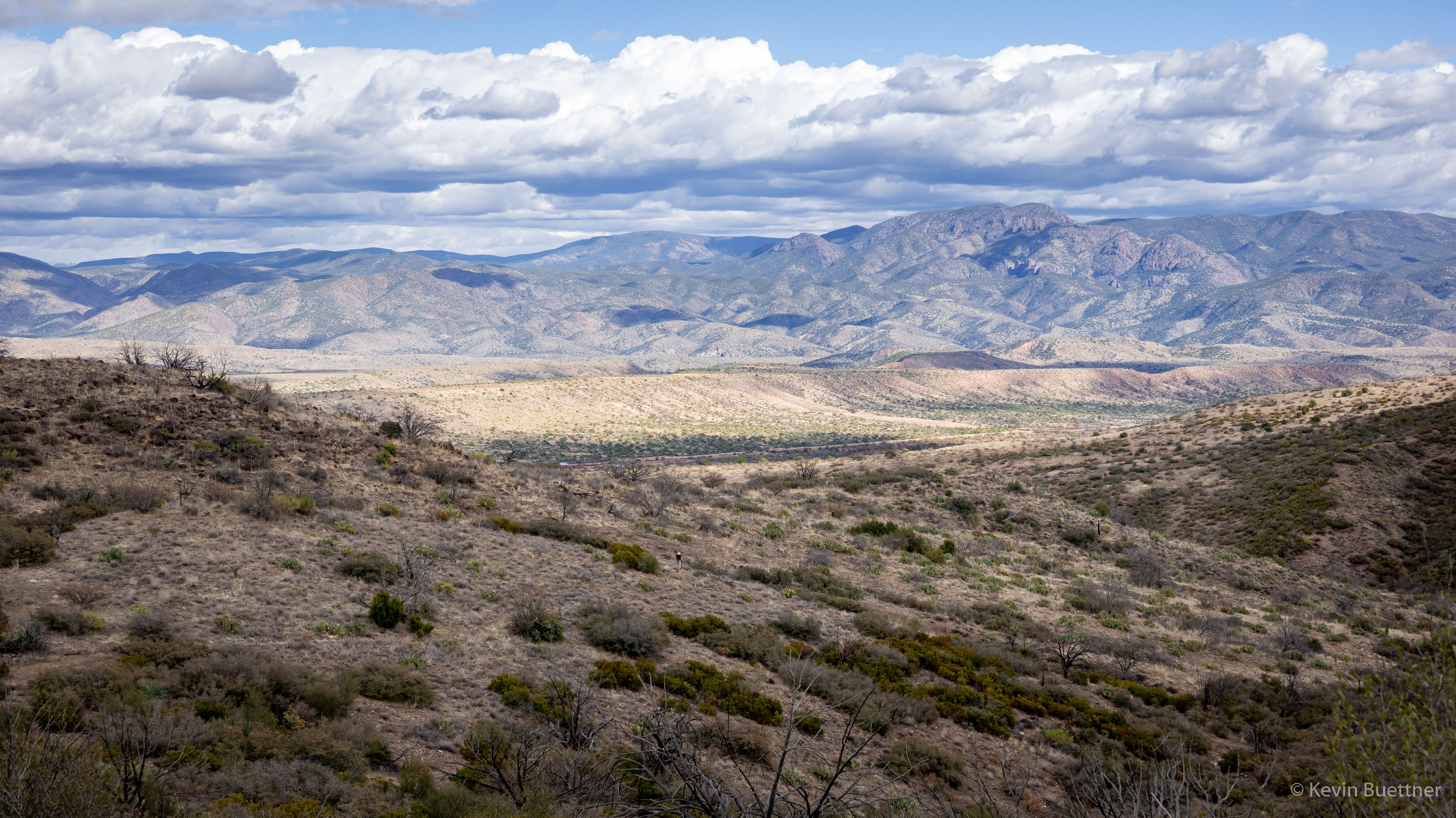
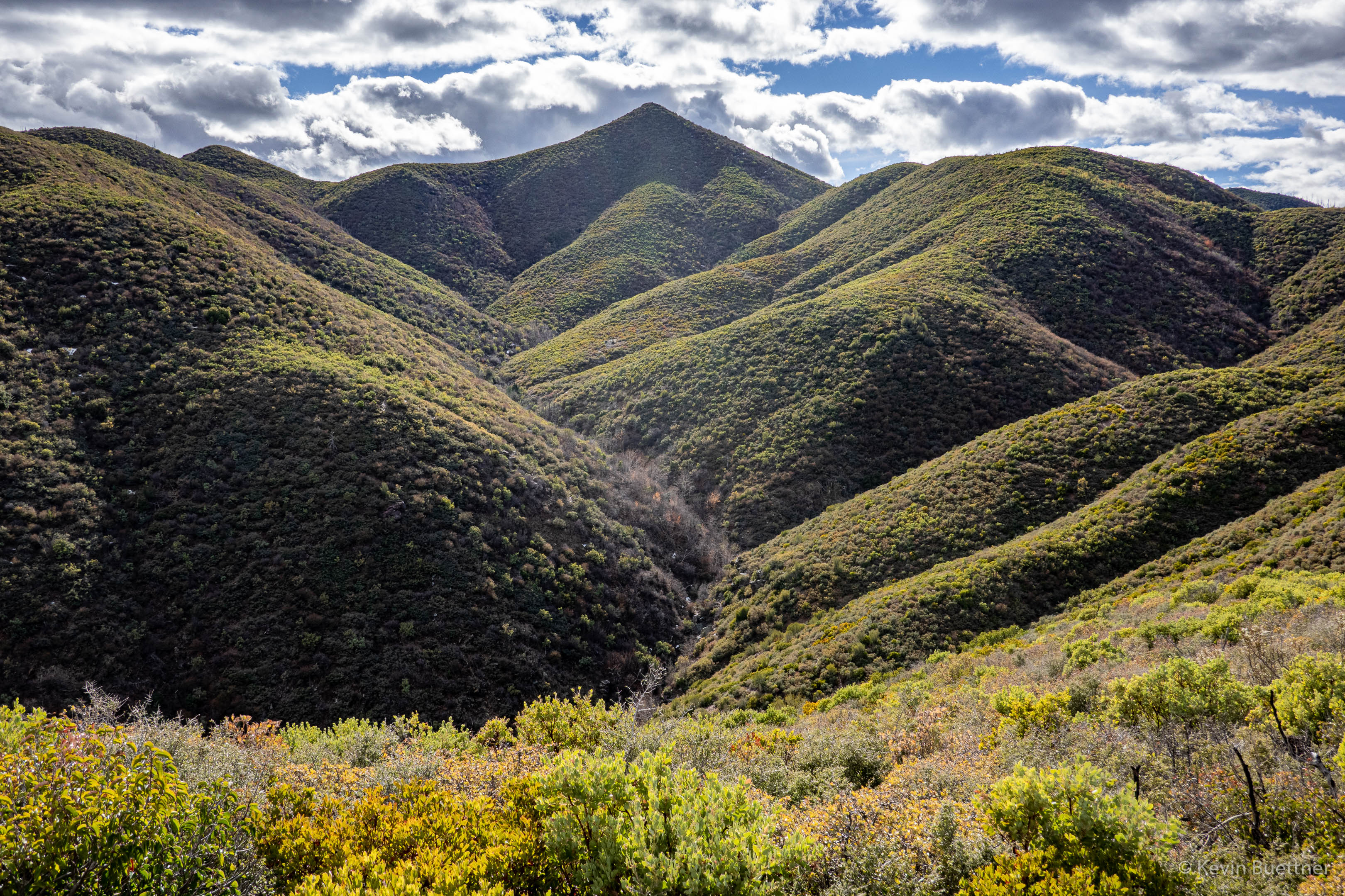
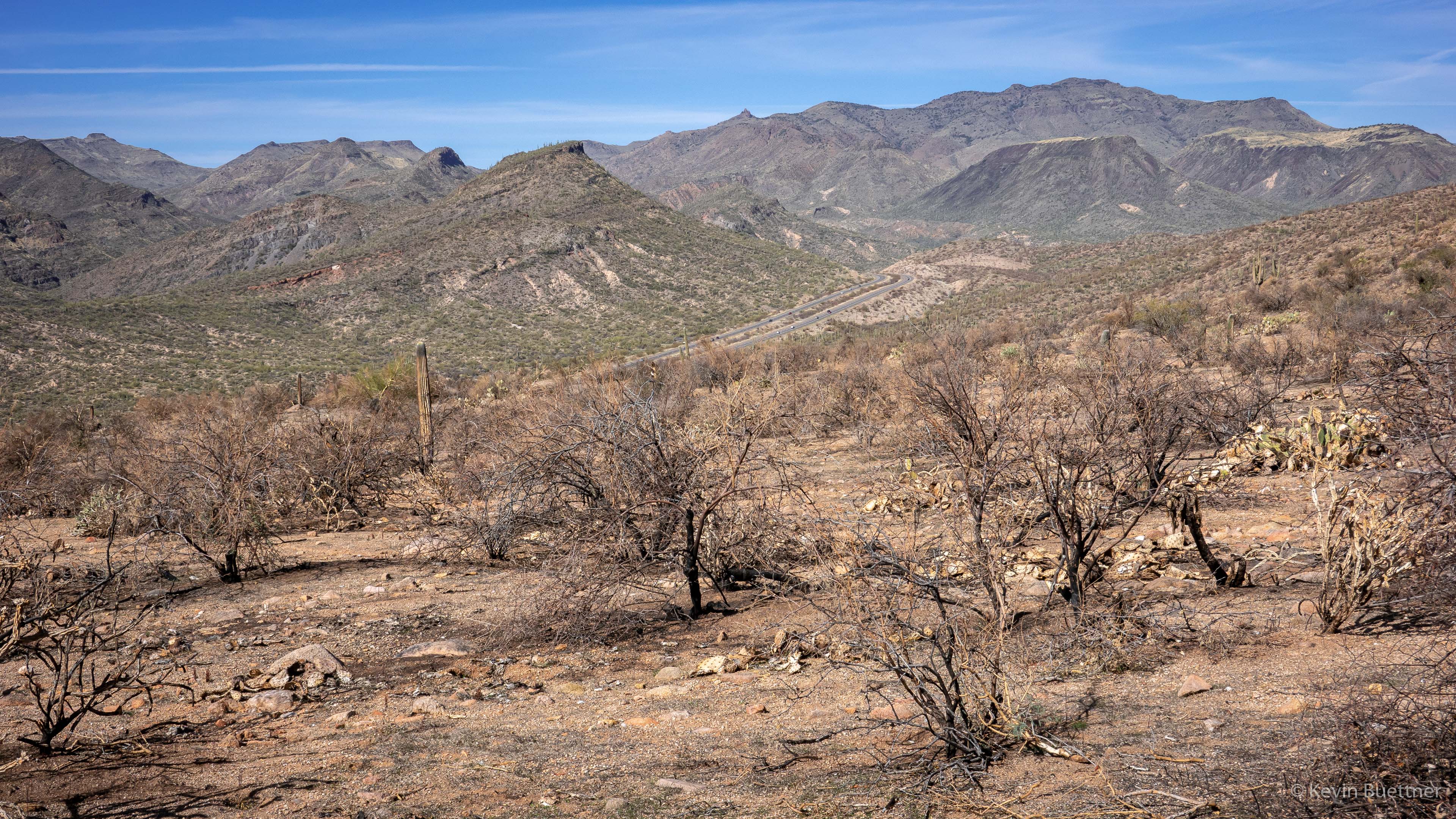
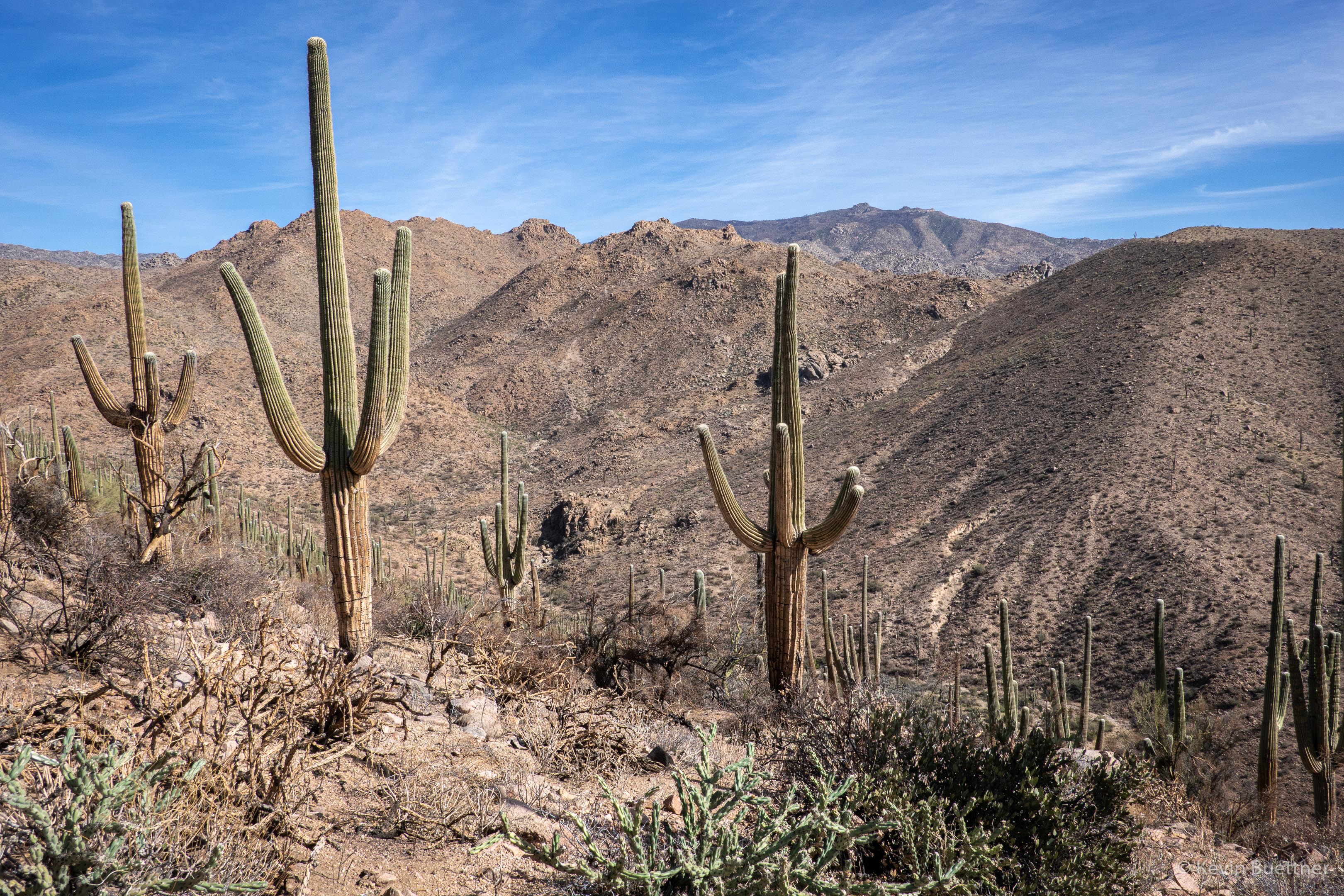
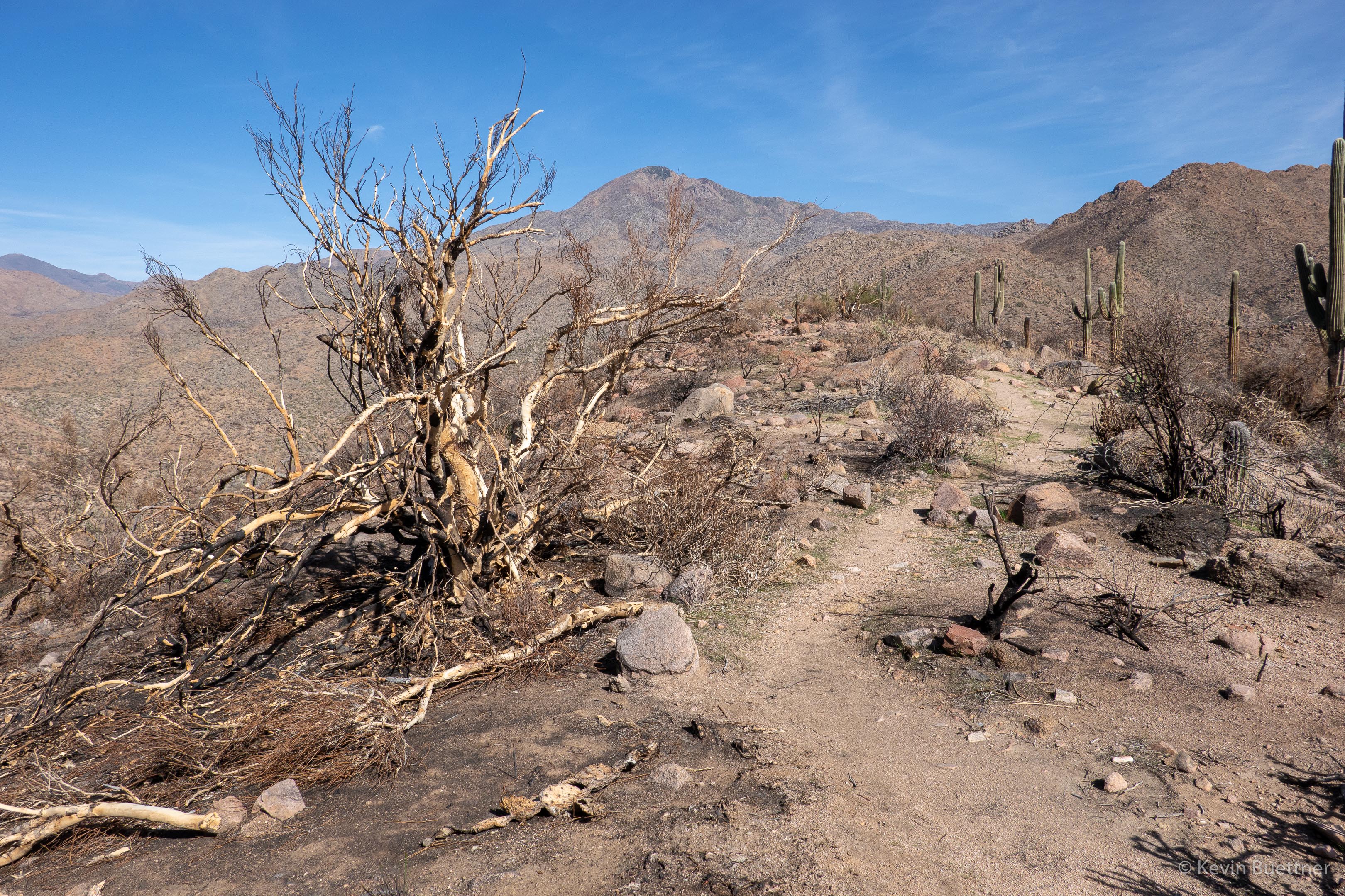
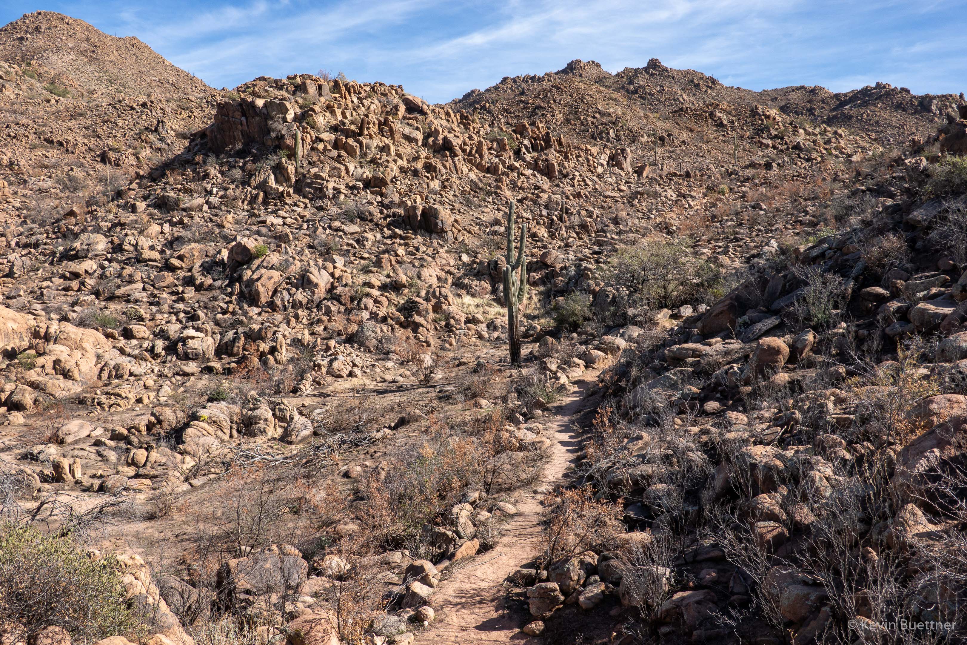
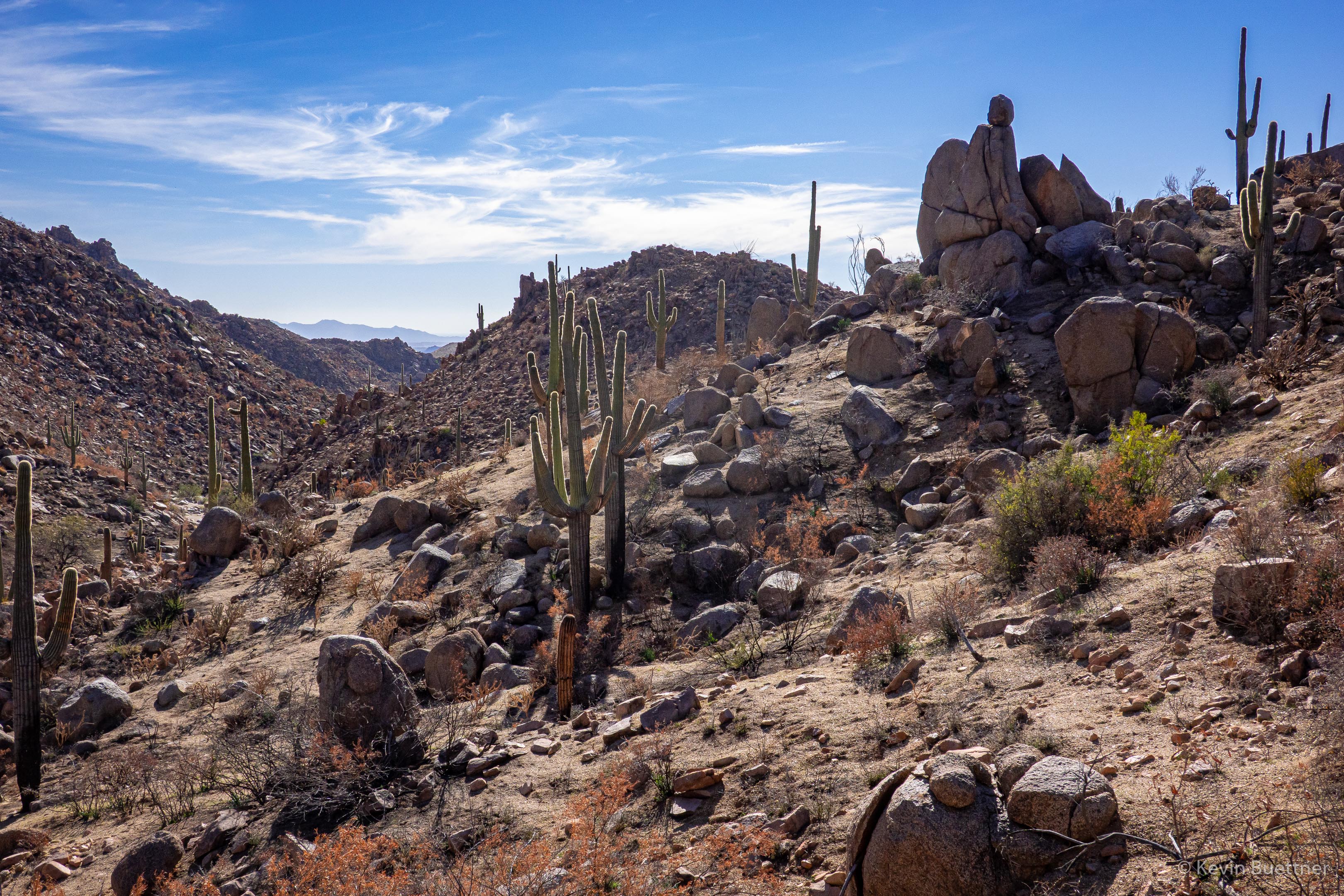
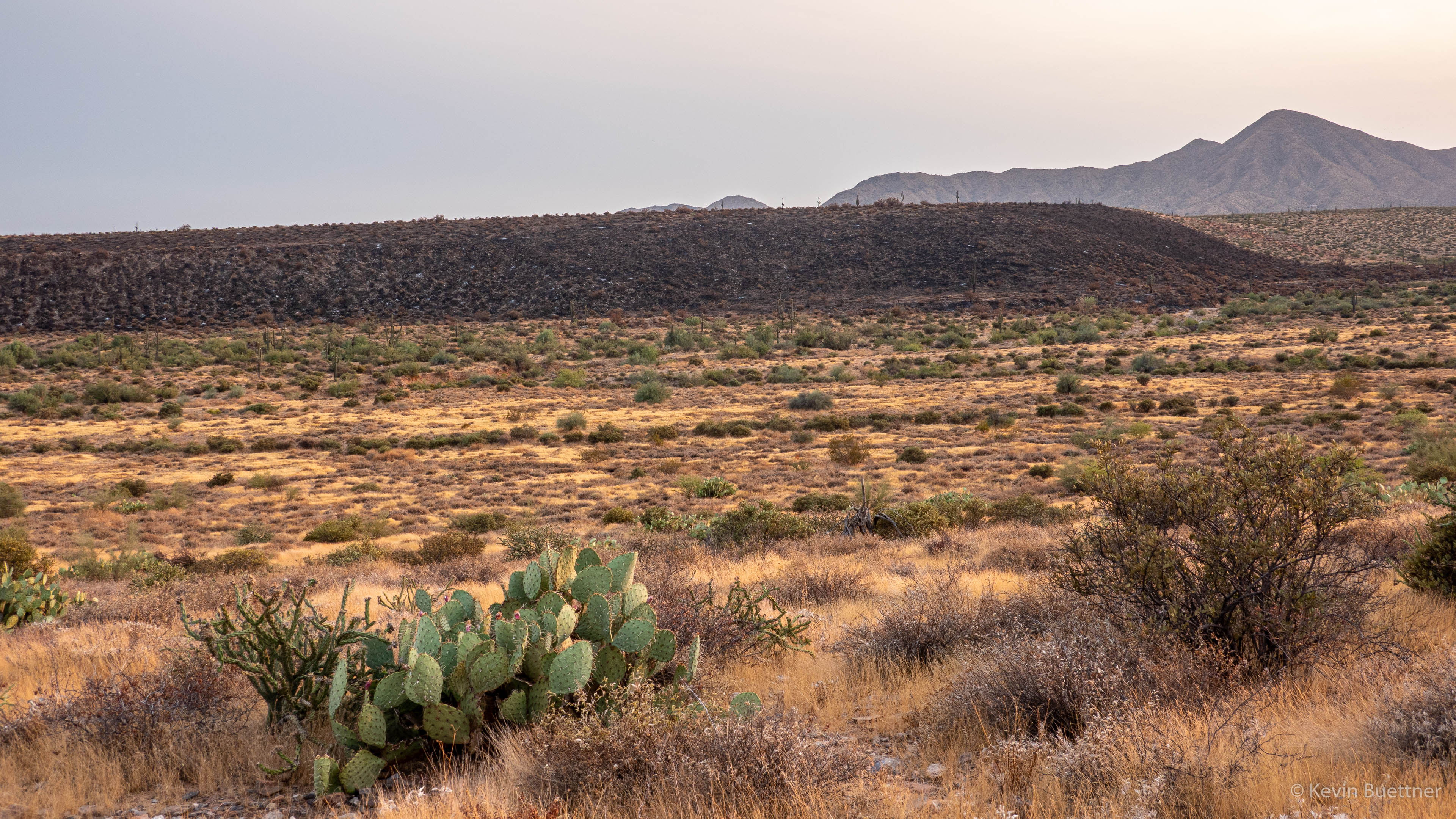
On Sunday, March 30, Nora, Marie, Marilyn, and I did a hike starting from Canyon Lake Marina. It was a variant of La Barge Lowest Loop, in which we did much of the Canyon Loop, but instead of returning via the canyon, we instead returned via Boulder Canyon Trail #103.

I gather that this can be a difficult hike, but we were fortunate to not see much water while doing the canyon hiking. This meant that we were able to avoid some bushwhack sections that might be attempted had there been more pools.  We only saw two significant pools that we had to cross; the first one we got across by walking across some smallish and shaky (downed) trees; the second was passed by going scrambling up and down a boulder.  There were still several bushwhacking sections that we couldn’t find a way to avoid, but they weren’t horrible.  There were a bunch of spots where we thought we’d have to bushwhack, but upon getting closer, we found a way through, often by rock hopping boulders that prevented the very type of growth that we sought to avoid!

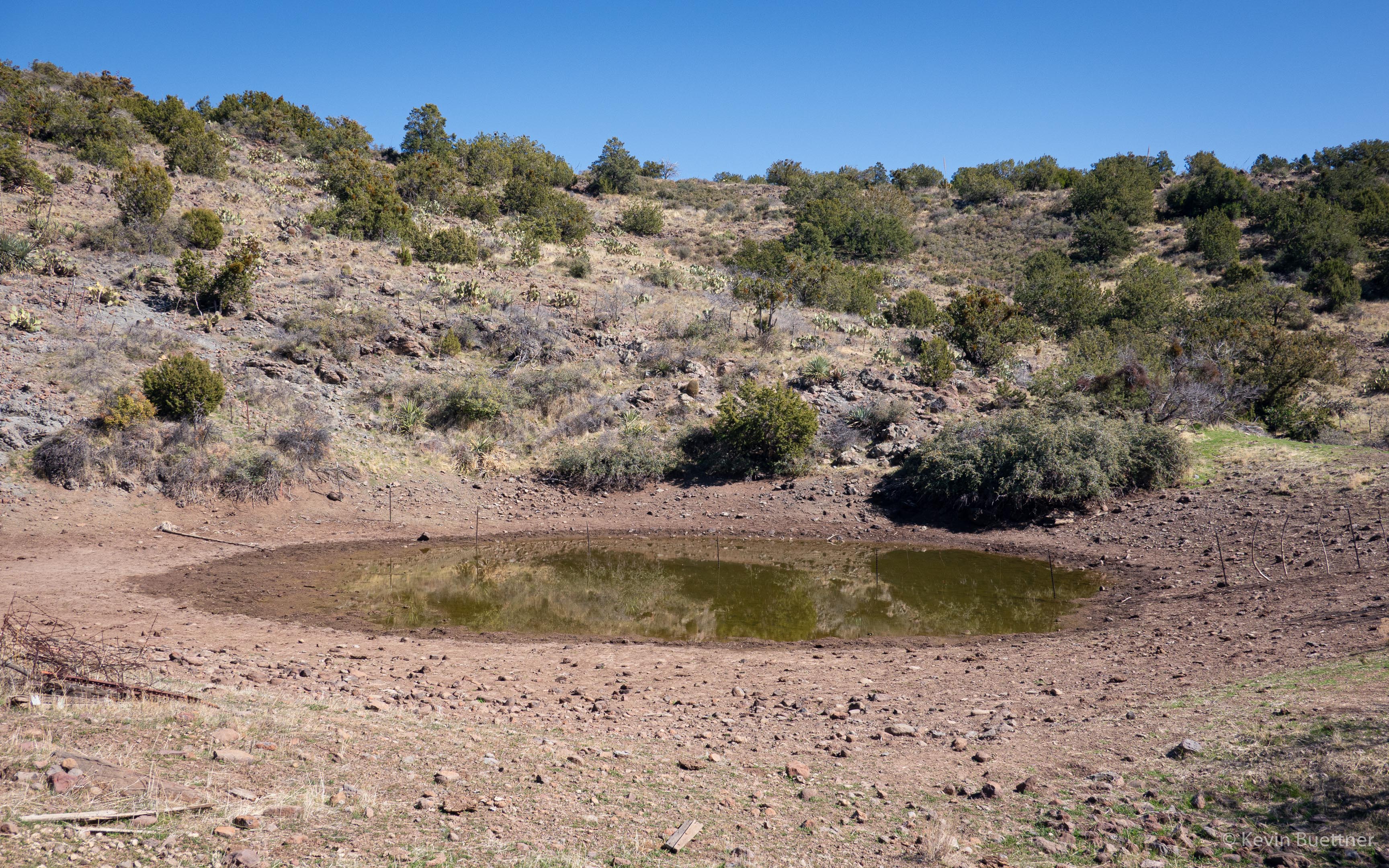
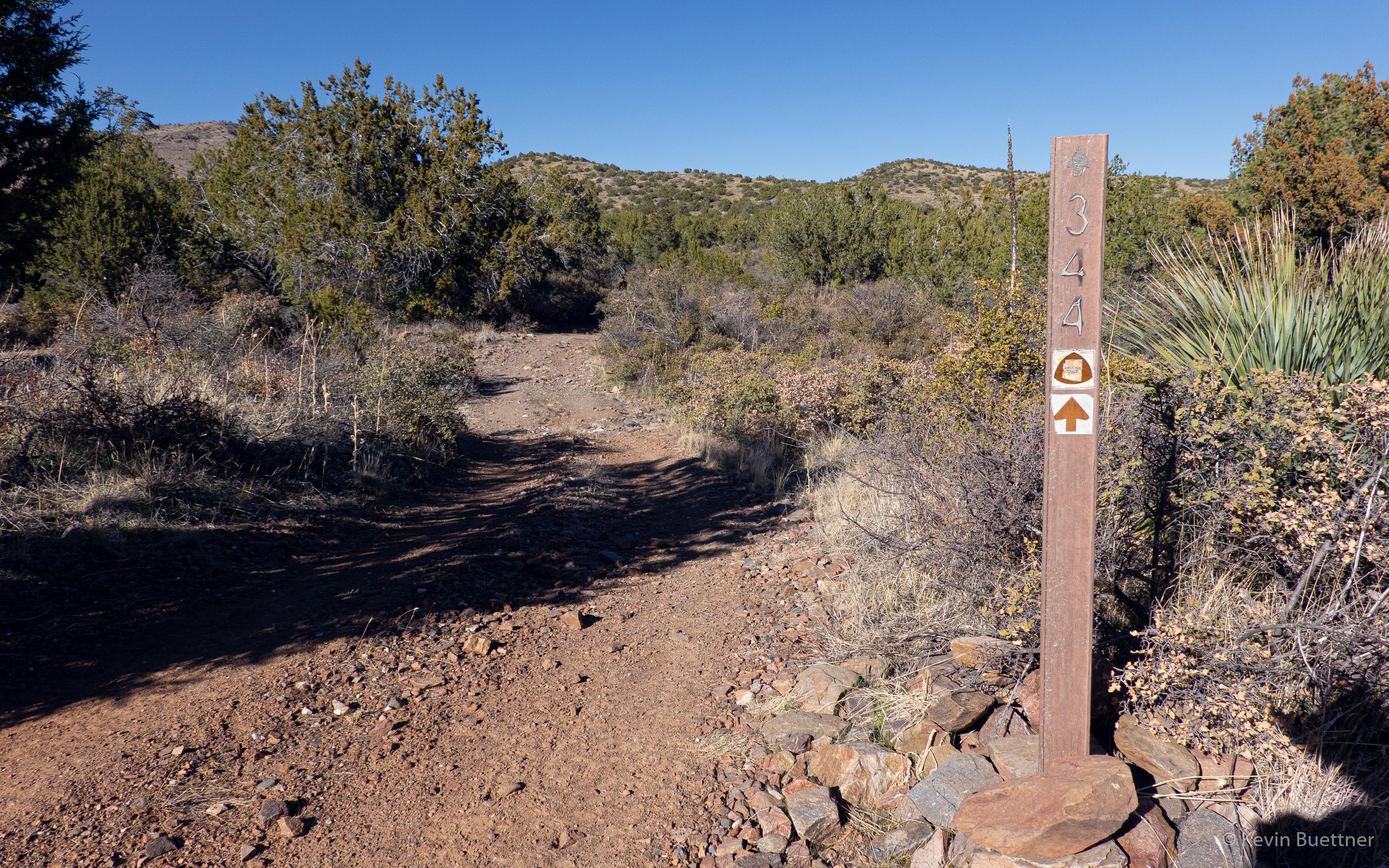
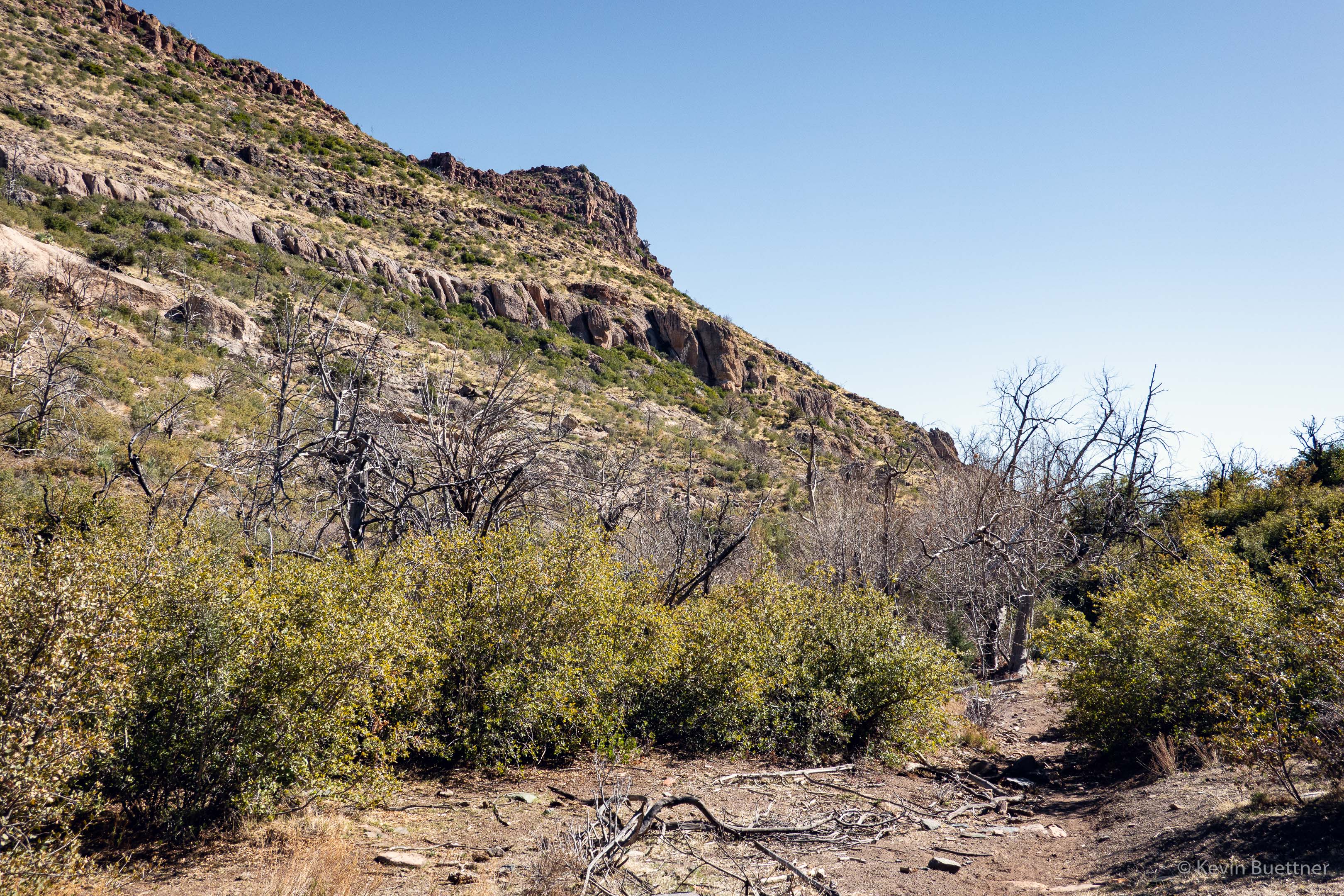
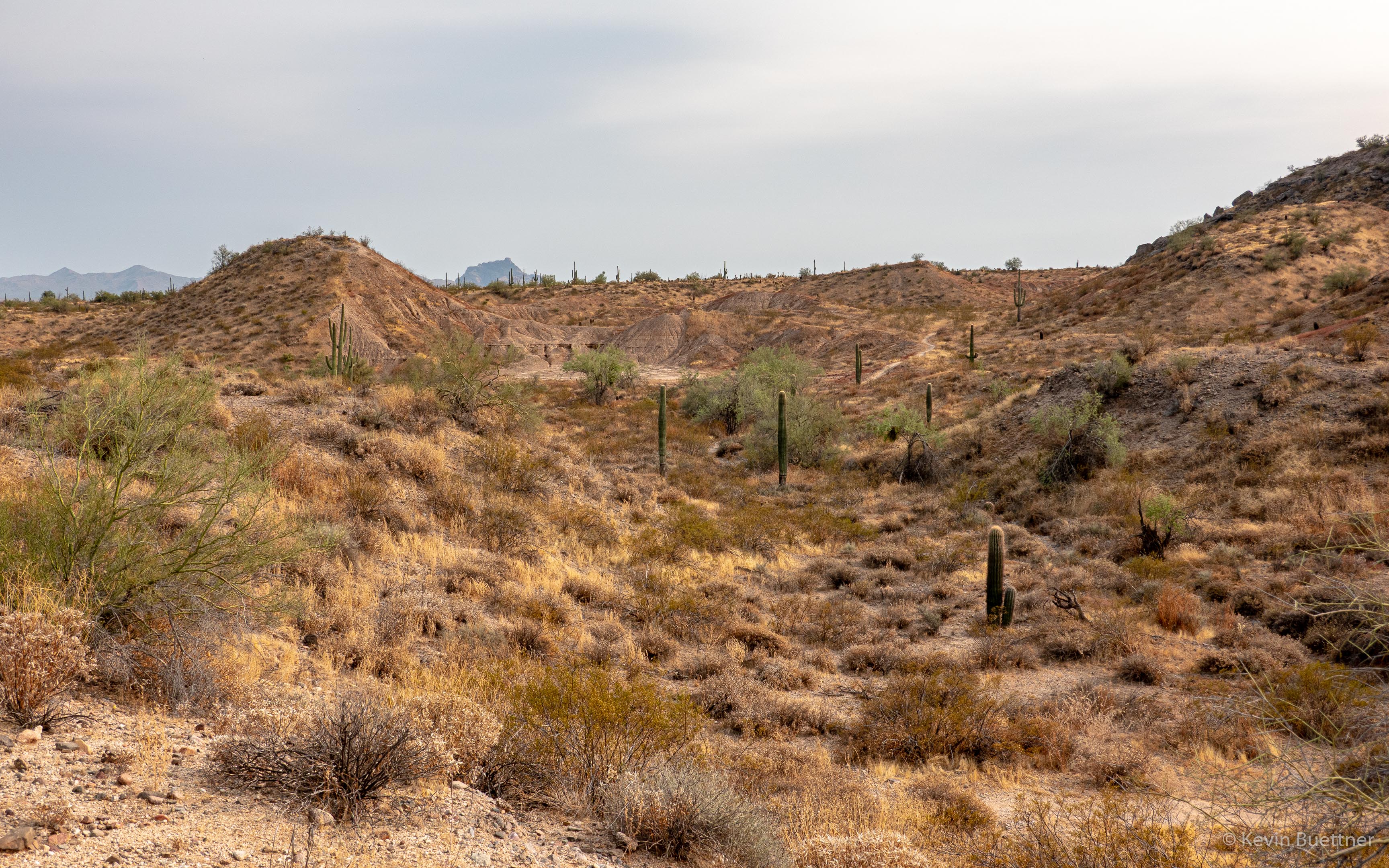
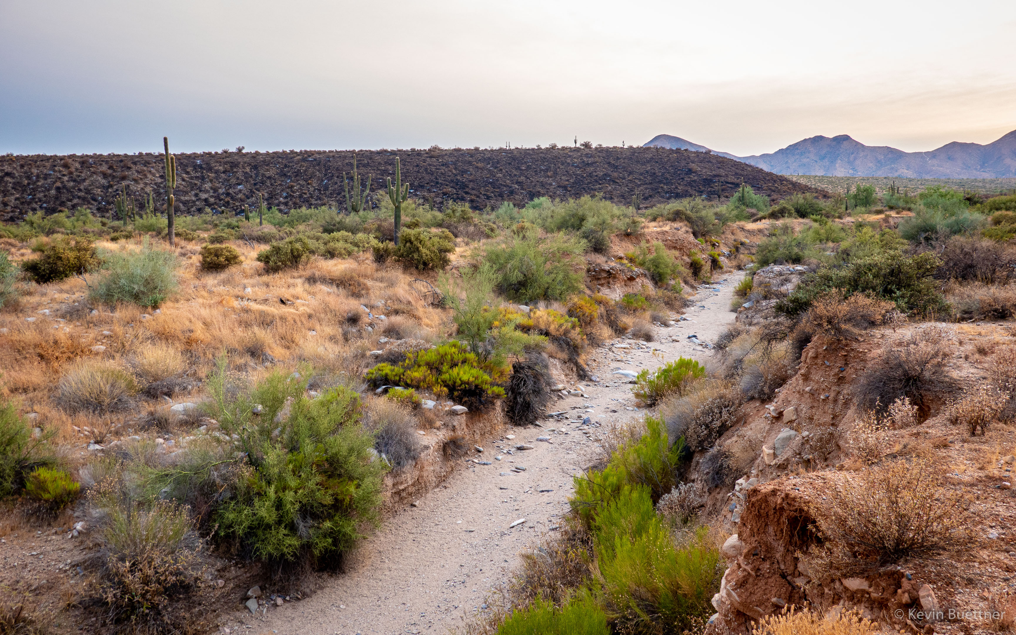
This is the really wet part of La Barge Creek; it’s not wet because there’s water flowing down La Barge Creek, but because it’s taking the overflow from Canyon Lake. This section of the creek lies just west of the first half mile up Boulder Canyon Trail #103.

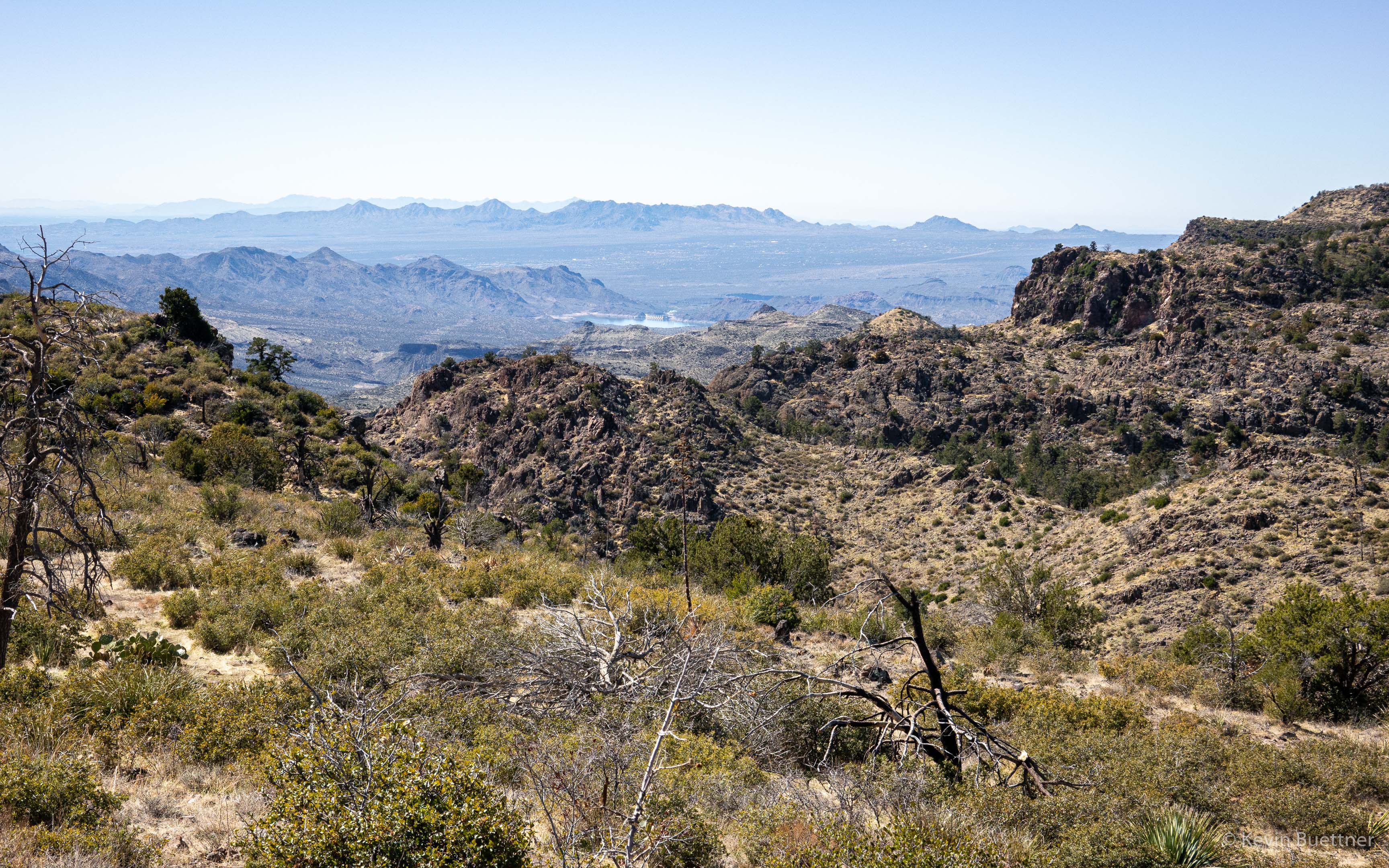
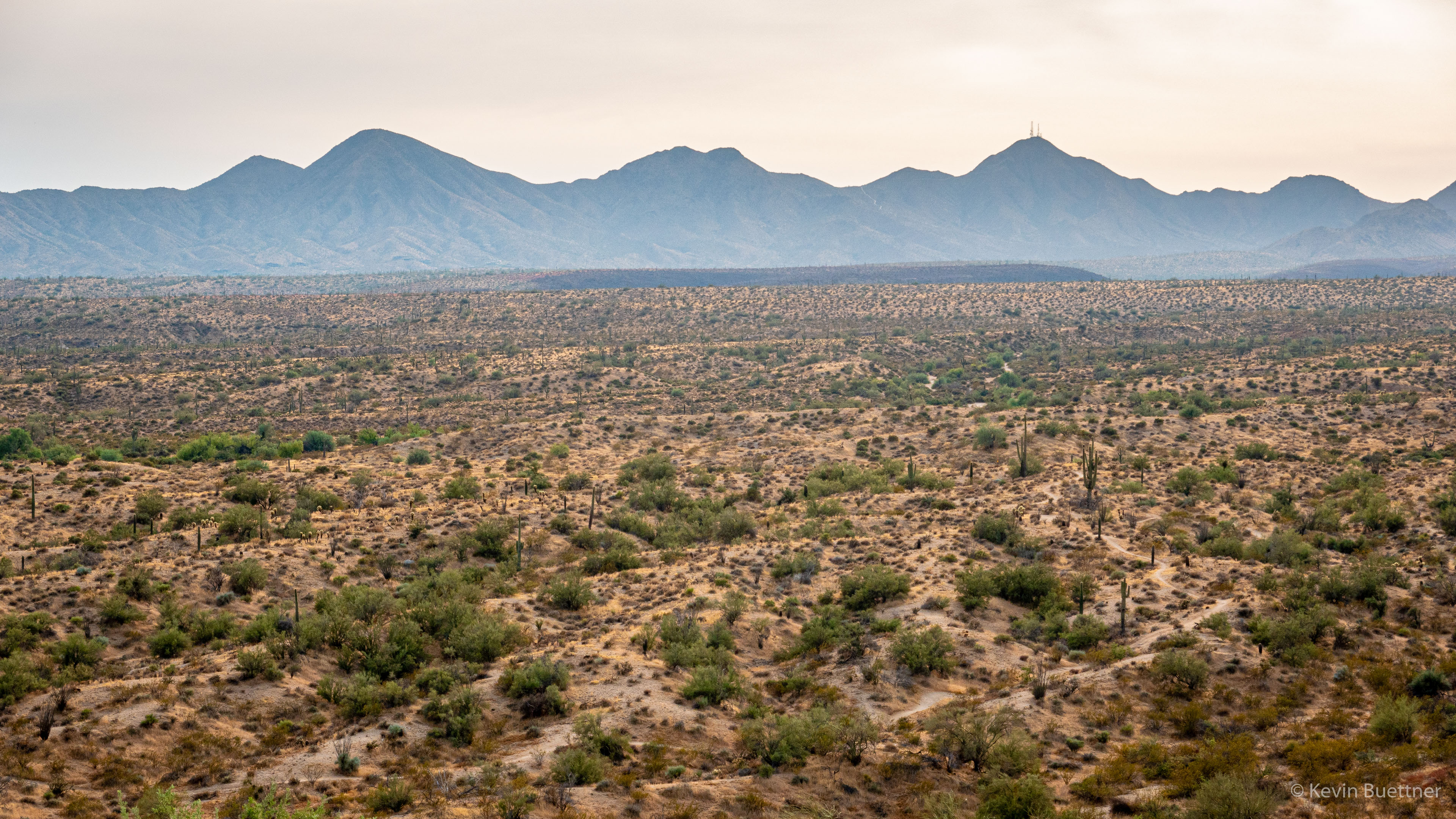
Looking back towards Canyon Lake:

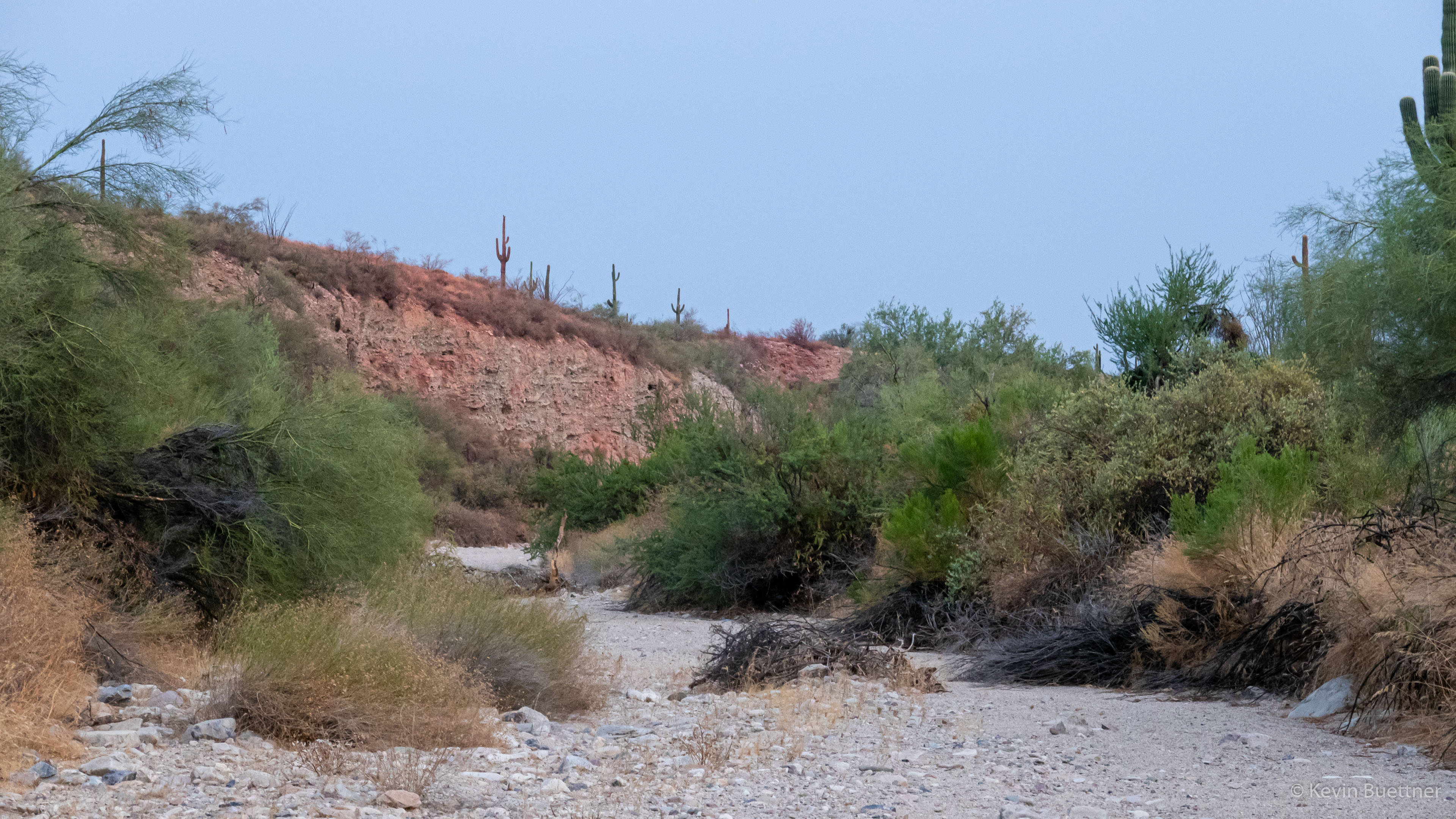
We left Boulder Canyon Trail and took a spur trail part way down to the creek. On the way down, we saw a bluff from which we could get a better look at the creek. This photo is looking downstream towards where it meets Canyon Lake.

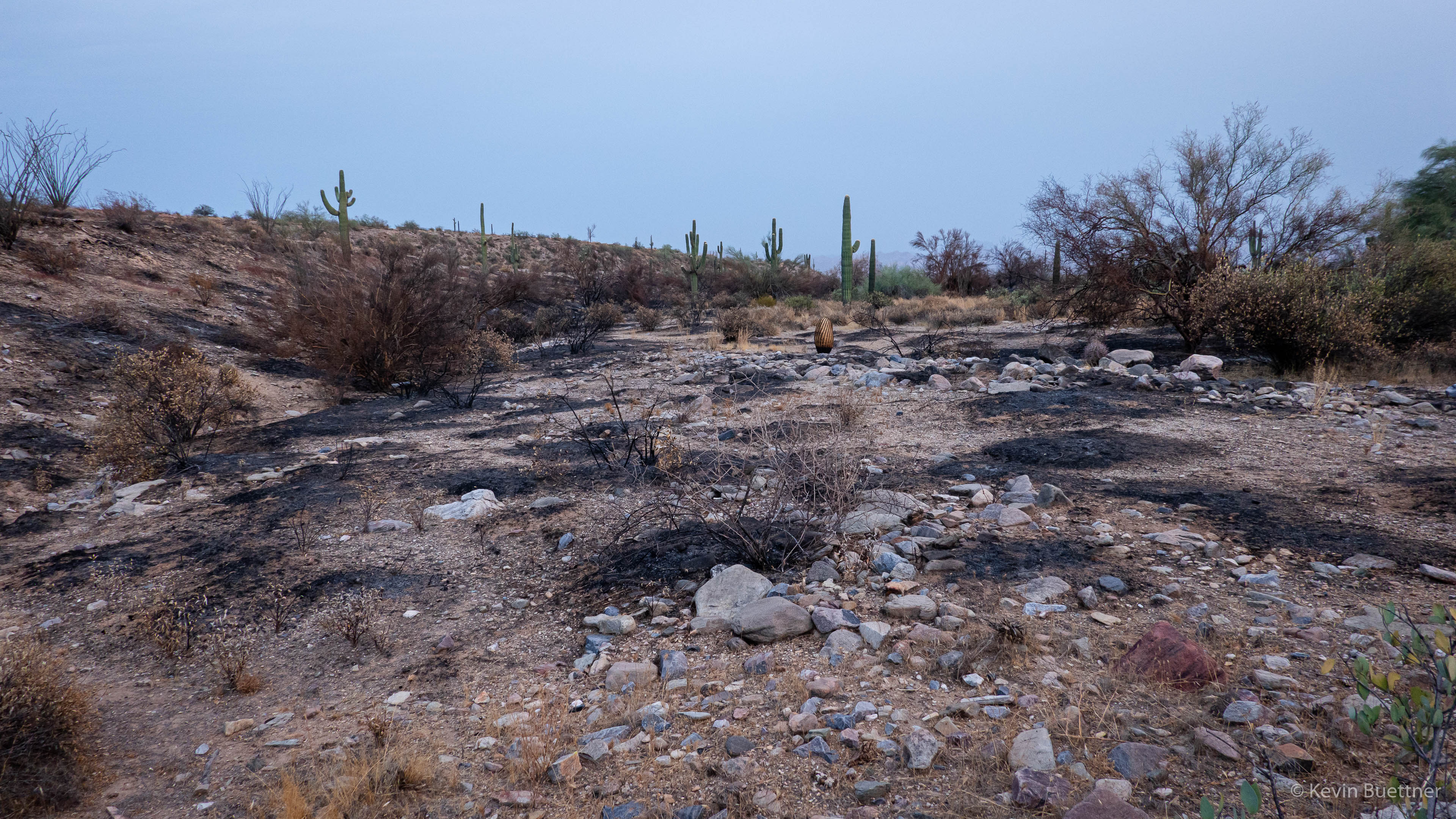
We left the bluff view area and returned to the trail leading down to the creek. Shortly after reaching the creek, I took this photo looking up-creek.

Note the rock with a hole in it – an arch? – up ahead…

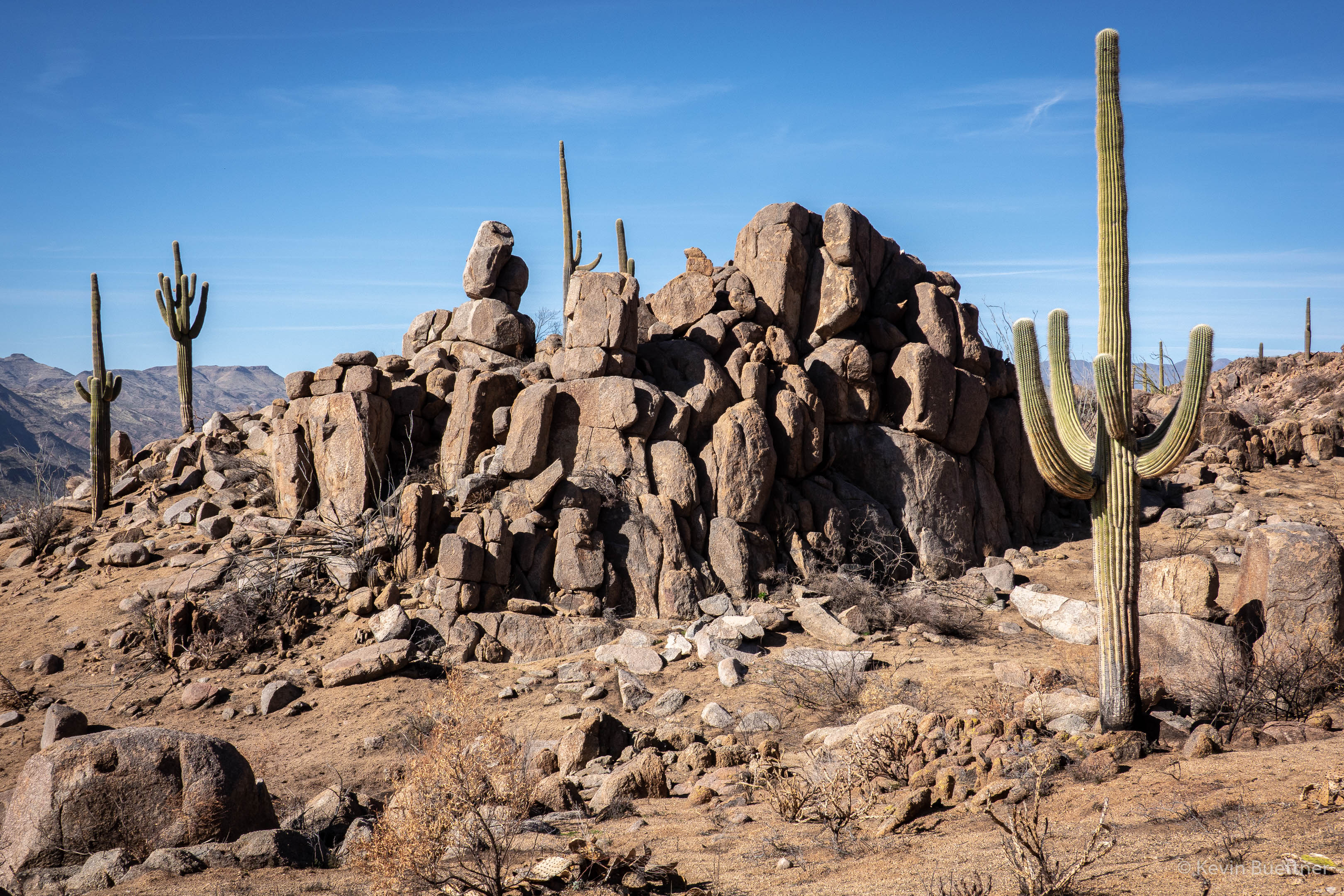
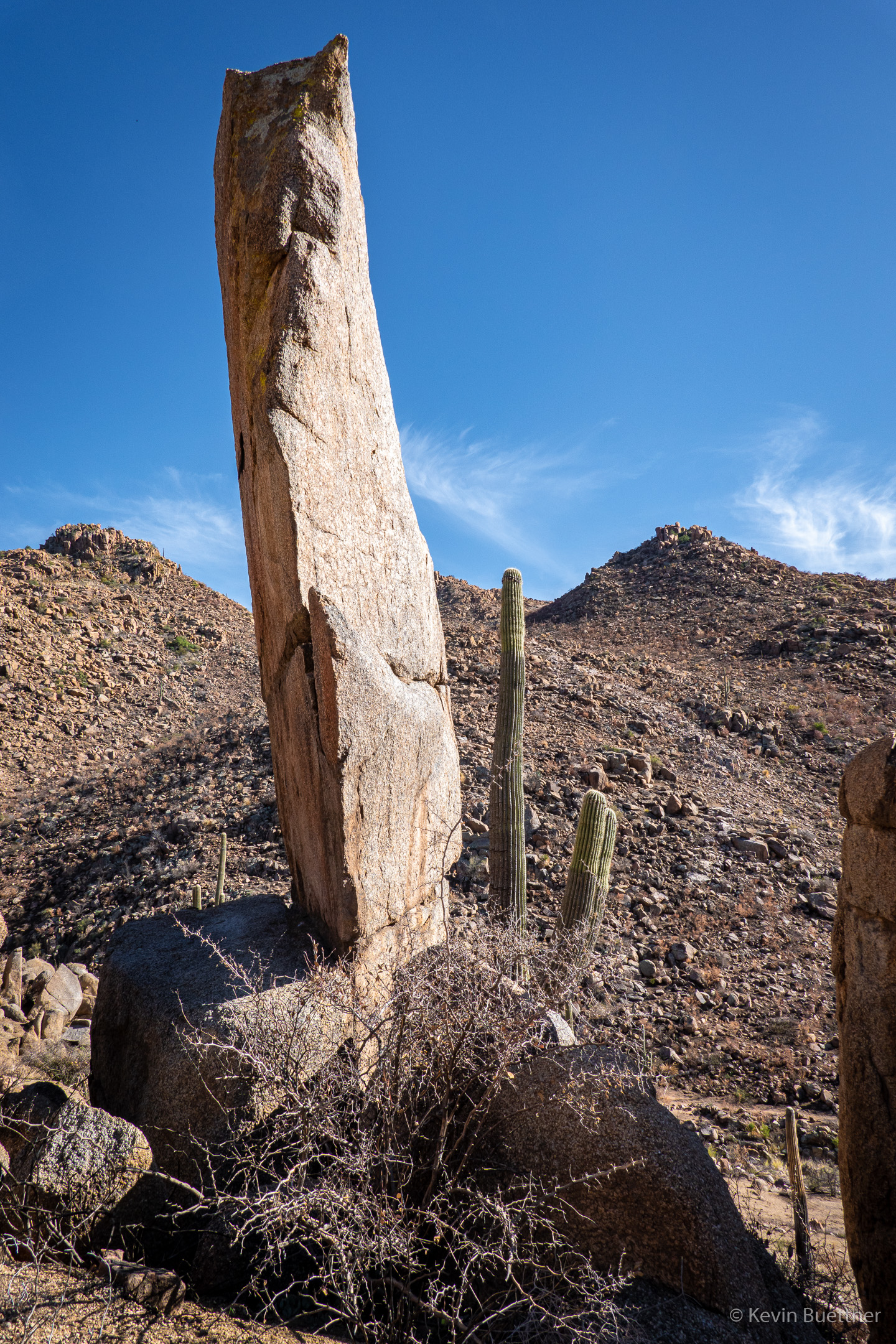
Nora and I both noticed a large boulder being held up by smaller rocks.

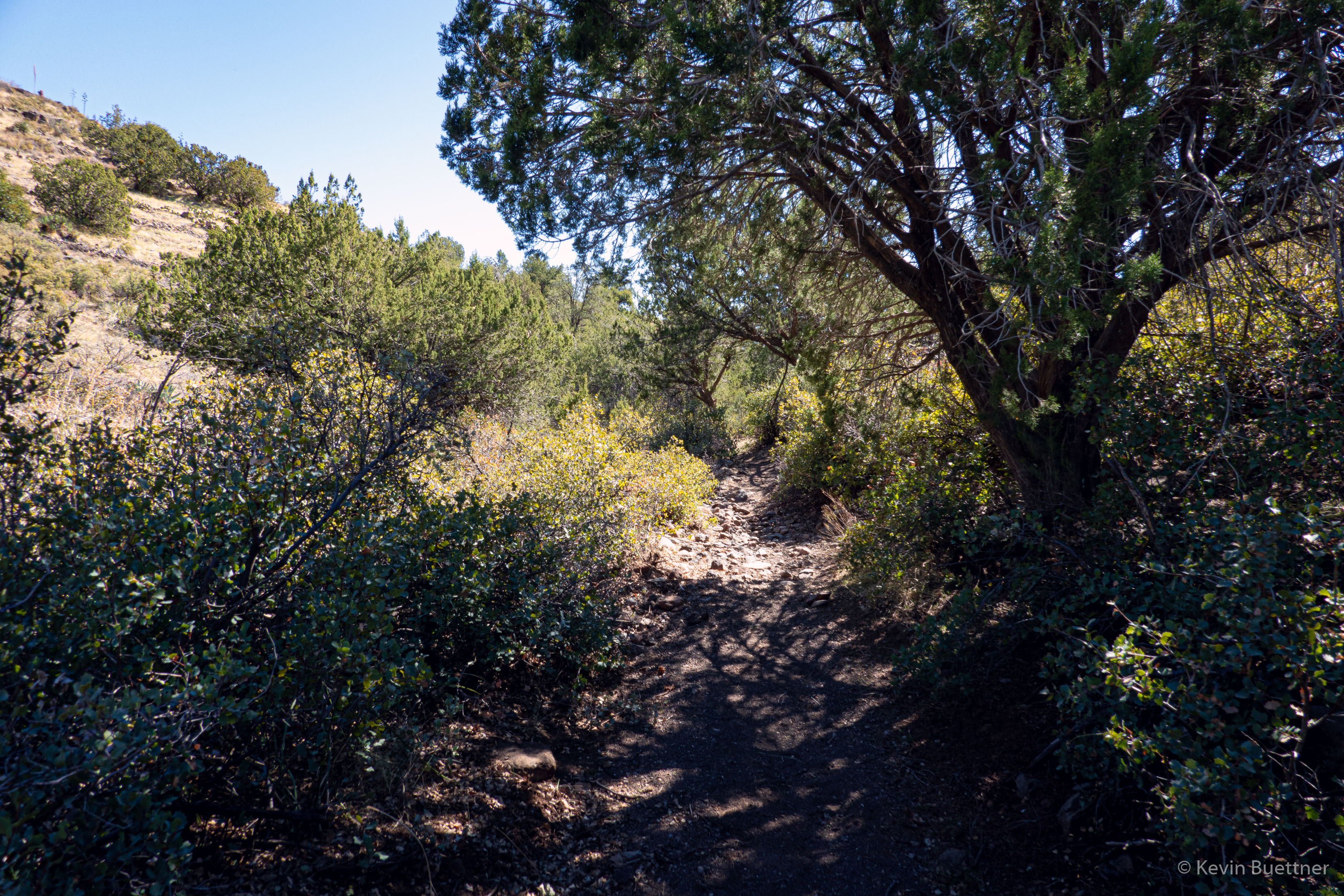
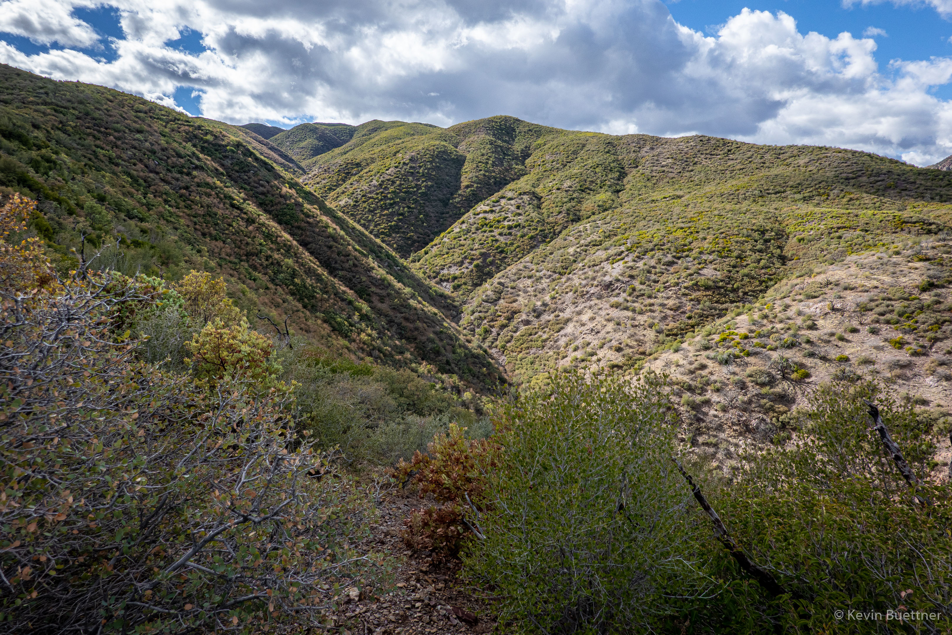
Approaching a narrower part of the canyon…
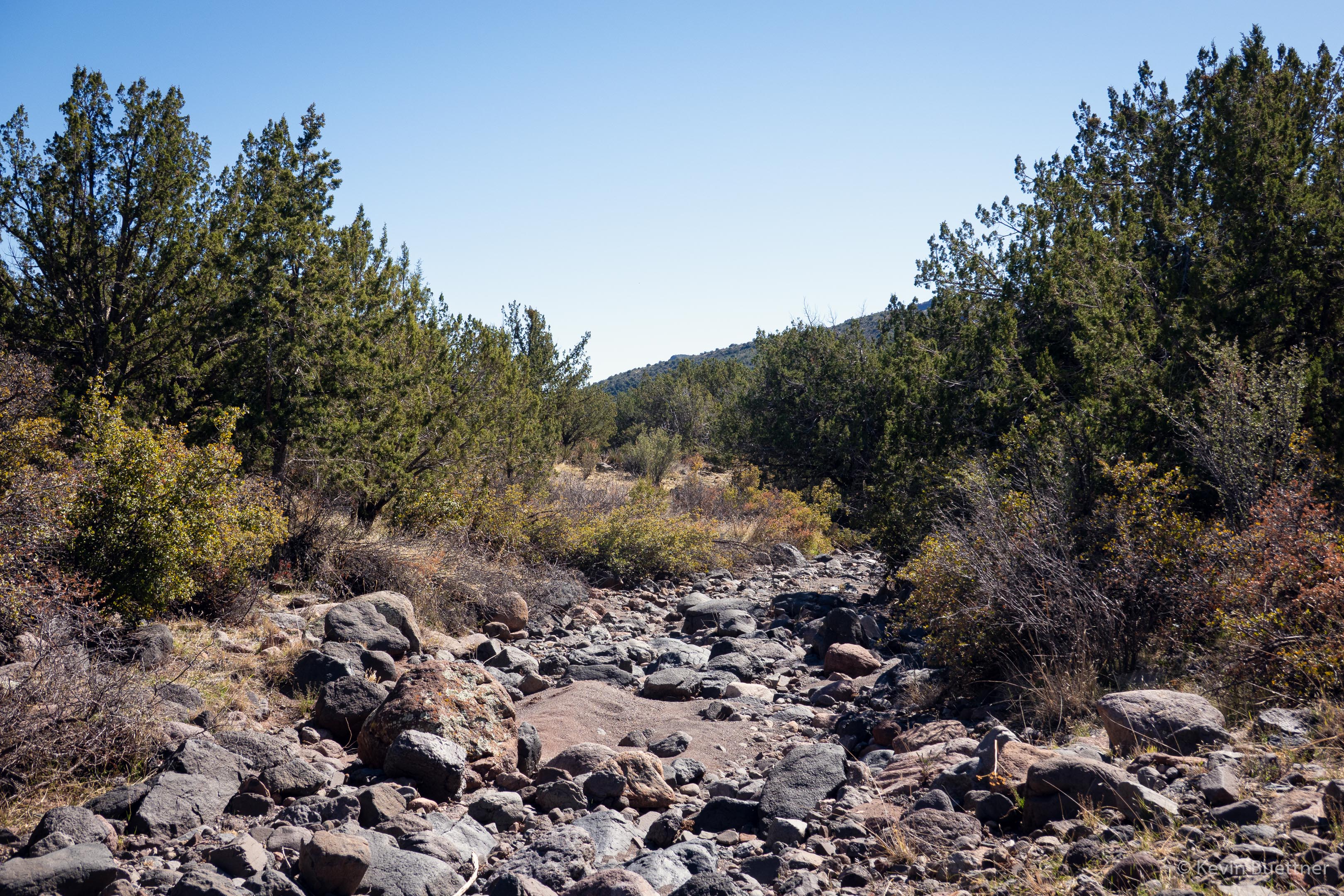
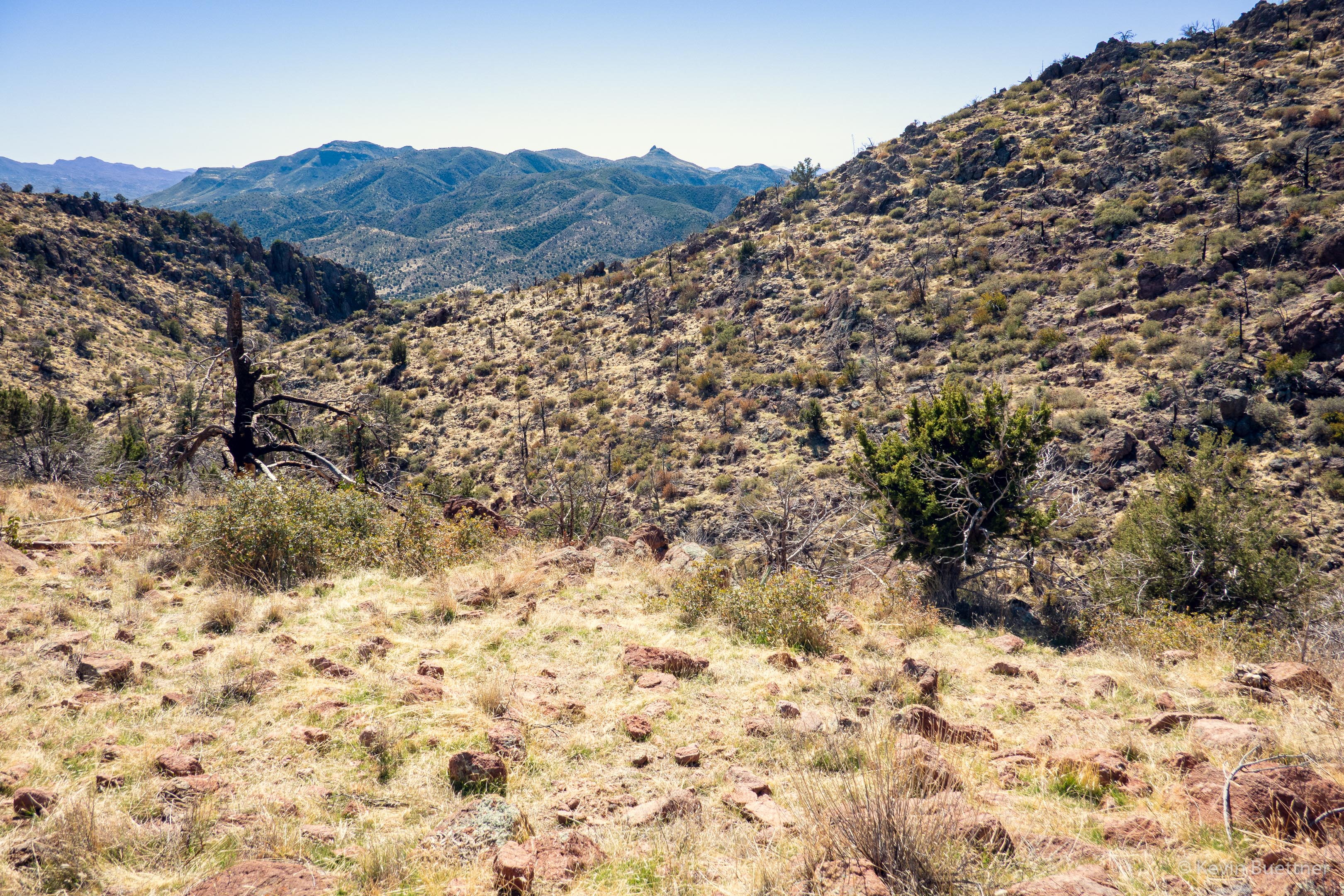
Looking back…

Going through the narrower section…

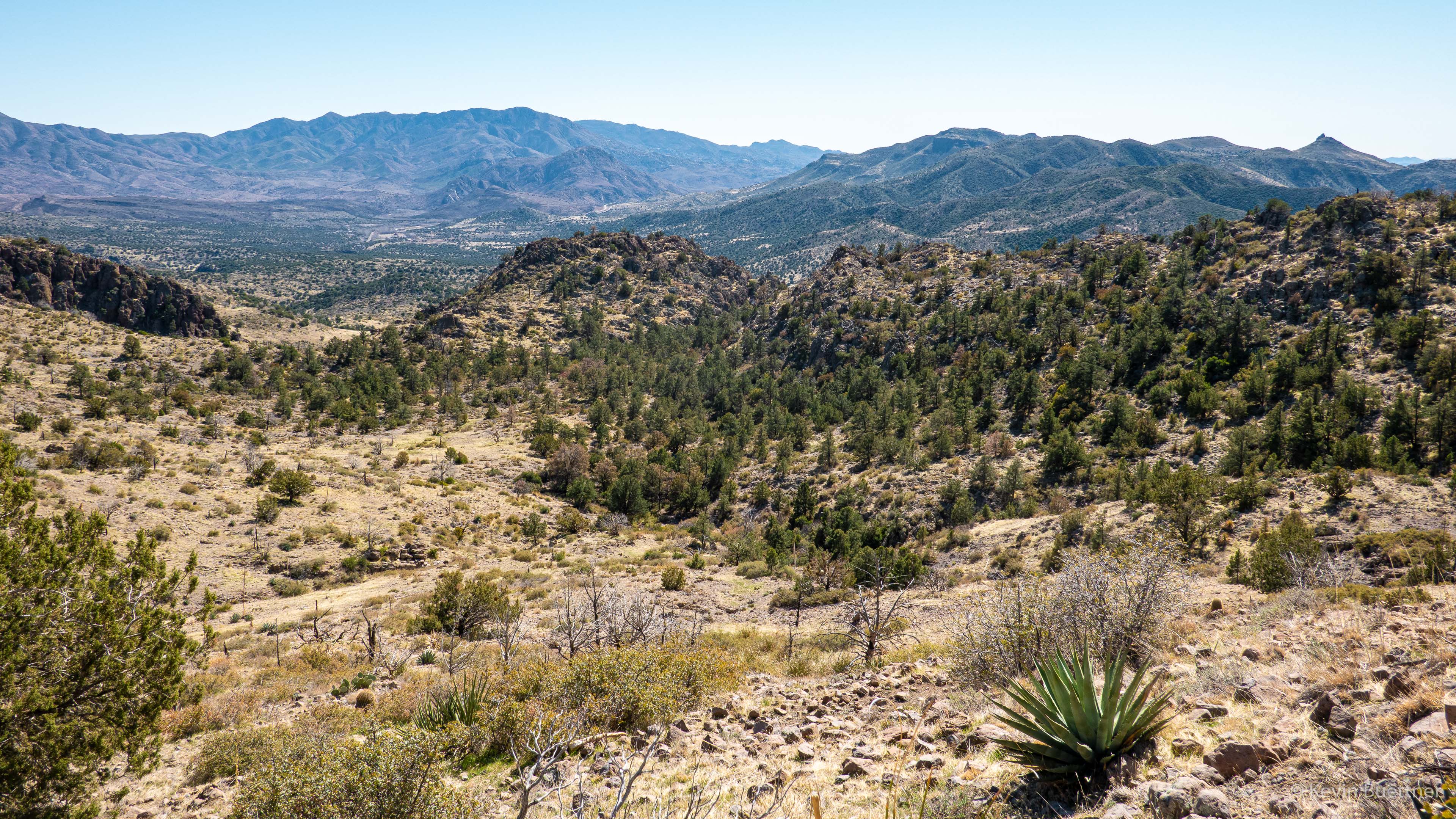
Looking ahead again:

I think that this is looking back again:

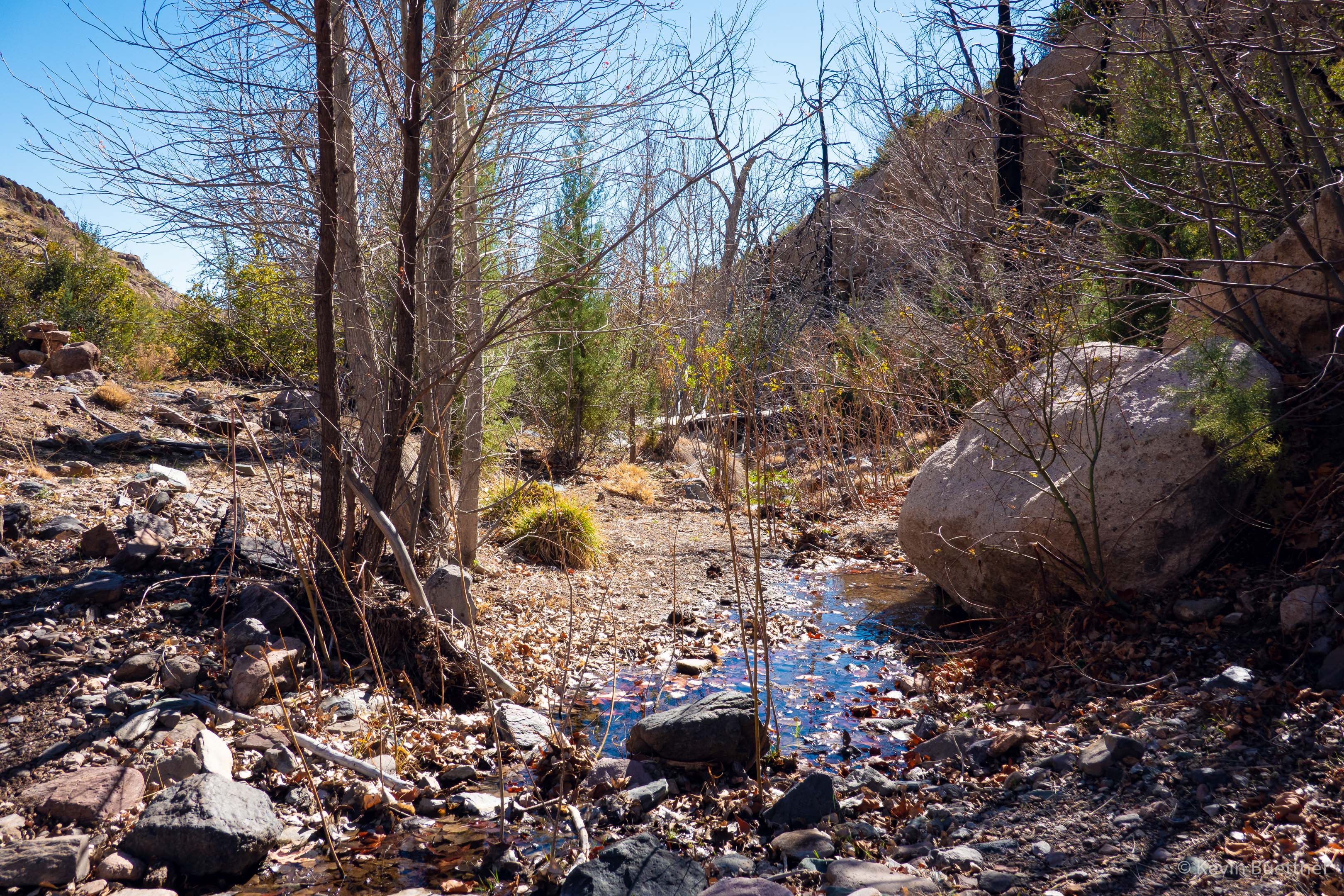
I forgot to take photos of the two pools we encountered; we’re past them at this point, though I think that one of the pools is on the other side of the large boulders.

Marilyn and Nora continue to make their way up the rocky wash/creek:

Marie is sitting on one of the few sections of smooth rock that encountered.

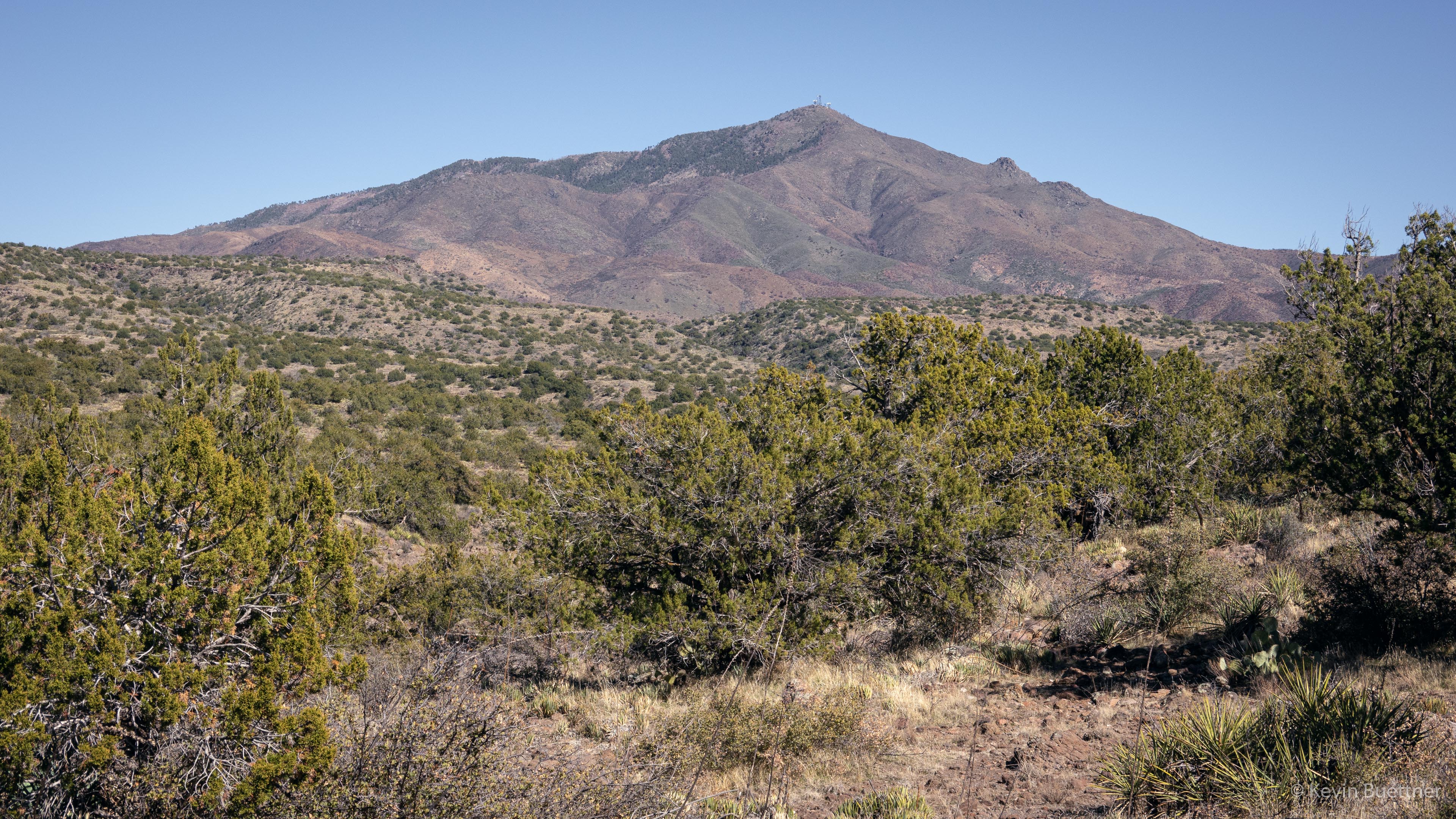
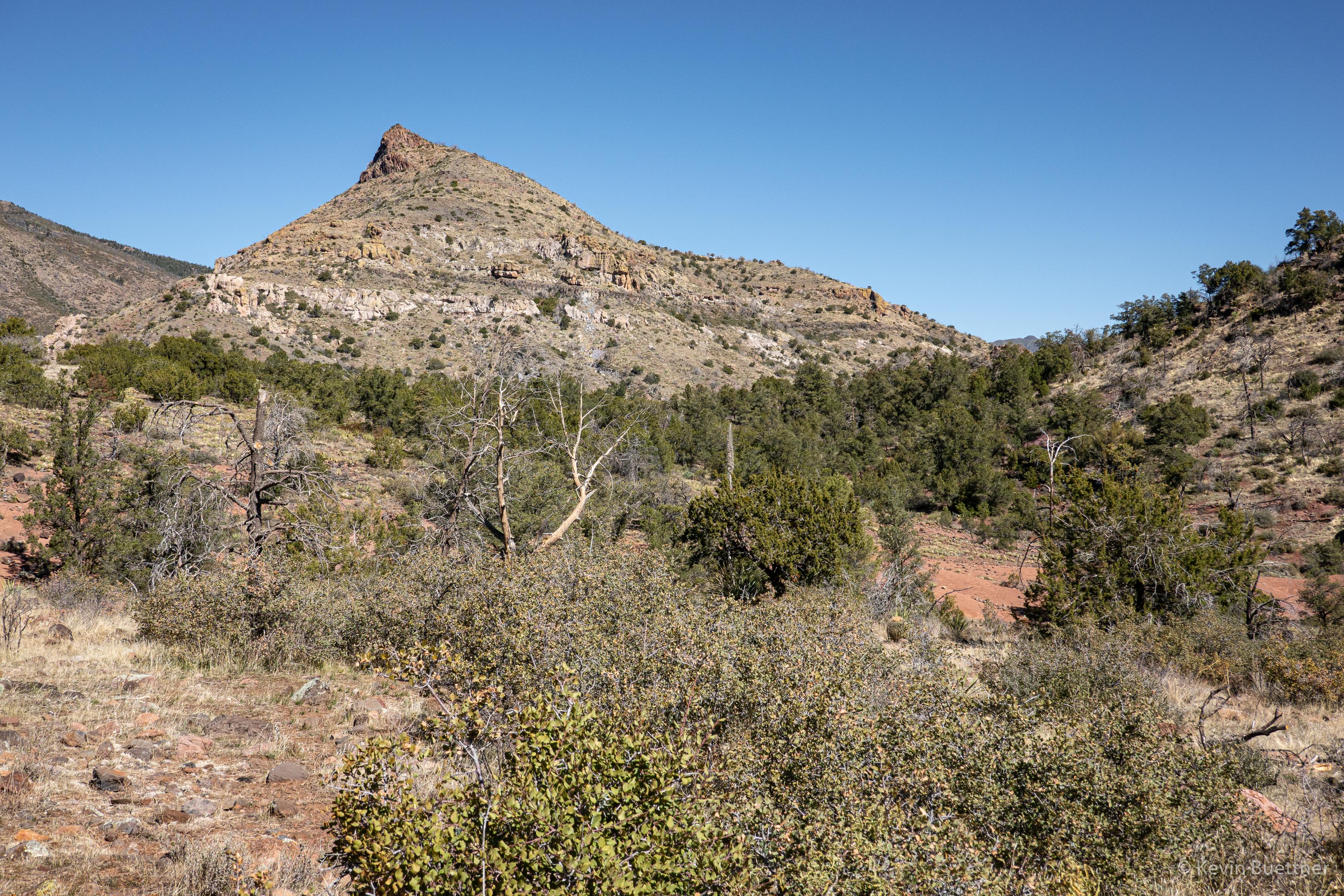
I think that this is “port” side of Battleship Mountain:

Thankfully, there was a clear way to hike through the reeds at this point of our hike; earlier on, we had a stretch where we had to hike through them.

To the best of my knowledge, these ruins are the part of the “Indian Paint Mine”:

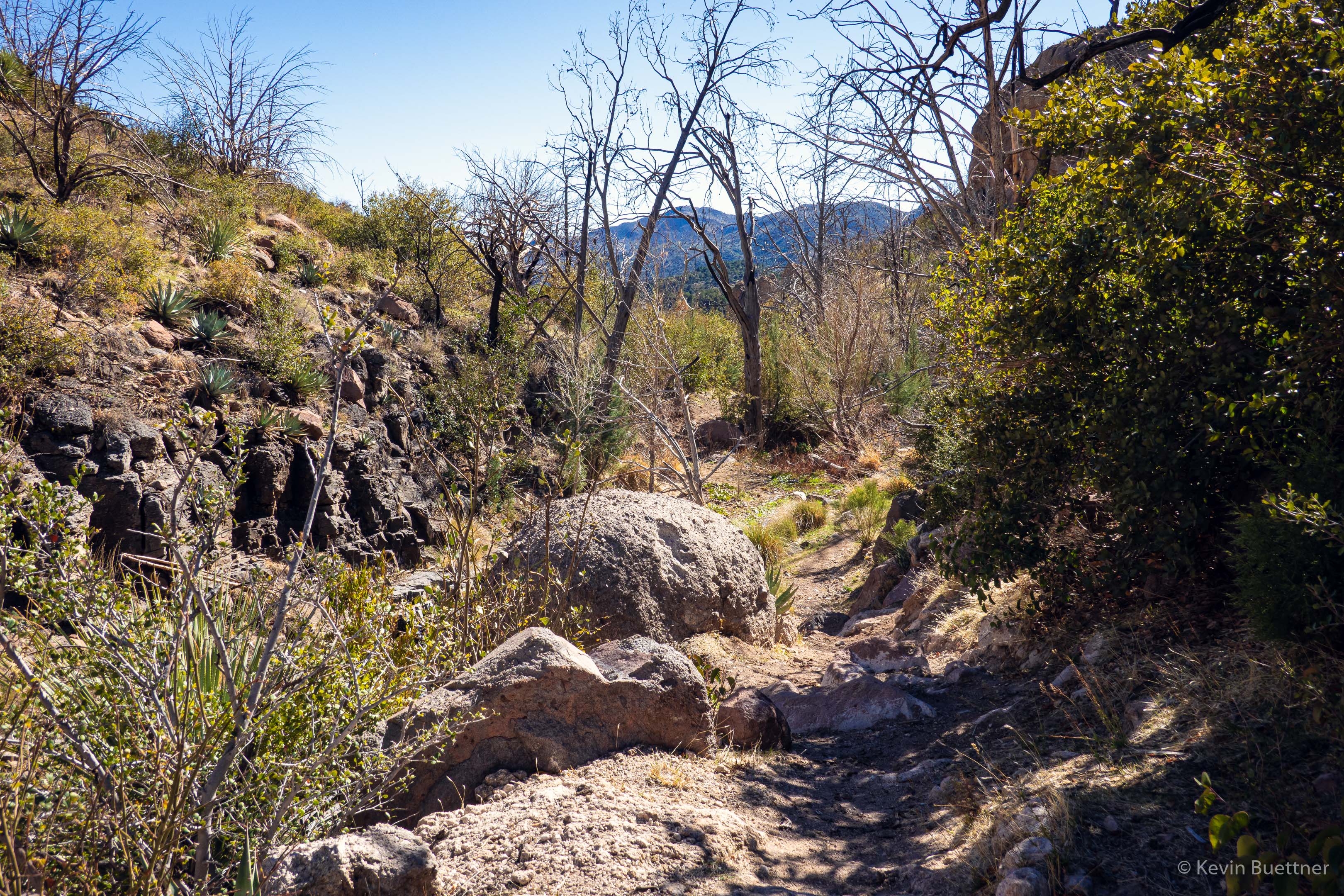
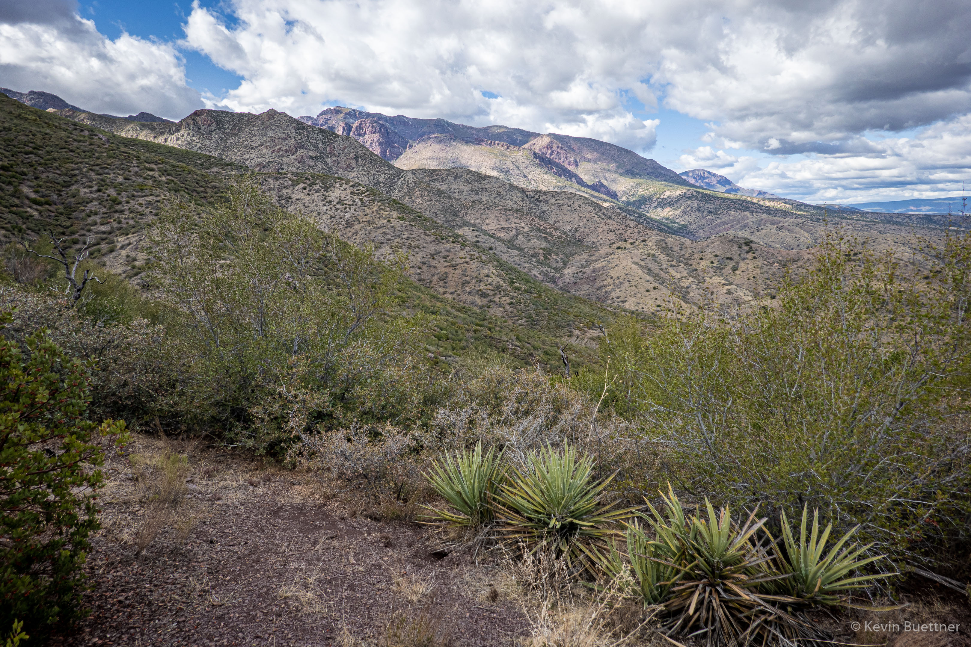
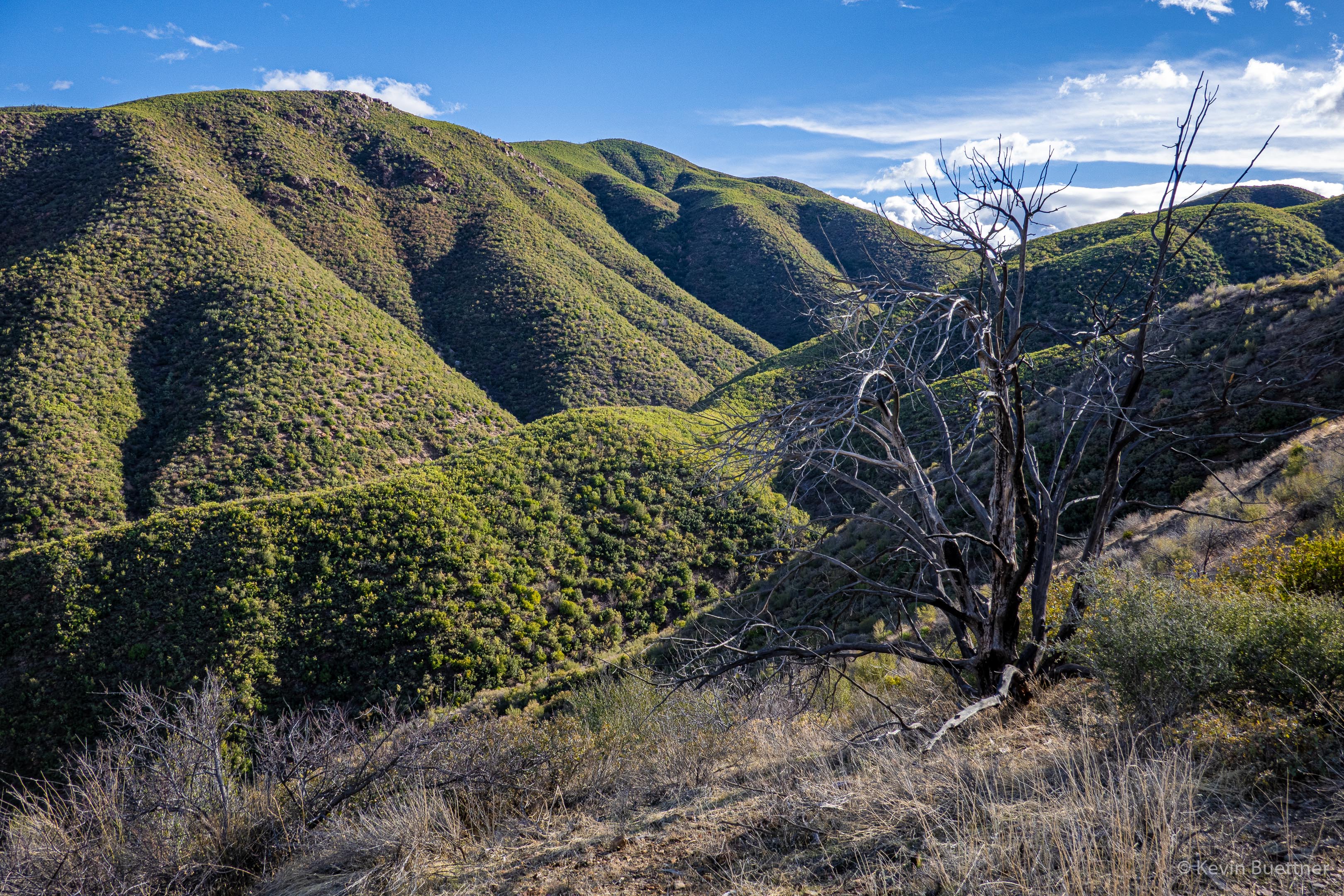
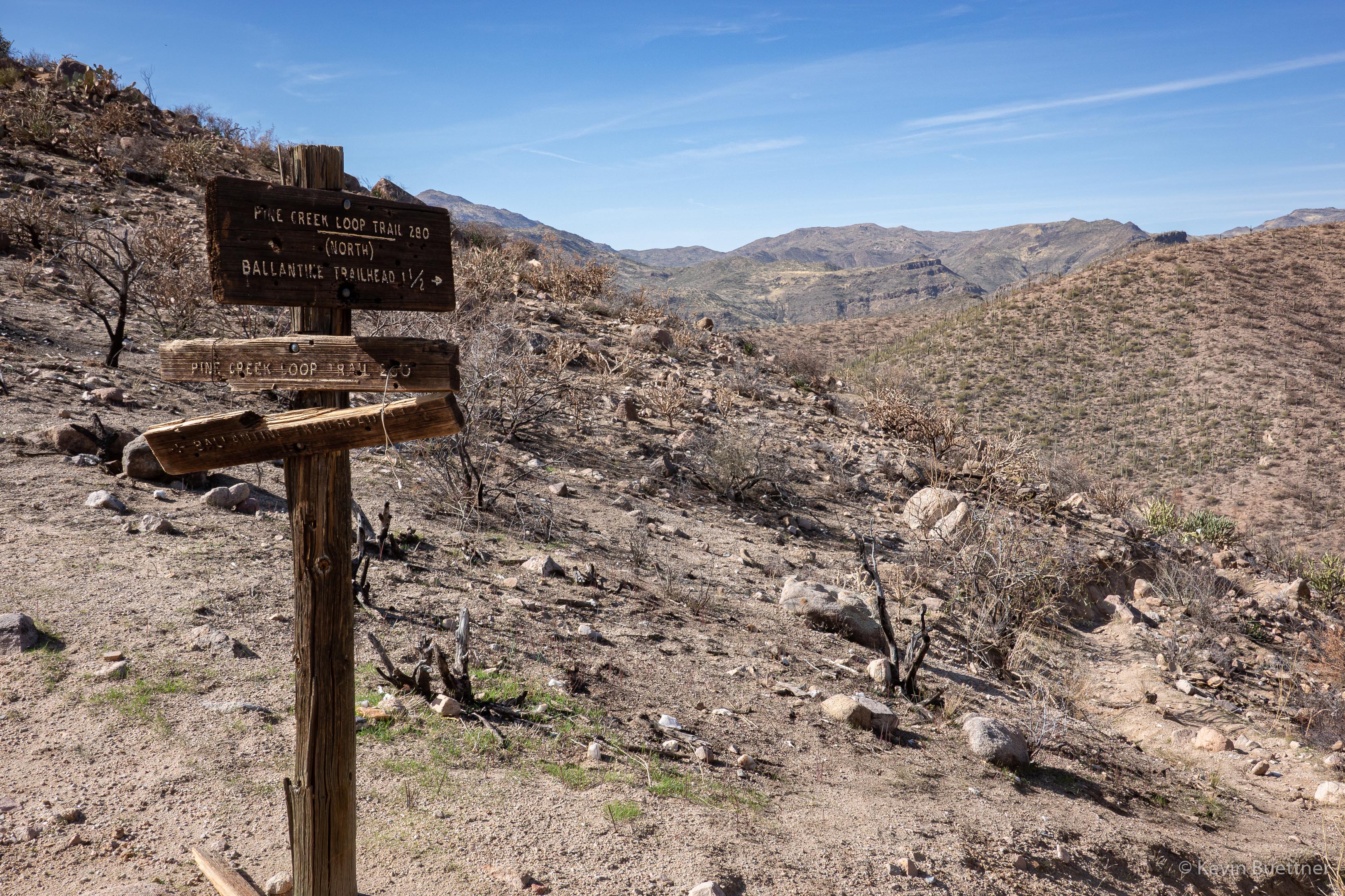
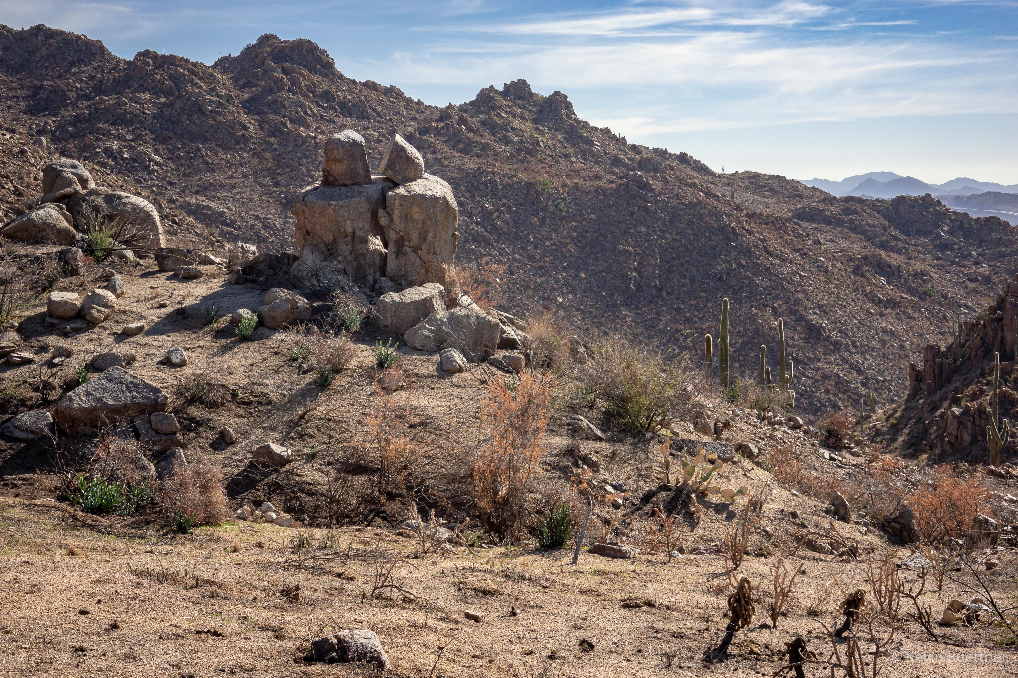
Our trek took us from La Barge Creek into Boulder Canyon. Here, we’re descending back towards the upper part of La Barge Creek:

Looking at the “bow” of Battleship Mountain:

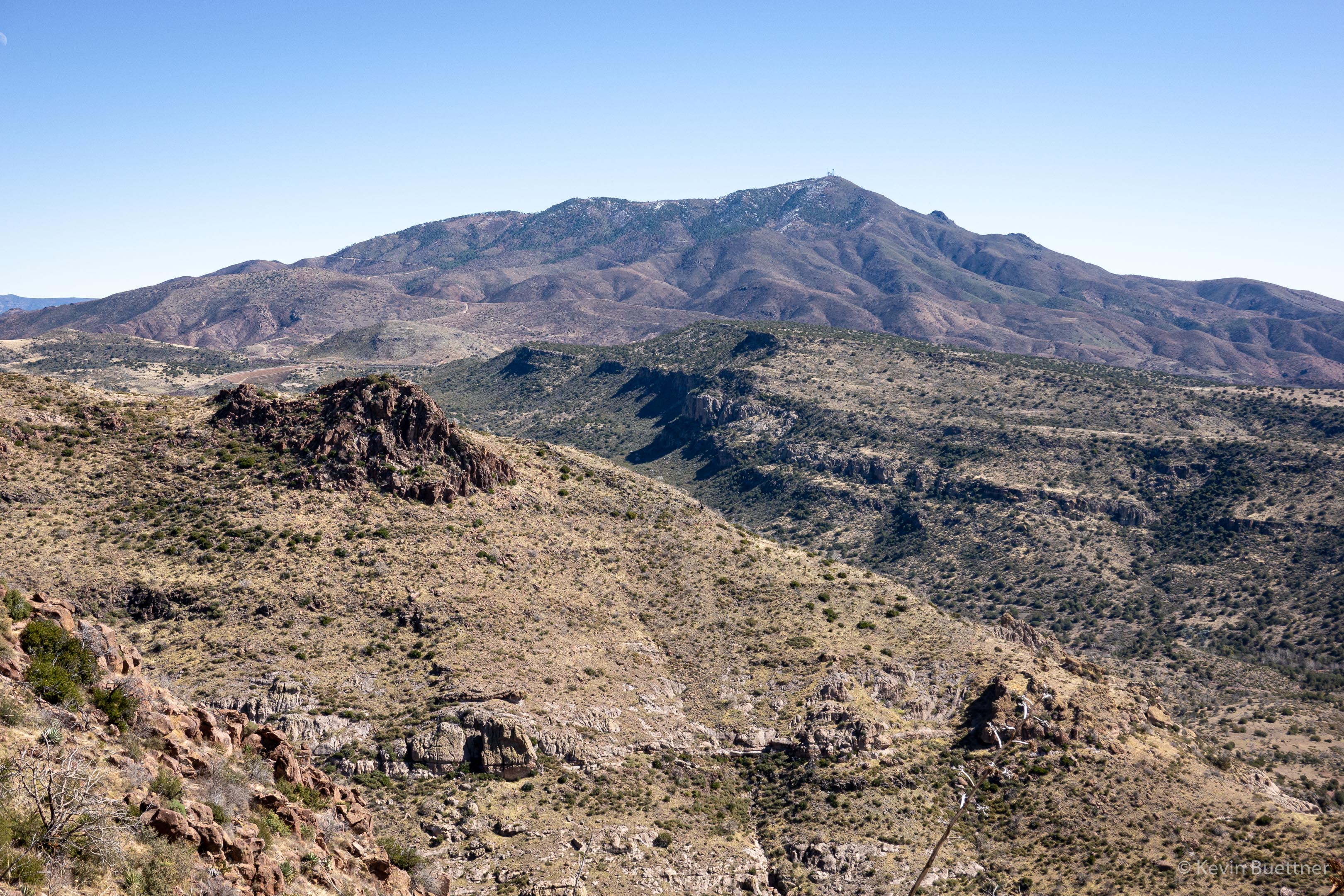
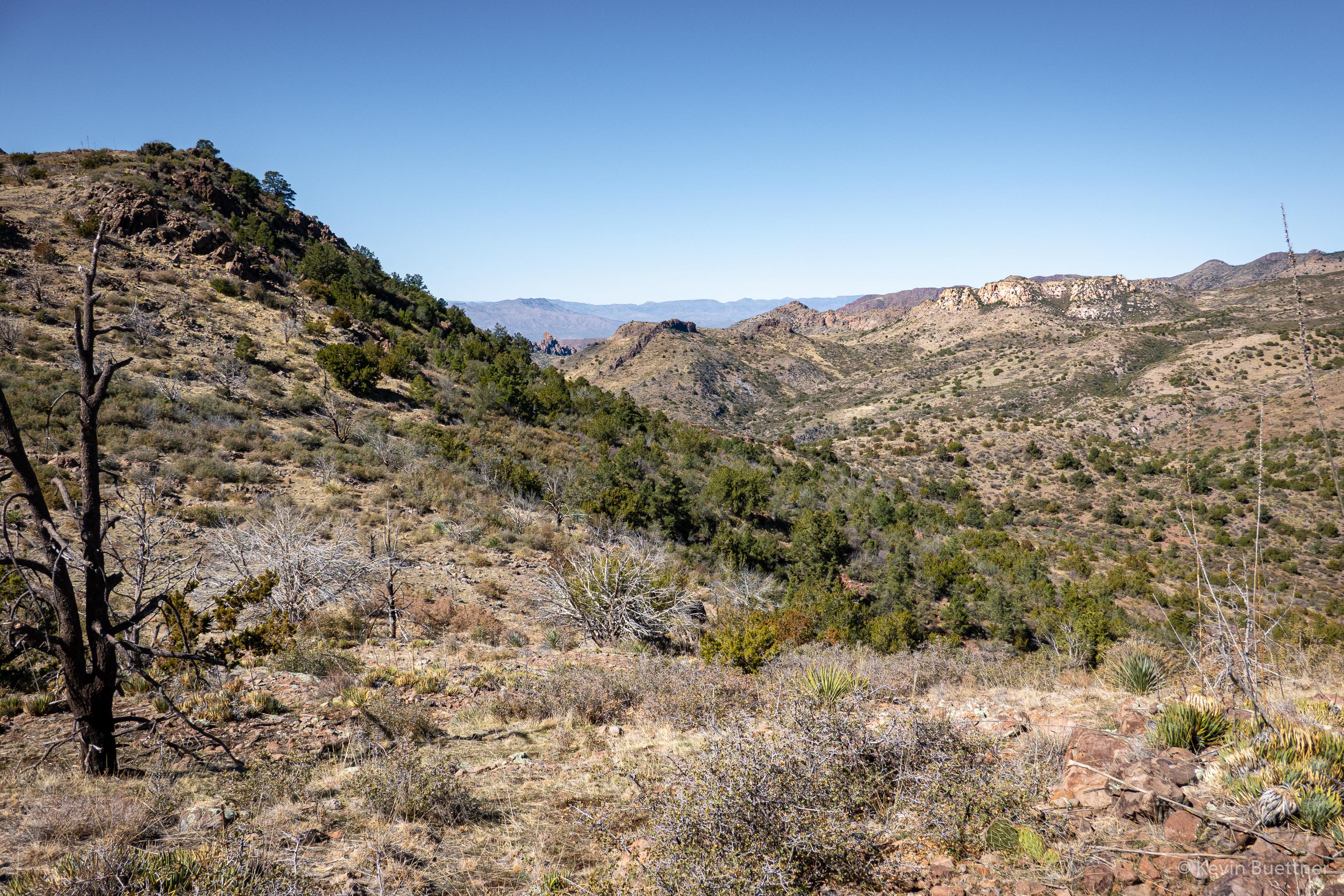
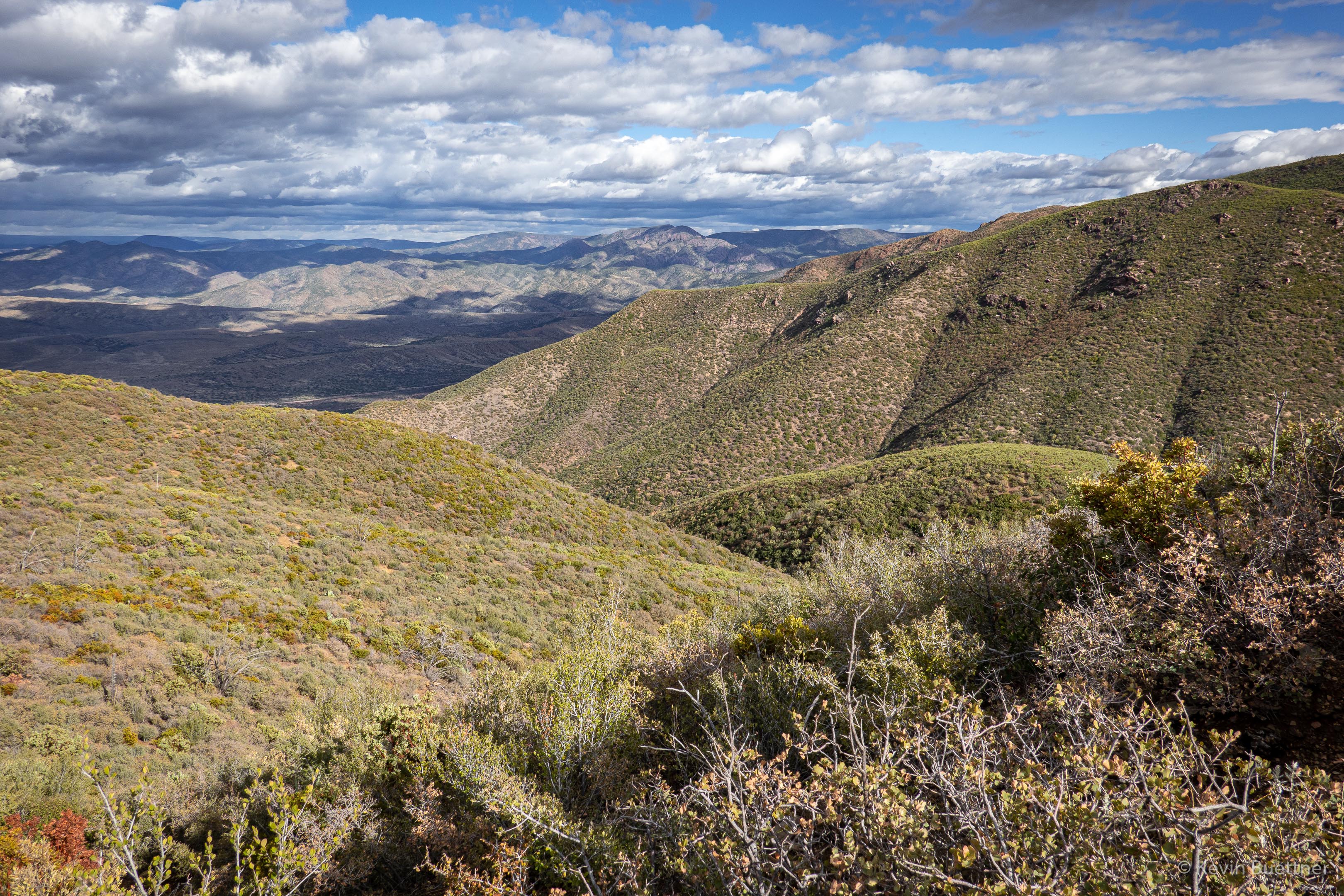
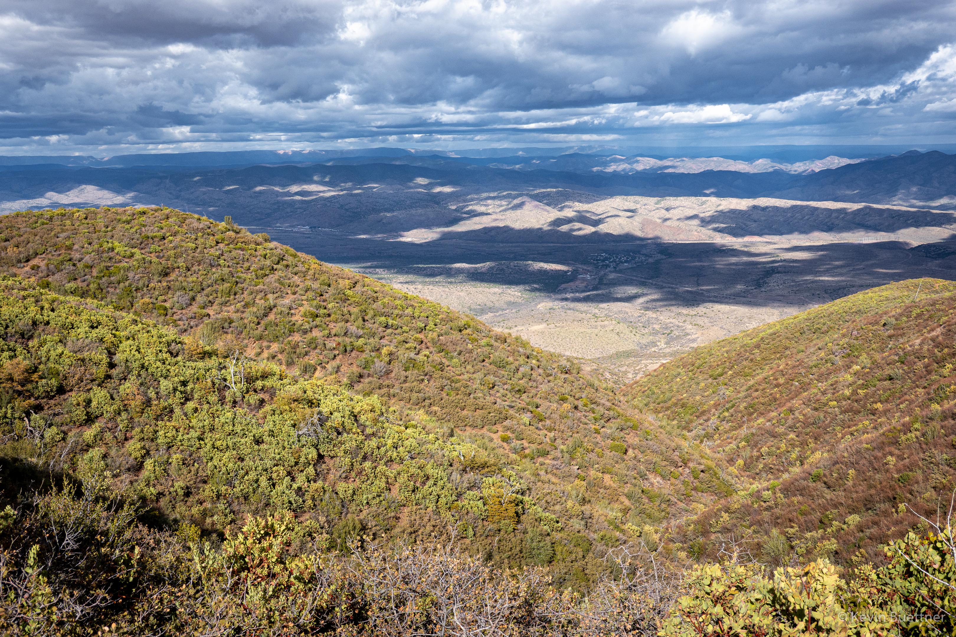
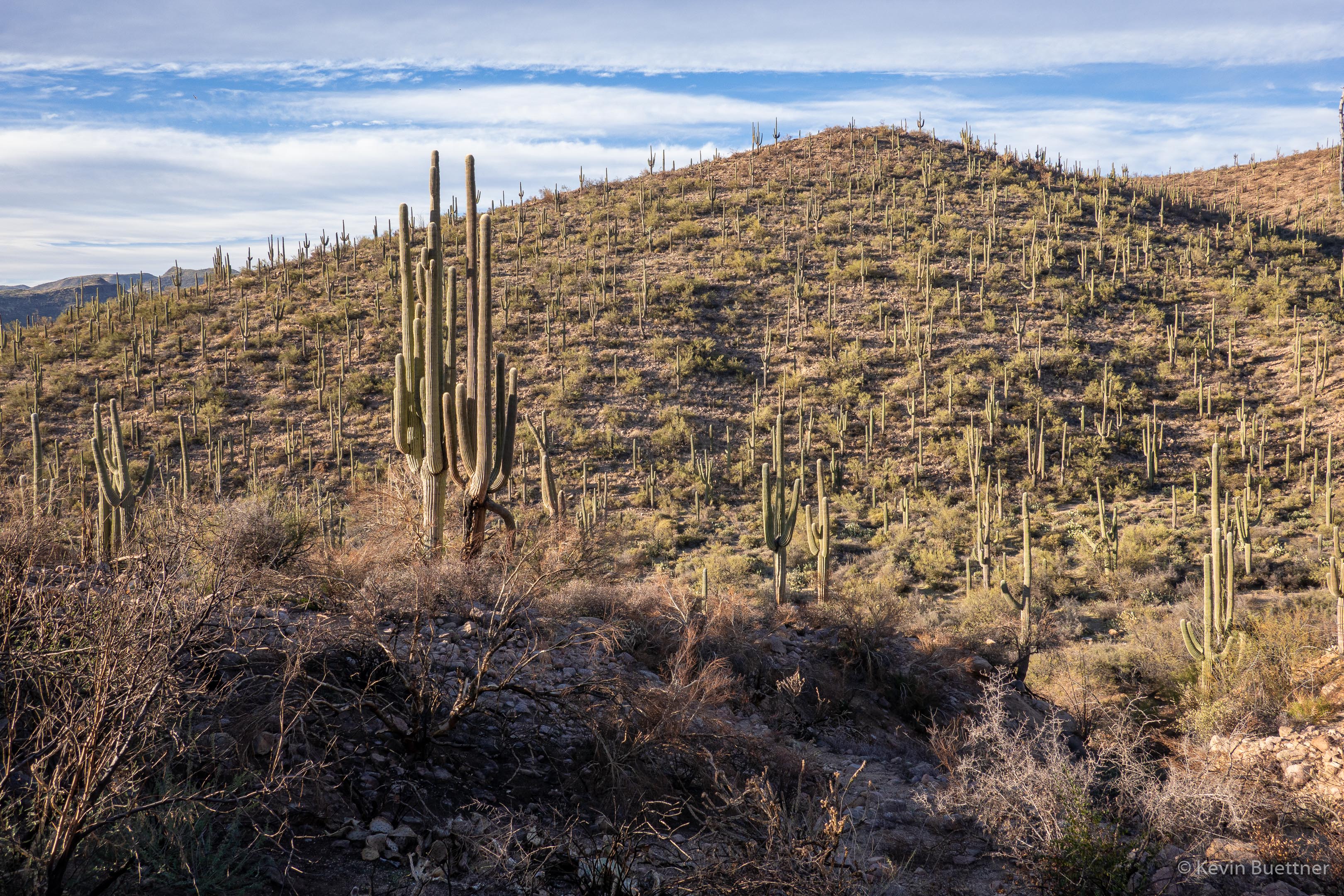
At this point, I’ve hiked a significant way back on the Boulder Canyon Trail. This is a few of Canyon Lake:

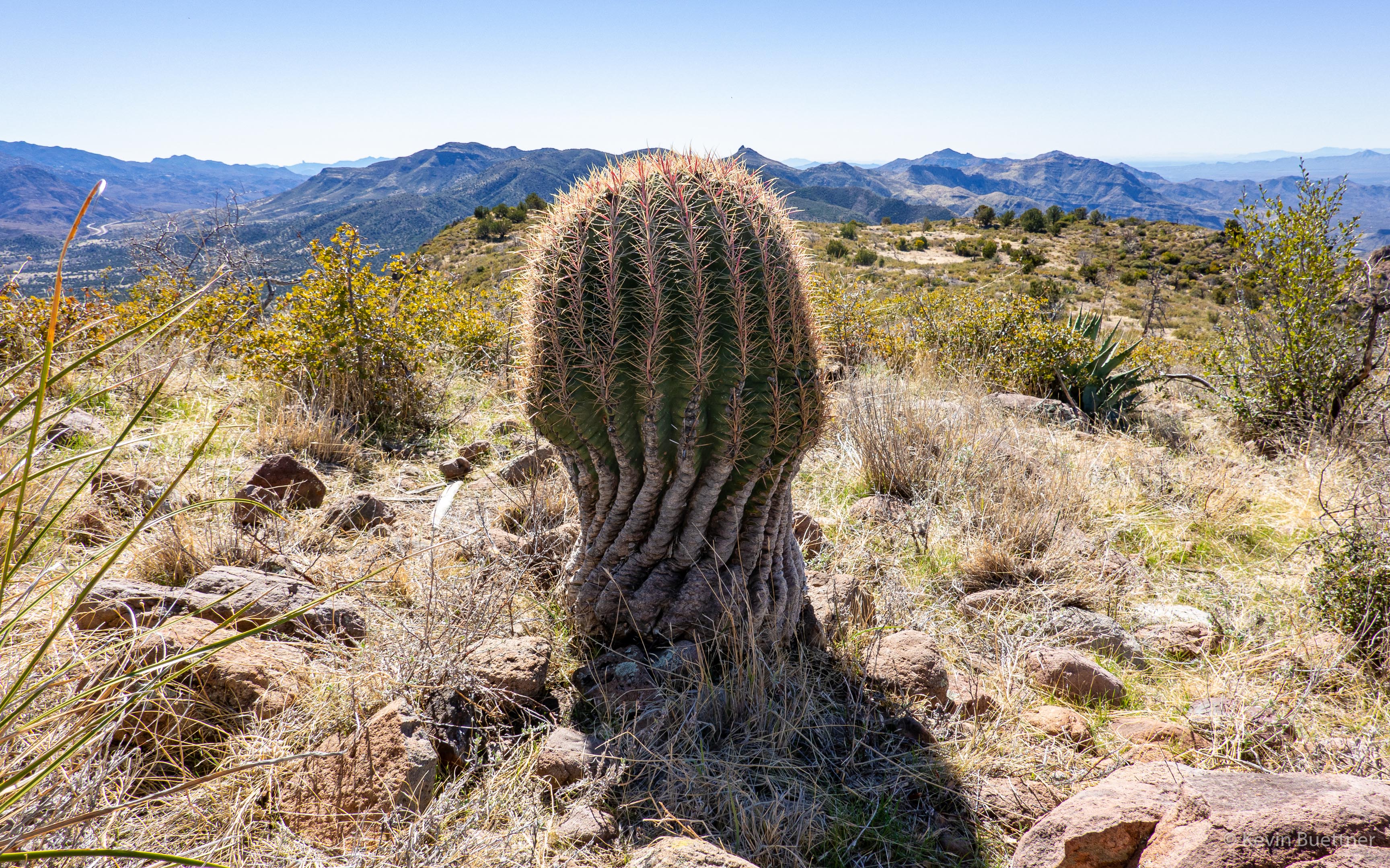
Views of Battleship Mountain (left) and Weaver’s Needle (right and further away):

Rattlesnake

Marie and I saw this Western Diamondback rattlesnake while hiking on Saturday…

Sunday Hike – Sunflower Trail

On Sunday, Feb 20, Marilyn and I hiked the Sunflower Trail. Starting from the Cross F Trailhead, we hiked the connector to the Arizona Trail and then followed the Arizona Trail south for a little over four miles. We returned via the same trail, but took FR393 back to Old Beeline Hwy, where we had parked. We had views of Mt Ord along the way; that area had been badly burnt by the Bush Fire of 2020, but we saw no recent fire damage along the Sunflower Trail. However, we did not hike all of the Sunflower Trail; there was still perhaps 3/4 mile (near Beeline Hwy) that we did not see.

This is a view at the junction of the Cross F connector, Little Saddle Mountain Trail, and the Sunflower Trail:

Looking back along the Sunflower Trail; we are approaching FR393 here:

A tank (water hole) along the way…

I’ve checked some maps, but could not find a name for this drainage:

Mount Ord:

It turns out that 344 is the Forest Services number given to the Sunflower Trail. At this point, we’re following the trail back to FR393. This section, as well as the section behind (south) of us is a double track. There was some evidence of motorized traffic, but not as much as I thought there might be. About 0.4 miles from this marker, the trail forks left from this road. I consulted a map to see where the road goes; it seems that it might be an older routing of the Sunflower Trail. The road appears to lead to the tank shown in an earlier photo.

This photo was taken near the junction of 344 (Sunflower Trail) and FR393.

Black Ridge Loop

I hiked the Black Ridge Loop on Friday, Feb 19. I had last hiked it nearly a year ago. This hike was very different – not only did I do it alone, but it was considerably drier than last year. Route finding was also easier; it appears that this route is now getting a lot of horse traffic.


Sunday Hike – Gold Ridge Trail

Marilyn and I hiked part of the Gold Ridge Trail on Sunday, the 14th. We were relieved to see that it was untouched by the last summer’s Bush Fire.

Sunday Hike – Pike Creek Loop / Ballantine Trail

Marilyn and I hiked the Pine Creek Loop and part of the Ballantine Trail on Feb 7, 2021. We’ve hiked these trails many times, but not since the Bush Fire ravaged the area during the summer of 2020. It was kind of depressing; fire burned at least 75% of the area, possibly more.  We used to visit this area to see wildflowers, including flowering cacti. Much of this vegetation is now dead. It was sad, too, to see the many burned saguaros.

This hill along Pine Creek was one of the few areas that seemed mostly undisturbed by the fire.

Sunday Morning Hike

Marilyn and I hiked 9.5 miles on the Pemberton and Tonto Tank Trails. We saw more fire damage from the Pemberton – see my earlier post for those photos.

Haze on the horizon made the rising sun look more like a moon.  It may actually have been redder than shown in this photo.

Looking toward Four Peaks on the Pemberton Trail:

We encountered a horse and rider on the Pemberton.

This rattlesnake was laying across the Tonto Tank Trail as I approached it.  I pointed it out to some bike riders as they approached; they stopped in time. Despite yelling out, “Snake! Snake!” several times a rider approaching from behind did not hear me and came within inches of the snake. It started rattling like crazy after that.

Fire Damage Hike

I visited McDowell Mountain Regional park on Friday afternoon. Starting from the competitive track parking area, I hiked part of the technical loop, stopping at the top of T-Bone Ridge to see if I could spot the fire damage. Later, I hiked the Pemberton until I got a closer view. I returned via the South Wash where I saw even more fire damage.

Looking toward Red Mountain from the start of the Technical Loop; there is no fire damage in this photo, but you can see how dry it is.

This is the view from the top of T-Bone Ridge. Look for the blackened ridge below the McDowells.

A closer view after getting closer on the Pemberton:

Yet another view, overlooking the South Wash:

I think the reddish orange coloration on the high bank of the wash was from fire retardant.

Still in the South Wash…

Wednesday Night Hike

It was cooler on Wednesday, so I ventured out into the desert…


Bush Fire from Fountain Hills

Marilyn, Marie, and I went for an evening walk on Saturday, the 13th.  Marilyn noticed a reddish glow in the distance; we walked up a nearby hill to see better.  We saw an orange glow in the distance, behind some hills.  When we concluded our walk, I brought my camera out to get this photo.  It was much less bright than shown in my photo below; actually, at the time we were there, it was less bright than earlier in the evening.

On the ten O’clock news we learned that it’s called the Bush Fire, it’s in the Tonto National Forest, and that traffic has been blocked of on SR 87 (Beeline Hwy).

Update – 2020-06-14:

Marilyn and I went out for another walk, shortly after 8:00pm on Sunday, the 14th.  We first walked up to the top of the hill where I had taken the earlier photo. We returned by walking down the street upon which we lived.  At the top of the street (which is on a hill), we found quite a dramatic view…

Update – 2020-06-15:

On the evening of Monday, the 15th, I walked across McDowell Mountain Road, hiked up one of the hills to the north, and took some more photos.  According to InciWeb, on Monday evening, the Bush Fire is 37,900 acres in size and is still 0% contained.

Remember, this is a long exposure; this scene did not appear this bright while I was there. I was able to see some lights on the Fort McDowell Yavapai Nation, I certainly wasn’t able to see this community in the level of detail shown here – it was much too dark. Likewise, the smoke didn’t have much of the color or glow shown in this photo; that too is due to taking a long exposure.

Update – 2020-06-16:

According to InciWeb, the Bush Fire grew to 64,513 acres in size, still with 0% containment. However, when I went out on my balcony in the evening to look, I saw only a faint glow in several areas. That being the case, I decided against going somewhere to take a photo and instead just took a shot from my balcony. Although my eyes couldn’t see much activity in the distance, a three and half minute exposure picked up a lot of hot spots on Four Peaks in addition to the usual glow in the smoke. I think that the long exposure smoothed out the smoke in addition to making the trees appear out of focus – they’re not out of focus; it’s just motion blur.