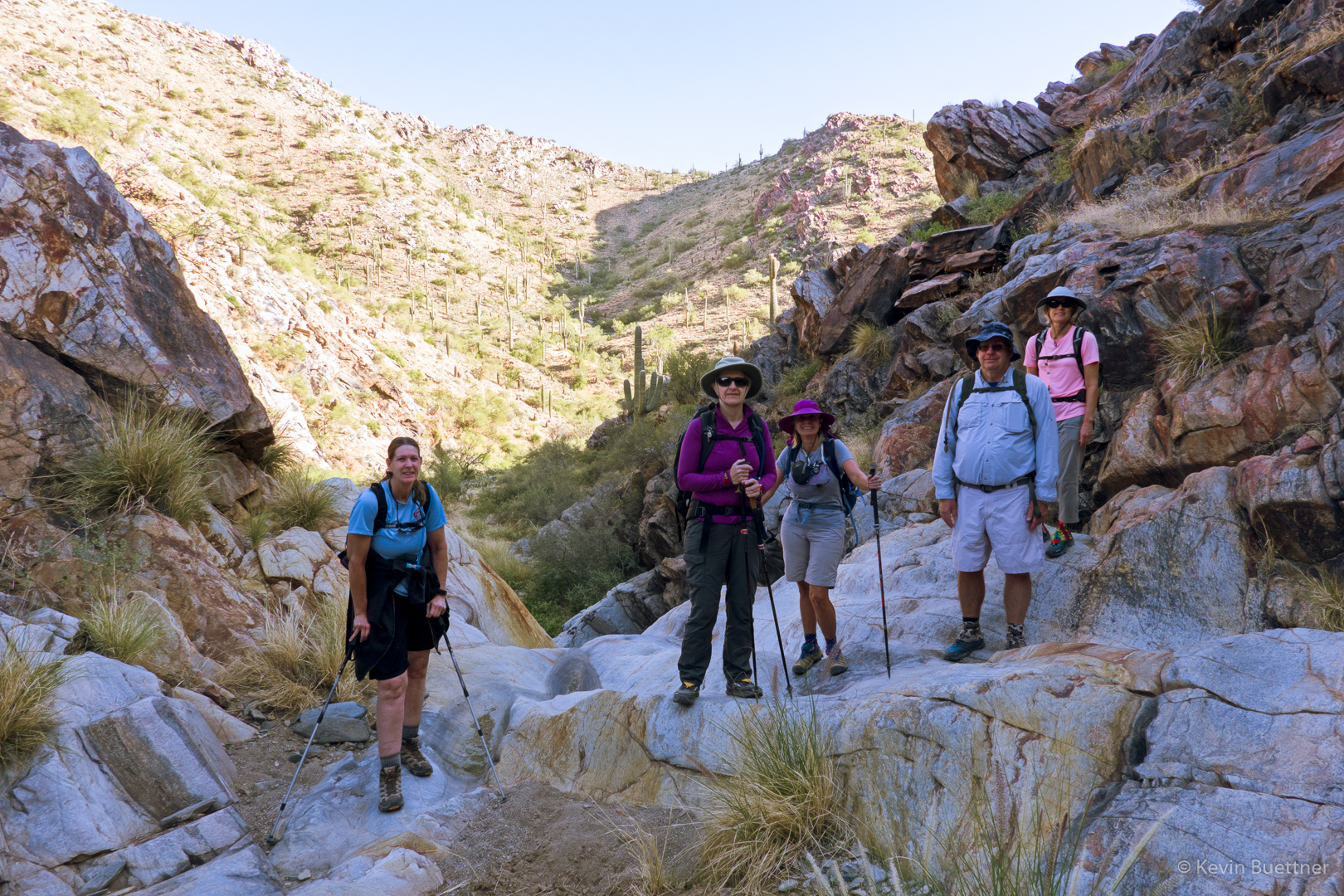
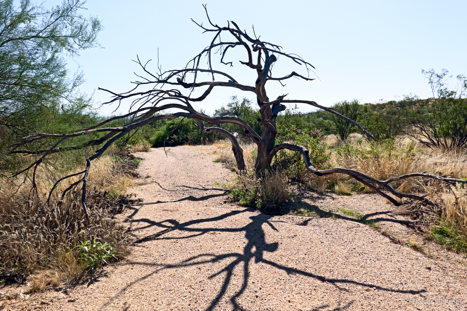
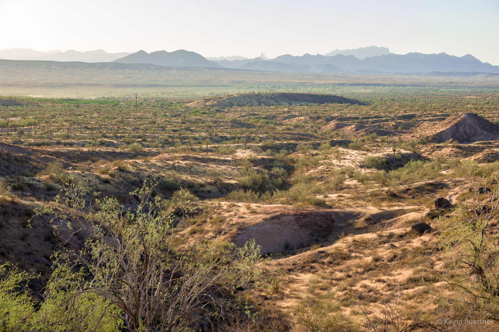
On Friday, Aug 9, I hiked 11 miles starting from the Wagner Trailhead. Trails hiked, in order, are: Wagner, Granite, Delsie, Gooseneck, Rock Knob, Pemberton, Bluff, Granite, and Wagner. It was a warm morning; I saw only one other trail user, a cyclist, while I was out.
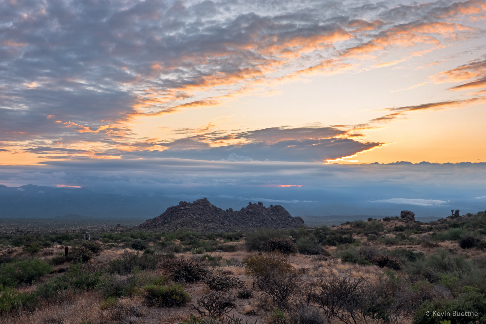
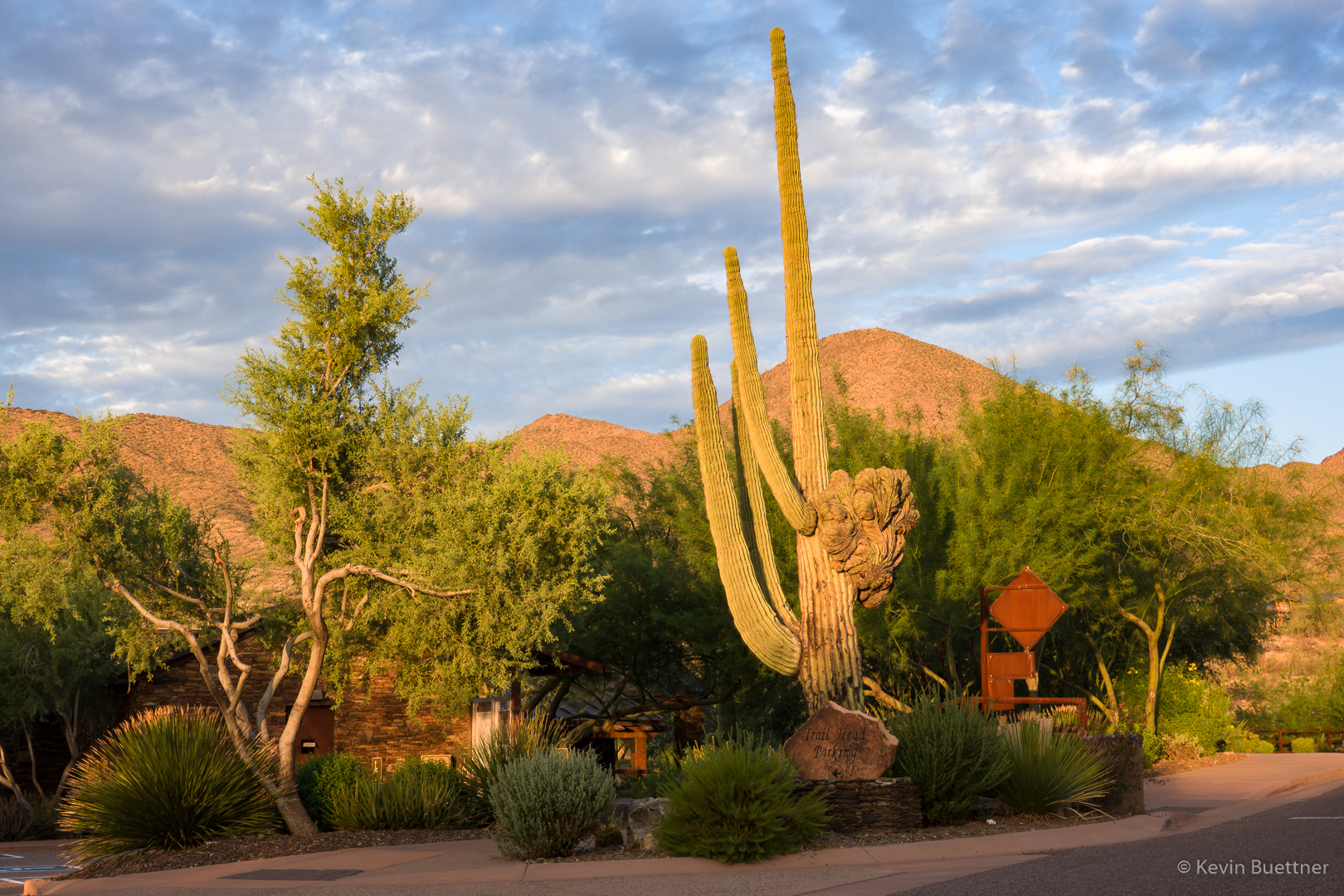
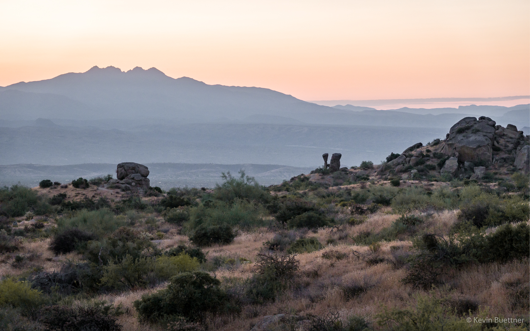
Sunrise at the trailhead:
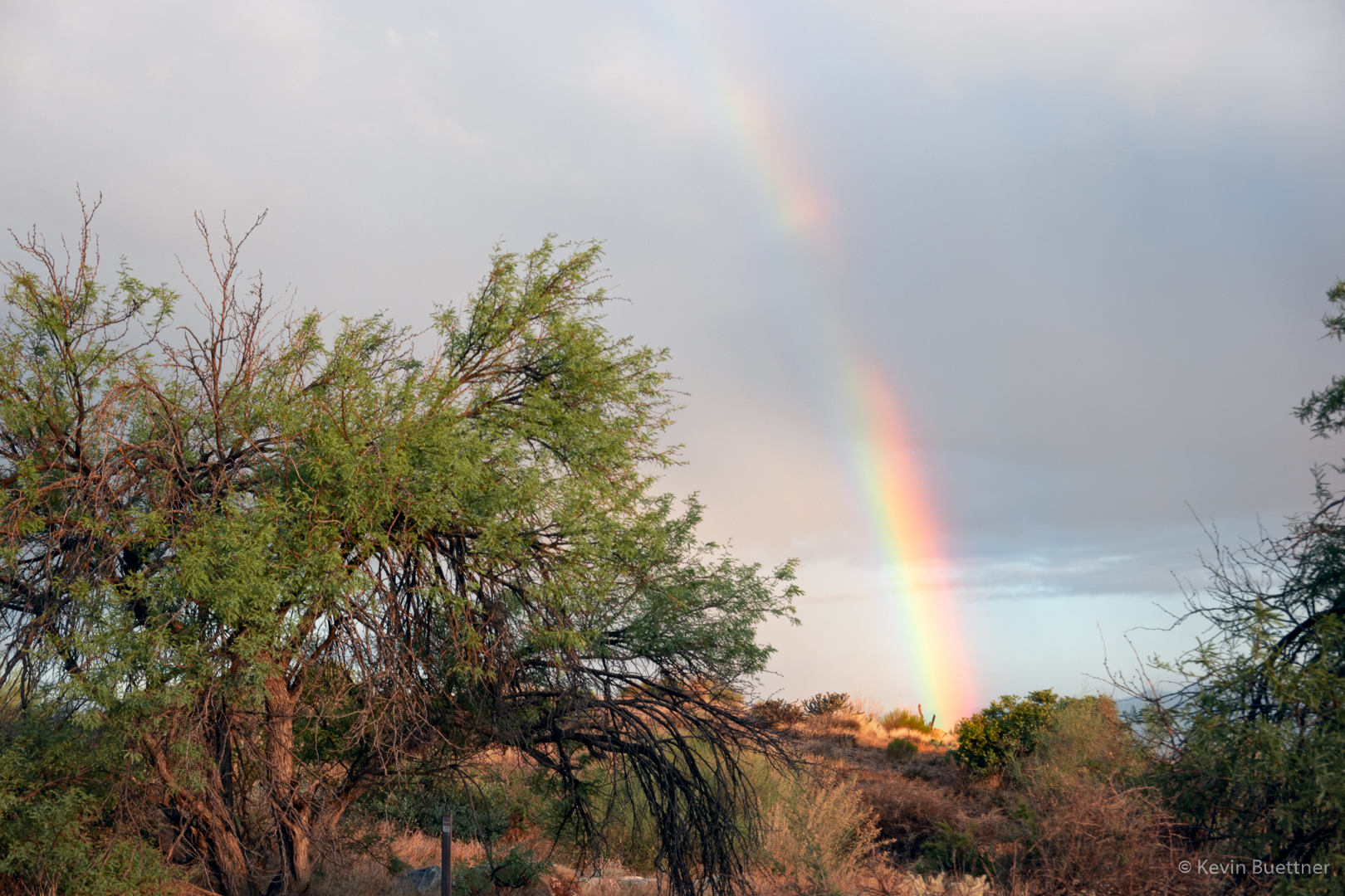
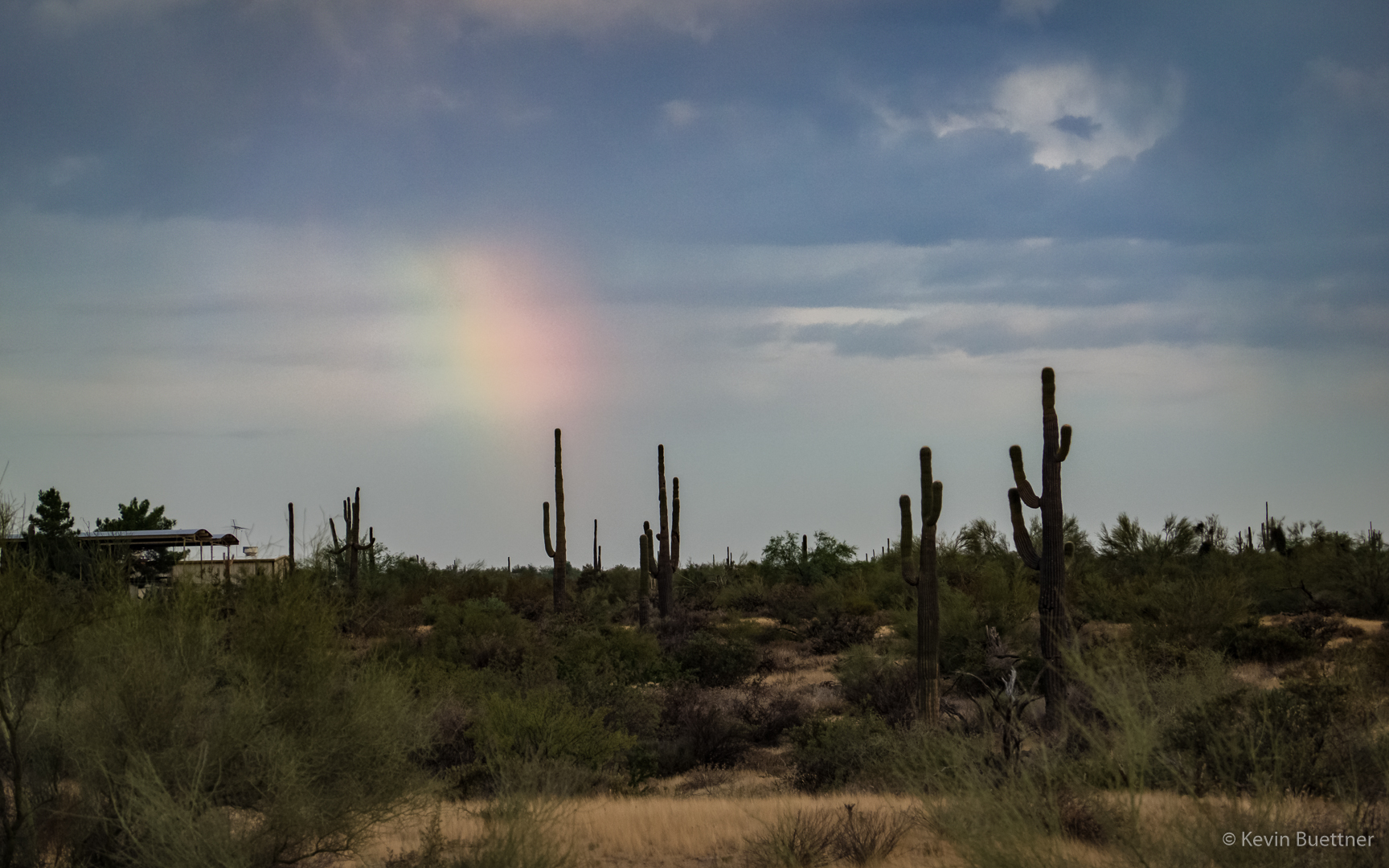
I saw a patch of rainbow as I hiked out on the Wagner Trail.
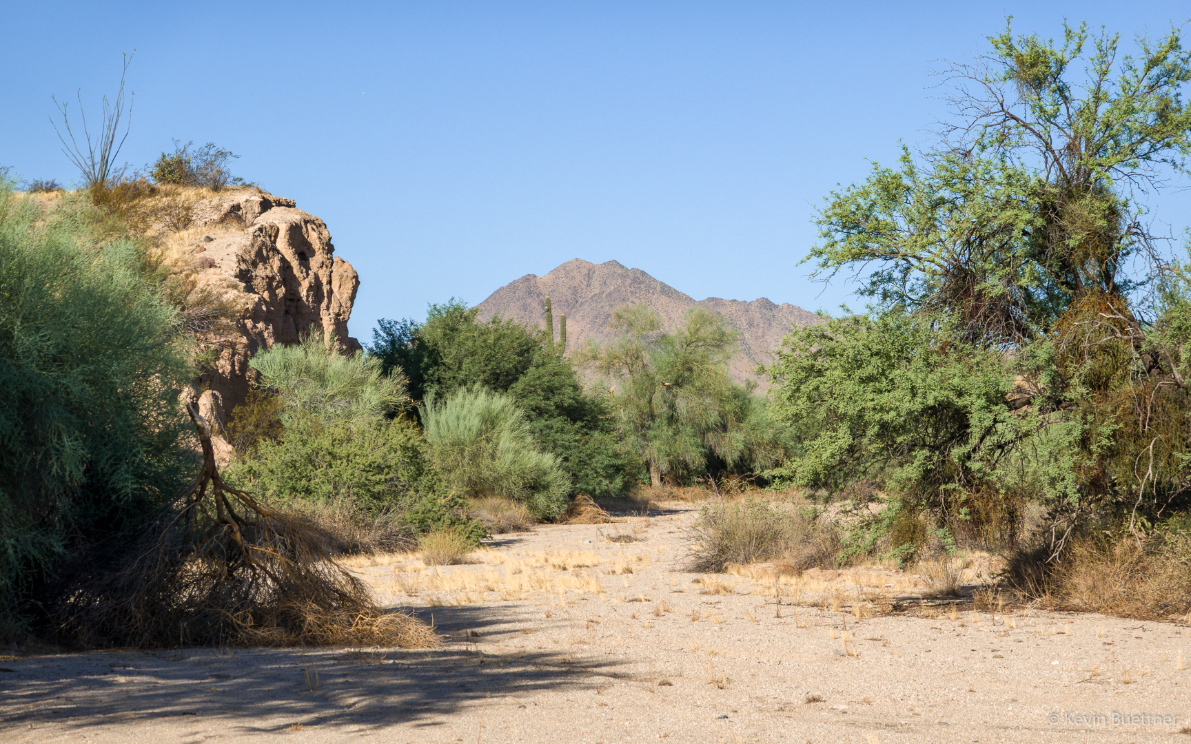
This is the view from the intersection of the Wagner and Granite trails.
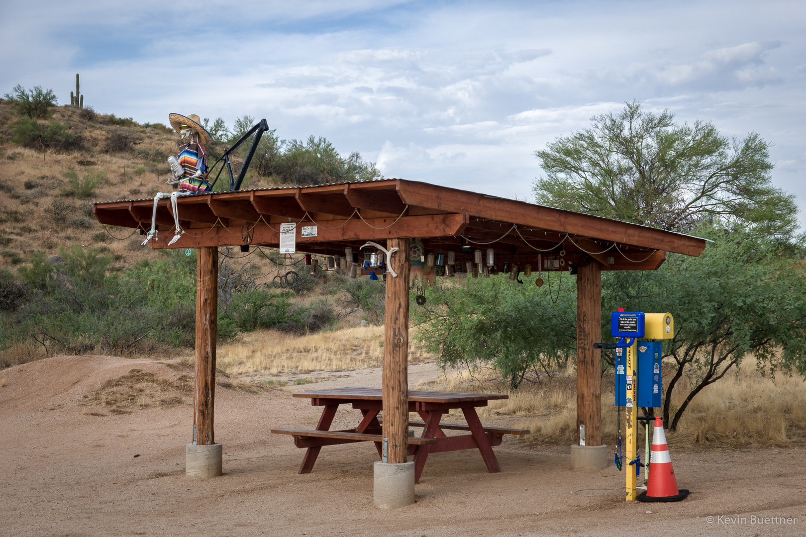
This is the ramada at the intersection of Delsie and Pemberton. At the right are some bike tools with spare tubes in the yellow mailbox.
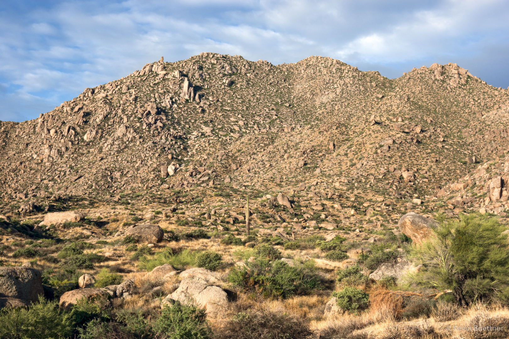
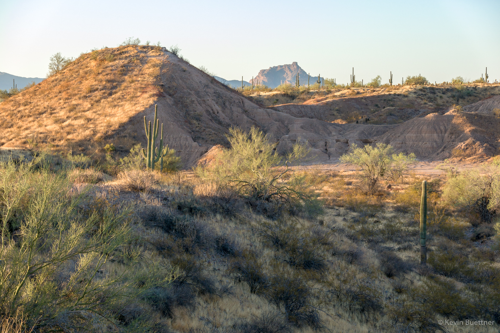
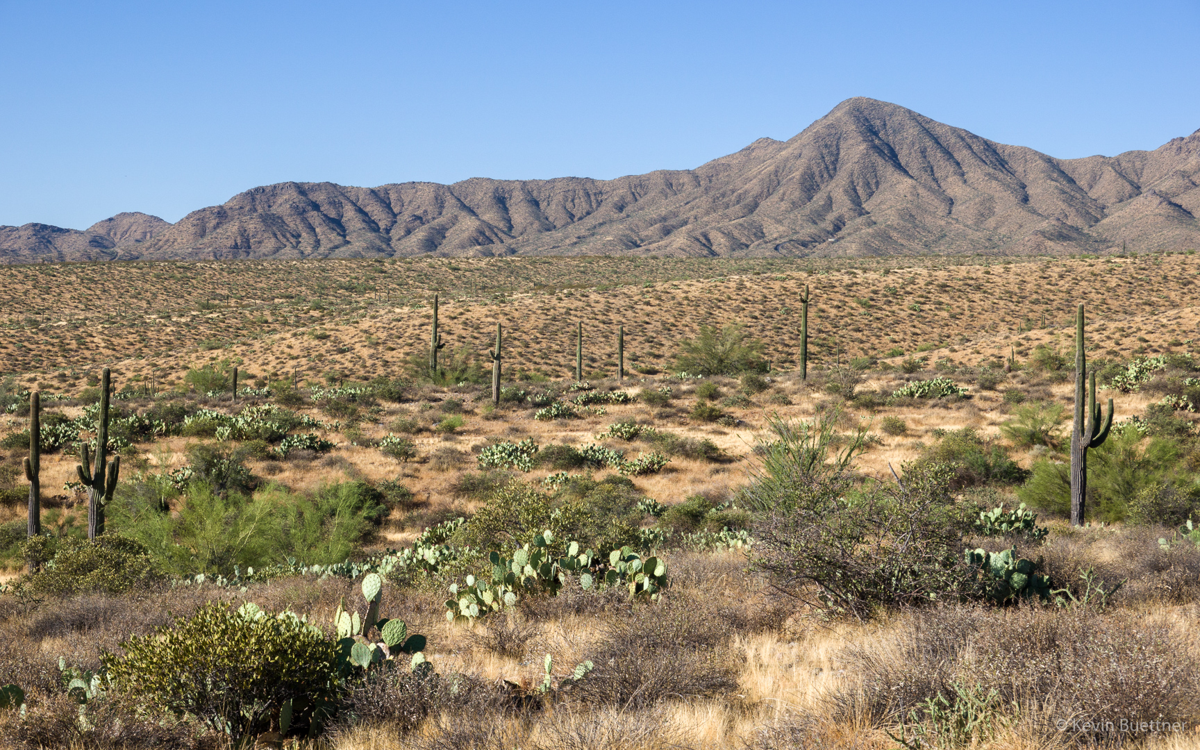
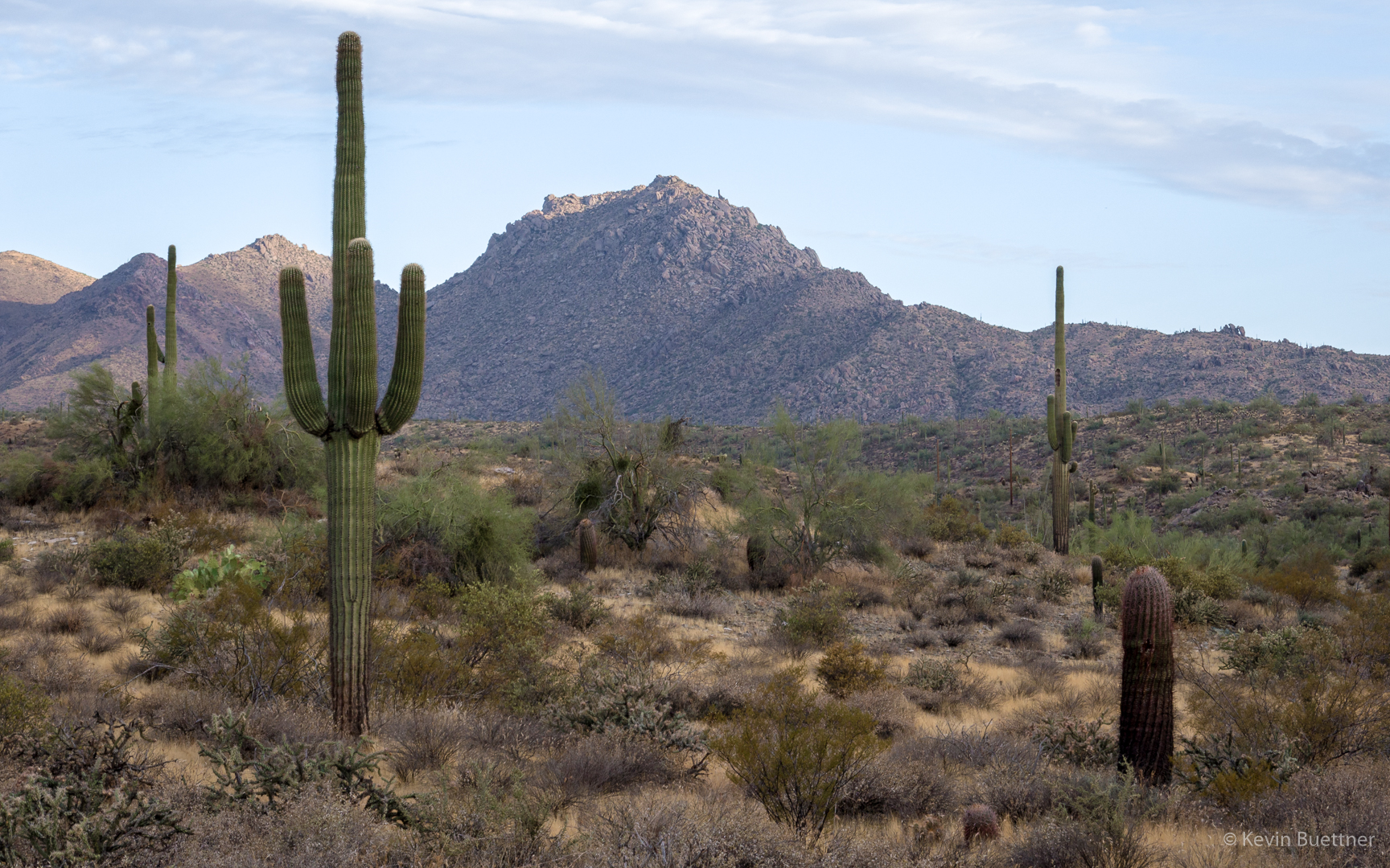
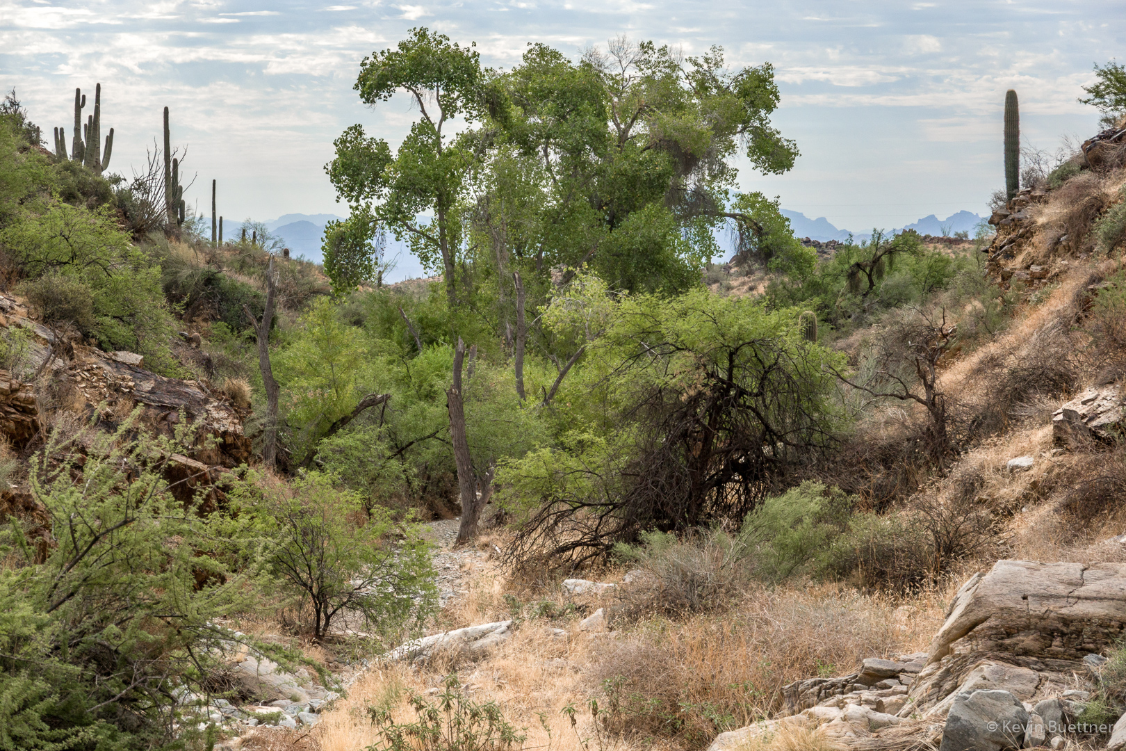
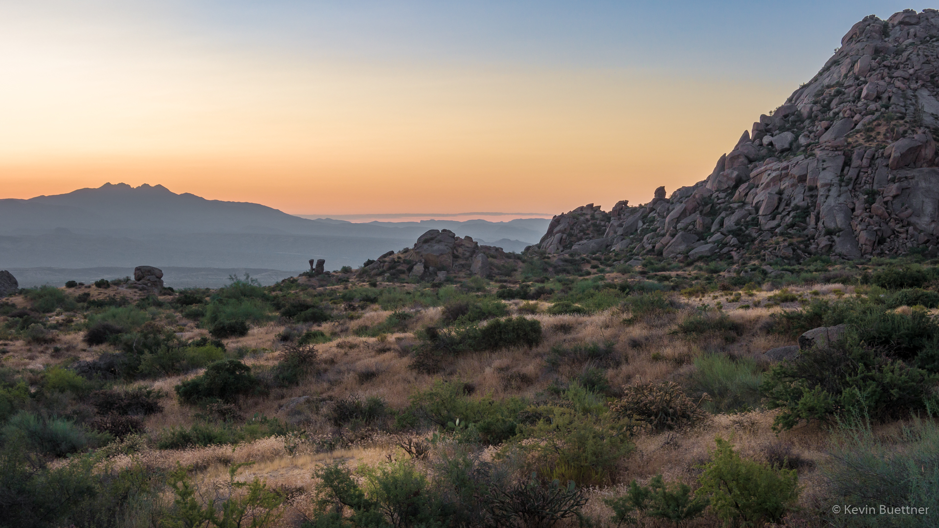
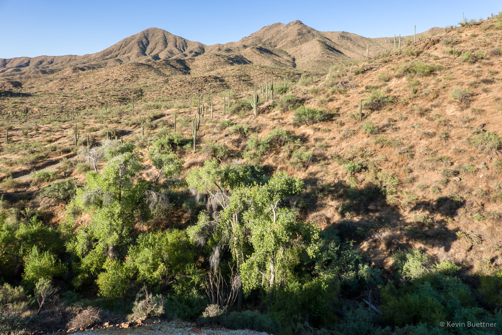
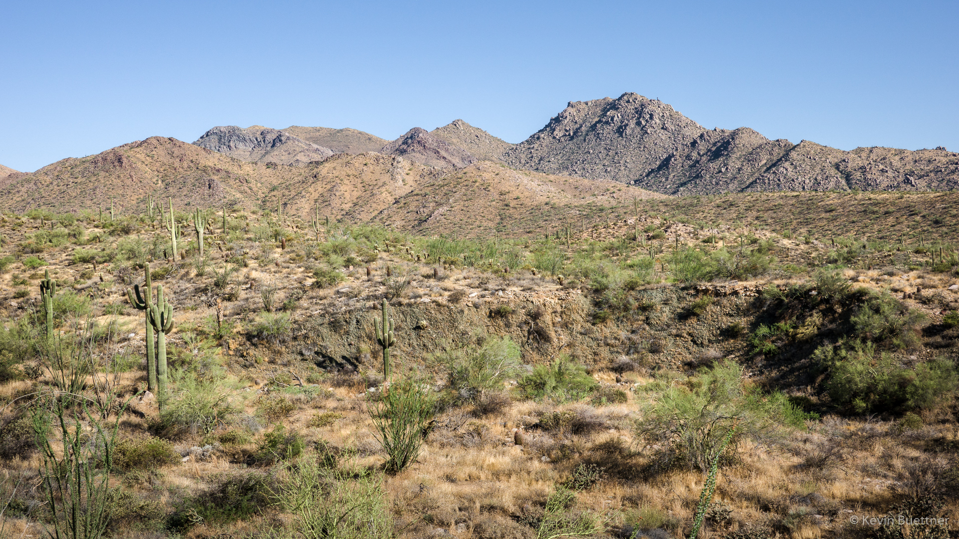
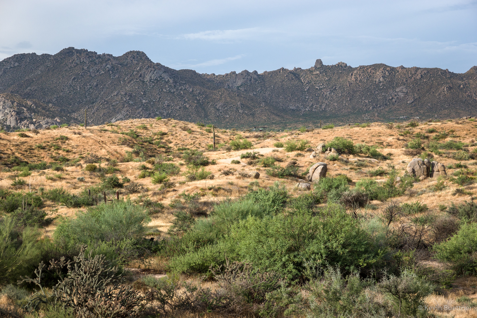
A view of the McDowells from the Gooseneck Trail:
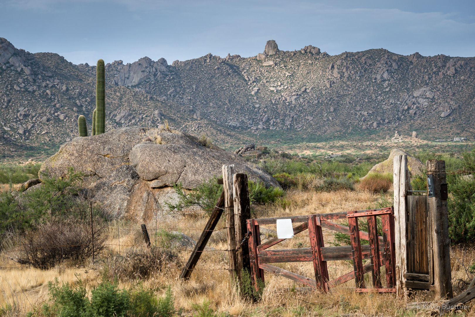
Gardener’s Wall and Tom’s Thumb are visible in the distance. That’s private property for a ways on the other side of the gate. When I’ve taken this shot in the past, I’ve tried to exclude the gate, but decided that it’s also a good shot with the gate.
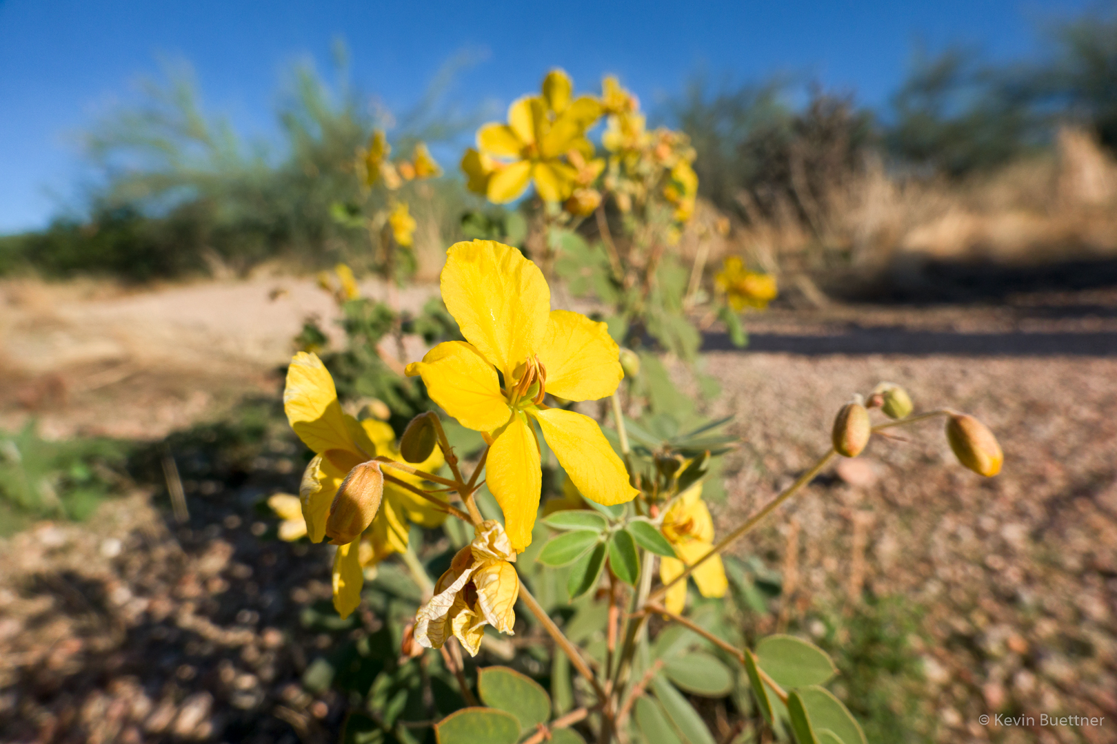
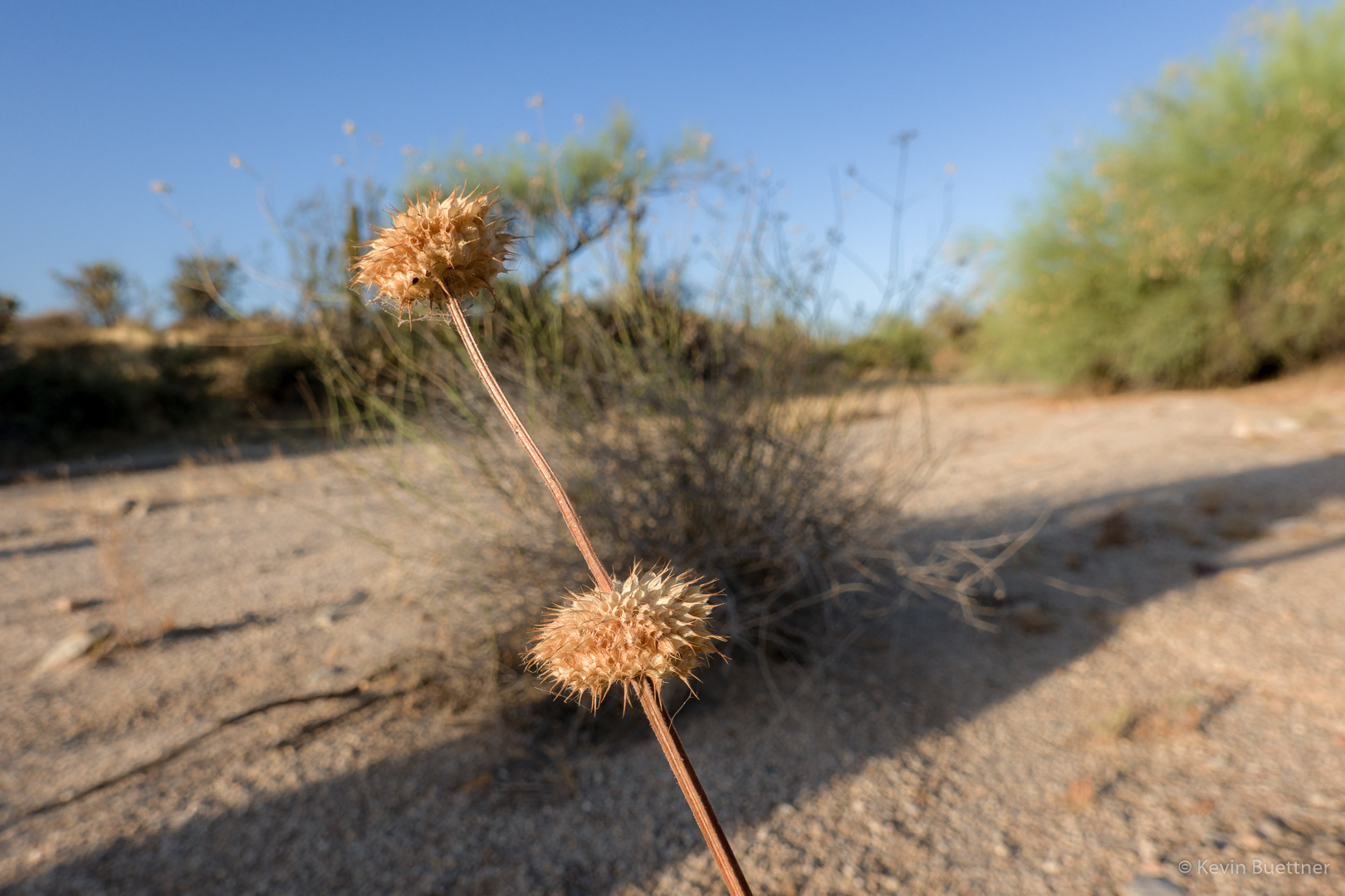
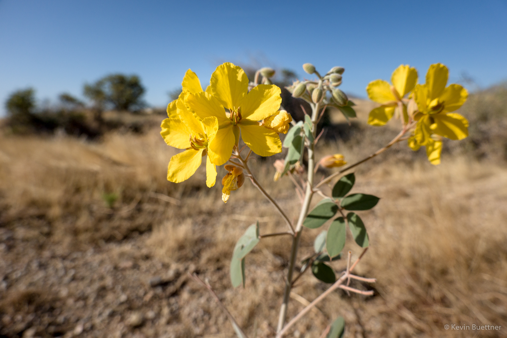
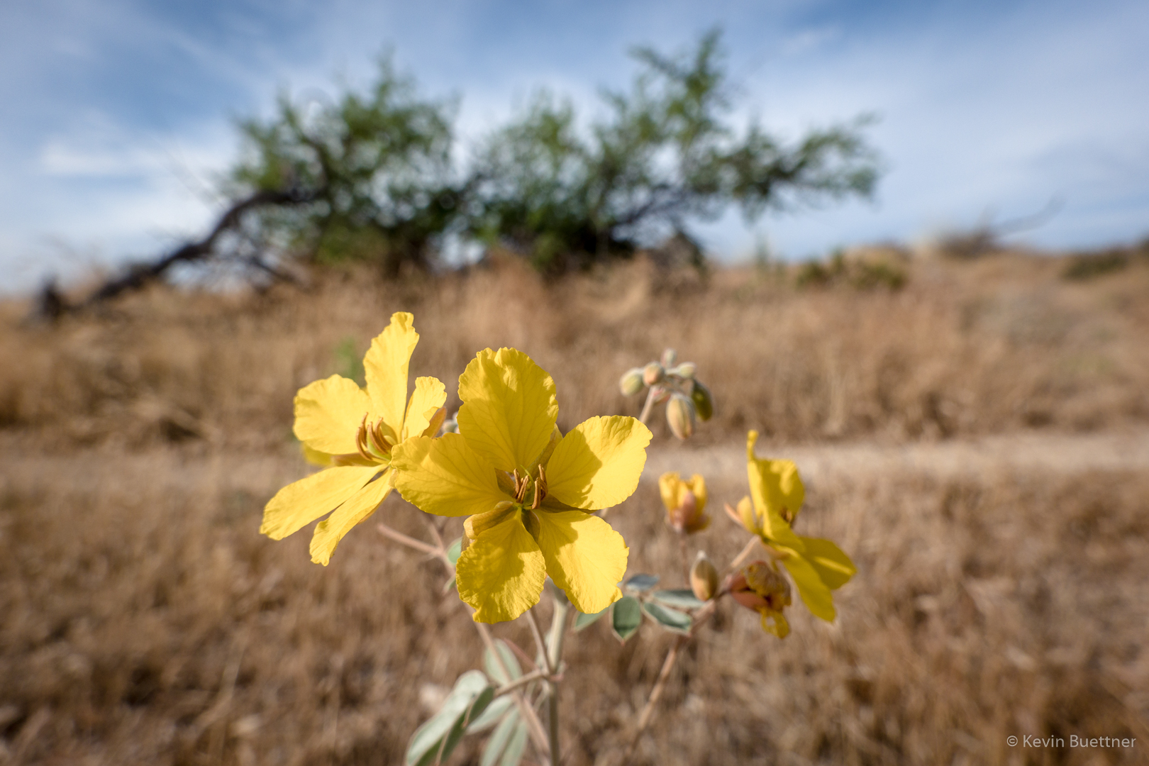
Senna:
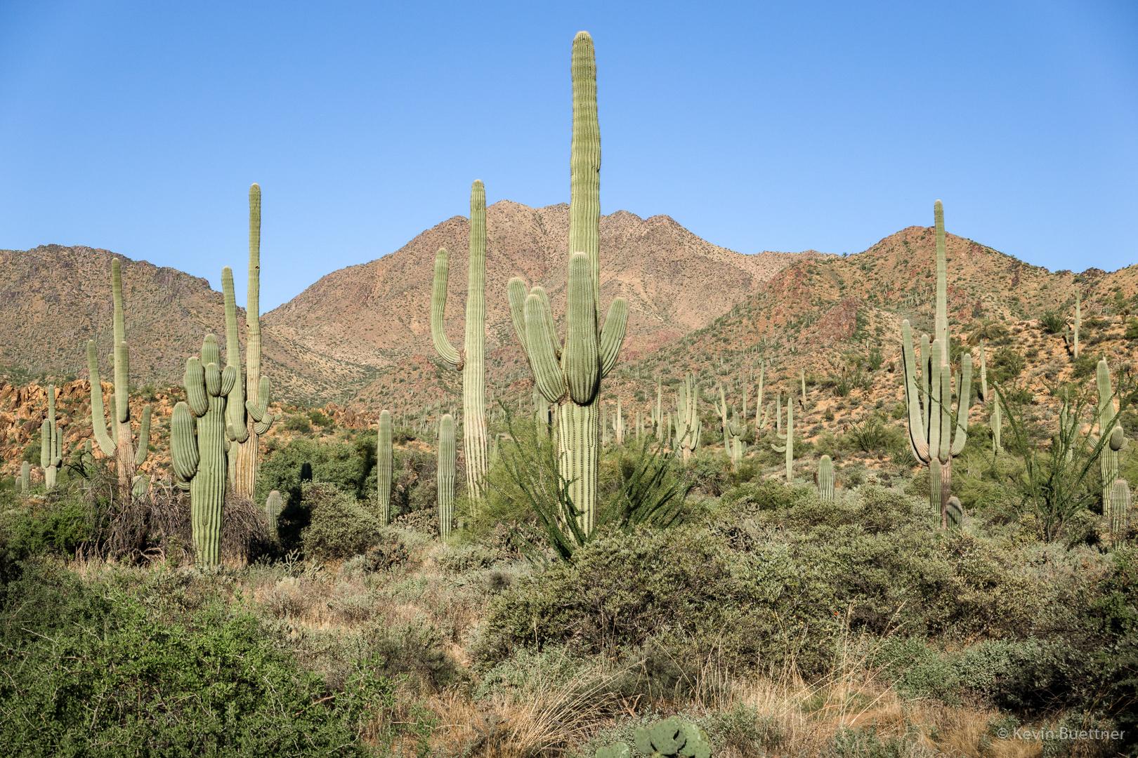
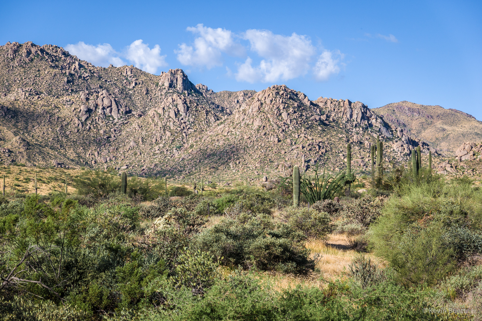
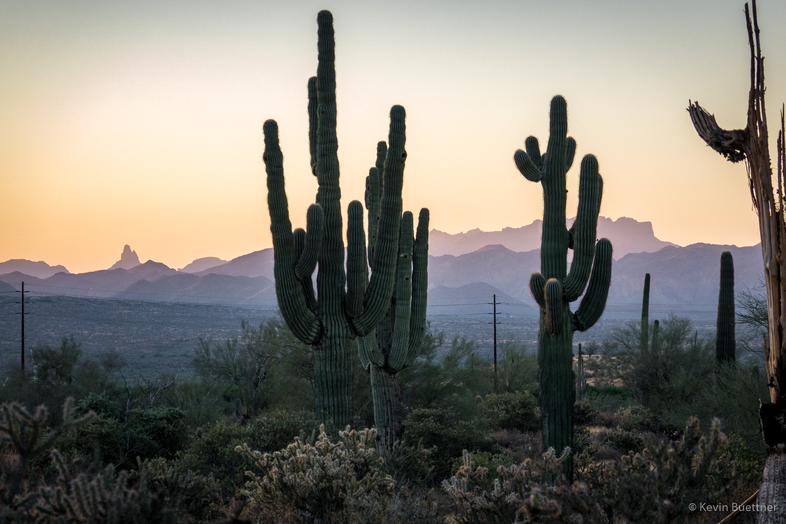
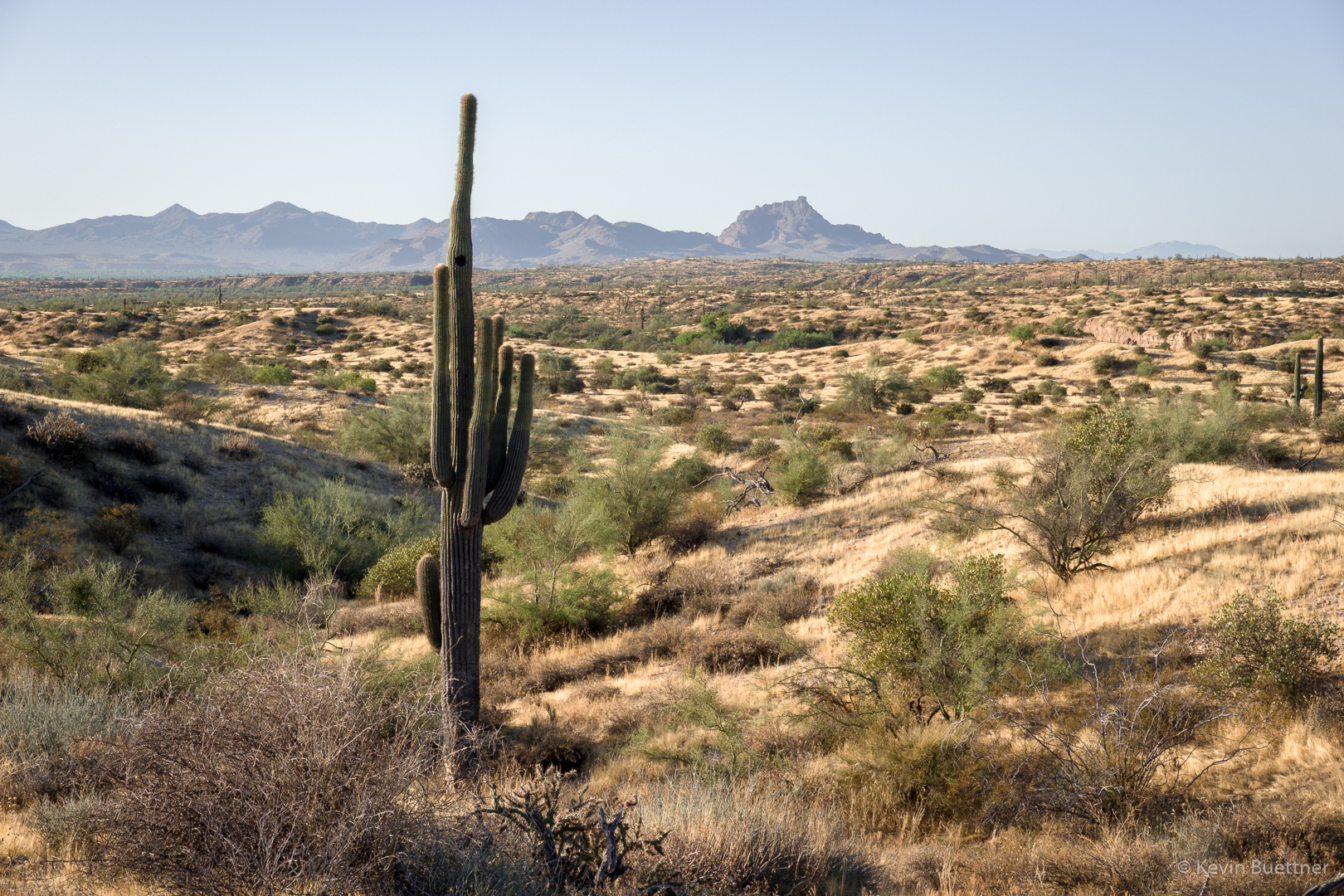
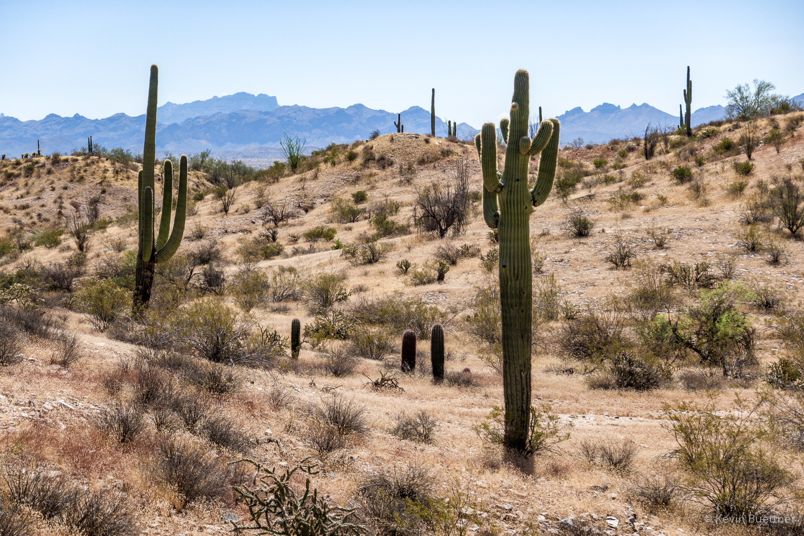
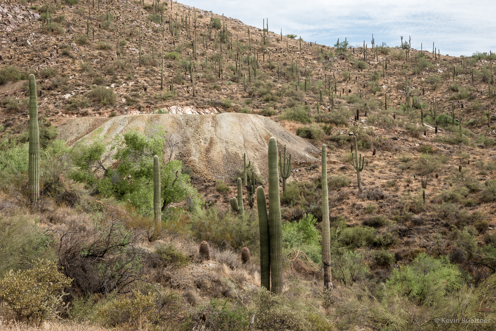
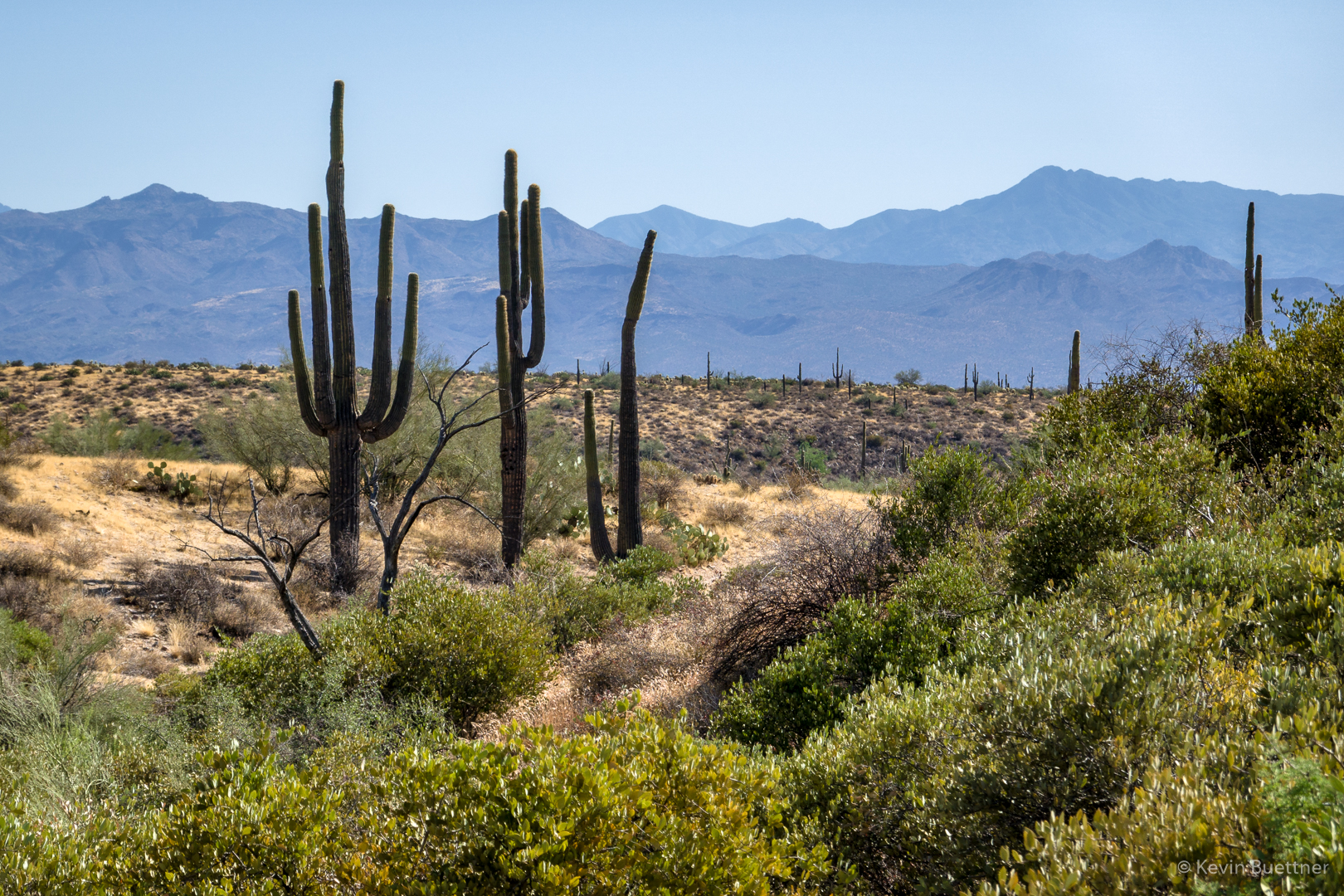
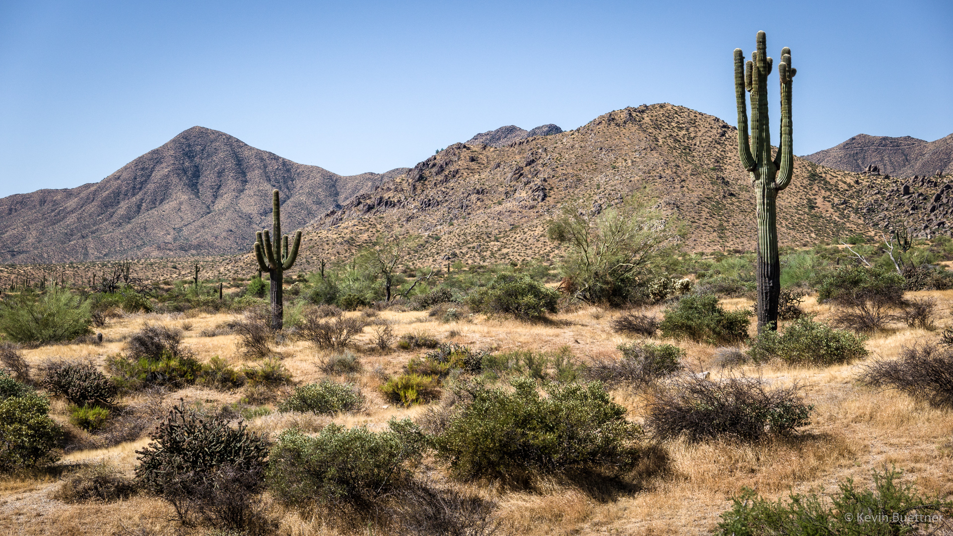
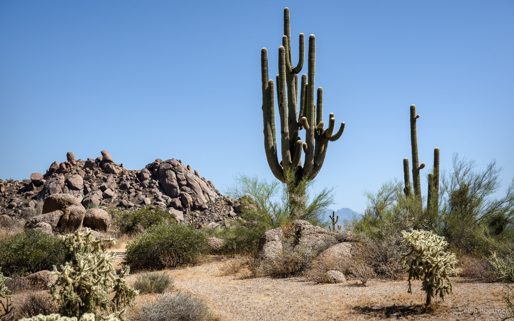
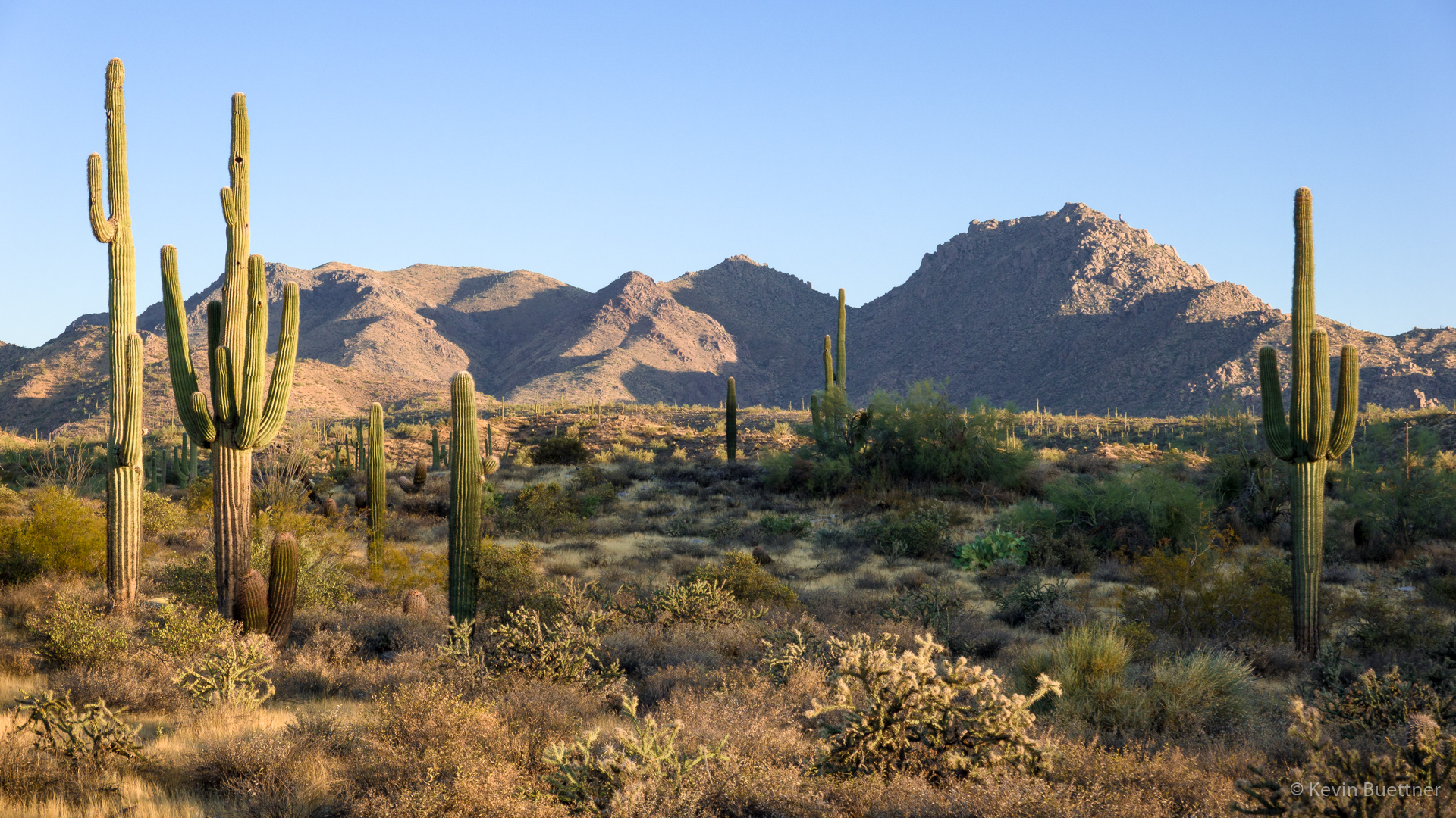
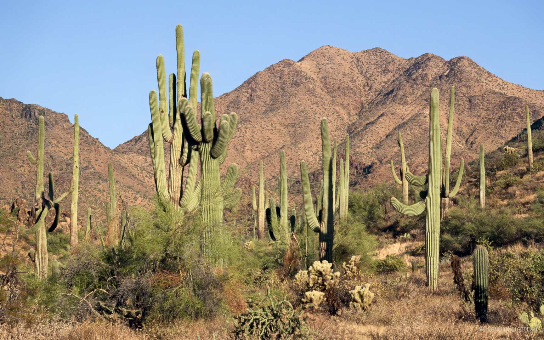
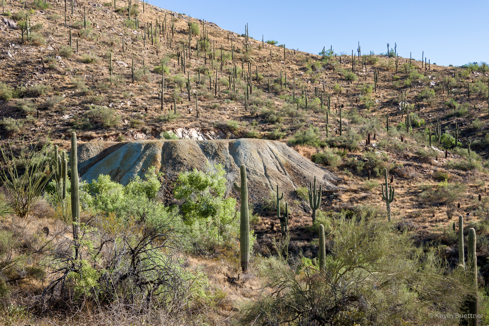
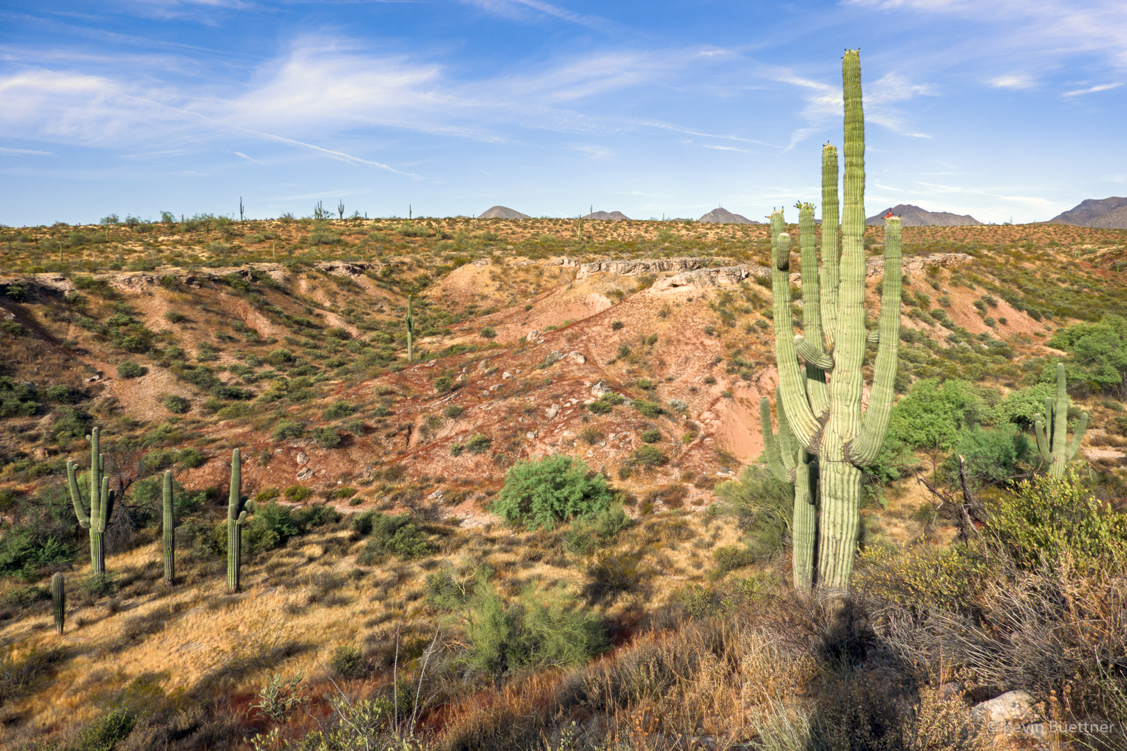
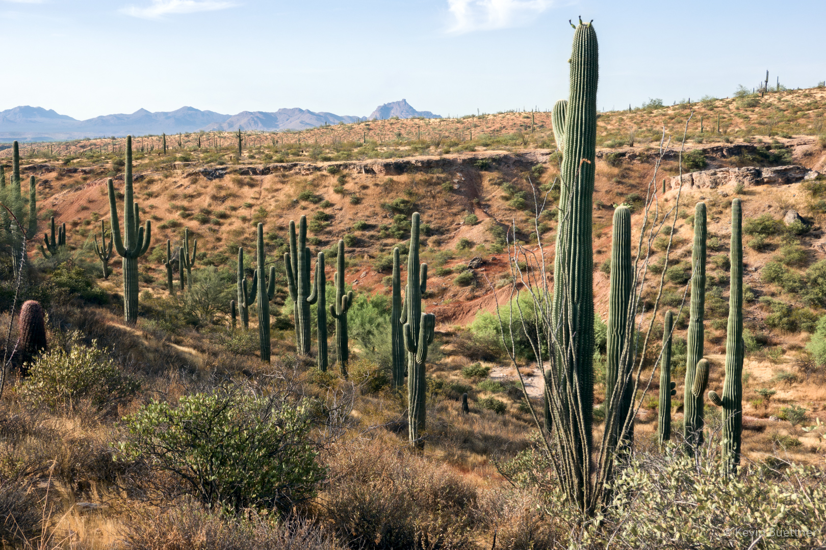
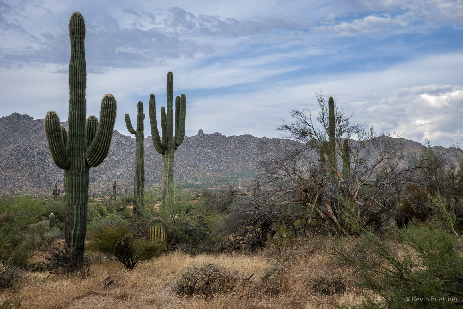
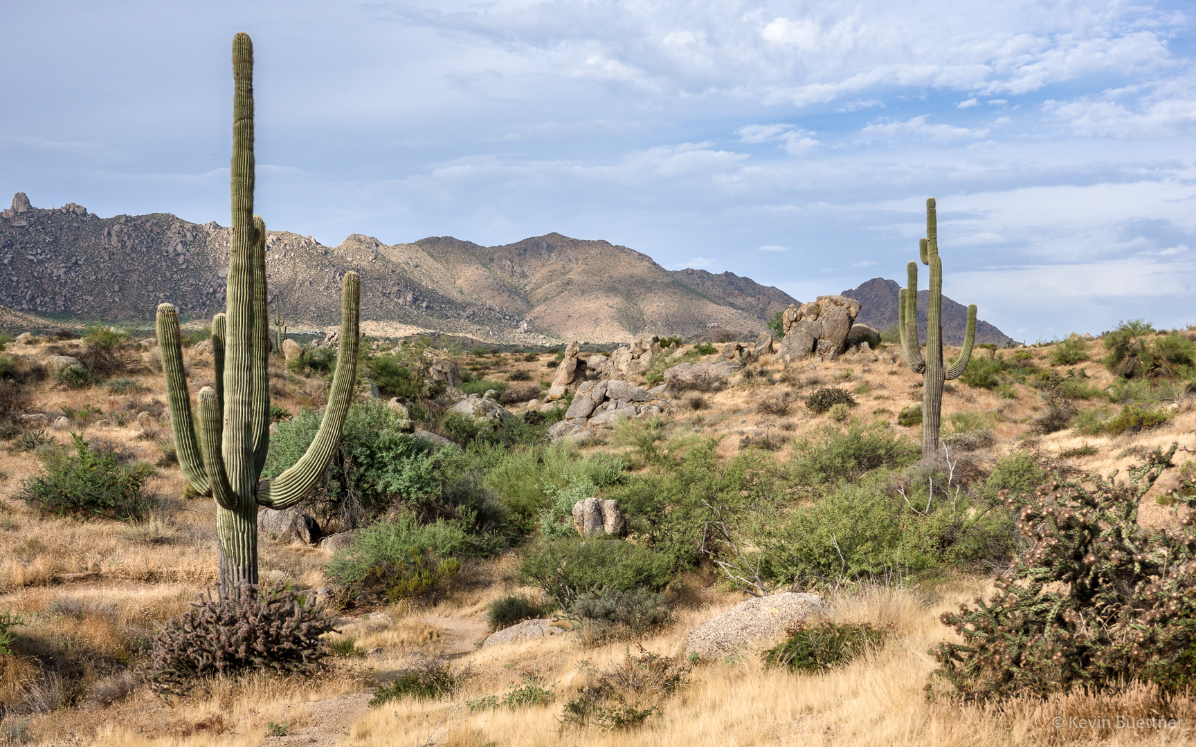
Saguaros:
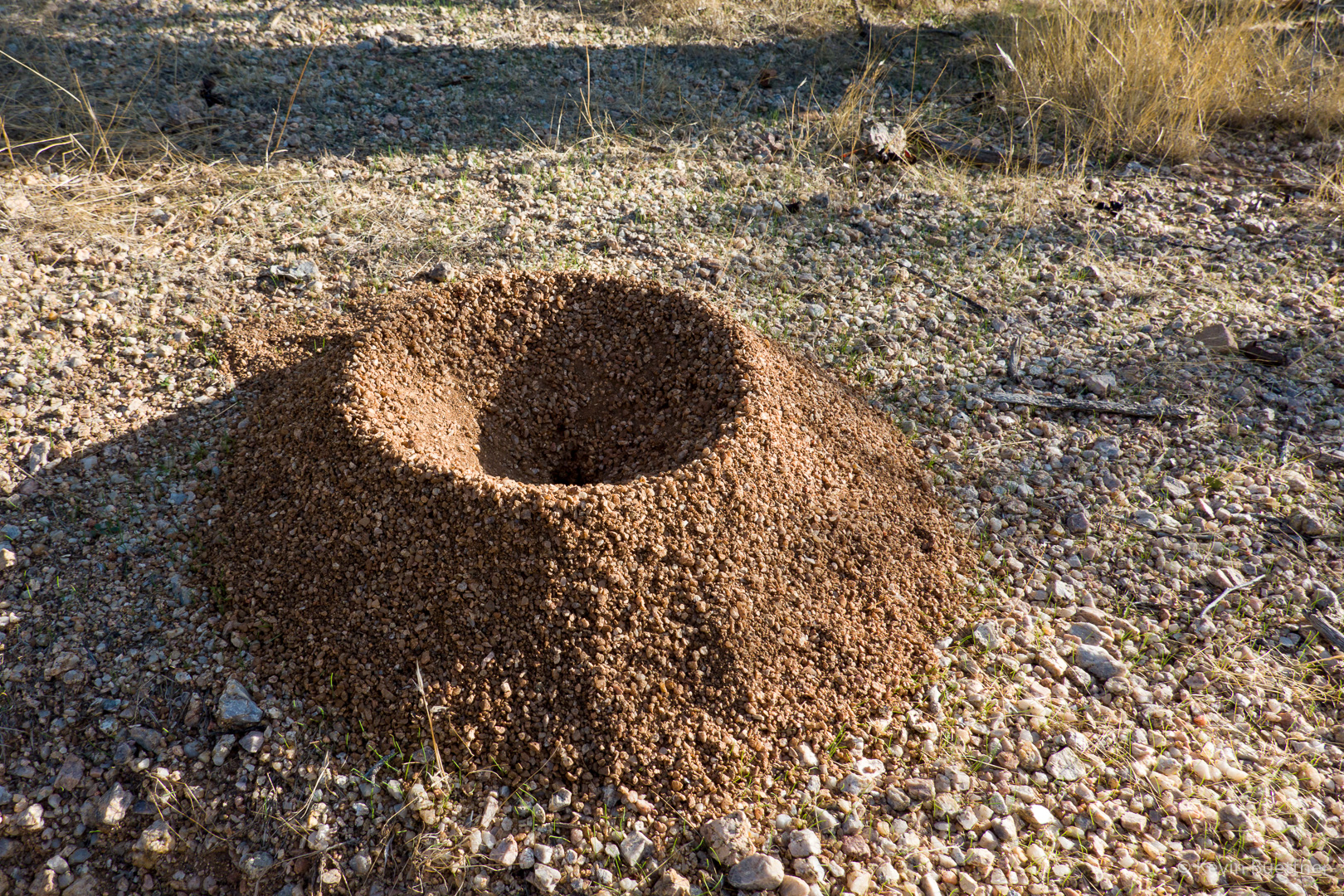
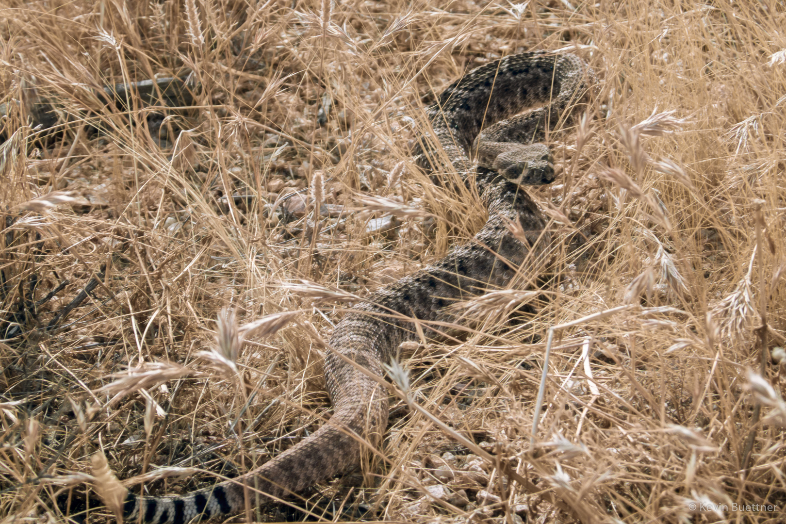
I’ve seen very few rattlesnakes this (calendar) year. I wouldn’t have seen this one had it not rattled as I walked by.
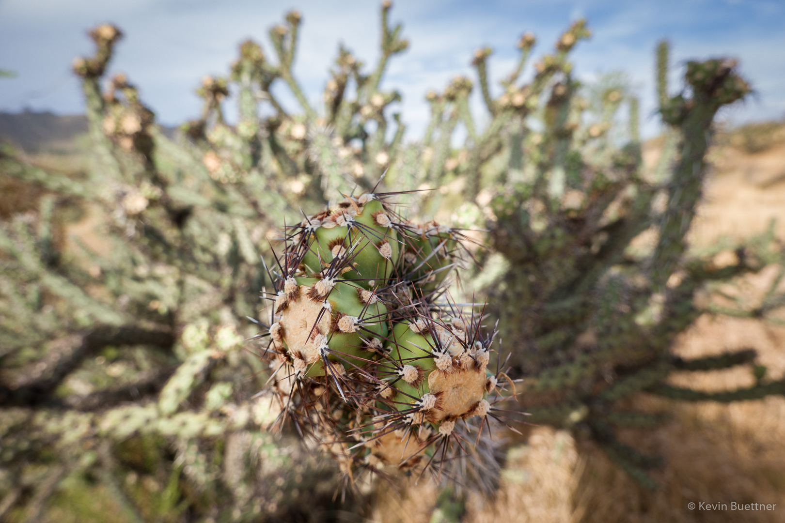
Buckhorn Cholla:
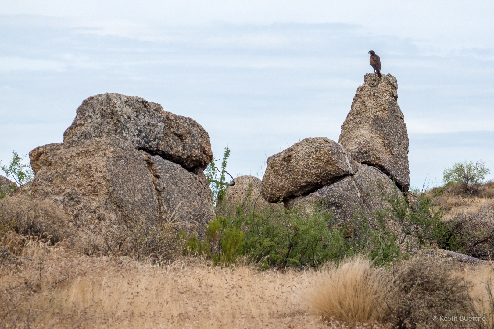
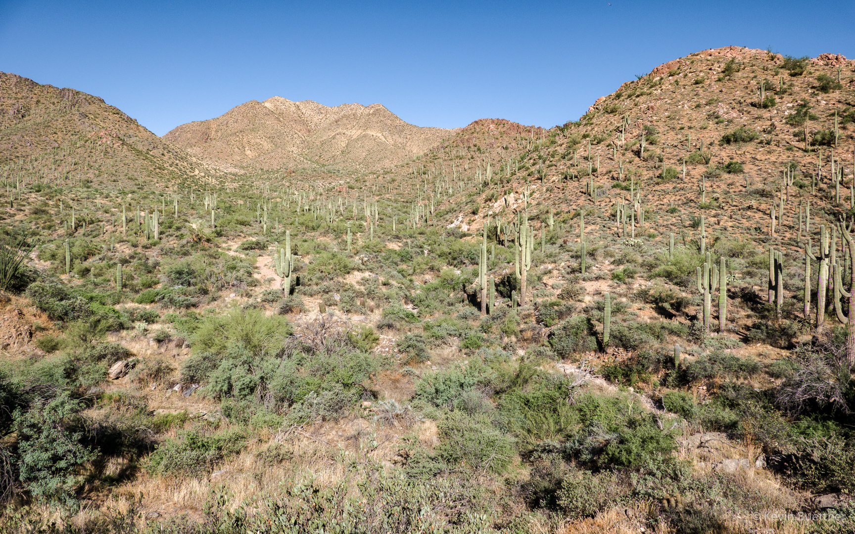
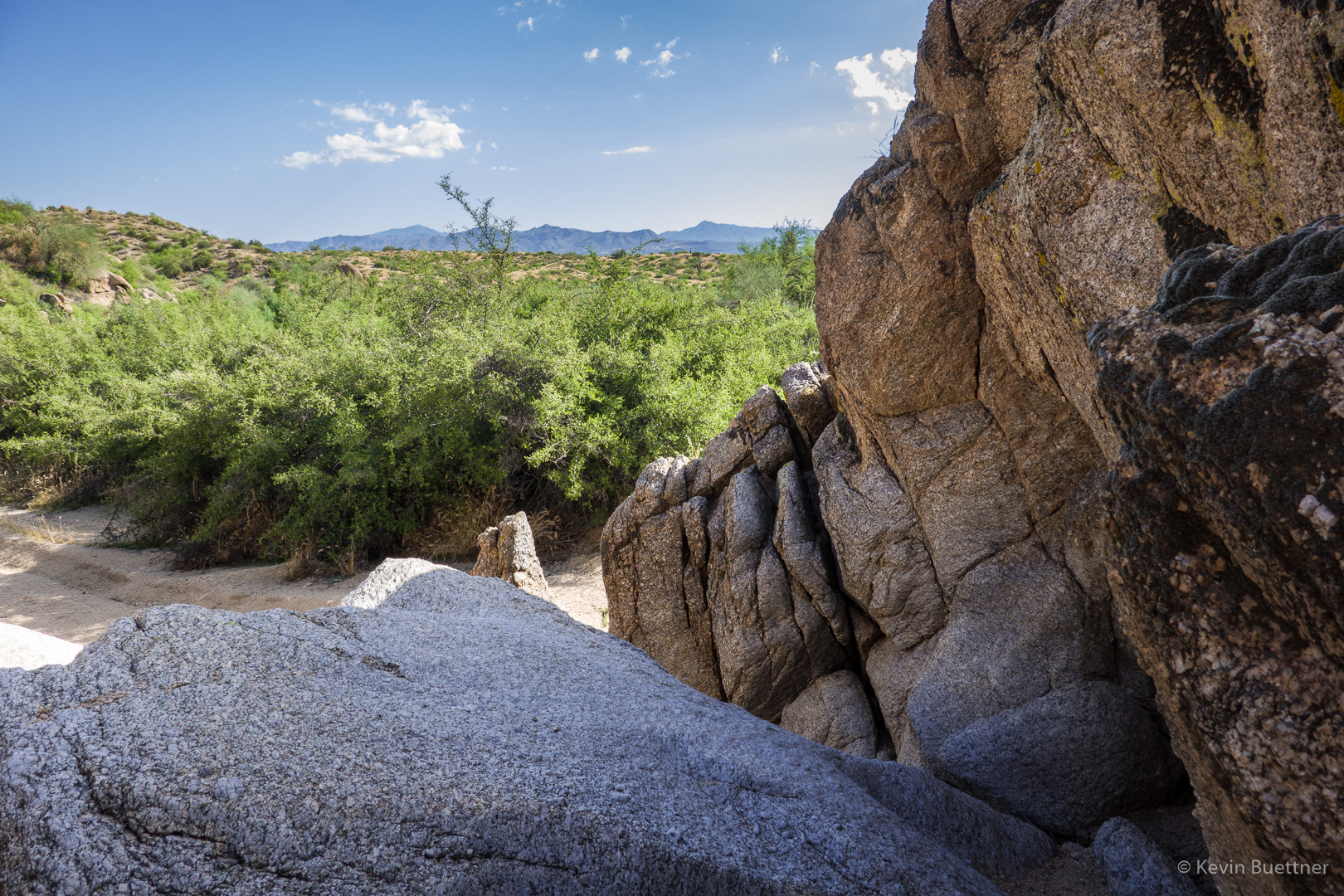
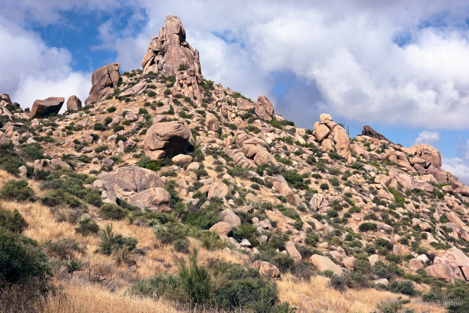
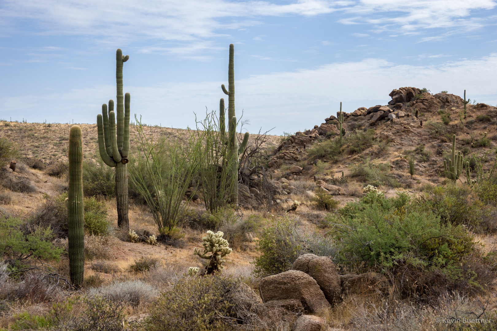
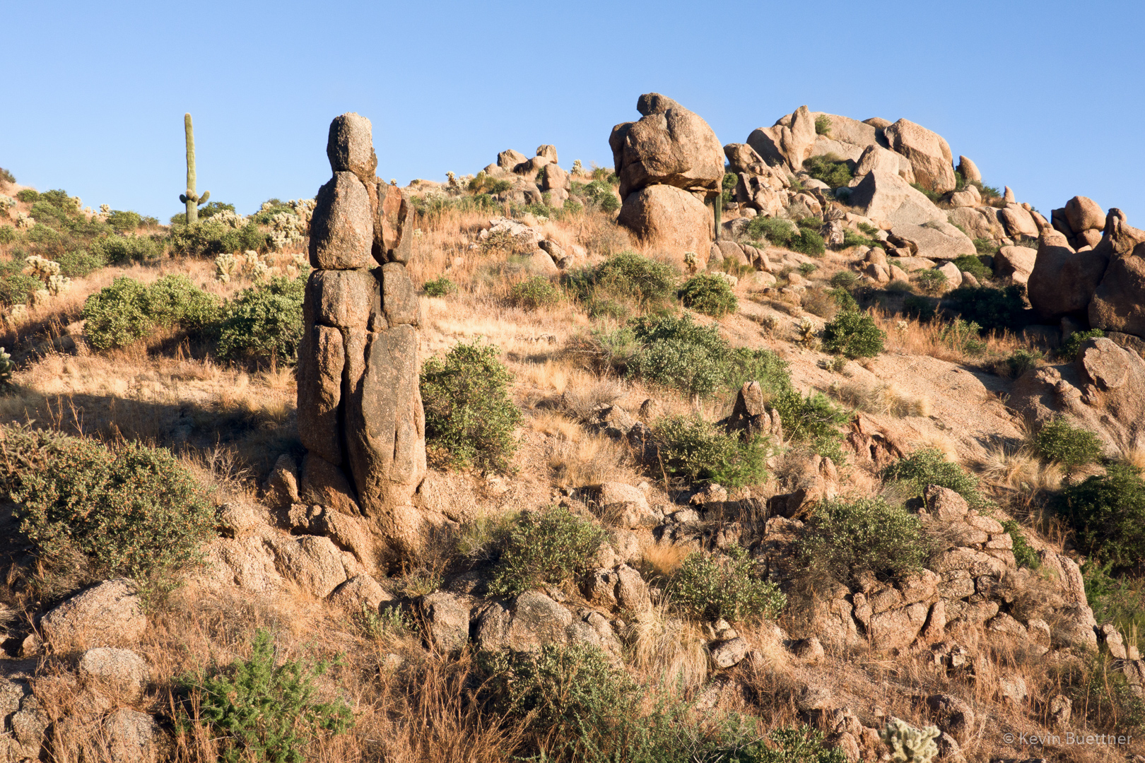
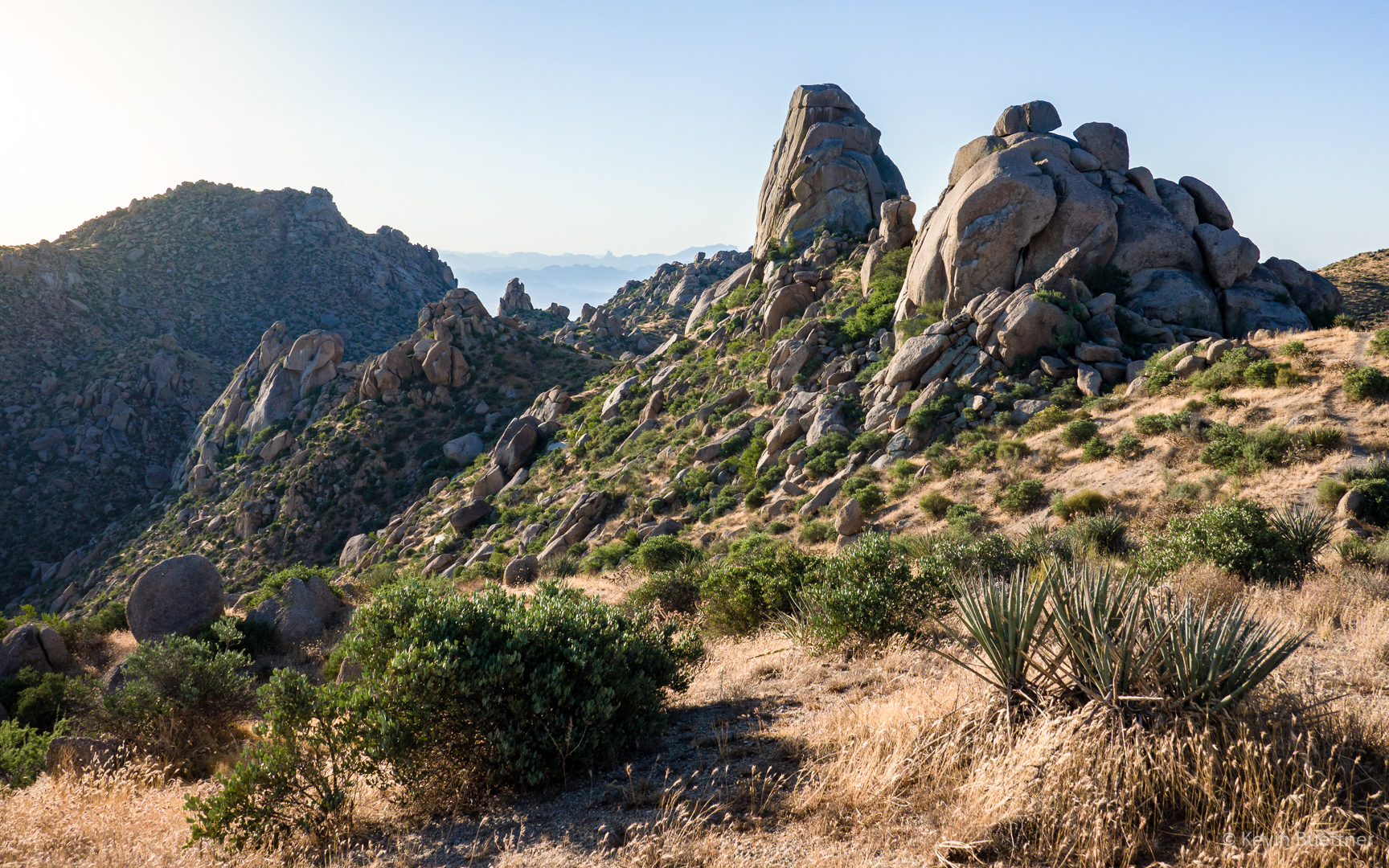
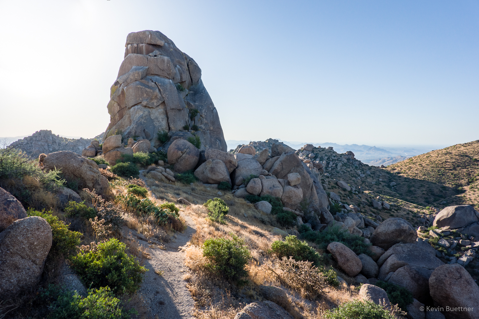
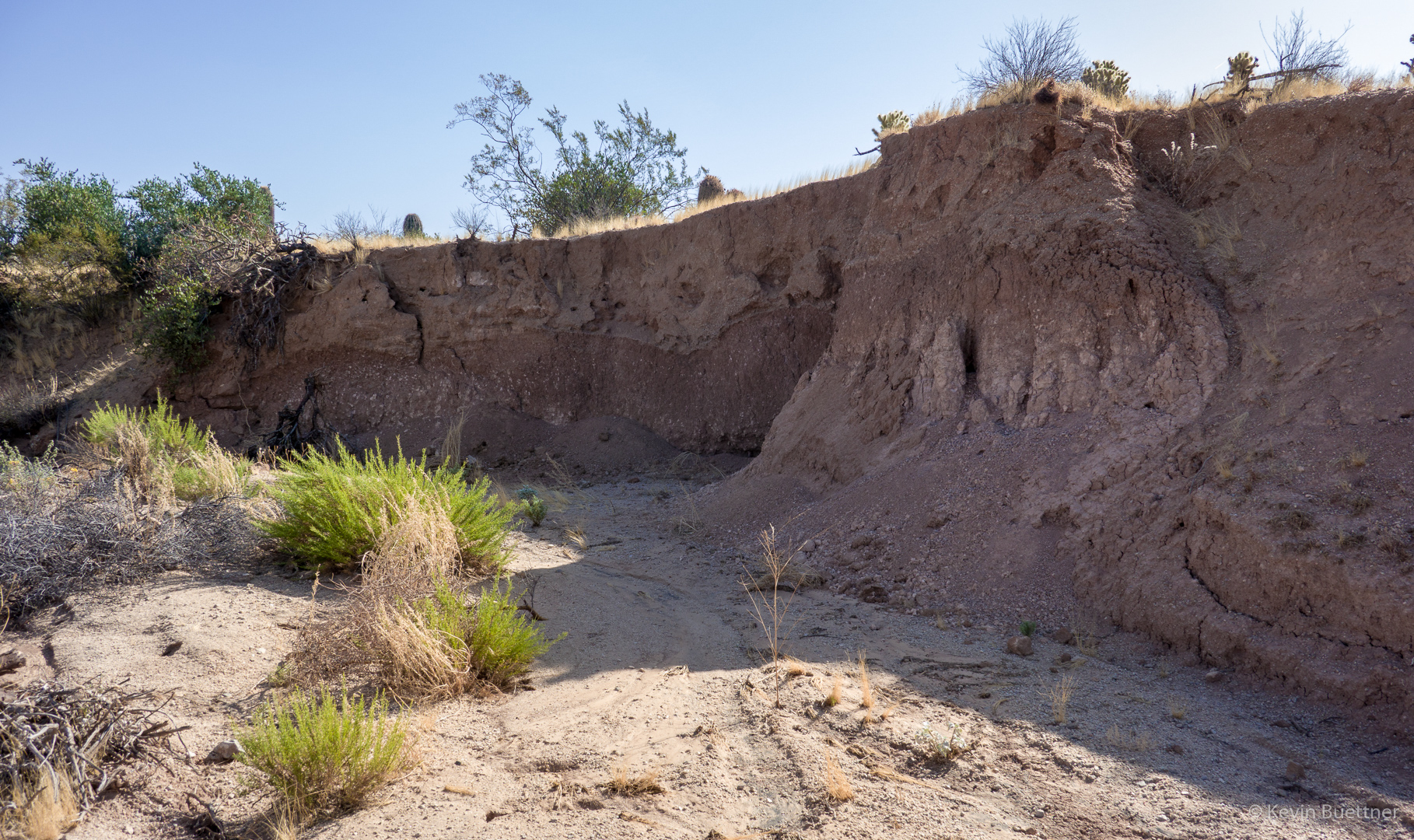
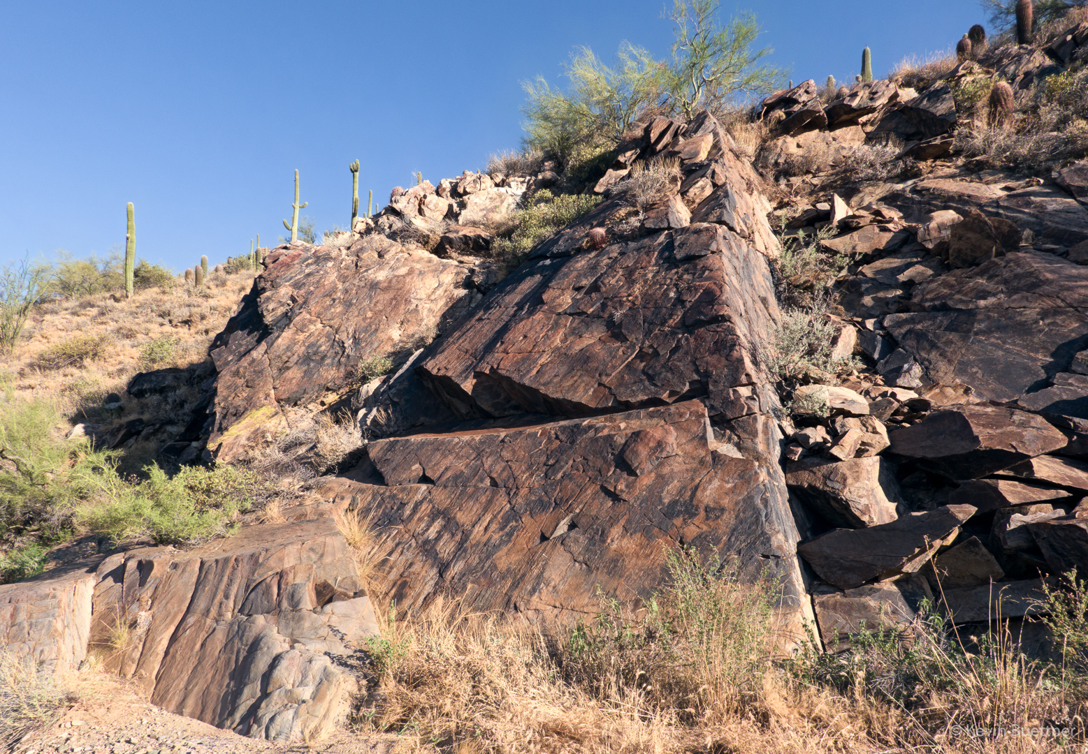
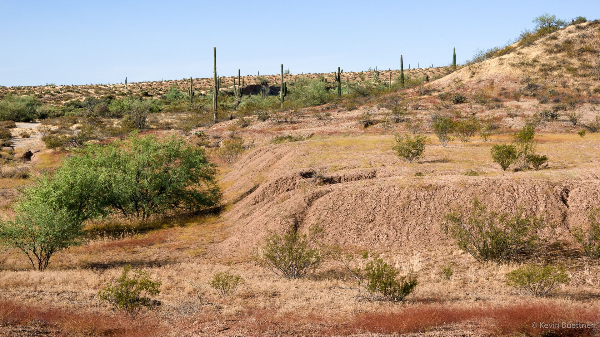
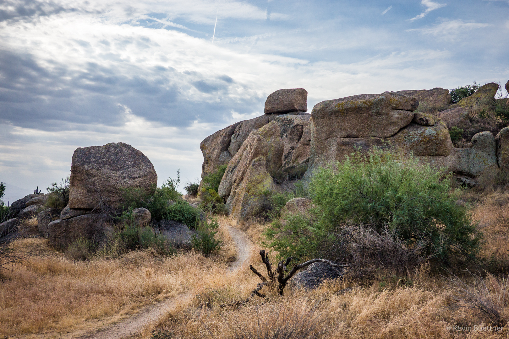
The Gooseneck Trail passes between some large granite boulders at this point.
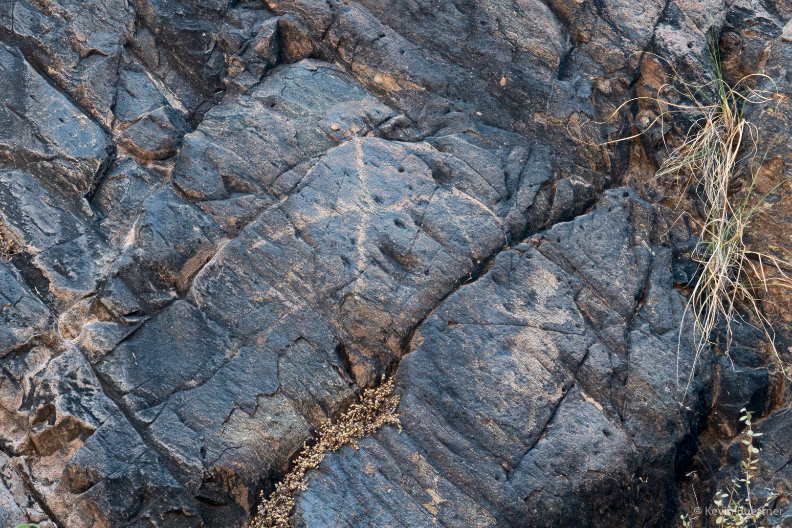
Moss:

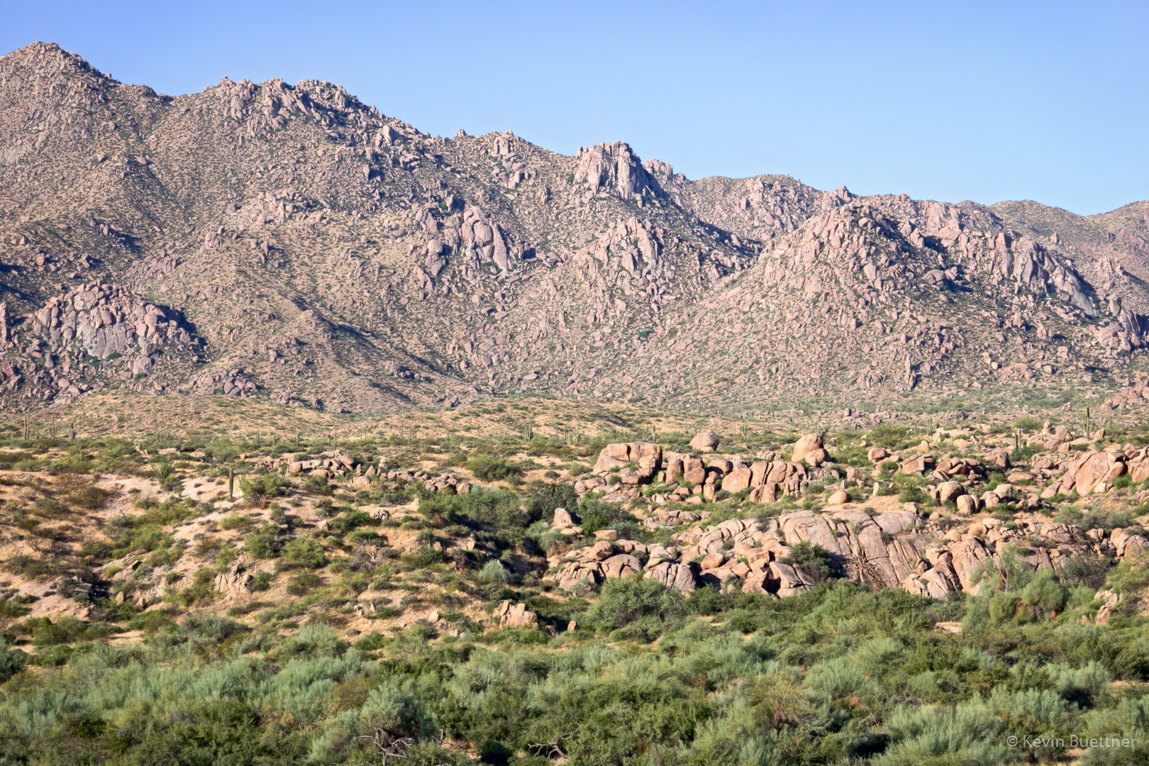
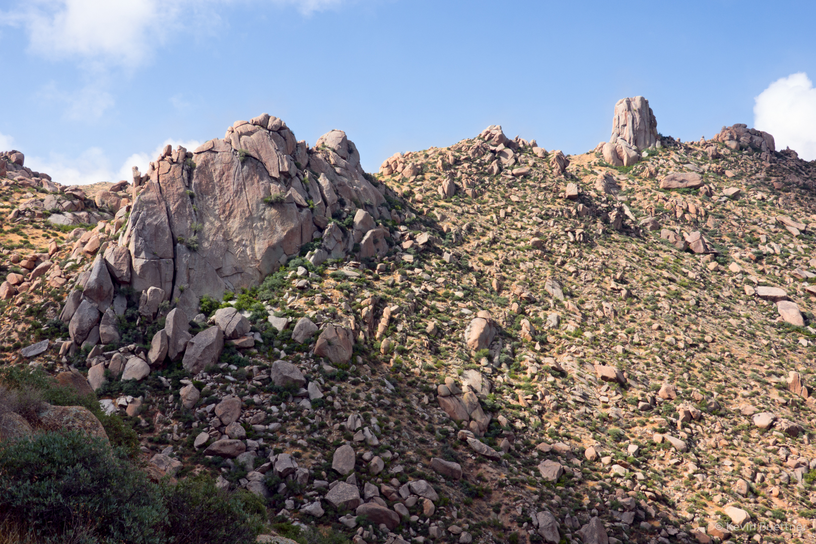
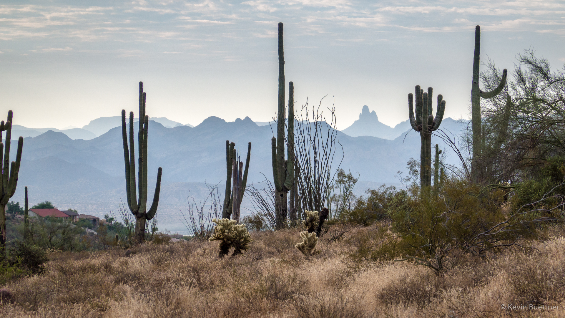
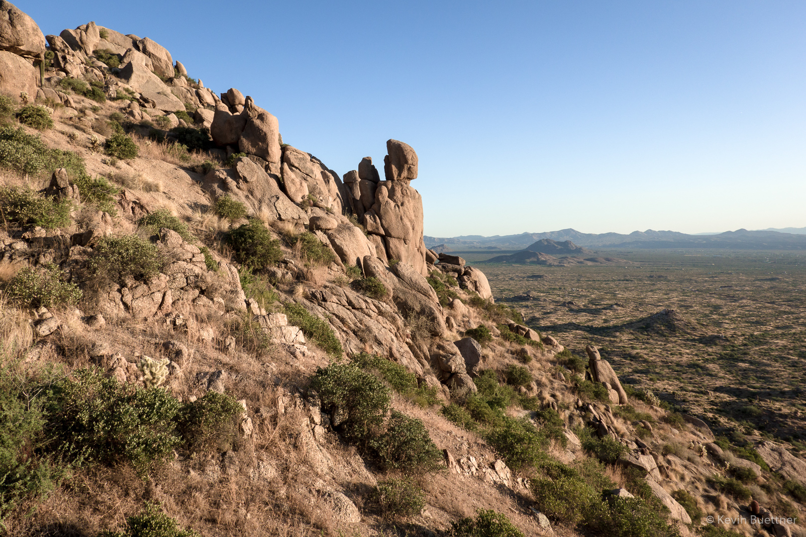
Sven Slab (left), Morrell’s Wall (middle), Gardener’s Wall (partially visible on ridge behind Morrell’s Wall) and Tom’s Thumb:

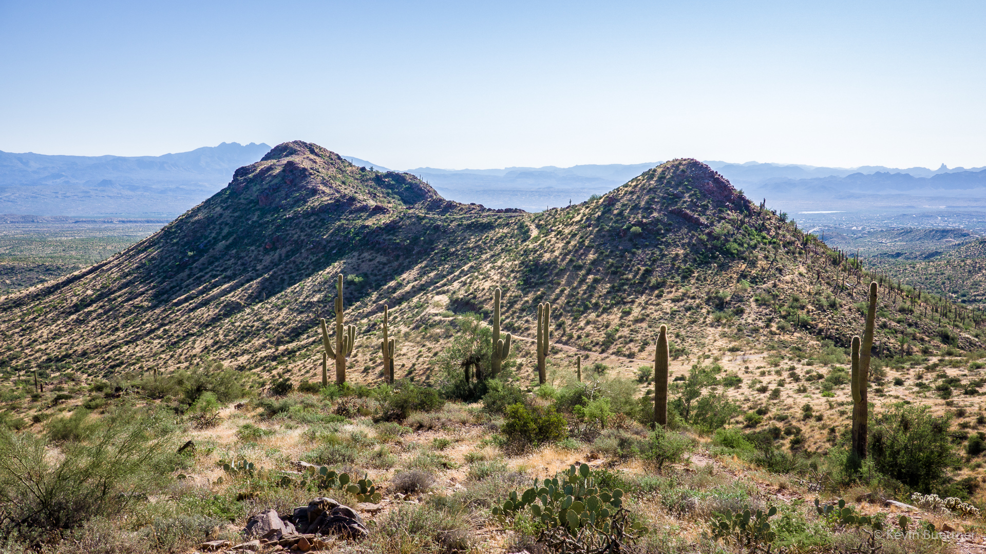
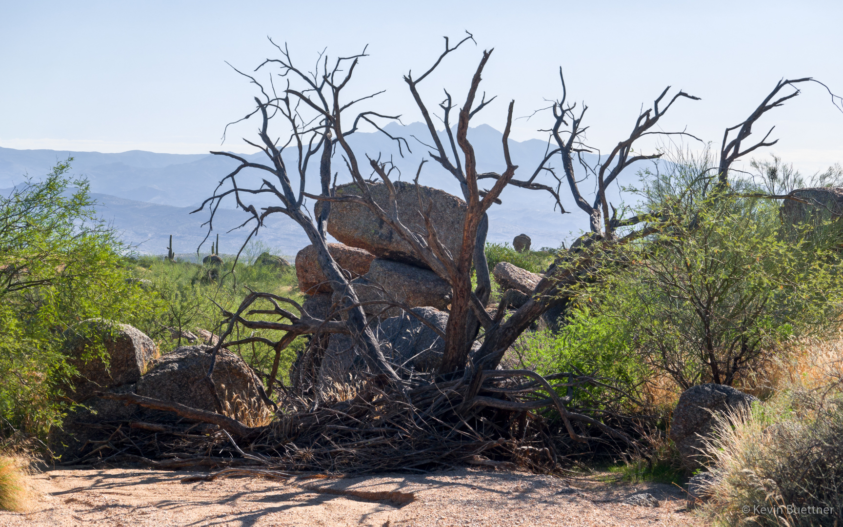
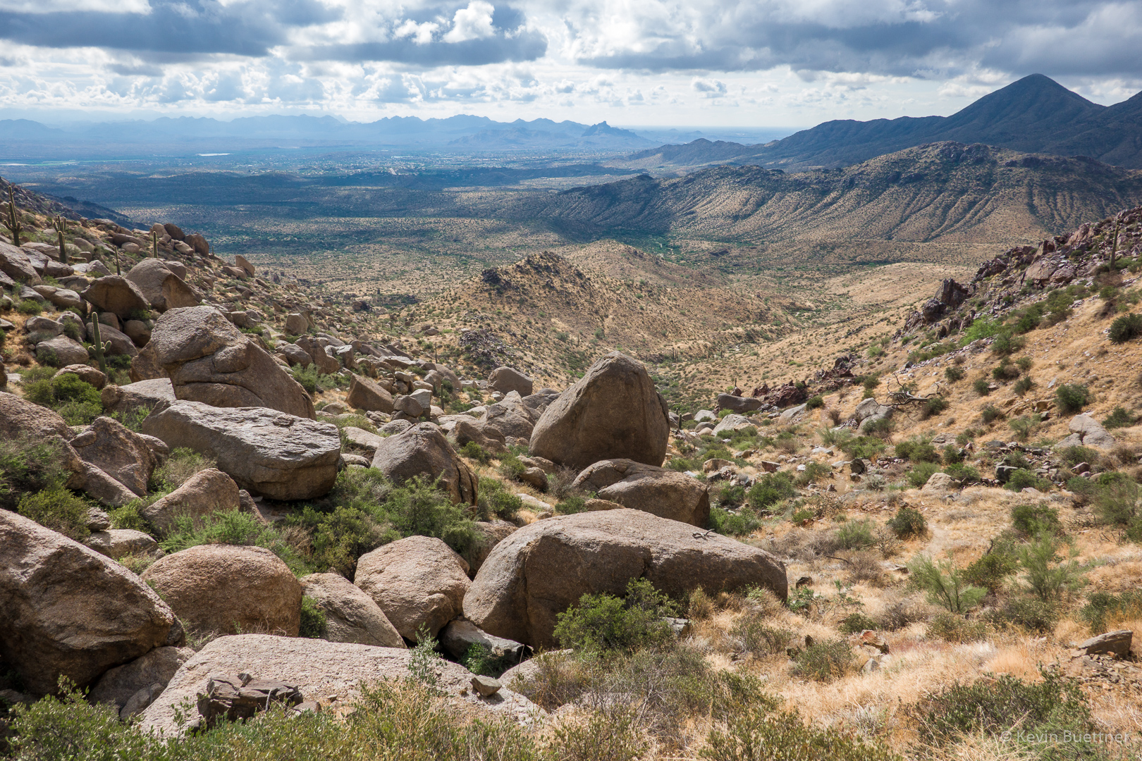
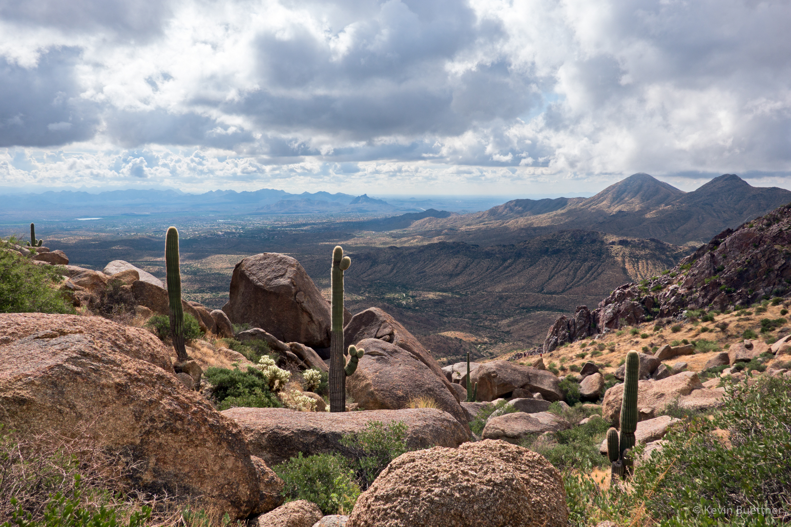
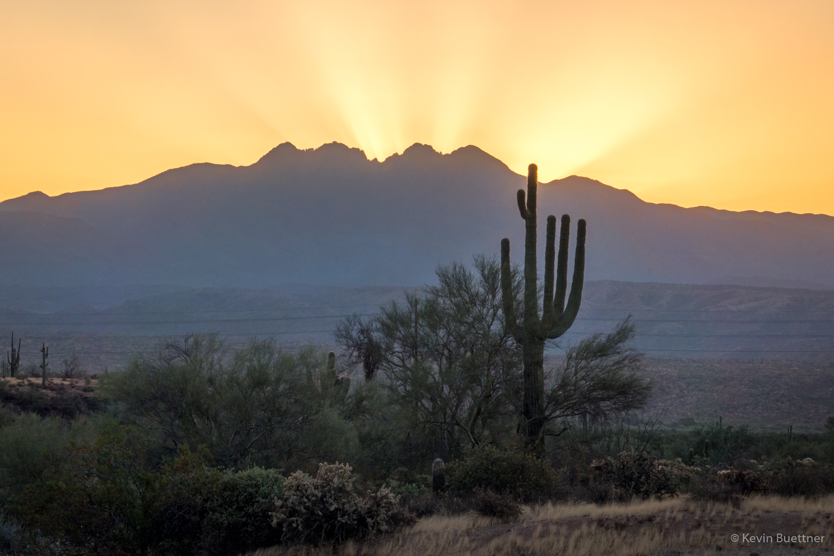
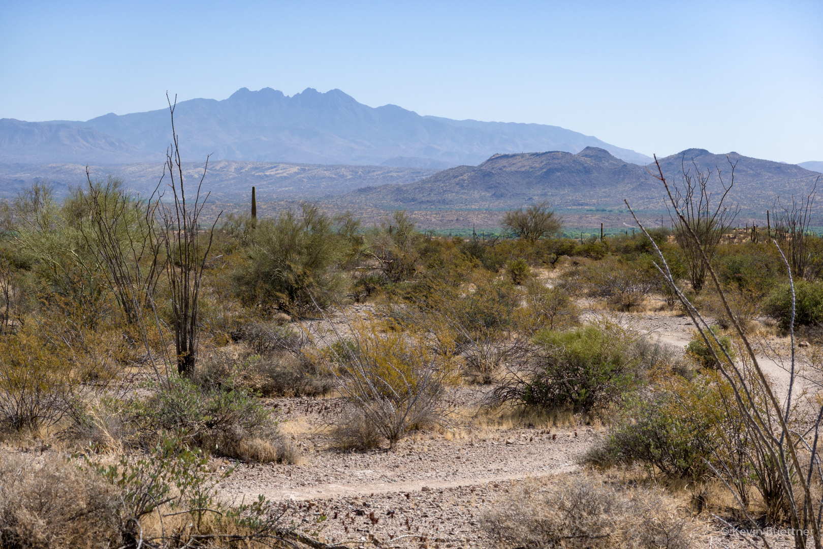
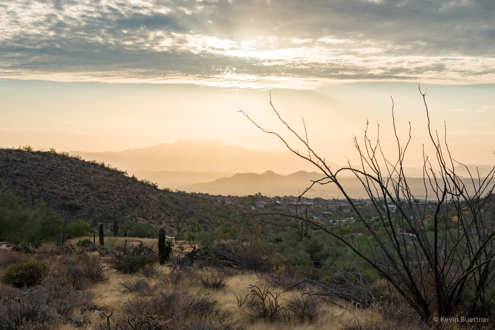
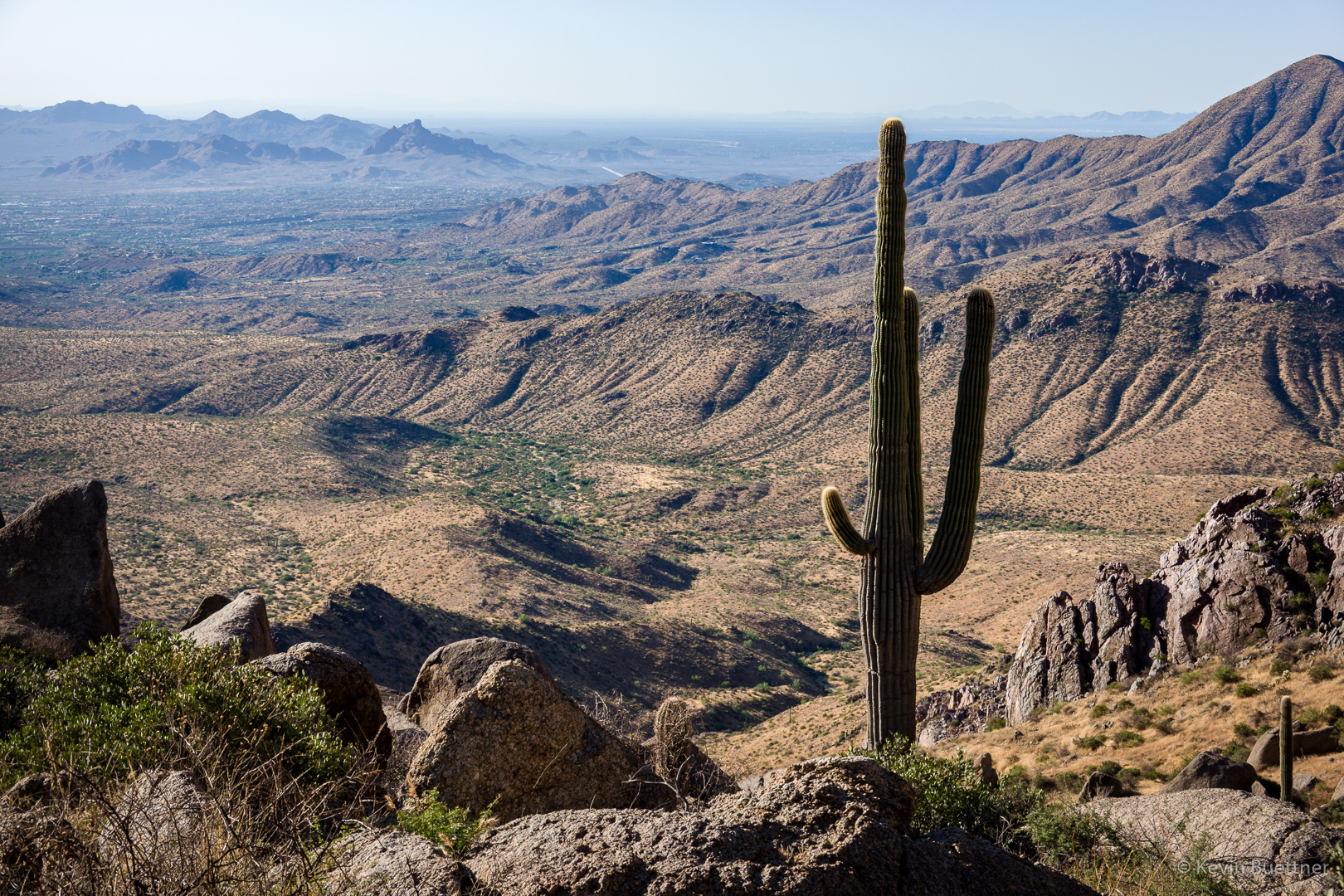
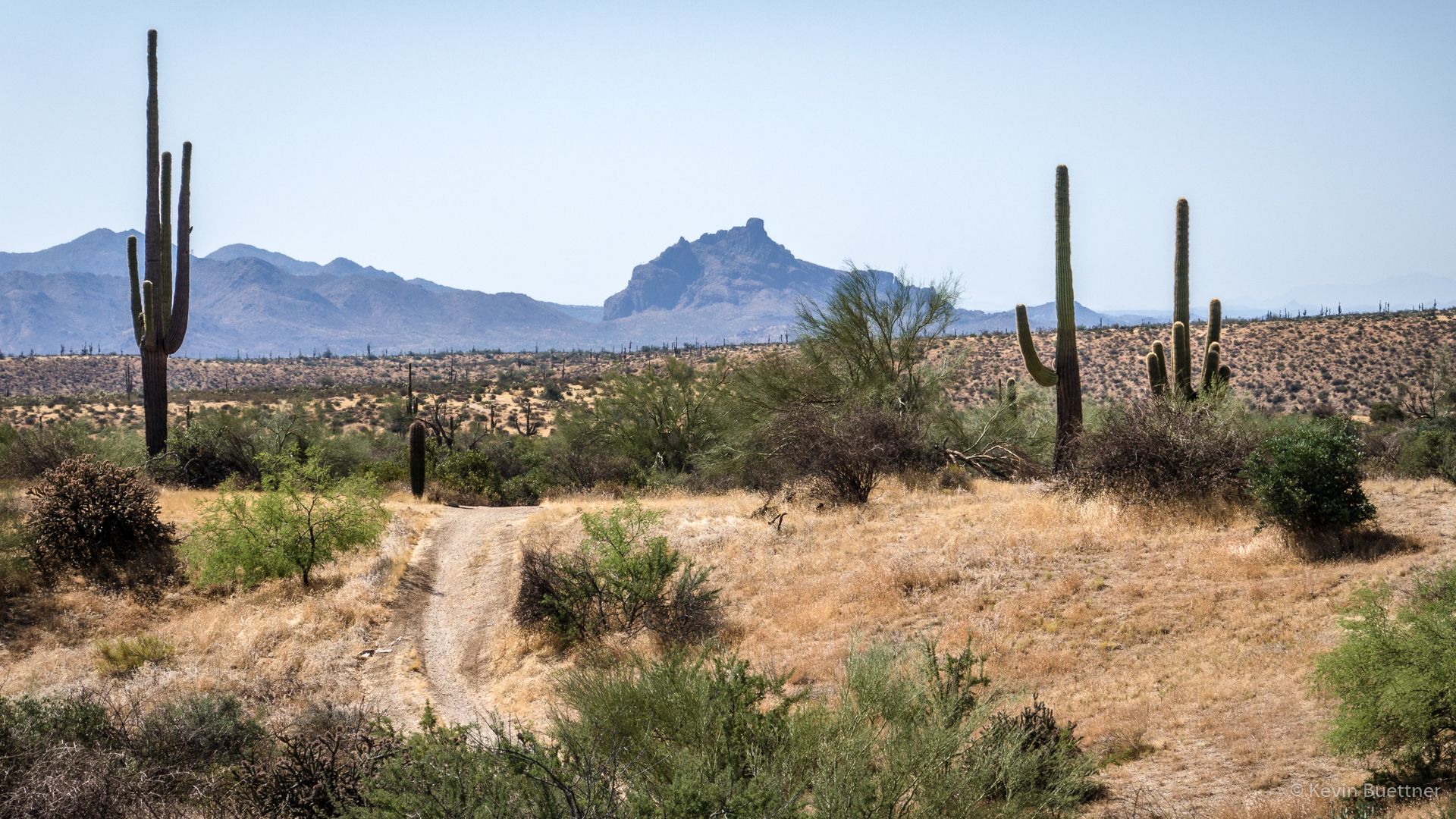
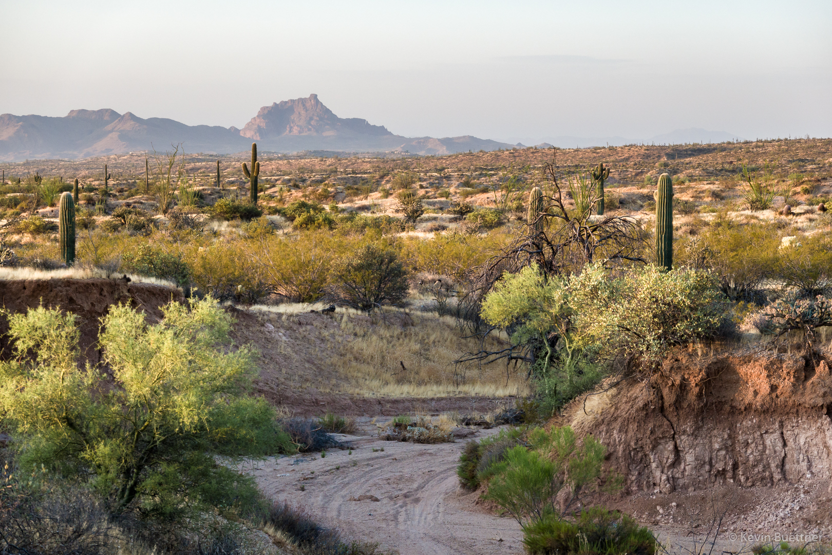
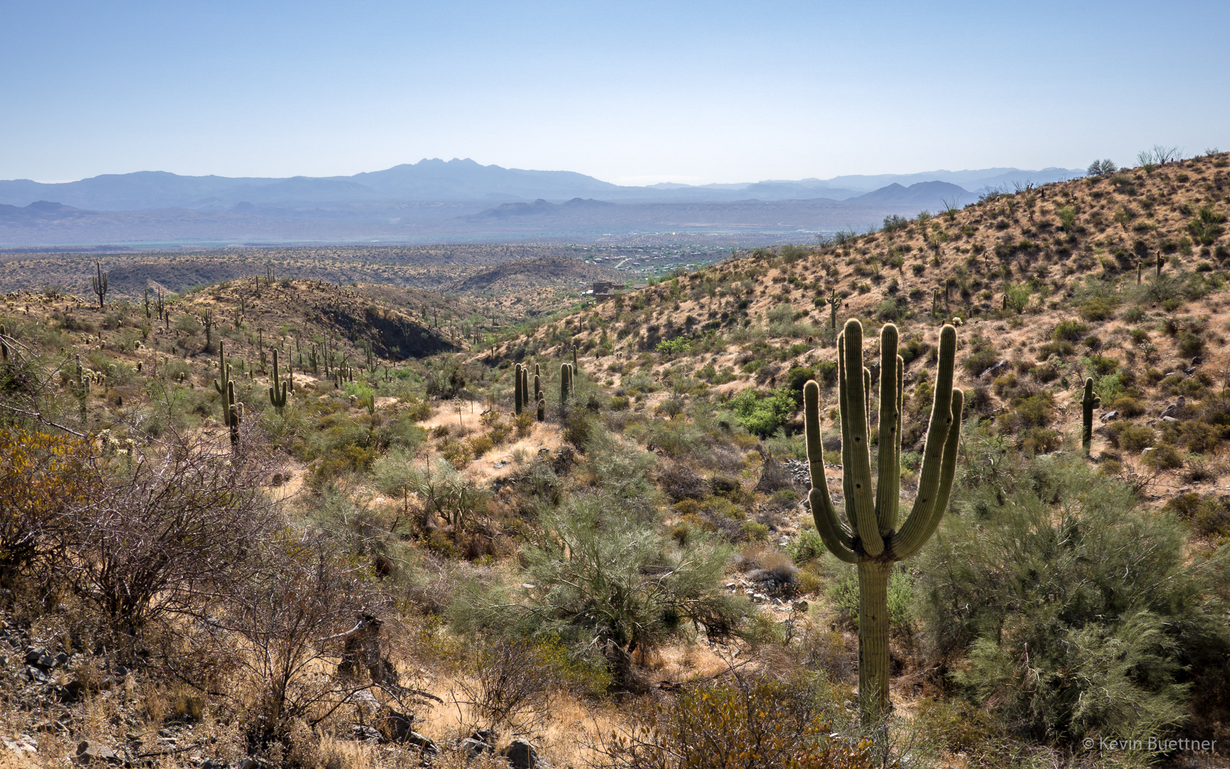
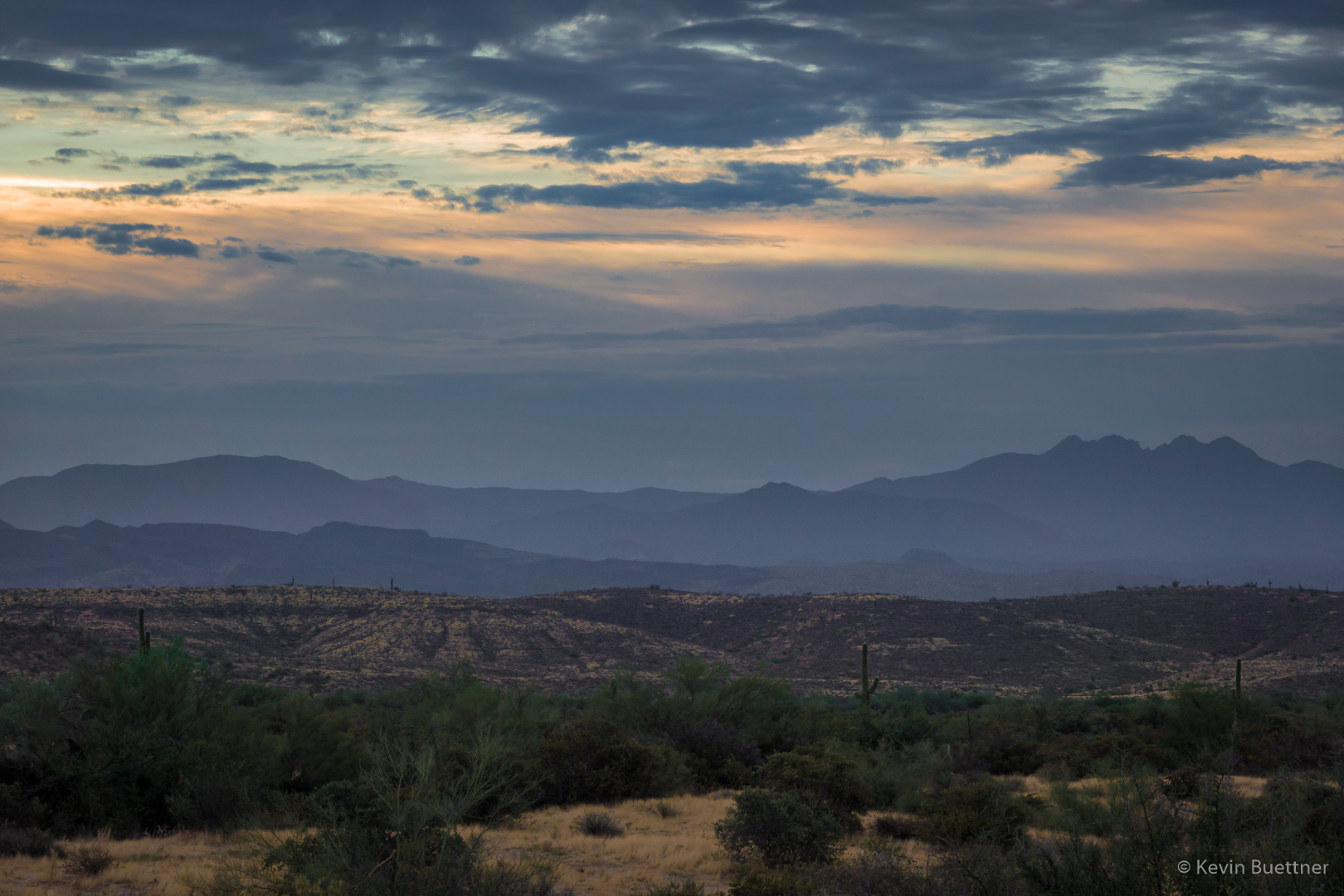
A view of Four Peaks from the Rock Knob Trail (just after reentering the Park):
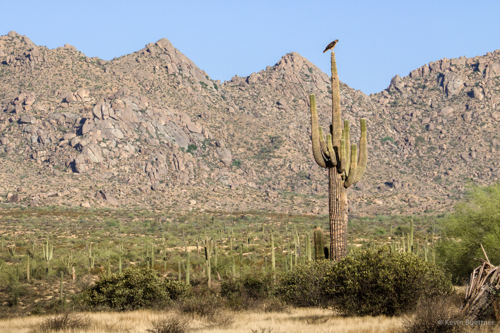
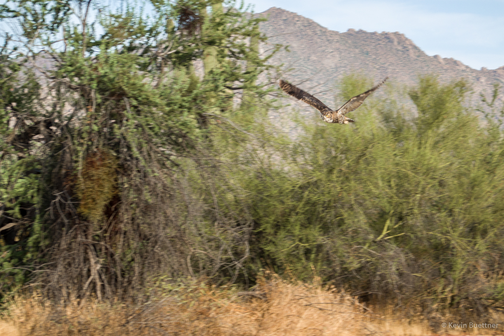
A view of a hawk (I think) from the Rock Knob Trail: