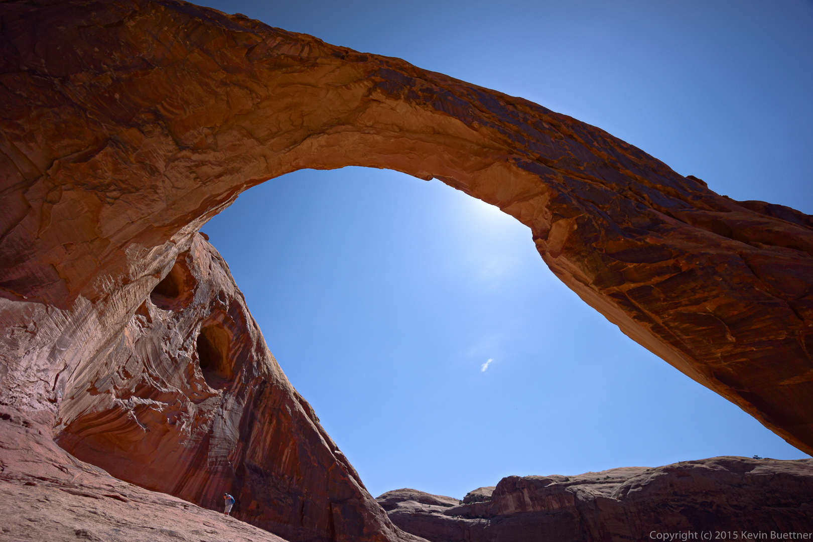
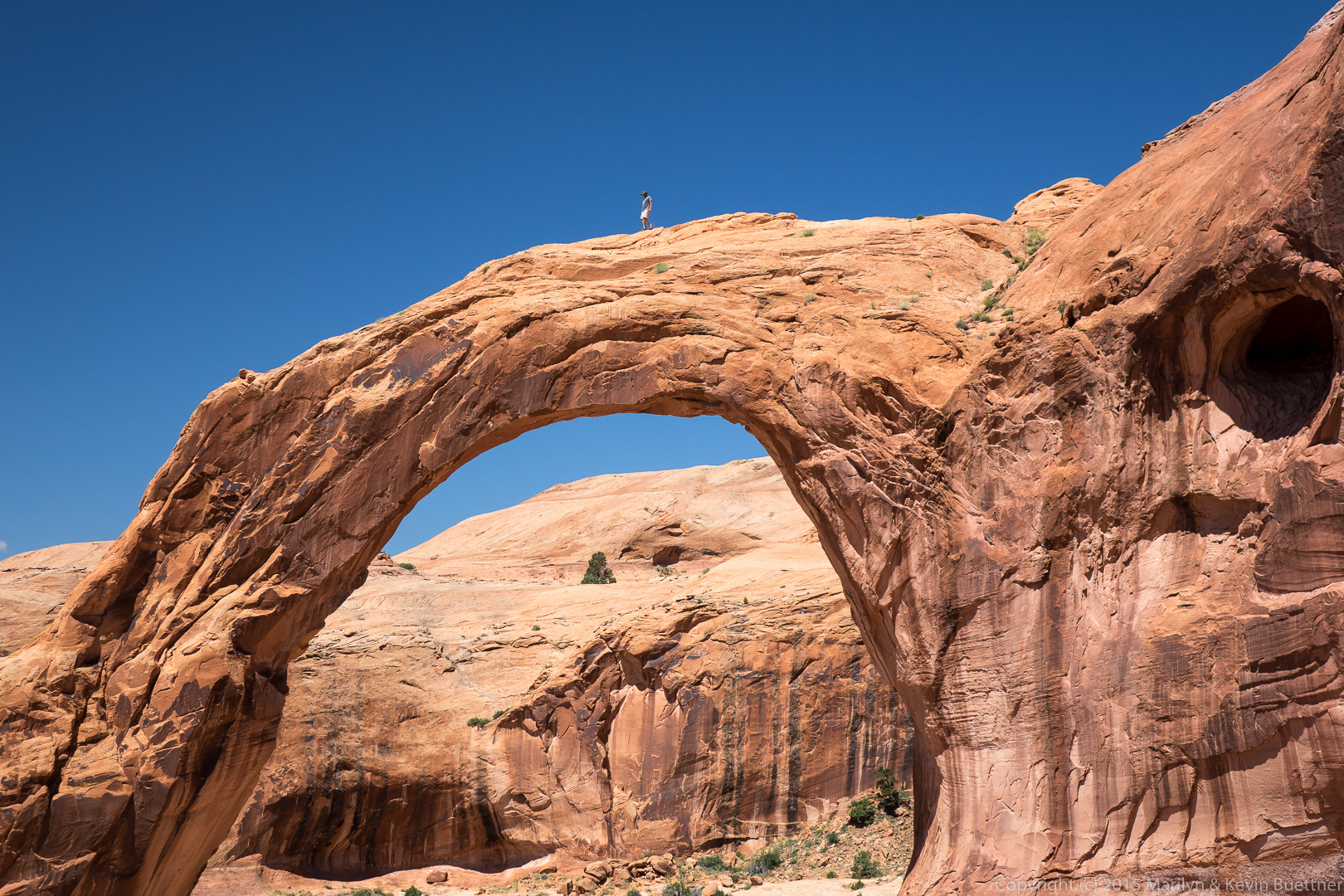
Kirk, my hiking companion for that stretch is descending beneath the arch.
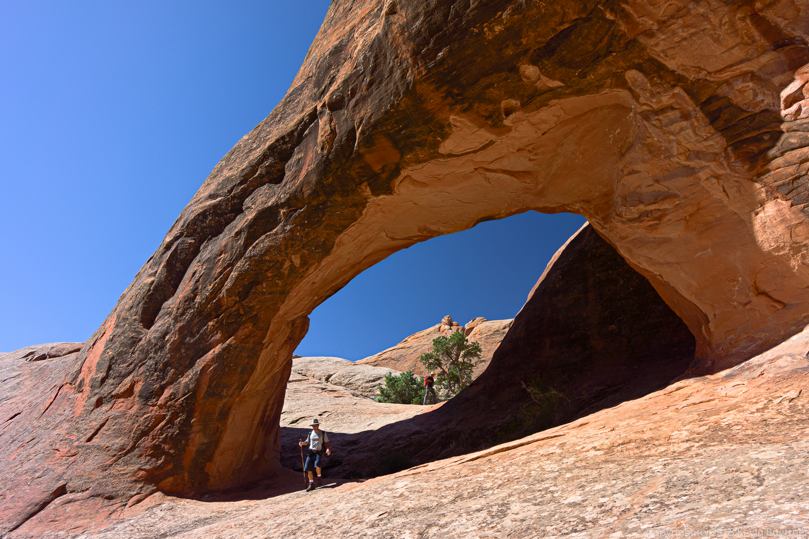
Kirk, my hiking companion for that stretch is descending beneath the arch.
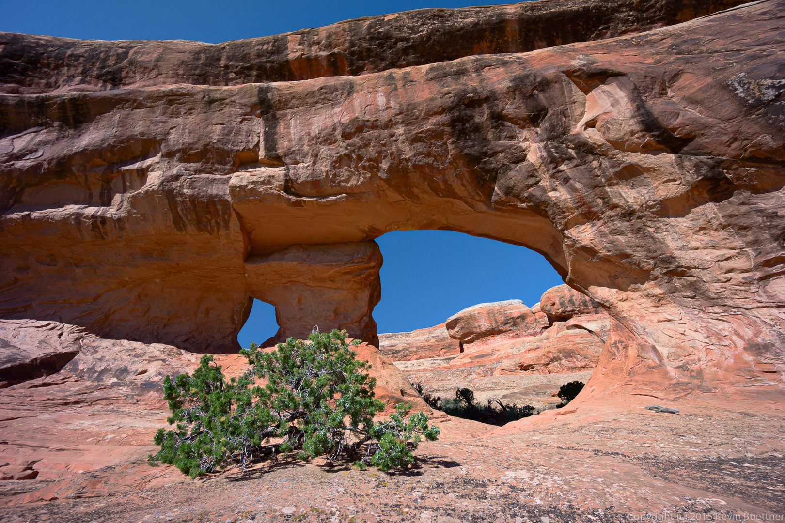
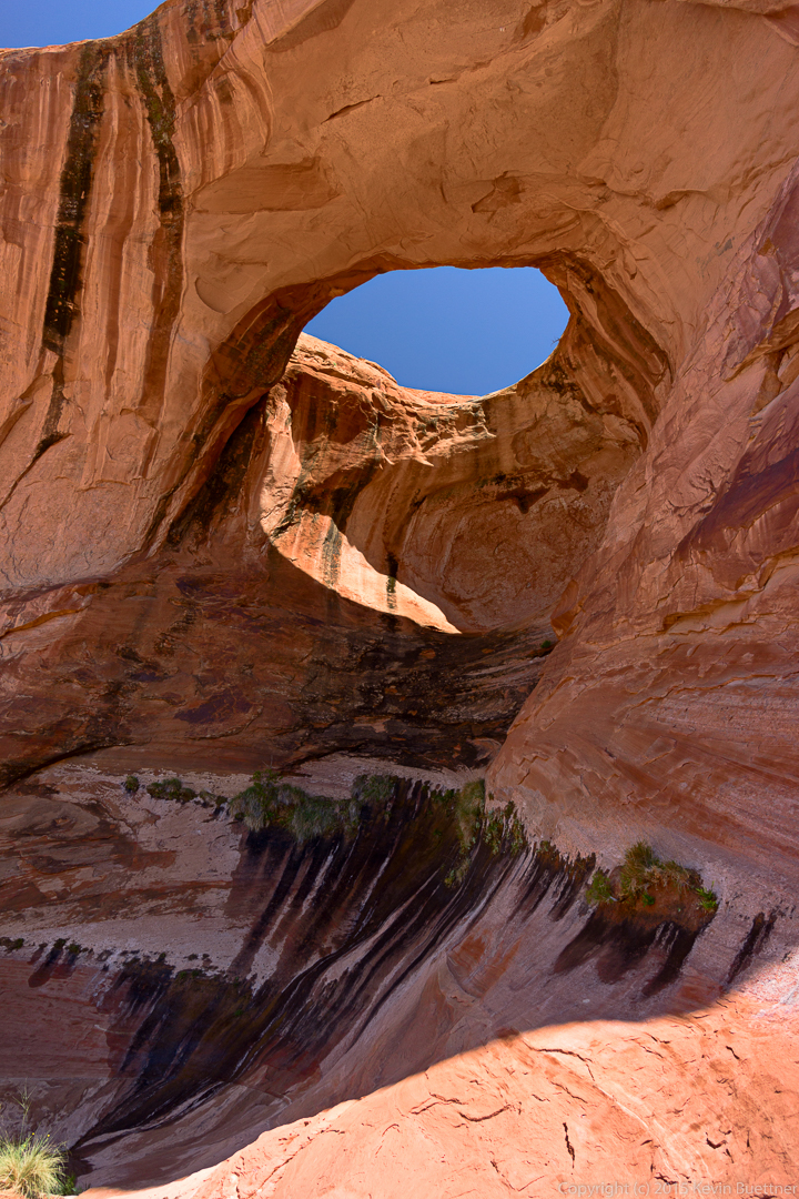
Recent rain has created a huge puddle below Navajo Arch.
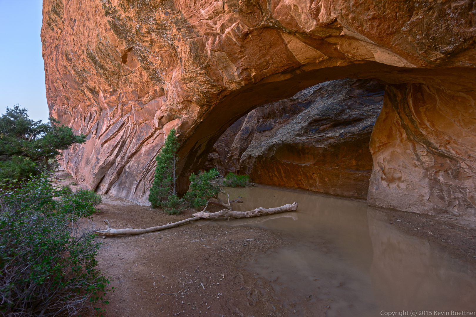
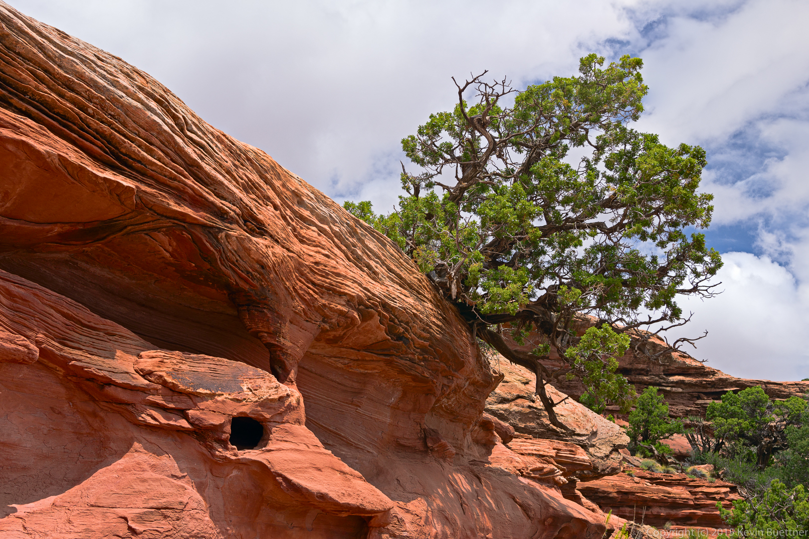
This rock formation is part of the wall leading to Navajo Arch.

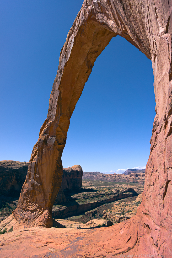
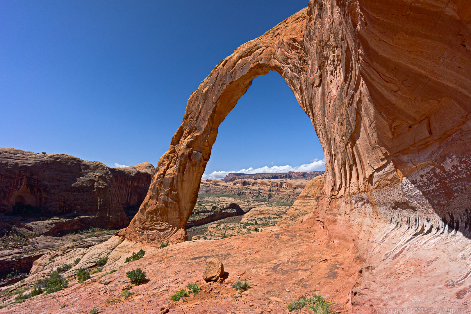
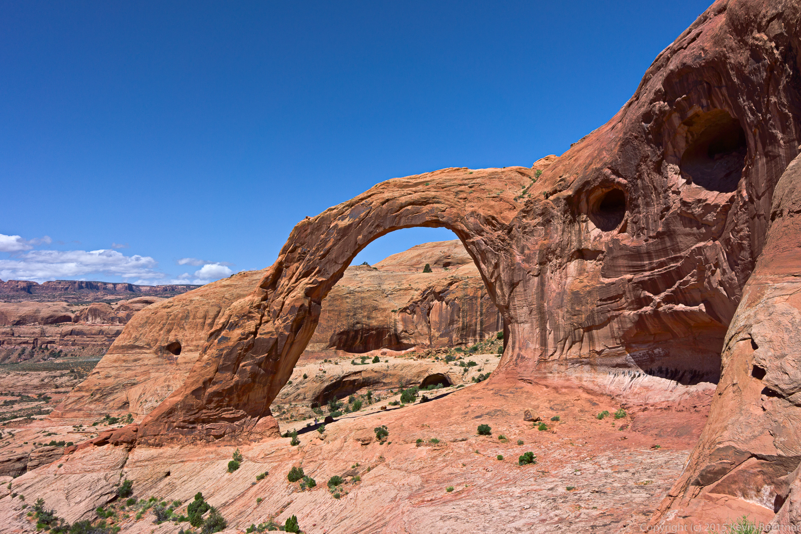
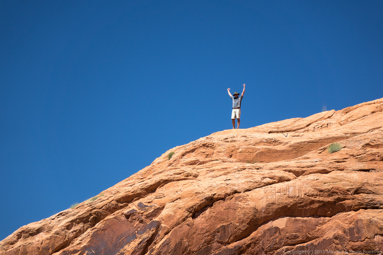
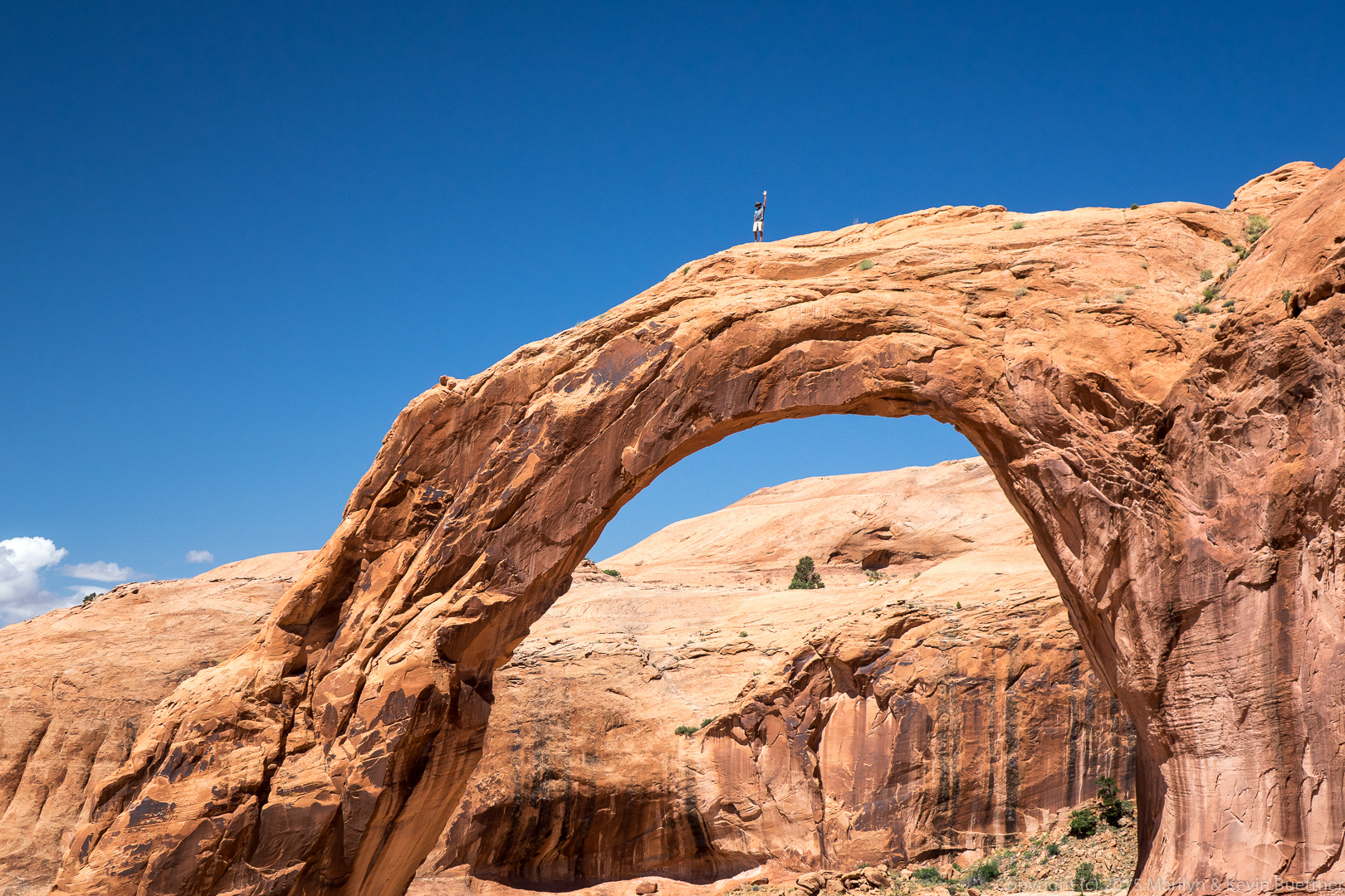
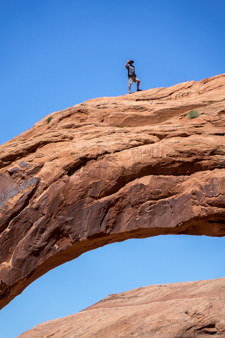
We met Mitch and his wife during our visit to Corona Arch. Marilyn took these photos of Mitch atop Corona Arch.
We visited Bryce Canyon on Thursday.
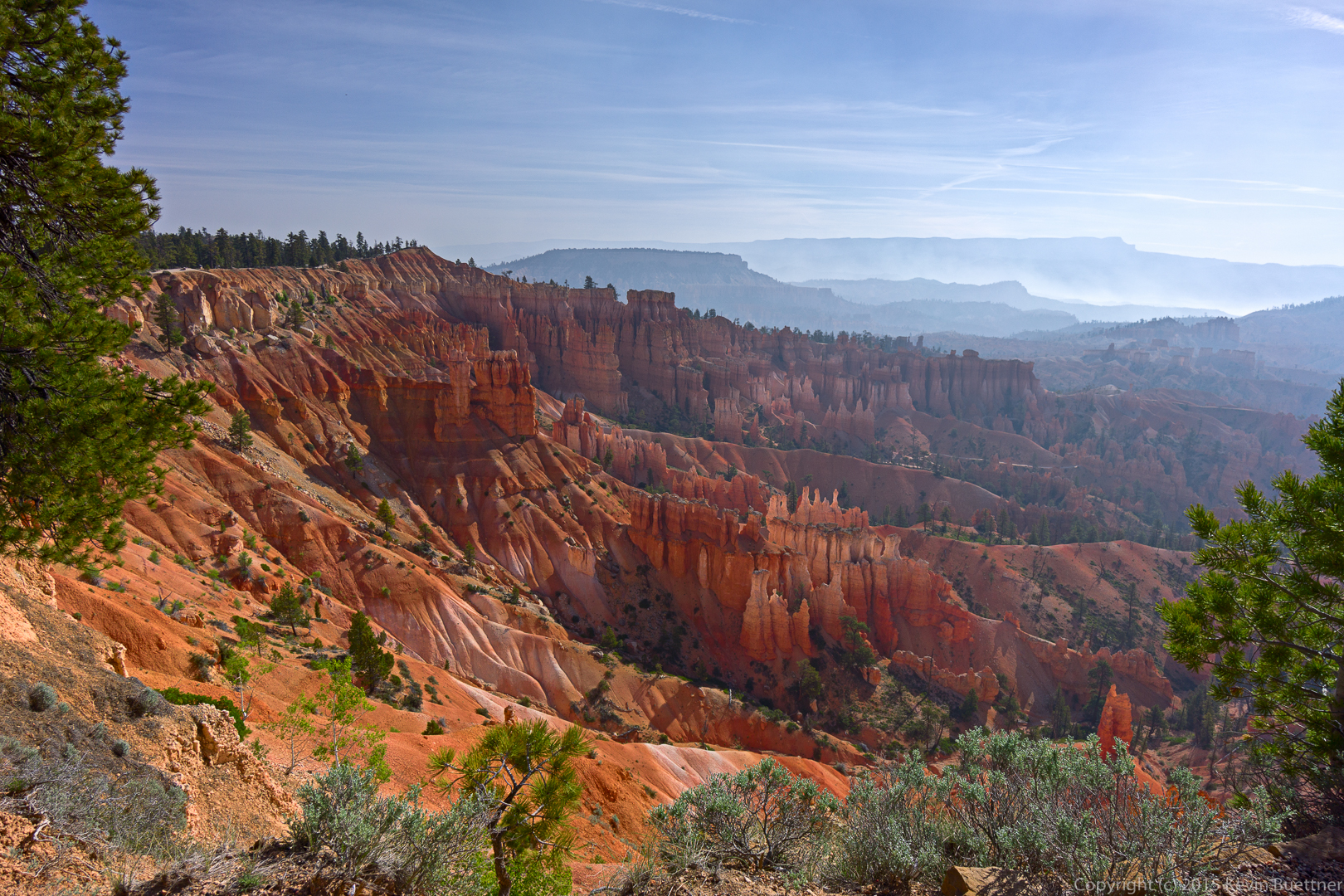
The forest service started a controlled burn on Wednesday, the day that we arrived. Bryce Canyon City was smoky when we arrived, though the smoke dissipated some during the late afternoon and early evening. But when we woke up the next morning, the smoke was much worse than the evening before. Visibility was poor. Fortunately, visibility was better at Bryce Canyon, only a few miles away.
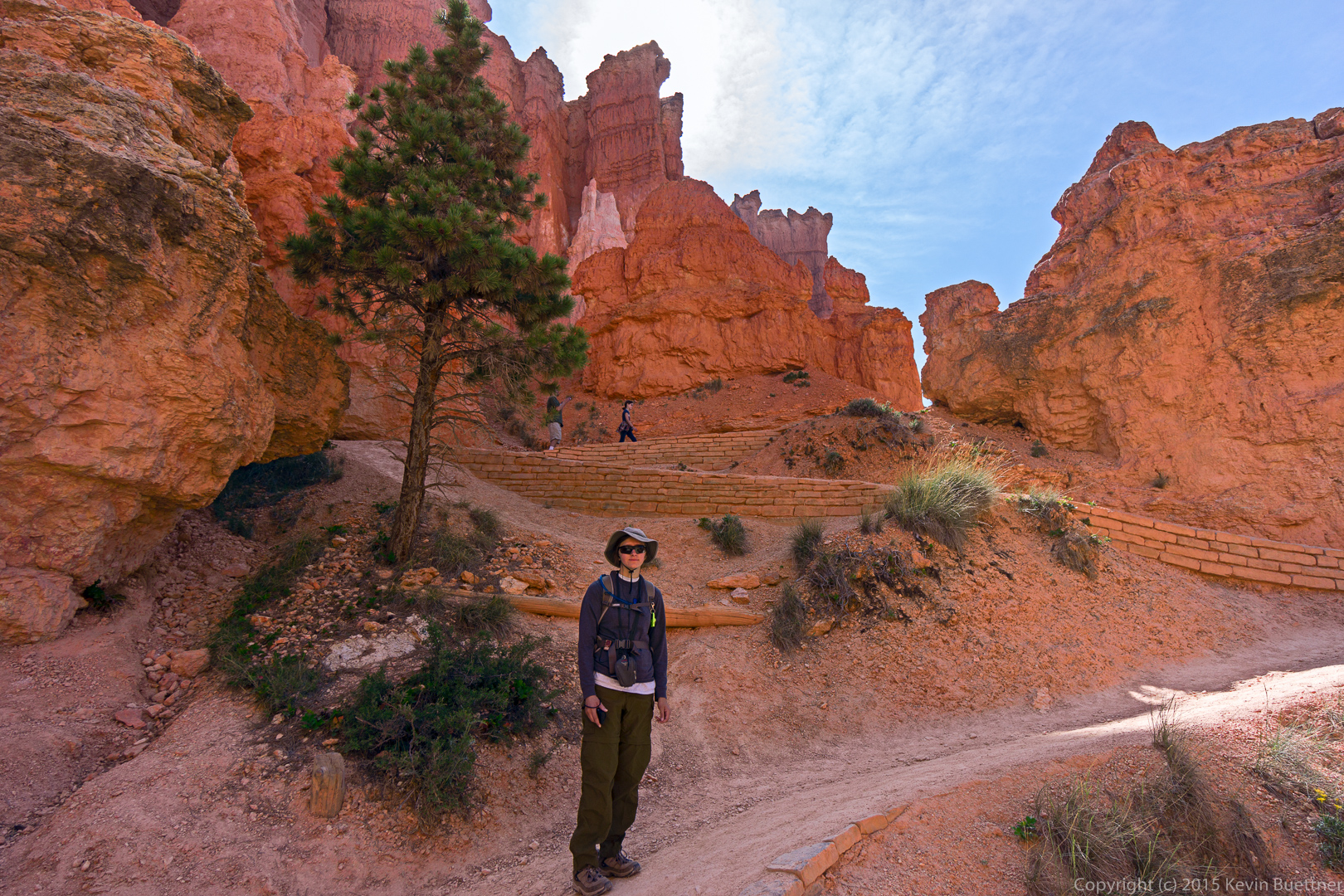
This first shot (and perhaps a few others) show the smoke from that (controlled) forest fire.
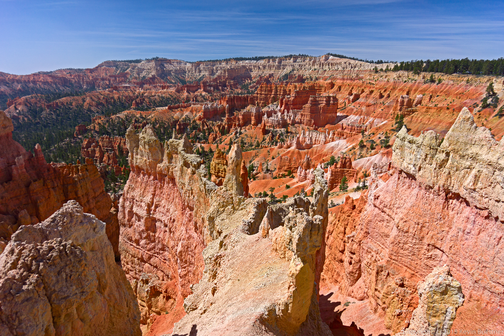
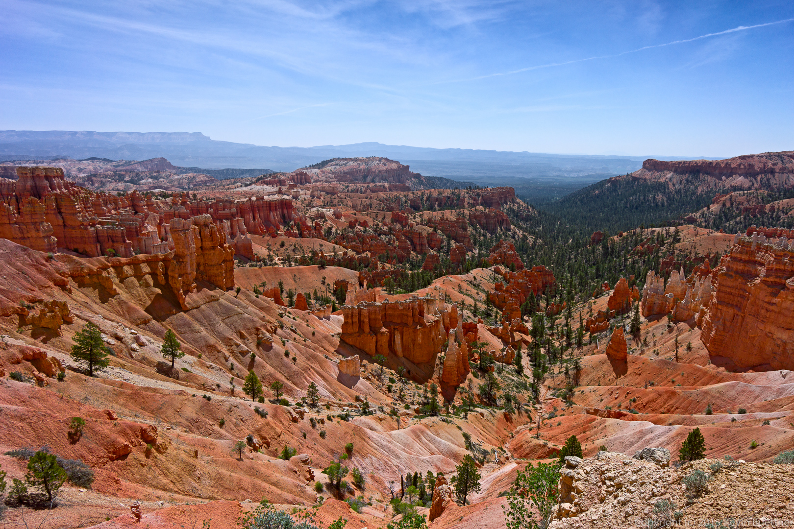
A view from Navajo Loop: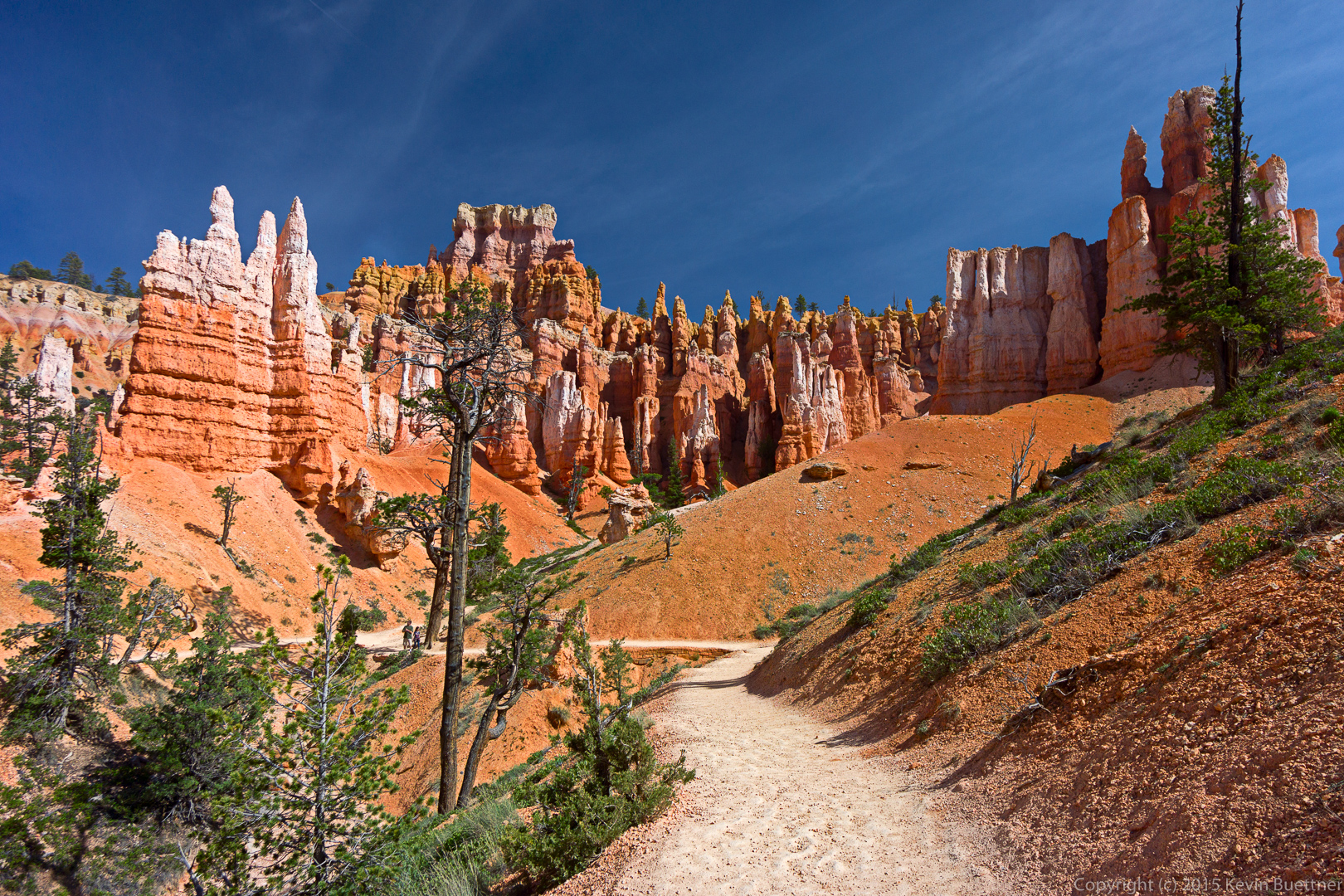
Marilyn: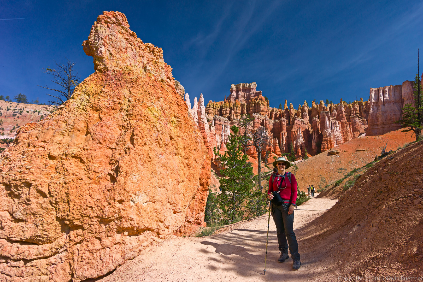
Marie:
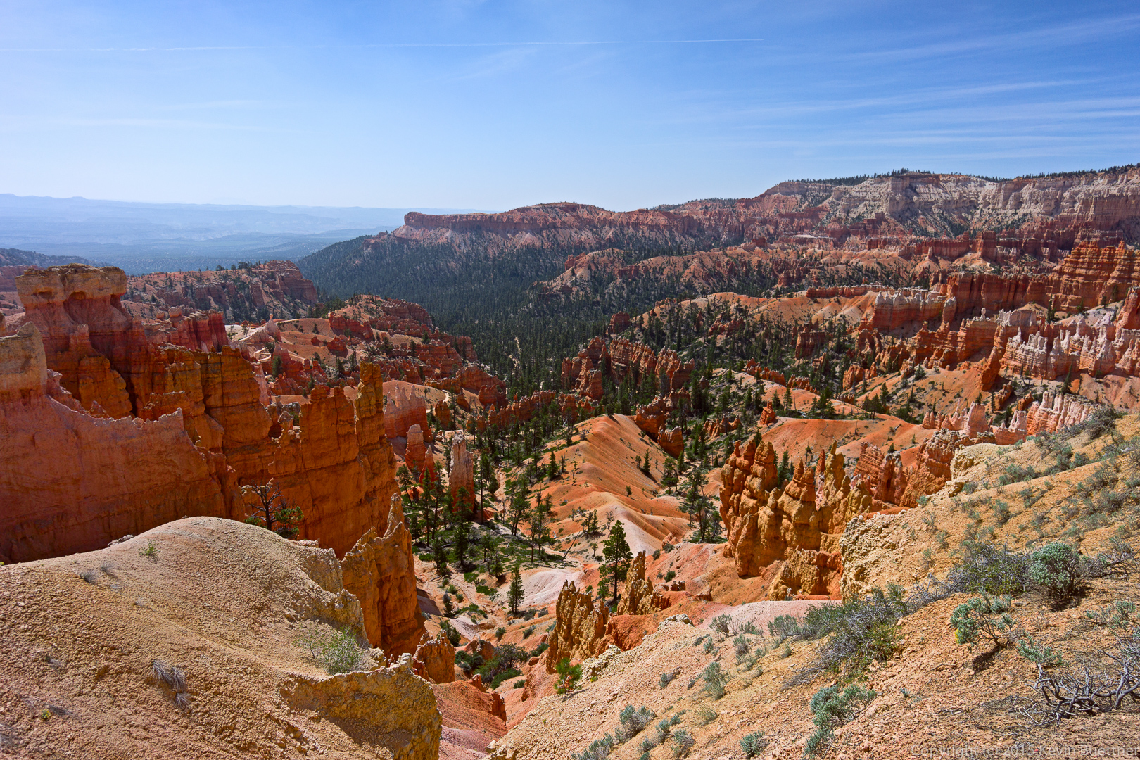
Views as we hiked up to Sunrise Point:
This is a view from the rim as we hiked back to Sunset Point.
When we got back to Sunset Point, I hiked down the other branch of Navajo Loop.
 I think that the tall formation here is Thor’s Hammer.
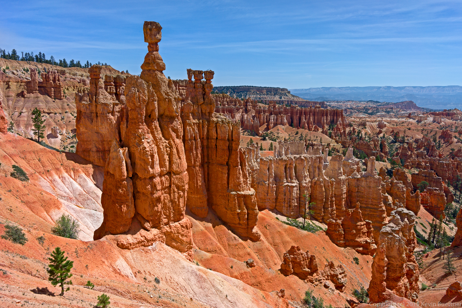
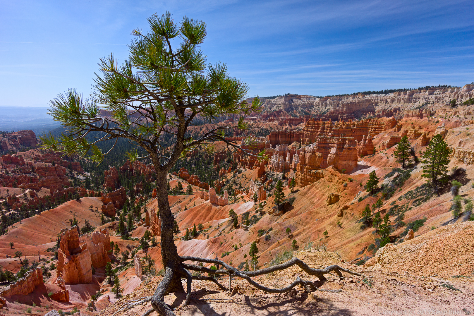
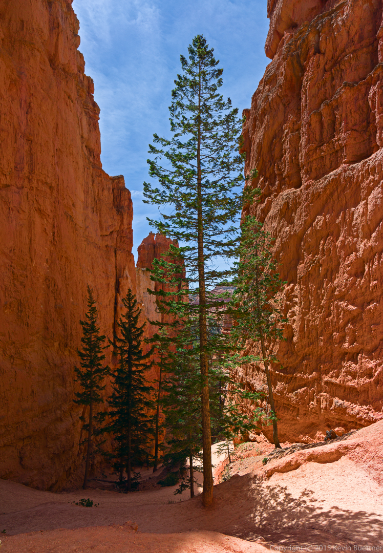
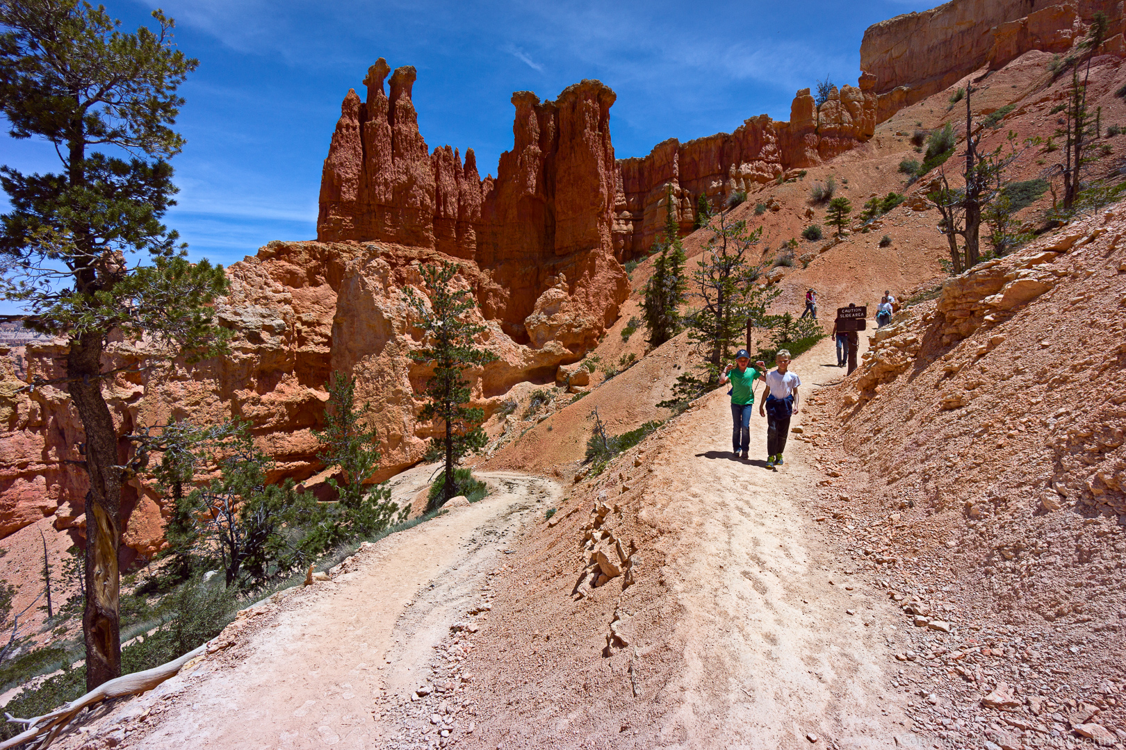
A tall tree in the canyon of Navajo Loop:
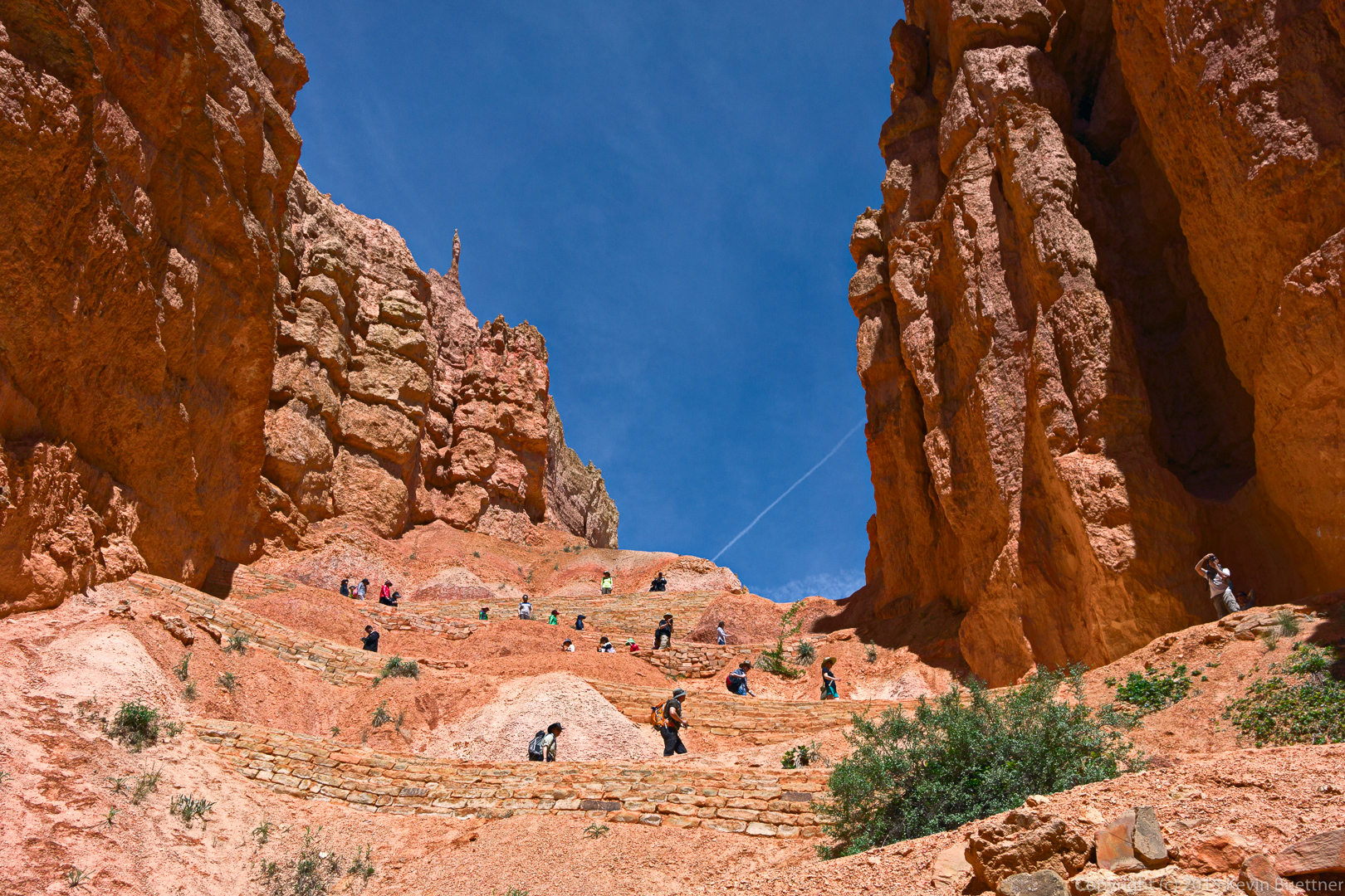
There are many switchbacks on these canyon trails.
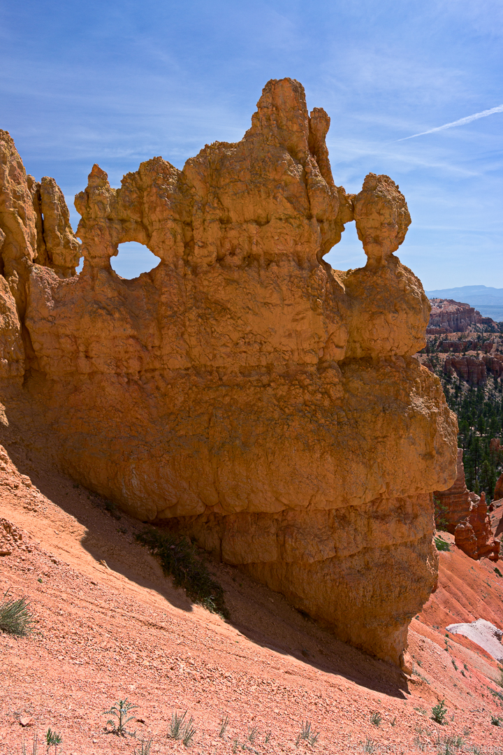
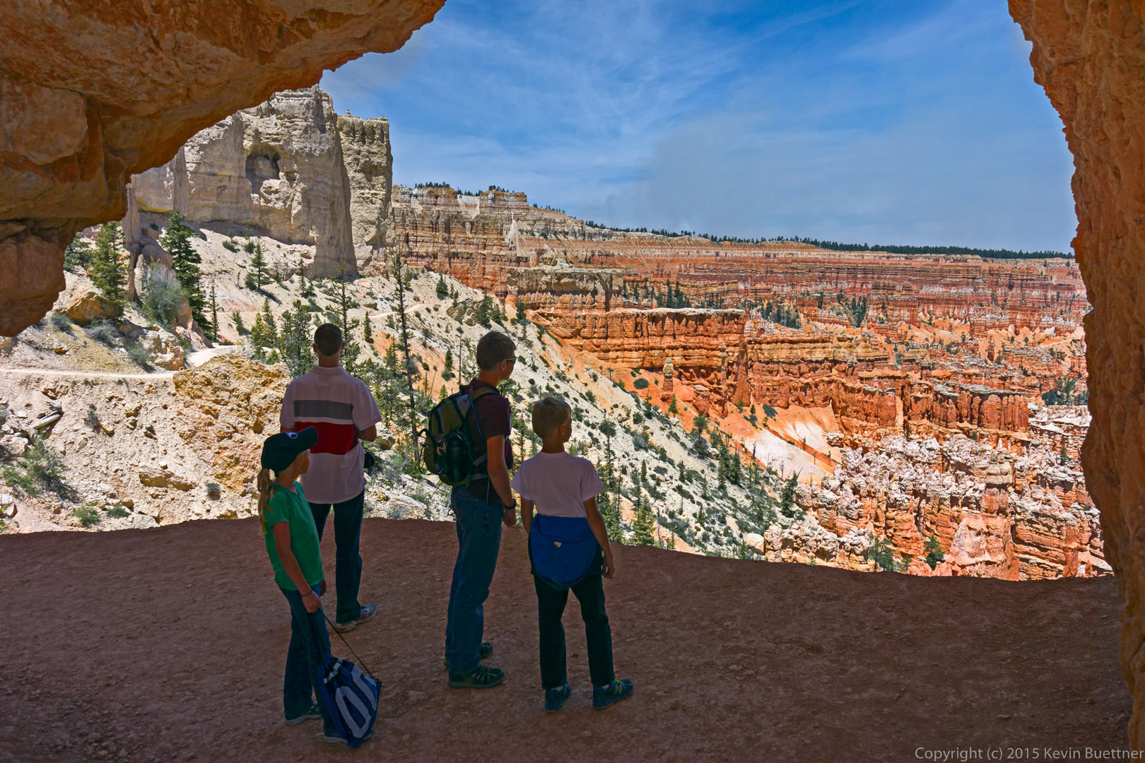
This is a view of the canyon from the trail that connects Bryce Point to the Peekaboo Loop Trail. A family was making their way down the trail at the same time that I hiked down. I asked them to pause just beyond a hole cut into the rock for this photo.
 This is a view up that connector trail (to the right) and down a portion of Peekaboo Loop Trail. I hiked back up at this point as Marilyn and Marie were waiting for me at the top.
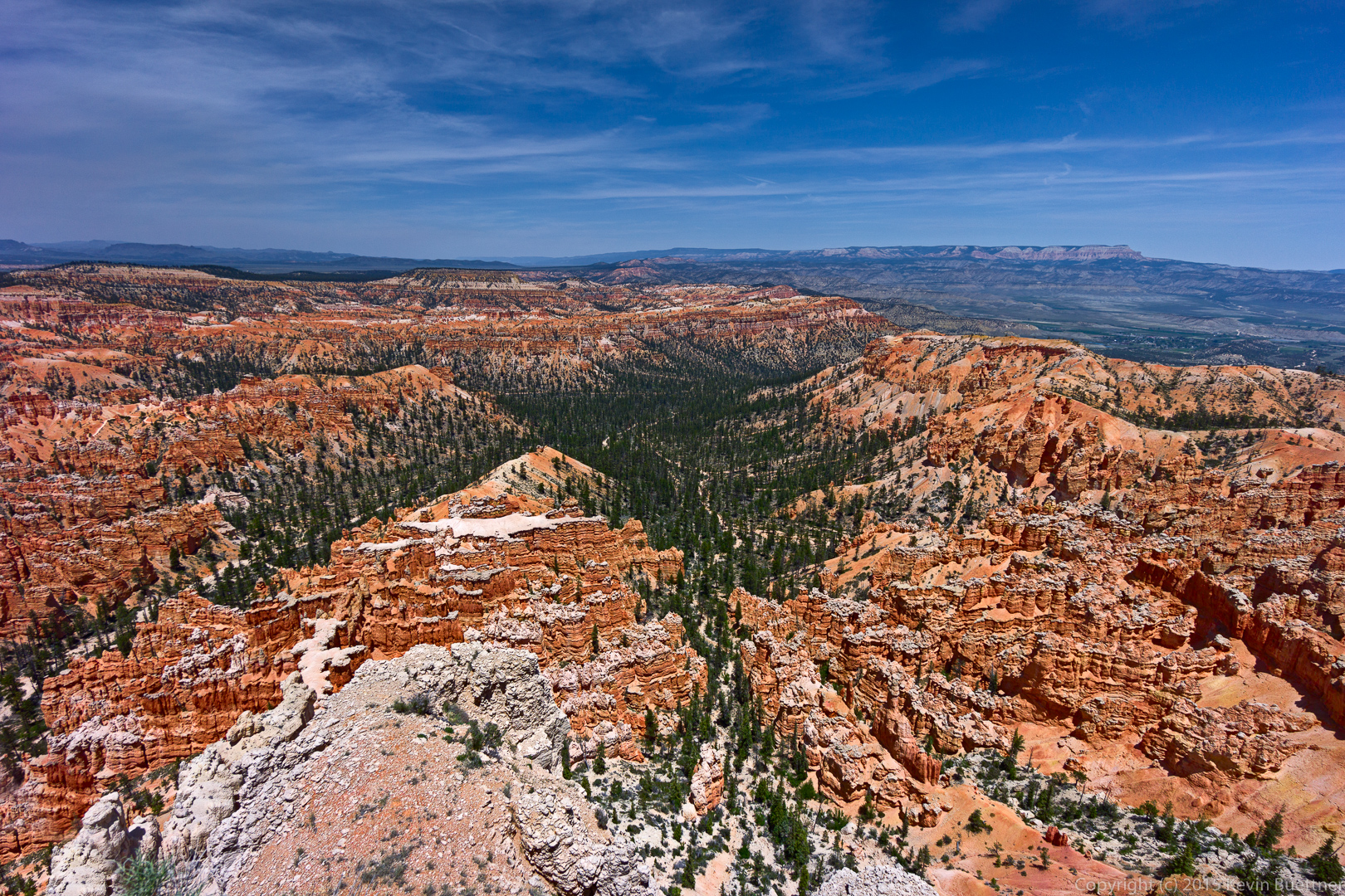
This is the view from the top of Bryce Point.