Tag: McDowell Mountain Park (page 25 of 46)

Friday Fitness Hike

We hiked 11.8 miles on Friday starting at the Wagner Trailhead. We hiked these trails (in order): Wagner, Granite, Delsie, Gooseneck, Rock Knob, Pemberton, Bluff Trail Wash, Granite, Bluff, Granite, and Wagner.

Christmas Cholla on the Granite Trail:

20151120-_DSC7397-Edit-medium

Mike and Amy on the Delsie Trail:

20151120-_DSC7420-Edit-medium

Mike, Kelly, Bill, Laura, Amy, Bob, and Linda:

20151120-_DSC7459-Edit-medium

A view of Four Peaks from the Gooseneck Trail:

20151120-_DSC7466-Edit-medium

Some flowers are already starting to bloom!

20151120-_DSC7490-Edit-medium

More views from the Gooseneck Trail…

20151120-_DSC7496-Edit-medium

20151120-_DSC7568_8_9-Edit-medium

20151120-_DSC7592-Edit-medium

A view of Rock Knob from the Rock Knob Trail:

20151120-_DSC7631-Edit-medium

I think we were still on the Rock Knob Trail for this shot:

20151120-_DSC7646-Edit-medium

A view of Rock Knob from the Pemberton Trail:

20151120-_DSC7652-Edit-medium

Views from the Bluff Trail Wash:

20151120-_DSC7664-Edit-medium

20151120-_DSC7679-HDR-Edit-medium

20151120-_DSC7682-Edit-medium

Linda spotted this Queen of the Night plant on the Bluff Trail. She saw another one perhaps 200 feet later.

20151120-_DSC7715-Edit-medium

Earlier in the hike, Amy spotted this hawk:

20151120-DSC00792-Edit-medium

It’s not a very good shot, but here it is shortly after taking flight:

20151120-DSC00793-Edit-medium

Friday Fitness Hike

Friday’s hike started from the Horse Staging Area.  We hiked a 10.1 mile loop consisting of the Escondido, Cinch, Scenic, Pemberton, and Escondido trails.

There will be an equestrian endurance ride over the weekend – it’s called Lead, Follow, or Get Out of the Way. We saw a number of horses as we walked through the parking lot on the way to the Escondido Trail.

20151113-_DSC7275-Edit-medium

A view from midway up the hill on the Scenic Trail:

20151113-_DSC7290-Edit-medium

A view of Four Peaks from the Scenic Trail:
20151113-_DSC7296-Edit-medium

Laura, Nancy, Bob, Linda, Janet, Sue, and Jerry:

20151113-_DSC7311-Edit-medium

Yet another view from the Scenic Trail:

20151113-_DSC7317-Pano-Edit-medium

Saguaros on the Escondido:

20151113-_DSC7341-Edit-medium

20151113-_DSC7344-Edit-medium

Sue, Linda, Bob, Janet, Kevin, Nancy, and Laura:

20151113-_DSC7347-Edit-medium

Still on the Escondido Trail…

20151113-_DSC7361-Edit-medium

20151113-_DSC7379-Edit-Edit-medium

When we got back to the Horse Staging Area, we noticed that even more horses had arrived.

20151113-_DSC7382-Edit-medium

Friday Fitness Hike


Friday’s hike started at the Dixie Mine parking area at the end of Golden Eagle Blvd. We hiked the following trails: Dixie Mine, Coachwhip, Windmill, Bell Pass, Prospector, (road), and Dixie Mine for a total of 10.4 miles with nearly 1500 feet of total ascent. (This distance includes our walk through the gated community, 0.6 miles each way.)

After processing these photos using the PPW (Picture Postcard Workflow), I ran Topaz Impression on a few of them.

A view from the Dixie Mine Trail:

20151106-_DSC7032-Edit-medium

Recent rains have made the moss especially green.
20151106-_DSC7035-Edit-2-Edit-medium

We bypassed the mine and continued up the Dixie Mine Trail to the ridge.  This is a view from partway up the hill to the ridge.

20151106-_DSC7044-Edit-medium

Bill, Linda, Denise, Bob, Nancy, Janet, Laura, and Kevin:
20151106-_DSC7065-Edit-medium-2

A view of the large cottonwood tree and the windmill on the Windmill Trail:

20151106-_DSC7110-Edit-medium

A version of the above filtered through Topaz Impression:

20151106-_DSC7110-Edit-Edit-medium

Views from the Bell Pass Trail…

20151106-_DSC7116-Edit-medium

20151106-_DSC7128-Edit-medium

20151106-_DSC7128-Edit-Edit-medium

Saguaros on the Prospector Trail:

20151106-_DSC7230-Pano-Edit-Edit-medium

Friday Fitness Hike

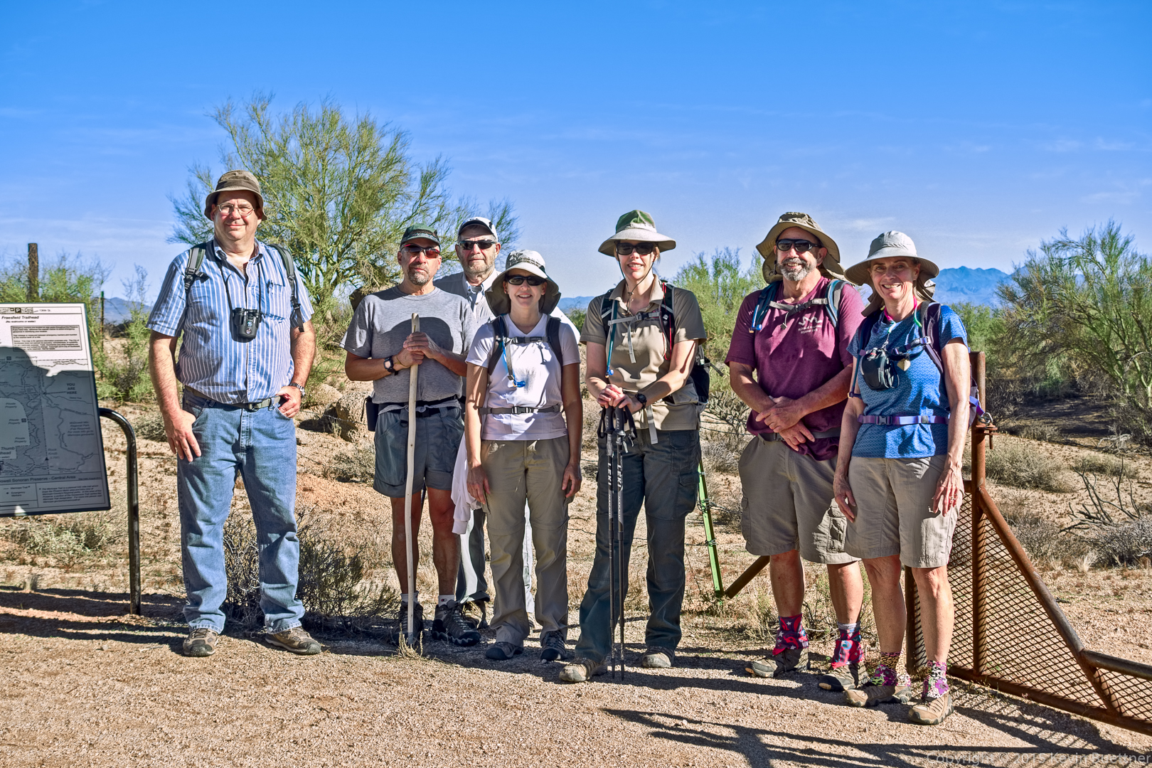
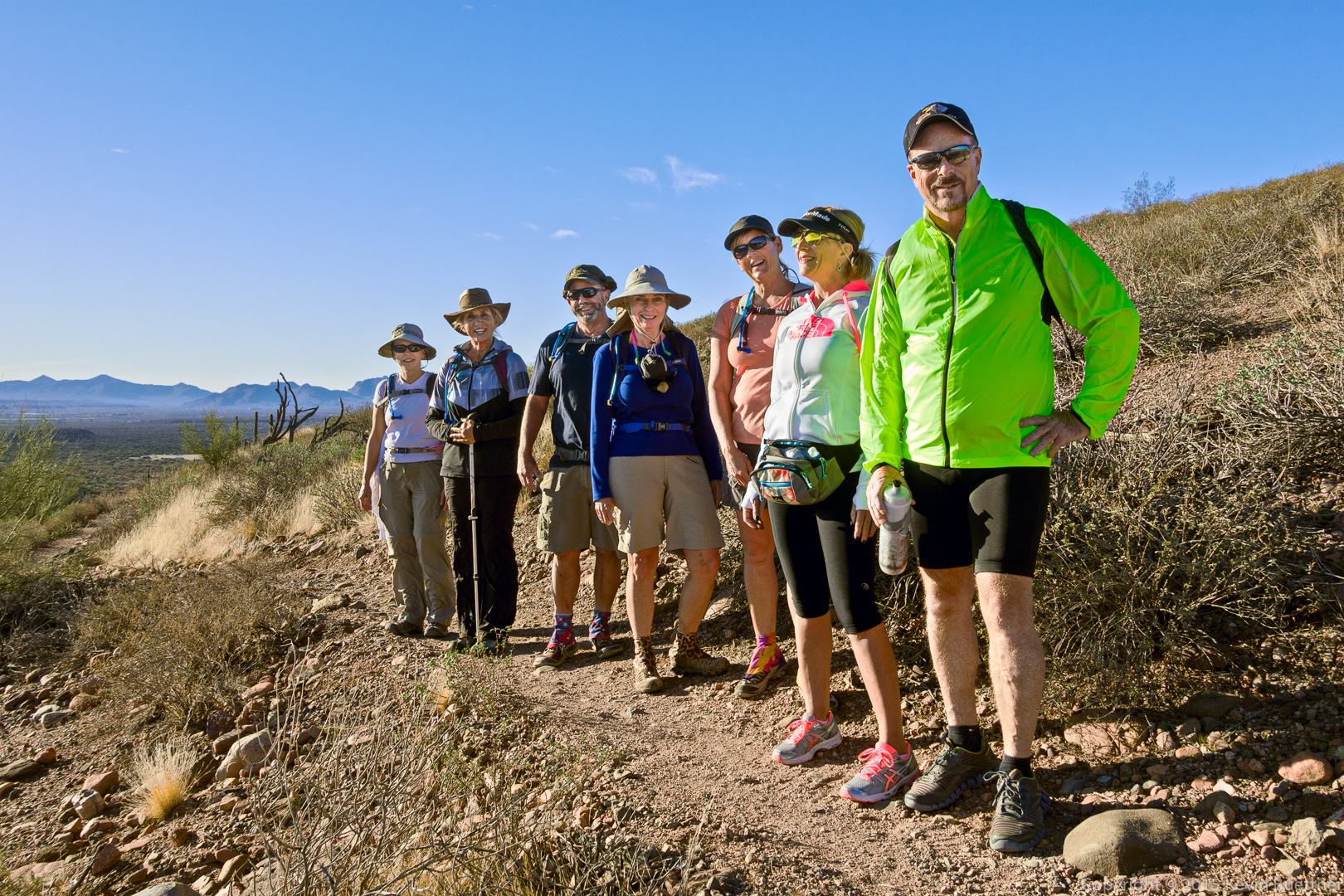
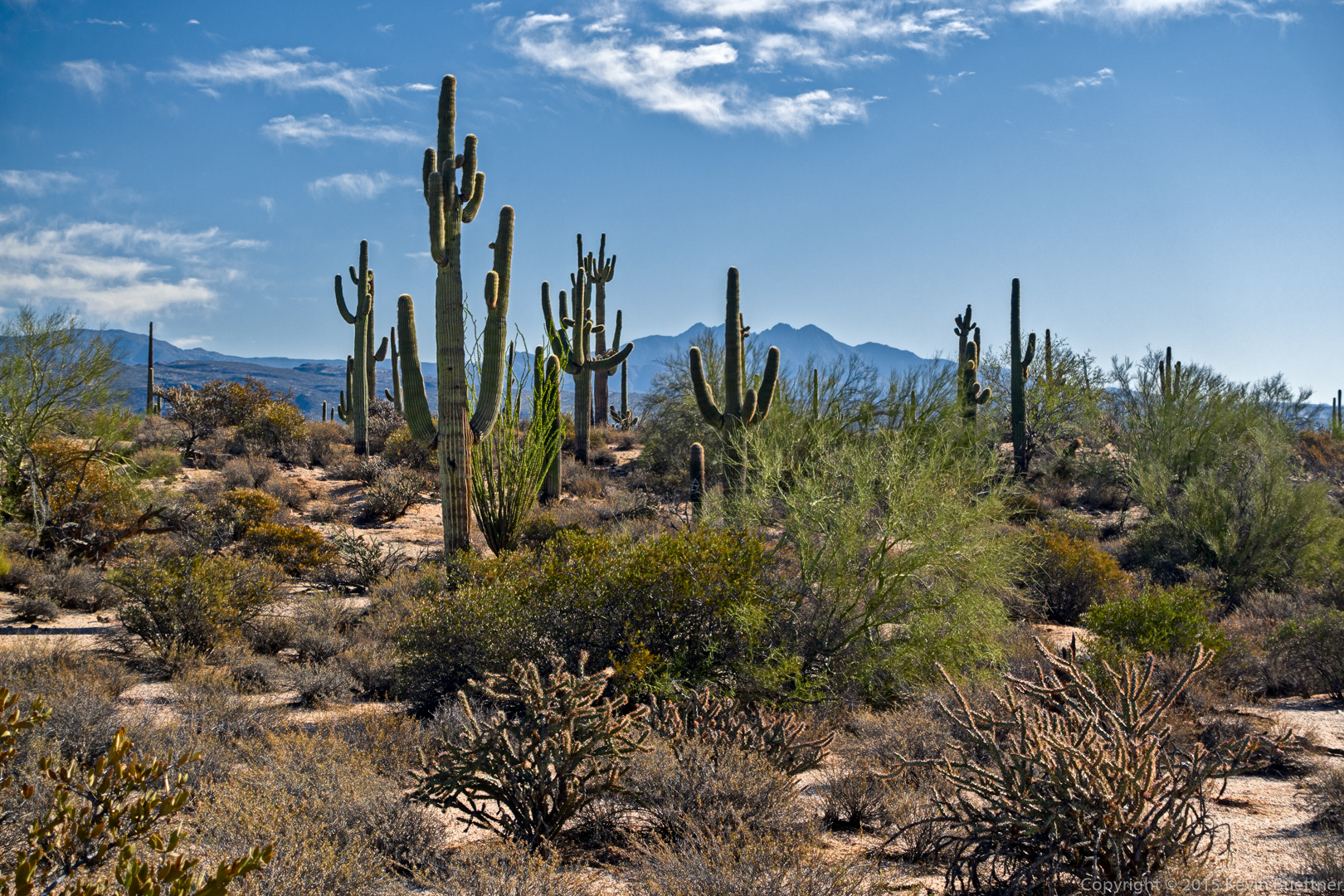
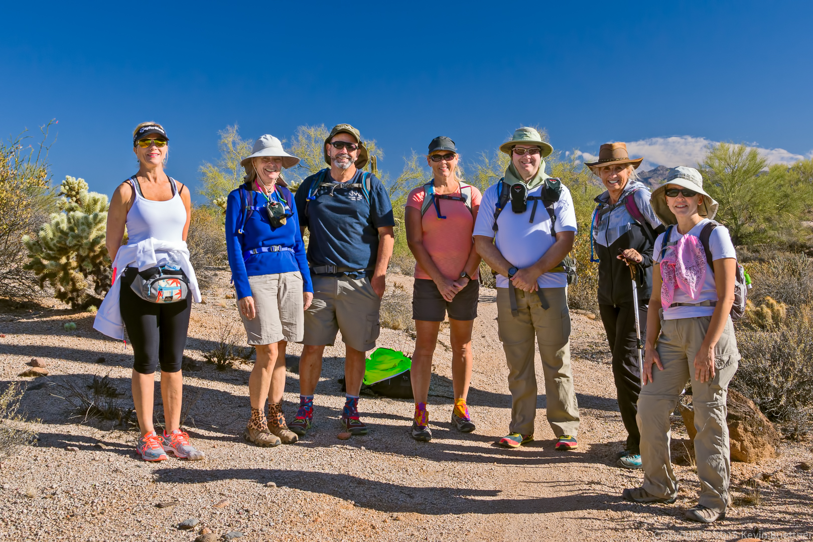
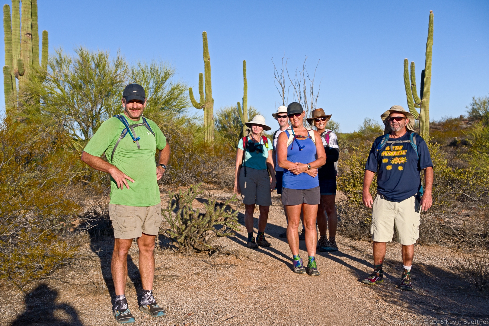
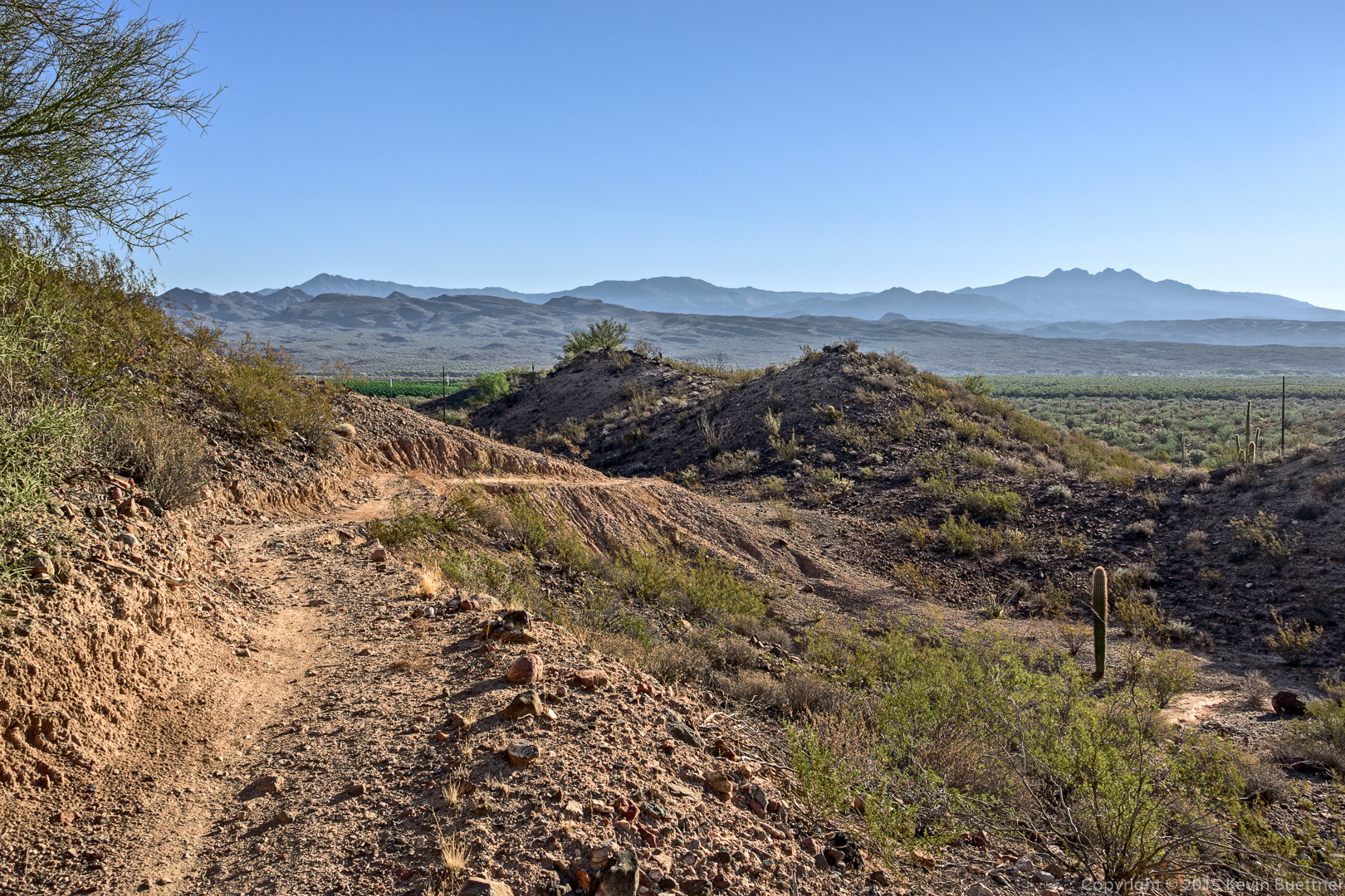
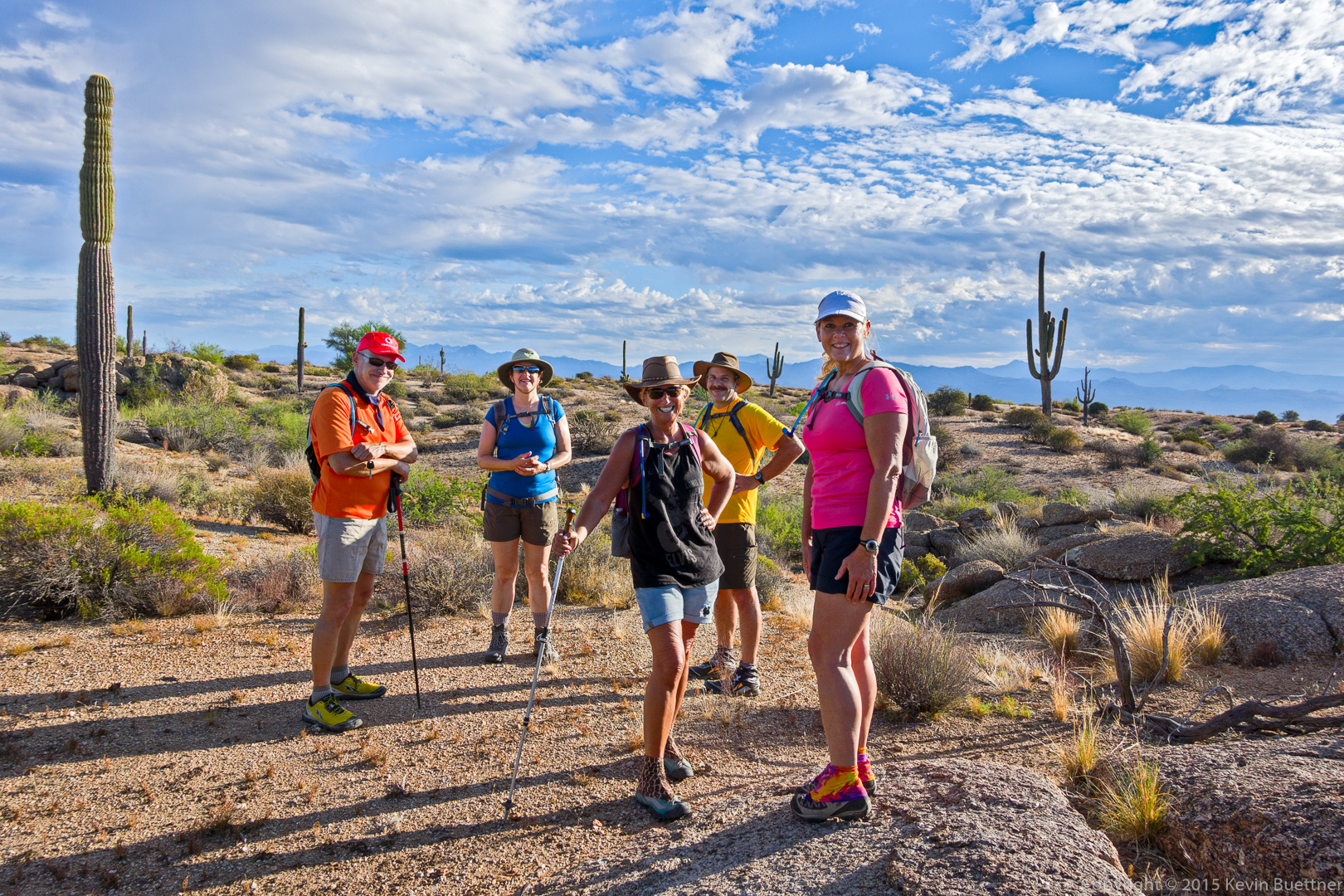
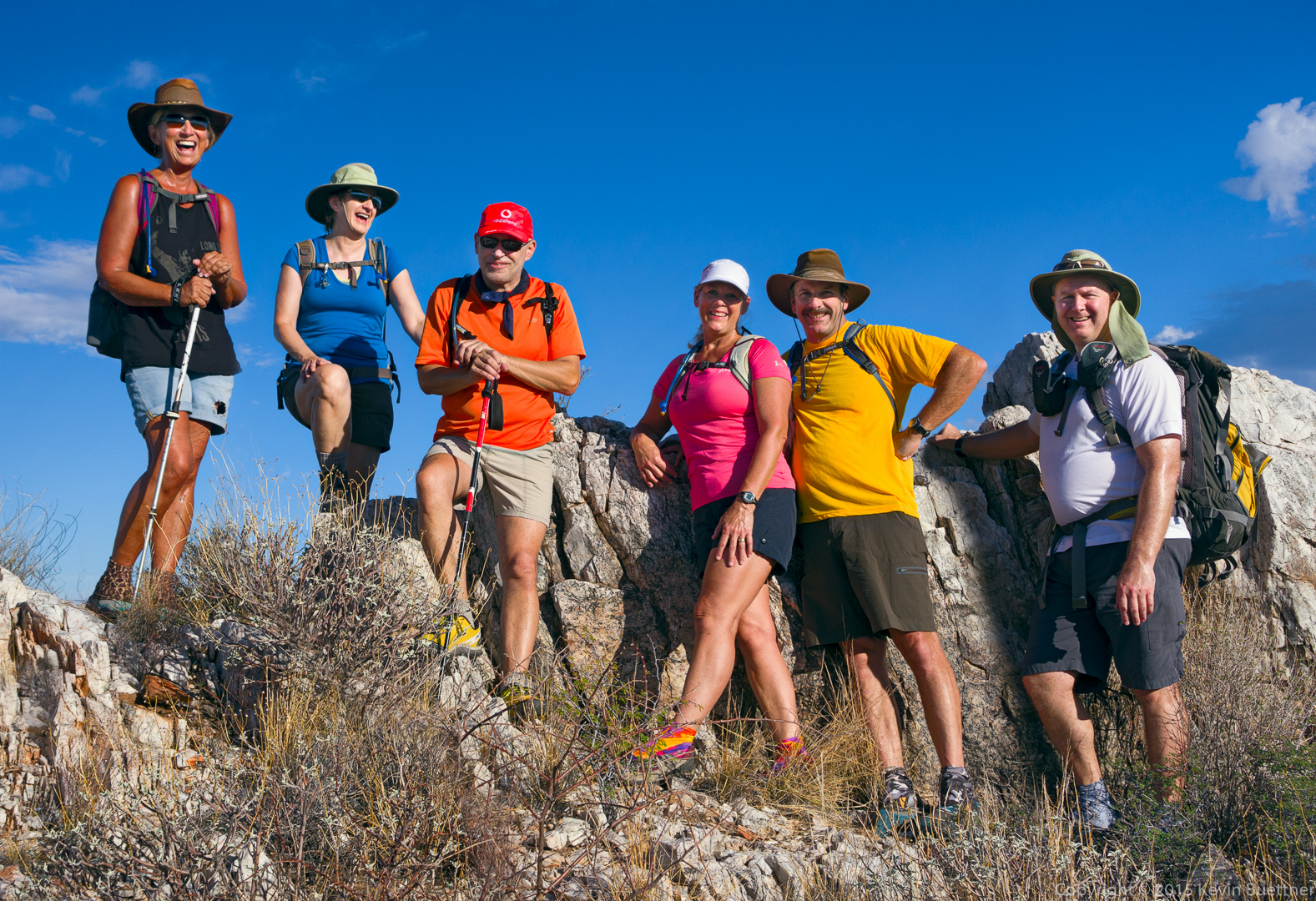
Bob and I met Linda and Nancy at the Tom’s Thumb Trailhead. We hiked with Linda and Nancy to the Feldspar Trail. Bob and I scrambled up a low angle slab just off the trail. Linda took some photos of us and then continued on with Nancy, hiking a loop over over 10 miles!

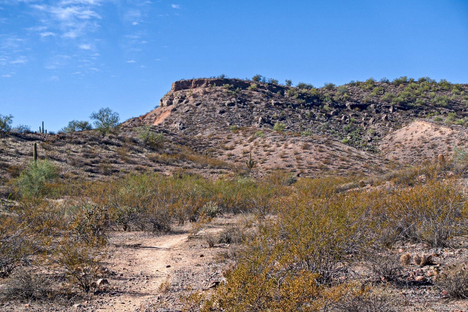
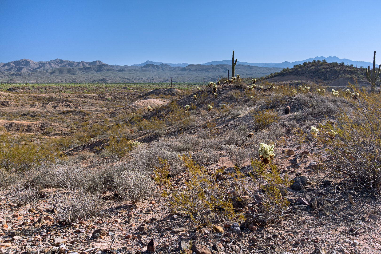
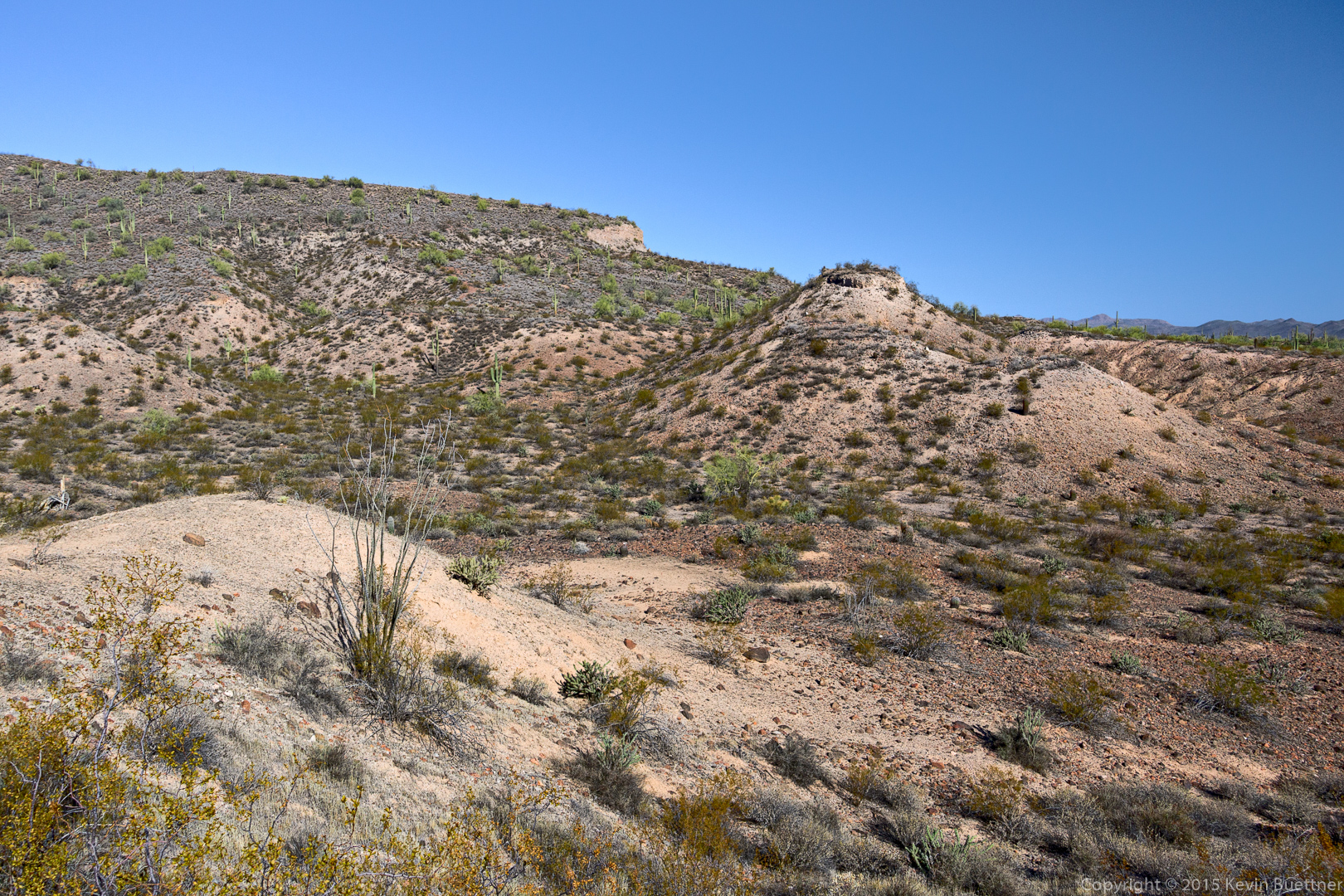
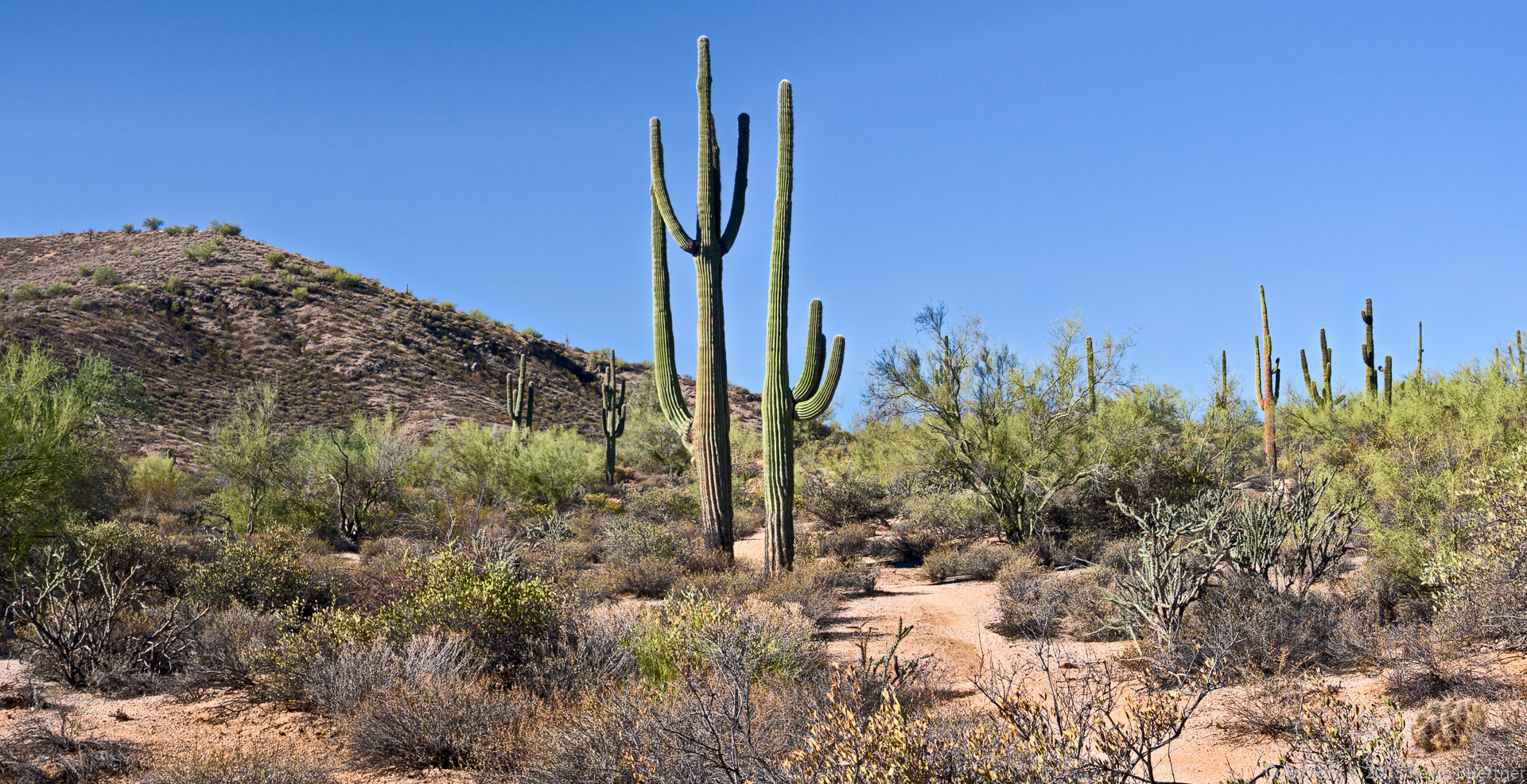
Bob and I proceeded to the top of Sven Tower I and then hiked past Sven Towers I, II, and III where we joined the trail that led us to Hog Heaven. From there we made our way up to the Thumbnail Pinnacle and then to the East End, the highest point in the McDowells. We then hiked down to the Tom’s Thumb Trail, hiked up Tom’s Thumb, proceeded past Tom’s Thumb along the top of the ridge to the north. We followed the trail back down the Tom’s Thumb Trail and then back to the trailhead for a hike of 5.4 miles with over 2400 feet of accumulated ascent.

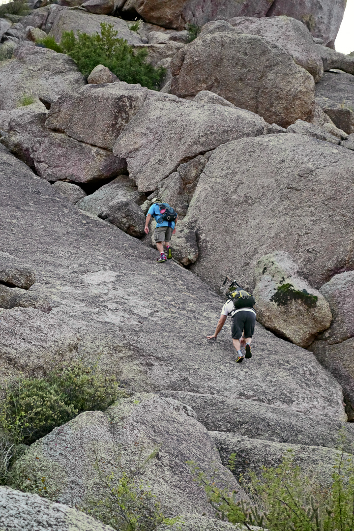
Linda took these photos of me and Bob making our way up the low angle slab just off the Feldspar Trail:

20151030-017-Edit-medium

20151030-021-Edit-medium

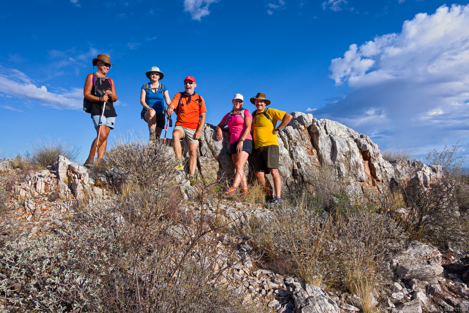
I took this photo of Linda and Nancy at the bottom of the slab.

20151030-_DSC6153-Edit-medium

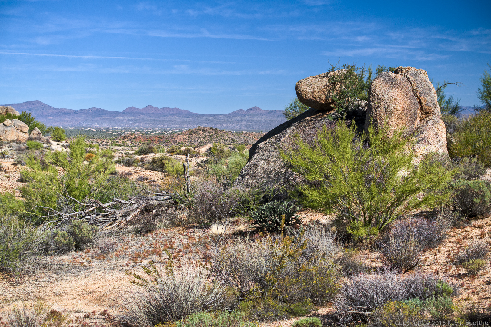
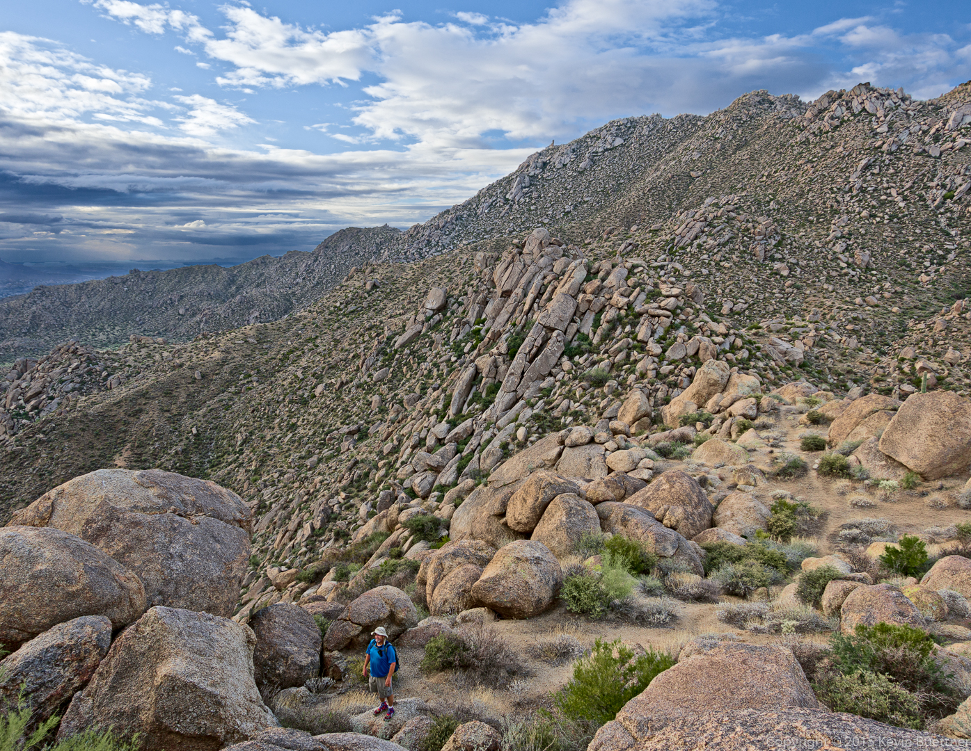
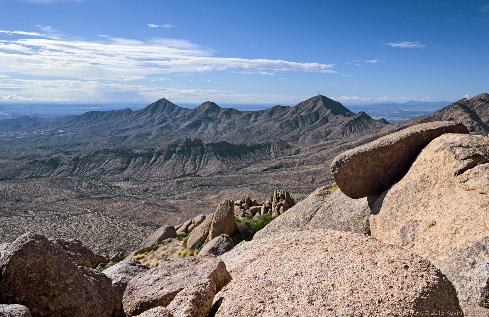
This is a view from the highest point in the Sven Tower I area. The Thumbnail pinnacle can be seen atop the ridge just right of center.

20151030-_DSC6210-Edit-medium

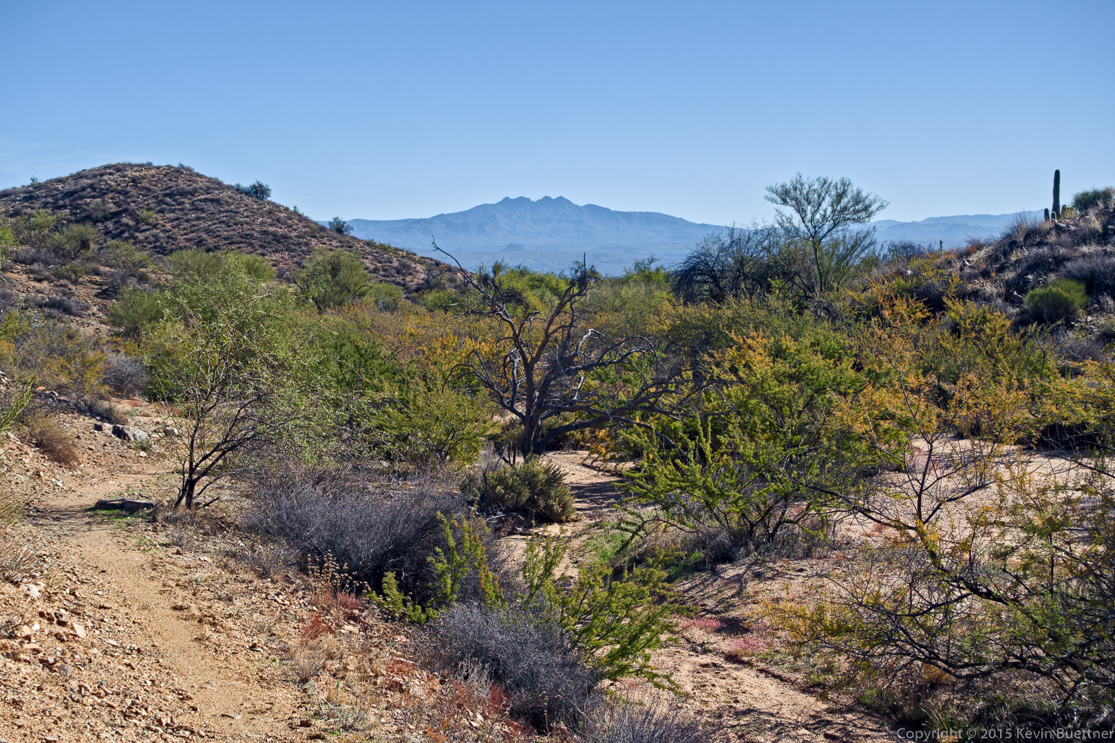
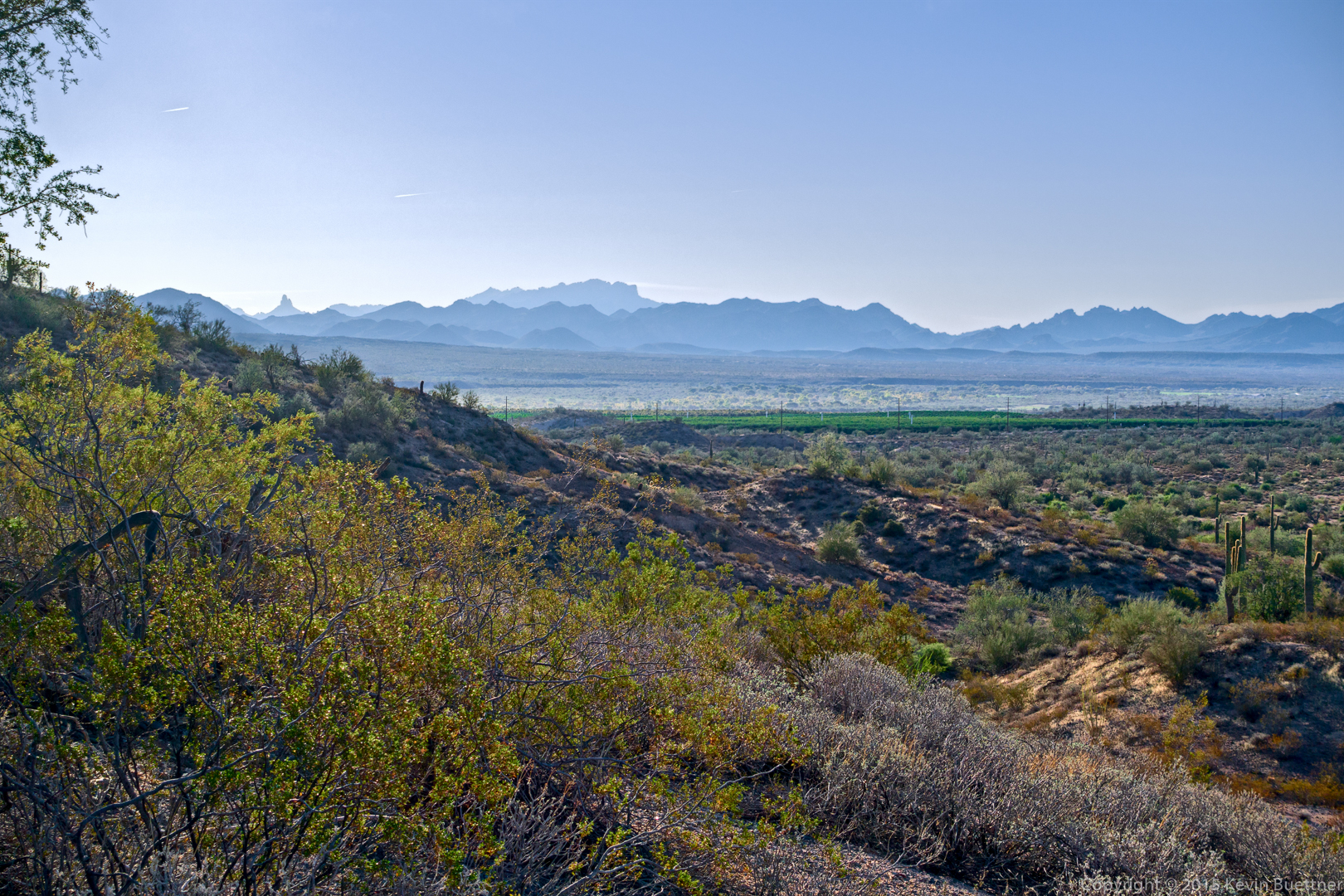
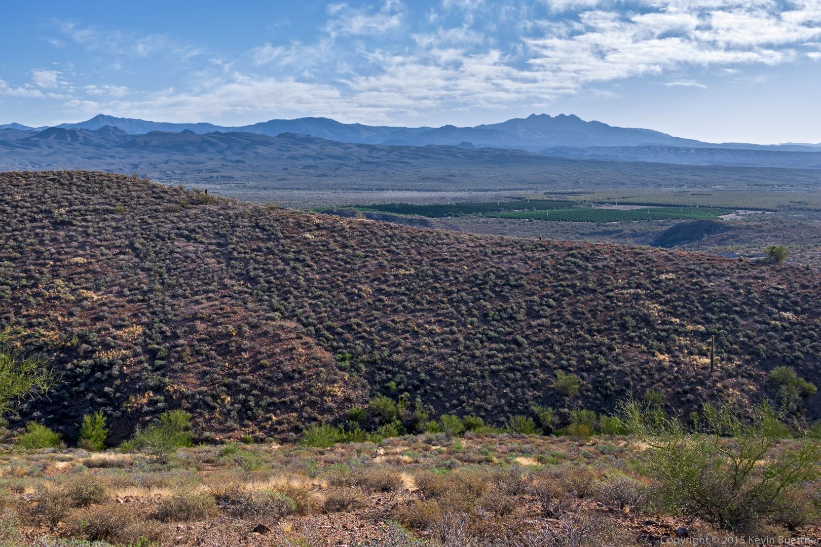
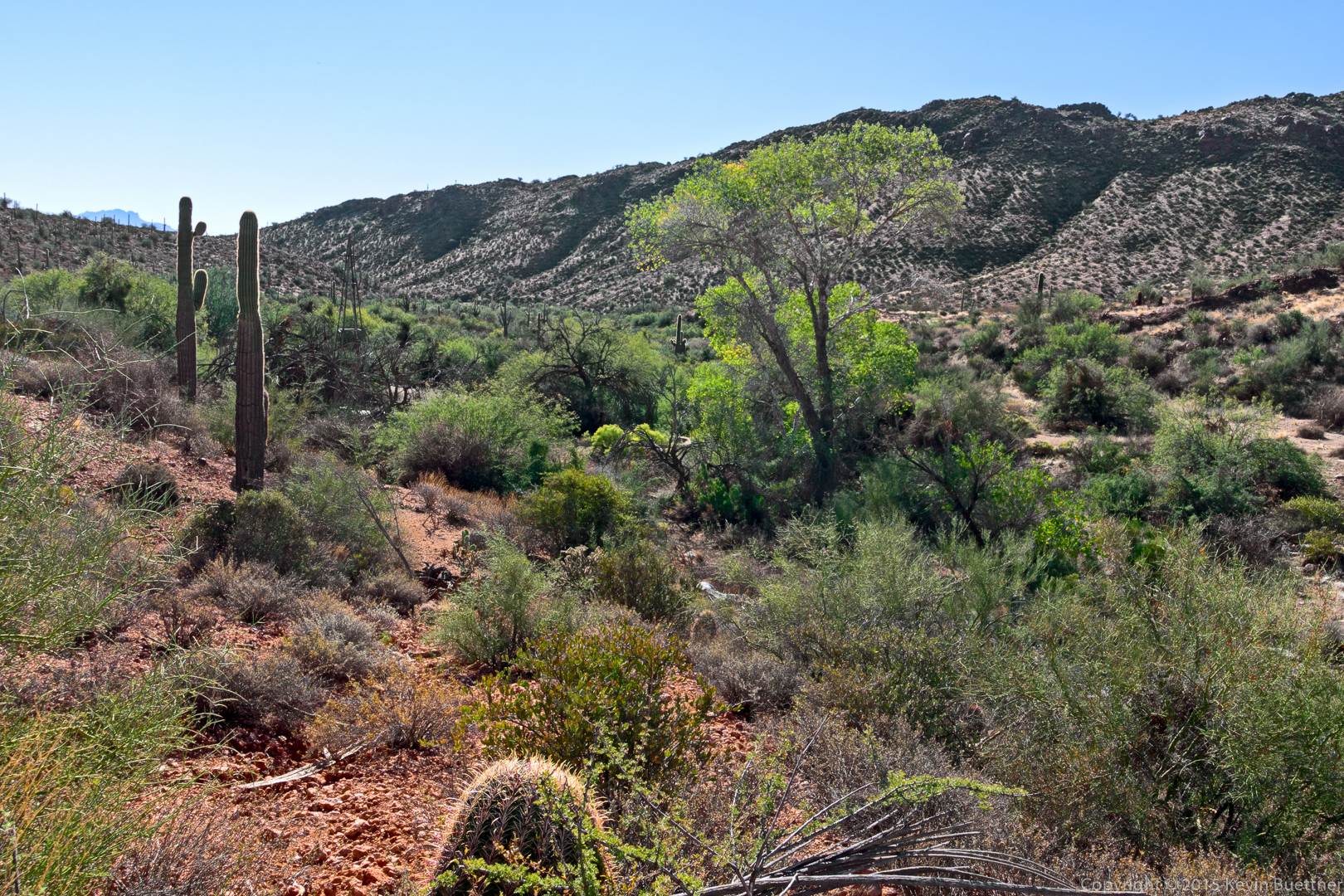
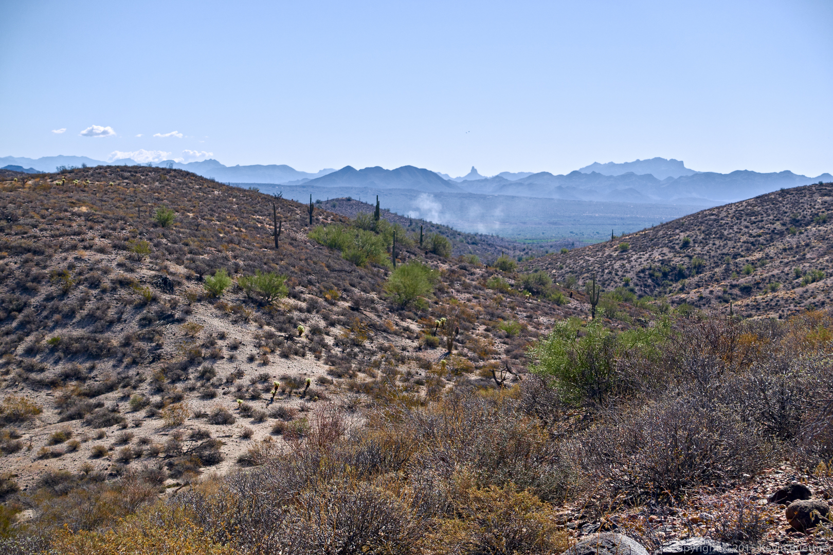
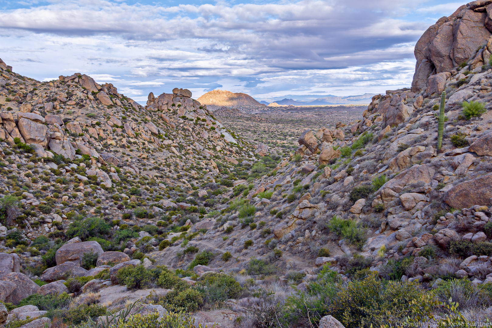
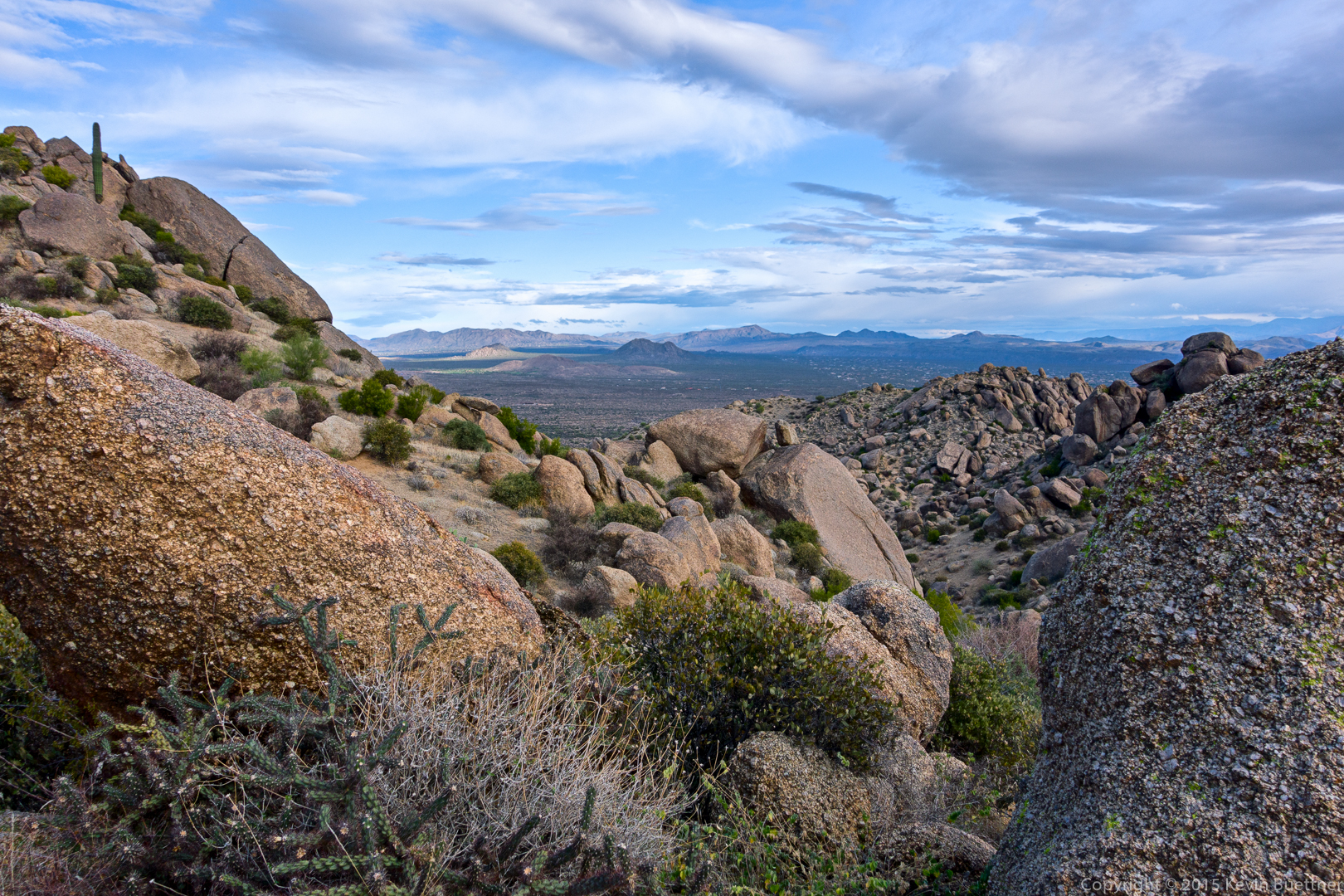
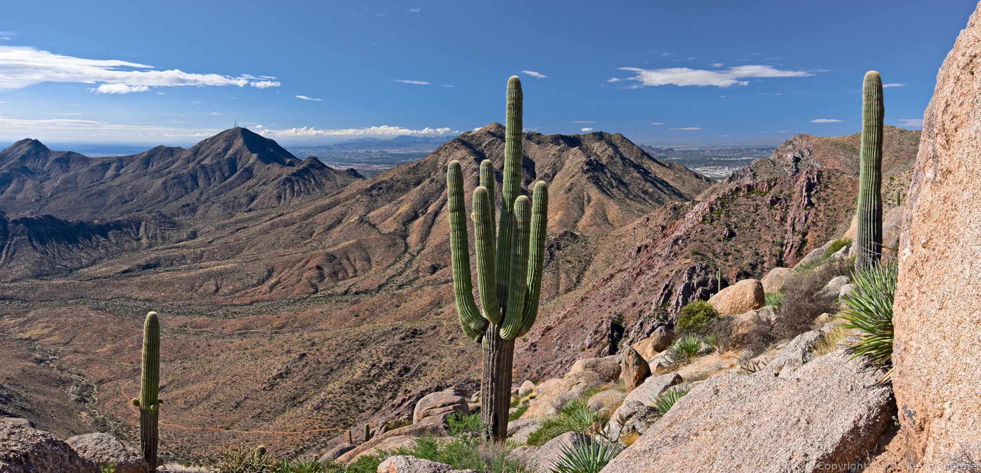
A view looking back down Mesquite Canyon.

20151030-_DSC6255-Edit-medium

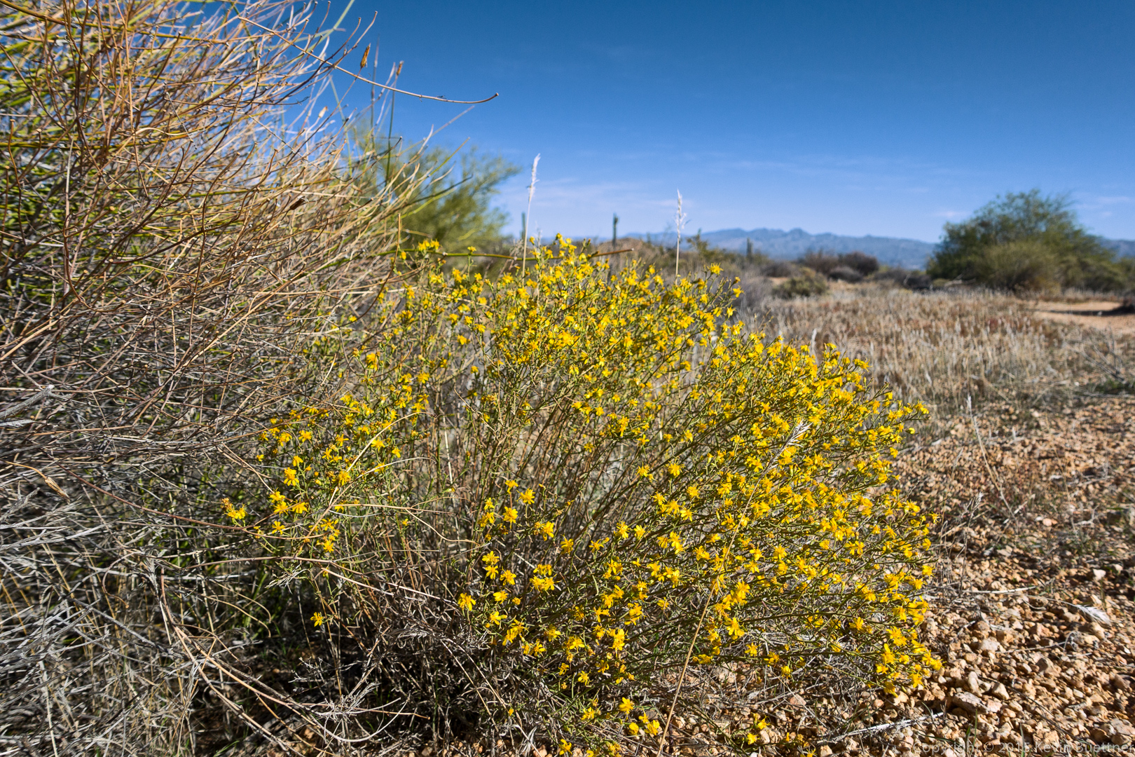
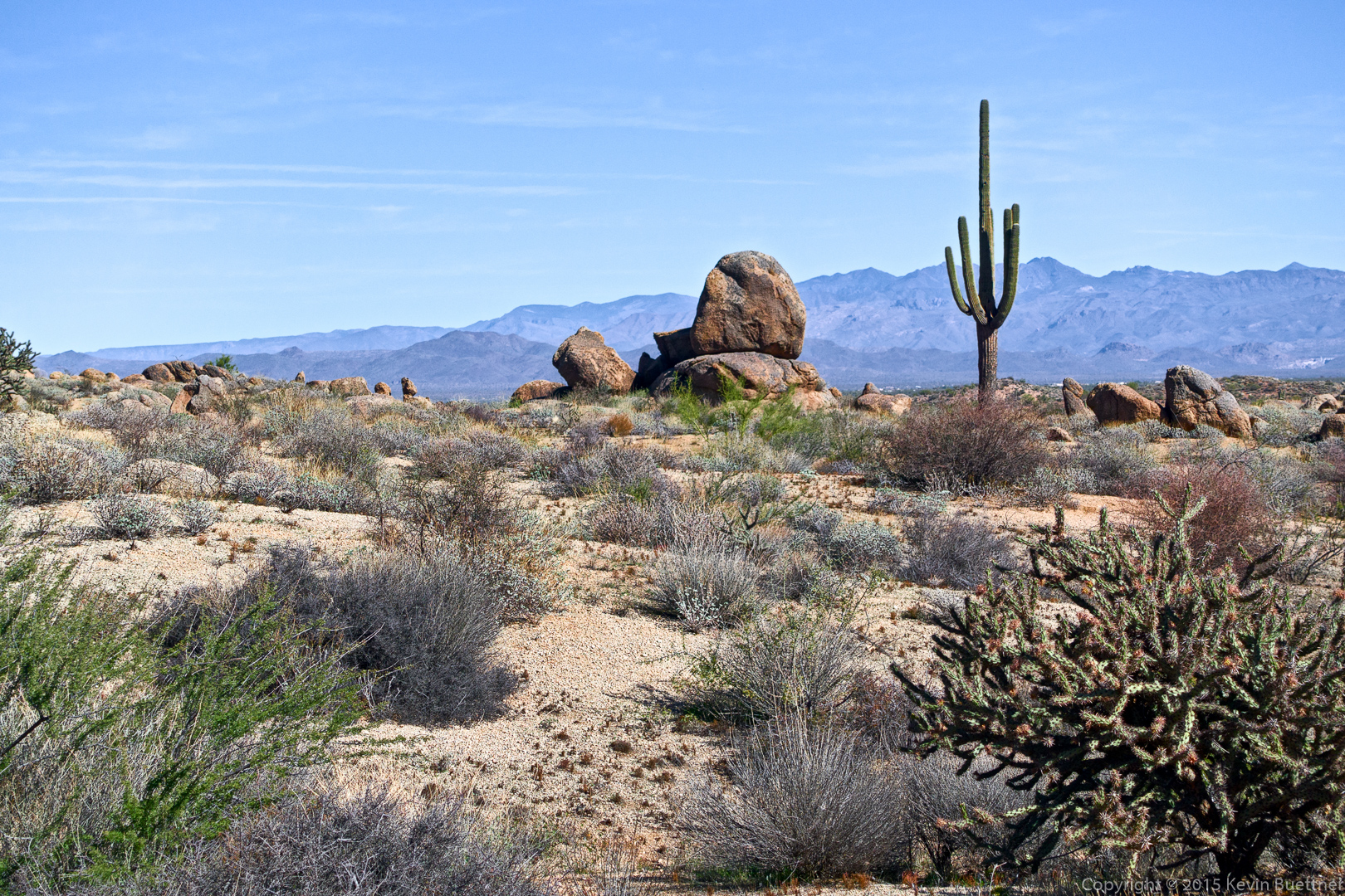
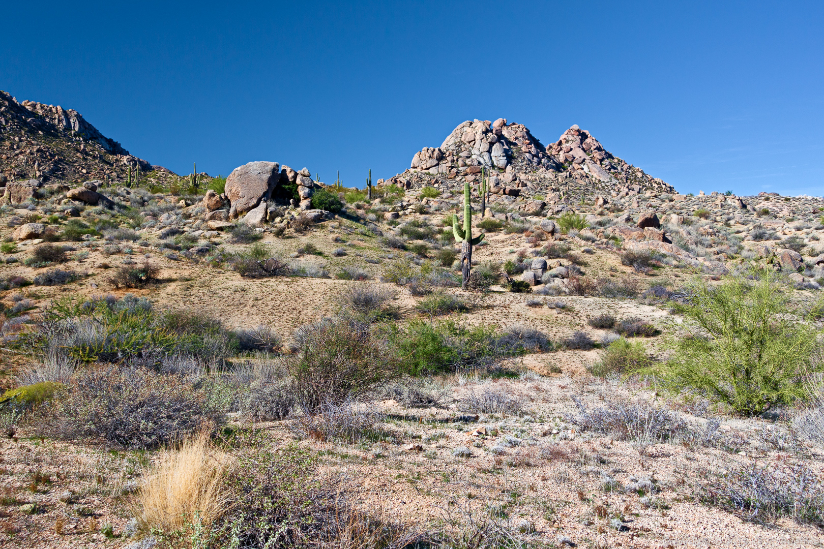
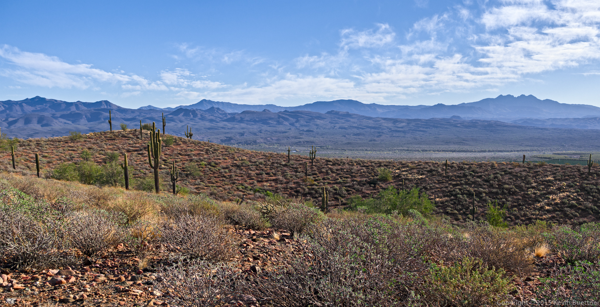
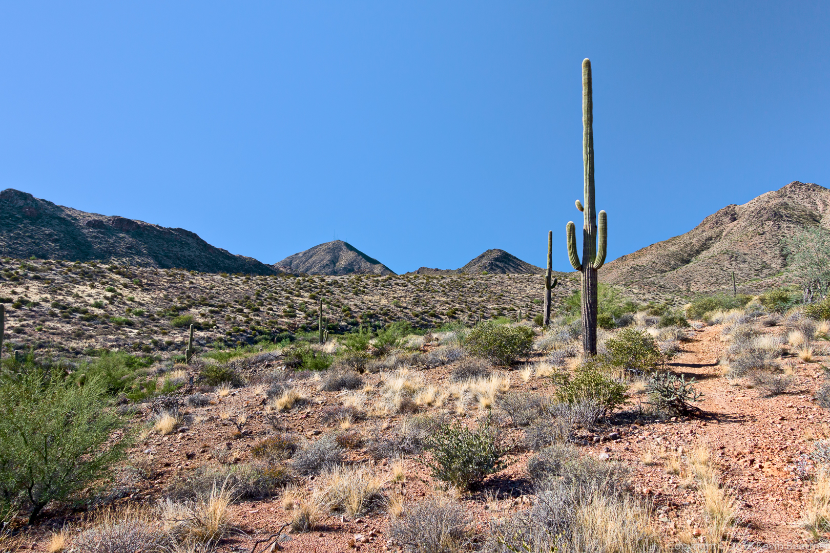
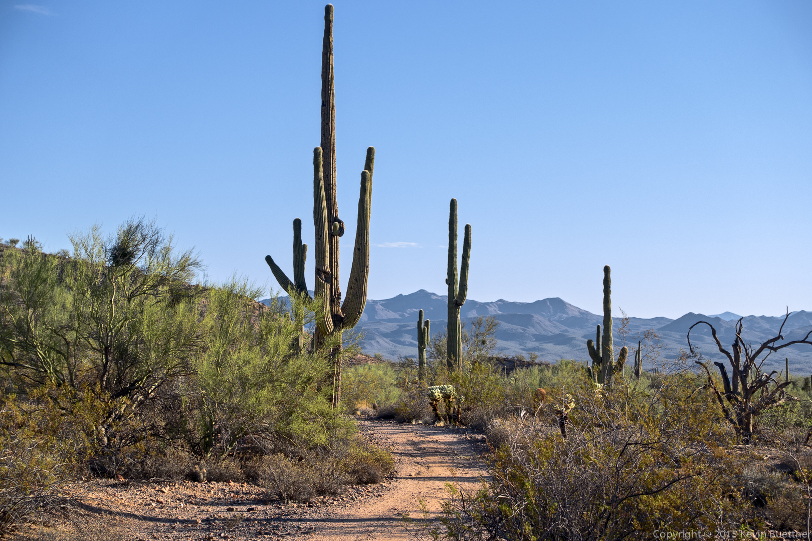
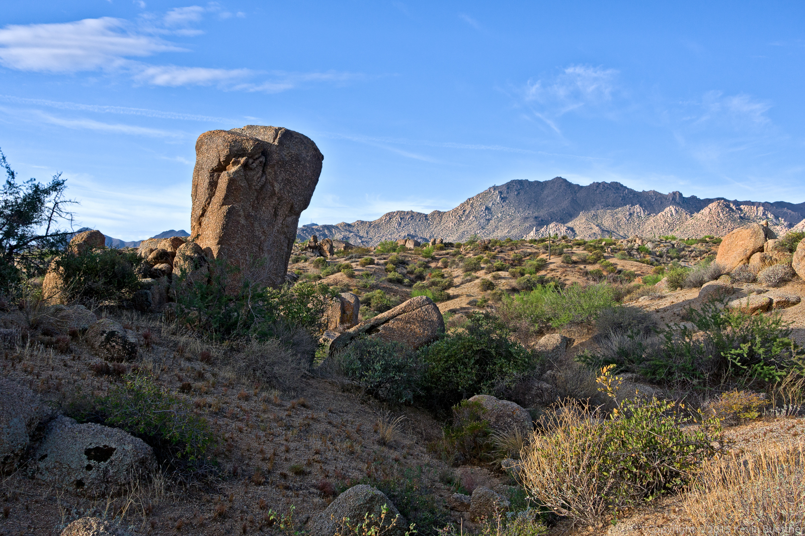
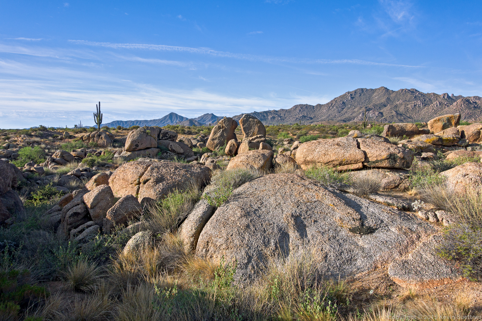
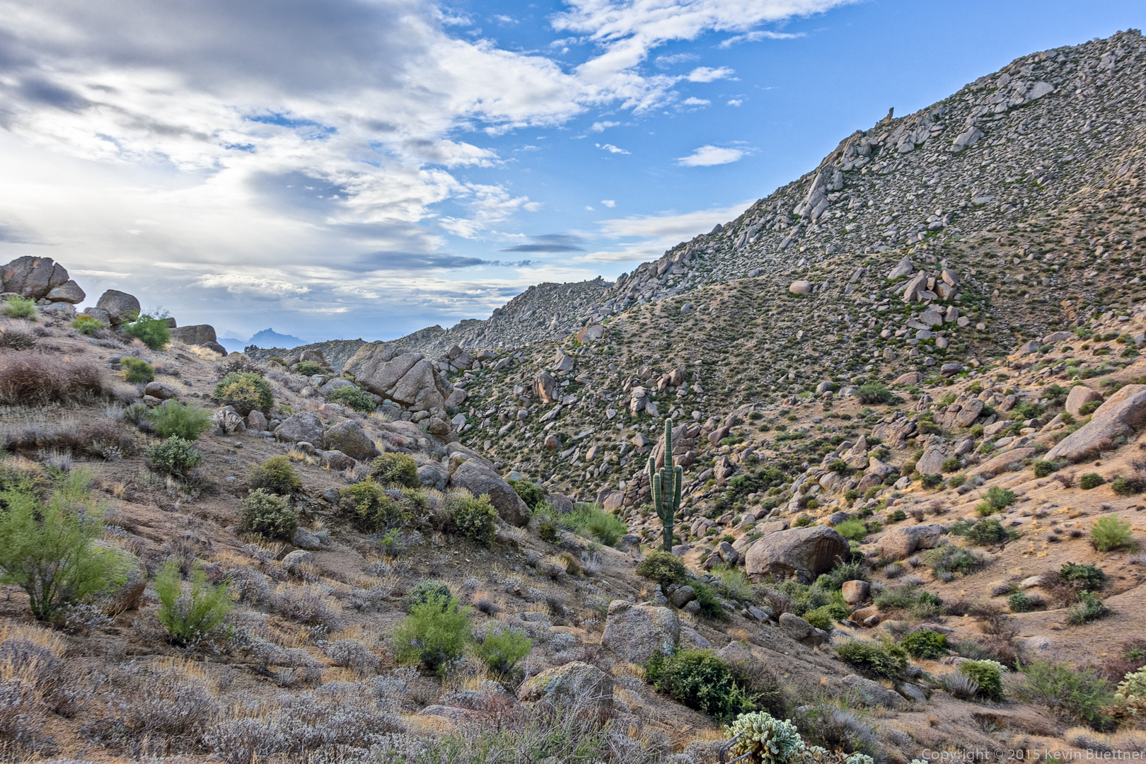
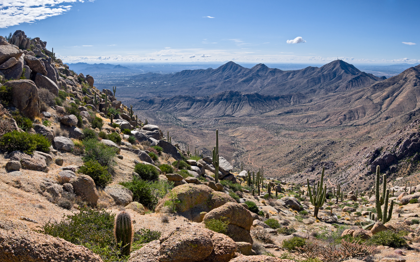
Another view of the terrain ahead.

20151030-_DSC6276-HDR-Edit-medium

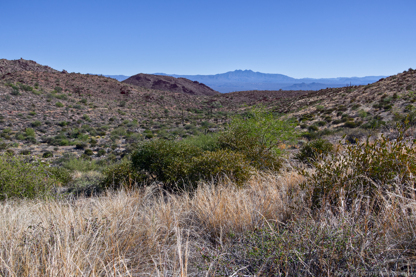
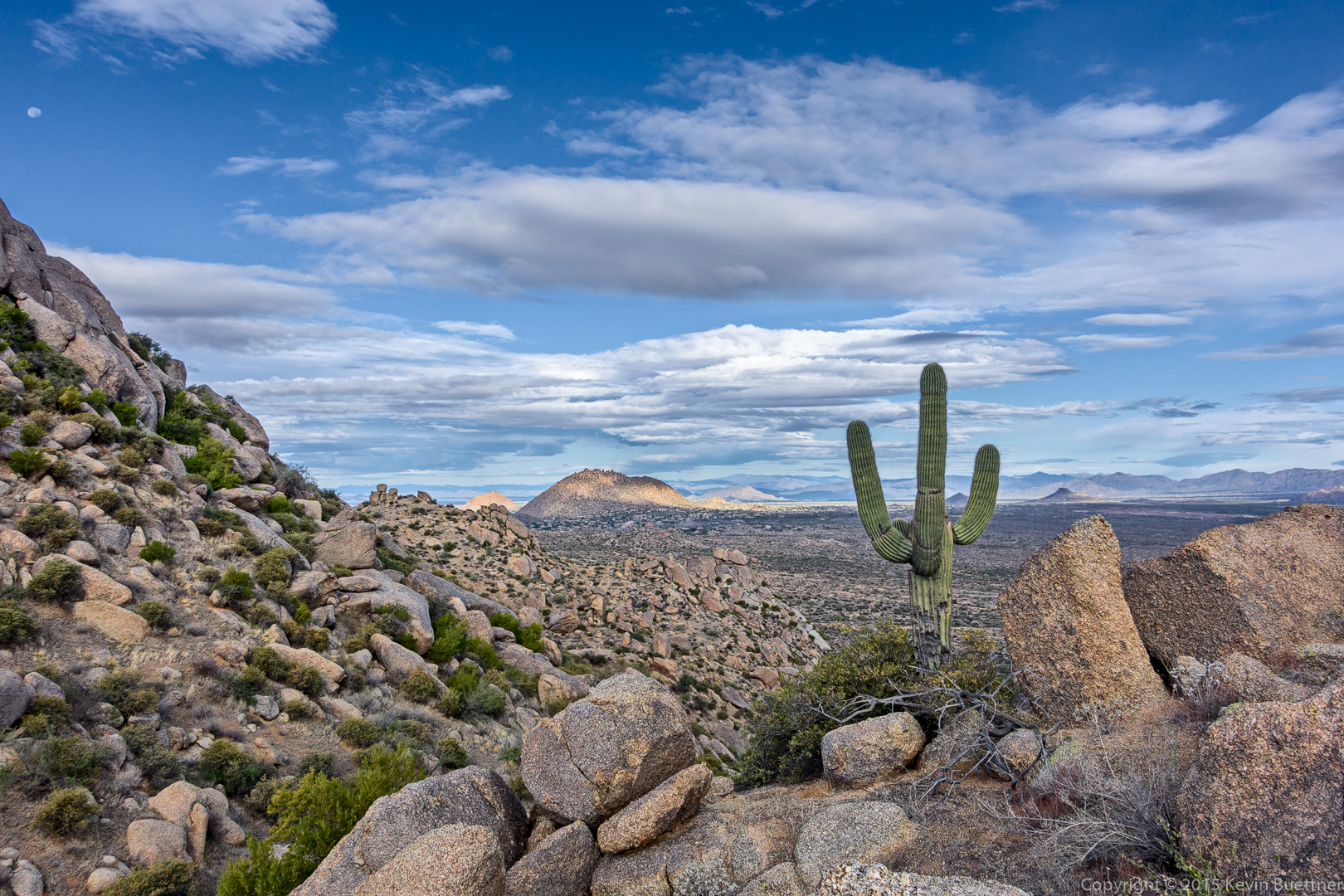
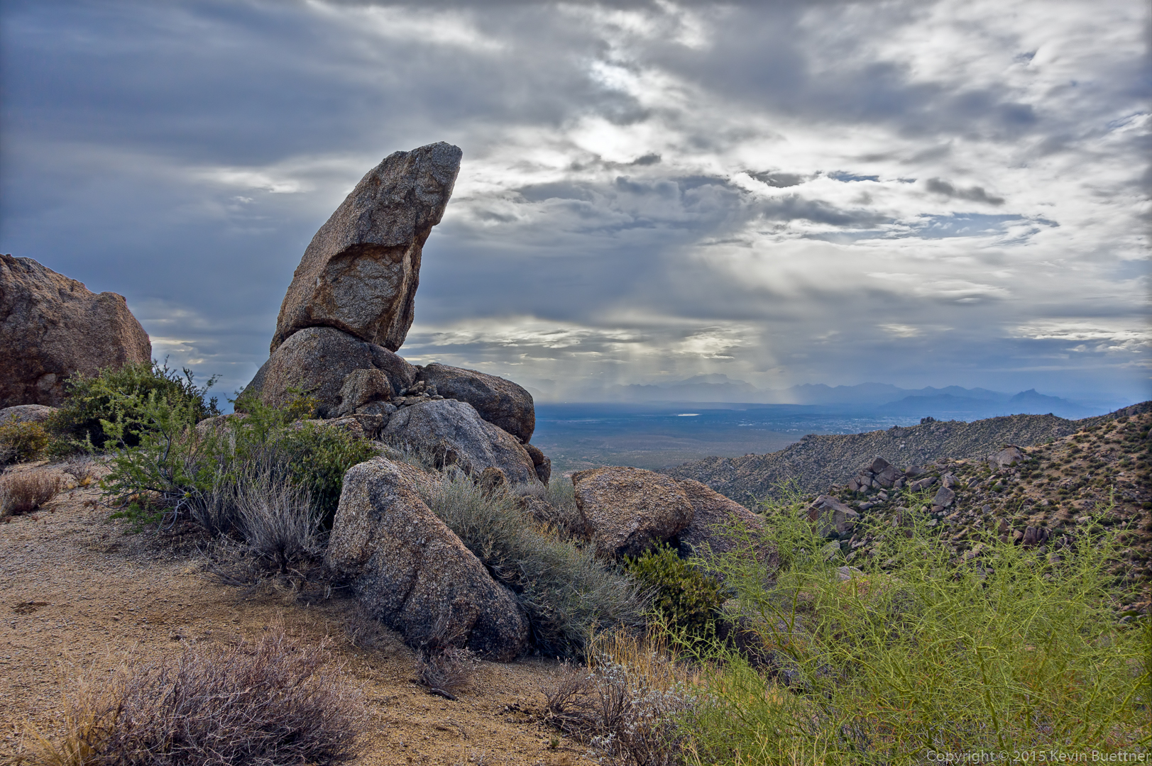
This is a view from the pass.

20151030-_DSC6294-Edit-medium

20151030-_DSC6306-Edit-medium

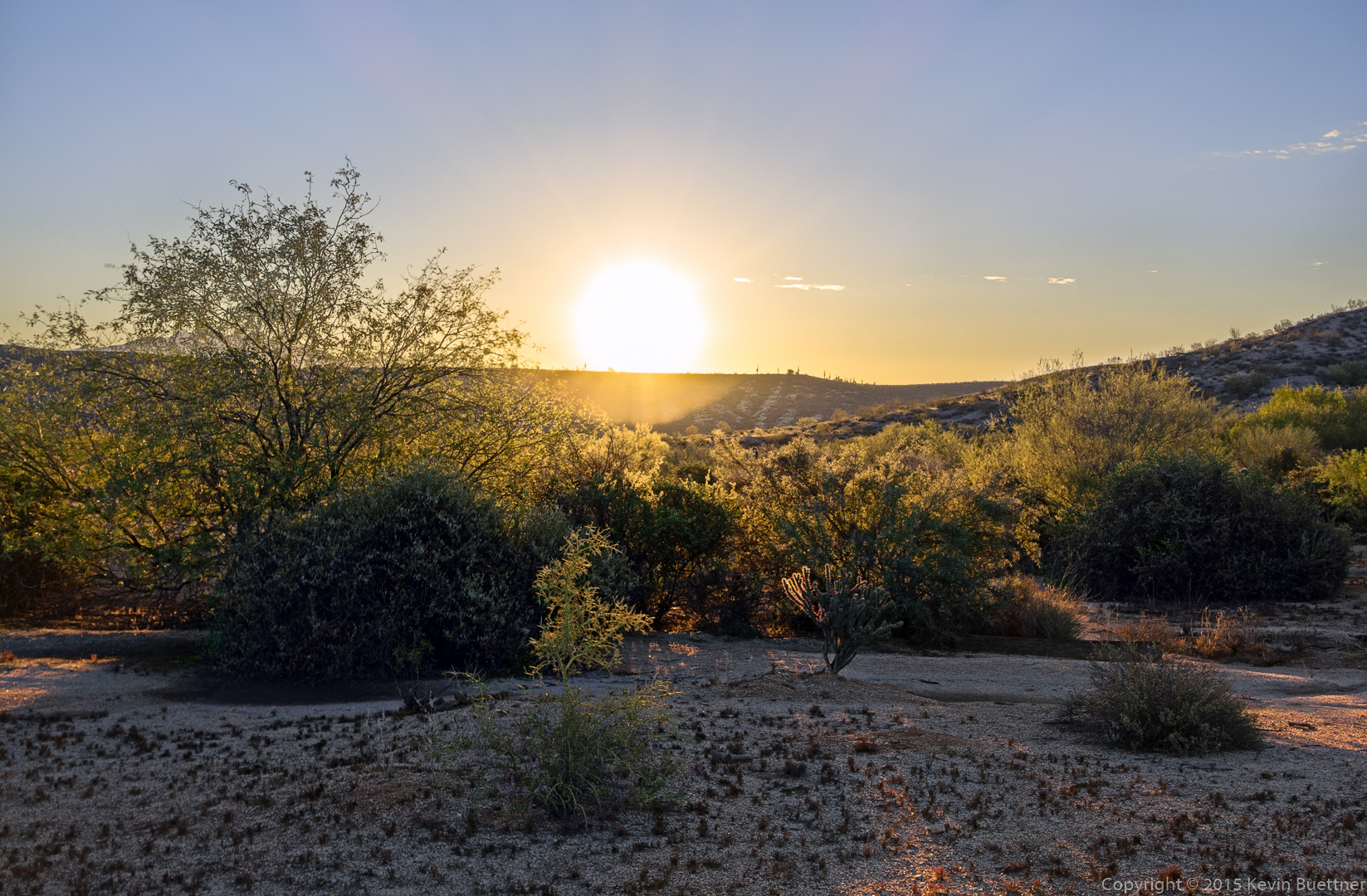
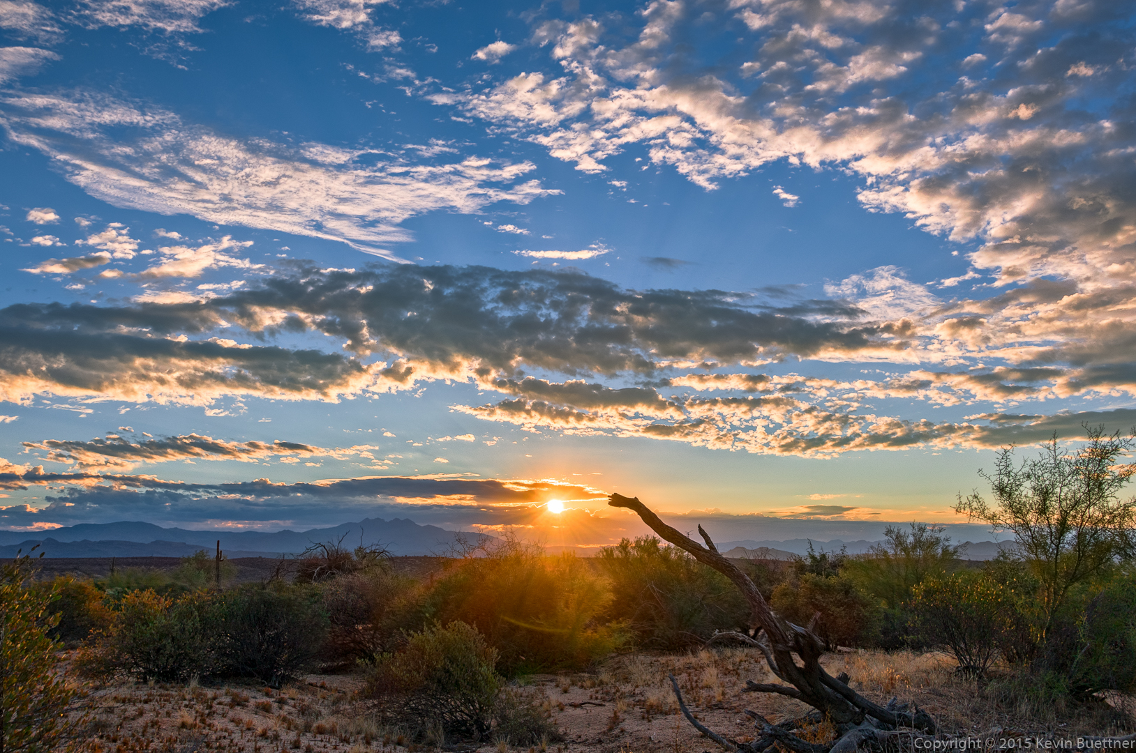
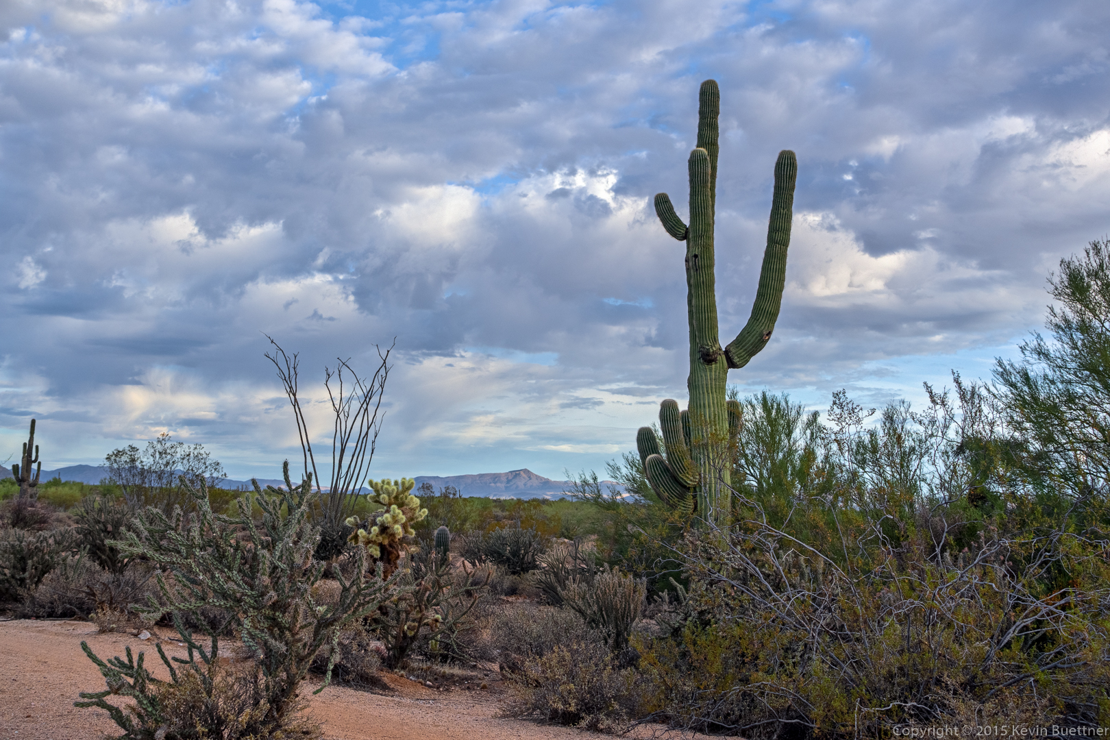
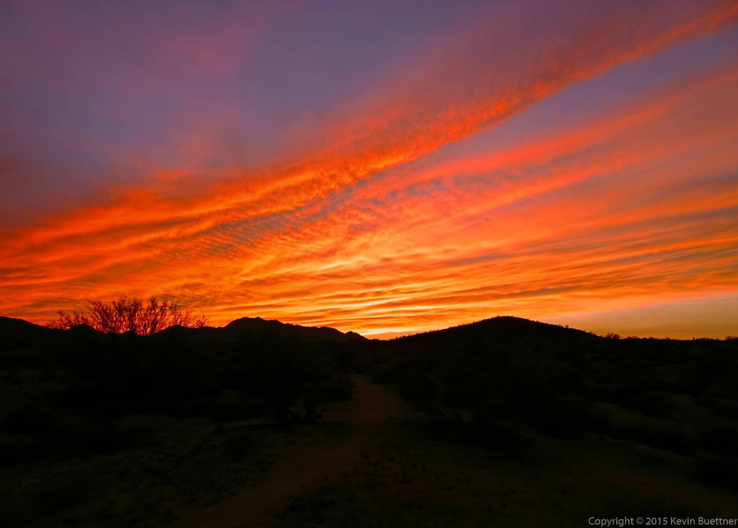
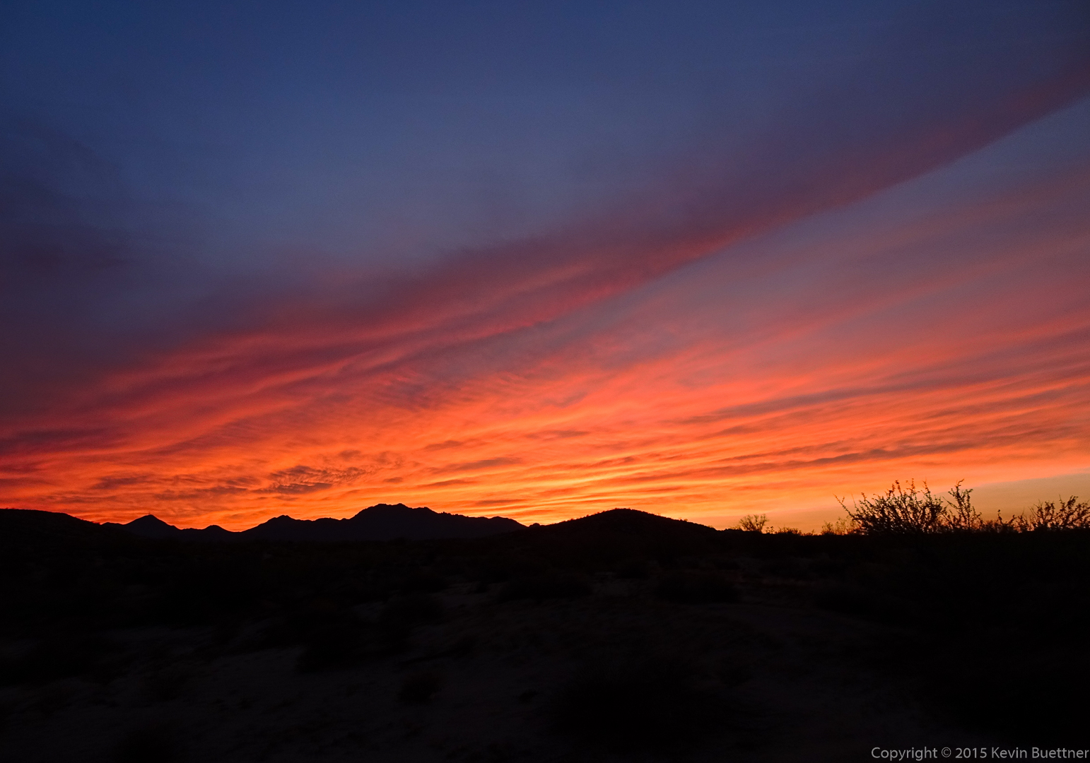
The sun rays through the clouds were interesting.

20151030-_DSC6310-Edit-medium

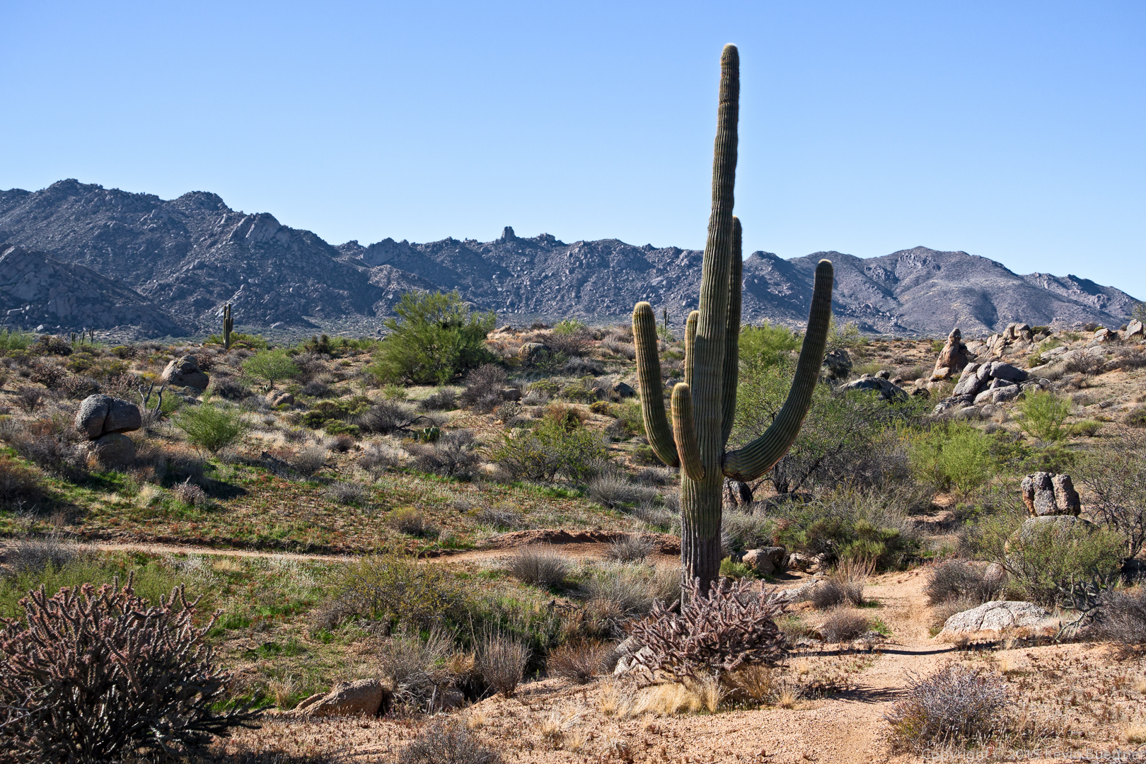
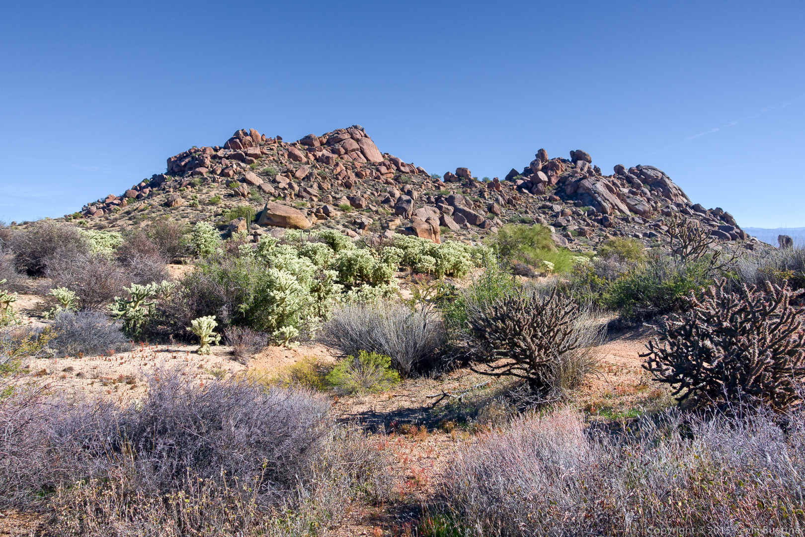
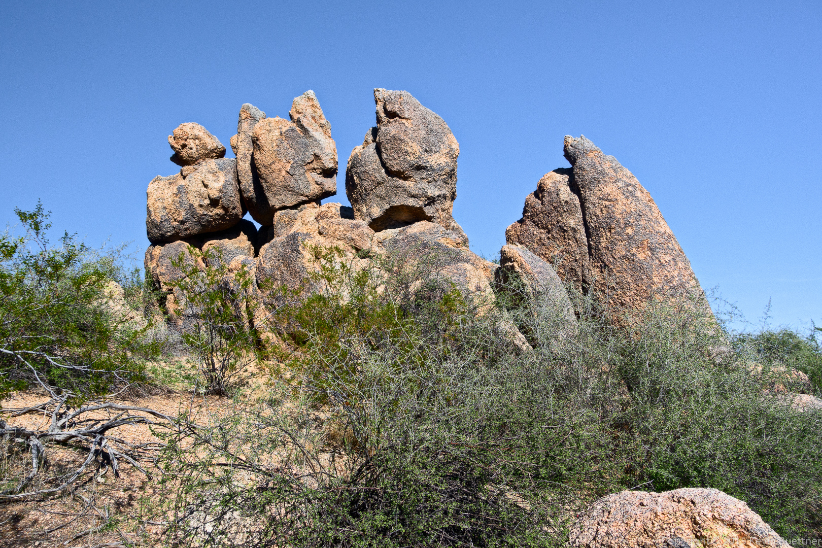
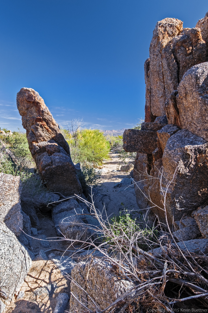
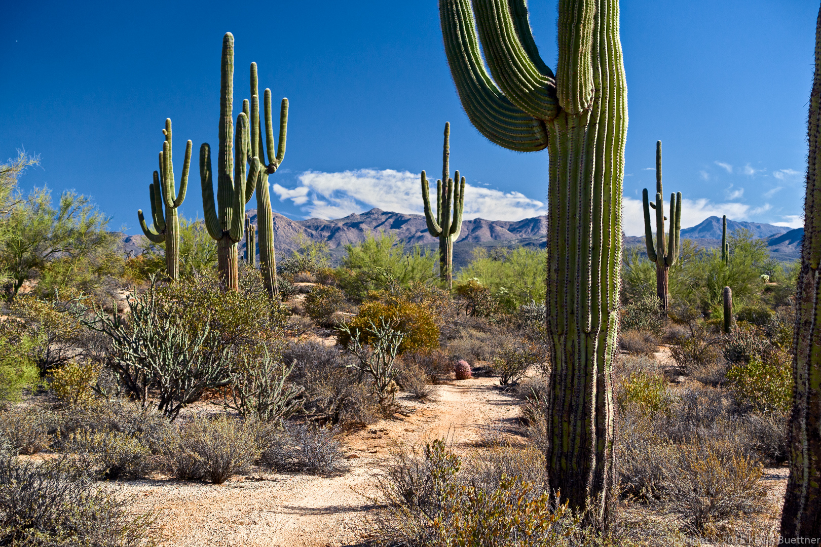
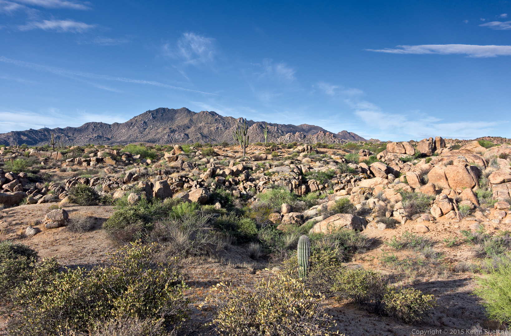
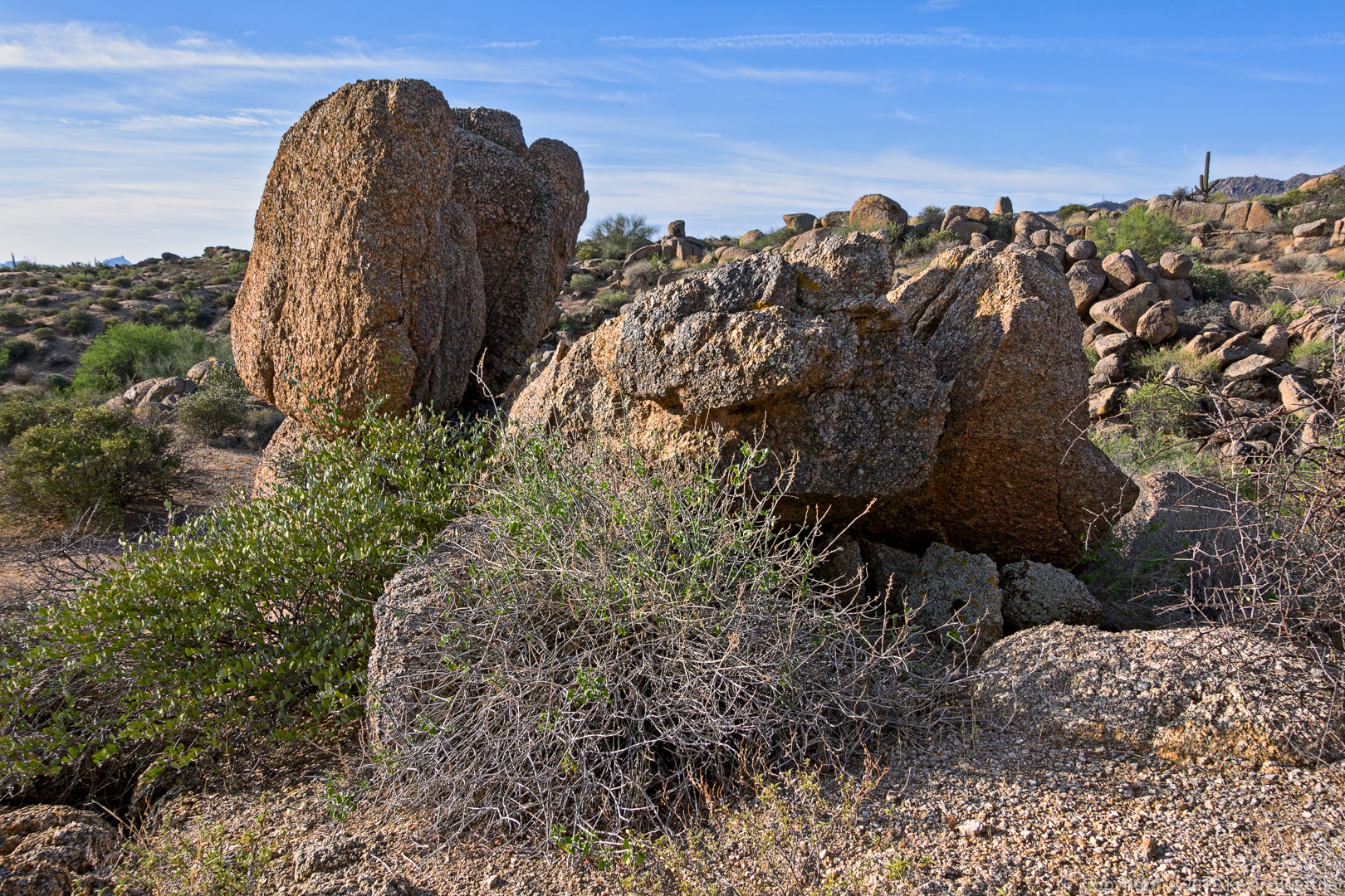
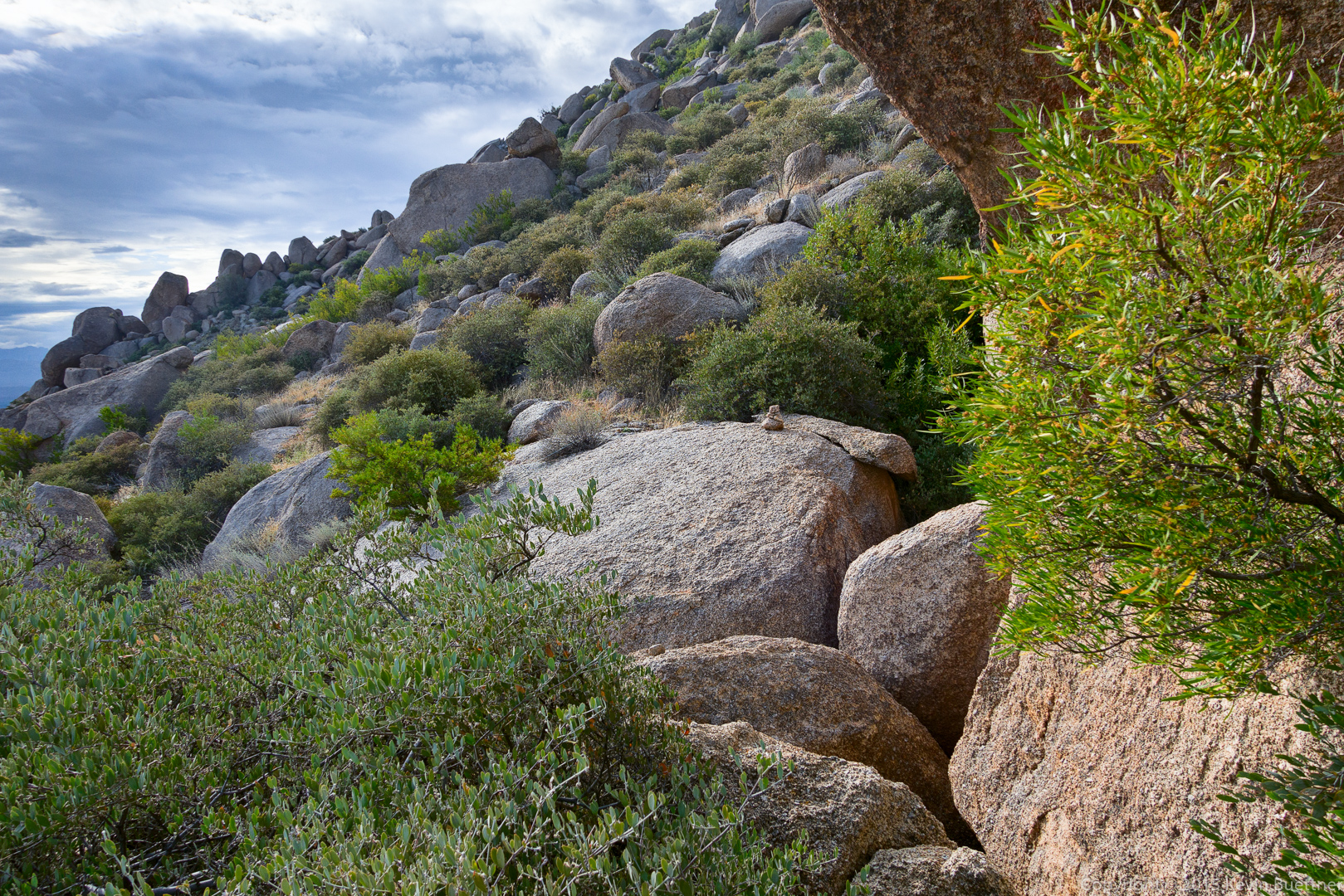
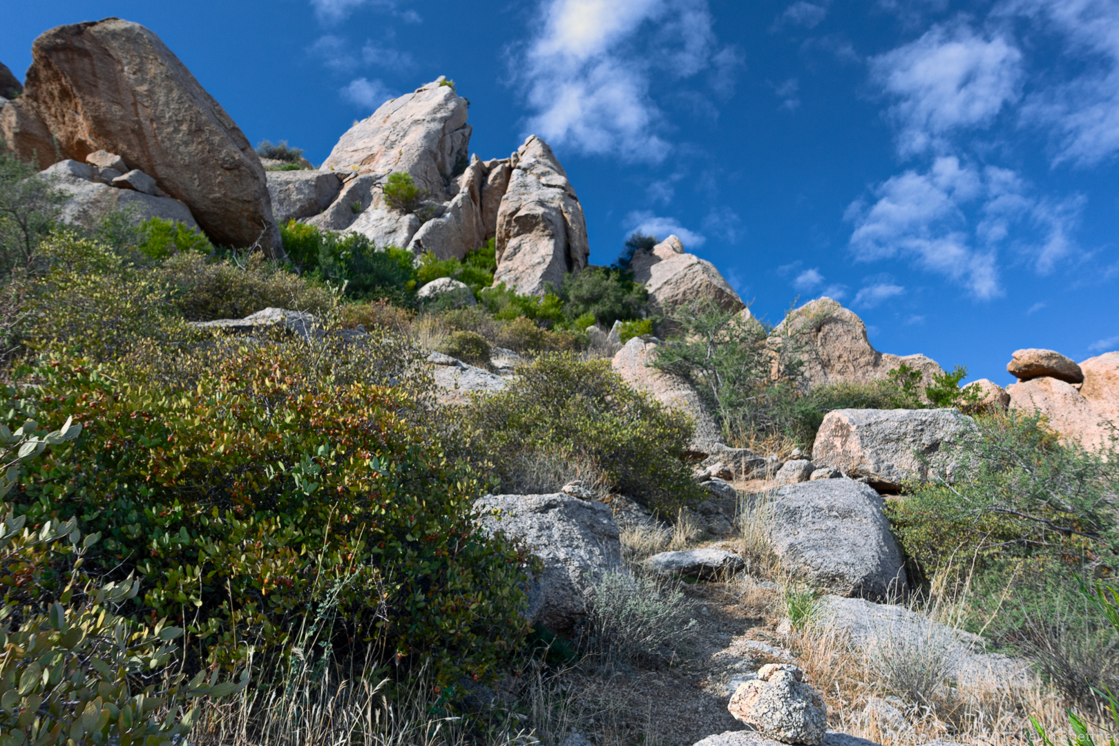
The trail proceeds across these granite boulders.

20151030-_DSC6333-Edit-medium

20151030-_DSC6339-Edit-medium

Looking up at Hog Heaven:

20151030-_DSC6342-Edit-medium

We’ve arrived at Hog Heaven. This is the main climbing wall.
20151030-_DSC6366-Edit-medium

Making our way up past Hog Heaven…

20151030-_DSC6384-Edit-medium 
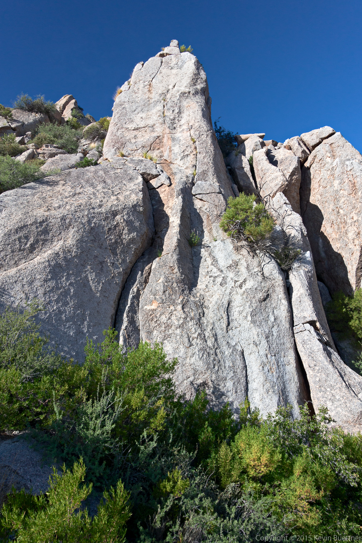
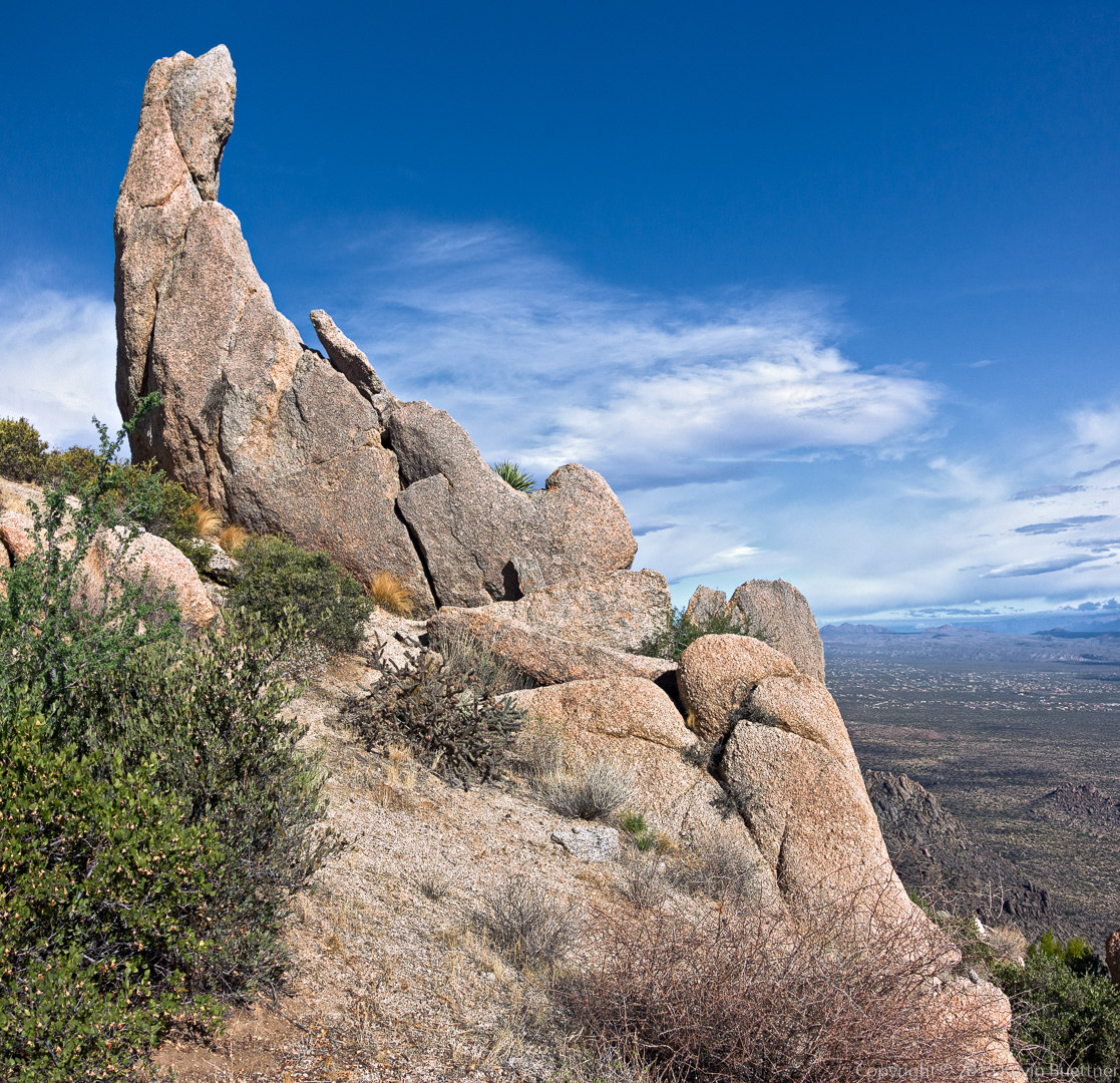
A view of the Thumbnail from below.20151030-_DSC6396-Edit-medium

20151030-_DSC6414-Edit-medium

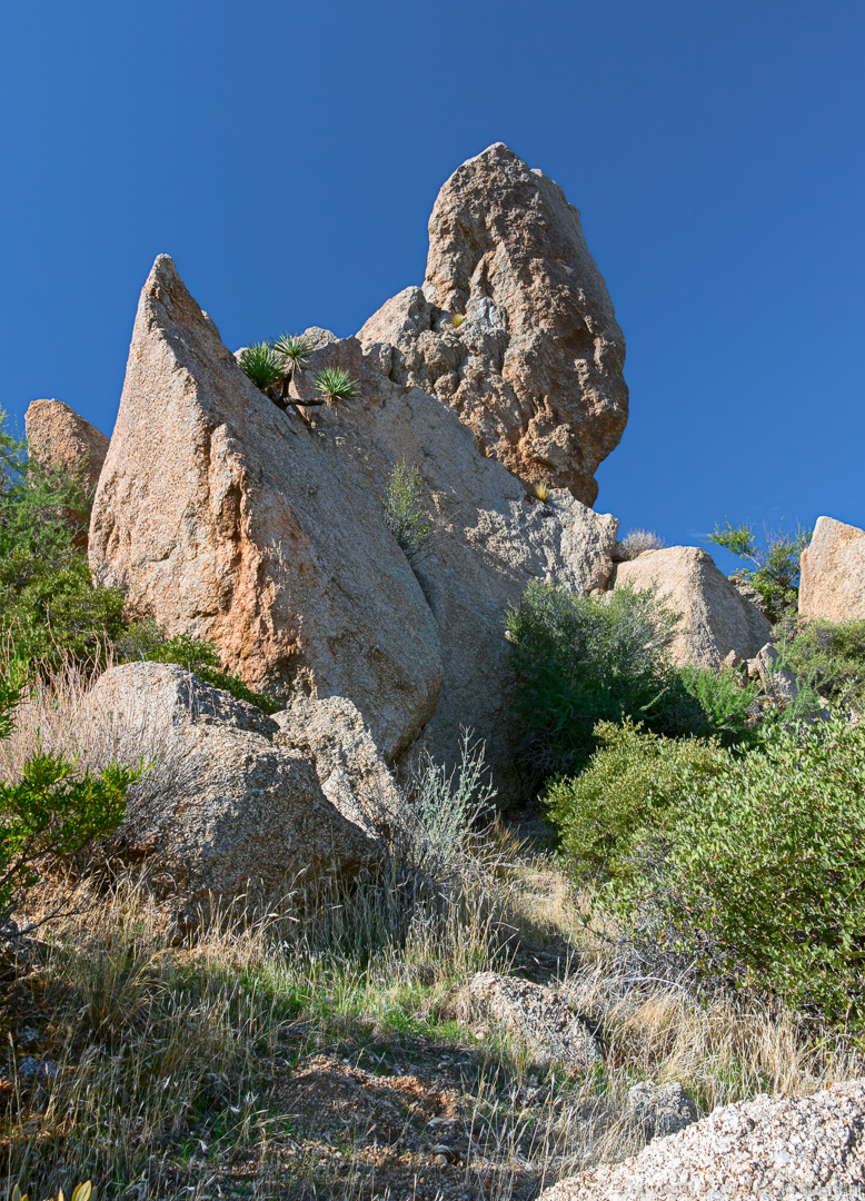
A view of the Thumbnail Pinnacle from the side.
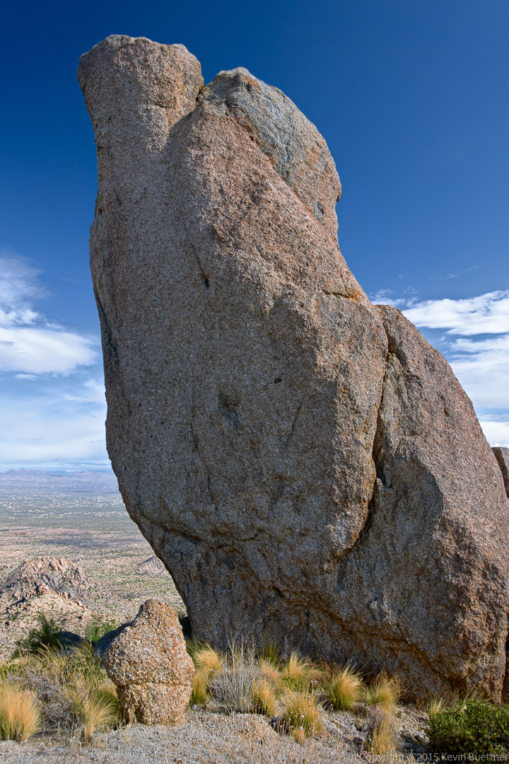
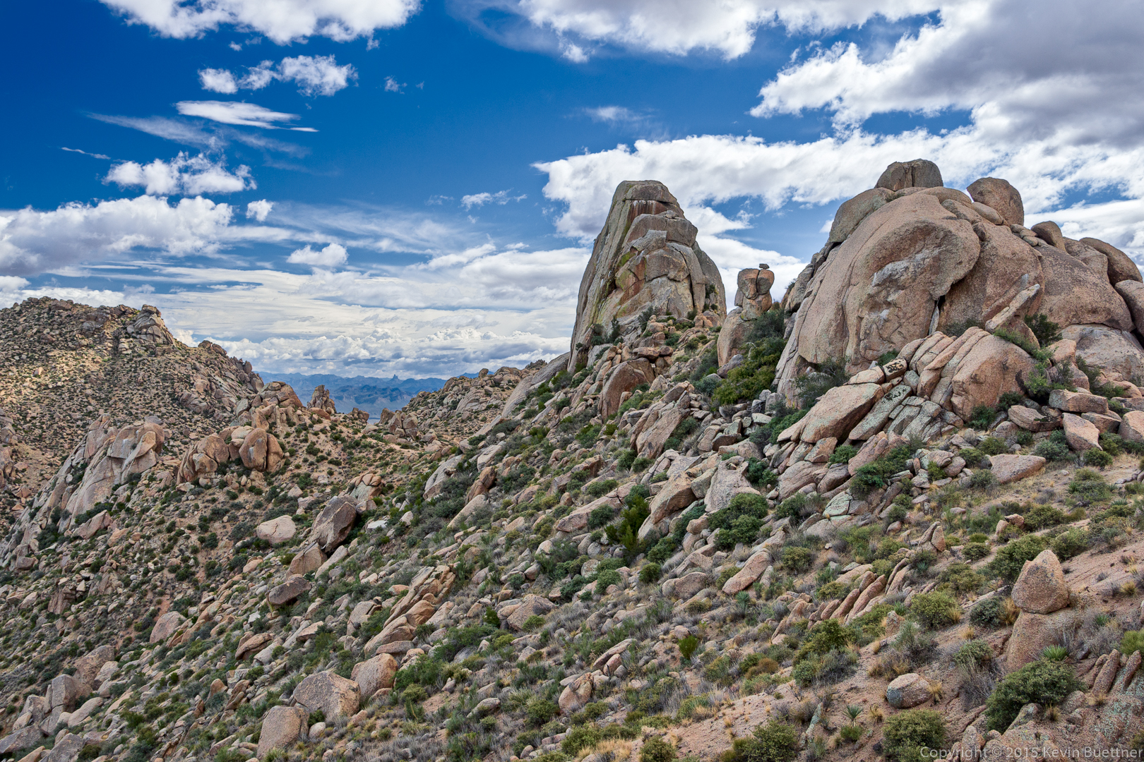
20151030-_DSC6426-Pano-Edit-medium

Yet another view…

20151030-_DSC6432-Edit-medium 
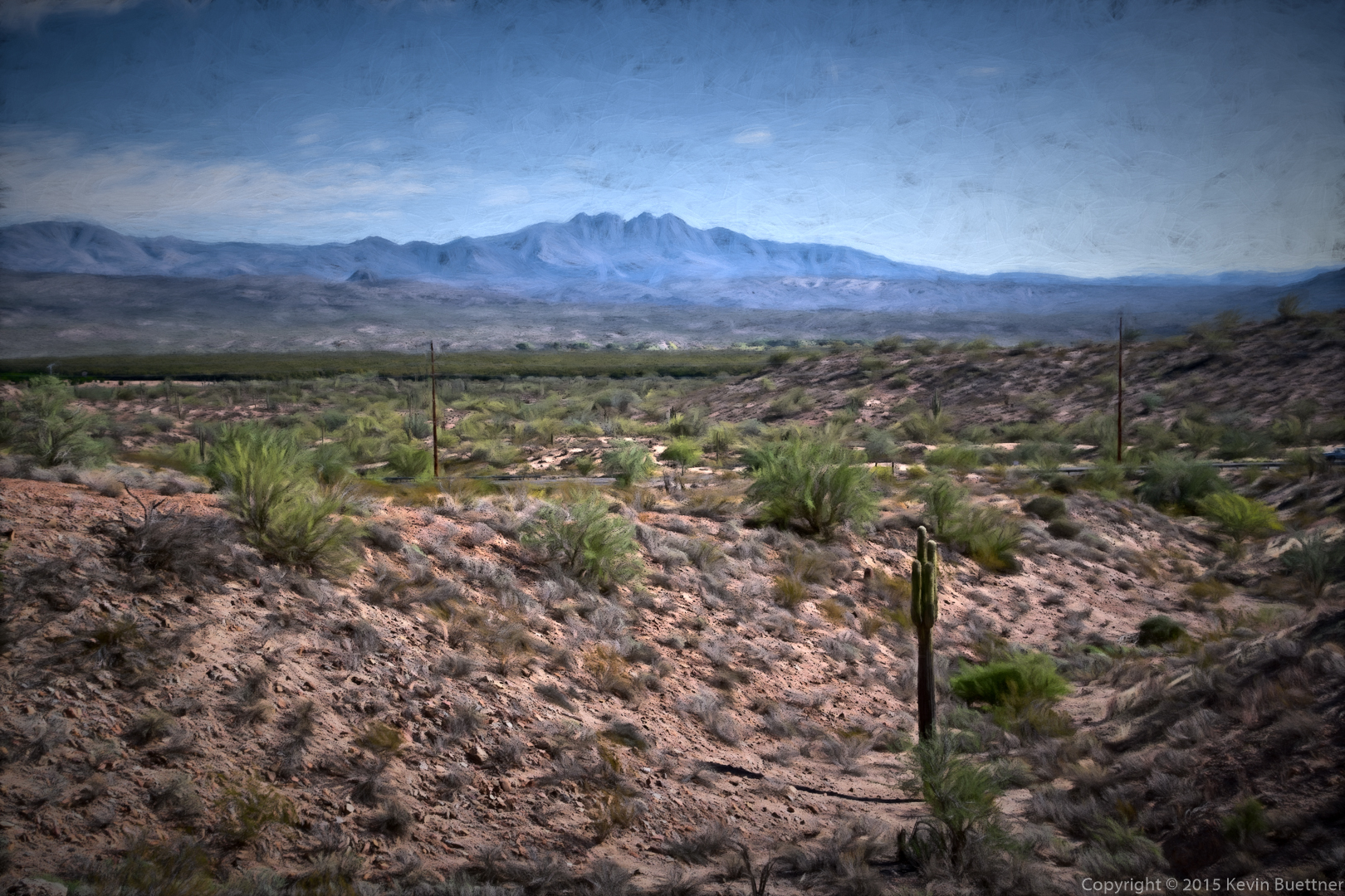
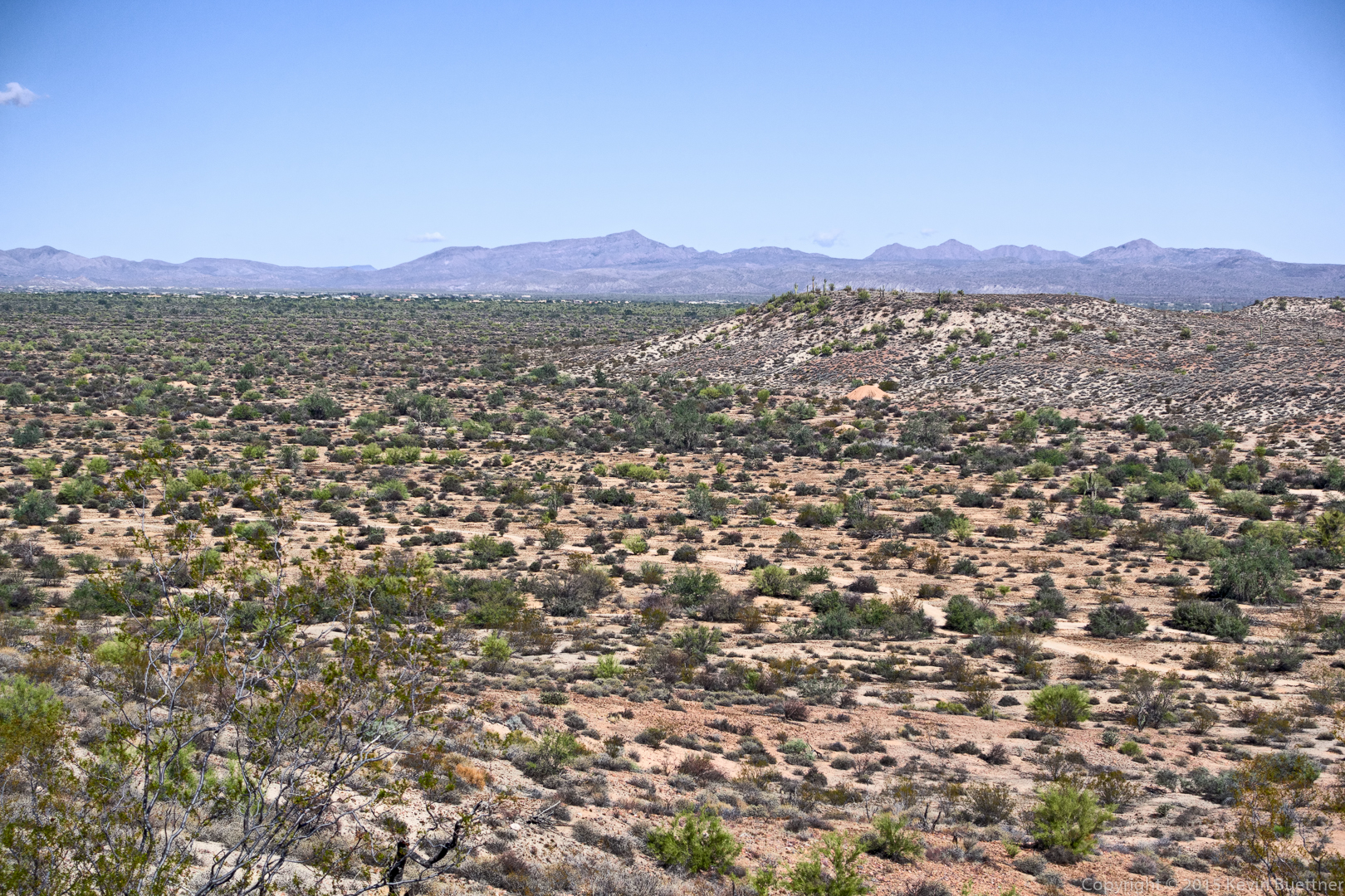
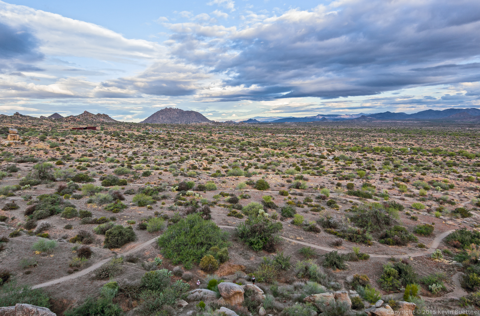
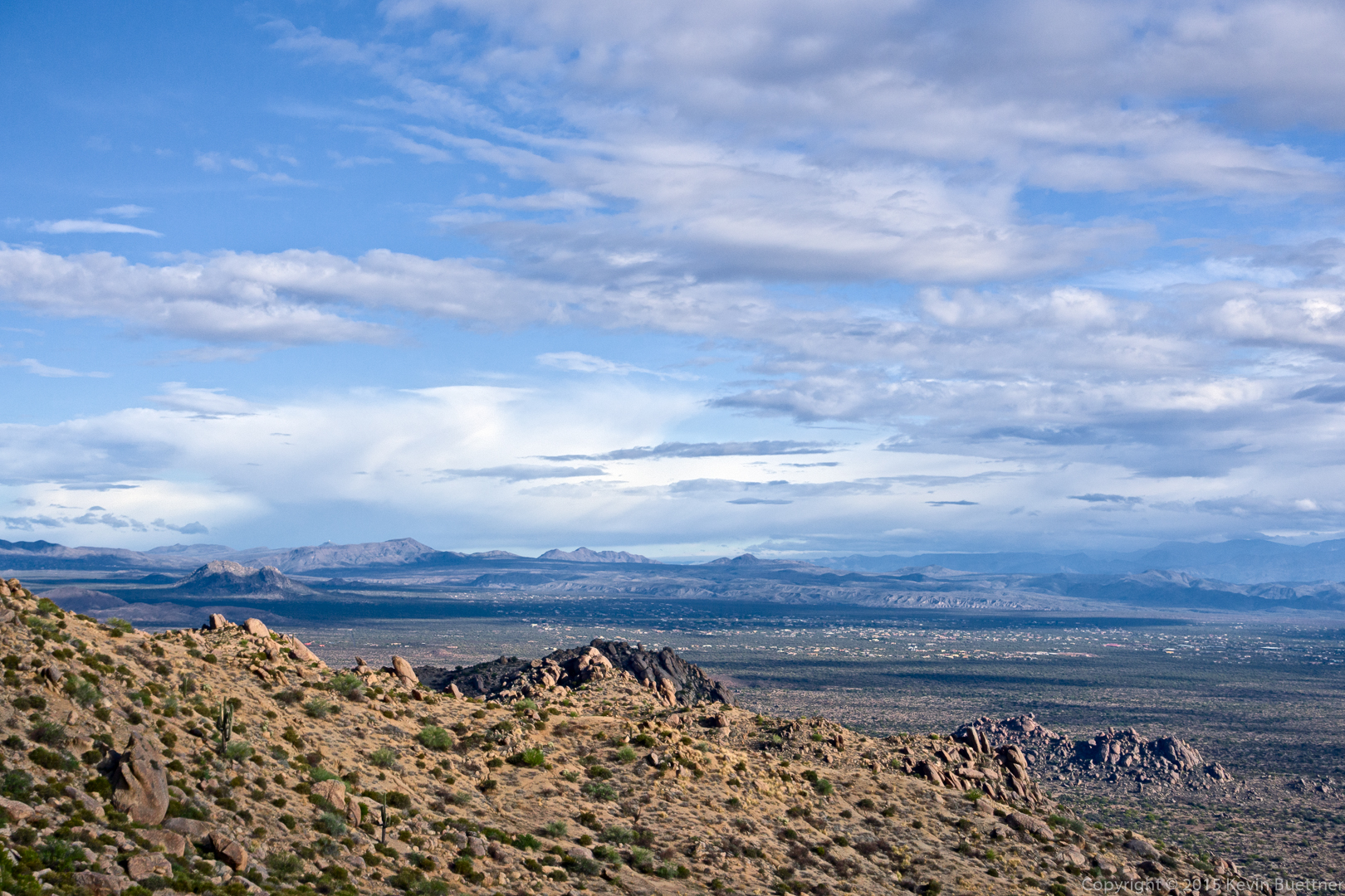
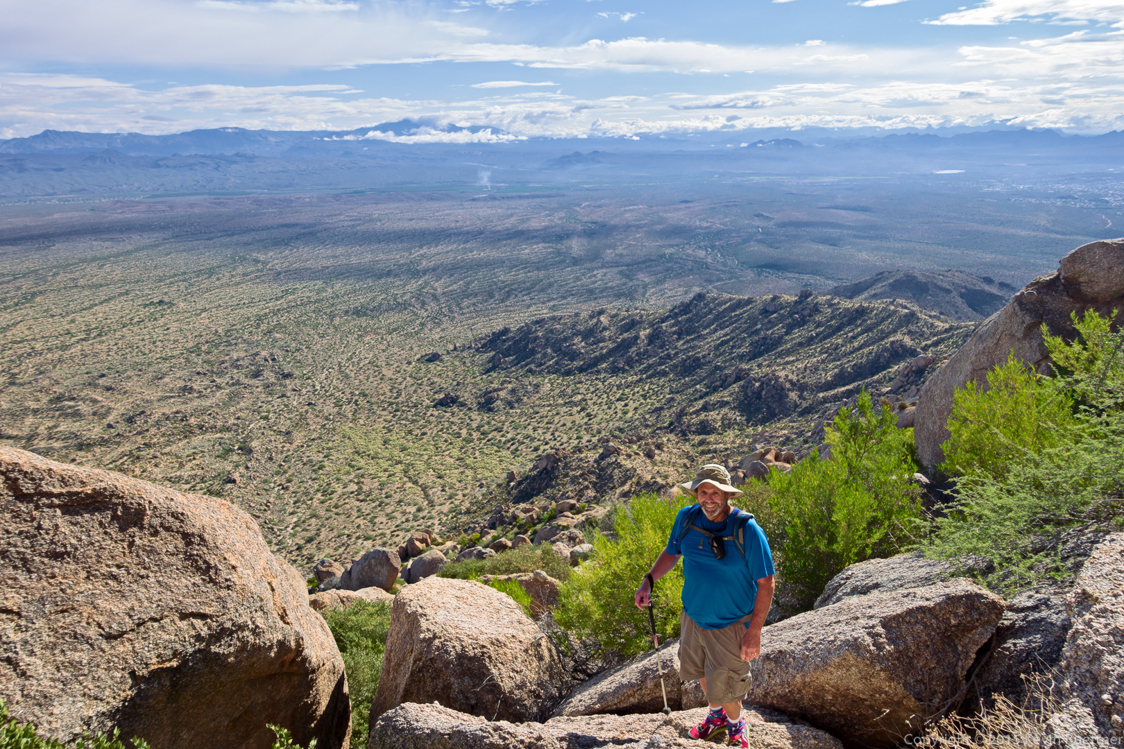
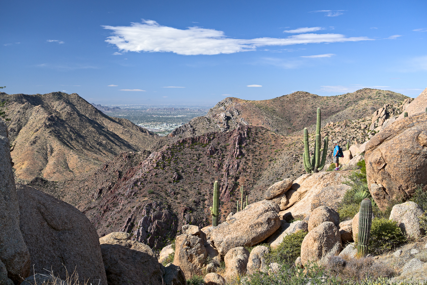
Looking toward Scottsdale:

20151030-_DSC6450-Edit-medium

20151030-_DSC6504-Pano-Edit-medium

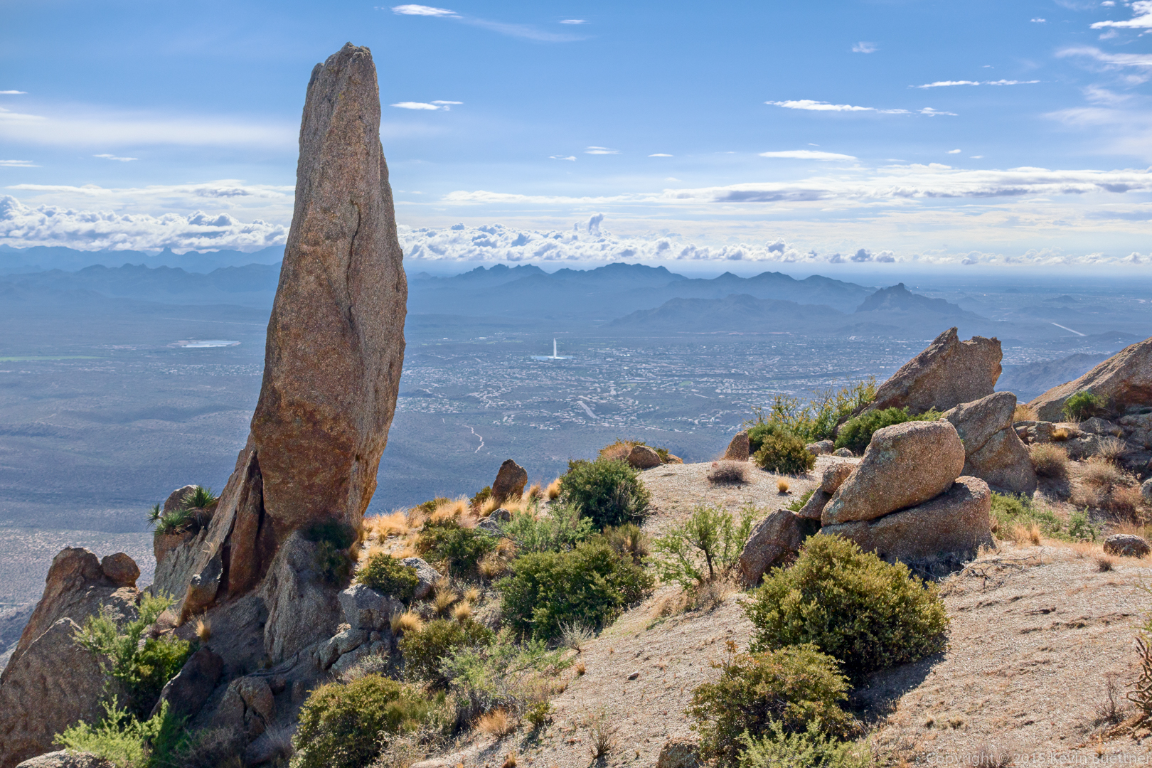
Yet another view of the Thumbnail Pinnacle with the Fountain (in Fountain Hills) in the distance.

20151030-_DSC6552-Edit-2-medium

We’ve made our way most of the way across the ridge by this point.

20151030-_DSC6657-Pano-Edit-medium

This is a view of Tom’s Thumb from the ridge to the North. The rock formation at the far right is known as the Rist.

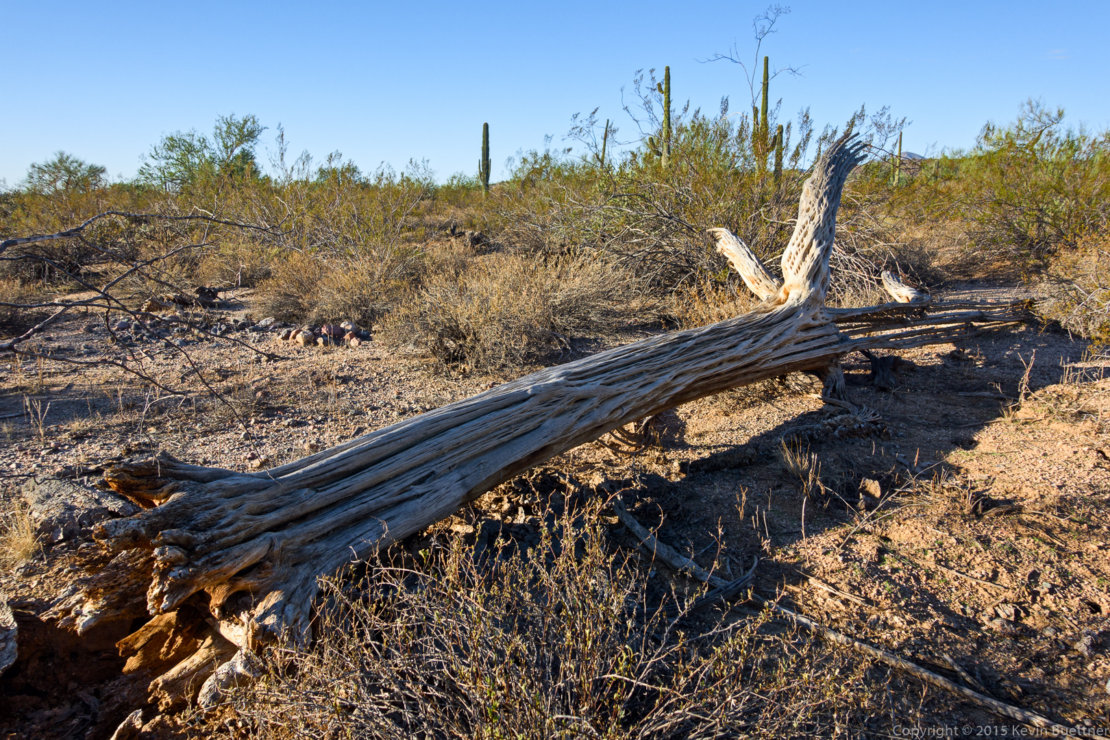
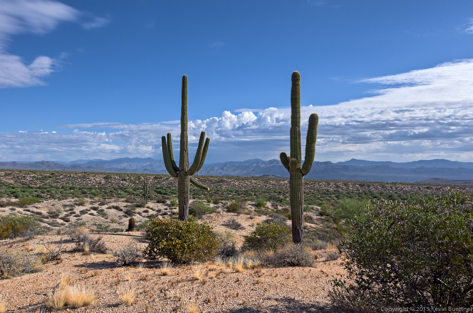
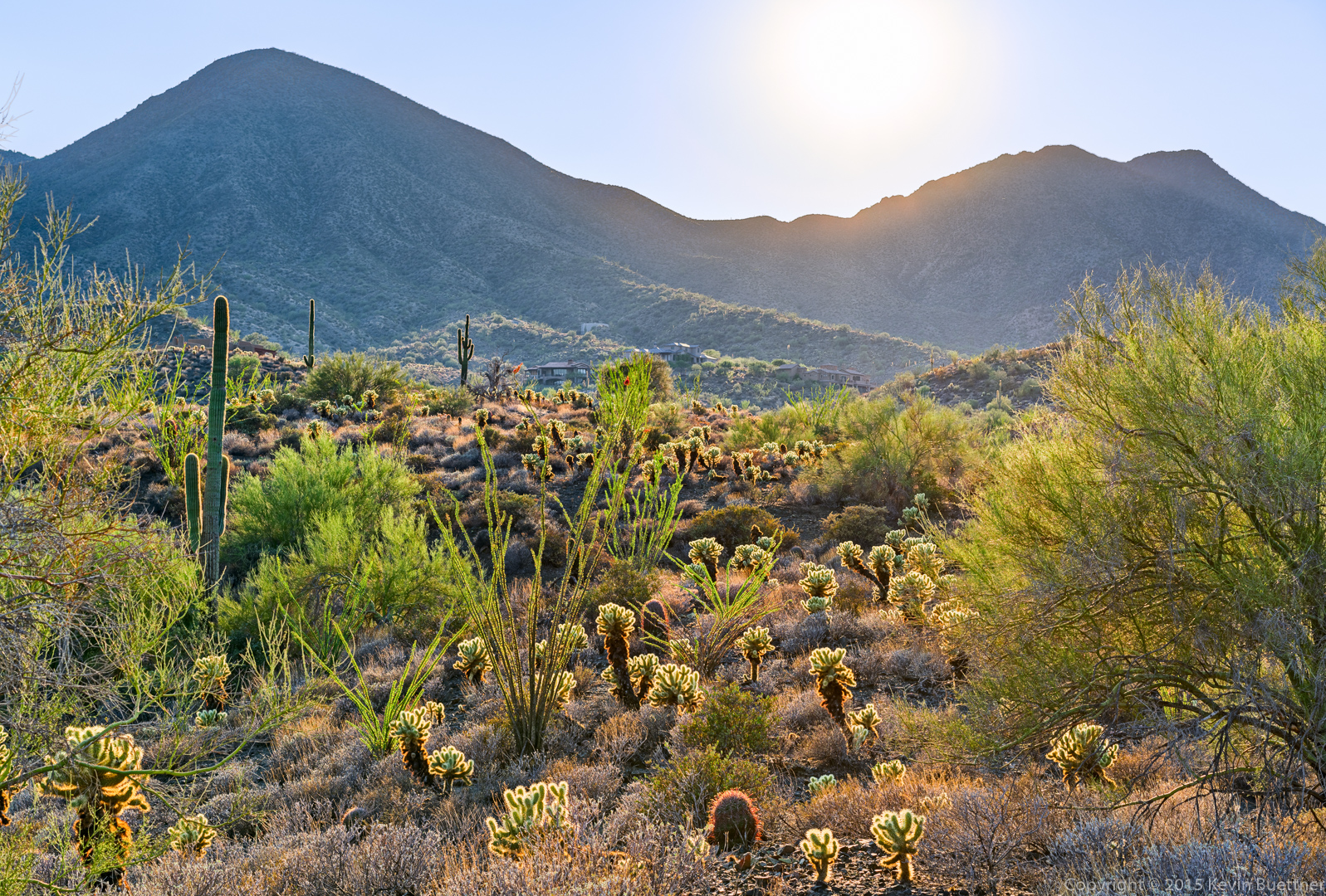
(I have a bunch of photos of the trail in between, but haven’t gotten around to processing them yet.)

20151030-_DSC6912-Edit-medium

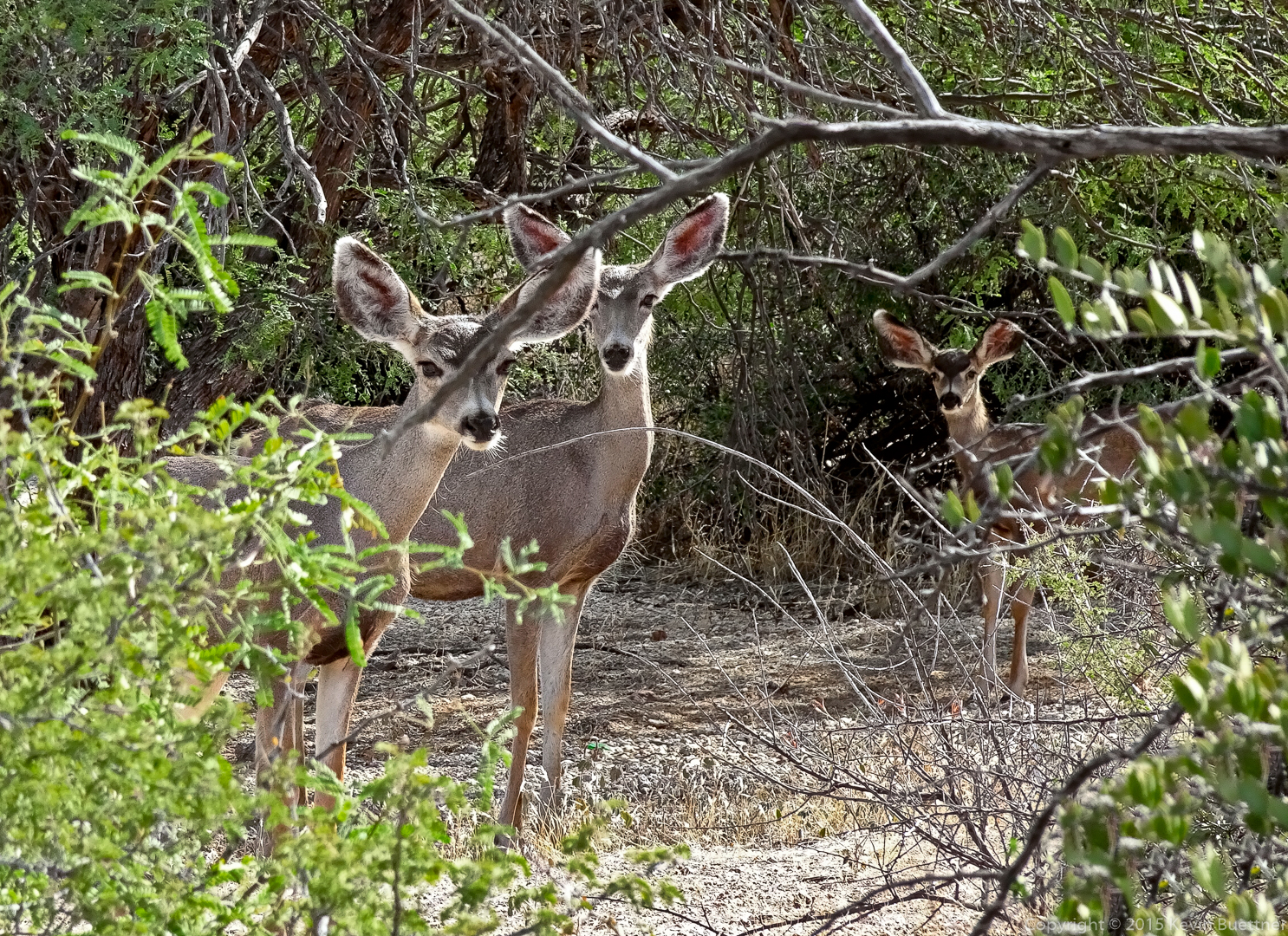
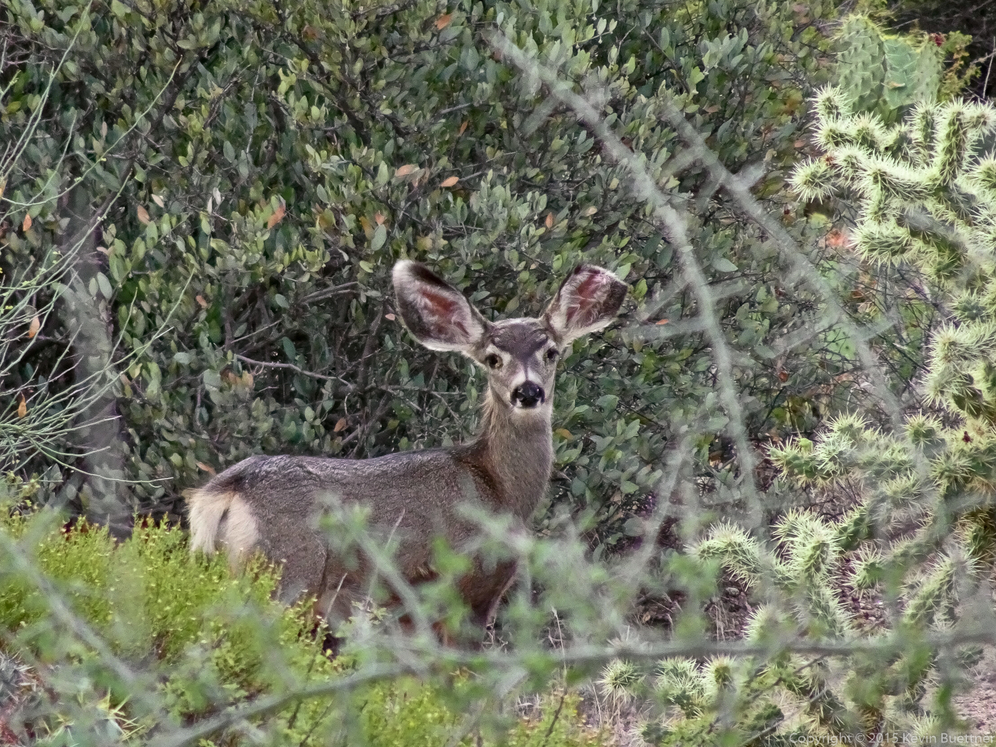
On our hike an the lower slopes, we came across some deer!

20151030-DSC00746-Edit-medium

20151030-DSC00749-Edit-medium

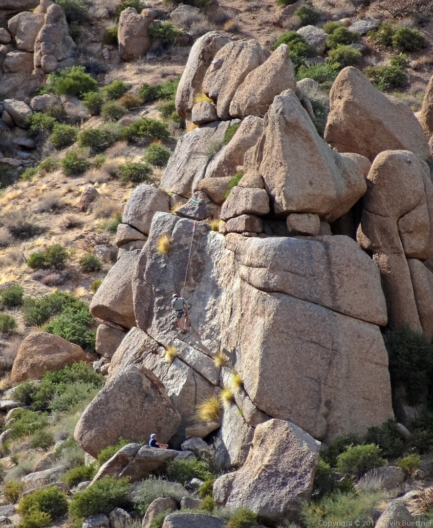
Higher on the trail, we had encountered a pair of climber setting up to top rope a climb on Fort McDowell. After taking a photo of the deer, I turned around and got this photo of one of the climber rappelling the route.
20151030-DSC00750-Pano-Edit-medium

Tuesday Night Full Moon Hike

This was a view from the Scenic Trail on Tuesday night’s full moon hike.

Exposure parameters were f/7.1, 30 seconds, ISO 100. Focal length was 55mm on a full frame sensor, but image was cropped slightly.

20151027-_DSC4353-Edit-medium

Sunset Hike on Lousley Hill

20151024-_DSC4231-HDR-Edit-medium 20151024-_DSC4303-Edit-medium

Friday Fitness Hike

Friday’s hike started at the Trailhead Staging Area. We hiked a loop consisting of Pemberton, Shallmo Wash, Escondido, and Pemberton (again). When we got back, we hiked the Hilltop Trail too, in order to get 10 miles total.

20151023-_DSC6024-Edit-medium

I used four exposures for this sunrise photo. I couldn’t figure out what to do about the flare immediately below the sun; it was present even in the shots where placed my finger in front of the sun in order to block flare.
20151023-_DSC6029-Edit-medium

Allen, Linda, Steven (?), Janet, Nancy, and Bob:

20151023-_DSC6060-Edit-medium

Views from the Escondido Trail:
20151023-_DSC6065-Edit-medium 20151023-_DSC6066-Edit-medium 20151023-_DSC6081-Edit-medium 20151023-_DSC6111-Edit-medium 20151023-_DSC6114-Edit-medium 20151023-_DSC6123-Pano-Edit-medium

Views from the Hilltop Trail:

20151023-_DSC6132-Edit-medium 20151023-_DSC6141-Edit-medium

Friday Fitness Hike

Nancy, Marilyn, Janet, Allen, Nick, and I hiked eight miles on Friday. Starting at the Wagner Trailhead, we hiked up to the Pemberton and then returned on the Bluff Trail.

20151016-_DSC5418-HDR-Edit-medium 20151016-_DSC5430-Edit-medium 20151016-_DSC5436-HDR-Edit-medium 20151016-_DSC5457-Edit-medium 20151016-_DSC5469-Edit-medium 20151016-_DSC5478-Edit-medium 20151016-_DSC5481-Edit-medium 20151016-_DSC5484-Edit-medium 20151016-_DSC5505-Edit-medium 20151016-_DSC5520-Edit-medium 20151016-_DSC5523-Edit-medium 20151016-_DSC5571-Edit-medium20151016-DSC00727-Edit-medium

Backlit Desert

This is a view from the Dixie Mine Trail on late Sunday afternoon.

20151011-_DSC3276-Edit-medium

Saturday Evening Sky

I got these photos on the Escondido Trail while hiking with Marie on Saturday evening.

20151010-DSC00711-Edit-medium20151010-DSC00716-Edit-medium