Tag: McDowell Mountain Park (page 22 of 46)
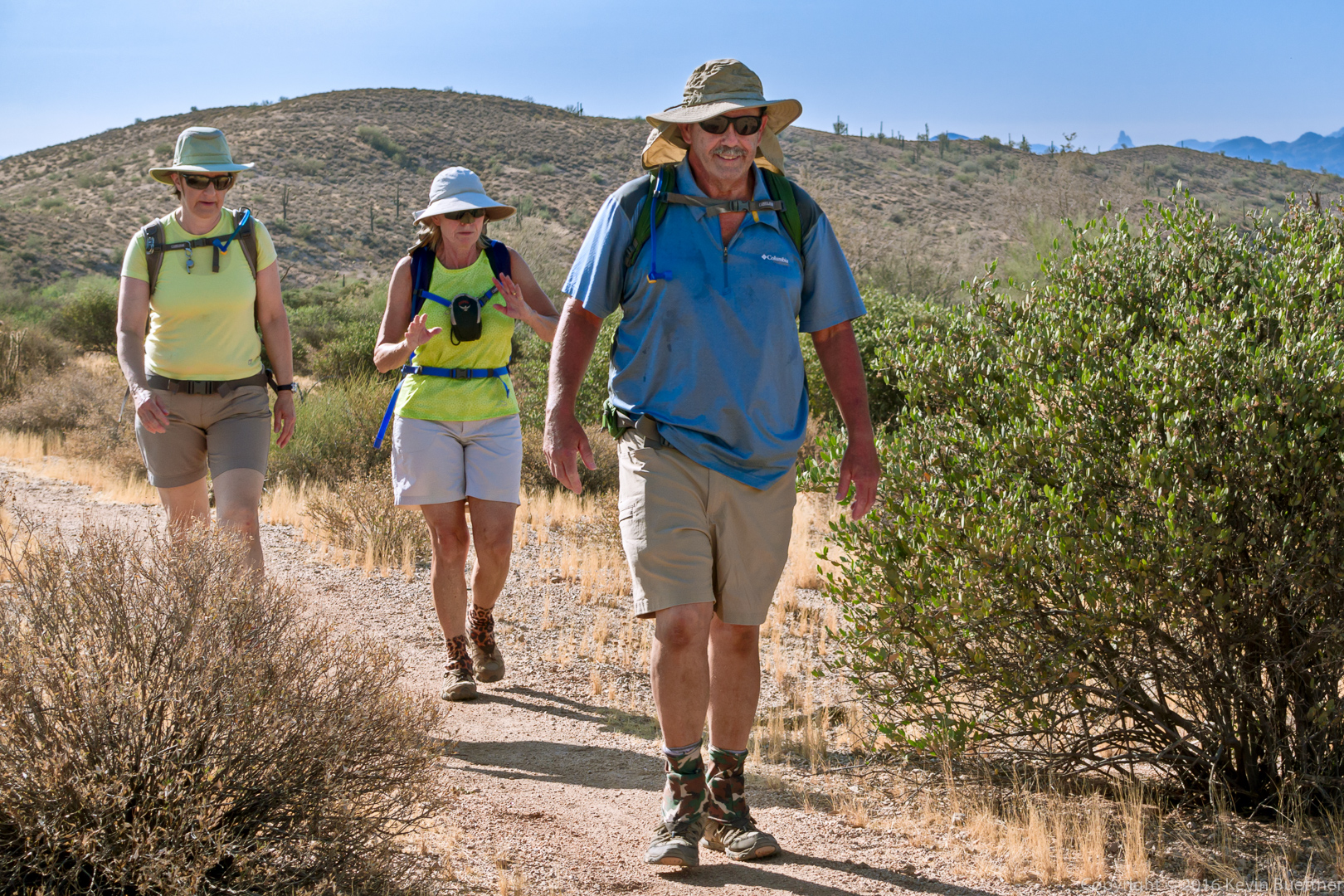
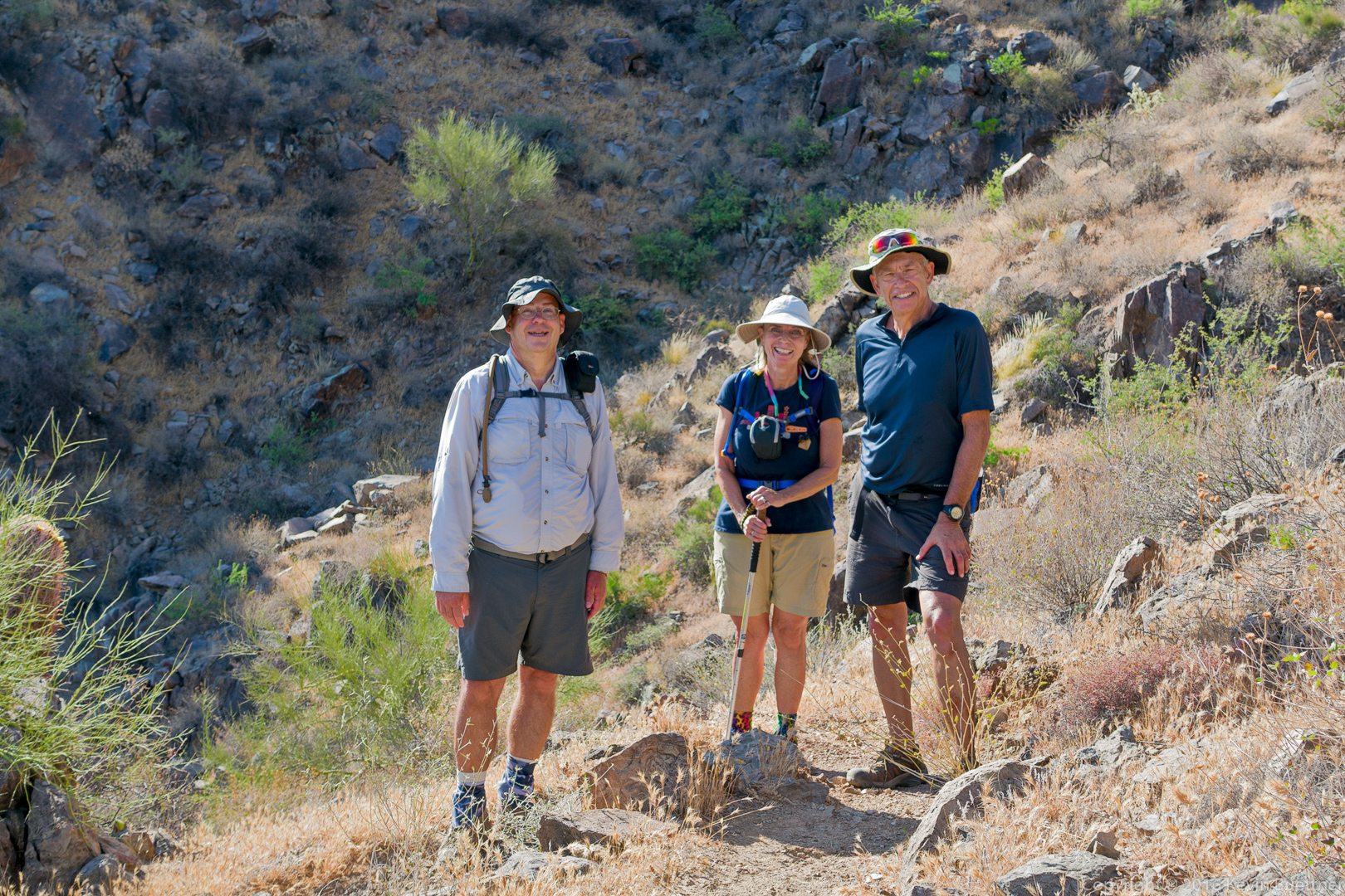
Mike, Ben, Linda, and I hiked 9.8 miles with a total elevation gain just shy of 2,000 feet. Denise joined us for the early part of the hike, turning back shortly after entering the preserve. We hiked these trails on the way out: Dixie Mine, Sonoran, Promenade, Western Loop (and Western Loop Overlook). After finishing the Western Loop trail, we returned via the Promenade, Sonoran, and Dixie Mine trails.
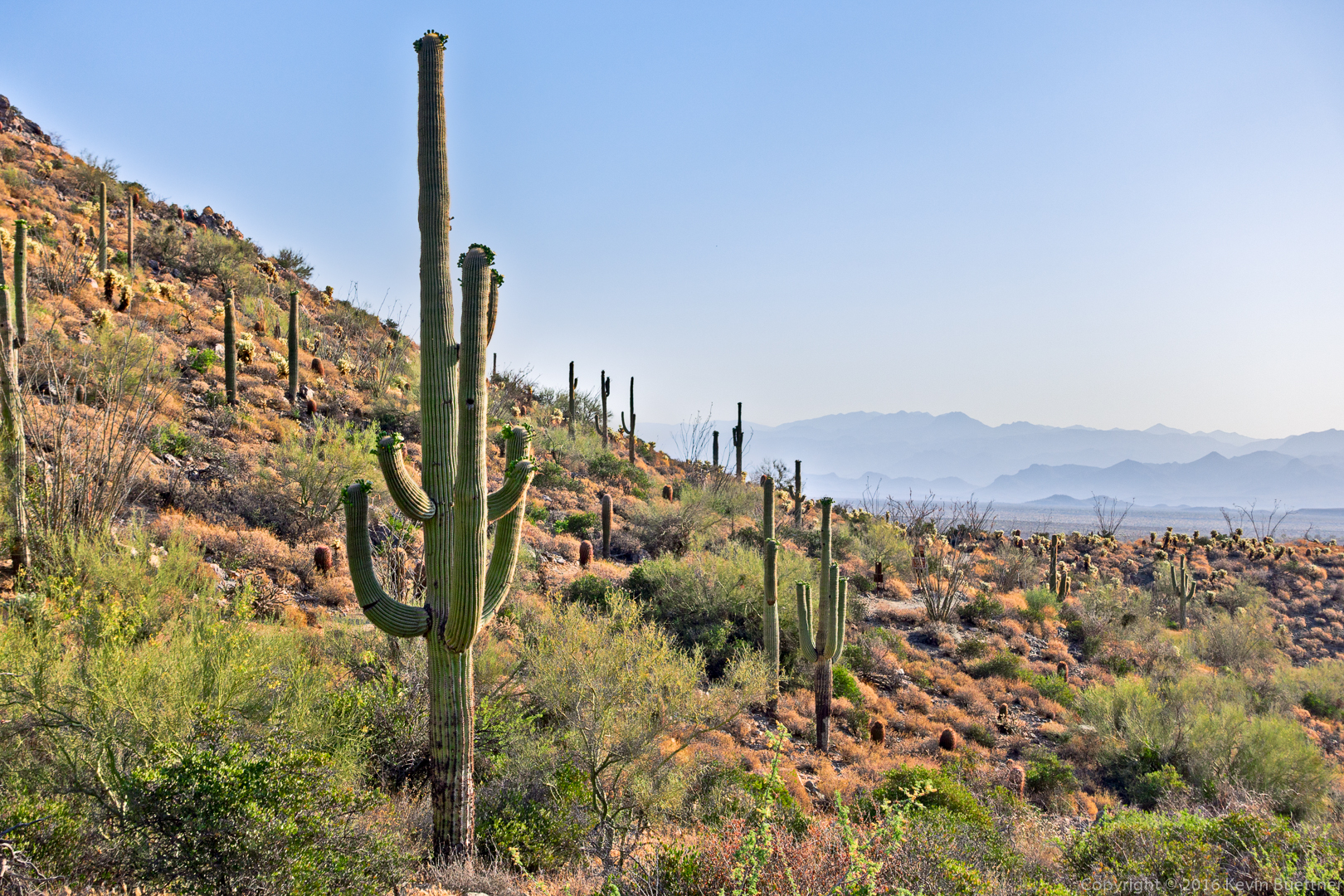
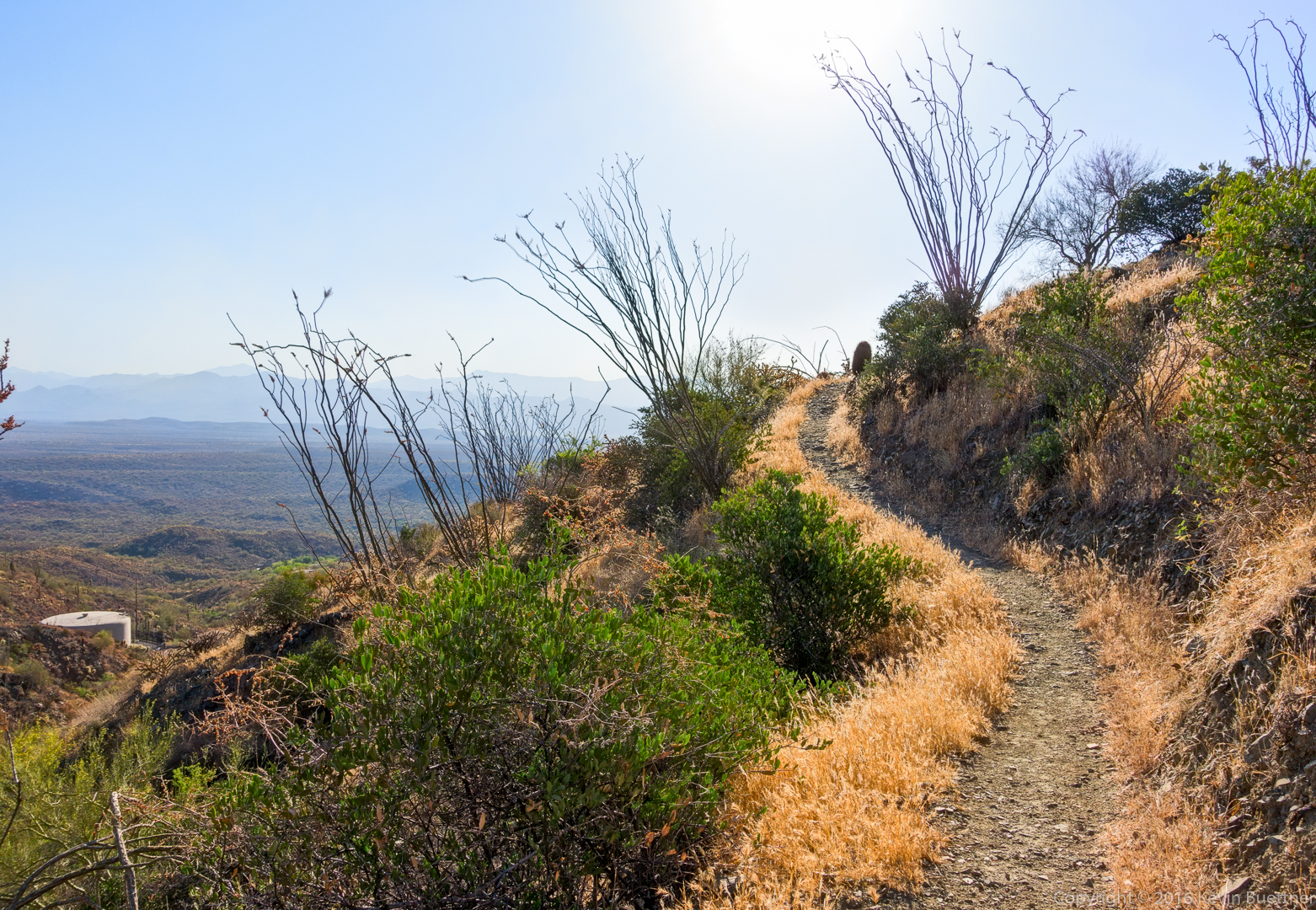
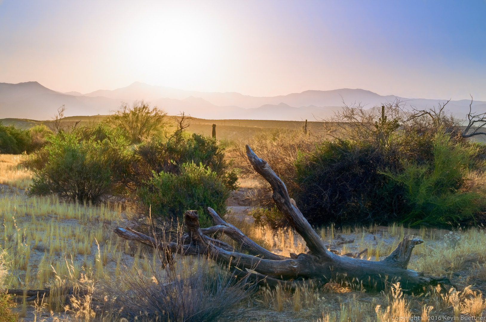
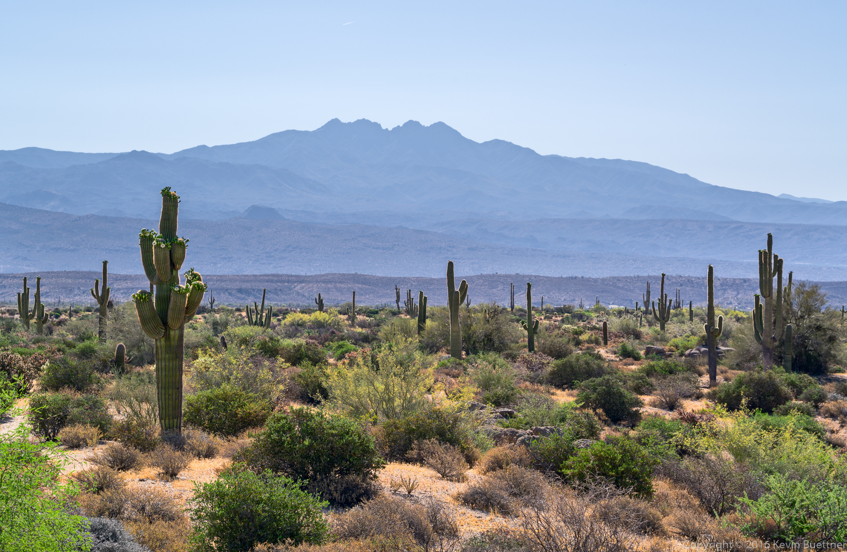
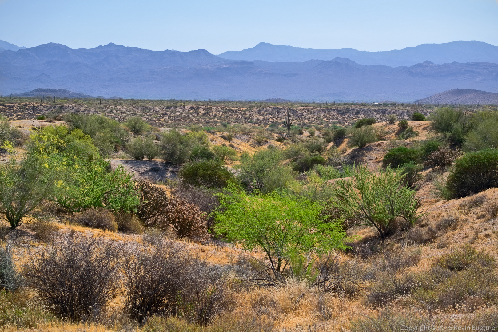
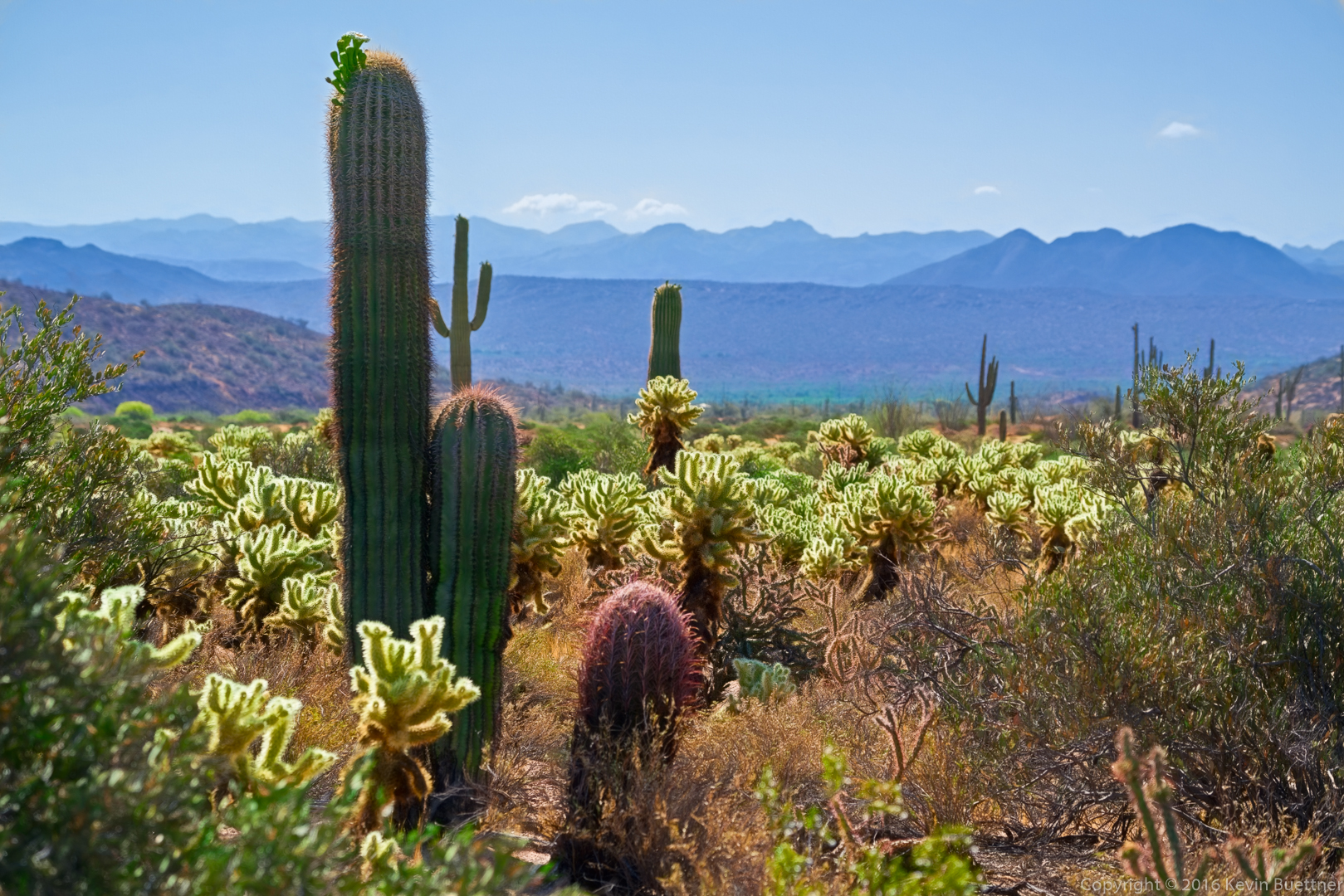
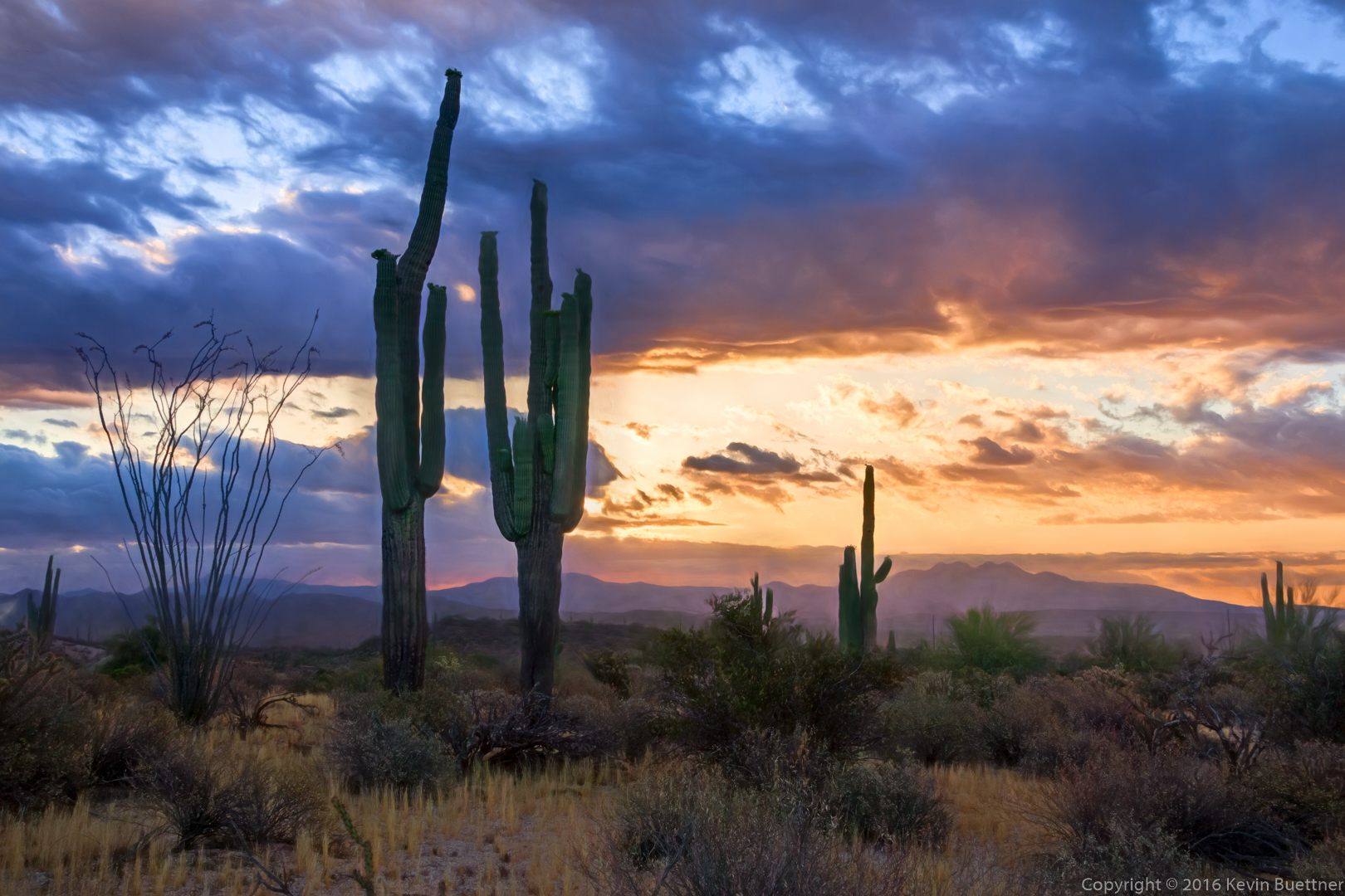
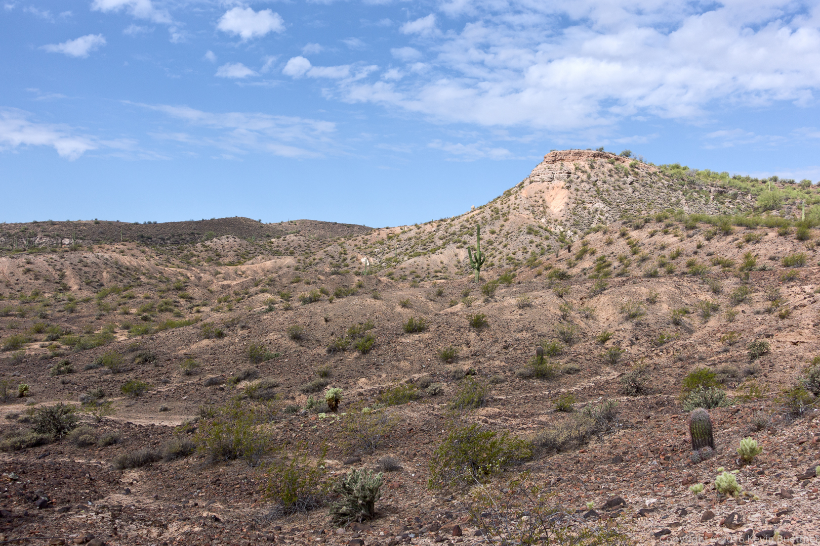
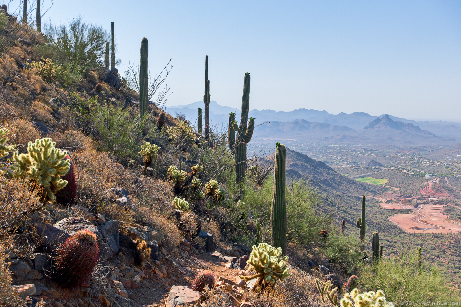
Views from the Sonoran Trail…
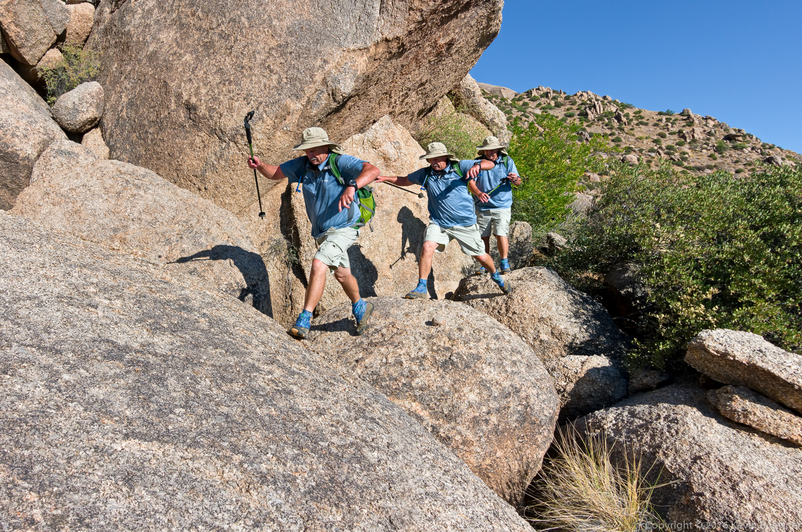
Mike, Linda, and Ben on the Western Loop Trail:
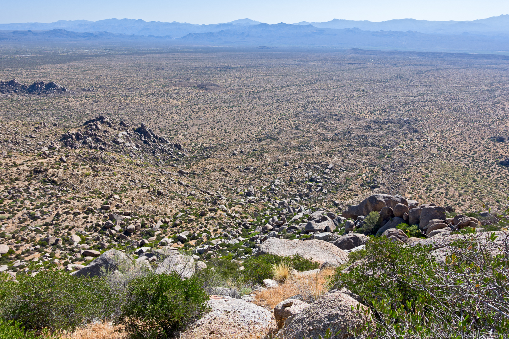
This is a view from the Western Loop trail as we were descending. Development in Adero Canyon is quite the eyesore.
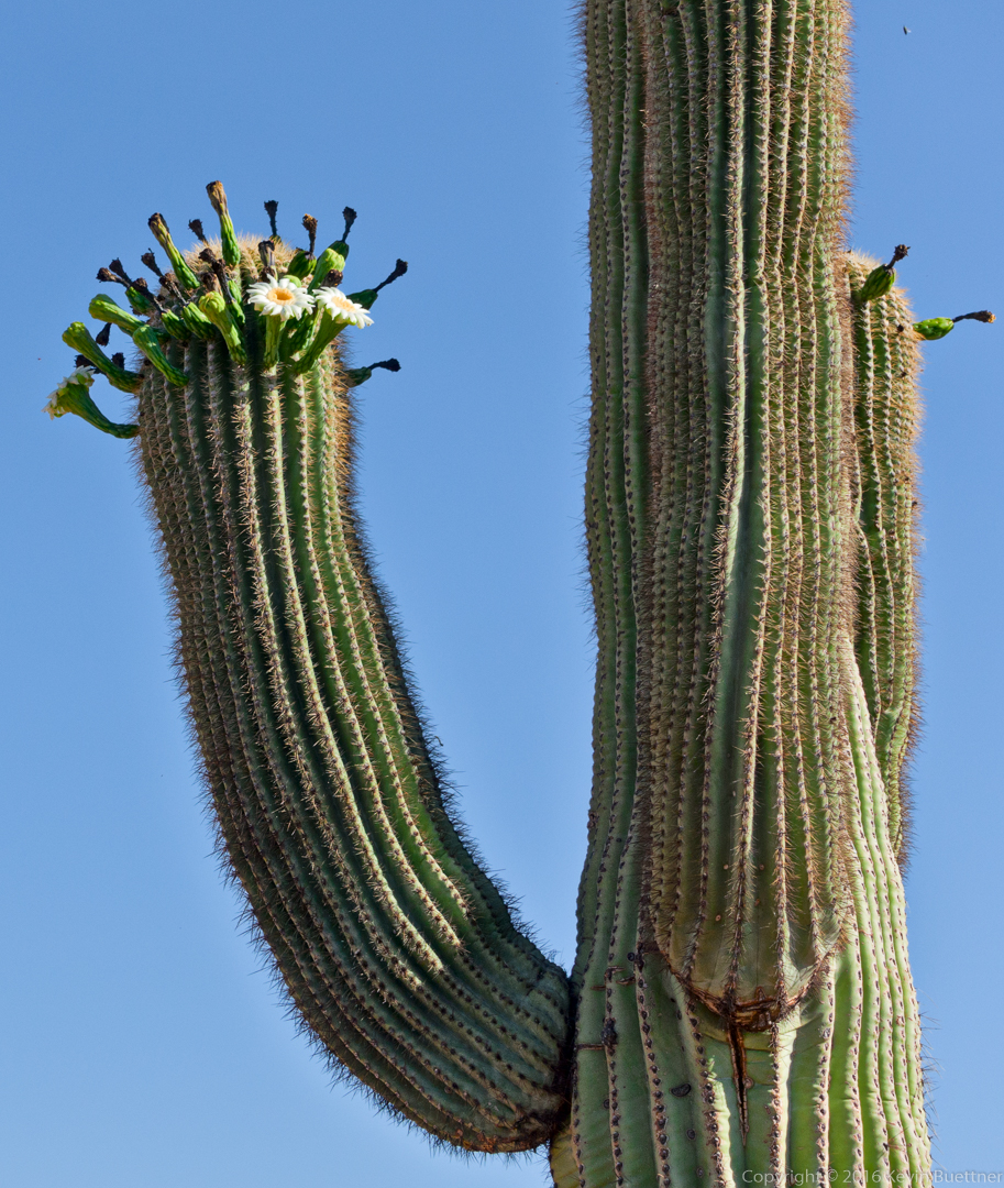
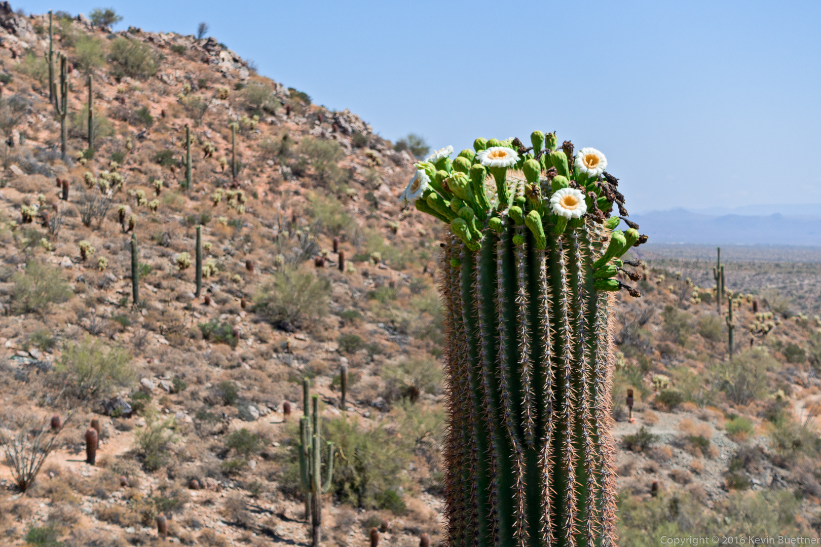
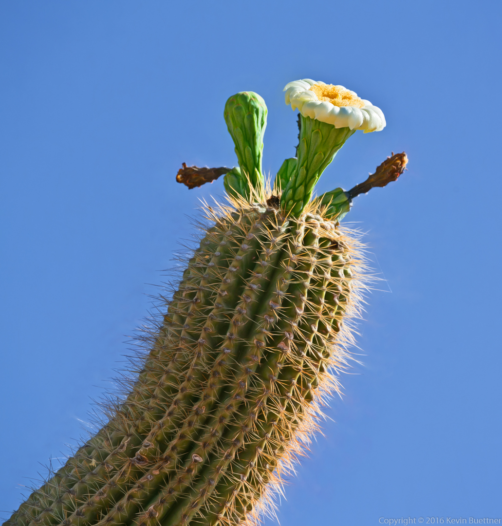
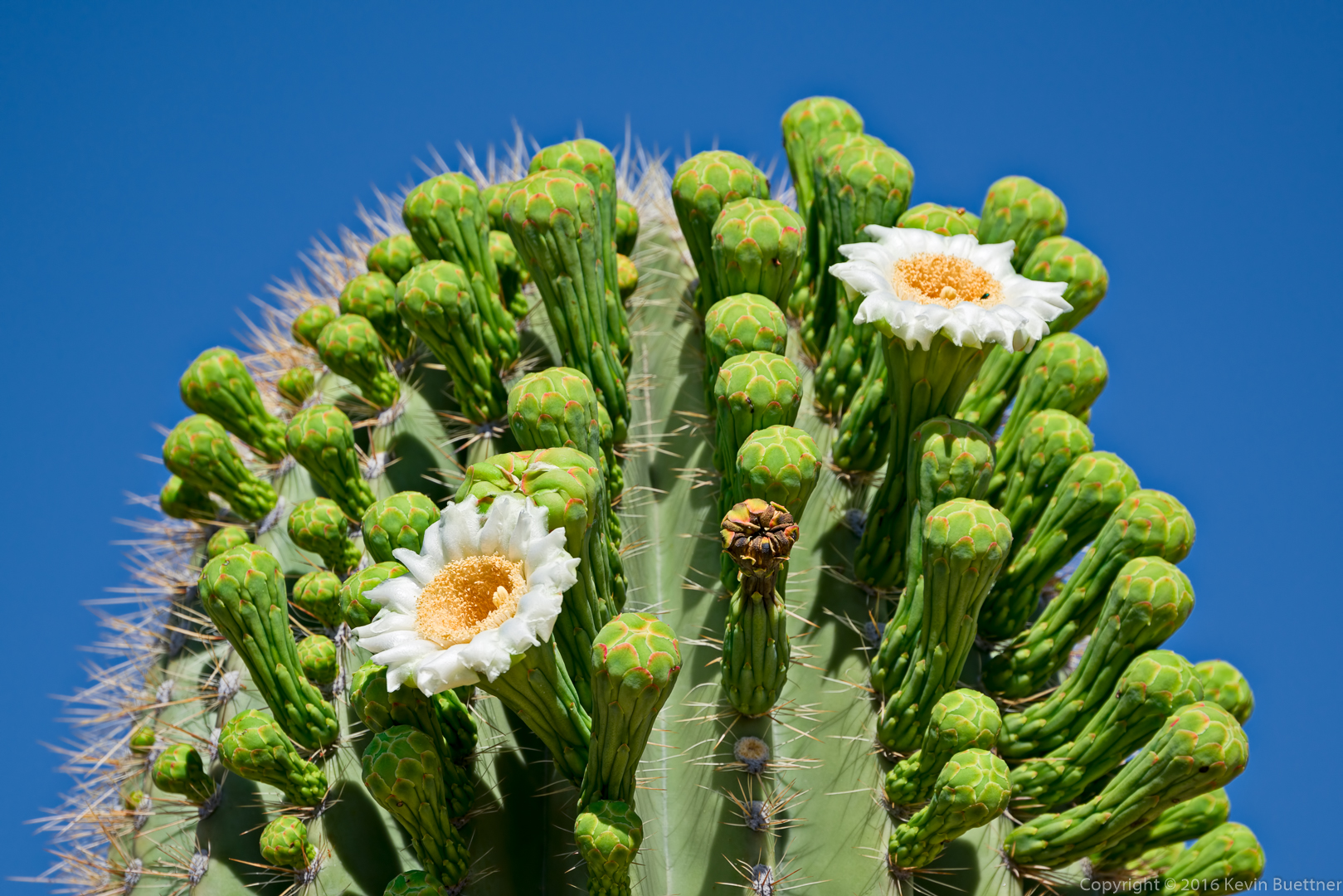
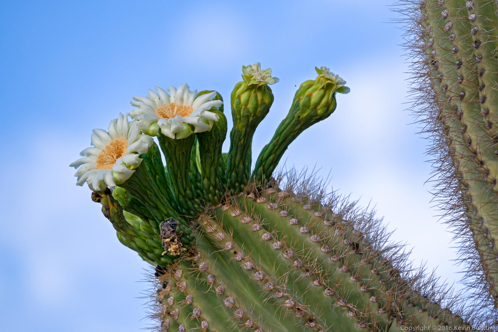
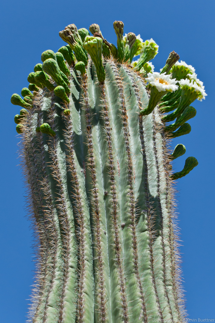
Saguaro Blossoms on the Sonoran Trail:
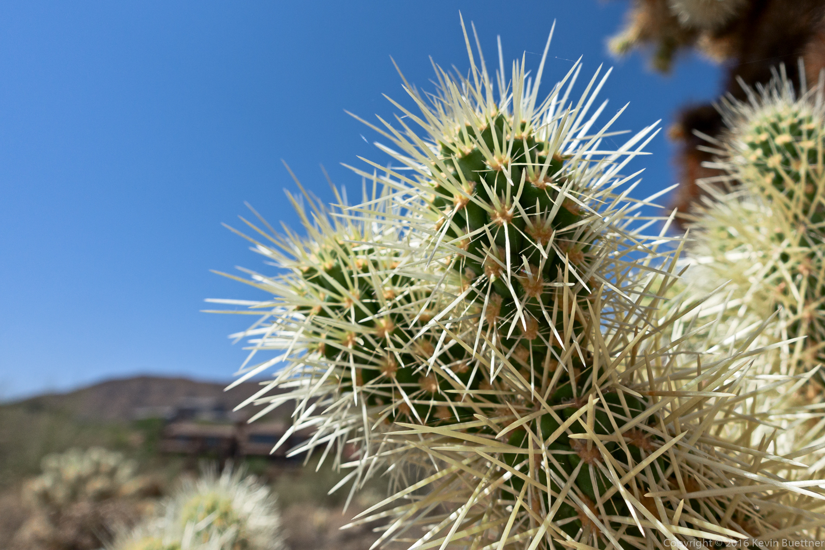
Cholla:
Mike and I hiked nine miles starting from the Wagner Trailhead.
These photos are a bit different from the usual ones that I get of this area – I used a 70-300mm lens on this set. The longer focal lengths make the distant mountains appear closer.
I used Topaz Impression when processing some of them too.
Bob and I hiked four miles in the Tom’s Thumb area on Friday. We hiked up Mesquite Canyon and then proceeded on the climber’s access trail to a point just past Hog Heaven, nearly to the Thumbnail Pinnacle, for roughly1500 feet of total ascent. We did this hike as an out-and-back; we had planned on making it a loop, but unfortunately made an (energy depleting) wrong turn after Hog Heaven, getting into some fairly difficult terrain. We removed the cairn which led us up the wrong path and added a few more indicating the correct route.
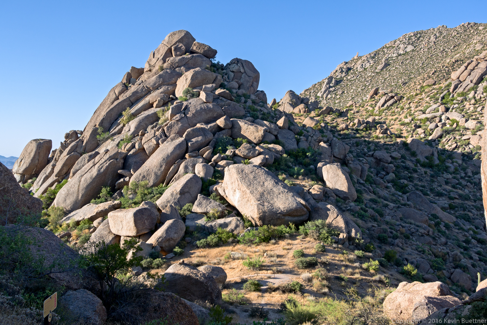
Bob and I hiked up the low angle slabs to the ridge line of the Sven Slab / Sven Tower I area.
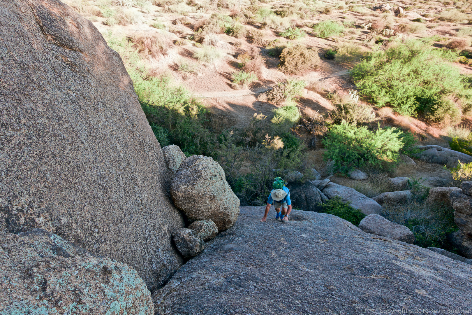
Bob, making his way up the bottom-most slab.
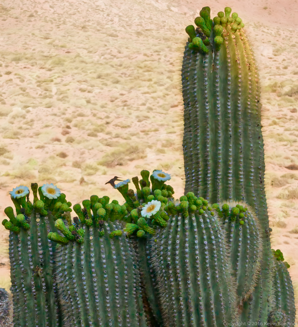
Hummingbird and saguaro blossoms:
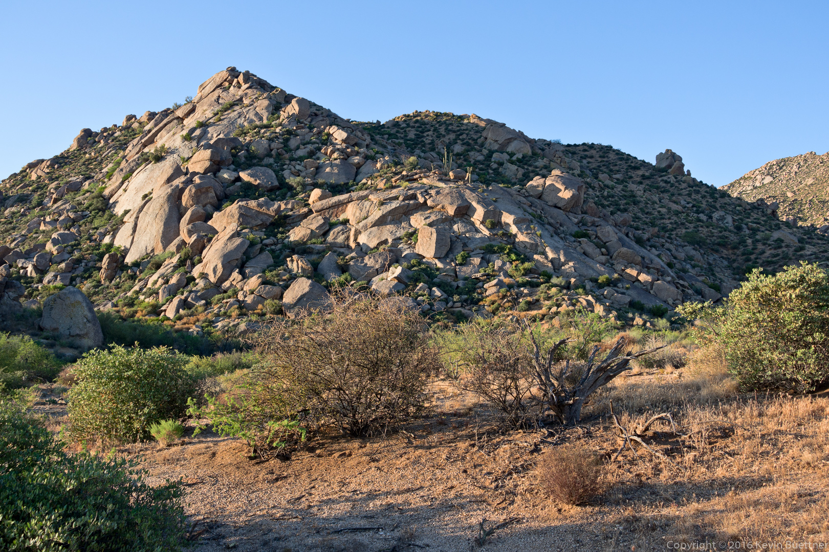
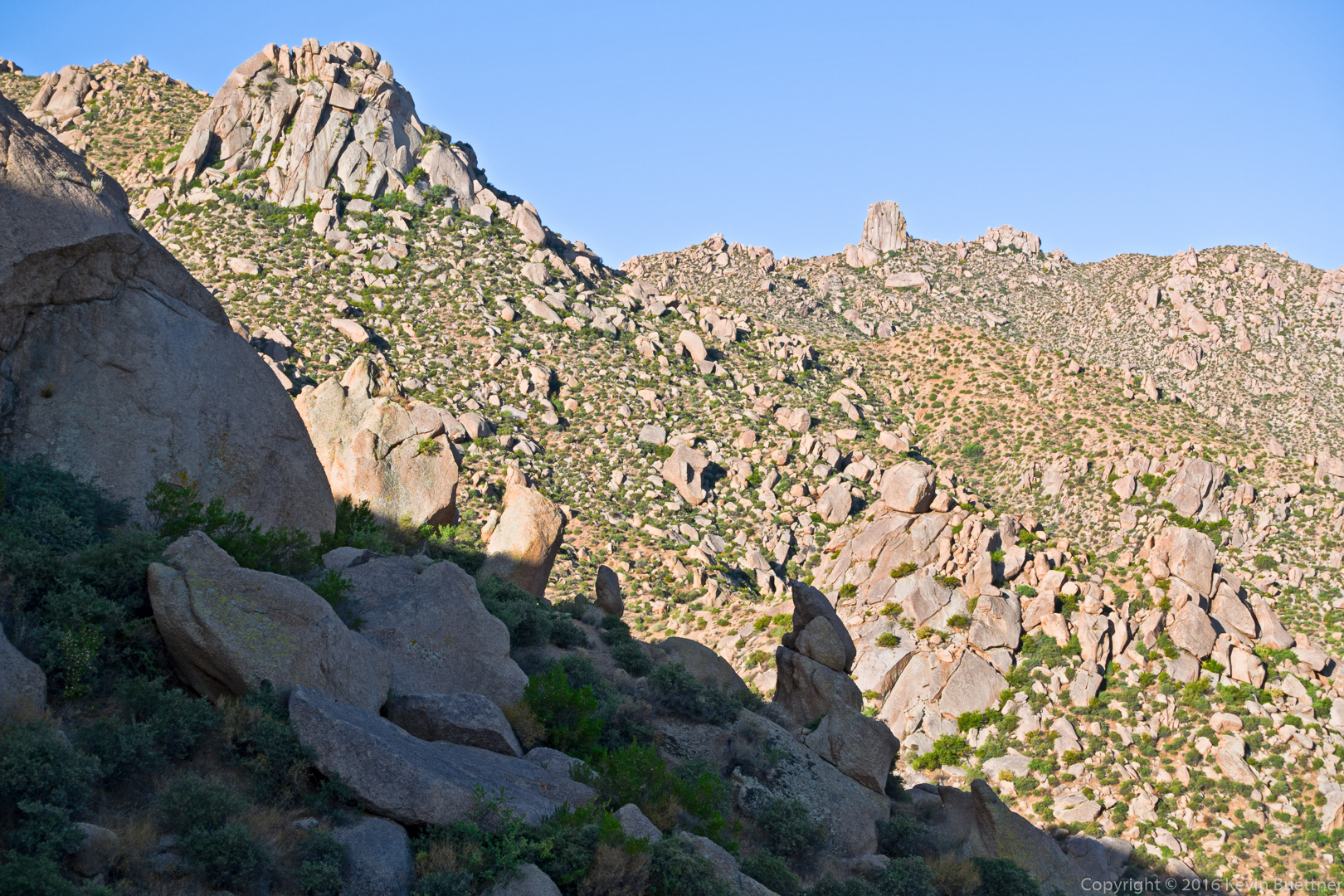
Morrell’s Wall and Tom’s Thumb:
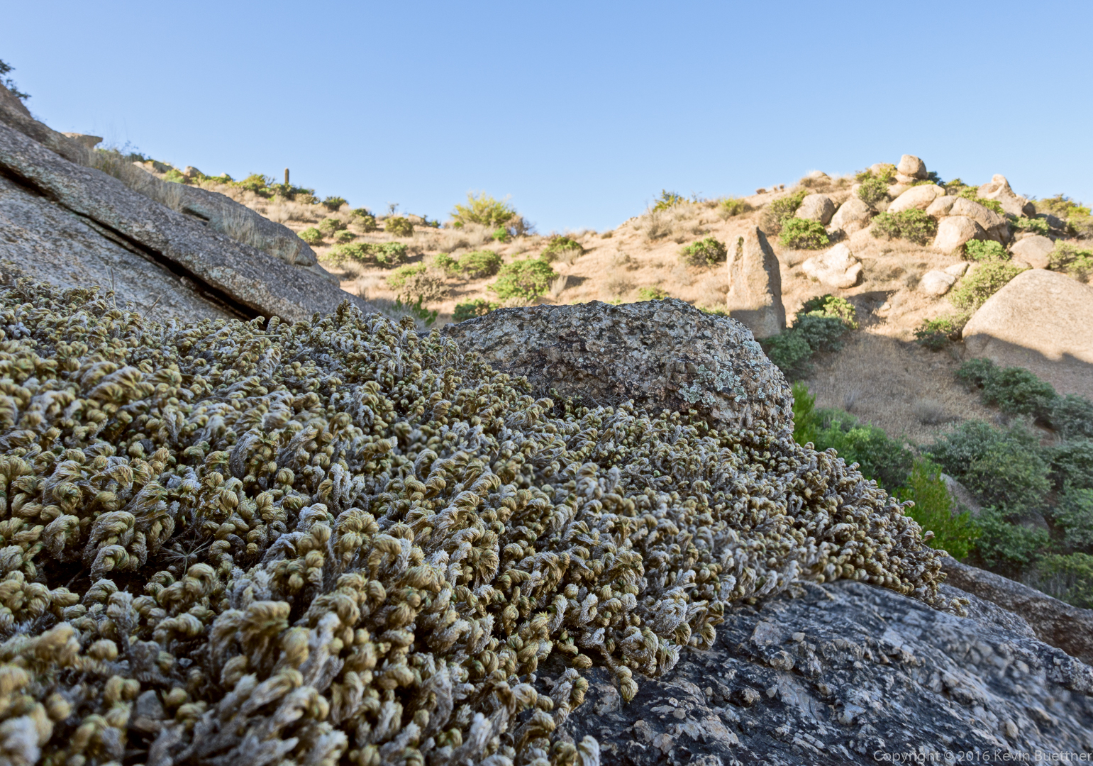
I’m not sure what this plant is, but we saw a lot of it growing on the slabs as we made our way up.
I think this might be the very top of Sven Tower III. The Thumbnail Pinnacle is visible in the distance.
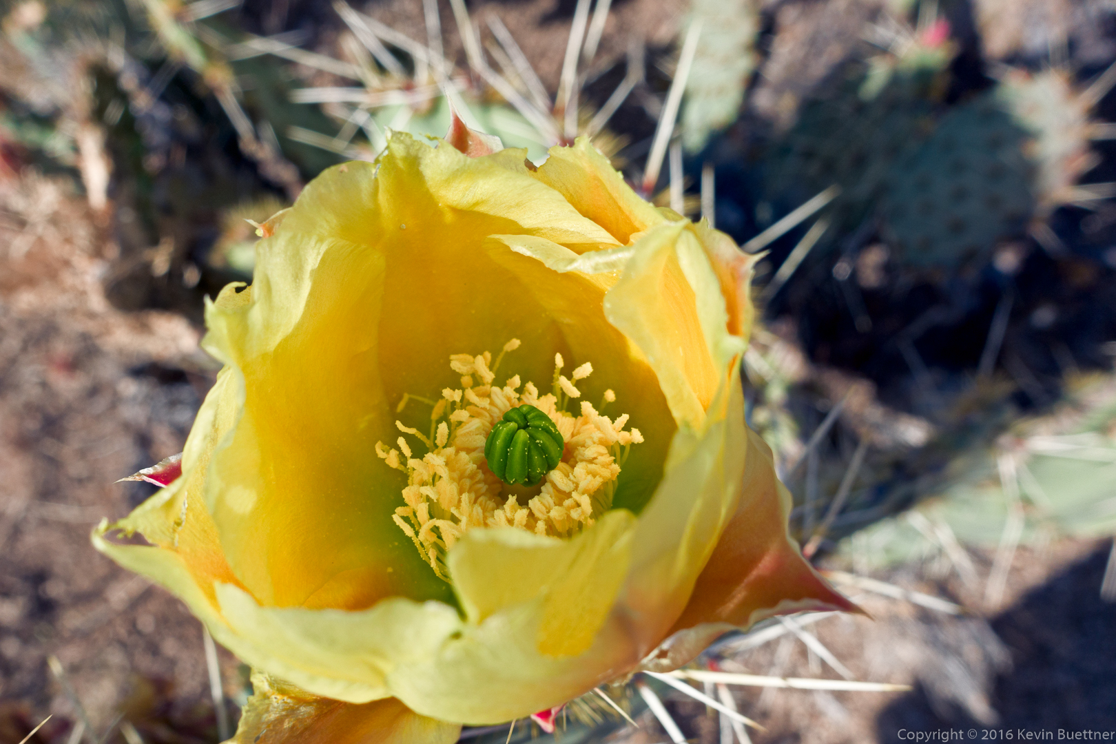
Prickly Pear Blossom:
Bob crossing Linda’s “favorite” spot on this hike:
A good view of Marcus Landslide, below. It’s also an expansive view of McDowell Mountain Park.
Mike, Bob, Nancy, Linda, and I hiked 7.6 miles starting from the Horse Staging Area.
Shortly after sunrise from the parking area:
Looking towards Red Mountain from the parking lot:
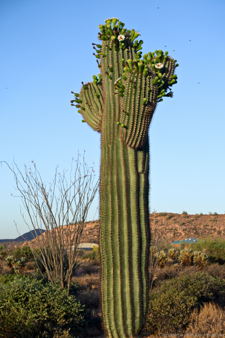
Bees around the saguaro blossoms:
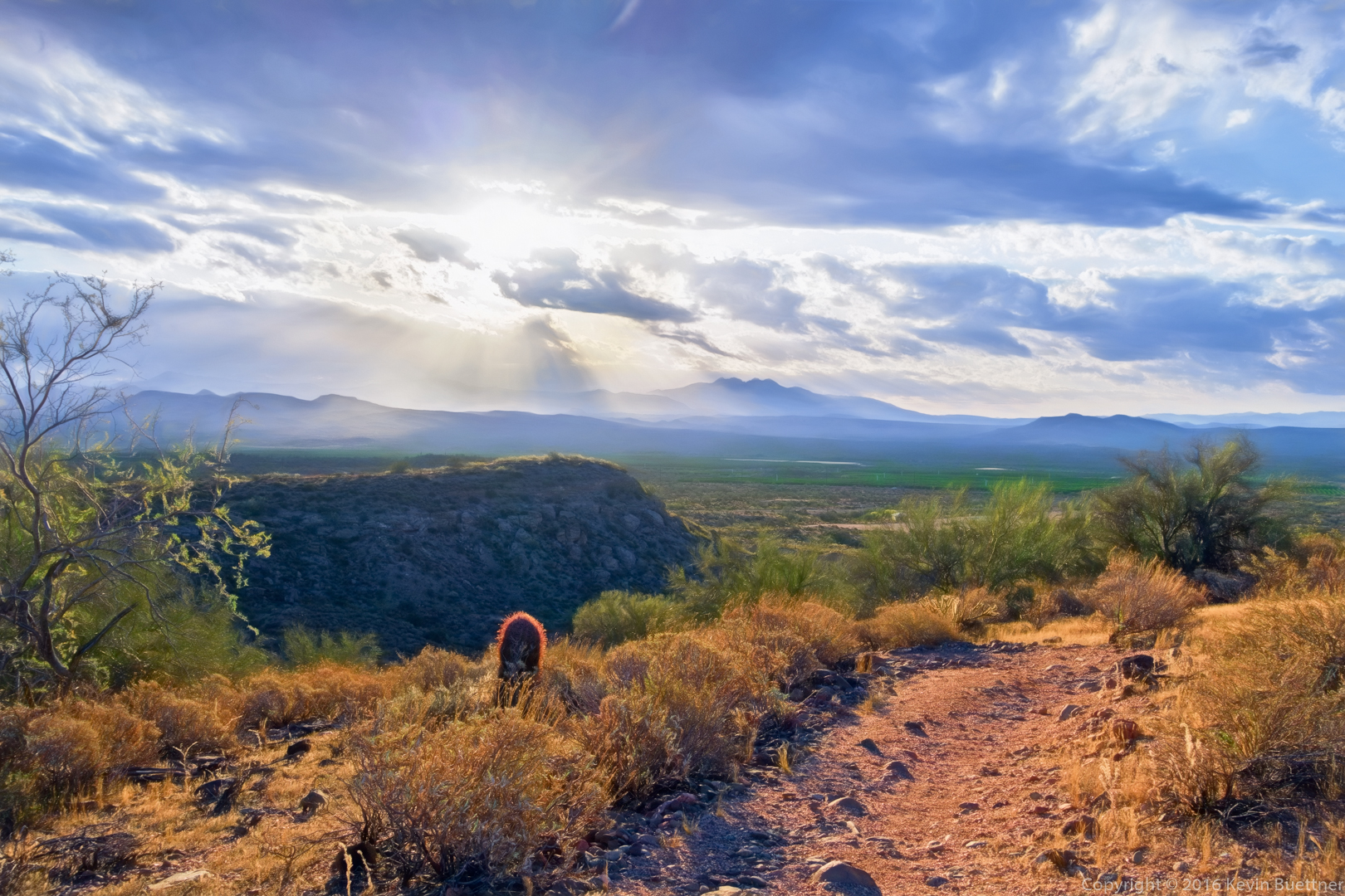
Looking towards Four Peaks from atop T-Bone Ridge:
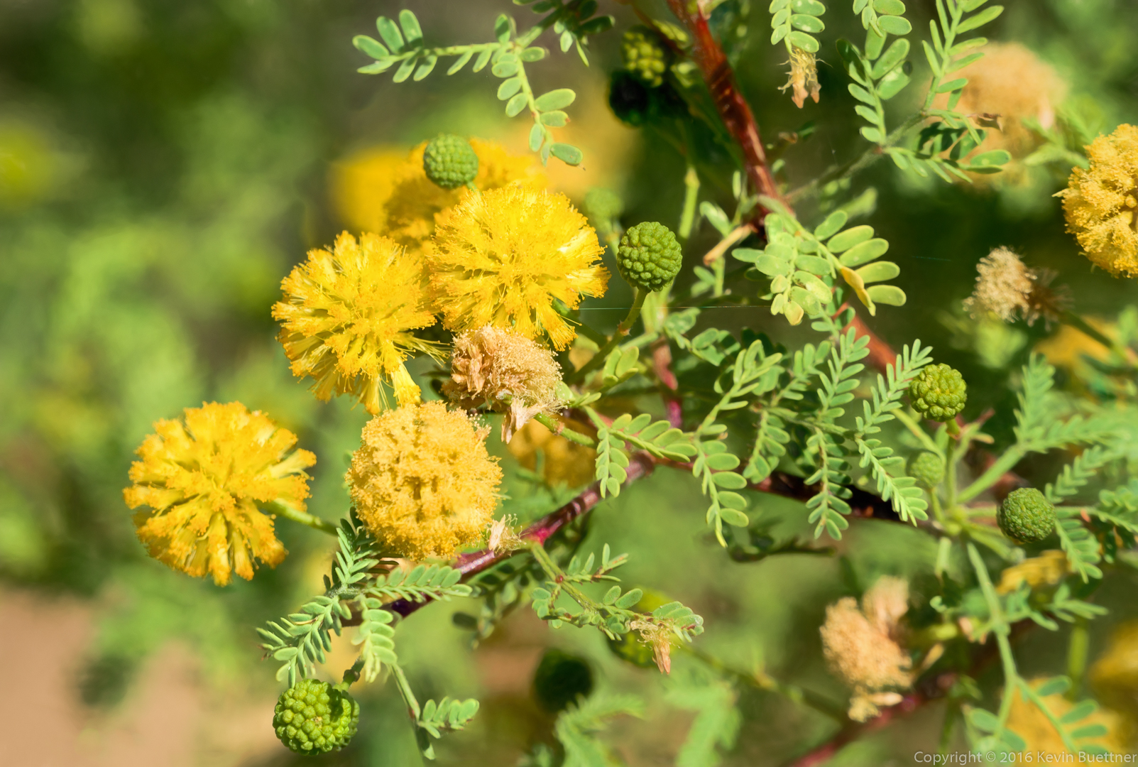
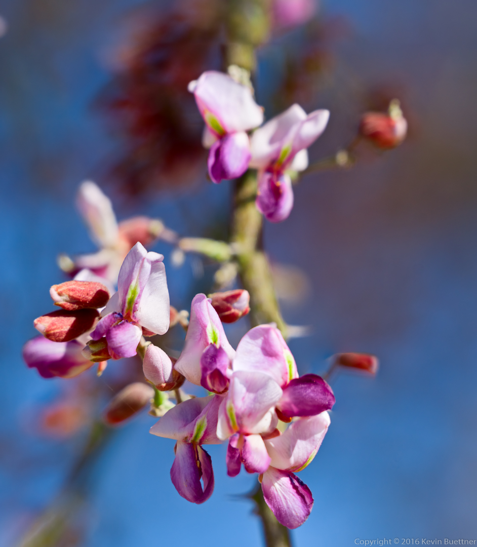
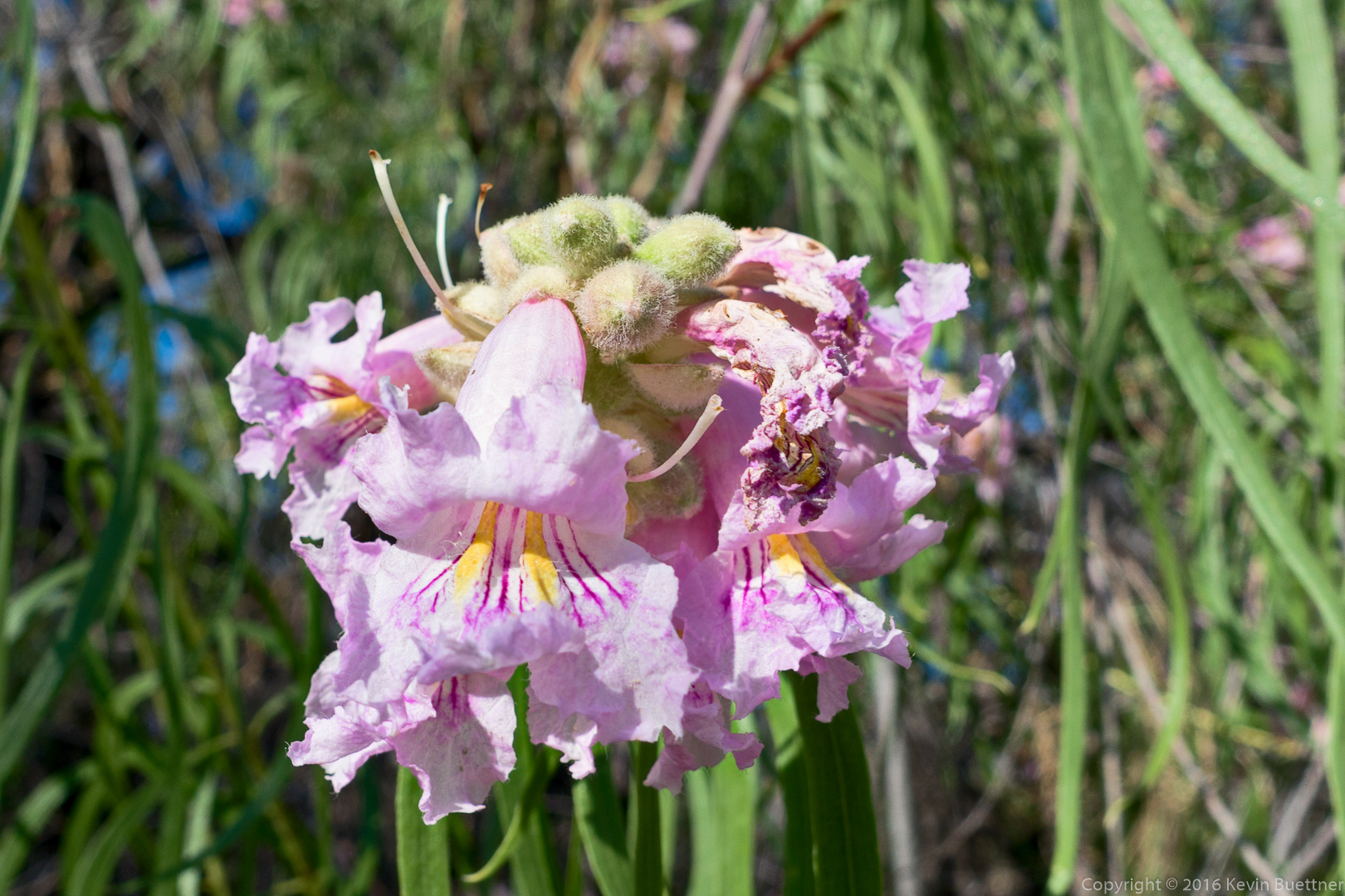
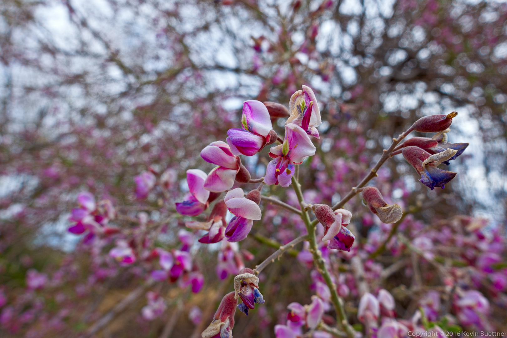
We saw this flower on a tree in Stoneman Wash. (Perhaps someone can identify it?)
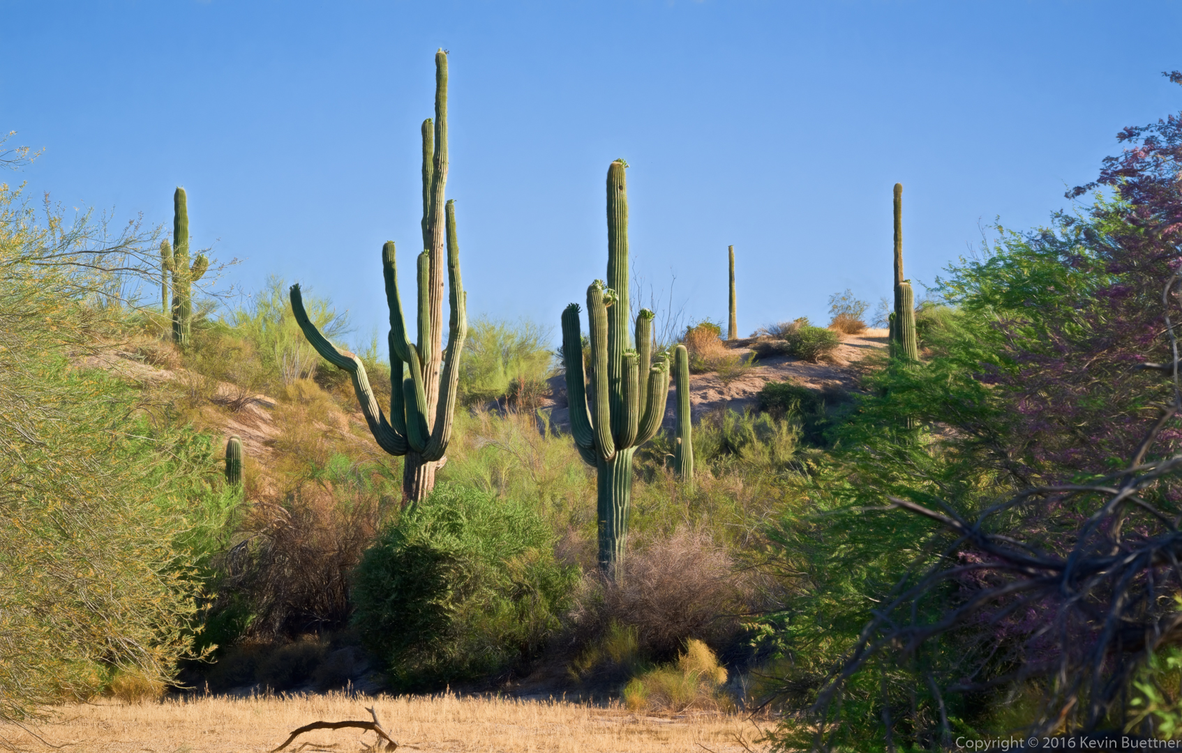
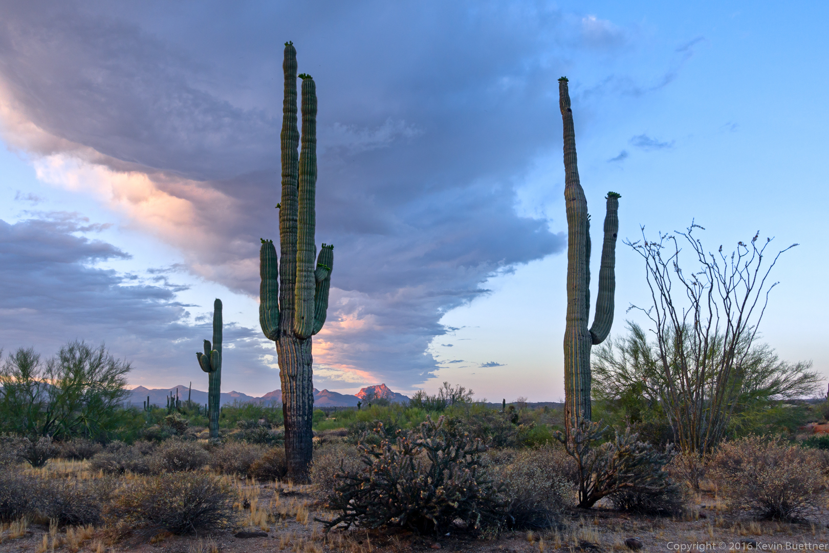
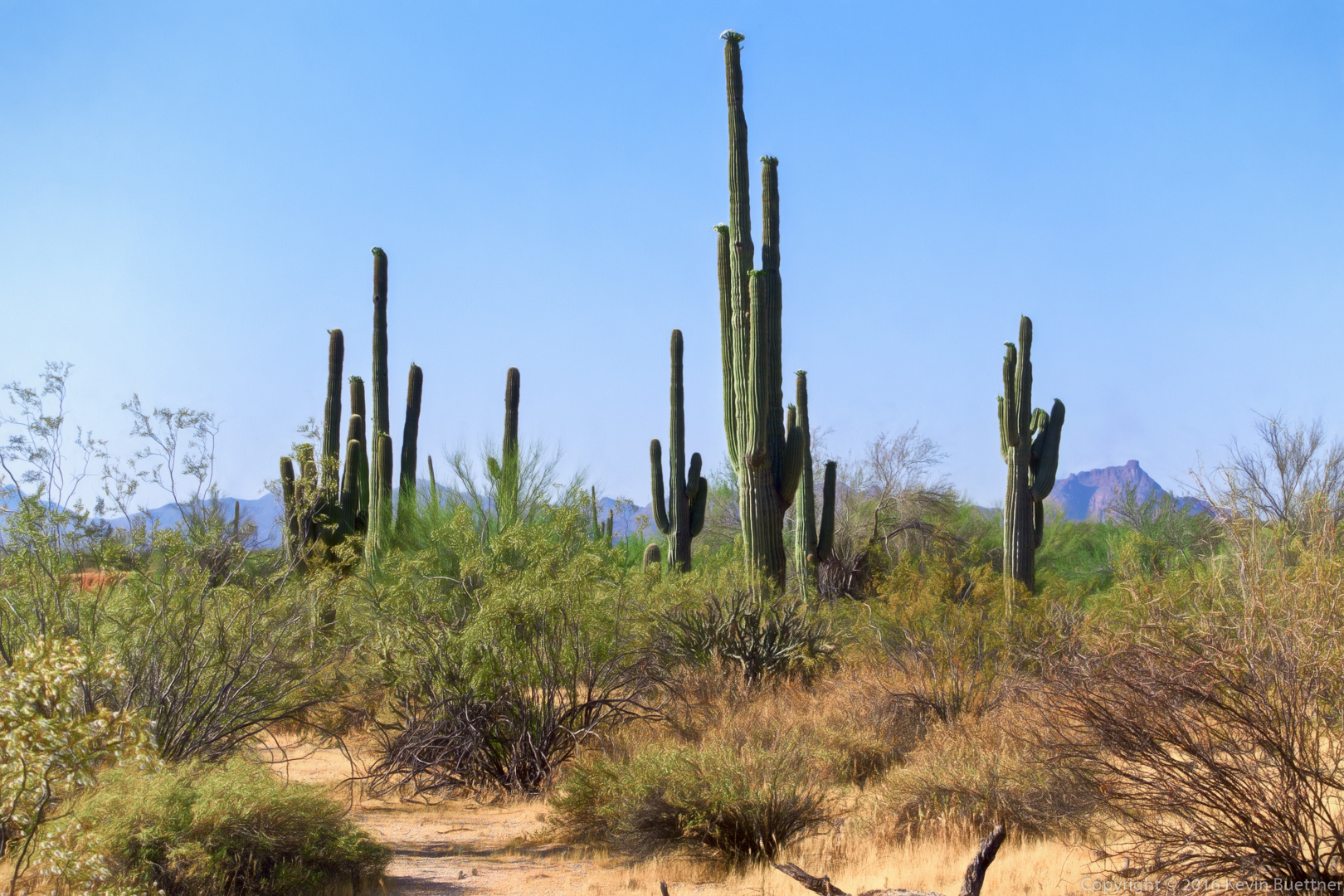
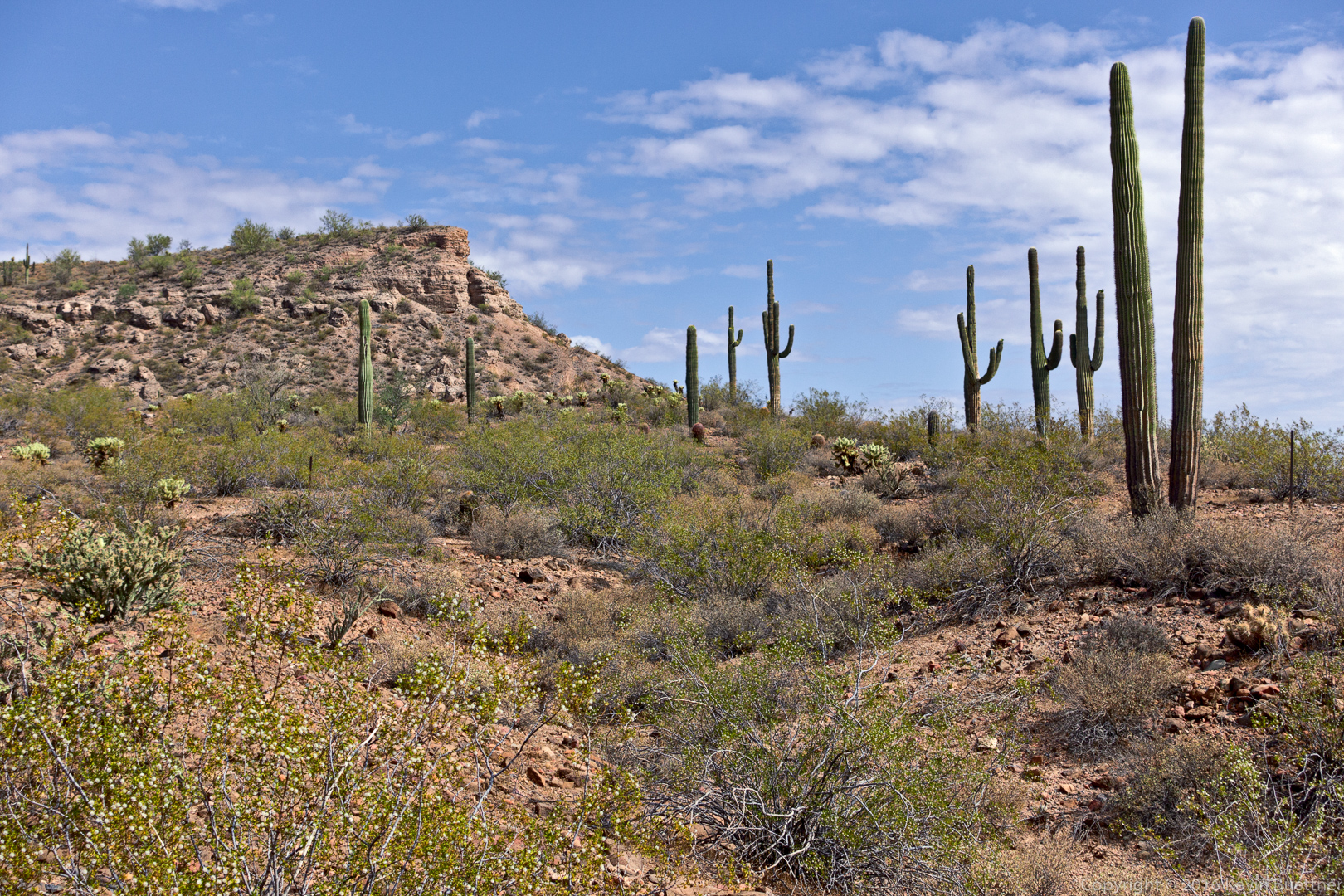
A stand of saguaros in Stoneman Wash:
Linda, Mike, Bob, and I hiked nearly 11.4 miles on a Friday that started off cloudy and a little bit rainy. By the time we were done with the hike, however, there were very few clouds in the sky.
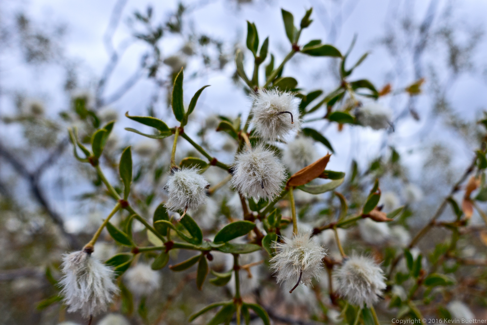
Creosote:
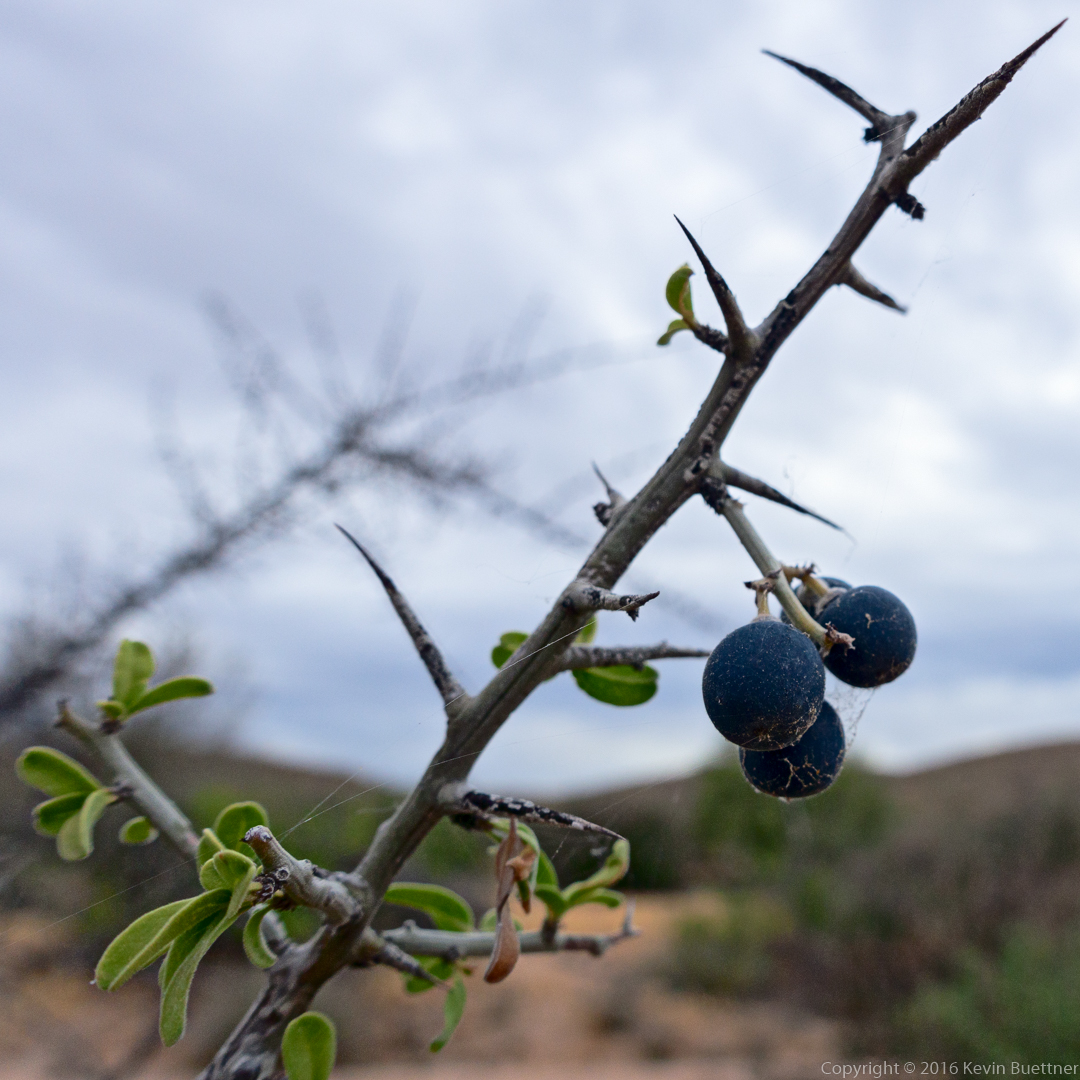
Linda identified this as Graythorn:
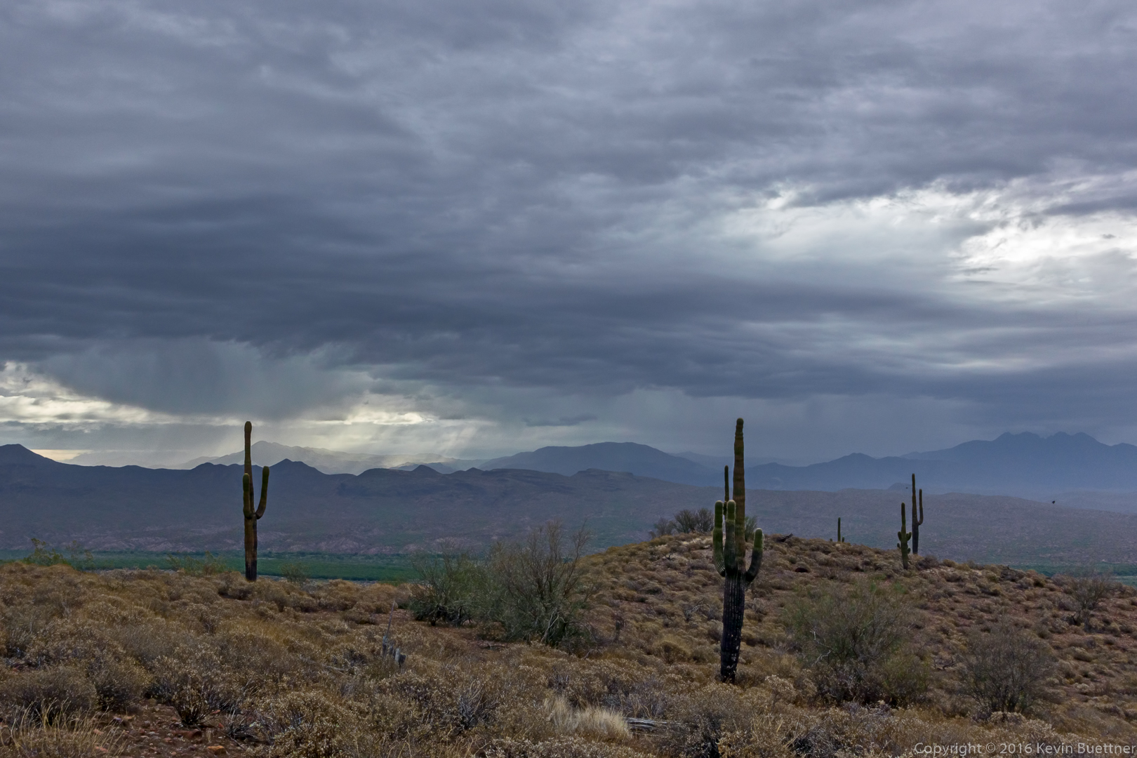
A view of the storm clouds from the Scenic Trail:
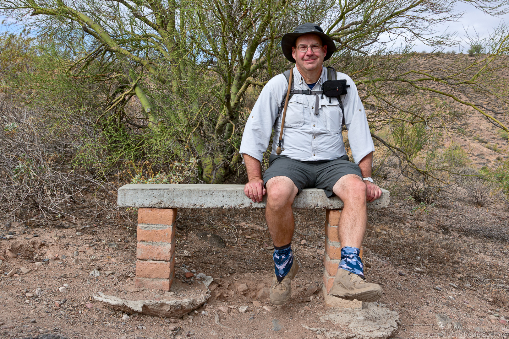
Mike on the tall bench at the overlook on the Lousley Hill Trail:
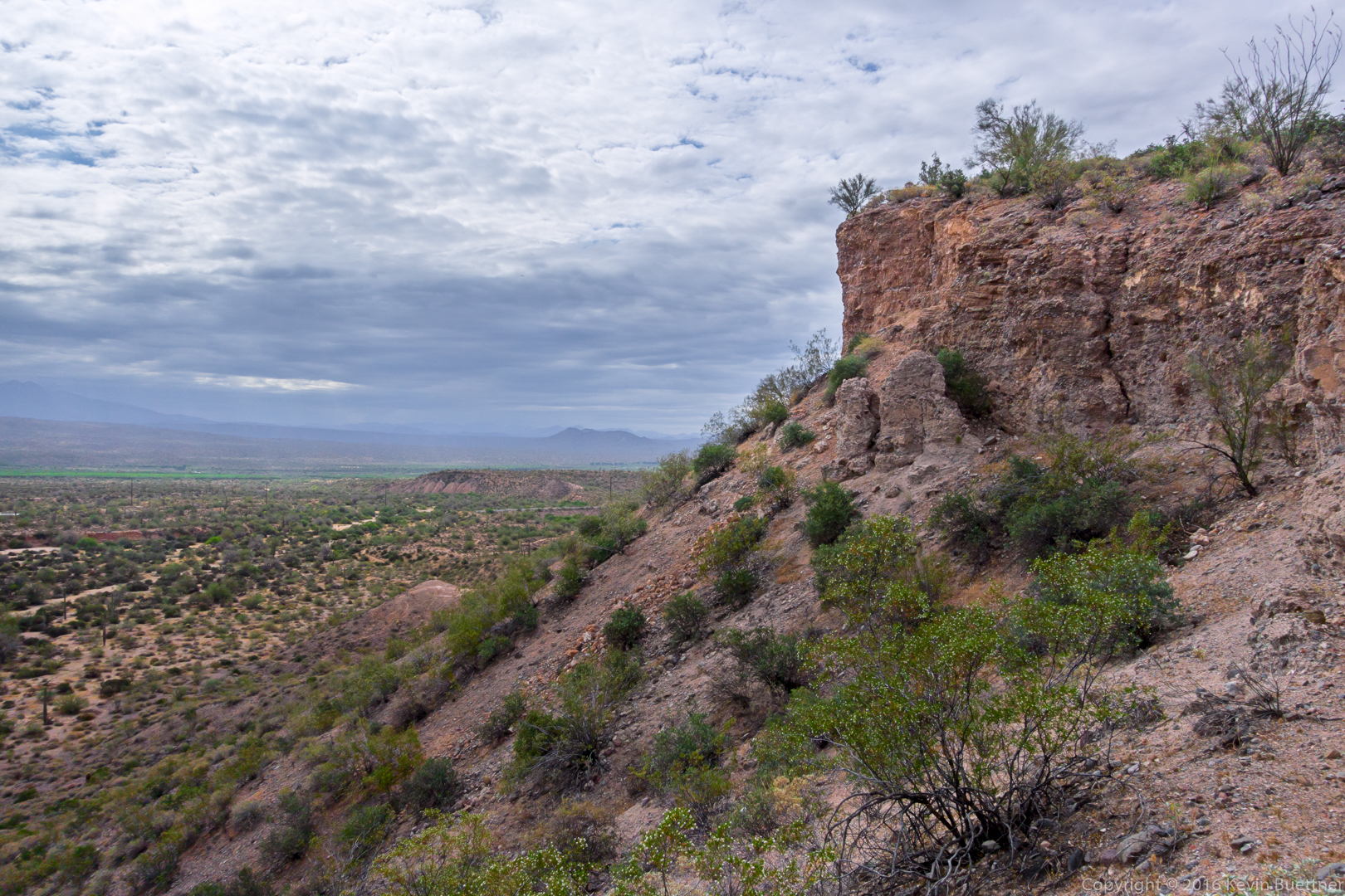
A view from Lousley Hill:
Ironwood:
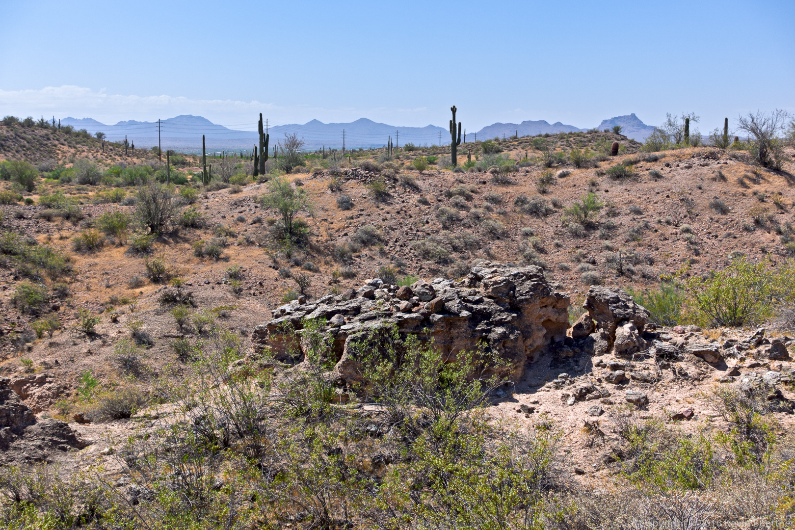
Views from the Escondido Trail…
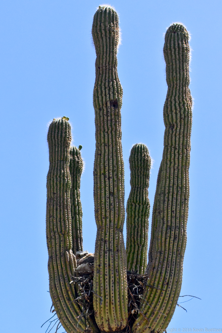
Look for the owl!
Saguaro blossoms:
