Tag: Friday Fitness Hike (page 8 of 36)

Friday Fitness Hike

Linda and I hiked 10.6 miles in McDowell Mountain Park, staying mostly in washes.  We finished up with about two miles in Shallmo Wash, eschewing the nearby trail for the loose and sandy goodness of the wash.

Any early morning view from the parking area:

Looking toward the McDowells from the top of T-Bone Ridge:

Stoneman Wash:

This is one of Stoneman’s feeder washes:

After crossing the Pemberton, we continued up this wash and came upon this snake.

Further on, we found this shed from a mule deer:

This is Shallmo Wash:

Some critter, probably a pack rat, seems to have piled up sticks and twigs on two levels in this dead tree.


Friday Fitness Hike

Jill and I hiked out to Dixie Mine, visiting both the top of the tailings and the horizontal entrance. After looking at the petroglyphs, we continued onto the Prospector Trail where we hiked to the scenic overlook. Total distance for the day’s hike was nearly 8 miles with just over 1,000 feet of total ascent.

Friday Fitness Hike

Linda and I hiked 10 miles starting from the Tom’s Thumb Trailhead.  We started off hiking the Lost Wall Loop which took us up to the ridge on which Tom’s Thumb is located. We hiked past Tom’s Thumb, returned to Tom’s Thumb Trail and then hiked East End, Windmill, Coachwhip, Pemberton, Boulder, and Marcus Landslide.

We saw quite a lot of haze in the distance.

A view of Tom’s Thumb from the ridgeline:

Linda scrambling up some rocks on the way to Tom’s Thumb:

A view from the East End Trail:

A view from the Boulder Trail:

Friday Fitness Hike

Heather, Mike, Bob, and I hiked a 10.3 mile loop featuring the South Wash. We saw a barn owl in the wash!

Friday Fitness Hike

Mike, Bob, Sara, Jill, and I hiked 9.7 miles starting from the Wagner Trailhead. We did a big loop, staying in washes for the majority of the hike.

More burst fruit on a saguaro. (I got a photo last week too.)

A tree in Stoneman Wash:

A look at one of the really cool arroyos in the park. Perhaps half an hour later we were down there where we took a group photo.

A somewhat narrow wash with high banks!

Mike, Kevin, Bob, Jill, and Sara. Thanks to Sara for helping with this shot.

Friday Fitness Hike

Kathy, Tawana, Marilyn, Bob, Mike, and I did an eight mile hike starting from the parking area for the Dixie Mine Trail. We hiked out to the road, took a look at the tailings and then went back down to look in at the horizontal shaft. We also looked at the petroglyphs after which we made our way over to the Prospector Trail where we hiked to the lookout that’s midway up the trail.

Heading out on the Dixie Mine Trail:

Marilyn and Tawana:

Mine tailings:

Looking down the vertical mine shaft. There is something highly reflective (water?) at the bottom.  You can see my head and the grating covering the hole in the reflection.

This is the gate preventing entry to the mine’s adit.

The nearby petroglyphs:

Bob, Marilyn, Kathy, Kevin, and Mike.  (Thanks to Tawana for taking this photo.)

Some of the saguaro fruit have burst sort of making them look like red flowers.

Friday Fitness Hike

Marilyn, Bob, Linda, and I hiked a six mile lollipop-loop in the Dixie Mine area. We visited the mines, petroglyphs, and dry waterfall prior to returning.

Saguaro blooms:

A slightly different view (than what I normally photograph) of the mine tailings and hills / mountains beyond.

Despite a recent effort to eradicate it from the area, tamarisk is once again growing in front of the gated adit.

It’s a shame that the sign doesn’t say what was taken out of the mine…

This is part of the main petroglyph panel:

We saw these petroglyphs just prior to arriving at the dryfall:

The dryfall…

A view from the Dixie Mine Trail on the way back:

Friday Fitness Hike

Bob, Linda, Marie, and I hiked nearly seven miles on Friday. Ranger Amy joined us for part of the hike on her bike, meeting us at various points along the way when our paths diverged.

The saguaros are in bloom!

This is Stoneman Wash:

Views while hiking the wash…

Friday Fitness Hike

Linda, Marlee, and I hiked nearly 10.7 miles on Friday. We hiked up Tom’s Thumb, down East End, left on Windmill, left on Coachwhip, left on Pemberton, and left on Boulder. When we got to the Marcus Landslide Trail, we hiked the interpretive loop before taking it back to the trailhead. Total elevation gain was 1900 feet.

This is a view from the top of the East End Trail:

Marlee and Linda, hiking down the East End Trail:

Prickly Pear Blossom:

A view of Thompson Peak from the Pemberton Trail:

We saw this rabbit just off of the Boulder Trail:

Submarine Rock:

Linda took this photo of me returning from my perch where I took the previous photo.  (Photo Credit: Linda Kalbach.)

The bow (or maybe stern) of Submarine Rock:

The hole / tunnel below Submarine Rock:

Another view of Submarine Rock, this time with Linda and Marlee in the photo to show its size.

One of the mushroom boulders on the Marcus Landslide Trail:

Soon to be blossoms on a saguaro:

Friday Fitness Hike

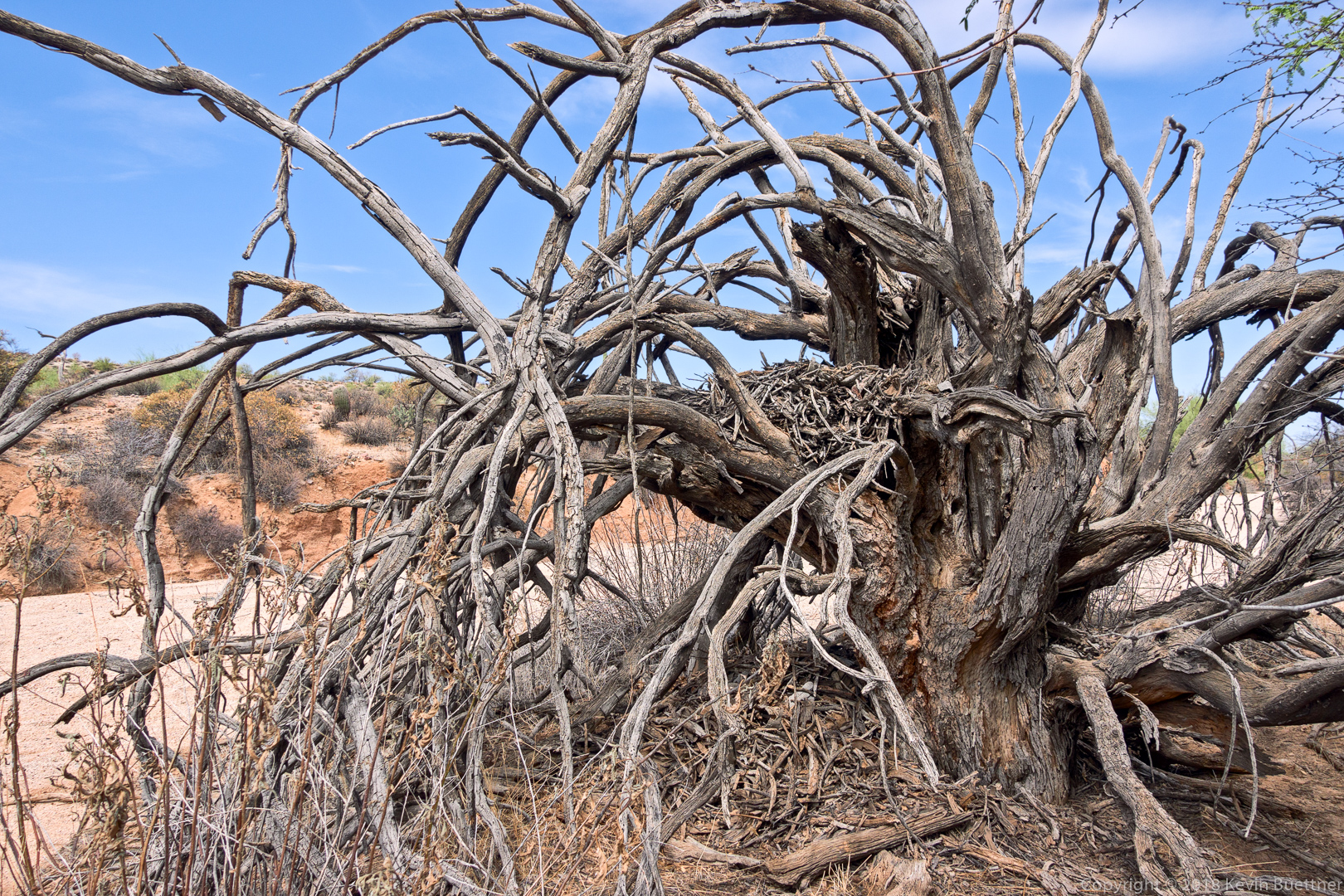
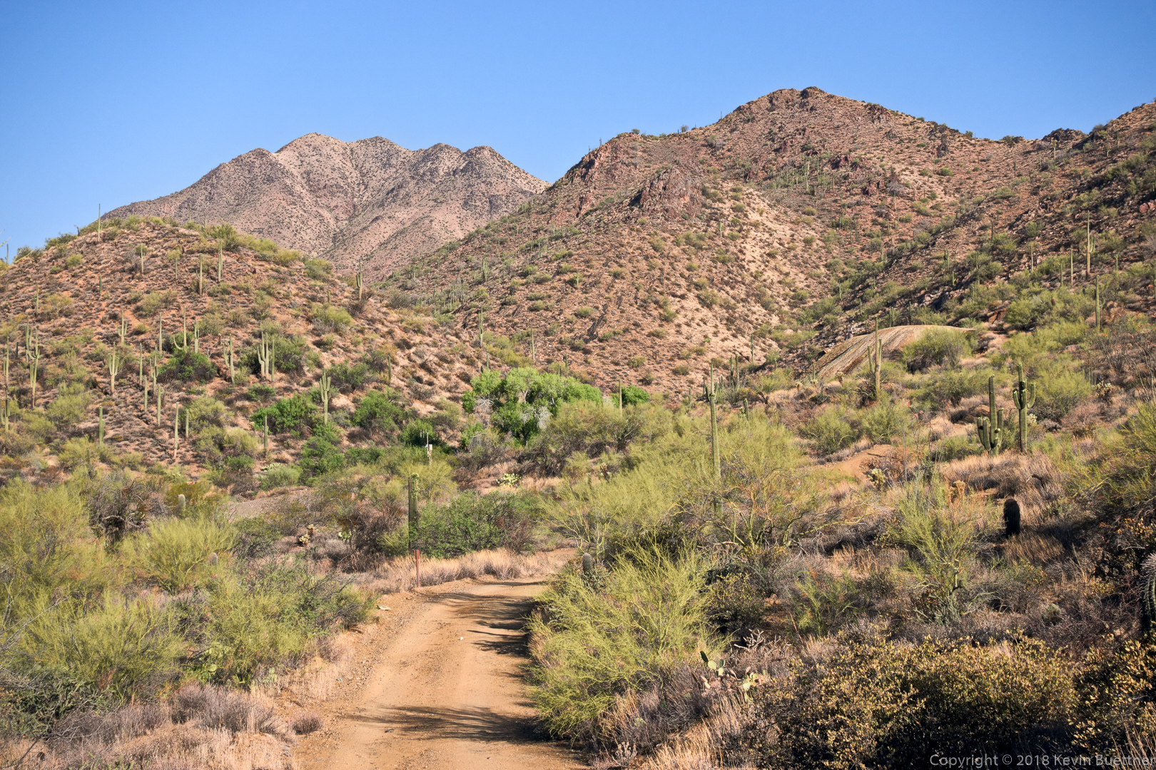
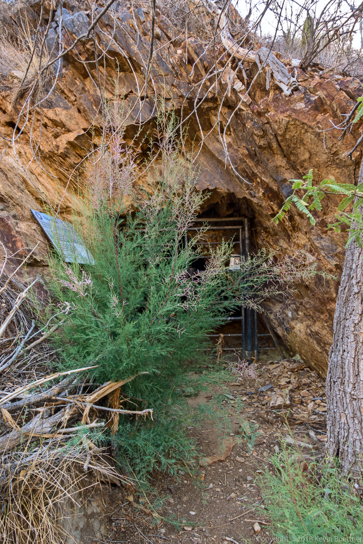
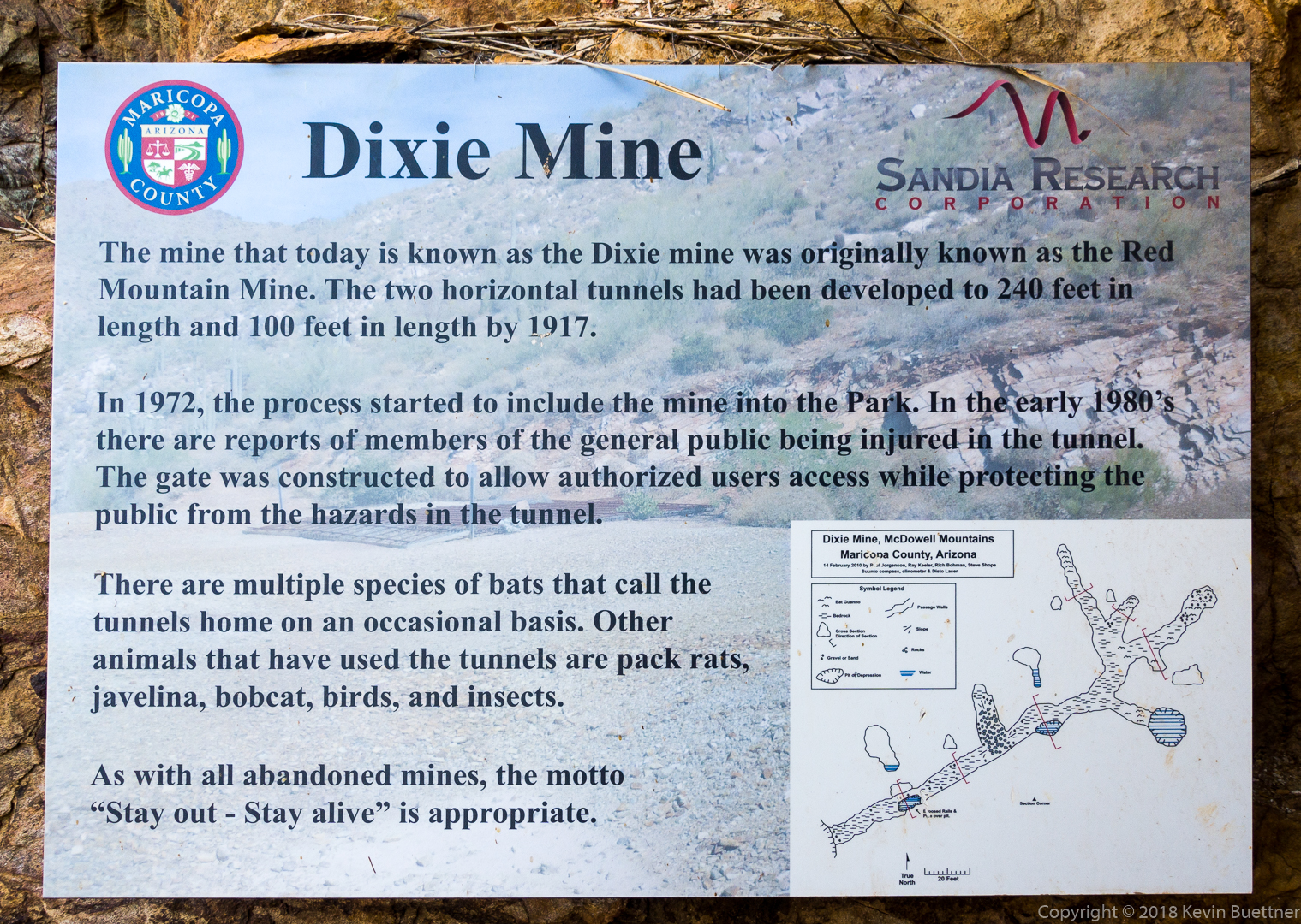
Linda, Nora, Heather, and I hiked a little over 10 miles in the McDowells. We hiked the Dixie Mine, Sonoran, Promenade, and Western Loop Trails.

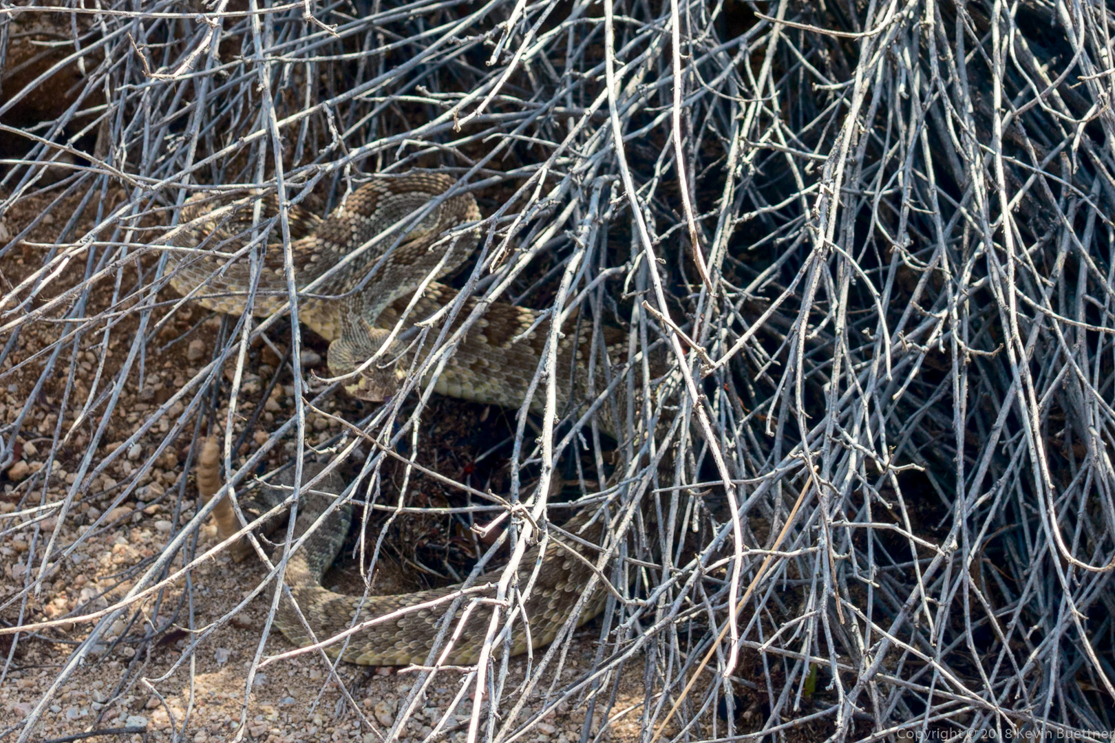
We saw three snakes on our hike. We have photos of only two of them. The last one, which was too quick for me to get a photo, was a coachwhip.

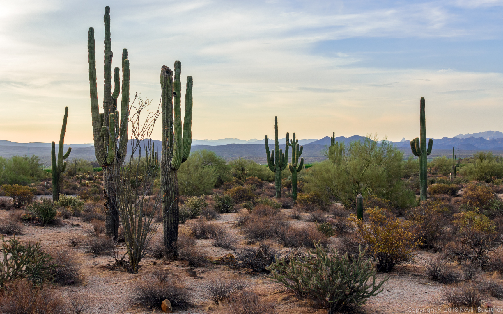
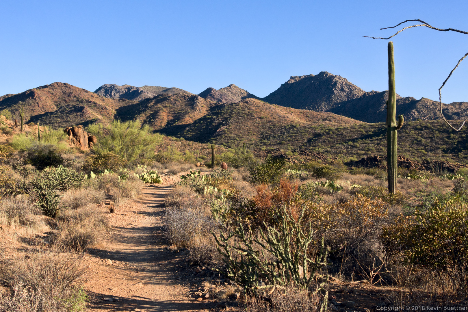
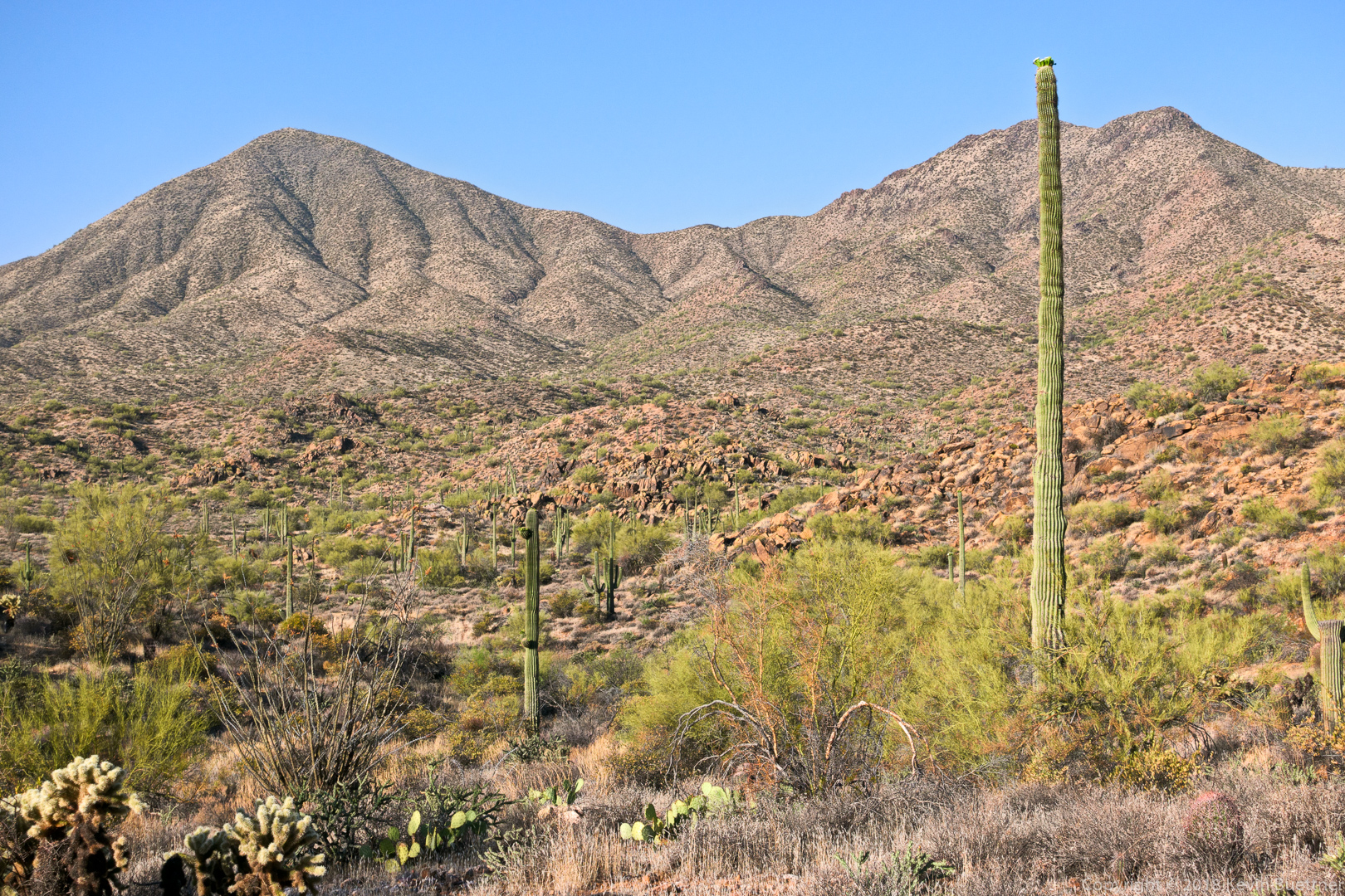
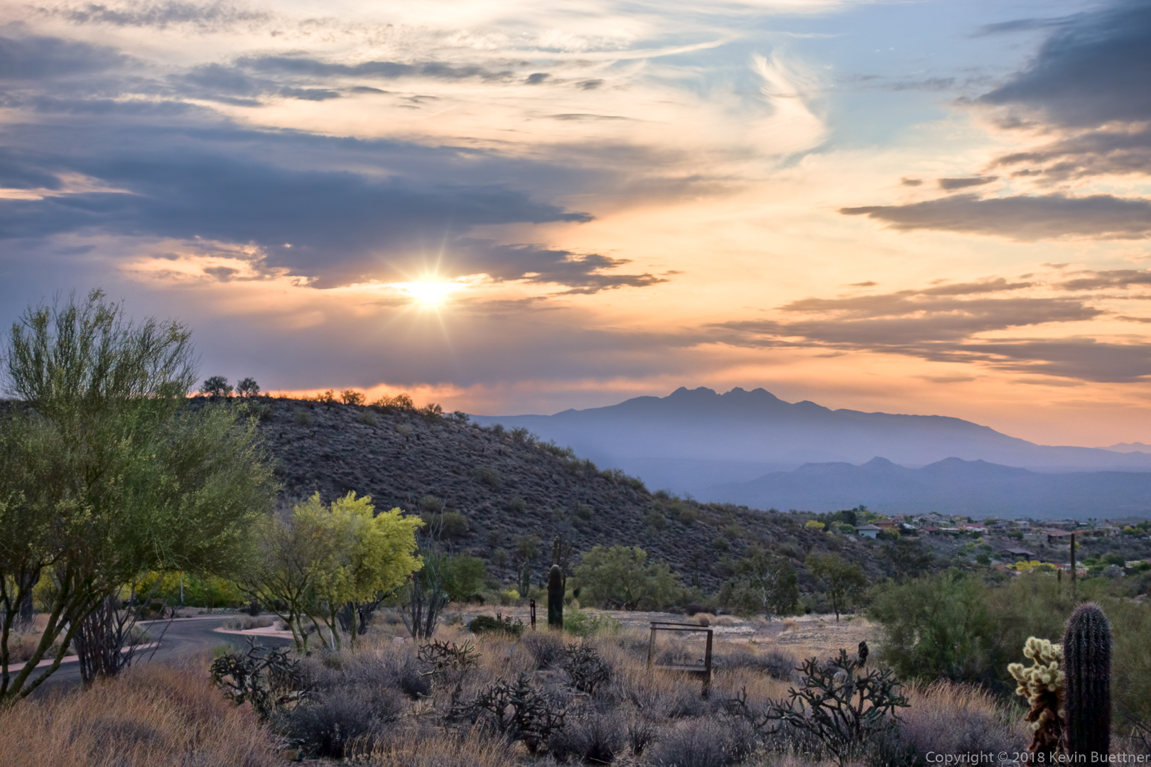
Shortly after sunrise…

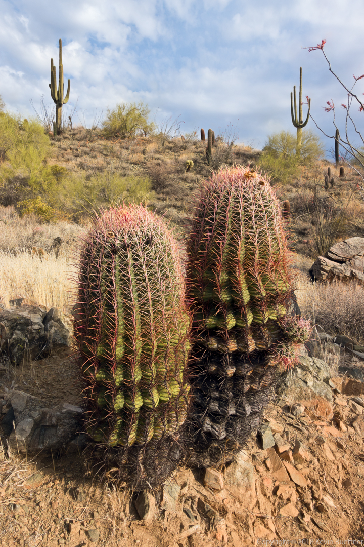
Two barrel cacti – note the two small “arms” on the one on the right.

Despite not being able to see its nose (due to having partially gone into a hole), one of Linda’s friends identified this as a long nose snake. (Photo Credit – Linda Kalbach.)

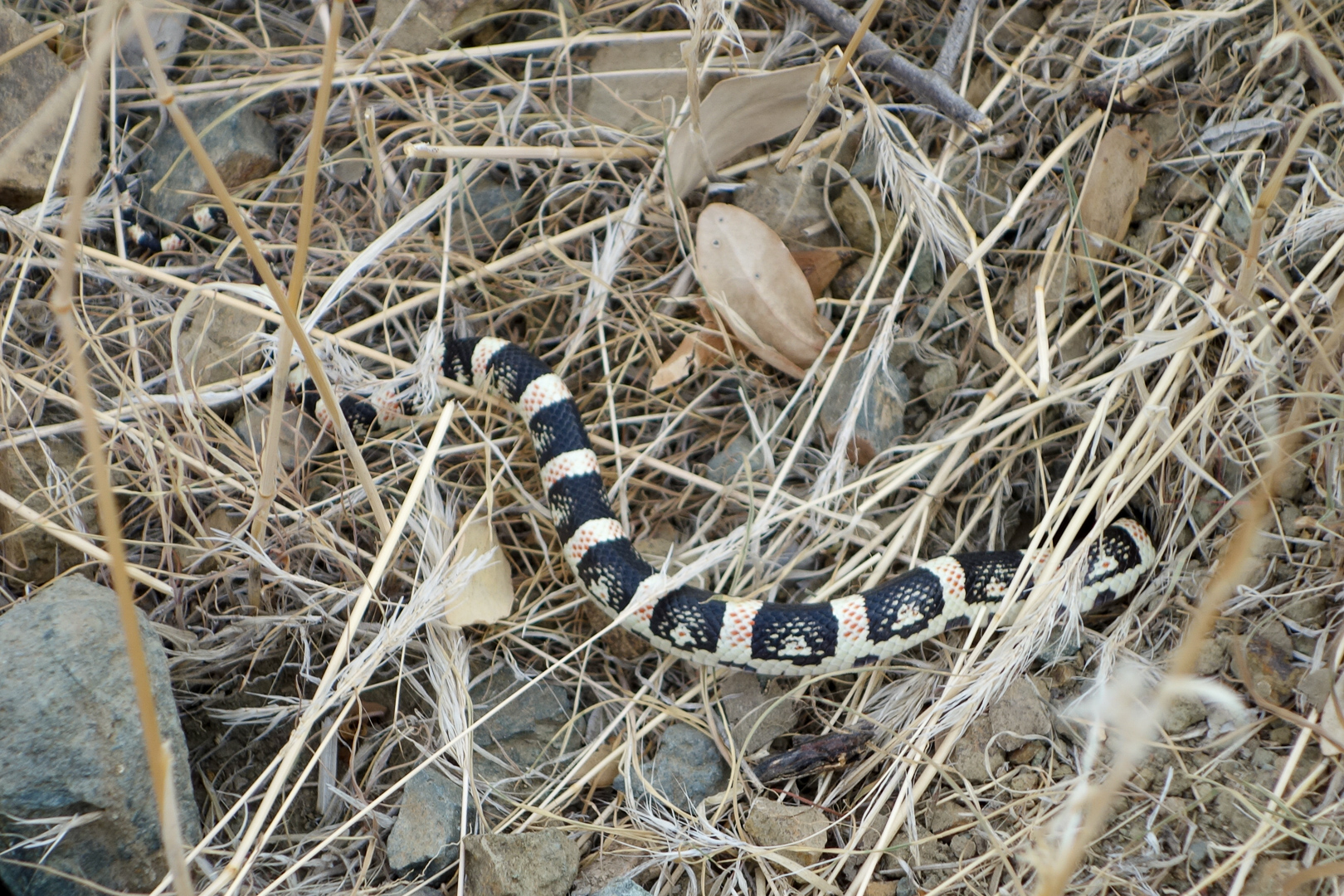
The thing that surprised us most about this snake was its greenish tinge. We all thought that it might be a Mohave rattlesnake, perhaps even a Mohave Green Rattlesnake, but Heather contacted Mark, the ranger at the Cave Creek Regional Park, who identified it as a Black Tailed Rattlesnake (Crotalus Molossus).

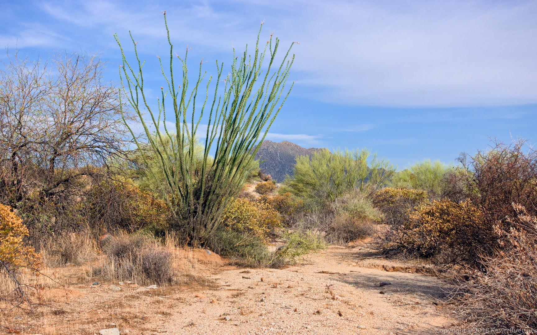
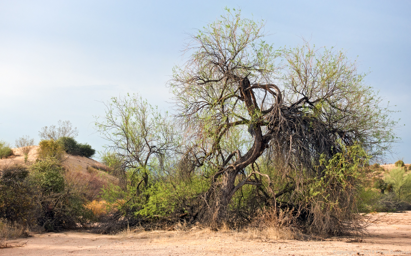
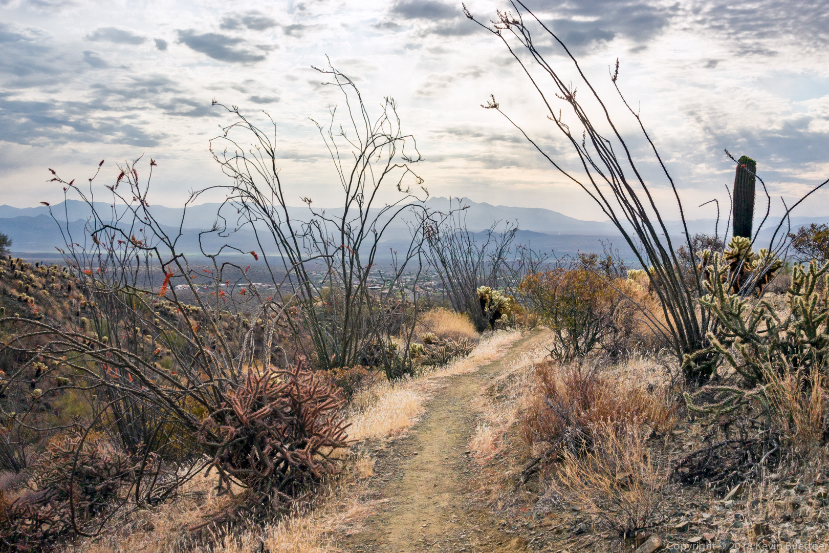
Ocotillos on the Upper Sonoran Trail:

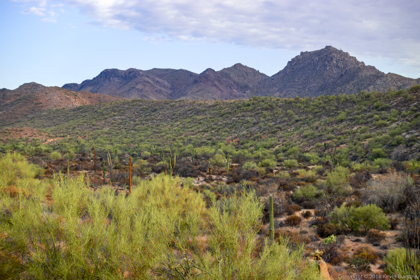
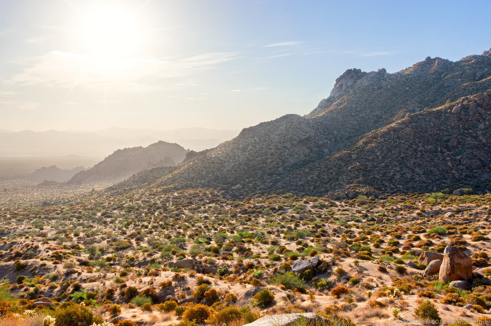
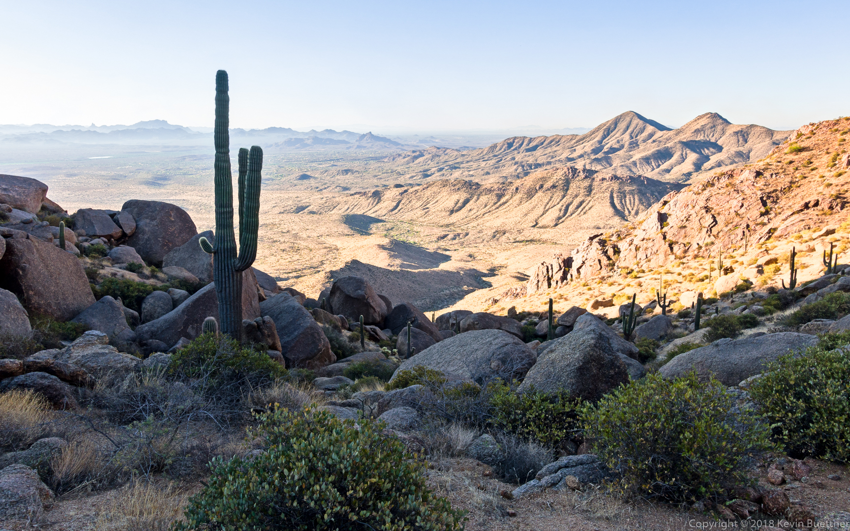
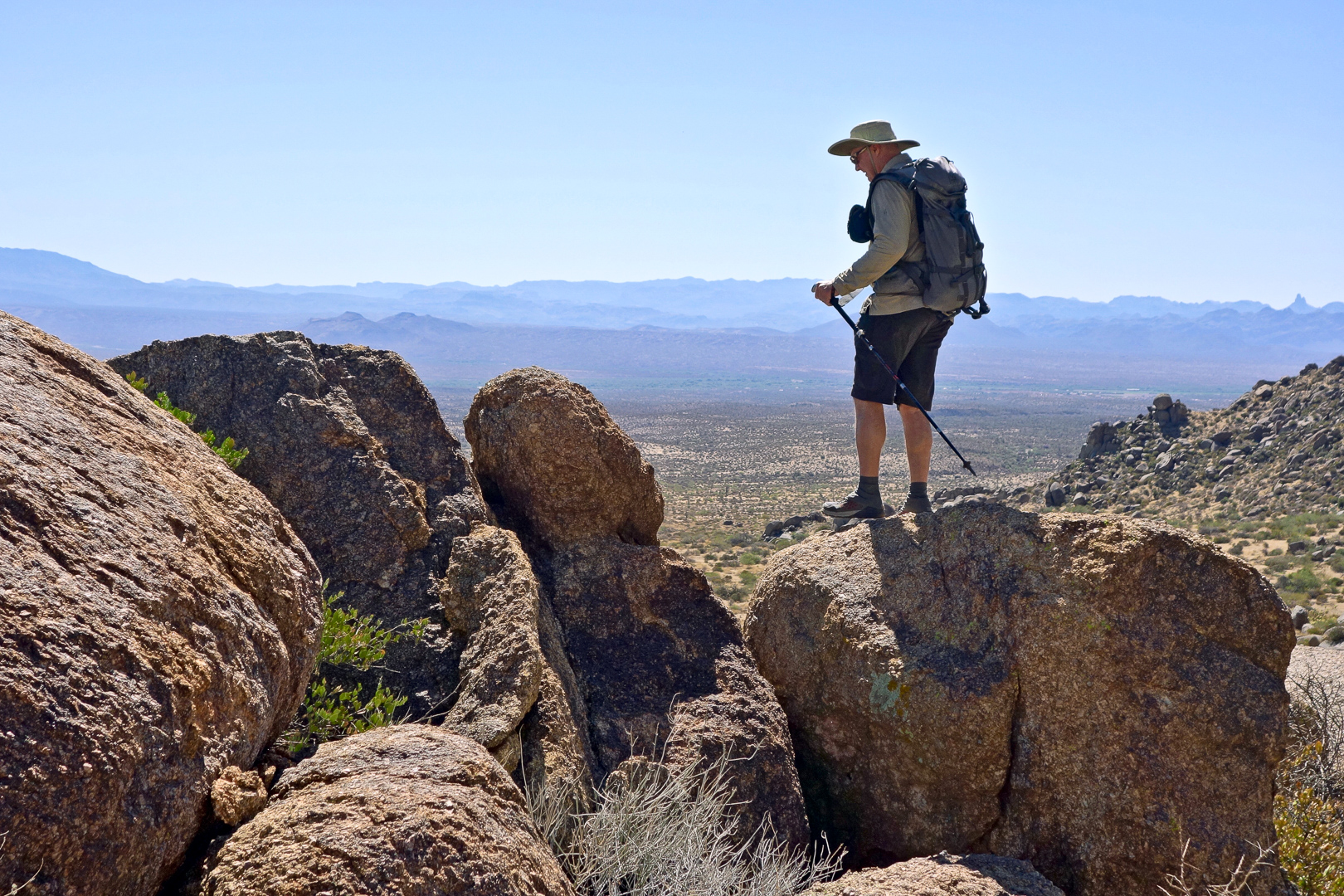
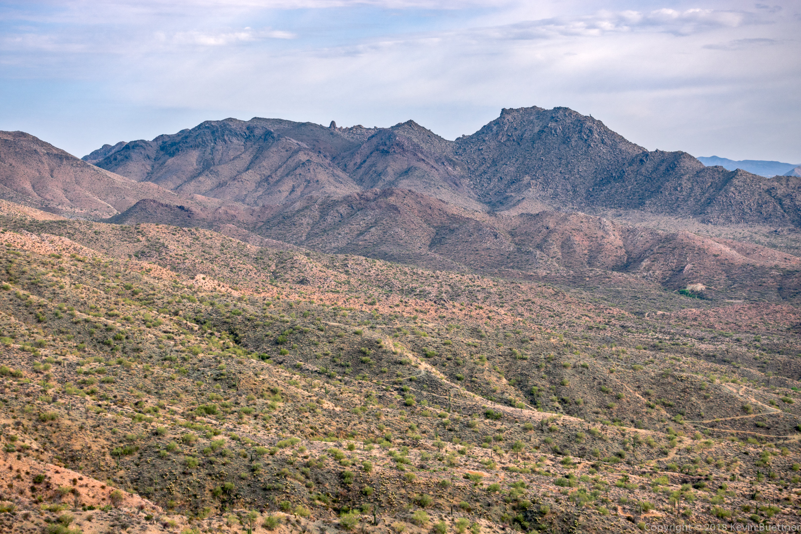
We paused at the Western Loop Overlook, where I got this photo:

Heather, at the overlook:

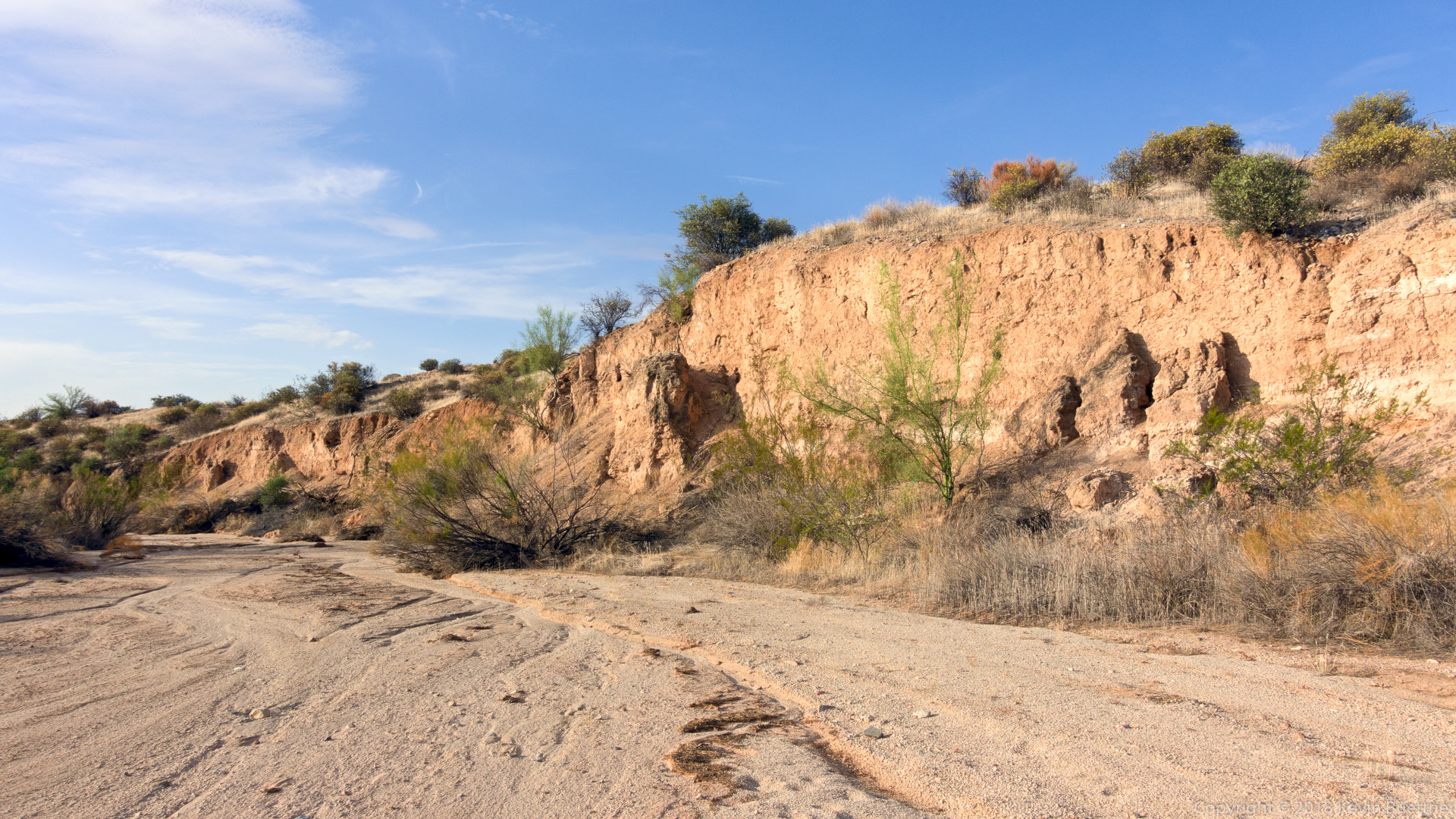
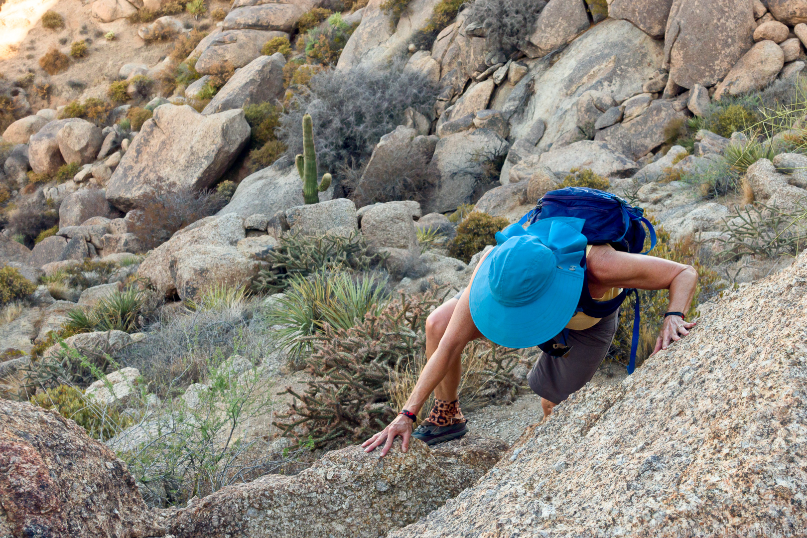
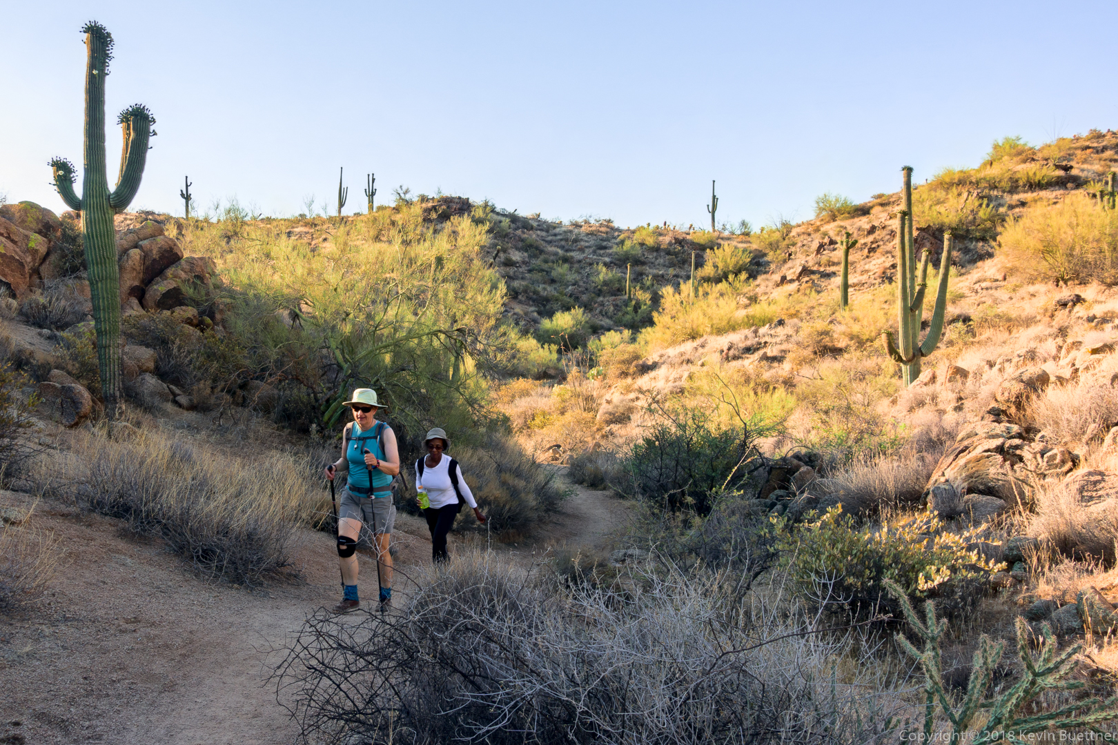
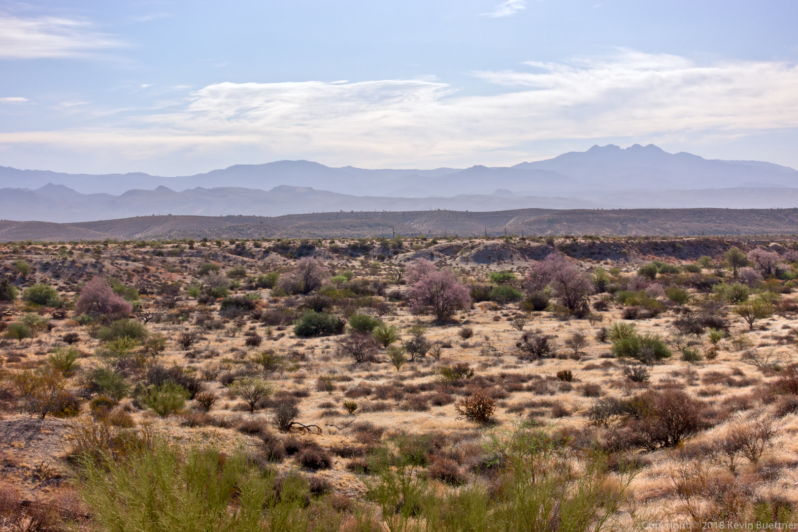
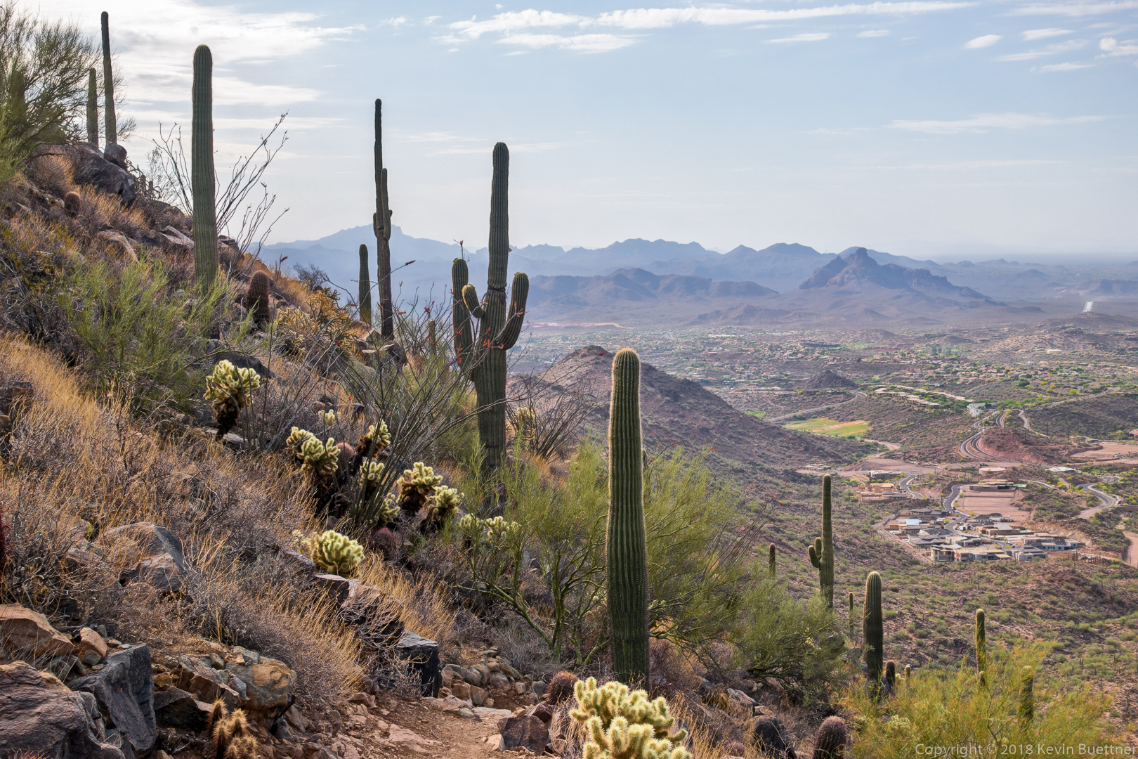
Descending the Western Loop Trail…

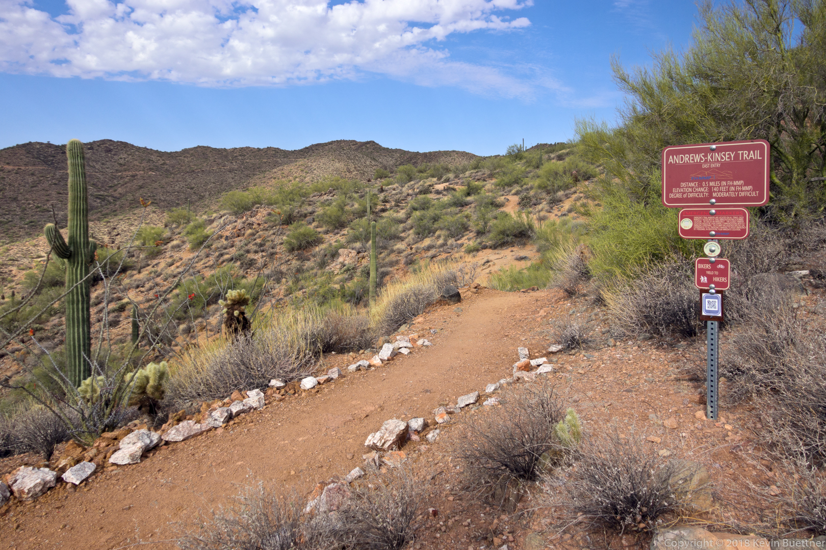
Sadly, we didn’t have enough time to also hike the Andrews-Kinsey Trail.

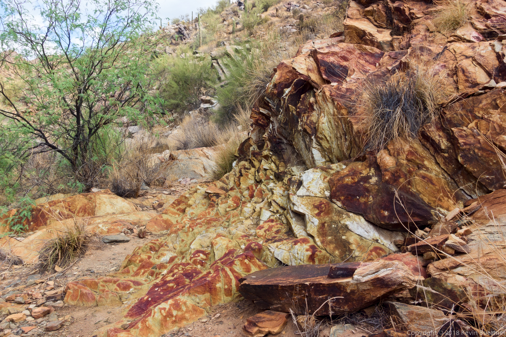
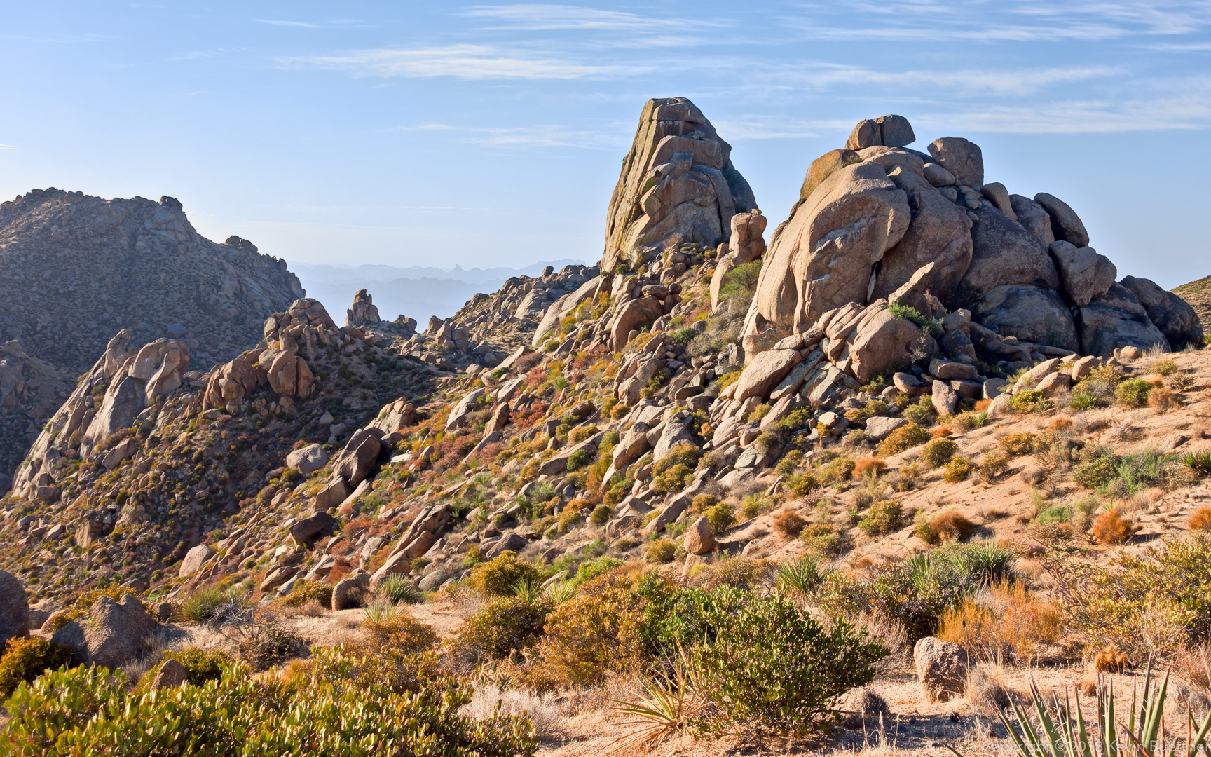
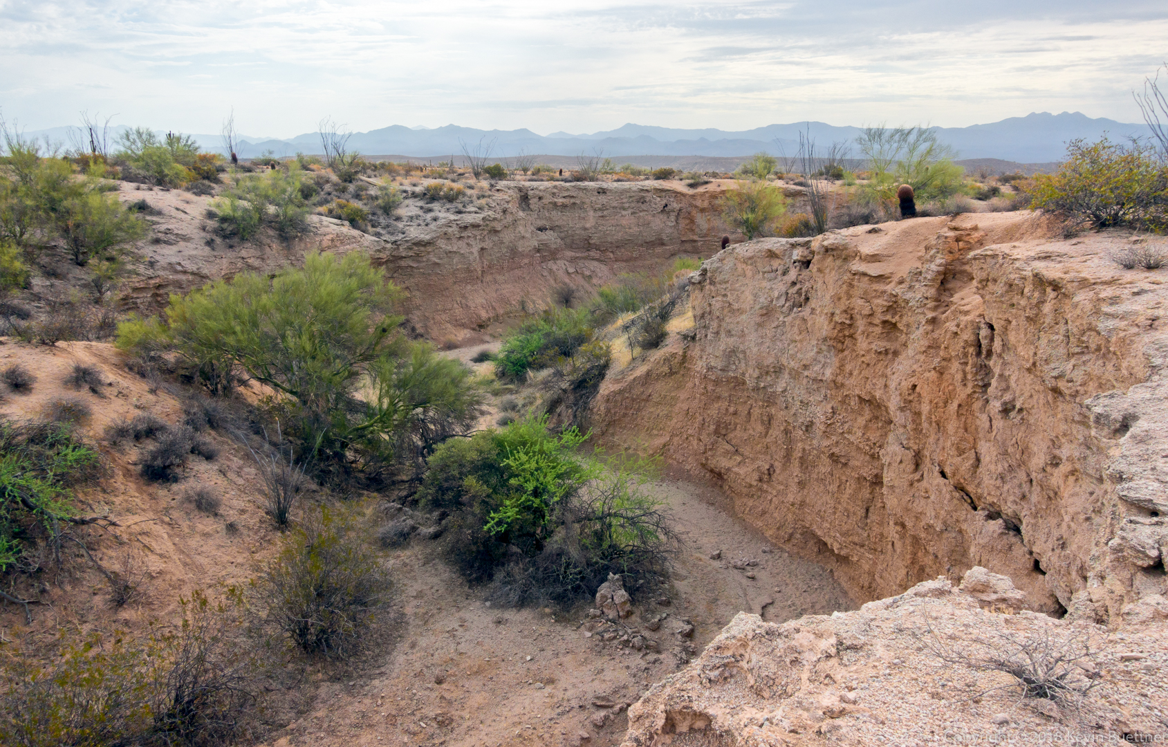
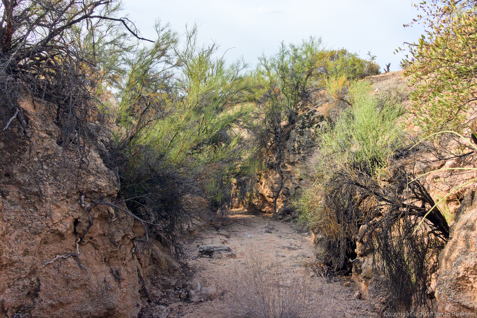
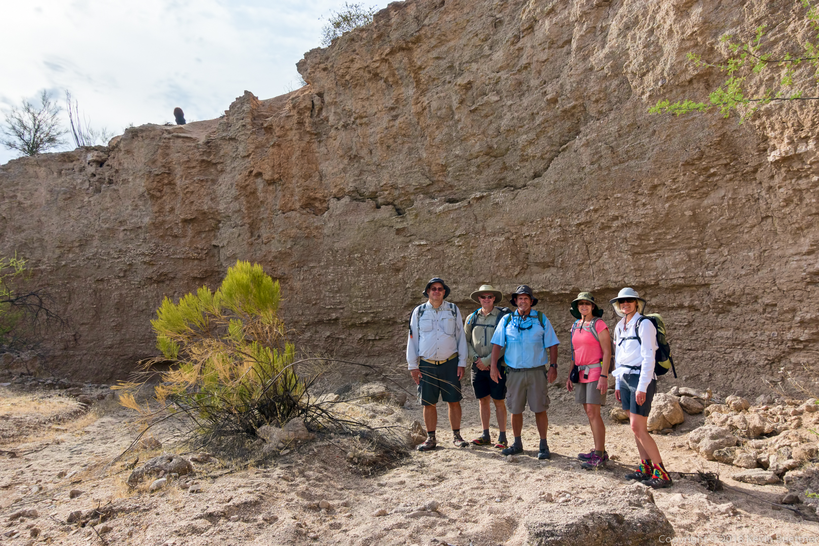
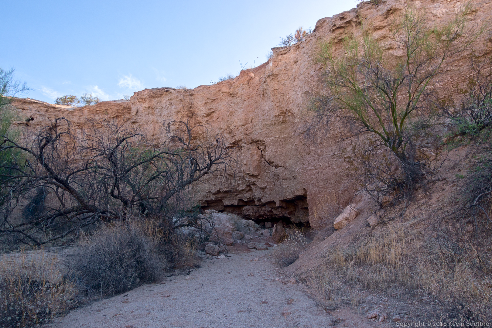
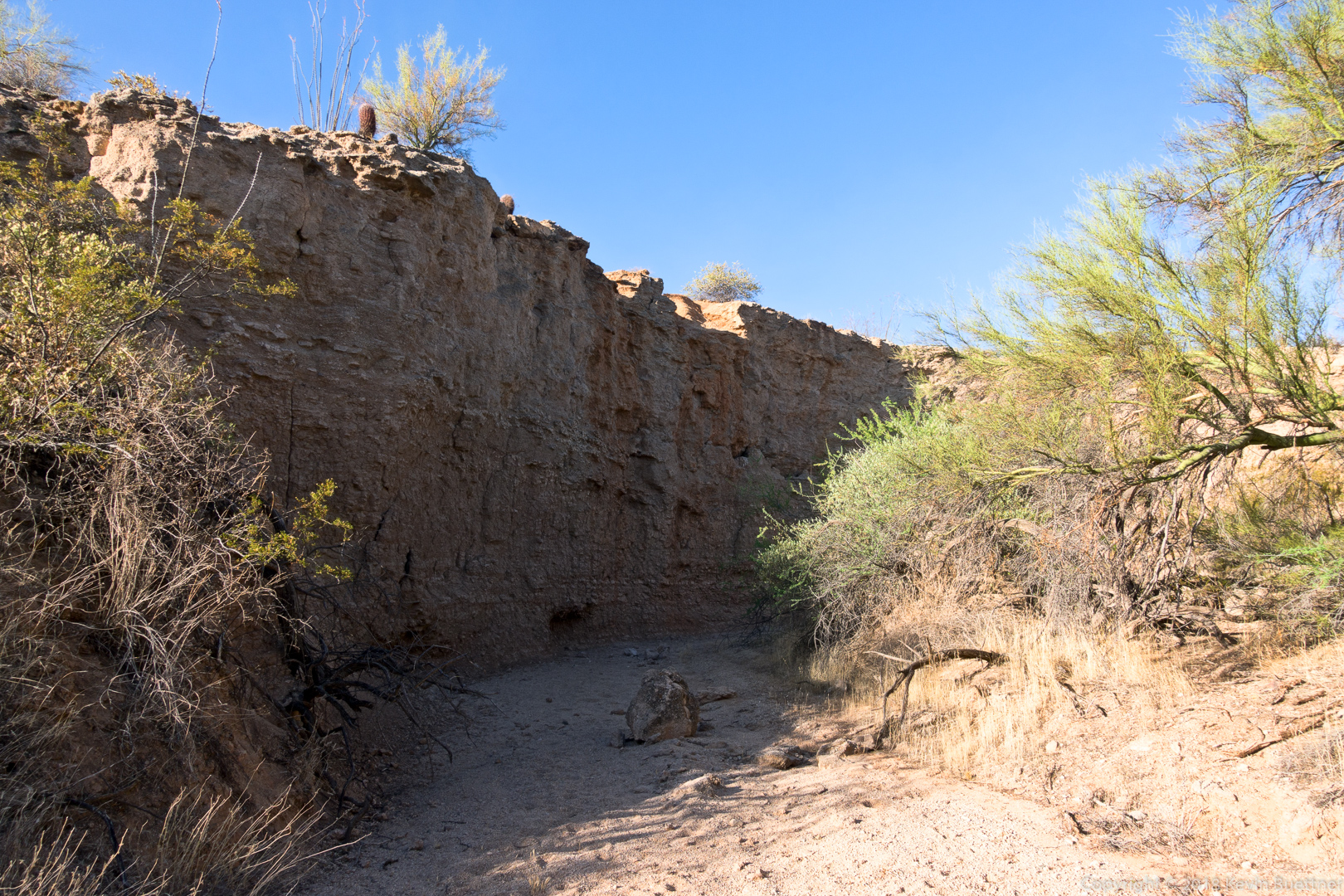
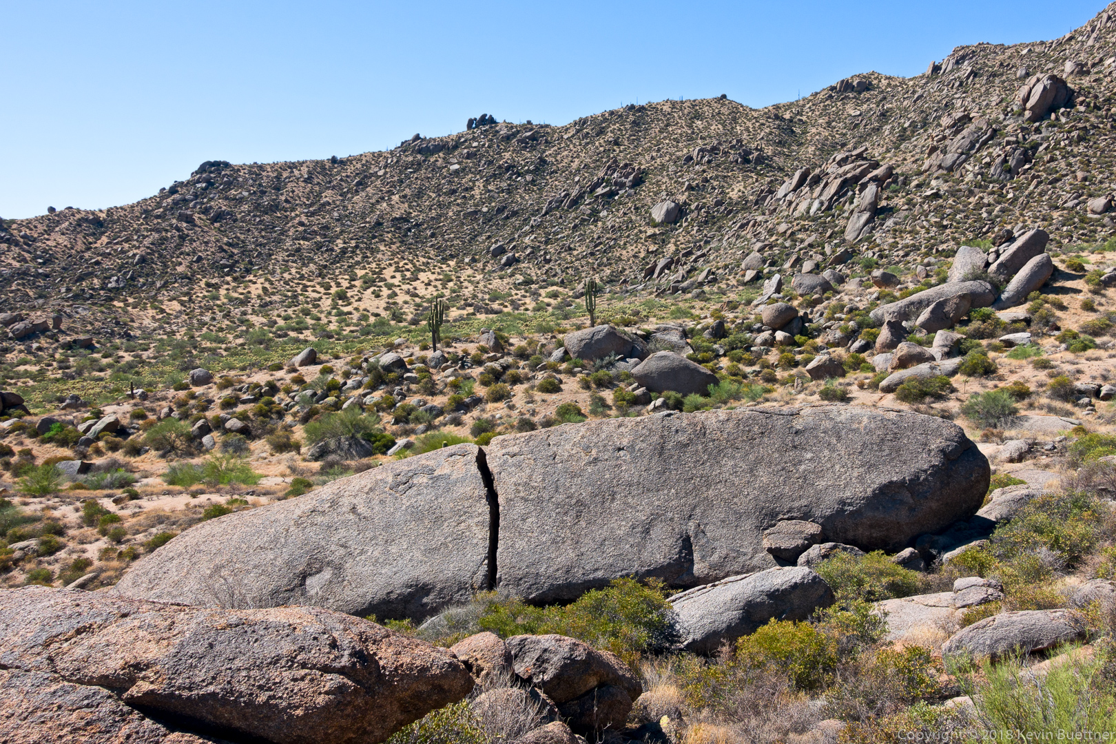
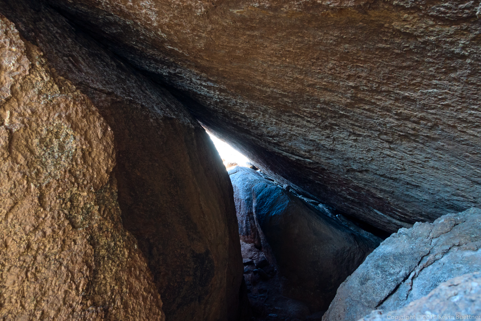
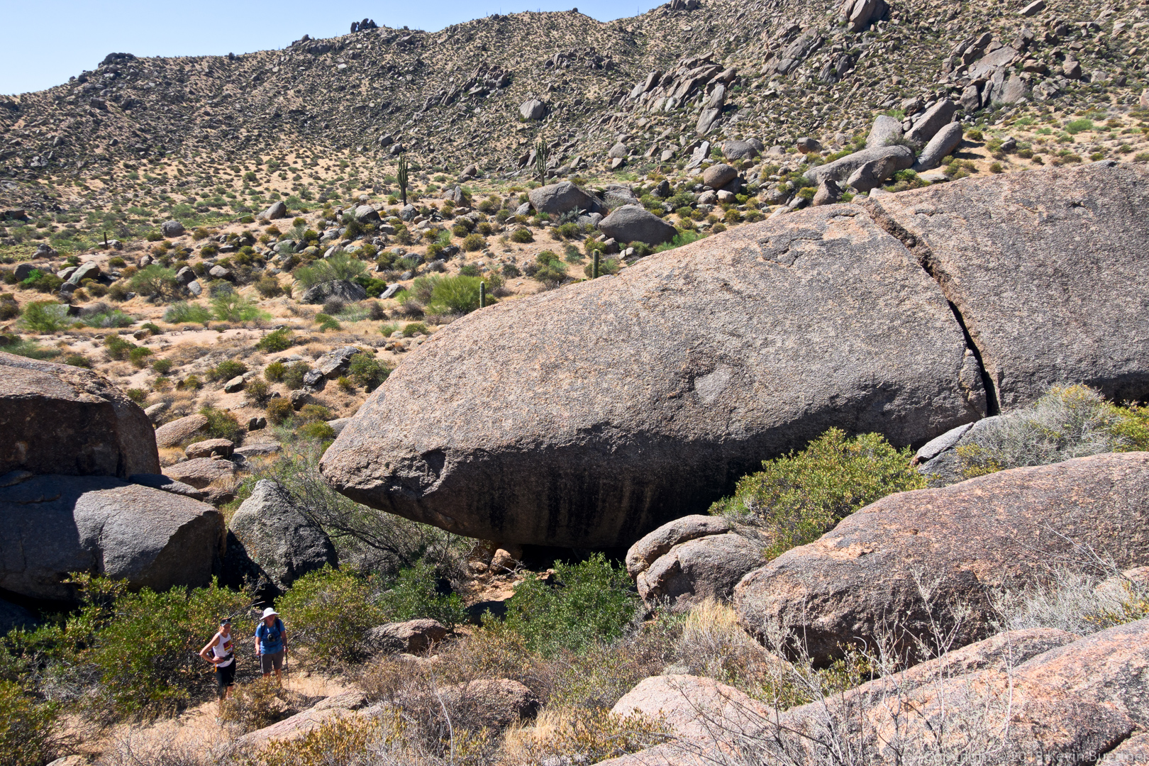
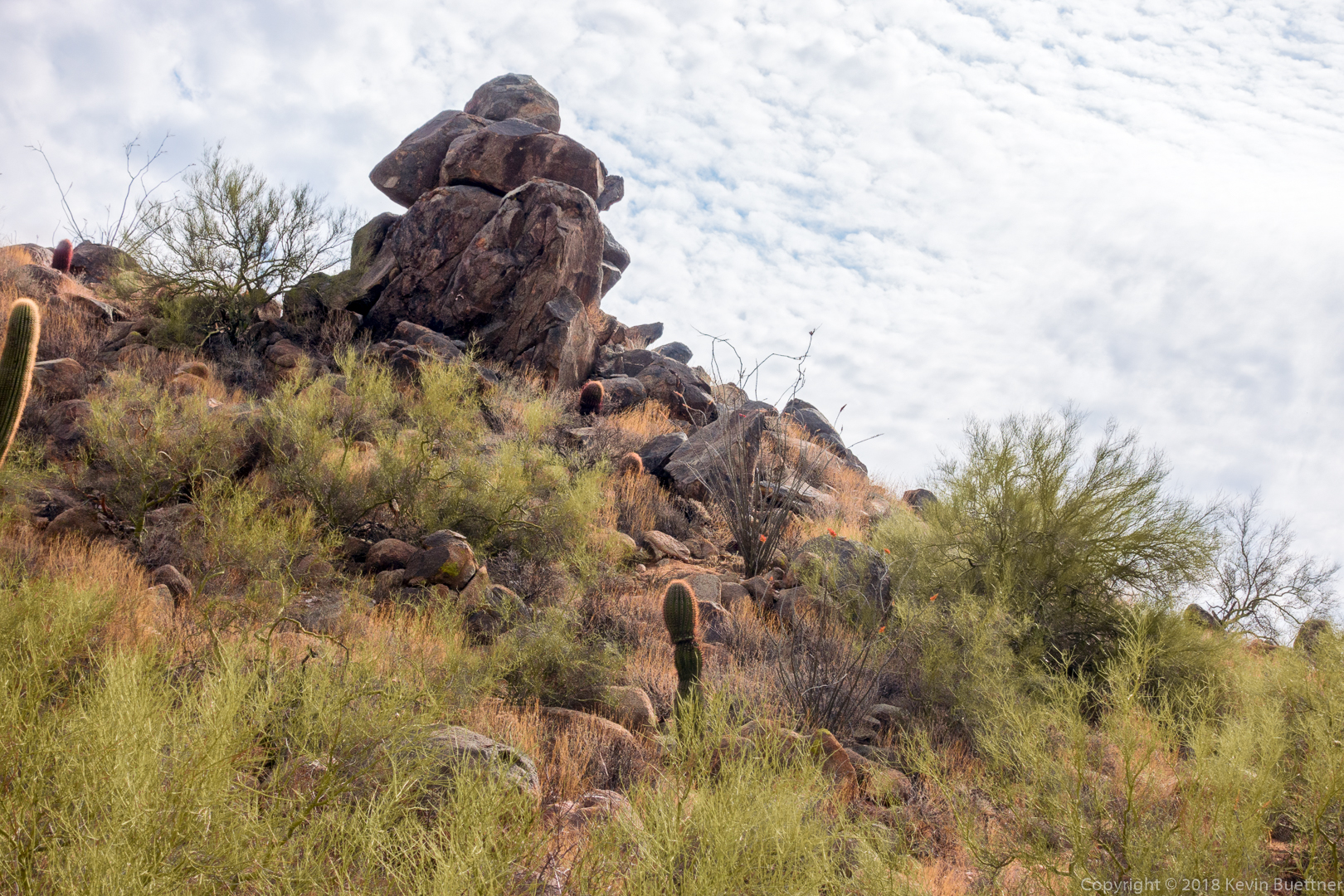
The Western Loop Trail eventually splits. We took the right fork where we passed this rock formation first from above and then later on (pictured) from below.

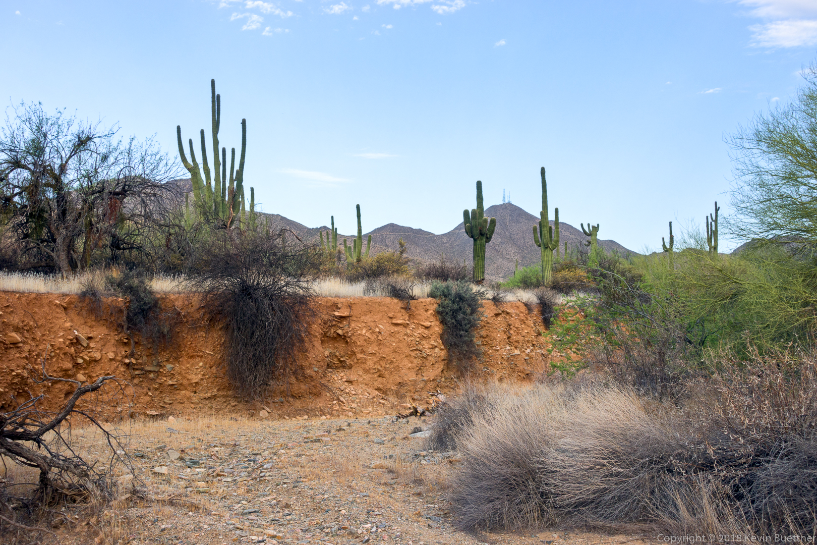
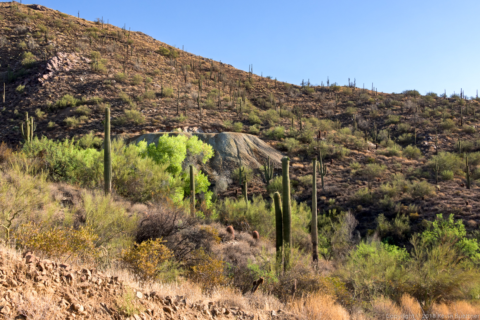
As we neared the Promenade Trail, we got a better view of some new construction.  We think this might be construction for a new trailhead at the end of the Promenade Trail.

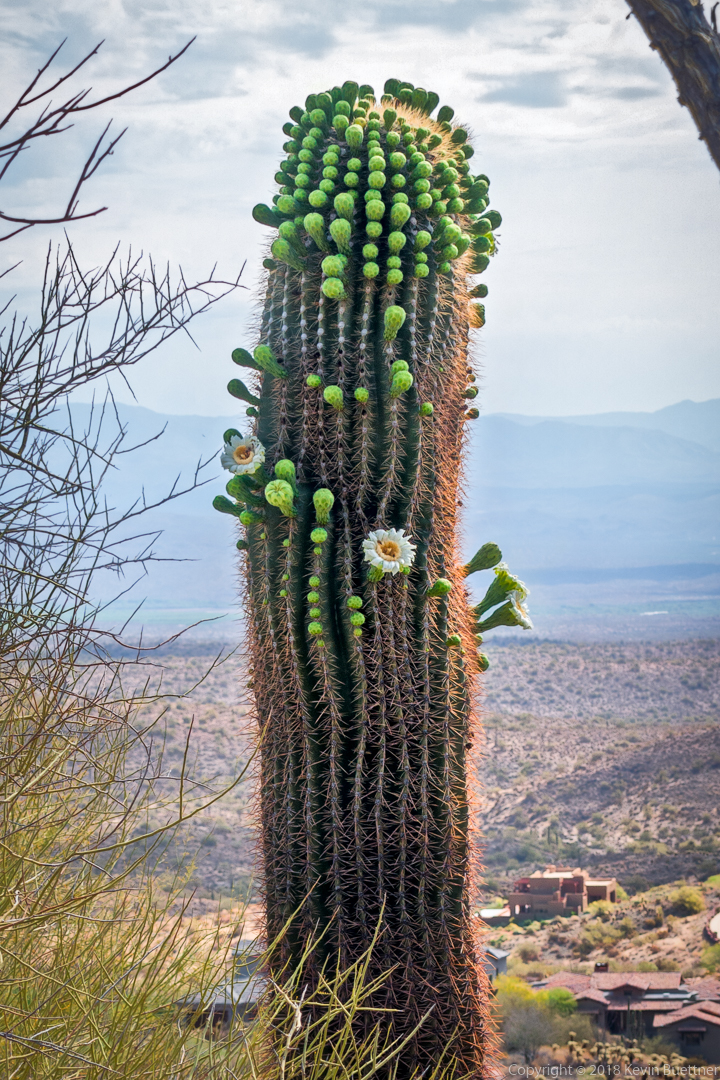
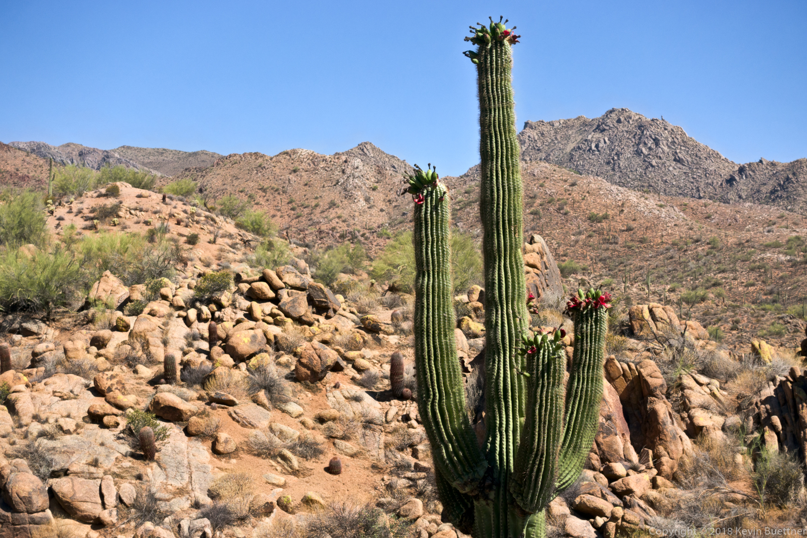
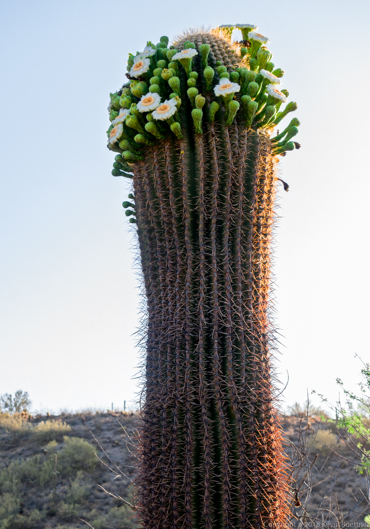
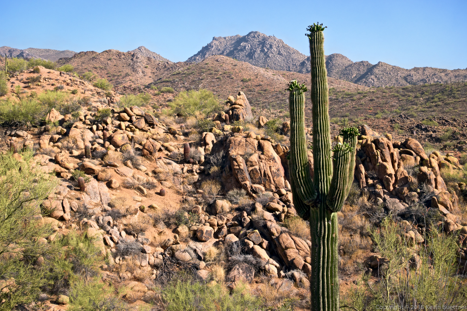
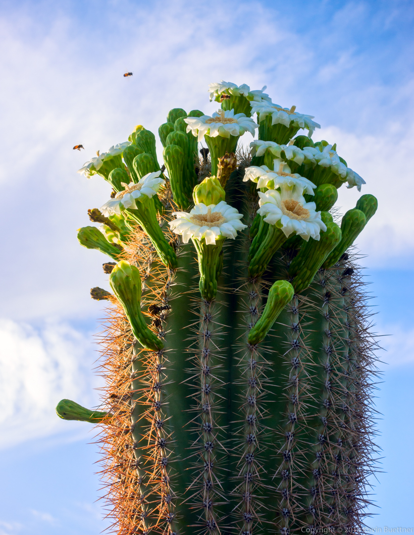
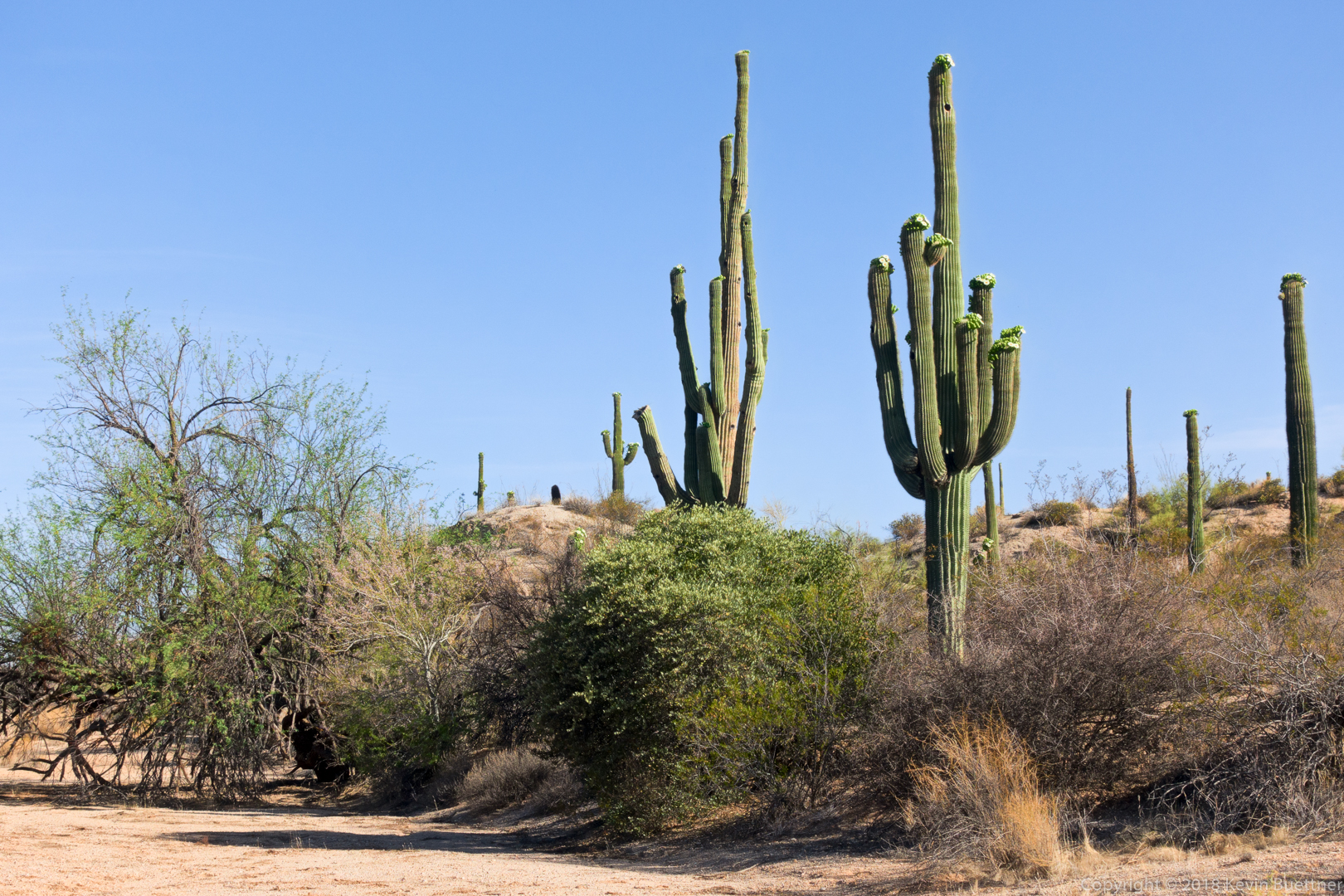
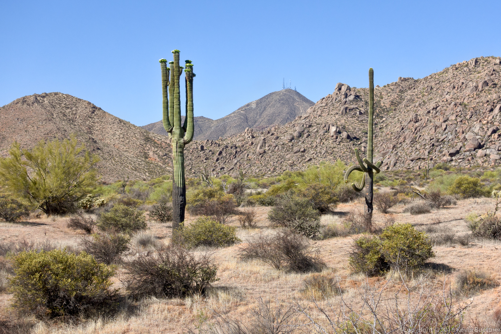
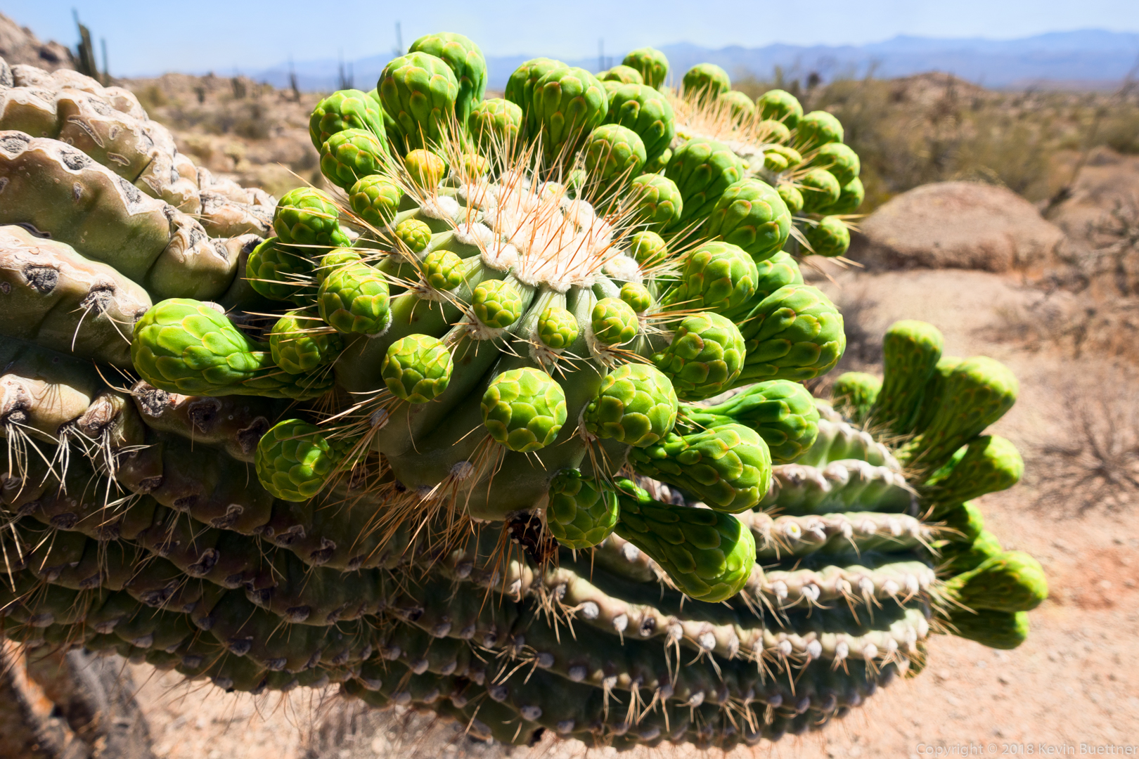
We saw this flowering saguaro just off of the Lower Sonoran Trail.