Tag: Arizona (page 15 of 74)
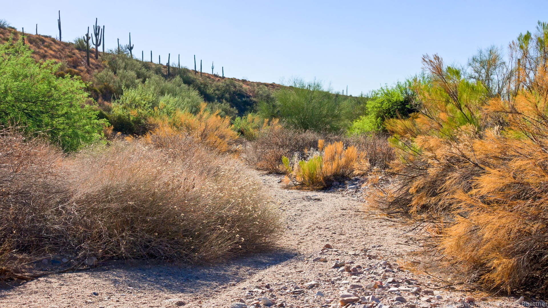
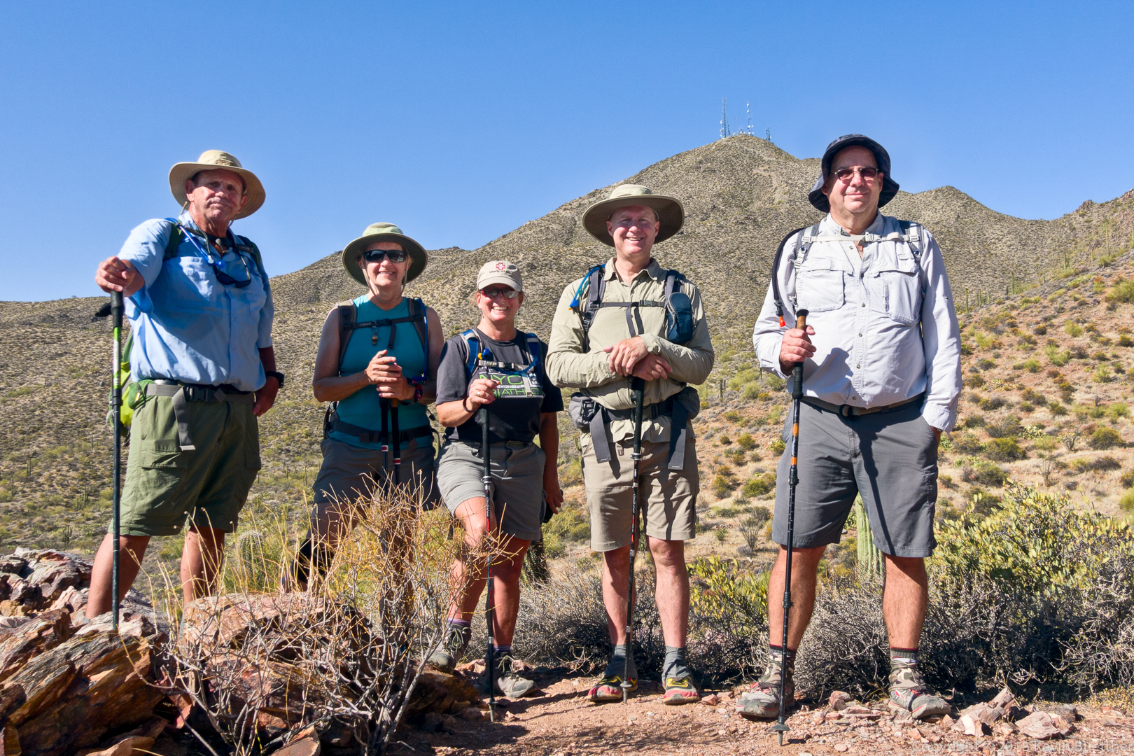
Mike, Bob, Sara, Jill, and I hiked 9.7 miles starting from the Wagner Trailhead. We did a big loop, staying in washes for the majority of the hike.
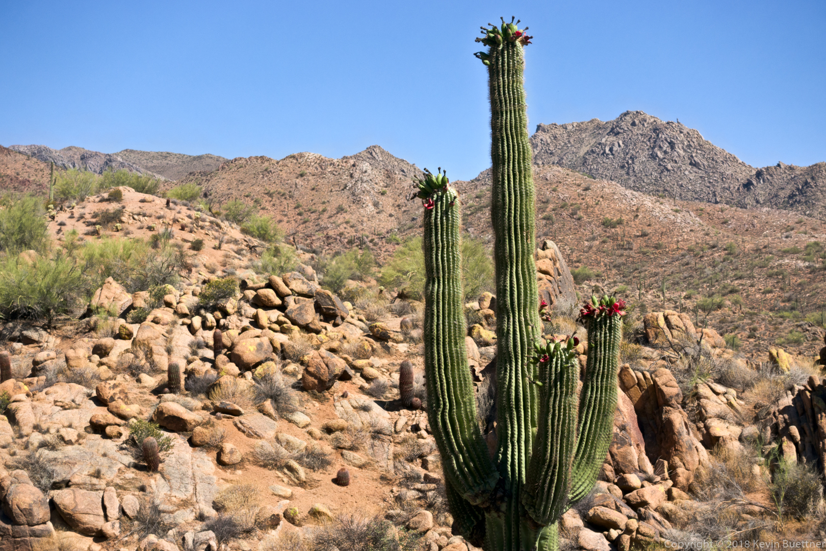
More burst fruit on a saguaro. (I got a photo last week too.)
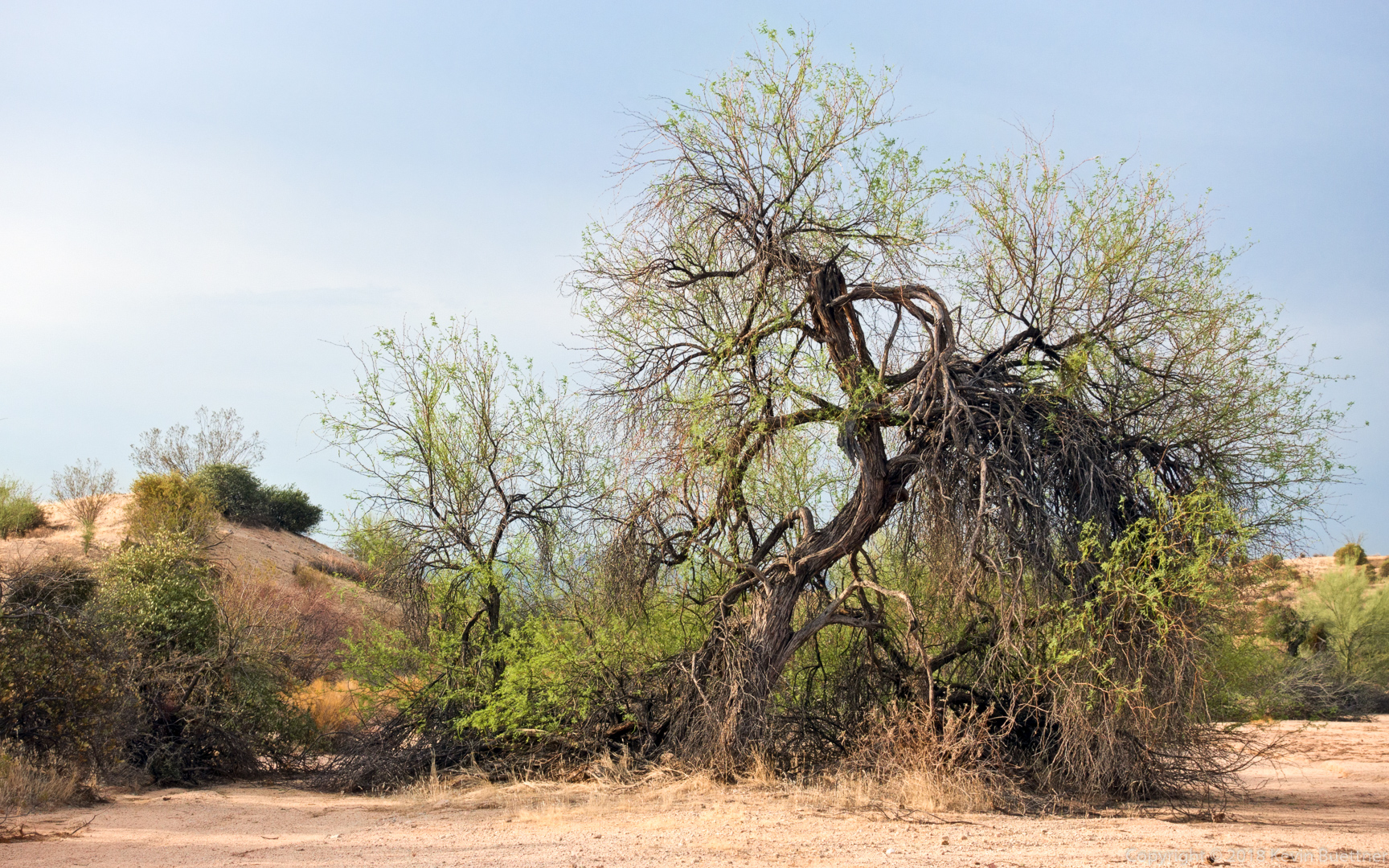
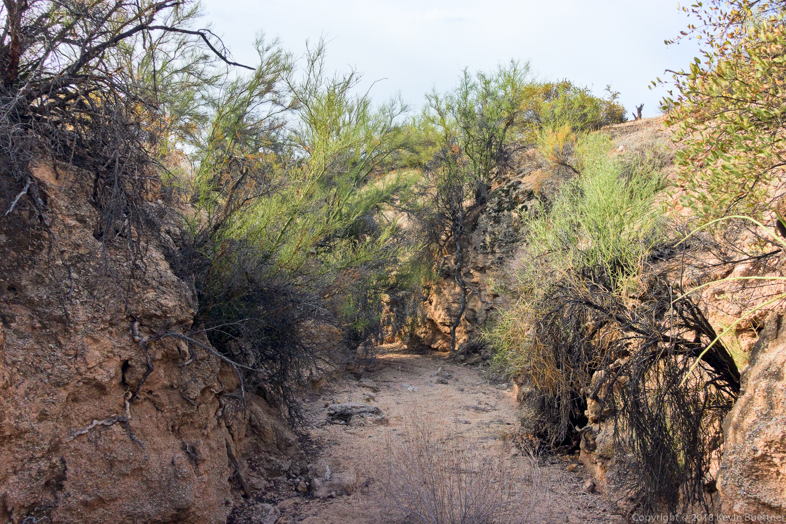
A tree in Stoneman Wash:
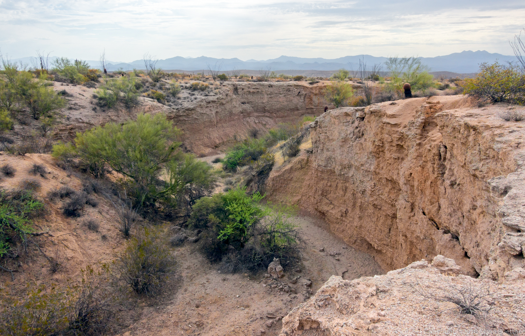
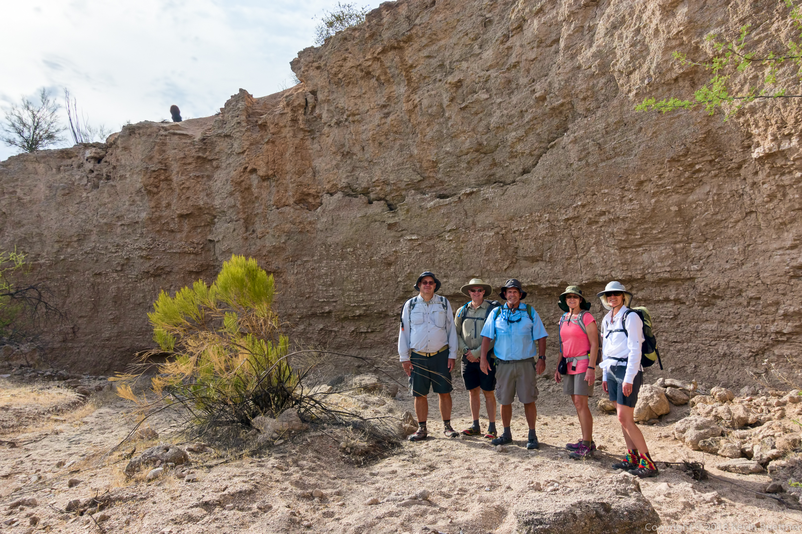
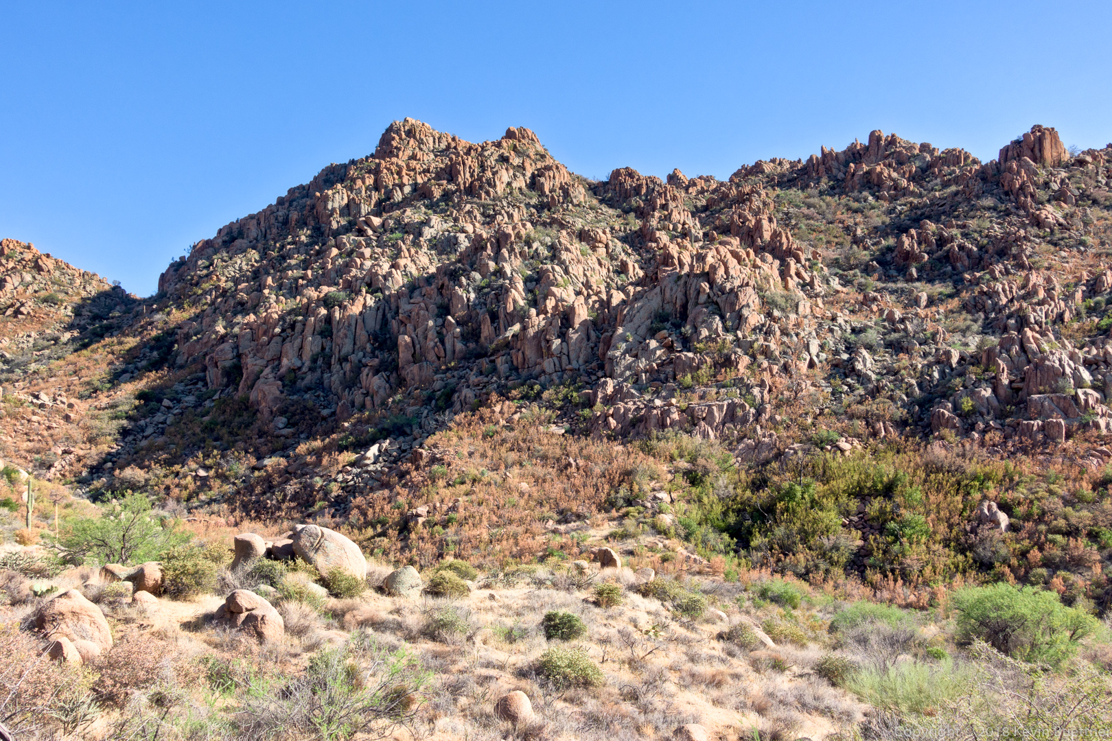
A look at one of the really cool arroyos in the park. Perhaps half an hour later we were down there where we took a group photo.
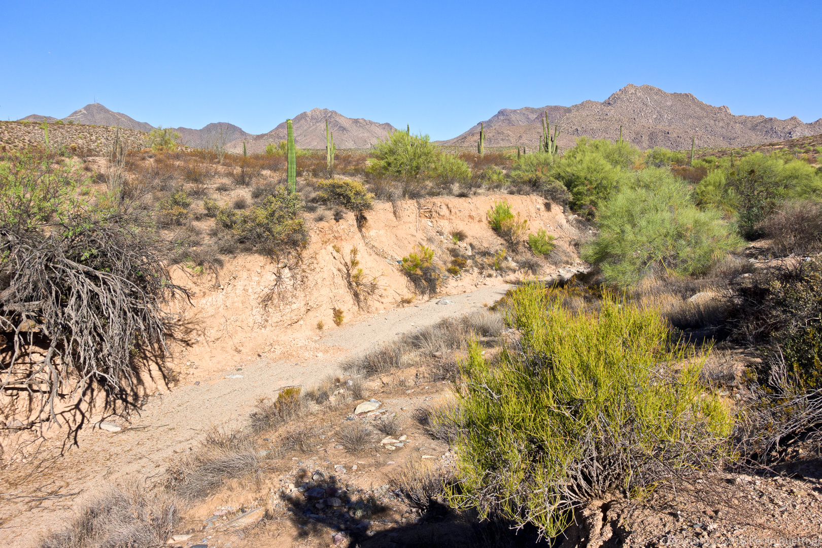
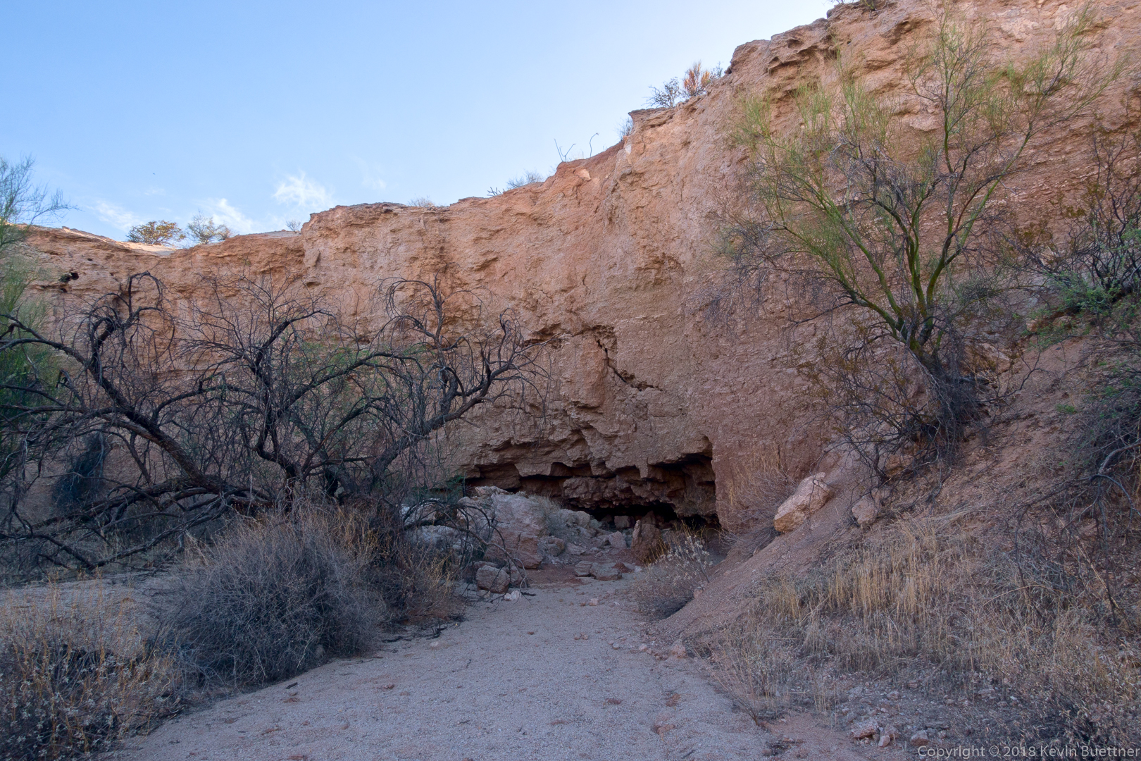
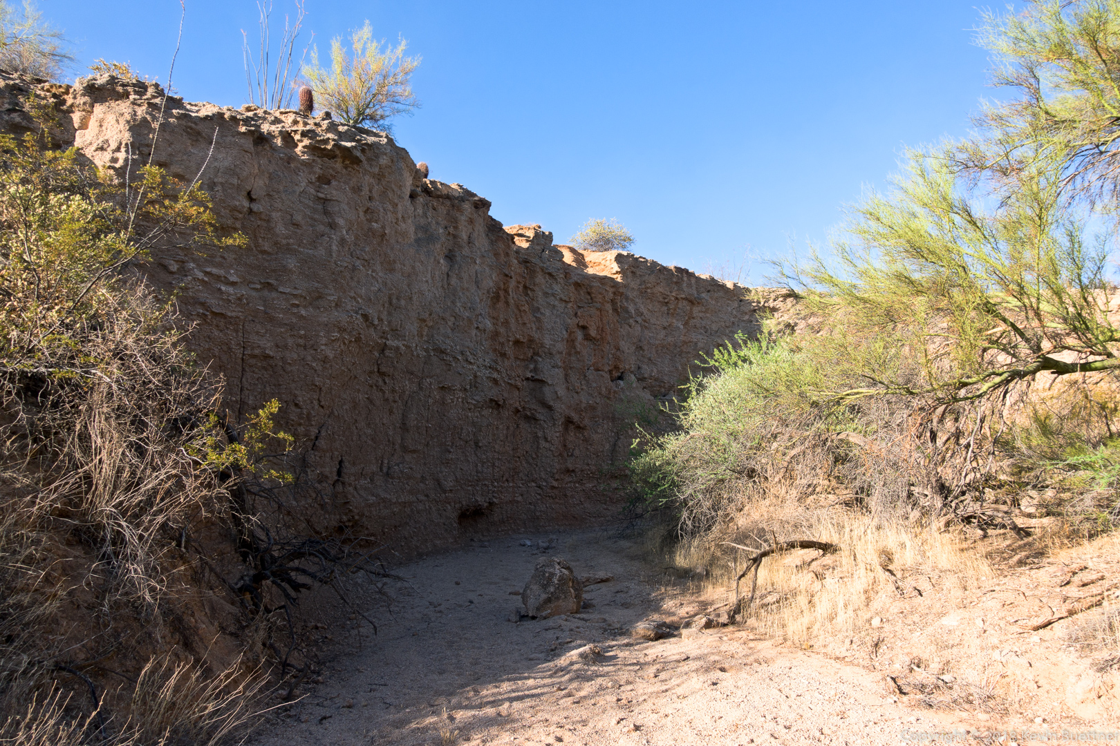
A somewhat narrow wash with high banks!
Mike, Kevin, Bob, Jill, and Sara. Thanks to Sara for helping with this shot.
Kathy, Tawana, Marilyn, Bob, Mike, and I did an eight mile hike starting from the parking area for the Dixie Mine Trail. We hiked out to the road, took a look at the tailings and then went back down to look in at the horizontal shaft. We also looked at the petroglyphs after which we made our way over to the Prospector Trail where we hiked to the lookout that’s midway up the trail.
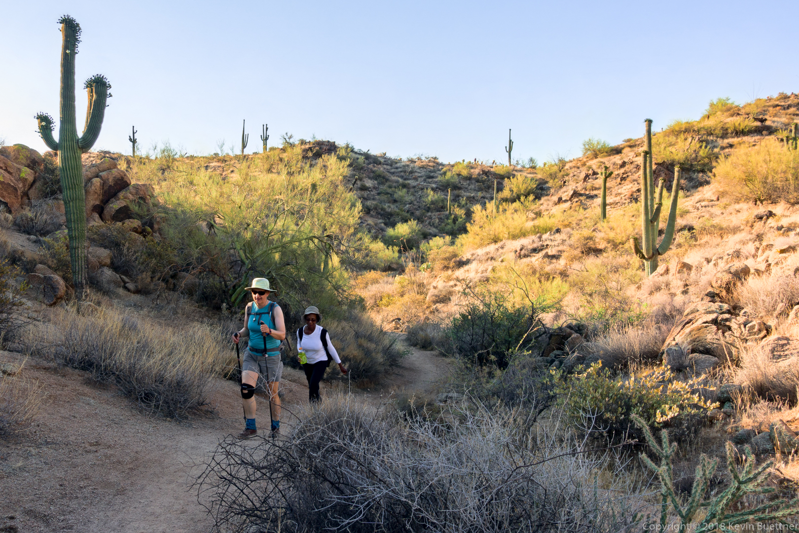
Heading out on the Dixie Mine Trail:
Marilyn and Tawana:
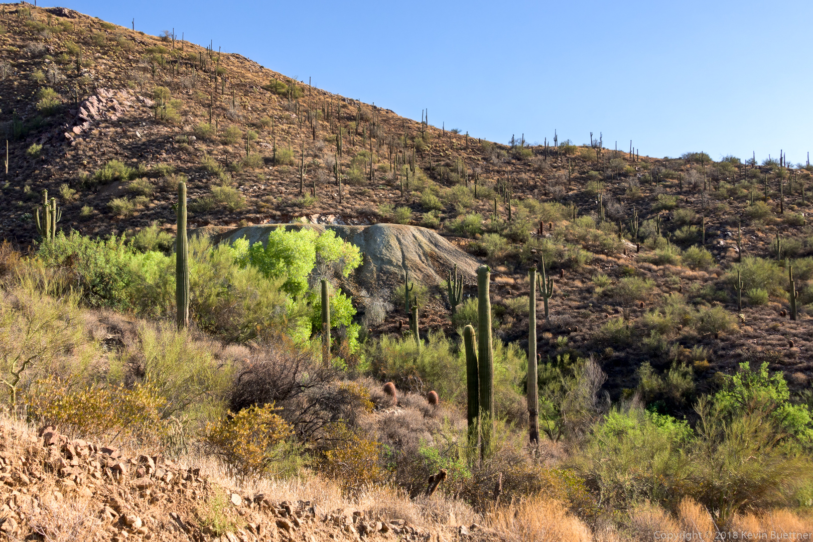
Mine tailings:
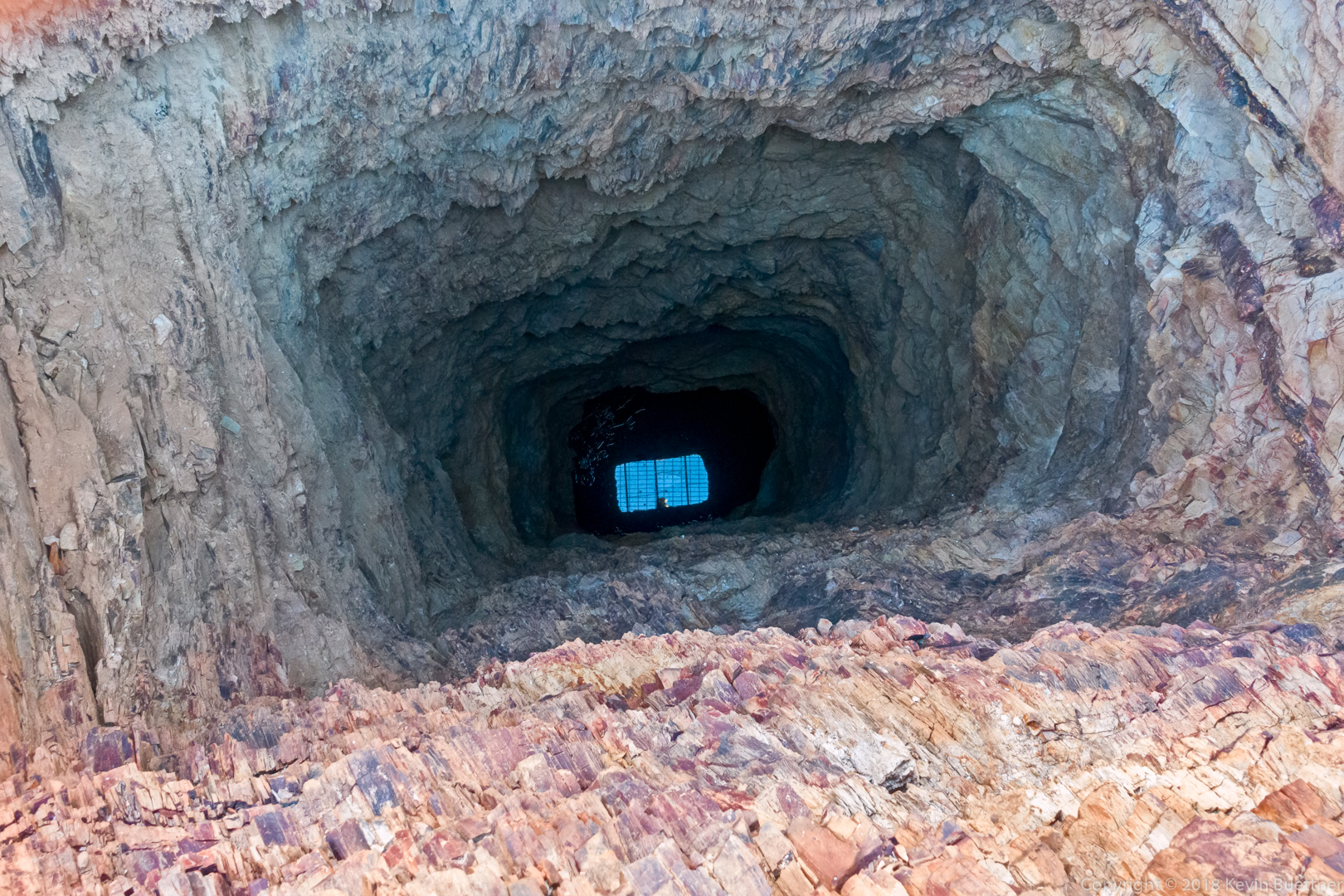
Looking down the vertical mine shaft. There is something highly reflective (water?) at the bottom. You can see my head and the grating covering the hole in the reflection.
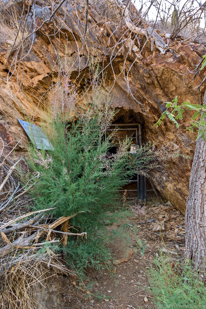
This is the gate preventing entry to the mine’s adit.
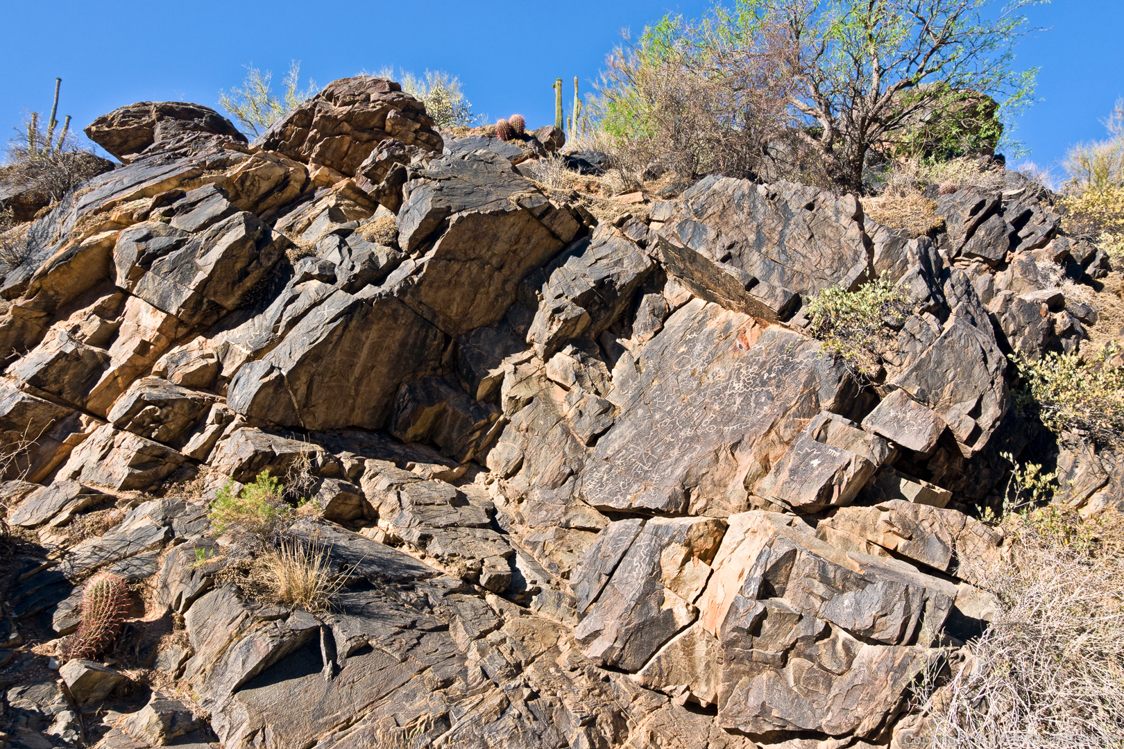
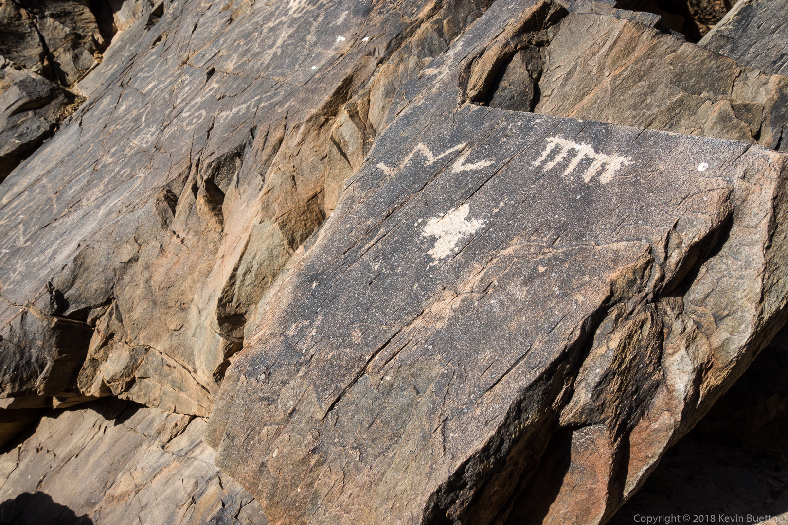
The nearby petroglyphs:
Bob, Marilyn, Kathy, Kevin, and Mike. (Thanks to Tawana for taking this photo.)
Some of the saguaro fruit have burst sort of making them look like red flowers.
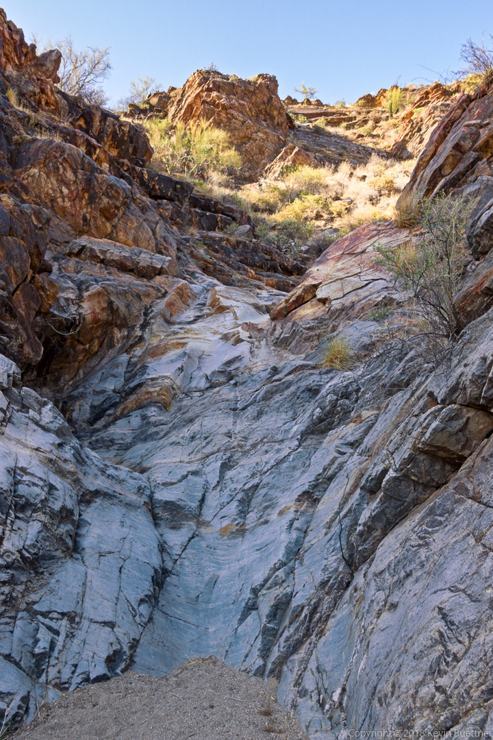
Marilyn, Bob, Linda, and I hiked a six mile lollipop-loop in the Dixie Mine area. We visited the mines, petroglyphs, and dry waterfall prior to returning.
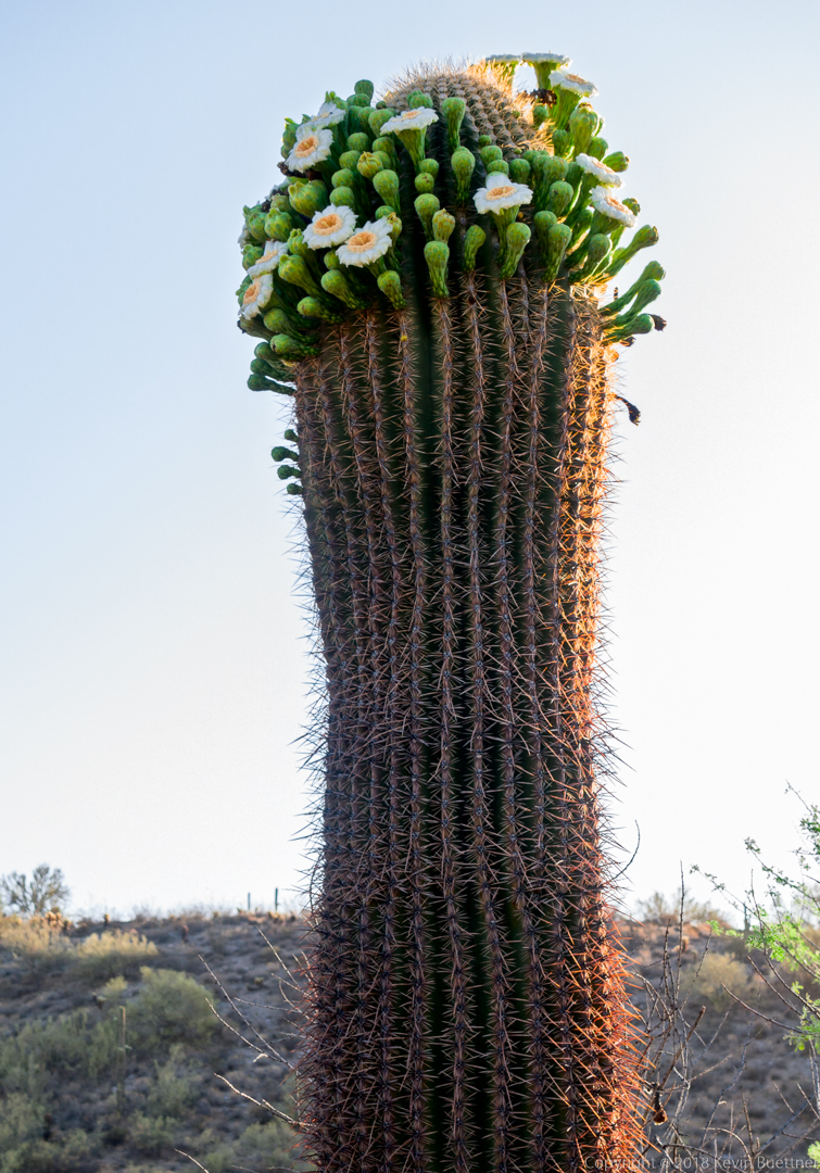
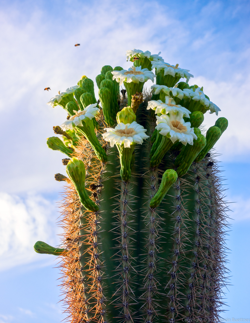
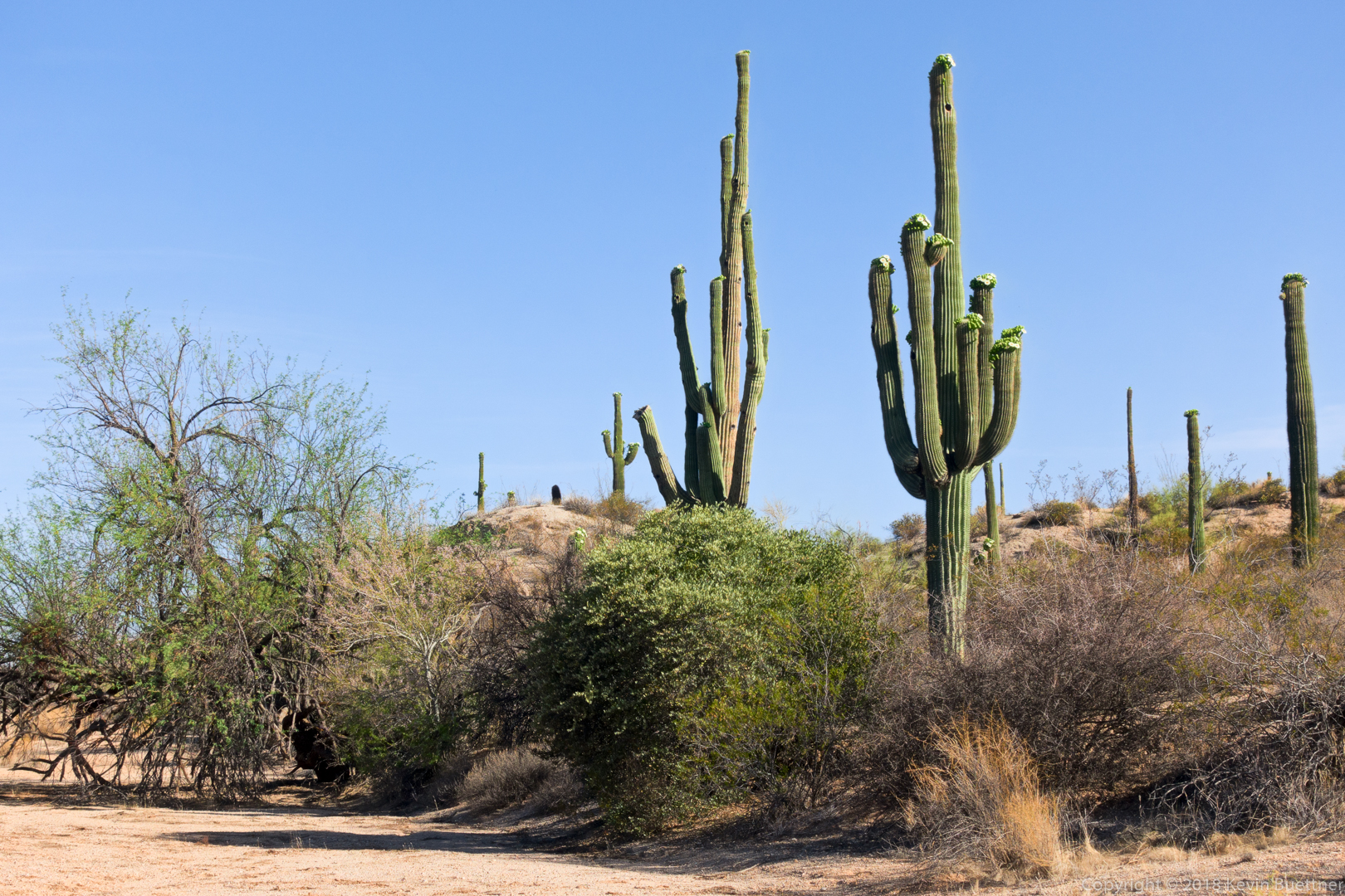
Saguaro blooms:
A slightly different view (than what I normally photograph) of the mine tailings and hills / mountains beyond.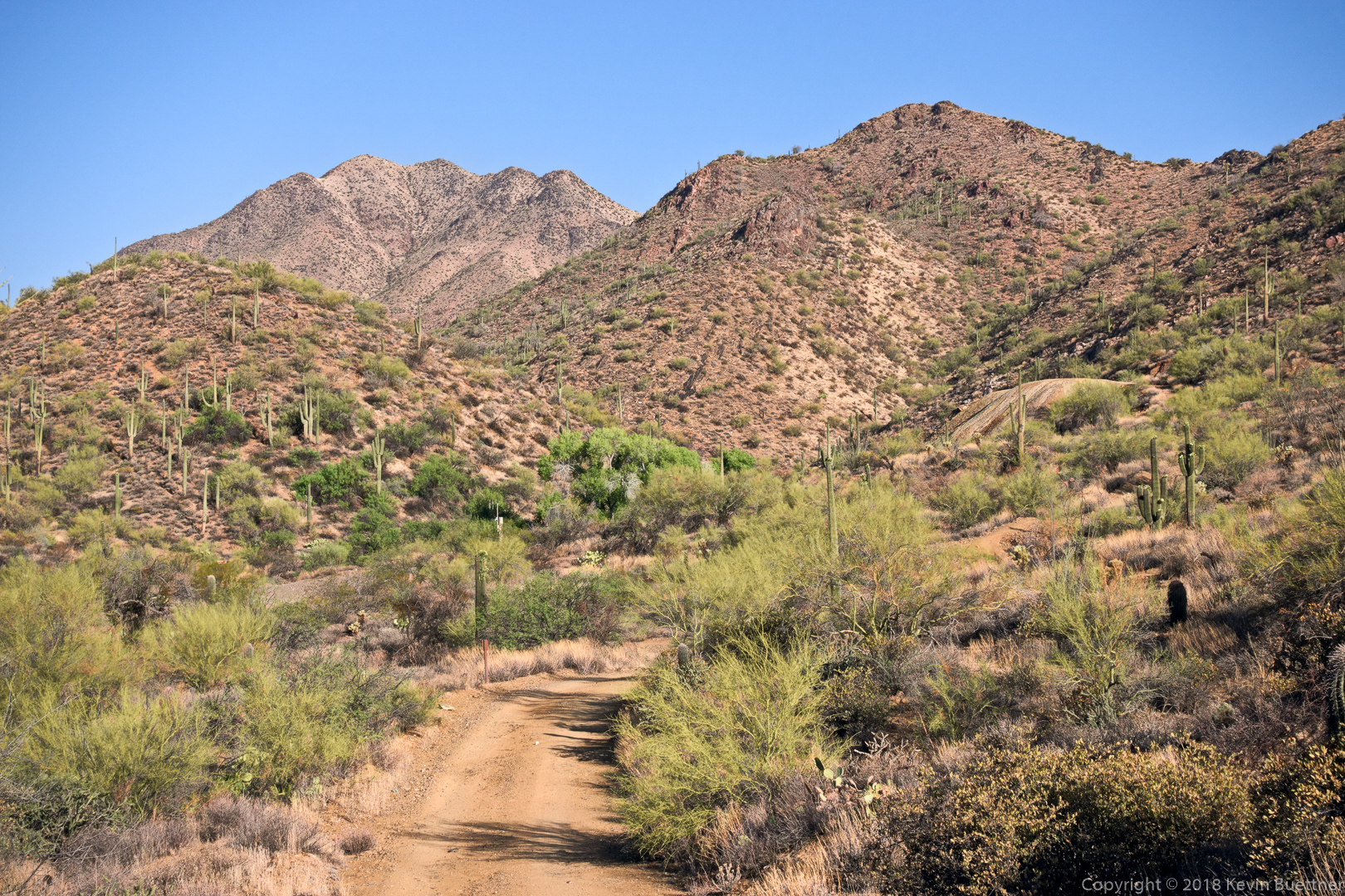
Despite a recent effort to eradicate it from the area, tamarisk is once again growing in front of the gated adit.
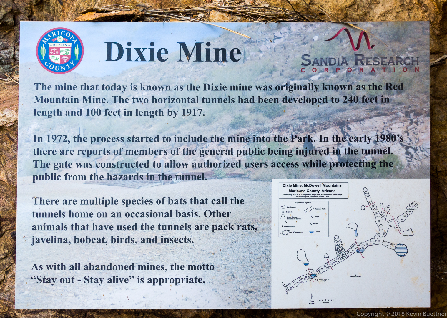
It’s a shame that the sign doesn’t say what was taken out of the mine…
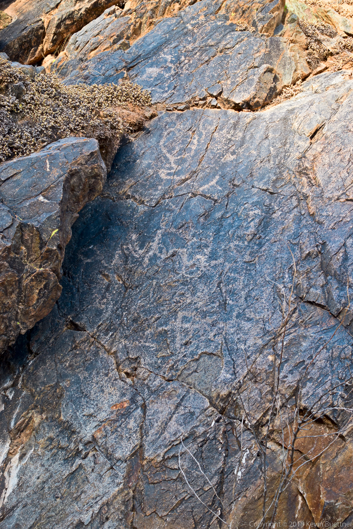
This is part of the main petroglyph panel:
We saw these petroglyphs just prior to arriving at the dryfall:
The dryfall…
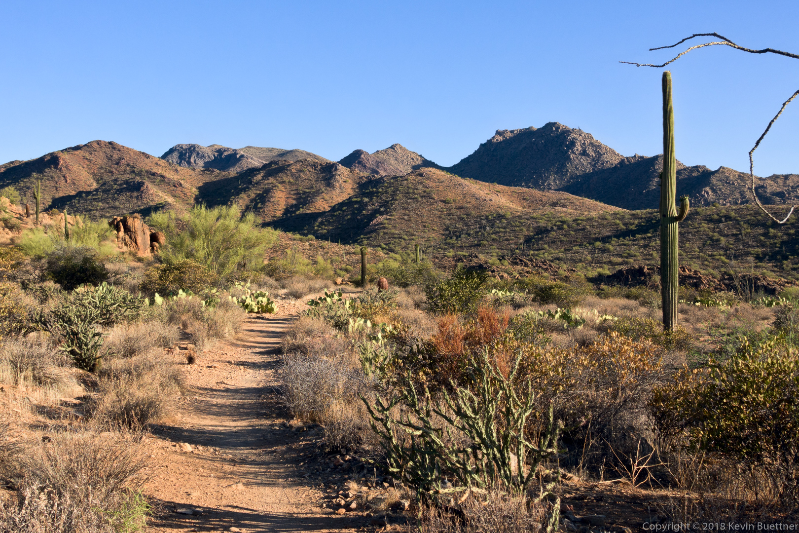
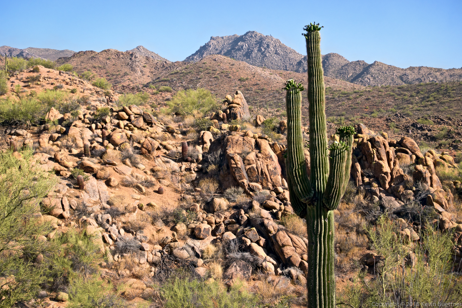
A view from the Dixie Mine Trail on the way back:
Linda, Marlee, and I hiked nearly 10.7 miles on Friday. We hiked up Tom’s Thumb, down East End, left on Windmill, left on Coachwhip, left on Pemberton, and left on Boulder. When we got to the Marcus Landslide Trail, we hiked the interpretive loop before taking it back to the trailhead. Total elevation gain was 1900 feet.
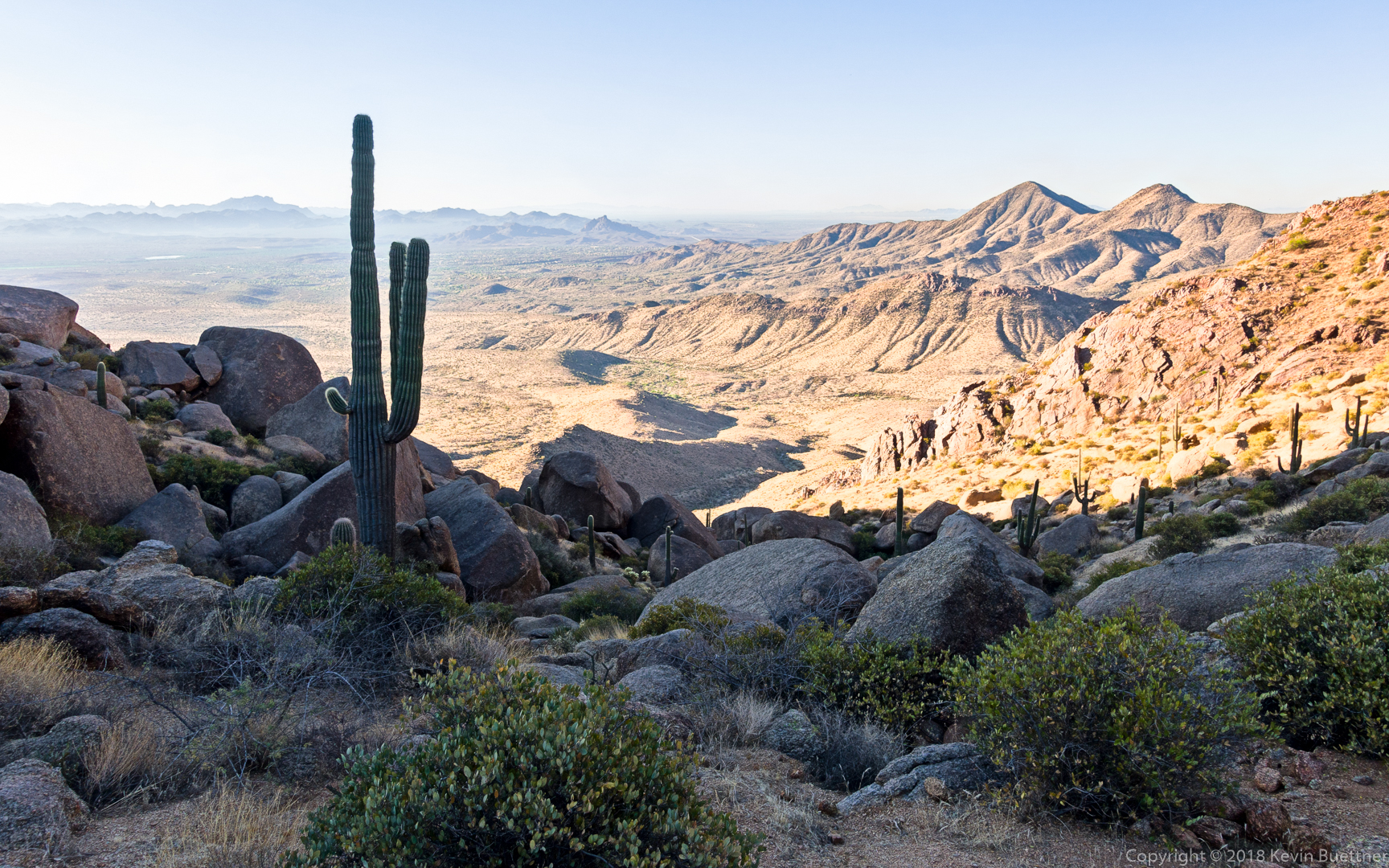
This is a view from the top of the East End Trail:
Marlee and Linda, hiking down the East End Trail:
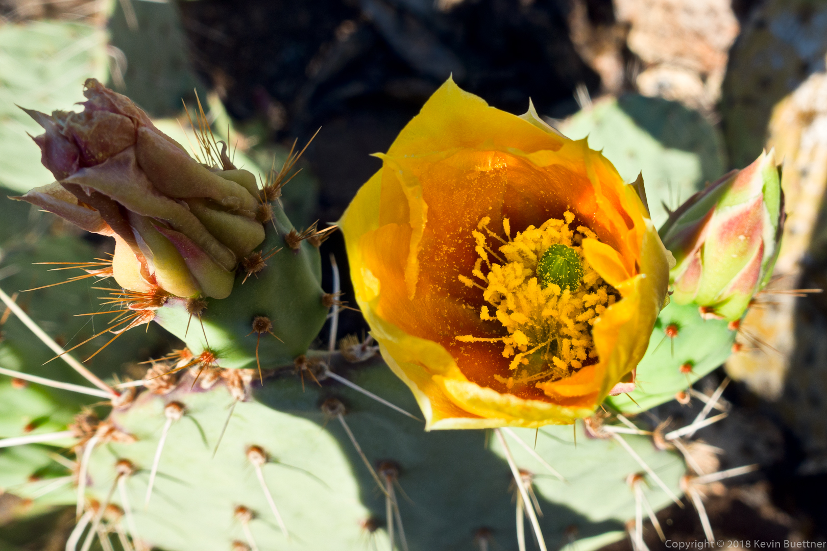
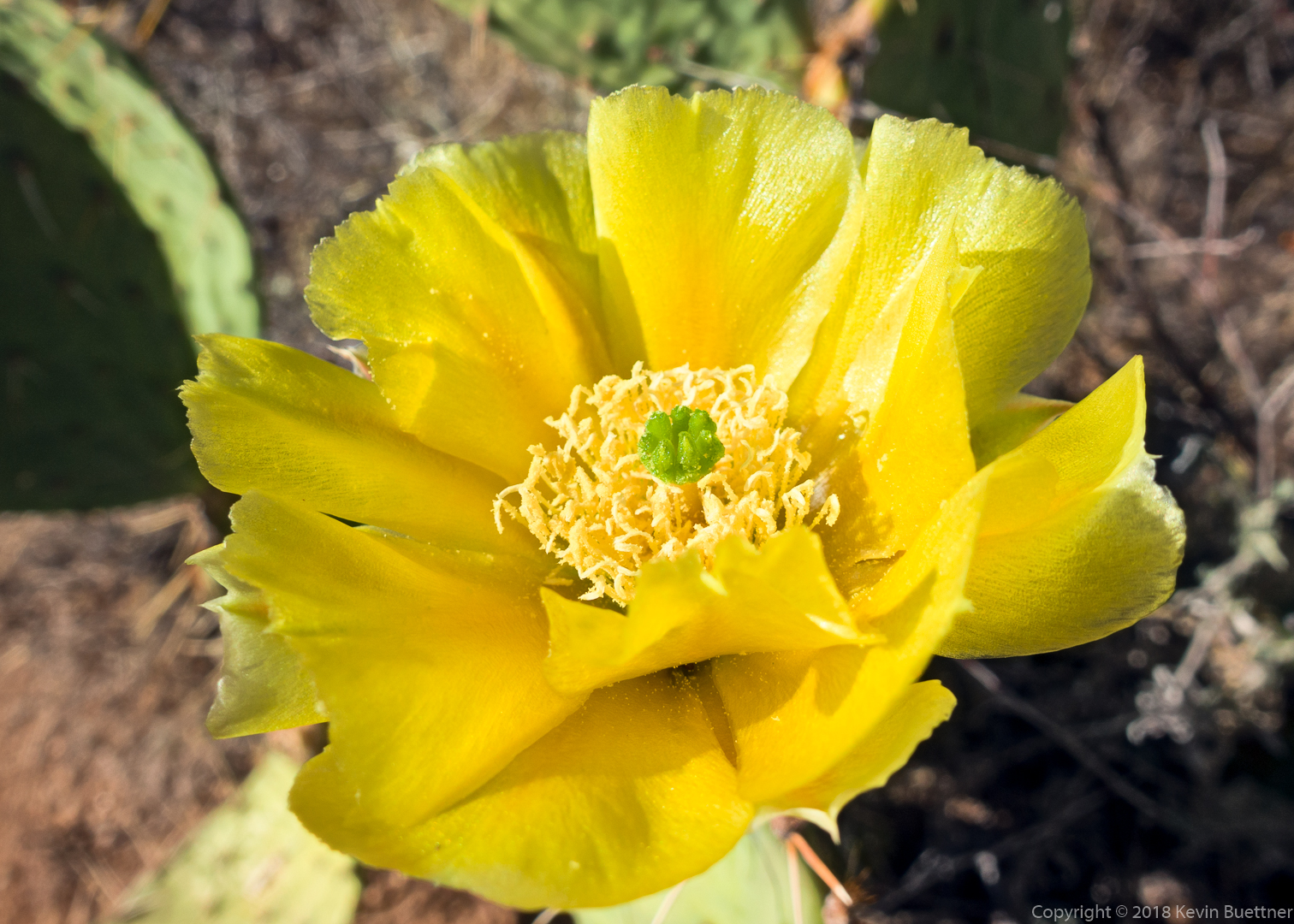
Prickly Pear Blossom:
A view of Thompson Peak from the Pemberton Trail:
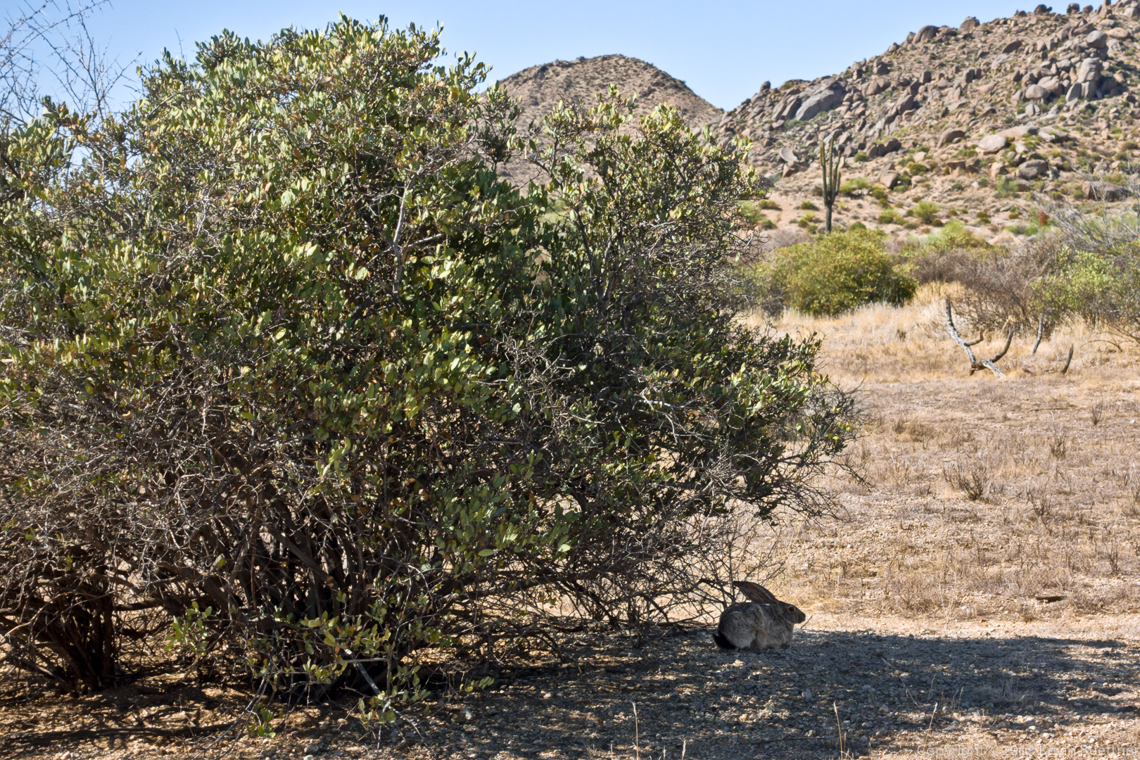
We saw this rabbit just off of the Boulder Trail:
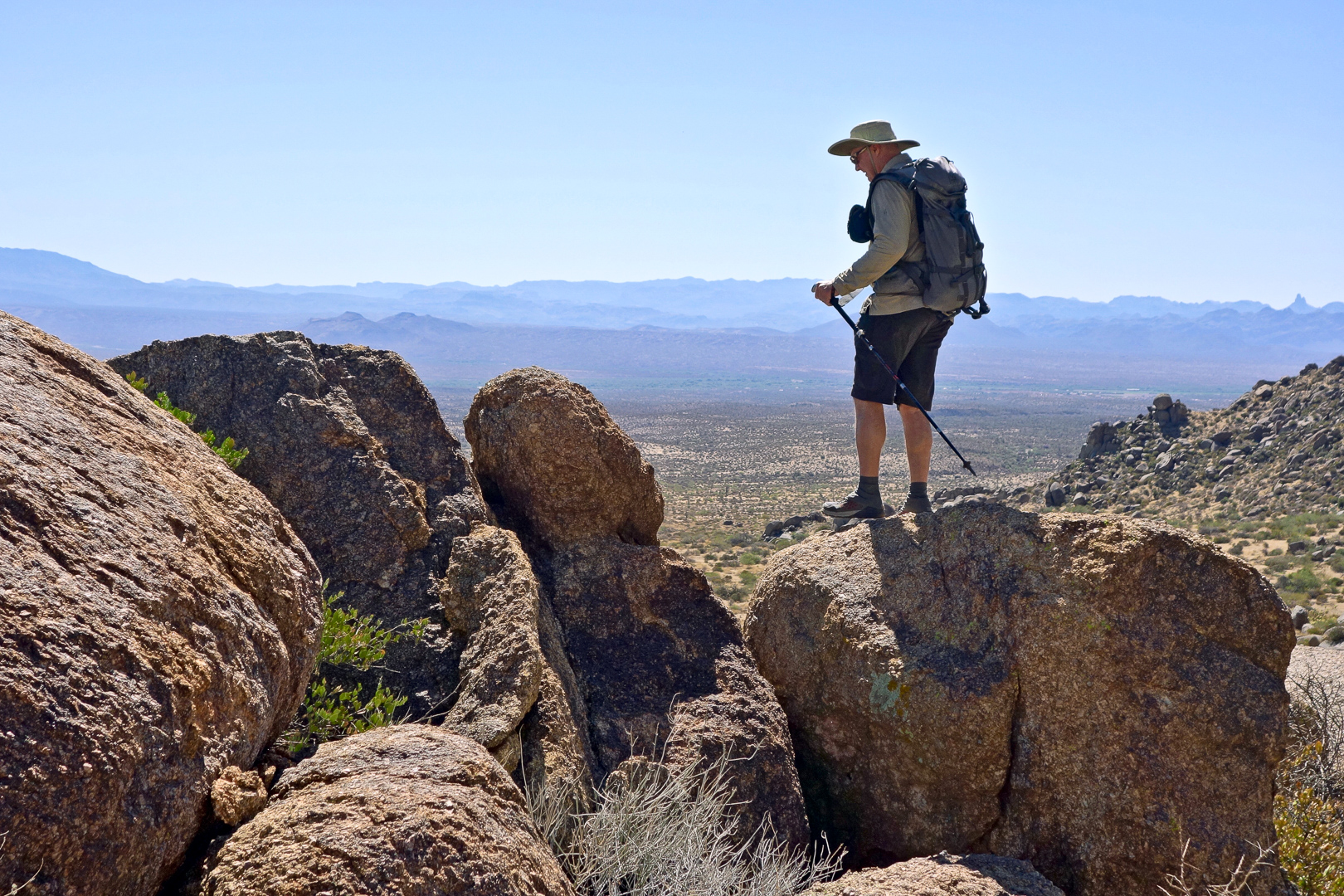
Submarine Rock:
Linda took this photo of me returning from my perch where I took the previous photo. (Photo Credit: Linda Kalbach.)
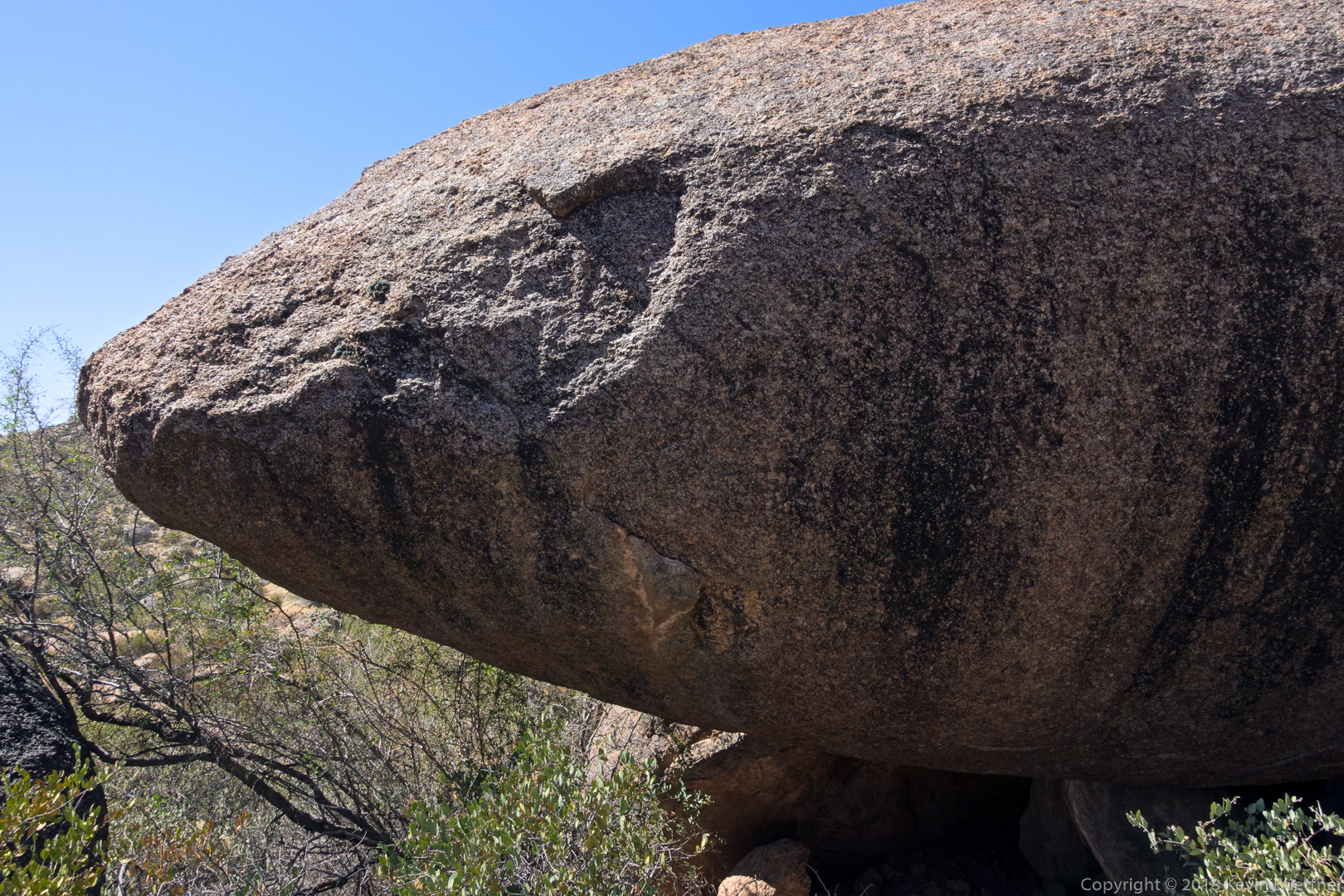
The bow (or maybe stern) of Submarine Rock:
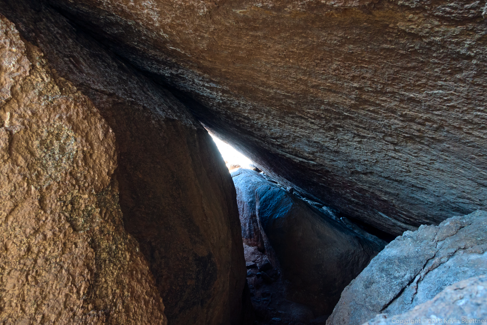
The hole / tunnel below Submarine Rock:
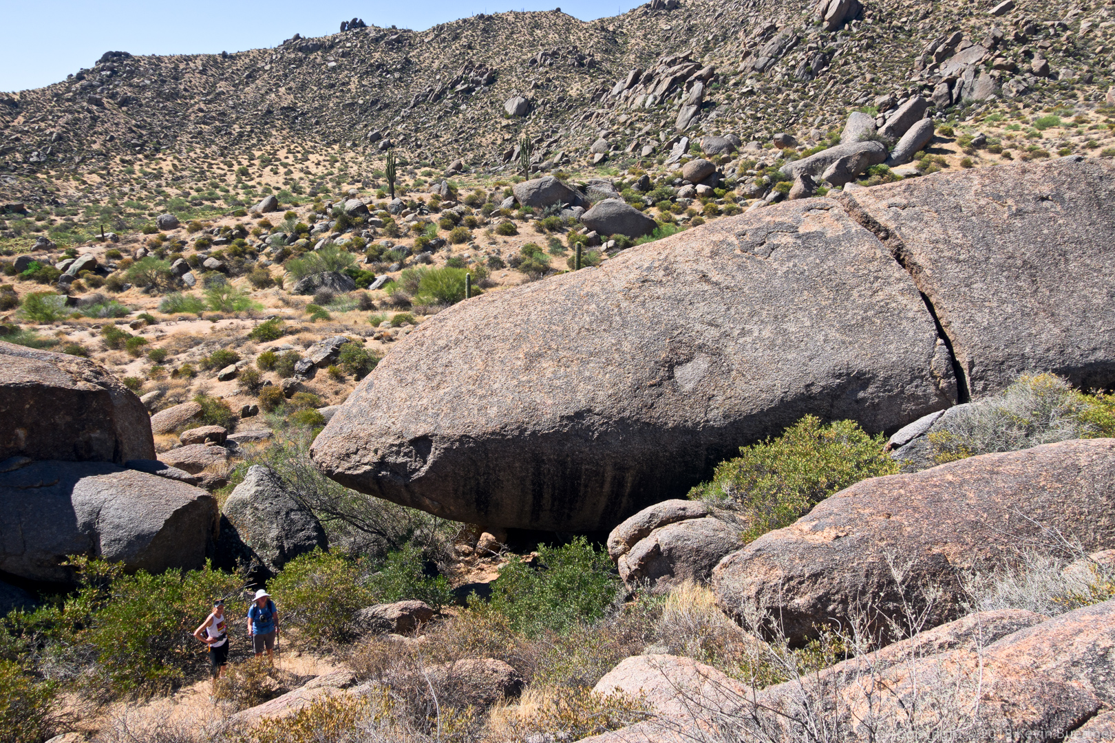
Another view of Submarine Rock, this time with Linda and Marlee in the photo to show its size.
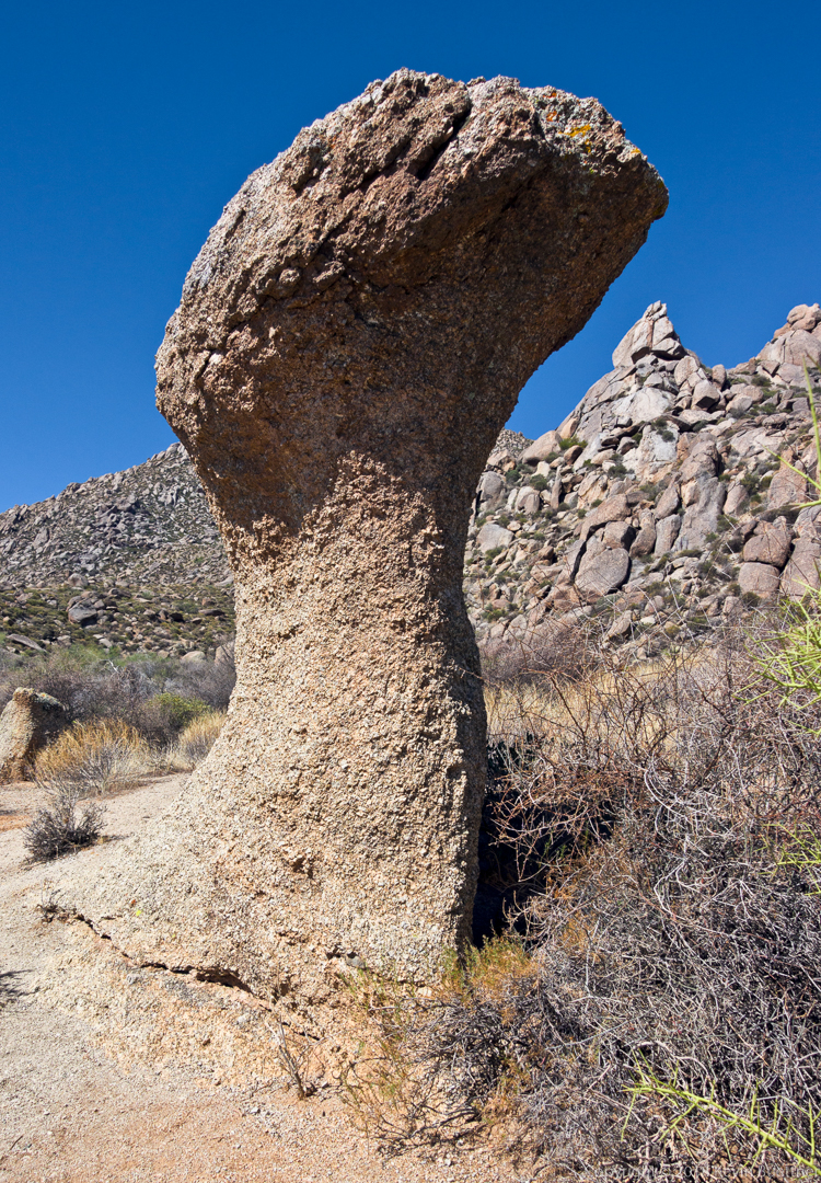
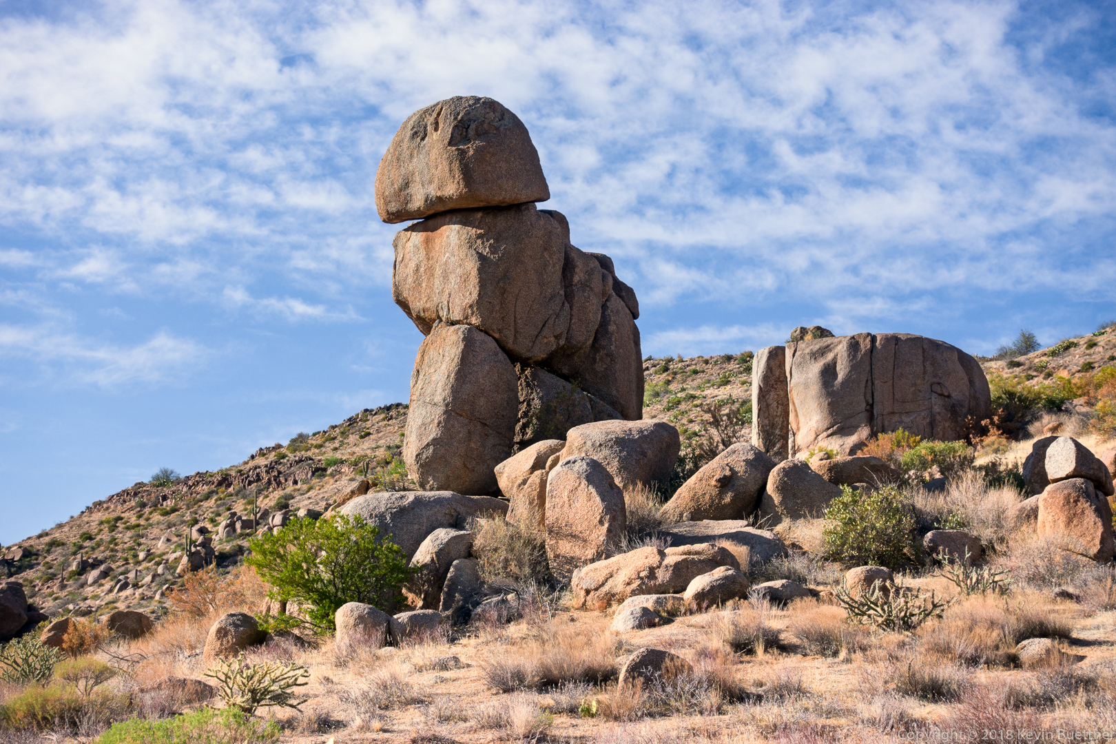
One of the mushroom boulders on the Marcus Landslide Trail:
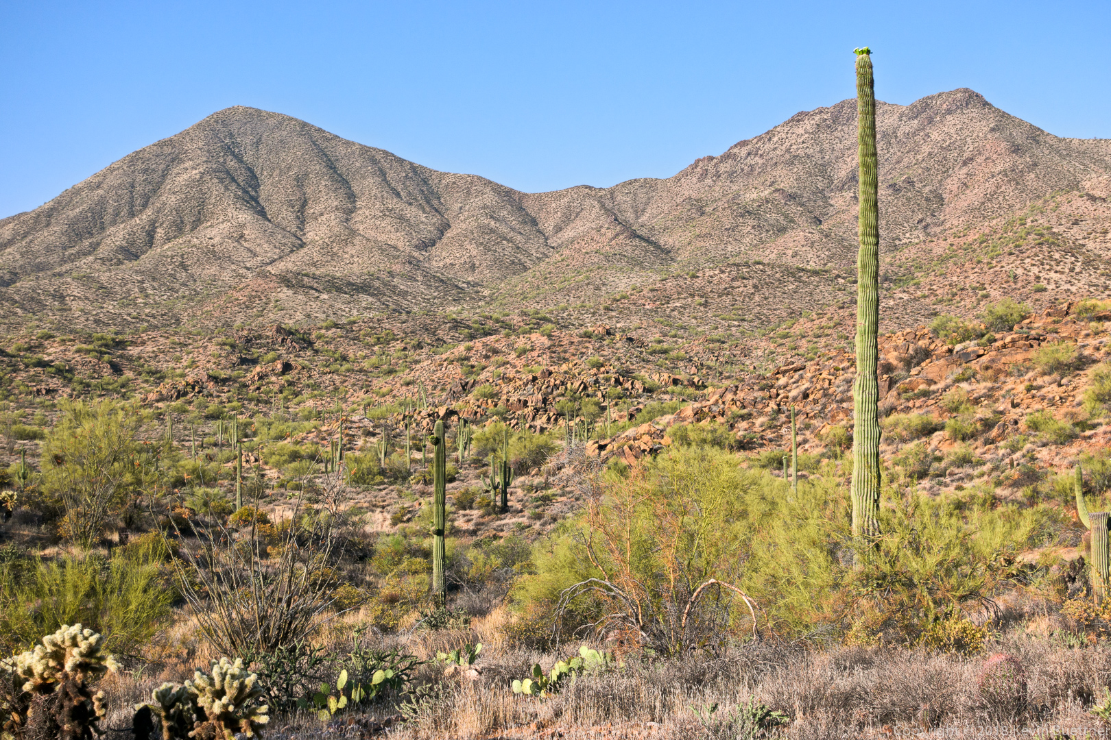
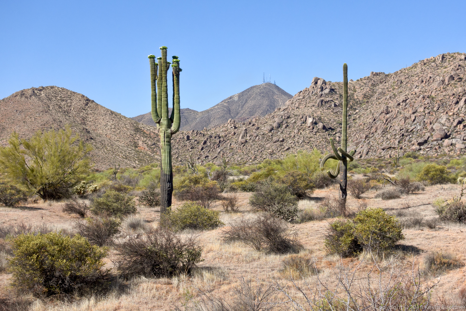
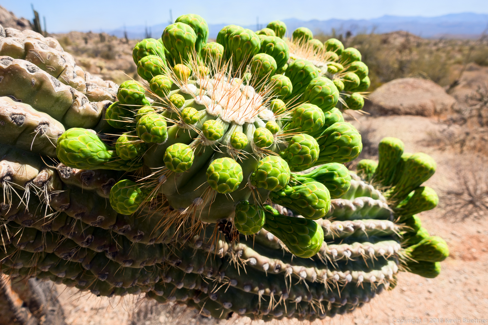
Soon to be blossoms on a saguaro:
Starting in mid-afternoon on Sunday, I hiked the Pine Creek Loop and then, once I got midway through the loop, Ballantine out to Boulder Flat and back, finishing the loop on my return. Trail conditions were better than when I was last there in September. Temps were in the high eighties, good gradual acclimation for summertime hiking here. Total distance was 7.7 miles with 1700 feet of total ascent.
Prickly Pear blossom:
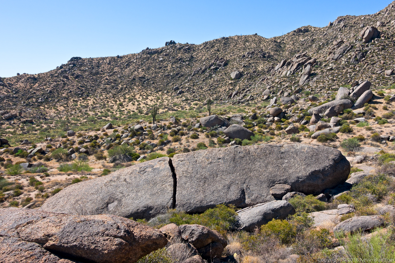
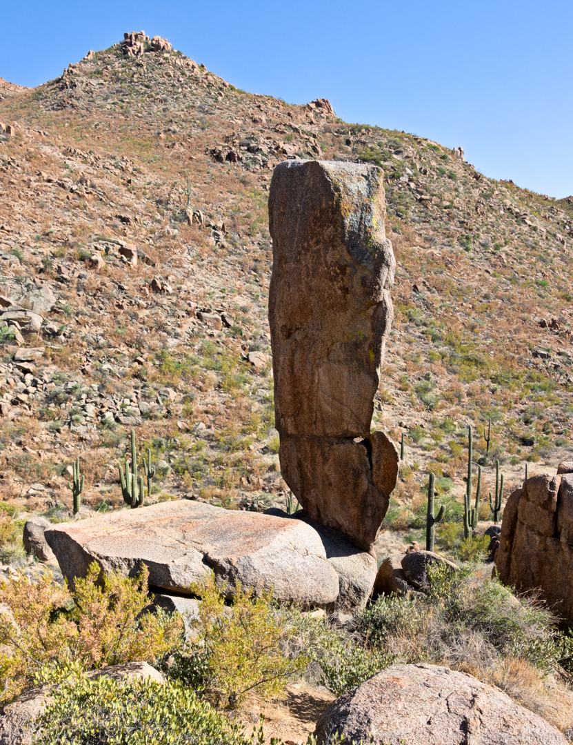
A boulder pile near Boulder Flat.
