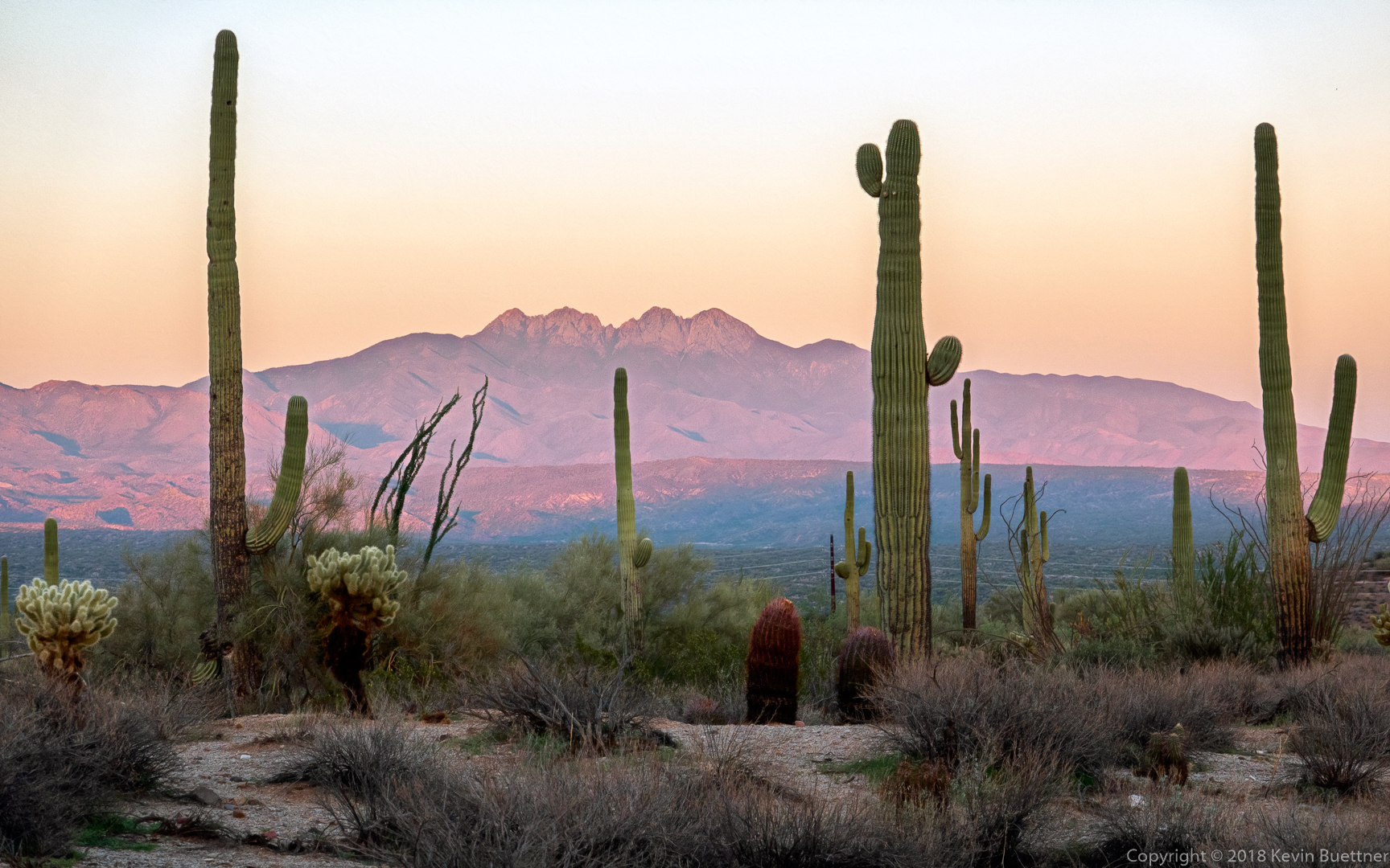
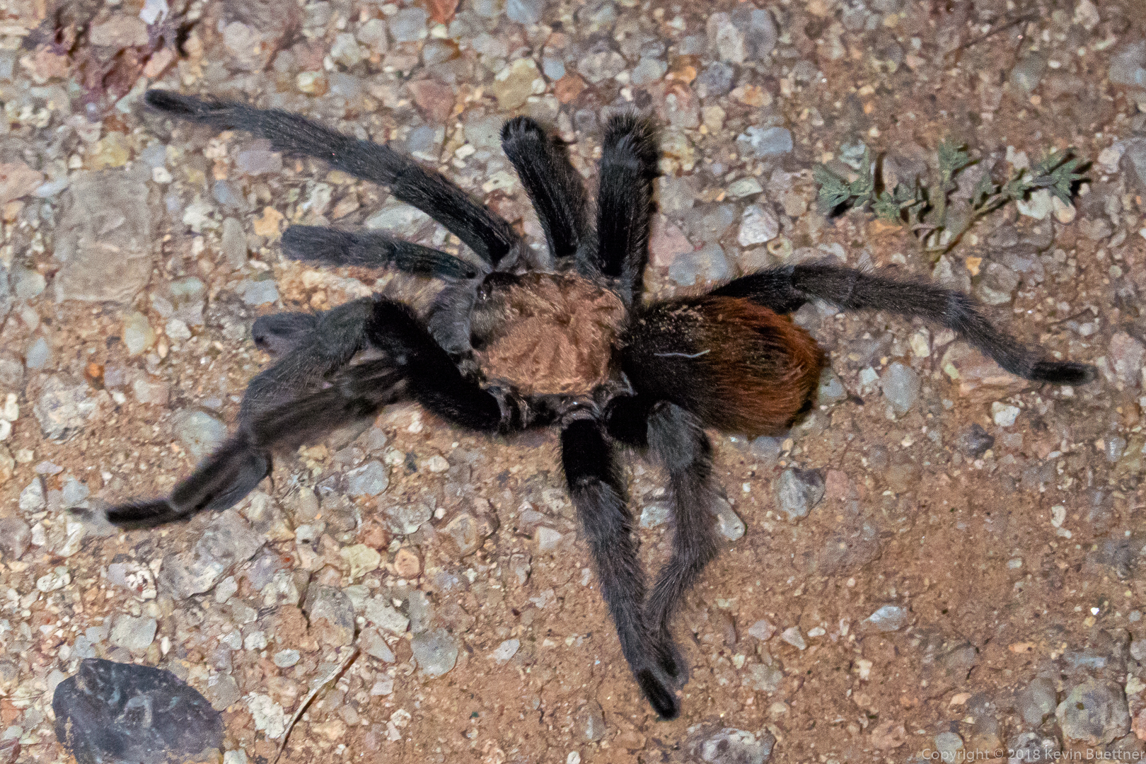
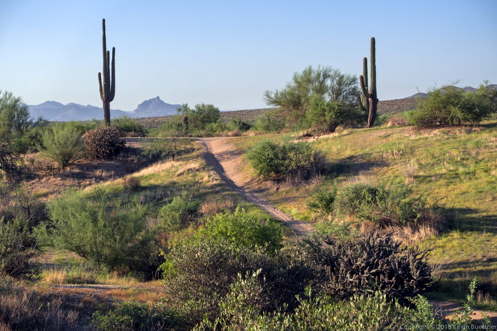
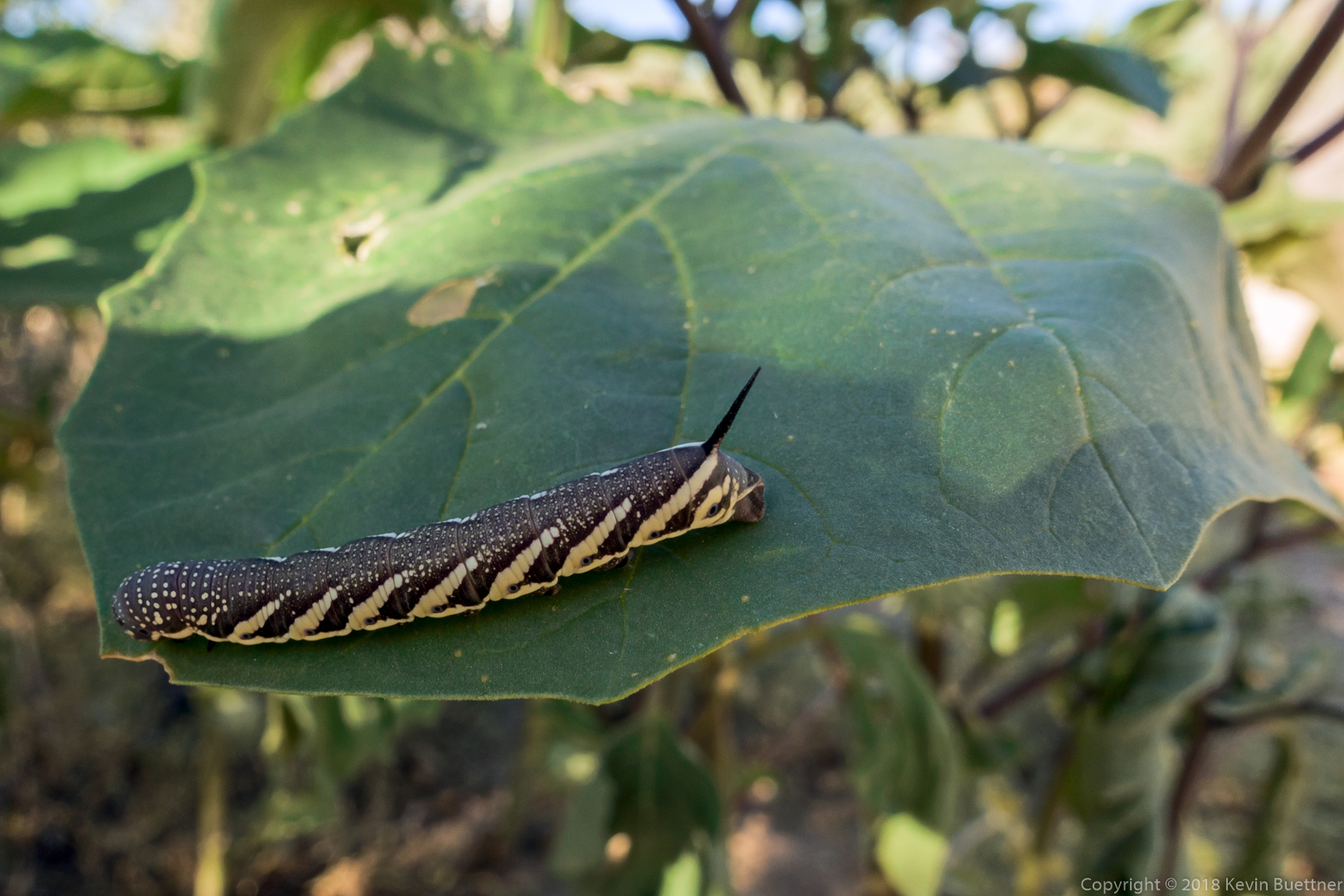
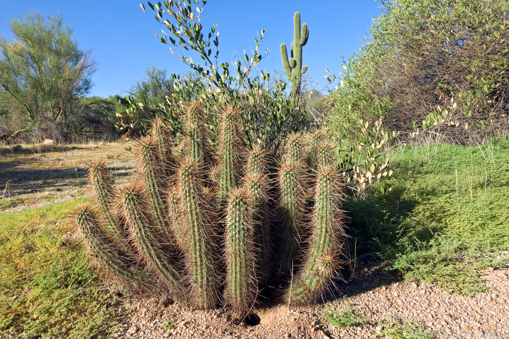
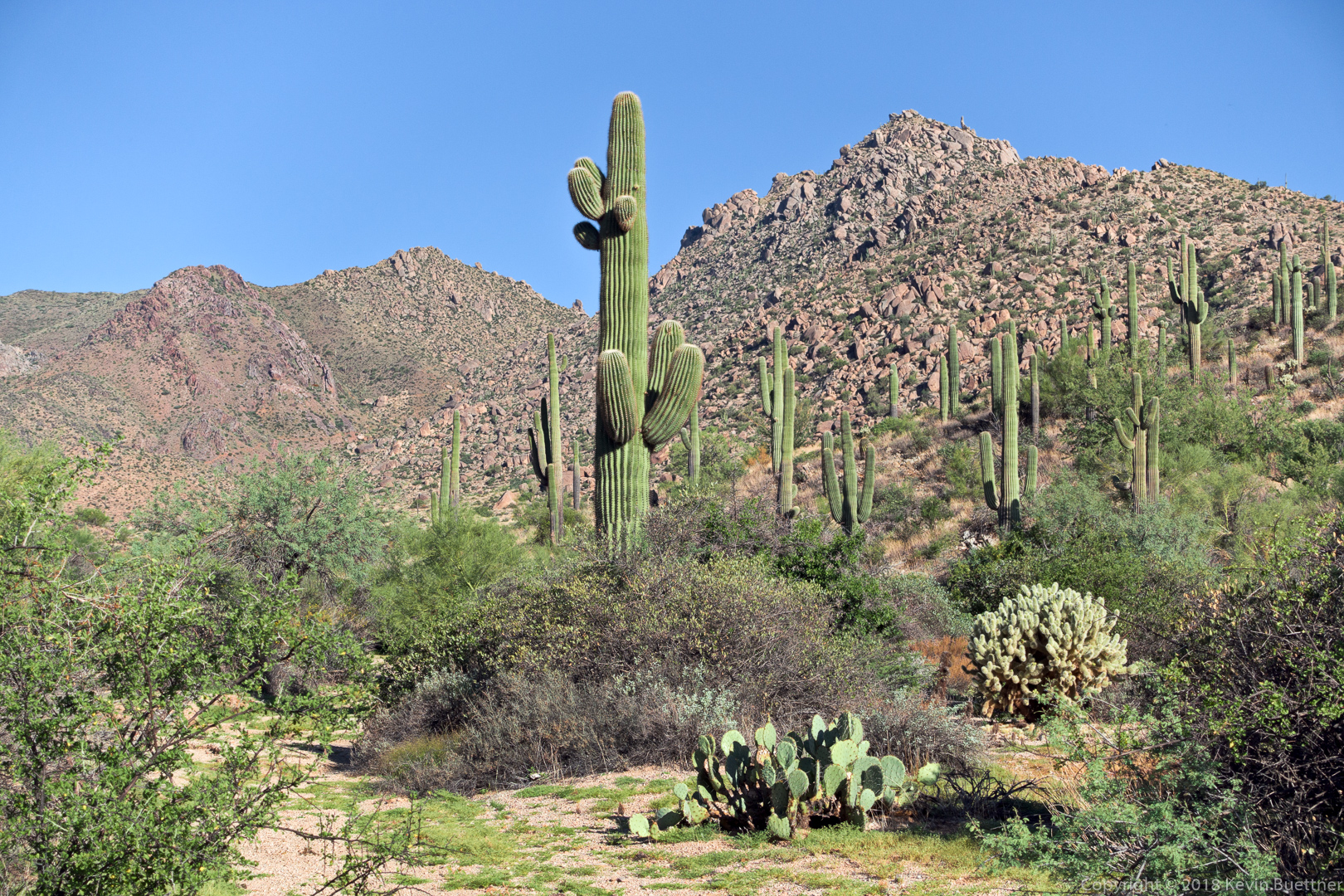
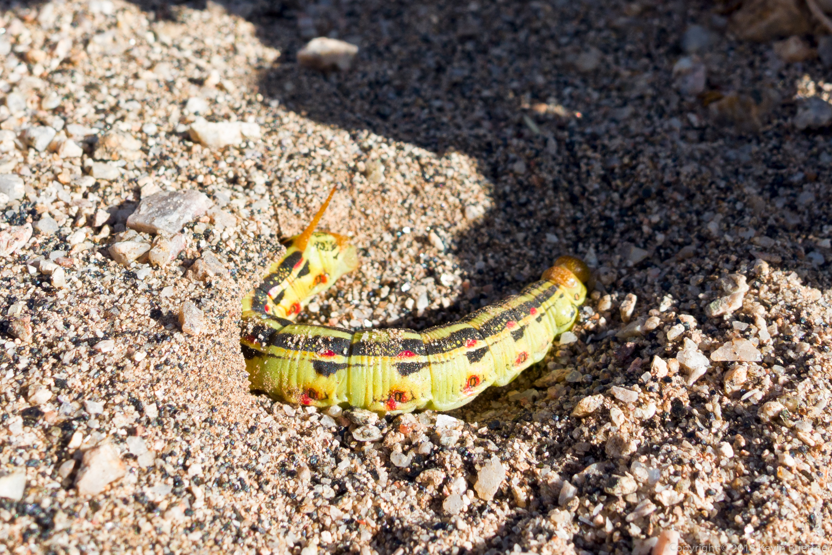
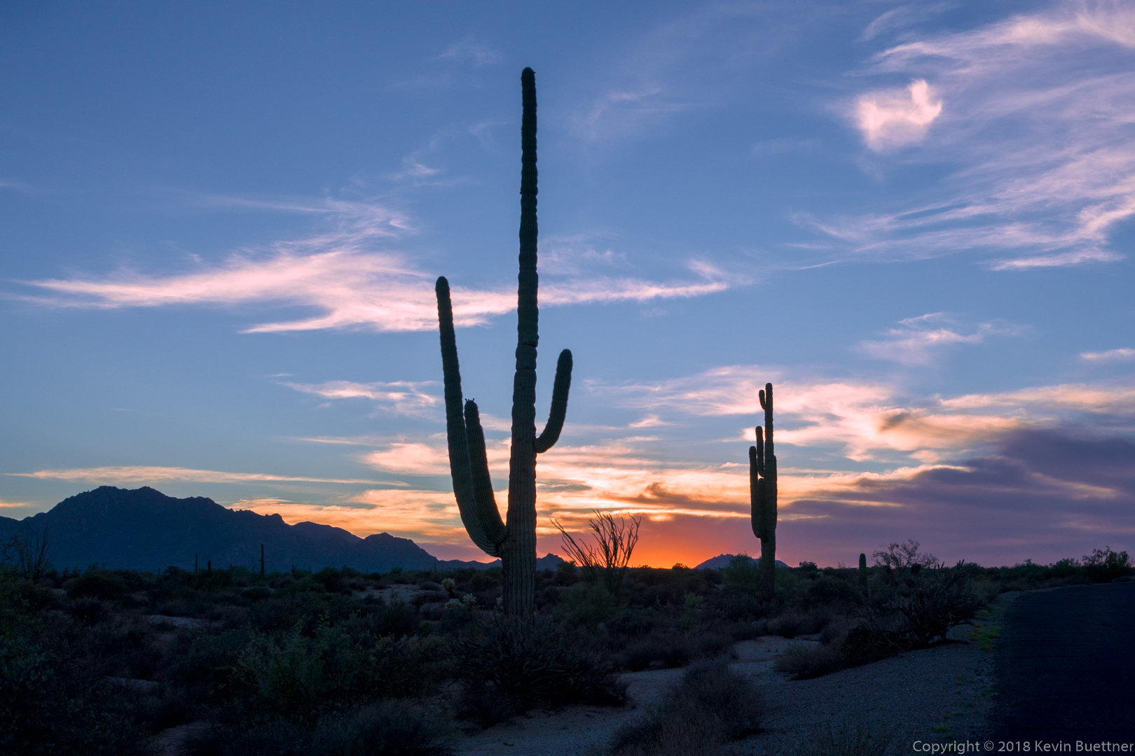
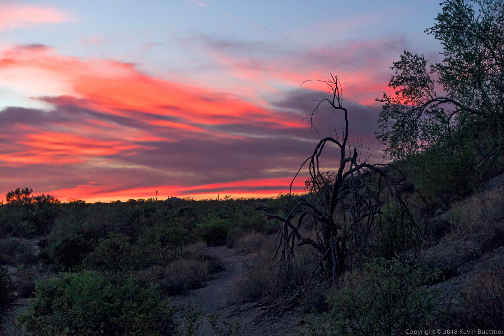
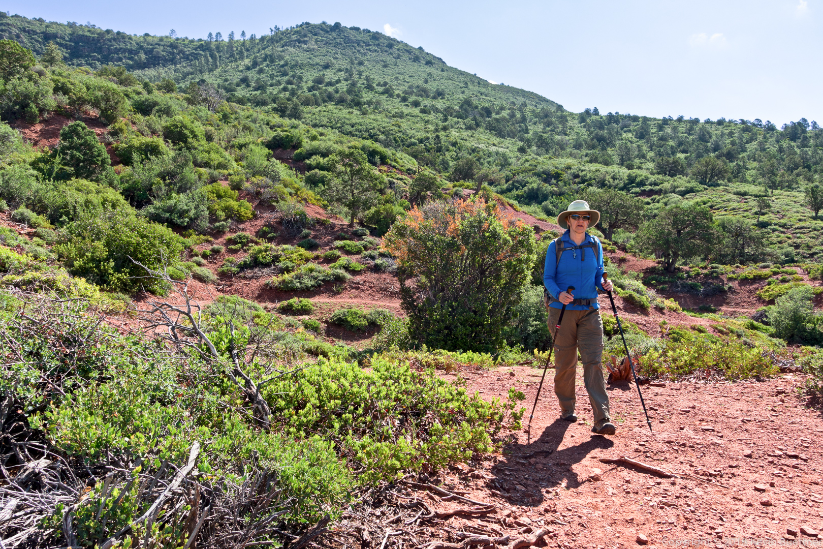
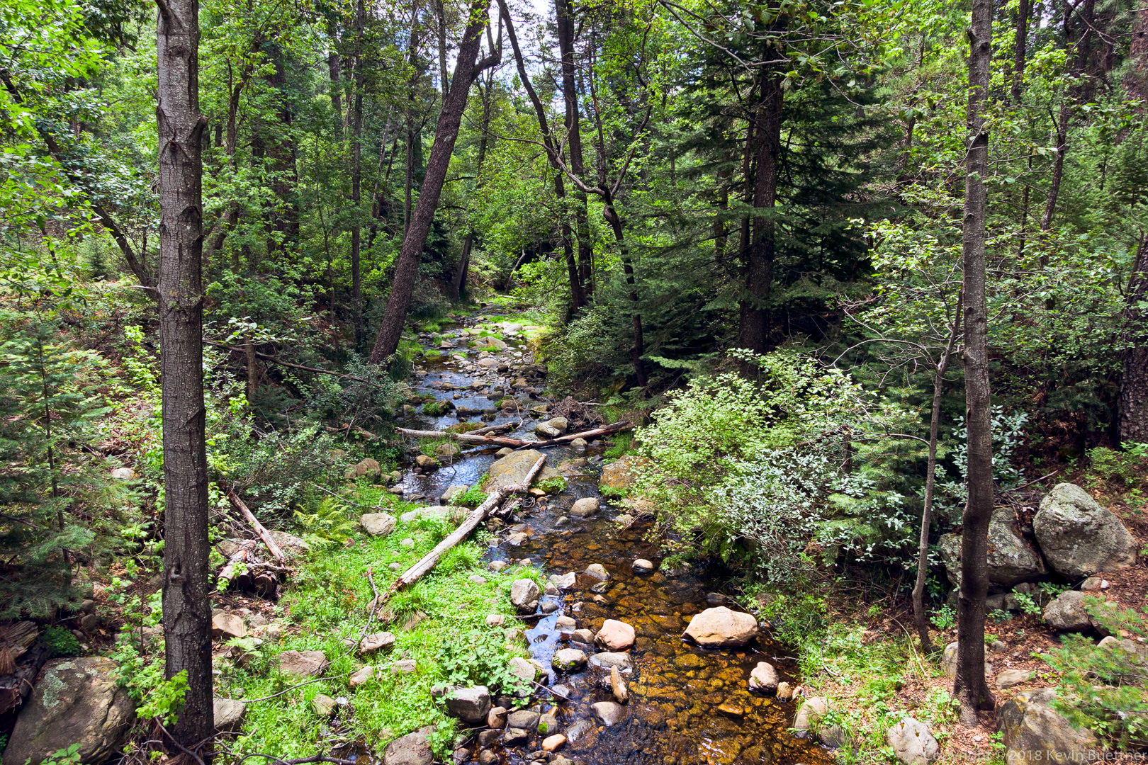
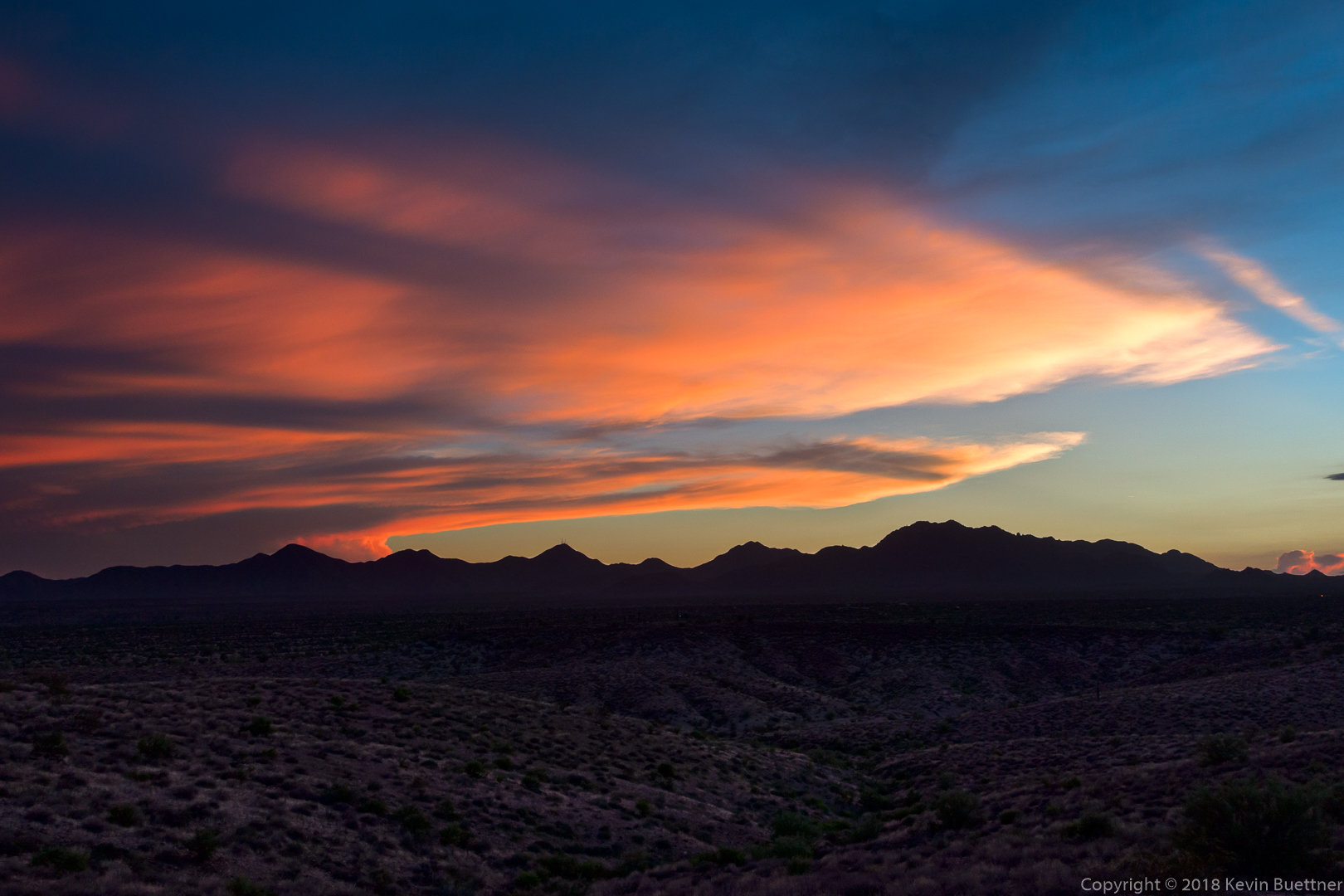
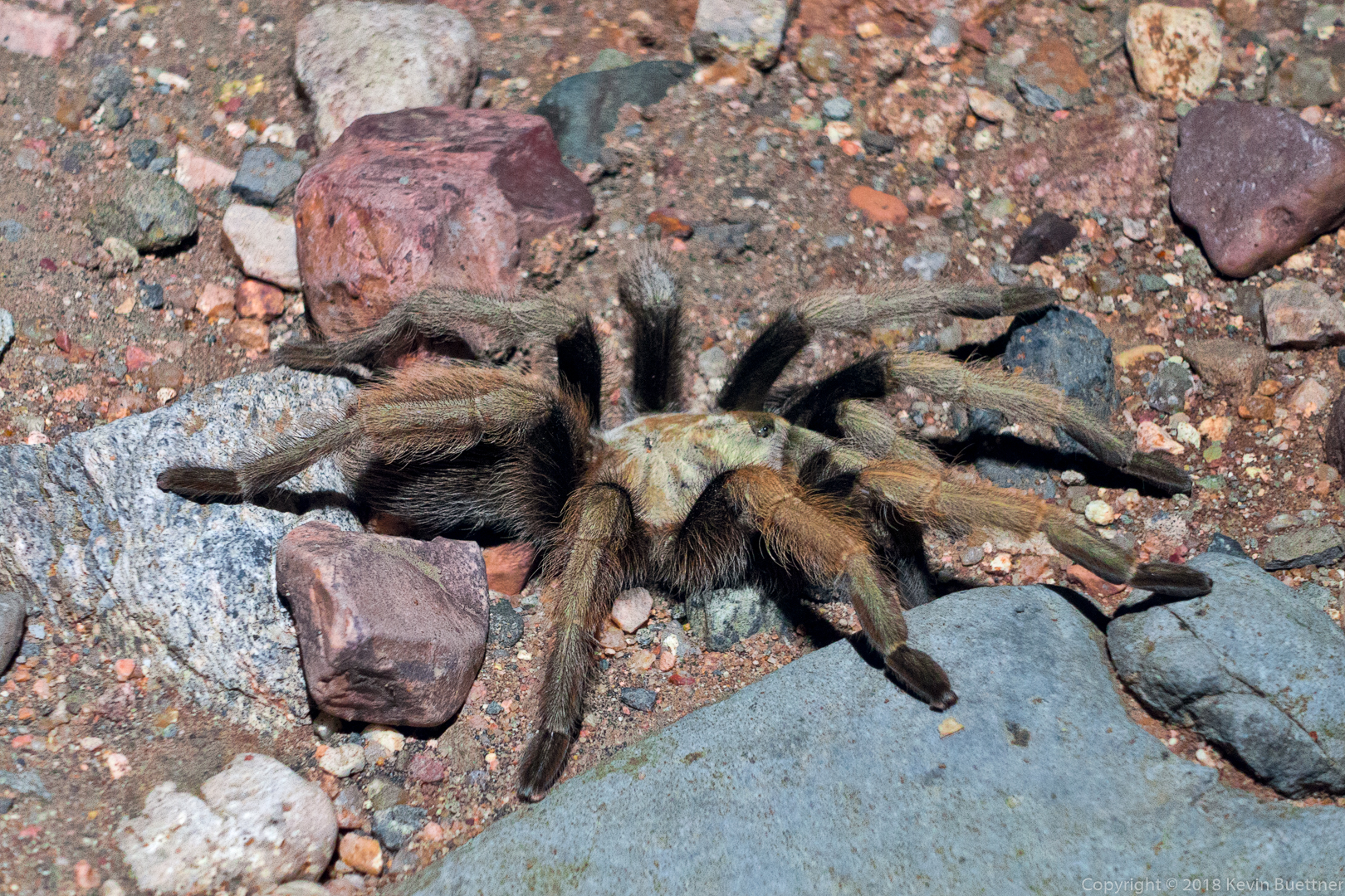
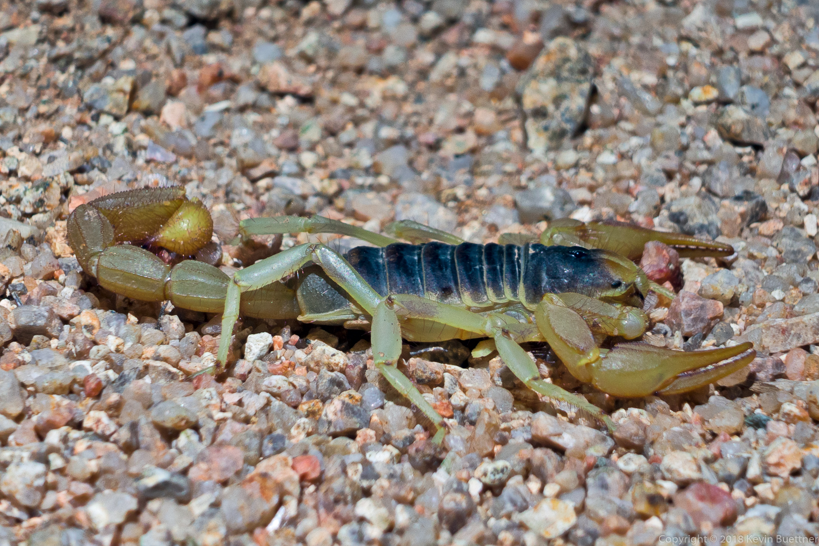
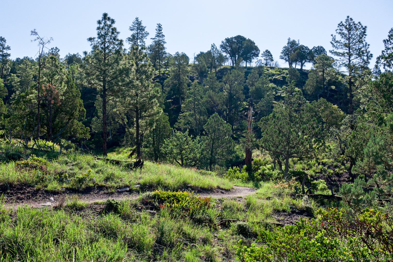
8.25 miles on the Long Loop on Monday Night. I saw two tarantulas, some pack rats, and a javelina.
Tag: Arizona (page 12 of 74)
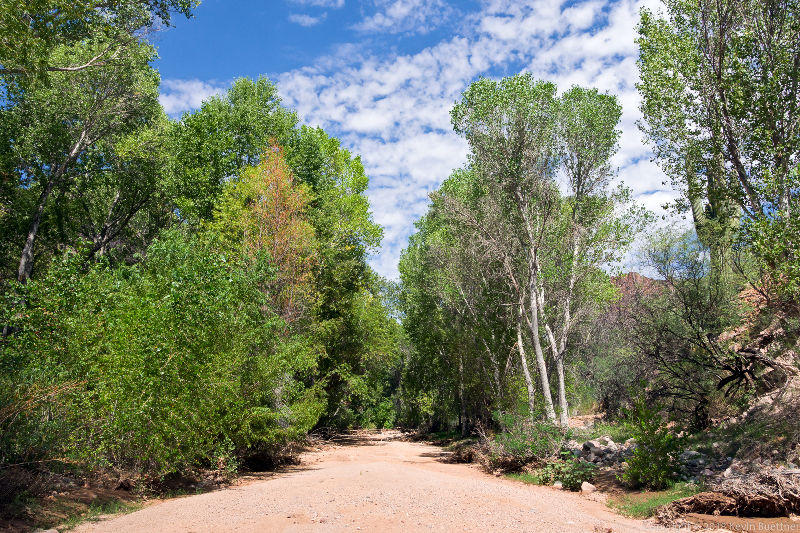
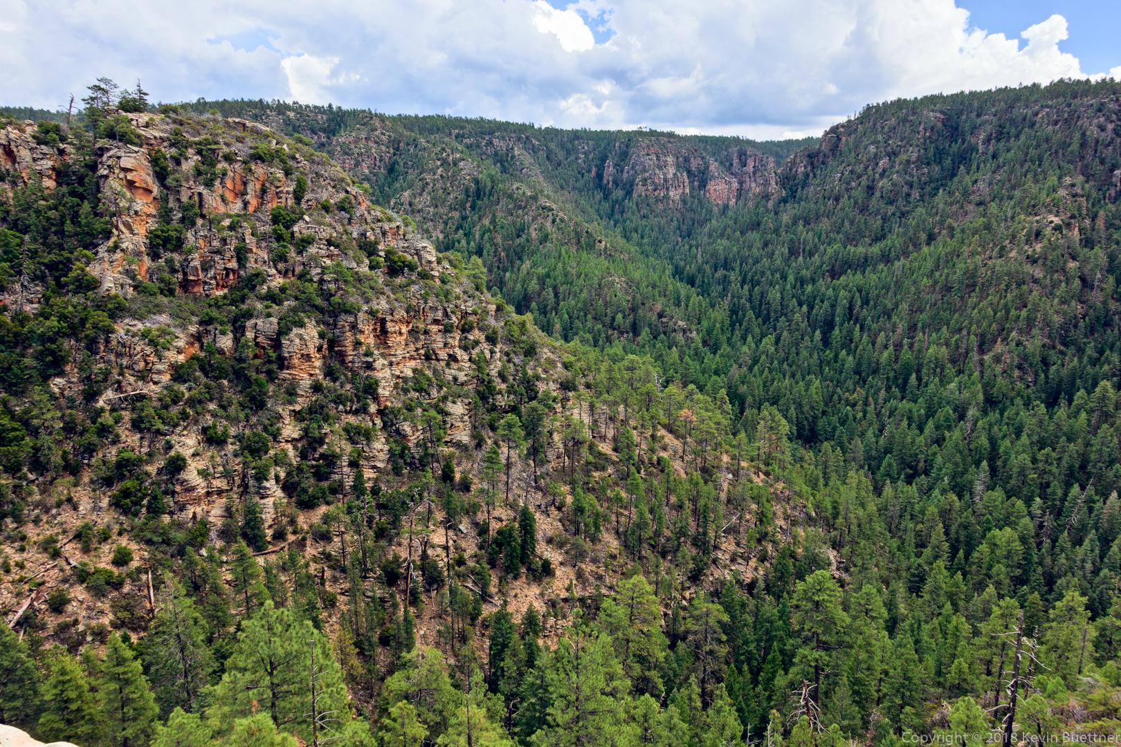
Marilyn and I set out with the intent of hiking Pinto Creek Canyon. It was billed as a creek with clear, ankle deep water. We inadvertently parked two miles away, but hiked the forest road (FS 242) to the creek. When we got there, we found that it was mostly dry with occasional slippery mud plus a few stagnant pools of water. It was very scenic from the forest service road, however; I enjoyed the views from the road.
Bob, Marilyn, and I hiked 7.8 miles starting from the Wagner Trailhead.
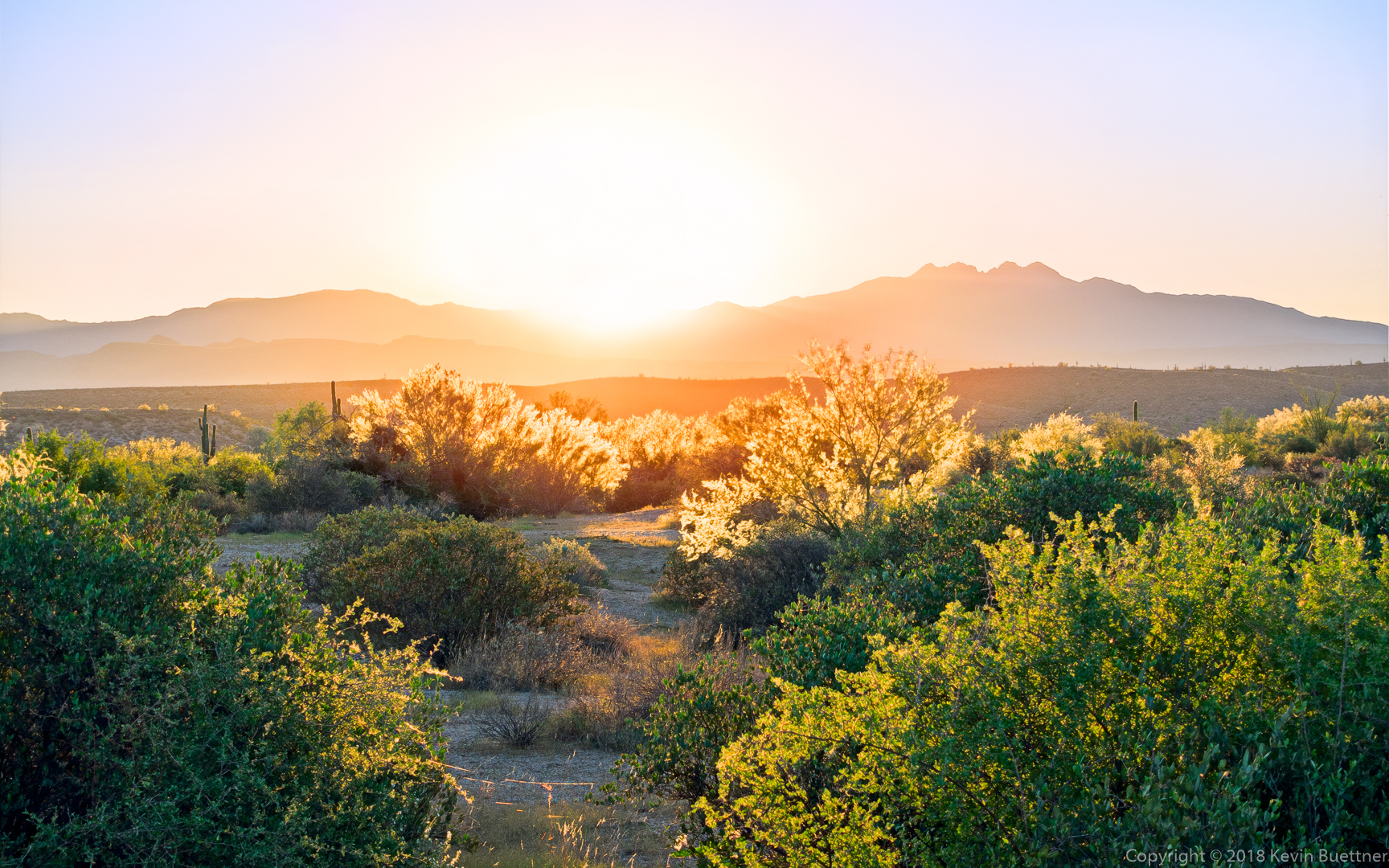
Sunrise from the trailhead:
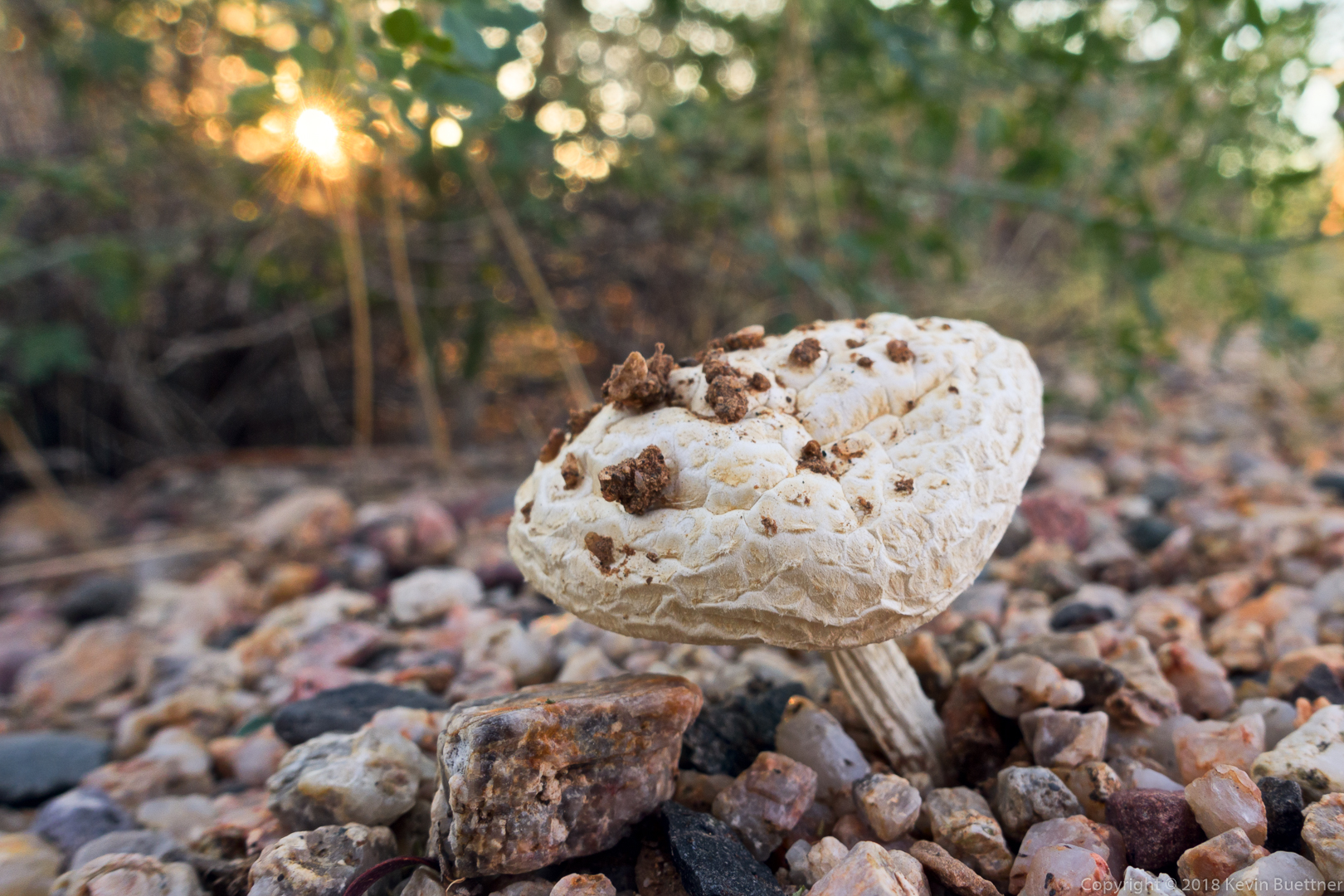
A mushroom in the desert? Apparently so…
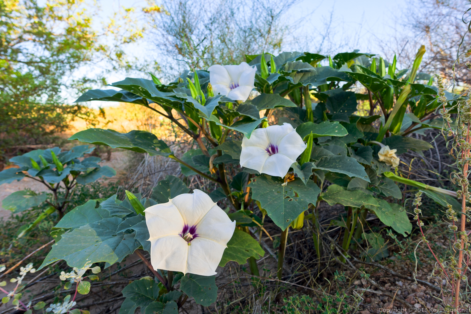
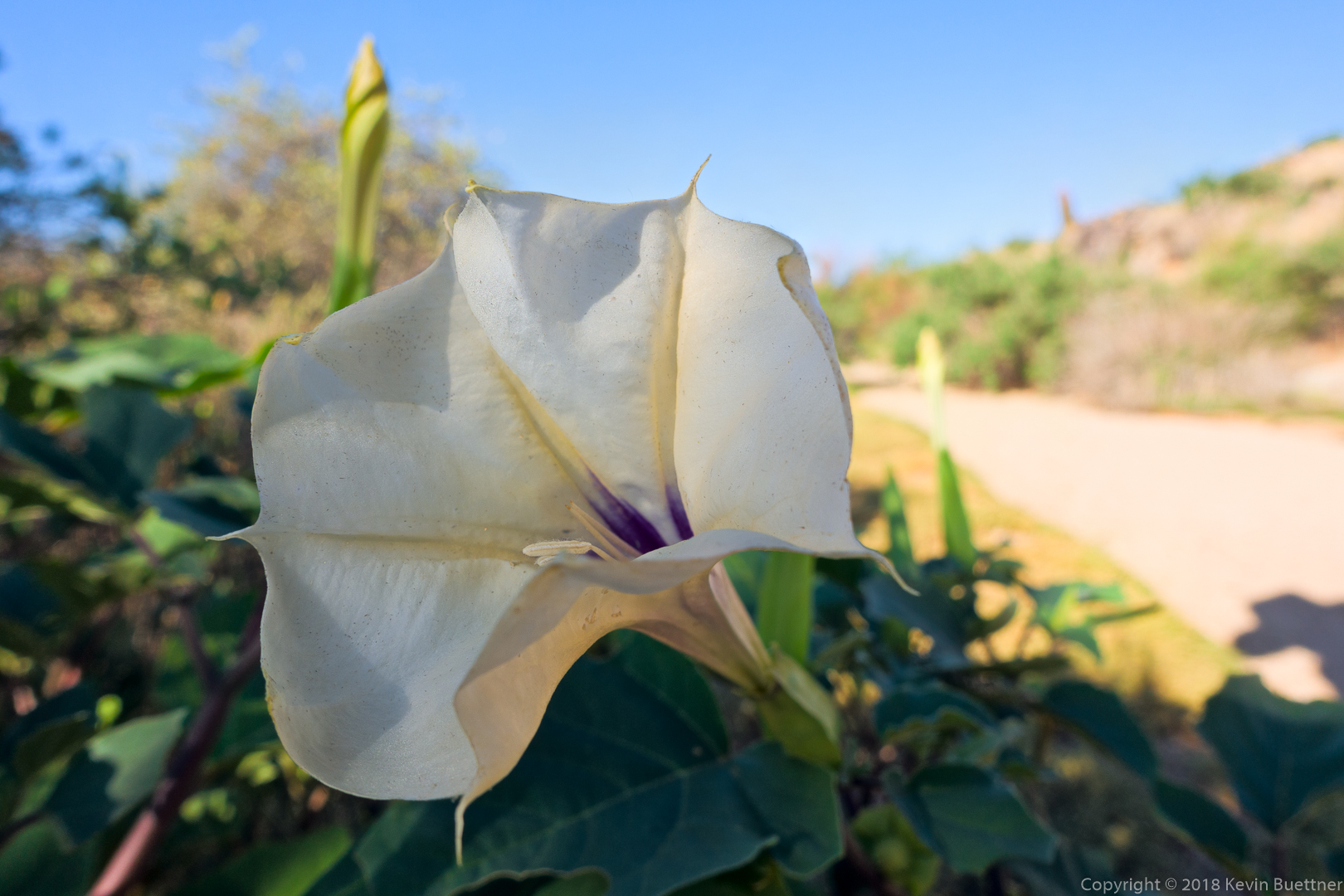
Sacred Datura:
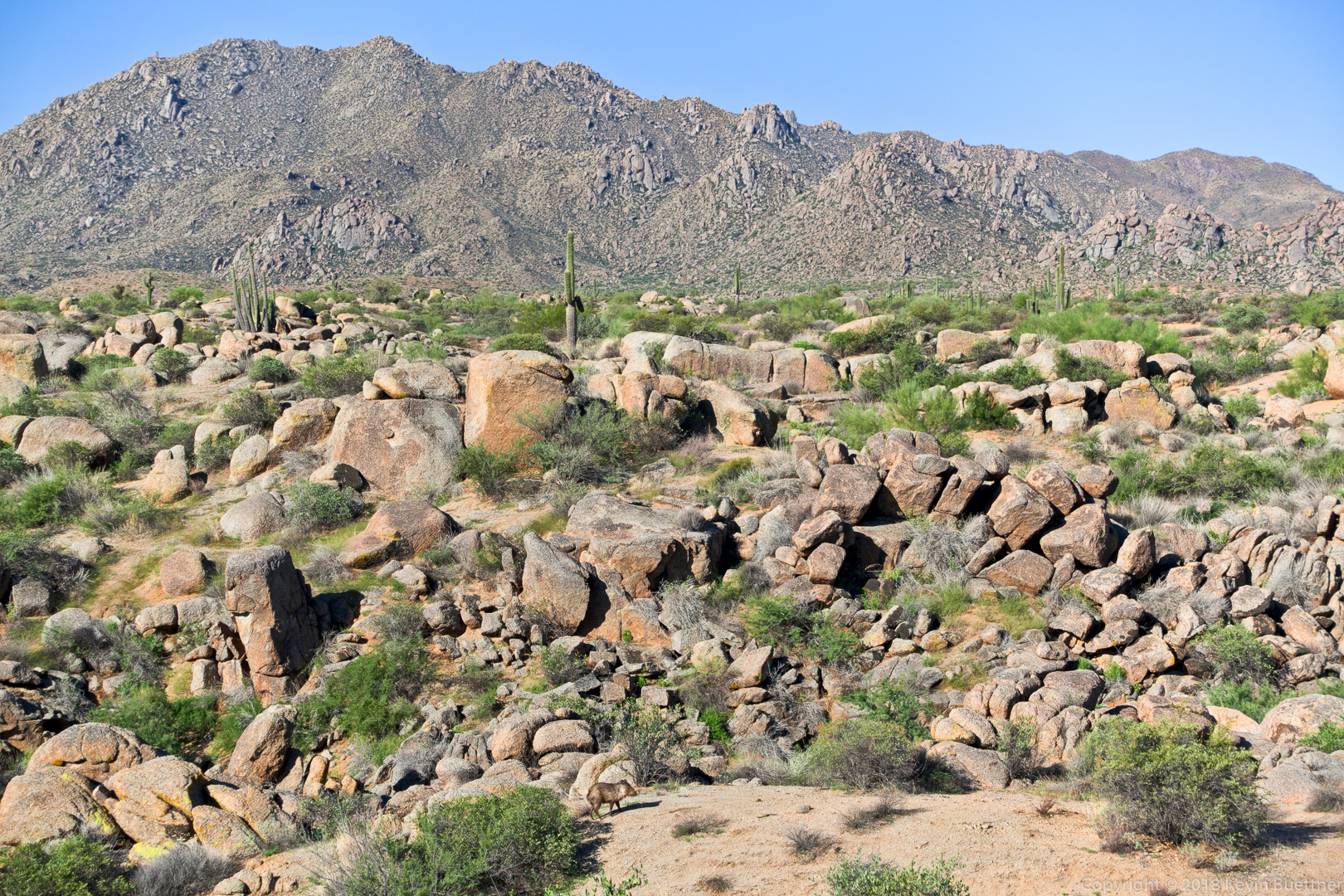
Look for the Javelina near the bottom of this photo, just left of center. The McDowell Mountains are in the background.
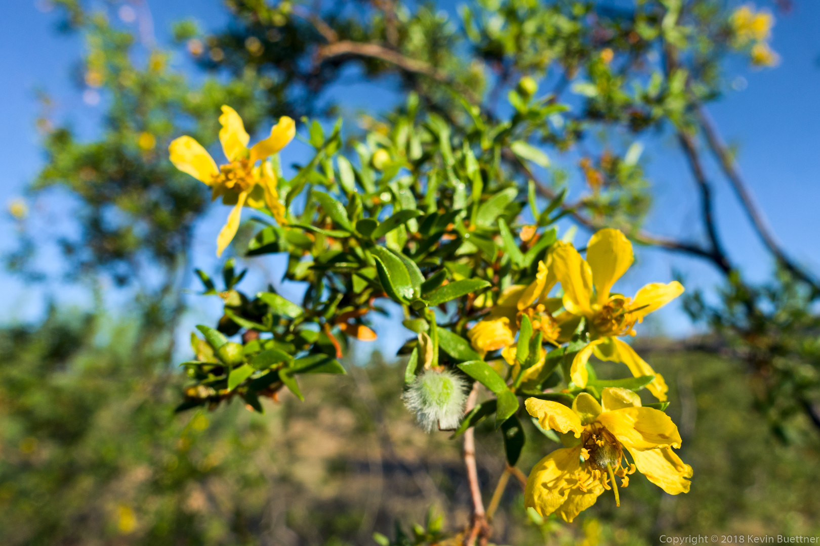
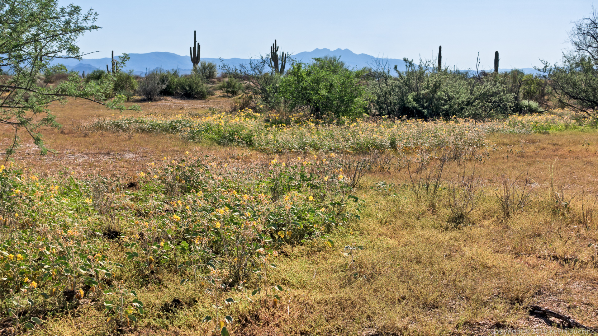
The yellow flowers in this photo are Senna:
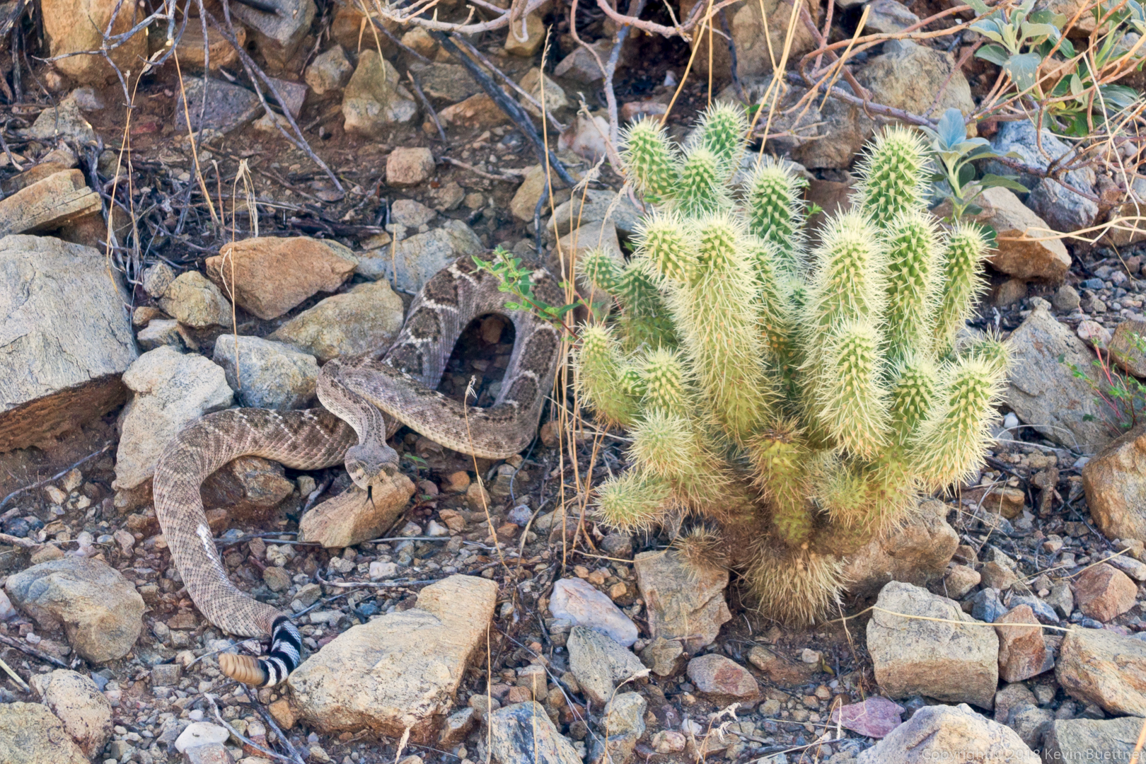
It took us a while to spot this snake. We heard it rattling, but we thought it was on top of the bank of the channel that we were in. When we finally looked down, below an overhanging tree, we saw it.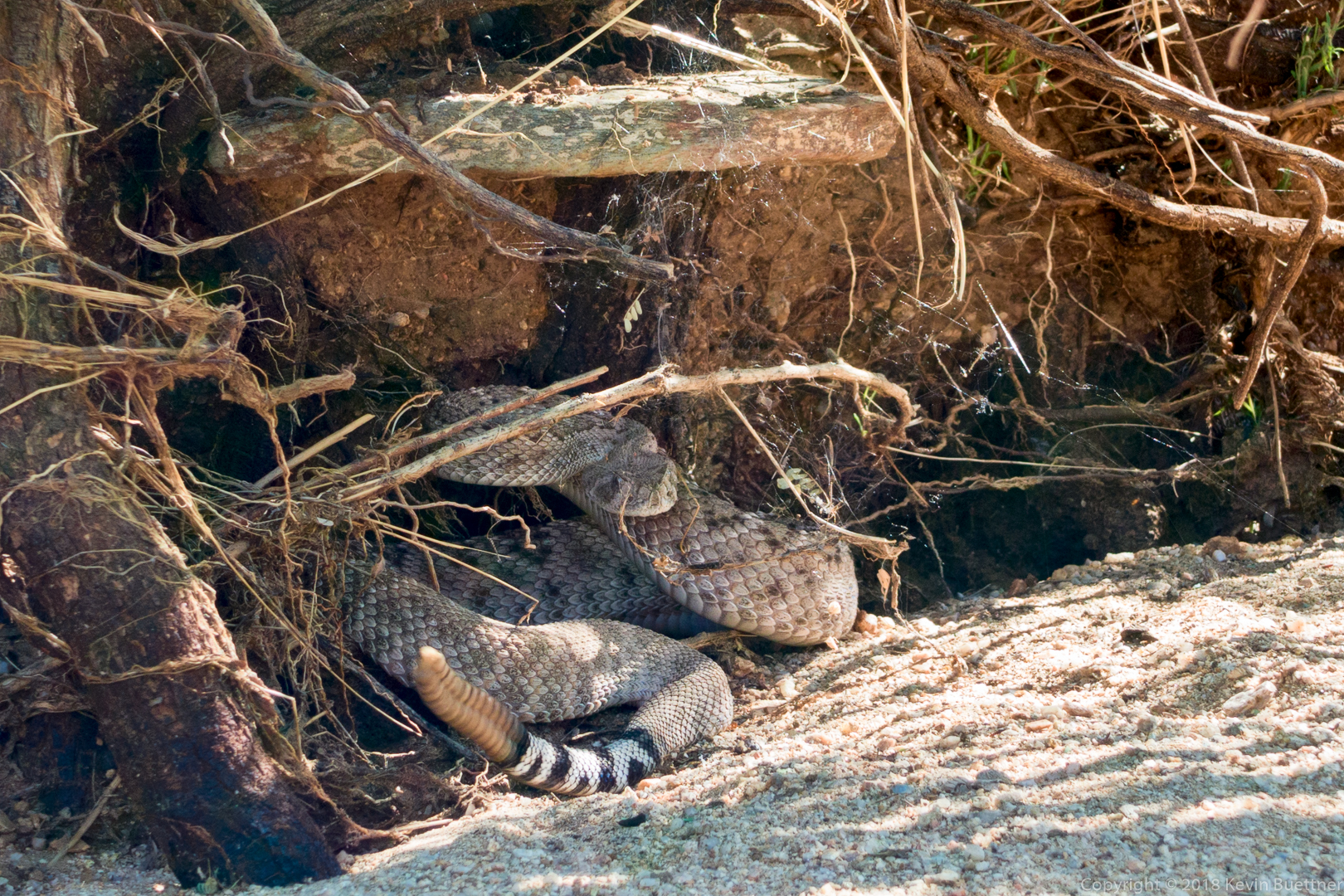
Linda and I hiked 10.5 miles starting from the Four Peaks Trailhead.
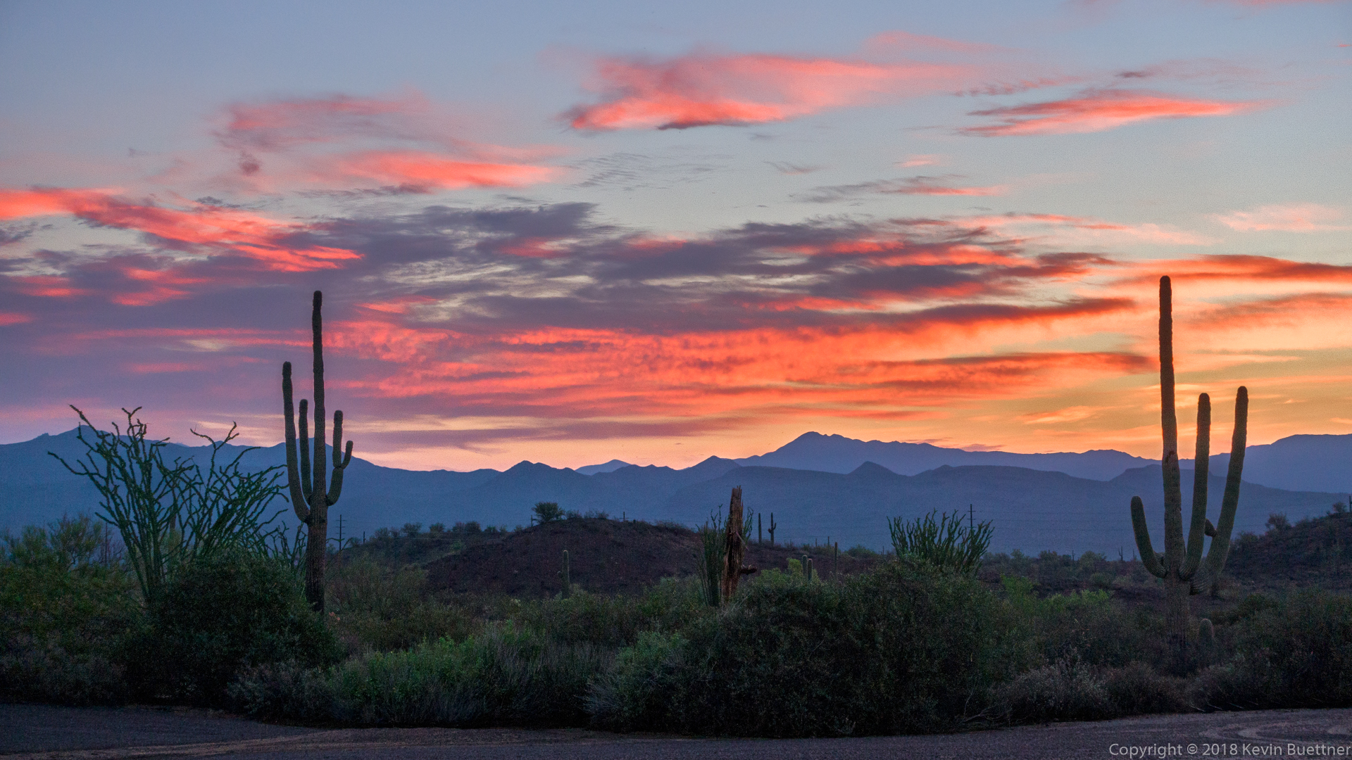
Colorful, pre-hike clouds.
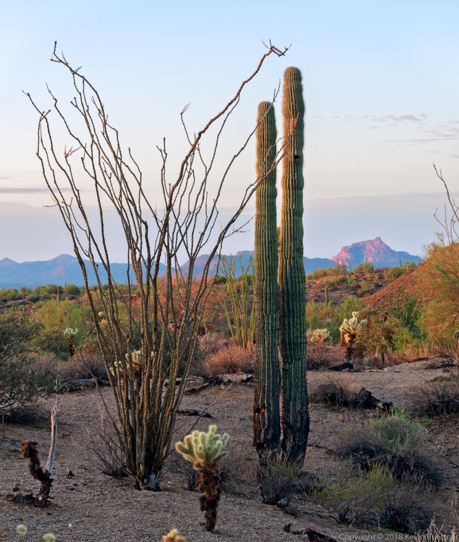
A view of Red Mountain from the Technical Loop:
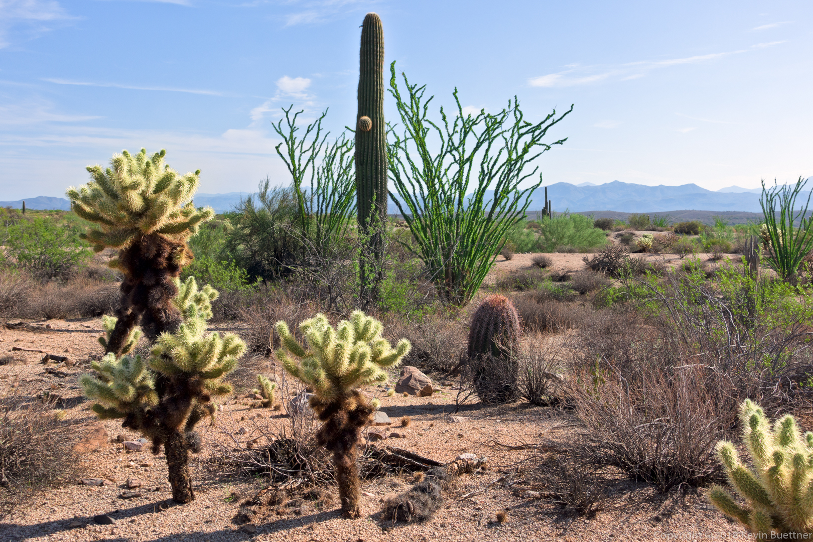
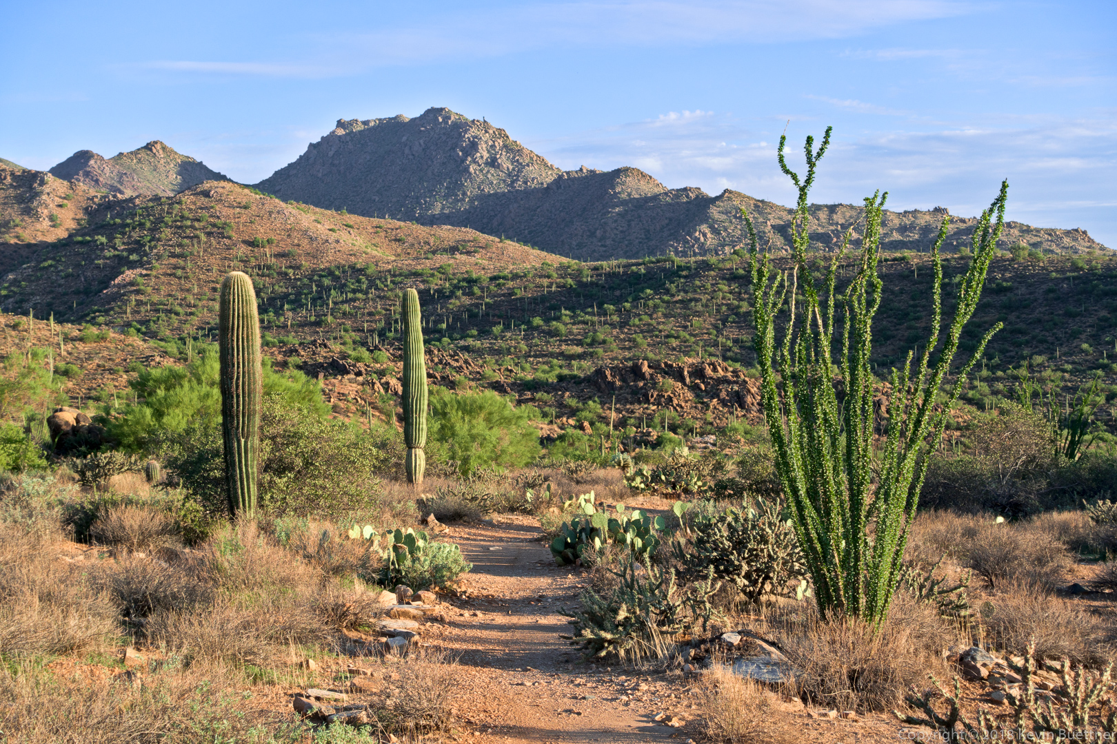
Linda and I were both surprised at how green the ocotillos are.
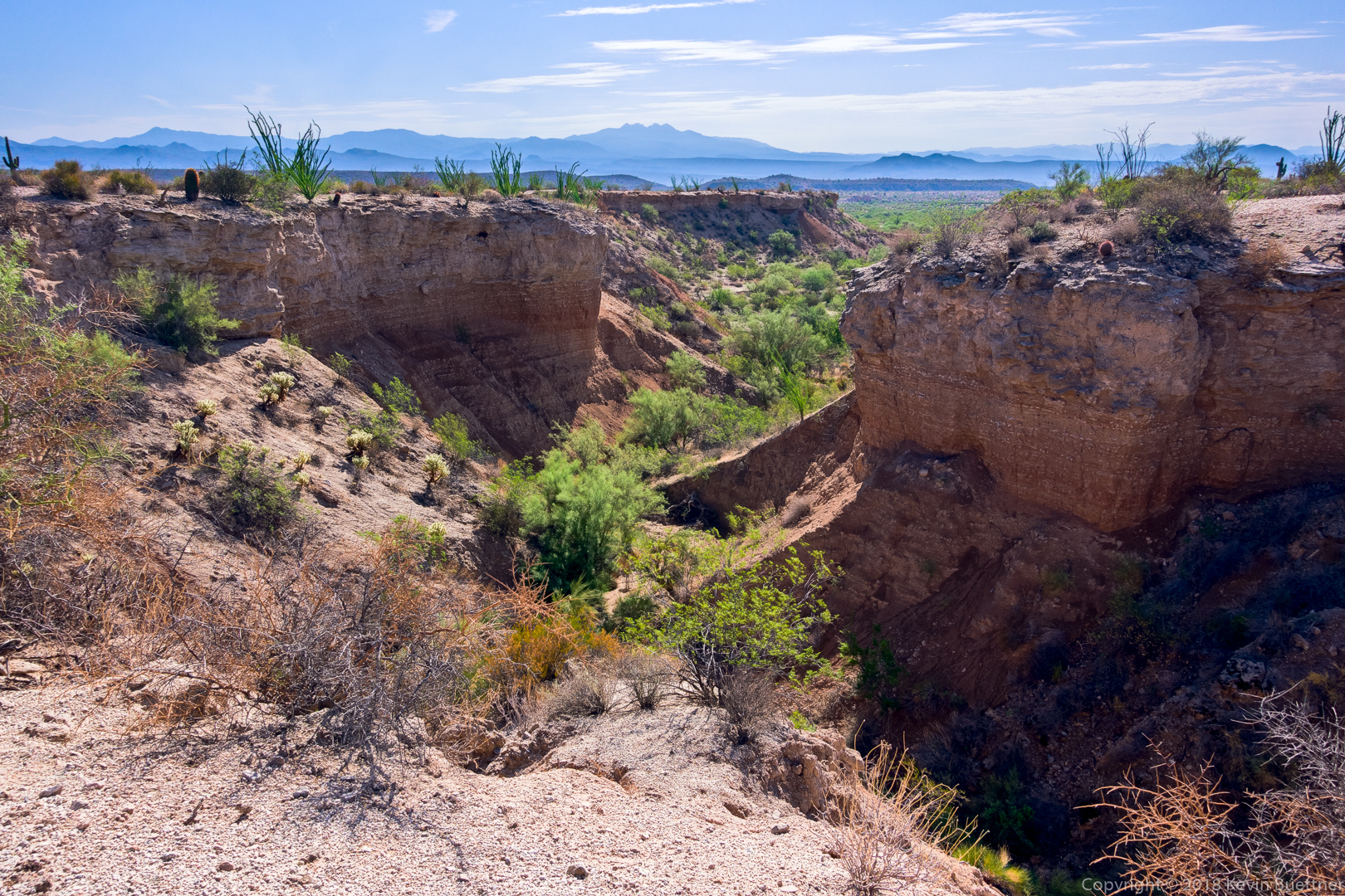
We looked for a descent into this small canyon, but the two nearby drainages were too steep.
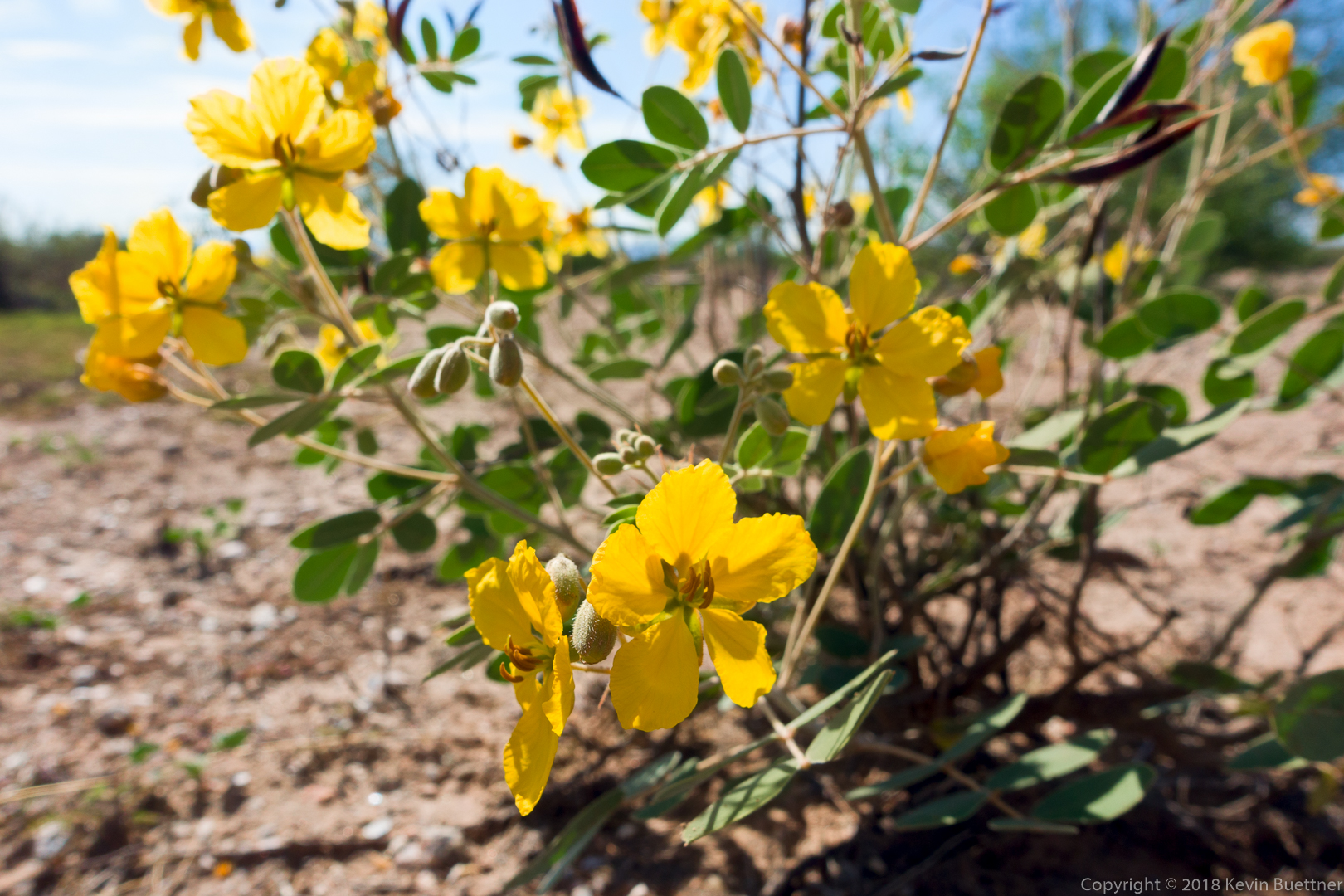
Senna:
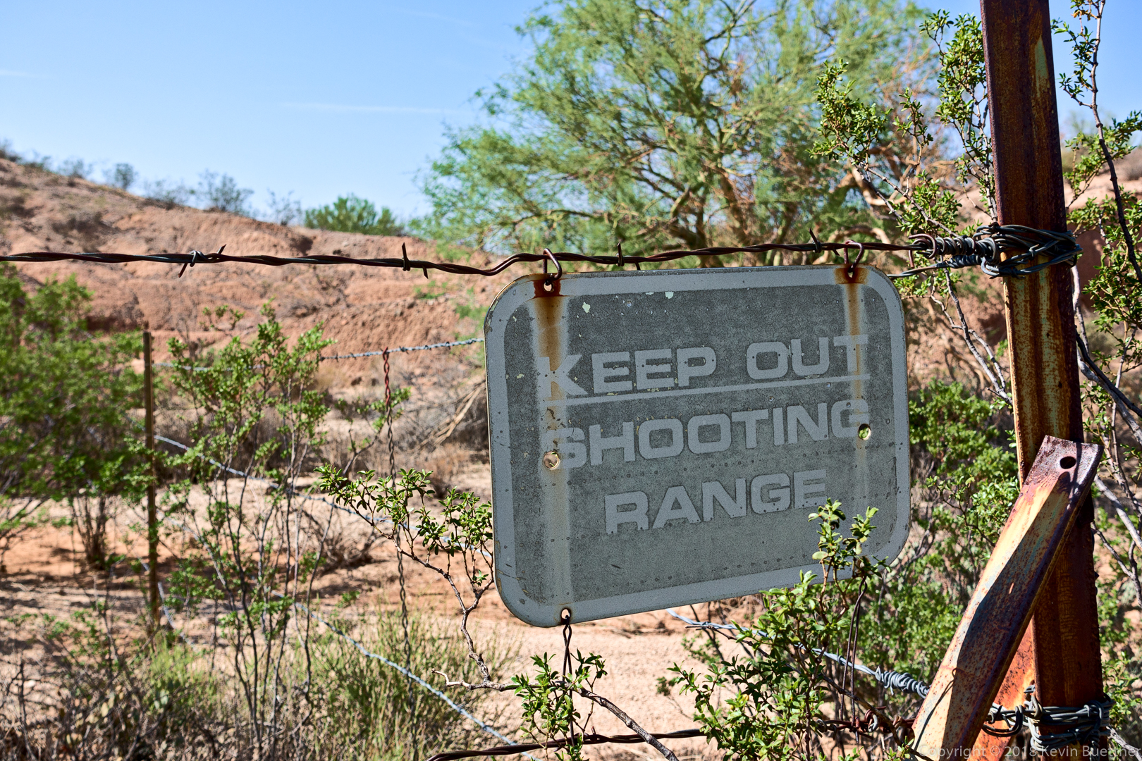
There was once a shooting range in the park?
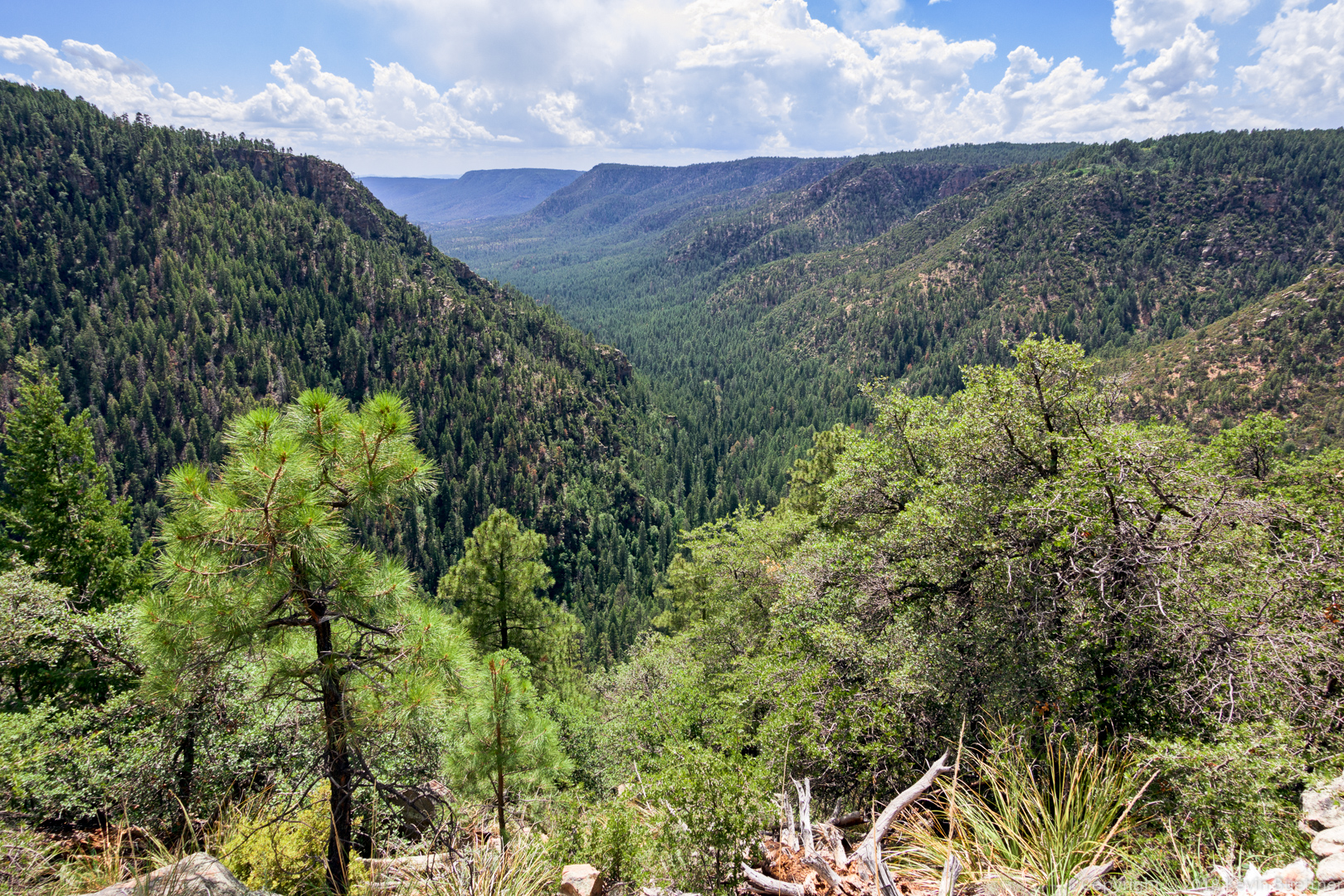
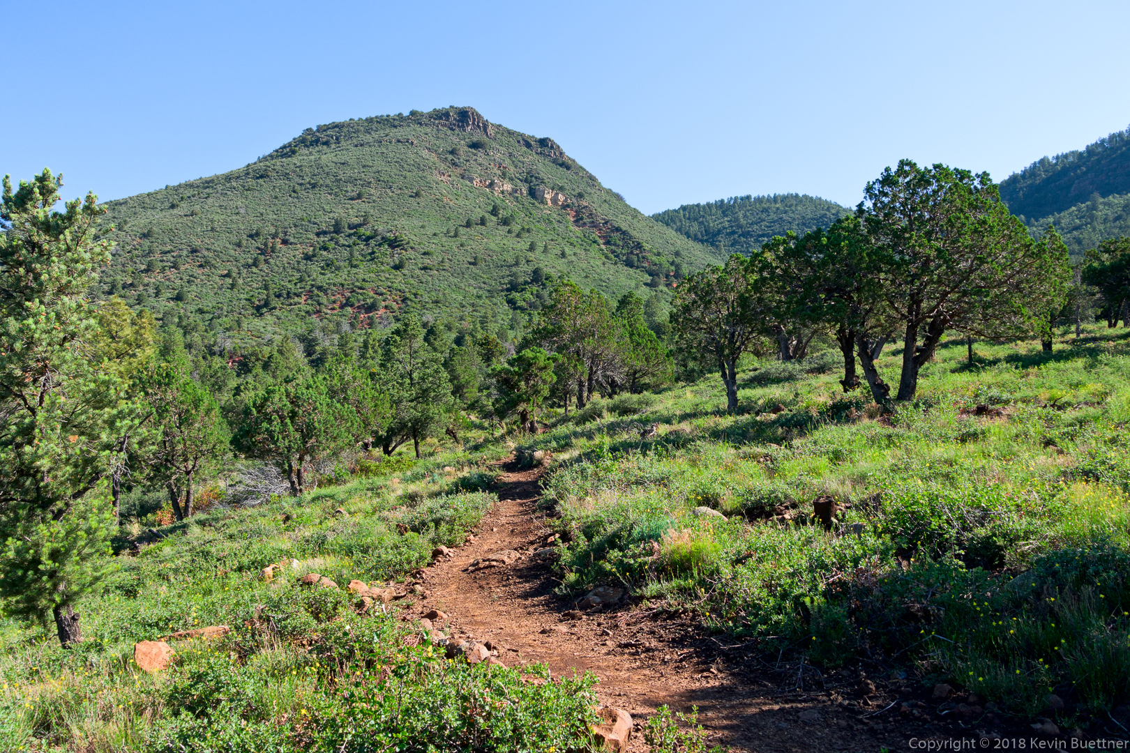
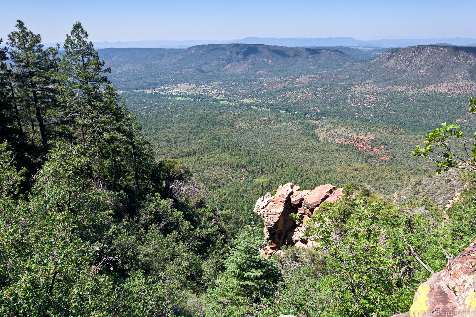
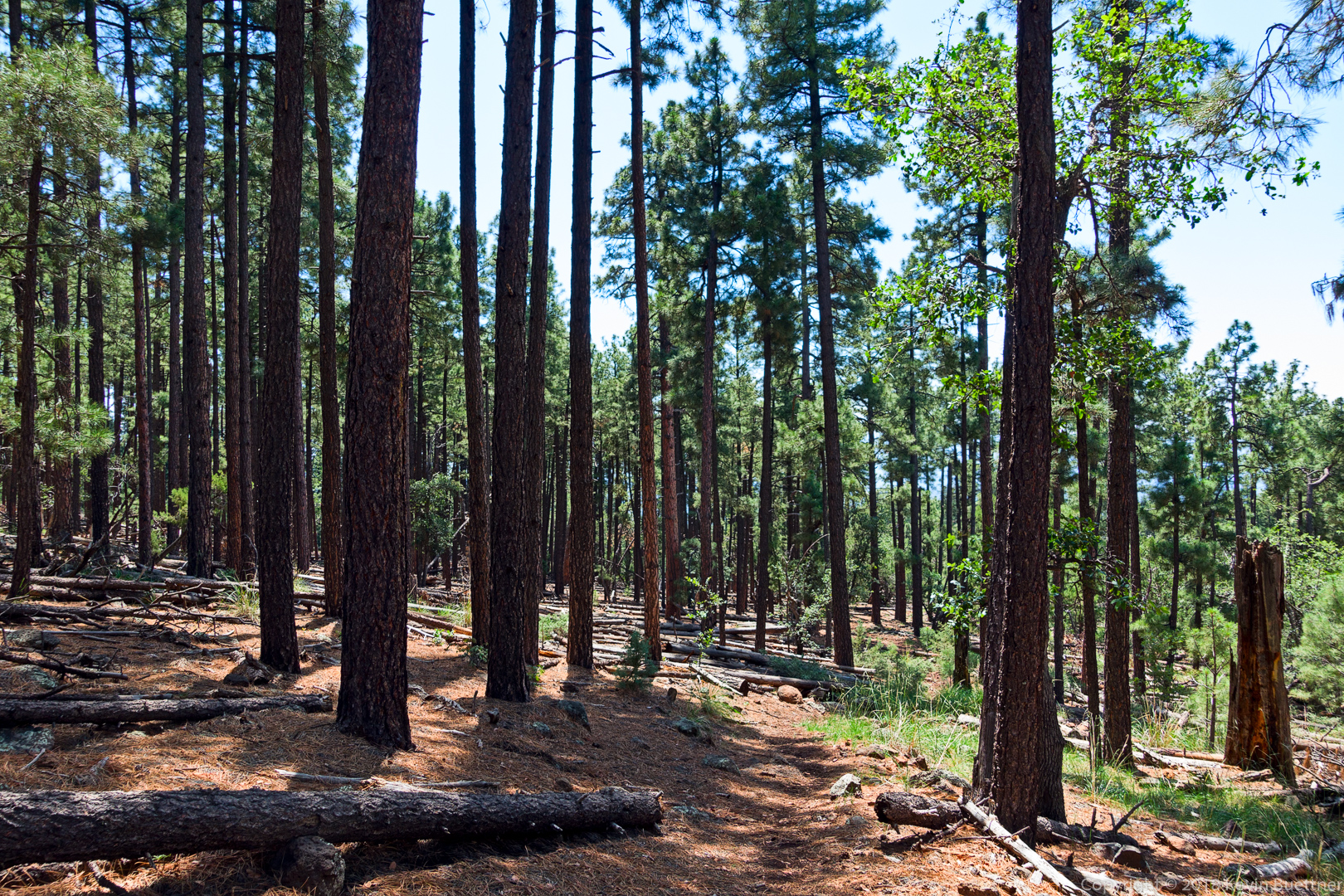
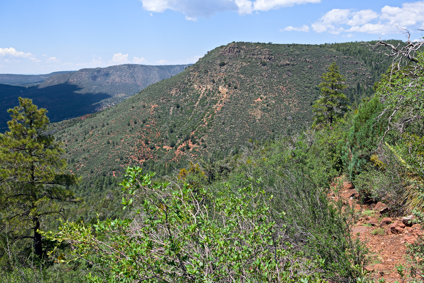
On Sunday, I drove to the Pine Trailhead and did an out-and-back hike of the Highline and Donahue trails. I also hiked two forest roads beyond the Donahue Trail – these were FR 218 (Milk Ranch Point Road) and FR 9382L. The hike that I did – well, the return portion, anyway – is the latter half of a loop that can be done. I’m thinking about doing this loop and wanted to scout the latter part of the hike.
I hiked 10.6 miles on Friday: Dixie Mine, Coachwhip, Windmill, Bell Pass, Prospector, and back on Dixie Mine.
Sunrise from the approach through Eagles Nest:
A view from the Dixie Mine Trail:
A view from the Coachwhip Trail.
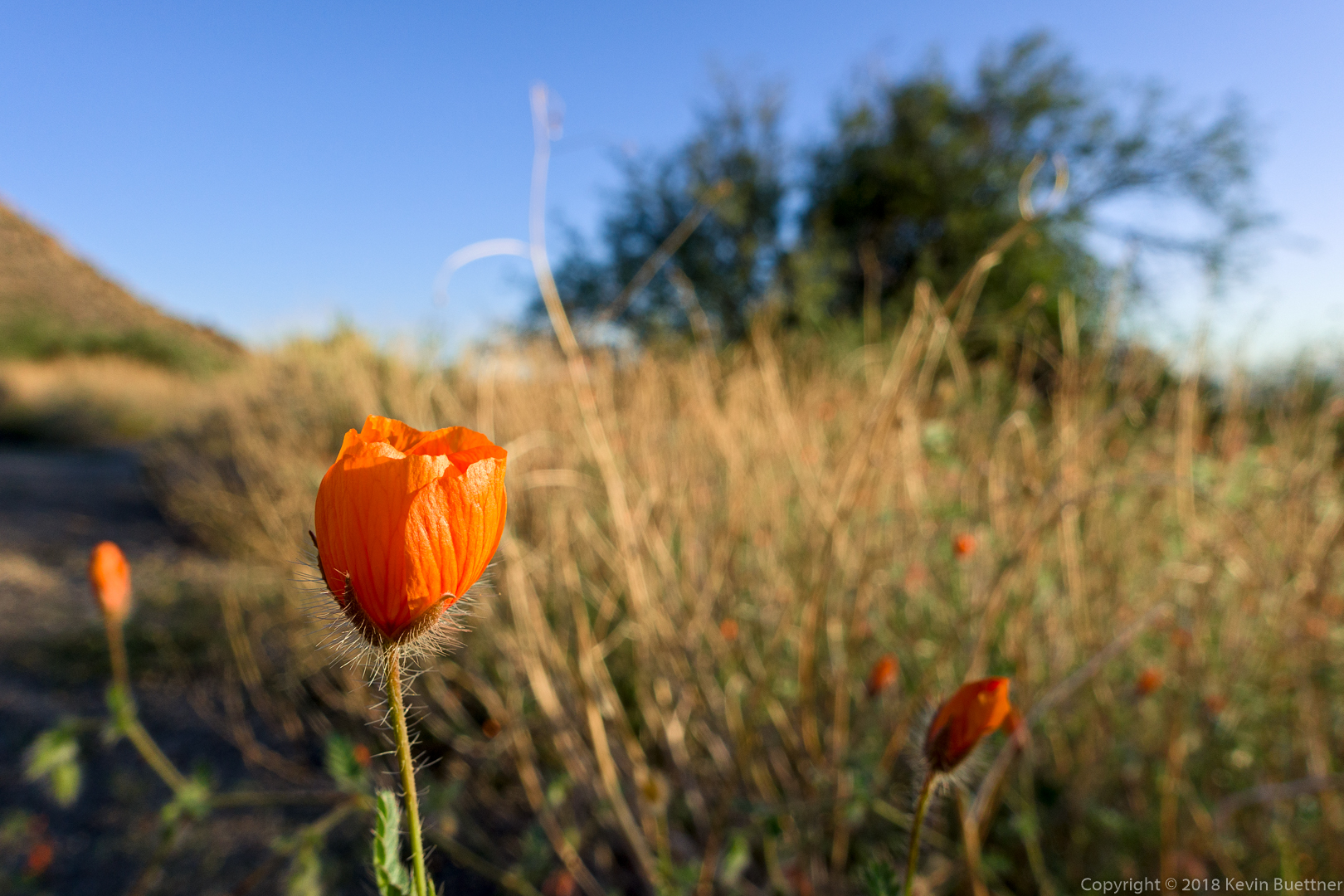
Arizona Poppies – I saw these in a wash running across the Windmill Trail.
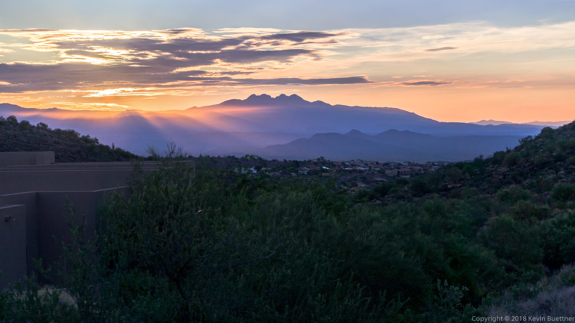
A view of Four Peaks from the Bell Pass Trail:
A view from the Prospector Trail:
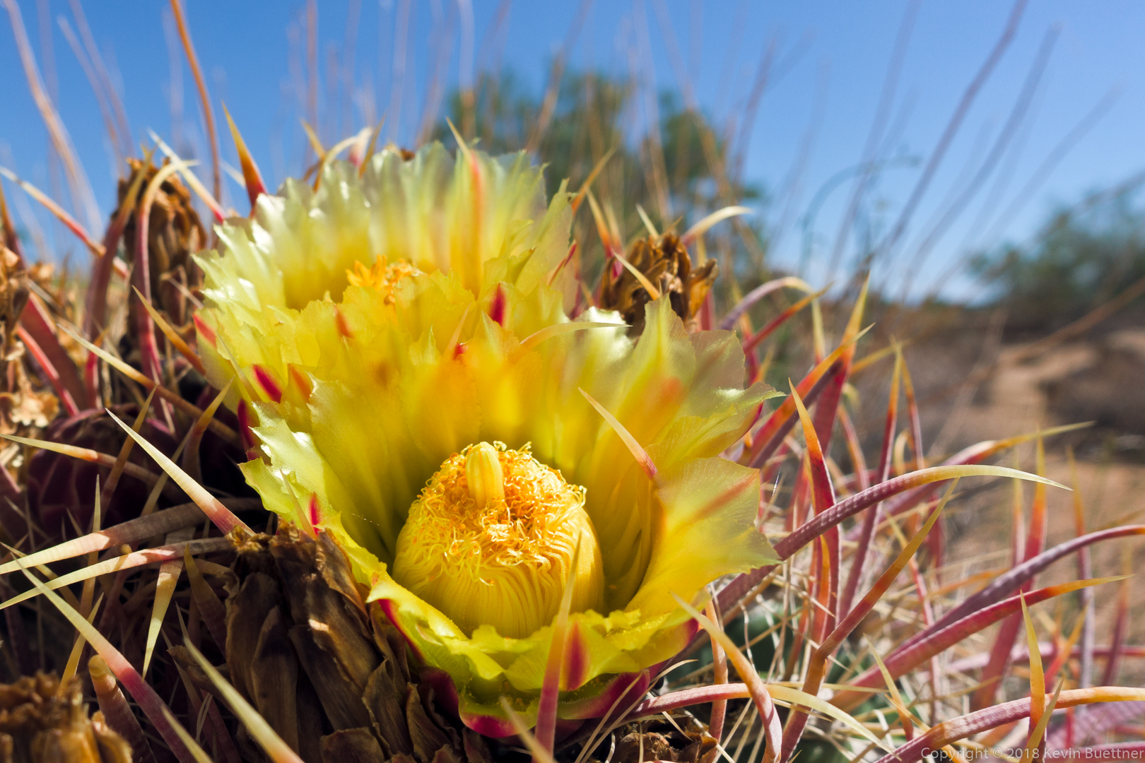
Barrel Cactus blooms on the Dixie Mine Trail:
