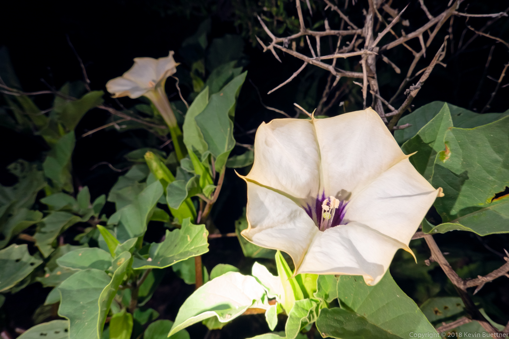
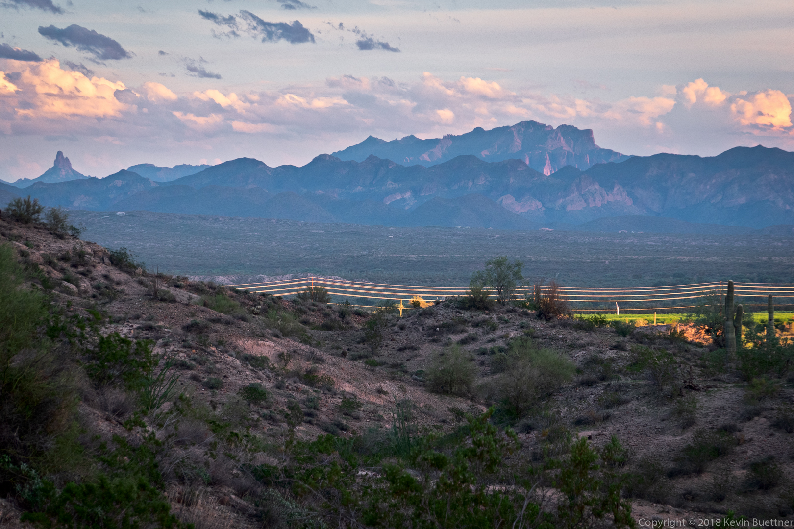
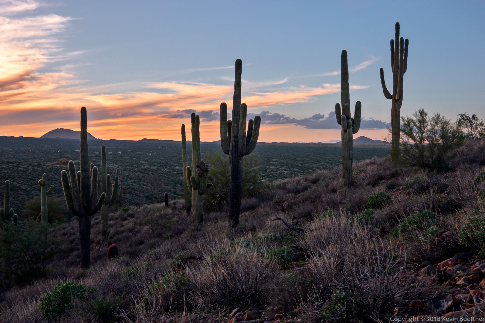
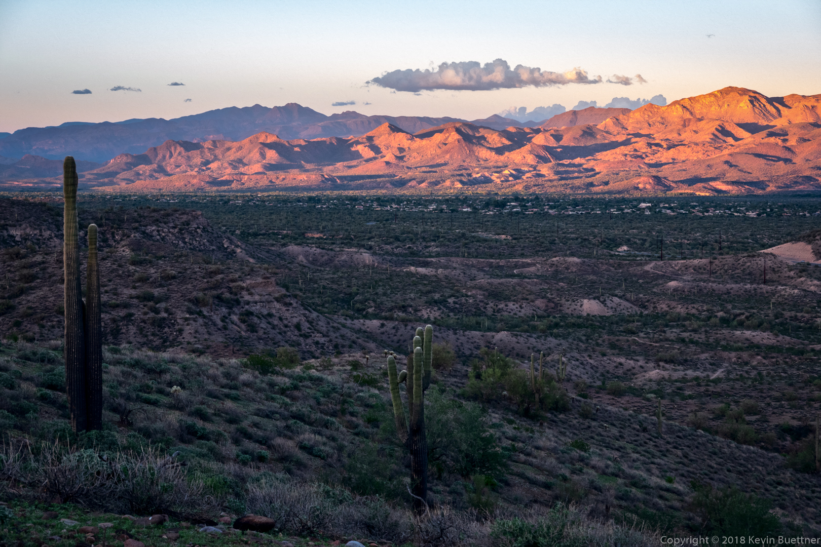
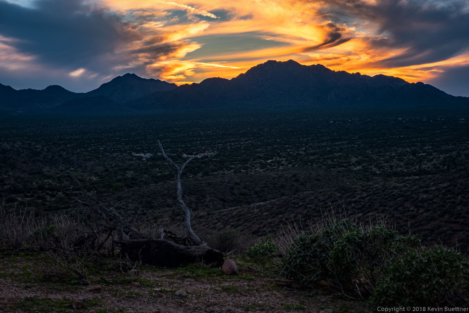
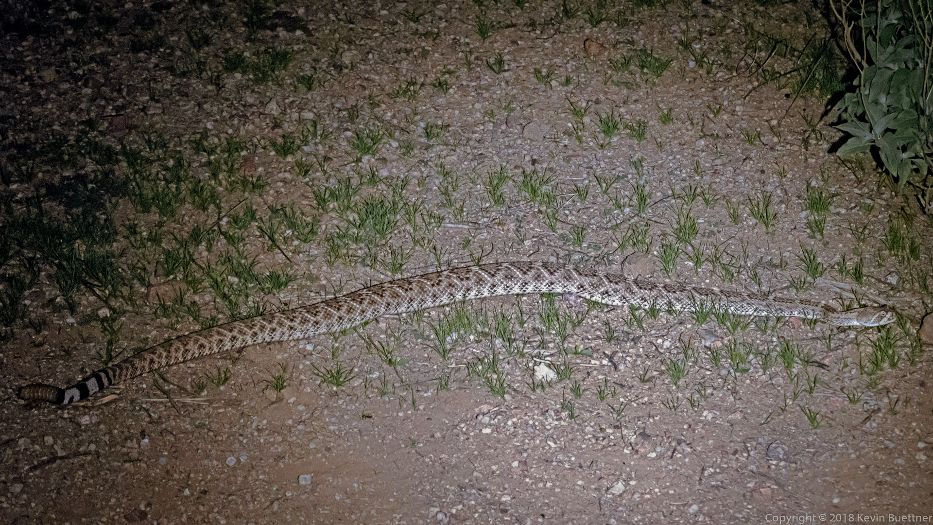
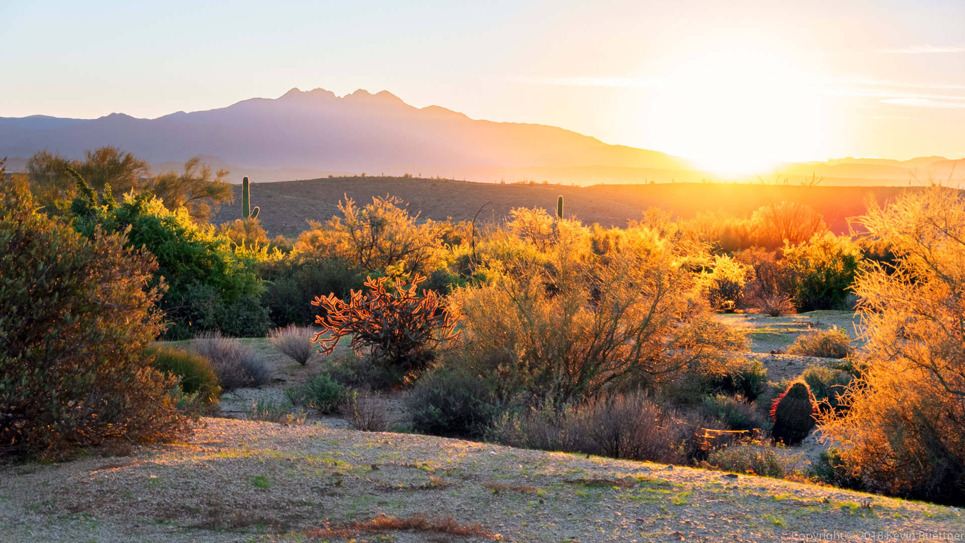
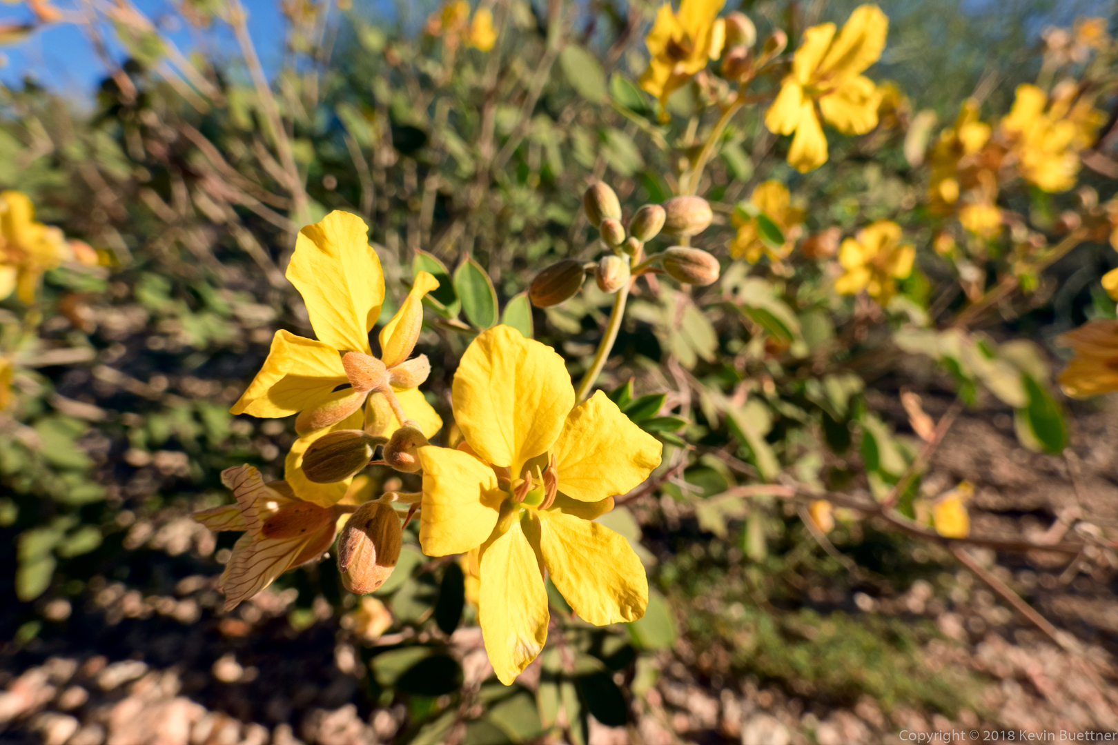
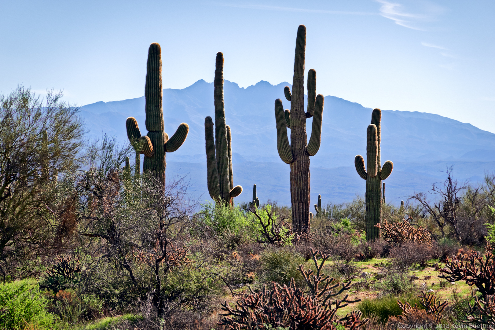
7.4 miles on Wednesday…
Tag: Arizona (page 10 of 74)
Marilyn and I went out to Spur Cross Ranch Conservation Area on Sunday. Marilyn hiked the Elephant Mountain Loop. I hiked out on Spur Cross and then hiked the Limestone Trail. At the end of it, we met up and hiked most of the way back together, first on Elephant Mountain, then Tortuga, and Spur Cross. I ended up hiking Metate and Towhee before returning. Total distance for my hike was about 9.5 miles. Marilyn hiked 7 miles.
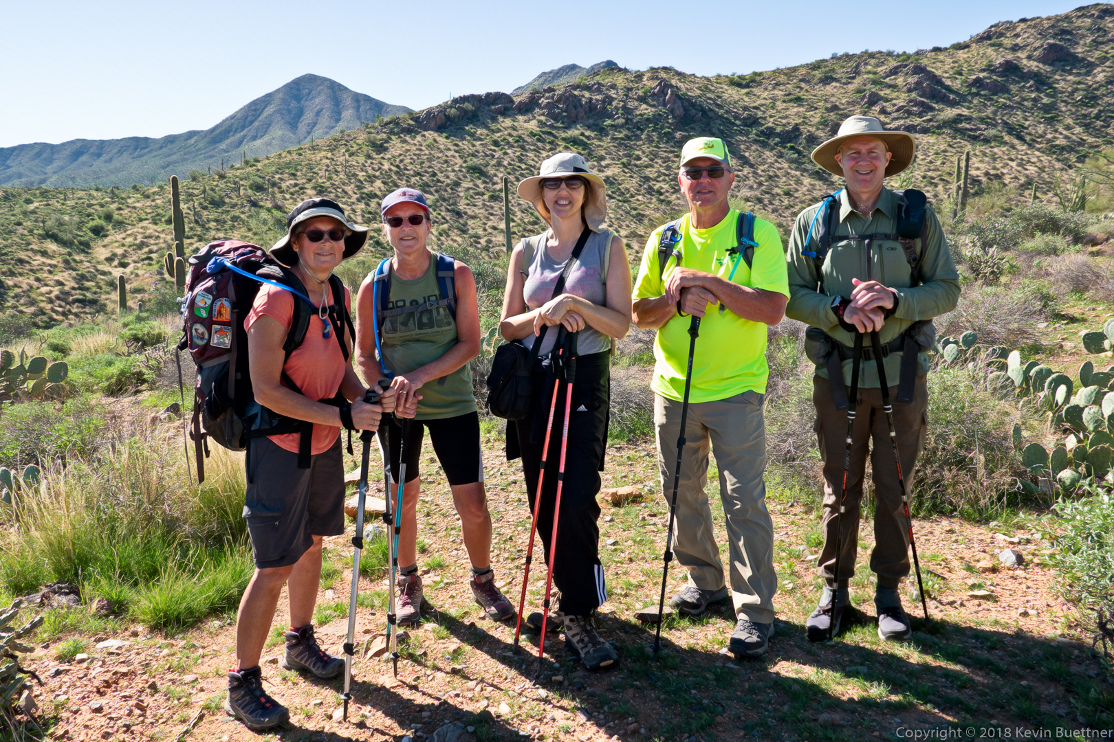
Nina, Pat, Wayne, Kay, Mike, and Marilyn joined me for a 10.6 mile hike in the Dixie Mine area. We also saw Bill and Stan at the trailhead as well as on the way back – they did some maintenance in the mine area. We also saw Jill who had intended to join our hike, but arrived at the trailhead an hour early; she ended up hiking by herself.
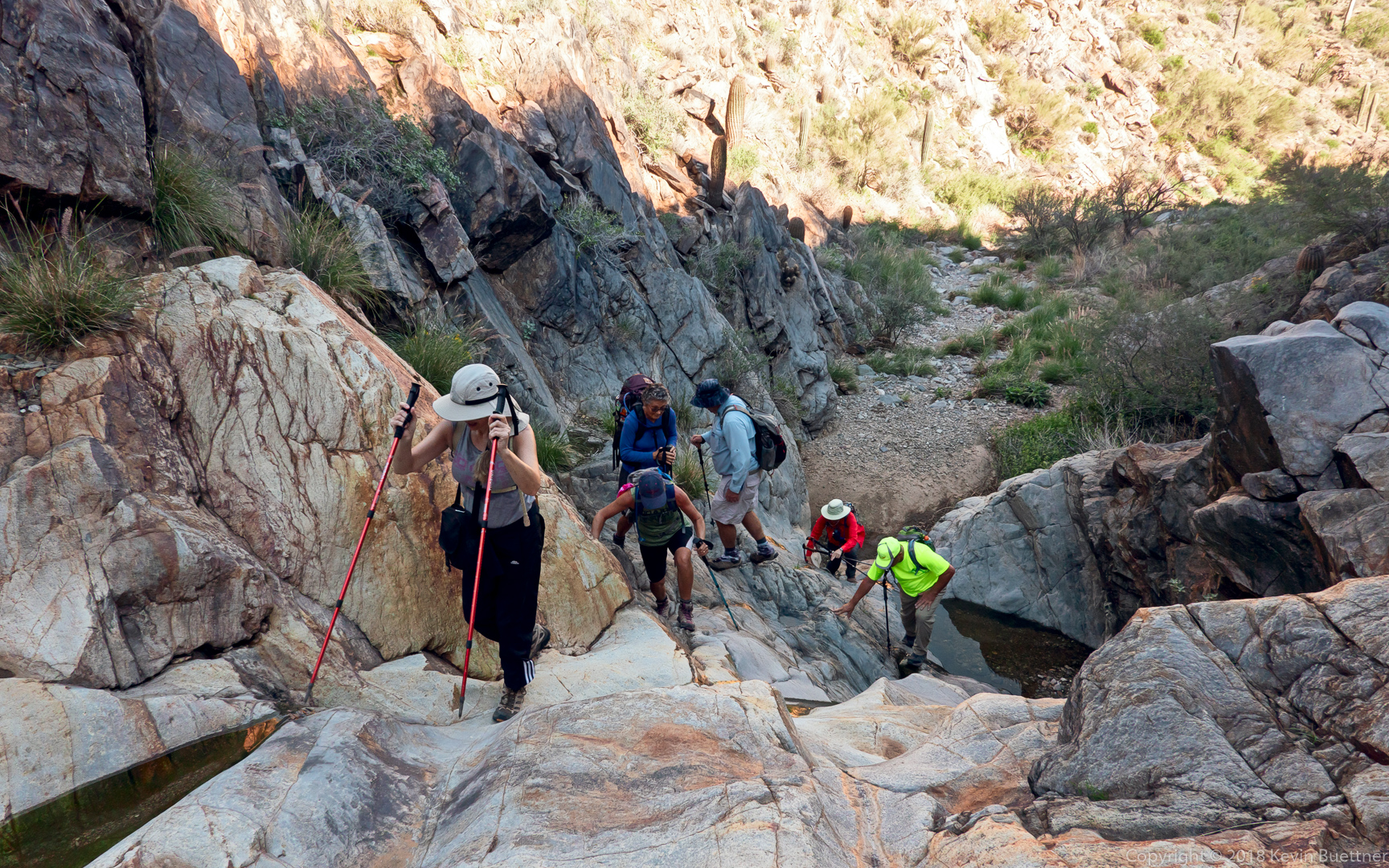
This area was somewhat more slippery than normal due to the puddles and wet sand.
Kay, Pat, Nina, Wayne, and Kevin.
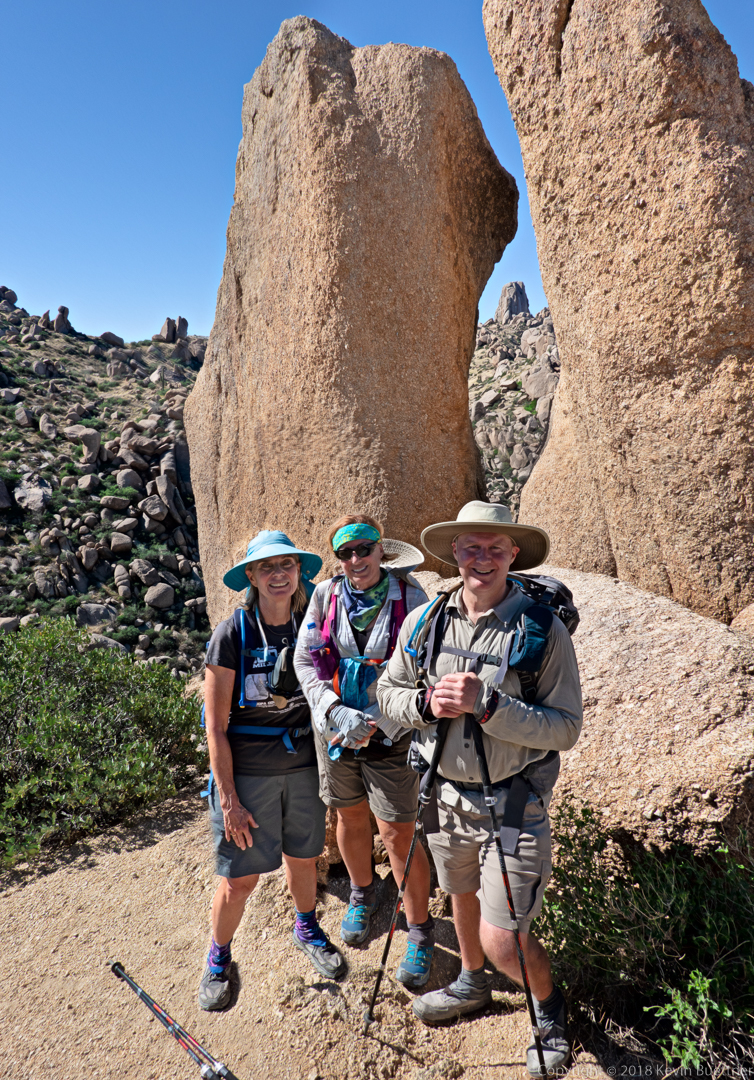
Linda, Kathy, and I hiked 10.4 miles starting from Tom’s Thumb Trailhead. After struggling to find our way up the climber’s access trail to the ridge north of Tom’s Thumb, we followed the ridge past the Thumb to Tom’s Thumb Trail. We then went west down the Scottsdale side of the mountain. We hiked back up again via the Windgate Pass Trail, descended towards the intersection with Bell Pass and Windmill, and then took the Windmill Trail a short ways to the East End Trail. East End took us up and up and up until we once again returned to Tom’s Thumb Trail. We returned via Tom’s Thumb Trail. Total elevation gain for the day was 3,186 feet.
Sunrise from Tom’s Thumb Trailhead:
I think this might be Phacelia, but am not certain.
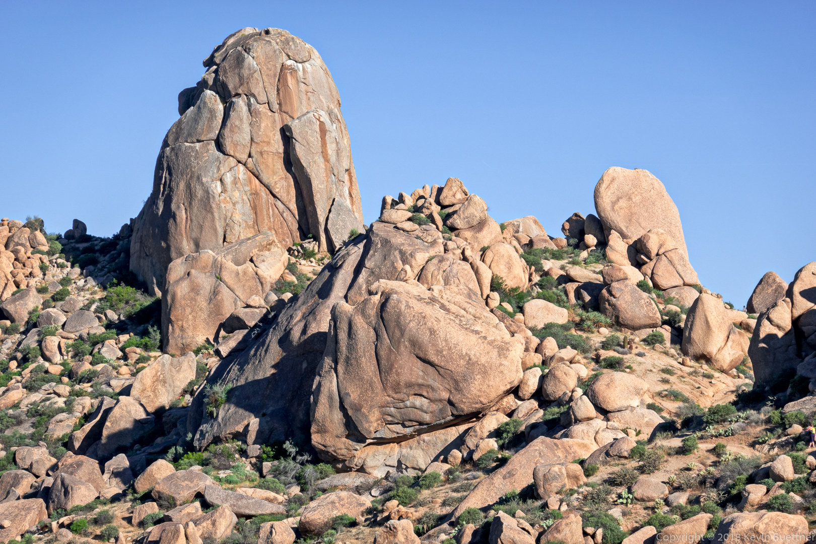
This is a view of Tom’s Thumb from the Tom’s Thumb Trail early in our descent of the west side of the mountain.
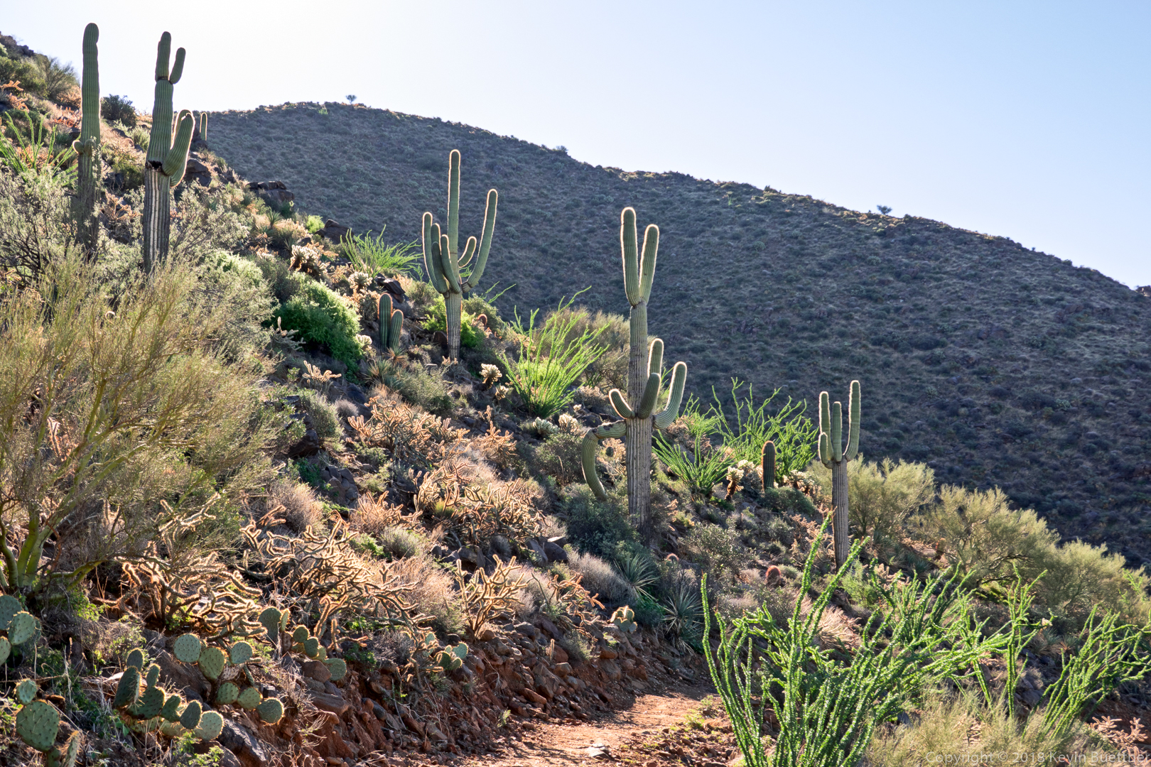
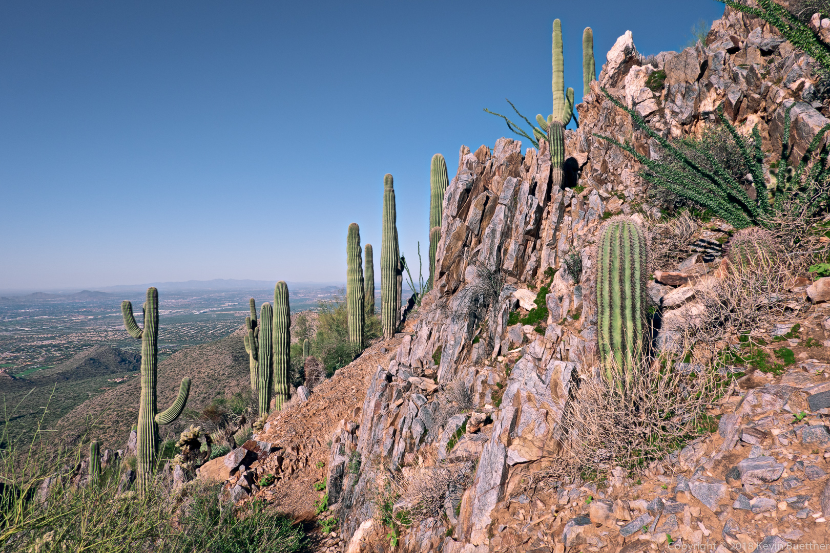
More views of our descent…
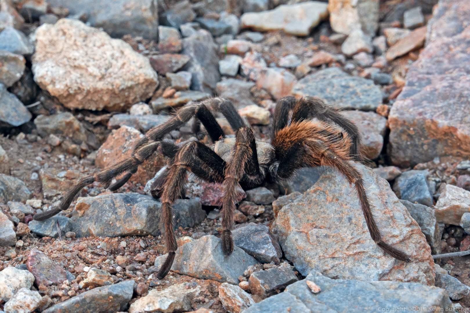
We saw a tarantula along the way.
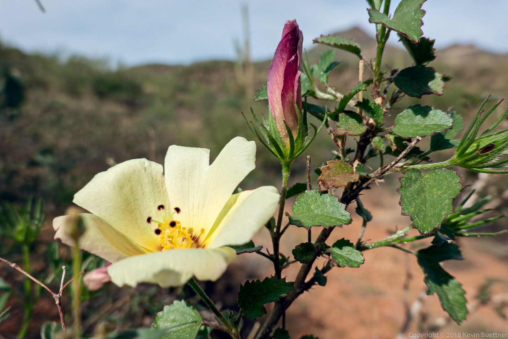
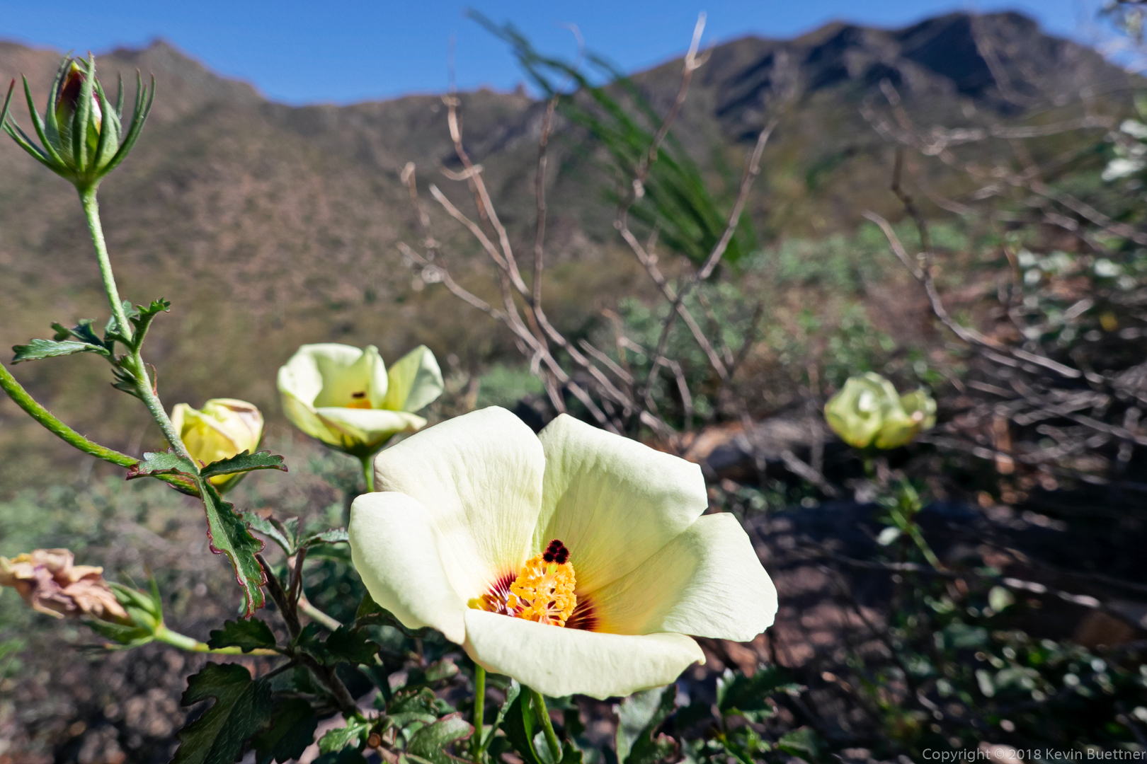
Linda identified this flower as a Desert Rose Mallow. We saw a number of these flowers during our hike.
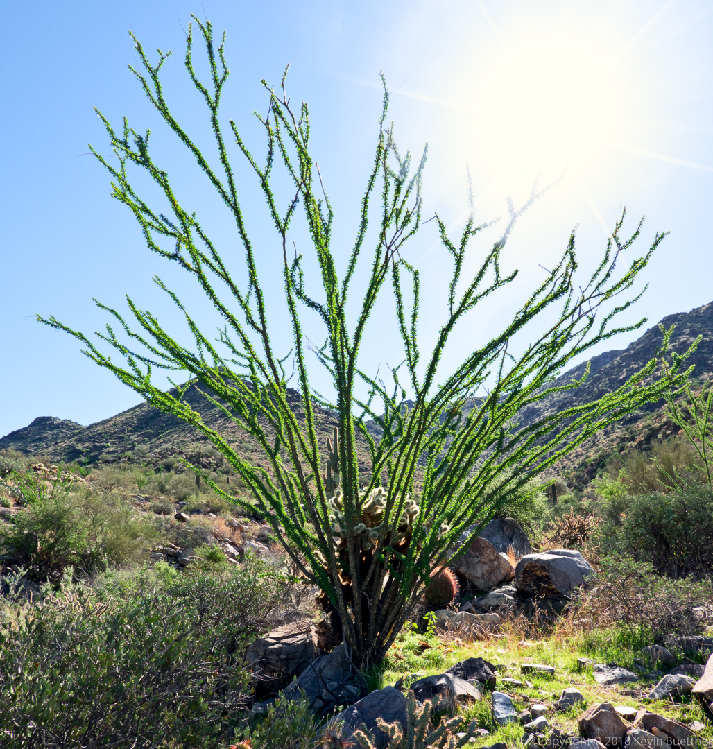
Note the cholla within the ocotillo!
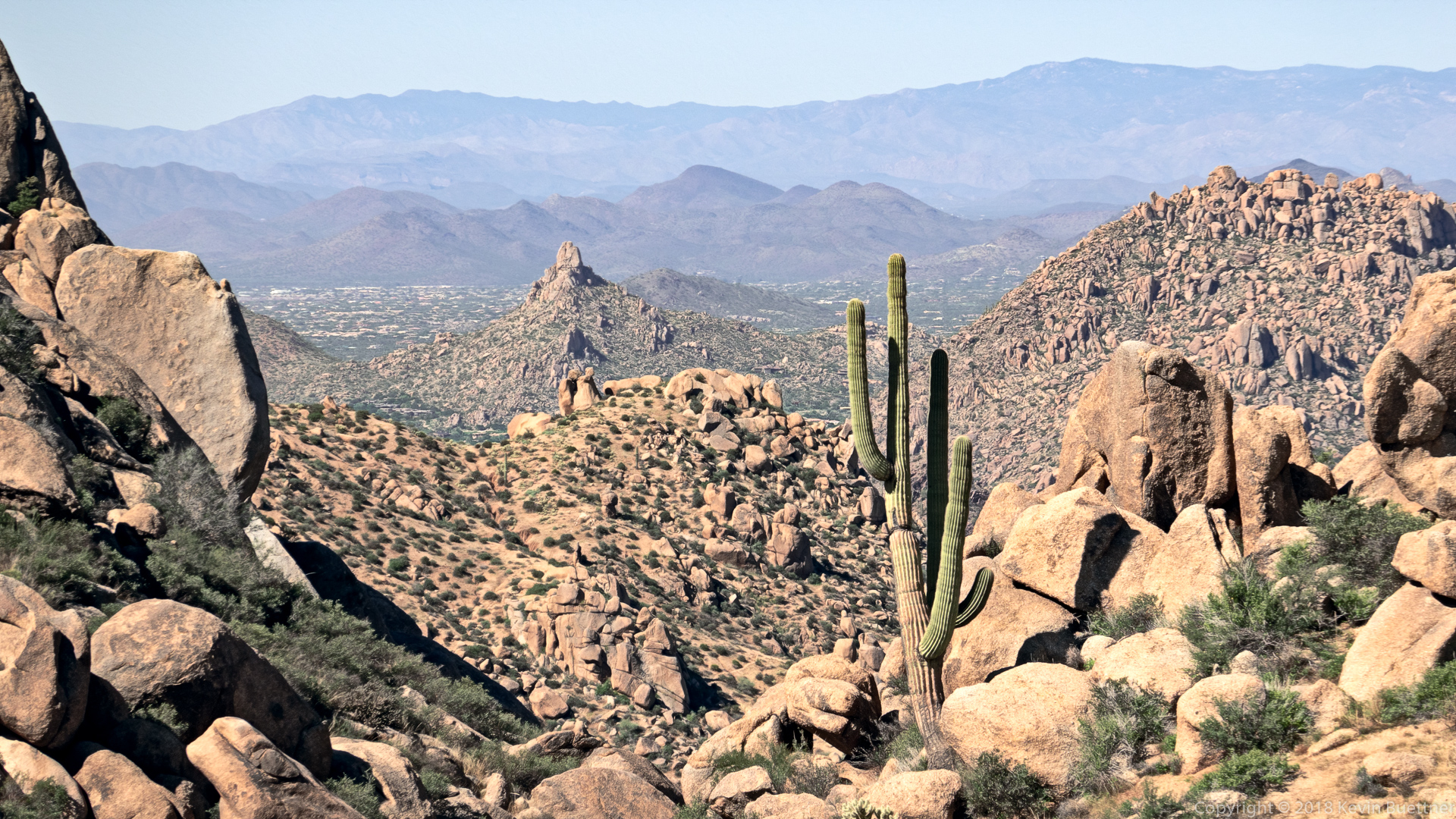
This is a view of Pinnacle Peak from near the intersection of East End Trail and Tom’s Thumb Trail.
Linda, Kathy, and Kevin:
Marilyn, Jill, Mike, Bob, and I hiked 9.75 miles starting from the Wagner Trailhead.
Sunrise at the Wagner Trailhead:
A view of the McDowells from the Granite Trail; we eventually hiked up the wash just left of the boulders at the right of this photo.
Senna:
Bob, Mike, and Jill waiting for Marilyn and me to catch up.
Sacred Datura – thanks to Bill Craig and Joe Bartels for the identification. Those of us on the hike discussed it, but we all thought that the blossom was too small and the leaves too numerous to be datura.
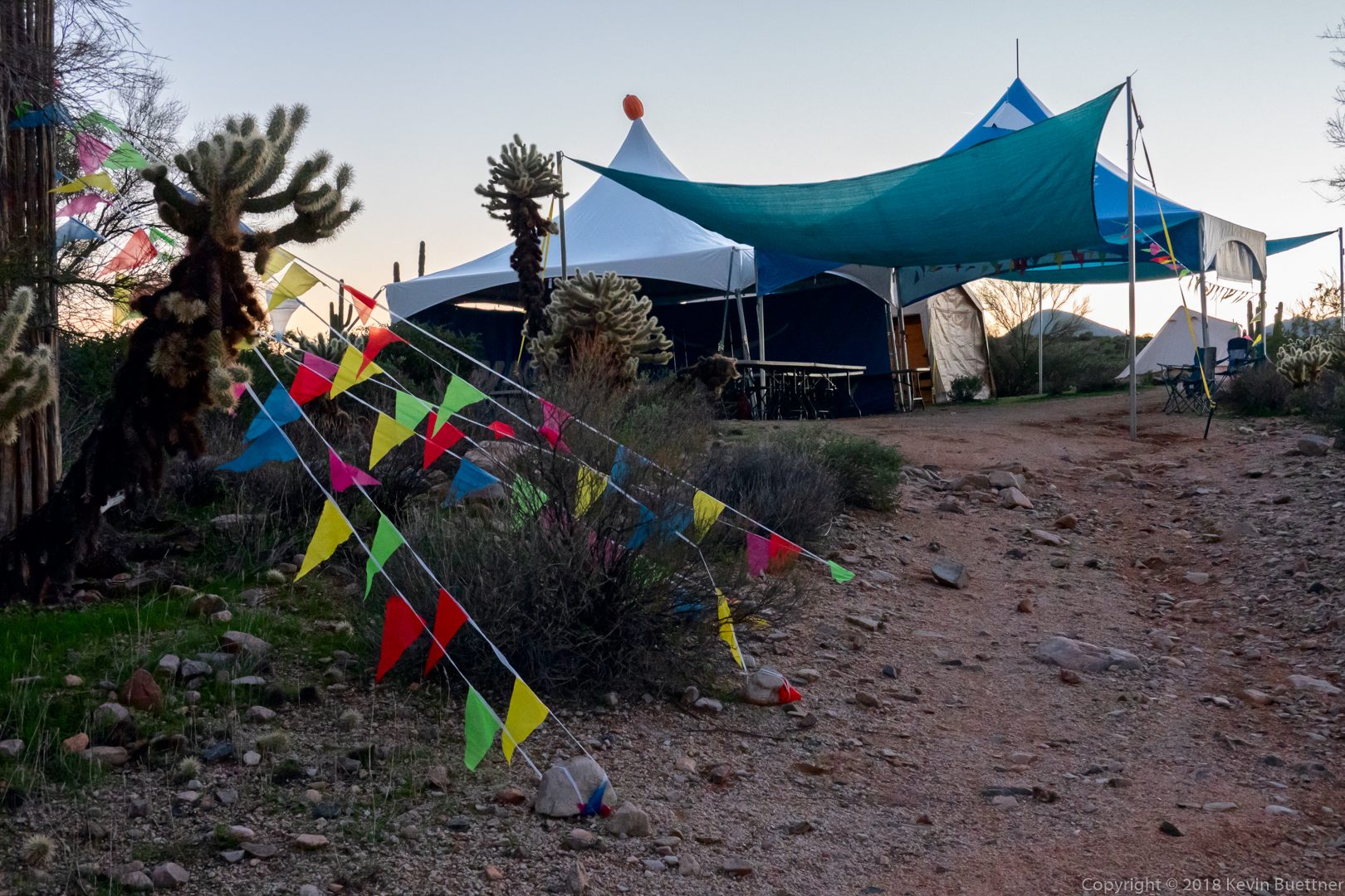
Decorations at Jackass Junction:
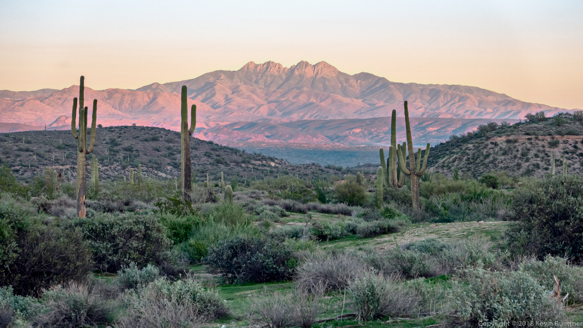
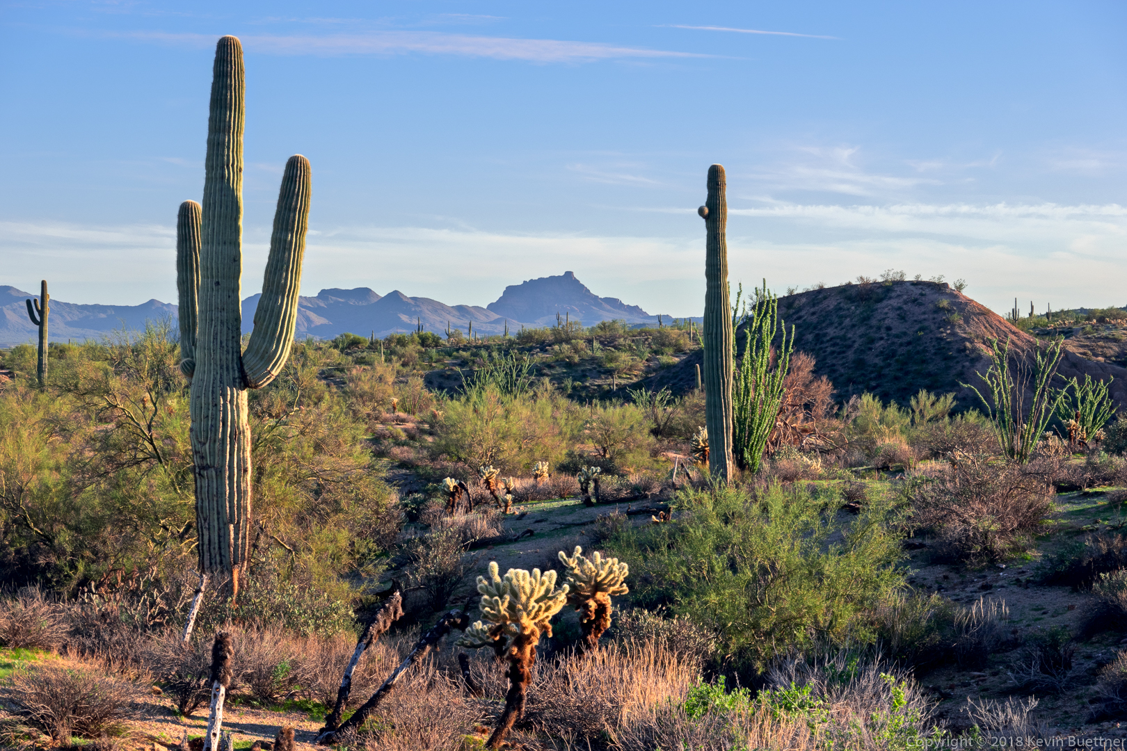
Four Saguaros, Four Peaks:
