Category: Photos (page 1 of 28)

Photographs

Spur Cross – Cottonwood / Limestone Loop

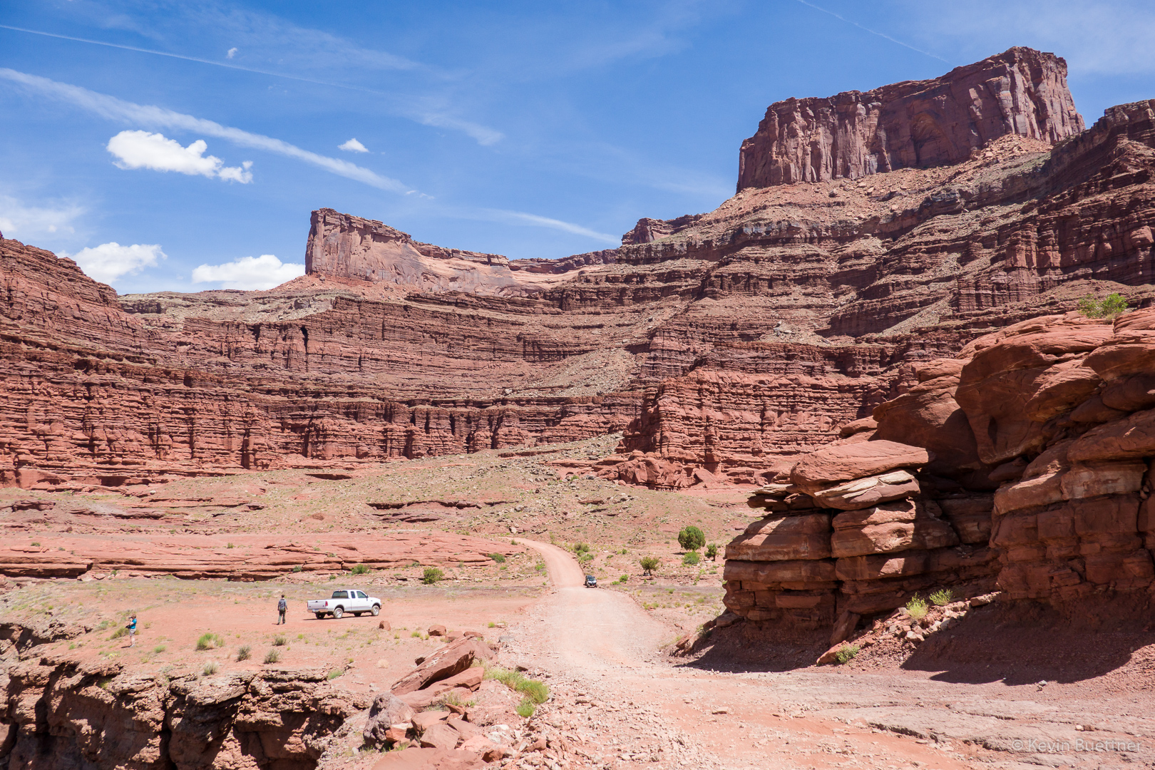
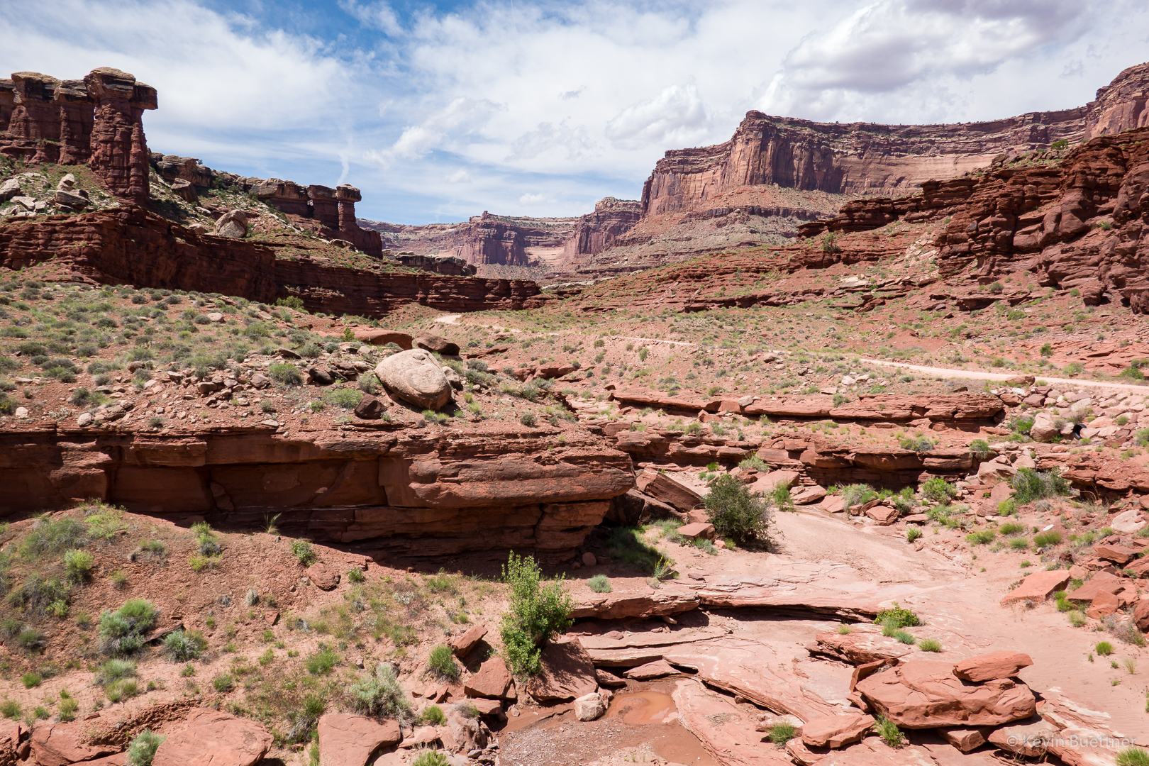
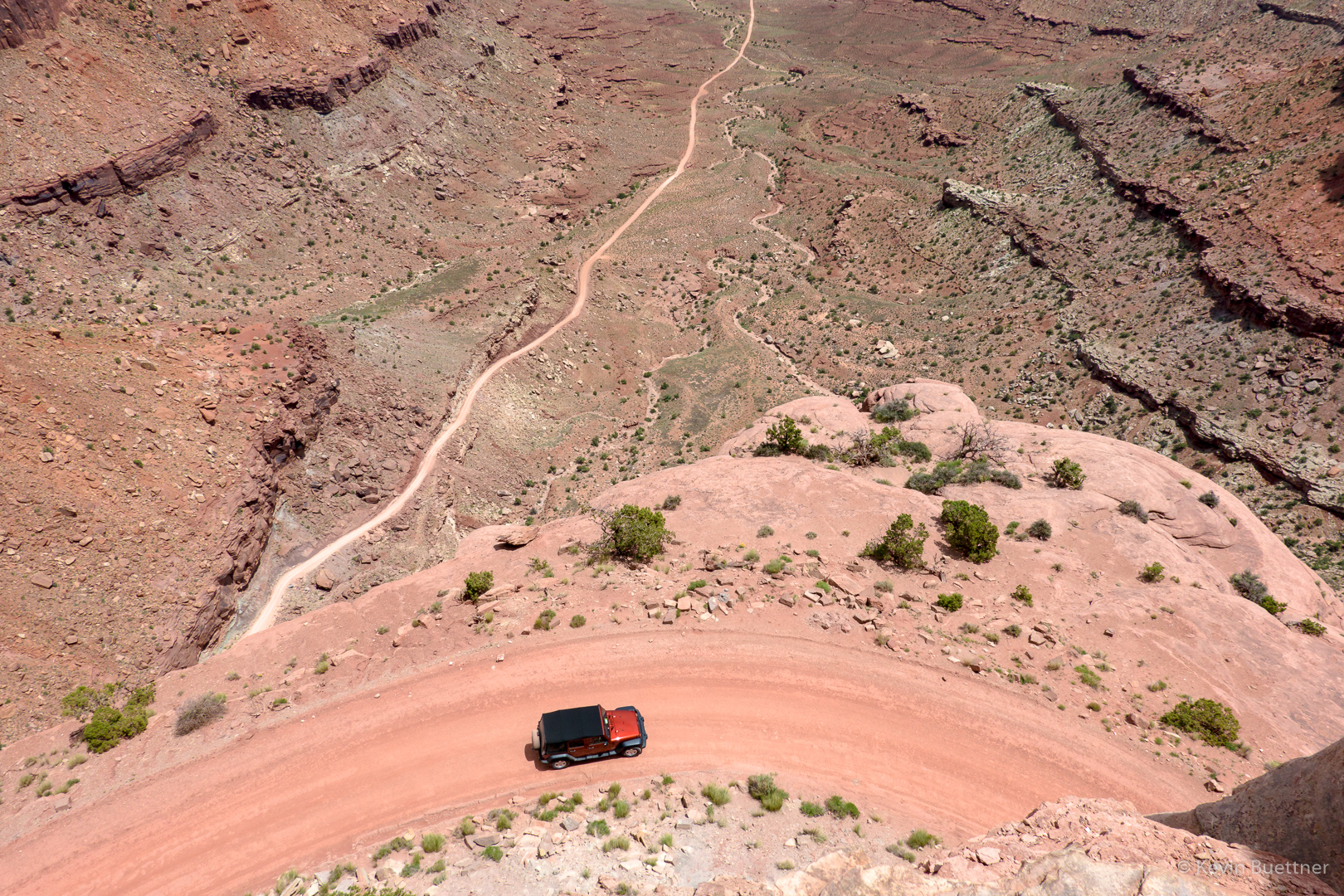
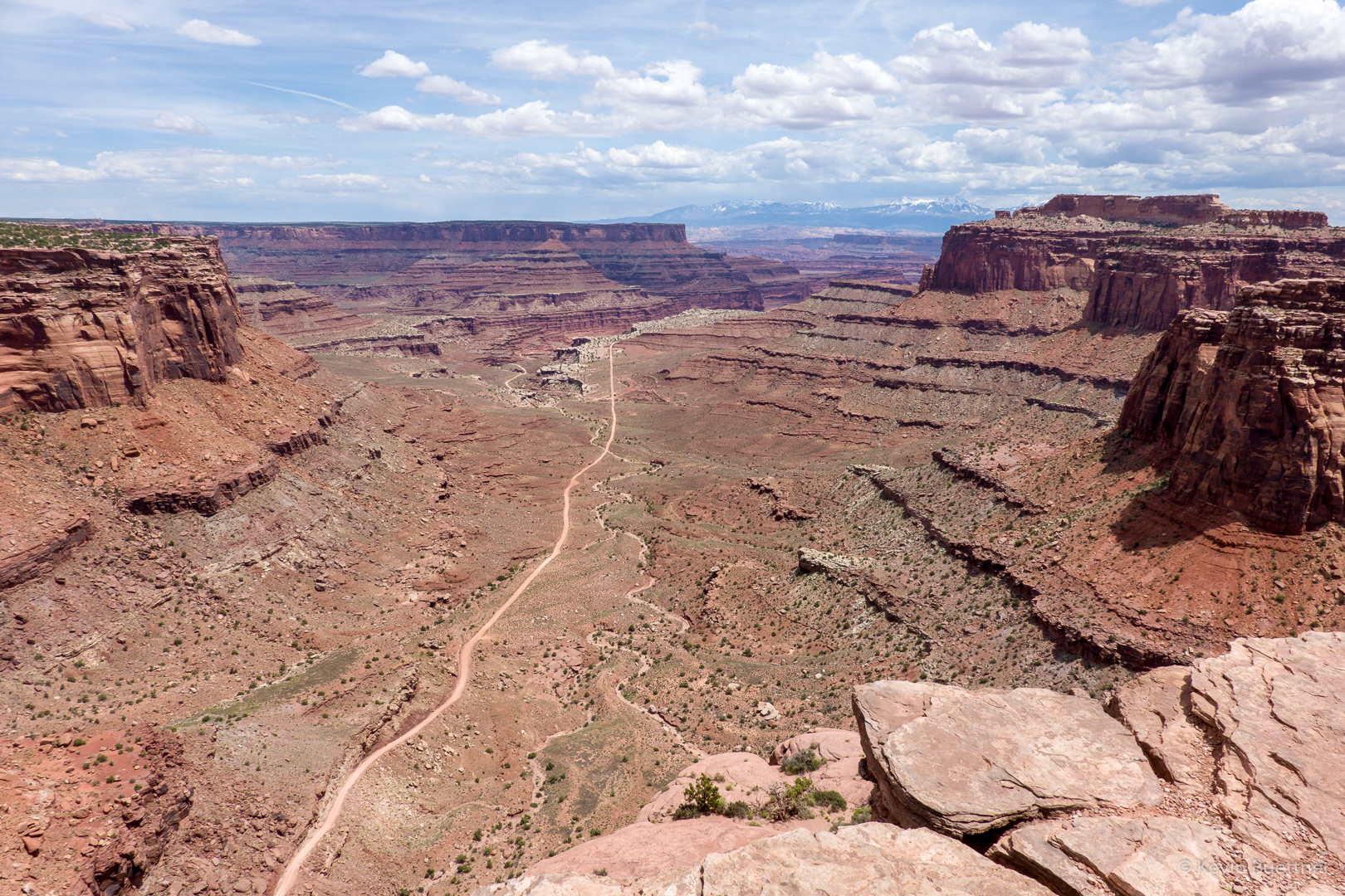
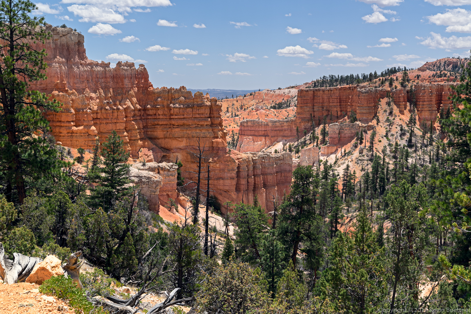
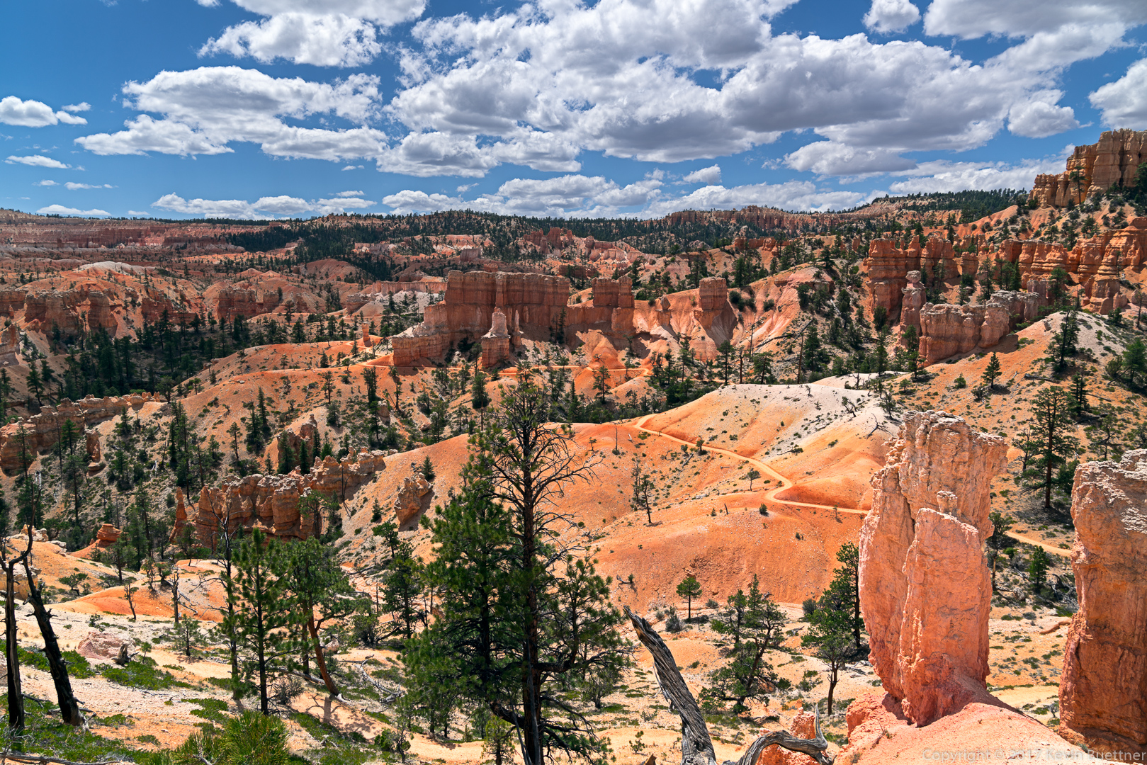
Heather and I hiked a 10.5 mile loop in the Spur Cross Ranch Conservation Area, venturing into the adjoining Tonto National Forest as well. The bulk of our hiking was on the Cottonwood and Limestone Trails.

Heather in a wash that crossed the Cottonwood Trail. I want to go back sometime and hike this from Cave Creek up to this point (and perhaps beyond).

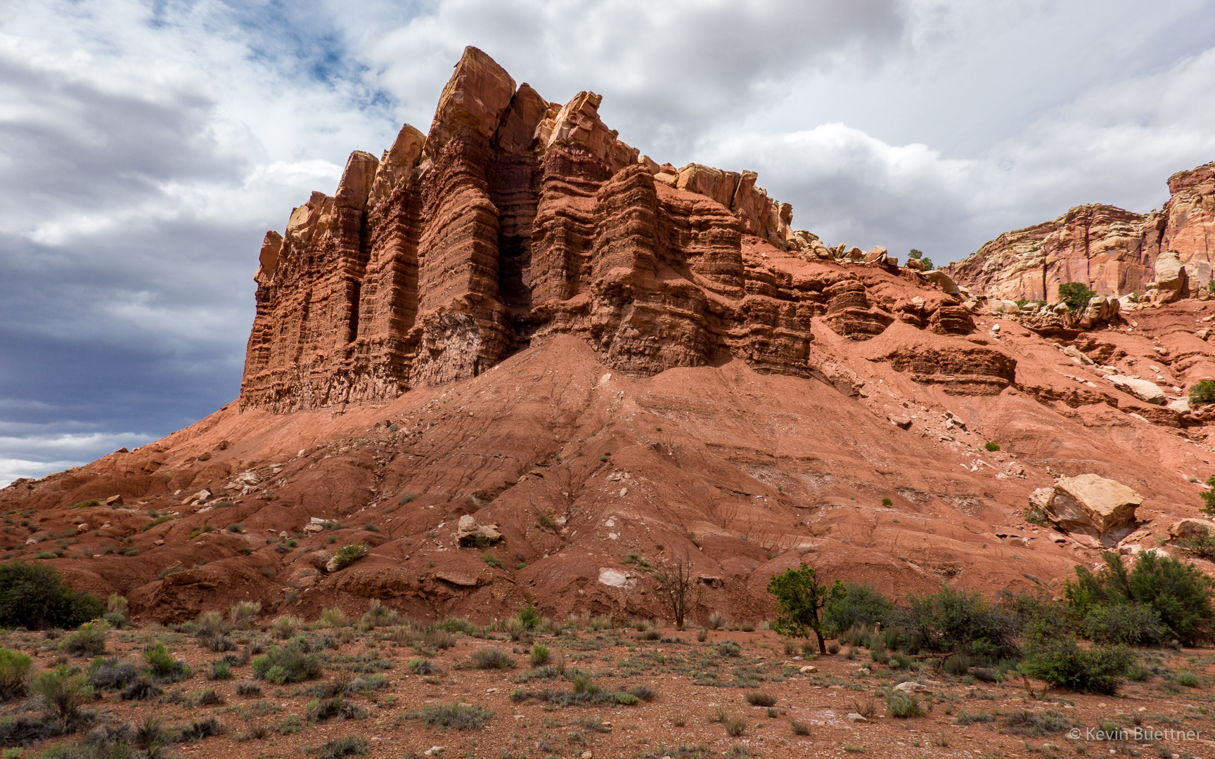
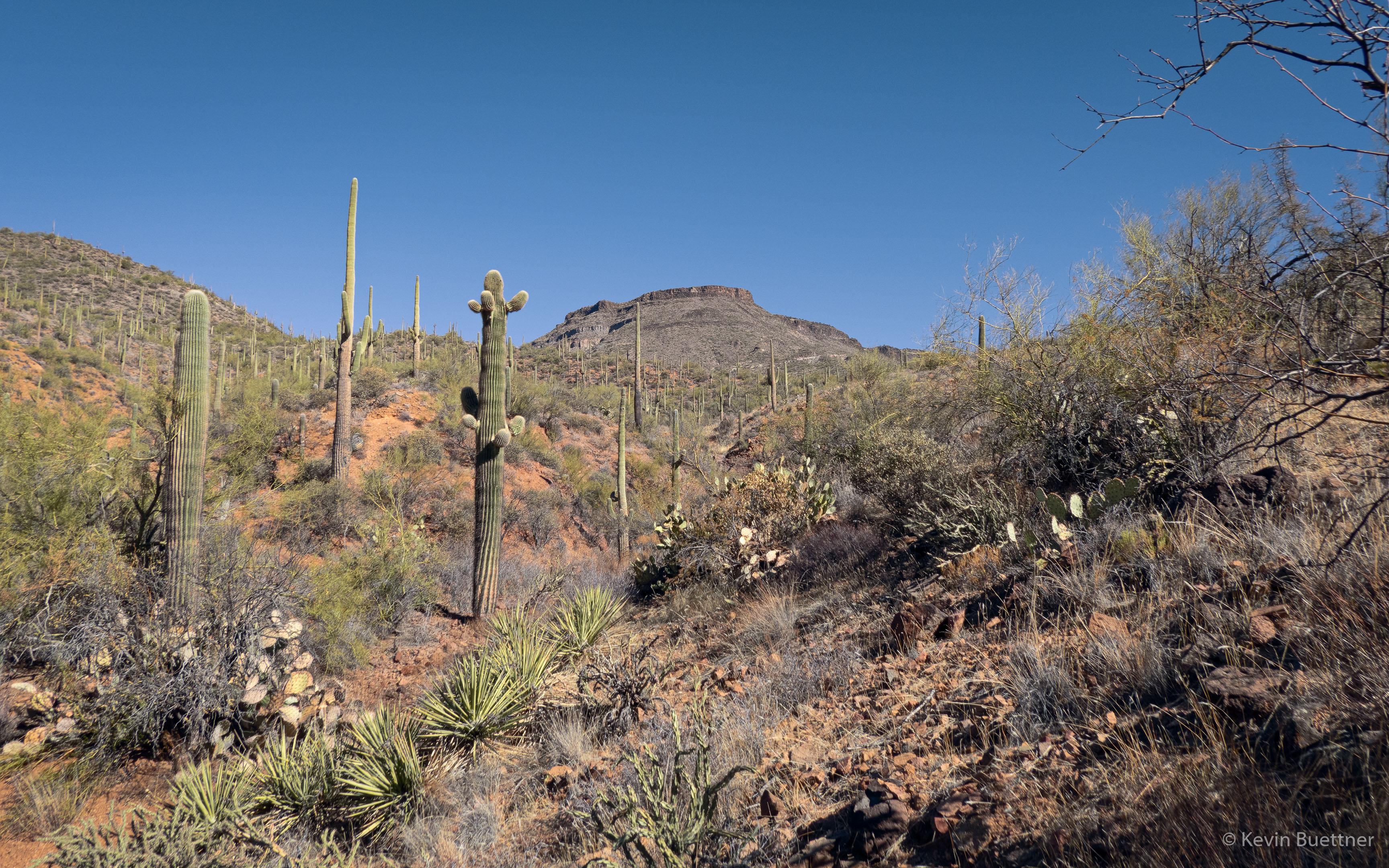
Looking up at Skull Mesa:

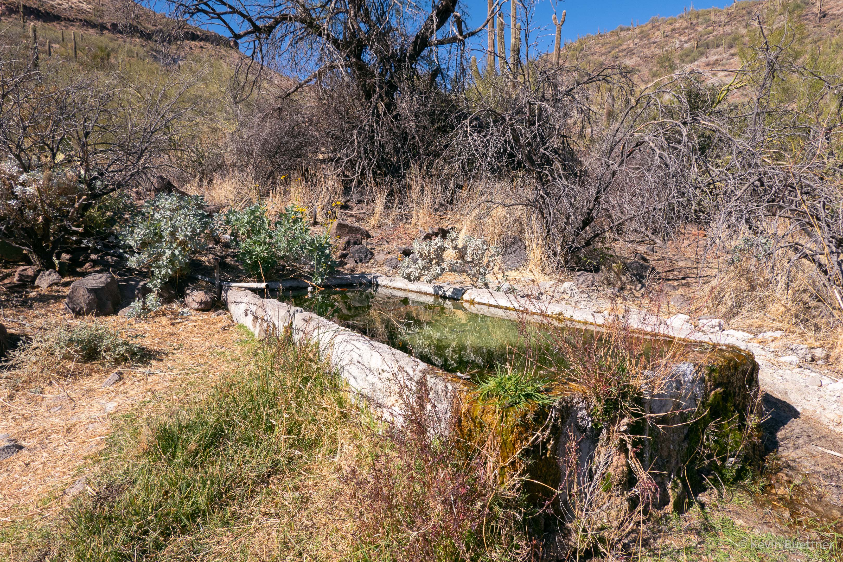
The only water we saw during our hike was in this concrete tank. Cave Creek is bone dry, but somehow, Limestone Spring managed to fill this tank to overflowing.

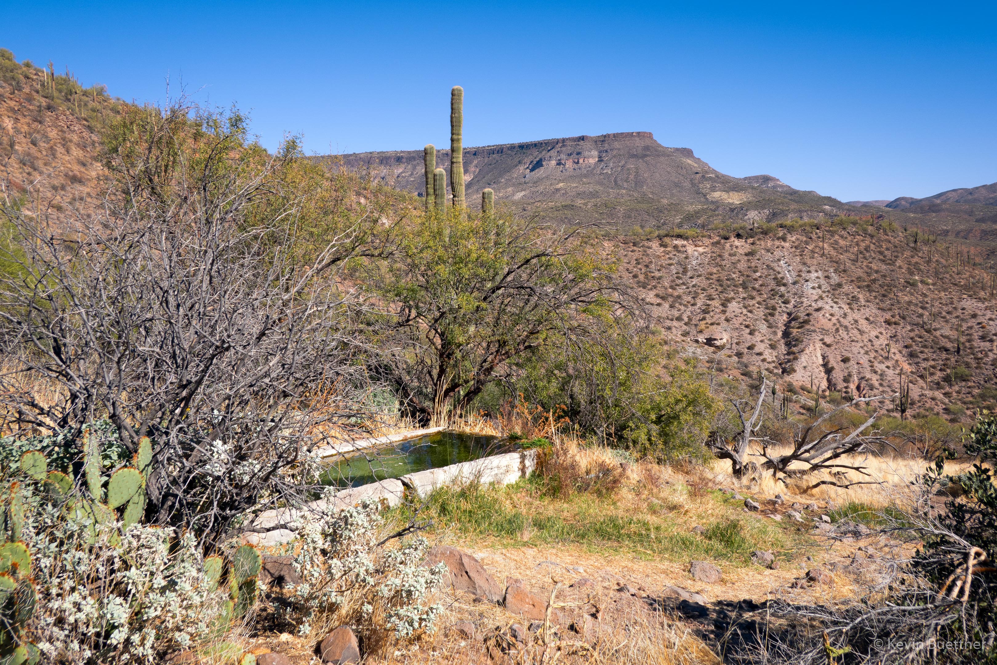
Another view of Skull Mesa:
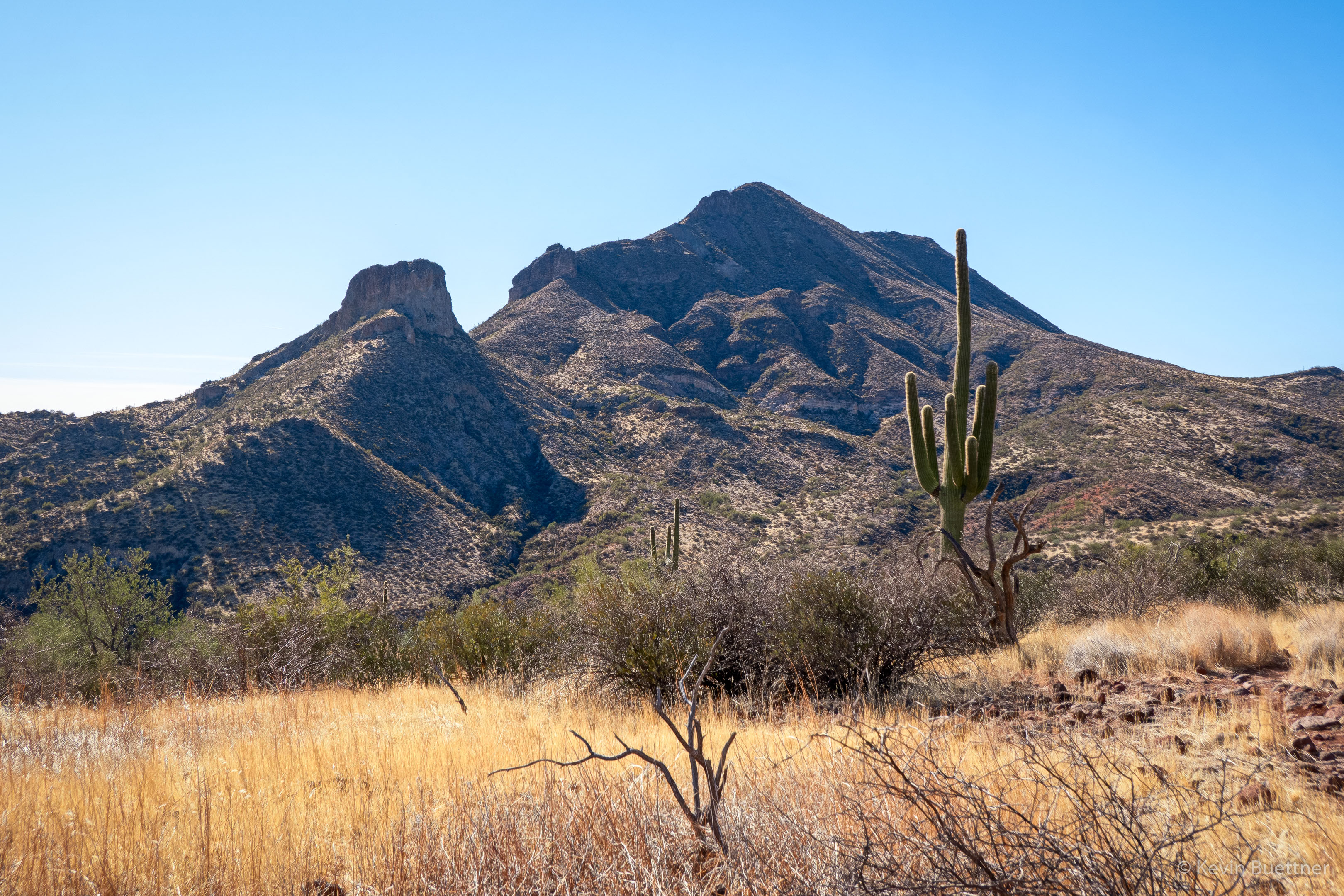
Elephant Mountain:

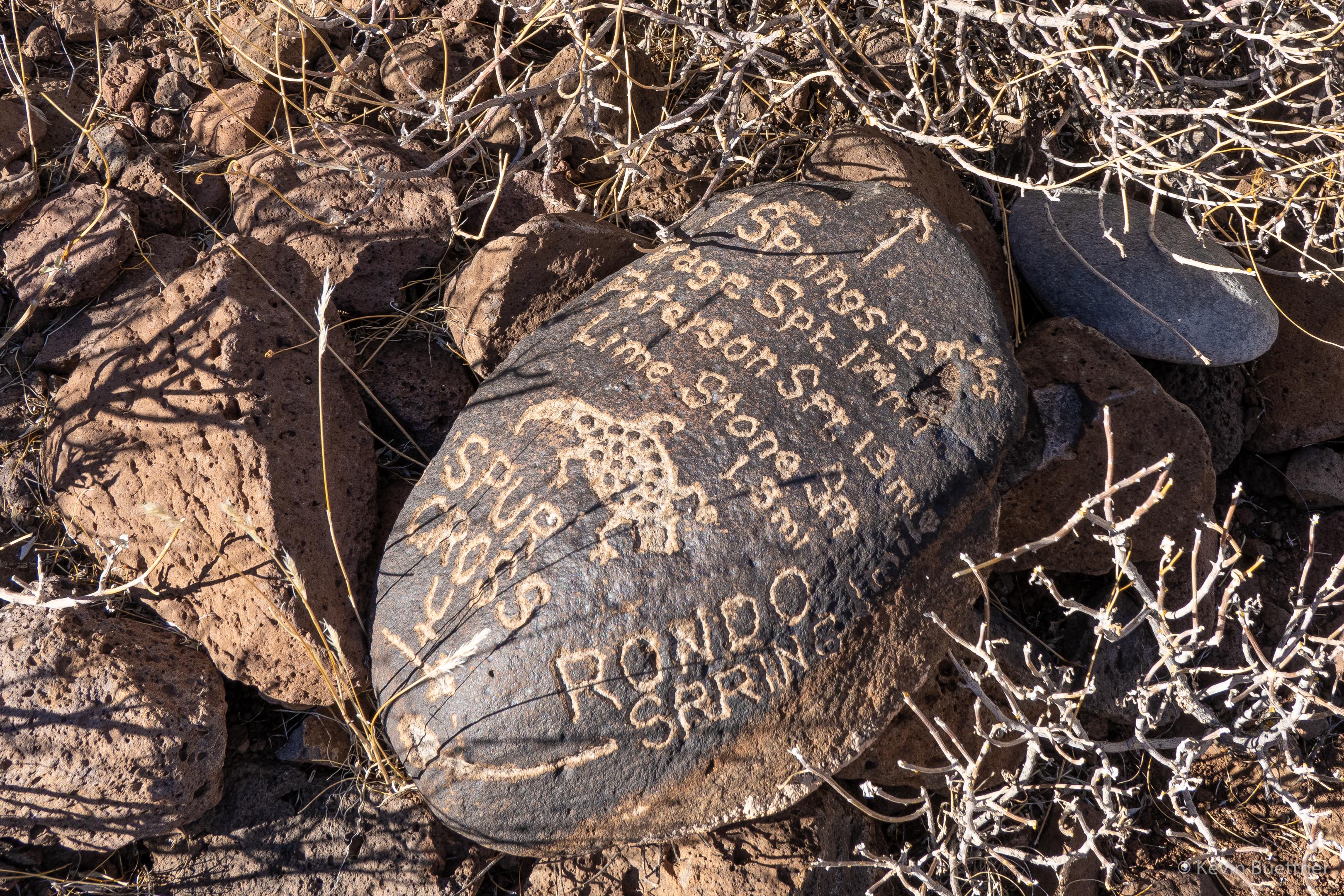
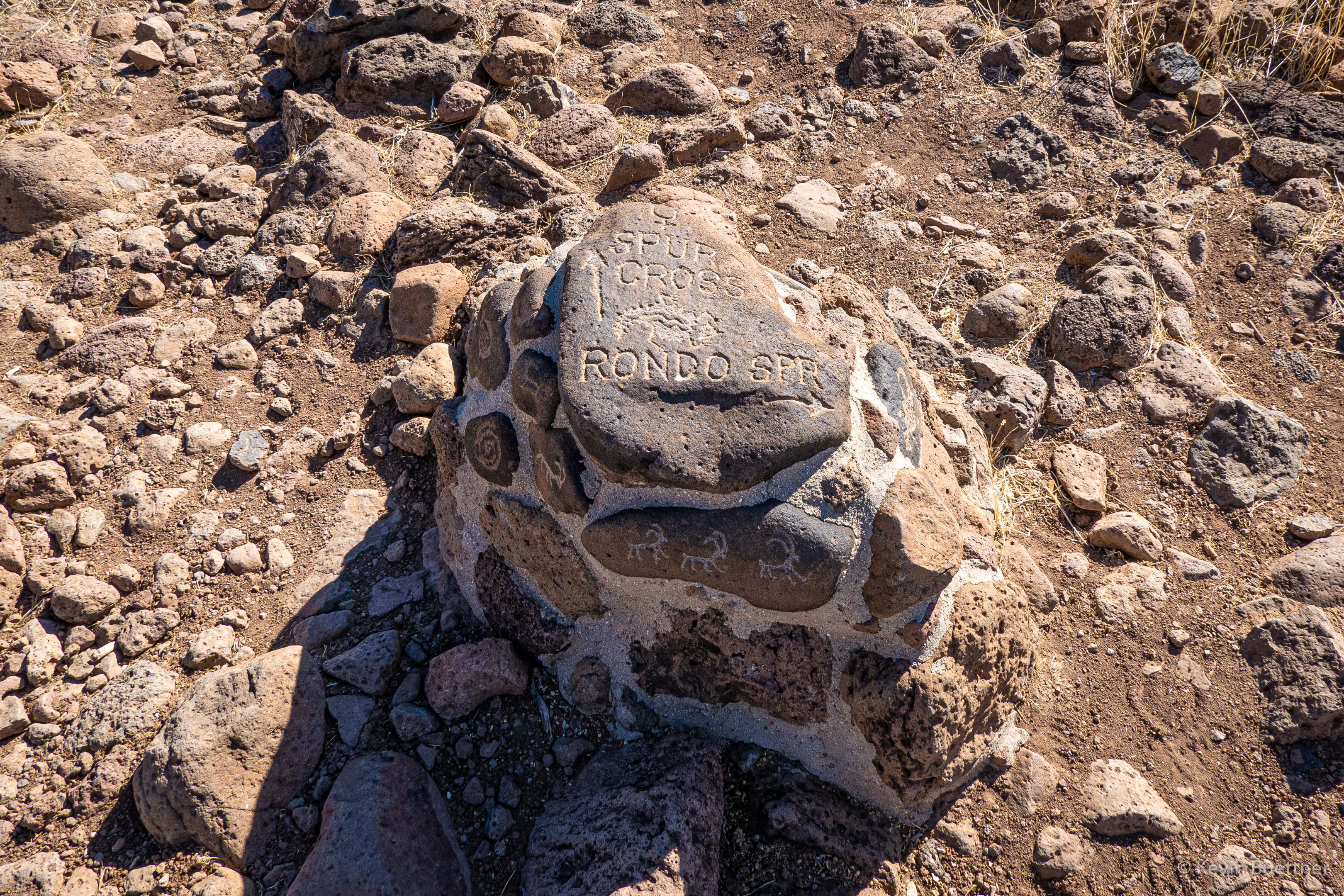
This is a trail marker on the Limestone Trail. We could have shortened our hike considerable by following the arrow pointing to the trail leading back to Spur Cross. We continued on toward Rondo Spring, but chose to not add an additional two miles to our hike by going there. Instead, we stayed on the Limestone Trail which leads from National Forest back into the Park.

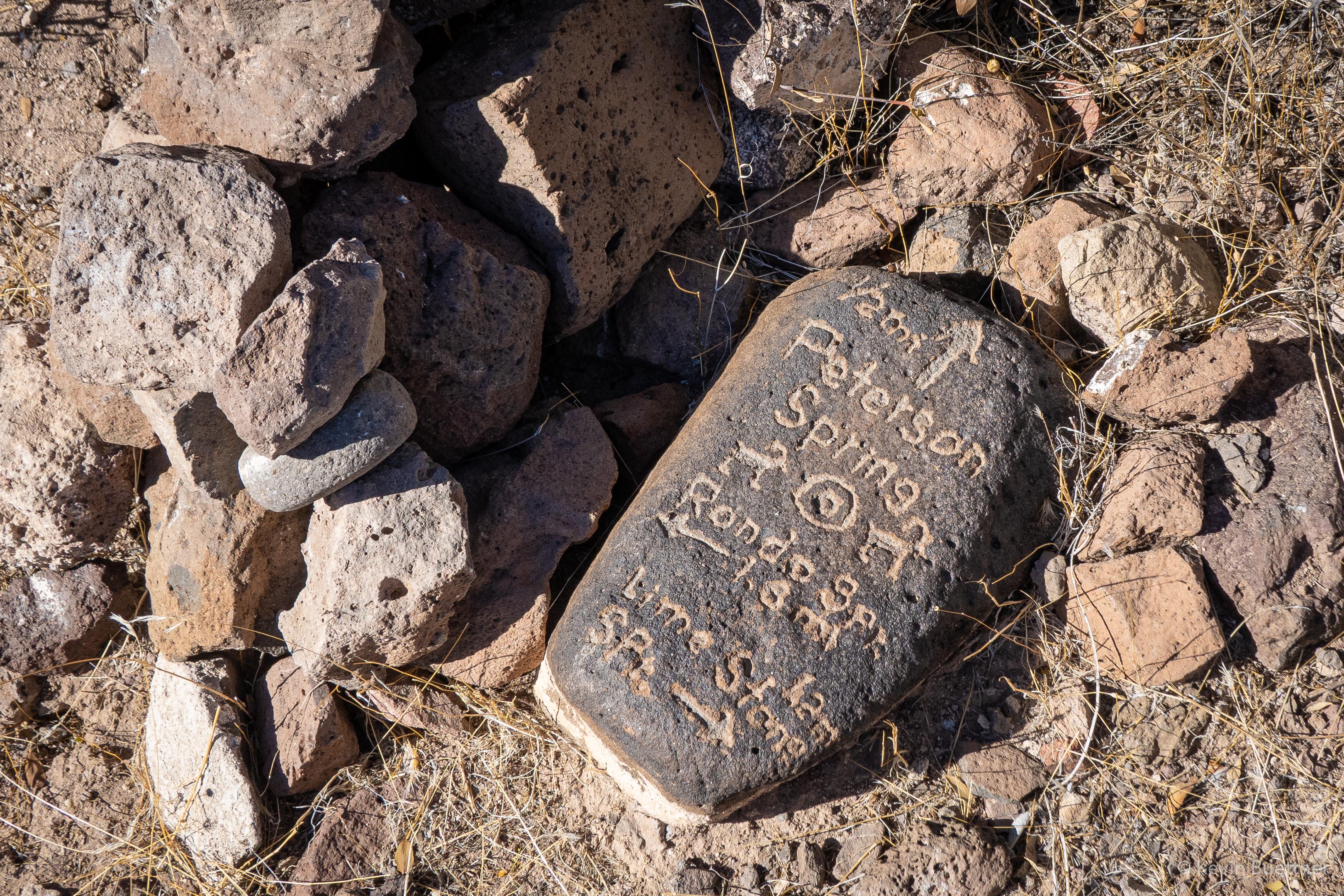
Another Trail marker; apparently we could also have gone to Peterson Spring.

Another view of Elephant Mountain from a drainage that we hiked through on the way to considerably higher territory.

This is the last trail marker that we encountered along the Limestone Trail. While it does point out how to get back to Spur Cross, possibly the more important locations are those of nearby water sources.

Bush Fire from Fountain Hills

Marilyn, Marie, and I went for an evening walk on Saturday, the 13th.  Marilyn noticed a reddish glow in the distance; we walked up a nearby hill to see better.  We saw an orange glow in the distance, behind some hills.  When we concluded our walk, I brought my camera out to get this photo.  It was much less bright than shown in my photo below; actually, at the time we were there, it was less bright than earlier in the evening.

On the ten O’clock news we learned that it’s called the Bush Fire, it’s in the Tonto National Forest, and that traffic has been blocked of on SR 87 (Beeline Hwy).

Update – 2020-06-14:

Marilyn and I went out for another walk, shortly after 8:00pm on Sunday, the 14th.  We first walked up to the top of the hill where I had taken the earlier photo. We returned by walking down the street upon which we lived.  At the top of the street (which is on a hill), we found quite a dramatic view…

Update – 2020-06-15:

On the evening of Monday, the 15th, I walked across McDowell Mountain Road, hiked up one of the hills to the north, and took some more photos.  According to InciWeb, on Monday evening, the Bush Fire is 37,900 acres in size and is still 0% contained.

Remember, this is a long exposure; this scene did not appear this bright while I was there. I was able to see some lights on the Fort McDowell Yavapai Nation, I certainly wasn’t able to see this community in the level of detail shown here – it was much too dark. Likewise, the smoke didn’t have much of the color or glow shown in this photo; that too is due to taking a long exposure.

Update – 2020-06-16:

According to InciWeb, the Bush Fire grew to 64,513 acres in size, still with 0% containment. However, when I went out on my balcony in the evening to look, I saw only a faint glow in several areas. That being the case, I decided against going somewhere to take a photo and instead just took a shot from my balcony. Although my eyes couldn’t see much activity in the distance, a three and half minute exposure picked up a lot of hot spots on Four Peaks in addition to the usual glow in the smoke. I think that the long exposure smoothed out the smoke in addition to making the trees appear out of focus – they’re not out of focus; it’s just motion blur.

Kolob Canyons in the Fog and Rain

On Thursday, the 23rd, we had hoped to hike the La Verkin Creek Trail in the Kolob Canyons area of Zion National Park. The morning started sunny, but by the time we arrived at the Kolob Canyons area, it was raining on and off, mostly on. The trails were wet and muddy; visibility was poor; we decided to take a few pictures and take a rest day.

The first two photos were taken from the same overlook that Marilyn and I had visited on the day before. The final photo was taken from a switchback on the road back down to the park entrance.

Capitol Reef – Egyptian Temple

On the 16th, we drove from Moab to Torrey. I didn’t take many pictures that day, but I did get out to photograph a formation known as the Egyptian Temple along the Scenic Drive in Capitol Reef National Park. I don’t know why we stopped for this formation in particular; it may just be that we felt the need to stretch our legs after the long drive. Prior to this stop we had driven to the end of the Scenic Drive and then into the Capitol Reef Gorge. We want to go back and hike some of the trails in the Gorge someday.

Shafer Canyon Road / Island in the Sky

Snow!

After raining most of the day Thursday, we got snow on Thursday night into Friday morning. I took these photos from our yard.

Niagara Falls

Hickman Bridge

Fairyland Canyon – Bryce Canyon National Park

View from the Springdale La Quinta