Category: Hiking (page 18 of 68)
Hike descriptions and/or photos.
Marilyn, Bob, Linda, and I hiked a six mile lollipop-loop in the Dixie Mine area. We visited the mines, petroglyphs, and dry waterfall prior to returning.
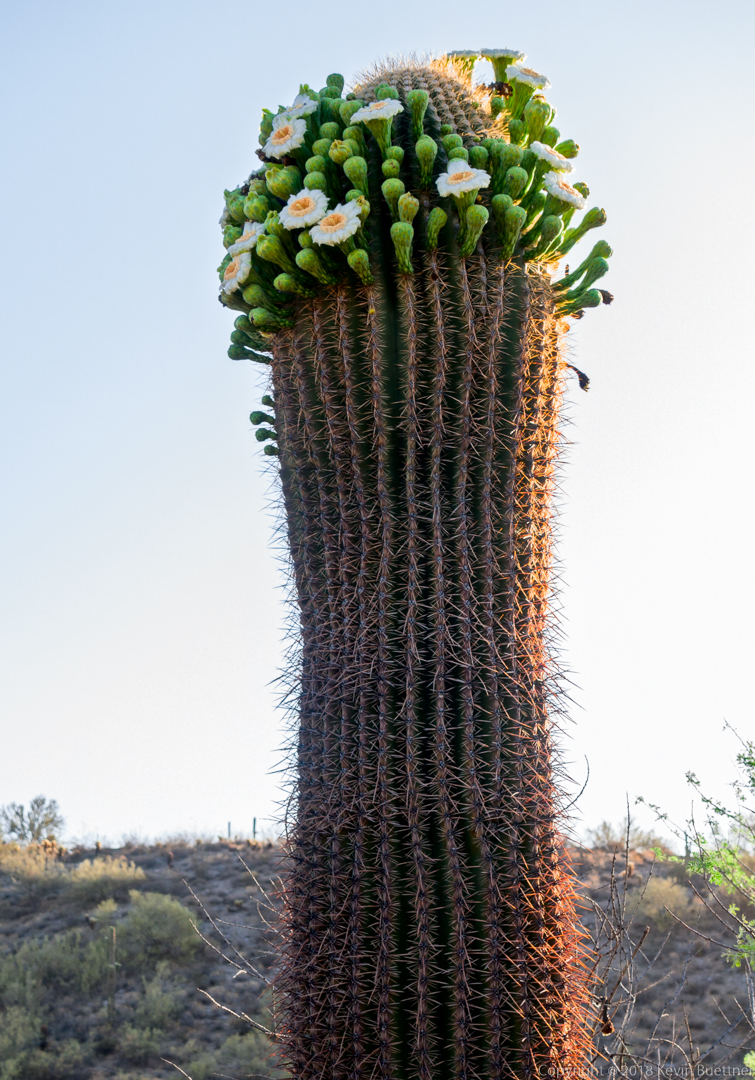
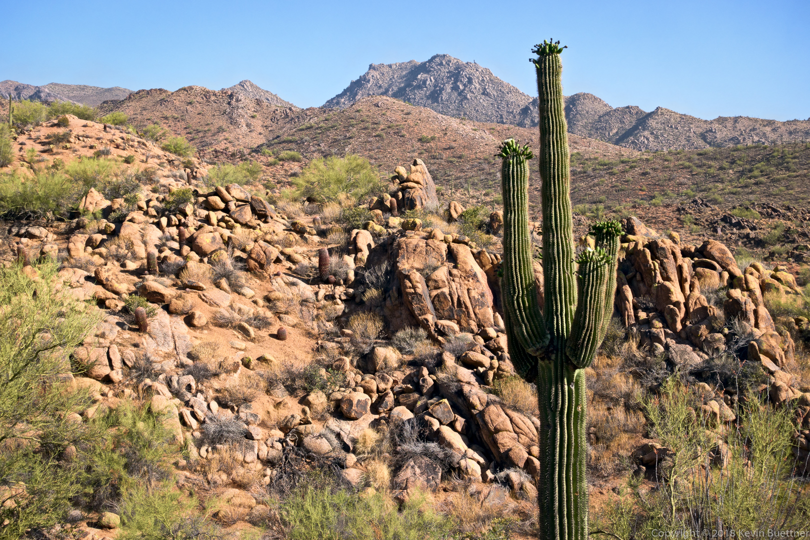
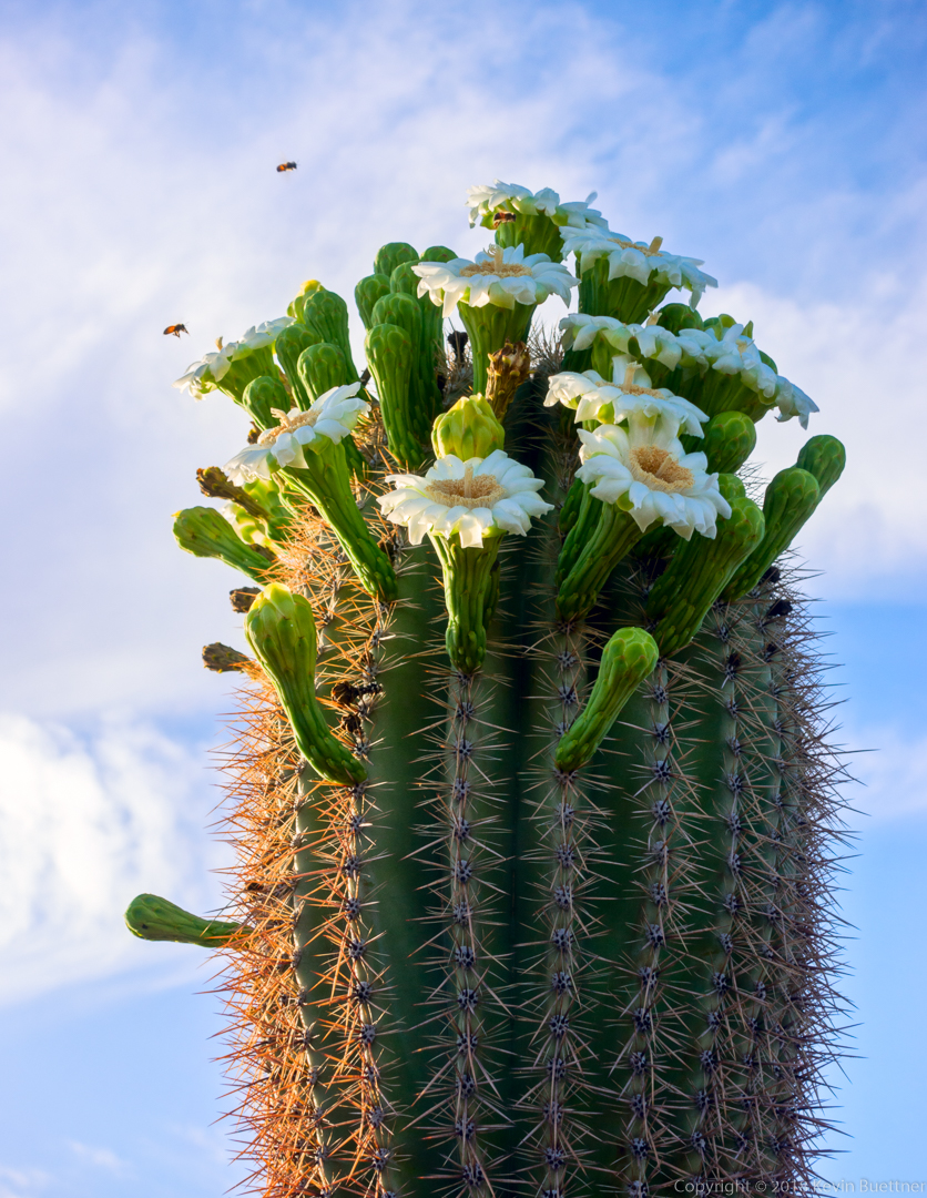
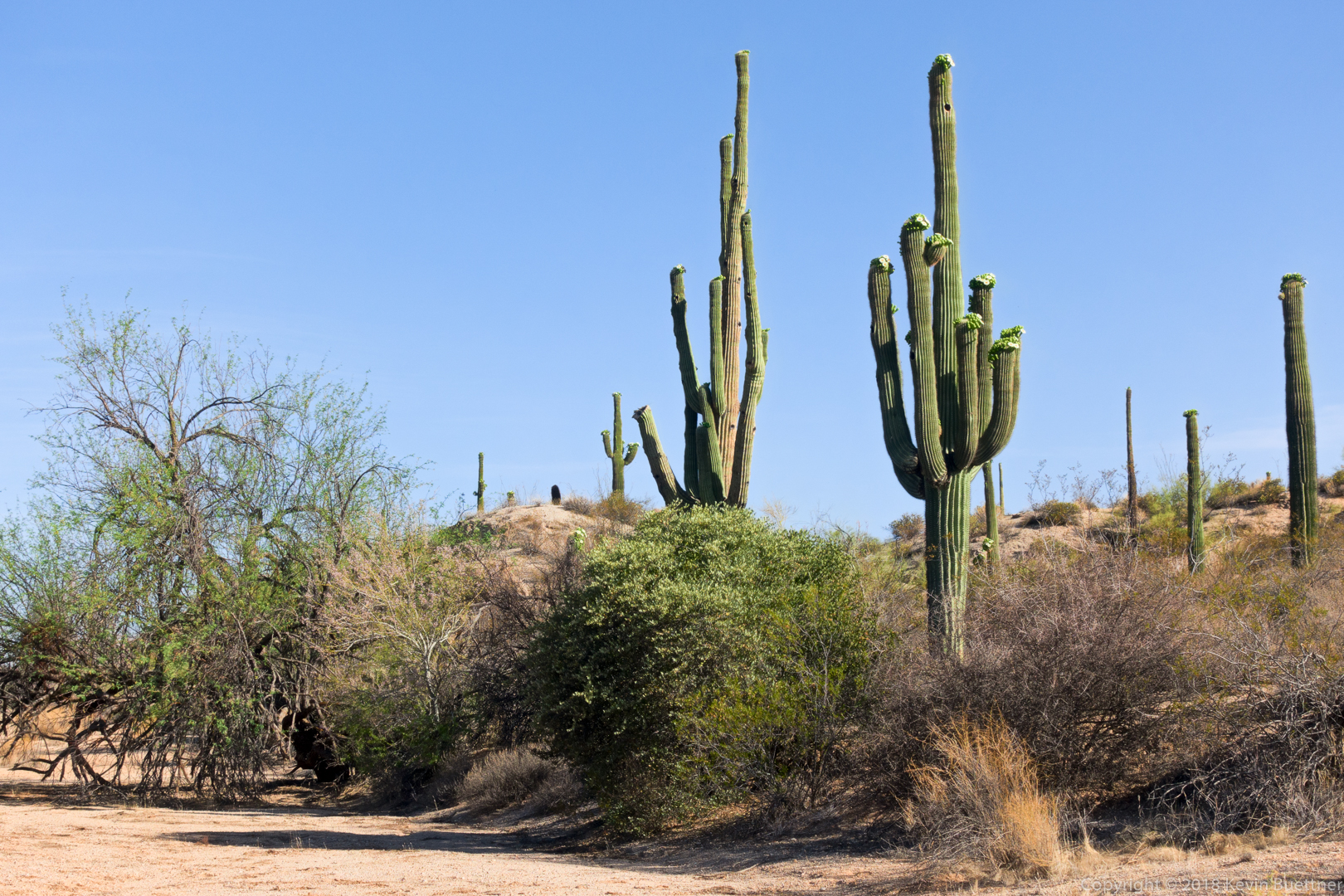
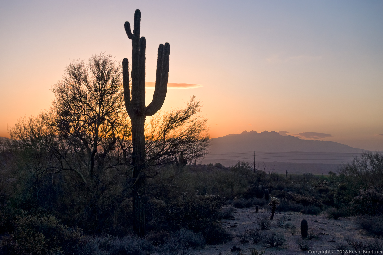
Saguaro blooms:
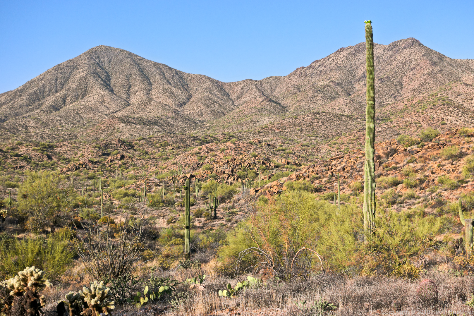
A slightly different view (than what I normally photograph) of the mine tailings and hills / mountains beyond.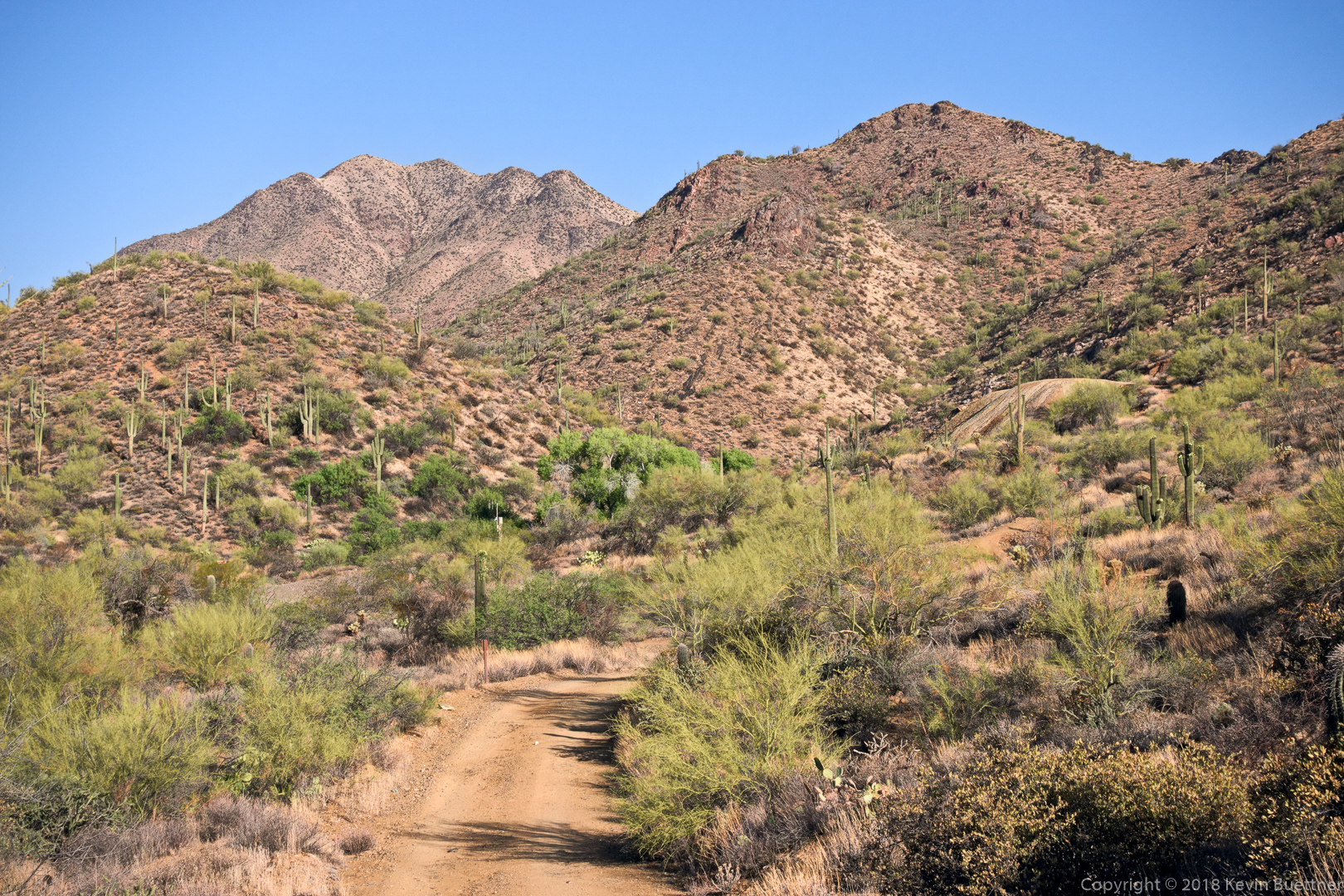
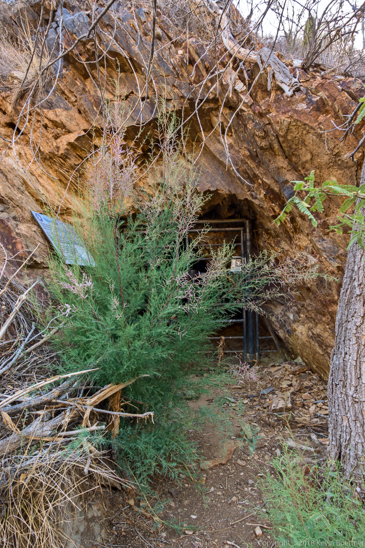
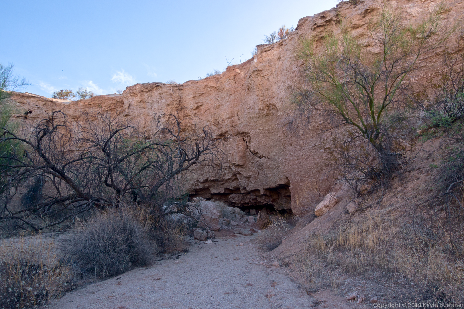
Despite a recent effort to eradicate it from the area, tamarisk is once again growing in front of the gated adit.
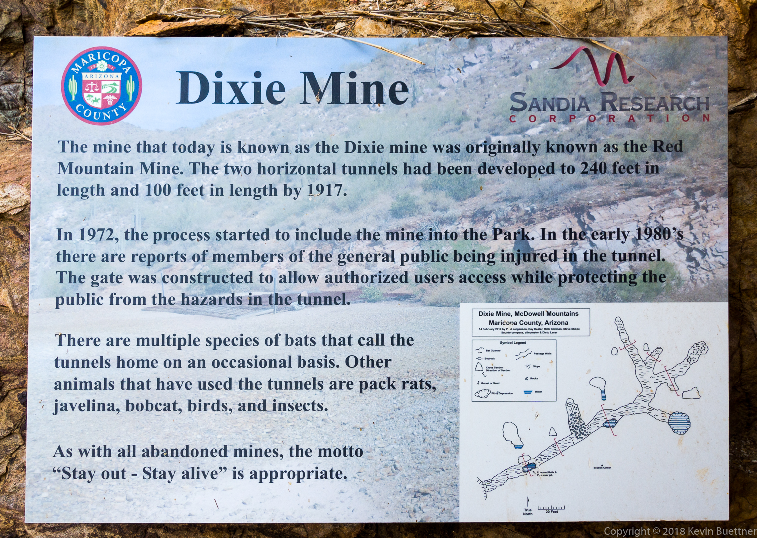
It’s a shame that the sign doesn’t say what was taken out of the mine…
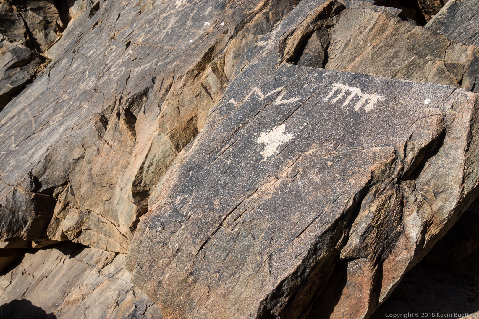
This is part of the main petroglyph panel:
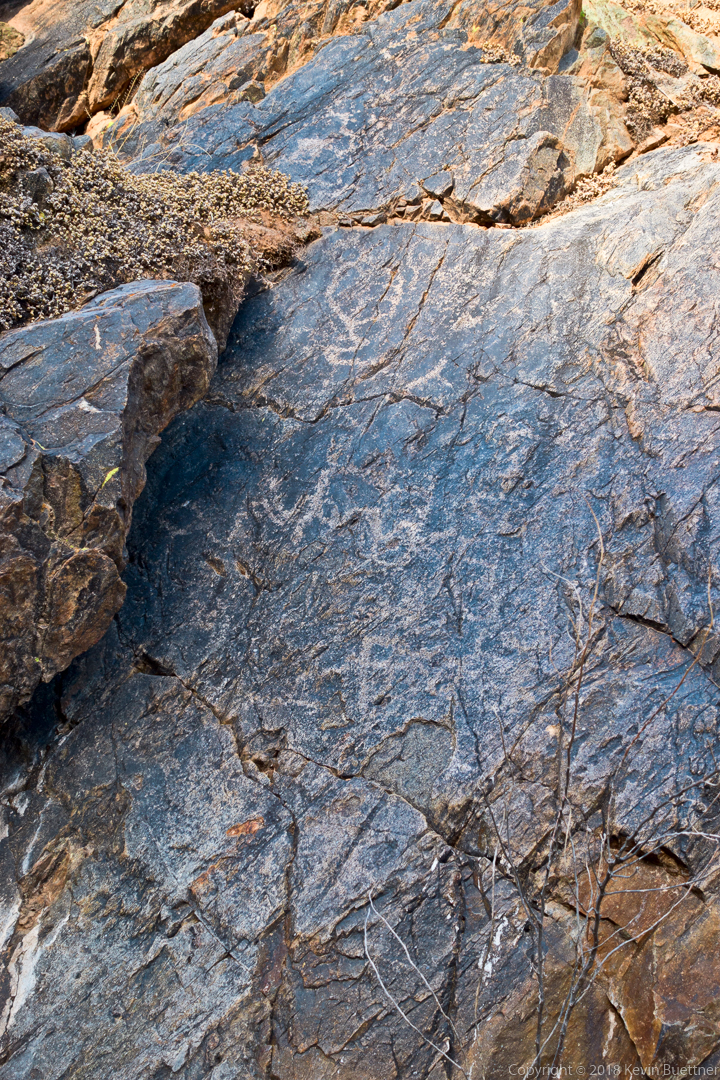
We saw these petroglyphs just prior to arriving at the dryfall:
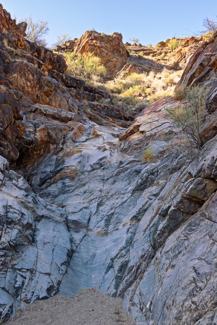
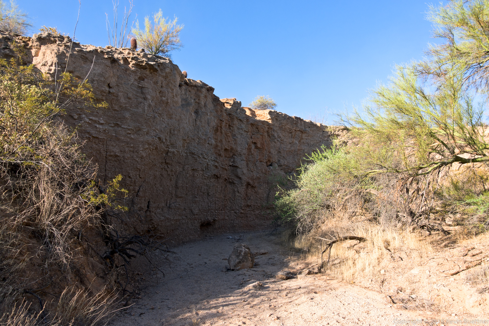
The dryfall…
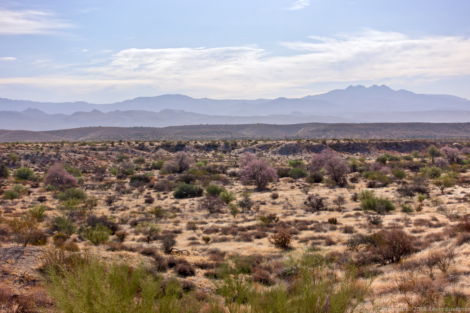
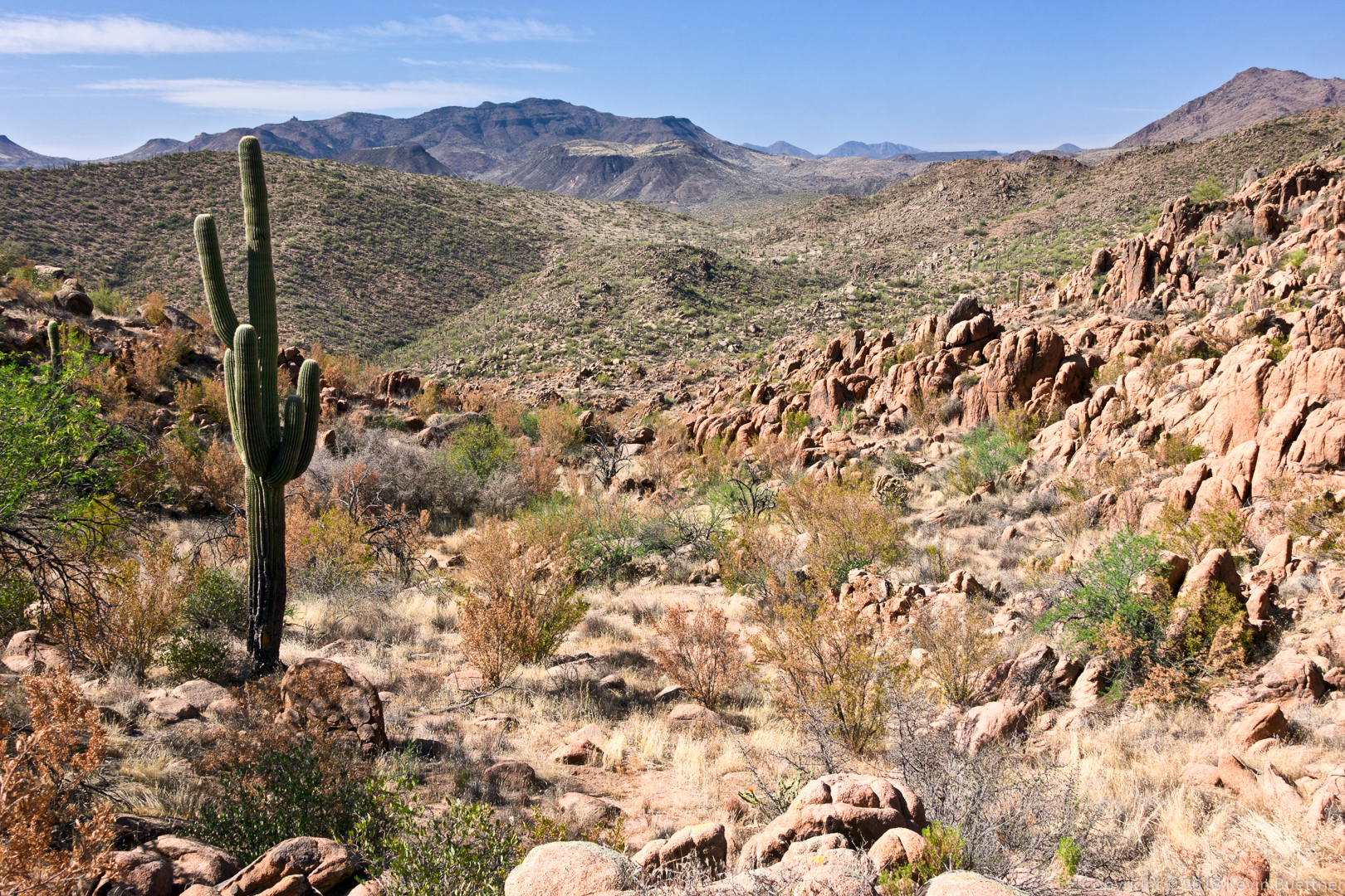
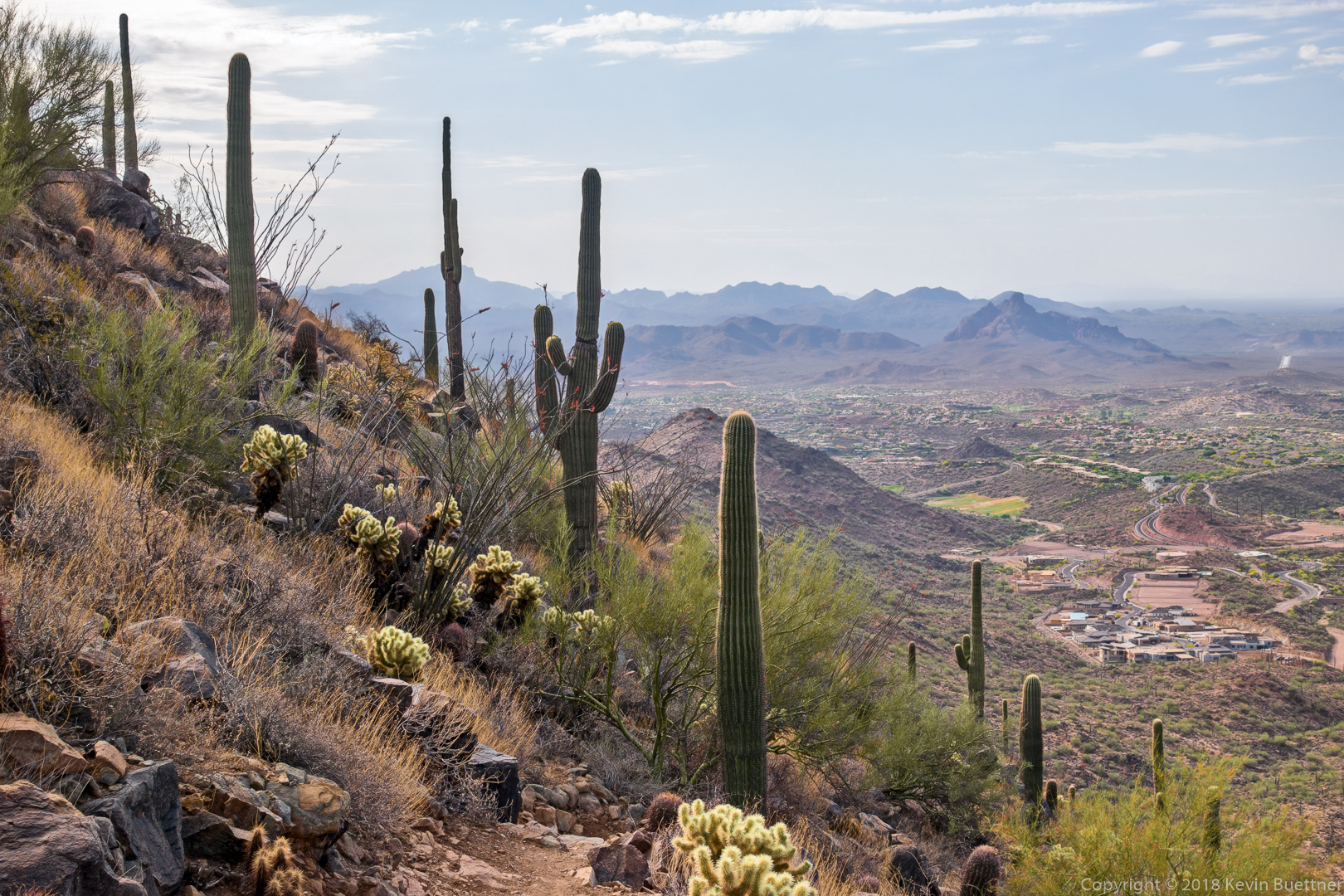
A view from the Dixie Mine Trail on the way back:
Linda, Marlee, and I hiked nearly 10.7 miles on Friday. We hiked up Tom’s Thumb, down East End, left on Windmill, left on Coachwhip, left on Pemberton, and left on Boulder. When we got to the Marcus Landslide Trail, we hiked the interpretive loop before taking it back to the trailhead. Total elevation gain was 1900 feet.
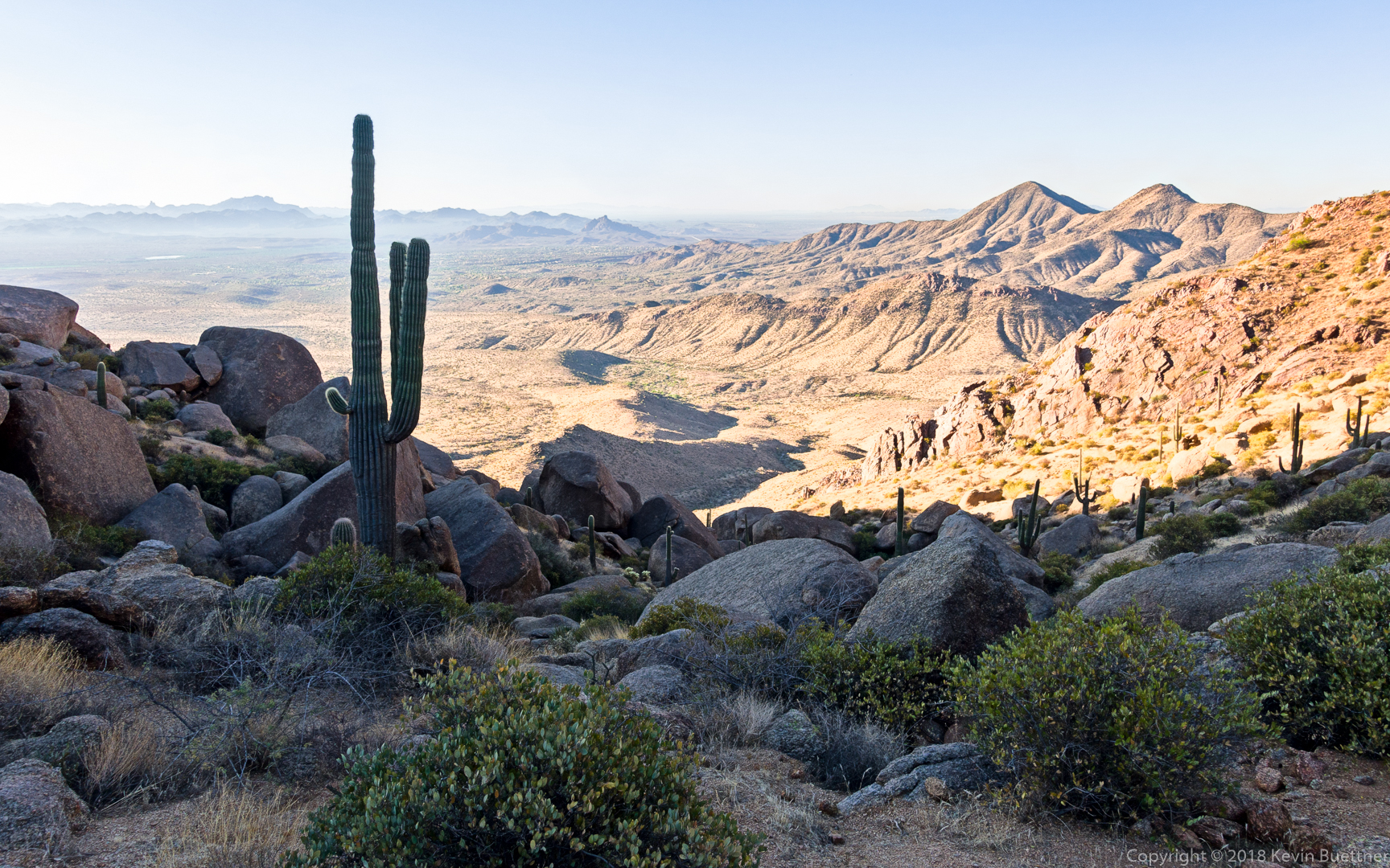
This is a view from the top of the East End Trail:
Marlee and Linda, hiking down the East End Trail:
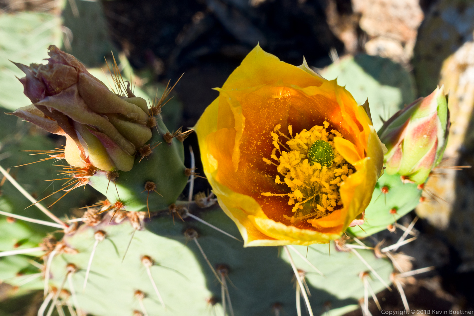
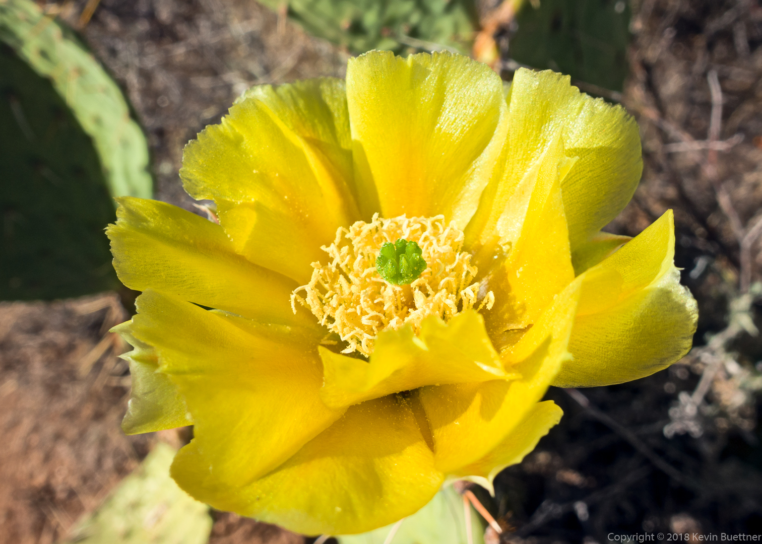
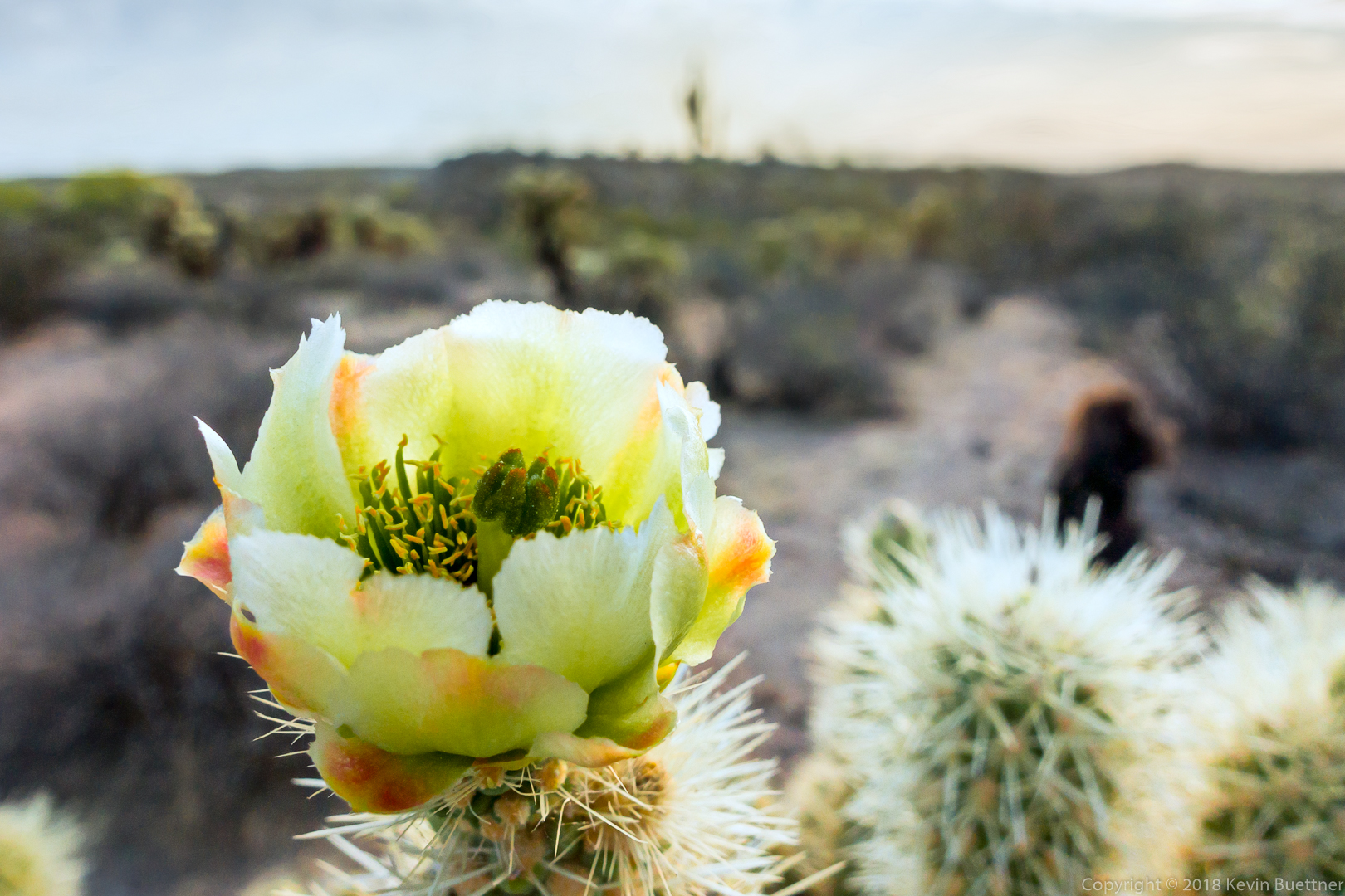
Prickly Pear Blossom:
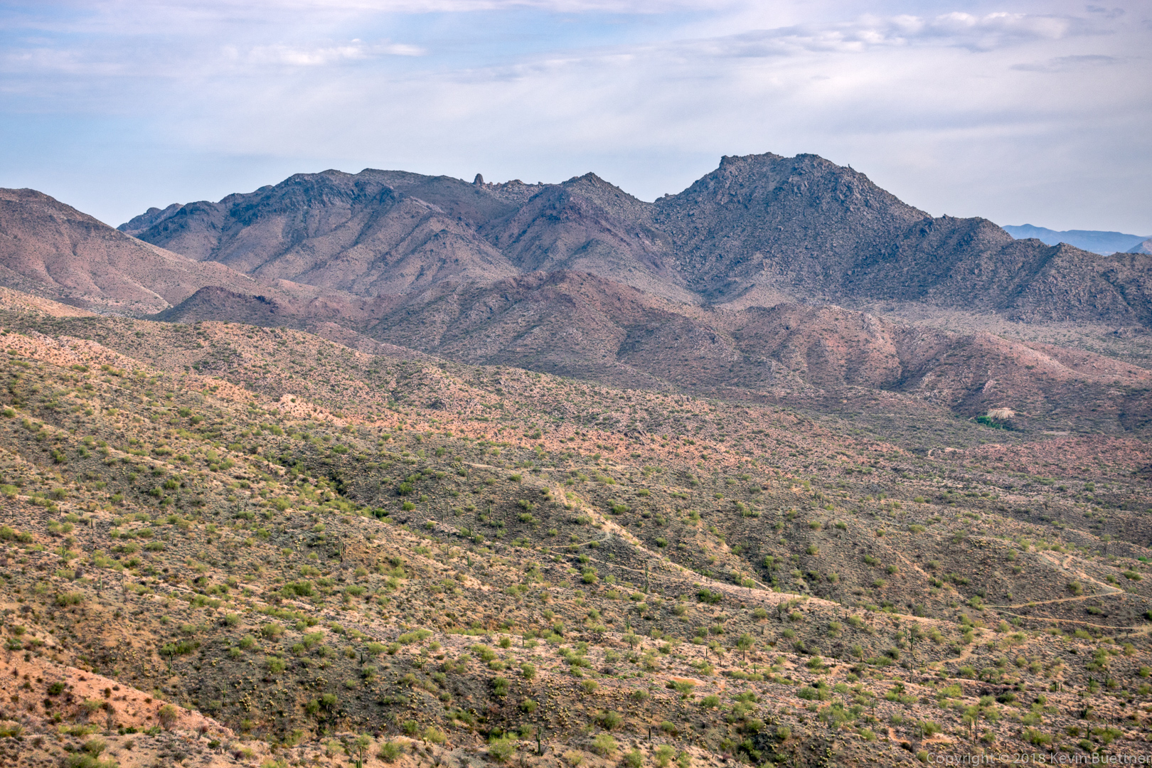
A view of Thompson Peak from the Pemberton Trail:
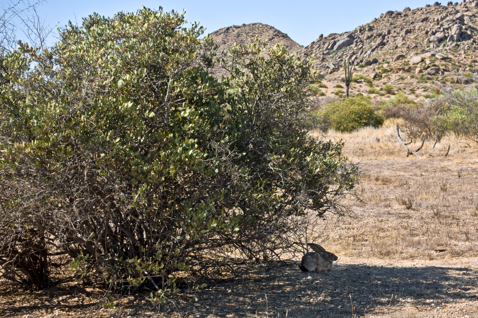
We saw this rabbit just off of the Boulder Trail:
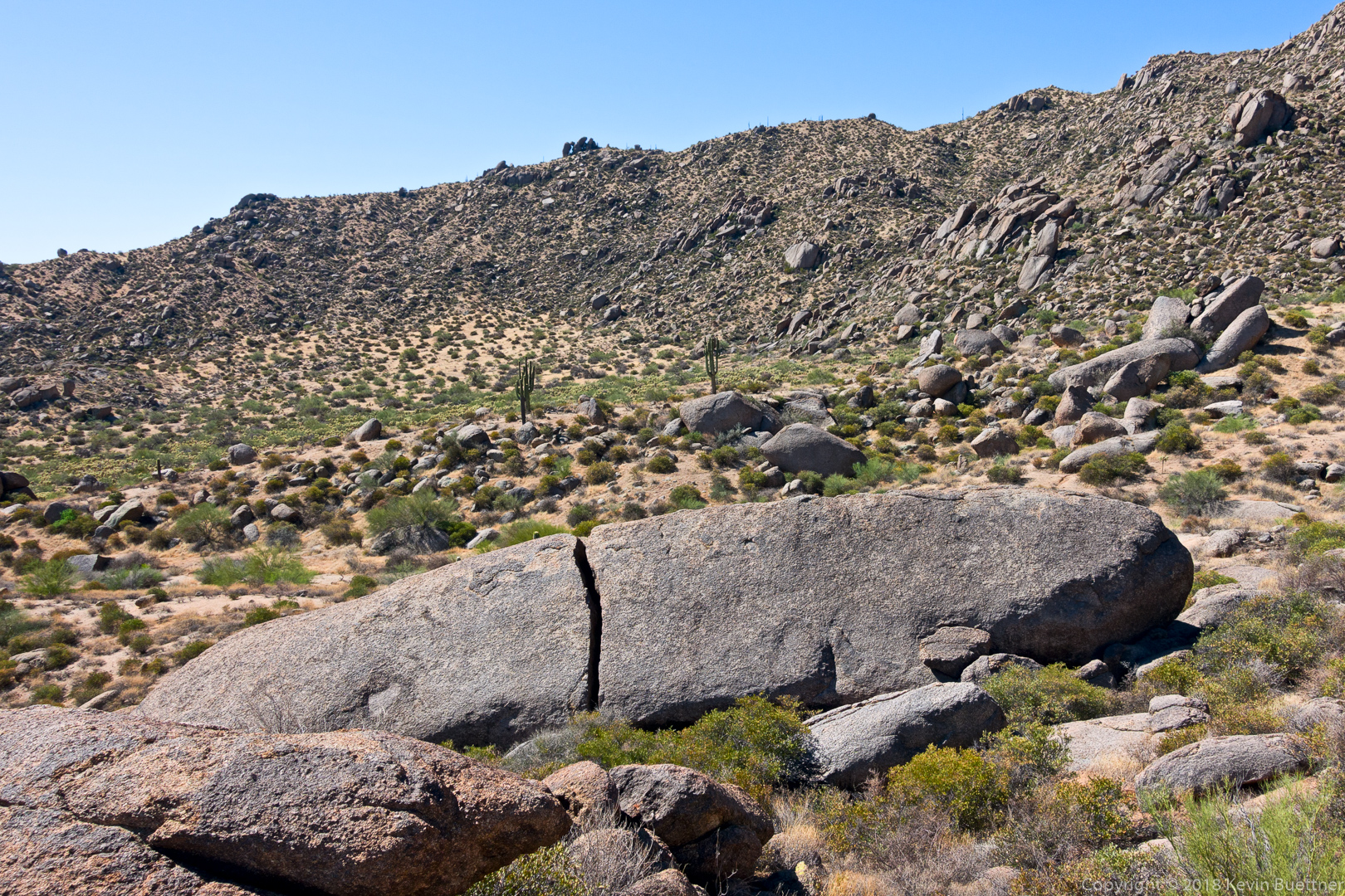
Submarine Rock:
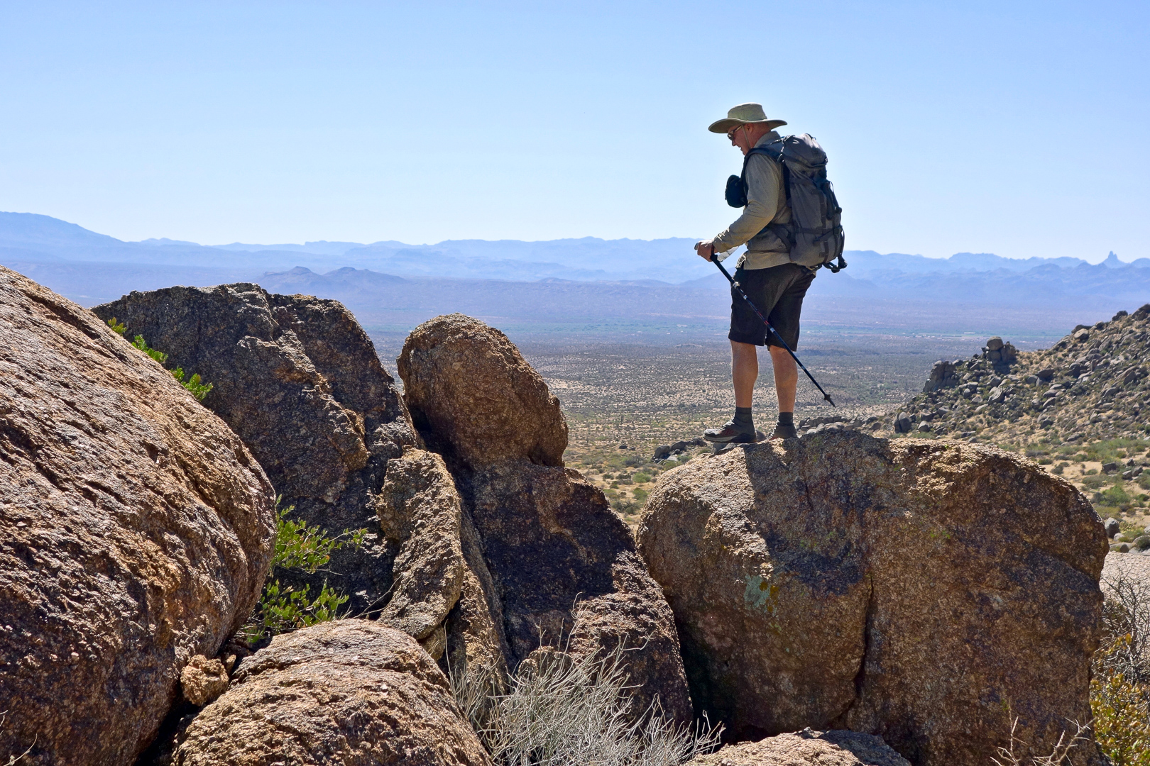
Linda took this photo of me returning from my perch where I took the previous photo. (Photo Credit: Linda Kalbach.)
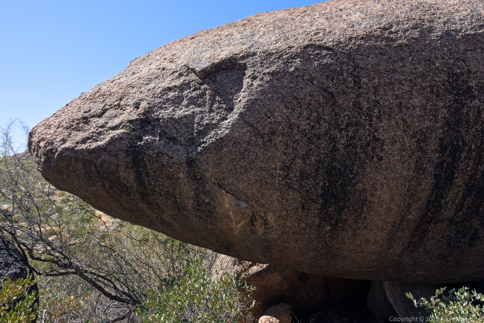
The bow (or maybe stern) of Submarine Rock:
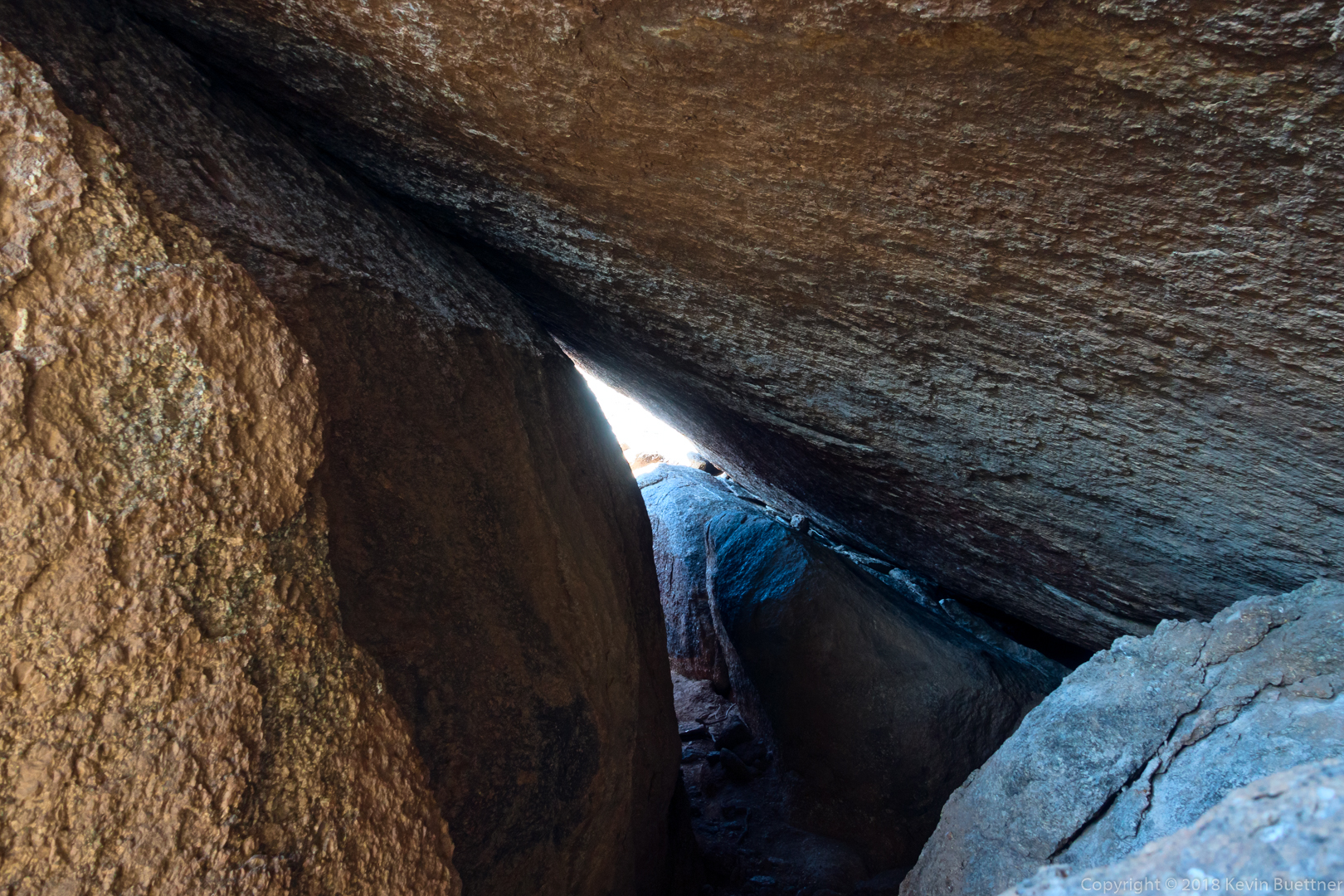
The hole / tunnel below Submarine Rock:
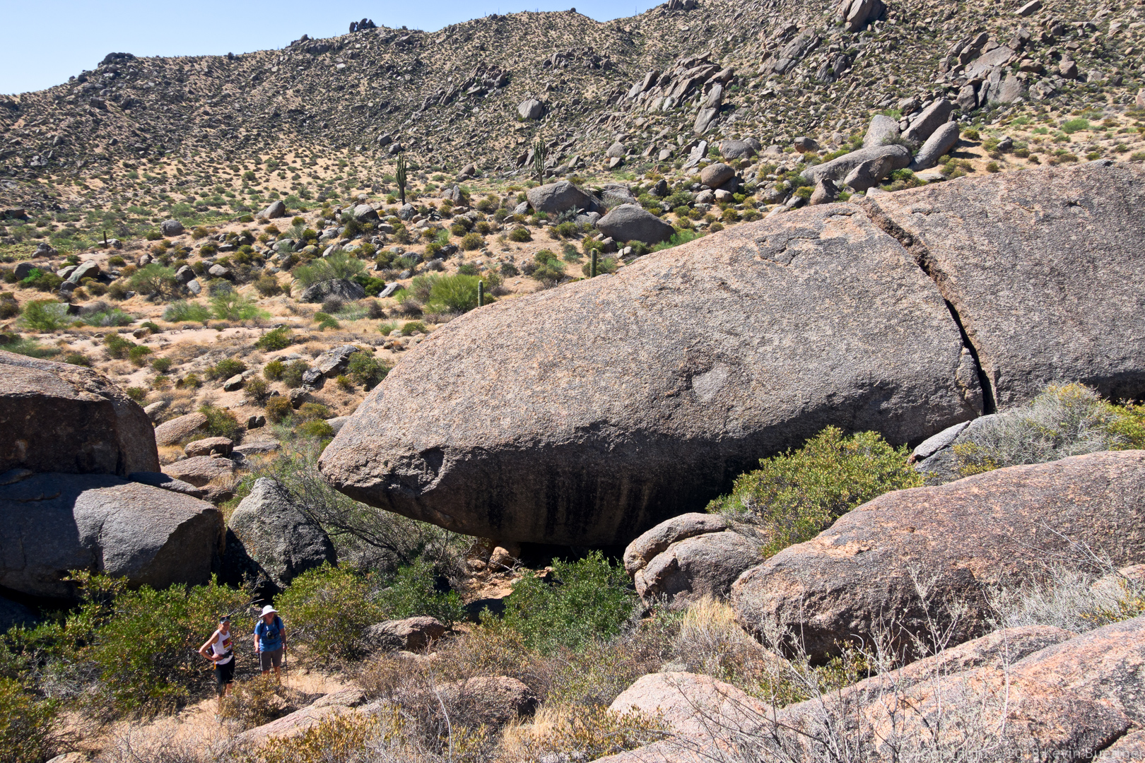
Another view of Submarine Rock, this time with Linda and Marlee in the photo to show its size.
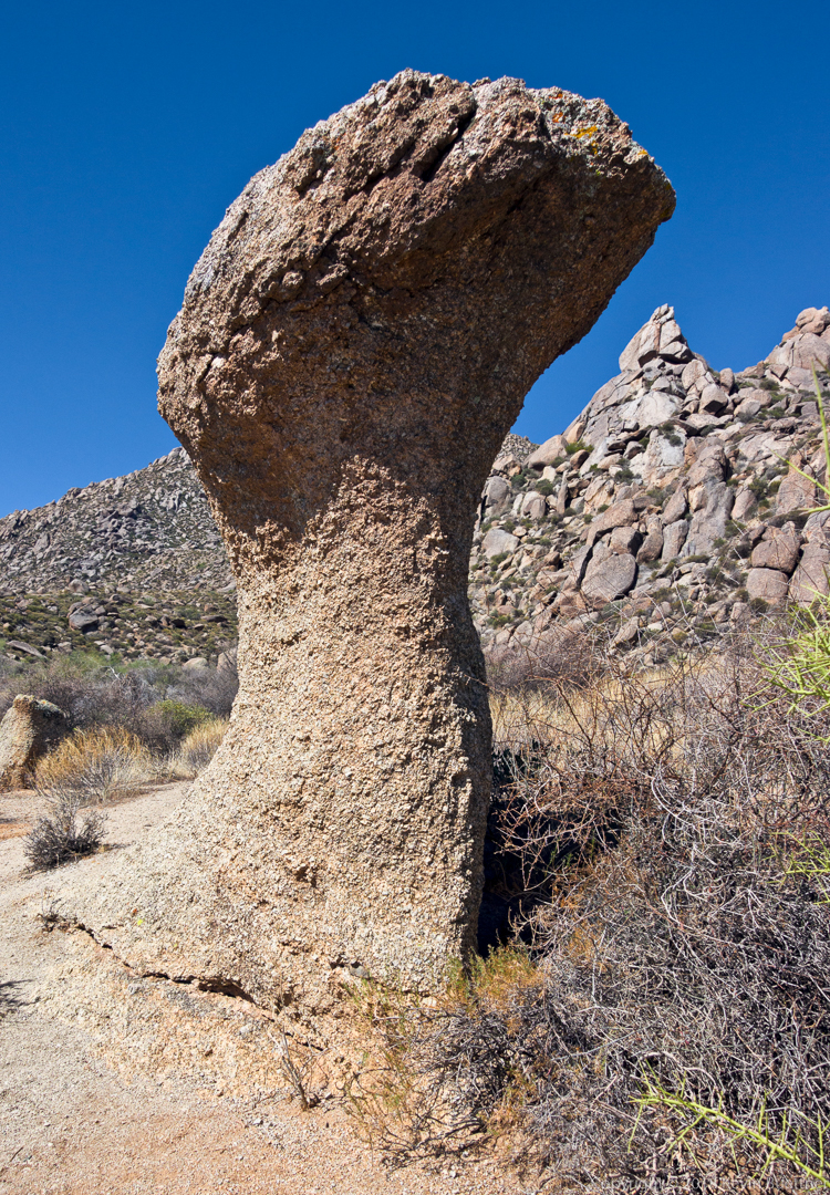
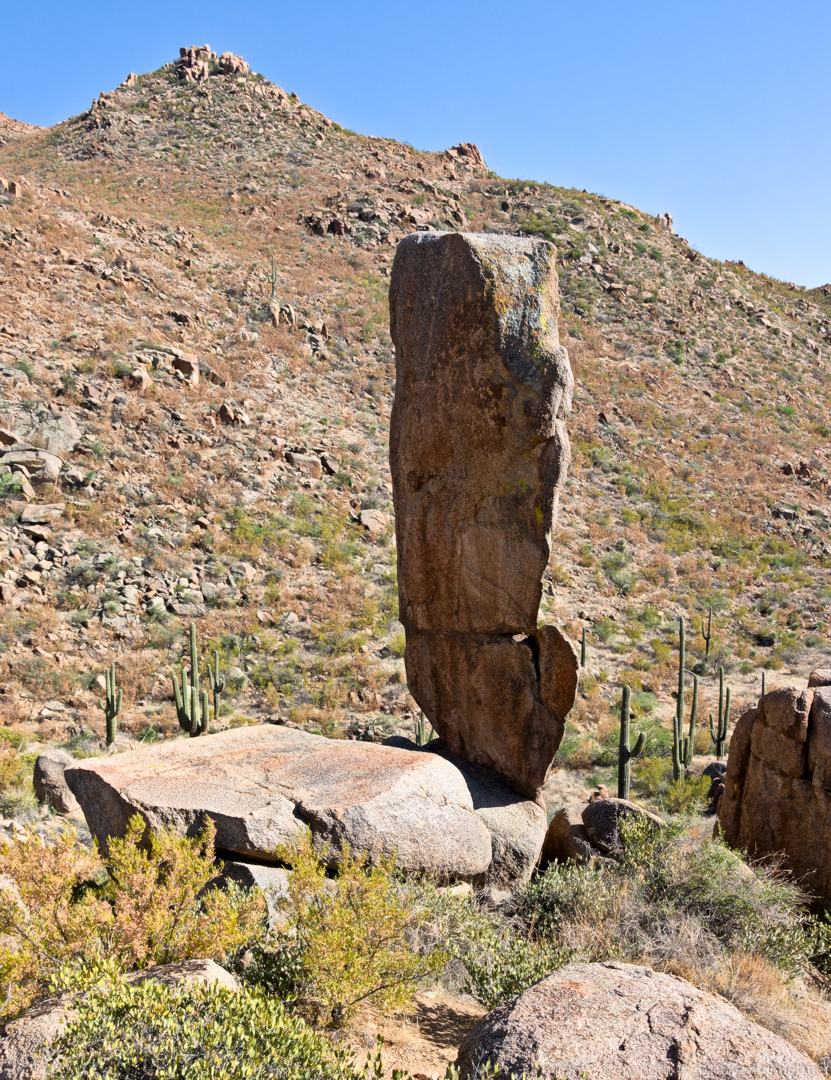
One of the mushroom boulders on the Marcus Landslide Trail:
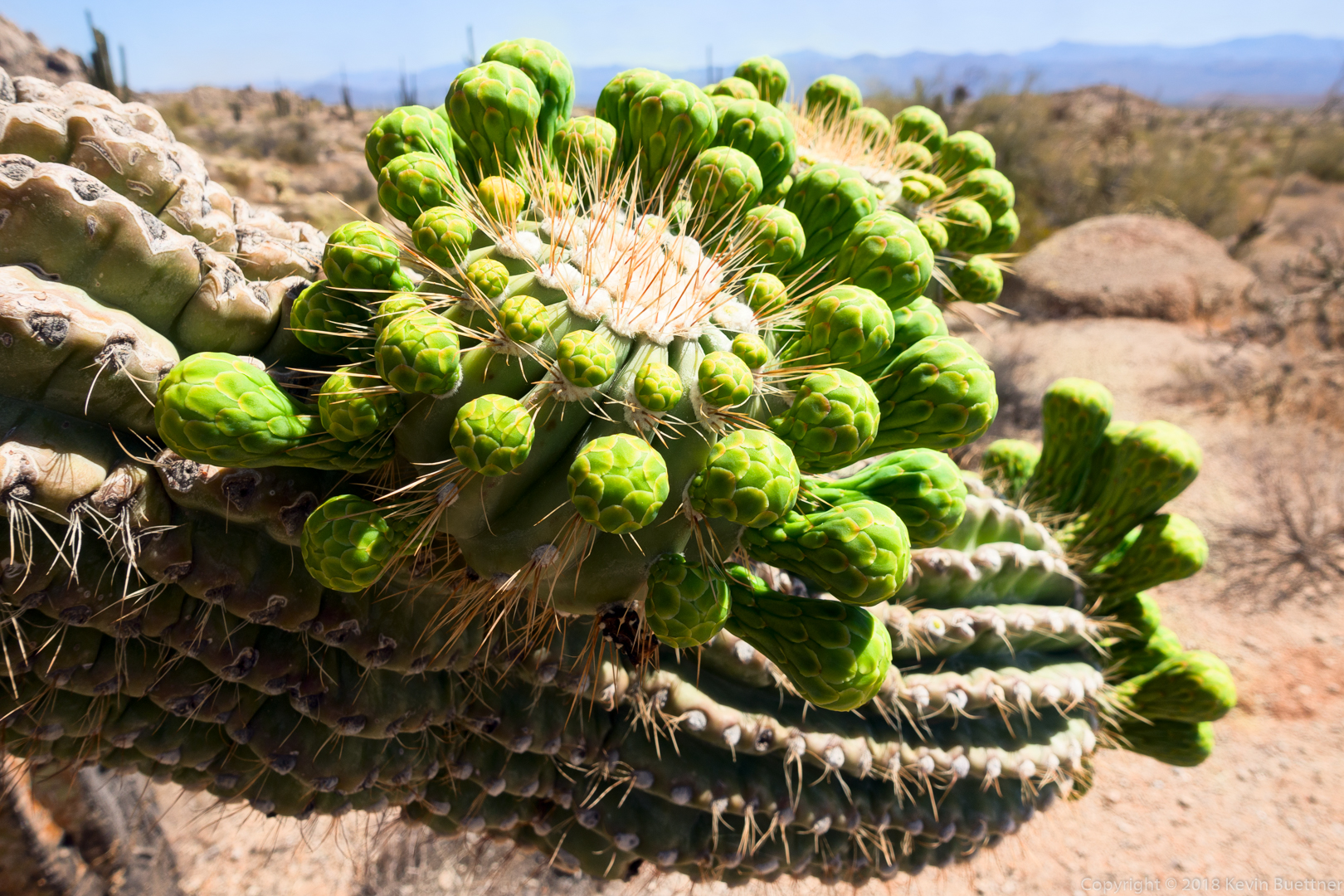
Soon to be blossoms on a saguaro:
Starting in mid-afternoon on Sunday, I hiked the Pine Creek Loop and then, once I got midway through the loop, Ballantine out to Boulder Flat and back, finishing the loop on my return. Trail conditions were better than when I was last there in September. Temps were in the high eighties, good gradual acclimation for summertime hiking here. Total distance was 7.7 miles with 1700 feet of total ascent.
Prickly Pear blossom:
A boulder pile near Boulder Flat.
Linda, Nora, Heather, and I hiked a little over 10 miles in the McDowells. We hiked the Dixie Mine, Sonoran, Promenade, and Western Loop Trails.
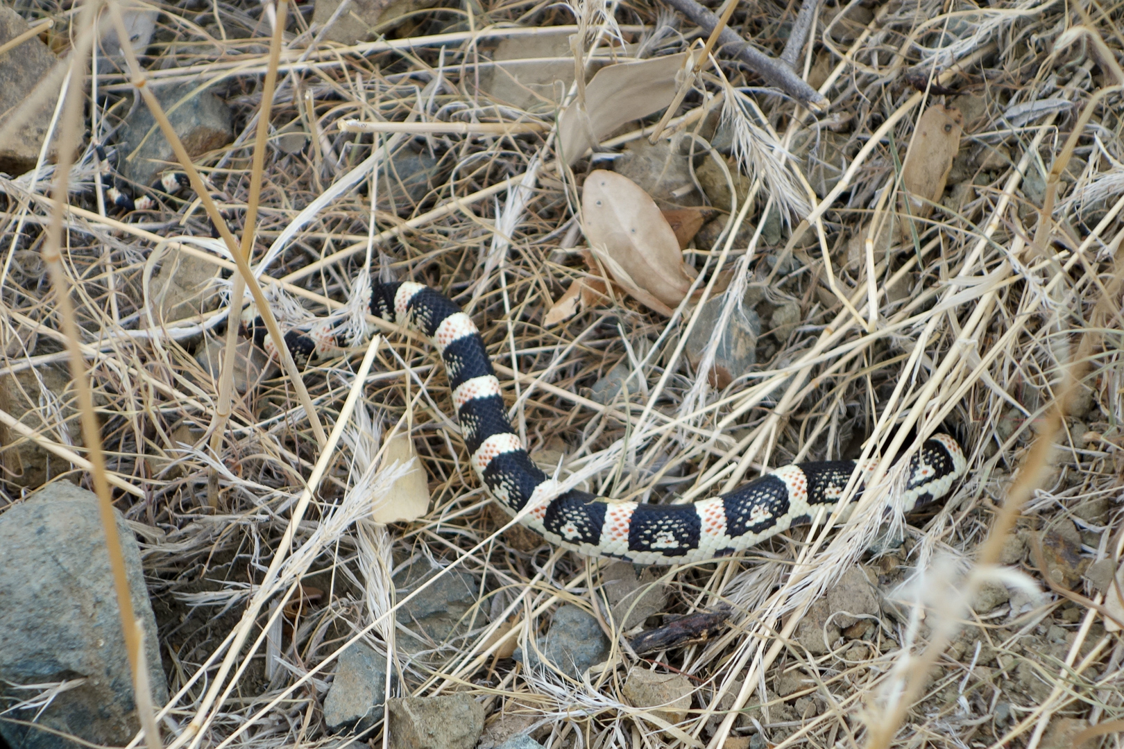
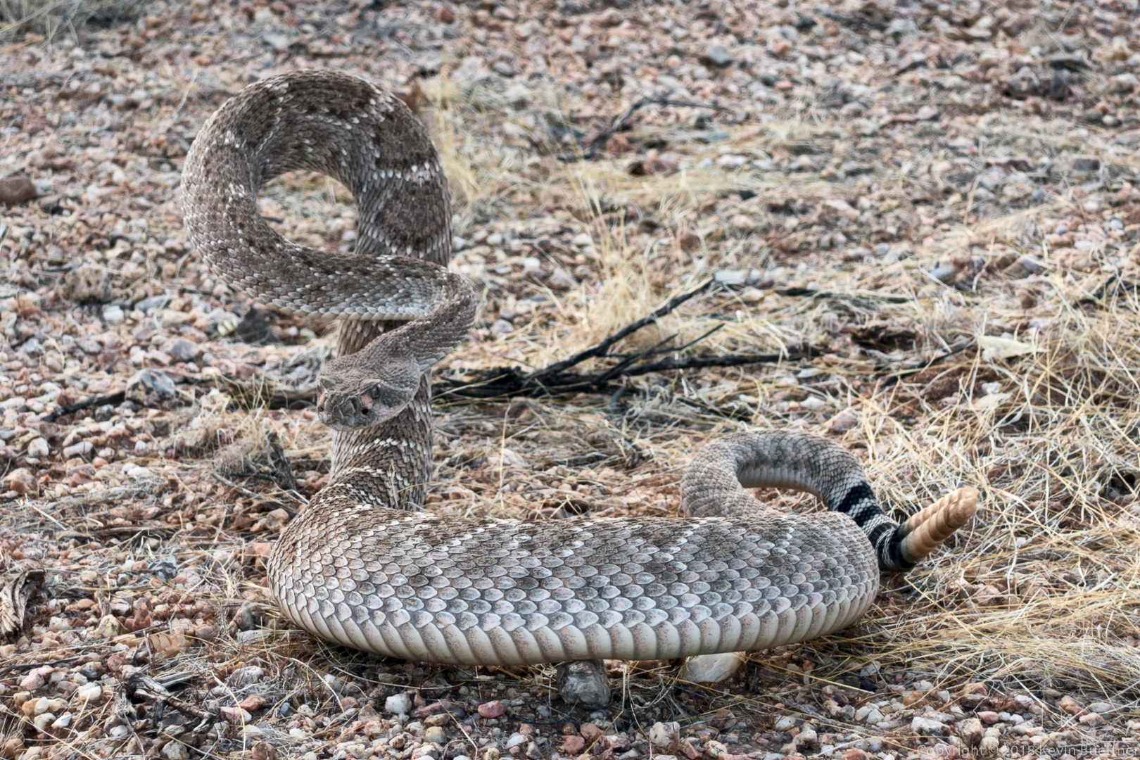
We saw three snakes on our hike. We have photos of only two of them. The last one, which was too quick for me to get a photo, was a coachwhip.
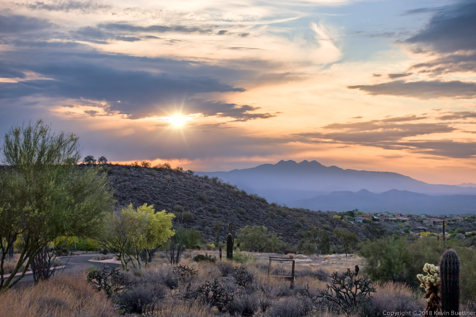
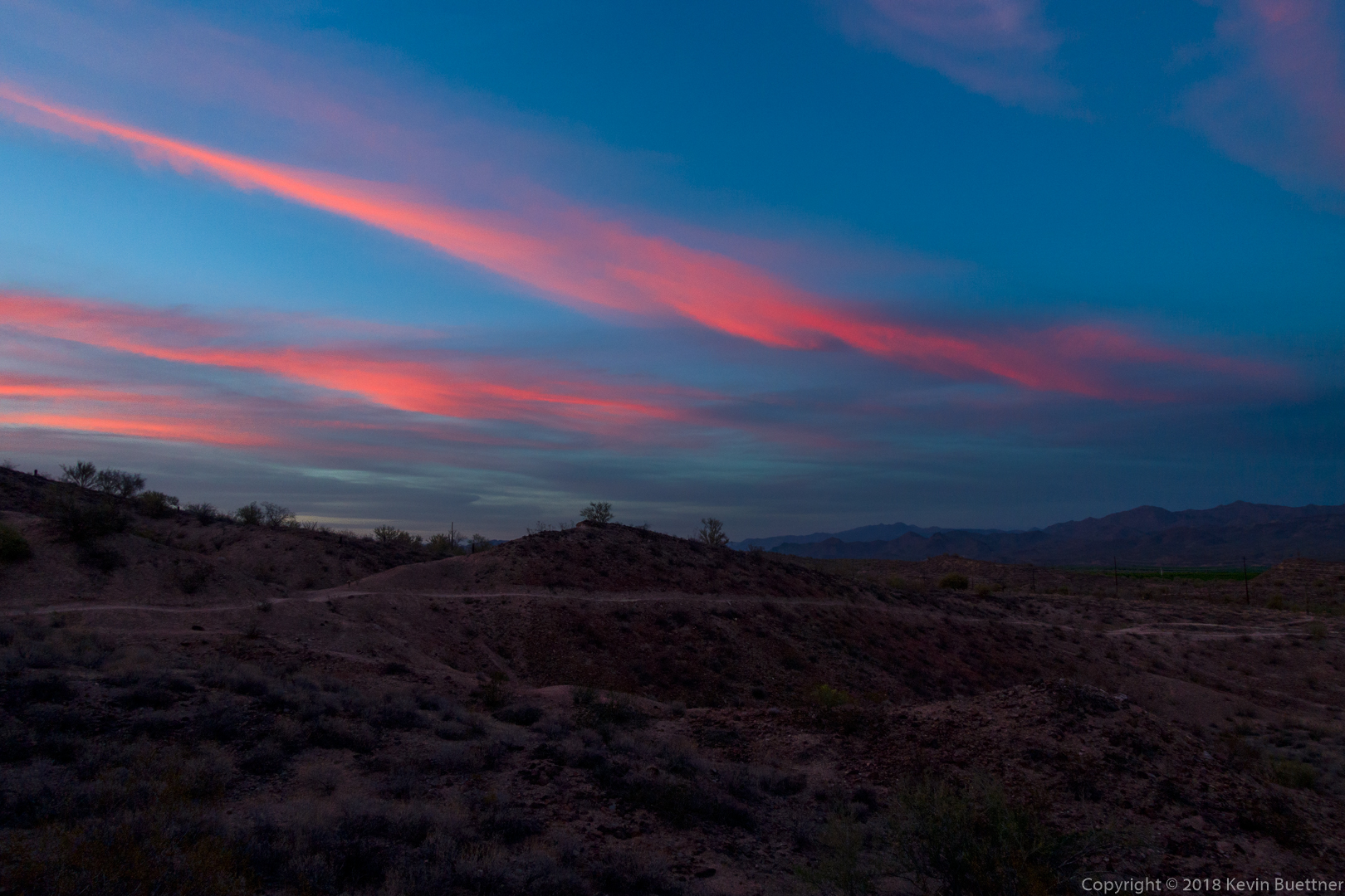
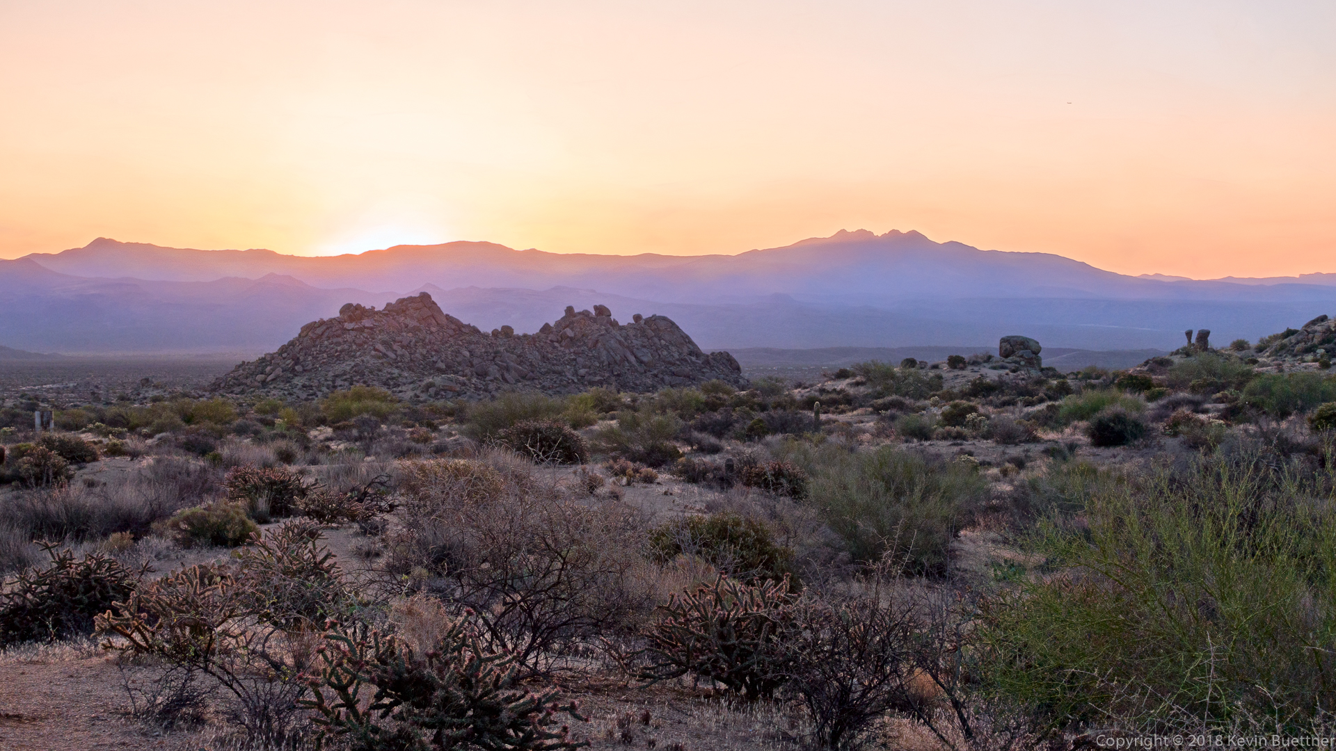
Shortly after sunrise…
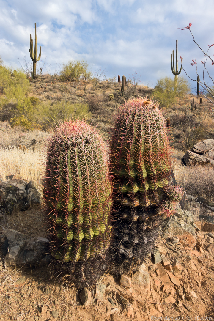
Two barrel cacti – note the two small “arms” on the one on the right.
Despite not being able to see its nose (due to having partially gone into a hole), one of Linda’s friends identified this as a long nose snake. (Photo Credit – Linda Kalbach.)
The thing that surprised us most about this snake was its greenish tinge. We all thought that it might be a Mohave rattlesnake, perhaps even a Mohave Green Rattlesnake, but Heather contacted Mark, the ranger at the Cave Creek Regional Park, who identified it as a Black Tailed Rattlesnake (Crotalus Molossus).
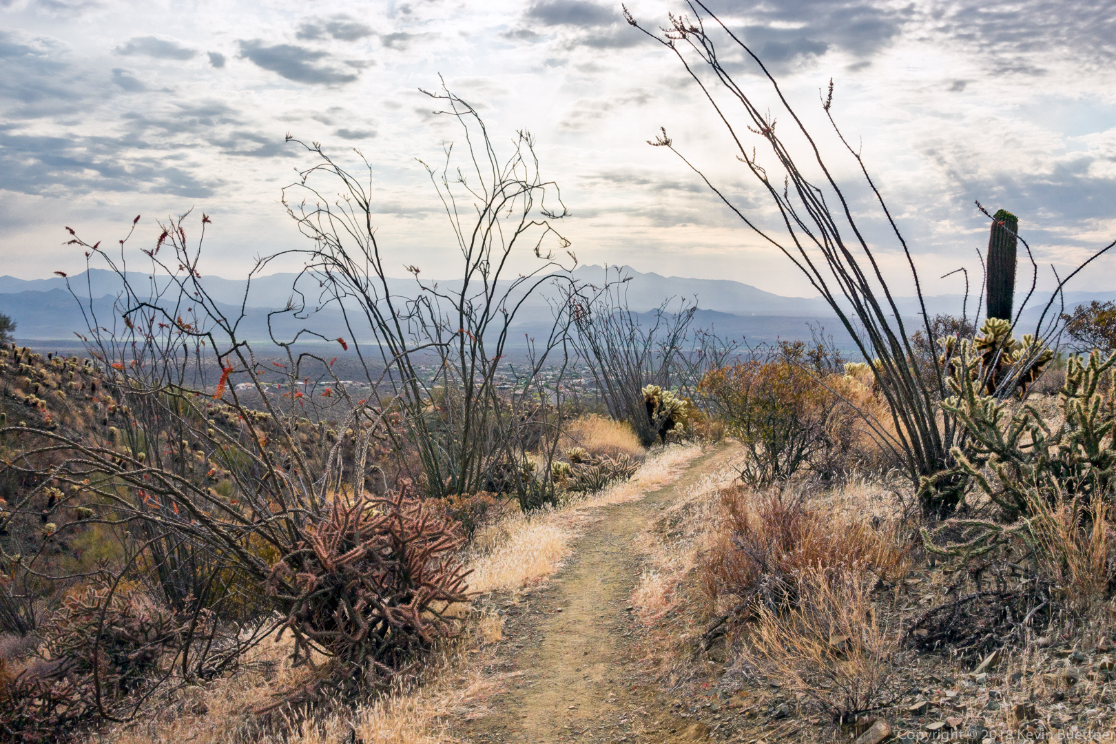
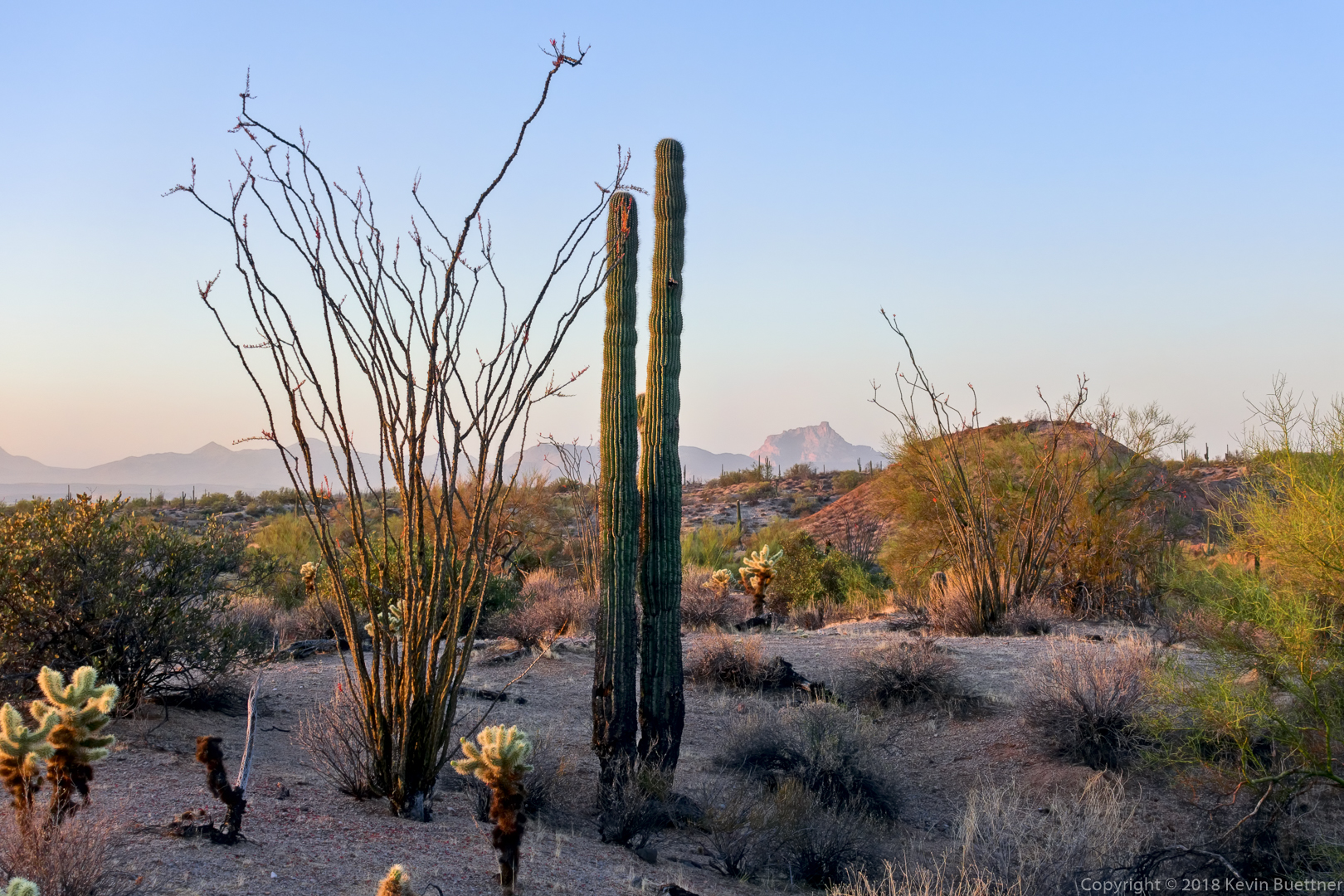
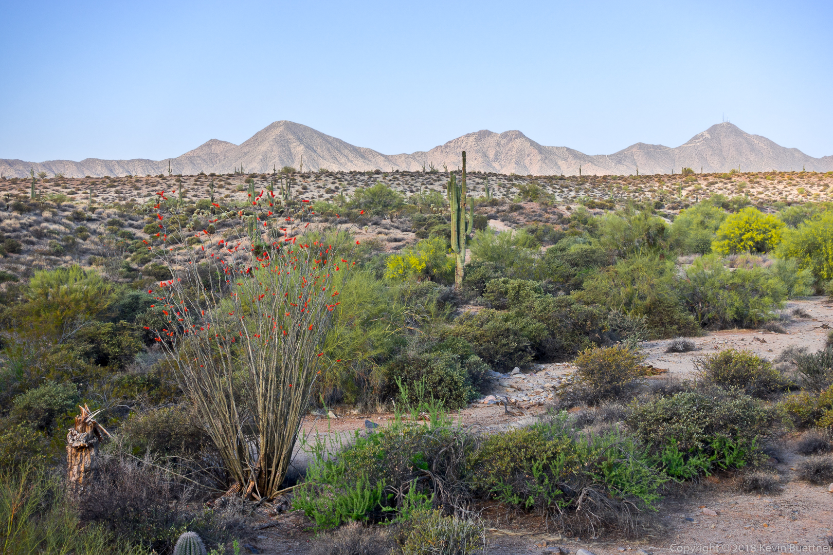
Ocotillos on the Upper Sonoran Trail:
We paused at the Western Loop Overlook, where I got this photo:
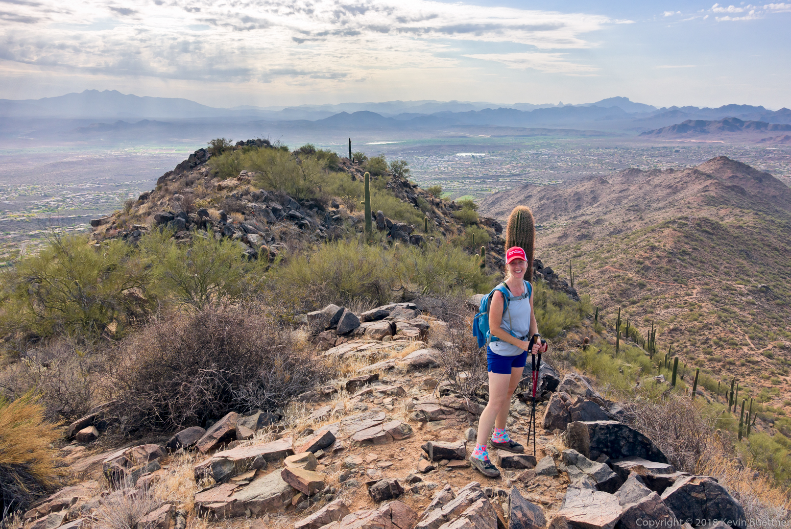
Heather, at the overlook:
Descending the Western Loop Trail…
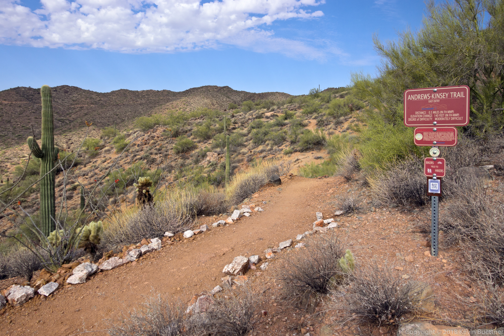
Sadly, we didn’t have enough time to also hike the Andrews-Kinsey Trail.
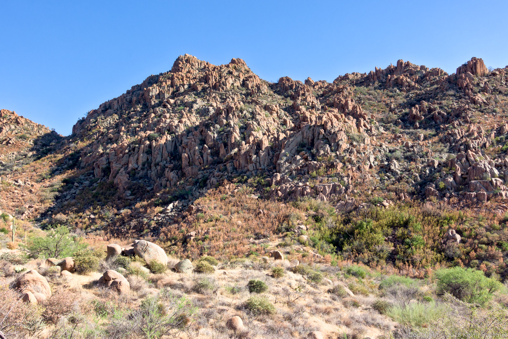
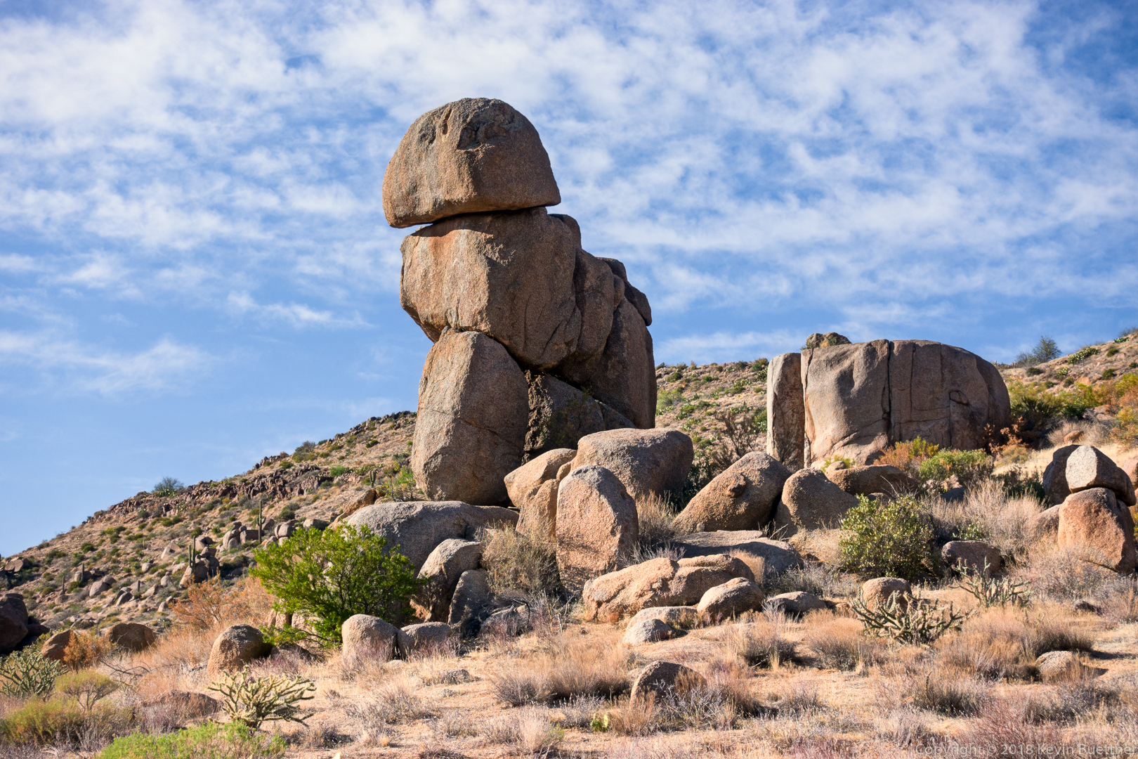
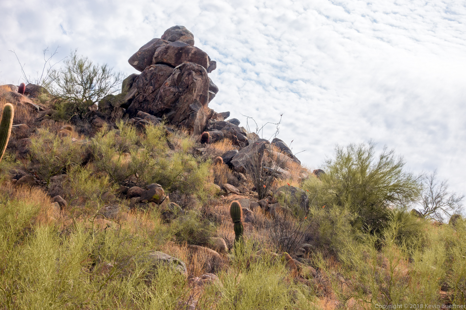
The Western Loop Trail eventually splits. We took the right fork where we passed this rock formation first from above and then later on (pictured) from below.
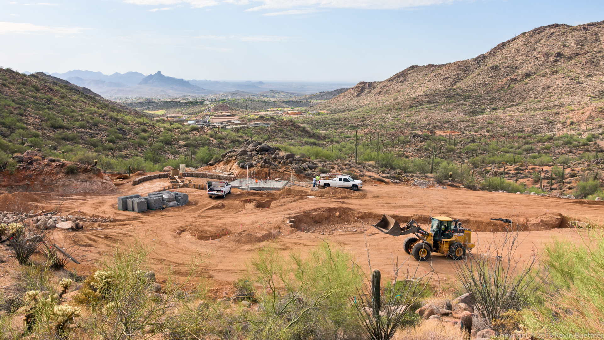
As we neared the Promenade Trail, we got a better view of some new construction. We think this might be construction for a new trailhead at the end of the Promenade Trail.
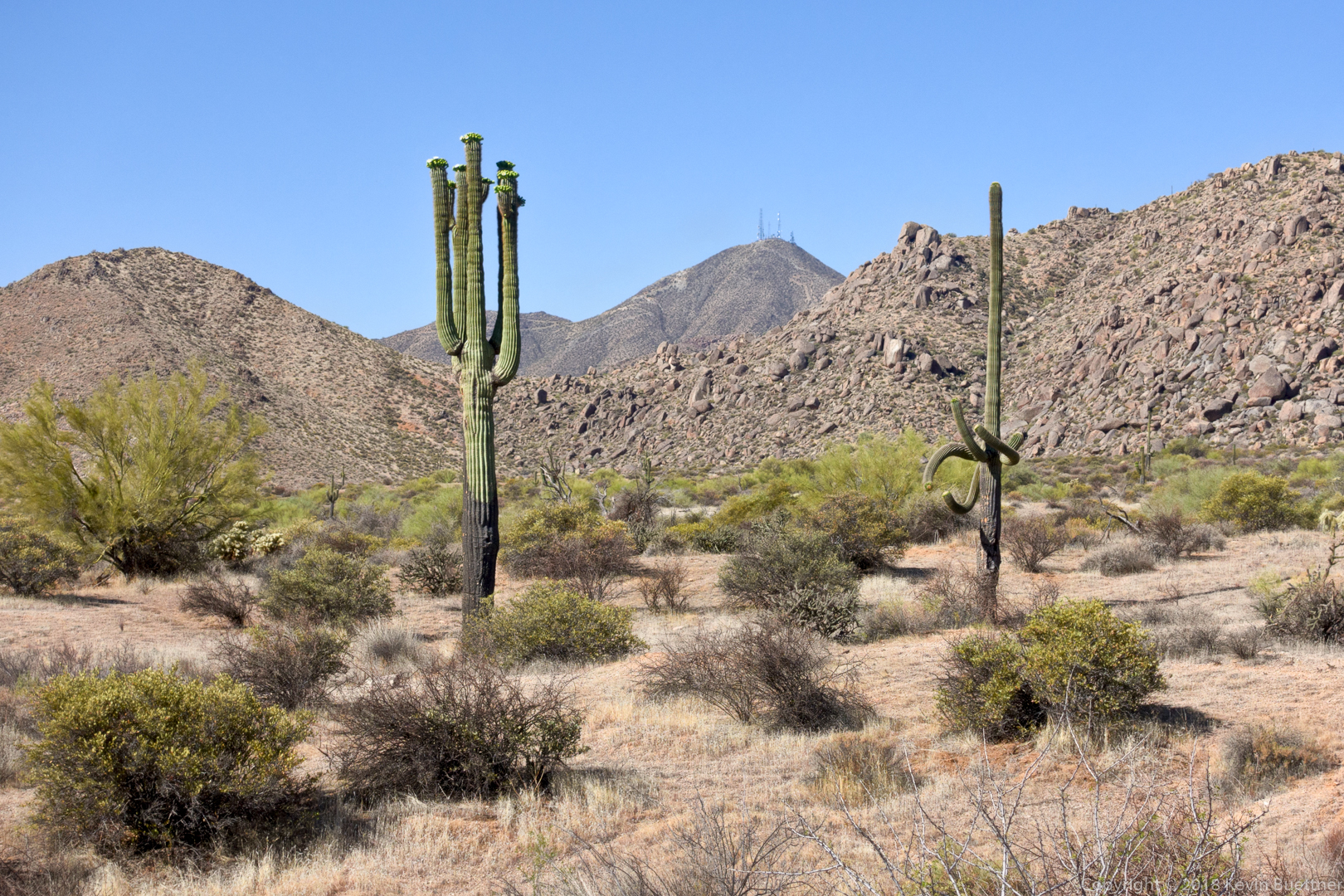
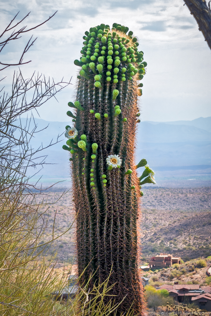
We saw this flowering saguaro just off of the Lower Sonoran Trail.
For Friday’s hike, Kay and I hiked a combination of the Hog Heaven Loop and the Lost Wall Loop.
We started on the Marcus Landslide Trail and then turned right onto Feldspar. To the left are some low angle (third class) slabs which lead to the top of Sven Tower I. We summited there and then continued on the climber’s access trail leading past Sven Towers II and III. This soon joined the standard route for the Hog Heaven Loop. We hiked past Hog Heaven and the Thumbnail Pinnacle and then continued onto the East End (summit) where we also went to that summit.
Continuing on, we descended the climber’s access trail to Tom’s Thumb Trail. From there, we hiked over to (and then on) the oft used climber’s access trail going to Tom’s Thumb. We continued past Tom’s Thumb and then down past Lost Wall, Half & Half Wall and the Fort McDowell climbing areas. This eventually led us back to Tom’s Thumb Trail and then back to the parking lot.
Total distance was just over five miles with nearly 2300 feet of total ascent.
Sunrise from the parking lot:
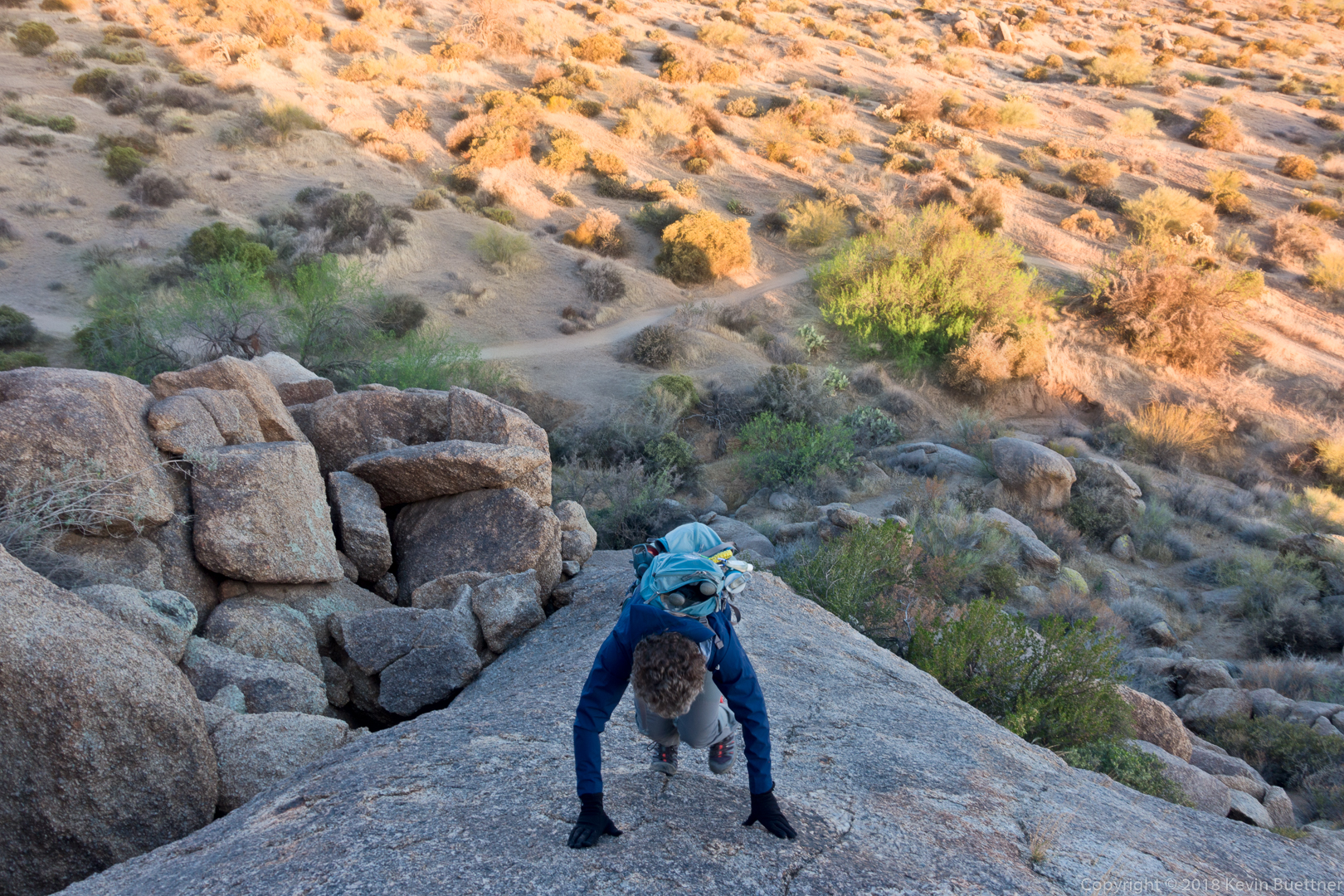
Kay, ascending the granite slab adjacent to the Feldspar Trail:
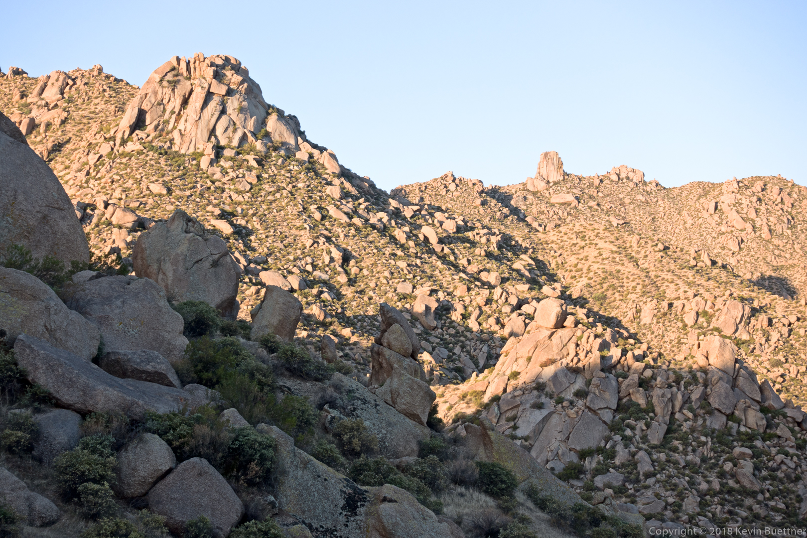
Morrell’s Wall and Tom’s Thumb:
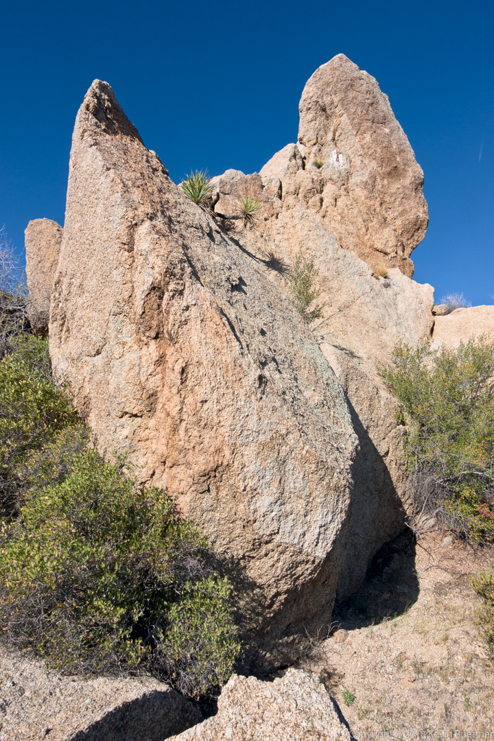
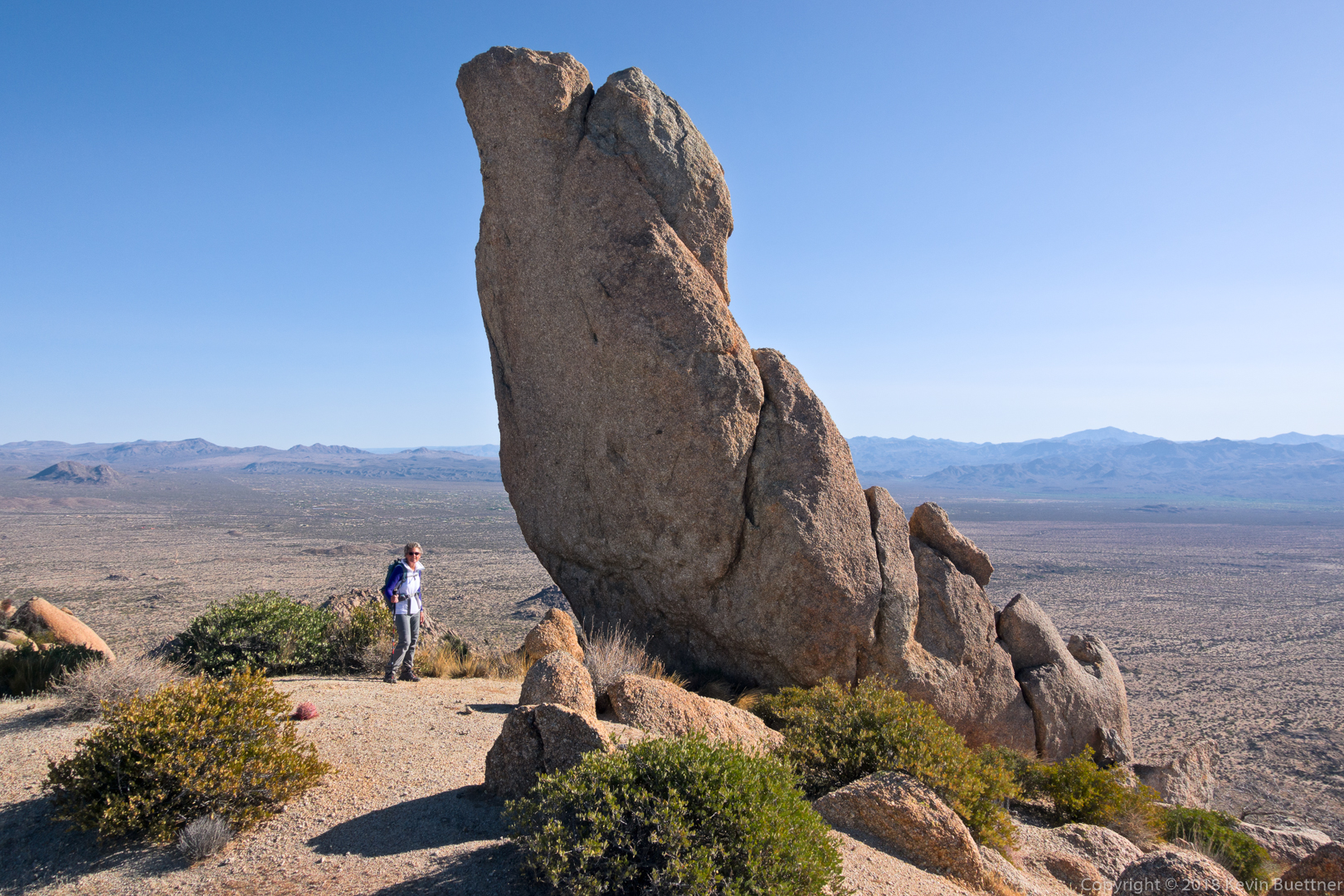
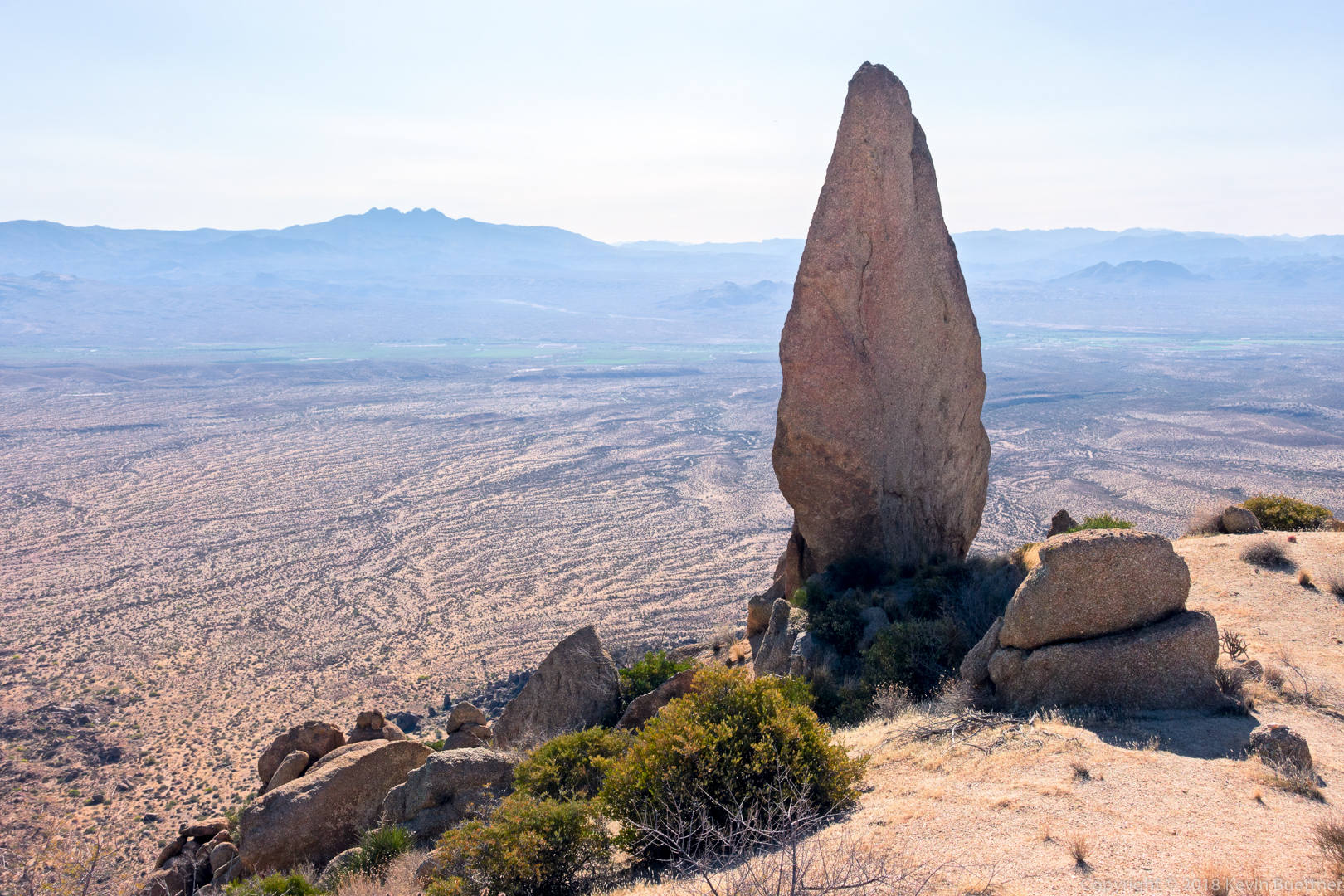
Three views of the Thumbnail Pinnacle:
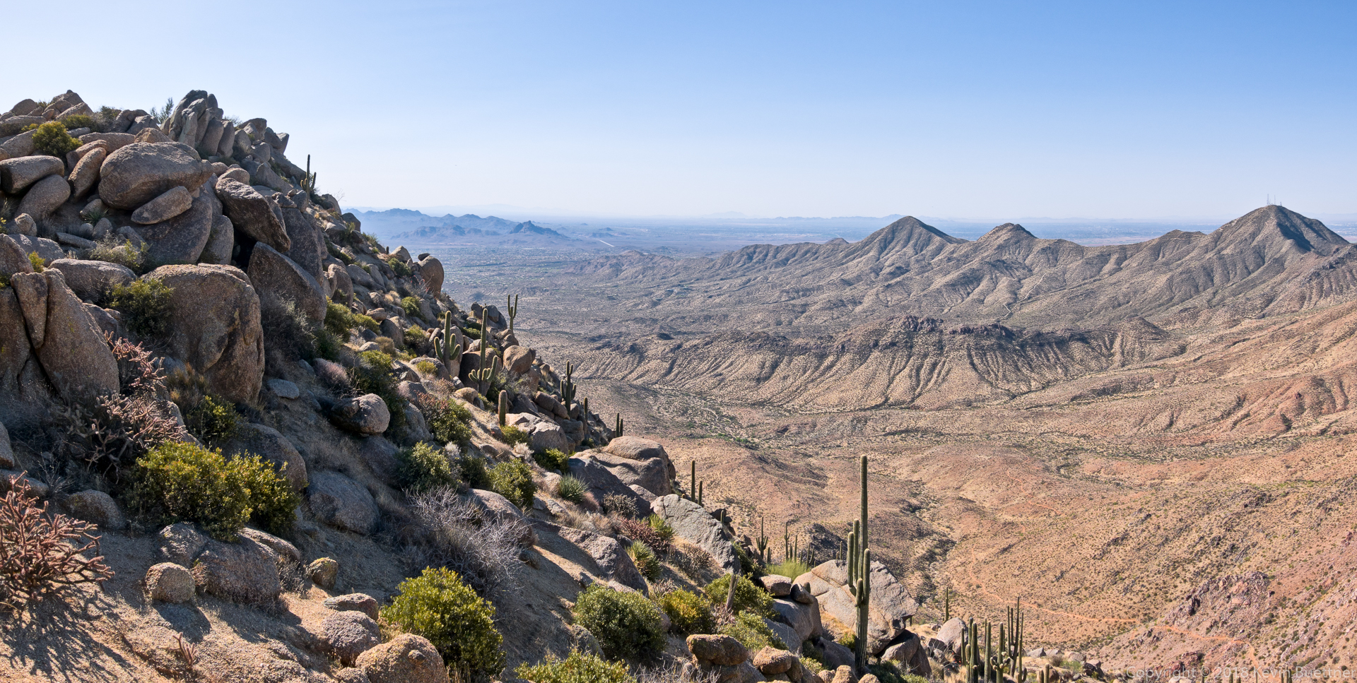
Looking back along the ridge, on the left, that got us to this vantage point. On the right is Thompson Peak and some other lesser peaks in the McDowell Range. Of course, the East End, the highest point in the McDowells is not visible in this shot as it’s just behind us.
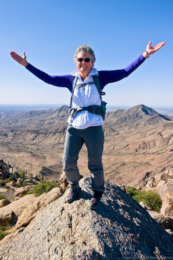
Kay atop the East End (Peak), the highest point in the McDowells.
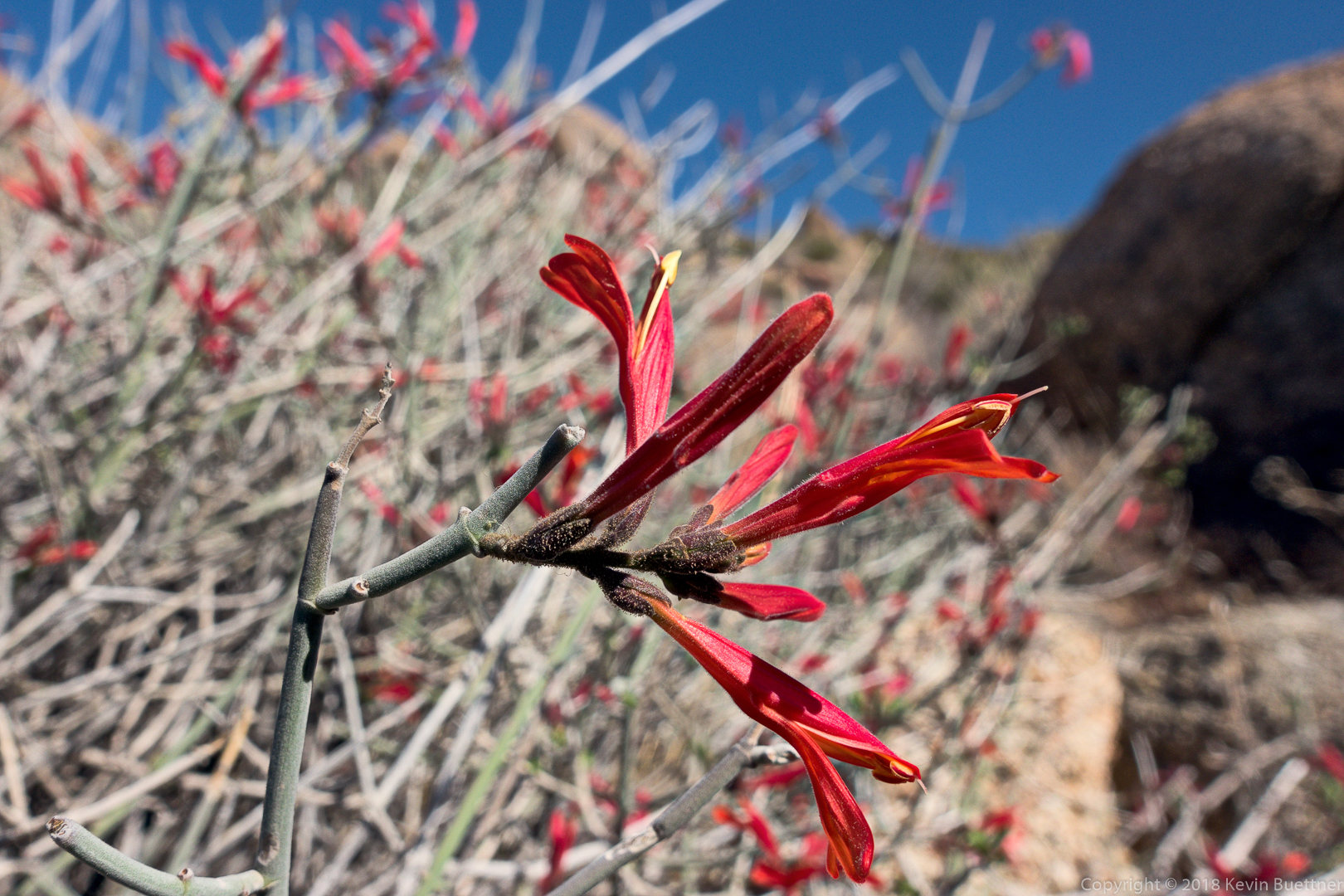
Chuparosa; we saw this plant on the ridge northwest of Tom’s Thumb.
