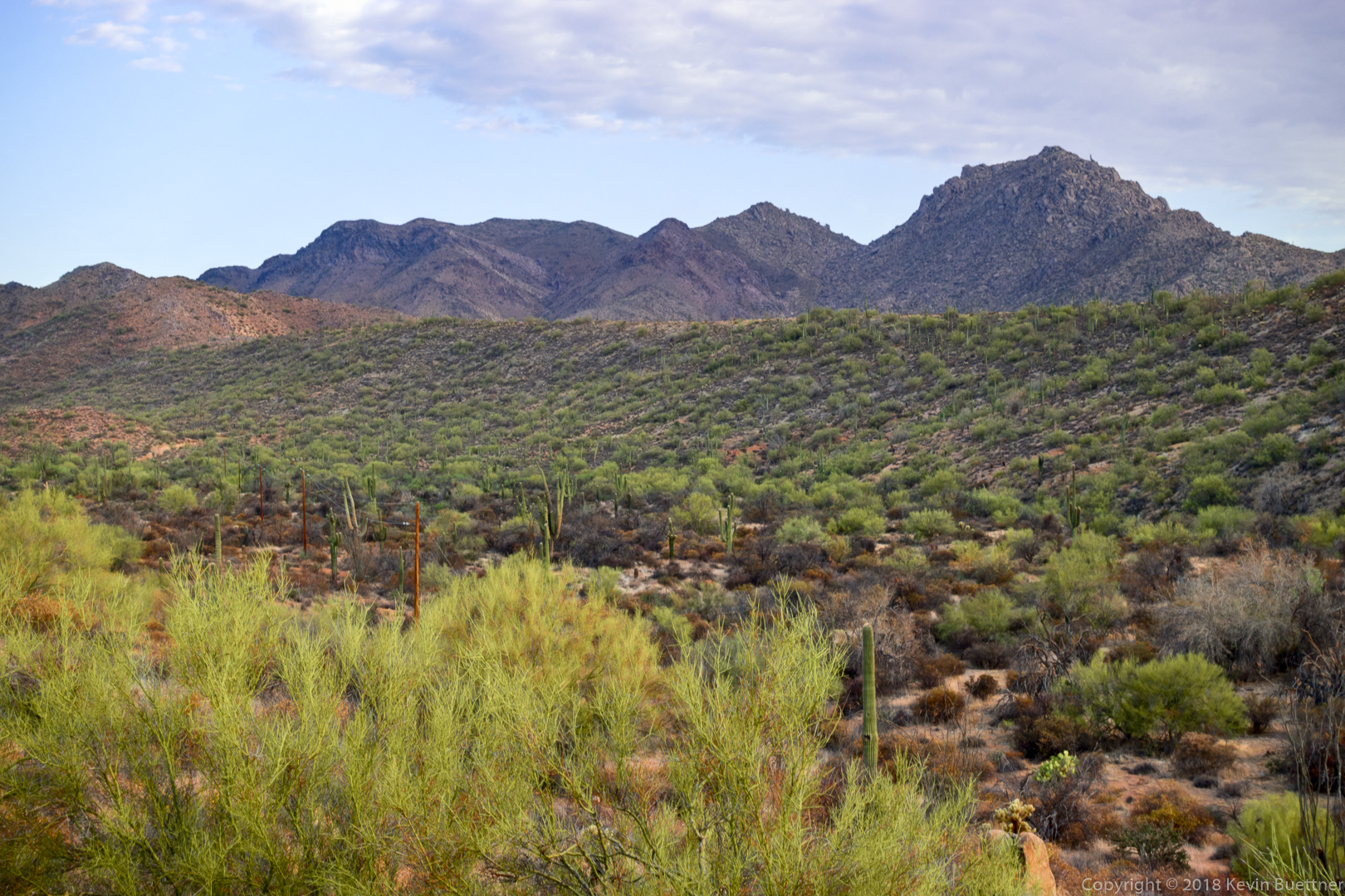
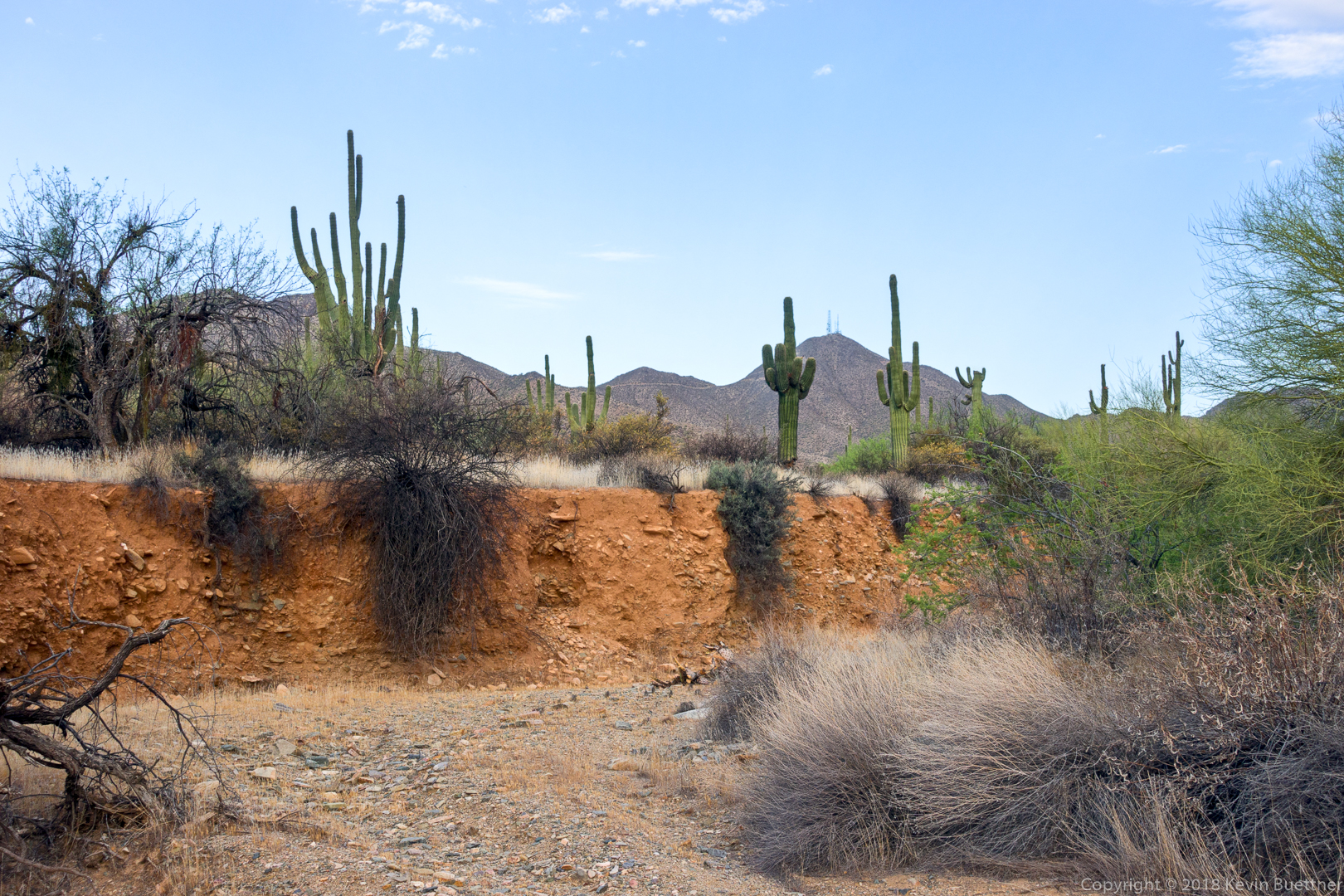
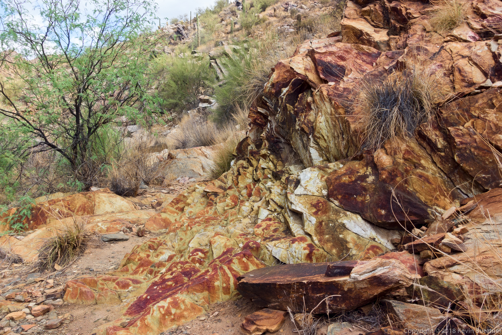
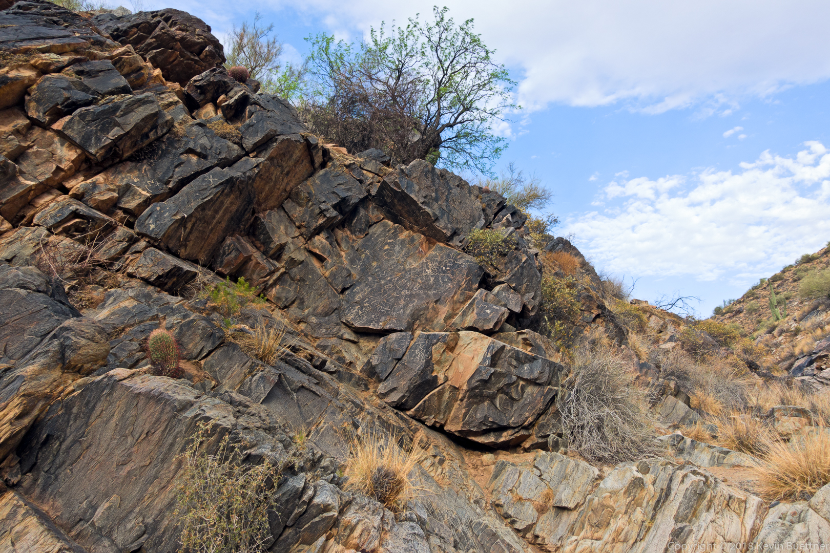
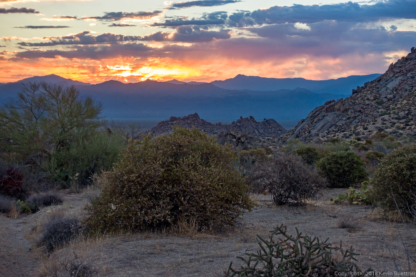
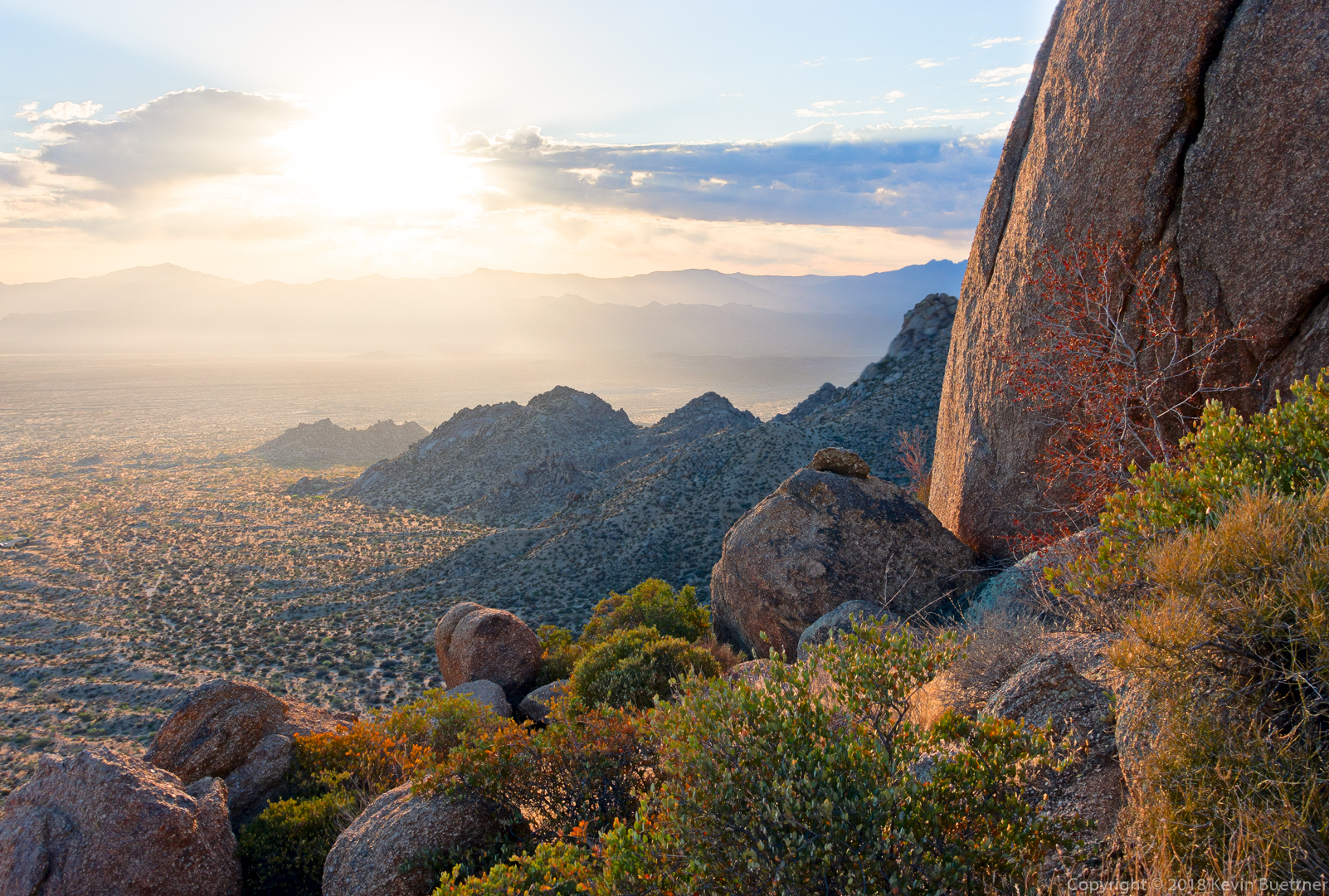
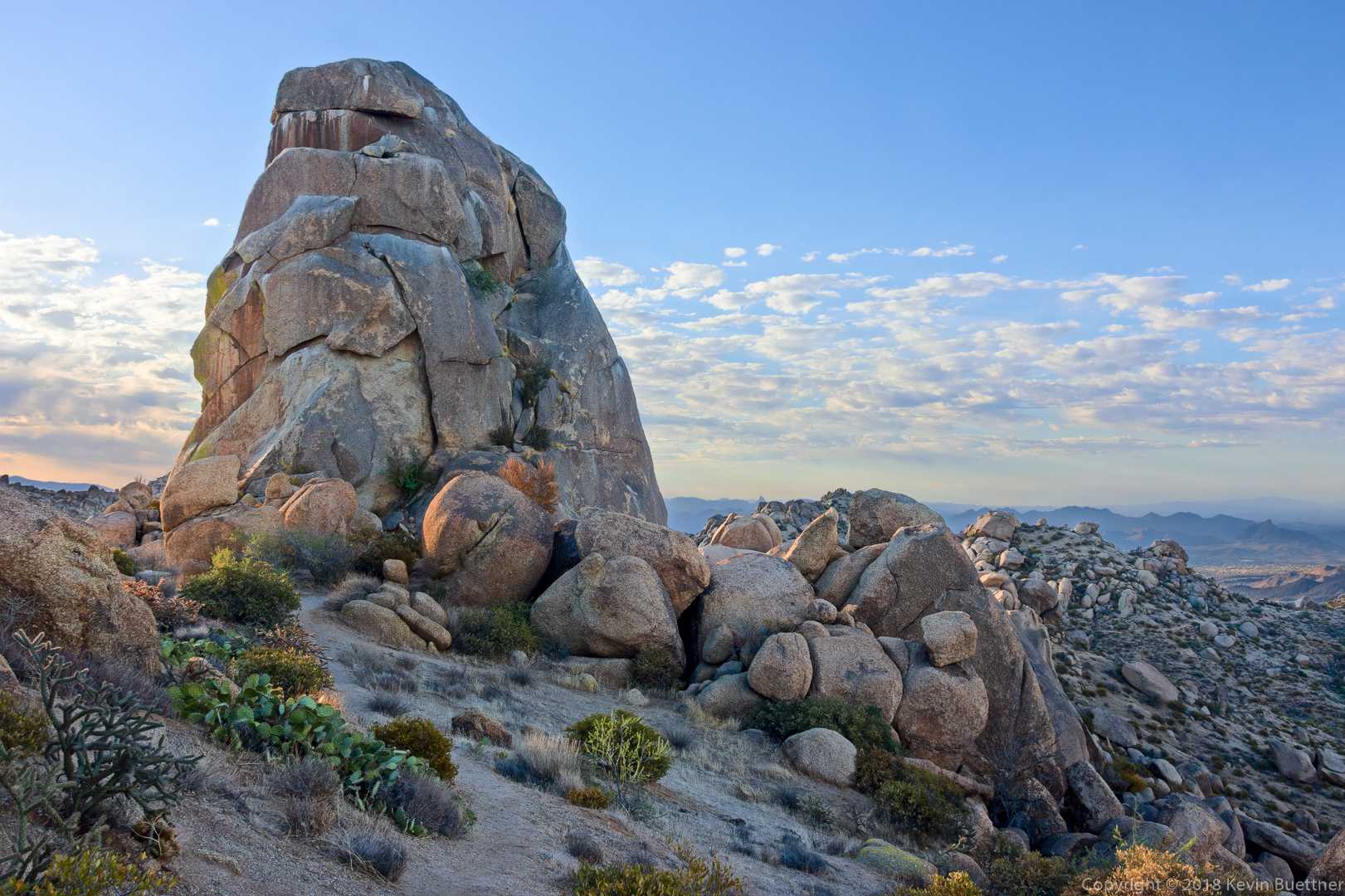
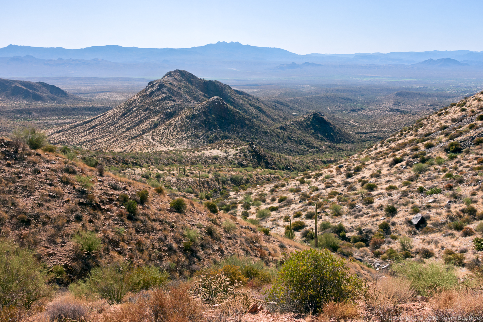
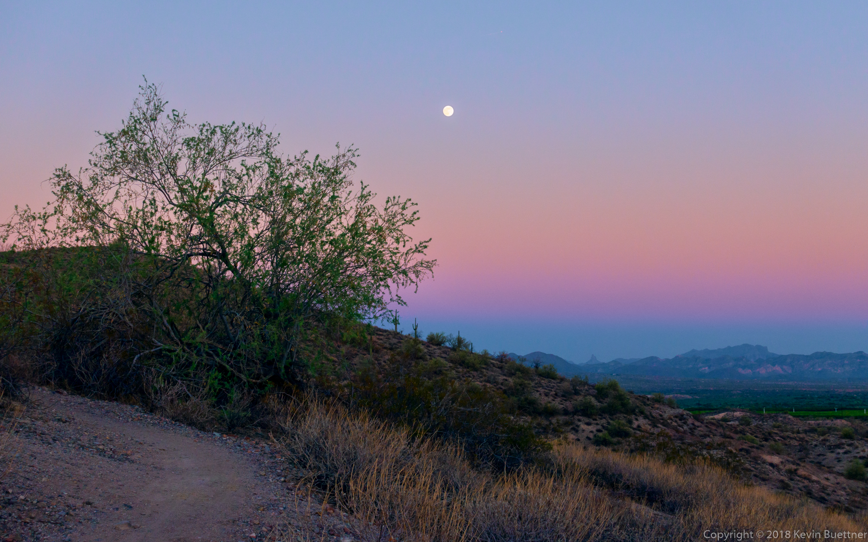
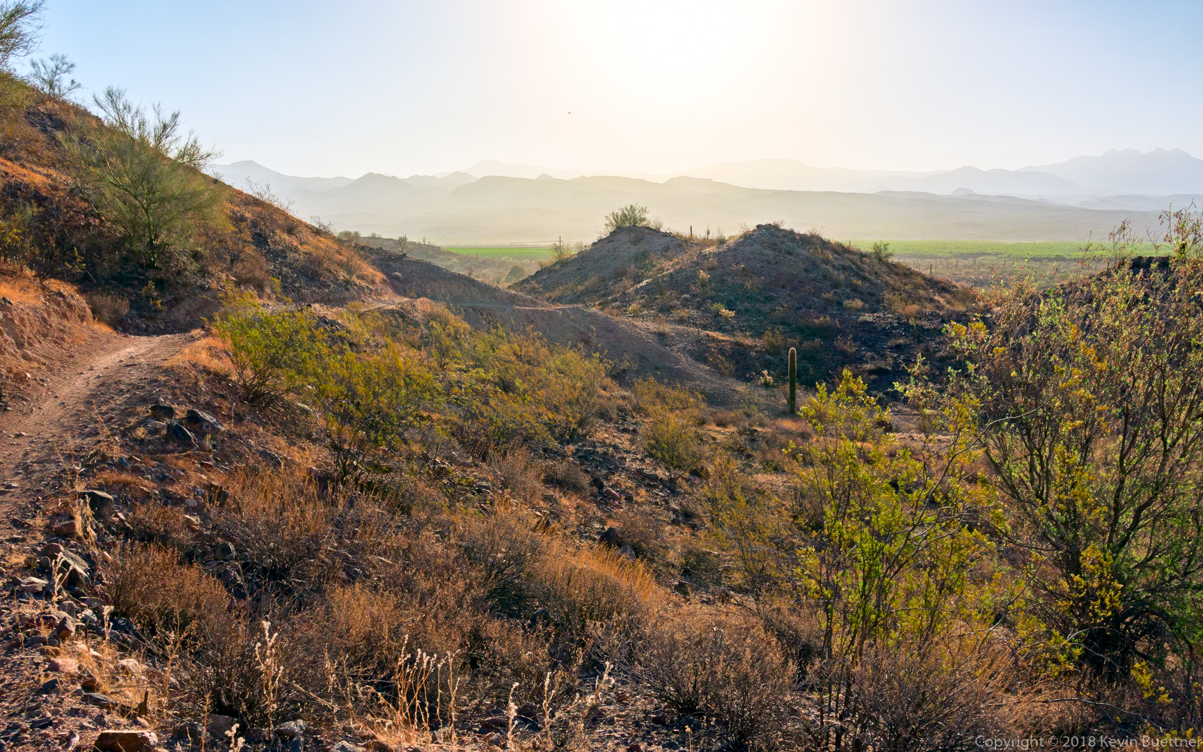
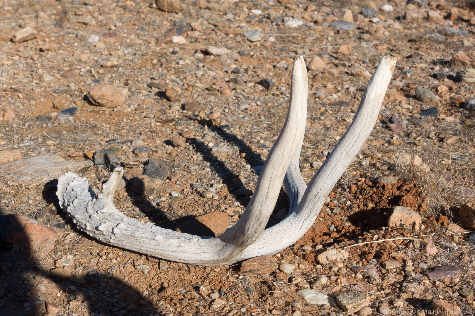
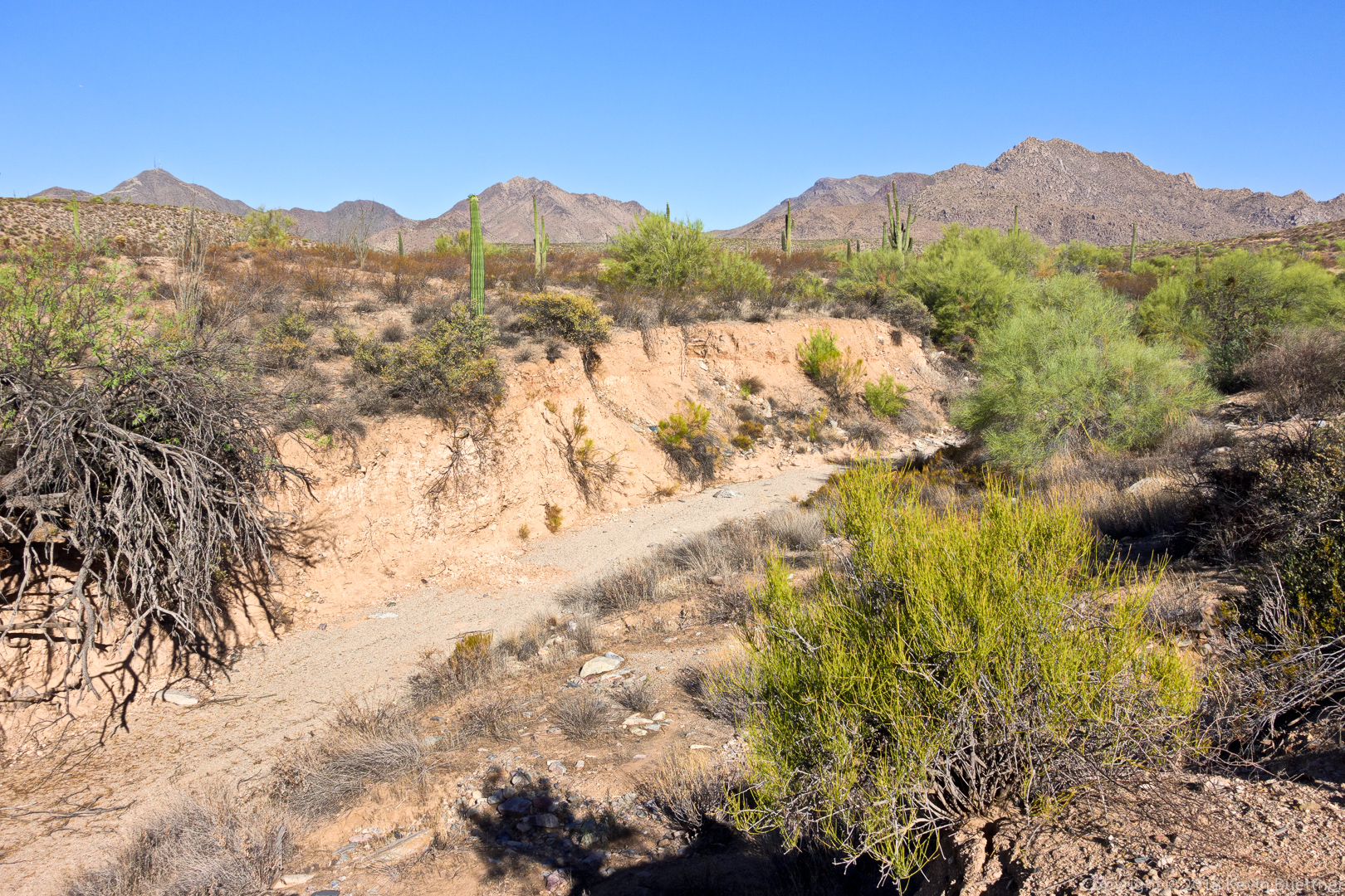
Jill and I hiked out to Dixie Mine, visiting both the top of the tailings and the horizontal entrance. After looking at the petroglyphs, we continued onto the Prospector Trail where we hiked to the scenic overlook. Total distance for the day’s hike was nearly 8 miles with just over 1,000 feet of total ascent.
Category: Hiking (page 16 of 68)
Hike descriptions and/or photos.
On July 4, I woke up very early and drove to Tom’s Thumb Trailhead. I hiked the beginning of the Lost Wall Loop, passing the Tom’s Thumb pinnacle. When I (again) reached Tom’s Thumb Trail, I followed it west to the Scottsdale side of the mountain range. I returned by hiking up Windgate to the pass, then down Windgate, and down some more on Windmill. I then went up East End to arrive back at Tom’s Thumb Trail. Near the end of my descent of Tom’s Thumb Trail, I added on an extra mile by hiking Feldspar, Marcus Landslide, and Caballo. Total distance was 11.2 miles with about 3100 feet of total ascent.
On Sunday, I hiked 11.3 miles in the McDowells. Starting from the parking area at the end of Golden Eagle Blvd, I hiked Dixie Mine to the road, up the road to Prospector, Prospector to Bell Pass, then up to the top of the pass, back down Bell Pass (the way I came) to the intersection with Prospector, continued on Bell Pass to intersection with Windmill and Windgate, Windgate to Coachwhip, Coachwhip to Dixie Mine, then back on Dixie Mine.
The temperature started out in the mid-seventies at around 6:00am and rose to the mid- to high-nighties when I got back around 10:30. So, fairly cool for this time of year.
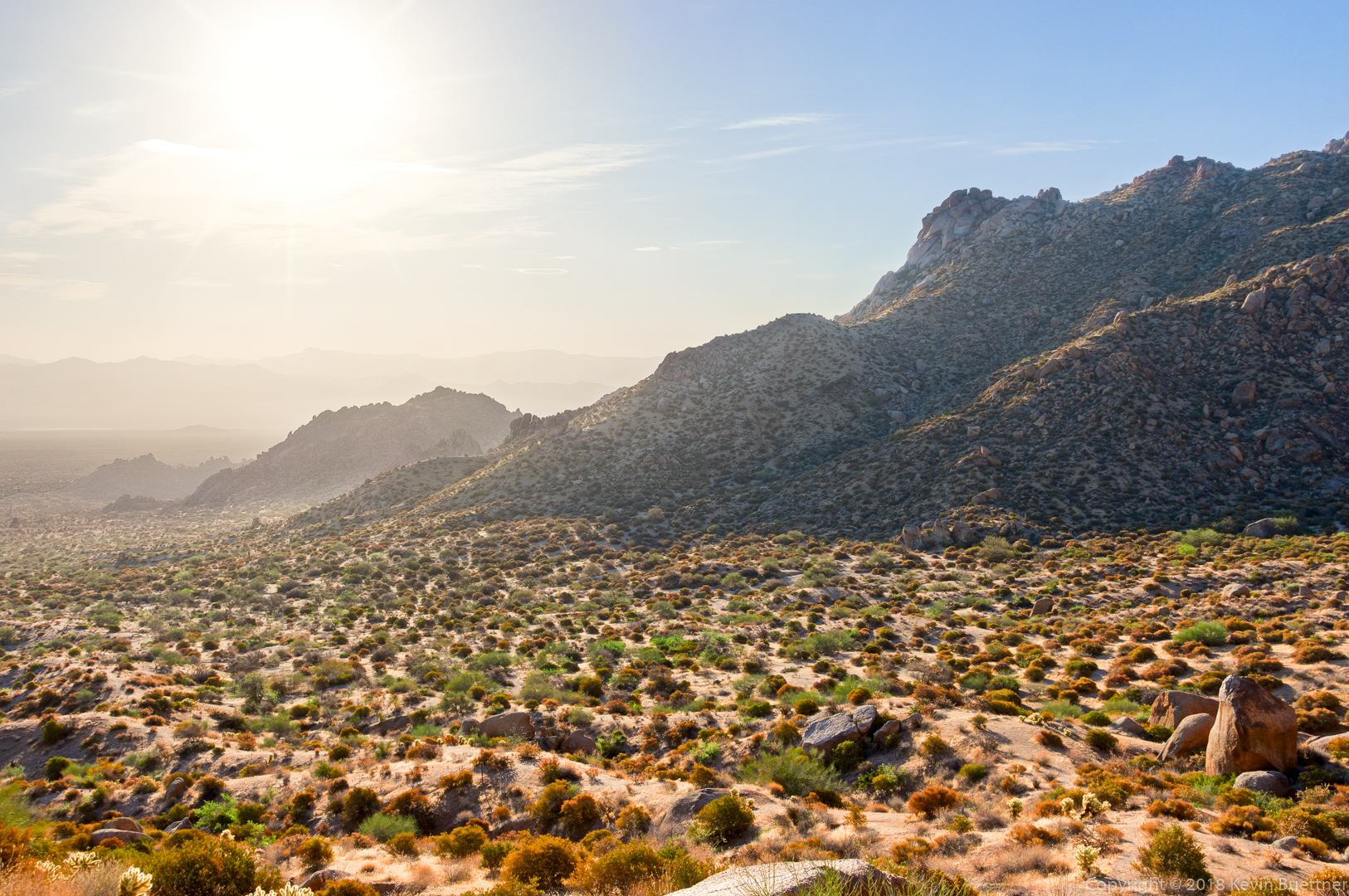
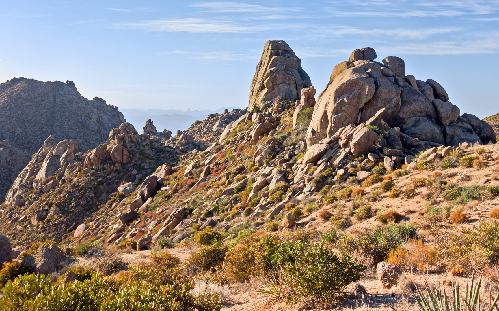
Linda and I hiked 10 miles starting from the Tom’s Thumb Trailhead. We started off hiking the Lost Wall Loop which took us up to the ridge on which Tom’s Thumb is located. We hiked past Tom’s Thumb, returned to Tom’s Thumb Trail and then hiked East End, Windmill, Coachwhip, Pemberton, Boulder, and Marcus Landslide.
We saw quite a lot of haze in the distance.
A view of Tom’s Thumb from the ridgeline:
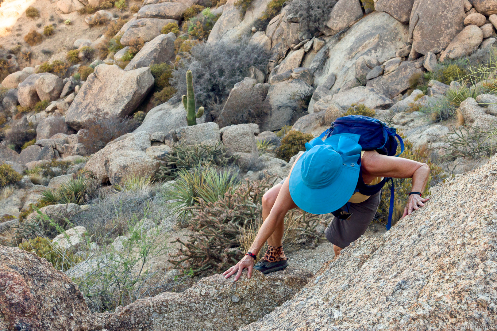
Linda scrambling up some rocks on the way to Tom’s Thumb:
A view from the East End Trail:
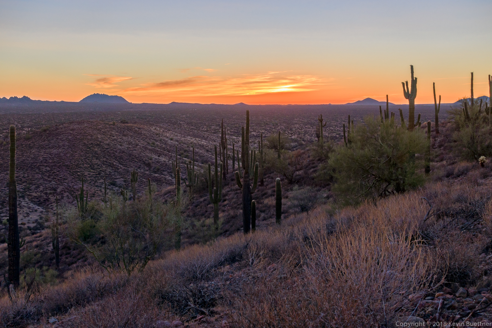
A view from the Boulder Trail:
Mike, Bob, Sara, Jill, and I hiked 9.7 miles starting from the Wagner Trailhead. We did a big loop, staying in washes for the majority of the hike.
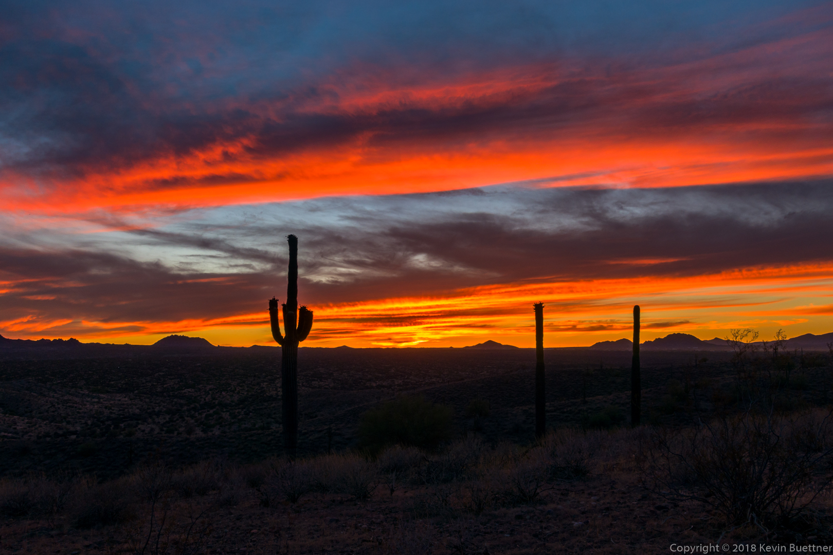
More burst fruit on a saguaro. (I got a photo last week too.)
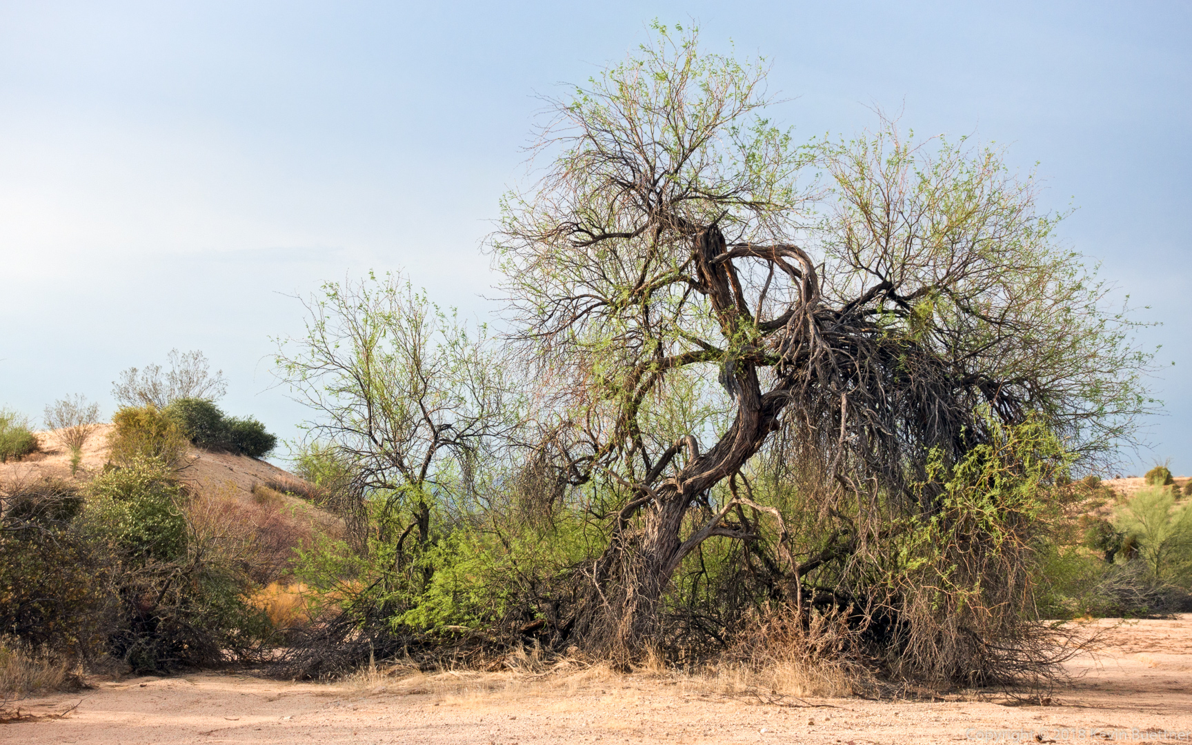
A tree in Stoneman Wash:
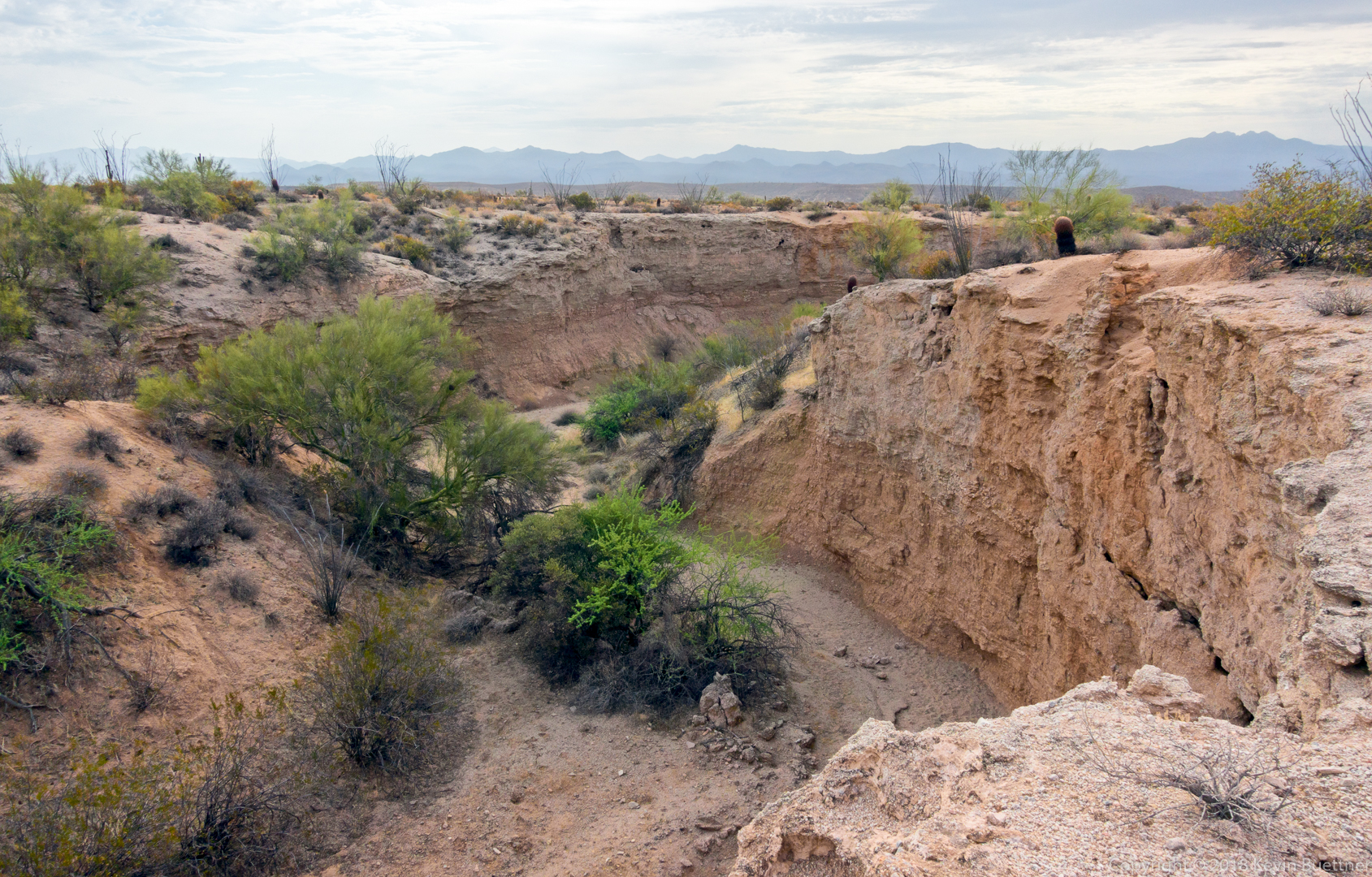
A look at one of the really cool arroyos in the park. Perhaps half an hour later we were down there where we took a group photo.
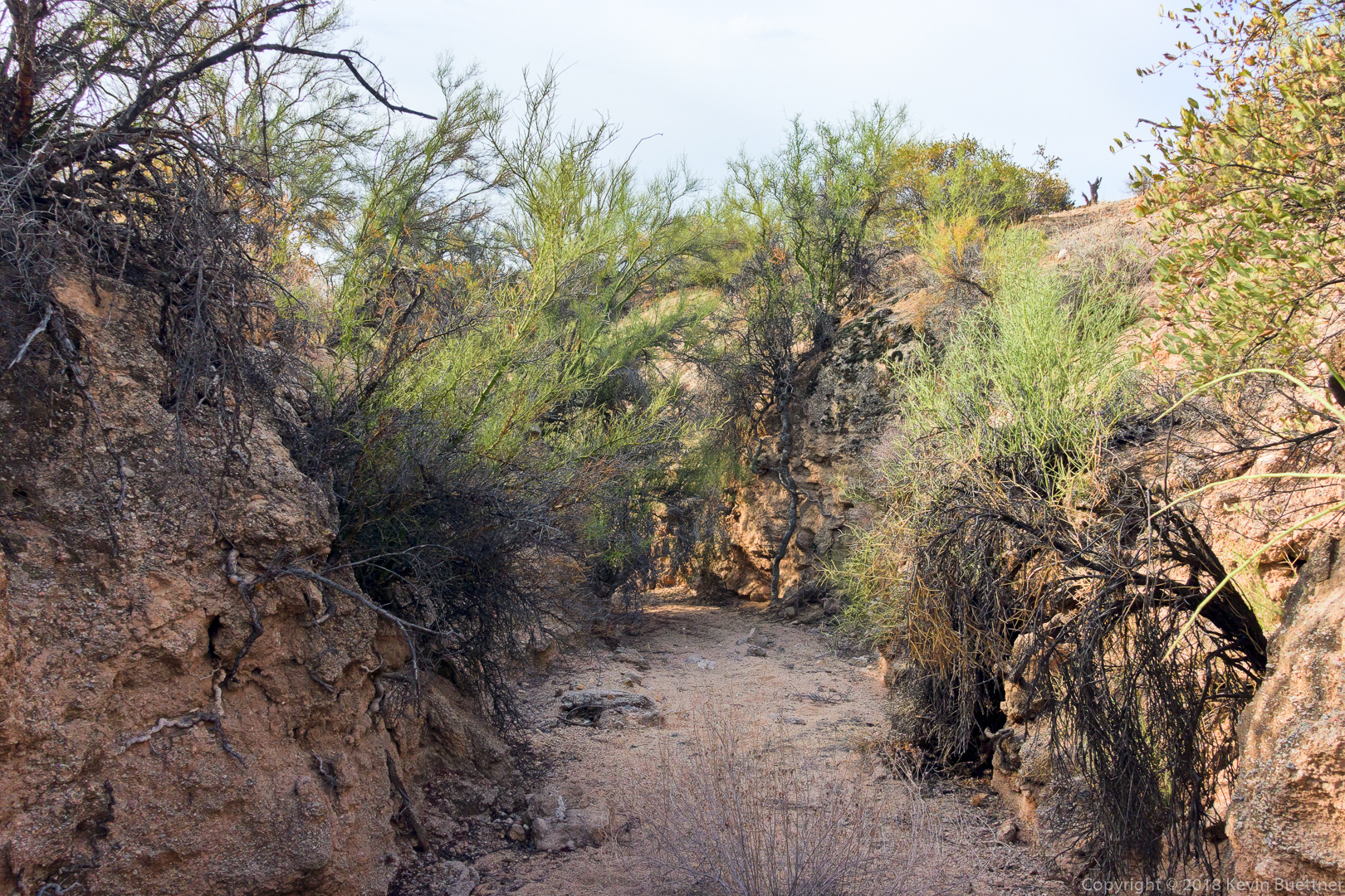
A somewhat narrow wash with high banks!
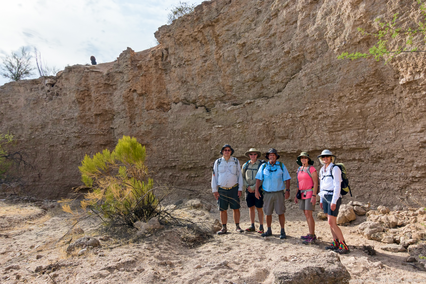
Mike, Kevin, Bob, Jill, and Sara. Thanks to Sara for helping with this shot.
