Linda, Kathy, and I hiked 10.4 miles starting from Tom’s Thumb Trailhead. After struggling to find our way up the climber’s access trail to the ridge north of Tom’s Thumb, we followed the ridge past the Thumb to Tom’s Thumb Trail. We then went west down the Scottsdale side of the mountain. We hiked back up again via the Windgate Pass Trail, descended towards the intersection with Bell Pass and Windmill, and then took the Windmill Trail a short ways to the East End Trail. East End took us up and up and up until we once again returned to Tom’s Thumb Trail. We returned via Tom’s Thumb Trail. Total elevation gain for the day was 3,186 feet.
Sunrise from Tom’s Thumb Trailhead:
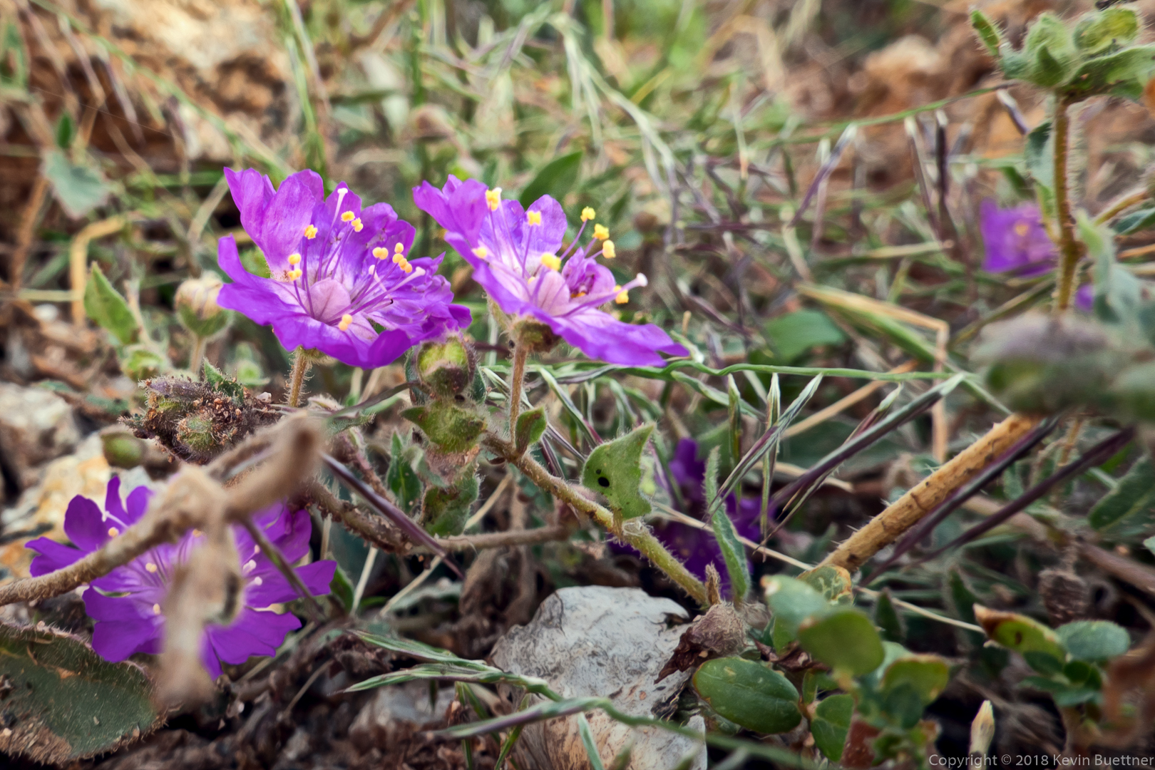
I think this might be Phacelia, but am not certain.
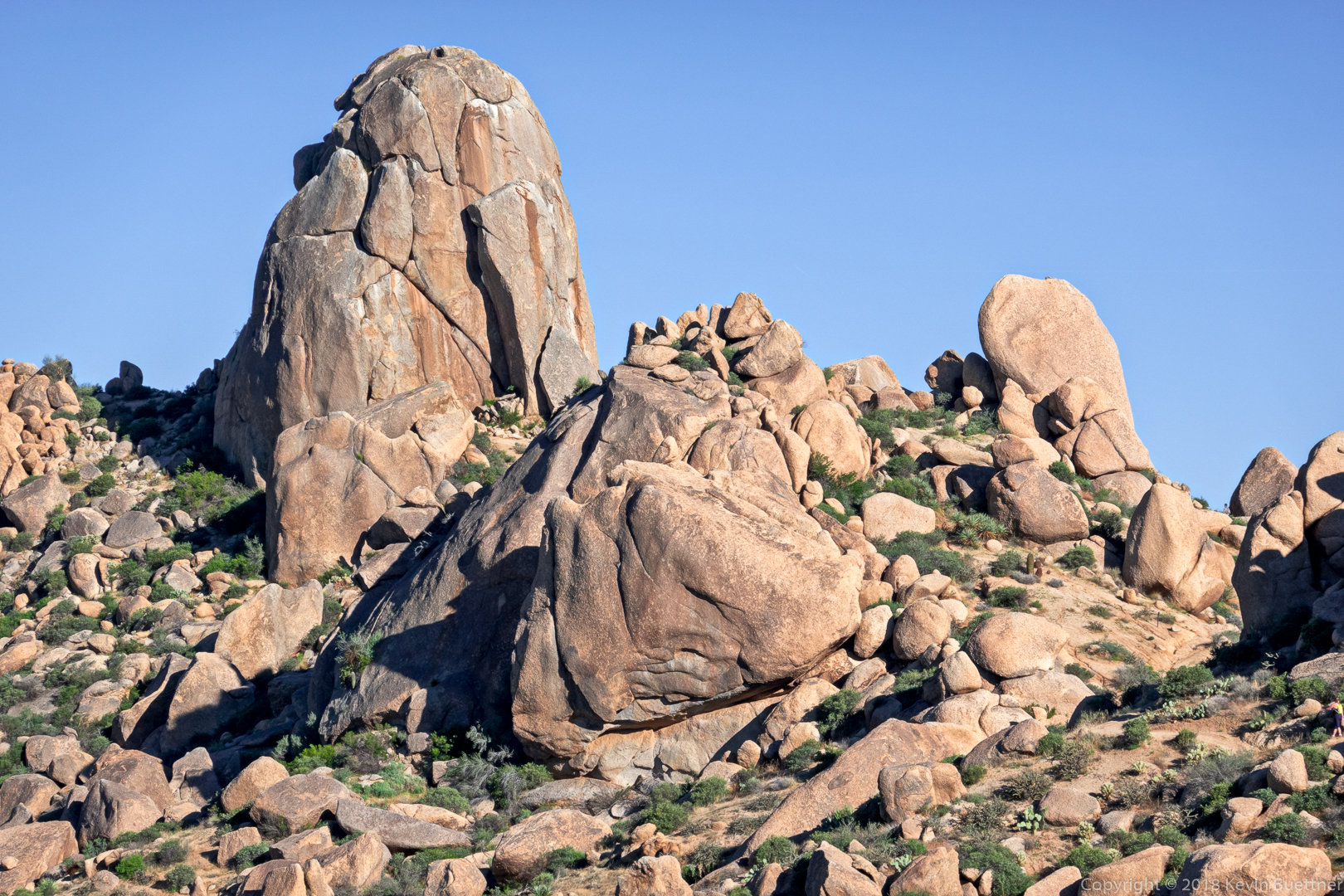
This is a view of Tom’s Thumb from the Tom’s Thumb Trail early in our descent of the west side of the mountain.
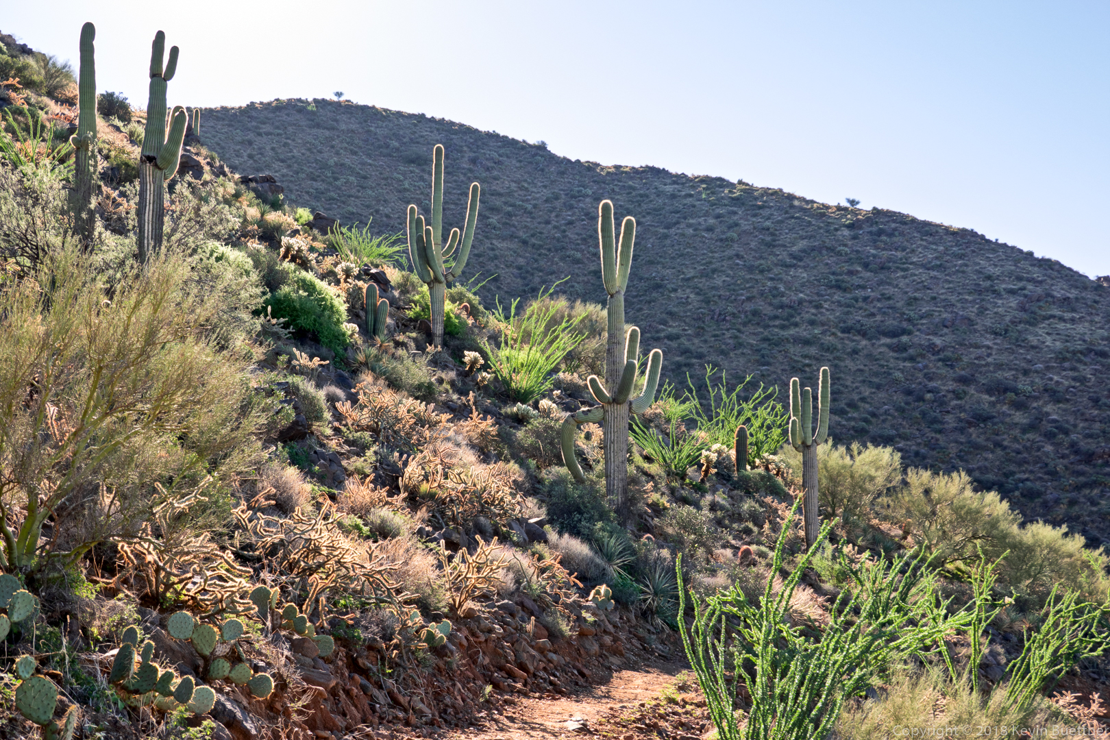
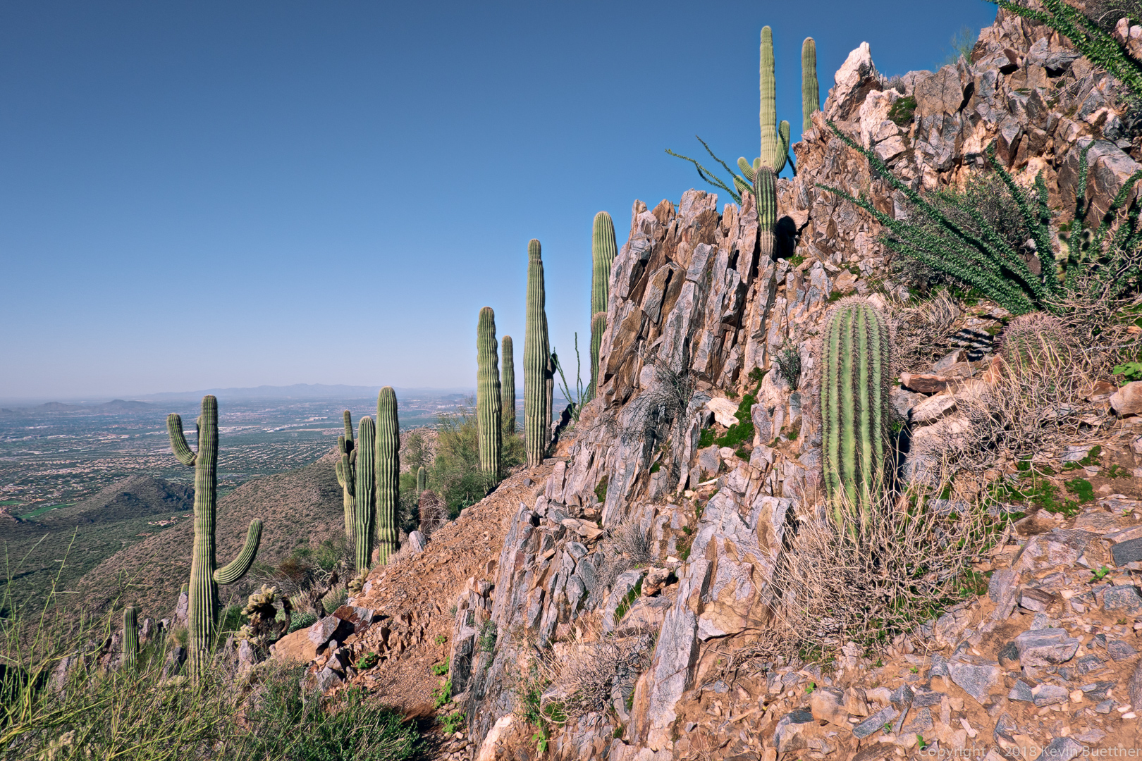
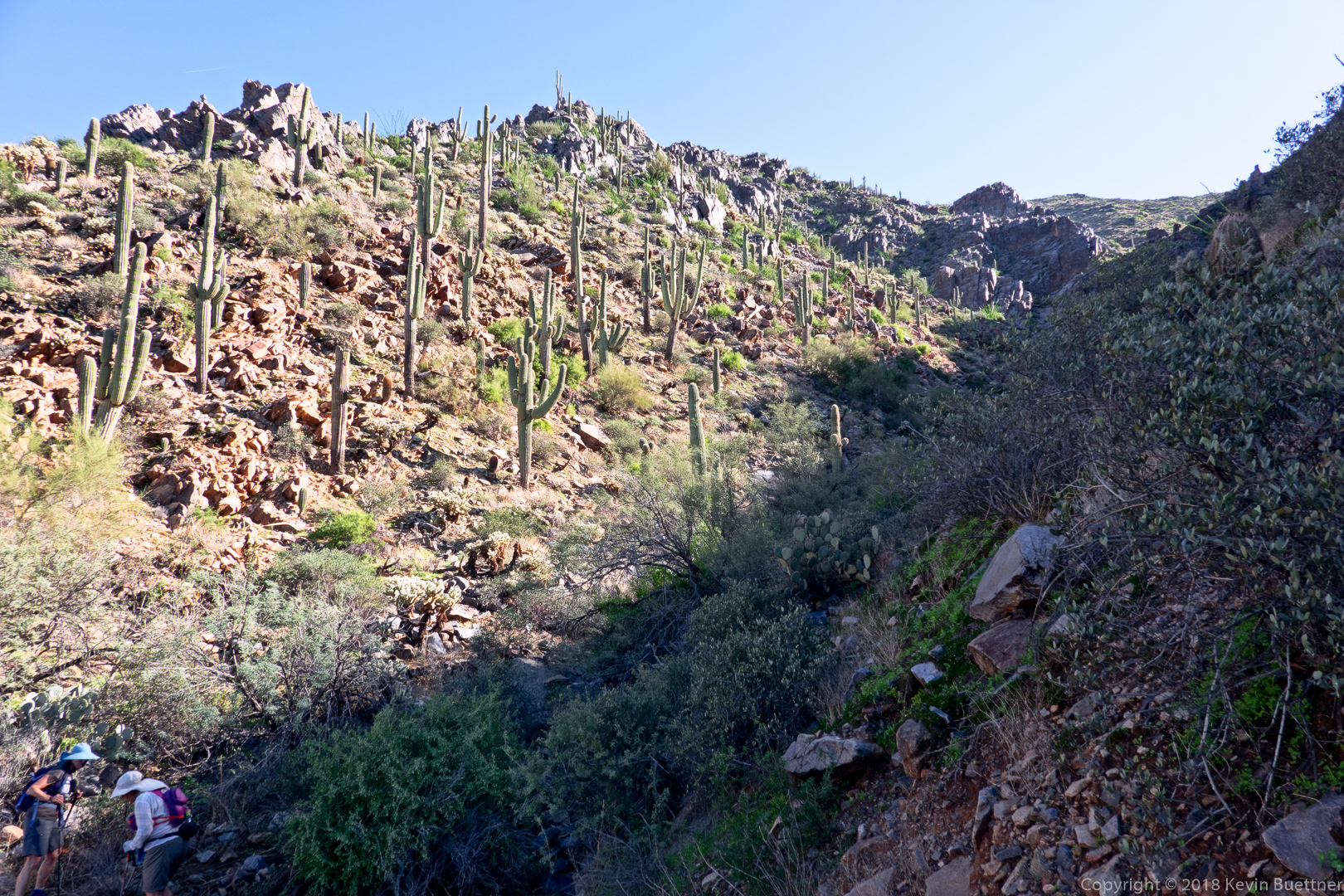
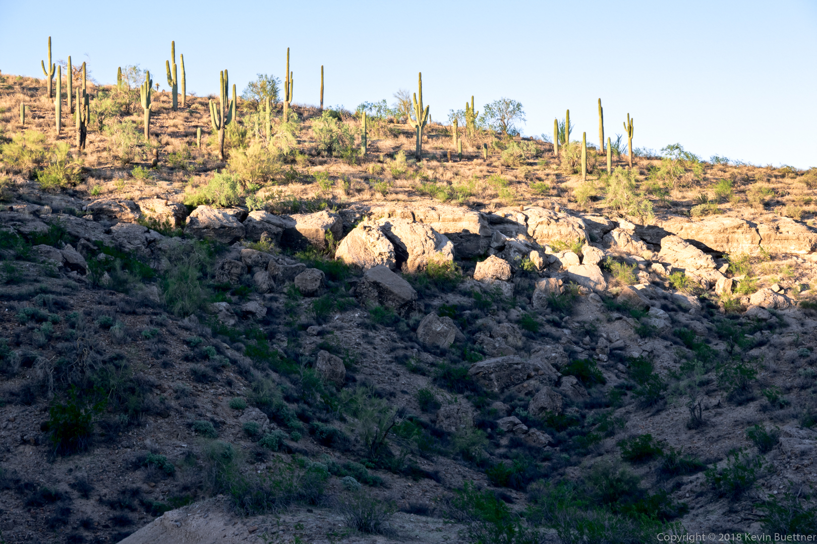
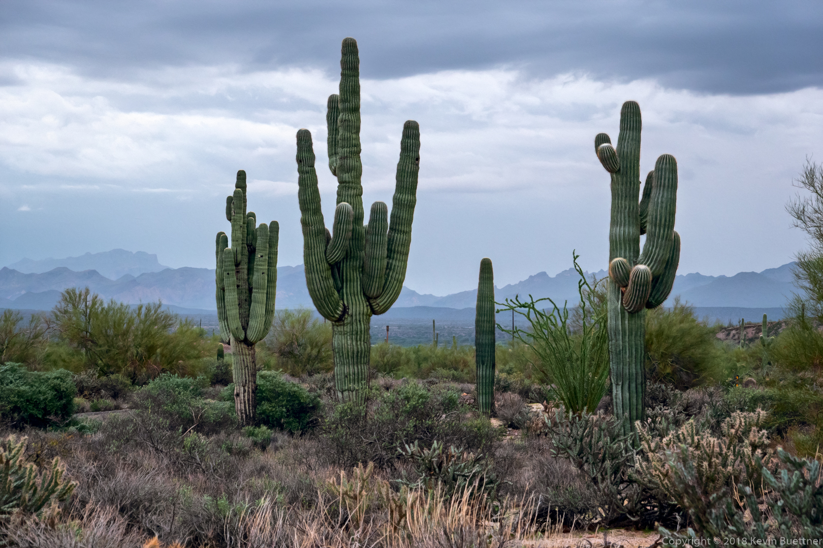
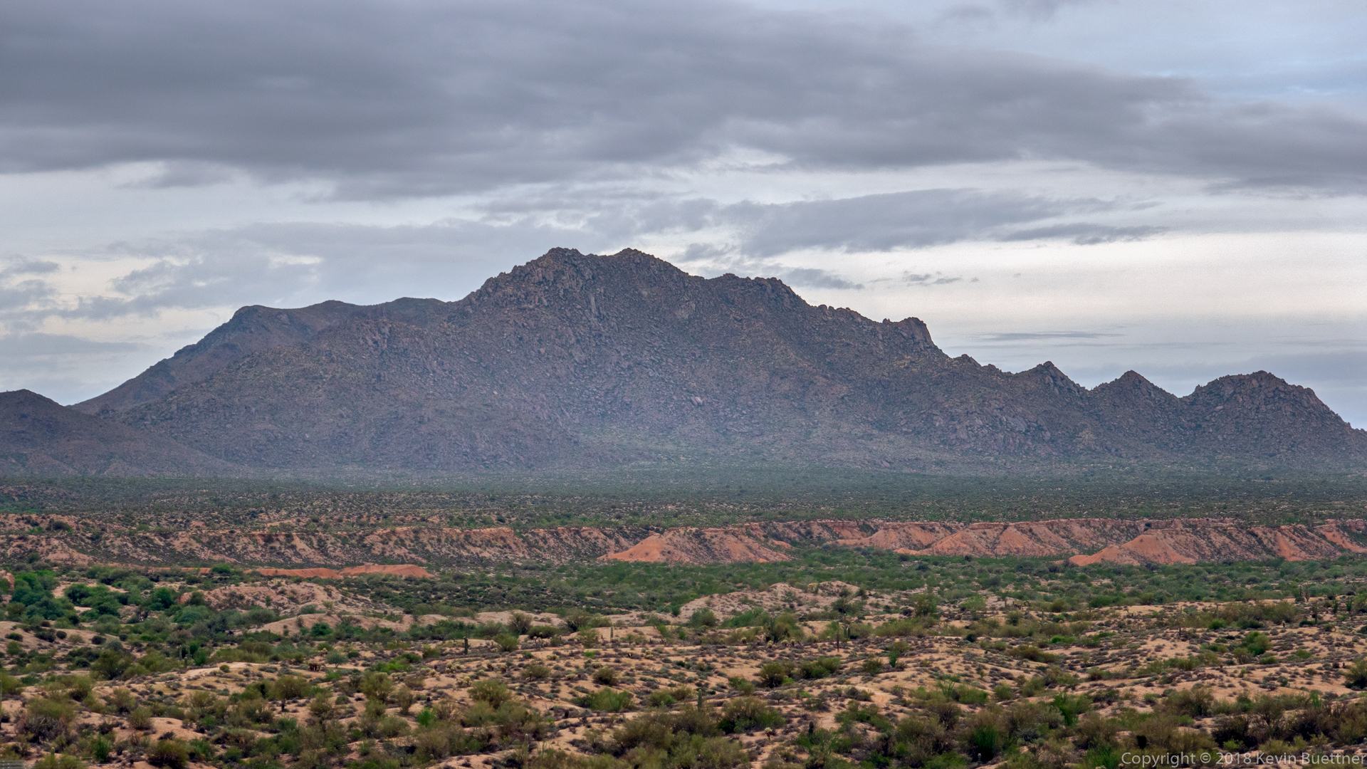
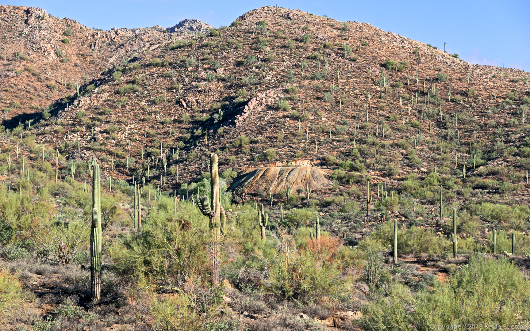
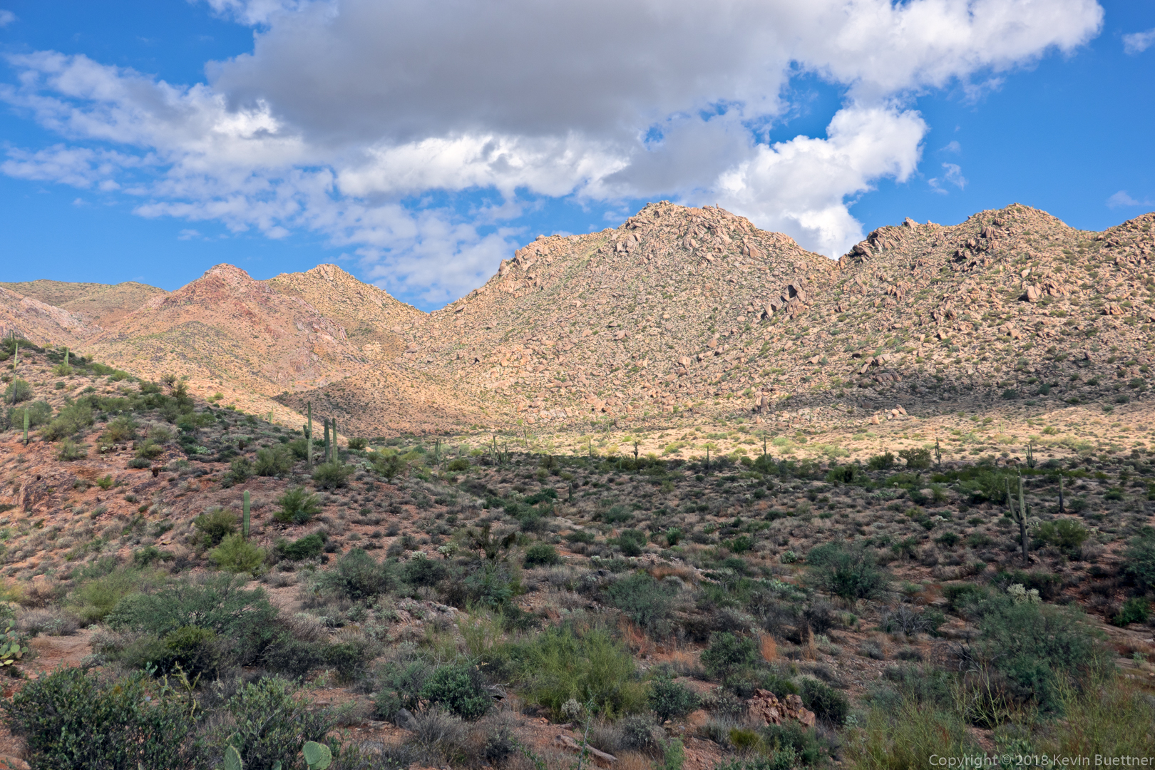
More views of our descent…
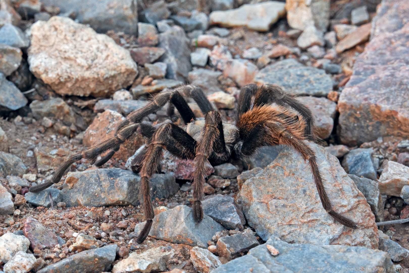
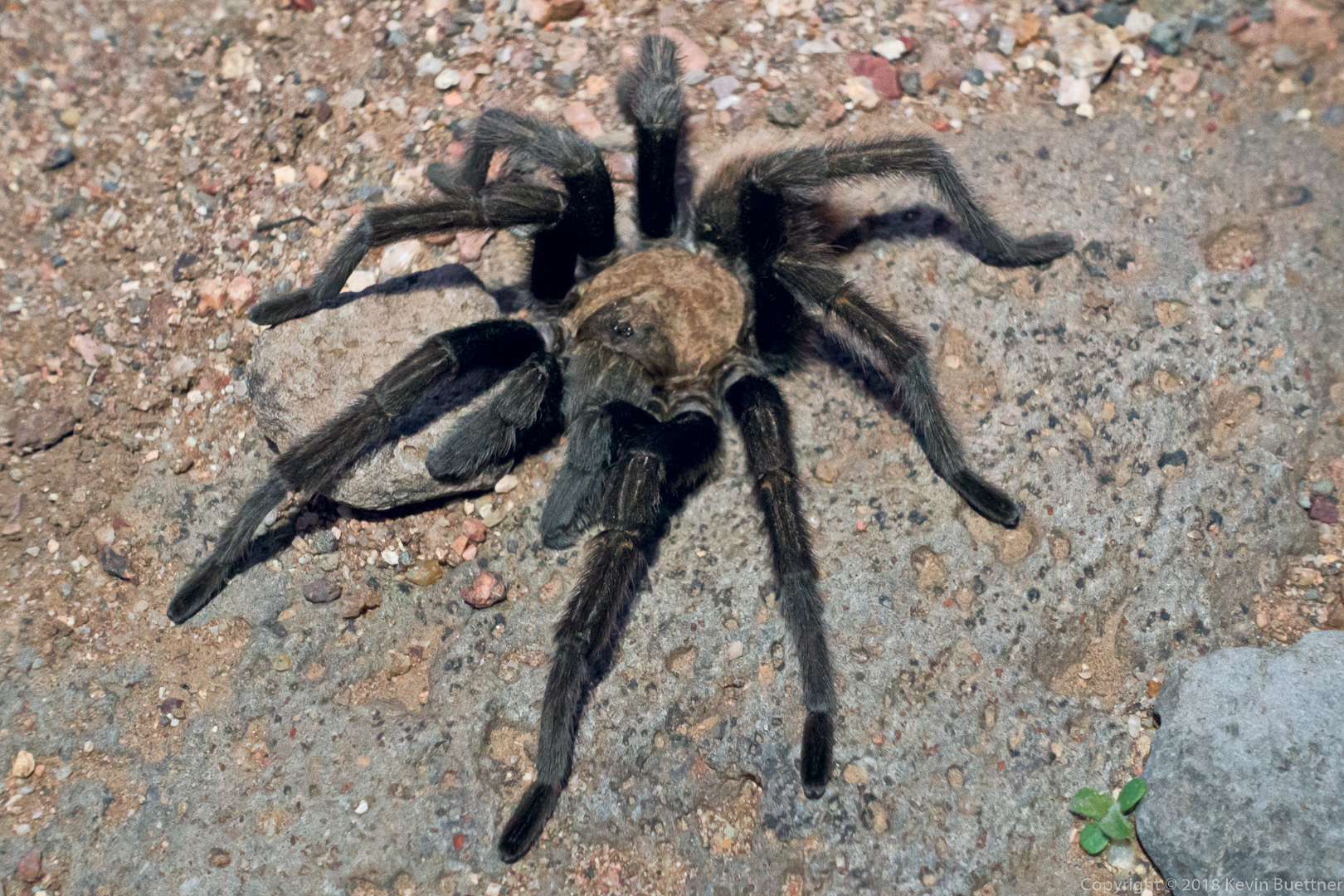
We saw a tarantula along the way.
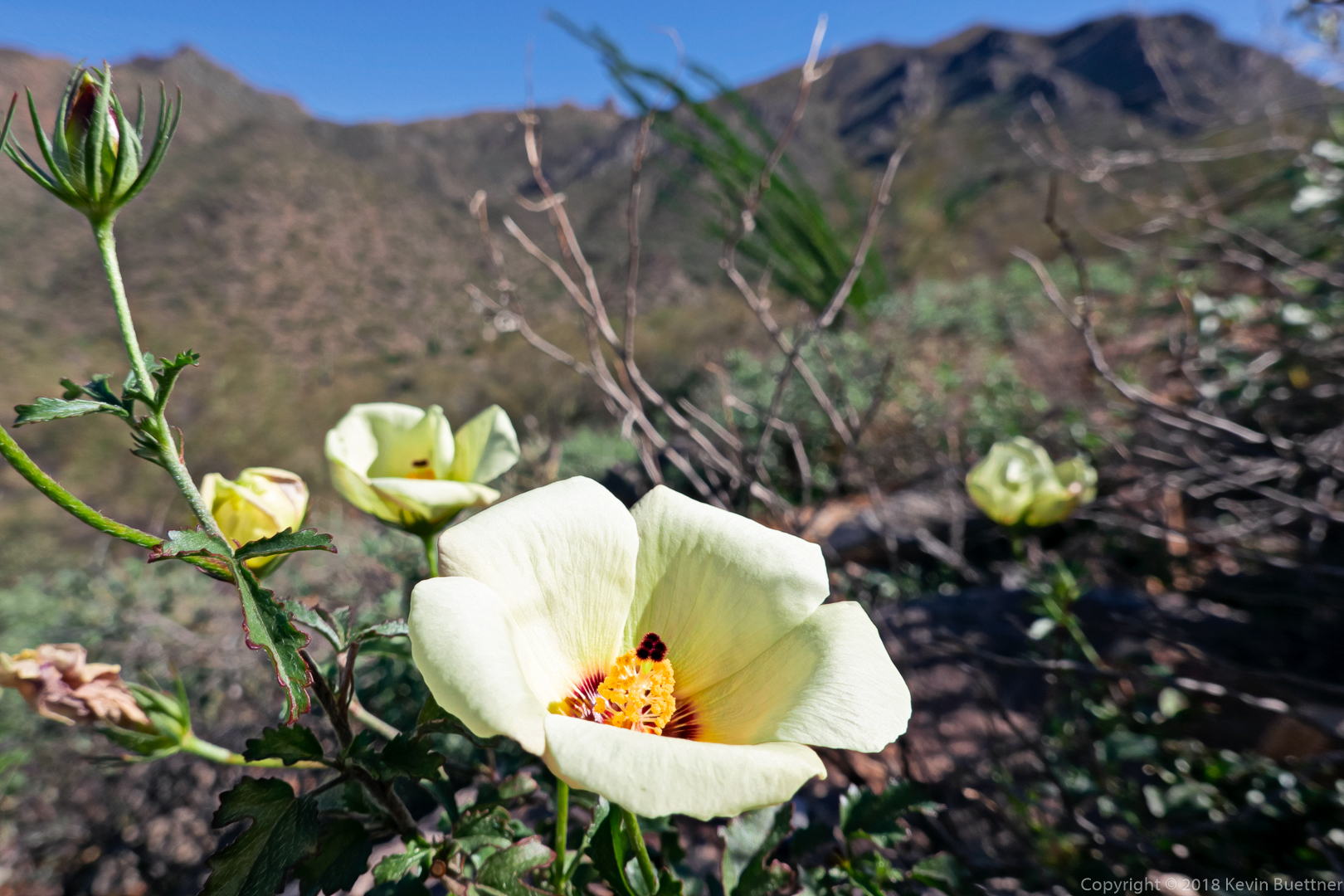
Linda identified this flower as a Desert Rose Mallow. We saw a number of these flowers during our hike.
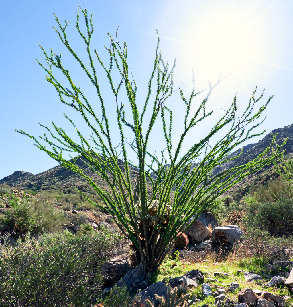
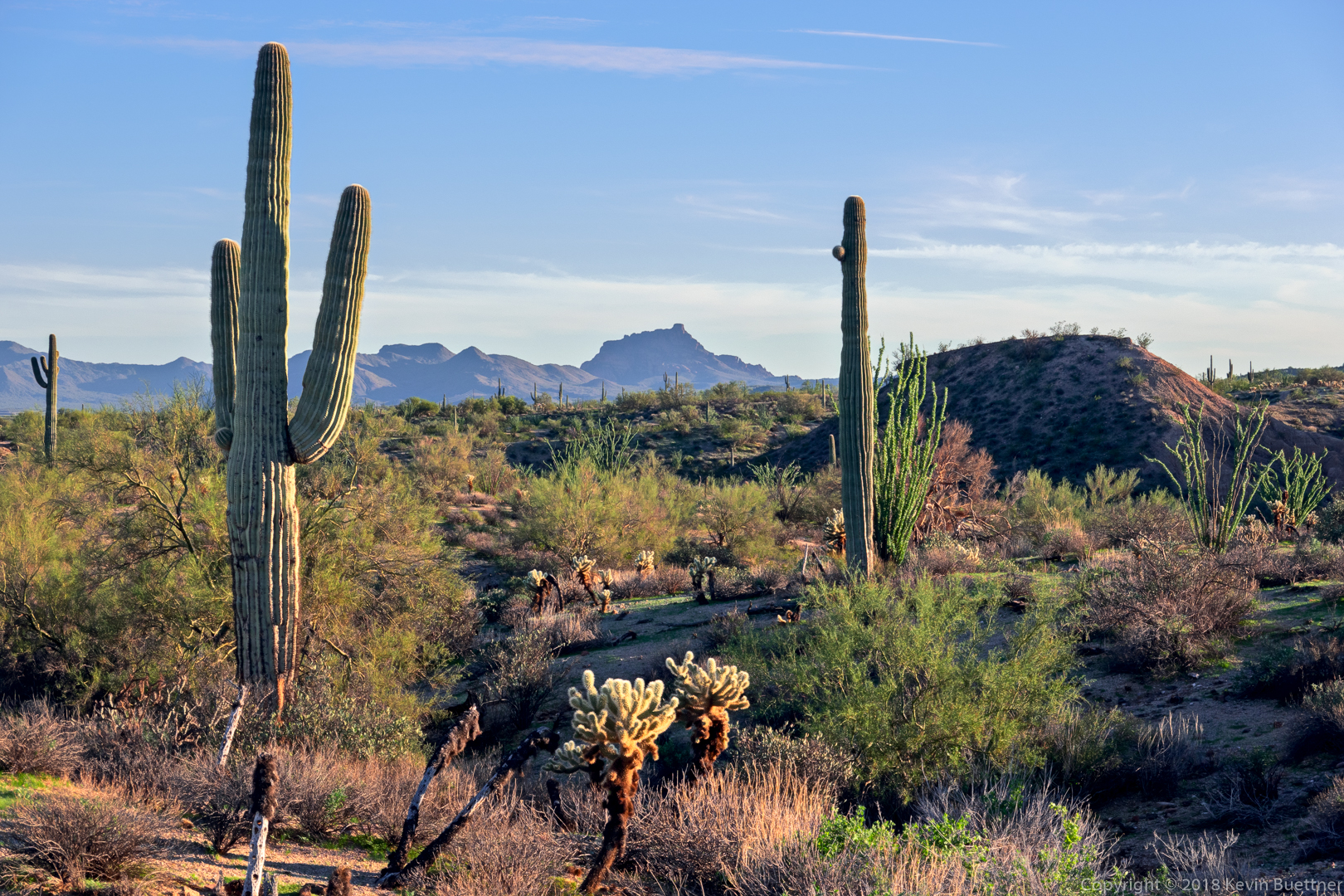
Note the cholla within the ocotillo!
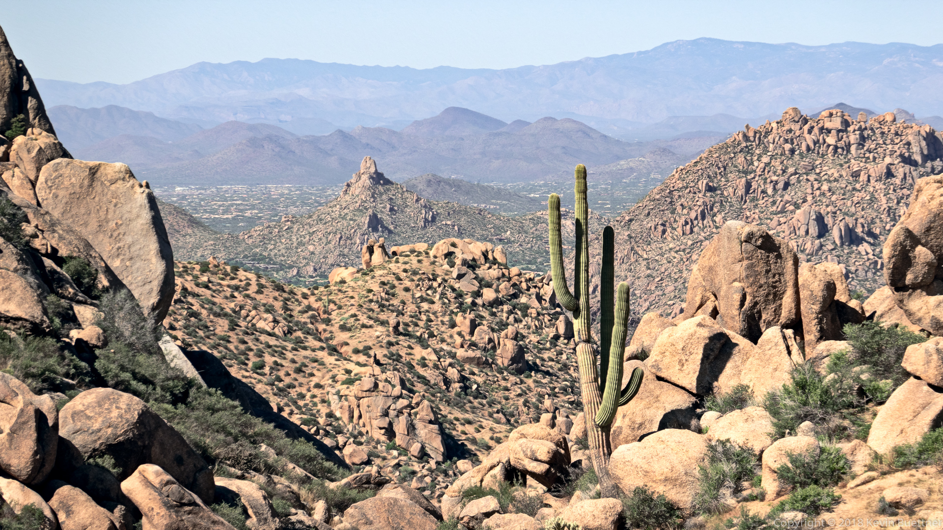
This is a view of Pinnacle Peak from near the intersection of East End Trail and Tom’s Thumb Trail.
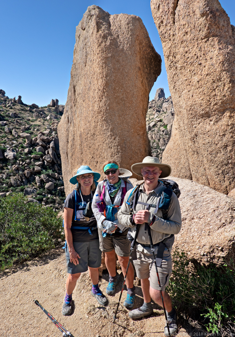
Linda, Kathy, and Kevin:

