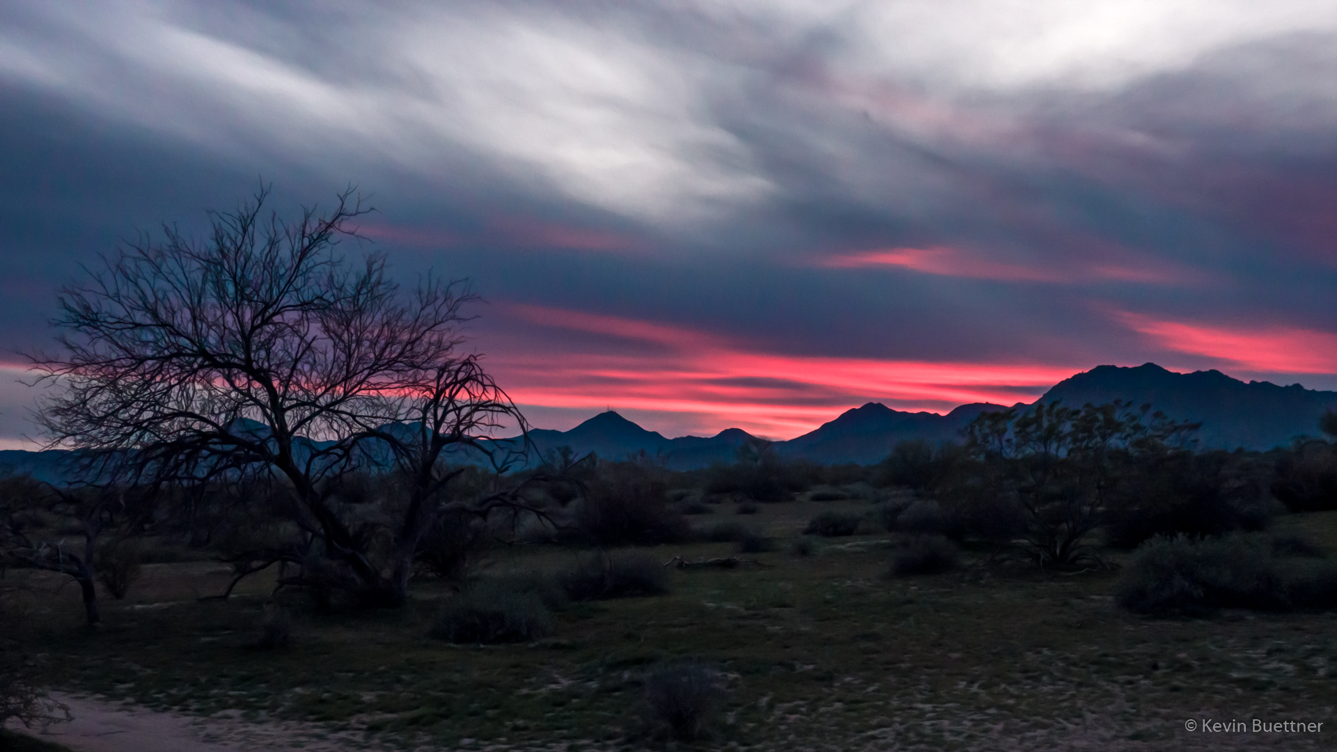
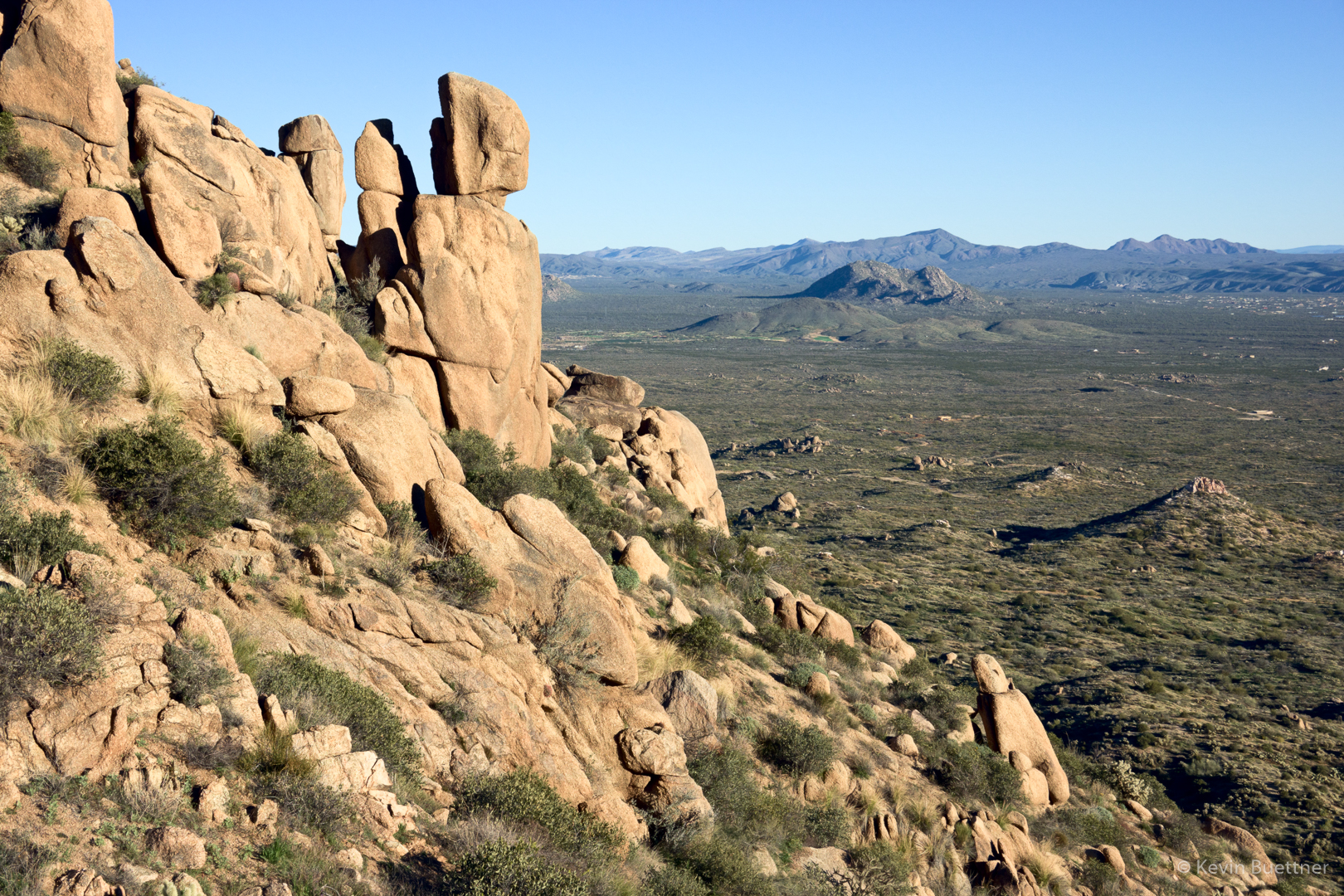
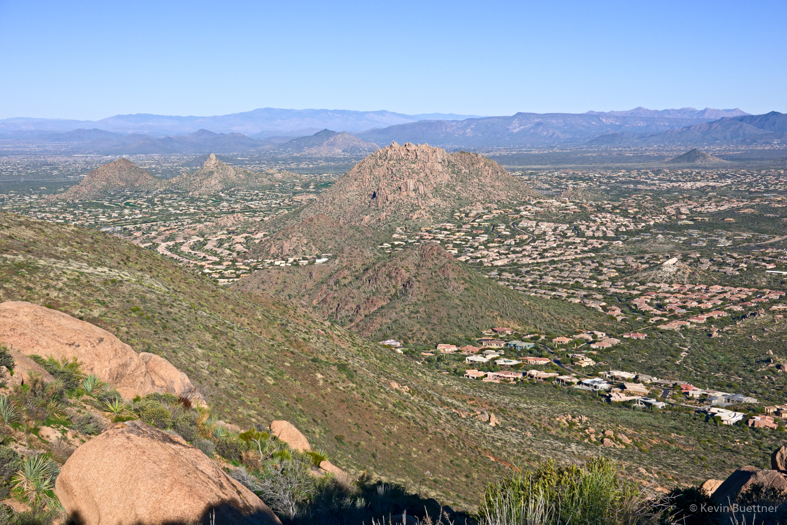
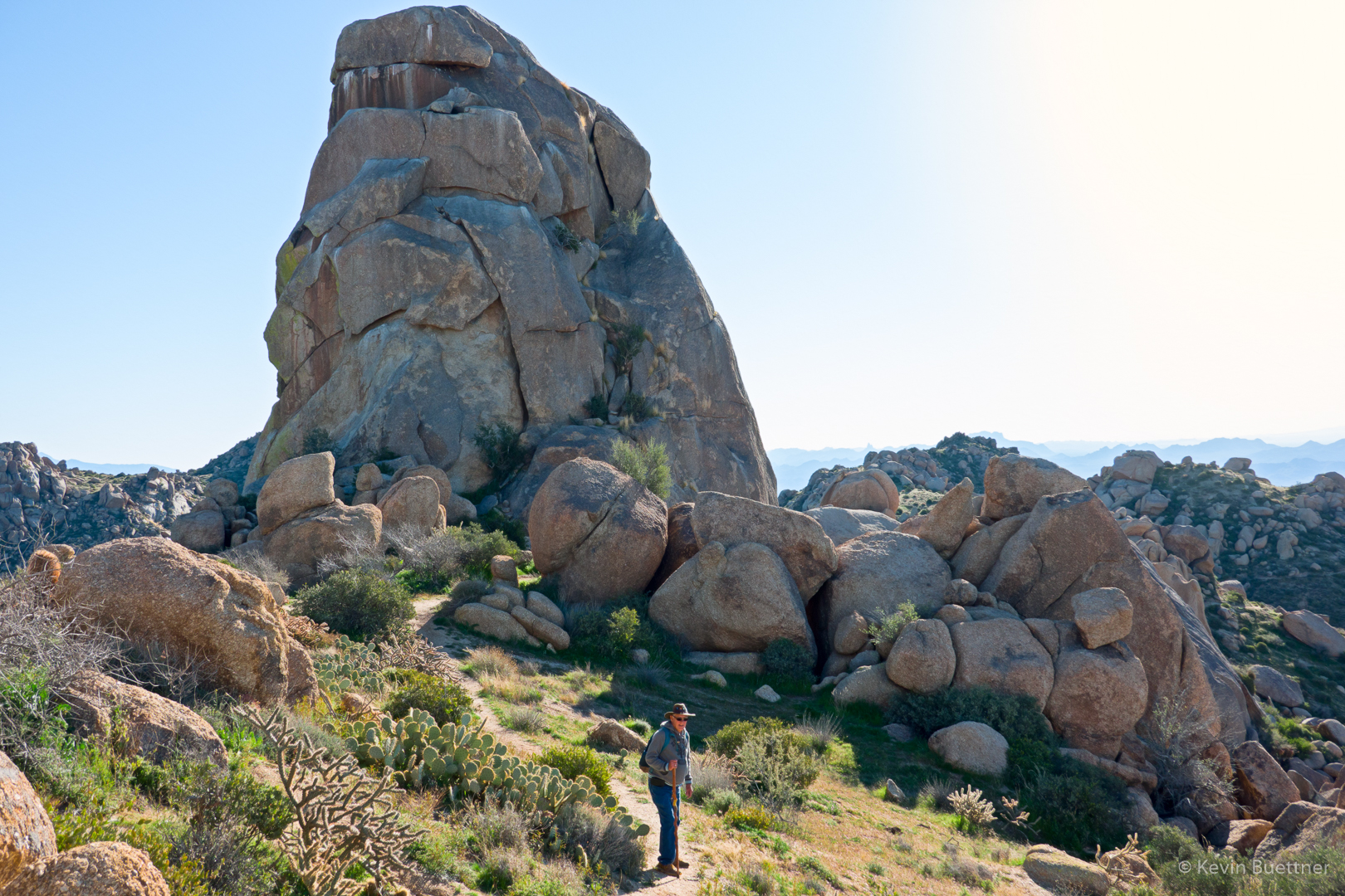
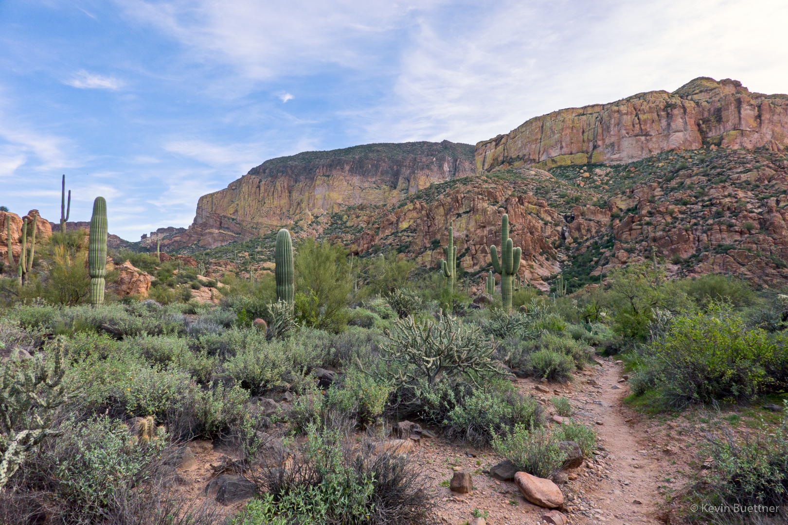
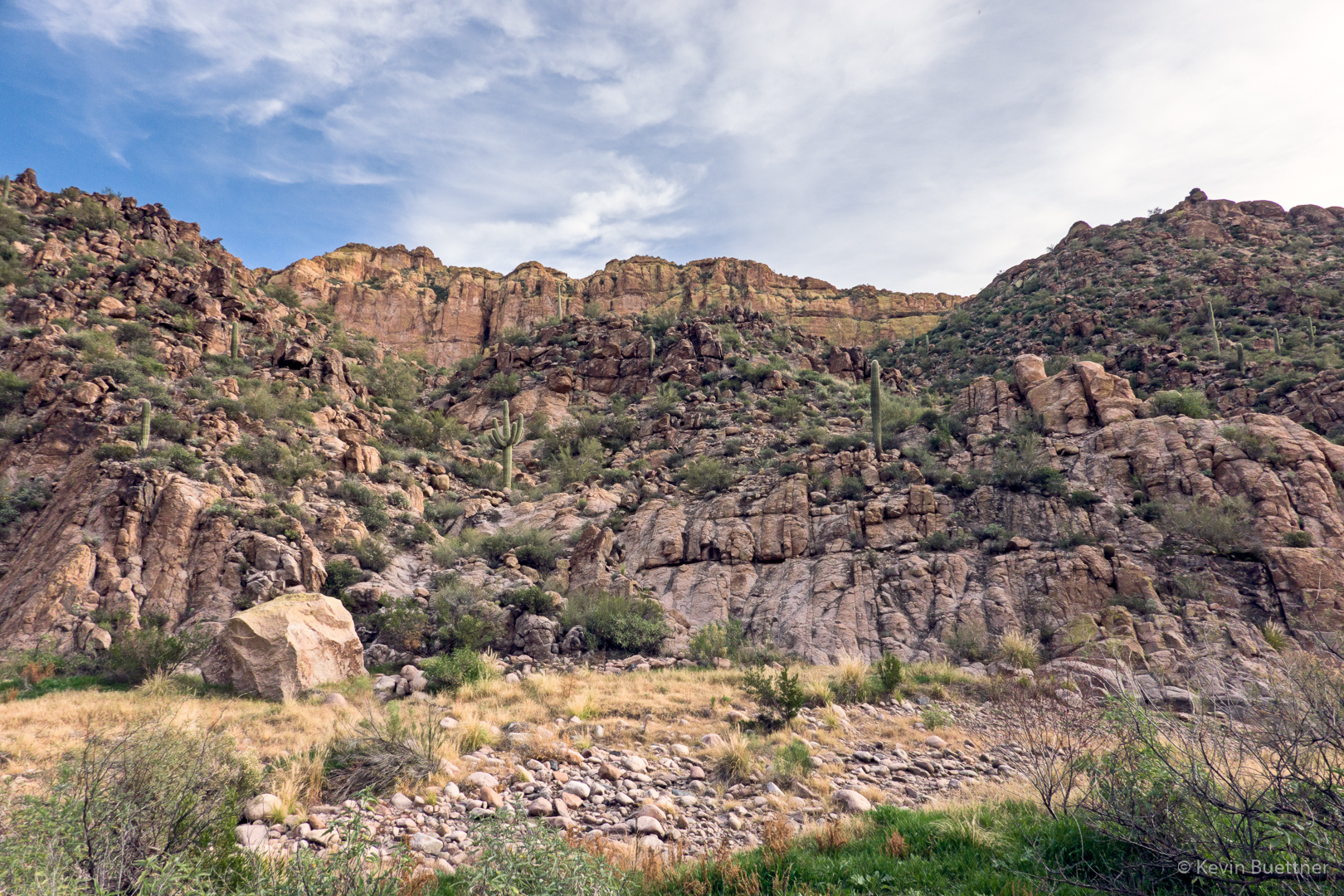
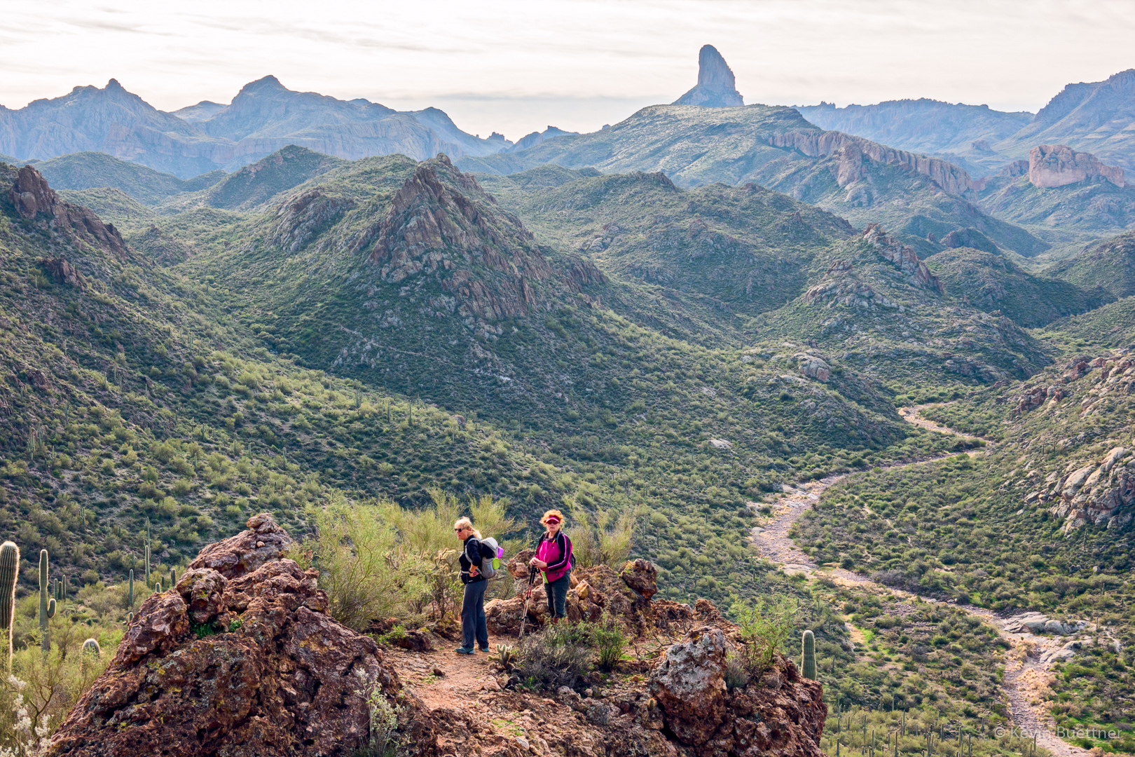
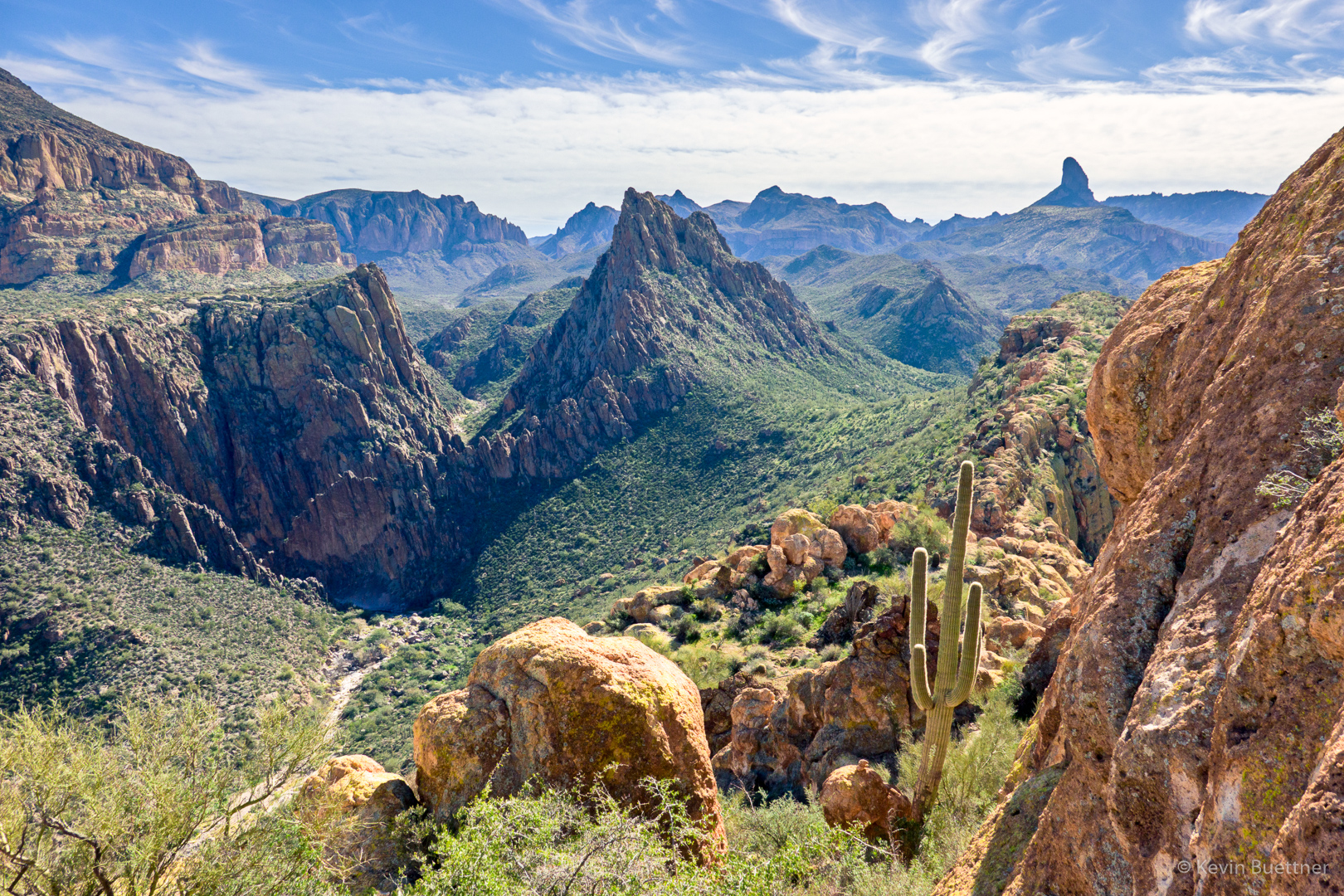
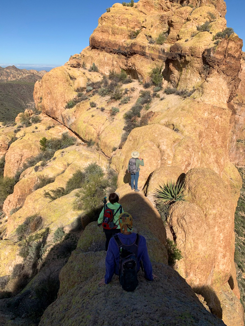
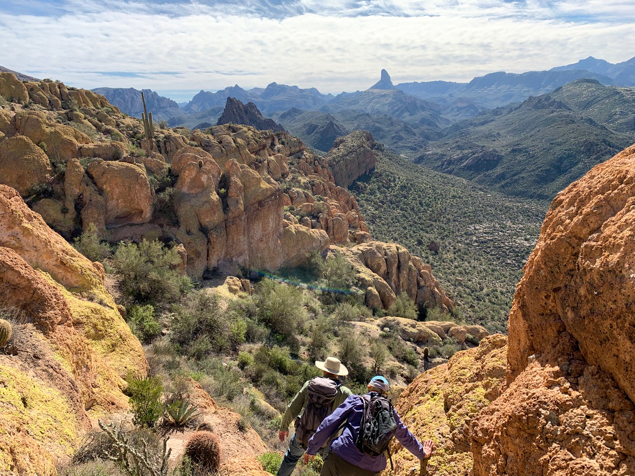
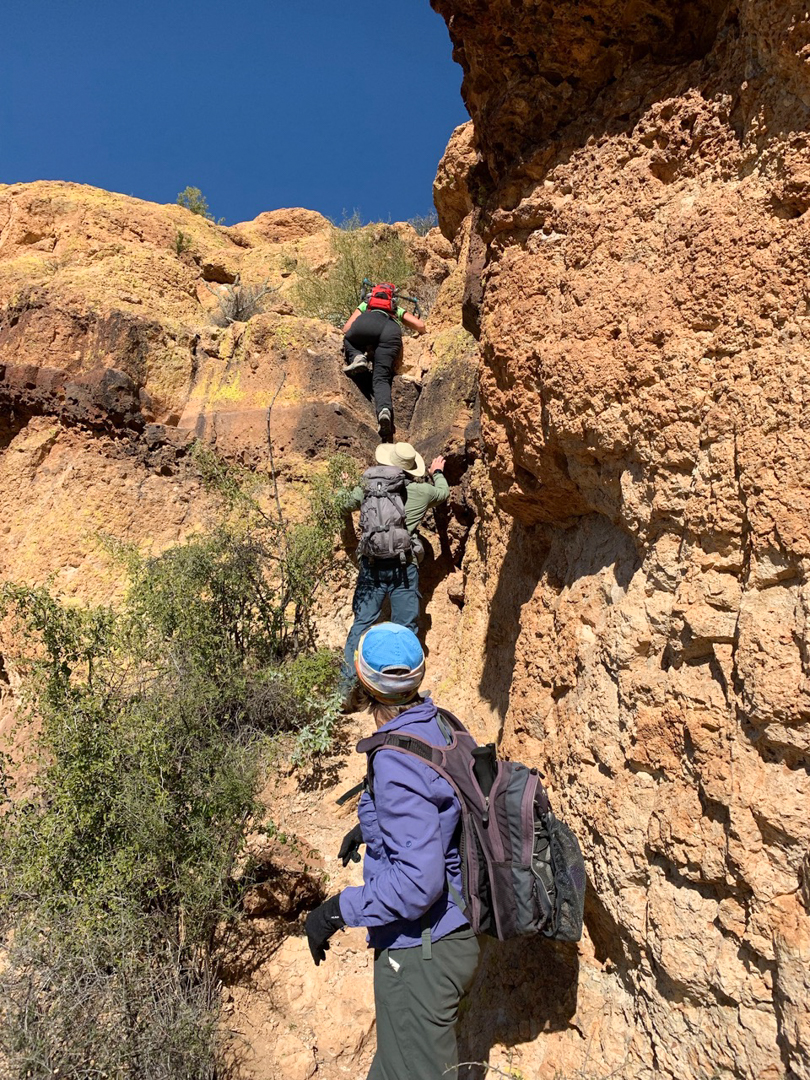
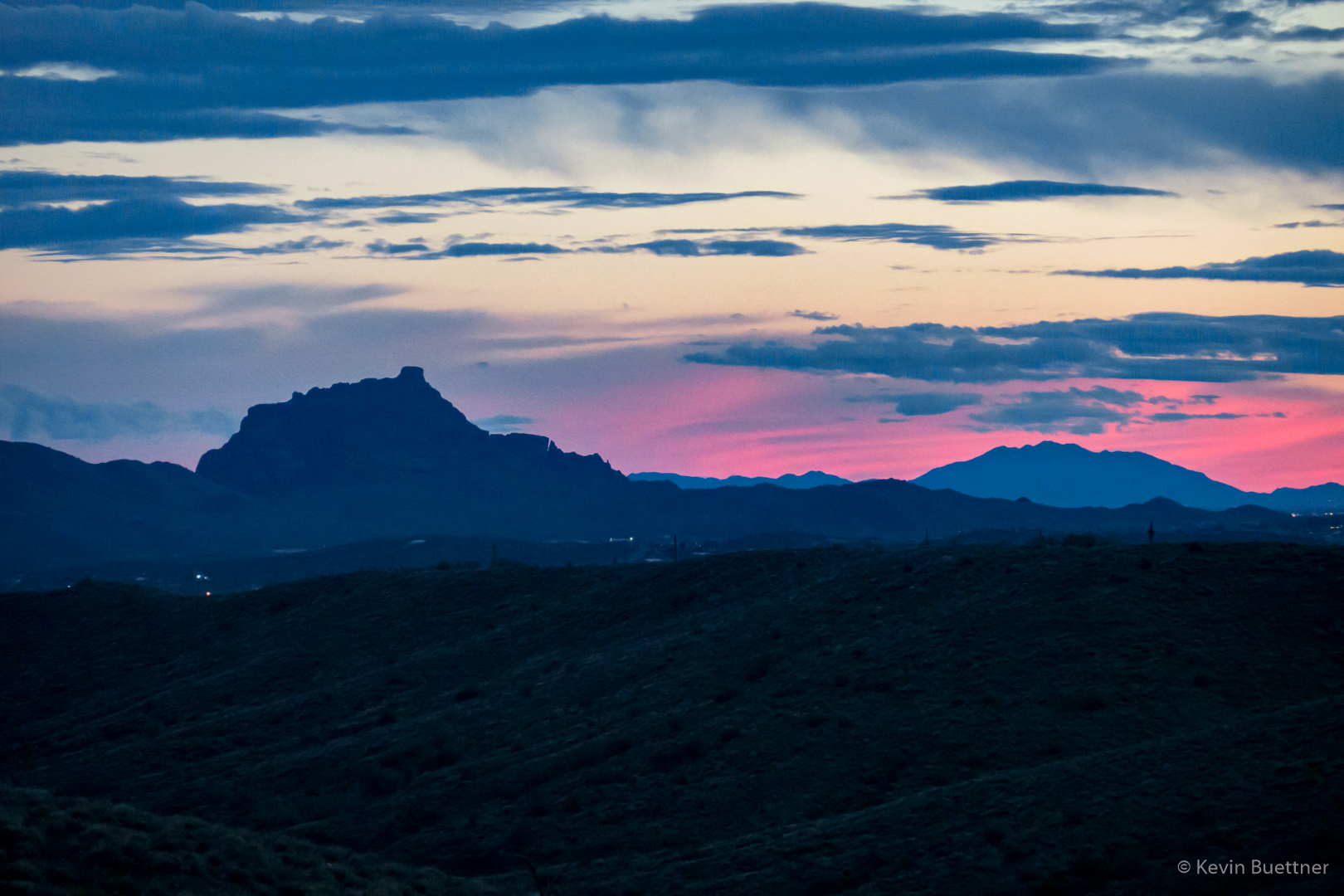
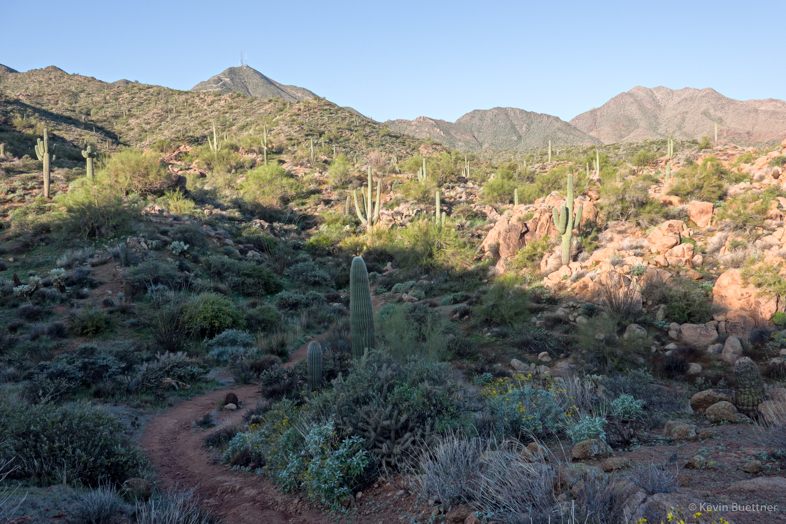
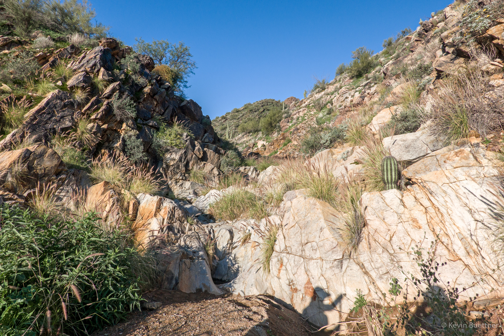
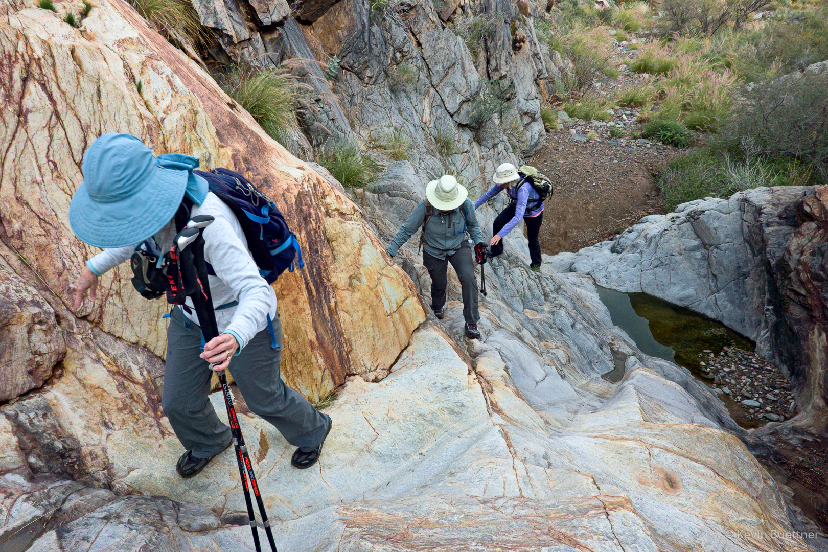
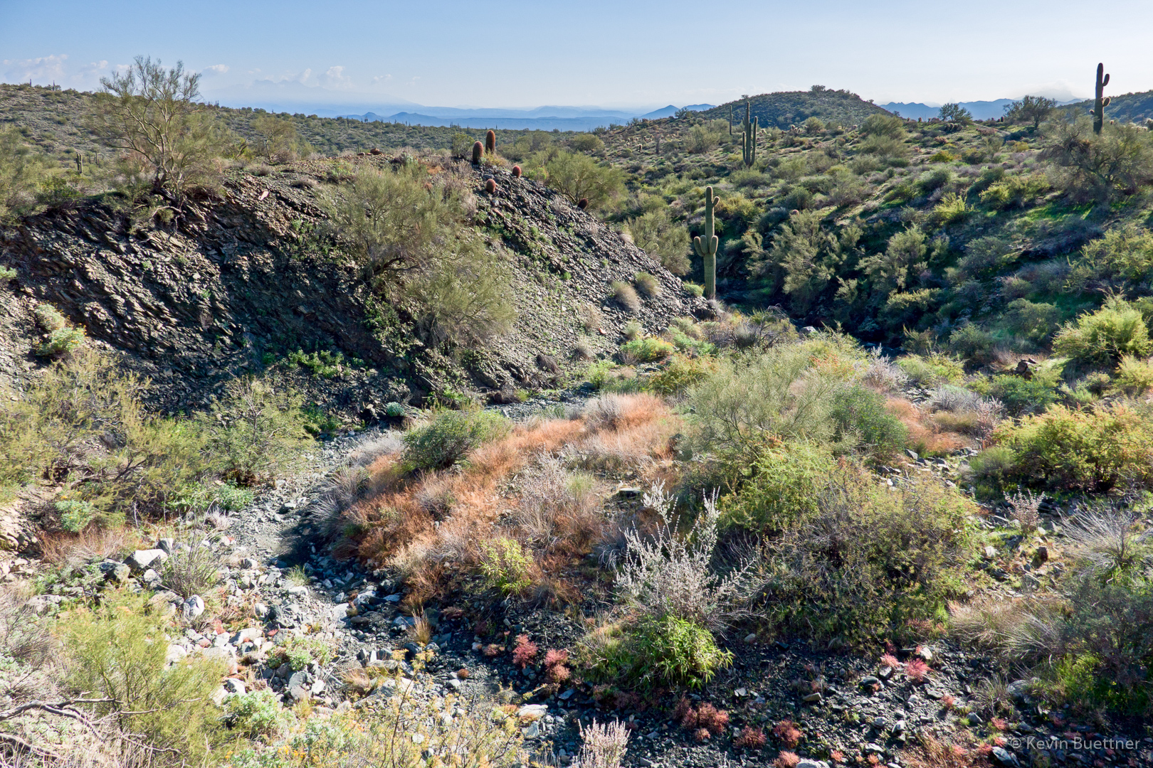
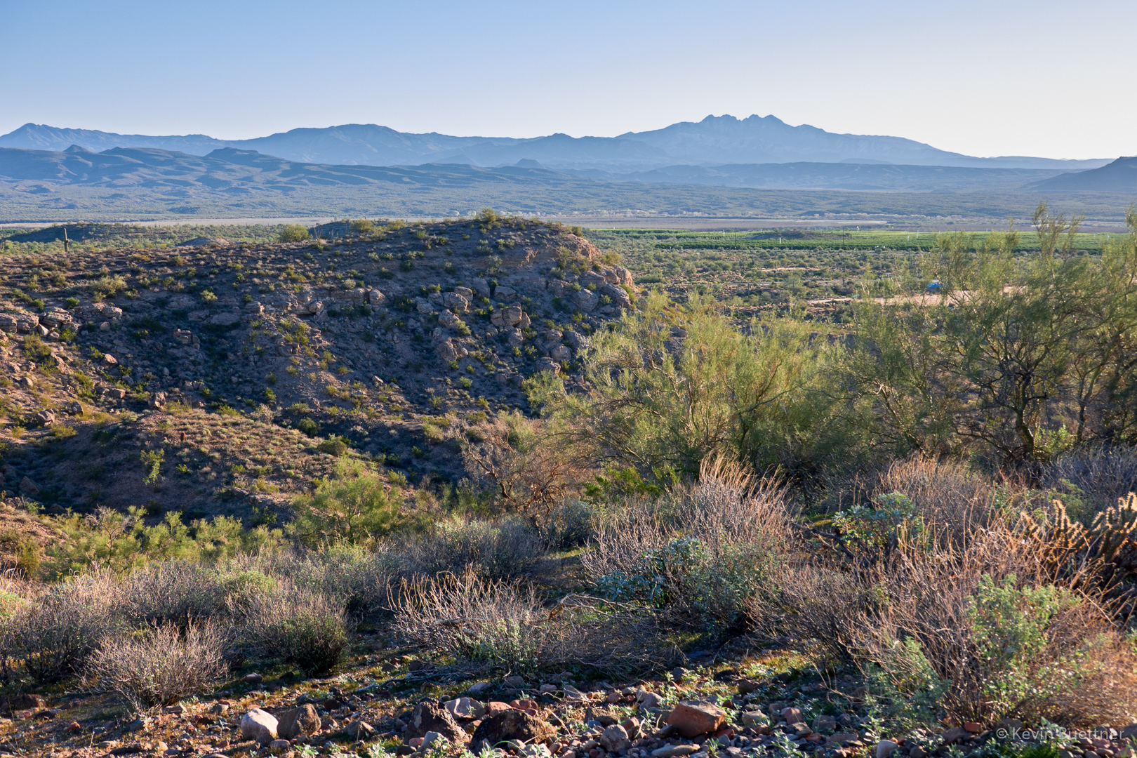
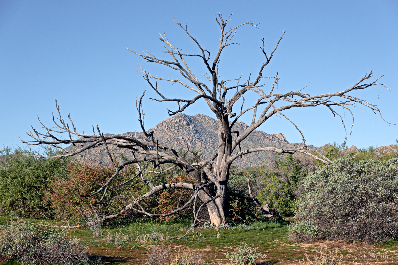
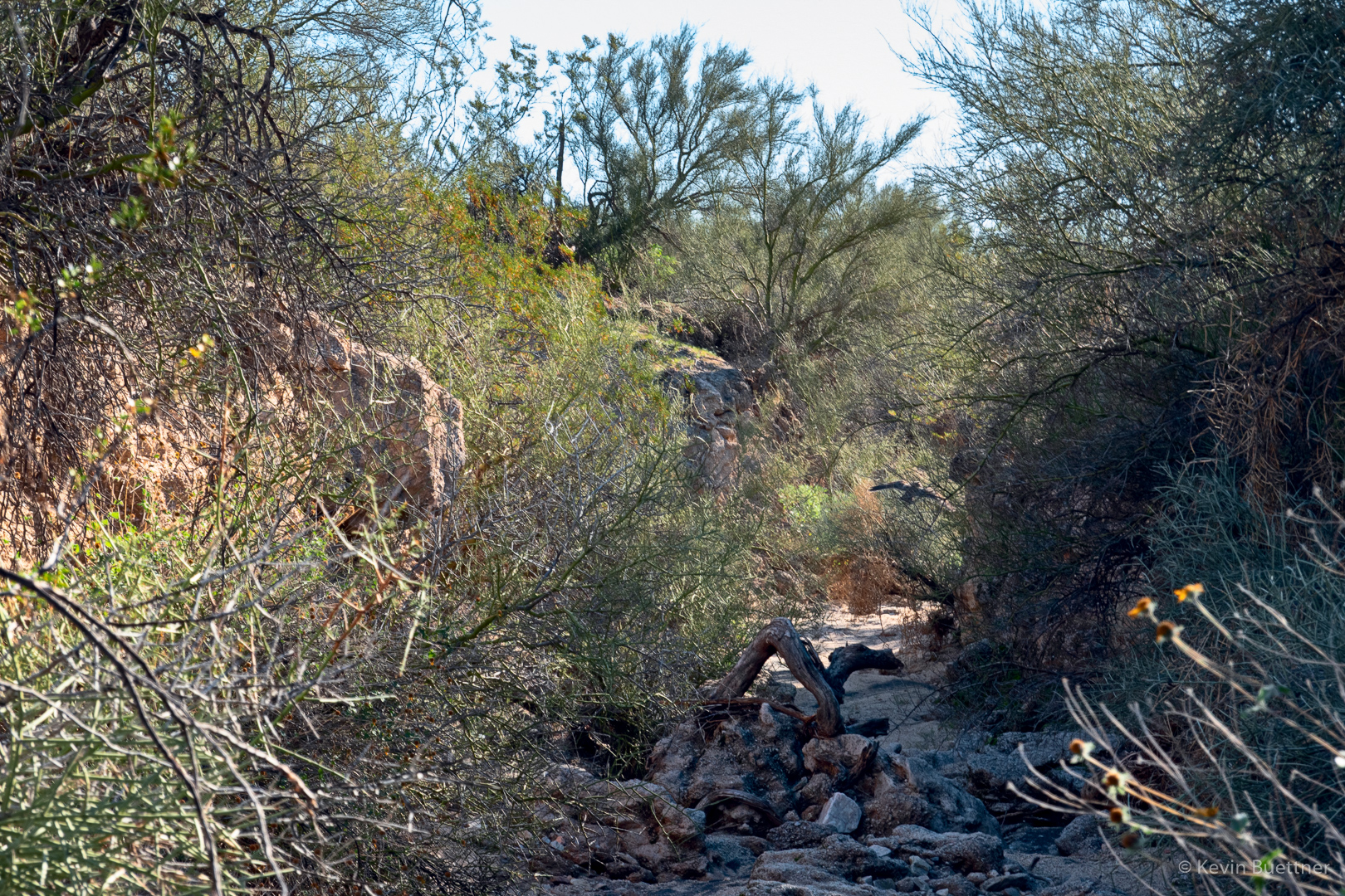
6.5 miles on Monday Night…
Month: January 2019 (page 1 of 1)
Lloyd and I hiked 11.4 miles in the Tom’s Thumb area on Friday, the 25th.
Early in the morning on part of the Lost Wall Loop…
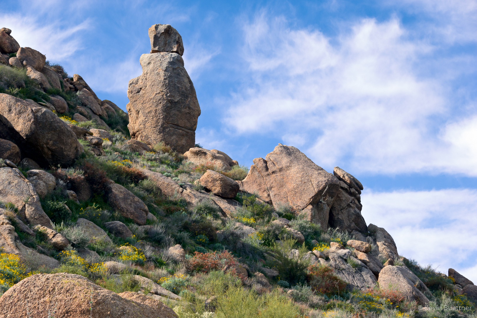
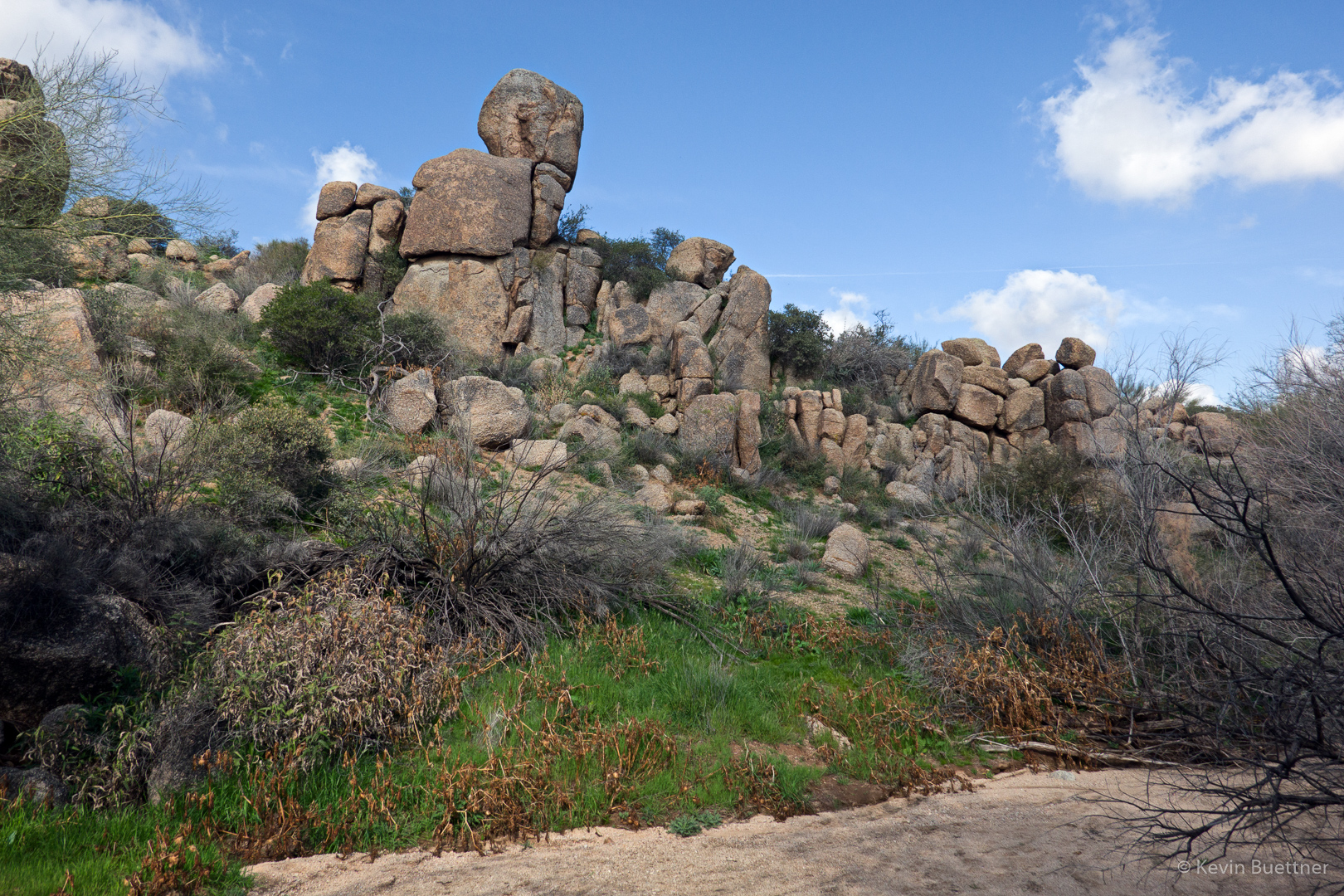
Continuing up, we passed this notable rock formation…
Looking down on Pinnacle Peak and Troon:
Tom’s Thumb and the Rist – yes, I’ve spelled it correctly:
It took us somewhat longer than normal to get to this point. Lloyd told me at the outset that he’s 70 years old with a pacemaker, so we went a more relaxed pace.
Heading down the East End Trail…
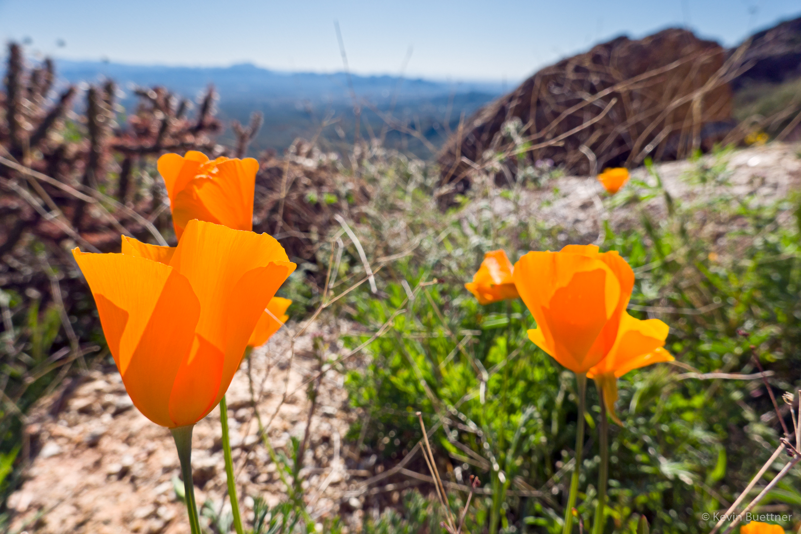
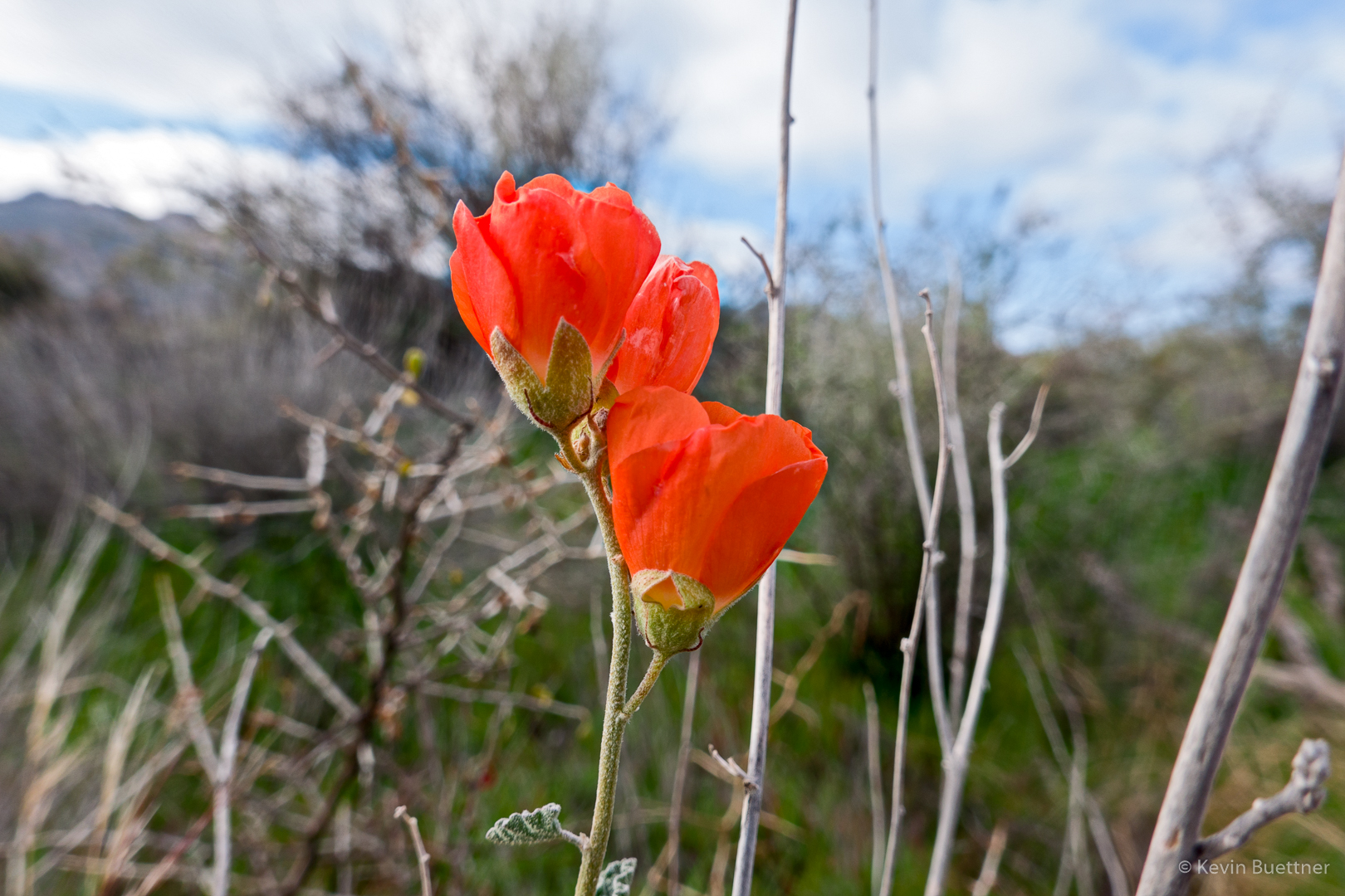
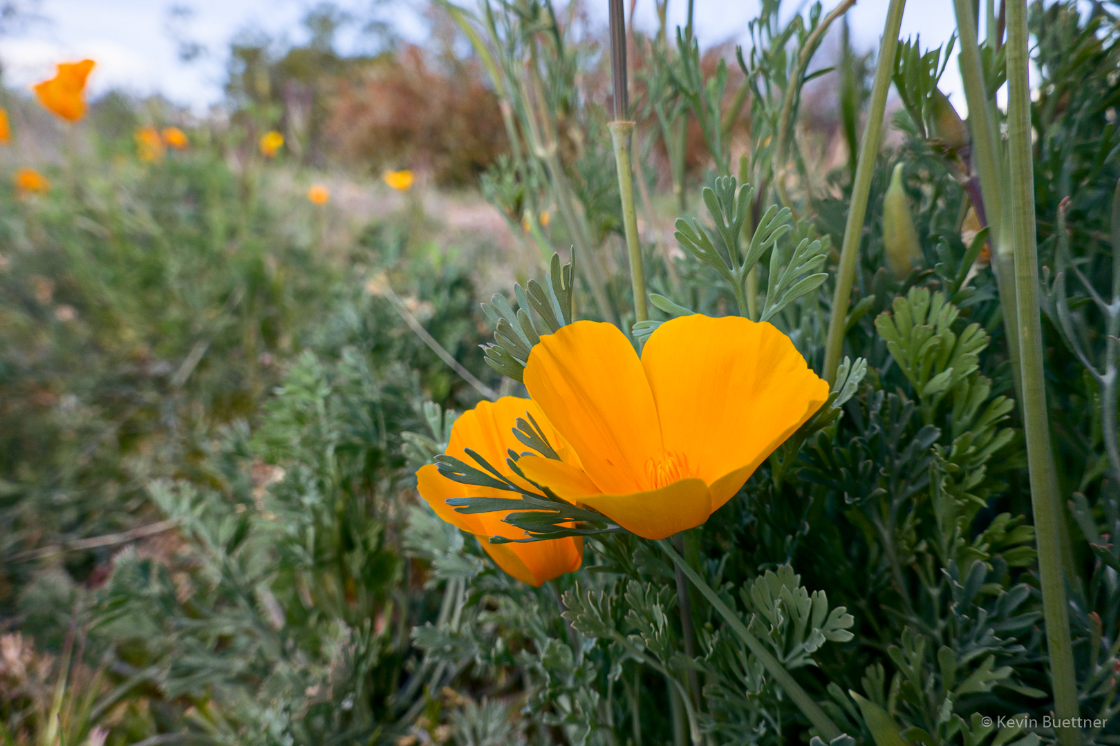
We saw a lot of poppies on Friday.
A cyclist coming up the Coachwhip Trail. Another hiker named Danny joined us for this section of the hike.
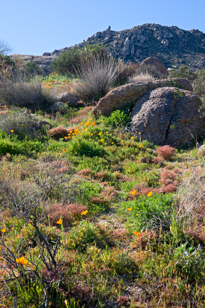
When we got to the Marcus Landslide Trail, Lloyd wanted a longer hike, so we turned left and hiked the little loop on the Marcus Landslide Trail. Danny had time constraints and headed straight back. I thought that this was a nice view of more poppies and also of the Thumbnail Pinnacle high above. I told Lloyd that we sometimes hike up there.
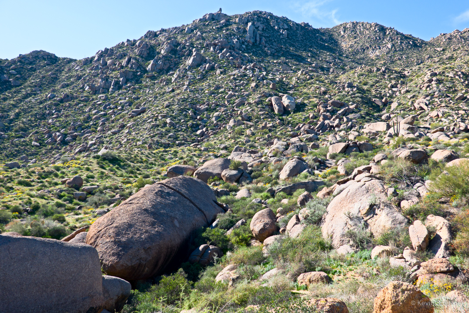
Submarine Rock and some of the Landslide too.
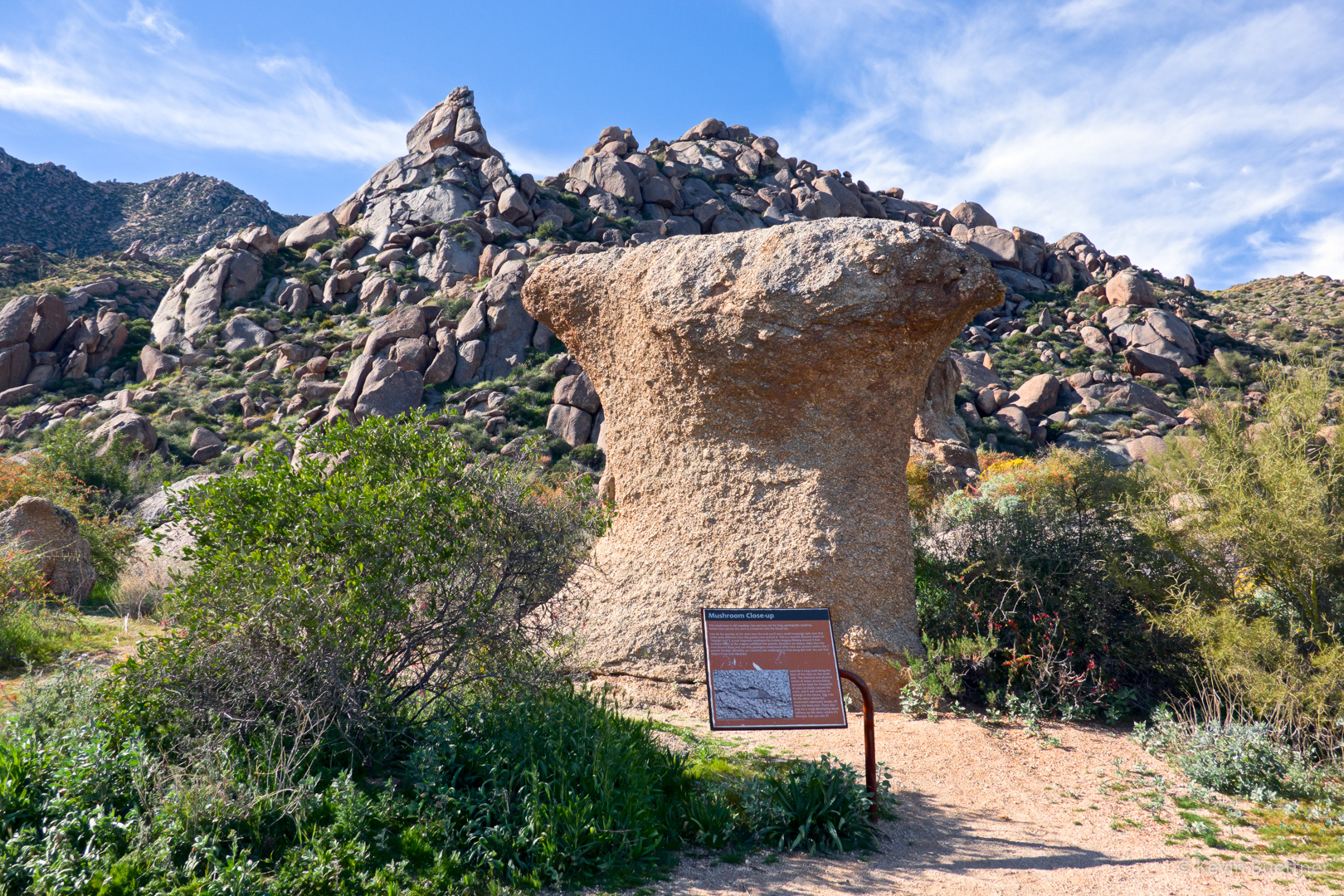
One of the mushroom boulders along the Marcus Landslide Trail. The Granite Ballroom can be seen behind it – Marilyn and I once did a climb in this area – back in the days when it was possible to drive your vehicle all the way back to this point or perhaps somewhat beyond.
Another prominent pinnacle near the Marcus Landslide Trail.
On Monday, the 21st, Kay, Diane, Diane, Nanci, Anne, Karin, Ben, Marilyn, and I hiked out to Battleship Mountain and back. Kay, Diane, Karin, and I went to the summit. According to my GPS watch, we hiked 12.75 miles with a little over 2900 feet of total ascent.
Early in the day on the Second Water Trail:
Looking toward Battleship Mountain from Boulder Canyon.
Diane and Nanci:
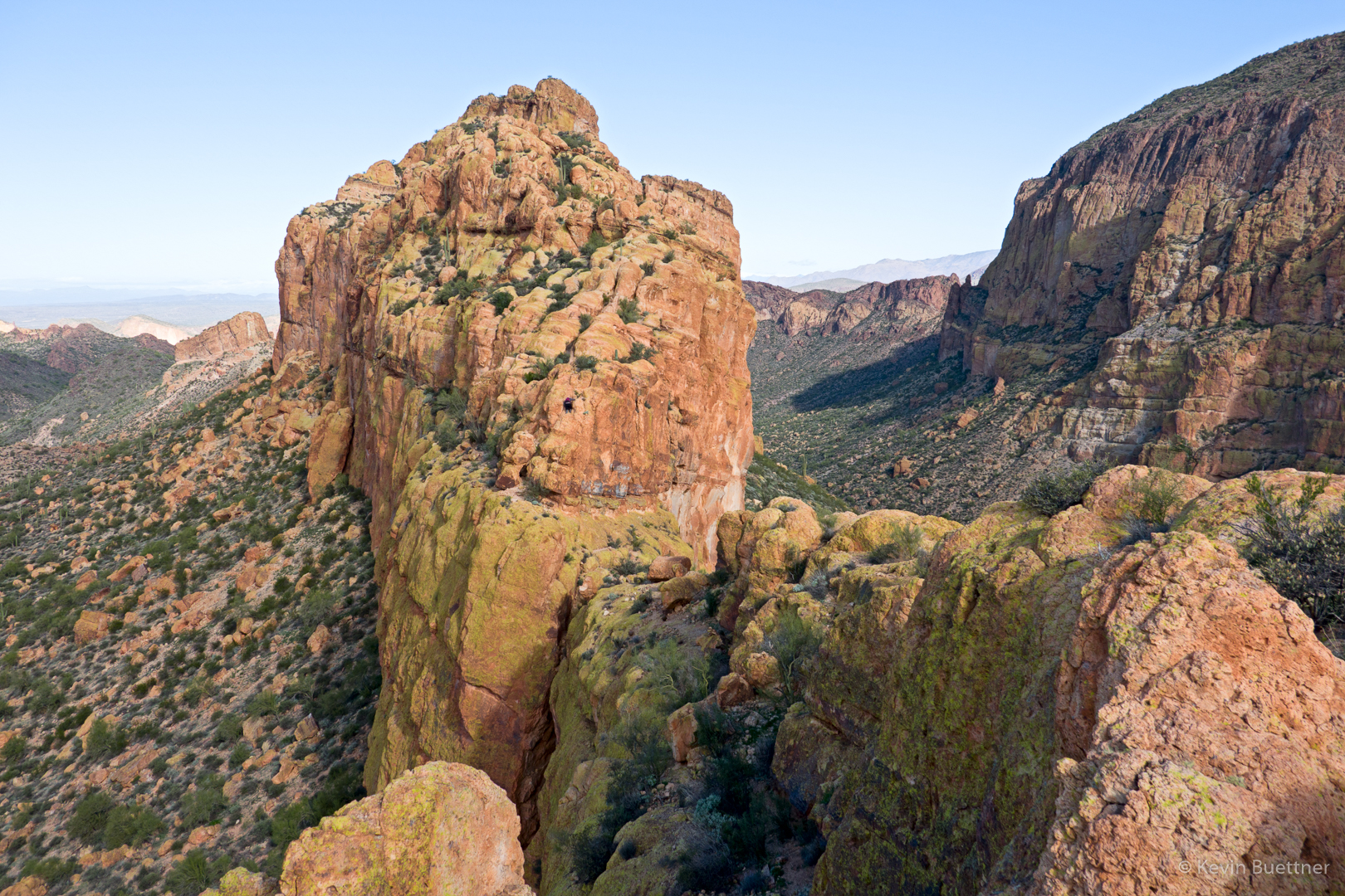
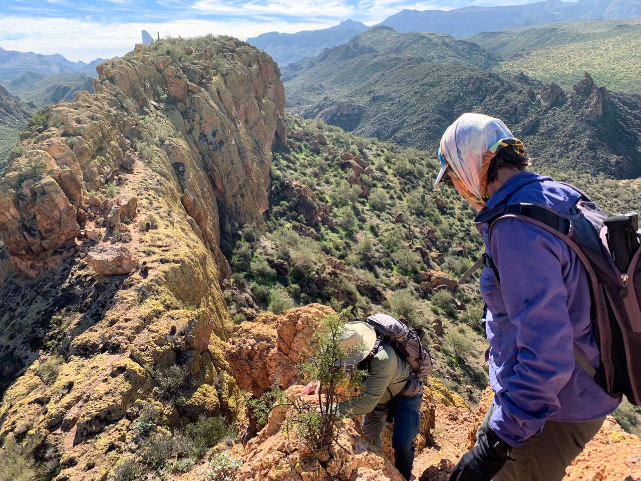
Kay, Karin, Diane and I are now on our way to the summit. There is a steep scramble required to get atop this ridge leading to the summit. The dark spot in the reddish-orange rock just left of center is another hiker making his way back (and down at that point) after visiting the summit.
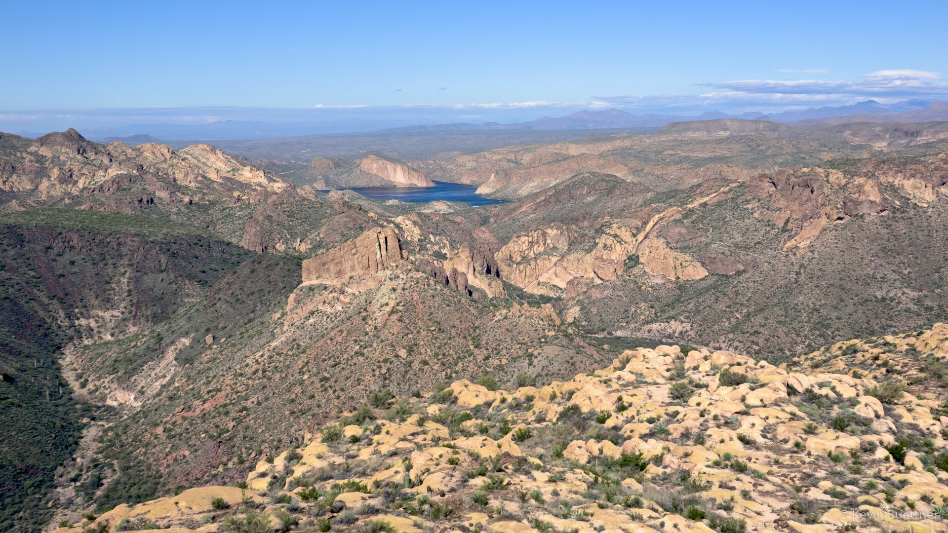
A view of Canyon Lake from the top:
Near the summit – looking back along the ridge we hiked / scrambled to get to the top.
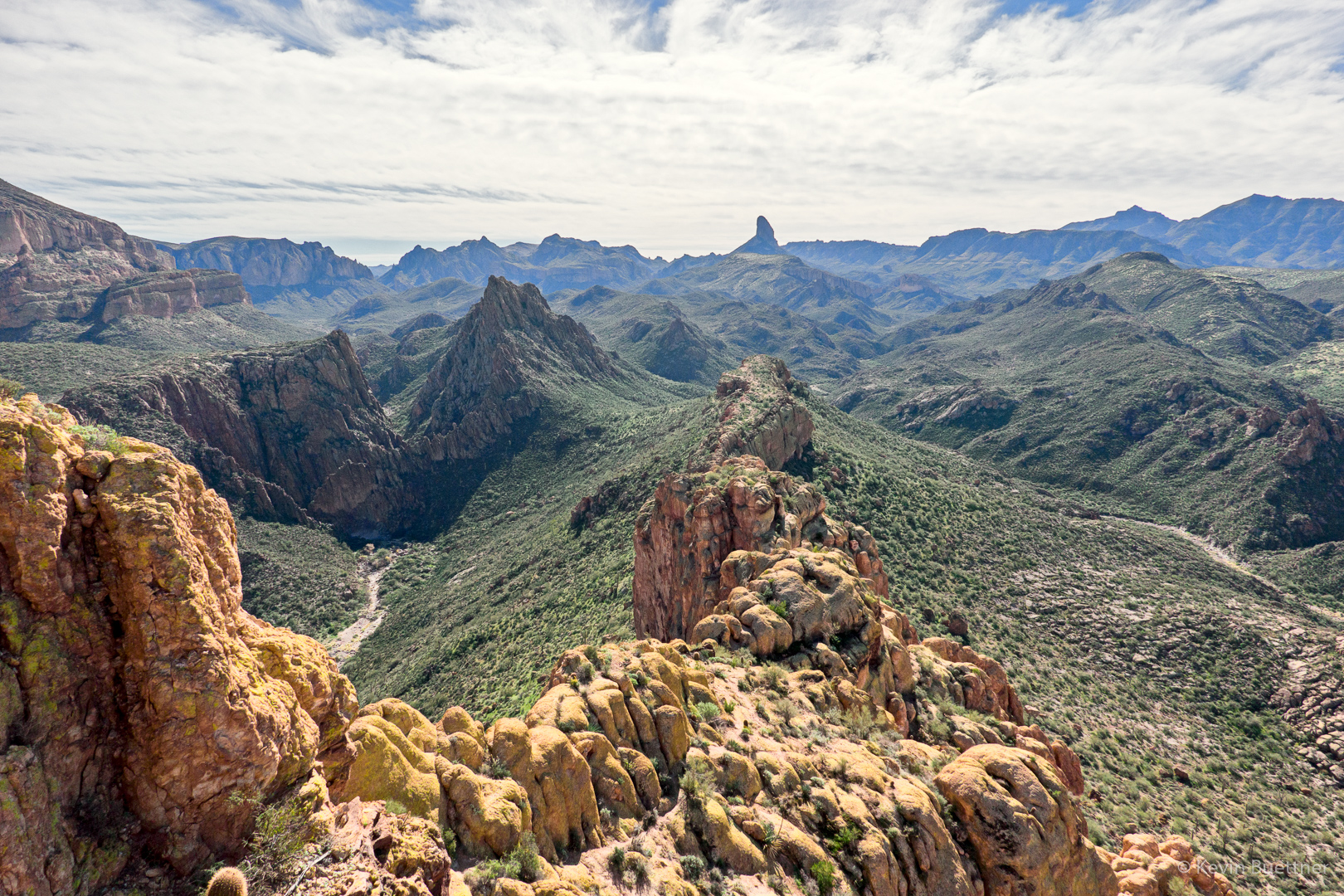
Another view of Weaver’s Needle as we started to make our way back…
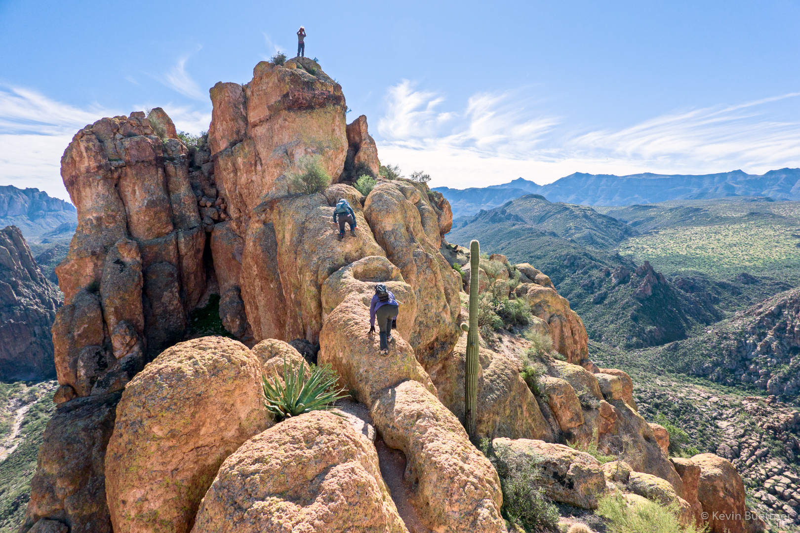
Kay and Karin make their way up one of the more exposed sections of the hike. The woman at the very top wasn’t in our group.
Looking down into La Barge Canyon on the left…
We saw this tarantula need the end of the hike.
These are a few of Kay’s photos:
In this shot, we’re still on our way to the summit. I had just descended the exposed bridge and am trying to figure out where to go next. Diane and Karin are still making the descent.
We’re heading back in this shot; another good look at Weaver’s Needle…
In this shot, I’m spotting Diane as she descends what is probably the most difficult technical section of this adventure.
In this photo, Karin and I are making our way down some more steep stuff. I think this is near the point where I had pointed out the fellow descending in the fourth of my photos.
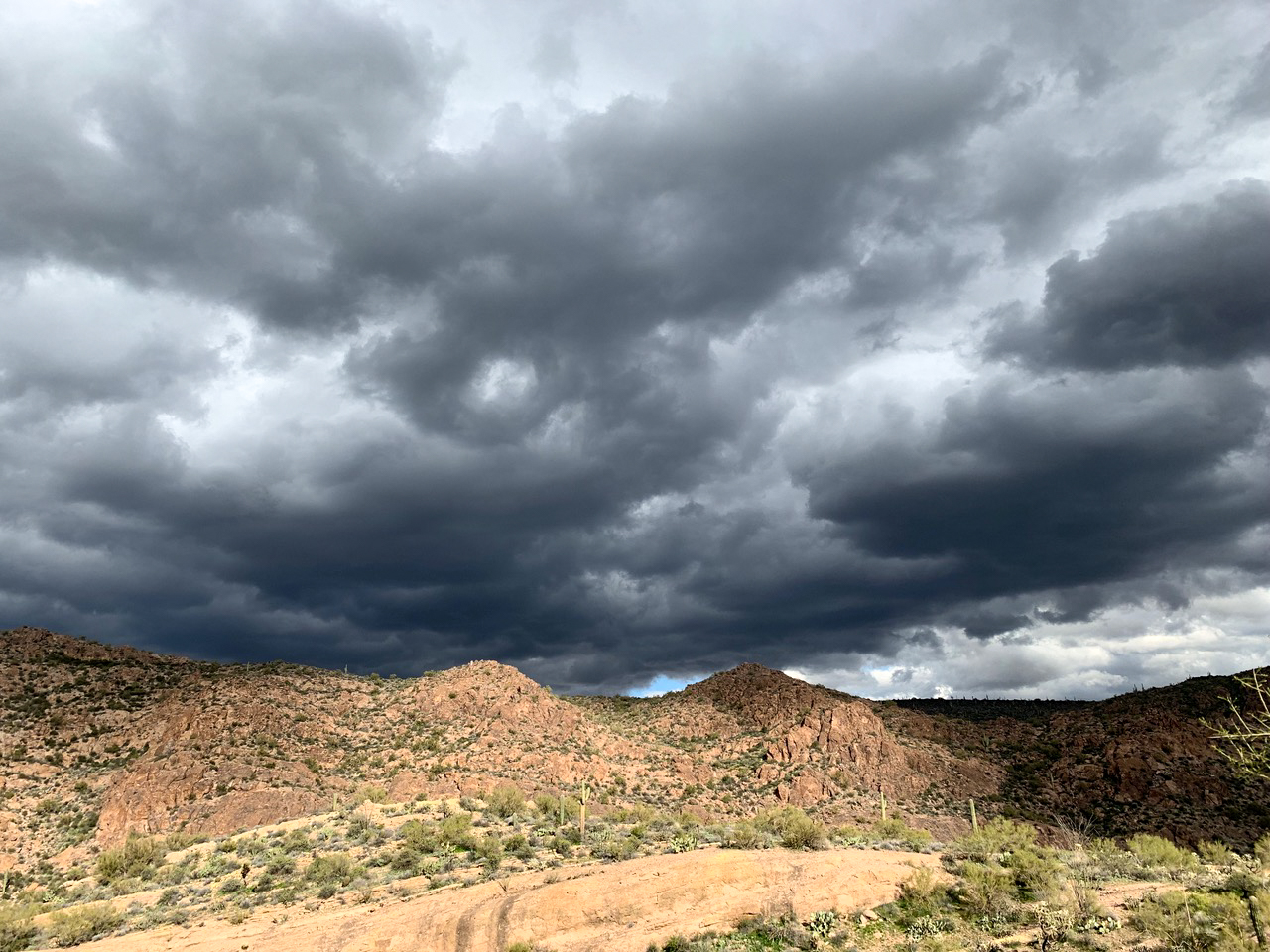
Kay got a good shot of the weather system that was moving in over the Superstitions as we finished our hike.
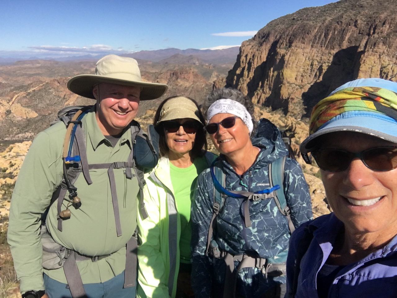
Karin took this photo of the four of us at the summit:
Marilyn, Sara, Linda, and I hiked about six miles going to Dixie Mine and back.
On our way out on the Dixie Mine Trail…
Sara, in front of the mine adit:
The petroglyphs are on the left, though they can’t really be seen in this photo. (I’ve taken a lot of other photos of the petroglyphs.)
Ascending the waterfall…
One of the washes we passed (and eventually crossed) on the way back:
