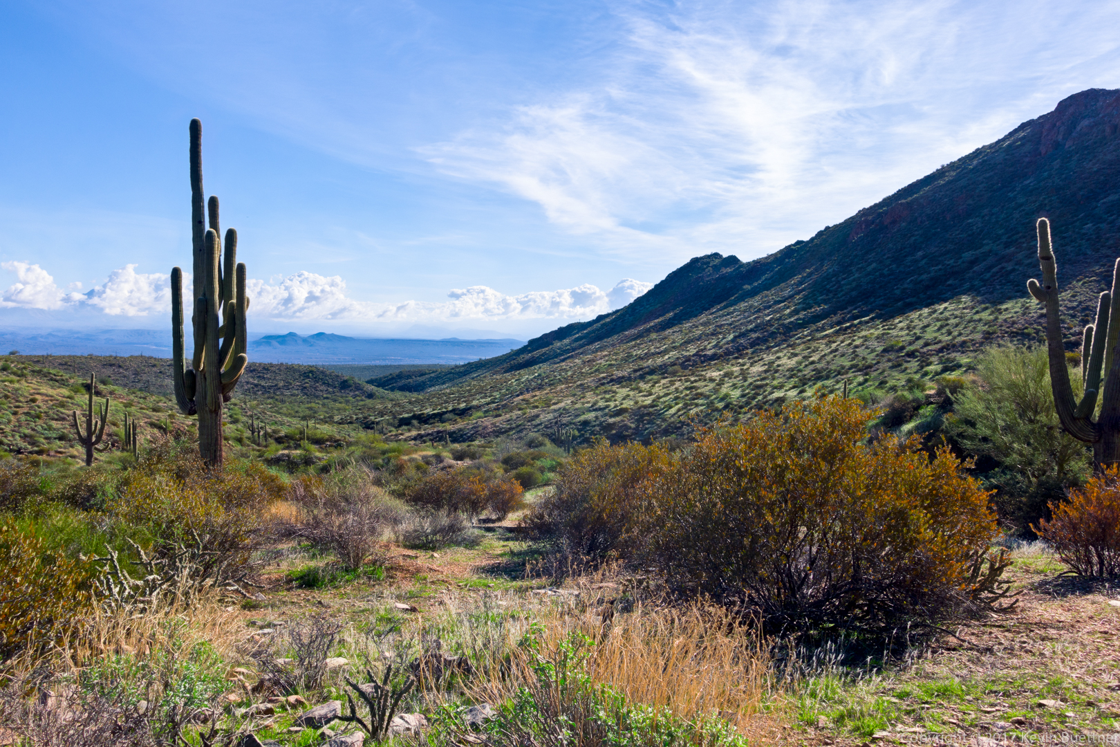
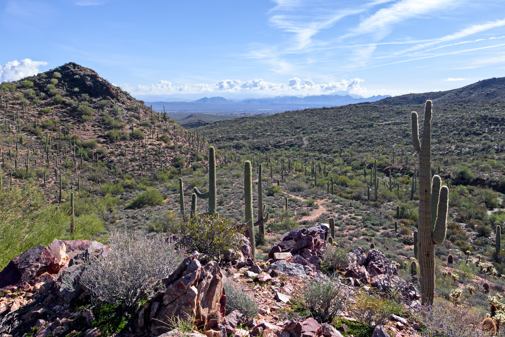
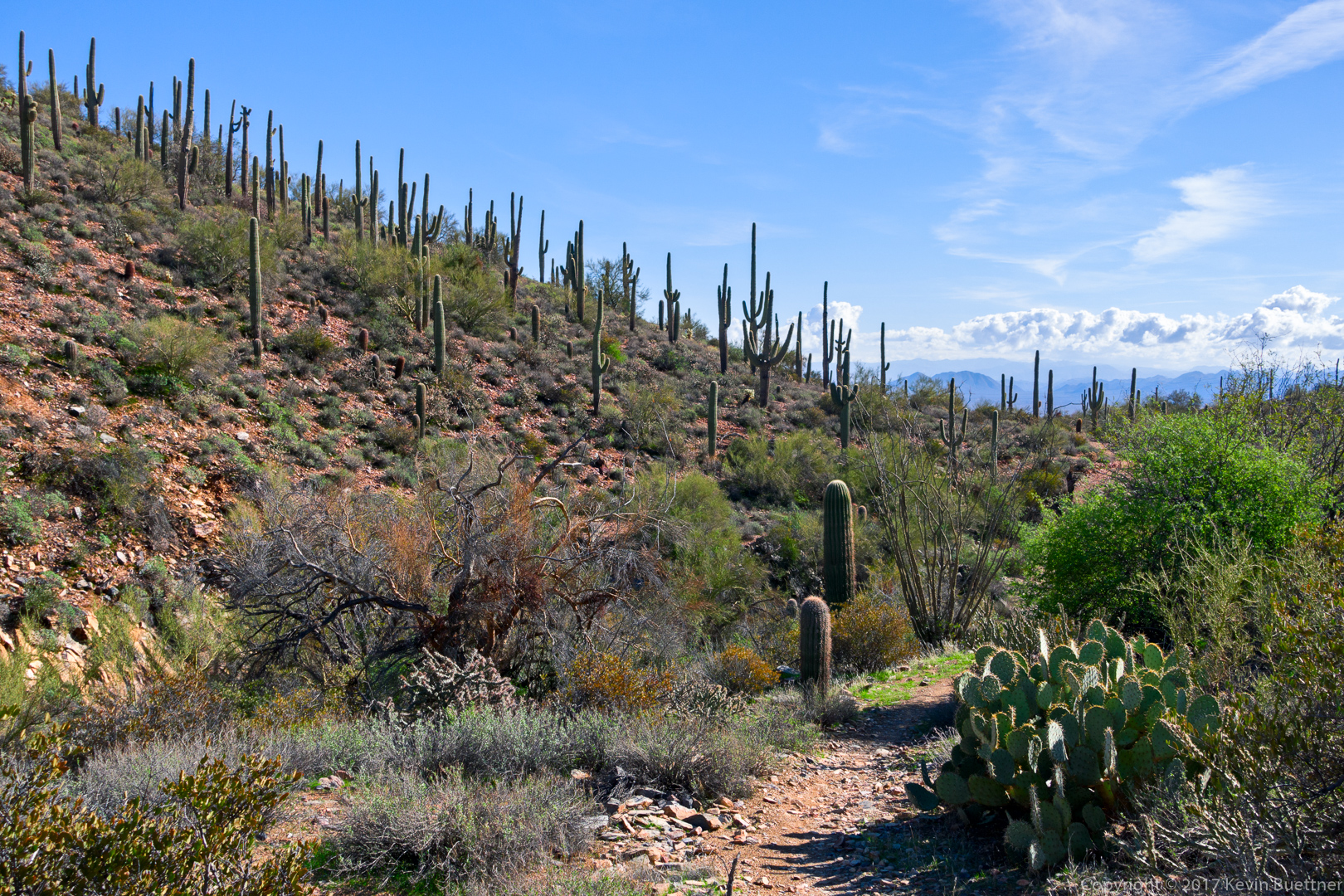
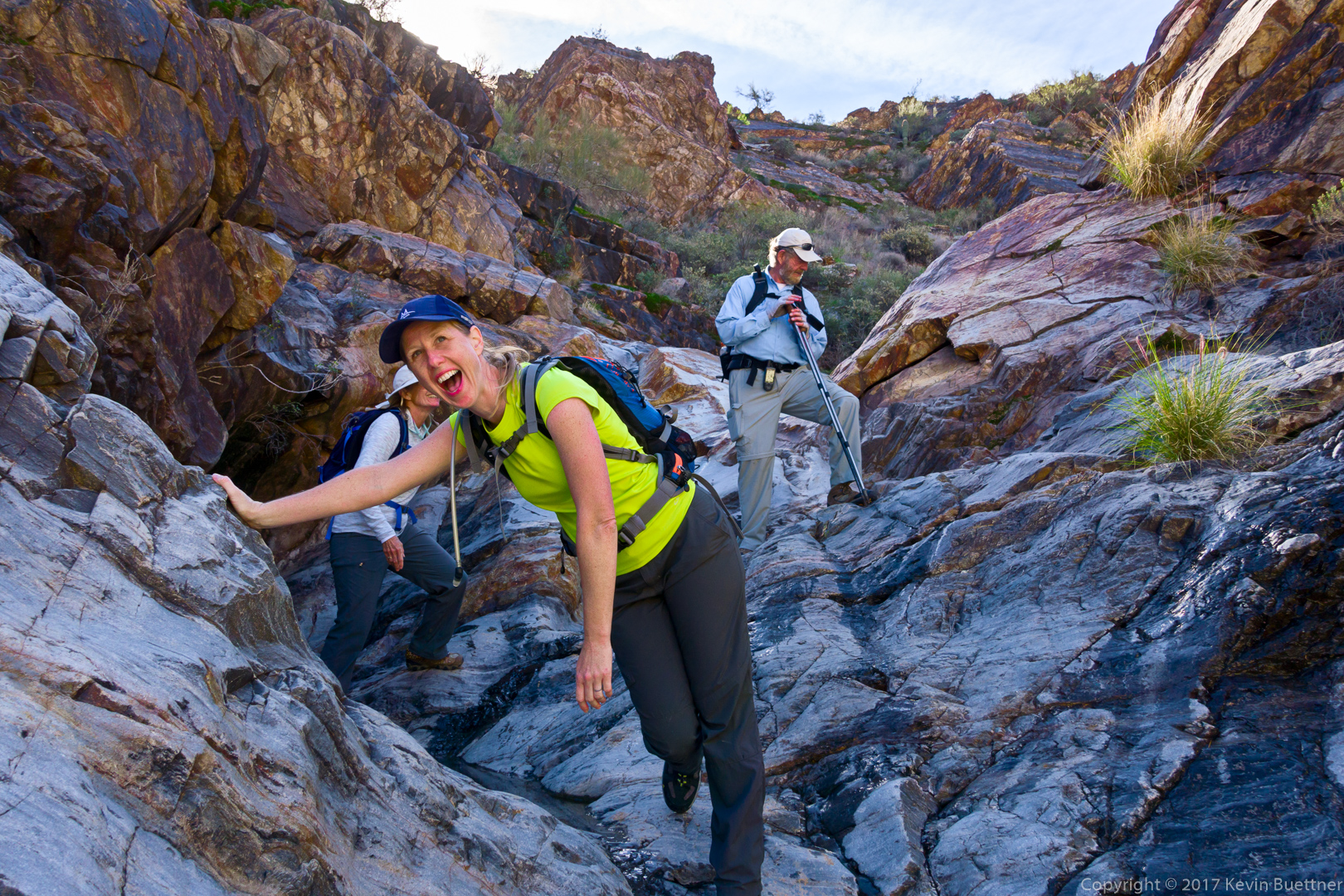
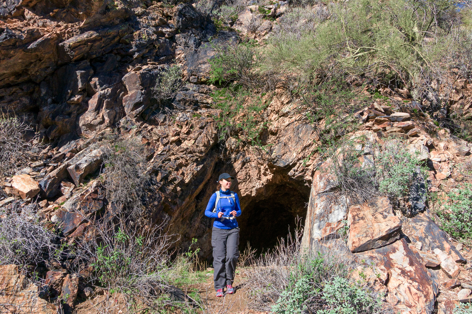
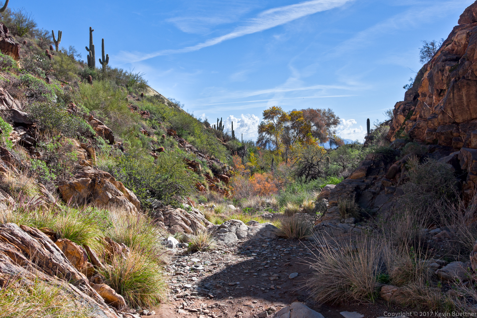
Mike, Bob, Bill, Janet, Nancy, Linda, Heather, Heather, and I hiked nearly eleven miles starting from the parking lot for the Dixie Mine Trail. We hiked: Dixie Mine, Coachwhip, Windmill, Bell Pass, Prospector, service road, Dixie Mine. Near the end of Prospector, Bill, Linda, the two Heathers, and I split off and hiked the canyon which led back to the petroglyphs and the mine.
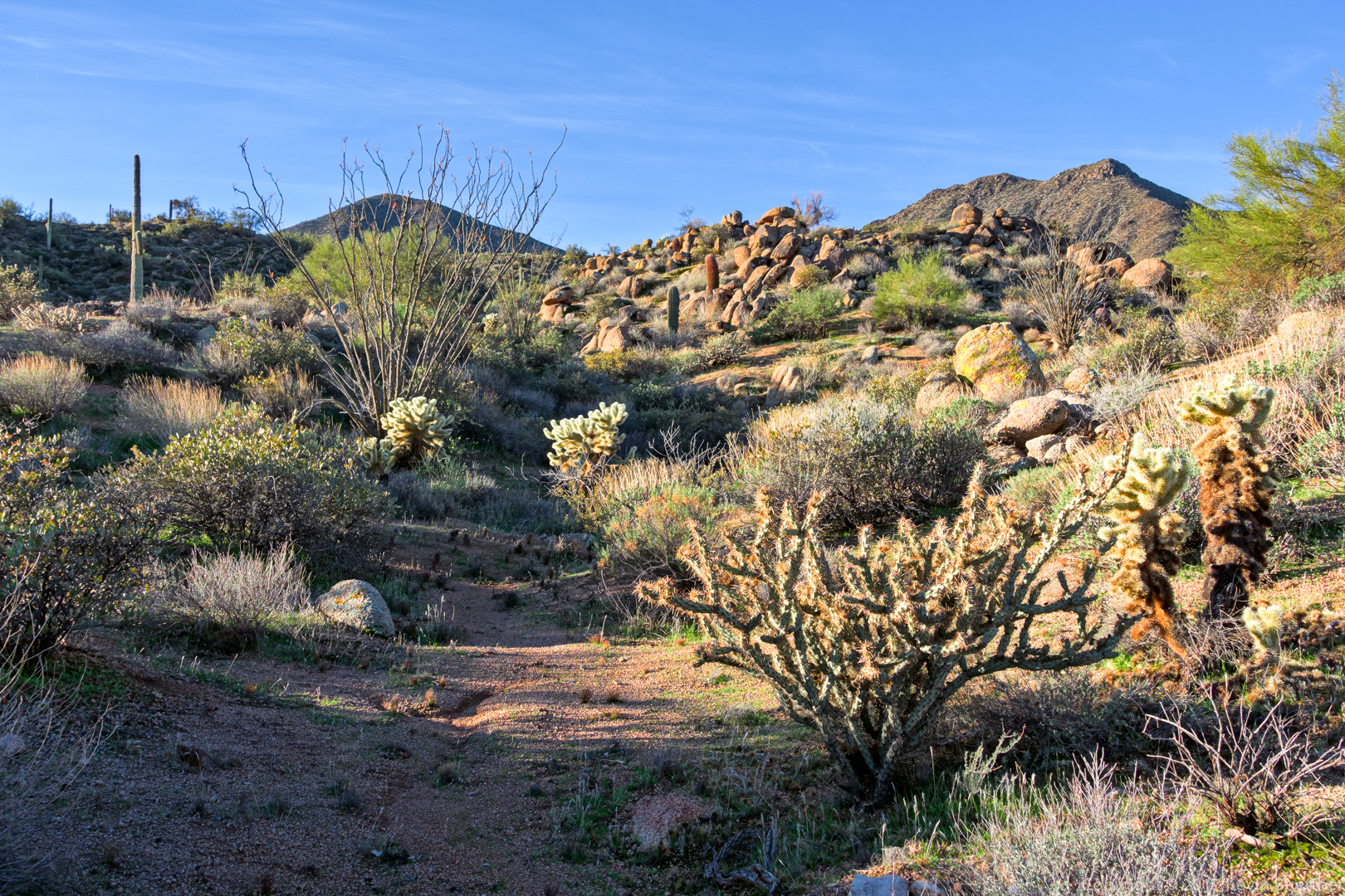
A view from the Dixie Mine Trail:
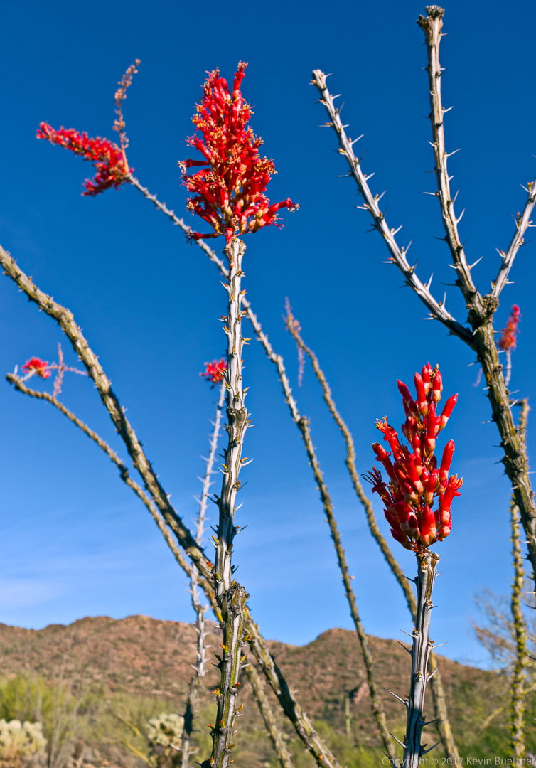
Some of the ocotillos are blooming!
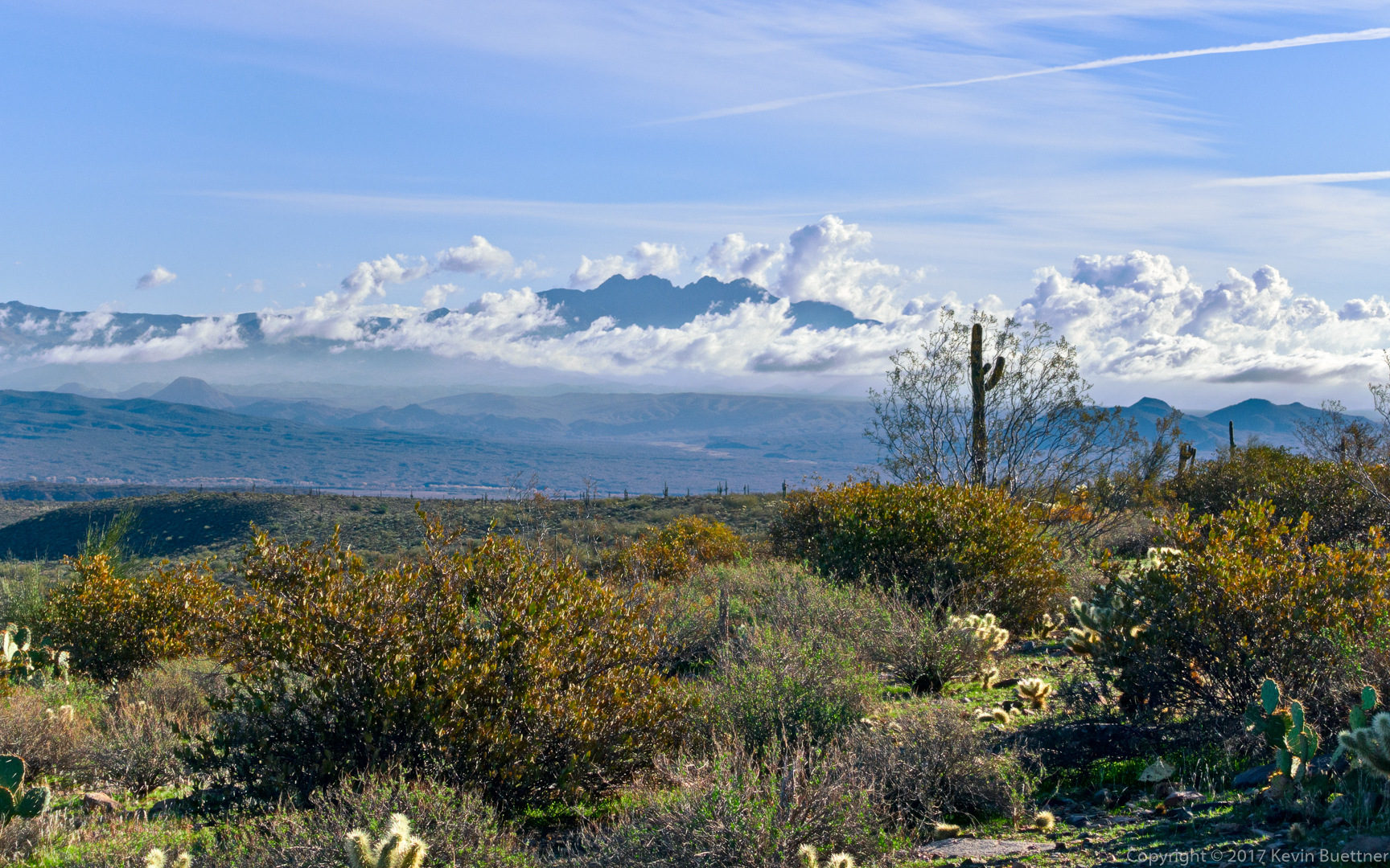
Four Peaks, wreathed in clouds:
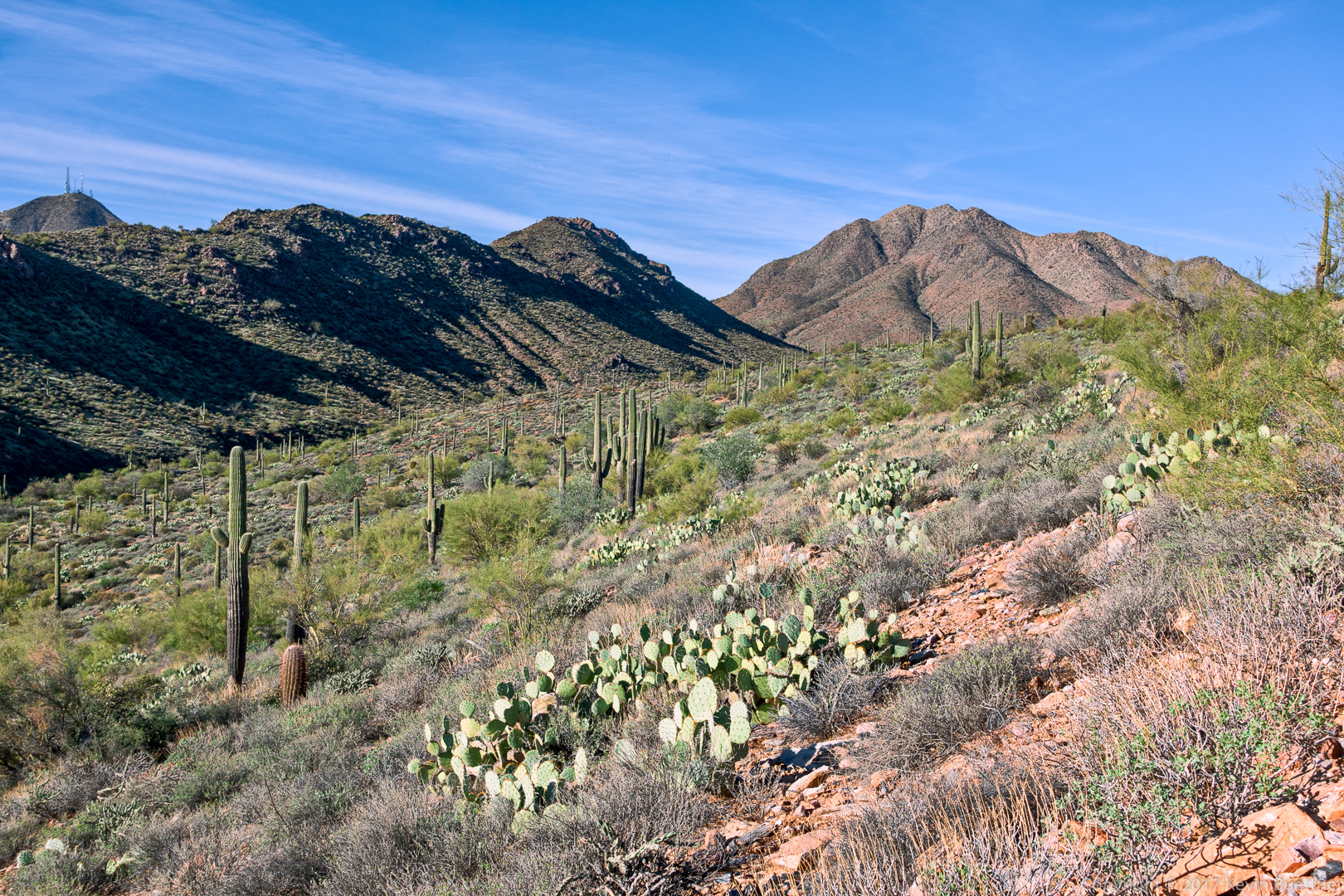
A view from the Coachwhip Trail:
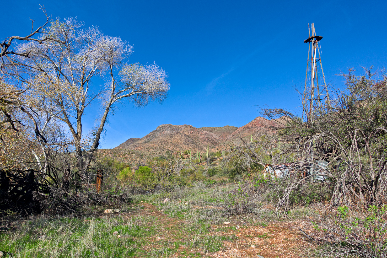
A view from the Windmill Trail. The cottonwood tree near the windmill can be seen in the center of the photo.
We visited the area of the windmill on this hike…
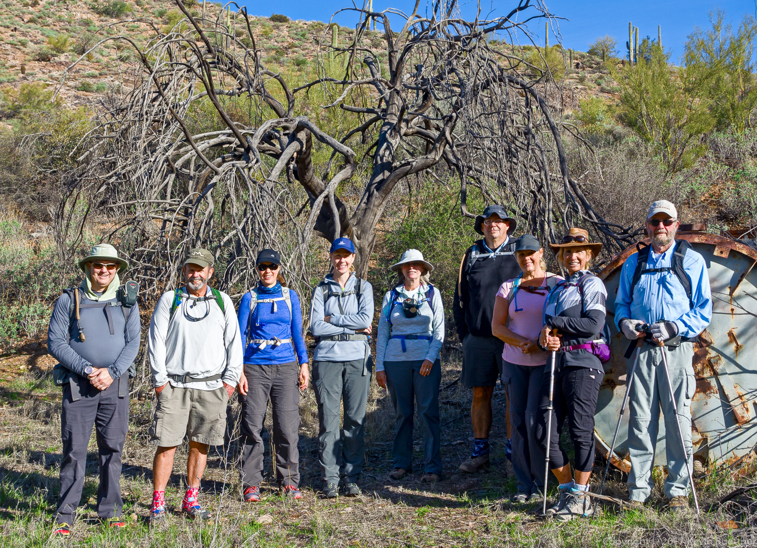
Kevin, Bob, Heather, Heather, Linda, Mike, Janet, Nancy, and Bill:
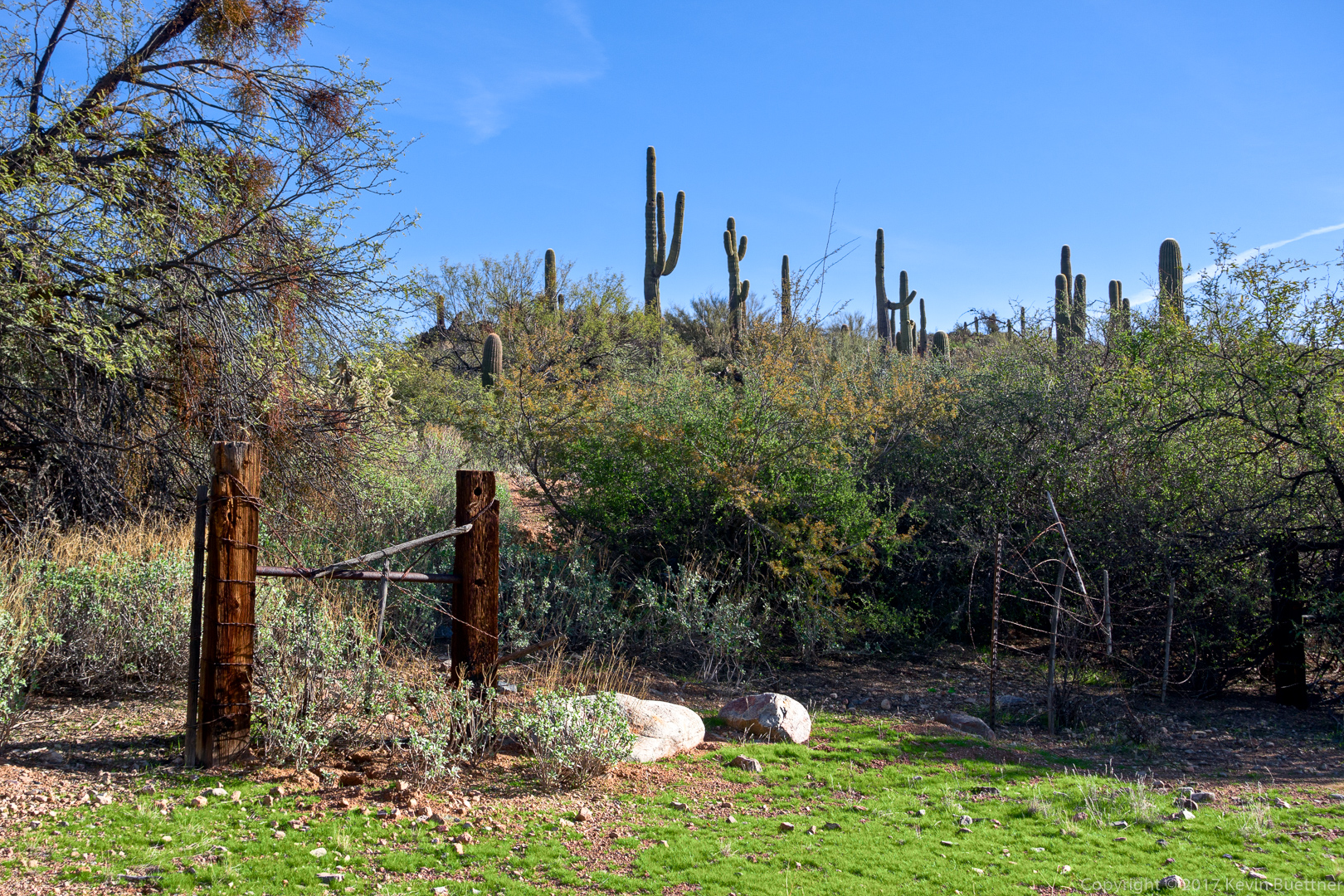
Another view from the Windmill Trail:
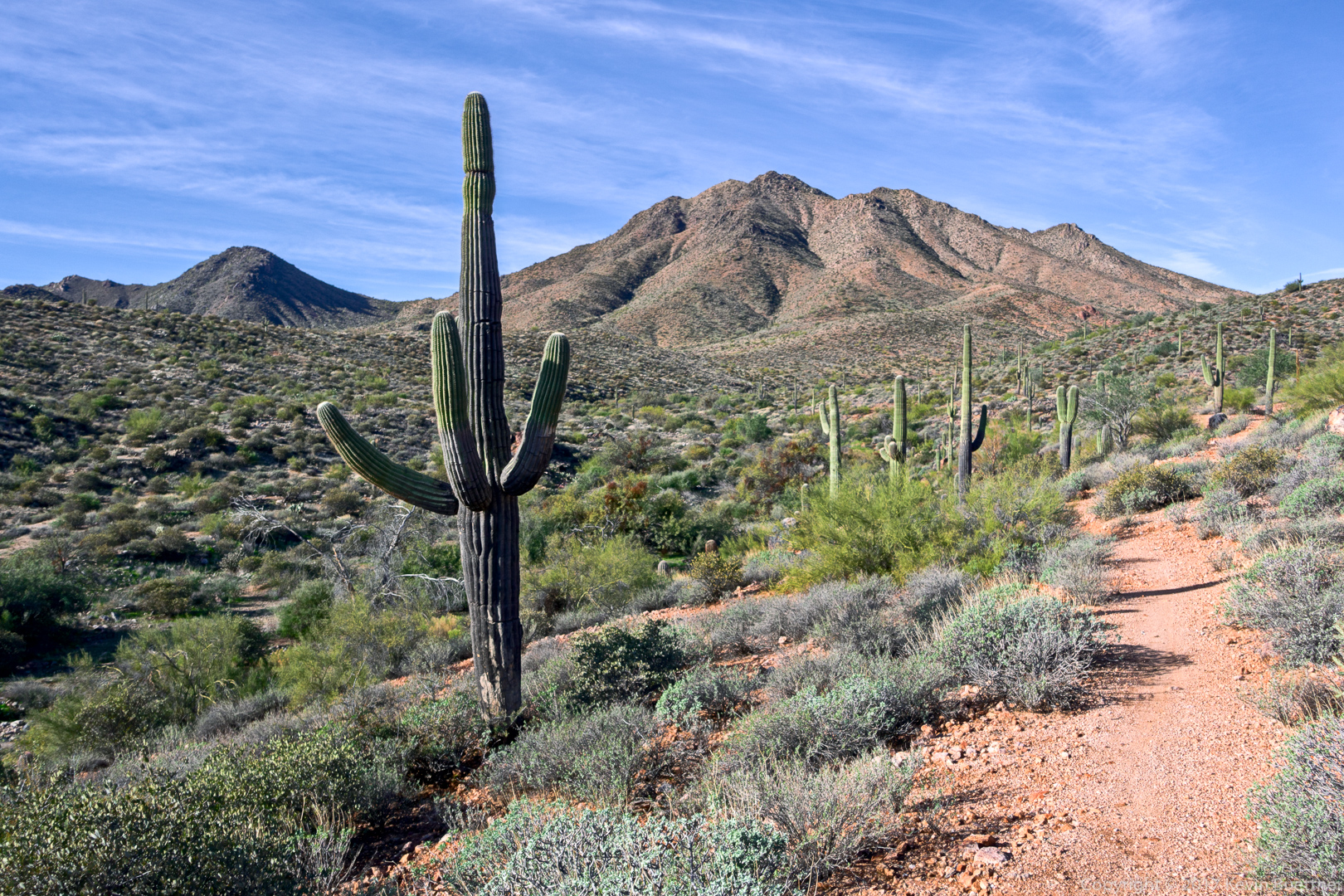
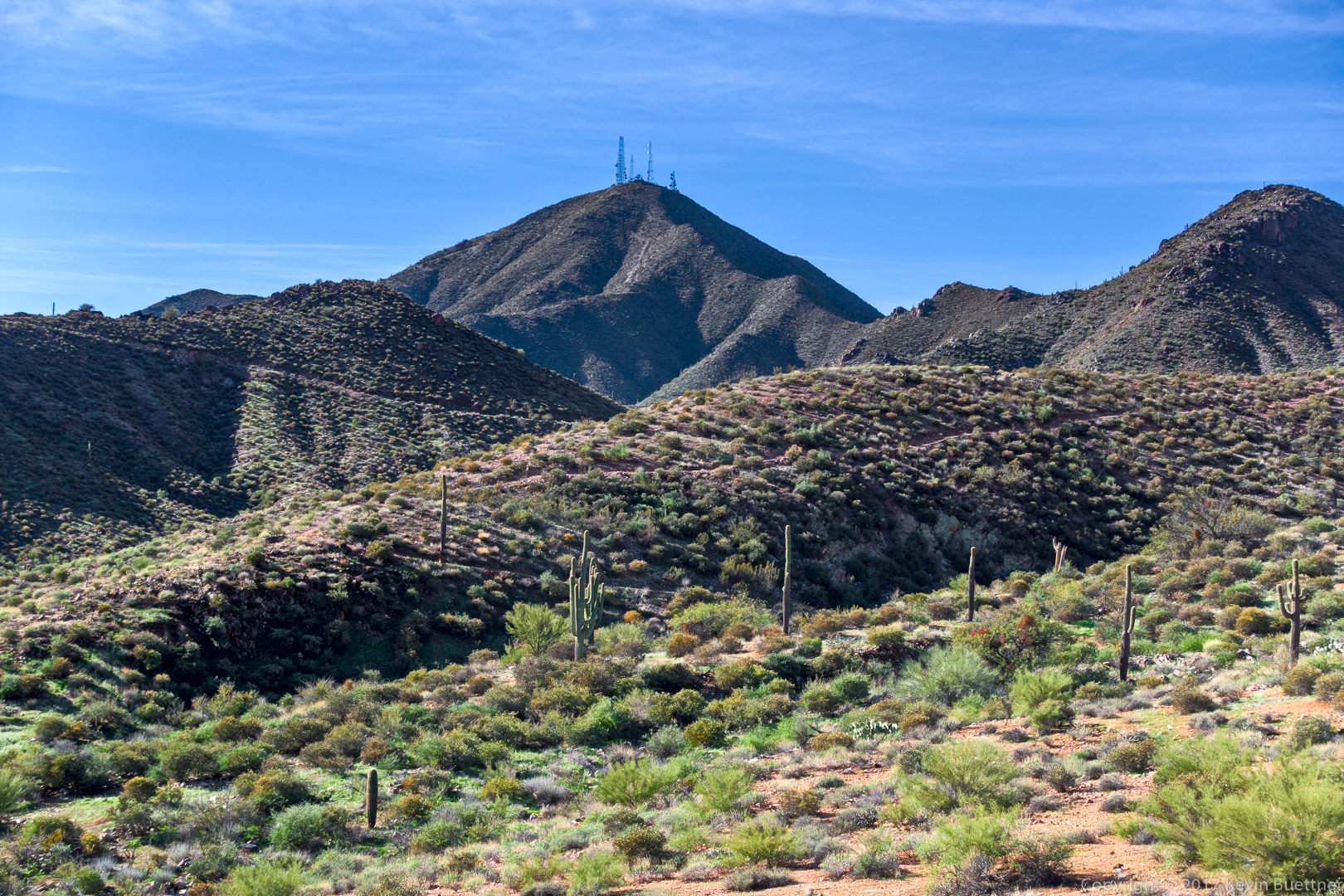
A view of Thompson Peak from the Bell Pass Trail:
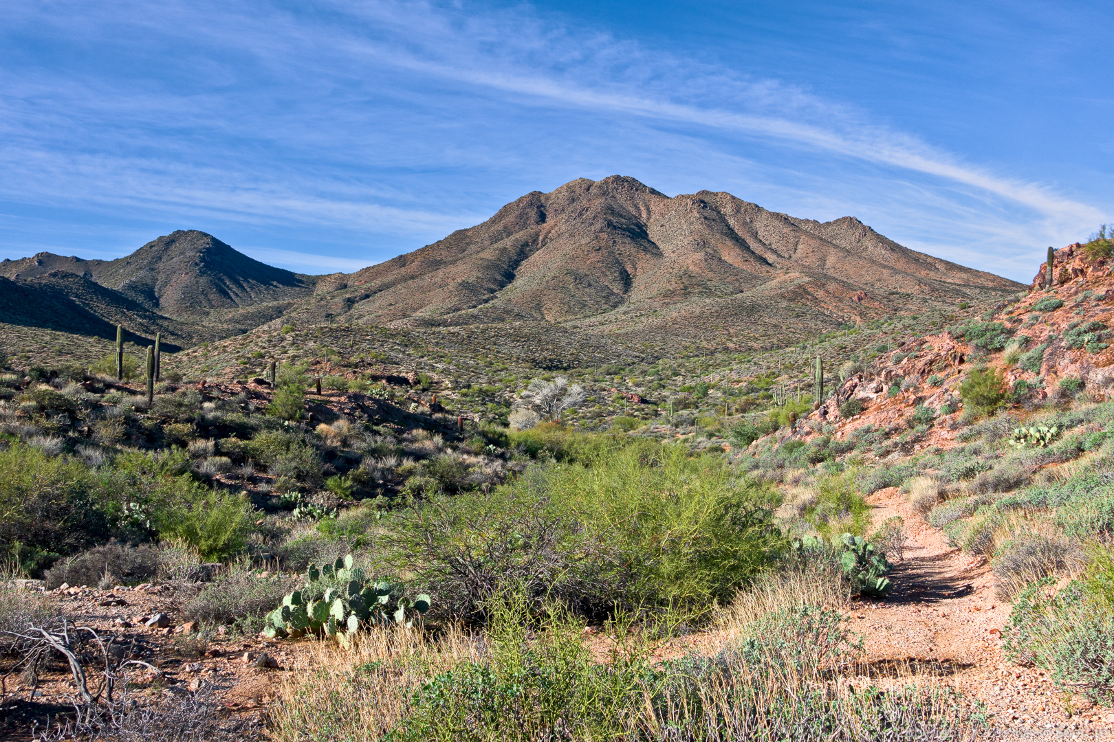
Another view from the Bell Pass Trail:
Mike, hiking up the Bell Pass Trail:
This is the view from the scenic viewpoint on the Prospector Trail:
A deep water-filled pothole. For once, there were no bees here! (It was a cool day though.)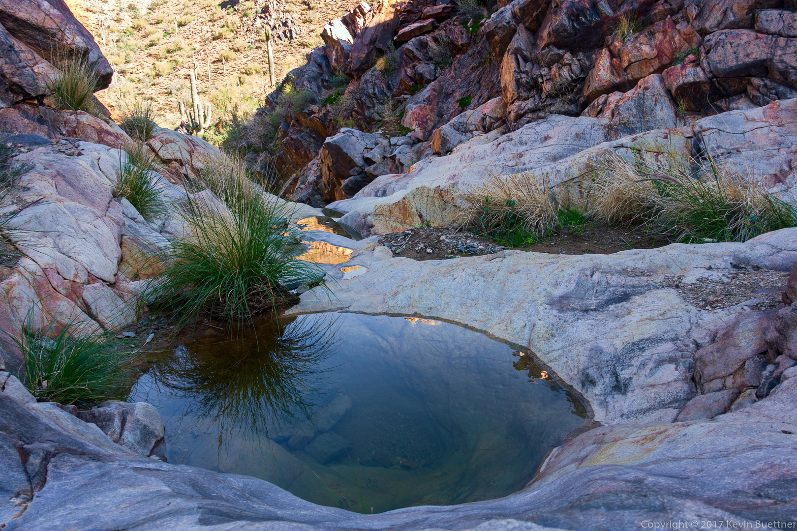
Heather S:
Heather J:
This is the view as we neared the mine:
