Month: May 2015 (page 2 of 3)

Friday Fitness Hike

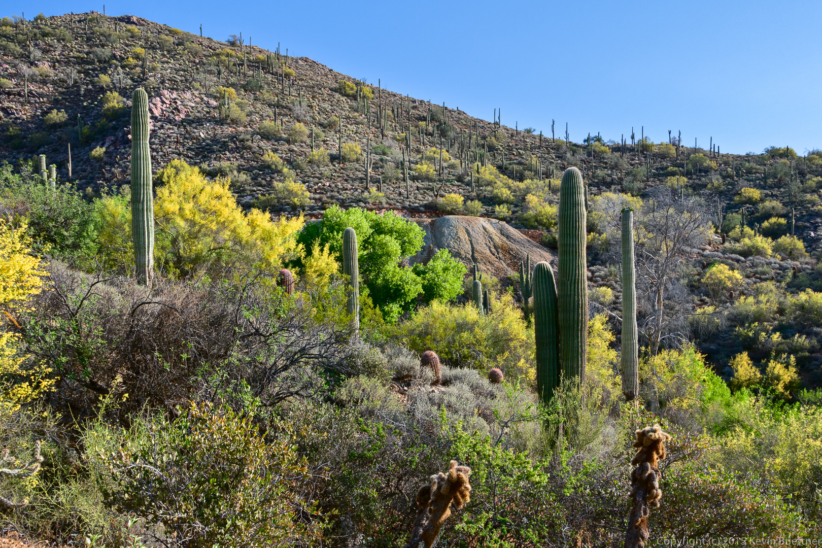
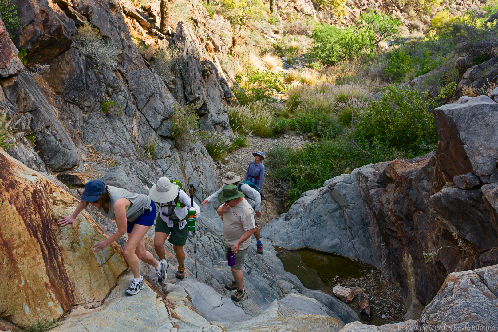
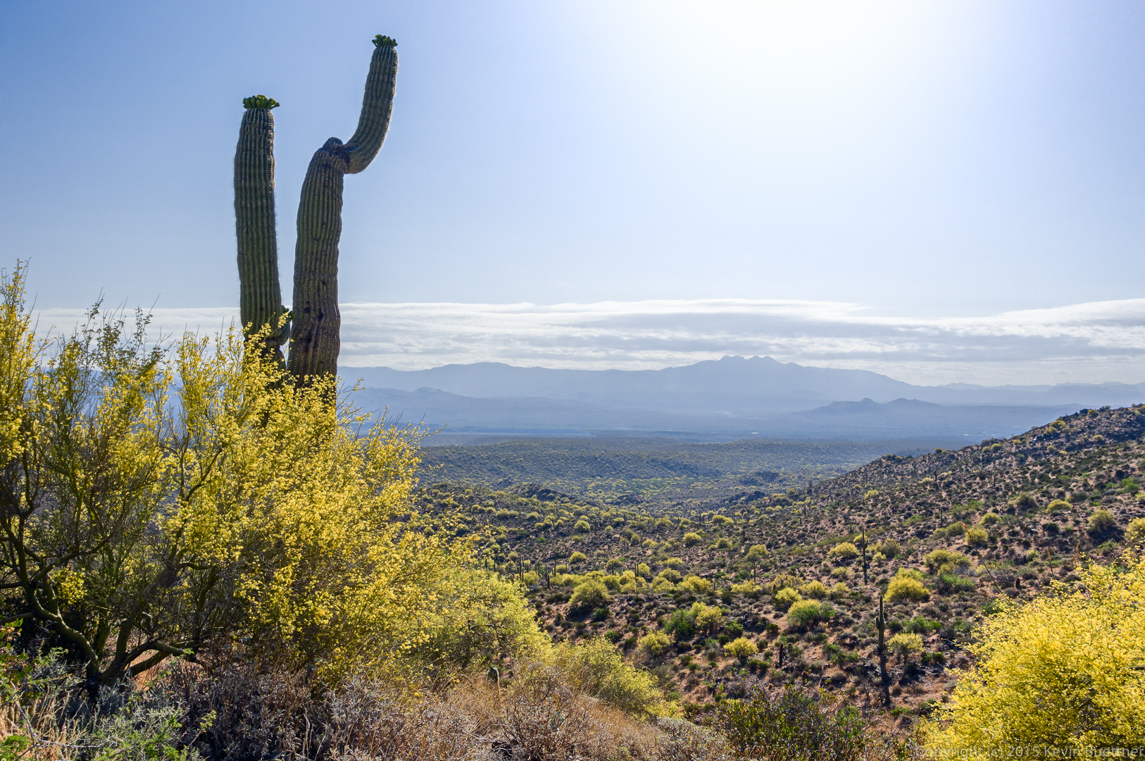
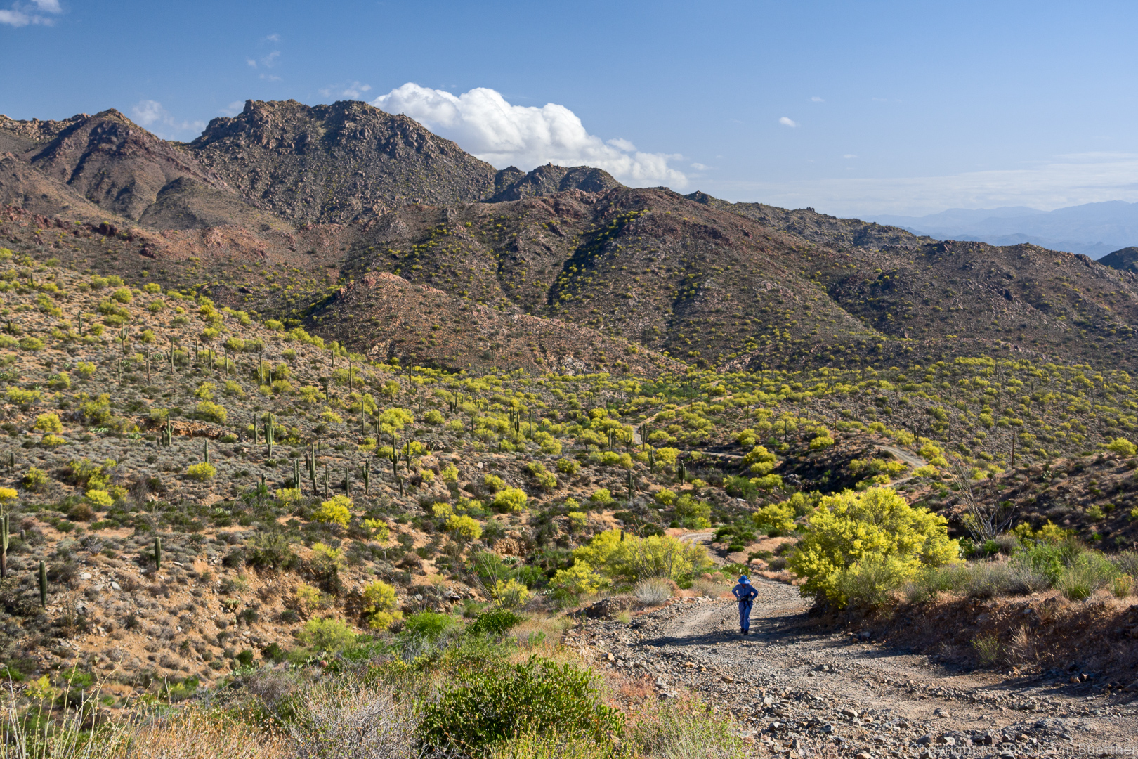
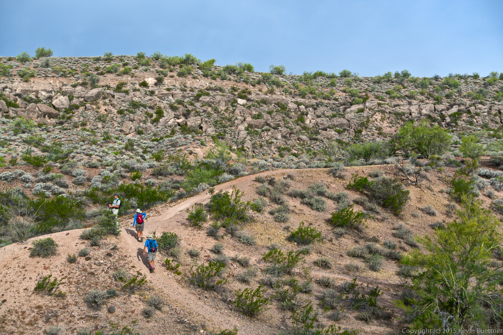
Bill, Bob, Linda, and I hiked a 9.2 mile loop starting from the Trailhead Staging Area.

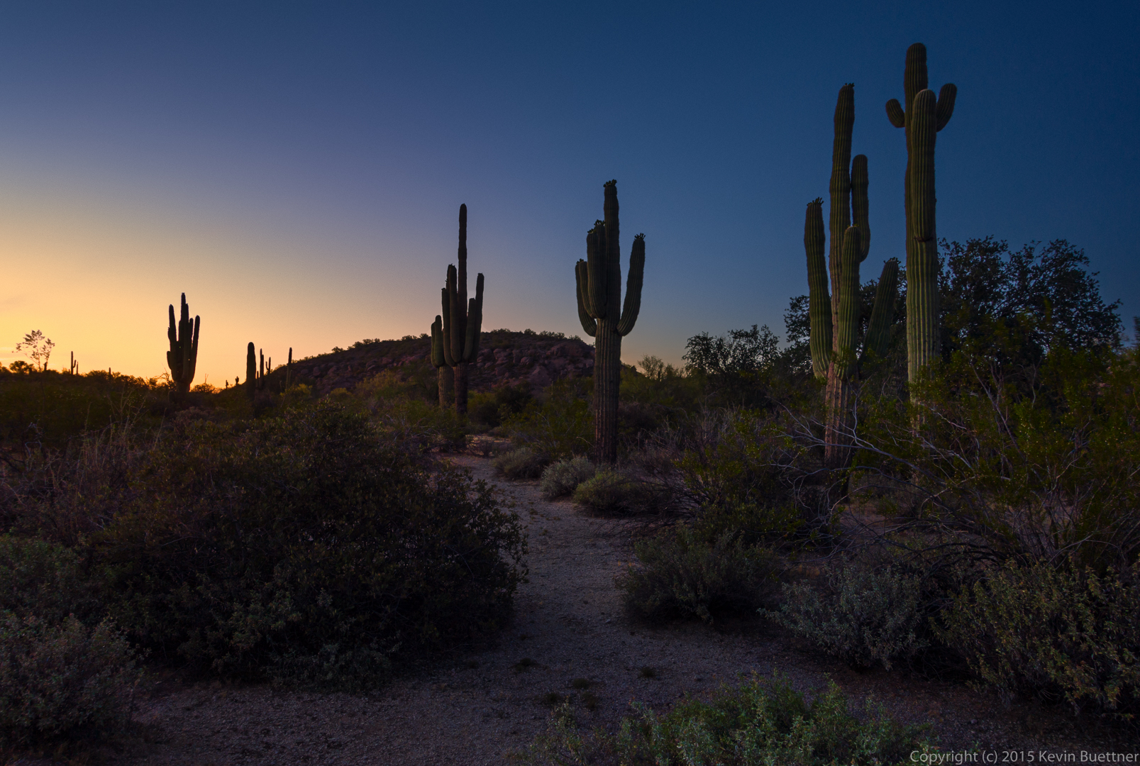
Early morning views from the Shallmo Wash Trail…
20150515-_DSC6997_8_8_9-Edit-medium

20150515-_DSC7024-Edit-medium

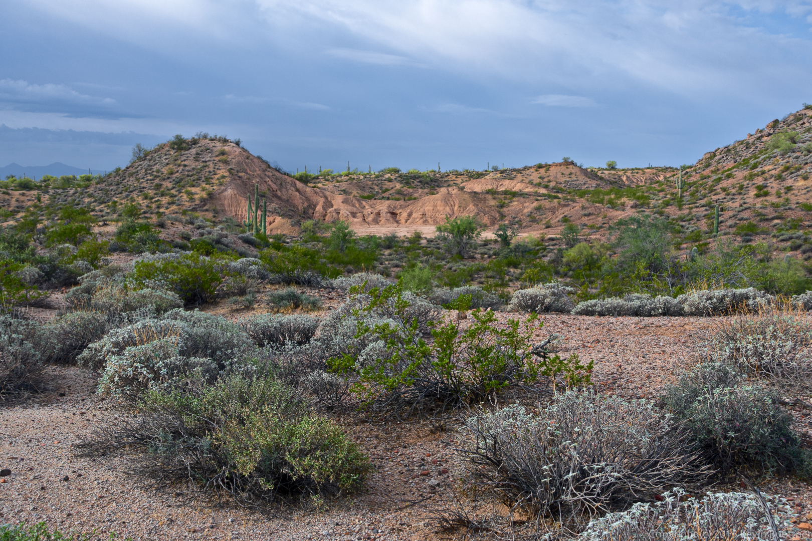
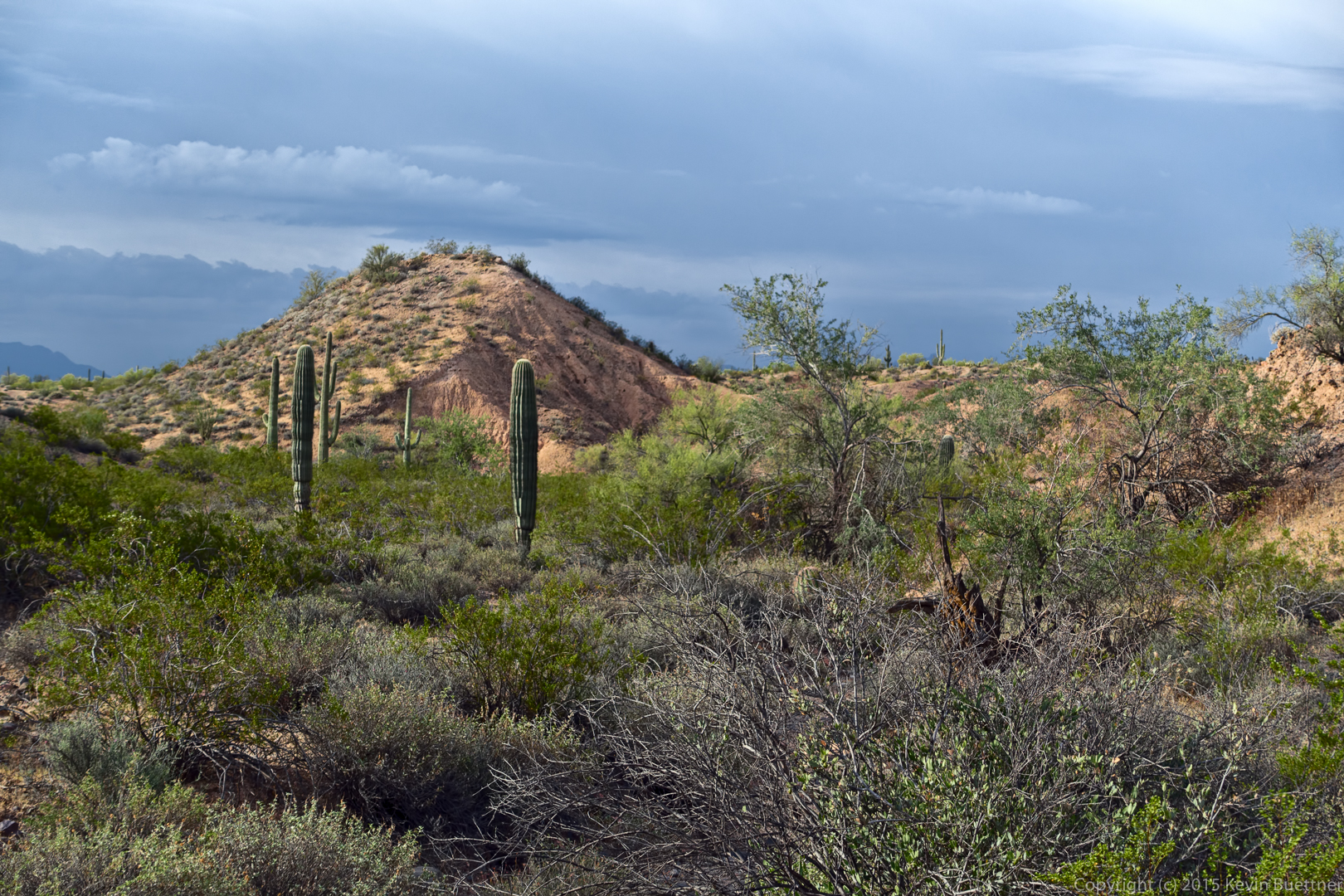
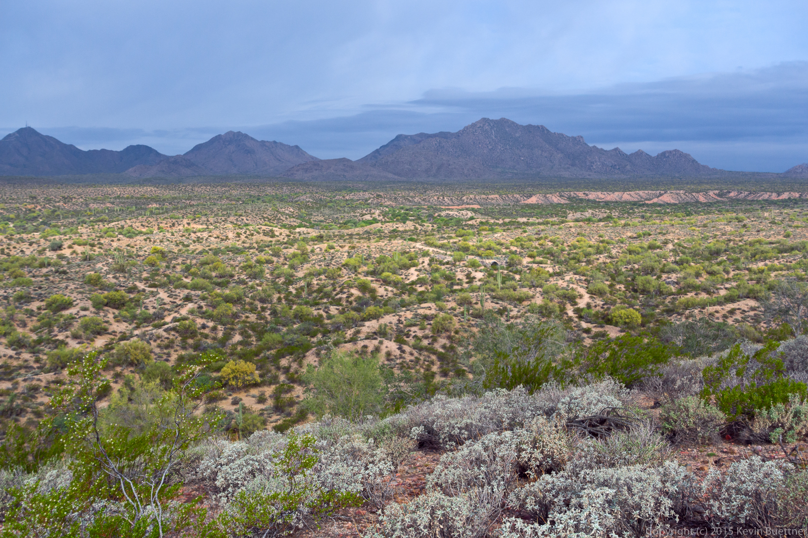
Views from the Tech Loop…

20150515-_DSC7048-Edit-medium

20150515-_DSC7057-Edit-medium

20150515-_DSC7063-Edit-medium

20150515-_DSC7072-Edit-Edit-medium

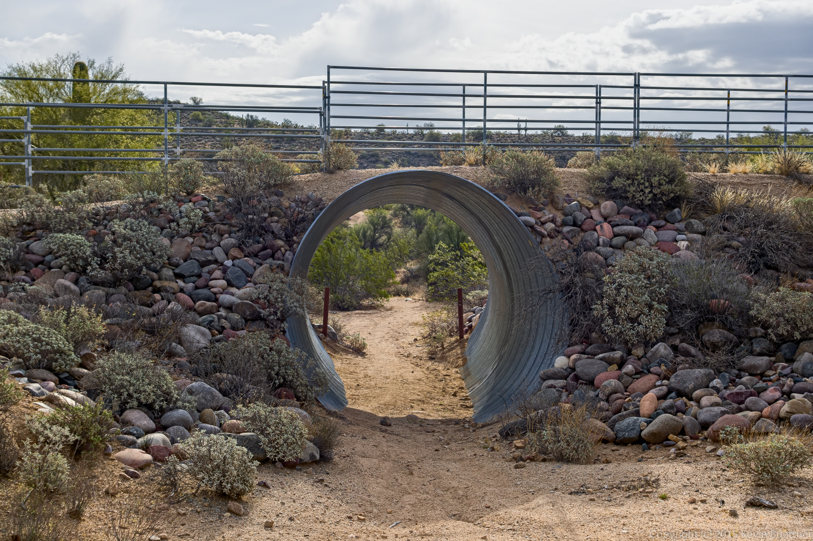
This is where the Tech Loop goes under the Sport Loop.

20150515-_DSC7078_79_80-Edit-medium

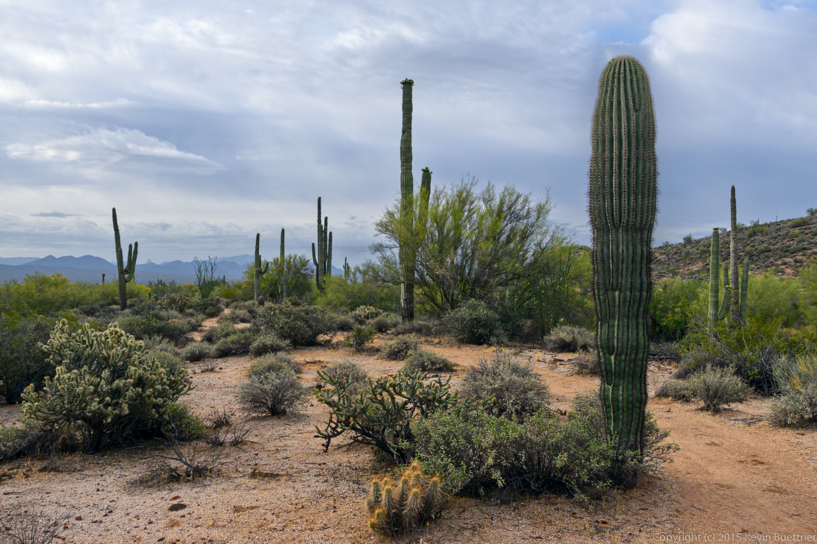
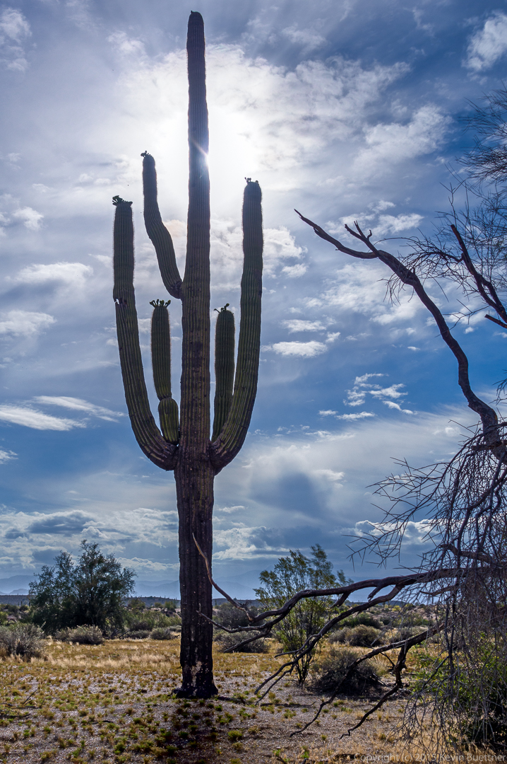
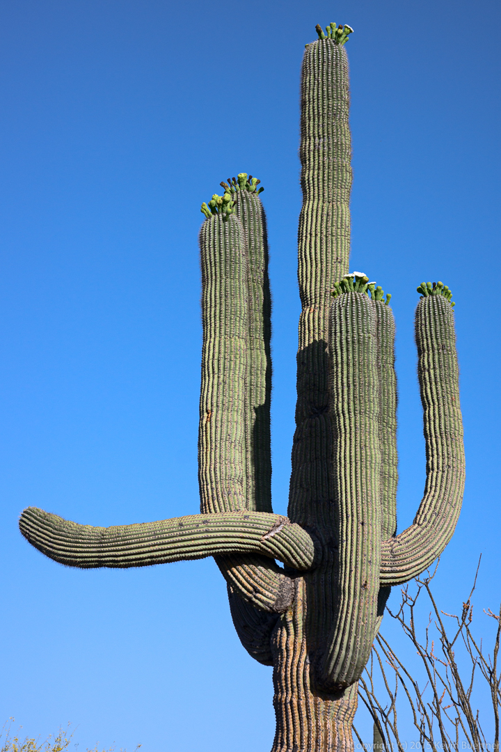
A saguaro in Stoneman Wash:

20150515-_DSC7096_7_7_8_8-Edit-medium

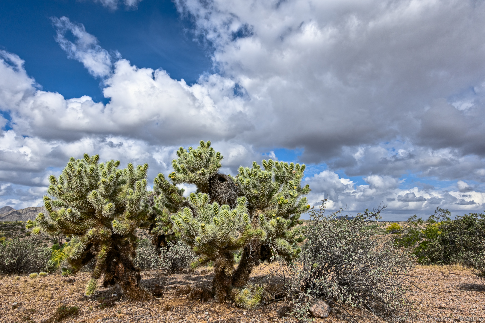
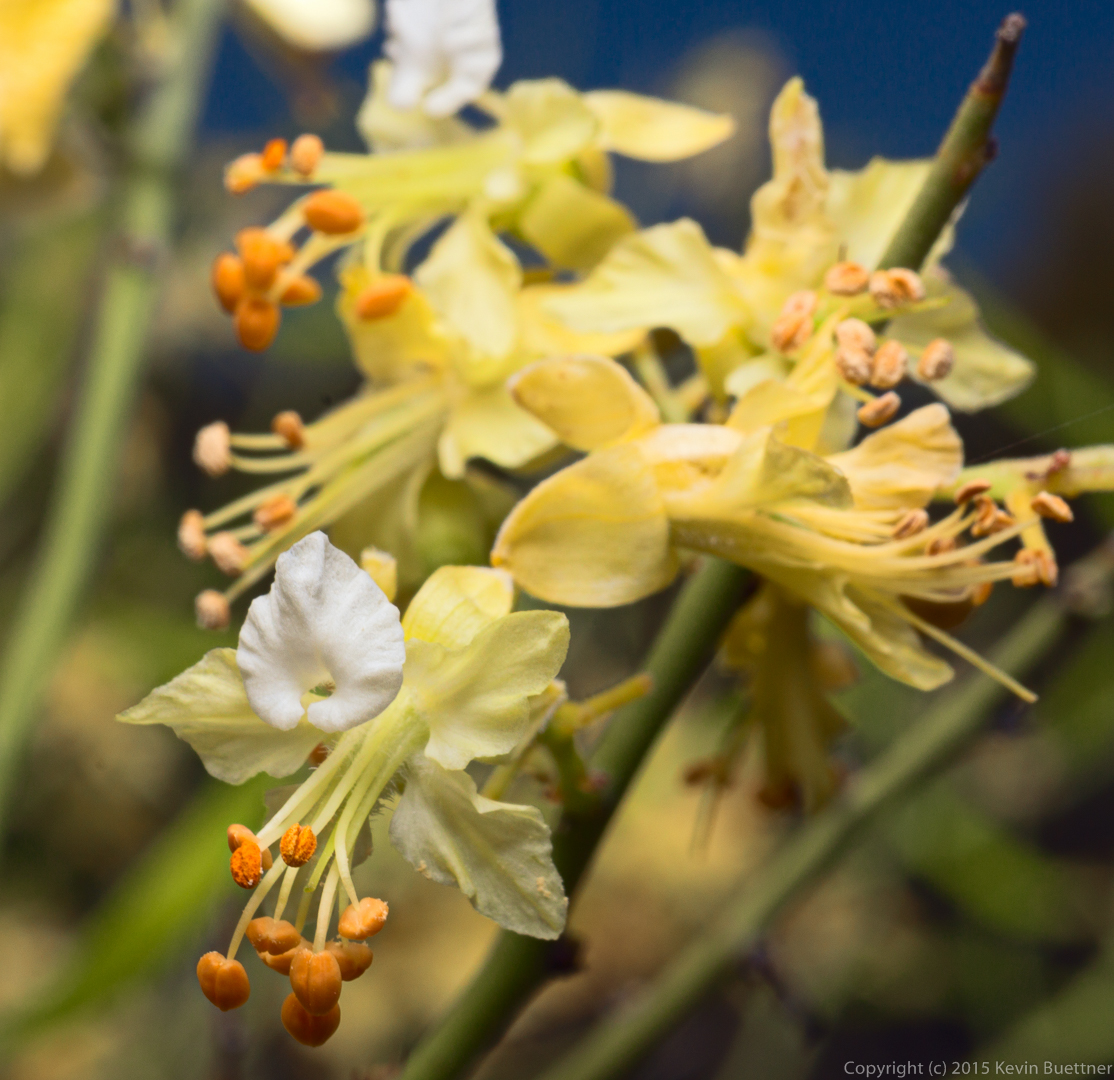
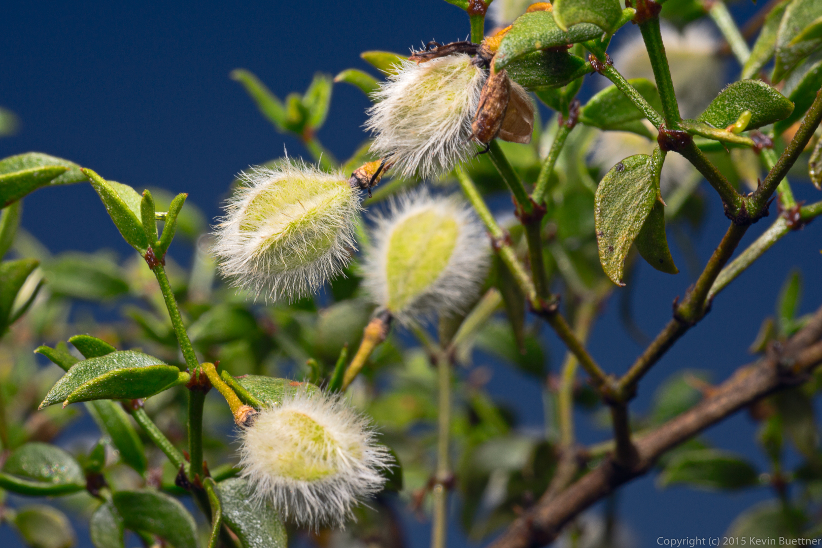
Cholla on the Granite Trail:

20150515-_DSC7132-Edit-medium

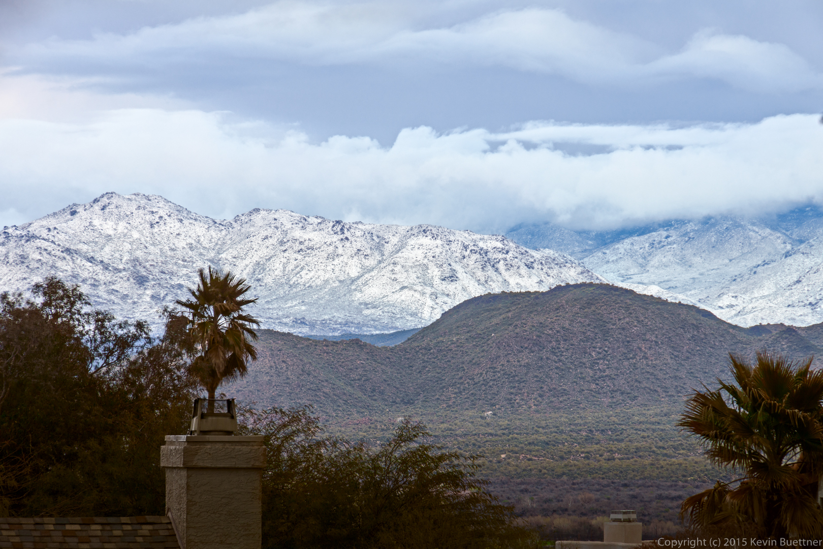
A Snowy Day in February (of 2013)

I’m revisiting photos that gave me trouble in the past. I used tone mapping in my original attempt and also failed to correct the blue cast.

20130220-DSC09639-Edit-medium

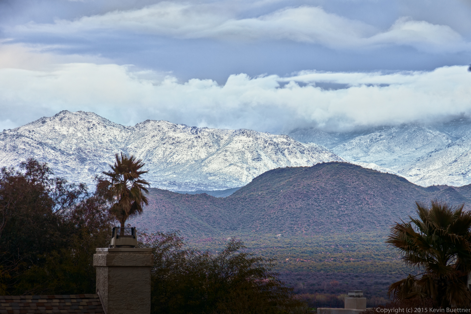
Another edit – I used different techniques for this one.  In the one above, I used ALCE to add contrast. In the one below, I removed the lens profile corrections, skipped channel blending, but used luminosity masked curves early on to improve contrast. For the edit below, I used some mild settings in Topaz Adjust to enhance localized contrast. I also burned the bottom and corners and decreased the saturation of those areas too.

20130220-DSC09639-Edit-2-medium

View from Little Mount Ord

This photo was taken on February 17, 2013.

20130217-DSC09407-Edit-medium

A Wet Day in March (2014)

This photo was taken on March 1, 2014. I had never posted it before because I wasn’t able to arrive at an edit that I liked.

20140301-_DSC5924-Edit-2-medium

20140301-_DSC5945-Edit-2-medium

20140301-_DSC5965-Edit-medium

Monday Night on the Tech Loop

I took these photos while hiking the Tech Loop on Monday evening.

20150511-_DSC6770_1_2_2-Edit-medium 20150511-_DSC6806-Edit-medium 20150511-_DSC6811-Edit-medium

Spider

20150511-_DSC3781-Edit-medium

Second Mesa Maiden

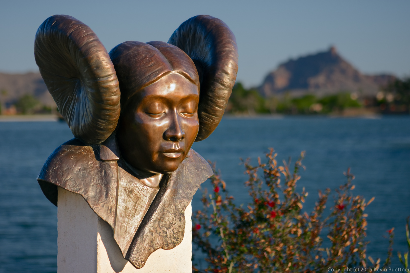
20150509-_DSC3665-Edit-medium

20150509-_DSC3662-Edit-medium

Friday Fitness Hike

Friday’s hike started at the Dixie Mine Trailhead. We hiked out to the mine, past the petroglyphs, up the wash, and then turned left onto the Prospector Trail. That took us to the road where we bade goodbye to Steve and Laurie. Most of the rest of us hiked up the road to the summit of Thompson Peak. We returned via the road and the Dixie Mine Trail. Total distance was 10.8 miles with 2400 feet of total ascent.

A view from the Dixie Mine Trail:
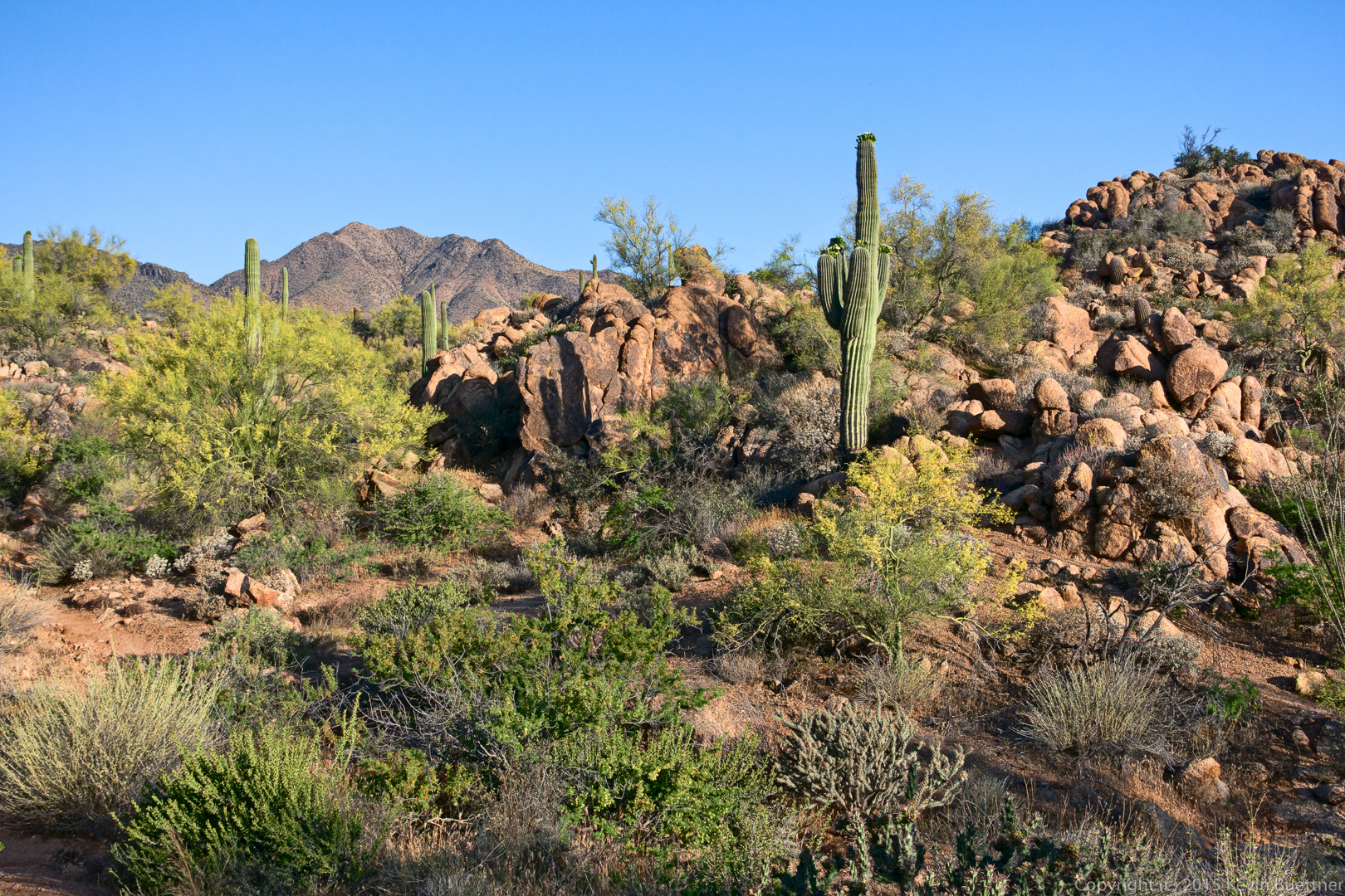
20150508-_DSC6142-Edit-medium

Taking a break on the Dixie Mine Trail.
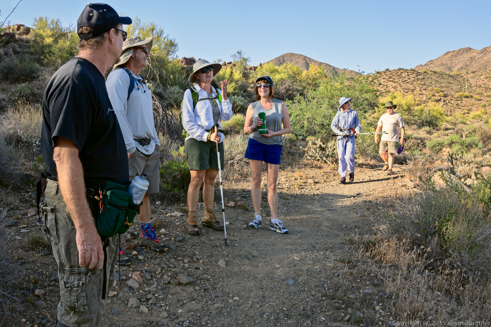
20150508-_DSC6181-Edit-medium

A view of the mine tailings.

20150508-_DSC6205-Edit-medium

A view of the entrance to the mine. I blended three exposures to see as far into the mine as I could.
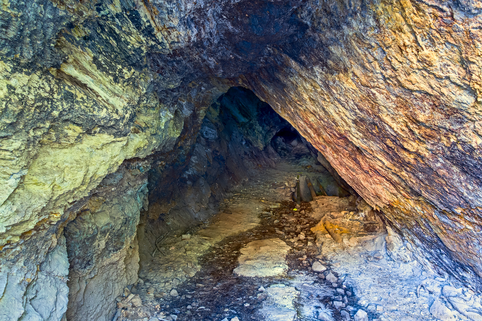
20150508-_DSC6217_8_8_9_9-Edit-medium

Jerry, Linda, Bob, Laurie, Denise, Steve, and Kevin:
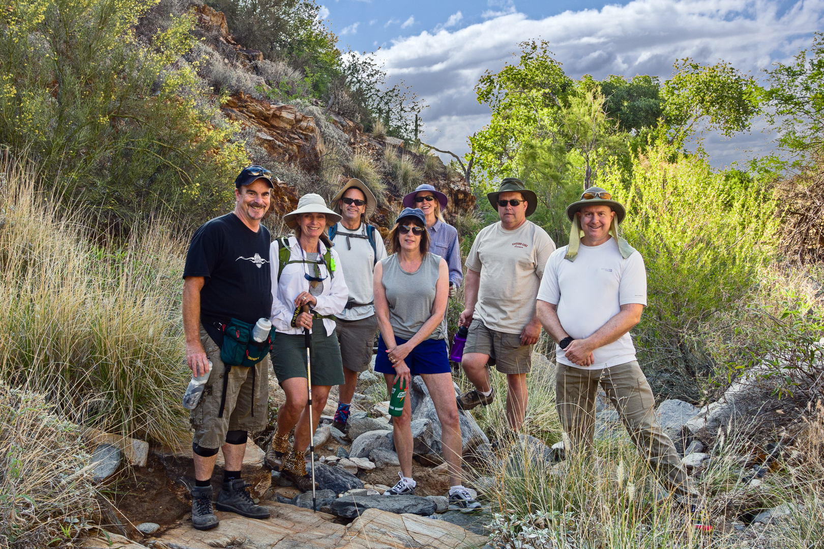
20150508-_DSC6220-Edit-medium

The waterfall (when there’s water) from the bottom:
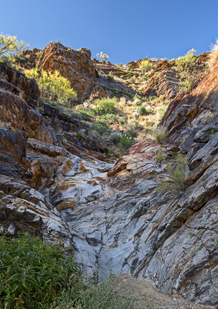
20150508-_DSC6246-Edit-medium

Hiking up the waterfall…

20150508-_DSC6268-Edit-medium

A fun slab for practicing smearing technique.
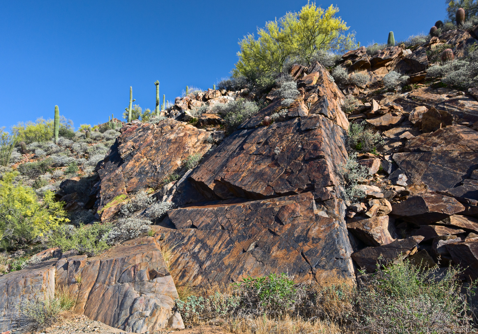
20150508-_DSC6276-Edit-medium

This peak with the towers is Thompson’s Peak. That’s where we’re going.
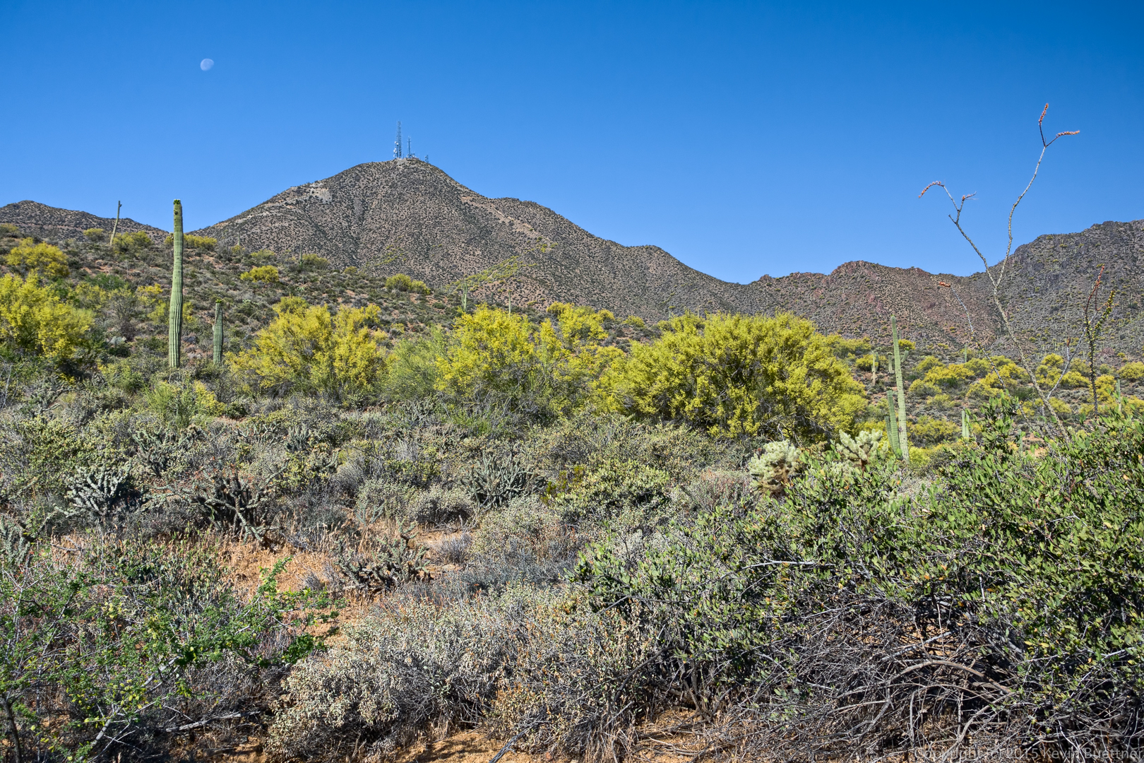
20150508-_DSC6279-Edit-medium

Linda and Denise on the lower section of road.
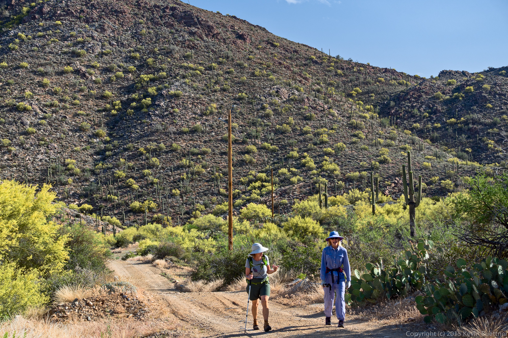
20150508-_DSC6288-Edit-medium

A view of Four Peaks.

20150508-_DSC6306_7_8-Edit-medium

Denise continues up the road.

20150508-_DSC6312-Edit-medium

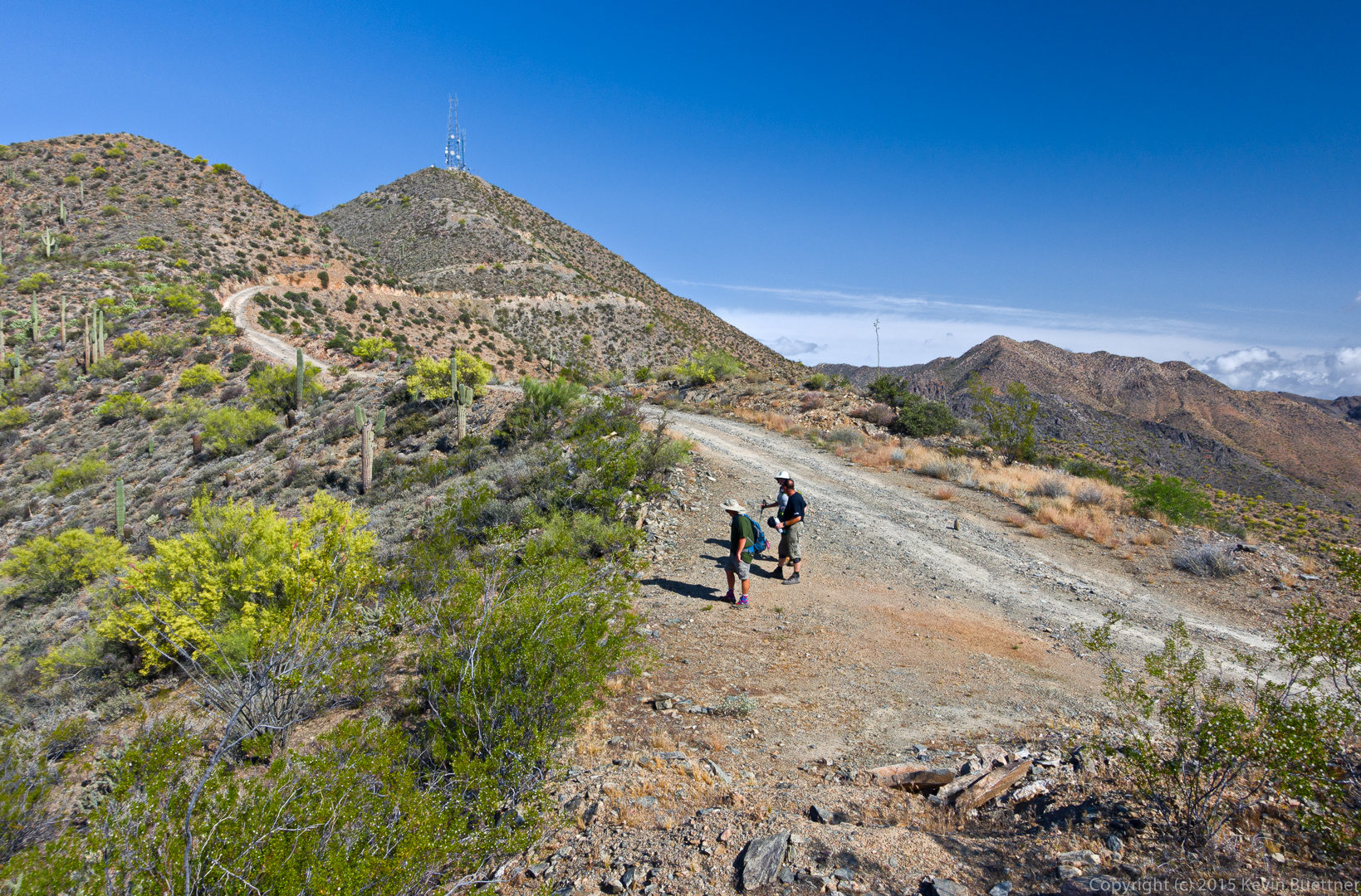
There’s a brief plateau after the first steep, paved section. But there’s still a good ways to go and it gets even steeper later on. (I had forgotten this.)
20150508-_DSC6339-Edit-medium

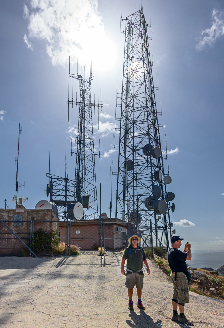
Up at the towers.

20150508-_DSC6429-Edit-medium

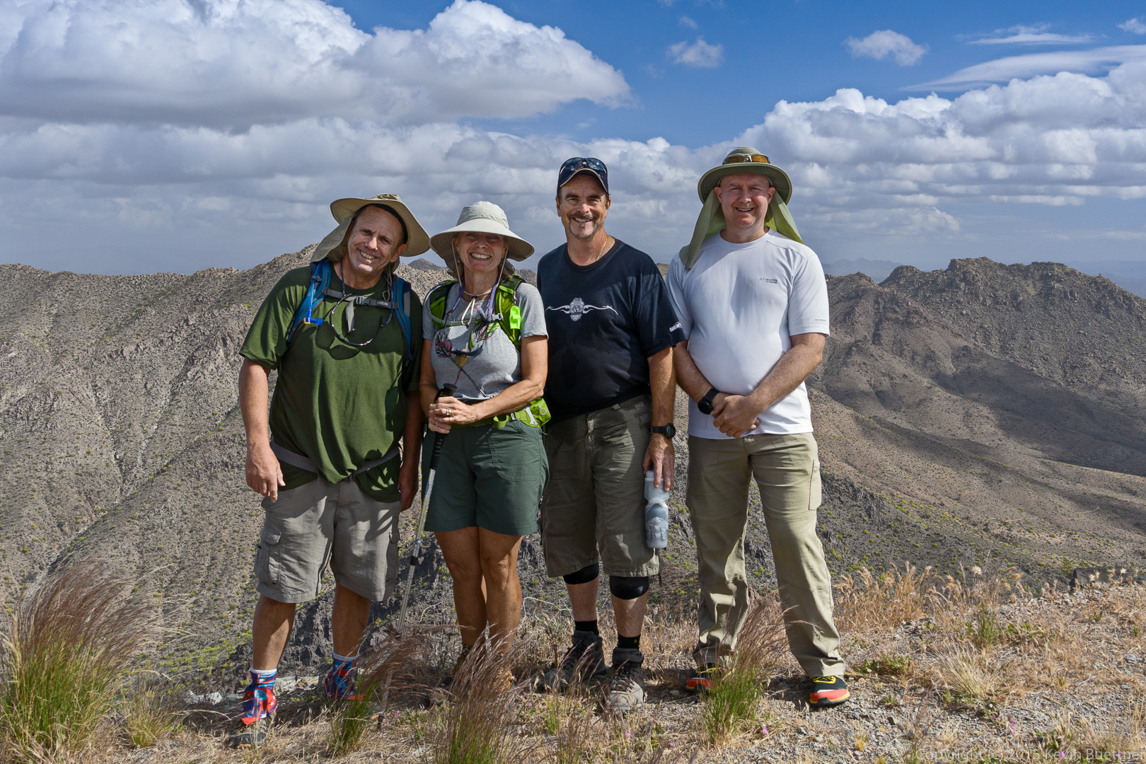
Bob, Linda, Jerry, and Kevin at the summit of Thompson Peak.
20150508-_DSC6445-Edit-medium

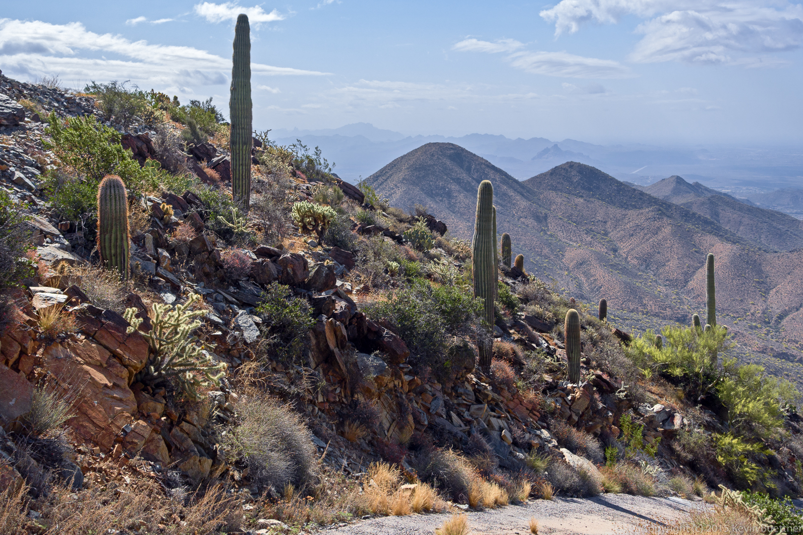
An interesting view that I noticed as we were descending:
20150508-_DSC6470-Edit-medium

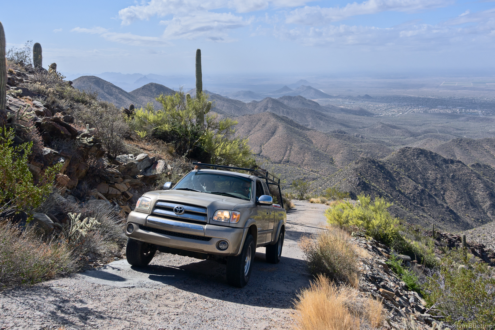
This is one of three vehicles that we encountered as we walked back down the road.
20150508-_DSC6488-Edit-2-medium

A view which helps to show how high and steep the road is.

20150508-_DSC6503-Edit-medium

Linda descends a fairly steep section of road near the top.
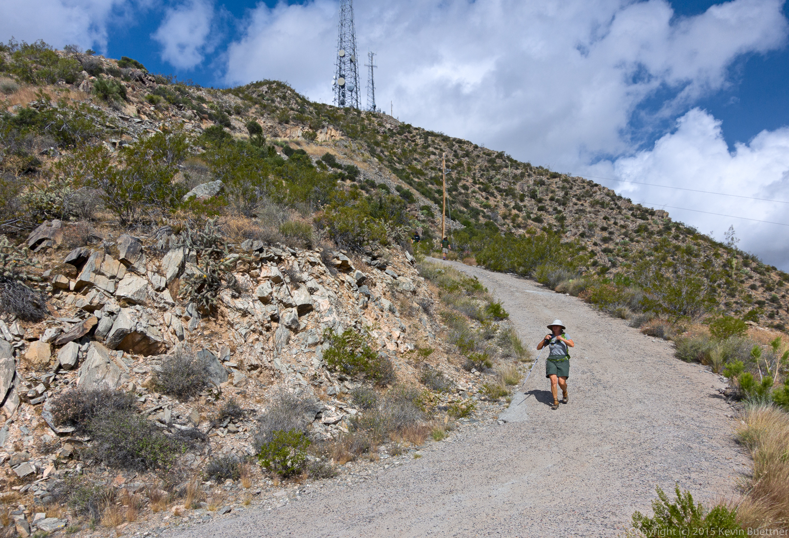
20150508-_DSC6530-Edit-medium

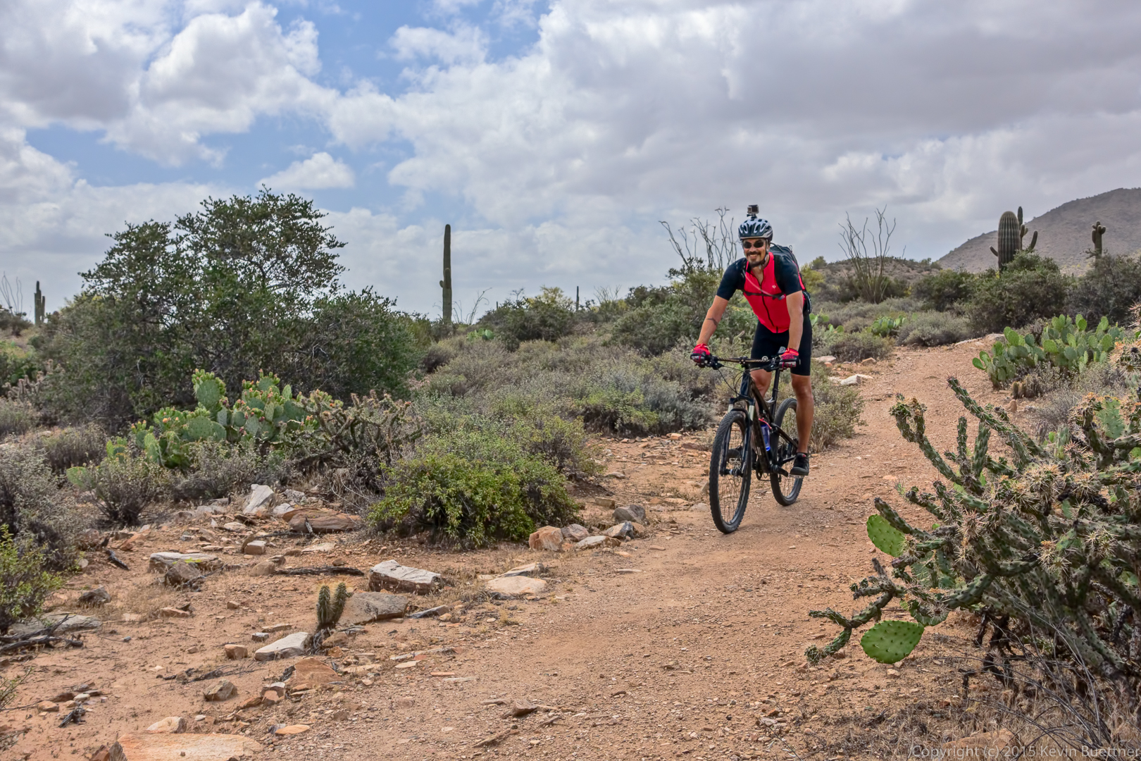
A cyclist on the Dixie Mine trail.

20150508-_DSC6621-Edit-medium

A view of Thompson’s peak from the Eagle’s Nest gated community. We had less than half a mile left to hike to get back to our vehicles at this point.
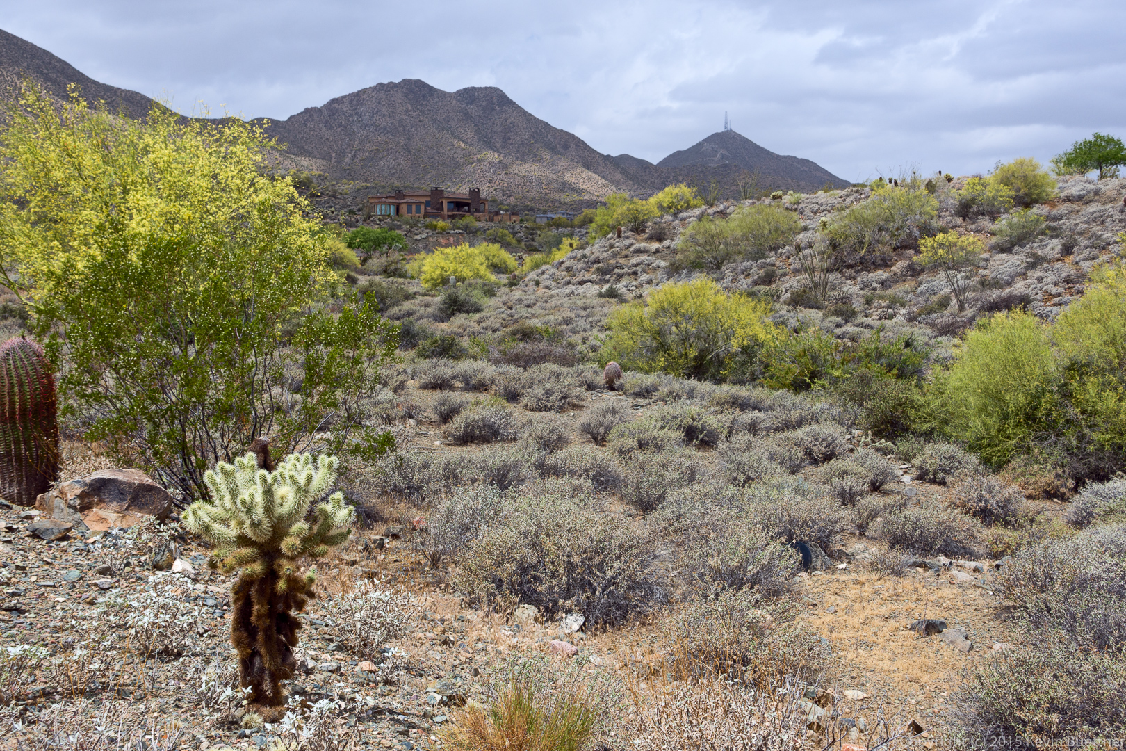
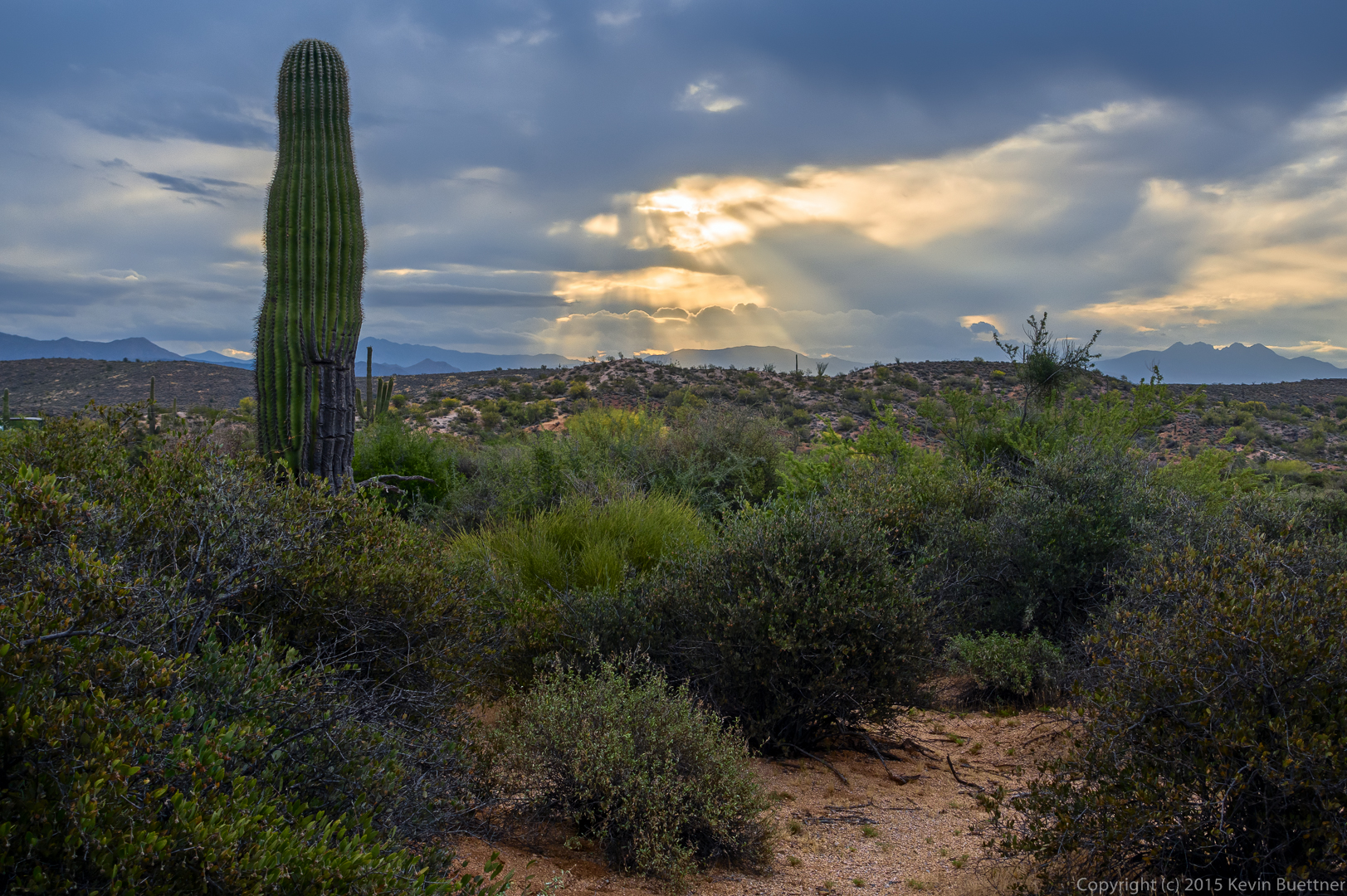
20150508-_DSC6623-Edit-medium

Fountain Park Macro Shots

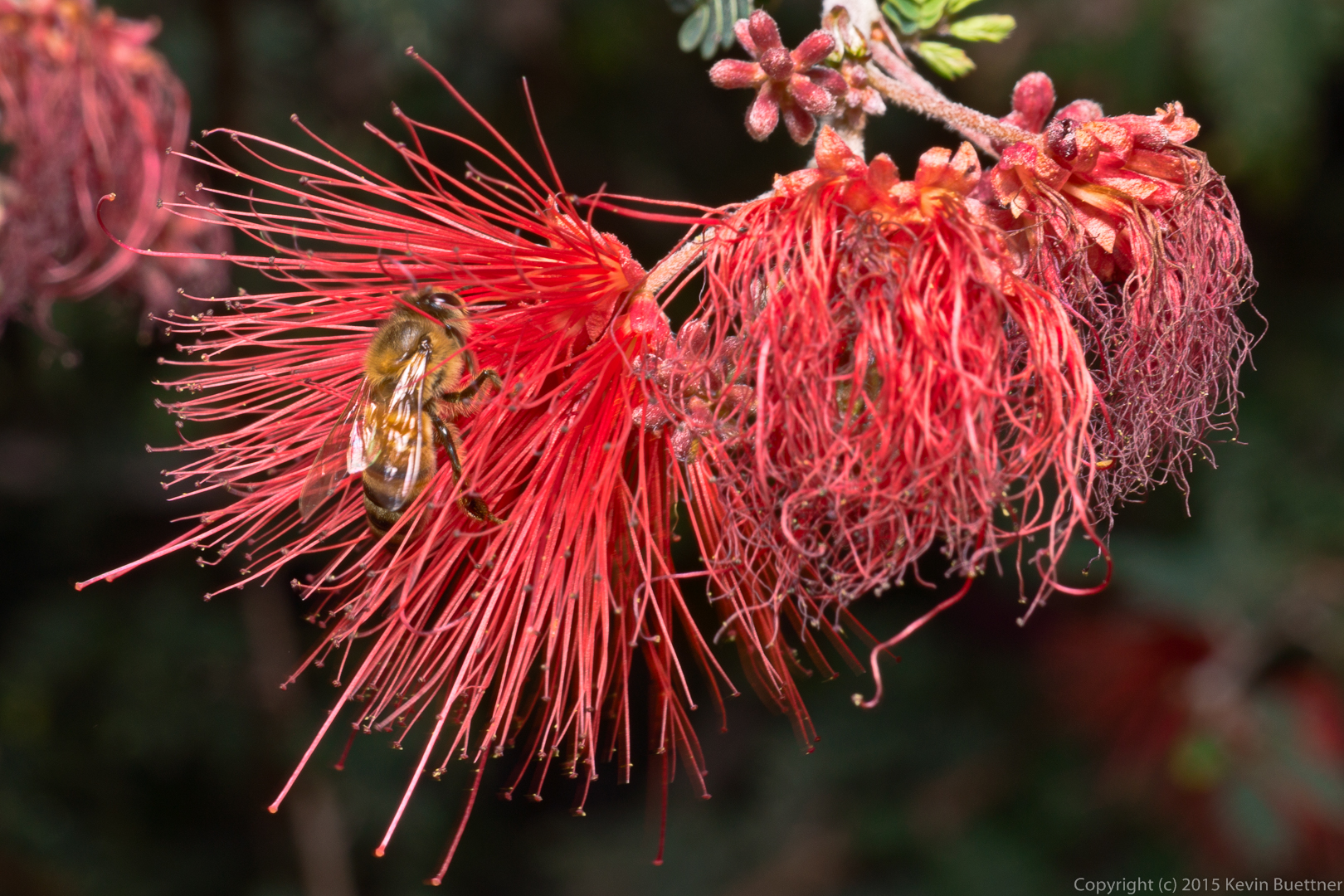
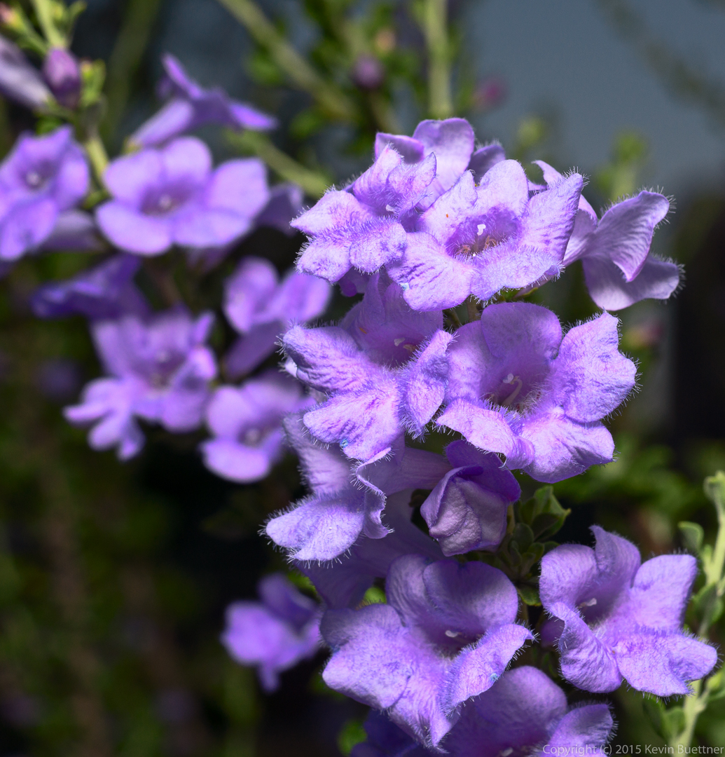
20150509-_DSC3704-Edit-medium 20150509-_DSC3717-Edit-medium 20150509-_DSC3727-Edit-medium 20150509-_DSC3739-Edit-medium 20150509-_DSC3749-Edit-medium

Lousley Hill Photos

20150507-_DSC3459-Edit-medium 20150507-_DSC3460-Edit-medium 20150507-_DSC3478-Edit-medium 20150507-_DSC3494-Edit-medium 20150507-_DSC3506-Edit-medium 20150507-_DSC3583-Edit-medium 20150507-_DSC3605-Edit-medium