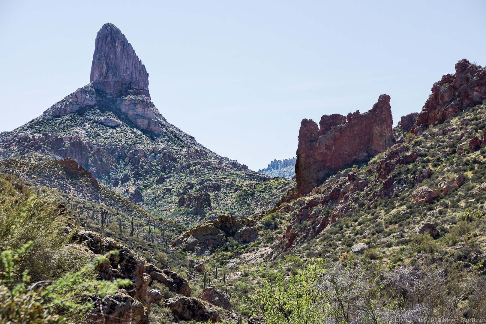
Linda, Bob, and I did a hike in the Superstitions last Friday.
We started off on the Dutchman Trail and then took the Second Water Trail. We hiked Second Water out to the Black Mesa Trail which took us back to the Dutchman Trail. Had we returned on the Dutchman Trail at this point – which is what we had planned – we would have hiked nine miles. But we were all feeling pretty good so we decided to see if we could find the Bull Pass Trail, which we had noticed on the map prior to starting our hike.
I couldn’t tell from the map if the Bull Pass Trail connected with the Dutchman Trail or the Boulder Canyon Trail, so we explored a bit of Boulder Canyon looking for the Bull Pass Trail. The Boulder Canyon Trail – at that point, anyway – crosses Boulder Creek many, many times. We limited ourselves to three crossings in our exploration. Neither Bob nor Linda had hiked this portion of the Boulder Canyon Trail. This gave them a chance to experience what it’s like.
We returned to the Dutchman Trail and located the Bull Pass a short ways further. The first part of the Bull Pass Trail provided us with much of our elevation gain for the day. Once we reached the pass, we saw a side trail which continued upwards. We went up some of the way, but turned back before reaching the summit. (I knew we had a lot of miles to hike still, and thought it best to conserve our energy.)
Returning to the Bull Pass Trail, we continued on until we reached the Dutchman Trail again. We hiked the Dutchman Trail back to the Trailhead.
Our total distance for the day was 16.1 miles, but with only 1,978 feet of total ascent. (I was hoping to reach at least 2,000.)
This is a view from the Second Water Trail early in the hike.
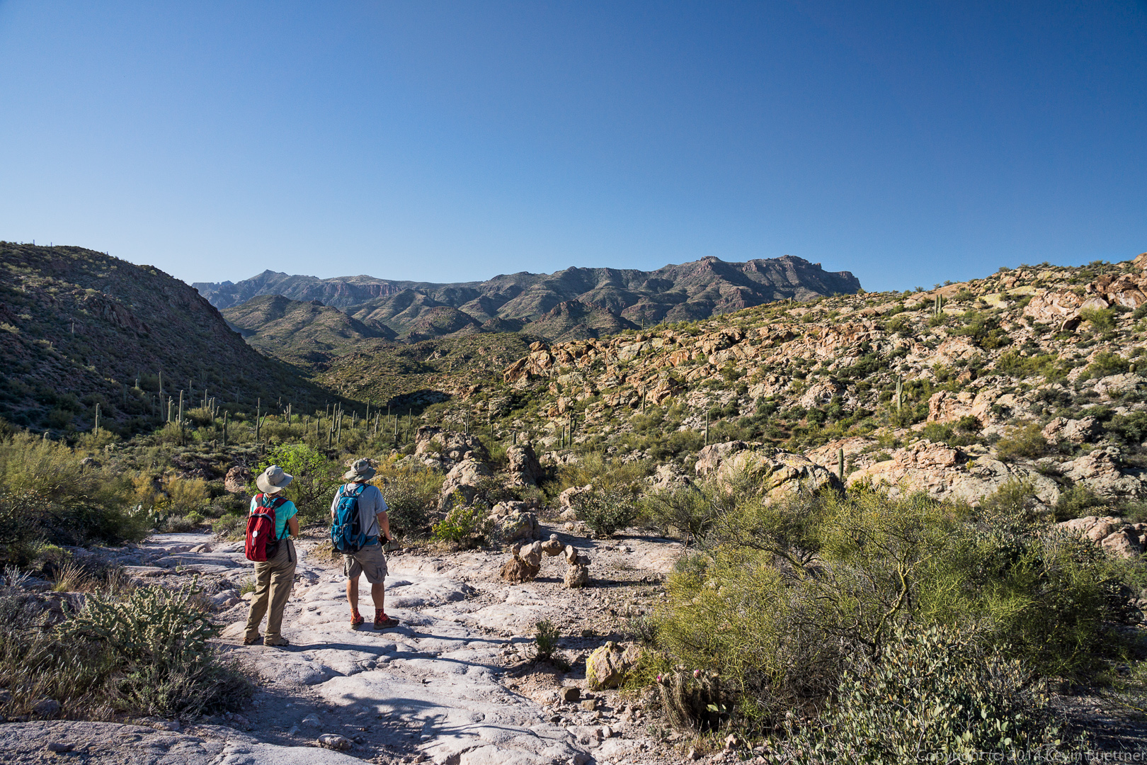
 Linda and Bob enjoy the view from the Second Water Trail. There’s an interesting, arch-shaped cairn here too.
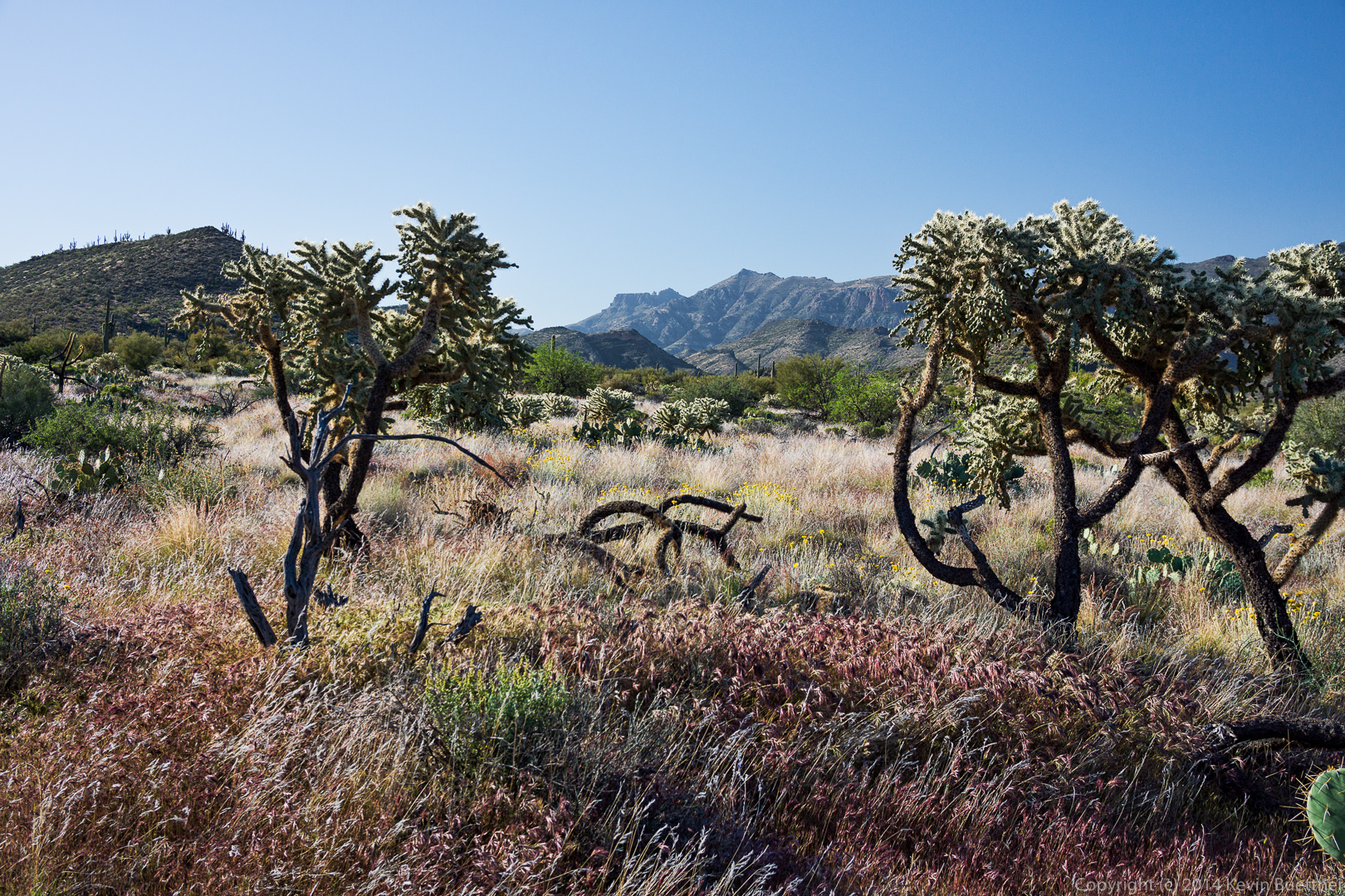
 We saw these chain fruit cholla on the Black Mesa Trail.
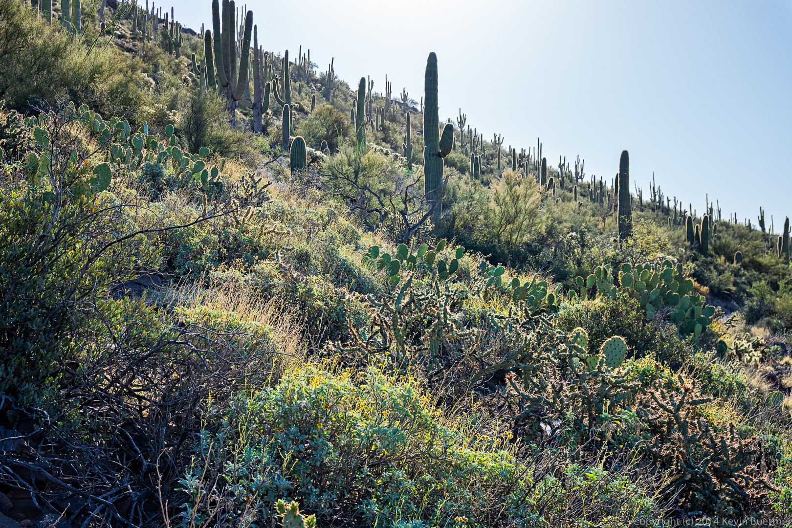
 I thought it was interesting that these saguaros made a “V”.
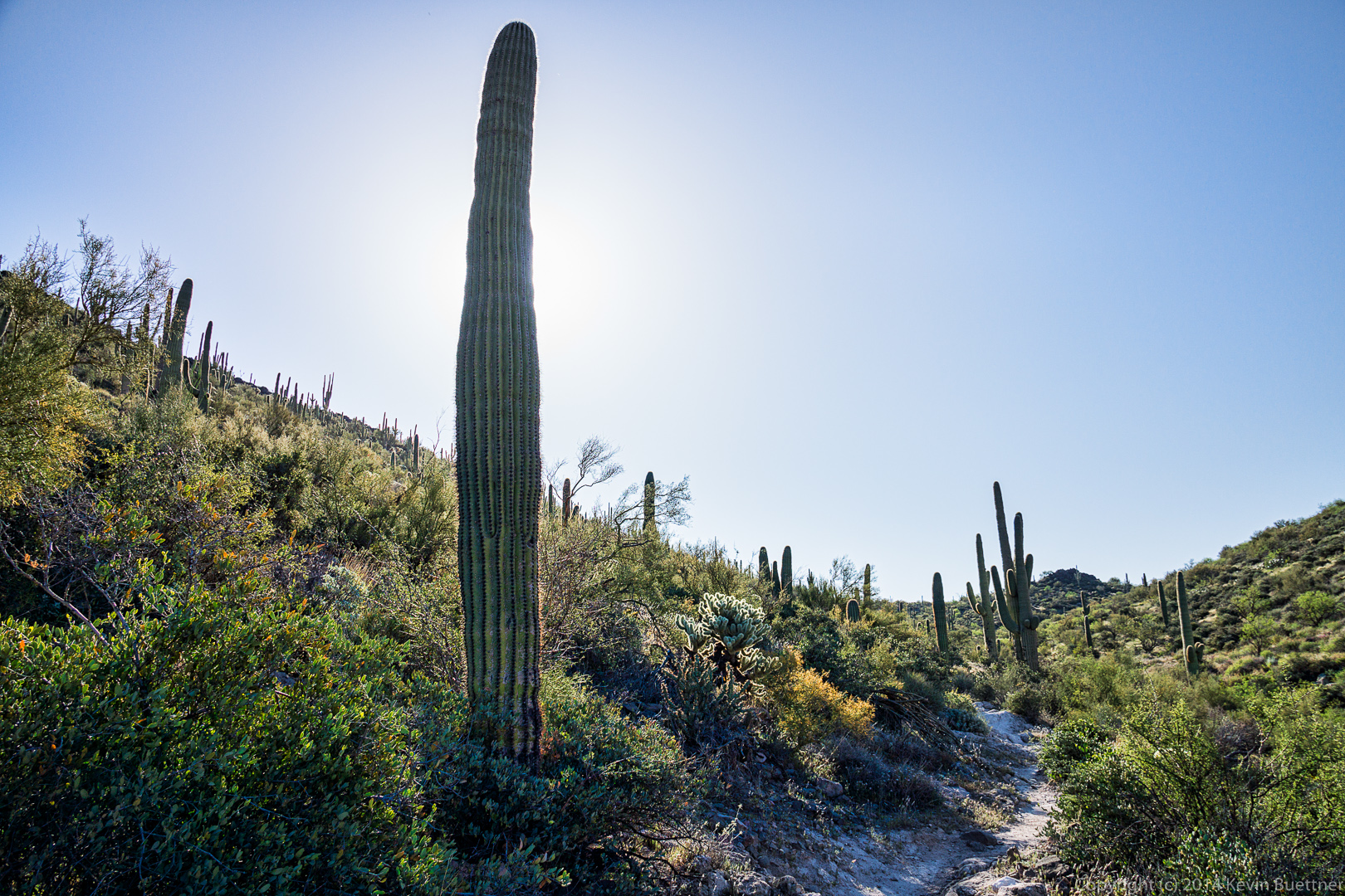
 We noticed a large number of saguaros on the hillside to our left as we hiked the Black Mesa Trail, but there were almost no saguaros on the hillside to our right. I had to keep the camera low to avoid lens flare in this shot.
 A short ways further, I decided to position the camera in this saguaro’s shadow as a different way of avoiding lens flare.
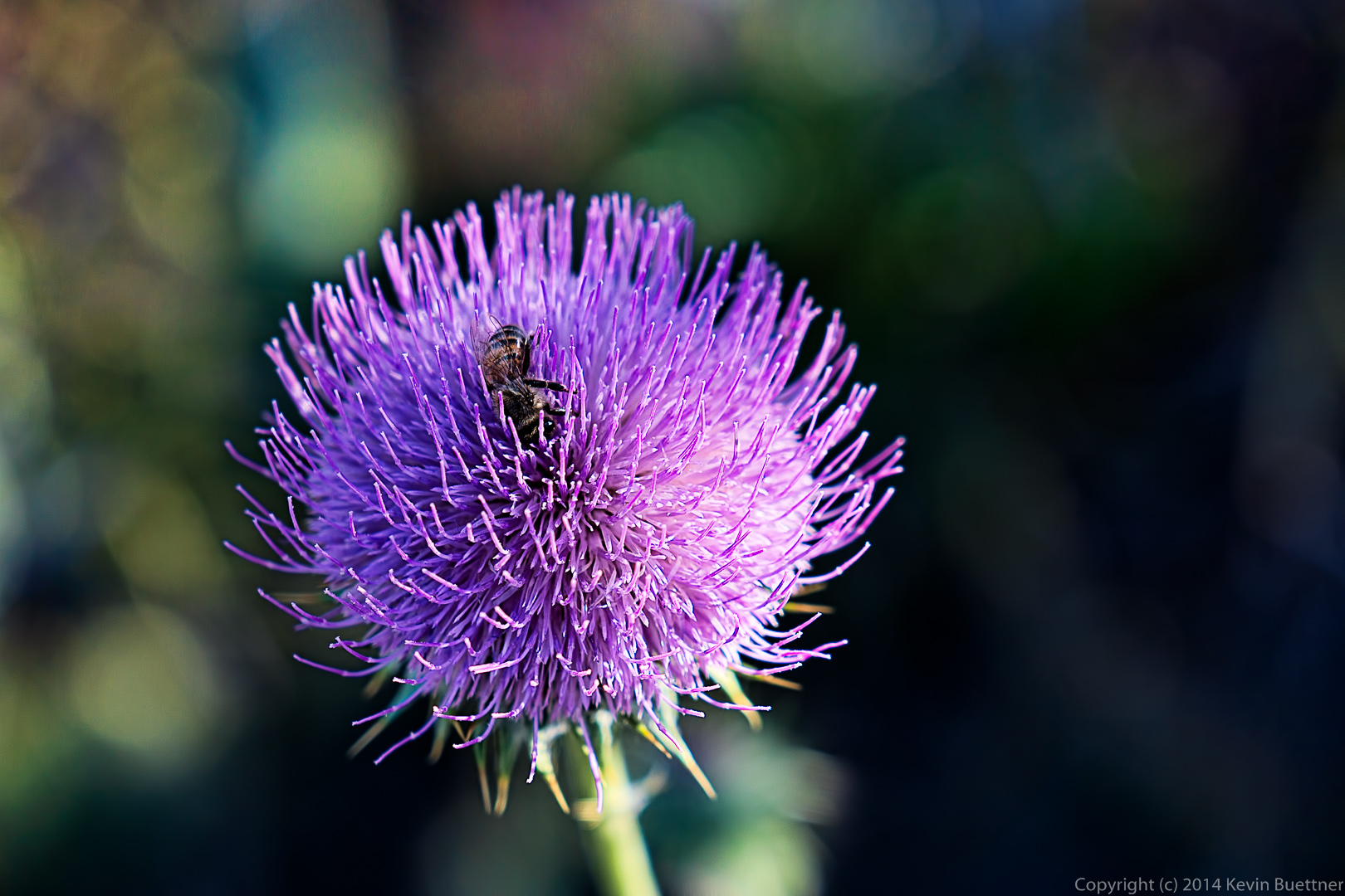
 We came across this thistle flower with a bee wriggling around in the flower. Apparently, it was very happy there because it was there when I stopped for a sequence of photos and was still there when I left. I waited a bit too, to see if it would emerge and fly away, but did not have the patience to wait for very long.
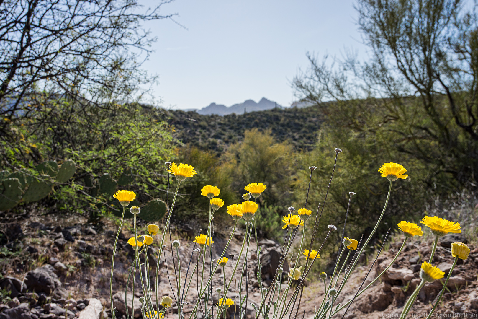
 This might be Desert Marigold.
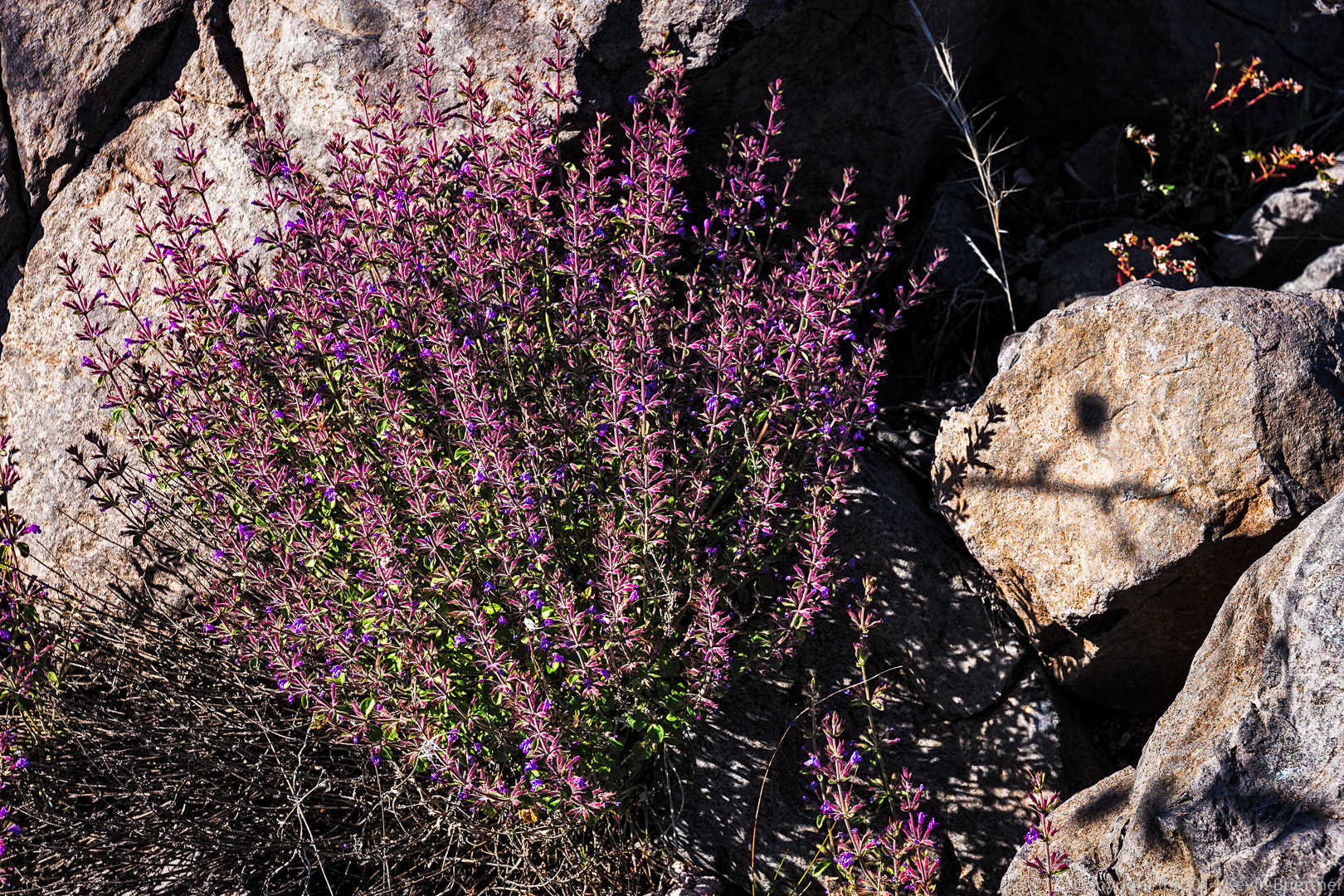
 I don’t know what these purple flowers are. They were somewhat paler than shown here in the harsh sunlight.
 Linda hiking the Black Mesa Trail.
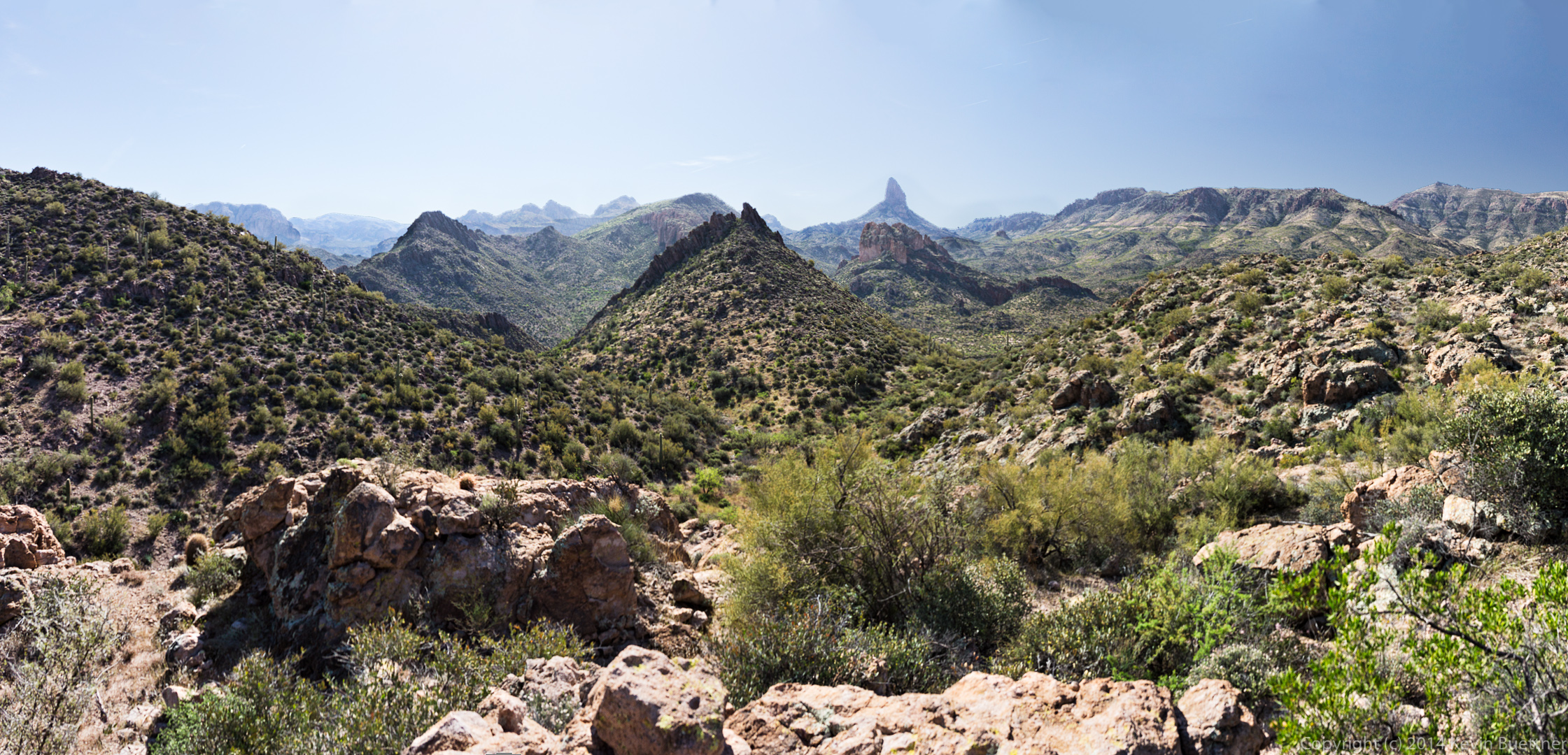
 Bob found a side trail leading to a scenic overlook. I made a panorama our of a bunch of different shots taken from this overlook.
 A short ways further, we got a good look at Weaver’s Needle. These two photos are taken from roughly the same location.
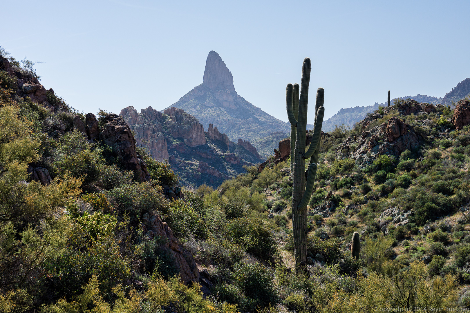
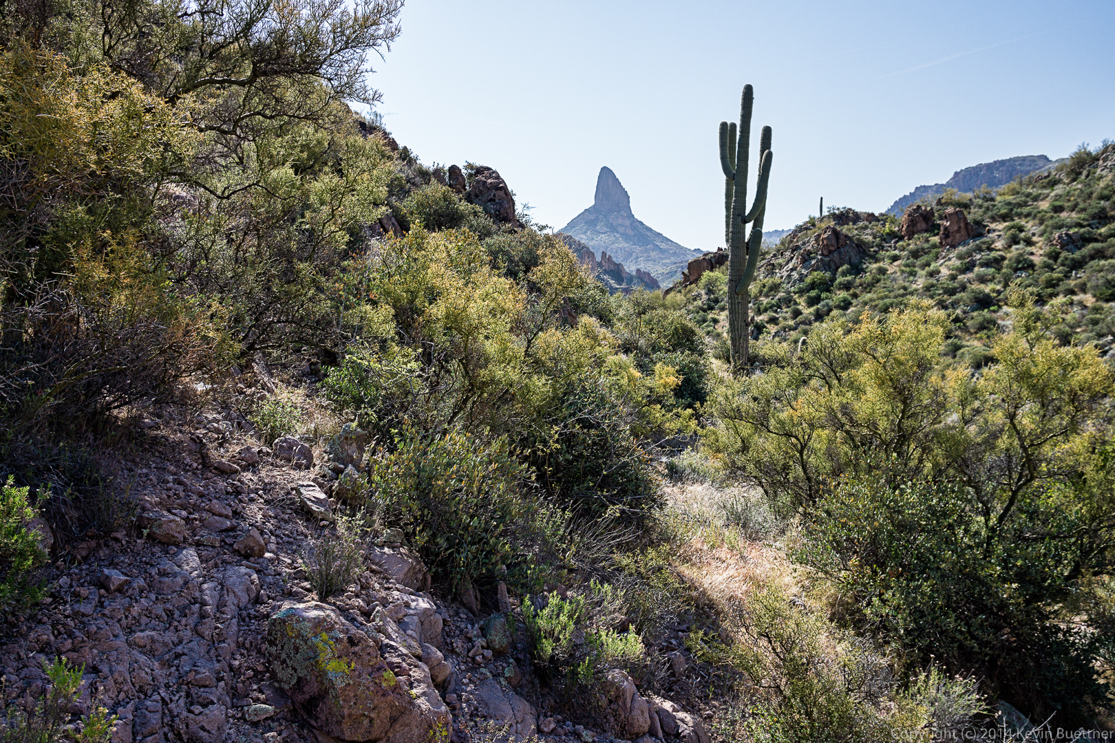 Two more views of Weaver’s Needle from a short ways further.
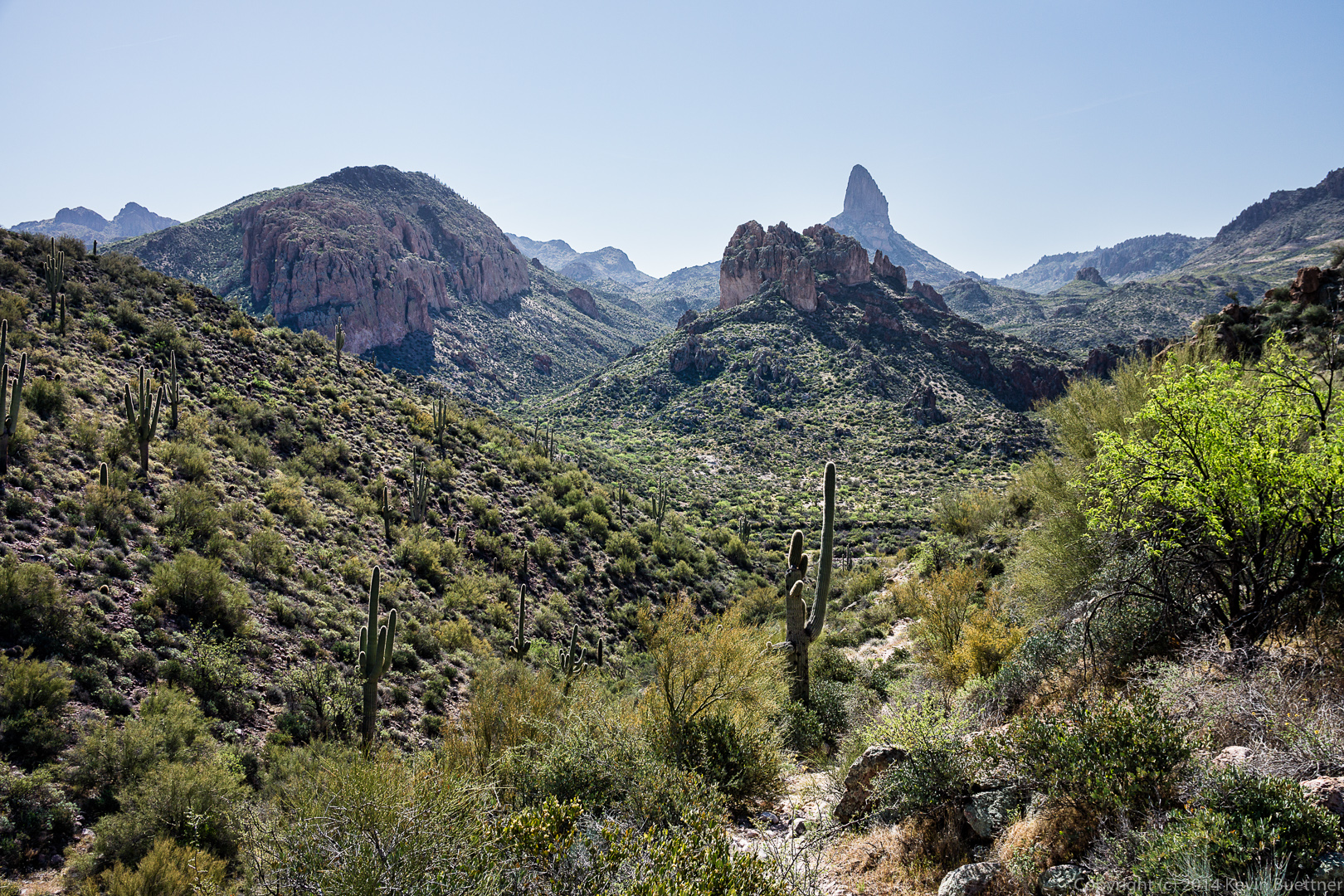
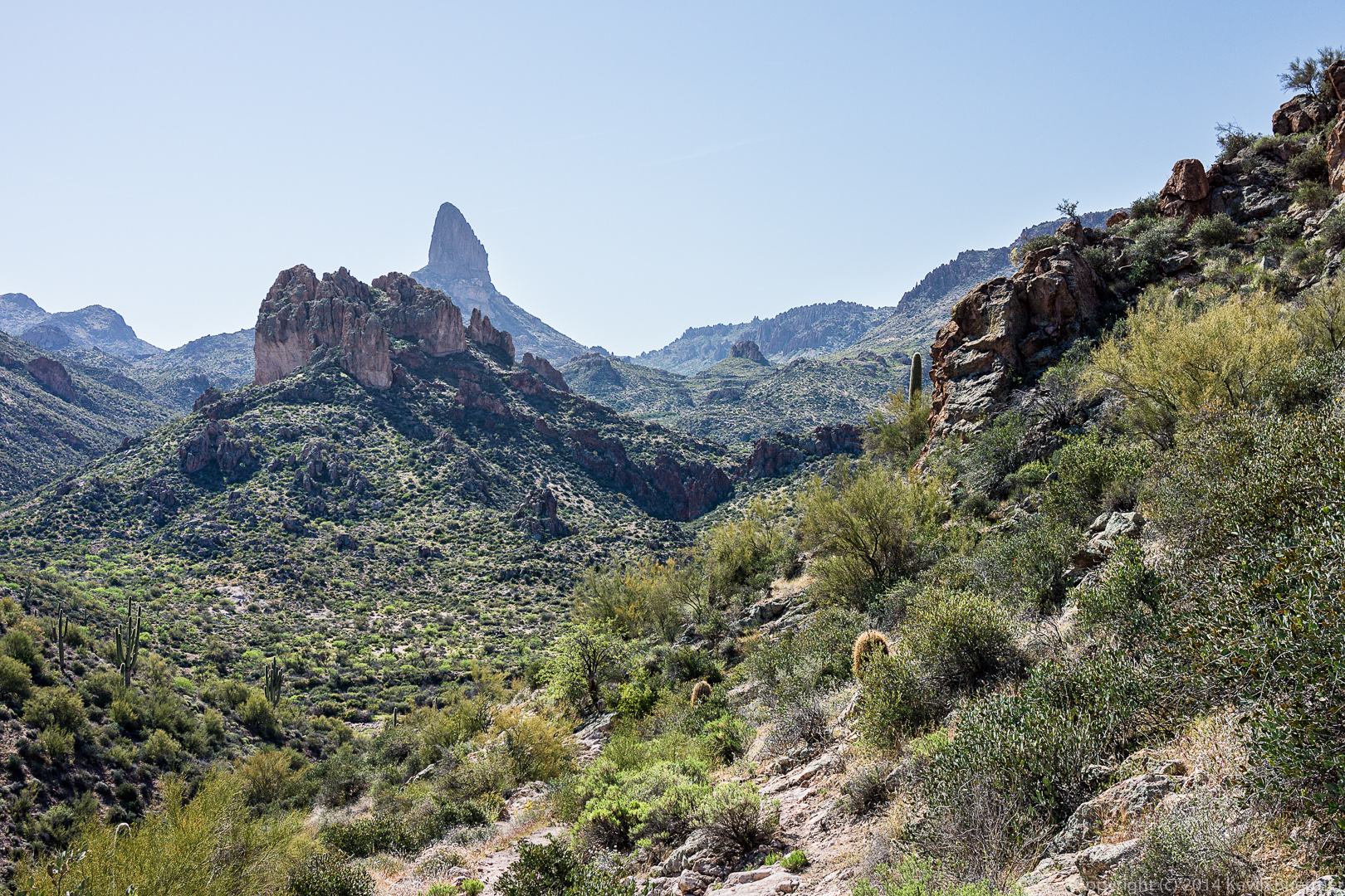 I think this is a feeder for Boulder Creek. The hike description mentions that the Black Mesa Trail descends into Boulder Canyon, but I’m not convinced that this is actually Boulder Canyon.
 I think we might have reached the Dutchman Trail at this point.
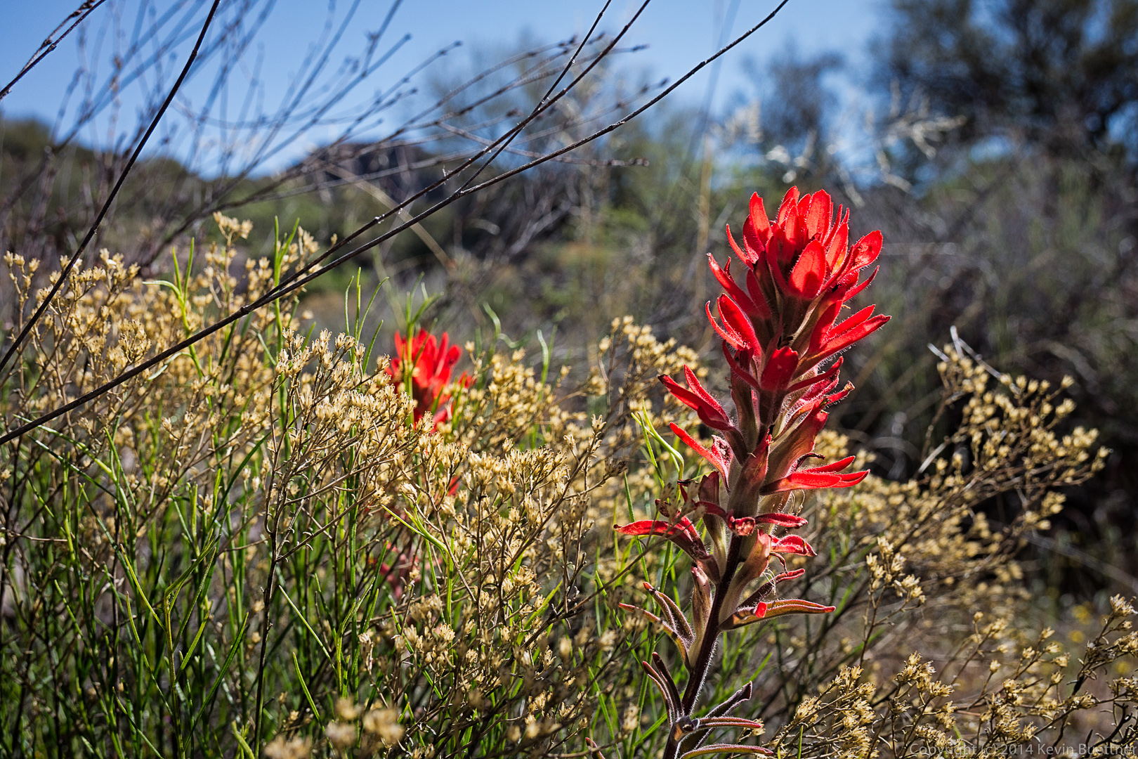
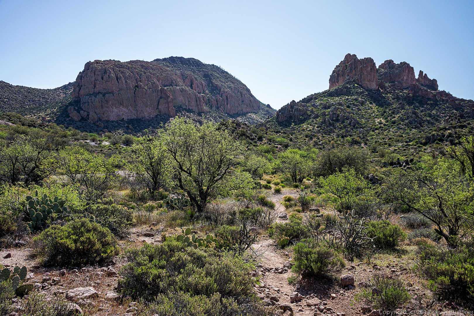 There are several flowers here, but I don’t know what any of them are.
 We were either in or near Boulder Canyon when I took this photo of Weaver’s Needle. I think Battleship Mountain is to the right. We got to see this formation from the other side too (we think). There appeared to be a relatively easy ascent from the other side.
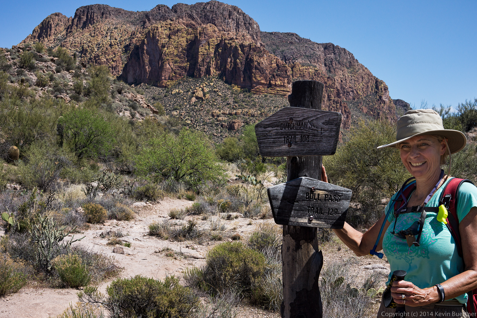
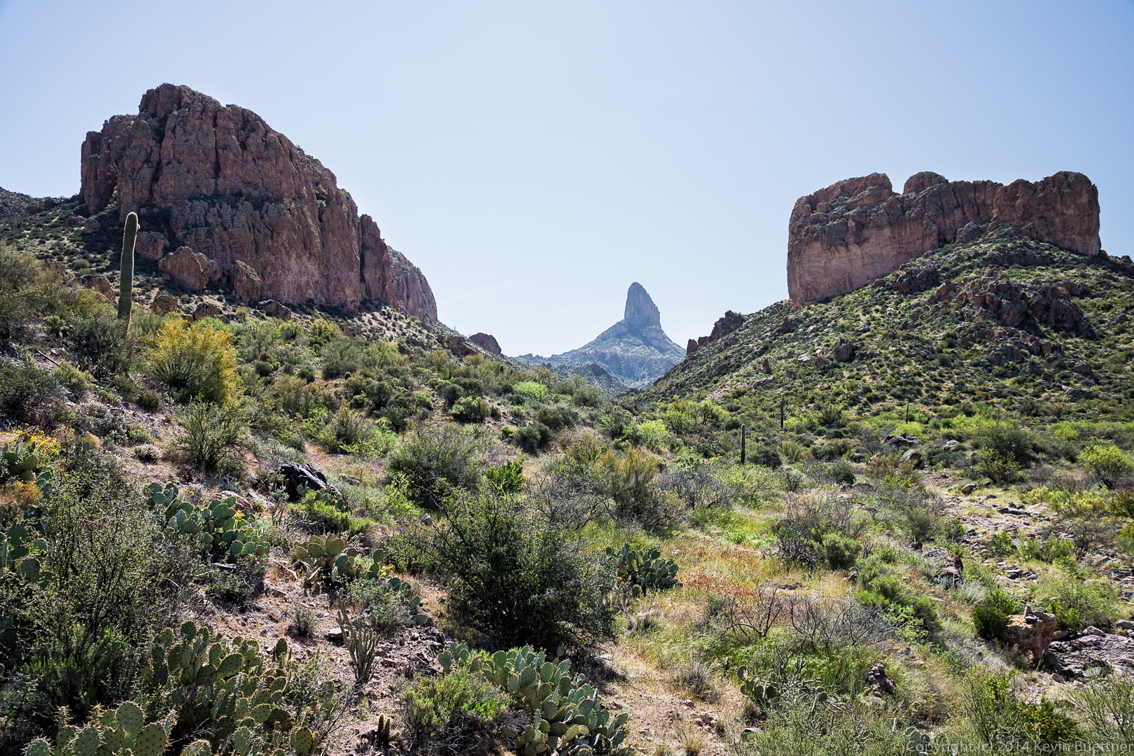 We finally locate the Bull Pass Trail!
 More views of Weaver’s Needle, this time from the Bull Pass Trail.
At this point we had reached the high point of the Bull Pass Trail and had continued up the side trail for even better views.
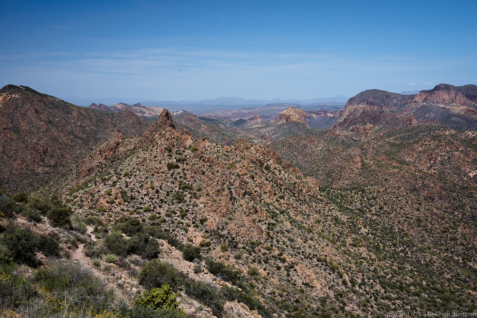 We had lost sight of Weaver’s Needle for quite a while, but it reappeared again for a while.
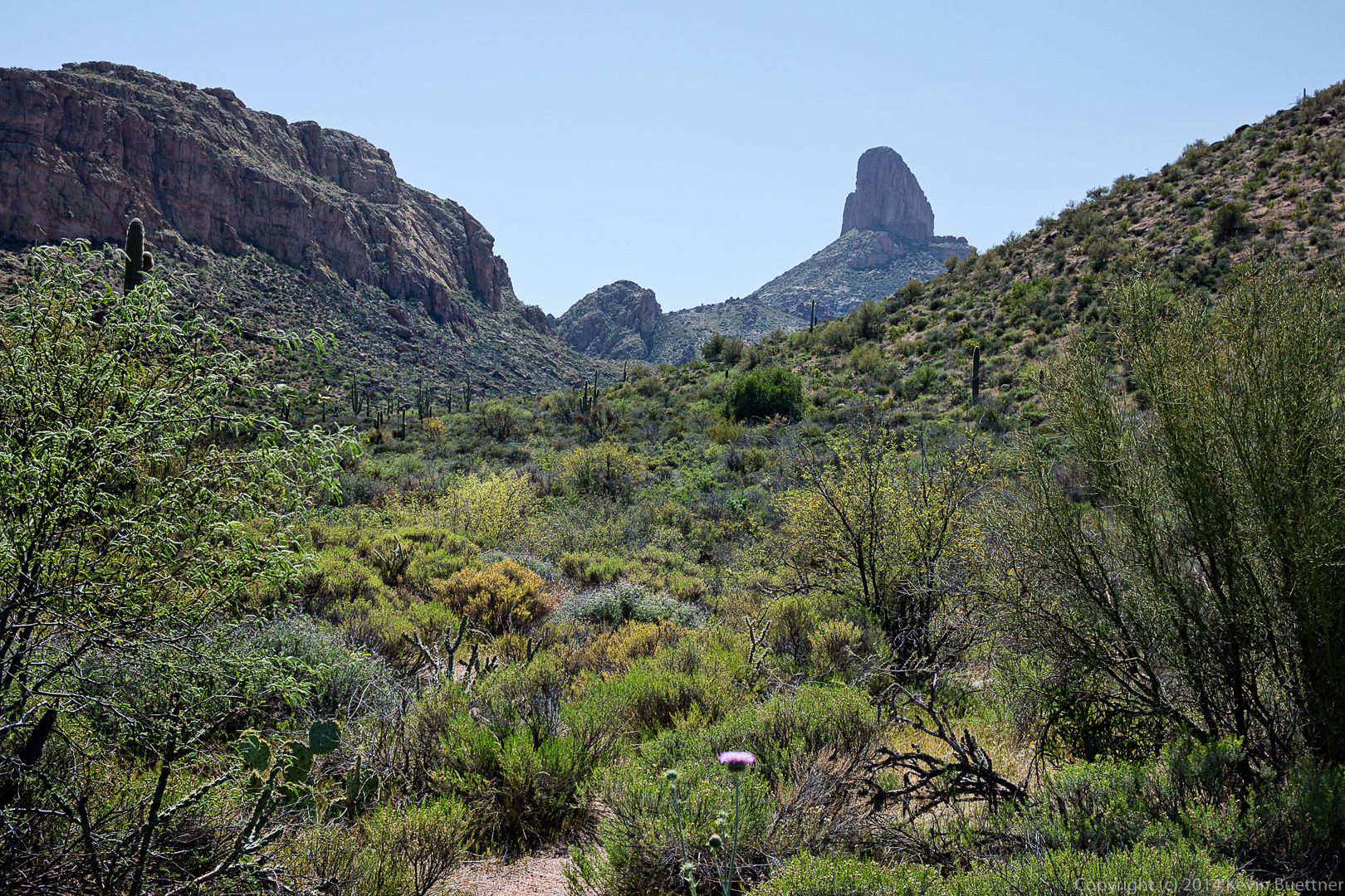 The trail went right between some huge chain fruit cholla plants.
 Back to the Dutchman Trail! (This is the other end of it.)
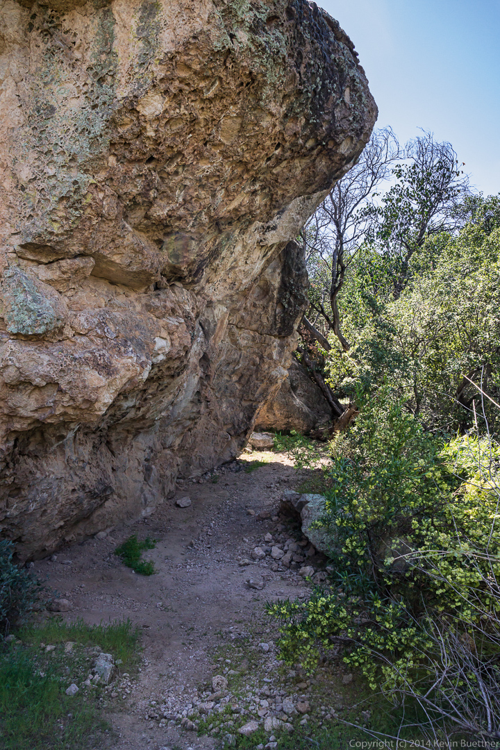
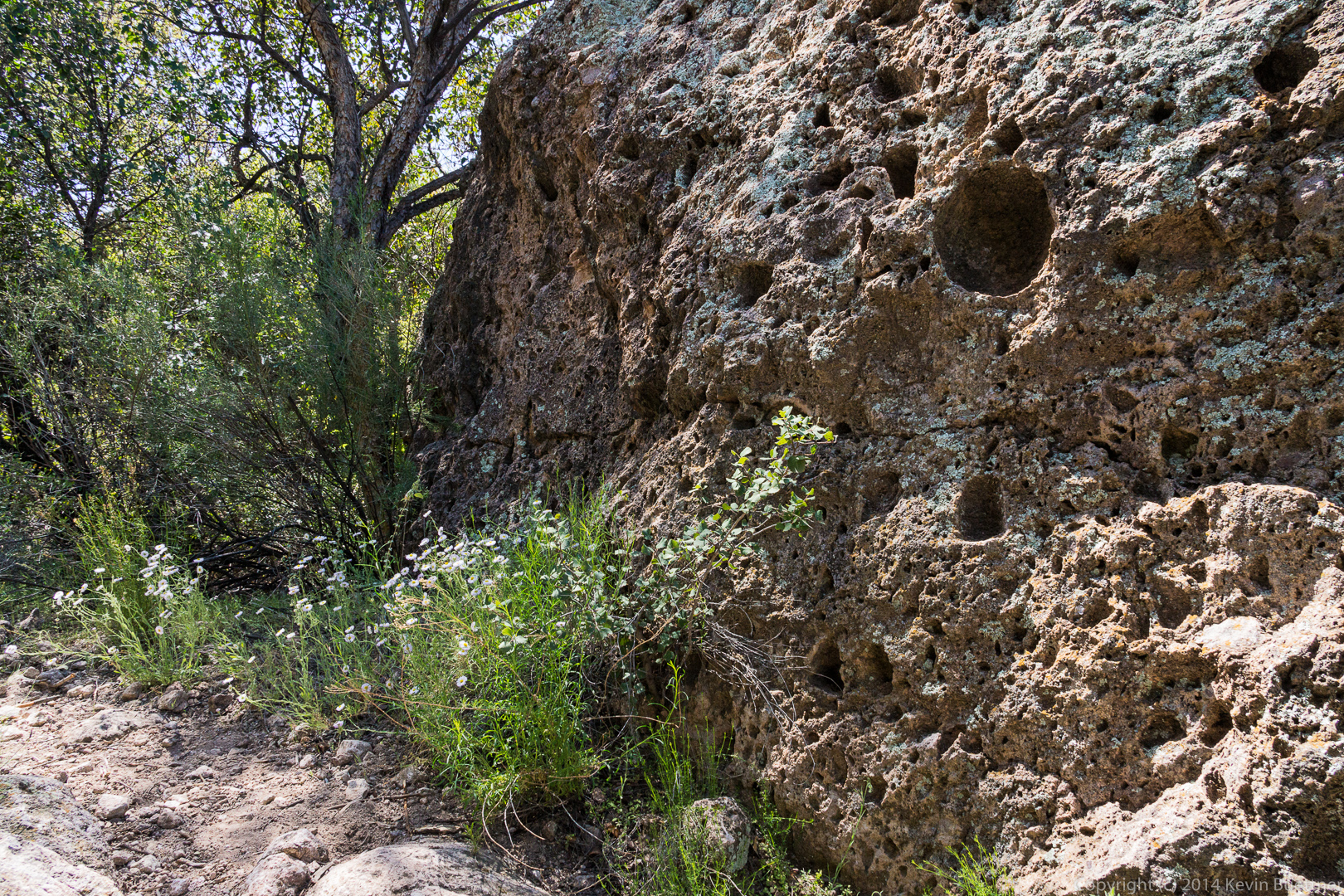
 This large overhanging rock provided shade and was a cool spot to rest. But we spent almost no time resting though as we still had a long way to go.
 Linda, photographing some Globe Mallow flowers.
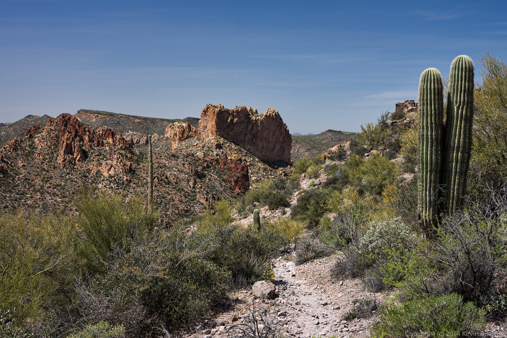
 The Dutchman Trail climbed for a while, providing spectacular views.

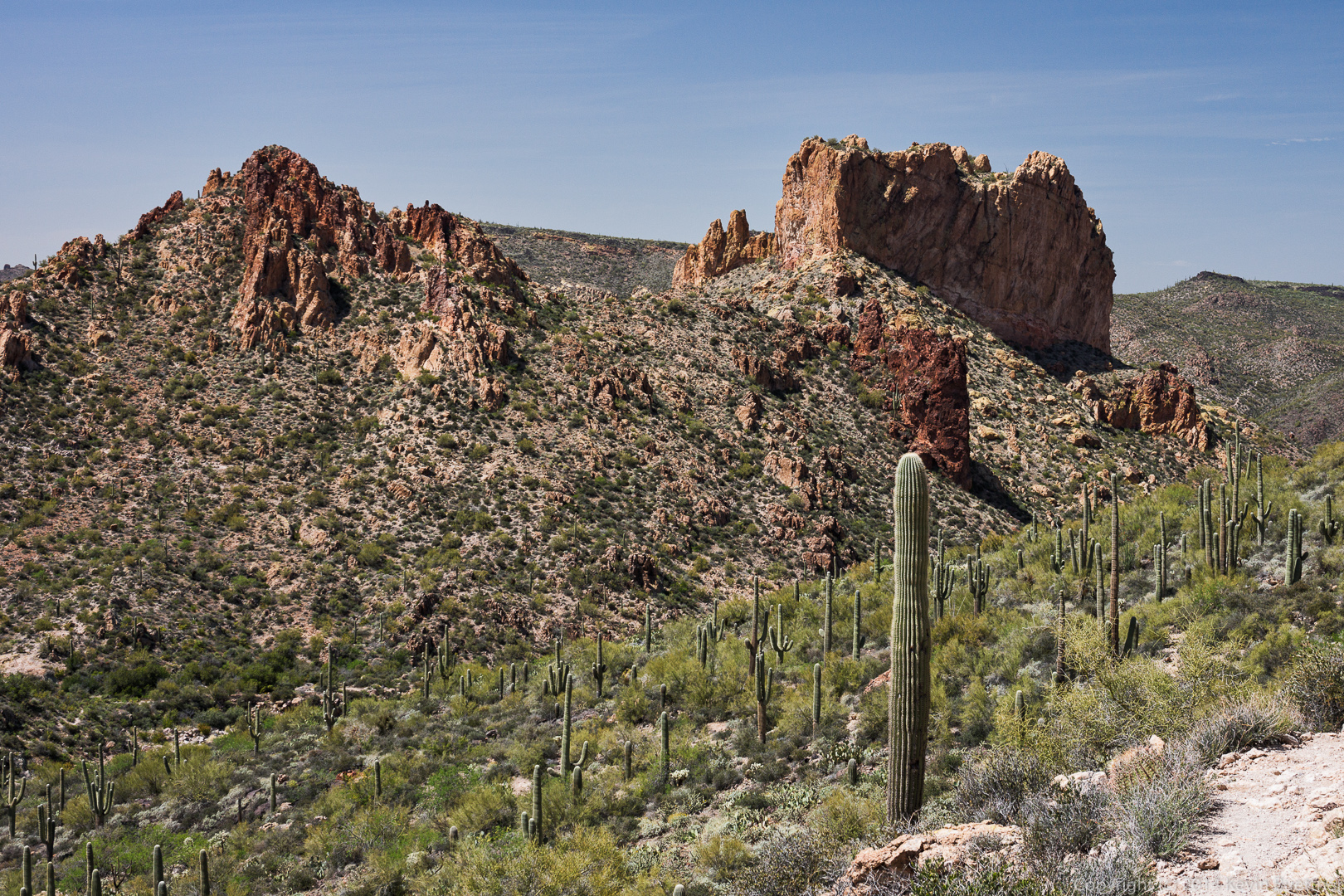 A view of Weaver’s Needle from the Dutchman Trail. As I recall, there were great views from this location in all directions.
 More views from the Dutchman Trail on our return trip…
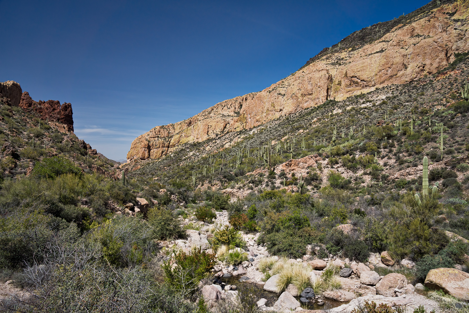
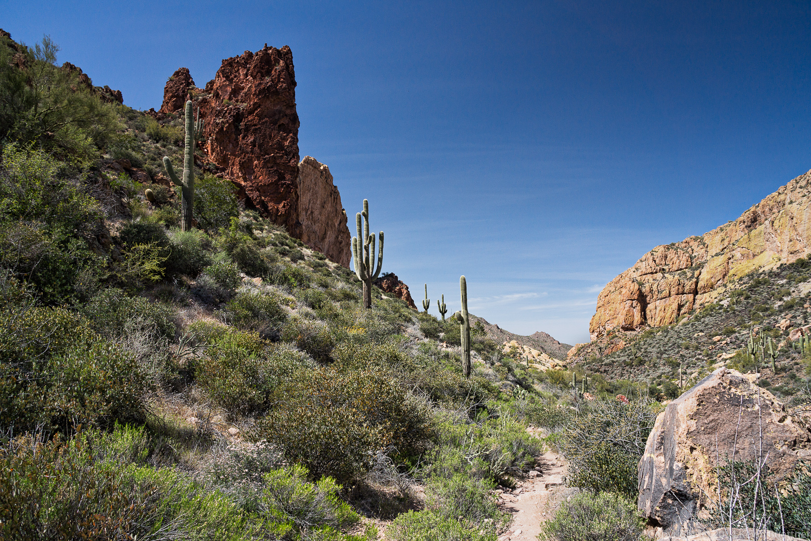
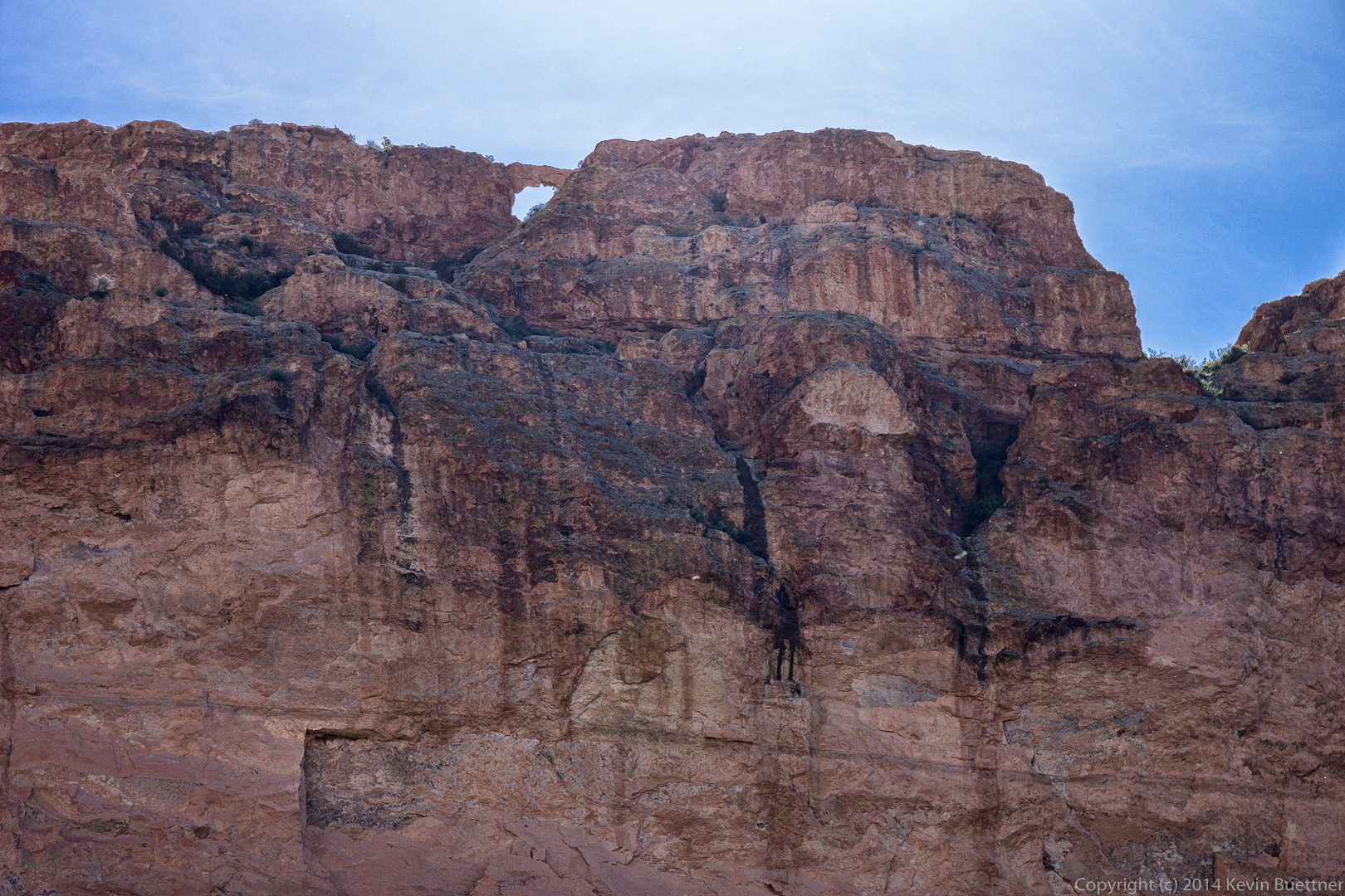
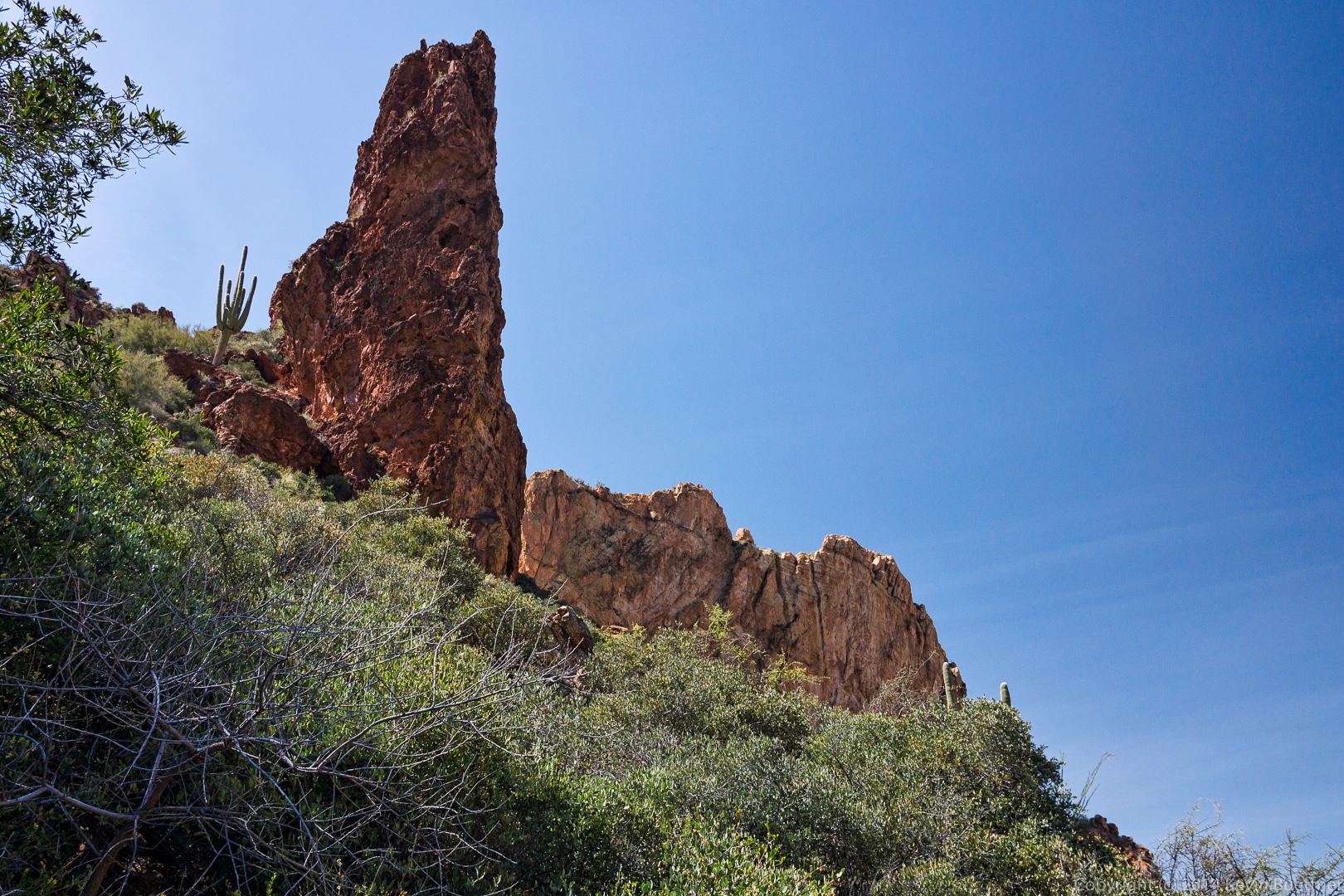 Bob noticed an arch near the top of one of the walls. I think this might be Aylor’s Arch. This wall was immense; I got a wide angle to show more of the wall, but lens flare ruined the shot. (I worked on it for a long while, but am not happy enough with the result to post it.)
 We noticed a small rock formation that appeared to be blocks stacked atop each other.
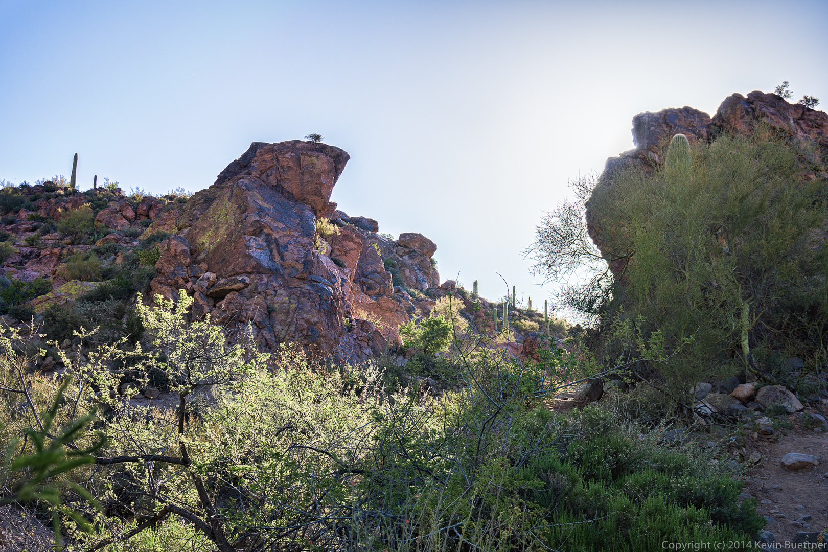
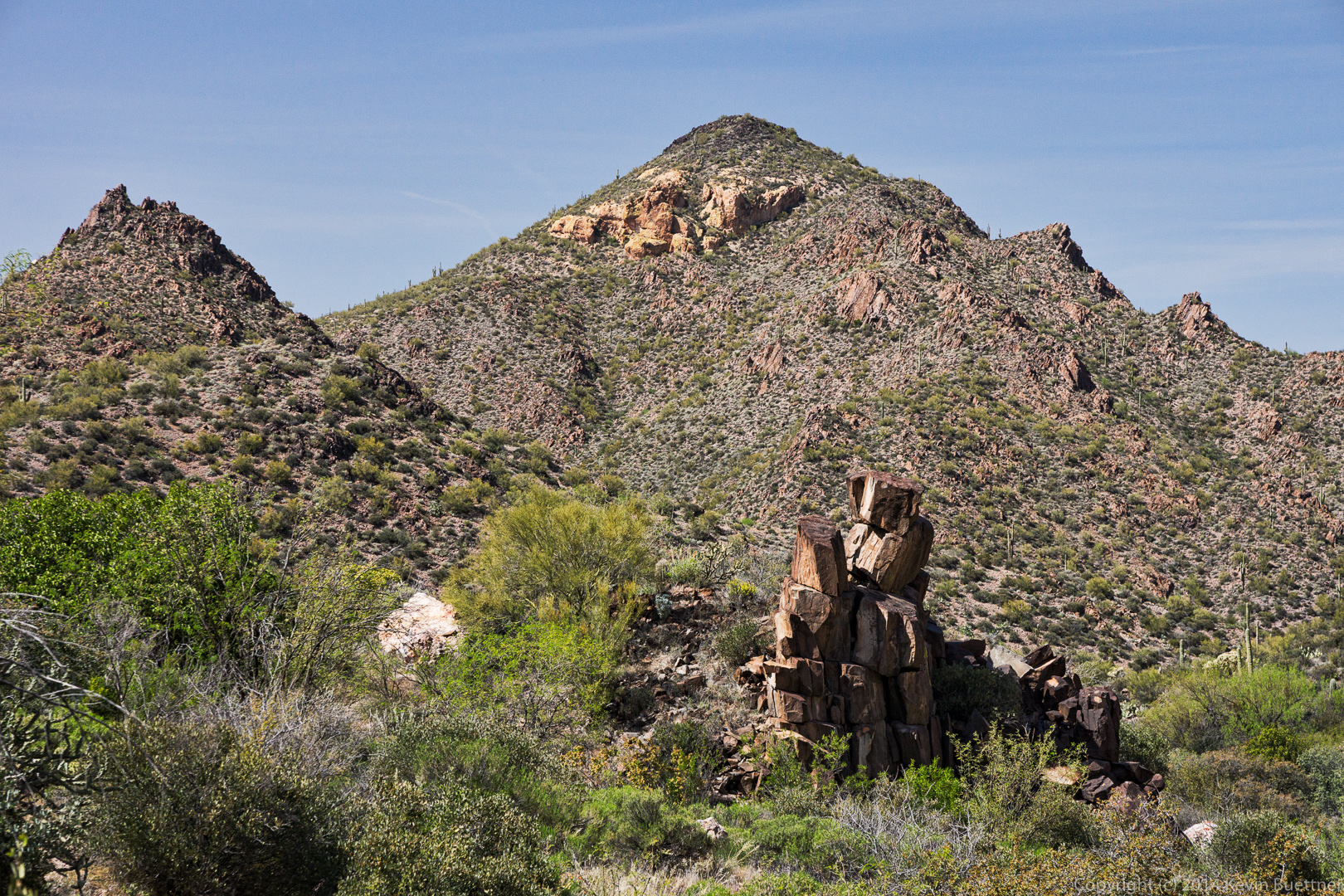 A view of the end of one of the large walls off to our right.
 A closer look at the small rock formation mentioned earlier. Sadly, someone had to carve his (or her) initials (and names) on some of the blocks of this formation.

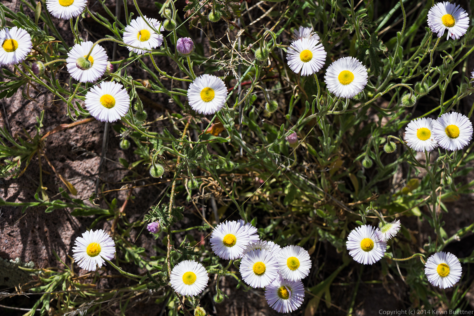
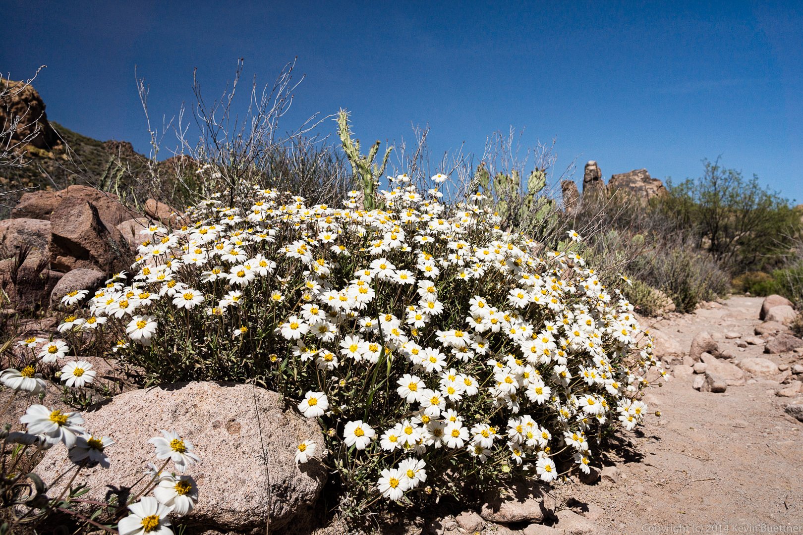
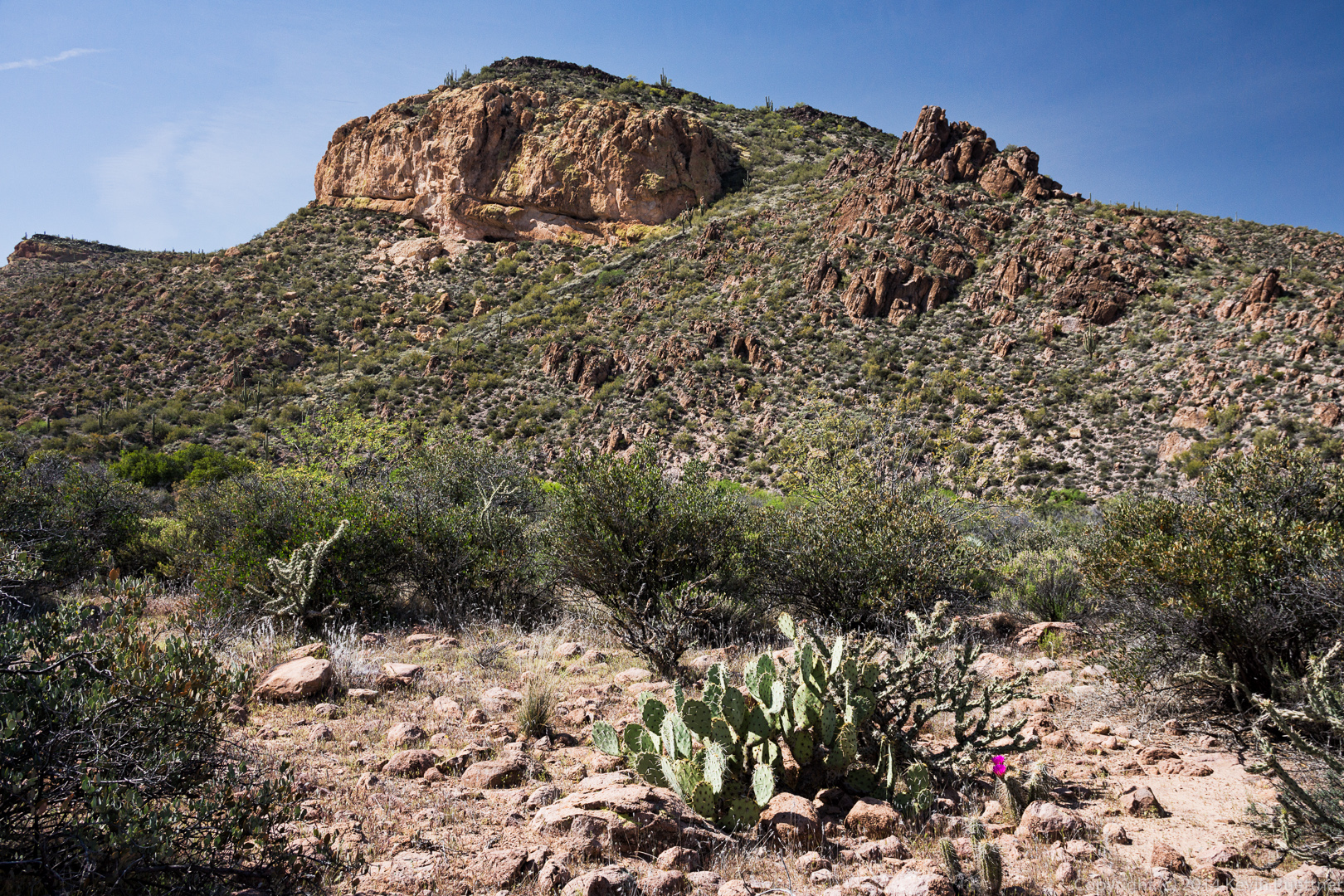 This might be Blackfoot Daisy.
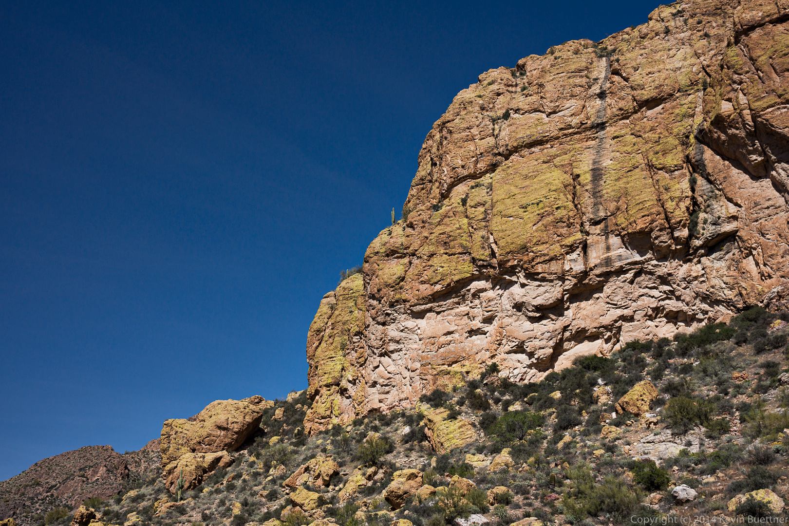
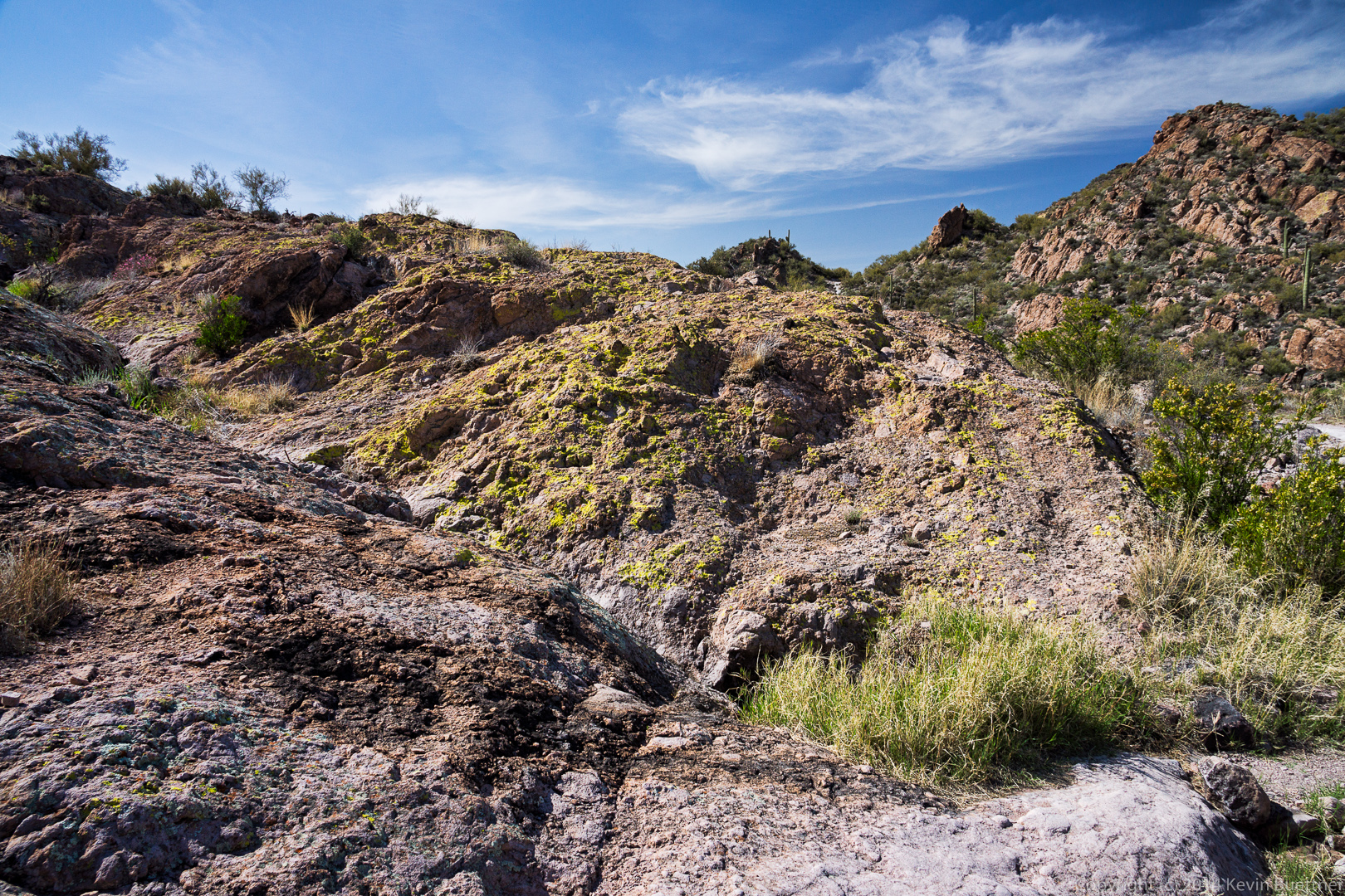
 I was struck by the lichen covered rock as we passed this spot. I think the lichen was even brighter than I made it in this photo.
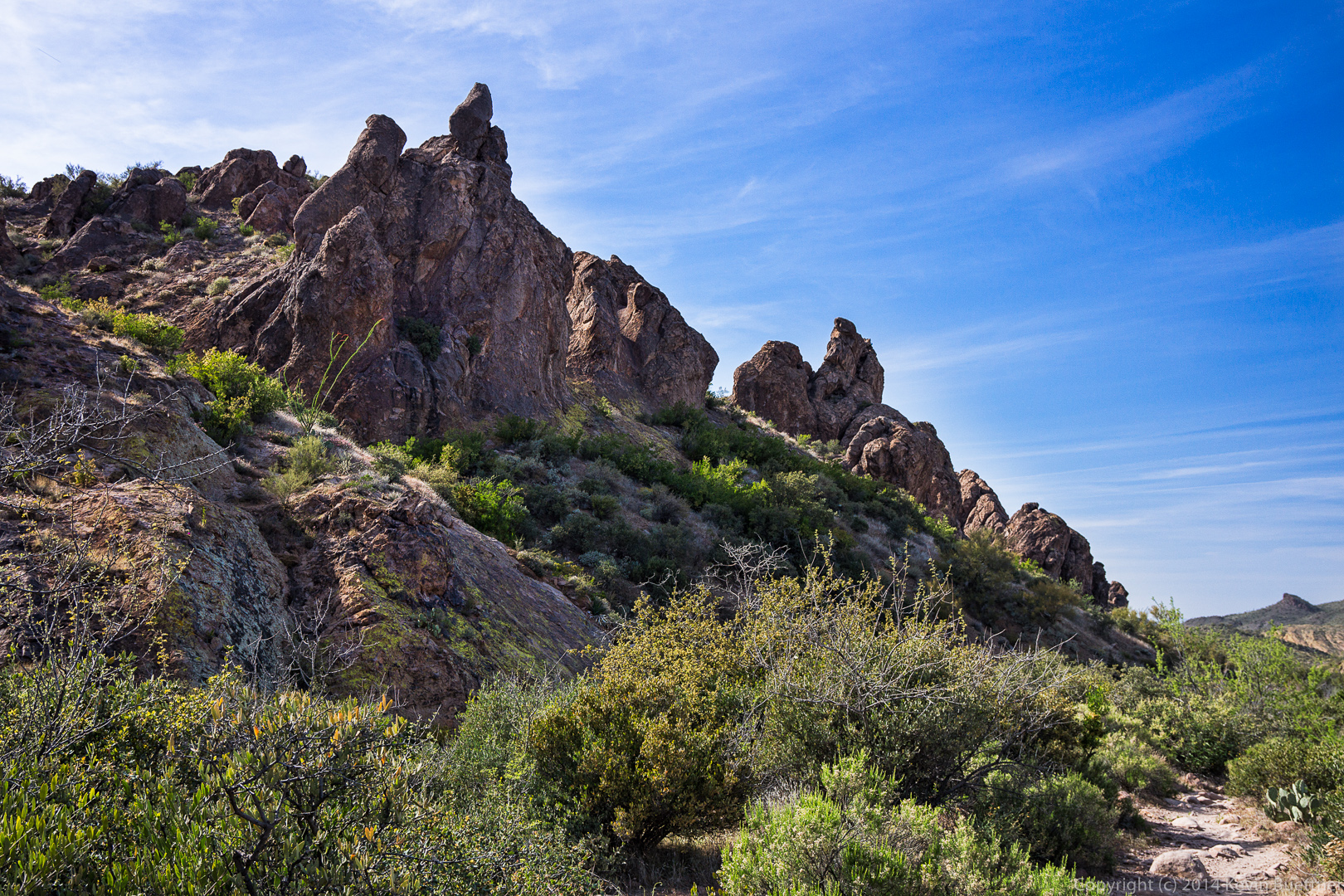
 Another unusual rock formation along the Dutchman Trail.
 As we neared the end of the Dutchman Trail, we had to cross a wash several times. Linda found a path that wasn’t too wet and didn’t involve much rock hopping.

