Tag: Tonto National Forest (page 2 of 9)

Sunday Hike – Crazy Horse Loop

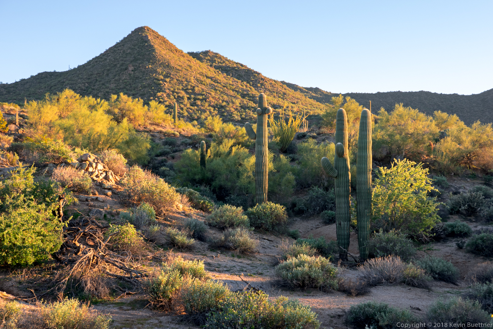
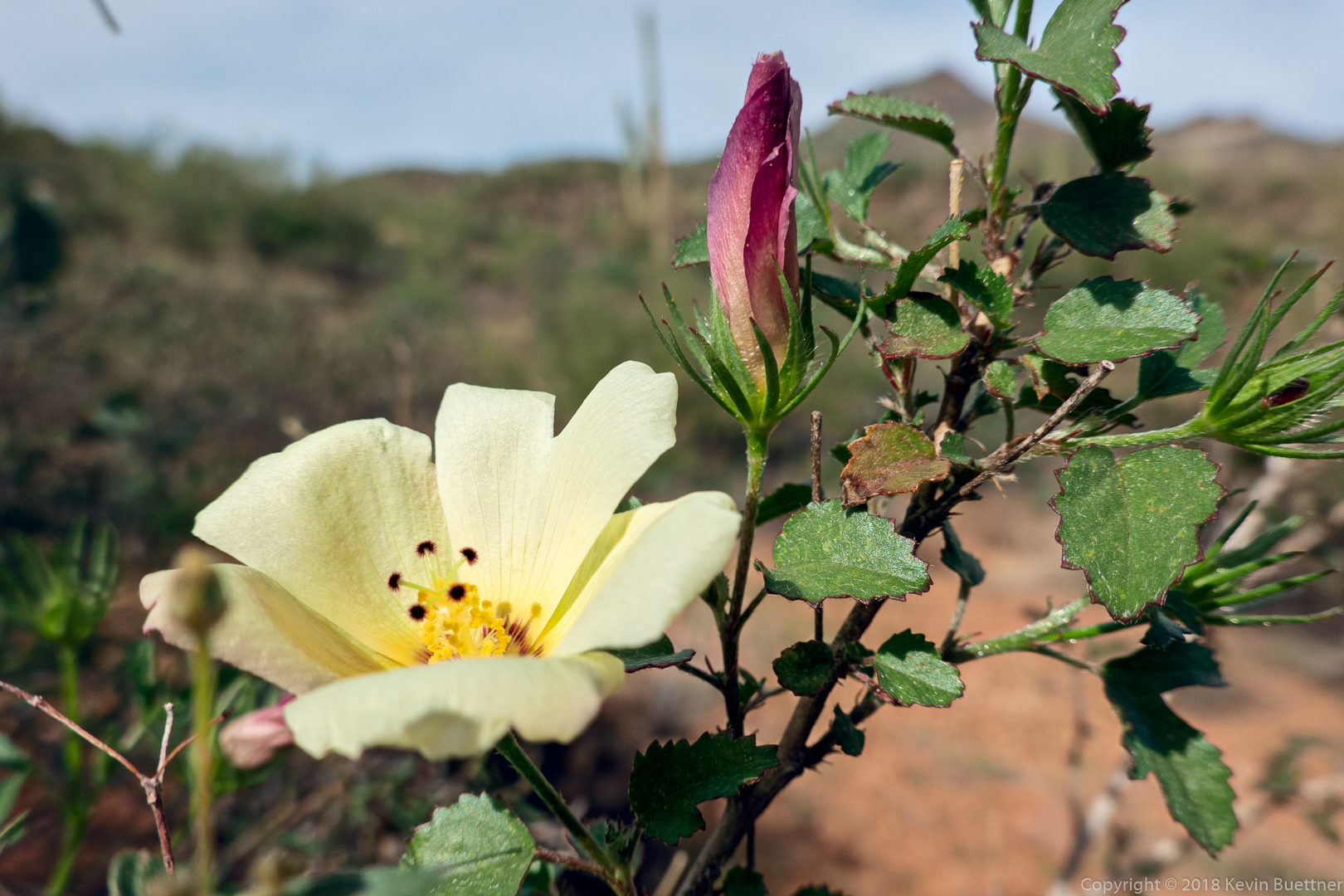
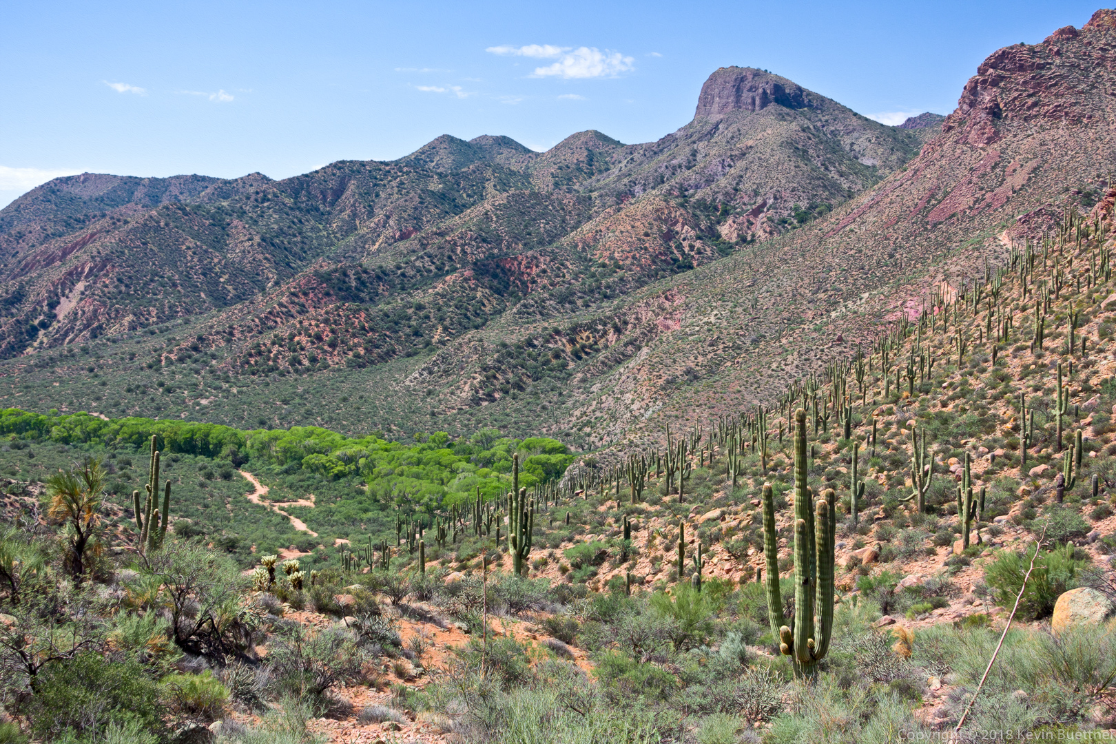
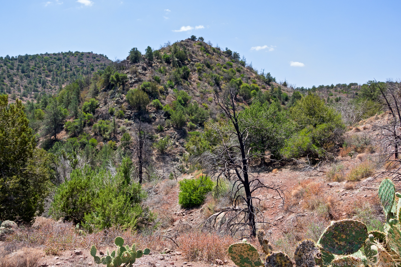
I hiked a little over 13 miles on Sunday, visiting Peak 2972 along the way. This is the highest peak in the Usery Mountain range. (Pass Mountain, which is in Usery Mountain Park, is higher, but is part of the Goldfields.)

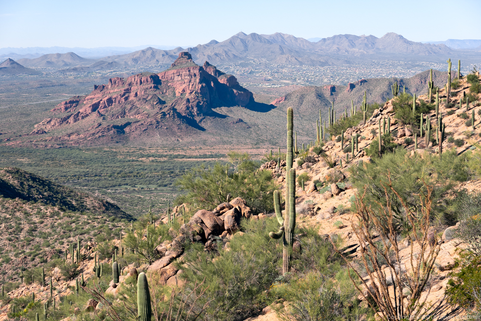
This was the view of Red Mountain as I neared the summit:

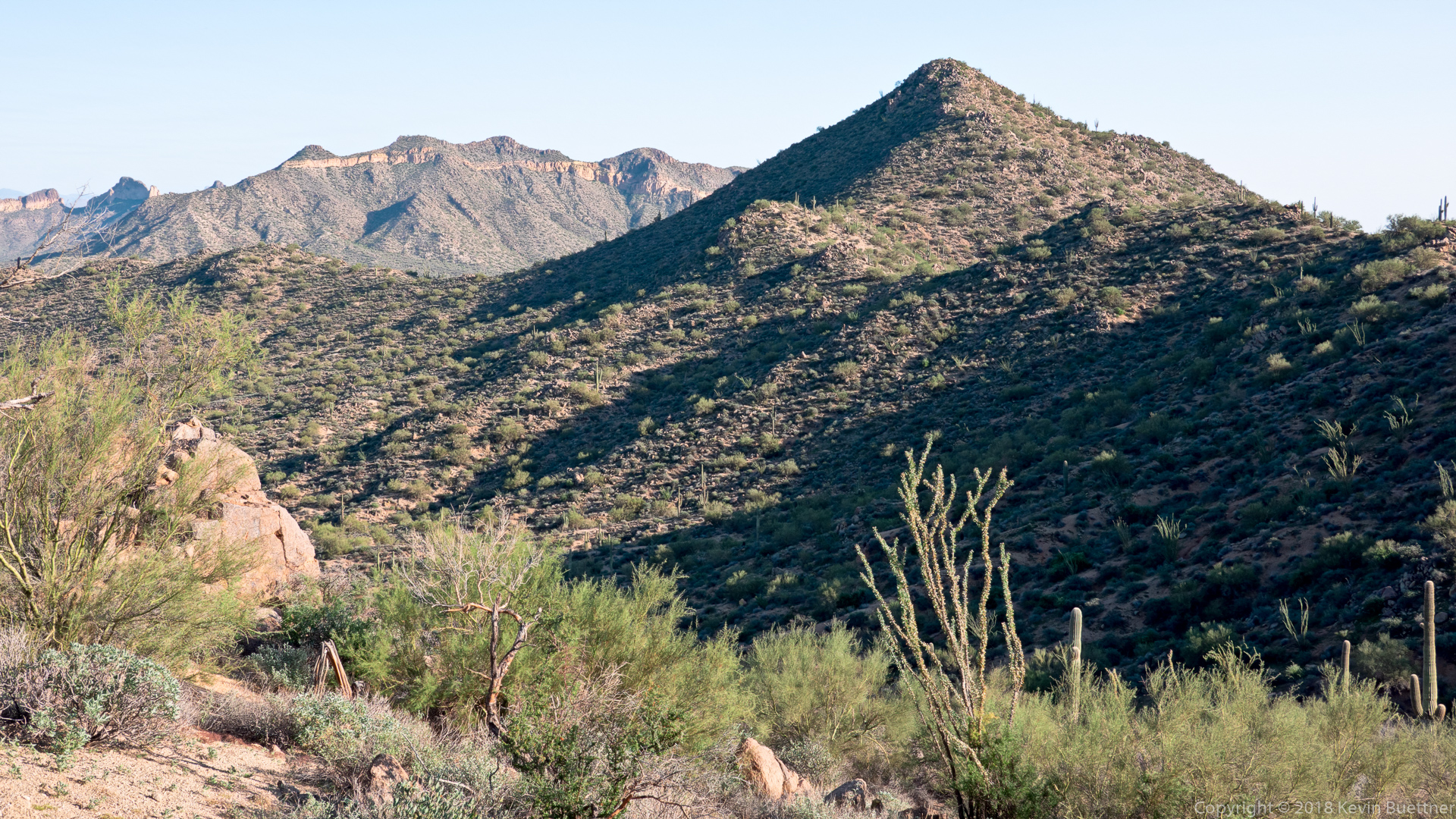
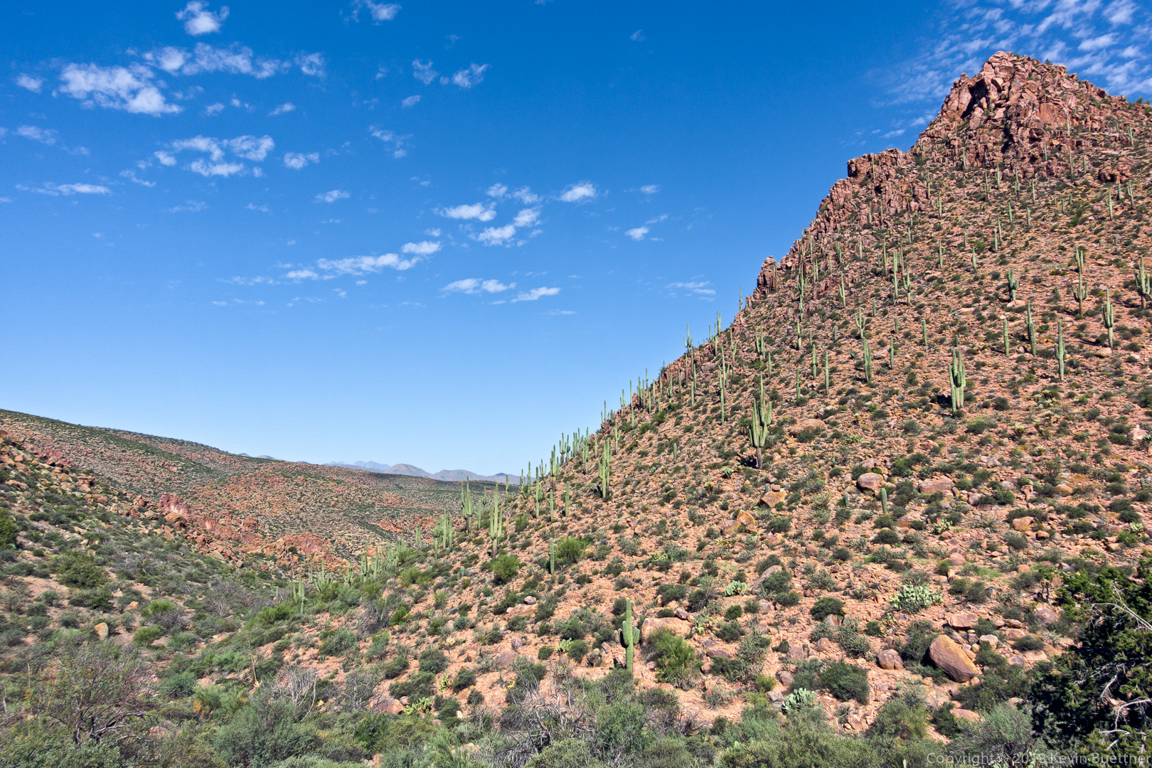
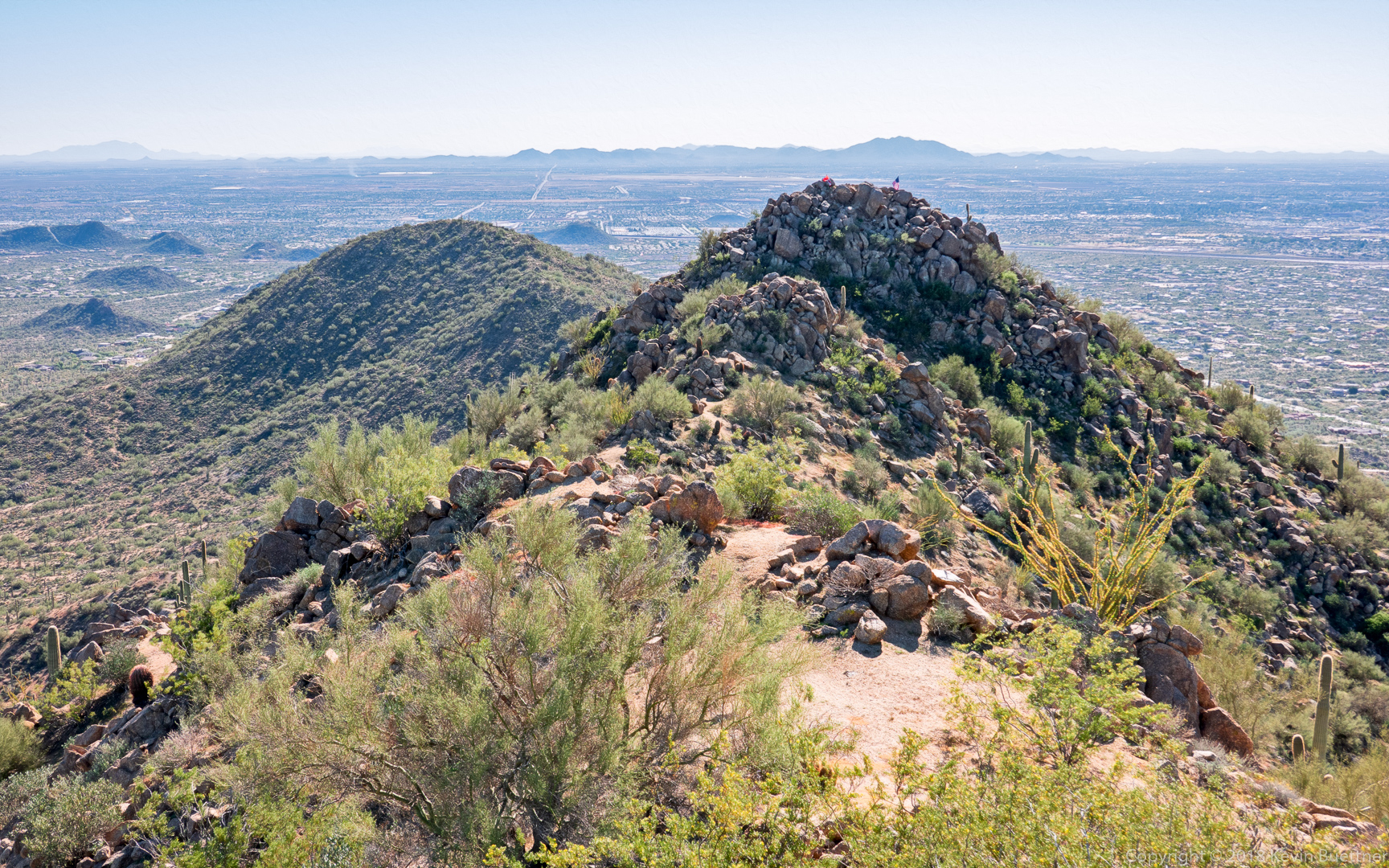
I saw another peak south of the peak I was on. It looked lower to me, but the presences of flags there suggested that it might actually be higher. I’m pretty sure that it’s Peak 2959.

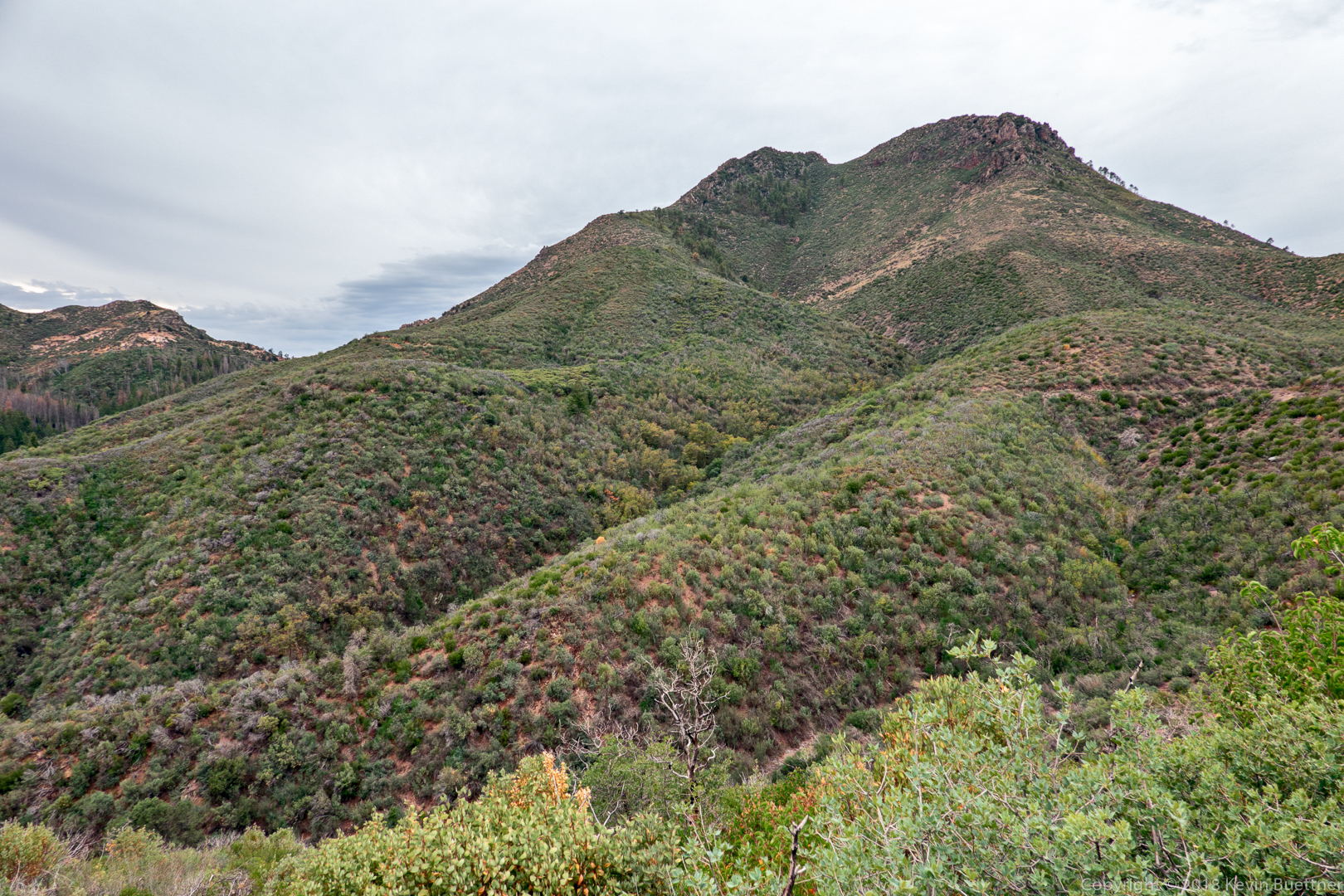
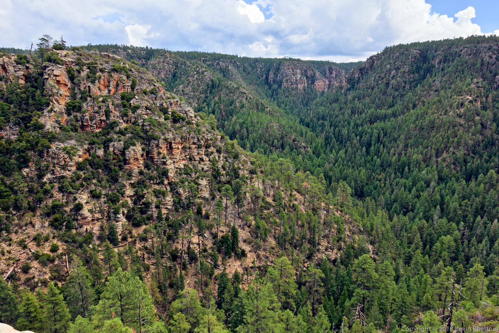
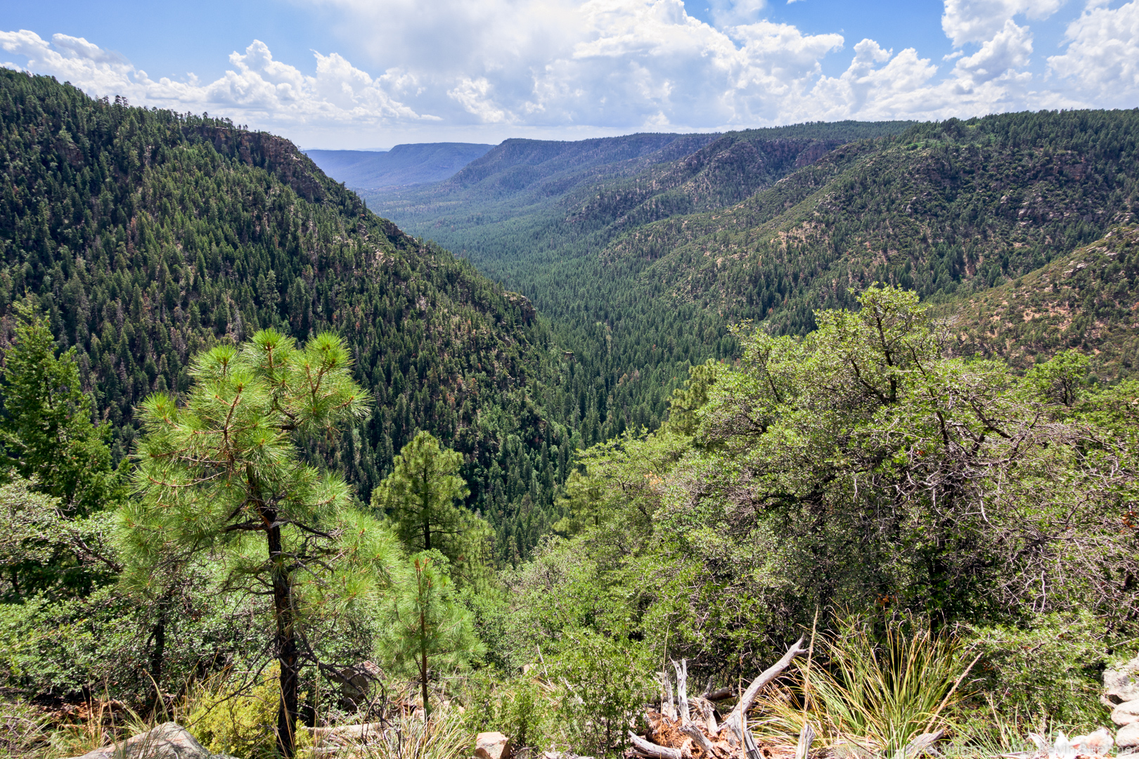
This is a panorama from the summit:

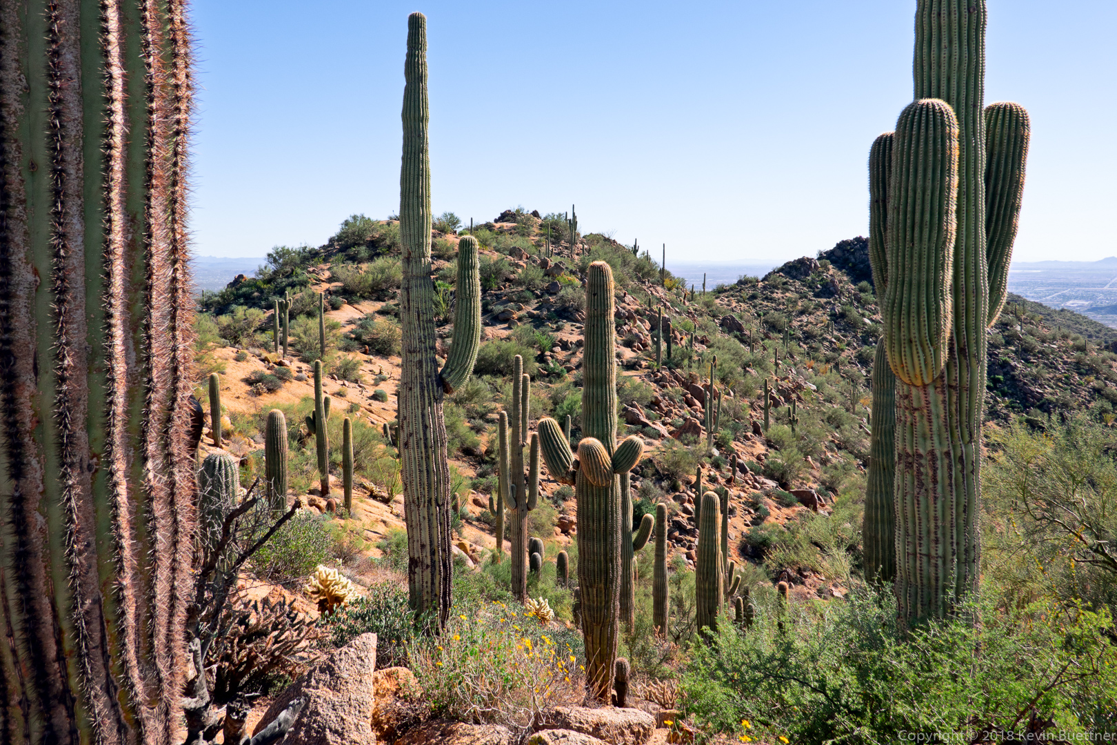
A look back through the saguaros at the summit:

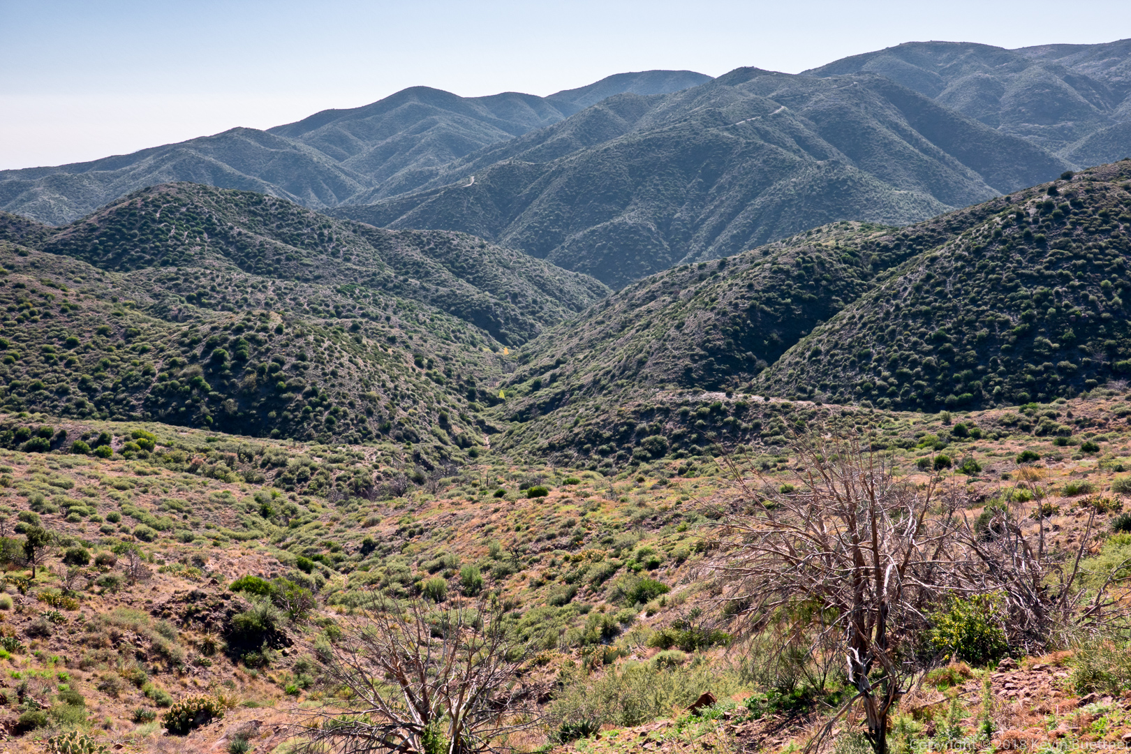
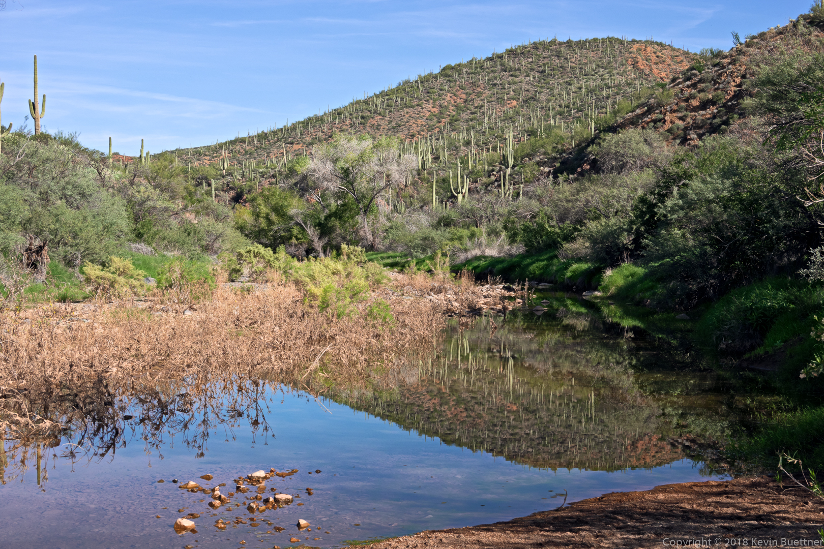
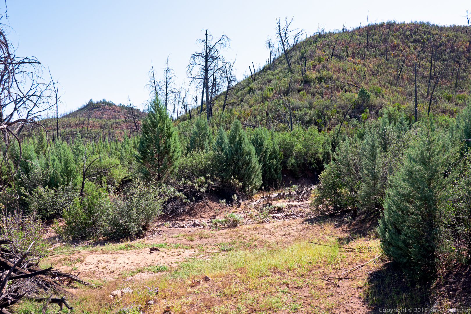
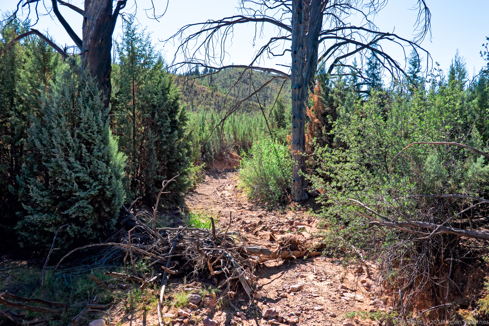
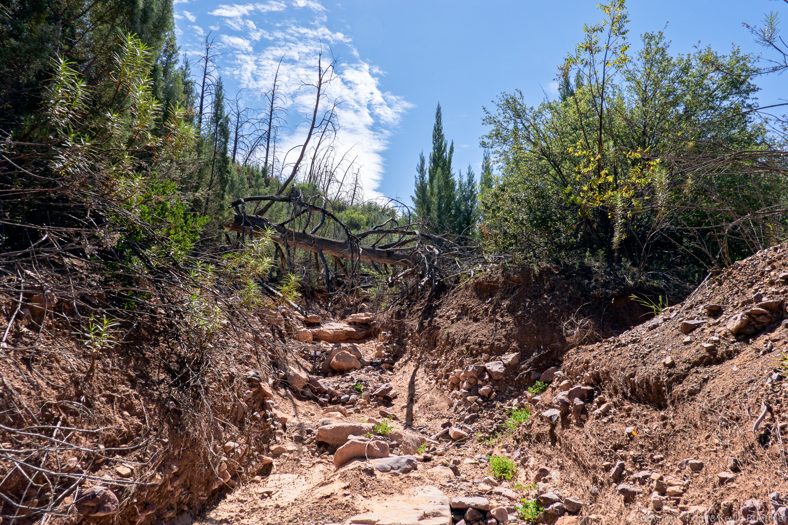
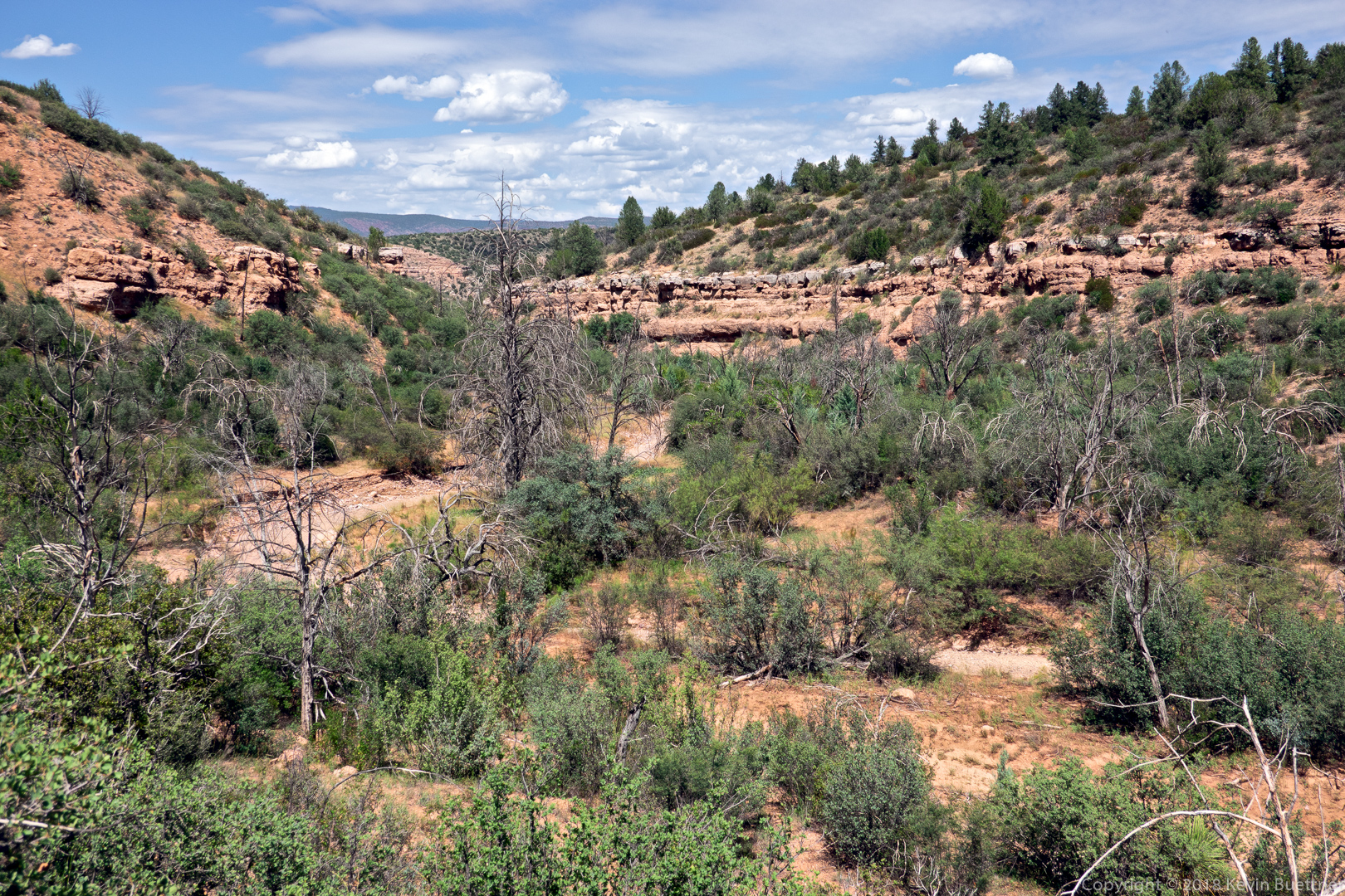
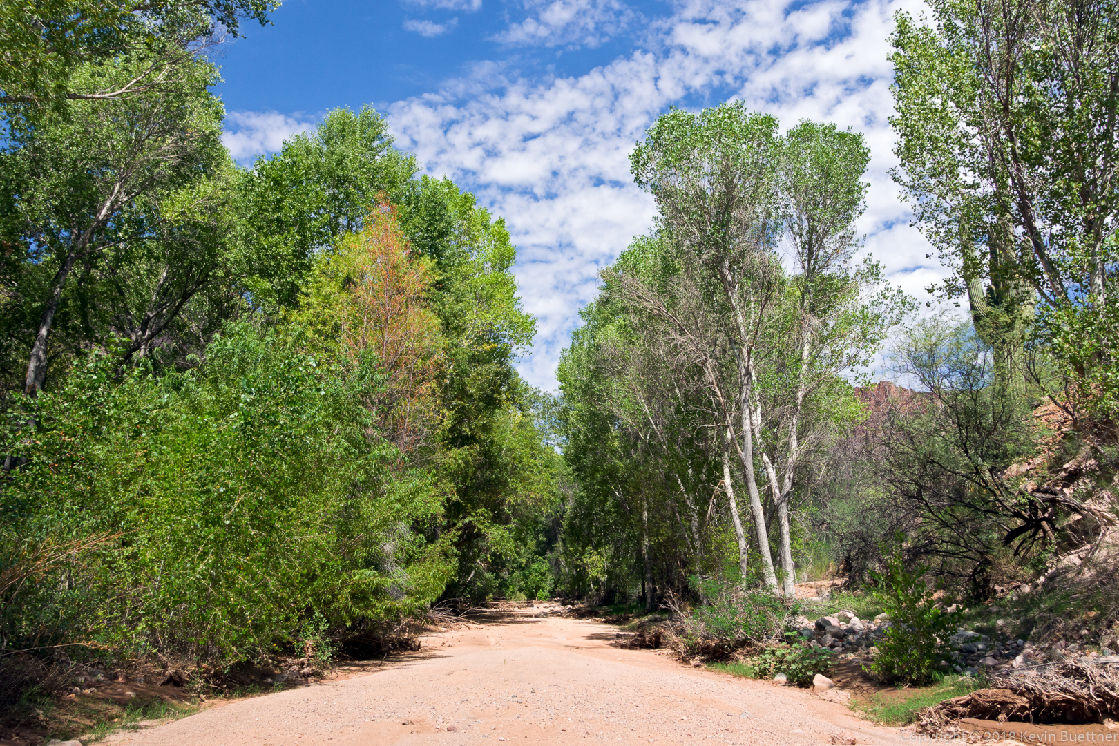
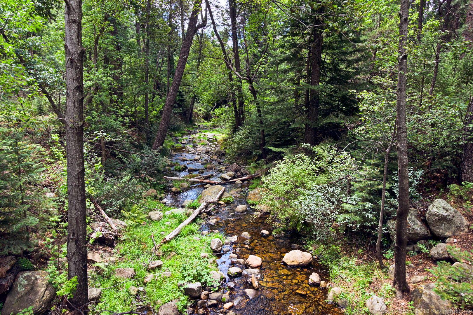
After reaching the summit, I did a mostly off-trail section which led down to this wash on the left. The wash was very relaxing; descending off-trail from the summit, prior to this wash, not so much.

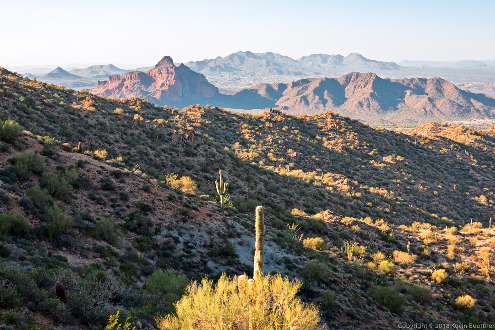
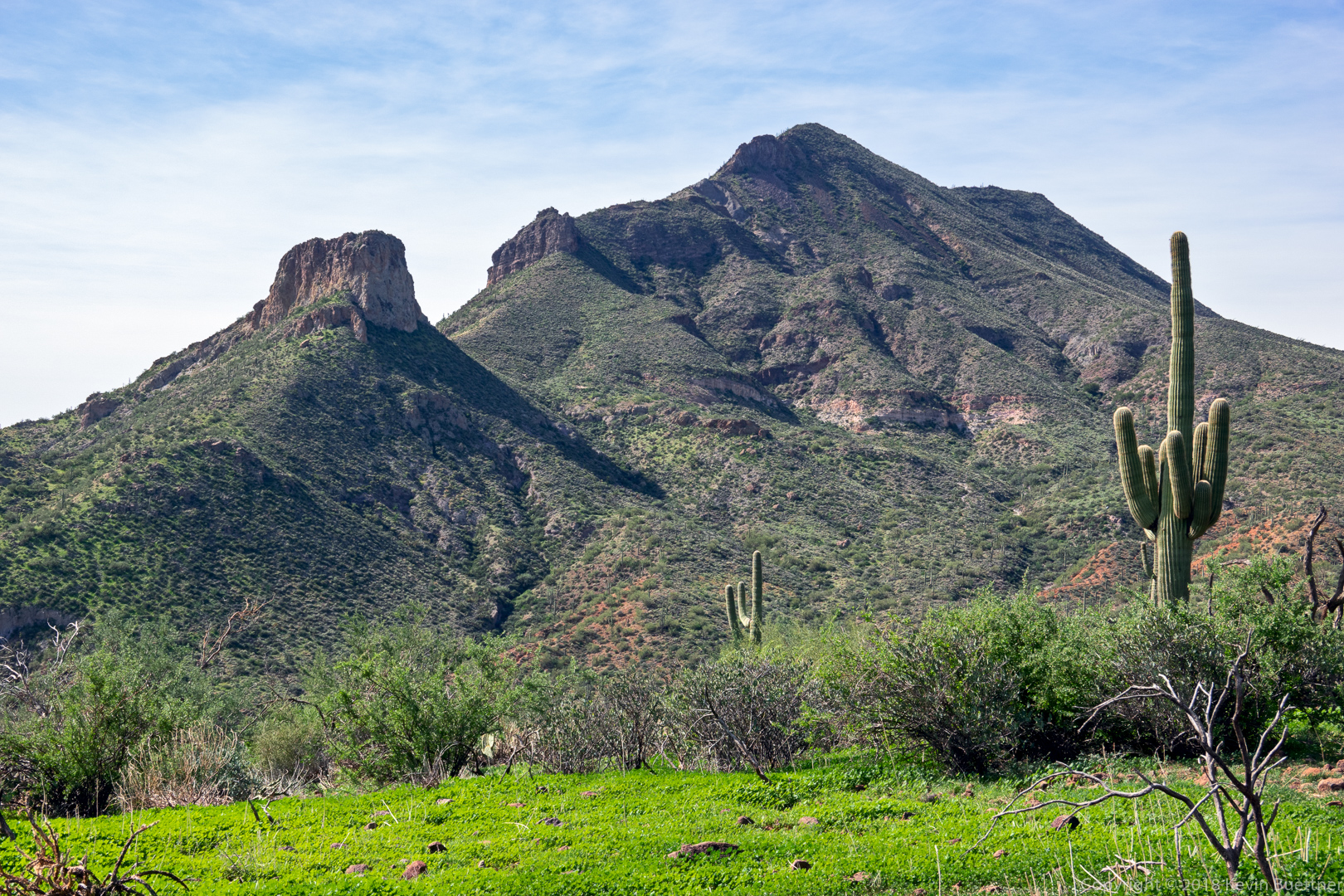
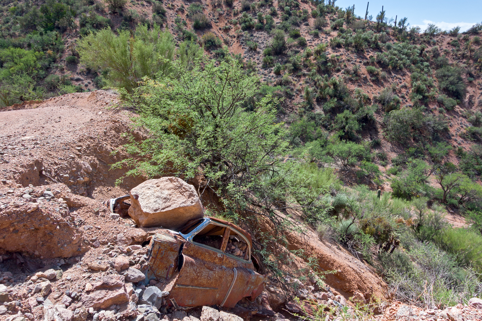
Another view of Red Mountain. I think I got this shot from the Saguaro Trail while looking for a mine. (I never found the mine, but I only left the track for the loop that I was on for about a quarter mile.)

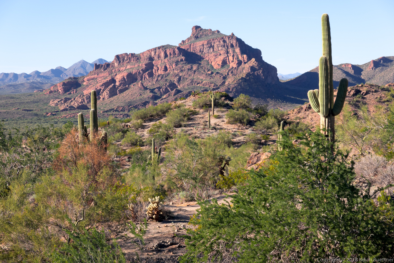
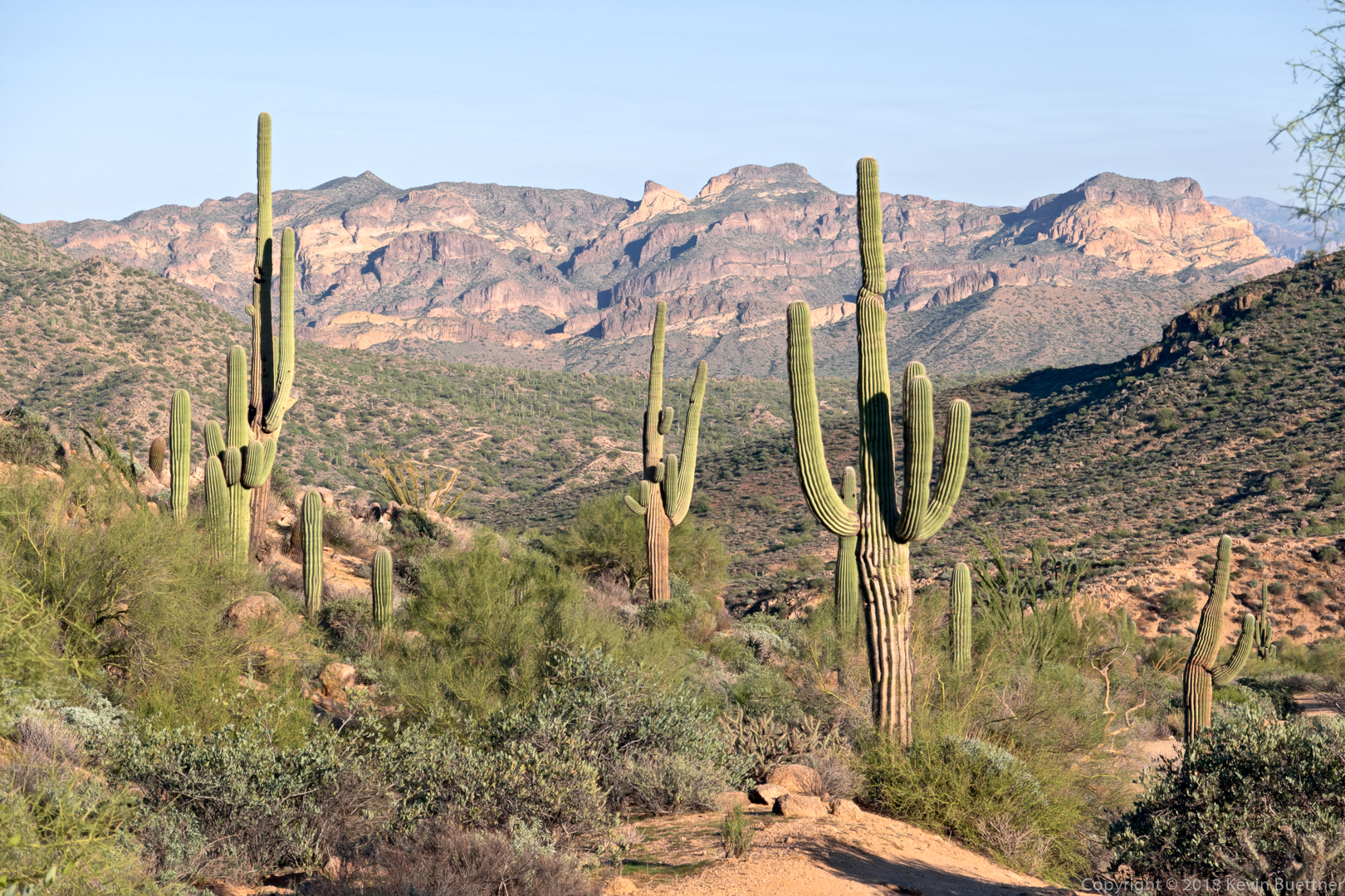
I think I was on the Twisted Sister Trail (which is part of the Hawes Trail System) when I got this shot of Red Mountain near sunset.

Another shot near sunset…

Sunday Hike – Usery Area Explorations

Marilyn and I did a hike in the Usery Mountain area on Sunday. We parked in the lot next to the western gate of Bulldog Canyon, then crossed the road and hiked west of the road. It’s a very scenic area. I want to do a longer hike in this area someday.

Sunday Hike – Bronco Trail #245

Marilyn and I hiked the Bronco Trail on Sunday afternoon – 9.8 miles with nearly 1800 feet of total ascent.

Sunday Hike – Spur Cross Limestone Loop

Marilyn and I went out to Spur Cross Ranch Conservation Area on Sunday. Marilyn hiked the Elephant Mountain Loop. I hiked out on Spur Cross and then hiked the Limestone Trail. At the end of it, we met up and hiked most of the way back together, first on Elephant Mountain, then Tortuga, and Spur Cross.  I ended up hiking Metate and Towhee before returning.  Total distance for my hike was about 9.5 miles. Marilyn hiked 7 miles.

Sunday Hike – Saddle Mountain Trail #91

Marilyn and I hiked the Saddle Mountain Trail from the Mormon Grove Trailhead. I hiked the entire trail, including the small loop at the end. On the way back, I hiked a bit of Sheep Creek Trail. The loop at the end is not worth doing – there was a lot of bushwhacking and it was slow going. Sheep Creek Trail was easier to hike and very pretty too – I wish I would have spent my time on that trail instead of doing the short (but long in terms of time) loop at the end of Saddle Mountain.

I ended up with 8.9 miles for this hike.

This flower looks like globe mallow, but is somewhat smaller and redder than the globe mallow flowers that I’m accustomed to seeing at lower elevations. It was identified by someone on HAZ as a Trans-Pecos Morning Glory.

That’s Mount Ord in the distance. We had views of Mount Ord throughout our hike. Marilyn also found that she had a cellphone signal when Mount Ord was in view.

Indian Paintbrush:

Both Marilyn and I liked the small mountain with the exposed rock.

This is Saddle Mountain after which the trail is named.

We encountered this snake on our way back. It’s not a rattlesnake – I’ve been told that it’s a Western Patch-nosed Snake. Marilyn observed it’s tongue flicking in and out of its mouth, but beyond that we didn’t observe any movement.

Sunday Hike – Pole Hollow Canyon

Marilyn and I hiked a little over seven miles on our out-and-back hike of Pole Hollow Canyon. This hike, near Payson, starts at the City Creek Trailhead on Doll Baby Ranch Rd.

We encountered this snake early in our hike. It’s not a rattlesnake – it’s probably some type of Bull Snake.

The hike was mostly on trail, but it had significant deadfall to either cross or go around.

Sunday Hike – FS 242 & Pinto Creek Canyon

Marilyn and I set out with the intent of hiking Pinto Creek Canyon. It was billed as a creek with clear, ankle deep water. We inadvertently parked two miles away, but hiked the forest road (FS 242) to the creek. When we got there, we found that it was mostly dry with occasional slippery mud plus a few stagnant pools of water. It was very scenic from the forest service road, however; I enjoyed the views from the road.

Sunday Hike – Pine Canyon Trail #26

Marilyn hiked four miles of the Pine Canyon Trail with me. At the four mile mark, I went on and she turned back, eventually picking me up at the northern end of the trail further up Beeline Highway. I hiked nearly 12 miles with over 2500 feet of total ascent.

Sunday Hike – Highline-Donahue

On Sunday, I drove to the Pine Trailhead and did an out-and-back hike of the Highline and Donahue trails. I also hiked two forest roads beyond the Donahue Trail – these were FR 218 (Milk Ranch Point Road) and FR 9382L. The hike that I did – well, the return portion, anyway – is the latter half of a loop that can be done. I’m thinking about doing this loop and wanted to scout the latter part of the hike.

Sunday Hike – Black Ridge Loop

I did 8.1 miles on this loop hike in the Mazatzals.

This is Brunson Tank. Not much water, but more than there was when I did the same hike in March.

This is a flower on the side of an agave stalk. (It may even be a Century Plant.)  The leaves at the bottom of the plant were dead. I would guess that the main blooms were at the top of the stock a season ago.

Almost done with the hike – I liked the shape of this cone shaped hill.