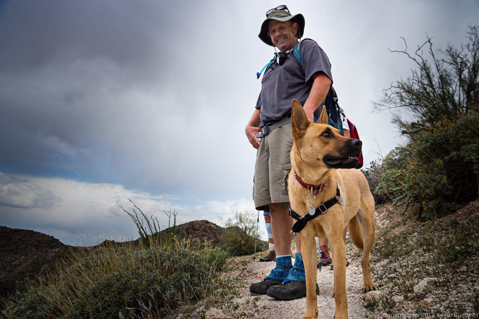
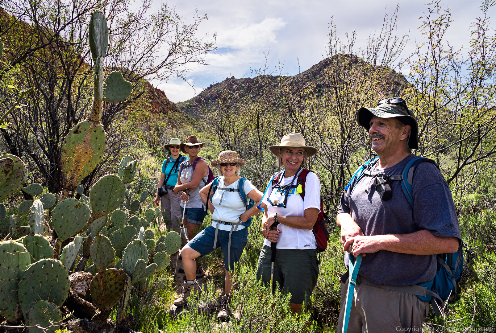
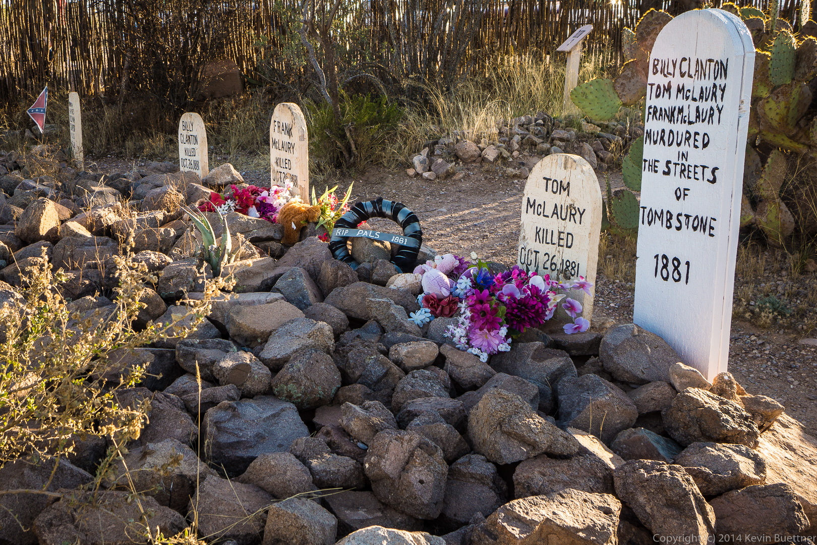
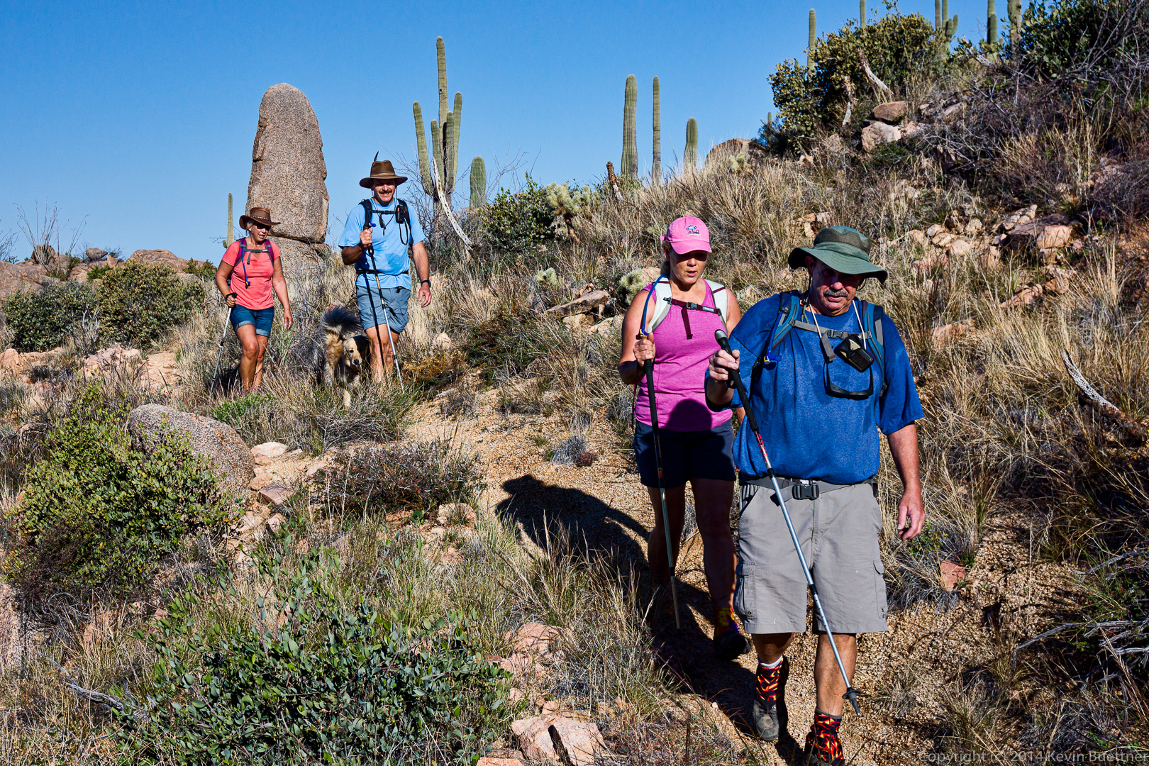
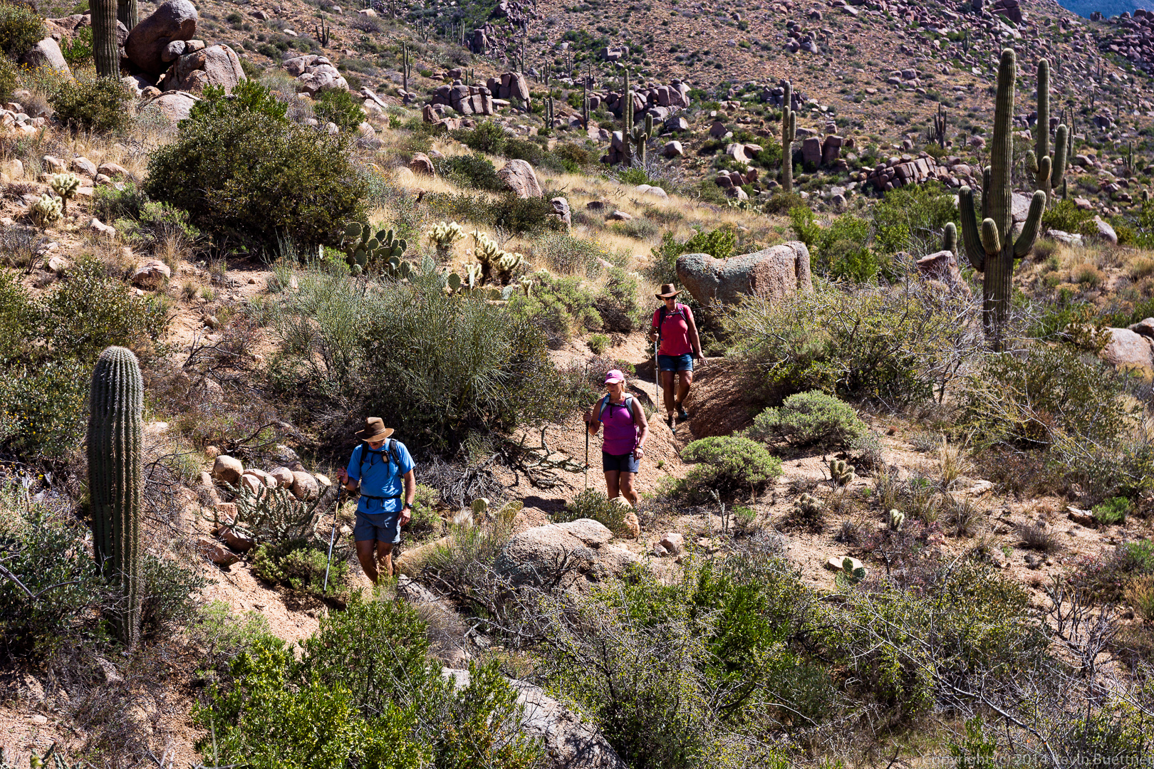
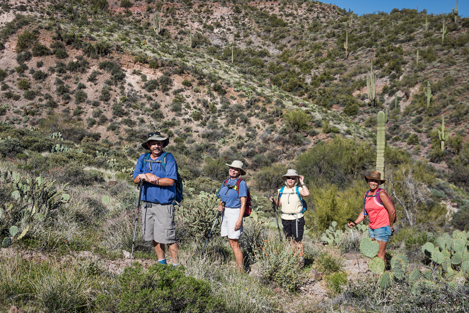
Bob, Venie, Linda, Nancy, and I did an eight mile hike at the Spur Cross Ranch Conservation Area. Our hike took us out into the Tonto National Forest briefly. Halfway through, we hiked up to the top of the fortress peak where we looked at the walls built by an ancient people, presumably for defense.
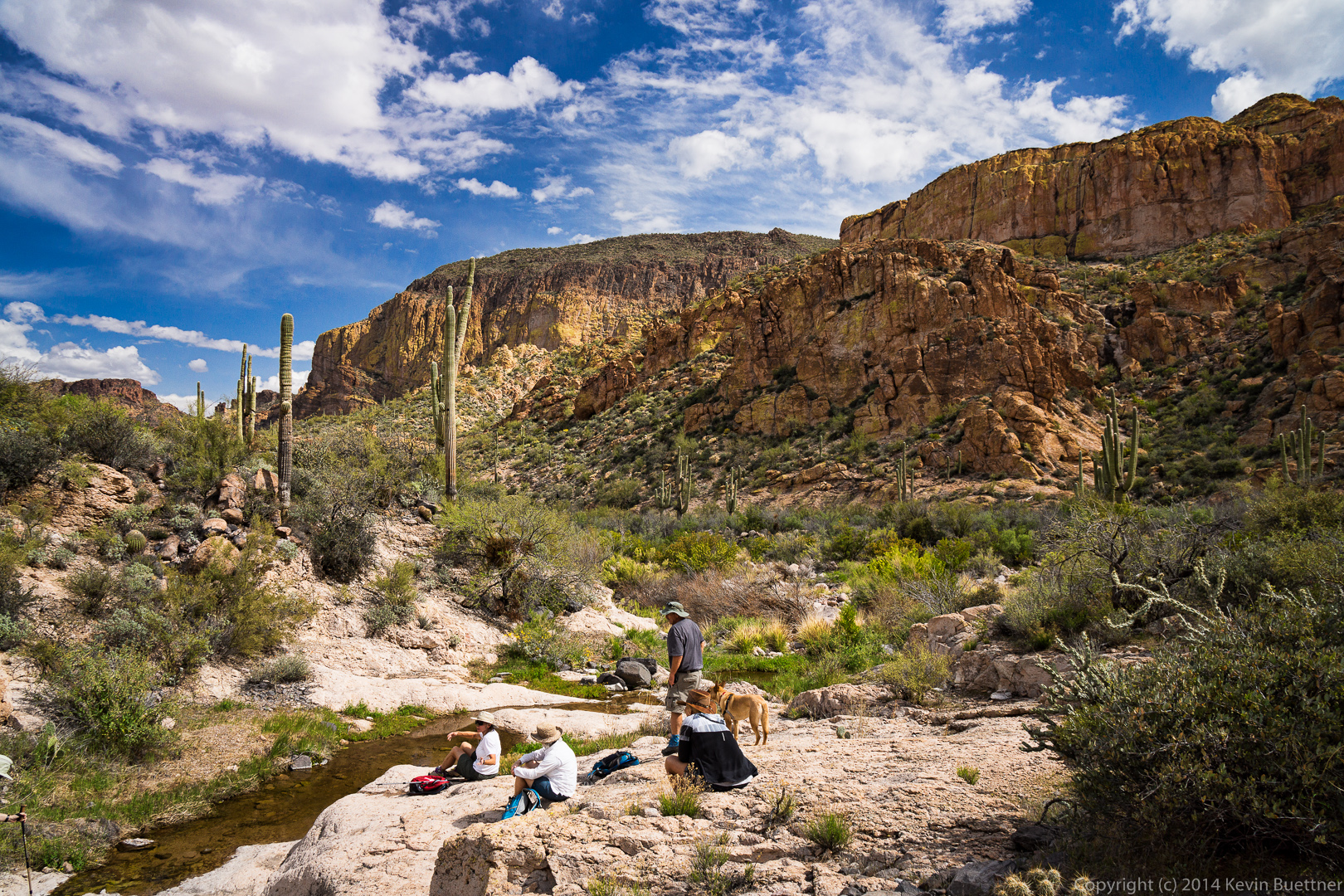
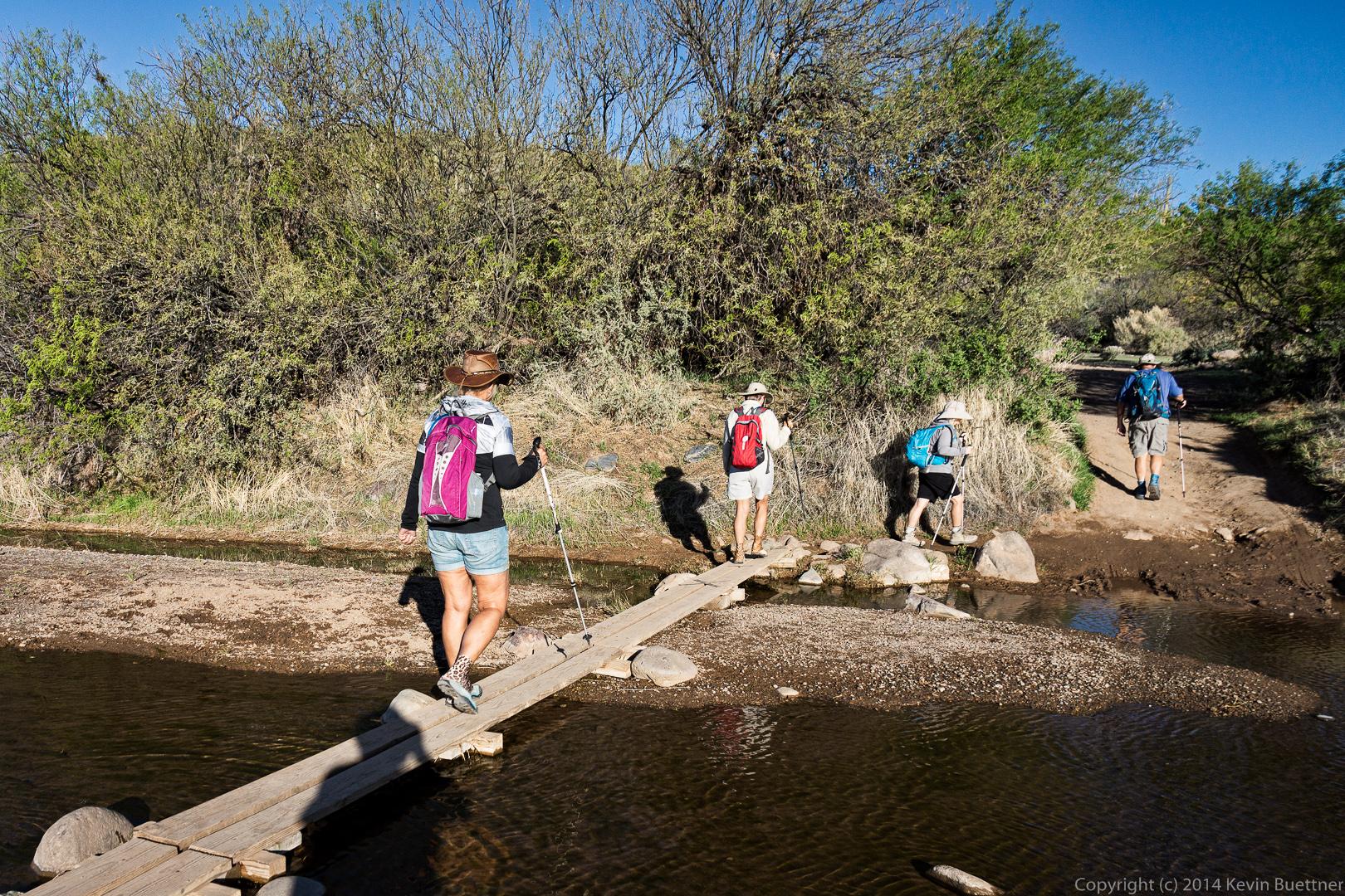
Our hike started on the Spur Cross Trail, where we encountered Cave Creek.
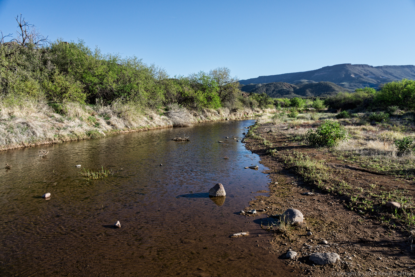
Fortunately, there is narrow bridge of sorts, so we didn’t have to get our feet wet crossing the creek.
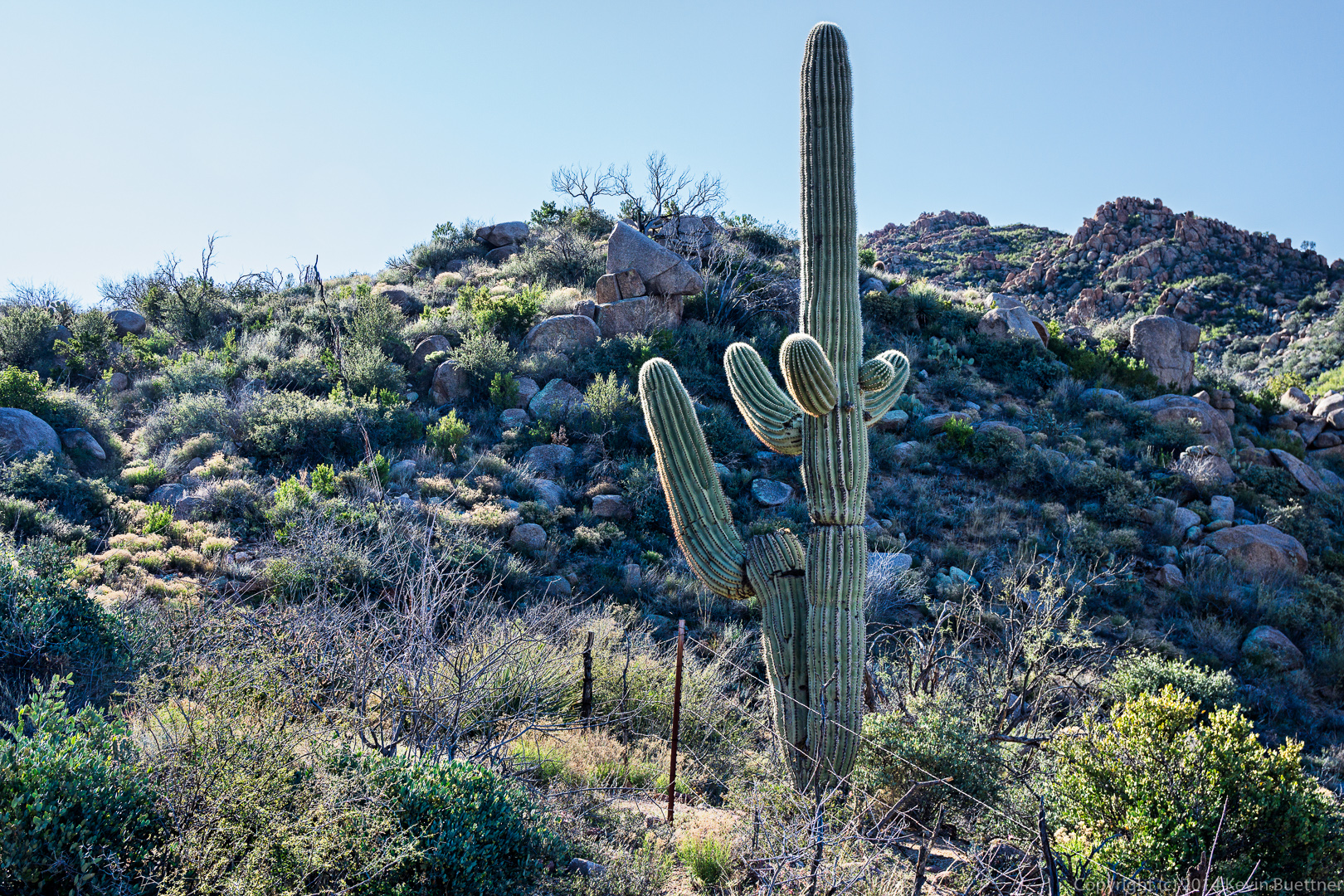
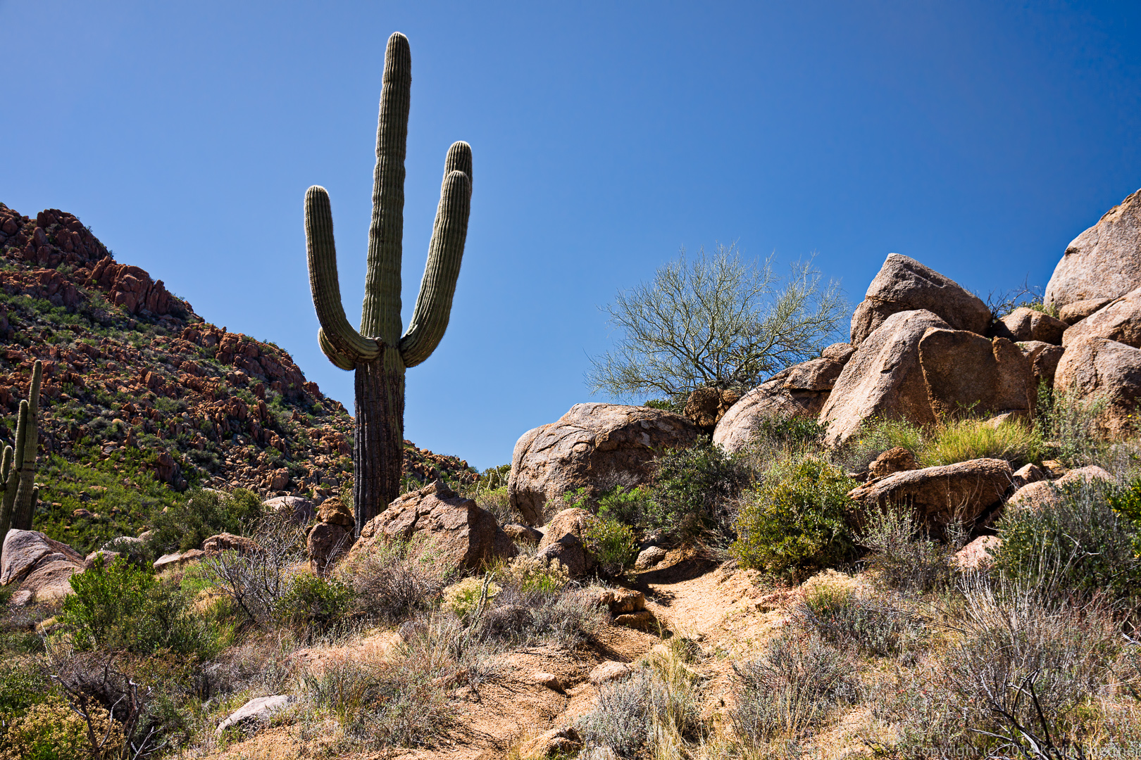
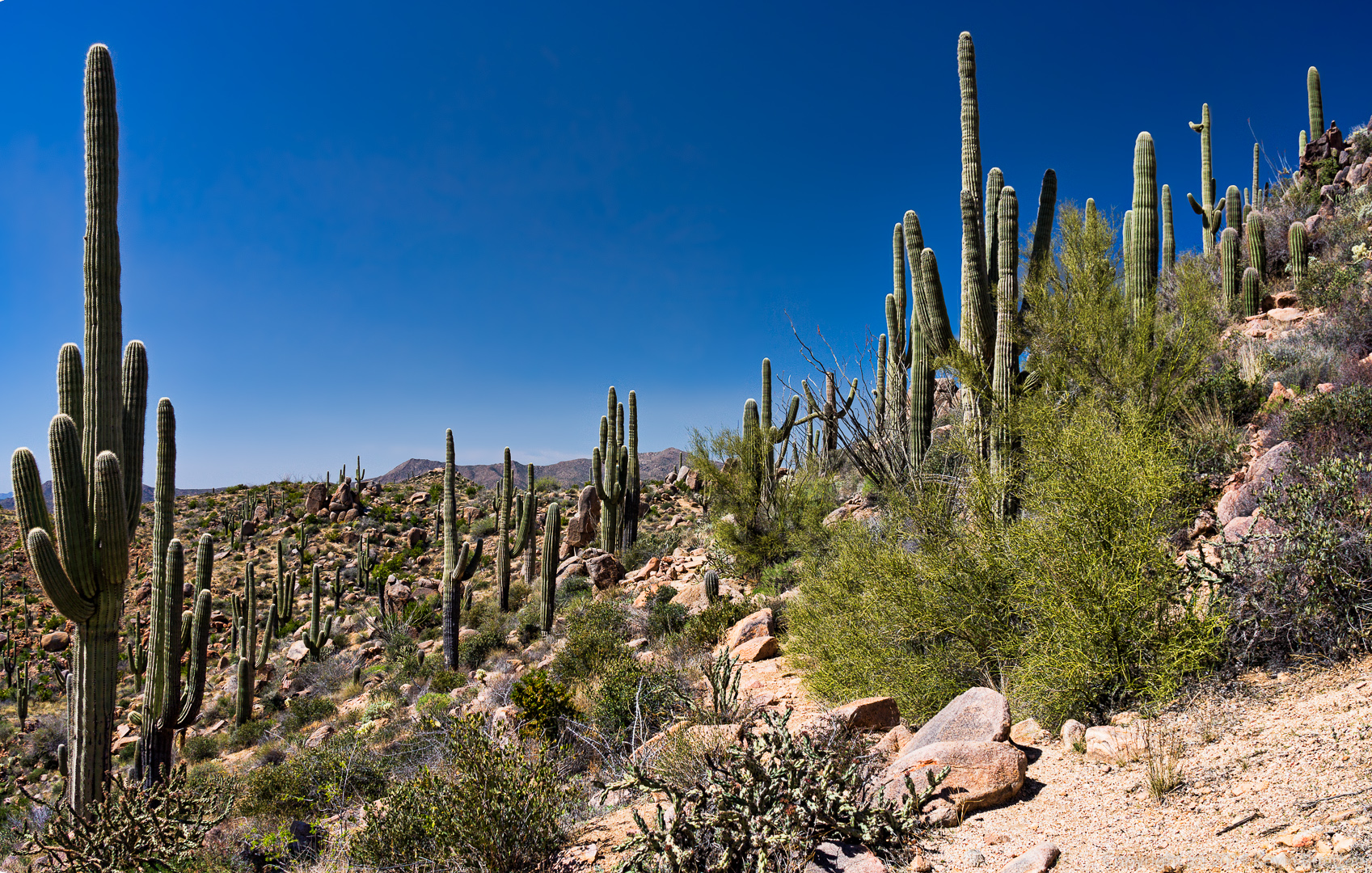
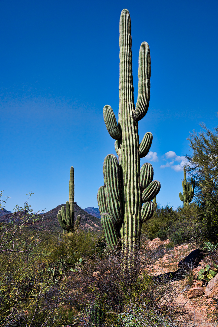
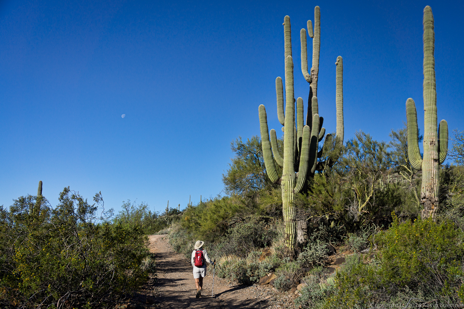
 Linda looking at some of the large Saguaros beside the trail:
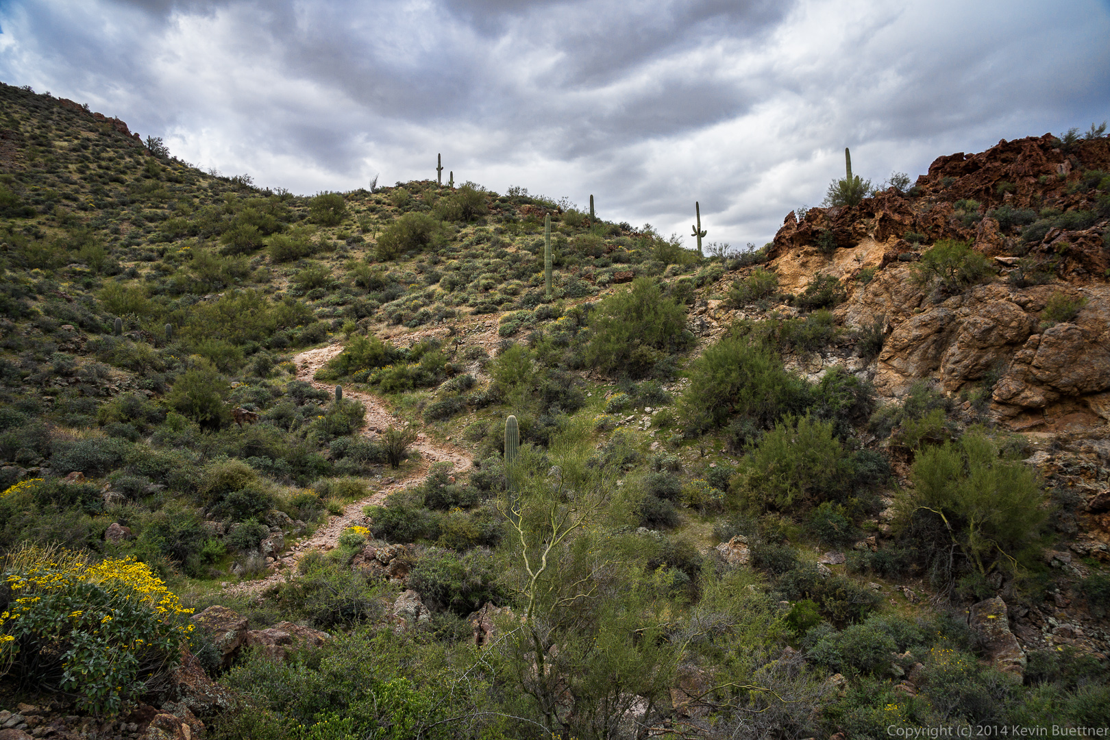
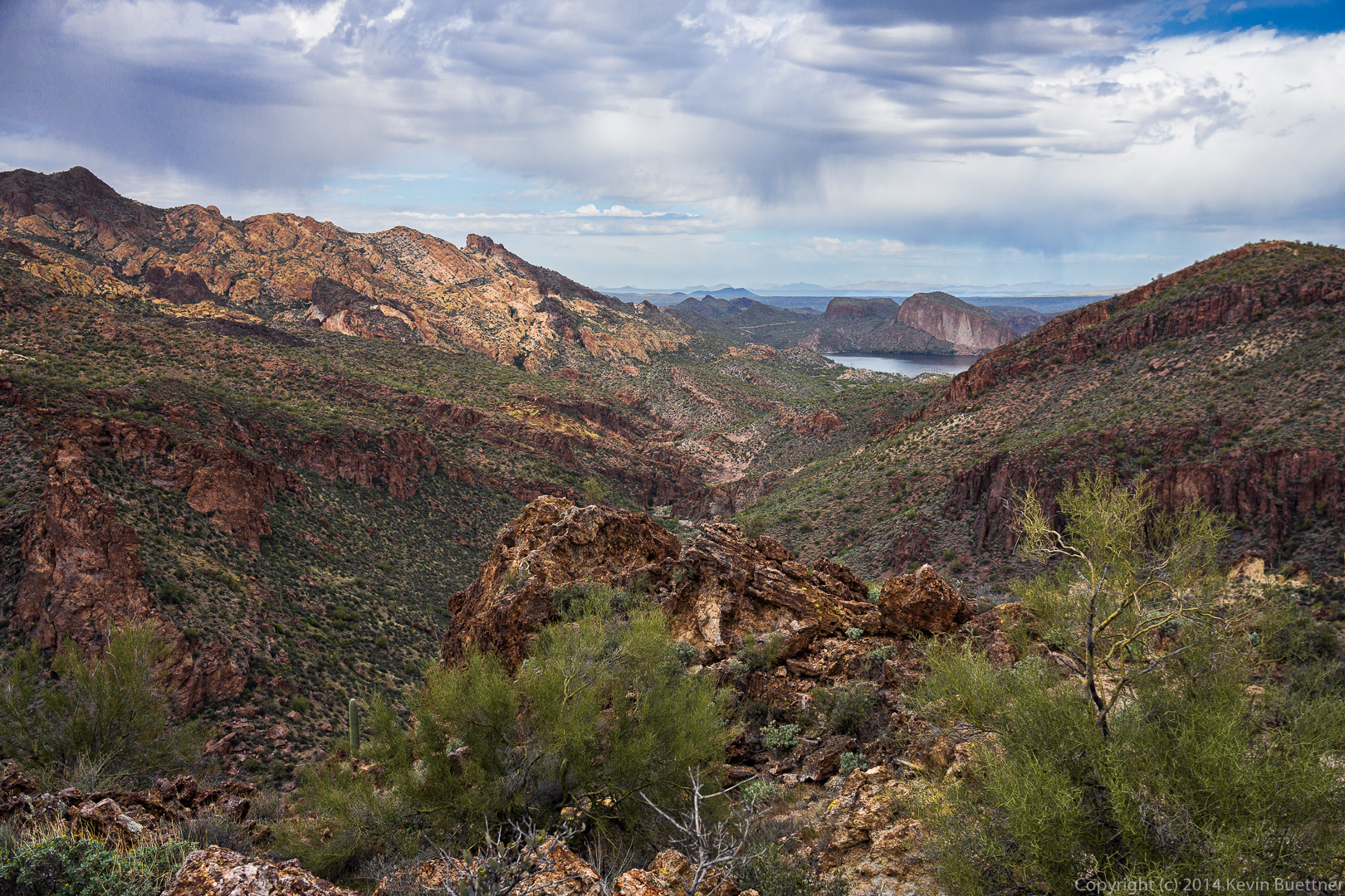
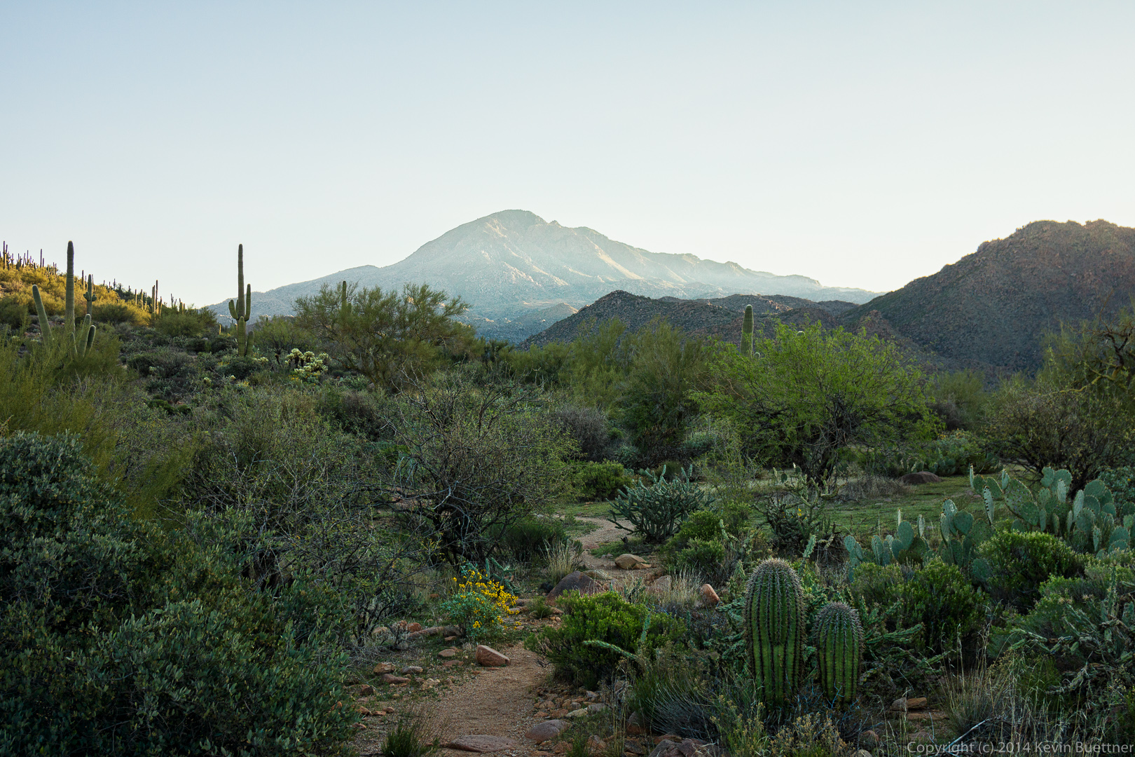
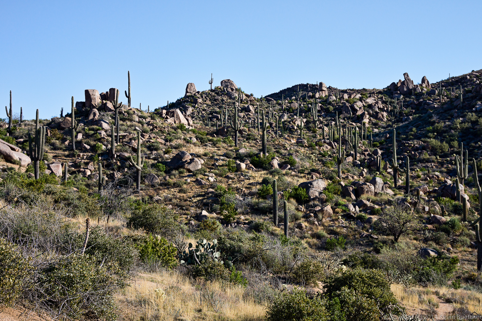
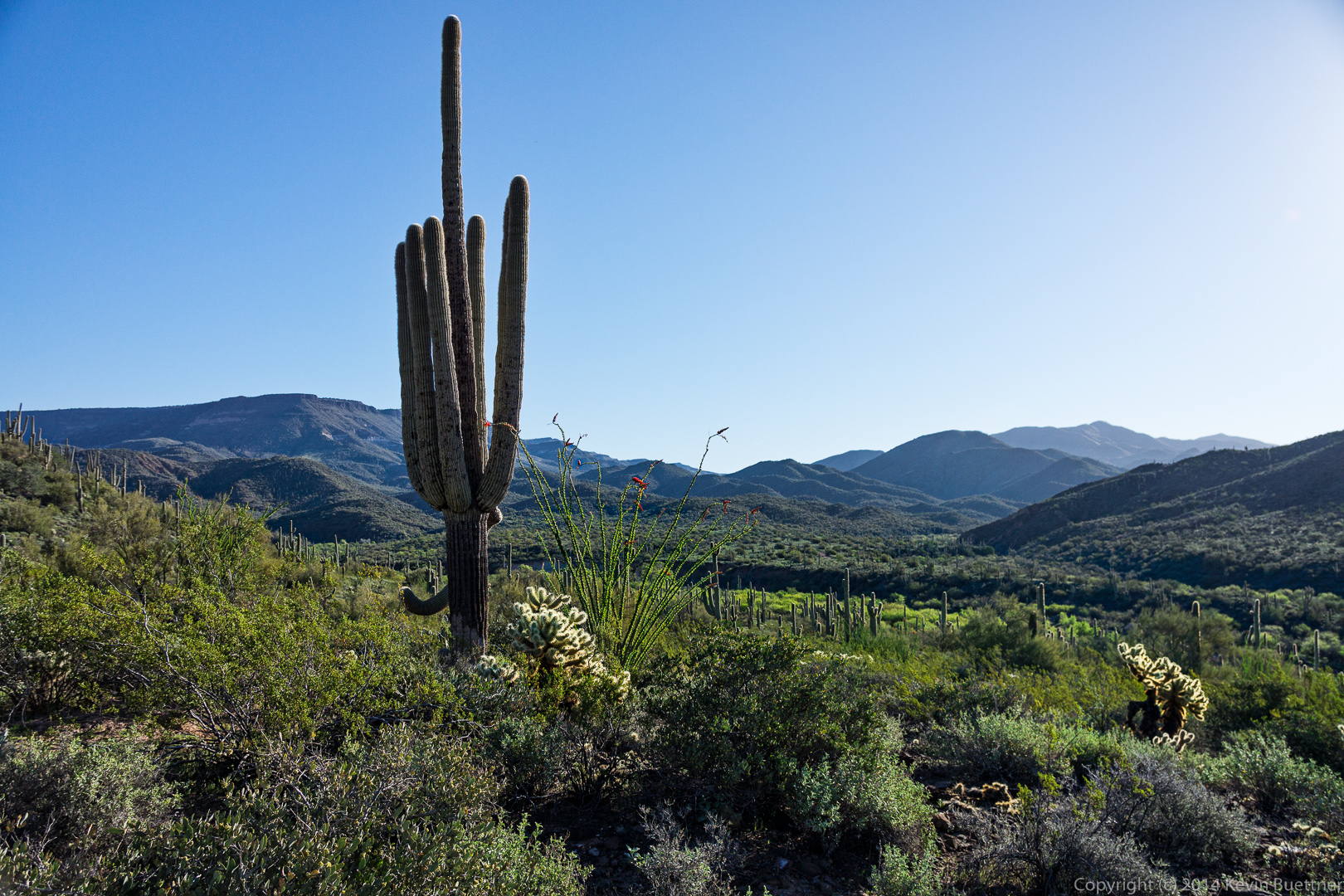
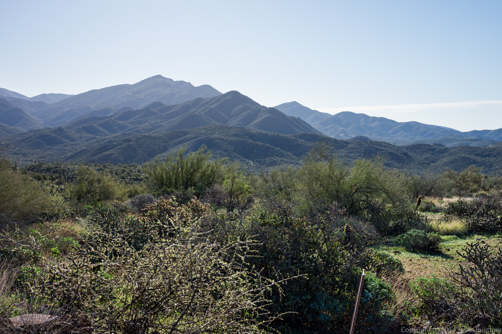
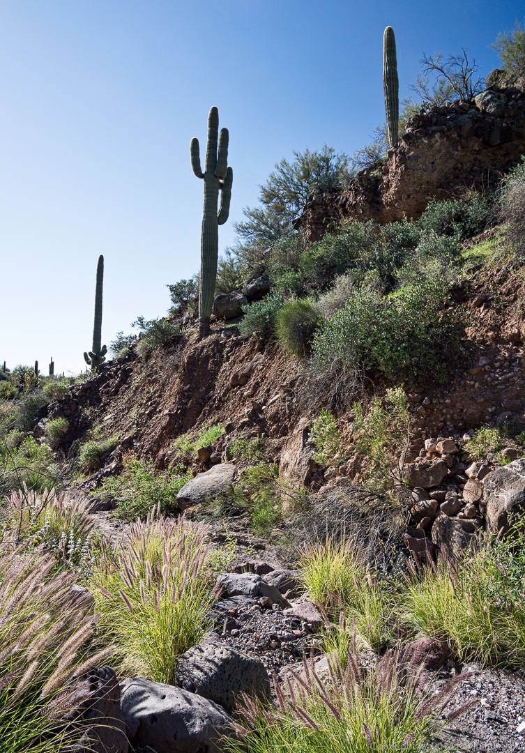
 An early morning view from the Spur Cross Trail:
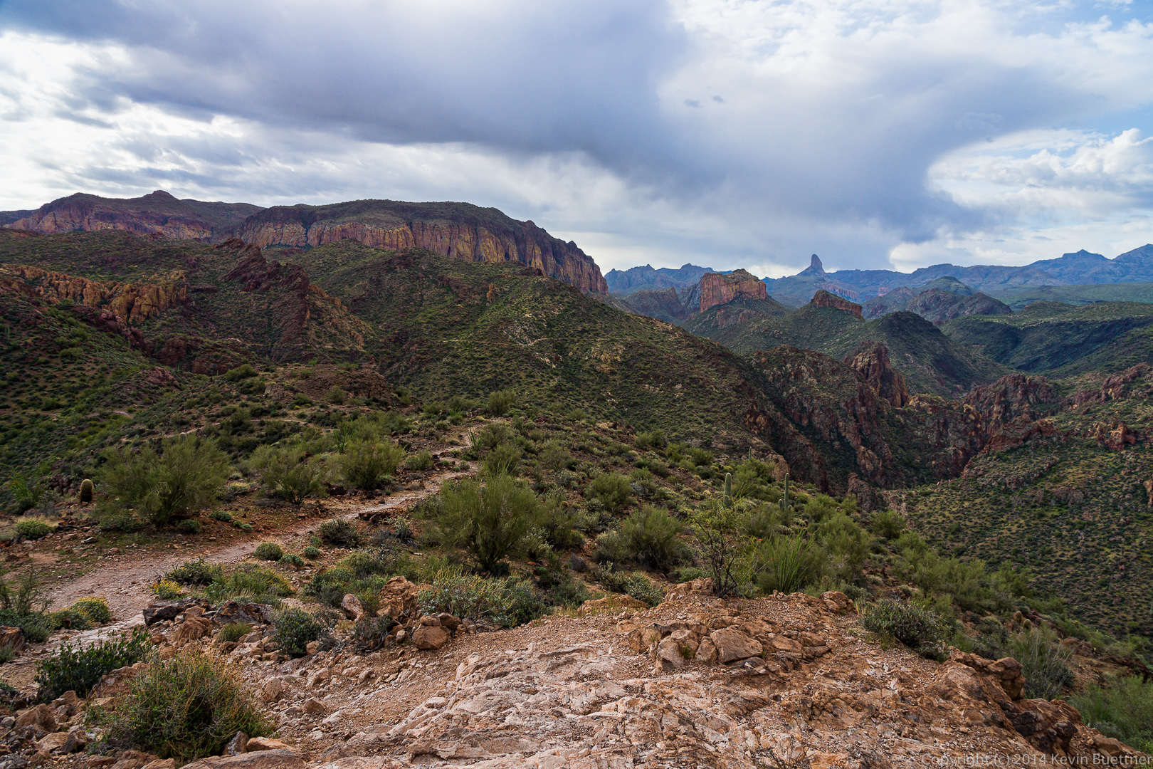
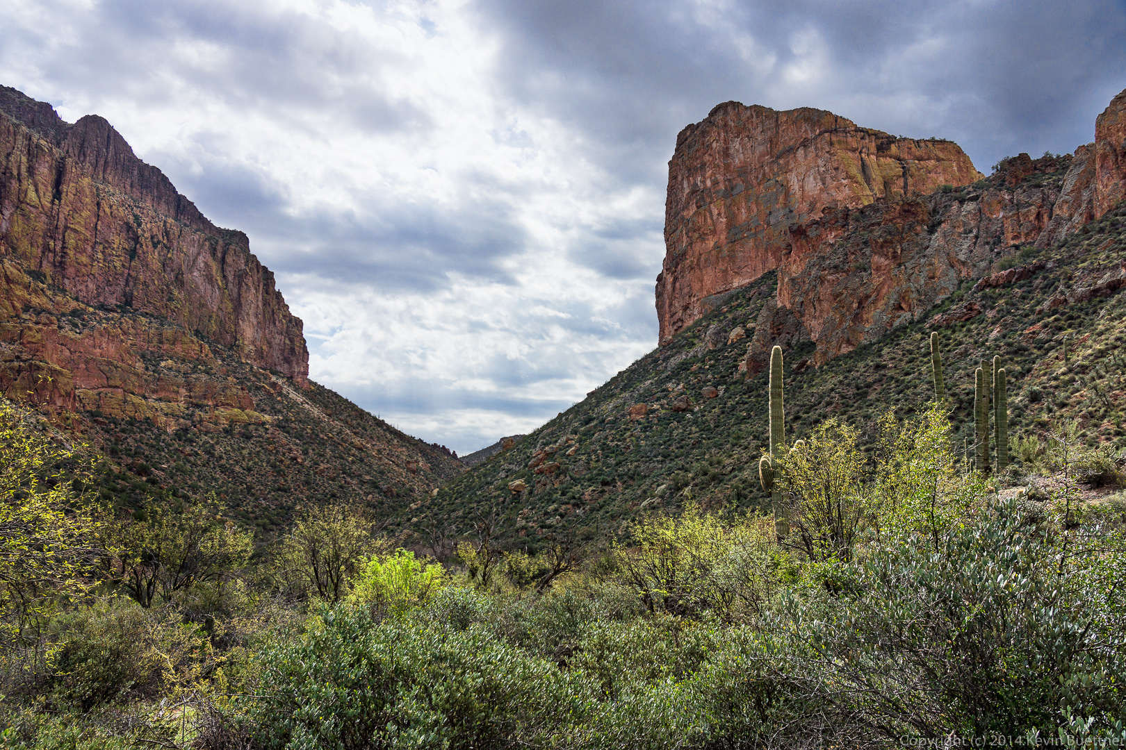
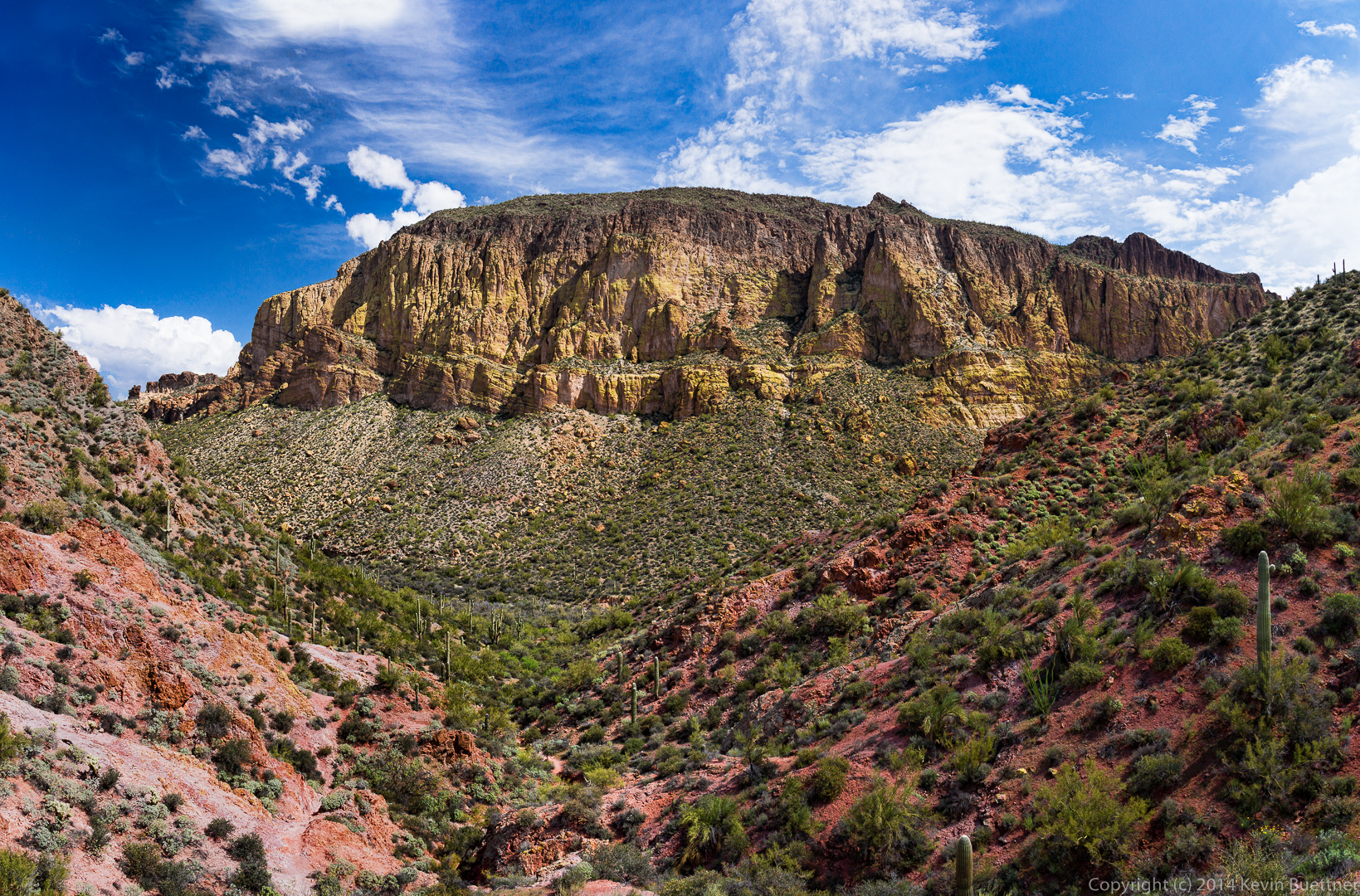
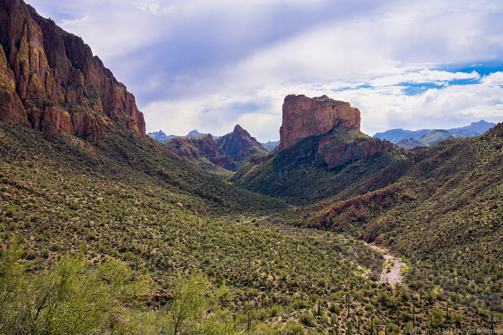
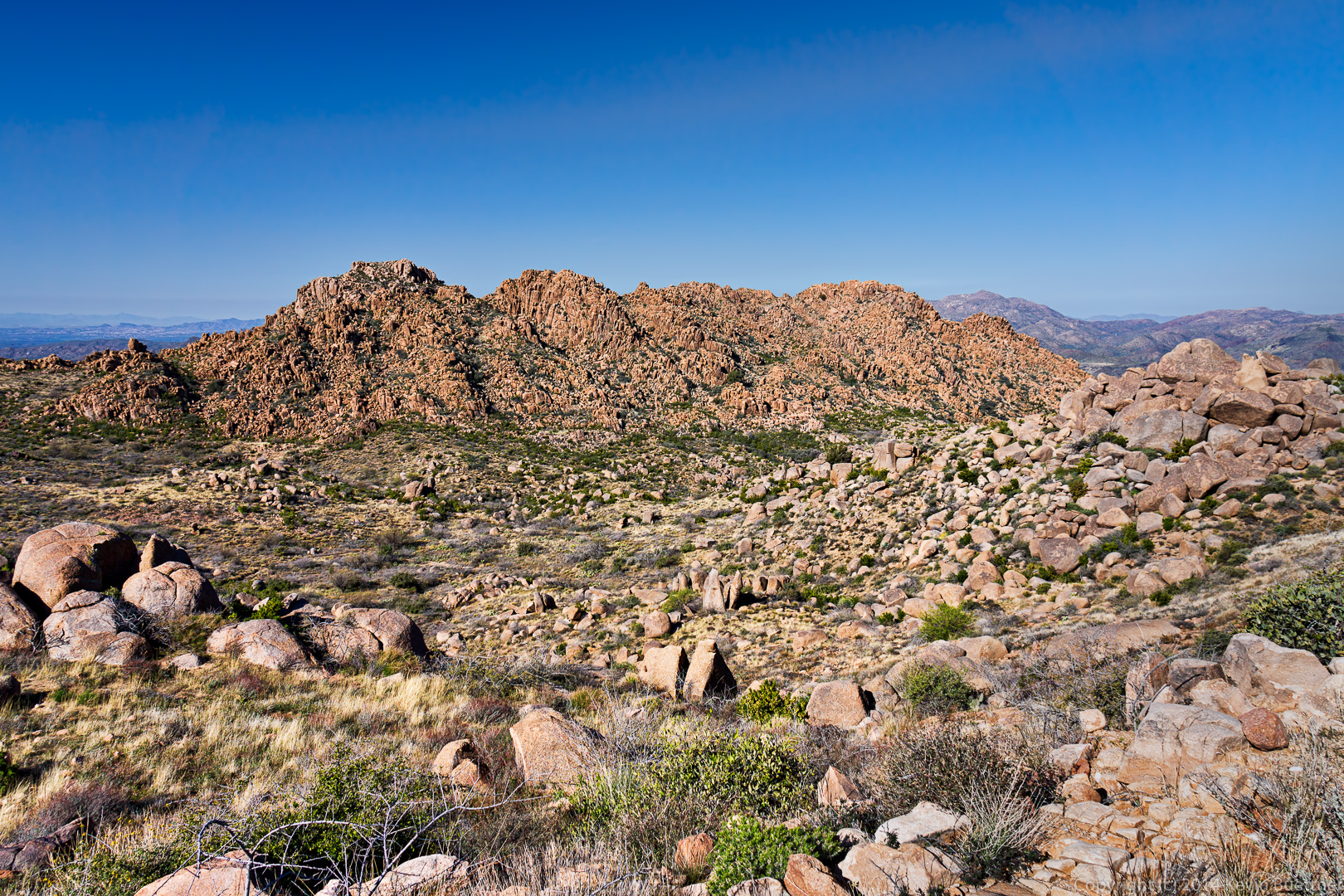
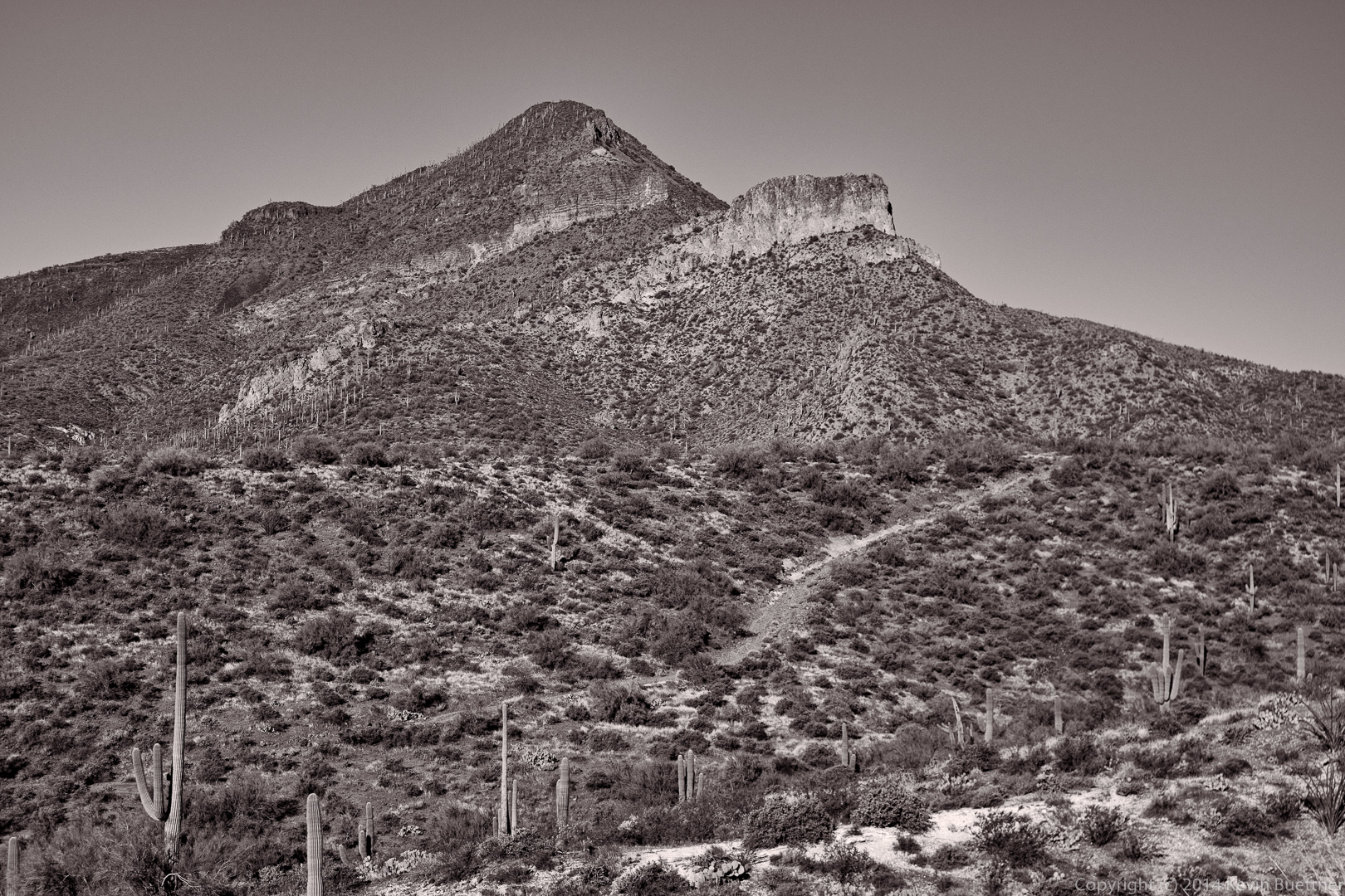
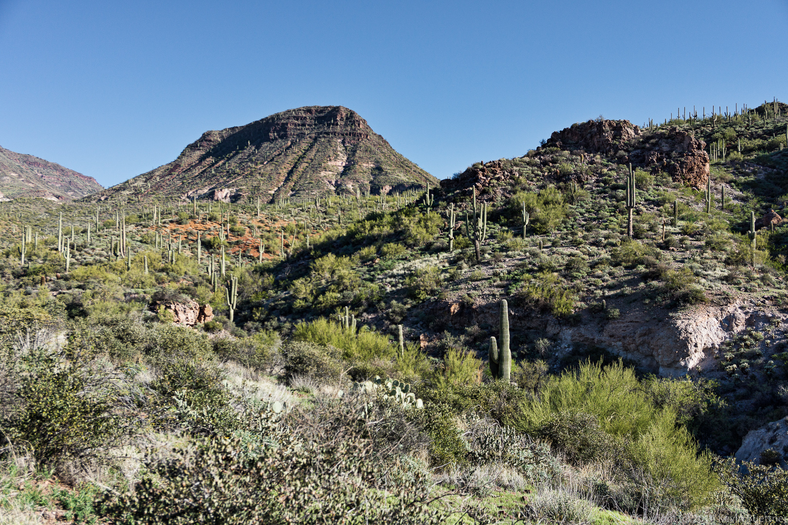
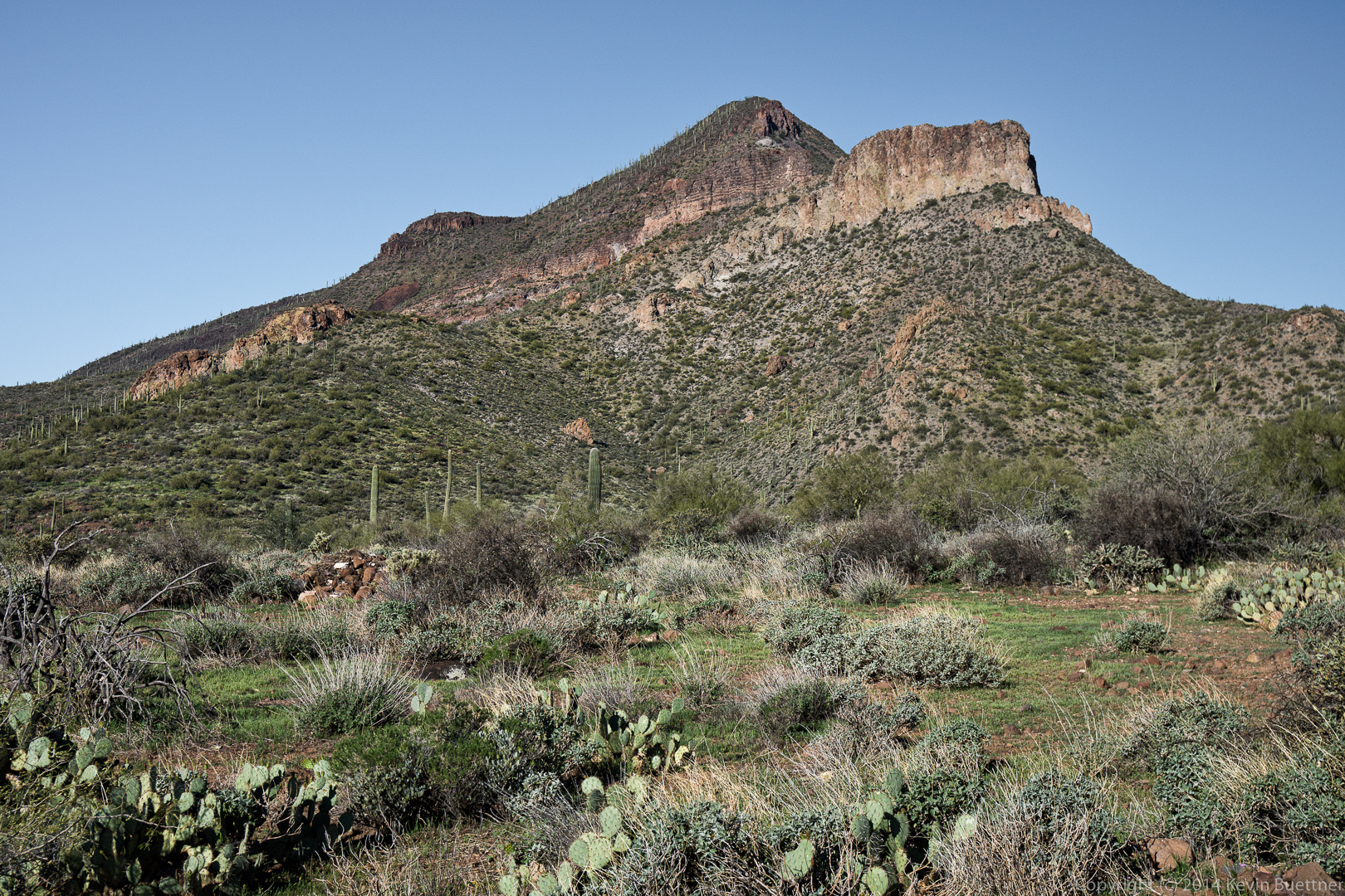
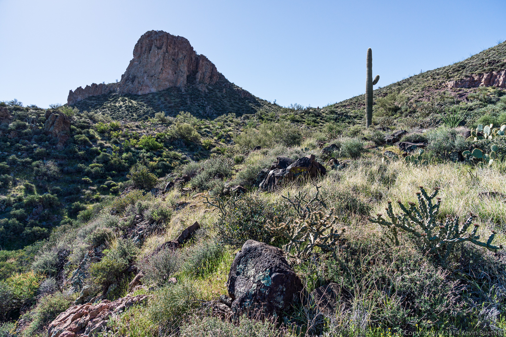
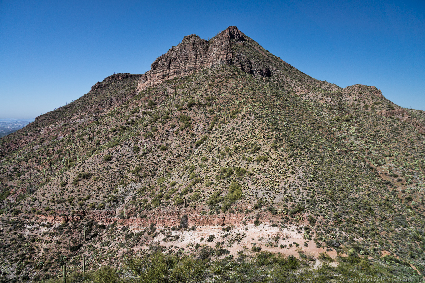
 A view of Elephant Mountain on the left with the fortress peak lower down to the right. The steep walls around most of the fortress peak make it fairly inaccessible via any route except for a steep, but relatively easy trail accessible from the saddle between these two formations.
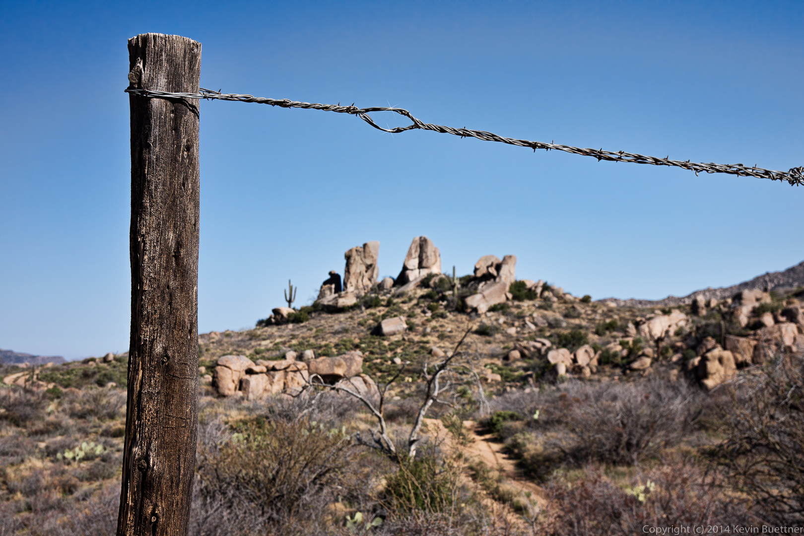
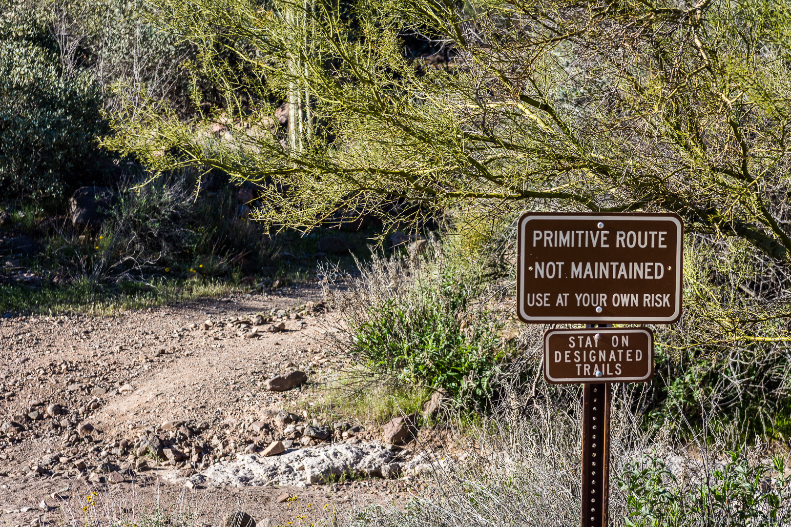
 We saw at least two signs along the way about the trail being a “primitive route” that is “not maintained”. These trails are significantly better than some of the trails we’ve hike elsewhere.
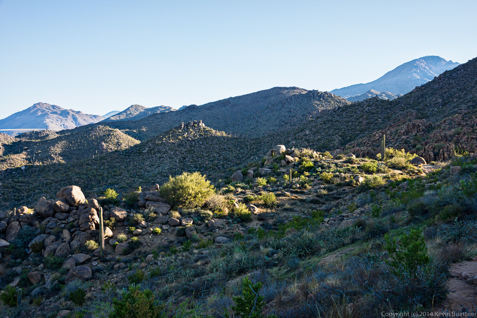
 Another early morning view:
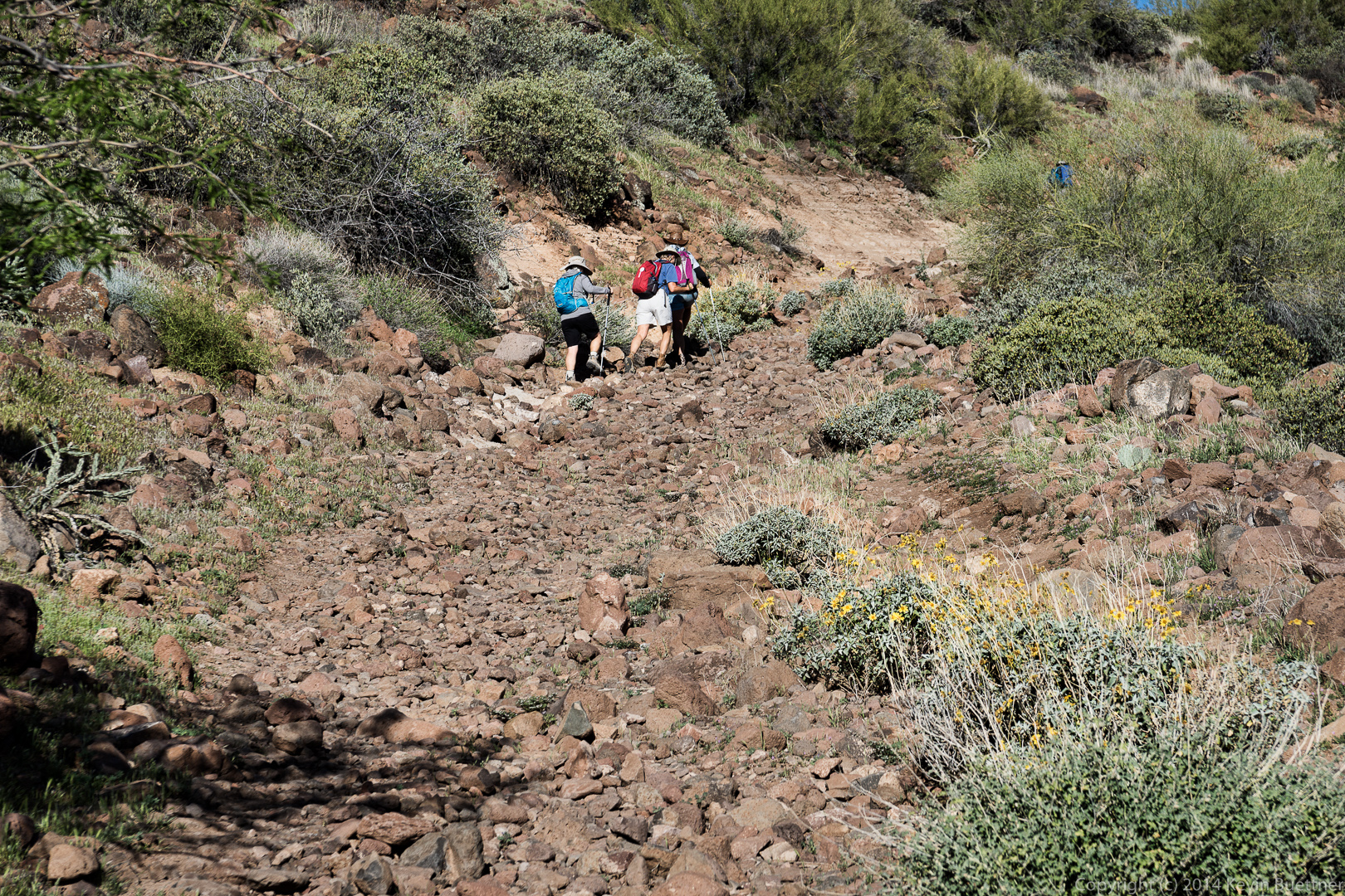
 Part of the trail followed an old road full of rocks.
 Yet another early morning view:
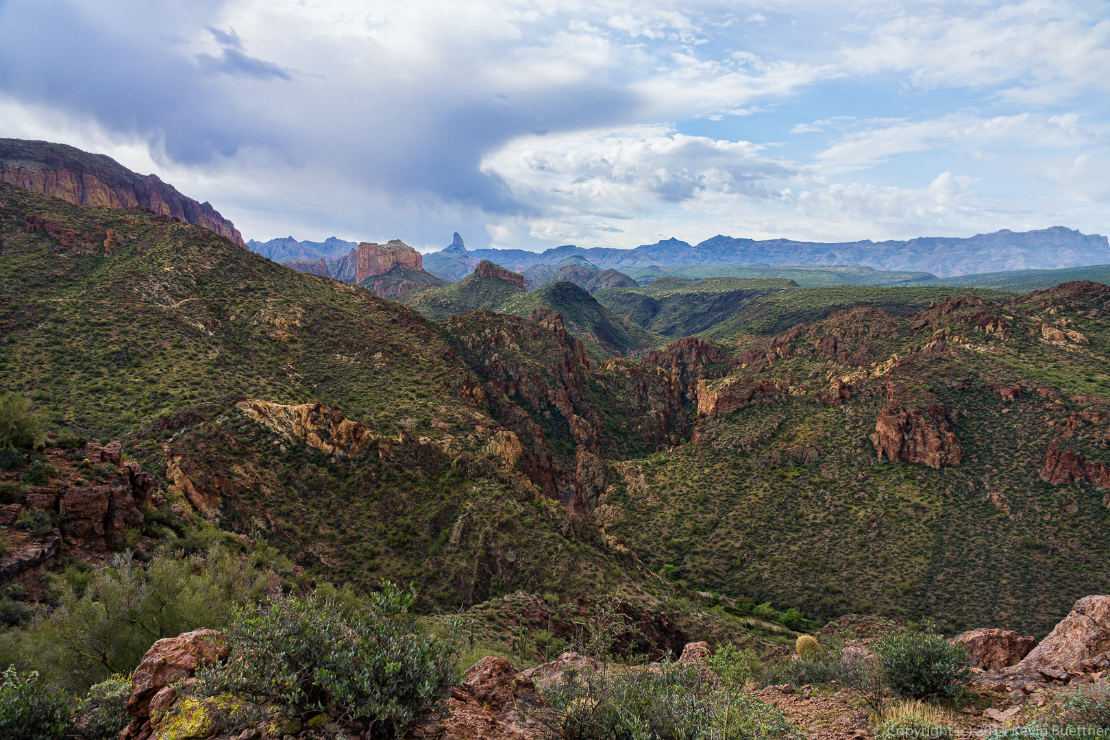
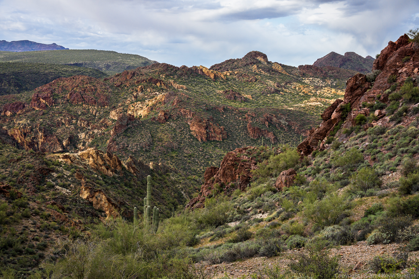
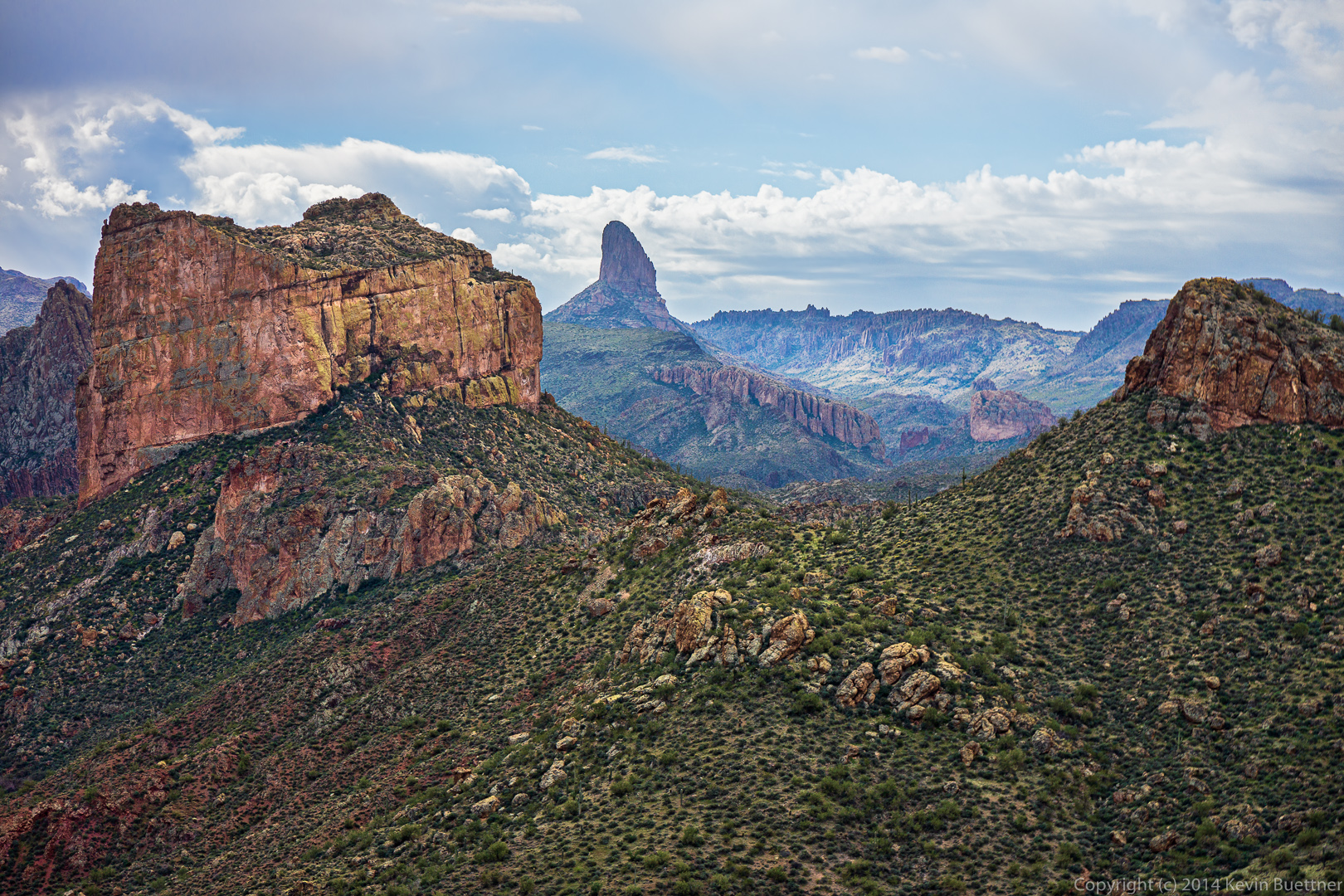
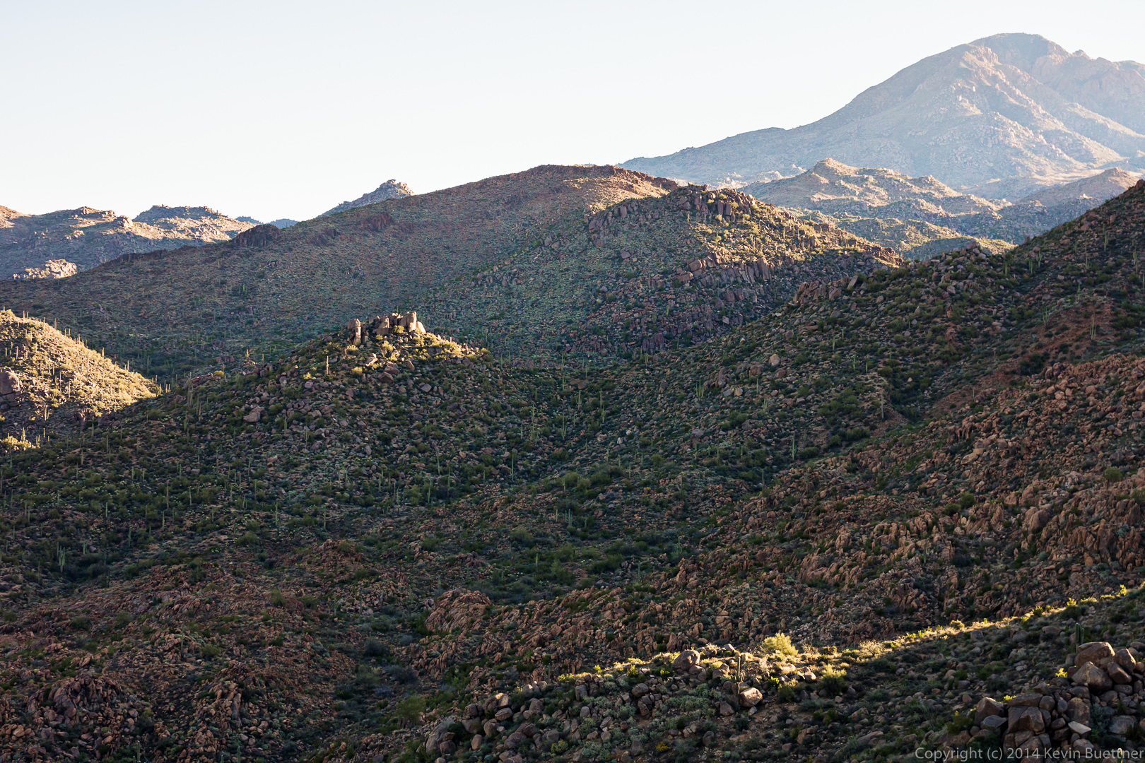
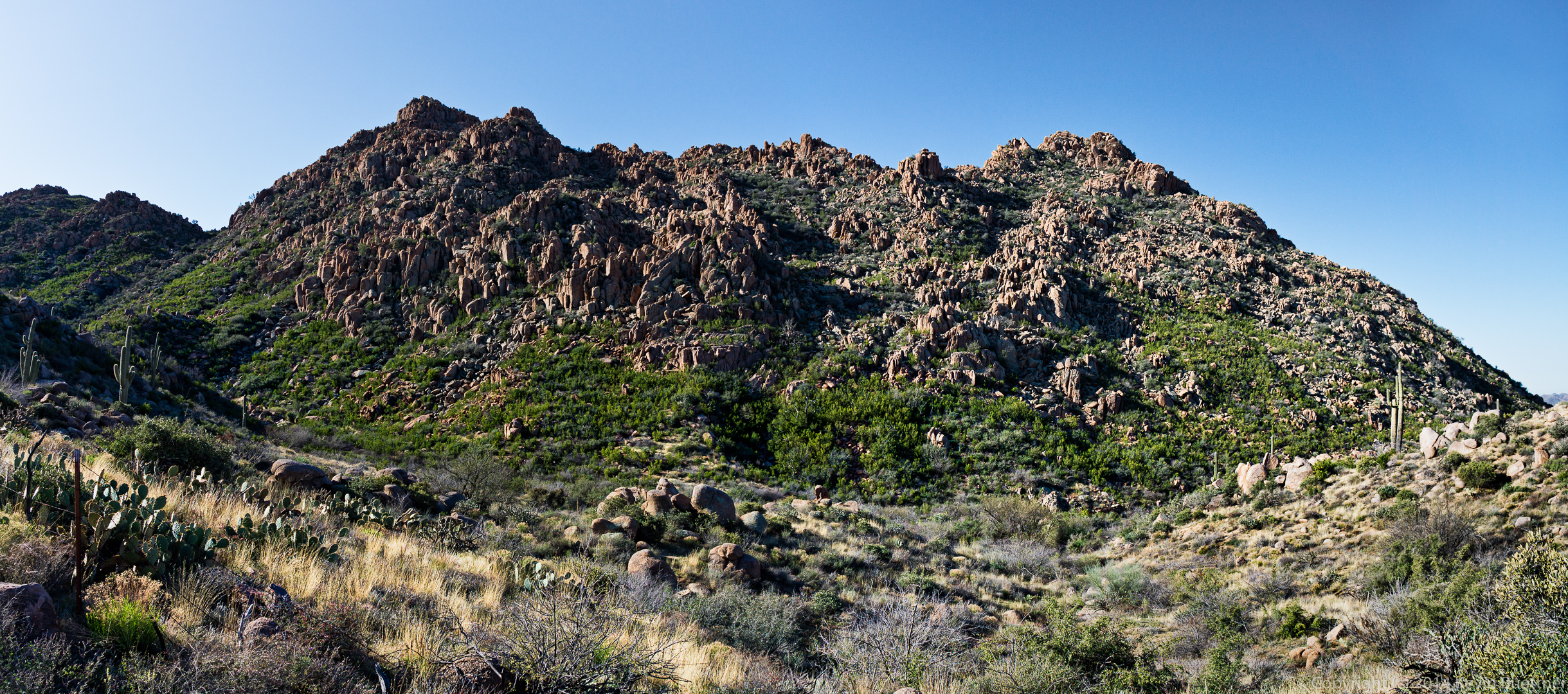
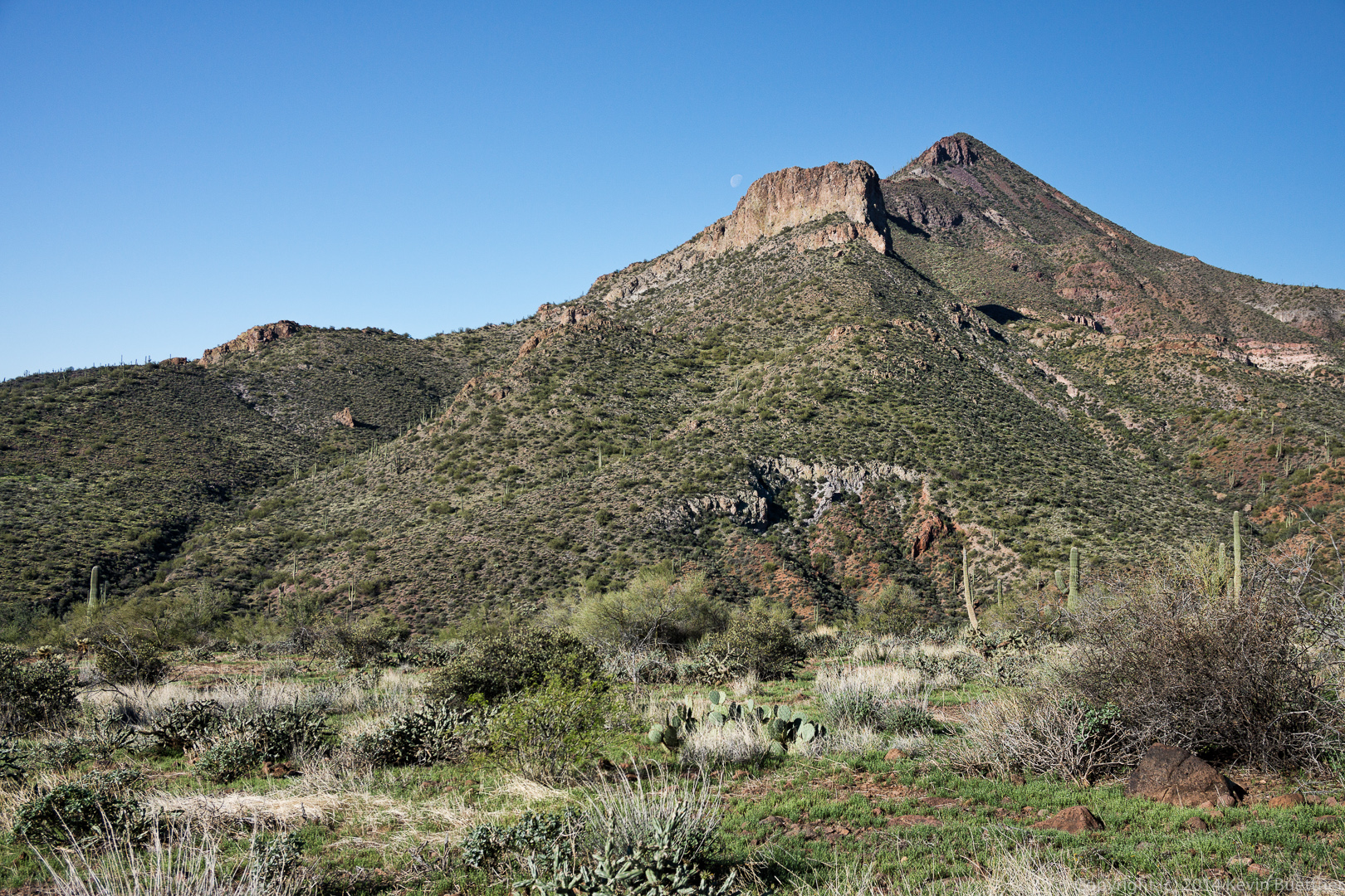
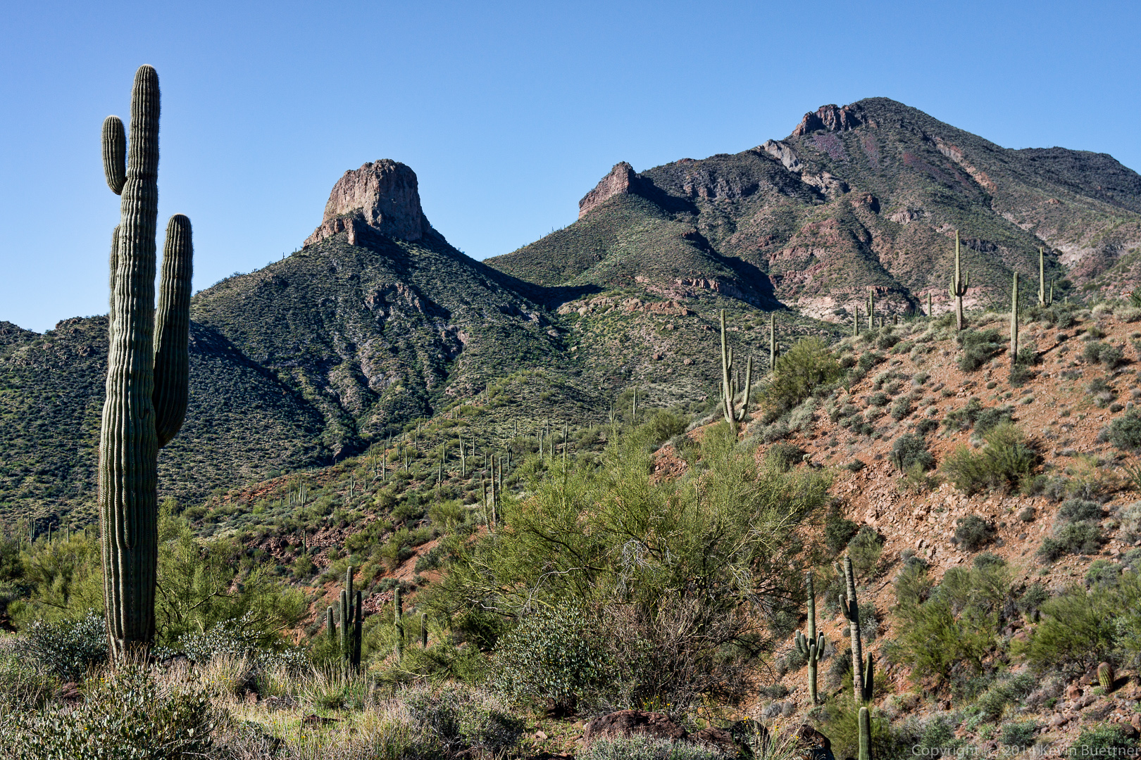
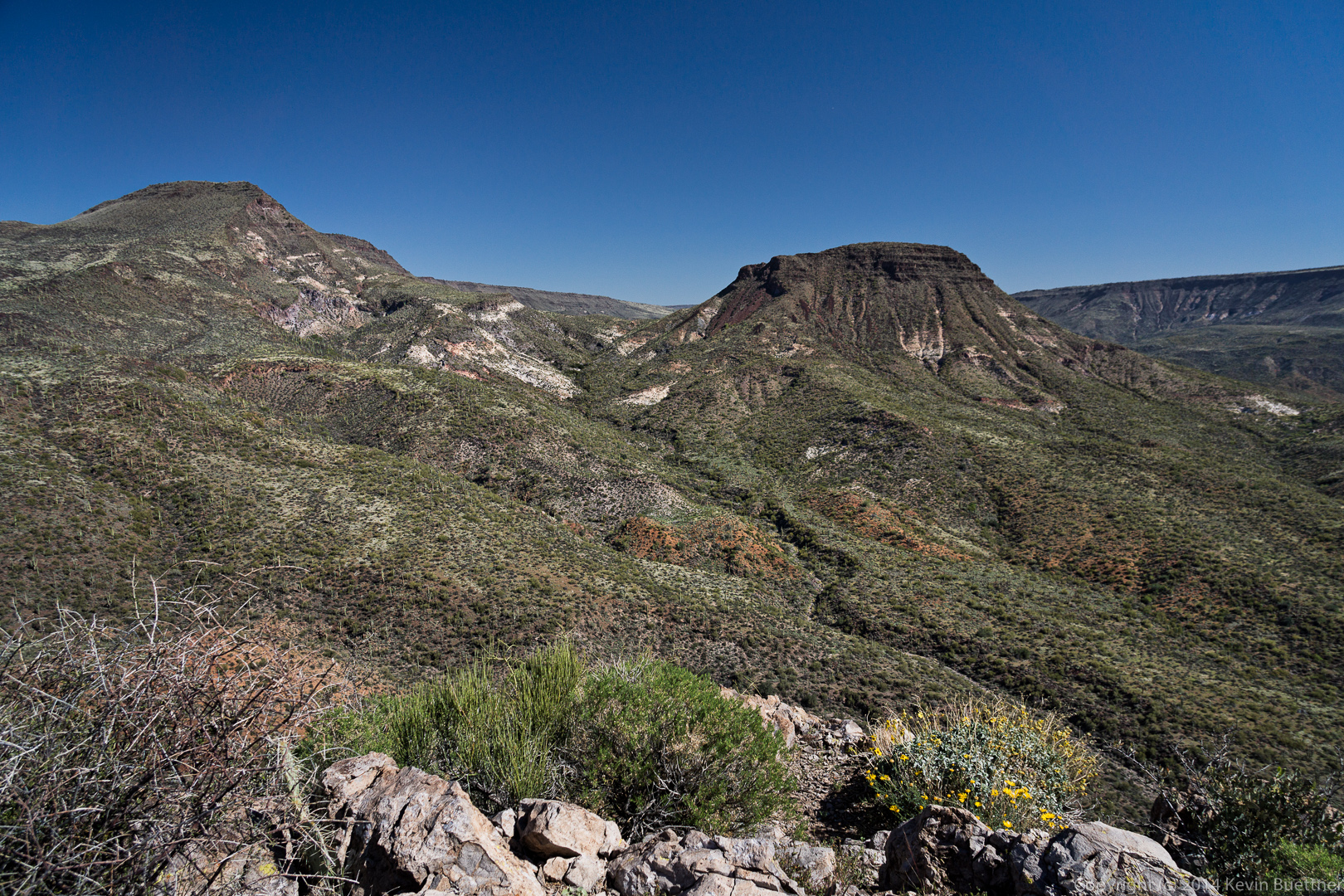
 Another view of Elephant Mountain and the Fortress Peak. Note that Elephant Mountain is still to the left of the Fortress Peak in this photo.
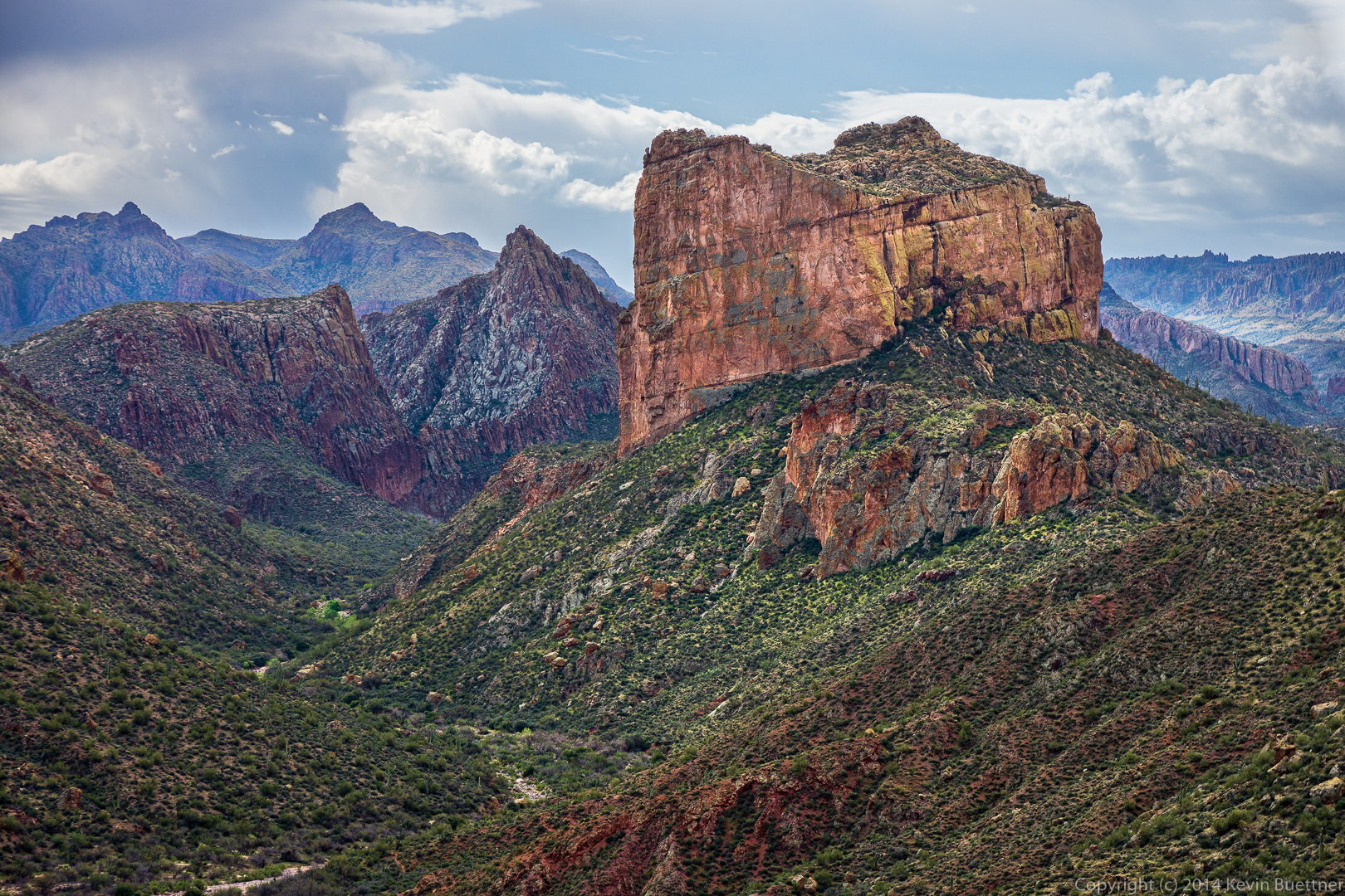
 By the time that I took this photo, we had worked our way far enough around these formations for the positions to have reversed.
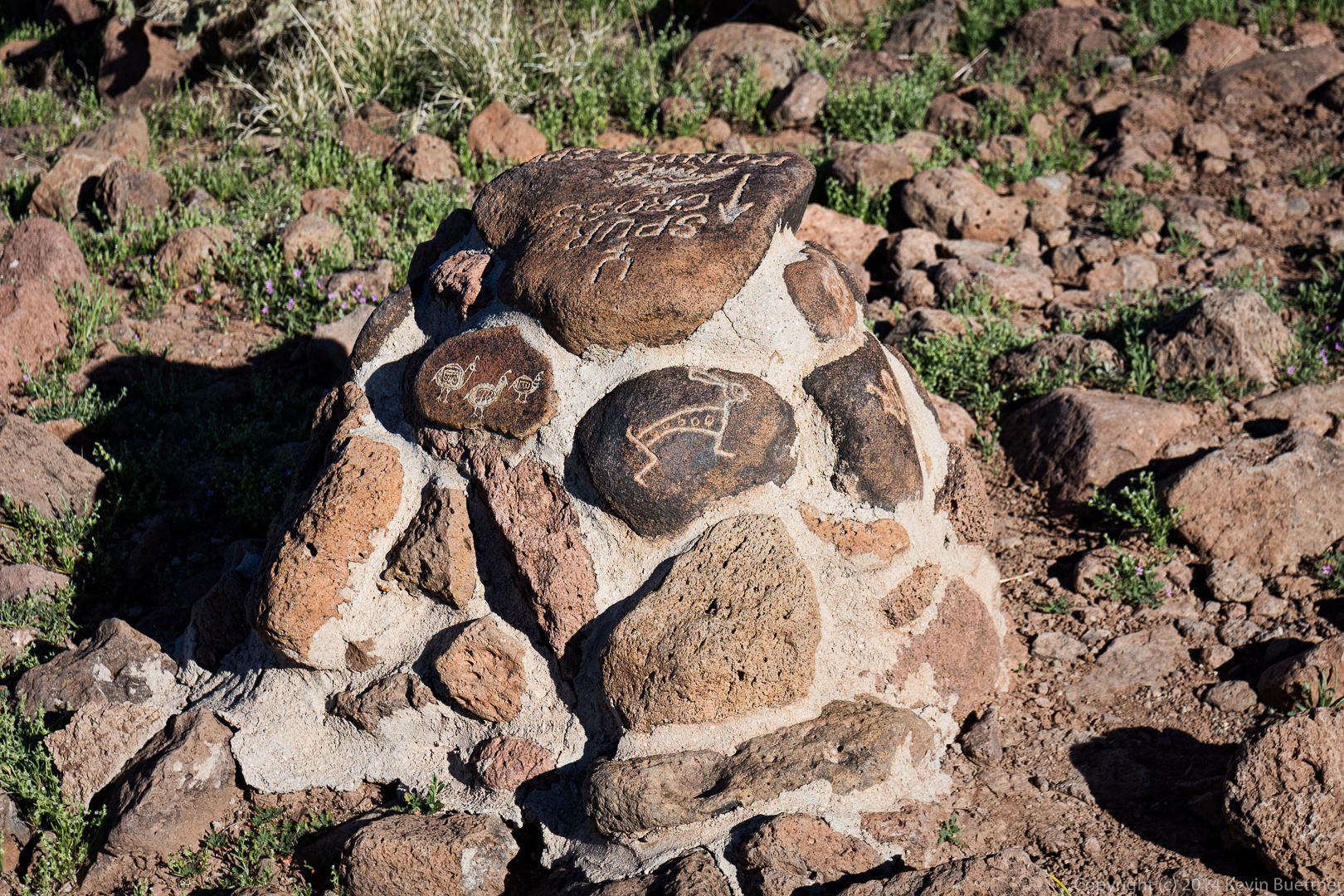
 We saw this very elaborate cairn at the junction with Trail 252. We took the fork leading westward.
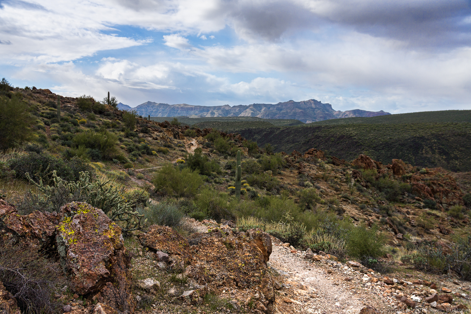
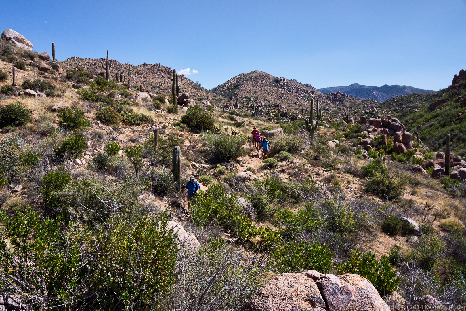
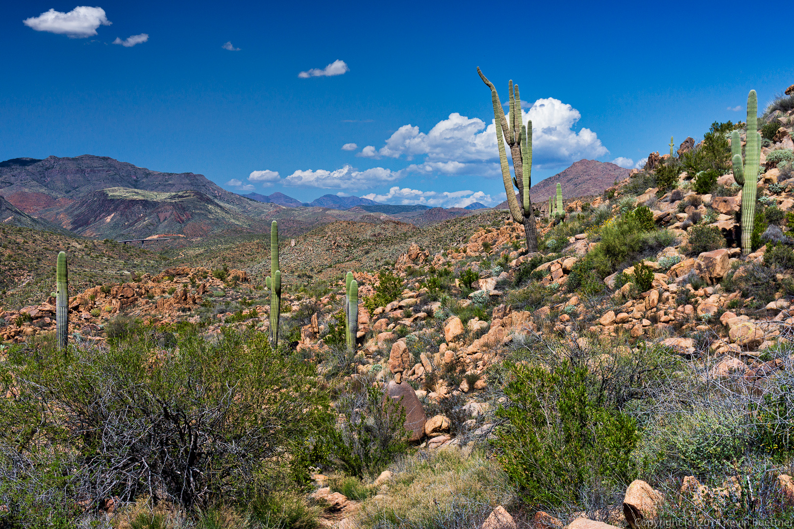
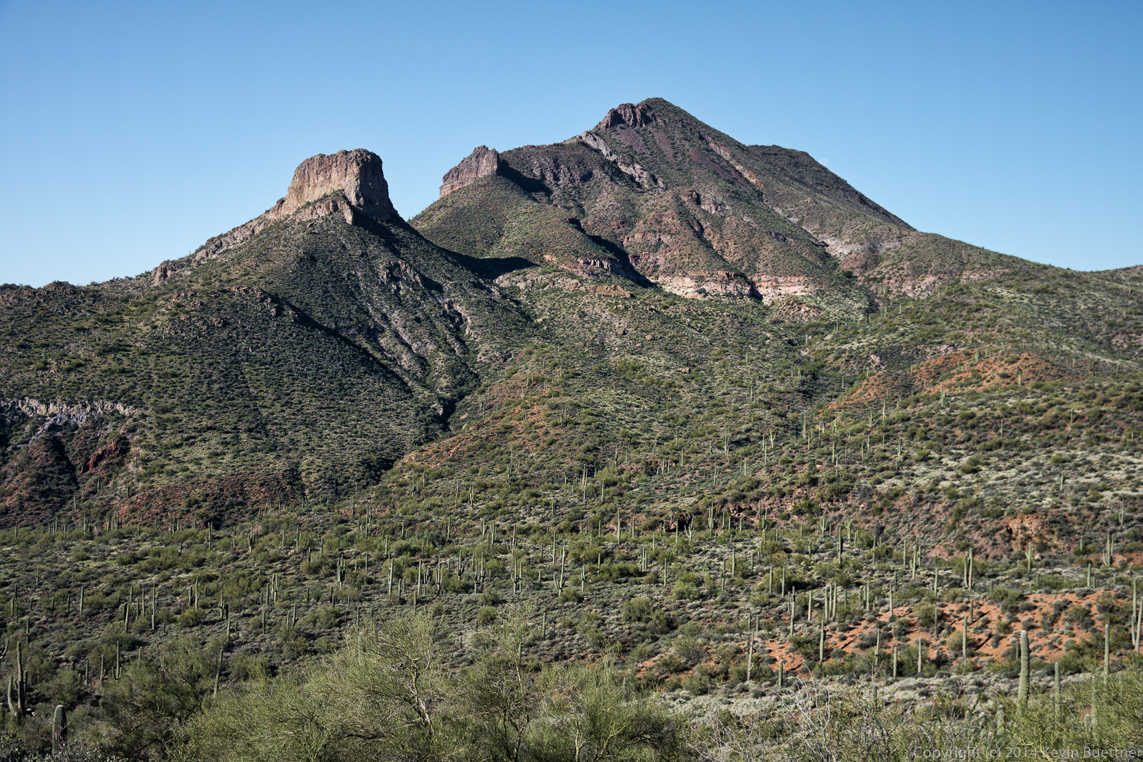
 Trail 252 lead us even further around Elephant Mountain and the Fortress Peak.
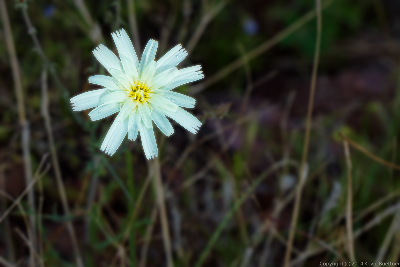
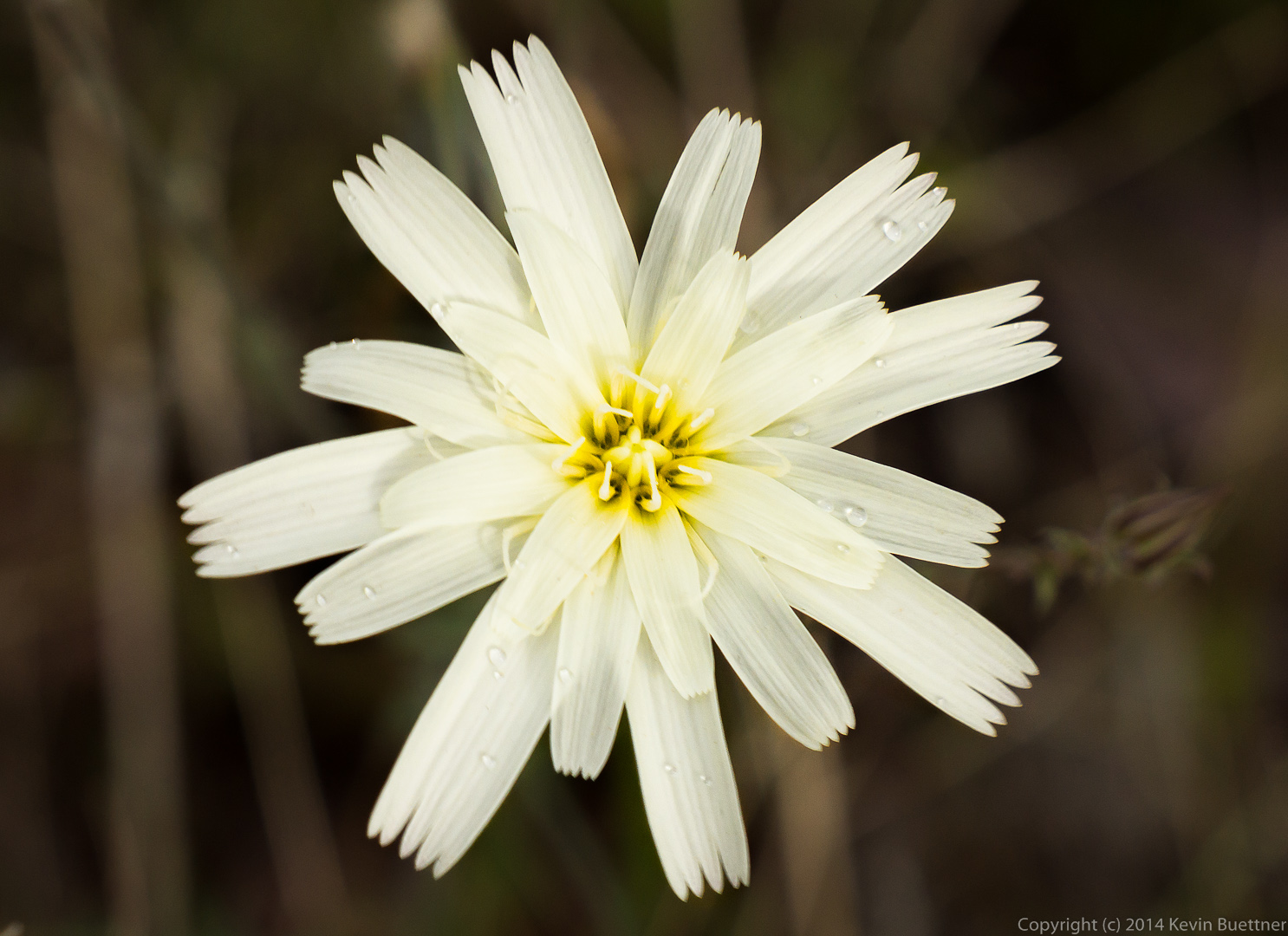
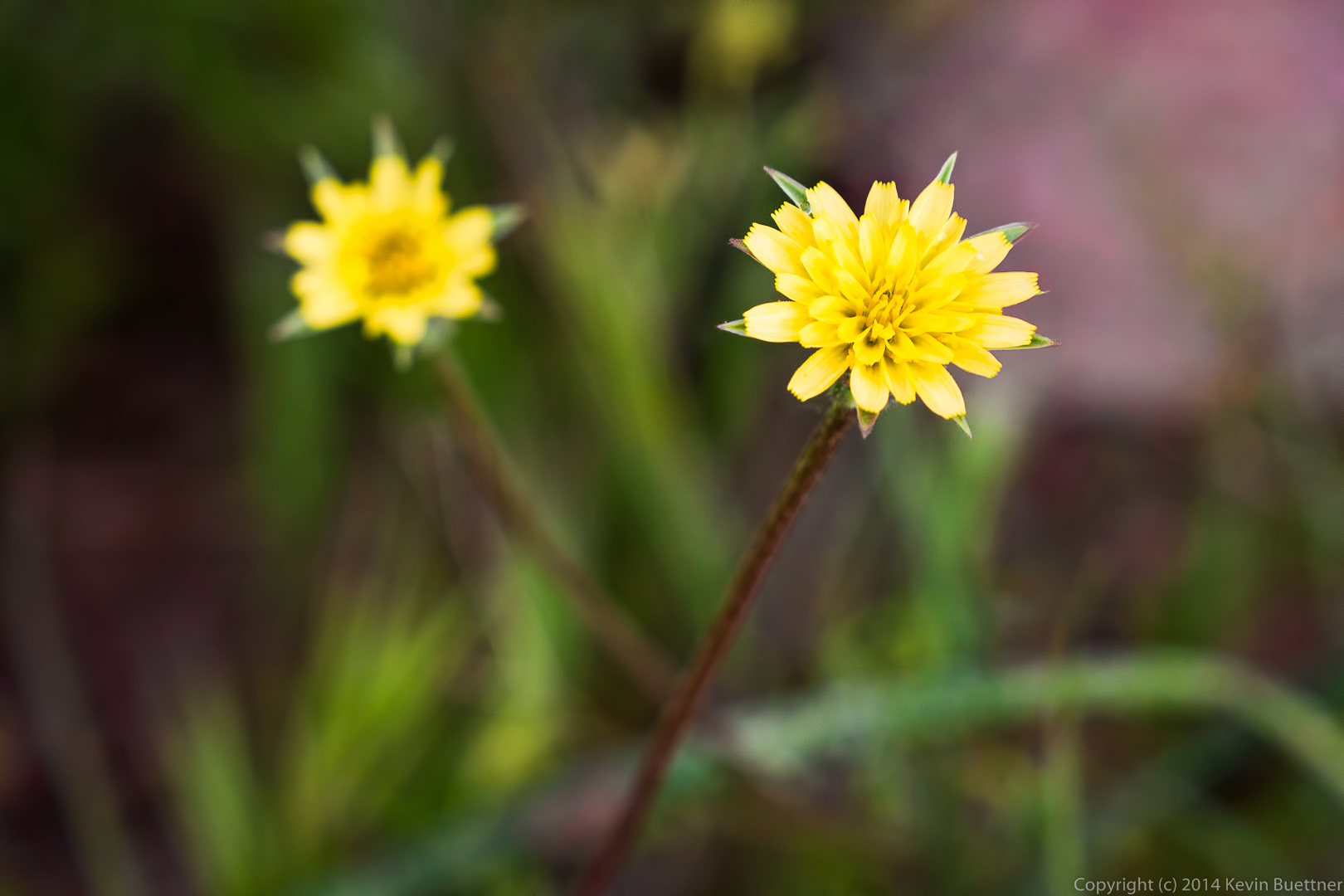
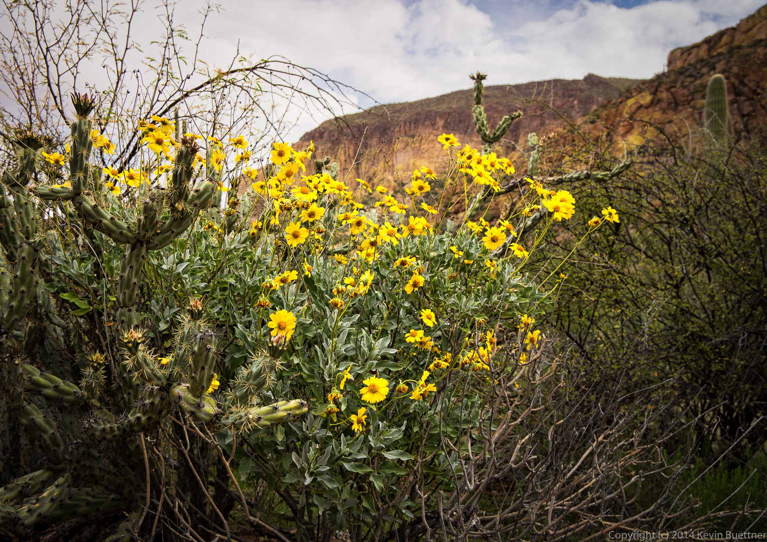
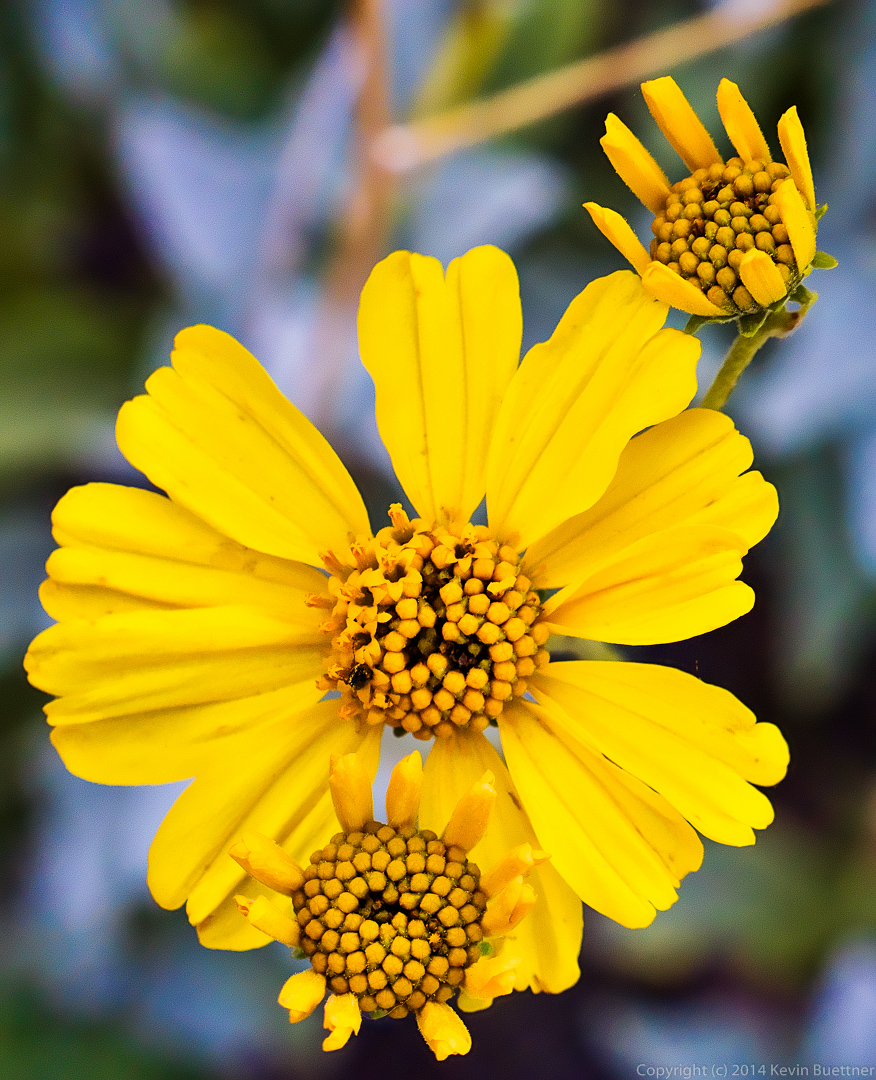
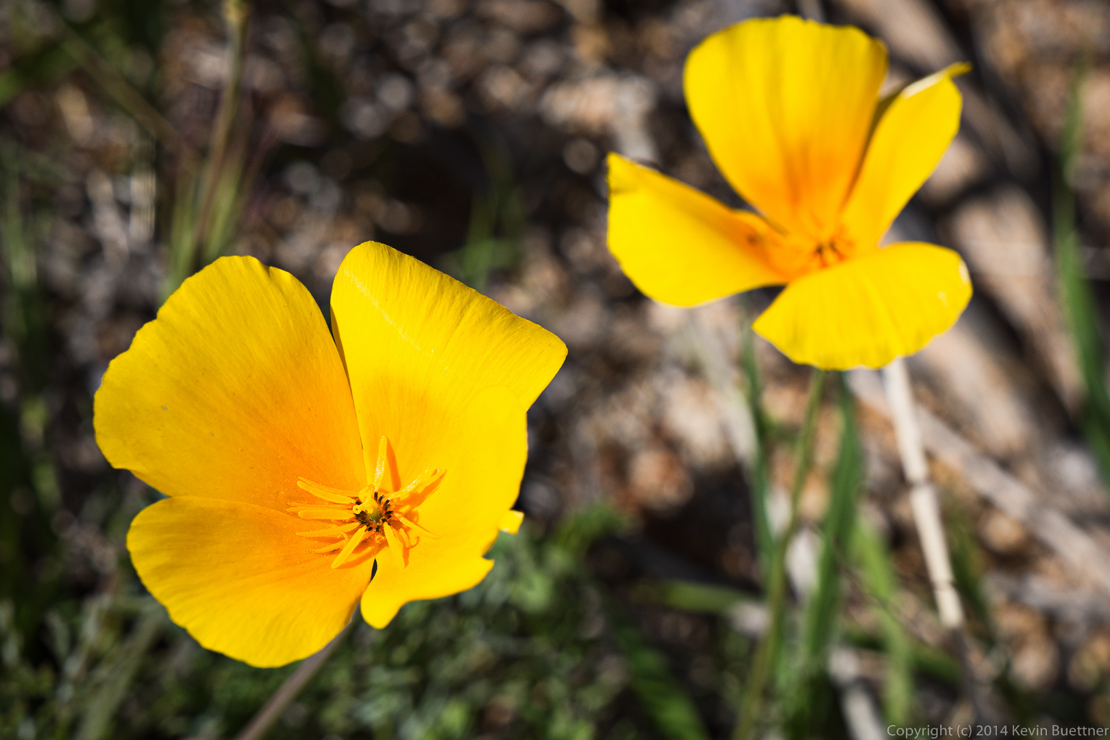
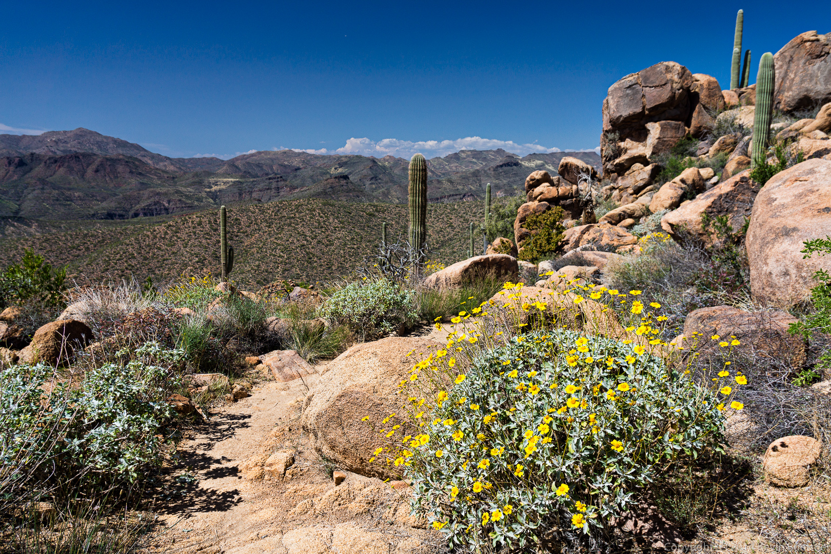
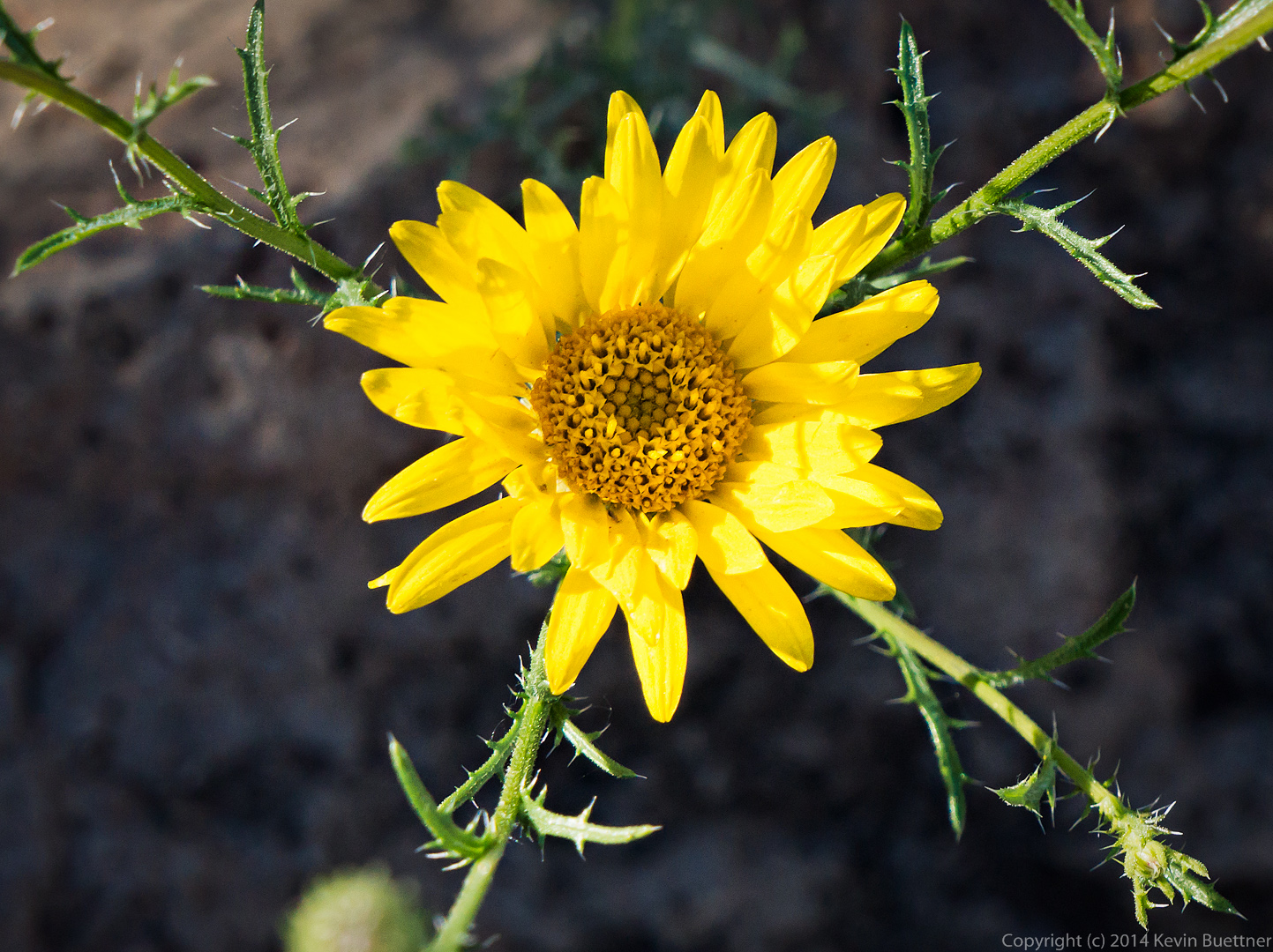
 We saw this yellow flower along the way.
 We encountered a fork on Trail 252 and took the left fork. This lead us back to a fork of the Elephant Mountain Trail that we had bypassed earlier in the hike. I think this view, below, is a view of Elephant Mountain from that trail.
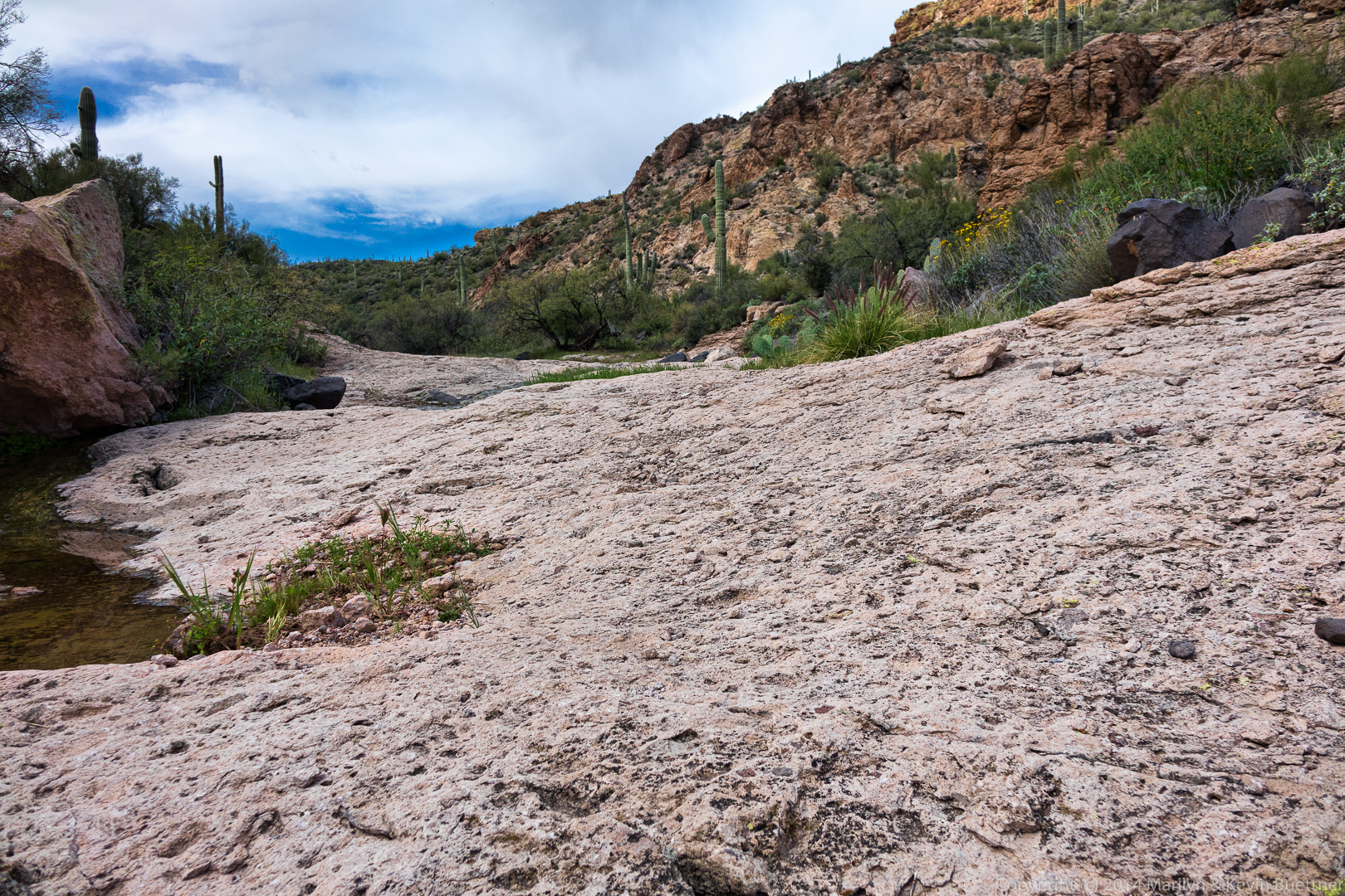
 A view from the wash that the trail dumped us into.
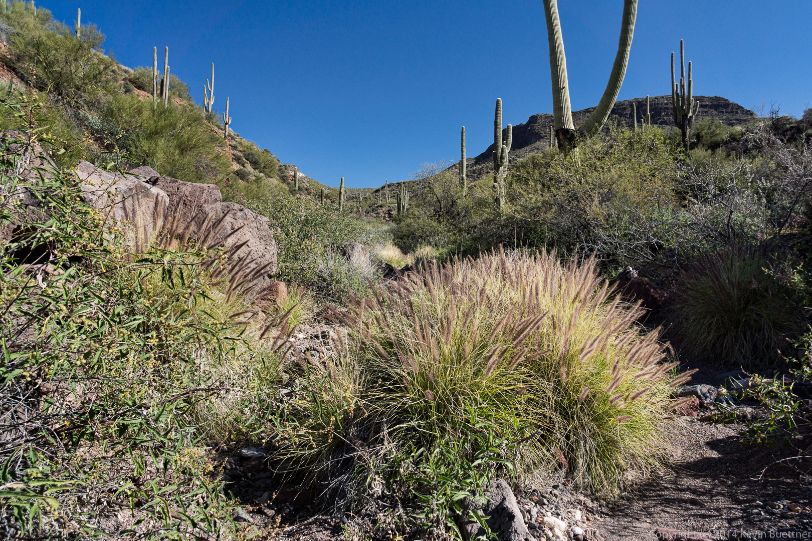
 Linda says that this is “fountain grass”. She says that it’s a non-native grass. Some of her work with the McDowell Sonoran preserve involves eliminating some of this grass from the preserve. It’s pretty in this photo, but it prevents native plants from growing. When dry, it is very combustible and presents more of a fire danger than do native plants.
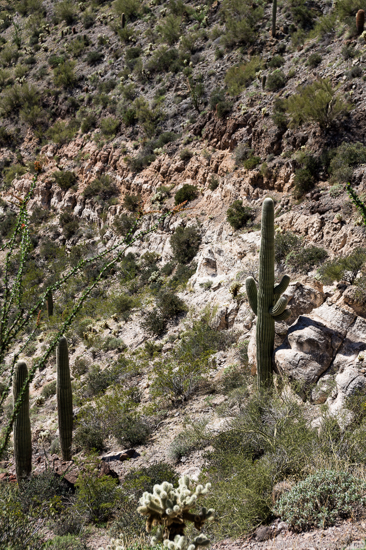
 A view of some high walls of the wash as we made our way over to another wash, through which the Elephant Mountain Trail passes.
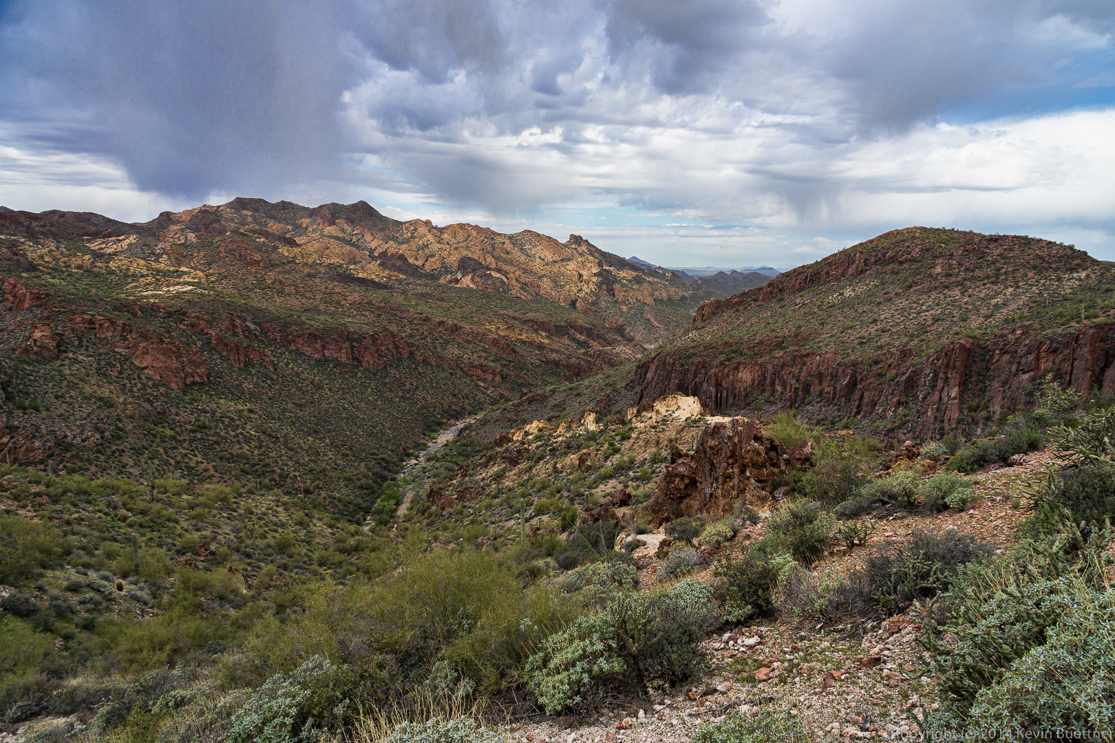
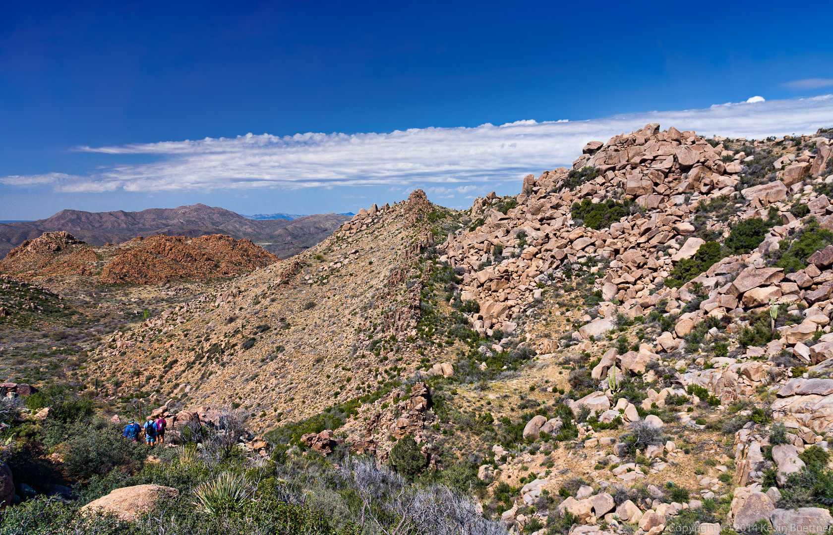
 We’re so far below Elephant Mountain now that we can only see the Fortress Peak.
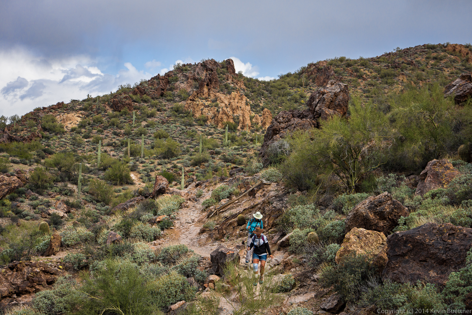
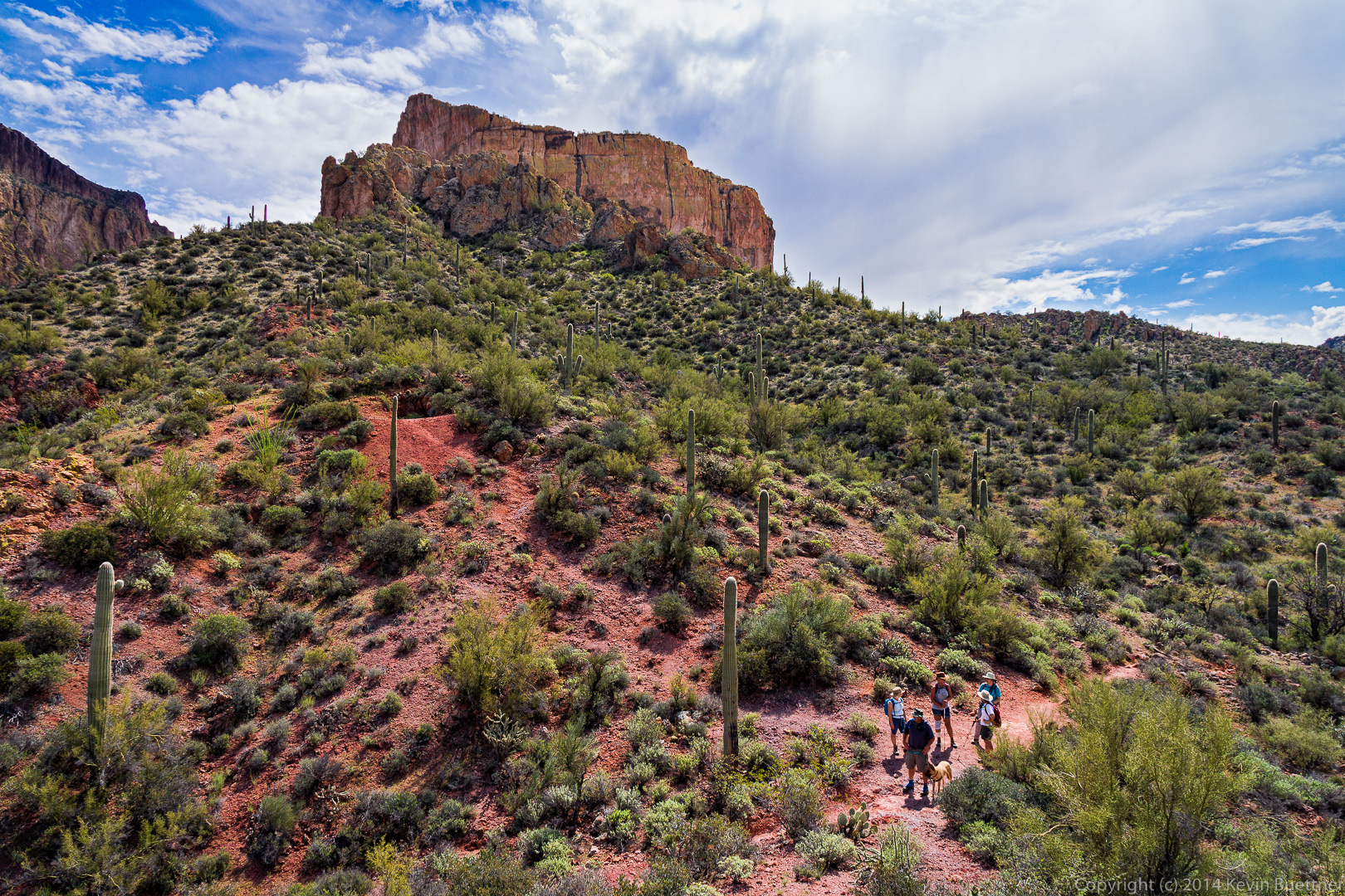
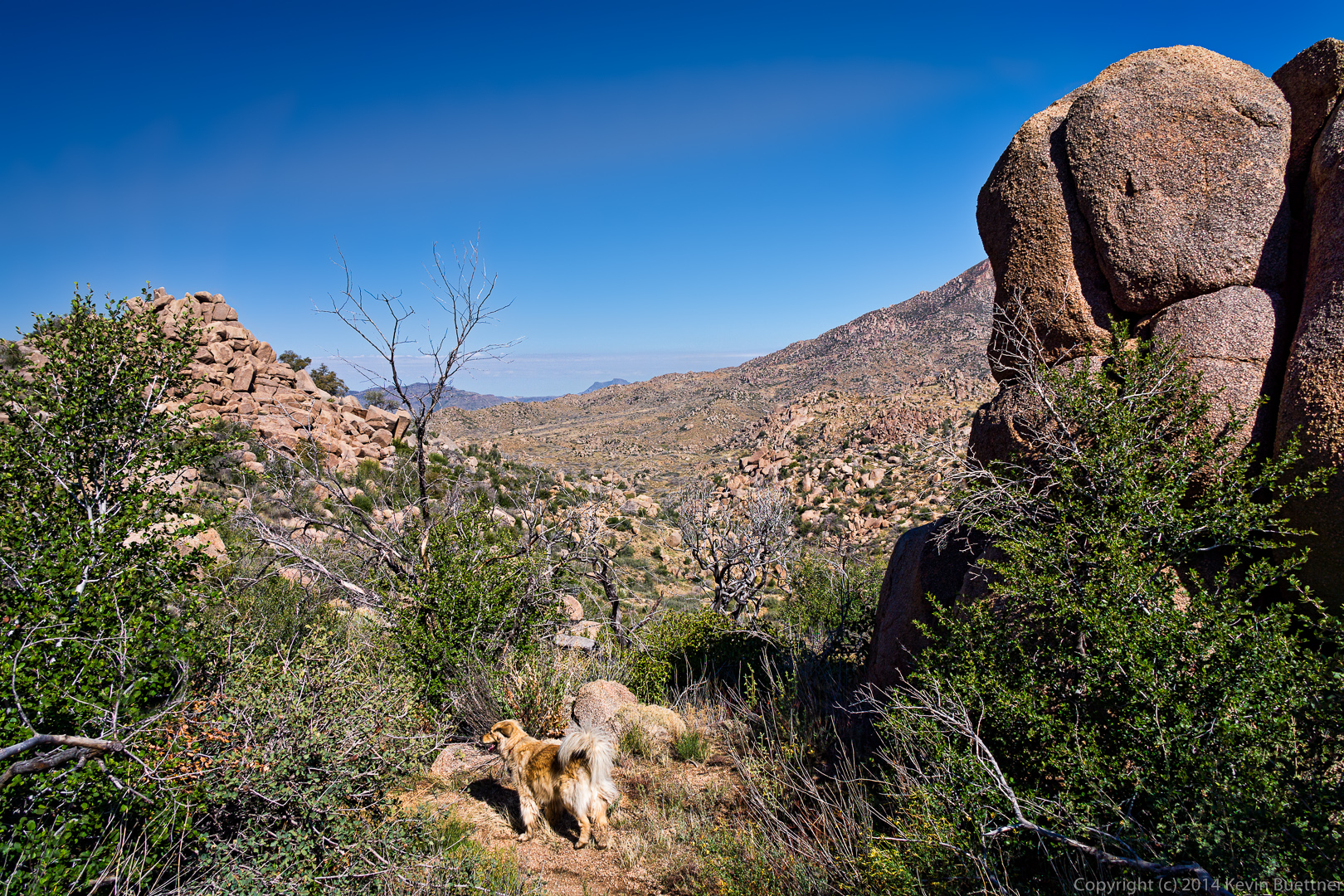
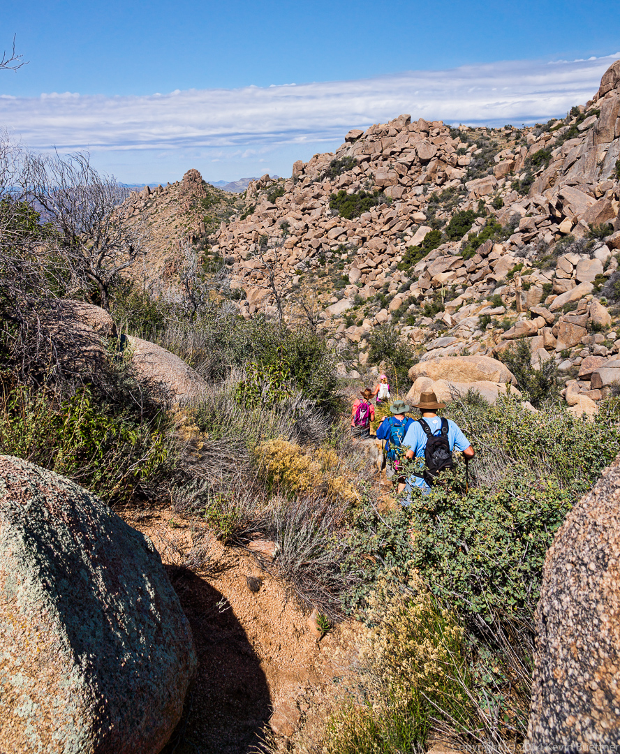
 At this point, we had been going uphill for quite a while on our way up to the pass between Elephant Mountain and the Fortress Peak.
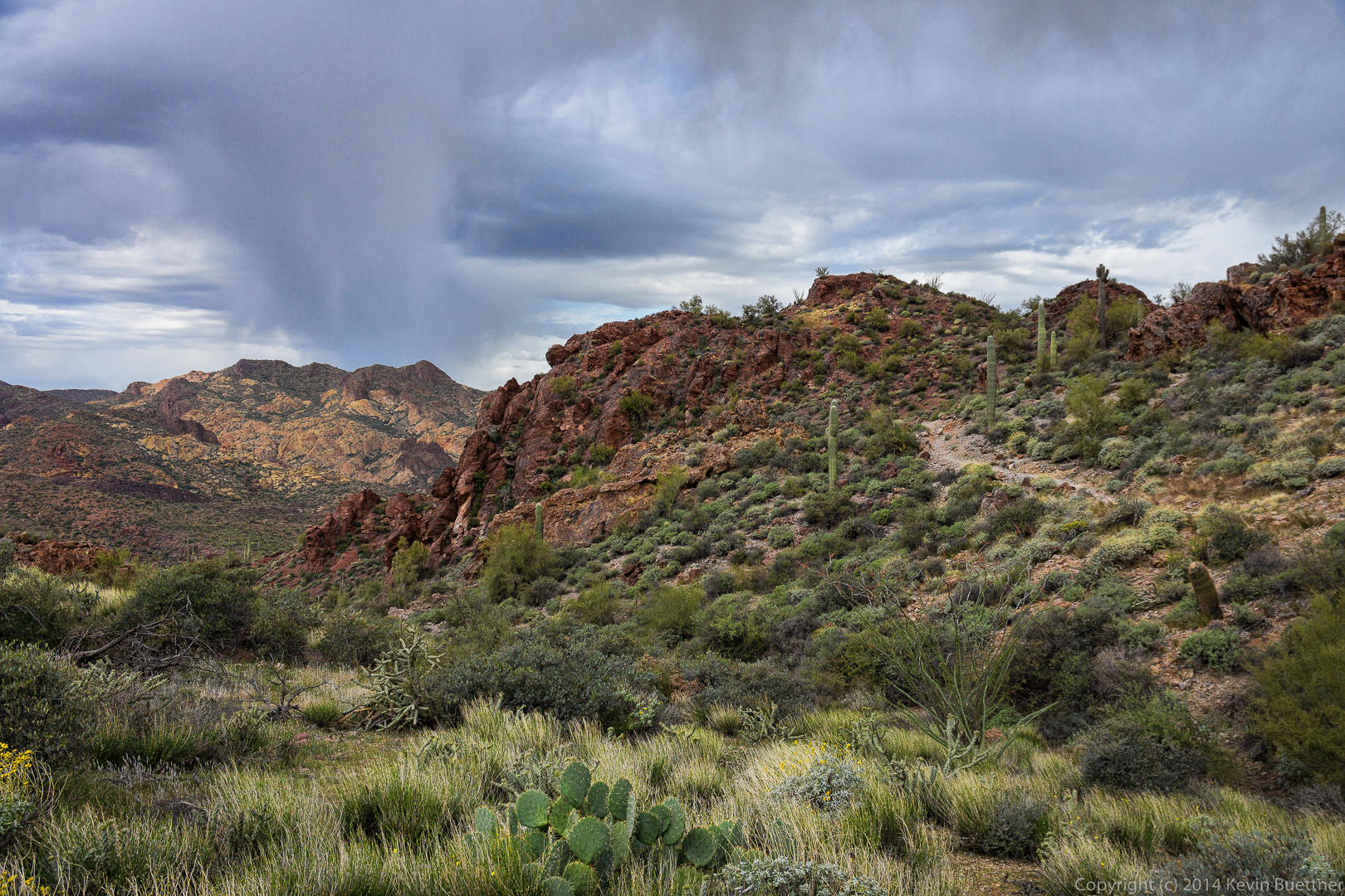
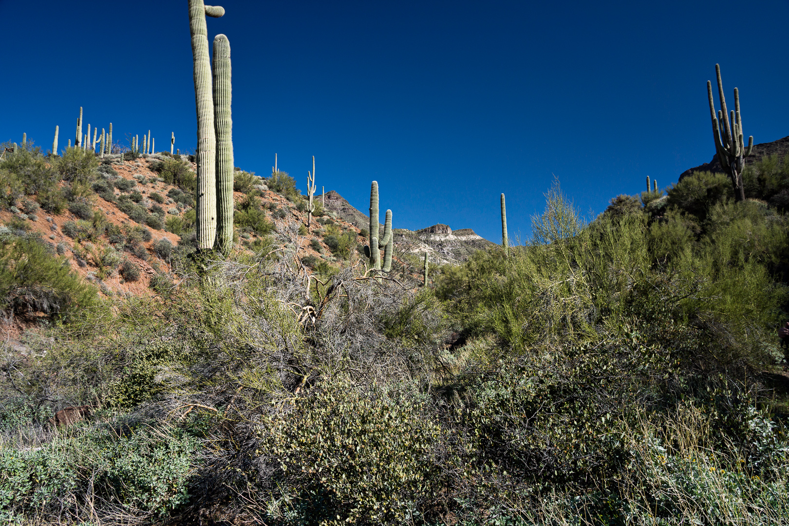
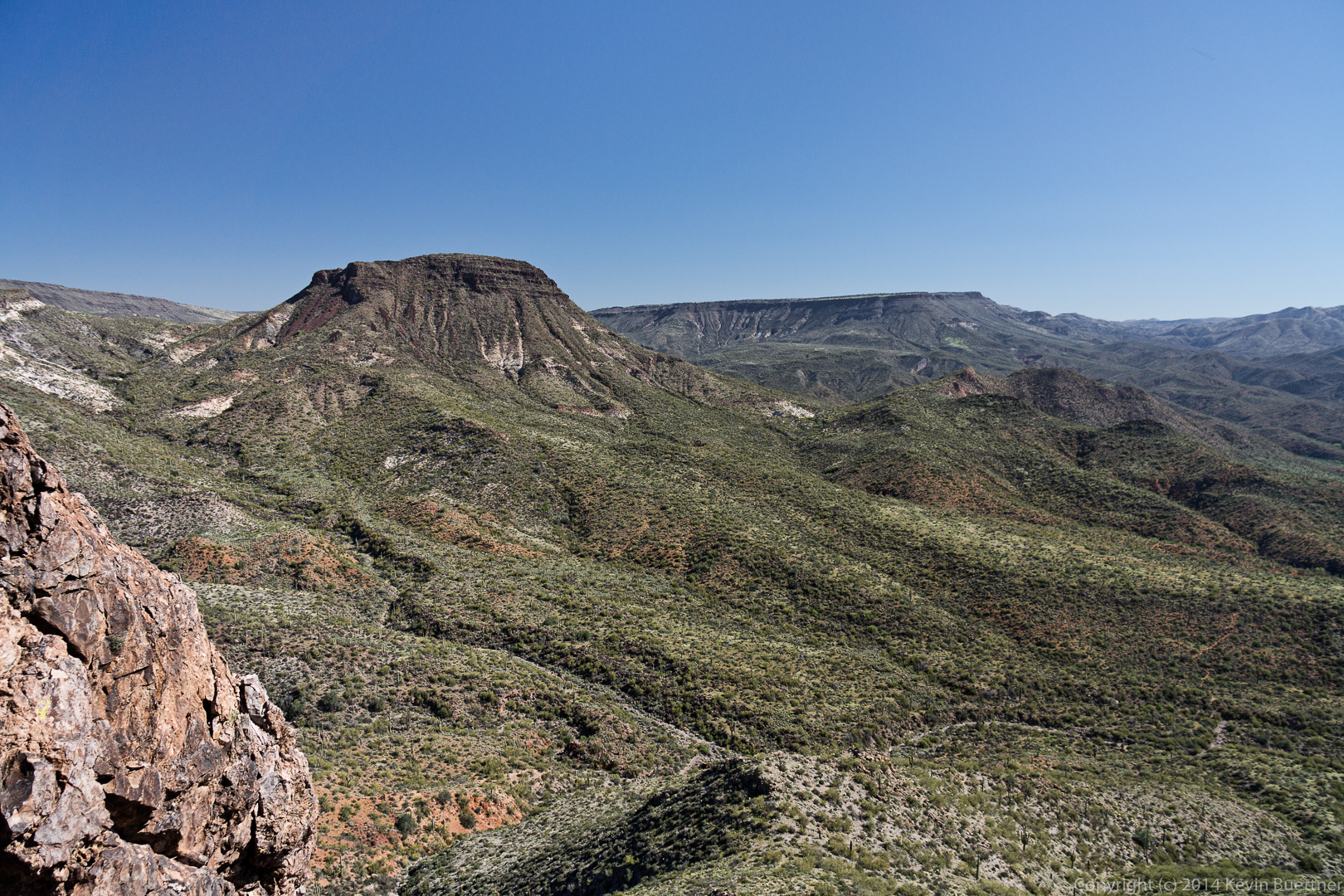
 A view from the northwest side of the Fortress Peak. Elephant Mountain is not visible in this photo, but is to the camera’s right.
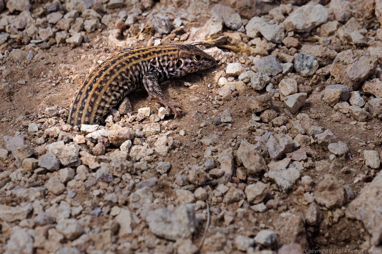
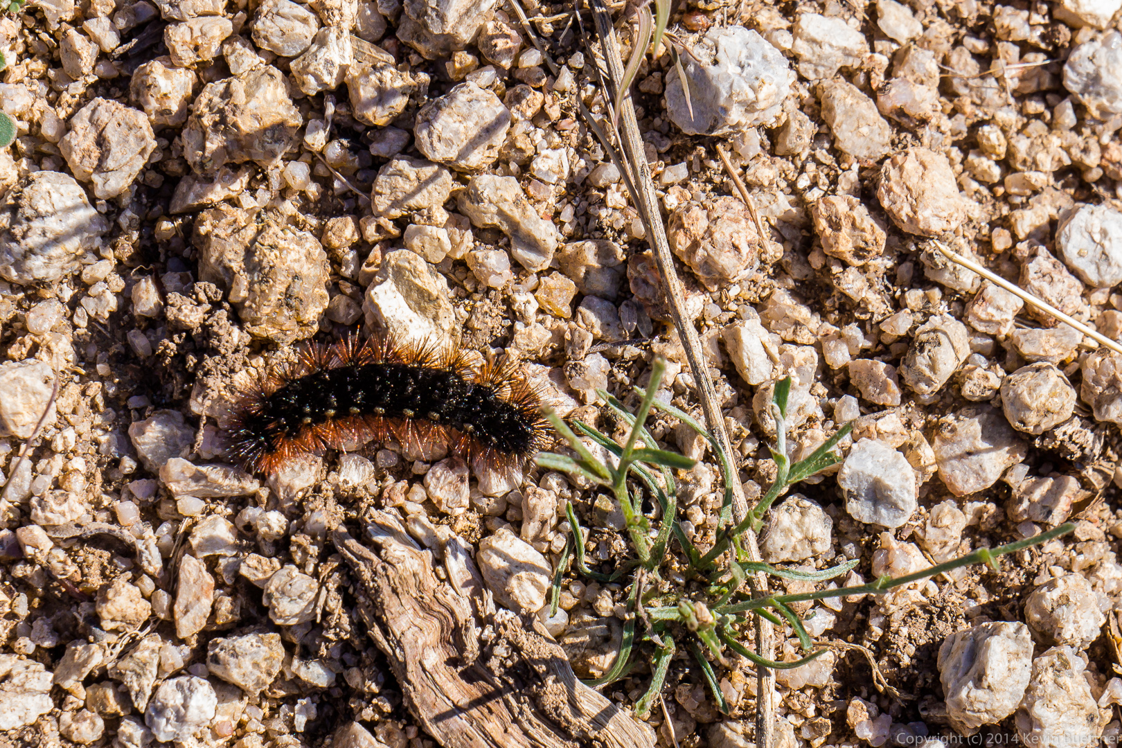
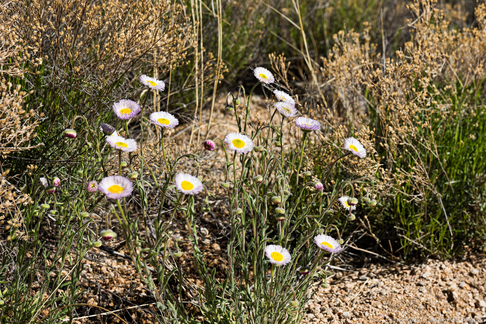
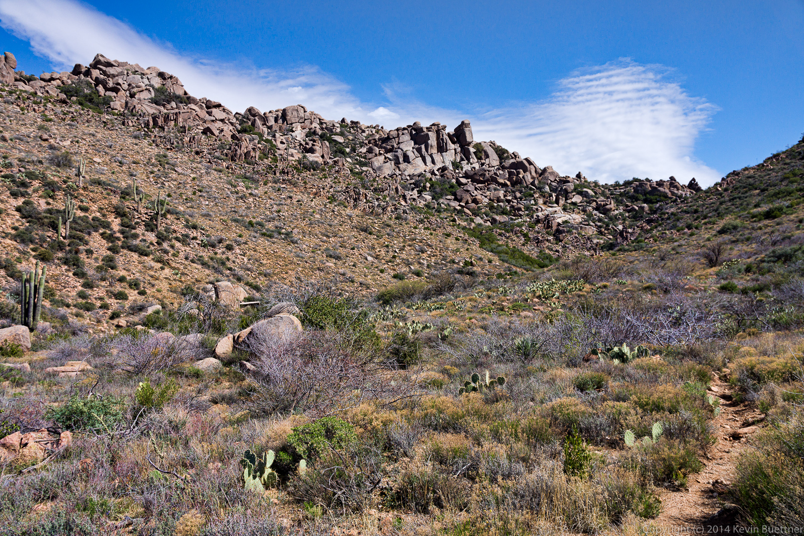
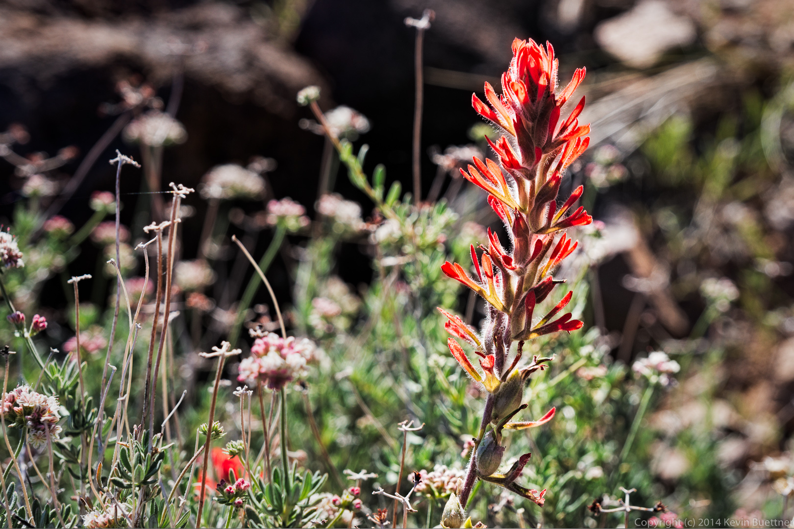
 We saw many flowers on the way.
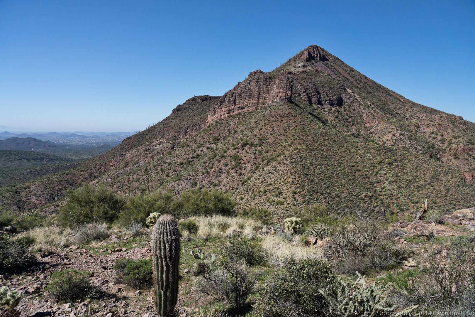
 This is a view of Elephant Mountain from part way up the ascent to the top of the Fortress Peak.
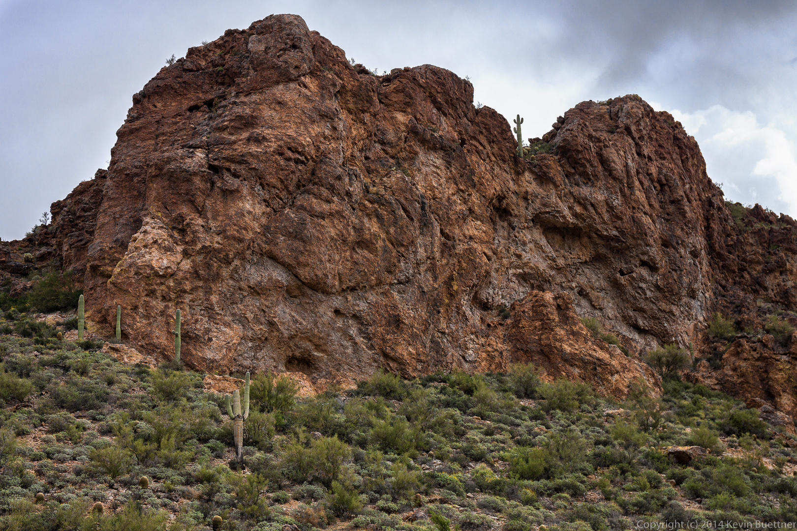
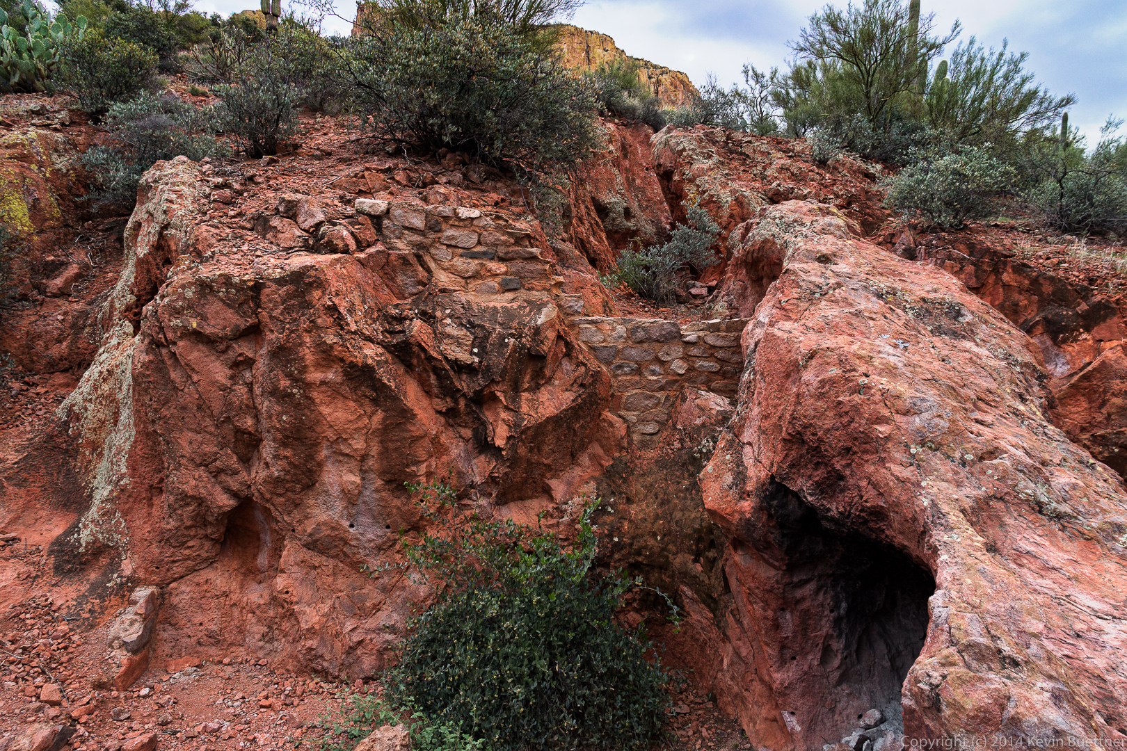
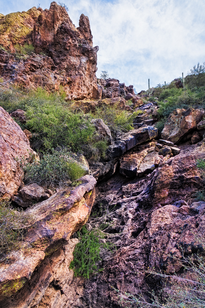
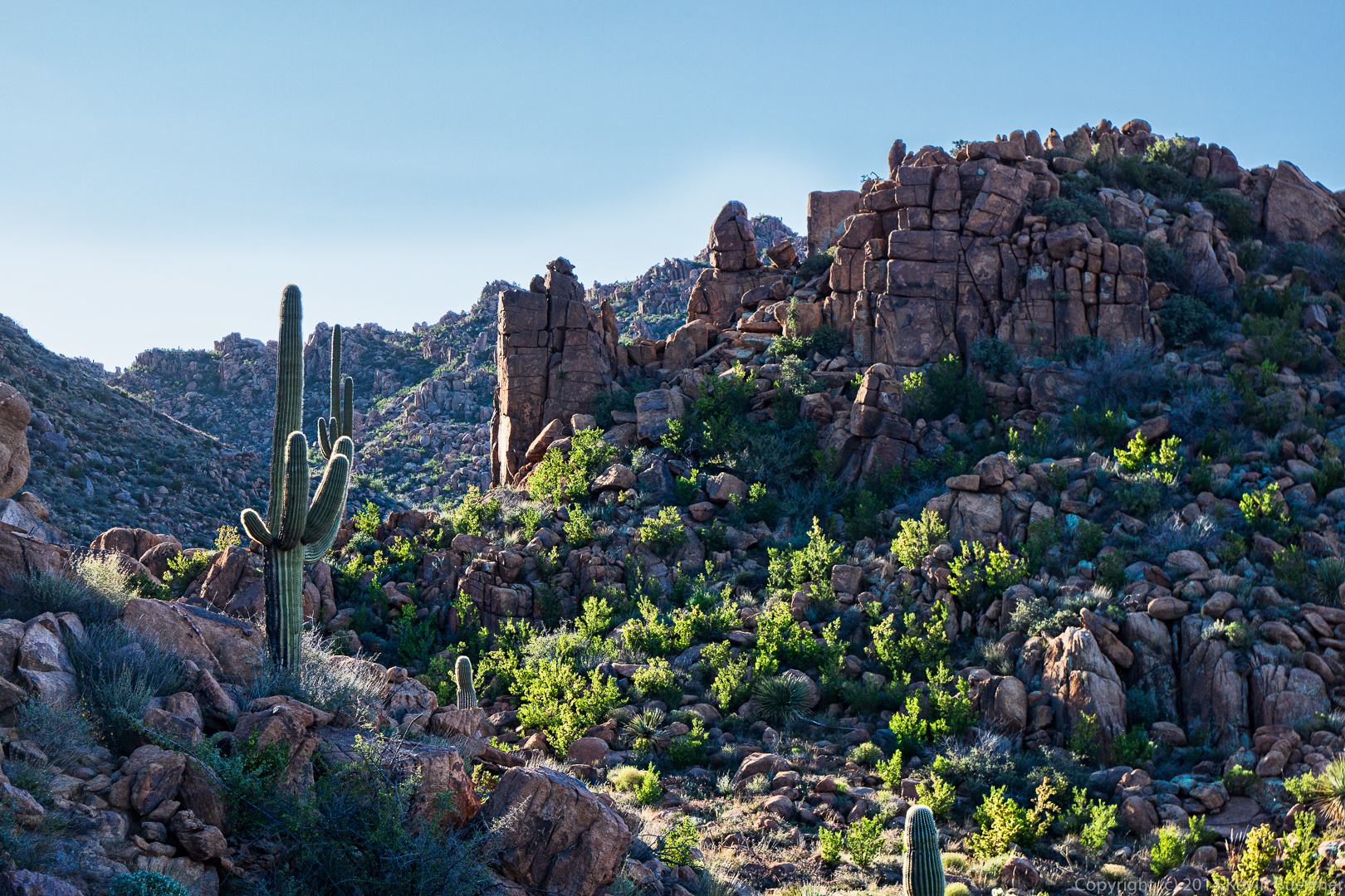
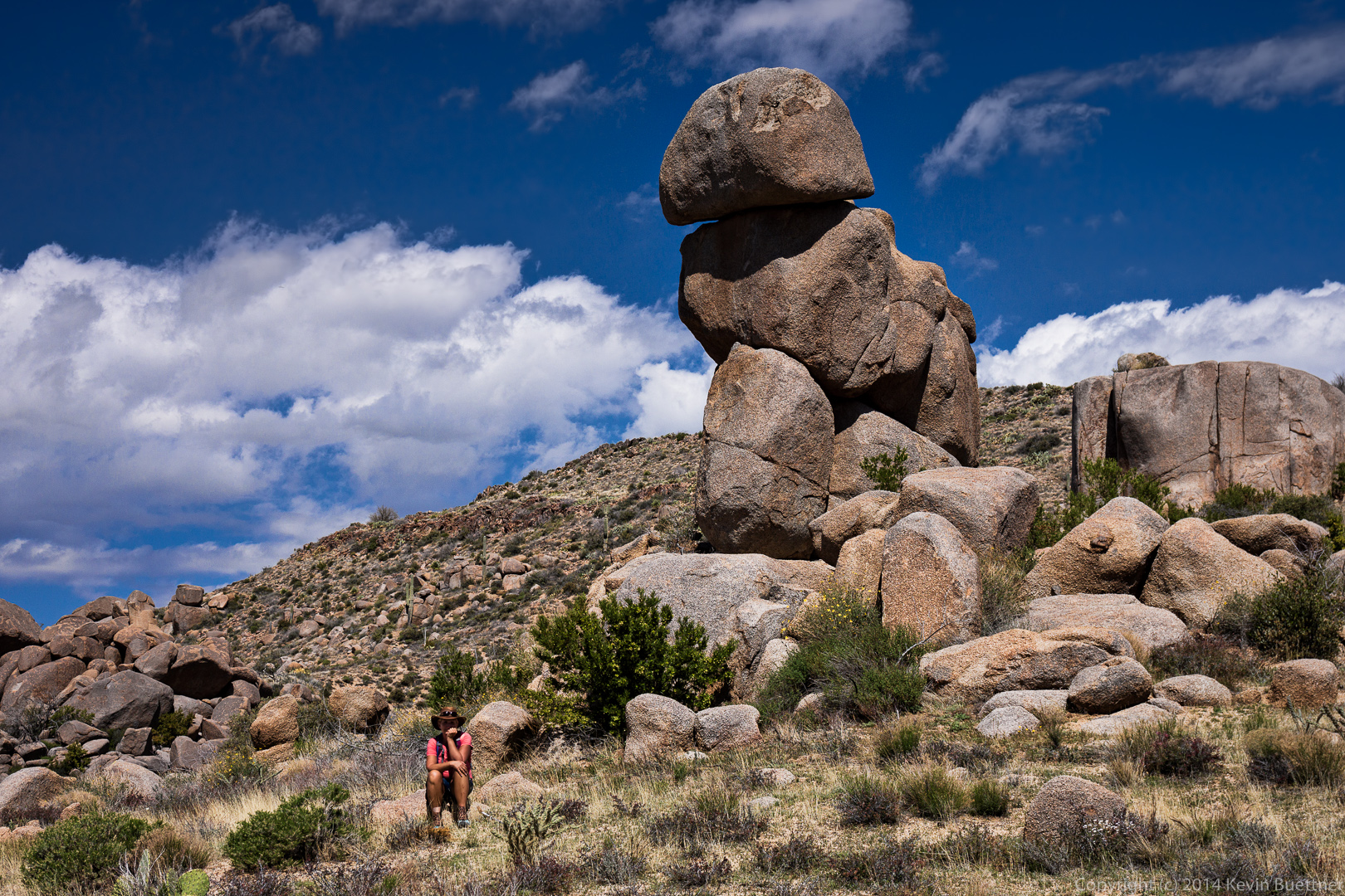
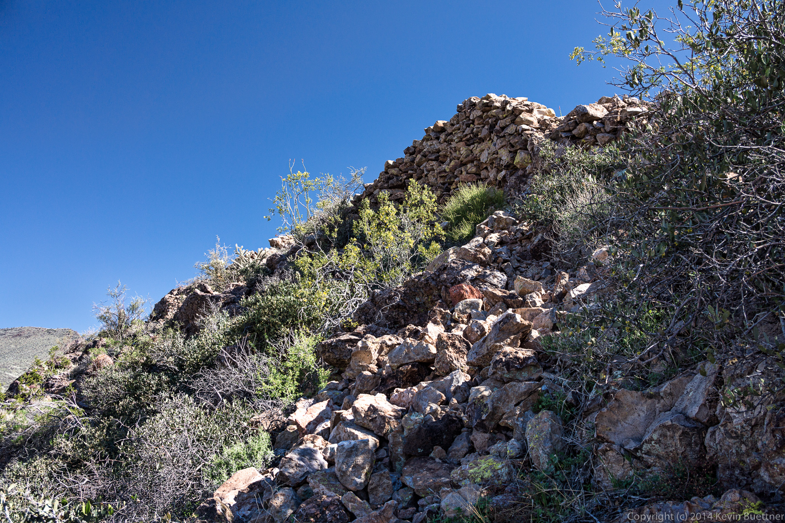
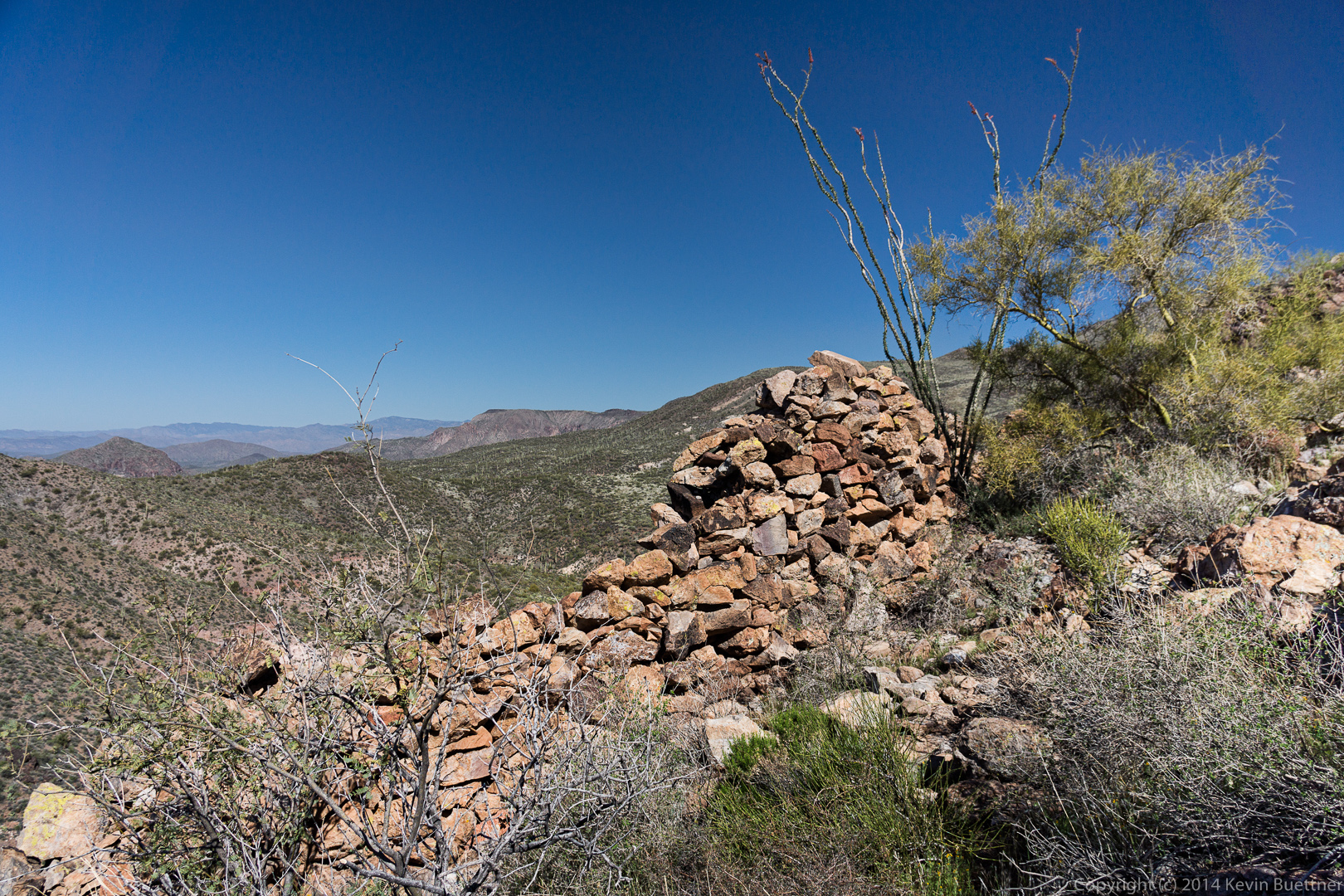
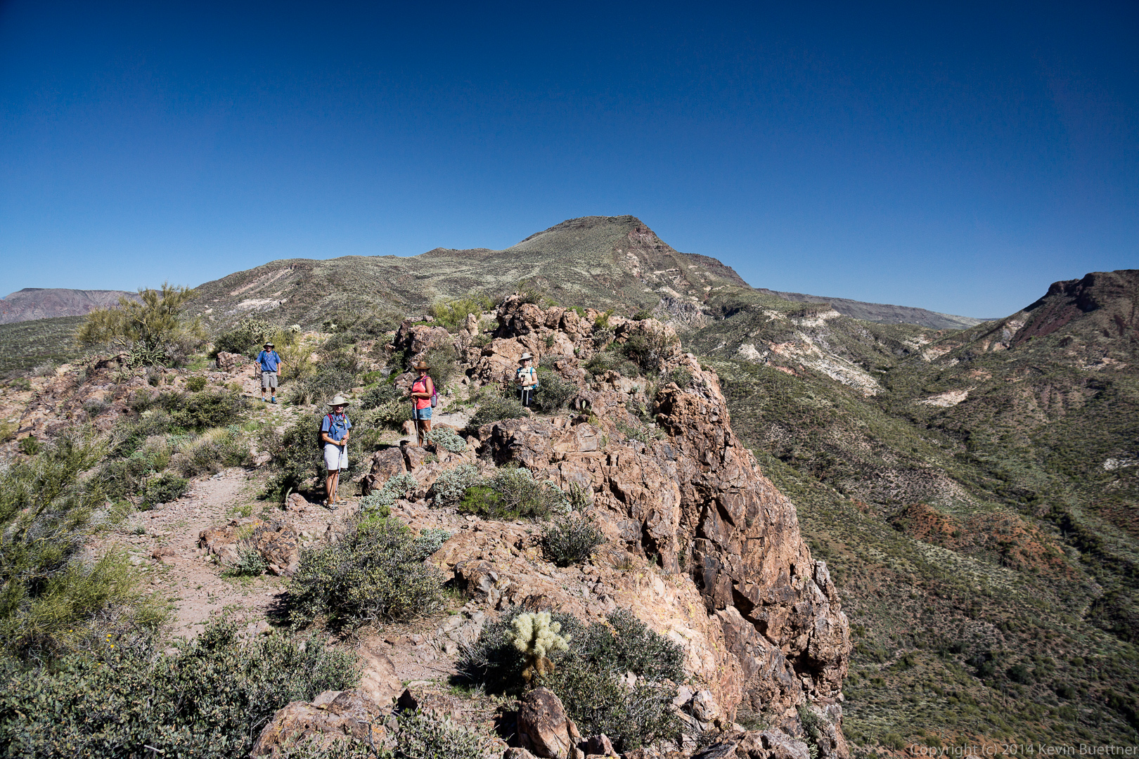
 A view from below of one of several stone walls on the Fortress Peak.
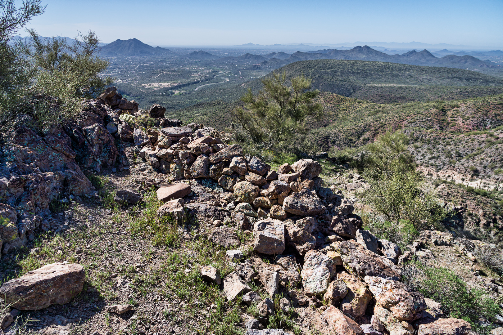
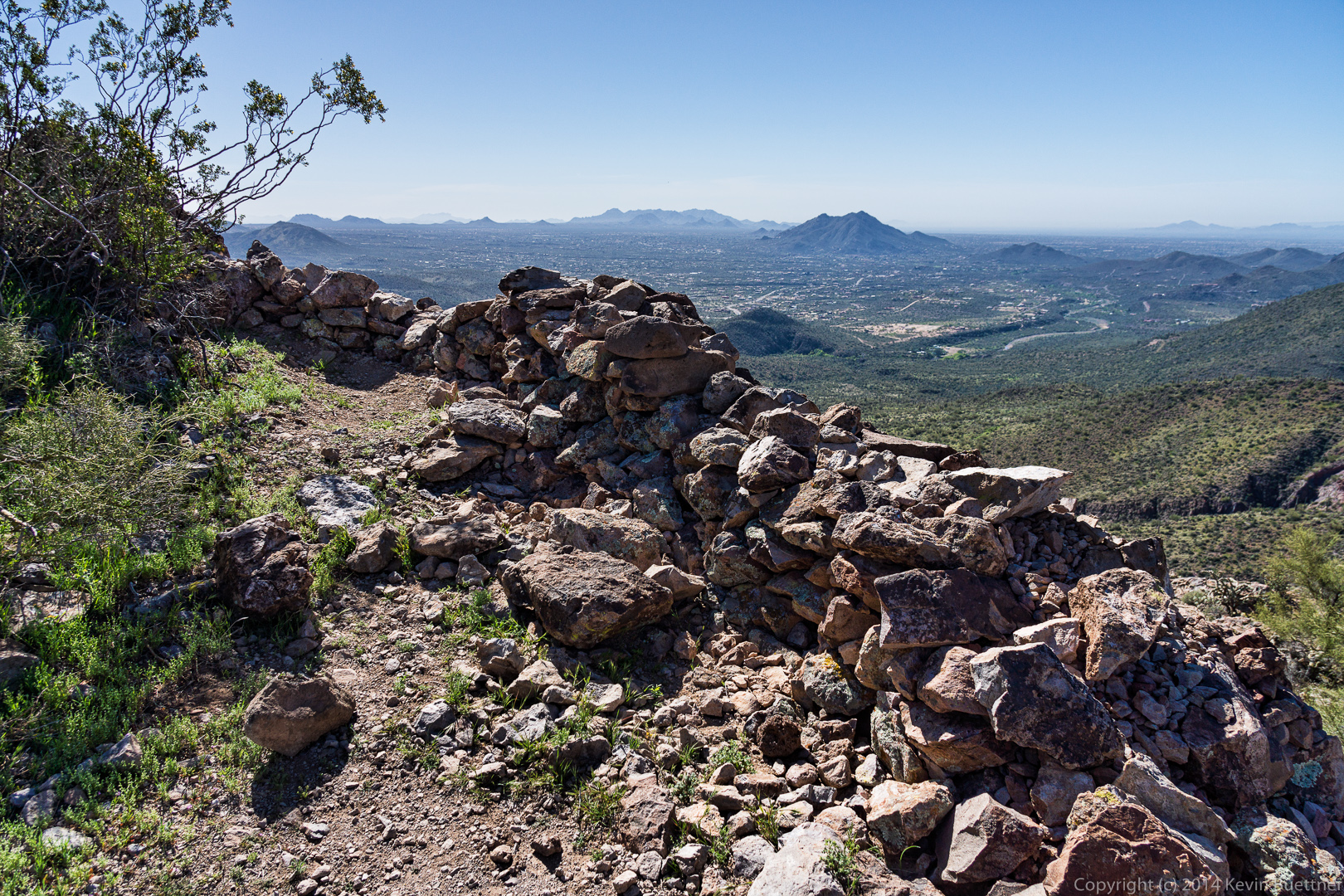
 Several more views of some of the stone Walls near the top of the fortress peak.
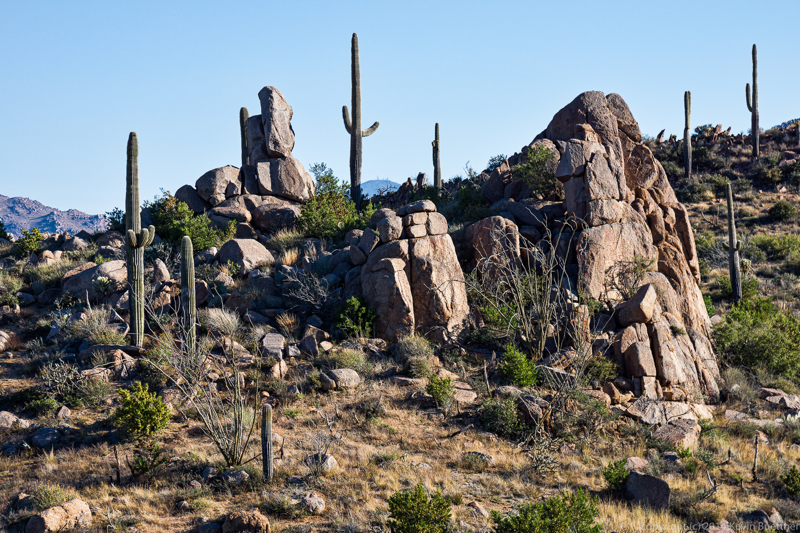
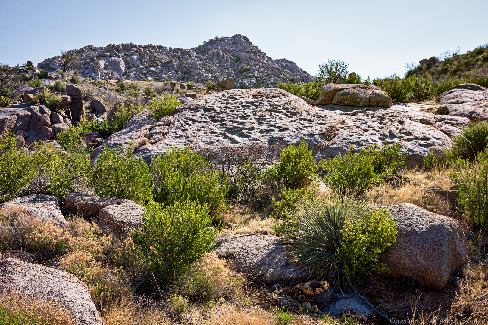
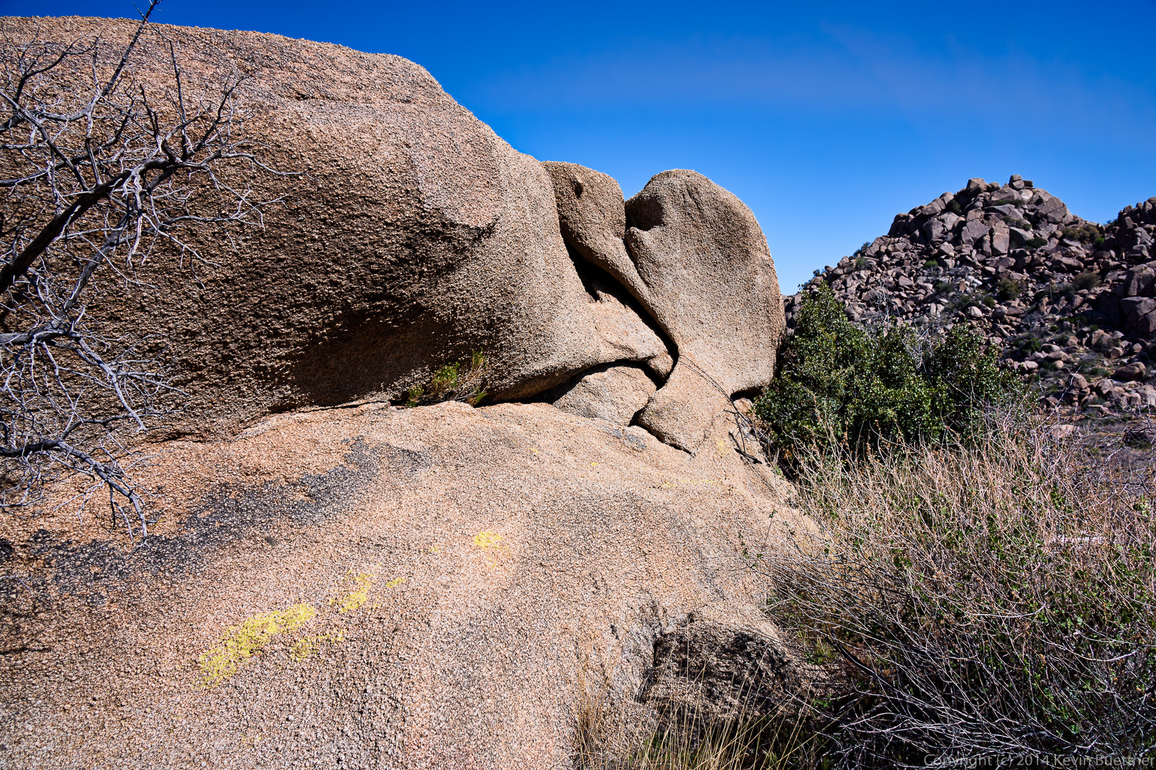
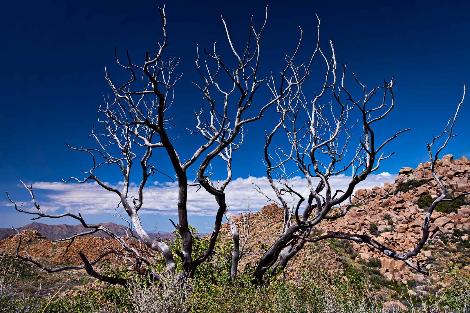
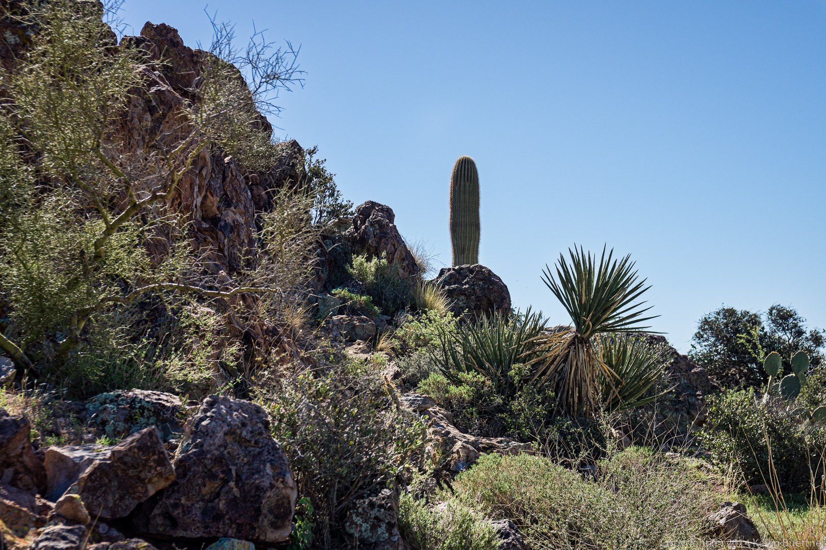
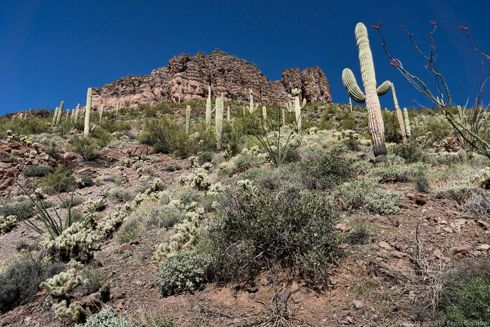
 Even though it’s quite rocky, the fortress peak has a variety of vegetation.
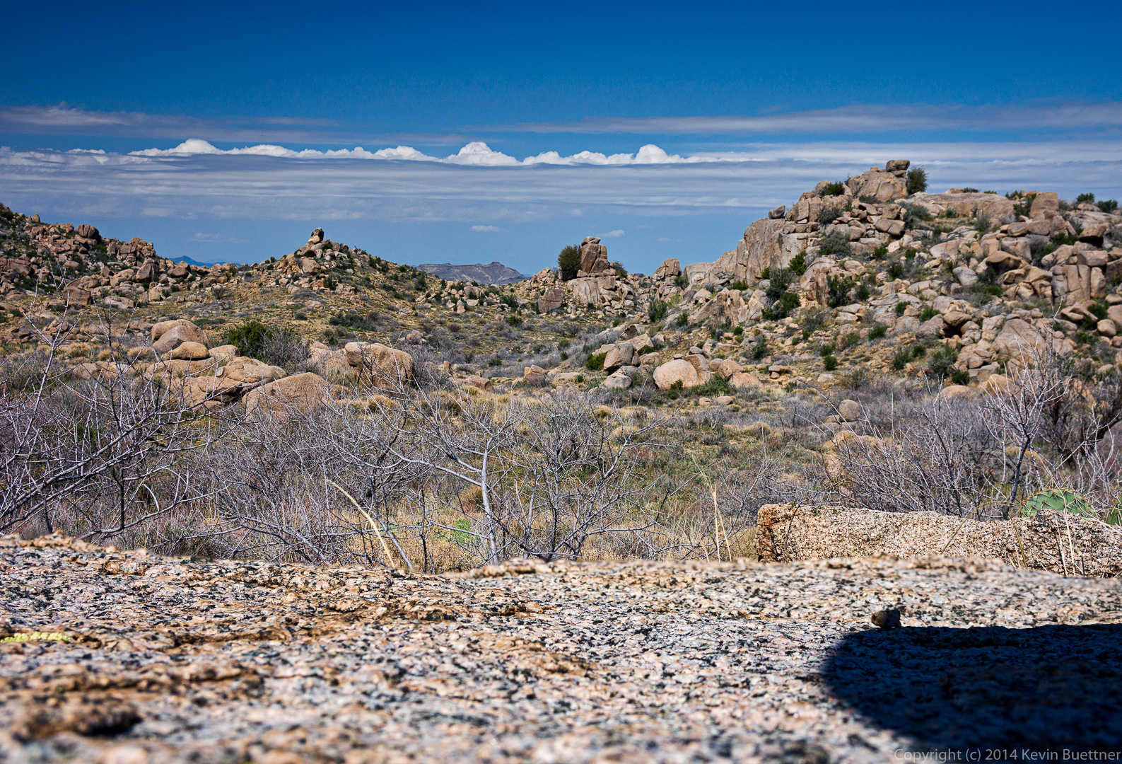
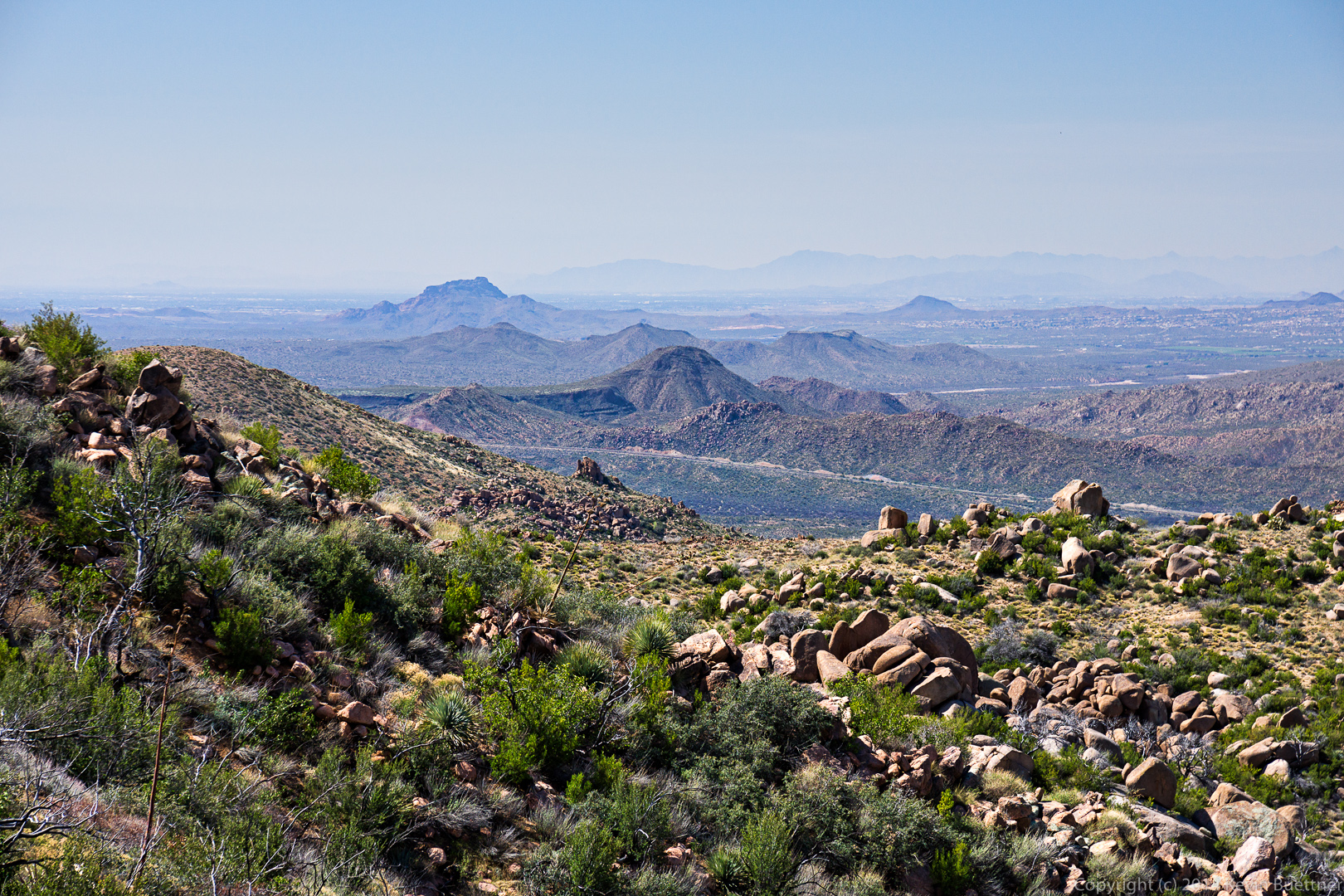
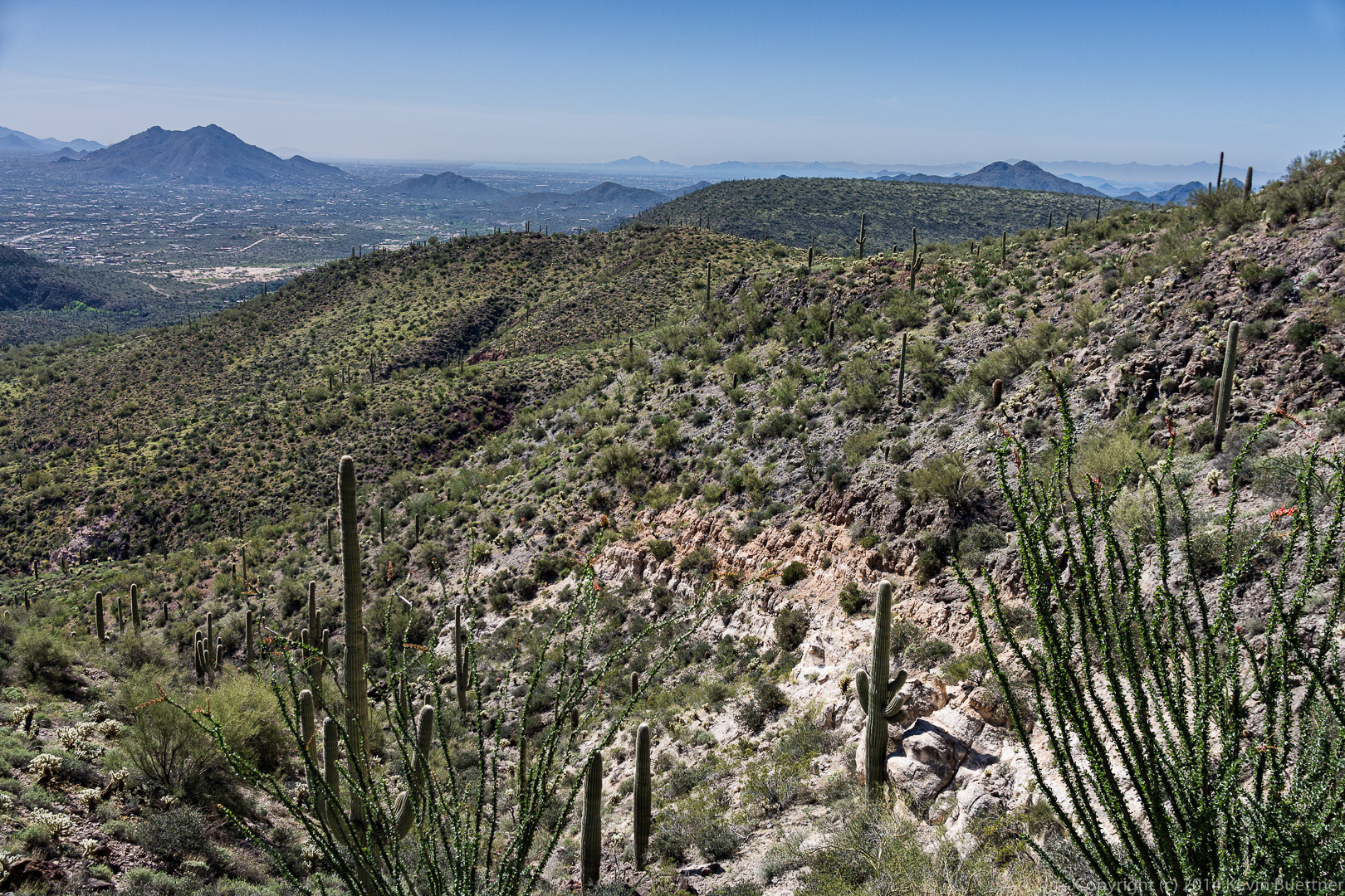
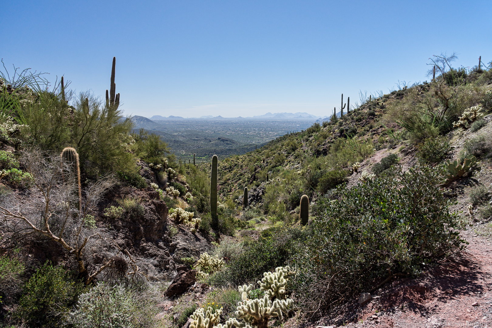
 A view from the near the top of the fortress peak.
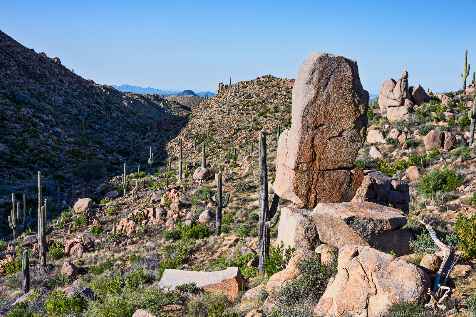
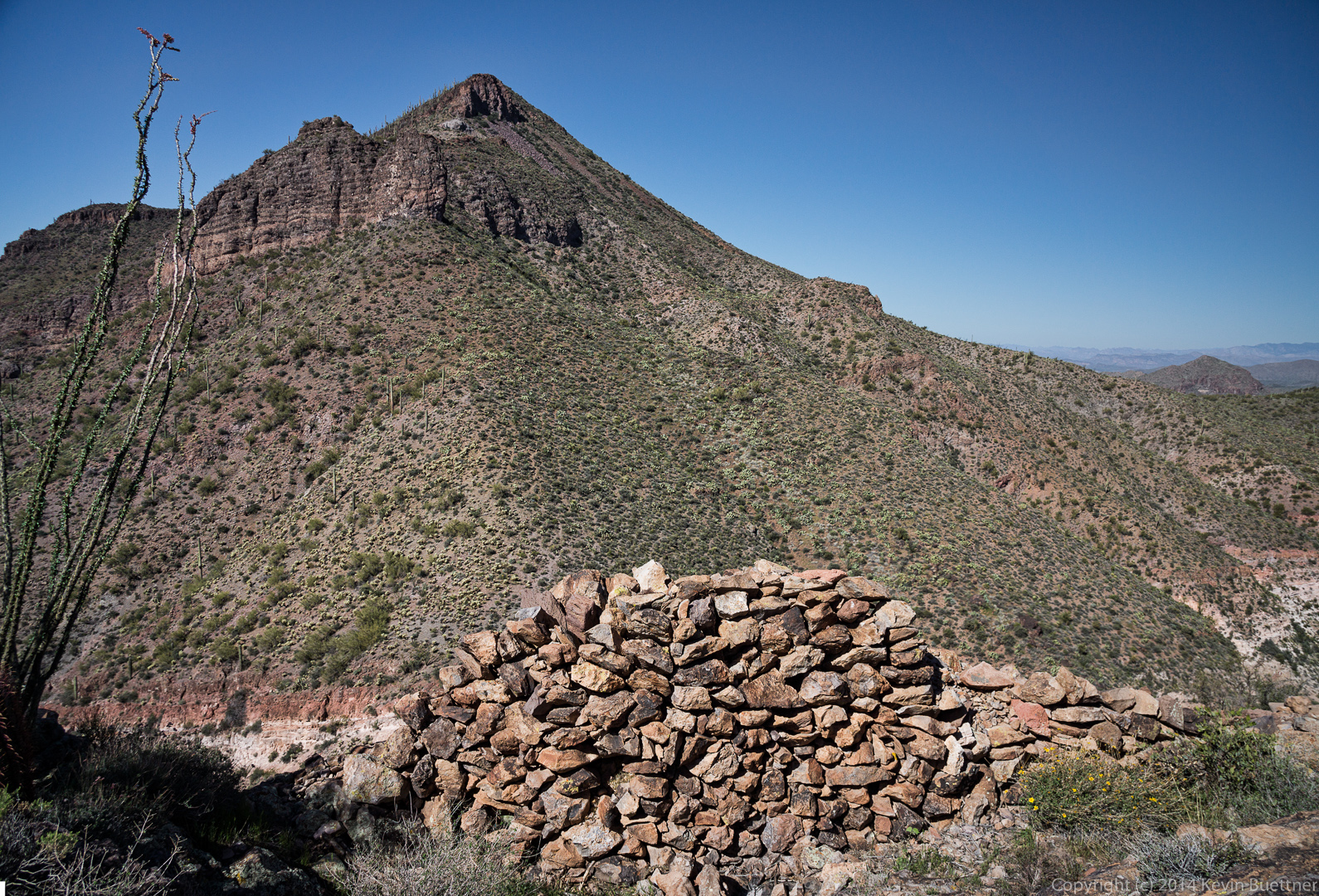
 I took this photo from some boulders that form the high point of the Fortress Peak. As seen below, there’s quite a lot of space atop this peak.
 A view of Elephant Mountain from the fortress peak.
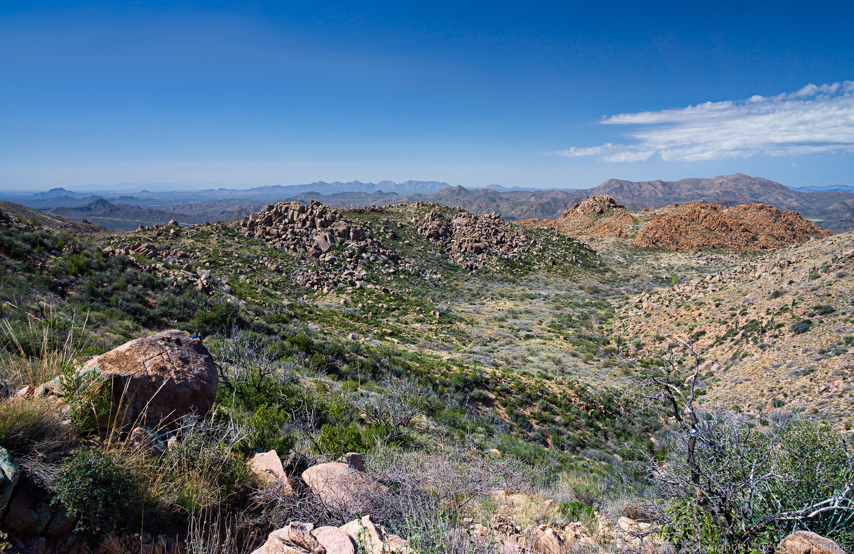
 Yet another view from the Fortress Peak.
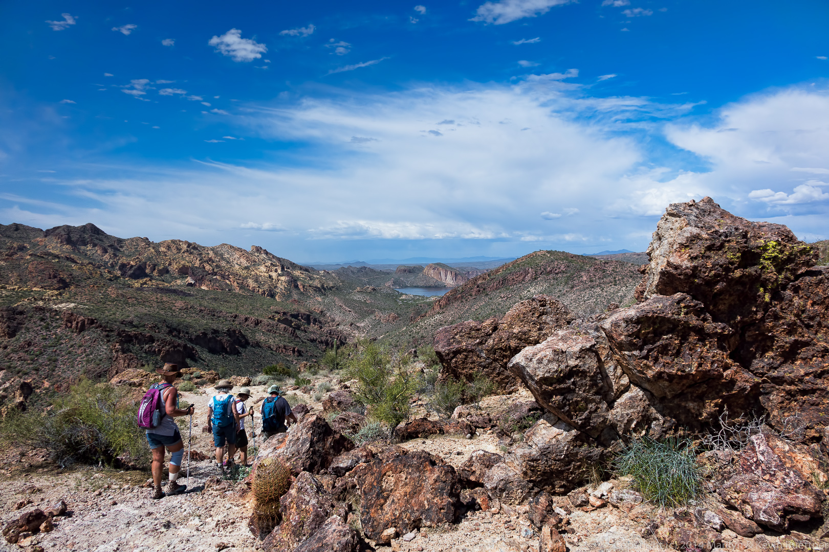
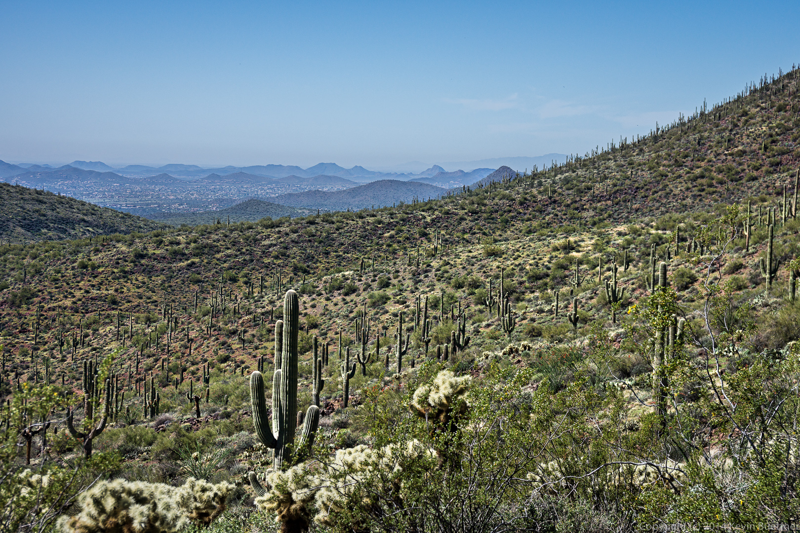
 We continued hiking the Elephant Mountain Trail after leaving the Fortress Peak. The trail crossed a large wash along the way. Below is a close up view looking down the wash.
 Here is a wider angle view:
 Looking back up at the prominent wall on Elephant Mountain.
 Linda told us that this is a Mammillaria, a small type of cactus that often grows between rocks.
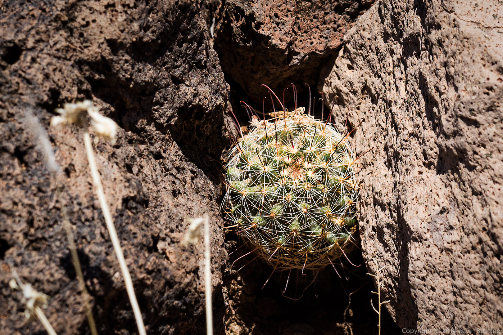 A look up another steep wash / canyon.
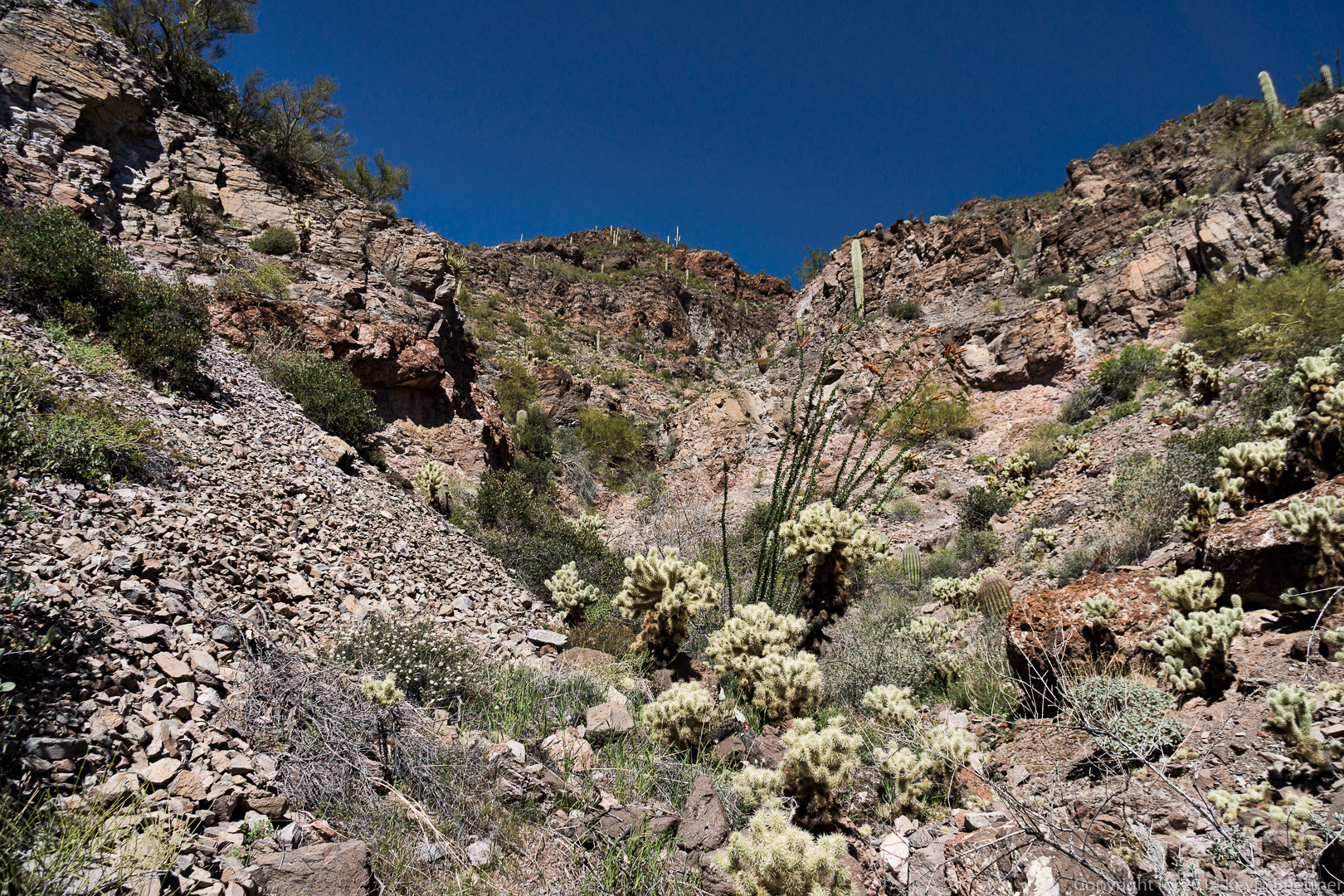
 And a look at where it continues downwards:
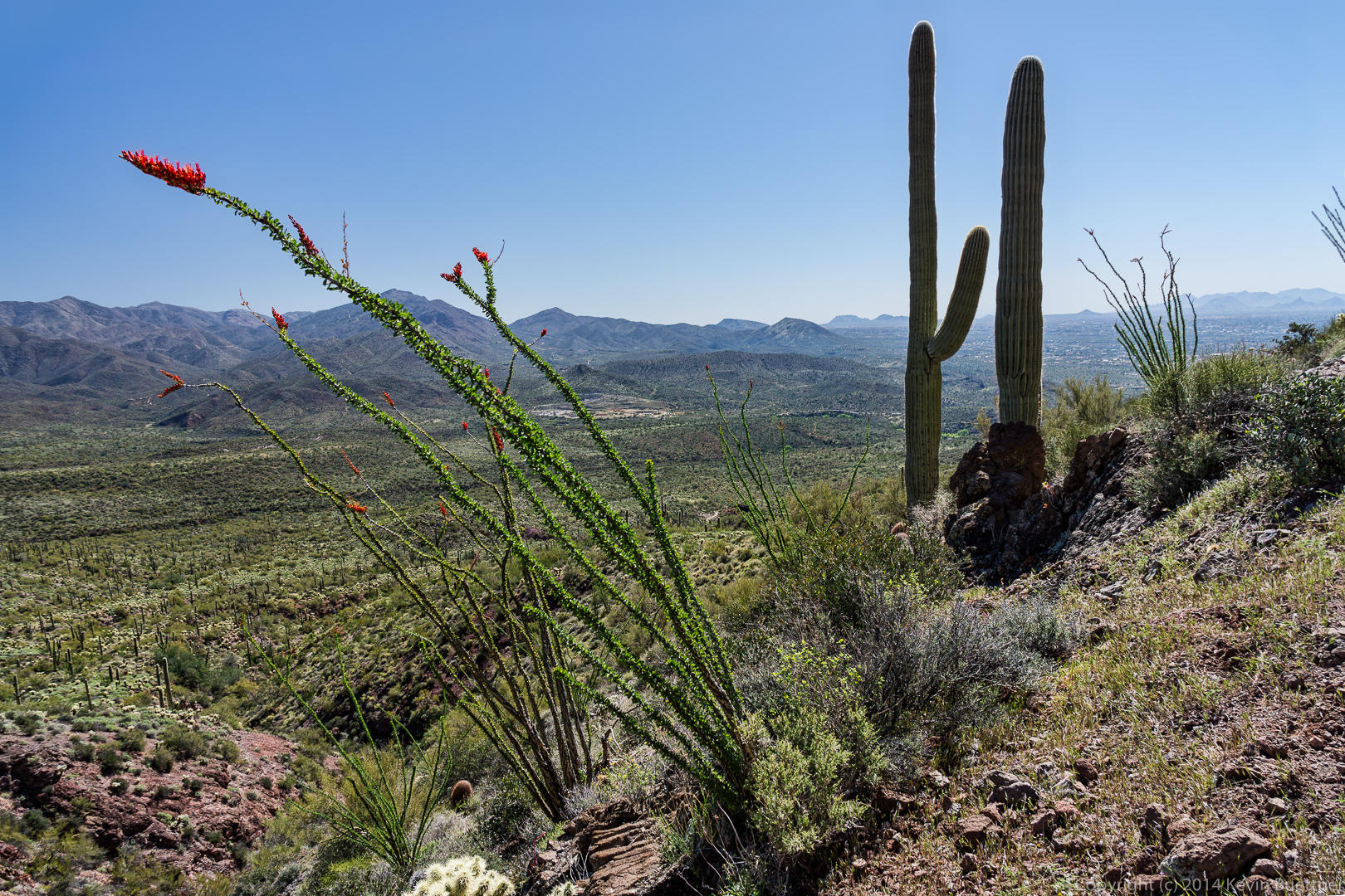
 The ocotillo are in bloom and the desert is still green.
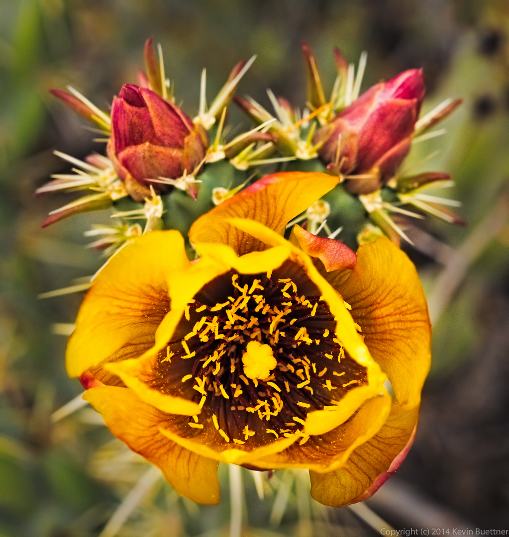
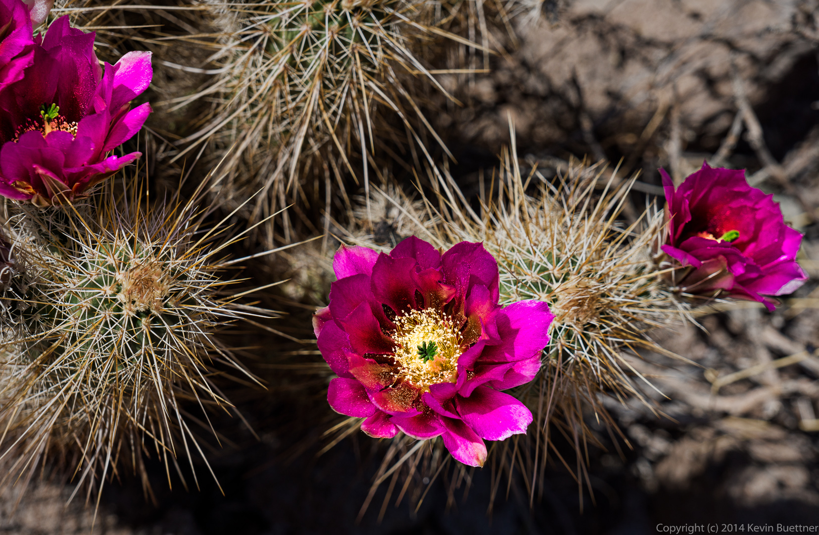
 Hedgehog cactus blossoms:
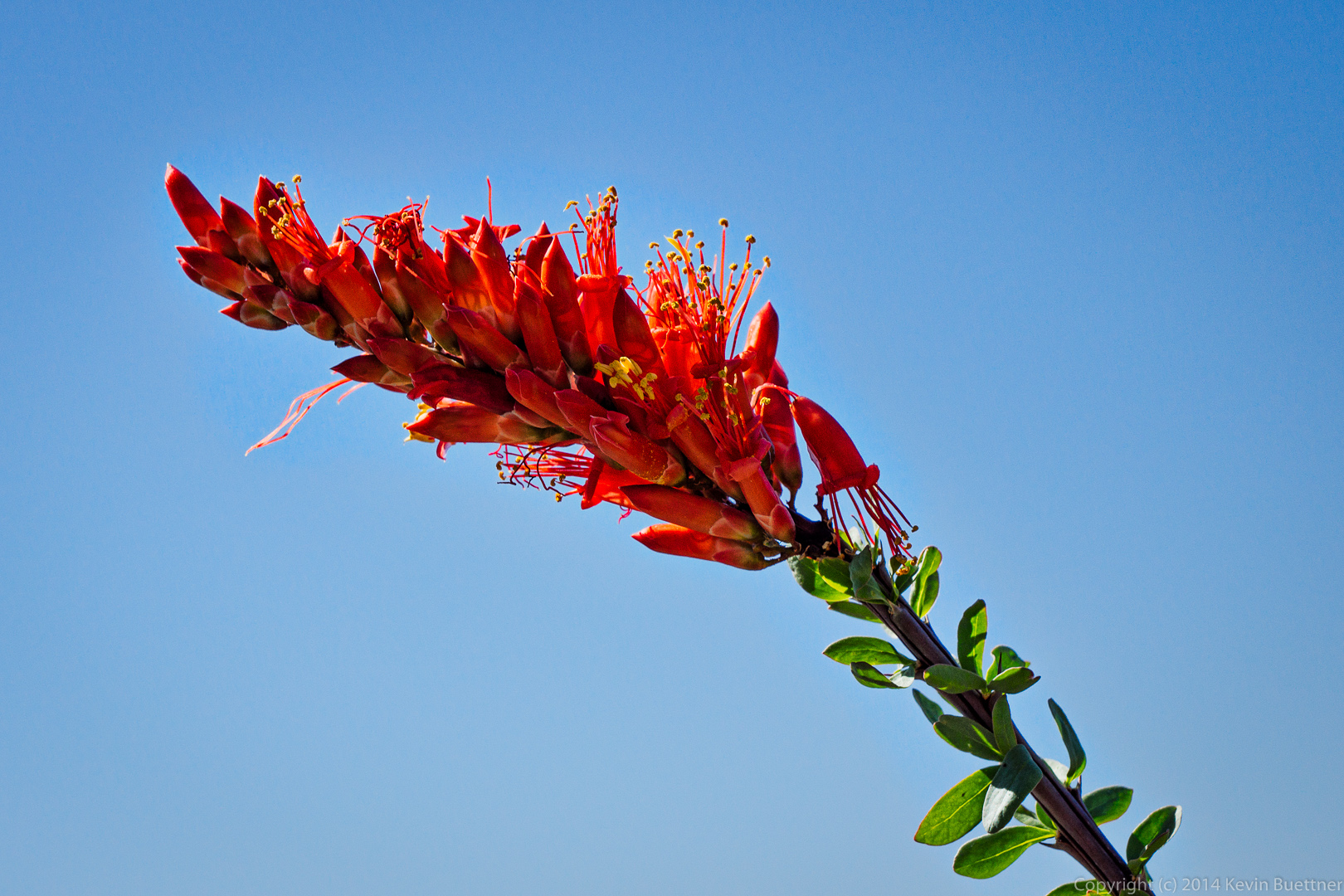
 Ocotillo blossom:
 Another blooming ocotillo that’s growing around a smallish saguaro.
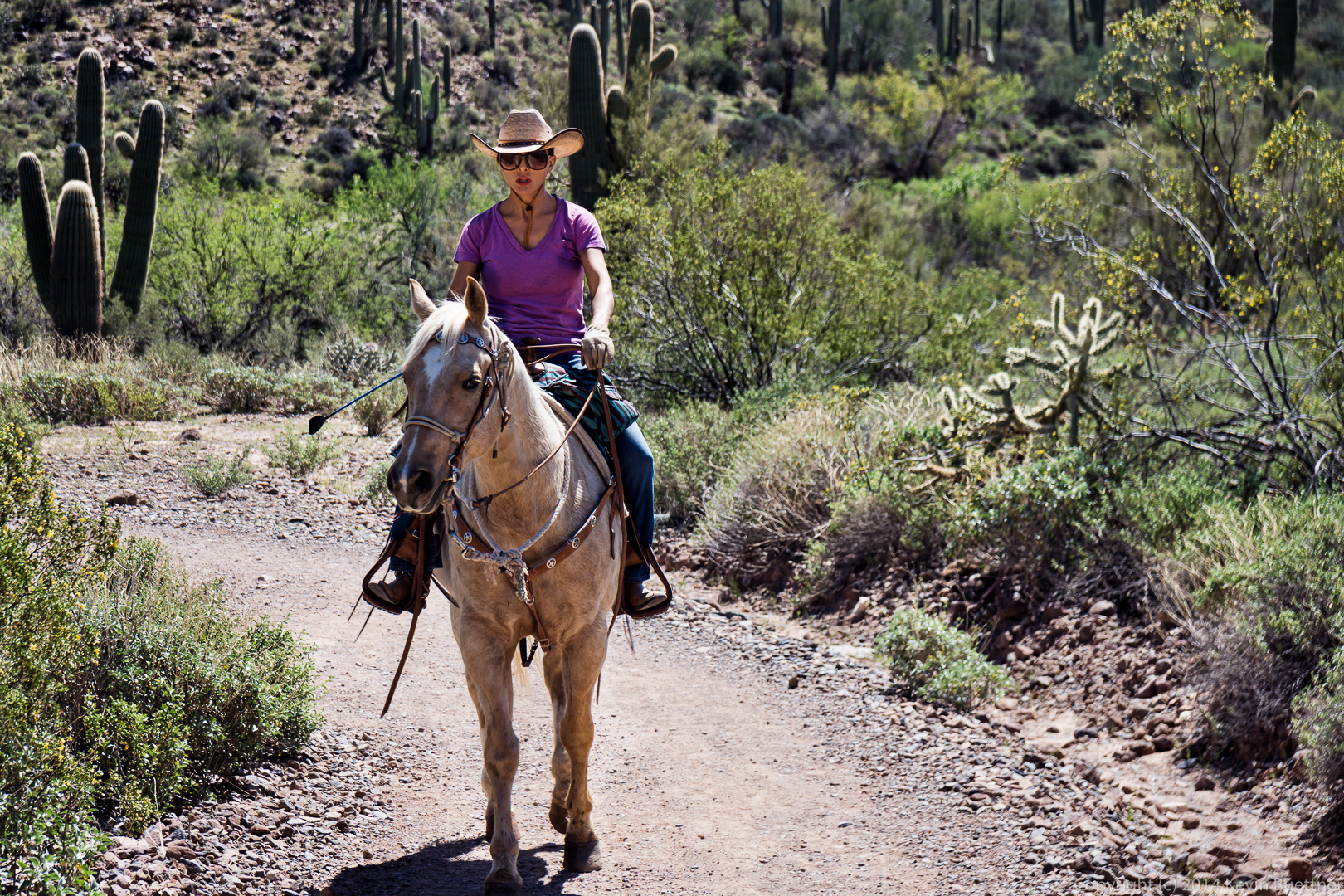
 We encountered this woman riding her horse near the end of the trail. We also saw another large group of riders in the distance, but they’re route did not cross ours.
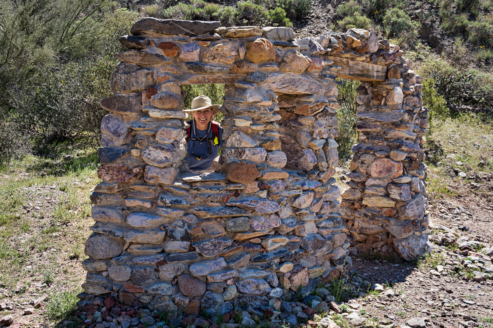
 Linda peers out of a window from the remains (?) of a stone structure near the parking area.