Tag: McDowell Sonoran Preserve (page 3 of 11)

Friday Fitness Hike

I hiked 10.6 miles on Friday: Dixie Mine, Coachwhip, Windmill, Bell Pass, Prospector, and back on Dixie Mine.

Sunrise from the approach through Eagles Nest:

A view from the Dixie Mine Trail:

A view from the Coachwhip Trail.

Arizona Poppies – I saw these in a wash running across the Windmill Trail.

A view of Four Peaks from the Bell Pass Trail:

A view from the Prospector Trail:

Barrel Cactus blooms on the Dixie Mine Trail:

Friday Fitness Hike

Starting from the Wagner Trailhead, I hiked 13.4 miles on Friday morning. I did Wagner, left on Granite, right on Bluff, left on Pemberton, right on Rock Knob (and slightly past the intersection with Gooseneck before returning to Gooseneck), Gooseneck, connector trail leading to Saguaro Nest, a short ways on Saguaro Nest, right onto another connector leading back to the park, left on Pemberton, right on Lariat, left on Granite, and left on Wagner.

Sunrise from the Wagner Trail:

Desert Senna:

Looking toward the McDowells from the Bluff Trail:

Looking toward Four Peaks from the Bluff Trail:

A view of Sven Slab (left) and Tom’s Thumb (right) from the Rock Knob Trail. I had hiked a short ways past the intersection with Gooseneck to get this photo.

A view from the Gooseneck Trail:

I think this is the most water that I’ve ever seen in Granite Tank!

White Thorn Acacia:

Barrel Cactus:

Friday Fitness Hike

I hiked a little over five miles doing the Hog Heaven Loop, which is in the Tom’s Thumb area.

From this vantage point, I eventually hiked up past Hog Heaven, which is the climbing area just below the ridge in the center. I then made my way up to the Thumbnail Pinnacle which is on the ridge, just right of center. After that, I went to the highest point in the McDowells, the East End at the far right.

This is one of the interesting rock formations along the way. It is not the Thumbnail Pinnacle.

I saw this Gila Monster along the way. A got a photo of it when it turned around to hiss at me.

I took this shot while standing atop the boulders that form the highest point in the McDowells.

I saw a number of these yellow caterpillars as I made my descent to Tom’s Thumb Trail.  Joe Bartels has identified it as a White-lined Sphinx Caterpillar.

When I got to Tom’s Thumb Trail, I started seeing what I thought were Mariposa Lilies. Joe Bartels at hikearizona.com identified it as an Arizona Caltrop, also known as an Arizona Poppy.

July Fourth Hike

On July 4, I woke up very early and drove to Tom’s Thumb Trailhead. I hiked the beginning of the Lost Wall Loop, passing the Tom’s Thumb pinnacle. When I (again) reached Tom’s Thumb Trail, I followed it west to the Scottsdale side of the mountain range. I returned by hiking up Windgate to the pass, then down Windgate, and down some more on Windmill. I then went up East End to arrive back at Tom’s Thumb Trail. Near the end of my descent of Tom’s Thumb Trail, I added on an extra mile by hiking Feldspar, Marcus Landslide, and Caballo. Total distance was 11.2 miles with about 3100 feet of total ascent.

Sunday Hike – Dixie Mine, Prospector, Bell Pass, Windmill, Coachwhip Lasso

On Sunday, I hiked 11.3 miles in the McDowells.  Starting from the parking area at the end of Golden Eagle Blvd, I hiked Dixie Mine to the road, up the road to Prospector, Prospector to Bell Pass, then up to the top of the pass, back down Bell Pass (the way I came) to the intersection with Prospector, continued on Bell Pass to intersection with Windmill and Windgate, Windgate to Coachwhip, Coachwhip to Dixie Mine, then back on Dixie Mine.

The temperature started out in the mid-seventies at around 6:00am and rose to the mid- to high-nighties when I got back around 10:30. So, fairly cool for this time of year.

Friday Fitness Hike

Kathy, Tawana, Marilyn, Bob, Mike, and I did an eight mile hike starting from the parking area for the Dixie Mine Trail. We hiked out to the road, took a look at the tailings and then went back down to look in at the horizontal shaft. We also looked at the petroglyphs after which we made our way over to the Prospector Trail where we hiked to the lookout that’s midway up the trail.

Heading out on the Dixie Mine Trail:

Marilyn and Tawana:

Mine tailings:

Looking down the vertical mine shaft. There is something highly reflective (water?) at the bottom.  You can see my head and the grating covering the hole in the reflection.

This is the gate preventing entry to the mine’s adit.

The nearby petroglyphs:

Bob, Marilyn, Kathy, Kevin, and Mike.  (Thanks to Tawana for taking this photo.)

Some of the saguaro fruit have burst sort of making them look like red flowers.

Friday Fitness Hike

For Friday’s hike, Kay and I hiked a combination of the Hog Heaven Loop and the Lost Wall Loop.

We started on the Marcus Landslide Trail and then turned right onto Feldspar. To the left are some low angle (third class) slabs which lead to the top of Sven Tower I. We summited there and then continued on the climber’s access trail leading past Sven Towers II and III. This soon joined the standard route for the Hog Heaven Loop. We hiked past Hog Heaven and the Thumbnail Pinnacle and then continued onto the East End (summit) where we also went to that summit.

Continuing on, we descended the climber’s access trail to Tom’s Thumb Trail. From there, we hiked over to (and then on) the oft used climber’s access trail going to Tom’s Thumb. We continued past Tom’s Thumb and then down past Lost Wall, Half & Half Wall and the Fort McDowell climbing areas. This eventually led us back to Tom’s Thumb Trail and then back to the parking lot.

Total distance was just over five miles with nearly 2300 feet of total ascent.

Sunrise from the parking lot:

Kay, ascending the granite slab adjacent to the Feldspar Trail:

Morrell’s Wall and Tom’s Thumb:

Three views of the Thumbnail Pinnacle:

Looking back along the ridge, on the left, that got us to this vantage point. On the right is Thompson Peak and some other lesser peaks in the McDowell Range. Of course, the East End, the highest point in the McDowells is not visible in this shot as it’s just behind us.

Kay atop the East End (Peak), the highest point in the McDowells.

Chuparosa; we saw this plant on the ridge northwest of Tom’s Thumb.

Friday Fitness Hike

Linda, Sunaree, Gayle, John, Kay, and Ben joined me for a six and a half mile hike in the Tom’s Thumb area on Friday. Starting on the Tom’s Thumb Trail, we took the first climber’s access trail west to the ridge north of Tom’s Thumb. We followed this ridge past Tom’s Thumb to Tom’s Thumb Trail. It had been years since I last hiked the Lookout Trail, so we hiked to the end of the Lookout Trail where we could see the Windgate Pass Trail far below us. After hiking back on Lookout Trail, we hiked down Tom’s Thumb Trail, turned onto Feldspar, and then Marcus Landslide, returning via the Caballo Trail.

Midway up the climber’s access trail:

A small, but interesting pinnacle that we passed on the way up:

Gayle makes her way up the steep and sometimes loose trail:

Looking toward Scottsdale and a very hazy Phoenix:

A view of Tom’s Thumb from the ridge:

Linda, Sunaree, Kay, Ben, John, and Gayle:

A view of the west side of Tom’s Thumb:

Tom’s Thumb, again, but this time we’re seeing it from the Lookout Trail:

Heading back down Tom’s Thumb Trail:

This is one of the mushroom pinnacles near the Sven Slab area.

Friday Fitness Hike

We hiked 11.6 miles on Friday, following a familiar lasso-loop: Dixie Mine, Coachwhip, Windmill, Bell Pass, Prospector, service road, and Dixie Mine. We also made two short side trips, one to visit a water catchment for wildlife, and the other to the mine and petroglyphs.

Early morning on the Dixie Mine Trail…

A view from the Coachwhip Trail:

There was an ample amount of water in the tank – kind of surprising since we haven’t gotten much recent rain.

When rain falls on the corrugated sheets, it runs downhill to the trough at the bottom. From there it flows through the pipe into the large covered holding tank shown in the earlier photo. That large tank then feeds the smaller tank from which wildlife can drink.

Saguaros on the bank of the wash on our way back to the Windmill Trail:

I was told that I stepped over this gopher snake on our hike through the wash:

A view from the Windmill Trail:

Gayle noticed this colorful rock on the Windmill Trail:

Gayle, Mike Heather, Linda, Marilyn, Marilyn, Nora, and Ben:

Thompson Peak:

Saguaros on the Prospector Trail:

This is the main petroglyph panel:

Friday Fitness Hike

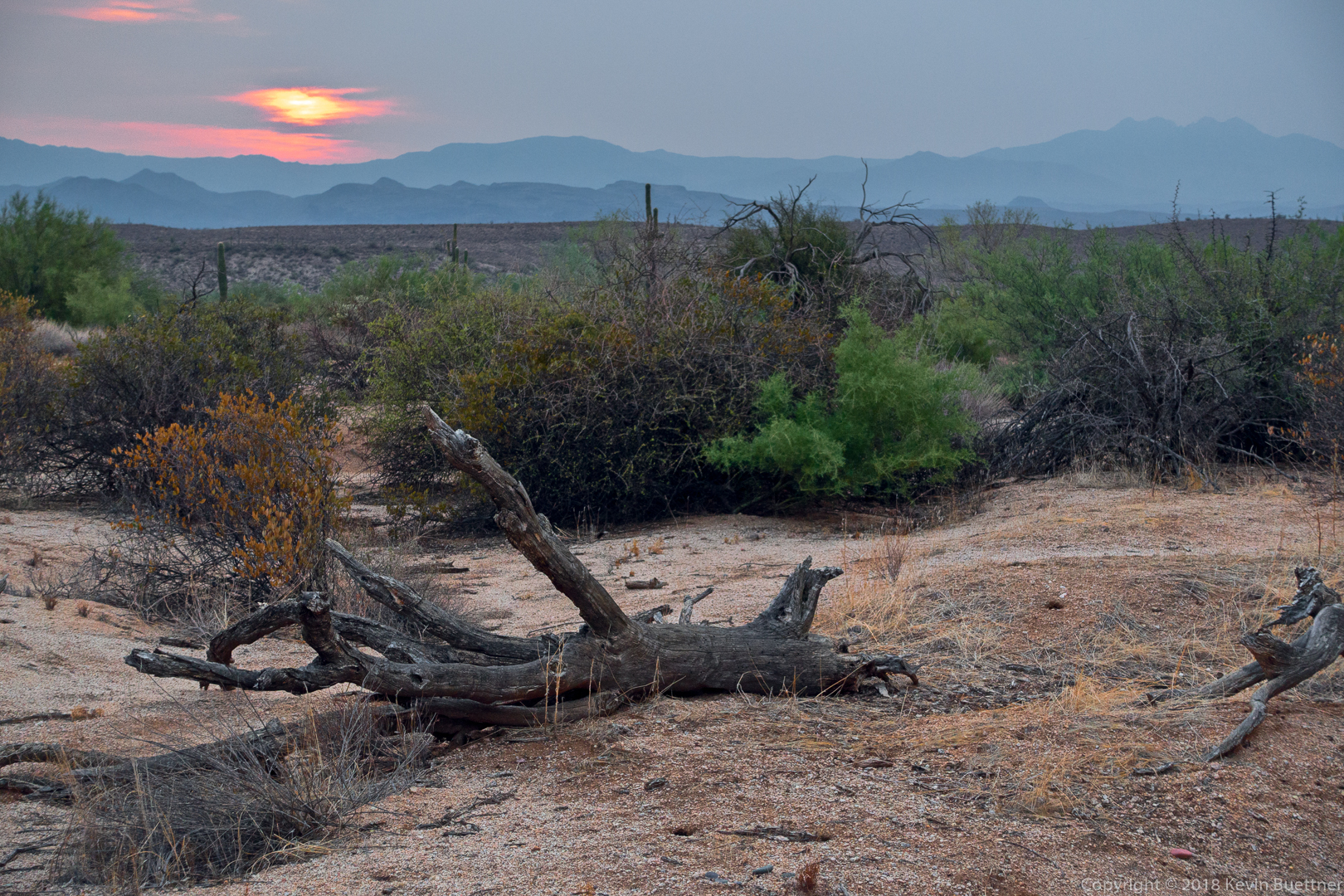
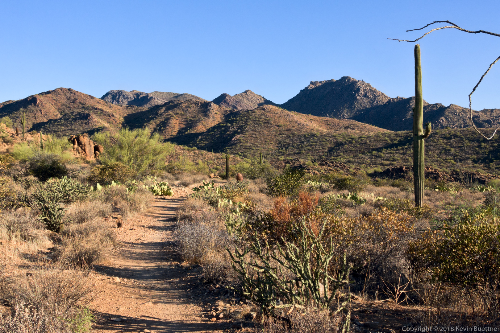
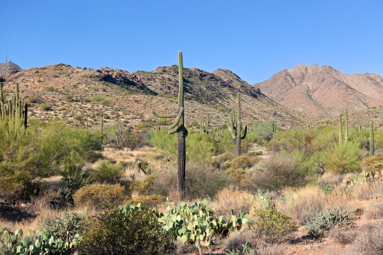
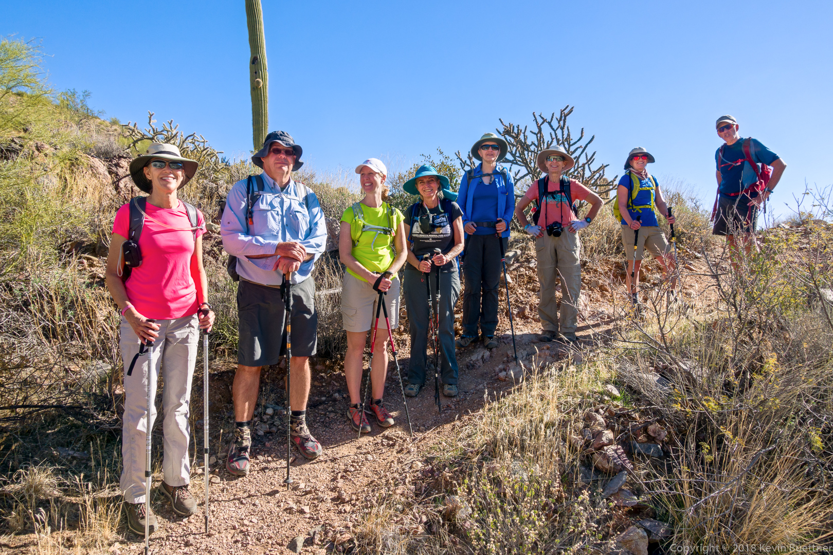
Mona, Sara, Gayle, Heather, Sunaree, Randy, and I hiked the Hog Heaven Loop. Total distance was only about four and quarter miles, but we gained over 1600 feet of elevation along the way.

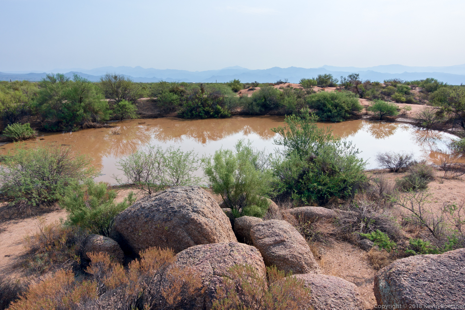
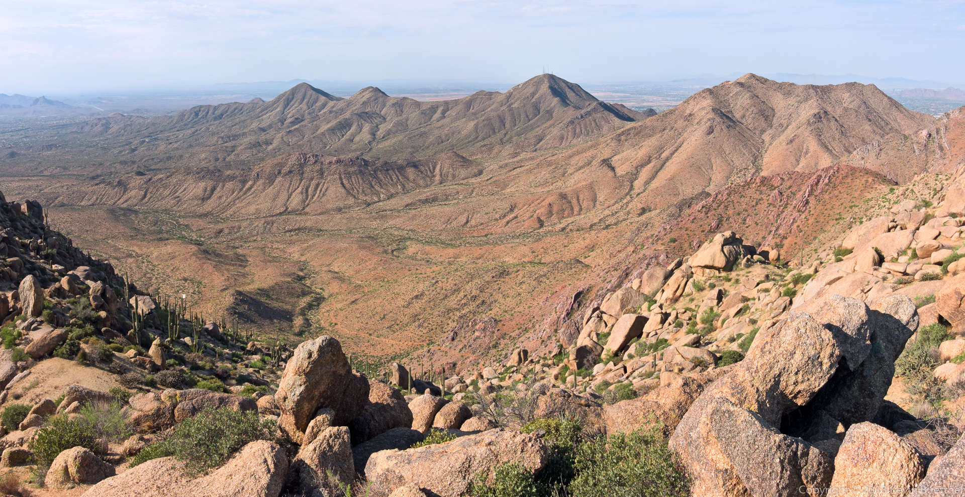
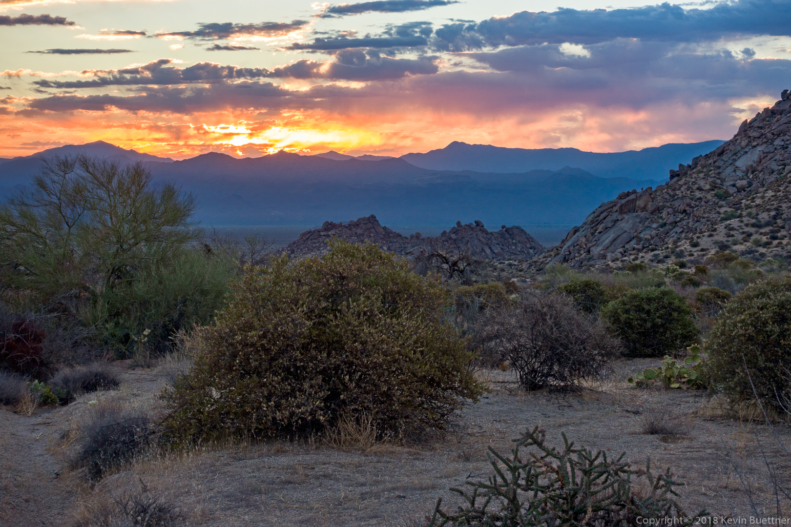
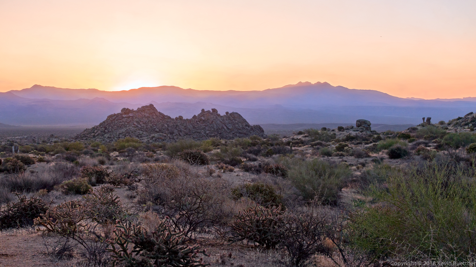
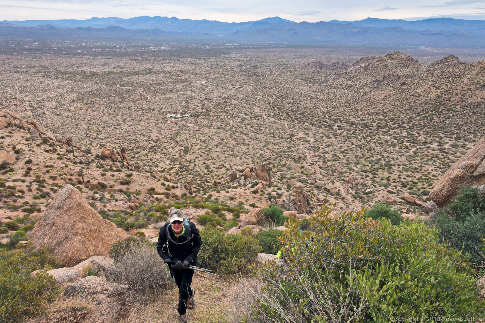
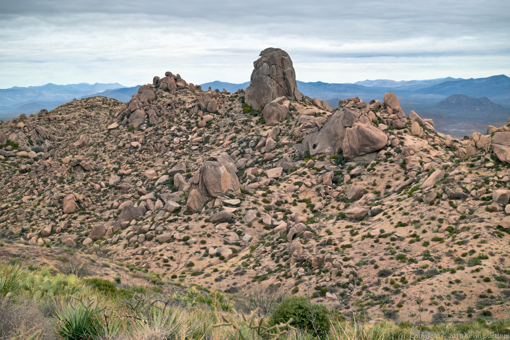
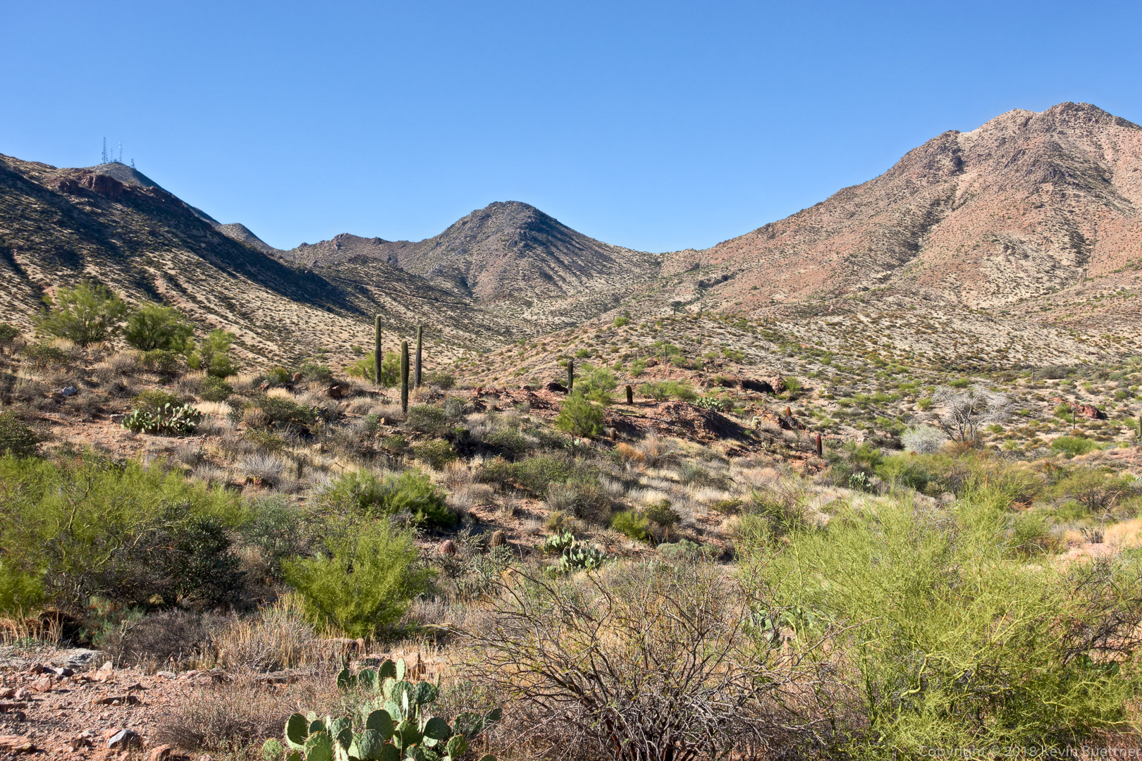
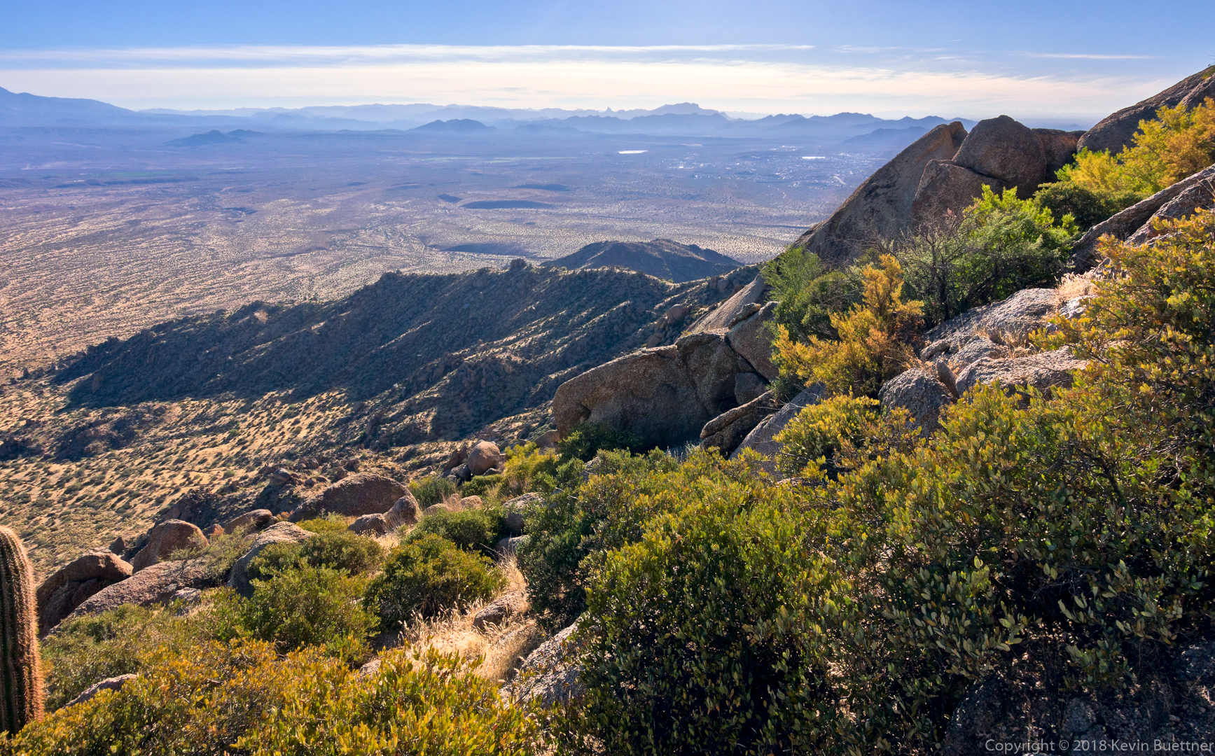
We encountered this view shortly after topping out at the saddle at the top of Mesquite Canyon.  (I took photos of Mesquite Canyon, but it was mostly in the shade, so the photos weren’t especially compelling.)

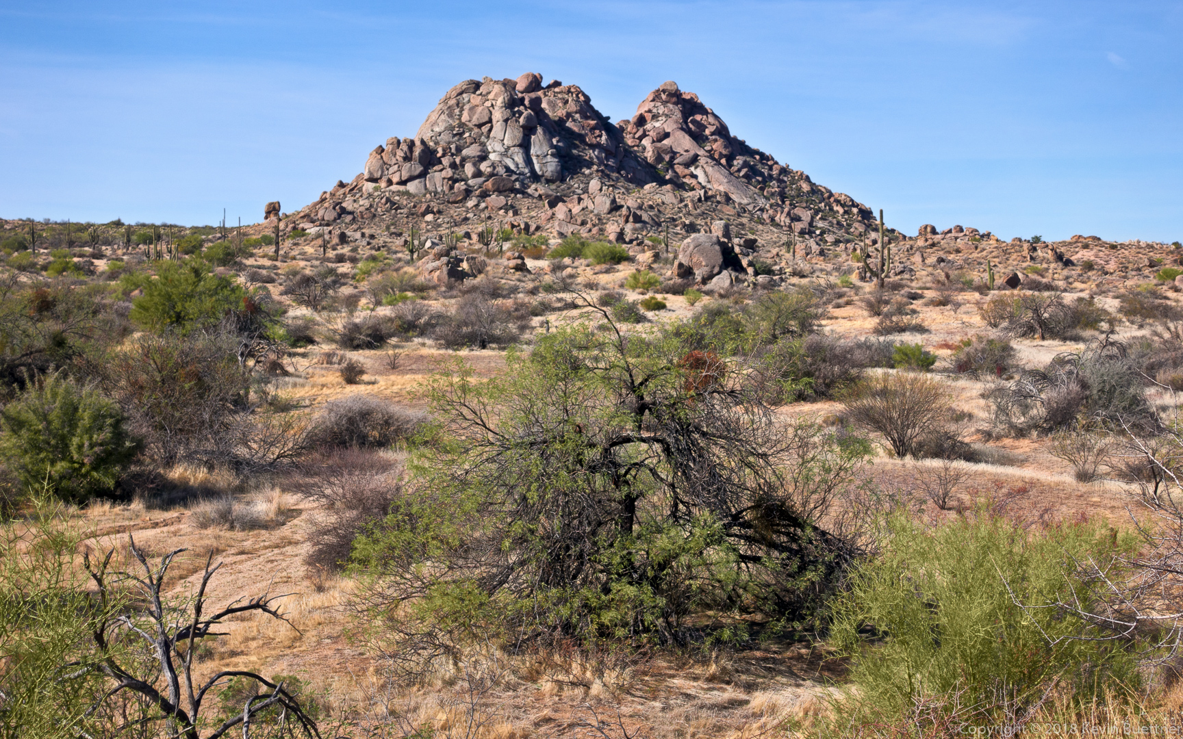
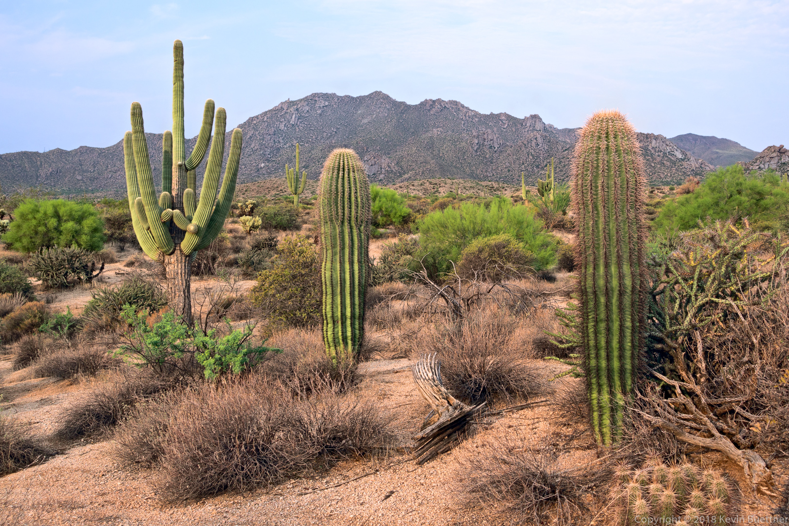
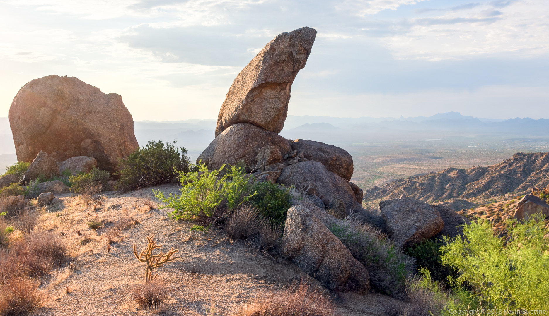
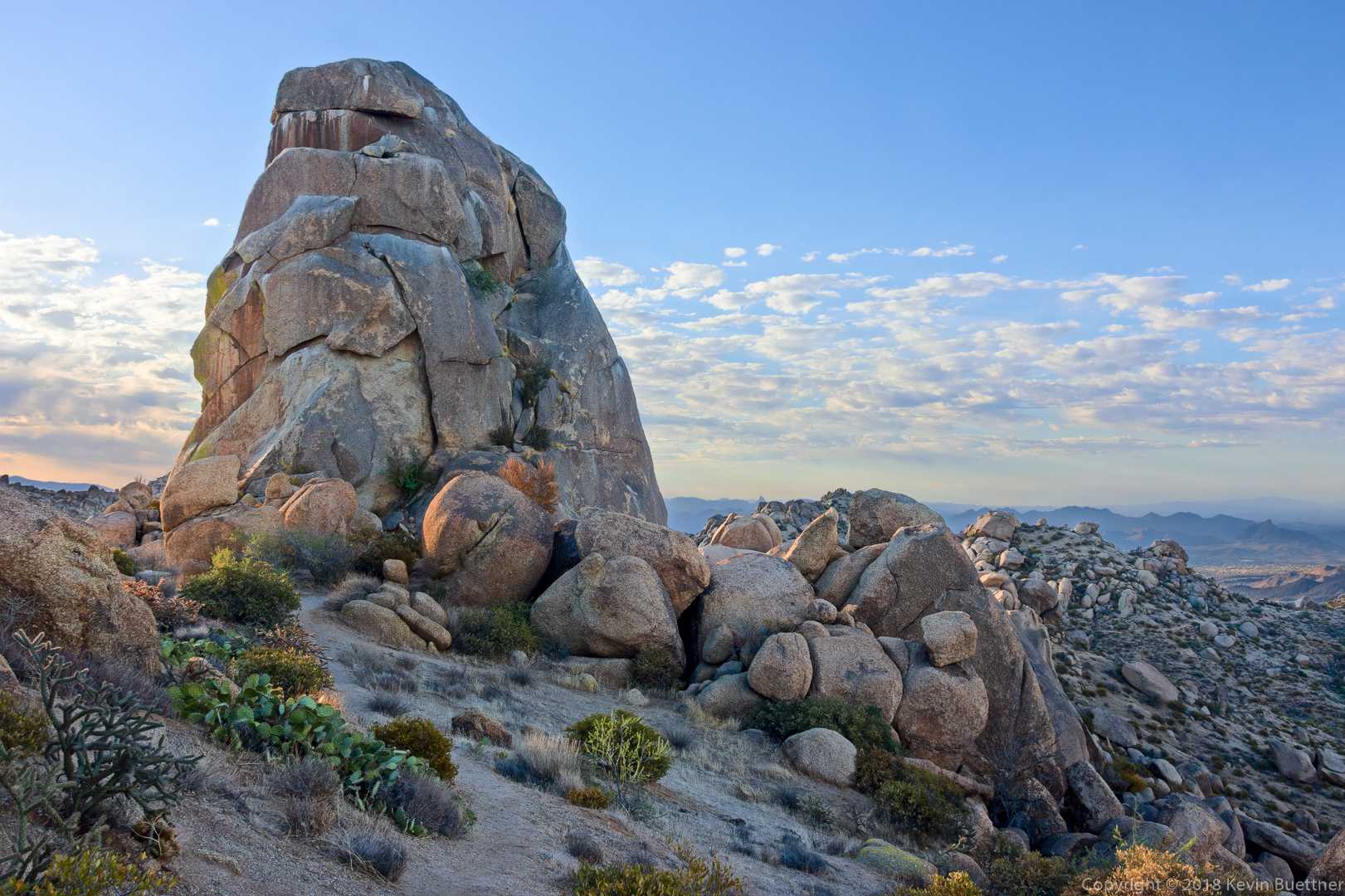
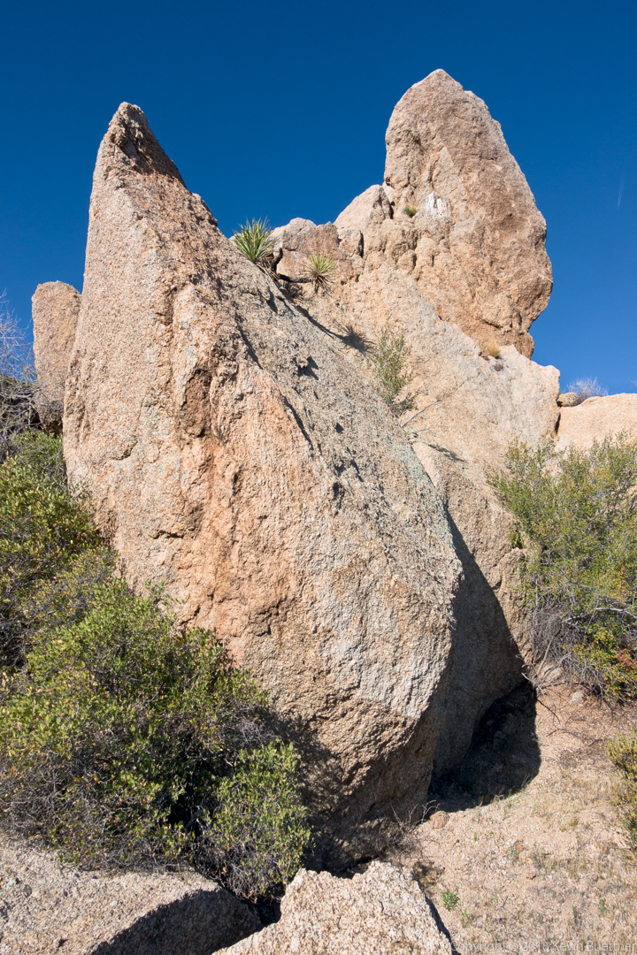
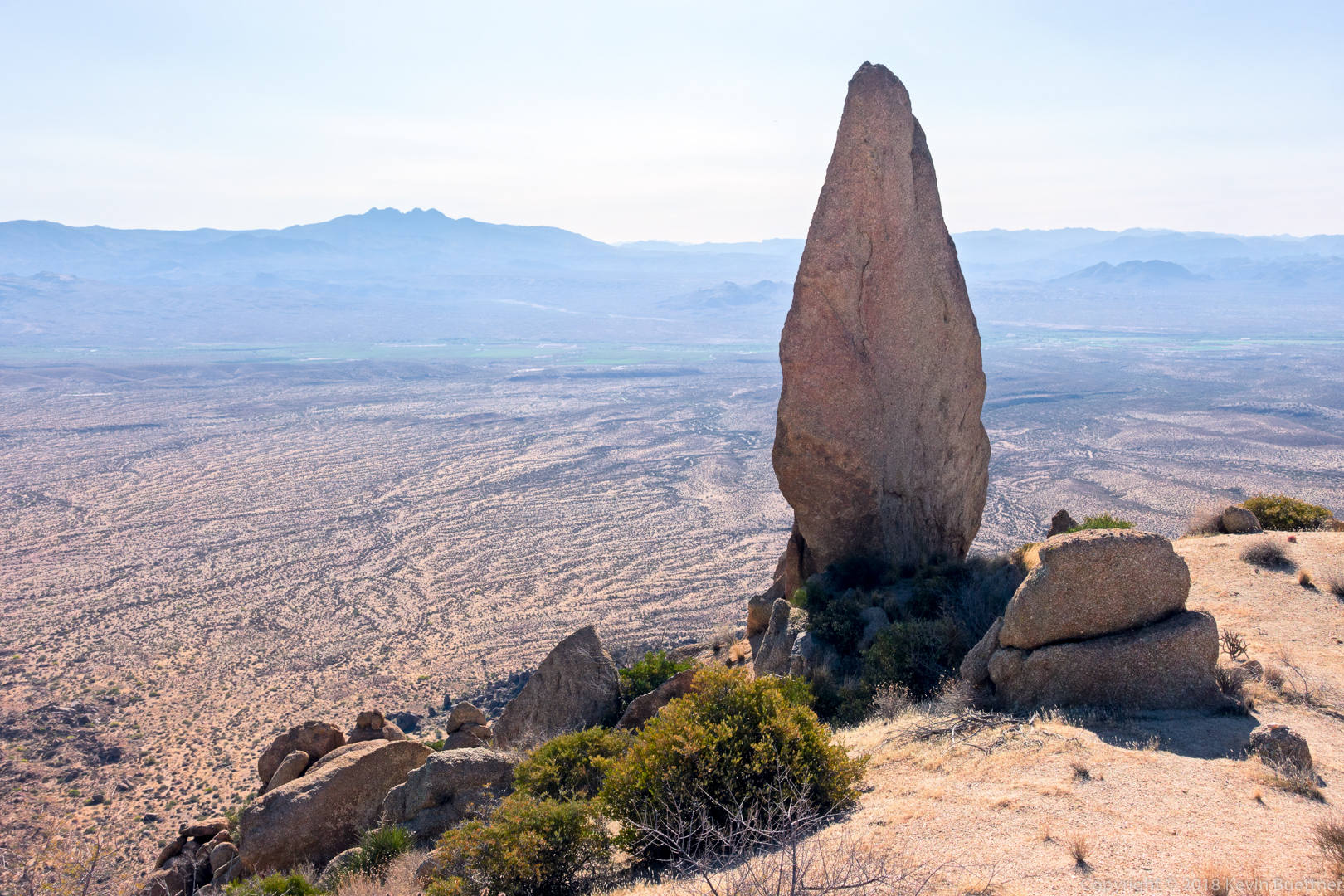
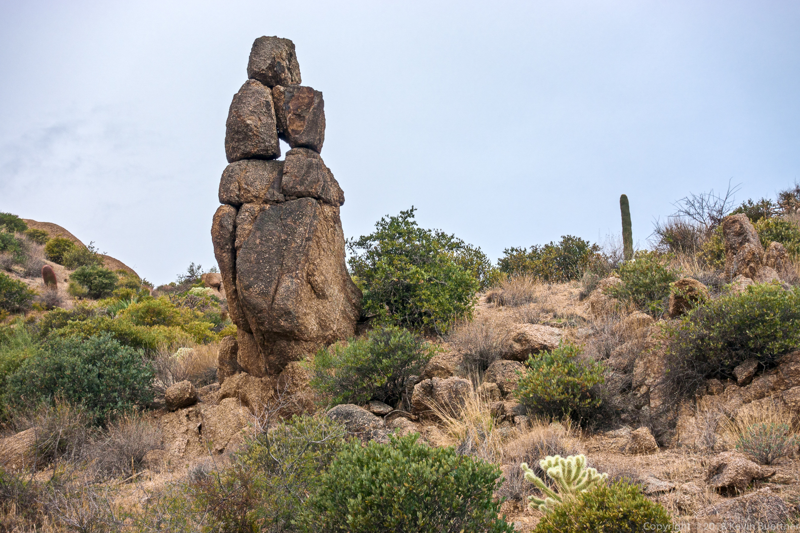
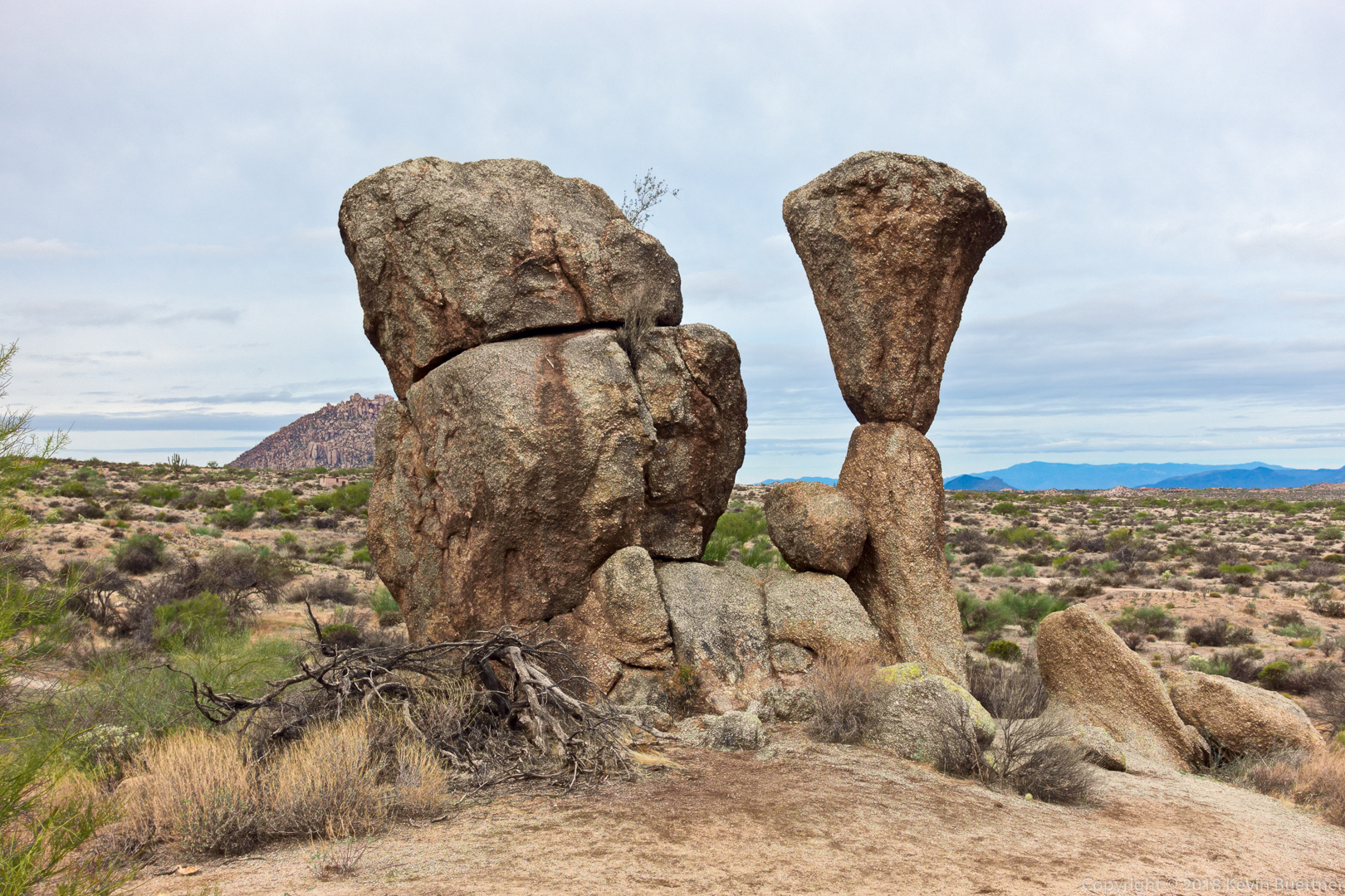
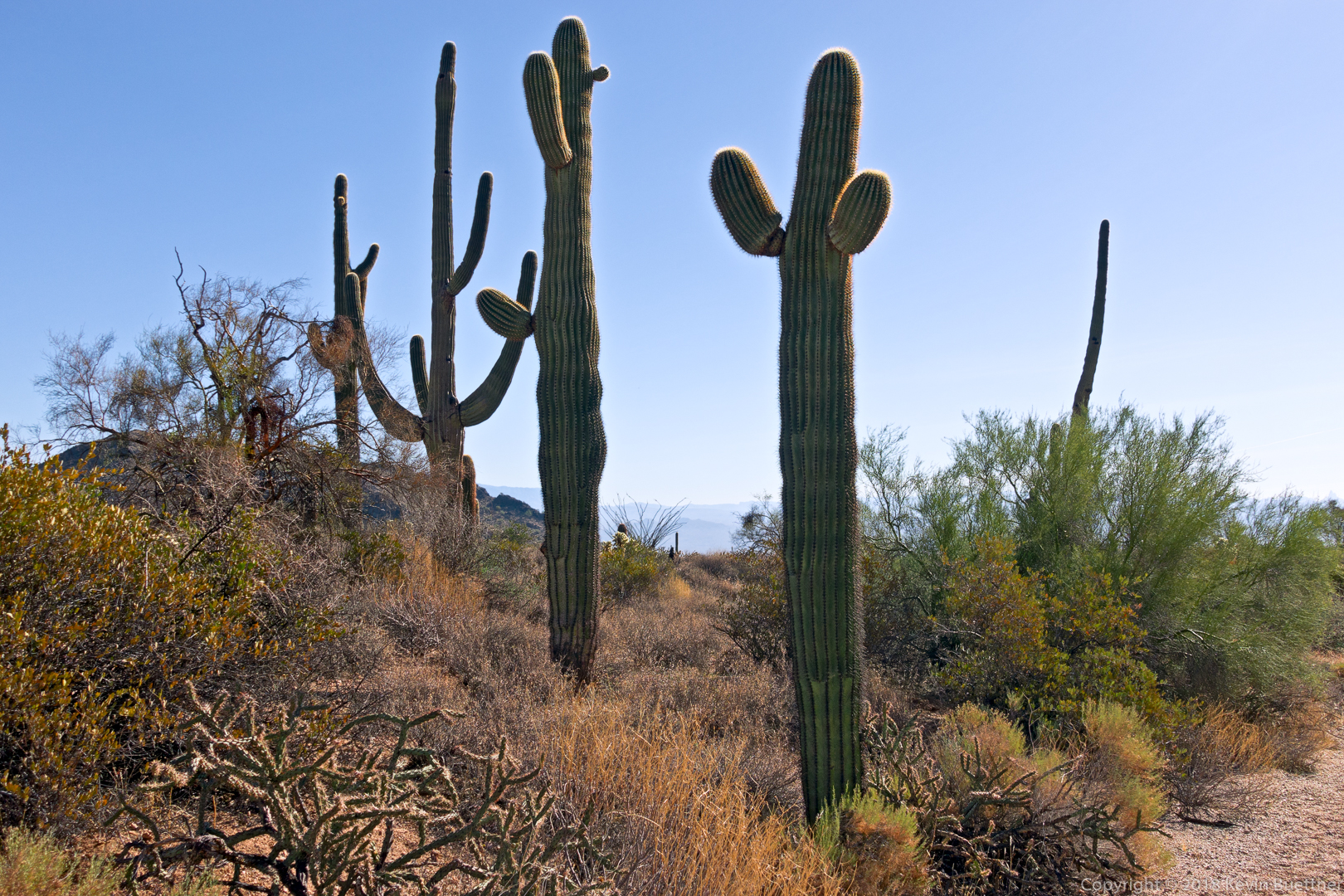
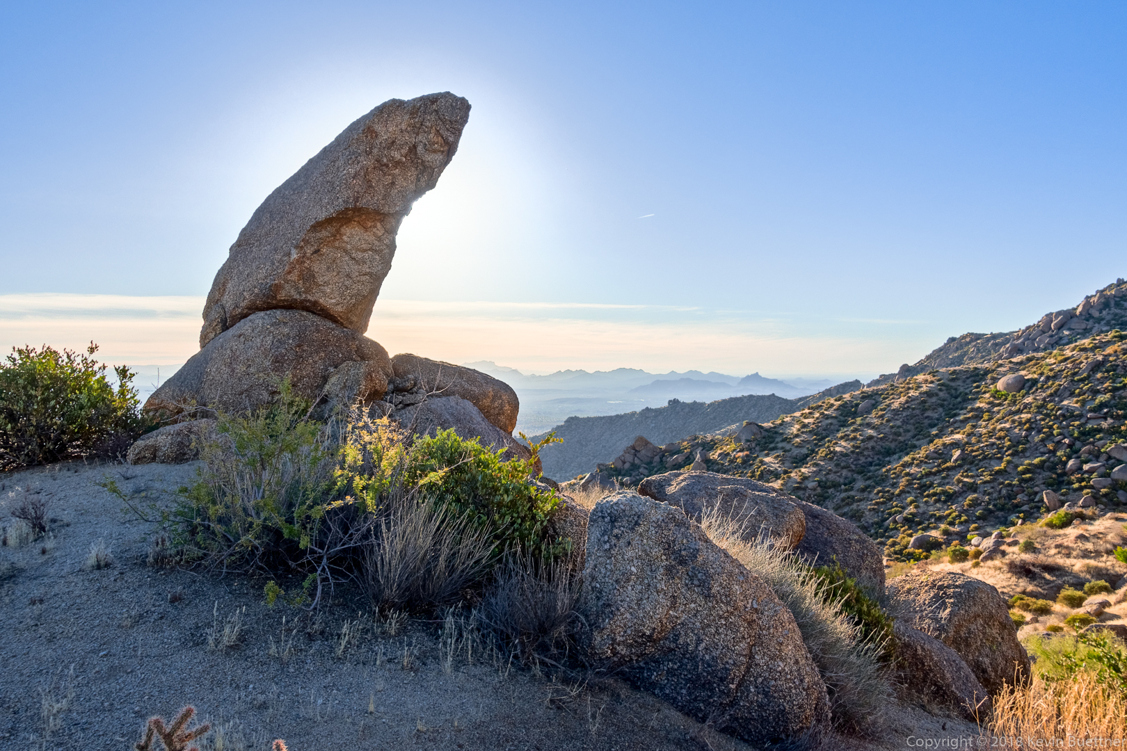
We saw this small hook-shaped pinnacle a short while later:

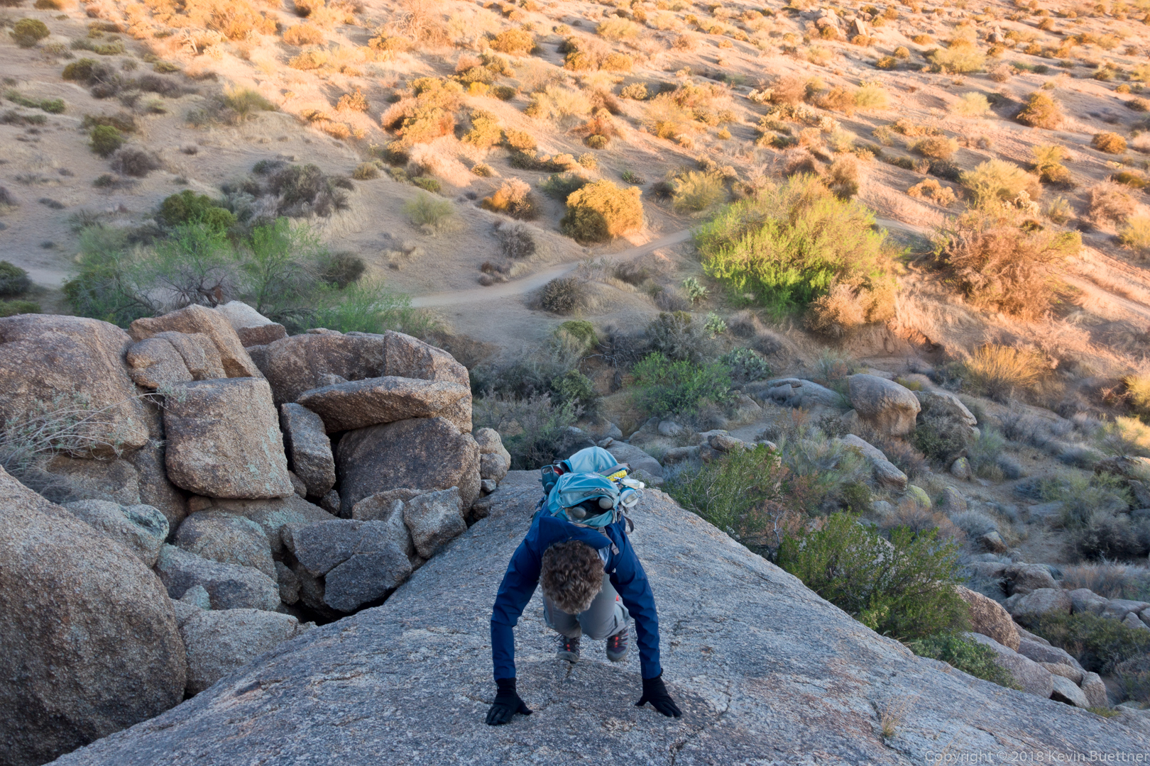
Mona completes the hop boulder hop…

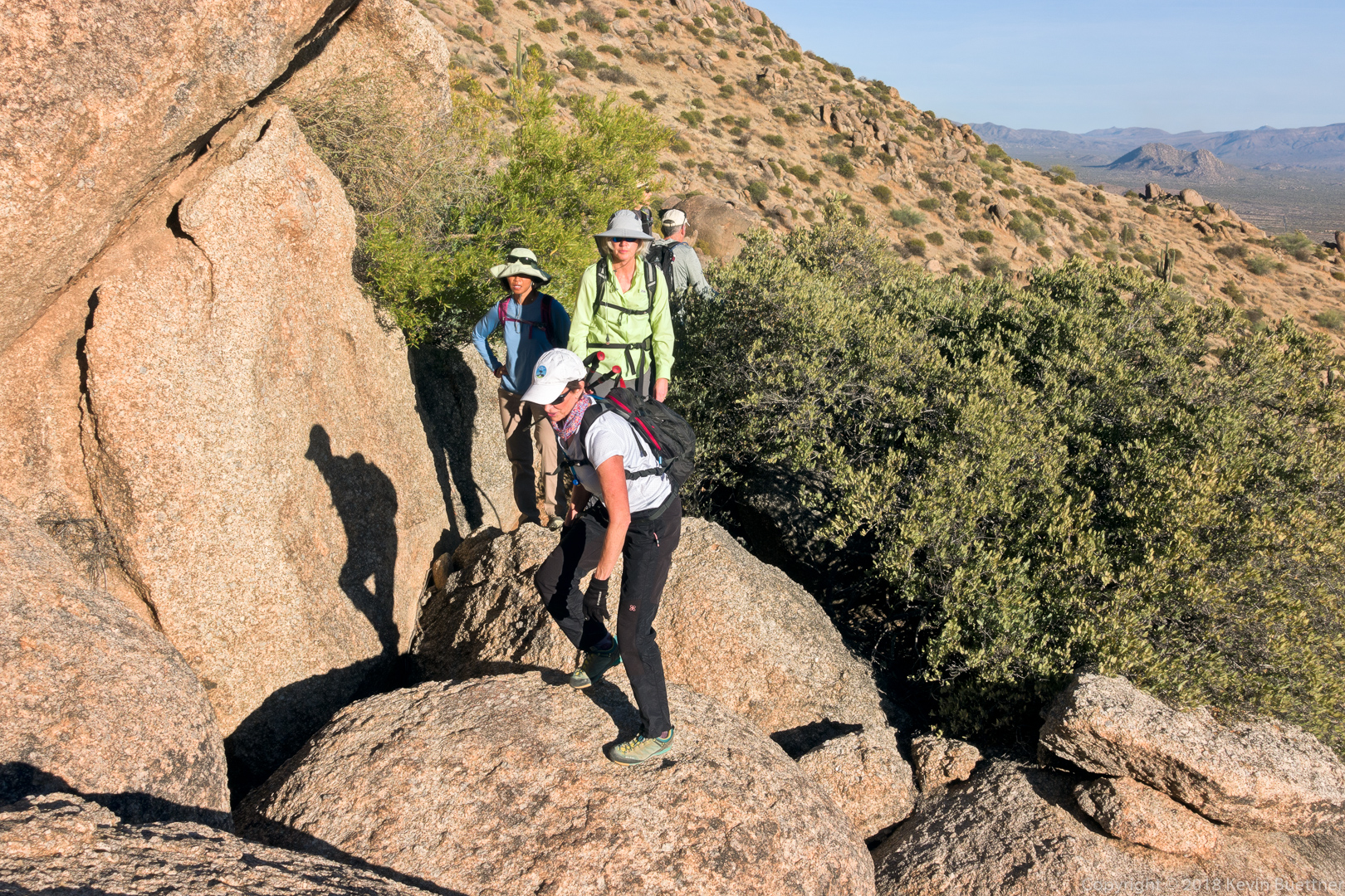
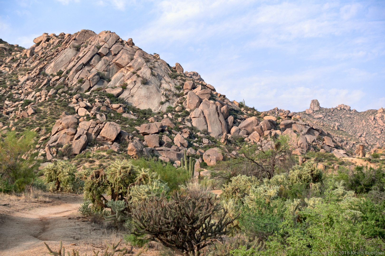
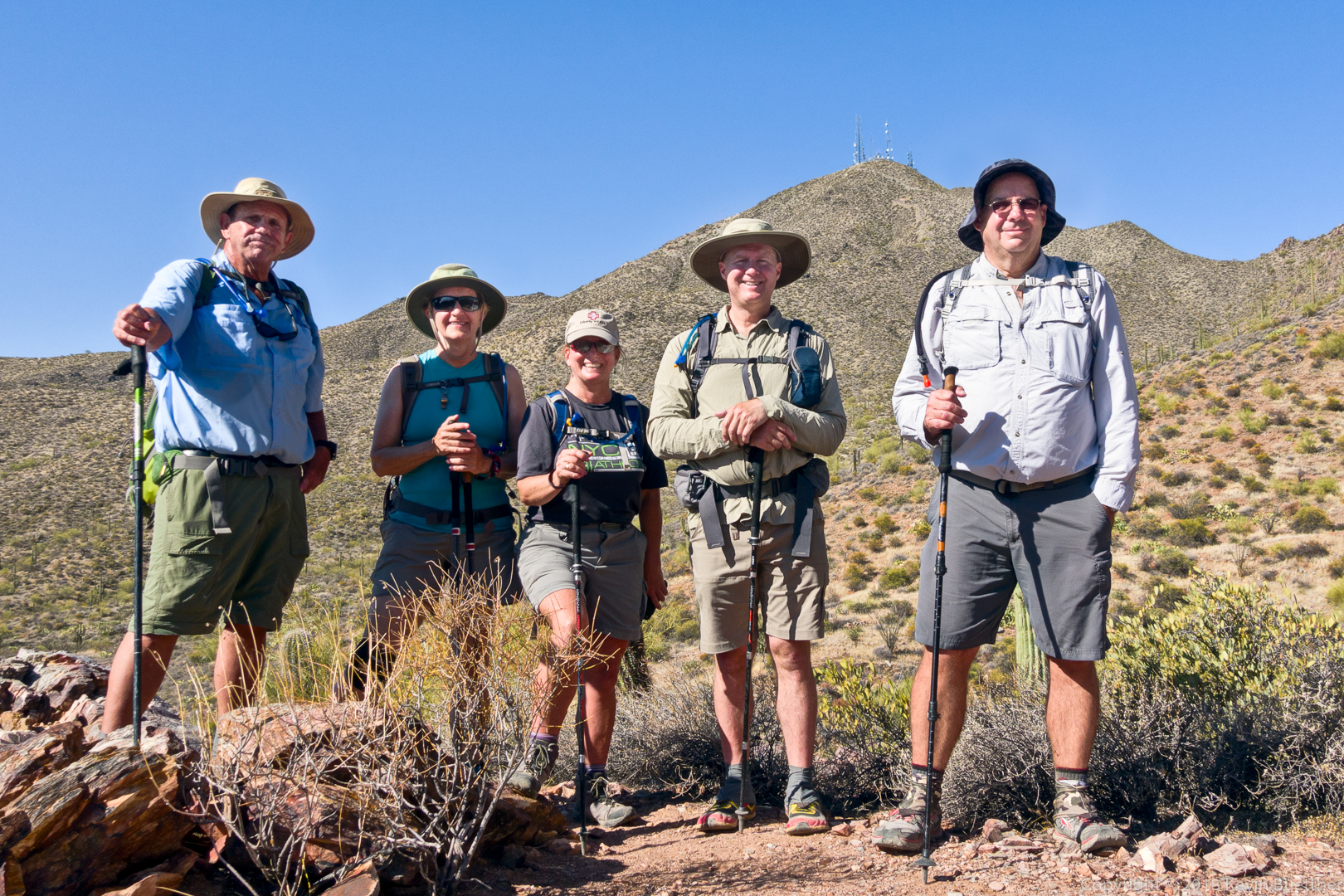
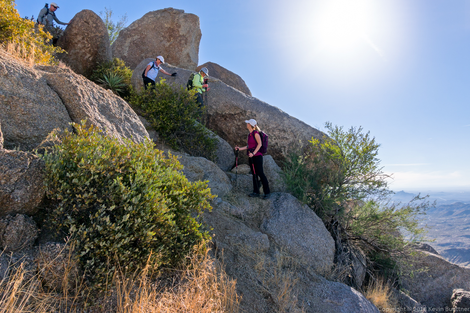
The group makes their way up to the base of Hog Heaven (which is out of view above Heather):

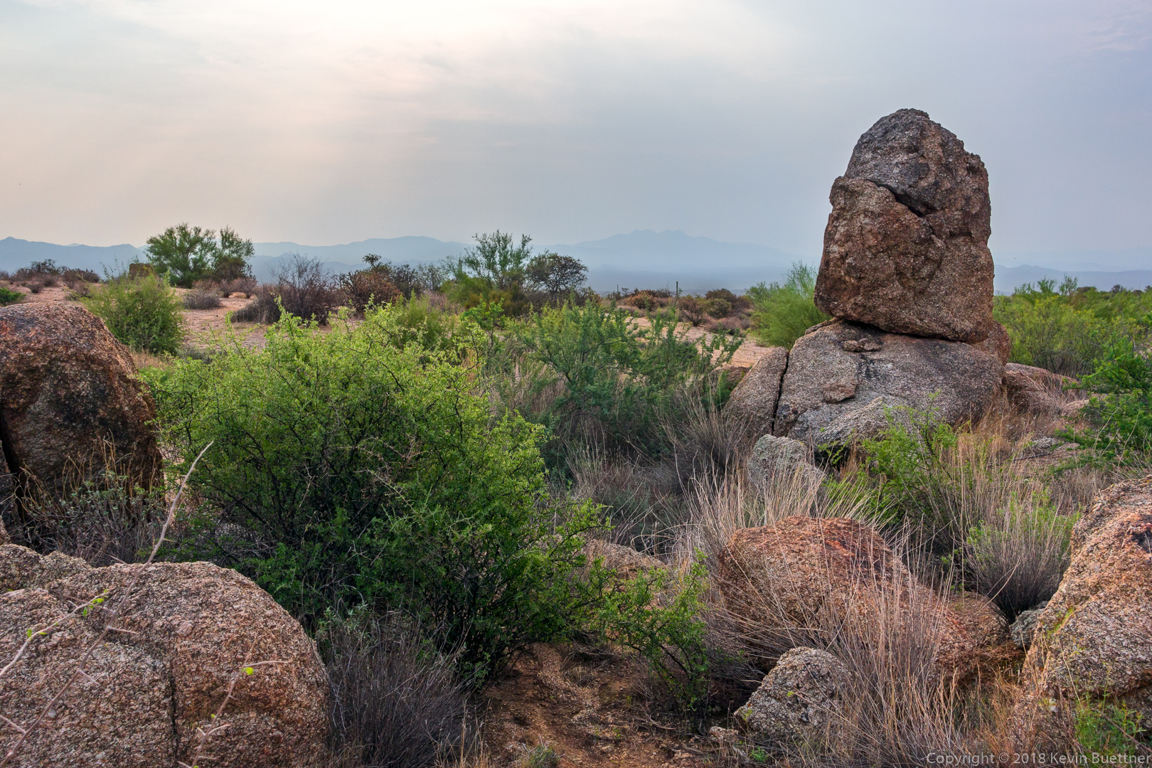
The rock wall behind the group is the main wall of the Hog Heaven climbing area:

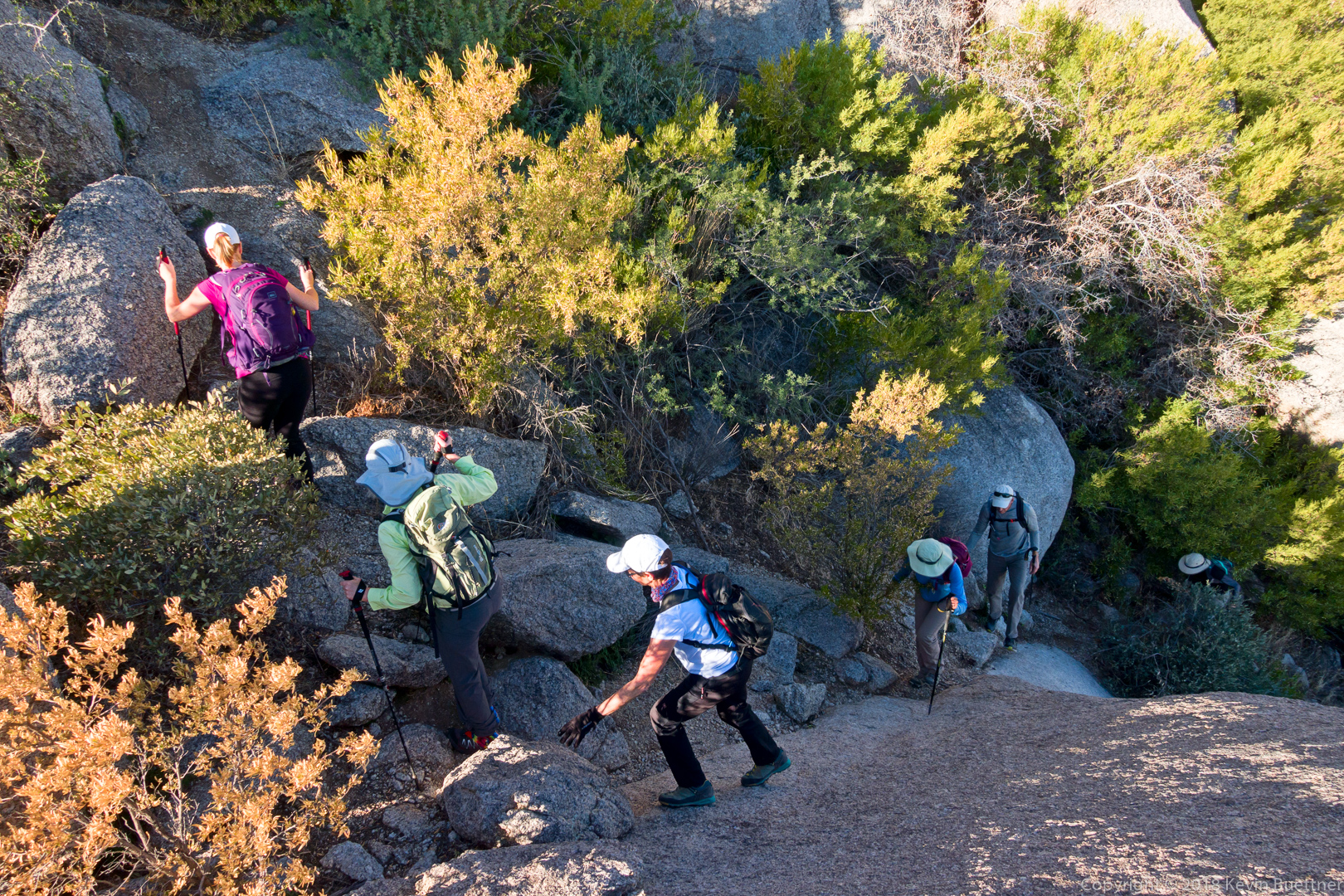
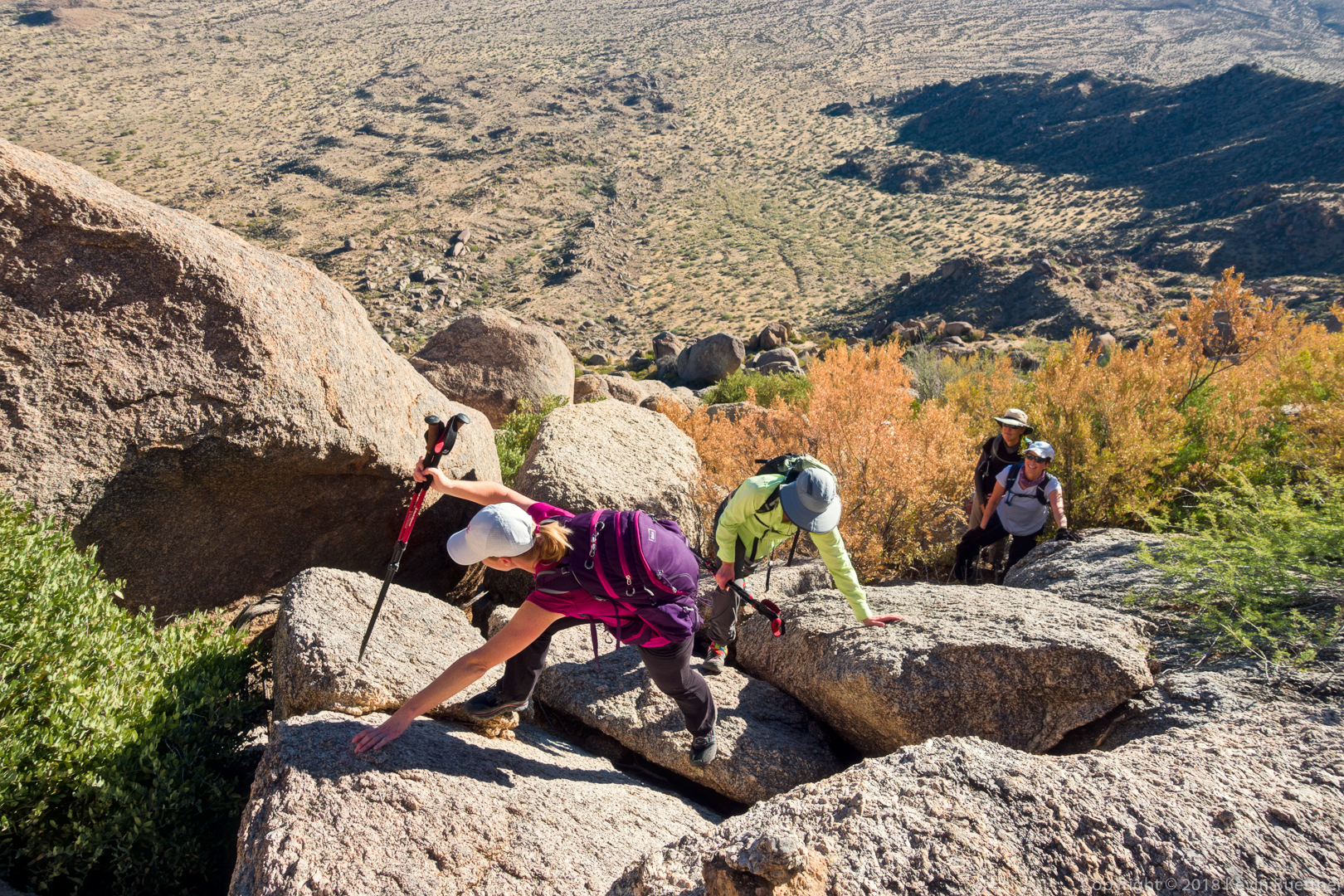
Heather and Sara make their way up a section of granite while Gayle and Mona look on:

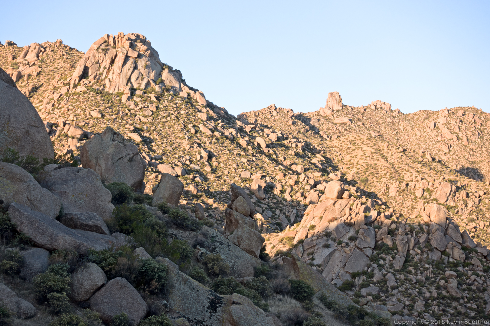
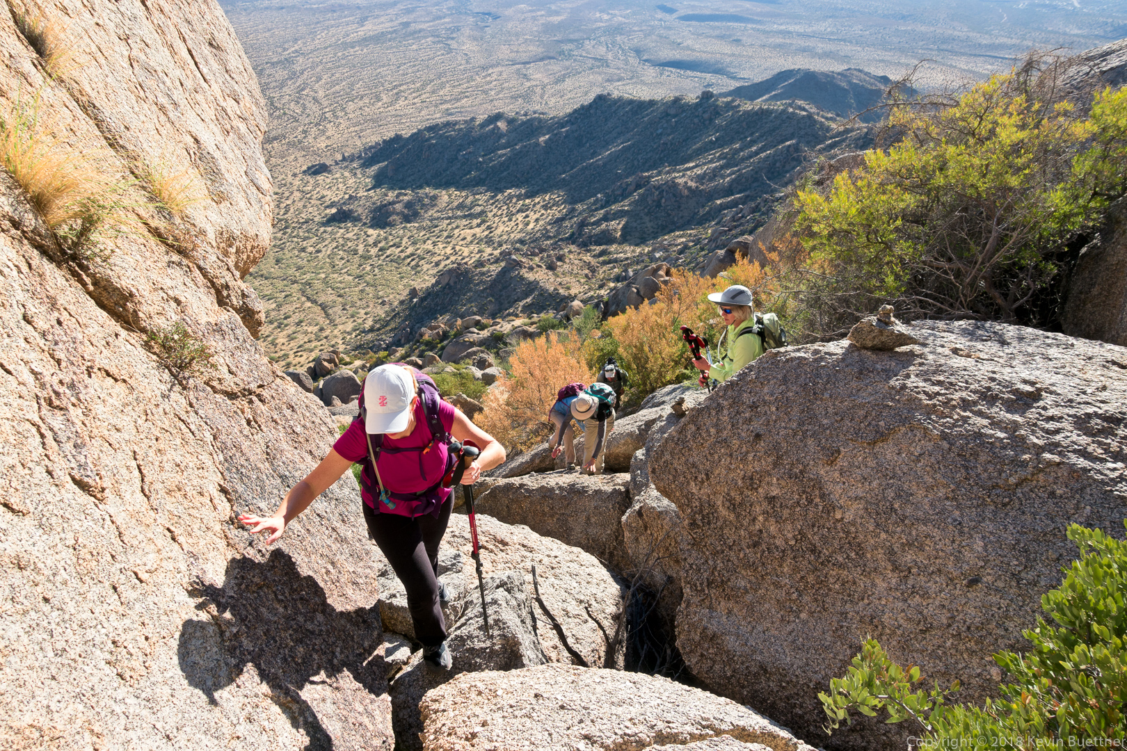
This is one of the scrambles between Hog Heaven and the Thumbnail Pinnacle.  We’re definitely on the right route – note the cairn:

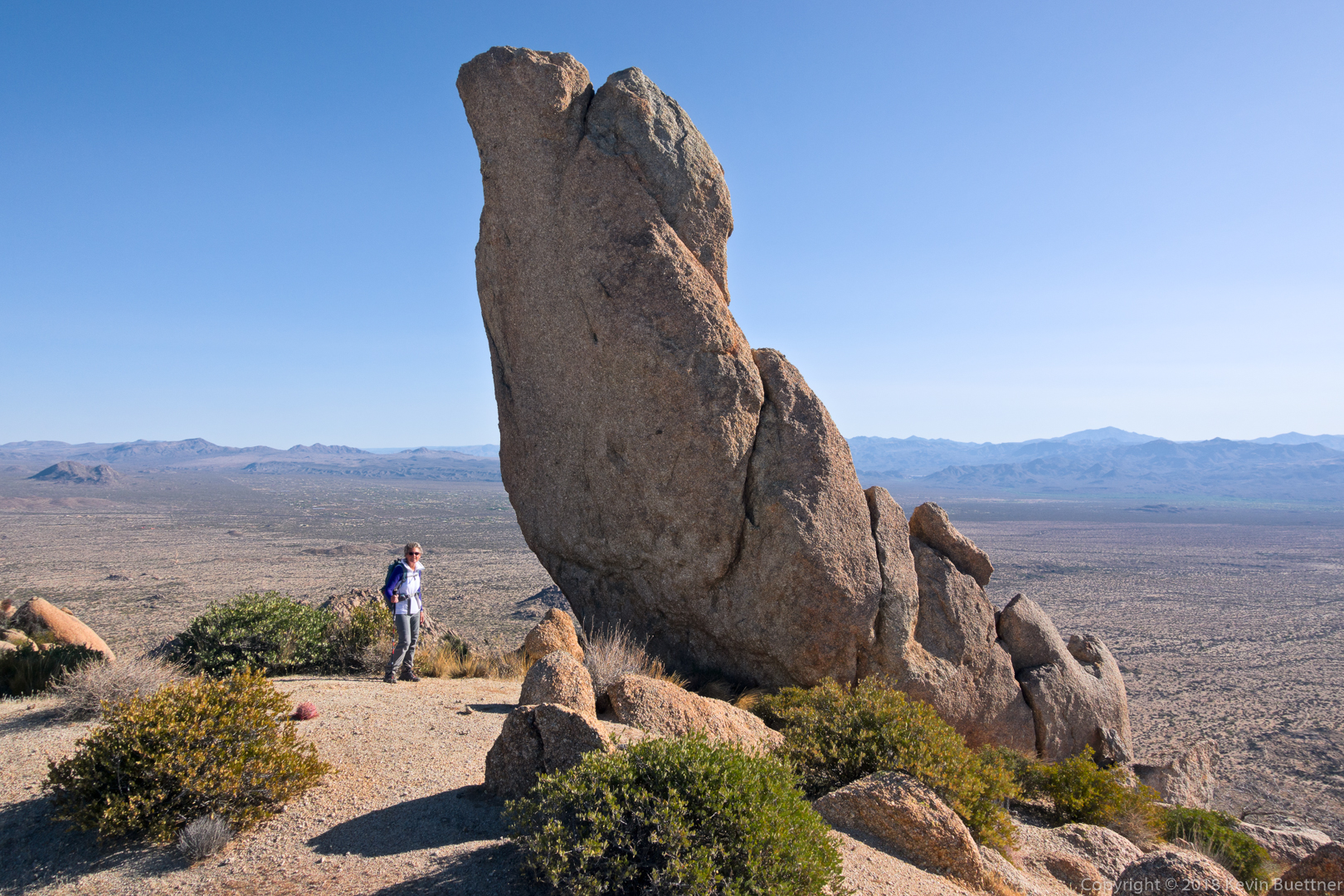
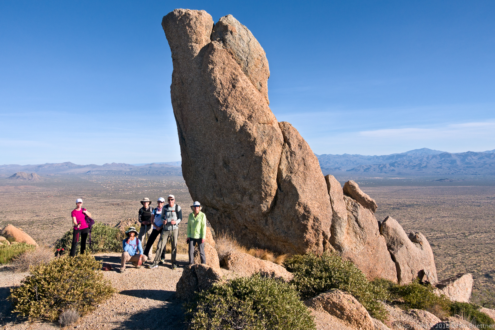
Heather, Sunaree, Gayle, Mona, Andy, and Sara posing by the Thumbnail Pinnacle:

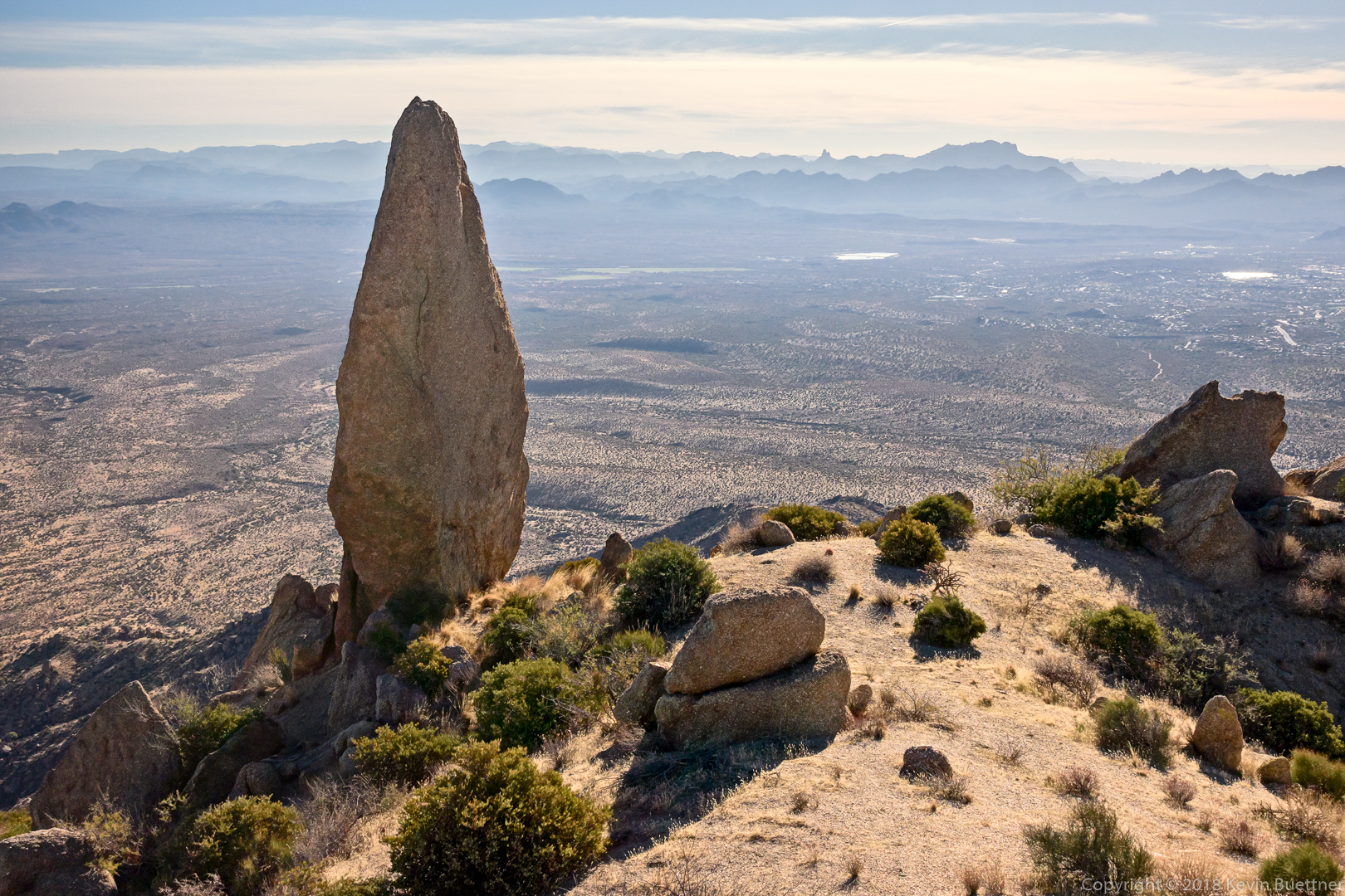
Looking back down at the Thumbnail Pinnacle: from nearly every other vantage point, the hooked shape is clearly evident. But at this point it looks like a straight up and down spire.

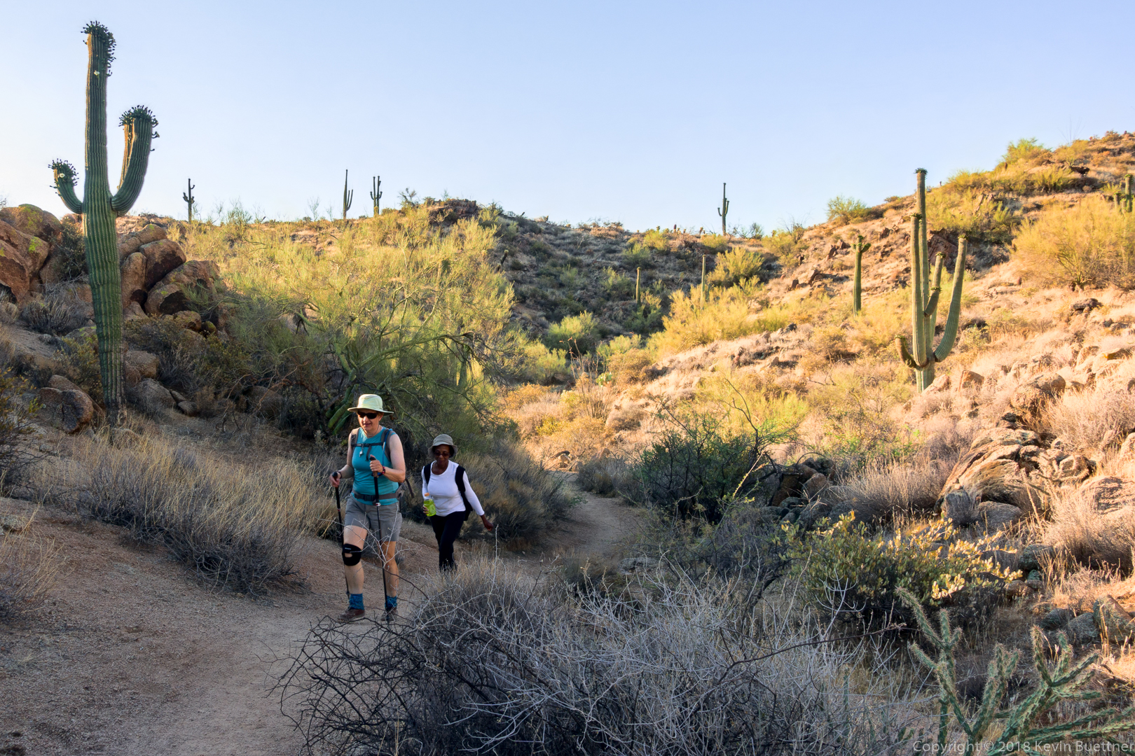
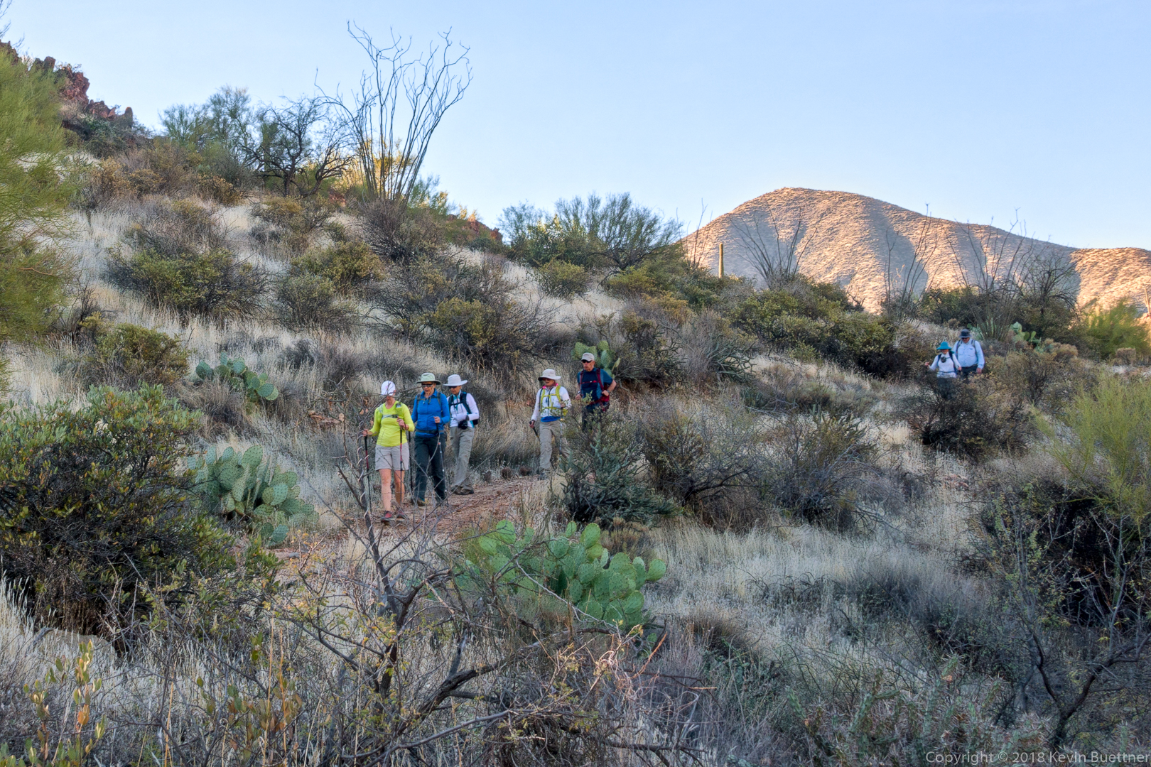
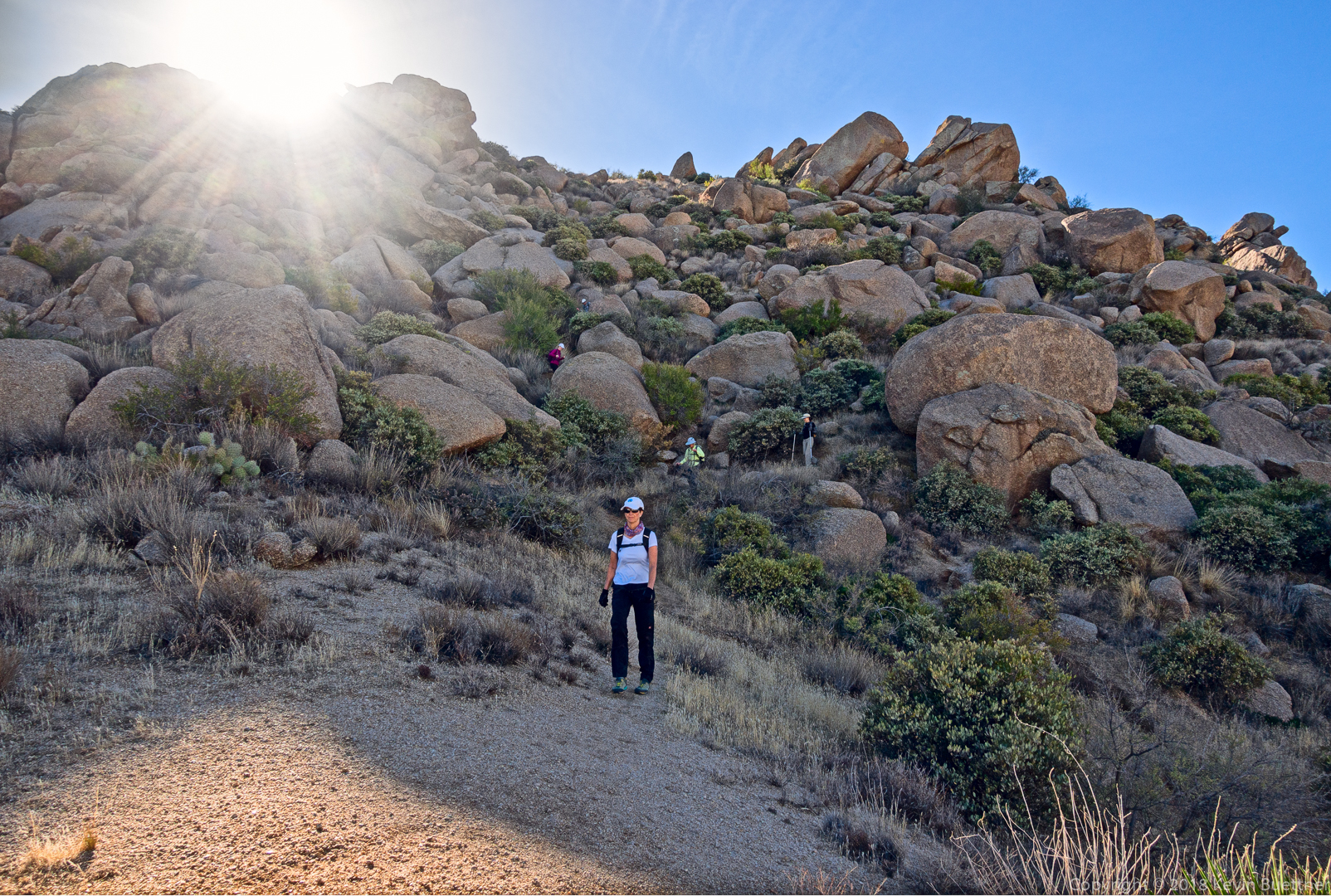
Sara and Heather make their way along the northeast side of the ridge.

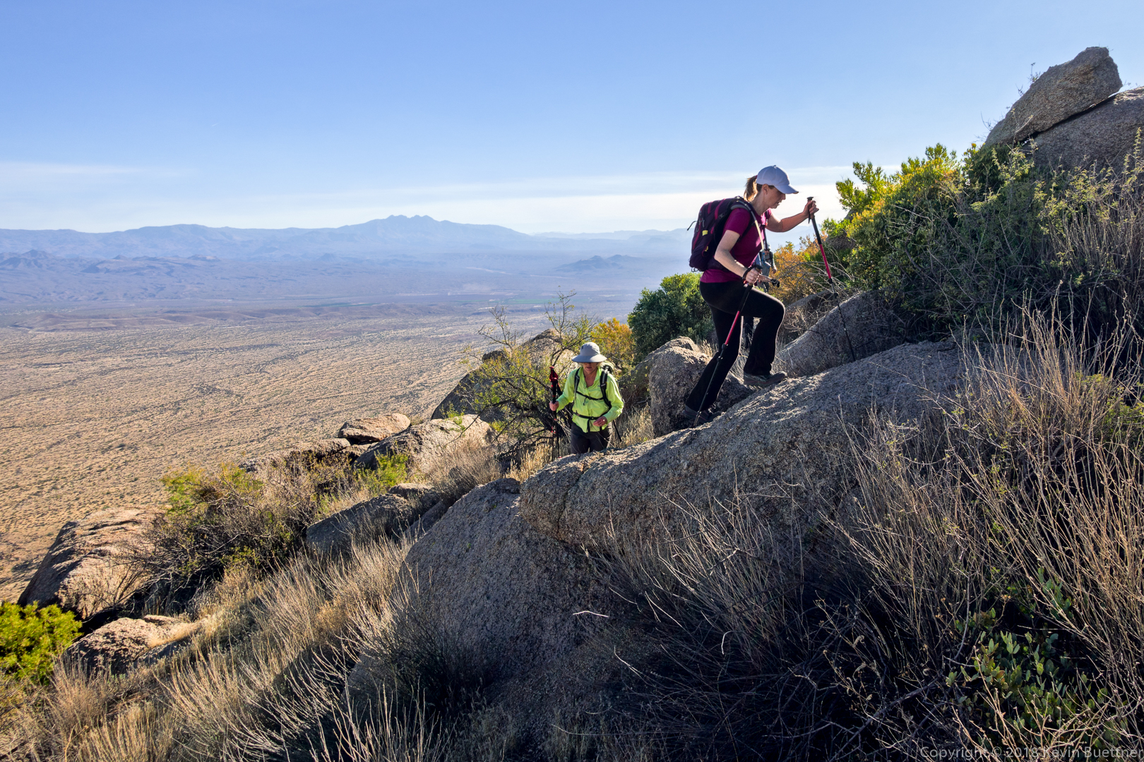
This the part of the loop that I like the least.  The section from where Randy is standing down to where Mona has made it is steep and loose. Thankfully, there’s a bush to stop you if you should slip. It’s probably easier if you slide down it on your butt, but I never do it that way.

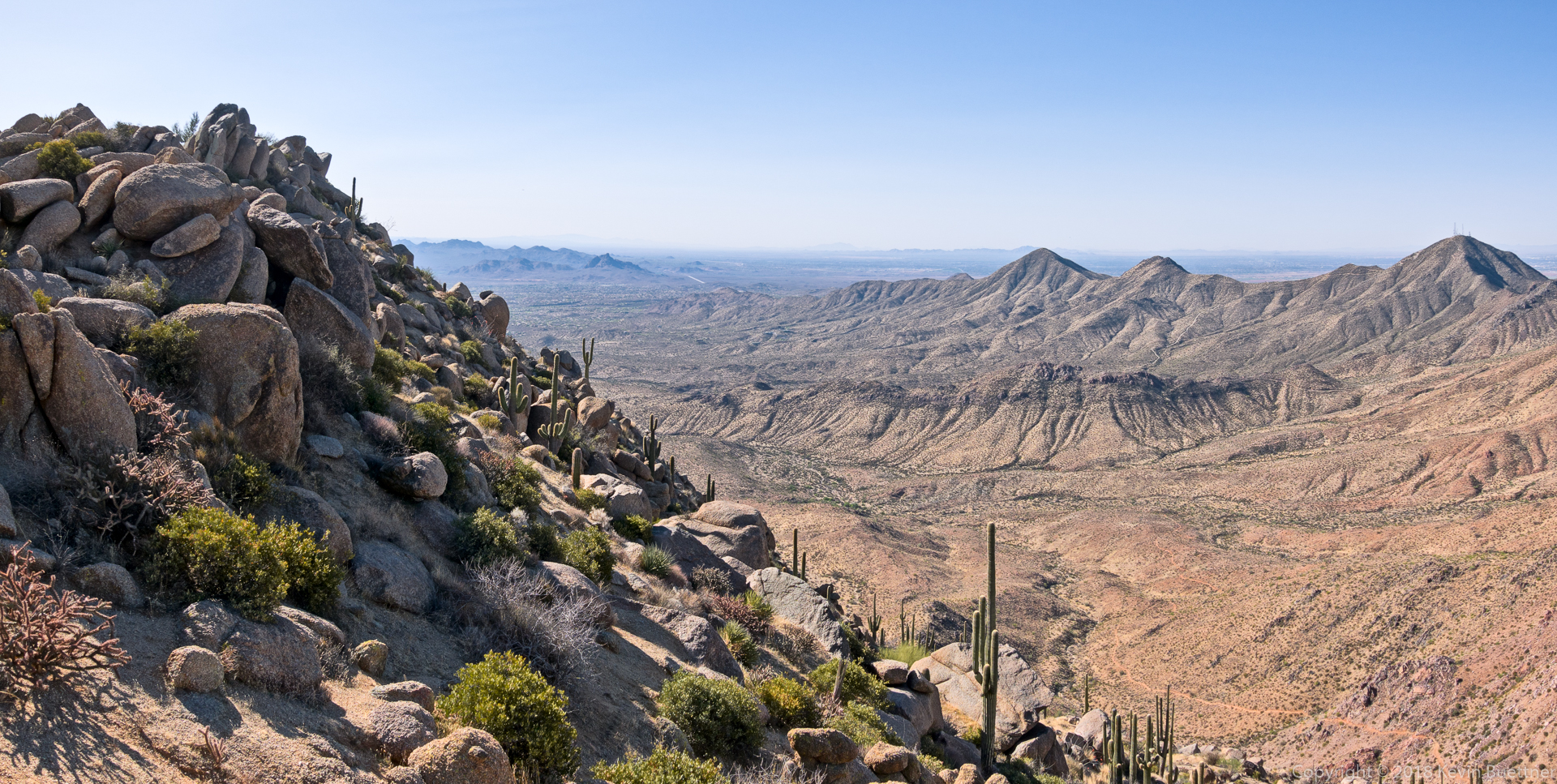
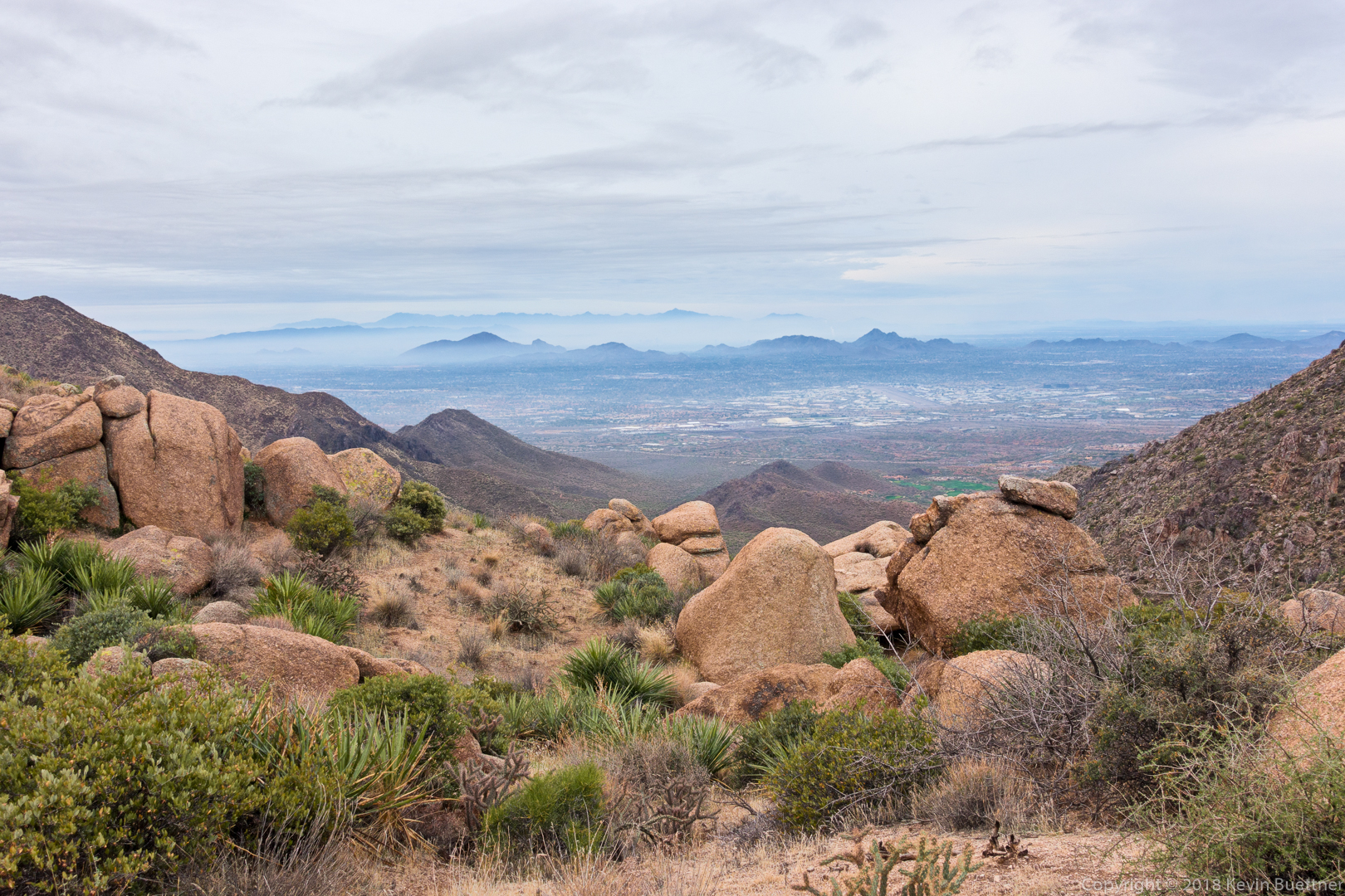
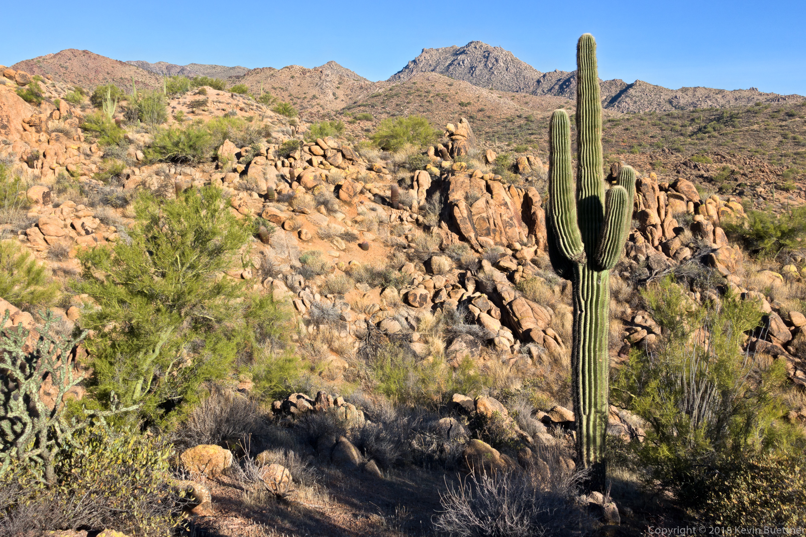
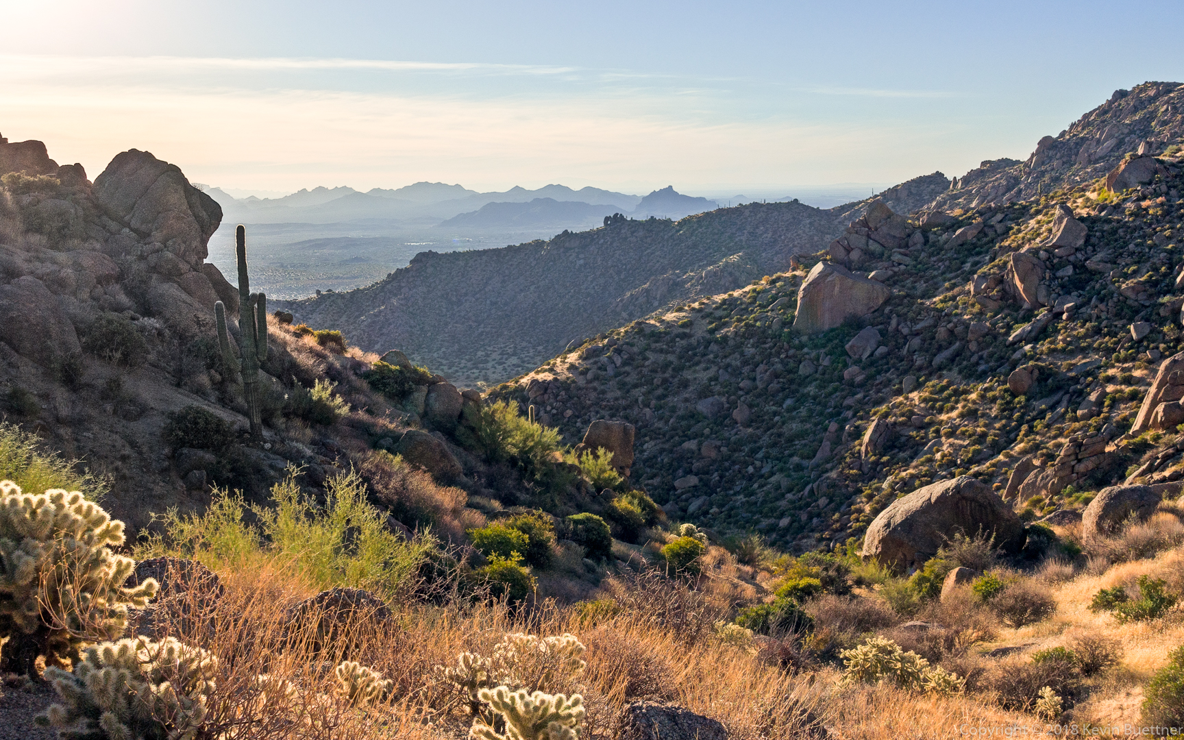
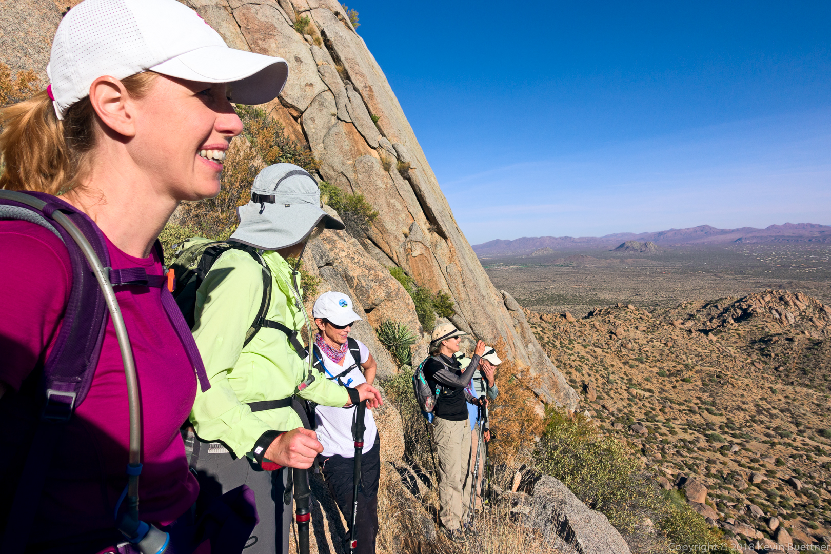
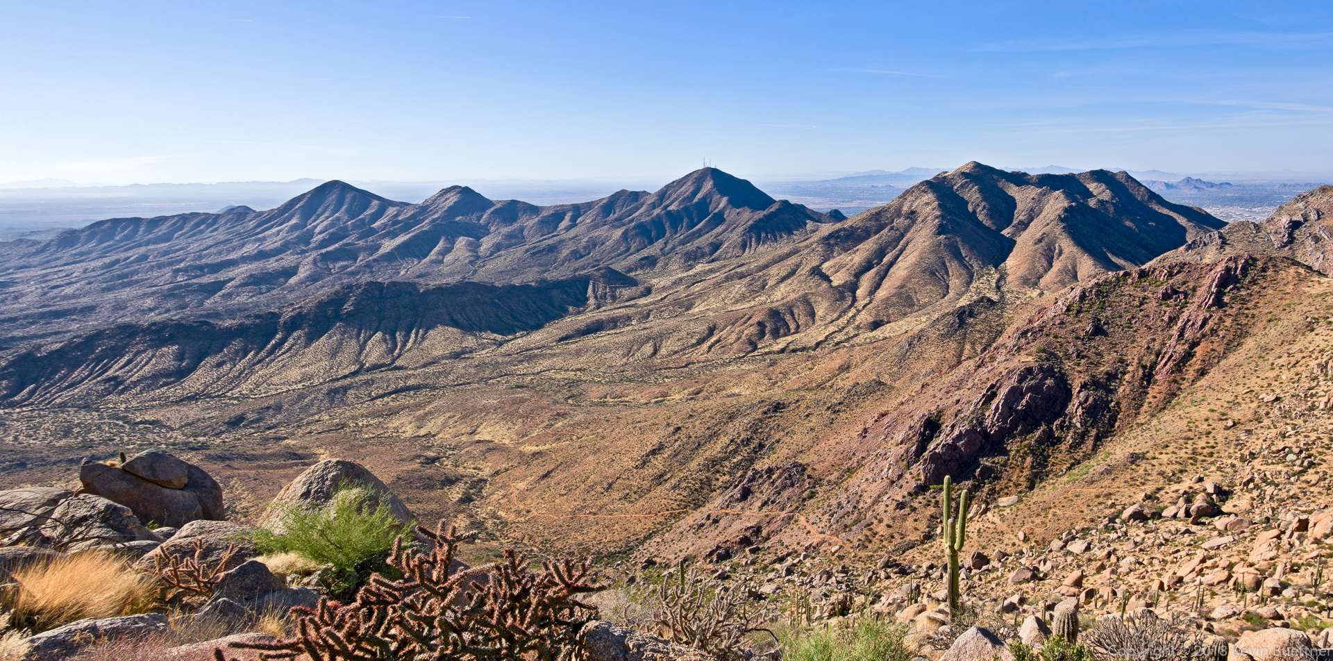
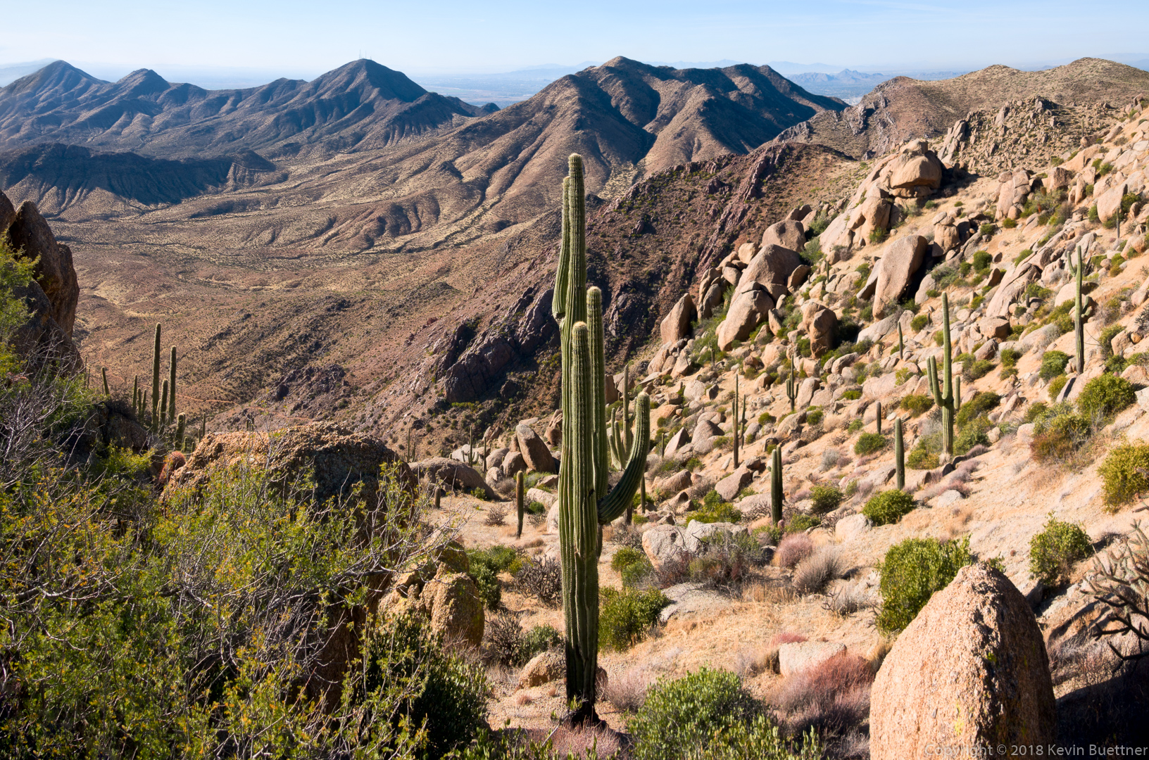
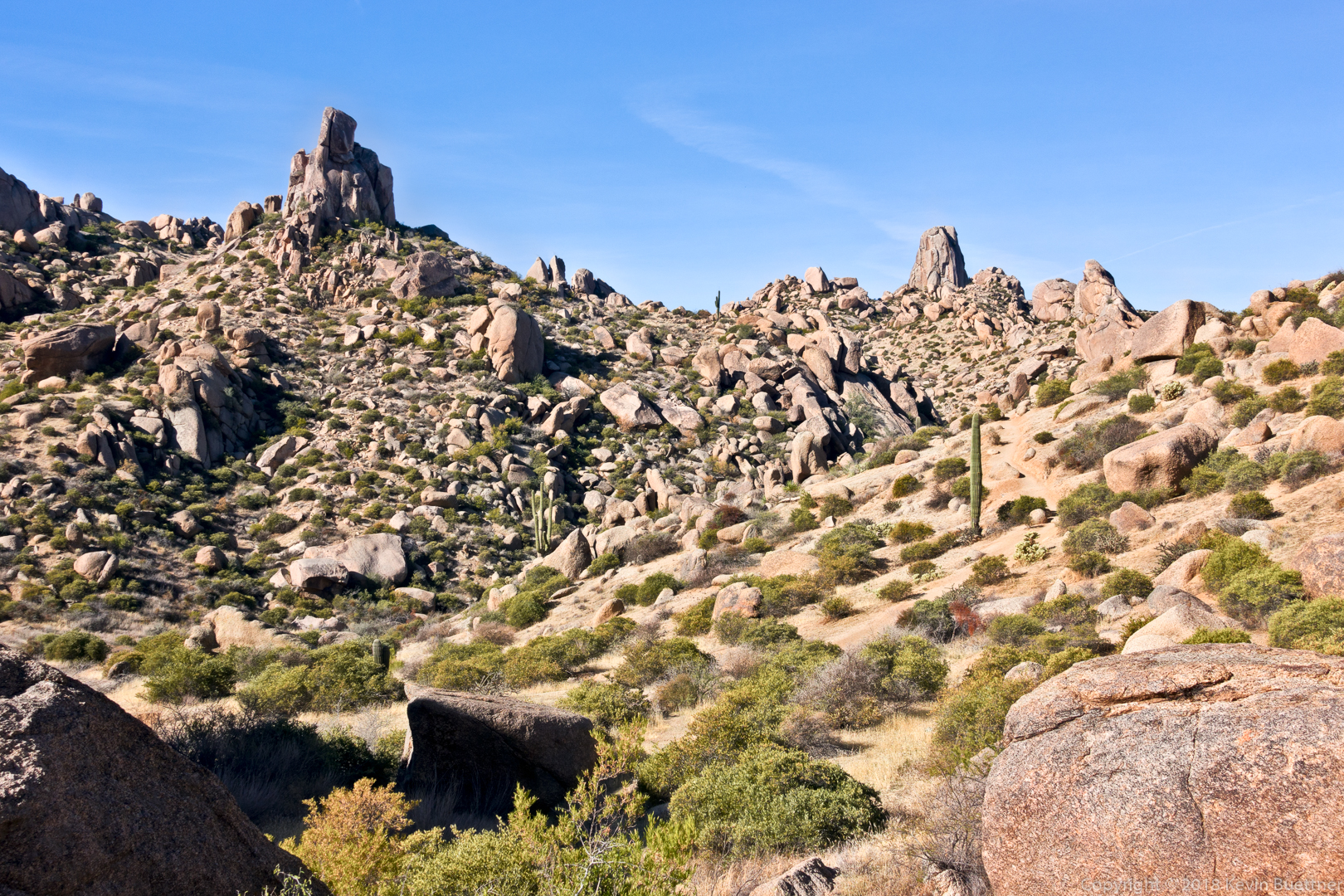
We had some great views as we made our way along the southwest side of the ridge leading over to the East End (peak)…

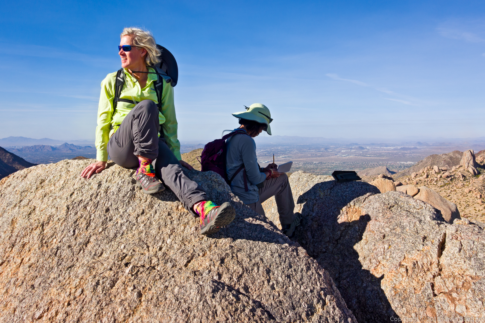
Sara and Sunaree at the highest point in the McDowells.  Sunaree is signing the summit register.

Descending the climber’s access Trail from the East End:

Glass Dome (left) and Tom’s Thumb:

Gardener’s Wall and Tom’s Thumb:

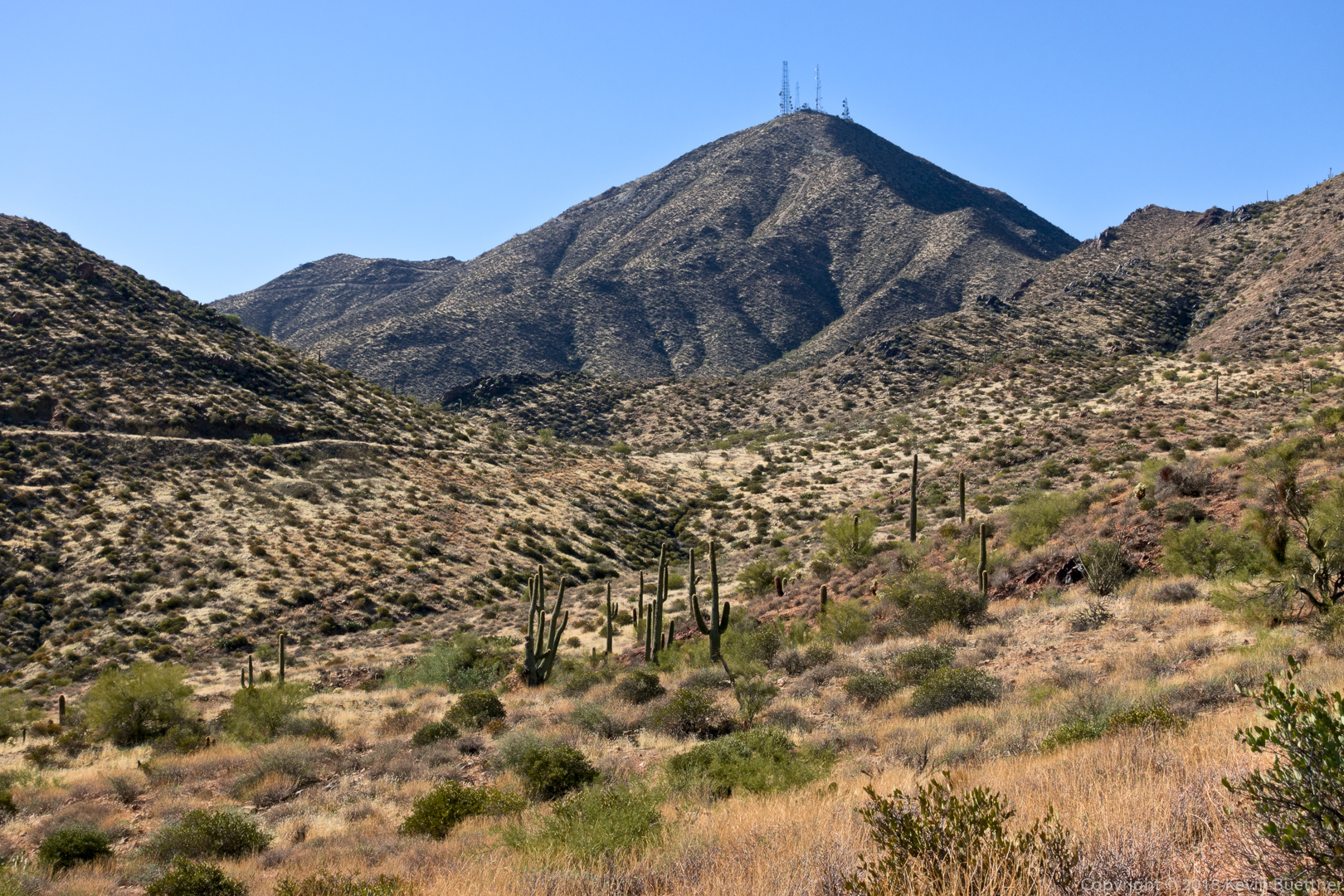
When the hike was done, I added on nearly seven more miles by hiking into McDowell Mountain Regional Park. If you look closely at the photo below, you can see the Thumbnail Pinnacle.  It looks very small from here.

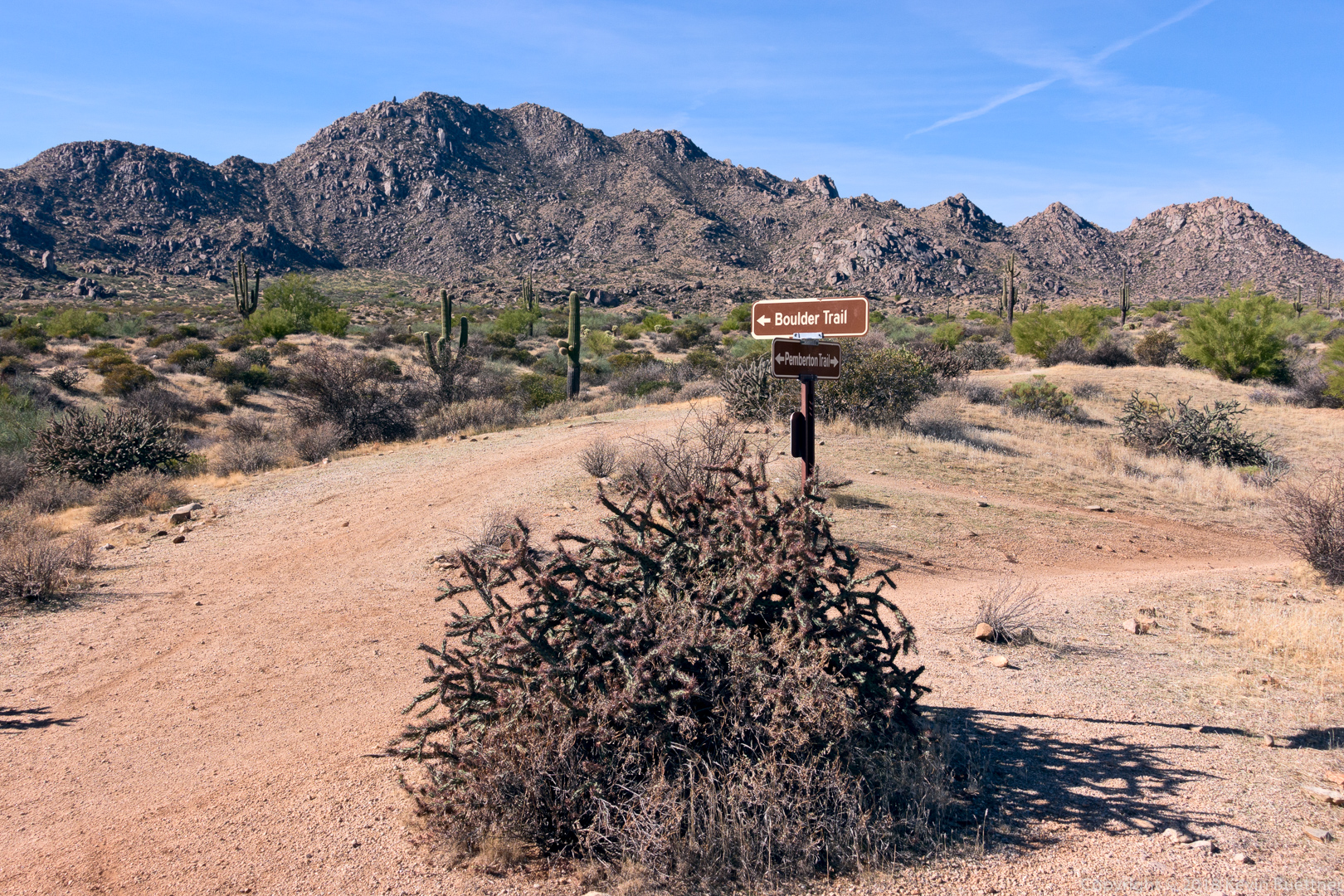
This is a view of Rock Knob from the Pemberton Trail: