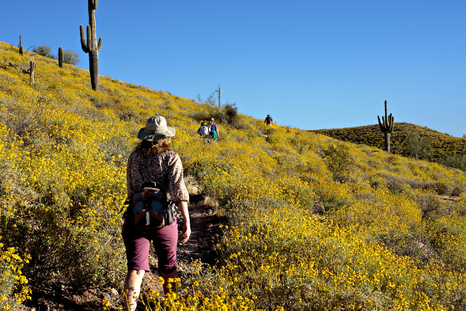
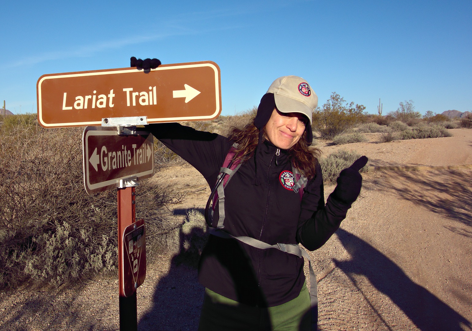
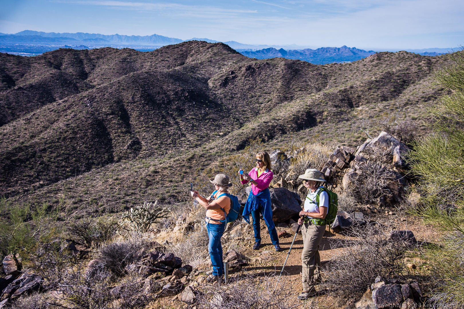
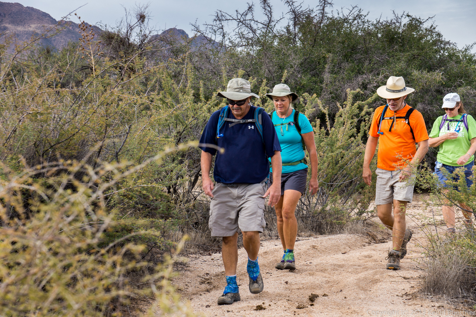
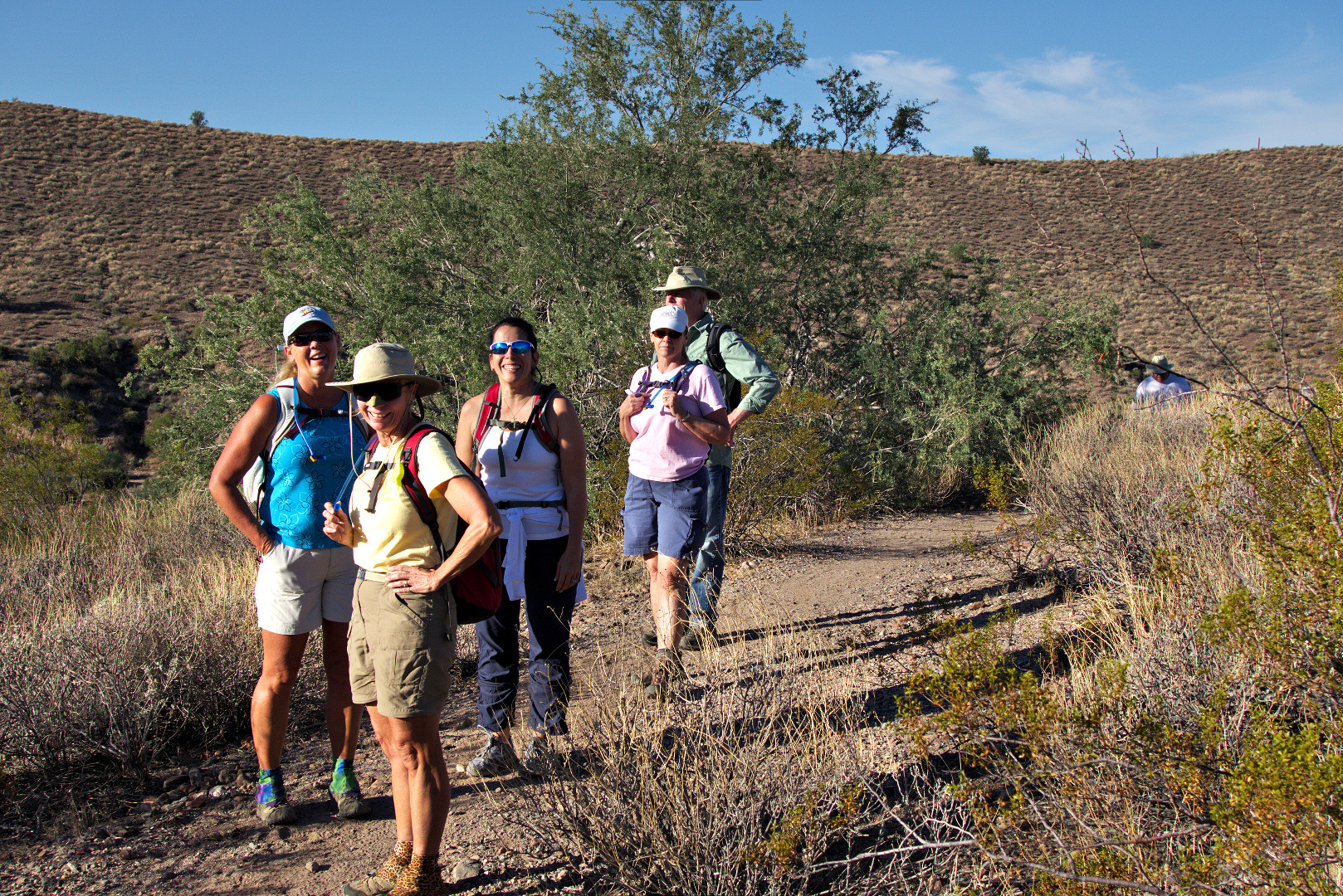
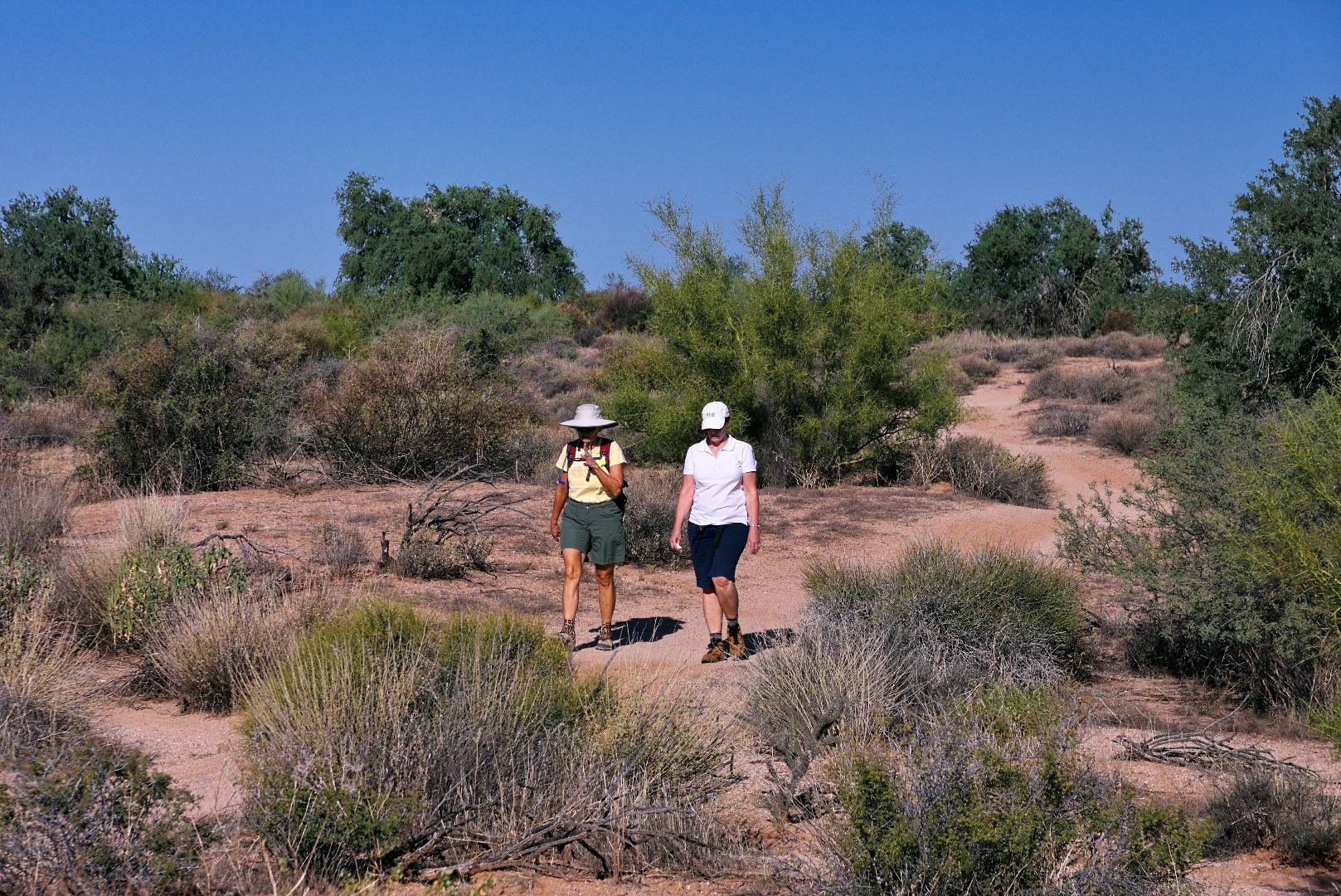
We met at the Tom’s Thumb Trailhead for Friday’s hike. A new hiker to our group, Marilyn, joined Bob, Amy, Janet, and me for a hike up to Tom’s Thumb.
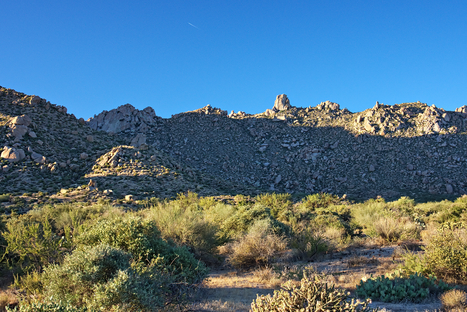
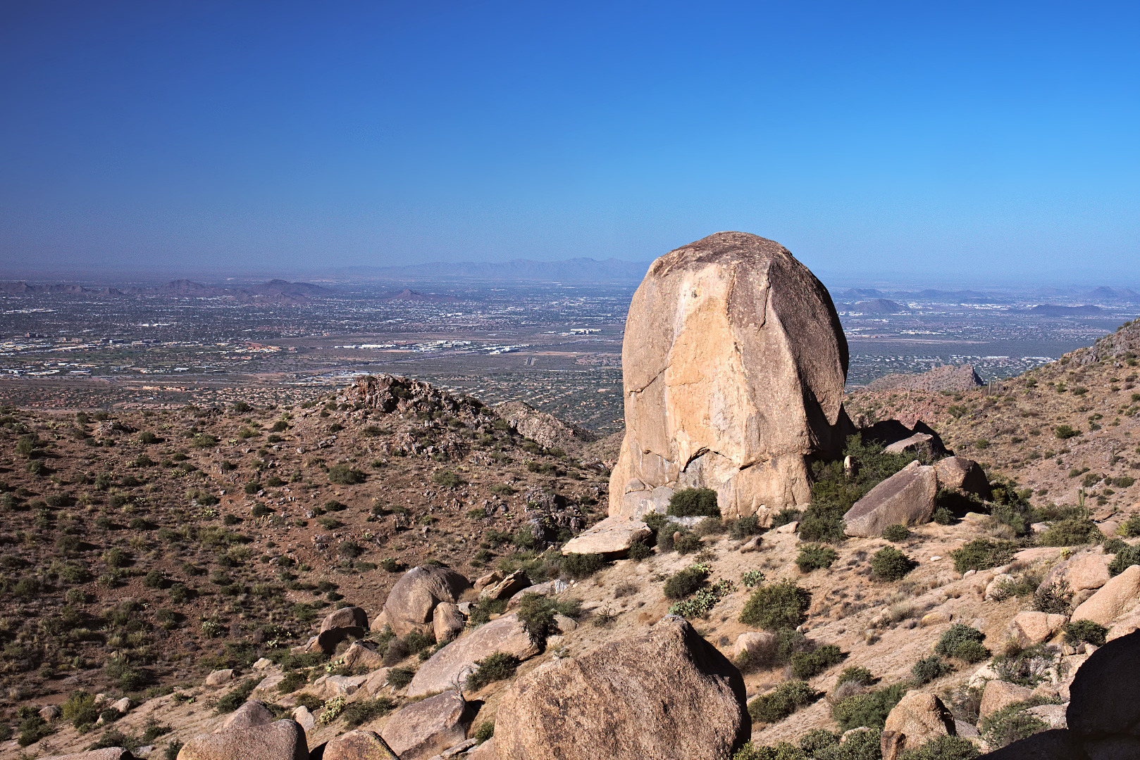
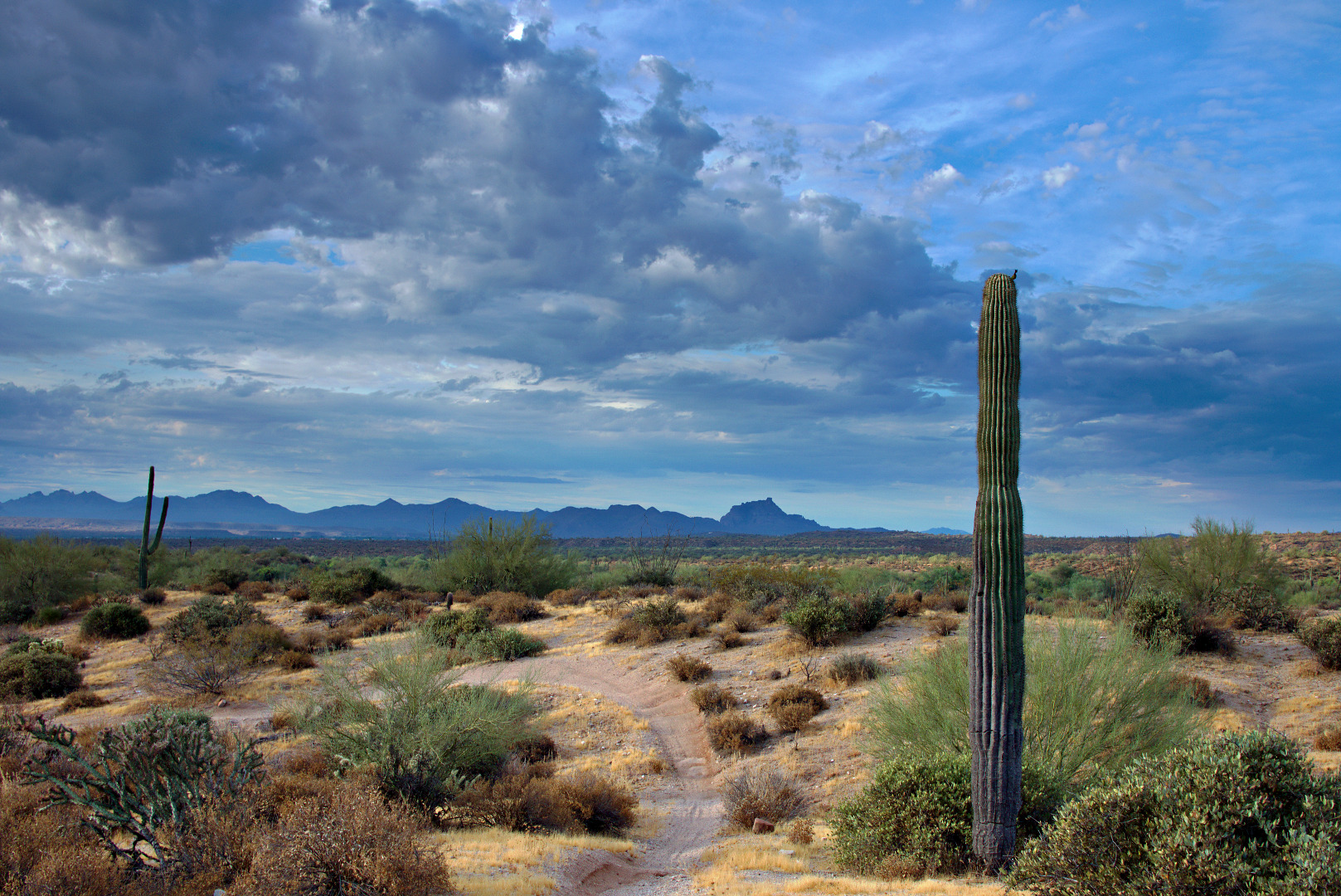
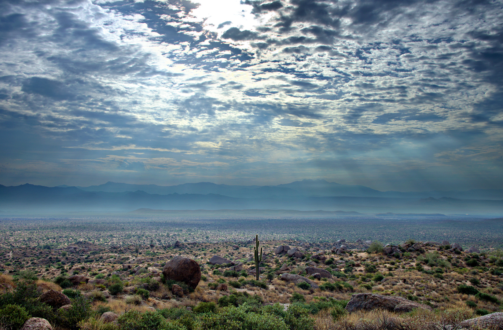
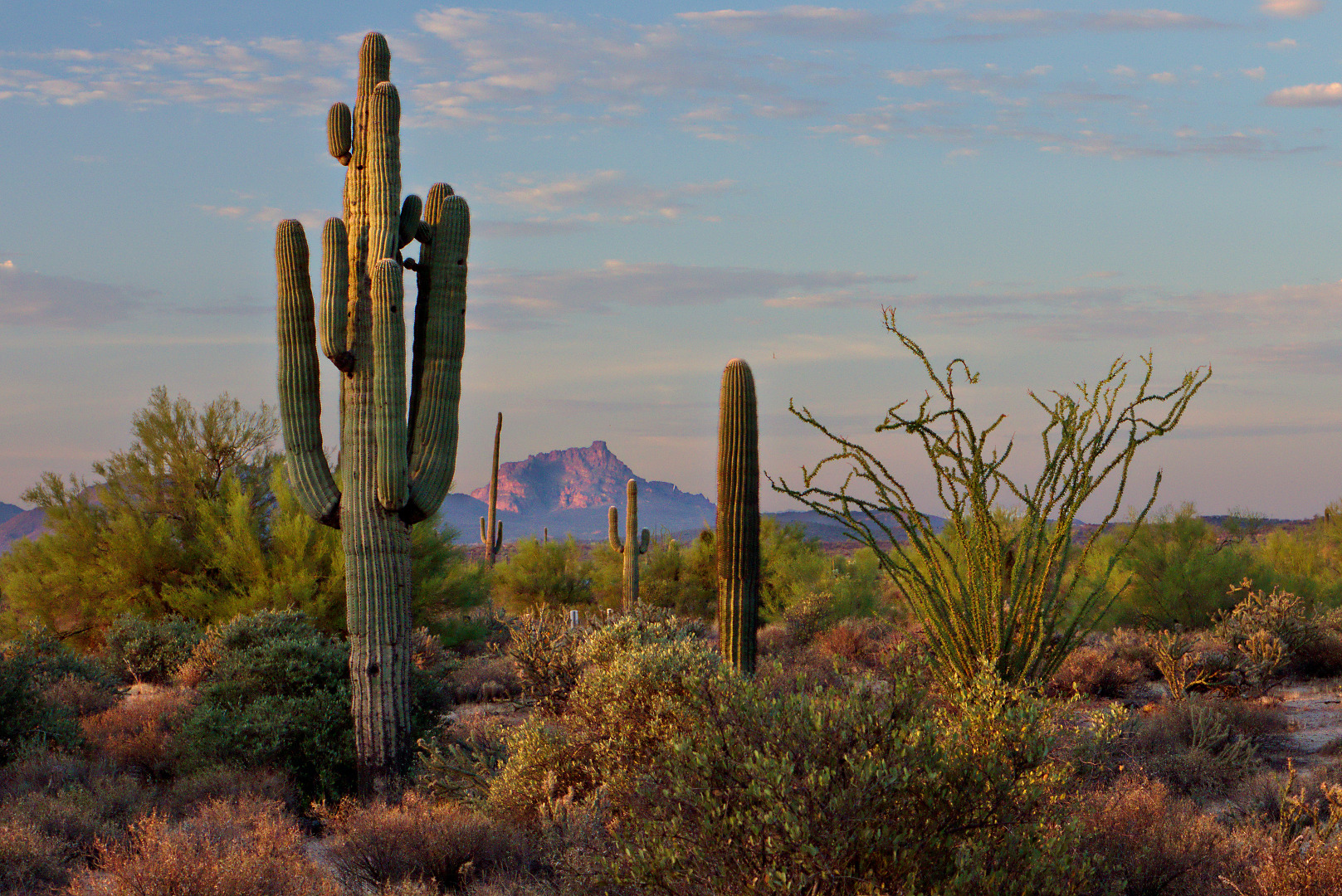
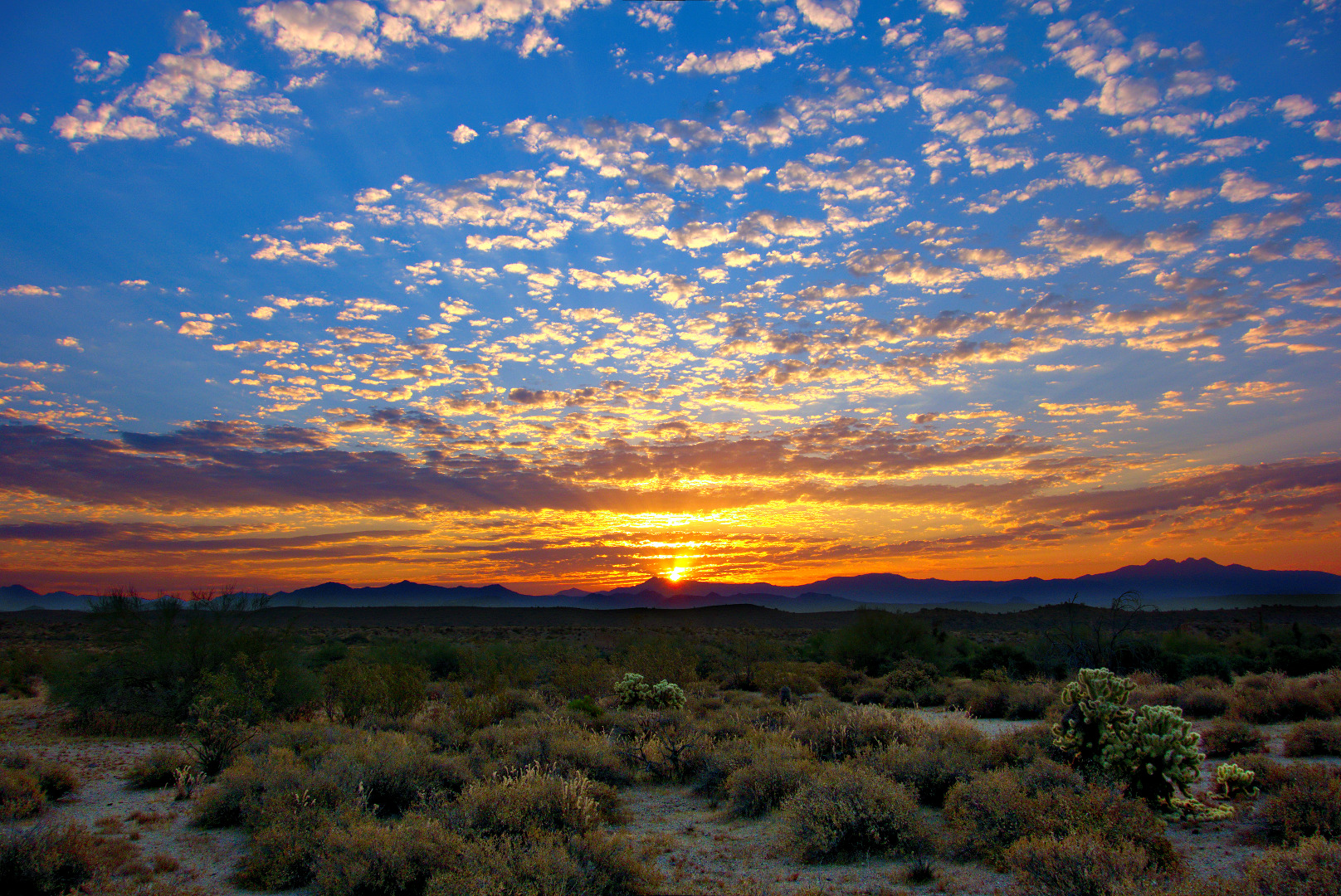
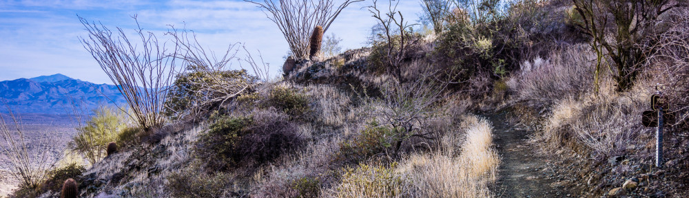
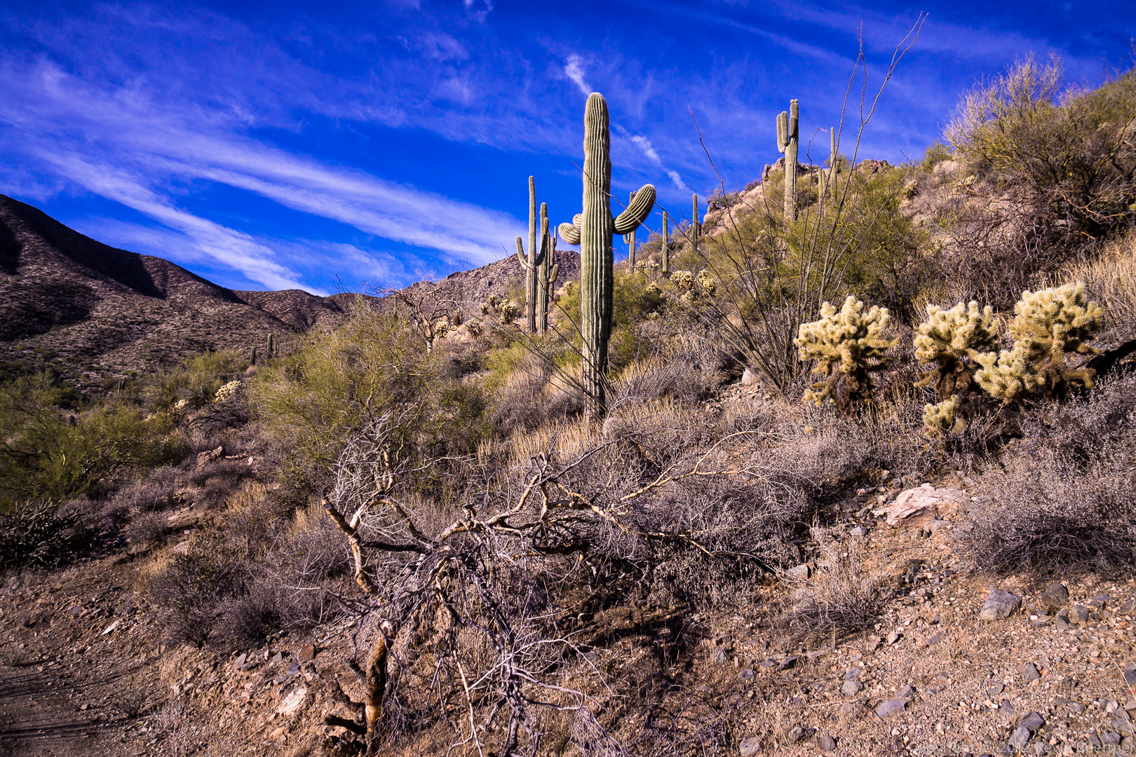
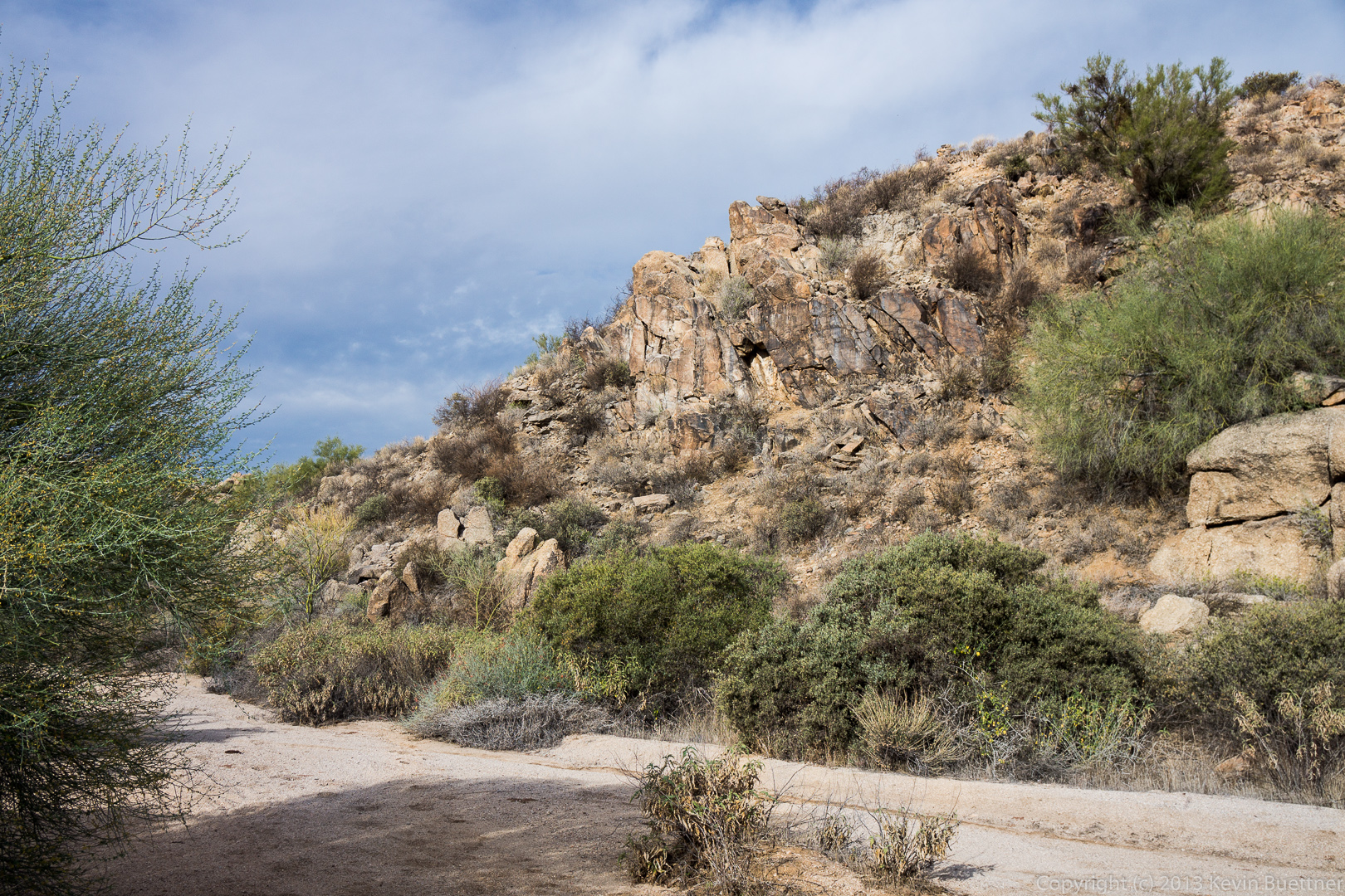
Below is a view of Tom’s Thumb and the surrounding area in the early morning light.
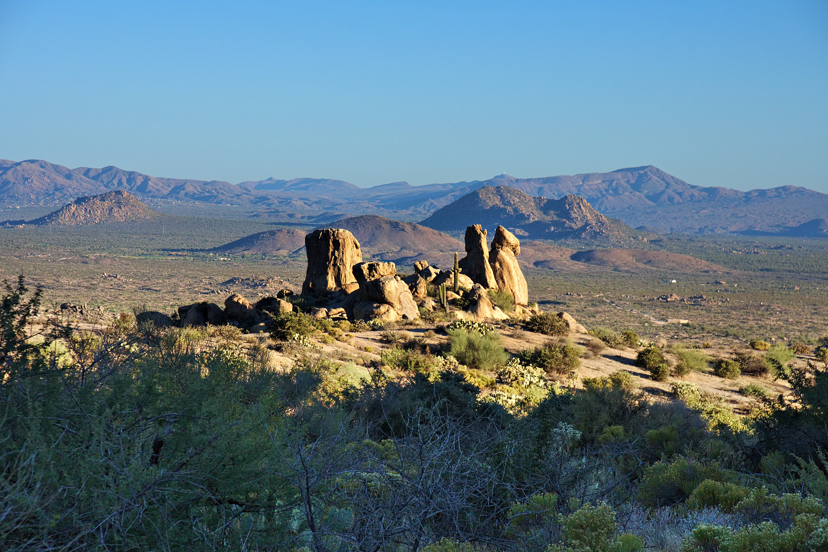
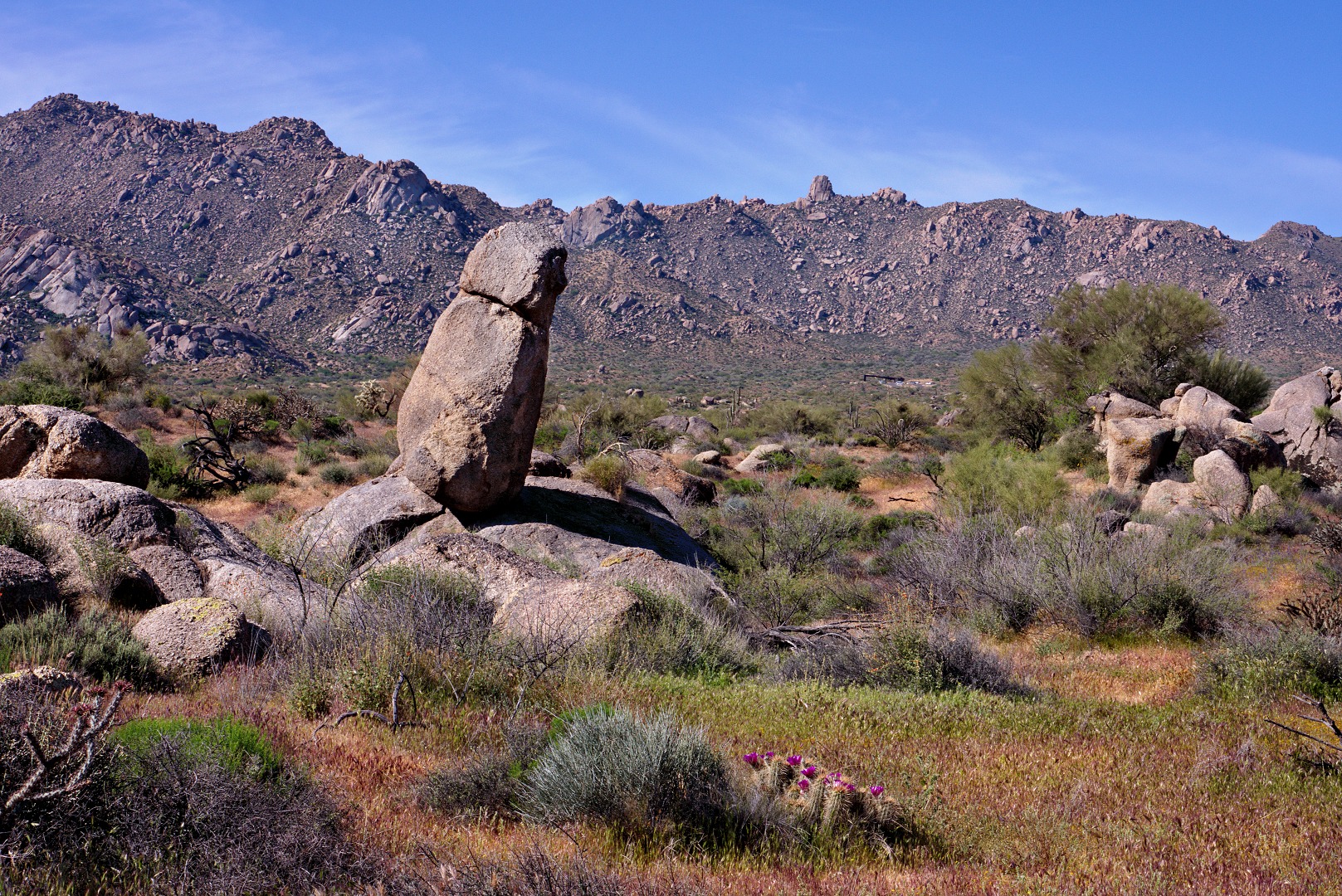
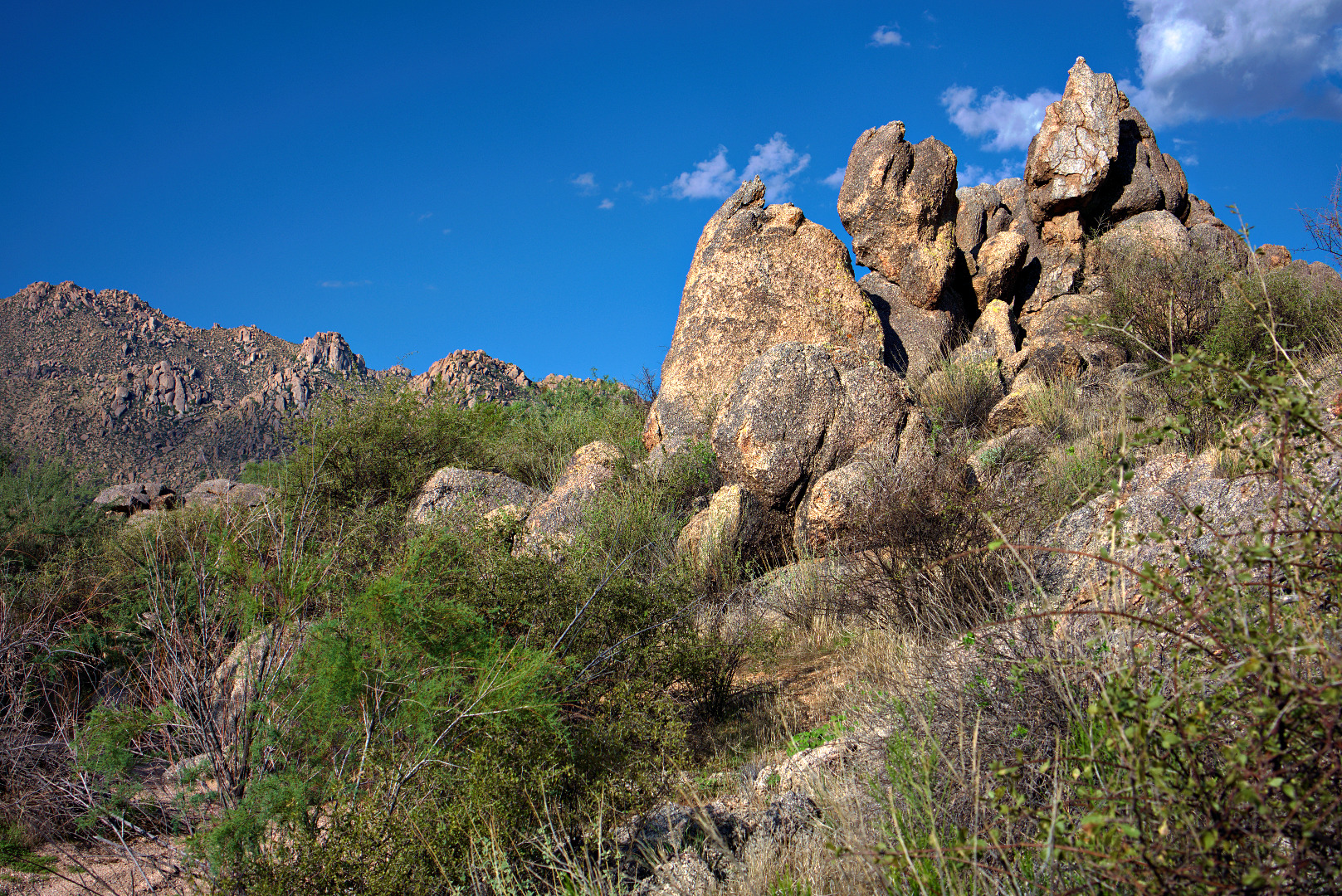
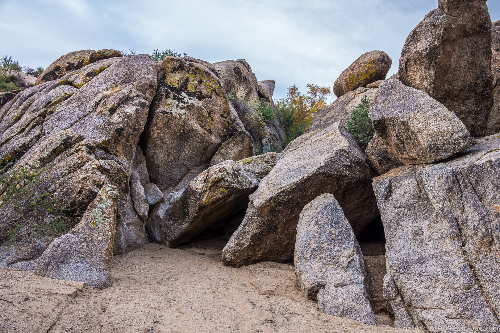
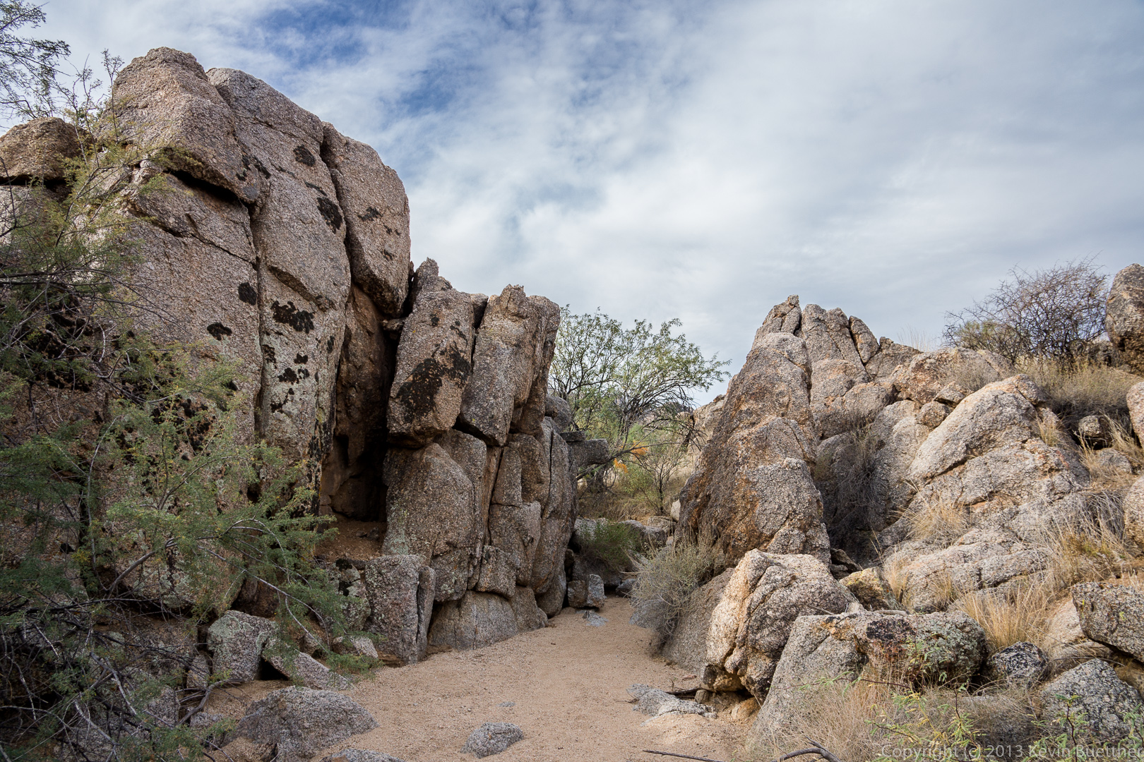
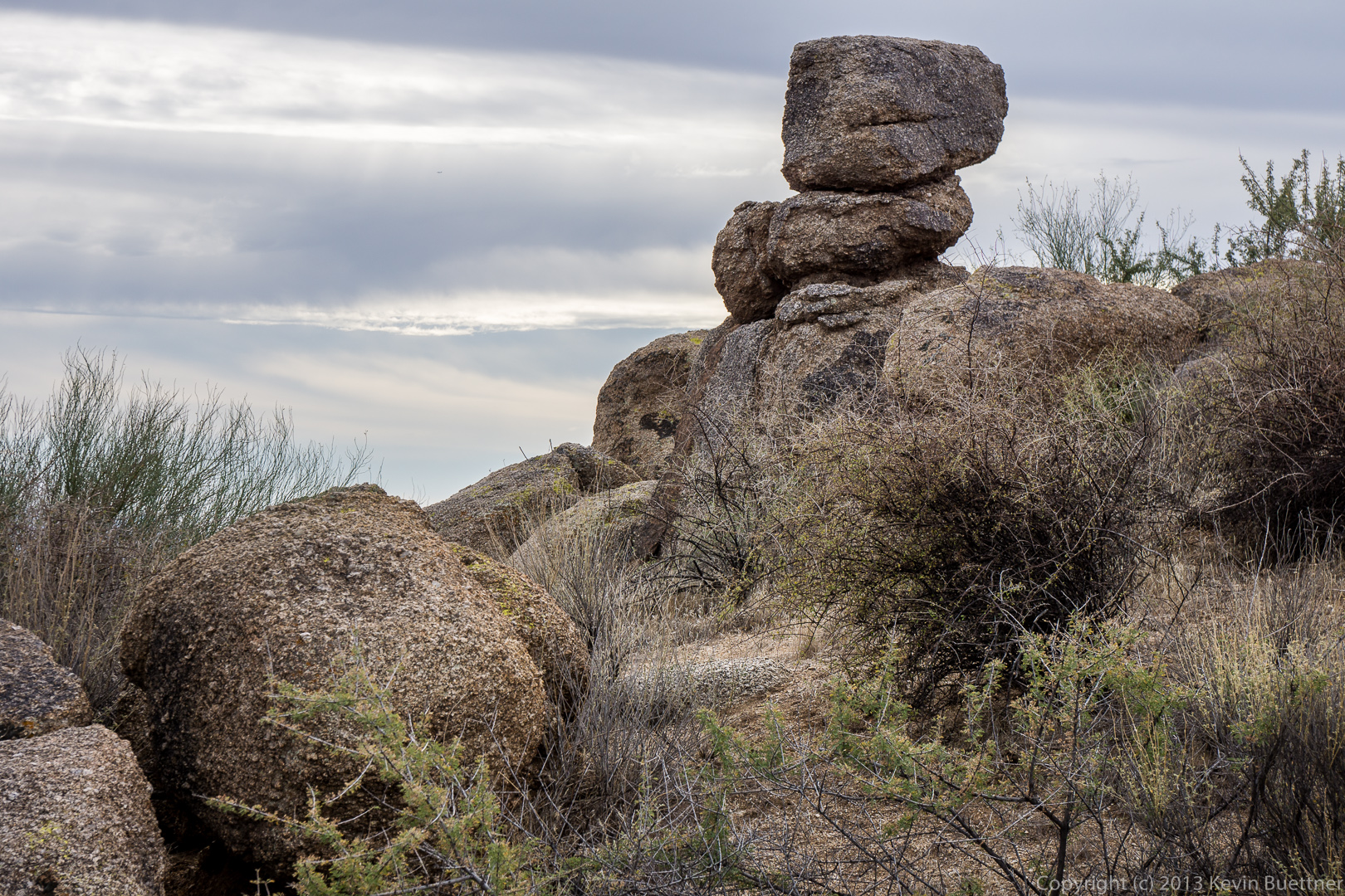
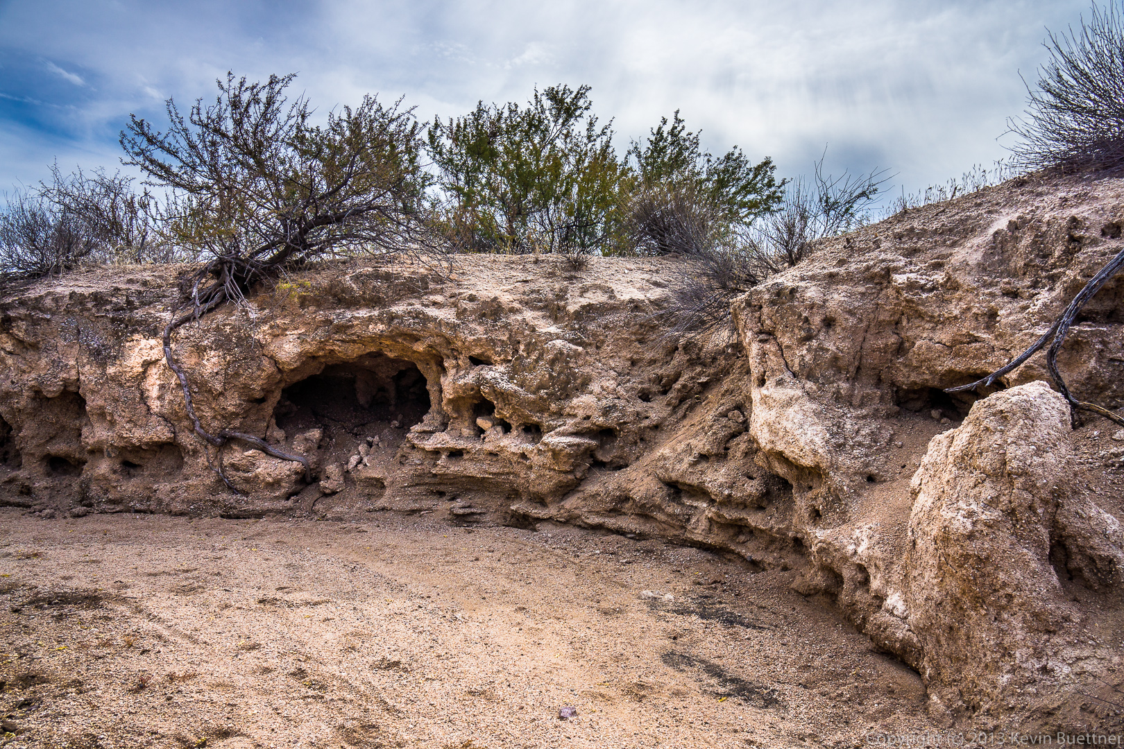
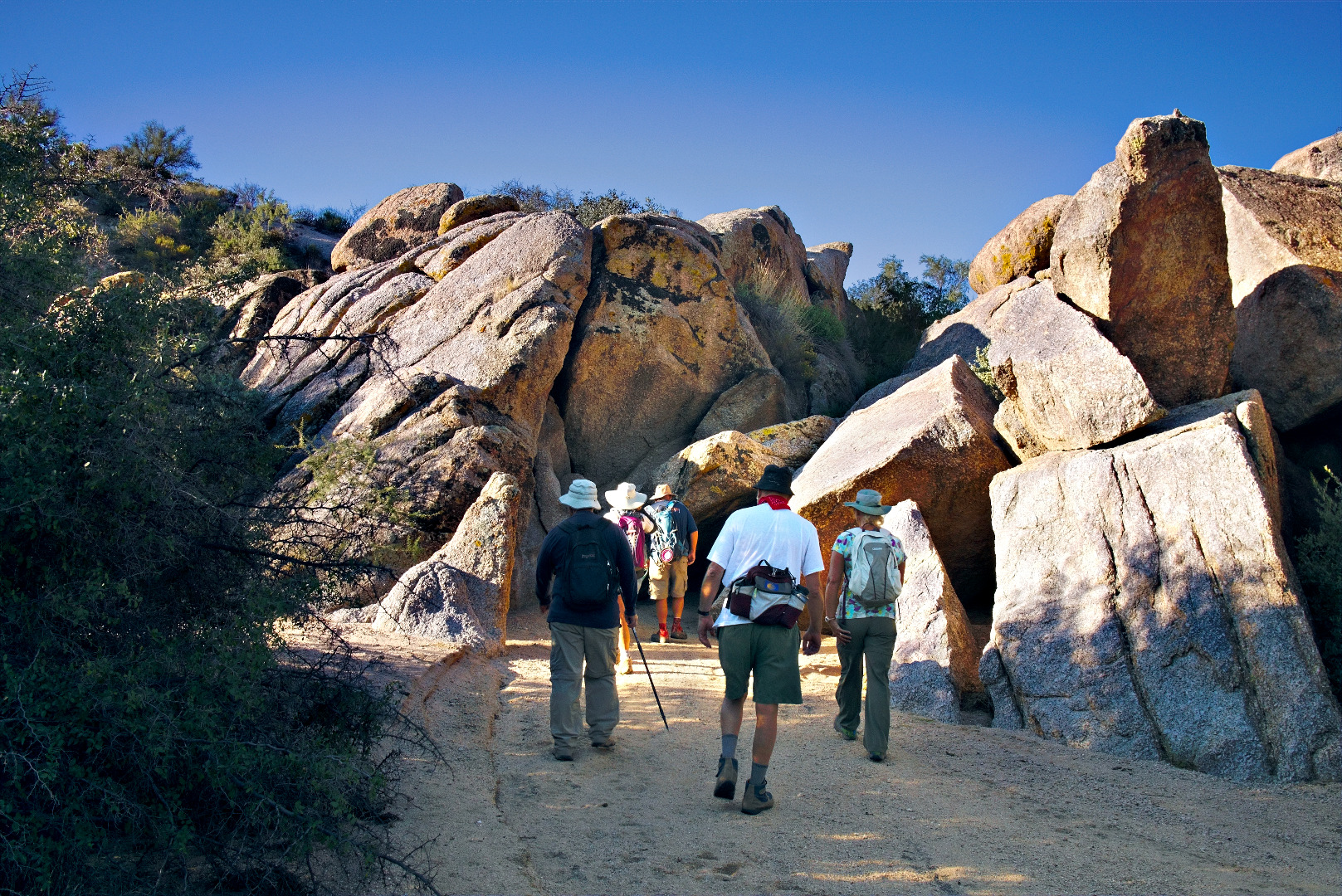
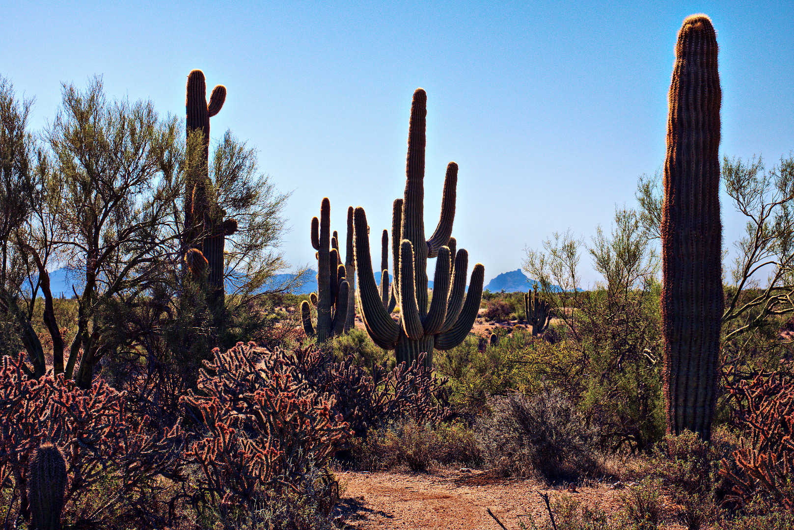
We saw this cluster of rocks early on, through one of the easier stretches. I think the boulders in the picture below are on private land.
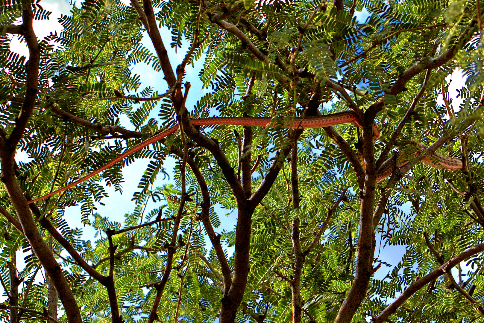
We saw a red-tailed hawk on the top of a rock, just as the trail started getting steep.
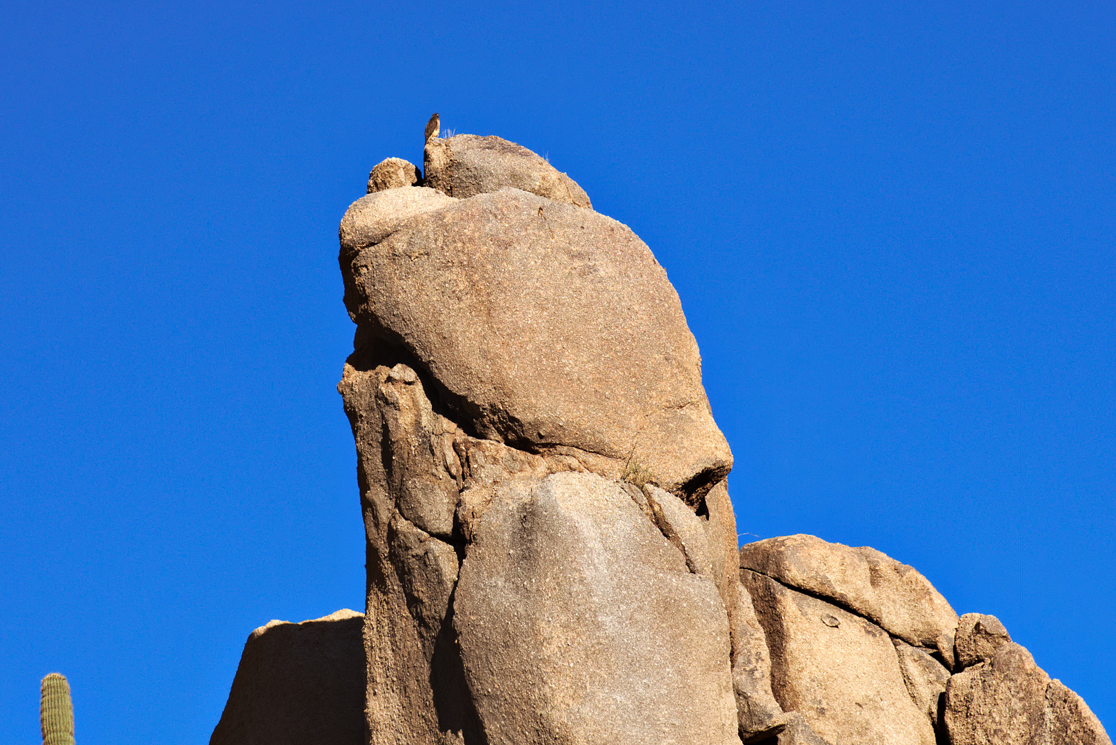
Another view of the rock upon which the hawk was perched:

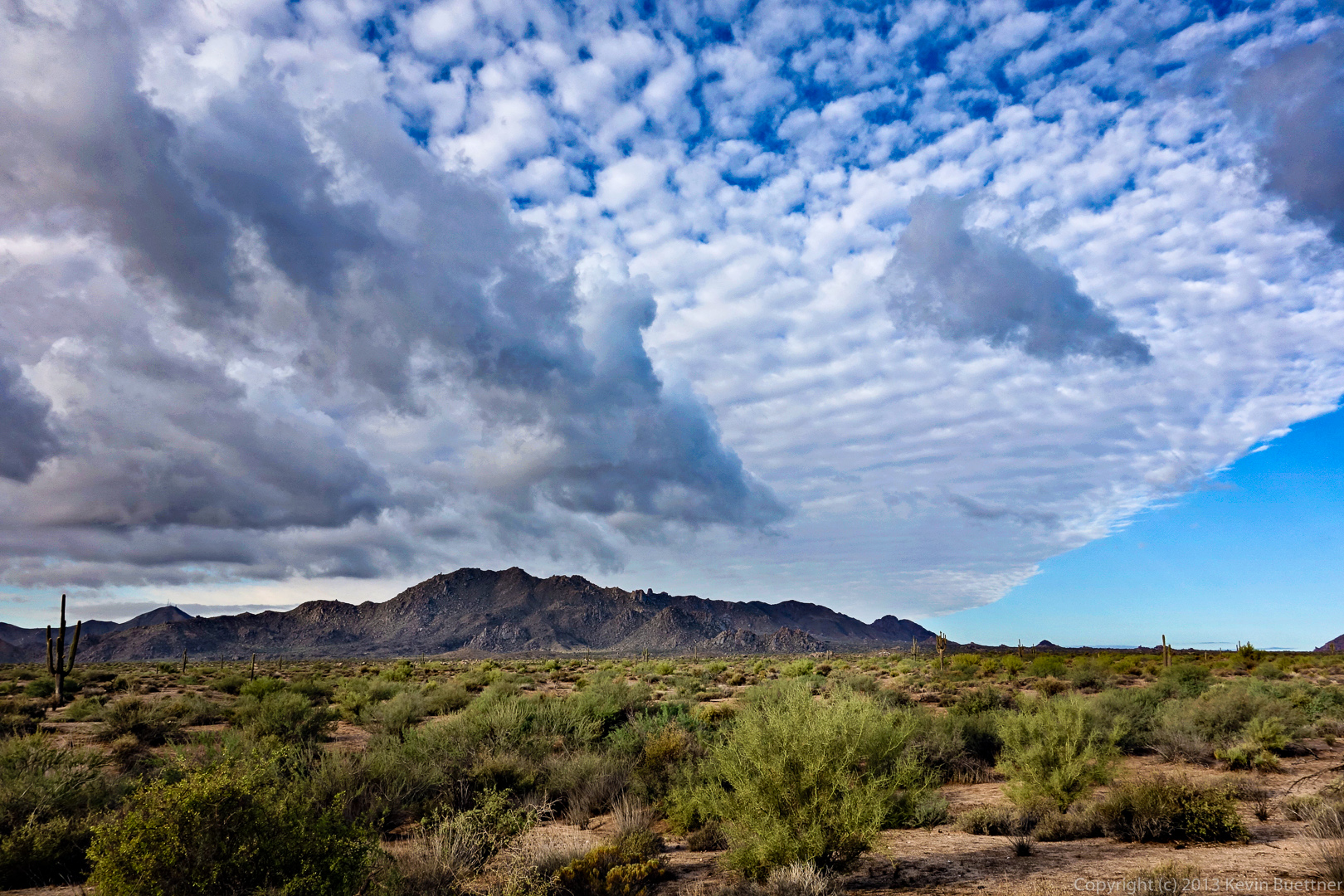
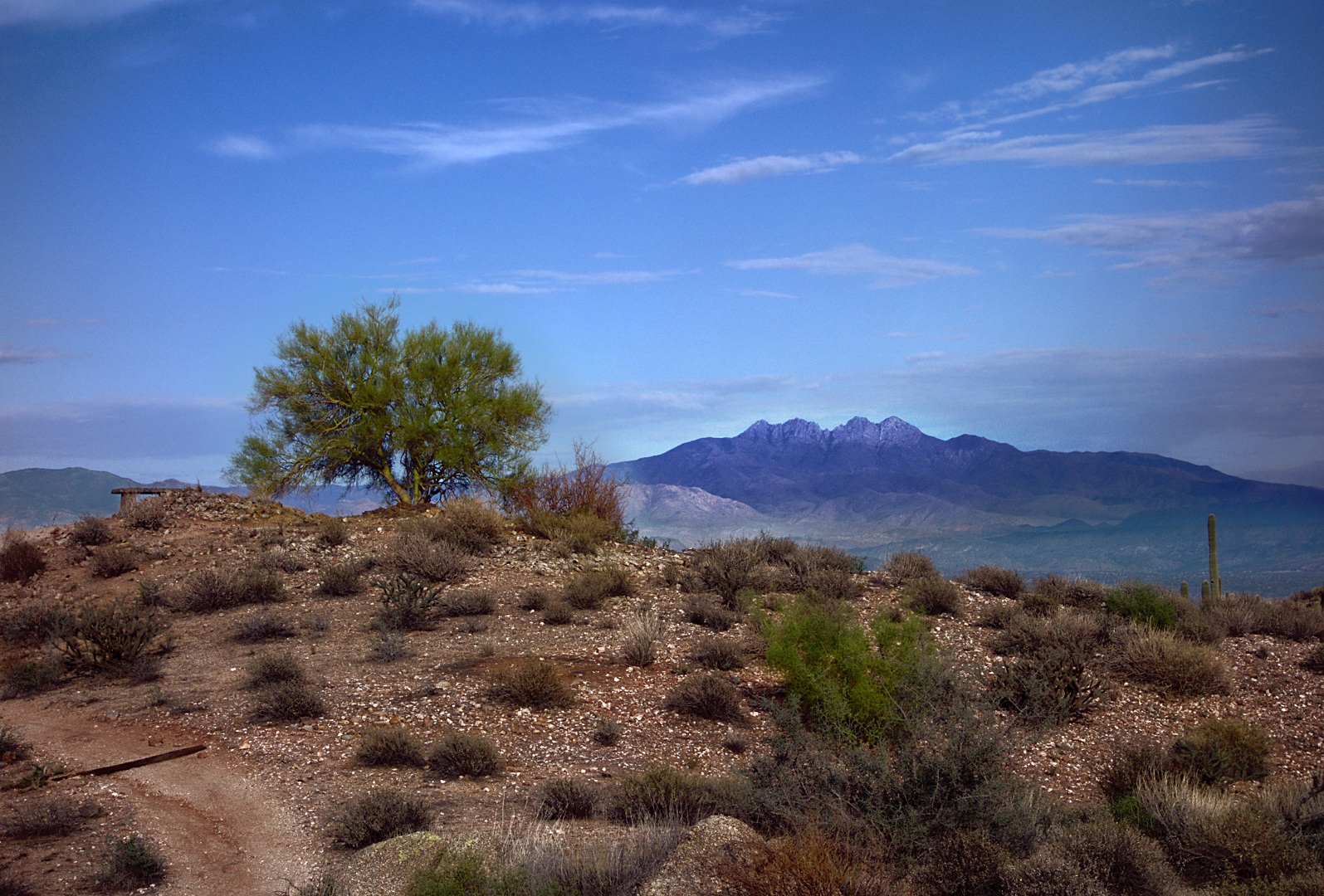
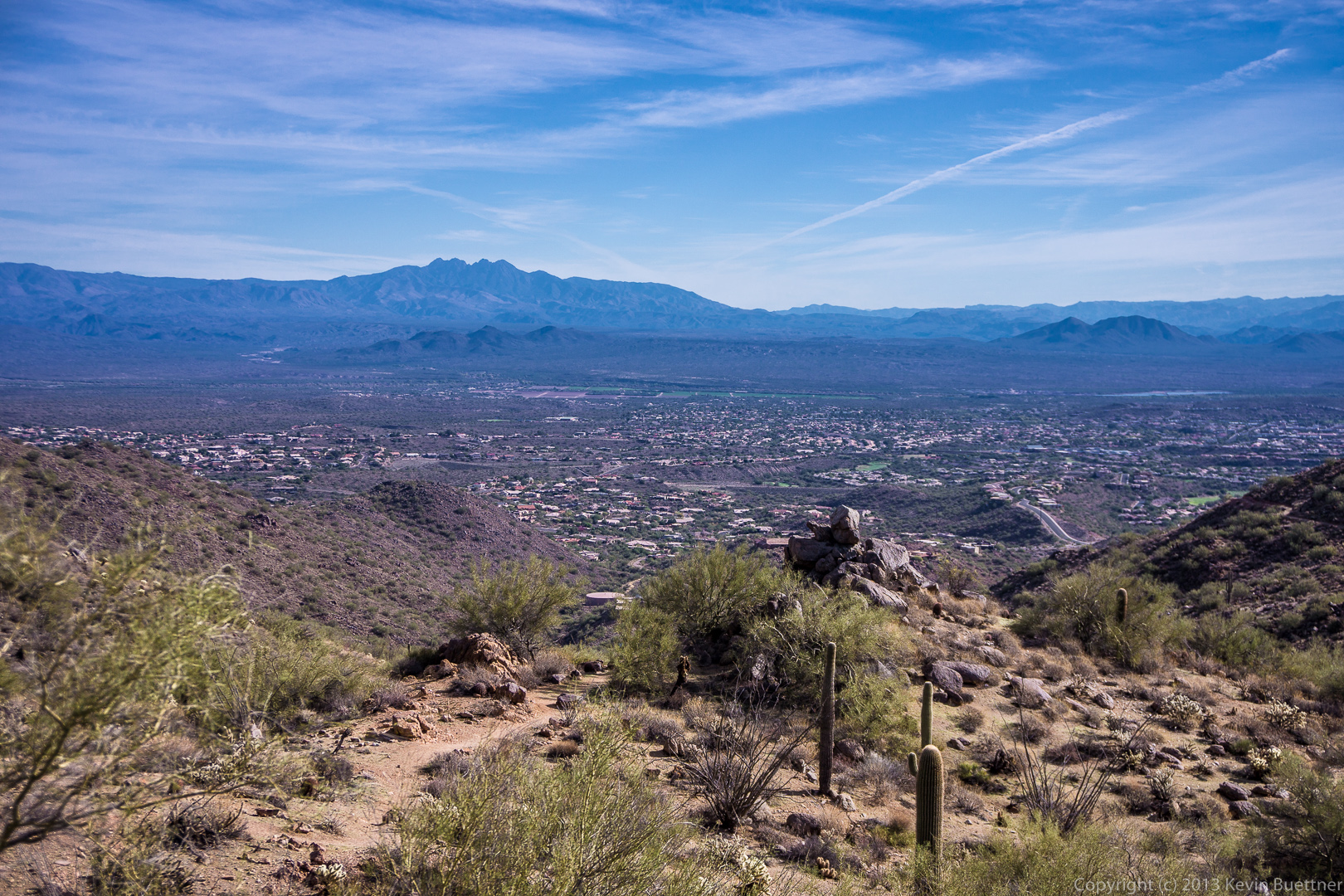
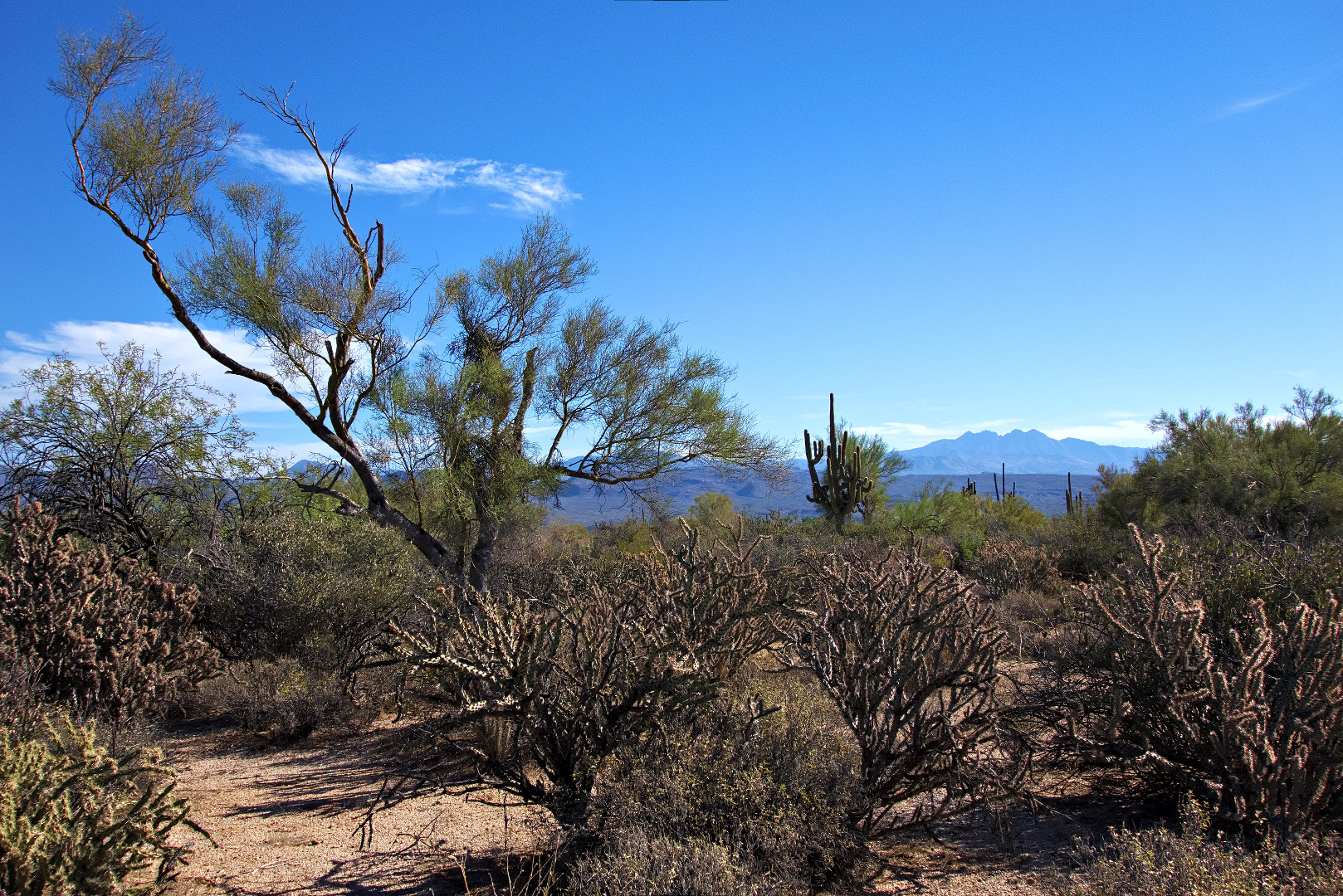
Two views of Troon and Pinnacle Peak, off in the distance:

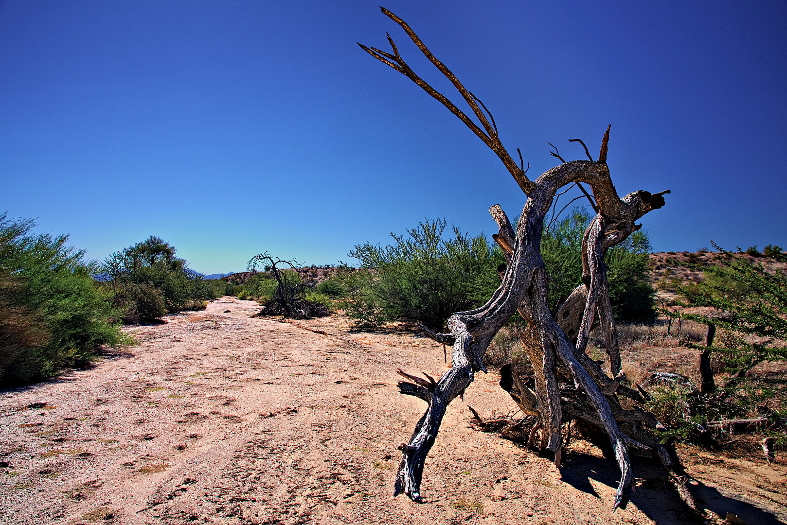
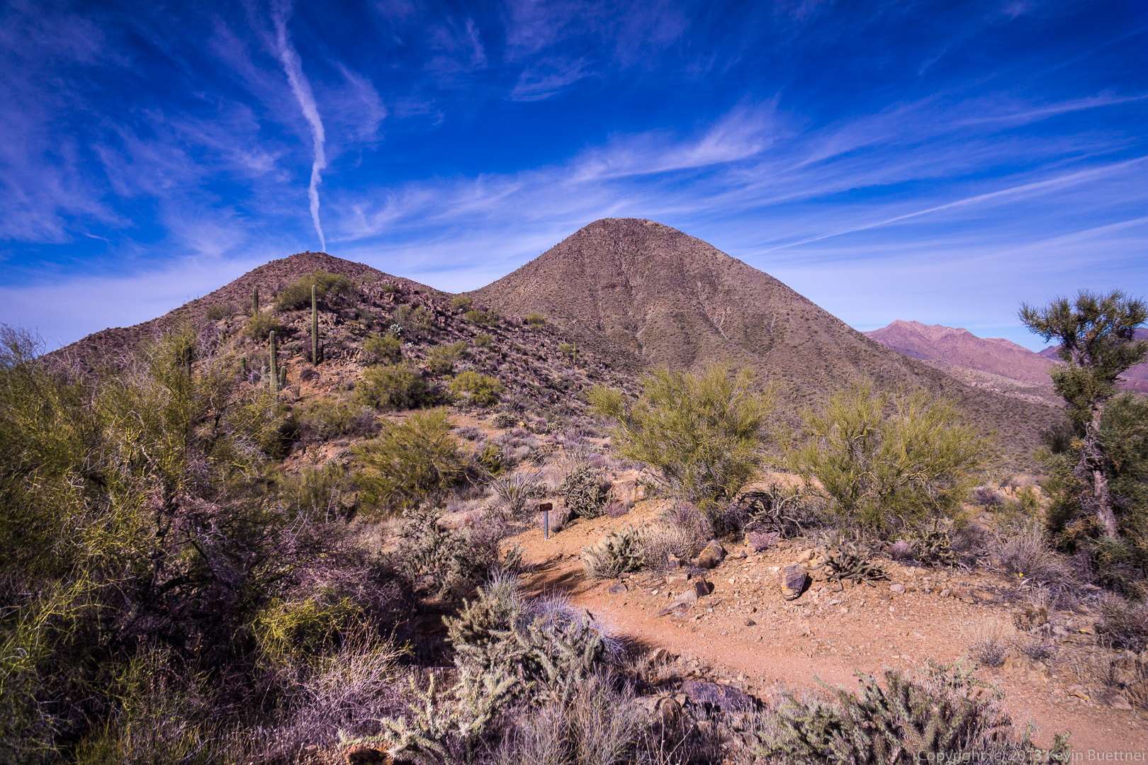
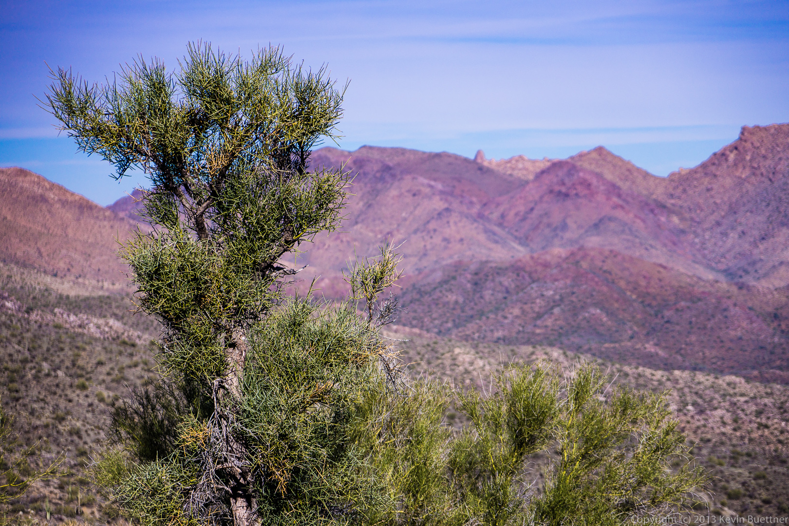
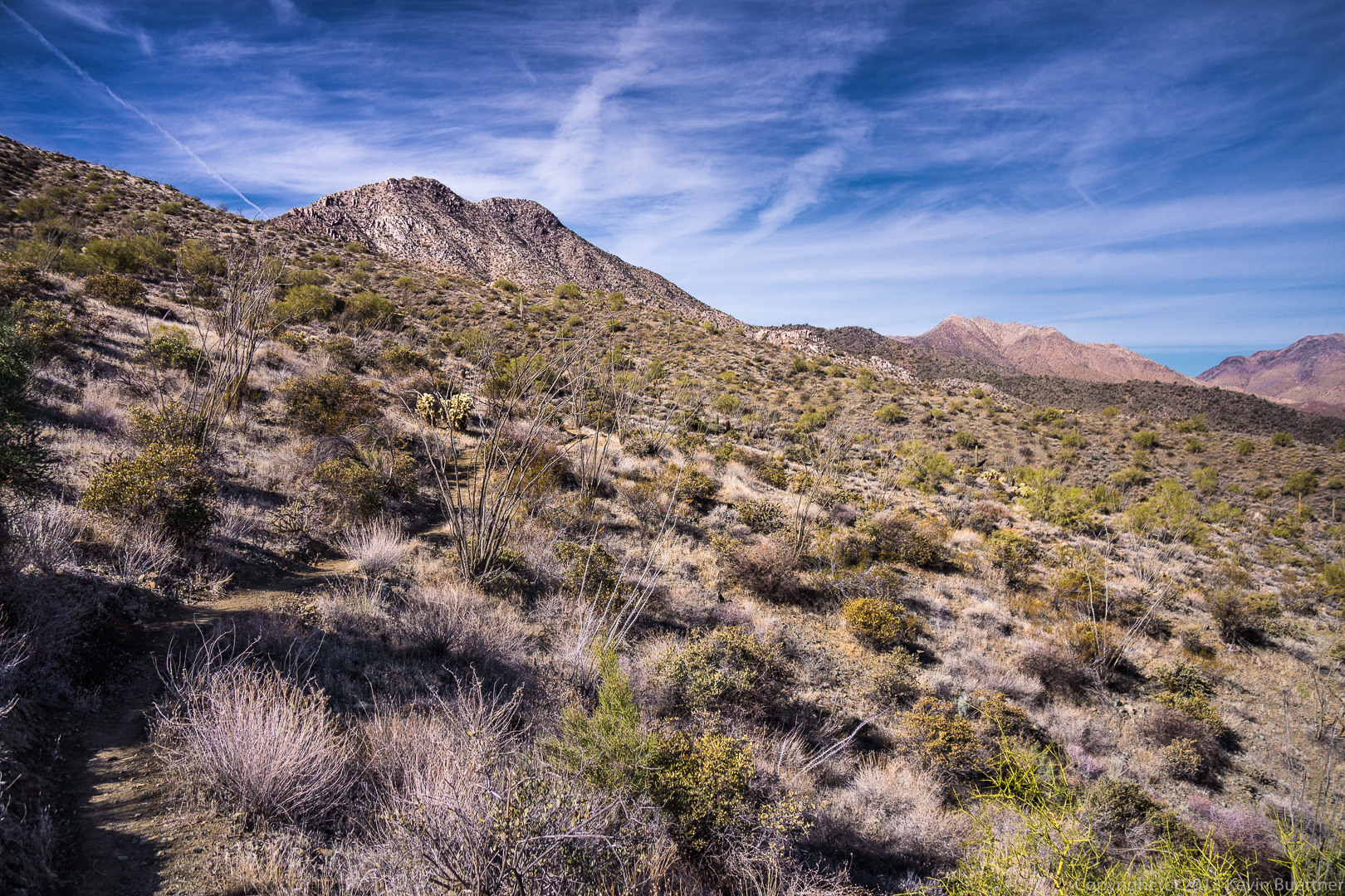
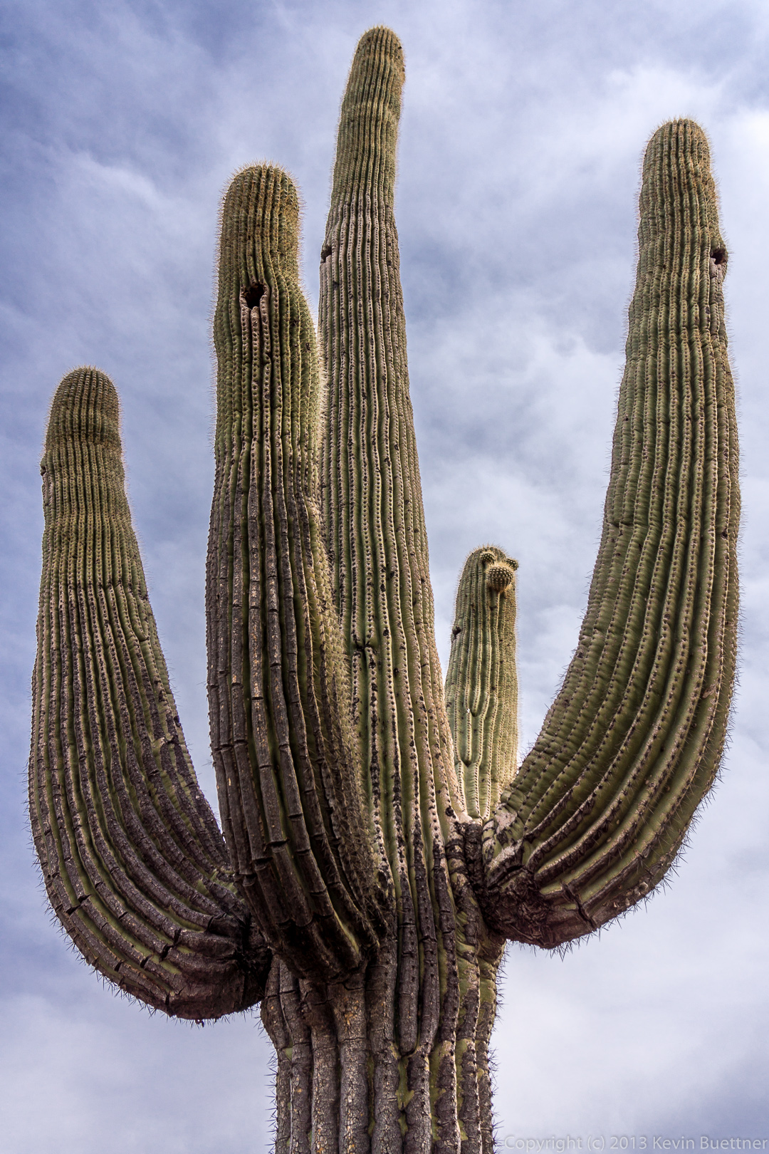
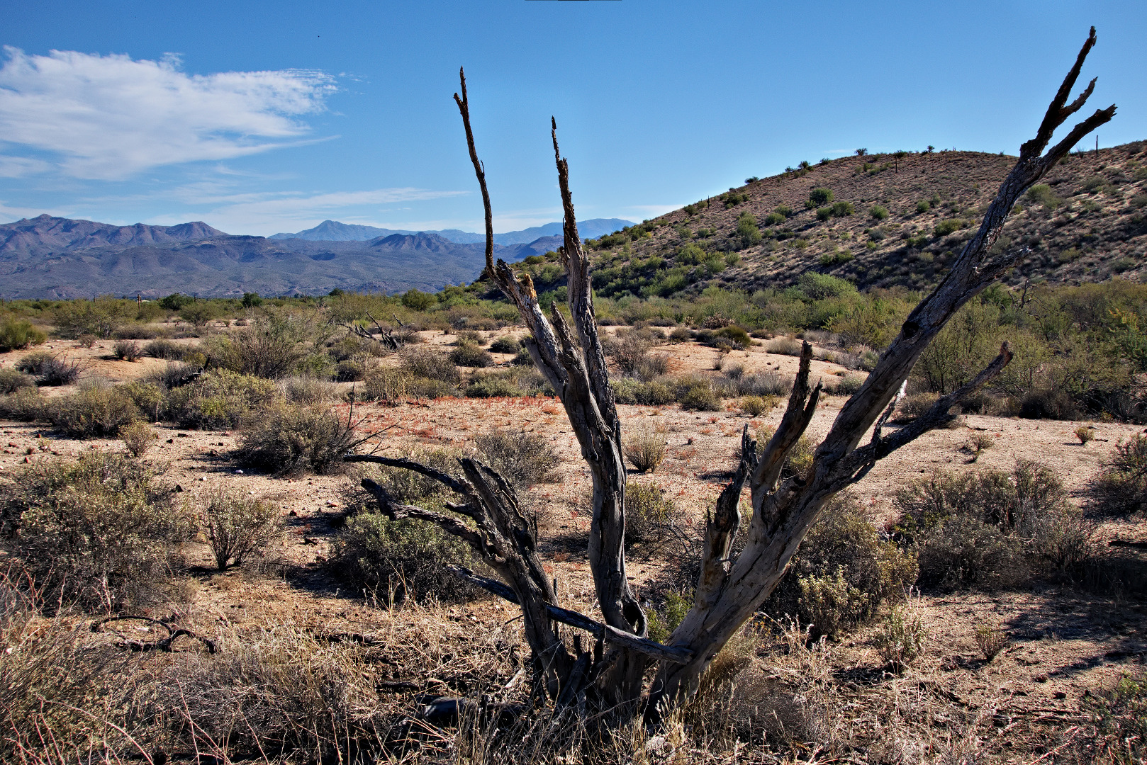
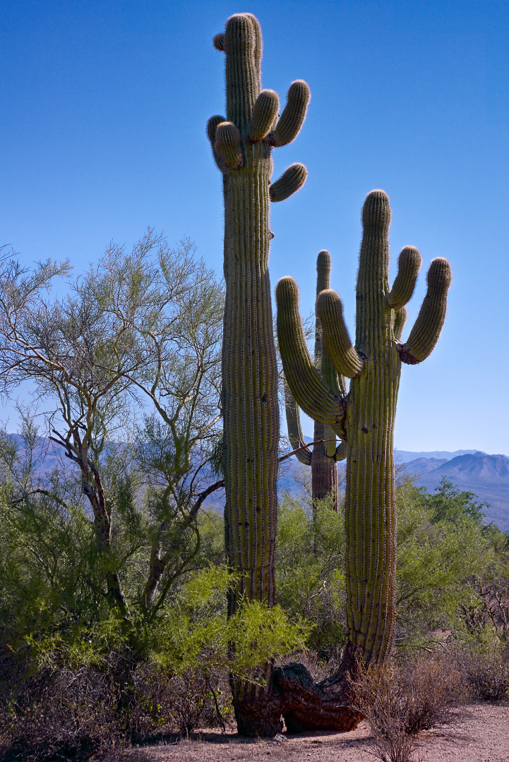
We got high enough to see a Juniper Tree.
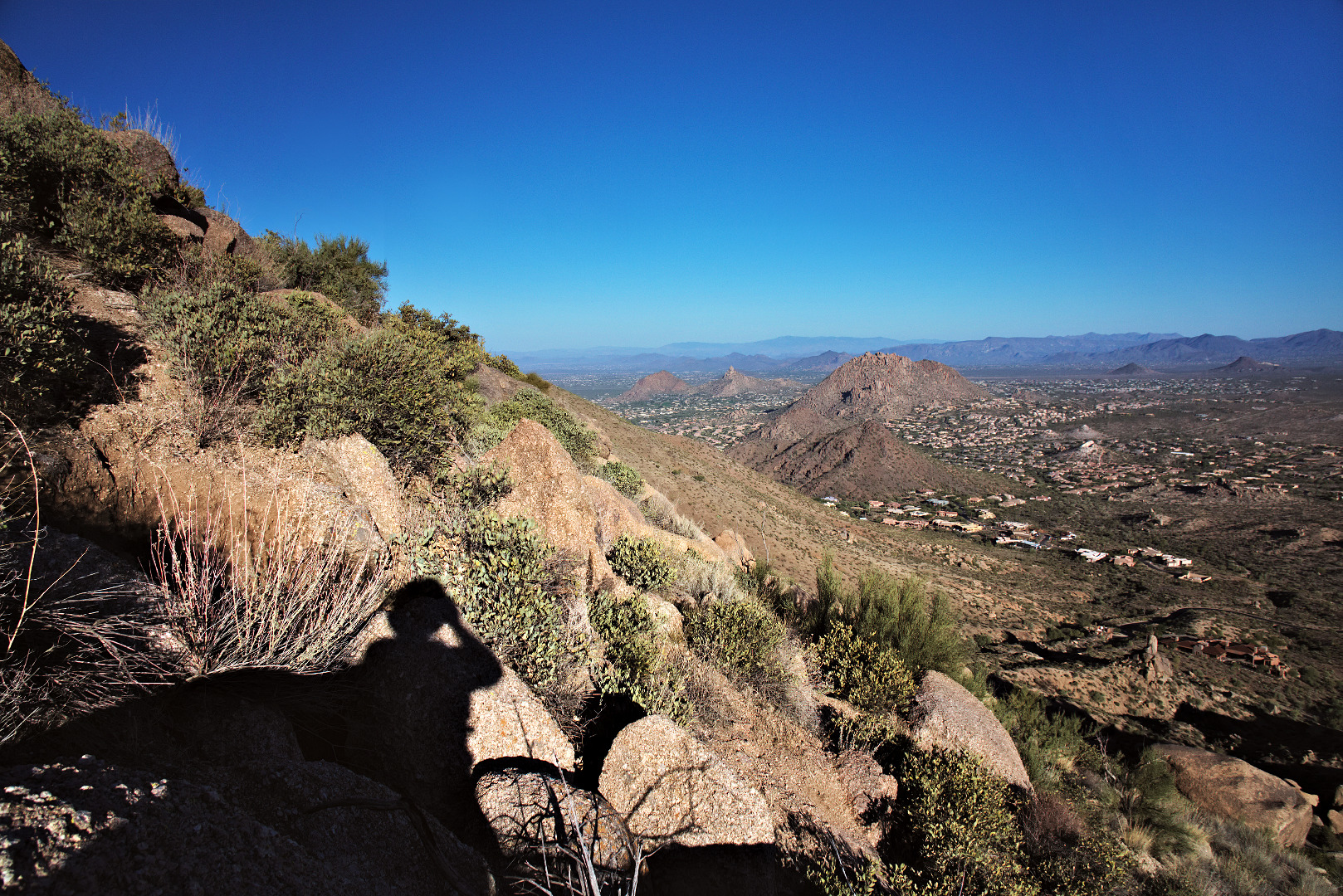
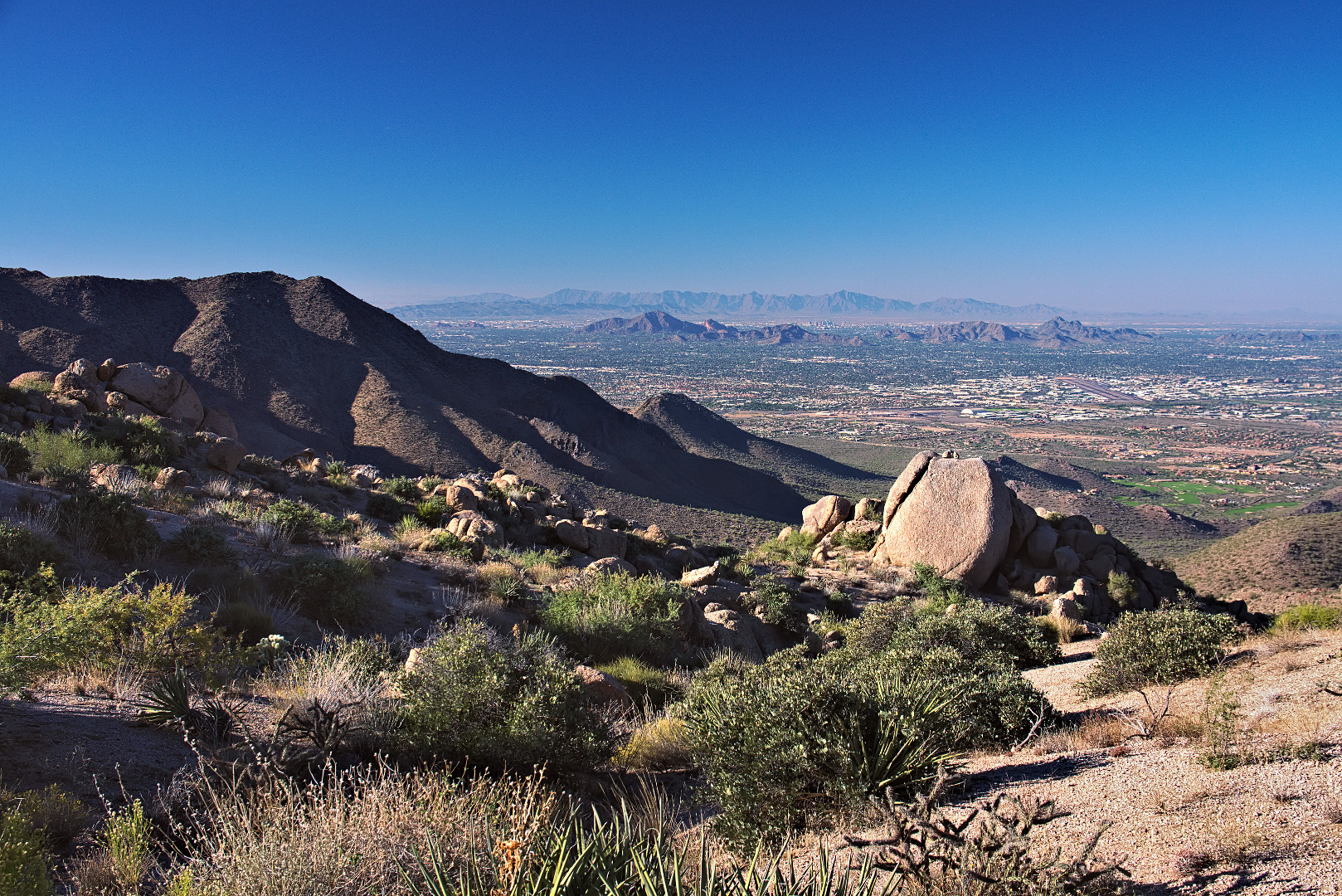
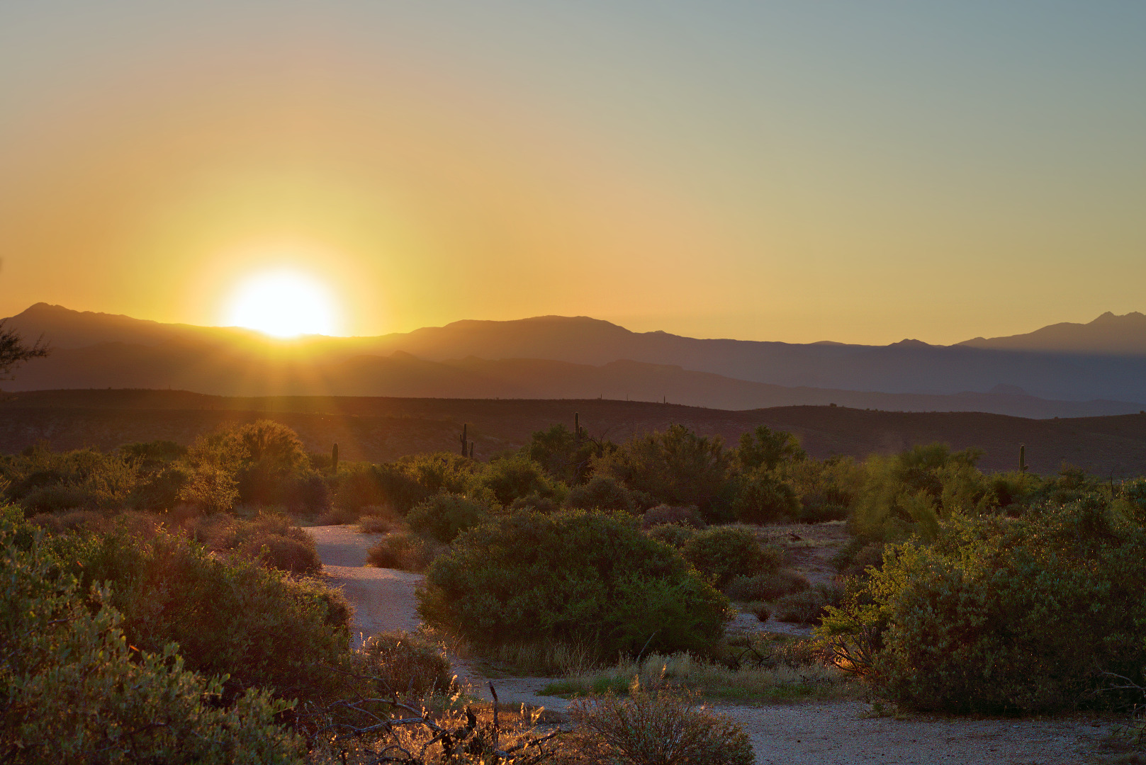
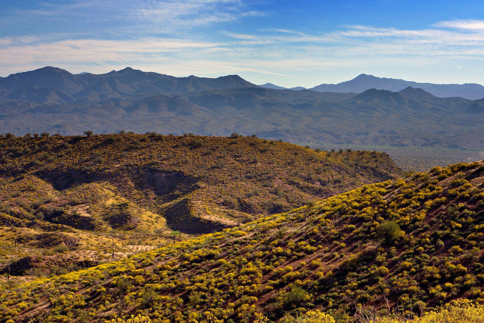
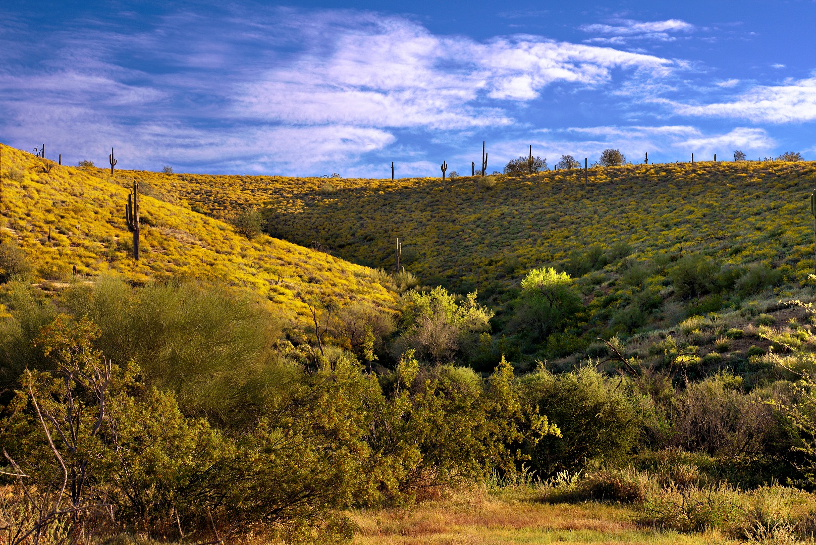
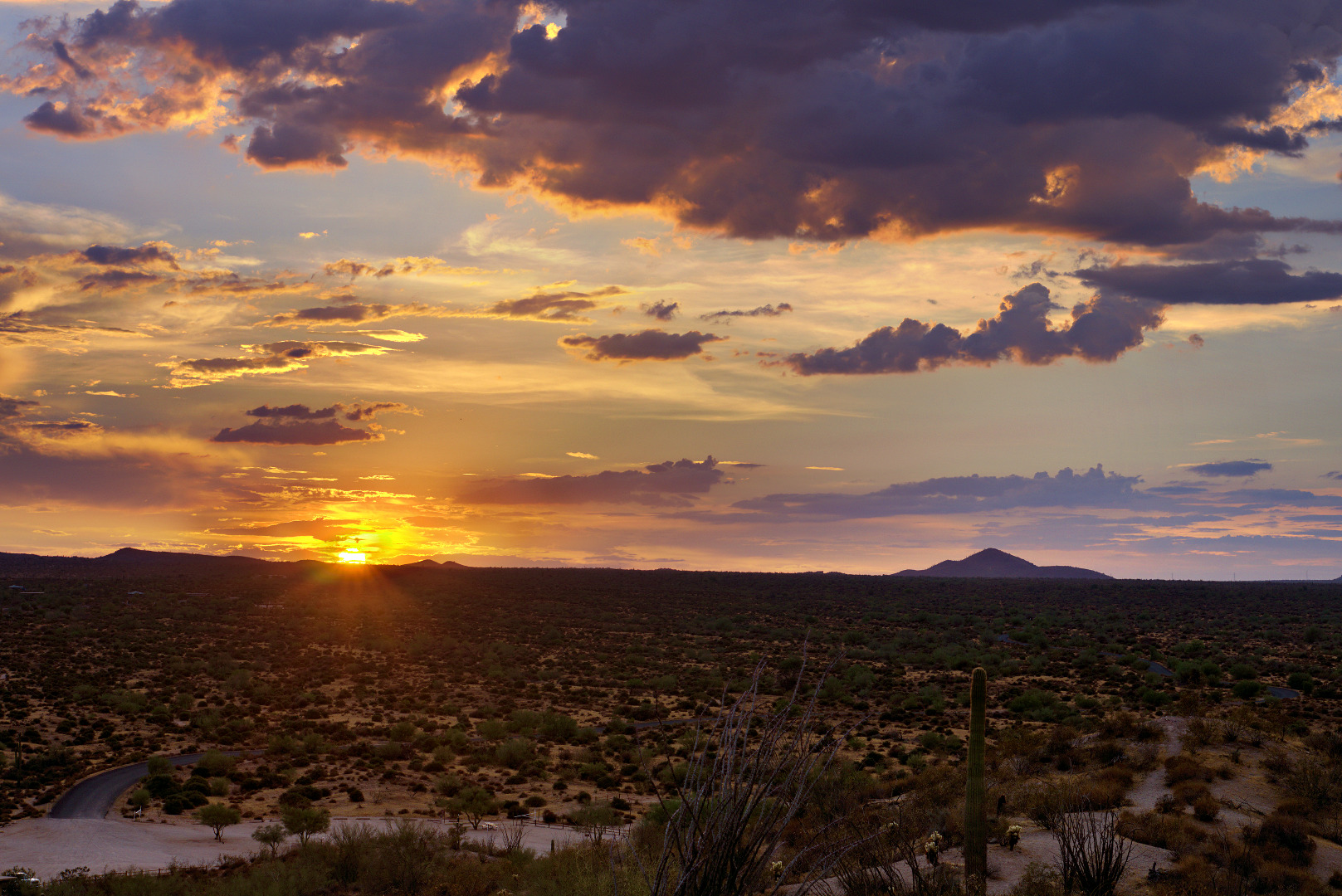
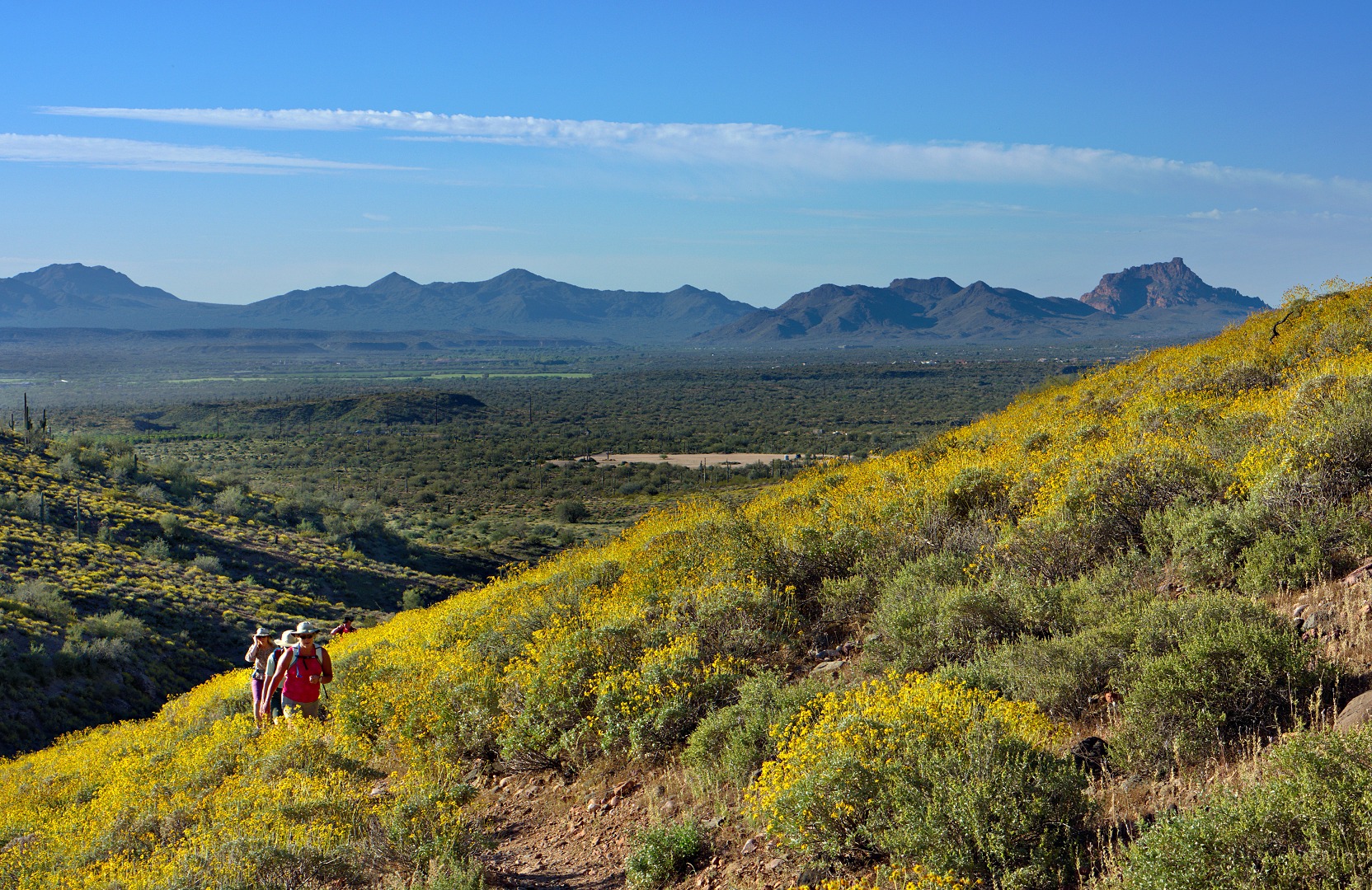
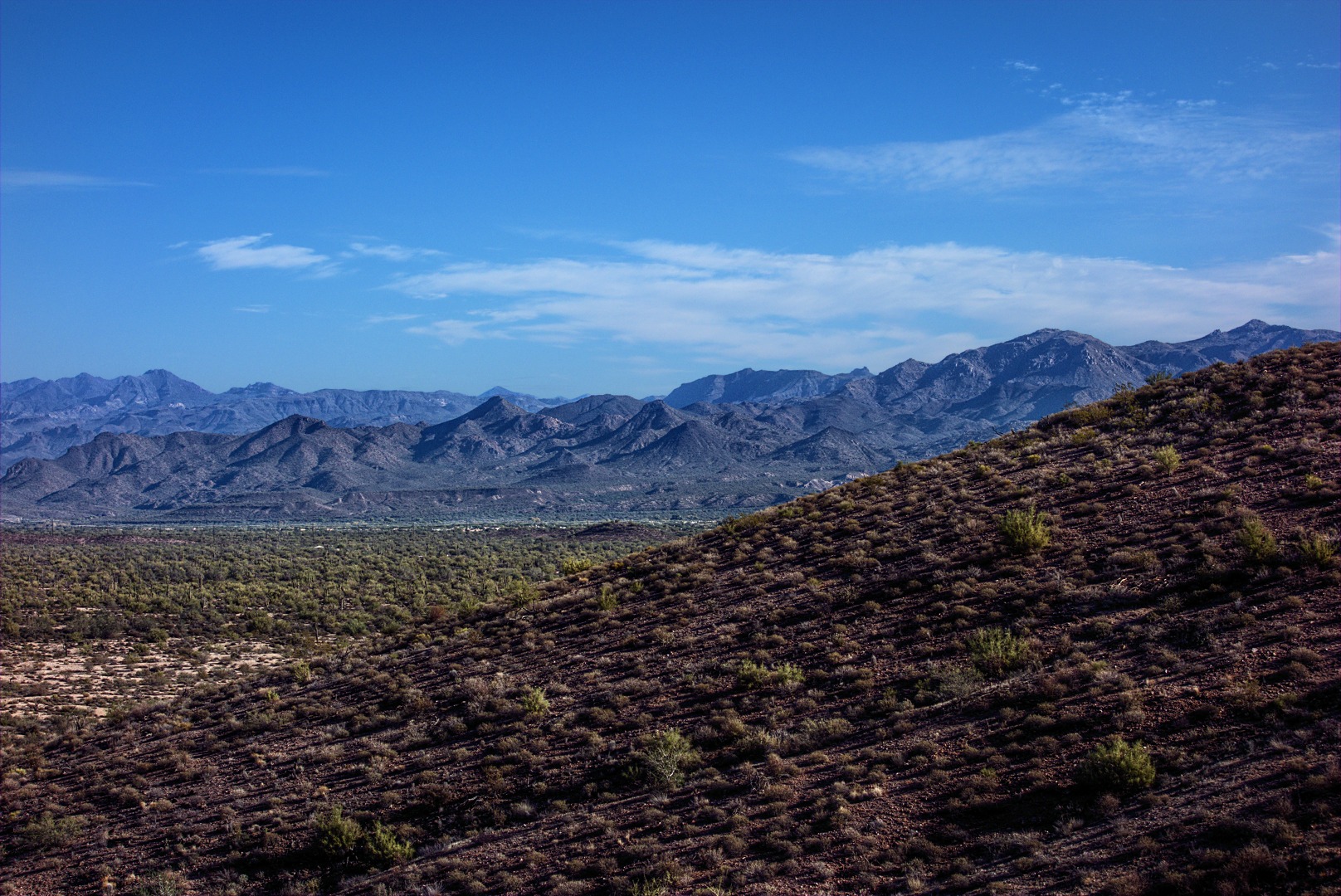
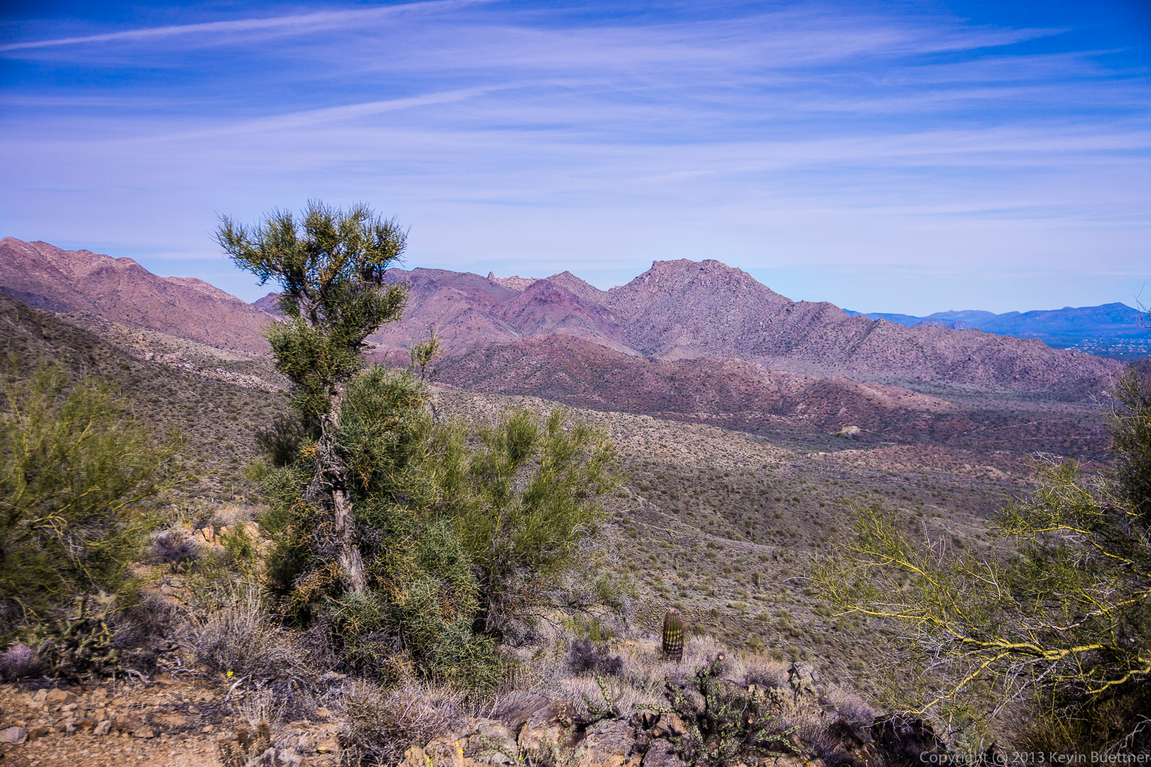
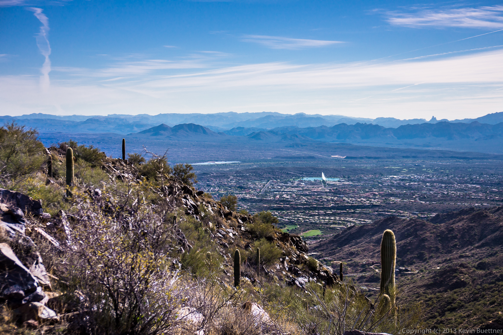
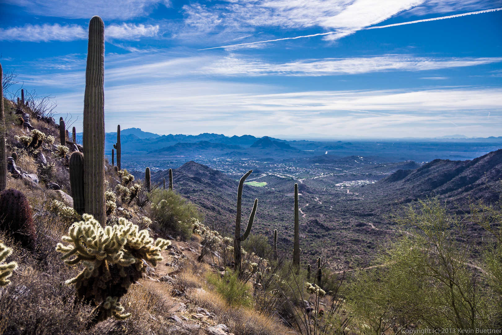
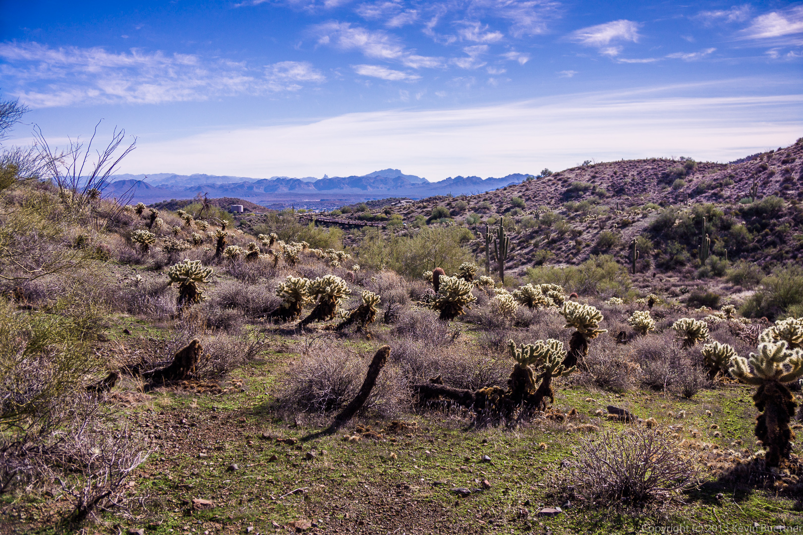
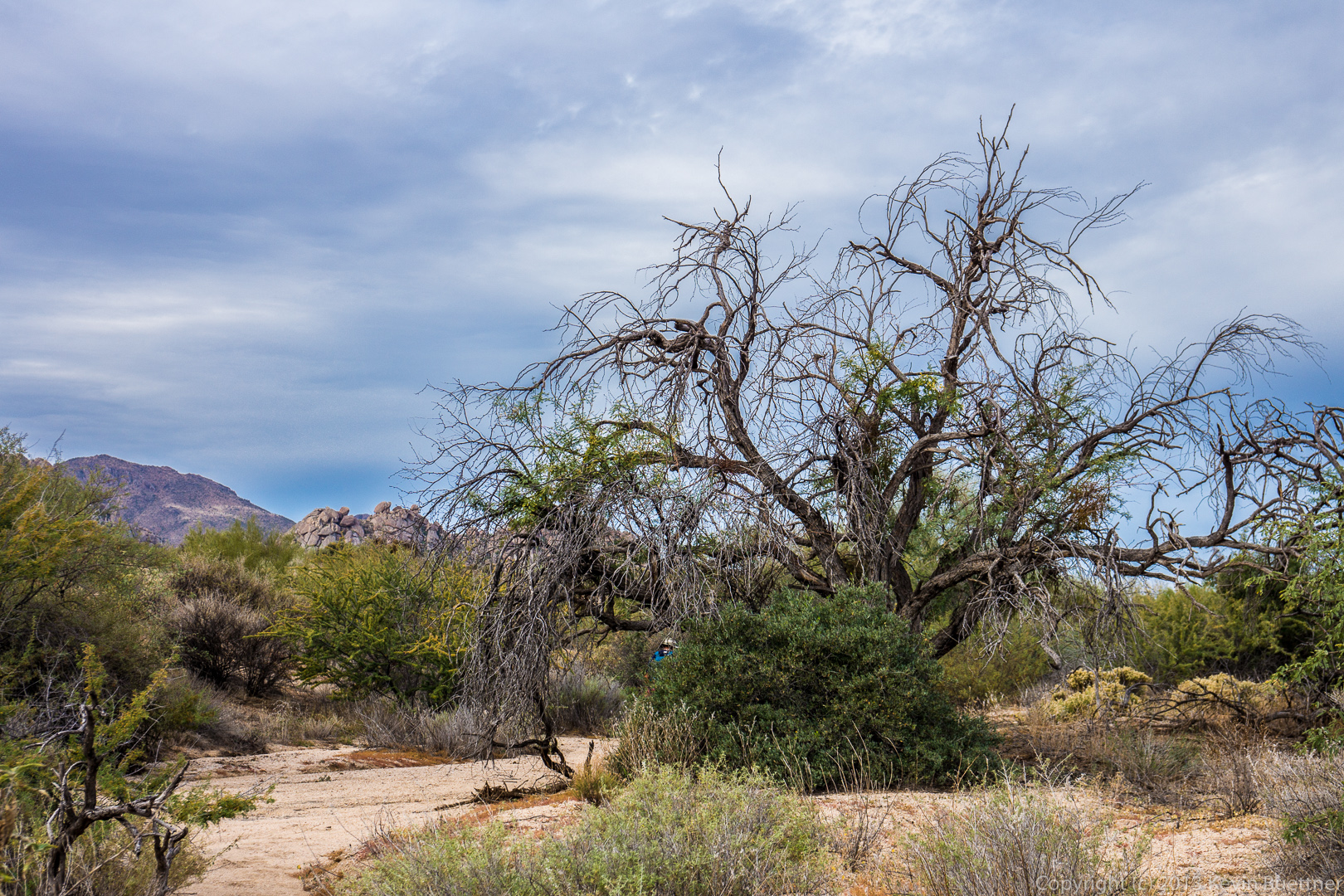
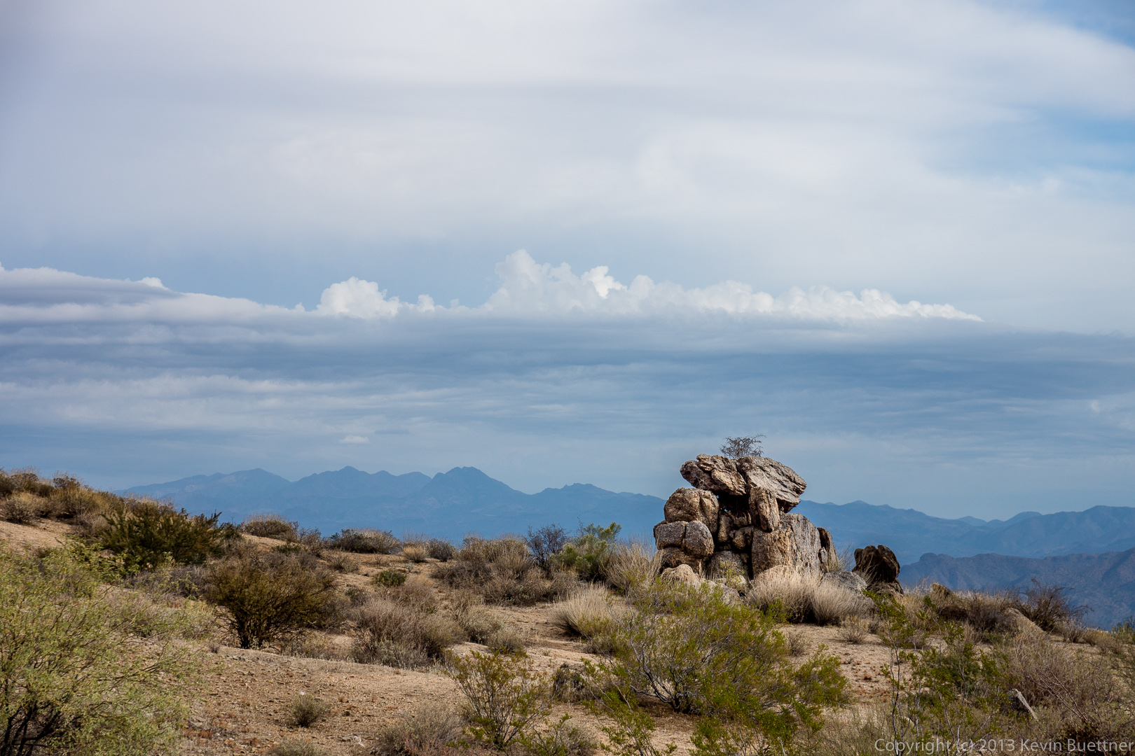
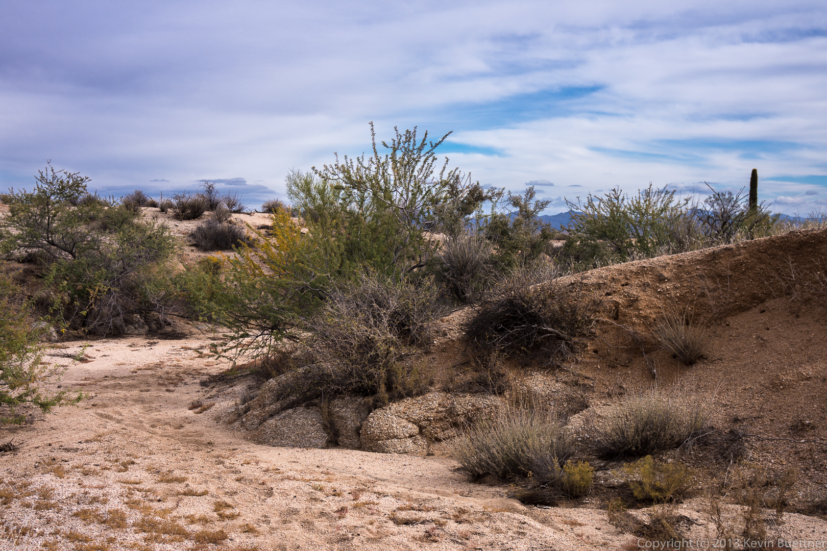
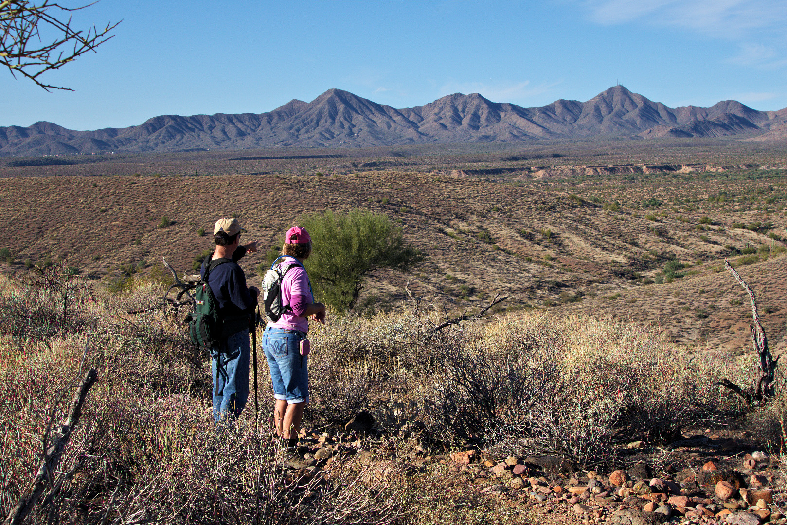
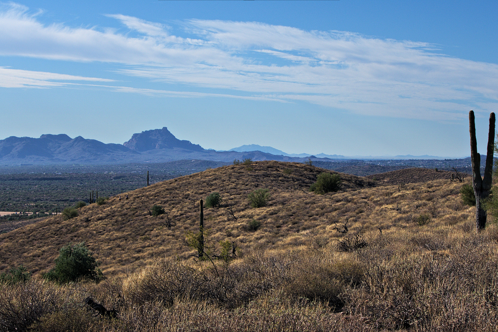
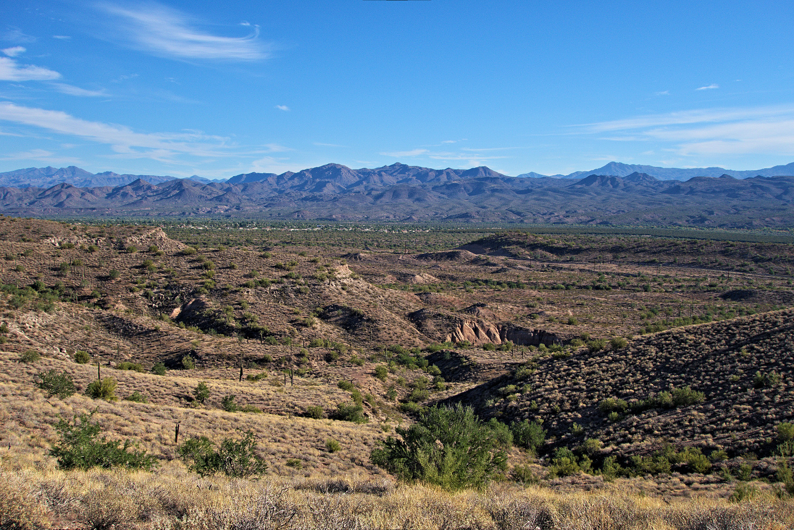
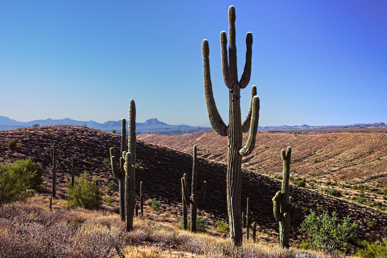
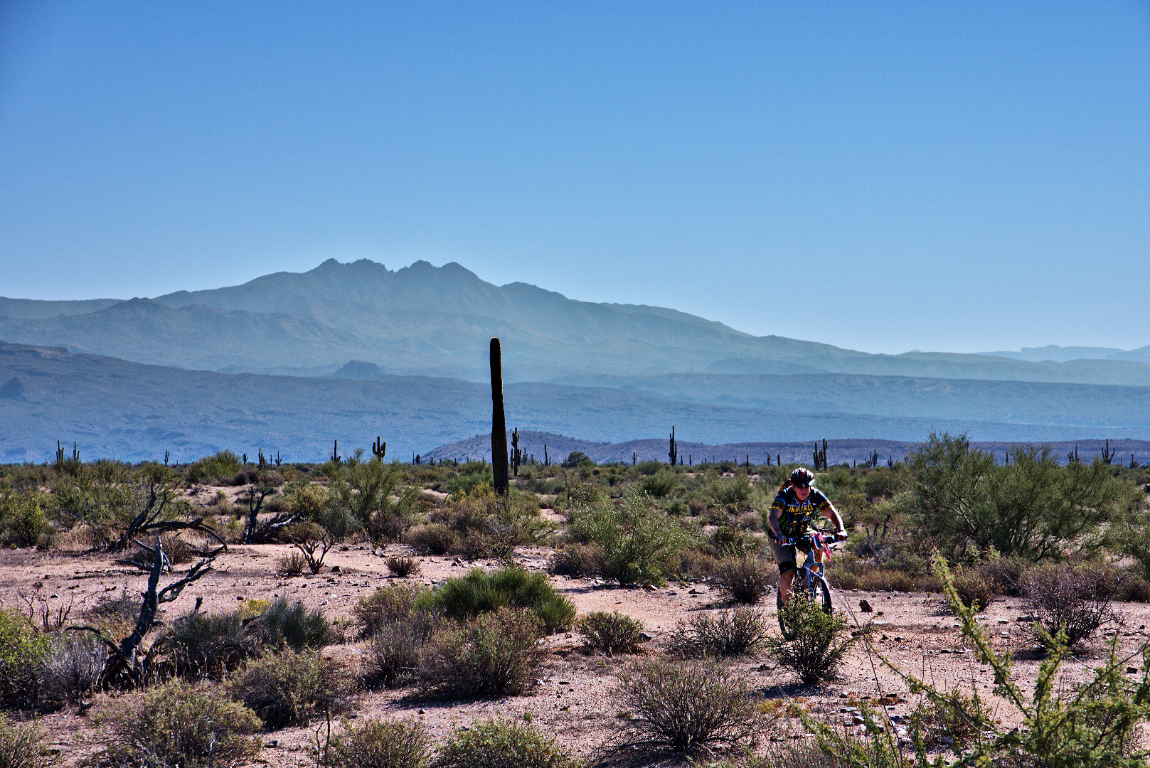
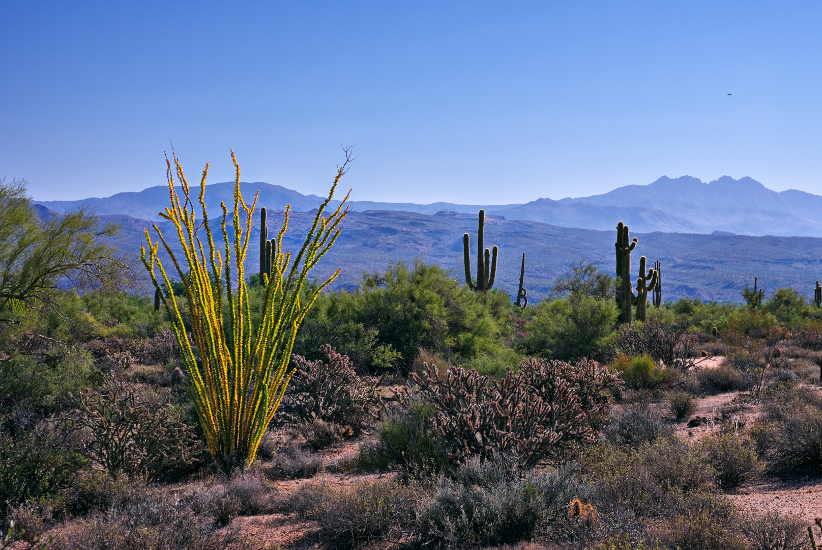
A view to the west taken from the ridge west of Tom’s Thumb:

The East End, the very top of Gardener’s Wall, Glass Dome, Weaver’s Needle, Tom’s Thumb, and the Rist are all visible in this photo.

We noticed that we could see downtown Phoenix from the ridge near Tom’s Thumb. (Scottsdale is the closer community though.)
A view of the west side of Tom’s Thumb. (The camera is looking east.)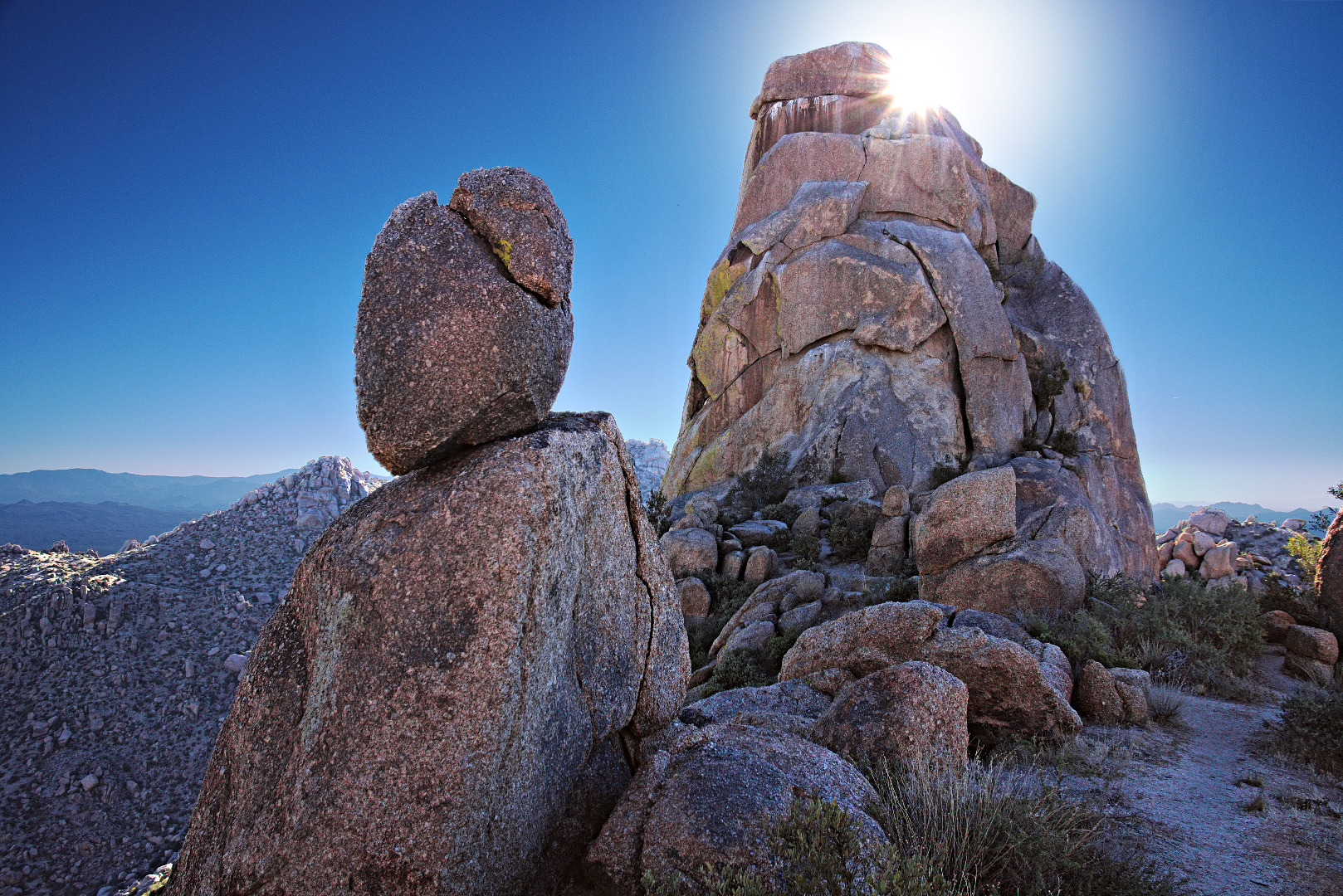
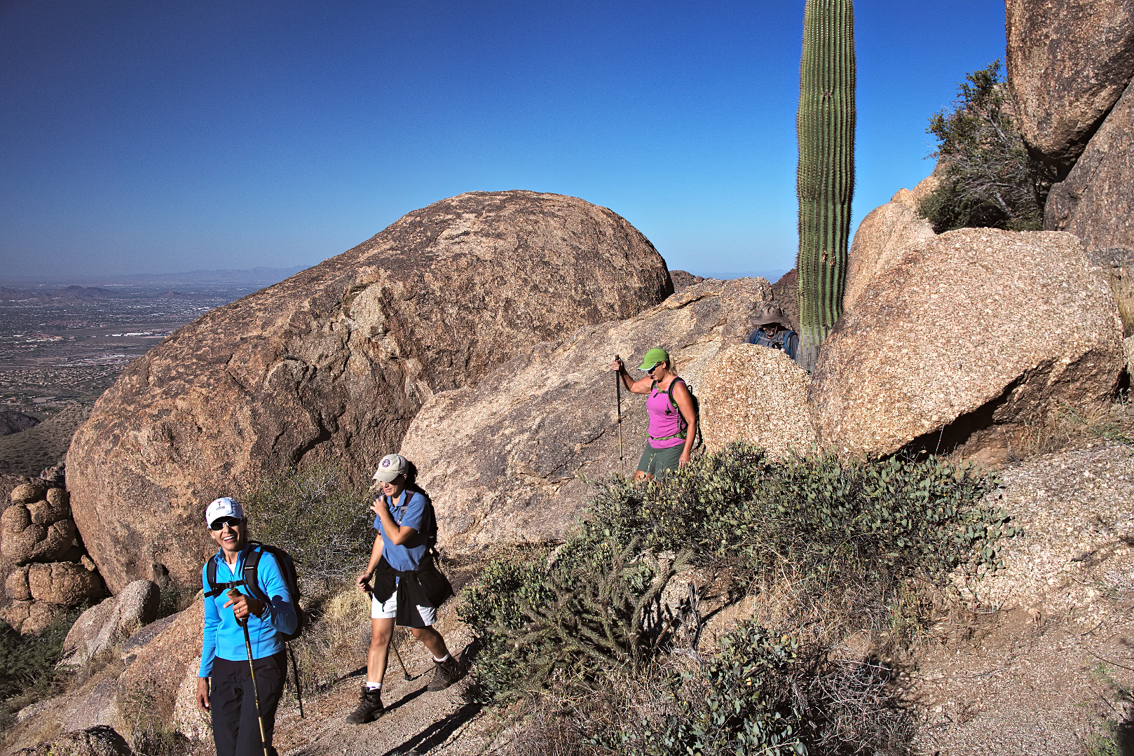
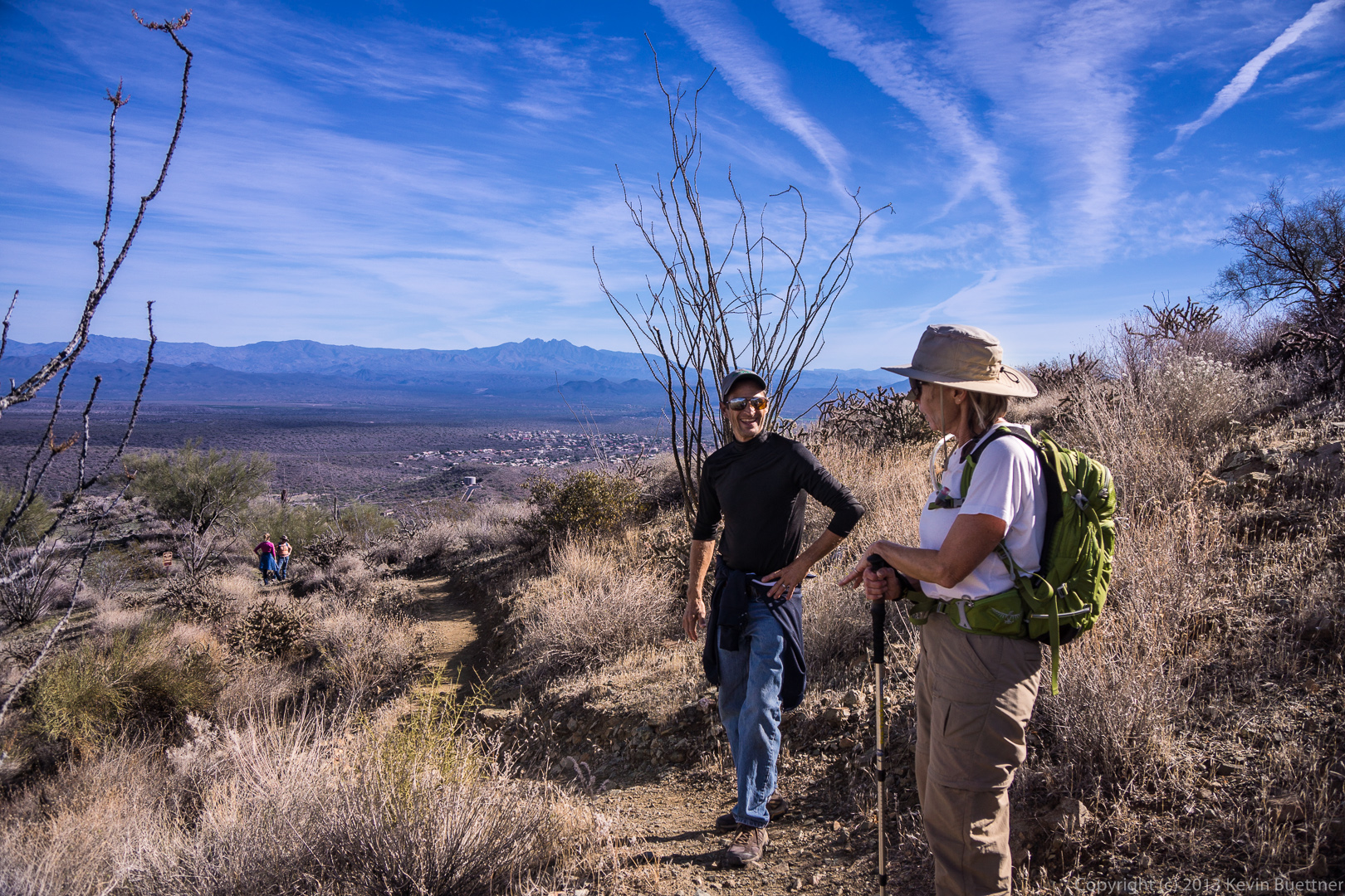
Marilyn, Amy, Janet, and Bob approach Tom’s Thumb.
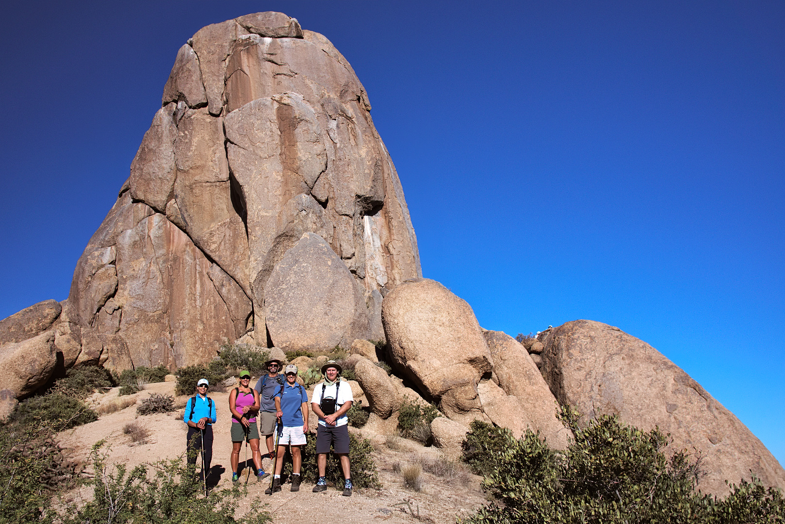
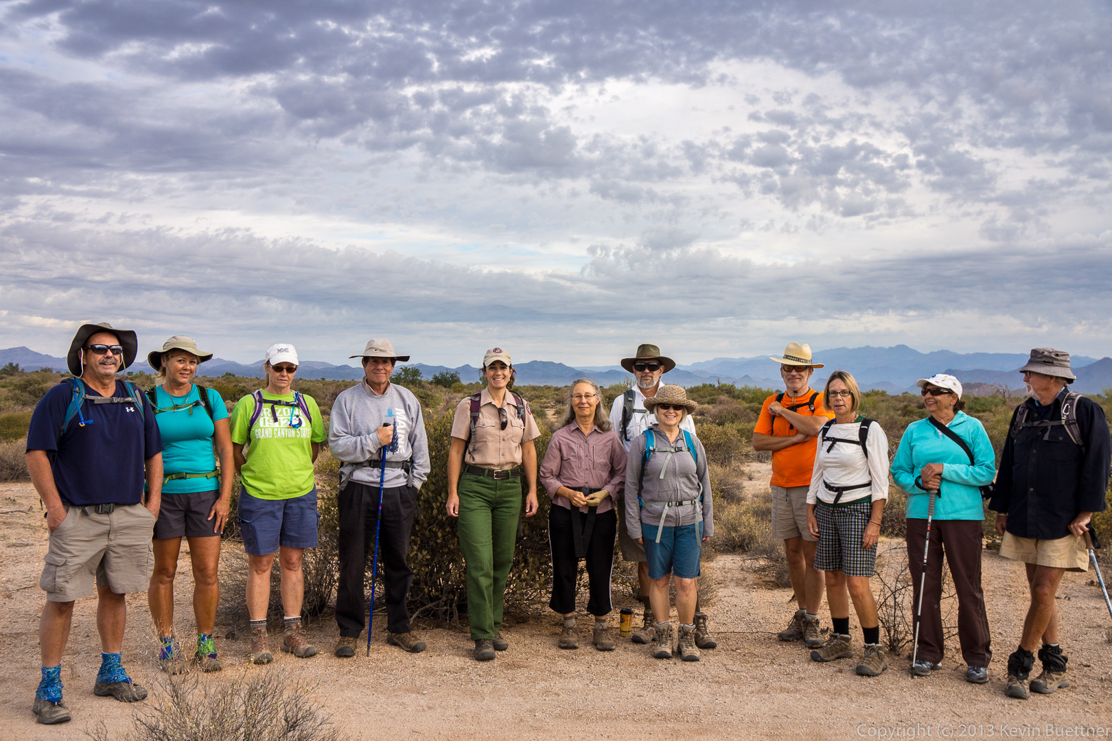
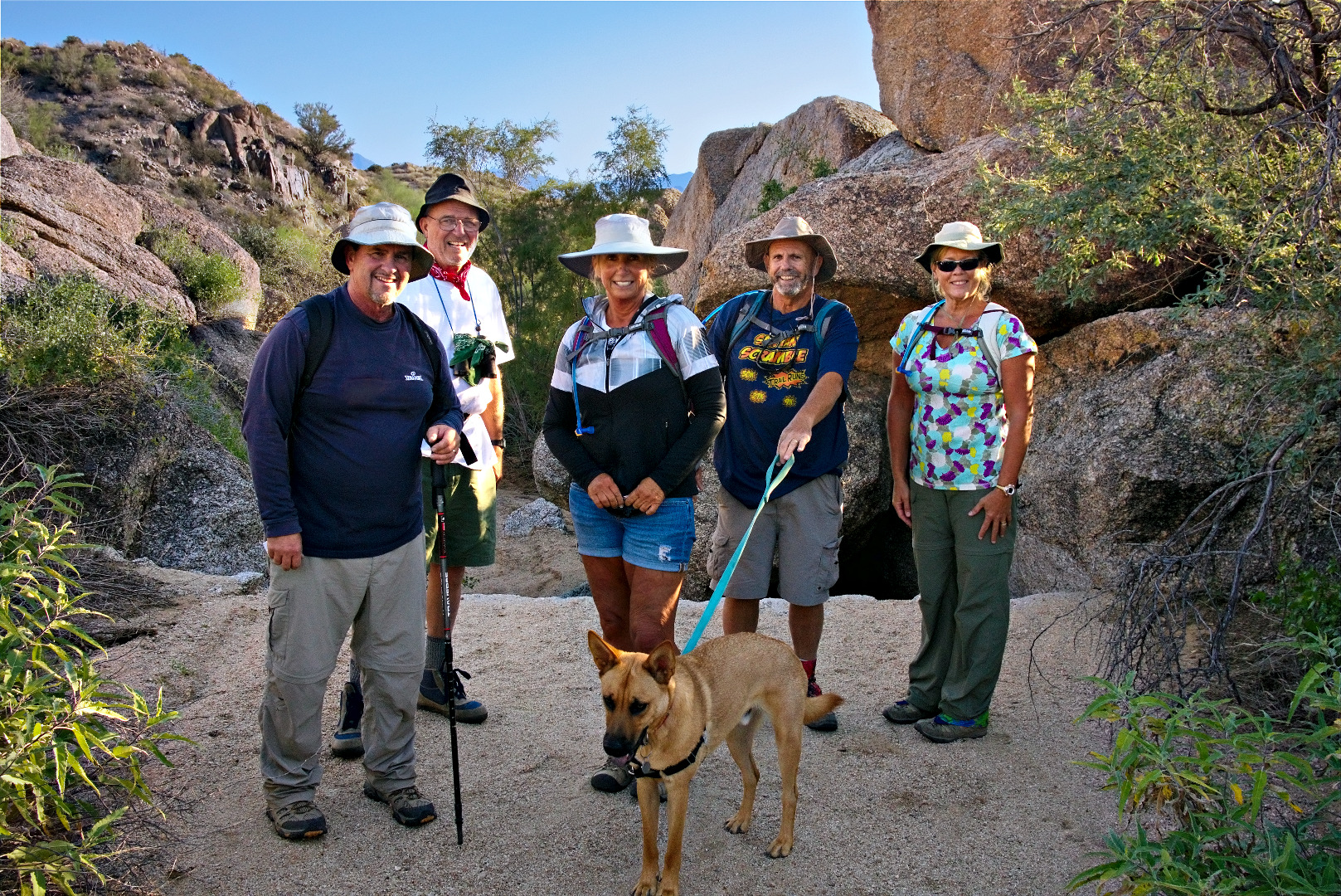
 A photo of the five of us on the east side of Tom’s Thumb:
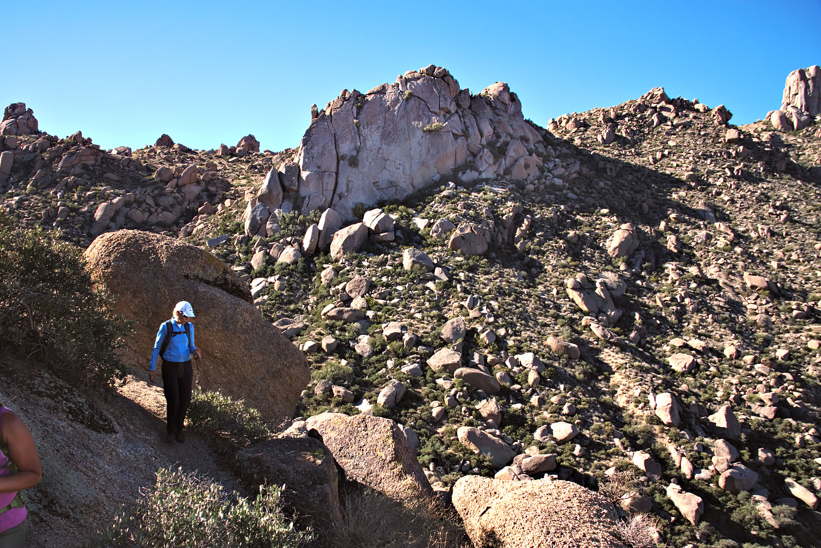
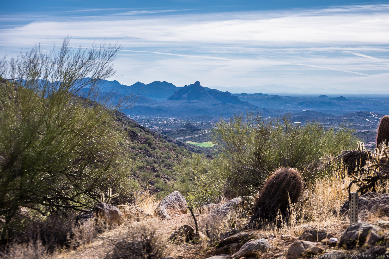
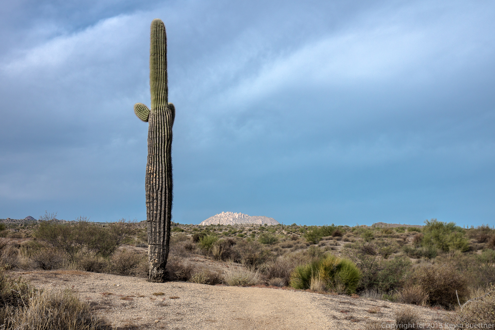
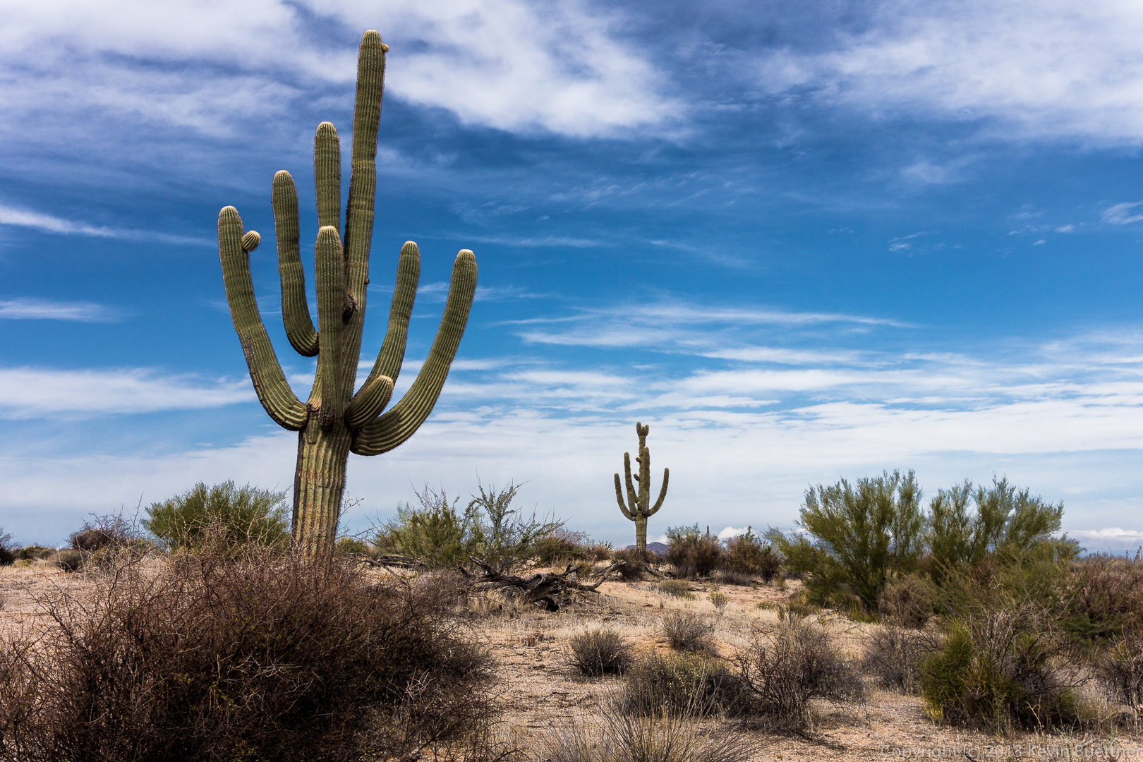
 Another pinnacle that we noticed on our descent. (I don’t know the name of it.)
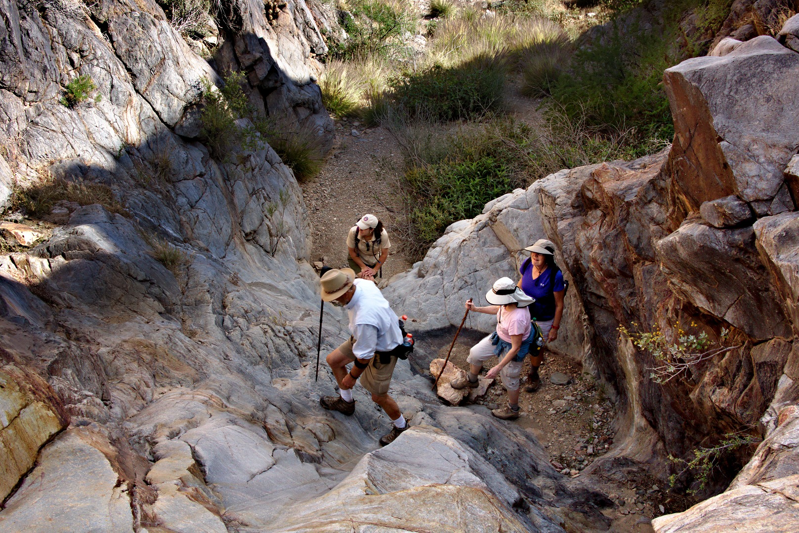
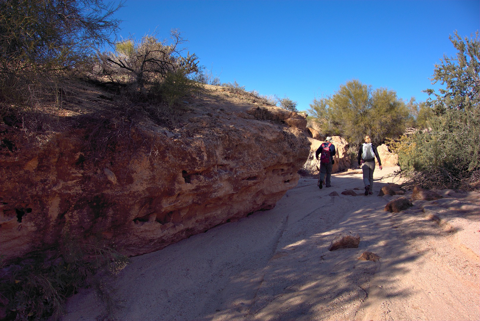
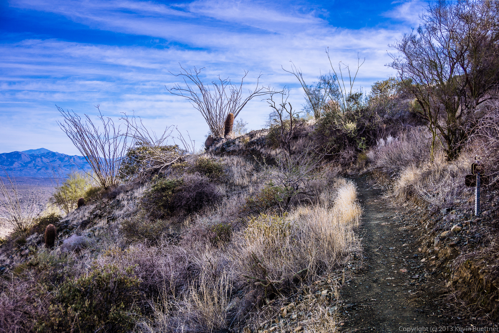
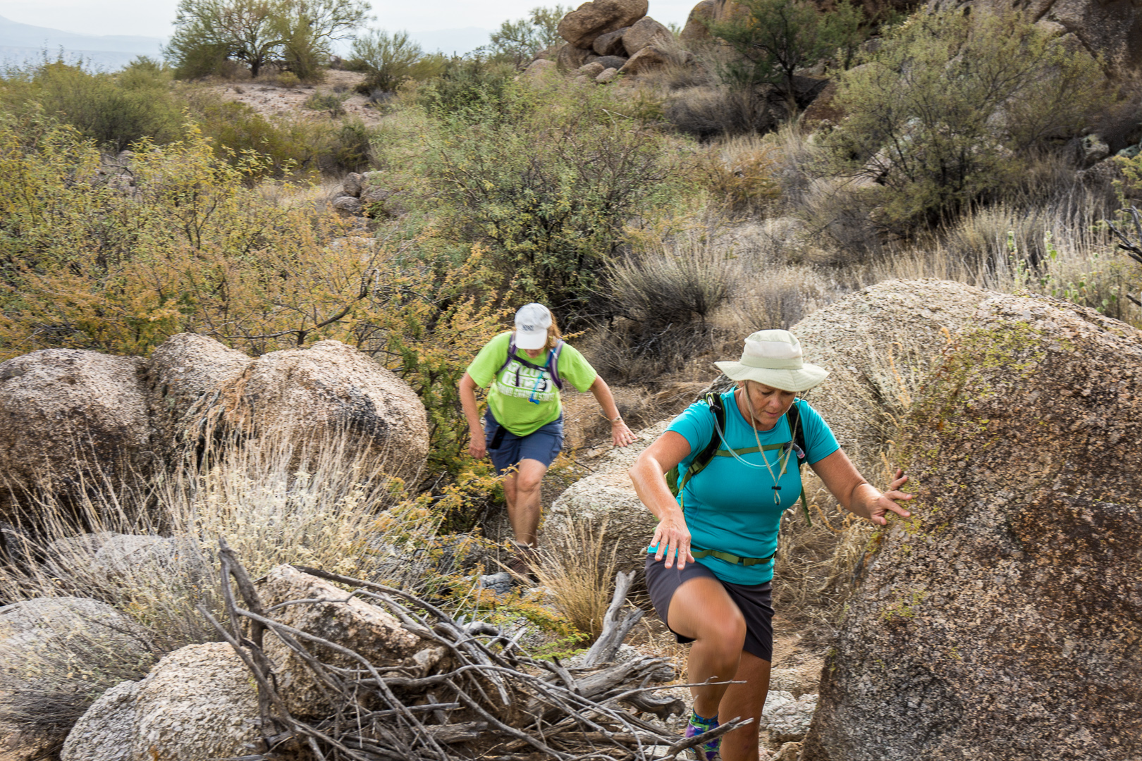
I chose a rocky path for part of our descent…

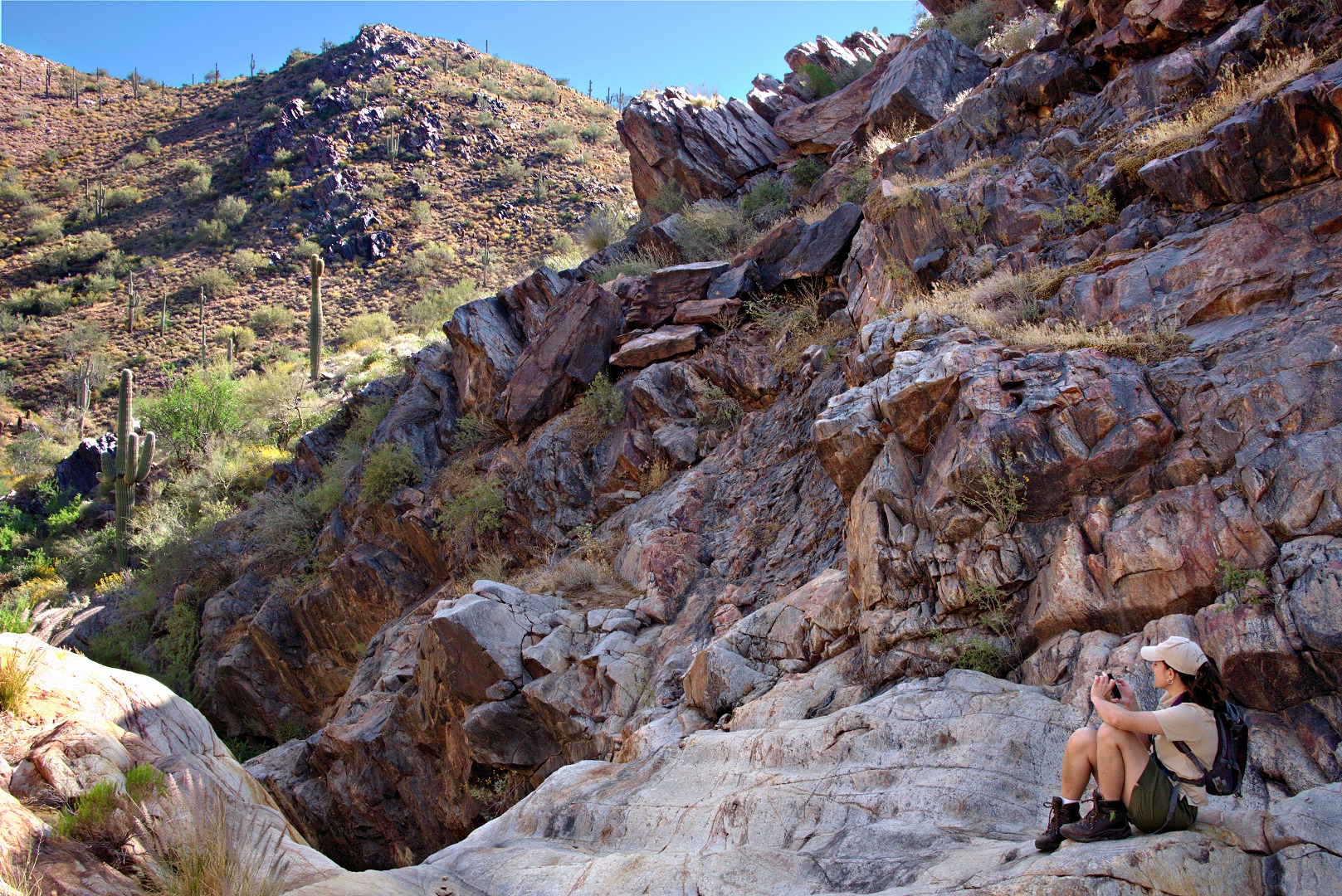
Marilyn, looking down into the canyon below Gardener’s Wall:
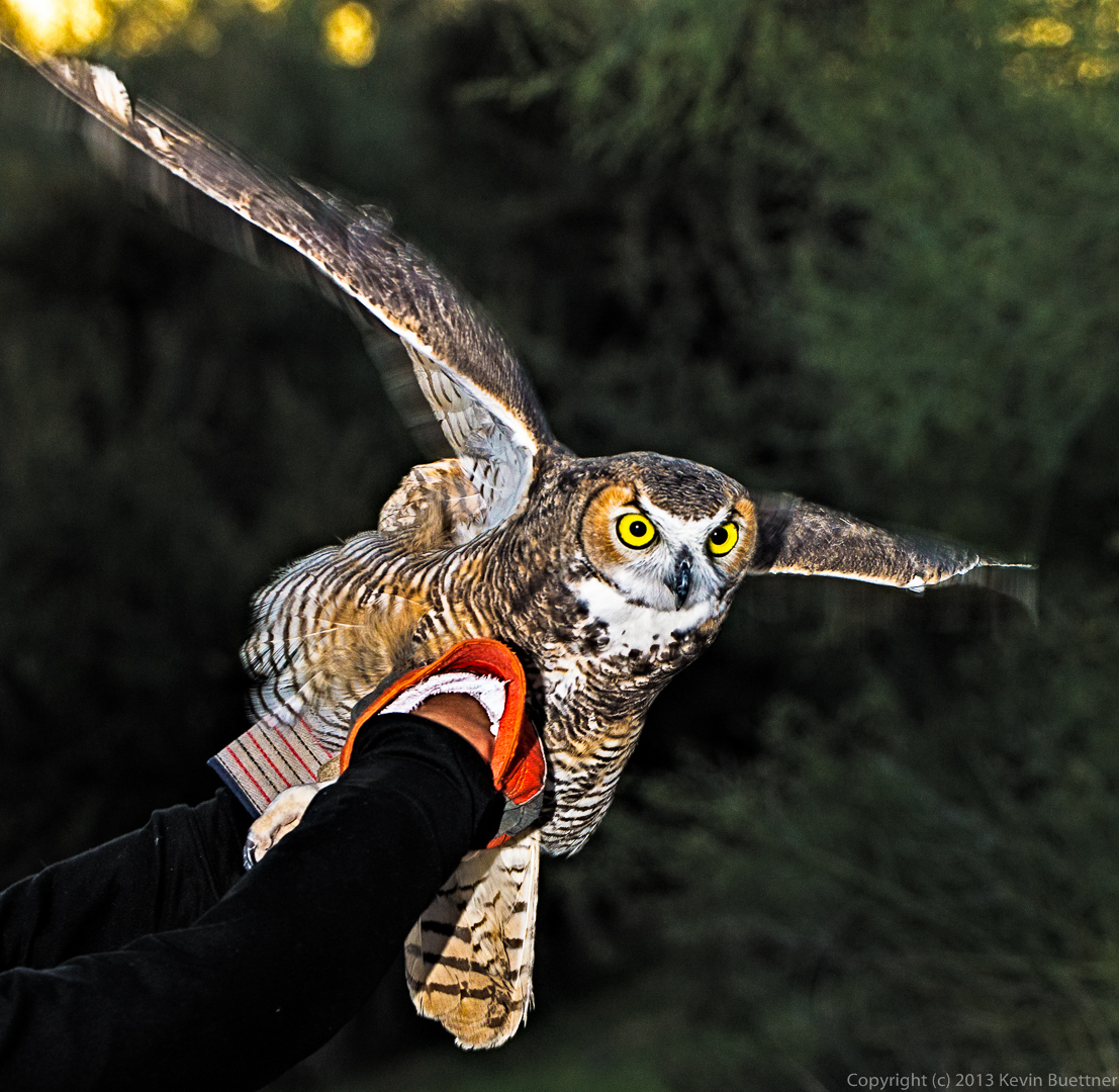
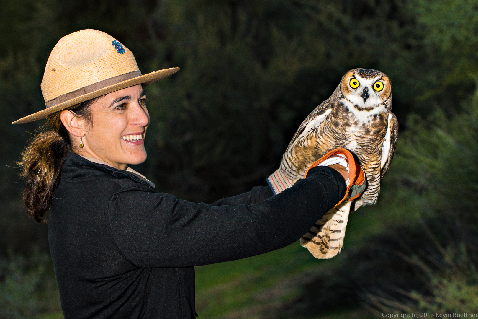
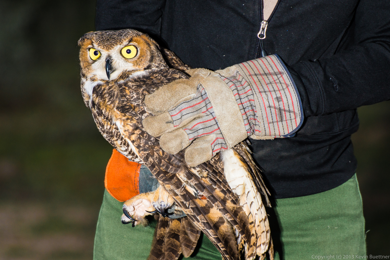
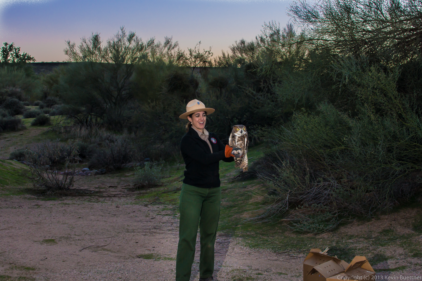
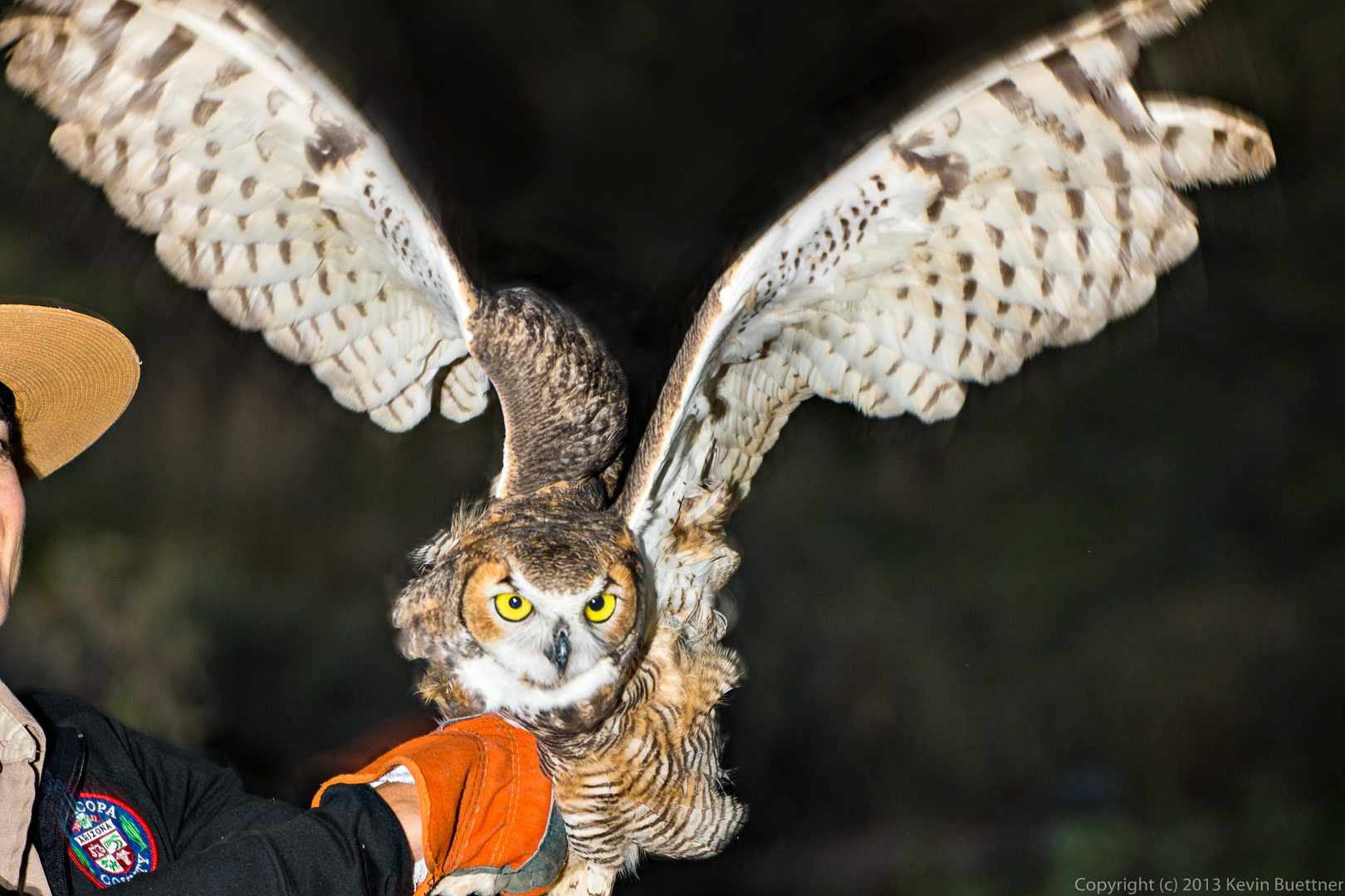 Holly, the female owl is bigger, though I didn’t get a shot of her spreading her wings.
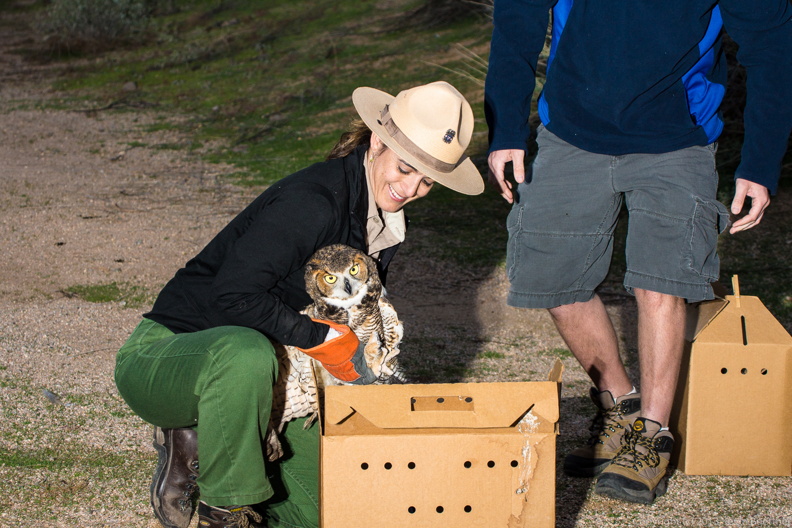
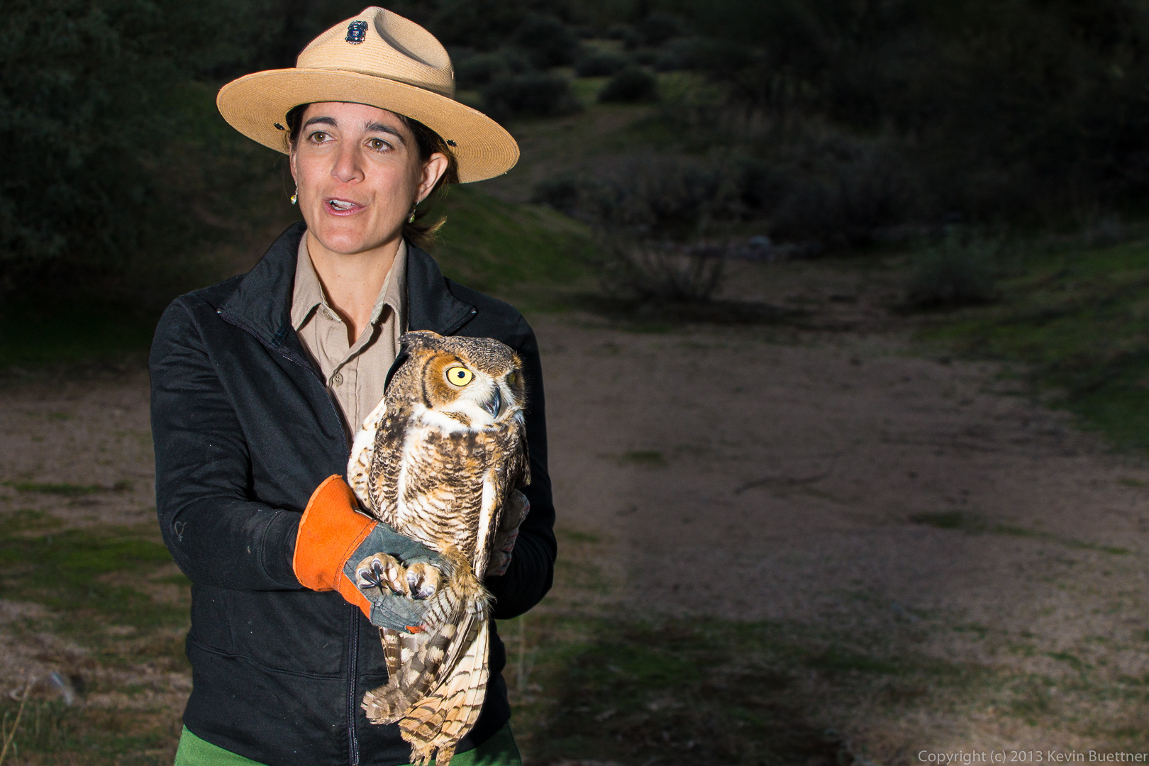
 Holly was reluctant to leave. Amy had to try a few times to get her to go.
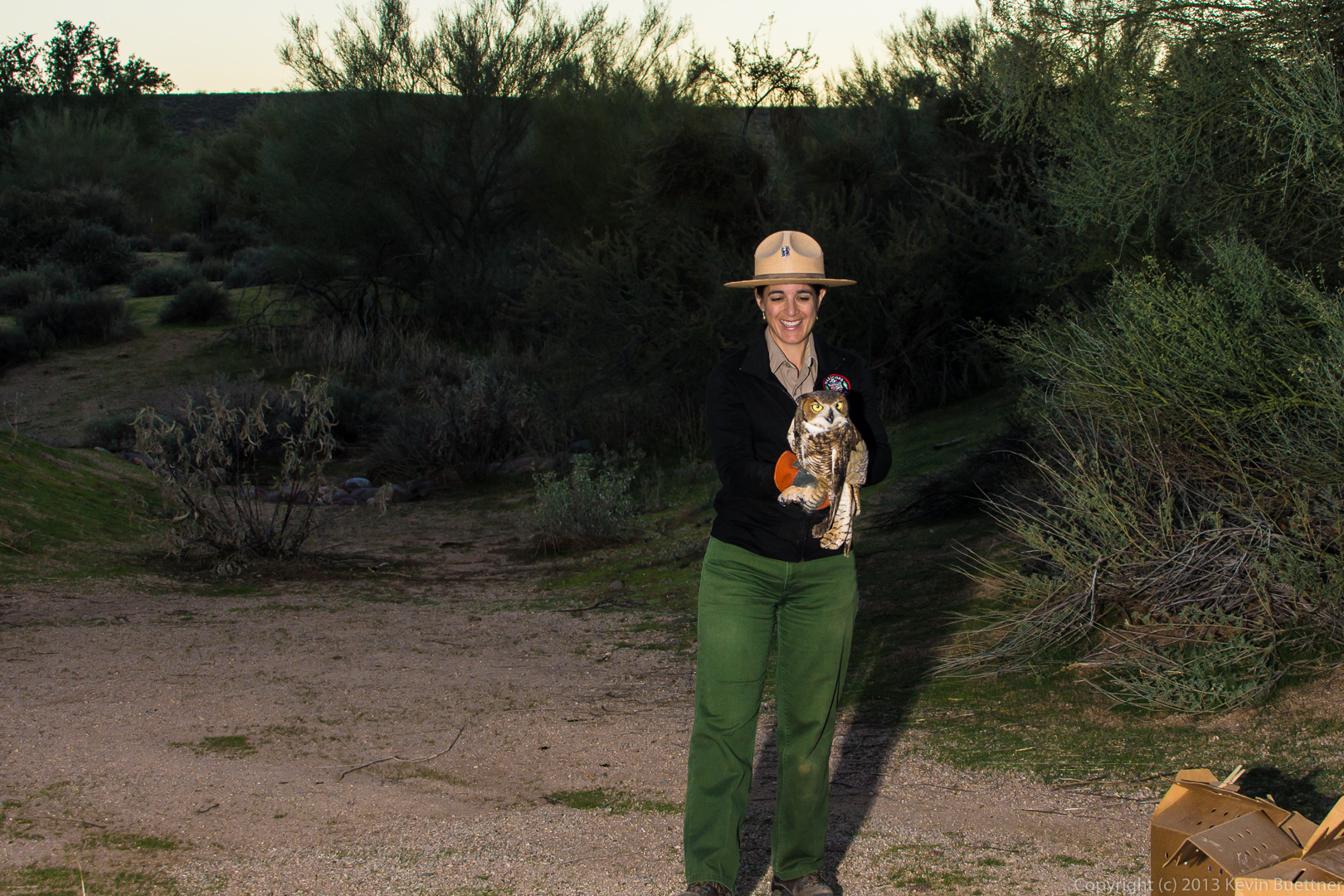
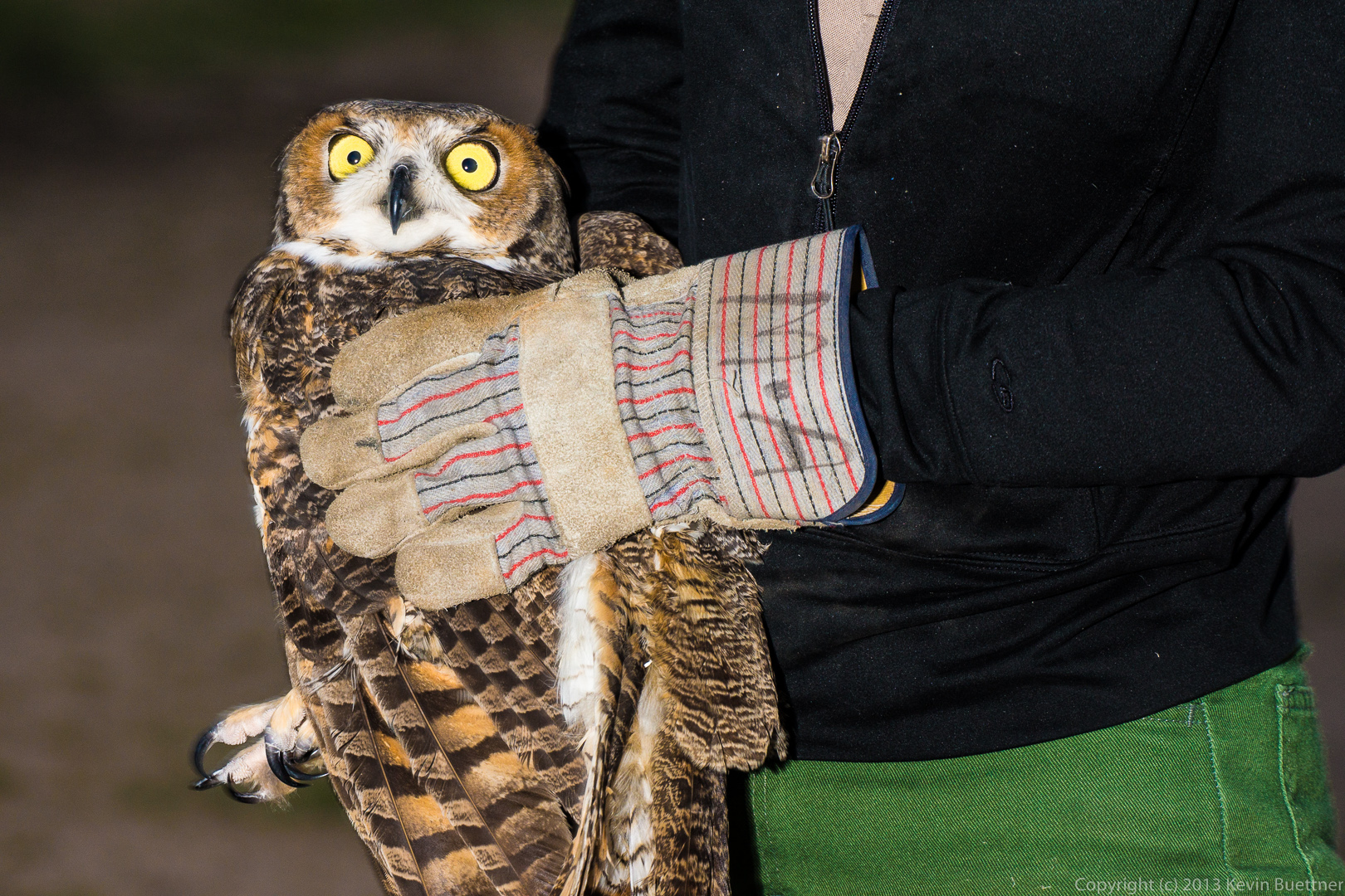
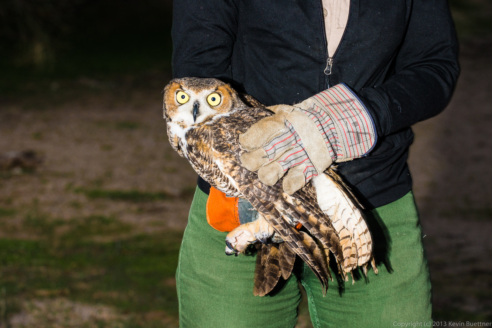
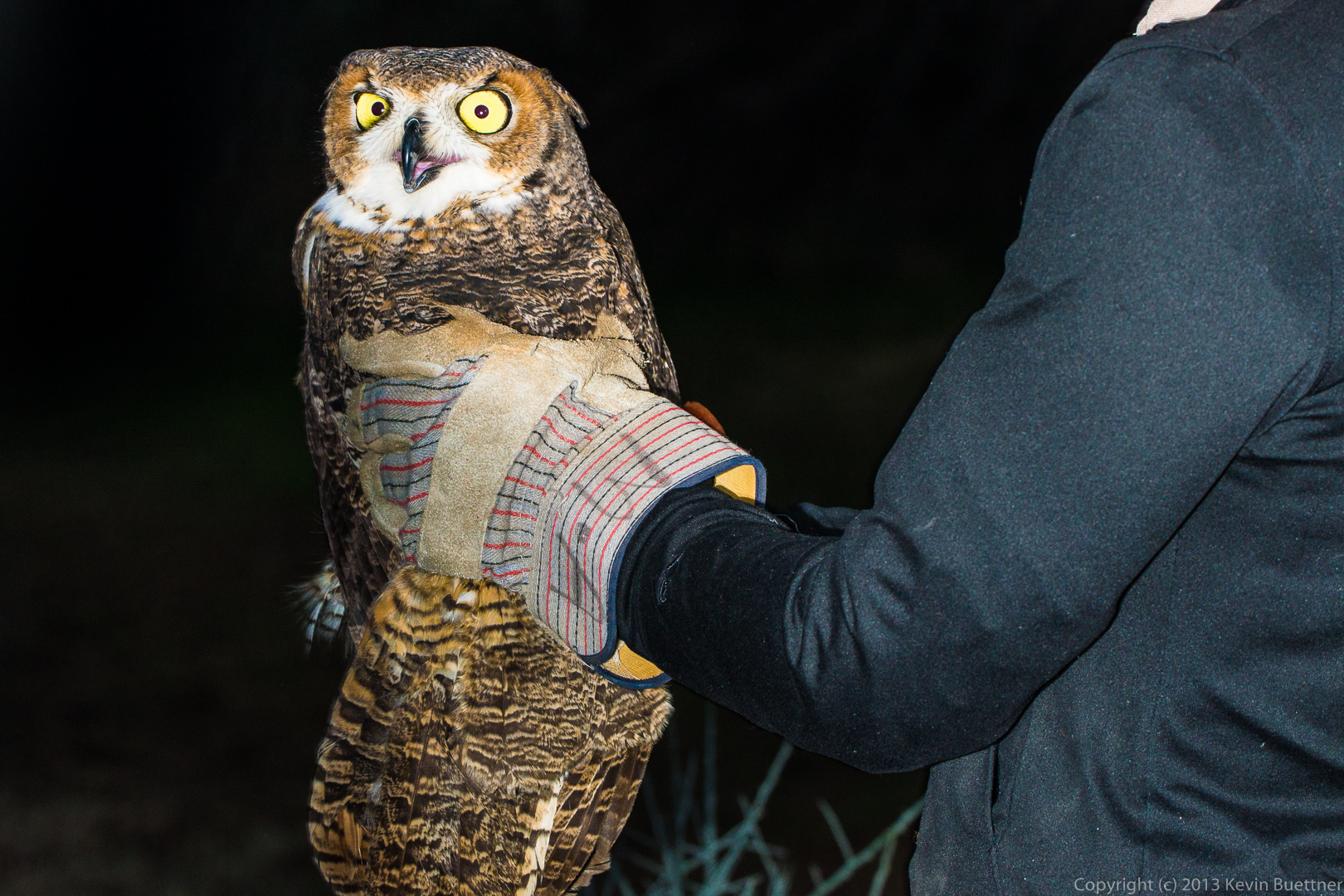
 This shot was taken a moment or two before she flew away.
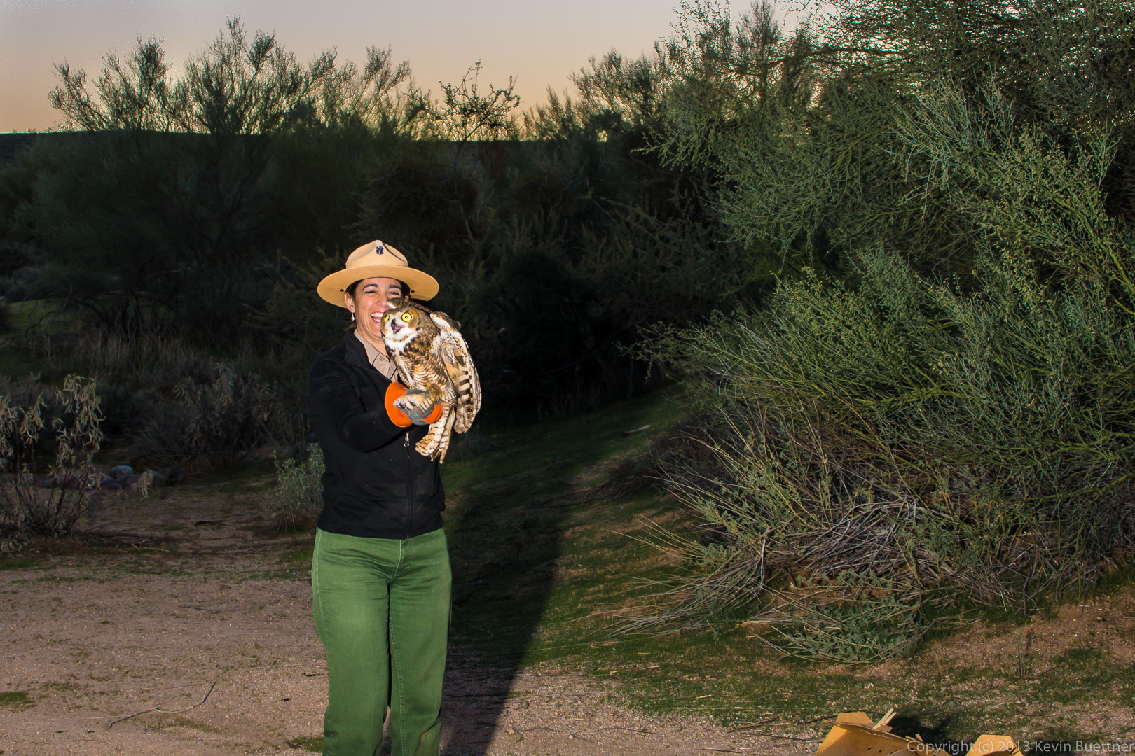


