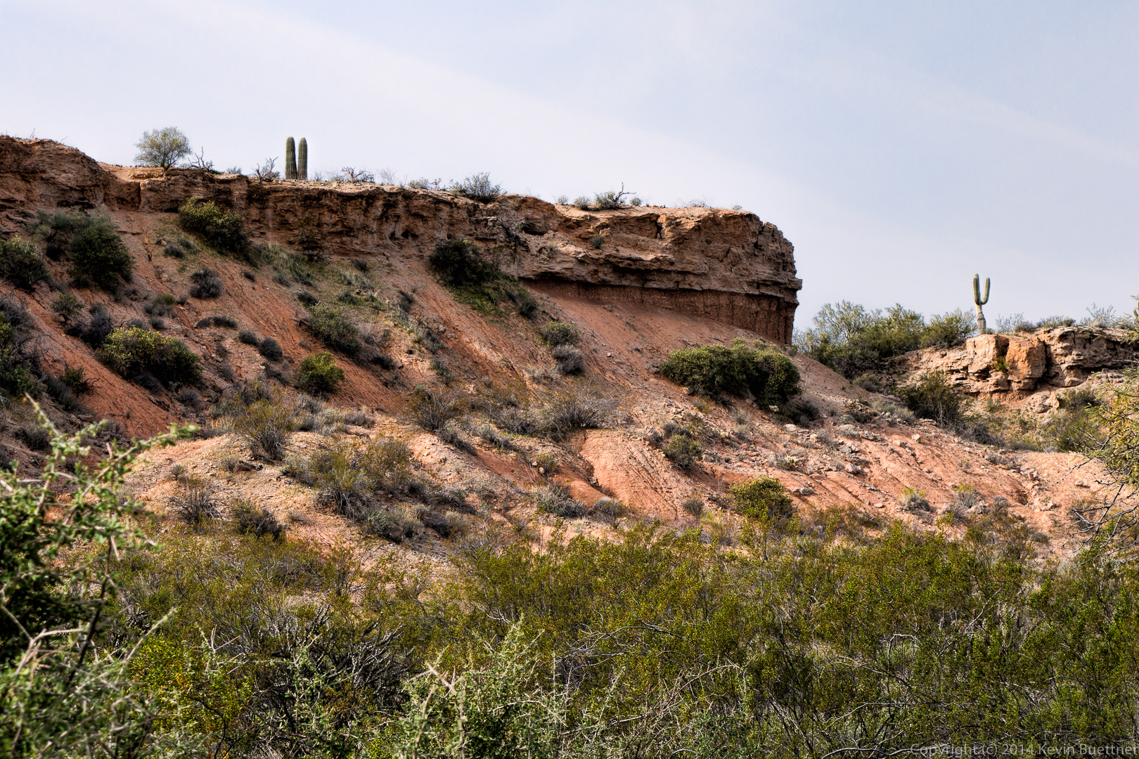
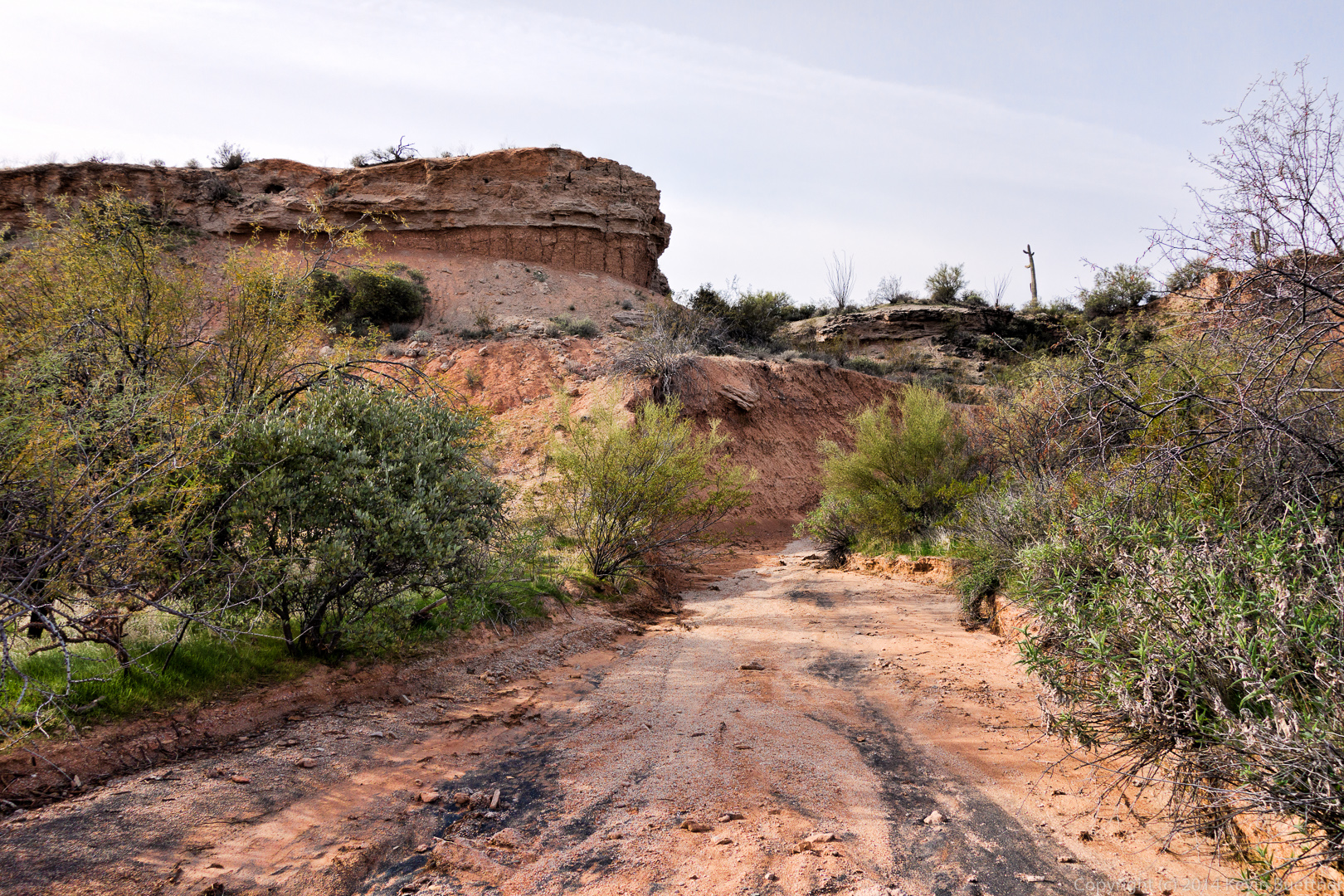
These photos, below, are from the hike that Marilyn and I did on the Dixie Mine Trail last Sunday.

 We saw this deer in the gated community through which we walked on the way back to our car.
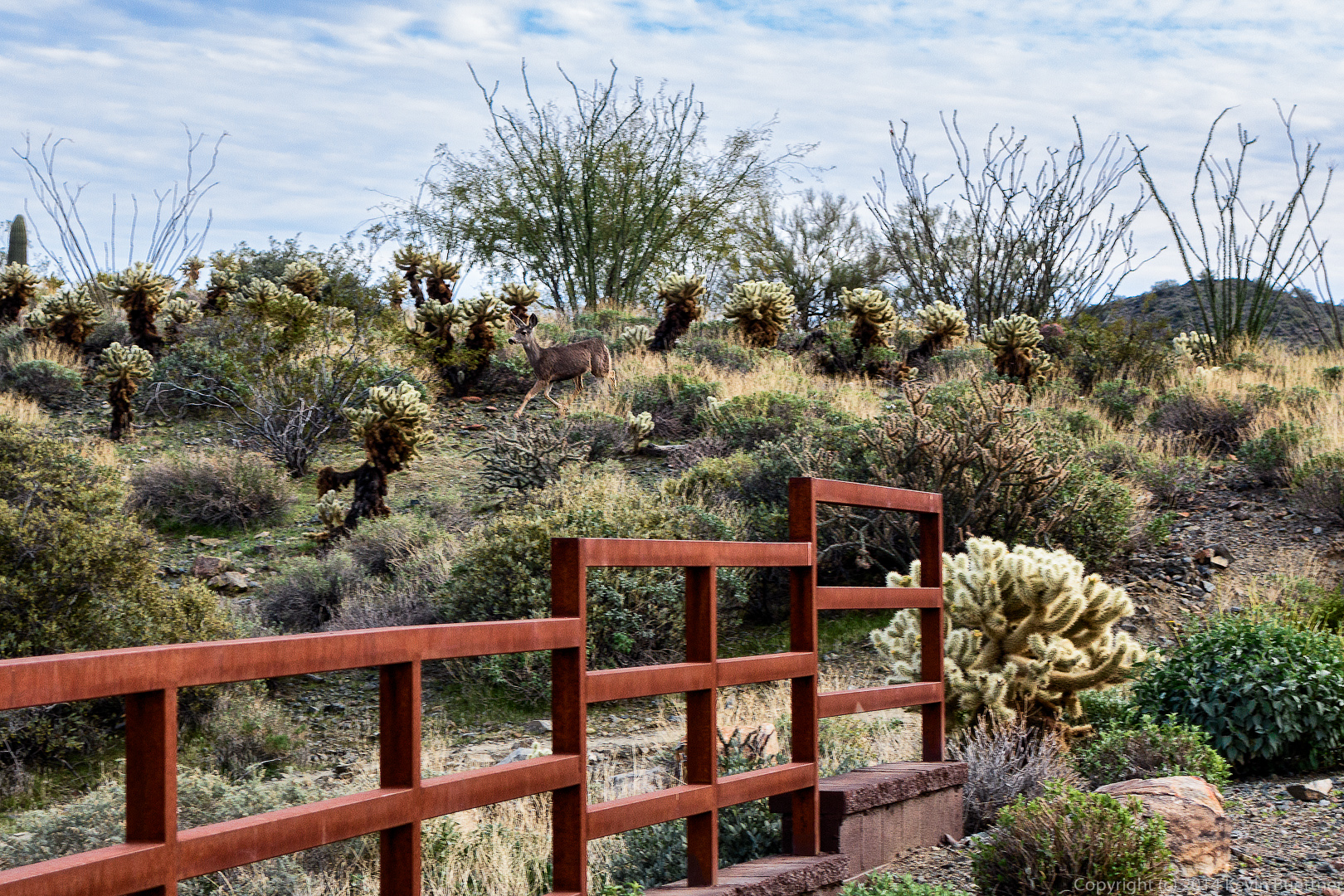
These photos, below, are from the hike that Marilyn and I did on the Dixie Mine Trail last Sunday.
We saw this deer in the gated community through which we walked on the way back to our car.
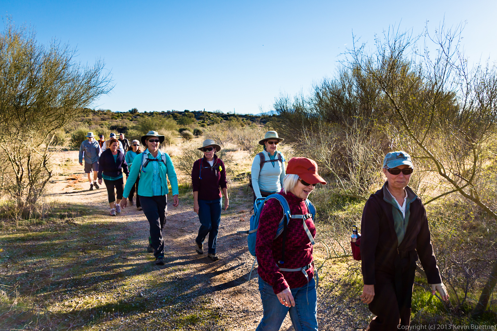
Friday’s hike lead some of us all the way up and then down the Western Loop Trail via the Dixie Mine, Sonoran, and Promenade trails. Those of us who made it that far hiked a total of ten miles with over two thousand feet of total ascent.
We were happy to have Amy with us again. She hiked out to the intersection of Dixie Mine and Sonoran with us. She says her back is feeling better now, though I don’t think she’s totally recovered yet.
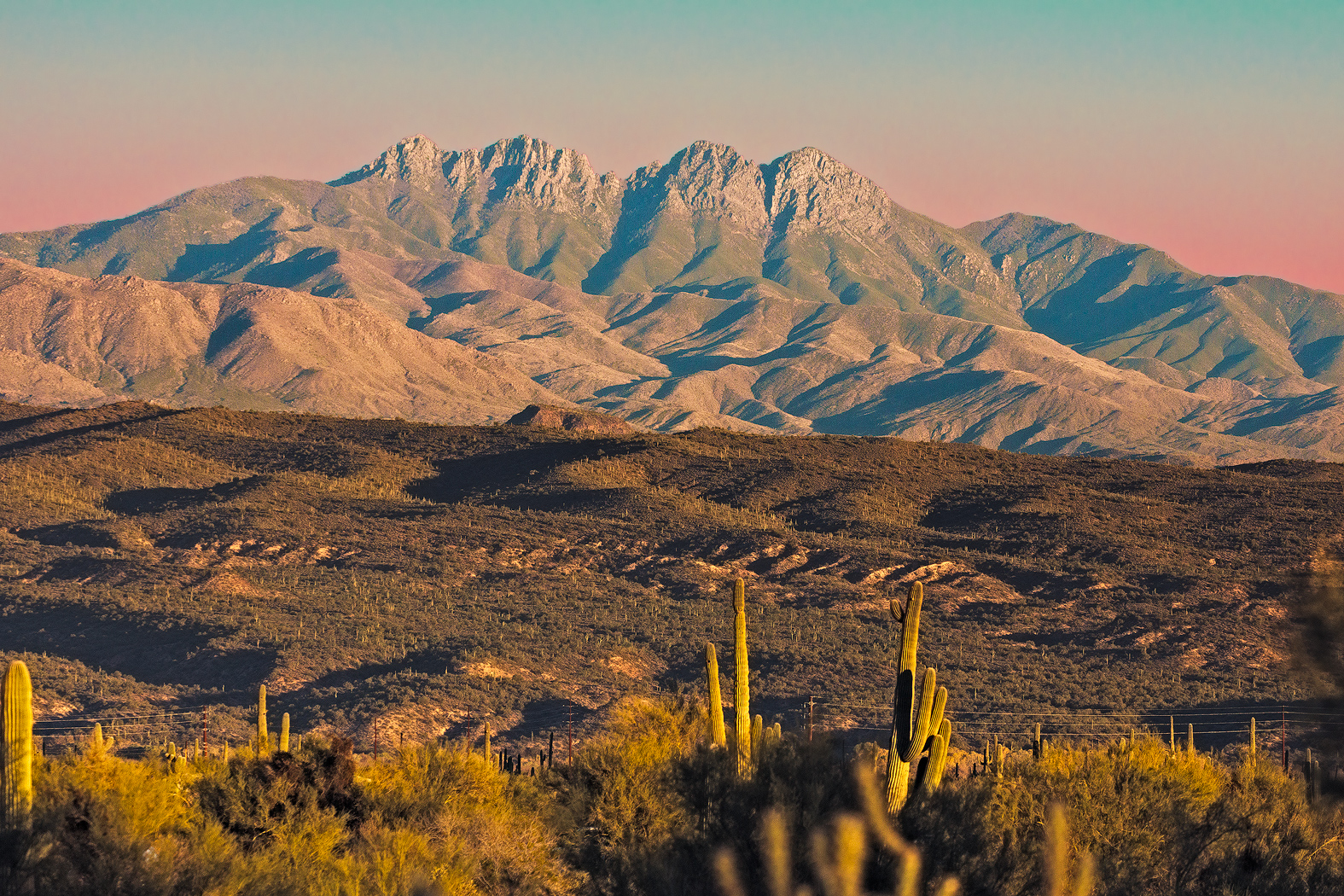
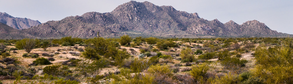
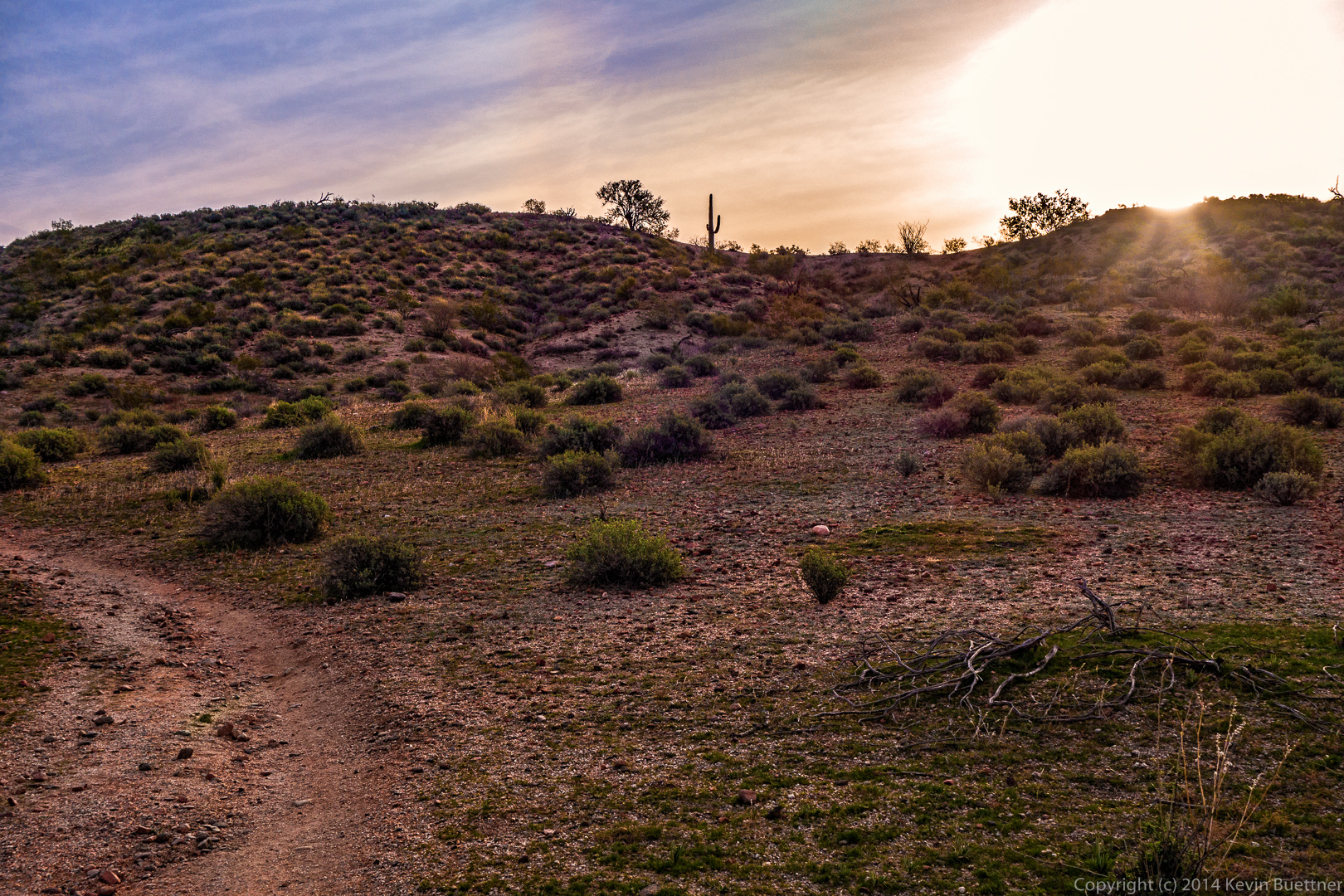
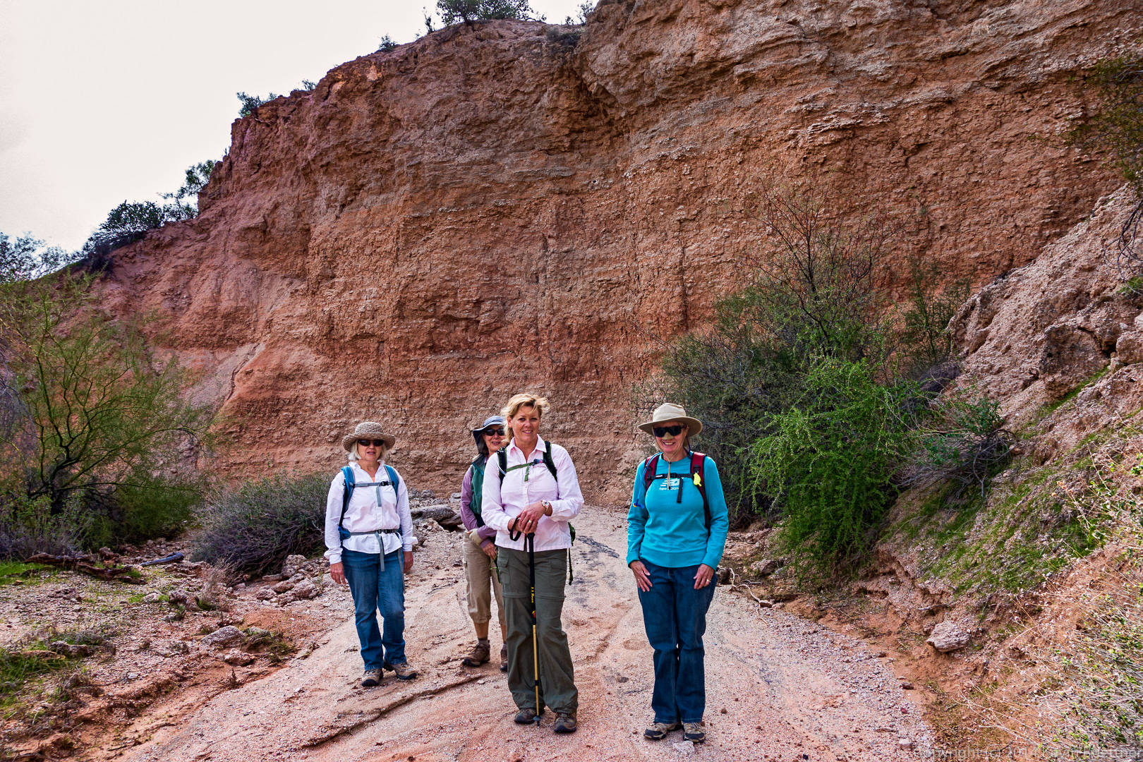
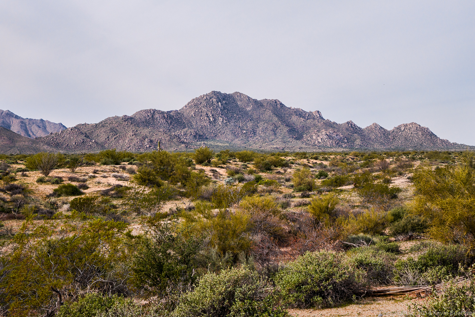
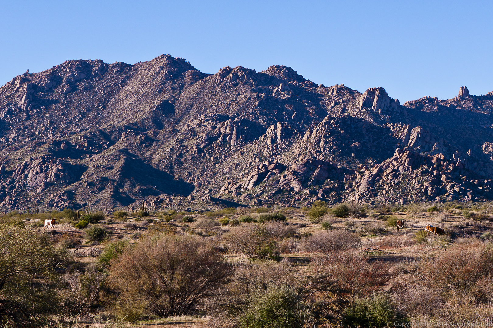
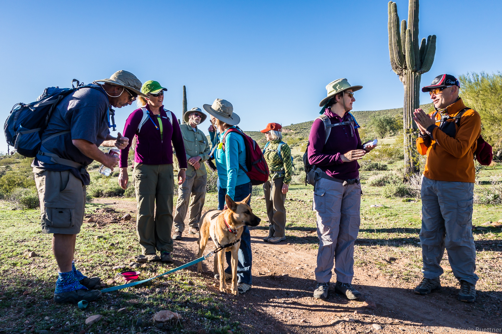
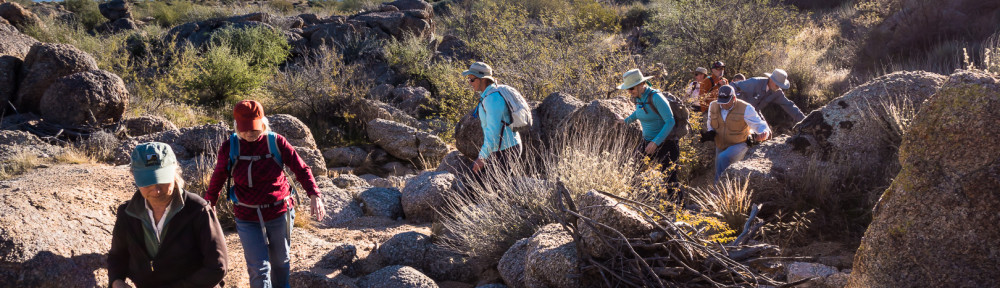
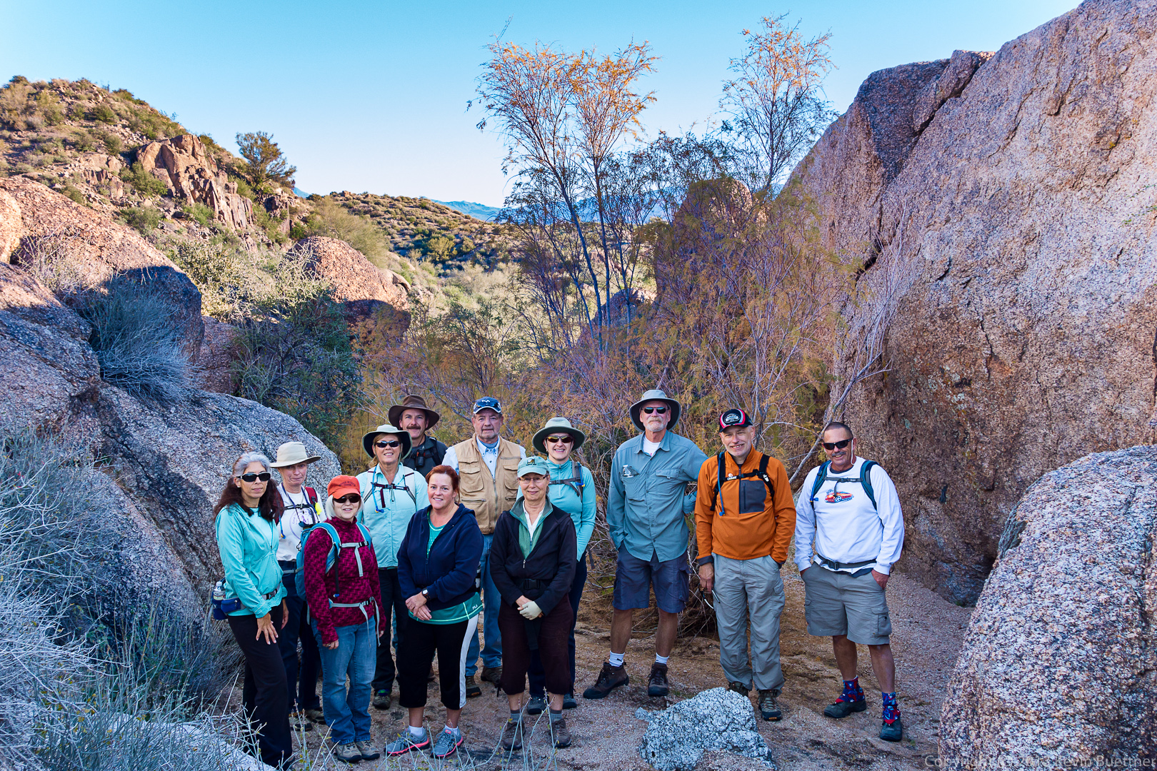
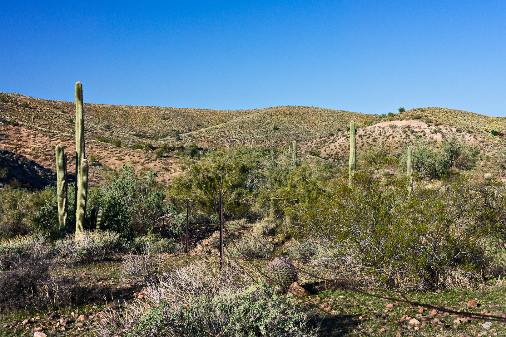
We took this photo, below, just after entering the park proper. From left to right are Richard, Bill, Amy, Janet, Venie, Doug, Linda, Alex, and Ellen.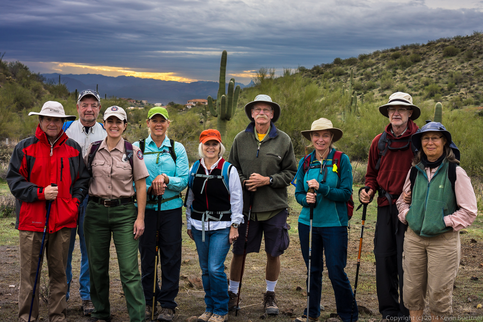 A view of the McDowells from the Dixie Mine Trail:
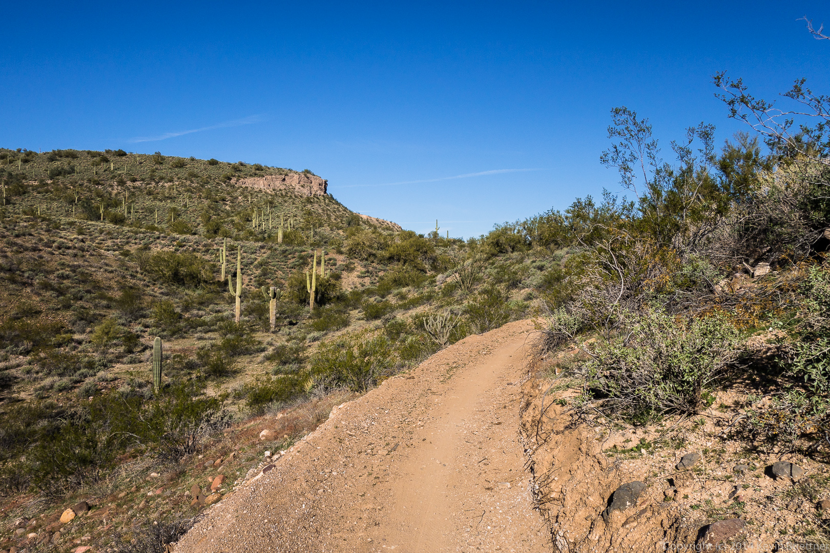
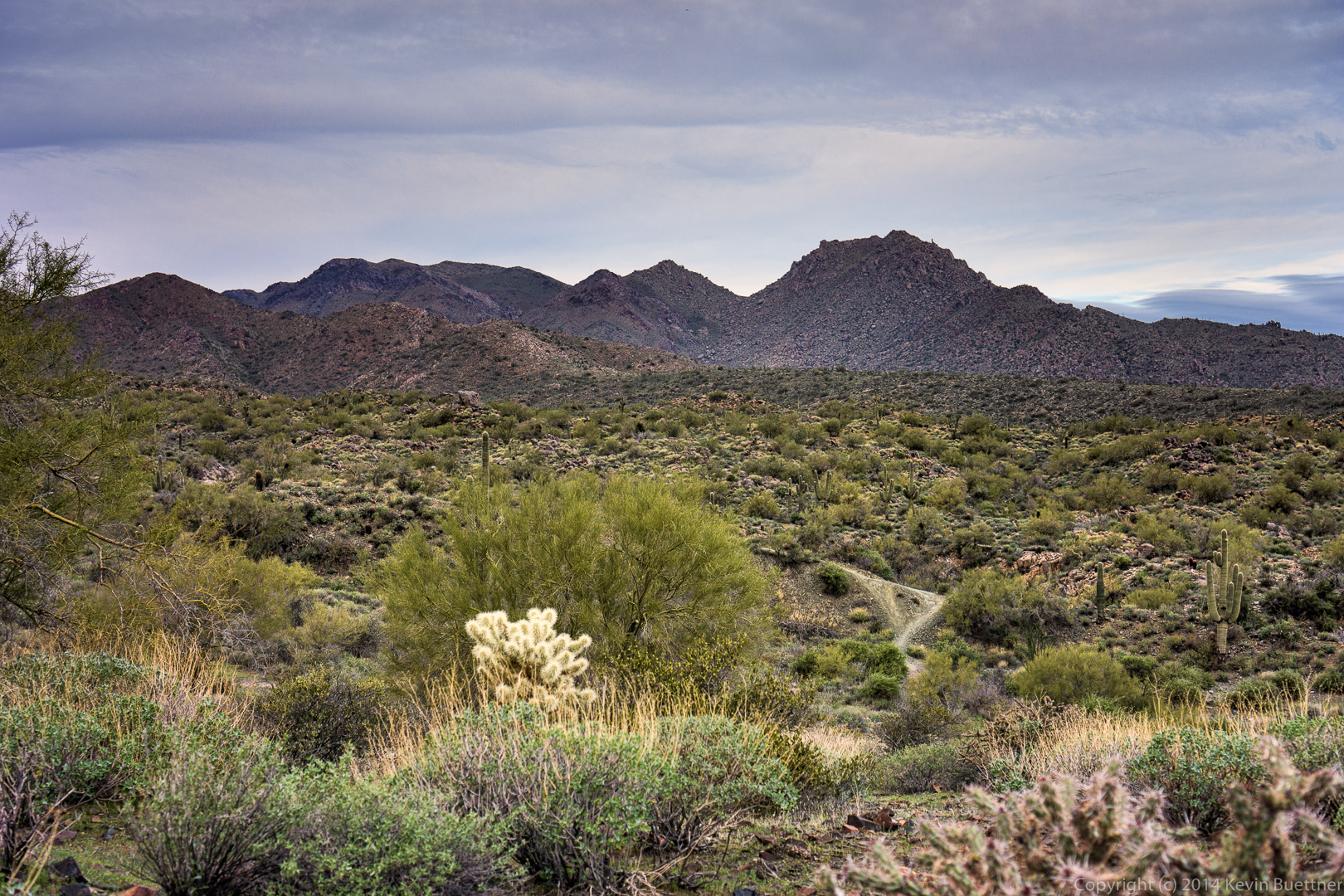 Amy leads the way up one of the short hills on the Dixie Mine Trail.
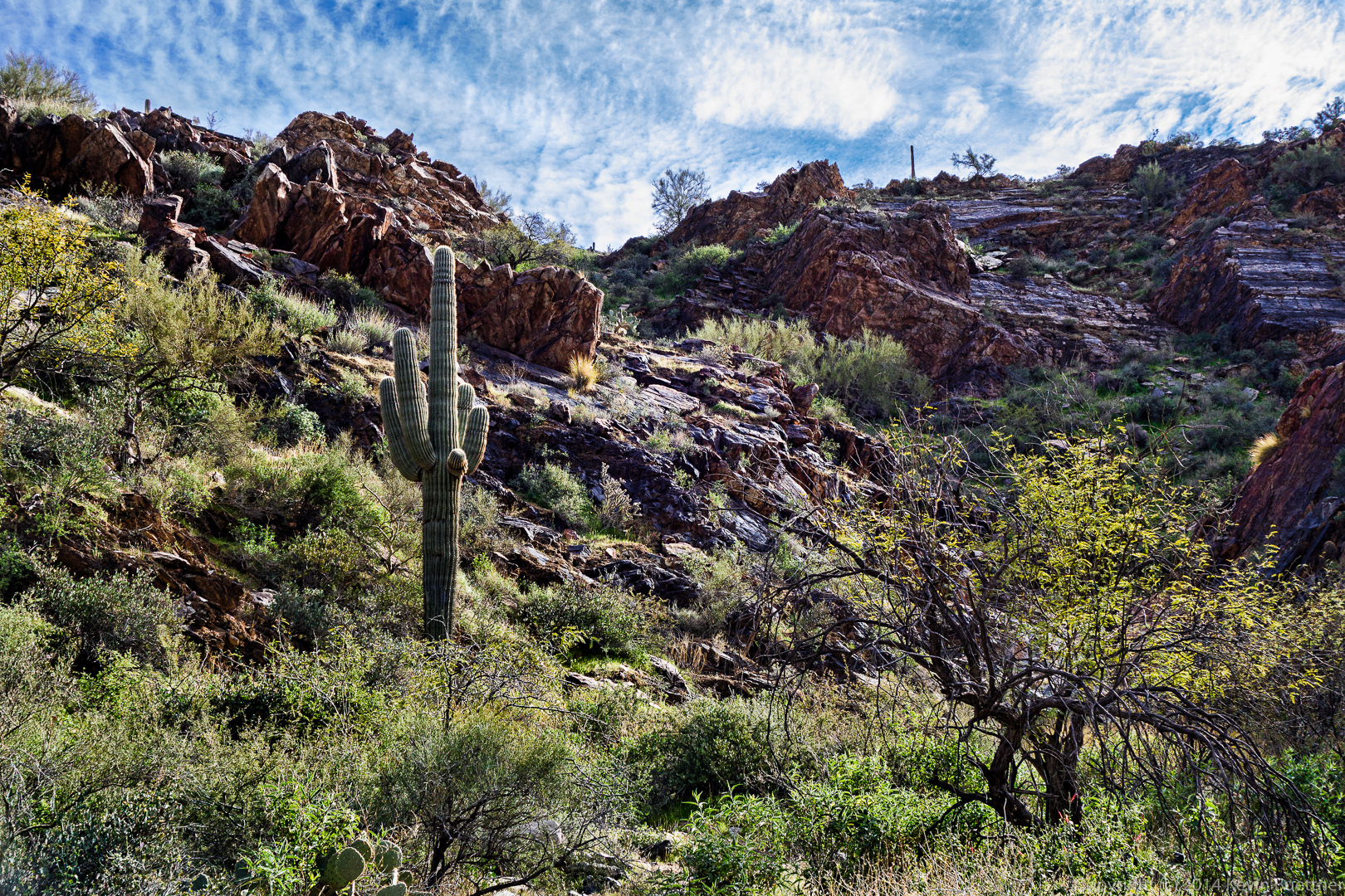
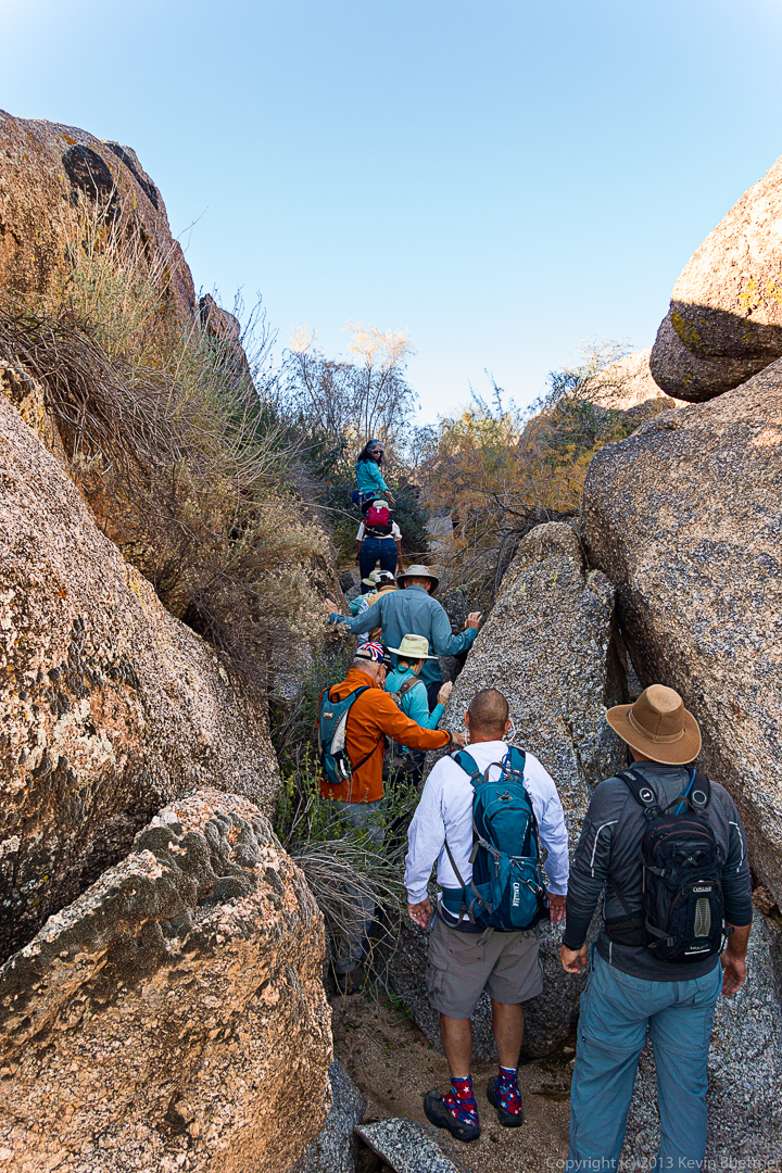
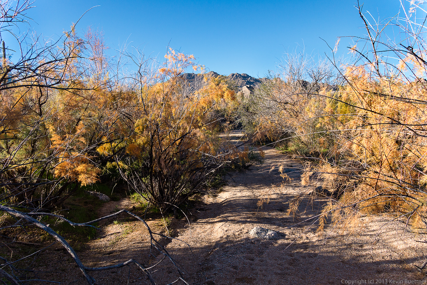
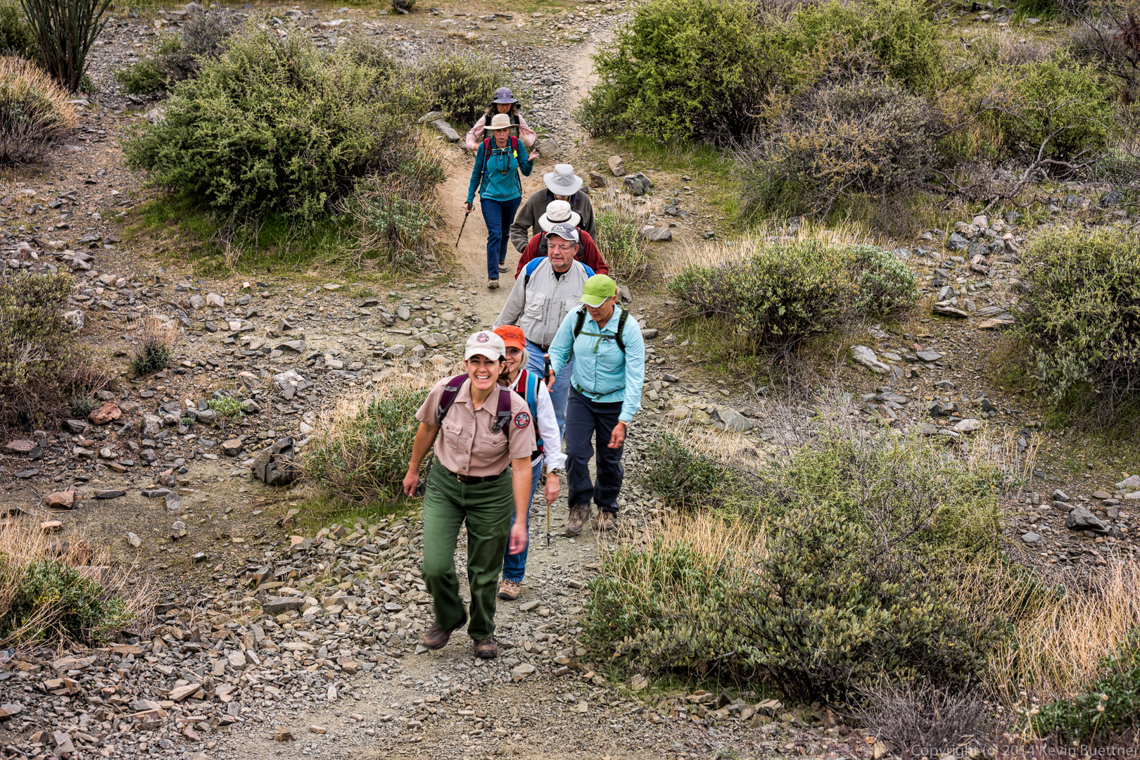 Dead branches and boulders along the Dixie Mine Trail.
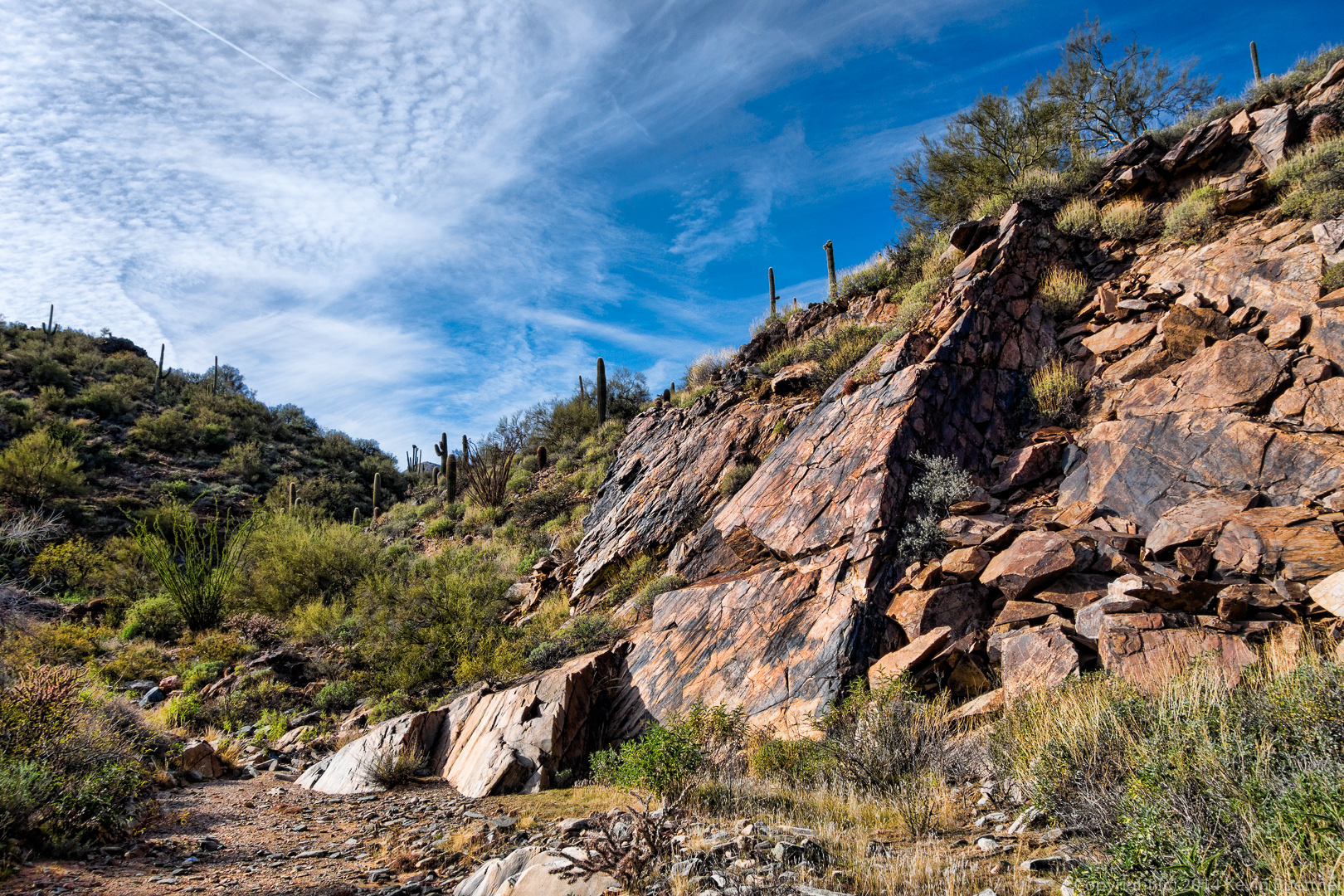
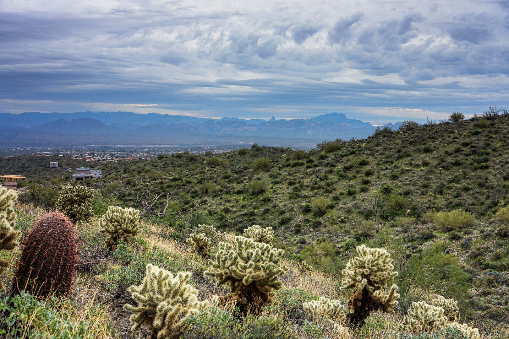
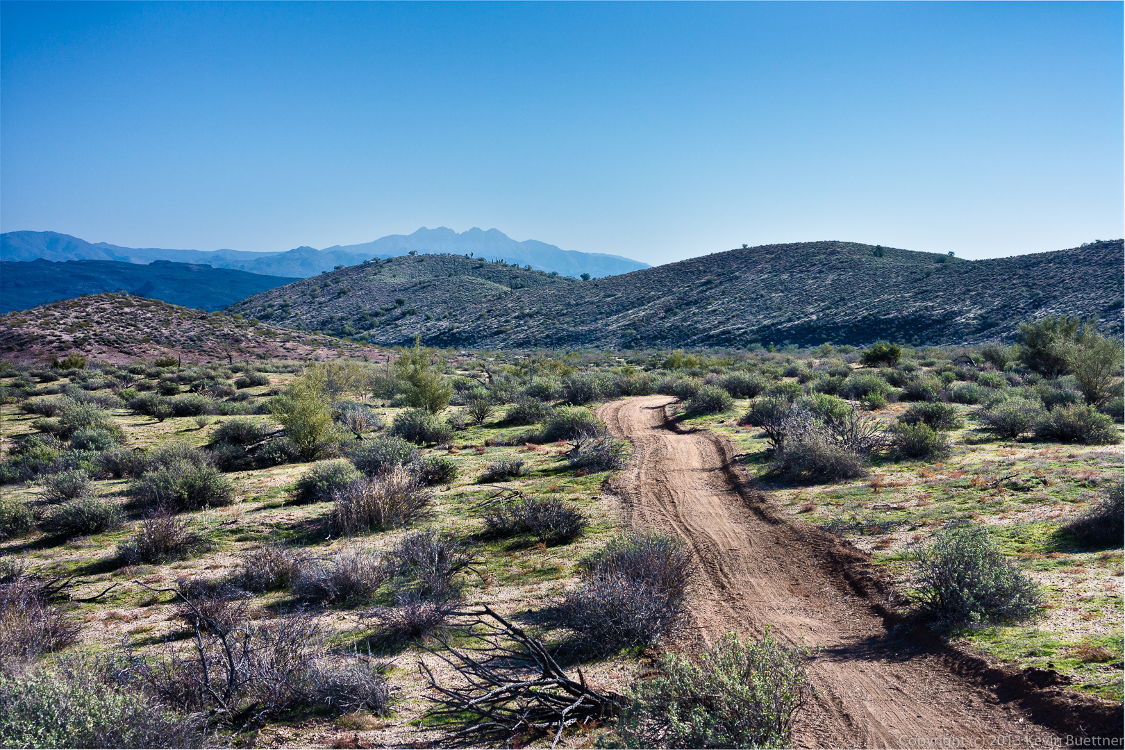
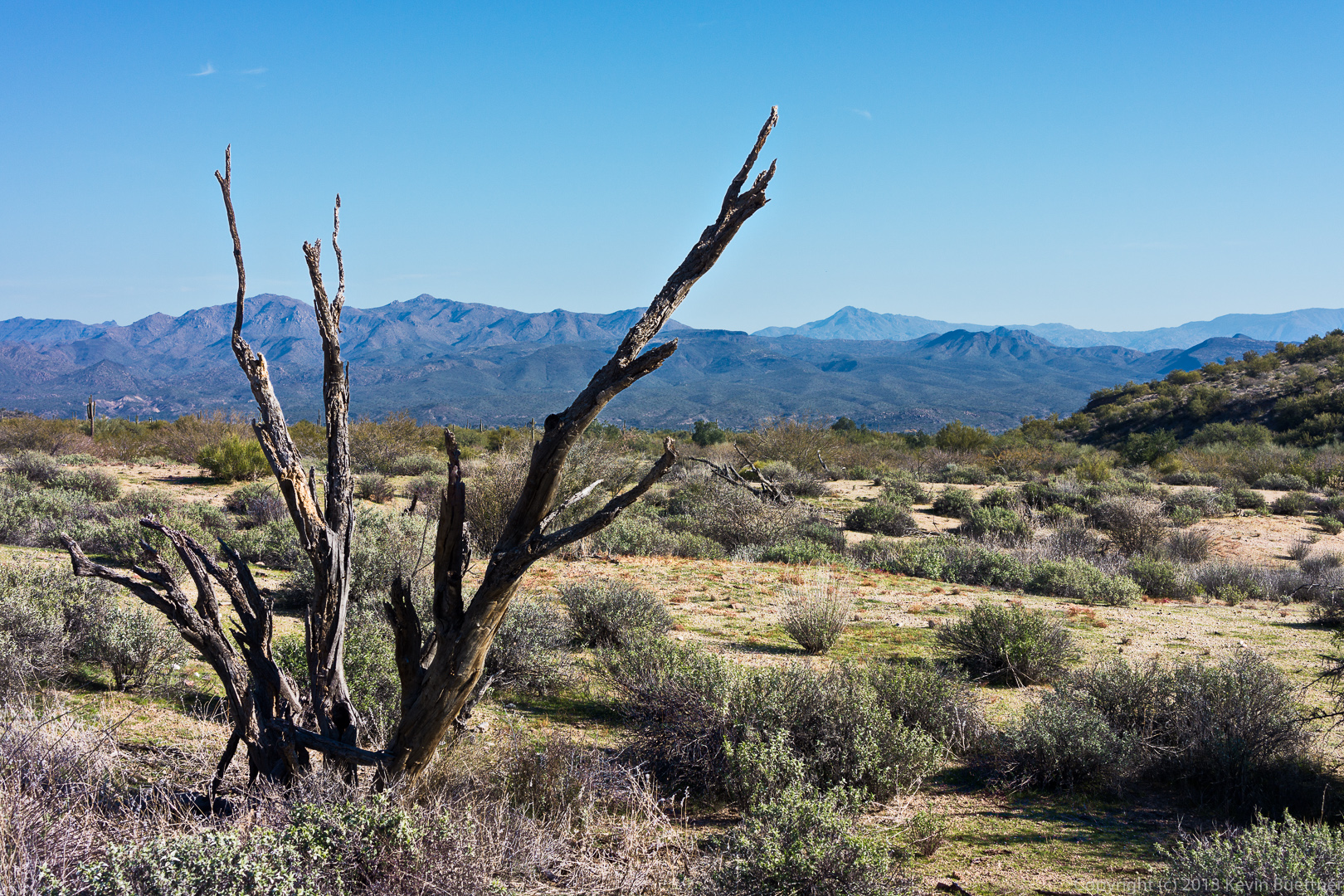
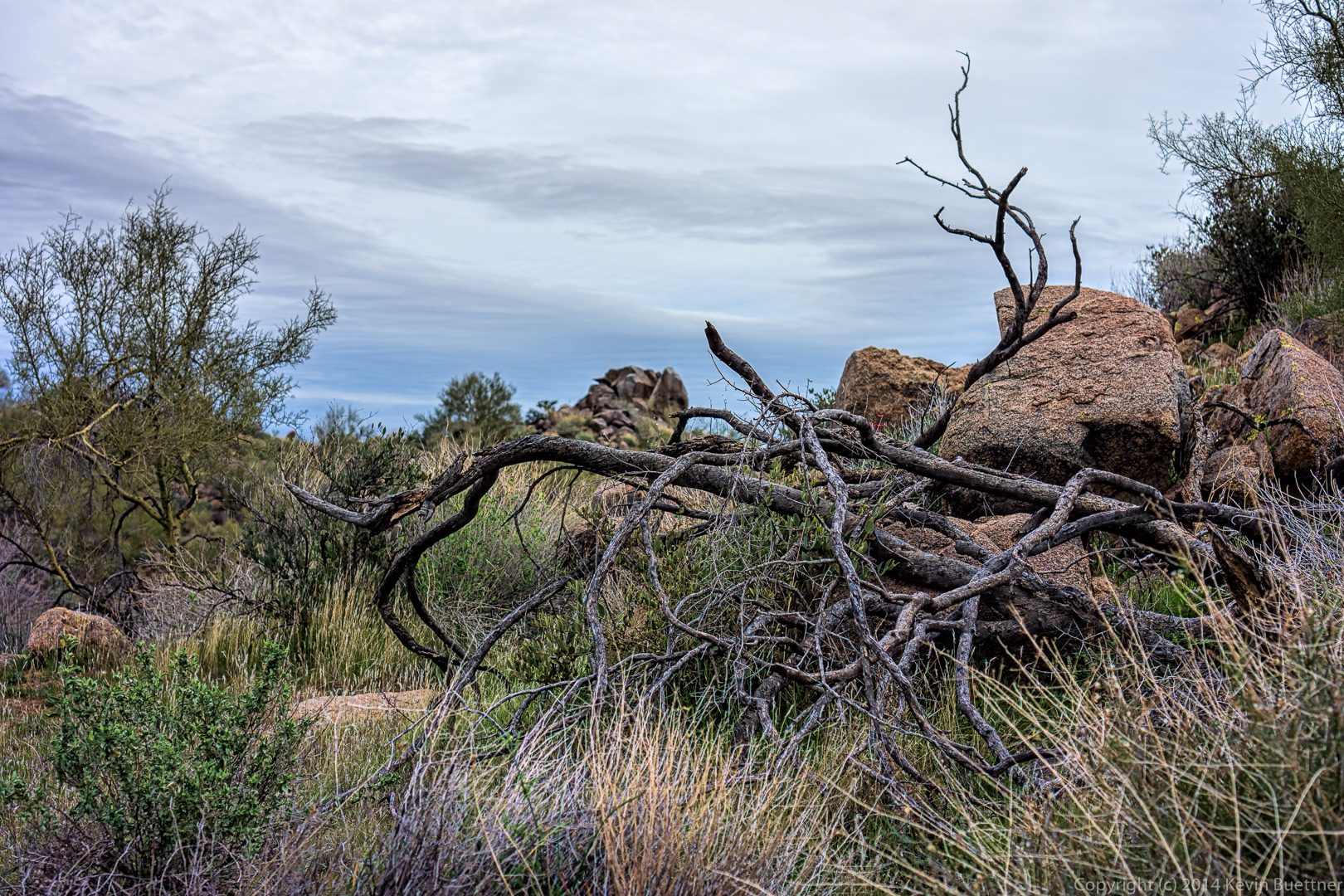 I think this is a view from the Sonoran, though still within McDowell Mountain Park.
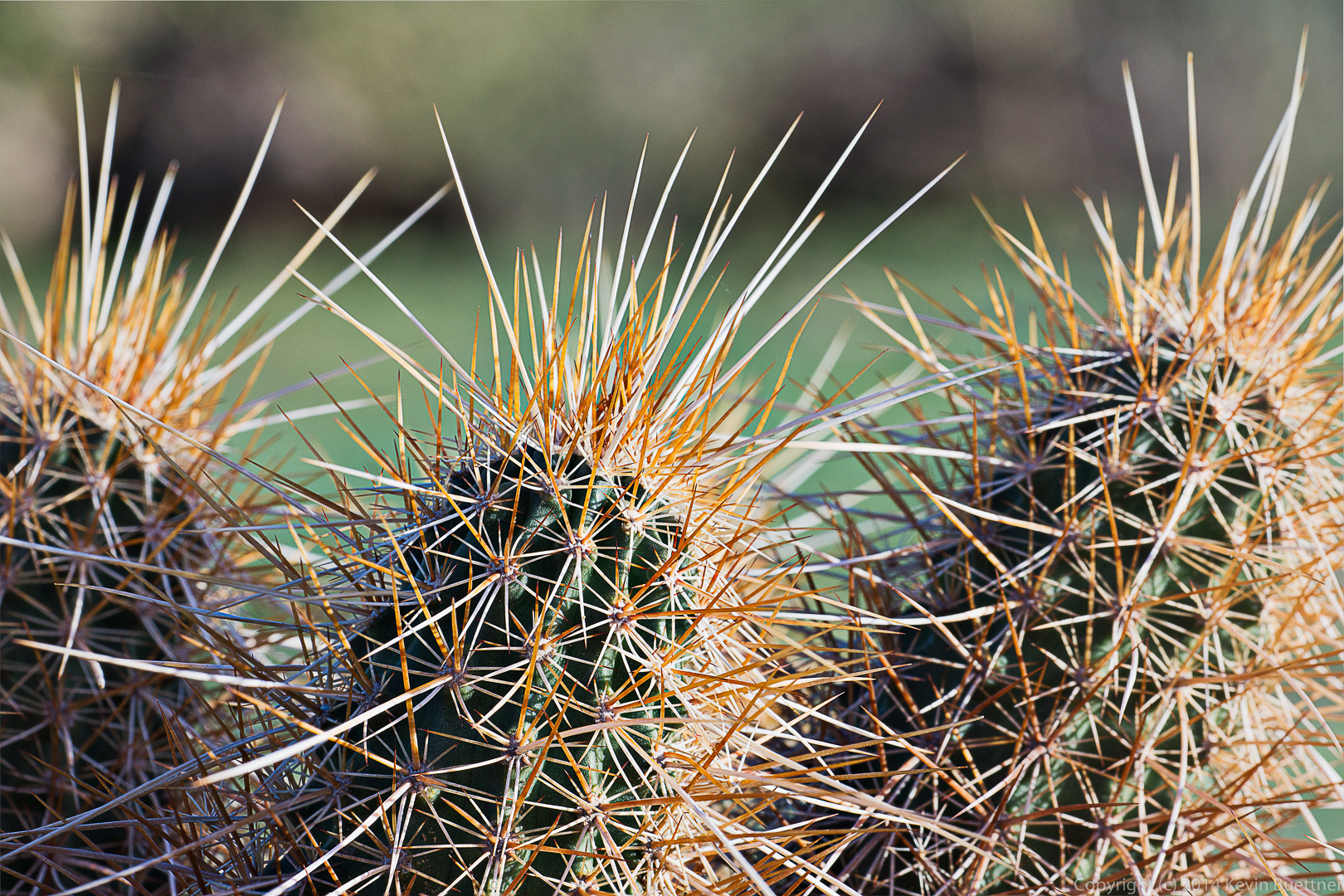
 Hedgehog cacti (I think):
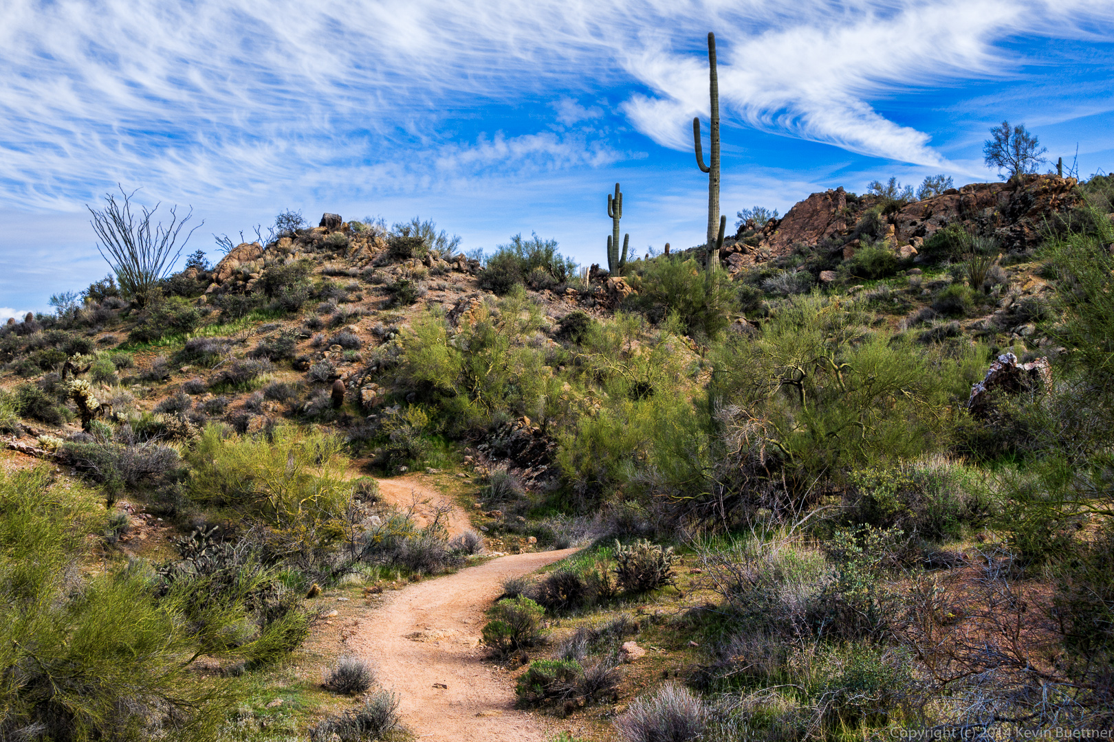
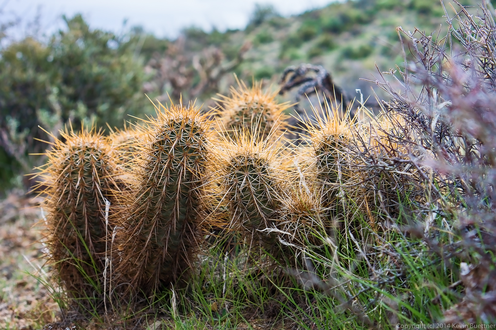 A view of the Sonoran Trail.
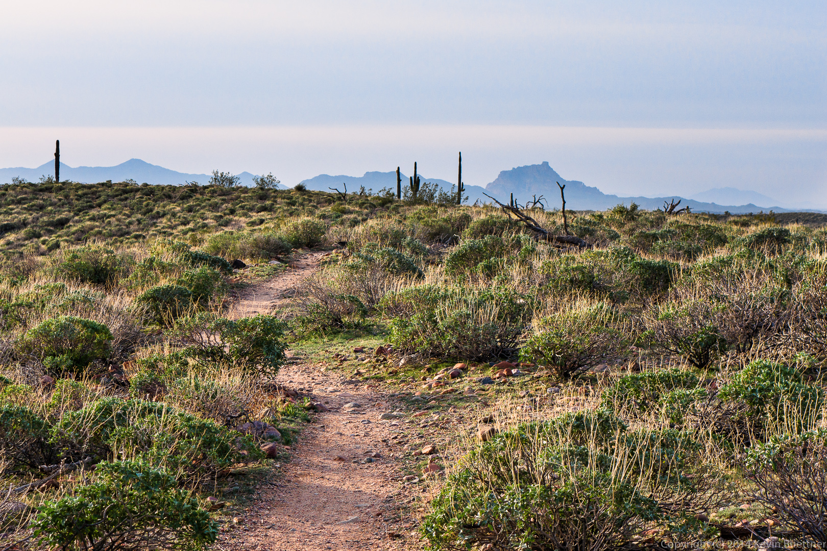
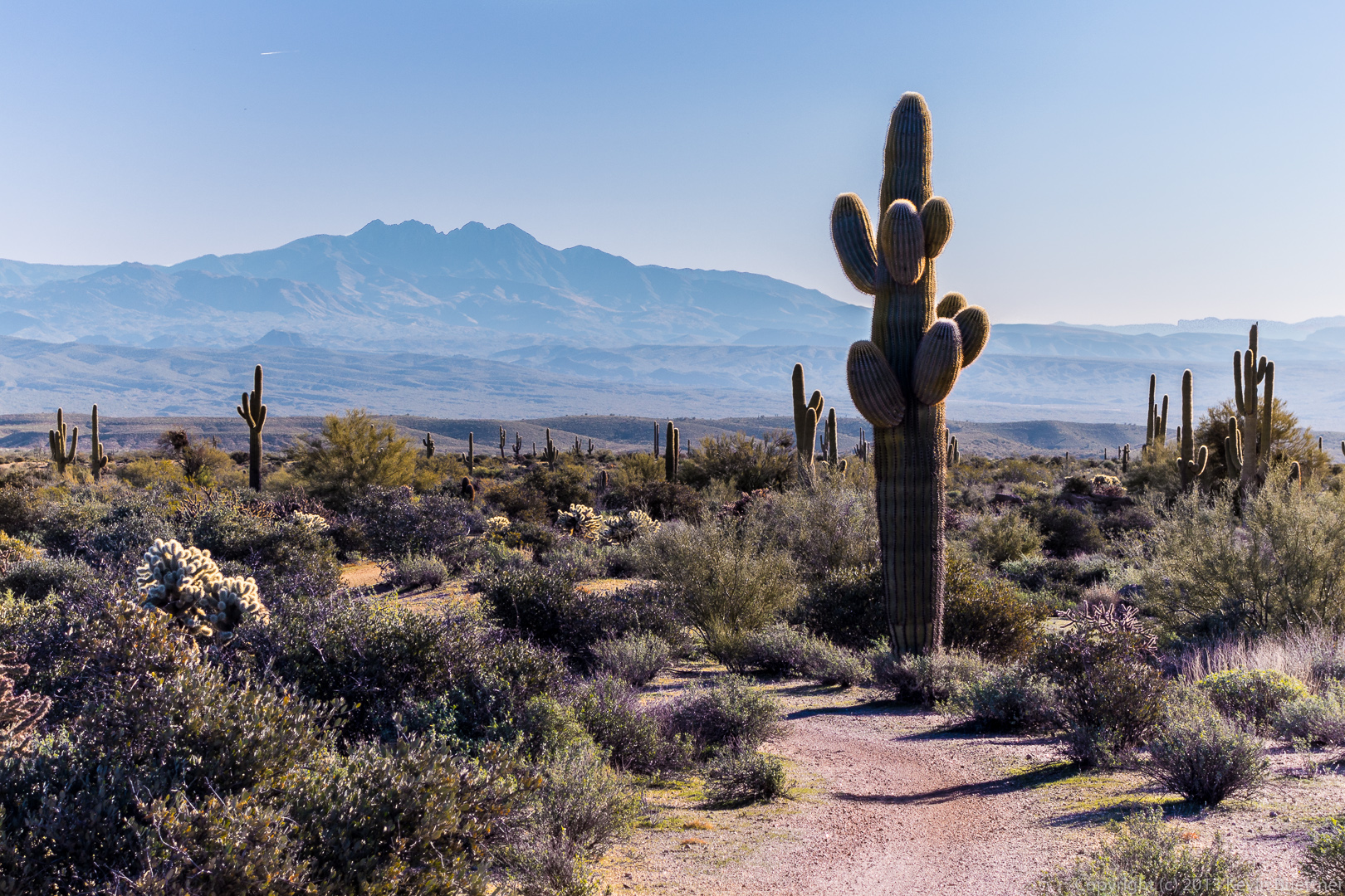
I think we were on the Western Loop Trail when I took this photo. Tom’s Thumb is barely visible on the far right.
 Venie, Ellen, and Alex enjoy the view from the Western Loop Trail.
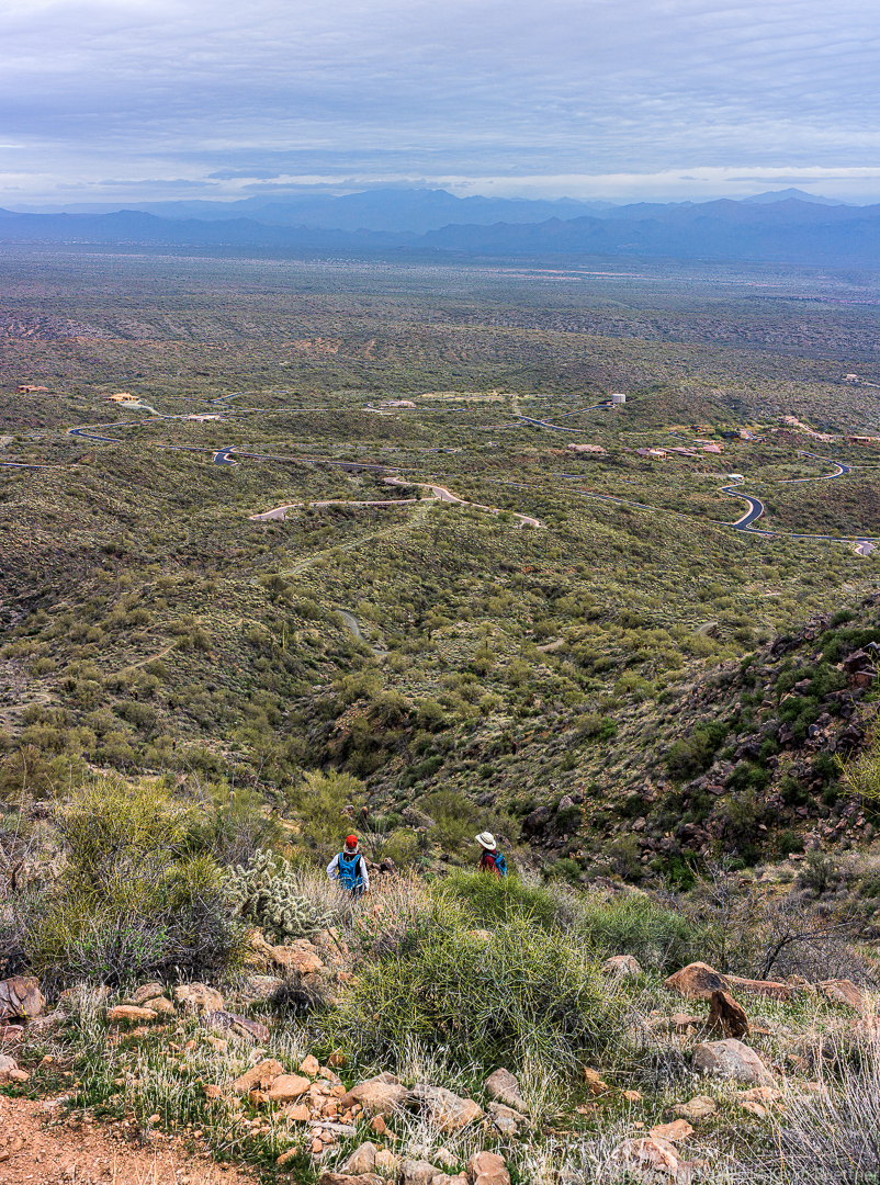
Yet another view from the Western Loop Trail.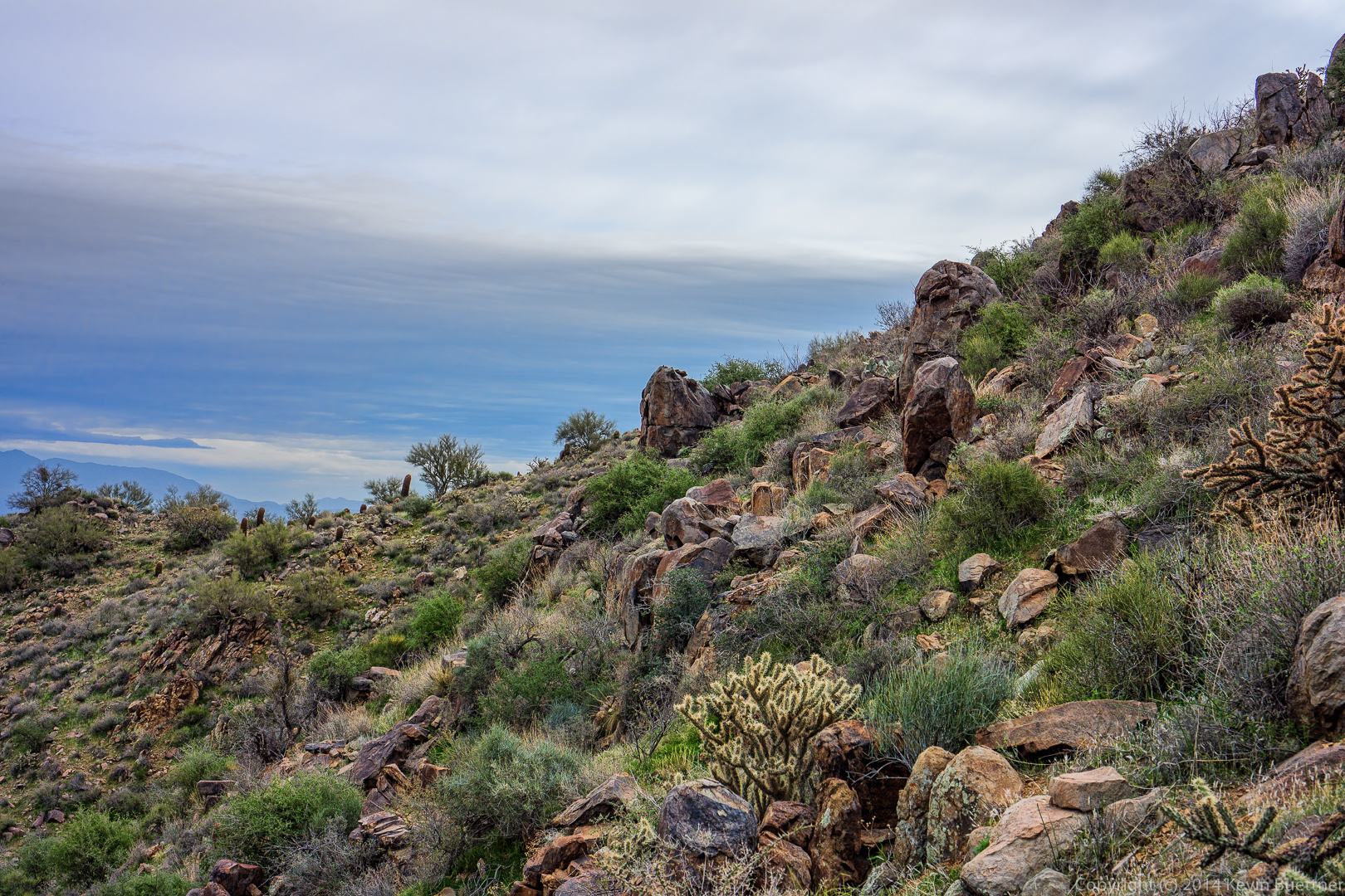
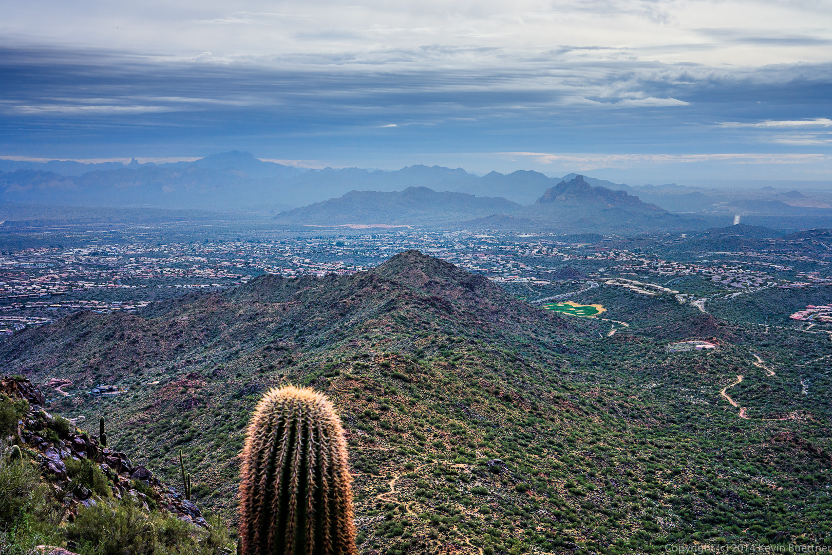
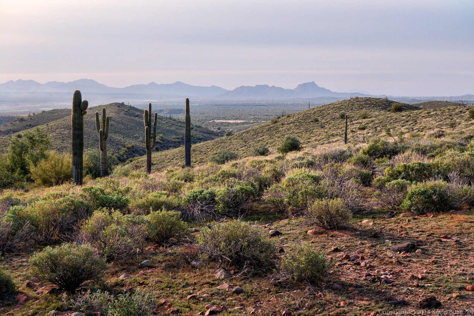
A view from the Western Loop Overlook: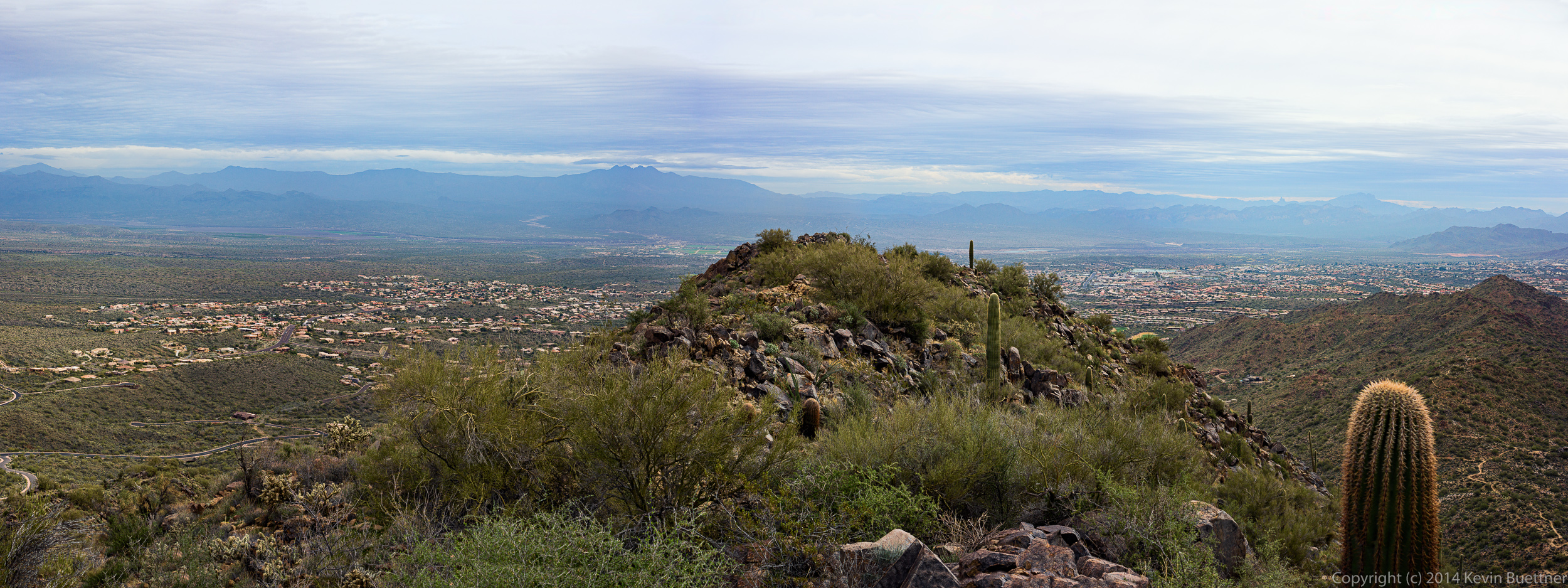 Weaver’s Needle and Red Mountain are visible in the haze in the distance.
 Another view from the overlook:
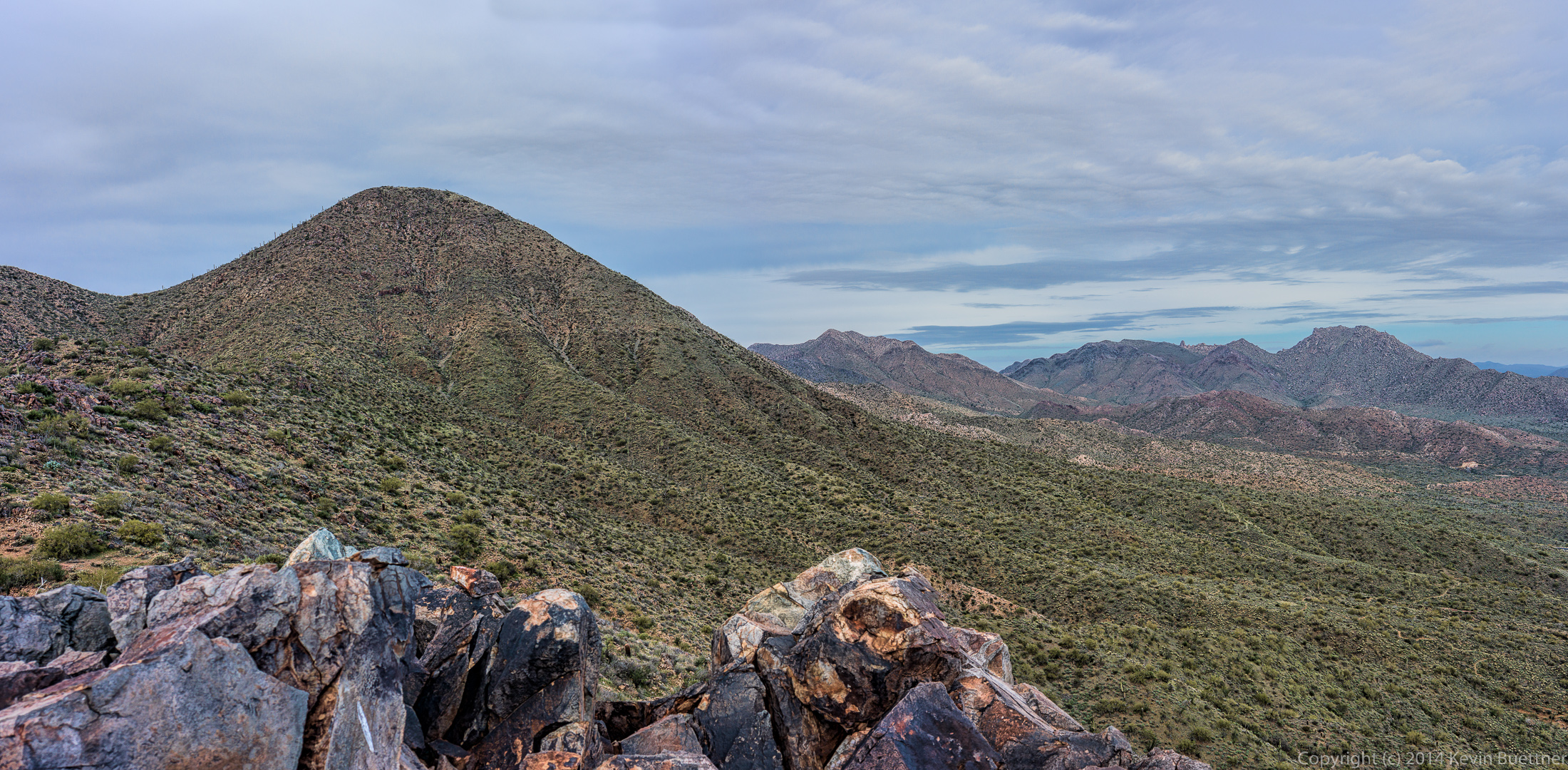 A view while descending the Western Loop Trail:
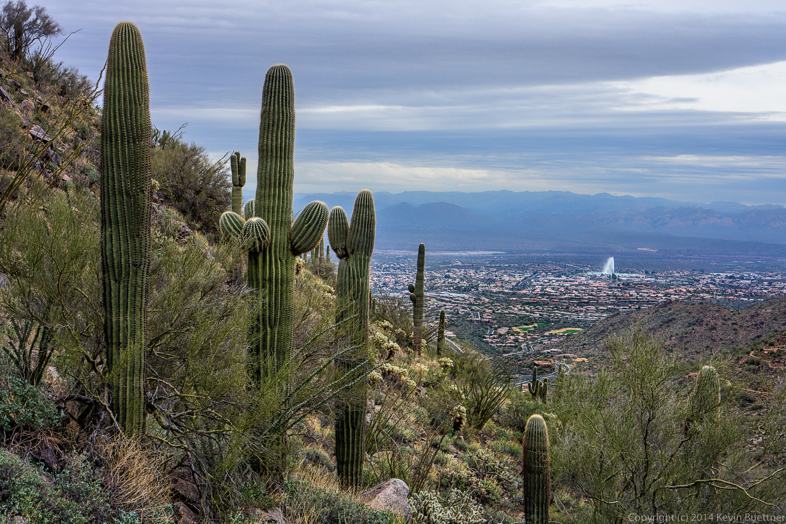
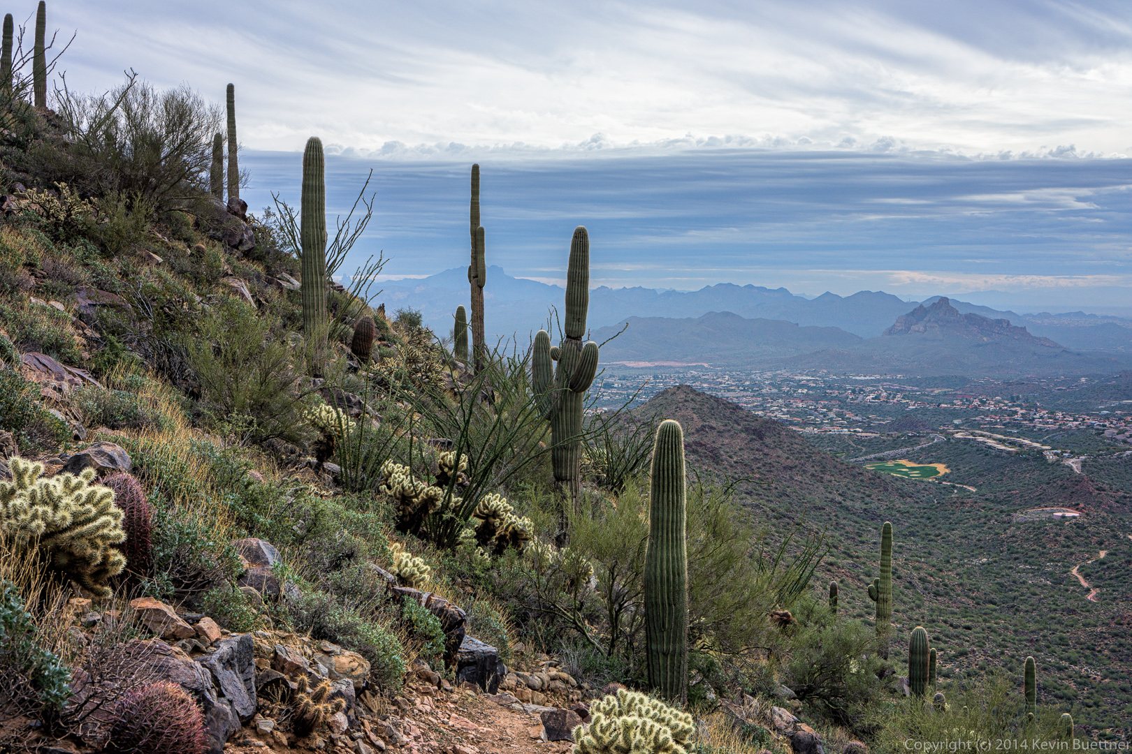 We saw the Fountain several times during our hike.
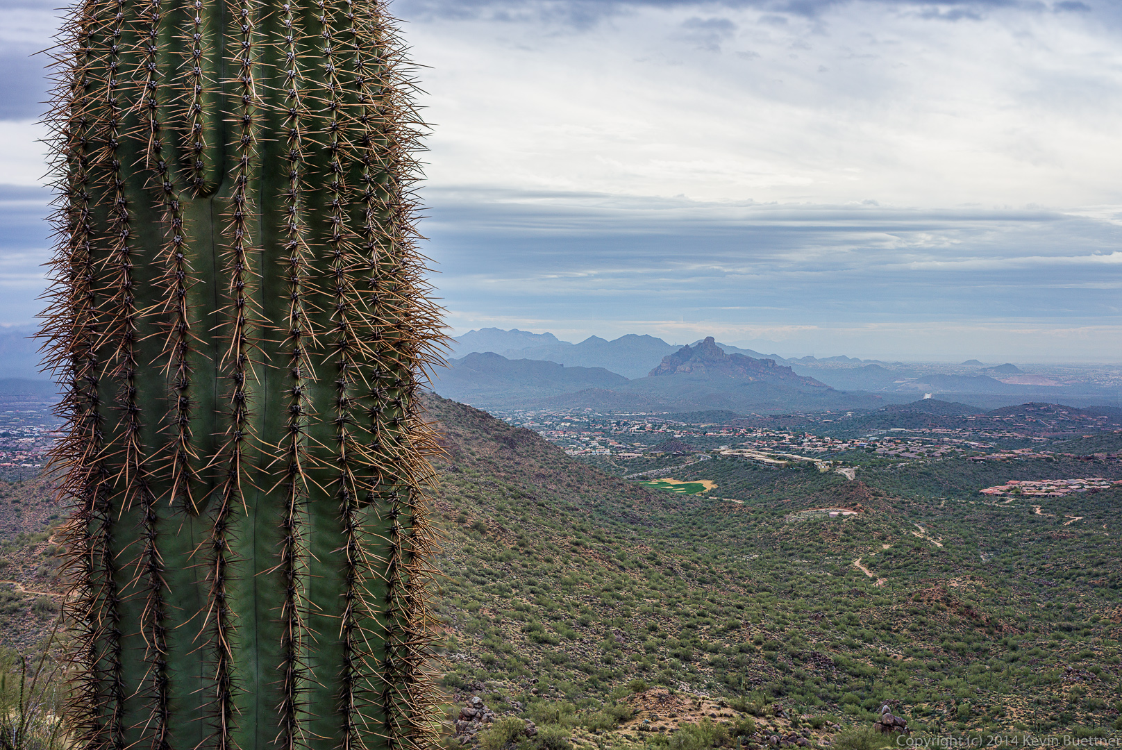
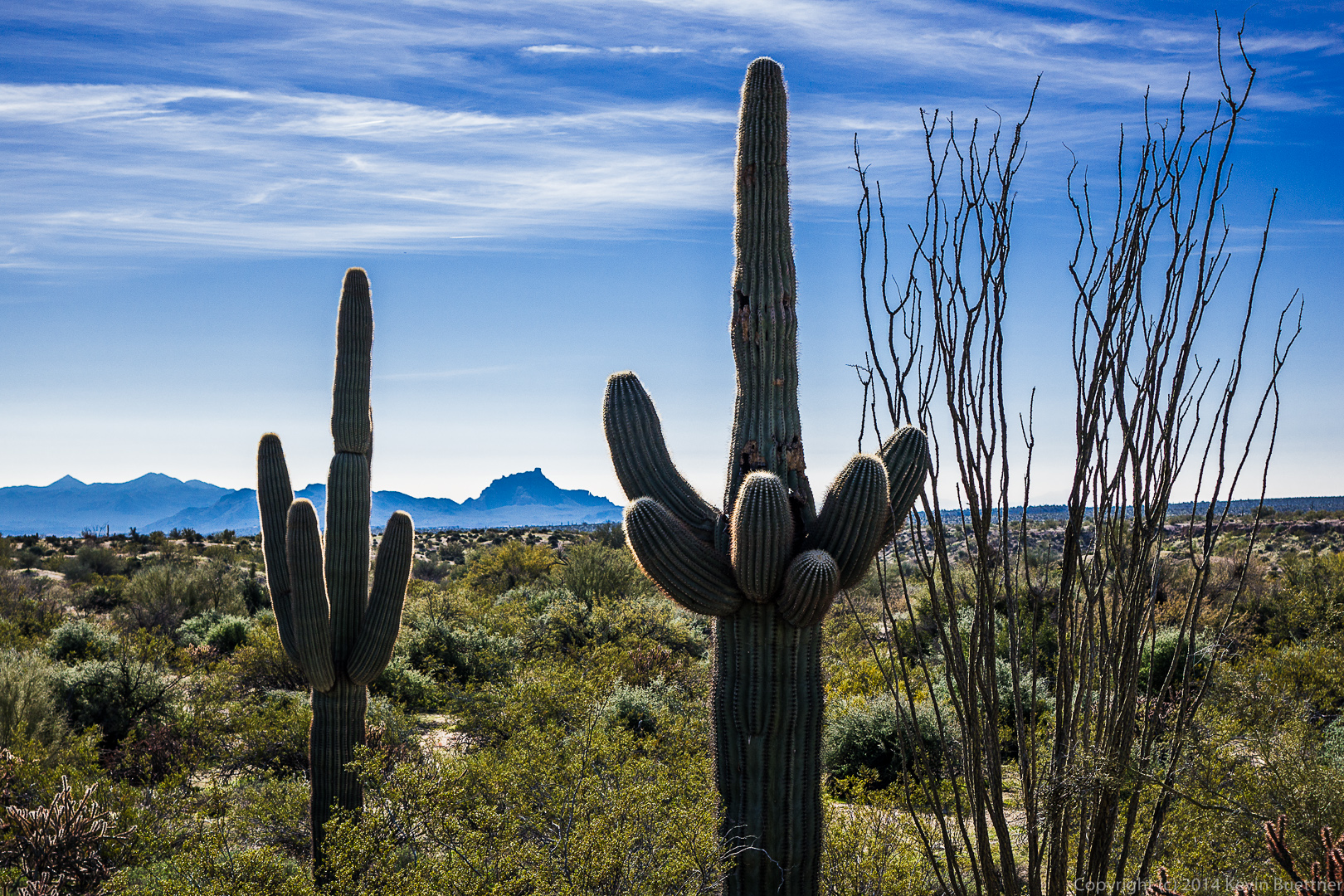
 I tried to get both the saguaro and the background in focus in this shot below. I combined two exposures to do this. Unfortunately, there’s some blurred areas around the needles lower down which could not be blended very well.
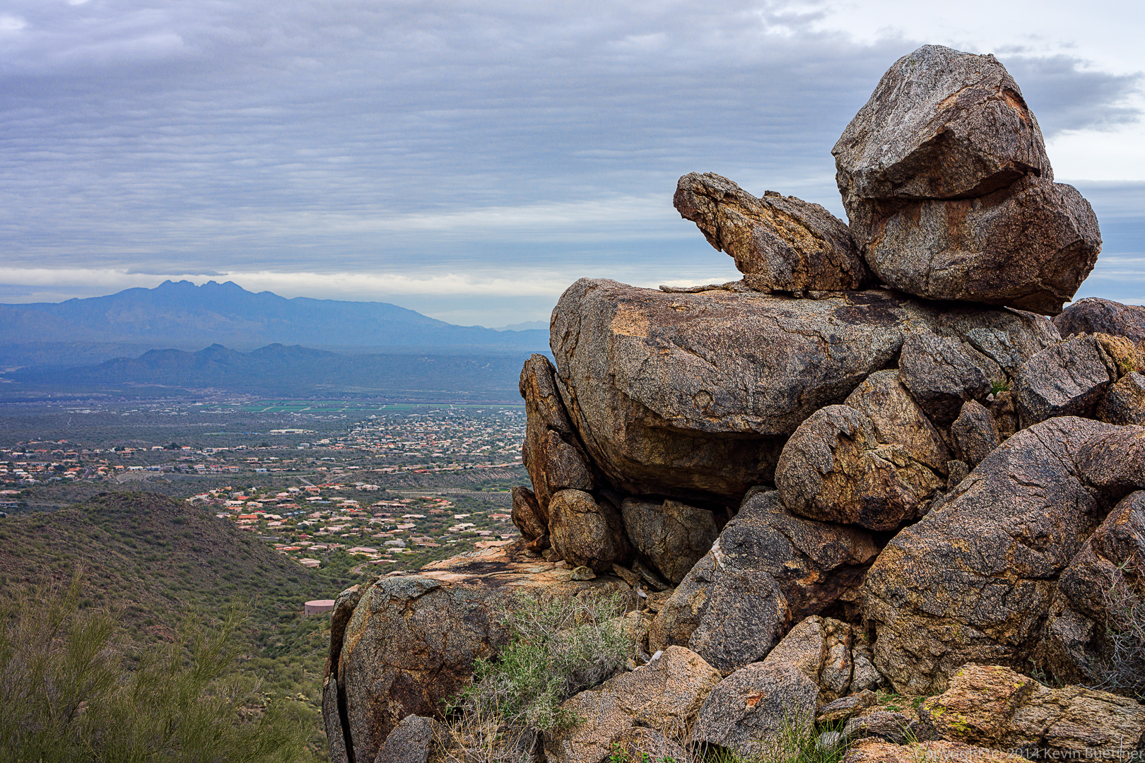
 We passed this rock outcropping on our way down the Western Loop Trail.
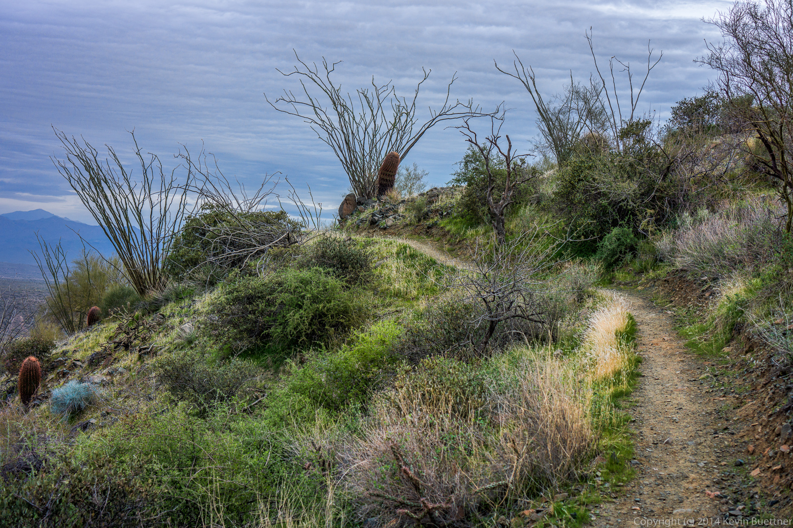
 There were several points where we passed beneath ocotillos, many of which are hanging lower than I remember from past hikes.
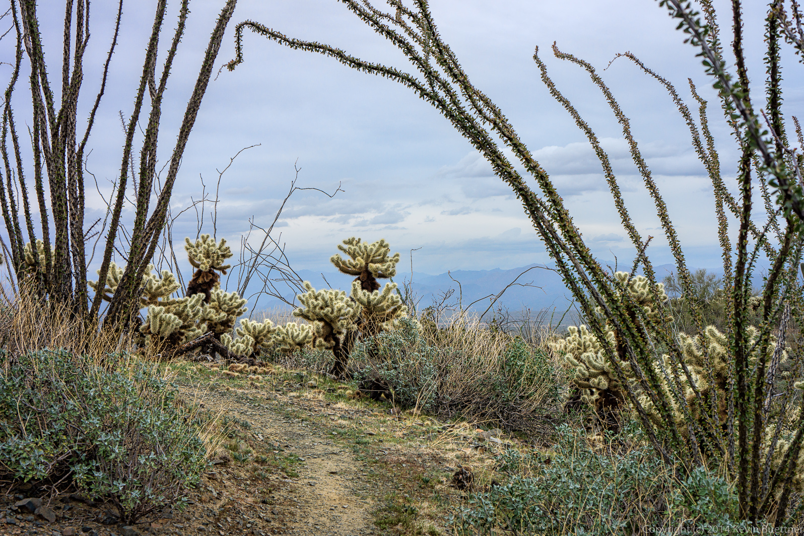 Alex and Ellen pose on the Sonoran Trail.
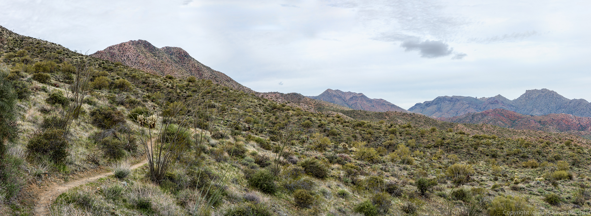
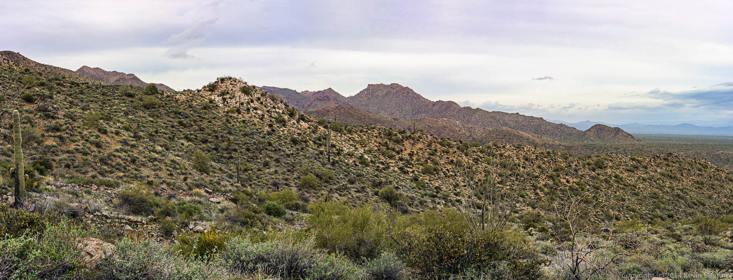
 Several panoramas…
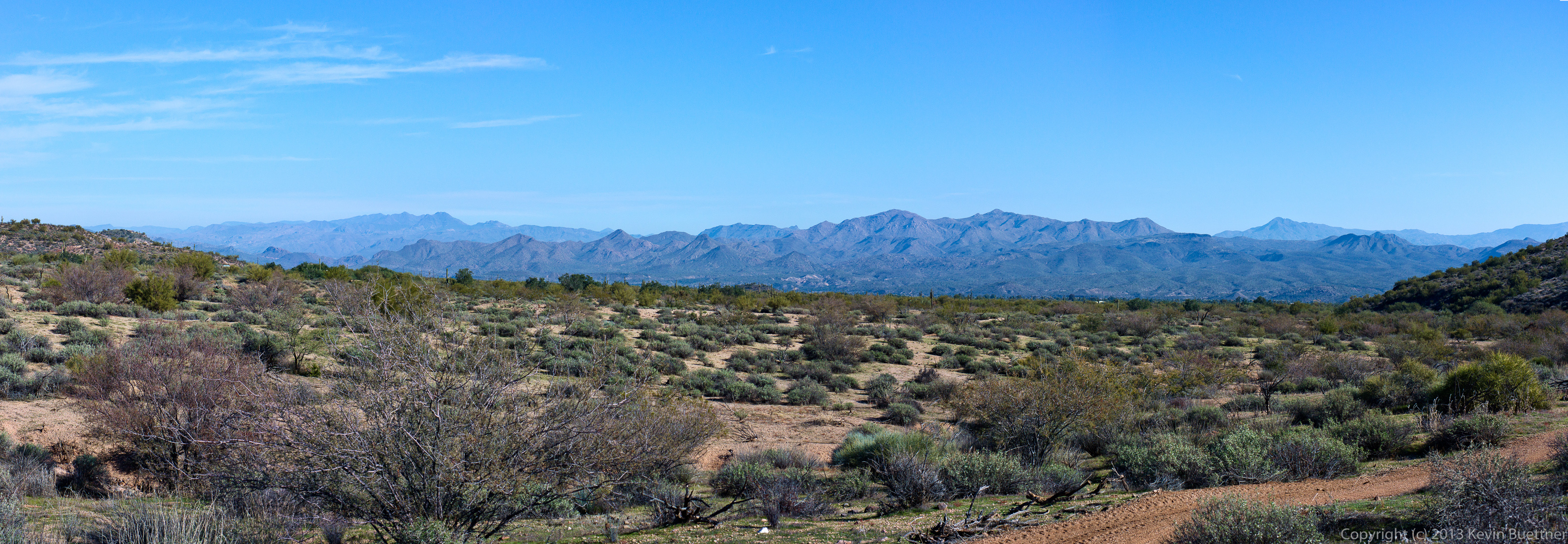
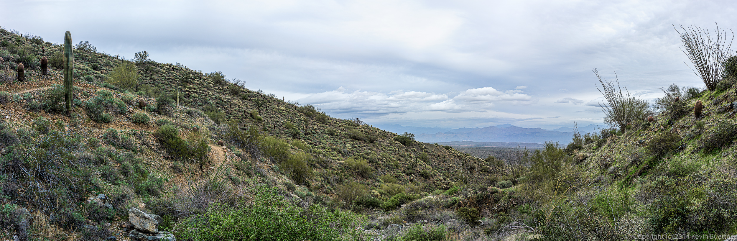
 Back in the park at this point…
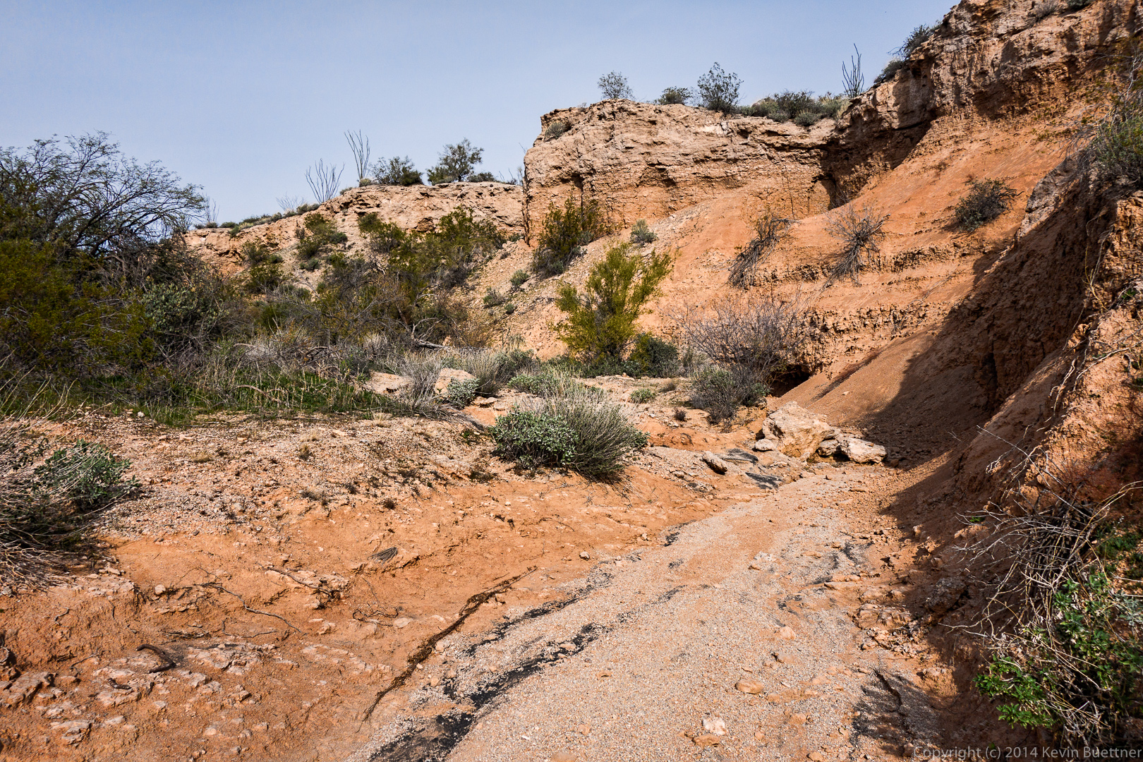
This is a wash near the Dixie Mine Trail. This photo was constructed from six different exposures. I only had a 35mm lens with me, so I took six photos of the scene and stitched them together. Some of the panoramas, above, were constructed from as many as ten or more exposures. (I lost count while doing some of them.)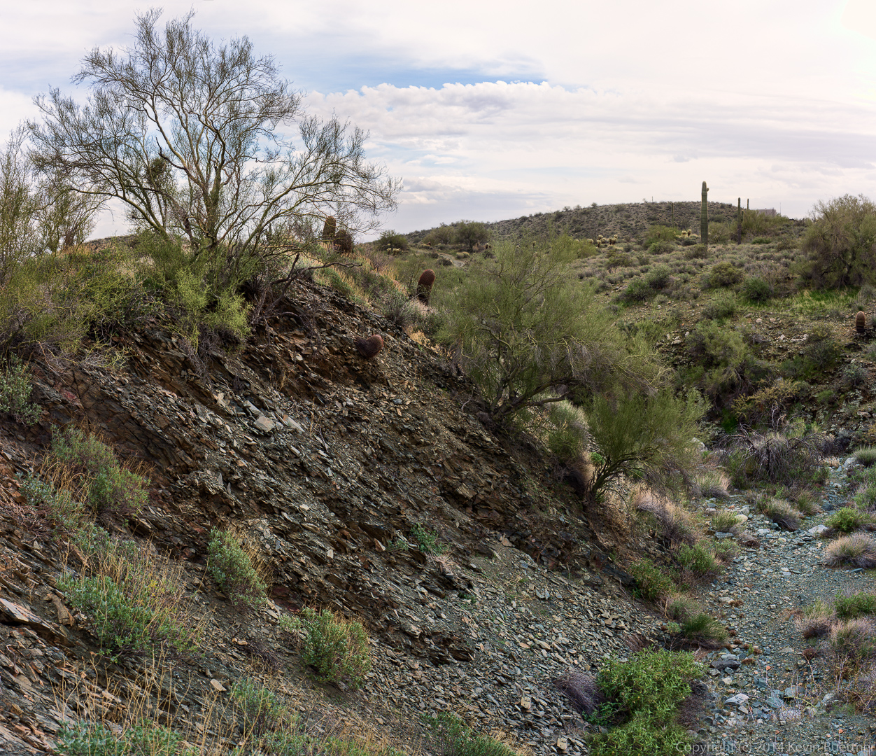
We hiked the Scenic Trail last Friday. When we returned to the parking area, most of us continued on to explore a twisty canyon near the old homestead. We saw a hummingbird and a pair of owls along the way.
We hiked out about a mile on Pemberton and then turned onto the Scenic Trail. This was the view just as we turned onto the Scenic Trail.
 A view of Red Mountain from the Scenic Trail:
A panoramic view from the Scenic Trail.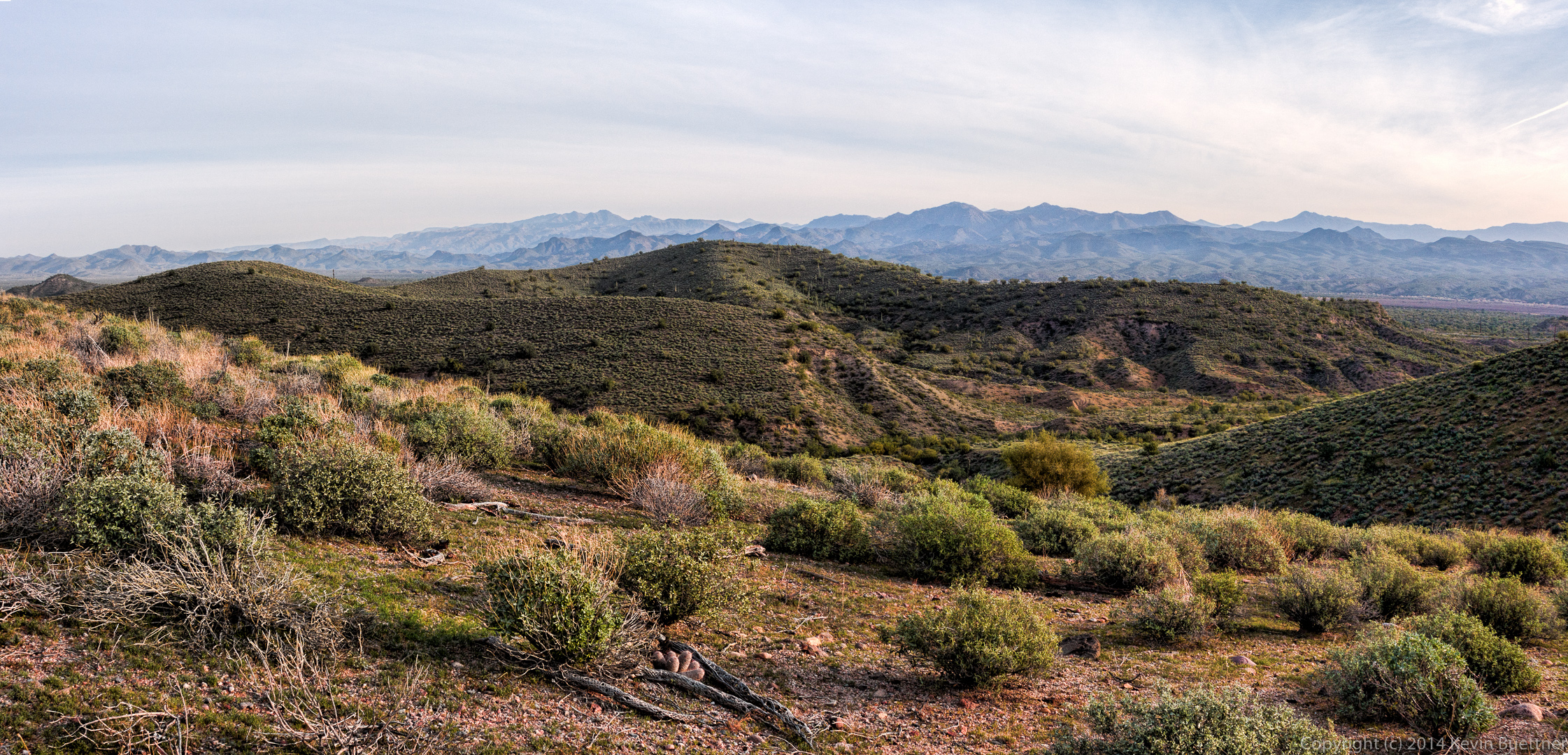
Another view of Red Mountain:
Time for a water break. From left to right are Sarg, Janet, Bob, Richard, Linda, Bill, Doug, Ellen, and Venie.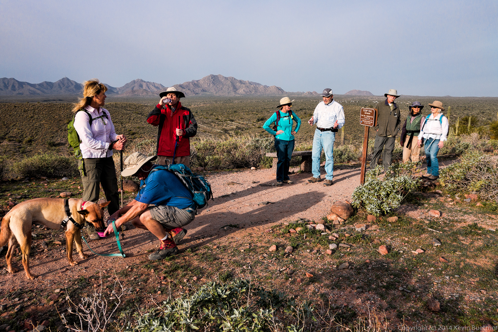 Another view from the ridge.

Sarge shows off his new haircut.
 A view of Red Mountain just before dipping into Stoneman Wash:
 The Pemberton Trail passes several clay mining sites. These areas were not heavily mined due to the invention of PVC pipe.
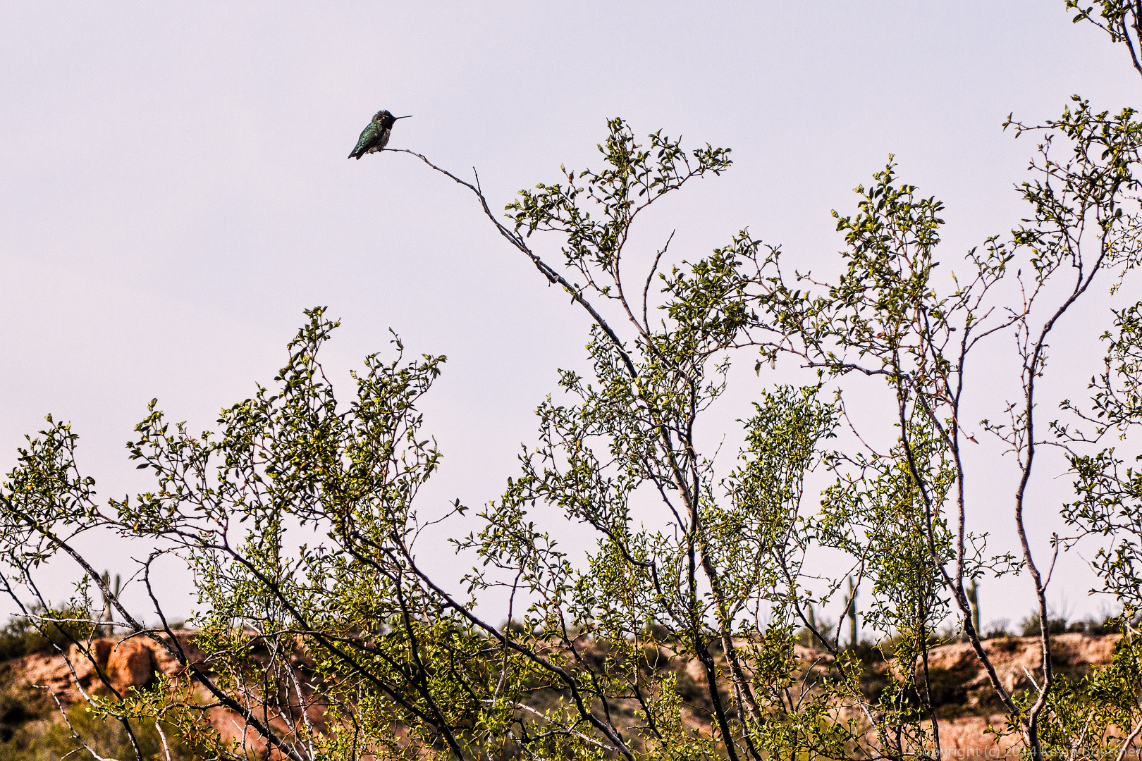
 A hummingbird at rest in a bush. Several of us, including me, were surprised to see it resting.
 Approaching the canyon area:
 A wash flows through the area, eventually feeding into Stoneman Wash.
 Sarge takes a break while Bob and I discussed which way to go. There are many choices, some of which lead to dead ends.
 Bob and Sarge pose by a steep wall.
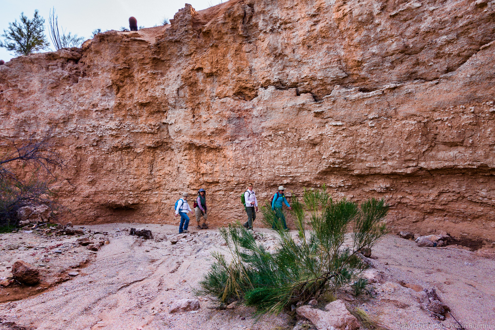
 Venie, Ellen, Janet, and Linda:
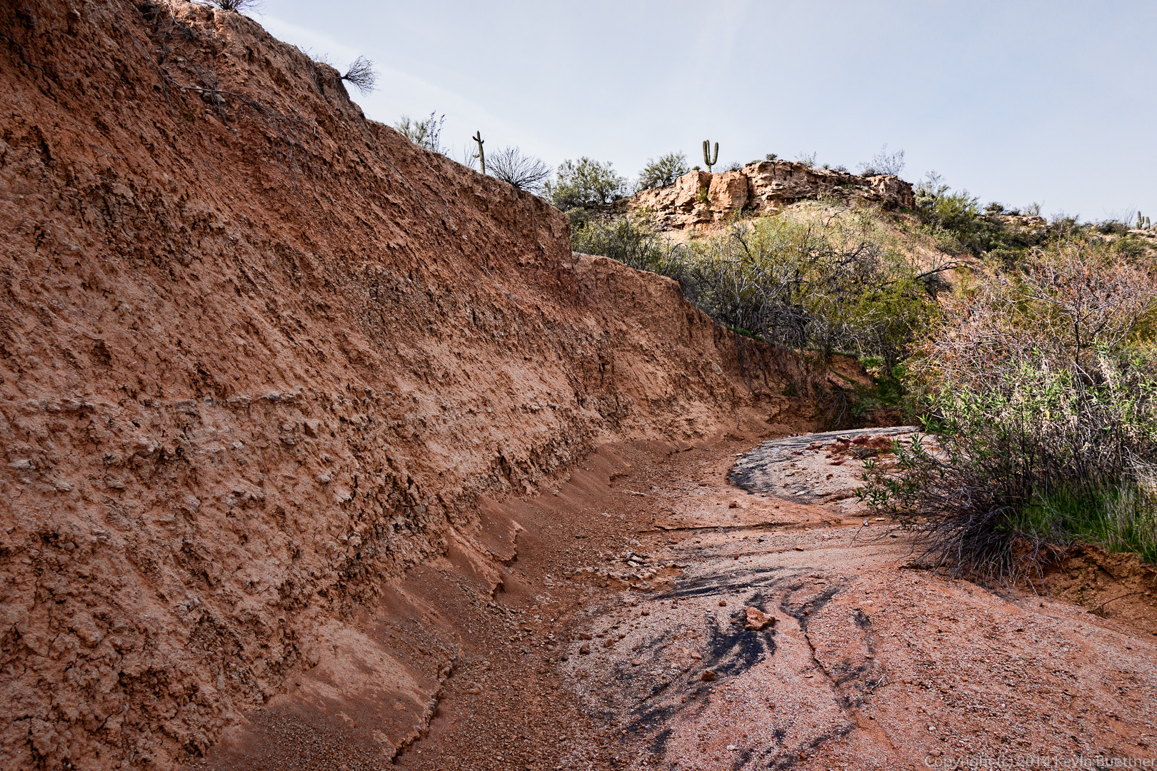
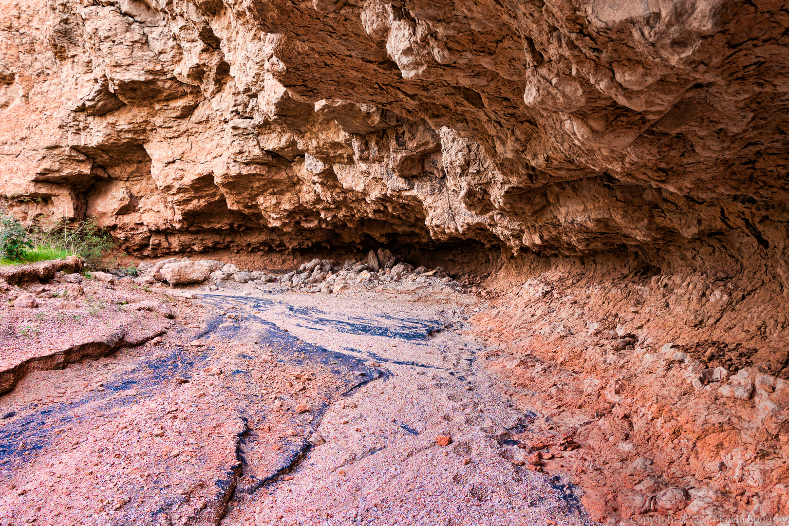
 Erosive processes undercut a section of one of the walls in several places. This is the most prominent one that we passed on our hike.
Venie, Ellen, Janet, and Linda hike beside another steep wall.
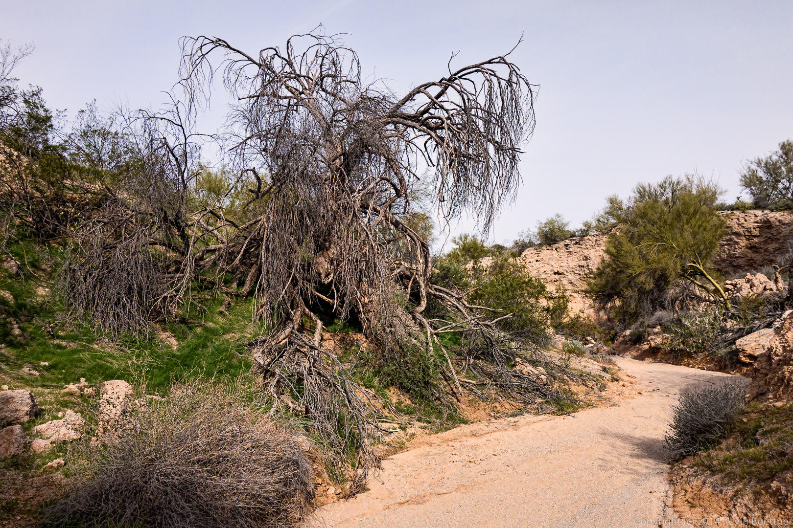
 A dead tree beside the wash:
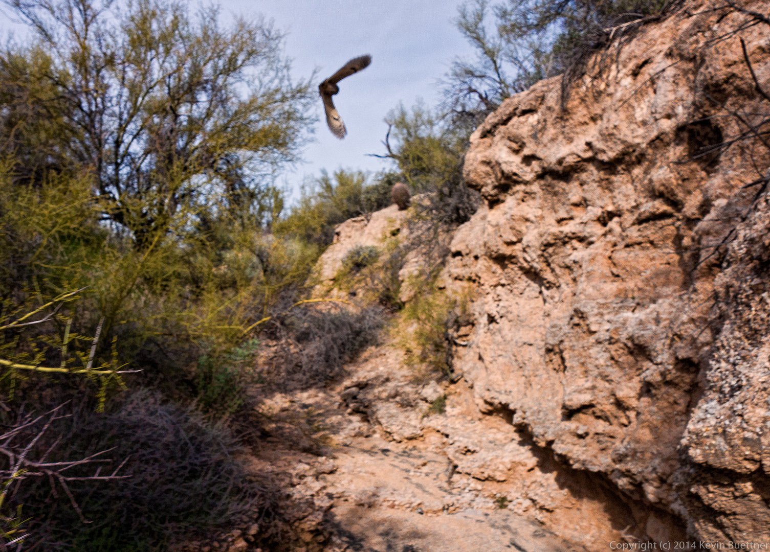
 We startled a pair of owls along the way. They would fly a short way and land, only to be roused again as we continued our way up the canyon. We saw them take off and land perhaps half a dozen times. Unfortunately, this photo isn’t in focus, but I’m more than a little surprised that I managed to get a photo of an owl in flight at all.
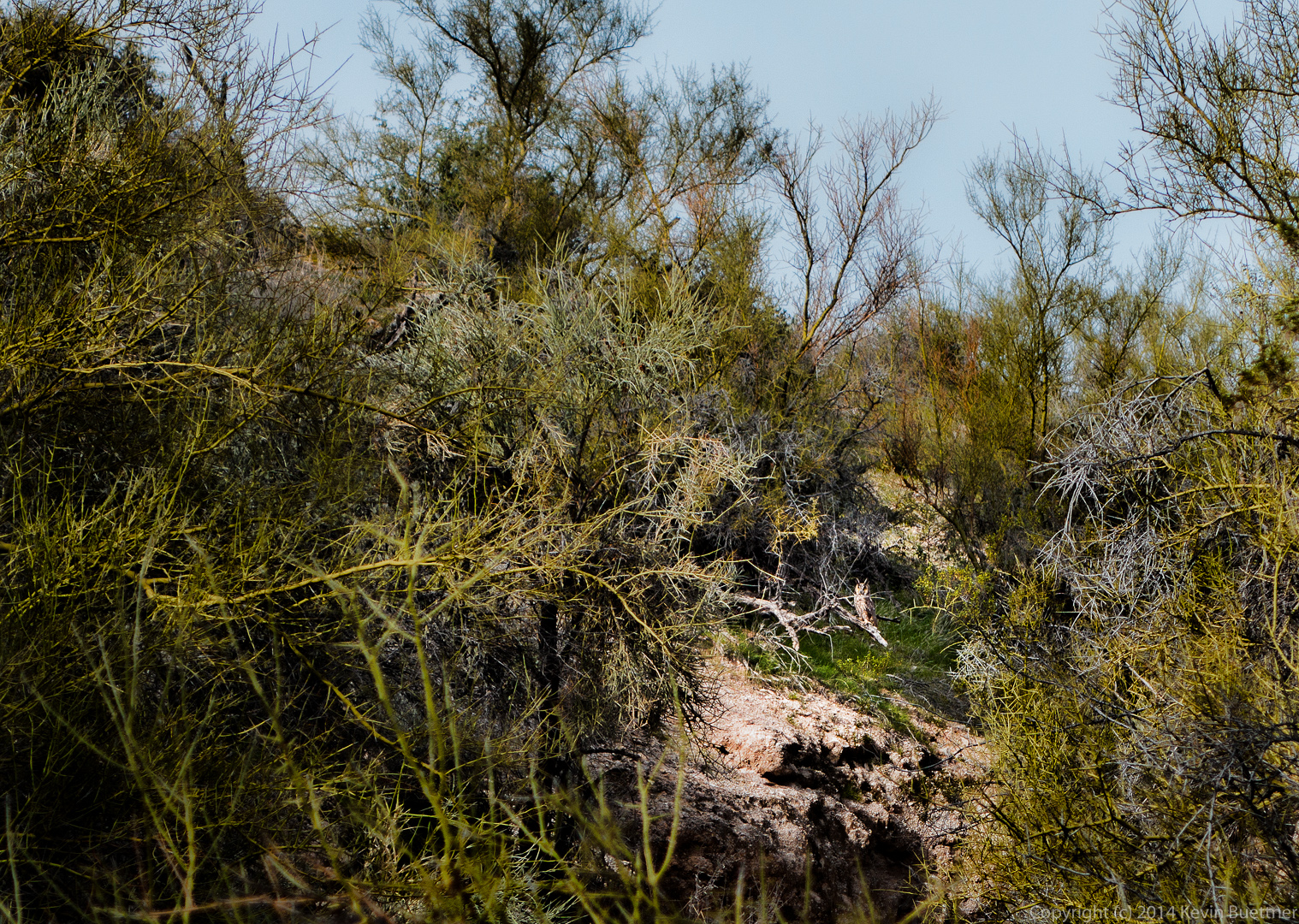
 Look for the owl in the lit up area of the photo below. (I artificially darkened the rest of the photo.)
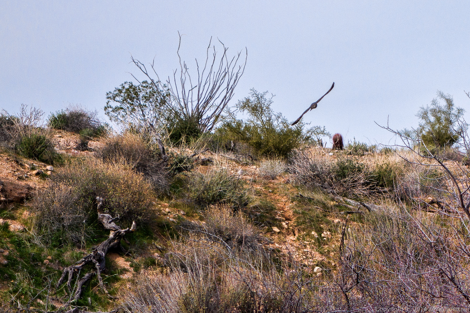
 Another view of one of the owls in flight:
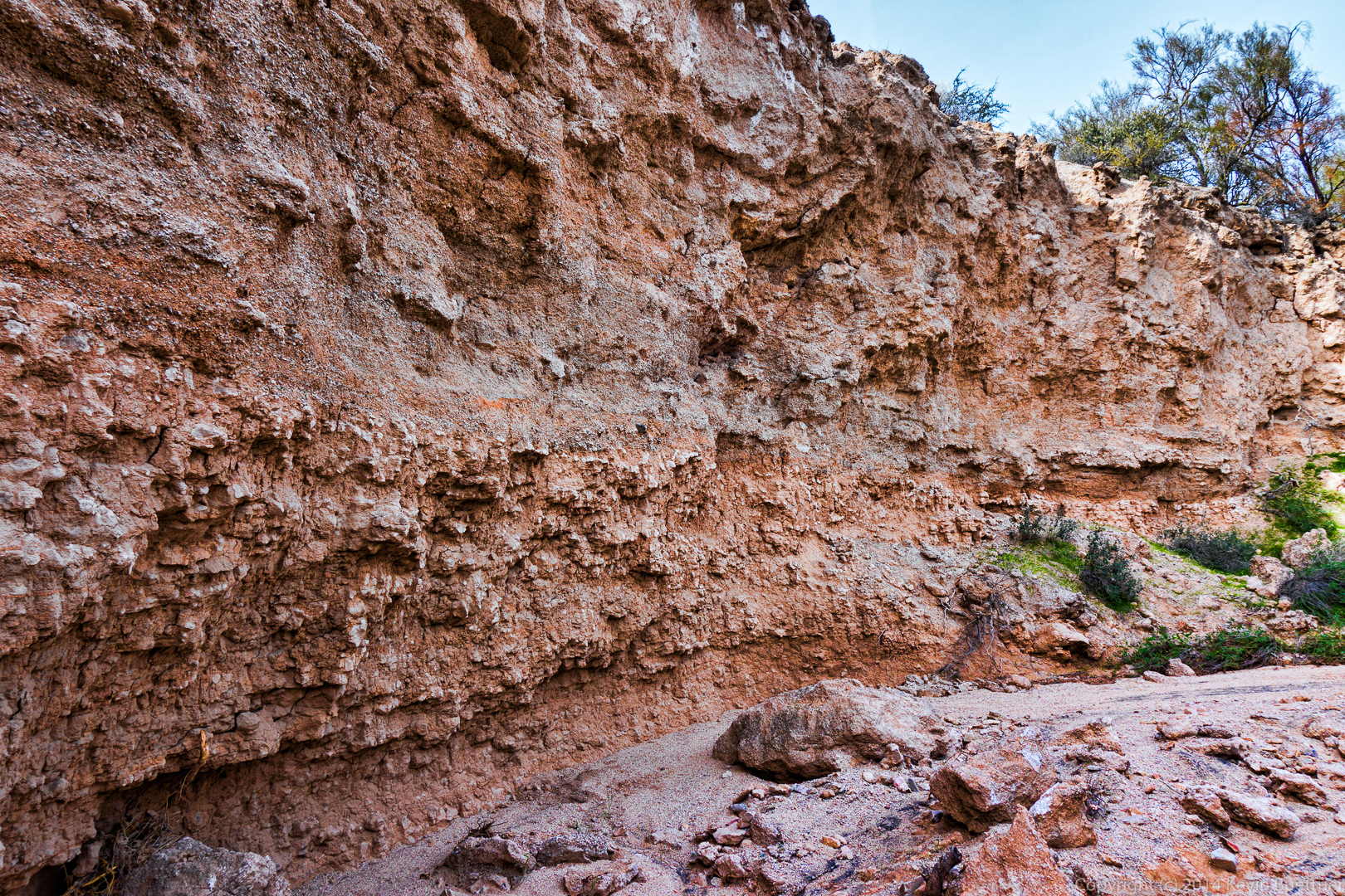
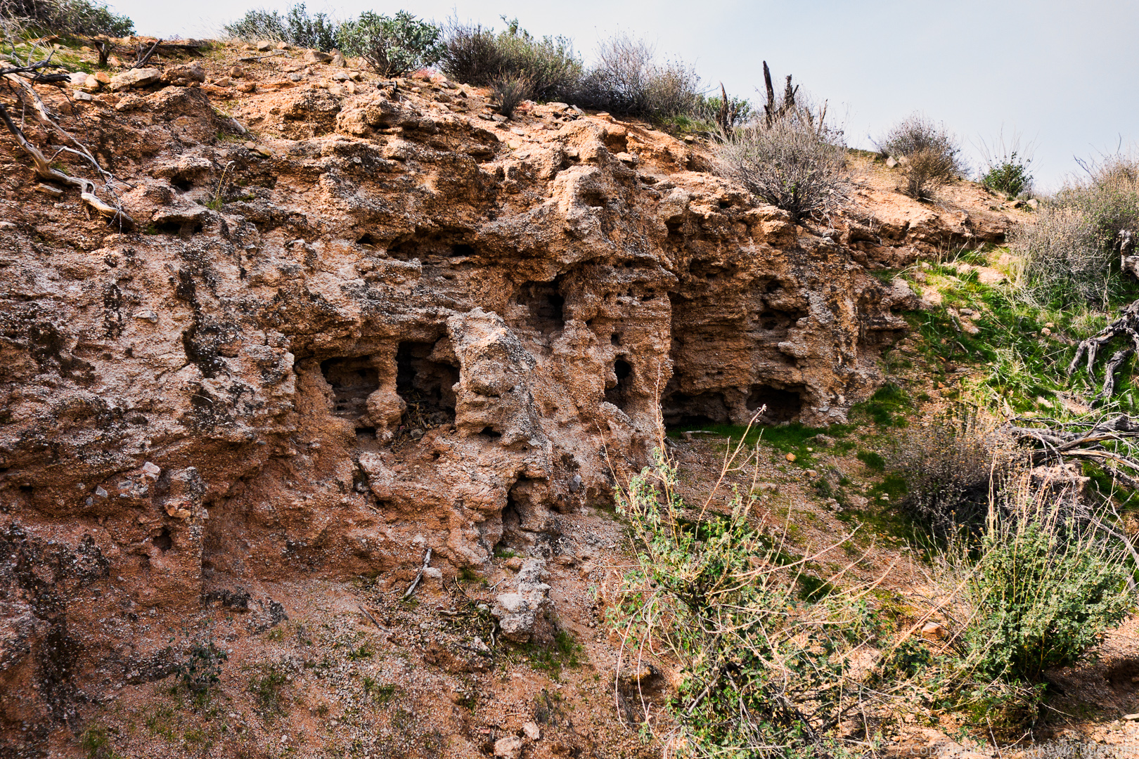
 Another small wall with interesting holes. By the time we got to this point, the owls had flown well away from us; we didn’t see them again.
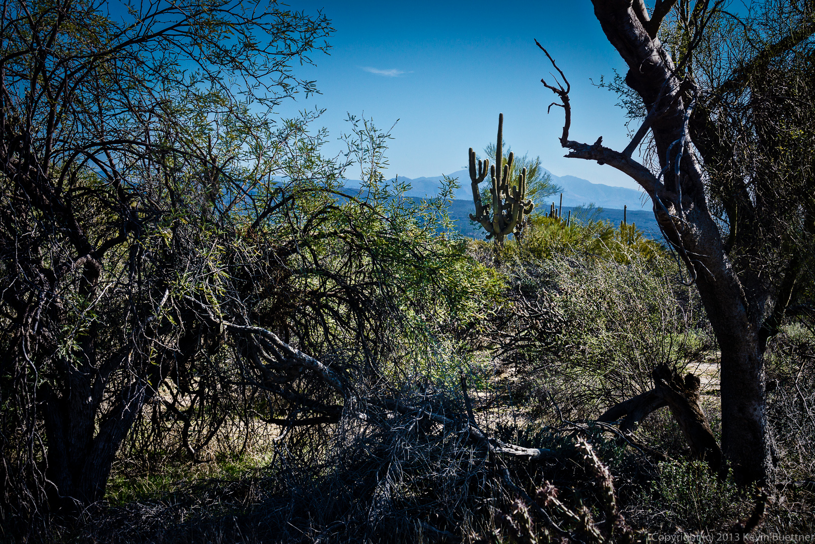
 Once we exited the canyon, we were able to see the McDowells again:
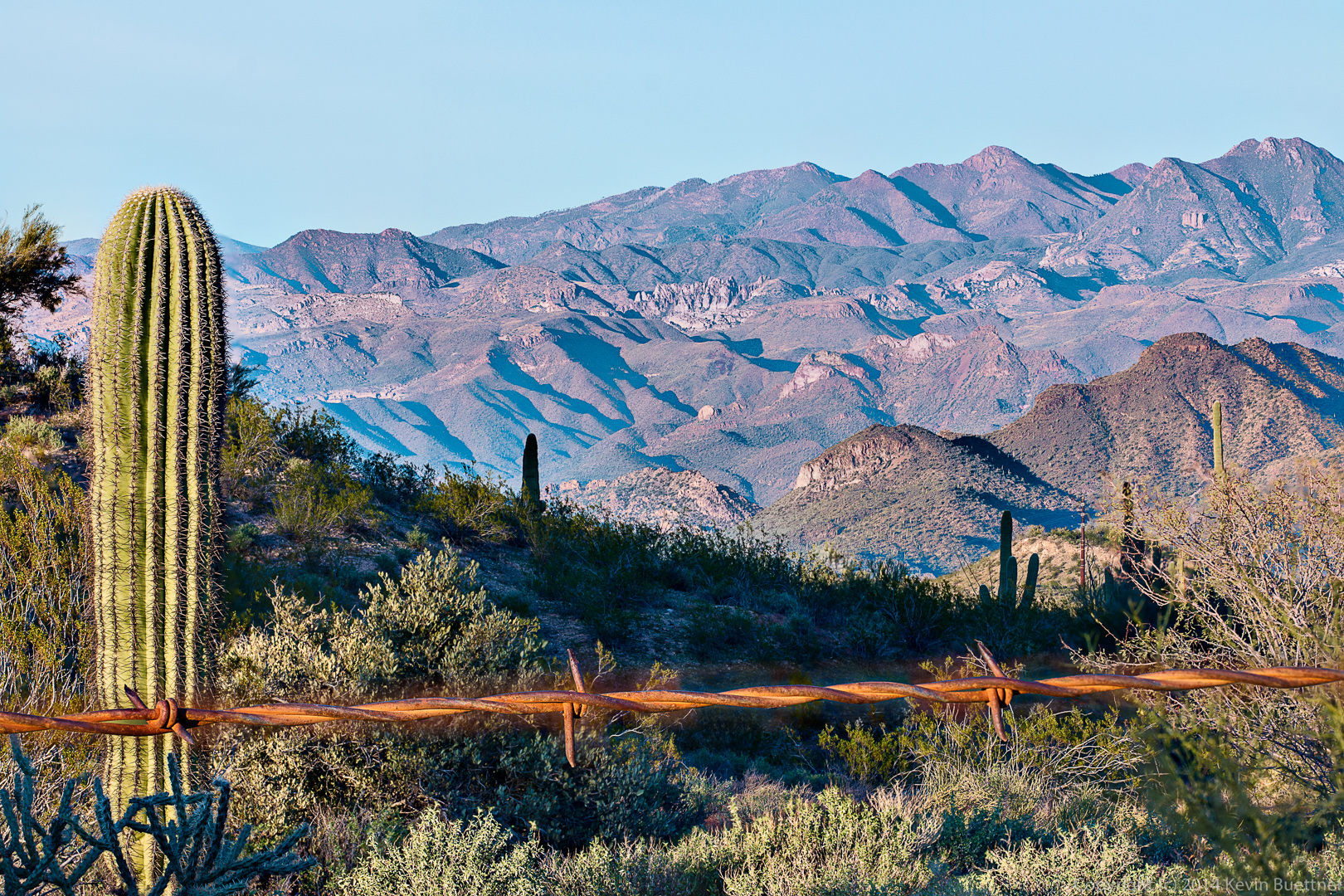
I took this photo yesterday afternoon from the Nursery Tank at McDowell Mountain Park. It was composed from five different exposures with different elements in focus. I had difficulty blending the strand of barbed wire. The wire created a brown blur that was significantly wider than the focused strand of barbed wire in the other exposures. I mitigated that blur as best I could, but was not totally successful.
 Two other photos from the same shoot:
Friday’s hike started at the Wagner Trailhead. We hiked the Wagner Trail to Granite, Granite to Delsie, Delsie to Pemberton, Pemberton to Lariat, Lariat to Granite, Granite to Wagner, and Wagner back to the trailhead. Total distance was 9.7 miles with minimal elevation gain.
We saw some cattle from the Delsie Trail.
A view of Tom’s Thumb, between two saguaros, from the Delsie Trail.
Nick, Doug, Leslie, Janet, Venie, Phil, Bob, and Sarge pose for a photo on the Pemberton Trail.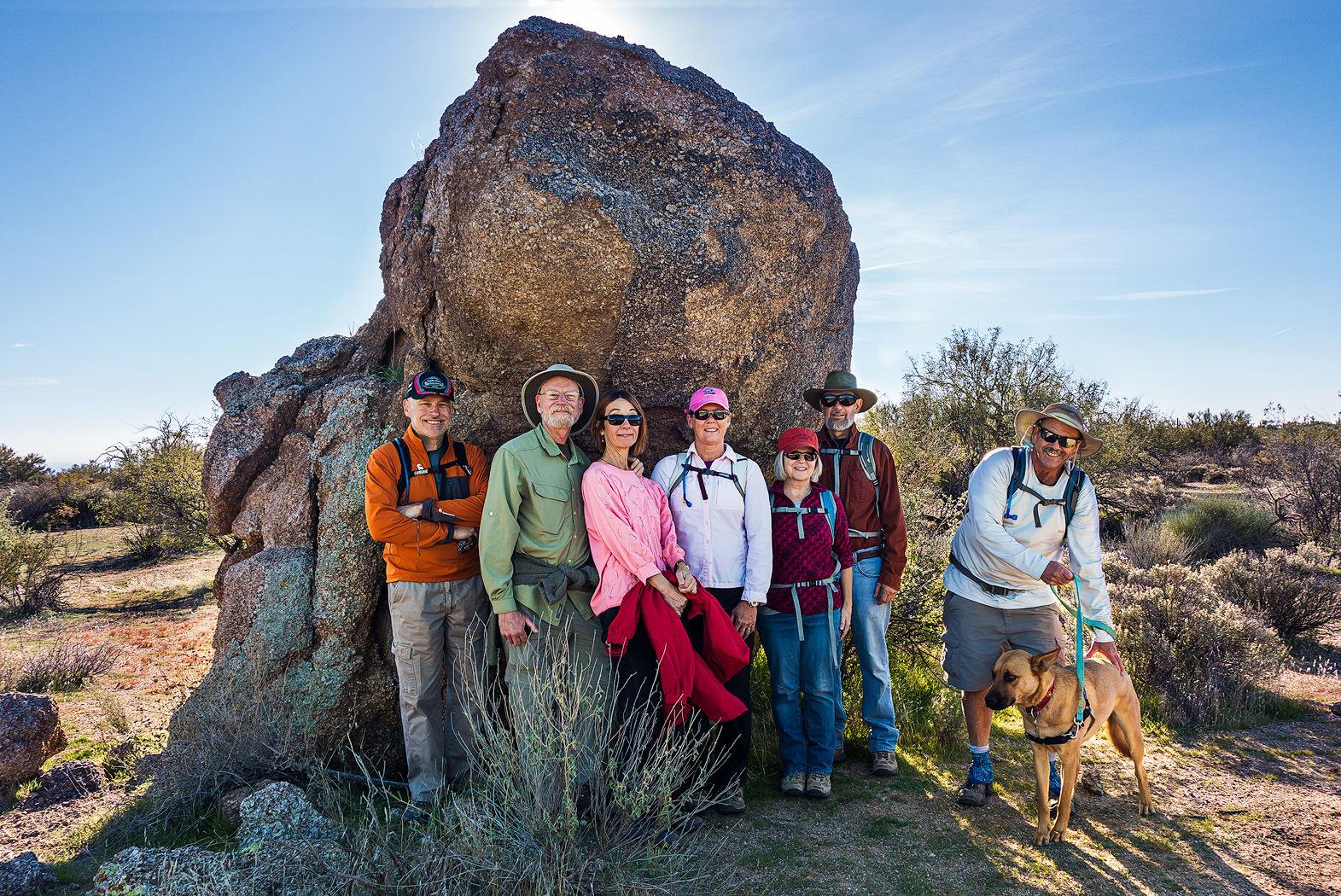
A pair of saguaros on the Pemberton Trail.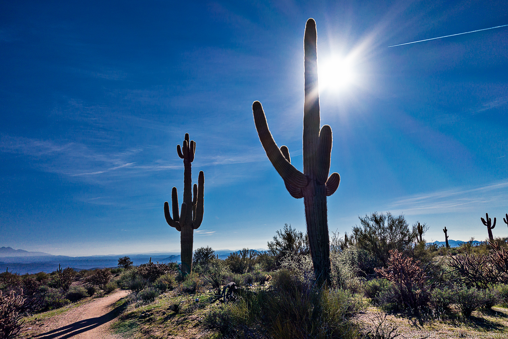
A water break for Sarge!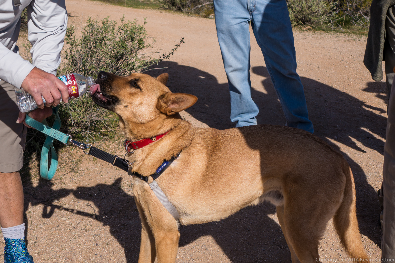
A view of Red Mountain from the Granite Trail.
Last Friday’s hike started from the Trailhead Staging Area. We hiked out on Pemberton and almost immediately turned off onto the Scenic Trail. We hiked Scenic to Cinch, Cinch to Escondido, and then followed Escondido back to Pemberton. Total distance was just over nine miles with six hundred feet of total ascent.
A view from the Scenic Trail shortly before turning off onto the Cinch Trail.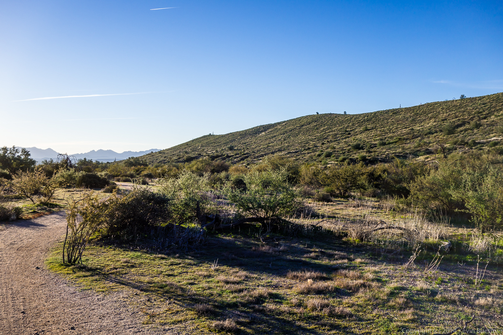 A group shot on the Scenic Trail.
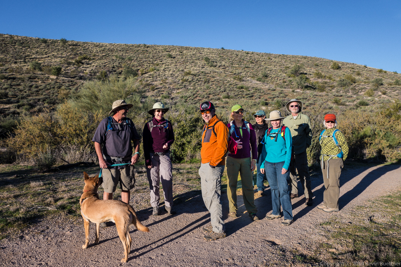
Bob and Sarge, leading the way: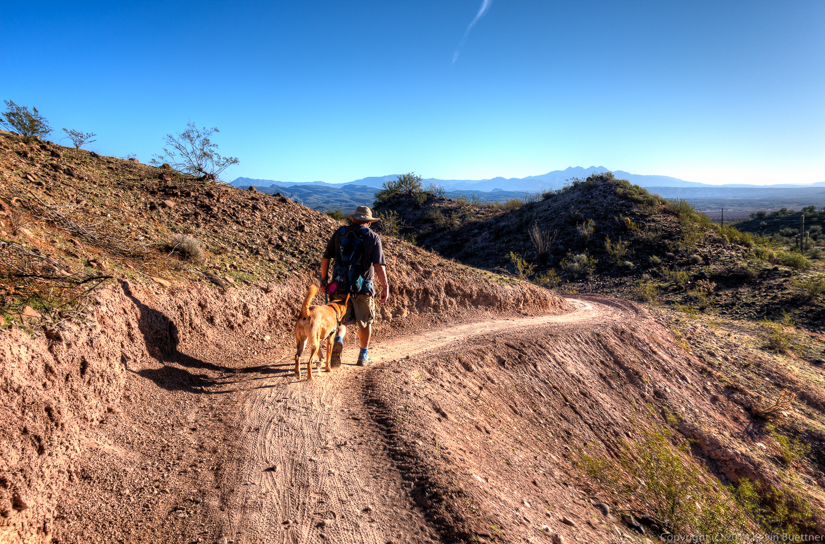 A water (and conversation) break on the Escondido Trail. Sarge was too interested in all that was going on to drink much at this stop.
 We encountered a pair of mountain bikers on the Escondido Trail. (The second biker is just visible in the distance.)
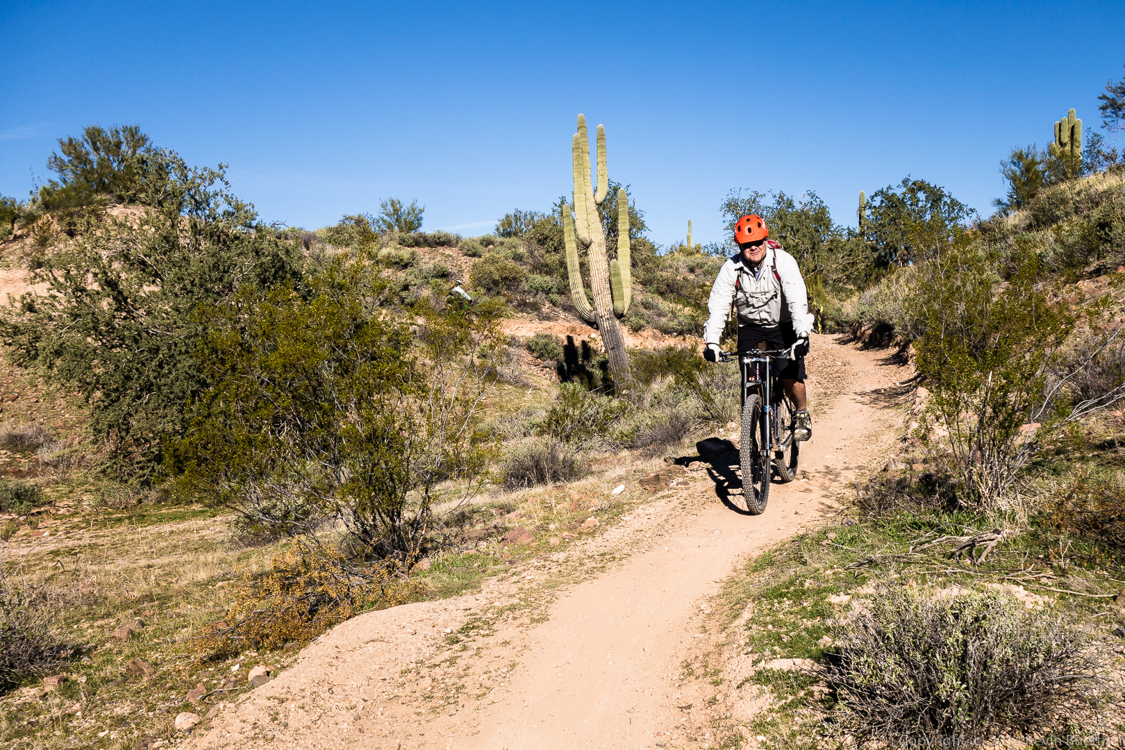 Another view from the Escondido Trail. Lousley Hill can be seen at the left.
 An ocotillo in the foreground and the base of Lousley Hill behind as seen from the Escondido Trail.
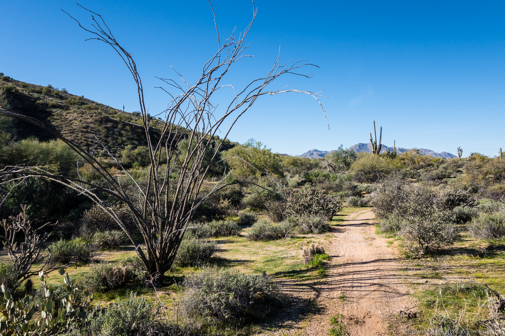
Friday’s hike started at the Wagner Trailhead. We hiked Wagner to Granite, turned left on Granite, and then hiked up the wash paralleling the Bluff Trail until we got to Pemberton. From there we hiked a short ways on Pemberton, hiked down Bluff, turned left on Granite, and returned on Wagner.
We had a fairly large group. This is a view from the Granite Trail (I think):
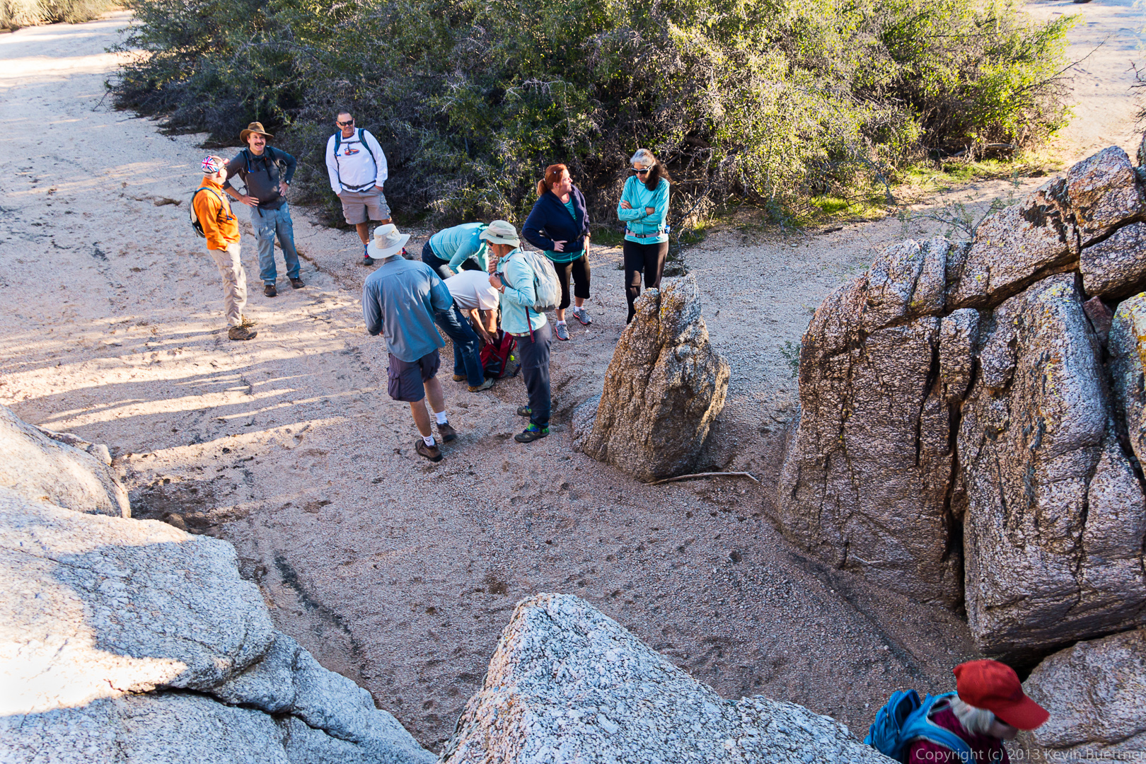
 It was a chilly morning (for Arizona). Some of us shed some layers just before scrambling into the rocks.
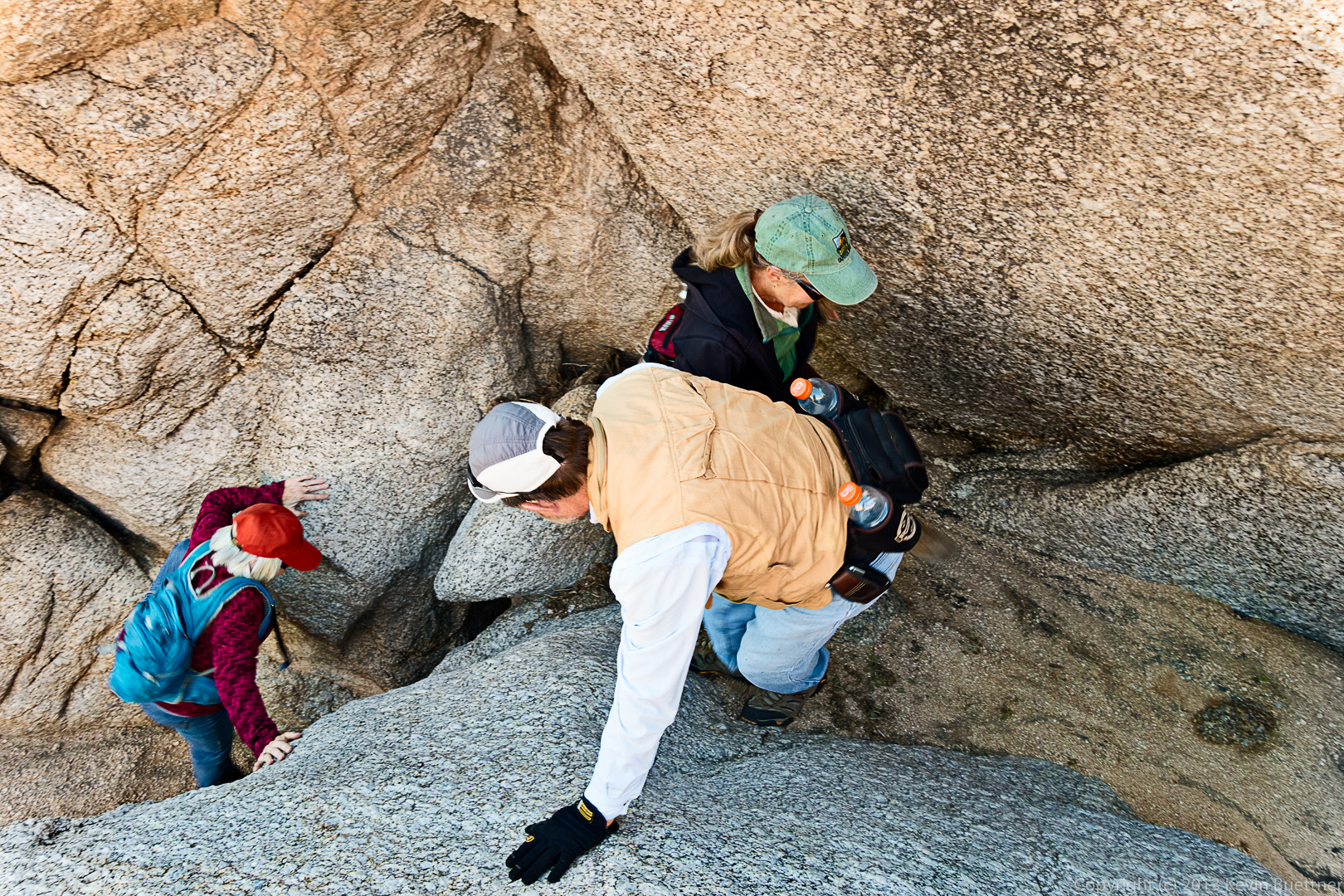
 Bill helps Ellen and Vinnie through the most difficult section.
 The wash stays narrow for a time prior to opening up.
 From left to right are Deanne, Linda, Vinnie, Janet, Allen, Sandy, Bill, Ellen, Marilyn, Doug, Nick, and Bob:
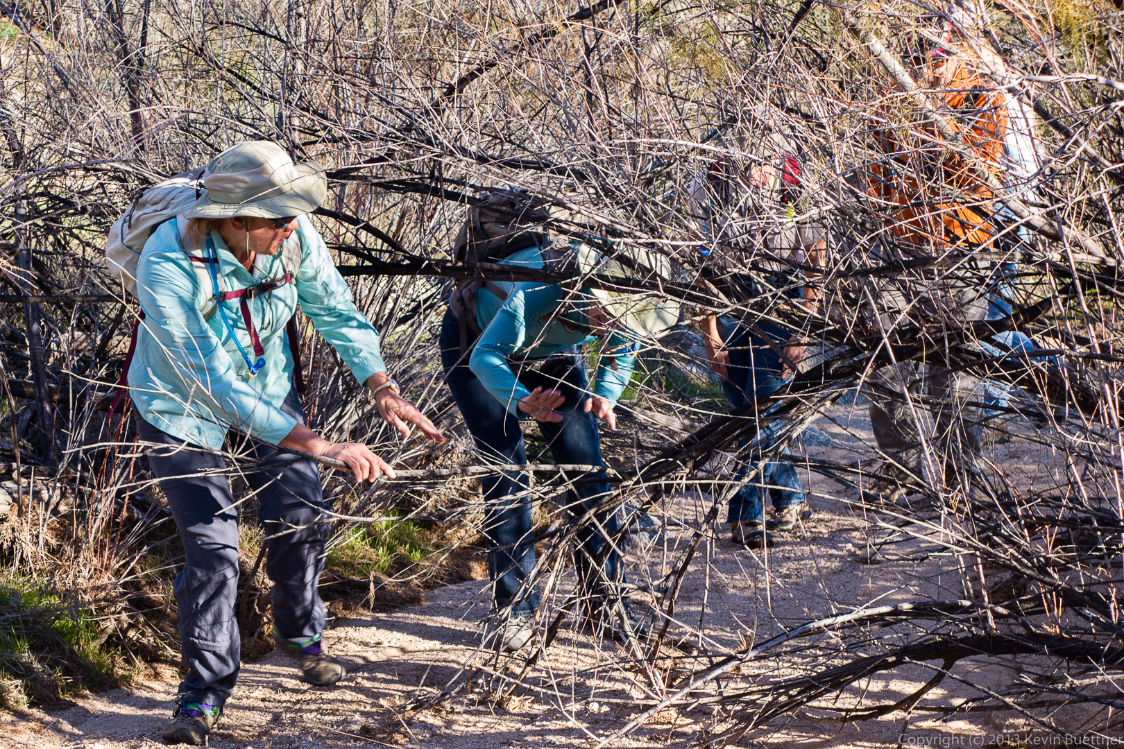
 Janet holds a branch aside for Marilyn through the brush. (It’s not necessary to go through the brush — that’s just the way I went and most of the others followed.)
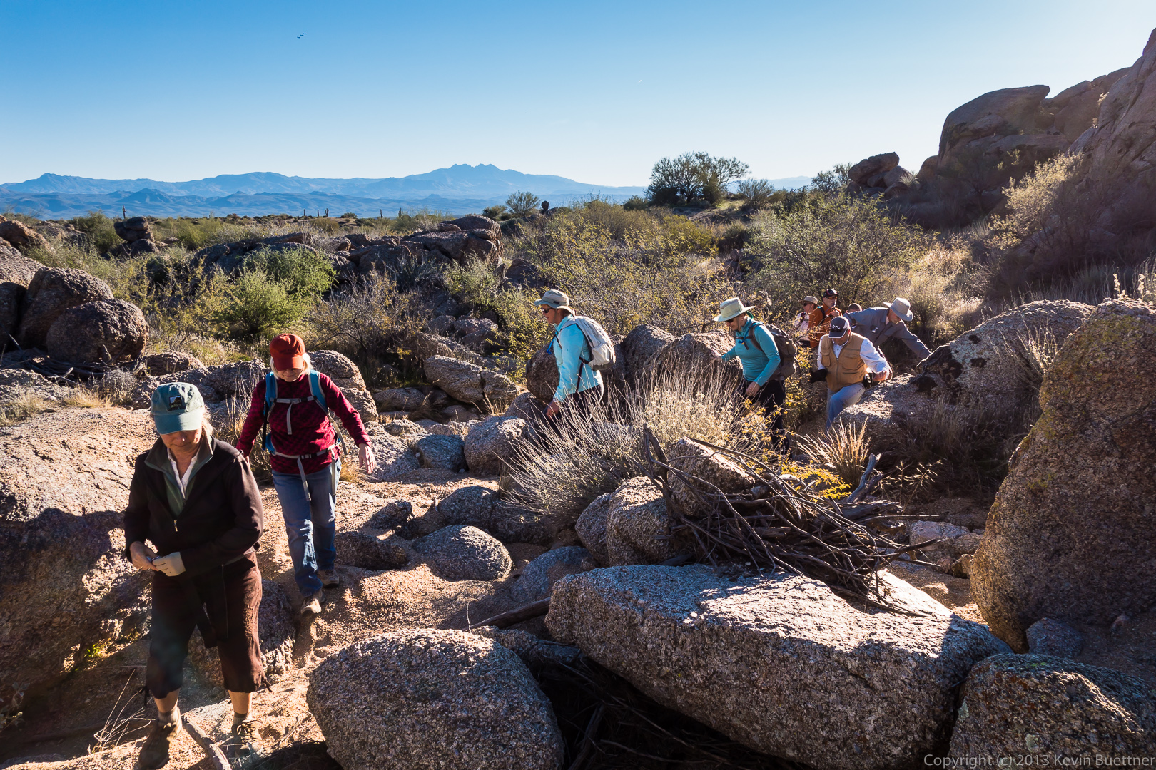
 Hiking through more rocks in the wash…
 A view of the wash looking towards the McDowells:
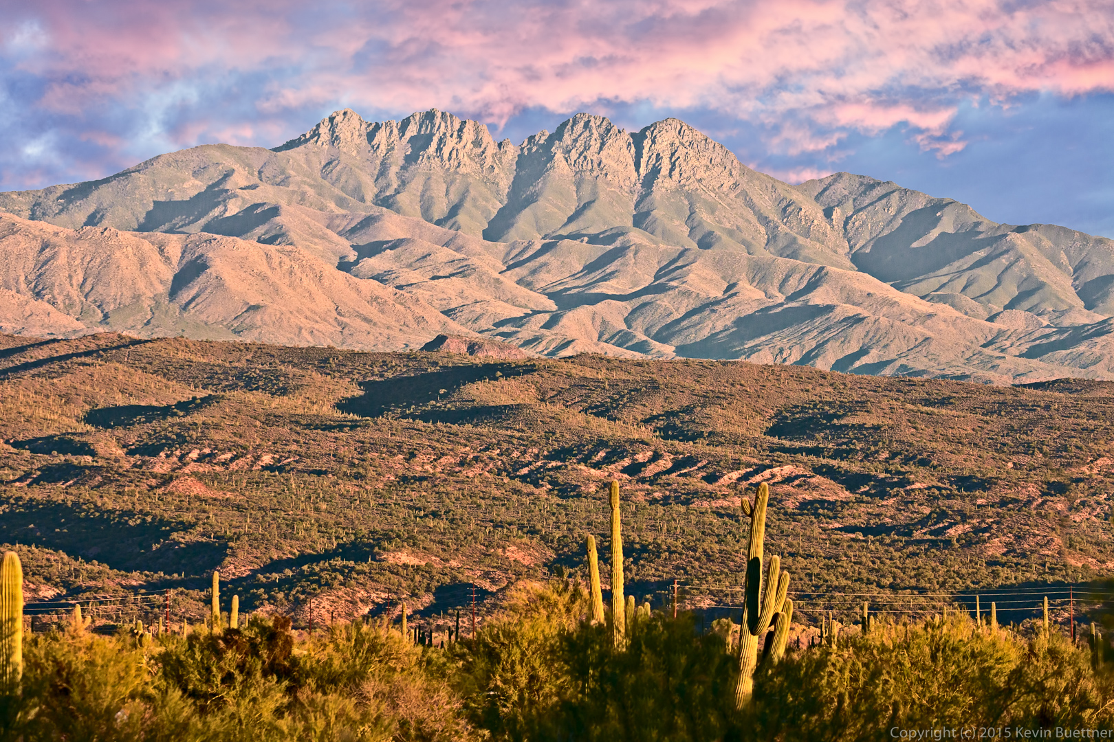
 A view of Four Peaks from the Bluff Trail:
Today’s hike was rained out, so here’s a panoramic photo from last Friday’s hike:
Ranger Amy had scheduled two consecutive Friday hikes at the North Trail. She suggested that I and those wanting to do a longer hike take a look at the newly opened Escondido Trail. We started our hike from the Lousely Trailhead while Ranger Amy lead the scheduled hike on the North Trail.
Bob, Sarge, Janet, Doug, and I did a 9.2 mile loop. We started at Lousely Trailhead and made a left on the Escondido trail which now crosses the Lousely trail perhaps 200 yards from the Trailhead. We followed Escondido to Cinch, took Cinch to Scenic, Scenic to Pemberton, Pemberton to Escondido, and Escondido back to the Lousely. The Cinch Trail has been around for a while, but I didn’t know the name until recently.
The map below shows our route. If you look at the top (north) part of the map, you’ll make out a short spur coming off the loop; this is where we started. The Escondido Trail zigs and zags a lot, but the first leg of our journey lead us generally southward. The Cinch Trail heads northwest to join the Scenic Trail. If you zoom the map, and you know what you’re looking for, it’s possible to see where Cinch intersects the Scenic.
View hike-131213-track-only.kml in a larger map
This is a view from the Escondido Trail, shortly after turning off of Lousely:
 A view to the west (I think) while traveling south on Escondido:
Bob, Sarge (the dog), and Janet on Escondido. The trail is set in from the road somewhat, but has minimal elevation gain or loss. In order to achieve this, the trail builders cut the trail into the sides of the many hills in the area. There was an old road nearby which used to follow a much straighter path. It, however, went fairly close to the McDowell Mountain Road. Satellite photos show that this old road briefly crossing McDowell Mountain Road. 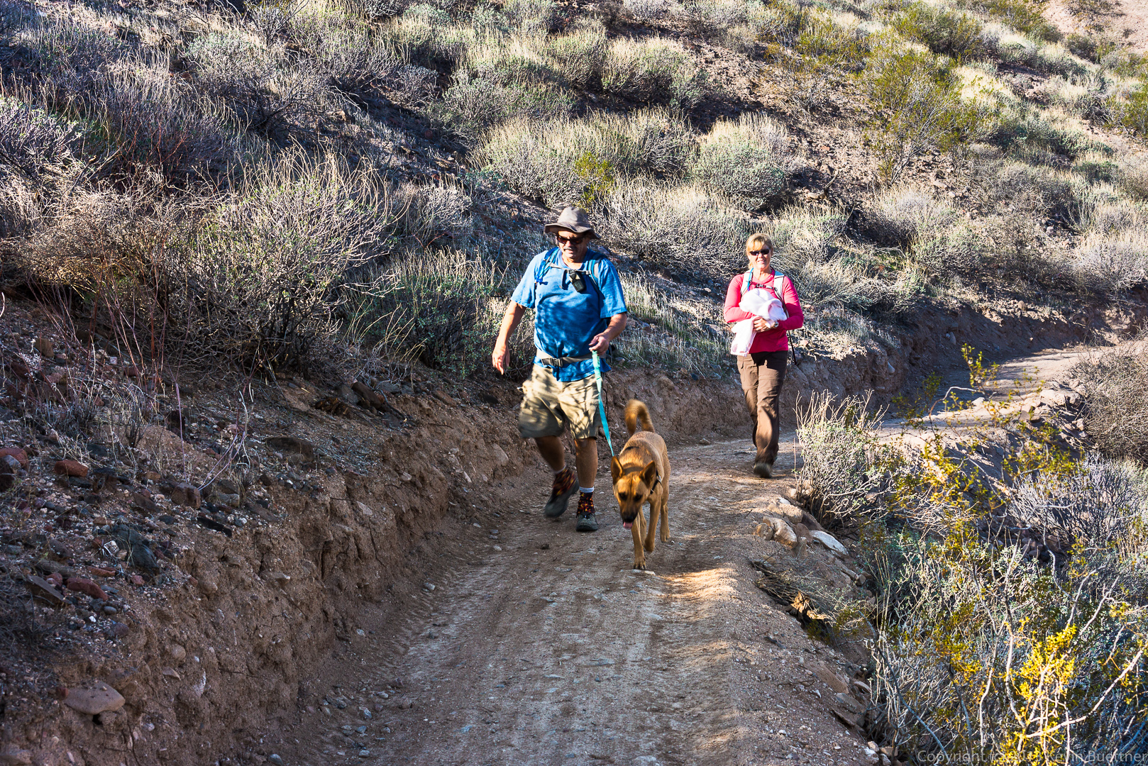 Janet, Doug, and Bob, at the intersection of the Cinch and Scenic Trails.
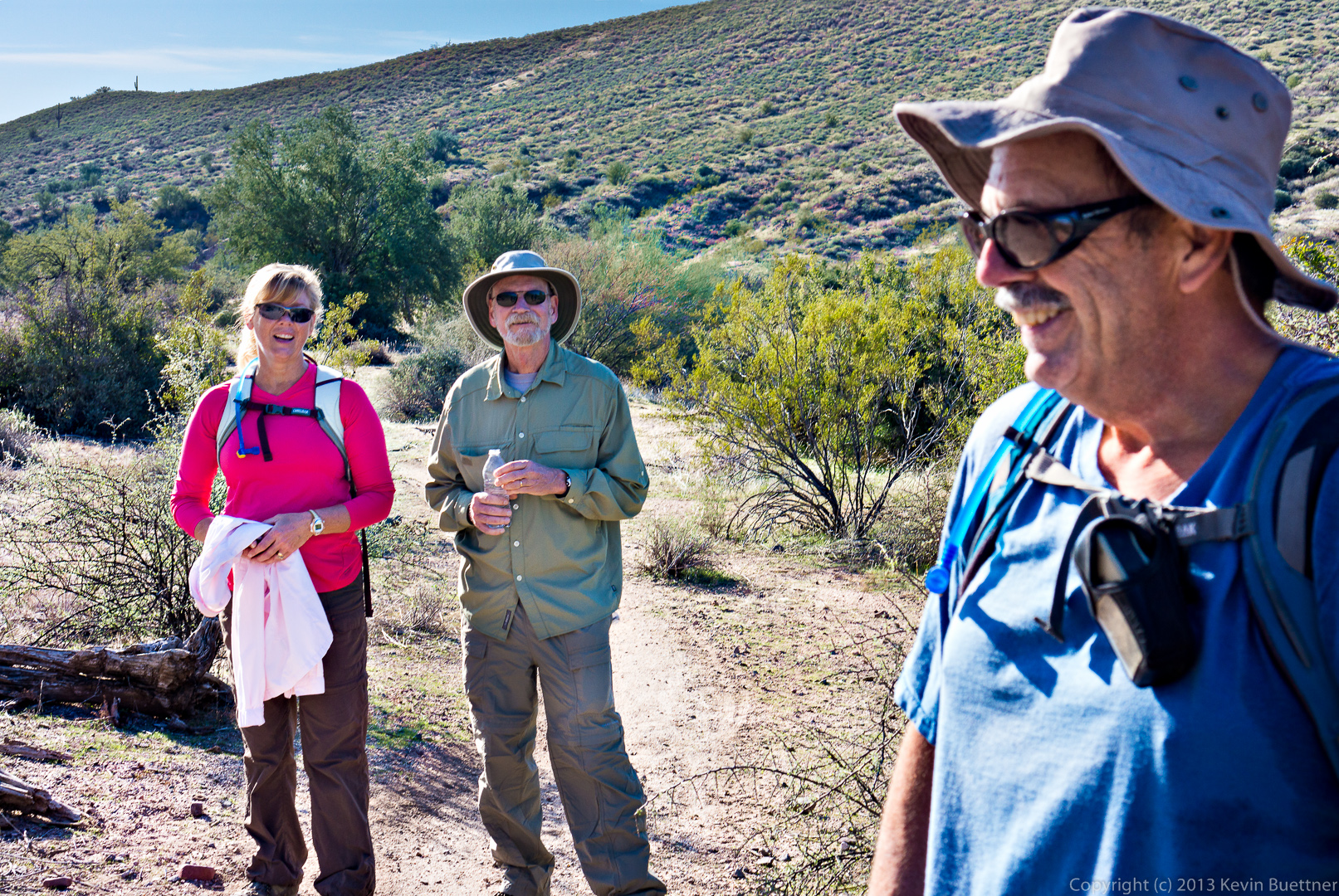
A view of the newly cut Escondido Trail near Pemberton.
This area was ravaged by the Tonto Fire of the mid-90’s.
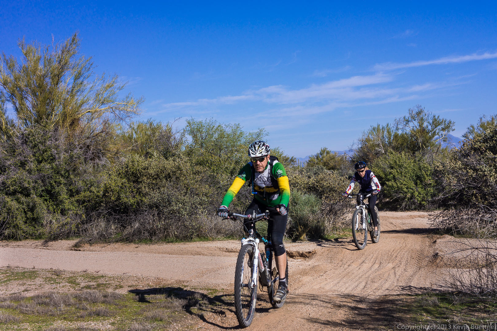
We encountered two cyclists on the Escondido Trail.
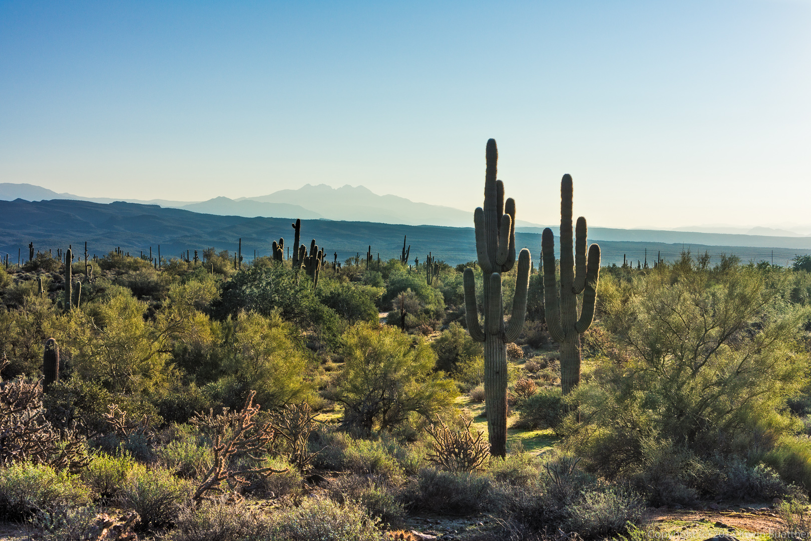
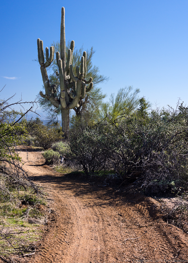
A glimpse of a saguaro with lots of arms:
A closer view of this same saguaro:
2015-05-06 Edit:
Original Edit: