Month: May 2018 (page 2 of 2)
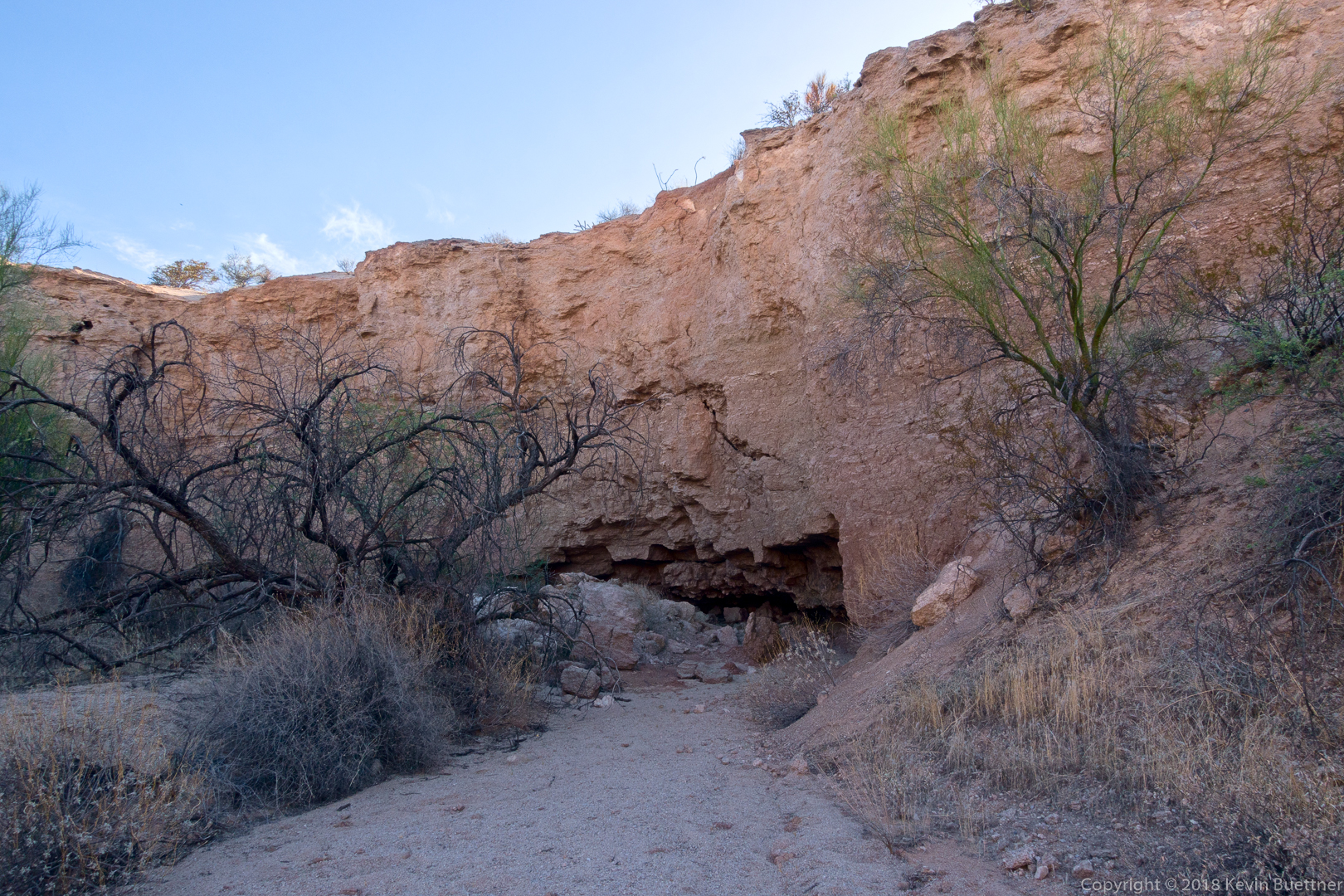
Marilyn, Bob, Linda, and I hiked a six mile lollipop-loop in the Dixie Mine area. We visited the mines, petroglyphs, and dry waterfall prior to returning.
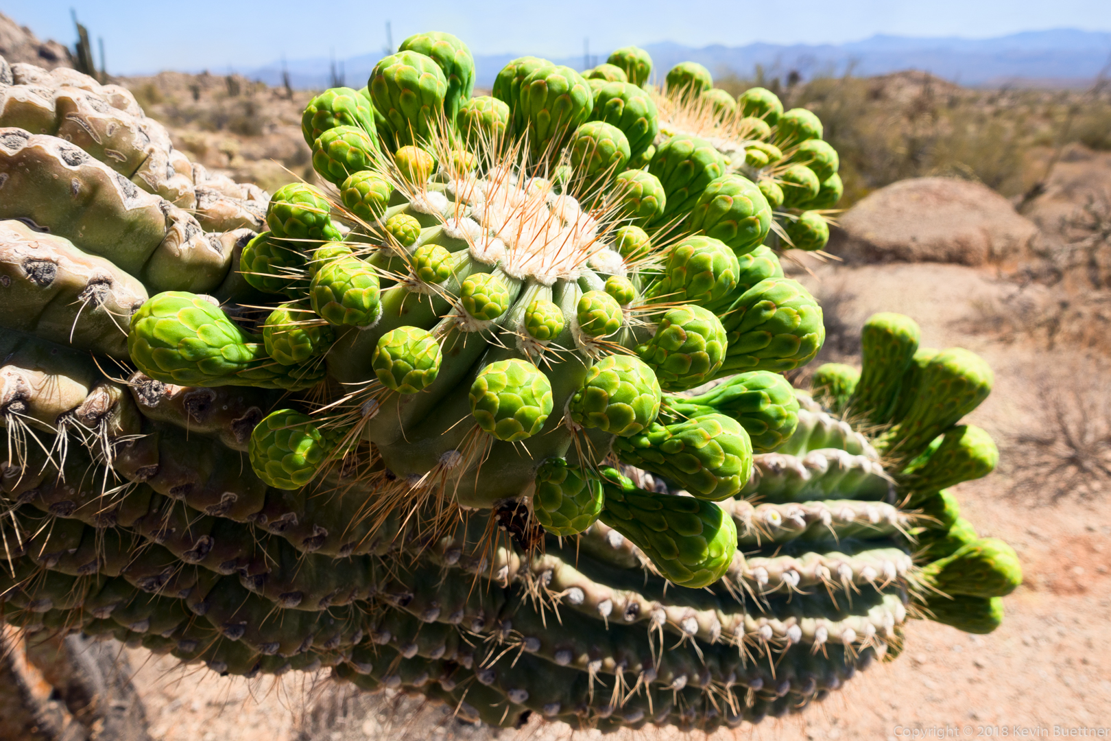
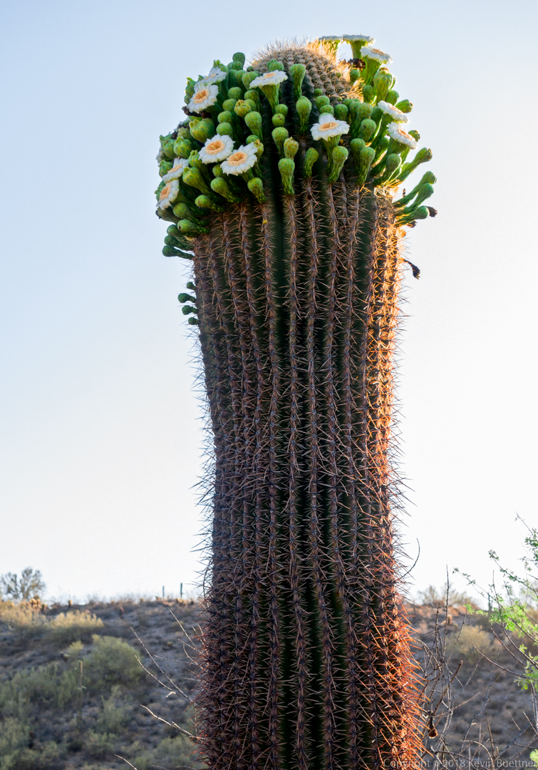
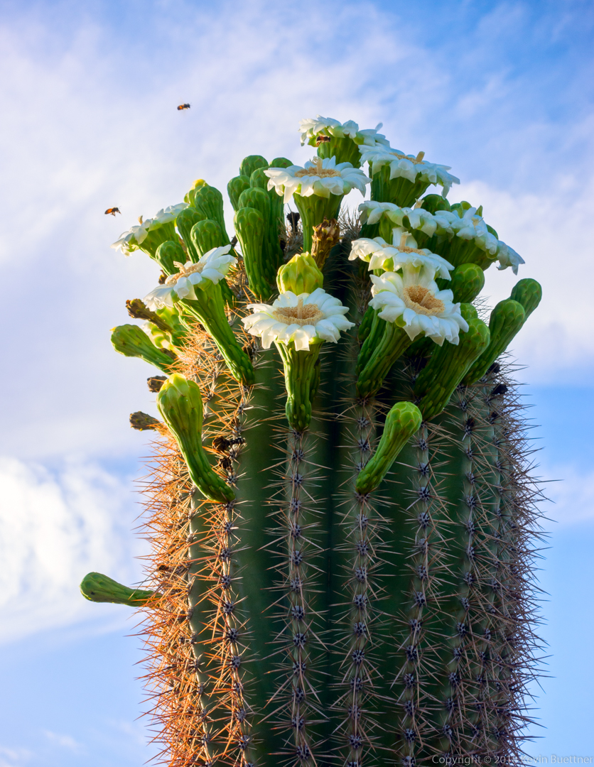
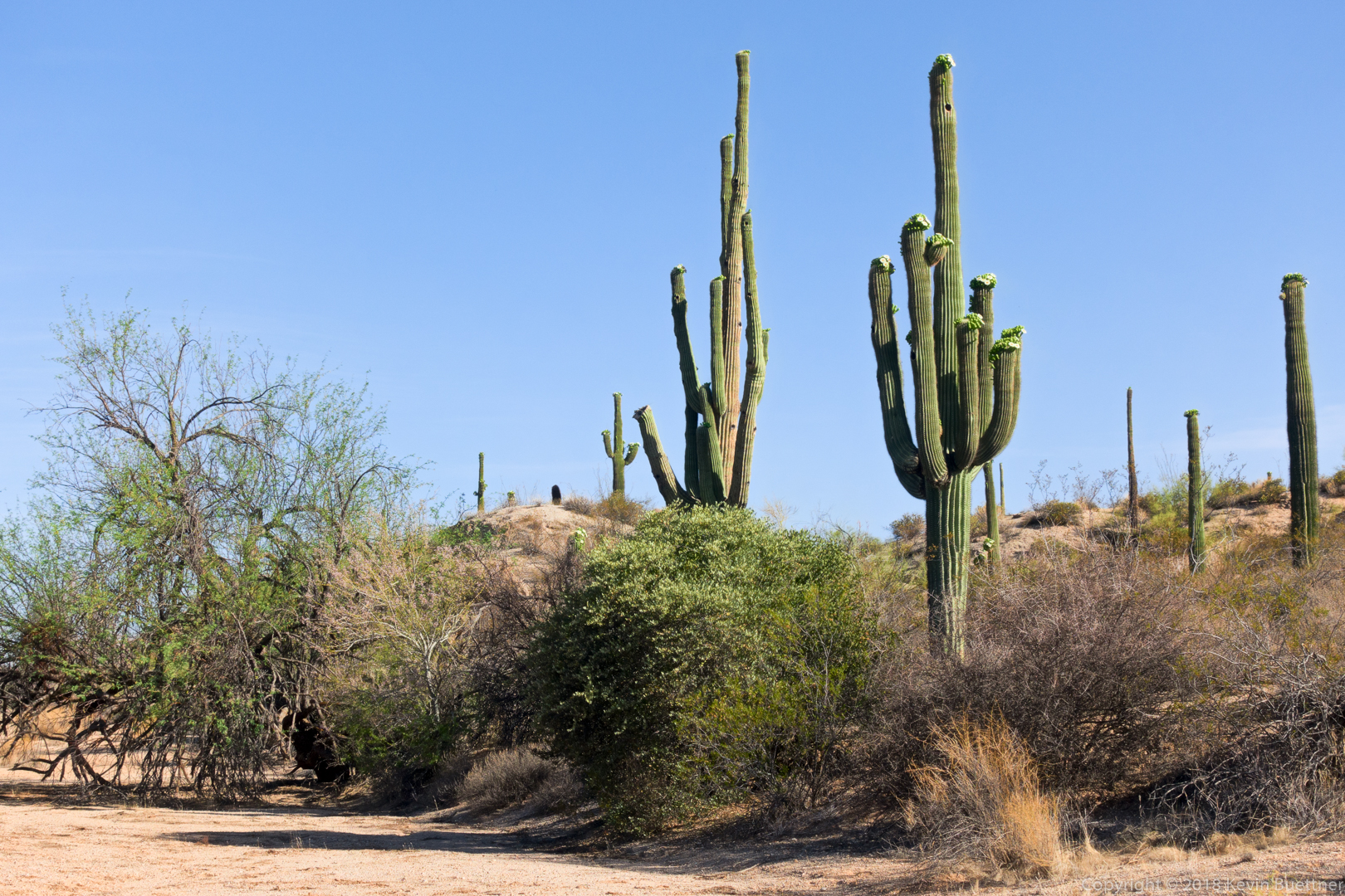
Saguaro blooms:
A slightly different view (than what I normally photograph) of the mine tailings and hills / mountains beyond.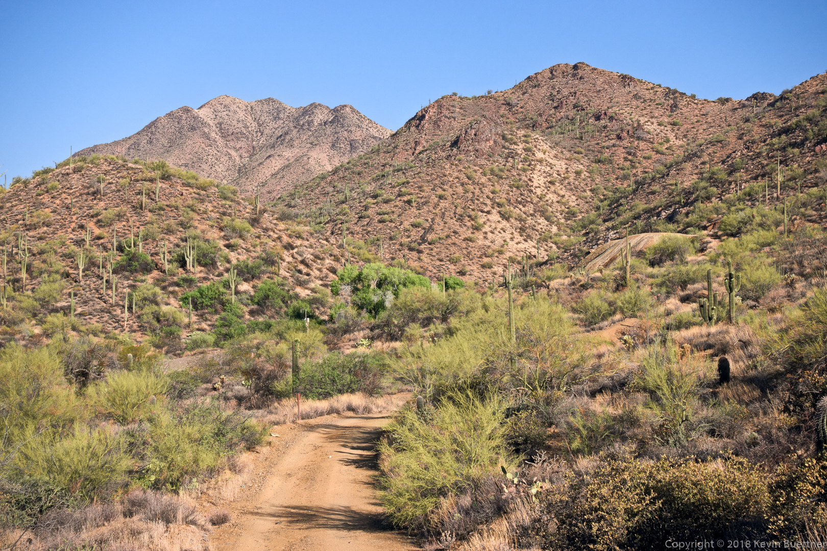
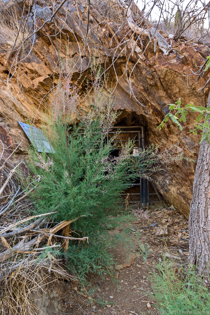
Despite a recent effort to eradicate it from the area, tamarisk is once again growing in front of the gated adit.
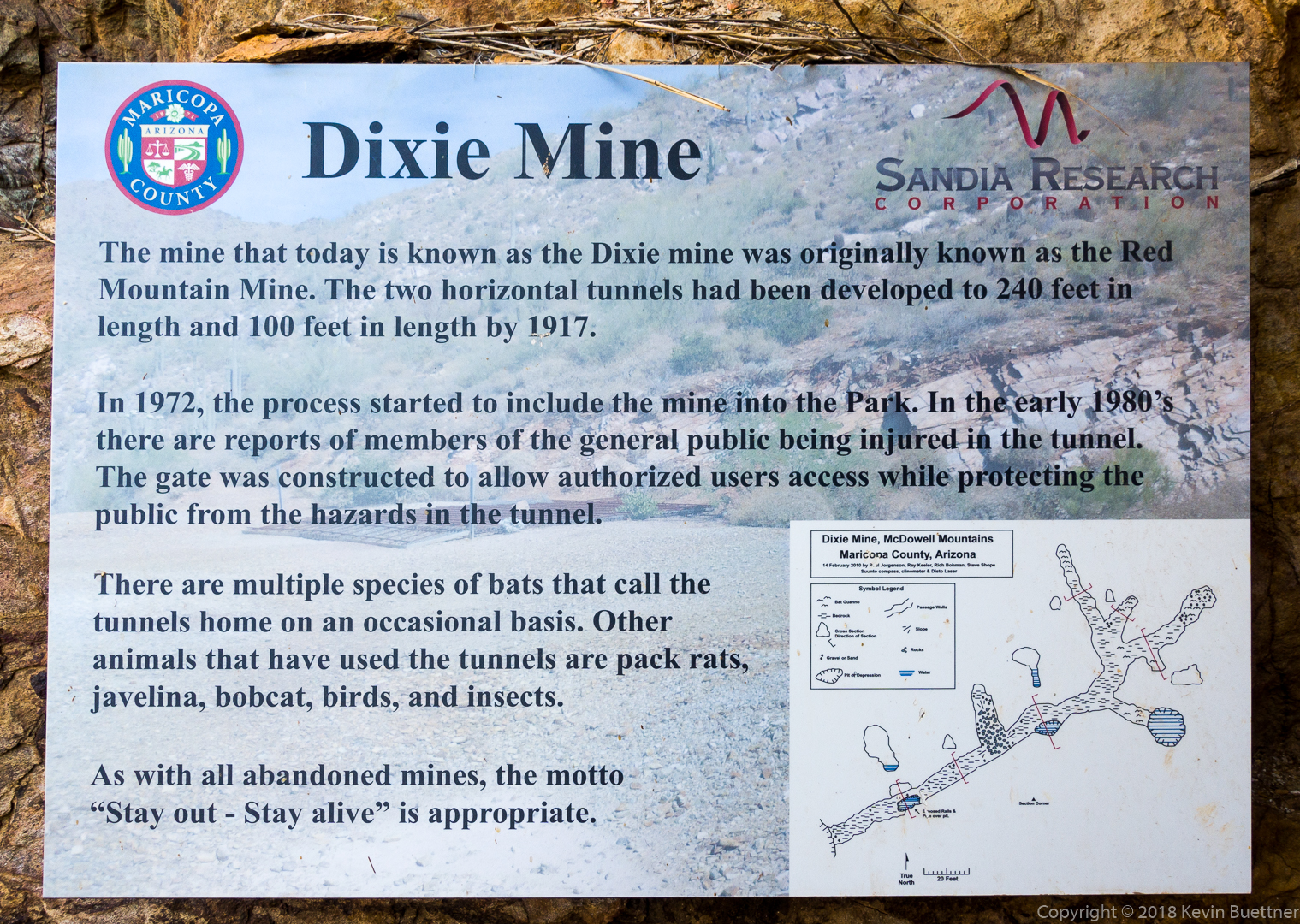
It’s a shame that the sign doesn’t say what was taken out of the mine…
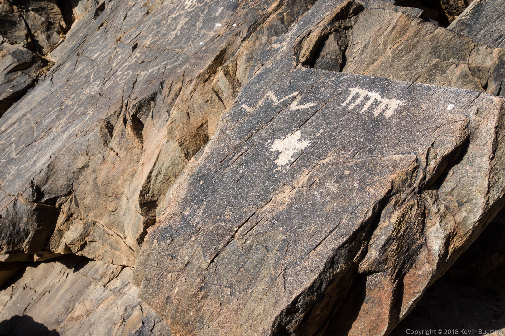
This is part of the main petroglyph panel:
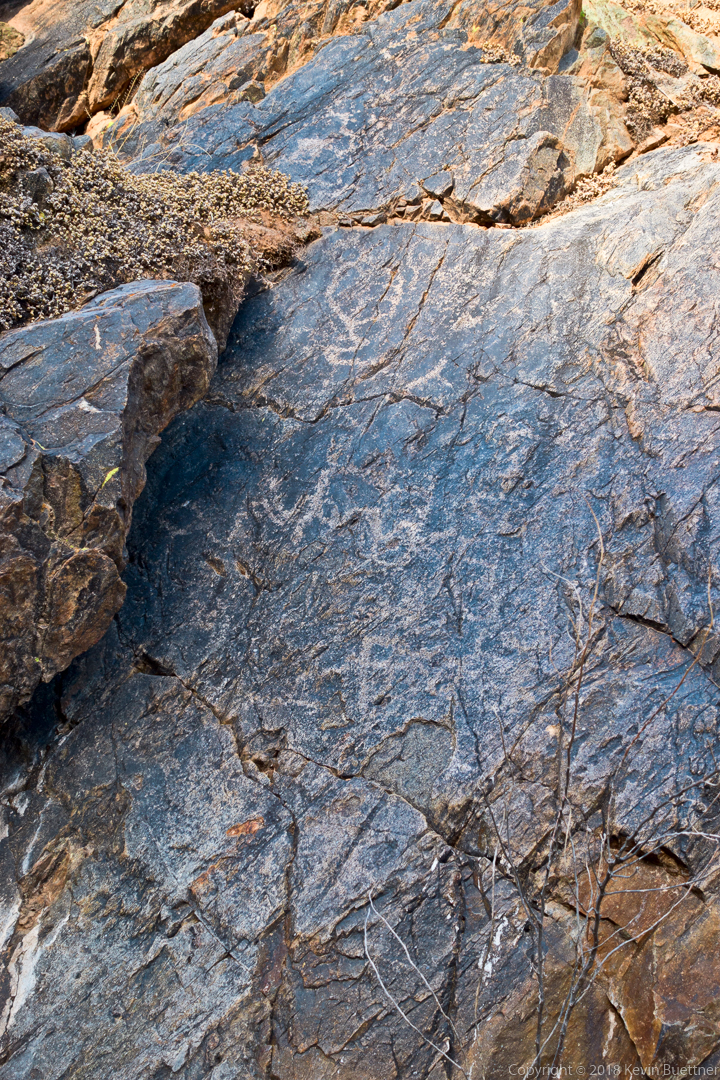
We saw these petroglyphs just prior to arriving at the dryfall:
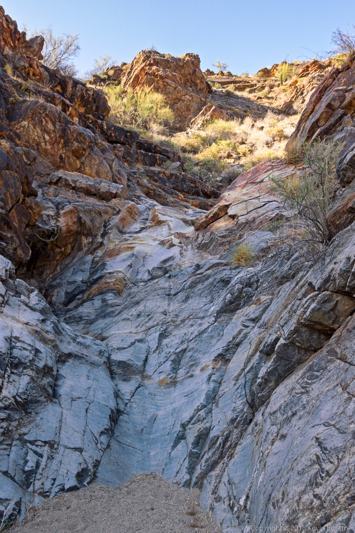
The dryfall…
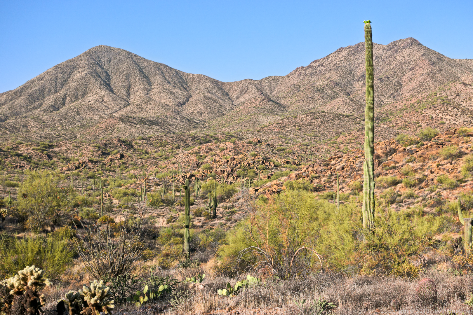
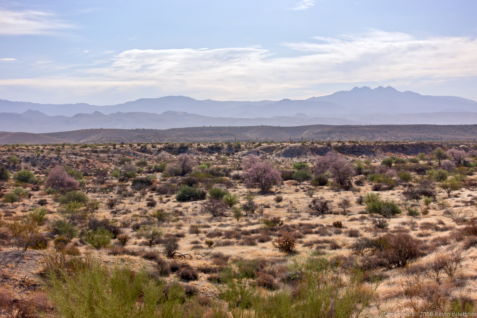
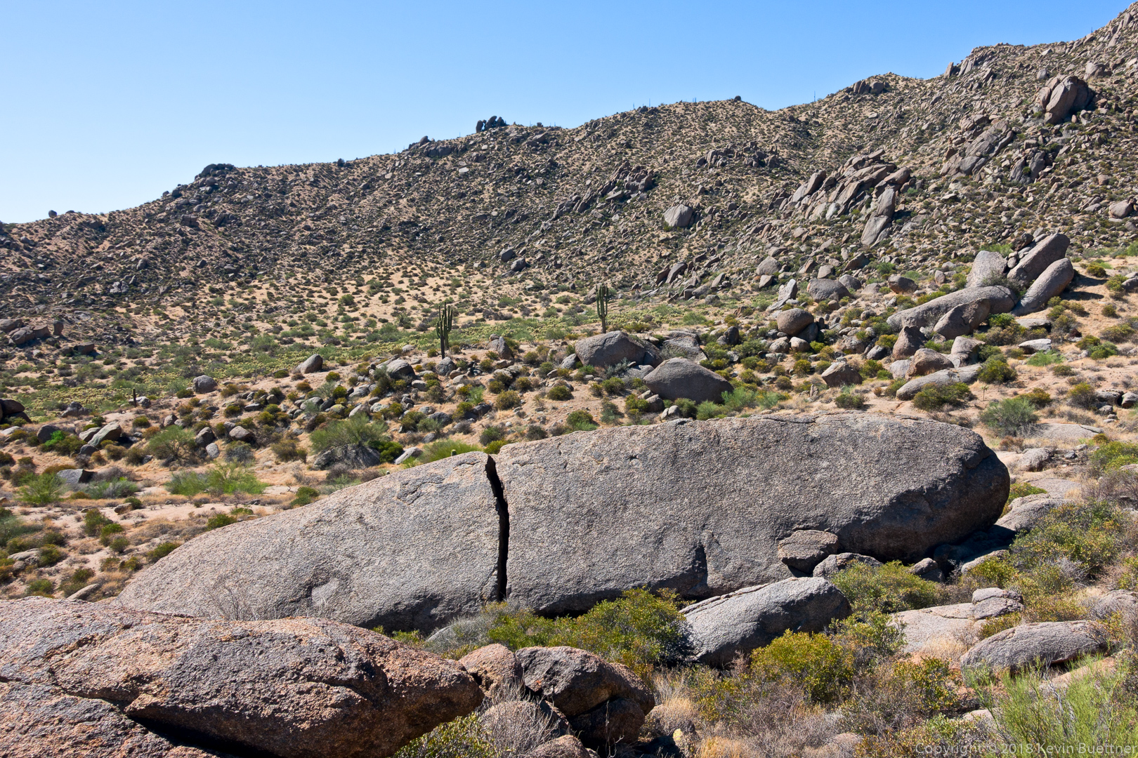
A view from the Dixie Mine Trail on the way back:
Bob, Linda, Marie, and I hiked nearly seven miles on Friday. Ranger Amy joined us for part of the hike on her bike, meeting us at various points along the way when our paths diverged.
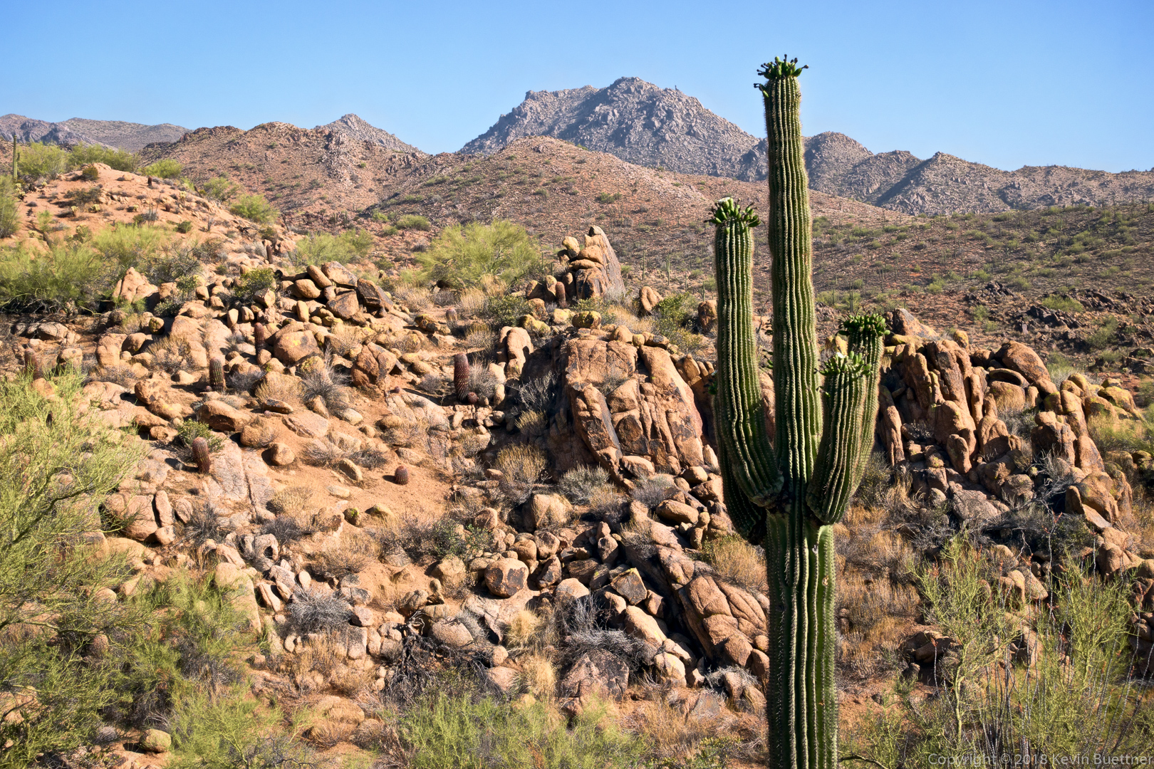
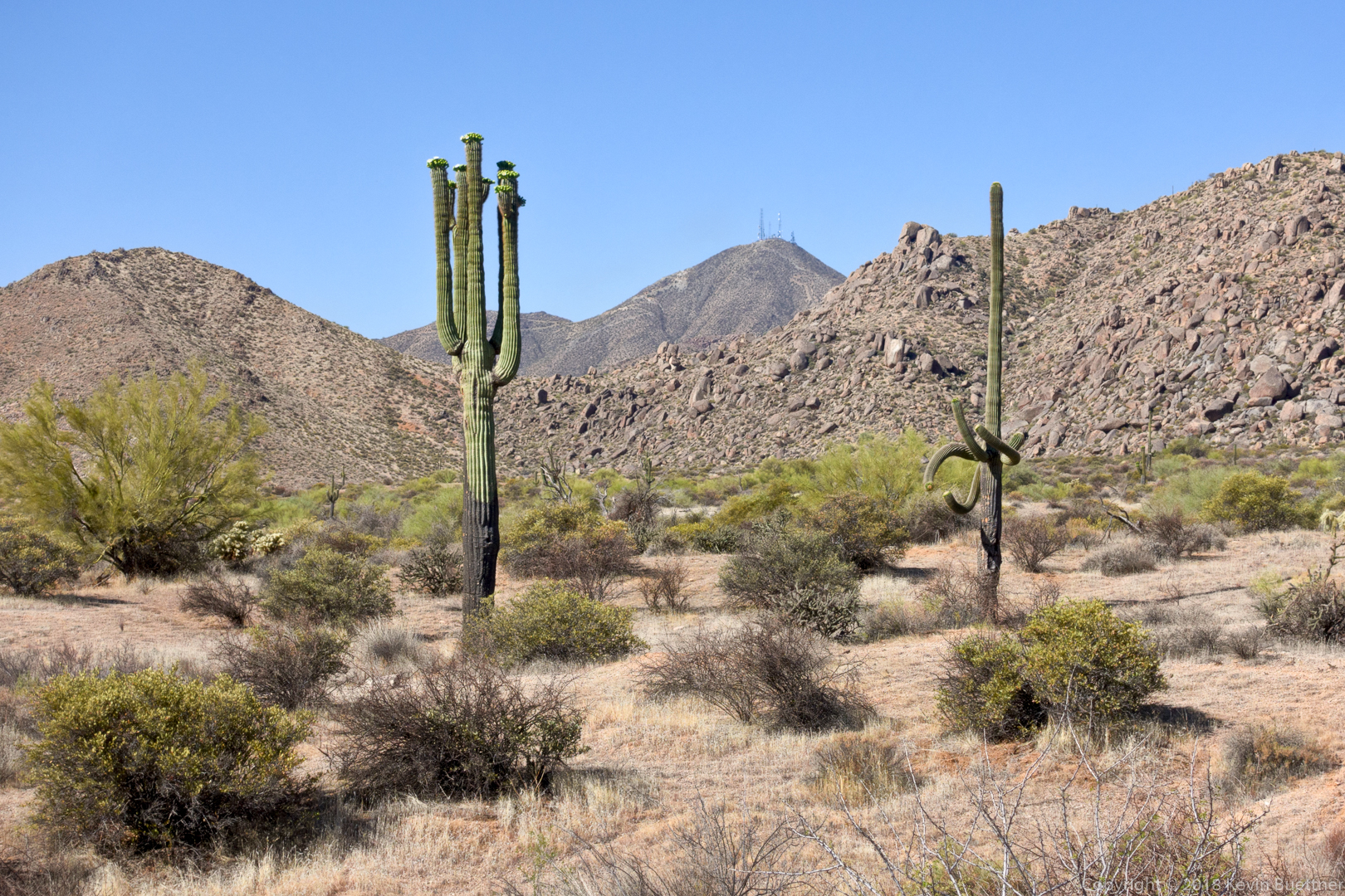
The saguaros are in bloom!
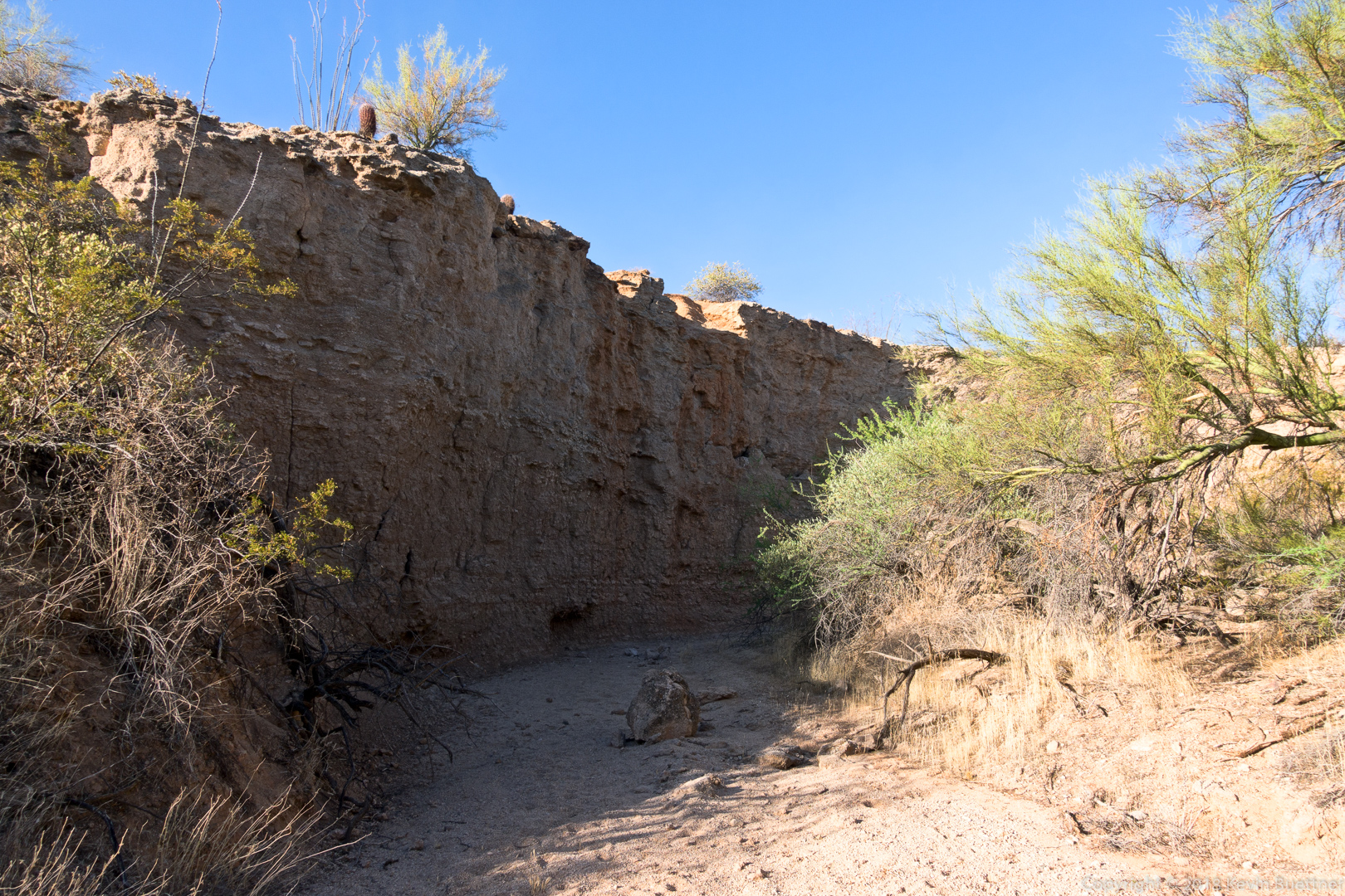
This is Stoneman Wash:
Views while hiking the wash…

Linda, Marlee, and I hiked nearly 10.7 miles on Friday. We hiked up Tom’s Thumb, down East End, left on Windmill, left on Coachwhip, left on Pemberton, and left on Boulder. When we got to the Marcus Landslide Trail, we hiked the interpretive loop before taking it back to the trailhead. Total elevation gain was 1900 feet.
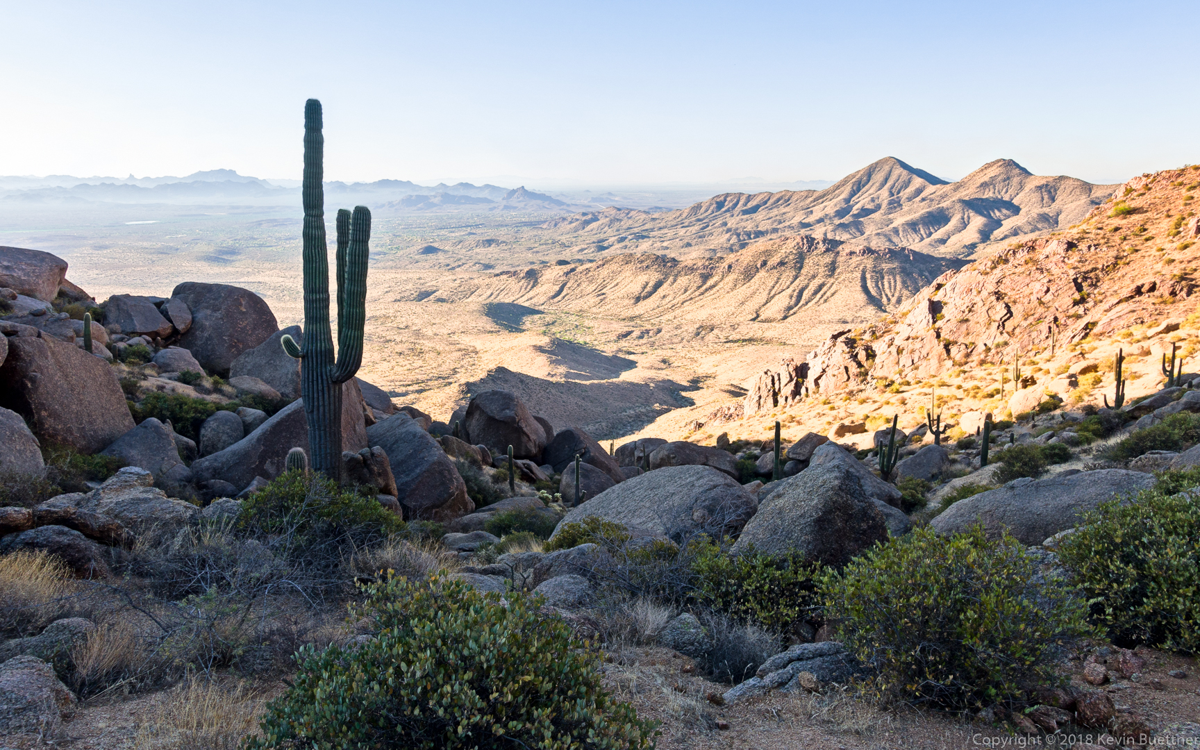
This is a view from the top of the East End Trail:
Marlee and Linda, hiking down the East End Trail:

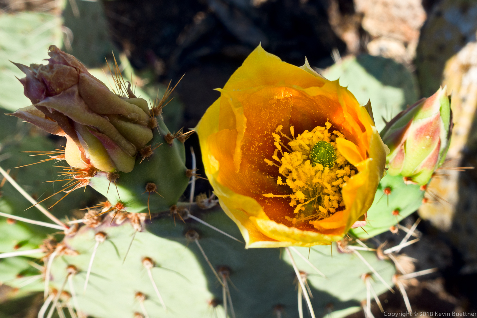
Prickly Pear Blossom:
A view of Thompson Peak from the Pemberton Trail:
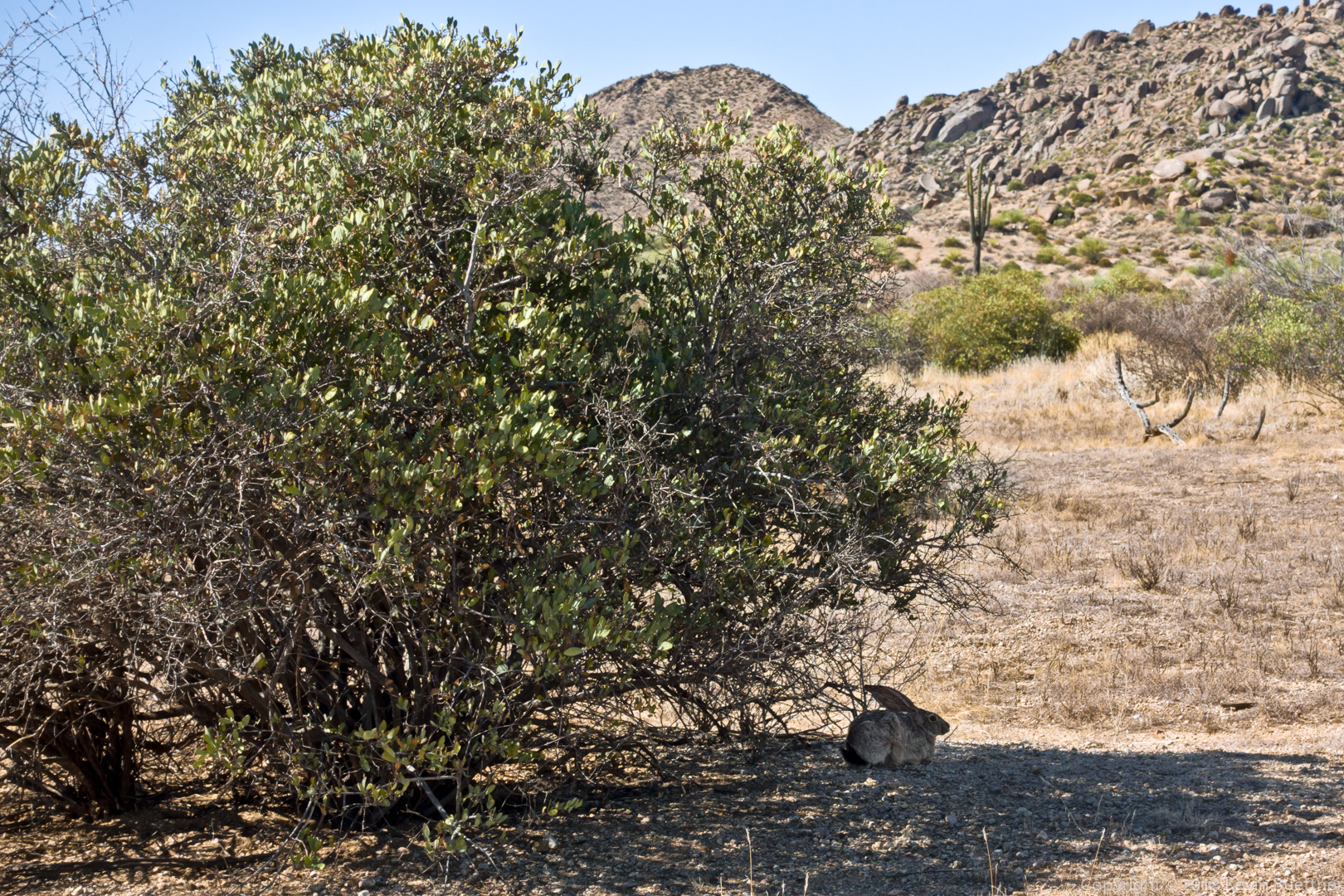
We saw this rabbit just off of the Boulder Trail:
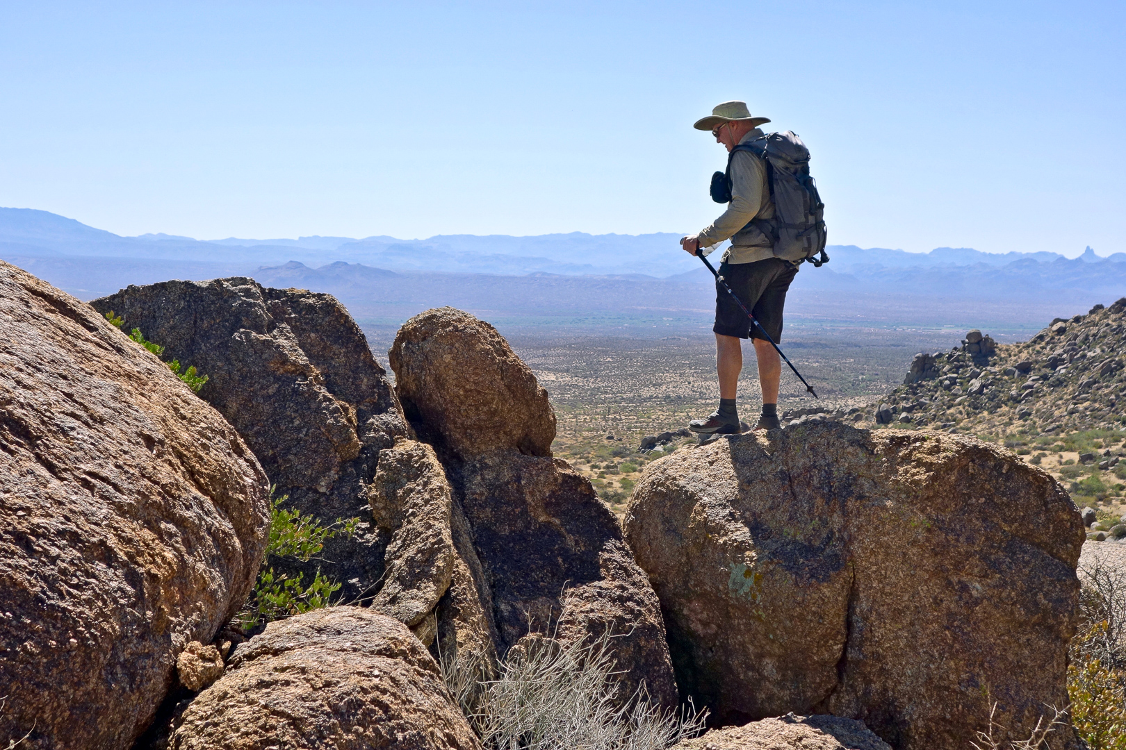
Submarine Rock:
Linda took this photo of me returning from my perch where I took the previous photo. (Photo Credit: Linda Kalbach.)
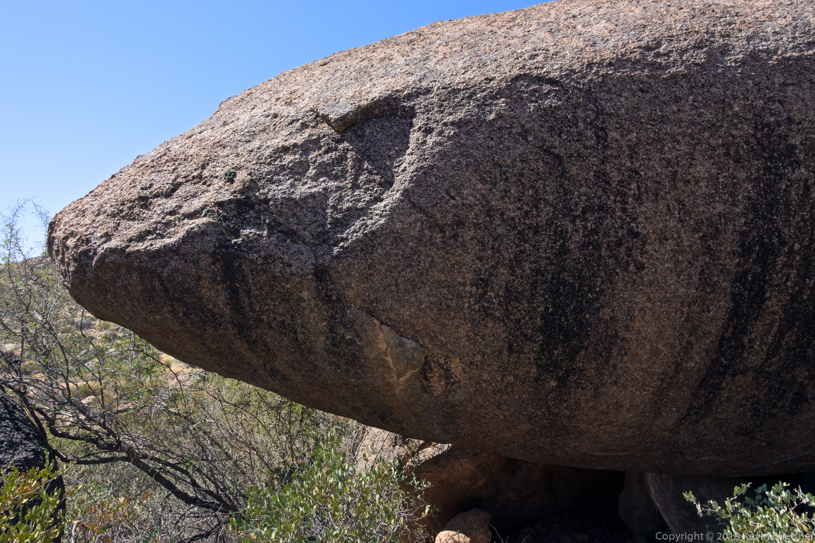
The bow (or maybe stern) of Submarine Rock:
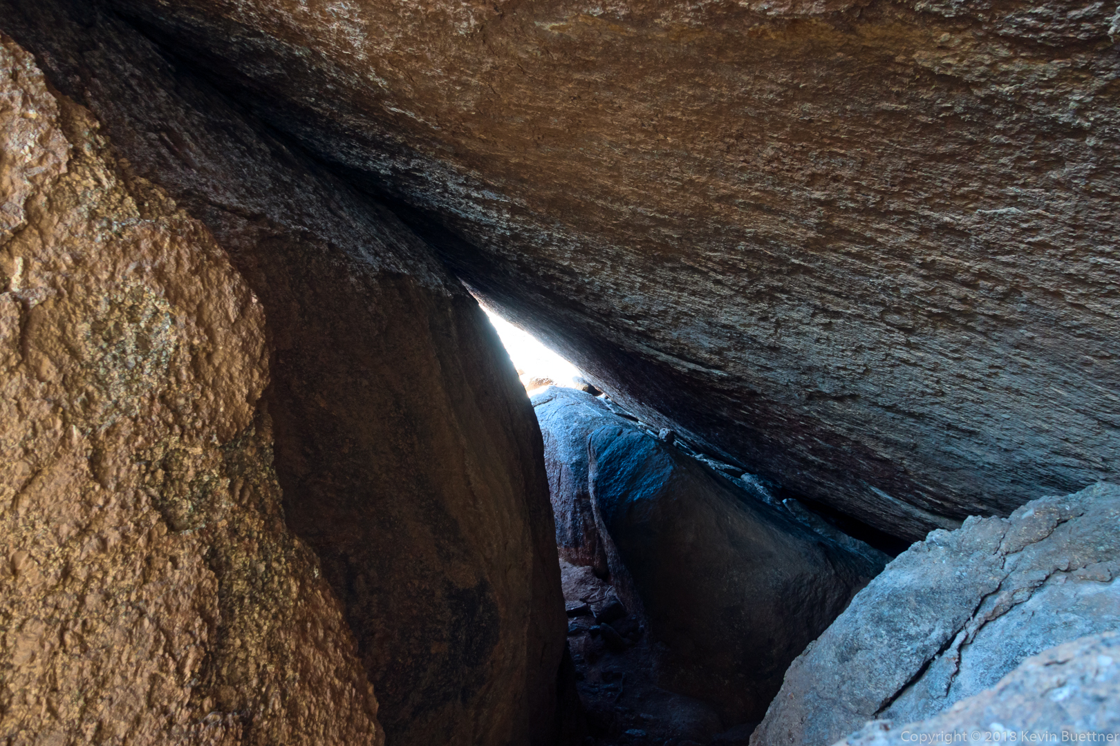
The hole / tunnel below Submarine Rock:
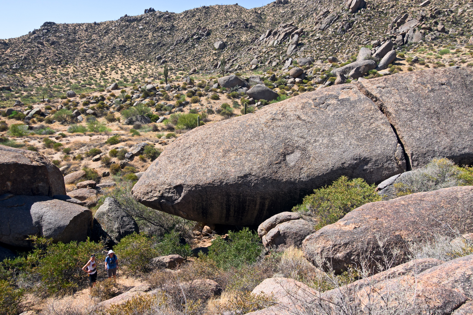
Another view of Submarine Rock, this time with Linda and Marlee in the photo to show its size.
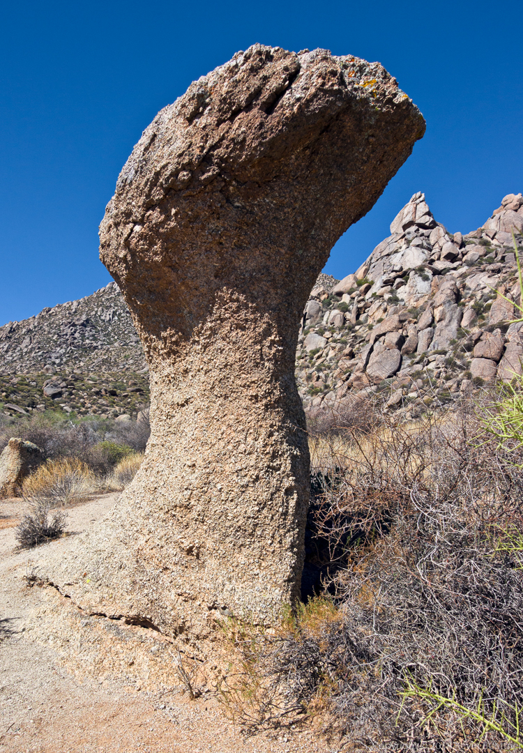
One of the mushroom boulders on the Marcus Landslide Trail:
Soon to be blossoms on a saguaro: