Friday’s hike started from the Tom’s Thumb Trailhead. Mike, Denise, and I hiked to the highest point in the McDowells. Amy, Linda, and Jon hiked the Mesquite Canyon and the Feldspar trails with us, and then continued on to the Marcus Landslide Trail. Linda told me that her group hiked 6.4 miles. Mike and I hiked about the same distance; we added a few extra miles to our hike when we hiked down the Rock Knob Trail into McDowell Mountain Park. (Denise went on ahead after reaching the summit.)
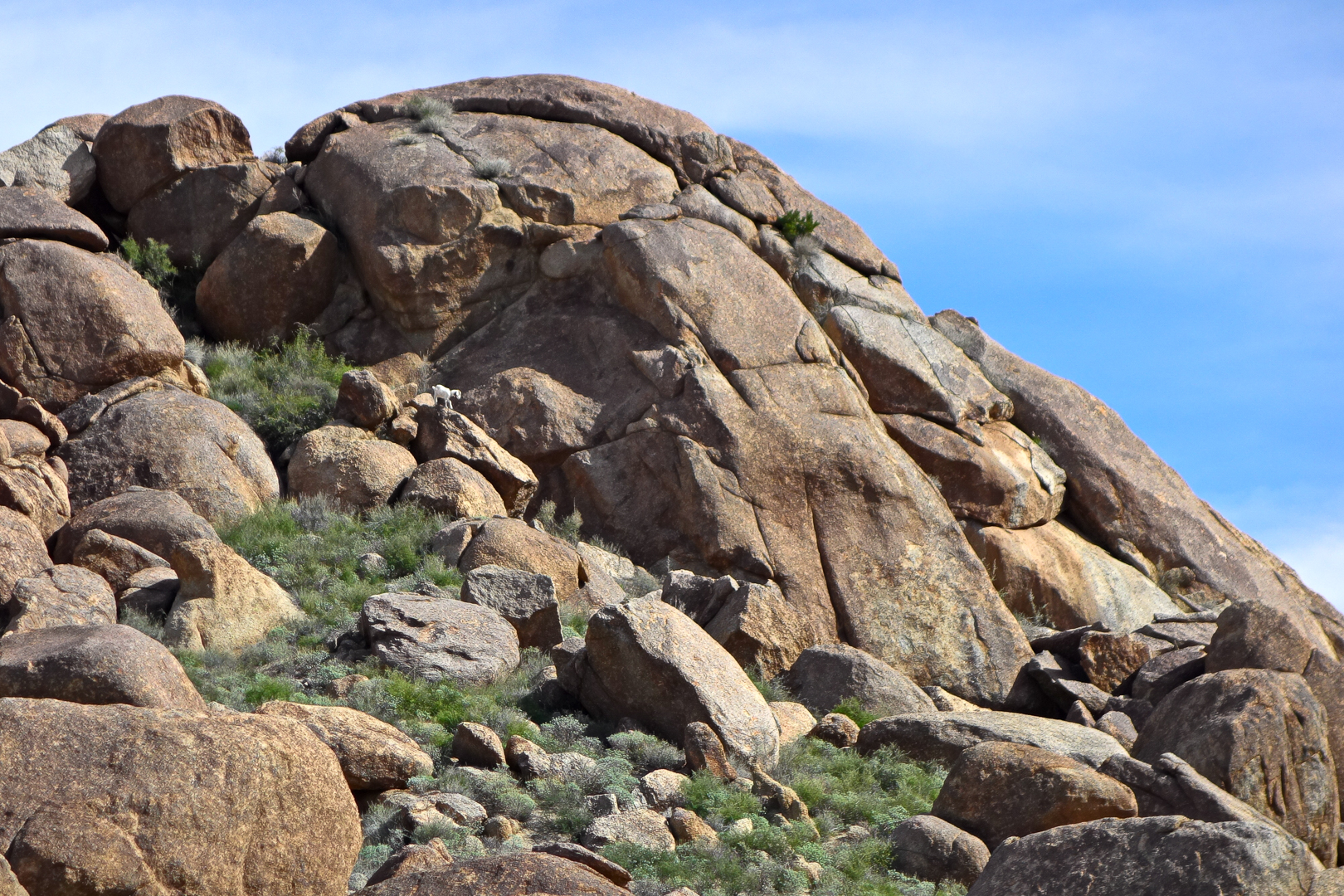
Linda sent me this photo of a white goat on a boulder. She told me that she called to it and that it started coming down, but then disappeared behind a boulder.
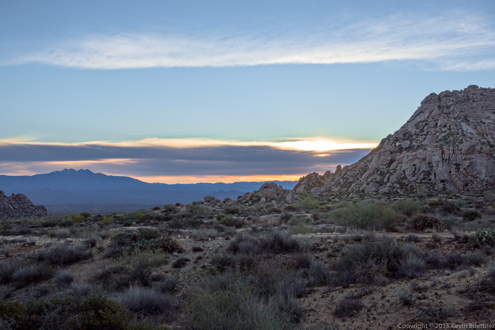
I took this photo from the parking area just after I arrived. This is well after sunrise, but some color was present in the sky from the sun being partially behind a dense bank of clouds.
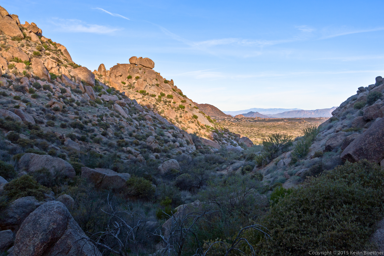
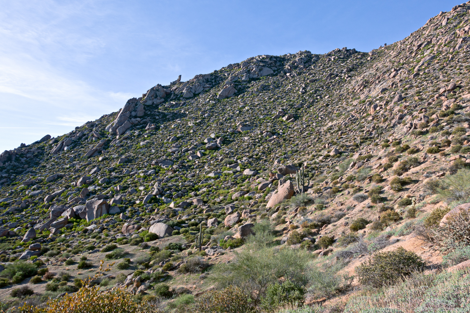
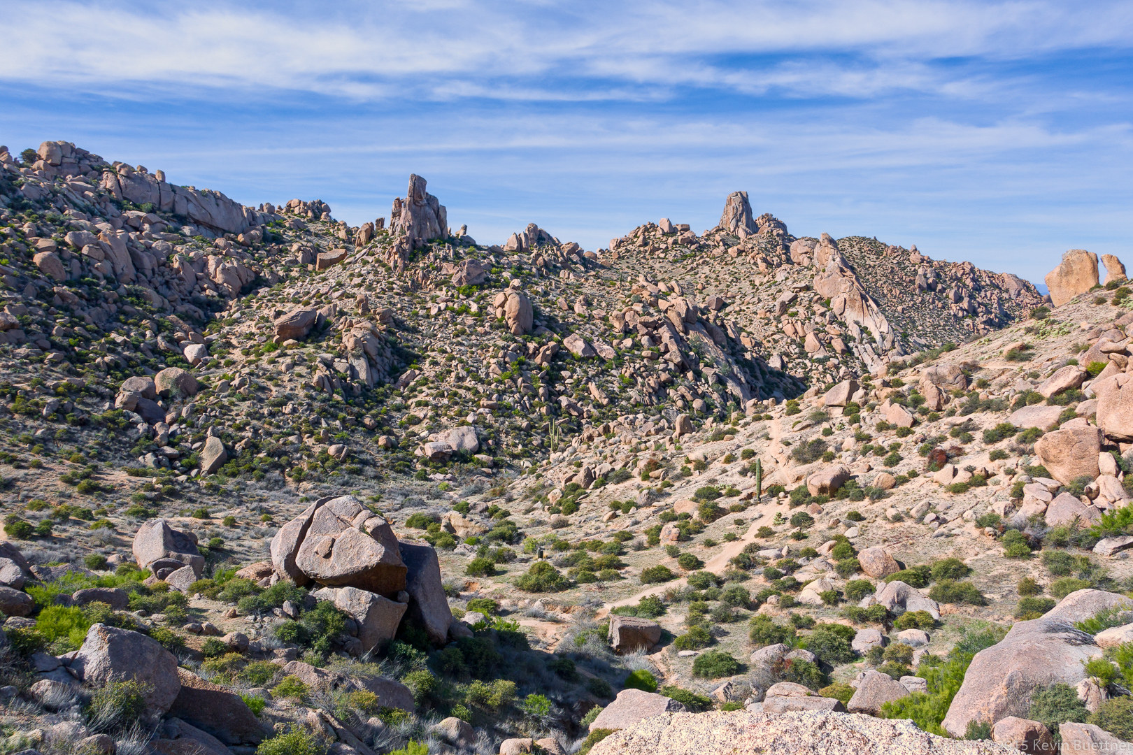
Looking back down Mesquite Canyon during an early part of our hike:
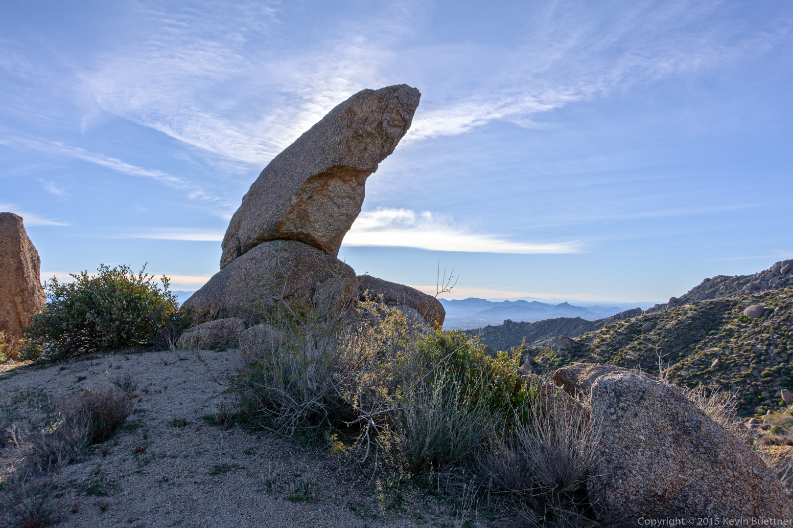
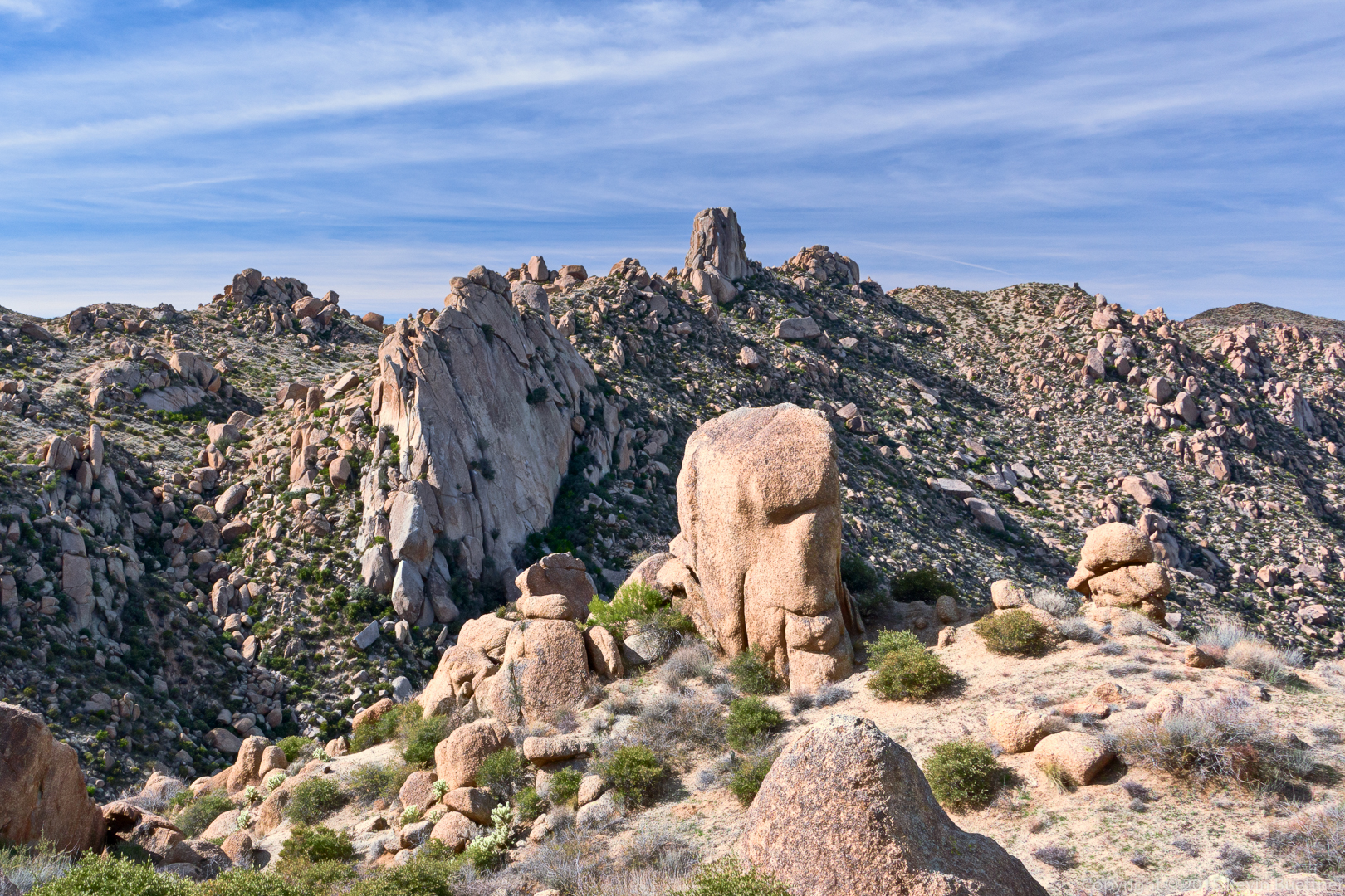
A view of the Thumbnail Pinnacle on the ridge line. Our route took us below and the left of the large rock formation below and to the left of the Thumbnail Pinnacle. This is the Hog Heaven climbing area.
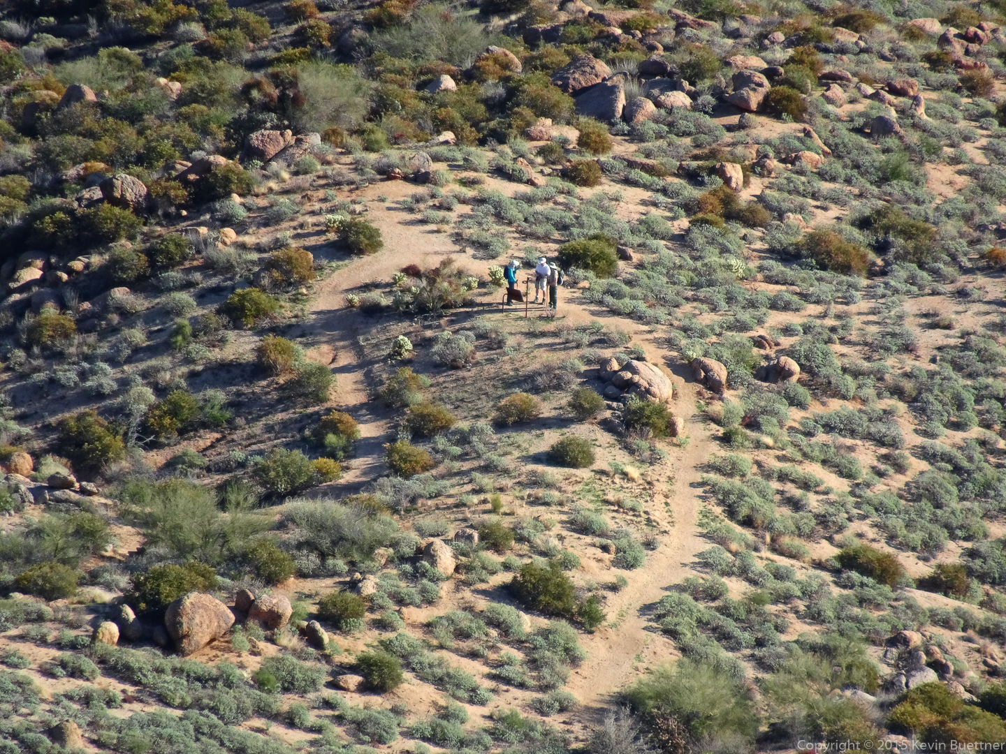
Denise spotted Linda, Jon, and Amy stopped at one of the many signs on the Marcus Landslide Trail:
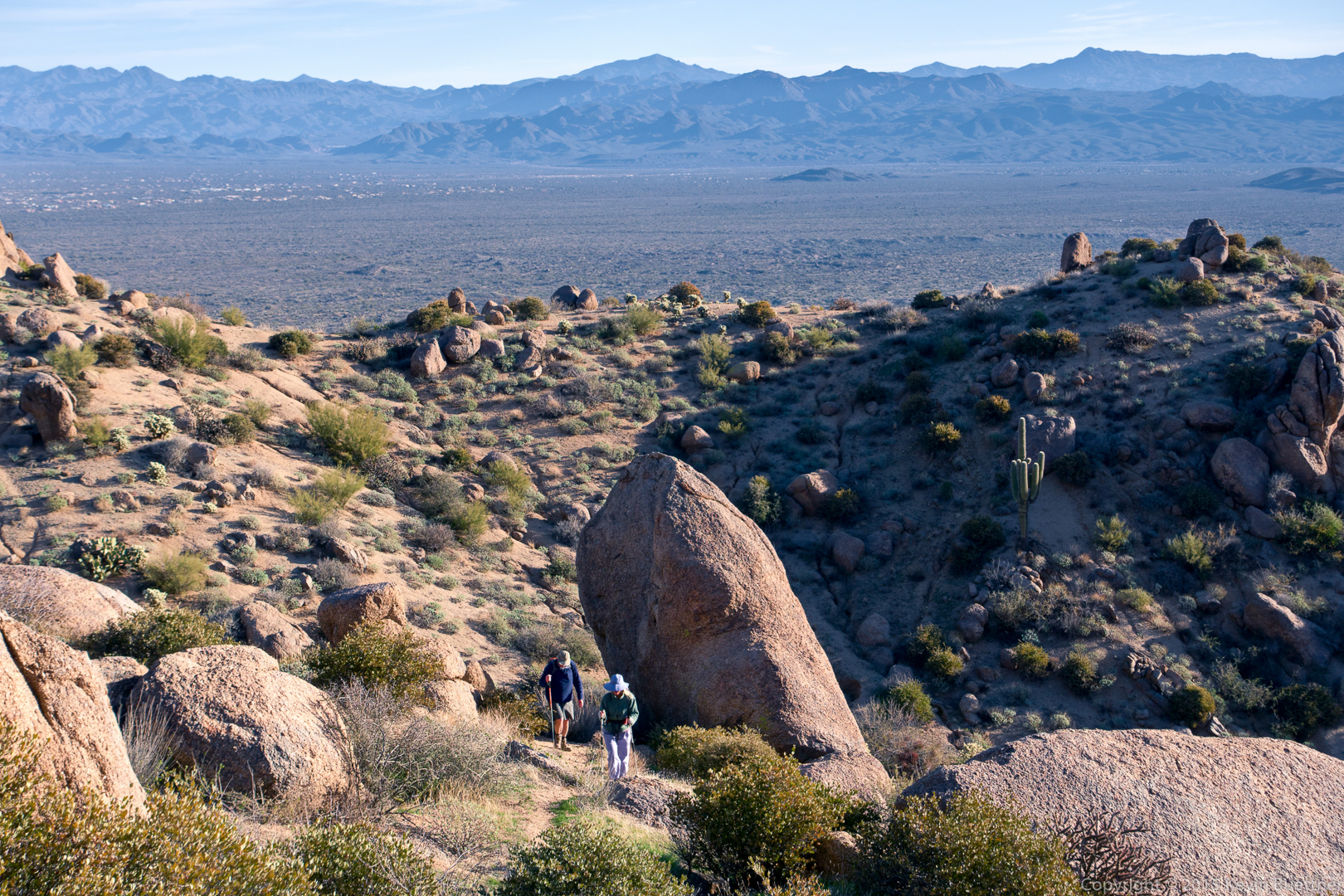
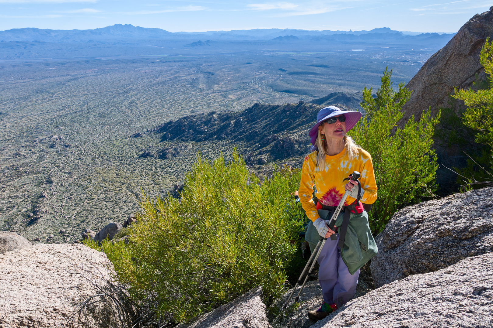
Denise looks to see what’s ahead of us:
Mike on a steep section of our route up to the Thumbnail Pinnacle:

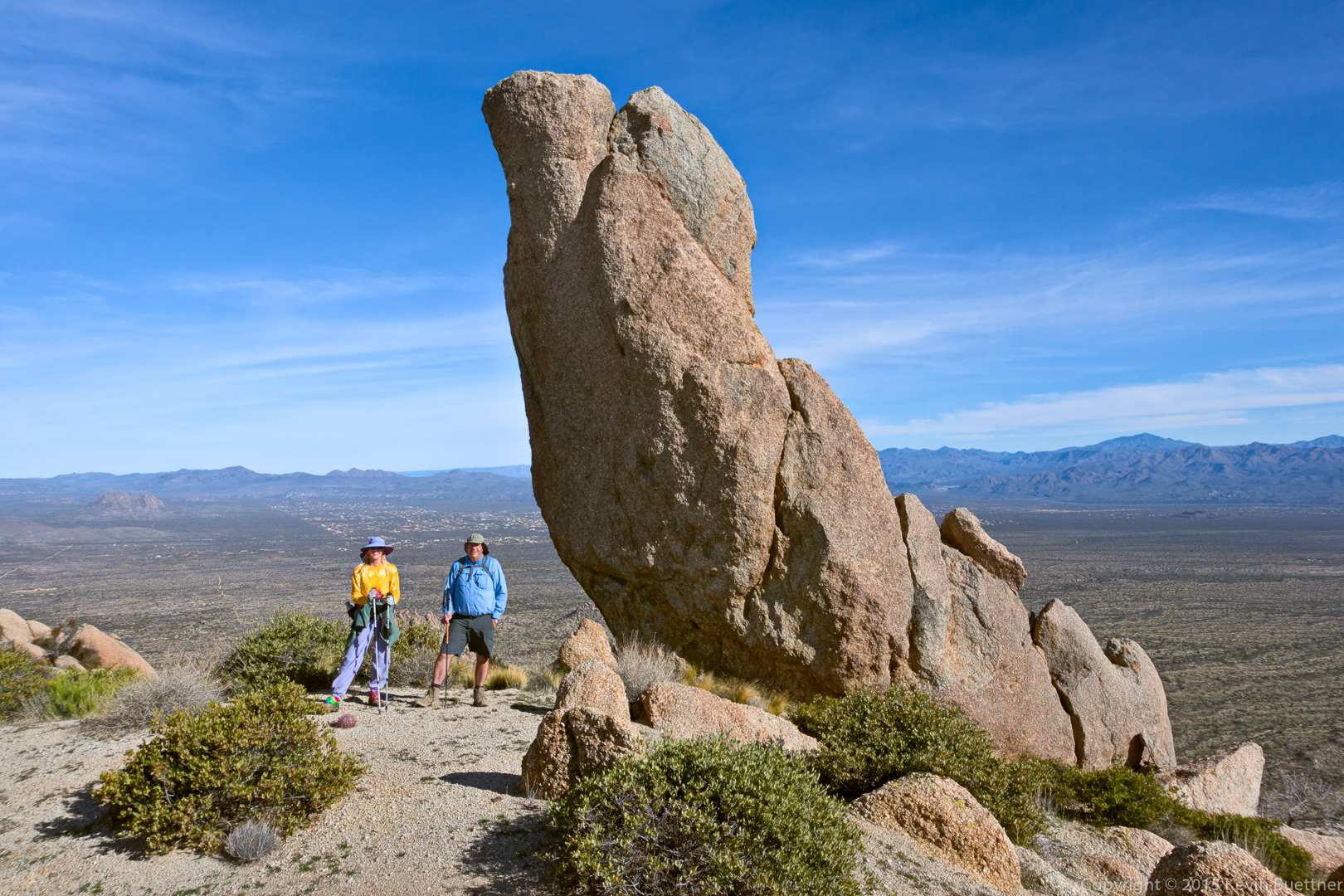
Denise and Mike, next to the Thumbnail Pinnacle:
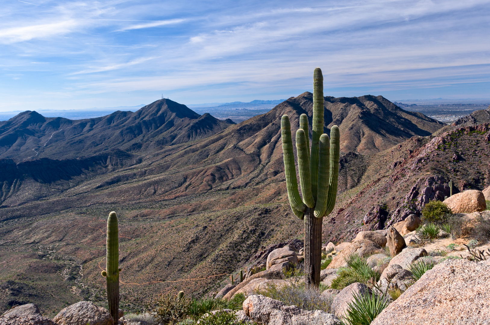
A view of Thompson Peak:
Another view of the Thumbnail Pinnacle; when viewed from where I took this photo, it appears to be a slender and dramatic pinnacle.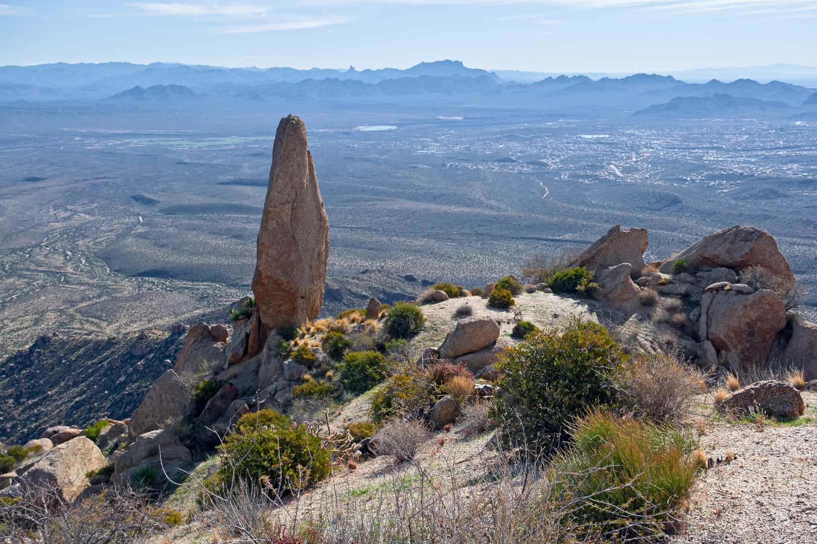
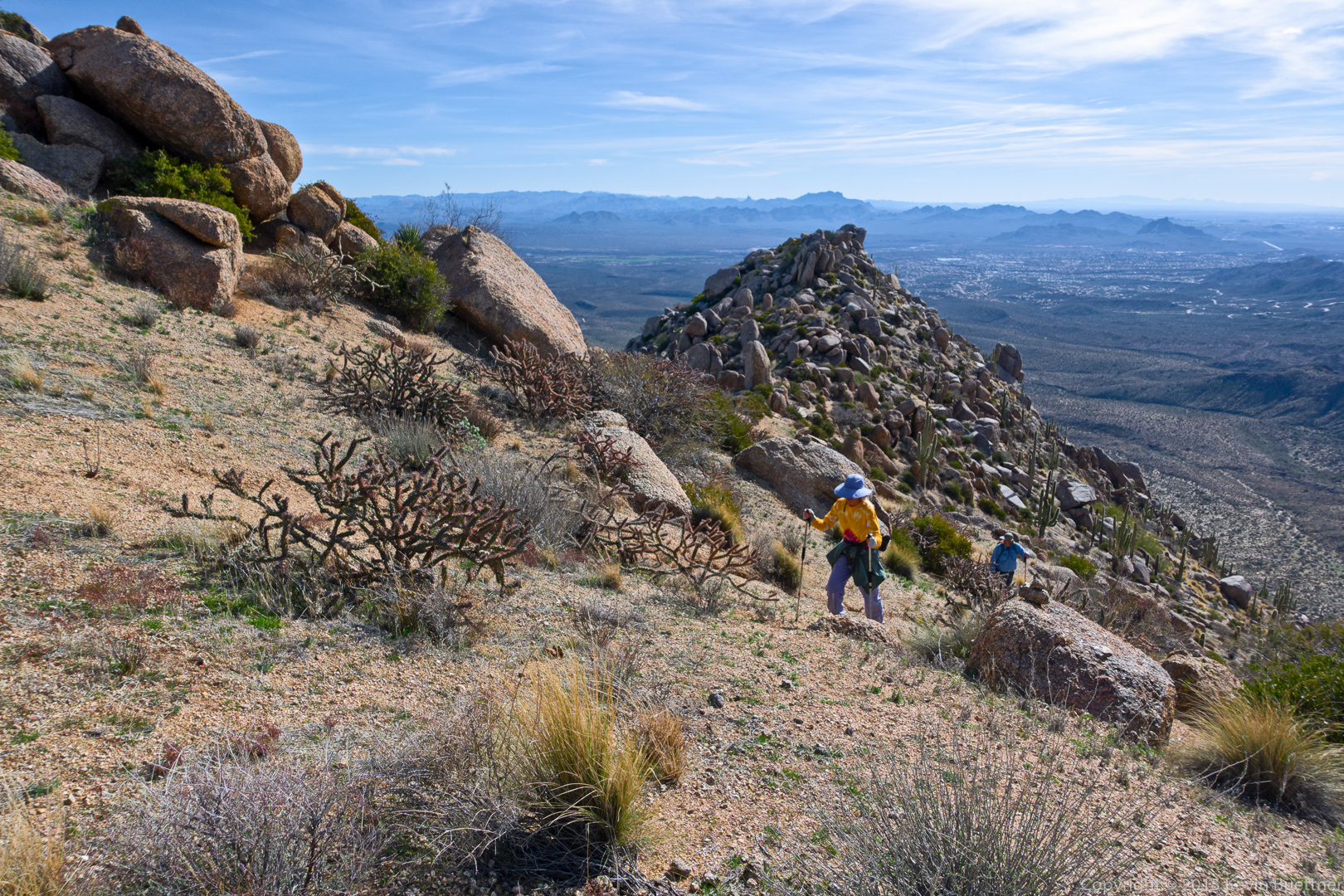
Approaching the East End…
Densie, sitting atop the summit at the East End. This is the highest point in the McDowells. Tom’s Thumb is visible below us at the far right in this photo.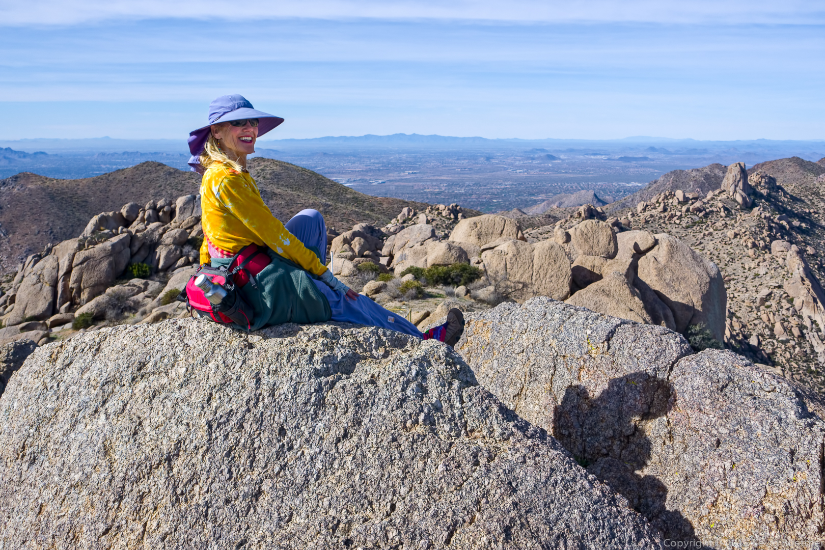
Glass Dome and Tom’s Thumb – and a lot of other boulders too!
Gardener’s Wall and Tom’s Thumb:
A view of the Rock Knob area as seen from the Rock Knob Trail just inside of McDowell Mountain Park:
Sue says:
Wonderful, different perspectives from old favorites:) What a boulder heaven! Thanks so much!
January 23, 2016 — 1:46 pm
Denise says:
Thank you Kevin for encouraging me to do this hike! It offered an amazing variety of views, challenges, fun and the awesome satisfaction of sitting on the highest spot in preserve. I thoroughly enjoyed it. See you next time.
Denise
January 23, 2016 — 3:53 pm
Anonymous says:
Great shots, Kevin. What a contrast to the East Coast that is buried in snow. Glad GR was missed!
January 24, 2016 — 6:14 pm
Jerry Froio says:
Kevin, your photo’s seem to improve every week. Really enjoy them!!
January 27, 2016 — 2:49 pm
Kevin says:
Thanks!
February 1, 2016 — 12:06 am
Krisztina says:
Wow! I wouldn´t be surprised if I see your photos in National Geographic! Keep up the good work!:)
January 30, 2016 — 11:28 am
Kevin says:
Thanks, Krisztina!
February 1, 2016 — 12:06 am