On January 1, Bob, Janet, Allen, Nick, DeAnn, Sandy, Marilyn, and I hiked from Spur Cross to Skull Mesa. (Not all of us went to the top.) My GPS watch tells me that I hiked 12.6 miles with over 3100 feet of total ascent.
The mile to the top of the mesa has approximately 1,000 feet of elevation gain, which is quite a lot for just one mile. It was not as difficult as I expected, however, since the trail was both easy to follow and in good condition with numerous switchbacks.
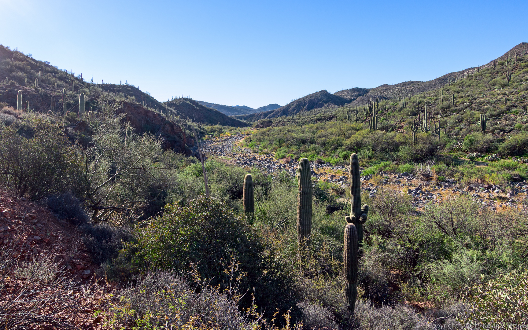
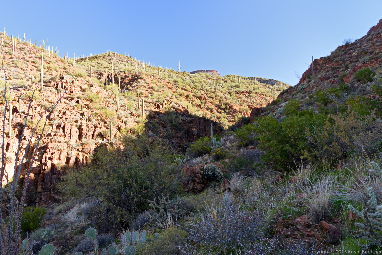
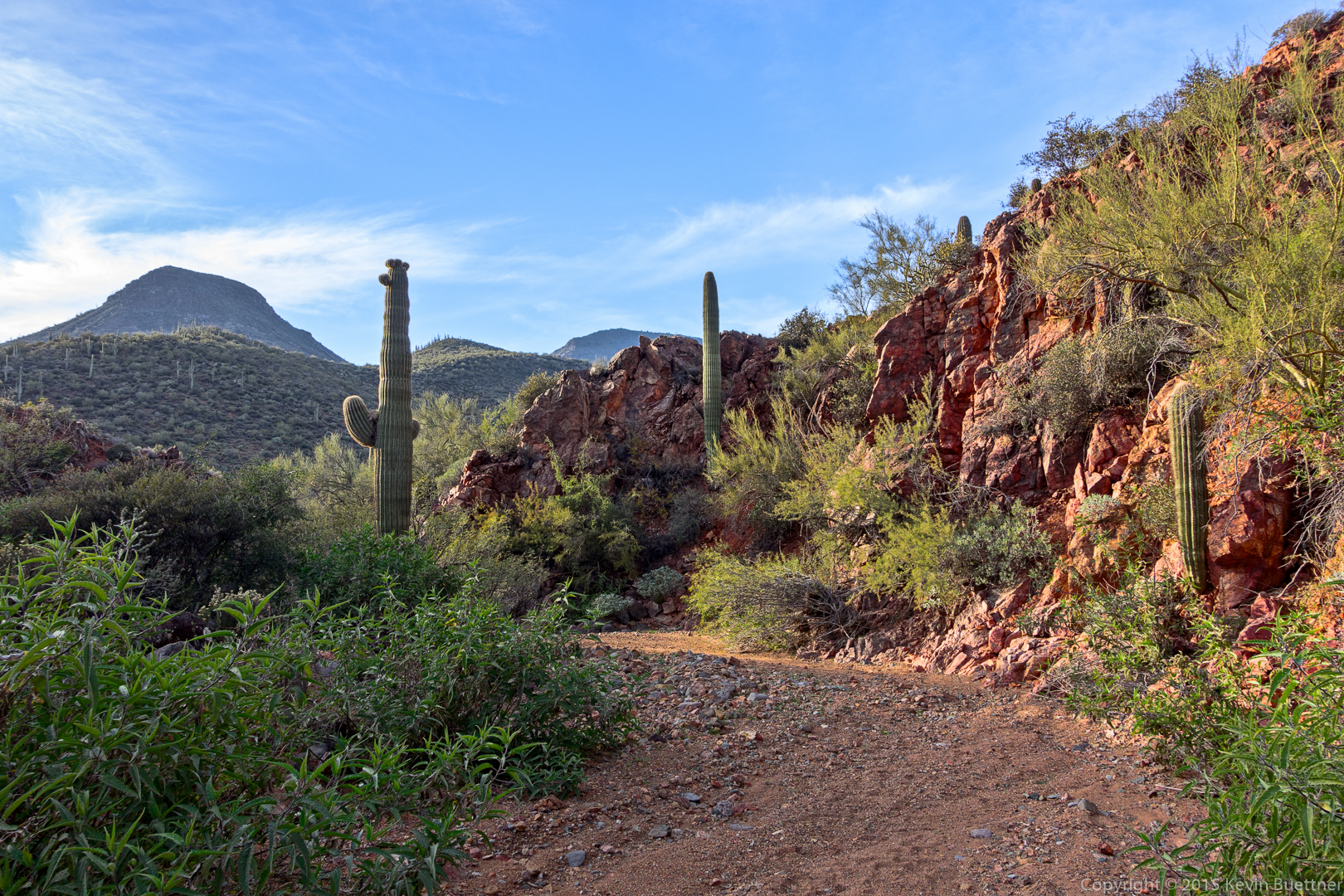
Views from early in the hike…
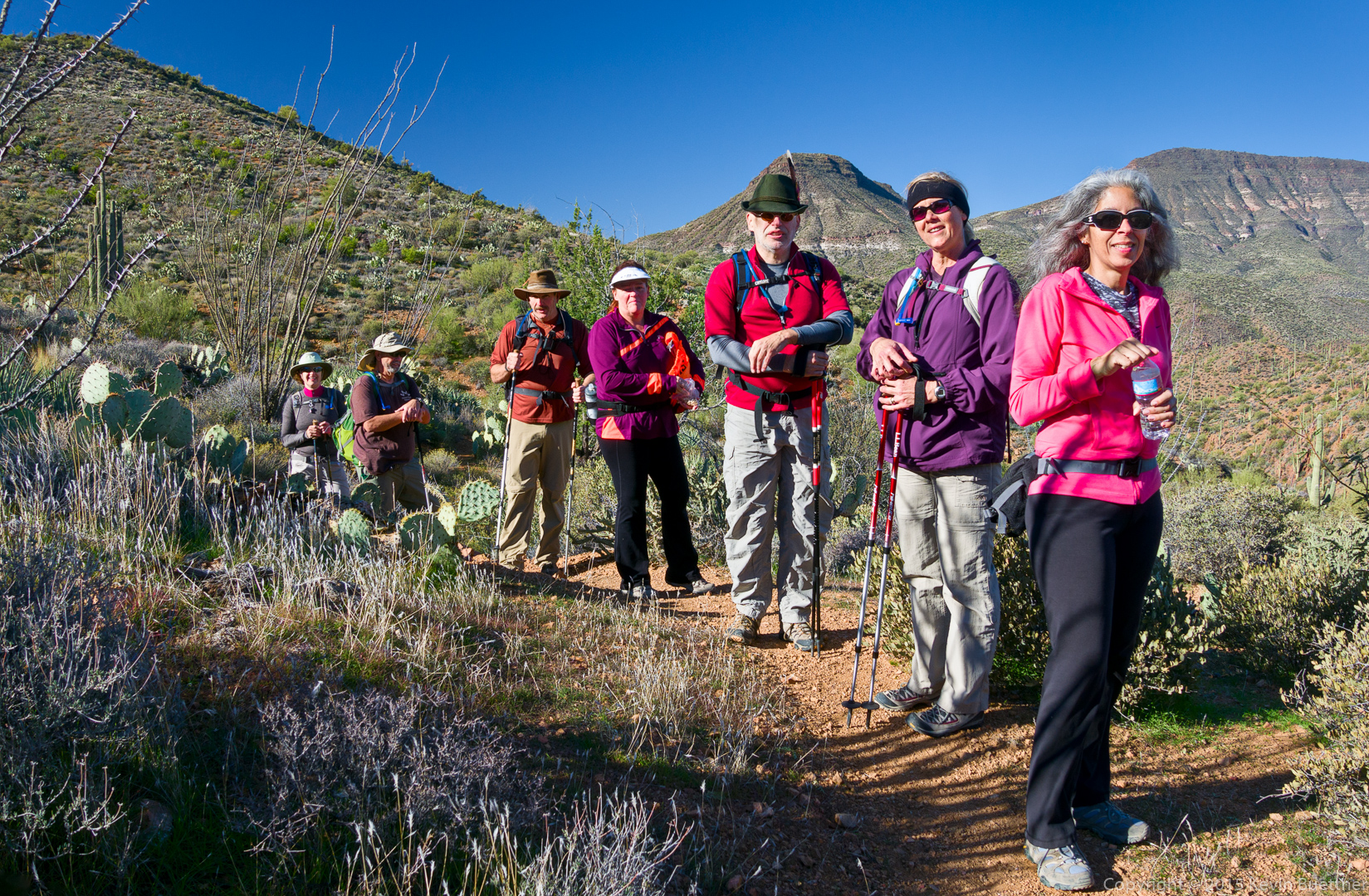
Marilyn, Bob, Allen, Sandy, Nick, Janet, and DeAnn:
A view of Skull Mesa:
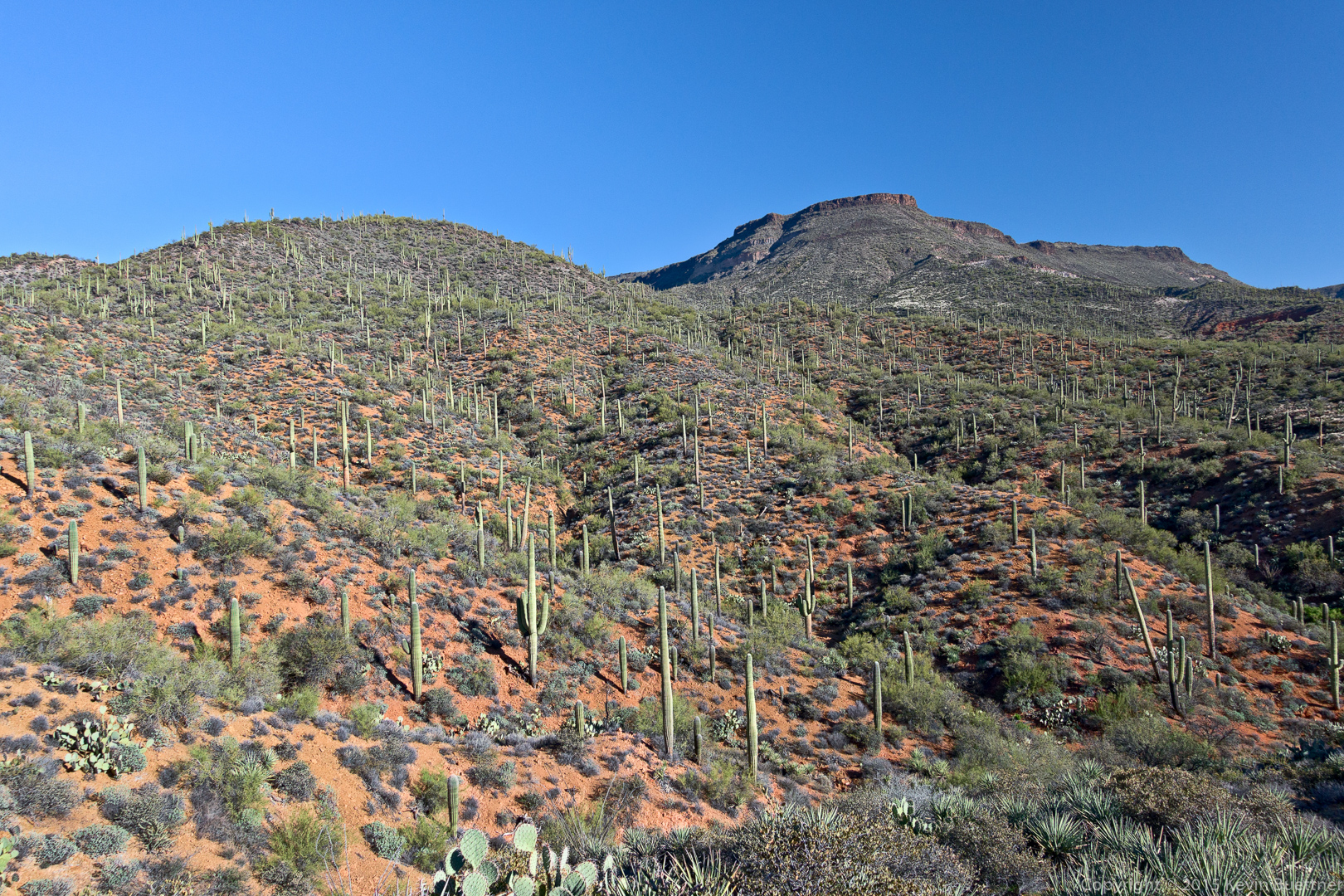
Another view of Skull Mesa:

DeAnn, nearing the summit:

The top of Skull Mesa is grassy and expansive.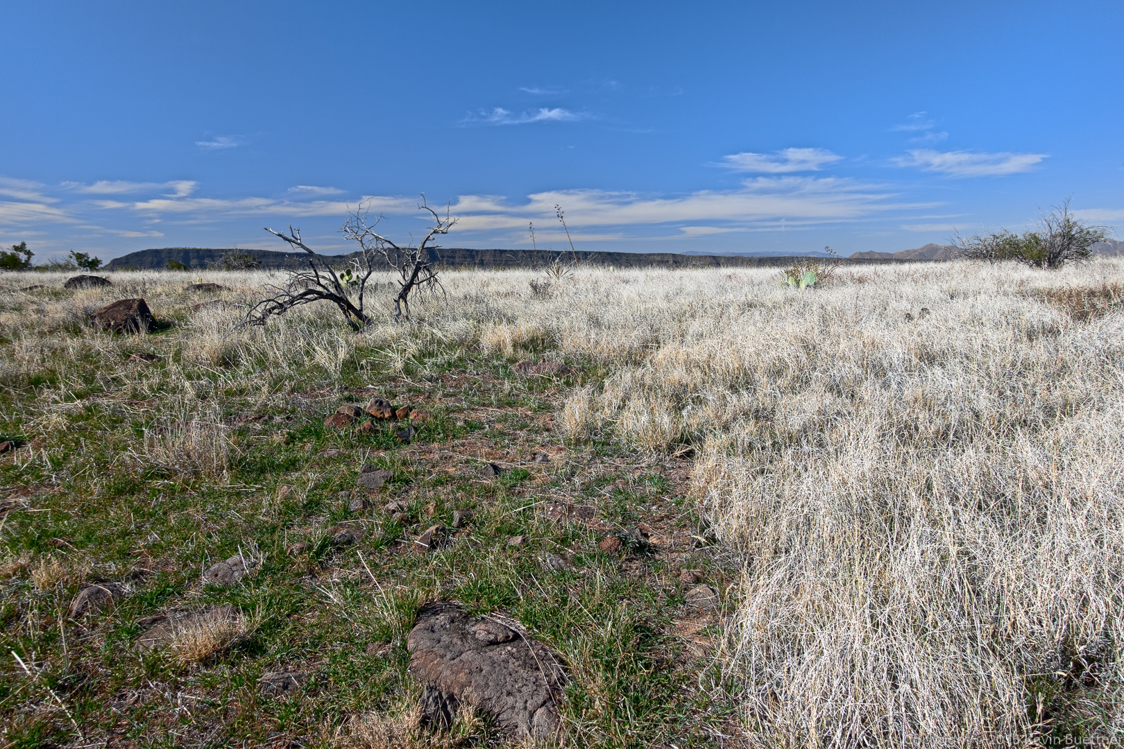
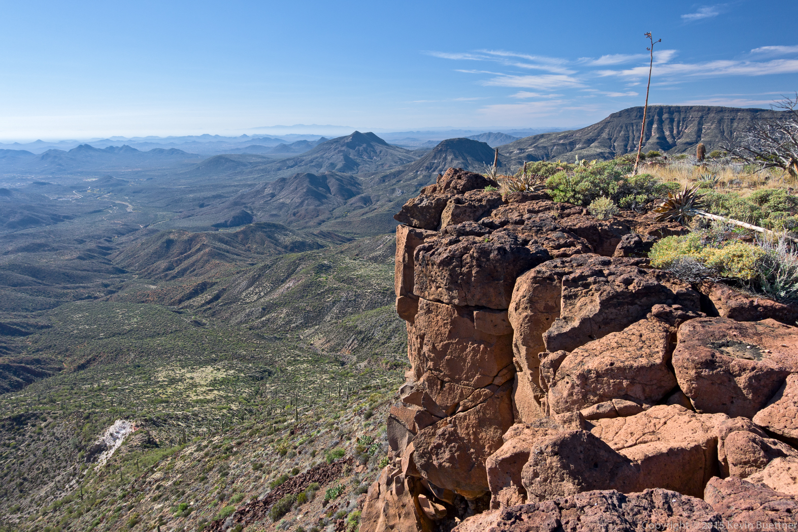
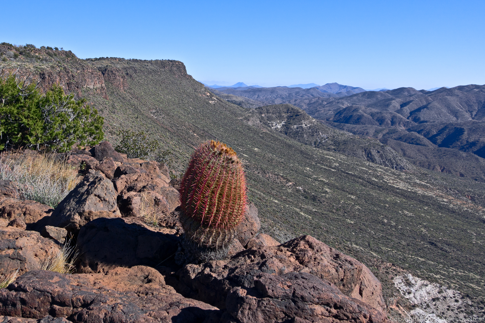
Views from the top of Skull Mesa…
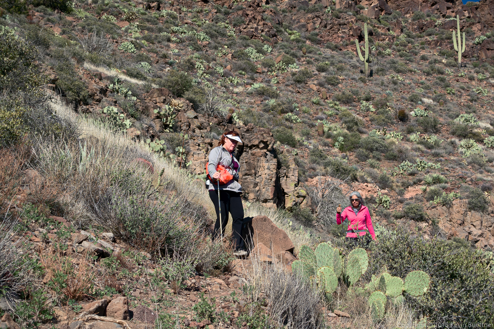
Sandy and DeAnn descending the trail from the top of Skull Mesa:
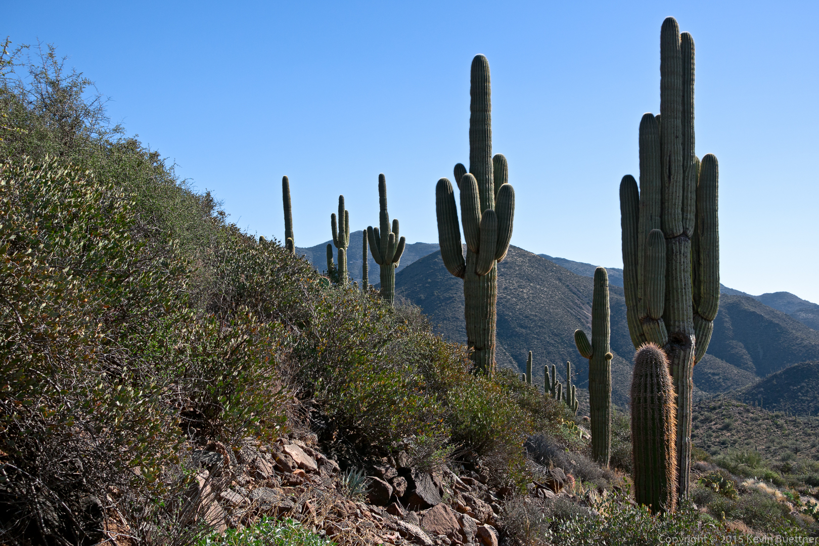
I saw these saguaros on the way down.
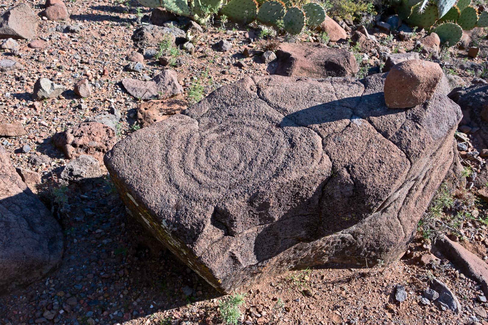
We saw this petroglyph on the way down too:
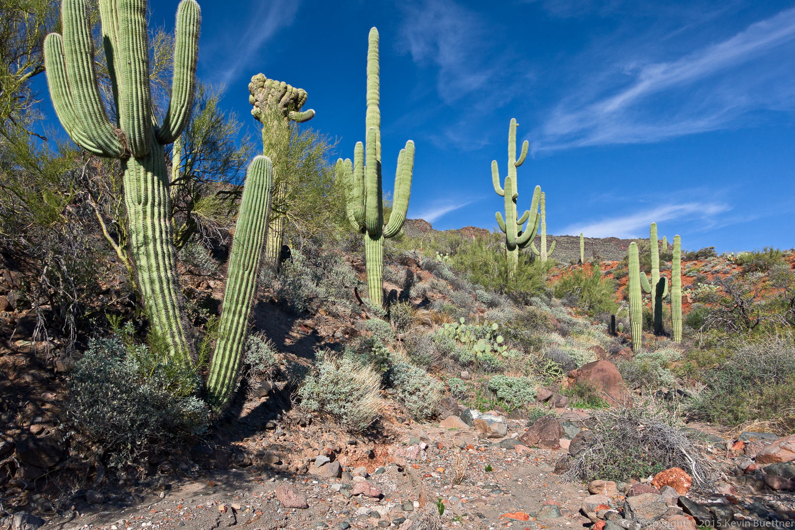
A semi-crested (?) saugaro:
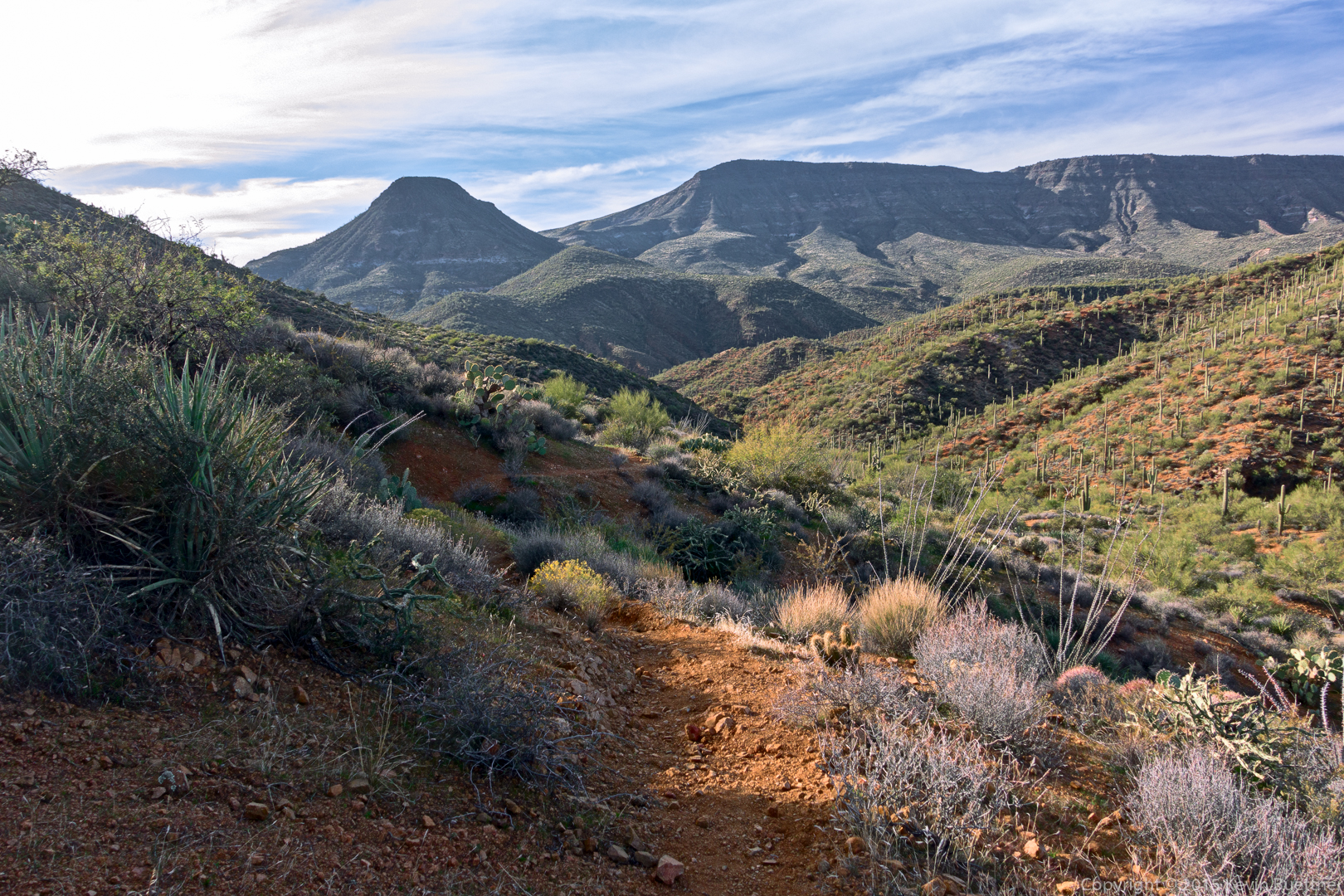
A late afternoon view. (We started our hike at about 8:30am and got back somewhat before 5pm.)
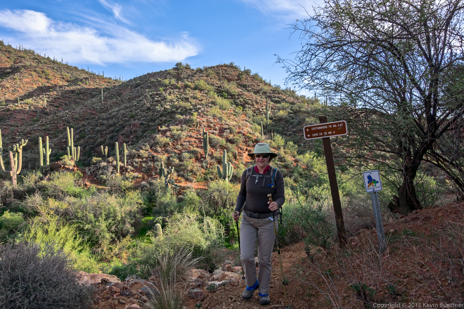
Marilyn at the end of the Cottonwood Trail:
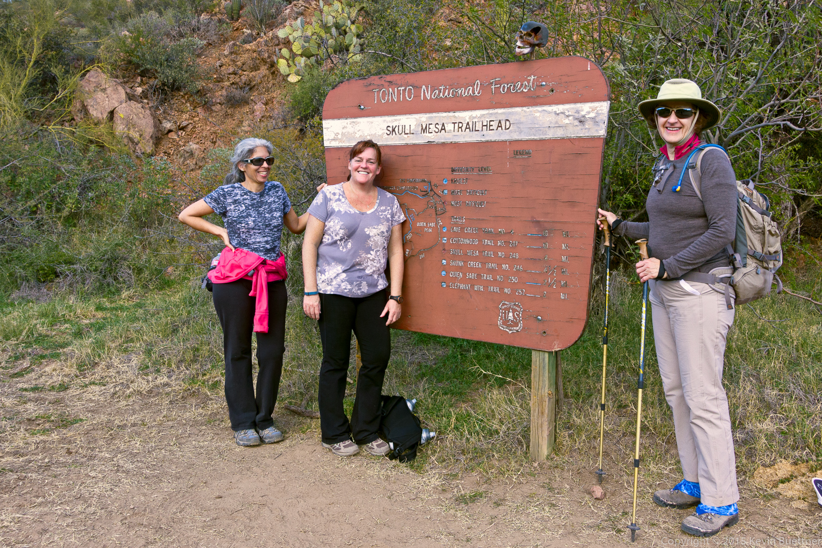
DeAnn, Sandy, and Marilyn by the Skull Mesa Trailhead sign. Note the skull at the top of the sign.
Linda says:
Wonderful pictures……love the view from the top! Sorry I missed this one!
January 5, 2016 — 6:21 am
Kevin says:
Thanks! I think you would have liked this one. It was somewhat hard due to it’s length, but the hike itself was not technically difficult. In my opinion, it was easier than the recent 12+ mile loop that we did in the Tom’s Thumb area.
January 5, 2016 — 9:45 am
Sue says:
Again, wonderful pics! I especially love the “families” of saguaros. I’ve done a Spur Cross hike, but not that particular one. A great area and you captured it’s “hinterland”!
January 5, 2016 — 10:22 am