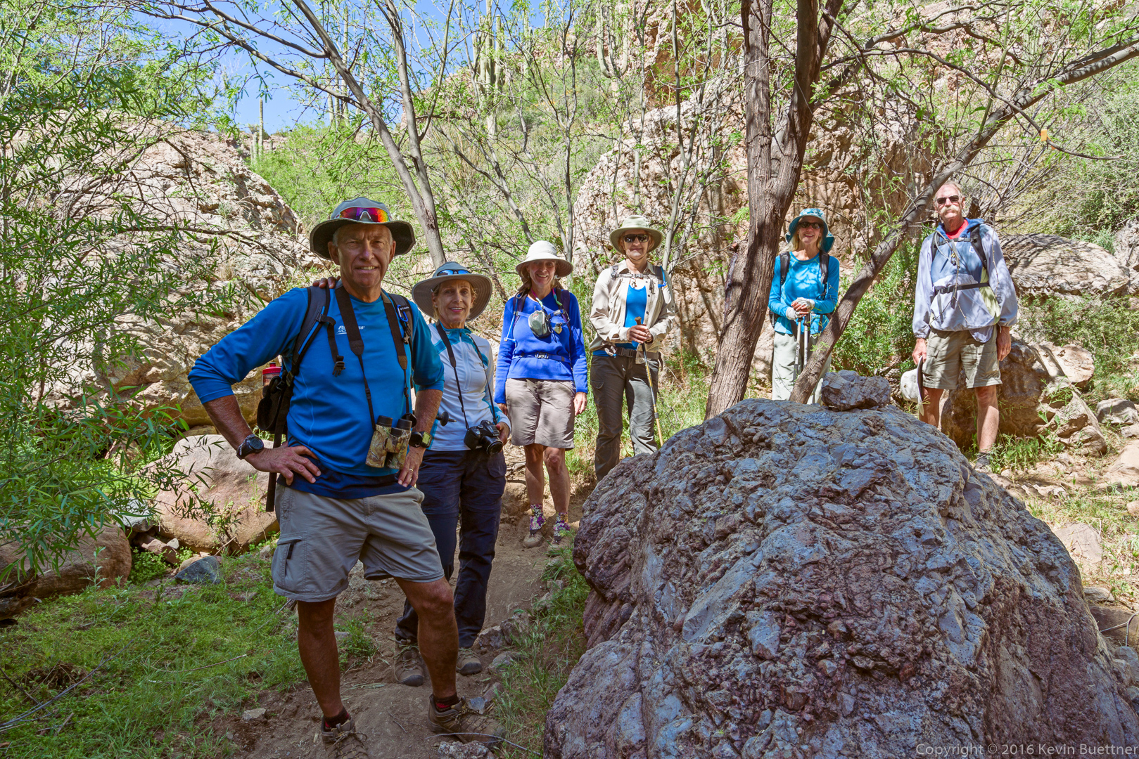
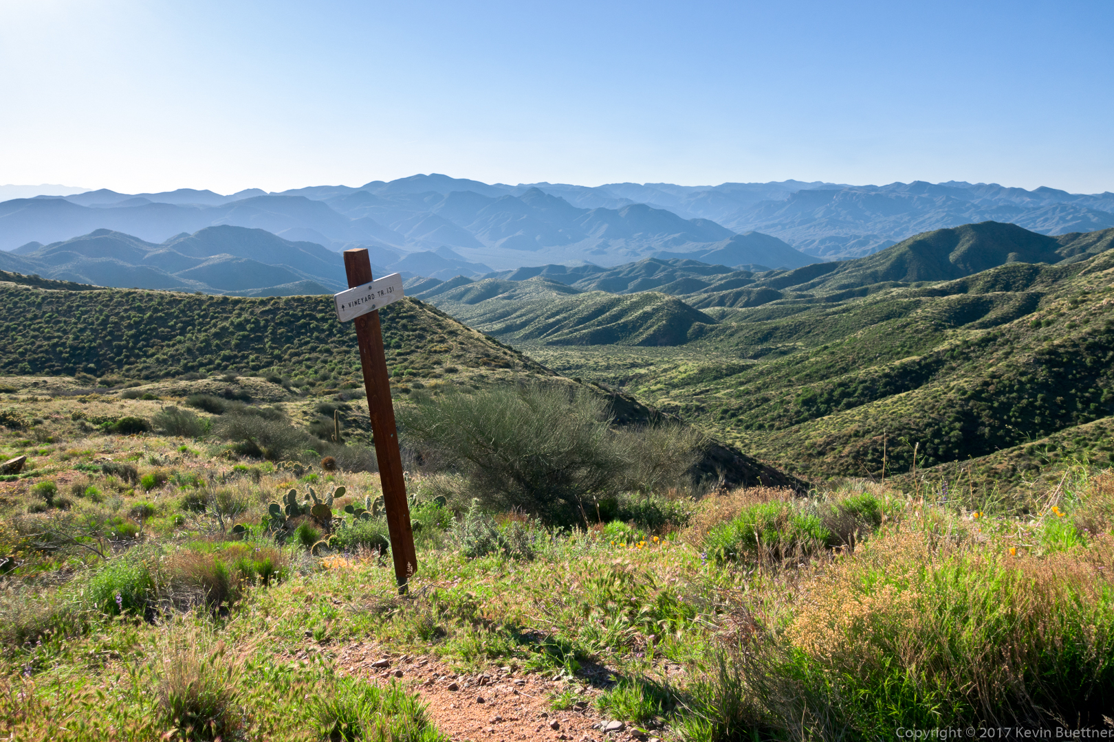
Bill, Bill, Jim, Walt, Bob, Ben, Linda, Marilyn, and I hiked ten miles on the Vineyard Trail. Part of AZT #20, the Vineyard Trail is very scenic with expansive views along its entire length. (The rest of AZT #20 continues to the west on Four Peaks Trail #130.) Though the trail runs for six miles, we turned around at the five mile point, which was the point at which we crossed a ridge, providing an excellent view of Roosevelt Dam.
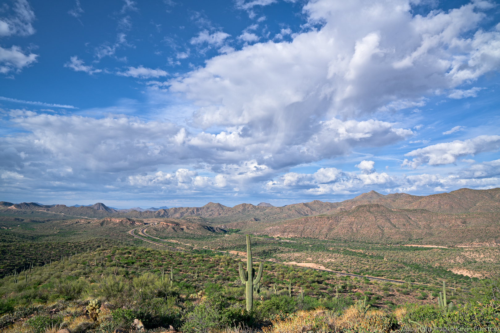
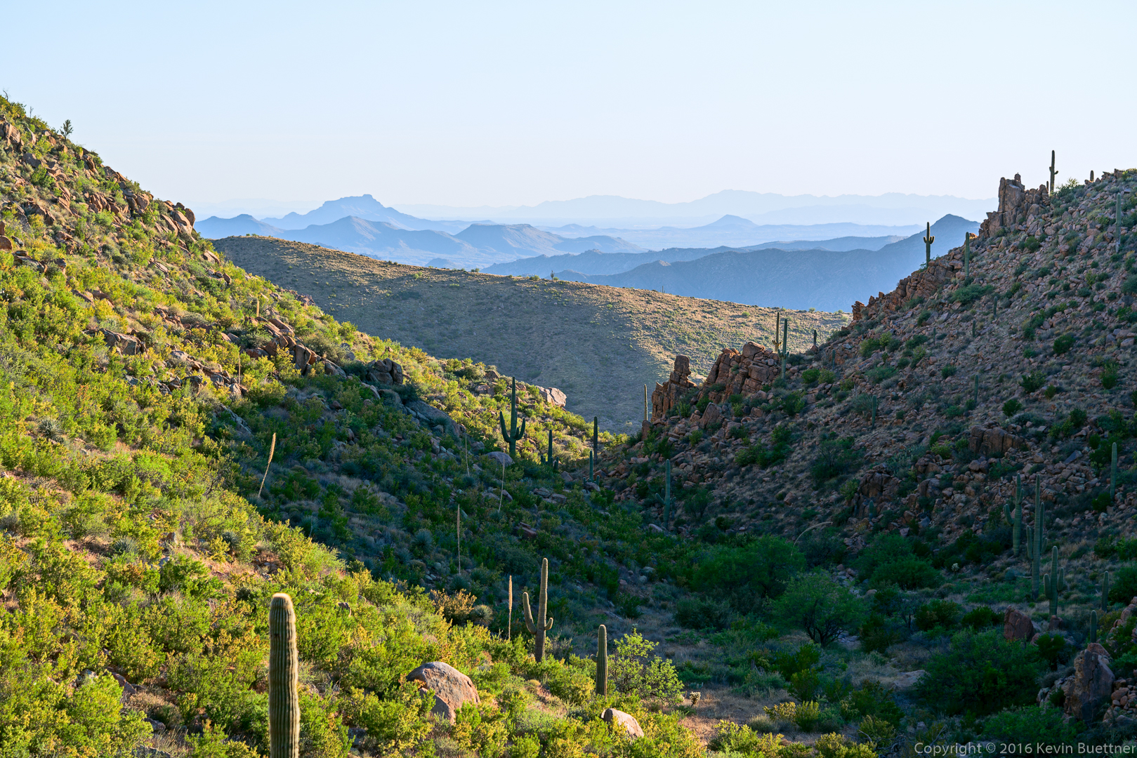
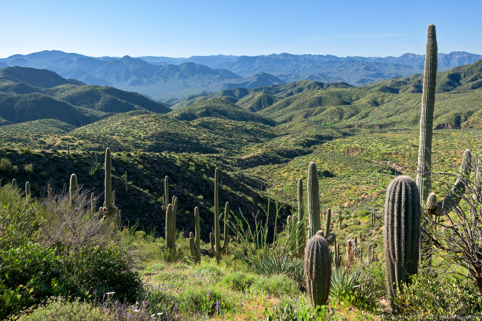
This is the view from Mills Ridge Trailhead:
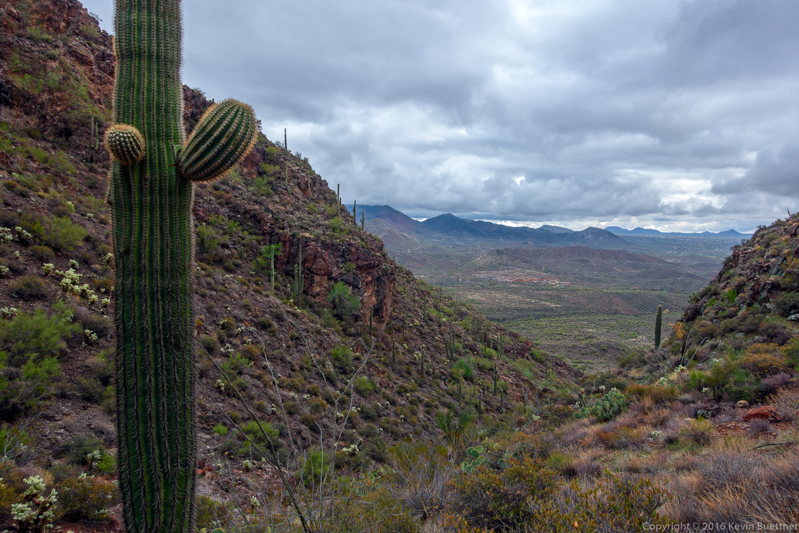
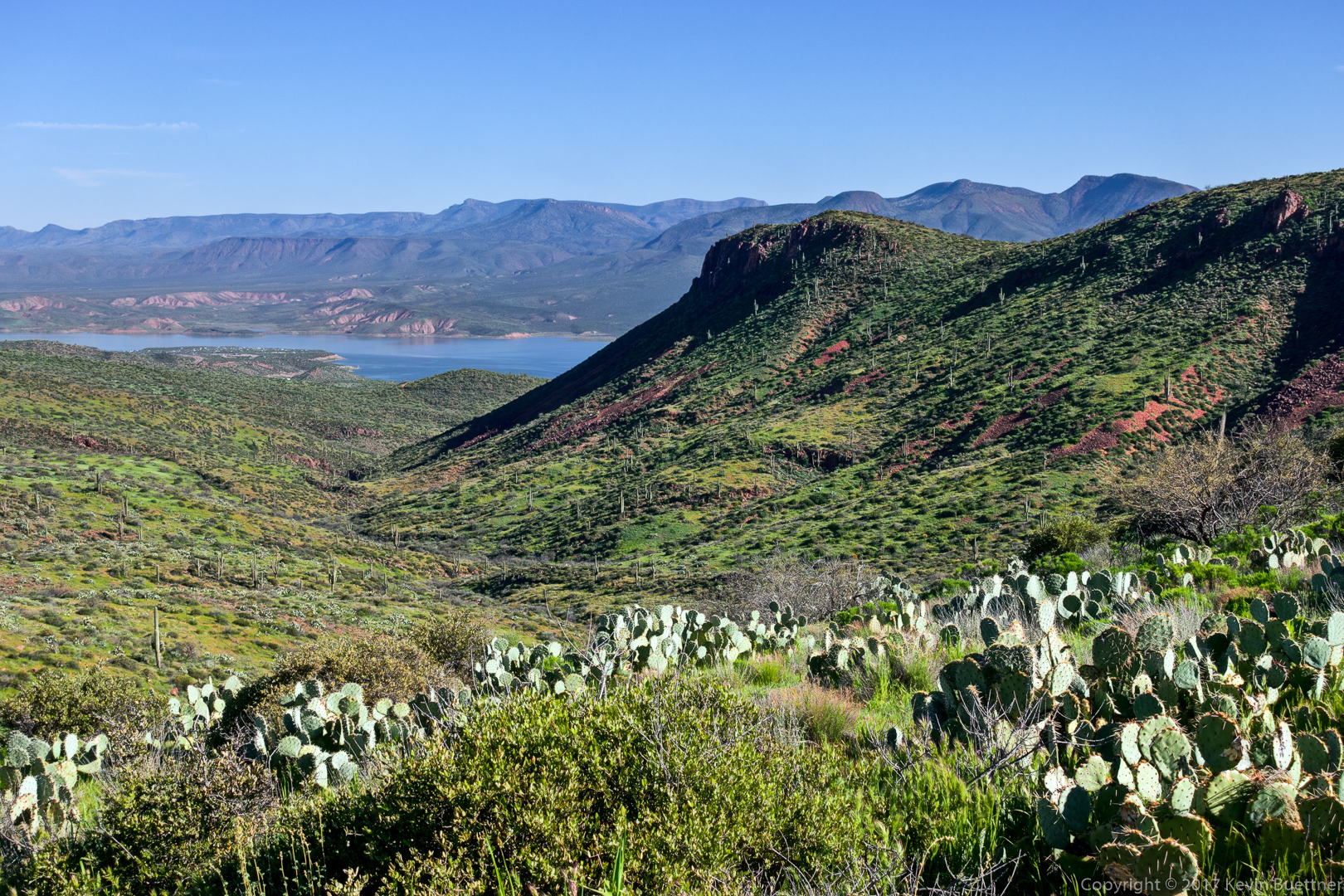
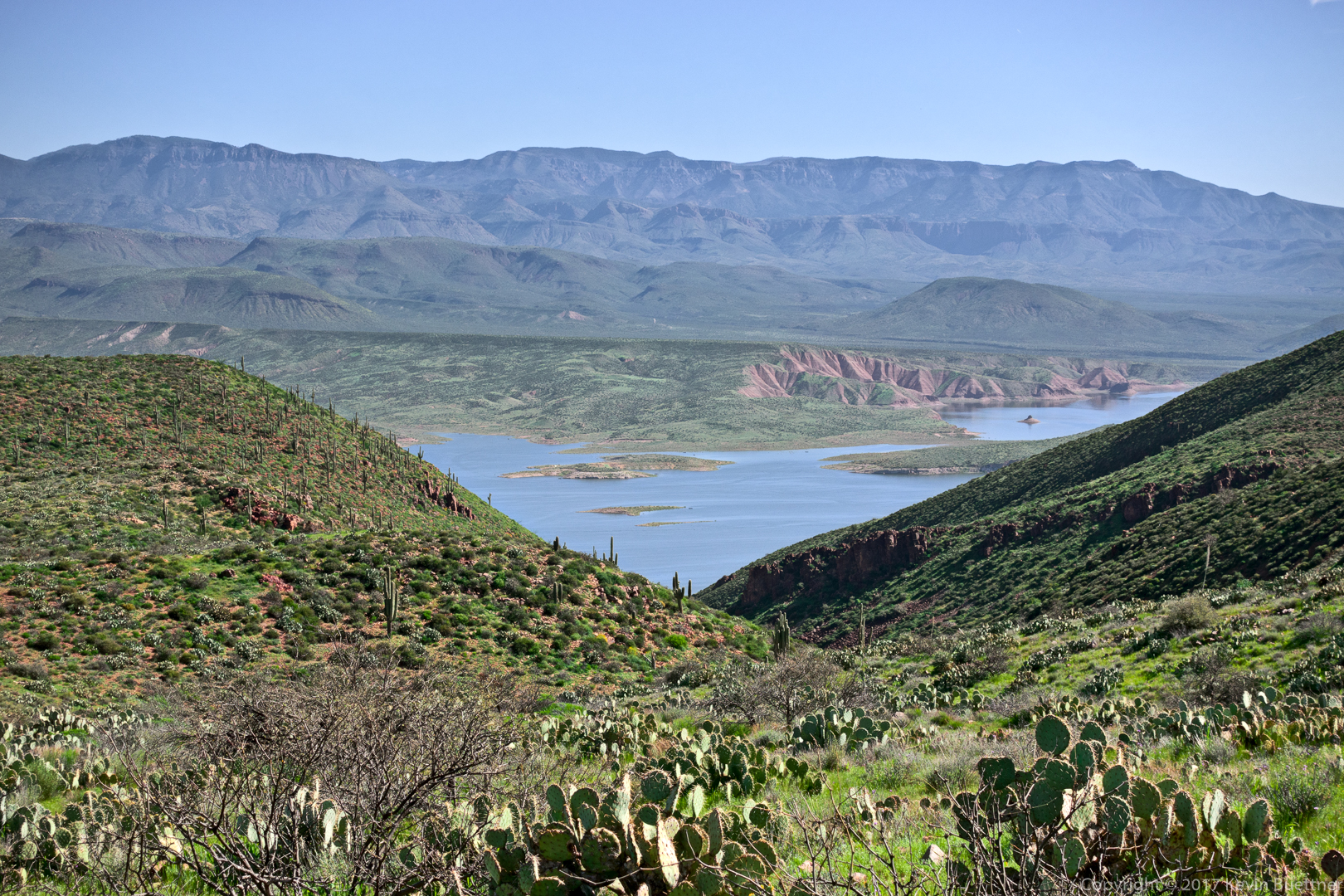
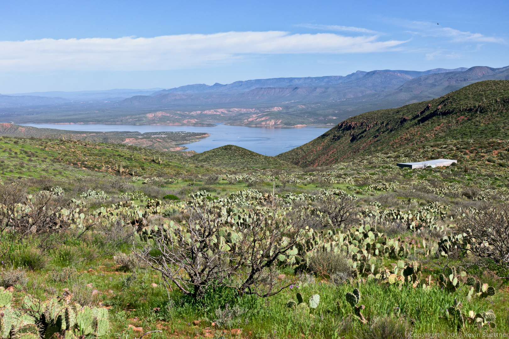
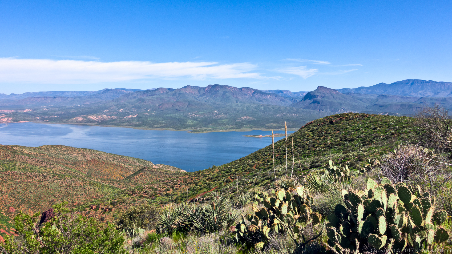
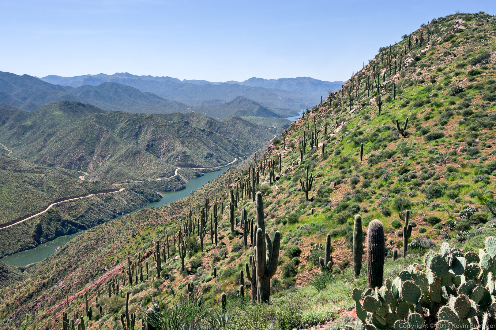
Even from early in the hike, we could see Roosevelt Lake:

Blackfoot Daisy:

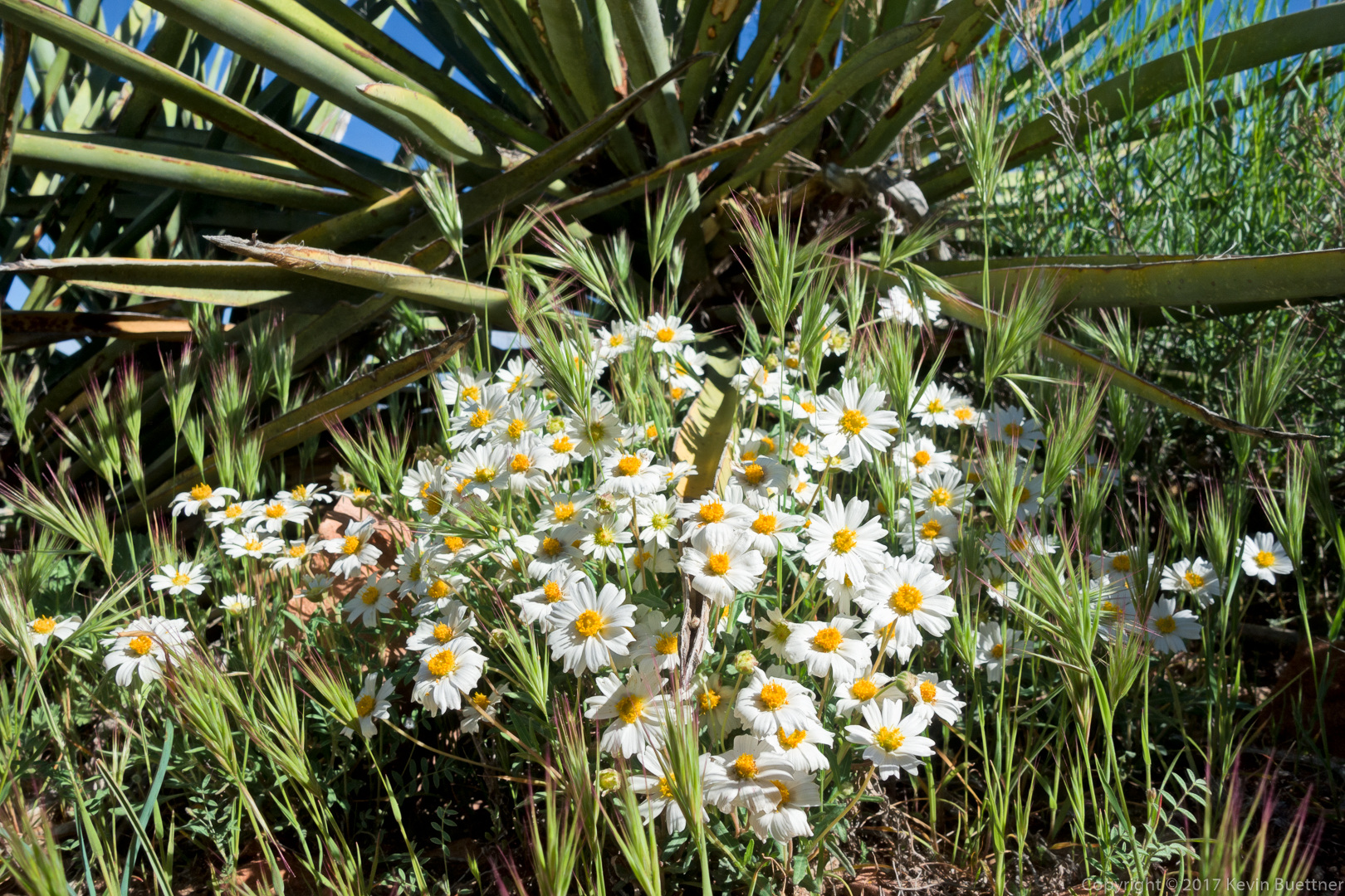
Blackfoot Daisies:

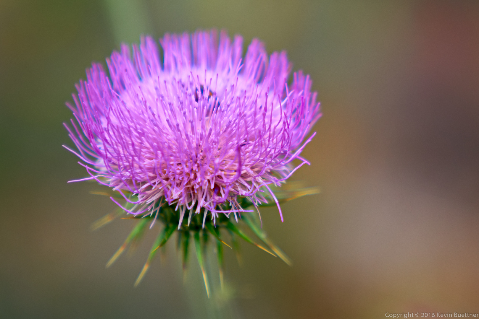
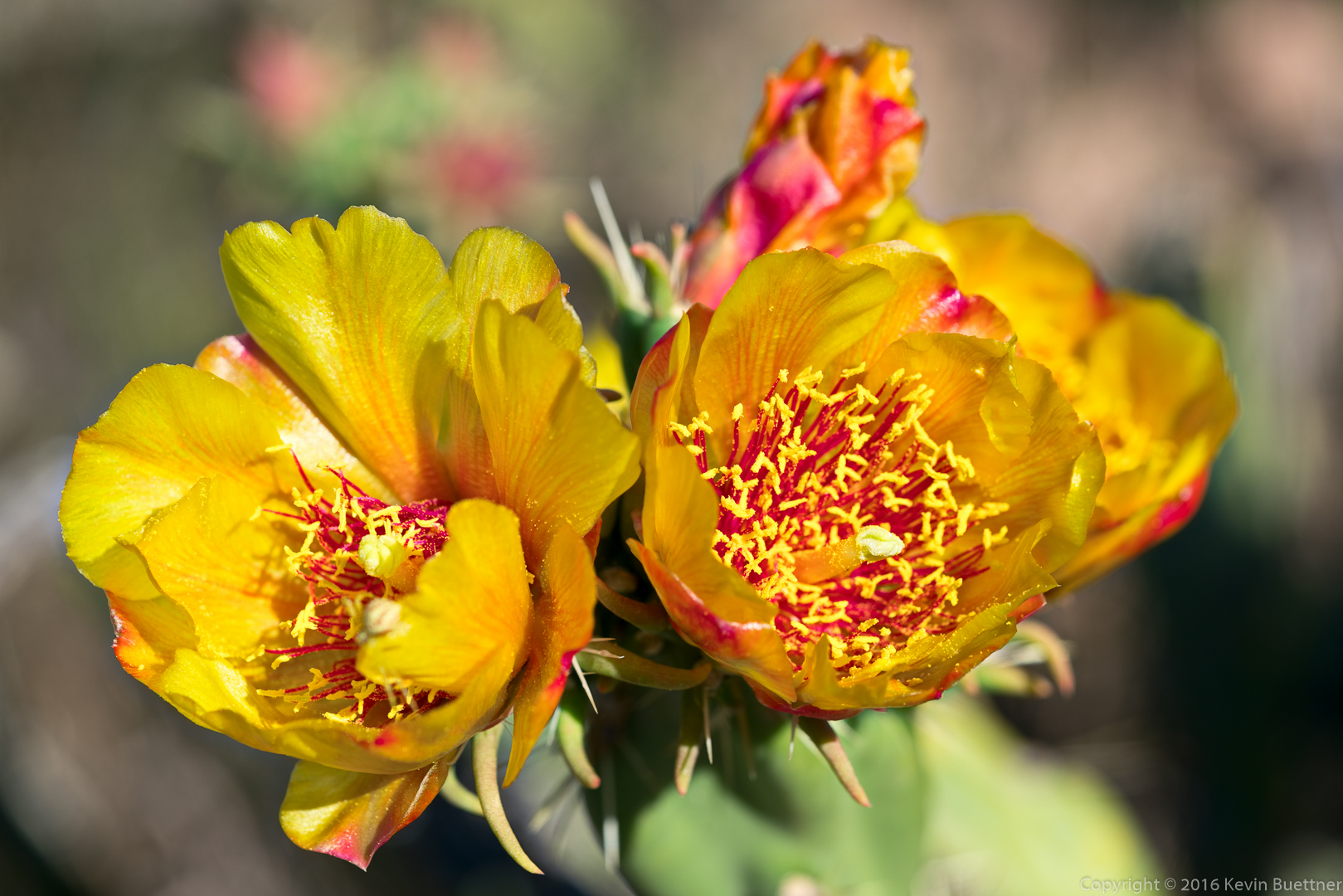
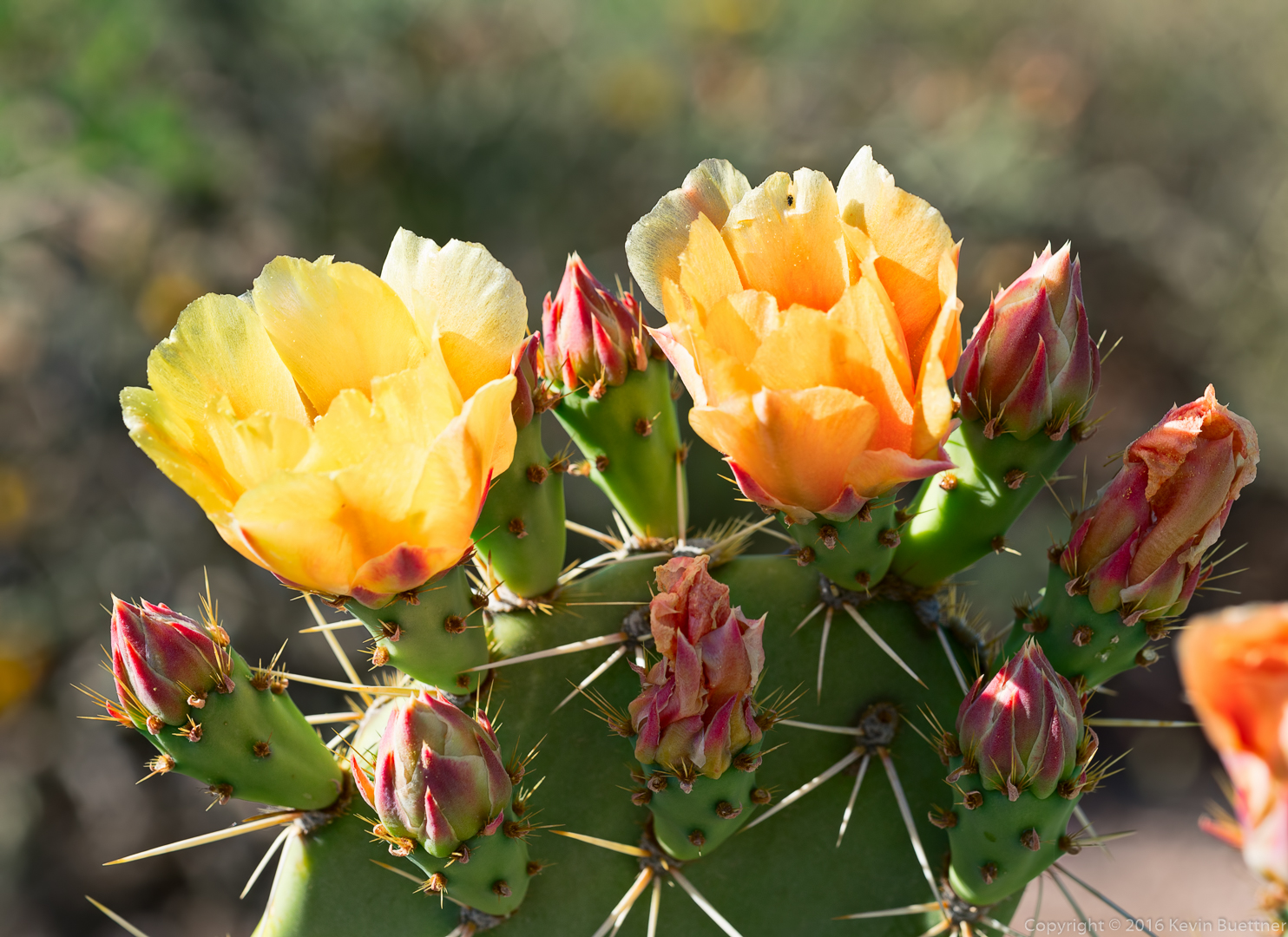
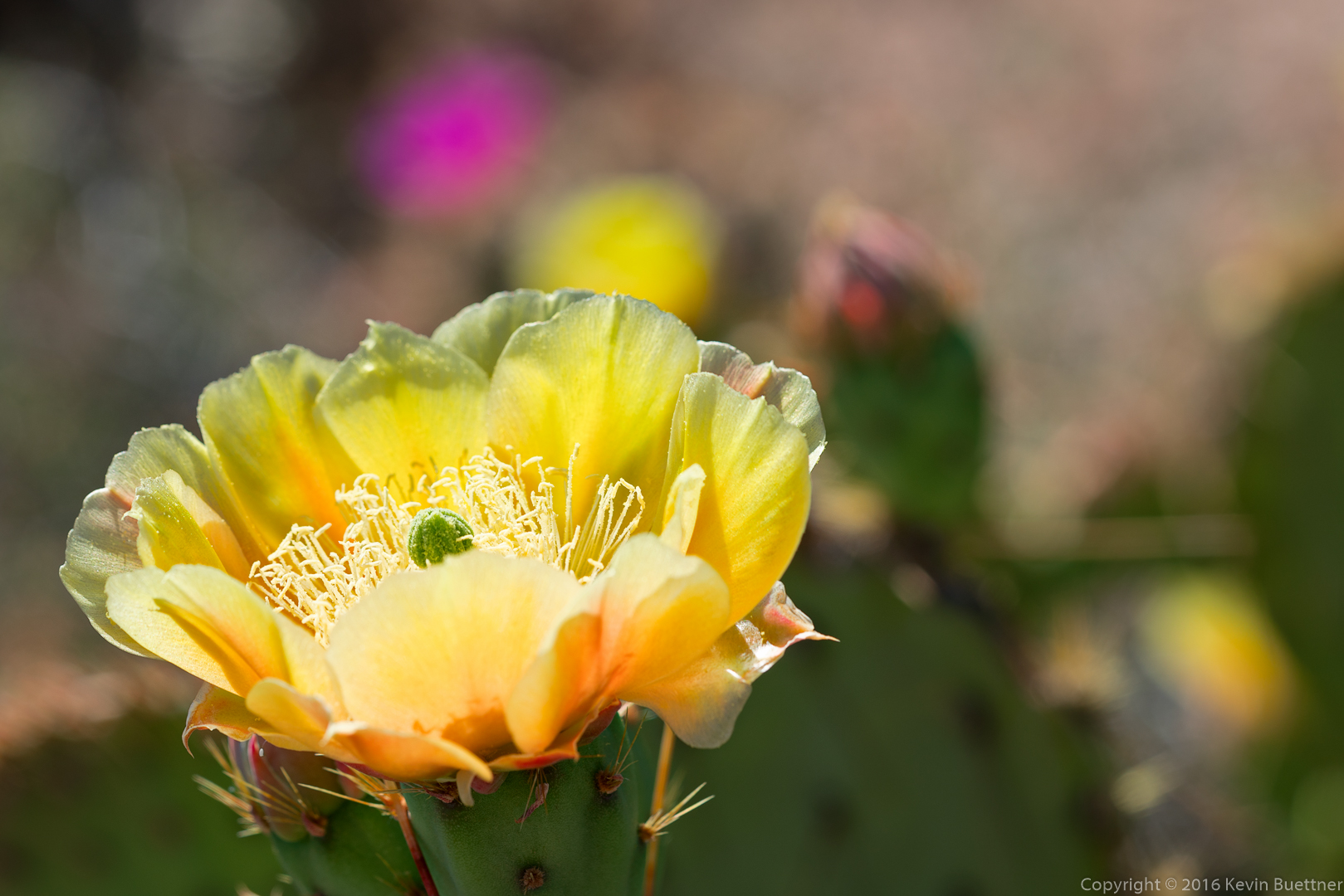
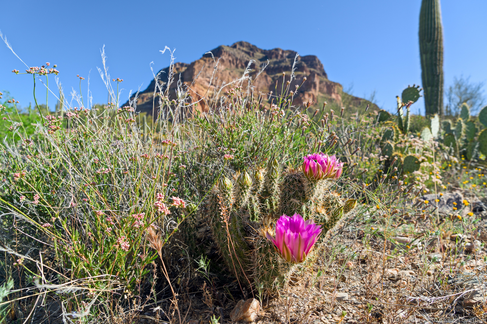
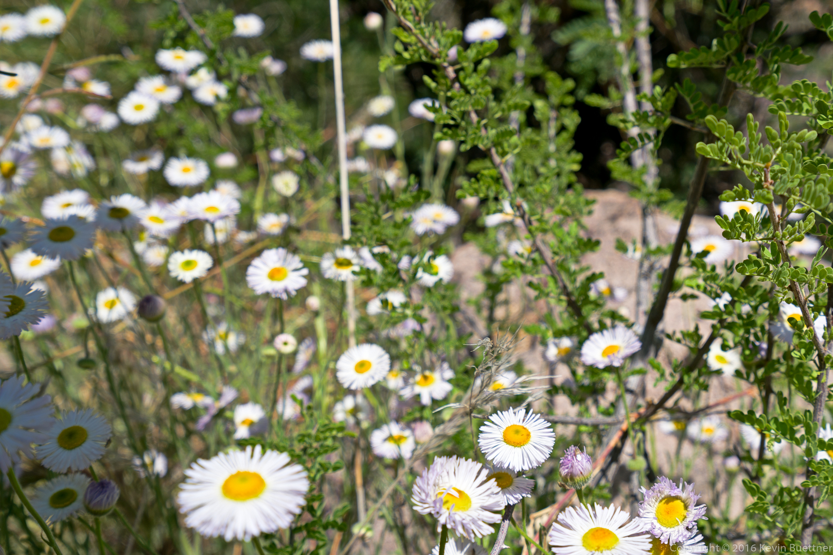
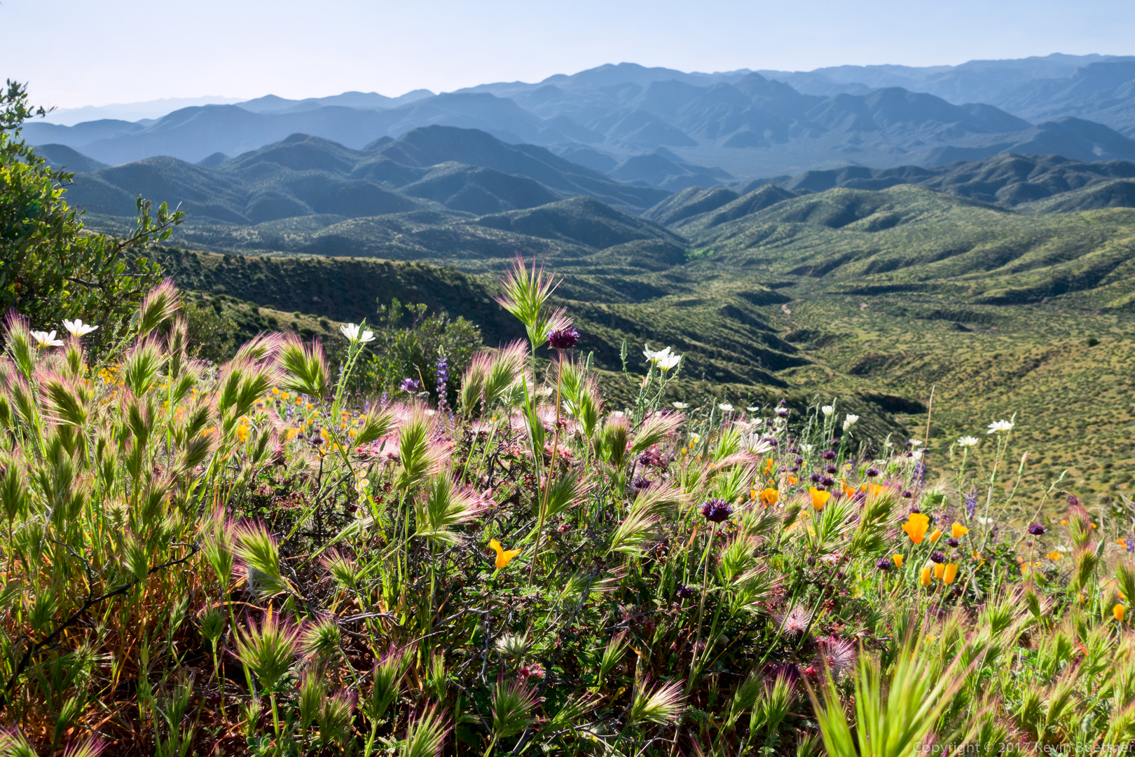
A view with multiple flowers…
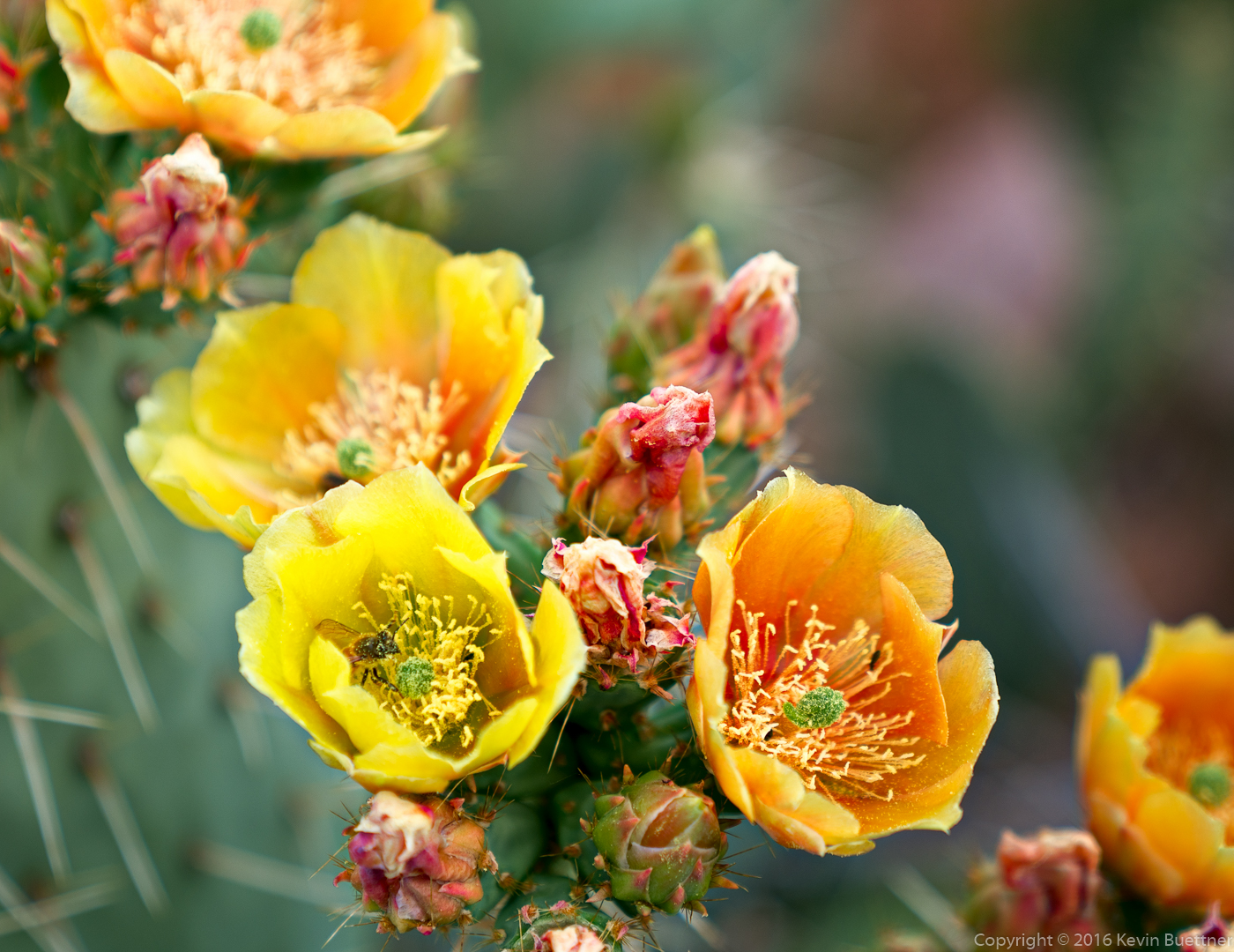
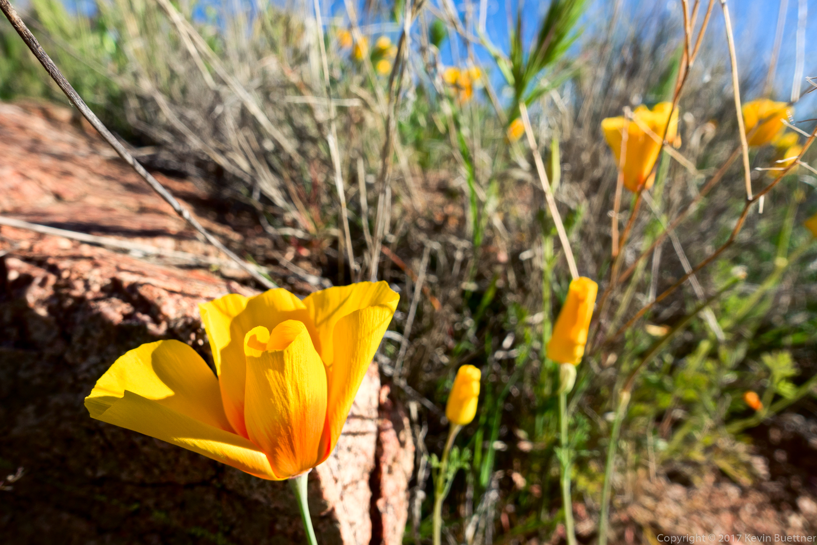
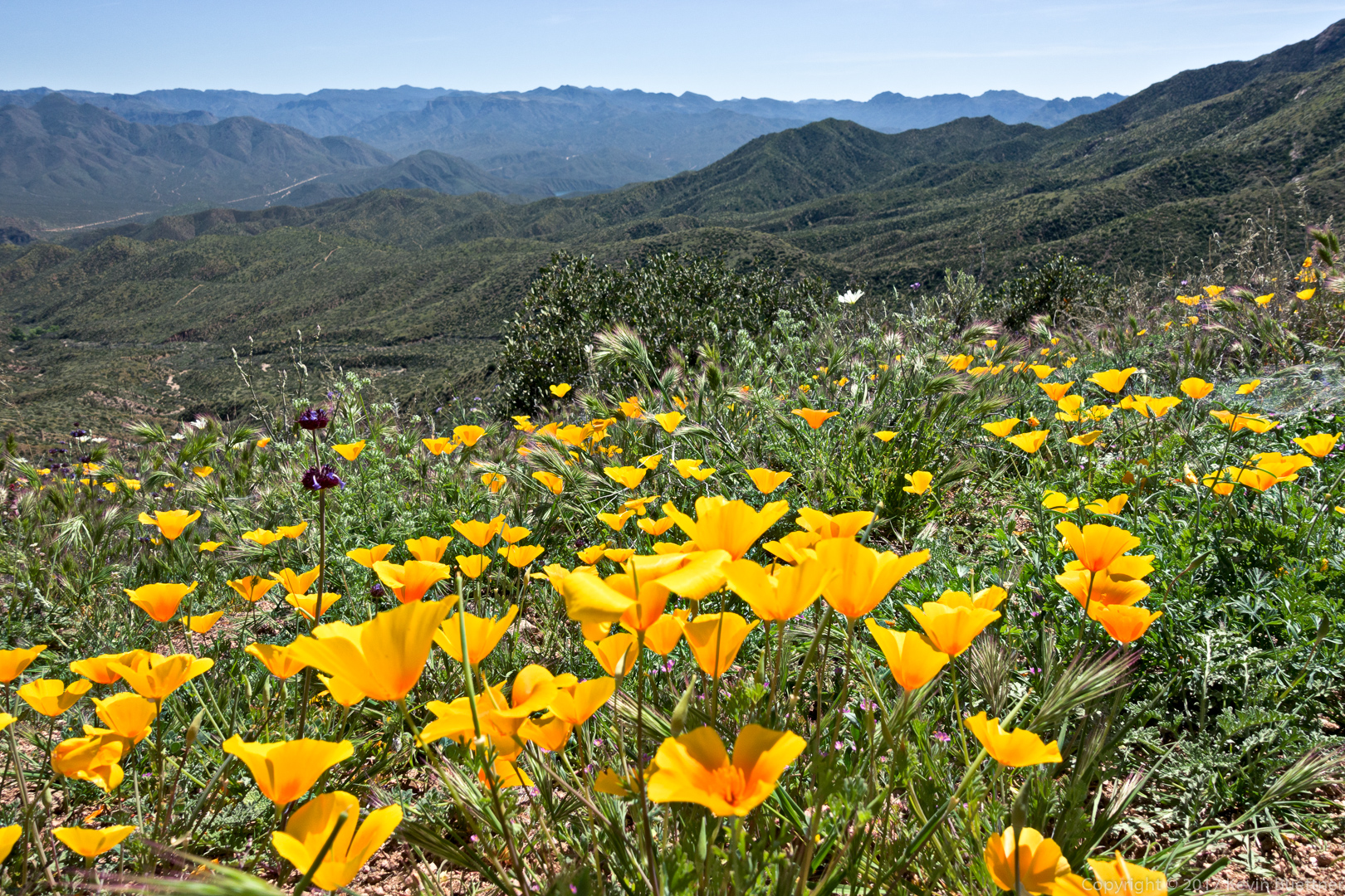
Mexican Poppy:
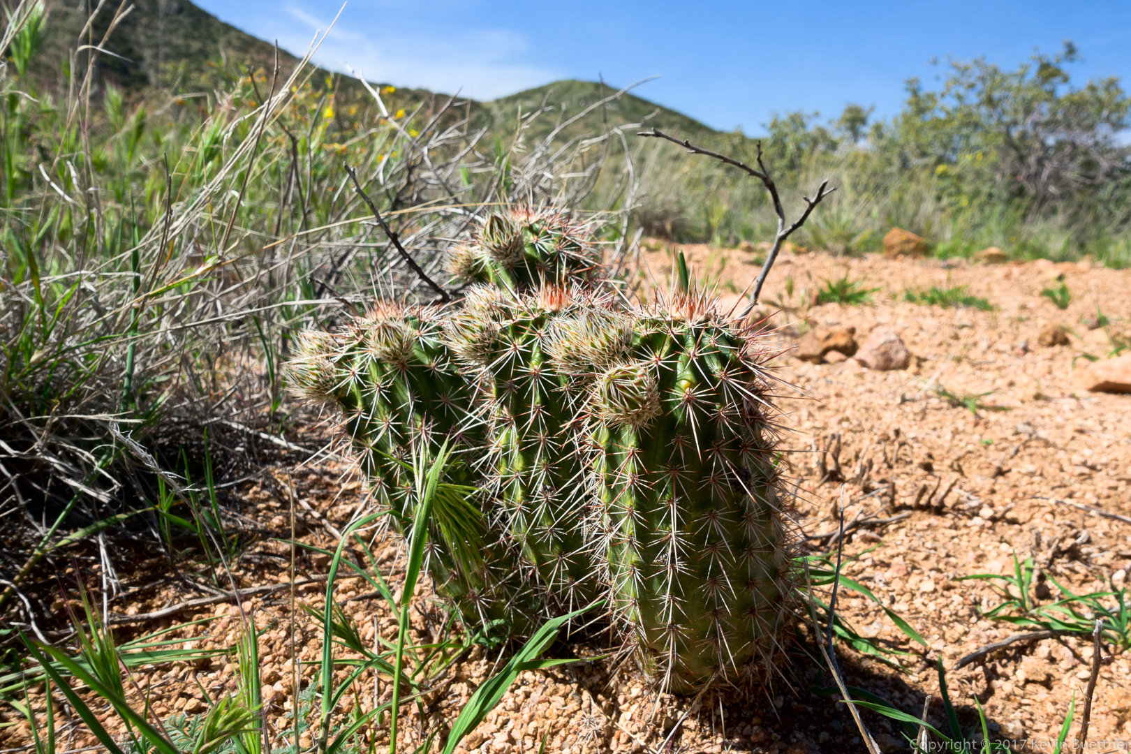
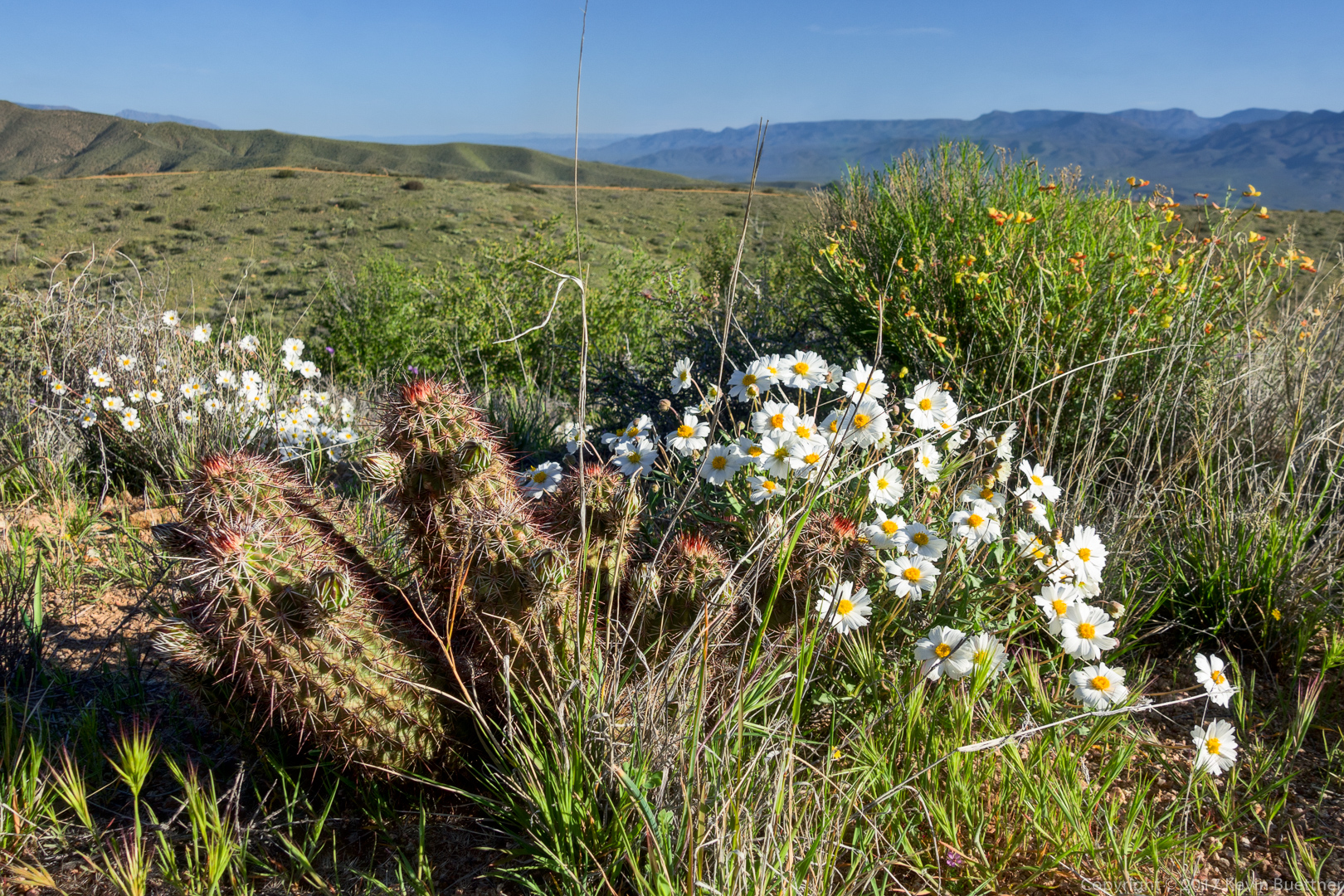
A small cactus (hedgehog?), blackfoot daisies, and deer vetch:
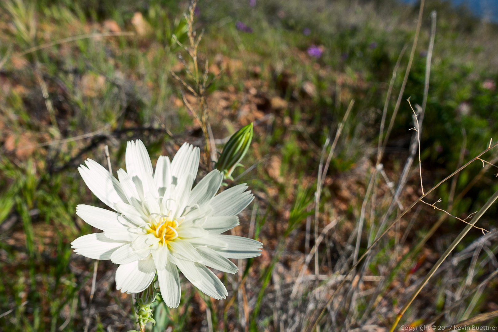
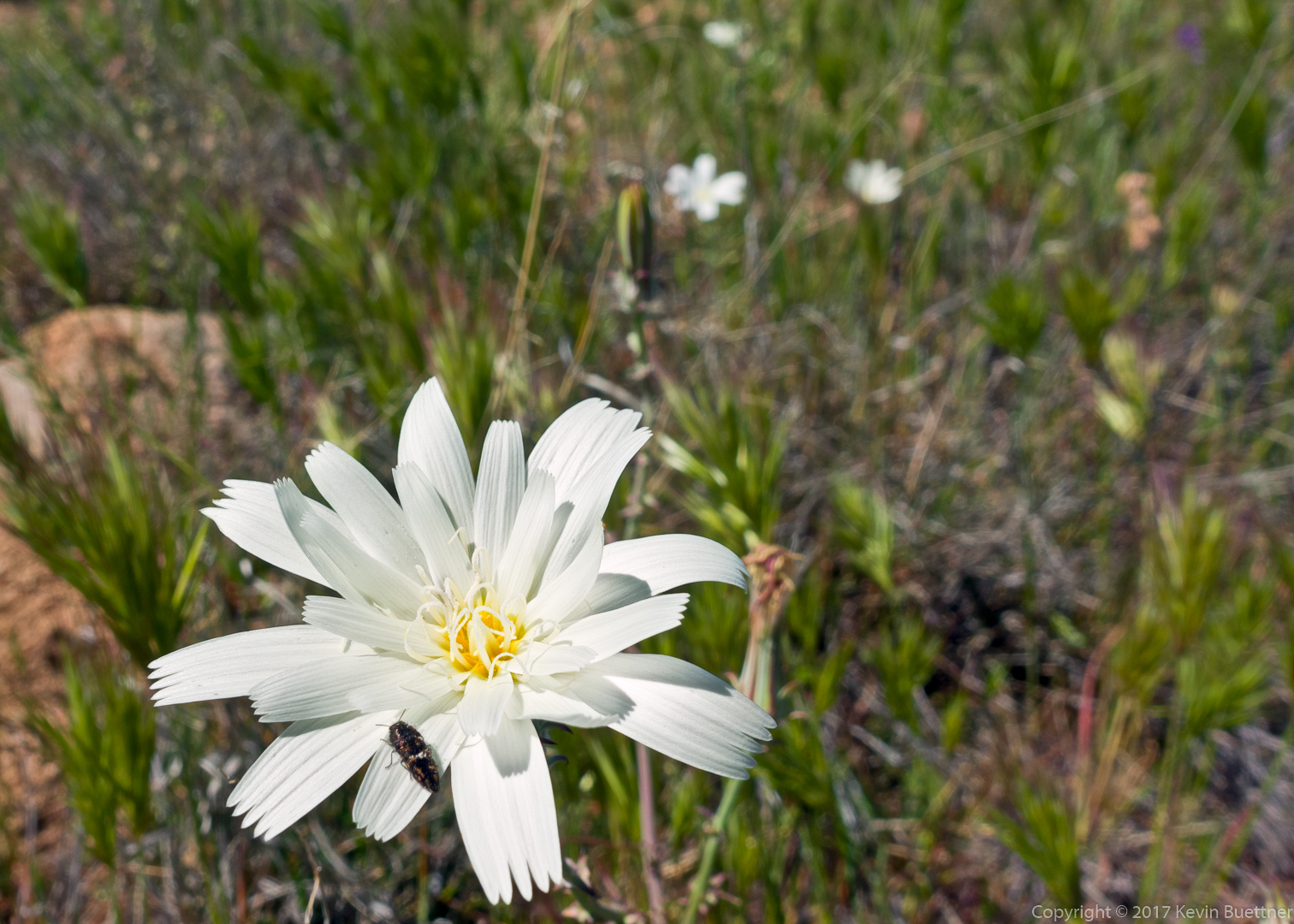
I think this is might be Desert Chicory:
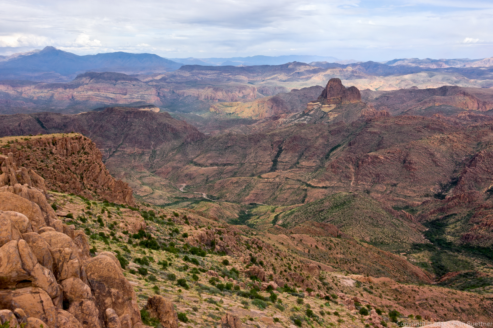
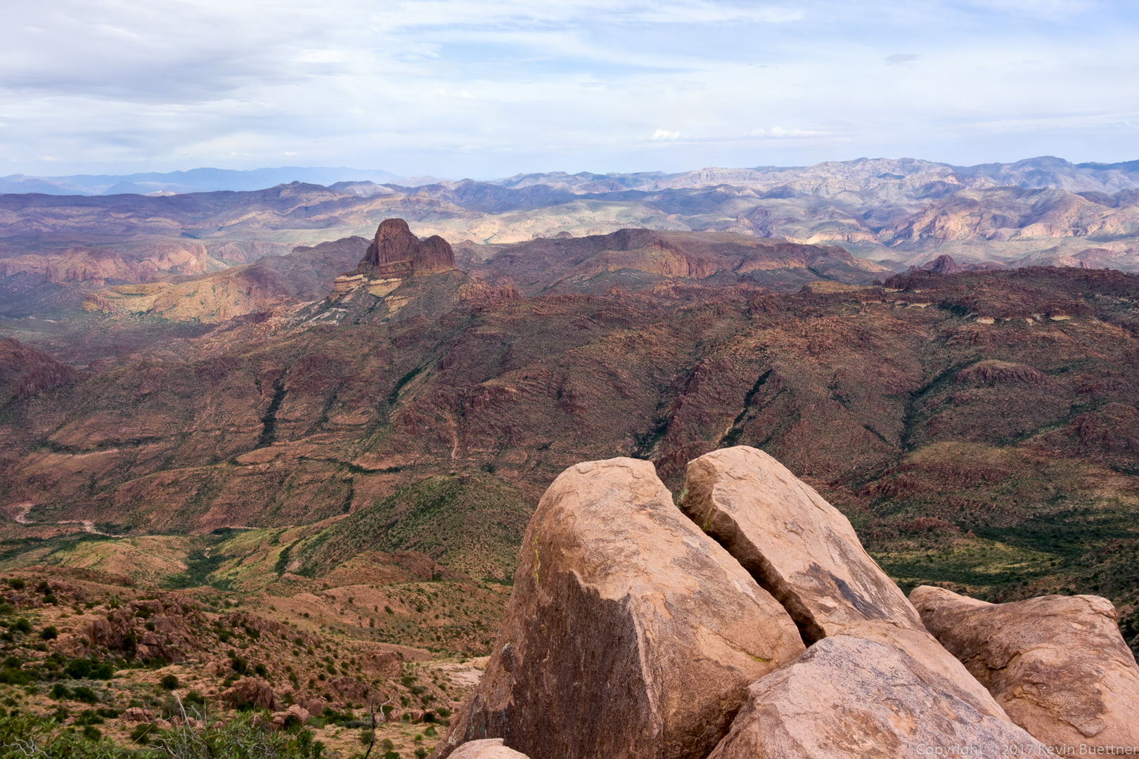
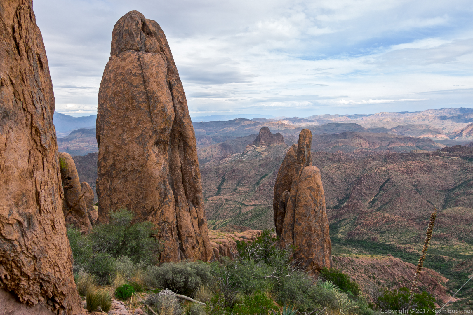
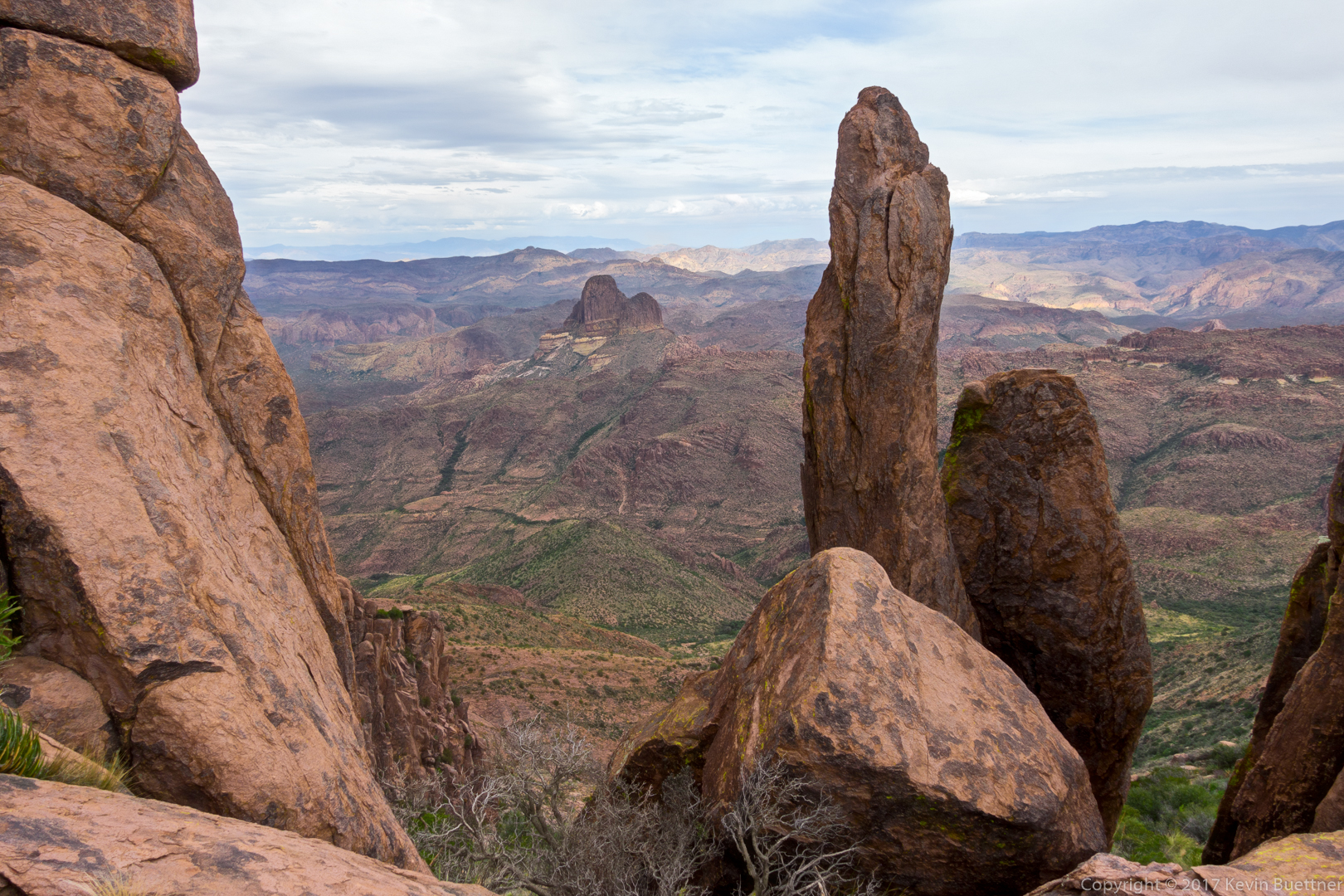
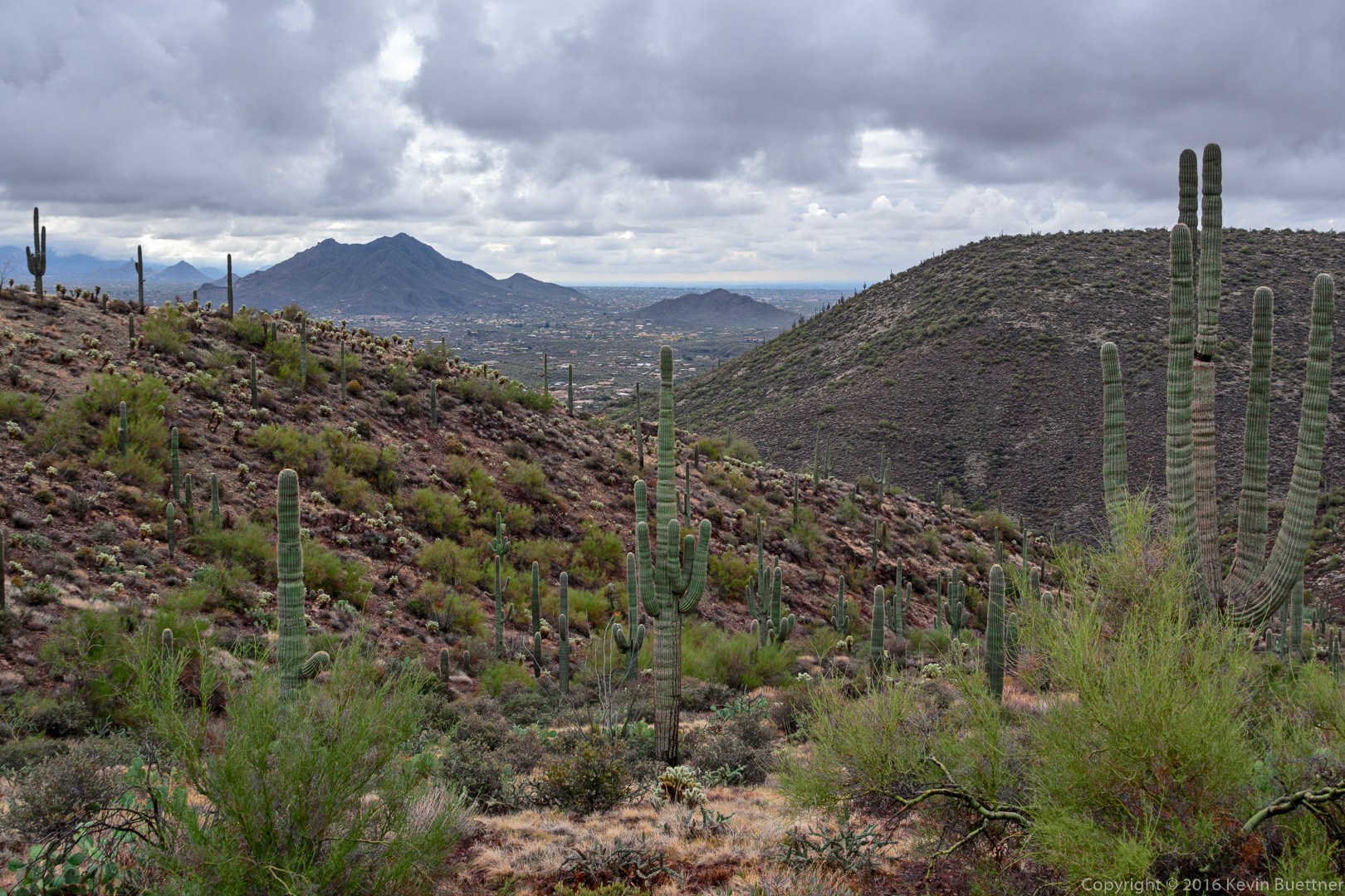
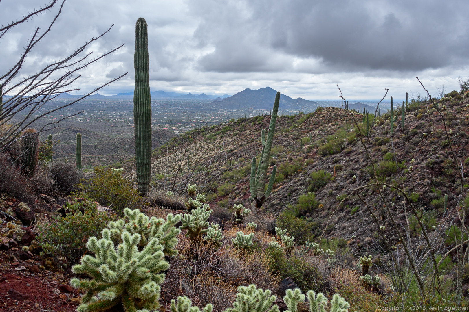
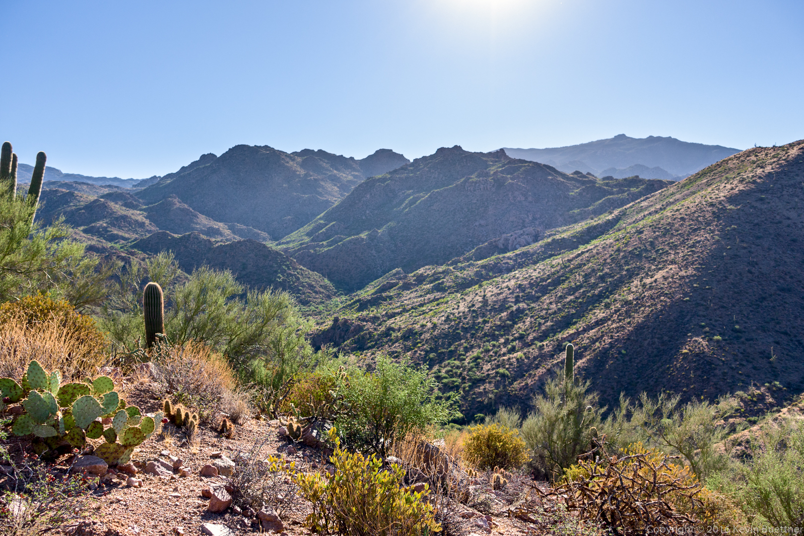
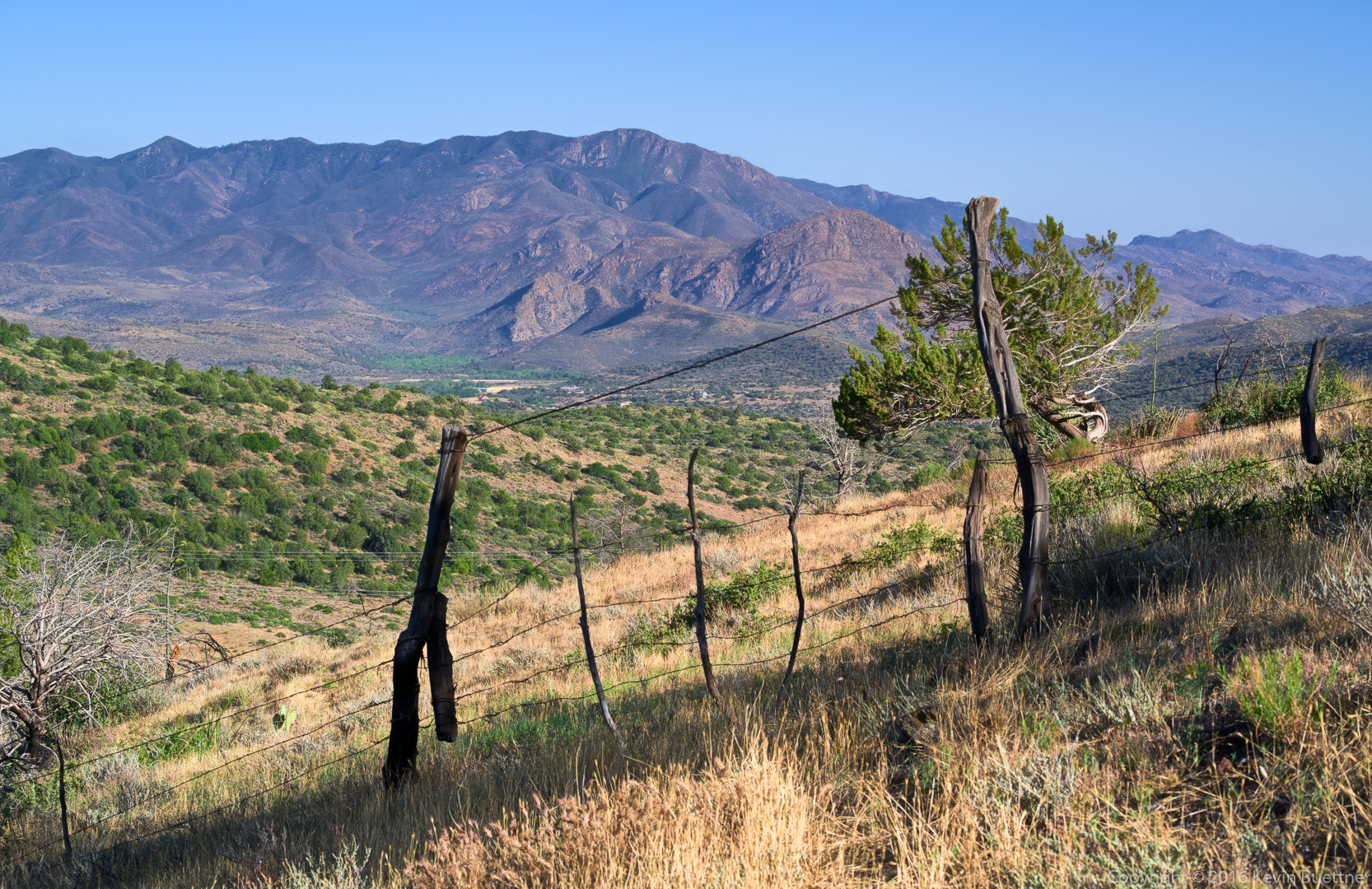
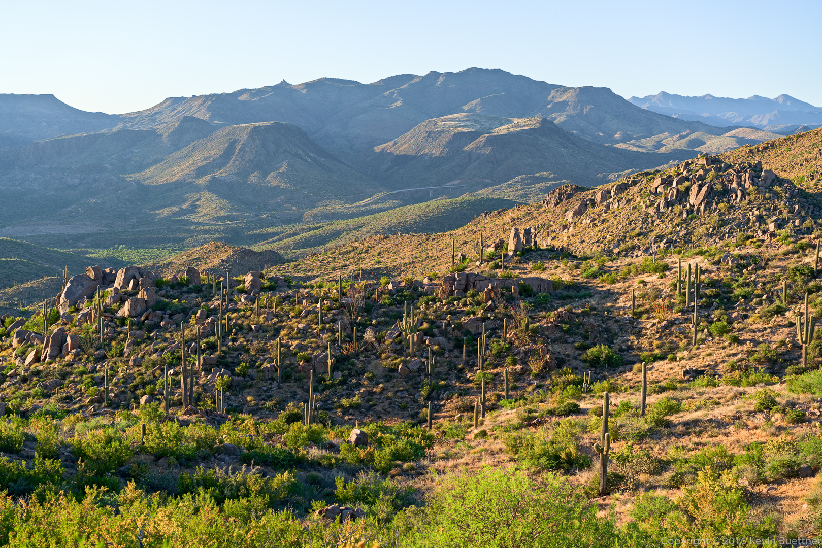
A view to the south:
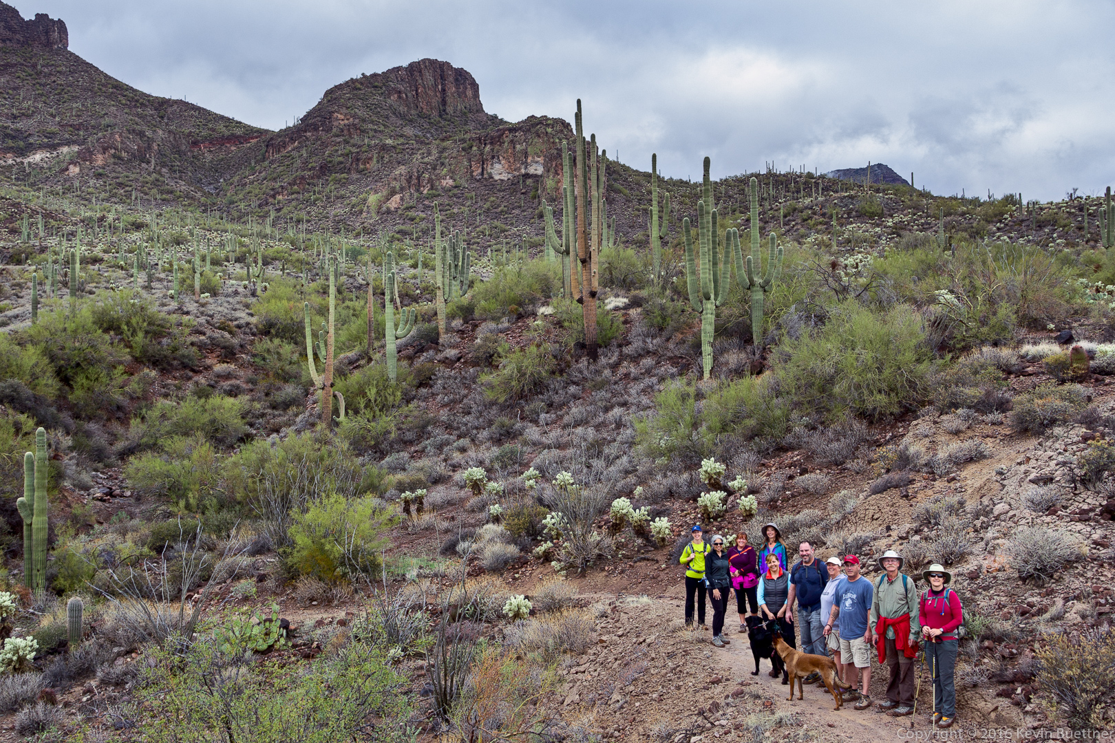
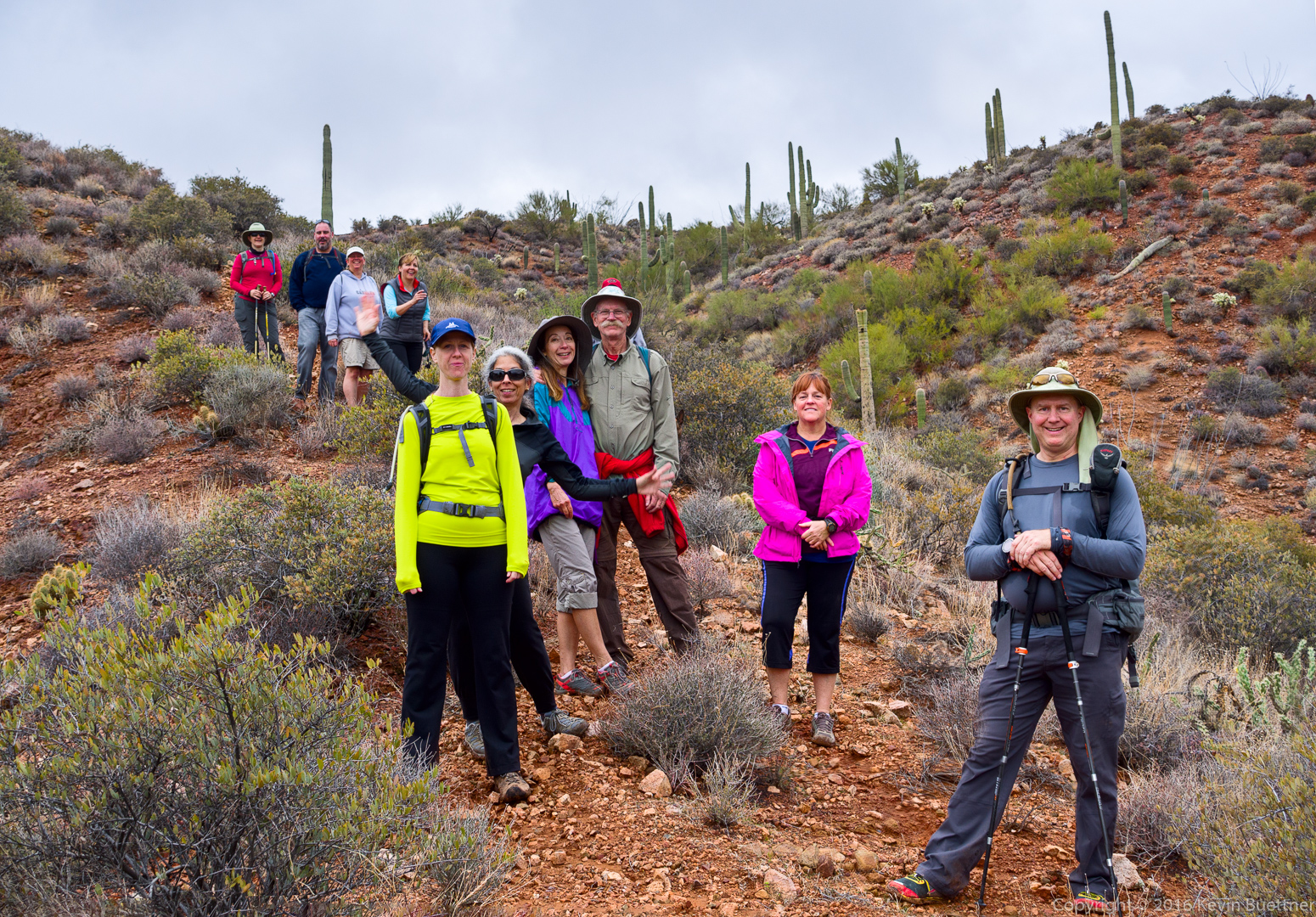
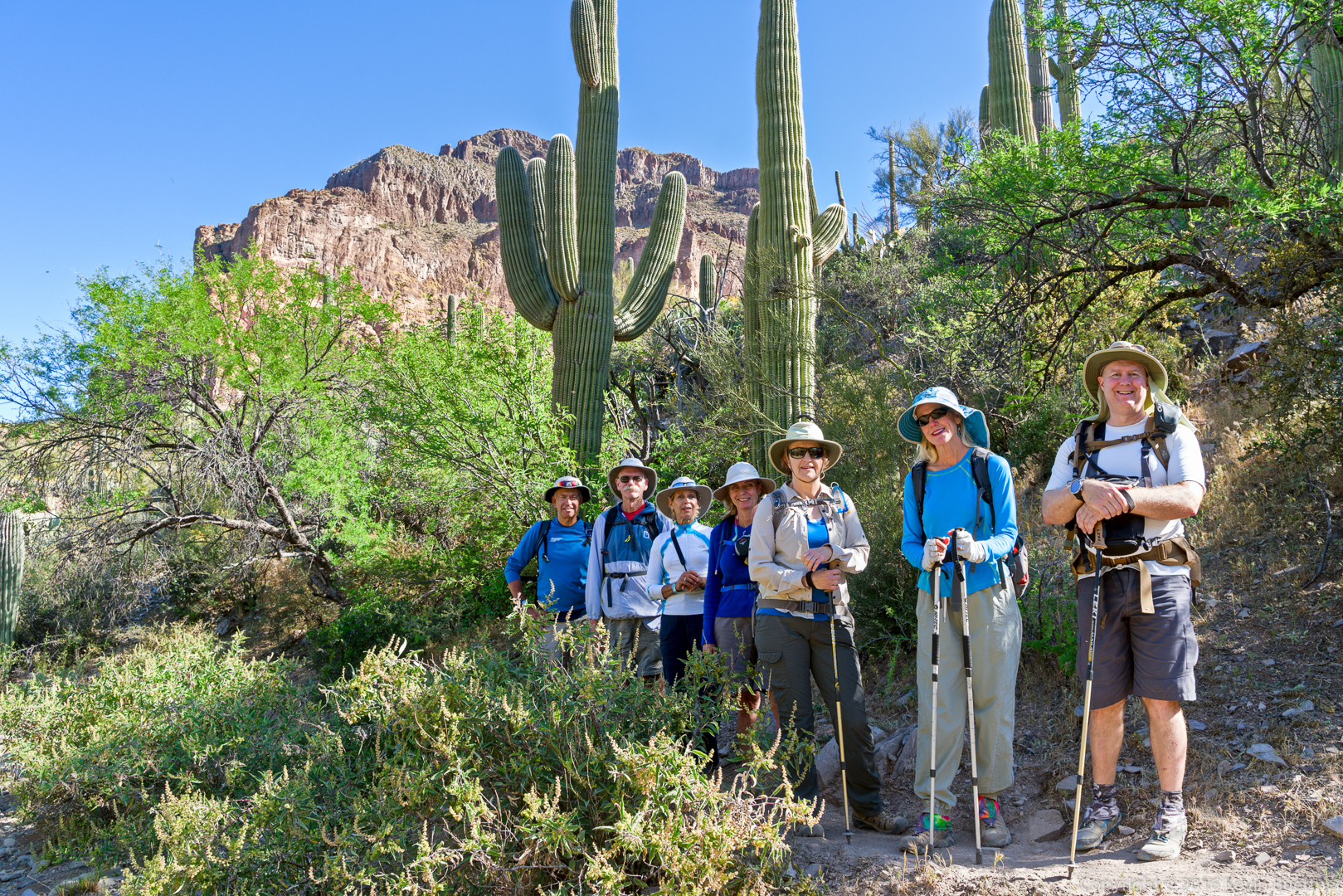
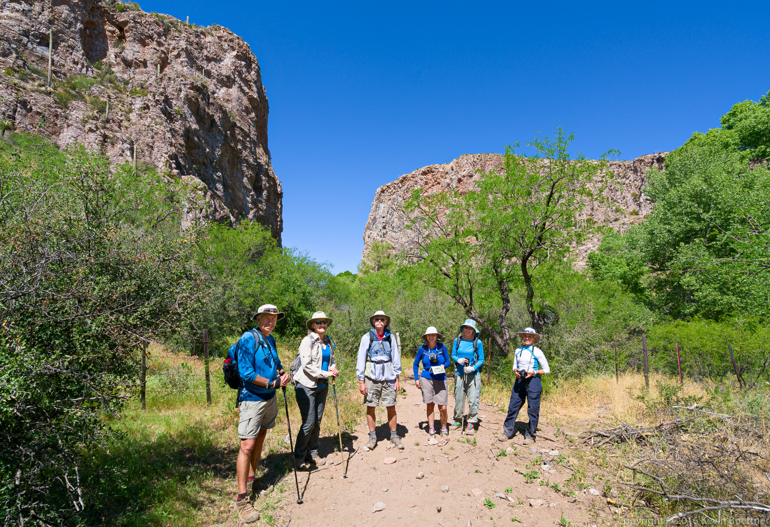
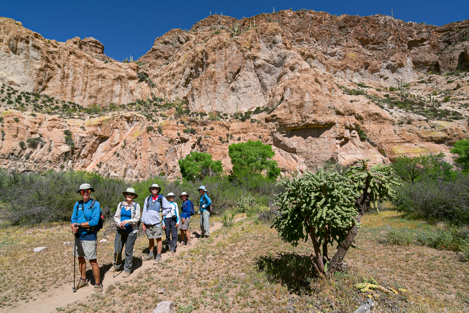
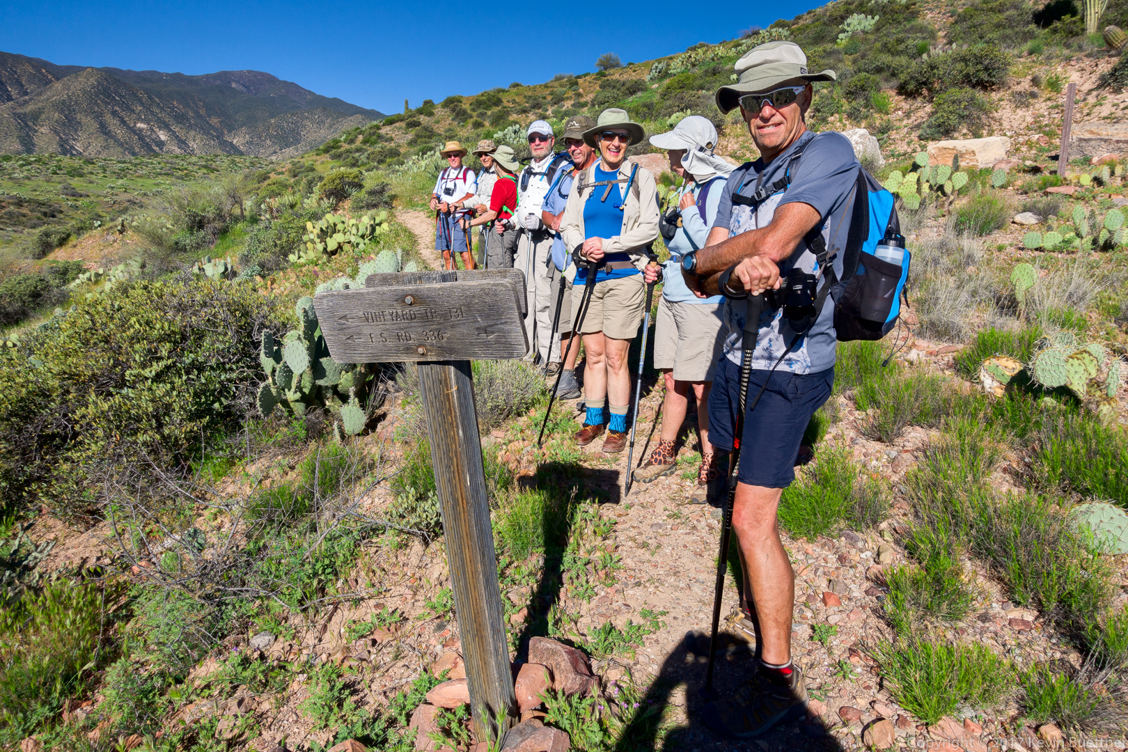
Walt, Jim, Bill, Bill, Bob, Marilyn, Linda, and Ben at the intersection with Forest Service Road 336. The trail followed this road for perhaps a quarter mile in a northerly direction before splitting off from the road to the east.
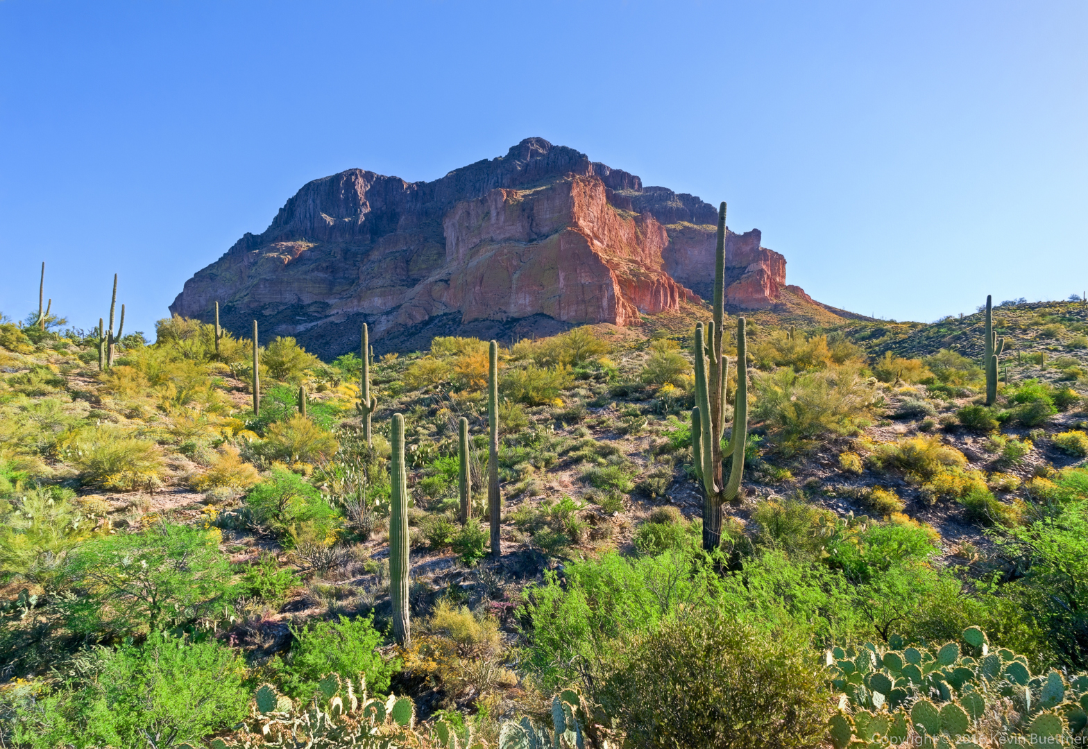
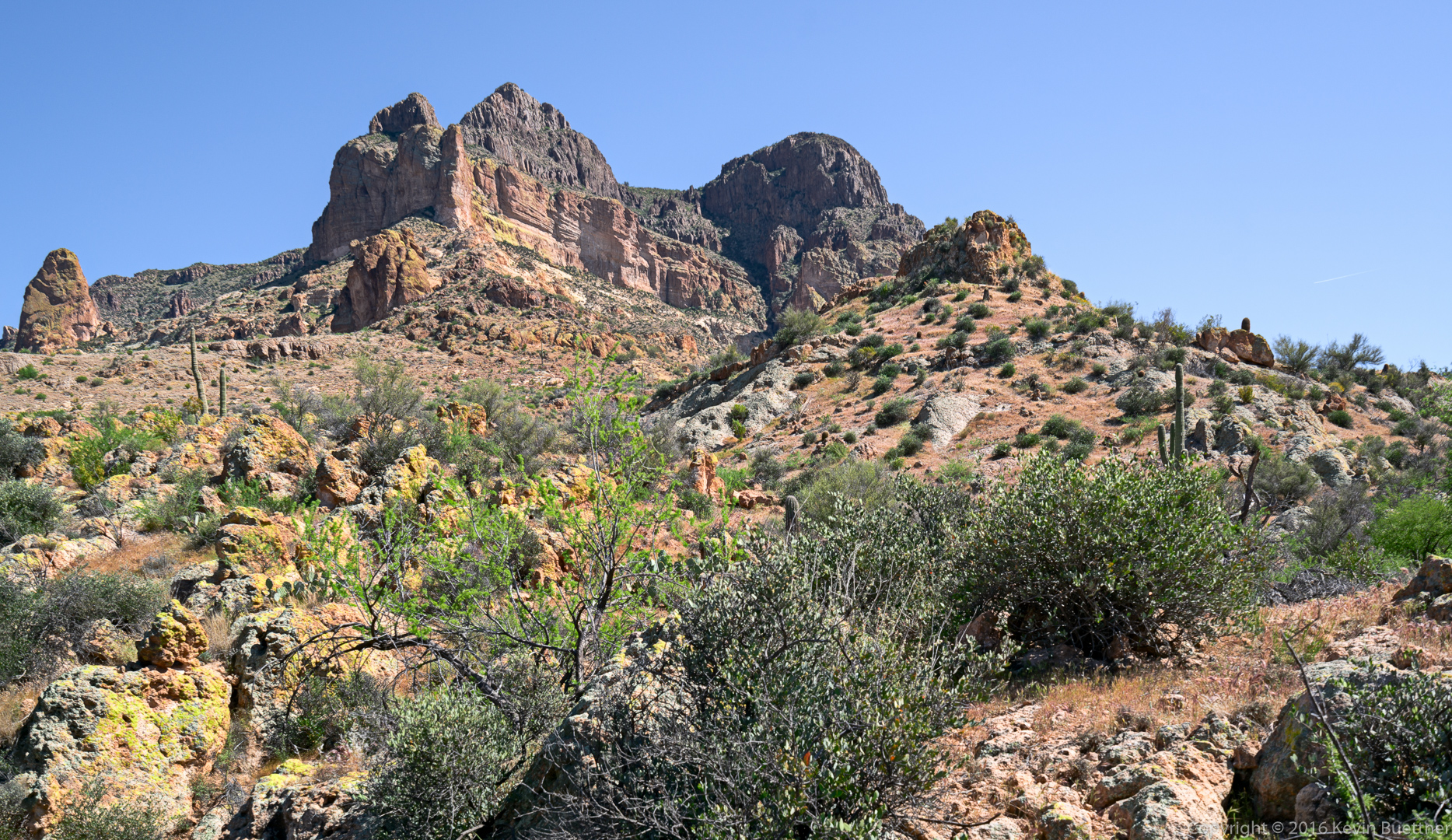
A view of a prominent bluff with Roosevelt Lake behind it:
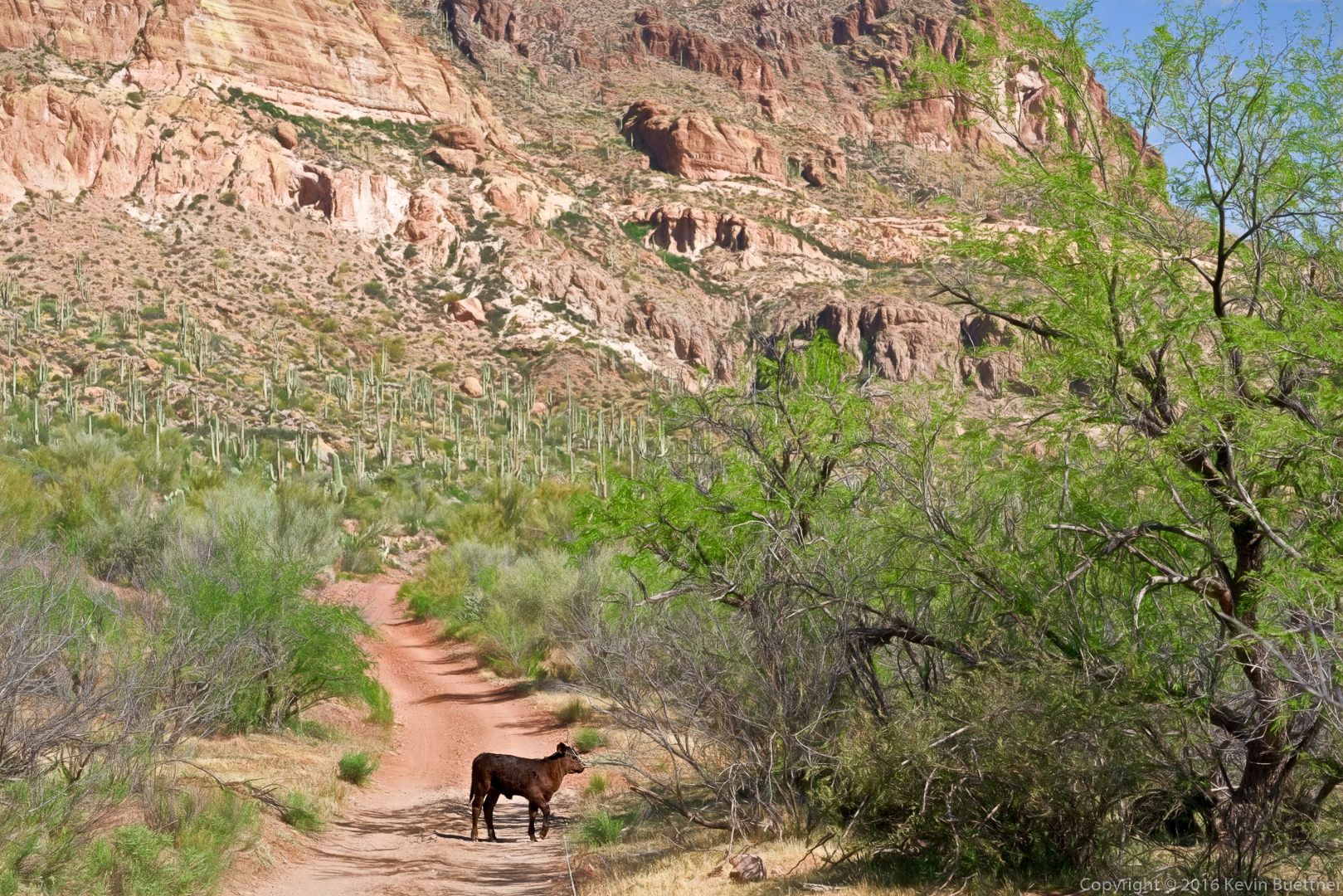
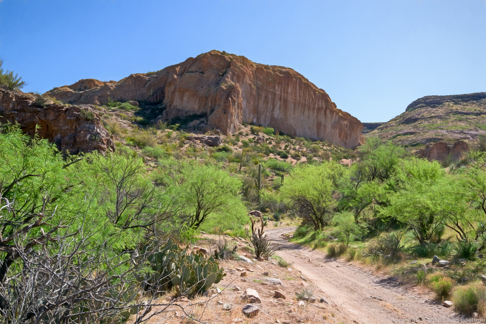
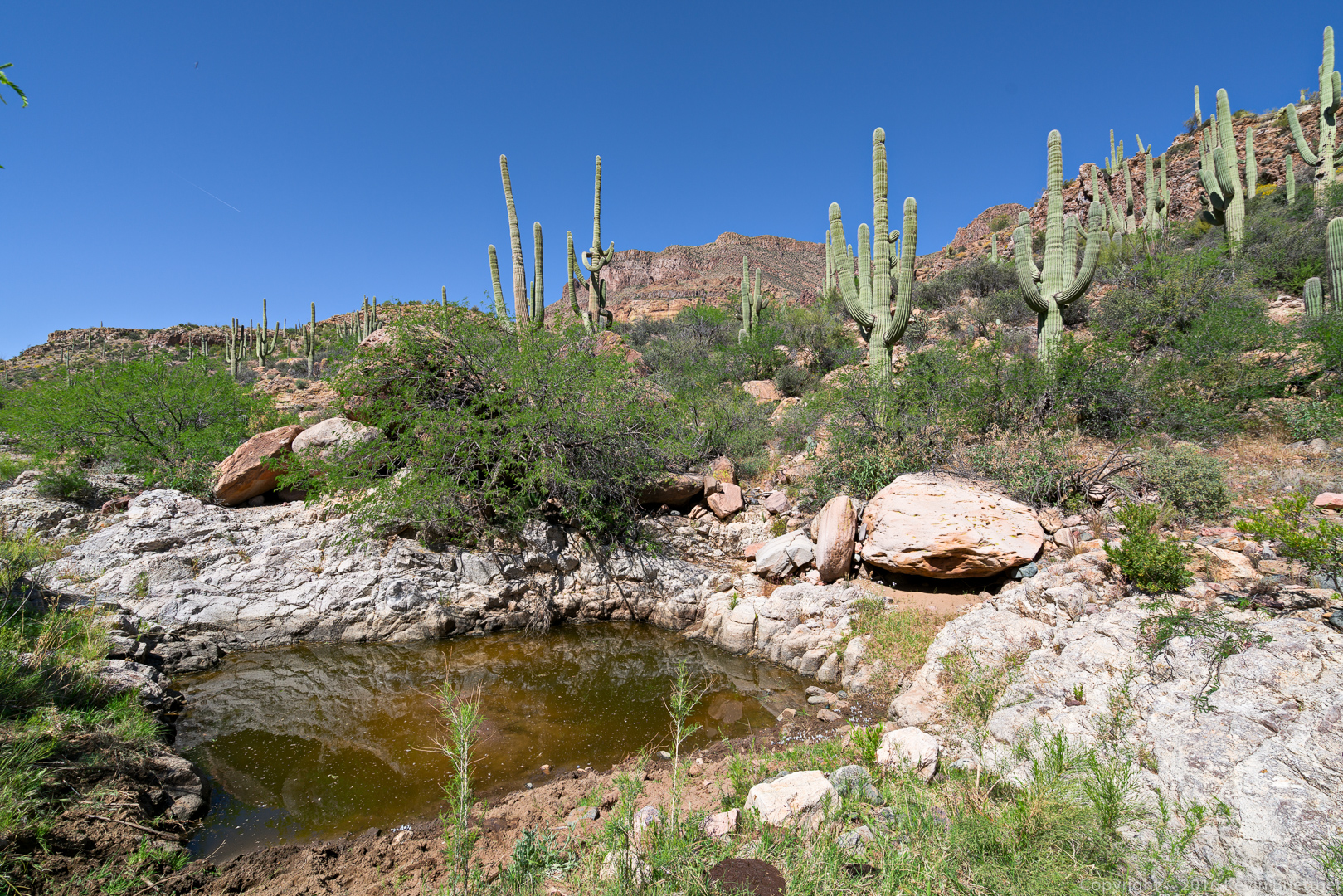
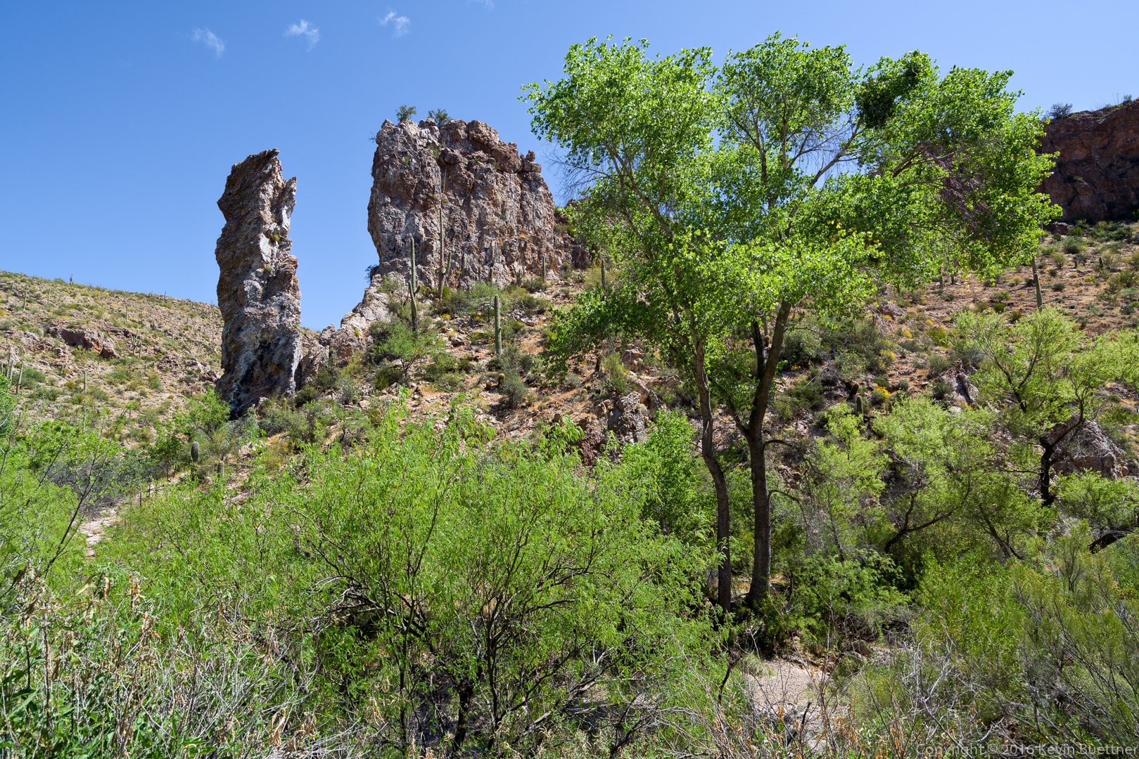
The Vineyard Trail was easy to follow. There were cairns along the way, but we didn’t need them to find our way. (The trickiest part was to know to follow FS Road 336 instead of crossing the road to what looked like a continuation of the trail.)
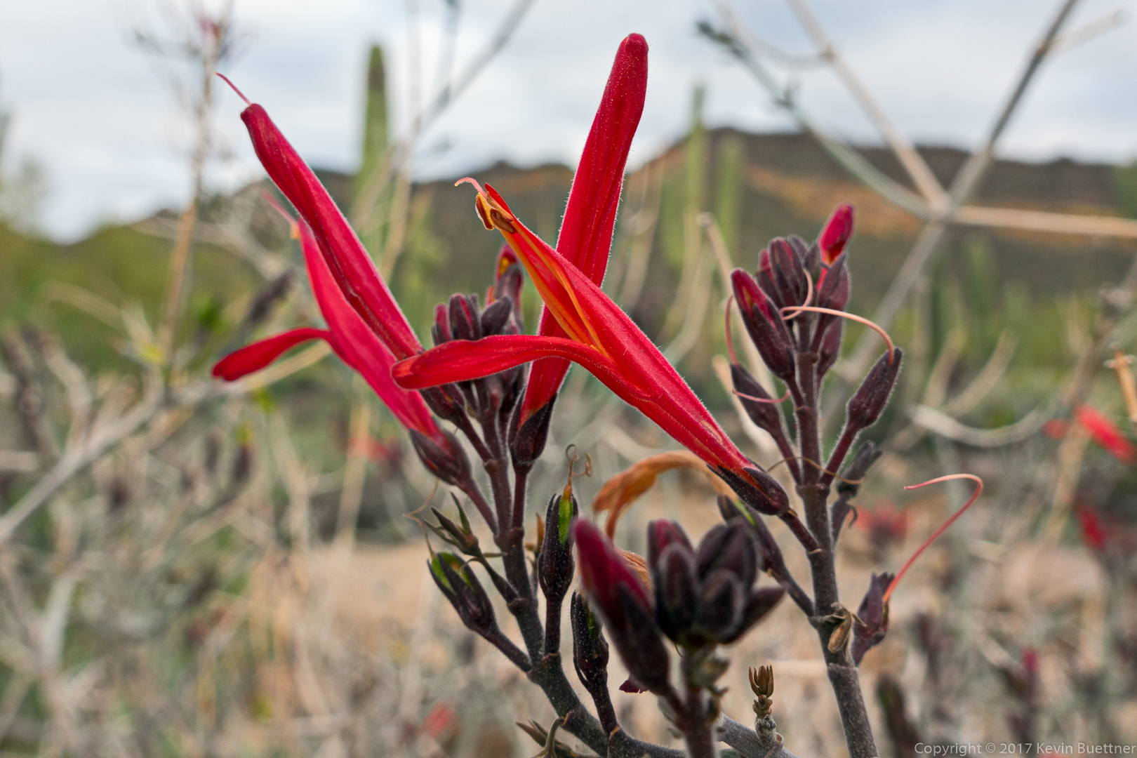
This might be Bluedick / Desert Hyancinth ?:
White Flower Borage?? :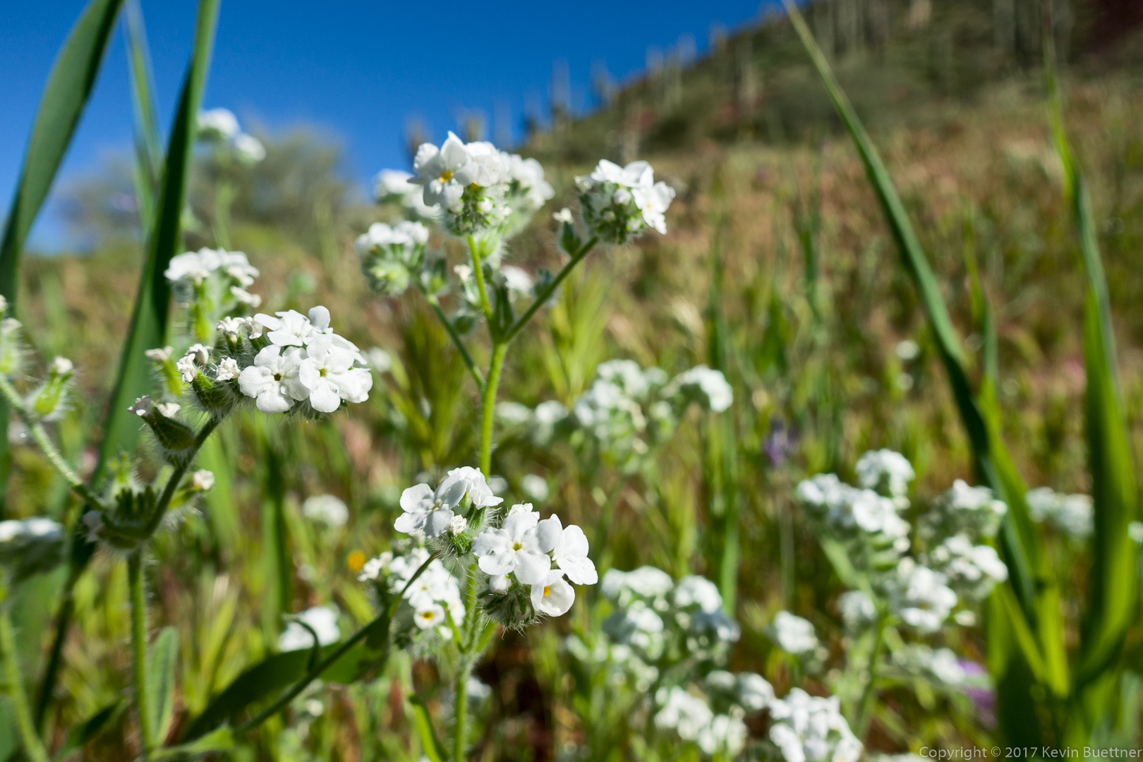
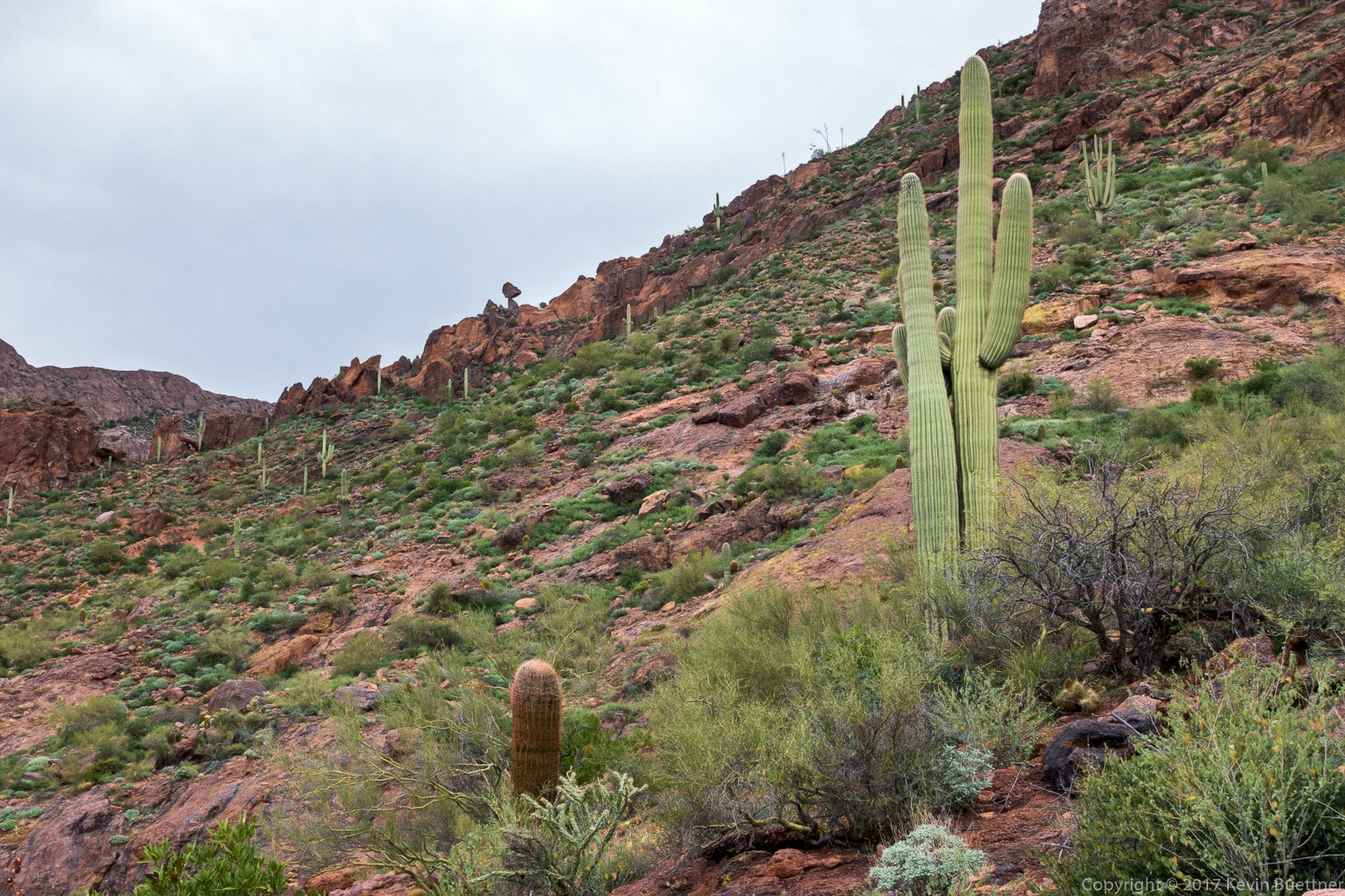
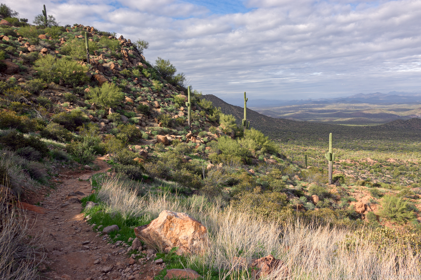
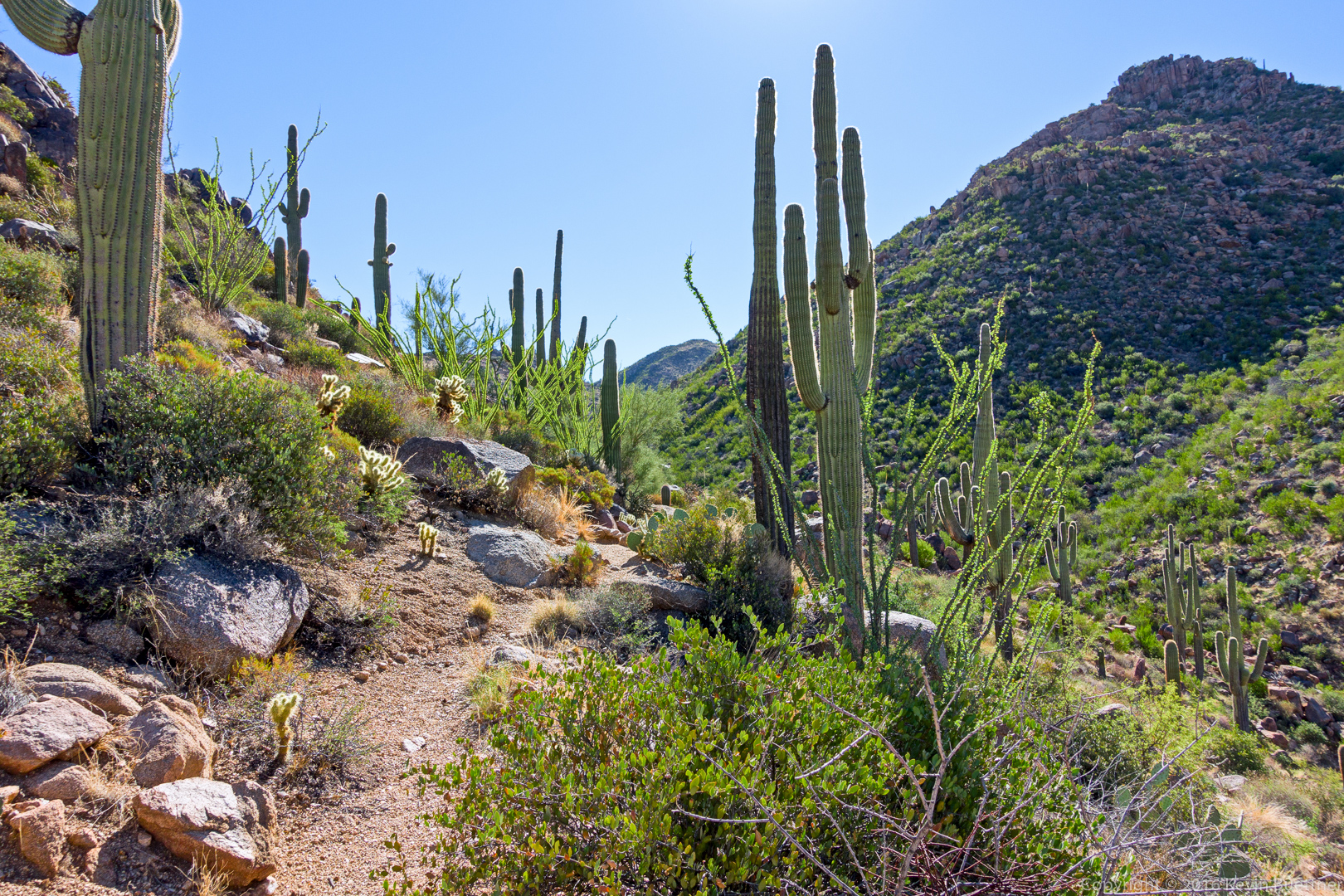
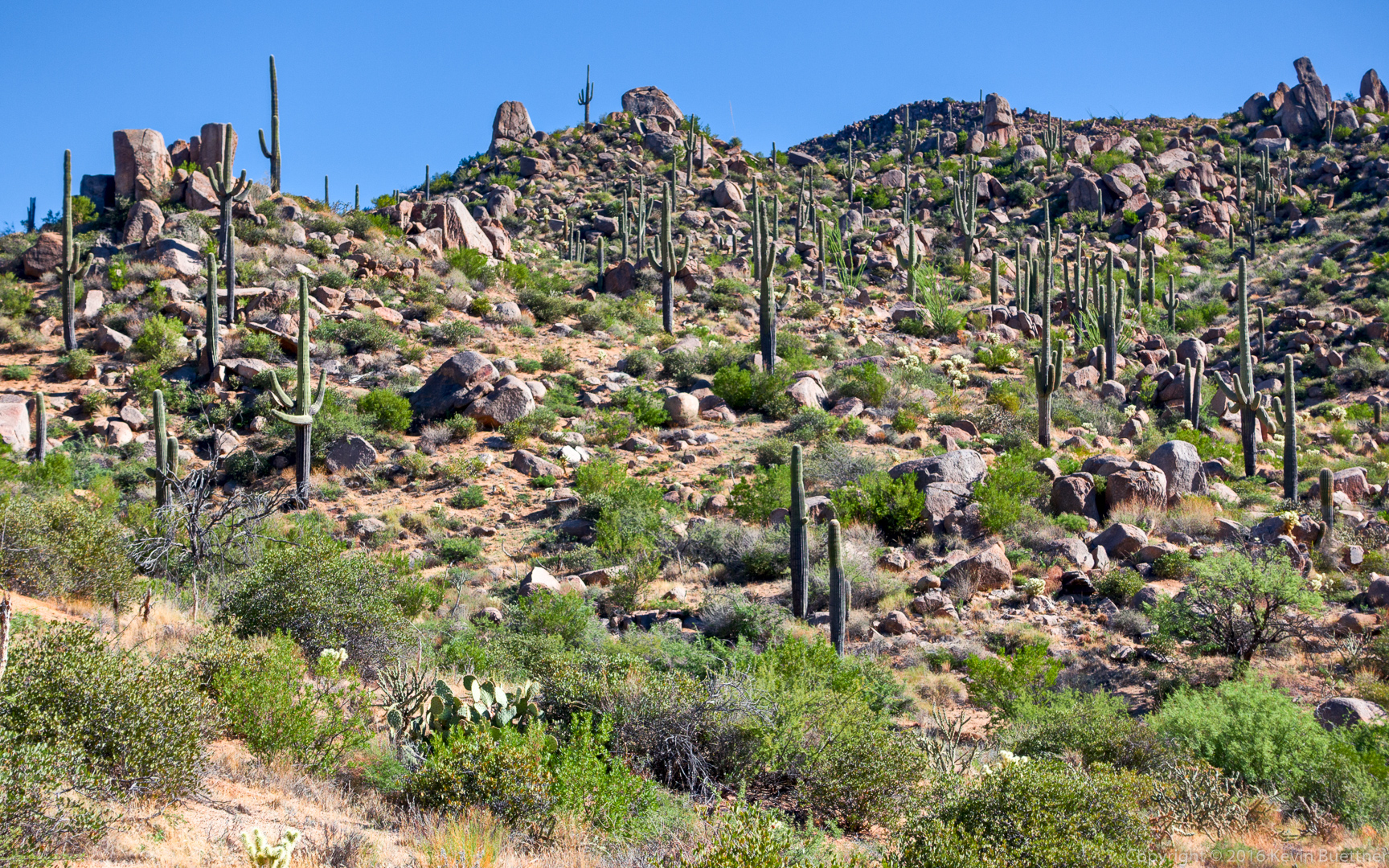
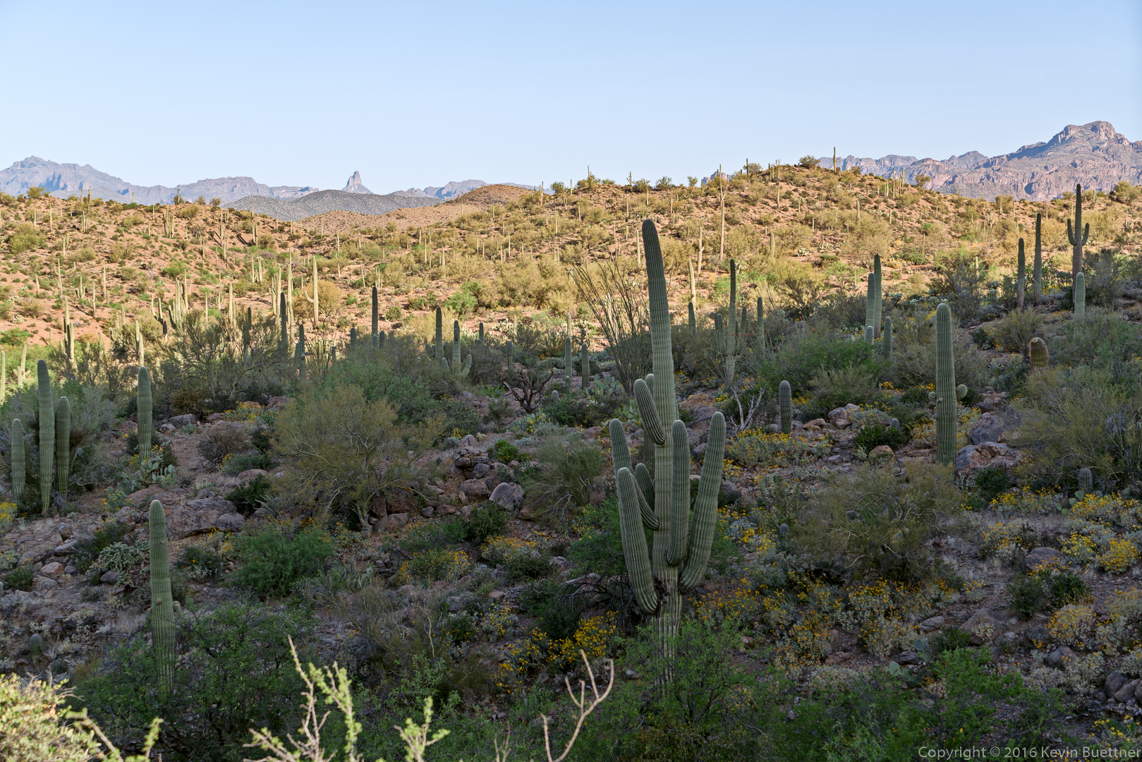
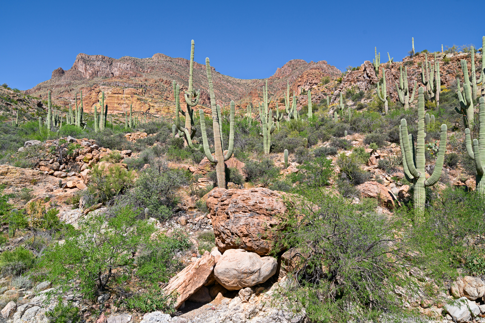
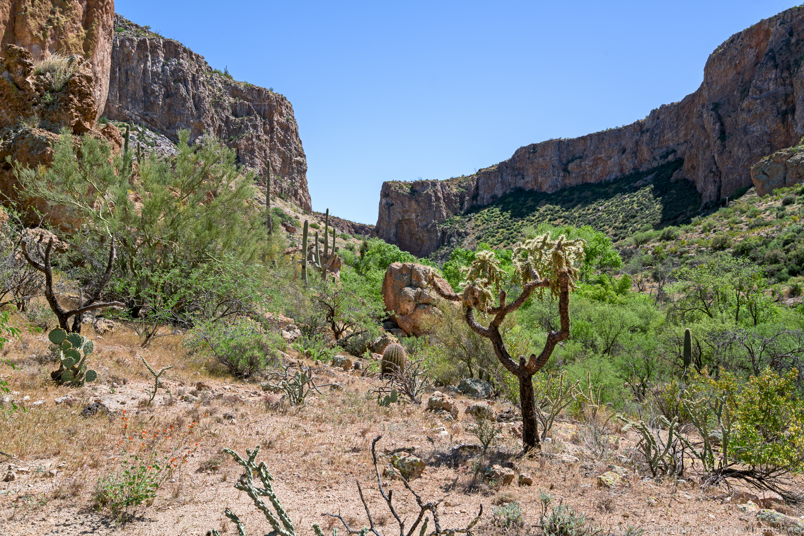
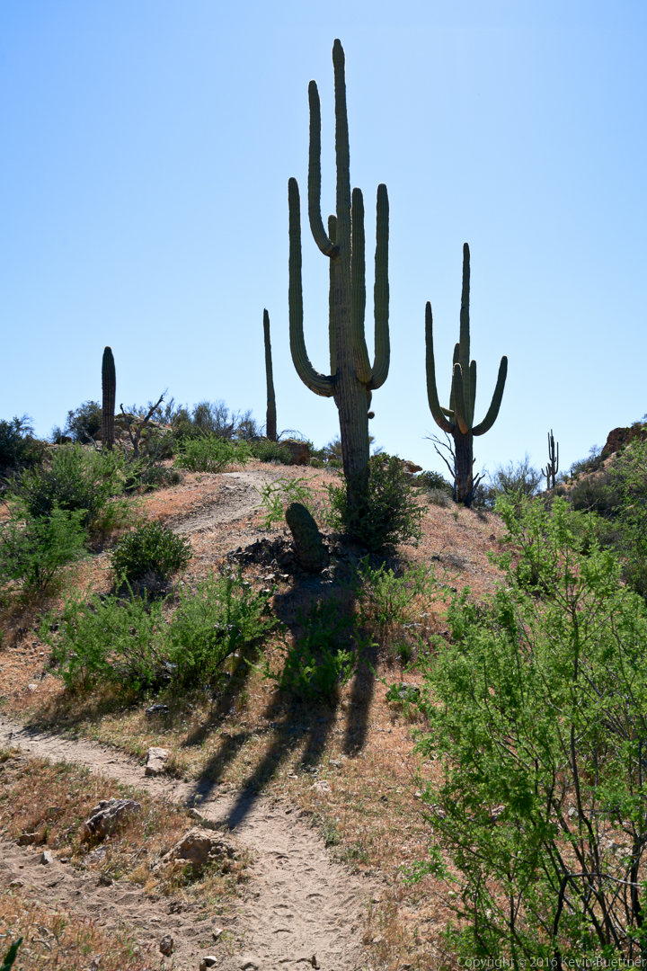
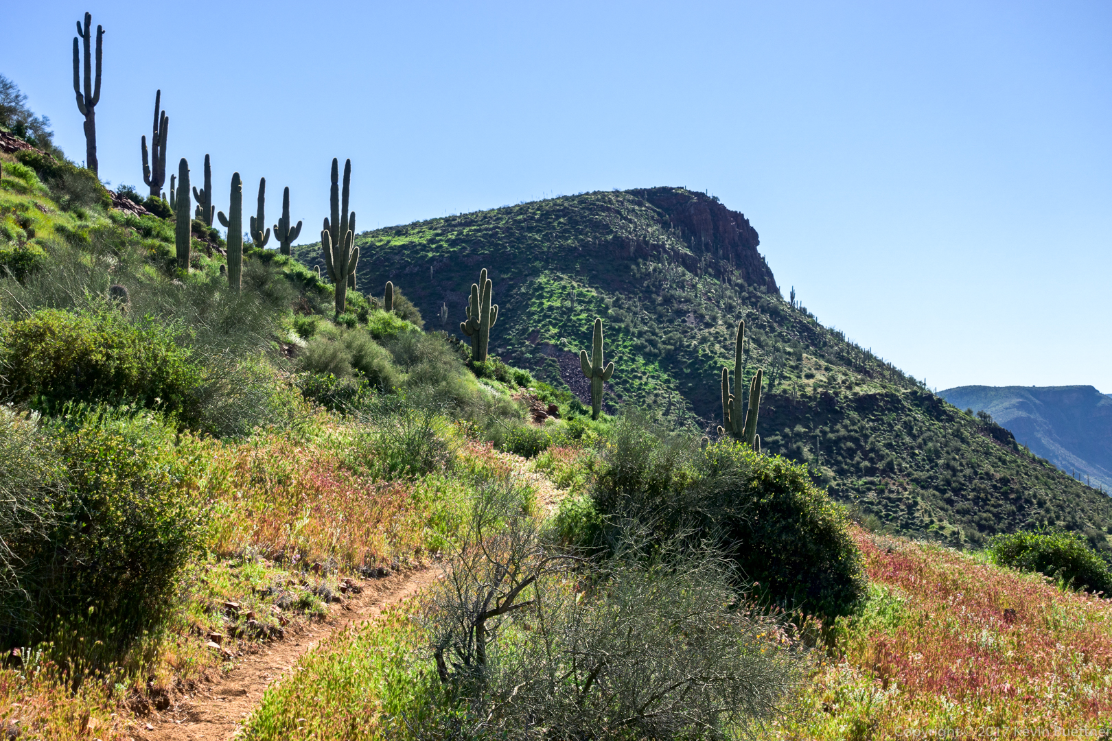
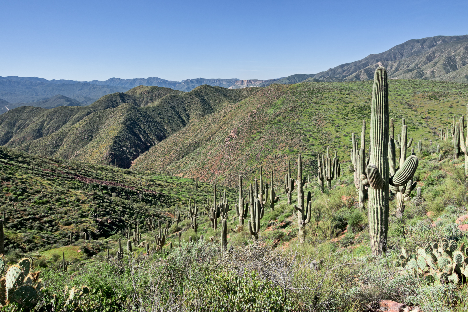
The saguaros became more numerous as we lost some elevation:
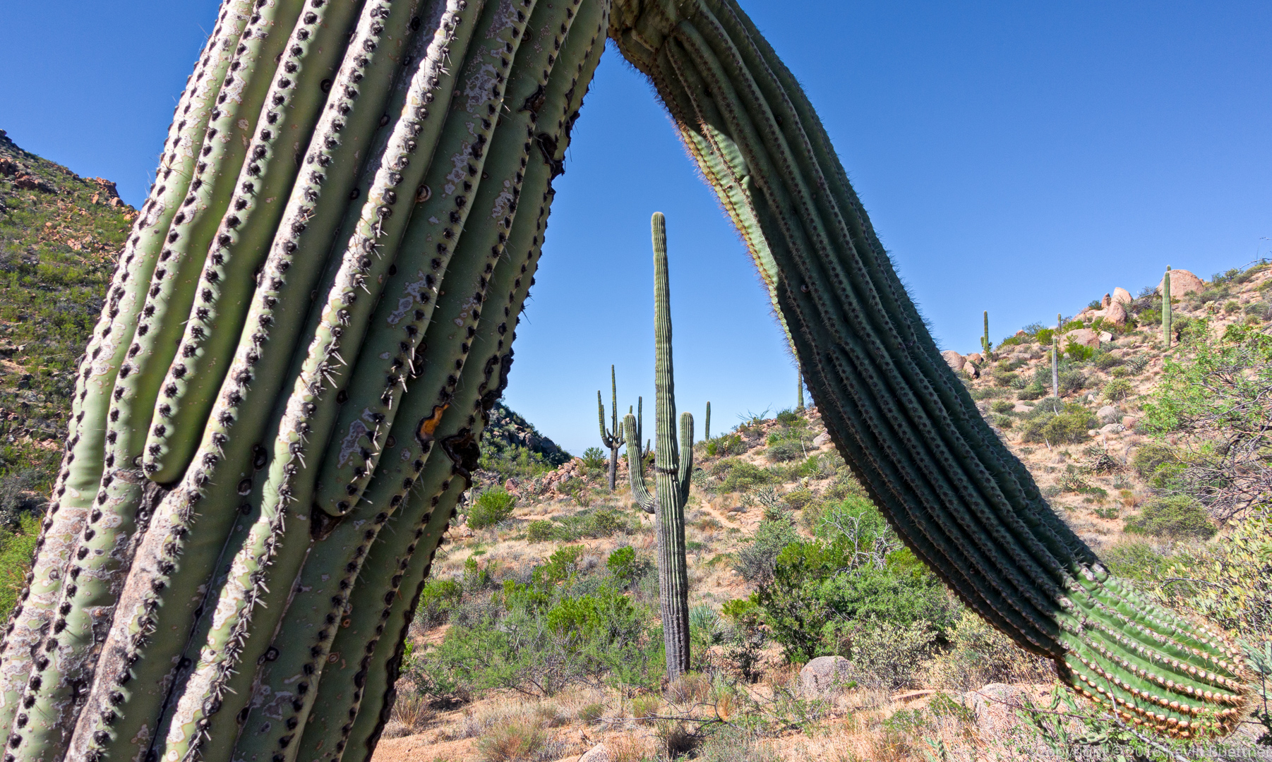
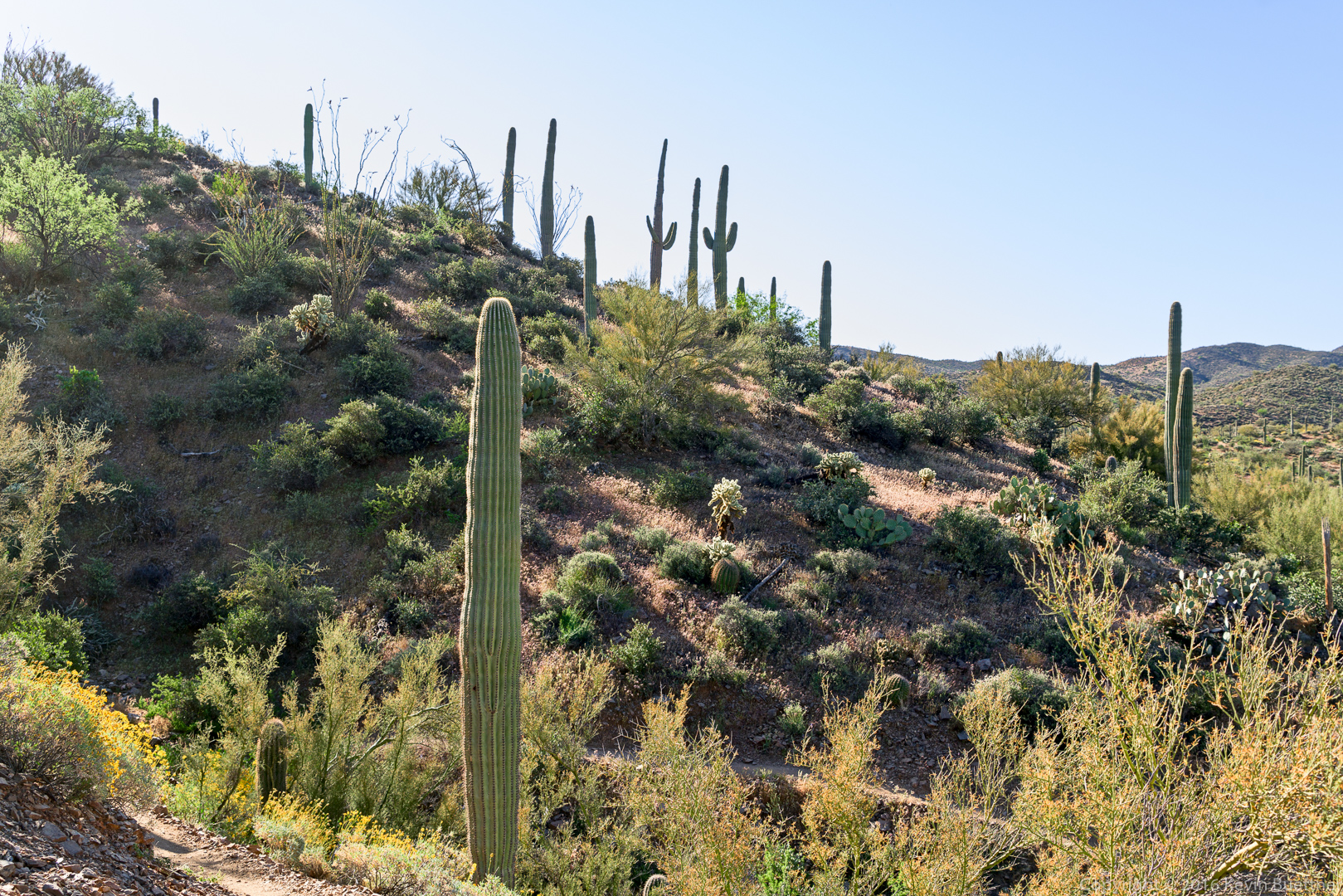
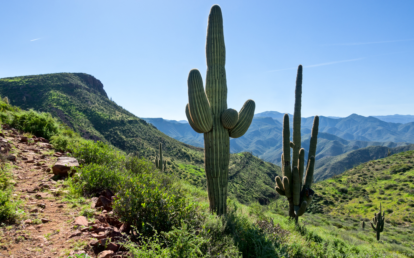
A very healthy saguaro:
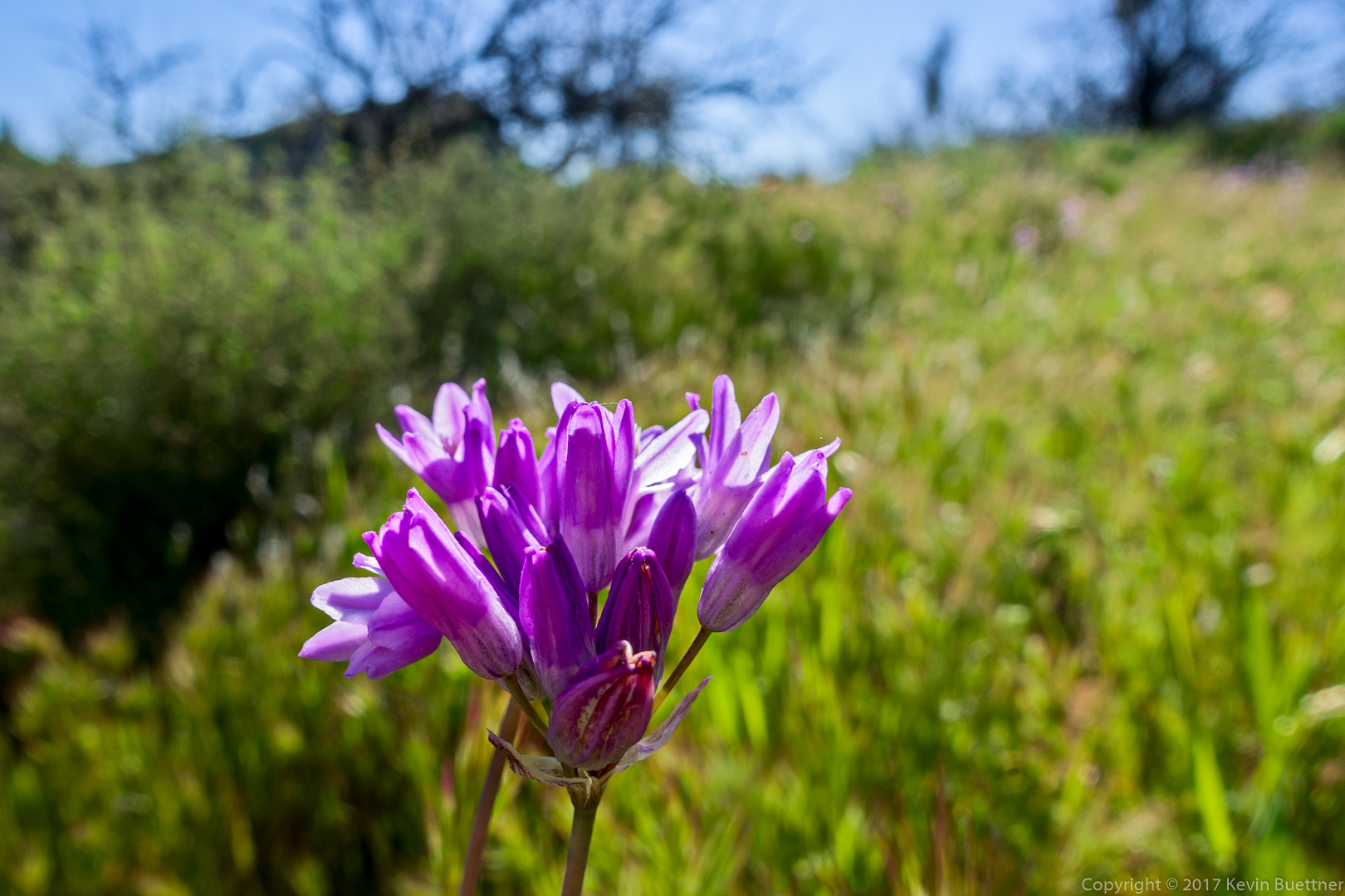
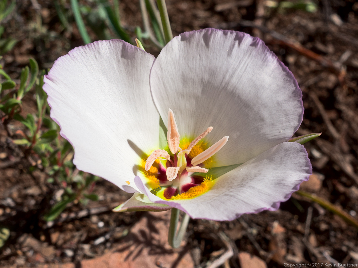
Linda identified this as an Arizona Mariposa Tulip:
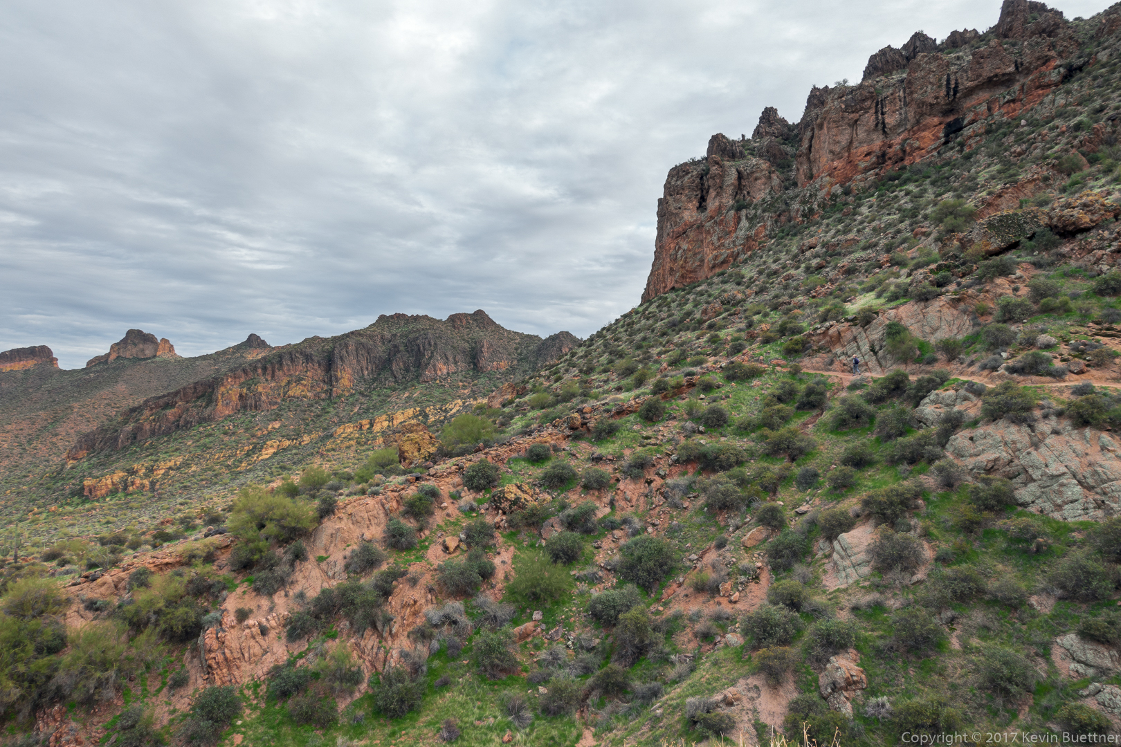
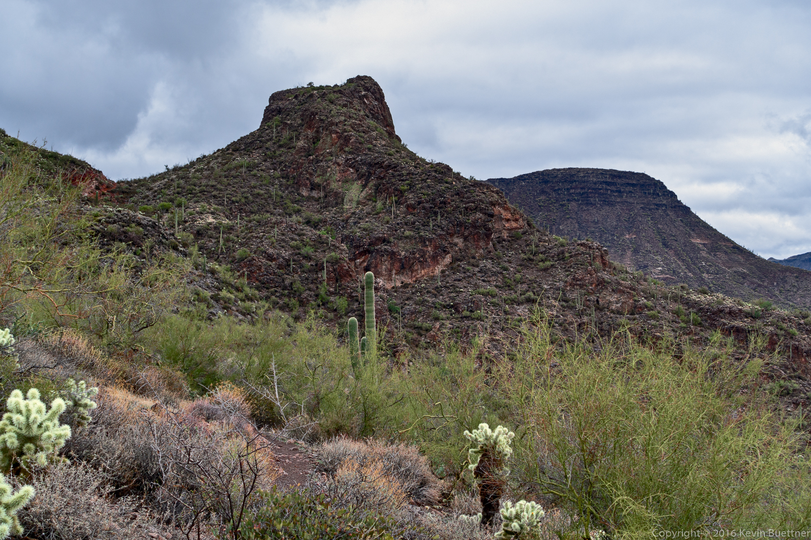
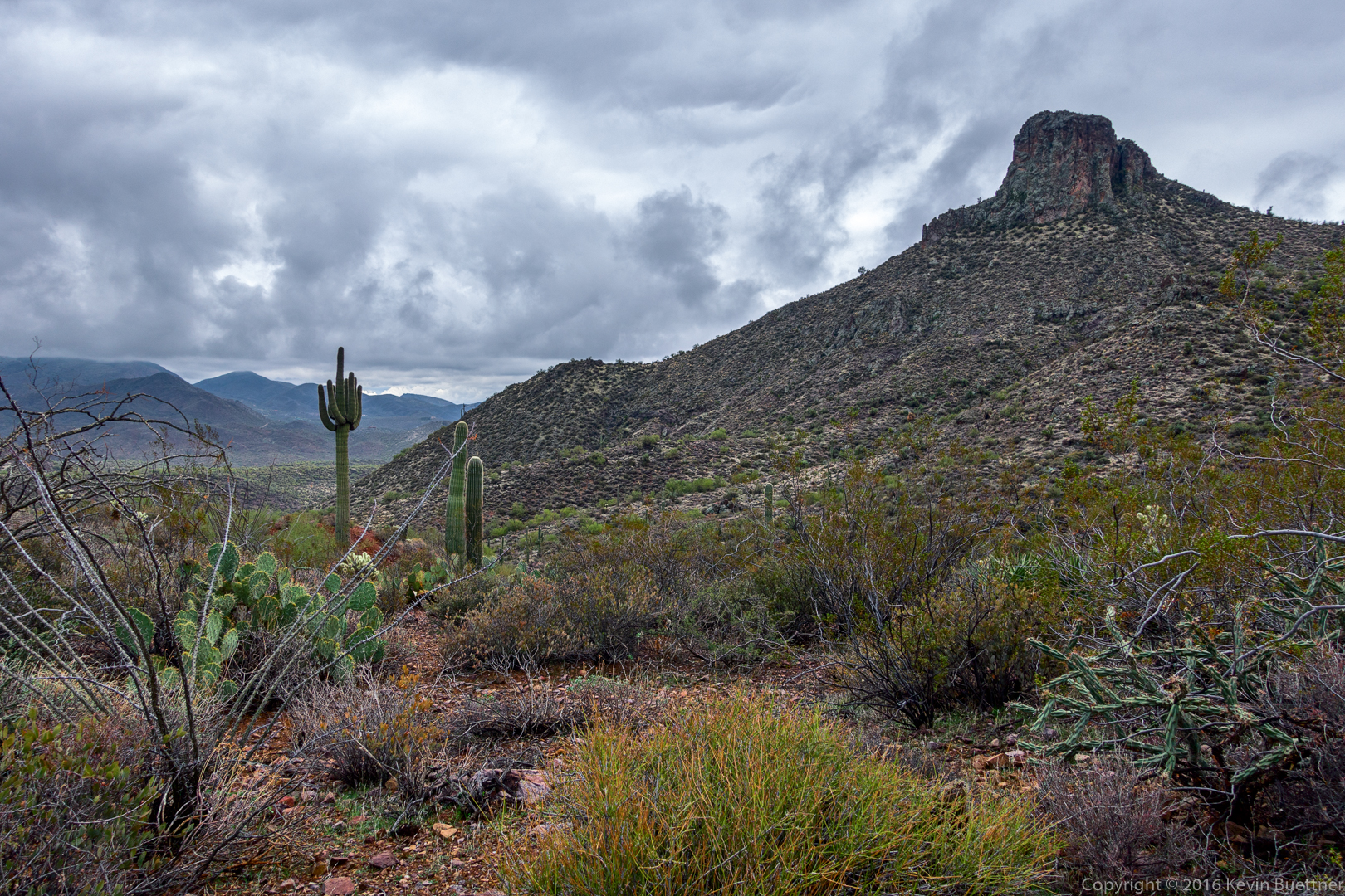
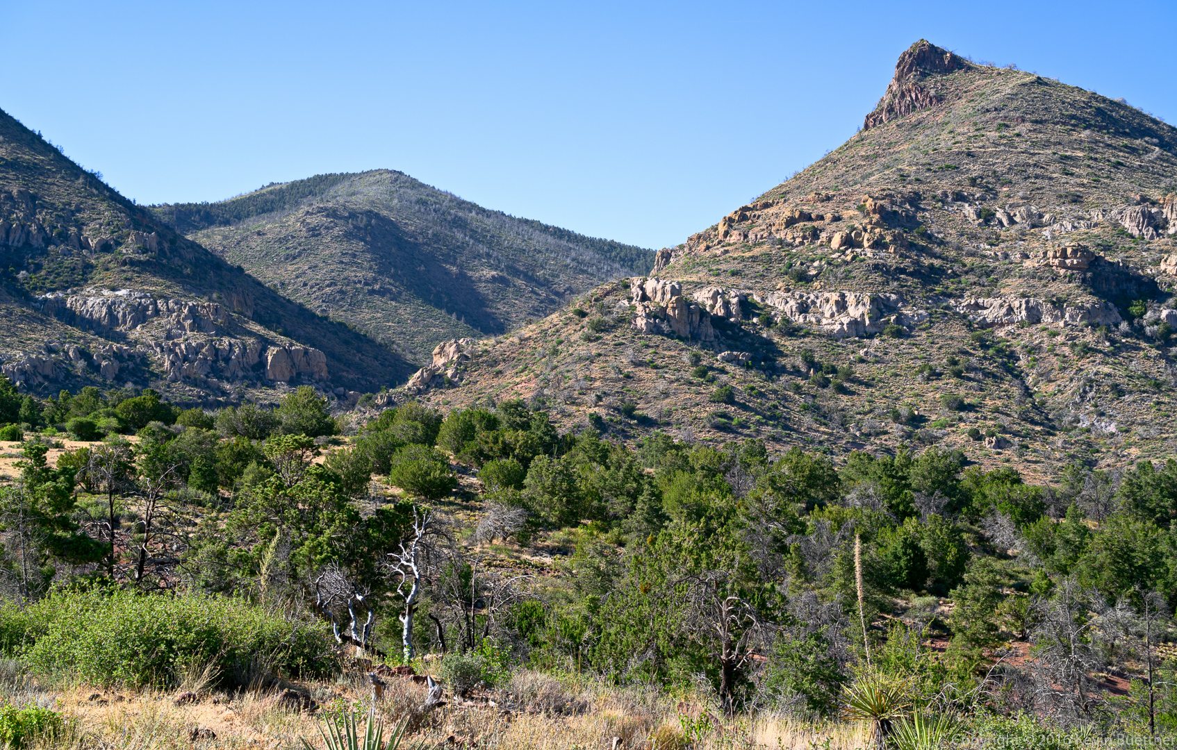
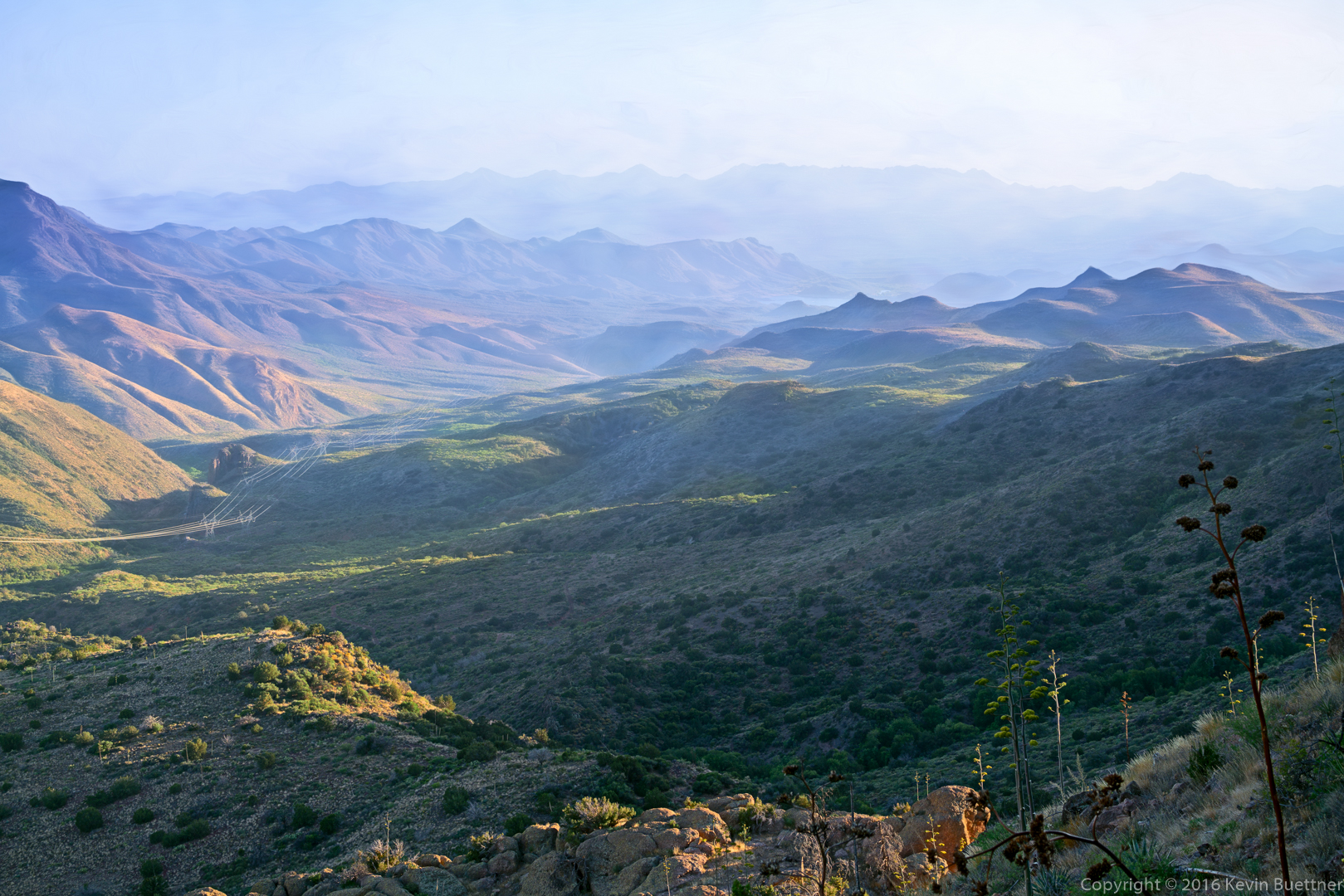
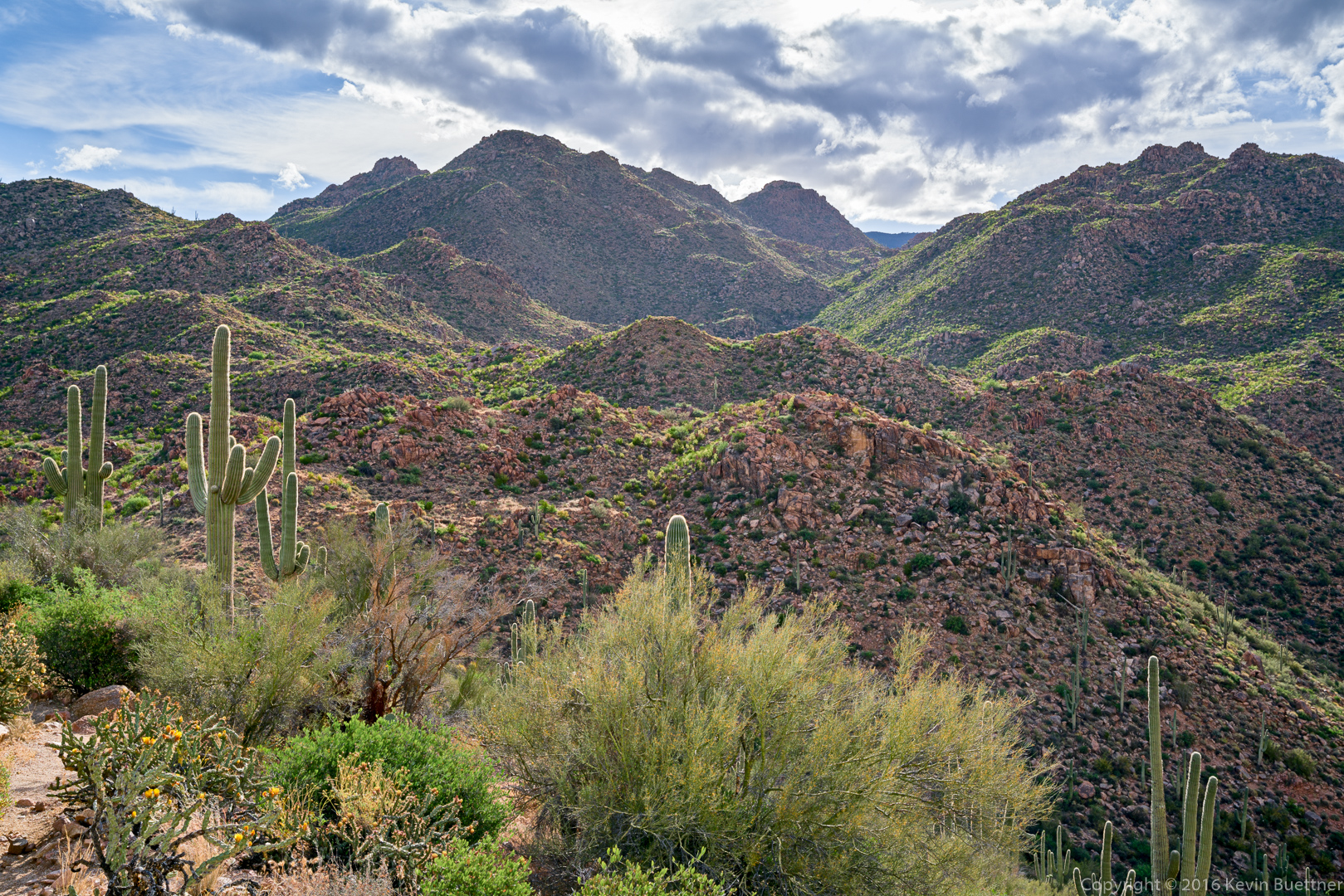
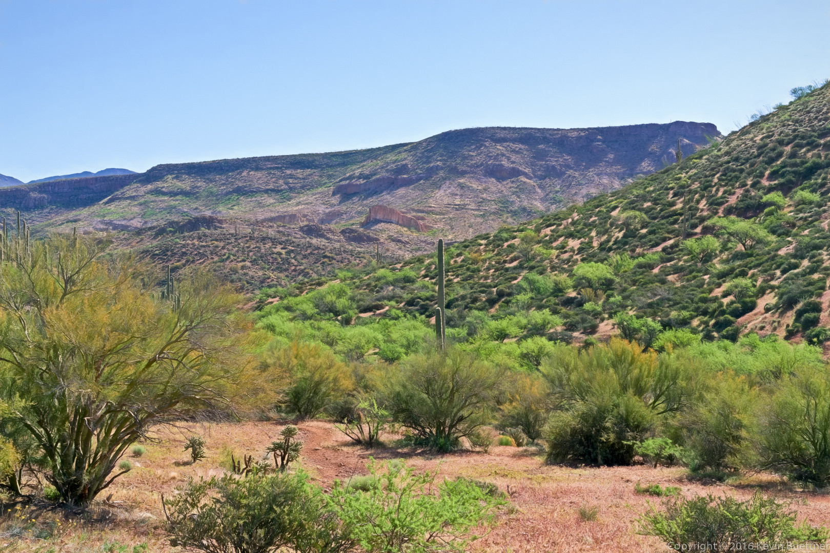
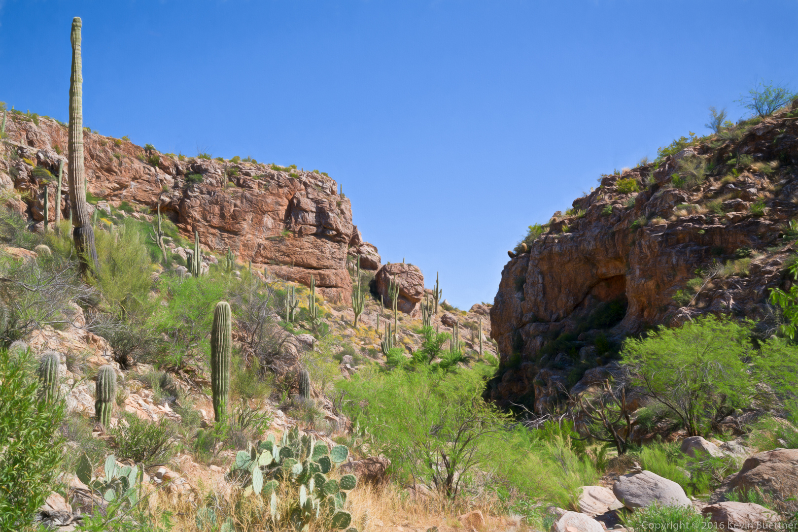
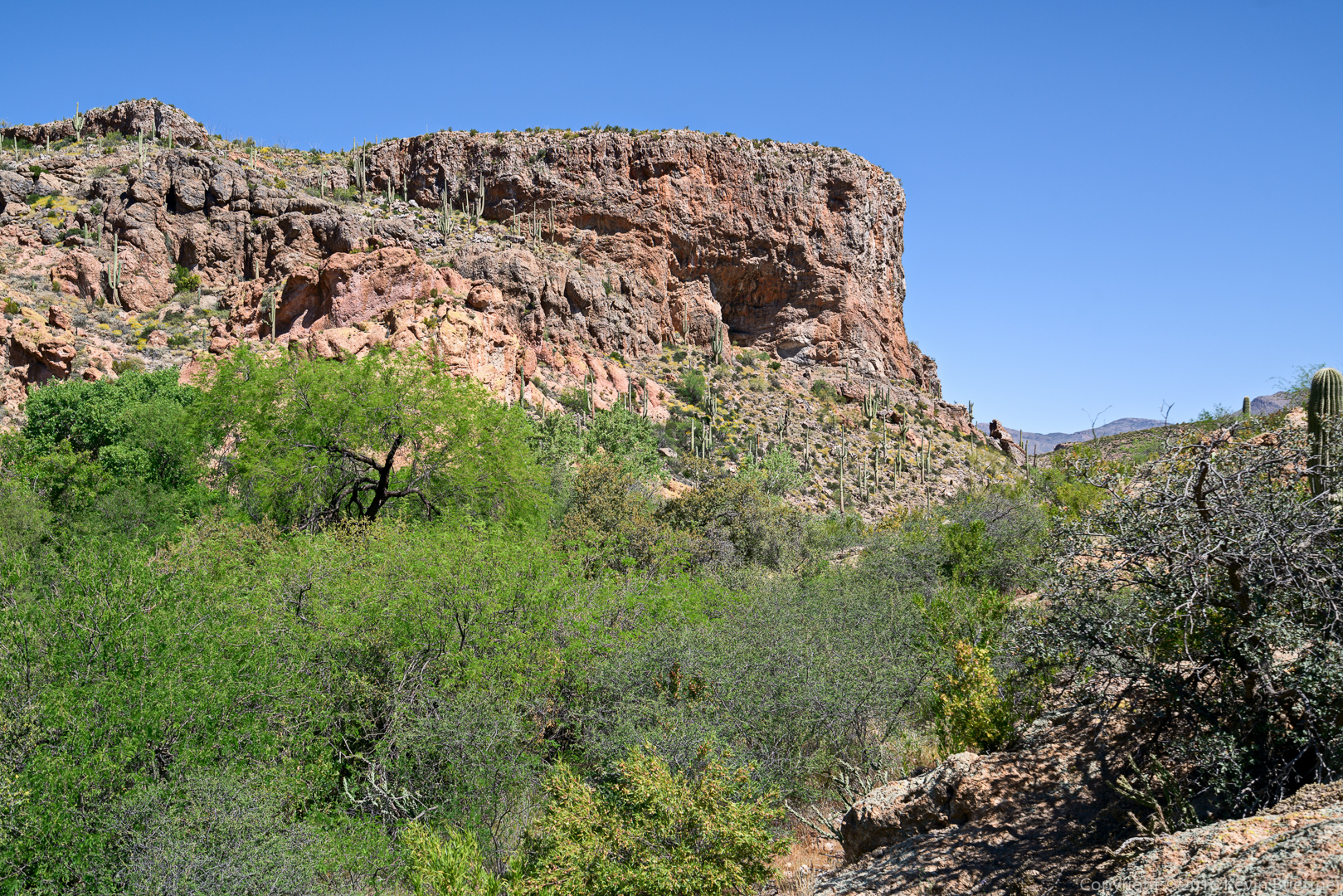
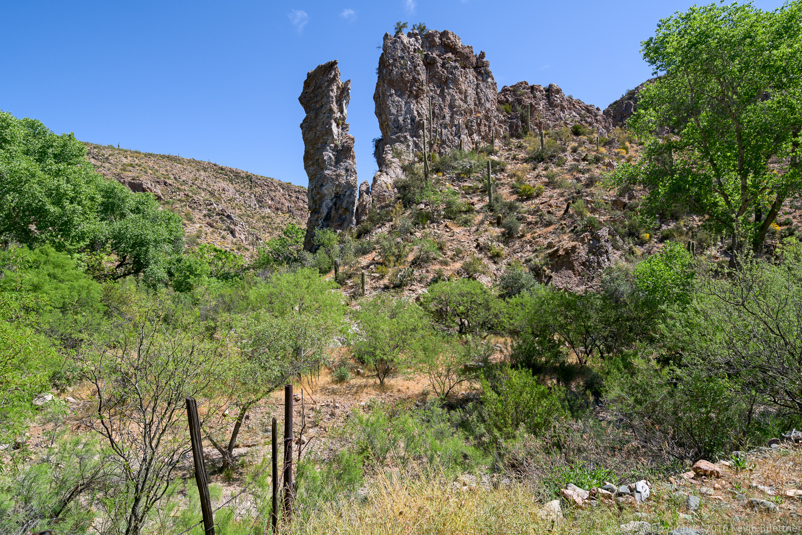
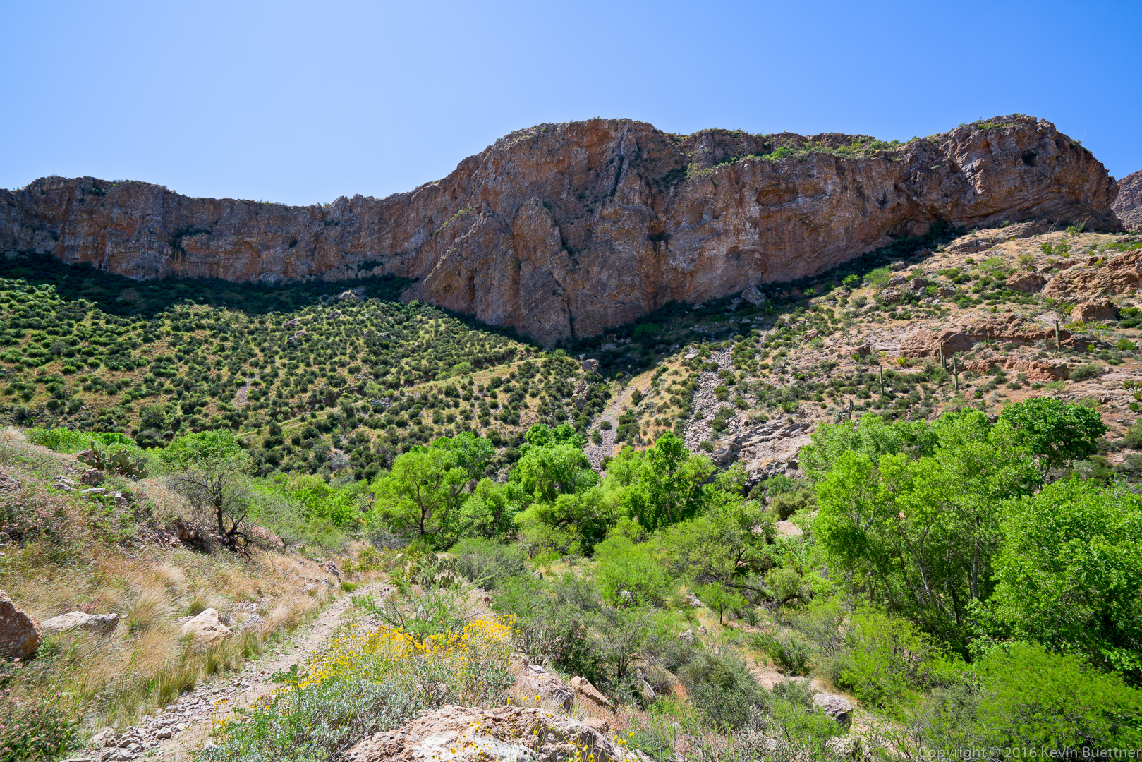
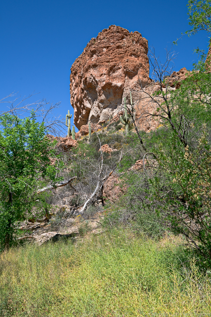
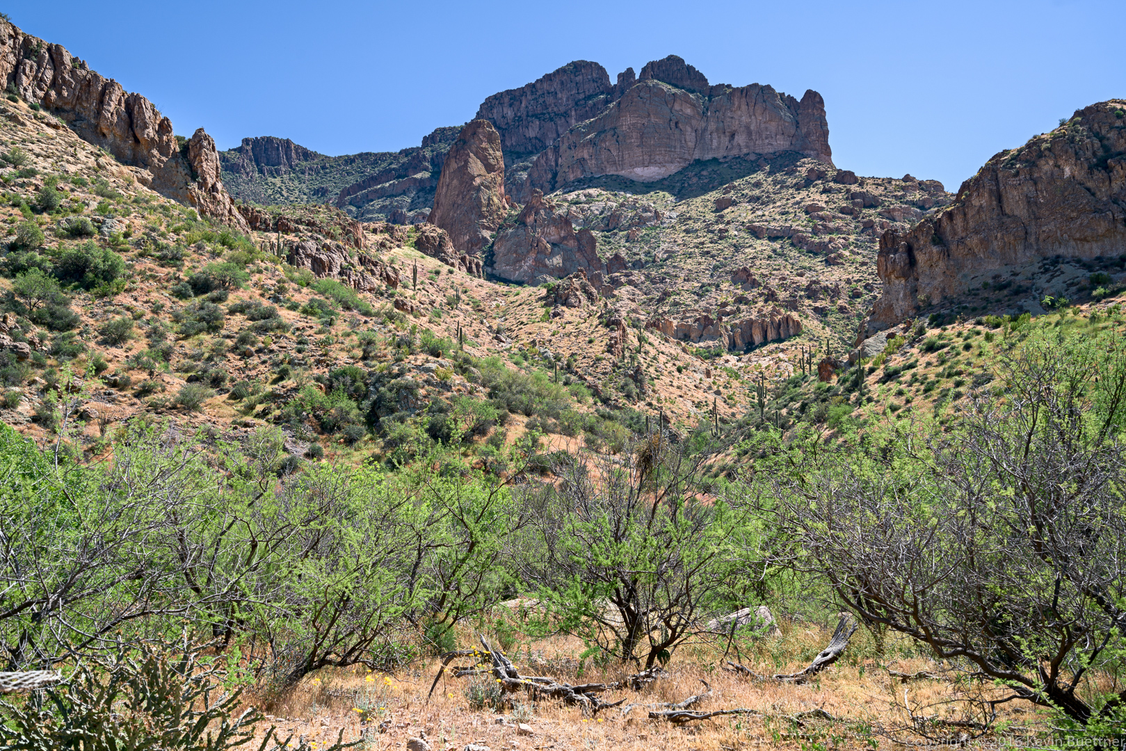
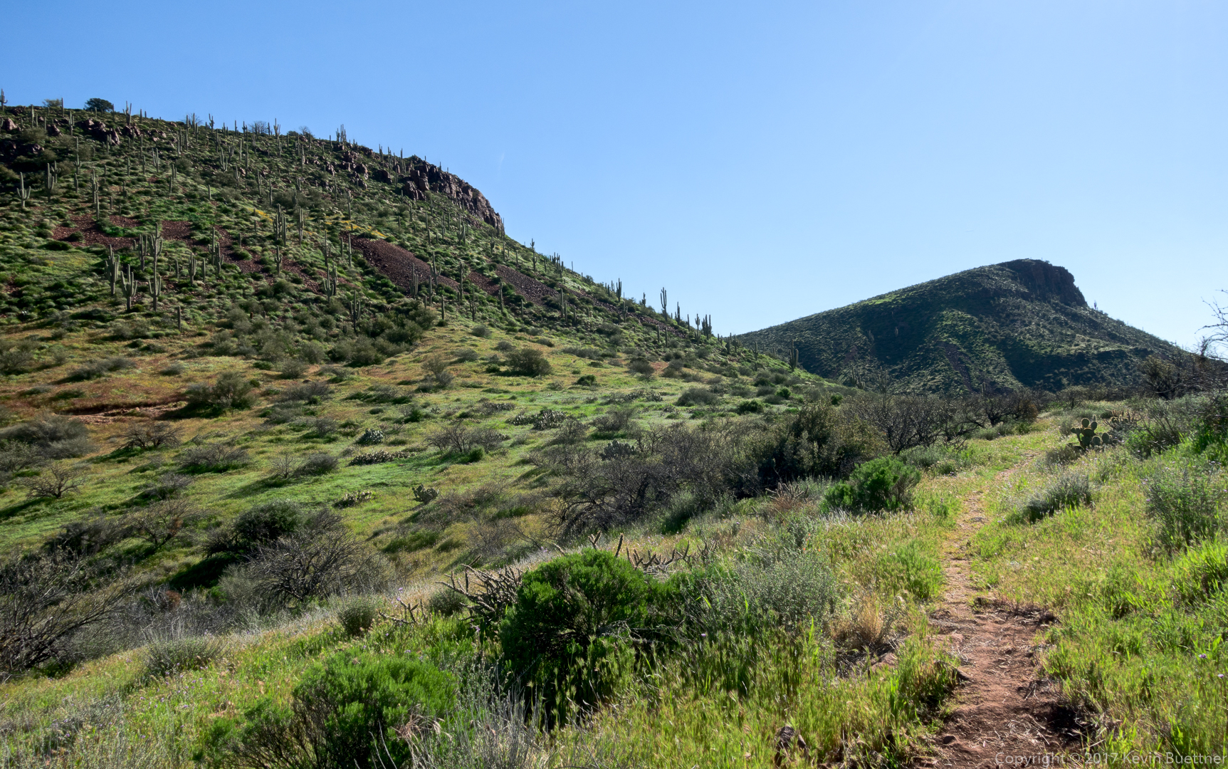
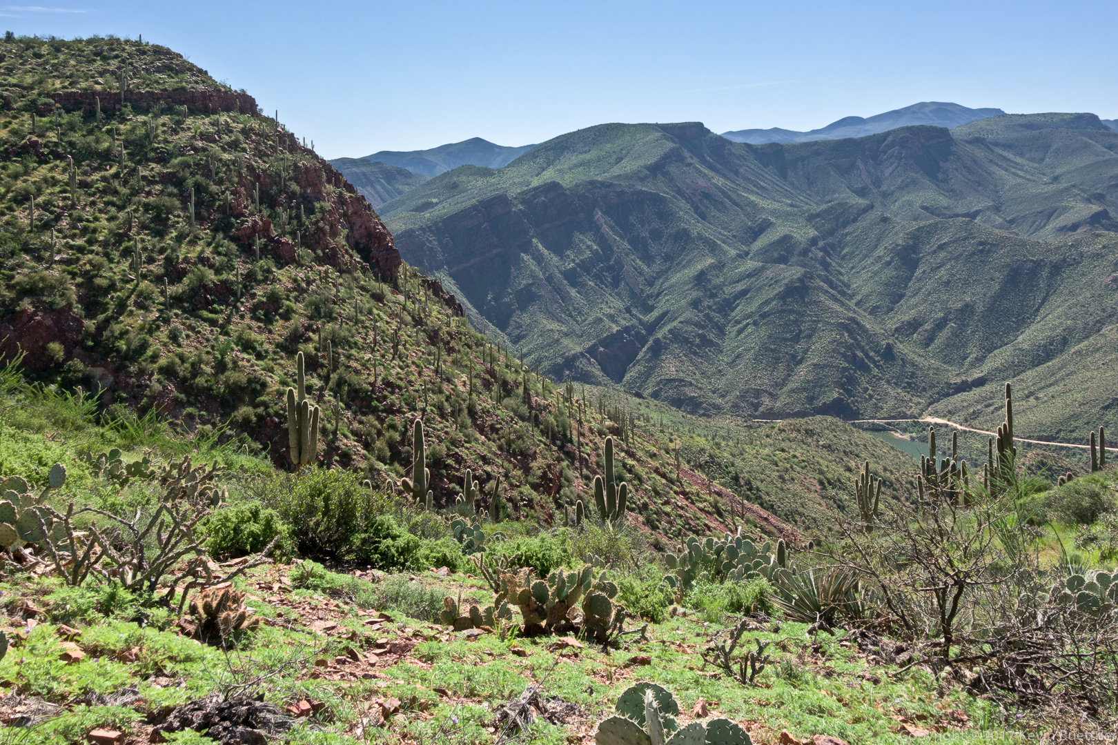
More saguaros. At several points in during our hike, we noticed the sheer cliff in the distance (that’s on the horizon halfway across in this photo). Ben thought it might be one of the cliffs near Tortilla Flats.
Blackfoot daisies sheltered by and agave:
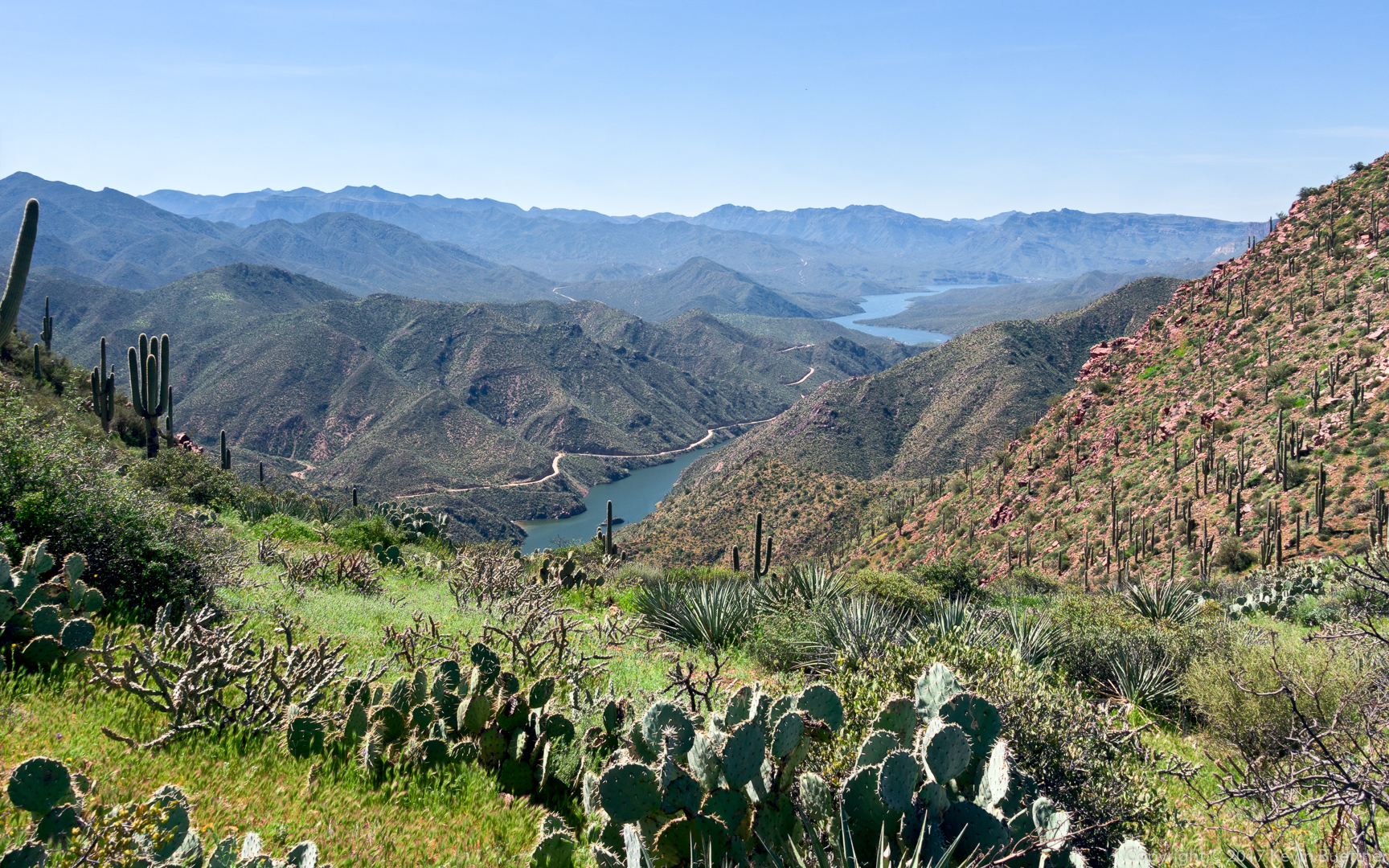
Another view of Roosevelt Lake:
Ben examined the structure in this photo with his field glasses. He told us that the outer sections that he could see were corrugated metal. We don’t know it’s purpose, nor did we see any roads or trails leading to it.
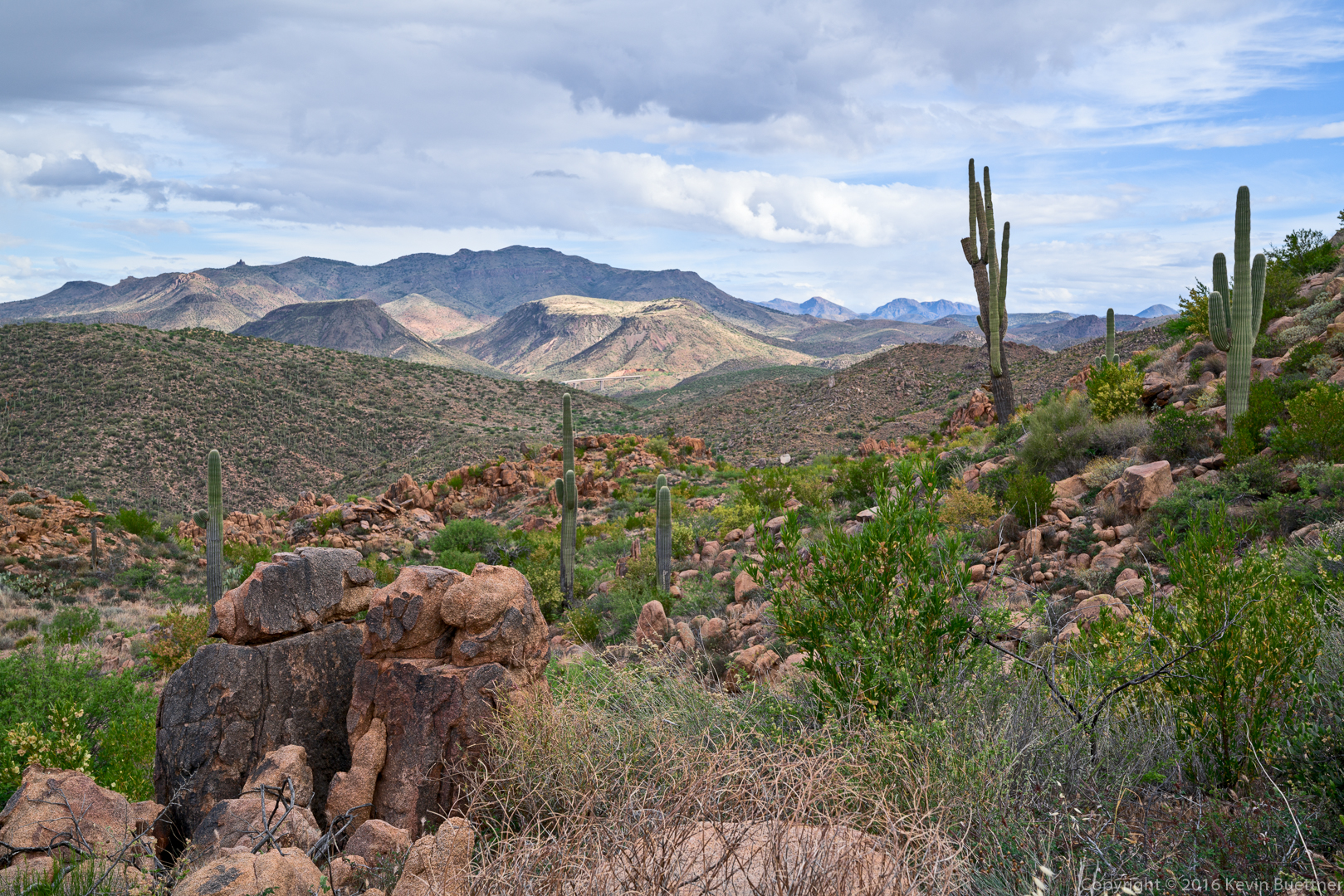
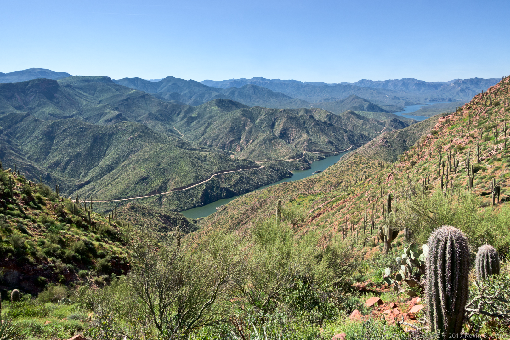
A small section of the Apache Trail (AZ 88) can be seen in this photo:
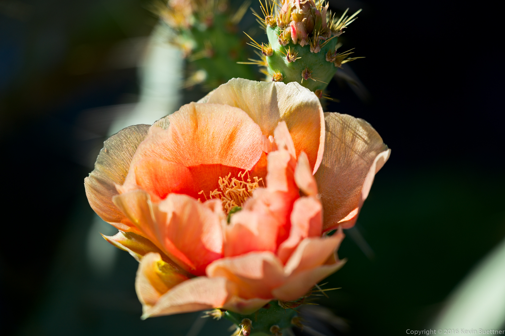
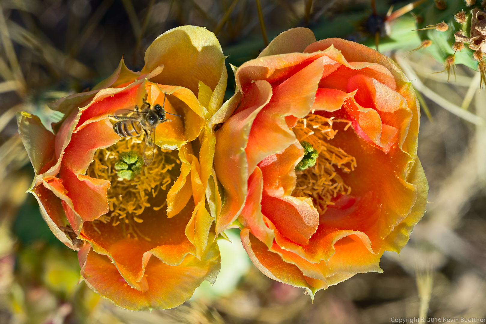
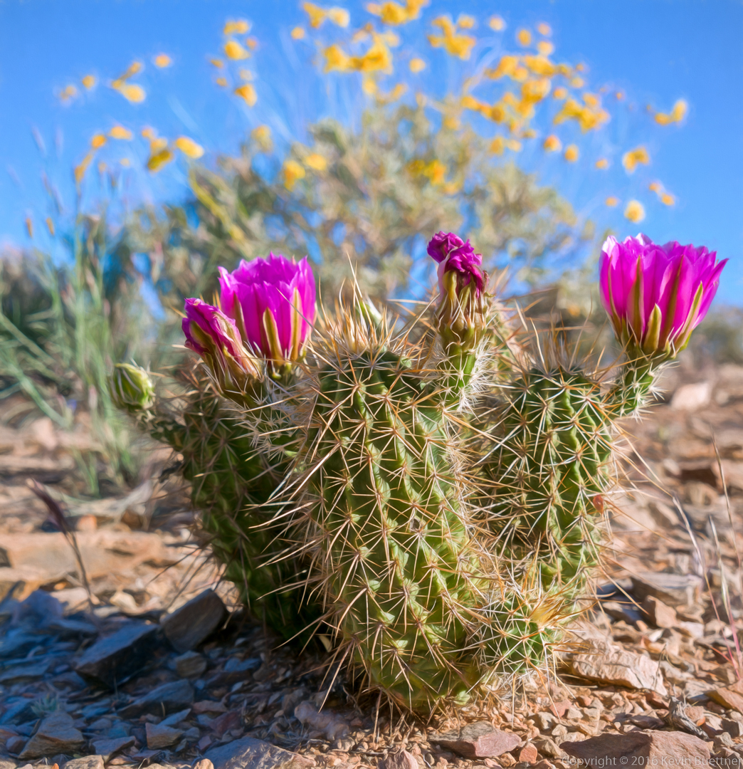
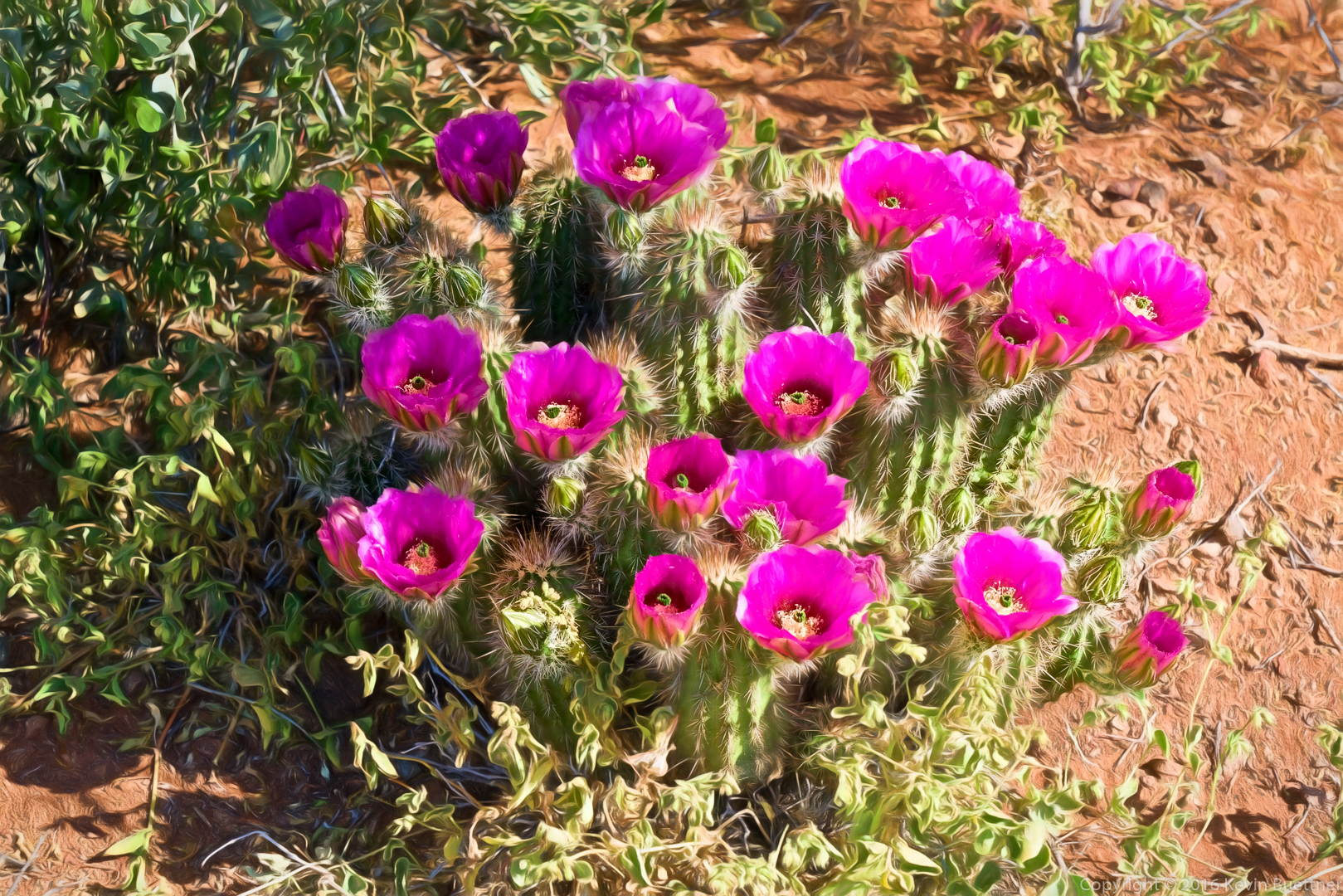
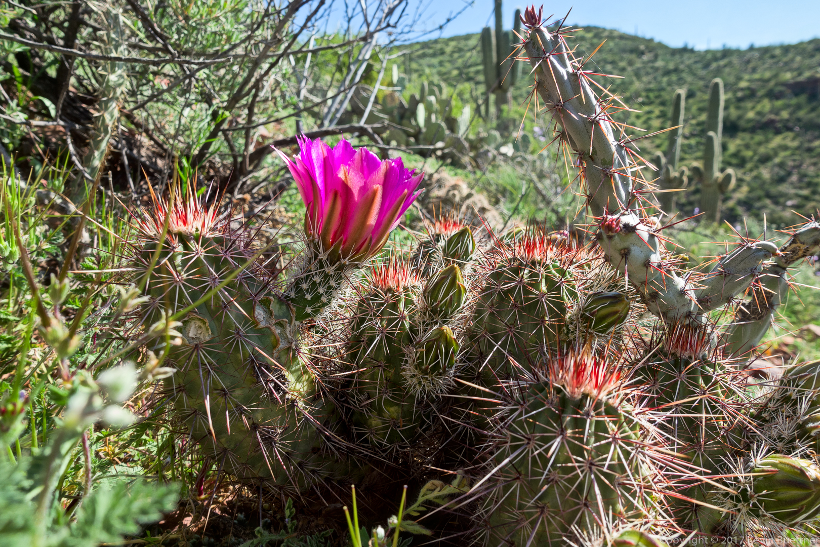
Hedgehog cactus blossom:
Another view to the south – more of AZ 88 can be seen in this photo:

An even more expansive view of the Apache Trail. The Salt River is also visible in this photo.
Another view of Theodore Roosevelt Lake:
Jim spotted this plane flying low above the lake. Someone on the hike identified it as a C-130.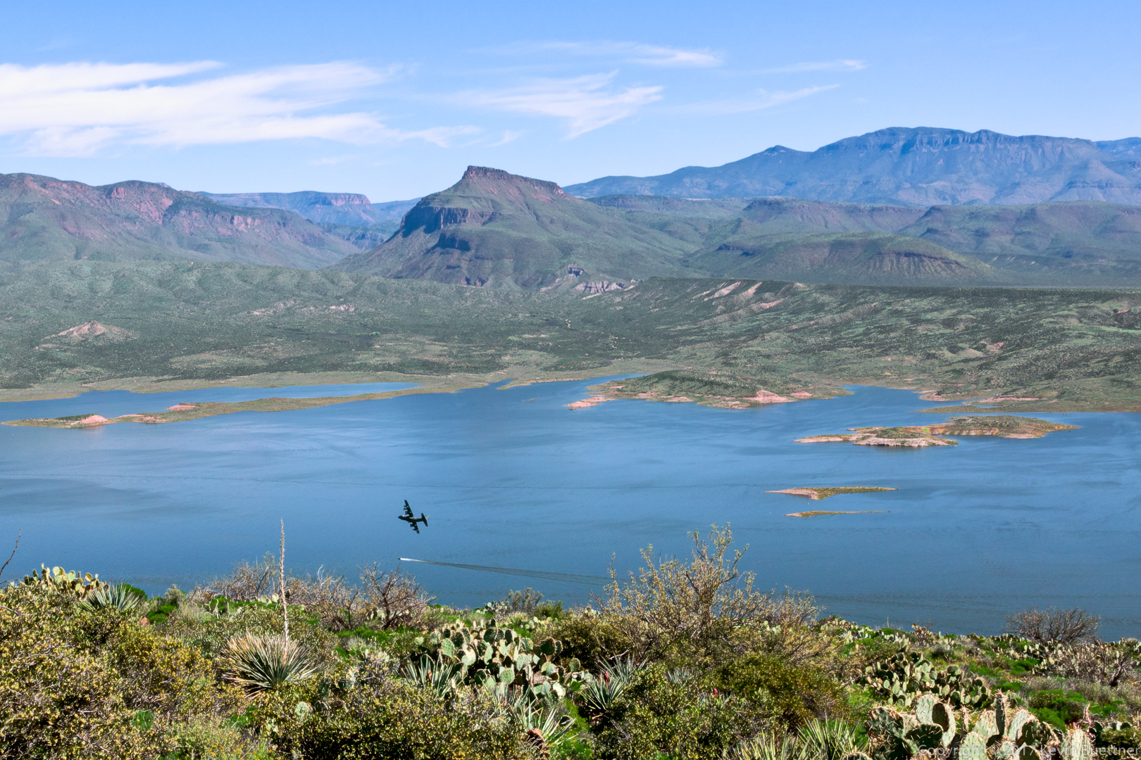
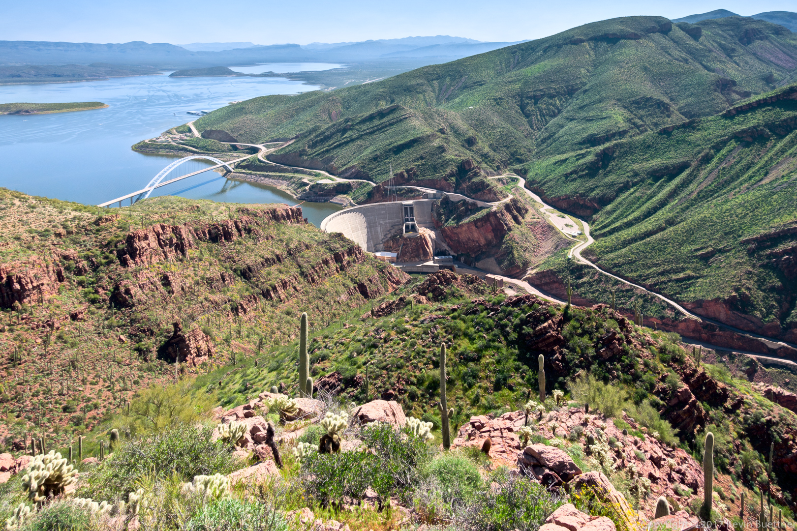
Two views of the bridge and dam:
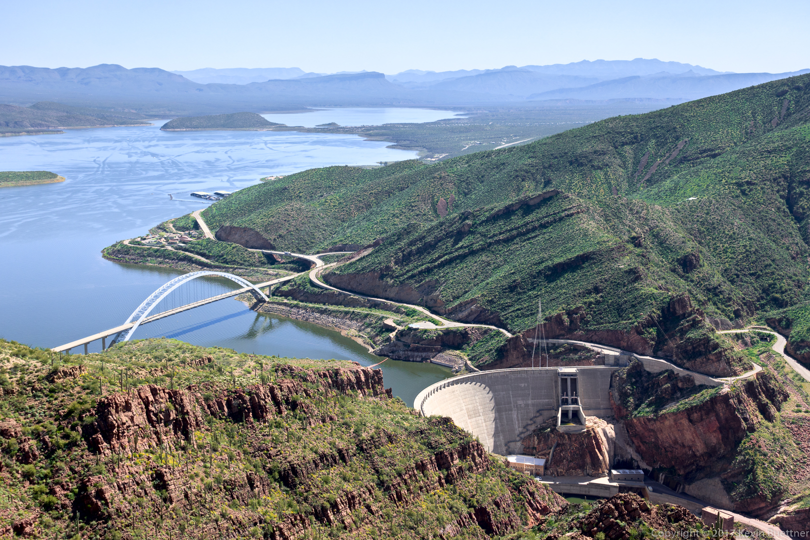
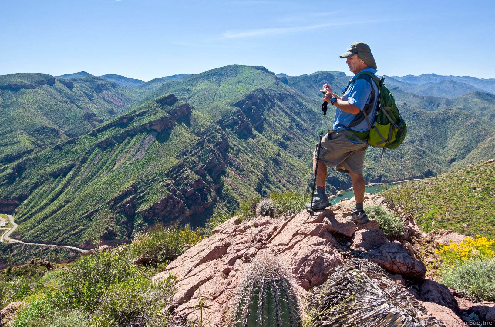
Bob and I hiked to a point where we got a better view of the dam. (The rest of the group finished their lunch while we were doing this.)
Dudleya / Rock Live-Forever (alongside a small cactus) – we saw these as we were hiking back to join the rest of the group.
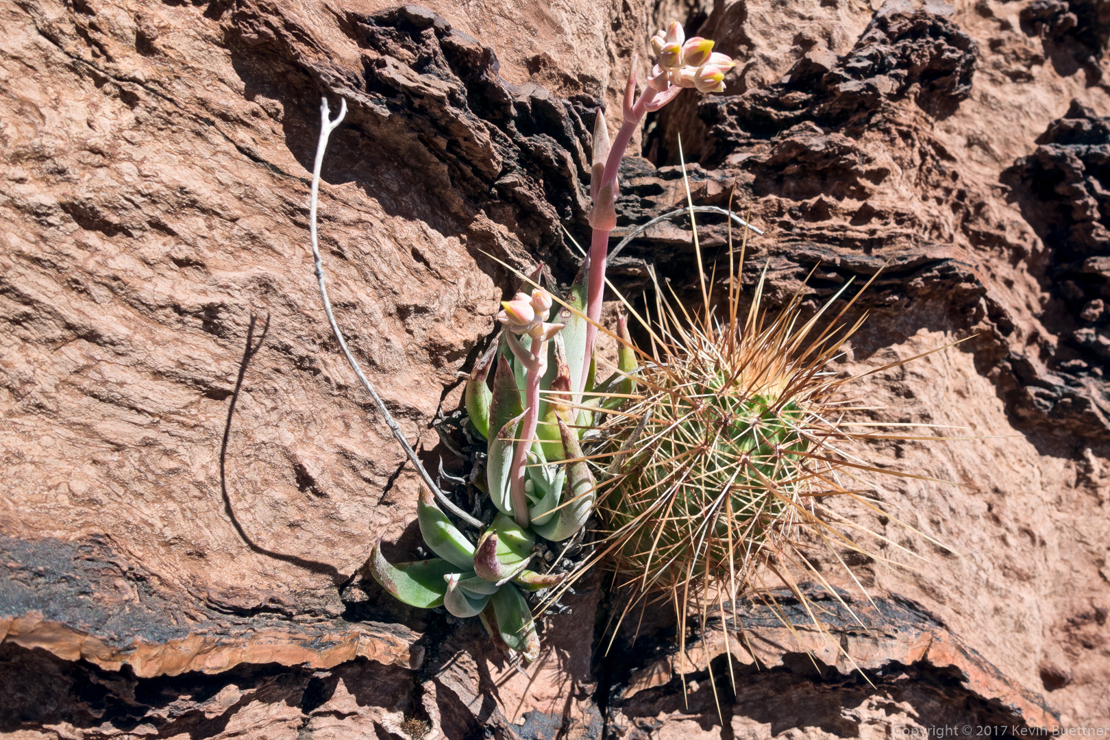
Linda sent me a better photo of a Rock Live-Forever:

(Photo Credit: Linda Kalbach)
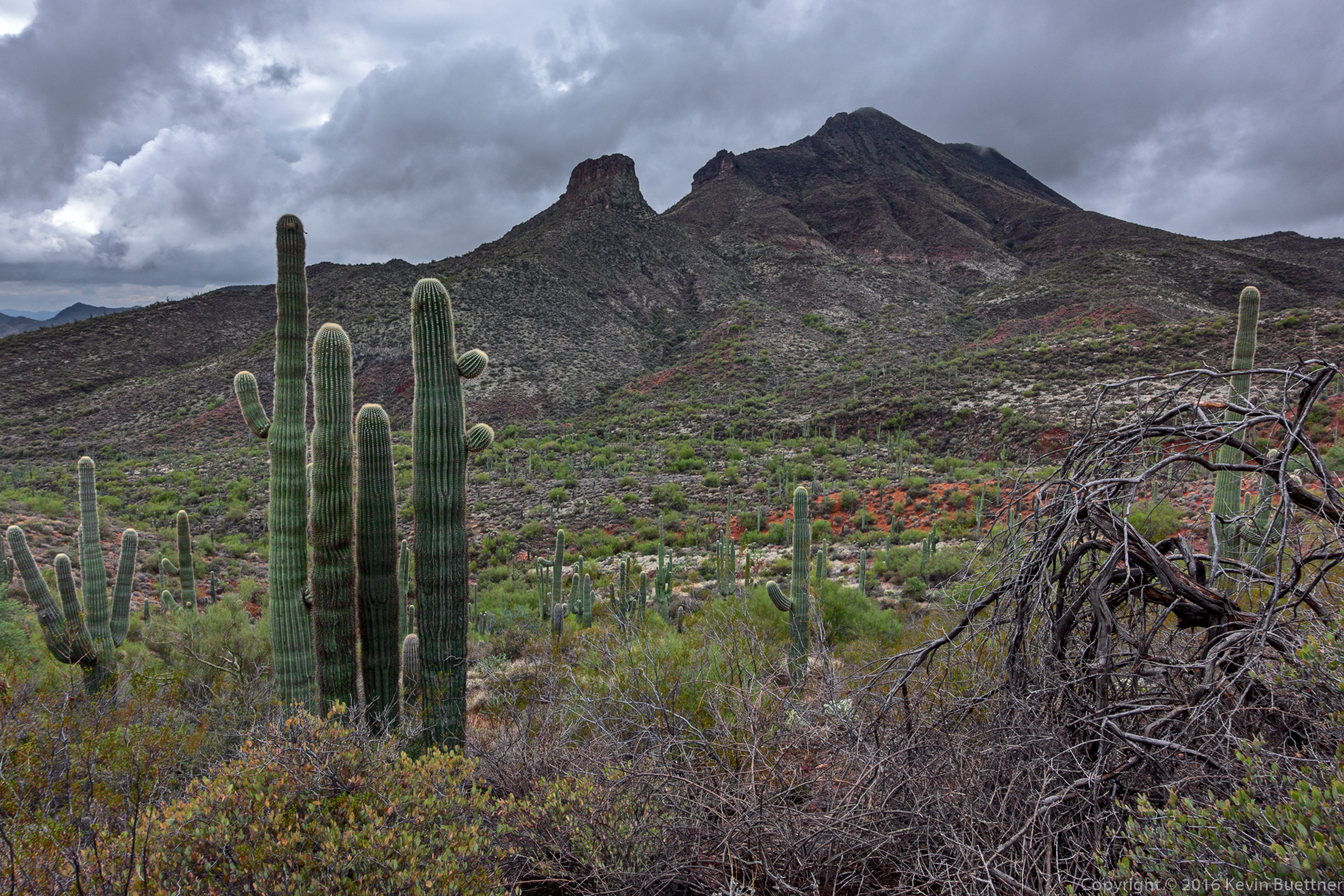
This is the “other” side of Four Peaks. Brown’s Peak is the right-most peak in this photo.

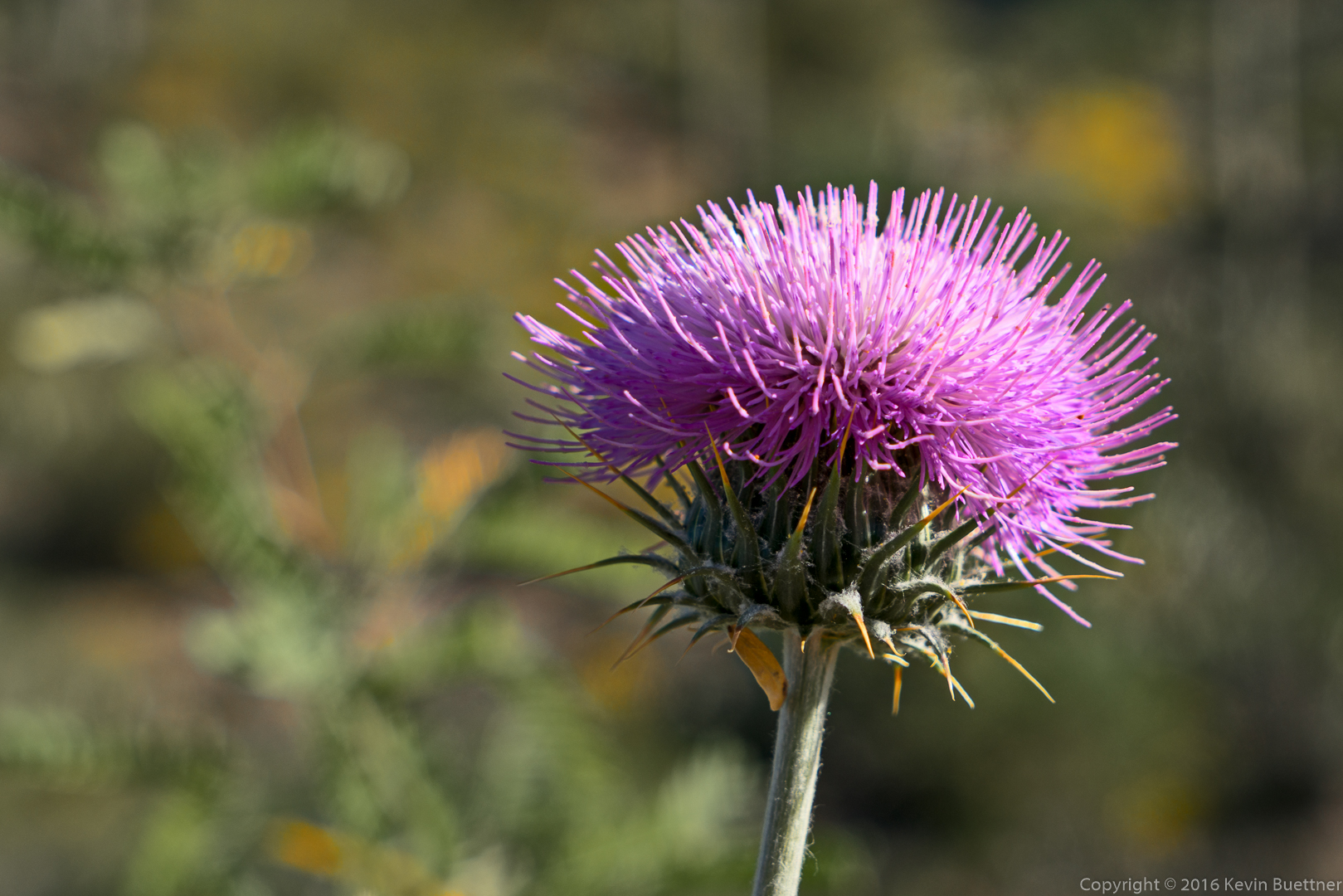
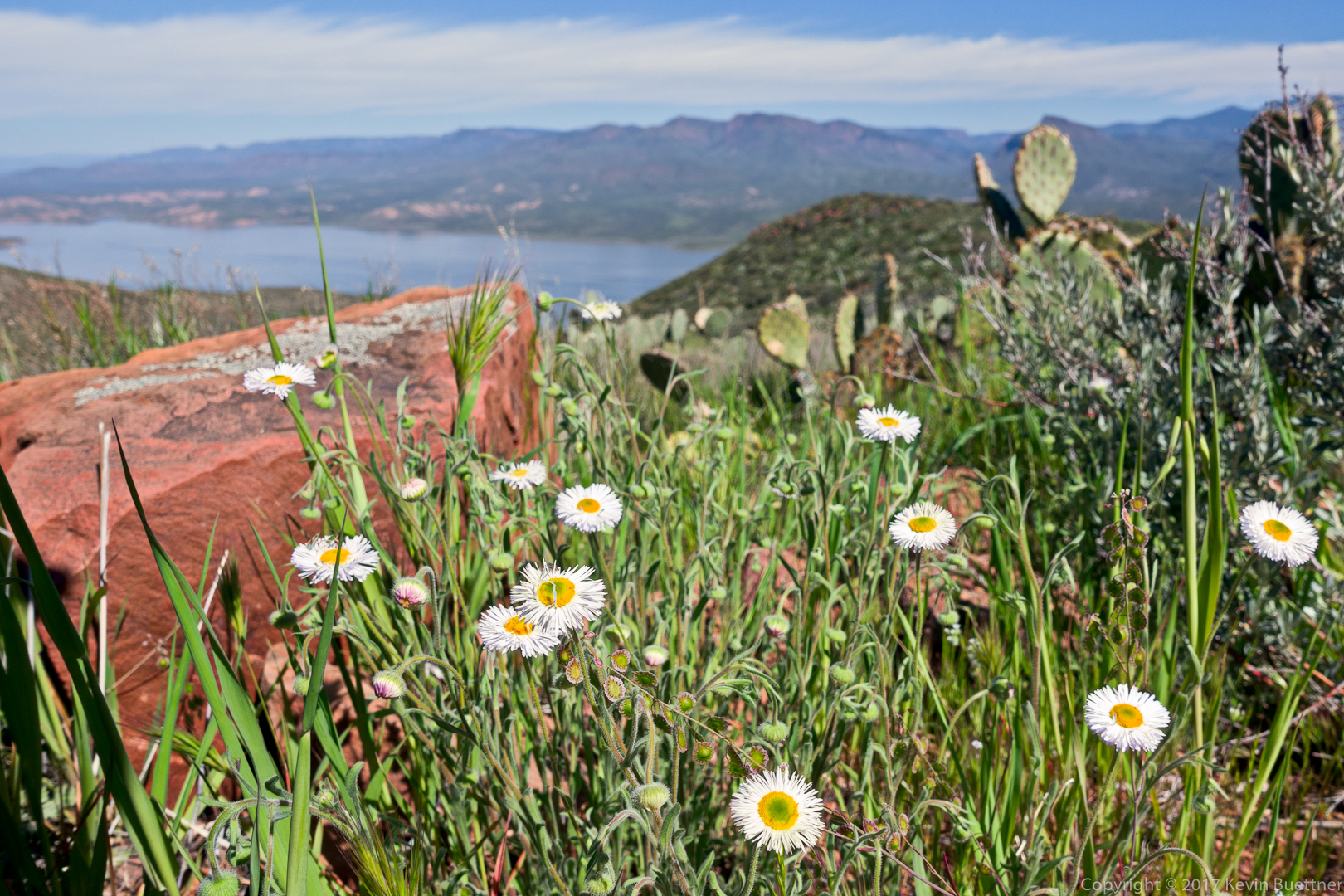
Fleabane:
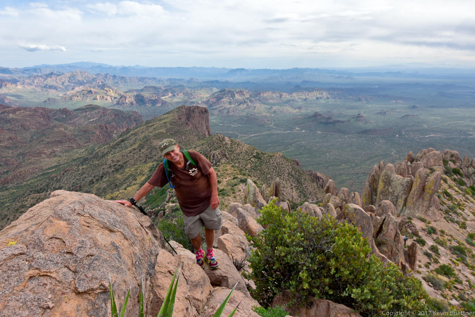
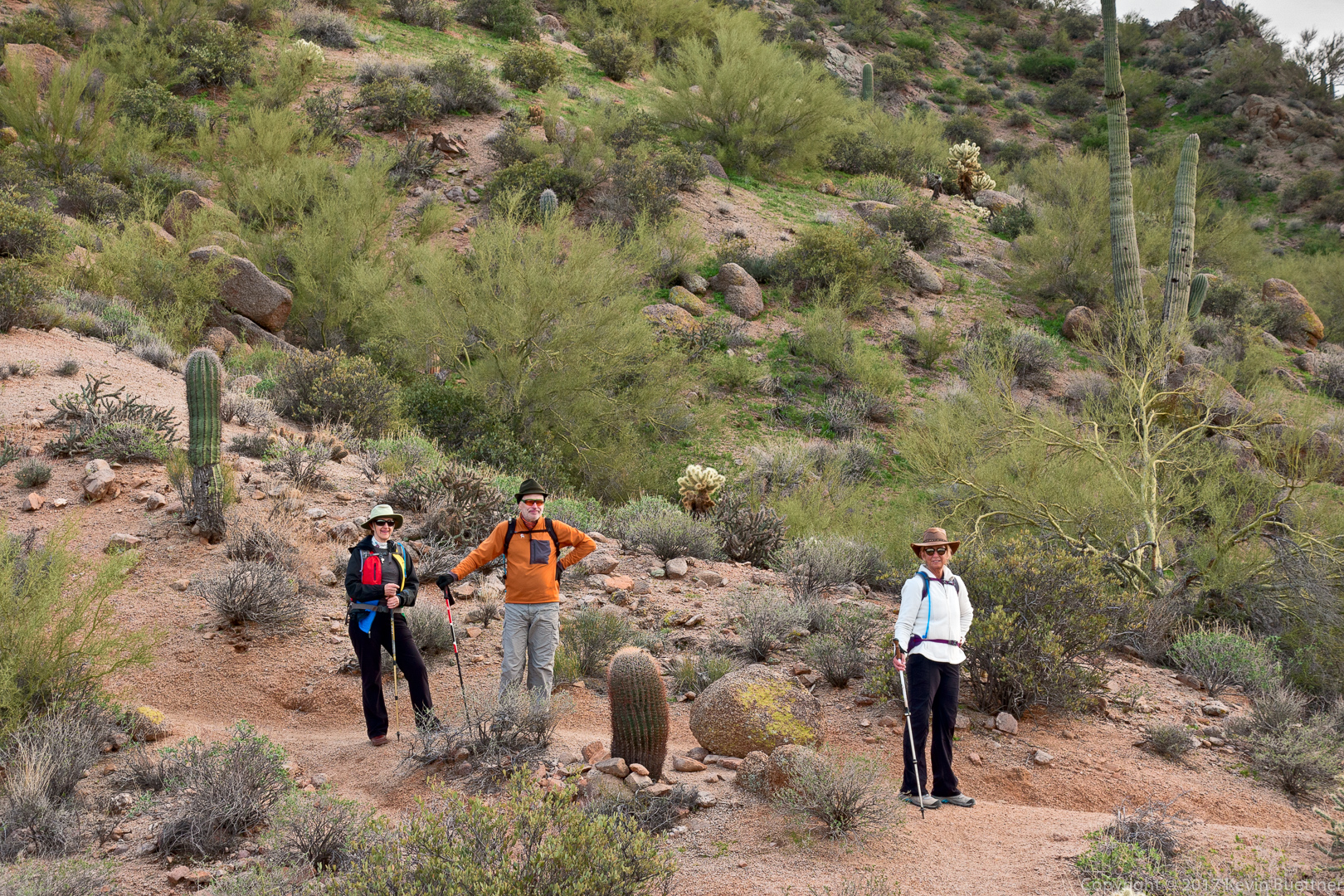
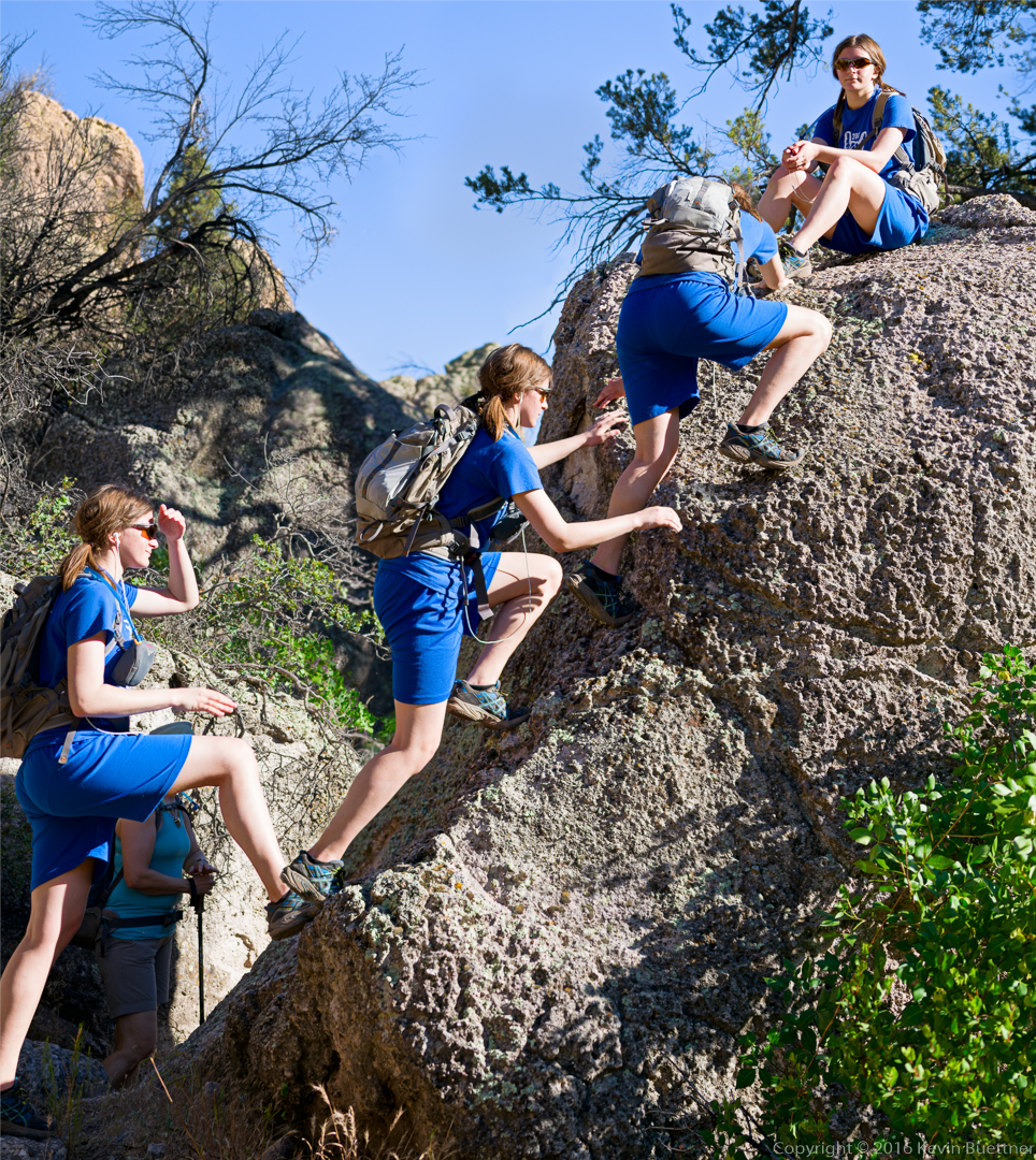
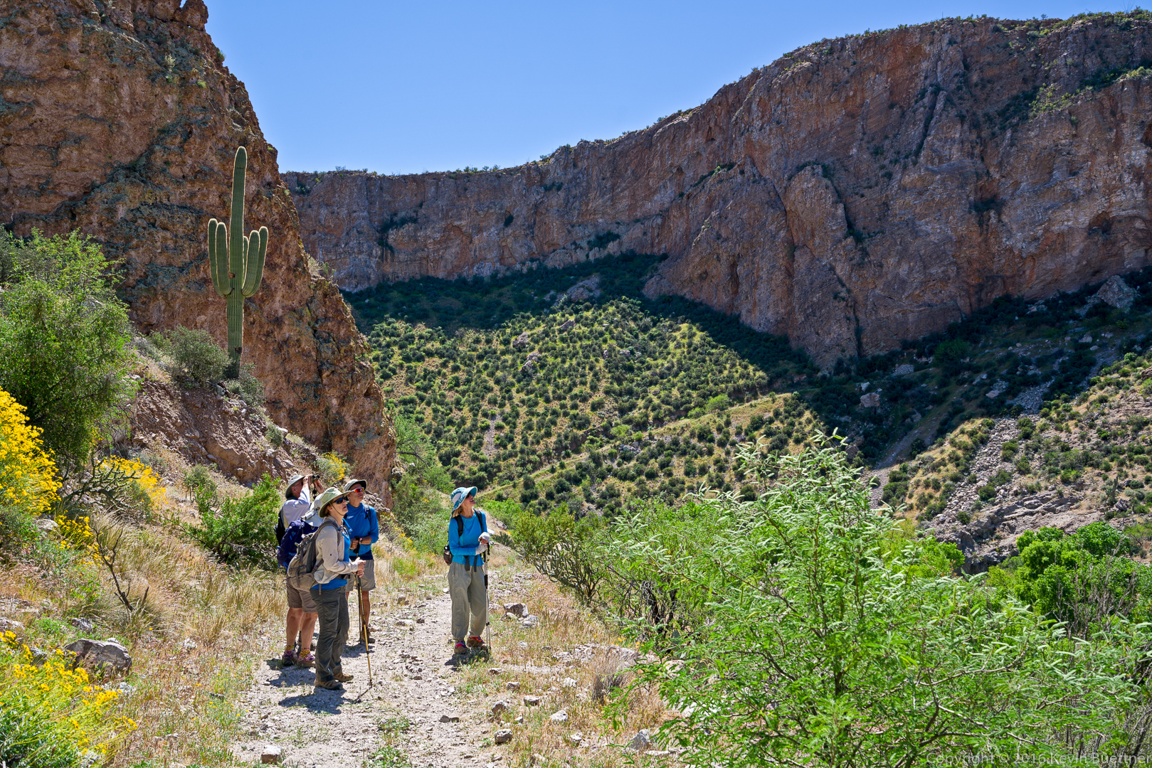
This is the group hiking back…

Another view of the Salt River and the Apache Trail:
Lots of saguaros above the Salt River:
An insect on a Chicory blossom:
Deer Vetch (in front of a prickly pear cactus):

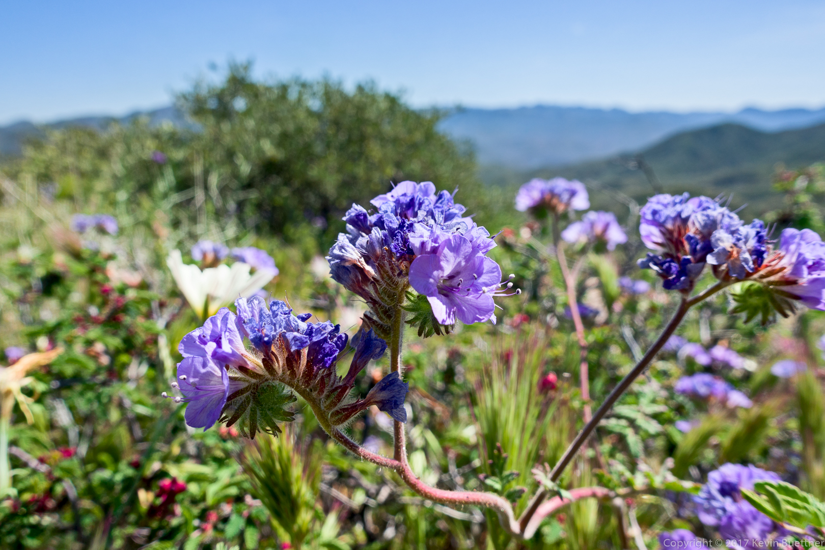
Phacelia:
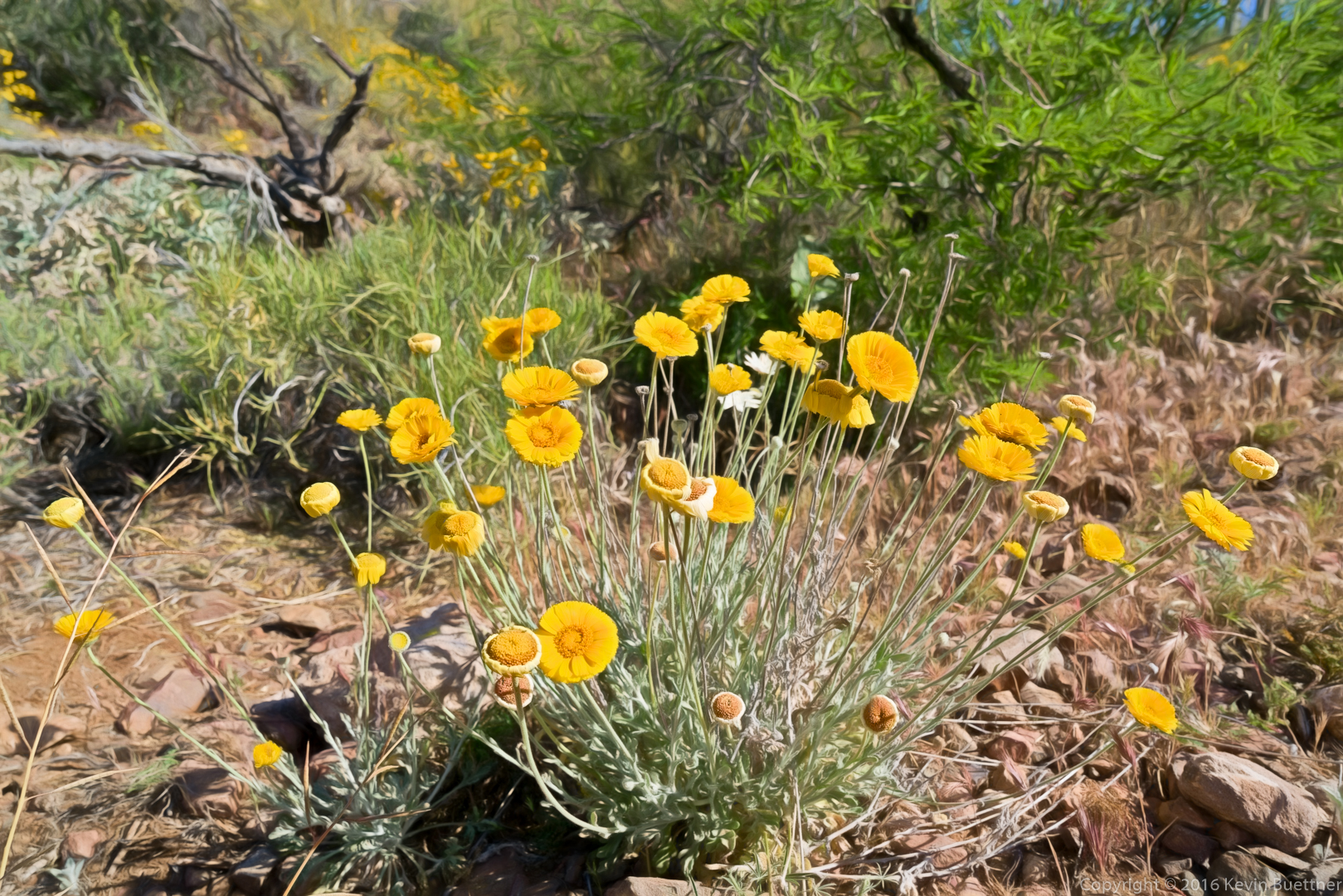
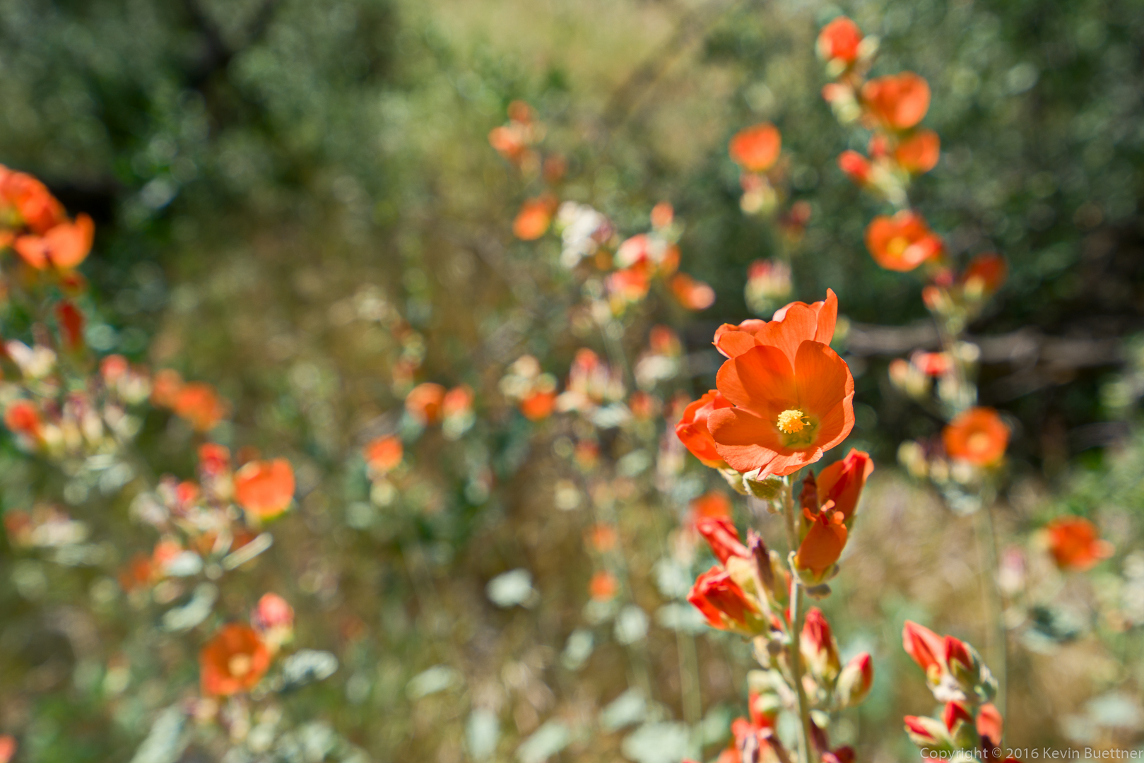
Mexican Poppies:
I got a photo of this small cactus just before the final ascent up to the trailhead: