Tag: McDowell Sonoran Preserve (page 4 of 11)

Friday Fitness Hike

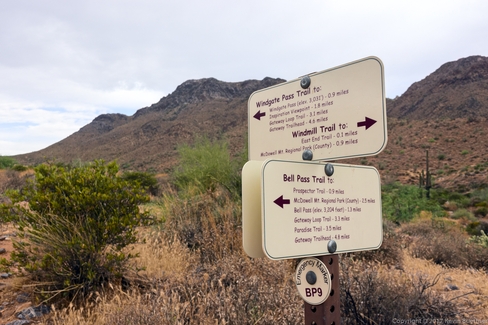
Cheryl, Sunaree, Marilyn, Mike, and I did a 10.7 mile hike starting from the Dixie Mine Parking lot. We hiked Dixie Mine to the road, then went and took a look at the mine and the petroglyphs. We continued up the canyon, which eventually turns into just a wash until we got to the Prospector Trail. At that point, we turned right and followed the Prospector Trail up to it’s junction with the Bell Pass Trail. We then took Bell Pass, Windmill, and Coachwhip back to the Dixie Mine Trail for our return trip. Total distance was just under 10.7 miles with nearly 1500 feet of total ascent.

This is a view of one of the washes that crosses the Dixie Mine Trail, well before getting to the service road.

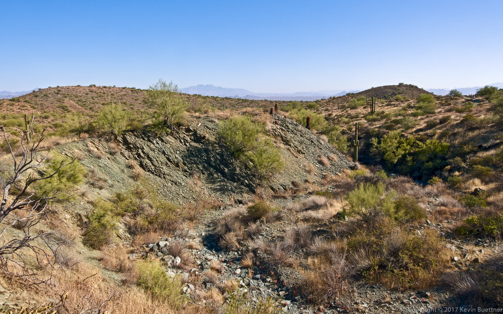
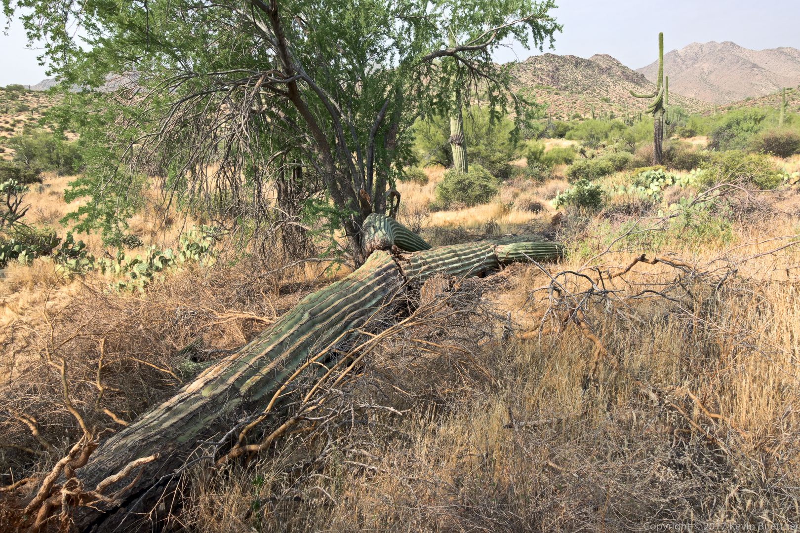
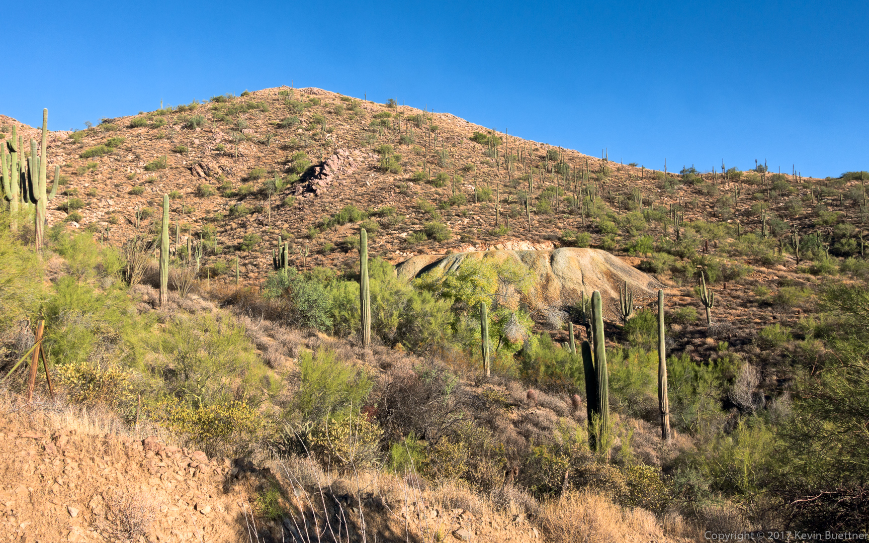
A view of the mine tailings.  Our route went well below the tailings through the trees that can be seen in the wash.

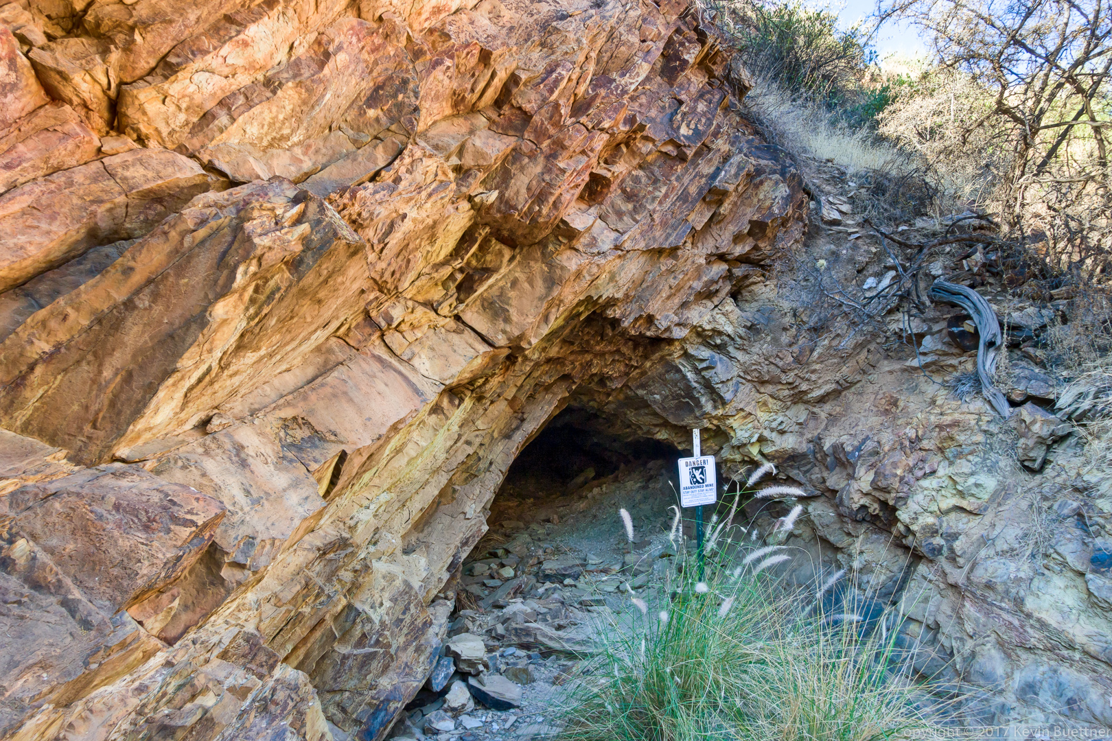
This is one of several shallow holes near the mine.  It goes in perhaps only eight feet and there is no vertical shaft. I suppose that the warning sign is posted in the not very likely event that it should collapse.

Although I took a picture of the main petroglyph panel which is near the mine entrance, I decided not to post it for this hike.  (I’ve taken a lot of pictures of it.) These are some other petroglyphs which are further up the canyon on the way to the “waterfall”.

Another pair of glyphs:

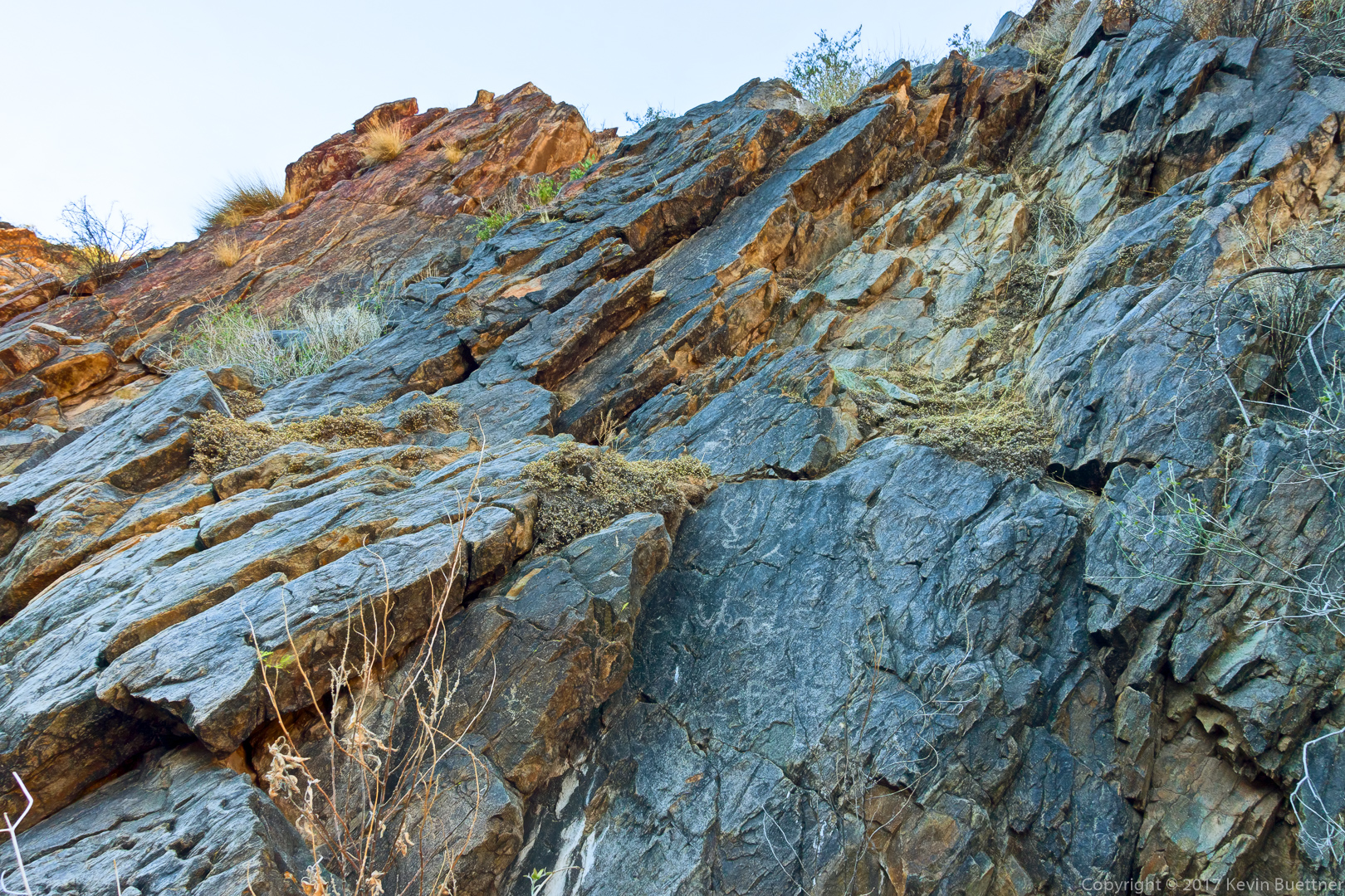
This is a view from the top of the “waterfall”.  (It’s not steep enough to be a true waterfall, but it is steep enough to be challenging to ascend when it’s wet.)

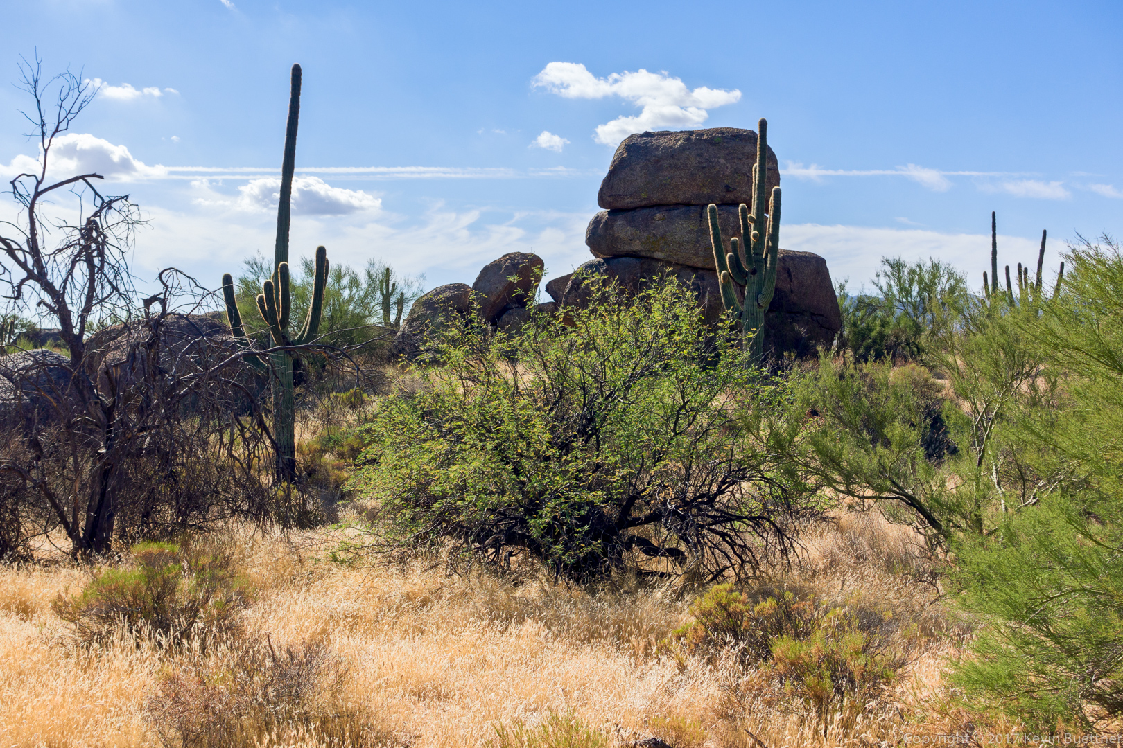
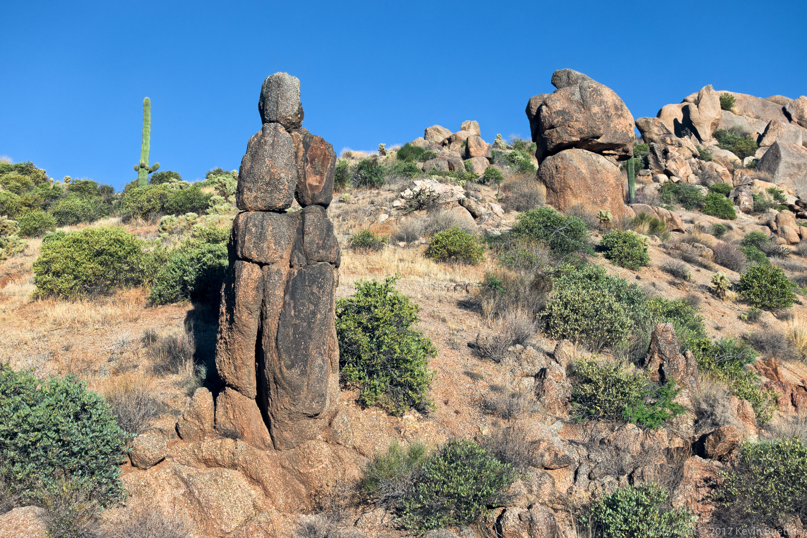
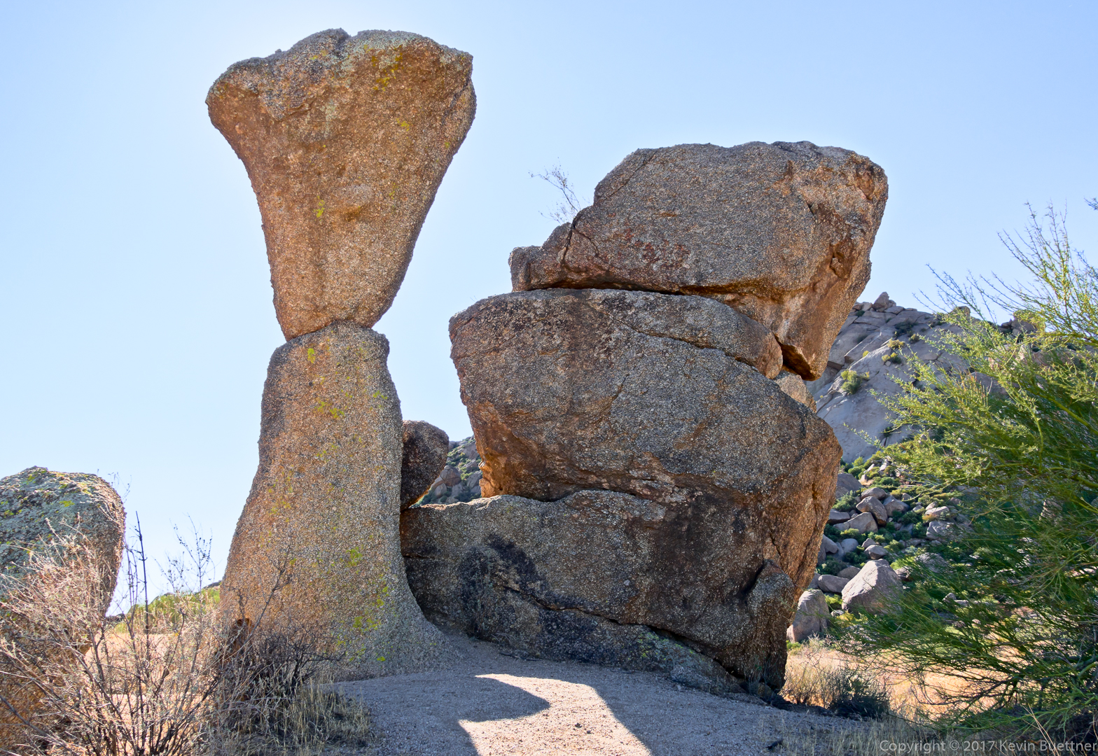
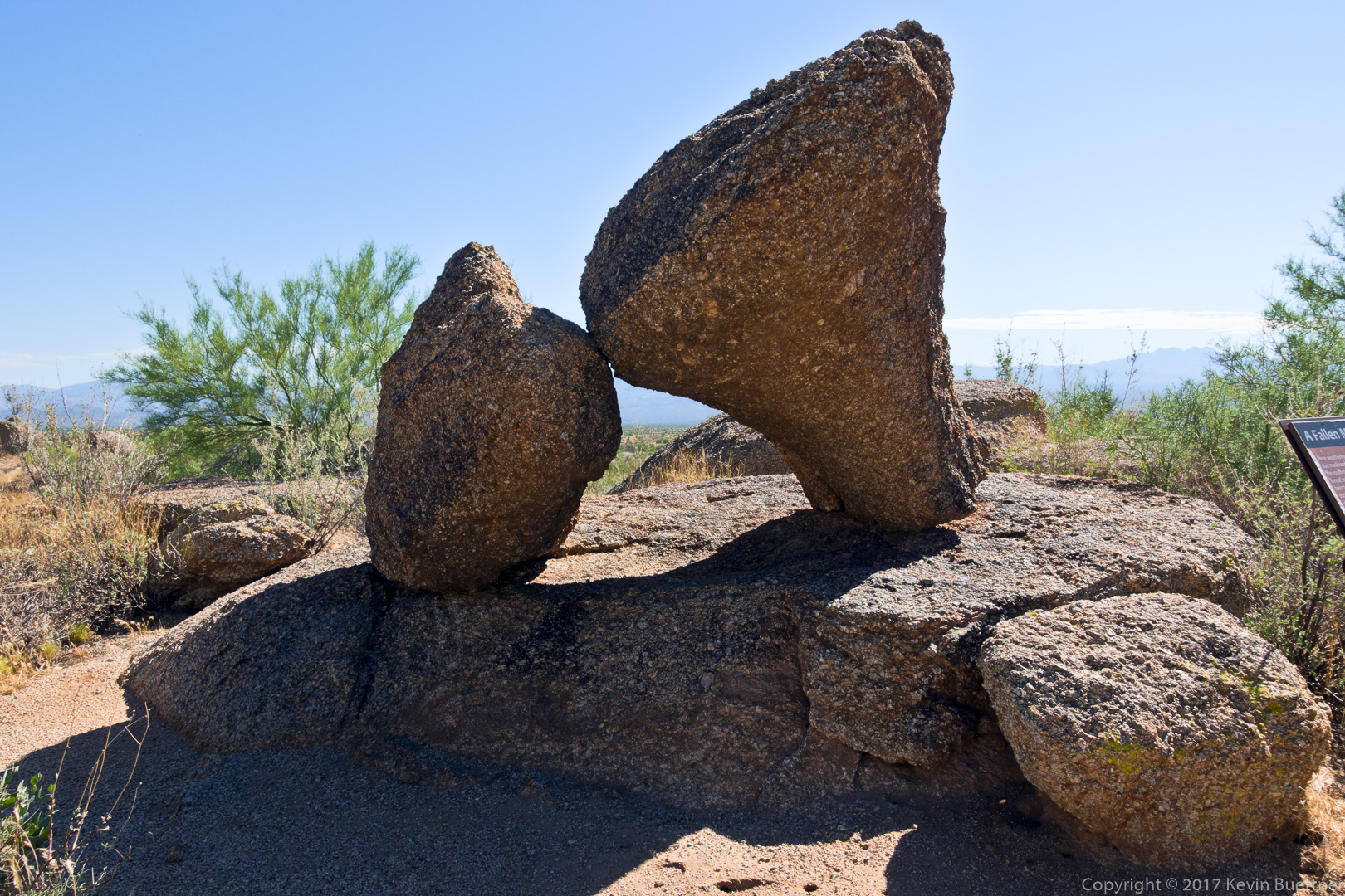
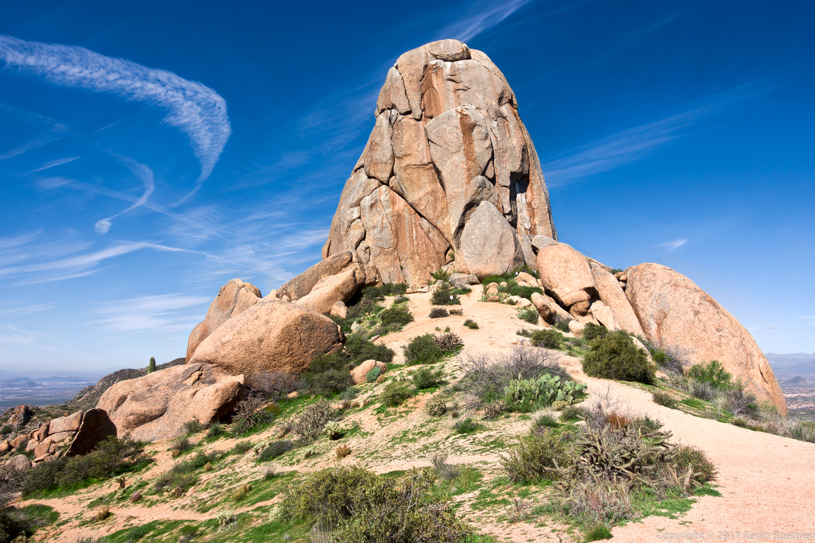
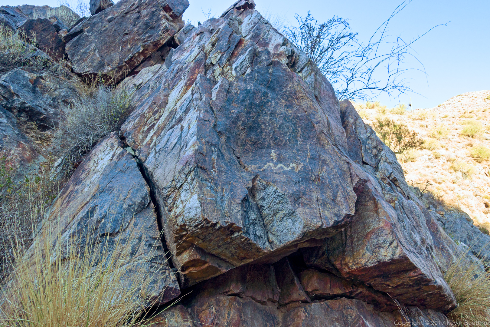
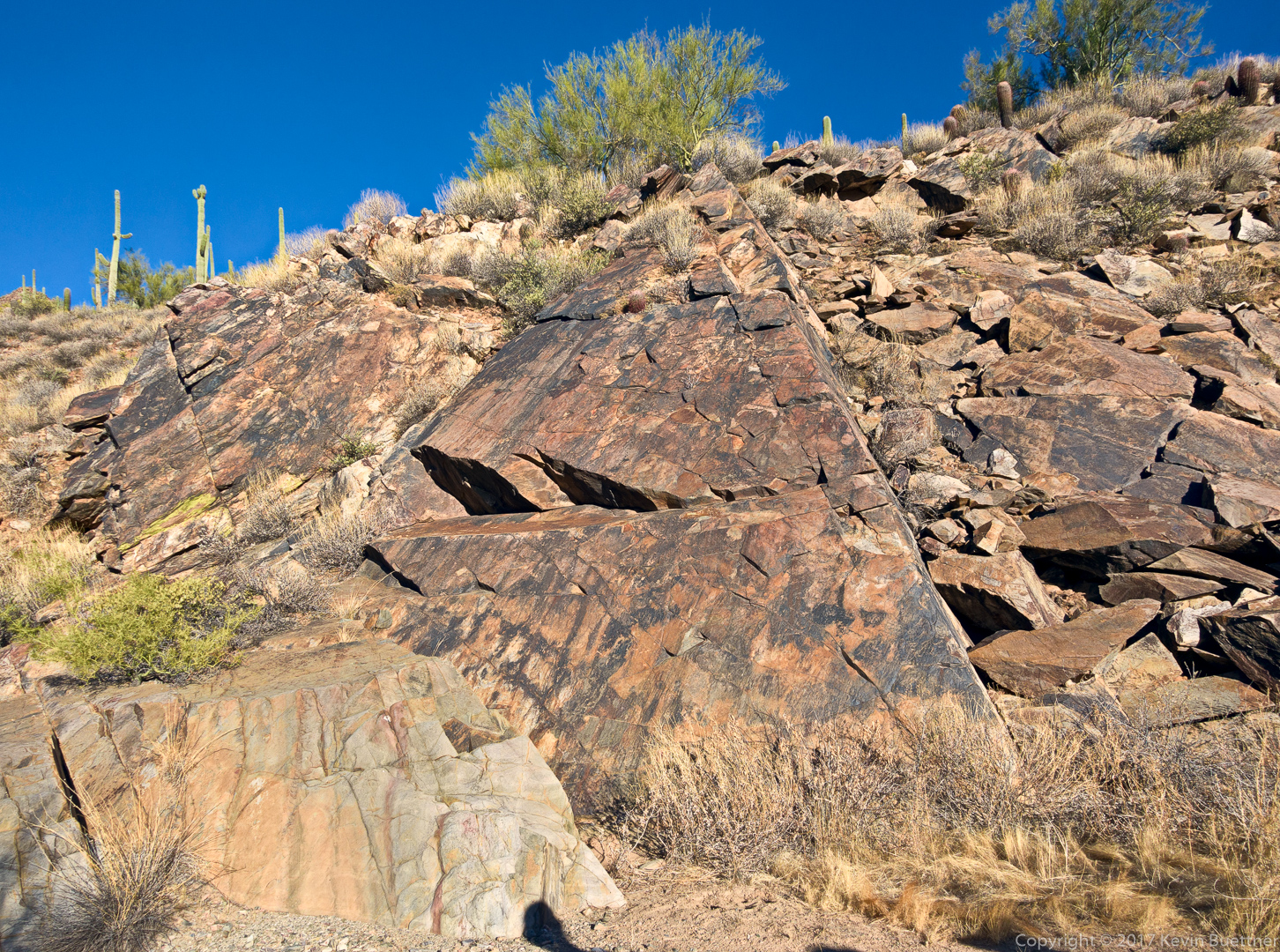
A triangle shaped slab can be found further up the canyon:

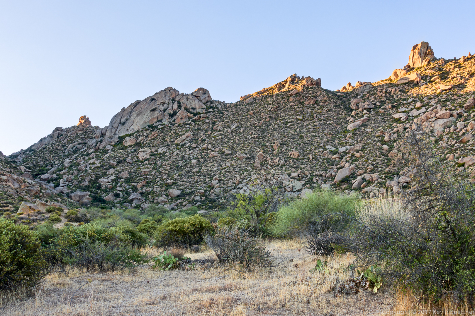
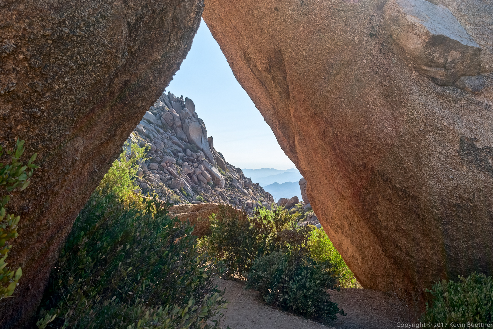
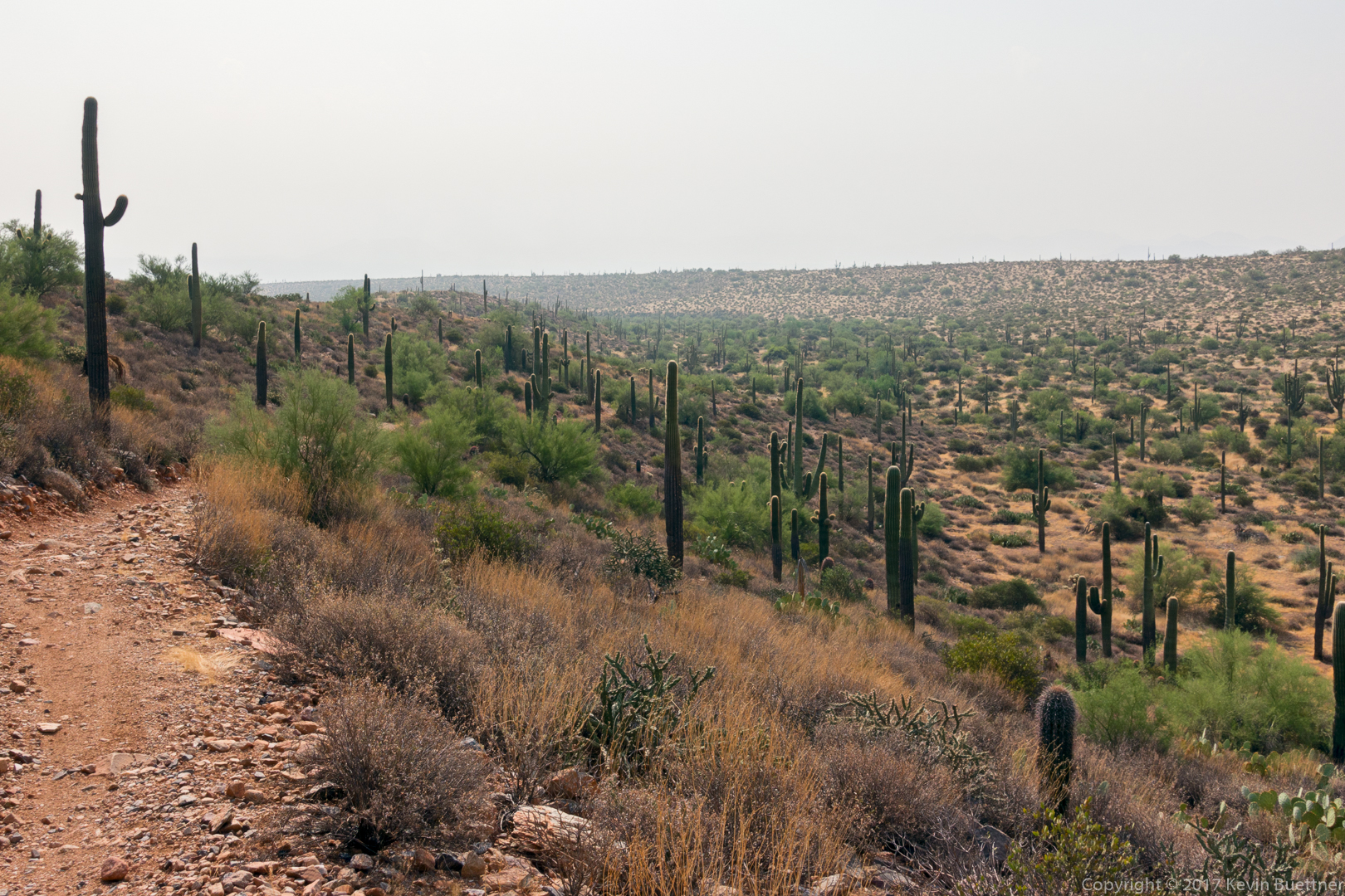
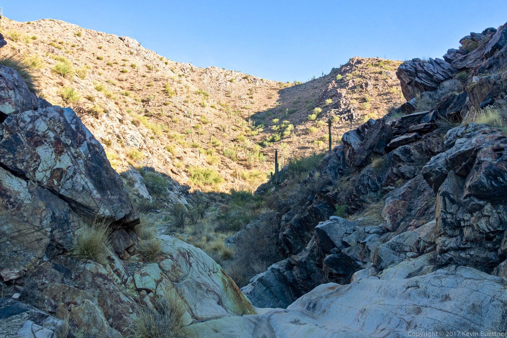
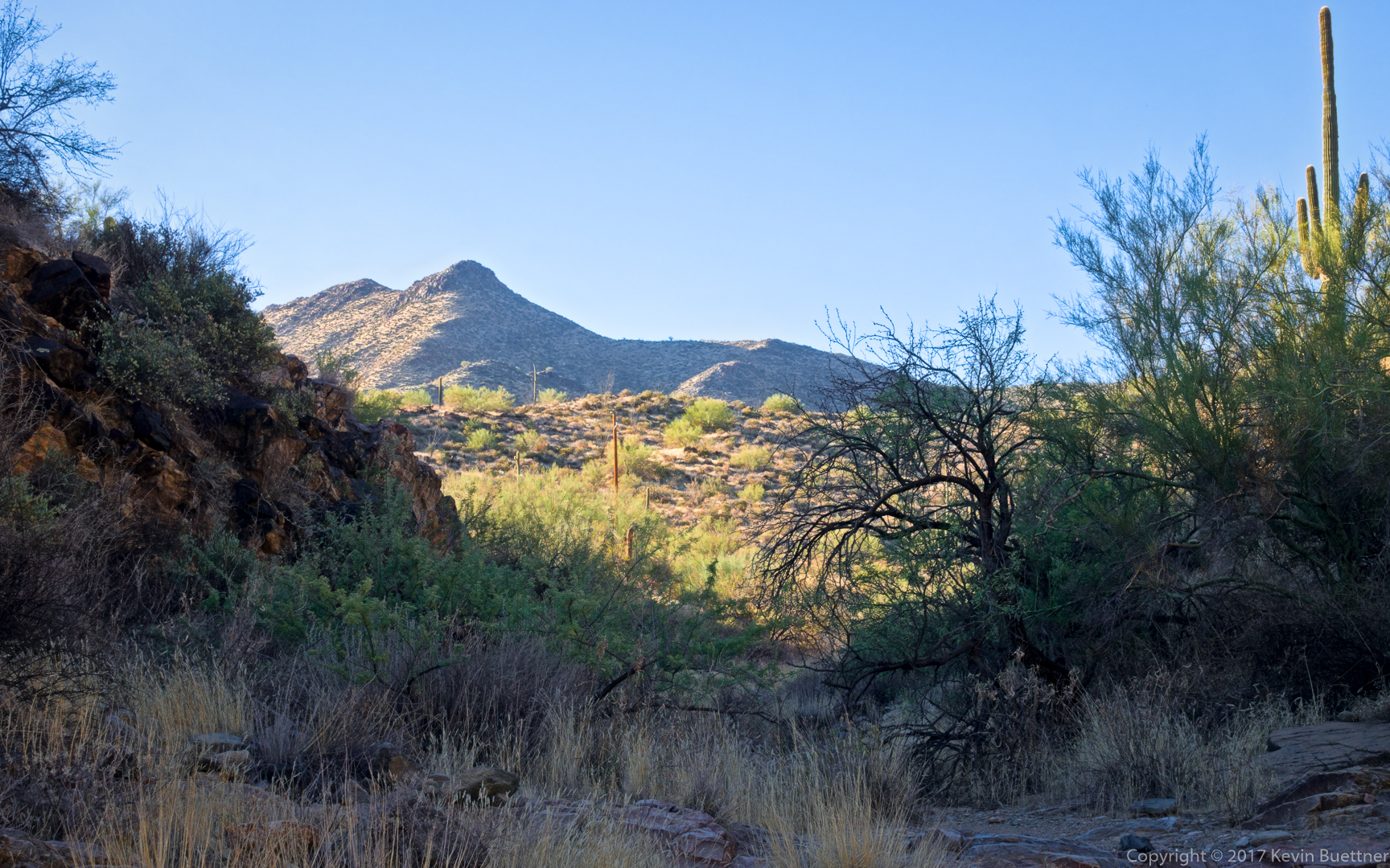
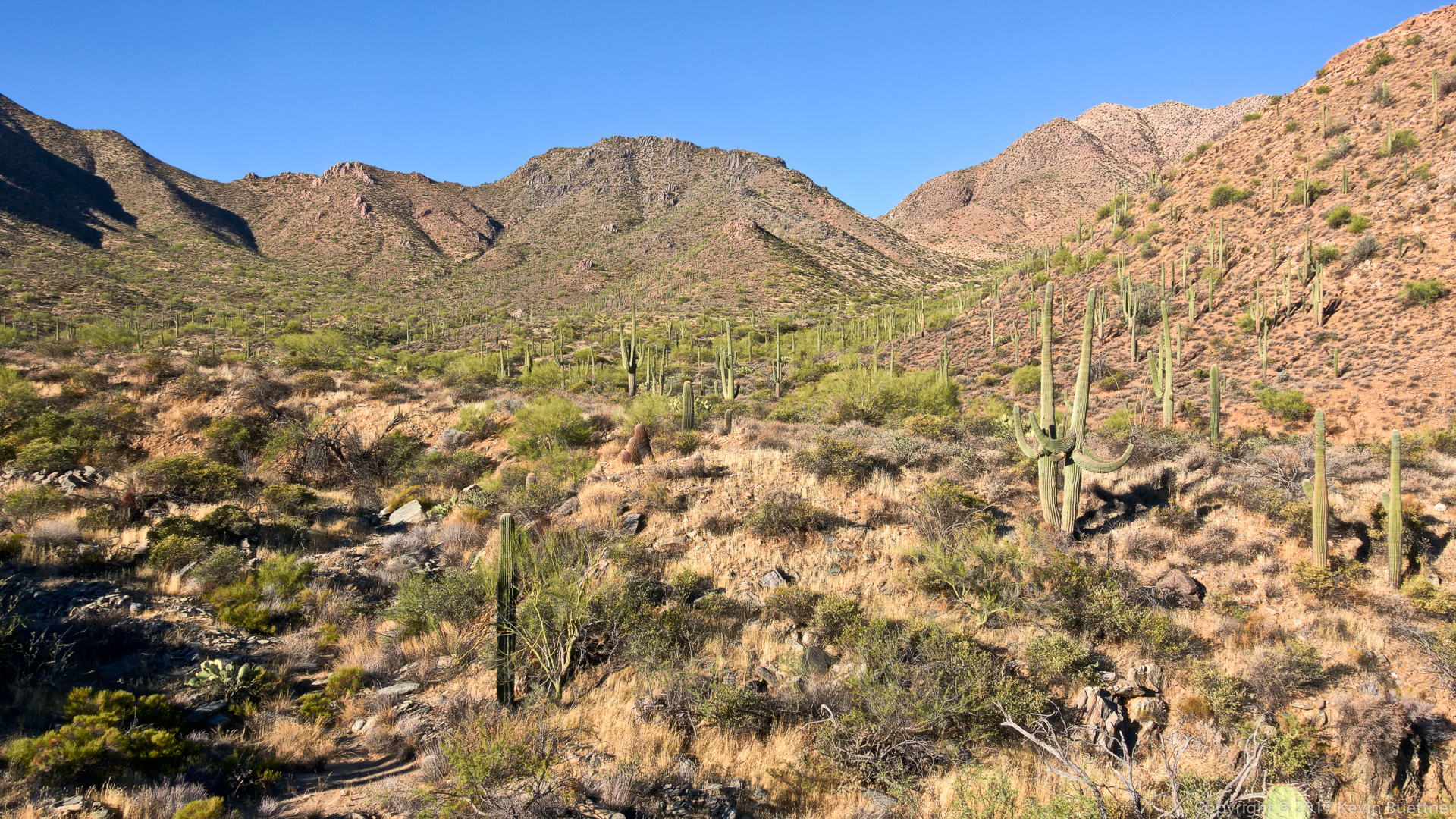
This is one of the views just before the canyon opens up, turning the route into a hike up a wash:

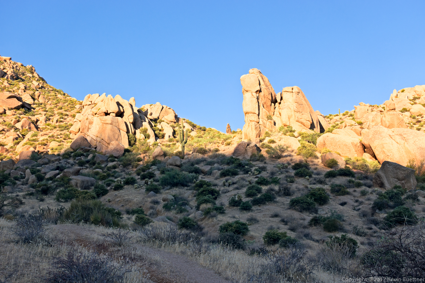
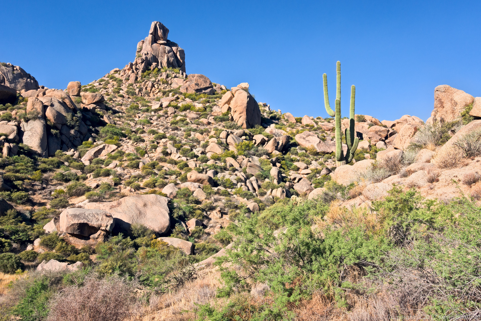
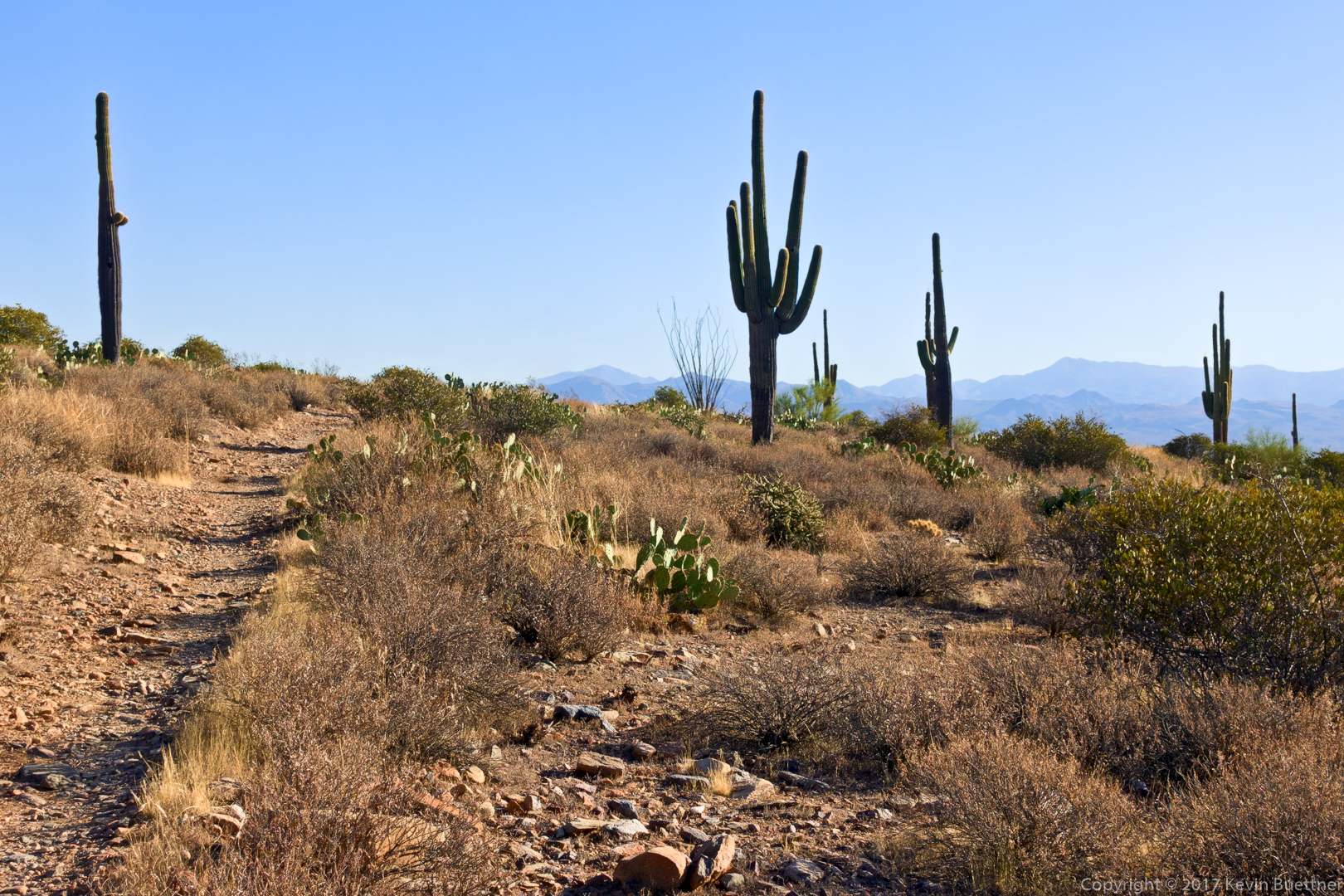
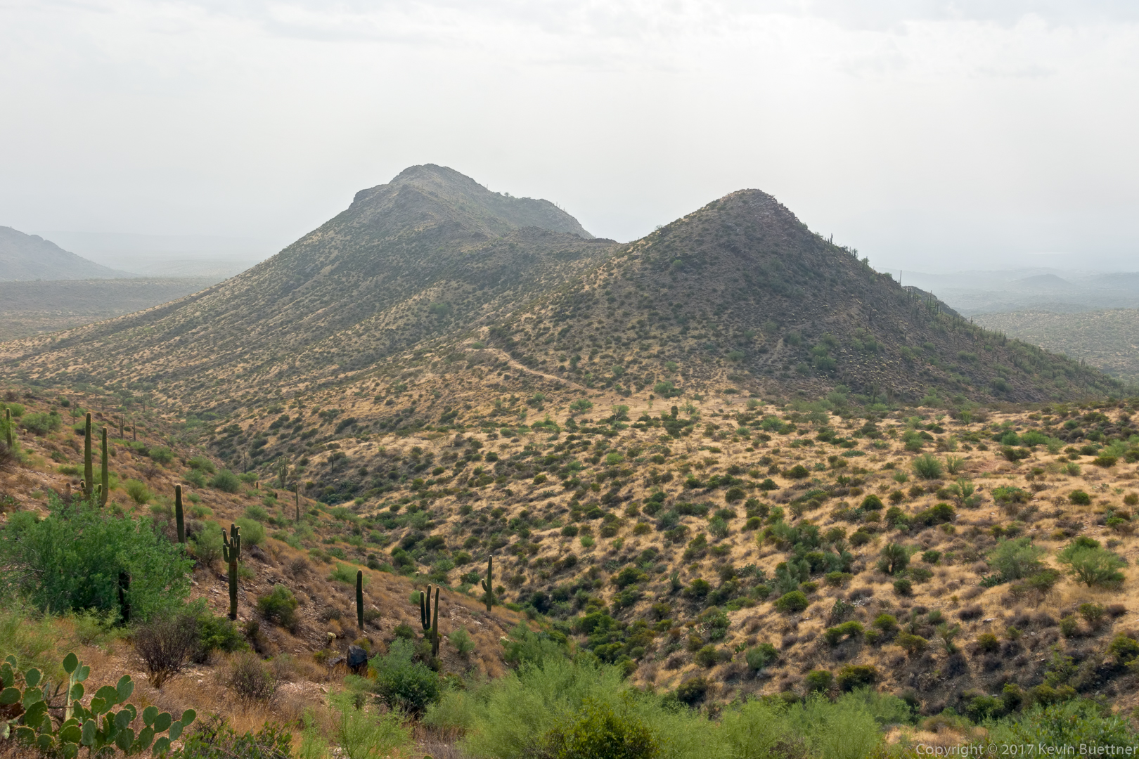
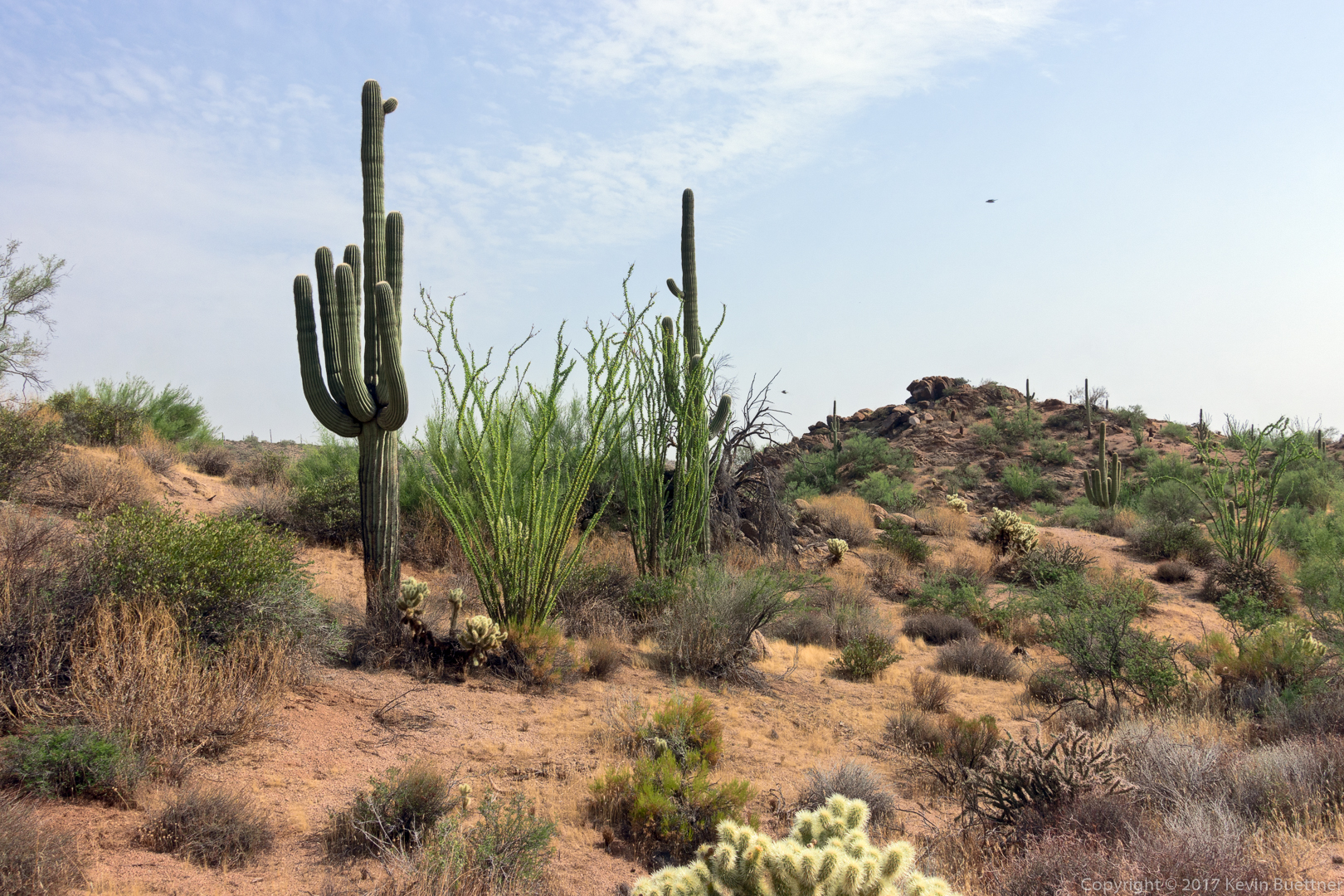
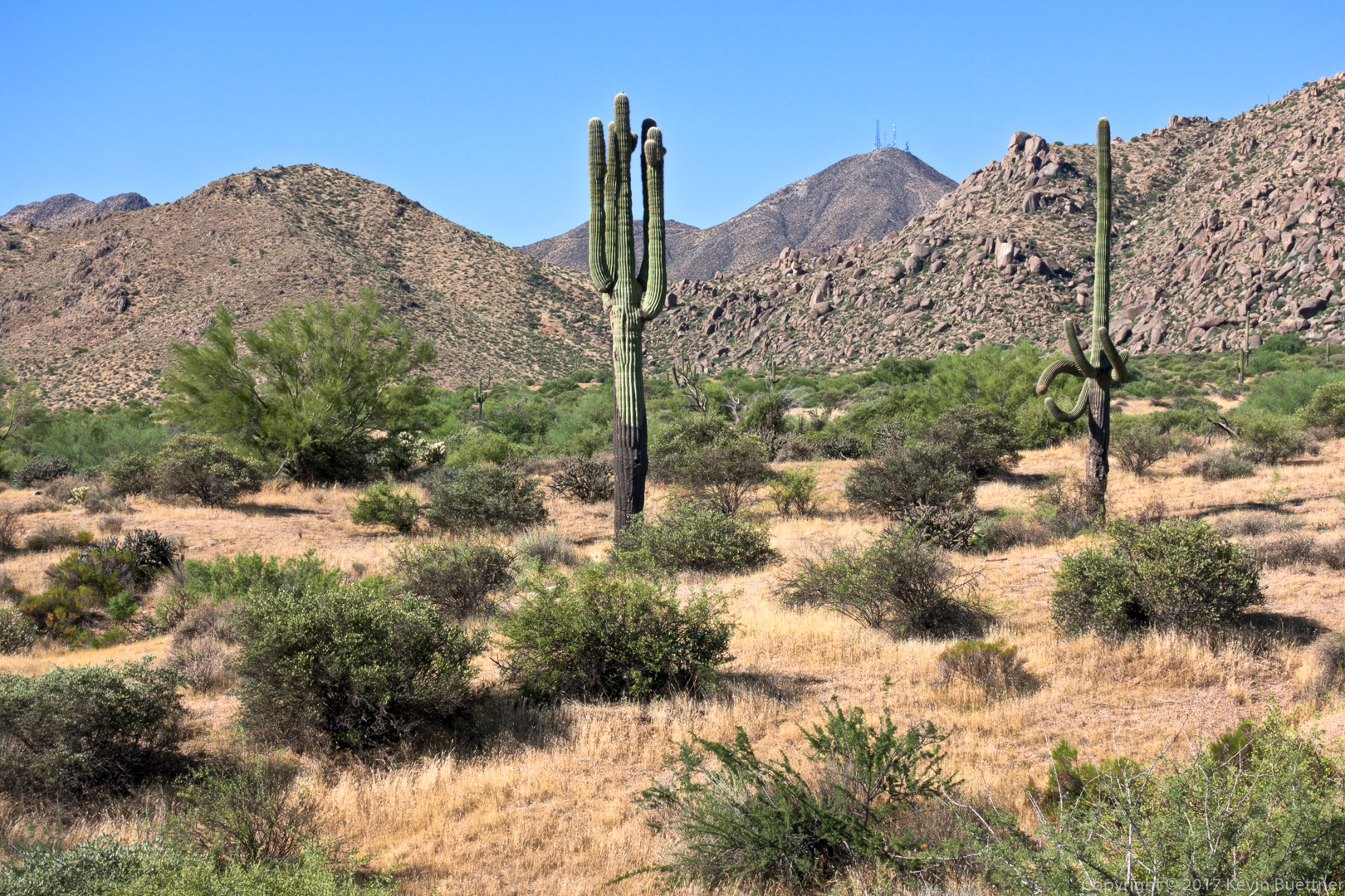
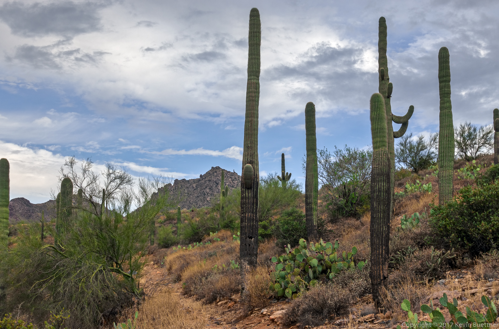
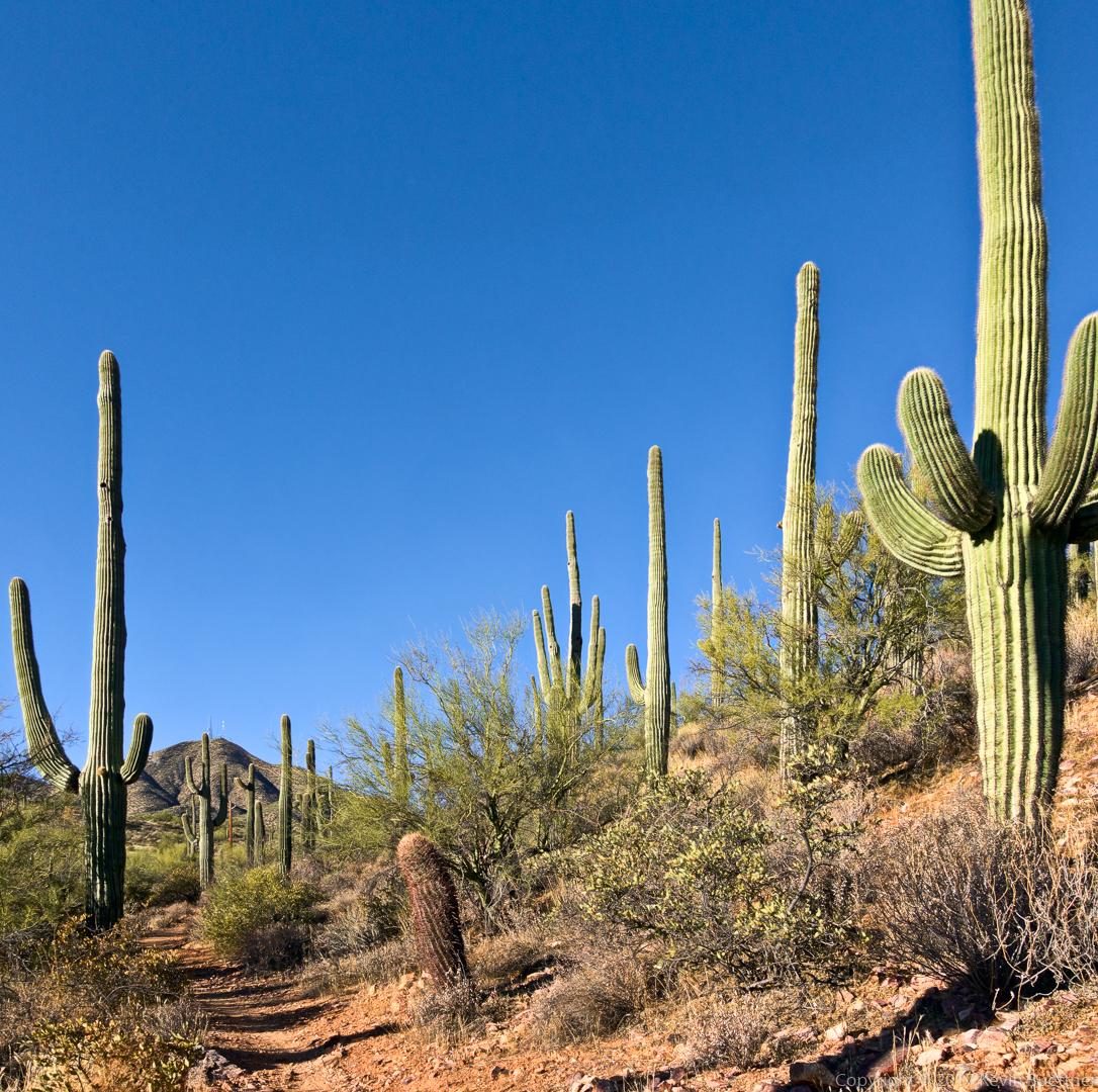
This is the view just after turning onto the Prospector Trail:

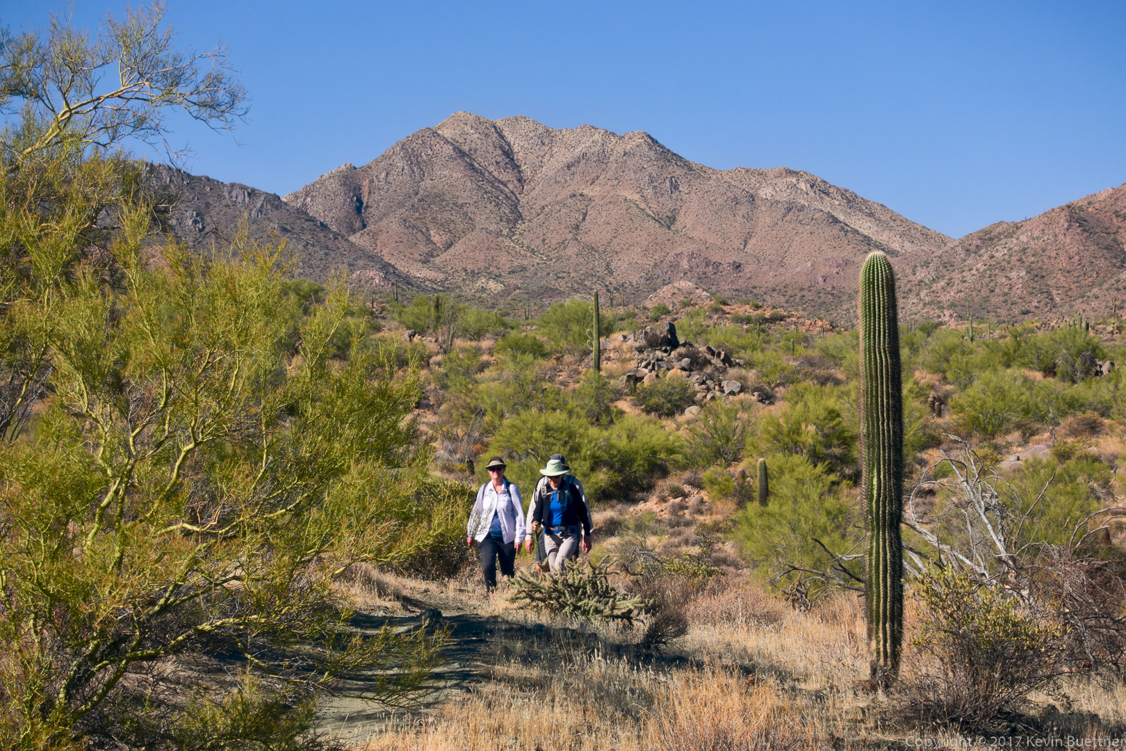
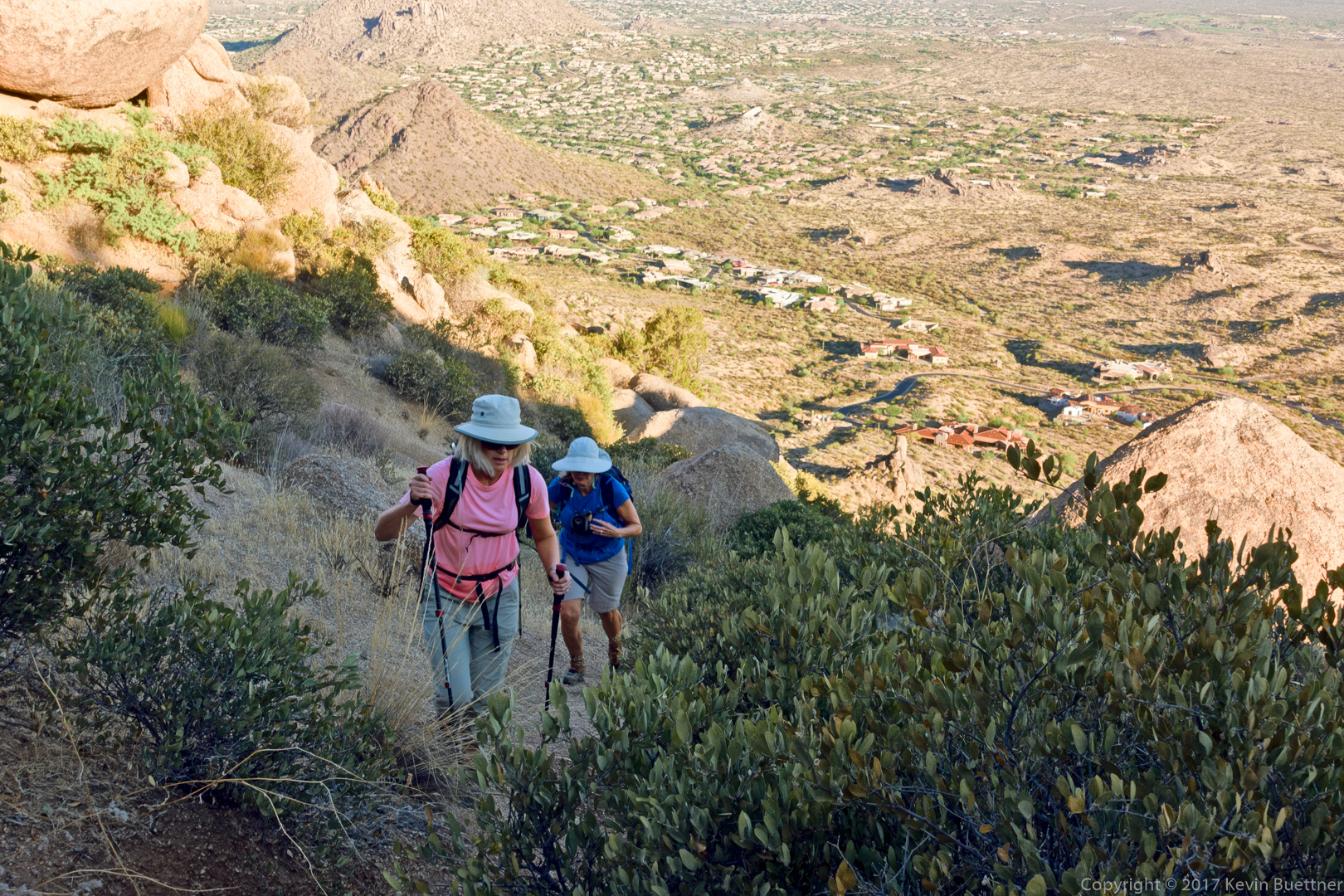
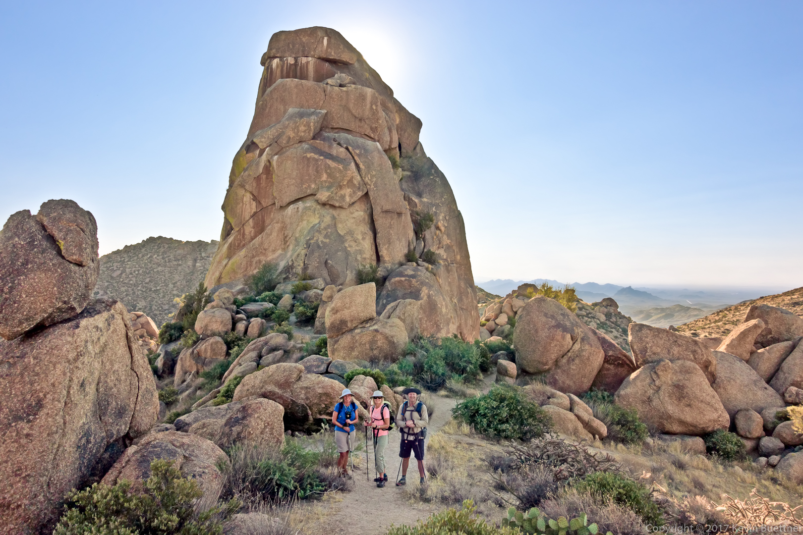
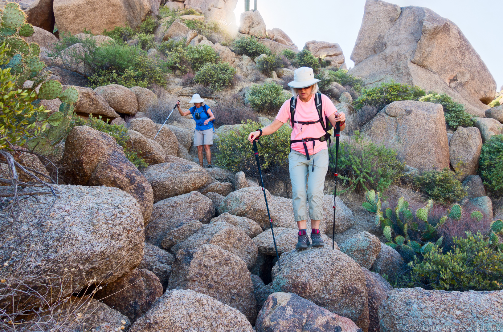
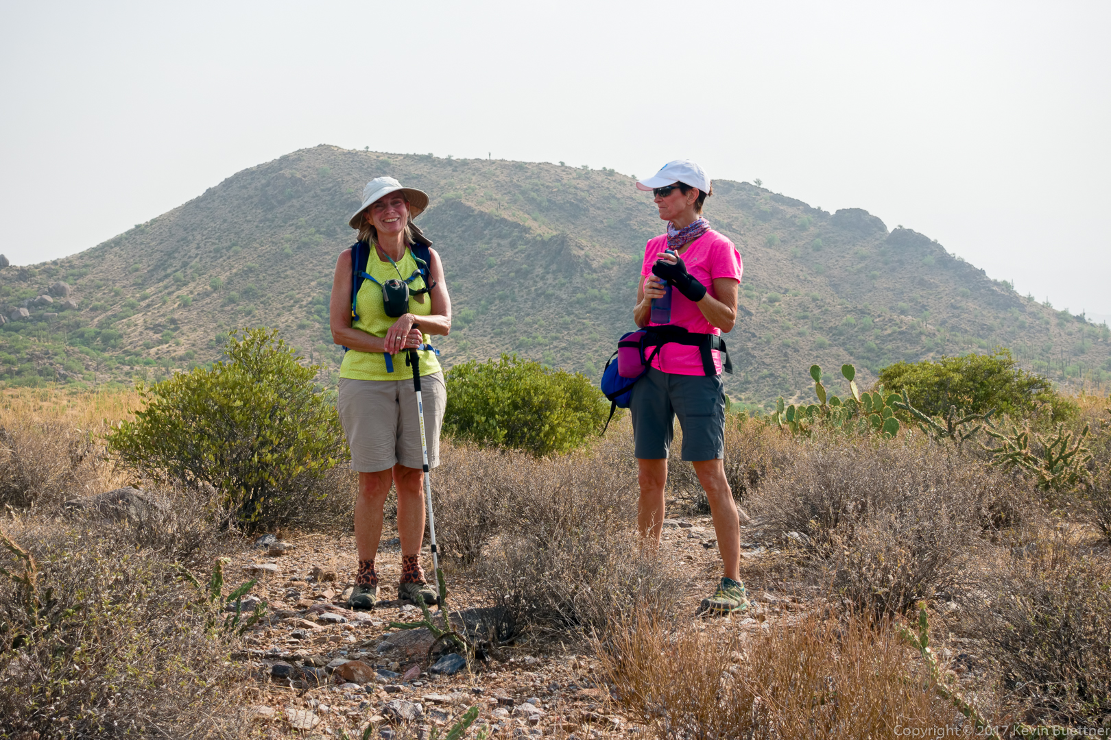
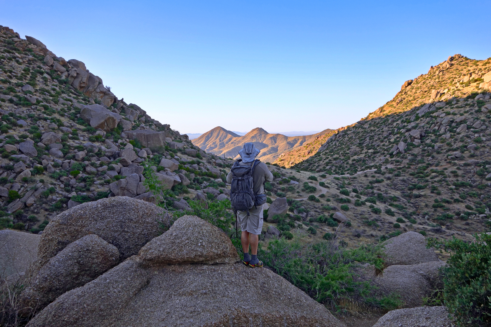
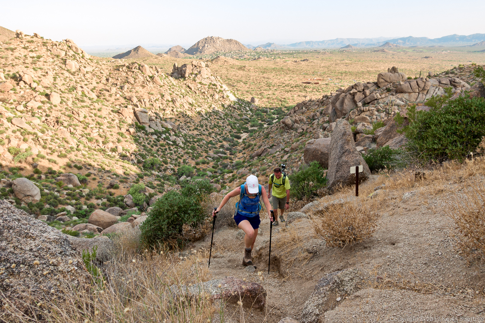
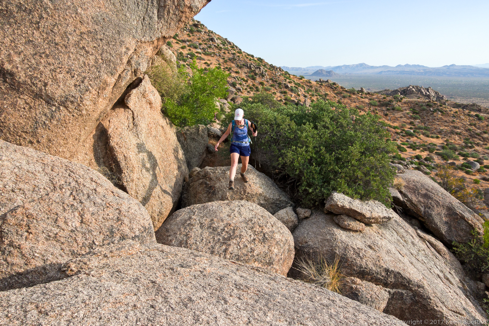
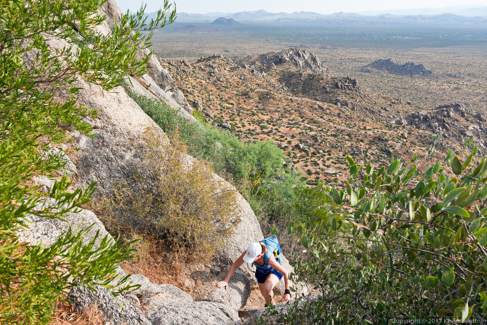
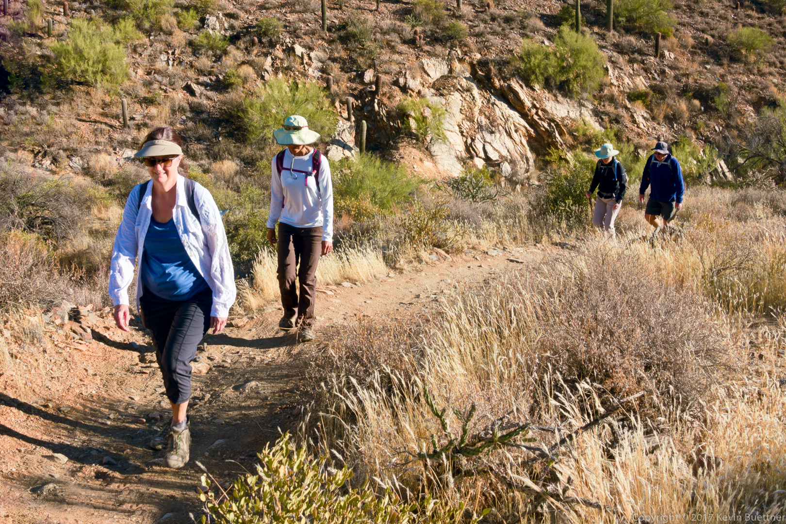
Cheryl, Sunaree, Marilyn, and Mike, hiking up the Prospector Trail:

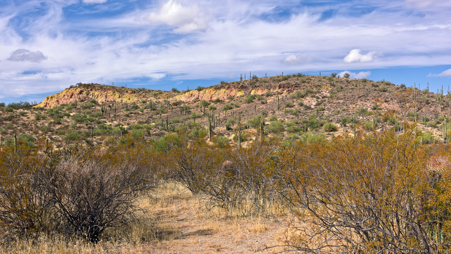
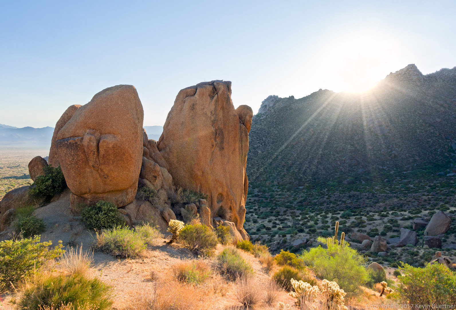
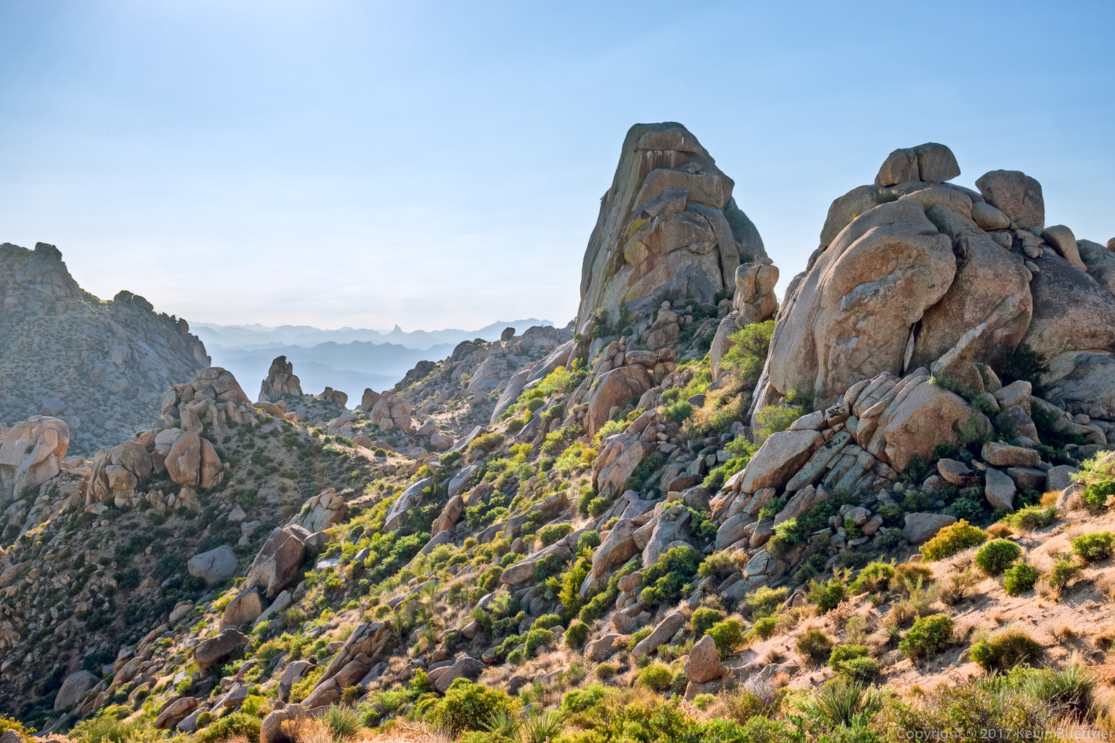
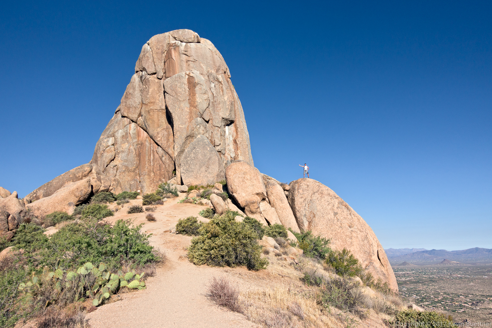
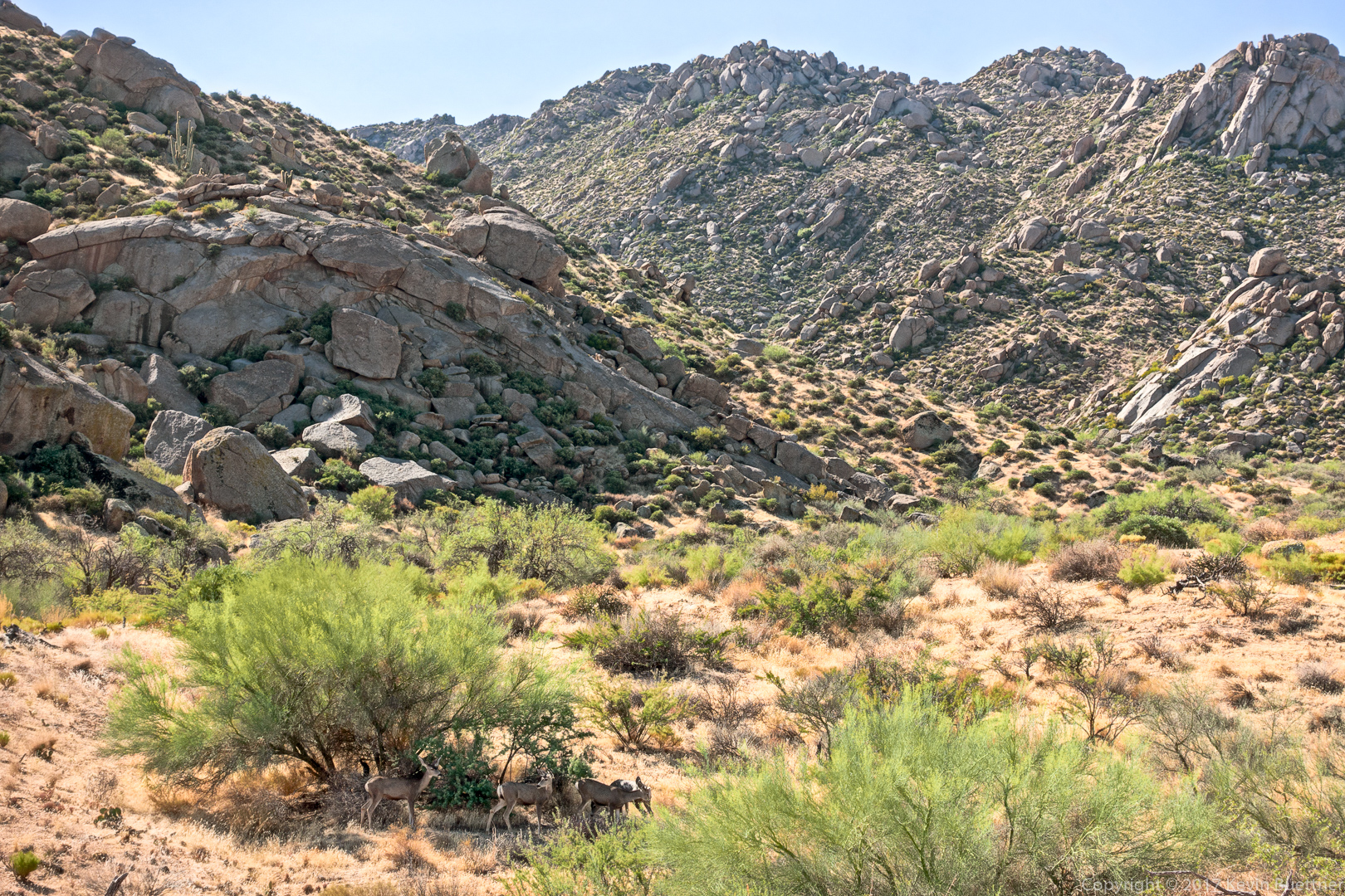
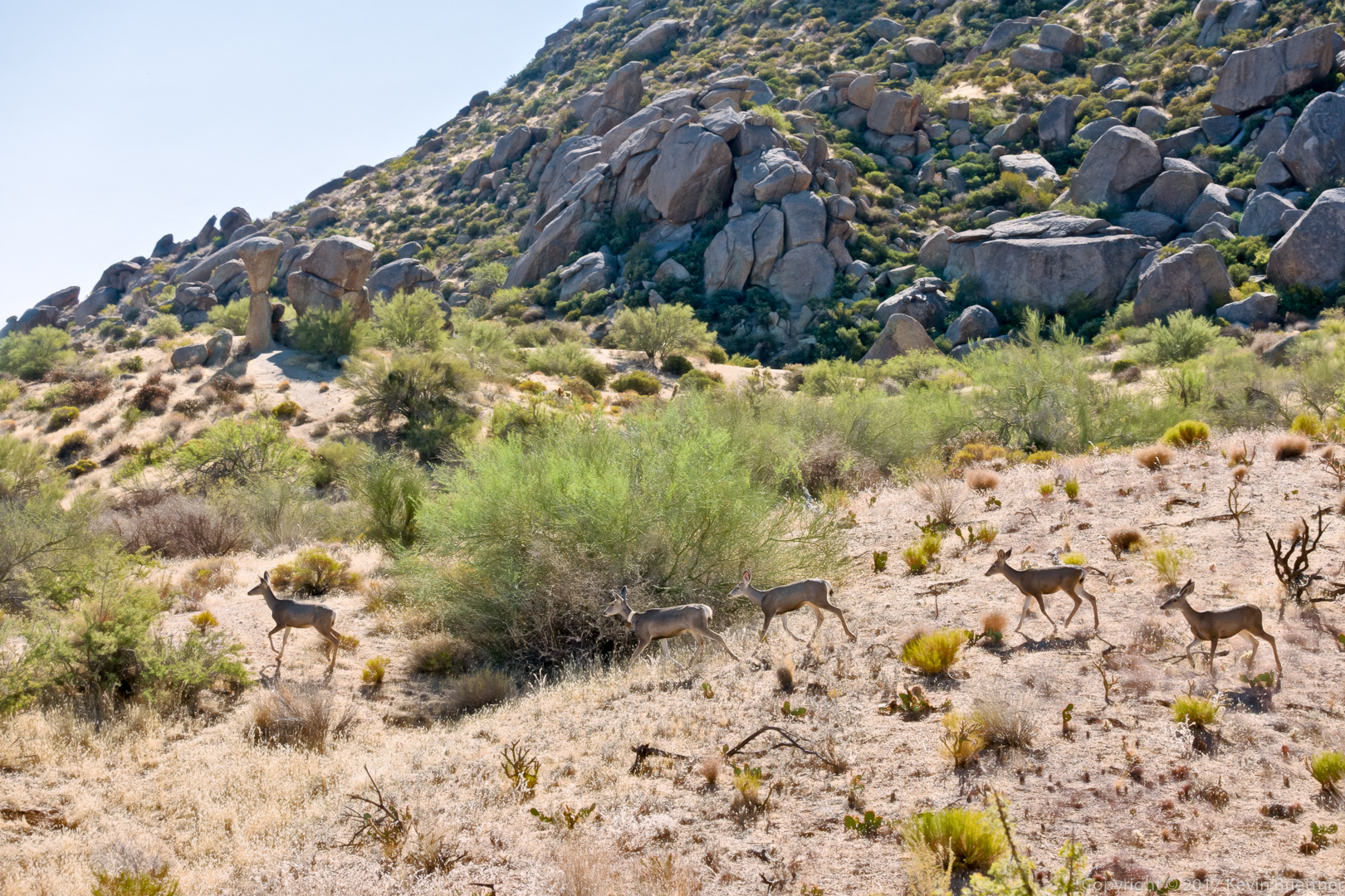
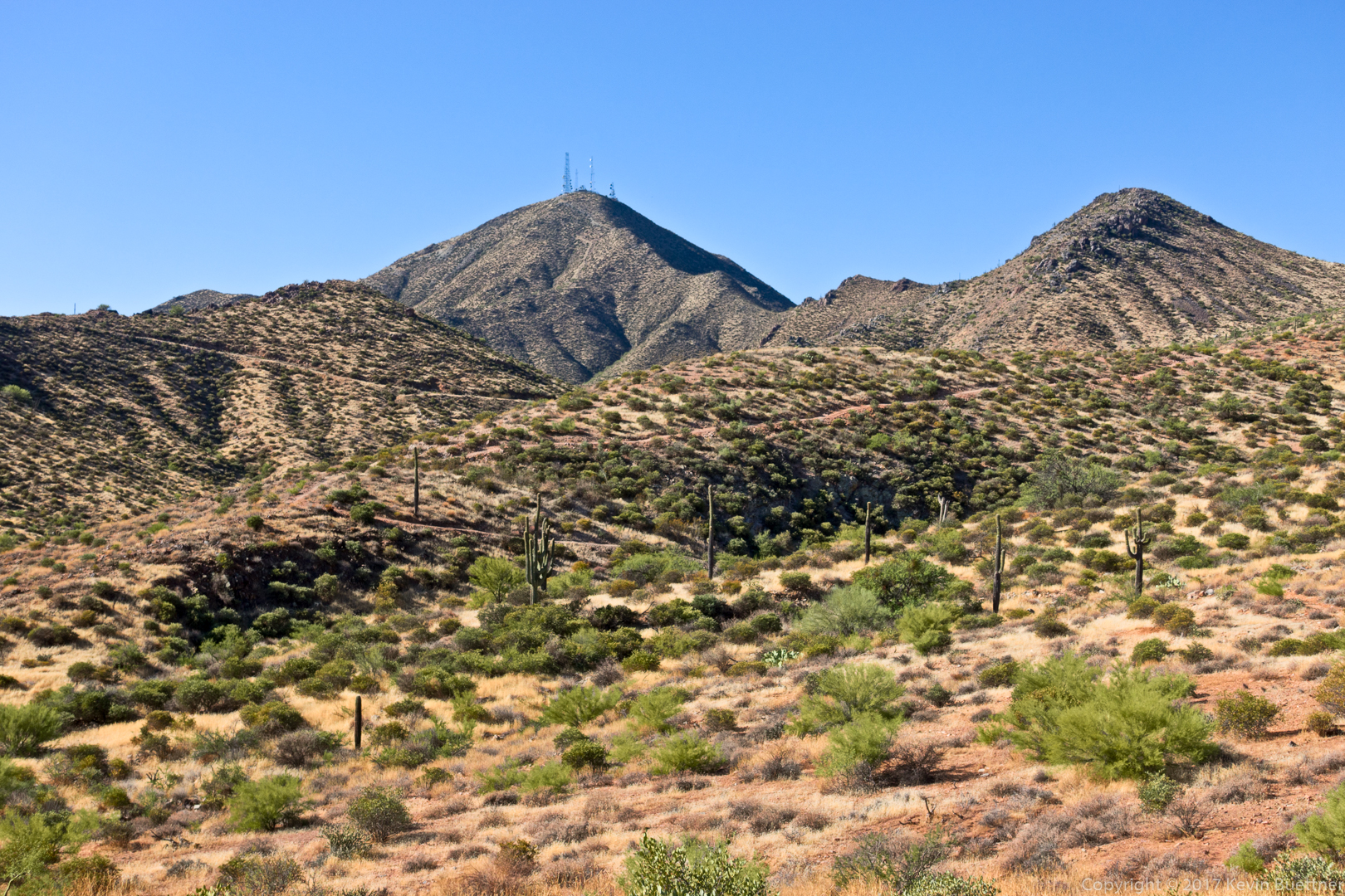
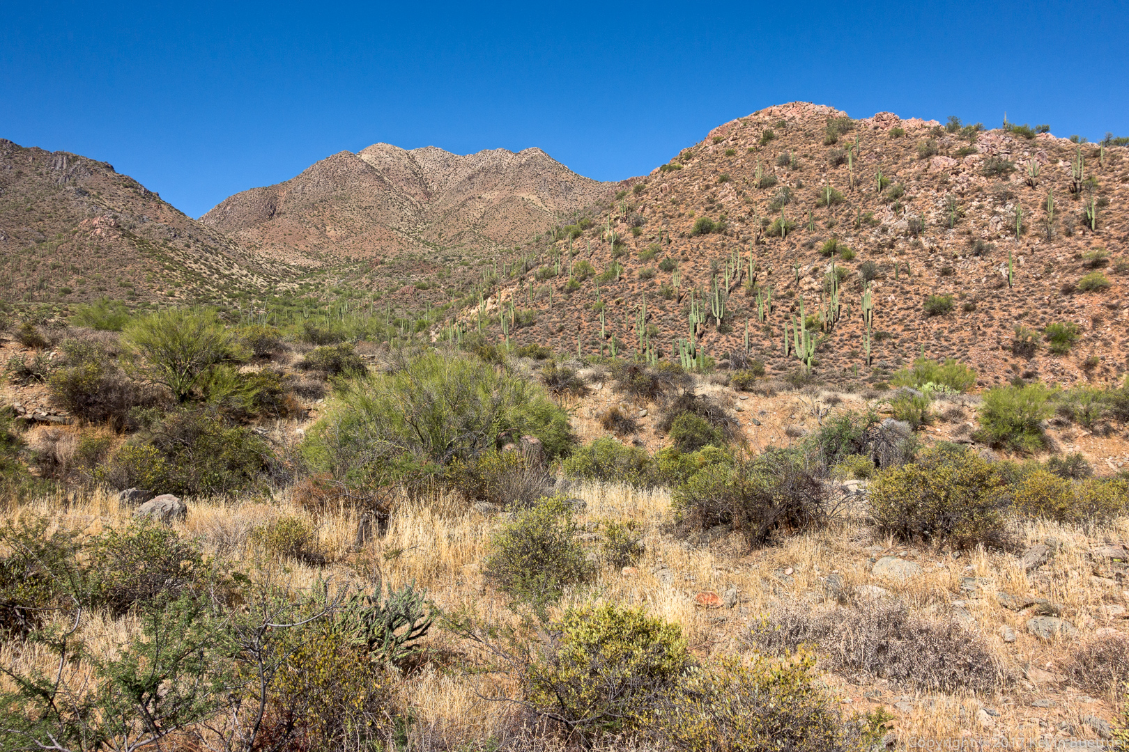
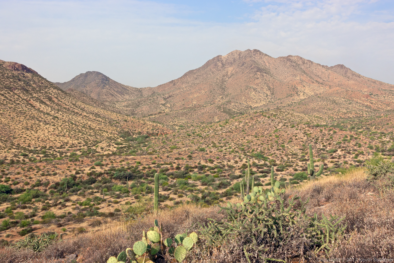
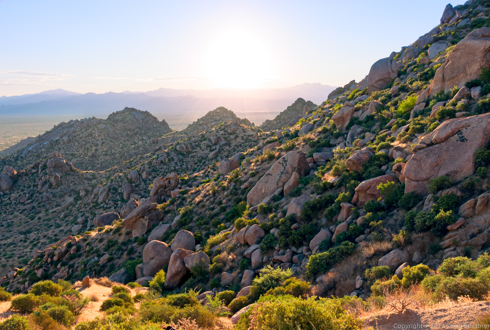
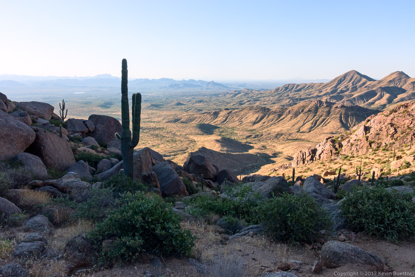
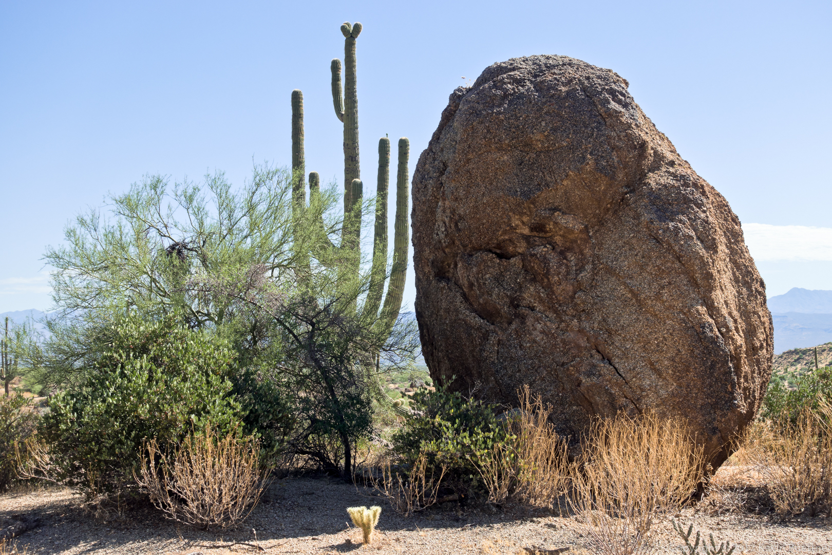
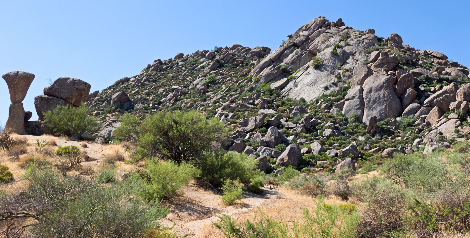
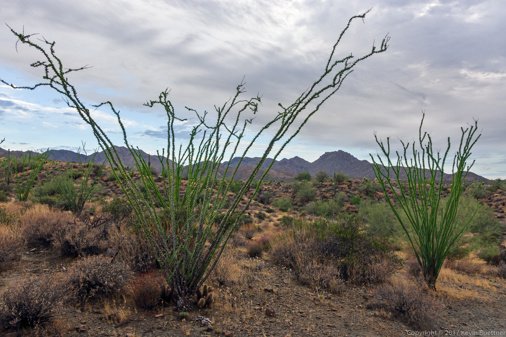
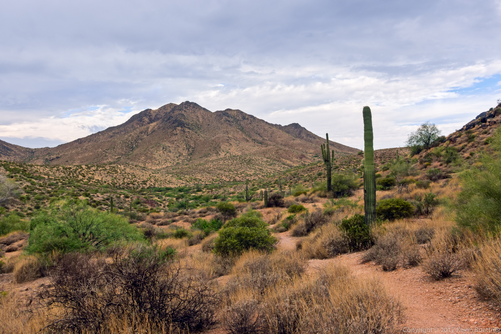
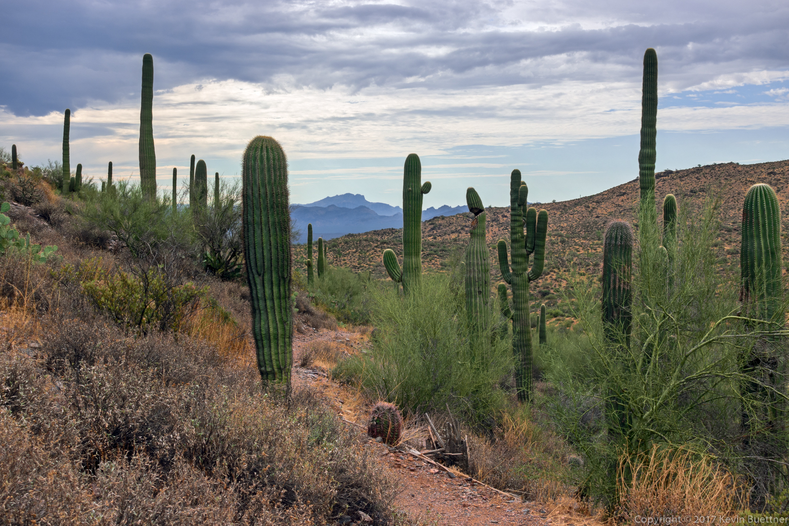
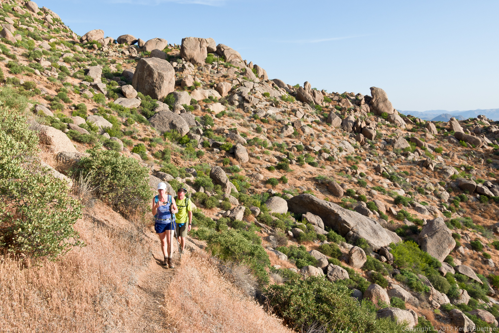
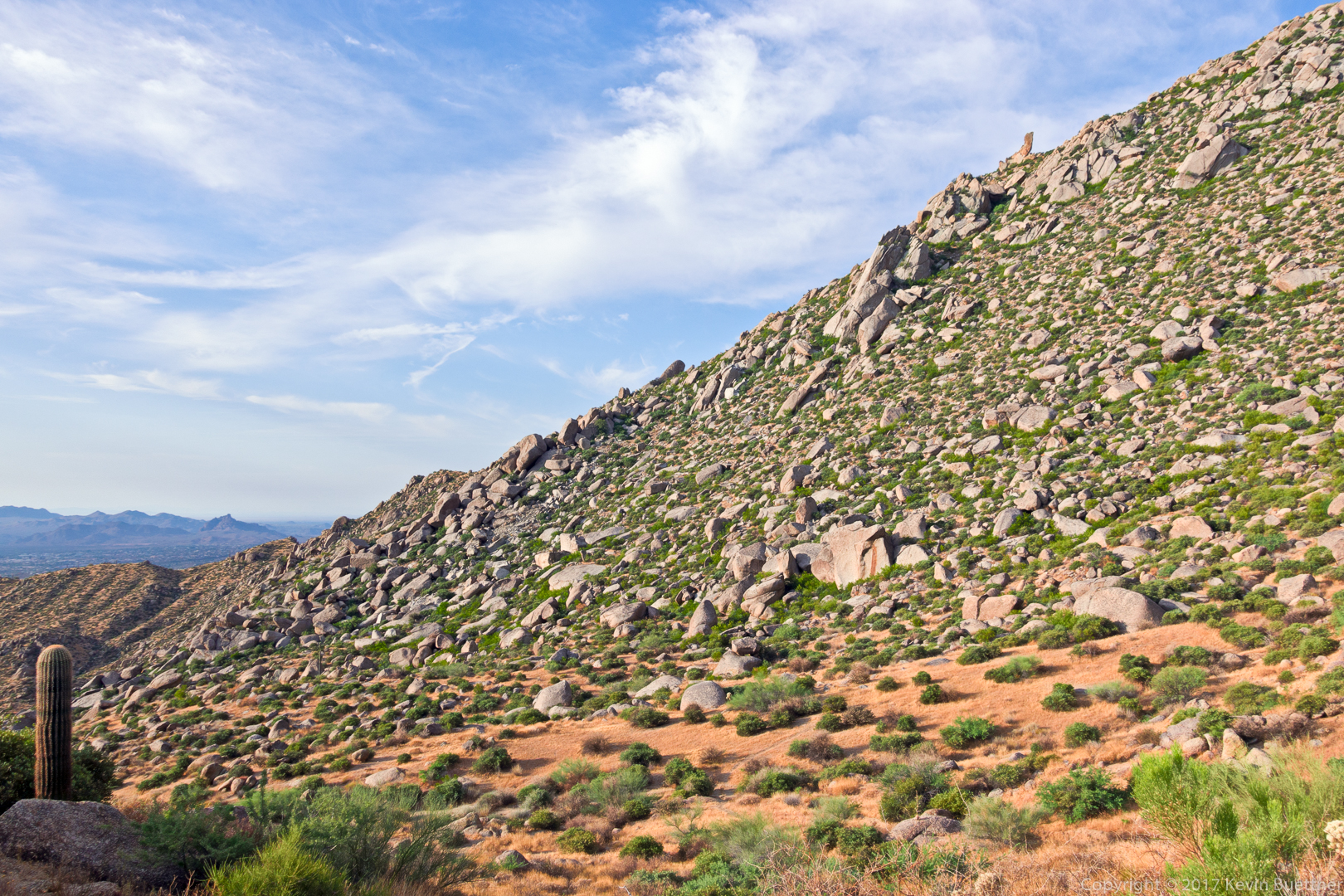
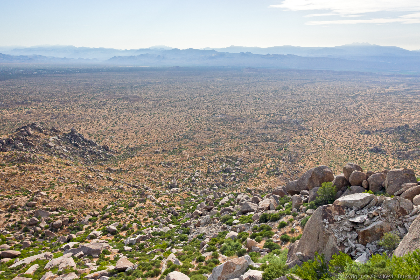
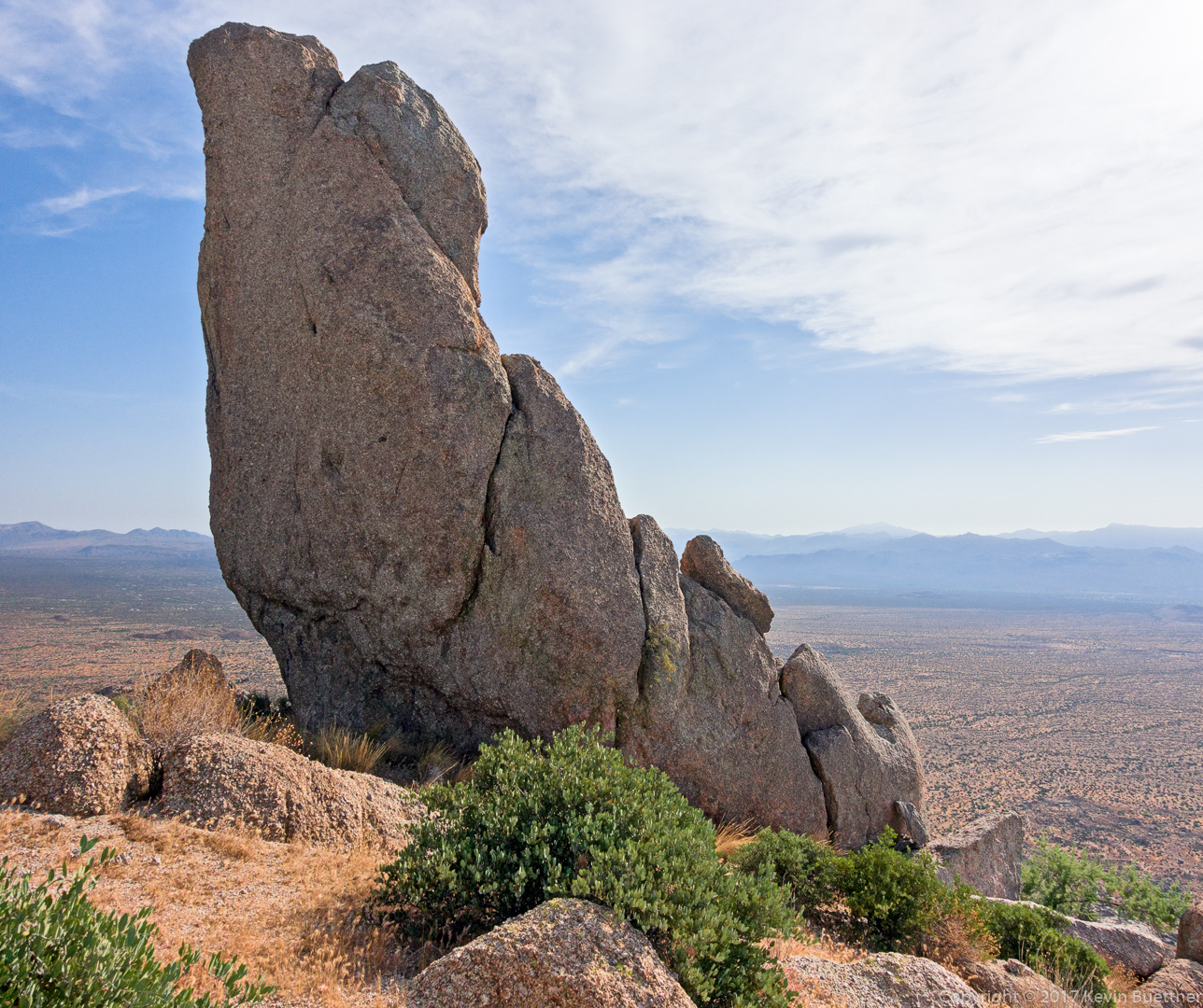
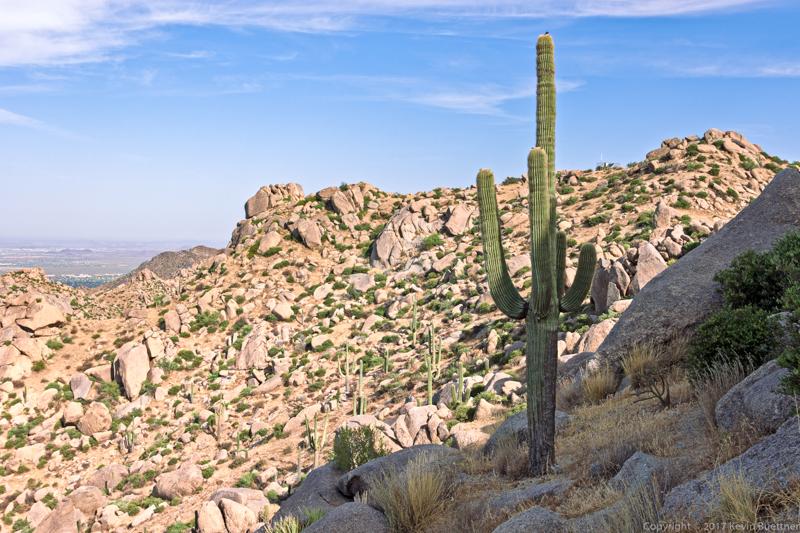
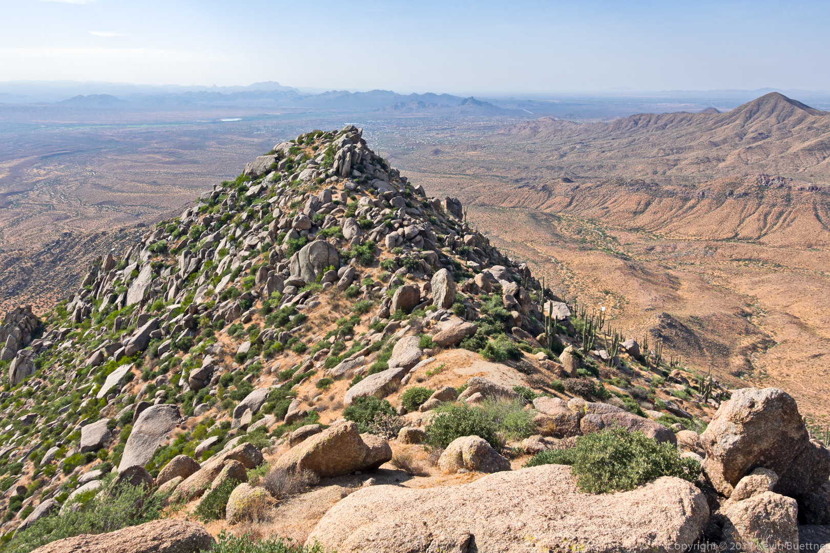
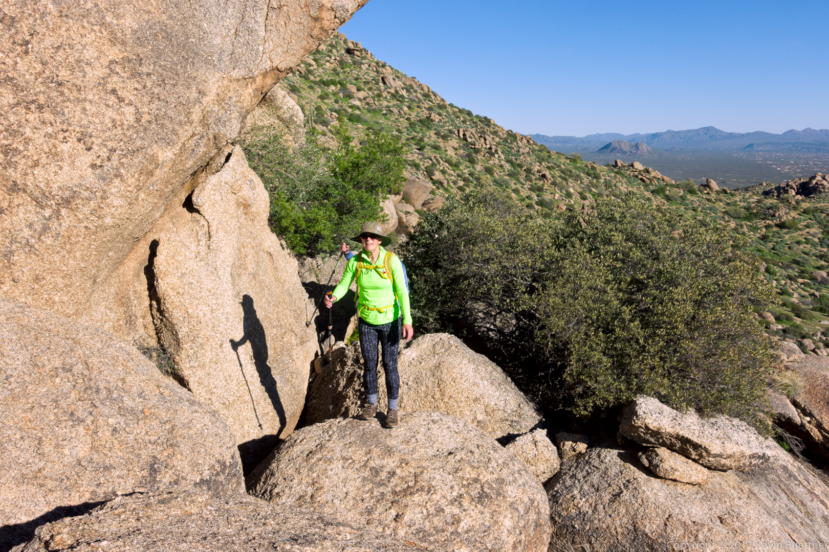
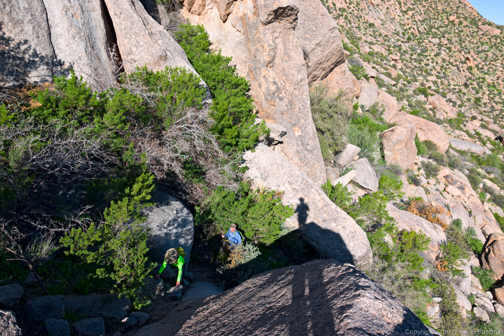
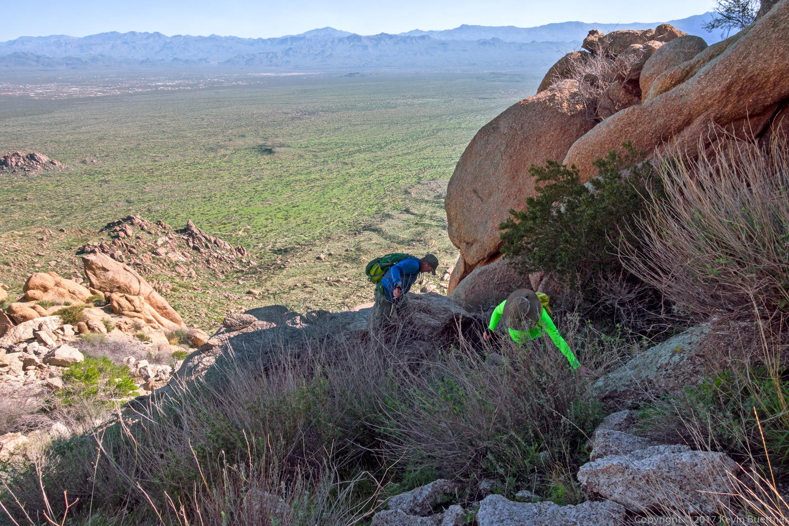
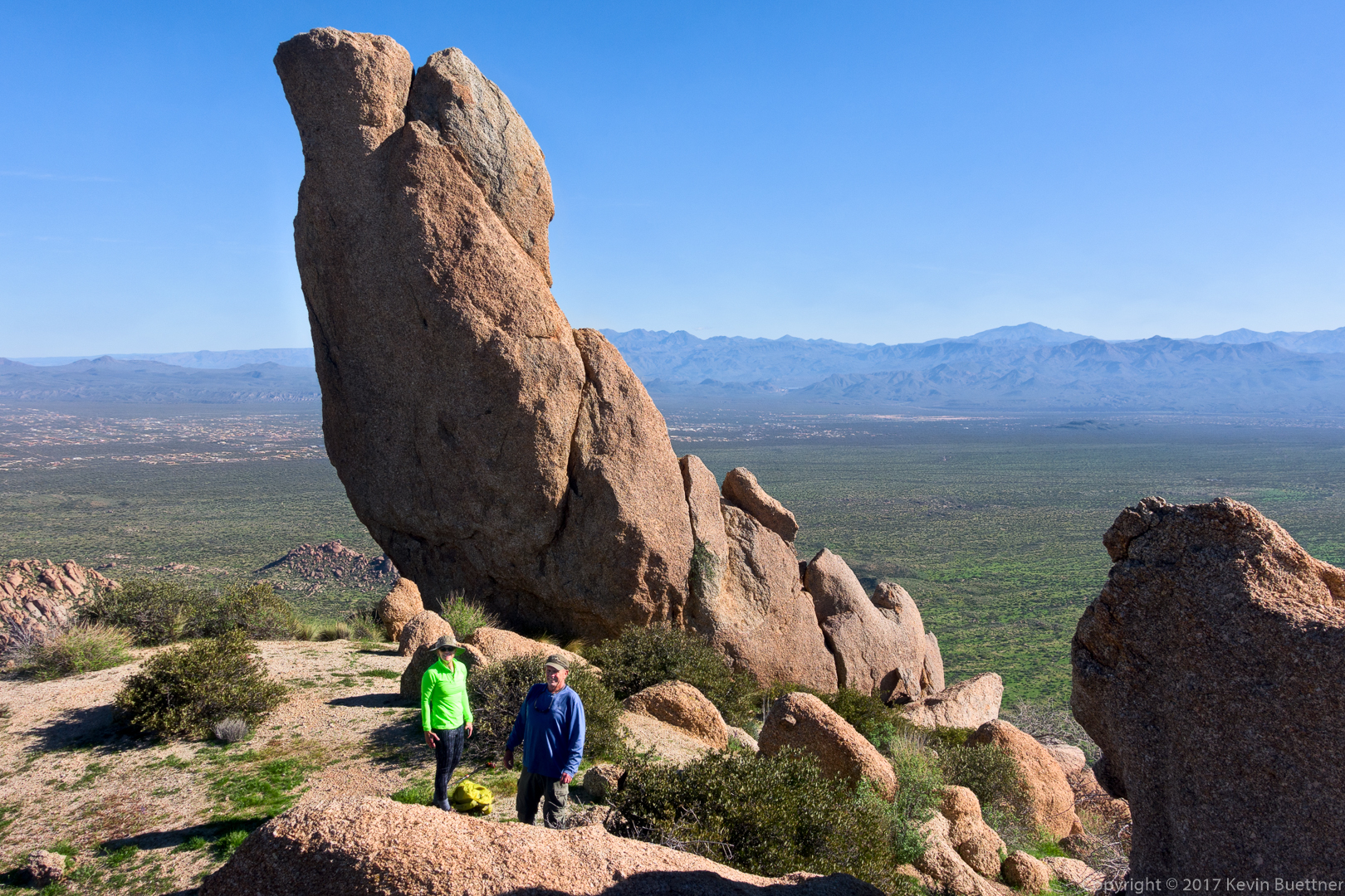
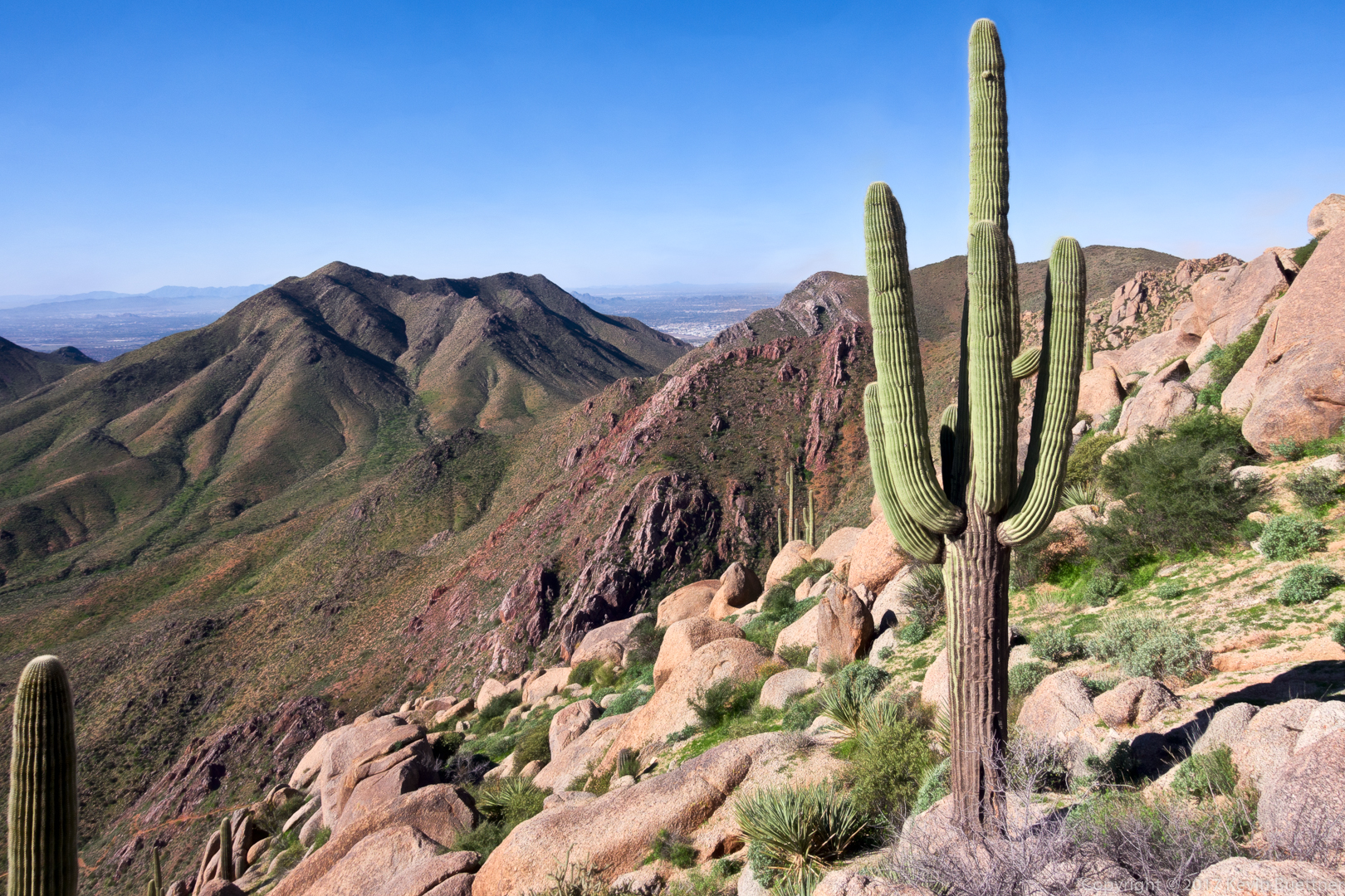
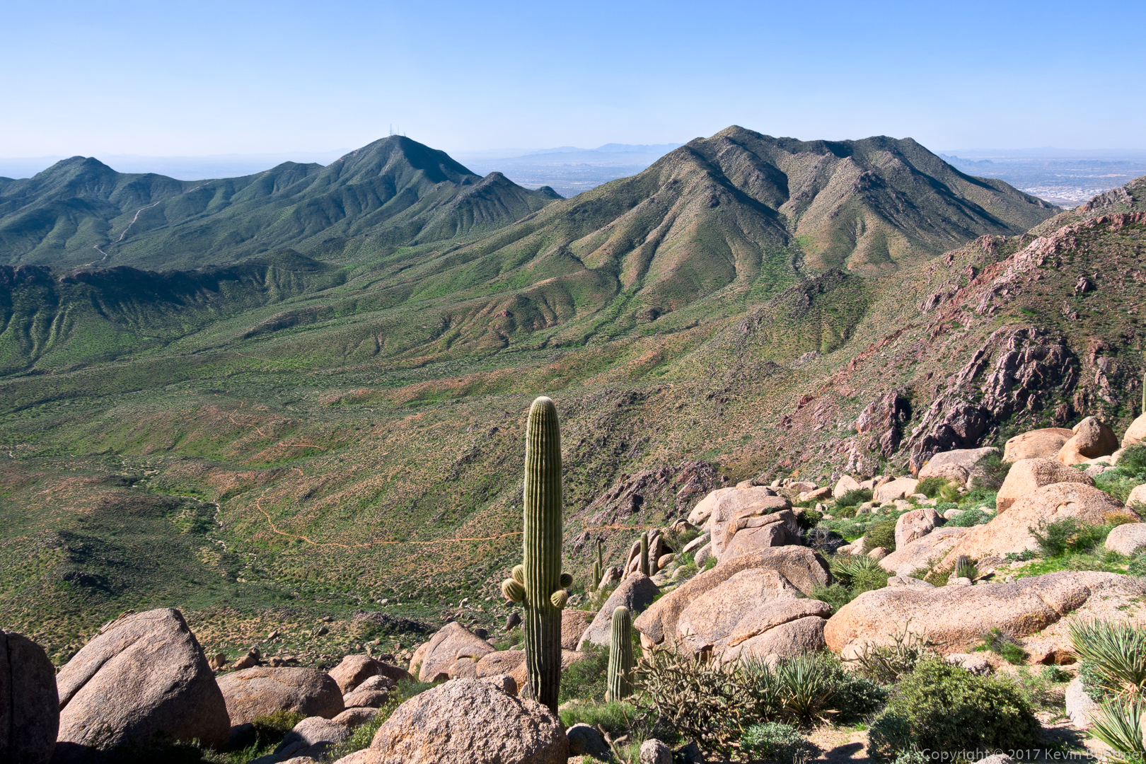
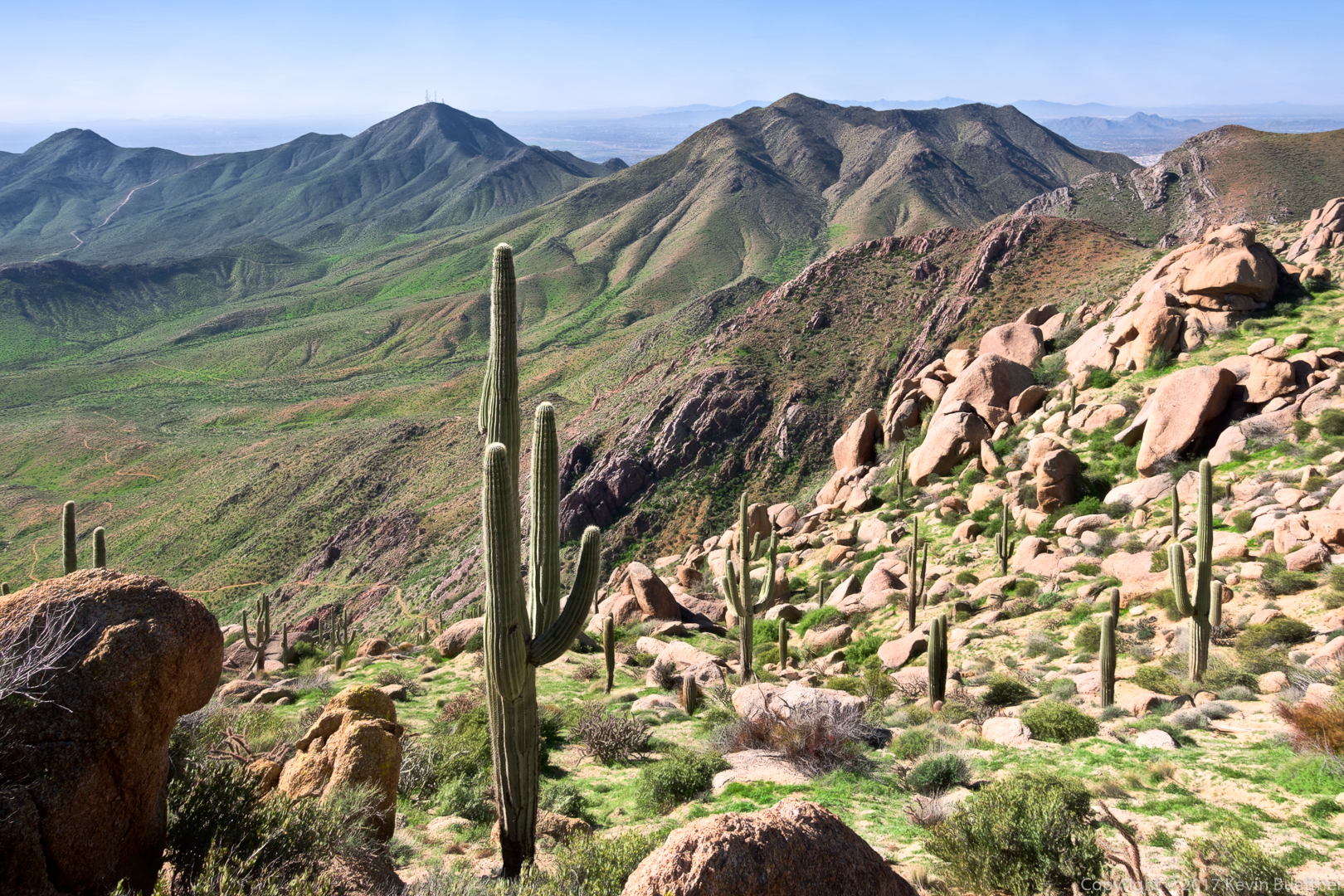
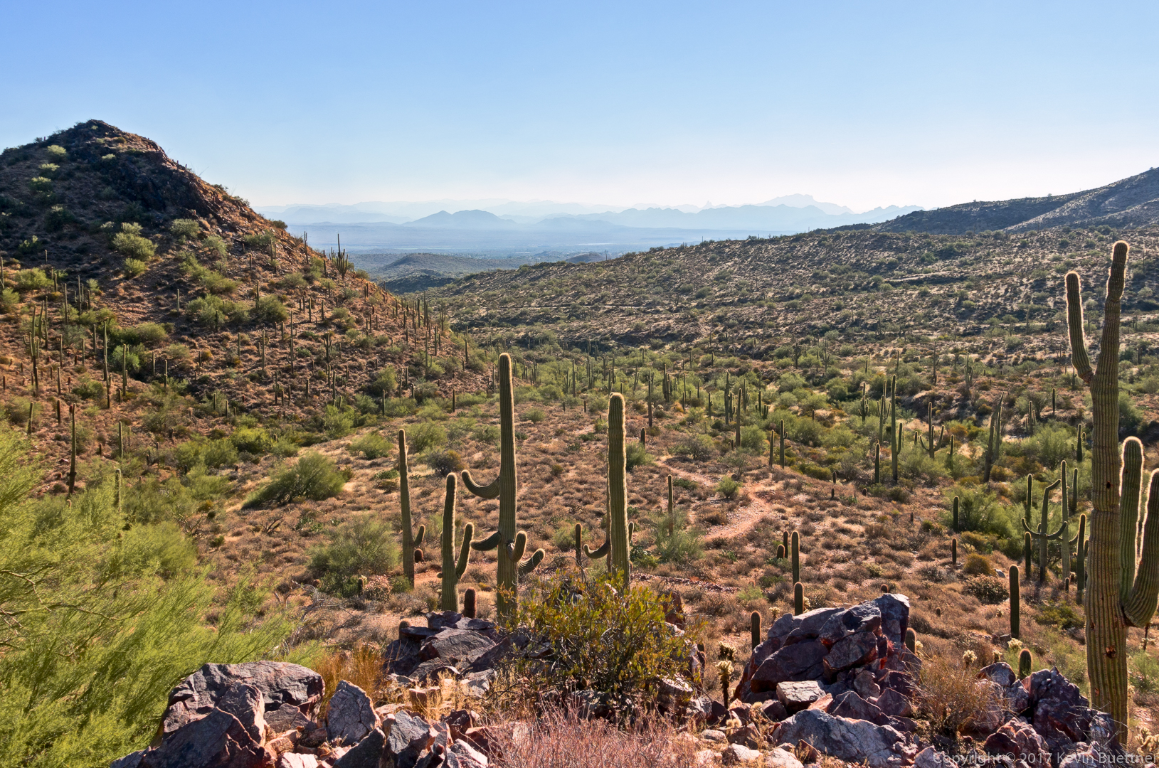
More views from the Prospector Trail – this is a very scenic section:

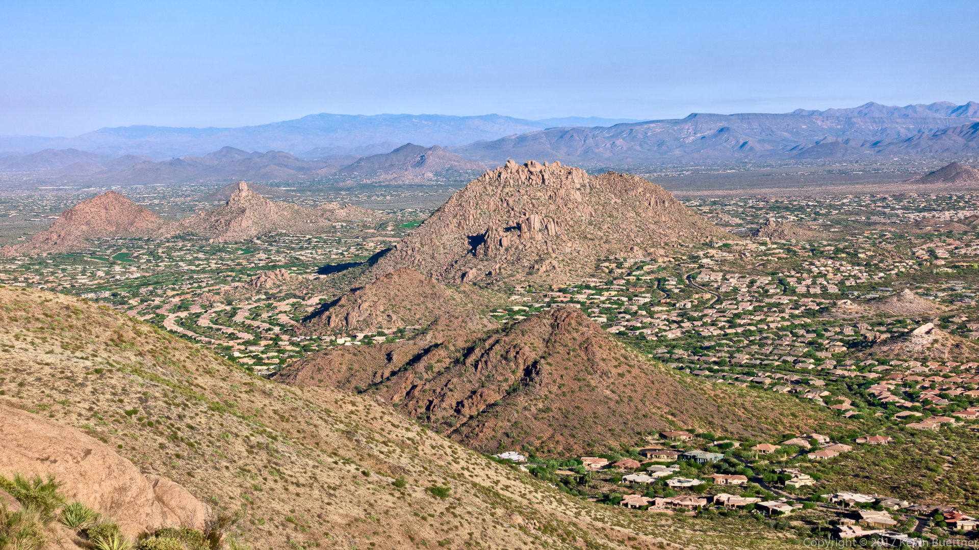
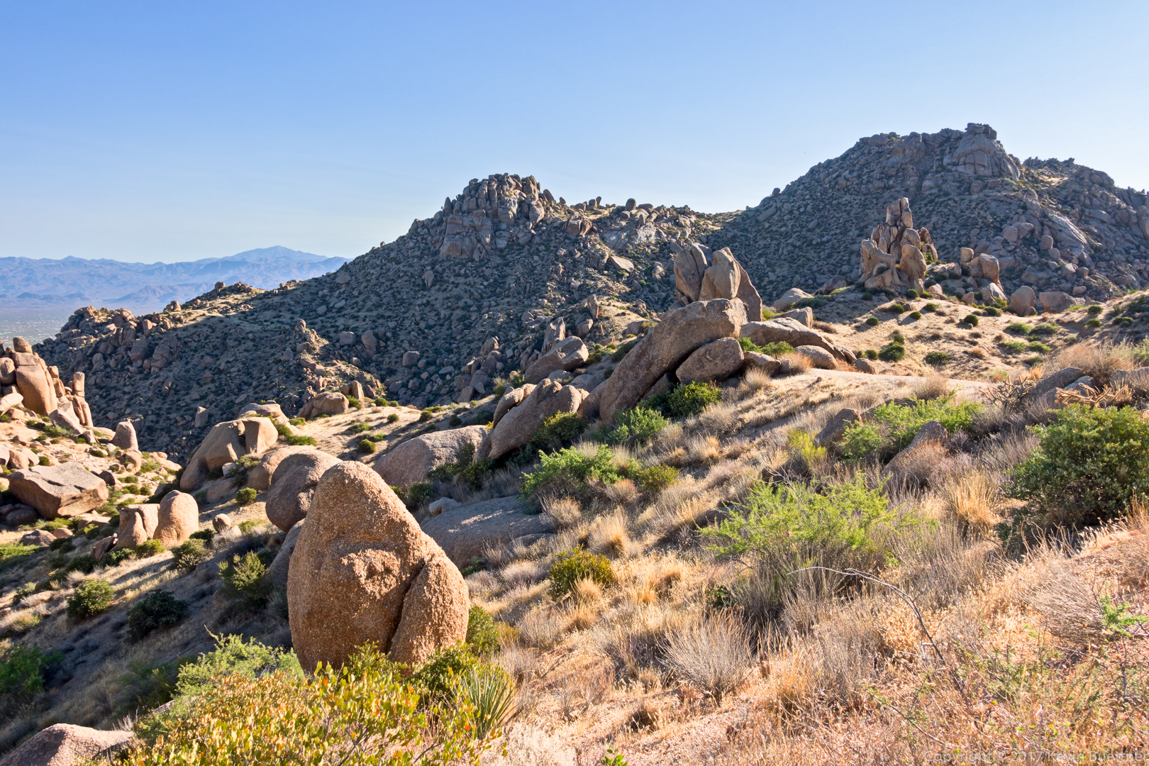
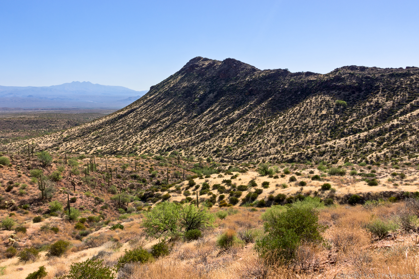
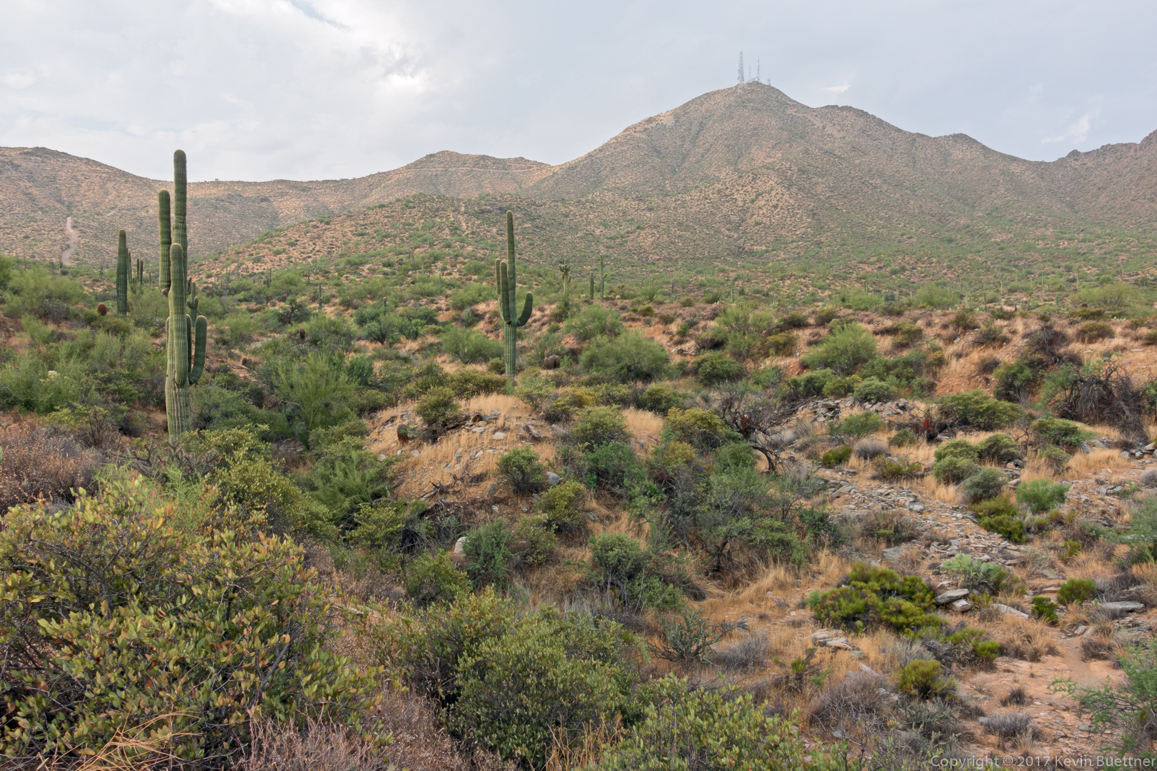
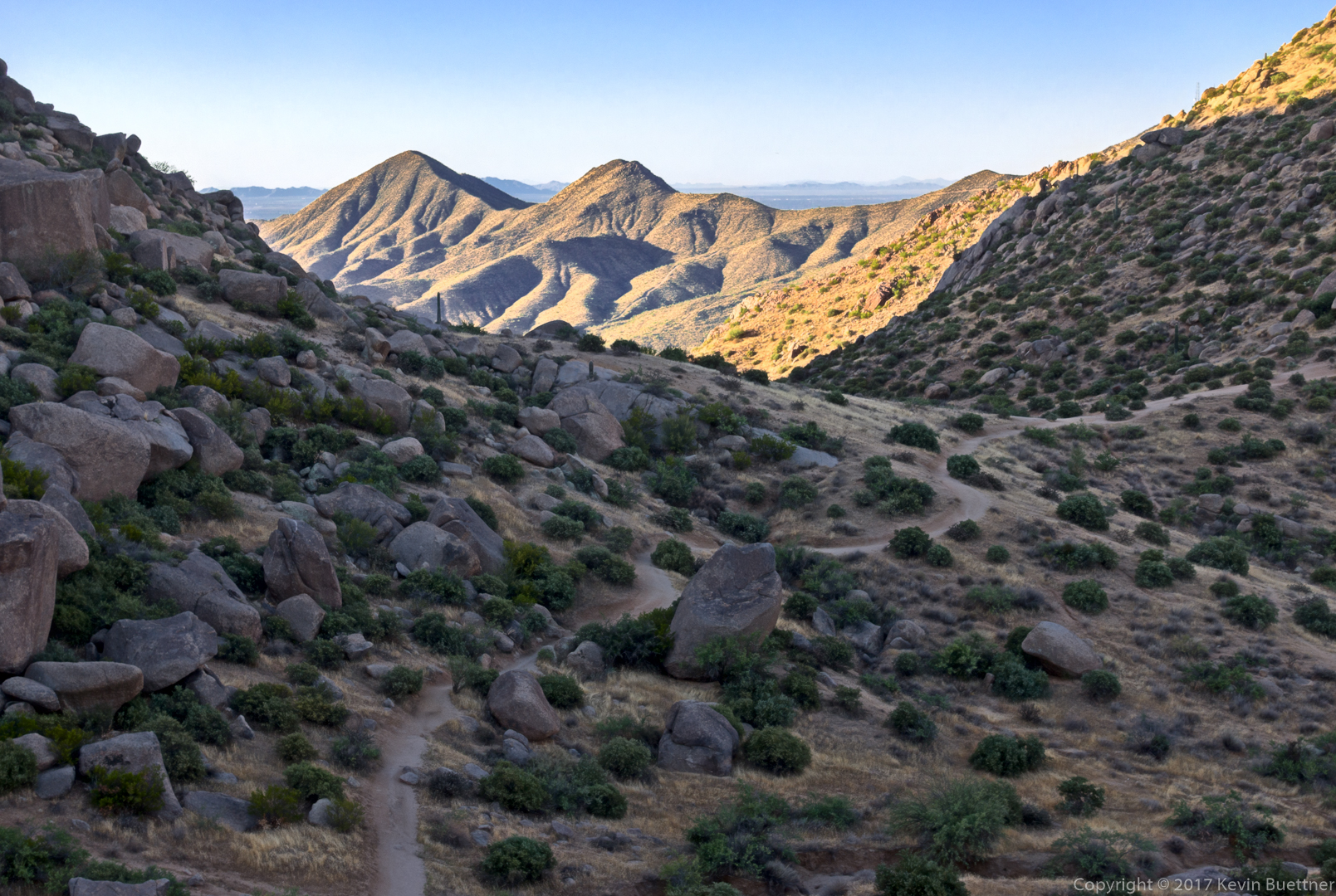
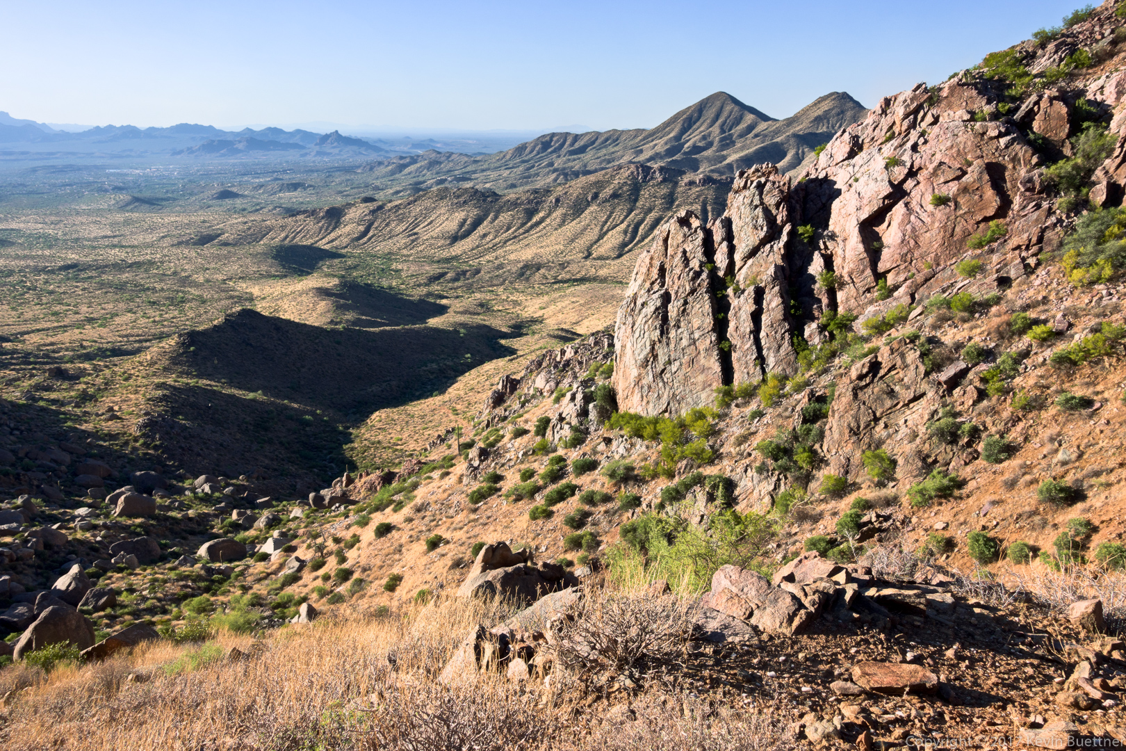
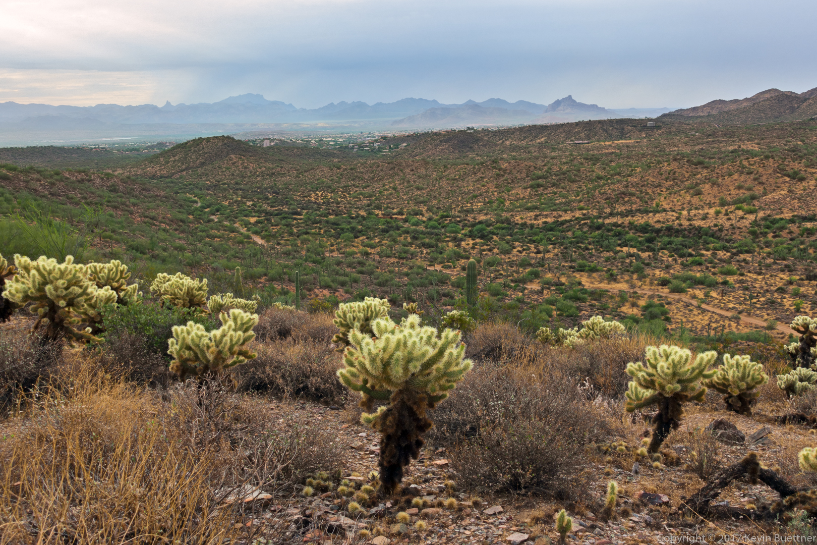
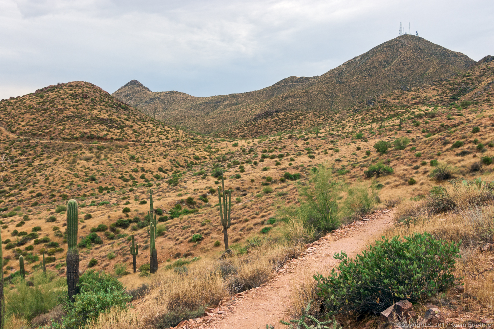
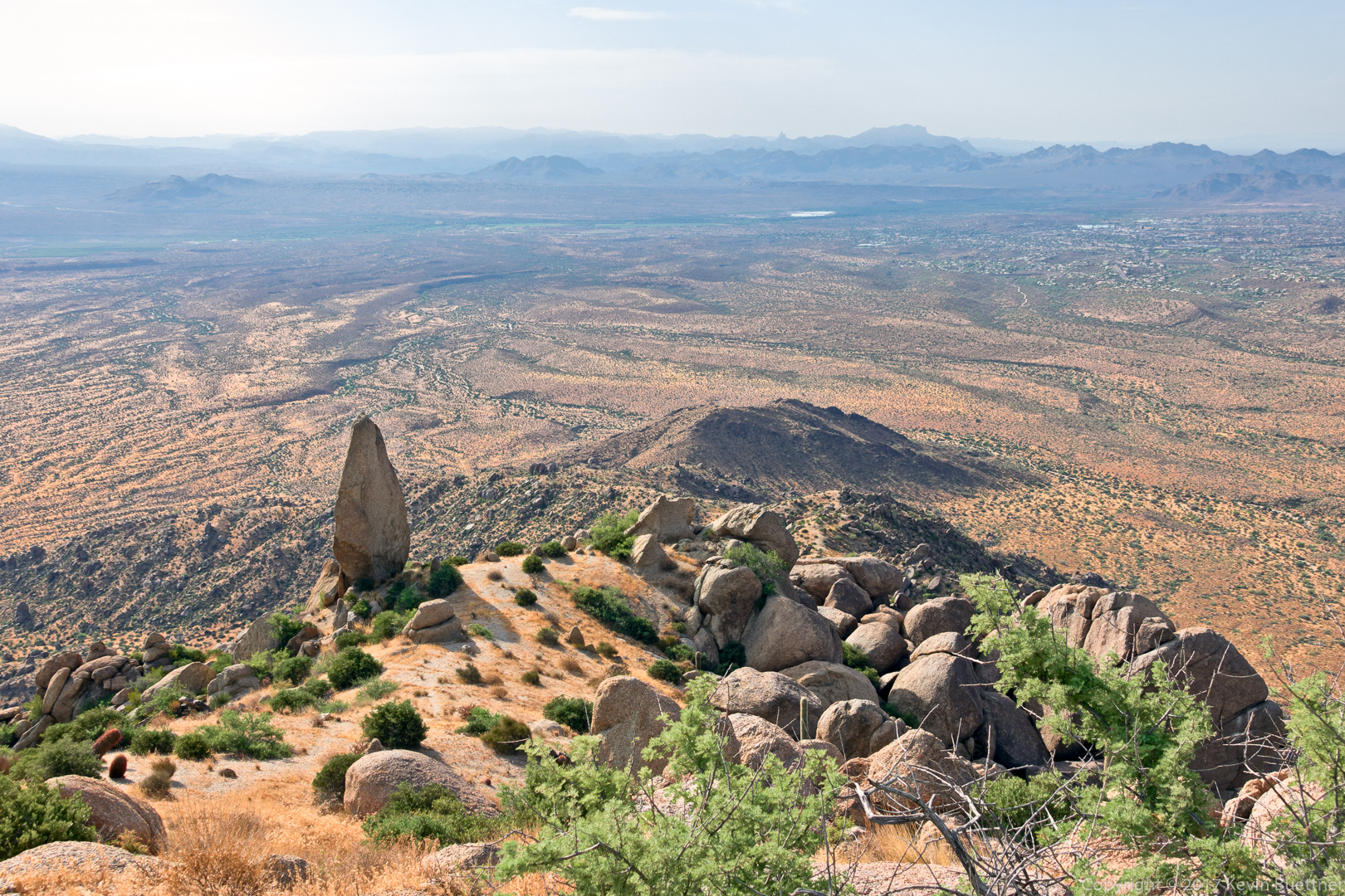
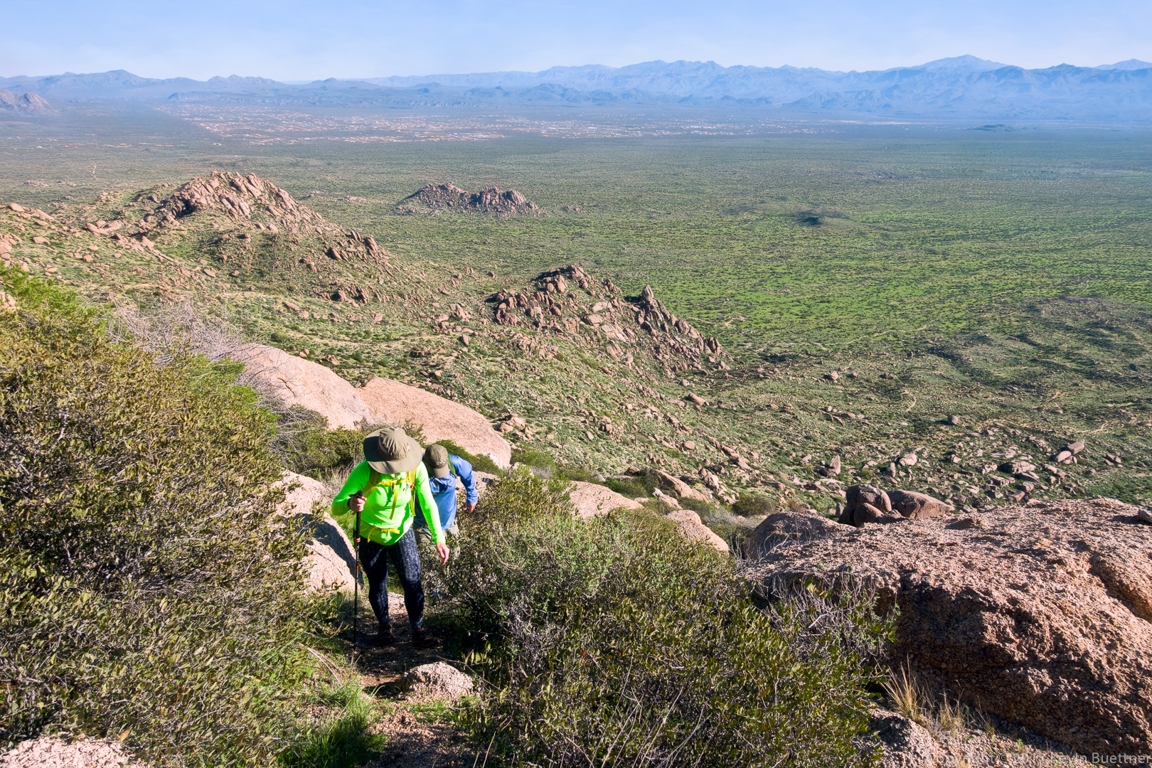
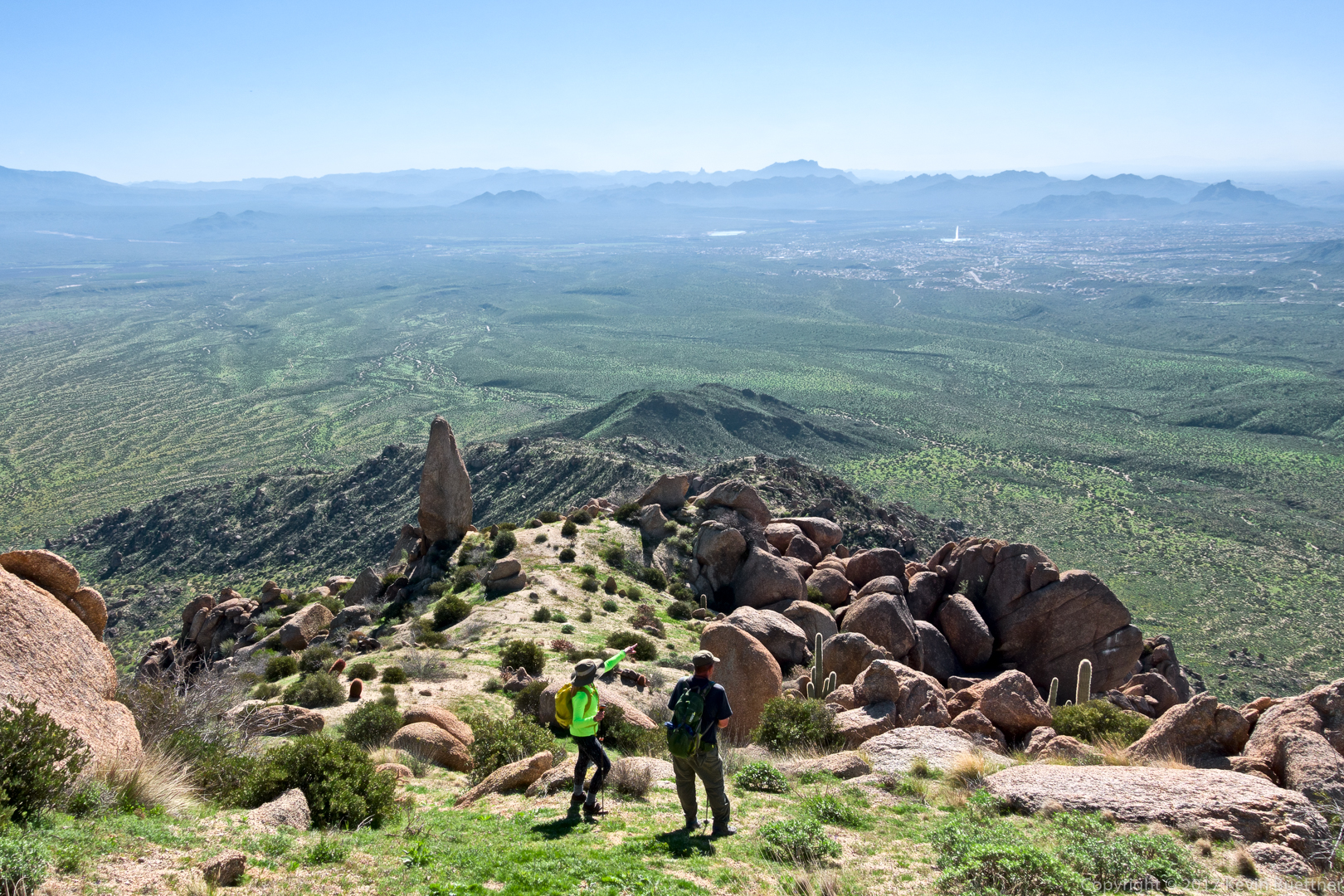
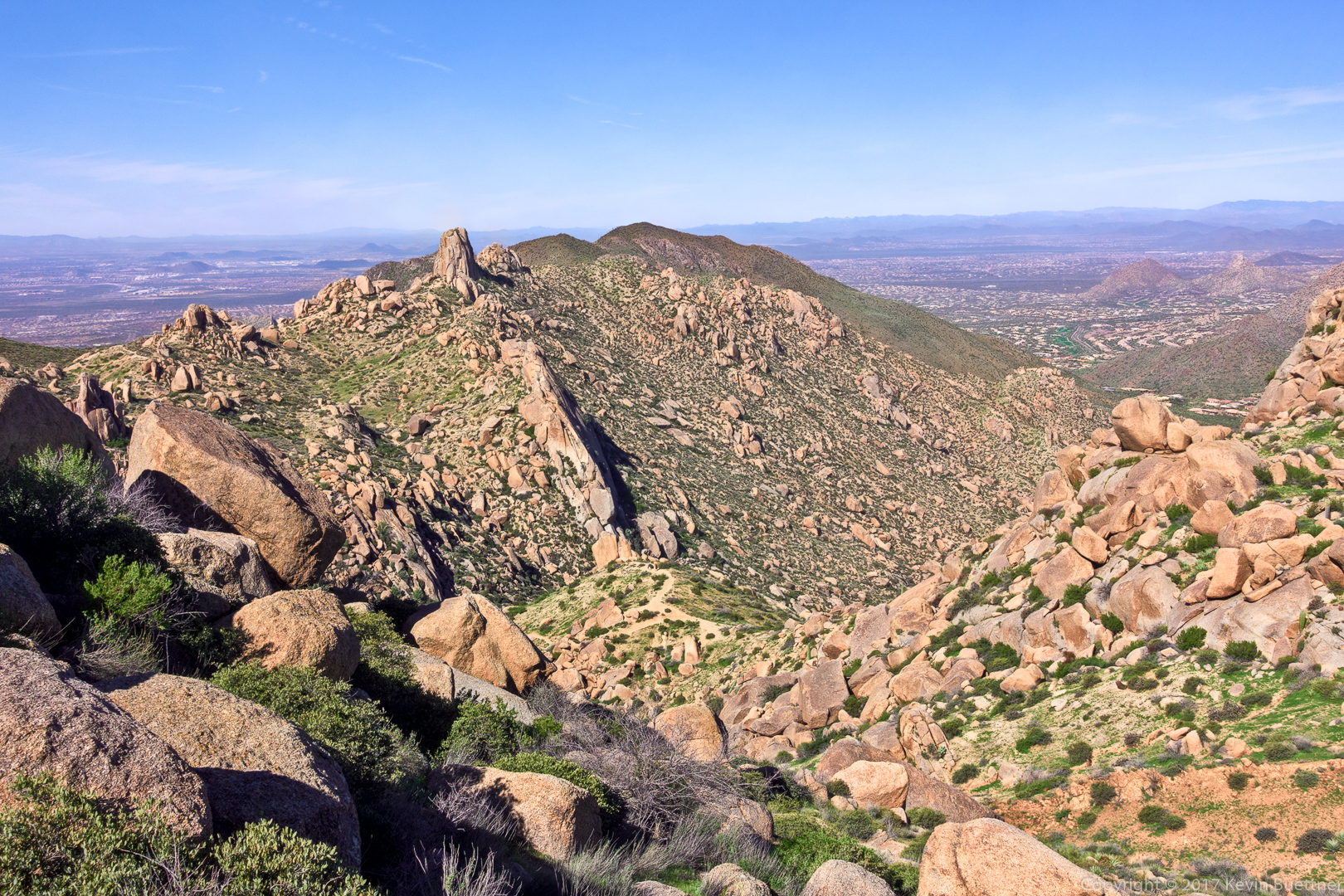
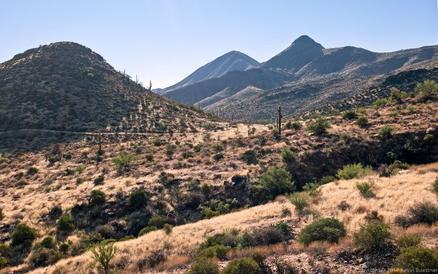
Looking back towards where we had been hiking perhaps half an hour earlier.  An old road can be seen along the hill at the left side of the photo. (We didn’t hike that road.) The trail comes up from below the right side of the hill and then continues up to the right.  Not much of it is visible in this photo.

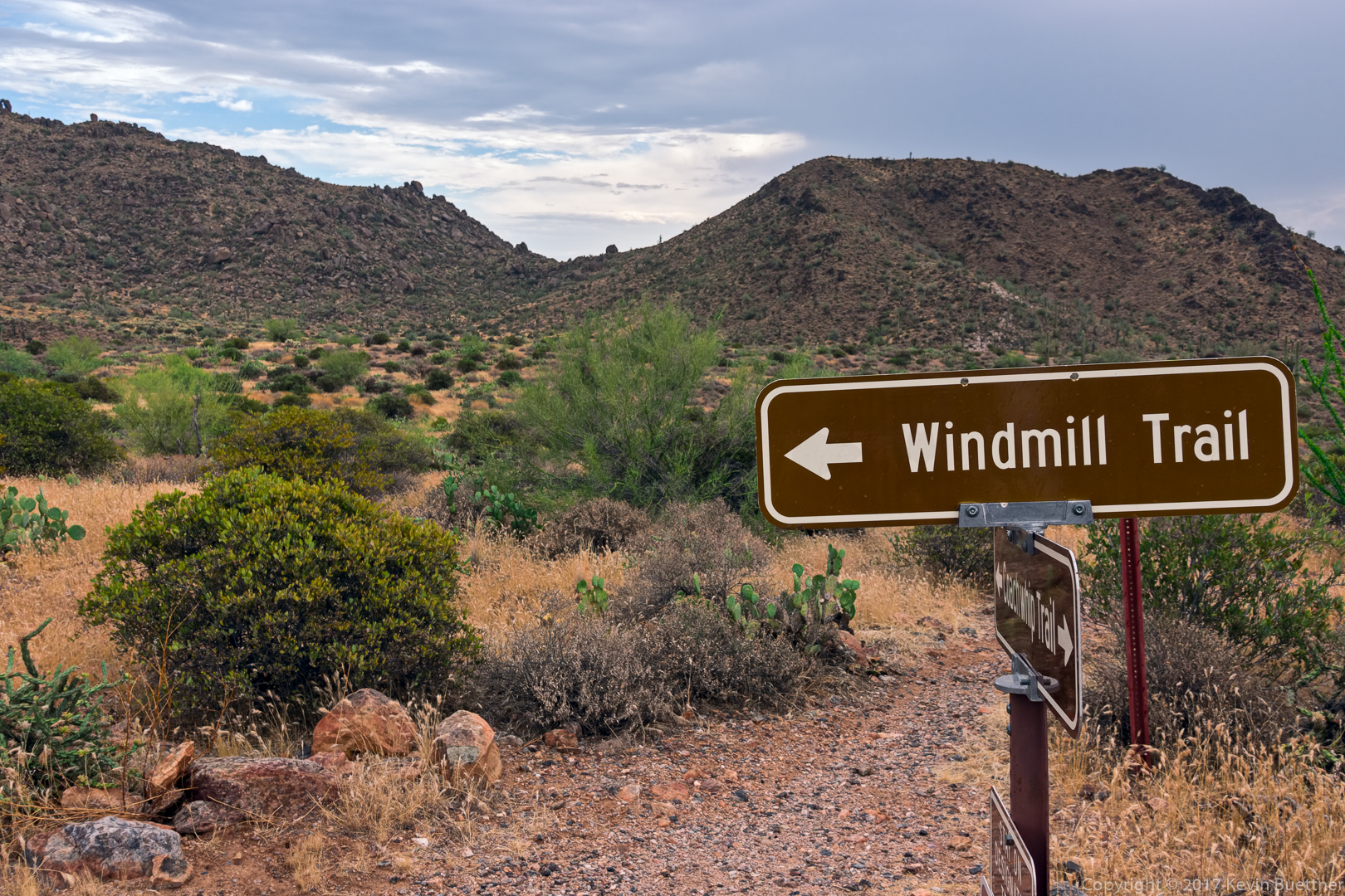
The remnants of the windmill for which the Windmill Trail is named can be seen in this photo:

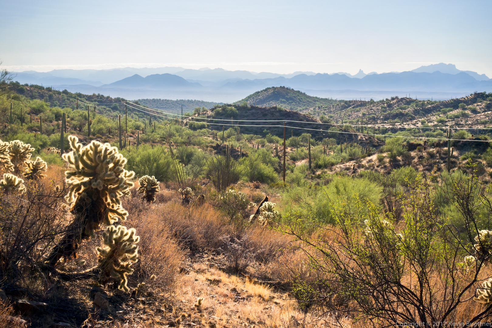
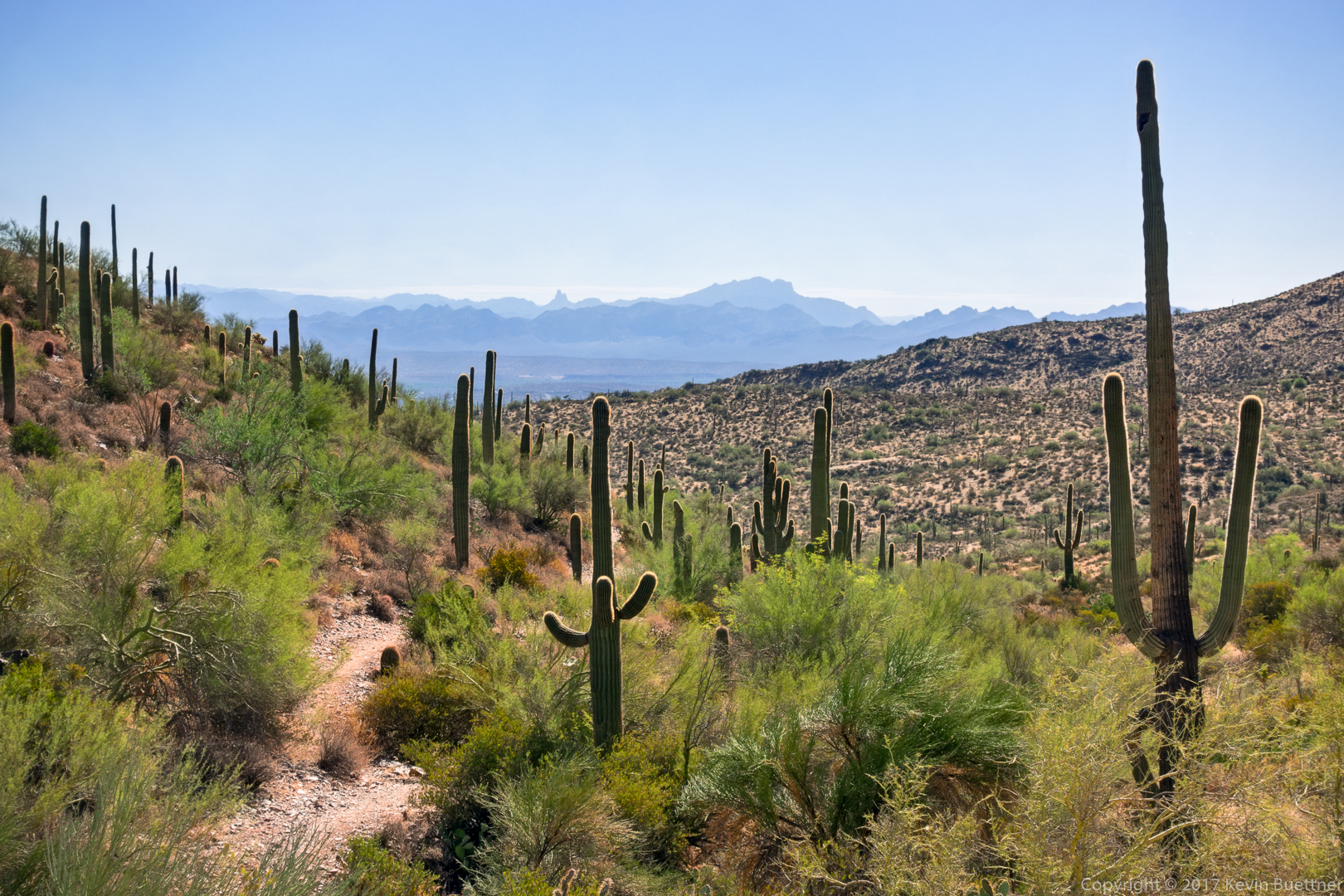
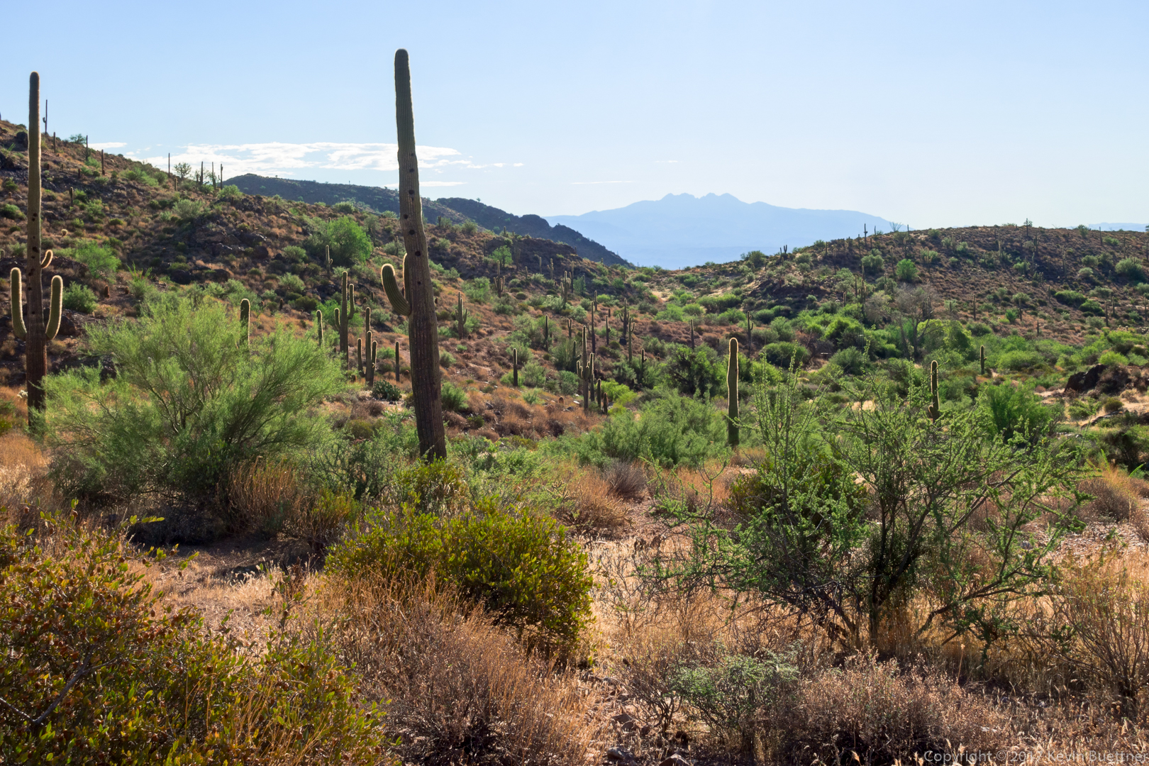
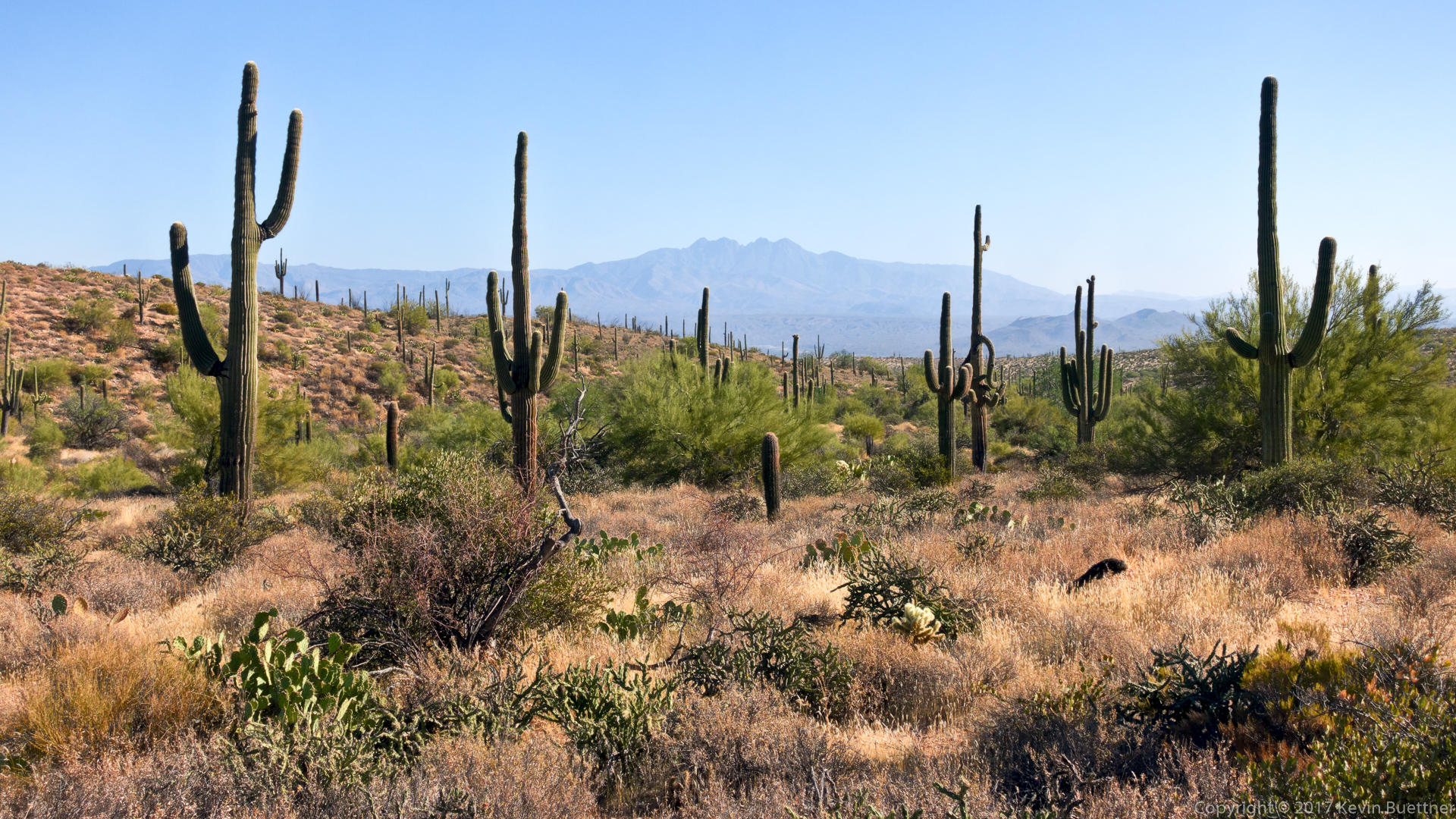
A view of Four Peaks from the Coachwhip Trail:

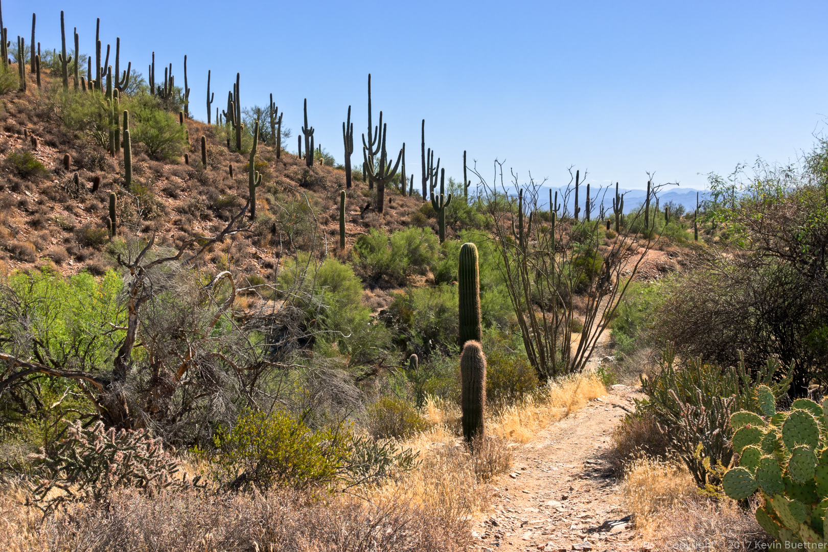
Returning via the Dixie Mine Trail…

Rappel Practice

Sunday Bike Ride – Granite / Cholla Mountain Area

Marilyn, Joe, and I rode at Granite Mountain on Sunday.

Friday Fitness Hike

Sara, Linda, and I hiked a little over five miles in the Tom’s Thumb Area. Total elevation gain was only a little over 1500 feet.

Glass Dome, in the sunlight, on the far left; Gardener’s Wall at the left (but right of Glass Dome); Tom’s Thumb, also in the sunlight, at the far right.

The trail goes through the rock formations on the left and right. We eventually passed that little pinnacle in the middle.

Looking at the other side of the rock formations to the middle right in the previous photo…

This is the small pinnacle mentioned earlier.

Sara and Linda, hiking up some steep terrain.

Pinnacle Peak and Troon Mountain:

Tom’s Thumb from the ridge:

Linda, Sara, and Kevin in front of Tom’s Thumb.

After we worked our way around to the other side of Tom’s Thumb, we met a woman who was walking back down the trail to take a picture of her male companion. I thought it was a good shot, so I took a picture too.

At the right is Glass Dome and, past that, Goat Hill.

This is not really a tunnel; the large leaning rocks don’t actually touch each other, but it sort of looks like they do if you stand in the right place.

Another view of Glass Dome:

Linda and Sara making their way across the boulders:

Looking up at Gardener’s Wall; as we were making our way back, we came across two women who were hiking up to Gardener’s Wall, and then to Tom’s Thumb. It was remarkable just to come across anyone else on this particular trail.

Another view of Pinnacle Peak and Troon with a picturesque saguaro and mushroom boulder in the foreground:

We saw this tarantula as we made our way back down Tom’s Thumb Trail:

Linda, hiking down Tom’s Thumb Trail:

We turned right on the Feldspar Trail and then right again on the Marcus Landslide Trail. Linda told me that she had helped to clear the path to this mushroom boulder on the hill near where Marilyn and I used to park for climbing at Sven Slab. After visiting this mushroom rock, we went over to look at Energizer (5.8) and the Gripple Variation (5.10a) on a boulder in the Sven Slab area.

We then made are way back to the Caballo Trail where we eventually saw dos caballos with their riders.

Look for four deer at the bottom left:

Five deer; the second one in line has a tracking collar.

Friday Fitness Hike

Marilyn, Linda, Sara, Susan, and I hiked 10.3 miles with somewhat over 1400 feet of total ascent.  We hiked Dixie Mine, Coachwhip, Windmill, Bell Pass, Prospector, and then back down the service road to Dixie Mine, which we used to return to the parking area.

A view from the Dixie Mine Trail – at this point, we were midway up the hill just past the service road.

Continuing up the hill…

A view from the Coachwhip Trail:

Looking towards Thompson Peak from the Windmill Trail:

Looking toward Four Peaks from the Bell Pass Trail:

Views from the Prospector Trail…

Friday Fitness Hike

Linda, Mona, and I hiked 10.4 miles starting from the end of Golden Eagle Blvd. We hiked out Dixie Mine, went left on the service road, right on Prospector, right on the Bell Pass Trail, right on Windmill (past the windmill), right on Coachwhip, and then right on Dixie Mine, which eventually led us back to where we started.

It felt warmer to me today than it did last week, but I think that was mostly due to the humidity being somewhat higher.  Visibility was very poor.  Mona told me that smoke from the wildfires in California and Oregon has been blown into the Phoenix area.  Prominent landmarks such as Four Peaks, Weaver’s Needle, and the Flatiron were totally obscured by the smoke. Even Red Mountain, which is not that far away, was partially obscured by the haze. The air smelled somewhat smoky too, but I really had to breathe it in in order to detect it.  The pictures below reflect this fact – missing are the distant mountain vistas which are normally in my photos.

We saw this hawk atop a saguaro early in our hike along the Dixie Mine Trail:

Even looking towards Thompson Peak looked hazy.

We’re near the intersection of Prospector and Bell Pass for this photo.

If you look closely, you can see the windmill for which the Windmill Trail is named.

Looking back toward Bell Pass – we can actually see a patch of blue sky!

But looking back in the other direction, toward Linda and Mona who were waiting for me, it’s very hazy.

Heading down the Coachwhip Trail – Weaver’s Needle and other landmarks in the Superstition Wilderness are normally visible from this vantage point. On this day, the haze obscured it all.

This was the large saguaro that used to stand at the bottom of the hill.

Returning now on the Dixie Mine Trail…


Friday Fitness Hike

I hiked 10.3 miles on Friday starting from the Tom’s Thumb Trailhead at the end of 128th St. I hiked up the Tom’s Thumb Trail to the East End Trail, then down East End, continuing on Windmill, Coachwhip, Pemberton, Boulder, Marcus Landslide, Feldspar, and finally finishing up on Tom’s Thumb. Linda accompanied me on the first bit of the hike up Tom’s Thumb. It was great hiking with Linda again – she had been out a while due to a knee injury.

Early morning view from the Tom’s Thumb Trail:

Looking ahead on the Tom’s Thumb Trail – at this point, the hard part of the day’s hike was pretty much done.

 Linda sent me this photo of me taking the photo above. (I did some retouching on it – I like the color correction that I did for this one better than the one above.)

A view from the East End Trail:

Part way down the East End Trail is a small wall:

 A view of Four Peaks from the Windmill Trail:

 Looking at Thompson’s Peak from the Boulder Trail:

This is one of the mushroom rocks alongside the Marcus Landslide Trail:

 A short side trail leads to this broken mushroom rock:

 A large boulder along the Marcus Landslide Trail:

Sven’s slab (right) with another mushroom pinnacle at the far left:

Friday Fitness Hike

I hiked 10.3 miles on Friday starting from the parking lot for the Dixie Mine Trail at the end of Golden Eagle Blvd. I hiked Dixie Mine, Coachwhip, Windmill, Bell Pass, Prospector, service road, and then back on Dixie Mine.

It rained off and on, though never hard – often times, it was just some light sprinkles. The rain plus the cloud cover kept the temperature down in the low to mid eighties.

Ocotillos on the Dixie Mine Trail:

Past the spur which leads to the mine – which I did not do – the Dixie Mine Trail goes up a hill. This is a view from the top of that hill.

A view from the Coachwhip Trail:

At this point, I’m still within the boundaries of McDowell Mountain Park, at the intersection of Windmill & Coachwhip.

A view from the Windmill Trail.  The windmill is out of frame to the left. (You can see a little bit of the nearby cottonwood tree at the edge at the far left.)

I’m in the McDowell Sonoran Preserve now. Notice the difference in signage between the Park and the Preserve. There’s no getting lost with these signs!

A view from the Bell Pass Trail. The mountain with the antenna towers is Thompson Peak.

Looking toward Four Peaks from the Bell Pass Trail:

Saguaros on the Prospector Trail:

This is a barrel cactus blossom:

A mountain biker on the Dixie Mine Trail – one of only five people that I saw during the entire hike.

Friday Fitness Hike

Heather, Dave, and I hike a little over four miles in the Tom’s Thumb Area on Friday.  We hiked up Mesquite Canyon, past Hog Heaven, past the Thumbnail Pinnacle, and then made our way over to the East End (summit), which is the highest point in the McDowells. After that, we hiked down to the Tom’s Thumb Trail and returned to the parking area.

Making our way up to the pass at the top of Mesquite Canyon:

This is an easy section on the way to Hog Heaven:

We saw this turkey vulture along the way:

The prominent rock formation somewhat belong the ridgeline and about a third of the way over from the right hand edge of the photo is Hog Heaven. Above that and to the right is the Thumbnail Pinnacle. This strange looking pinnacle can be seen from Fountain Hills.

Heather makes her way across some large boulders on the way to Hog Heaven:

A view of McDowell Mountain Park – we were surprised at how flat it looked.  It doesn’t feel quite that flat when mountain biking there.

Heather, making her way up a loose section somewhat past Hog Heaven:

Heather and Dave make their way up some more large granite boulders on the way to the Thumbnail Pinnacle.

Thumbnail Pinnacle, up close:

Thompson Peak and other lesser peaks in the McDowells. Thompson Peak’s elevation is 3,984 feet. The East End summit is slightly higher at 4,069 feet.

From this vantage point, above the Thumbnail Pinnacle, it no longer has a hooked shape, but instead looks more like a spire. Weaver’s Needle and the Flatiron can be seen in the distance. The large bright area in front of (and slightly to the right) of Weaver’s Needle looks like it might be a lake, but is actually a quarry.  The Fountain Lake can be seen in this photo – it’s right of the quarry.

The East End (summit) can be seen at the far right in this photo. Below and to the left is a radio repeater.

This is a view from the East End summit.  We hiked along that rocky ridge to get to this point.

Friday Fitness Hike

Nora, Bob, and I hiked a loop of about 5 miles in the Tom’s Thumb area. Following mostly climber’s access trails, we visited Hog Heaven, the Thumbnail Pinnacle, the East End (which is the highest point in the McDowells), and Tom’s Thumb.

We’ve climbed out of Mesquite Canyon at this point and can see one of our intermediate destinations, Hog Heaven and the Thumbnail Pinnacle ahead.

Weaver’s Needle, the Flatiron, and Red Mountain are far off in the distance.

Nora pauses on a large boulder on our way to Hog Heaven.

We’re very close to Hog Heaven now. It’s up and to the left (out of the frame).

Nora and Bob make their way up past Hog Heaven, now on the way to the Thumbnail Pinnacle.

We tried to hike on solid rock, avoiding the loose gravel, for better footing. There are more cairns on this trail now, making it easier to stay off of the really loose stuff.

This is the Thumbnail Pinnacle from the bottom.

Nora and Bob pose in front of the Thumbnail Pinnacle.

This is the view looking towards Scottsdale.

Looking southwest, we can see Thompson Peak. The East End Trail is also visible in this photo.

Nora and Bob taking in the views. Notice that the Fountain is up and that the Thumbnail Pinnacle looks very different from this vantage point.

Another view towards the southwest as we hike the ridge line over to the East End (summit).

Nora, at the summit. Note that Tom’s Thumb can be seen in the background.

A view of Tom’s Thumb, Gardener’s Wall below it, and Pinnacle Peak at the far right.

Tom’s Thumb.