Tag: McDowell Mountain Park (page 1 of 46)

Sunday Morning Hike

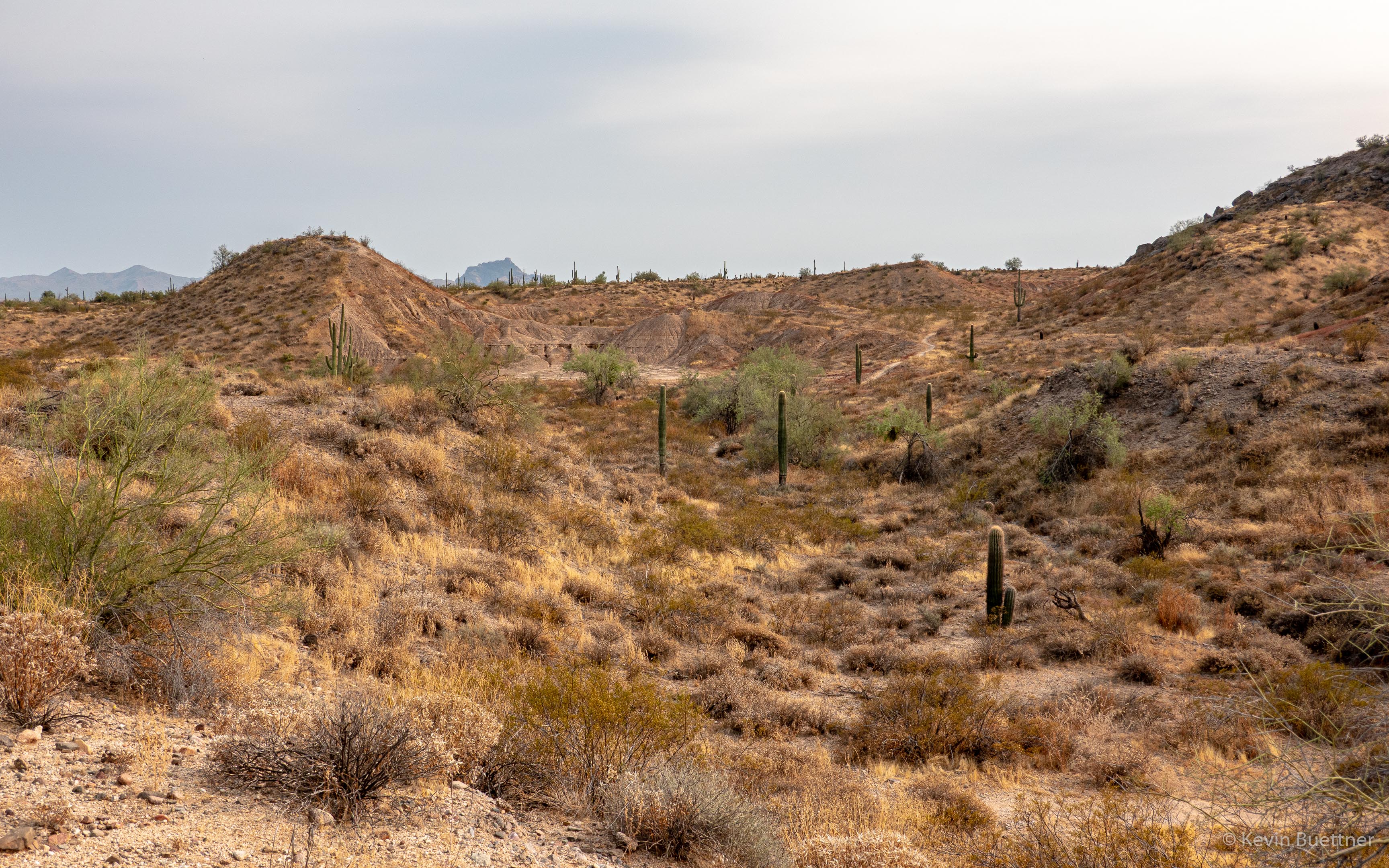
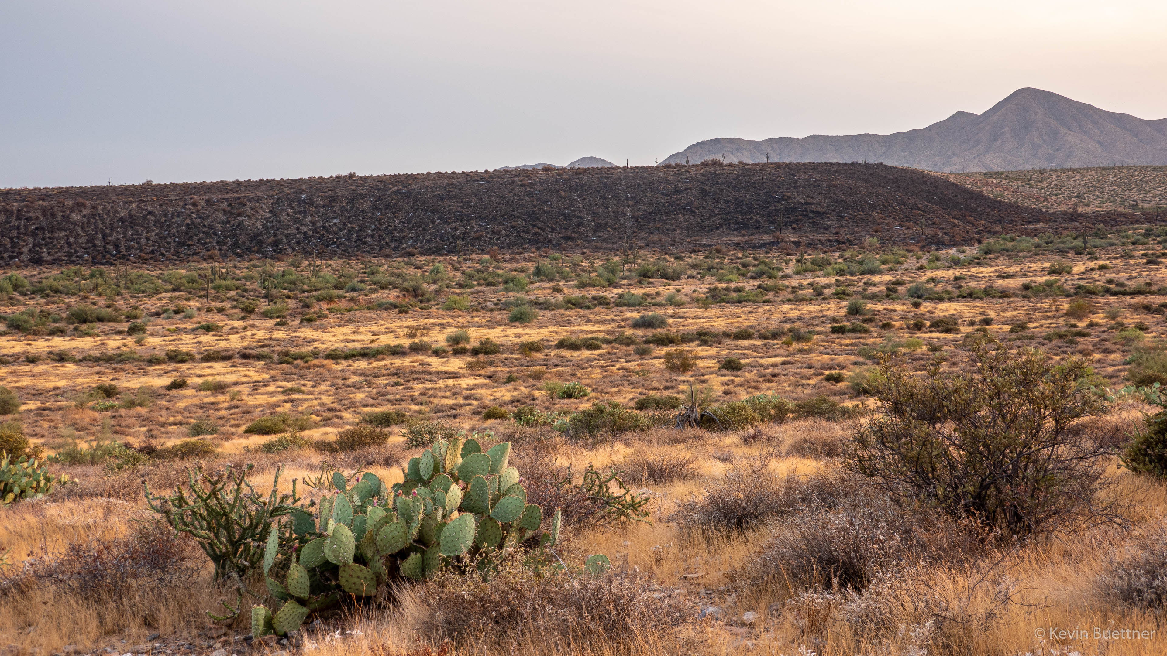
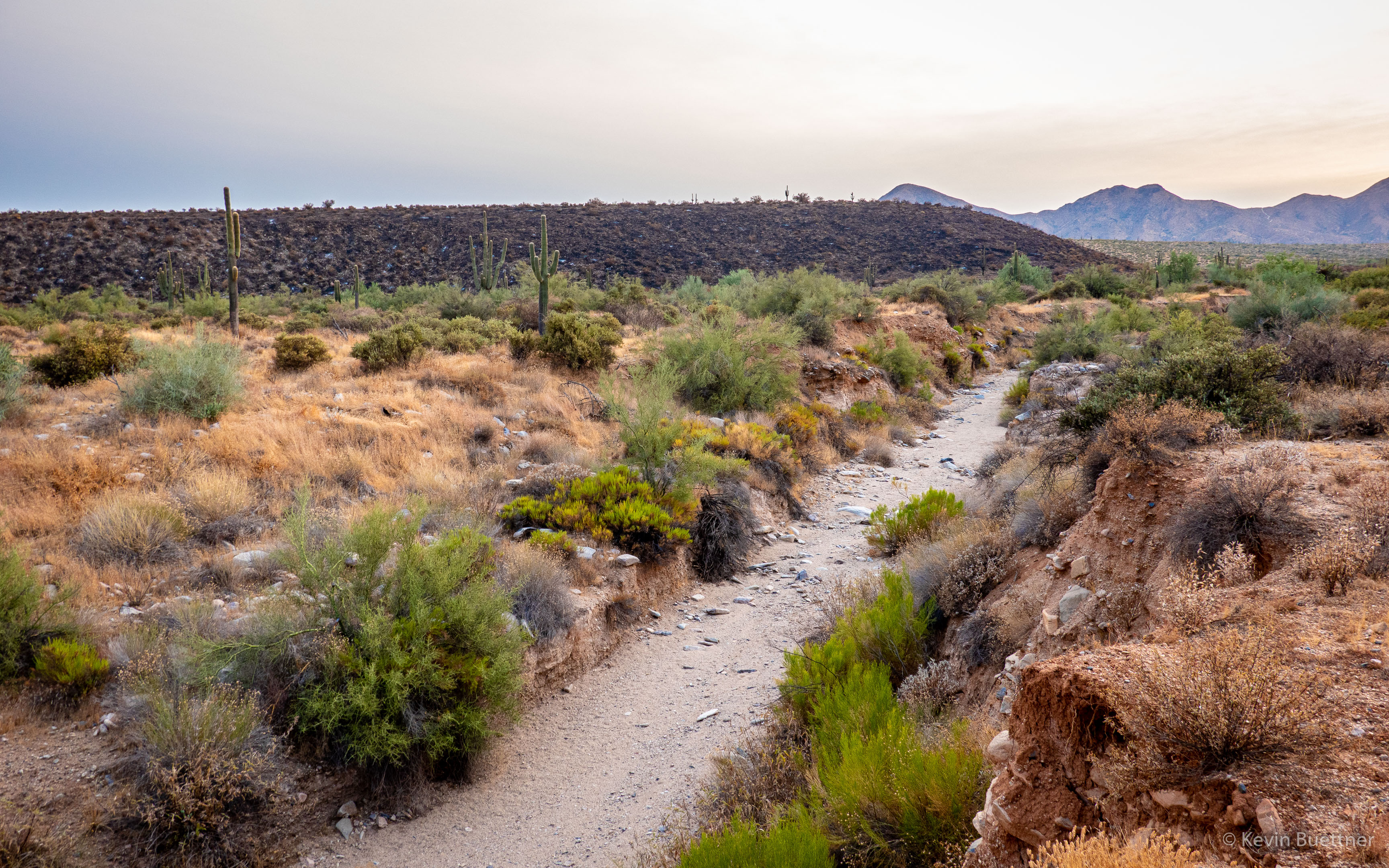
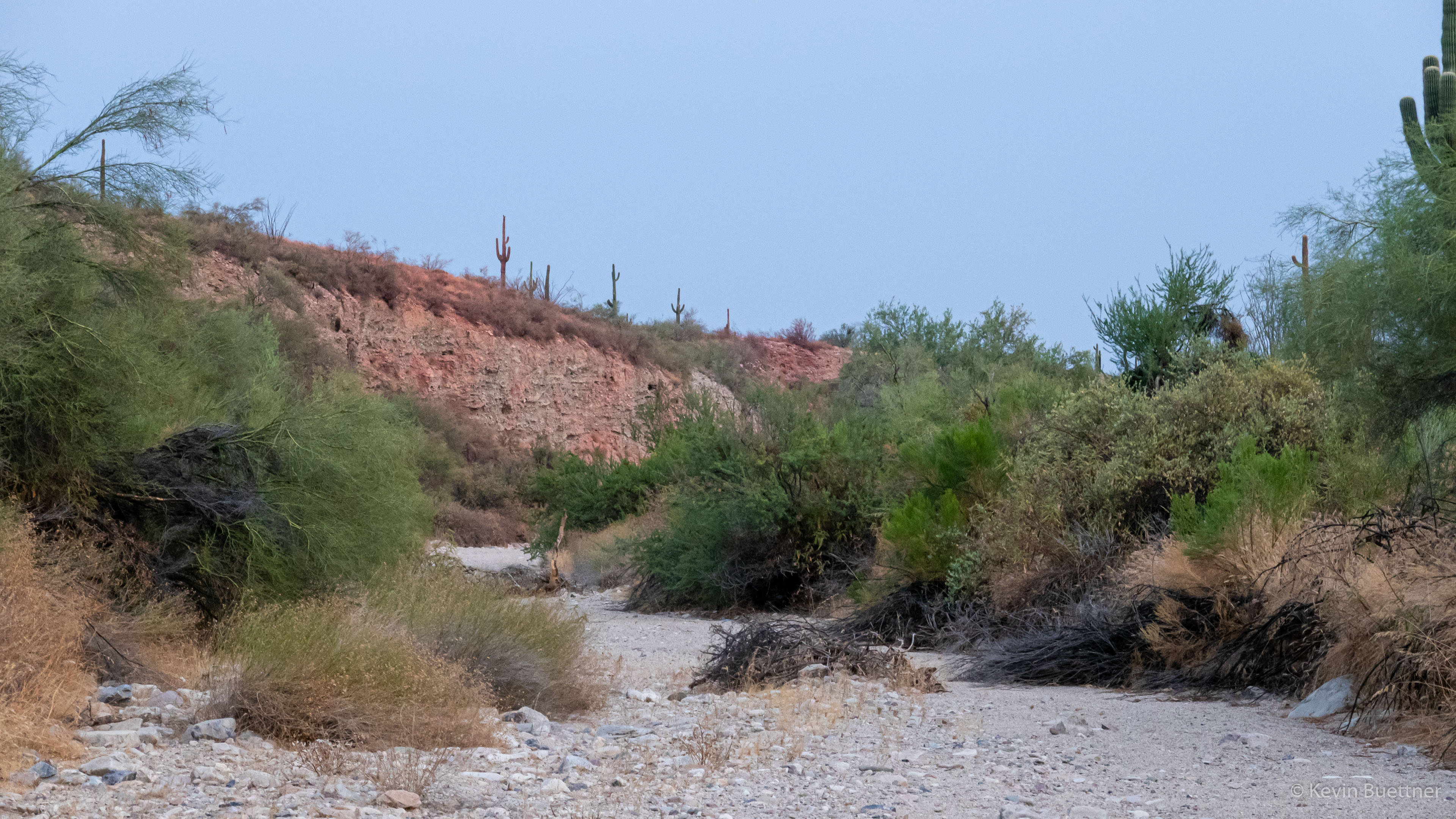
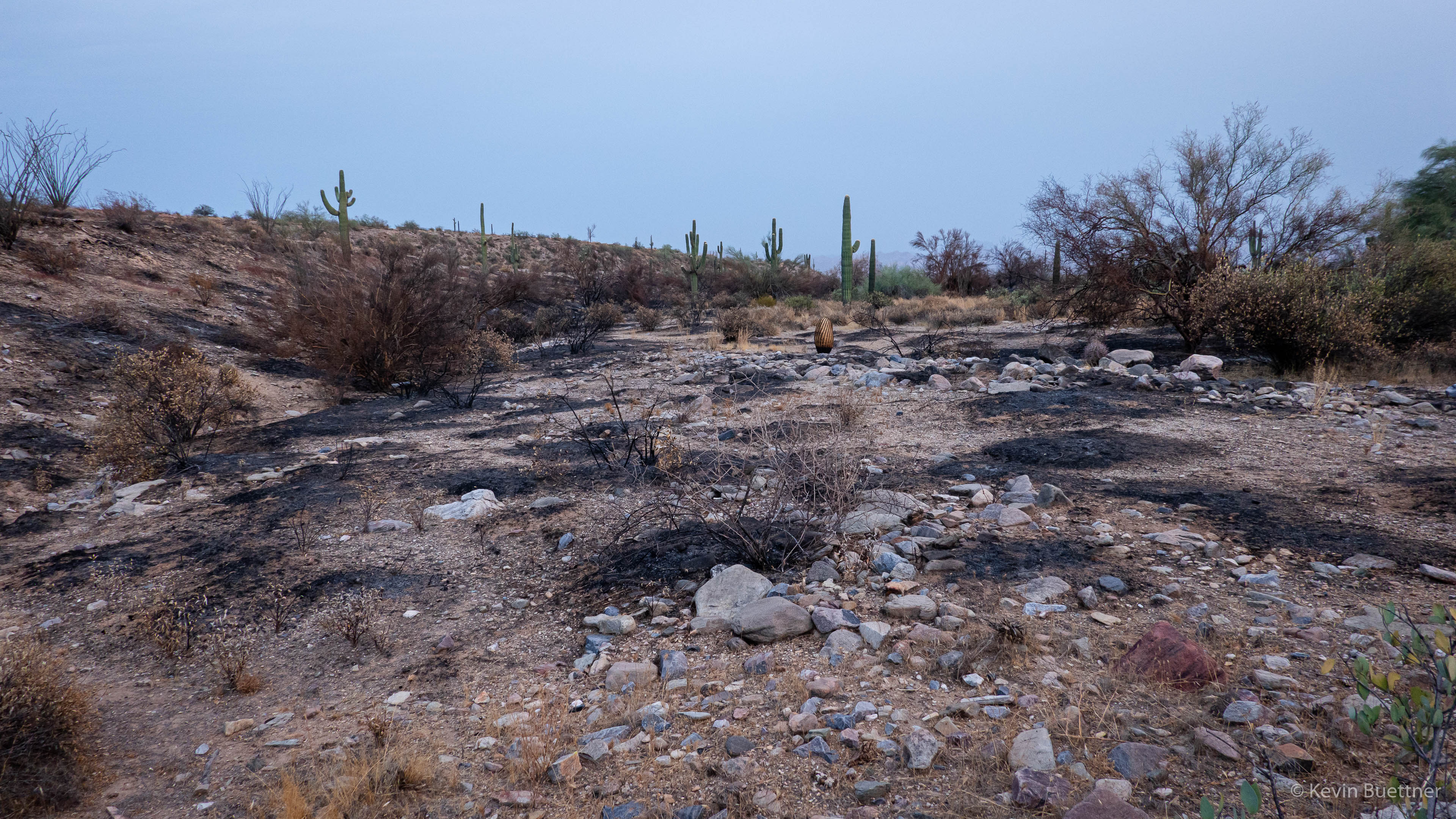
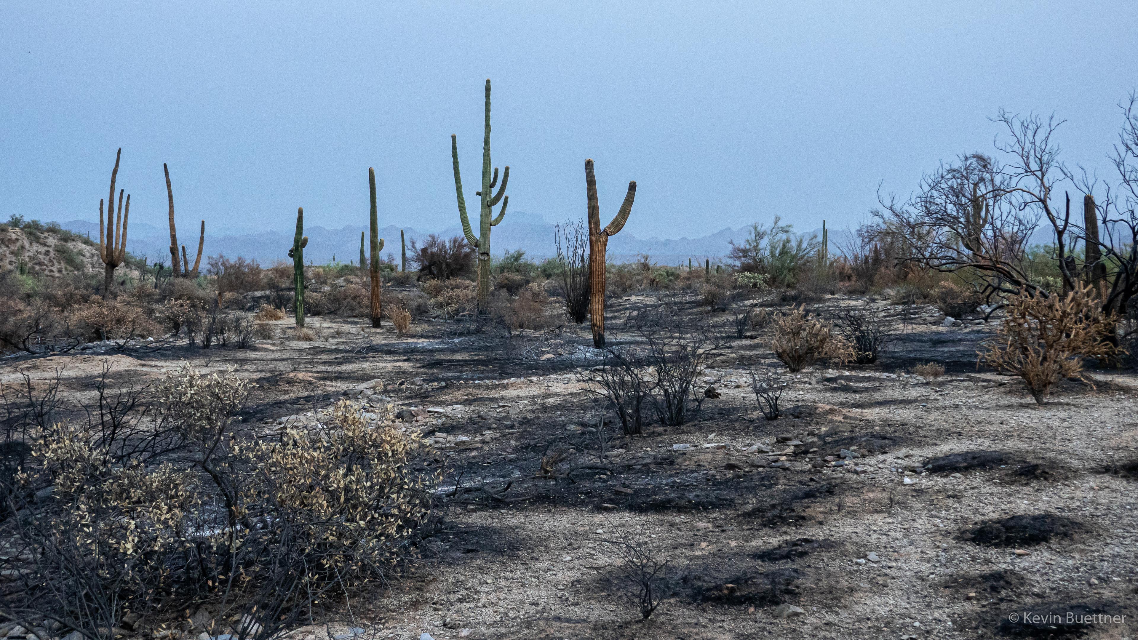
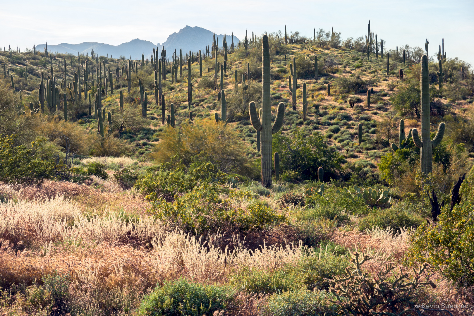
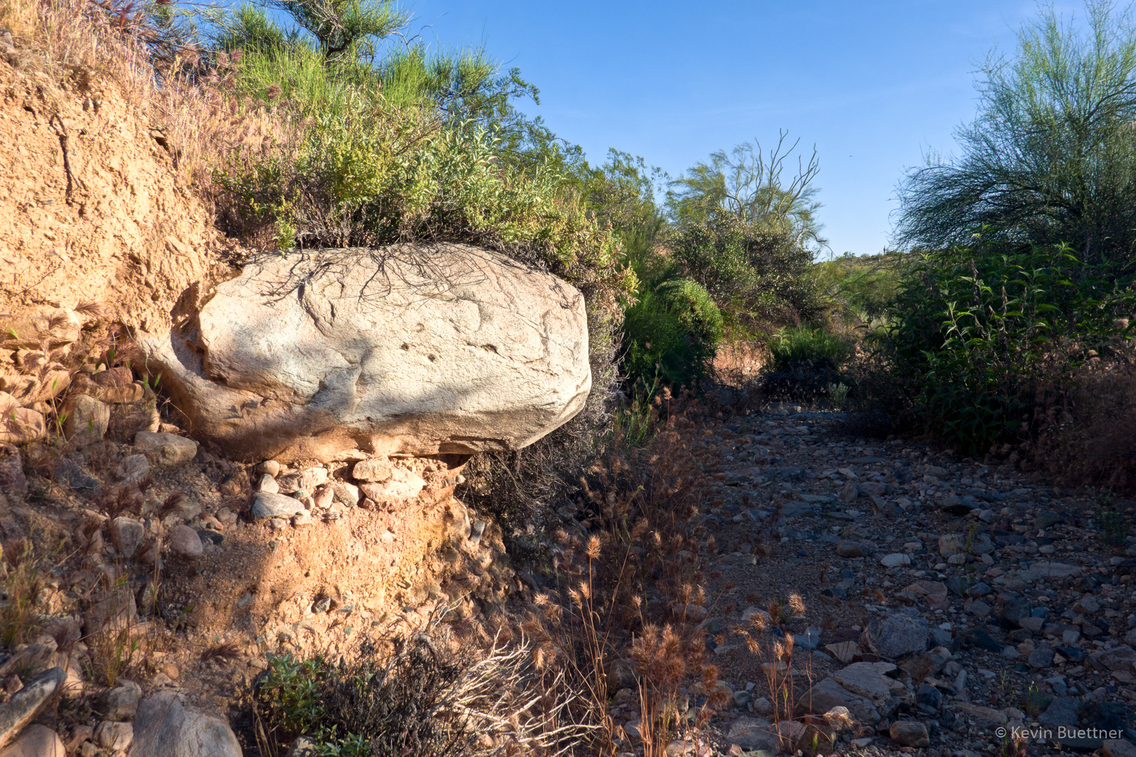
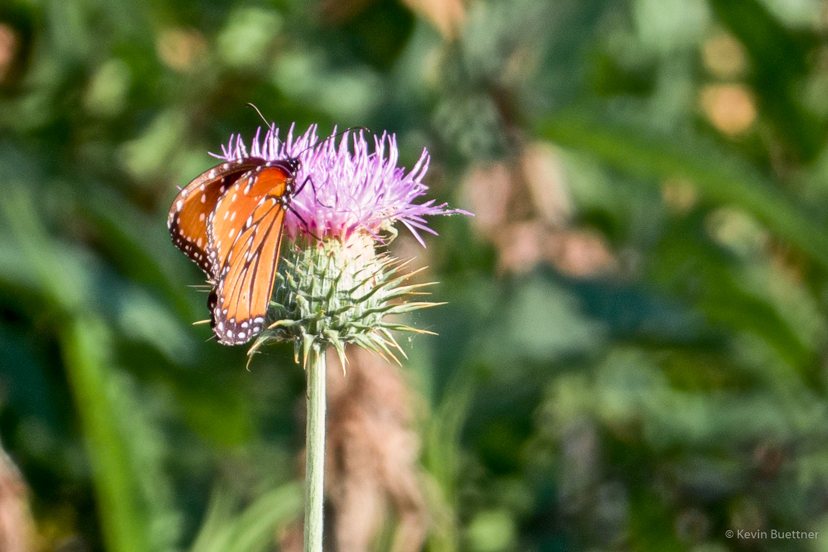
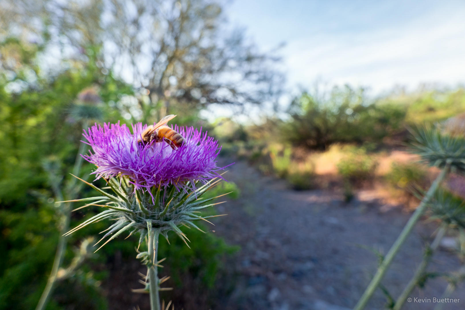
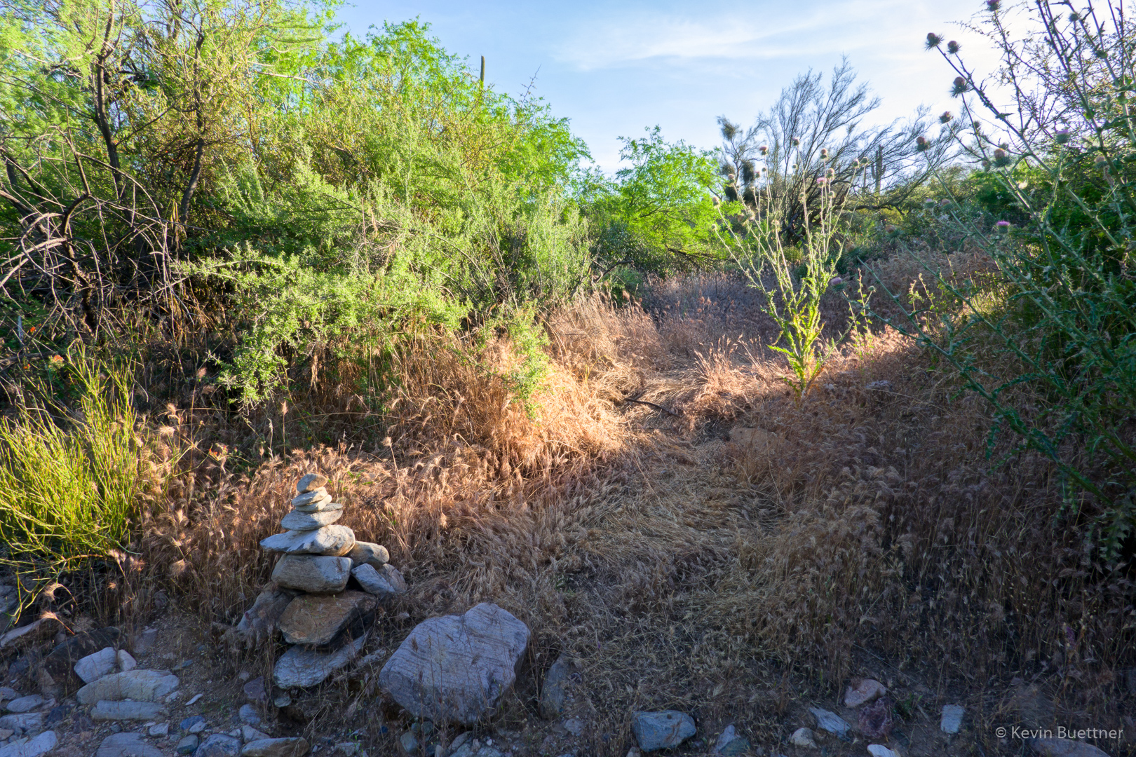
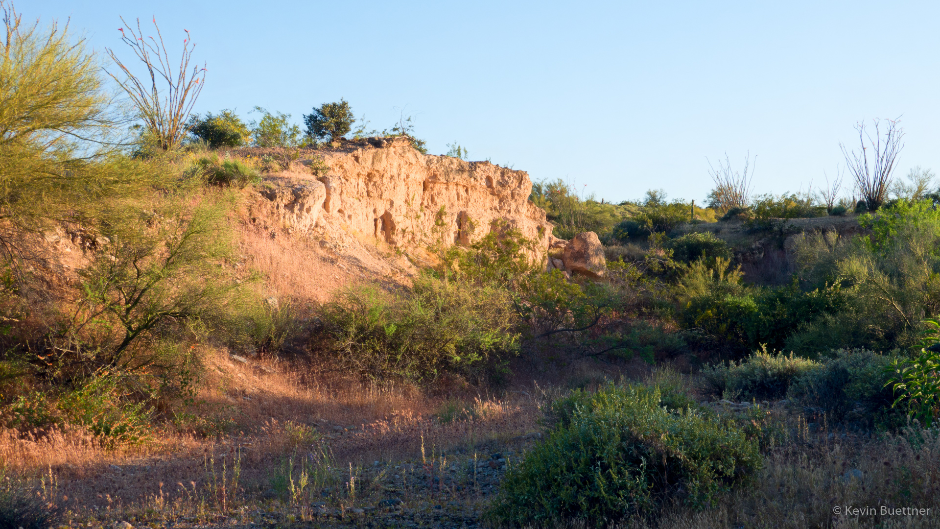
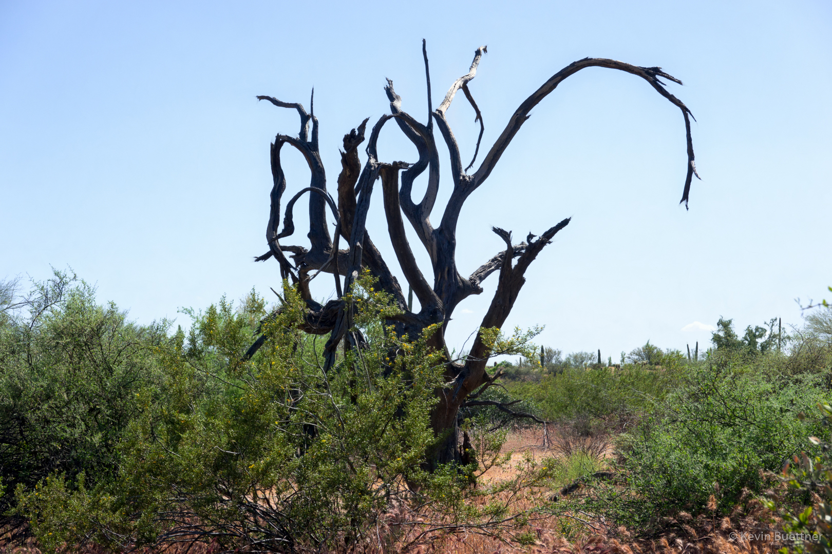
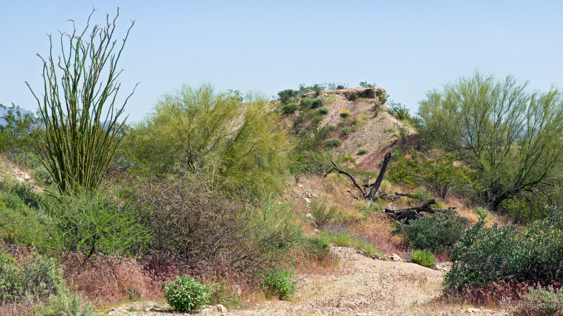
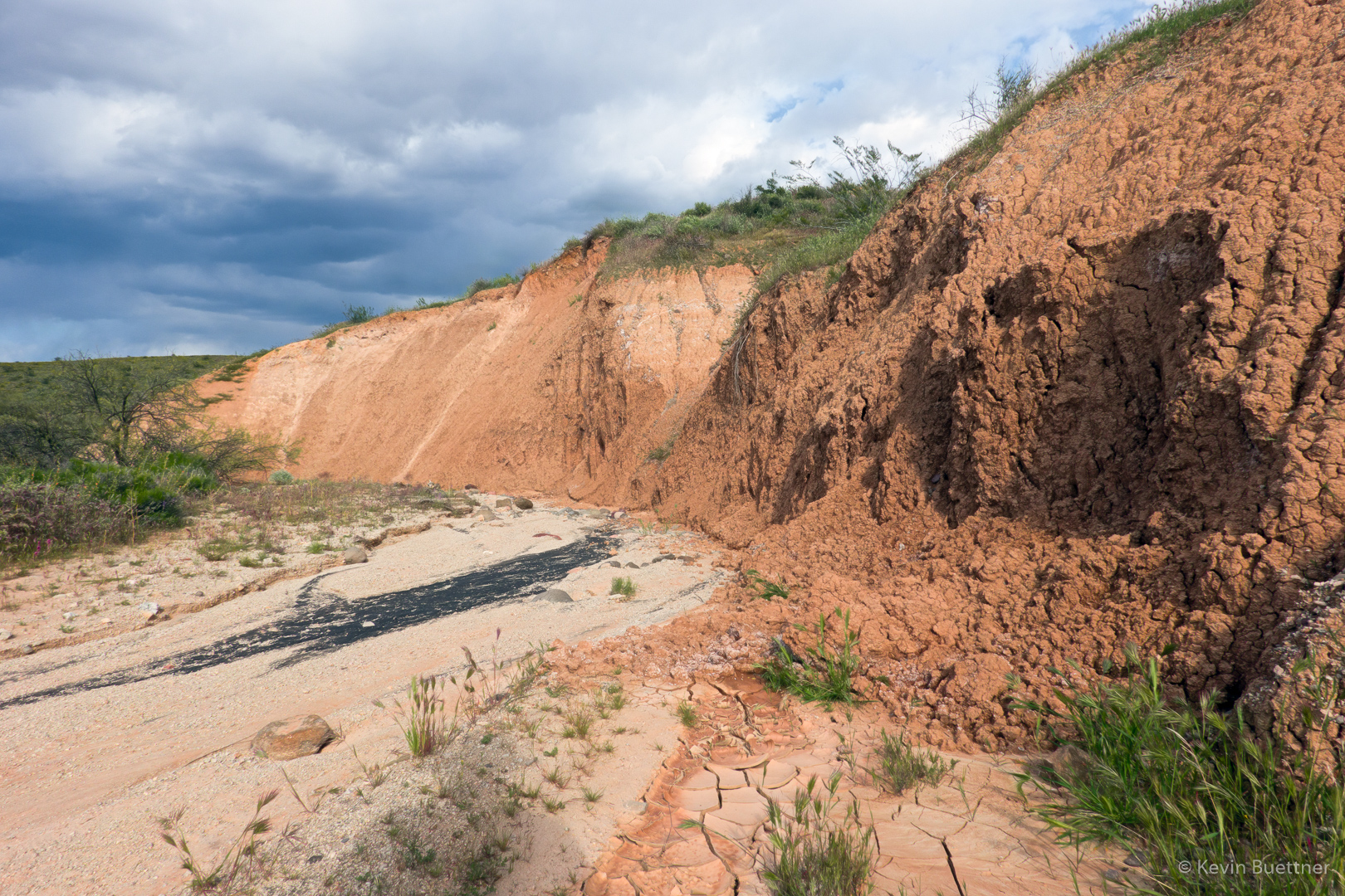
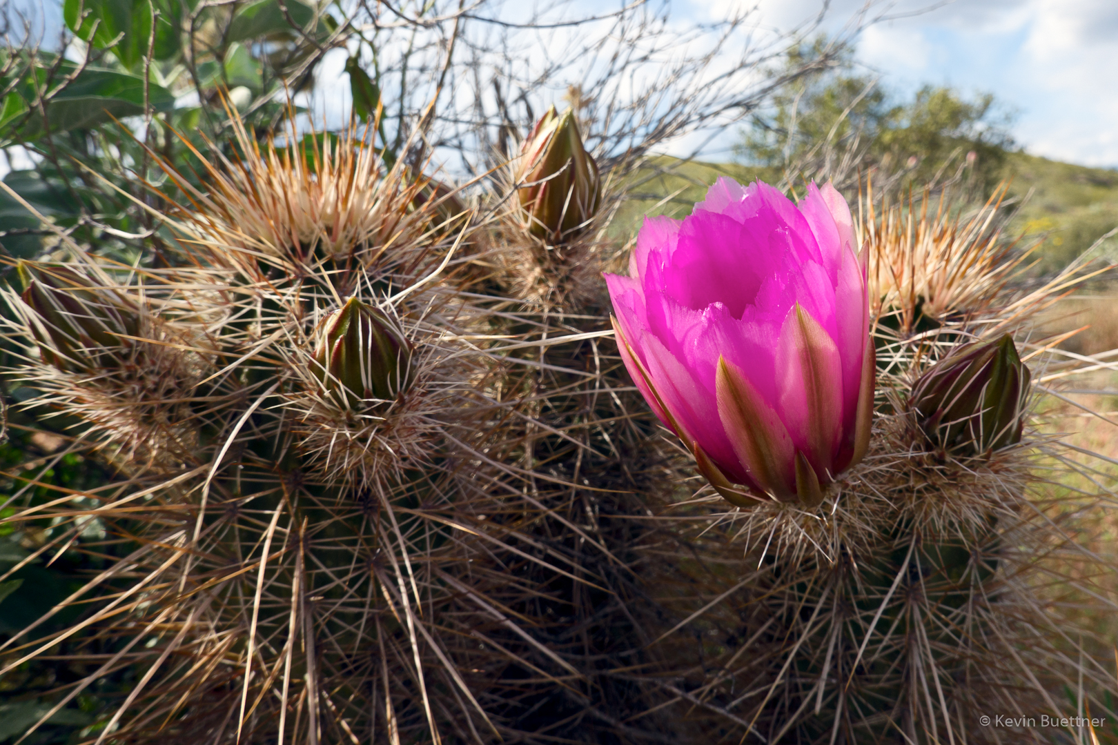
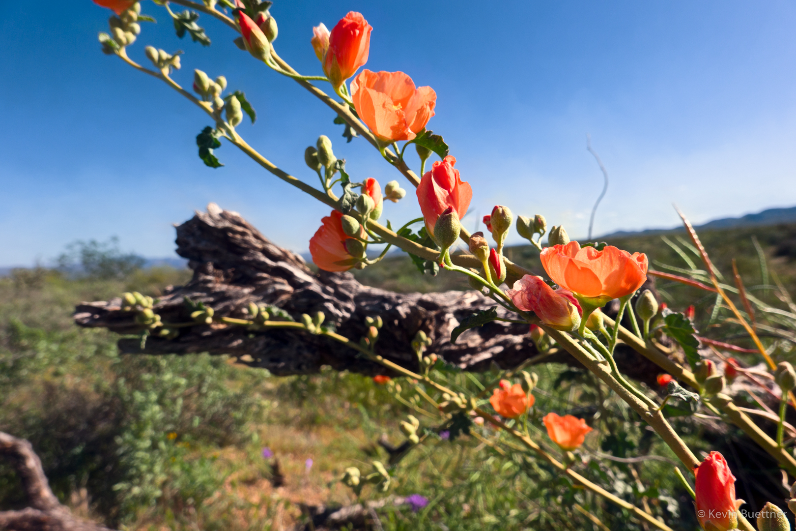
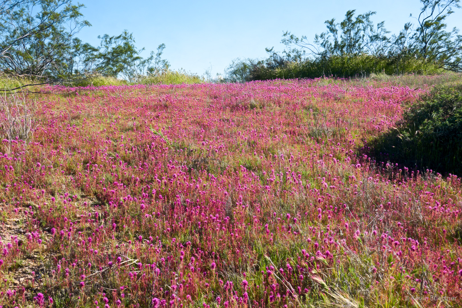
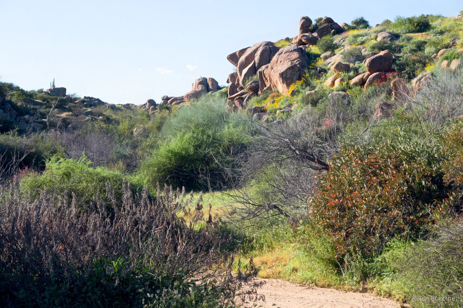
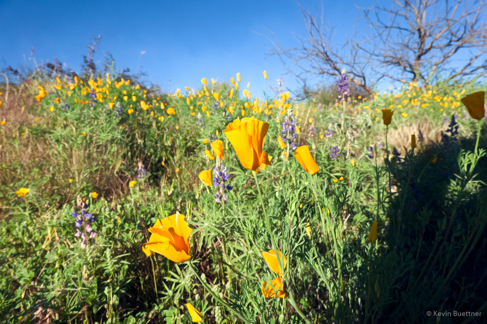
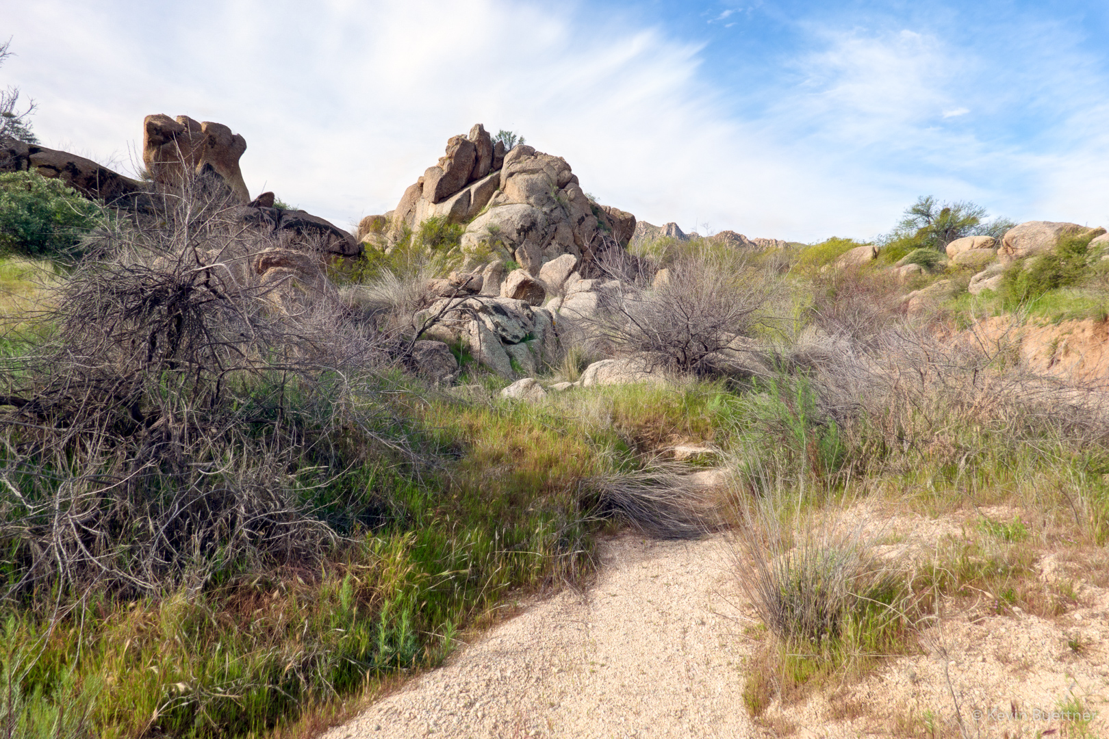
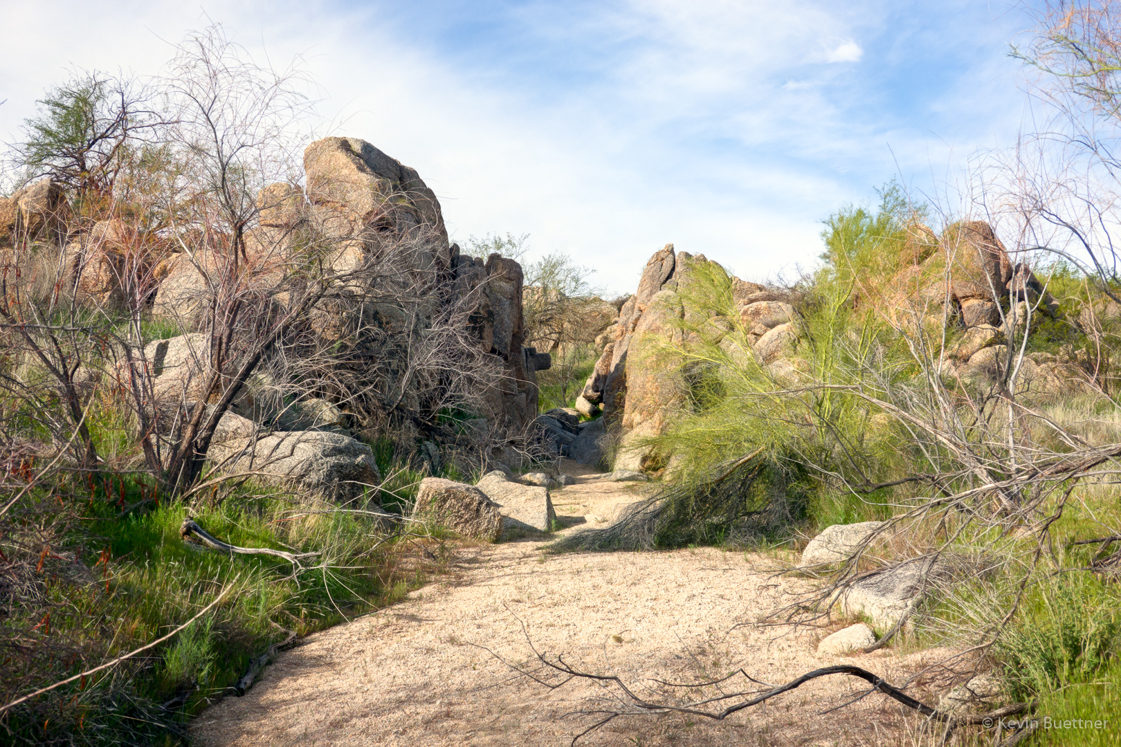
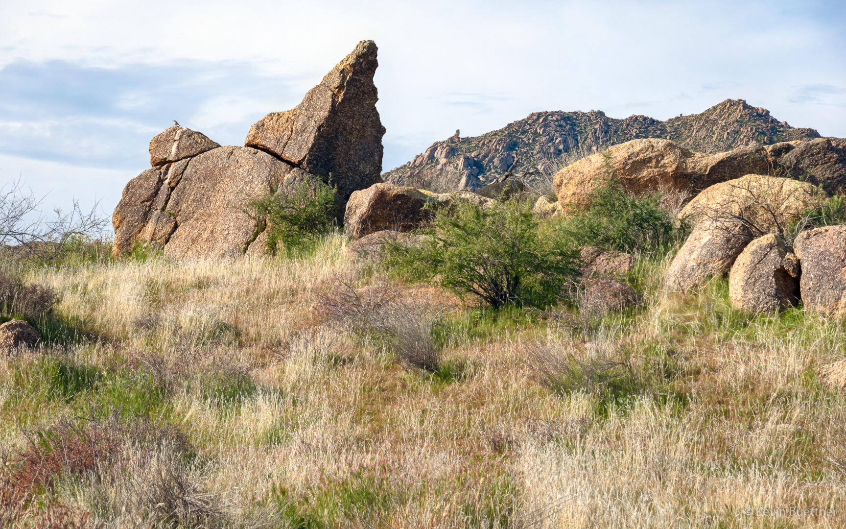
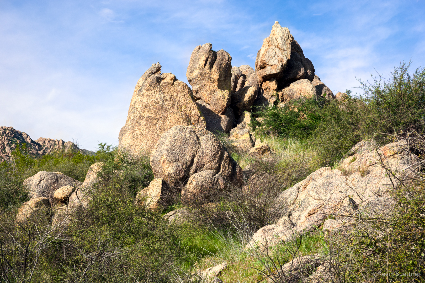
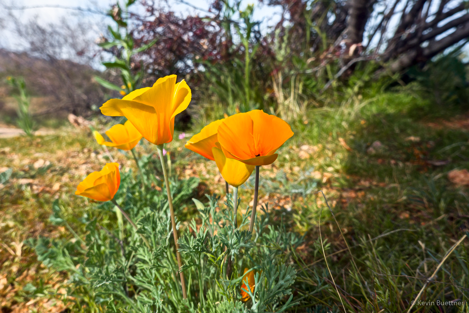
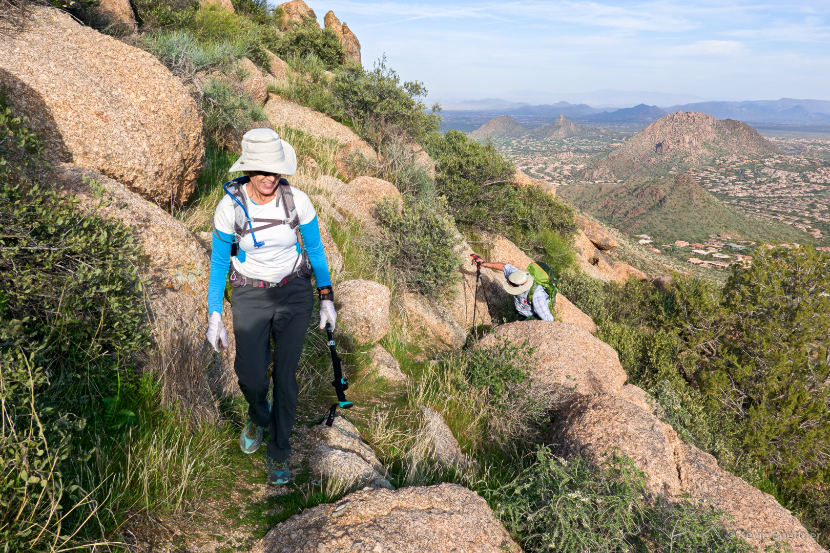
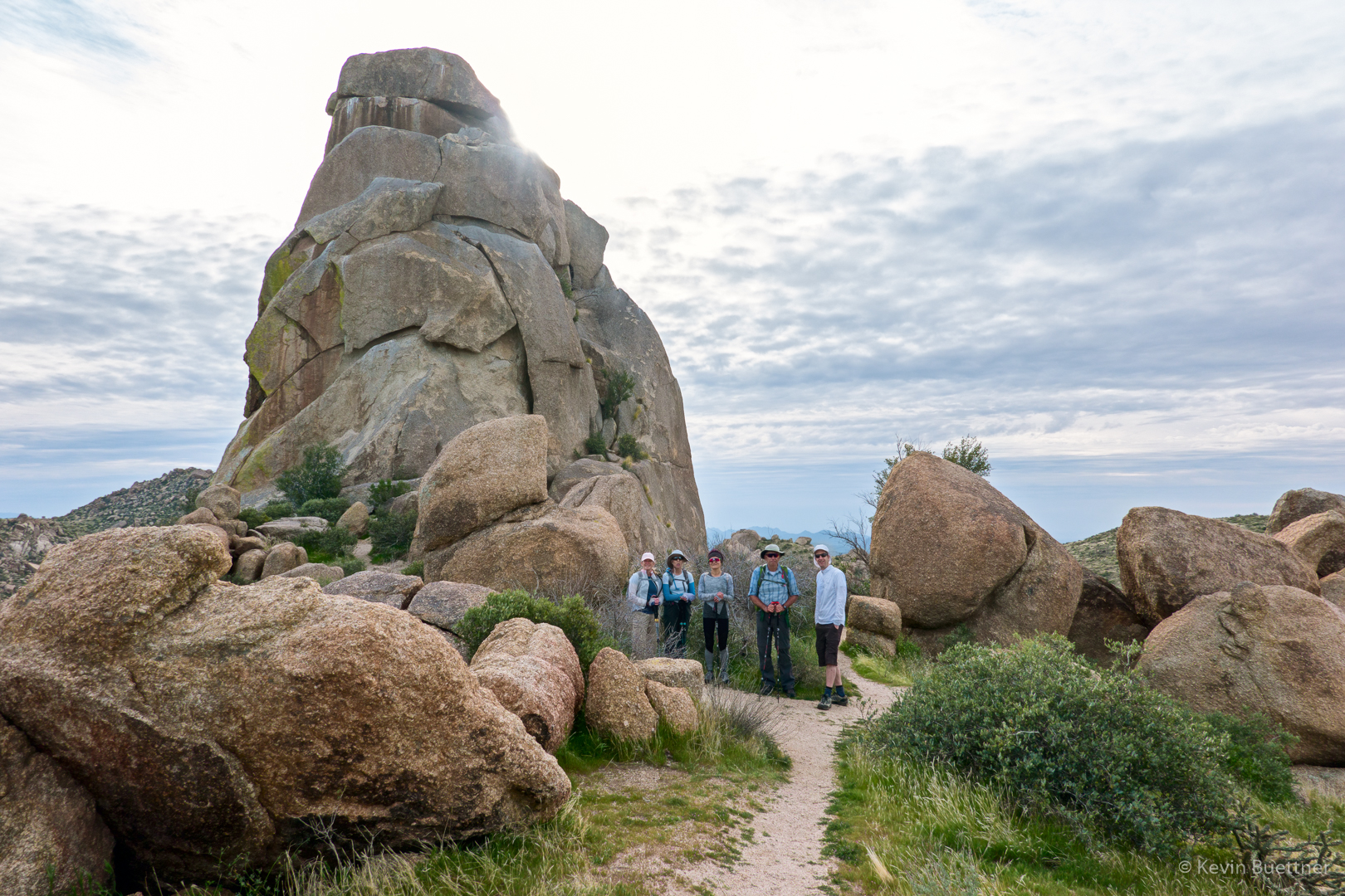
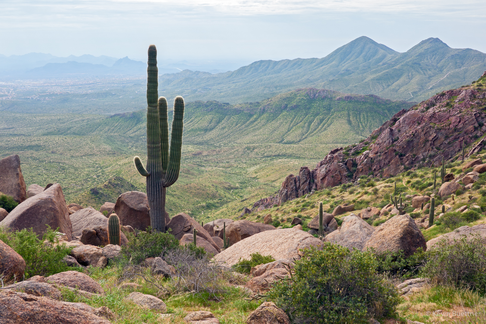
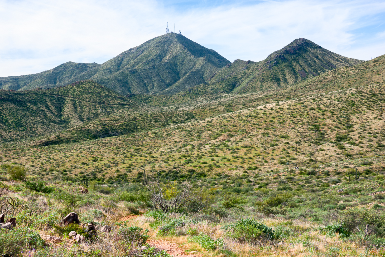
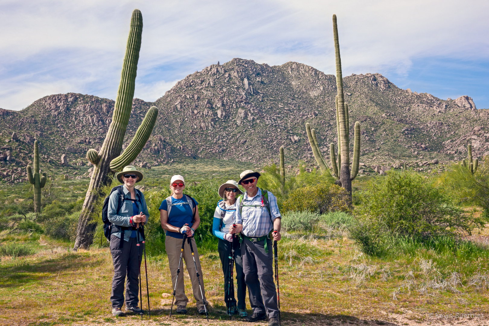
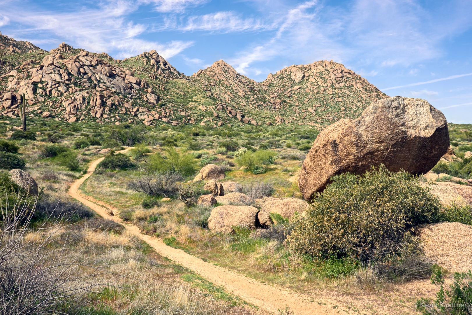
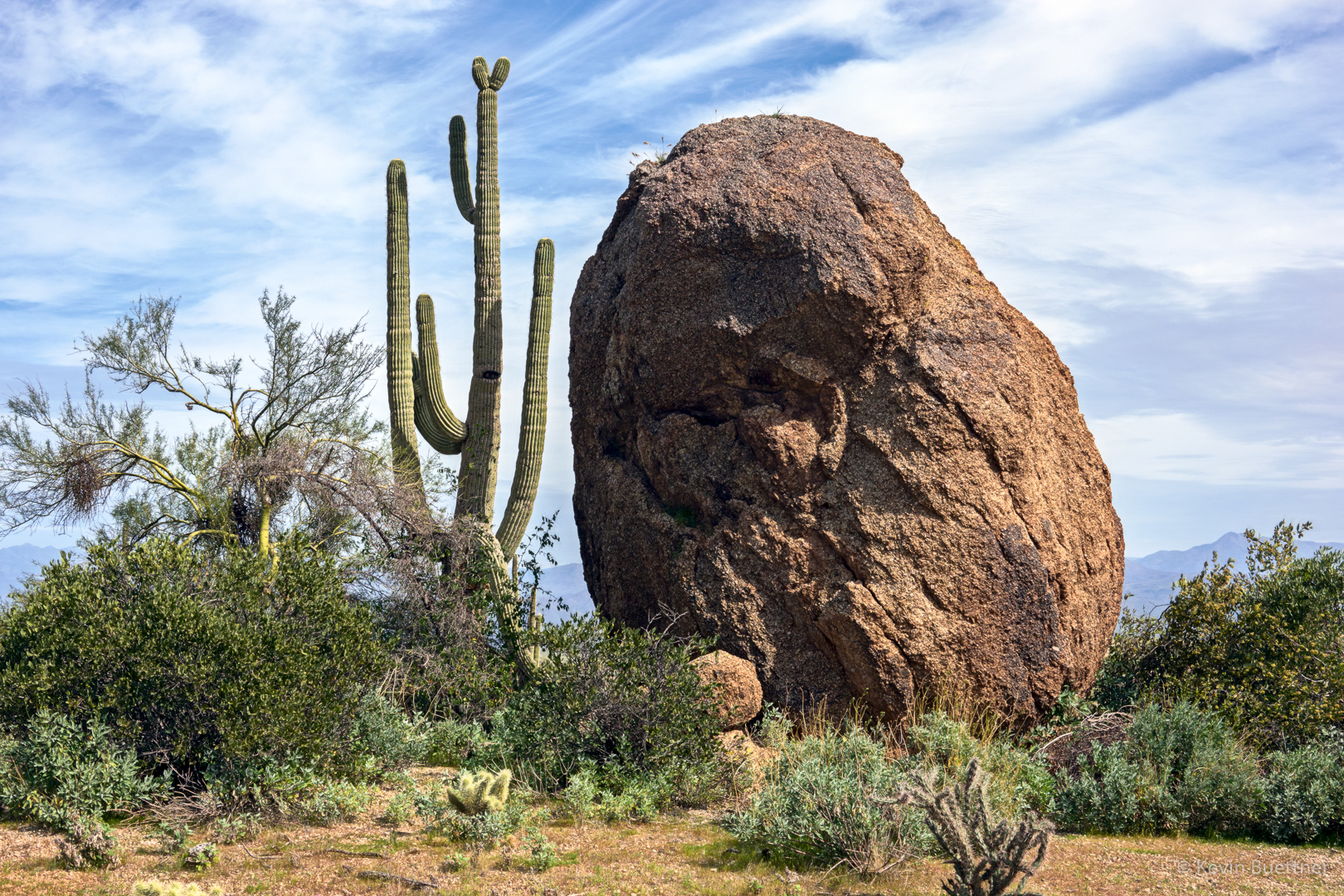
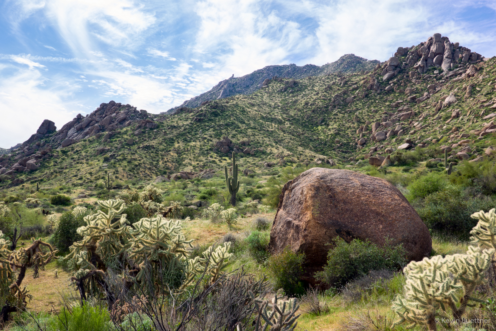
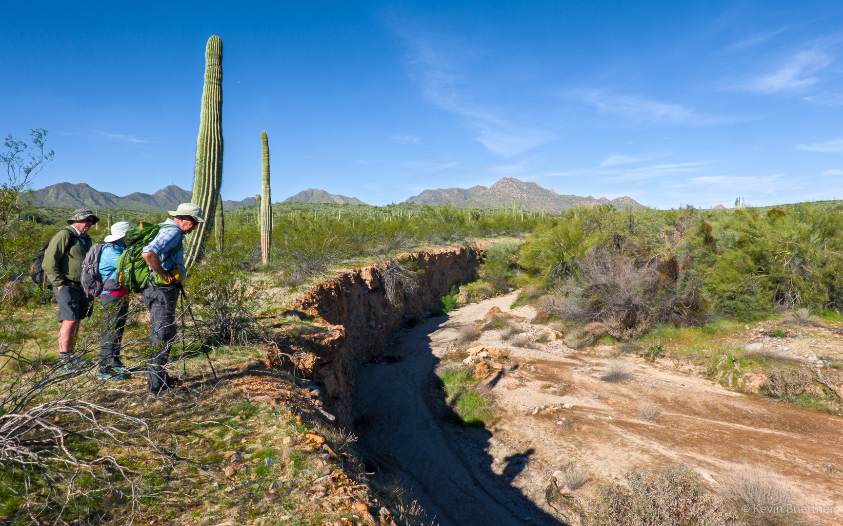
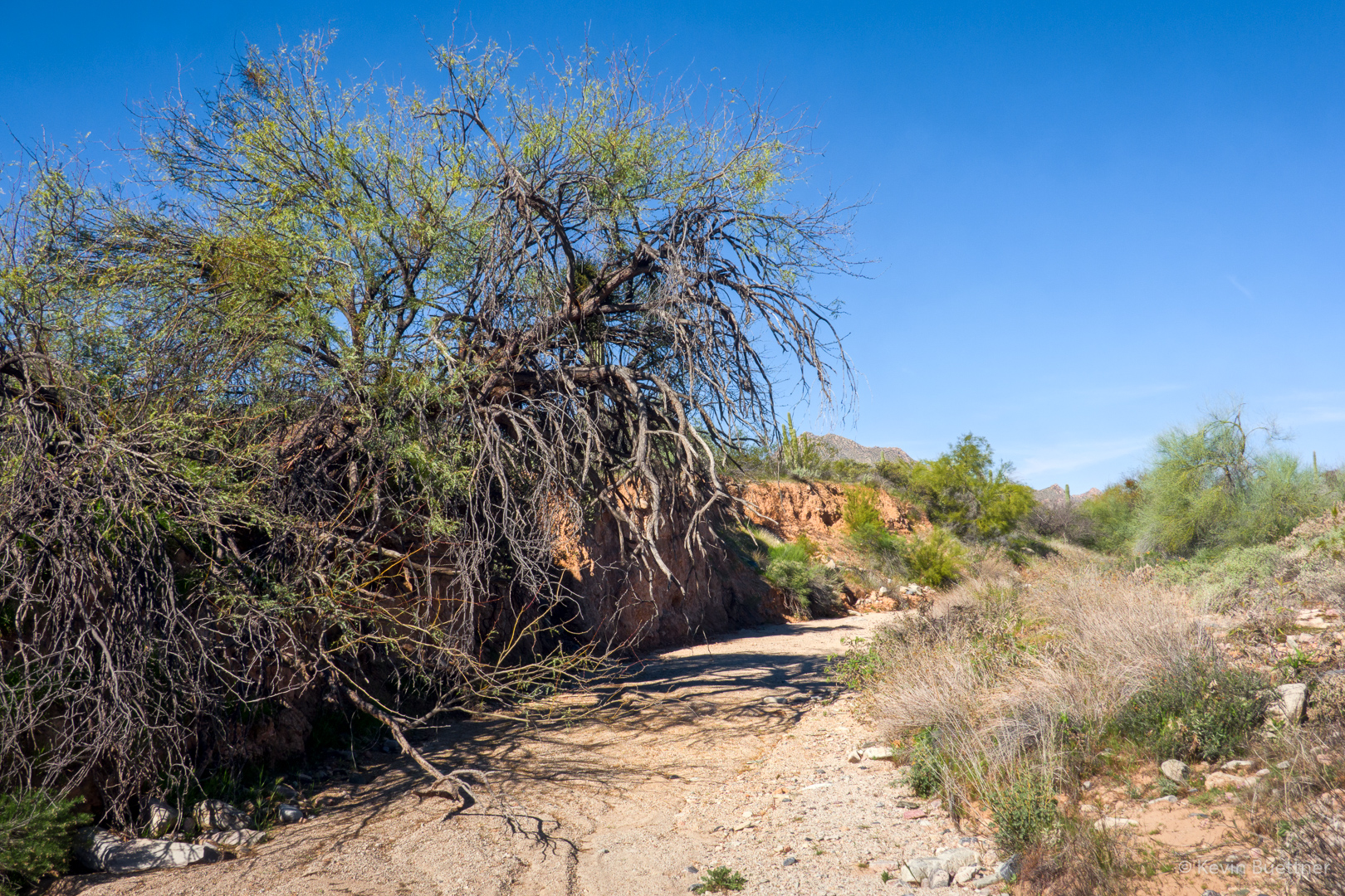
Marilyn and I hiked 9.5 miles on the Pemberton and Tonto Tank Trails. We saw more fire damage from the Pemberton – see my earlier post for those photos.

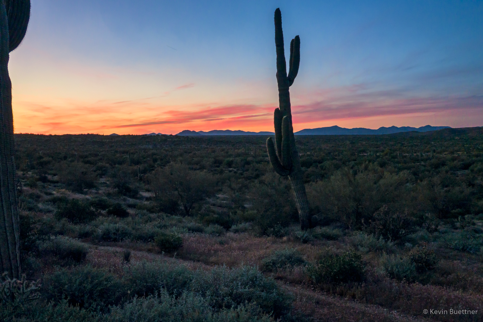
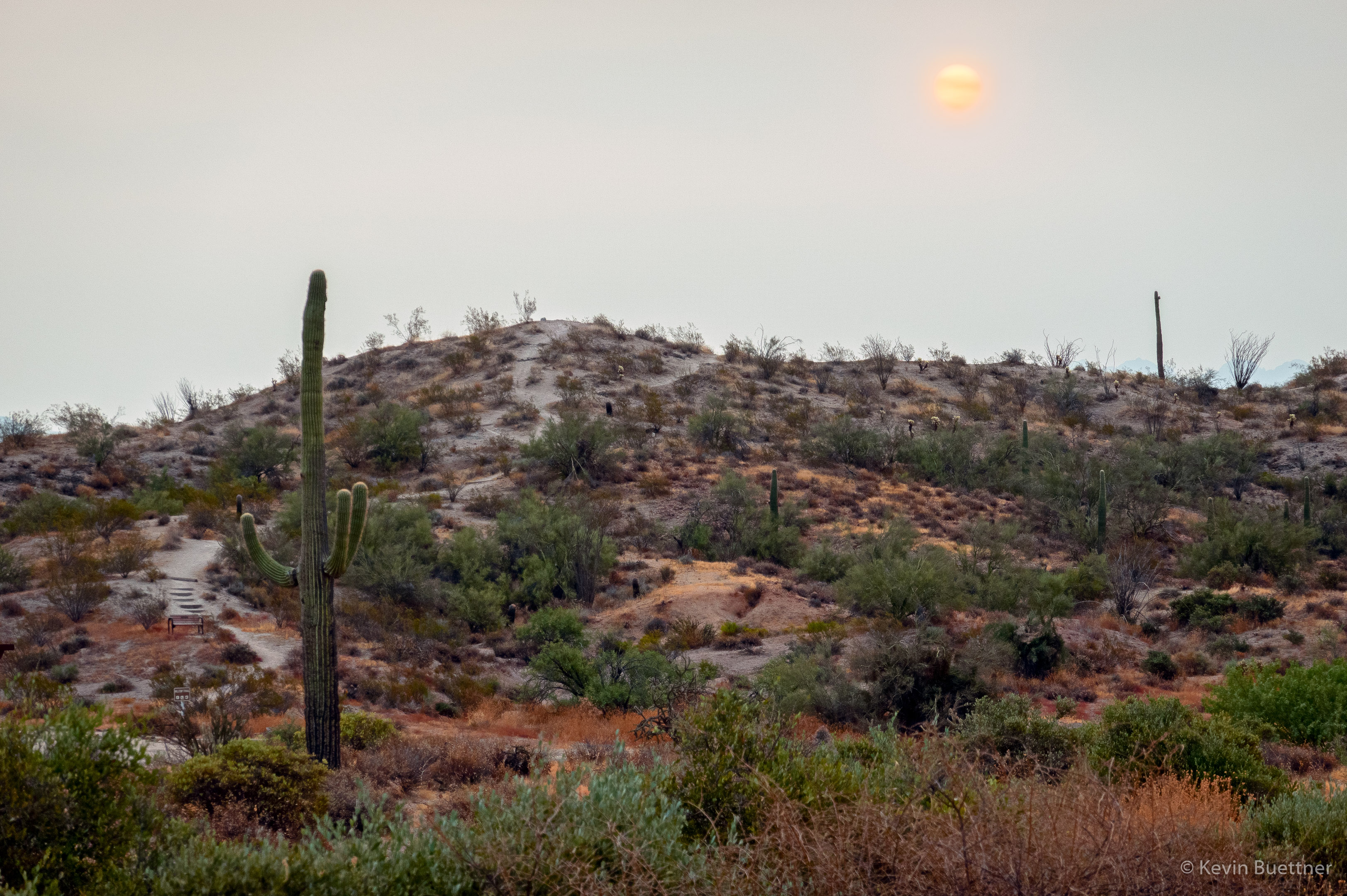
Haze on the horizon made the rising sun look more like a moon.  It may actually have been redder than shown in this photo.

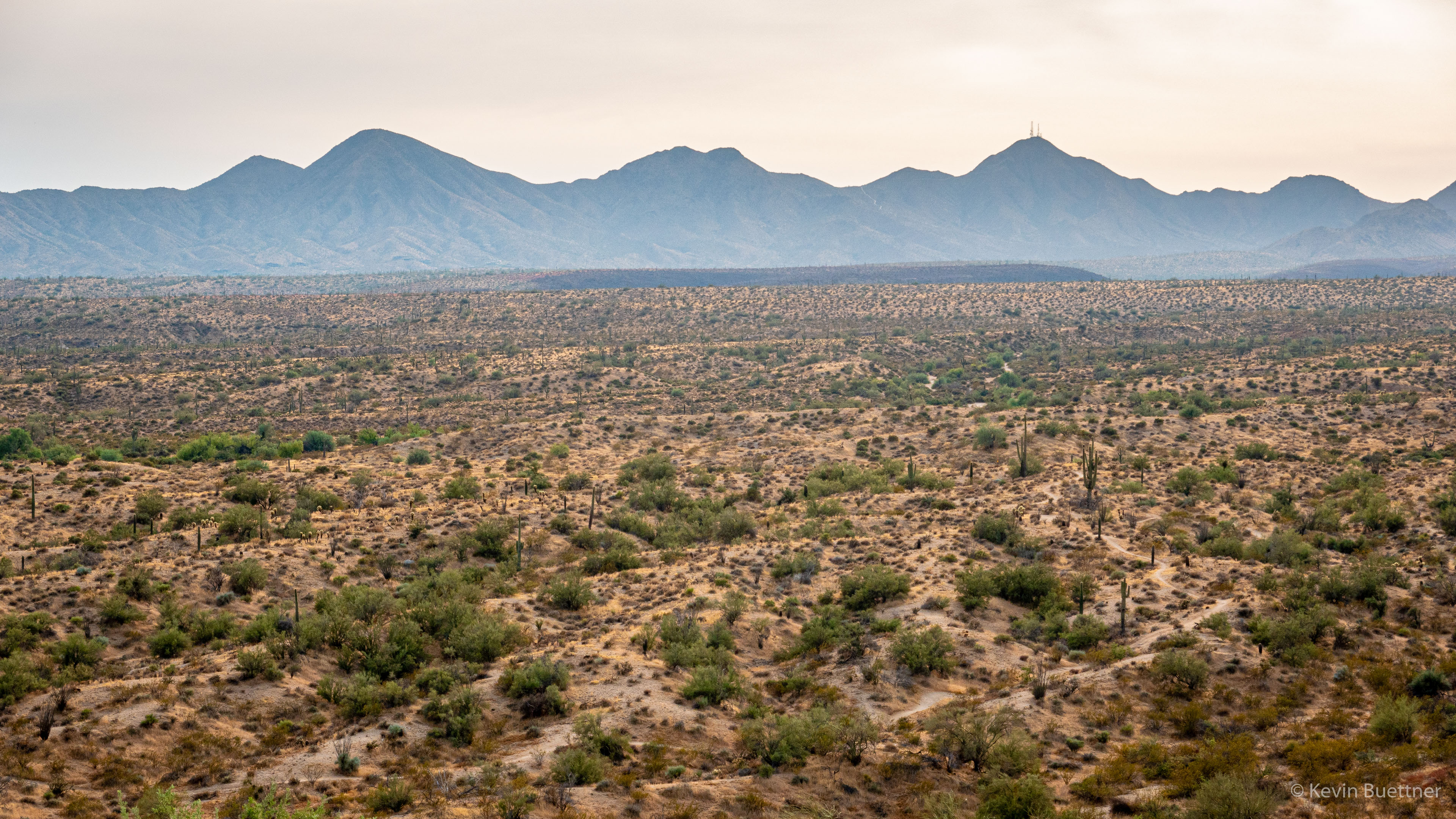
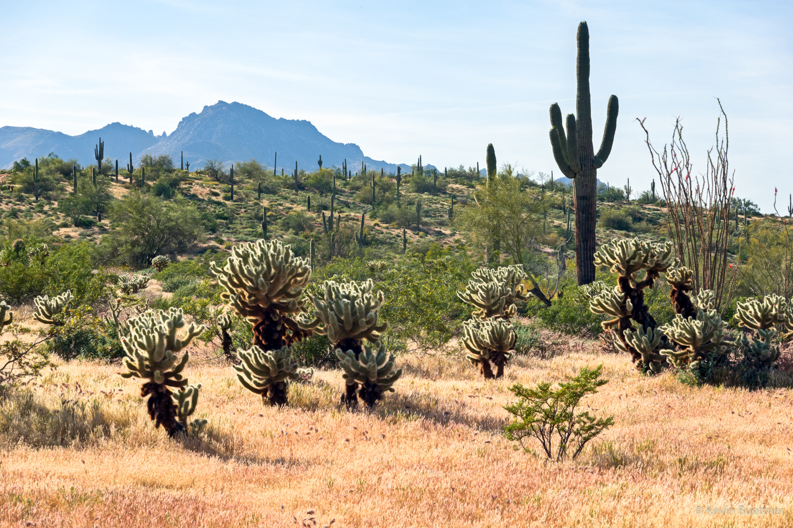
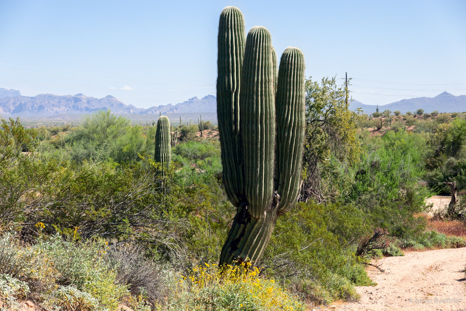
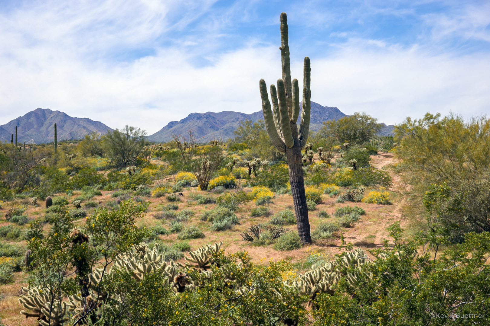
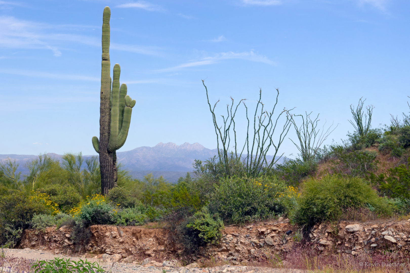
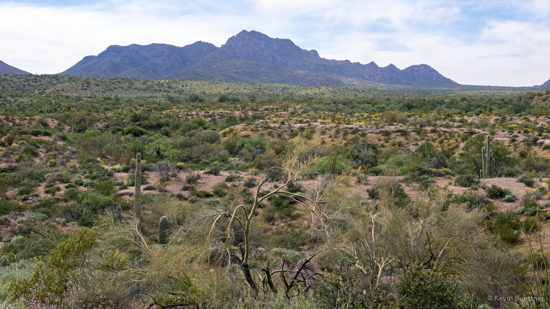
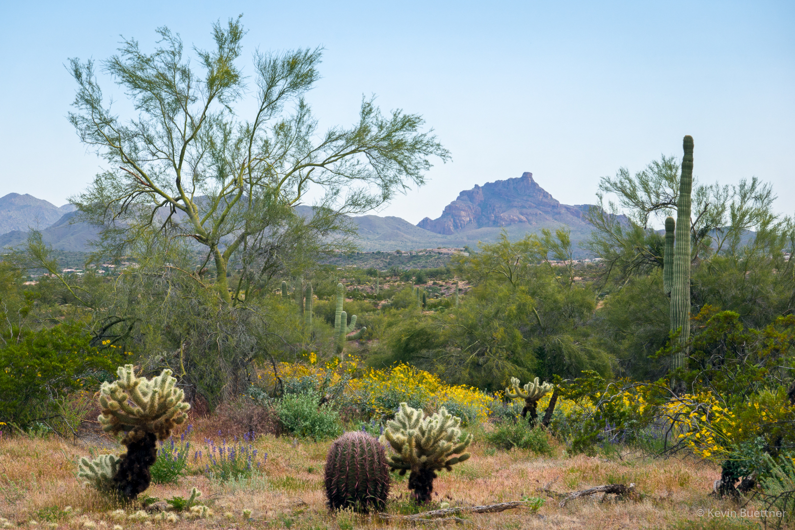
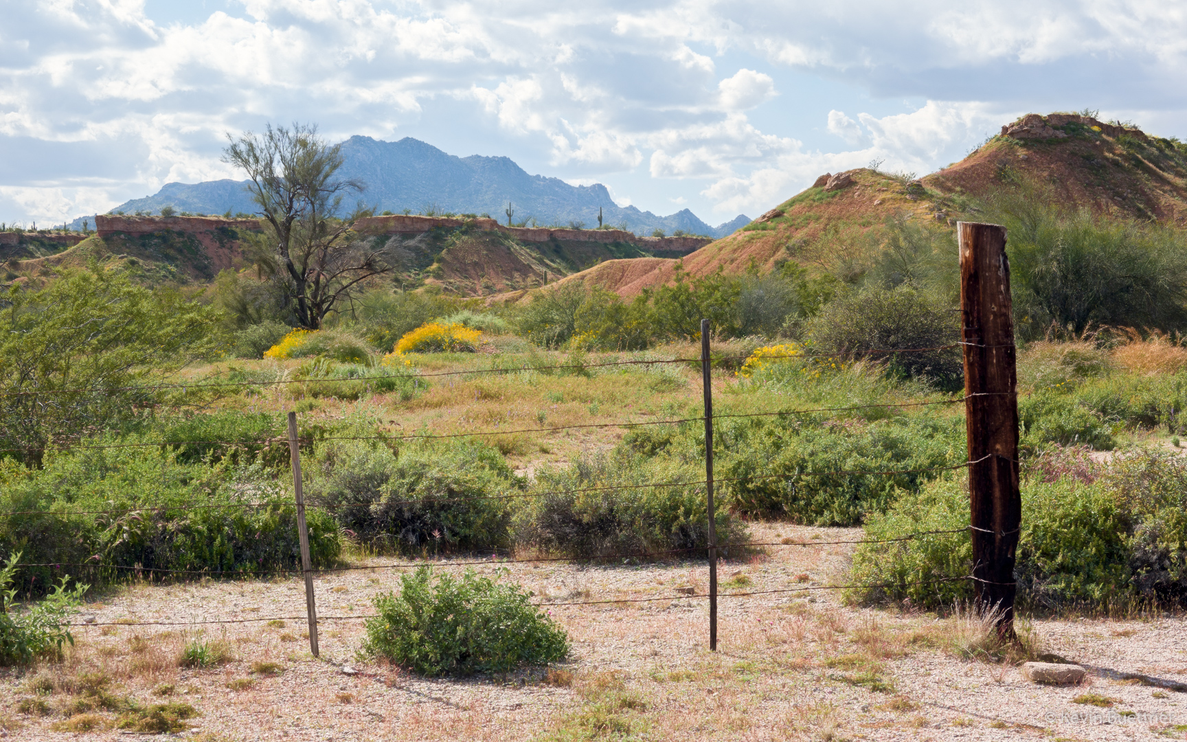
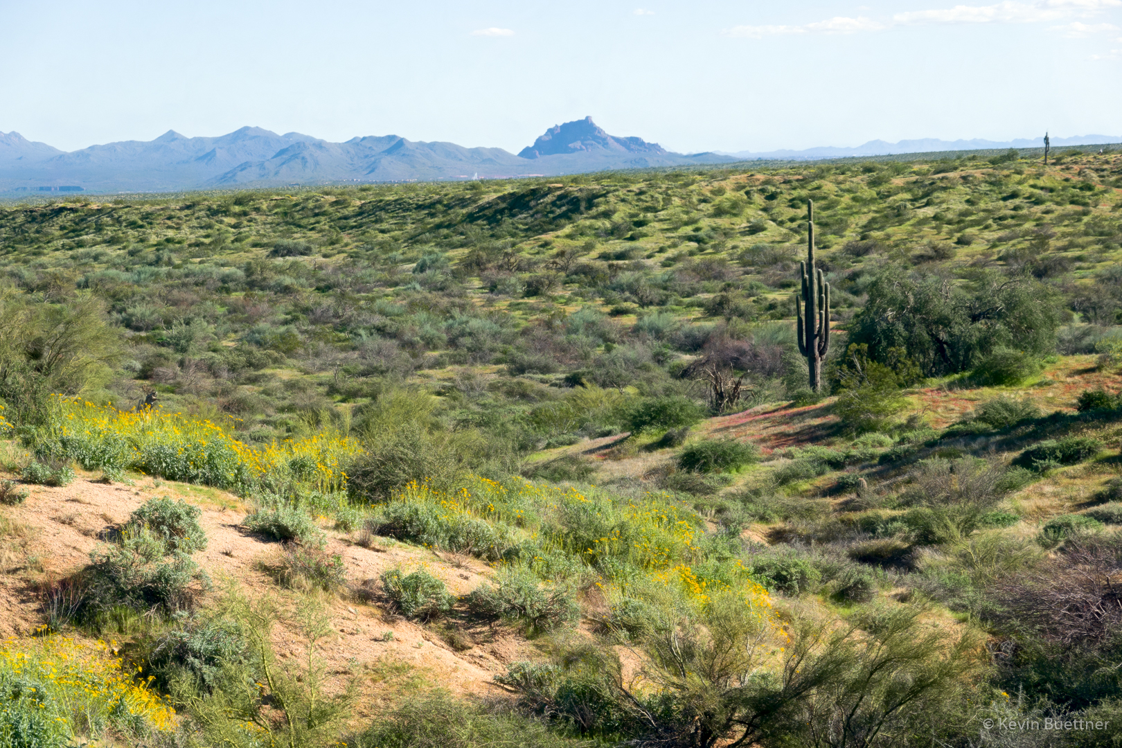
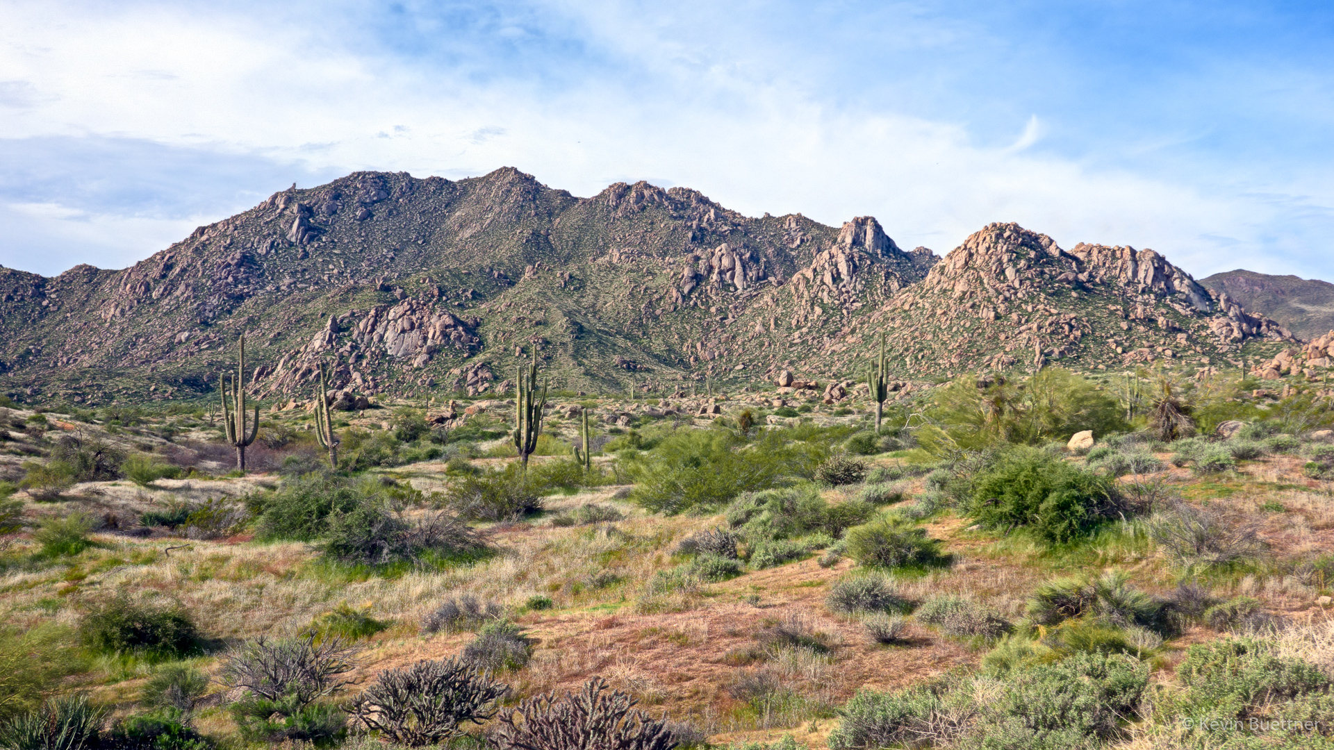
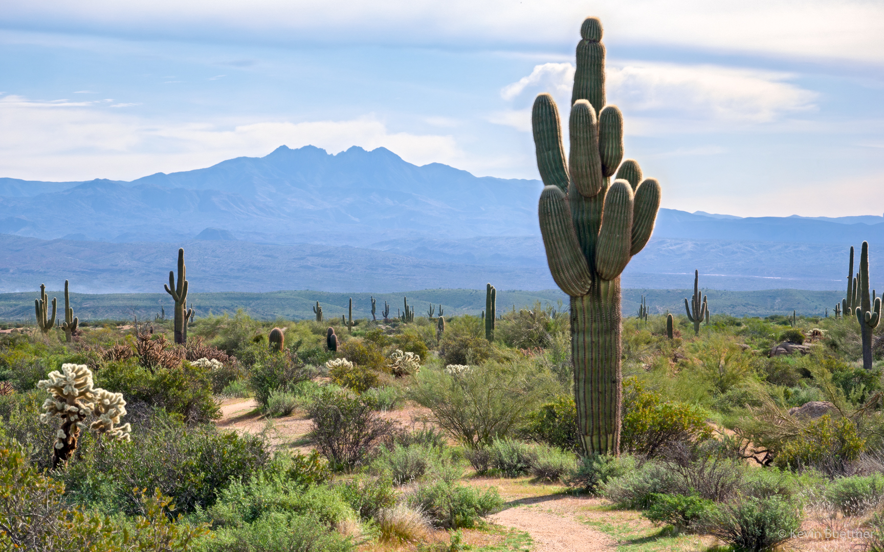
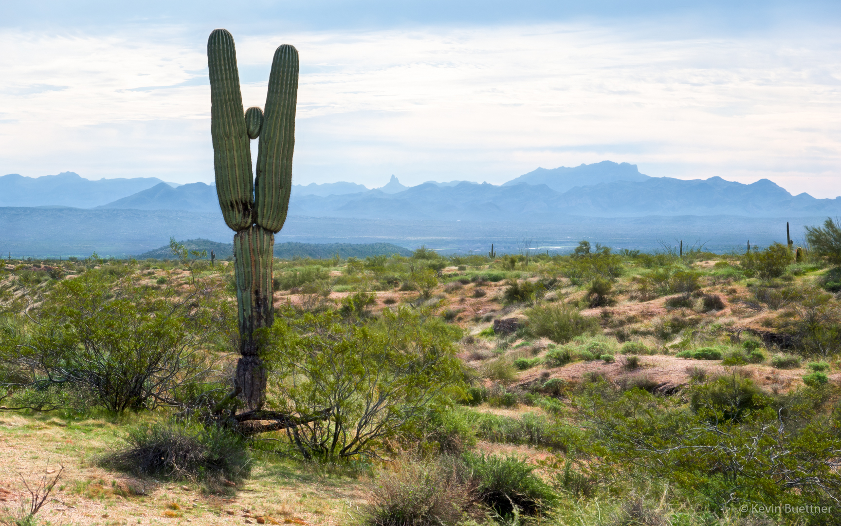
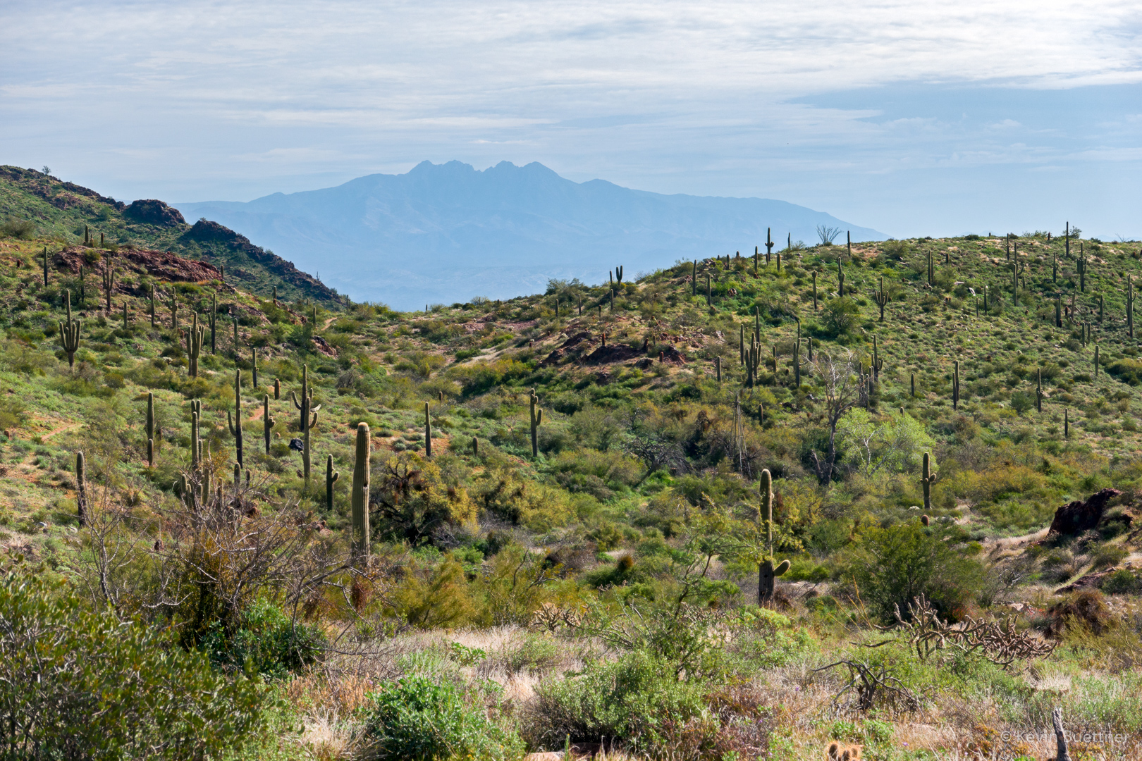
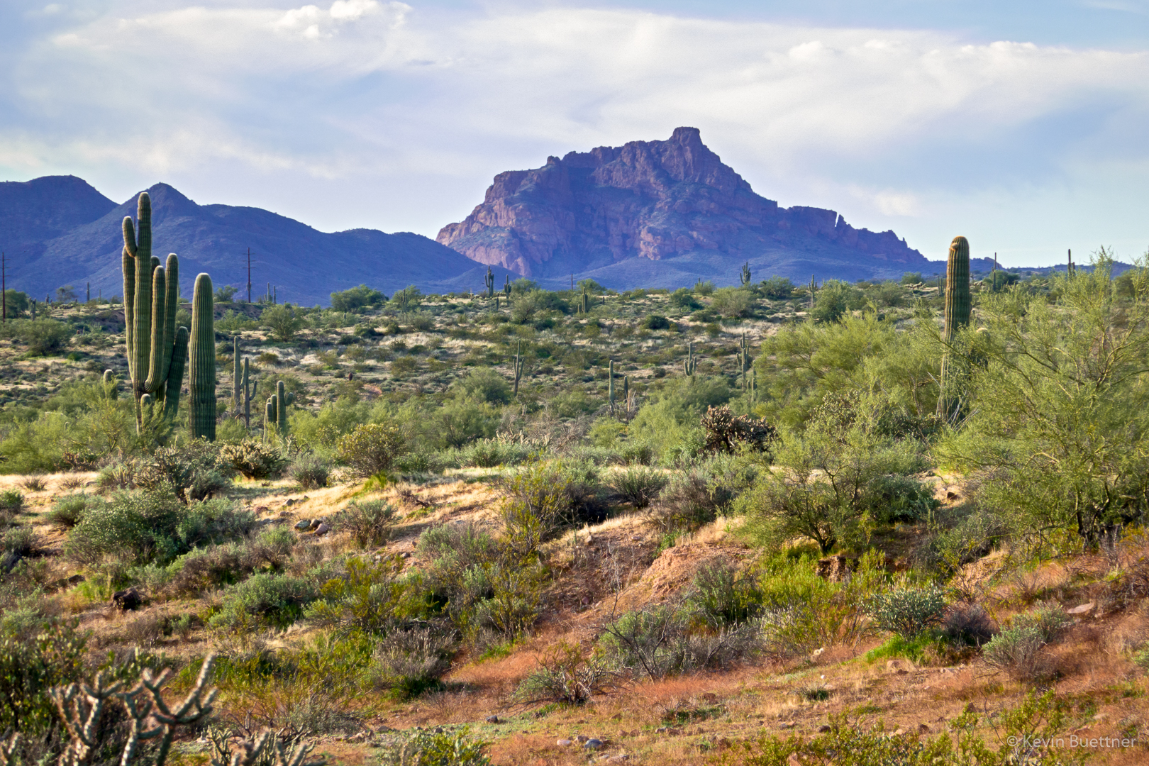
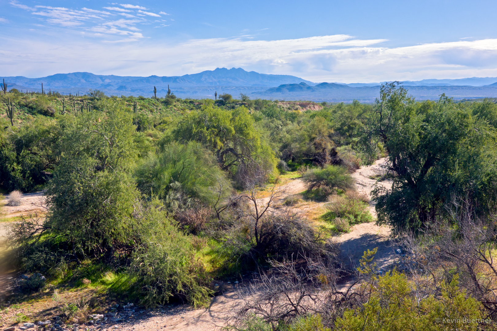
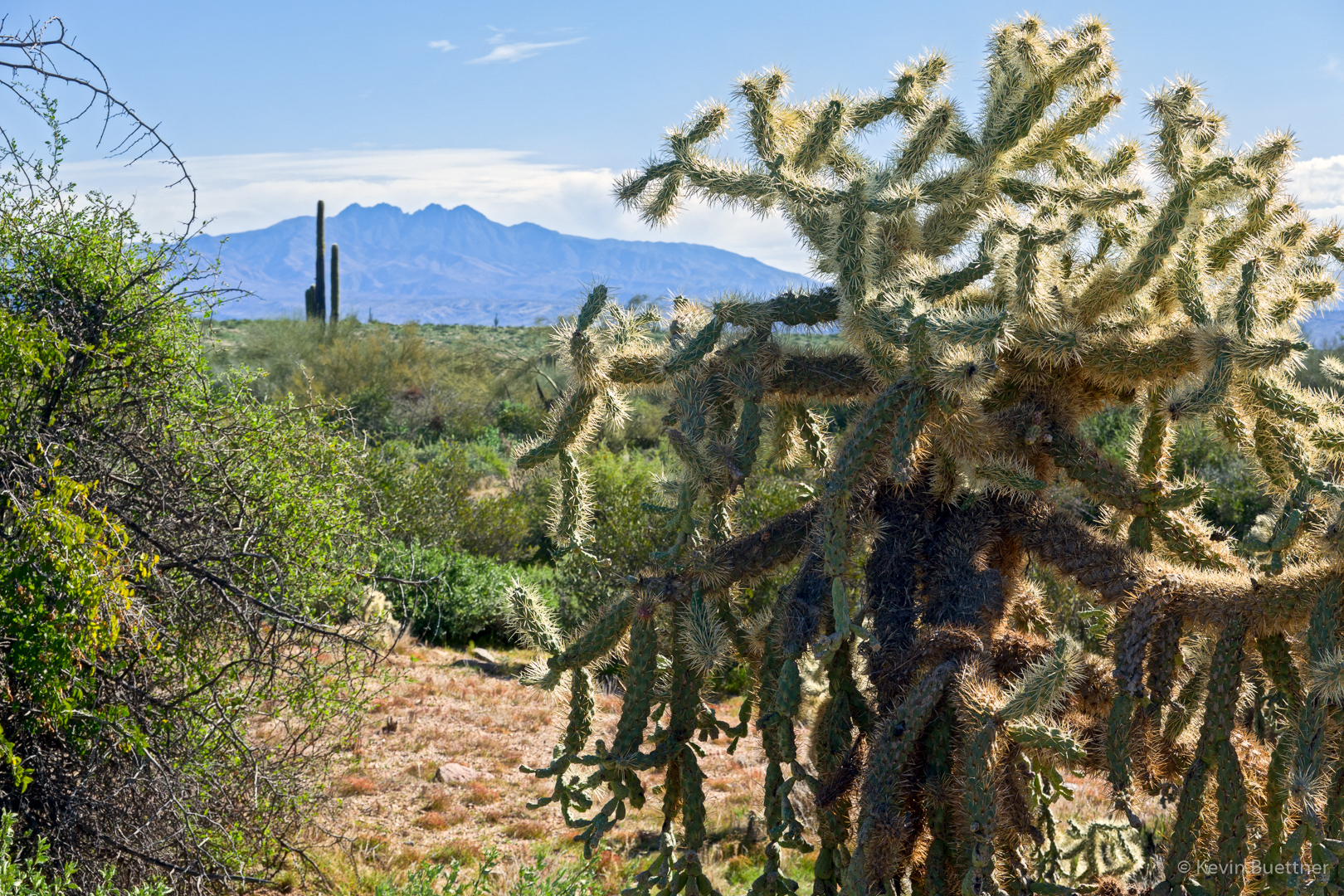
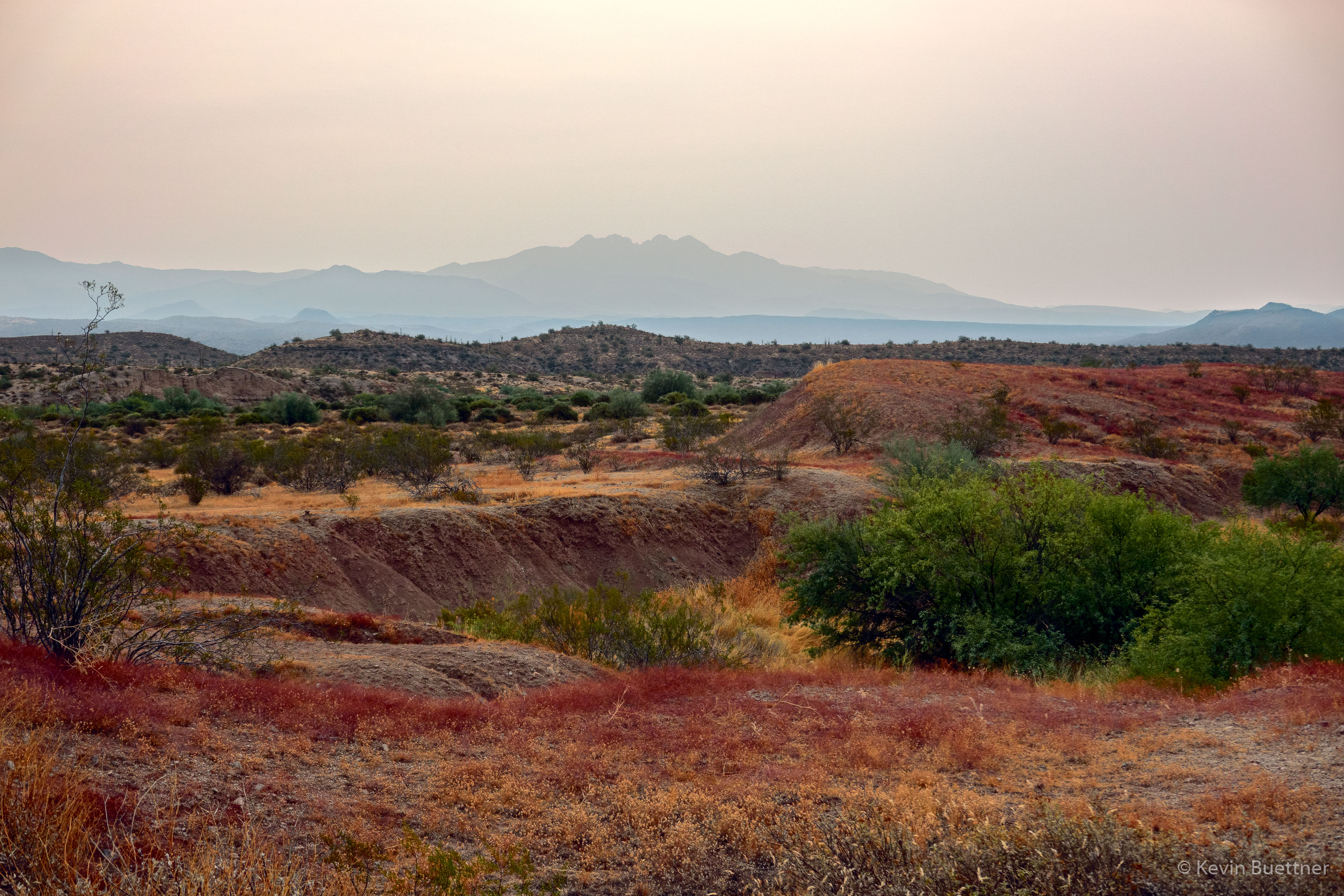
Looking toward Four Peaks on the Pemberton Trail:

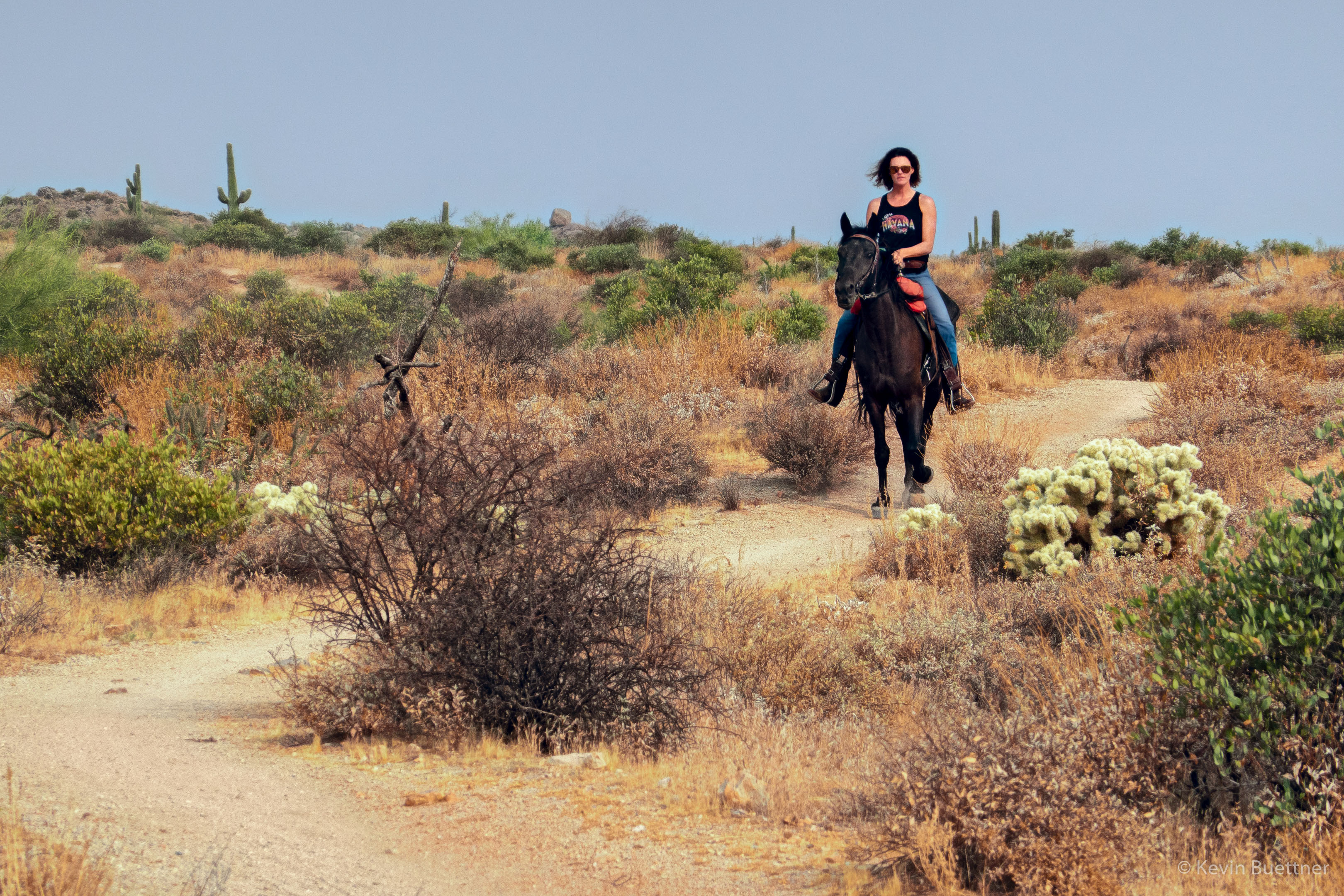
We encountered a horse and rider on the Pemberton.

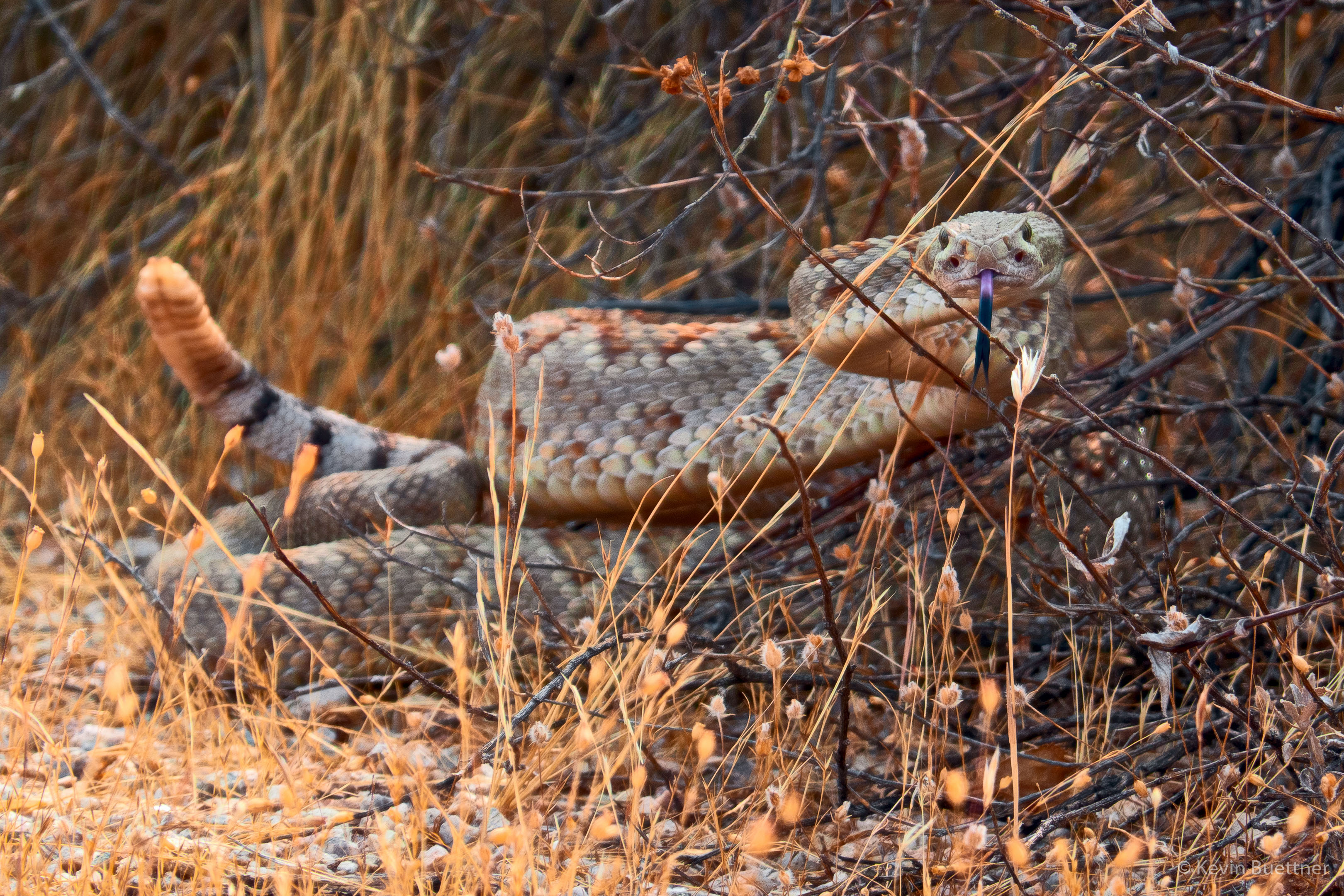
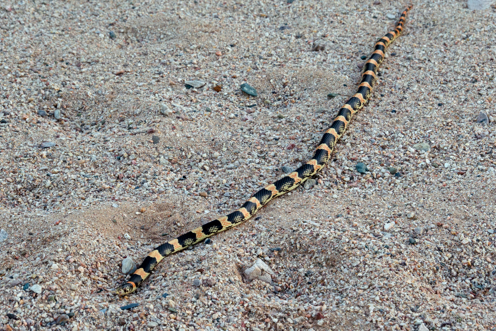
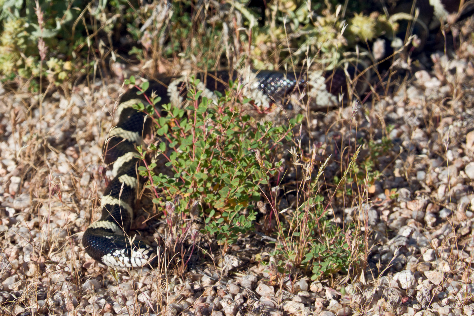
This rattlesnake was laying across the Tonto Tank Trail as I approached it.  I pointed it out to some bike riders as they approached; they stopped in time. Despite yelling out, “Snake! Snake!” several times a rider approaching from behind did not hear me and came within inches of the snake. It started rattling like crazy after that.

Fire Damage Hike

I visited McDowell Mountain Regional park on Friday afternoon. Starting from the competitive track parking area, I hiked part of the technical loop, stopping at the top of T-Bone Ridge to see if I could spot the fire damage. Later, I hiked the Pemberton until I got a closer view. I returned via the South Wash where I saw even more fire damage.

Looking toward Red Mountain from the start of the Technical Loop; there is no fire damage in this photo, but you can see how dry it is.

This is the view from the top of T-Bone Ridge. Look for the blackened ridge below the McDowells.

A closer view after getting closer on the Pemberton:

Yet another view, overlooking the South Wash:

I think the reddish orange coloration on the high bank of the wash was from fire retardant.

Still in the South Wash…

Thursday Night Hike

I hiked a little over 10 miles on Thursday evening. I was surprised to see a mountain biker midway around the Long Loop at around sunset. It was a warm evening, but I like it that way.

At one time, this area was popular with motorcycles.  The short, steep hills in this area are riddled with trails, often eroded. In some places, such as seen here, jumps have been built, most often with dirt, but sometimes with wood too.

Creosote, I think:

The grasses have become quite dry…

Prickly pear:

As I approached the wash that I’ve recently been exploring, I saw this hill with many saguaros.

Globemallow:

I was surprised to see this really huge rock protruding from midway up the wash bank.

This might be a Monarch Butterfly:

New Mexico Thistle with bee:

This path is is an exit (or entrance) to the wash.  The path eventually leads to an old jeep road.

Desert Marigold:

The exposed dirt banks have dramatic colors near sunset.

I’ve been seeing a lot of this type of snake.  I think it’s a Long Nosed Snake.

A view from the Long Loop somewhat after sunset.  I finished the hike with my headlamp.

Saturday Afternoon Hike

Marilyn and I hiked 7.5 miles on Saturday afternoon.  We hiked a similar route to that from two weeks earlier, when I had last visited the park. I’ve been trying to pick routes where we won’t see that many people.

MMRP’s hours have changed so that the park closes at 6:00 PM.  Signs at the entrance indicate that the gates are closing at that time.  In theory, it’s still possible to get out after 6:00 PM, but I’ve not yet put that theory to the test.  I’ve been careful to limit the length of my hikes so that I finish before closing.

Poppies in Pemberton / Stoneman Wash:

One of many dead trees in the wash:

New growth on a buckhorn cholla:

This tree is the landmark that I look for as I near the point where the Long Loop crosses the wash. We saw three cyclists on the Long Loop as we approached.

I think this might be miniature woolystar/woolstar.  Probably the most I’ve ever seen in one place.

Globemallow:

Lupine – we saw big patches of it as we hike along the Pemberton Trail.

Owl clover; we saw a lot of this flower too, but it seems to be drying out now.

A view from near the former ranch homestead (along the Pemberton):

I think this is either Slender Goldenweed or Spiny Goldenweed, but I don’t know which.

Fairy Duster; we were both very surprised to see this so late in the season.

I think this might be a kingsnake. I took several photos from the side and them moved around to take photos from the front. As I did so, it backed away into the nearby brush.

Marilyn spotted this Lizard on the Technical Loop:

Friday Wildflowers

Marilyn and I hiked a little over seven miles through desert near our house.

Owl Clover:

Poppies:

We were on State Trust Land; there’s a lot of junk near the road, but if you are selective about where you look, there’s certainly beauty in the area.

Looking toward the McDowells:

Hedgehog blossoms:

New Mexico Thistle:

I think this is either Spiny Goldenweed or Slender Goldenweed, but I’m not sure which.

Desert Marigold:

I was excited because we got to explore a wash that I hadn’t seen yet.

Chia:

Brittlebush:

Looking toward Four Peaks:

Lupine:

Looking toward the McDowells:


Hedgehog cactus blossom:

A view of Red Mountain:

Cholla blossoms:

Friday Hike – MMRP Washes

Marilyn and I hiked through many washes in McDowell Mountain Regional Park. We also hike a short section of the Pemberton Trail.

Poppies:

Lupine:

Chia:

Brittlebush:

More brittlebush:

Saguaros:

Chuparosa:

Globemallow:

New growth on a buckhorn cholla:

Owl clover:

Owl clover and brittlebush:

Pemberton Pond (which is more of a tank or watering hole):

Looking across the Pemberton Trail after visiting the pond:

Weaver’s Needle and the Flatiron, which are both in the Superstition Wilderness, in the distance:

Interesting erosion along one of the washes:

Hedgehog blossom – the first one I’ve seen this year:

Sunday Hike – Wagner-Granite-Bluff Loop

Marilyn and I hiked 5.5 miles in MMRP on Sunday. Flowers are blooming here, especially the owl clover.

Fiddleneck:

I don’t know what these are.

Globemallow:

Owl clover:

We saw many large patches of owl clover along the Granite Trail.

Brittlebush; it’s blooming now, but not as much as I expected.

Lupine:

There’s a small patch of brittlebush in this photo of Red Mountain.

More brittlebush in the foreground. Our destination was the boulders near the bottom of the photo.

Brittlebush and chuparosa here…

Poppies along the Bluff Trail. Up until that point, we hadn’t seen many poppies on our hike.

Friday Fitness Hike

Mike, Marilyn, Diane, and Gayle joined me for a 7.5 mile hike starting from the Wagner Trailhead.

Views from Bluff Wash…

Looking toward the McDowells from the Pemberton Trail:

A very healthy saguaro along the Bluff Trail:

Looking toward the Superstitions from the Bluff Trail:

Some of the first poppies of the season…

Friday Fitness Hike

Tom, Cathy, Marilyn, Nora, Ben, and Marilyn joined me for a hike starting from Tom’s Thumb Trailhead. After visiting Tom’s Thumb, we hiked over to the intersection with the East End Trail, where Dan and Cathy returned via Tom’s Thumb Trail. The rest of us made a loop, going down East End, then returning via Windmill, Coachwhip, Pemberton, Boulder, and Marcus Landslide. We hiked 10.6 miles with over 2100 feet of elevation gain.

Marilyn and Ben hike up the trail to the ridge on which Tom’s Thumb is situated. Pinnacle Peak and Troon Mountain can be seen in the distance.

Nora, Marilyn, Cathy, Ben, and Tom in front of Tom’s Thumb:

A view from the East End Trail:

Approaching the Windmill Trail:

A view of Four Peaks from the Windmill Trail:

Fairy Duster along the Coachwhip Trail:

Marilyn, Nora, Marilyn, and Ben along the Pemberton Trail:

Looking toward the Granite Ballroom and the Sven Towers from the Boulder Trail:

A very large boulder alongside the Marcus Landslide Trail:

Looking toward the Thumbnail Pinnacle from the Marcus Landslide Trail:

Friday Fitness Hike

Ben, Marilyn, Gayle, Laura, Mike, and Marilyn joined me for a hike of nearly 12 miles.  We hiked the South Ridge and the South Wash, returning via Dixie Mine and Pemberton.

Two views of Red Mountain…

The (Fountain Hills) fountain can be seen in this photo!

Looking over the South Wash towards Four Peaks:

This is the other direction, now looking toward the McDowells:

We’re in the wash now, albeit a narrow and shallower part:

Looking towards Four Peaks from the Dixie Mine Trail (near Pemberton). That’s a chain fruit cholla in the foreground.

Another view of Four Peaks, this time from the Pemberton Trail. A bunch of trail runners and mountain bikers had just passed us. You can still see a few of them in this photo.