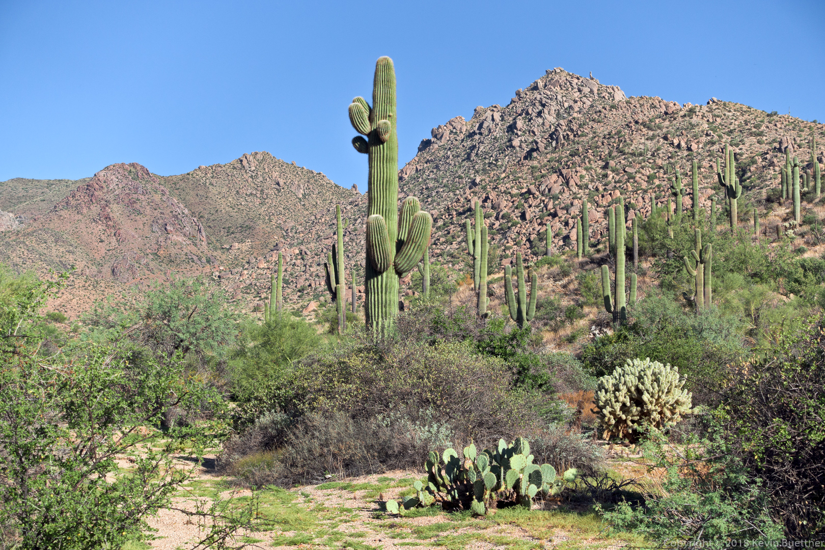
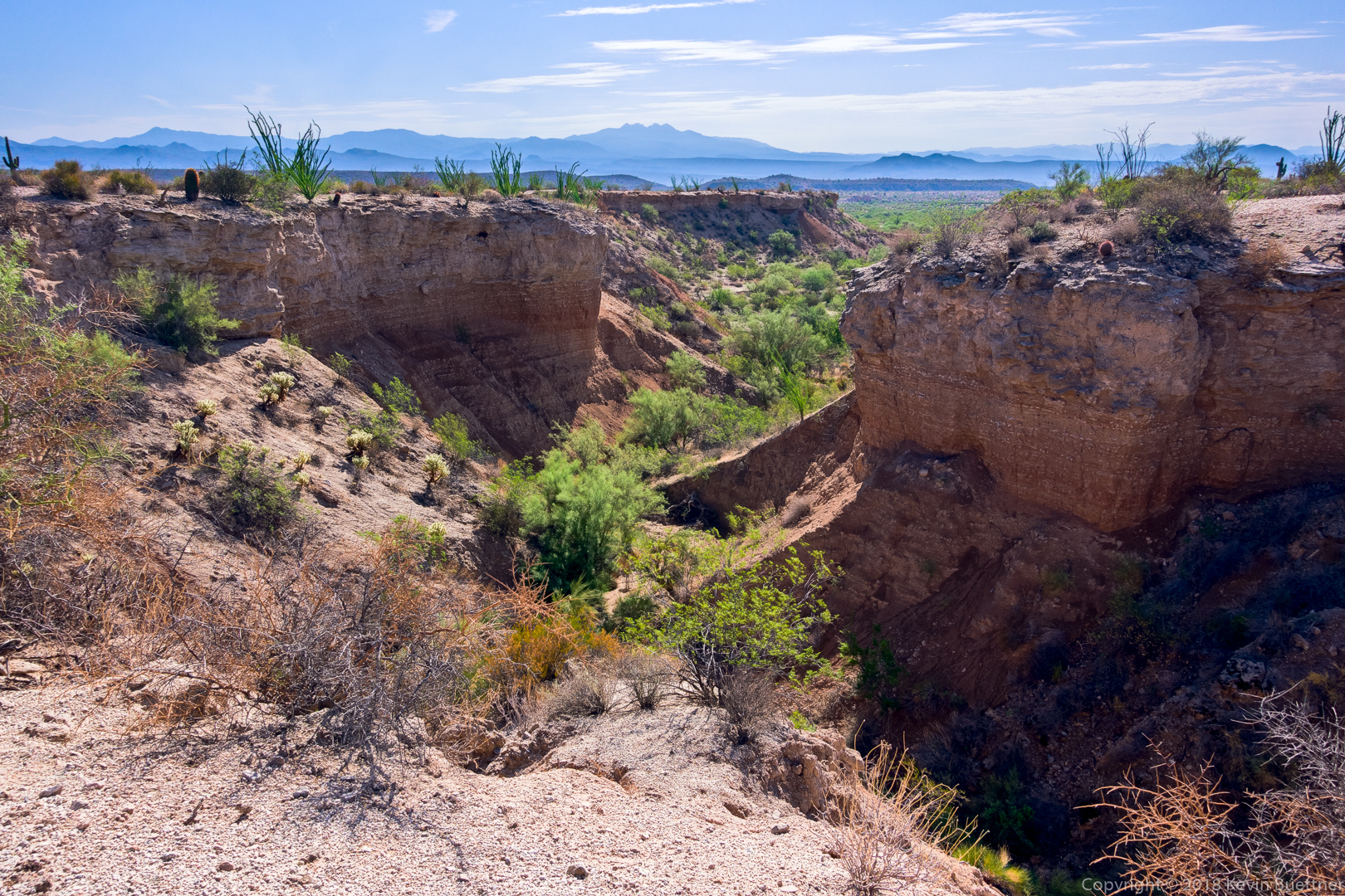
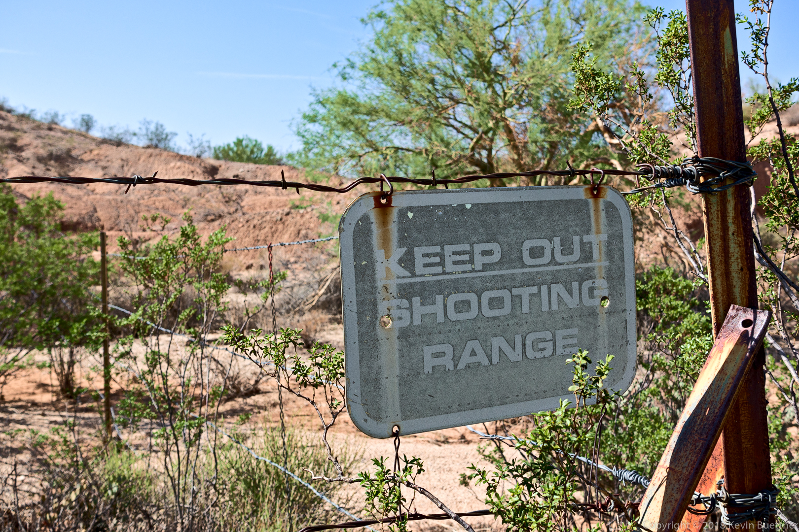
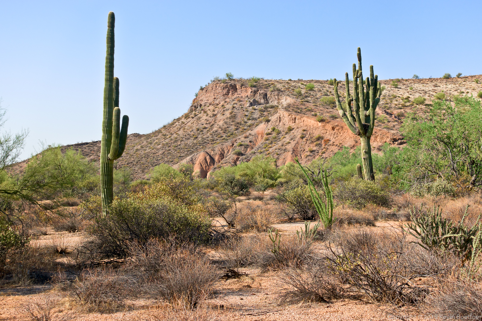
Starting from the Wagner Trailhead, I hiked 13.4 miles on Friday morning. I did Wagner, left on Granite, right on Bluff, left on Pemberton, right on Rock Knob (and slightly past the intersection with Gooseneck before returning to Gooseneck), Gooseneck, connector trail leading to Saguaro Nest, a short ways on Saguaro Nest, right onto another connector leading back to the park, left on Pemberton, right on Lariat, left on Granite, and left on Wagner.
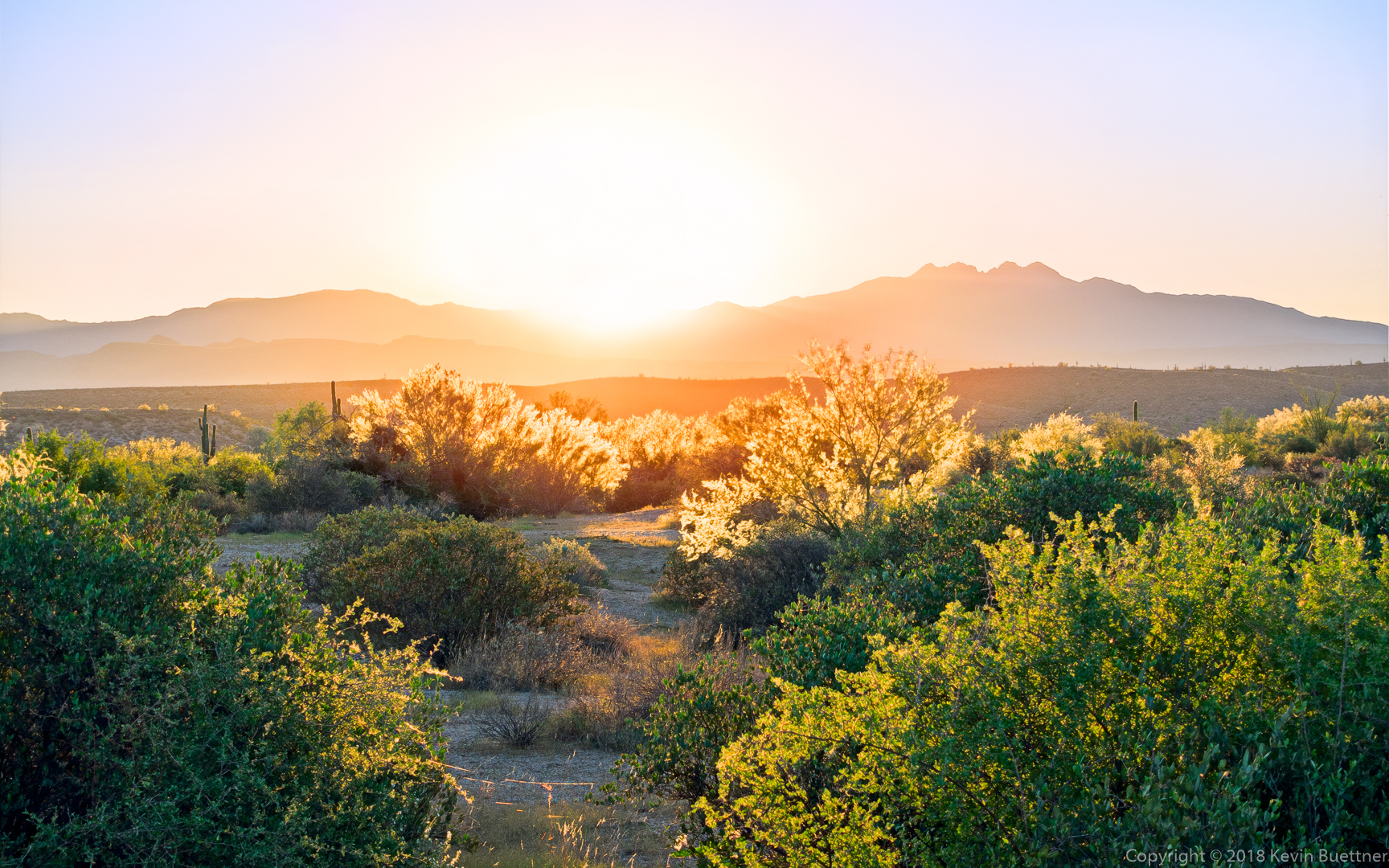
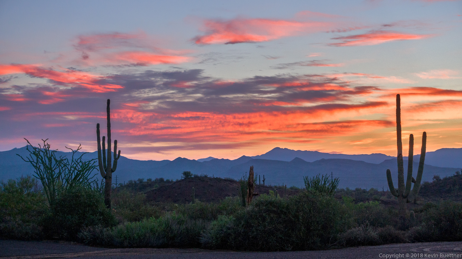
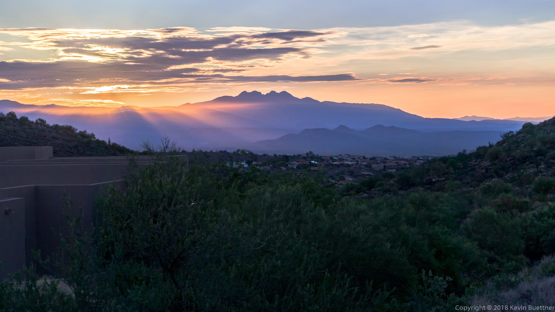
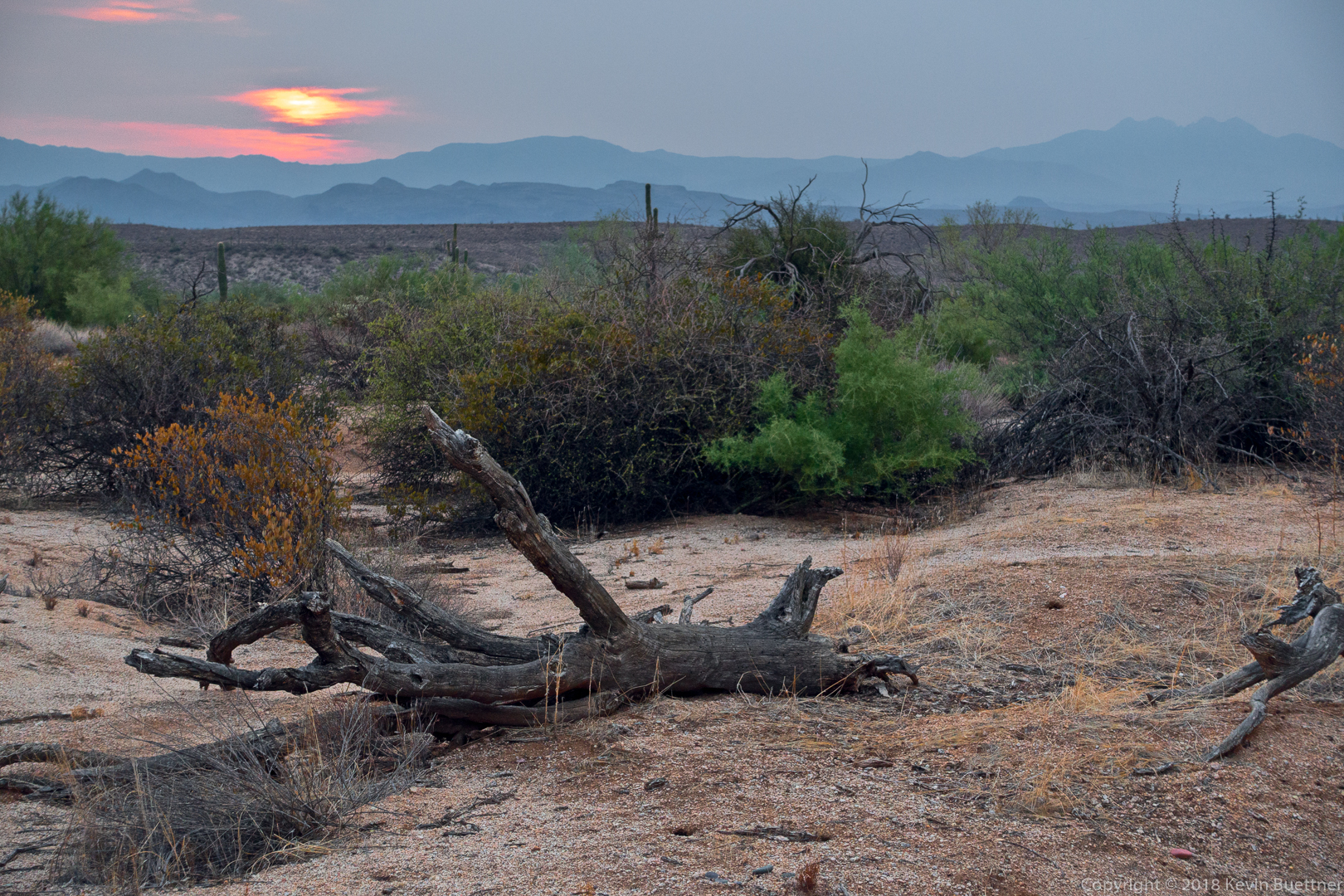
Sunrise from the Wagner Trail:
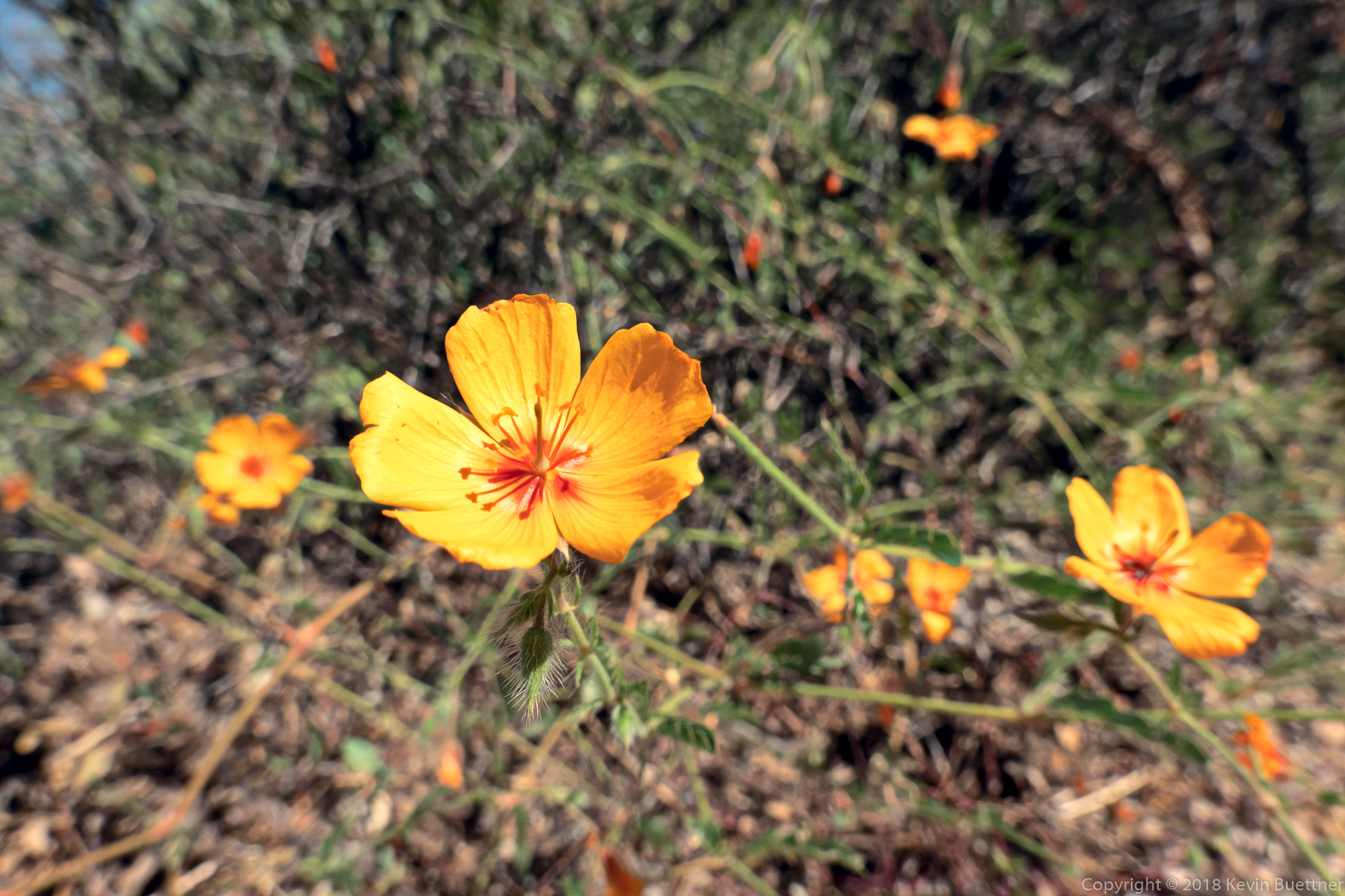
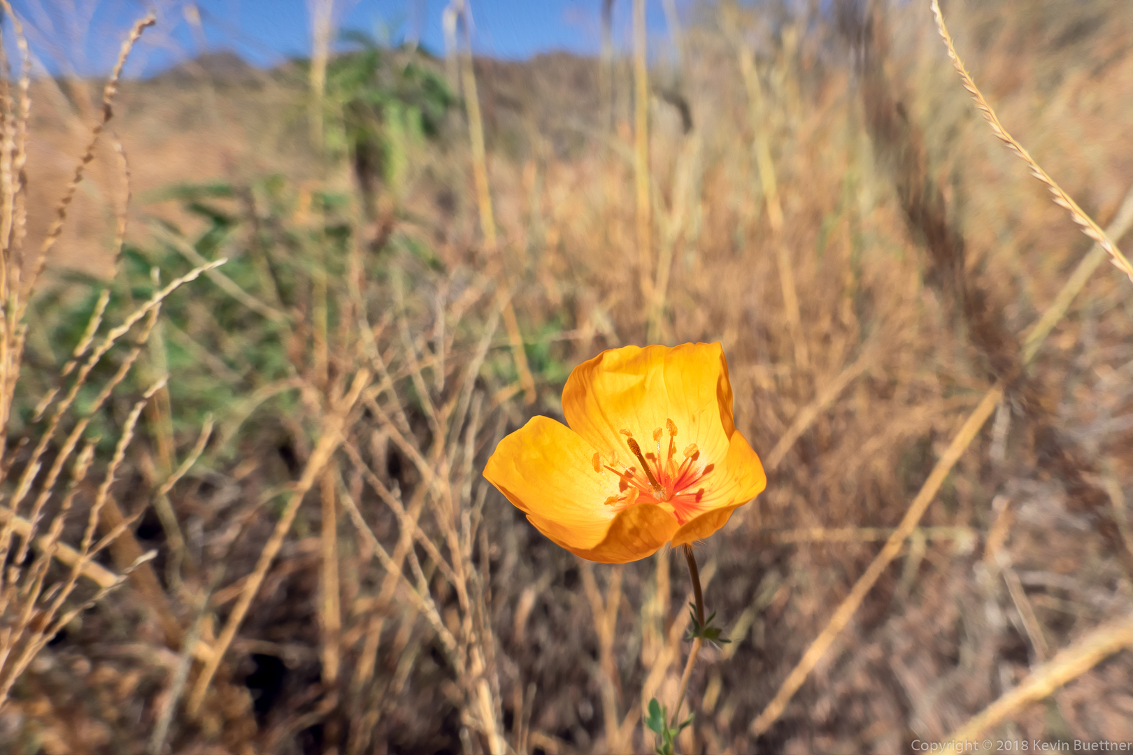
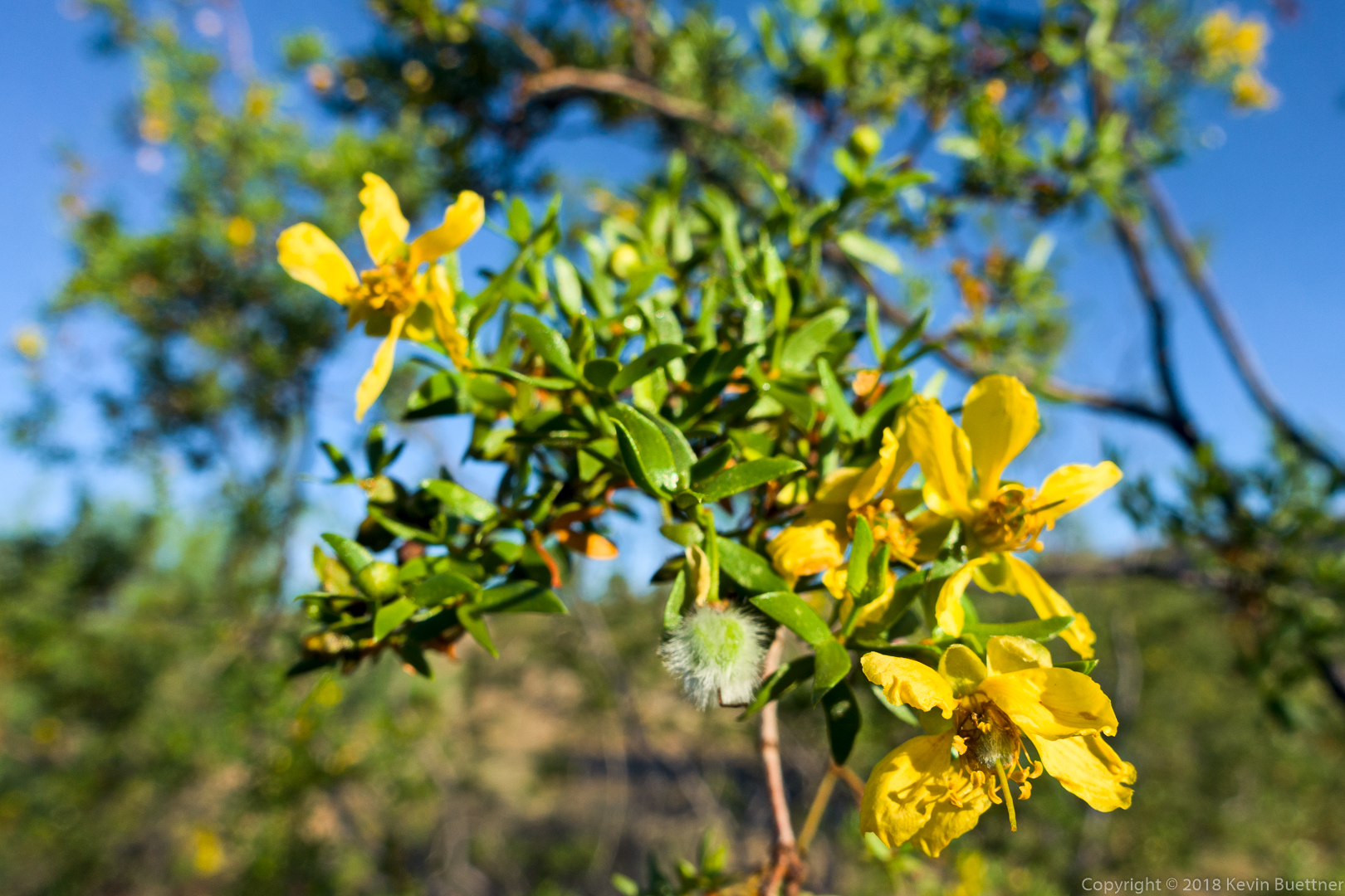
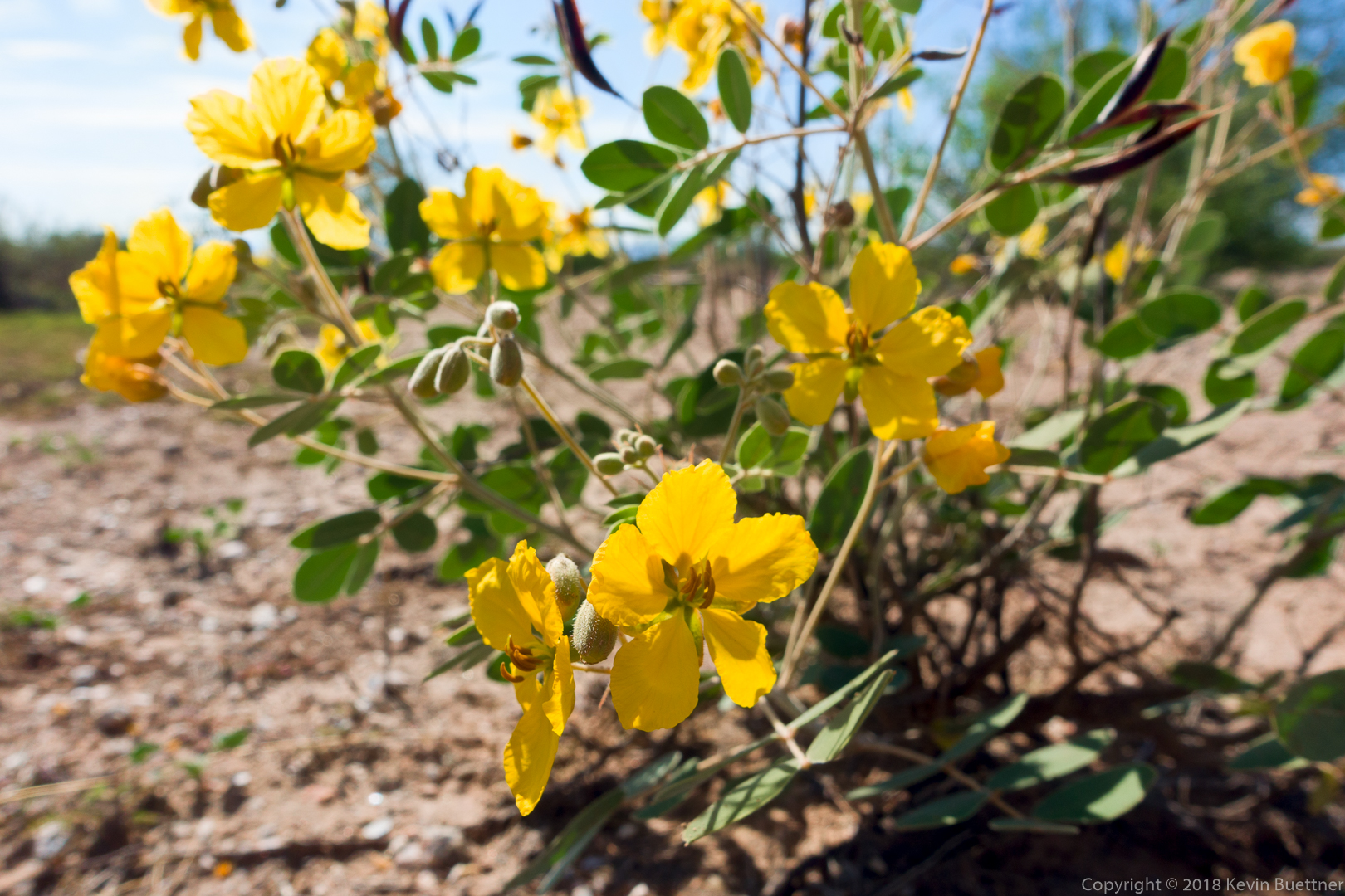
Desert Senna:

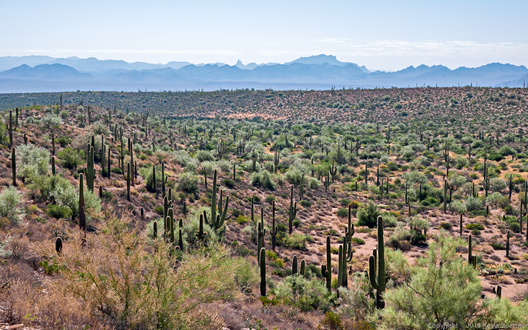
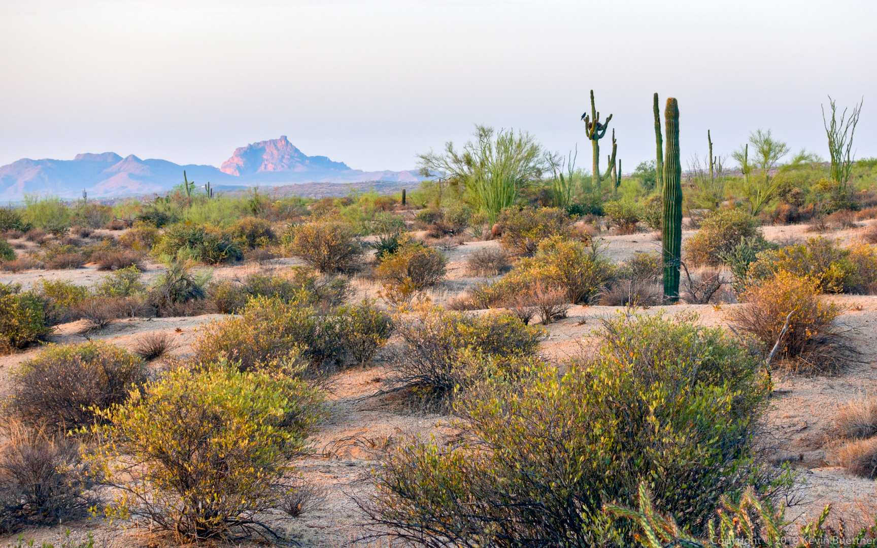
Looking toward the McDowells from the Bluff Trail:
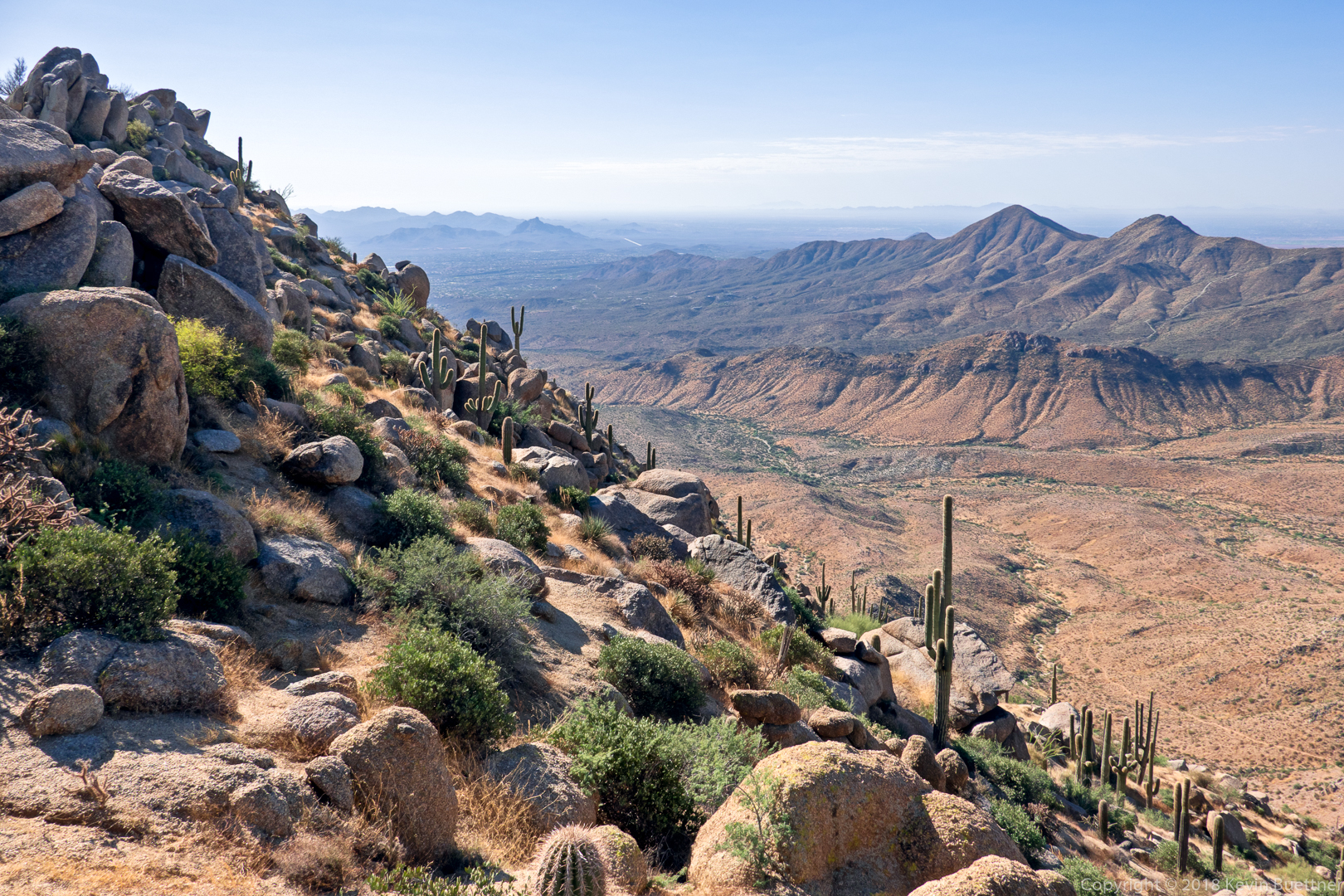
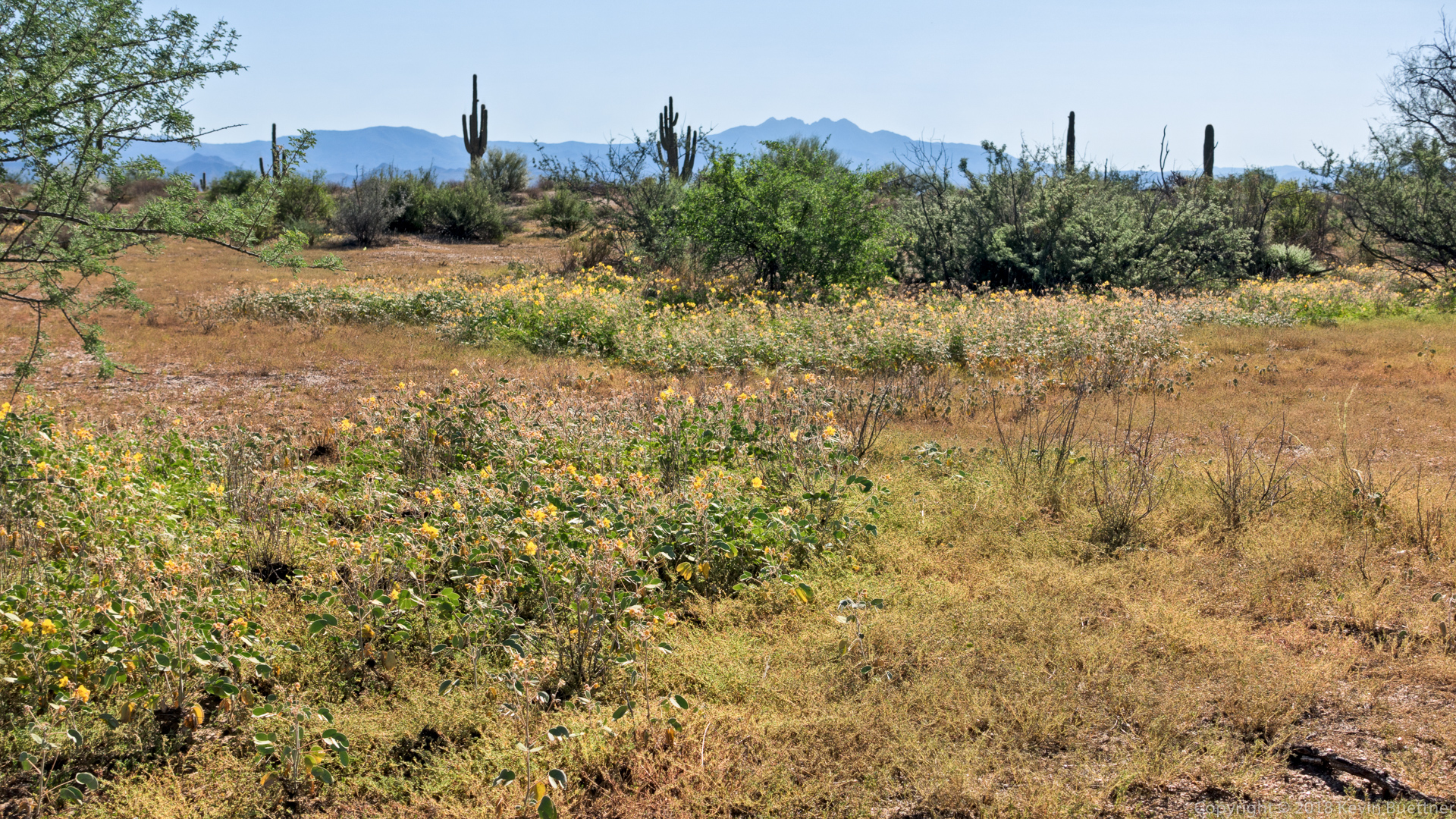
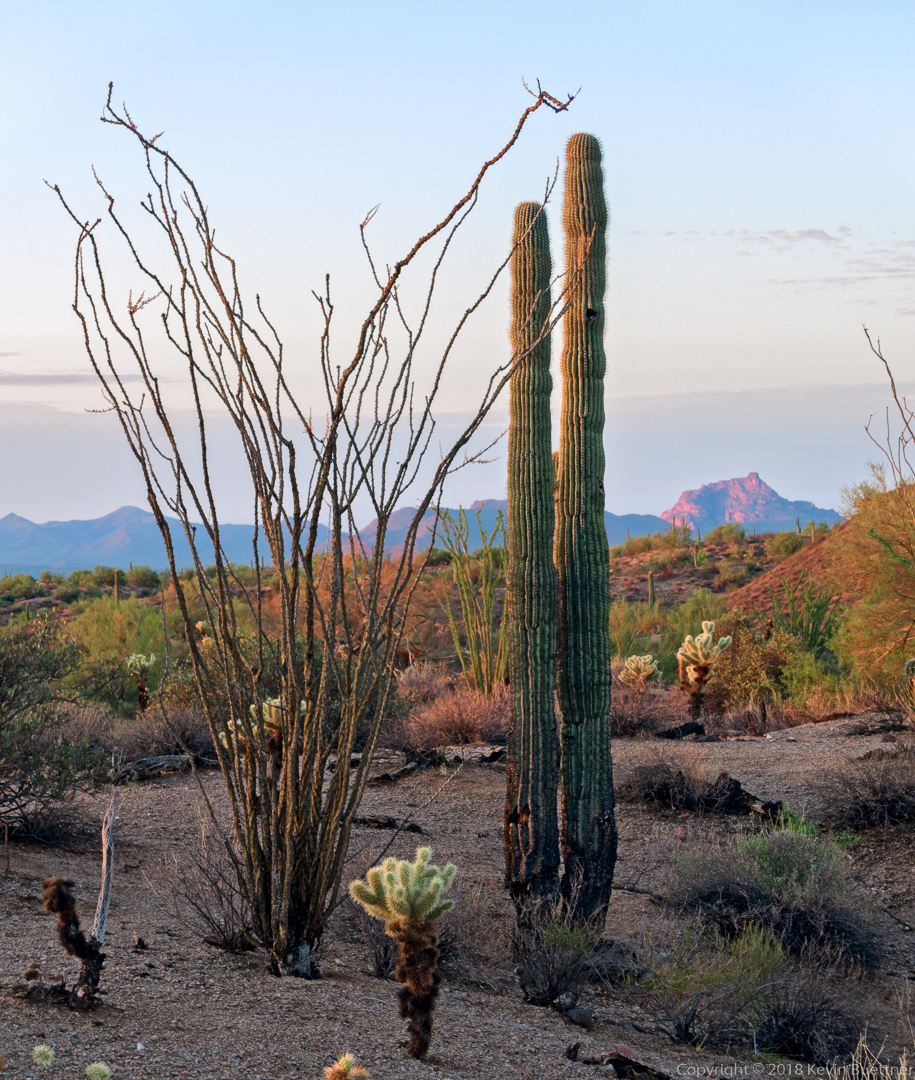
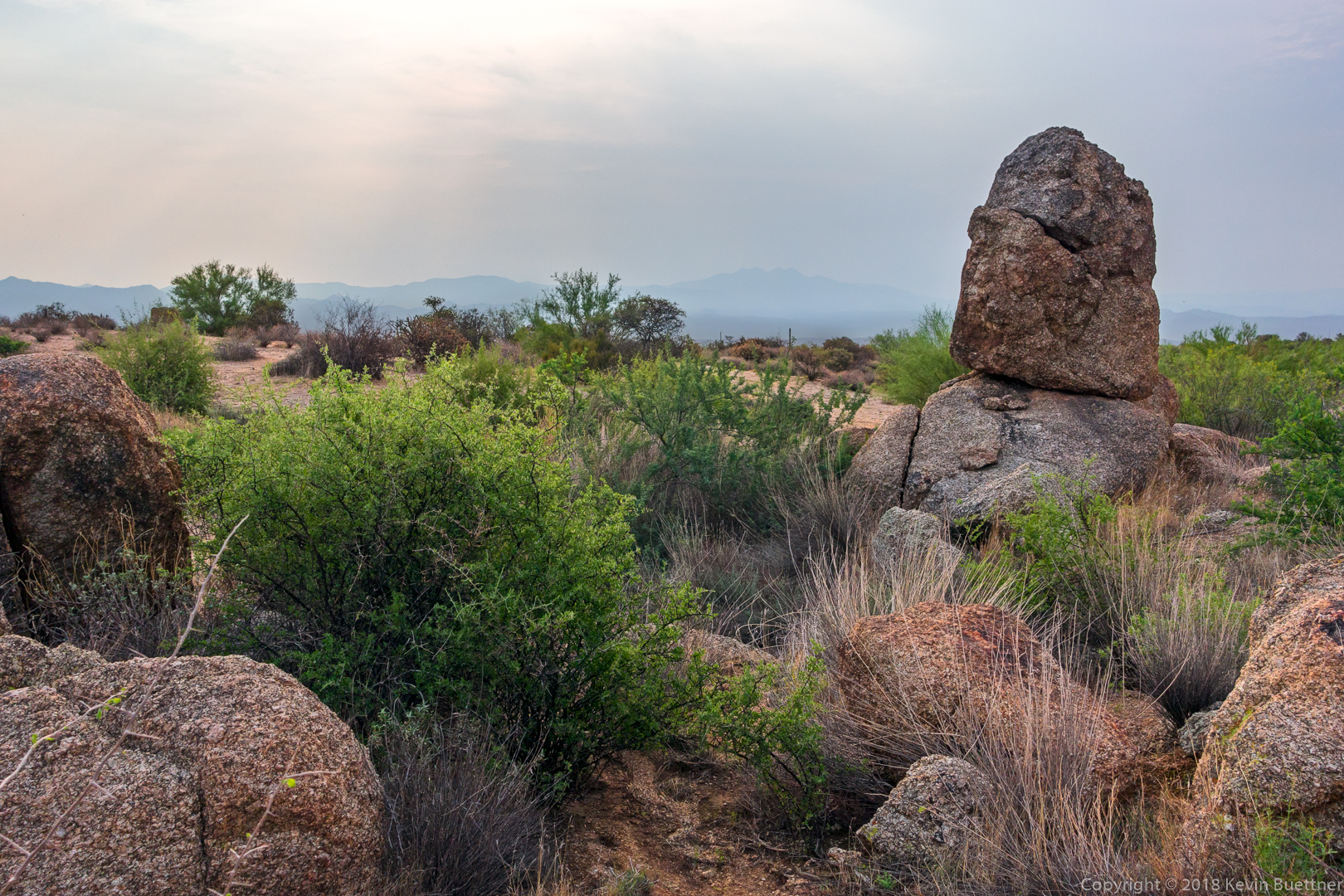
Looking toward Four Peaks from the Bluff Trail:
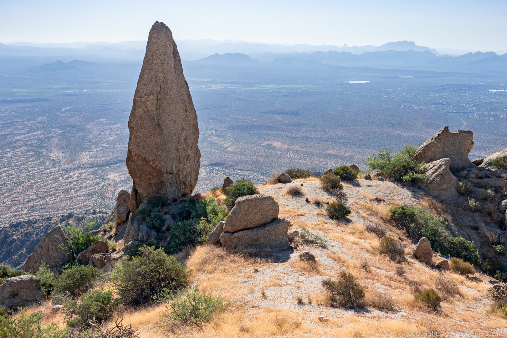
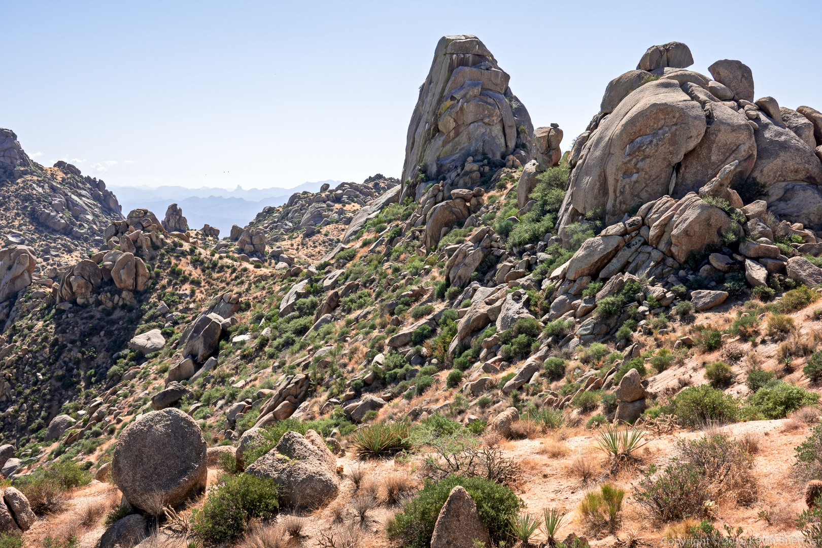
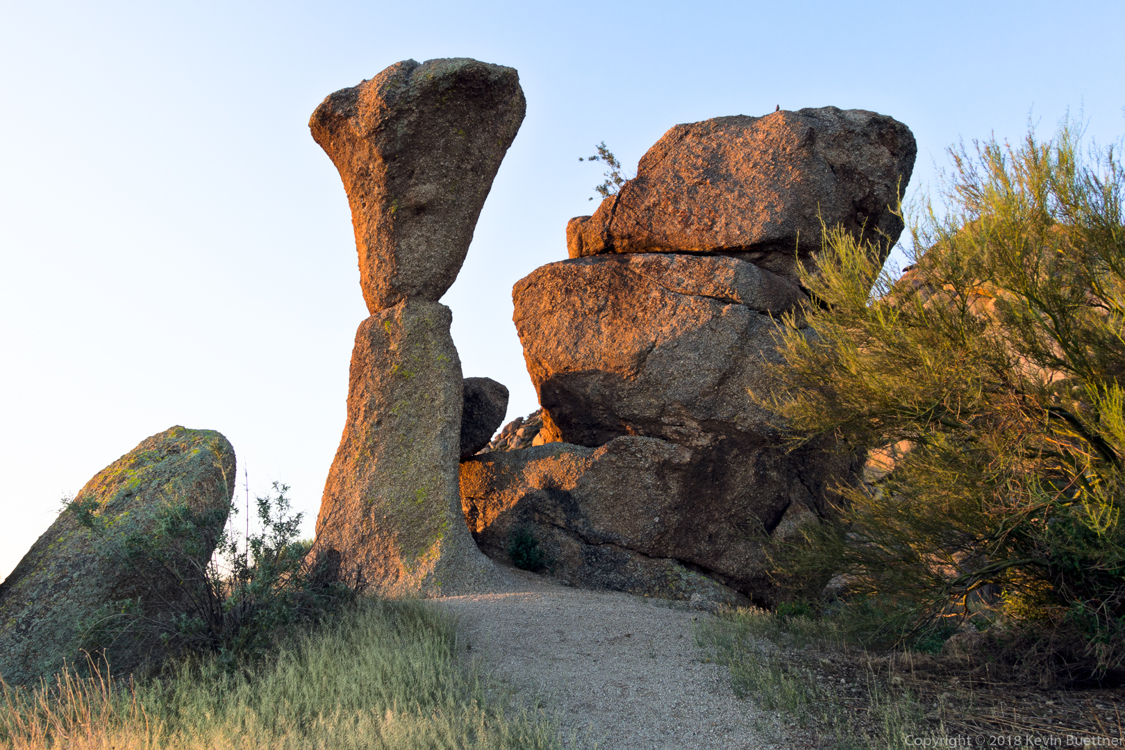
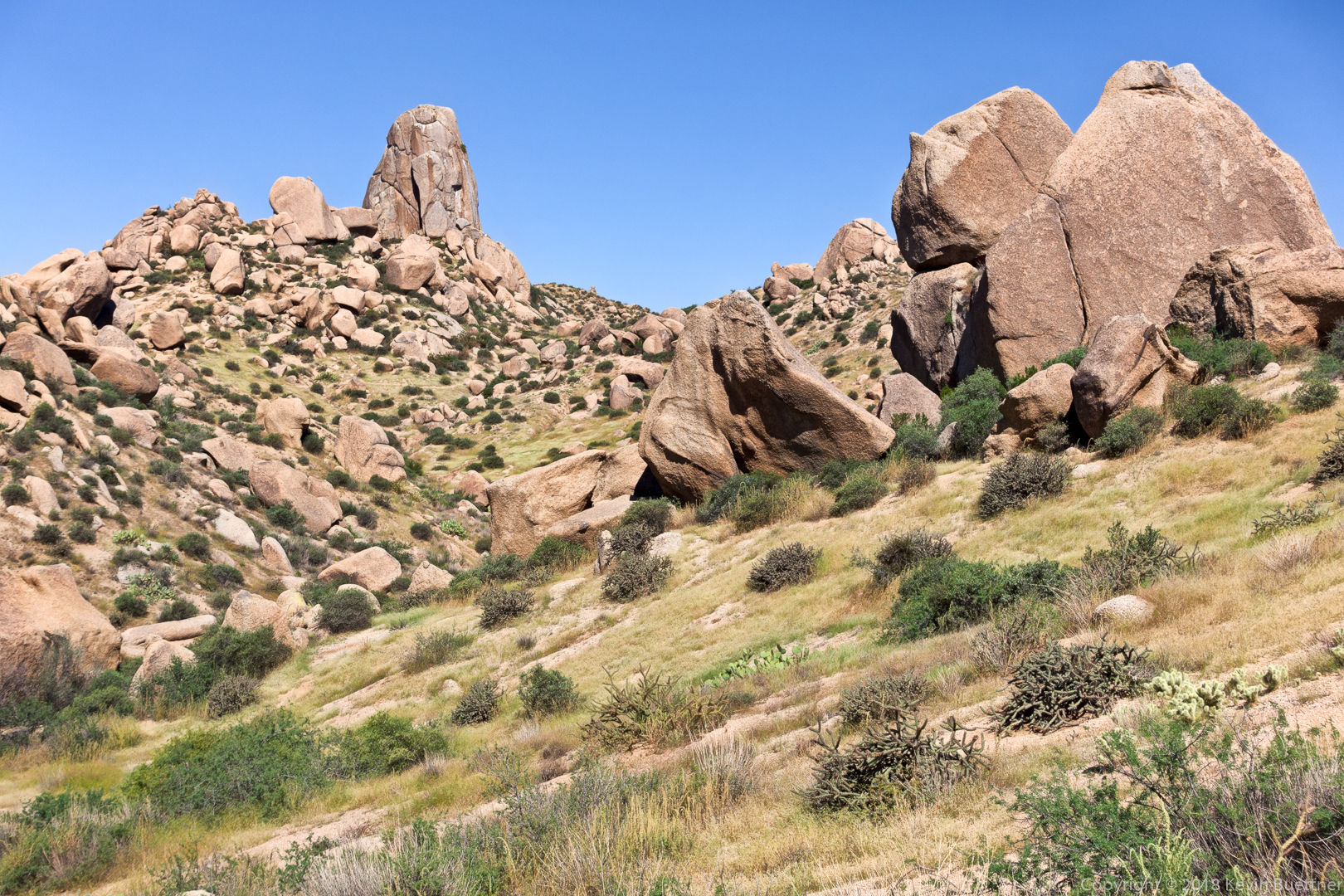
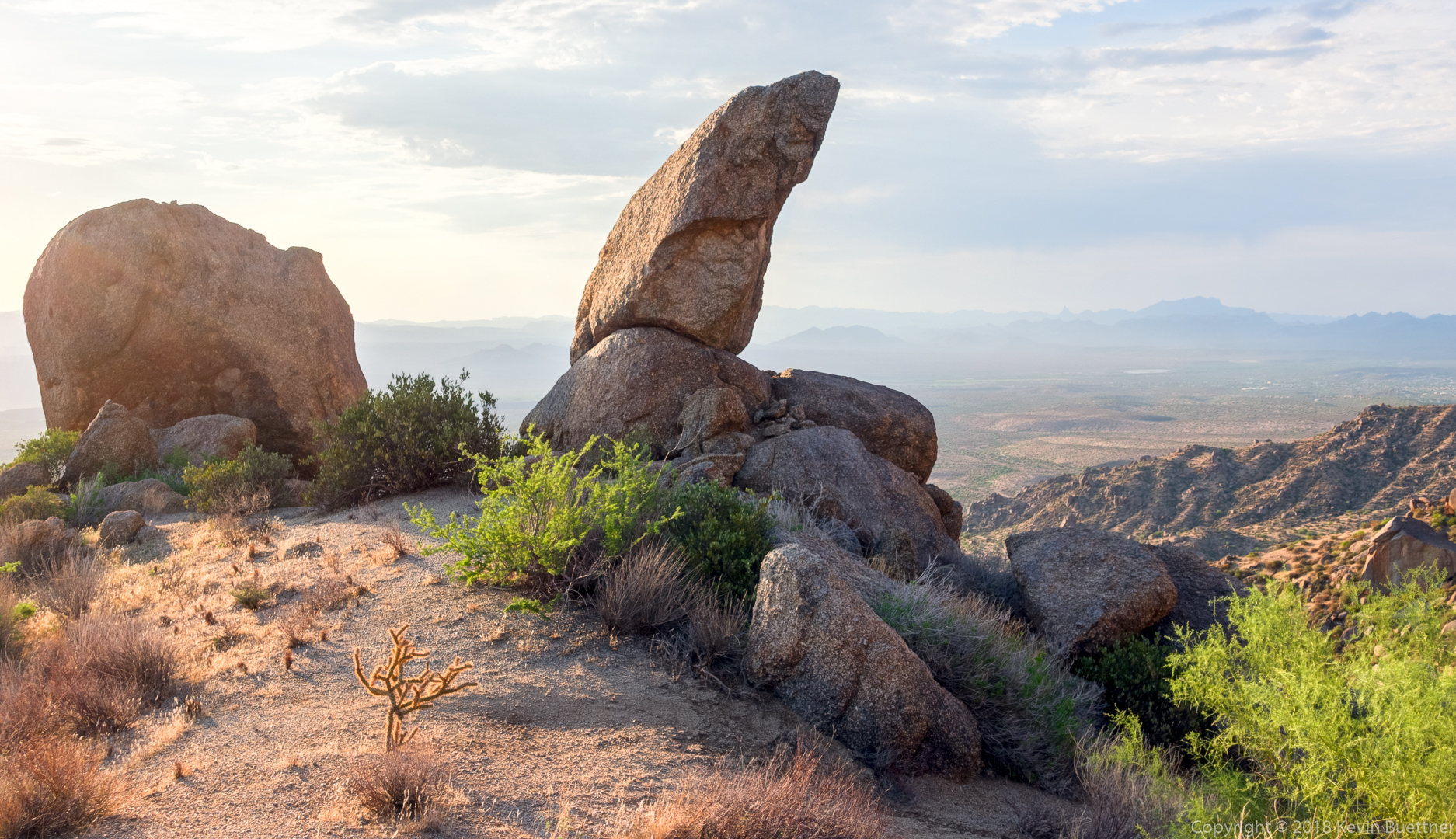
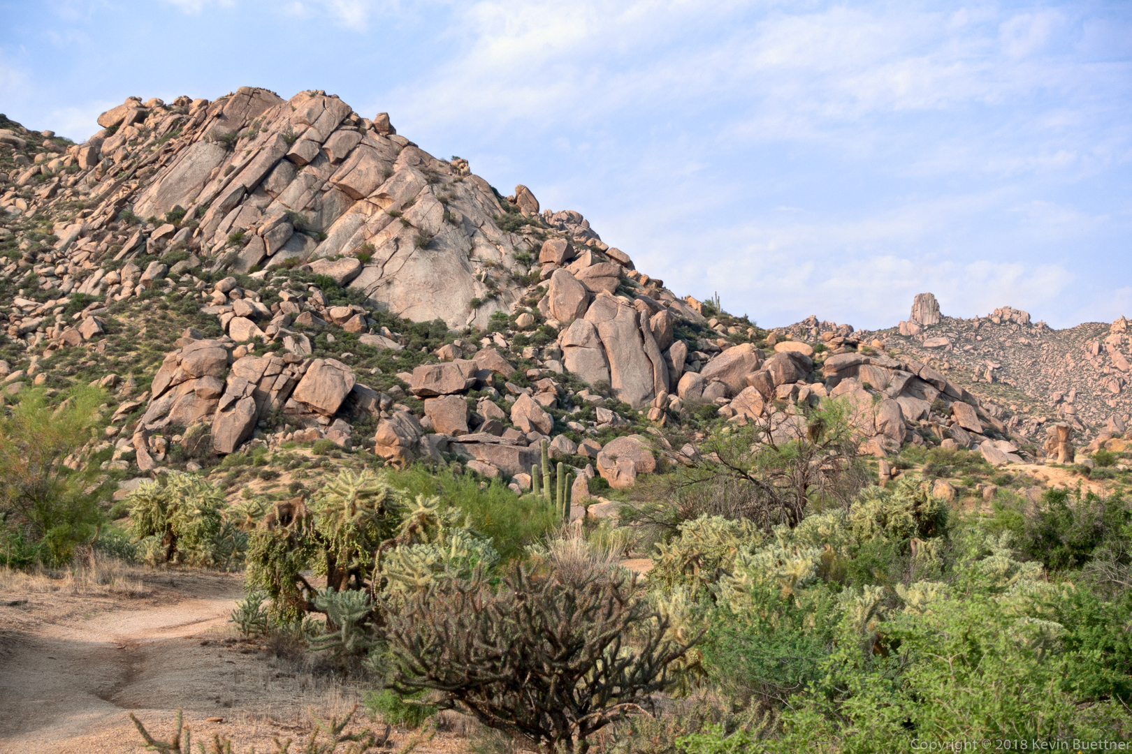
A view of Sven Slab (left) and Tom’s Thumb (right) from the Rock Knob Trail. I had hiked a short ways past the intersection with Gooseneck to get this photo.
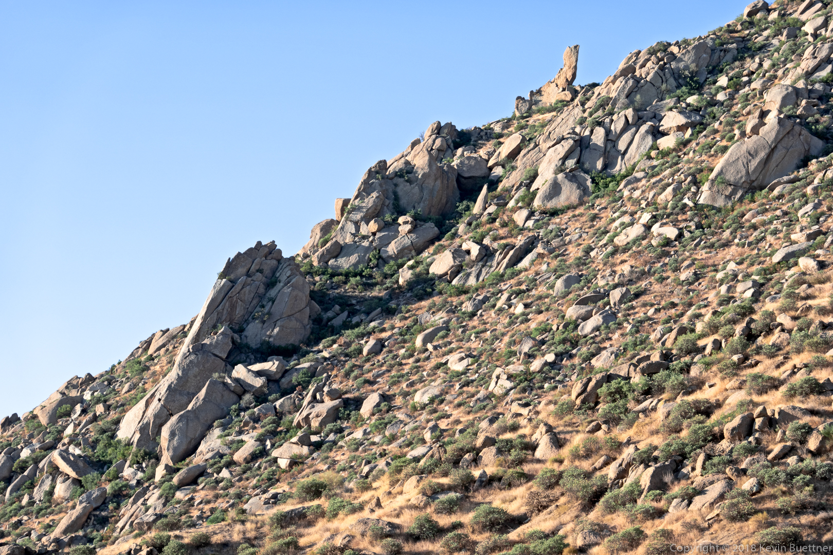
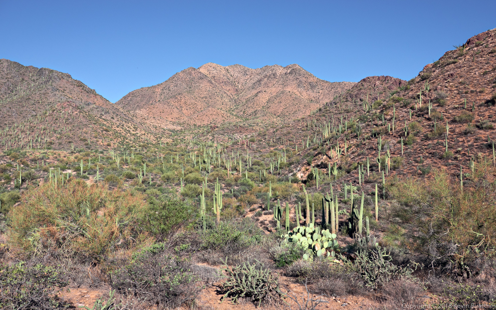
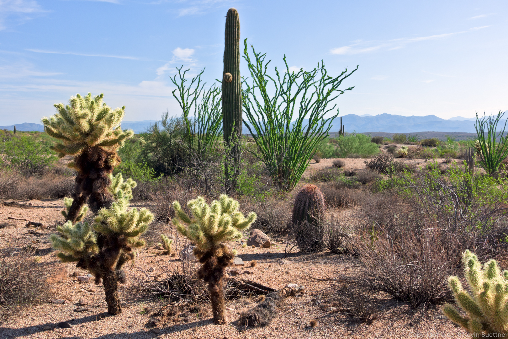
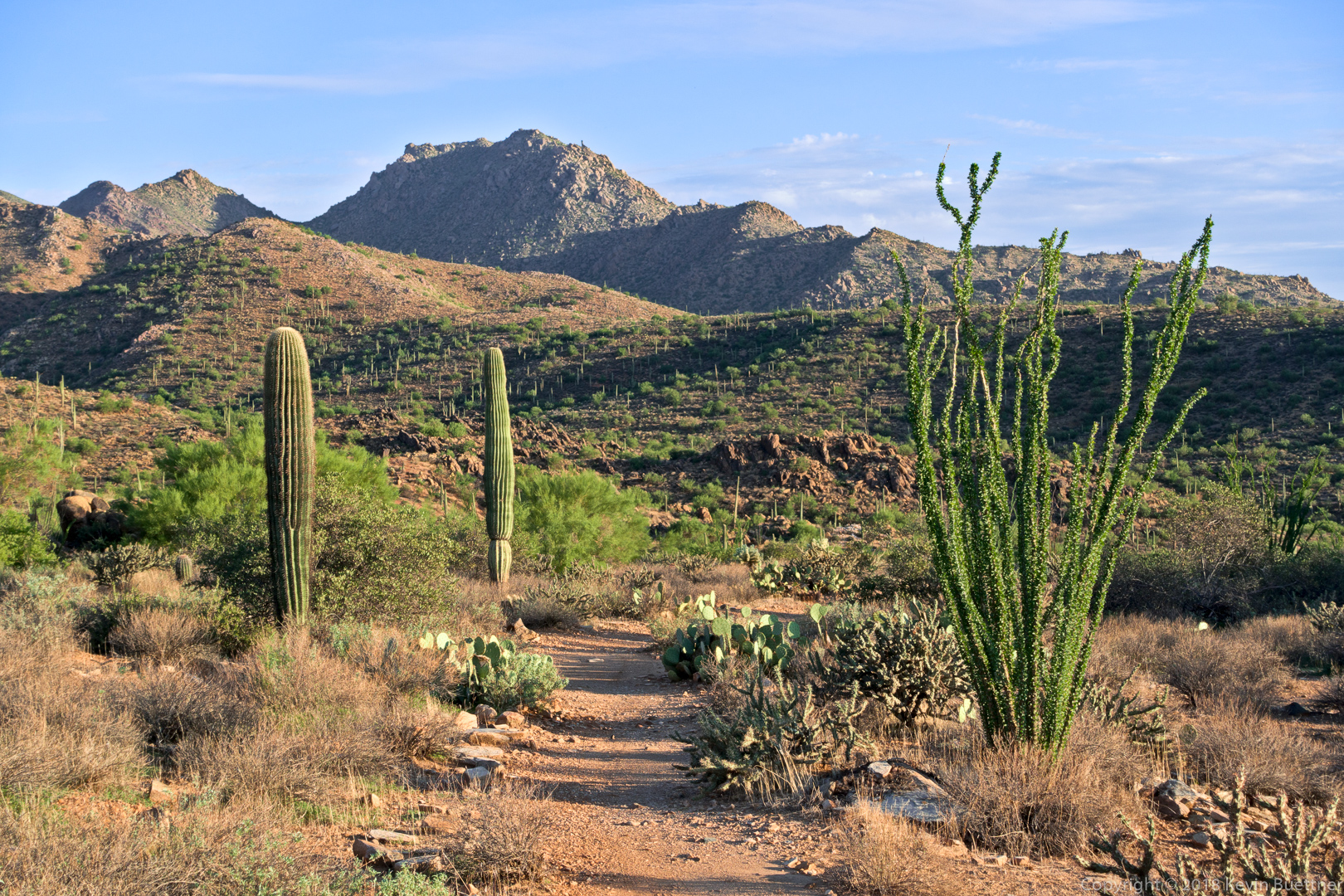
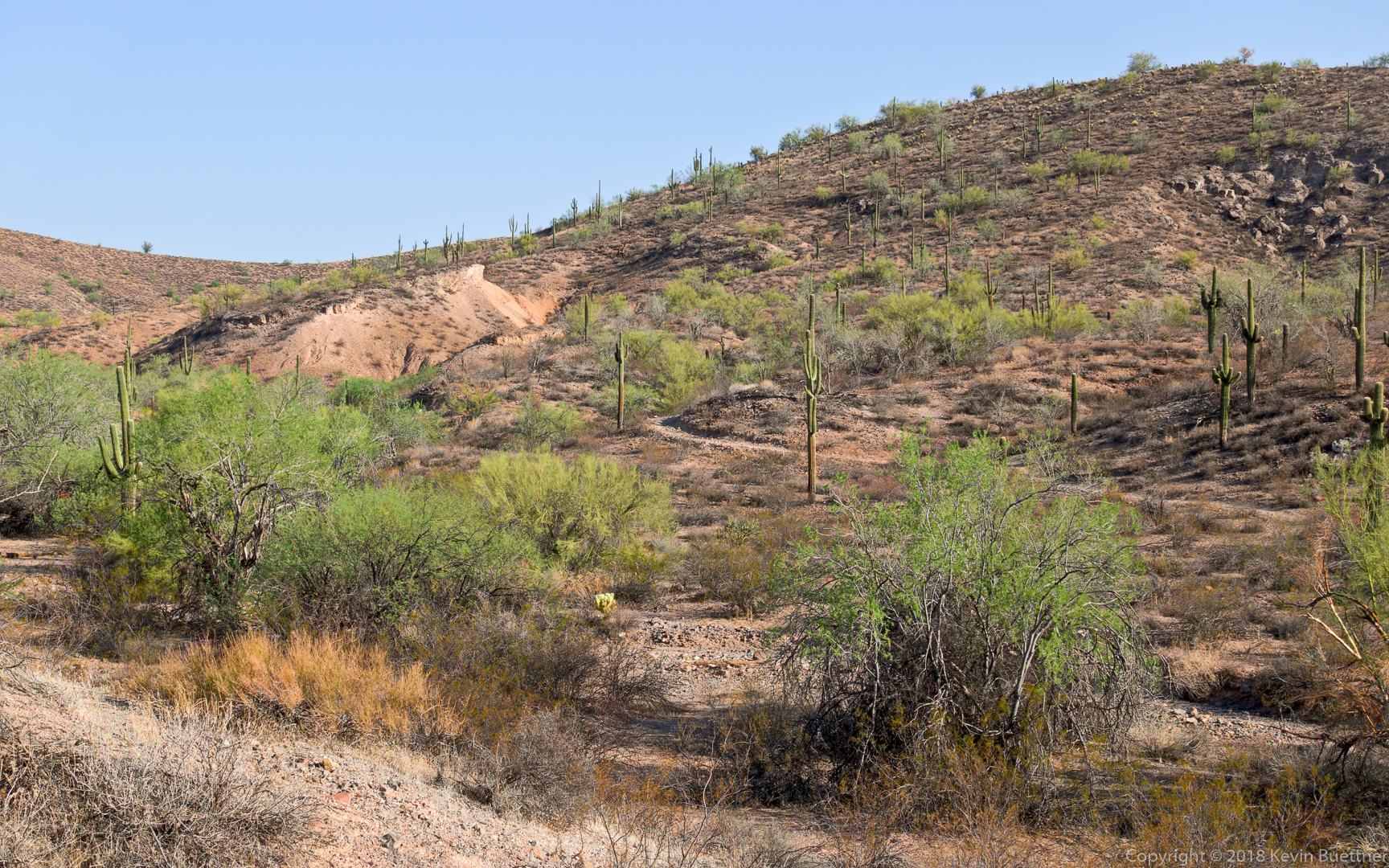
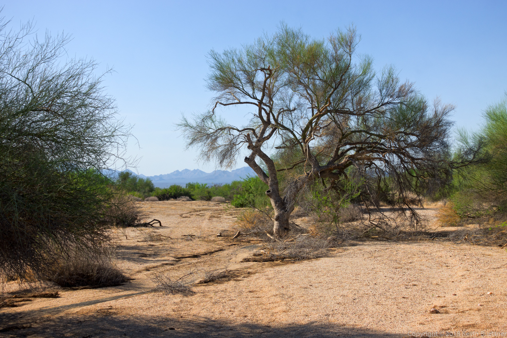
A view from the Gooseneck Trail:

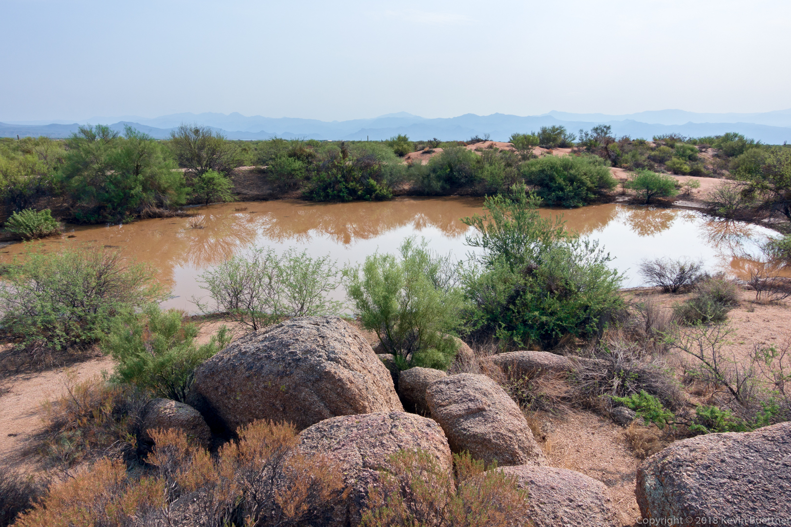
I think this is the most water that I’ve ever seen in Granite Tank!
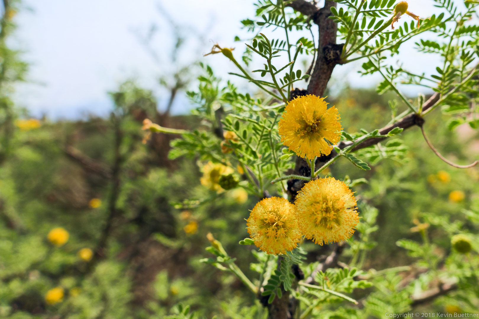
White Thorn Acacia:
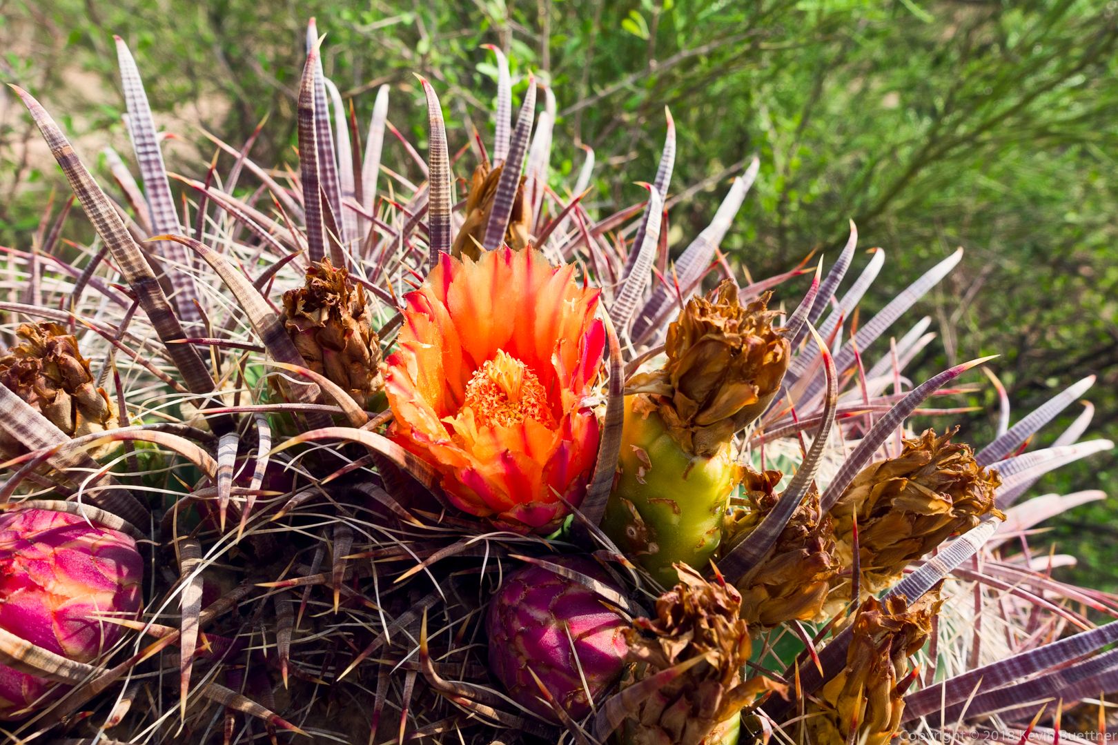
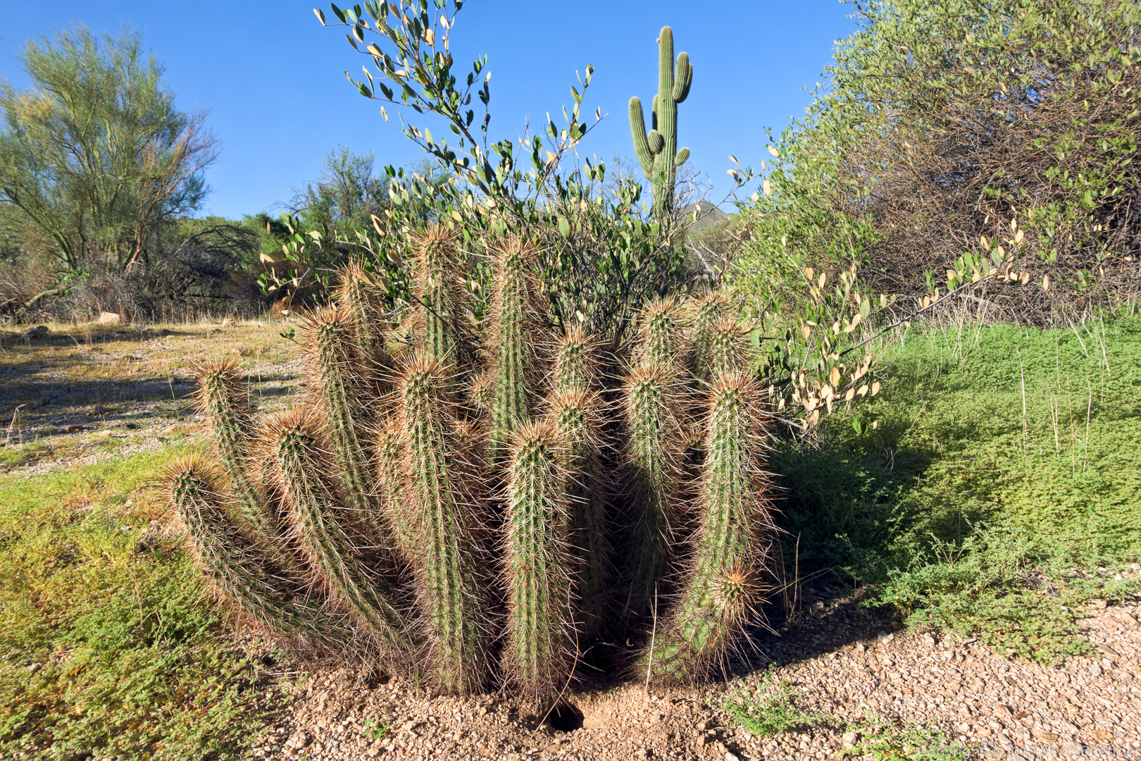
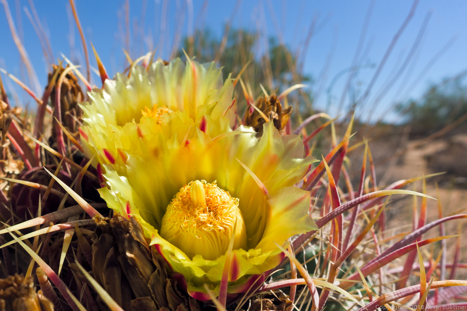
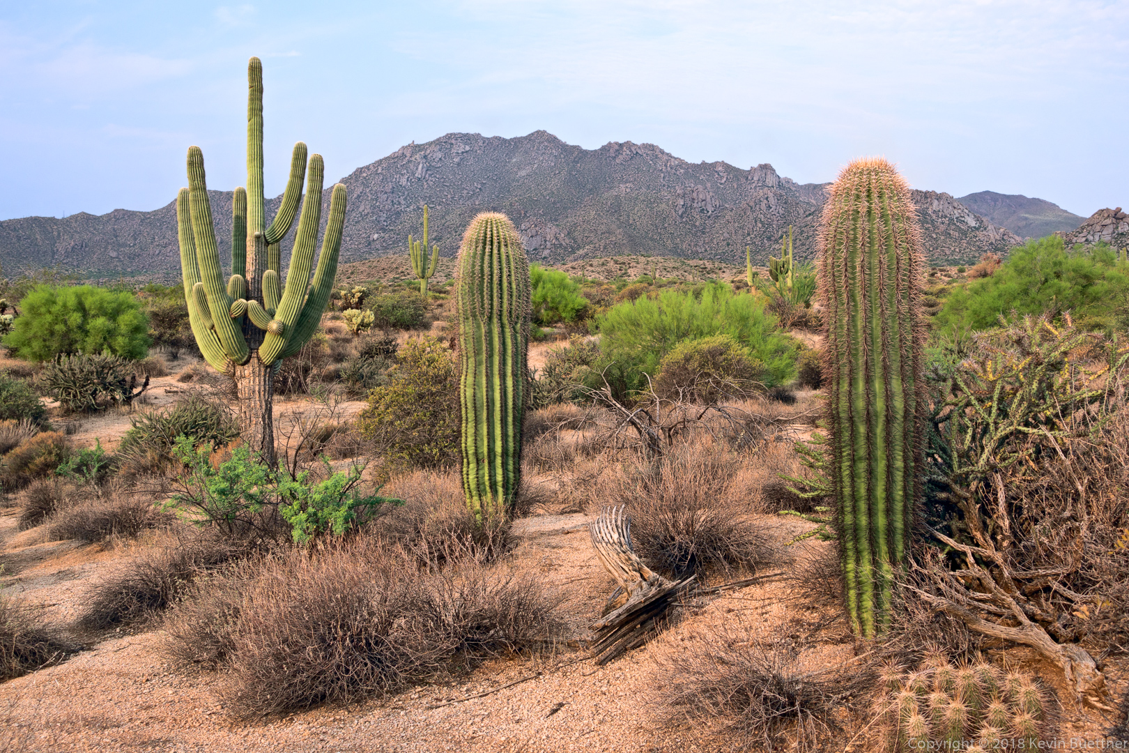
Barrel Cactus: