Tag: Friday Fitness Hike (page 23 of 36)

Friday Fitness Hike

Friday’s hike started at the Wagner Trailhead. Bob brought his new dog, Keena, who is about two years old. Allen and Janet brought their dogs too. The dogs were happy to meet each other.

20150109-_DSC9923-Edit-medium

Views from the Granite Trail:
20150109-_DSC9932-Edit-medium

20150109-_DSC9941-Edit-medium

Rock formations on a bank of the wash:

20150109-_DSC9956-Edit-mediumA view of the McDowells in the distance at the right. The small hill on the left is at the top of the Bluff Trail.

20150109-_DSC9965_6_7-Edit-medium

Rock Knob, on the right:

20150109-_DSC9968-Edit-medium

An interesting rock formation near Rock Knob:

20150109-_DSC9992-Edit-medium

A balancing rock that we passed on our way back from Rock Knob:
20150109-_DSC0026-Edit-medium

A view from the Bluff Trail:

20150109-_DSC0035-Edit-medium

Friday Fitness Hike

Last Friday’s hike started at the Trailhead Staging Area.  We hiked the Scenic Trail for the first half of the hike. For the second half, we crossed the road and explored some arroyos.

20150102-_DSC9728-Edit-medium 20150102-_DSC9779-Edit-medium 20150102-_DSC9788-Edit-medium 20150102-_DSC9791-Edit-medium 20150102-_DSC9827-Edit-medium 20150102-_DSC9830_1_1_2-Edit-2-medium 20150102-_DSC9863-Edit-medium 20150102-_DSC9872-Edit-medium

Friday Hike – AZT-21 NW

For Friday’s hike, Bob, Alan, Linda, Janet, Allen, and I hiked 12.5 miles on the Pine Mountain passage of the Arizona Trail. Accumulated elevation gain was over 1800 feet.

20141226-_DSC8655_6_7-Edit-medium

20141226-_DSC8676-Edit-medium

20141226-_DSC8697-Edit-medium

20141226-_DSC8718-Edit-medium

20141226-_DSC8724-Edit-medium

20141226-_DSC8775-Edit_copy-medium

20141226-_DSC8850-Edit-medium

20141226-_DSC8865-Edit-medium

20141226-_DSC8898-Edit-medium

Friday Hike – Spur Cross to Black Mesa

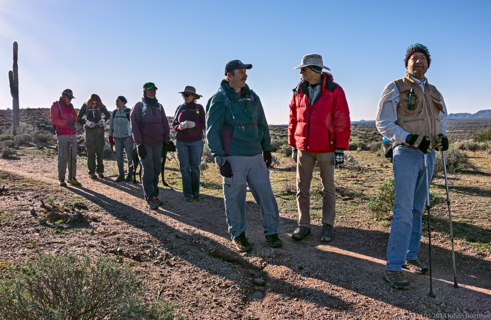
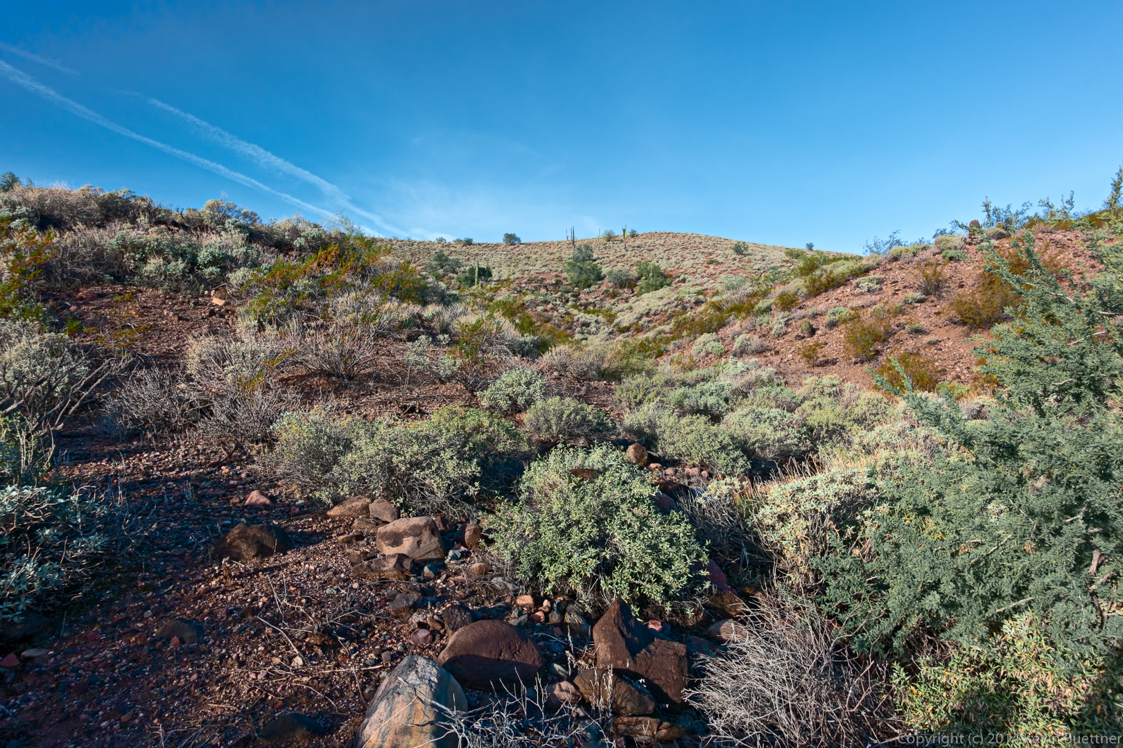
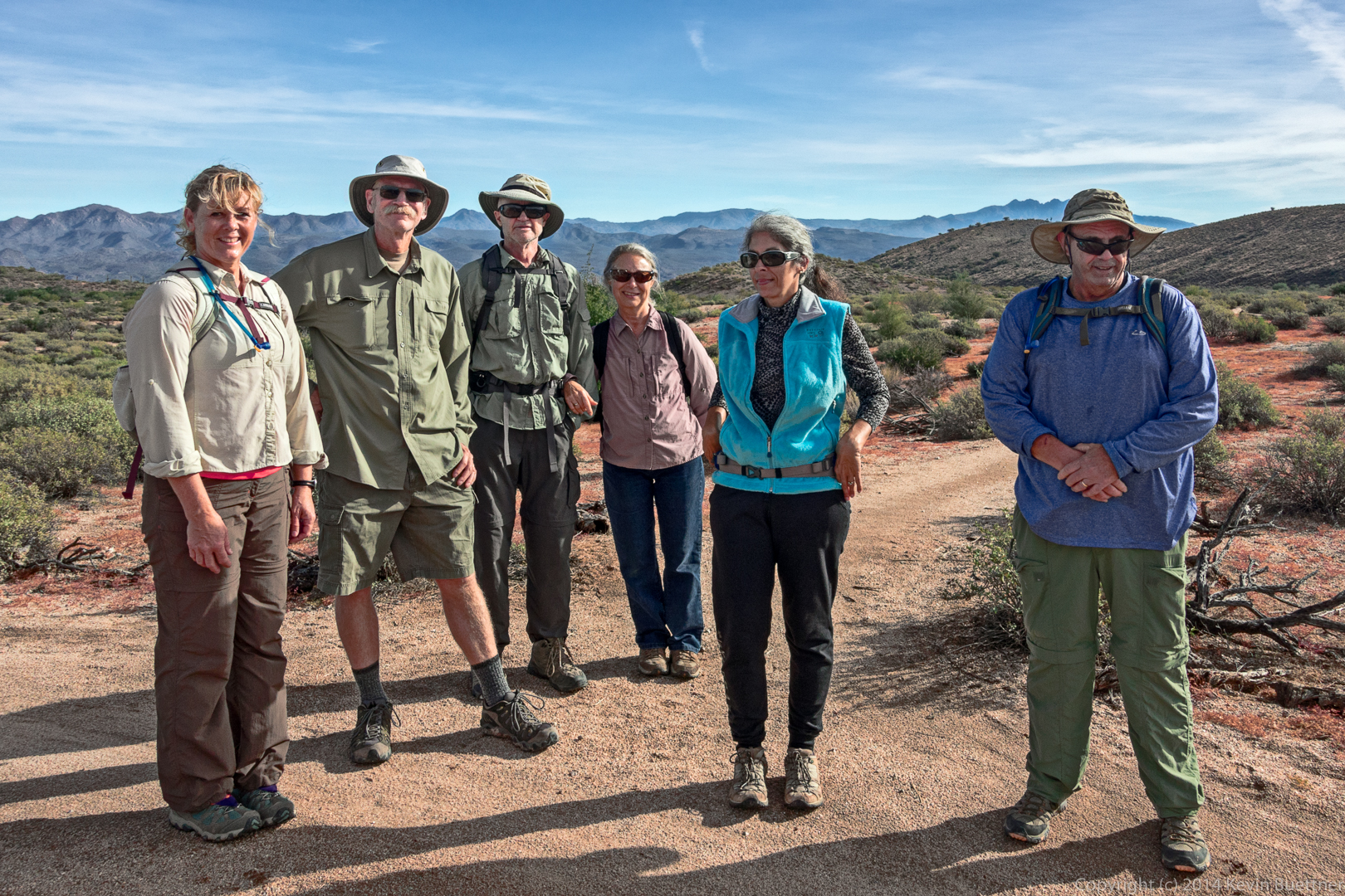
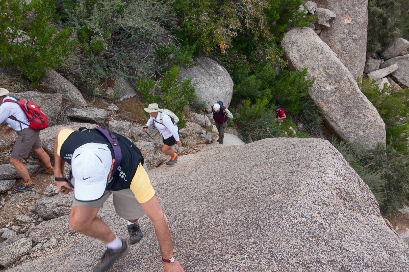
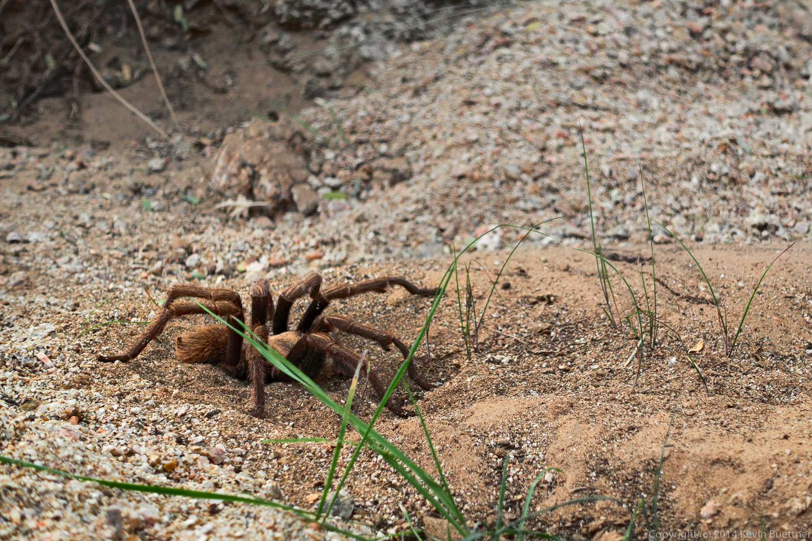
Bob, Nick, Allen, Janet, and I hiked from the Spur Cross Trailhead to the top of Black Mesa. It was an arduous hike. We started at 8:00am and hiked all day with few rests, returning to our vehicle after dark. Total distance was 14 miles with over 3100 feet of total ascent. The trails in Spur Cross Ranch Conservation Area were in good condition. We had difficulty following the trails once we entered Tonto National Forest. Tall grass has grown up over the rocks blocking our view of many of the cairns. If it were not for the track that I had loaded into my GPS, we probably would not have found our way. Hiking uphill through tall grass over unseen rocks was very tiring. Despite the difficulty, I had fun on the hike anyway.

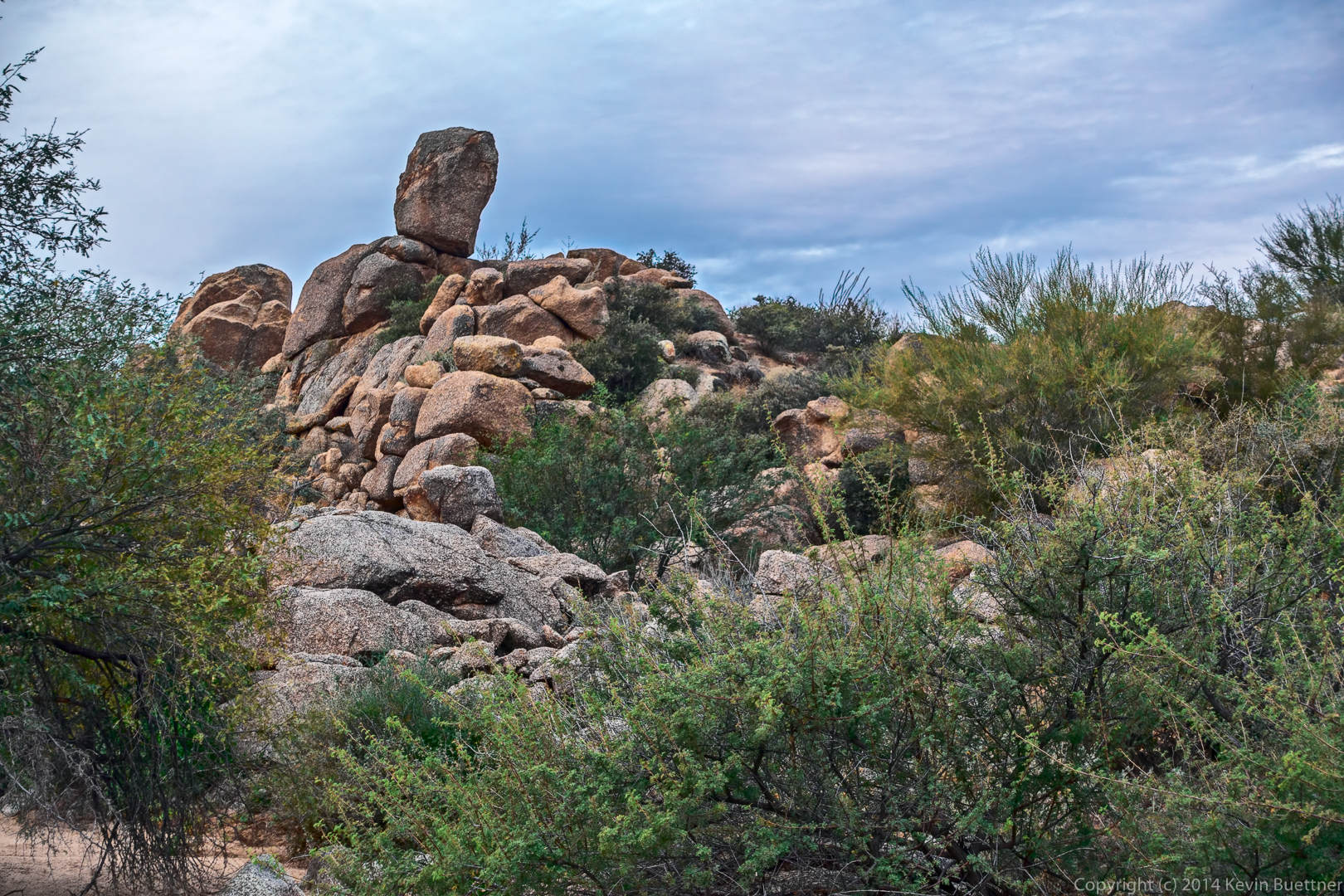
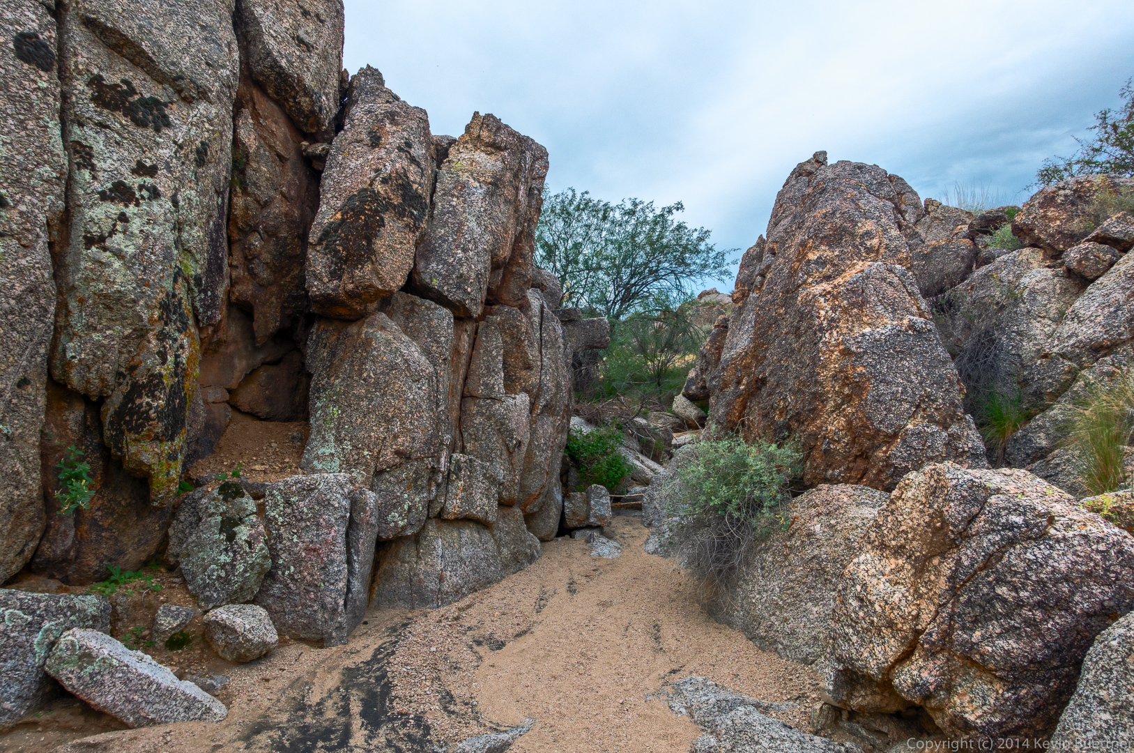
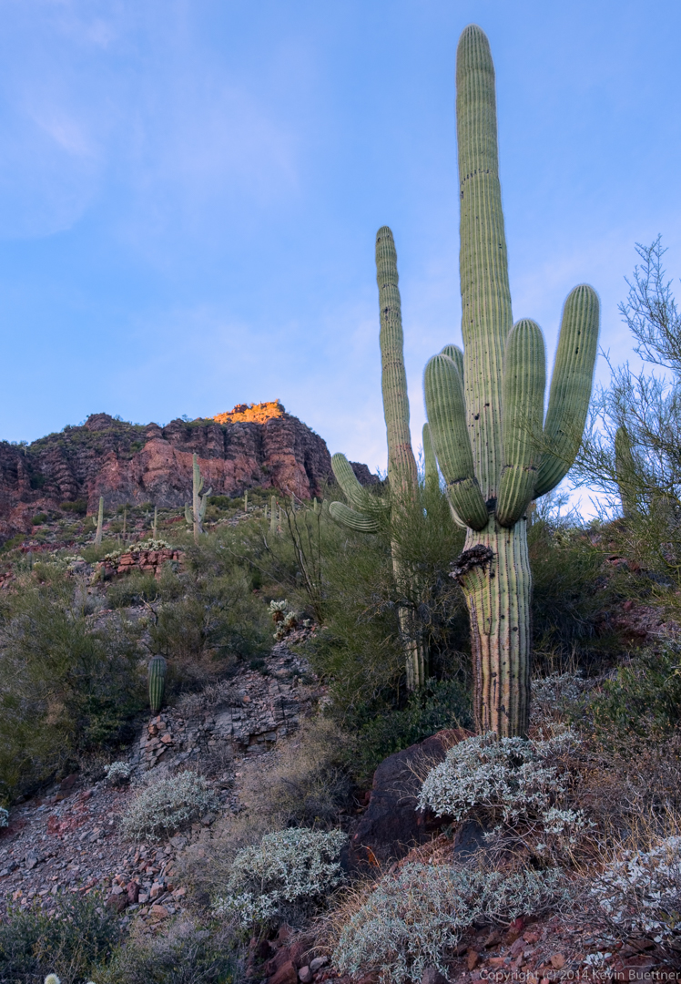
Below are two views of the fortress. We passed the path up to the top on our way back (adding two miles to our hike), but we were running short on daylight, so we left it for another day.

20141219-_DSC7979-Edit-medium  20141219-_DSC8000-Edit-medium

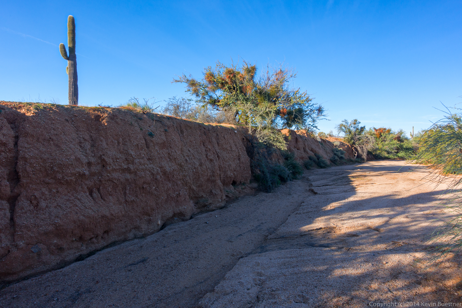
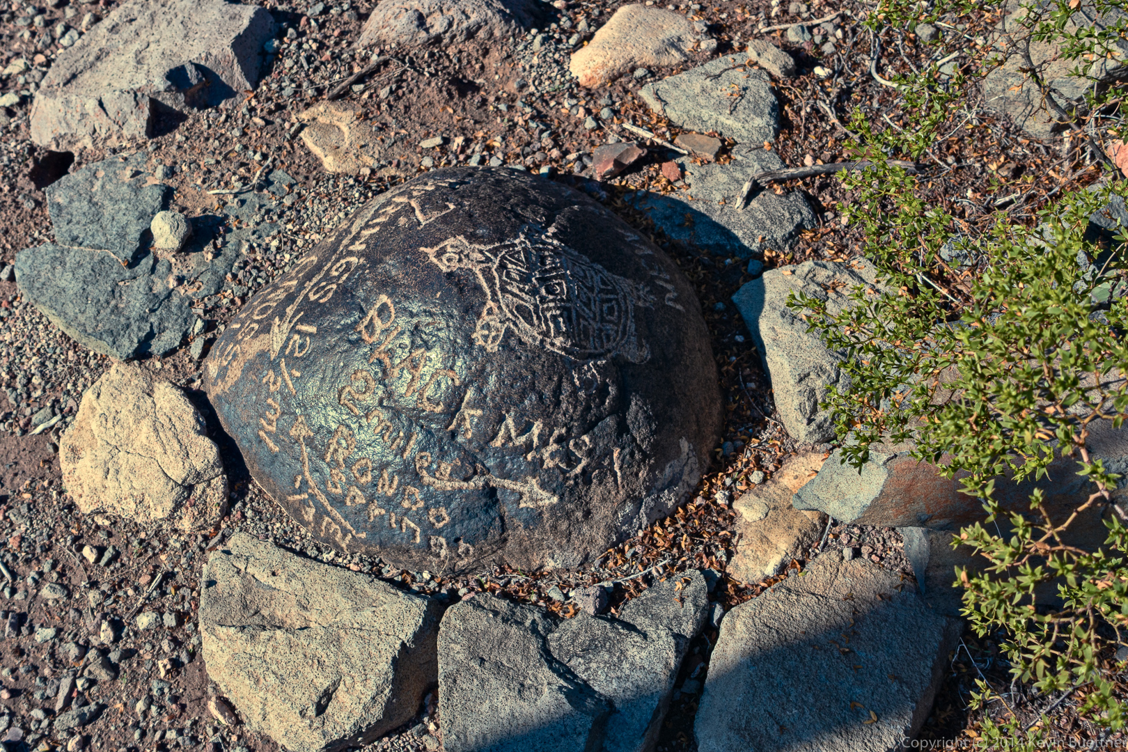
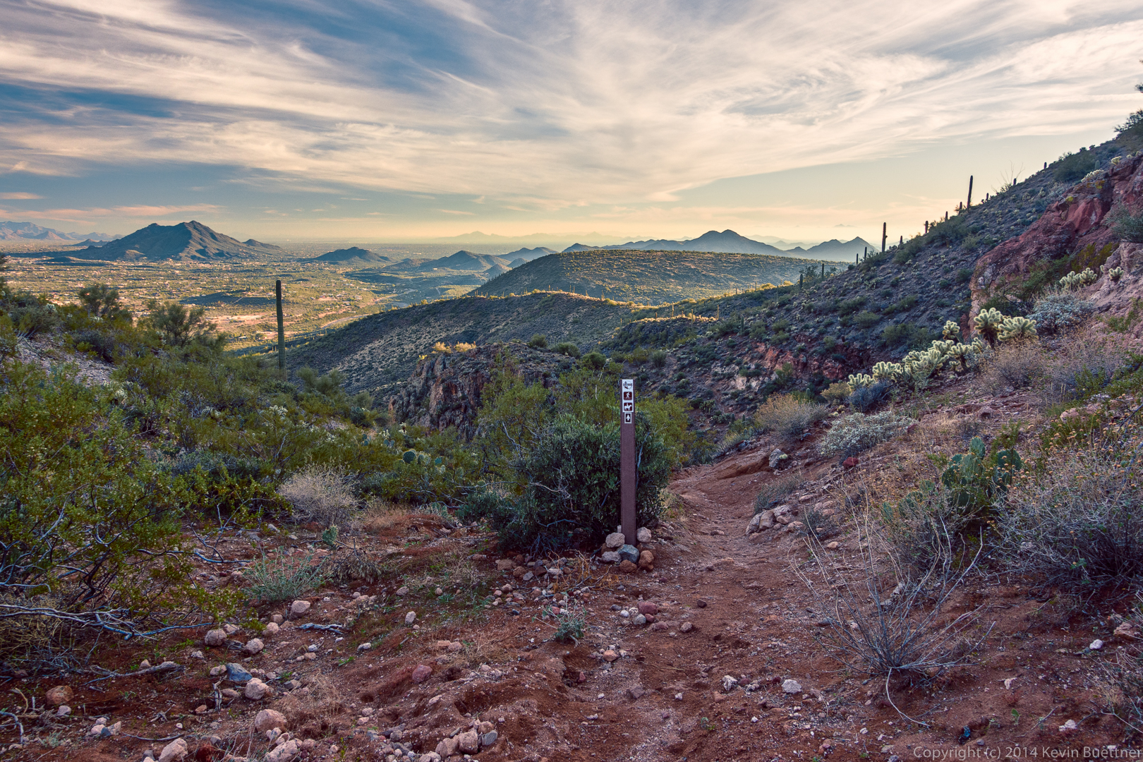
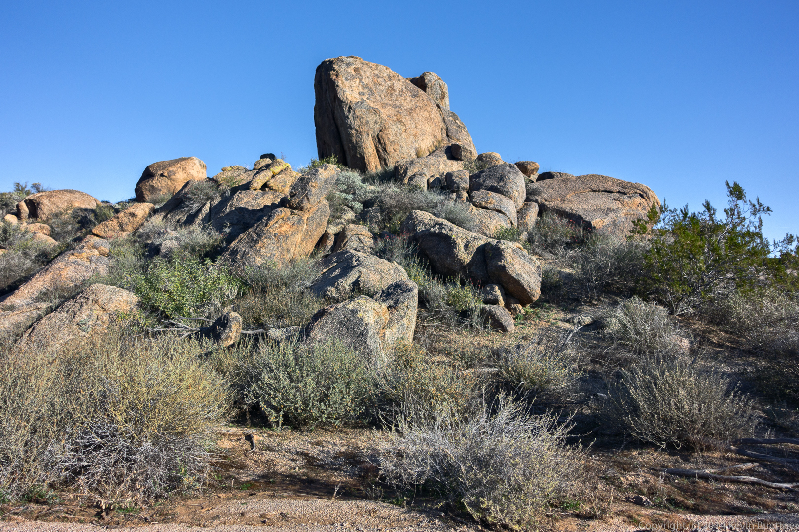
We encountered two very nice trail markers after entering Tonto National Forest.
20141219-_DSC8036-Edit-medium

20141219-_DSC8054-Edit-medium

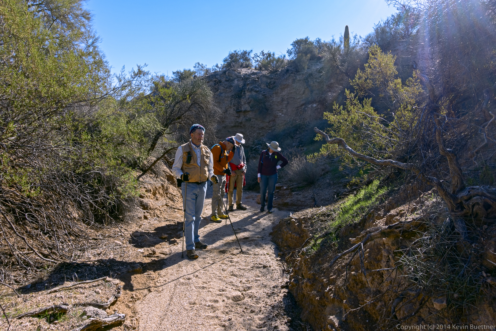
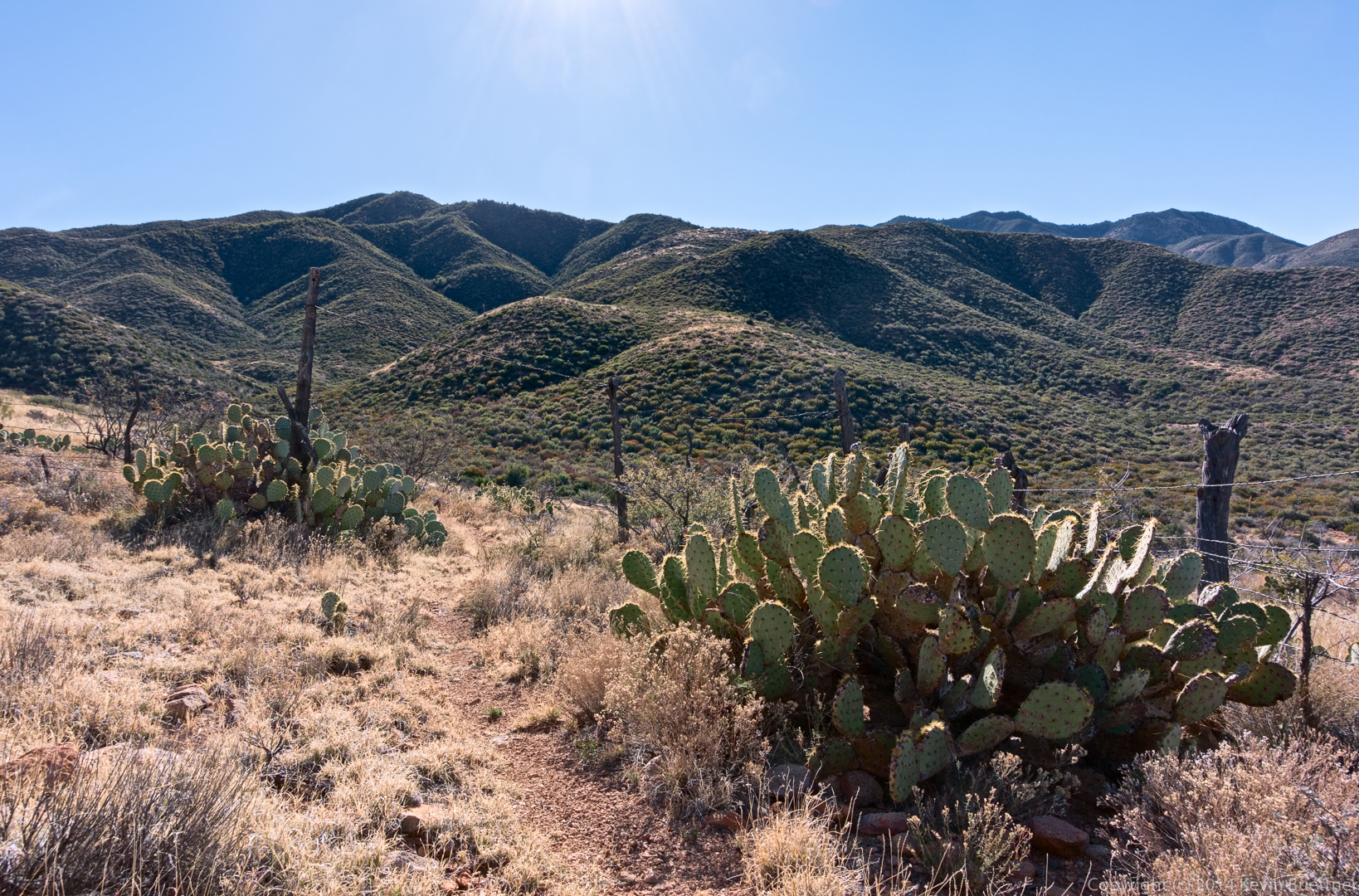
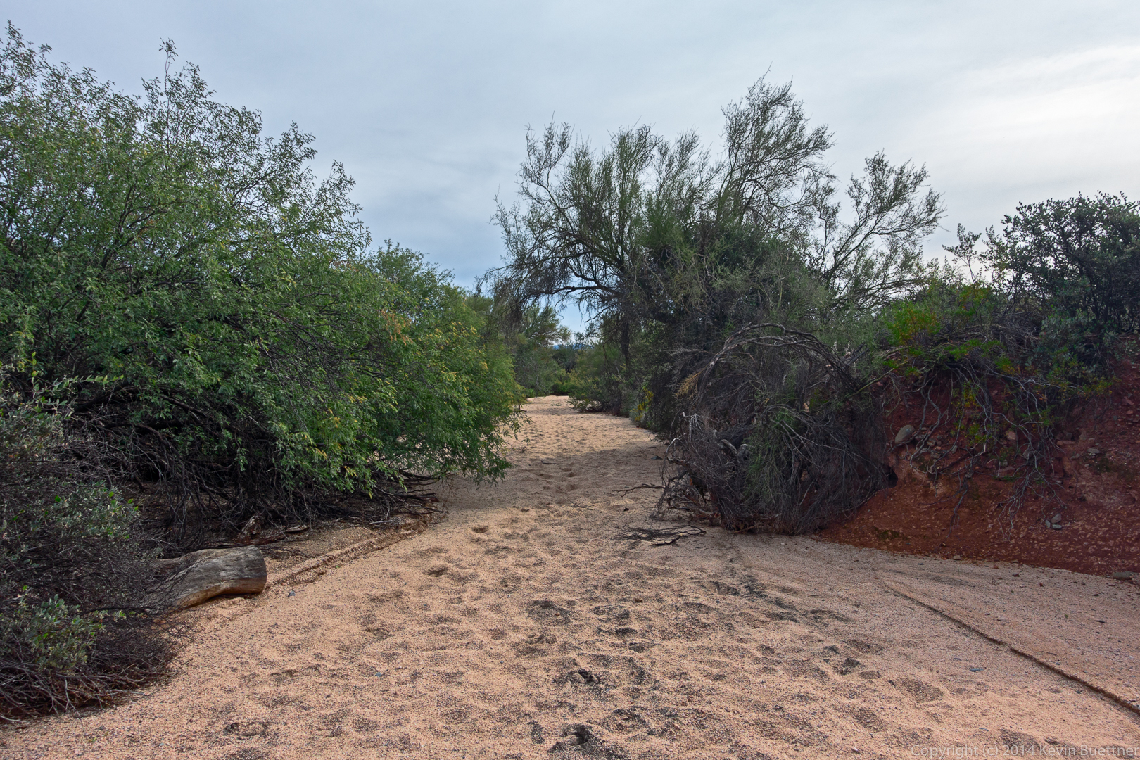
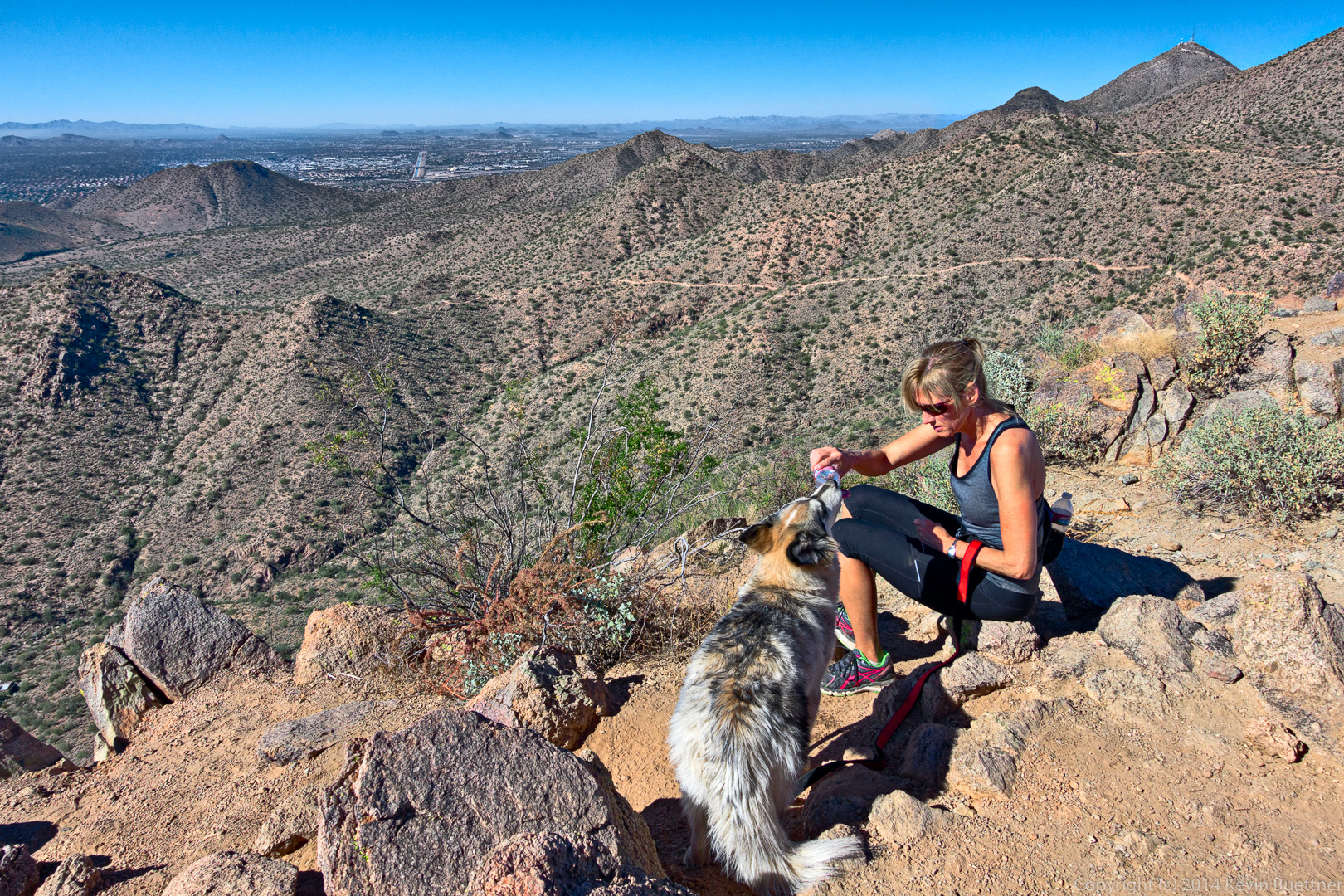
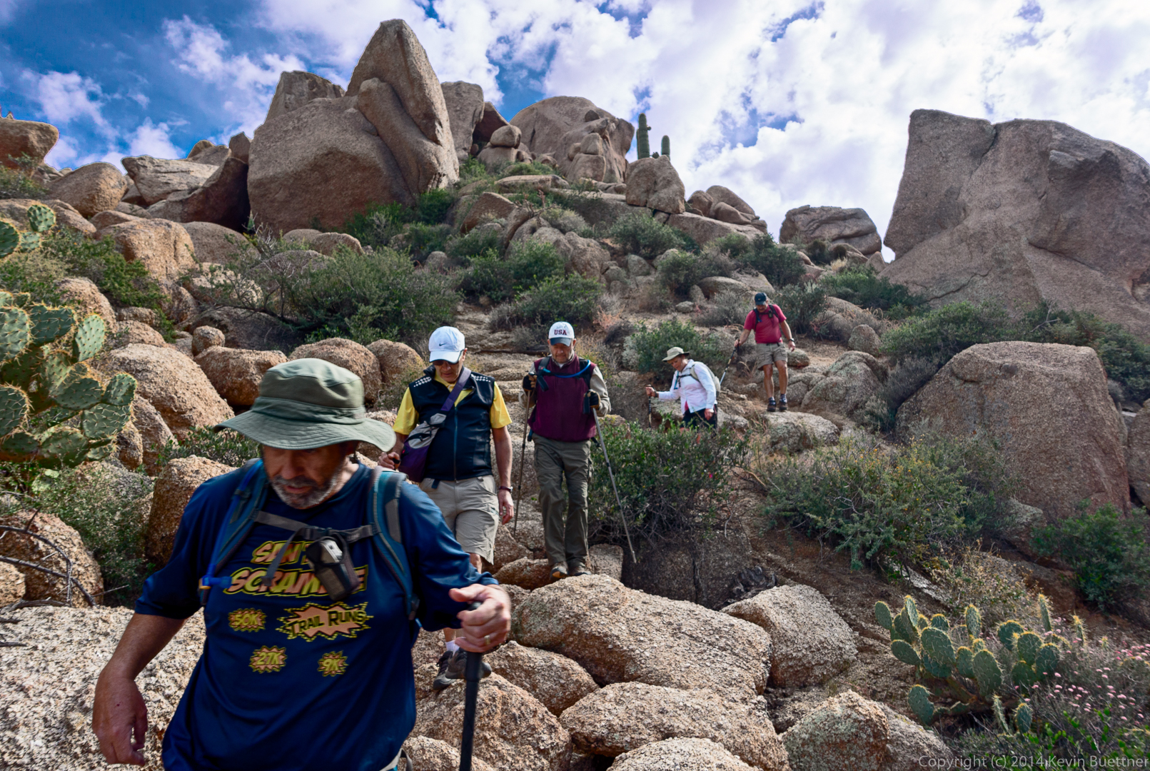
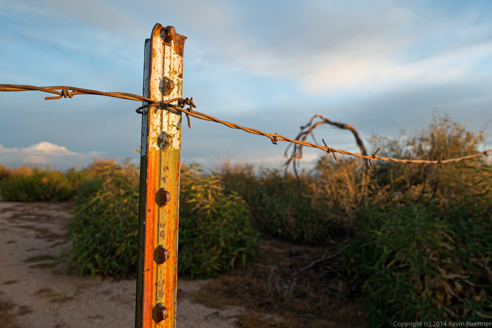
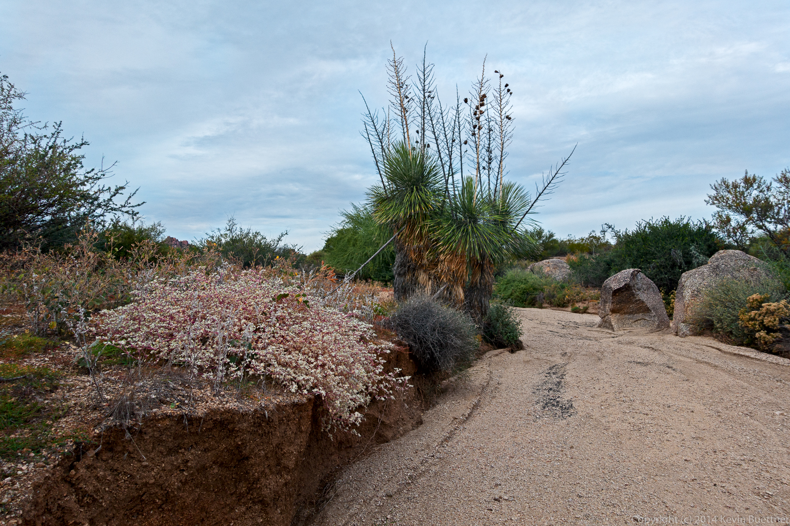
We took a short break after passing through one of the fences.
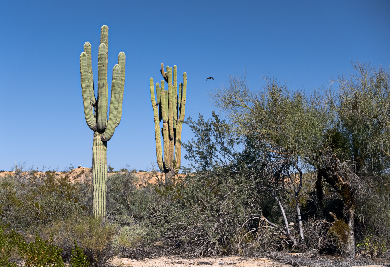
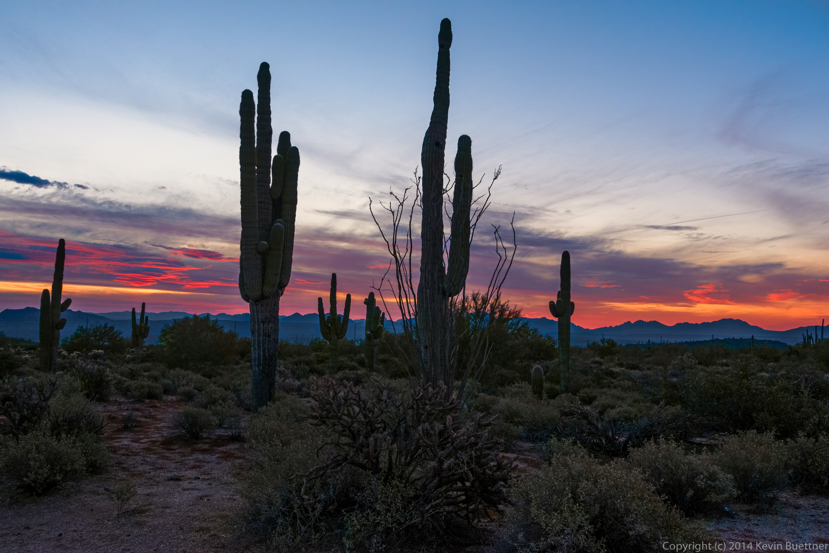
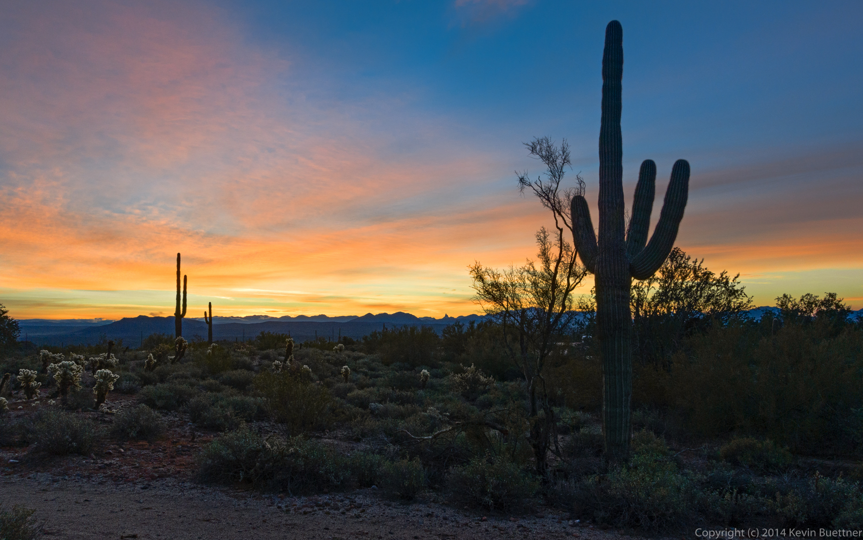
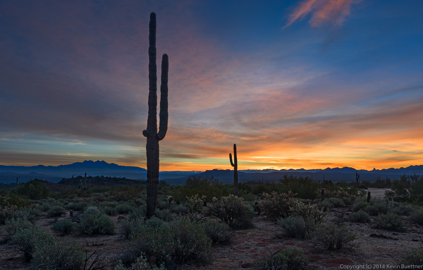
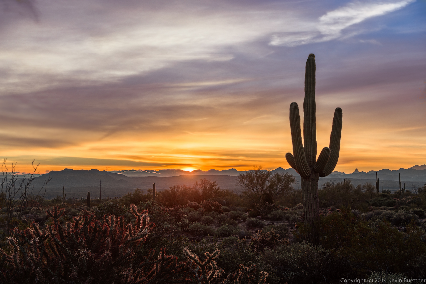
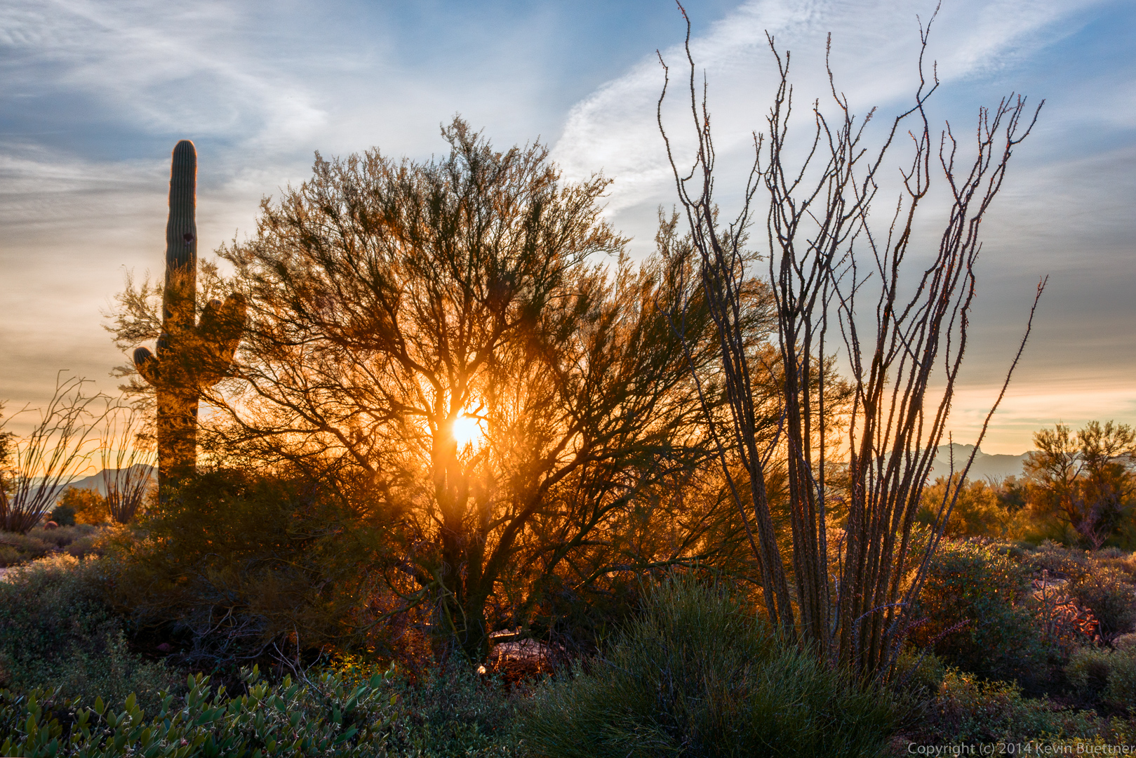
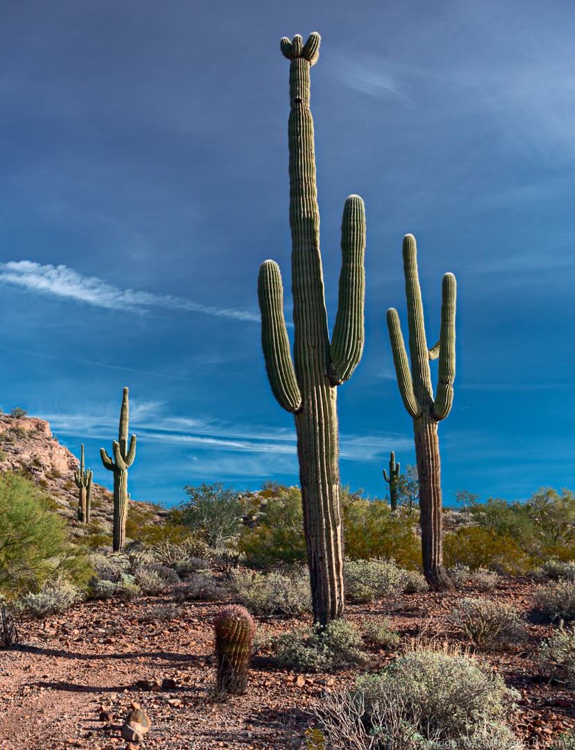
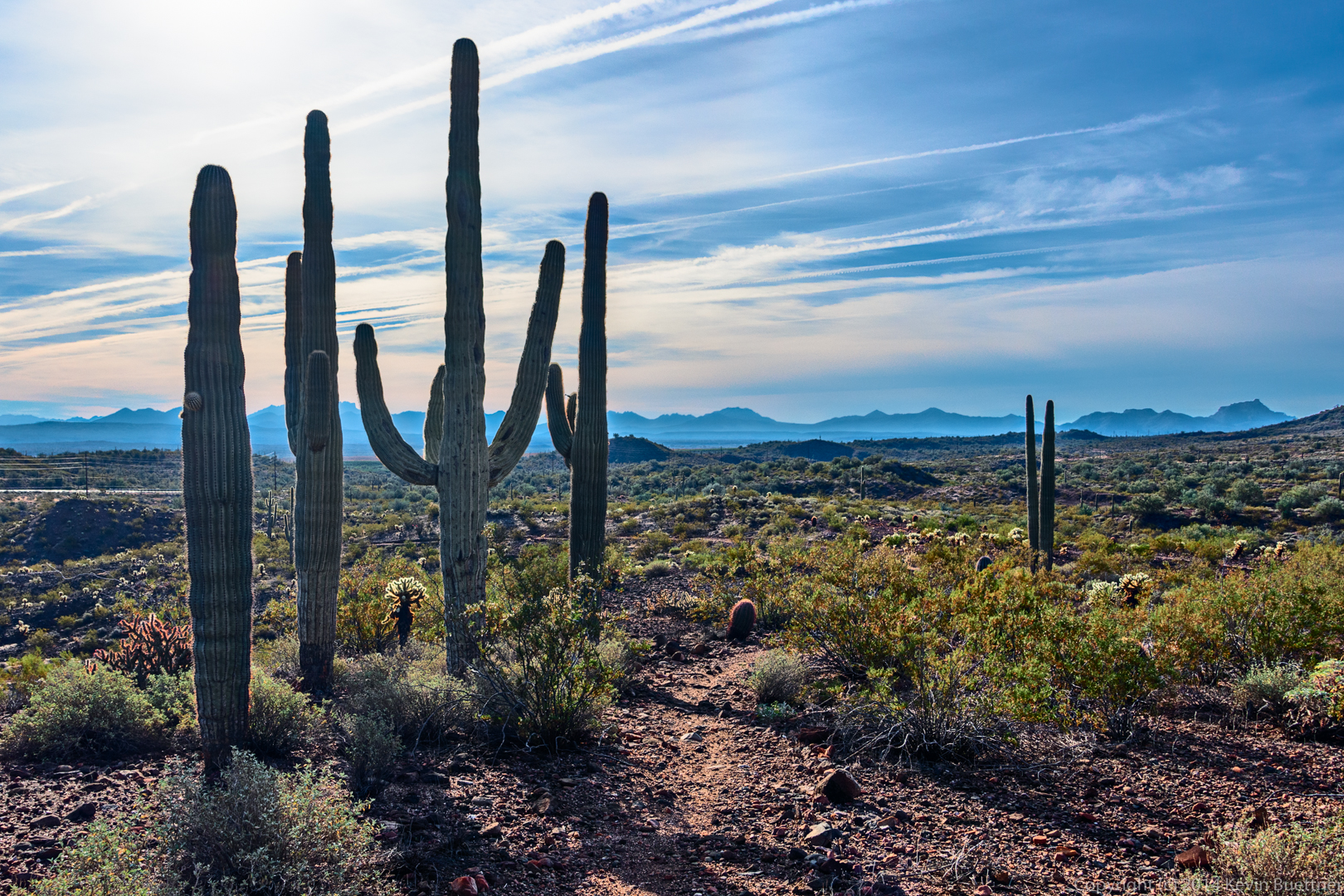
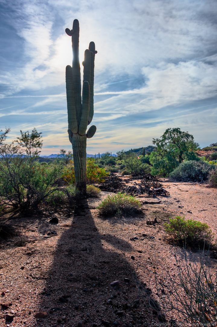
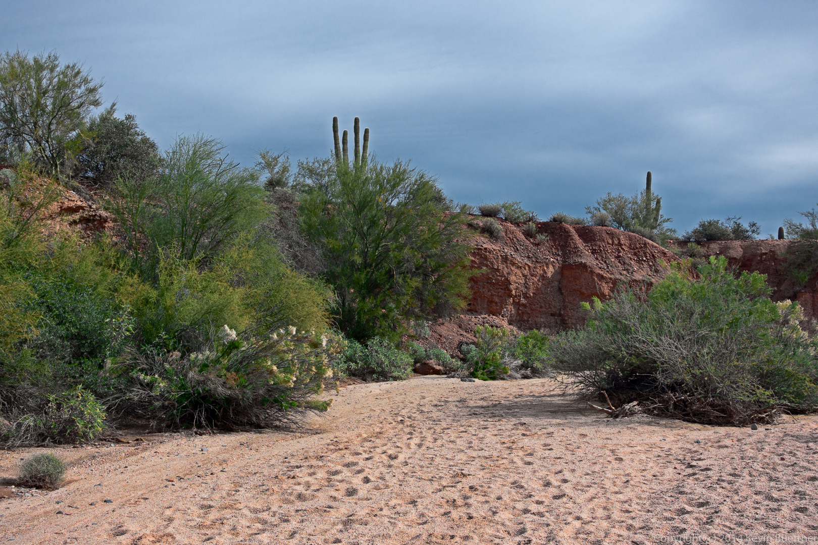
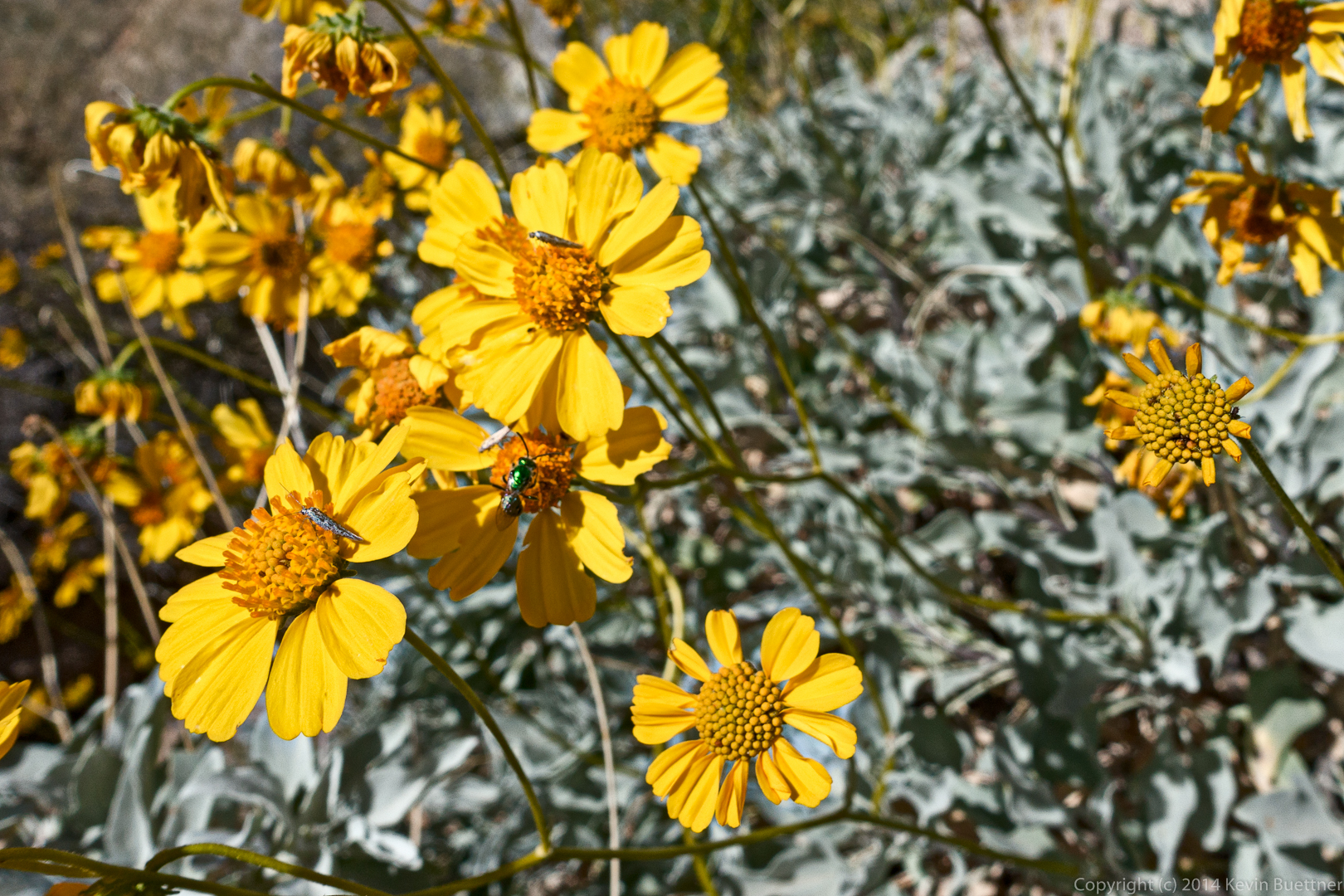
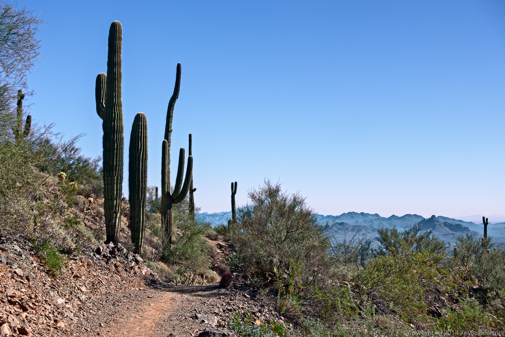
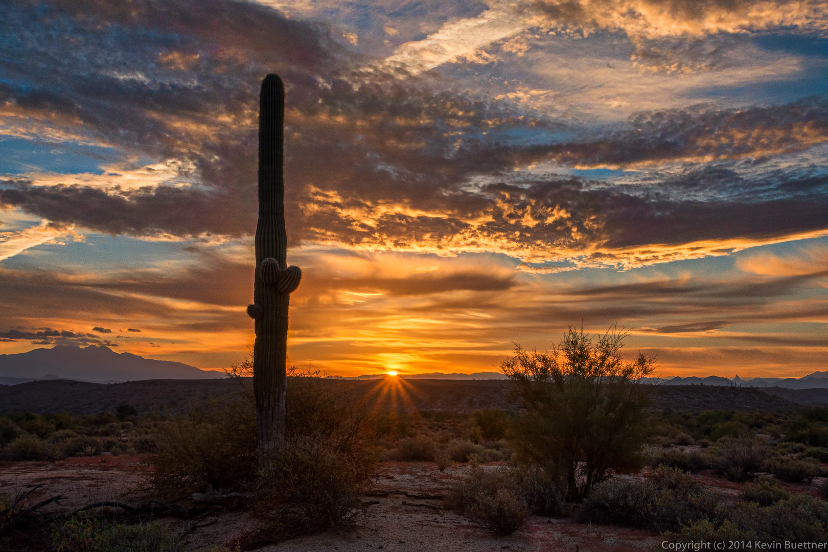
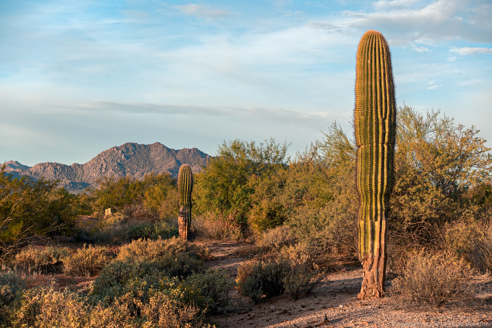
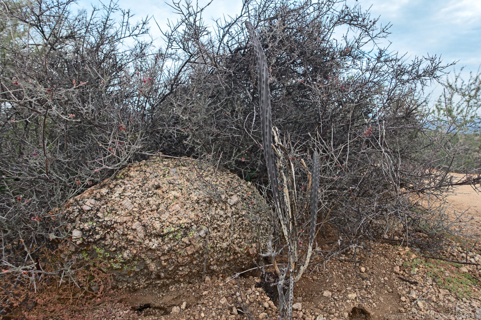
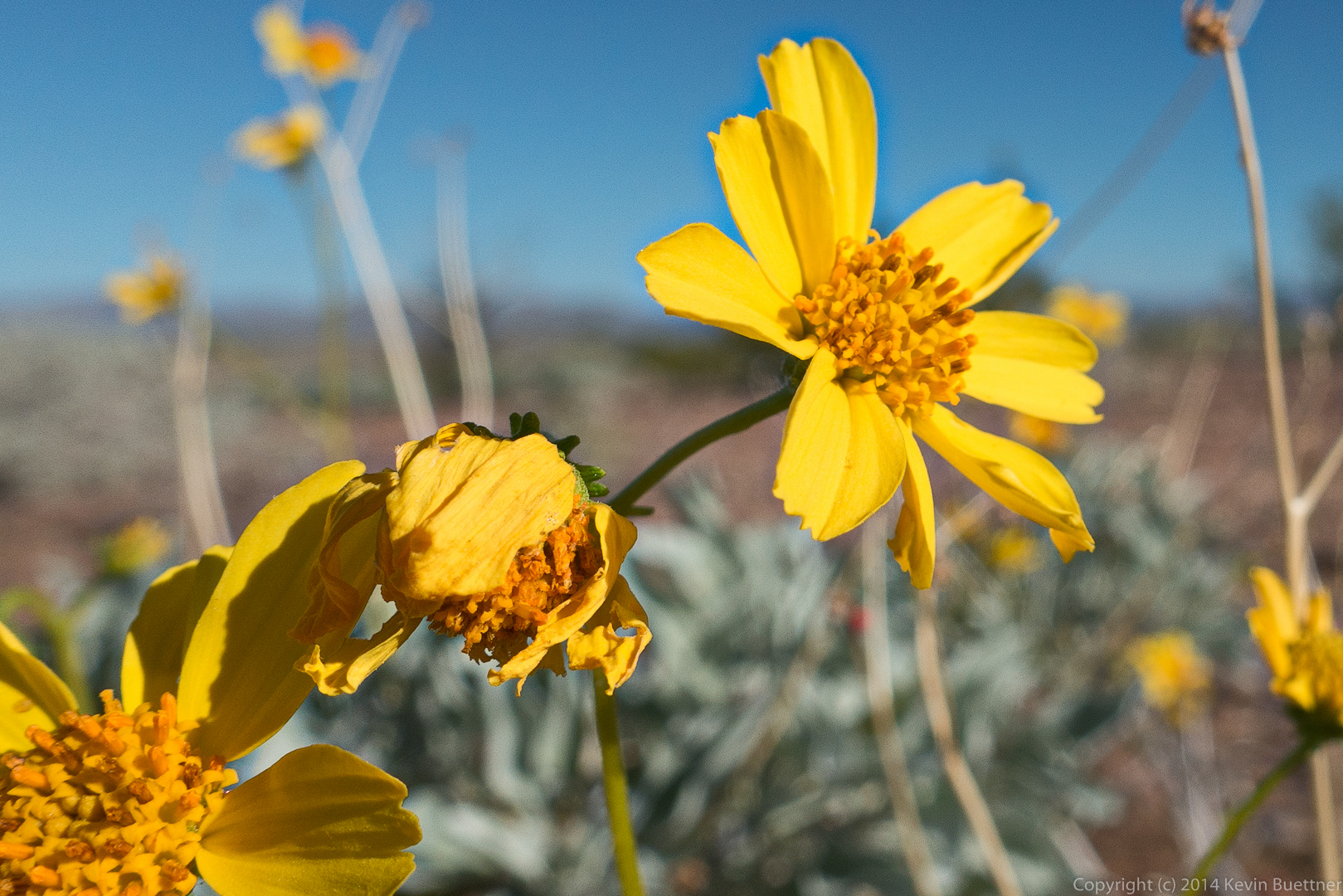
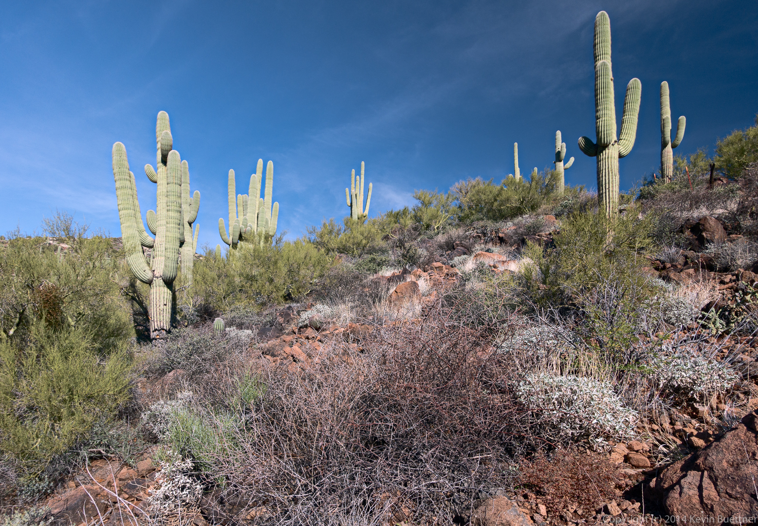
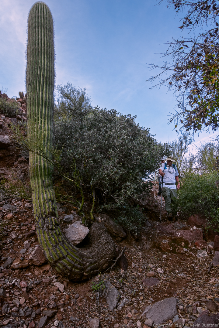
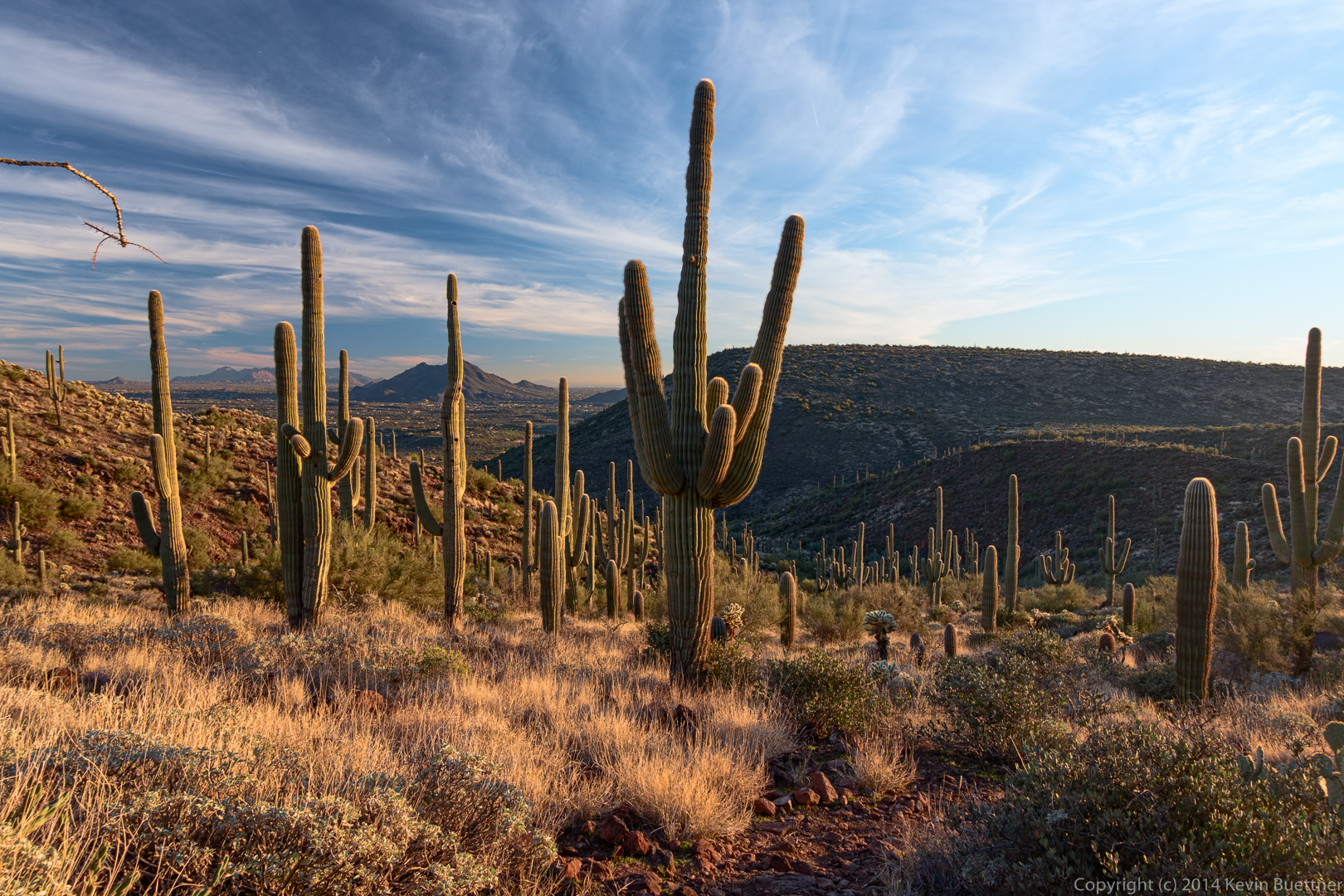
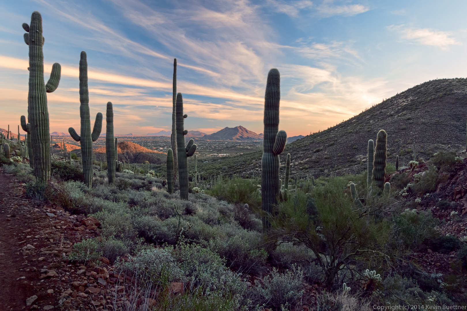
20141219-_DSC8075-Edit_copy_2-medium

Saguaros…

20141219-_DSC8087-Edit-medium

20141219-_DSC8102-Edit-medium

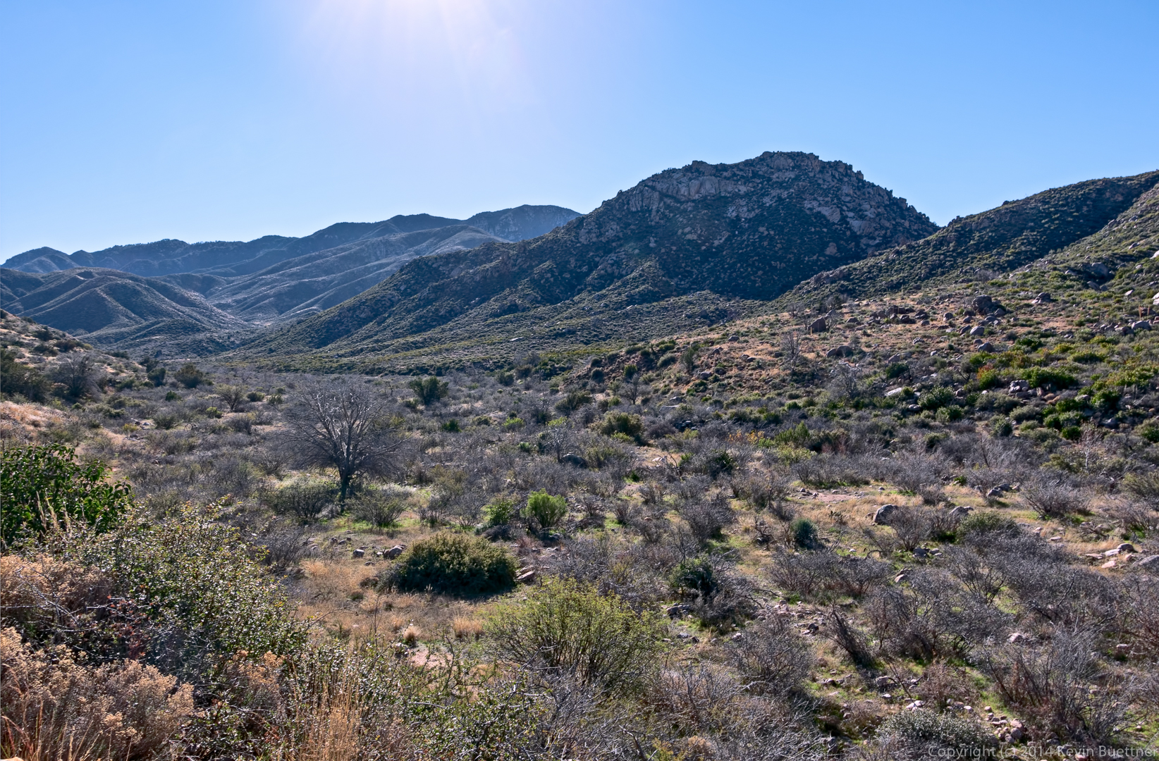
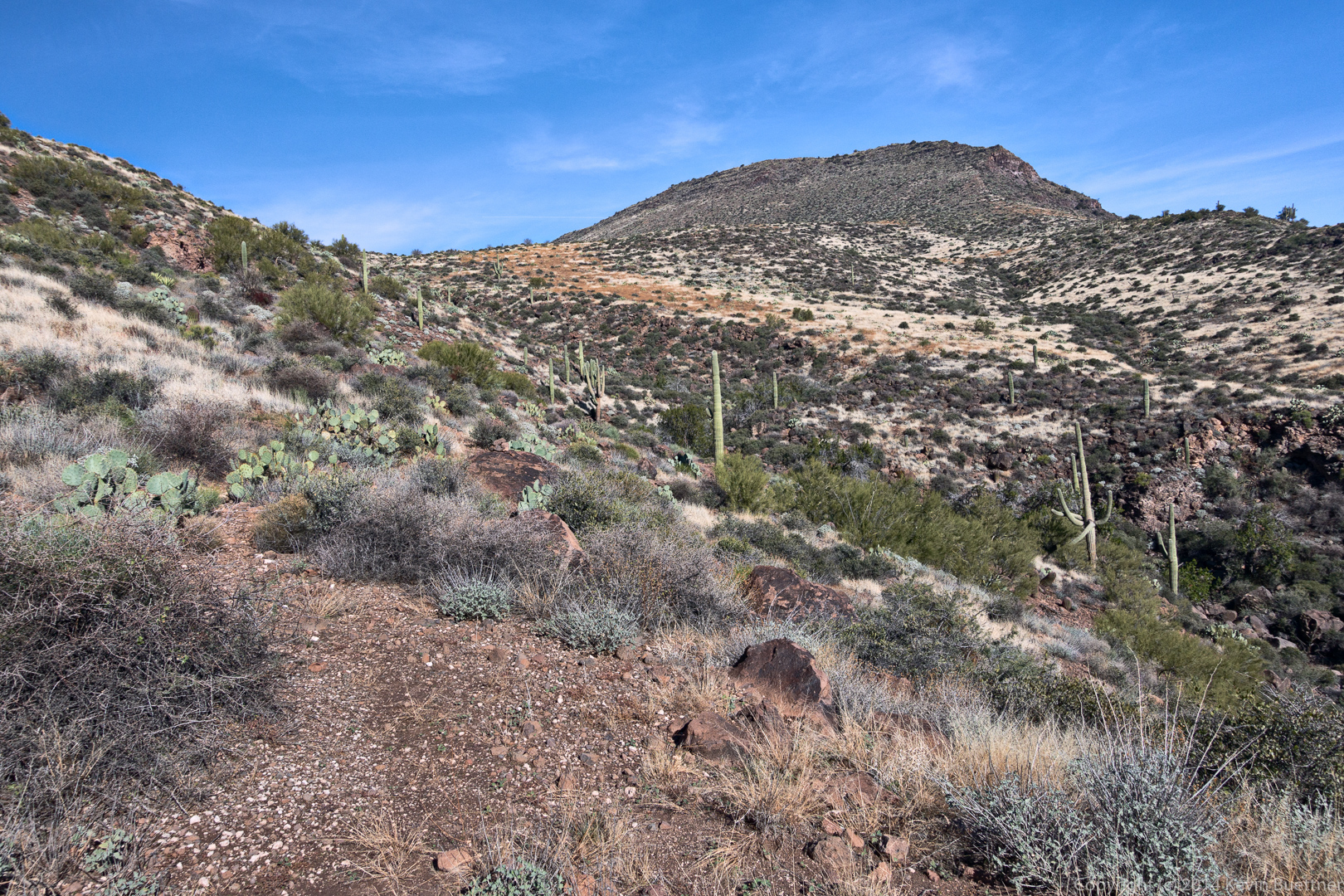
A view of Black Mesa. At the start of the day, we thought that we’d be hiking up a different nearby formation.

20141219-_DSC8105-Edit-medium

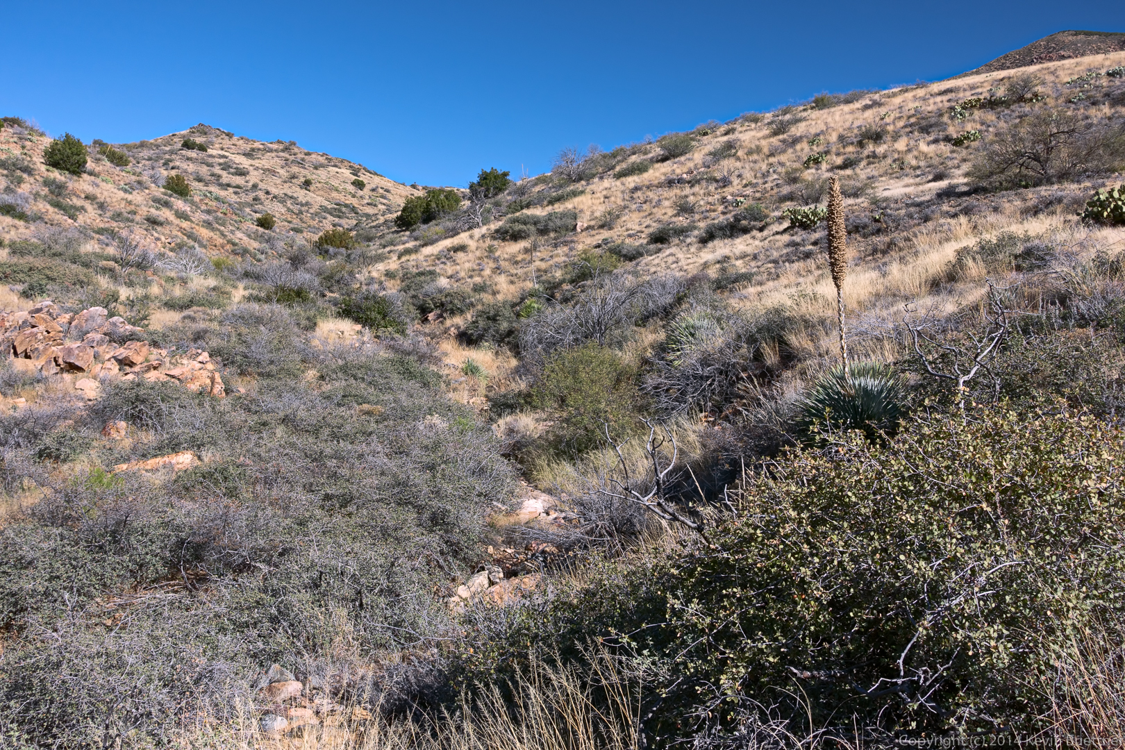
Bob, after emerging from one section of tall grass.

20141219-_DSC8111-Edit-medium

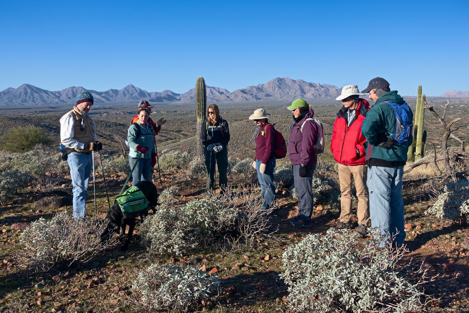
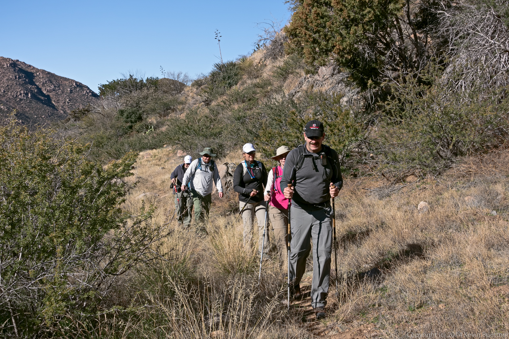
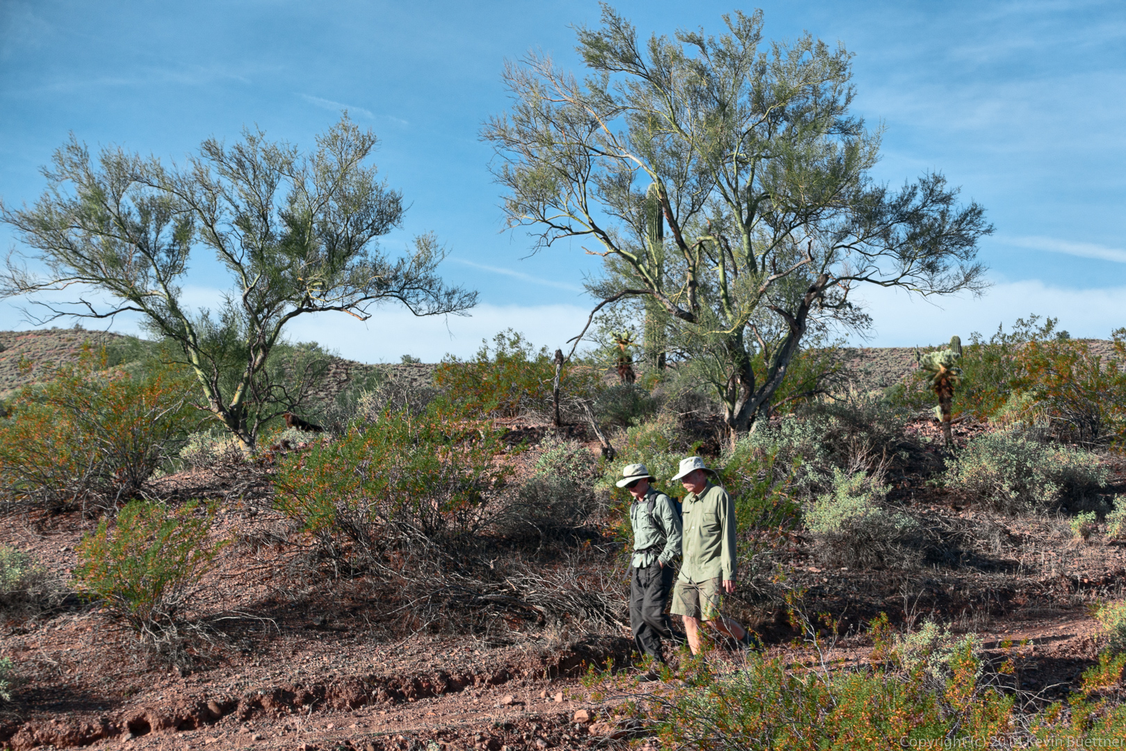
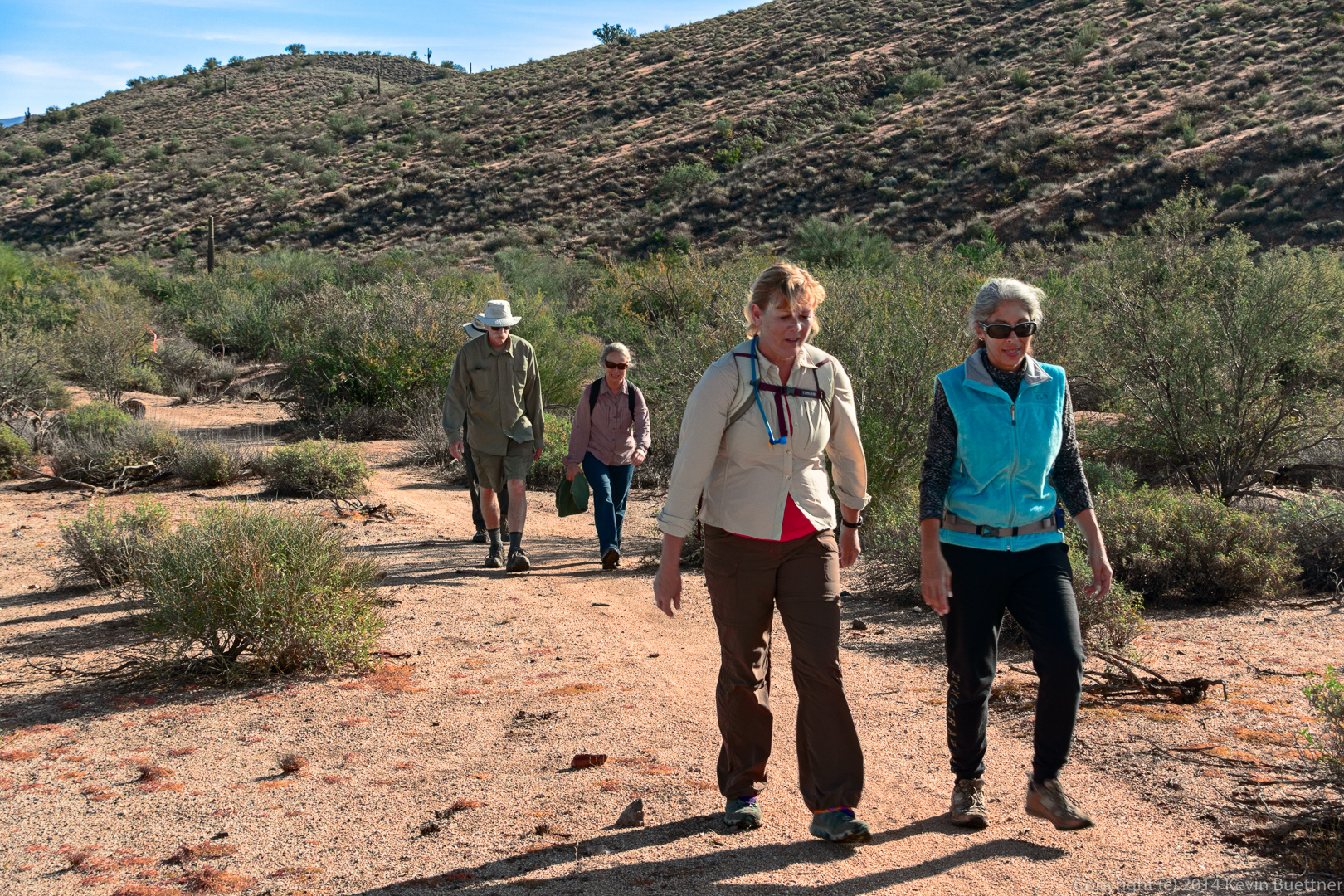
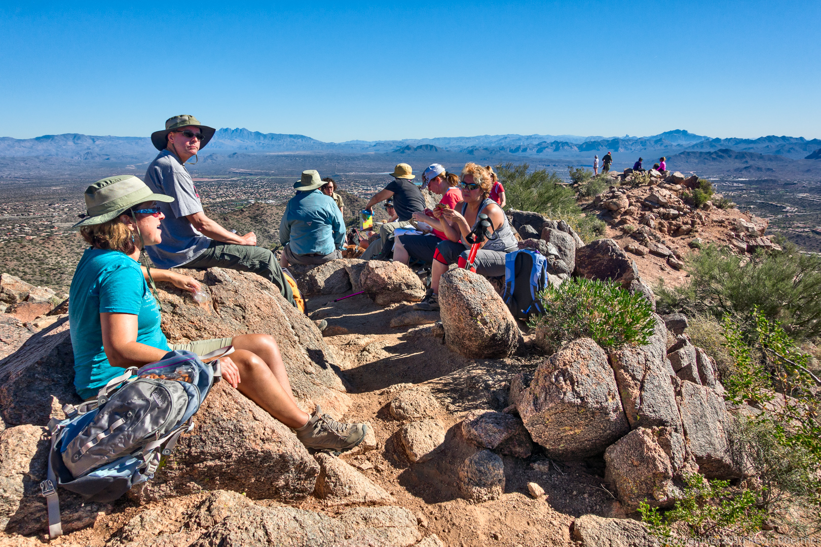
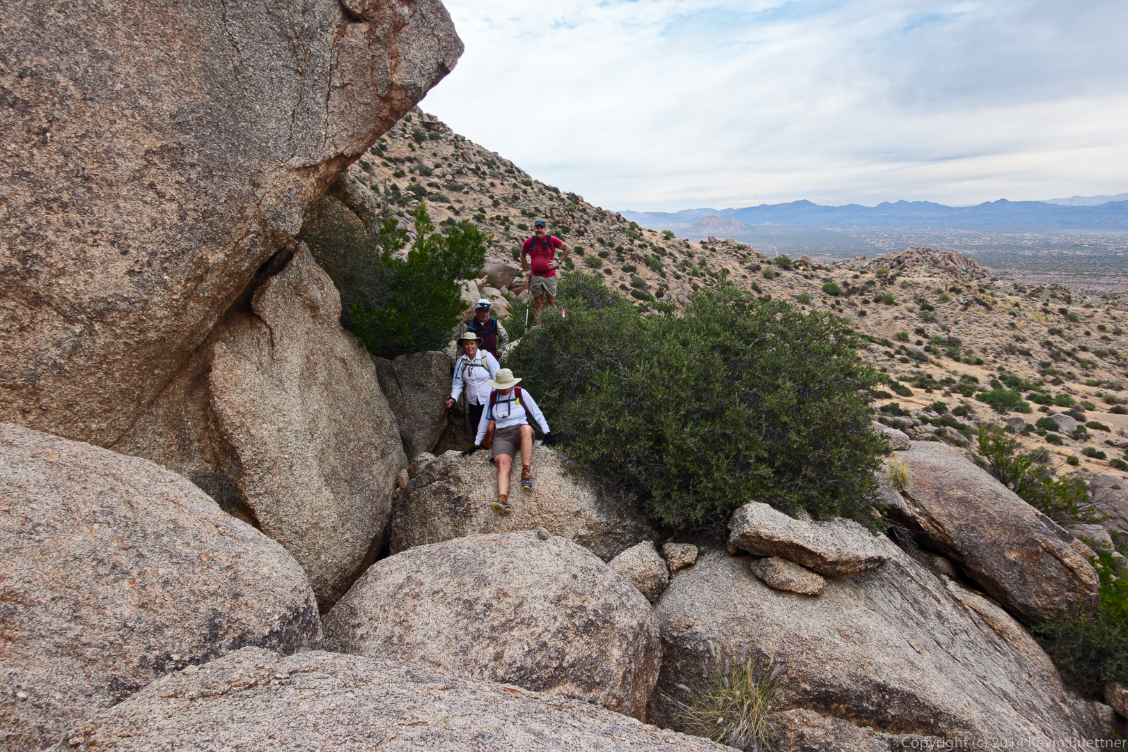
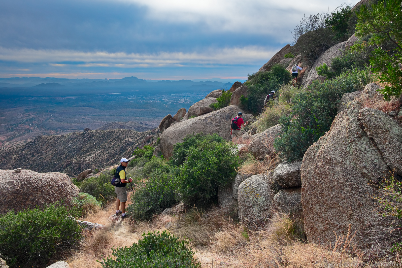
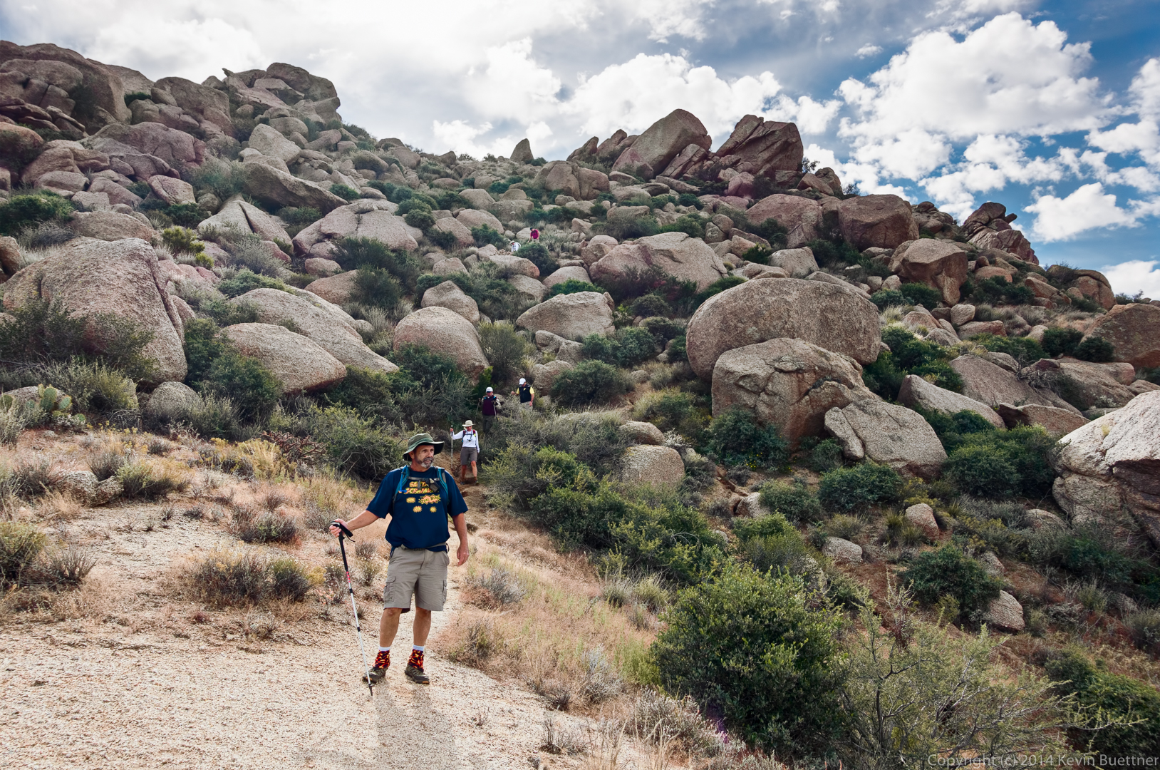
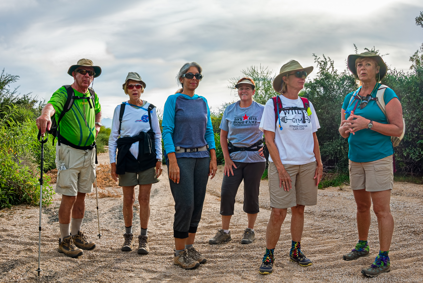
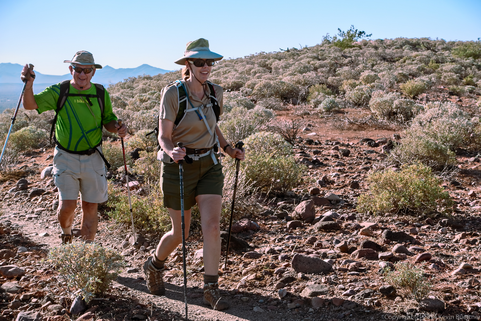
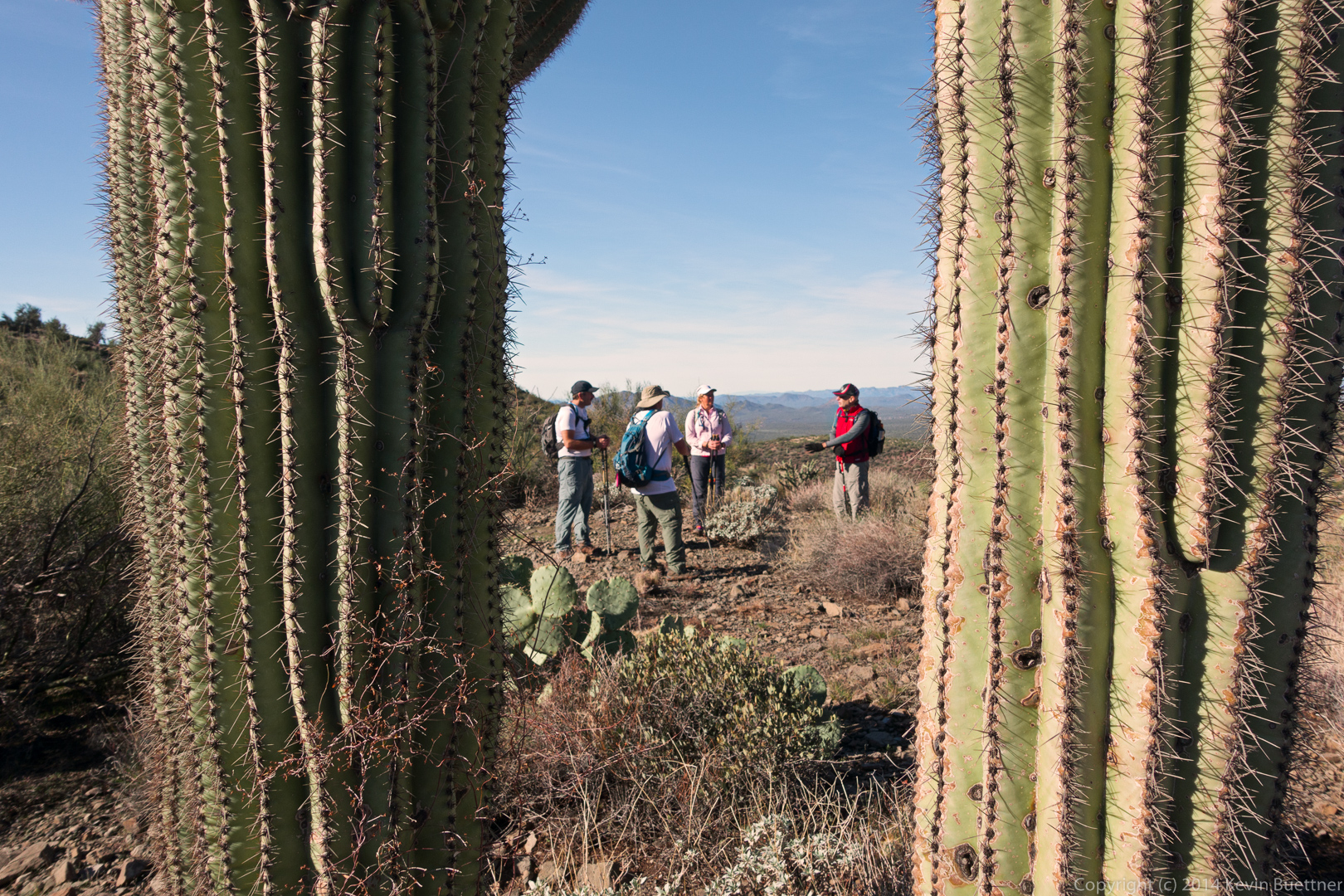
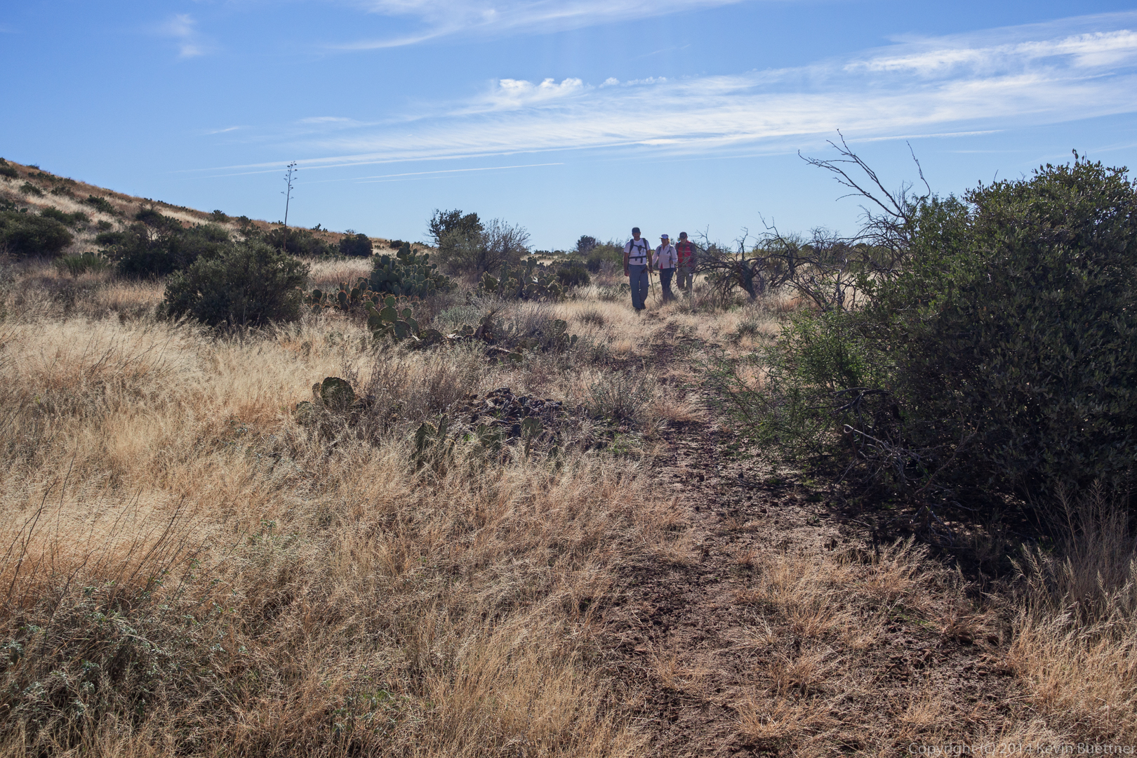
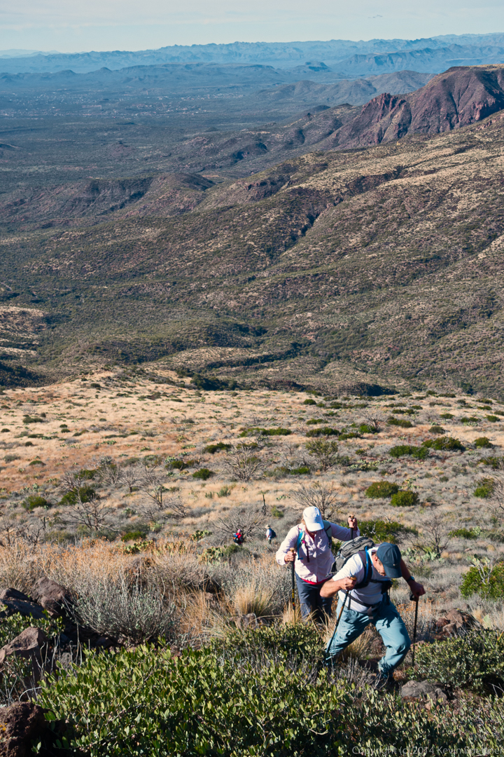
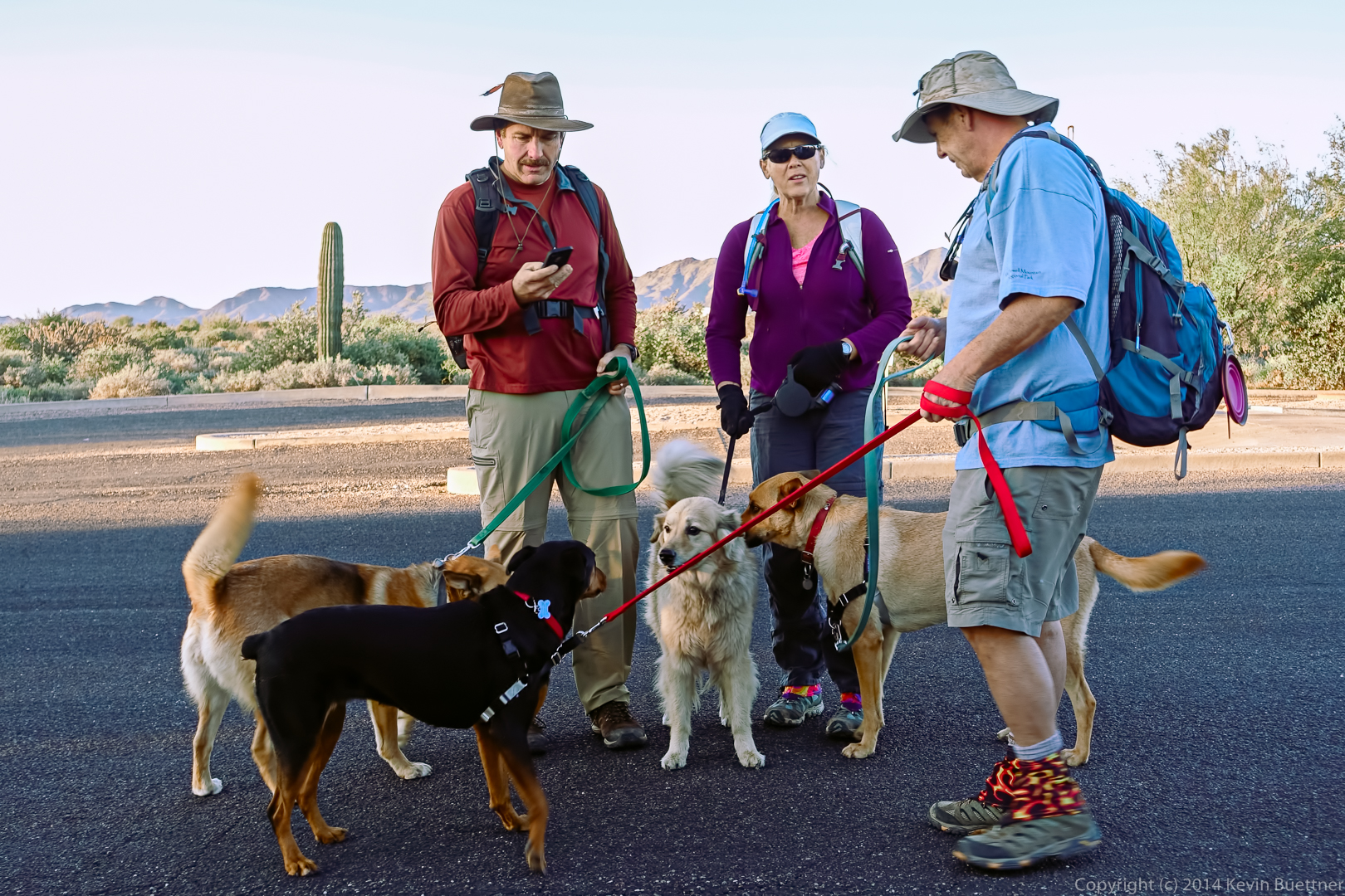
Allen, Janet, and Nick on an easy section of the hike.

20141219-_DSC8114-Edit-medium

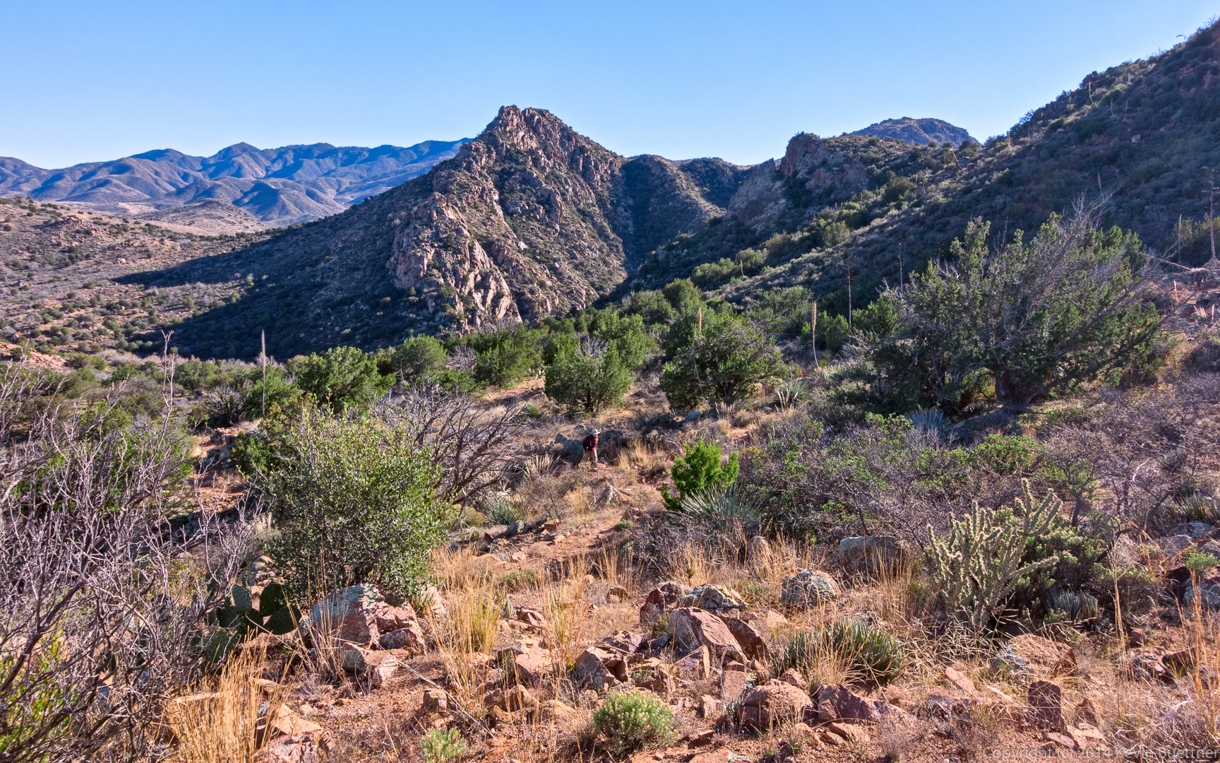
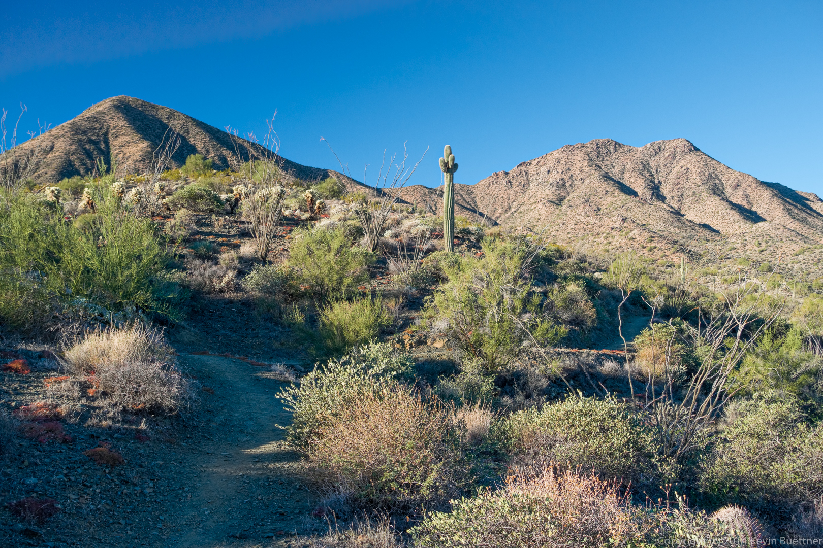
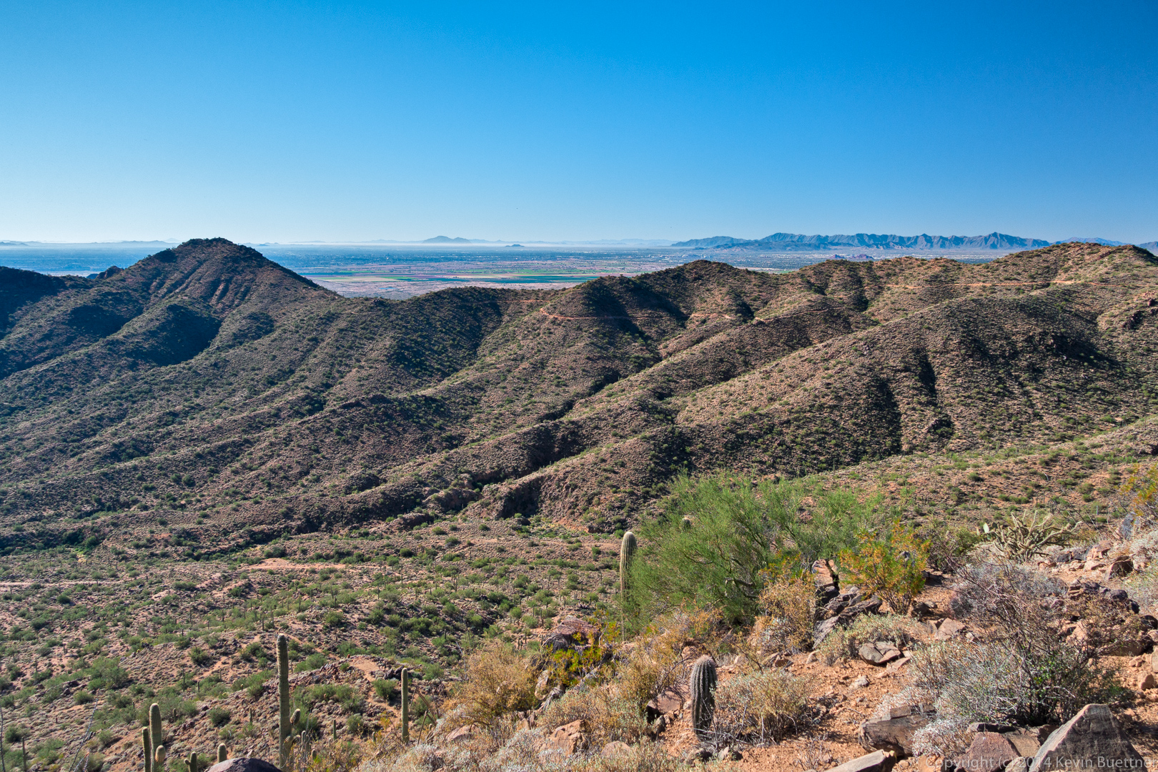
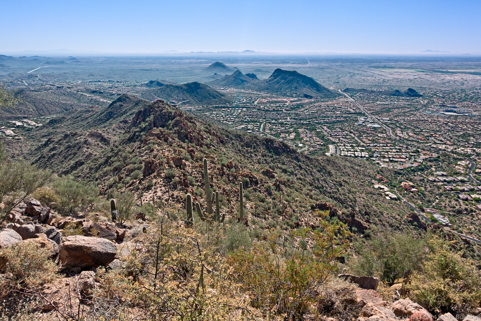
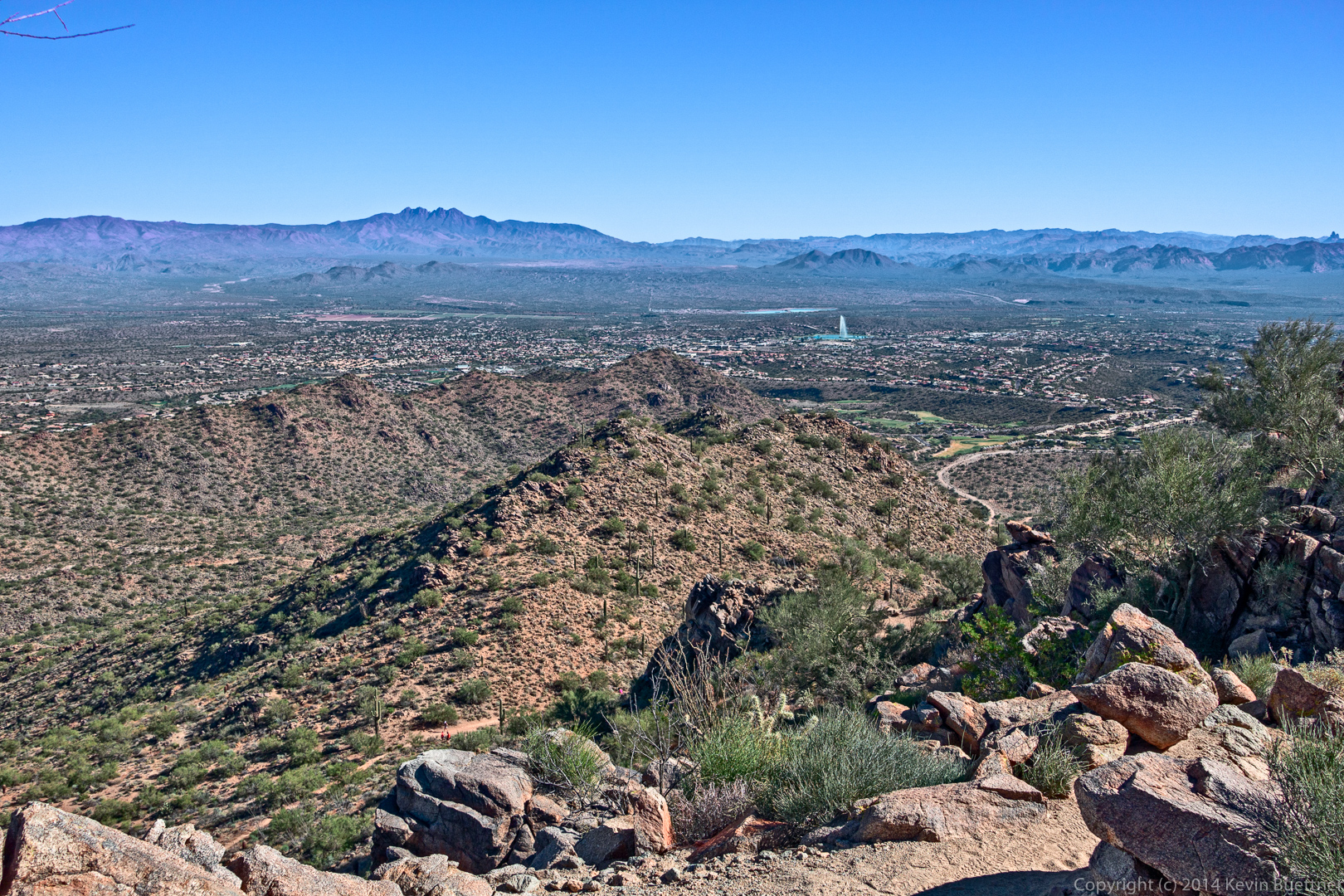
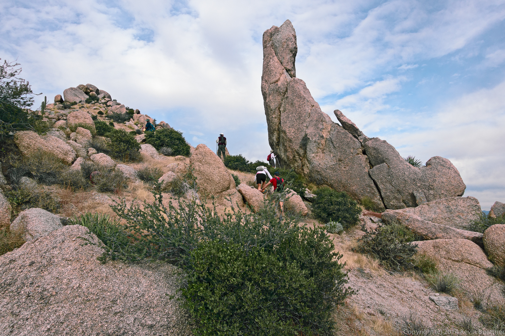
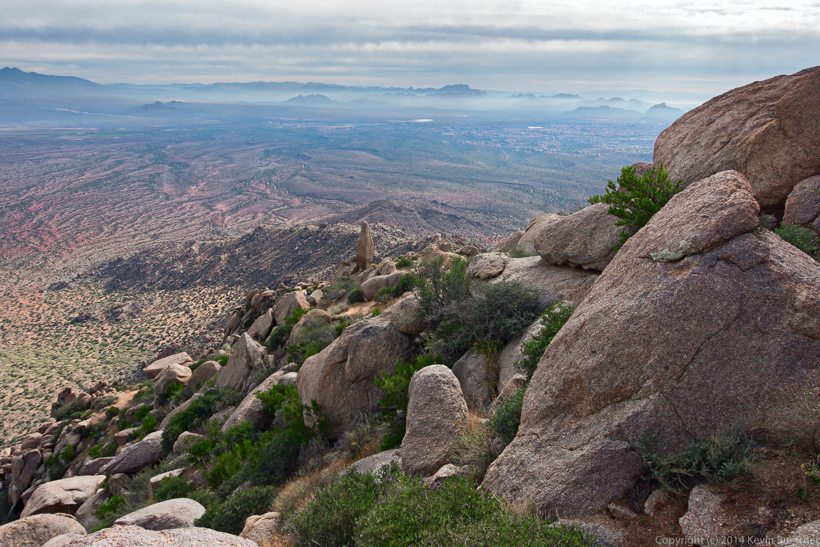
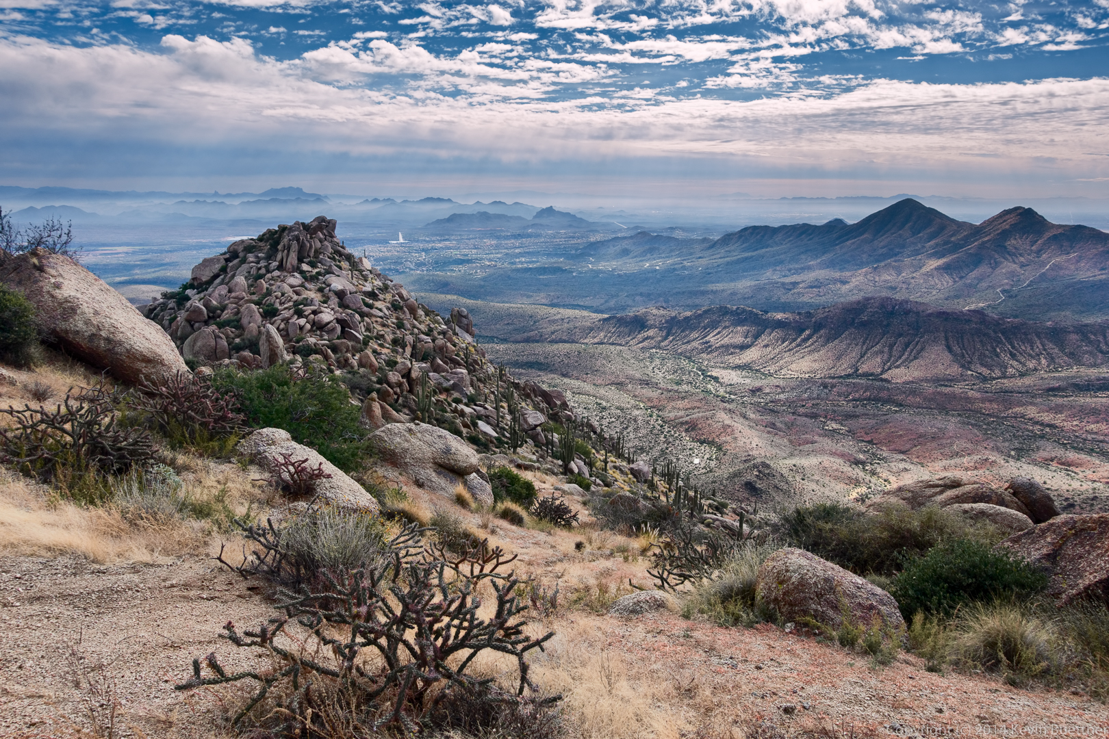
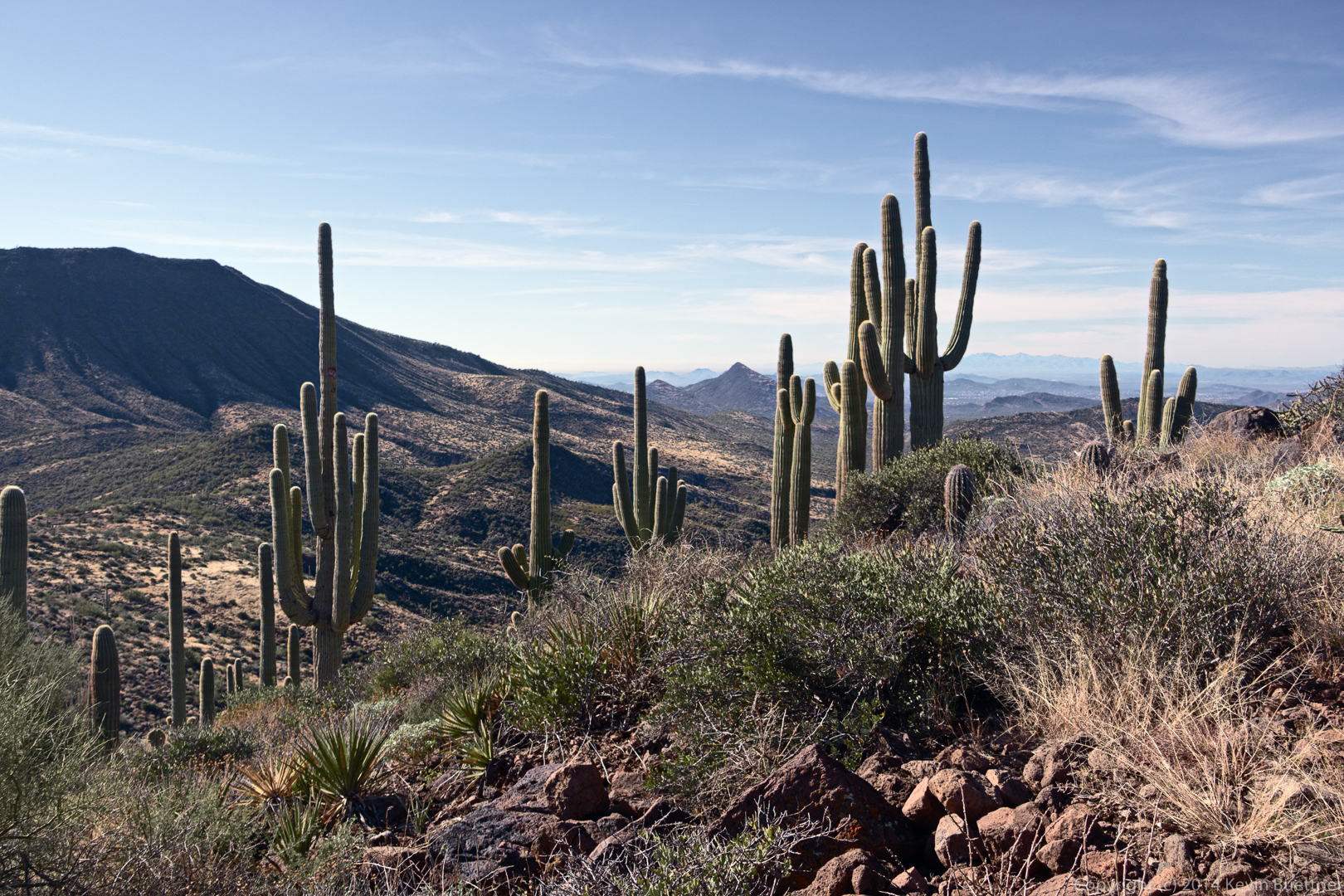
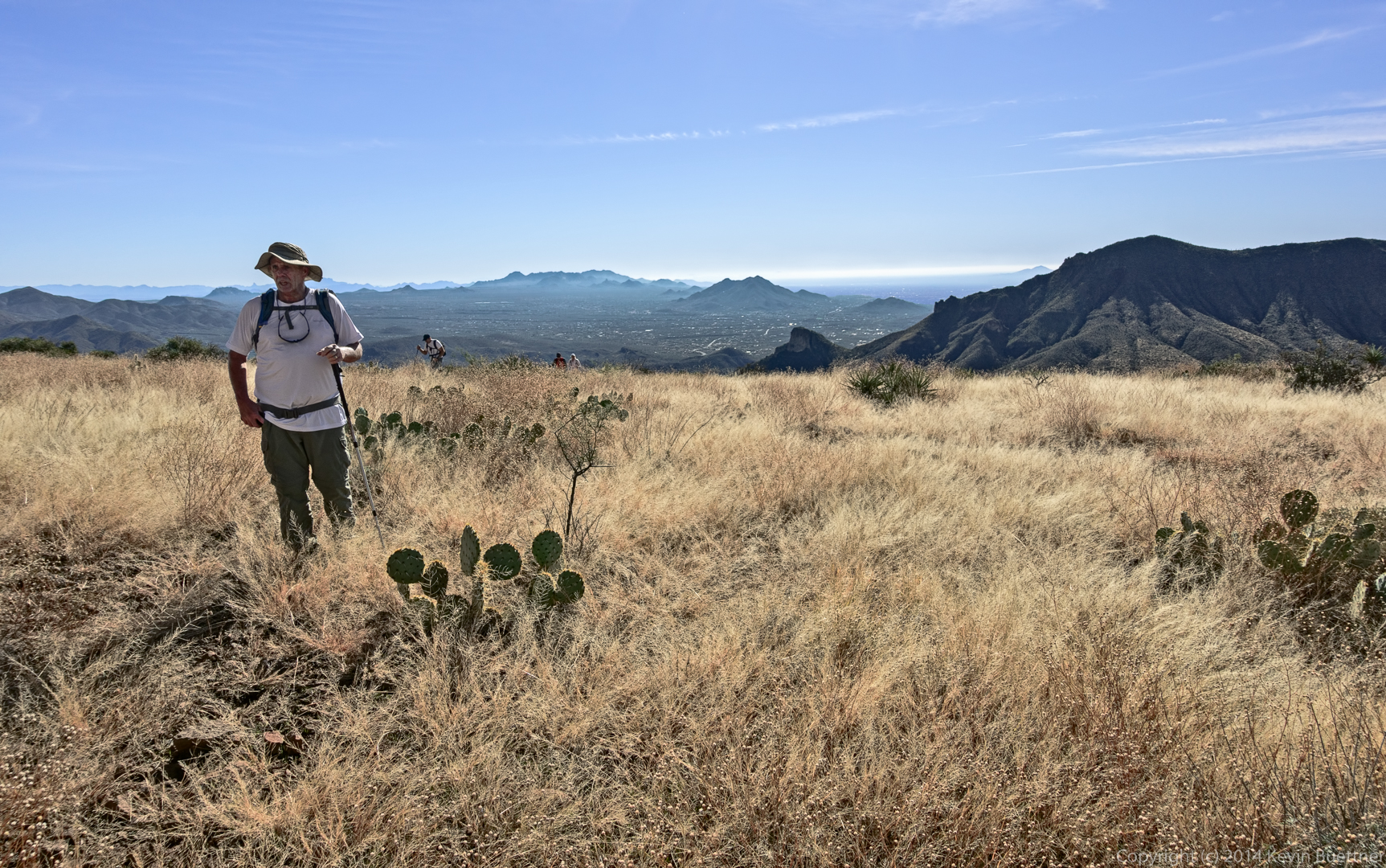
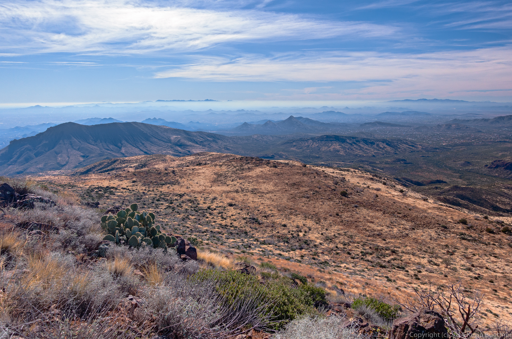
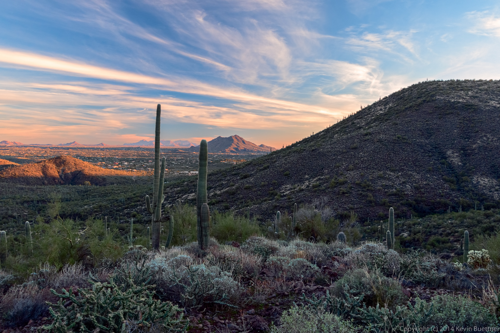
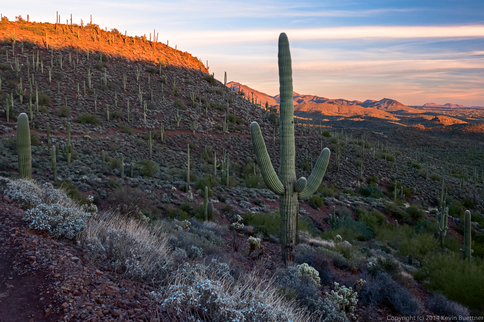
A view from part way up the final ascent of Black Mesa:

20141219-_DSC8129-Edit-medium

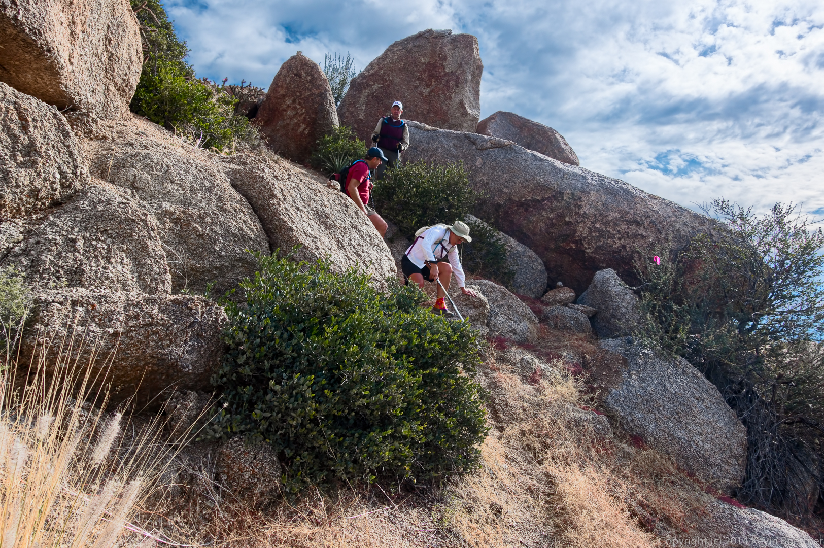
It turns out that there’s a very good trail, complete with switchbacks, up to the top of Black Mesa. We couldn’t find it on the way up, however. We did find it on the way down, but it became harder and harder to follow (due to the grass) as we descended.

20141219-_DSC8138-Edit-medium


Another view from part way up:

20141219-_DSC8144_5_6-Edit-medium

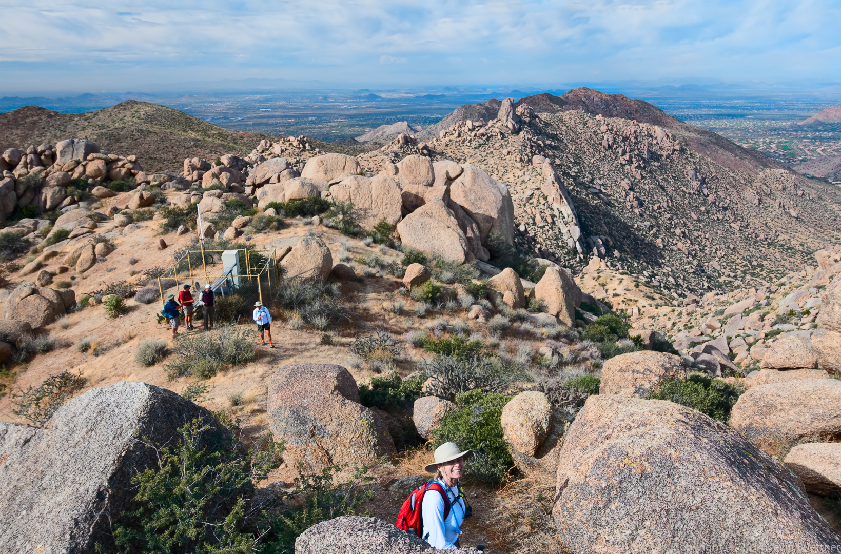
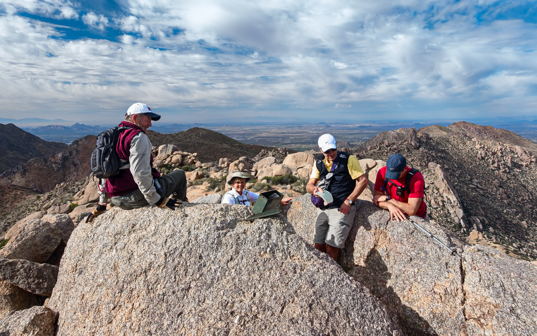
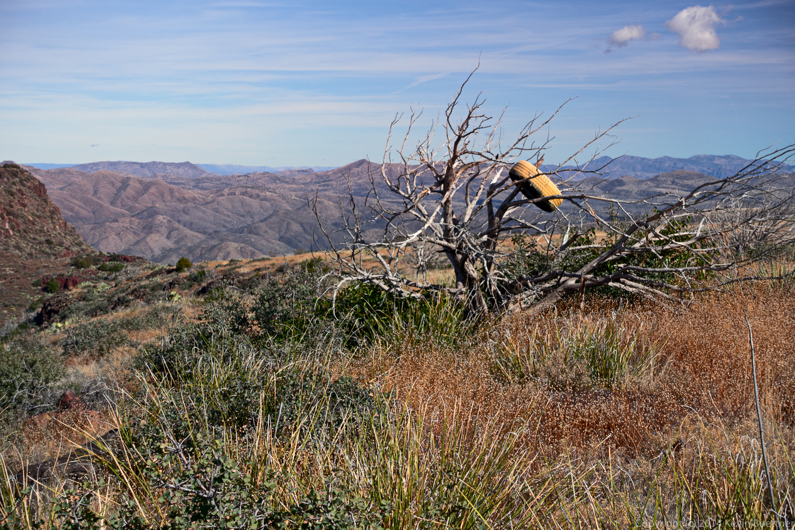
We were surprised to find a tire, painted yellow, in a tree at the top of the mesa.

20141219-_DSC8150-Edit-medium

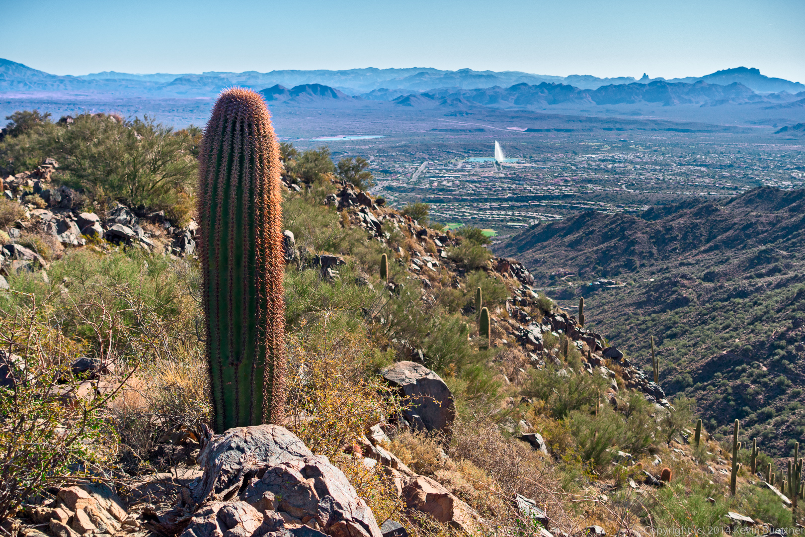
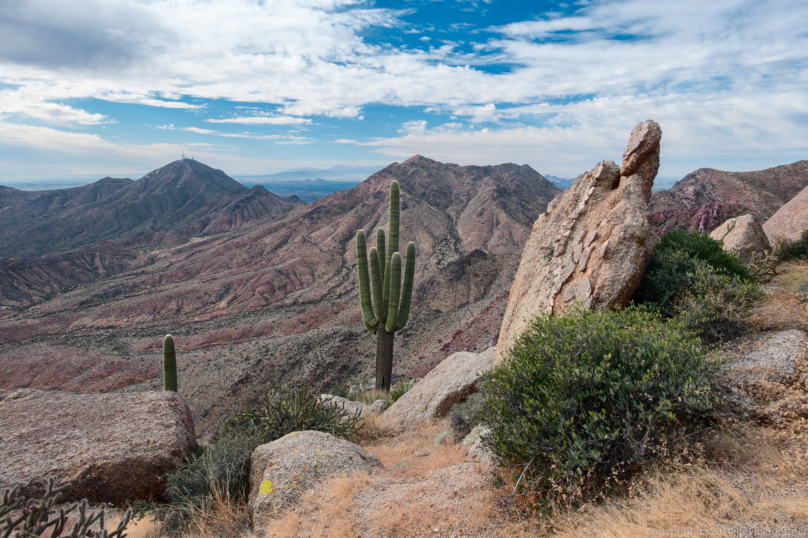
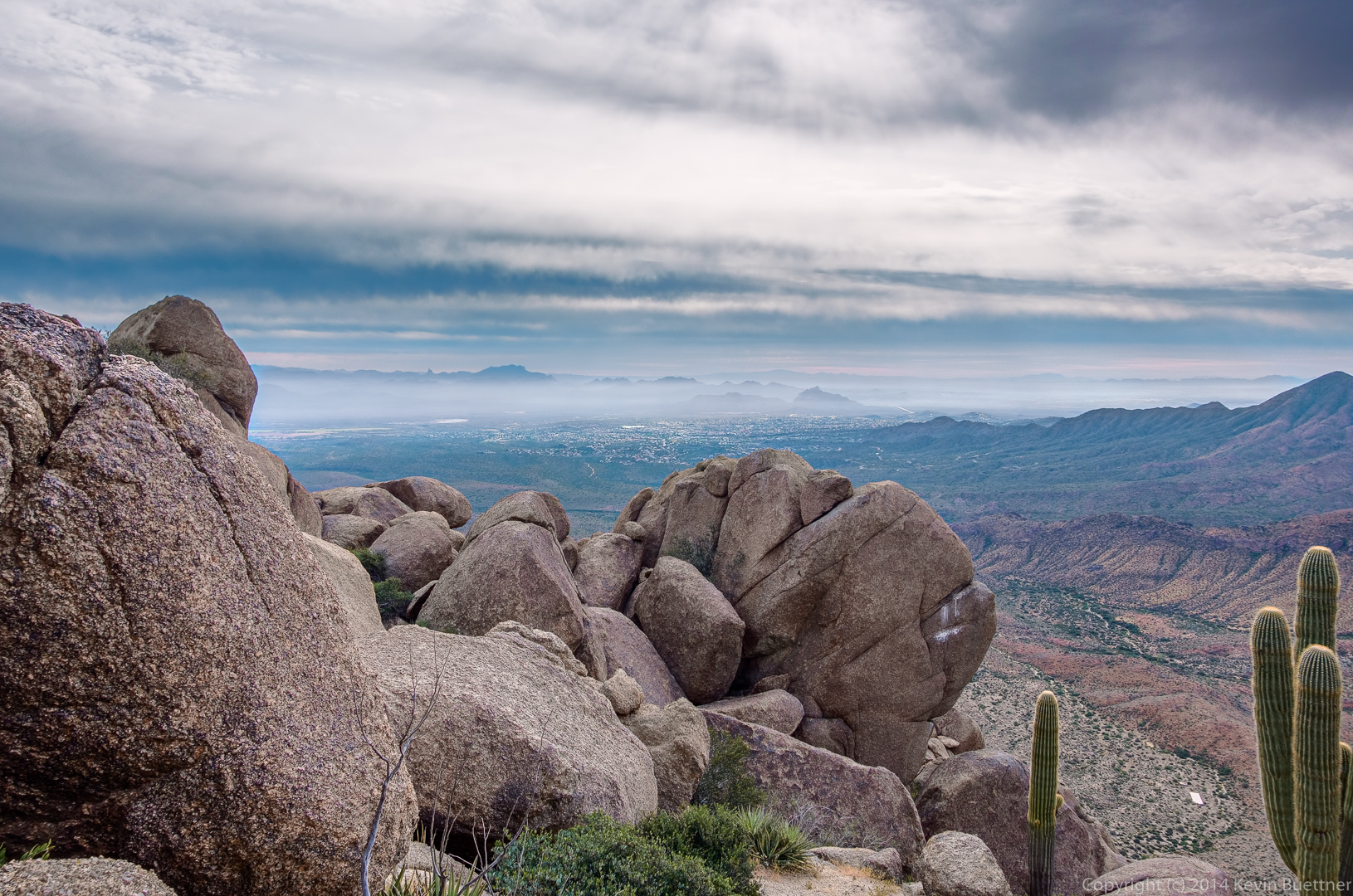
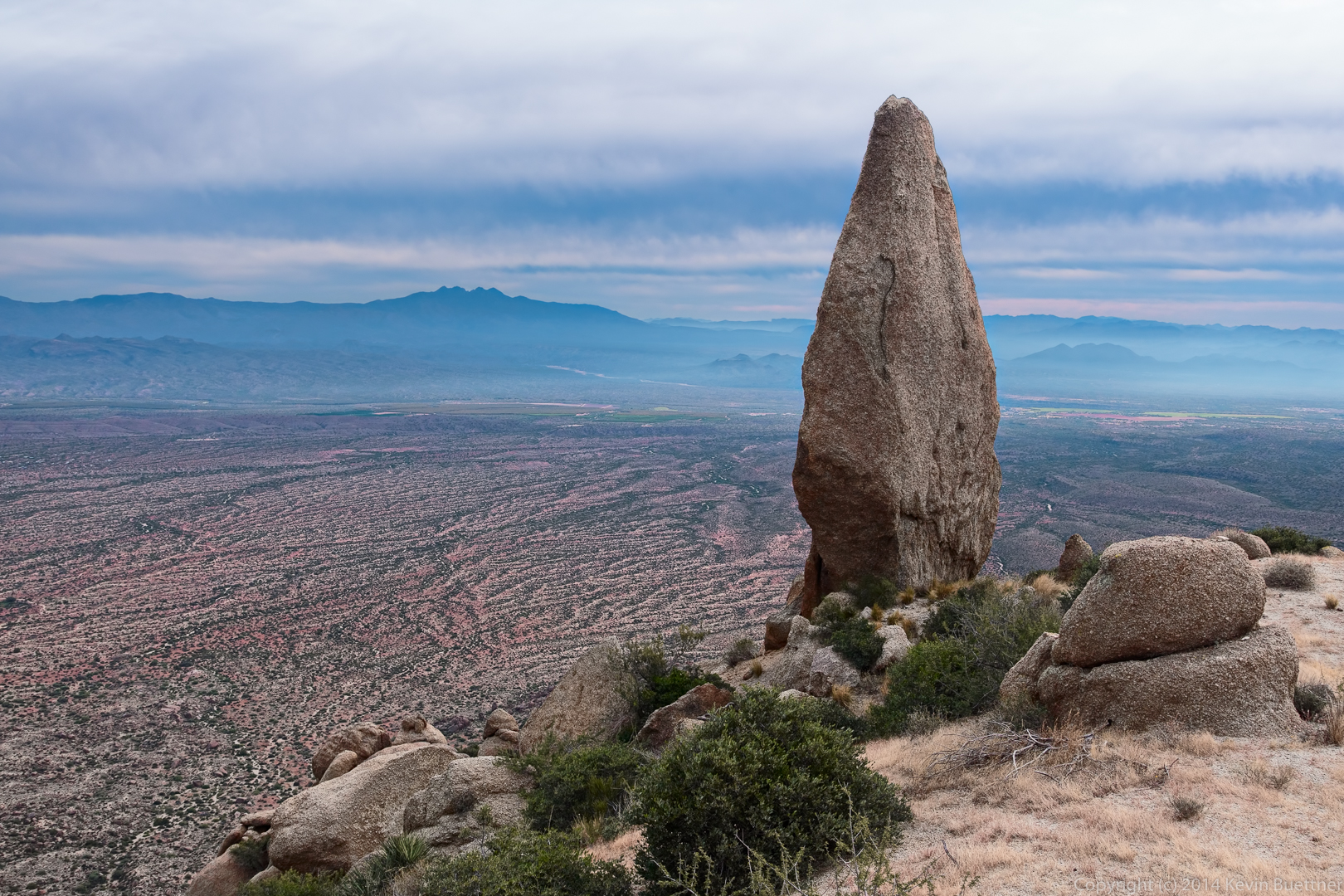
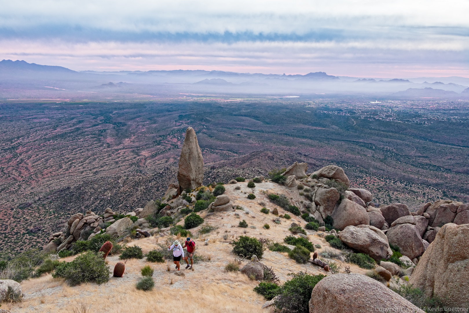
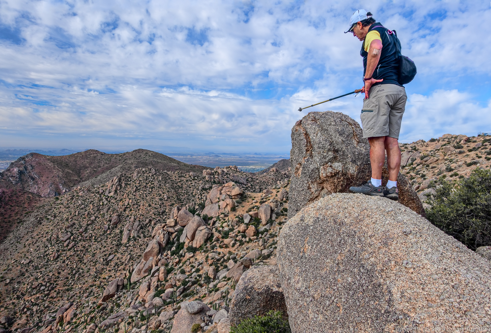
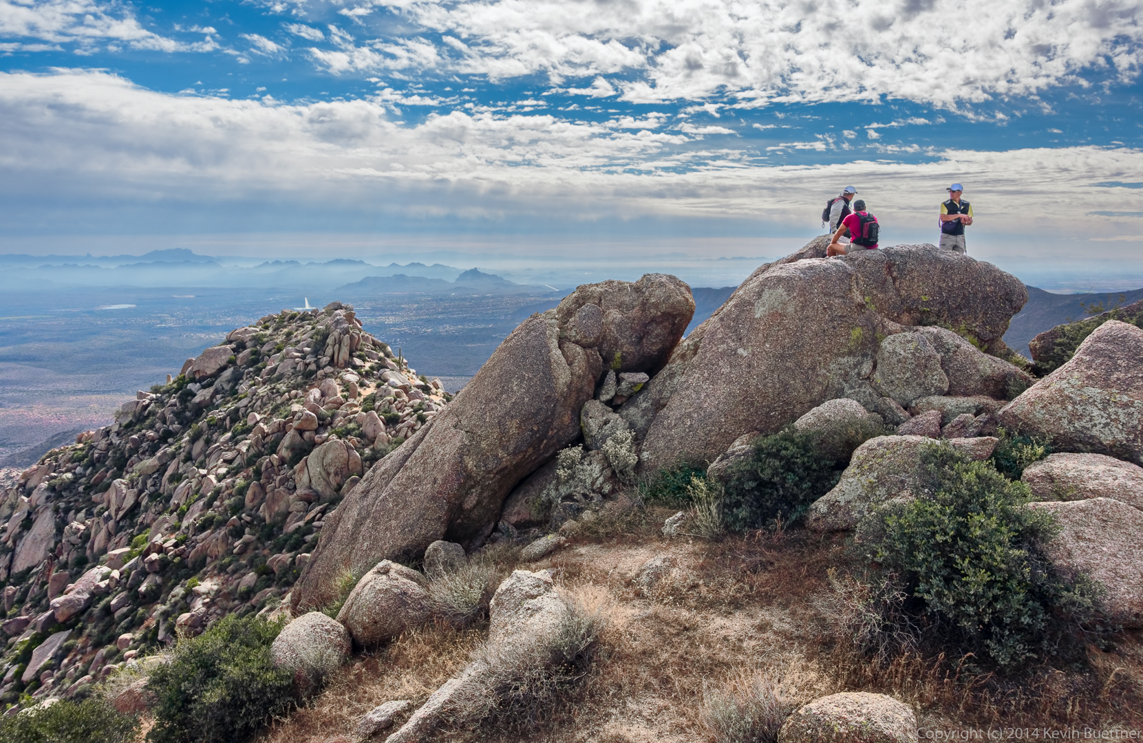
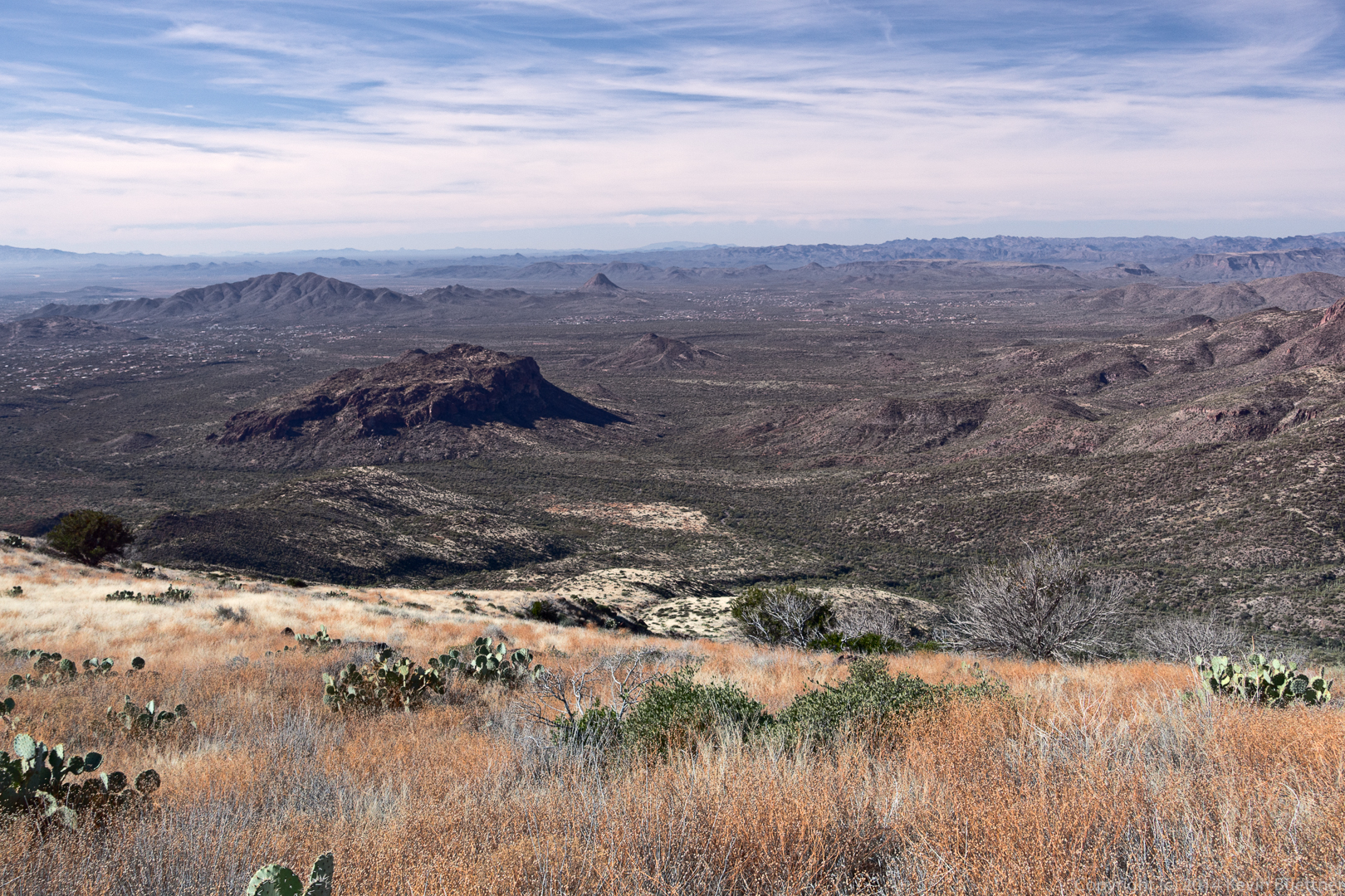
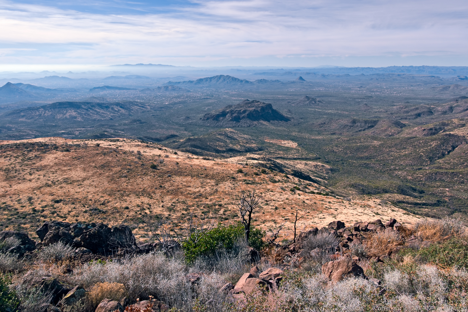
A view from the top:

20141219-_DSC8162-Edit-medium

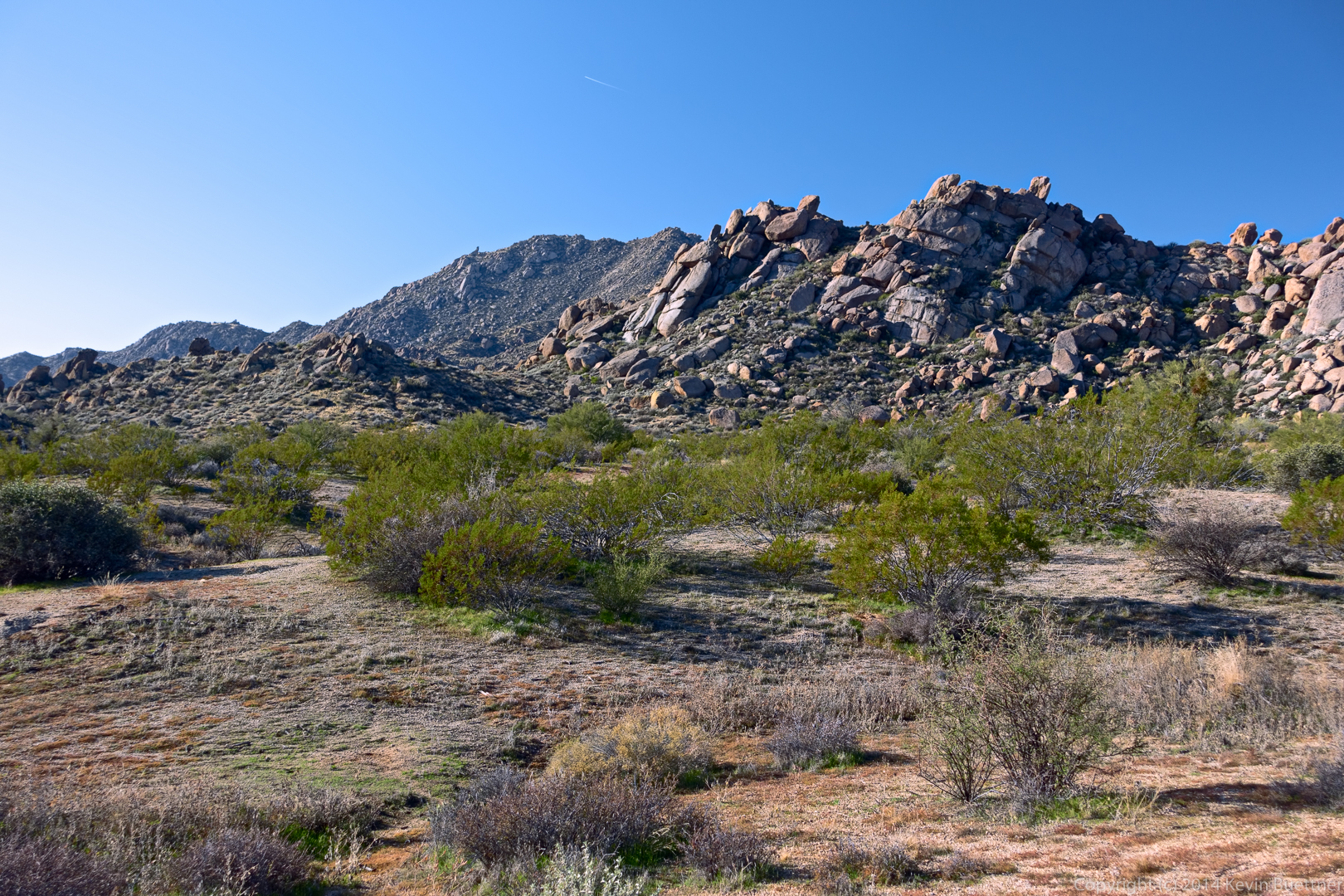
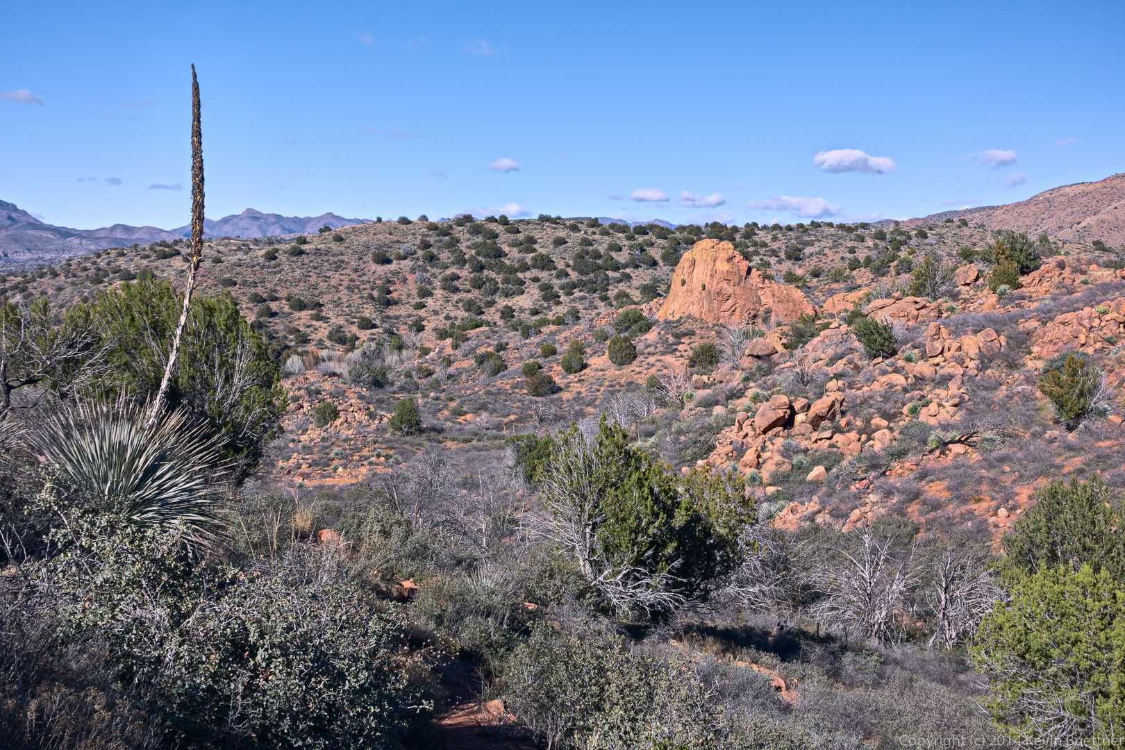
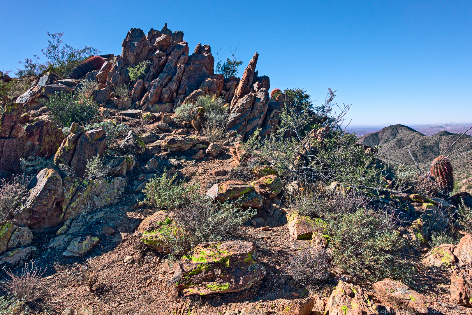
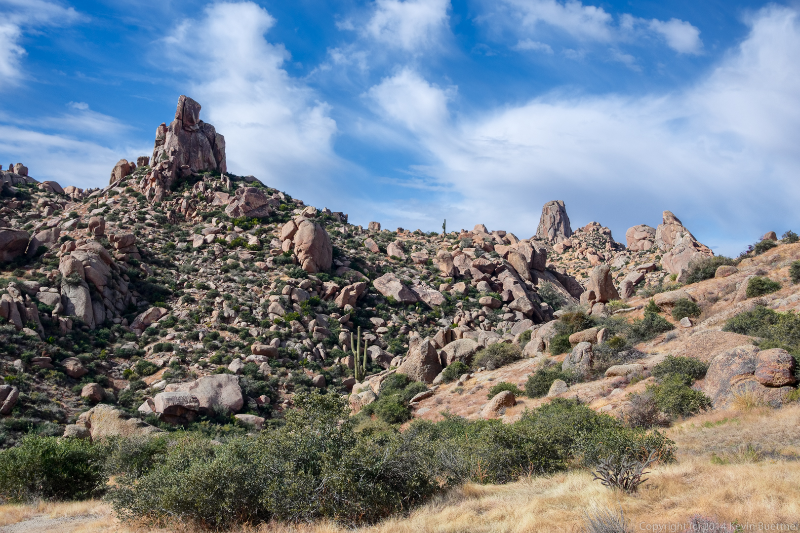
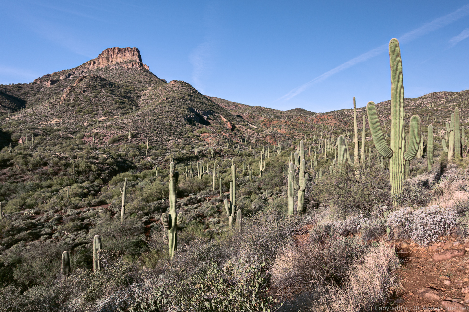
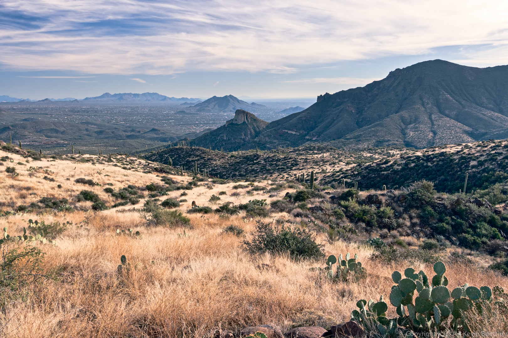
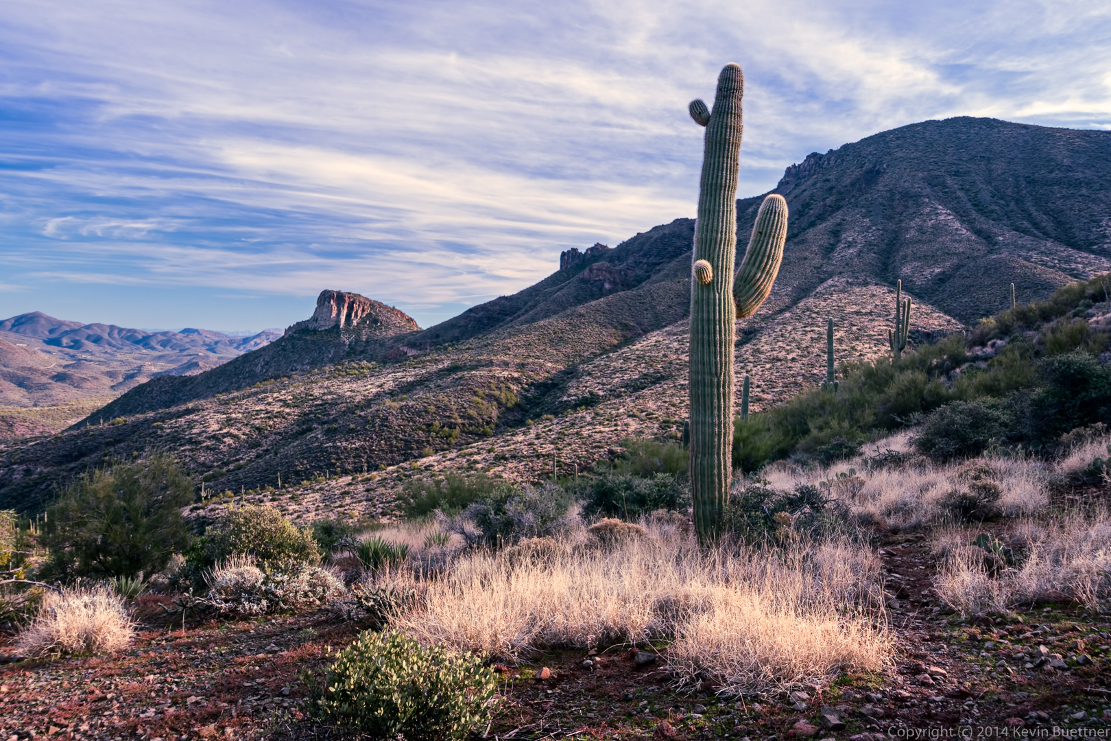
A view of Elephant Mountain at the right and the fortress, below it to the left:

20141219-_DSC8192_3_4-Edit-medium

20141219-_DSC8195-Edit-medium

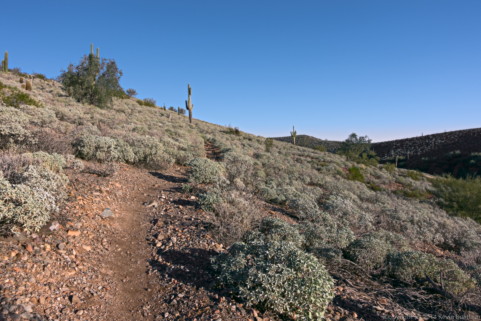
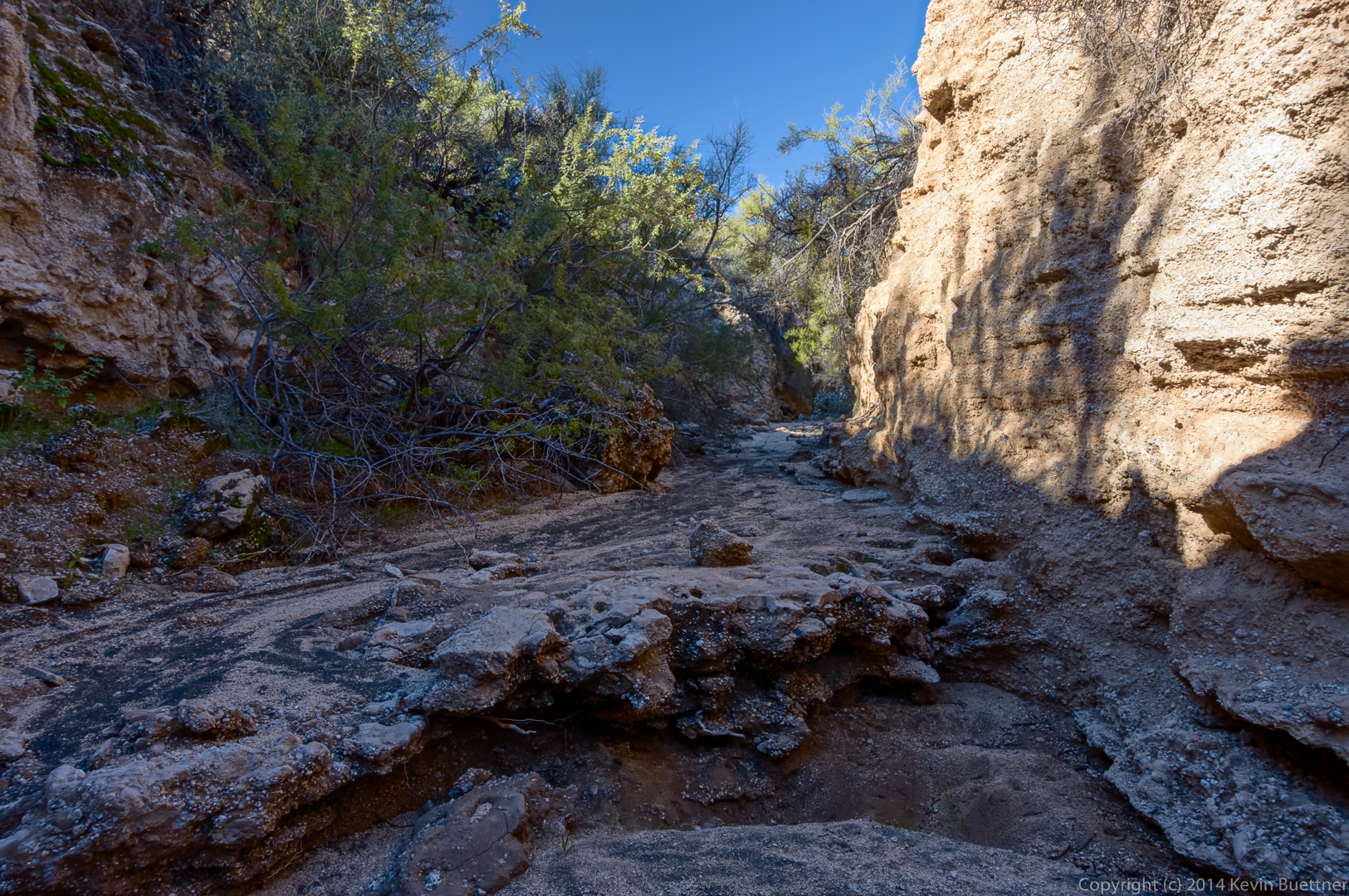
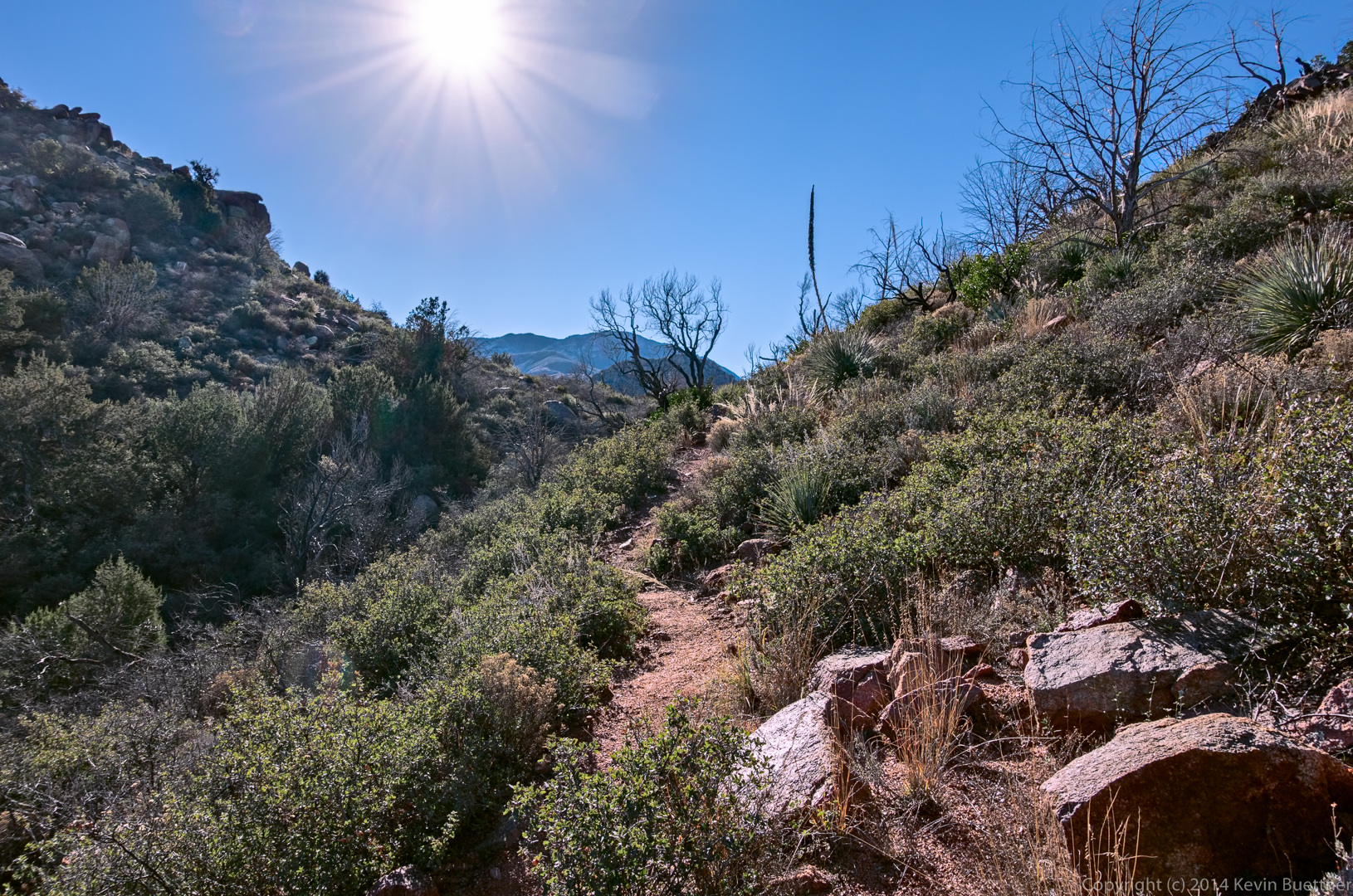
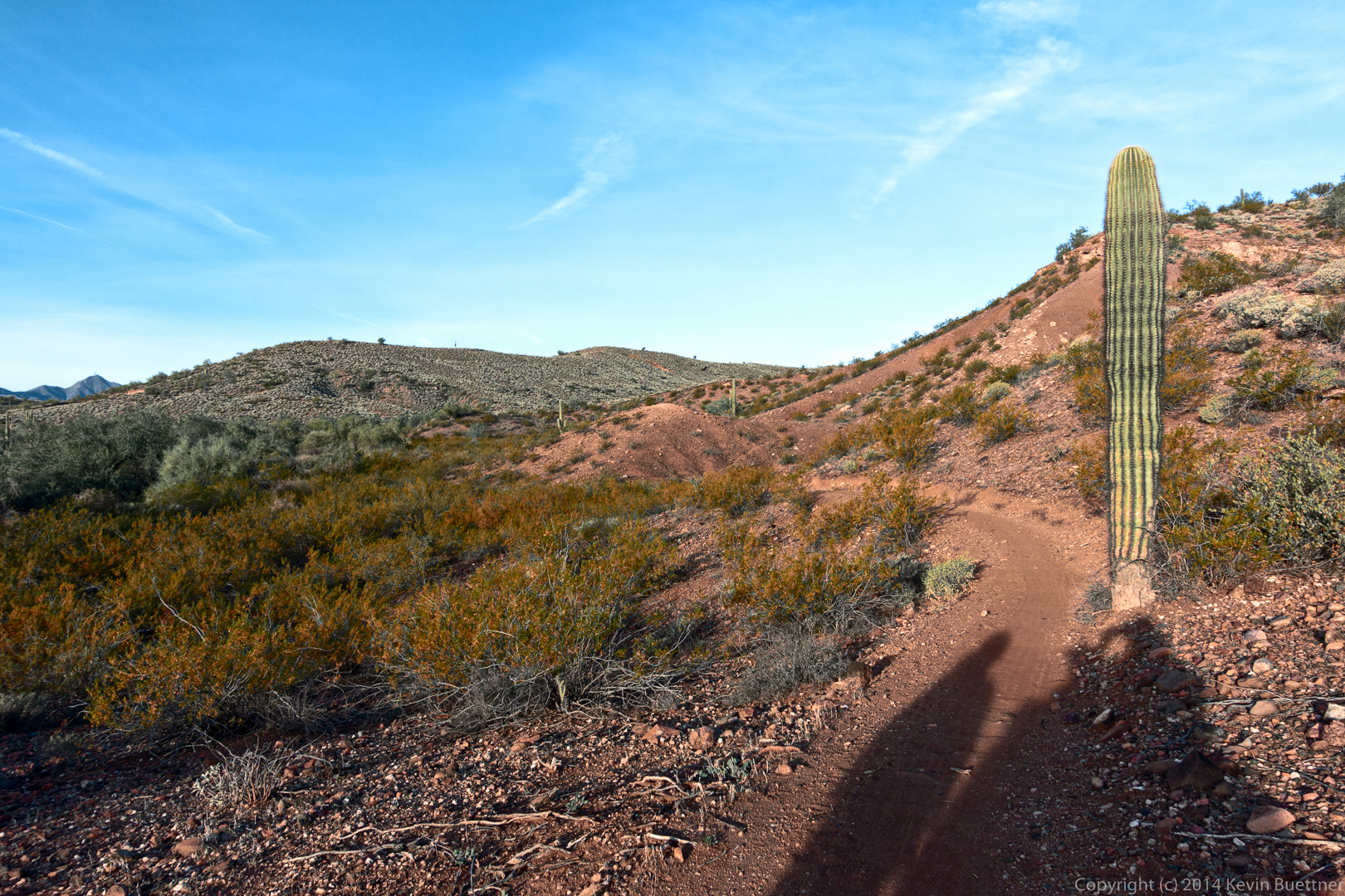
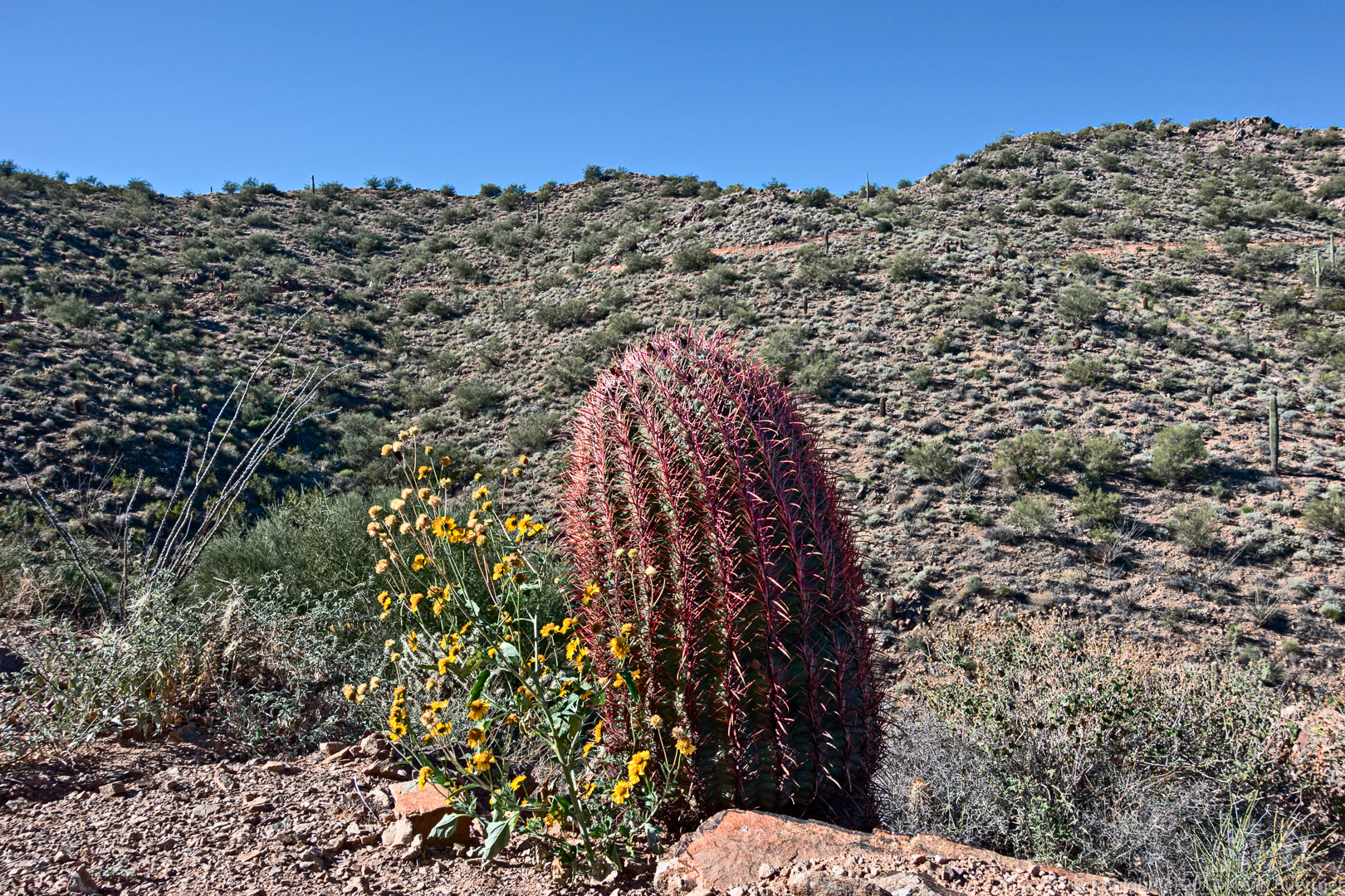
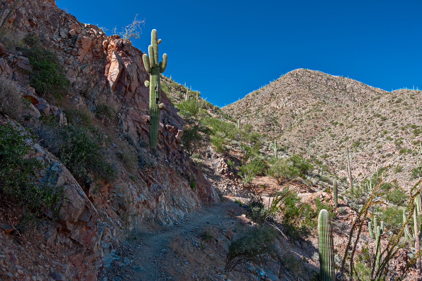
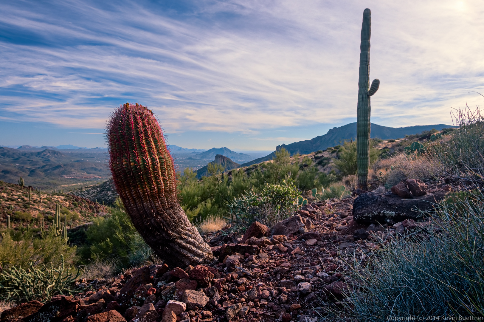
A barrel cactus alongside the trail. The trail is quite good here.

20141219-_DSC8201_2_3-Edit-medium

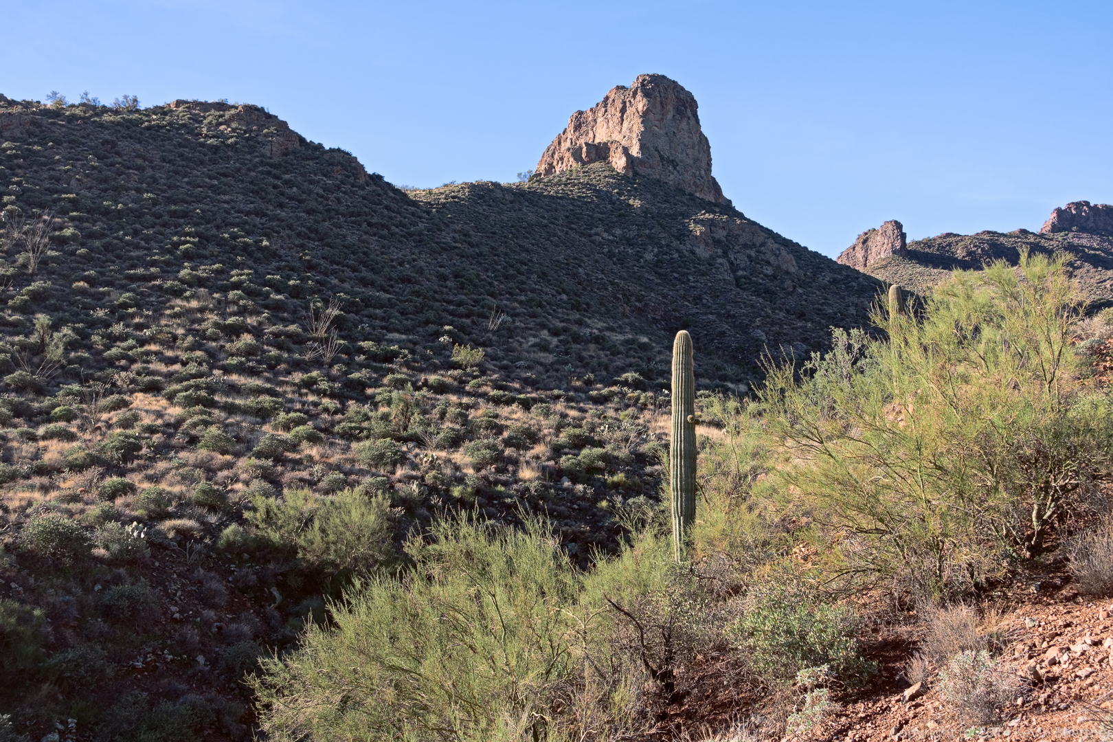
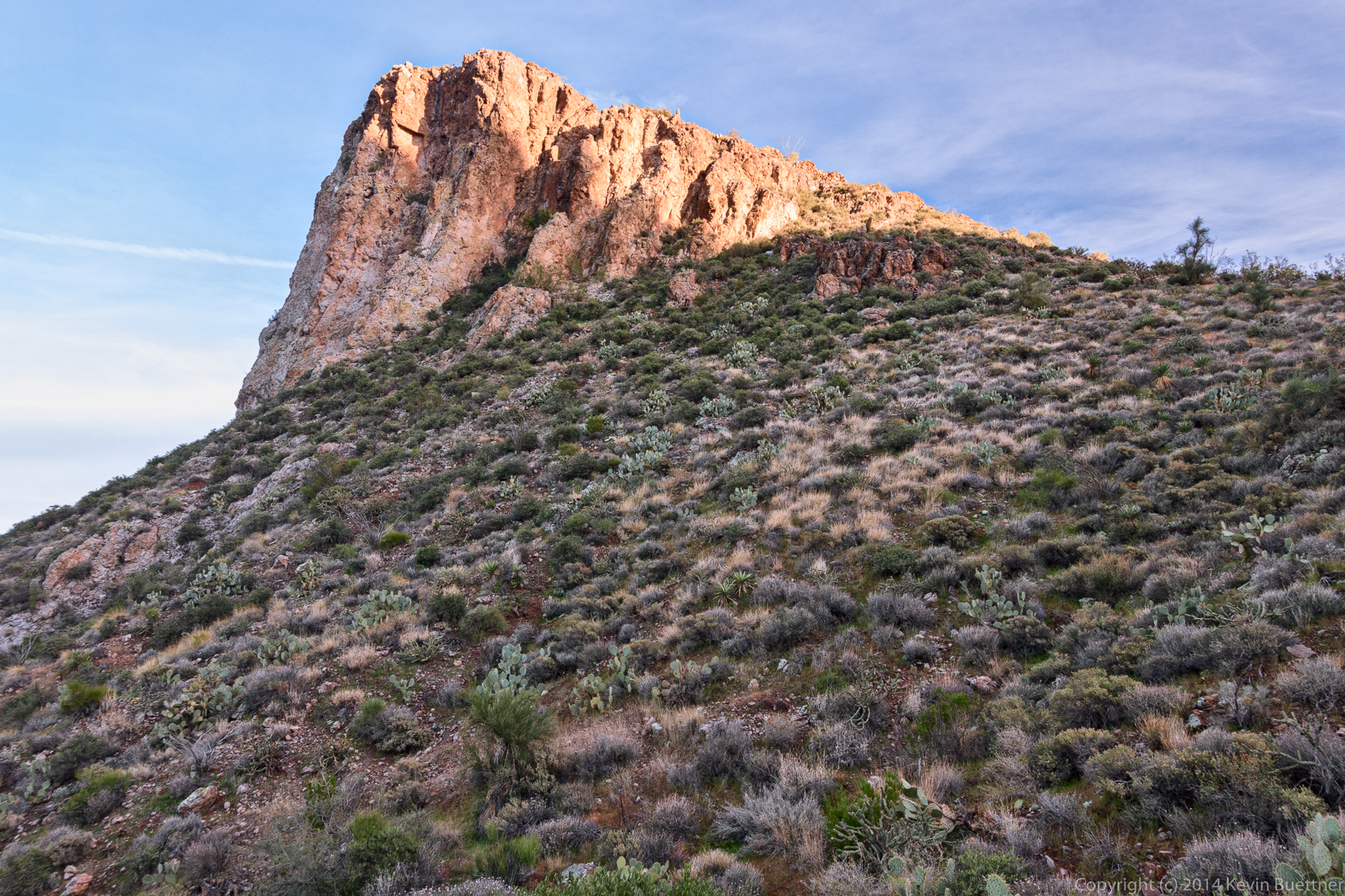
Two more views of the fortress…

20141219-_DSC8204-Edit-medium

20141219-_DSC8207-Edit-medium

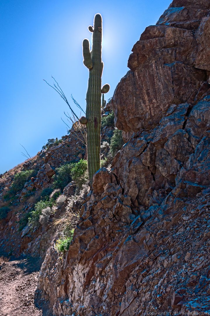
We went the wrong way and missed seeing this large saguaro on our way out.

20141219-_DSC8222-Edit-medium

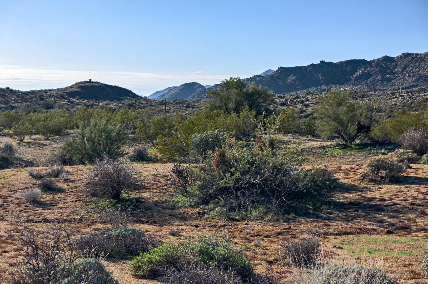
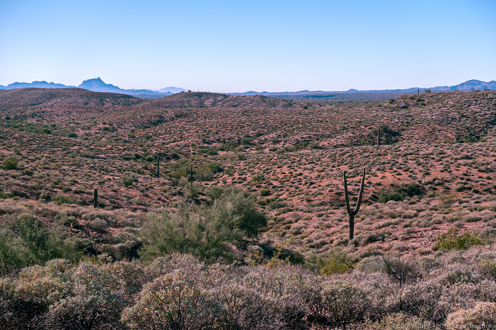
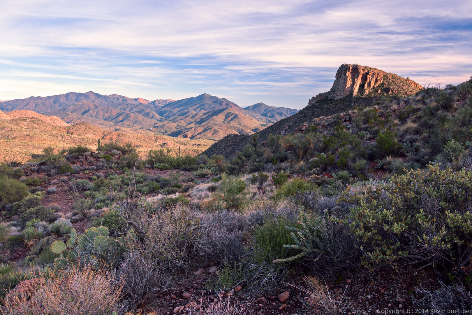
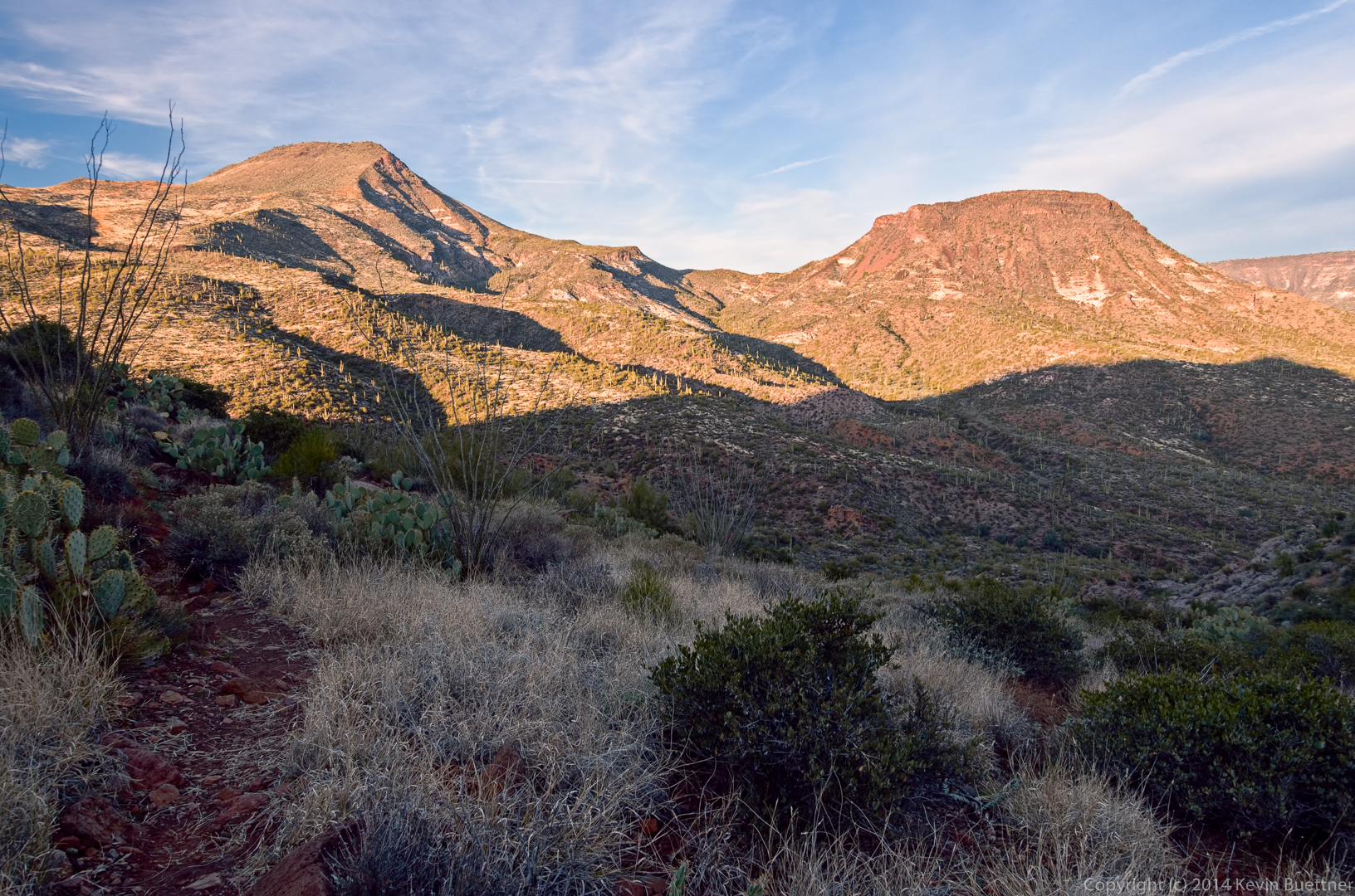
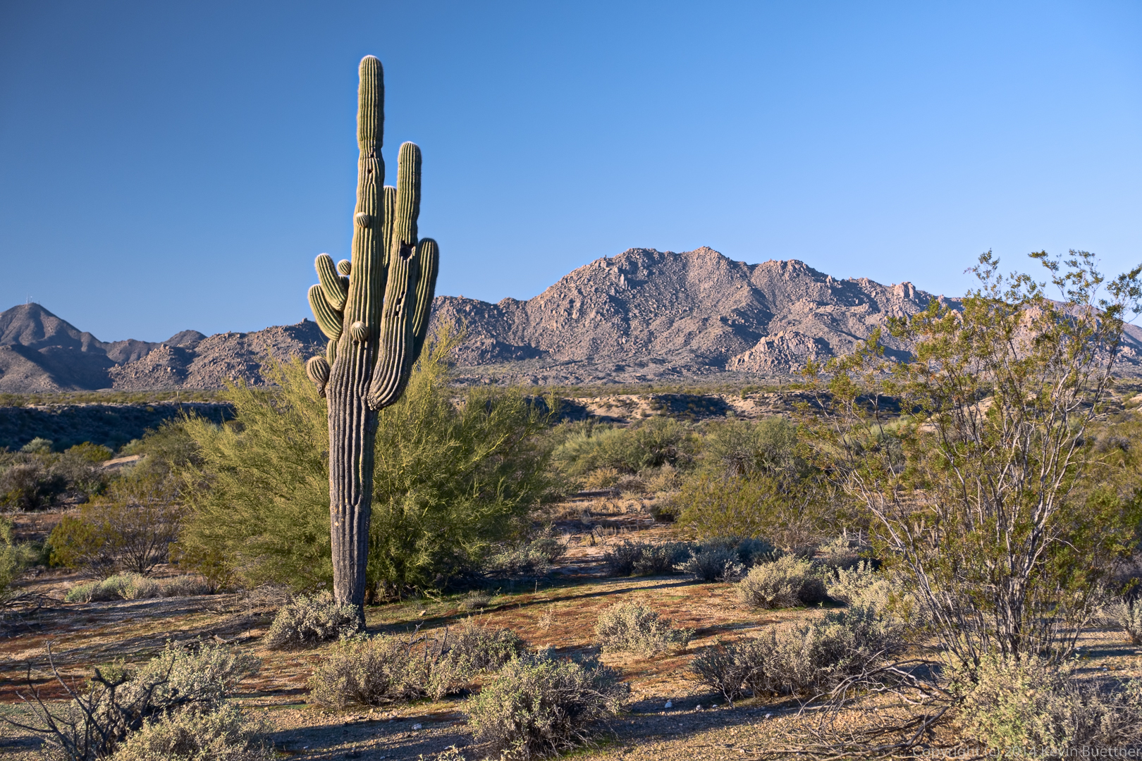
Black Mesa is the formation to the left. We started the day thinking that we’d be hiking the mesa at the right. In the morning light, it looked more like a “black mesa” than the other one.

20141219-_DSC8231-Edit-medium

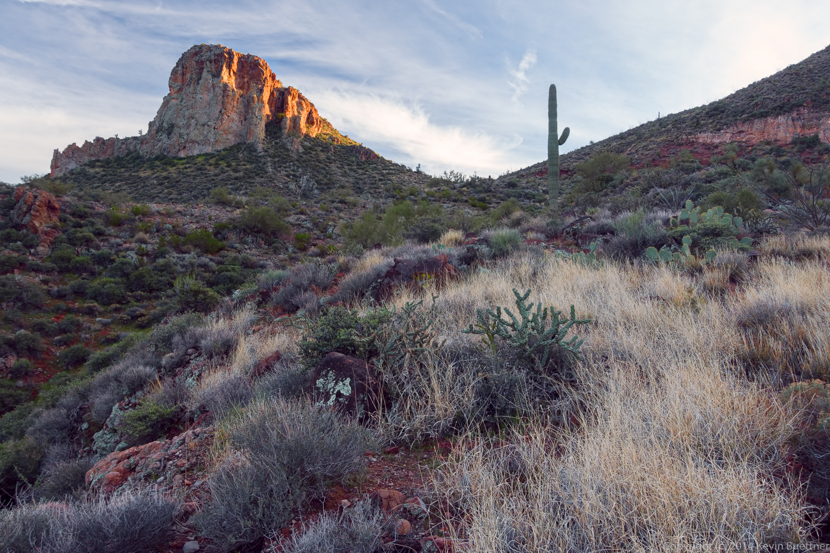
Another view of the Fortress with the sun getting lower in the sky.

20141219-_DSC8234-Edit-medium

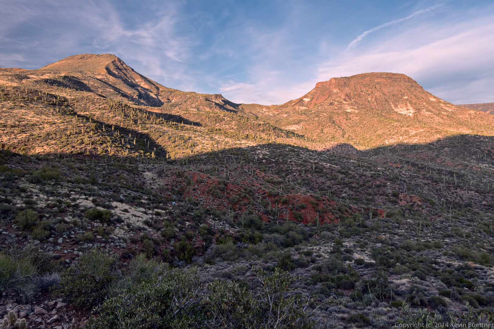
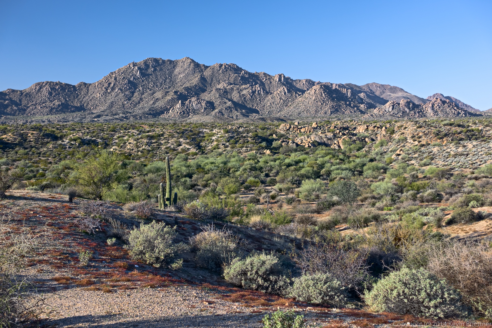
Another view of Black Mesa (left) and Sugarloaf Mountain (right):

20141219-_DSC8240_1_2-Edit-medium

Another view of the Fortress:

20141219-_DSC8246-Edit-medium

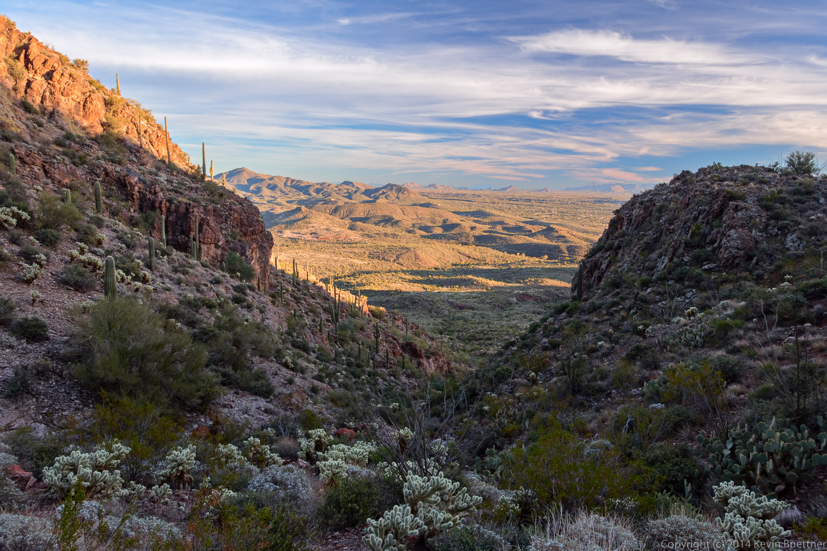
A view from the pass between Elephant Mountain and the Fortress:

20141219-_DSC8252_3_4-Edit-medium

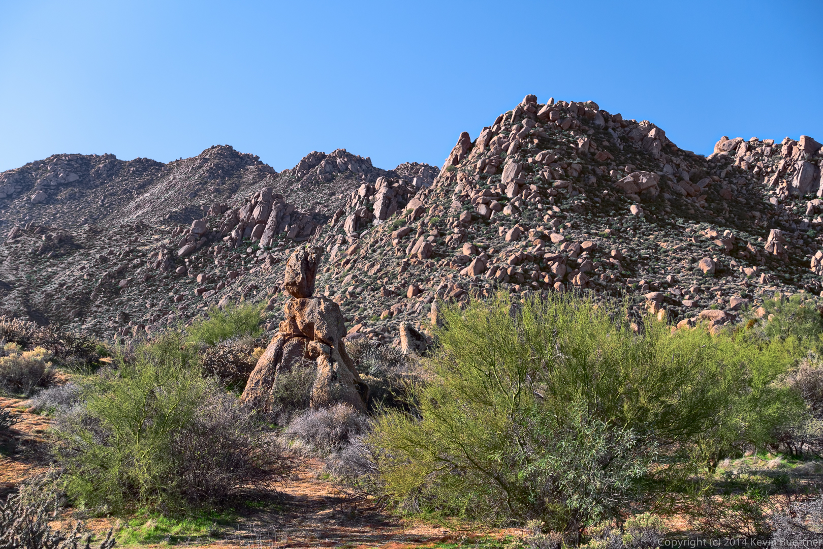
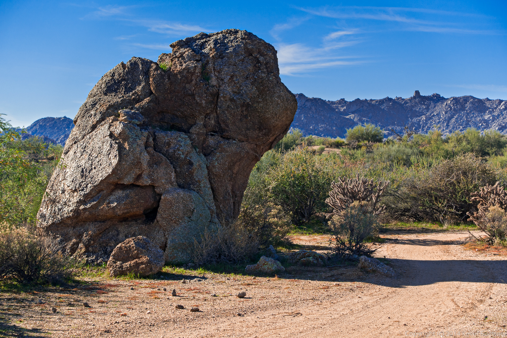
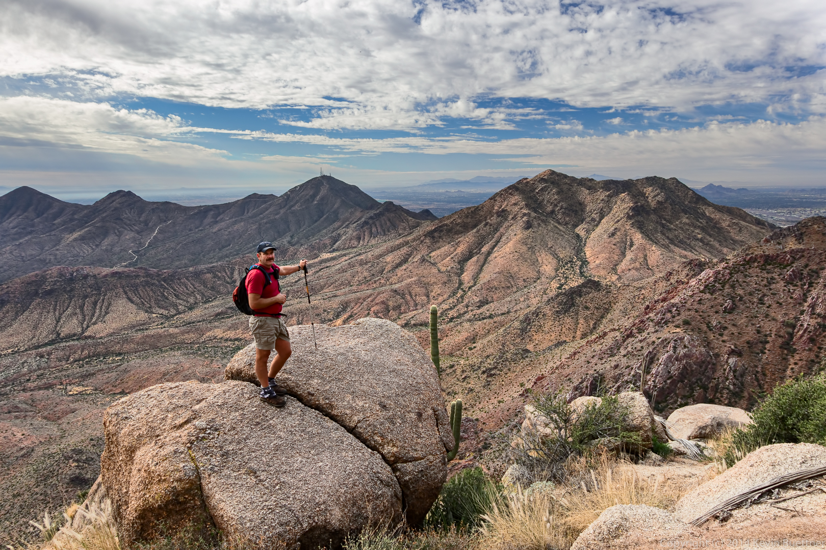
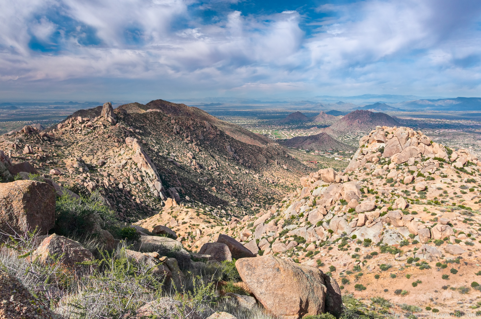
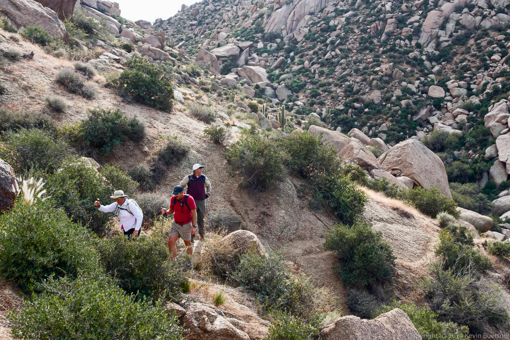
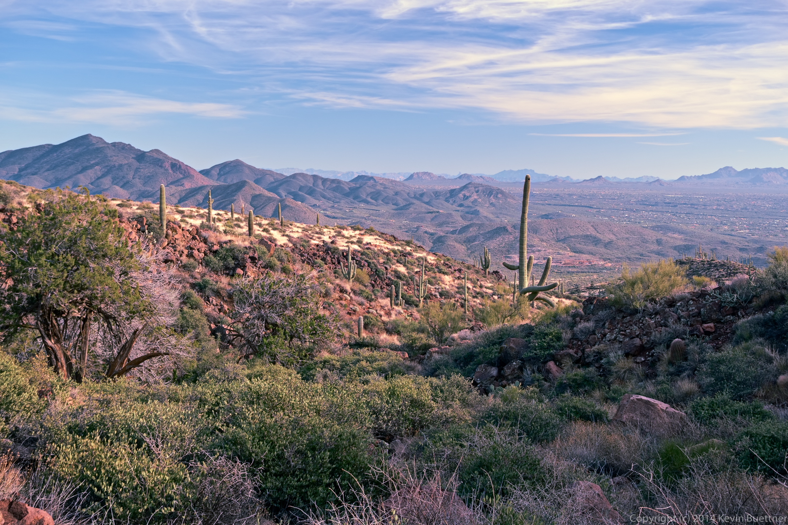
More views from the Elephant Mountain Trail:

20141219-_DSC8258-Edit-medium

20141219-_DSC8264-Edit-medium

20141219-_DSC8273-Edit-medium

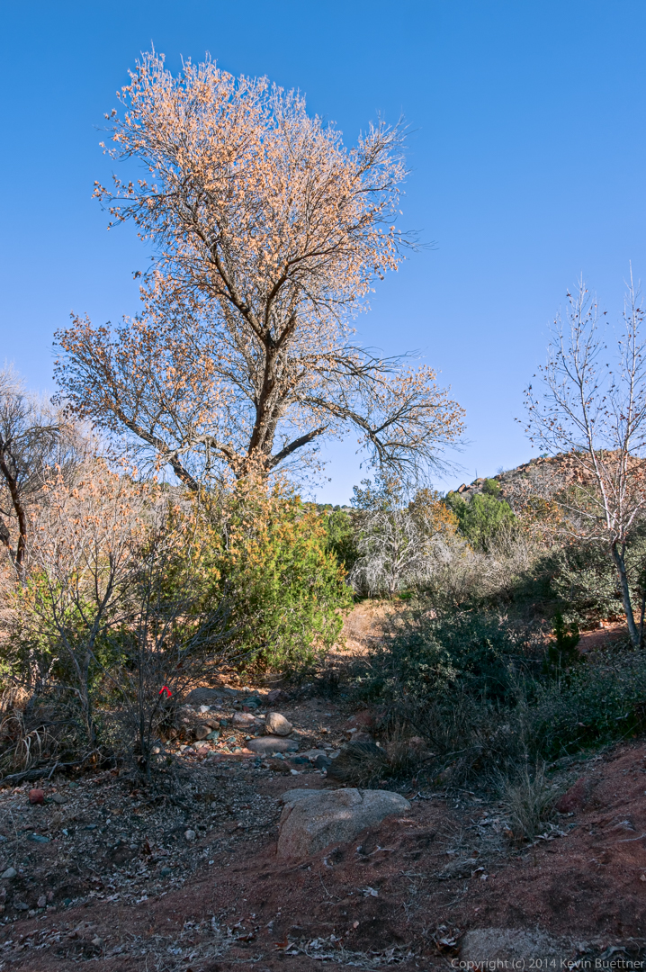
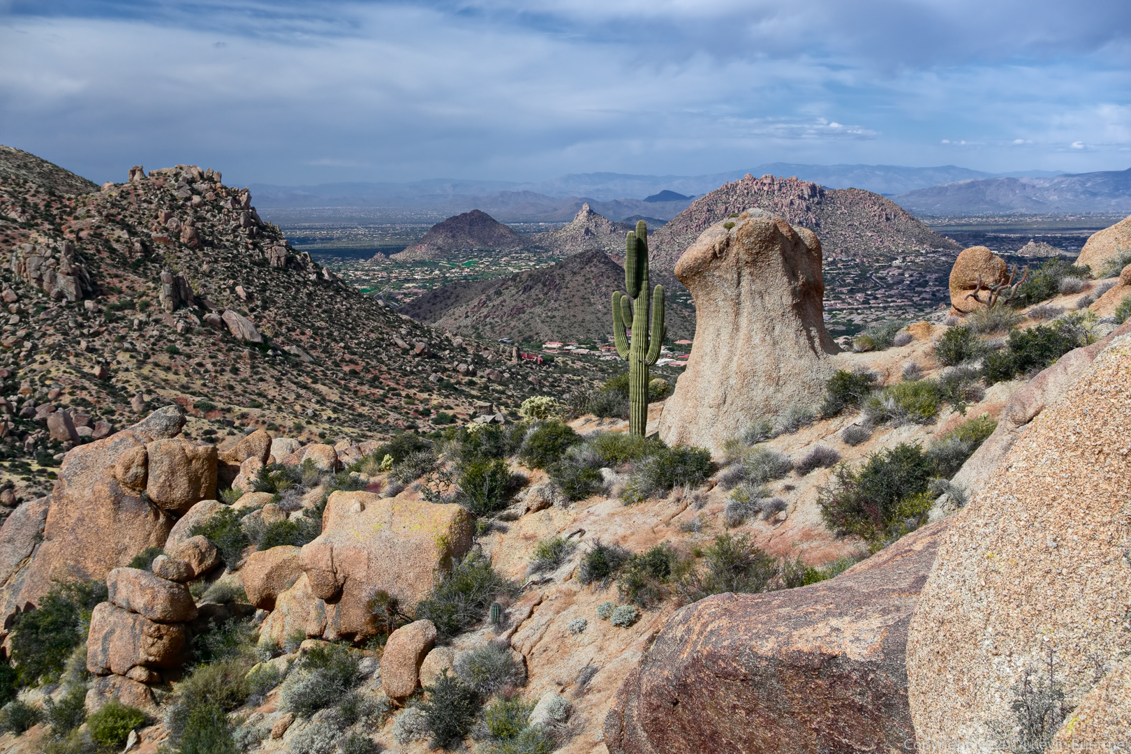
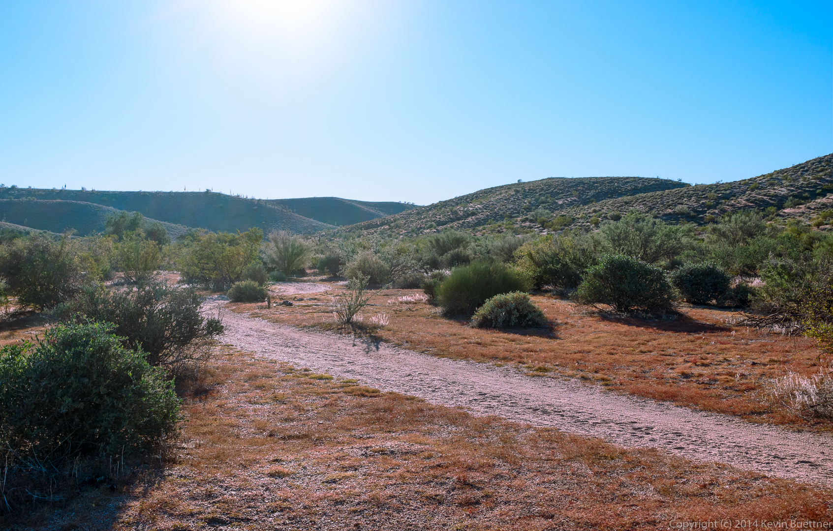
I think these last three photos were taken from the Spur Cross Trail:
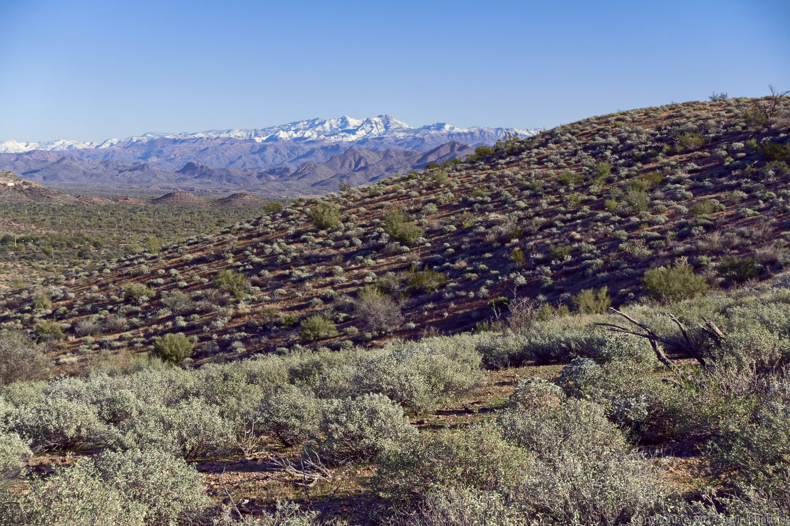
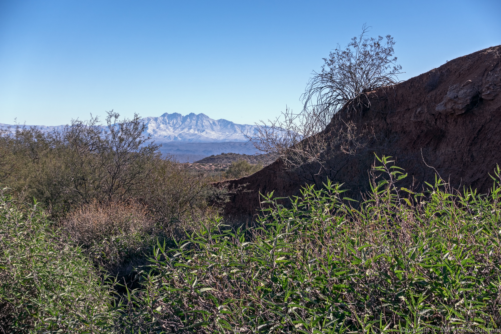
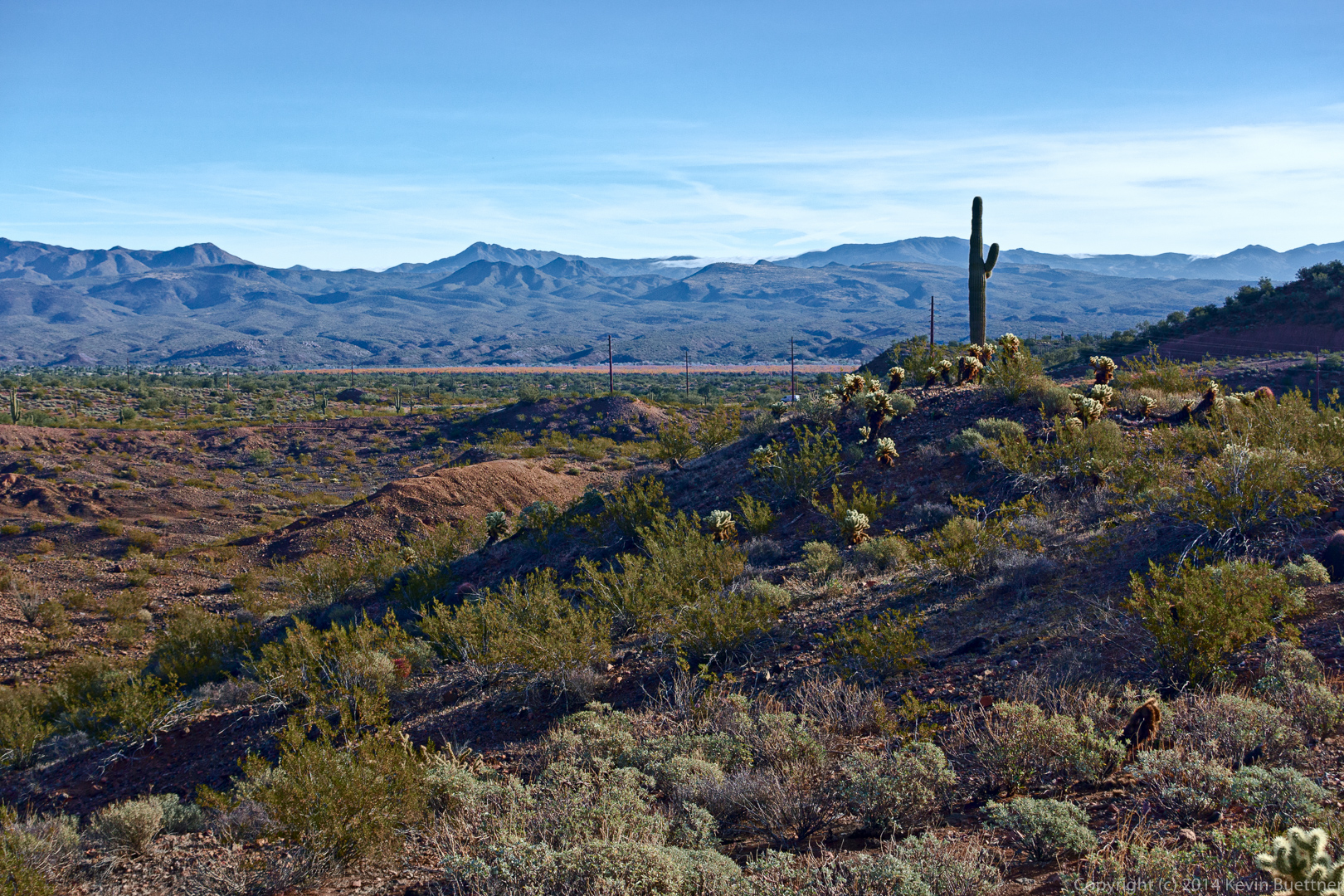
20141219-_DSC8291-Edit-medium

20141219-_DSC8303_4_5-Edit-medium

20141219-_DSC8309-Edit-medium

Friday Fitness Hike

Friday’s hike started from the Wagner Trailhead. We hiked Wagner to Granite, Granite to Lariat, Lariat to Pemberton, Pemberton to Delsie, which brought us back to Granite. Then, instead of taking the shortest way back, we instead turned right on Granite and then took Stoneman Wash to Bluff, Bluff to Granite, Granite to Wagner, and Wagner back to the parking area. Total distance was 10.2 miles with minimal elevation gain.

I arrived at the park early and got this photo from the Horse Staging Area prior to sunrise.

20141212-_DSC7315_6_7_8_9-Edit-medium-2

Taking a break at the intersection of Granite and Lariat. From left to right are Nick, Sandy, Amy, Doug, DeAnn, and Janet.

20141212-_DSC7766-Edit-medium

Amy took this photo of us:

20141212-_DSC7790-Edit-medium

My hike description was inaccurate. This wash crosses Lariat; we hiked up this wash, which eventually brought us back to the Pemberton.

20141212-_DSC7796-Edit-medium

Nick spotted these colorful seed pods.
20141212-_DSC7808-Edit-medium

A large rock on the Pemberton Trail:

20141212-_DSC7817-Edit-medium

Saguaros on the Delsie Trail:

20141212-_DSC7826-Edit-medium

Friday Fitness Hike

Friday’s hike started at the Horse Staging Area. We hiked a ten mile loop using the Escondido, Pemberton, and Shallmo Wash trails.

I arrived early to get a few shots with a tripod…

20141205-_DSC6708_09_10-Edit-medium

20141205-_DSC6732_3_4-Edit-medium

20141205-_DSC7040_1_2_3_4-Edit-medium-2

20141205-_DSC7074_5_6_7_8-Edit-medium-2

20141205-_DSC7094_5_6-Edit-medium-2

20141205-_DSC7139_40_41_42_43-Edit-medium

Some views from the Escondido Trail…

20141205-_DSC7176-Edit-2-medium

20141205-_DSC7193-Edit-2-medium

20141205-_DSC7199-Edit-medium

20141205-_DSC7214-Edit-2-medium

20141205-_DSC7220-Edit-medium

20141205-_DSC7223_4_5-Edit-medium

20141205-_DSC7232_3_4-Edit-medium-2

20141205-_DSC7256-Edit-medium

Janet, Doug, Alex, Ellen, Deanne, and Bob at the intersection of Escondido and Pemberton.

20141205-_DSC7259-Edit-medium

Views from the Shallmo Wash Trail…

20141205-_DSC7295-Edit-medium

20141205-_DSC7307-Edit-medium

Friday Fitness Hike

Last Friday’s hike started at the Dixie Mine Trailhead. We hiked Dixie Mine to Sonoran and took Sonoran until it joined with the Promenade Trail. At that point, Linda, Janet, Charles, Angel, and Marilyn turned back for a 7.8 mile hike. Bob and I continued on. We hiked up the Western Loop Trail, stopped briefly at the overlook and then continued on down the Western Loop Trail. We then took the recently constructed Andrews-Kinsey Trail to the Sunrise Trail. We hiked to the top of Sunrise Peak and then returned to the Fountain Hills side by retracing our steps on the Andrews-Kinsey Trail. Altogether, we hiked a little over 15 miles with 2800 feet of total ascent.

This is a view from the Sonoran Trail, somewhat before reaching the Preserve.

20141128-_DSC6472-Edit-2-medium

A view from the Western Loop Overlook:

20141128-_DSC6505-Edit-2-medium

This is another view from the Western Loop Overlook. The Andrews-Kinsey Trail is visible in this photo.

20141128-_DSC6511-Edit-medium

We saw some Brittlebush in bloom, which is kind of unusual for this time of the year.

20141128-_DSC6541-Edit-2-medium

A saguaro on the Andrews-Kinsey Trail:

20141128-_DSC6571_2_2_3-Edit-2-medium-2

A barrel cactus on the Andrews-Kinsey Trail:

20141128-_DSC6595-Edit-2-medium

It was crowded on top of Sunrise Peak:

20141128-_DSC6607-Edit-2-medium

This dog was able to drink directly from a water bottle! It didn’t spill much either.

20141128-_DSC6616-Edit-medium

Yet another view from Sunrise Peak:

20141128-_DSC6622-Edit-2-medium

This is a view of Fountain Hills as we were descending Sunrise Peak.

20141128-_DSC6631-Edit-2-medium-2


I noticed this rock outcropping on the way back.

20141128-_DSC6646-Edit-2-medium

Another view, from the other side, of the saguaro that we saw earlier in the hike.

20141128-_DSC6661-Edit-medium

More saguaros on the Andrews-Kinsey Trail:

20141128-_DSC6666-Edit-medium

Friday Fitness Hike

Last Friday’s hike started from the Tom’s Thumb Trailhead. We hiked a route that took us up to the East End, the highest point in the McDowells. When we finished, Bill and I hiked into the Rock Knob Trail into McDowell Mountain Park.

The trail crosses some large boulders. This was a difficult spot for Linda.

20141121-_DSC5794-Edit-medium


Frank scrambles up a steep section to take a look at the views.

20141121-_DSC5806-Edit-medium

Frank, Allen, Bill, and Janet hike ahead of me. Bob and Linda are even further ahead!

20141121-_DSC5836-Edit-medium

This is a view of the Thumbnail Pinnacle. Bill told me that some people call it Lizard Rock.

20141121-_DSC5851-Edit-medium

A view of Thompson Peak and another, closer, peak.

20141121-_DSC5869-Edit-medium
20141121-_DSC5893_4_5-Edit-medium


Yet another view of the Thumbnail Pinnacle. It looks very different from this vantage point.

20141121-_DSC5908-Edit-medium

Janet and Allen on their way to the upper ridge that will lead us over to the East End.

20141121-_DSC5947-Edit-2-medium

Allen poses on a large boulder along the way.

20141121-_DSC5977-Edit-medium-2

The Thumbnail was out of sight for a while after we gained the ridge. But I noticed that it was momentarily visible again as we made our way towards the East End.

20141121-_DSC5992-Edit-medium

Frank gets a good view from a boulder at the crest of the ridge.

20141121-_DSC6007-Edit_copy-medium-5

I think this is the most difficult part of the hike. A short but loose descent leads down to a good trail.

20141121-_DSC6037-Edit-medium

A view from the East End:

20141121-_DSC6073-Edit-medium

Bill, Janet, Frank, and Allen at the summit. Frank is signing the summit log.

20141121-_DSC6099-Edit-medium

Another view of the summit. The fountain (in Fountain Hills) can be seen behind the rocky ridge that we had to hike to get over to the summit.

20141121-_DSC6184-Edit-medium

Another view in the same direction. I was off of the summit at this point and took a few more photos prior to descending to the Tom’s Thumb Trail.

20141121-_DSC6202-Edit-medium-4

A view of Gardener’s Wall, Tom’s Thumb, Troon Mountain, and Pinnacle Peak:

20141121-_DSC6217-Edit-medium

Descending from the East End:

20141121-_DSC6238-Edit-medium

A view of Glass Dome and Tom’s Thumb:

20141121-_DSC6256-Edit-medium

Bob, Frank, Bill, Janet, and Allen hike the trail which goes past Gardener’s Wall.

20141121-_DSC6292-Edit-medium

20141121-_DSC6352-Edit-medium

Another view from the Gardener’s Wall Access Trail:

20141121-_DSC6373-Edit-medium-2

Friday Fitness Hike


Friday’s hike started from the Wagner Trailhead. We did a ten mile hike using all or parts of the Wagner, Granite, Pemberton, and Delsie trails. We also hiked the wash adjacent to the Bluff Trail.

I arrived early so that I could get a shot of the sunrise.

20141114-_DSC4834-Edit-medium

Once the sun was up, I took several other photos using my tripod:

20141114-_DSC4900-Edit-medium

I think I did seven or eight edits of this image before I finally got one that I liked. I’m still learning to use Dan Margulis’ Picture Postcard Workflow (PPW). I learned a lot from working on this one.

20141114-_DSC4906-Edit-5-medium

20141114-_DSC4948-Edit-medium

These are the leaves and berries of a hackberry bush.

20141114-_DSC4954-Edit-2-medium

George, Jill, Deanne, Sandy, Linda, and Janet joined me for the hike. This photo below was taken at the point where George and Jill continued their hike on the Granite Trail while the rest of us headed up the Bluff Trail Wash.

20141114-_DSC4981-Edit-medium

A rock formation in the wash:
20141114-_DSC4996-Edit-2-medium-2

20141114-_DSC5023-Edit-medium

We saw two tarantulas on our hike. This is the first one, which was in the wash:

20141114-_DSC5035-Edit-medium

Our route took us through these large boulders:

20141114-_DSC5038_39_40-Edit-medium-2

This is a senna flower. The color is a more intense in this photo than it is in real life.

20141114-_DSC5053-Edit-medium

We saw a Queen of the Night plant along the Pemberton. We also saw two of them on the Delsie Trail, one of which we had never noticed before.

20141114-_DSC5056-Edit-medium-2

This is a globe mallow flower. I tried to be more accurate with the color on this one:

20141114-_DSC5074-Edit-medium

We saw the second tarantula on the Pemberton Trail. Sandy was worried that the tarantula would be run over by a mountain bike. In this shot she’s about to pick up the stick that she used to divert the tarantula off the trail. It took several tries; the tarantula was very stubborn.

20141114-_DSC5104-Edit-medium-2

Here’s a shot of the tarantula safely off the trail:

20141114-_DSC5125-Edit-medium

Friday Fitness Hike

Friday’s hike started from the Trailhead Staging Area. George, Jill, Bob, Sarge, Janet, Bill, Amy, and I hiked the Scenic Trail. When we got back to the Pemberton, George, Jill, and Amy returned to the trailhead for a 4.5 mile hike. Bill, Janet, Bob, Sarge, and I went the other way on the Pemberton, returning via the Lariat, Granite, Wagner, and Tortoise trails for an 11.2 mile hike.

I’ve added a new element to my photographic workflow for this week’s photos, but I’m not very good at it yet. I think that some of these have a reddish cast. I’ve decreased the saturation in areas of a few of them where it’s especially bad, but it’s still noticeable.

Our hike started at 8:00am, so the sun was well up when we started. I thought about getting out early for a sunrise shot, but I would’ve had to show up well over an hour before the hike began. This is a view from the Scenic Trail at the beginning of our hike.

20141107-_DSC4290_1_2-Edit-medium-3

George and Amy arrive at the top of the hill on the Scenic Trail.

20141107-_DSC4360-Edit-6-medium-3

Amy and I both took this shot. From left to right are Kevin, George, Jill, Amy, Bill, Janet, and Bob, with Sarge in front.

20141107-_DSC4363-Edit-medium

This is the small petroglyph along the Scenic Trail.
20141107-_DSC4387-Edit-medium

Brittlebush flowers:

20141107-_DSC4411-Edit-medium


Yet another view from the Scenic Trail. My camera battery died at around this point.

20141107-_DSC4423-Edit-medium