Below are Marie’s photos from our Fossil Creek hike on January 1. I processed most of these with Photomatix and Lightroom.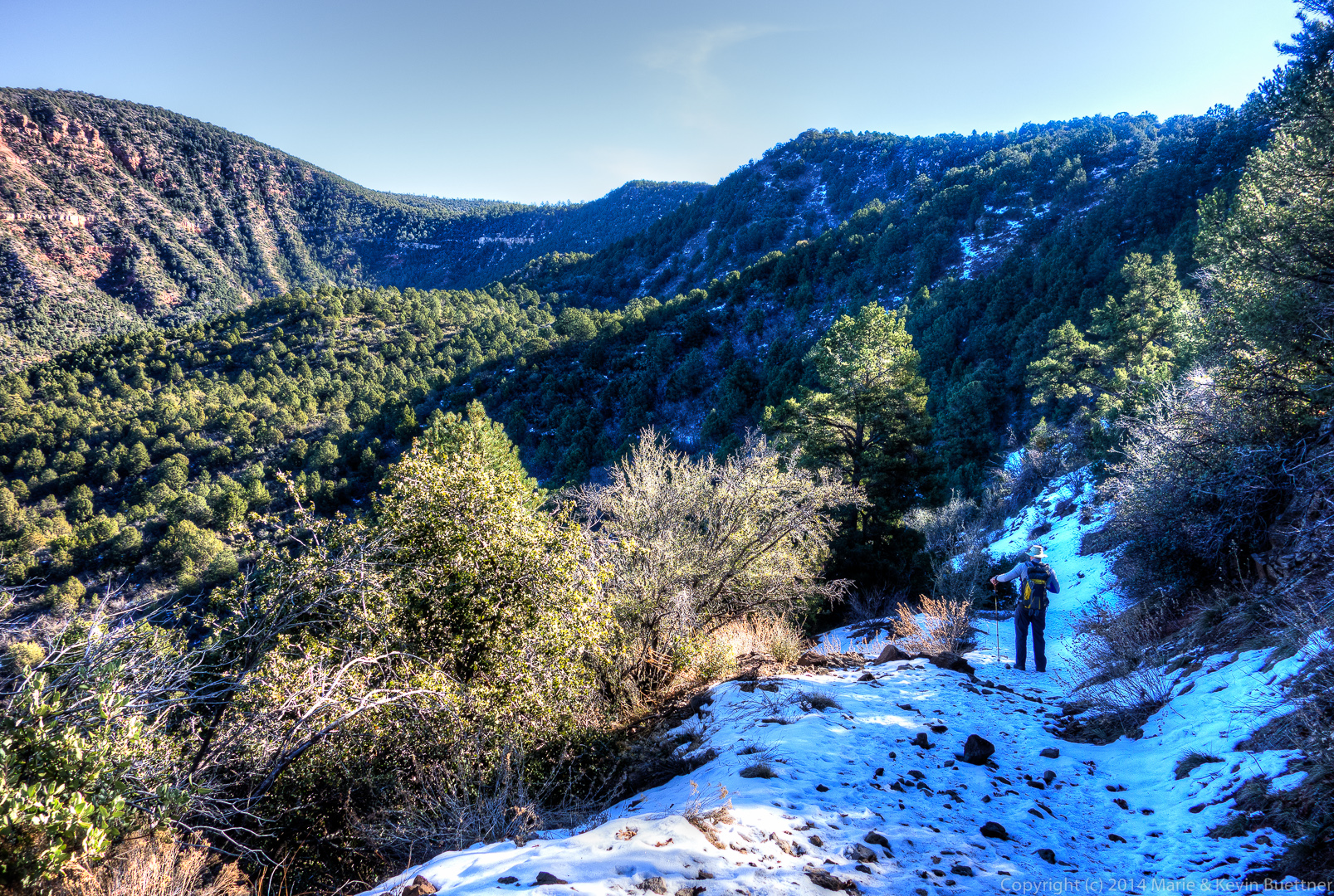
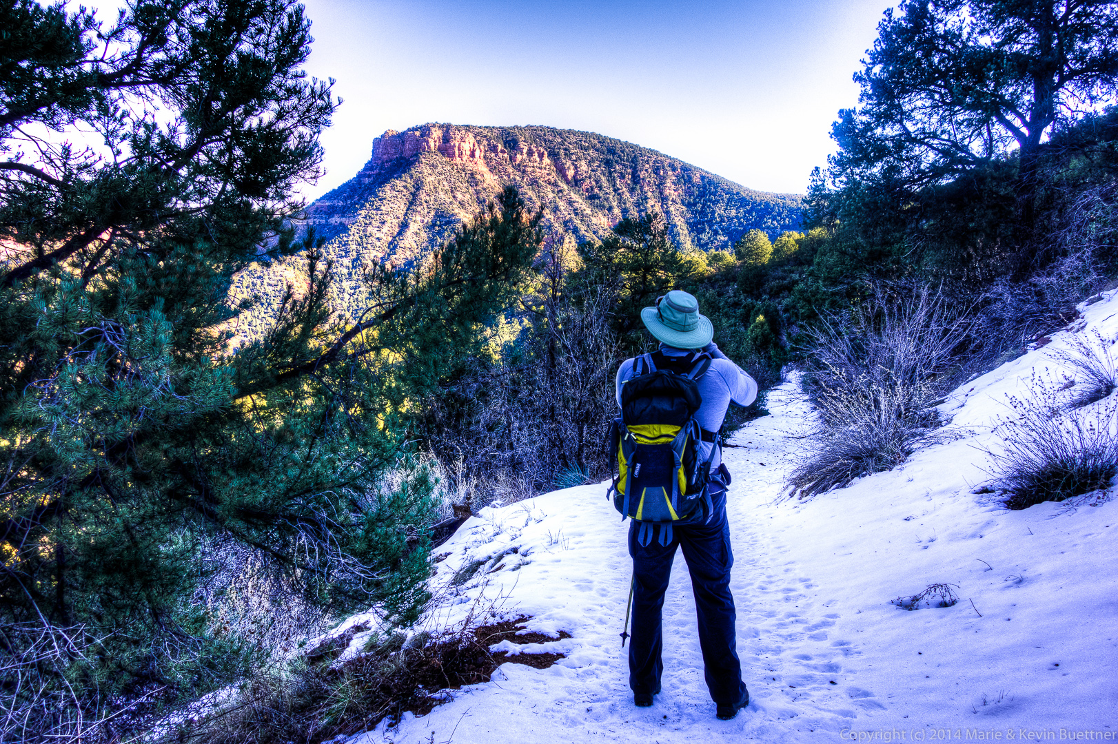
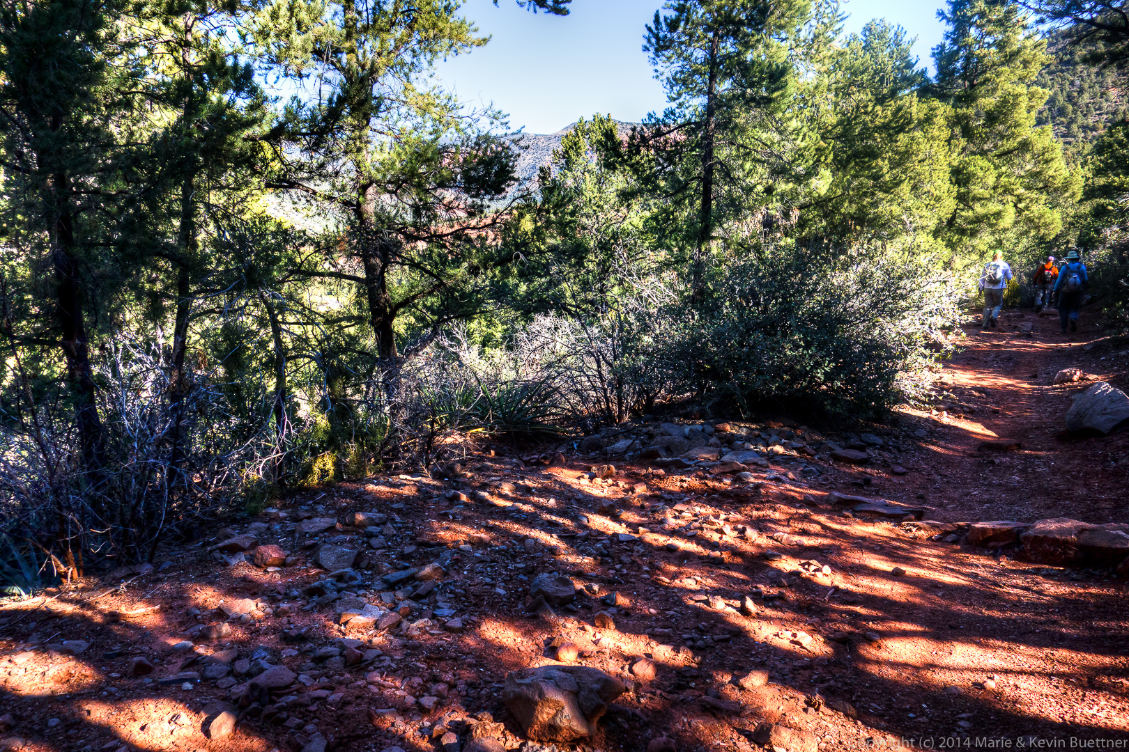

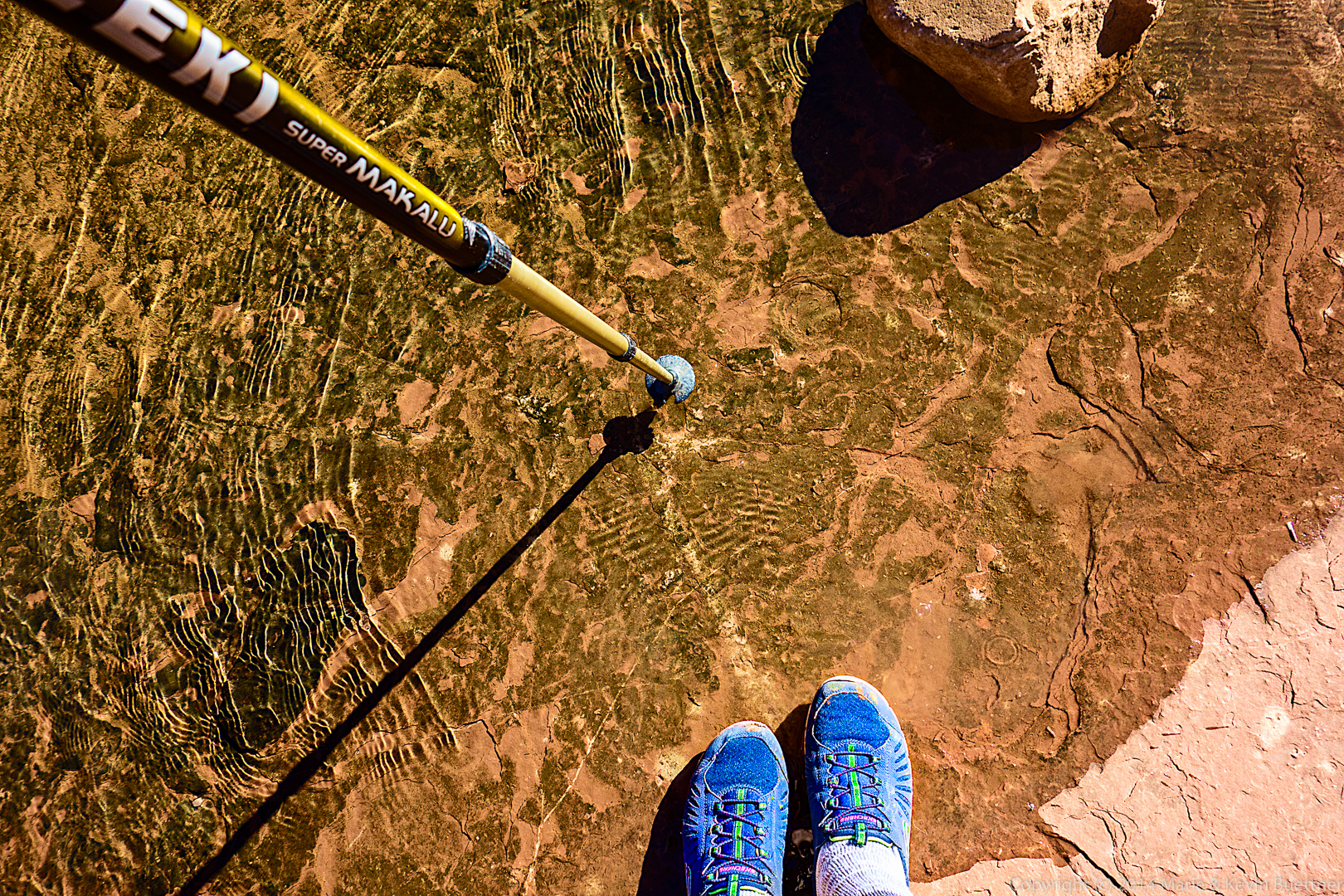
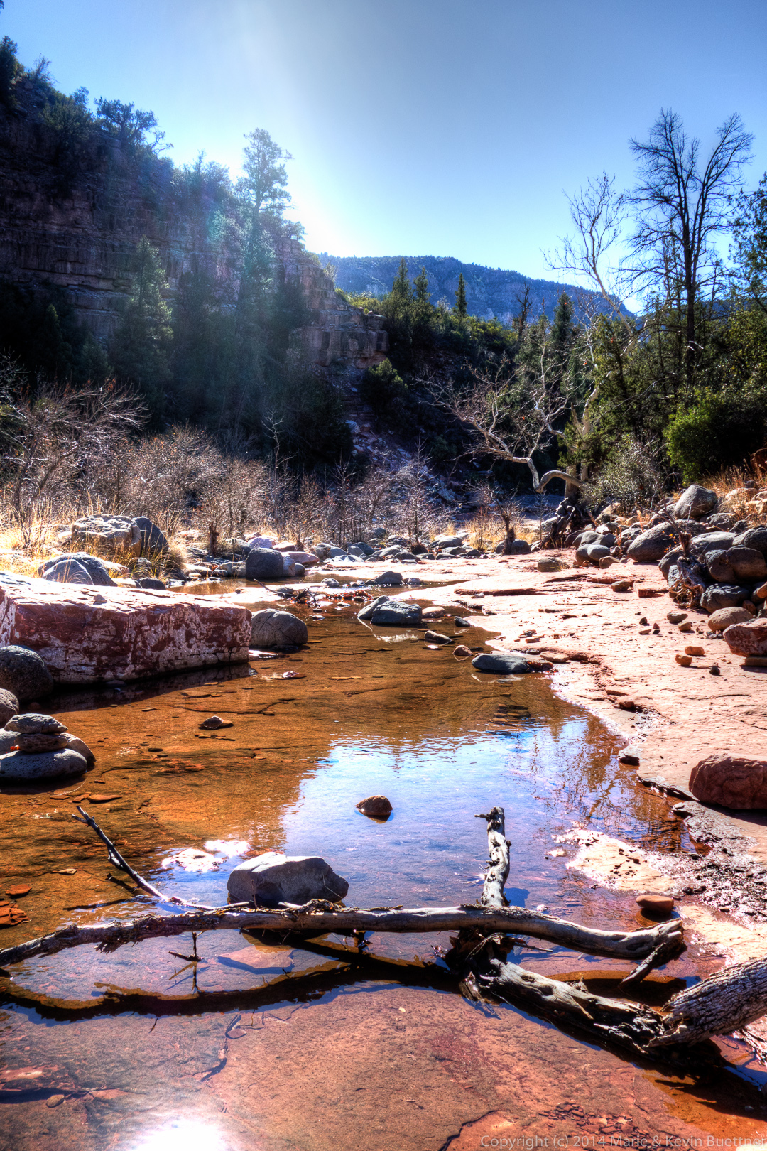
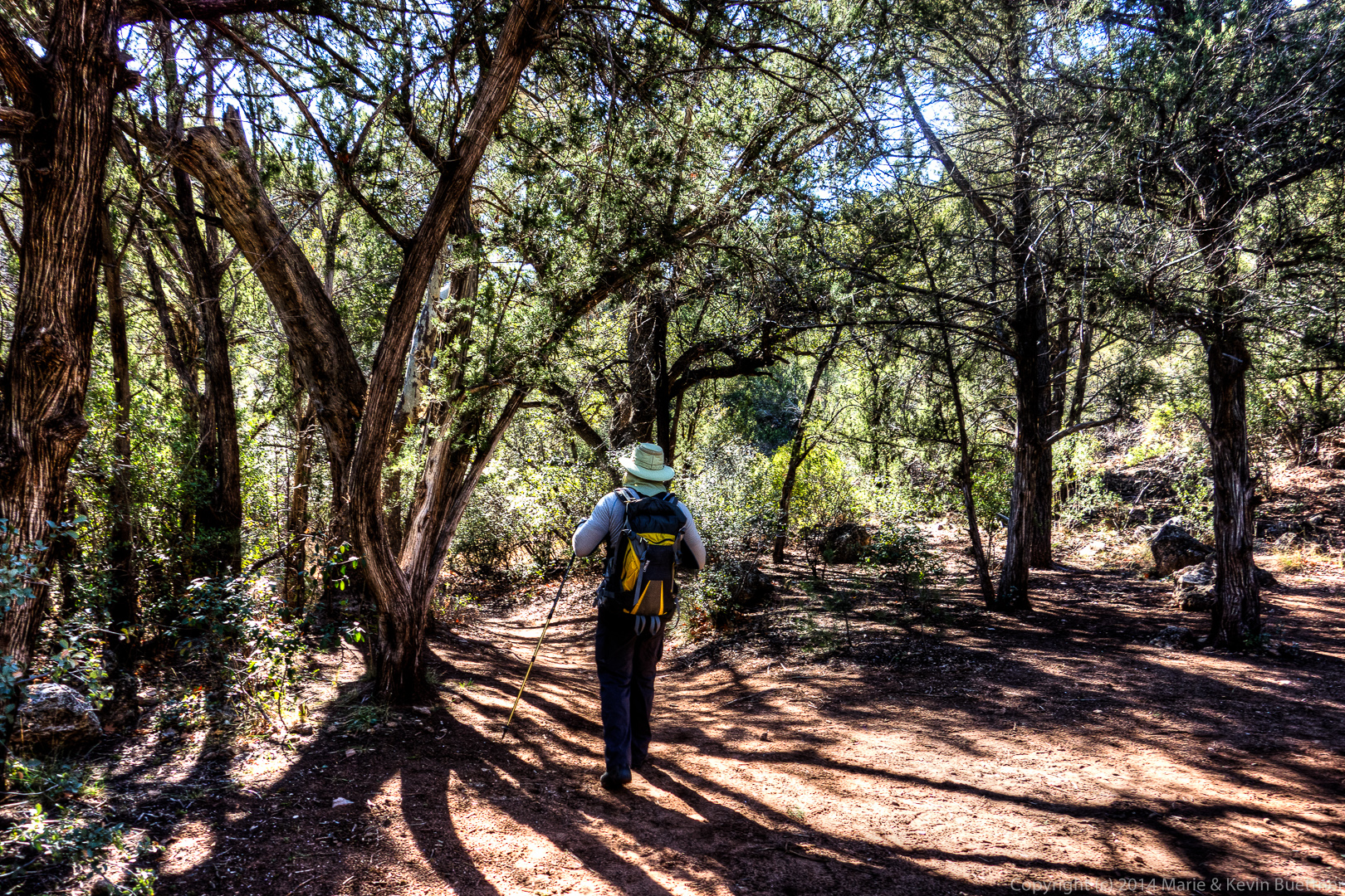
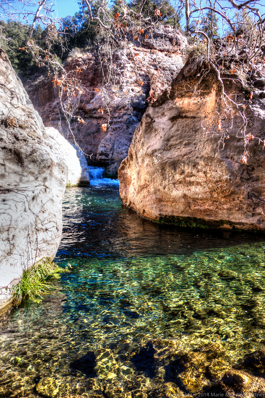
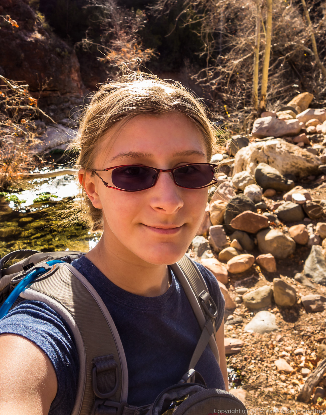
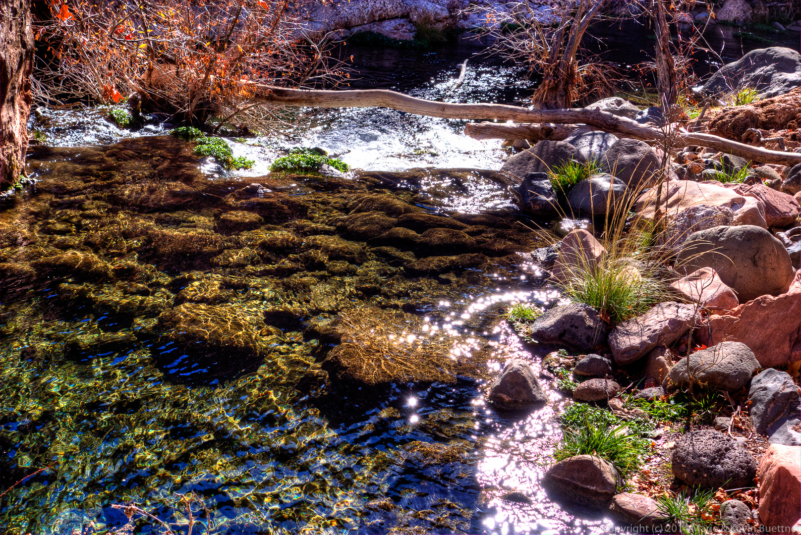
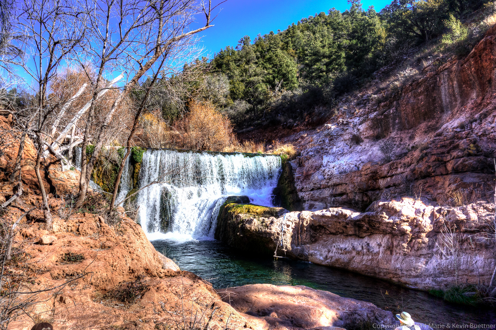
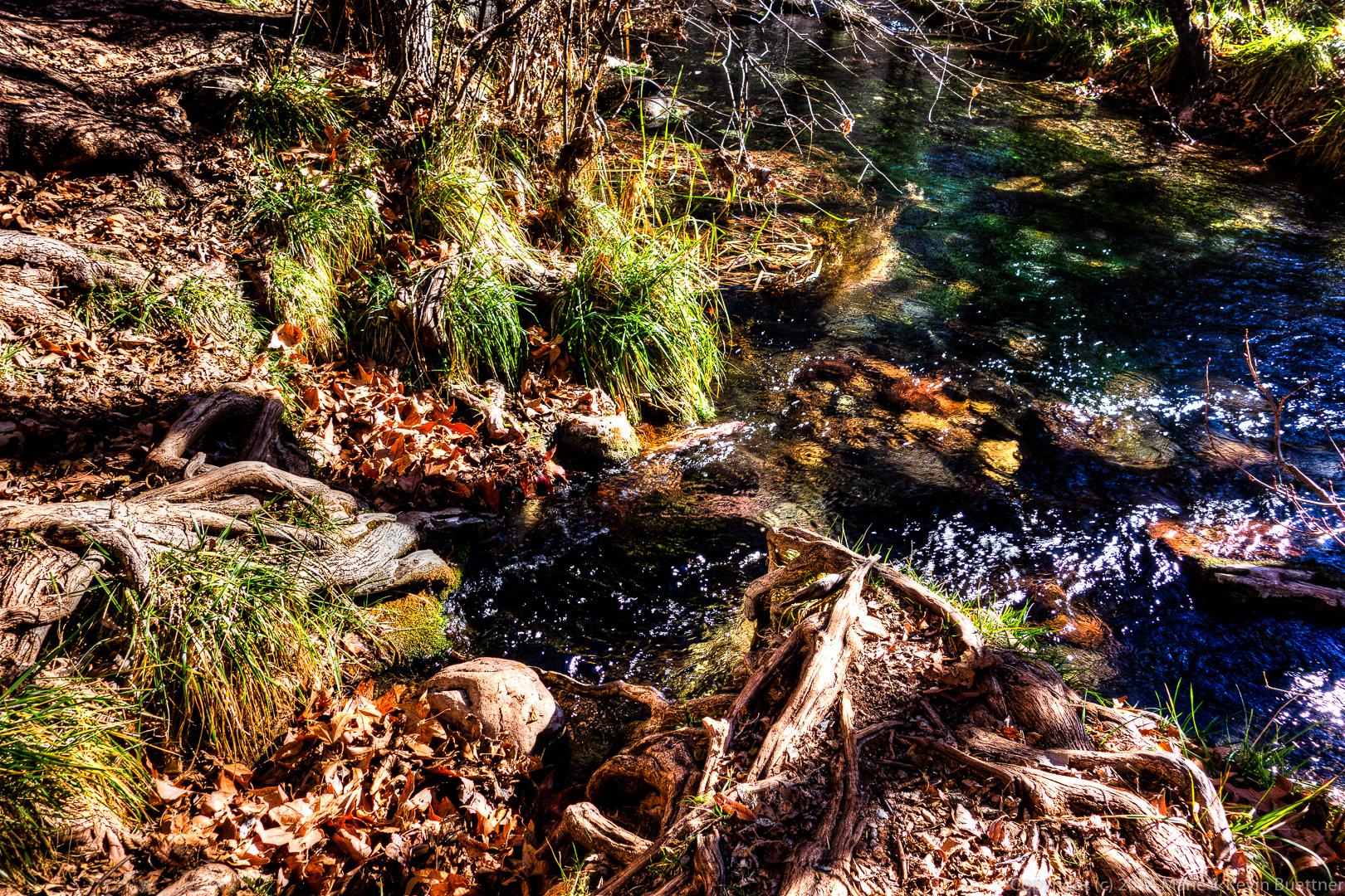
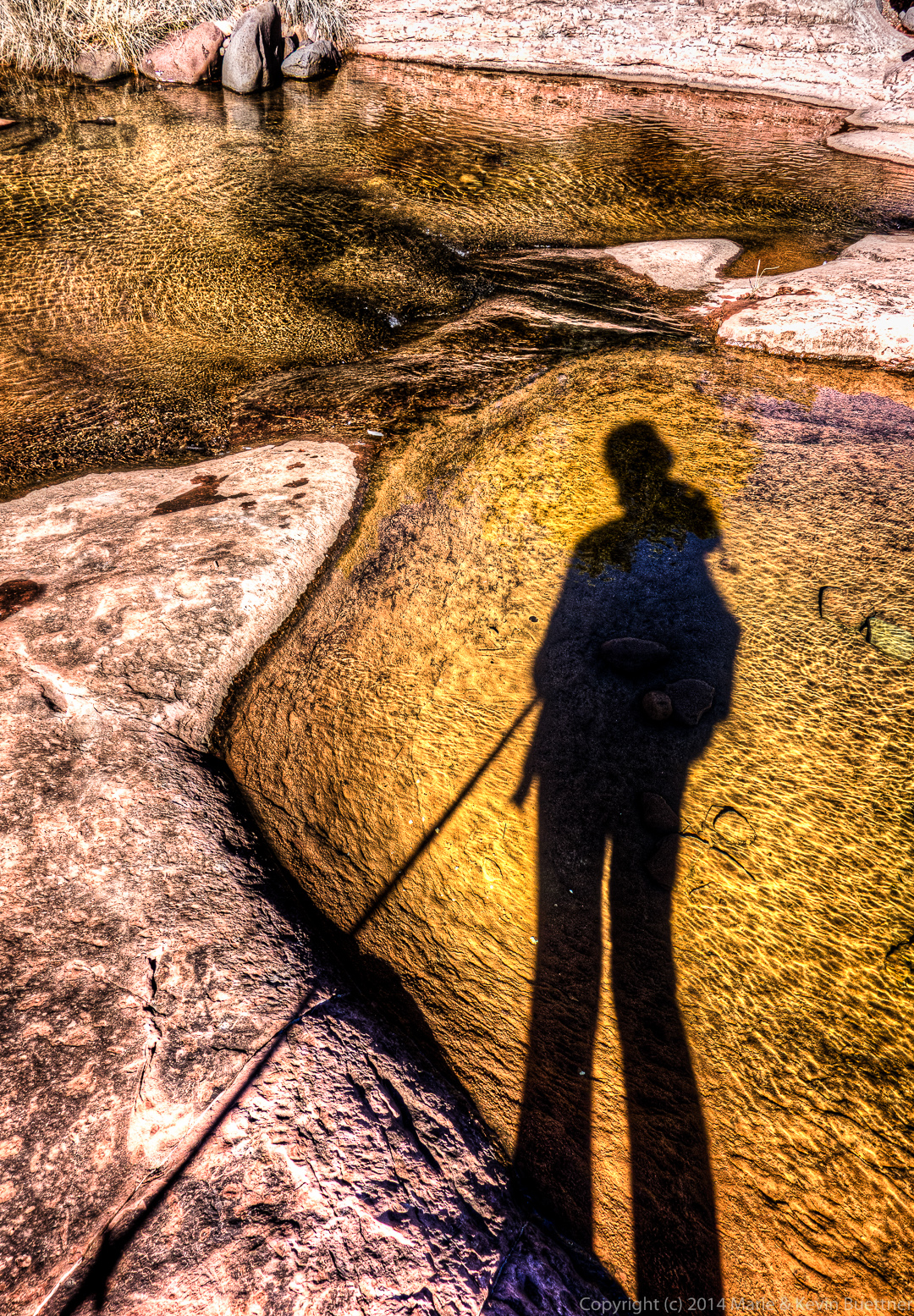
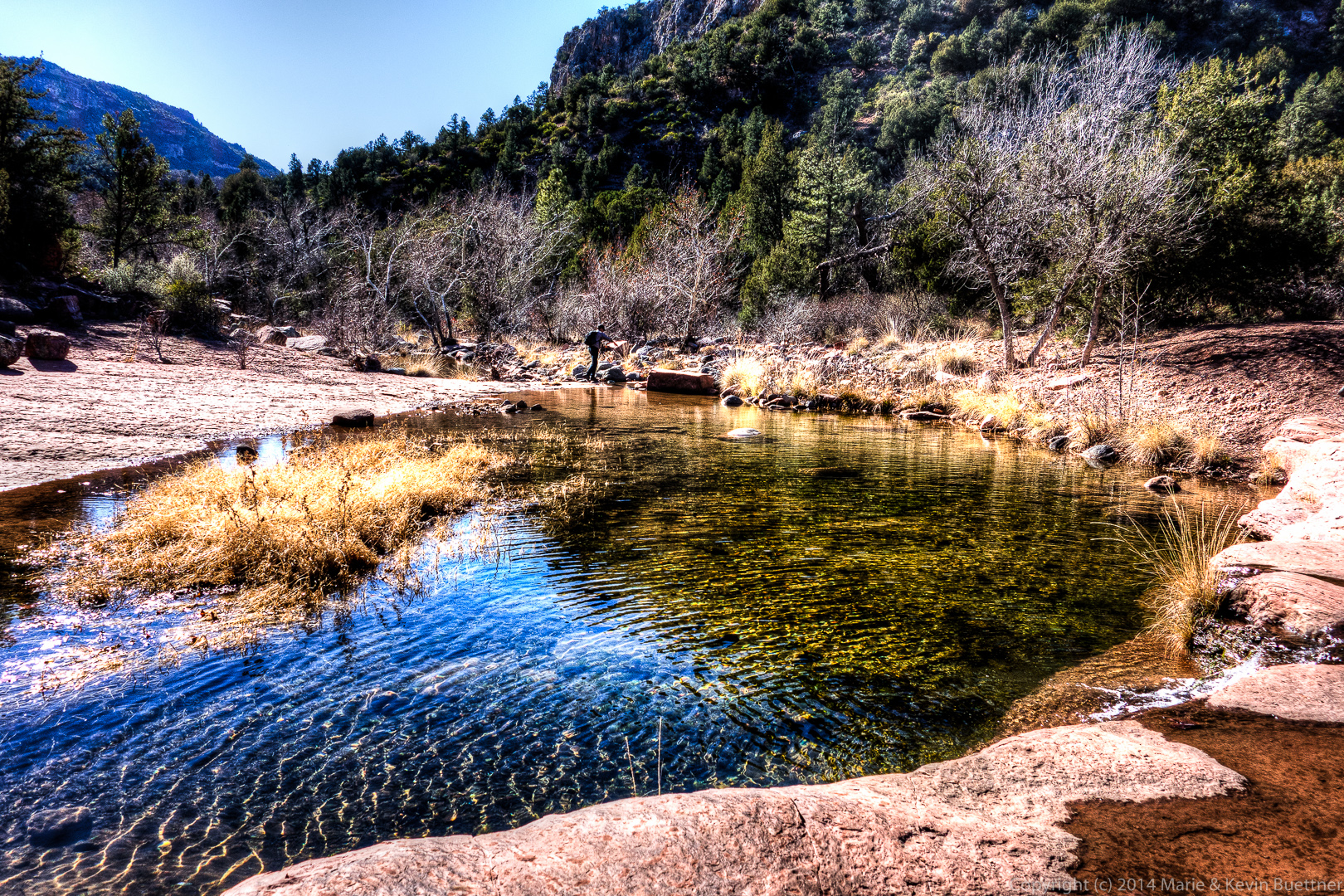
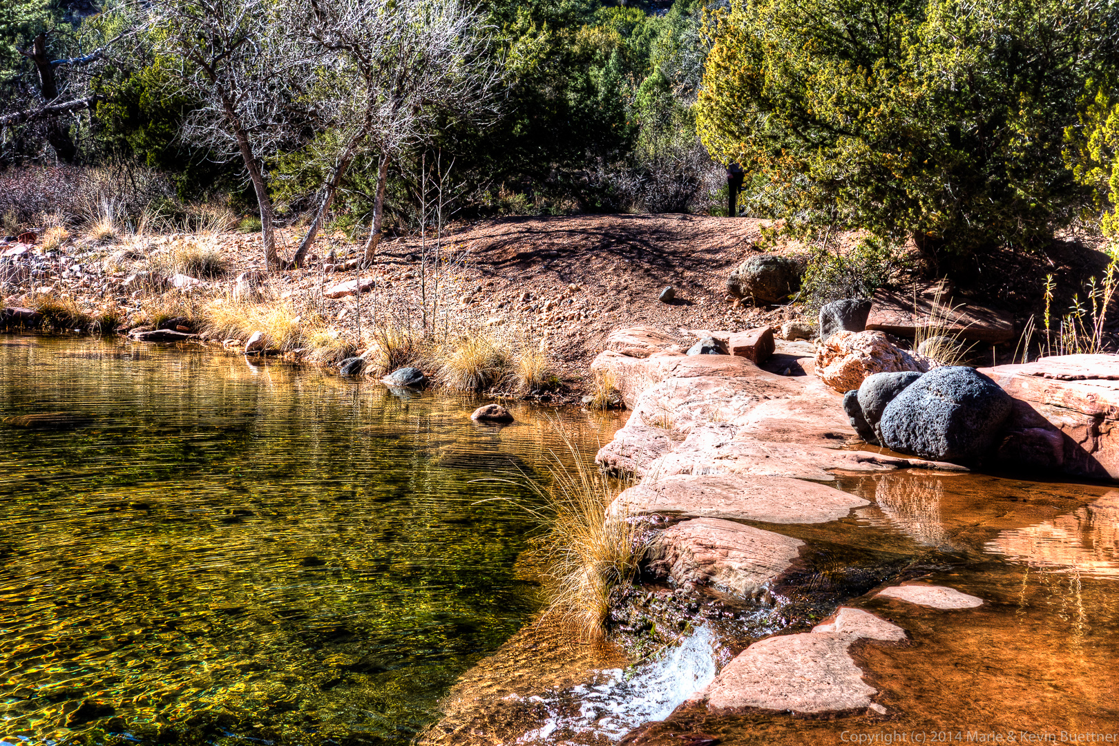
Below are Marie’s photos from our Fossil Creek hike on January 1. I processed most of these with Photomatix and Lightroom.
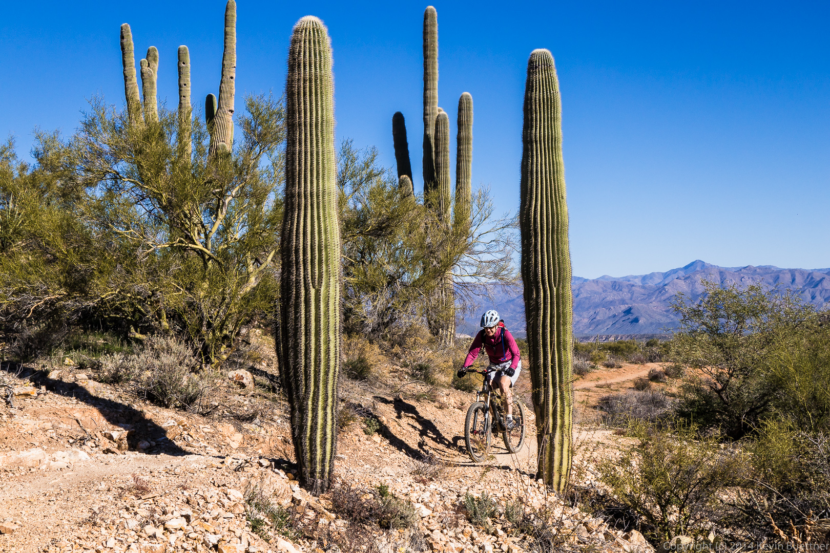
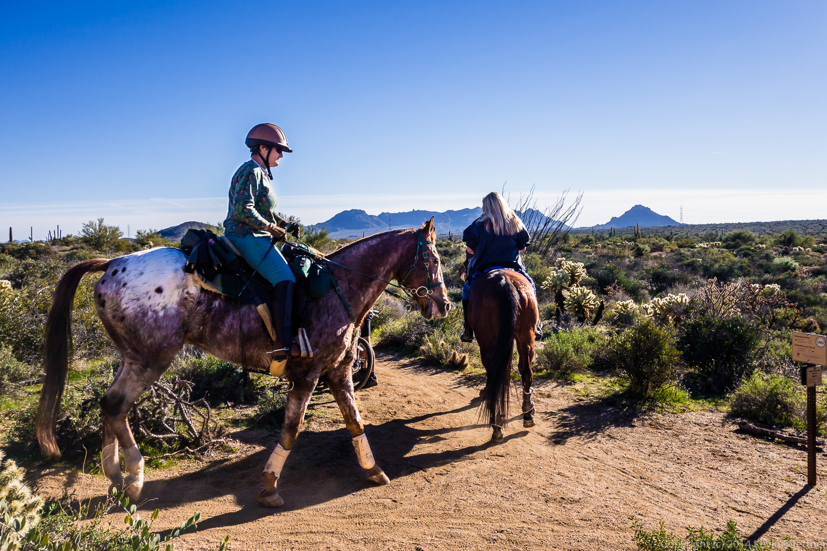
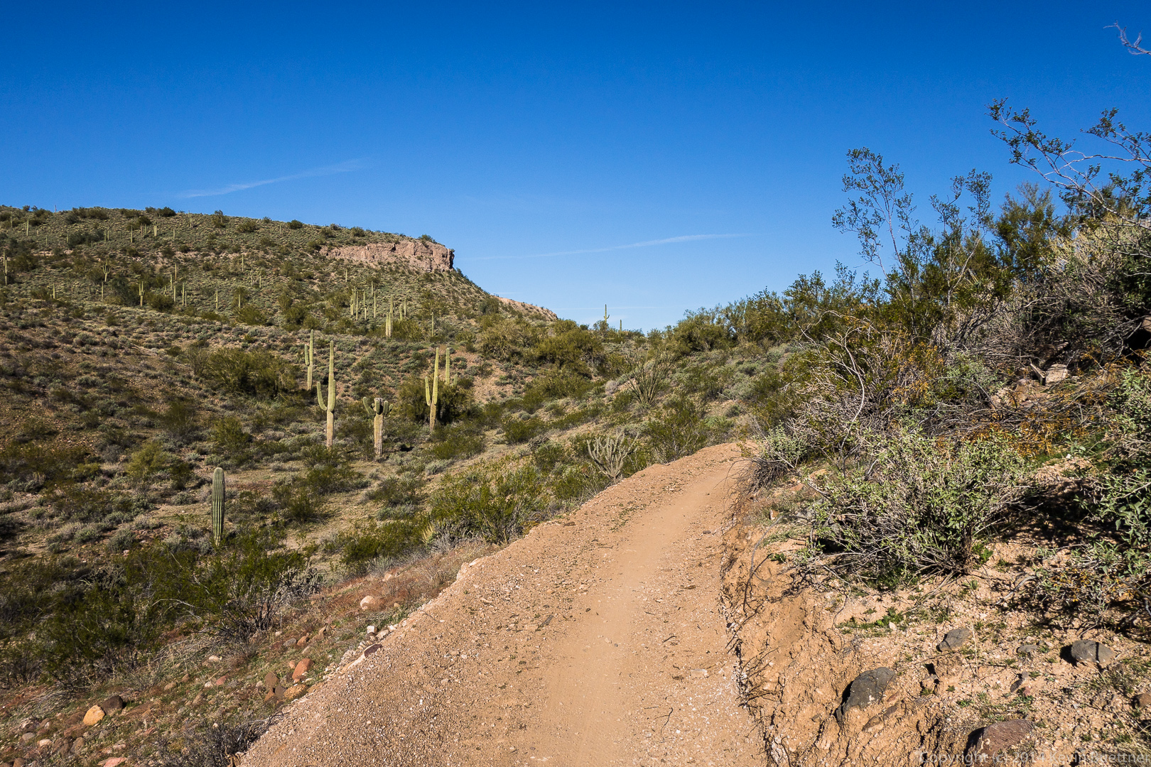
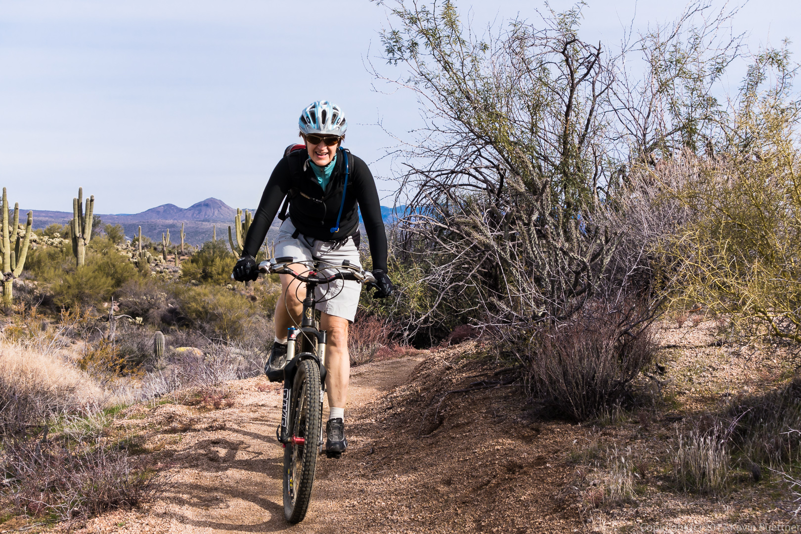
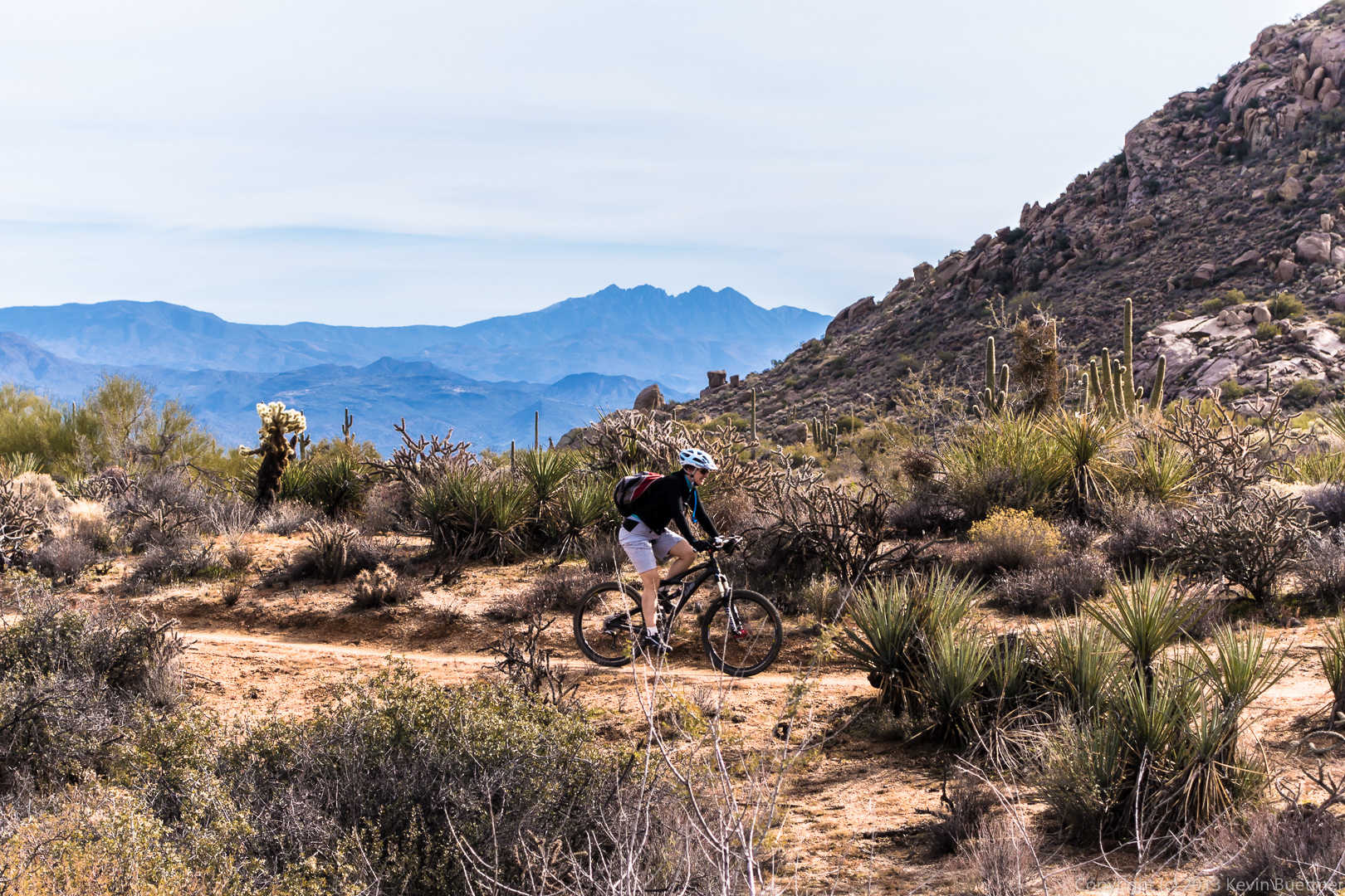
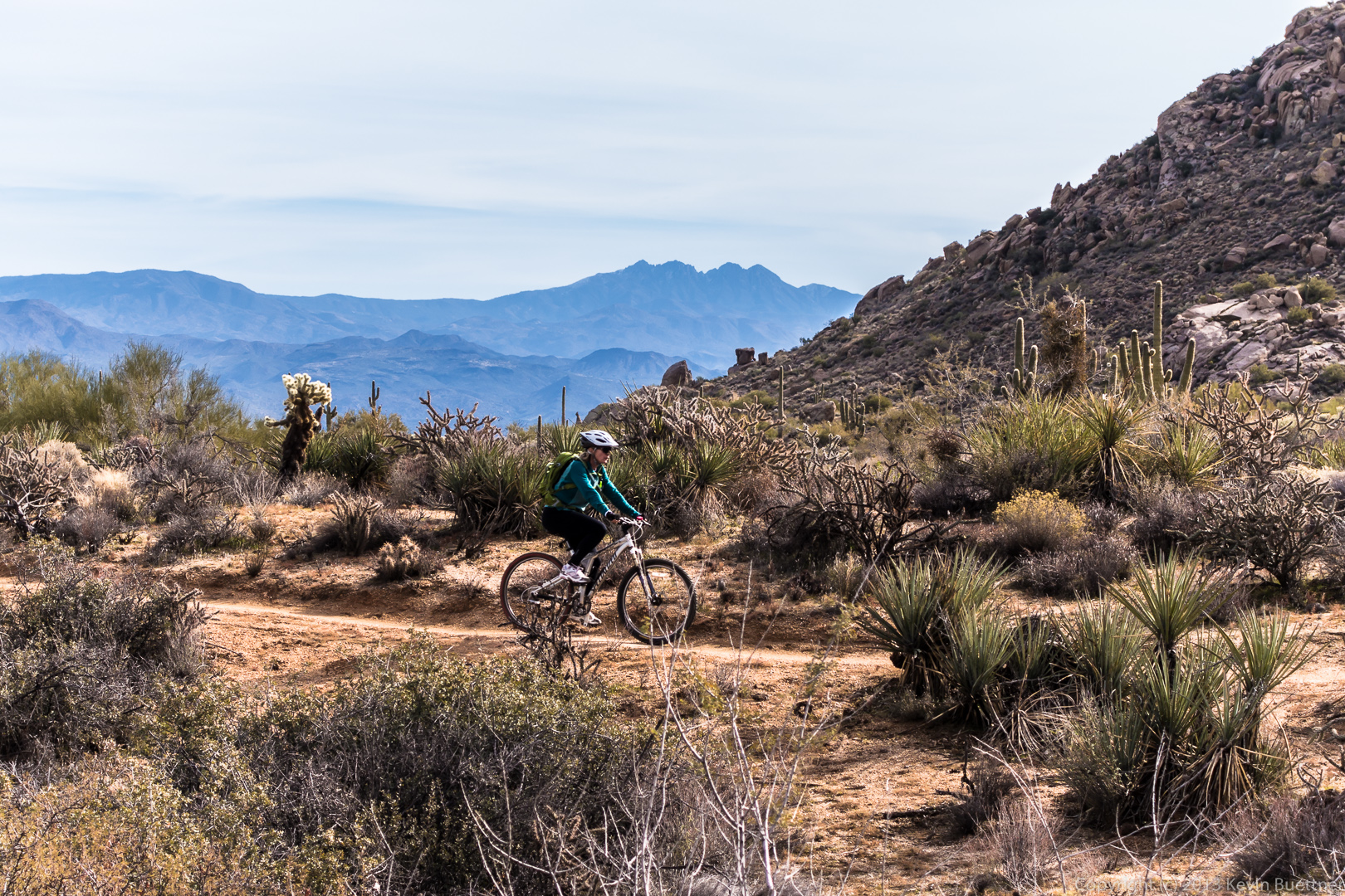
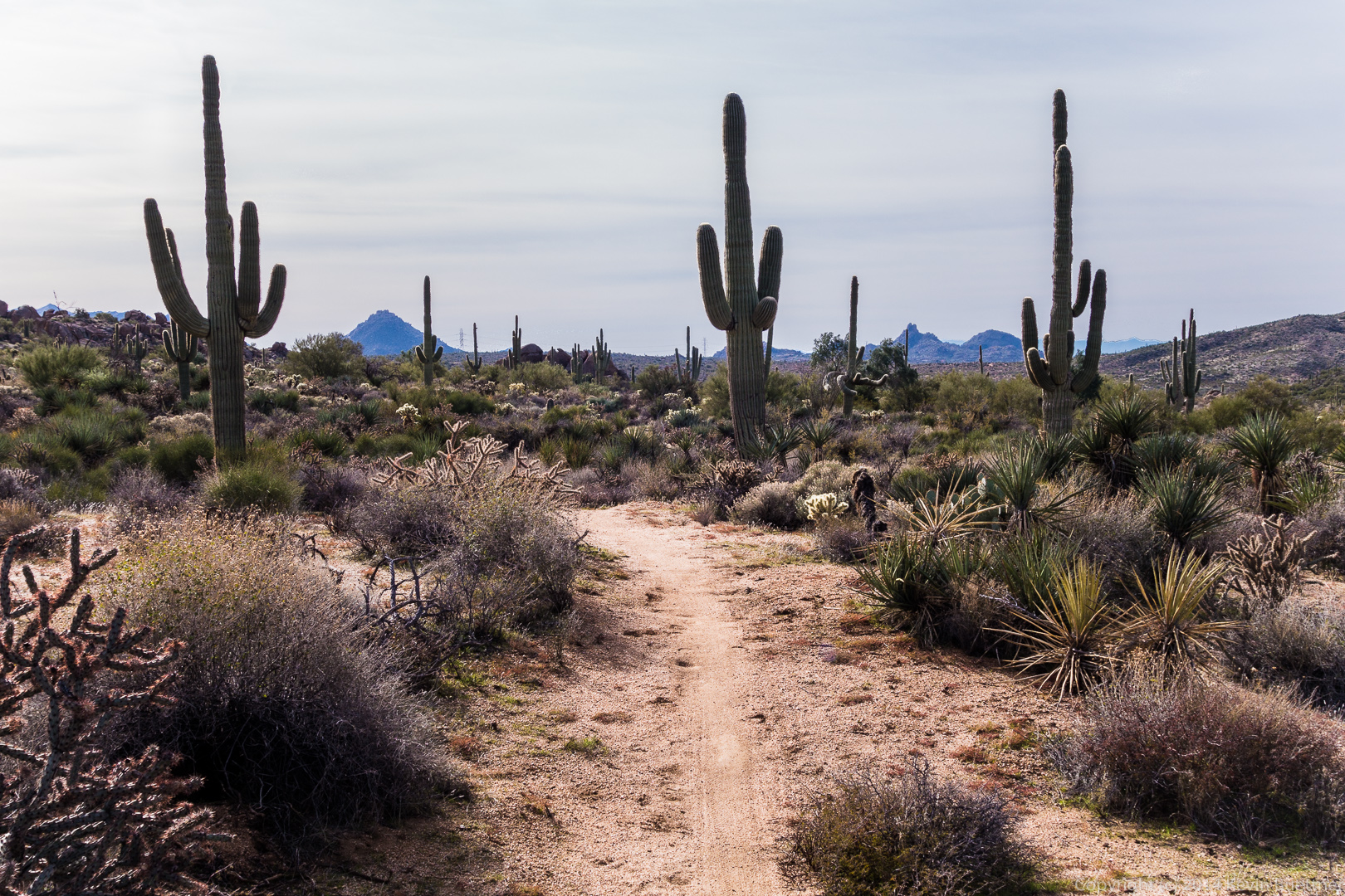
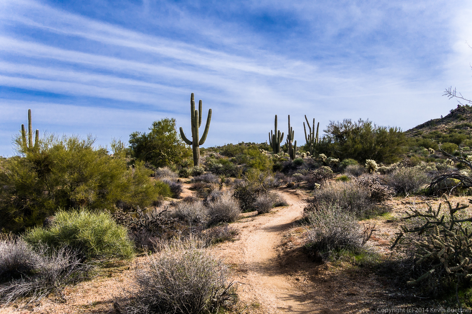
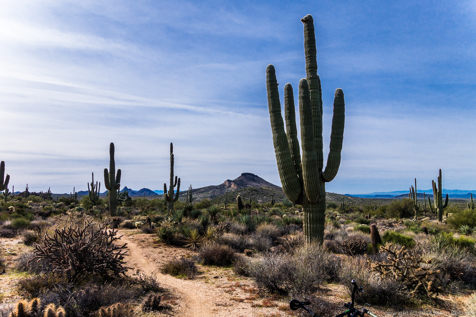
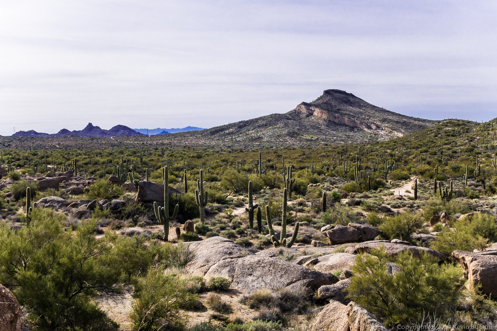
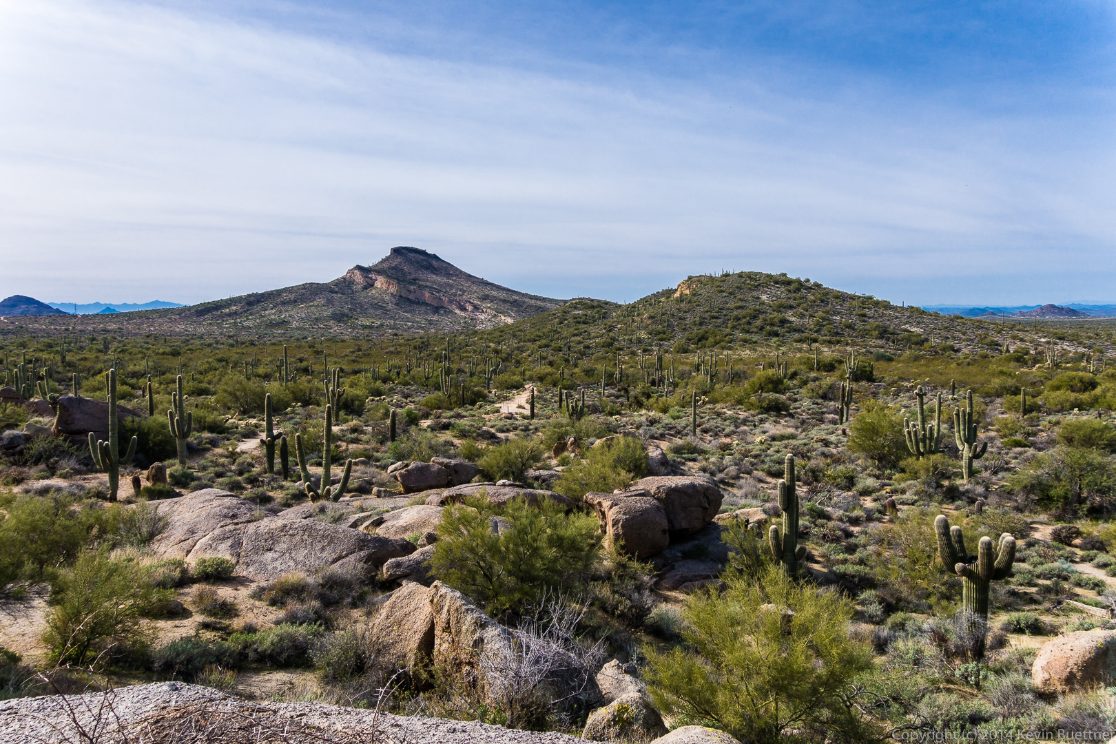
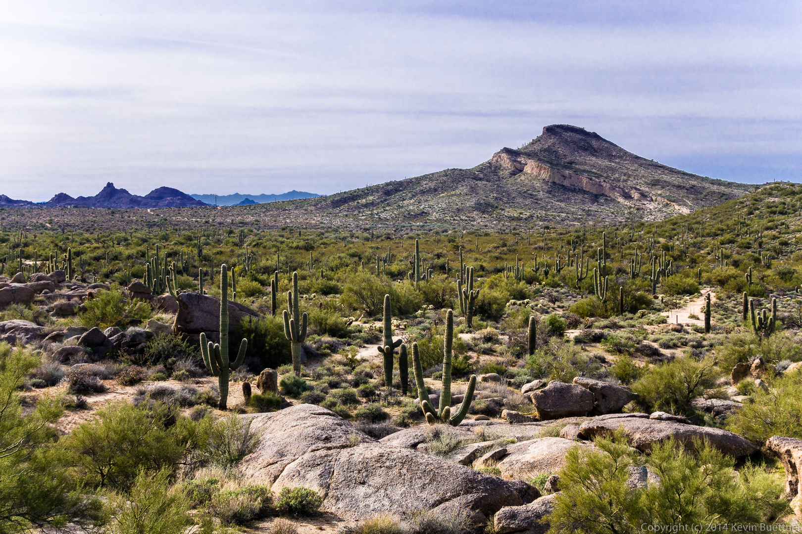
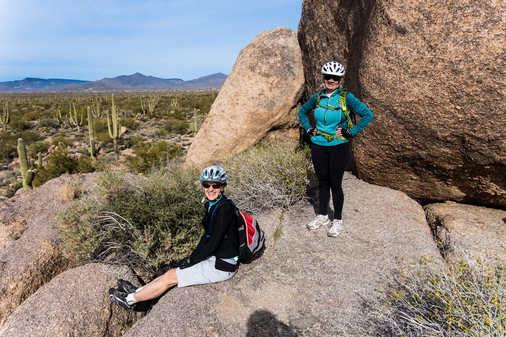
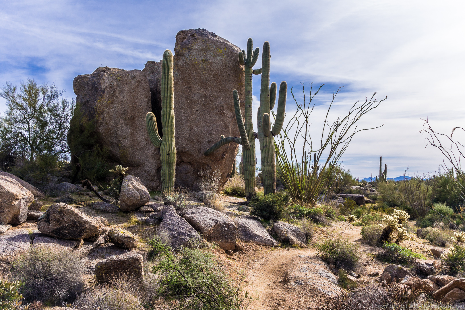
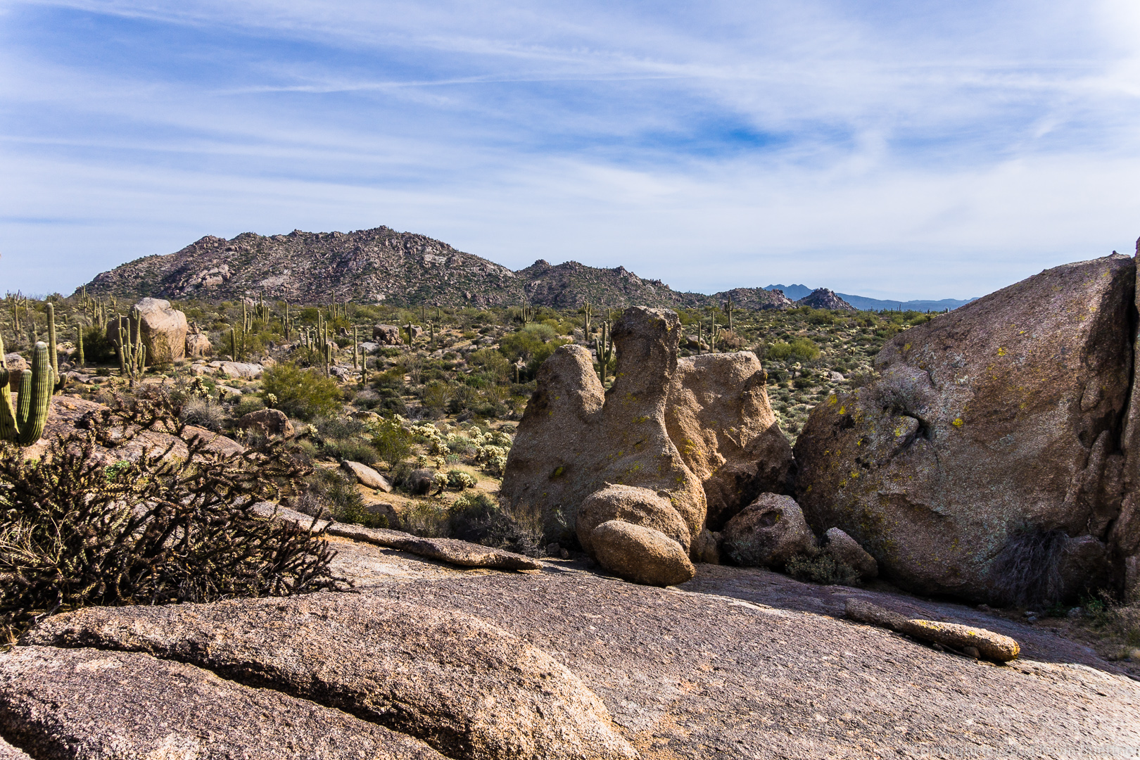
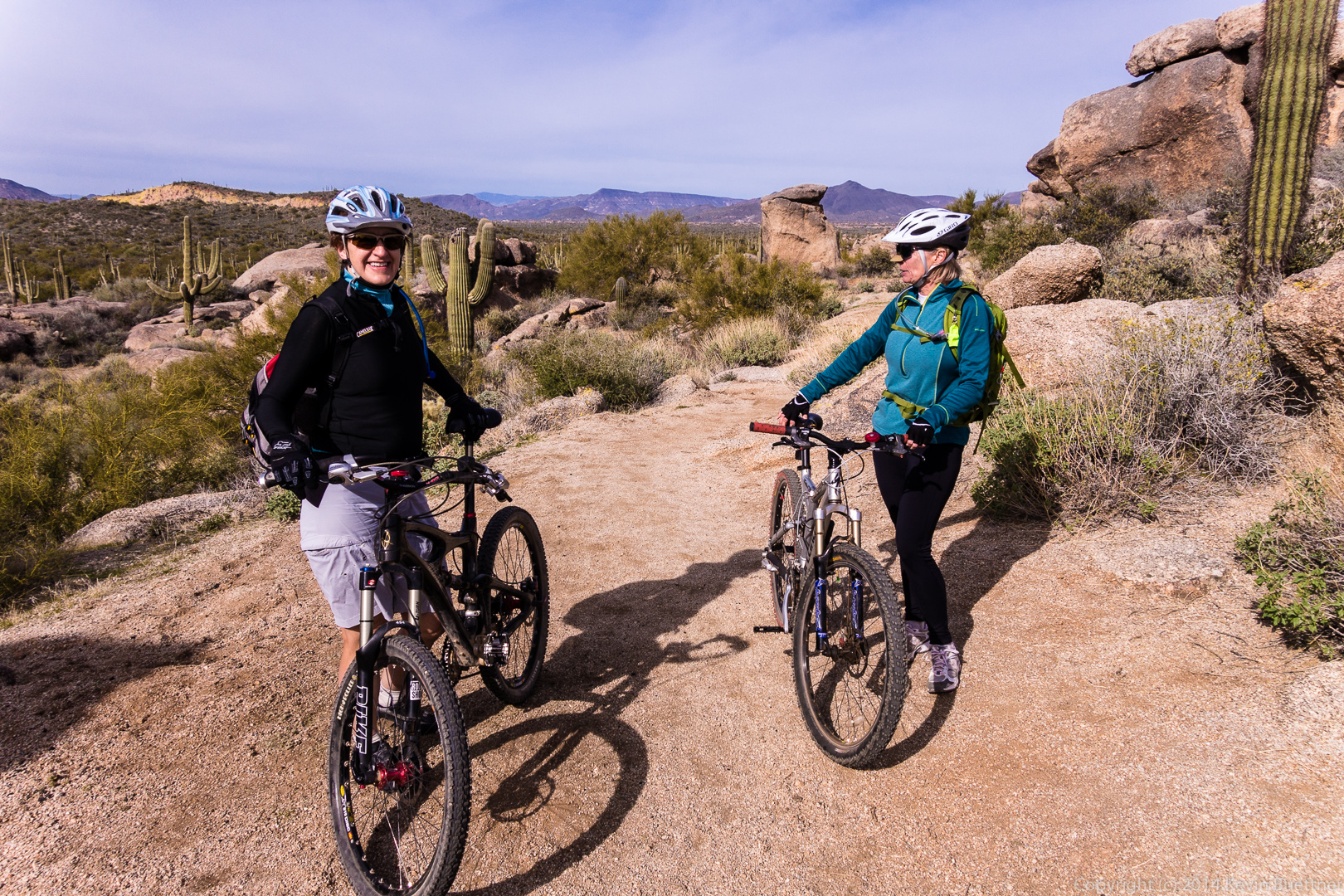
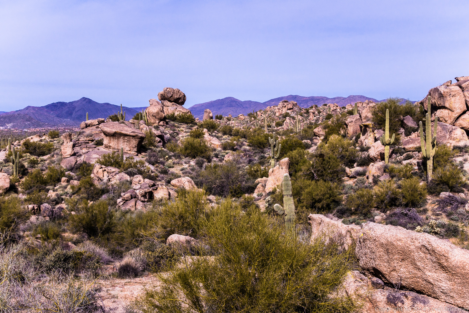
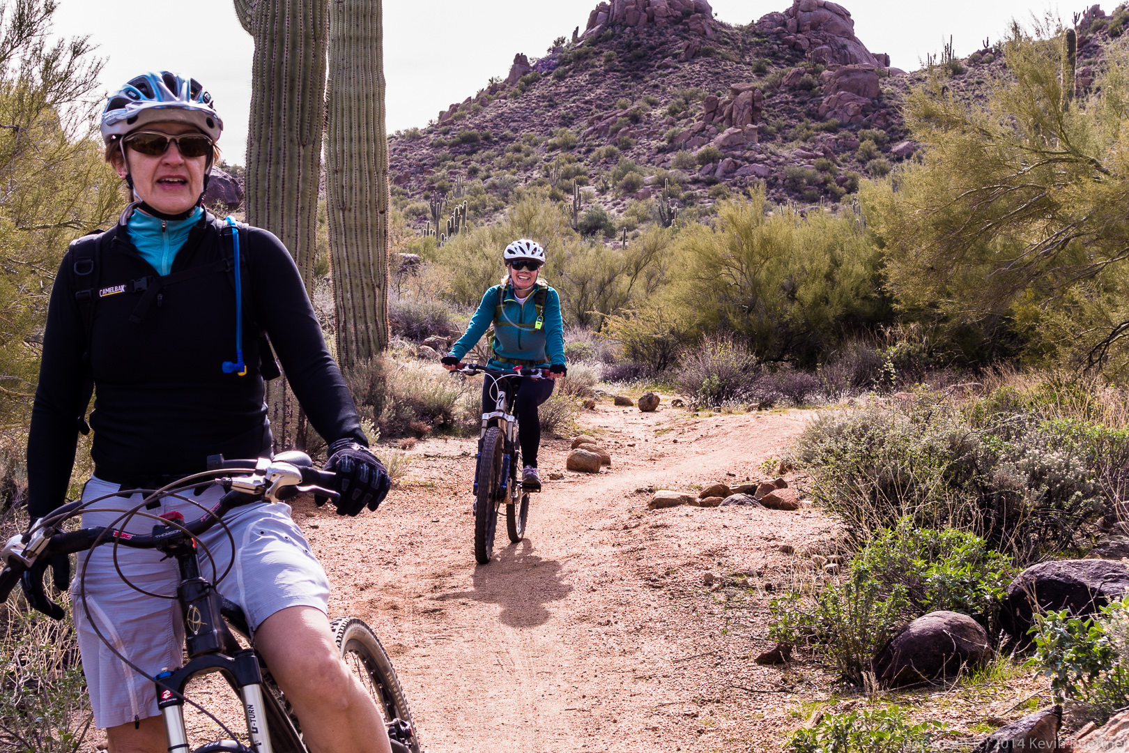
Photos from last Sunday’s ride with Nick and Marilyn:
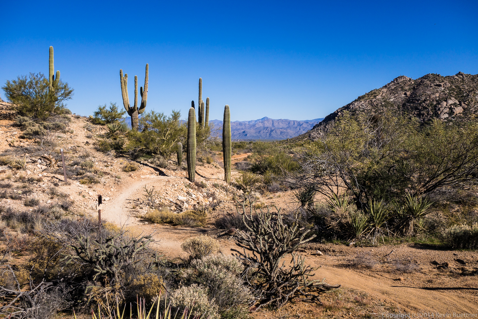
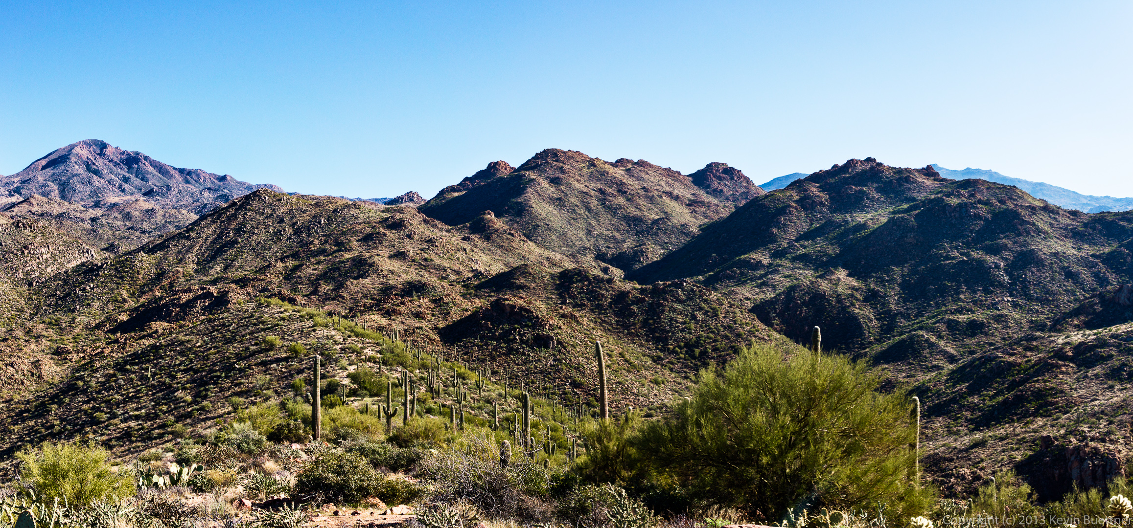
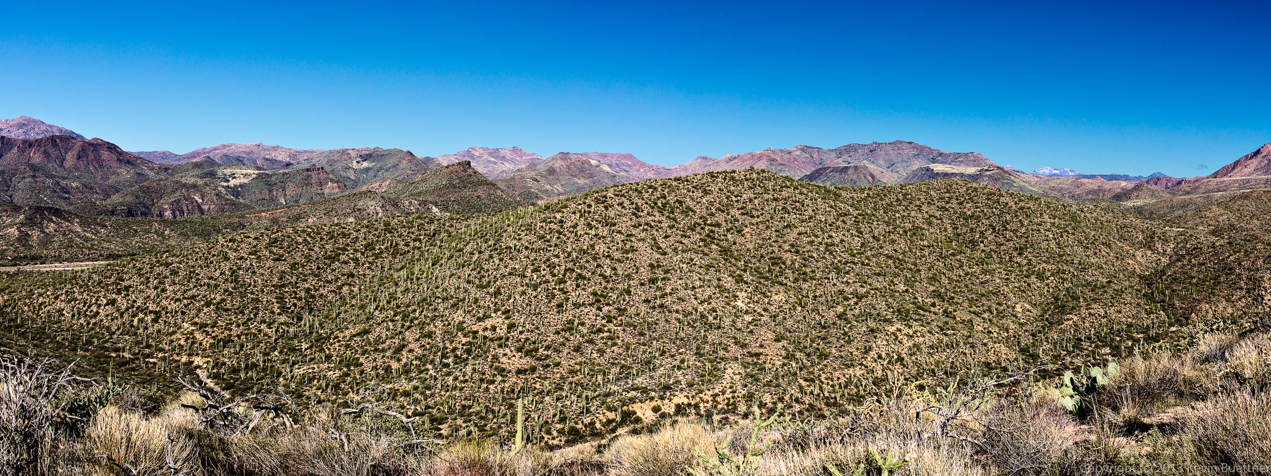
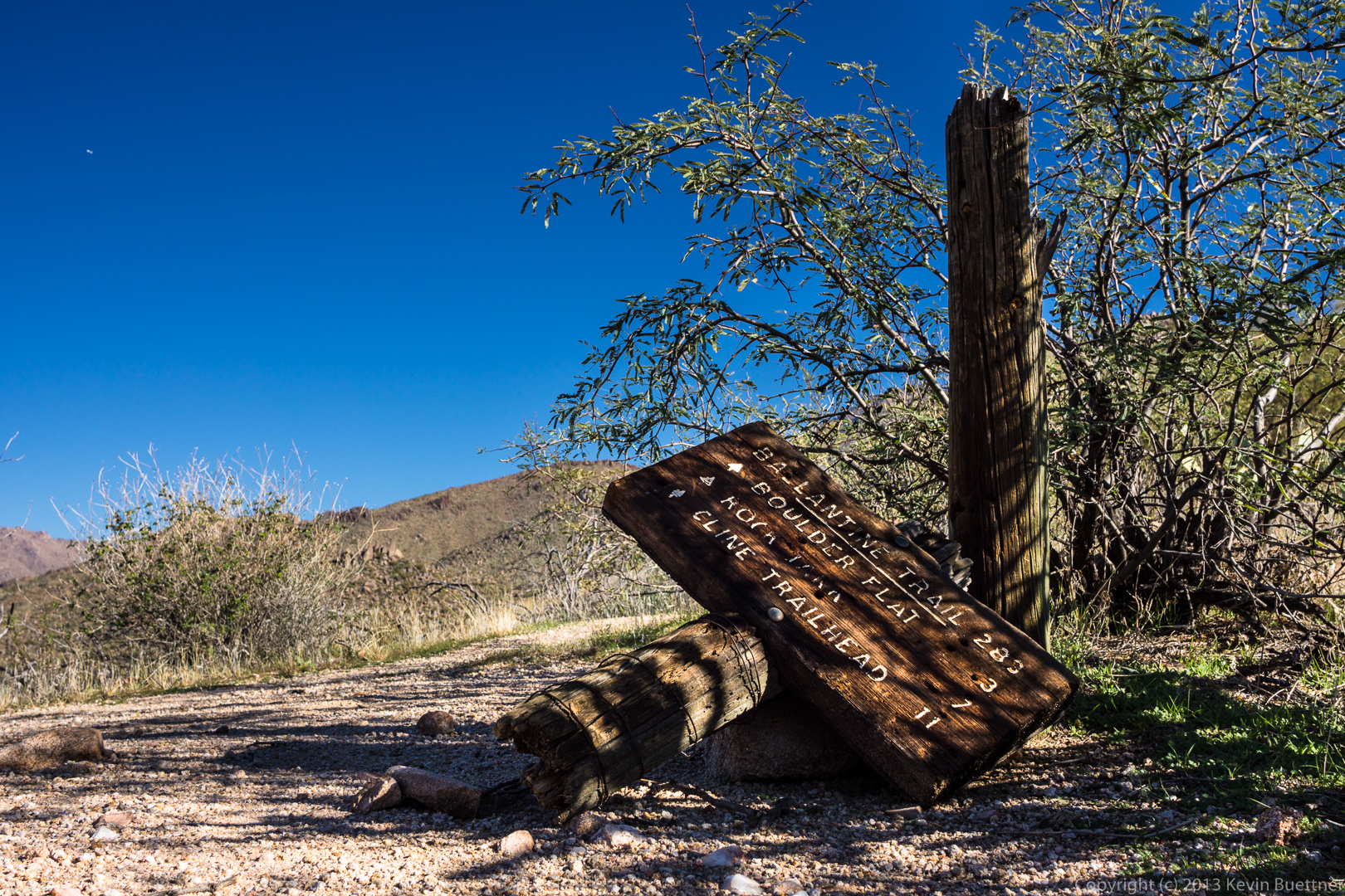
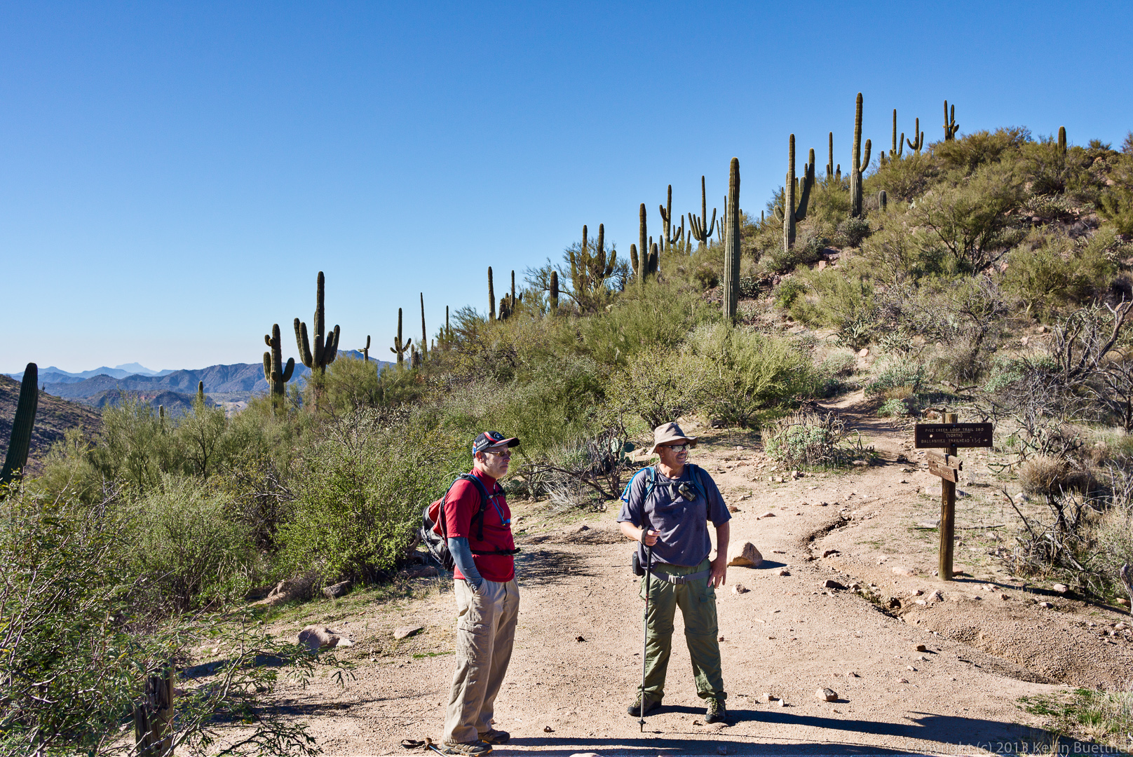
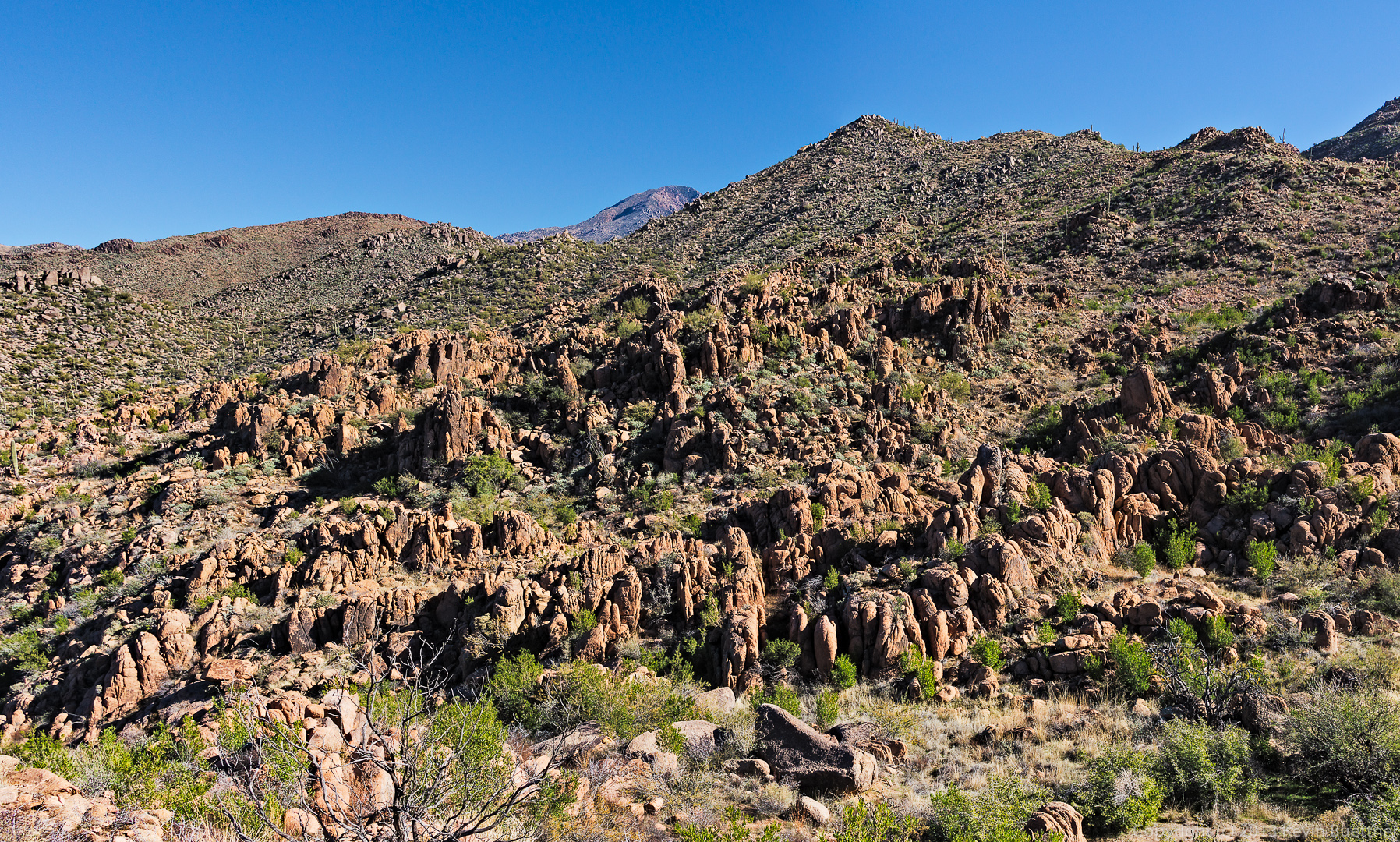
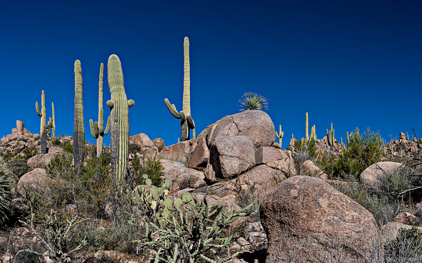
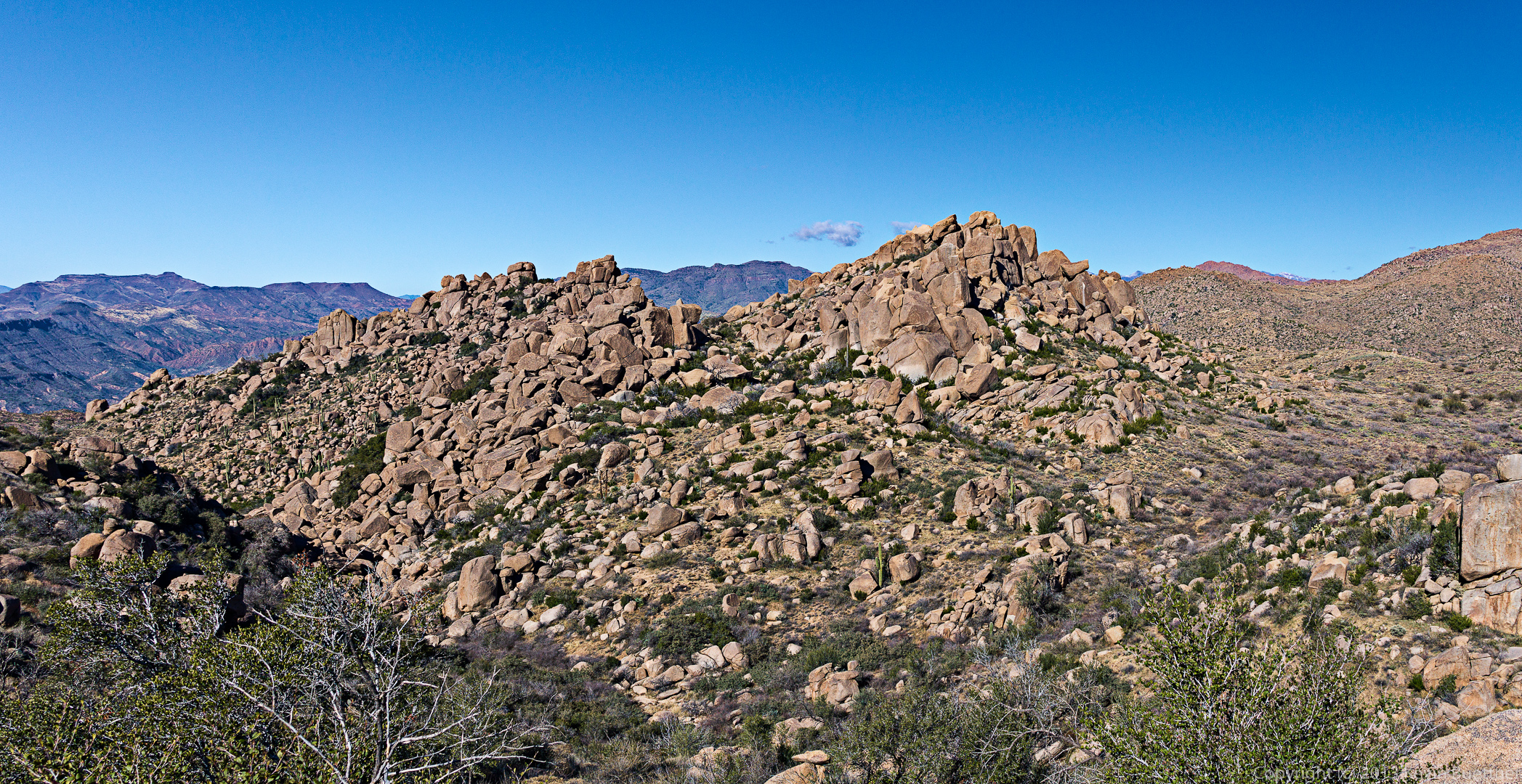
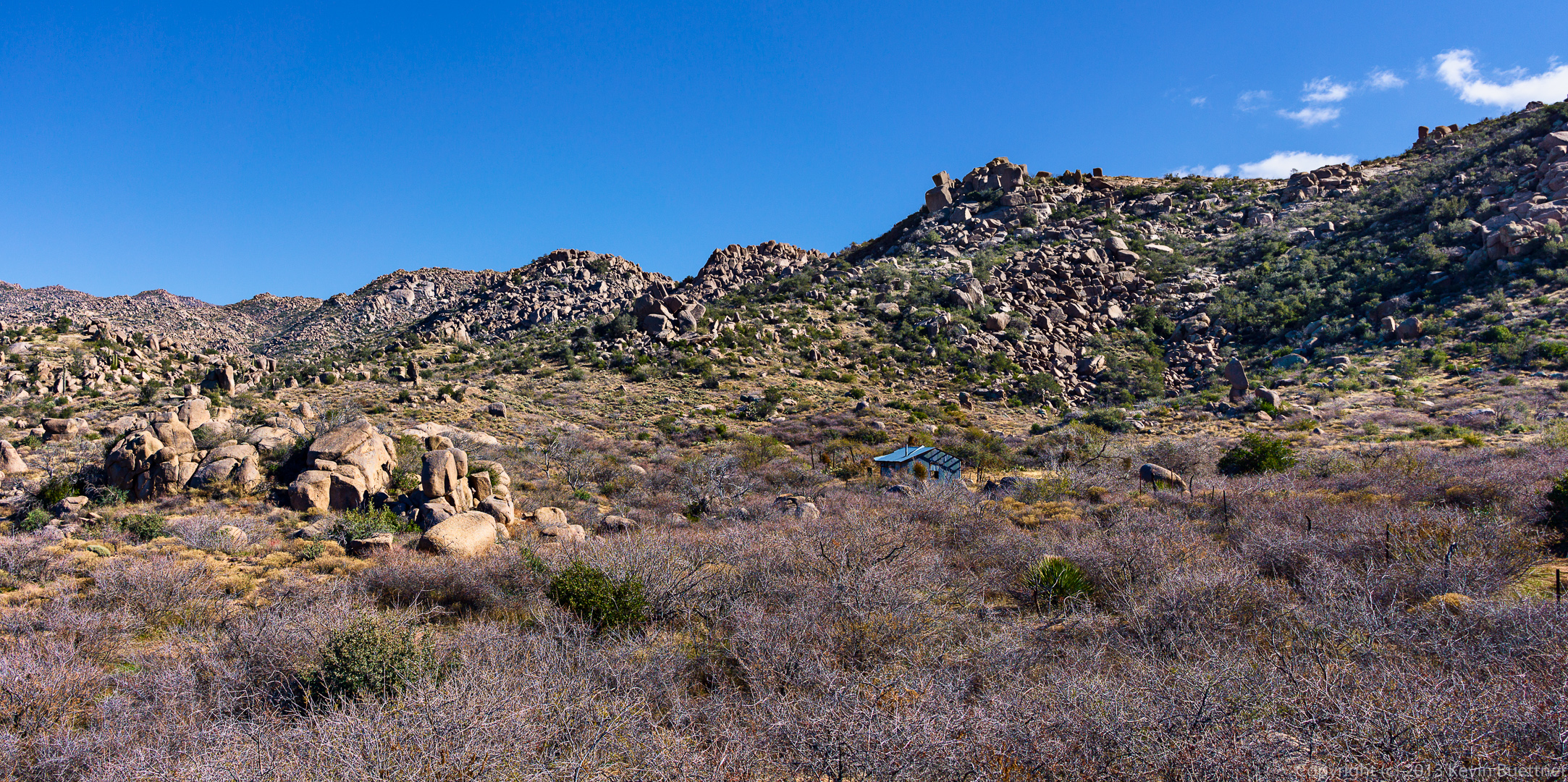
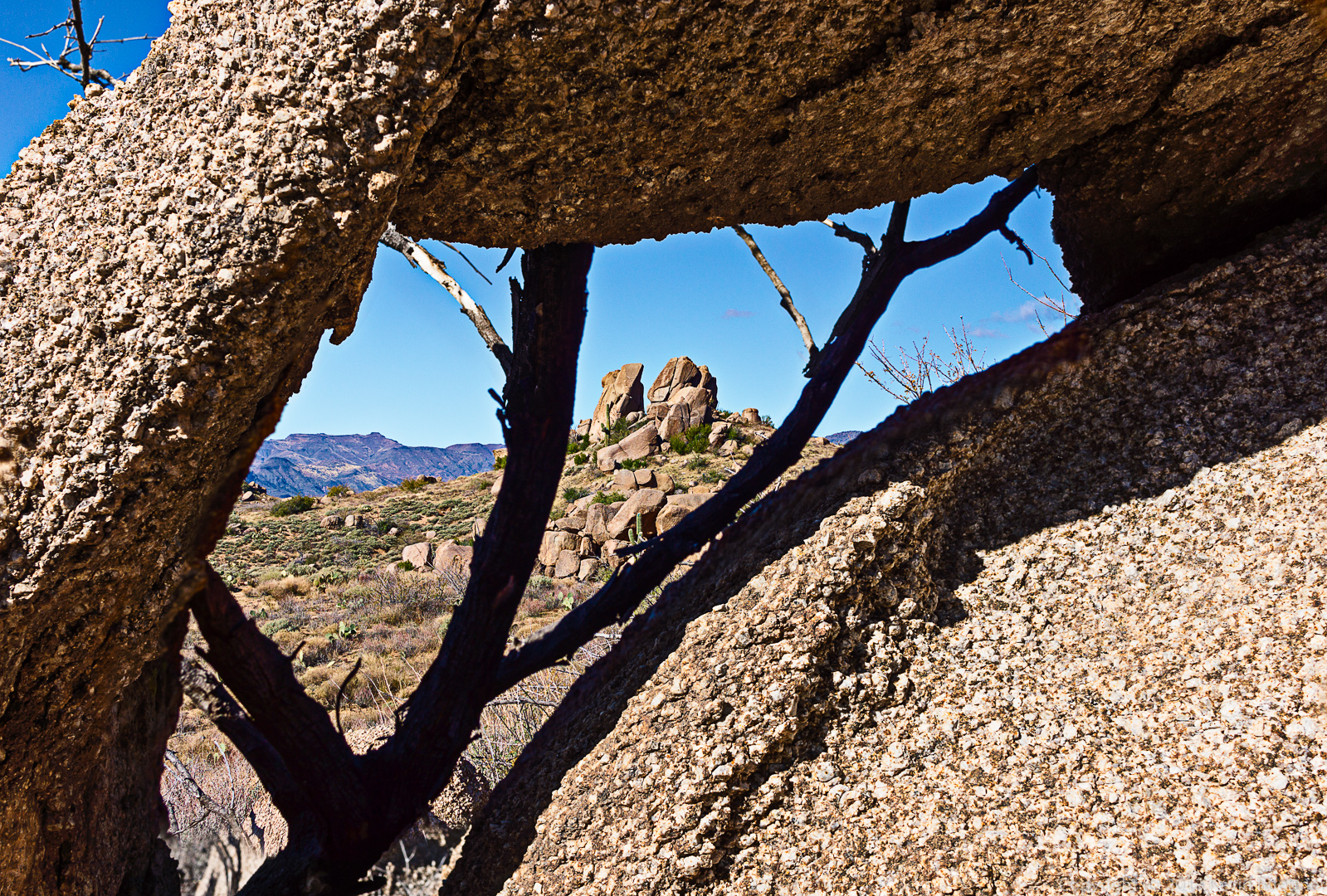
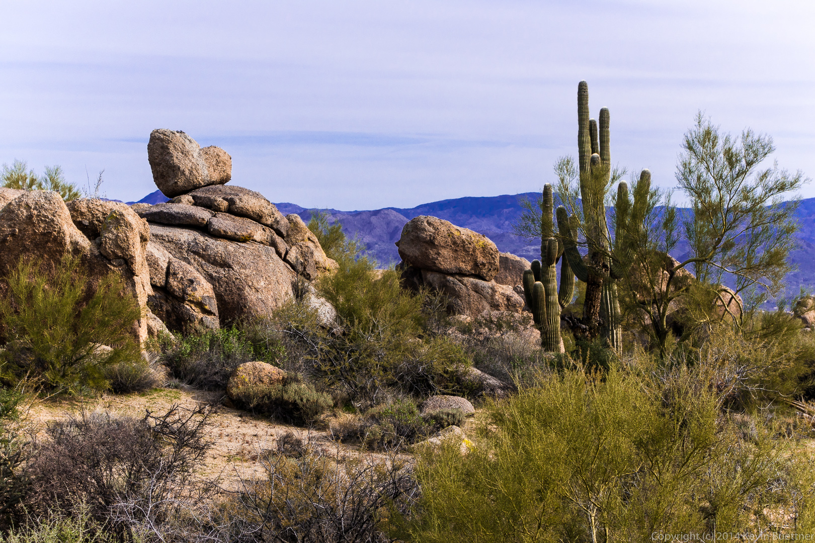
These are photos from the hike that Nick, Bob, and I did of the Ballantine Trail on December 22nd.
We hiked out the Pine Creek Loop to the Ballantine Trail. When we got to Boulder Flat, we turned left and hiked out to Ballantine Cabin. (I didn’t take many photos of the cabin because without the skull, it wasn’t as interesting as it used to be.) From there, we continued onward eventually ending up near a large corral. We were able to loop around back to Boulder Flat without going back to the cabin. Portions of the trail on the “loop” section were difficult to find and follow; luckily, we had joined some other hikers who had a track loaded onto a GPS.
Total distance was just over eleven miles with 2500 feet of total ascent. (We had to hike a short way back up and then down the Pine Creek Loop in order to get to 2500 feet of total ascent.)
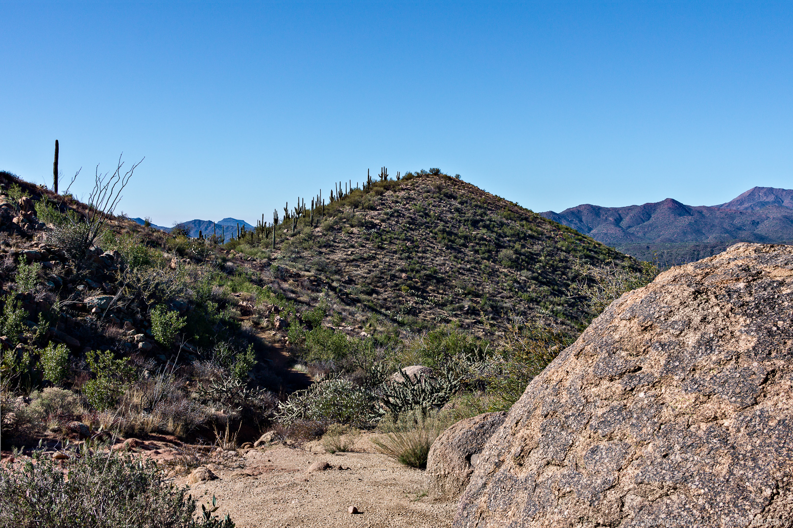

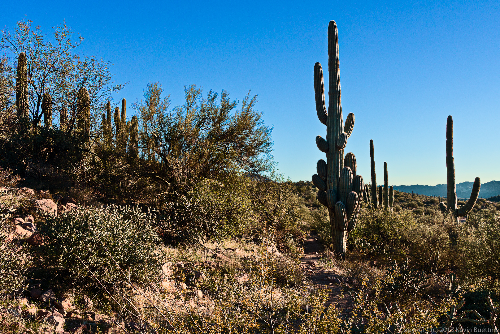
Last Friday’s hike started from the Trailhead Staging Area. We hiked out on Pemberton and almost immediately turned off onto the Scenic Trail. We hiked Scenic to Cinch, Cinch to Escondido, and then followed Escondido back to Pemberton. Total distance was just over nine miles with six hundred feet of total ascent.
A view from the Scenic Trail shortly before turning off onto the Cinch Trail. A group shot on the Scenic Trail.
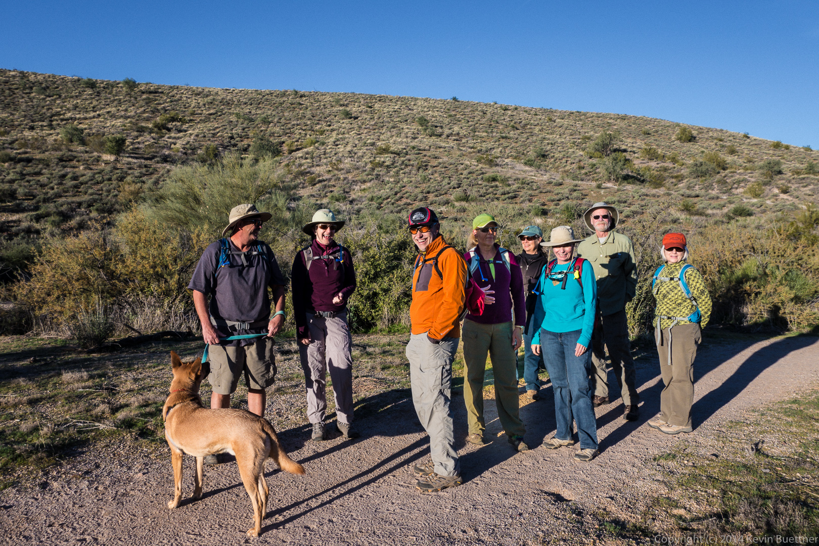
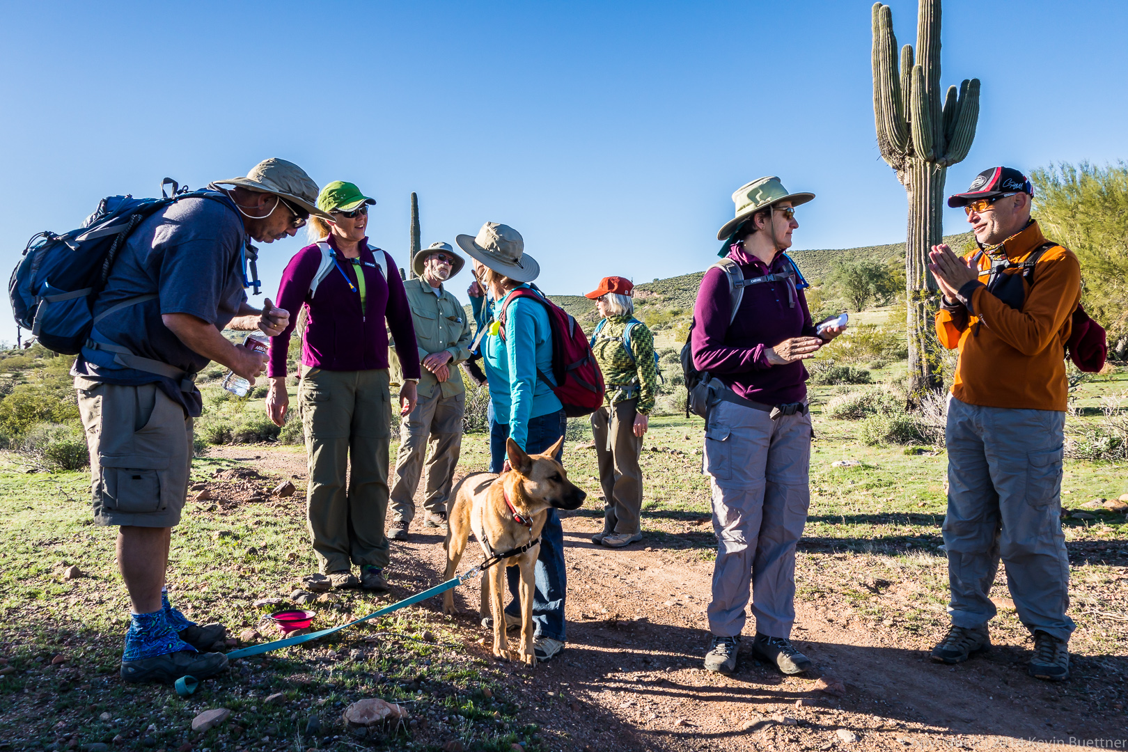
Bob and Sarge, leading the way: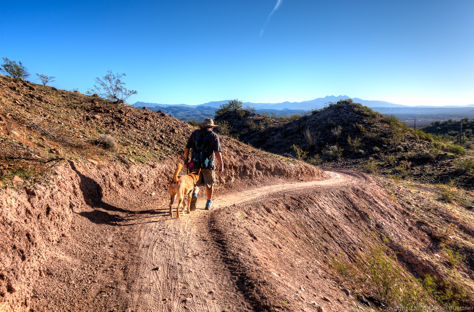 A water (and conversation) break on the Escondido Trail. Sarge was too interested in all that was going on to drink much at this stop.
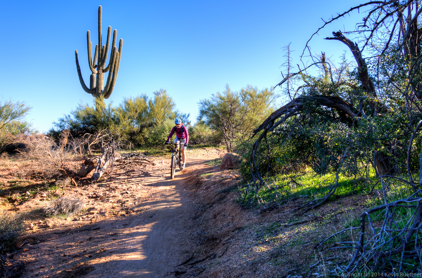
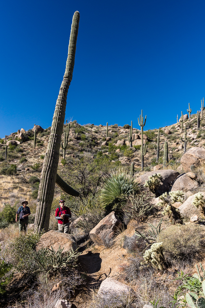
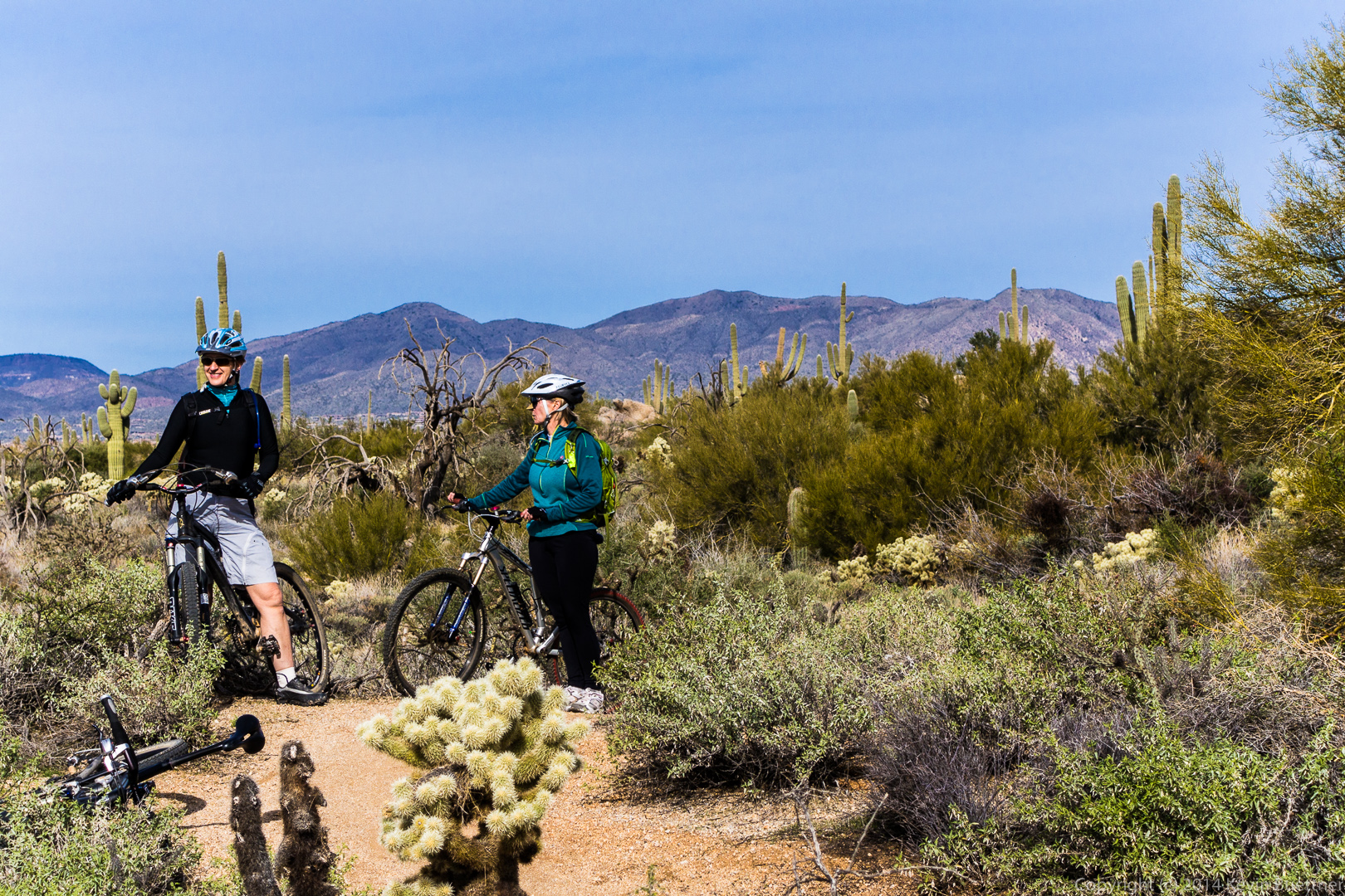
 We encountered a pair of mountain bikers on the Escondido Trail. (The second biker is just visible in the distance.)
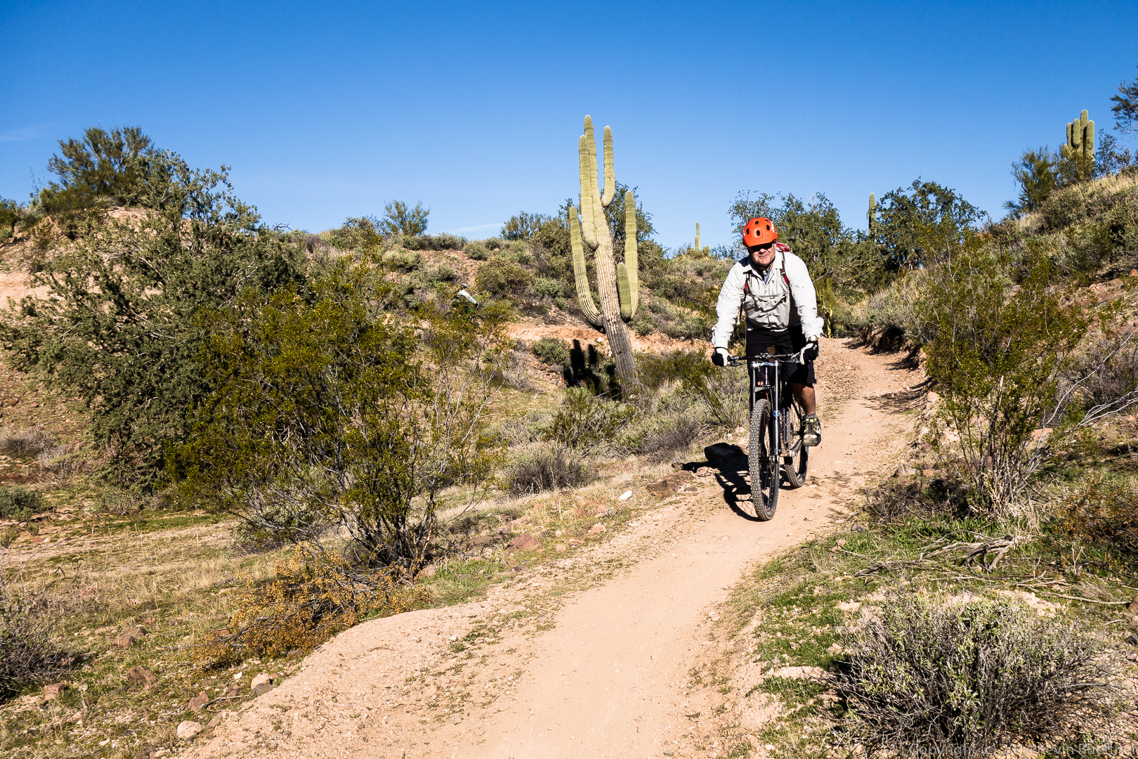 Another view from the Escondido Trail. Lousley Hill can be seen at the left.
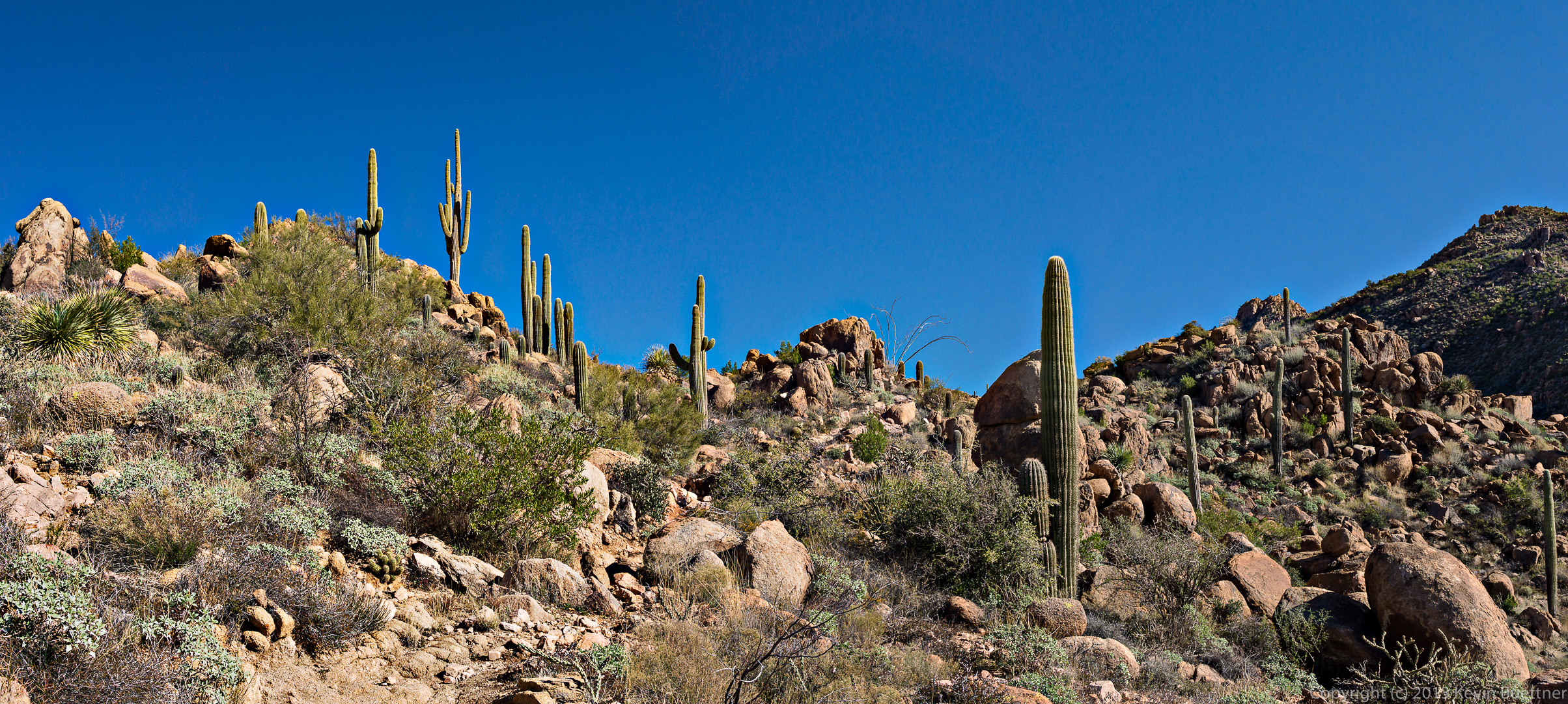
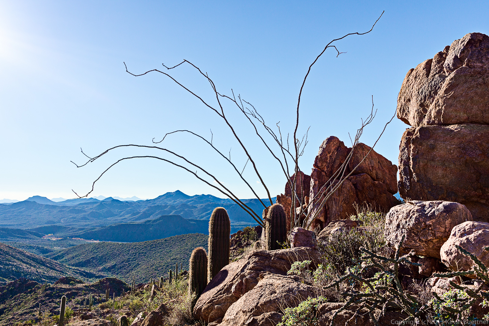
 An ocotillo in the foreground and the base of Lousley Hill behind as seen from the Escondido Trail.
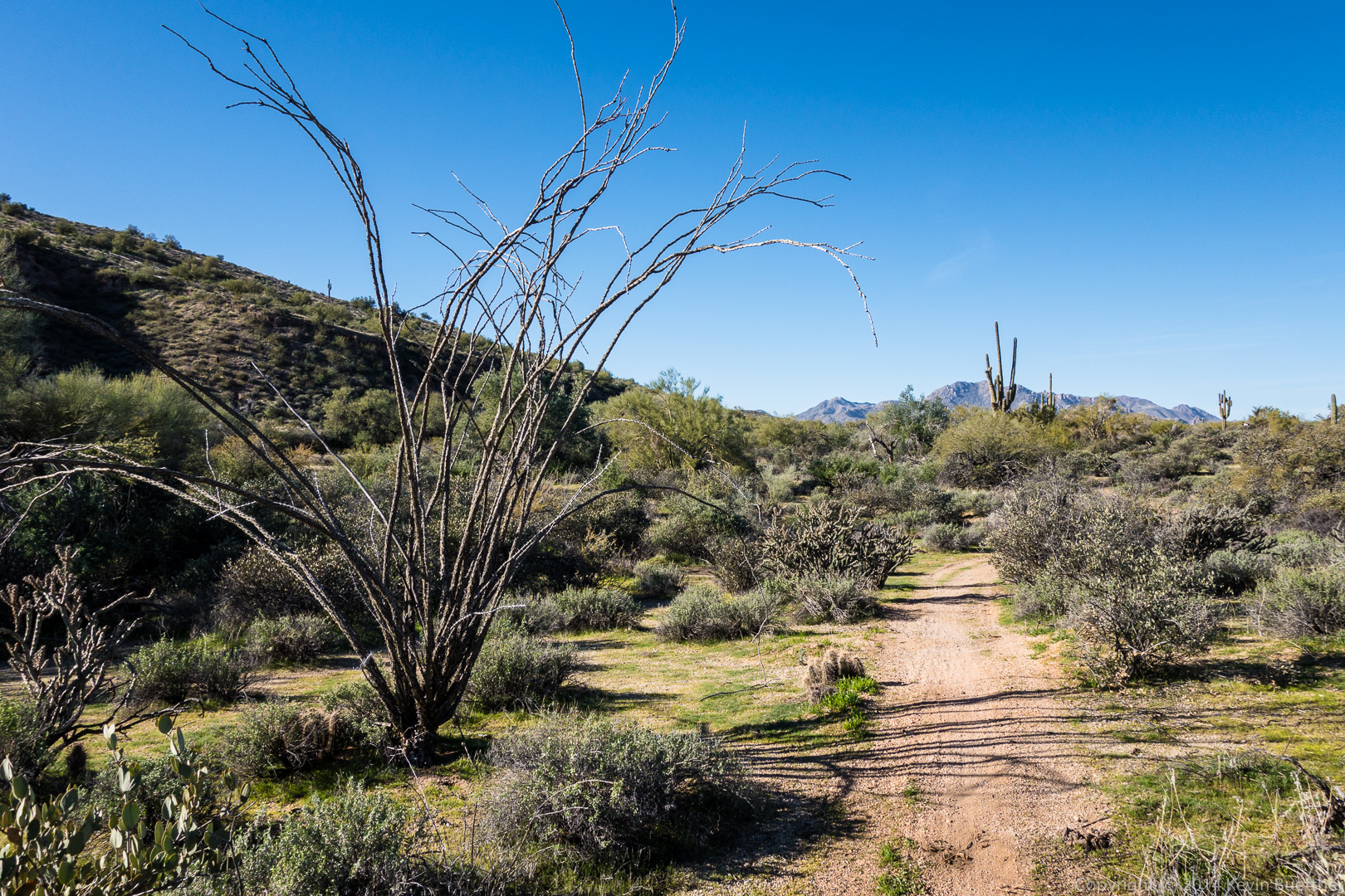
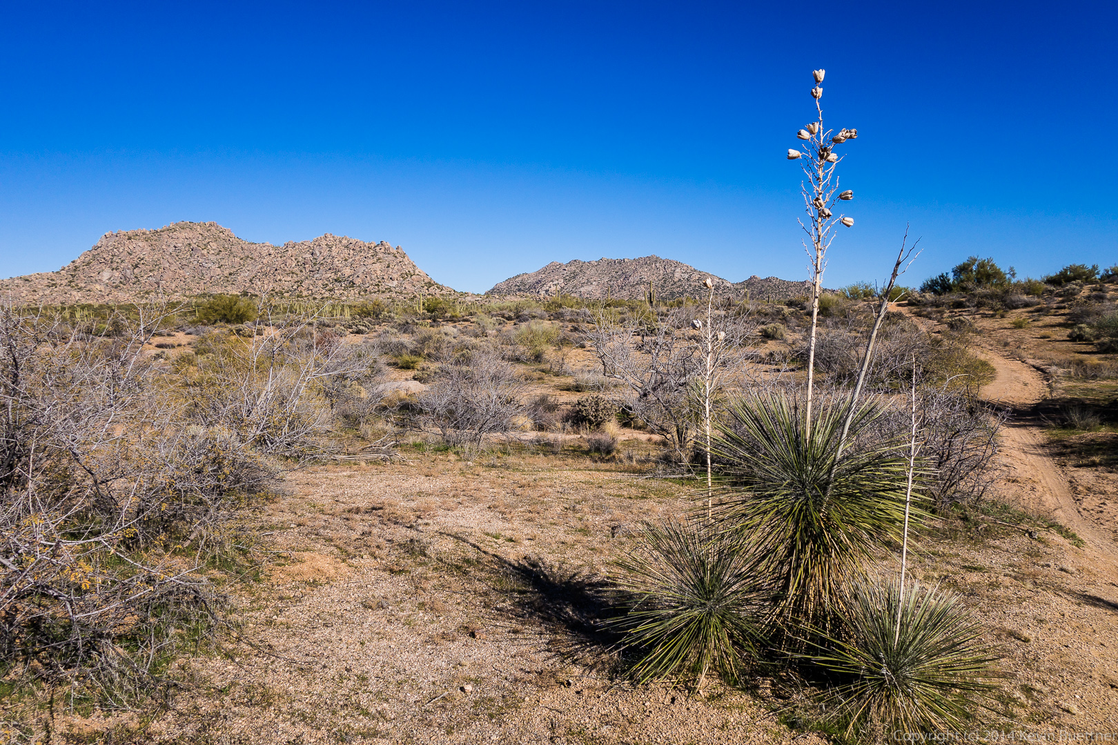
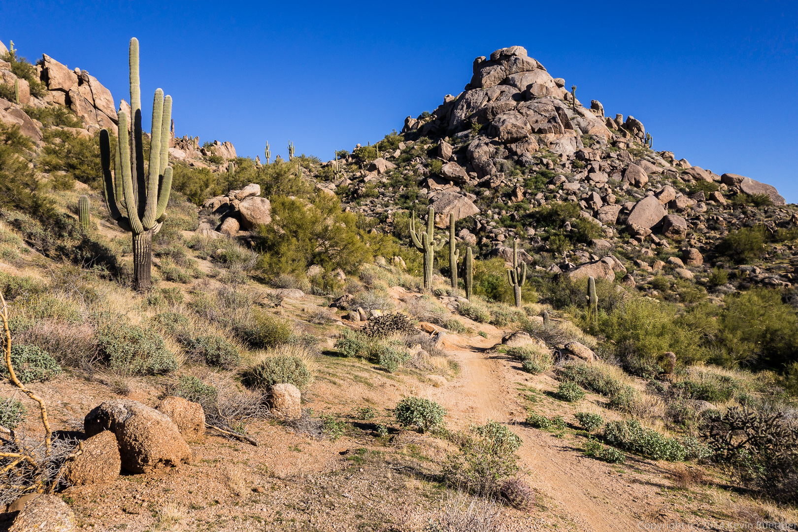
Marilyn and I rode with Linda at Granite Mountain last Saturday.
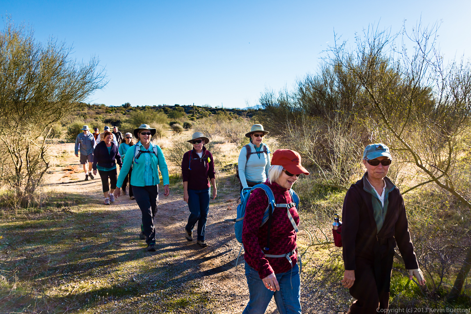
Friday’s hike started at the Wagner Trailhead. We hiked Wagner to Granite, turned left on Granite, and then hiked up the wash paralleling the Bluff Trail until we got to Pemberton. From there we hiked a short ways on Pemberton, hiked down Bluff, turned left on Granite, and returned on Wagner.
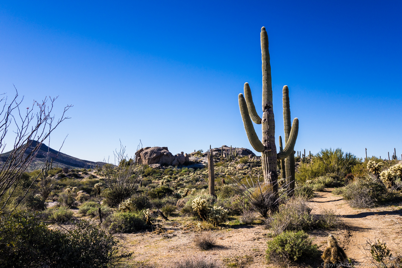
We had a fairly large group. This is a view from the Granite Trail (I think):
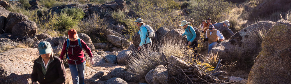
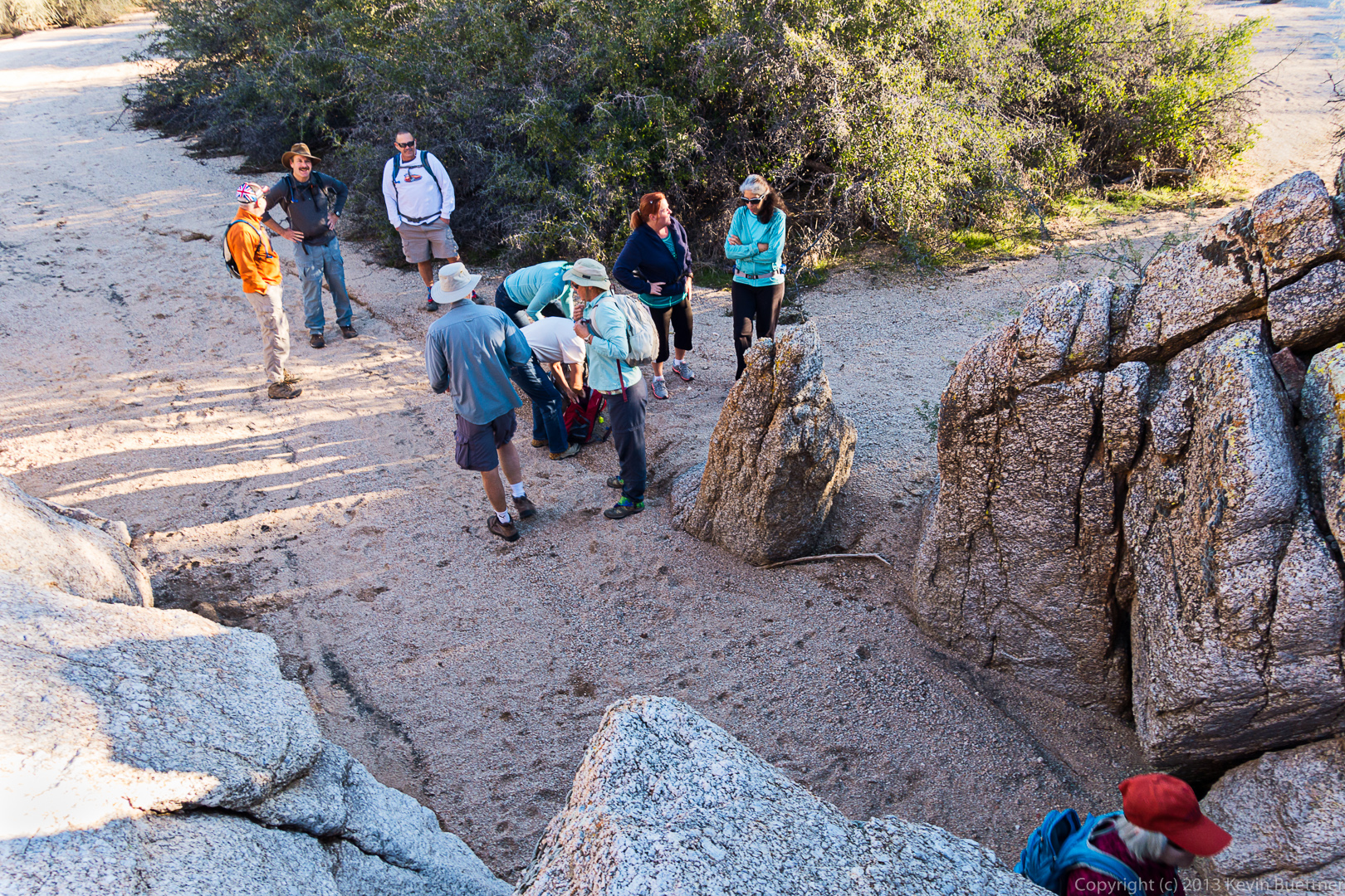
 It was a chilly morning (for Arizona). Some of us shed some layers just before scrambling into the rocks.
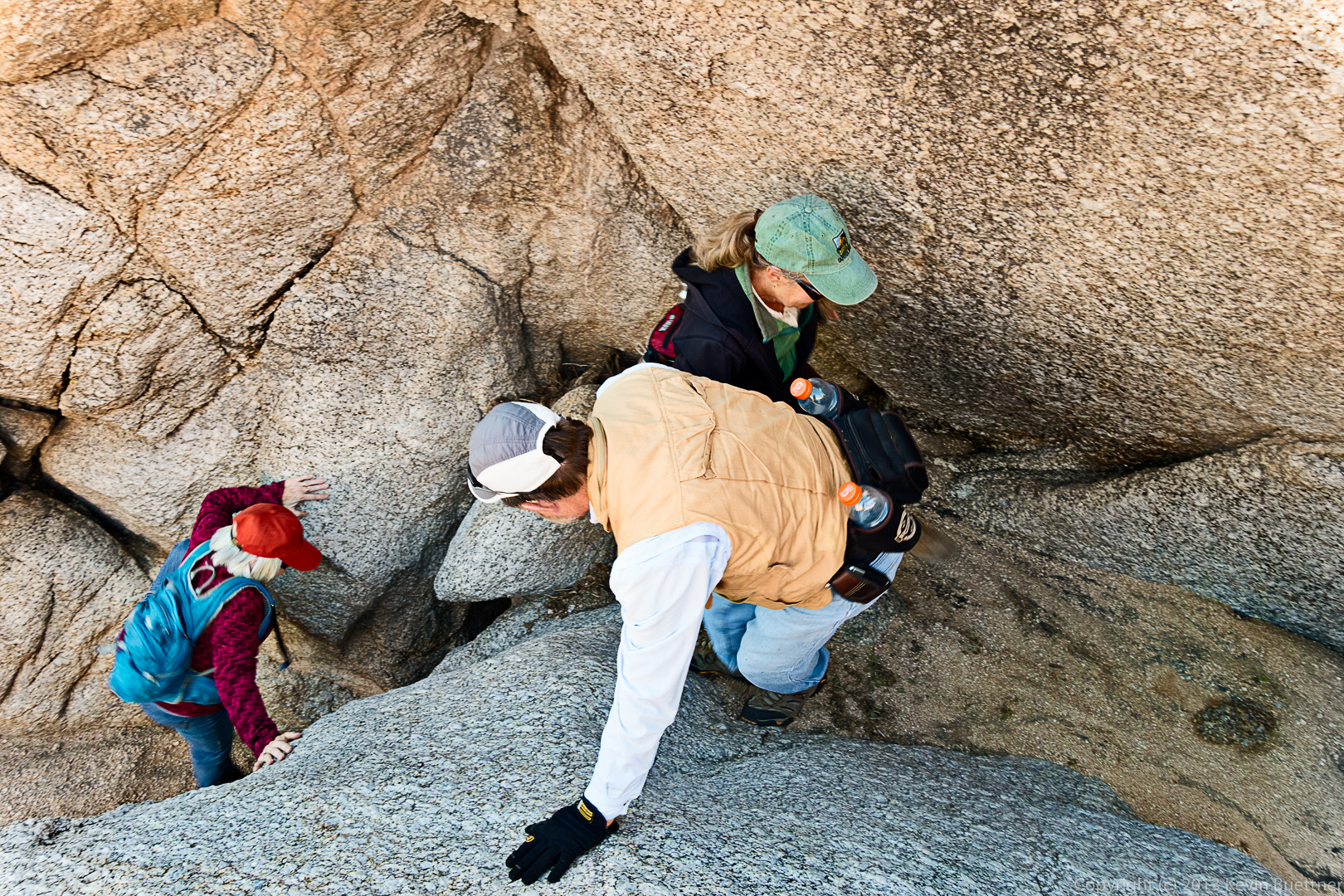
 Bill helps Ellen and Vinnie through the most difficult section.
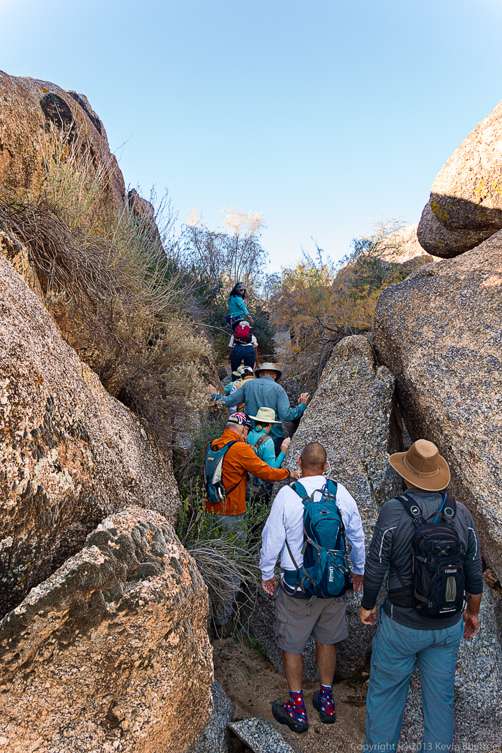
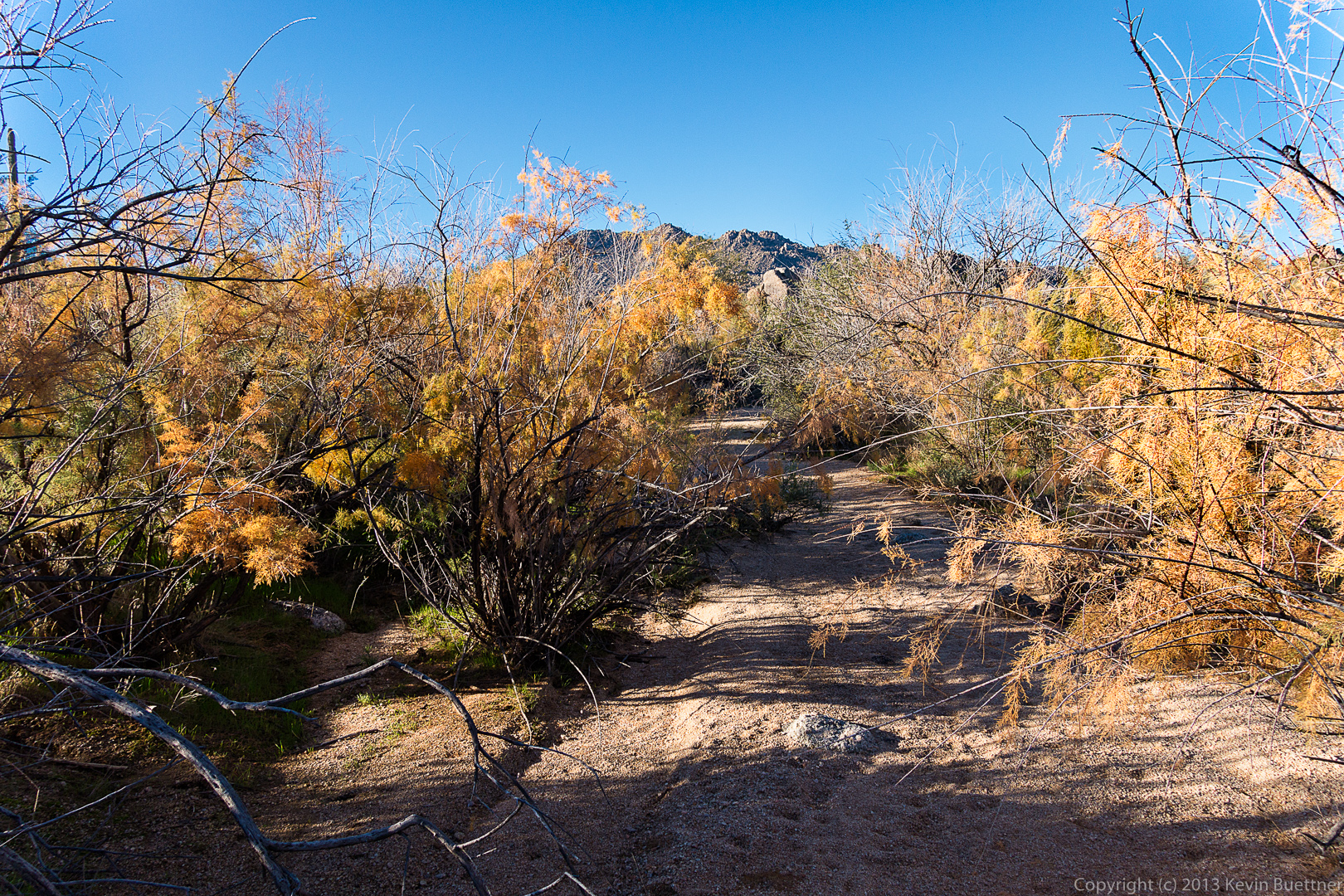
 The wash stays narrow for a time prior to opening up.
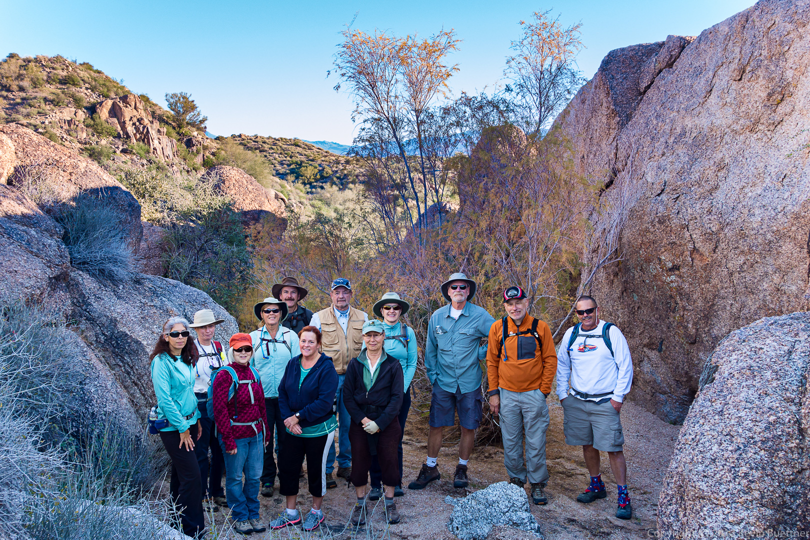
 From left to right are Deanne, Linda, Vinnie, Janet, Allen, Sandy, Bill, Ellen, Marilyn, Doug, Nick, and Bob:
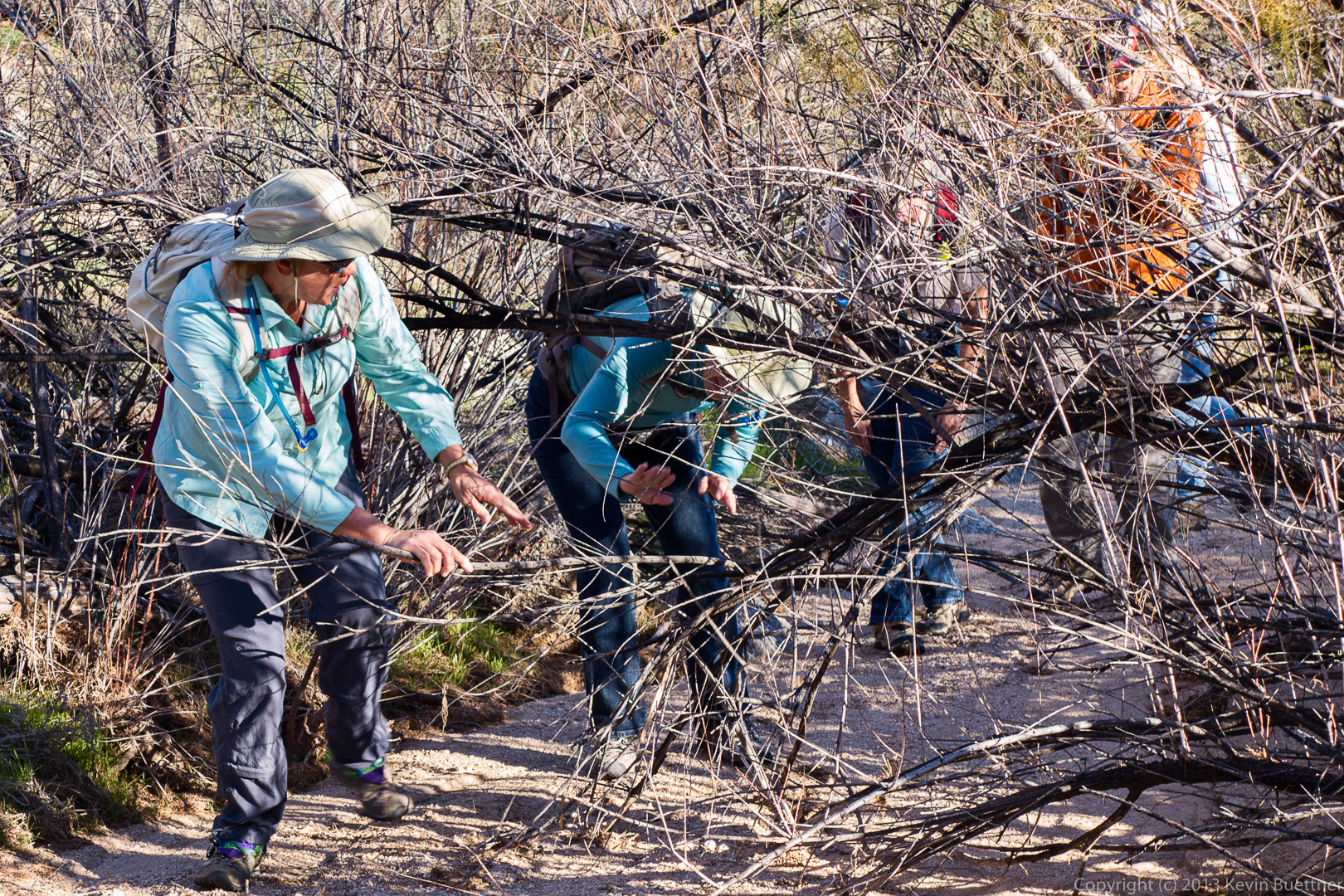
 Janet holds a branch aside for Marilyn through the brush. (It’s not necessary to go through the brush — that’s just the way I went and most of the others followed.)
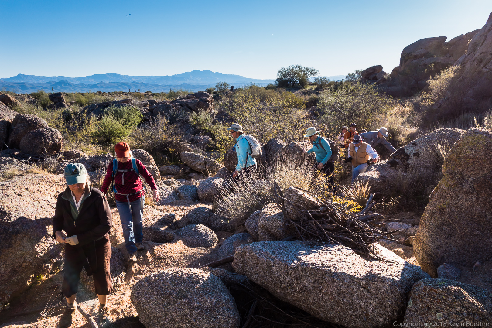
 Hiking through more rocks in the wash…
 A view of the wash looking towards the McDowells:
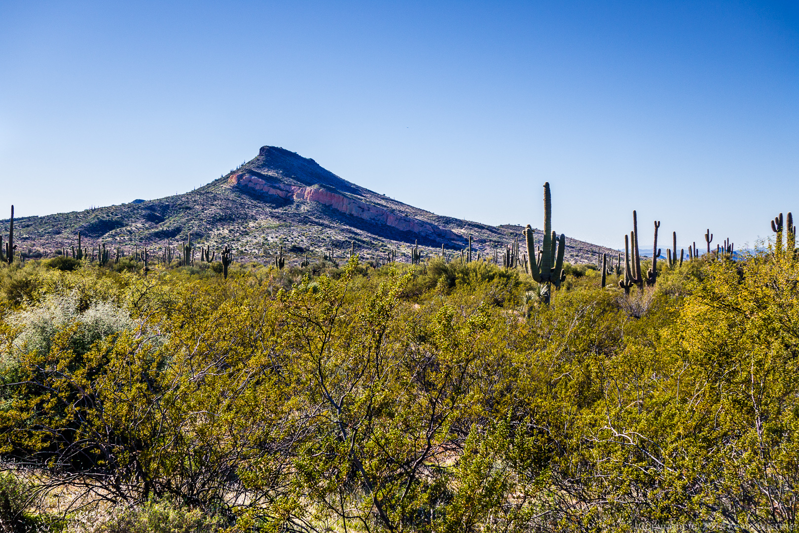
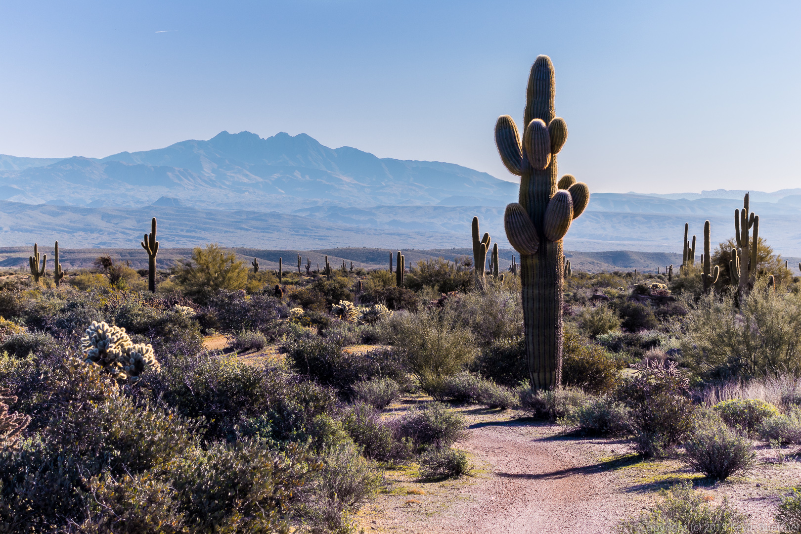
 A view of Four Peaks from the Bluff Trail:
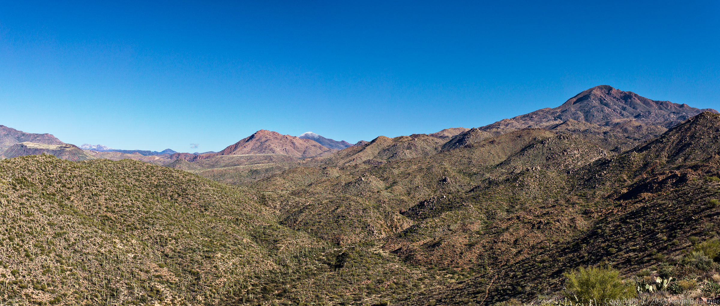
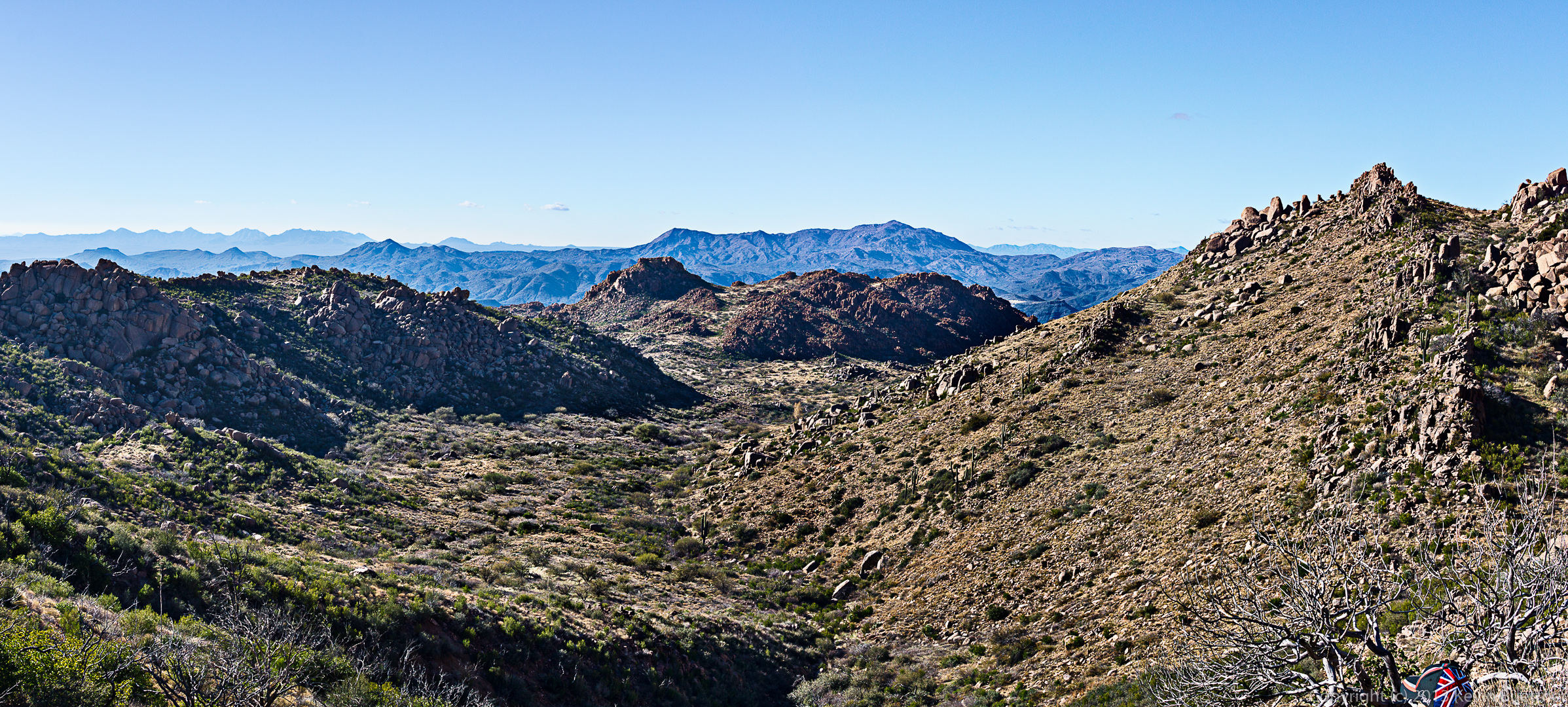
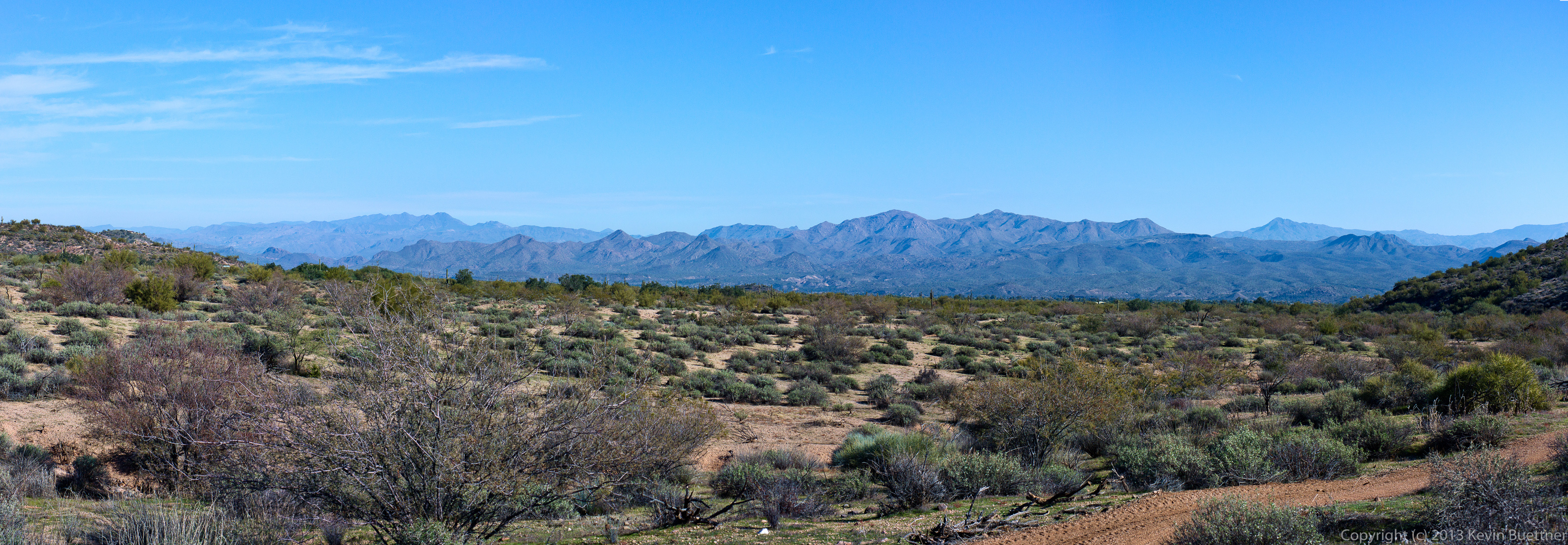
Today’s hike was rained out, so here’s a panoramic photo from last Friday’s hike:
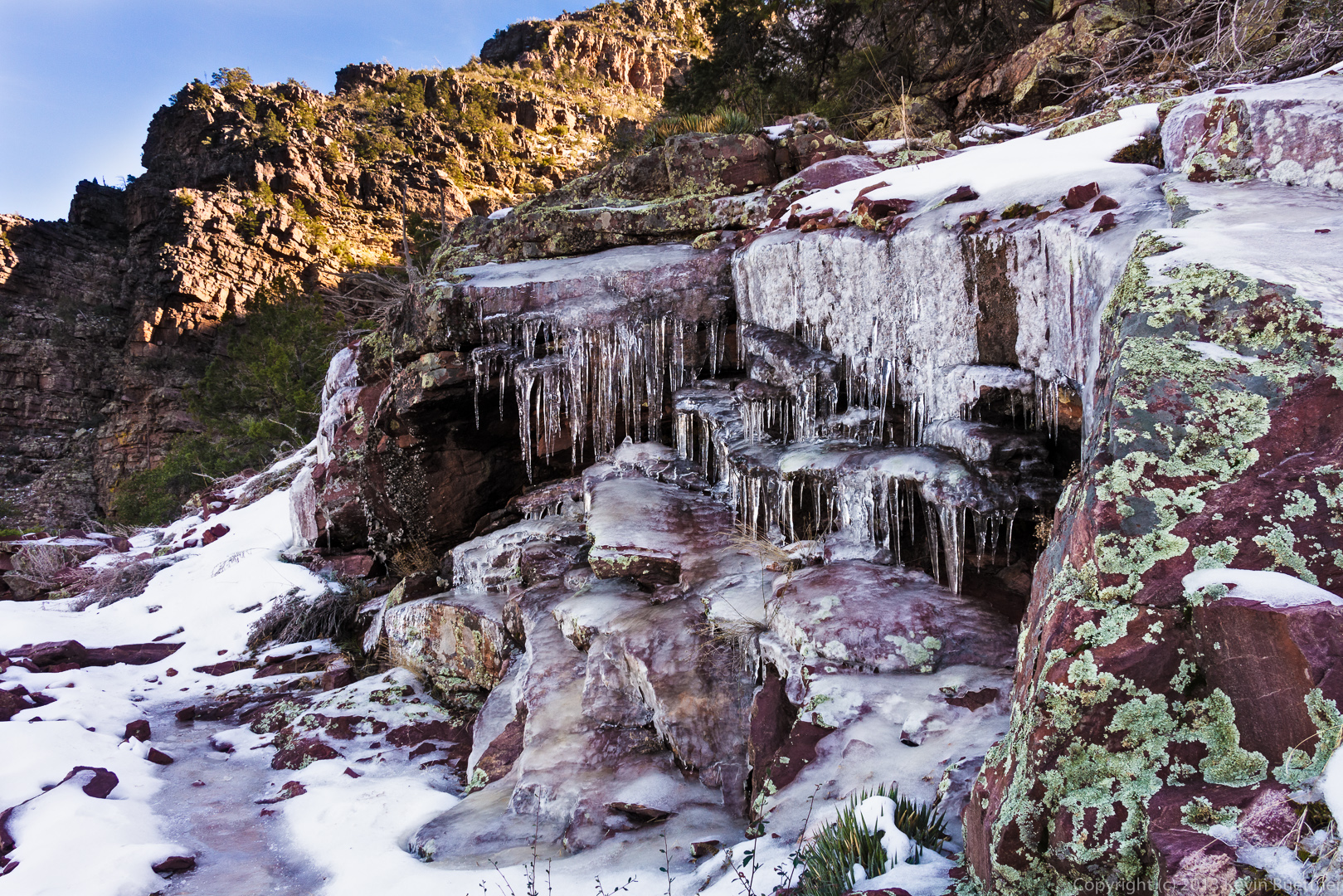
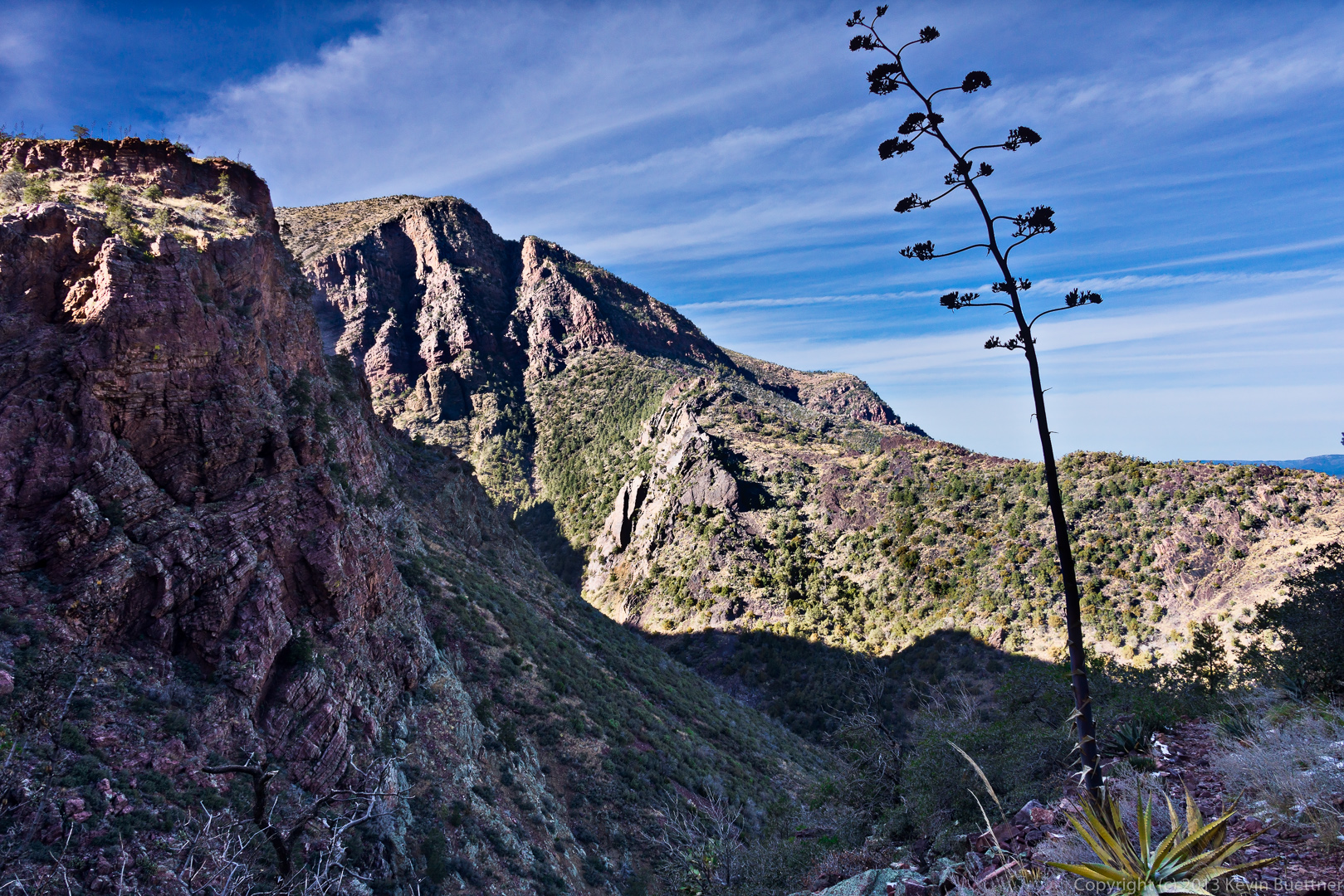
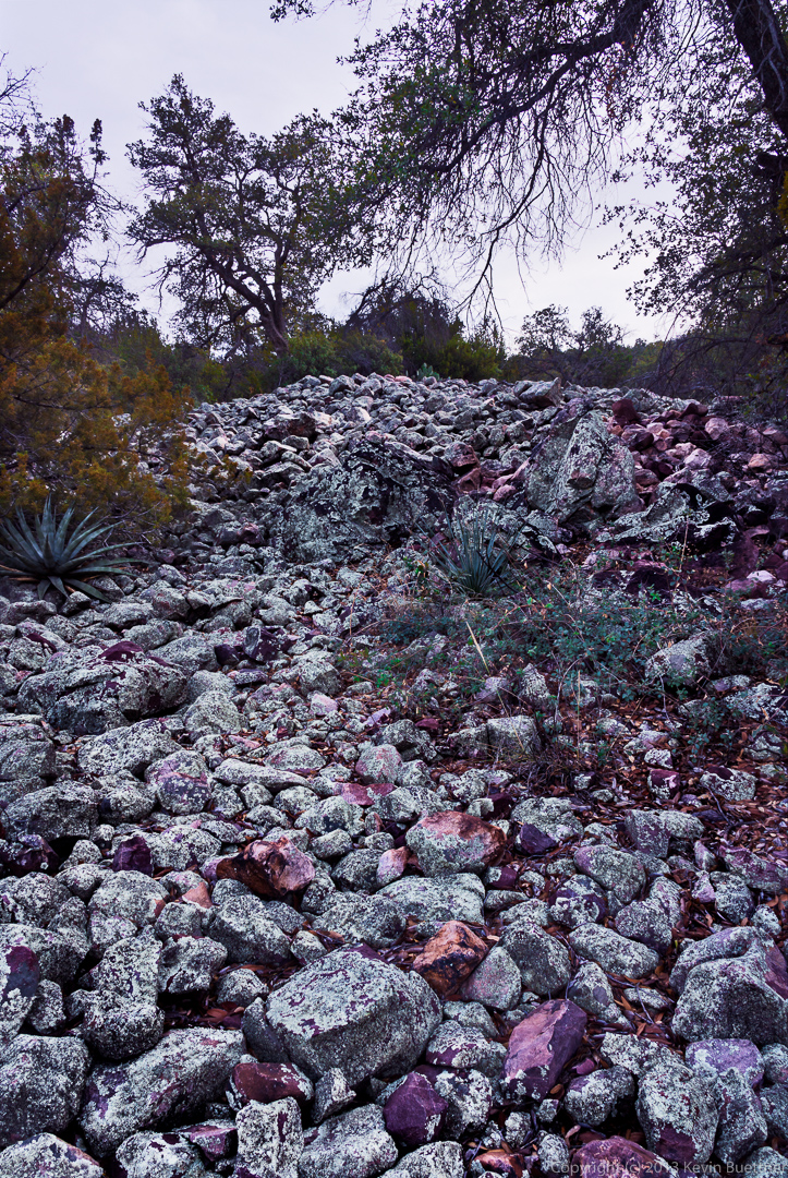
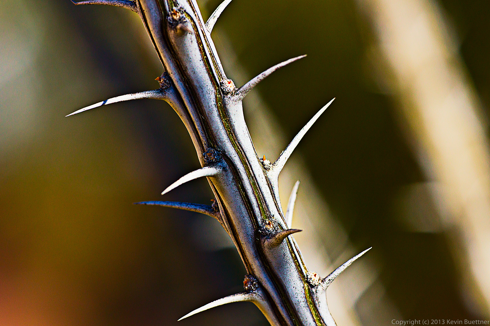
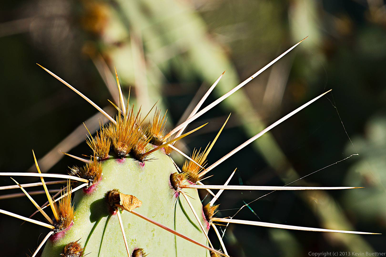
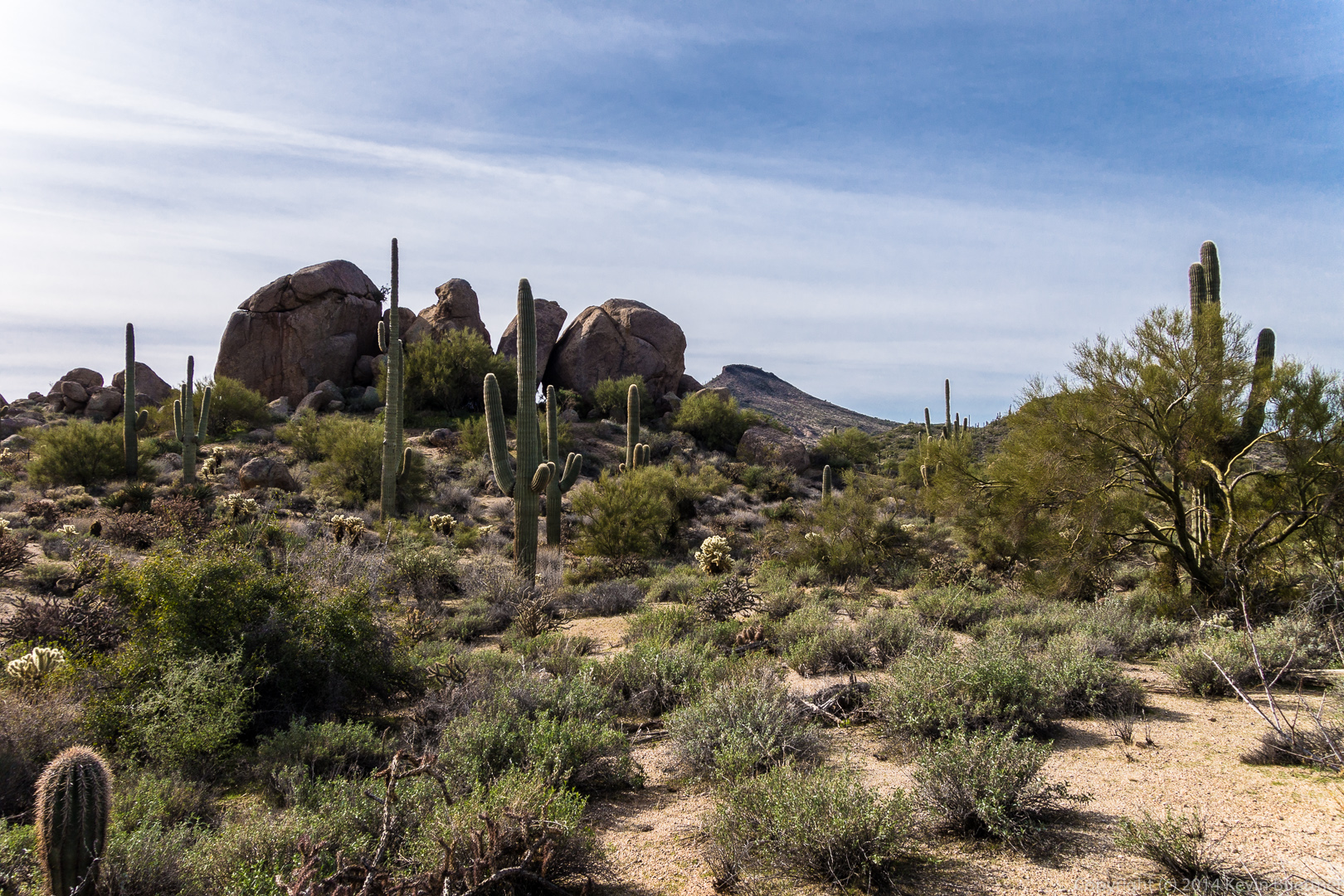
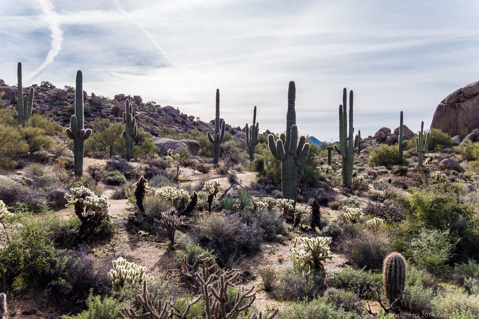
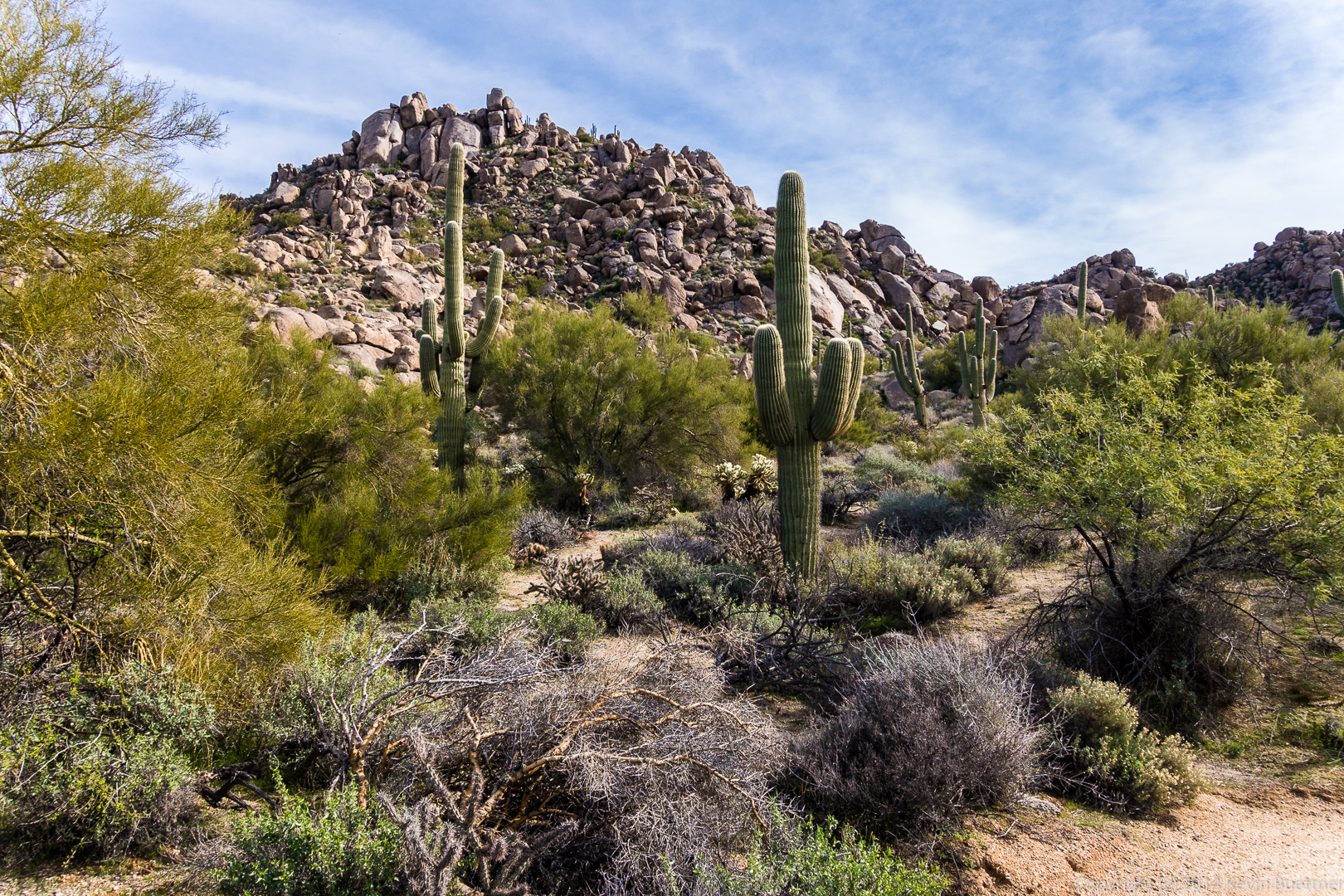
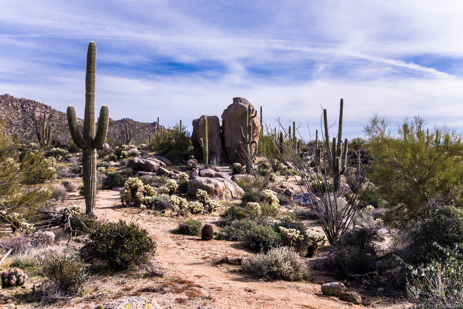
I took these photos about a year ago. I wasn’t especially happy with the way the original edits turned out, so I decided to edit a few of them again. Only one of these, the first one, is sort of an re-edit of one I had done earlier. It’s not technically a re-edit, since I used a different set of exposures, but it looks very much like one of the photos I had originally posted.