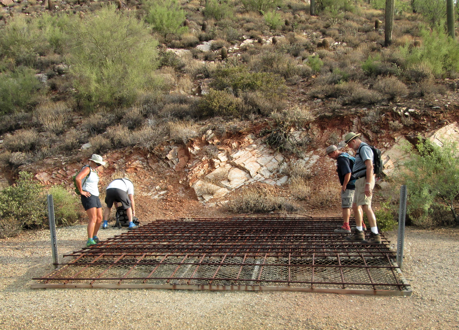
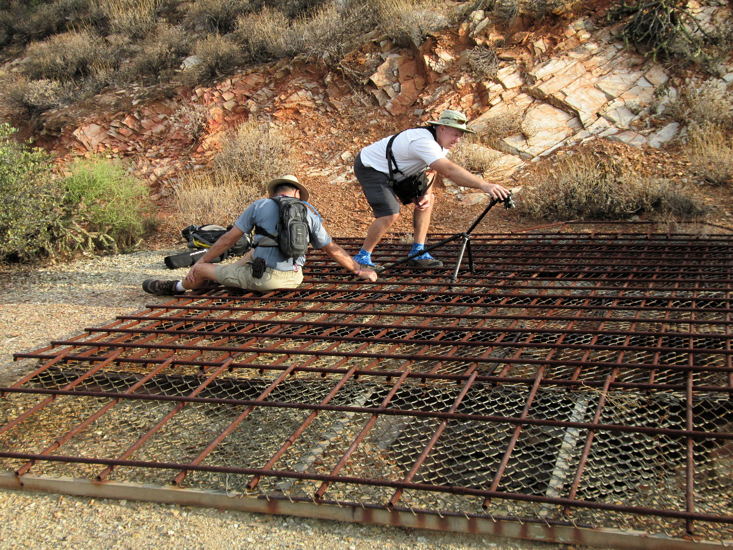
Friday’s hike started at the Tom’s Thumb Trailhead. Linda, Janet, Amy, Bob, and I hiked the Tom’s Thumb Trail to the climber’s access trail for Gardener’s Wall. We hiked up past Gardener’s wall, ending up at the top of the wall and then hiked a short ways further to reach Tom’s Thumb. For the trip back, we hiked back down the Tom’s Thumb Trail for a ways and then took a somewhat easier route back amongst the rocks adjacent to Gardener’s Wall. We hiked only a little over four miles, but we had a lot of elevation gain along with some technical challenges along the way.
Note: The route that we took is not the easiest nor the safest way to get to Tom’s Thumb. It has many steep and loose sections. Finding a workable route over, around, and even under the many boulders below the wall can be challenging even for those familiar with the area.
The easiest and safest route to Tom’s Thumb is via the main Tom’s Thumb Trail to the climber’s access trail leading to Tom’s Thumb. This latter trail is hiked so frequently that route finding is relatively easy and its condition is about the same as that of the Tom’s Thumb Trail. (The Tom’s Thumb Trail doesn’t actually go to Tom’s Thumb. You have to take another trail – the climber’s access trail just mentioned – to get there.)
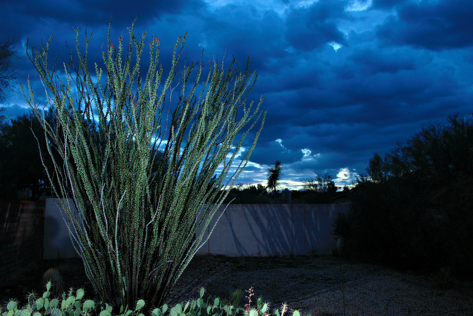
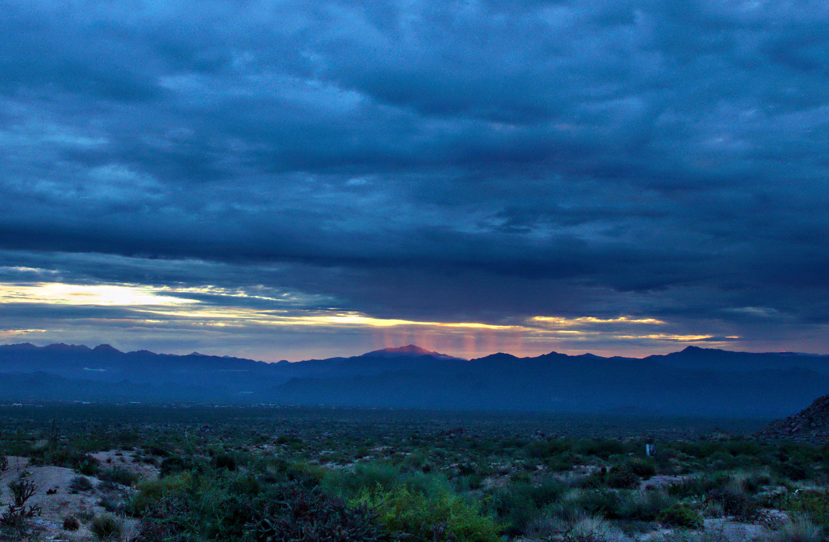
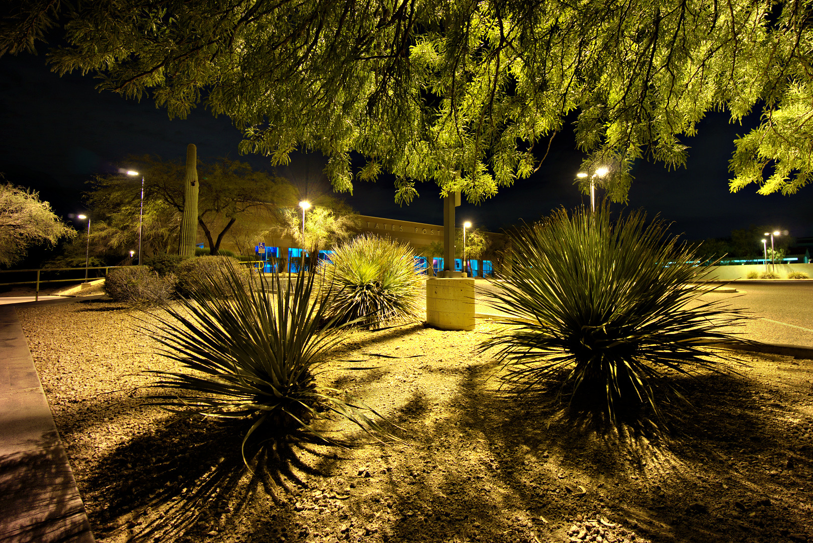
This is a view from the parking lot prior to starting the hike. It had rained the night before. Although there were a lot of heavy clouds, it did not rain on us during our hike.
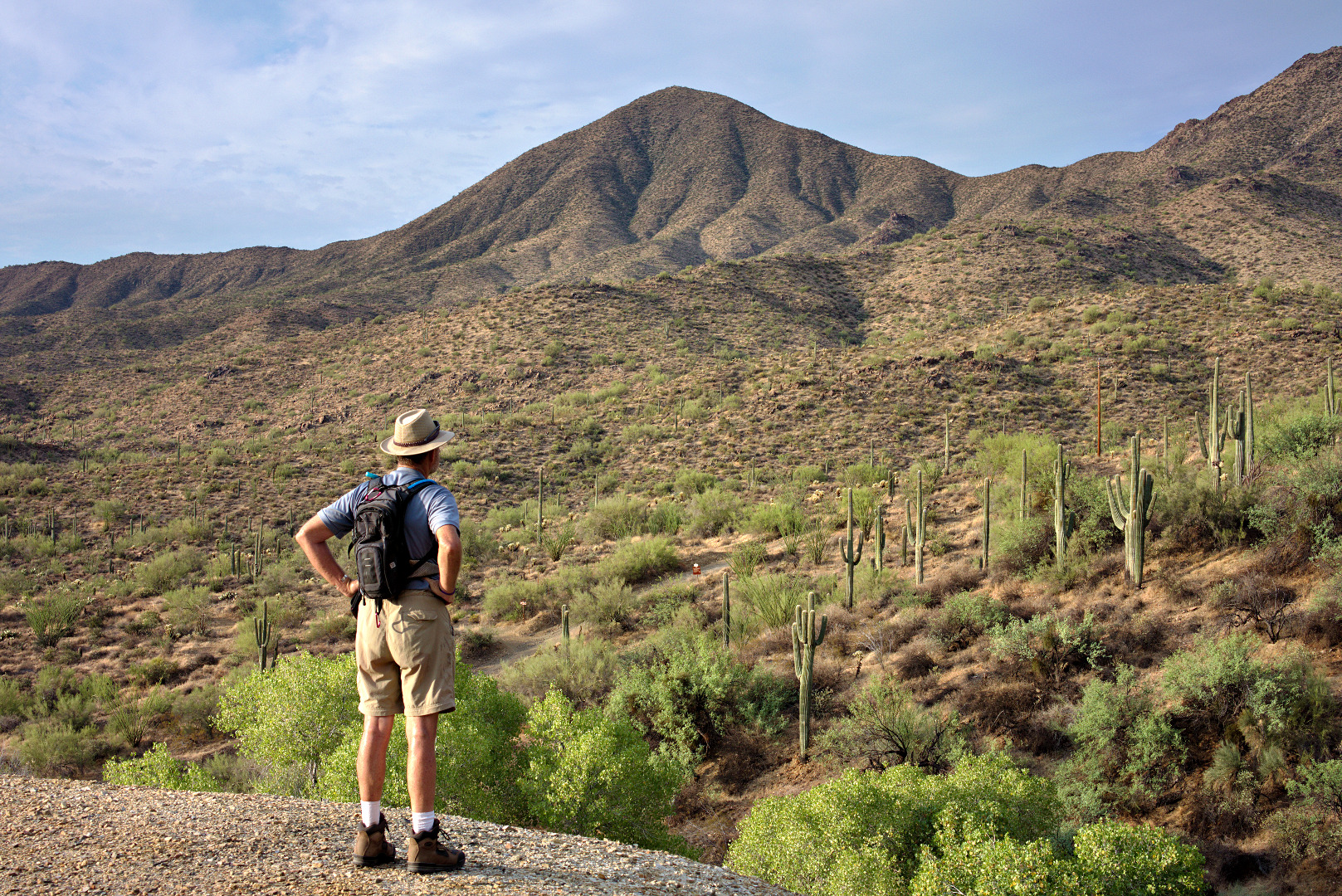
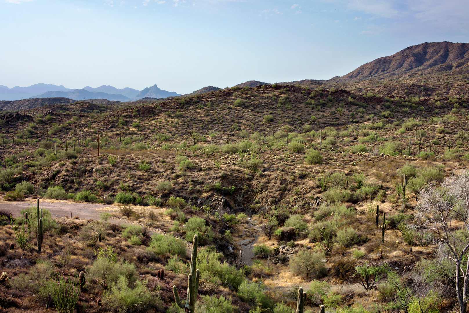
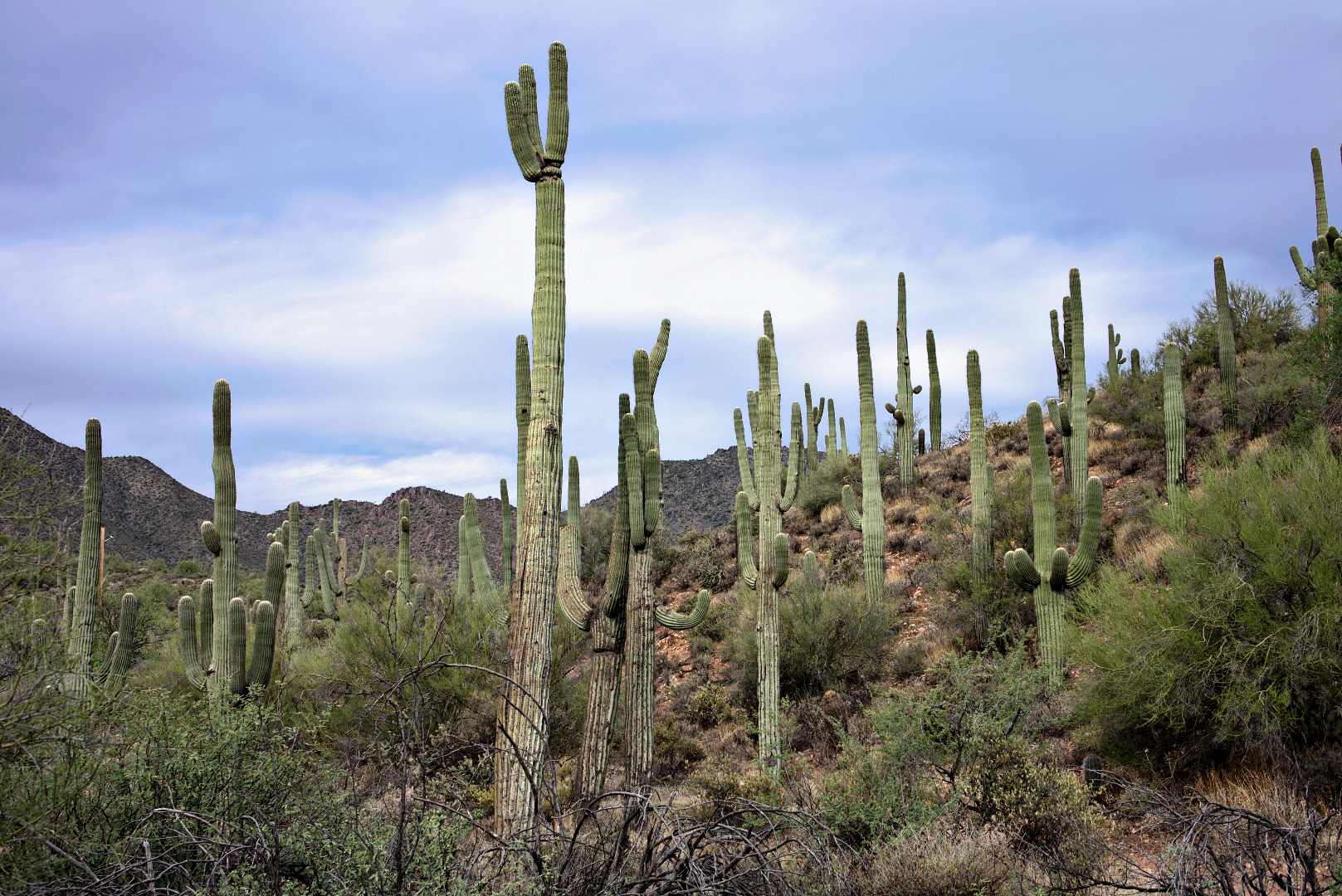
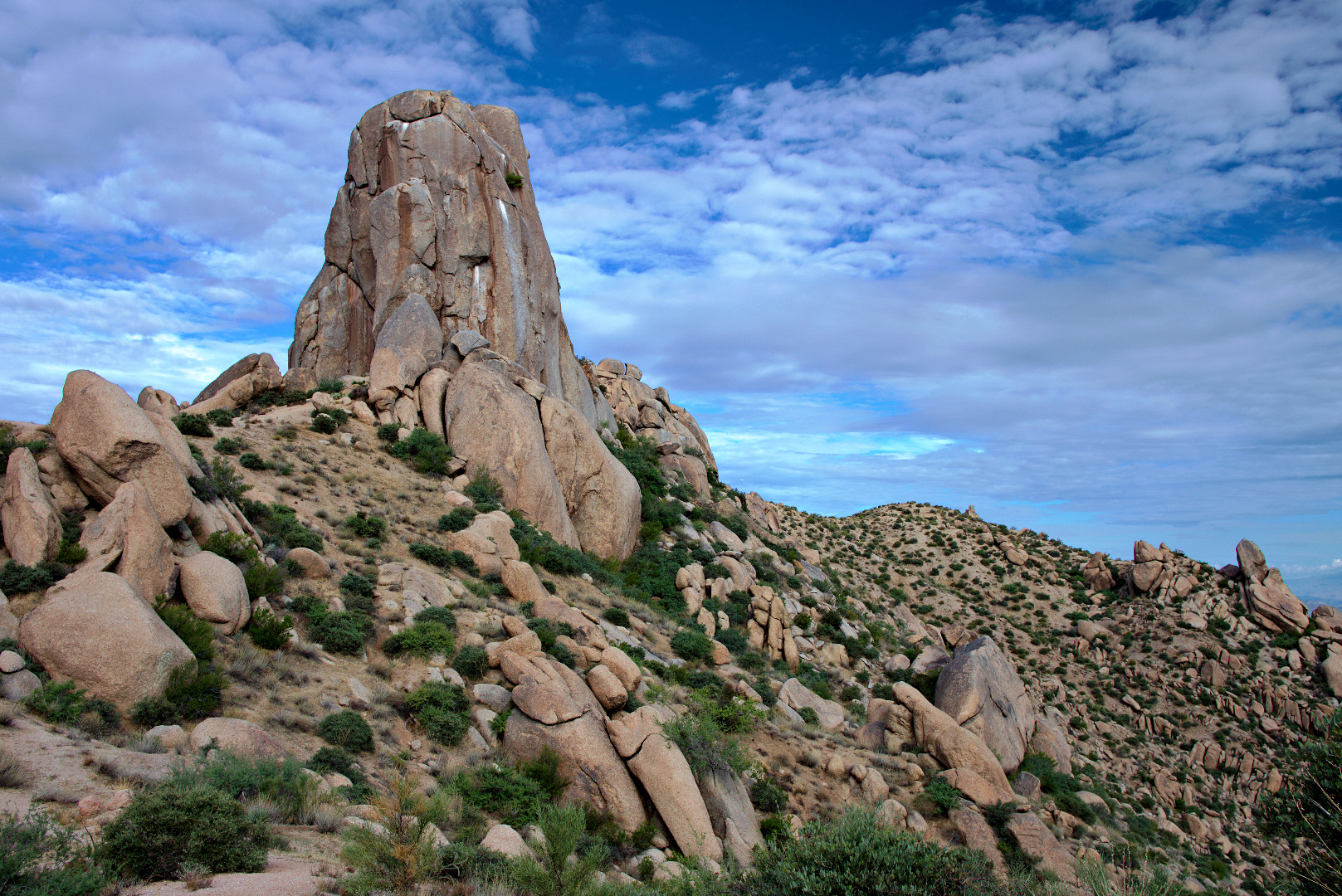
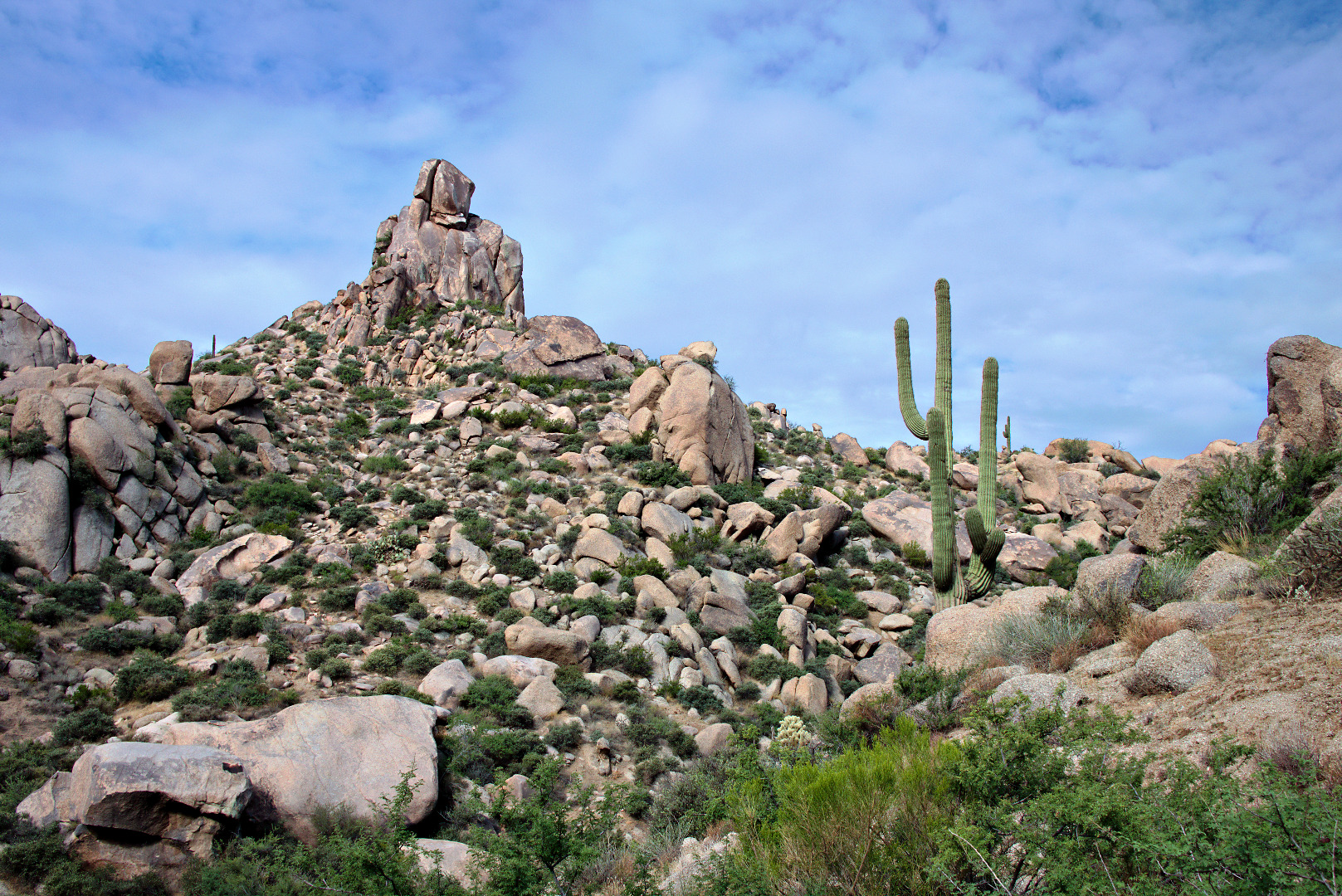
 A view of our destination for the day: Tom’s Thumb, off in the distance.
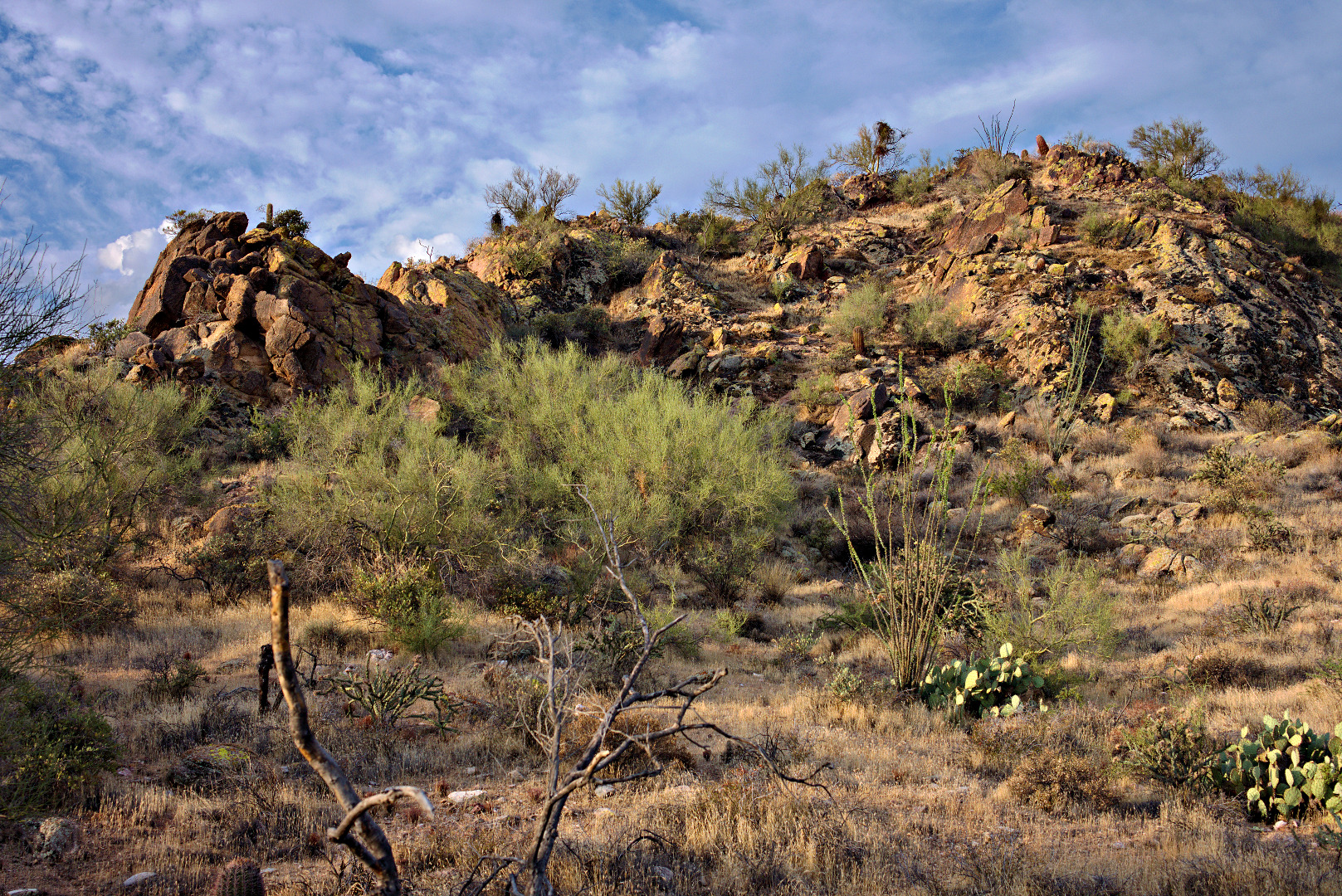
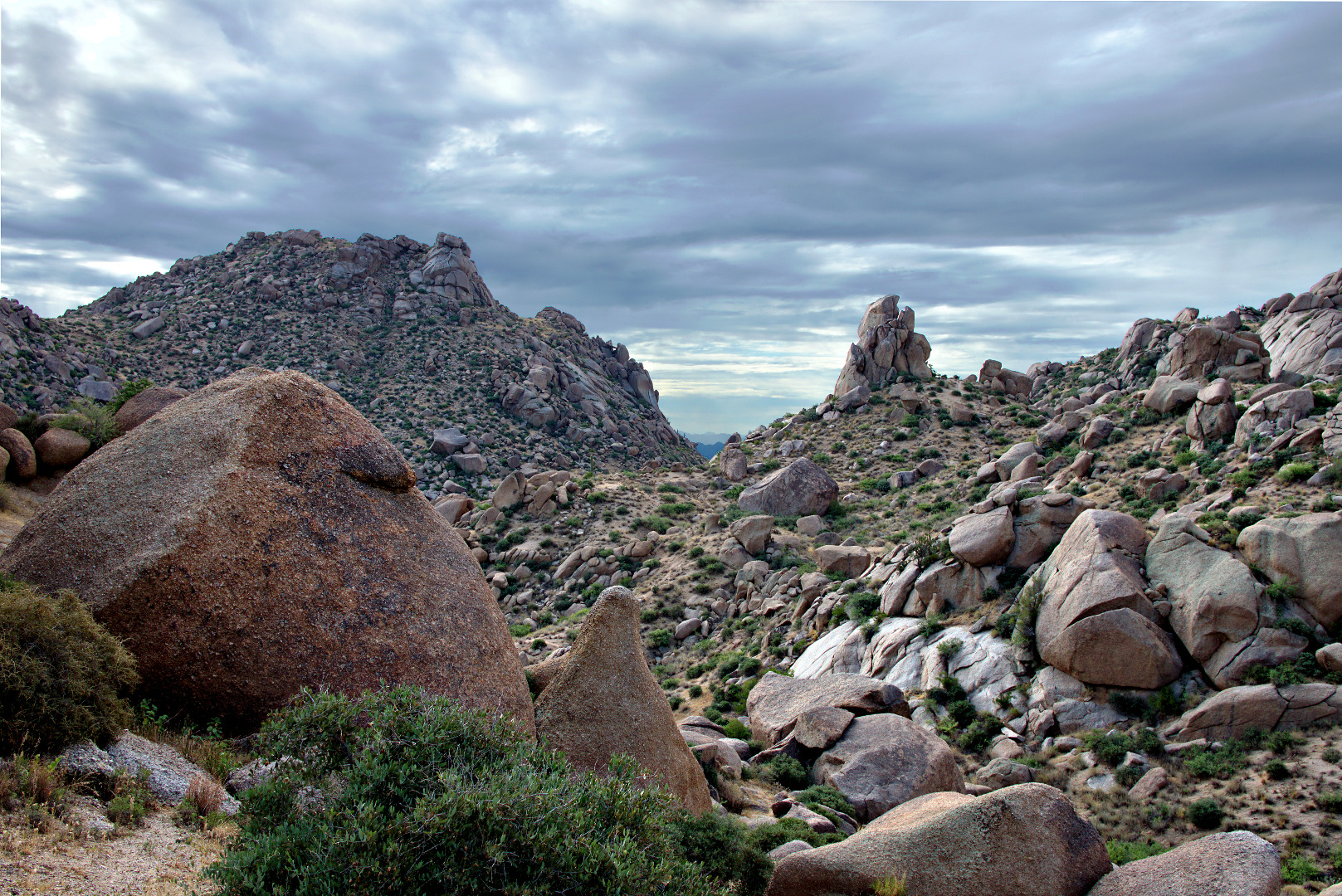
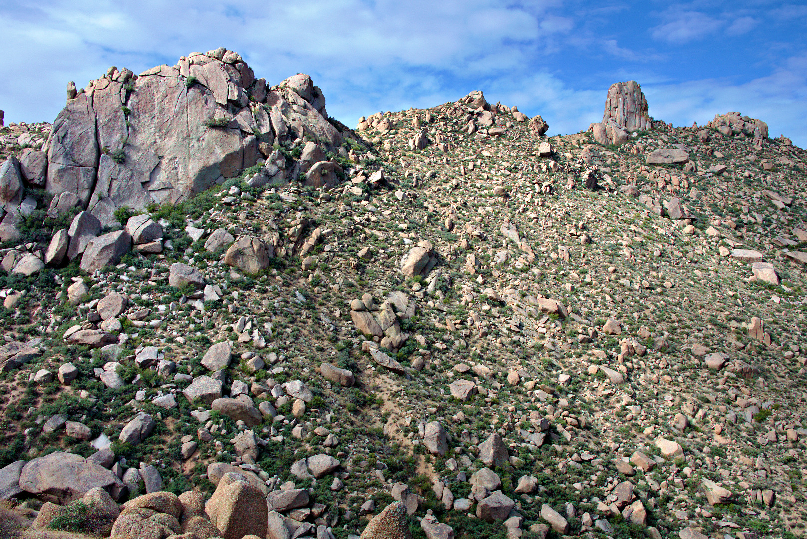
 A view of Troon Mountain and Pinnacle Peak
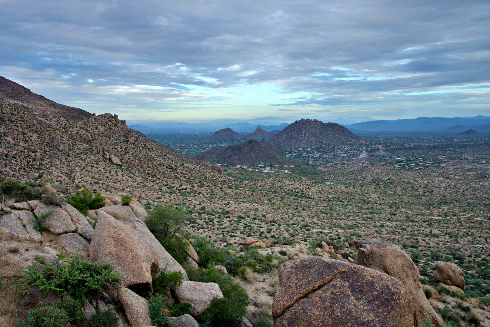
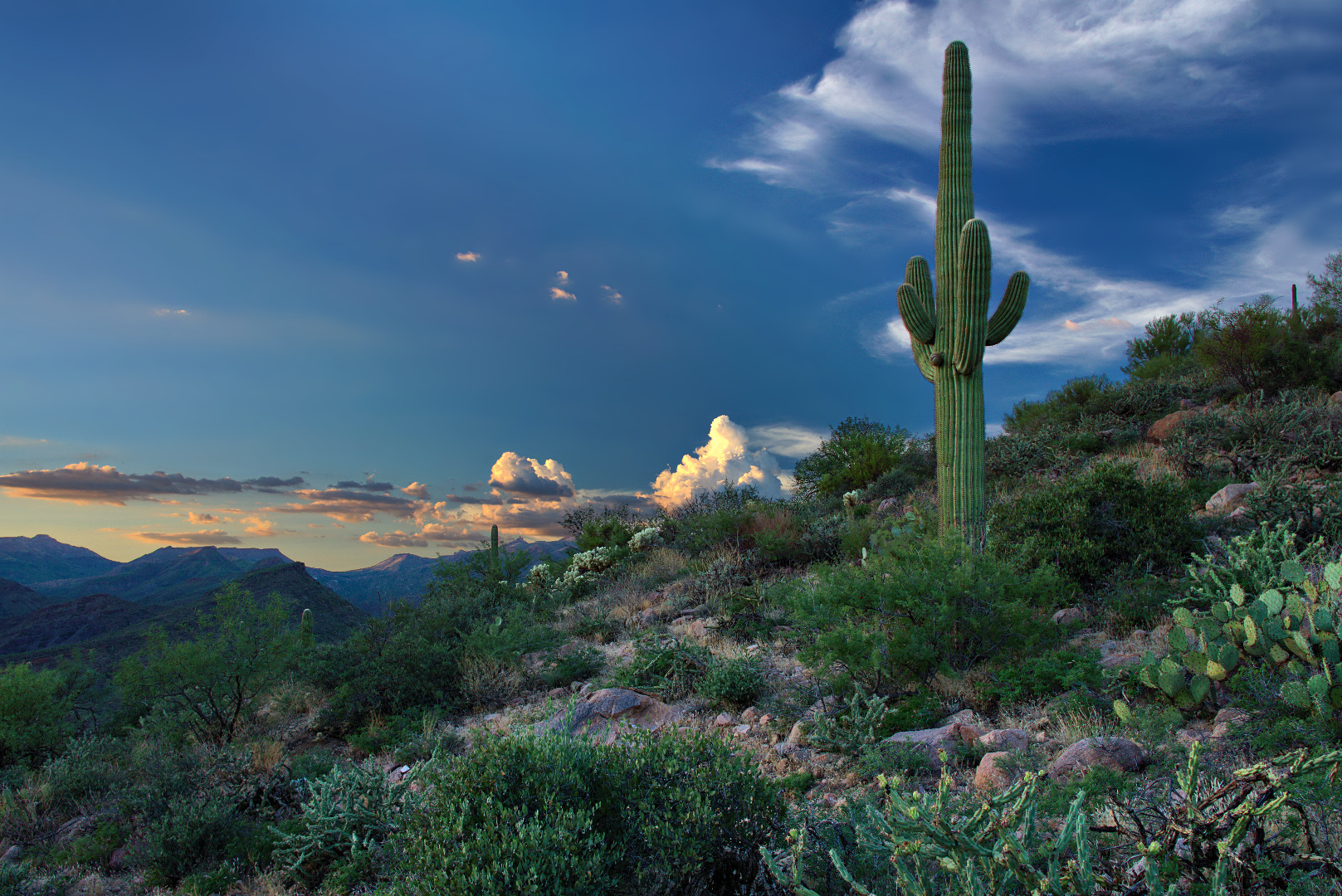
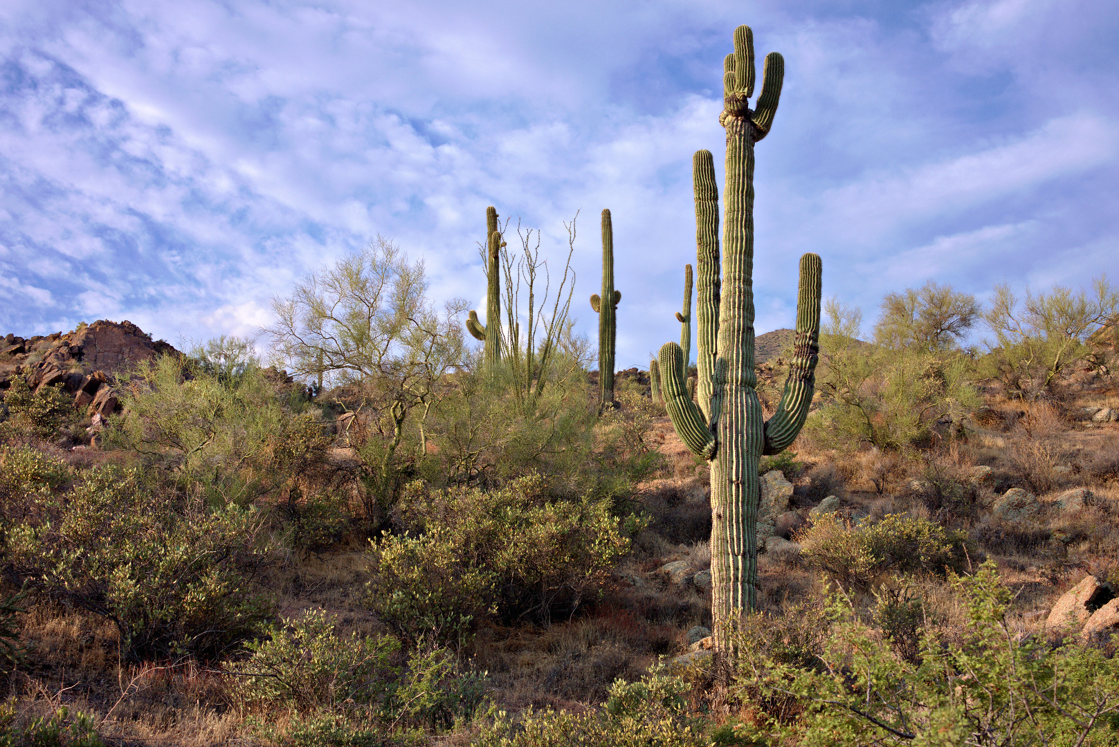
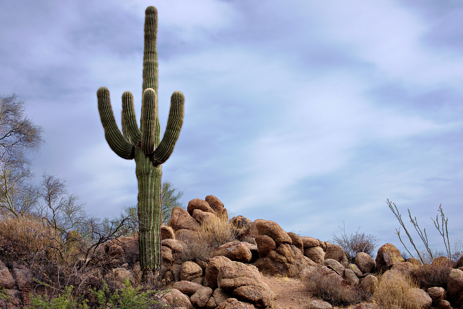
A saguaro snuggles up next to a large rock. Pinnacle Peak and part of Troon are visible in the distance.
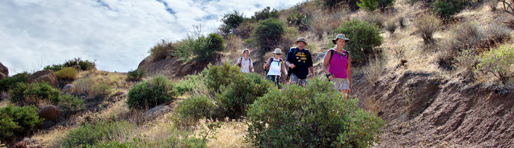
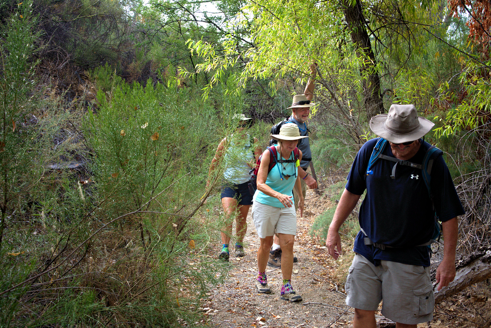
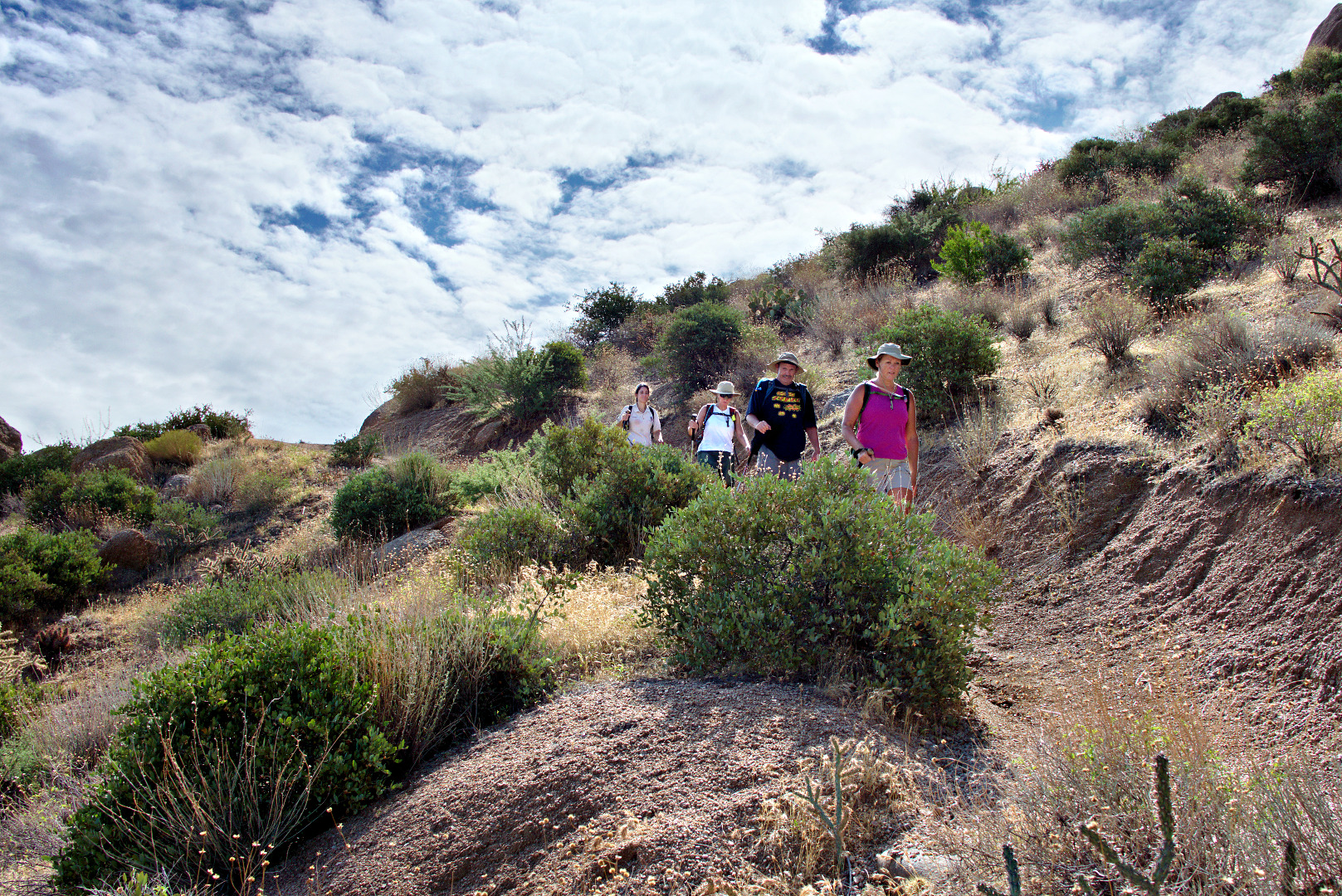
Amy hurries to catch up with the group after taking her own pictures.
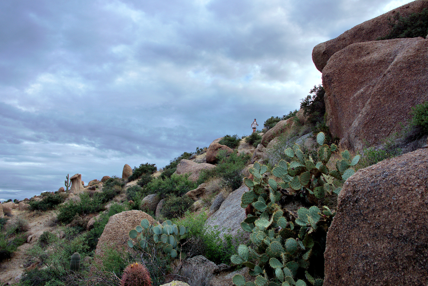
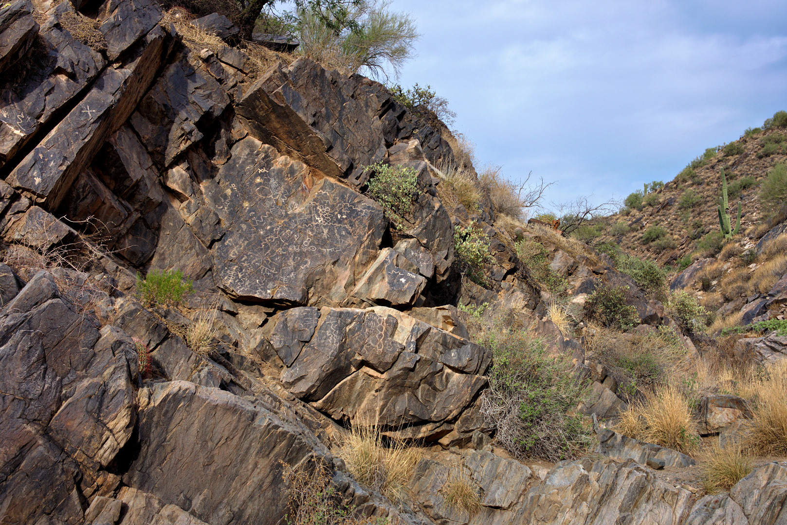
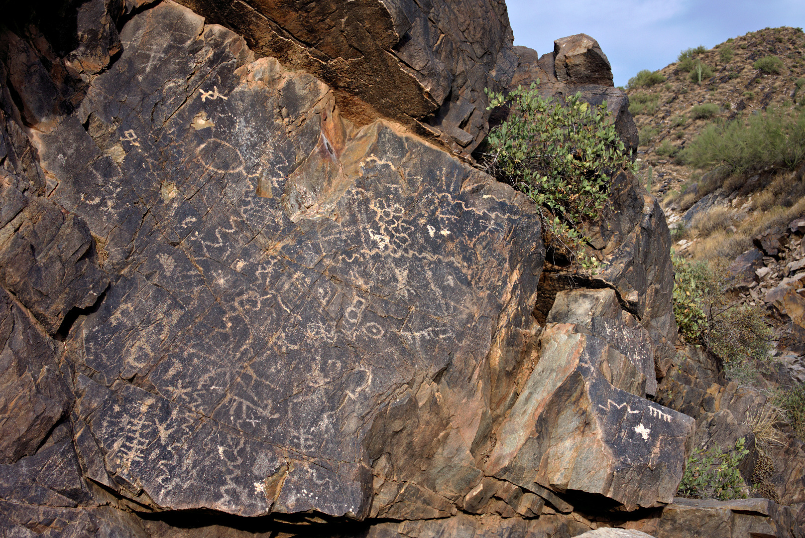
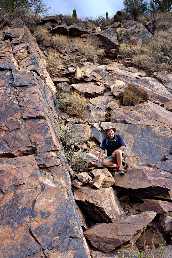
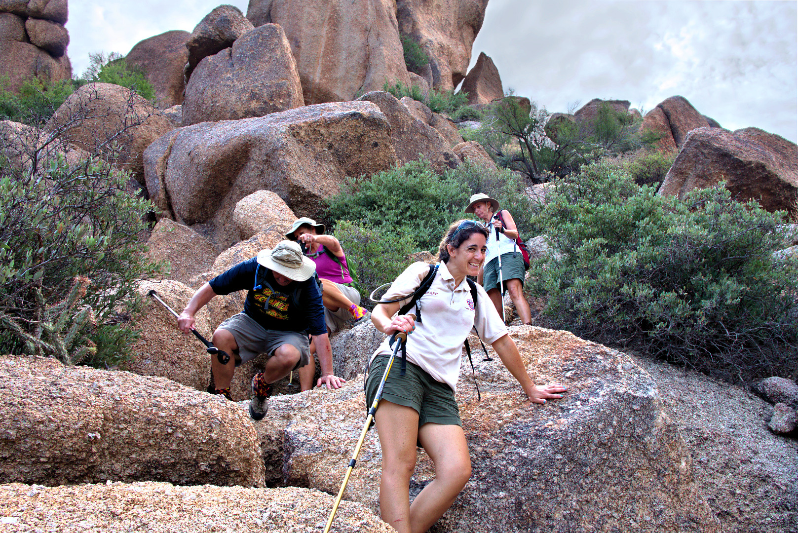
Some of the technical challenges involved scrambling up and down large boulders along the way.
 Bob uses the sticky rubber on his approach shoes to scramble up a large boulder. There was an easier way around the boulder, but we both thought that climbing up the boulder was more fun.
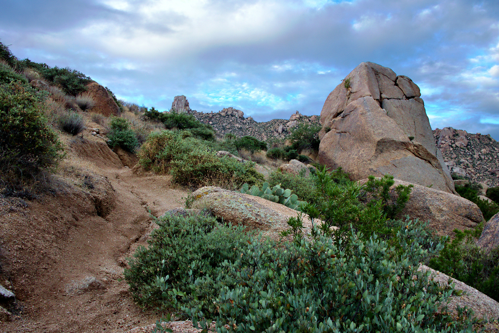
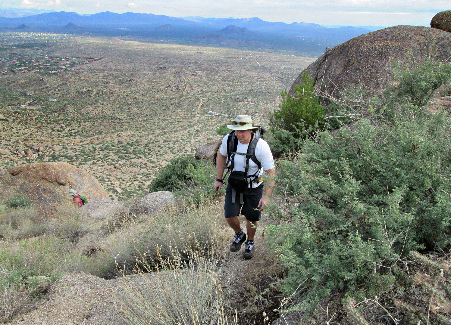
 Bob pauses on his way up to Gardener’s wall. The trail is steep and loose in spots. The hiking poles that we brought along helped us to make our way up the trail without slipping too much.
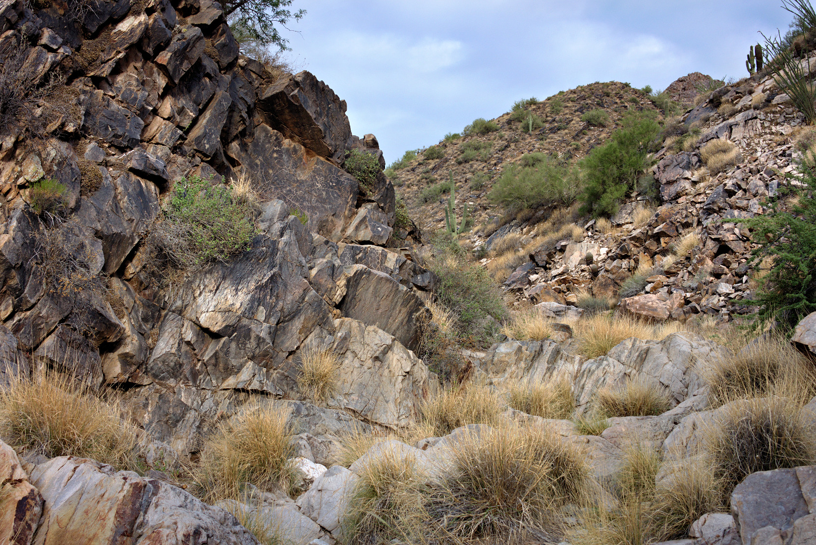
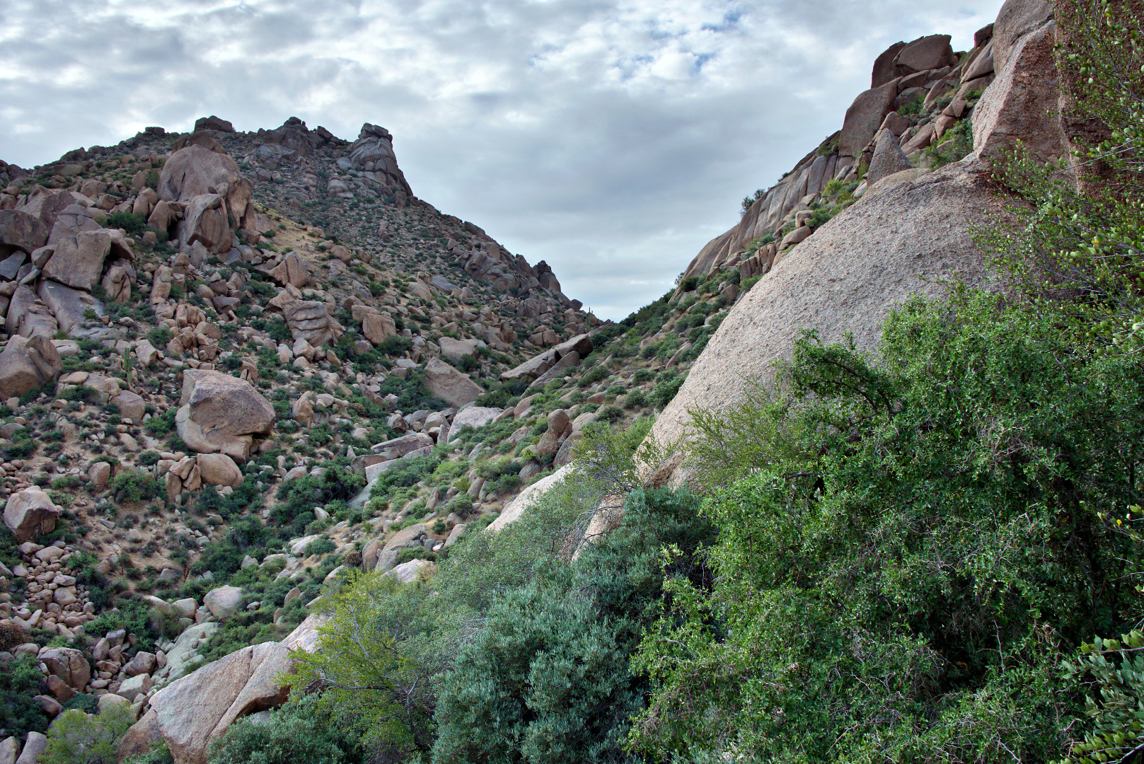
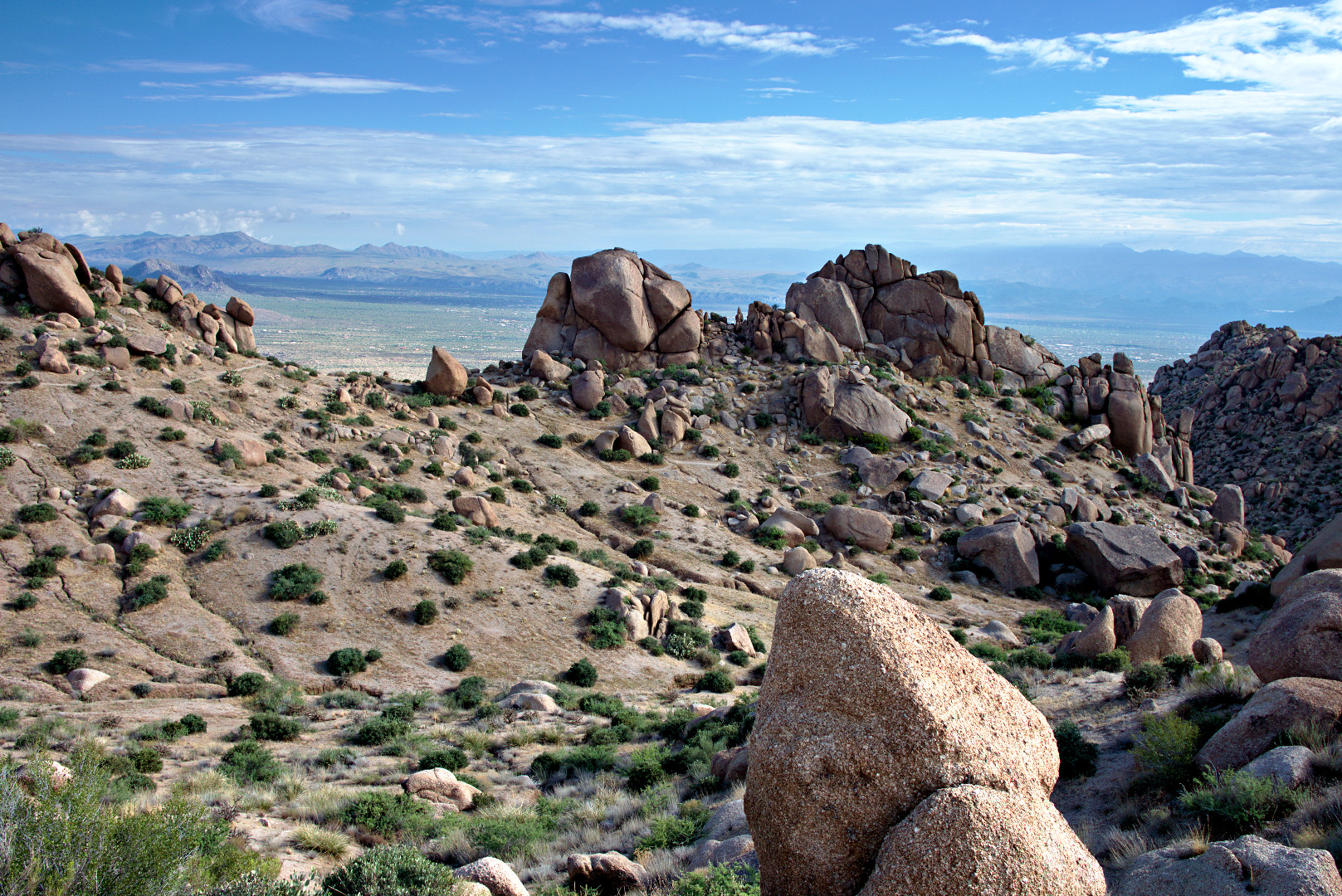
Looking over towards the East End from near the base of Gardener’s Wall.
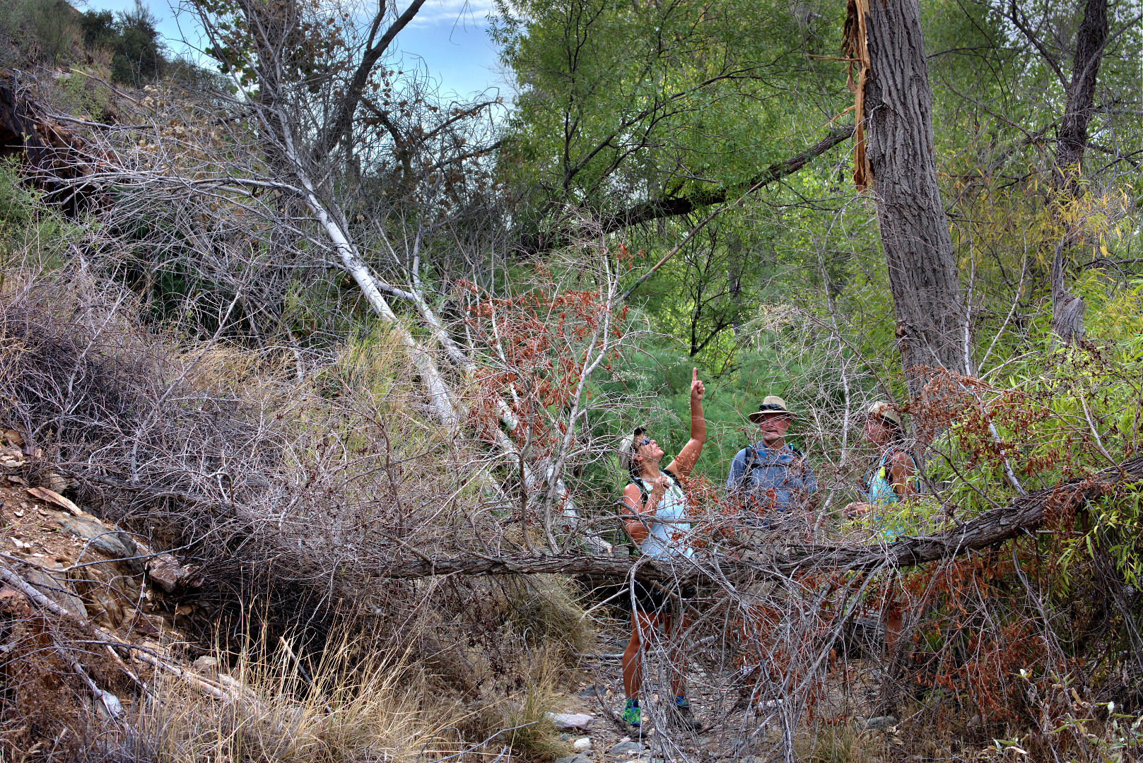
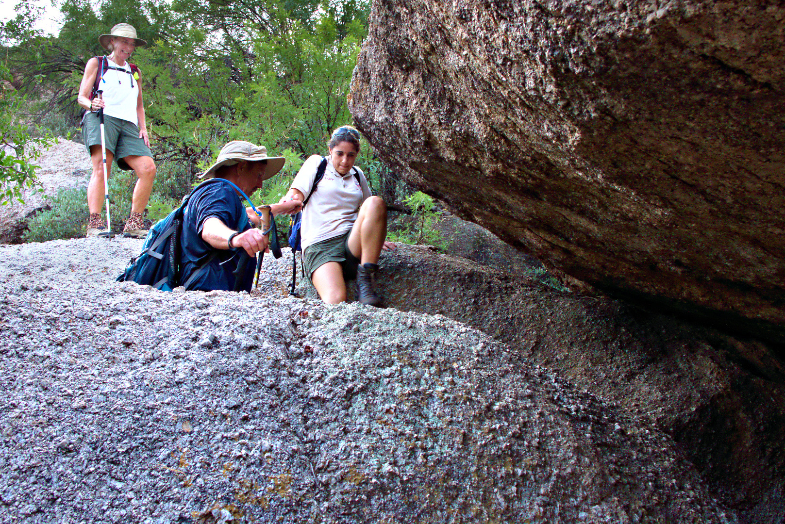
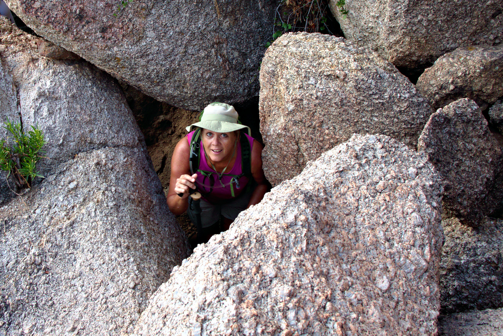
 There was a spot where we had to crawl under a boulder only to emerge and have to scramble up another boulder to make progress. I got this photo of Janet just as she looked up after crawling underneath the boulder behind her.
The trail hugs the large boulder to the left, going over smaller boulders along the way. Linda and Janet are approaching the black opening of the “cave”.
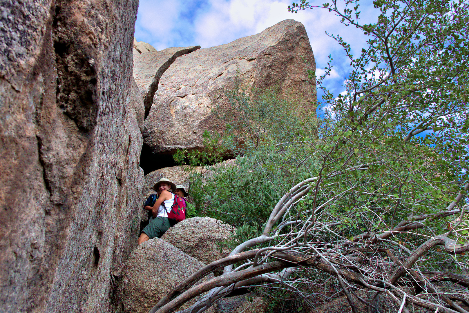
We also had to crawl into a “cave” which consisted of a huge boulder piled on some other supporting boulders. We posed for a photo here, though it did not turn out as well as I would have liked. It was fairly dark in this cave: this was a two second exposure at f/8, ISO 400. Many of my other shots in brighter conditions used the same aperture size, f/8, at ISO 100 for 1/60sec or even faster. I’d like to try a shot like this again some time using a fill light.
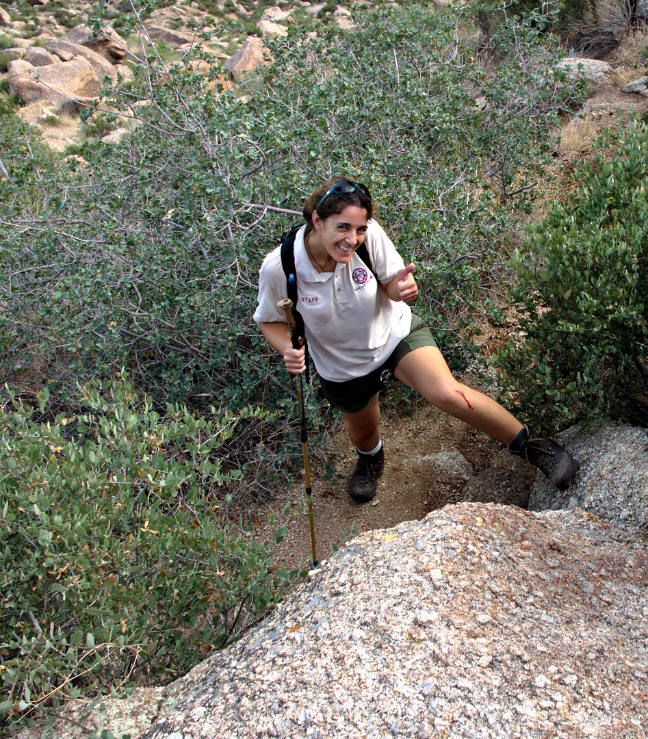
 All of us lost a bit of blood on the hike, due to sharp rocks and the prickly vegetation. Amy gives the “thumbs up” even though her leg is bleeding.
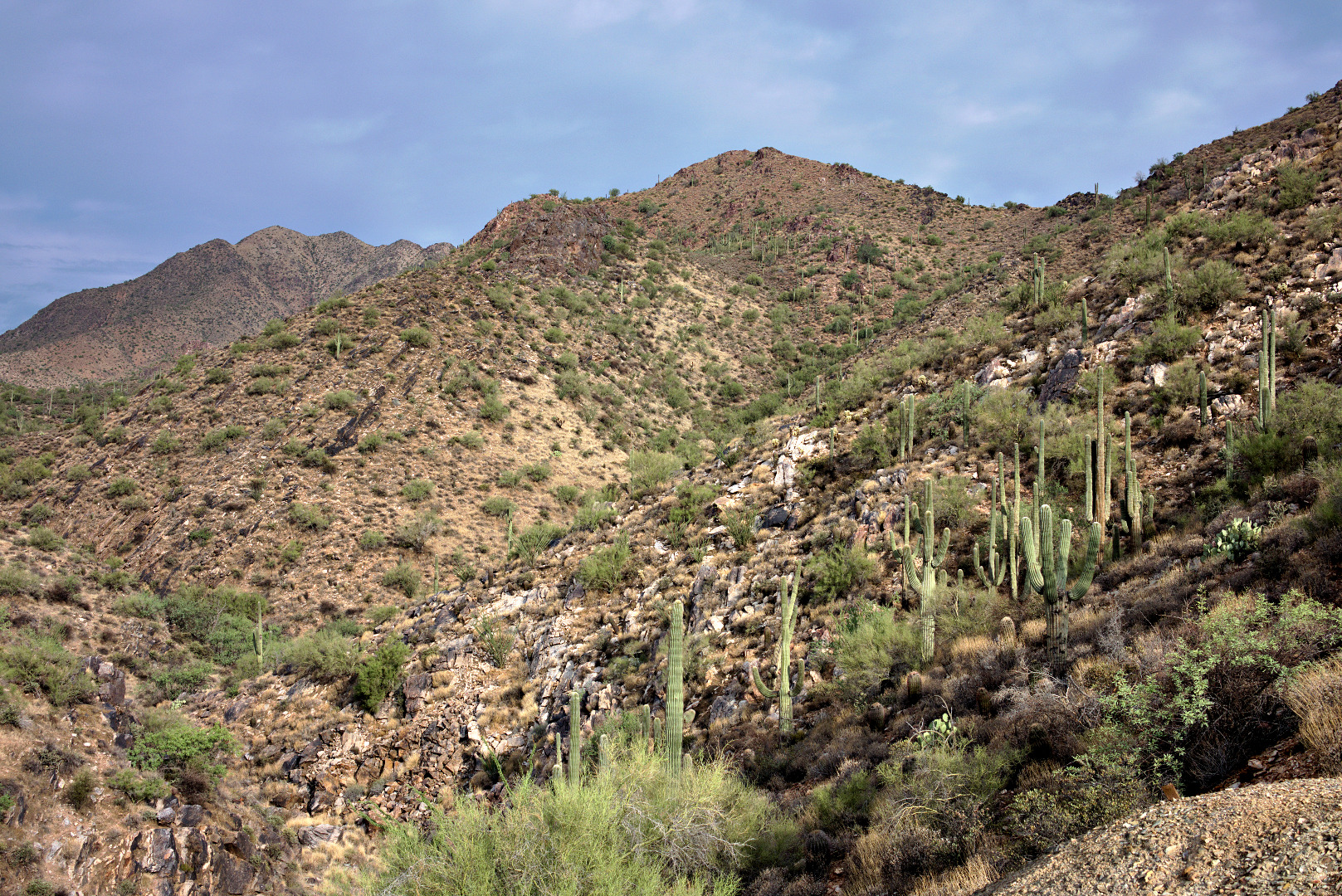
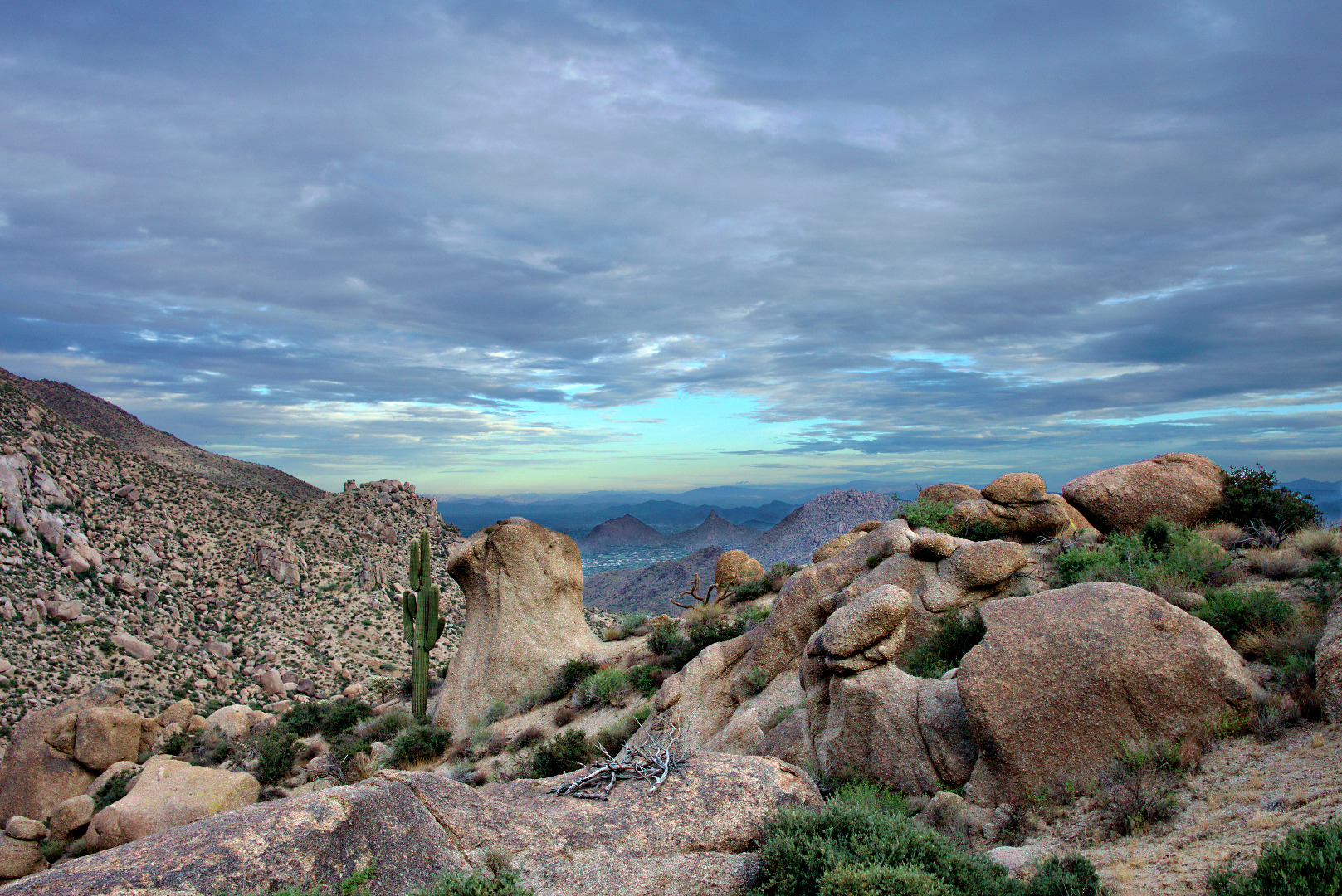
A view of Glass Dome and East End to the left from where we topped out above Gardener’s Wall.
Linda took this photo of me hiking back up the trail again after going back to check on the whereabouts of Janet and Amy.
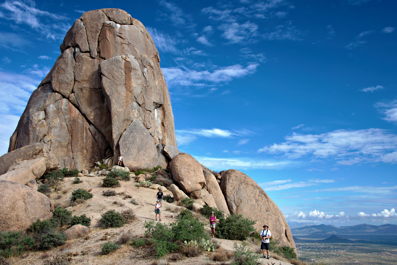
We’re getting close to Tom’s Thumb!
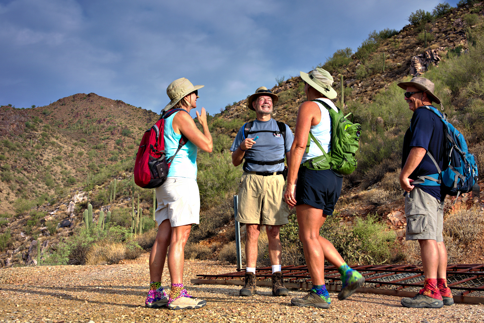
Amy, Bob, Linda, Janet, and I pose in front of and below Tom’s Thumb.
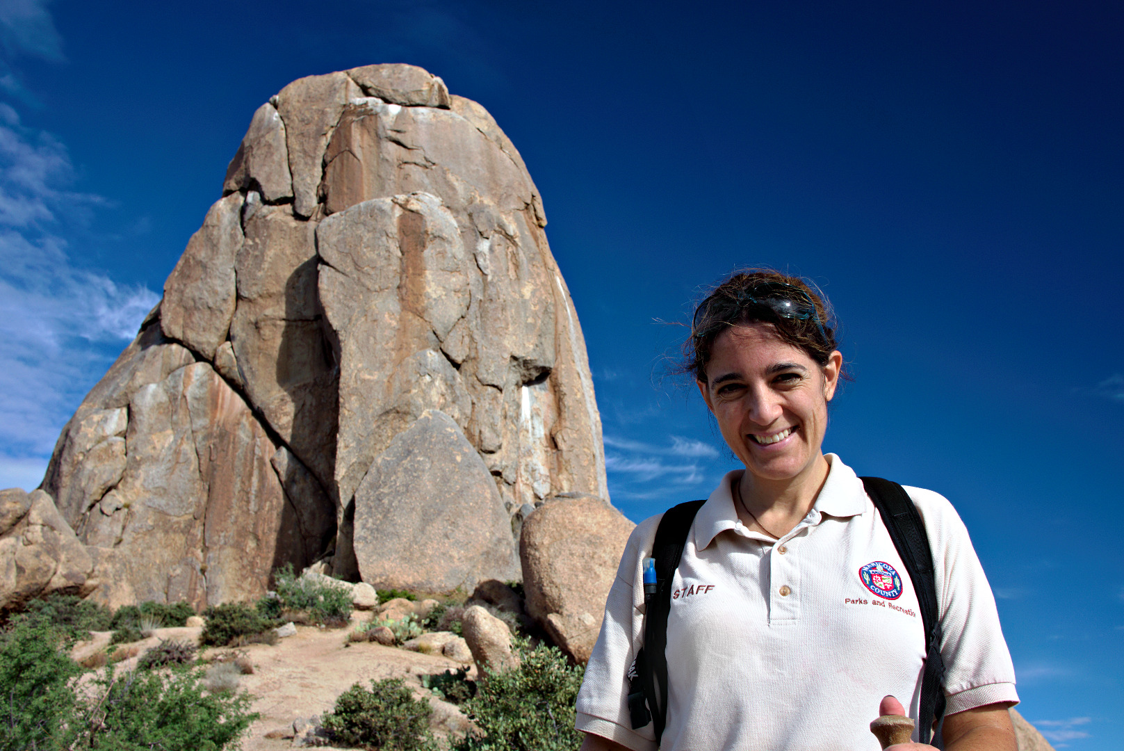
Amy poses in front of Tom’s Thumb.
 A view of the top of Gardener’s Wall. We topped out in that saddle just to the left of the rocks forming the top of Gardener’s Wall.
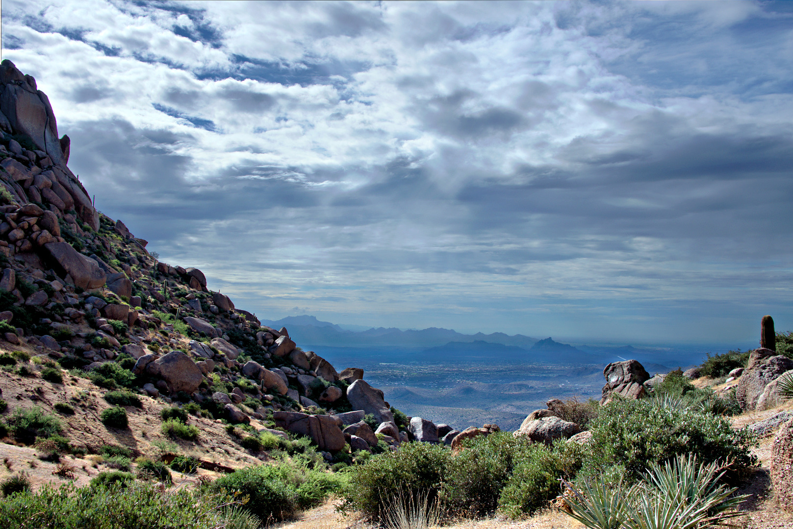
 A view of the Flatiron and Red Mountain from the intersection of Tom’s Thumb Trail & the East End Trail.
 Looking the other direction towards Pinnacle Peak.
 Another view of Glass Dome.
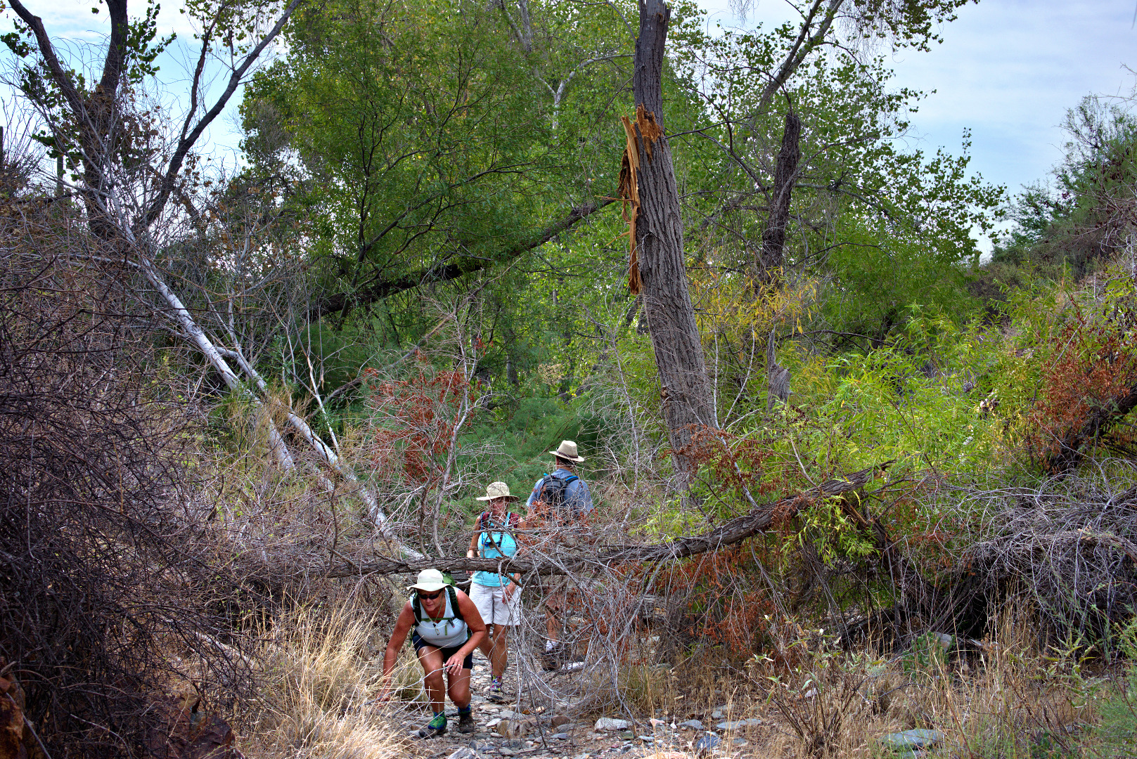
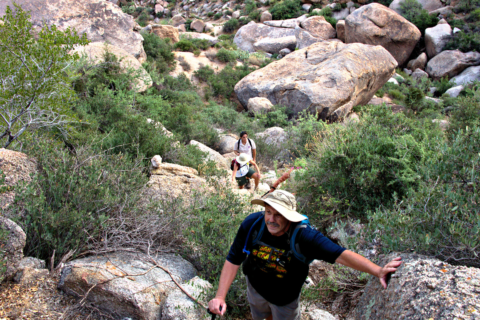
Our return trip featured more scrambling.
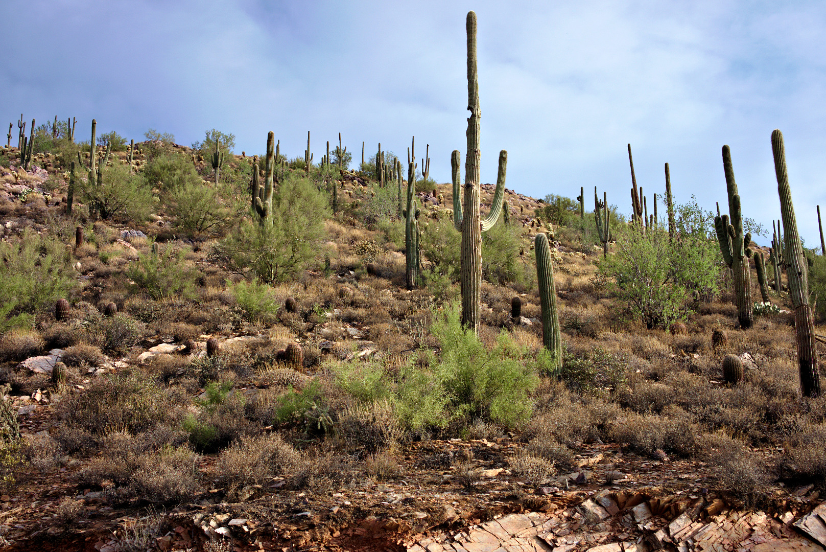
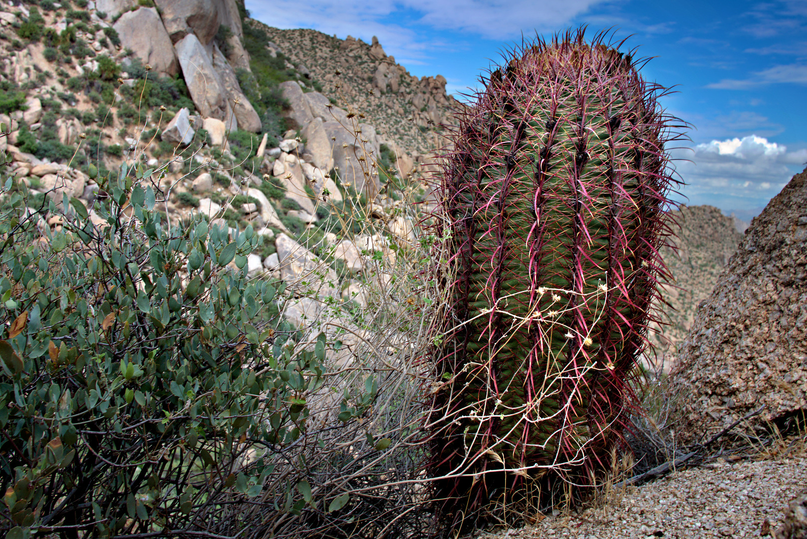
 A barrel cactus along the trail.
 A view of Gardener’s Wall and Tom’s Thumb. There is a smaller boulder pile known as “The Rist” to the right of Tom’s Thumb.
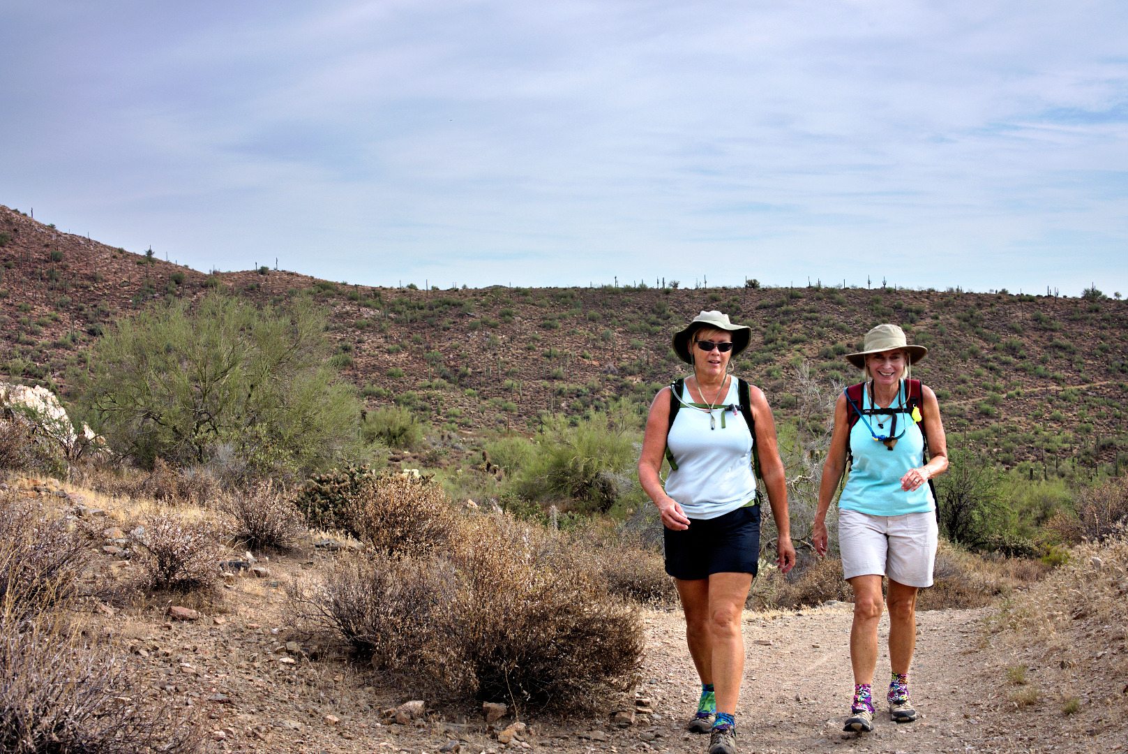
 Amy, Linda, Bob, and Janet hike down the Tom’s Thumb Trail.
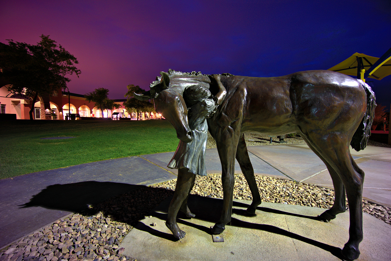
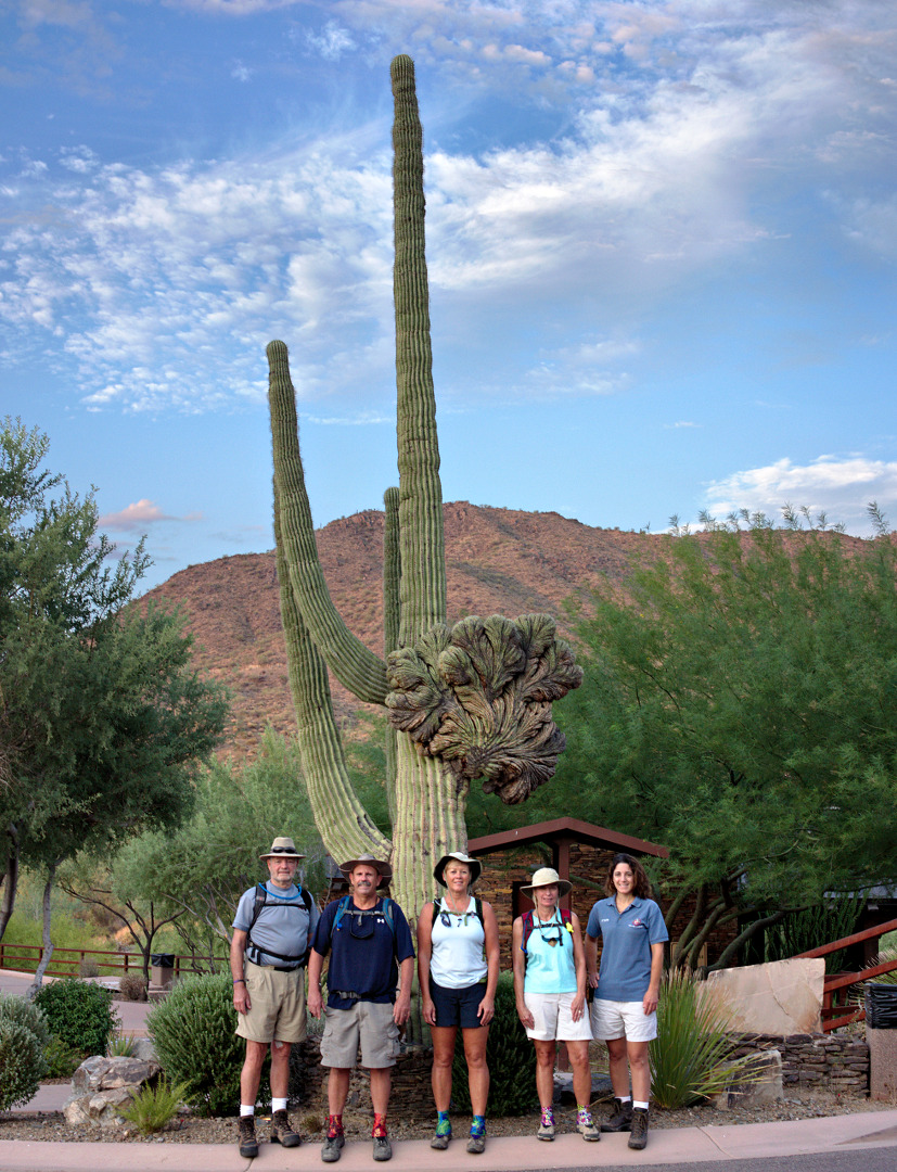
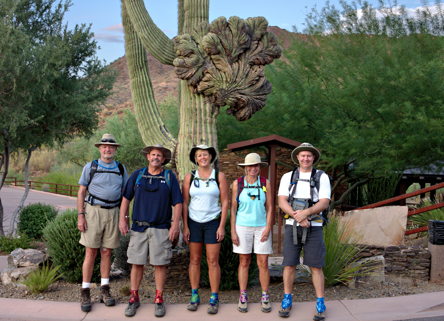
 Ford Fusion:
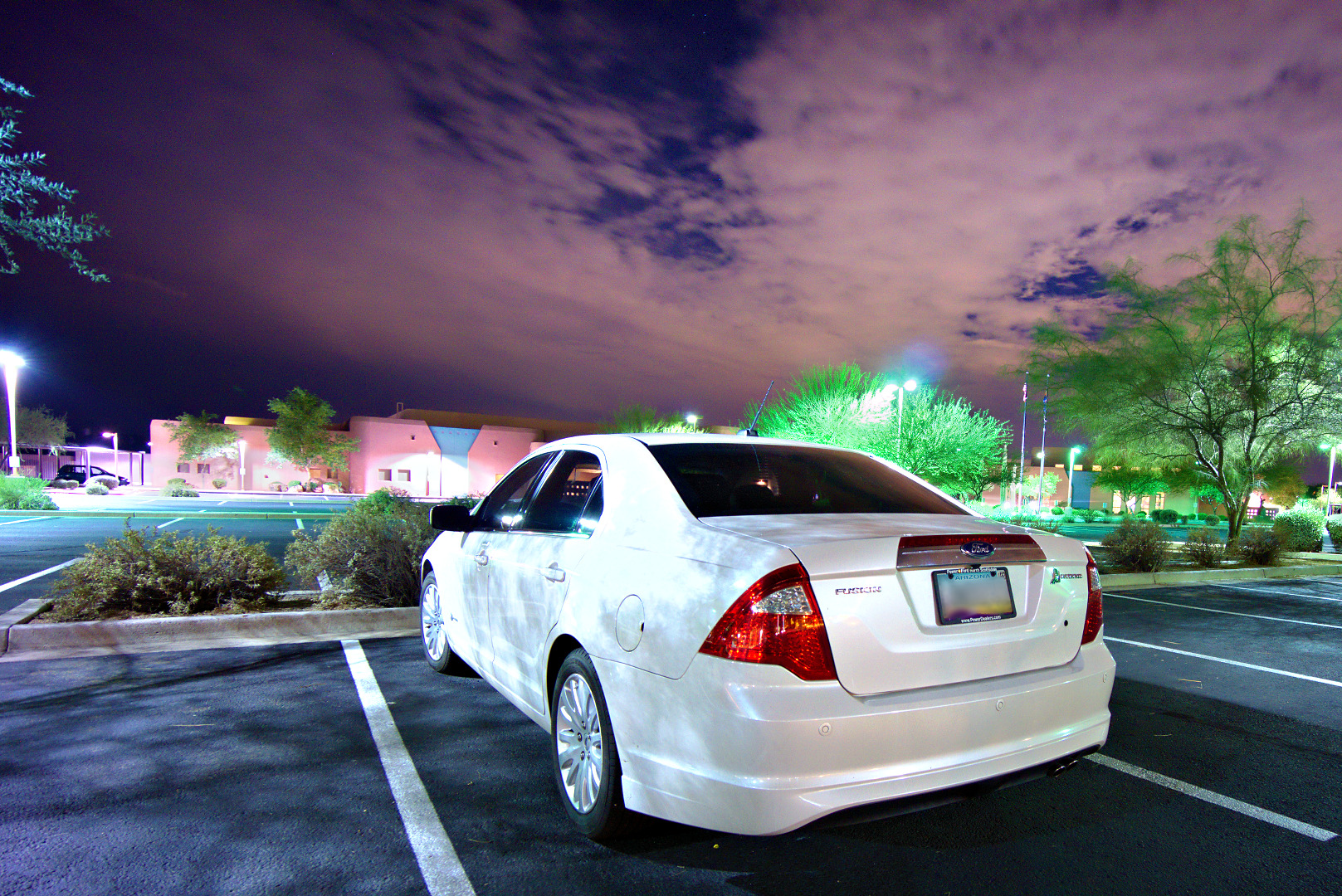 As I was walking around taking photos, I noticed that the colors were off when reviewing the images. As I was walking back to the car to go home, I thought that taking a photo of the white car might work for obtaining a white setting. I think it sort of worked for the area around the car, but I don’t think it helped for some of the trees. I ended up white balancing off a patch of the sidewalk in most of these shots. Usually, that result didn’t look all that good, so I’d tweak it by hand afterward. I really need to get in the habit of bringing a grey card with me.