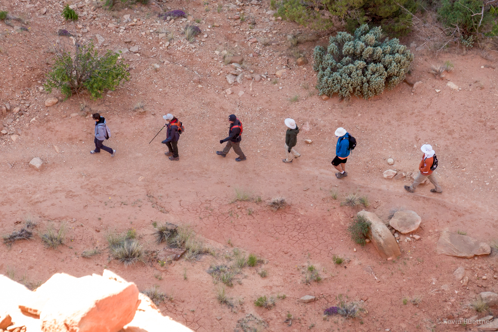
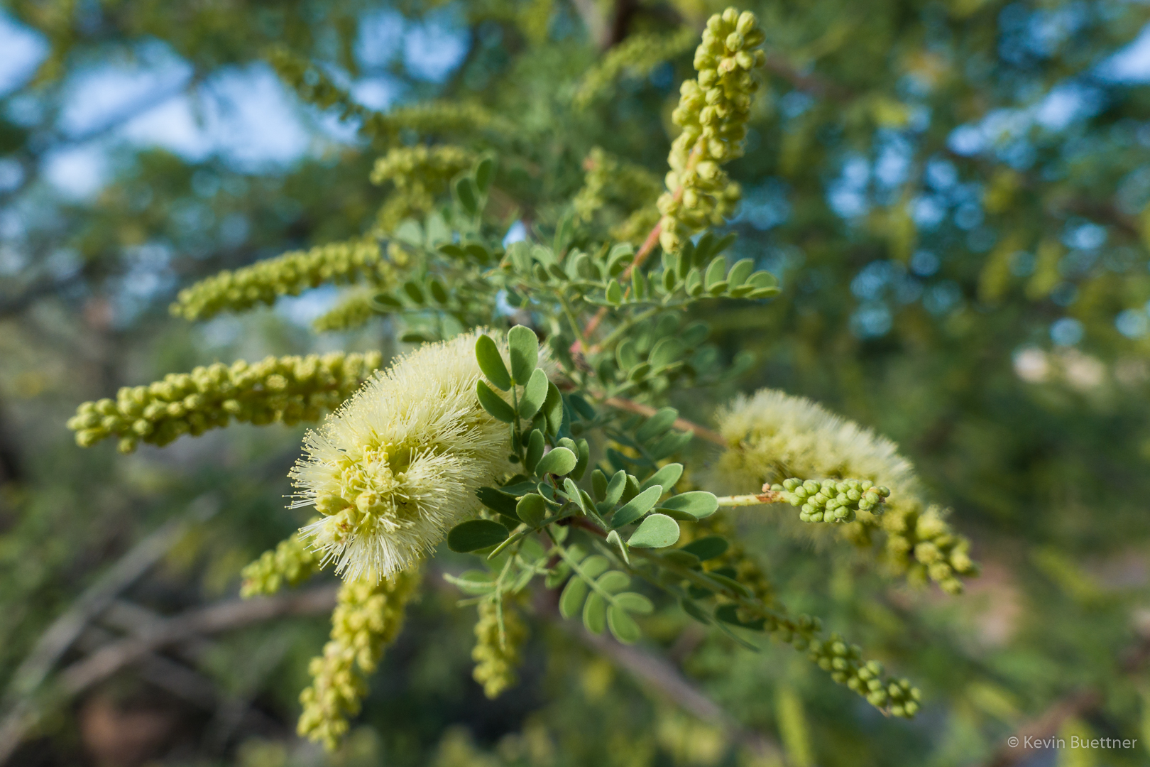
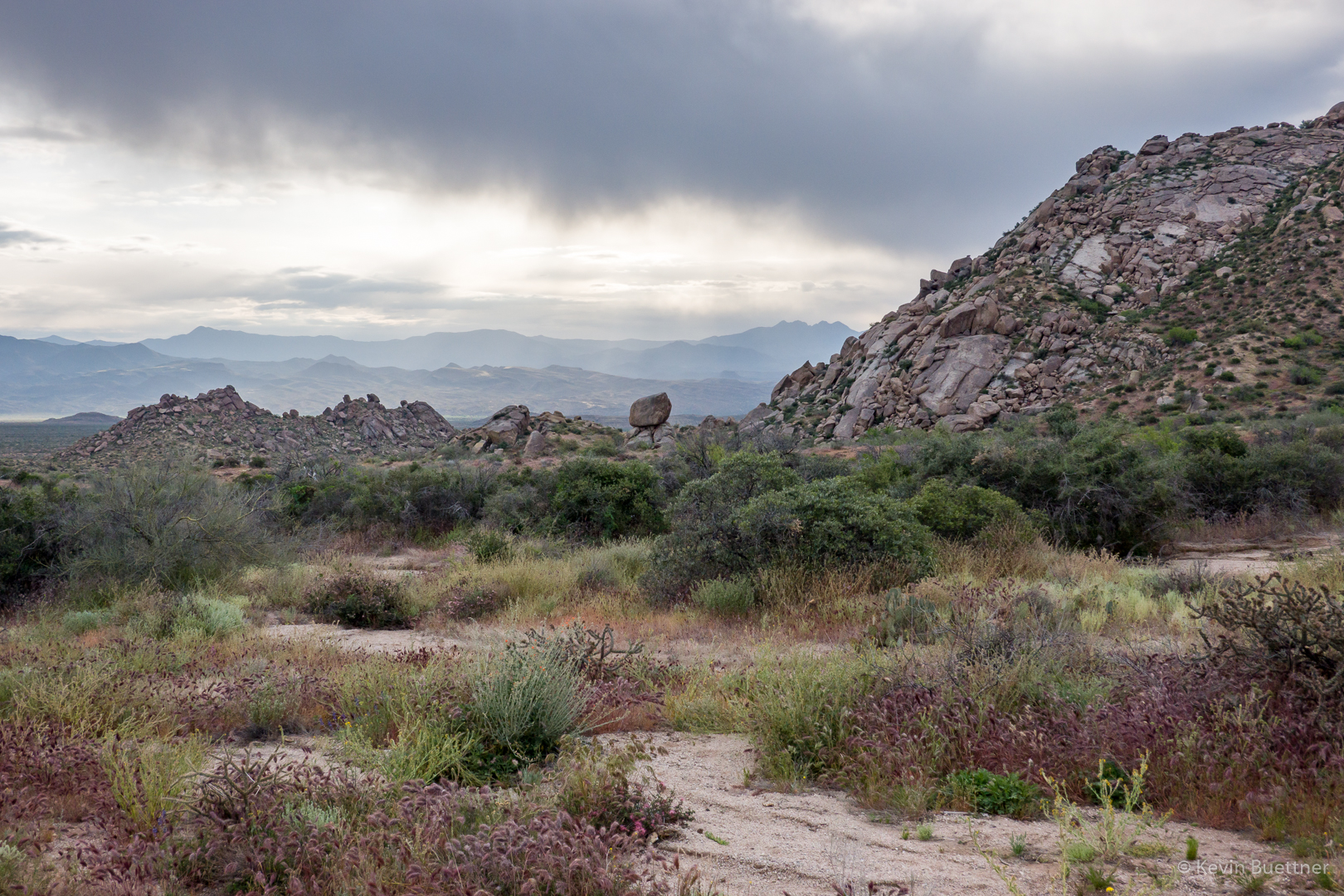
Nora, Heather, and I hiked a little over five miles starting from Tom’s Thumb Trailhead. We did a combo of the Hog Heaven Loop and the Lost Wall Loop visiting the East End, the highest point in the McDowells, along the way. We saw a lot of flowers, perhaps more than I’ve seen on any hike so far this year.
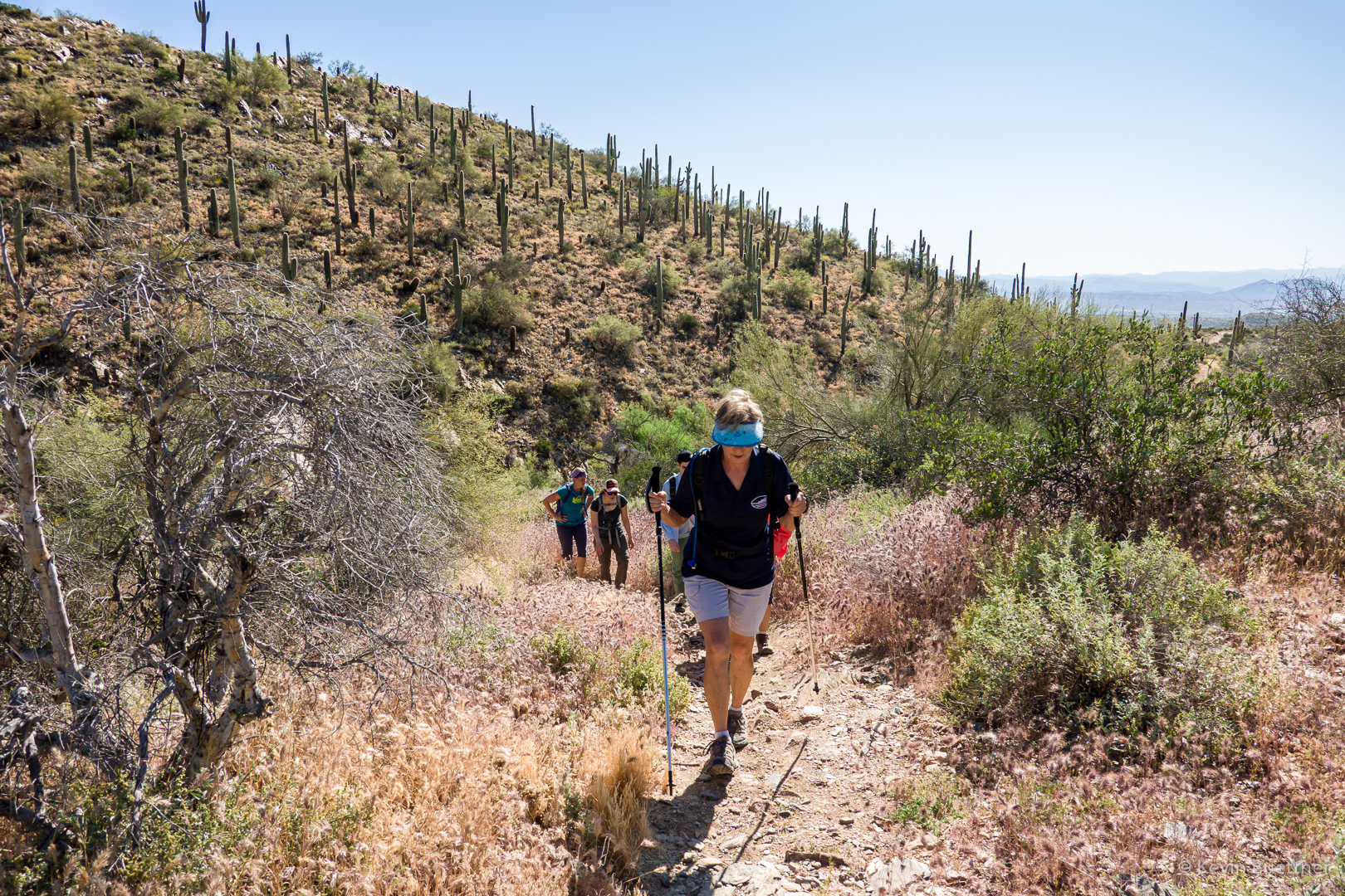
Early in the hike, on the Mesquite Trail:
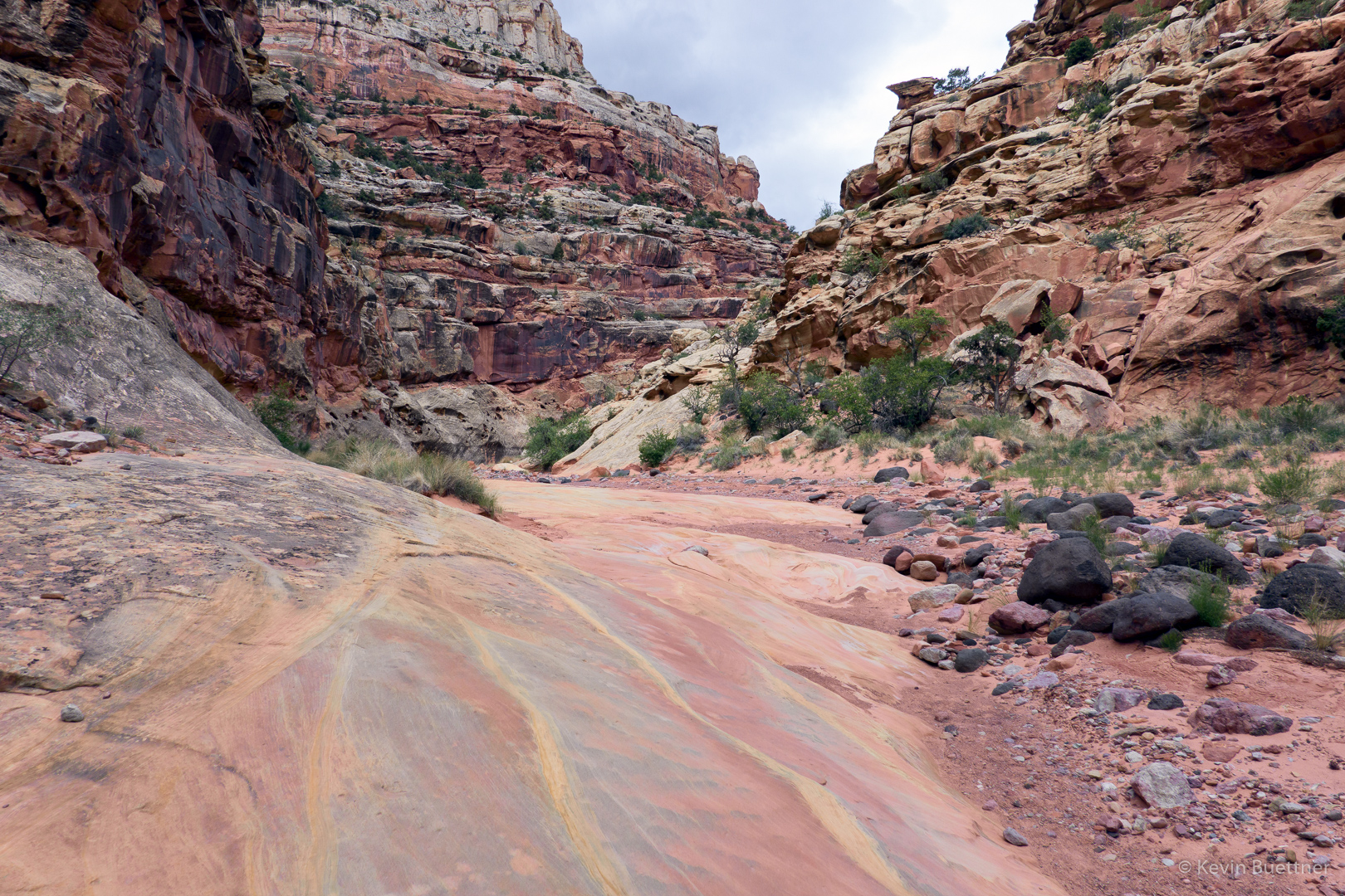
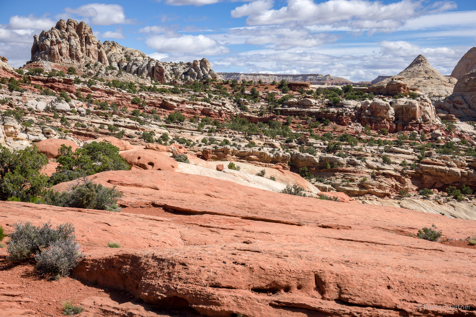
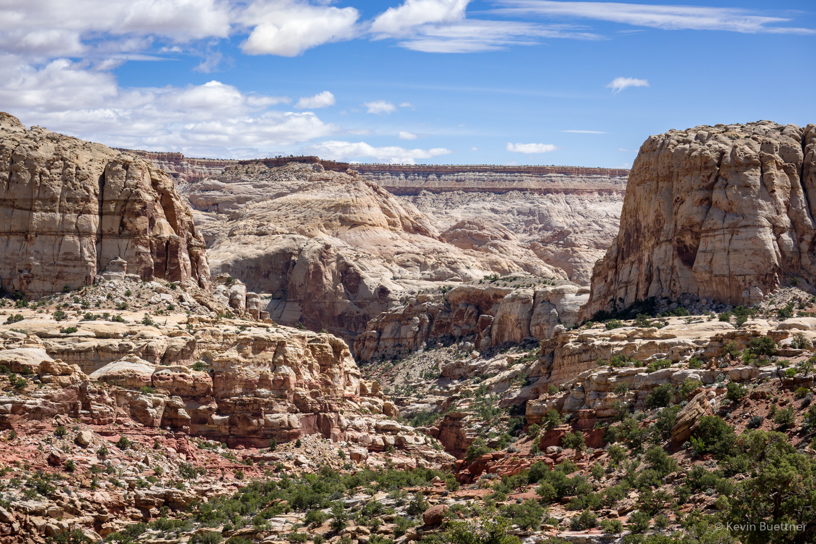
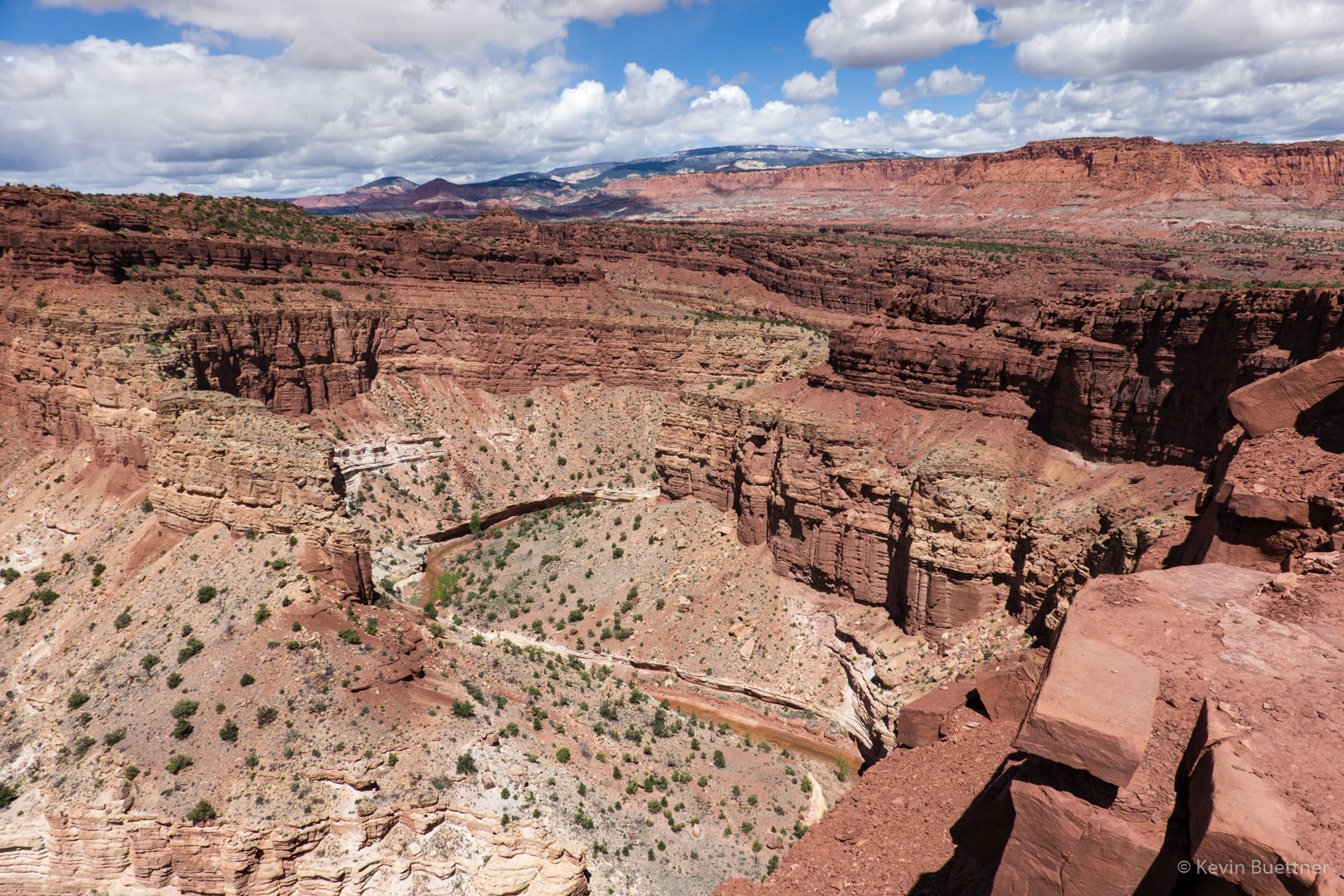
Heading up to the pass at the top of Mesquite Canyon:
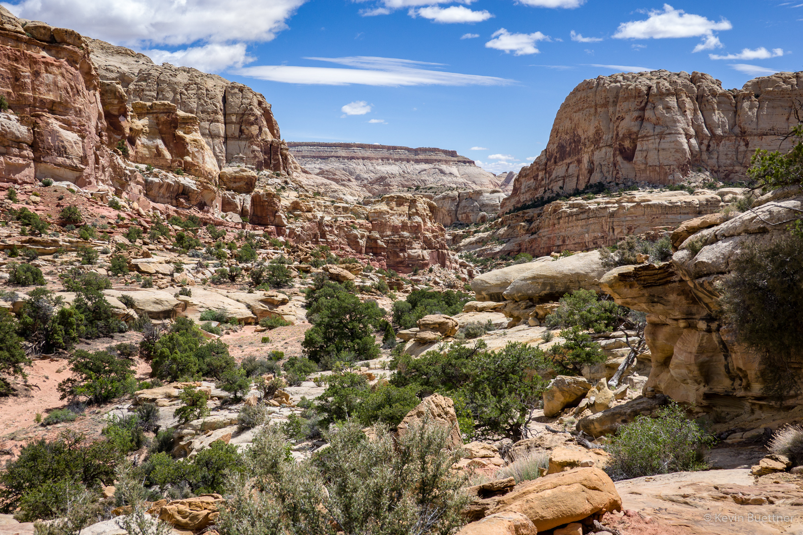
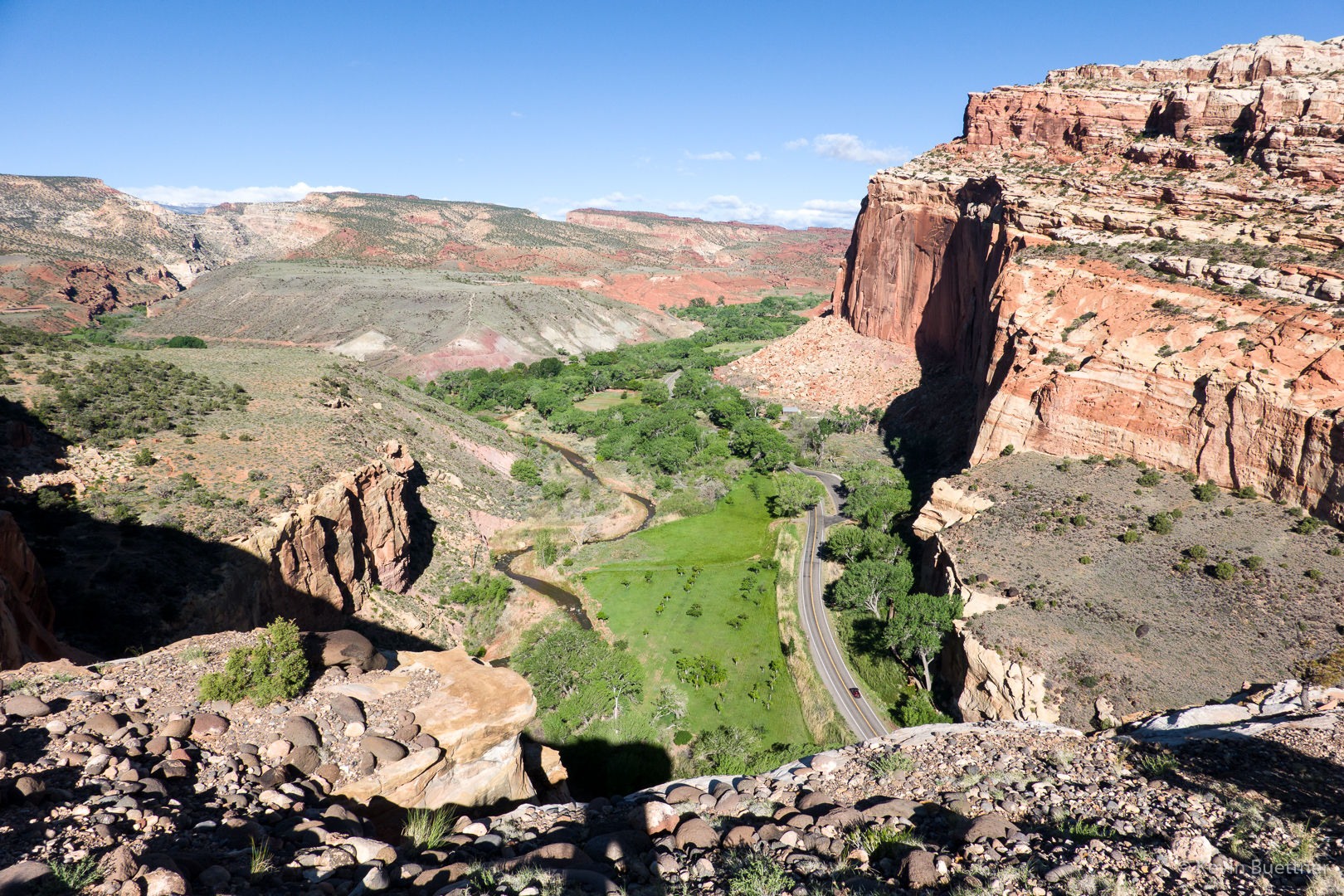
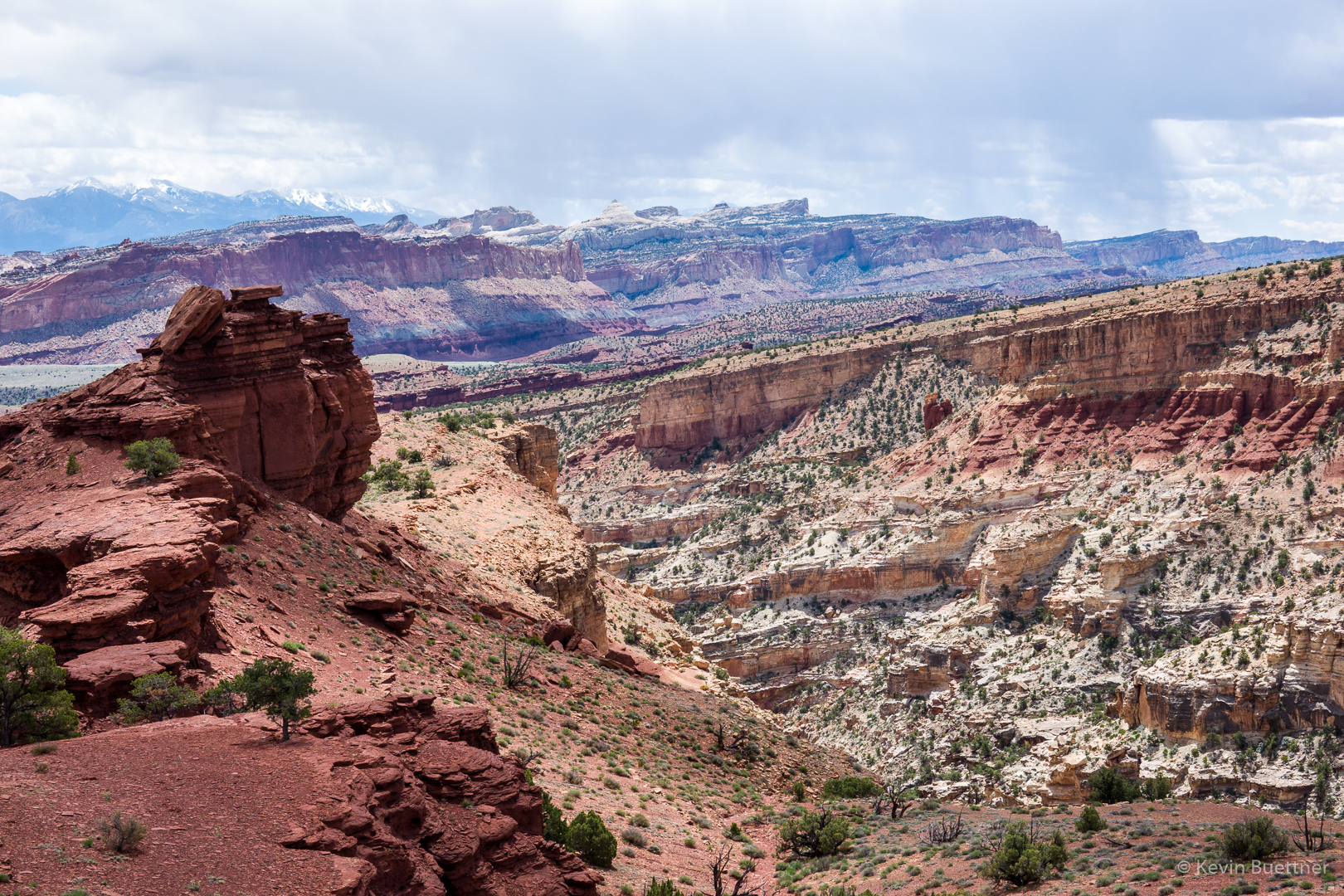
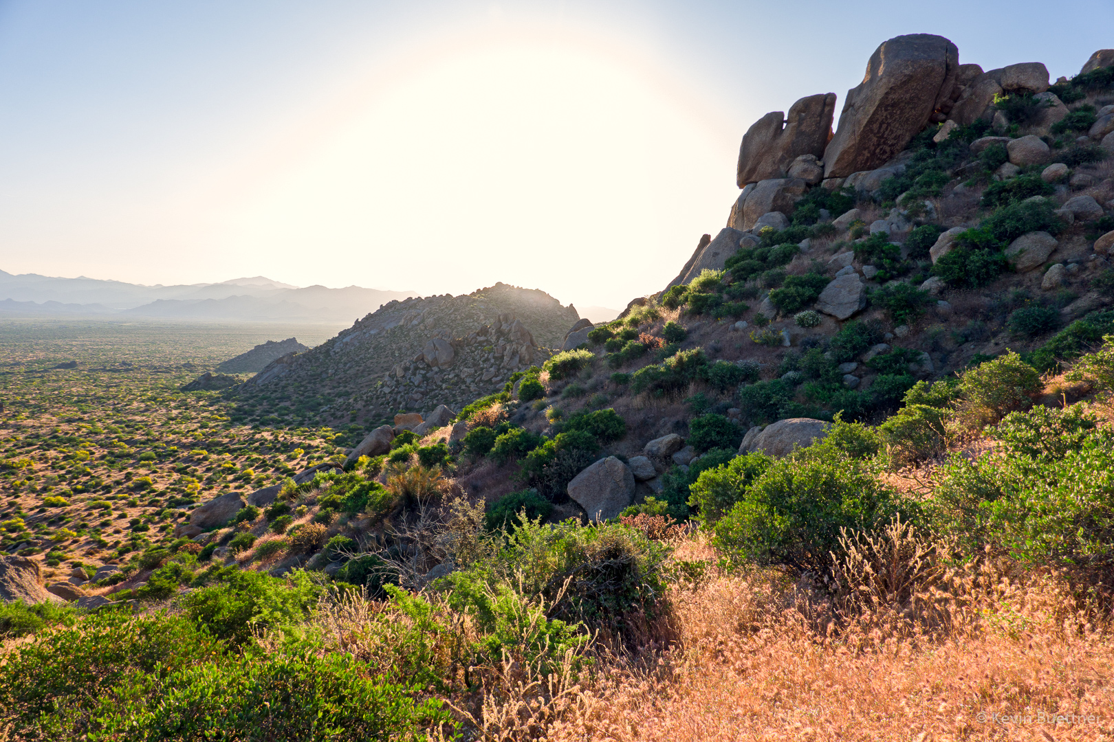
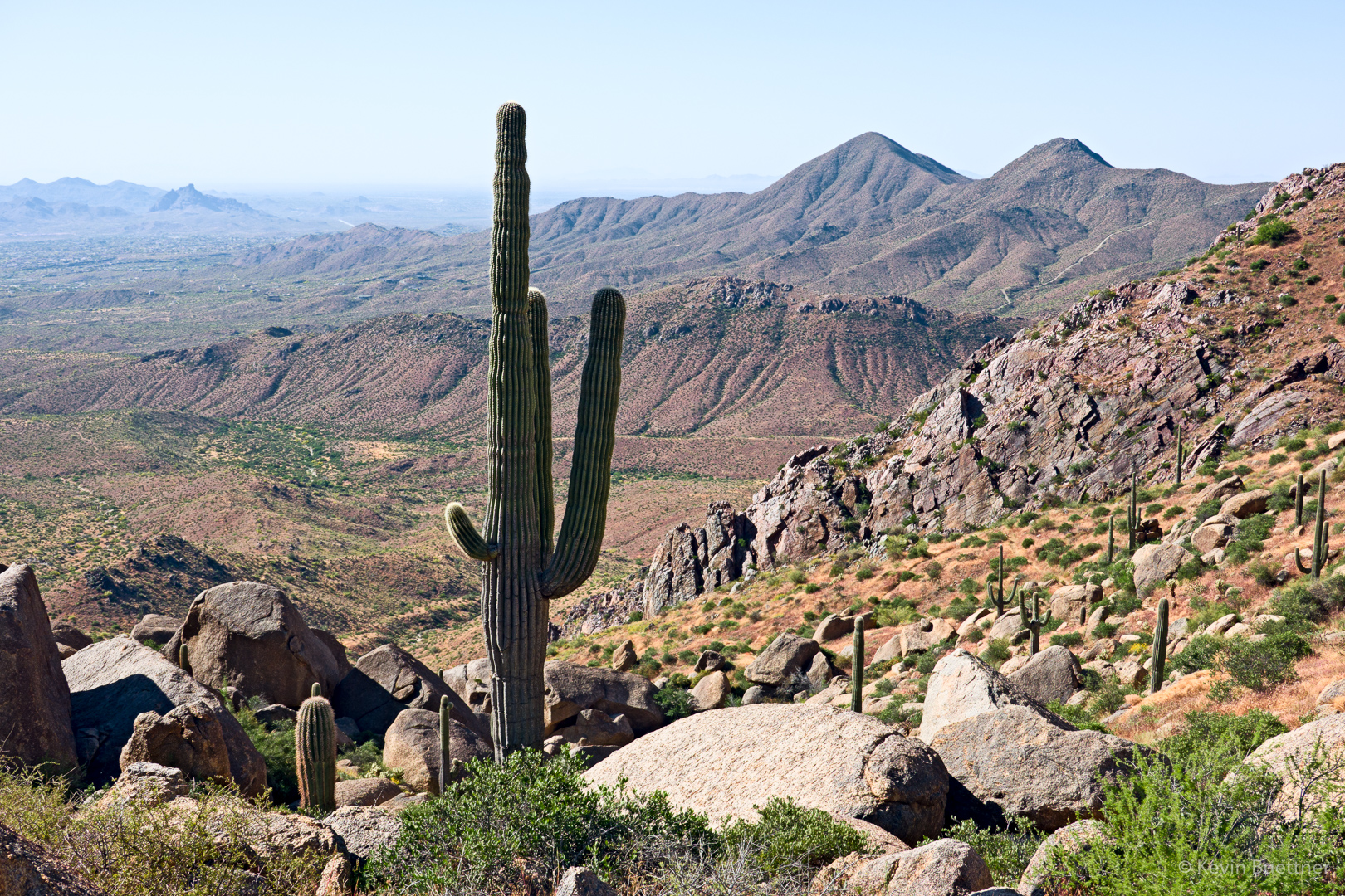
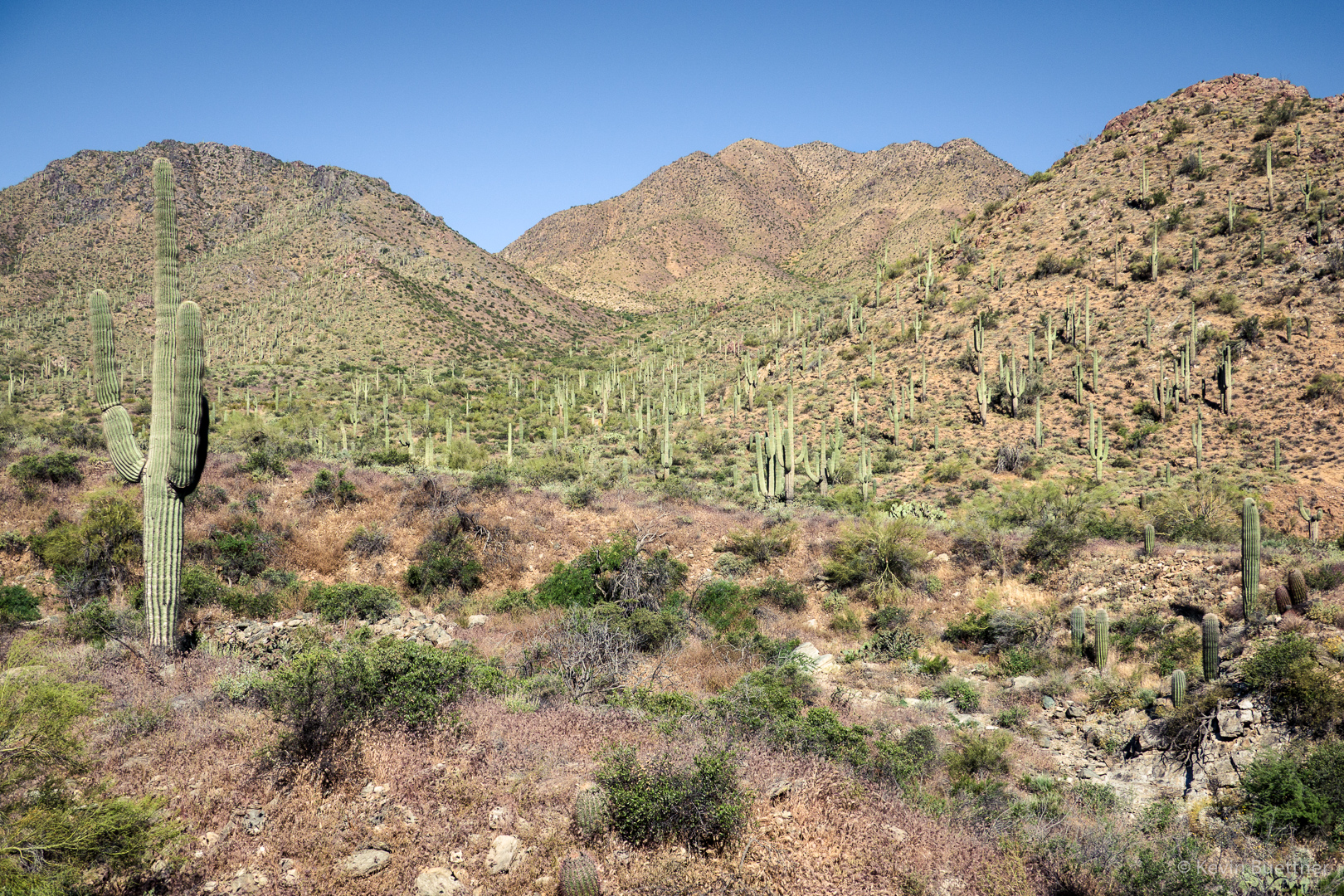
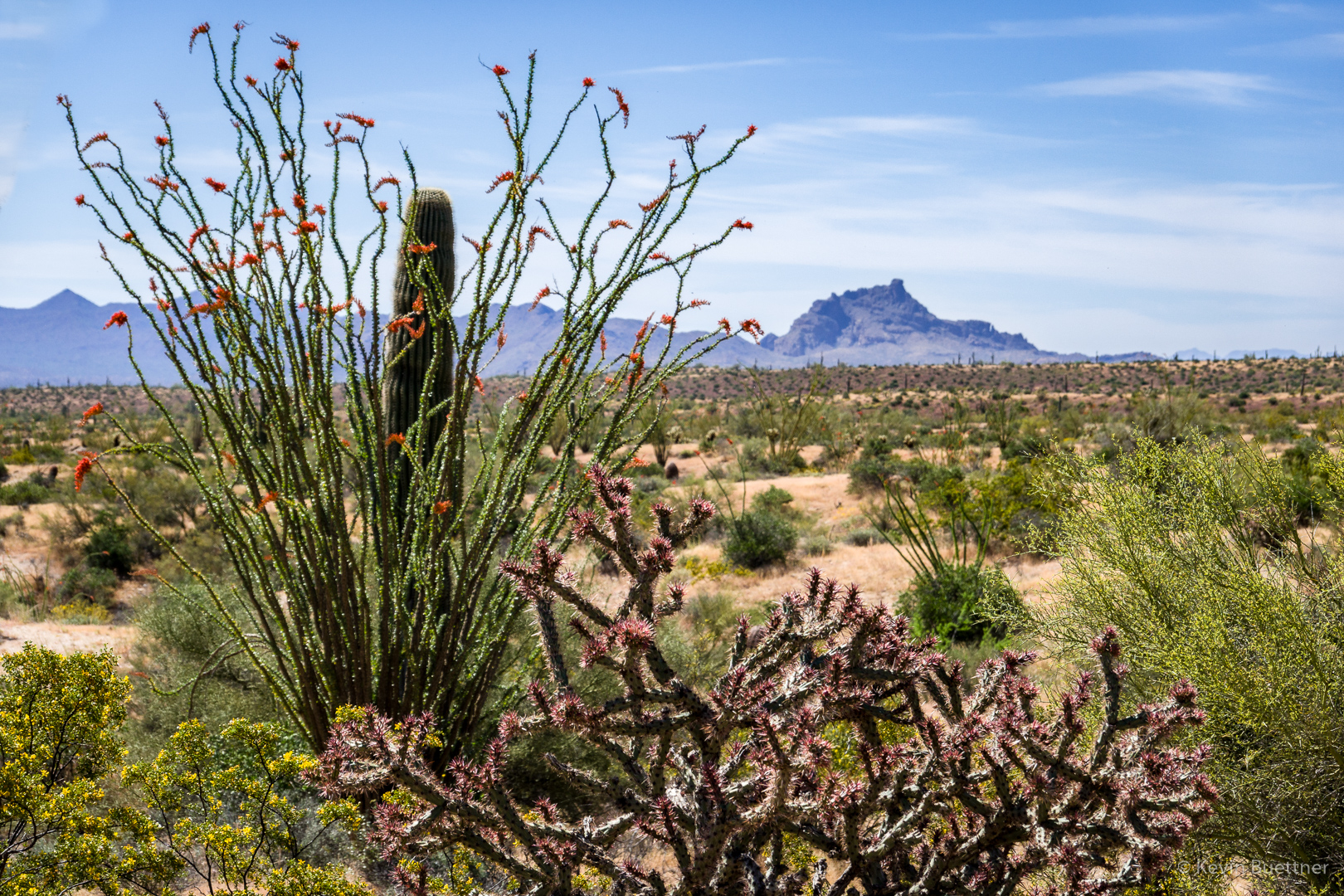
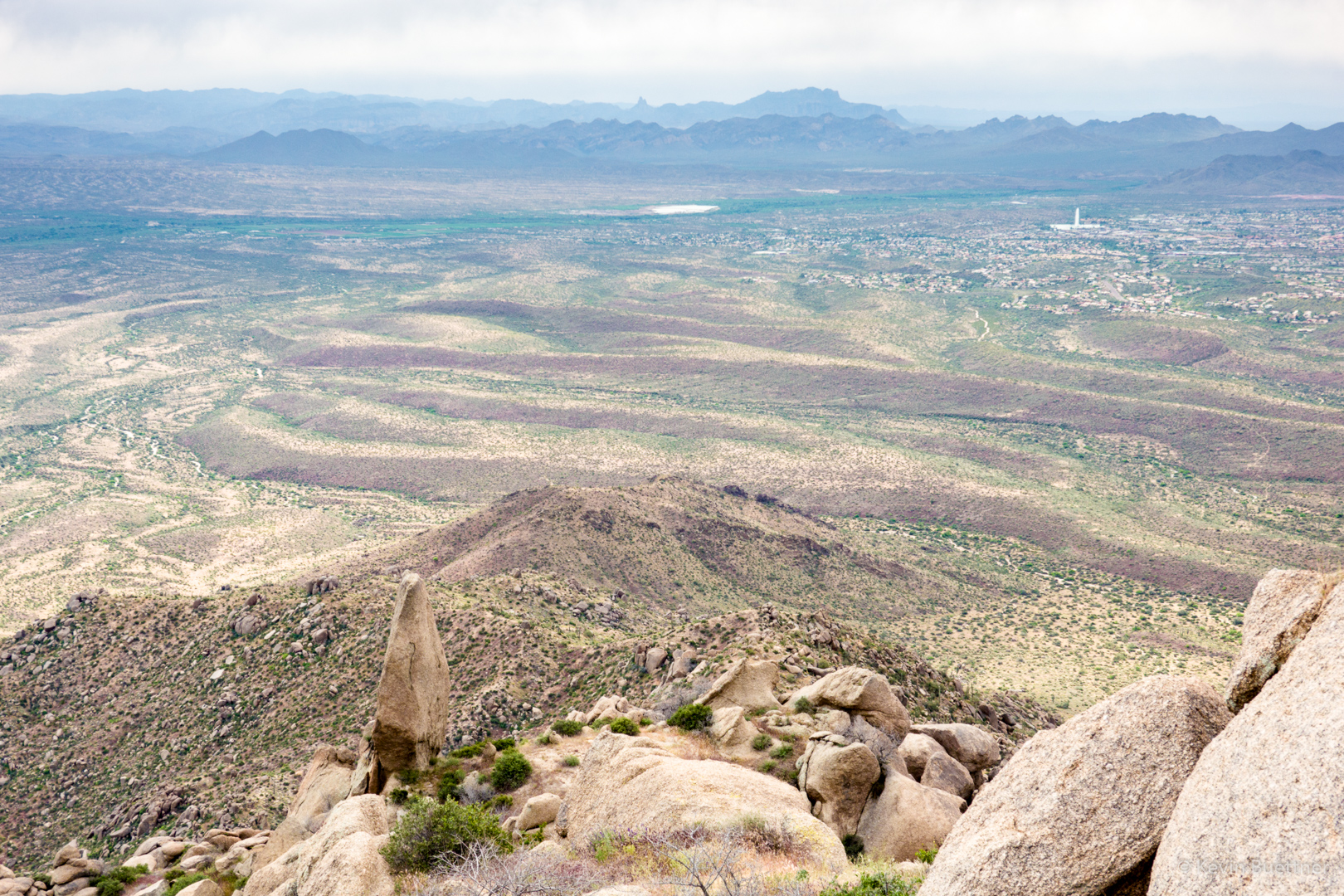
At the pass now; looking toward the Superstitions:
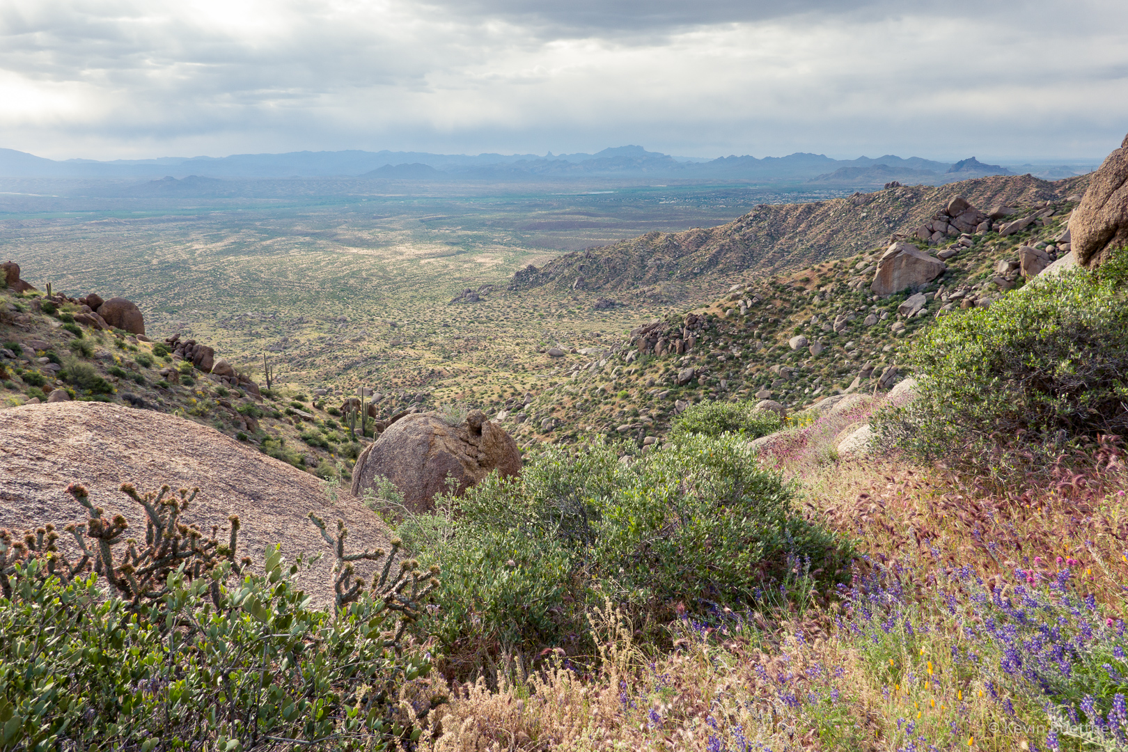
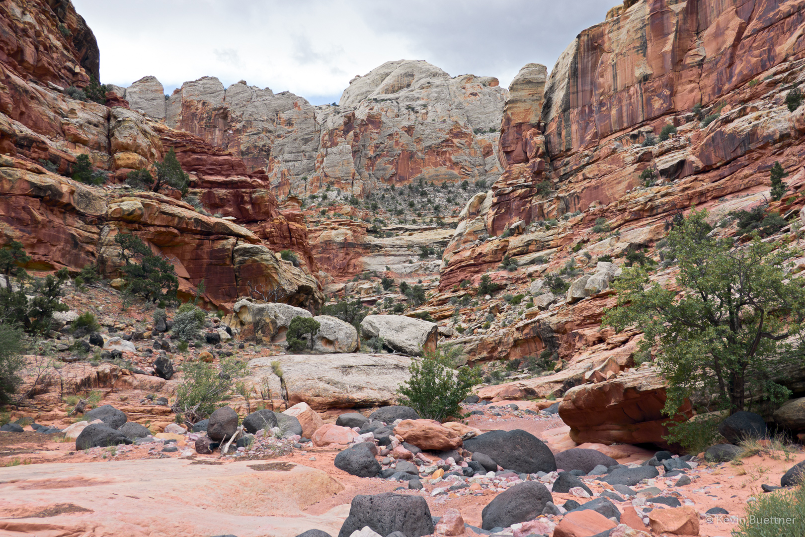
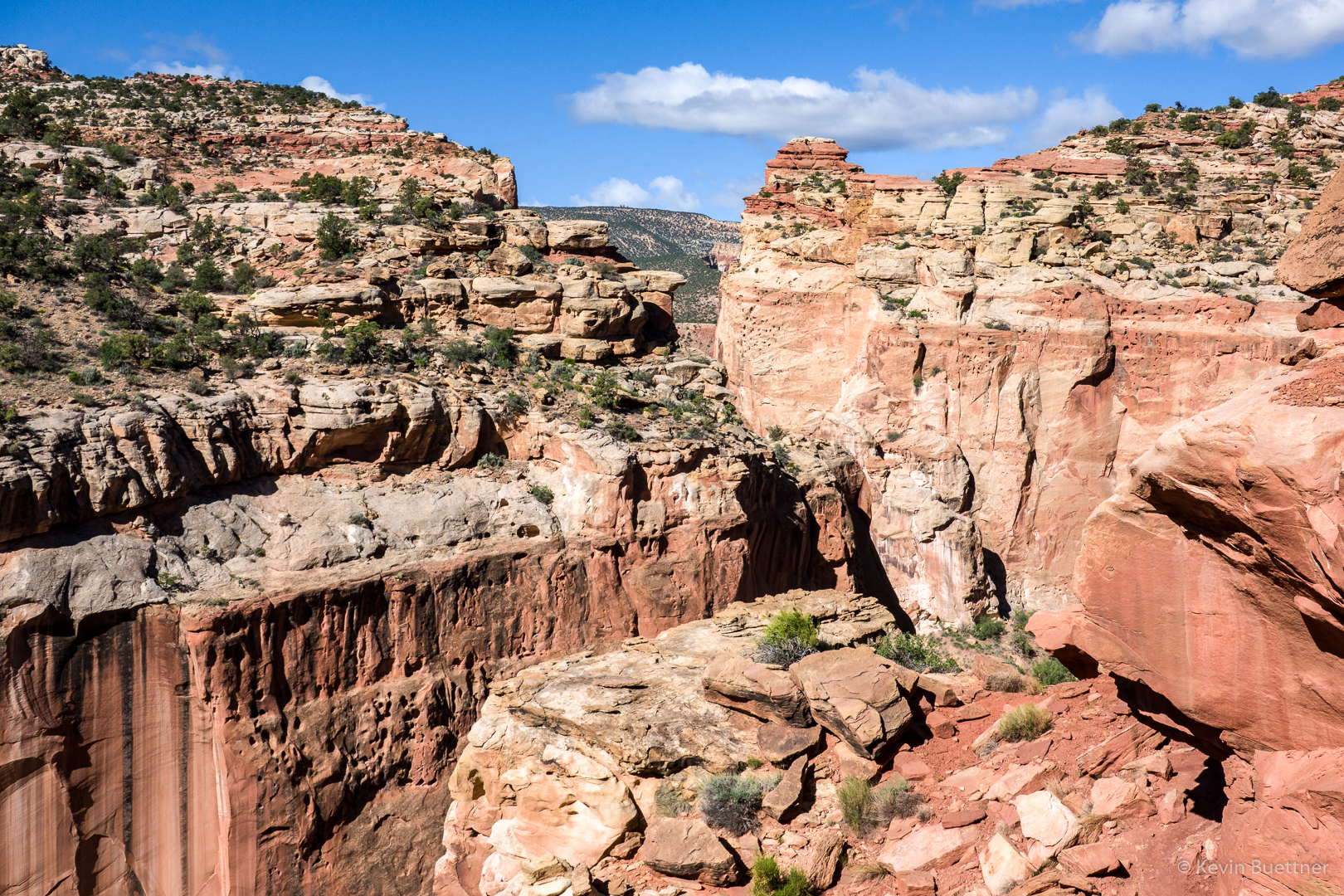
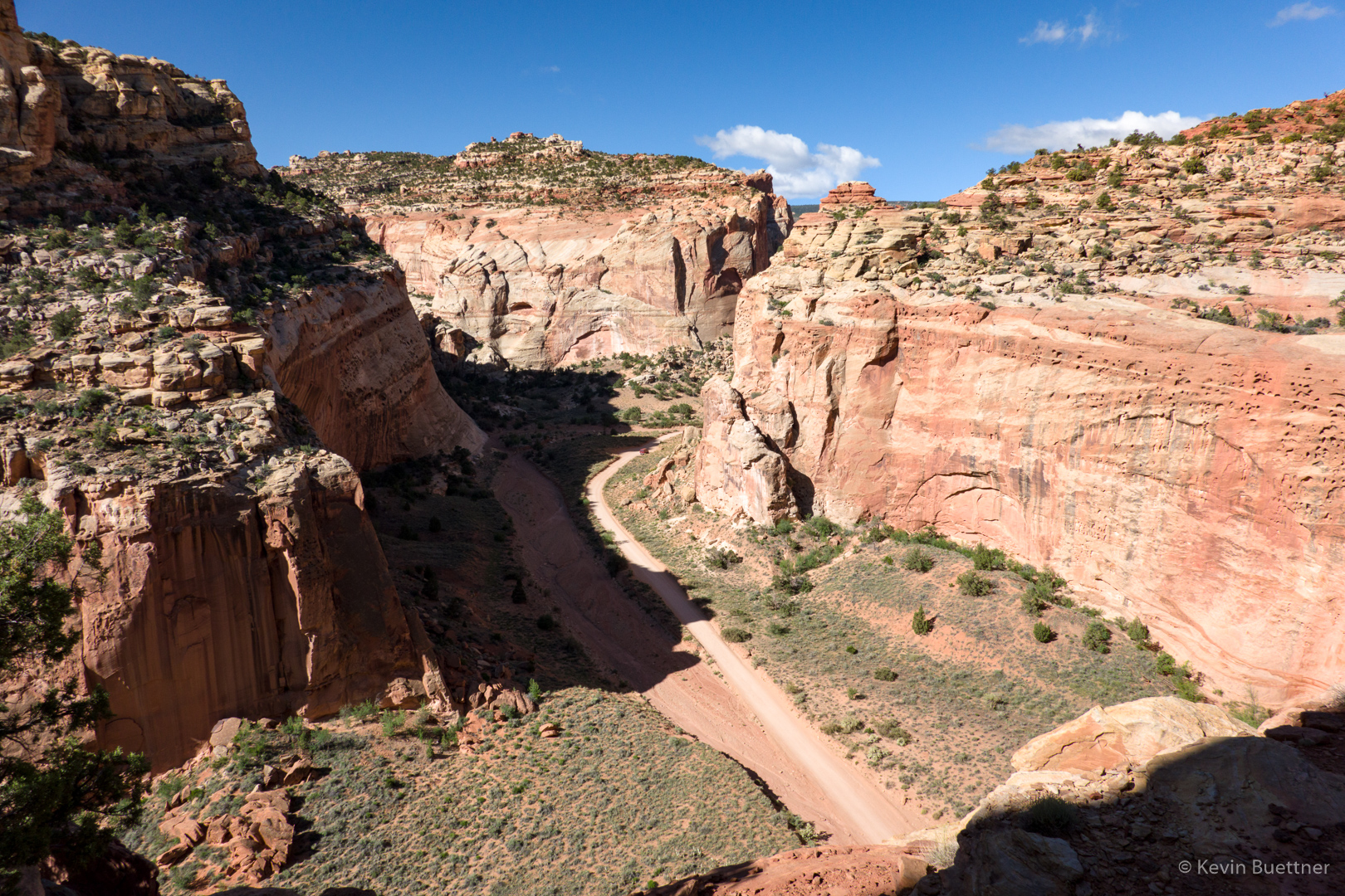
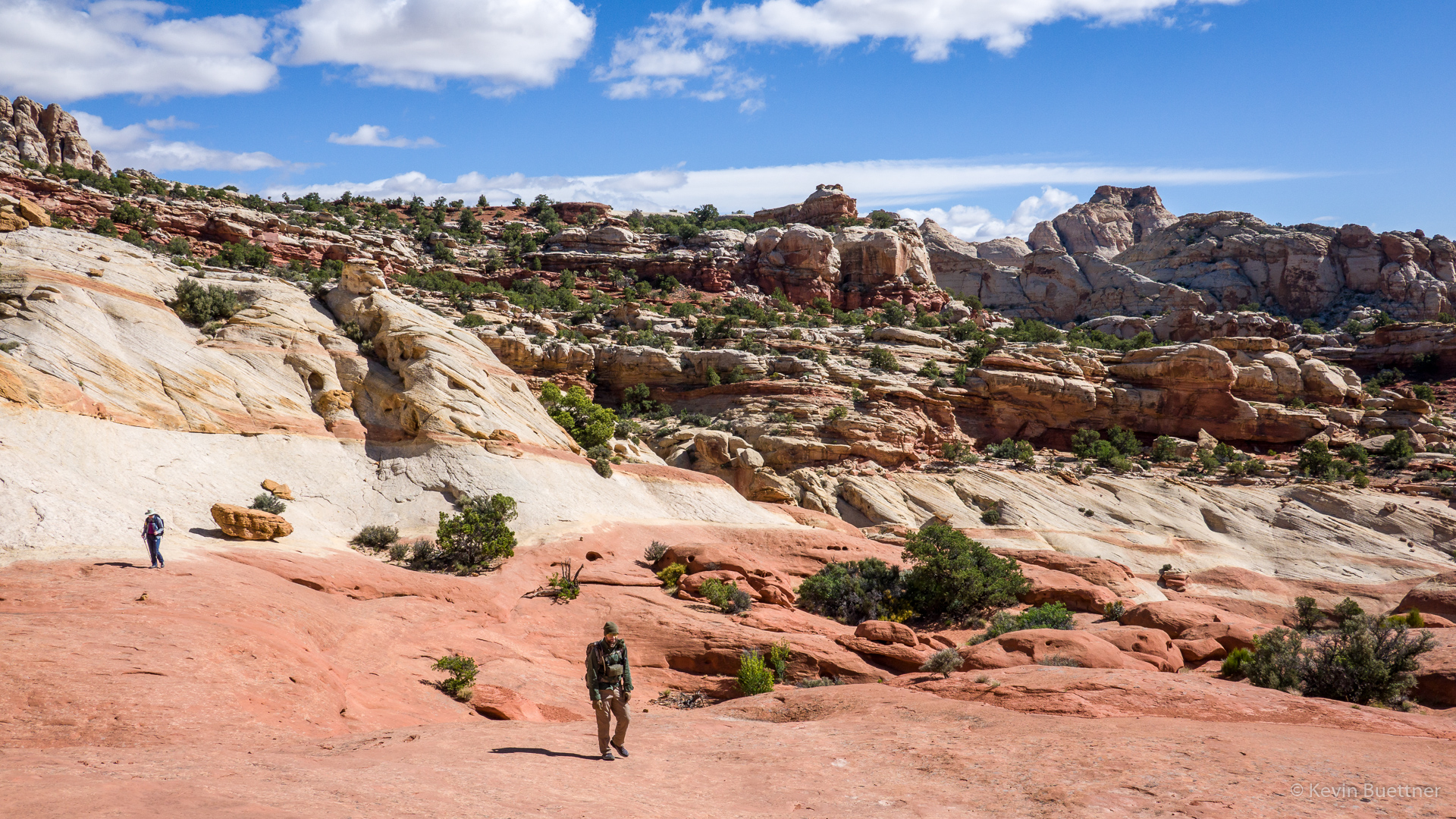
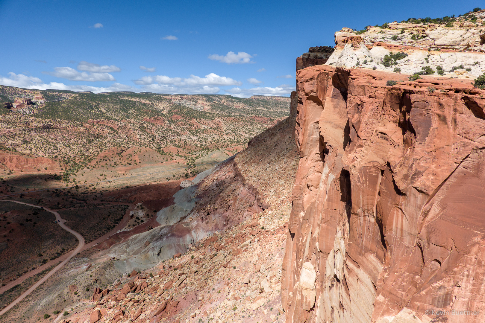
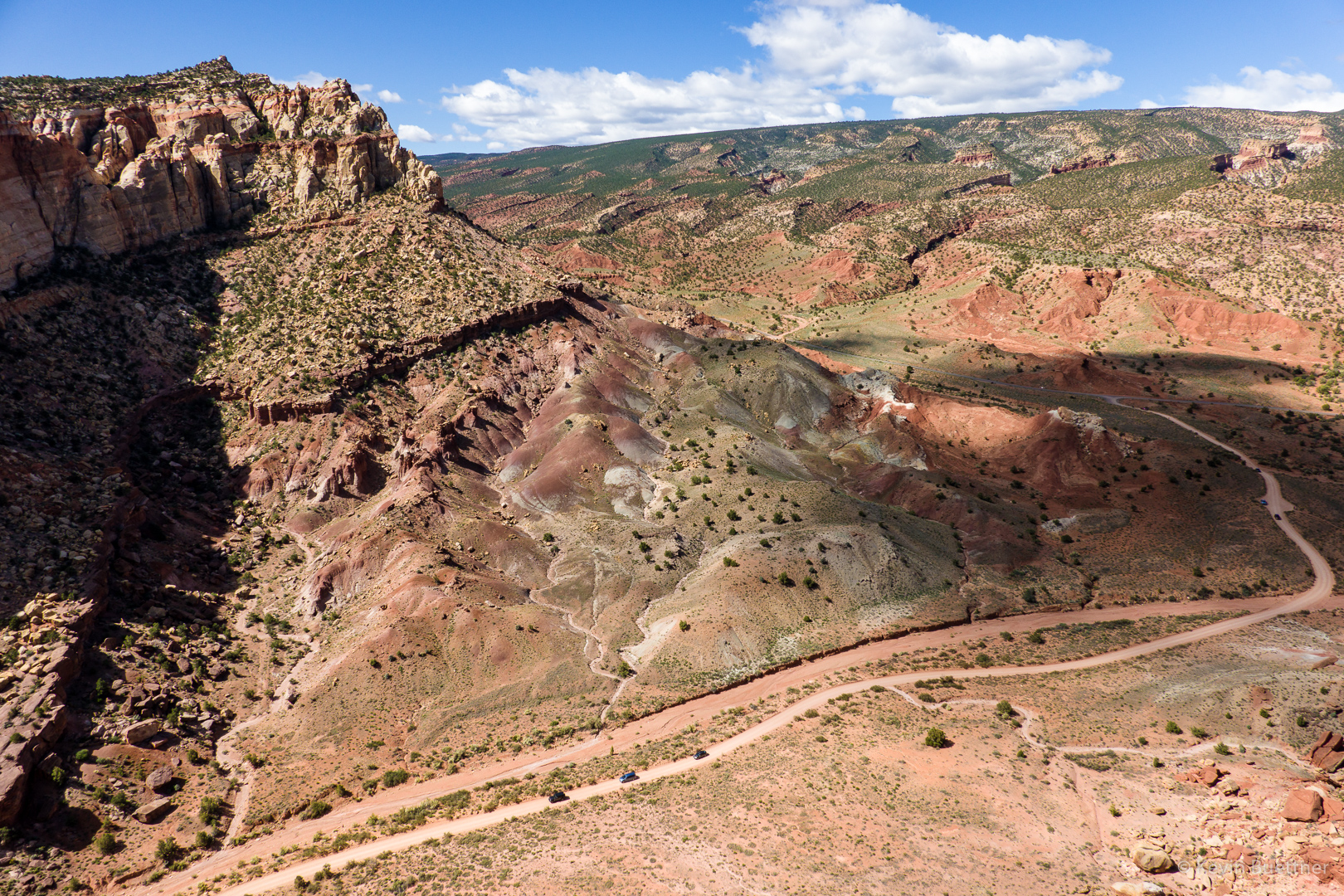
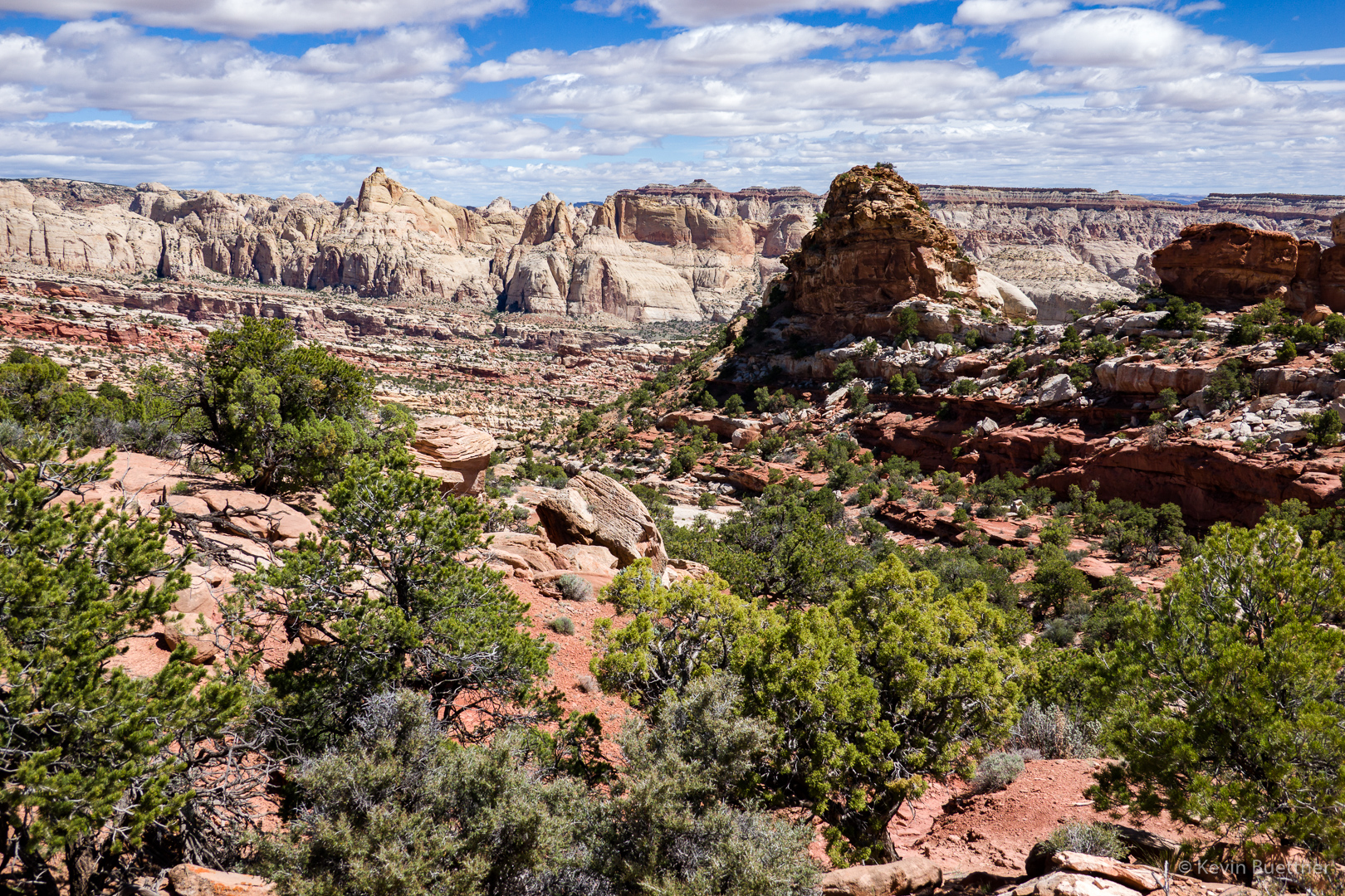
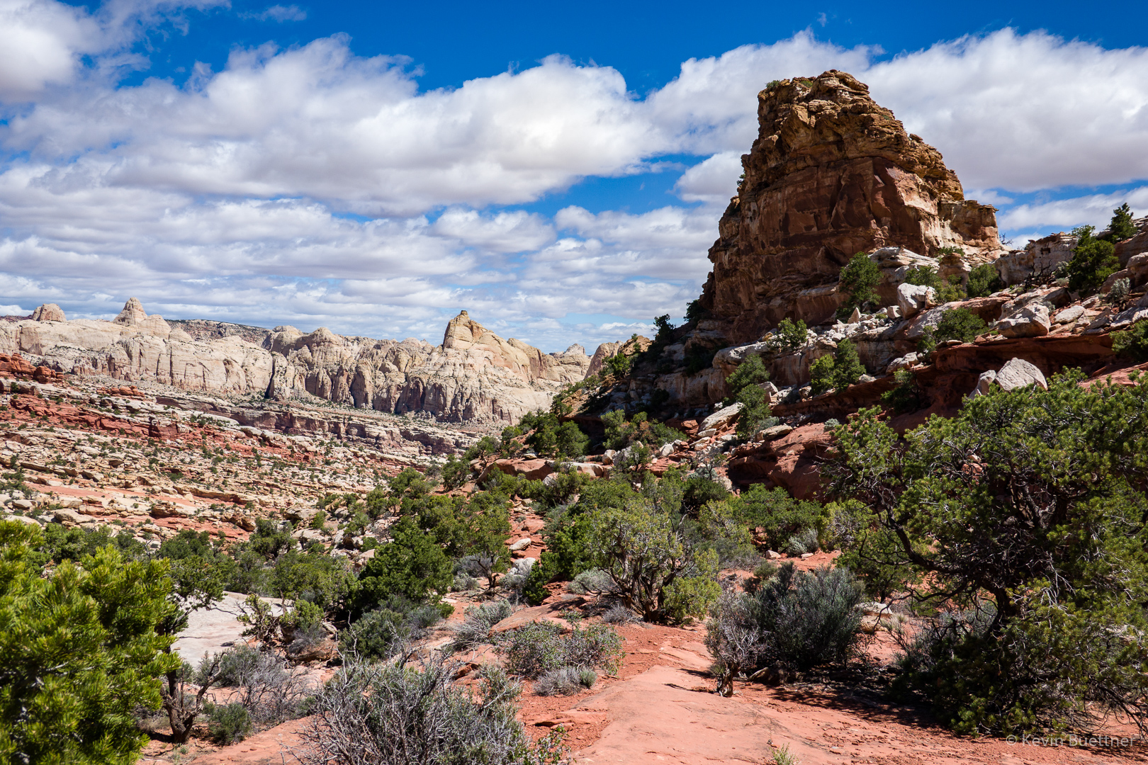
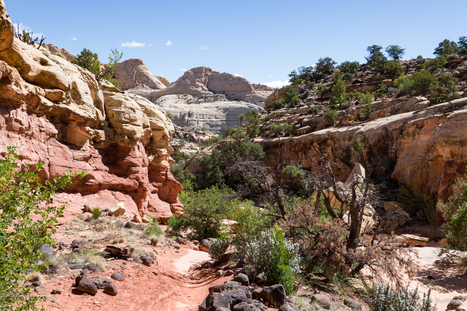
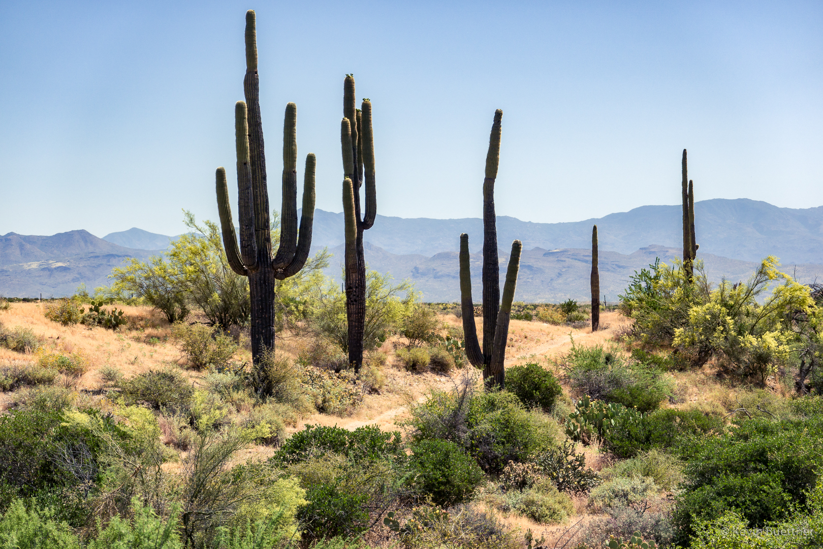
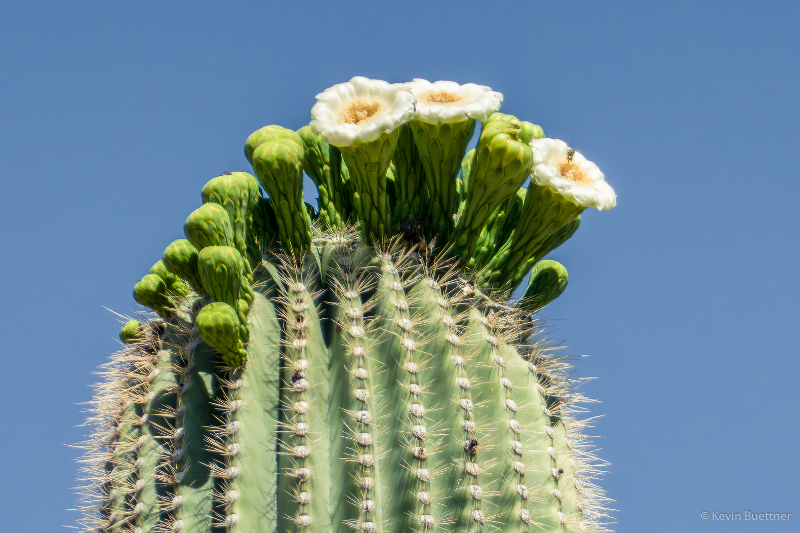
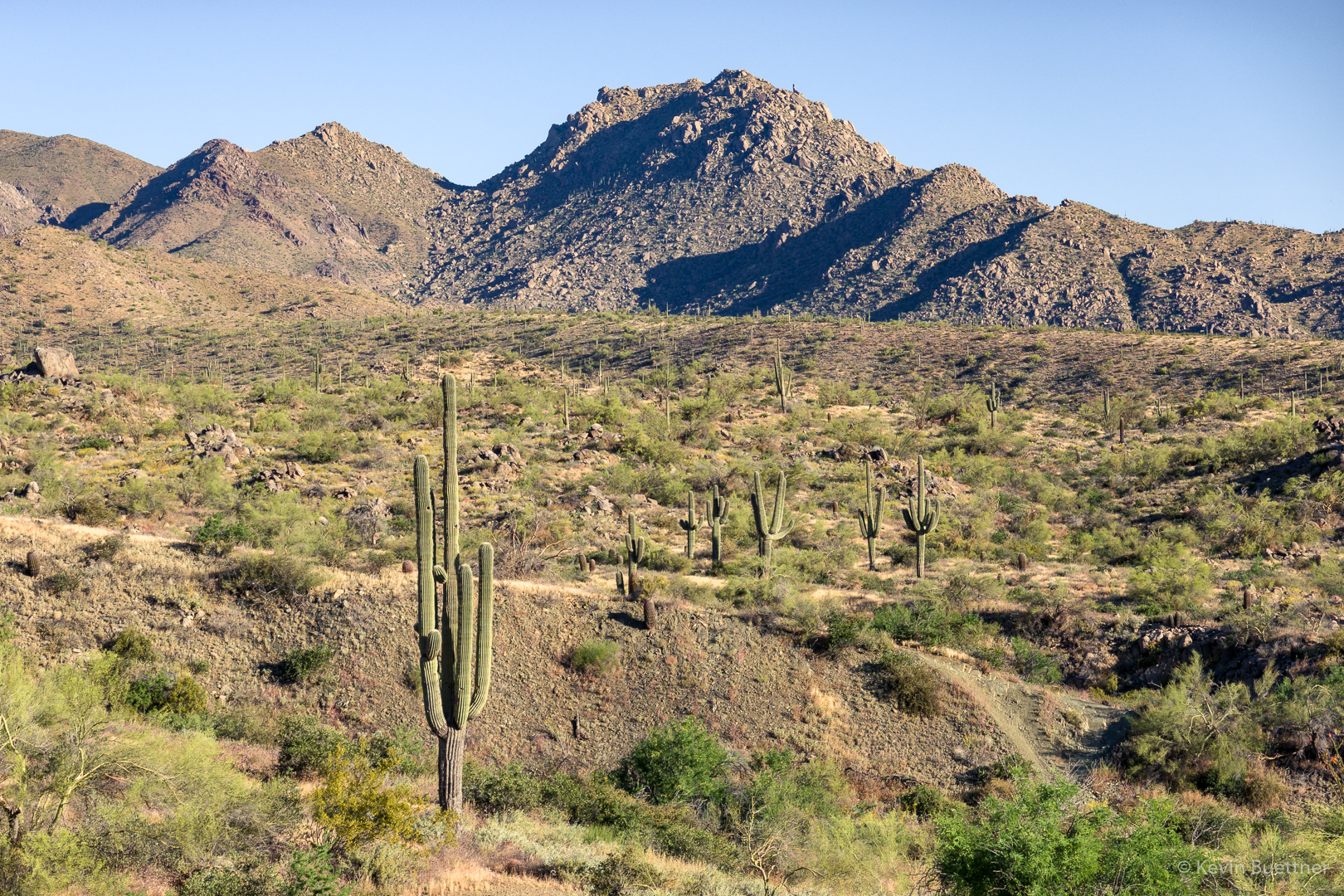
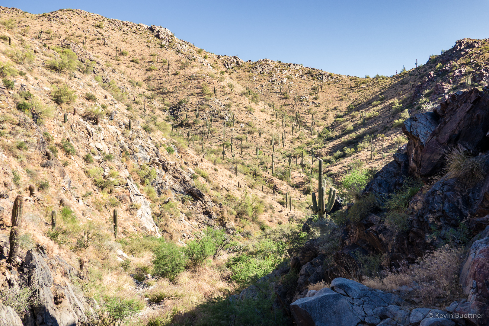
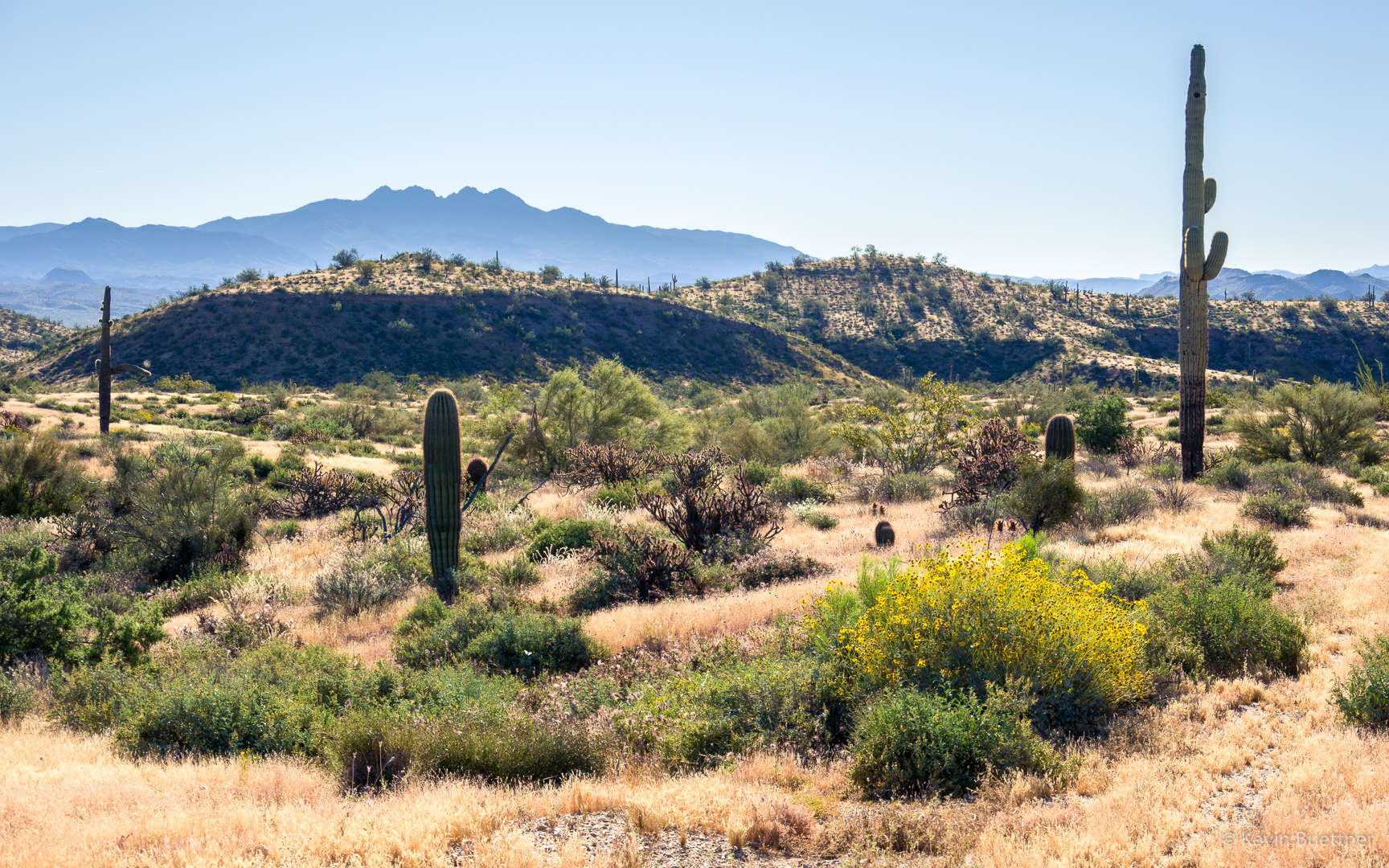
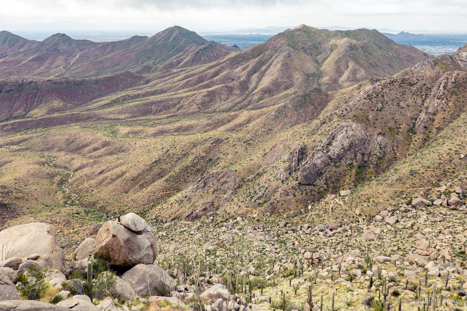
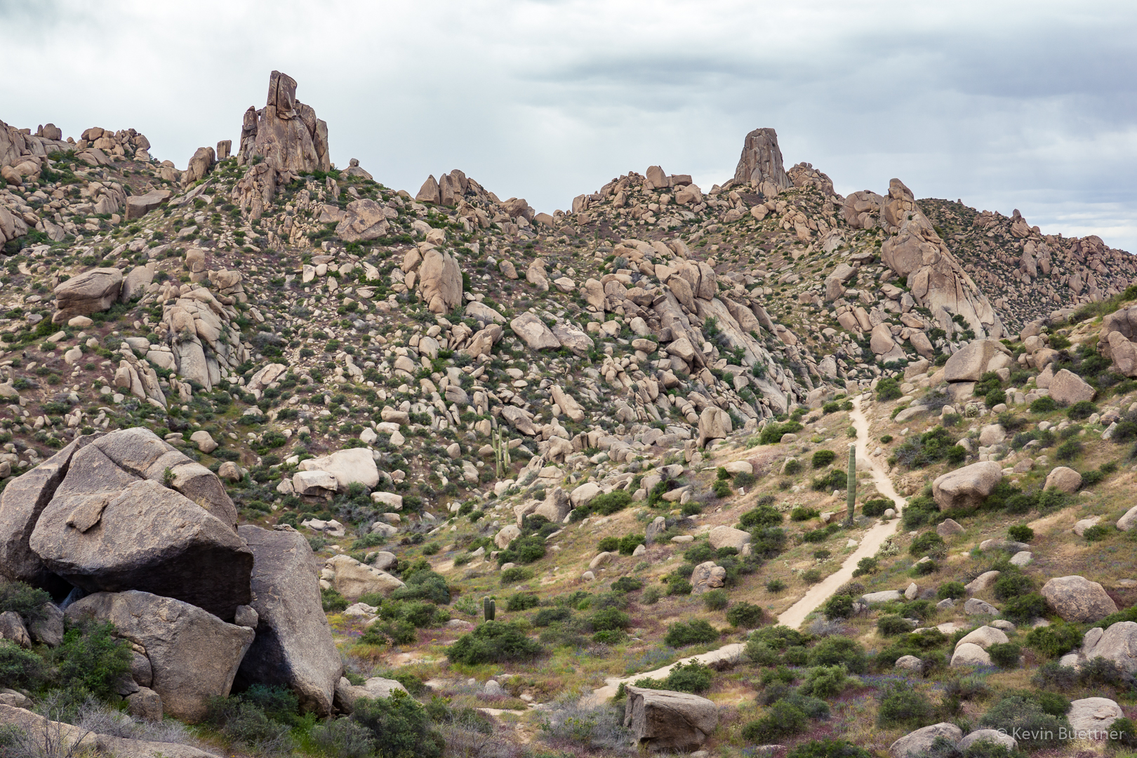
Continuing on the way to Hog Heaven…
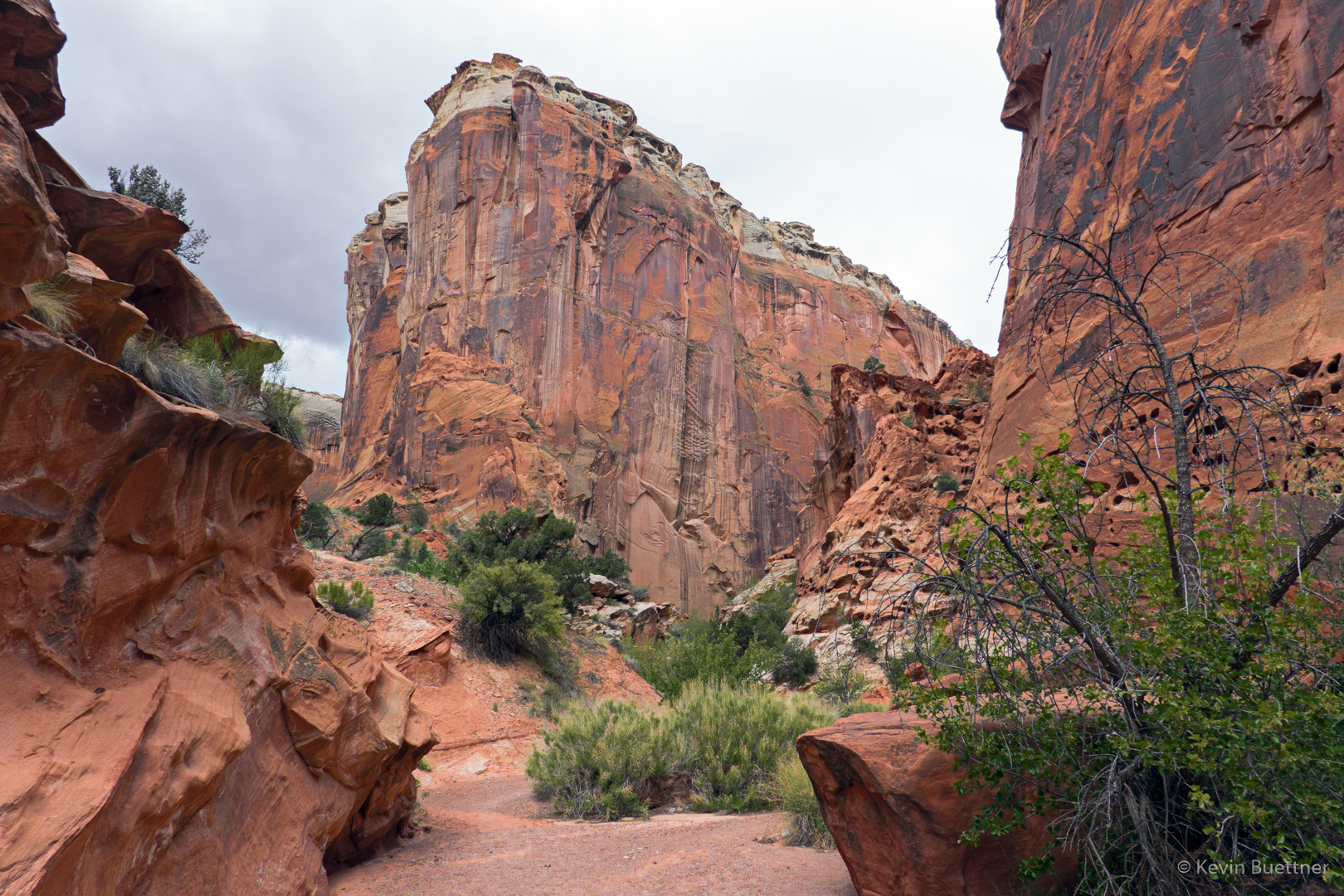
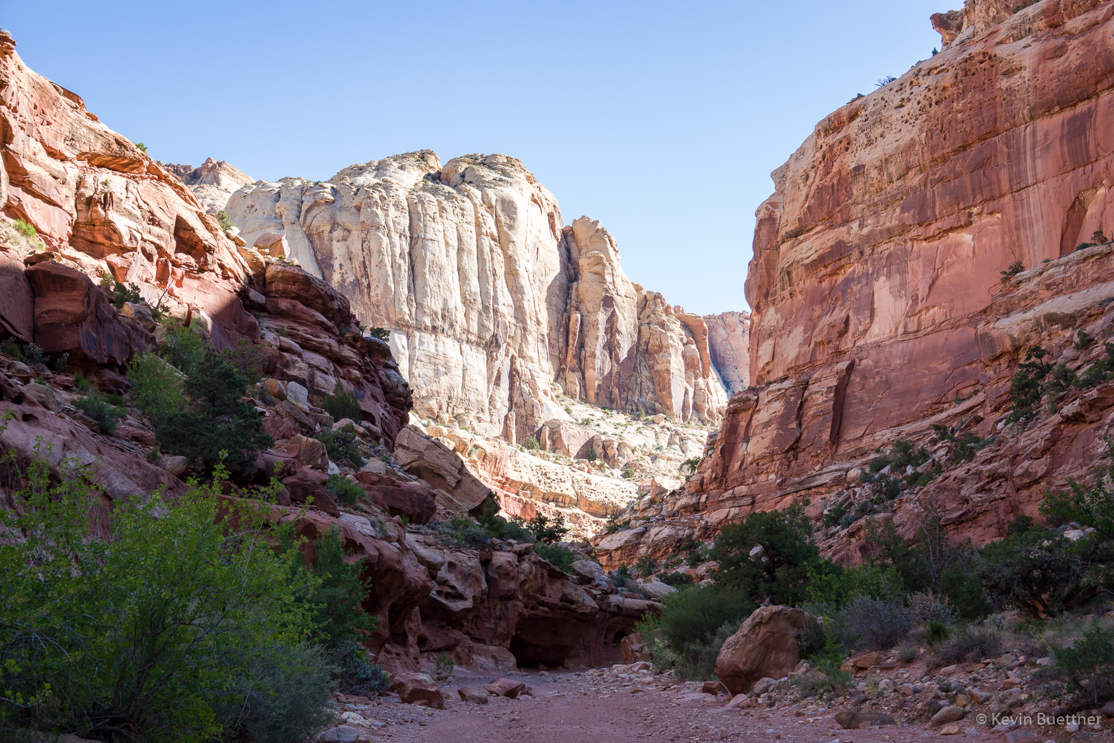
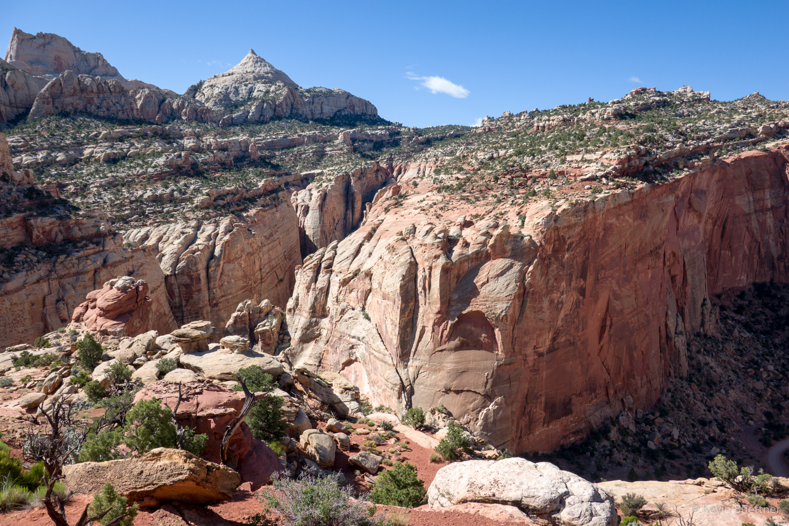
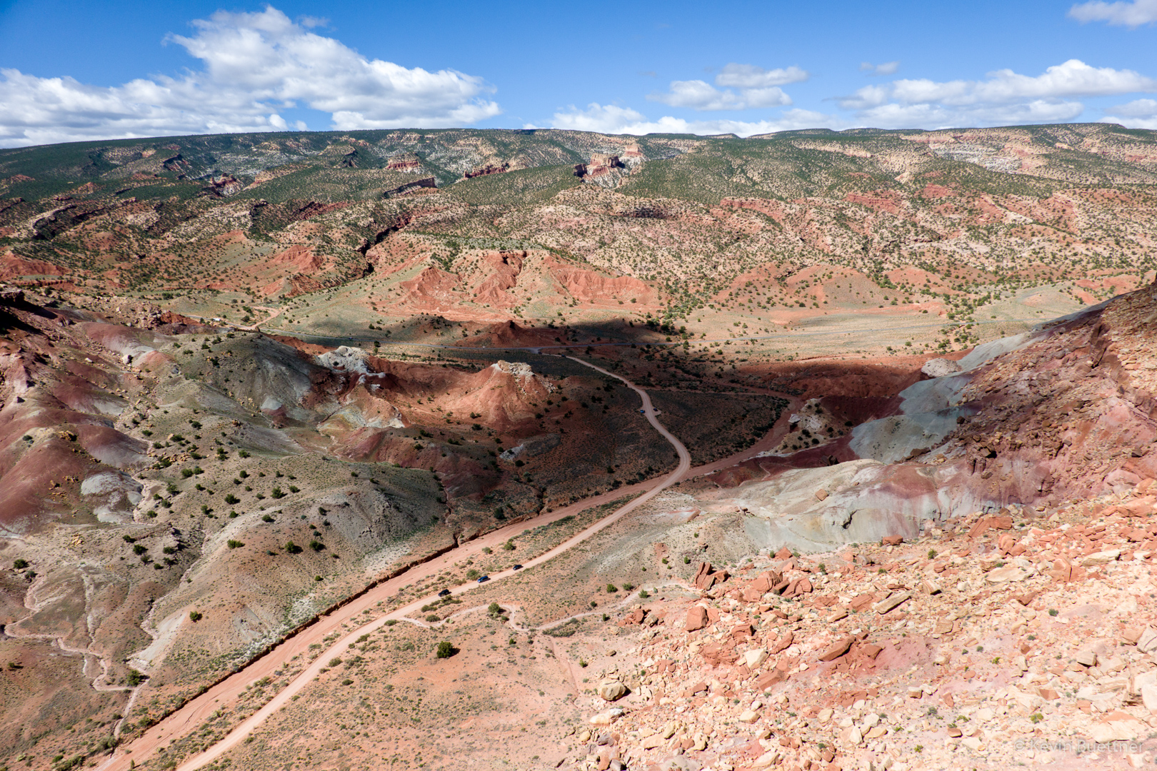
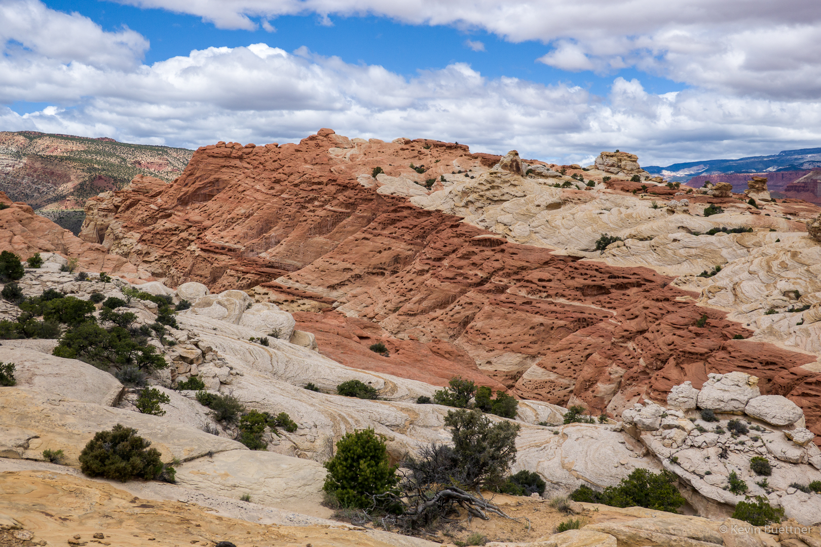
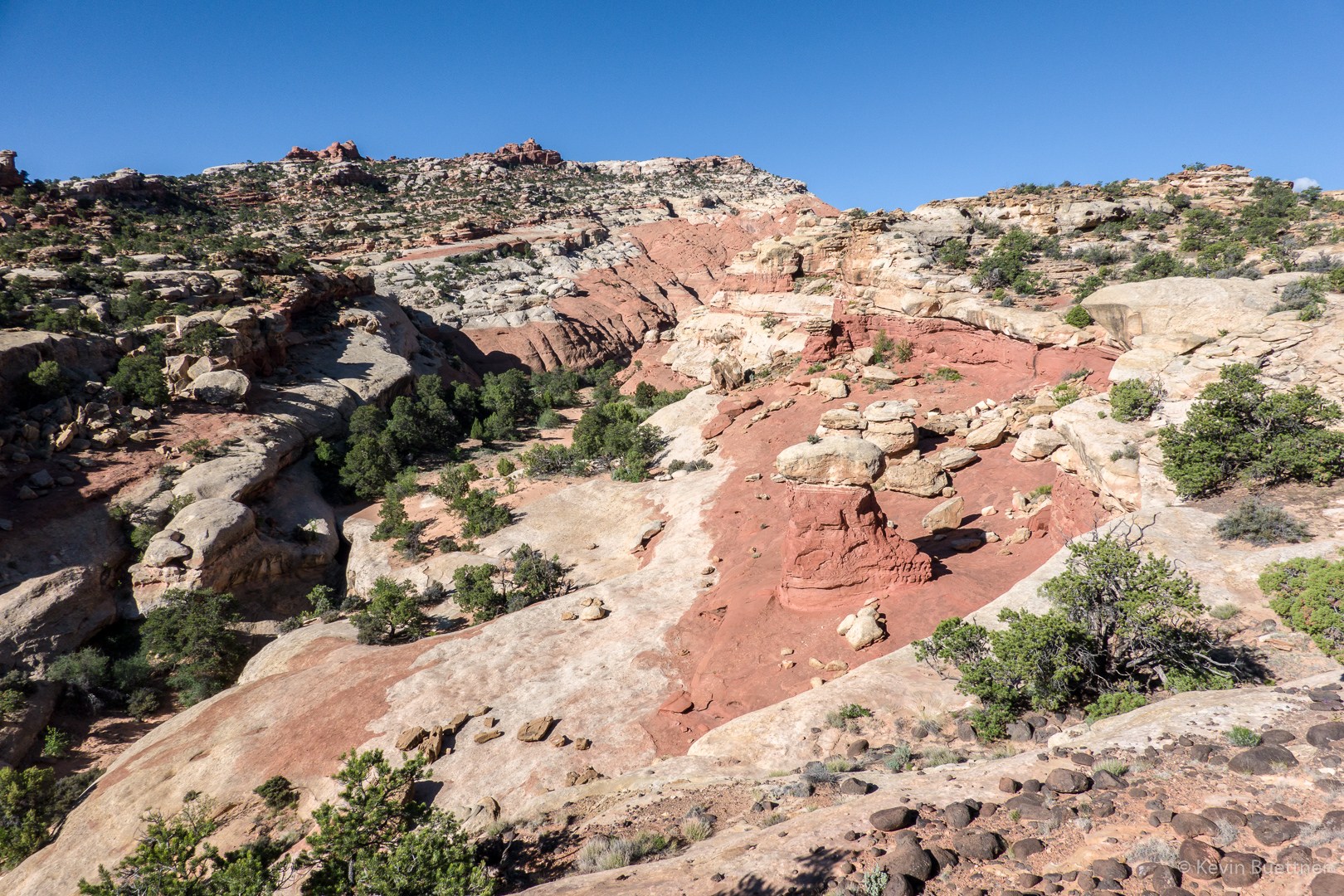
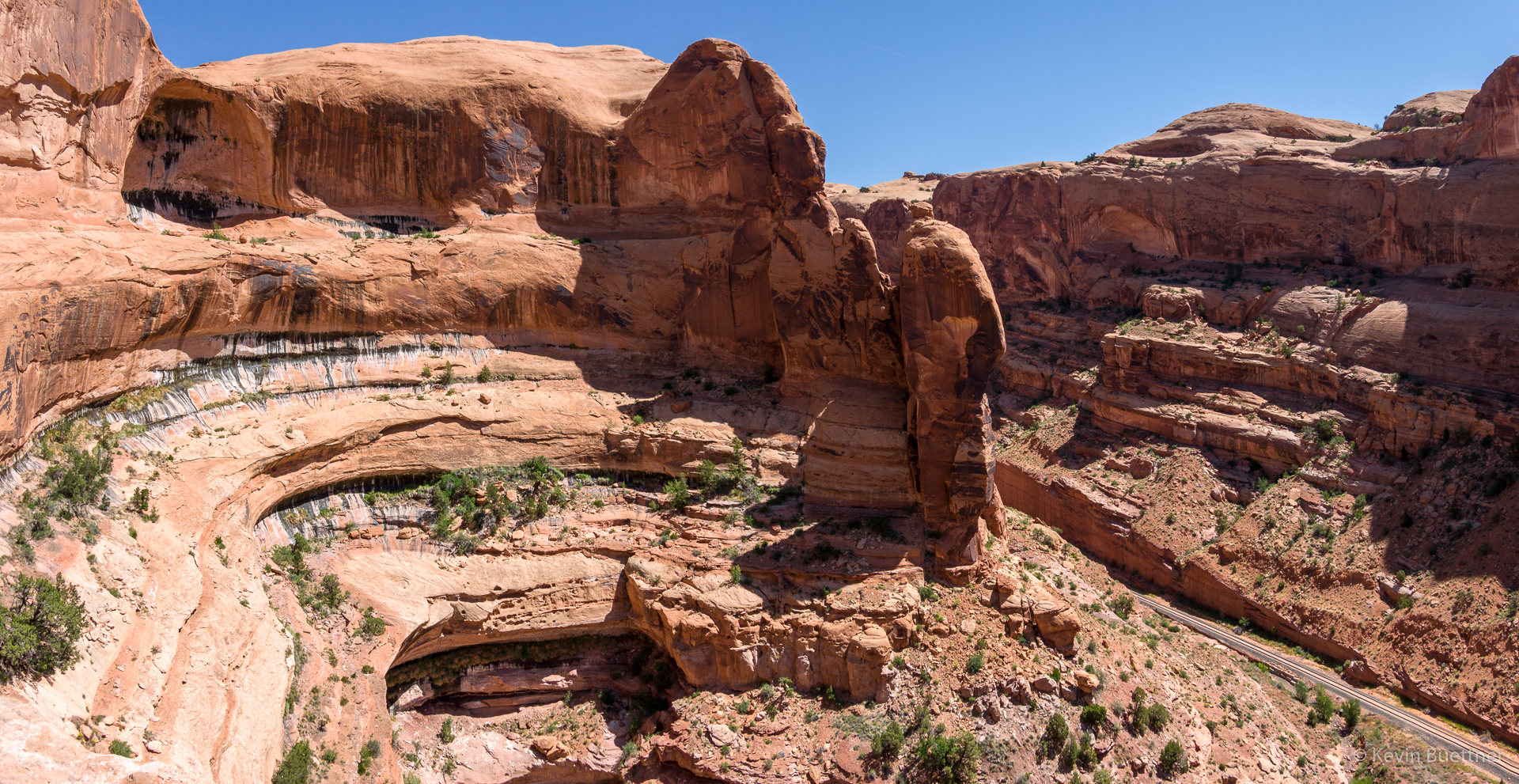
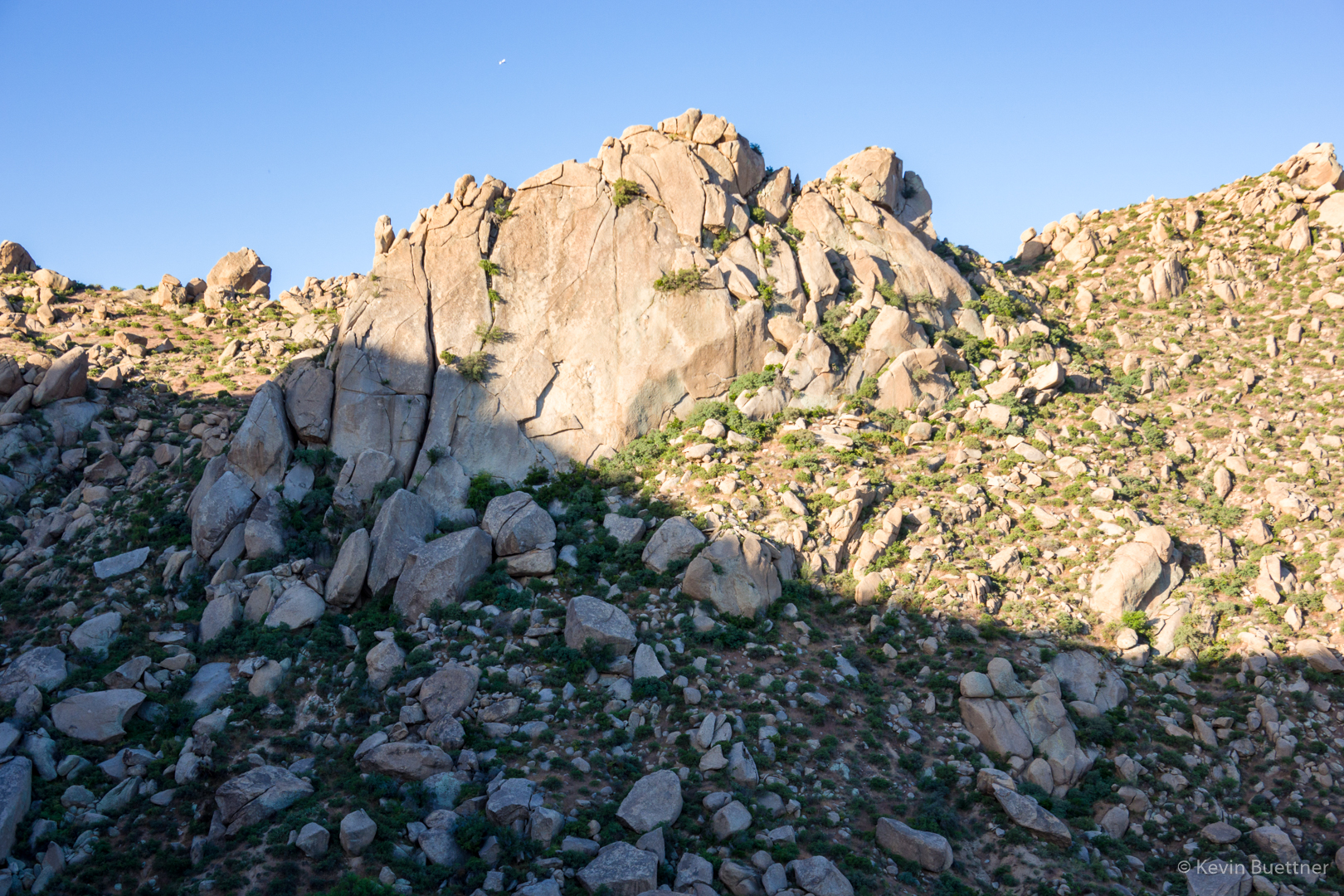
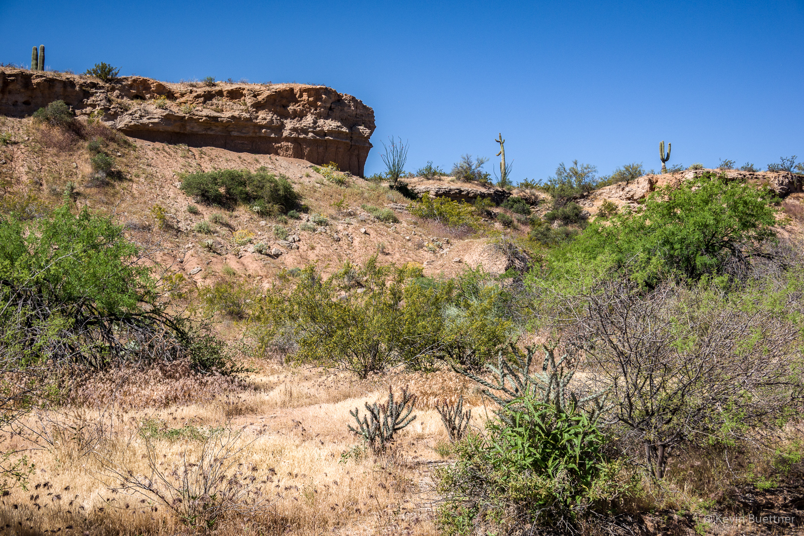
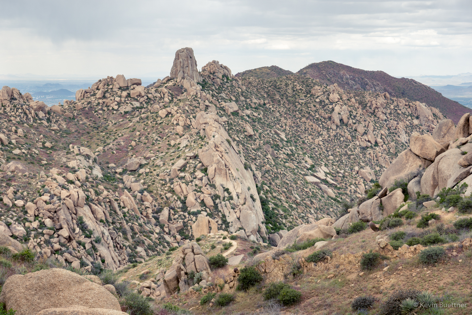
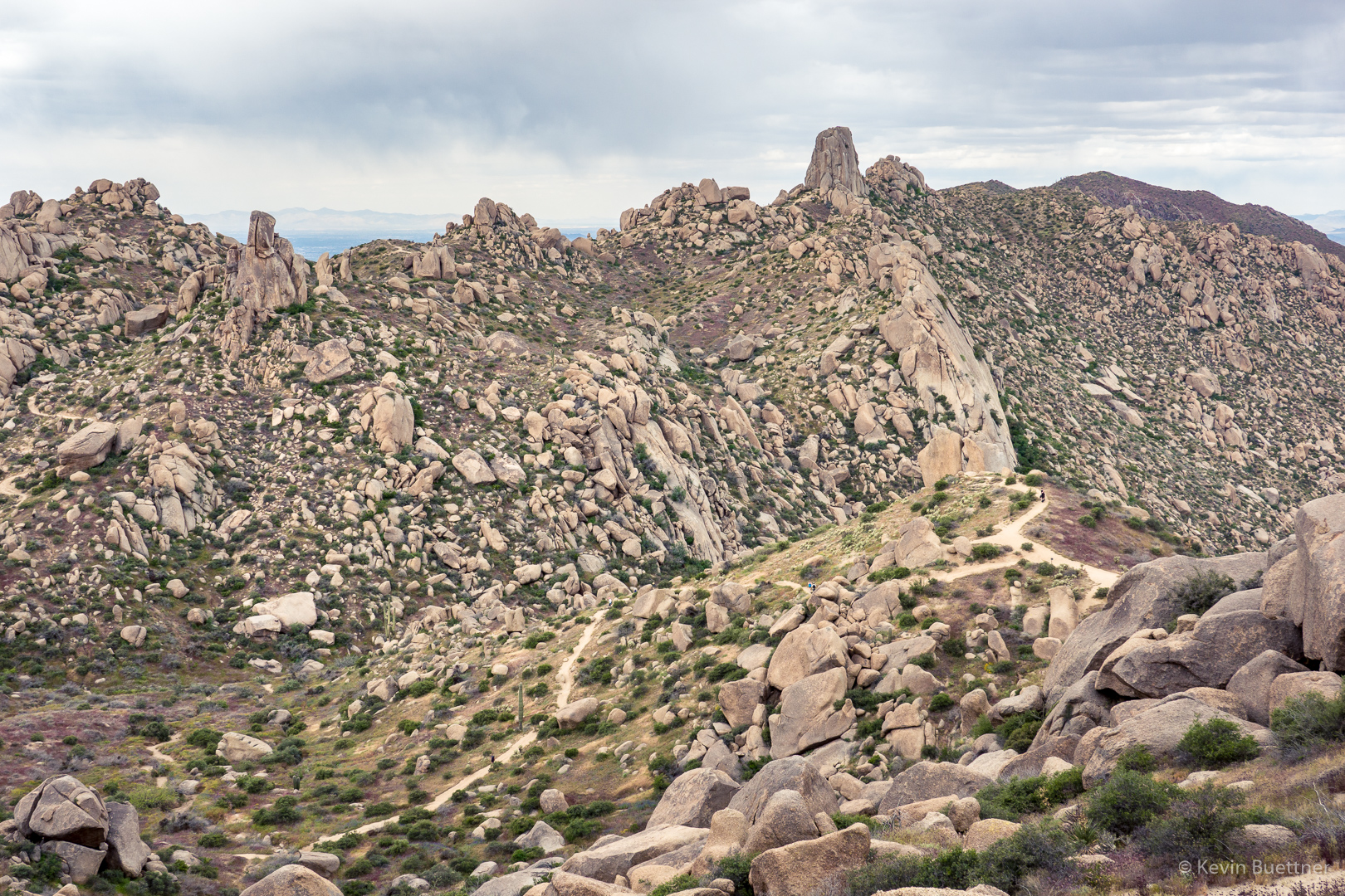
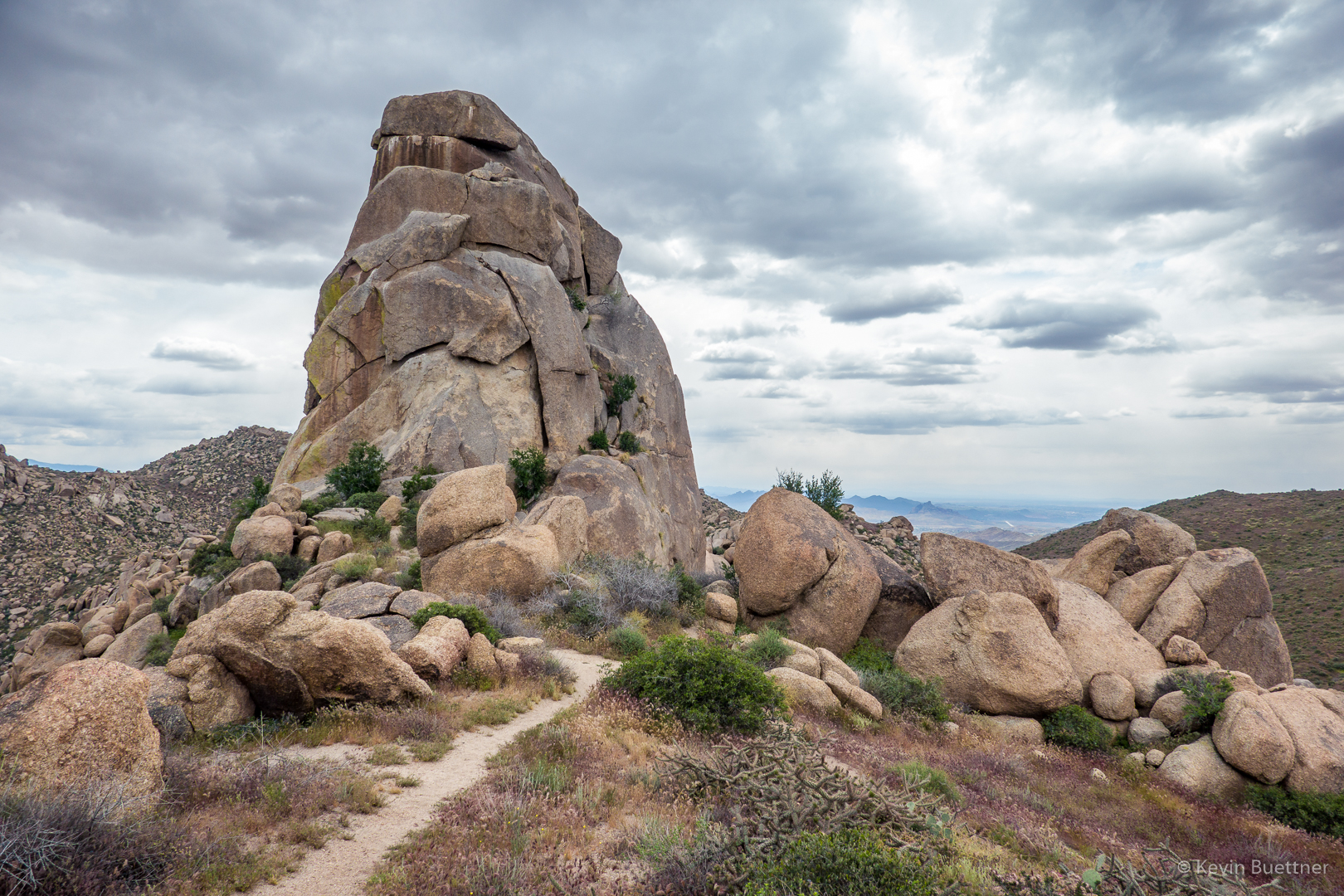
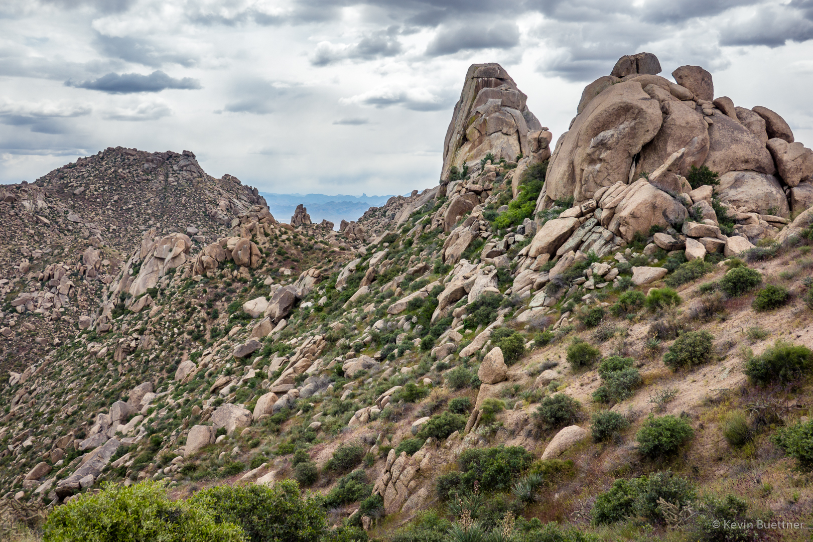
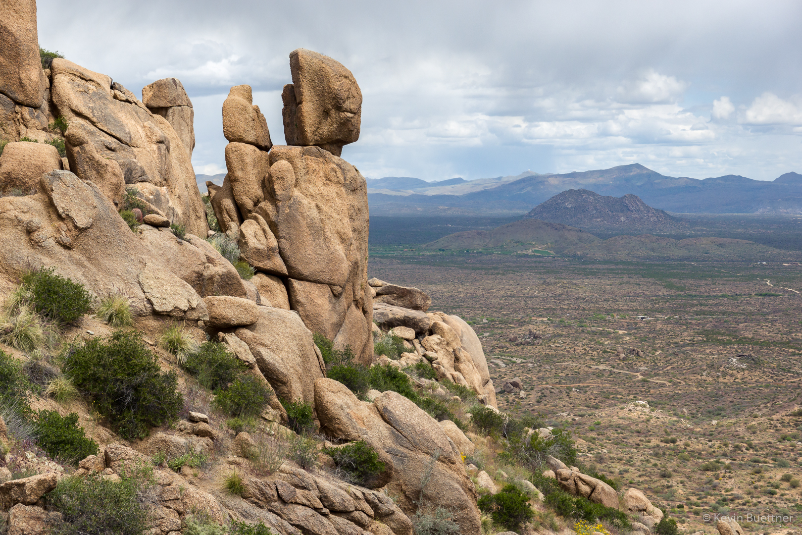
The small but prominent pinnacle is the Thumbnail Pinnacle. Below it and to the left is the main wall of Hog Heaven.
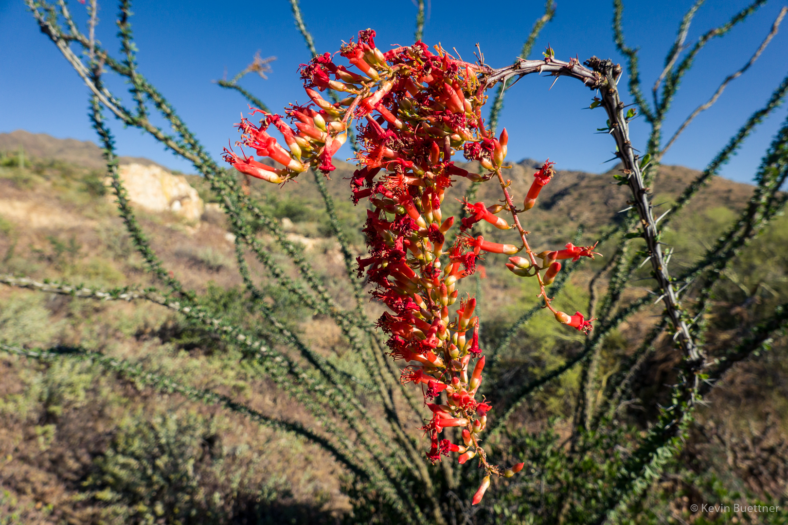
Lupine:

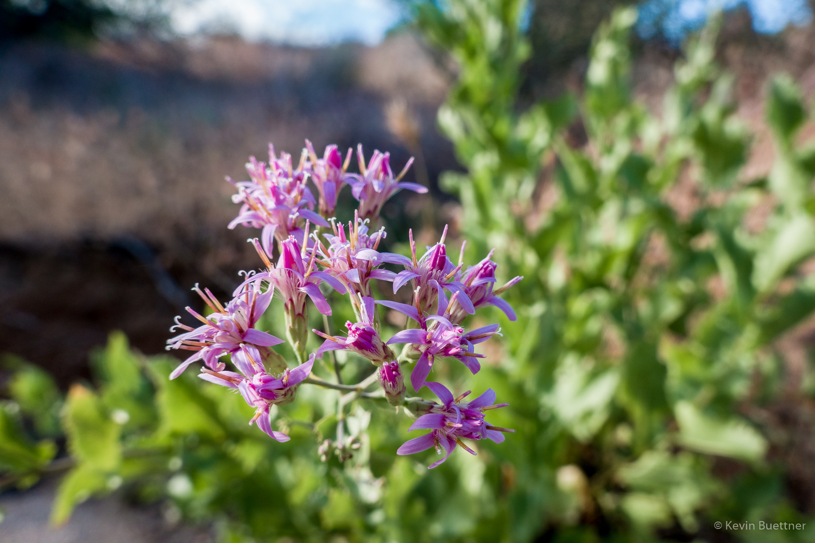
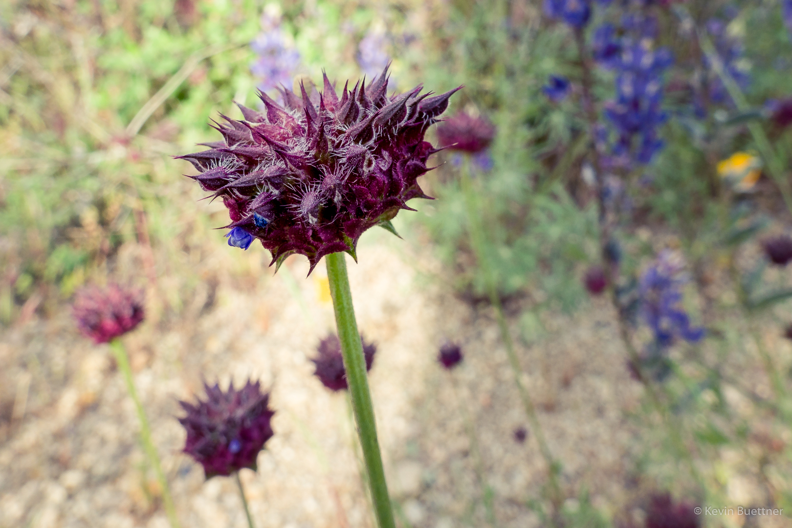
Chia:
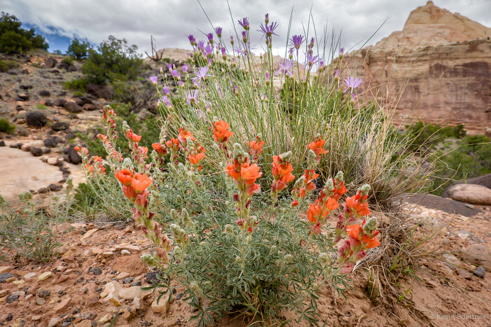
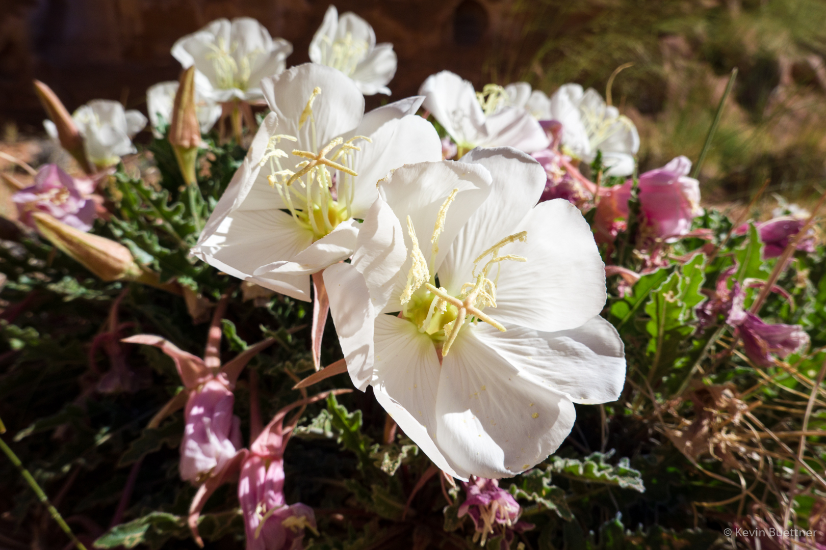
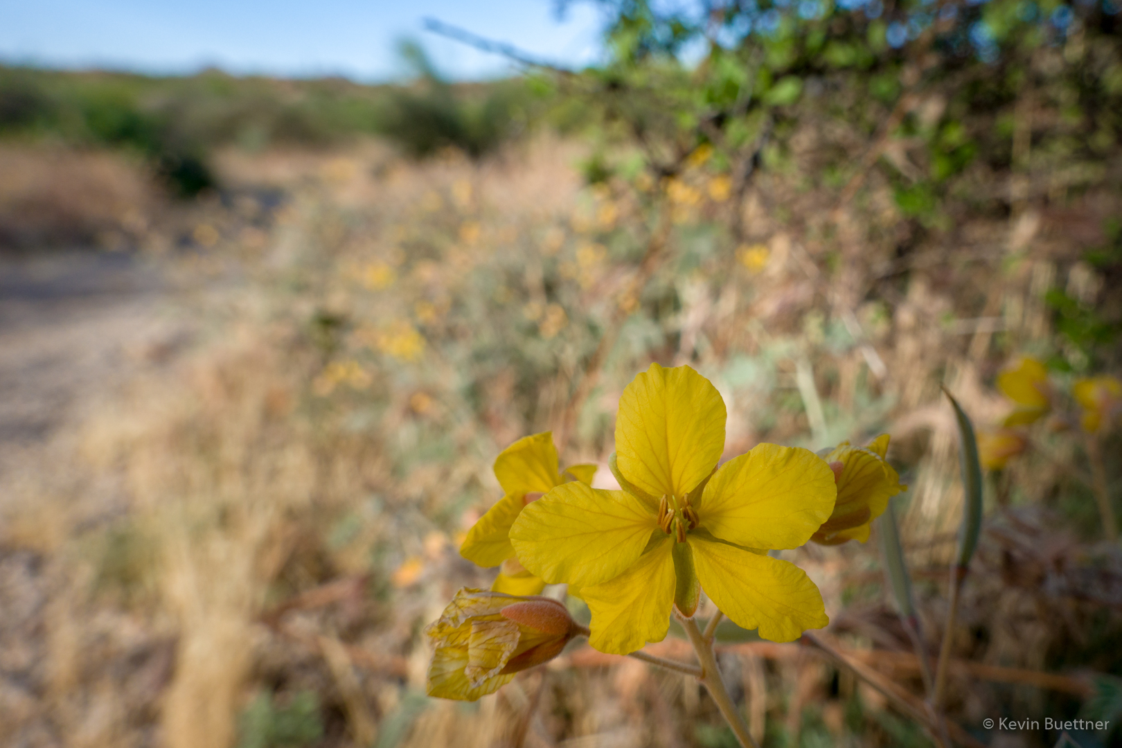
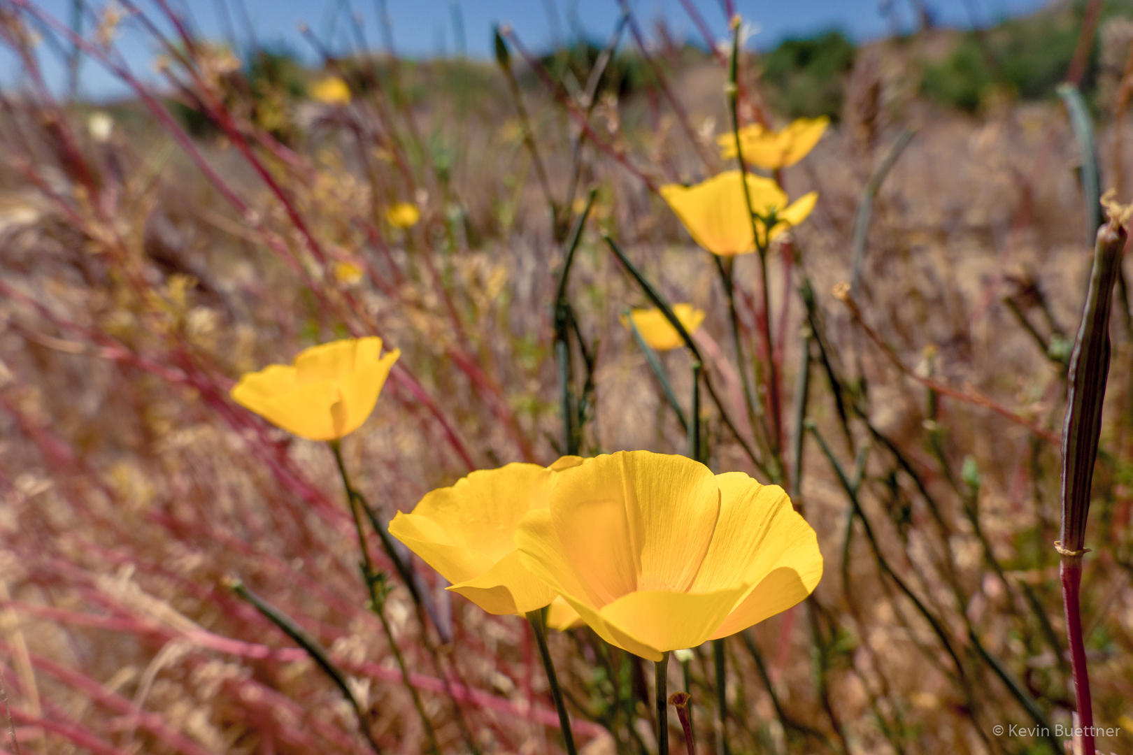
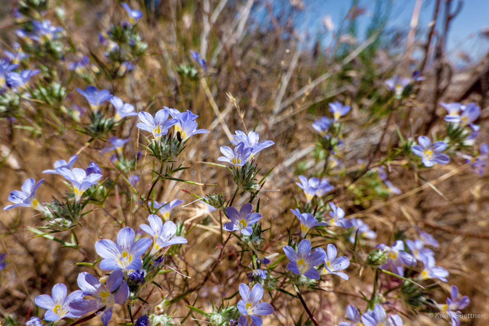
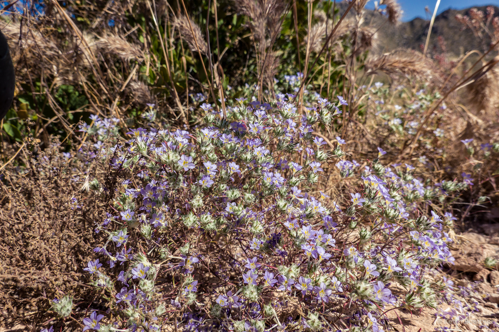
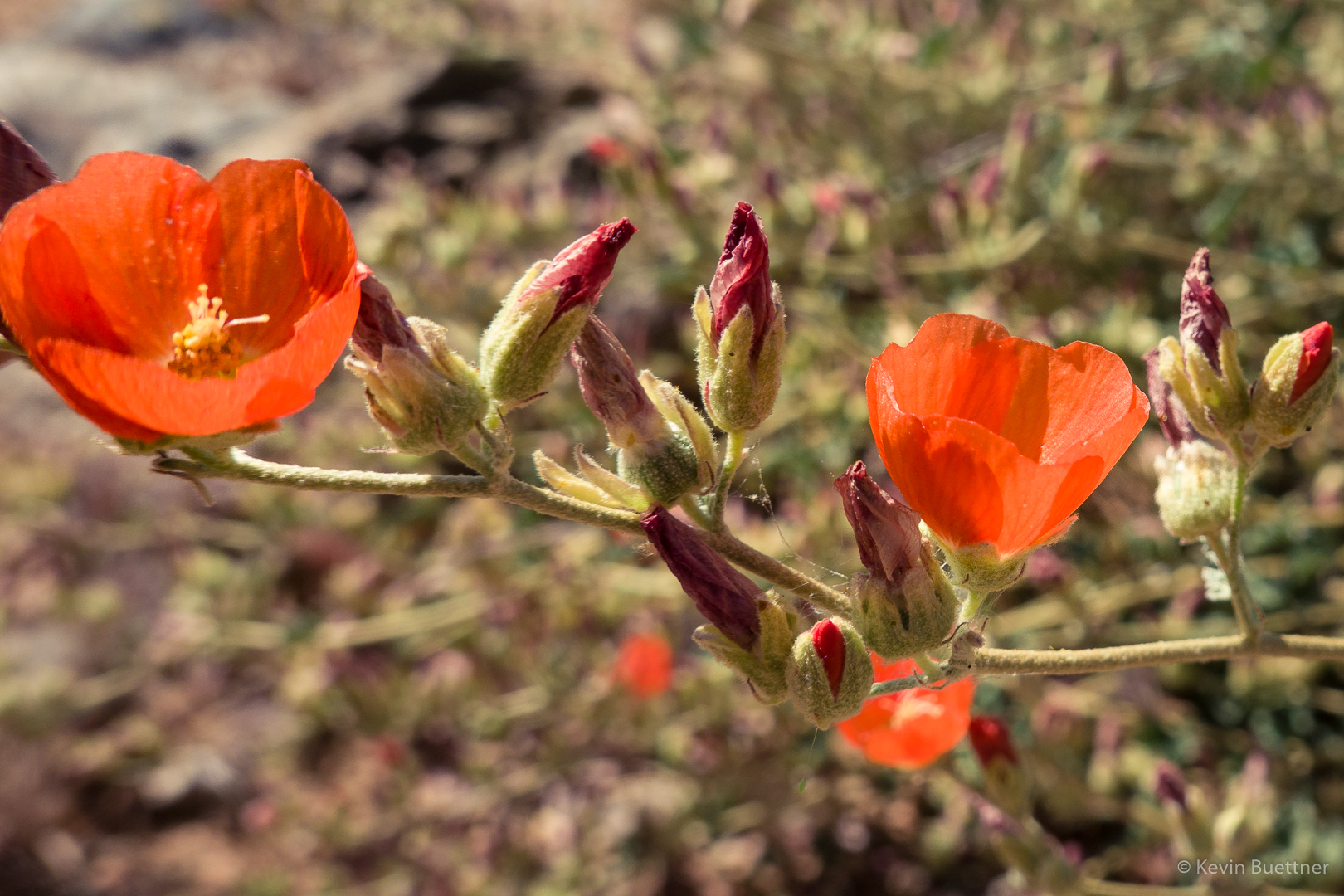
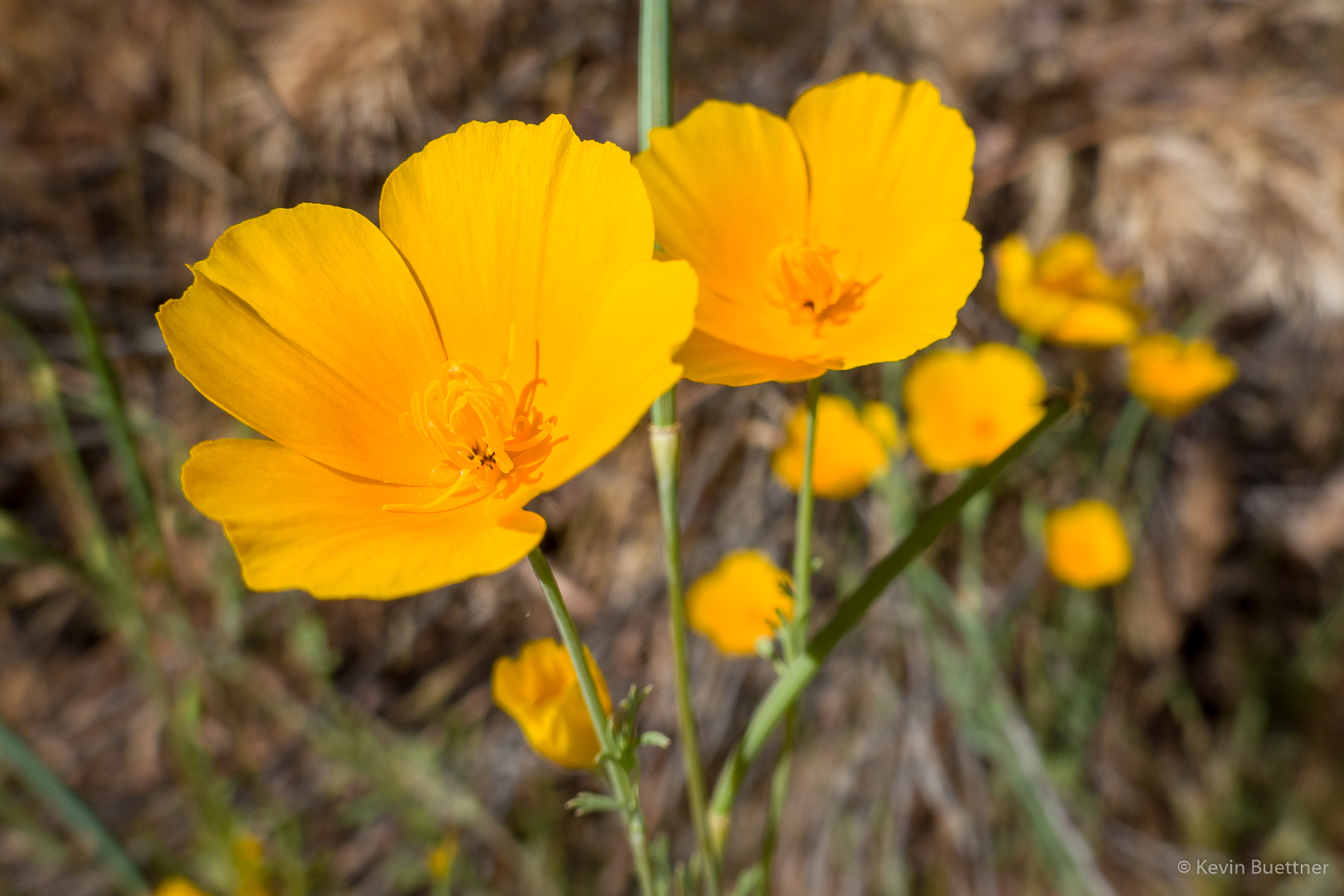
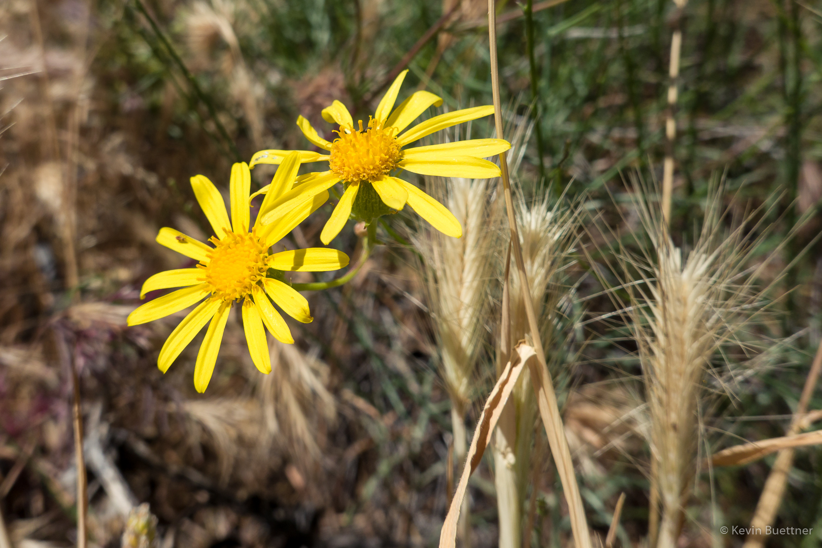
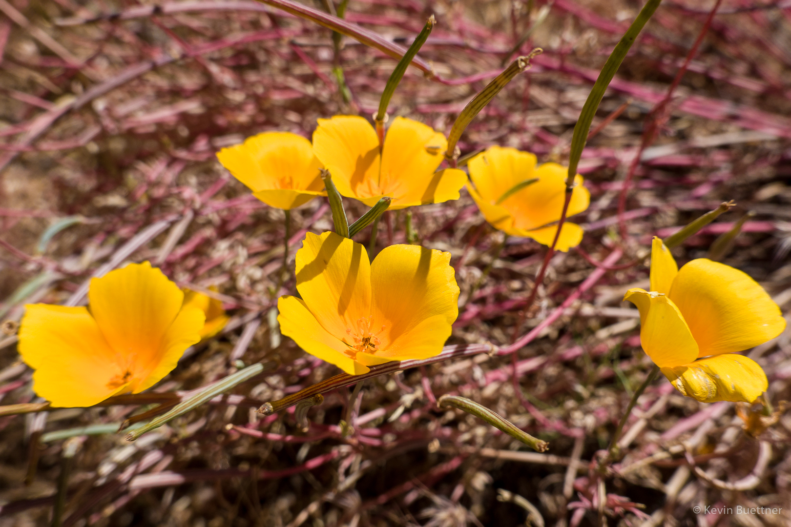
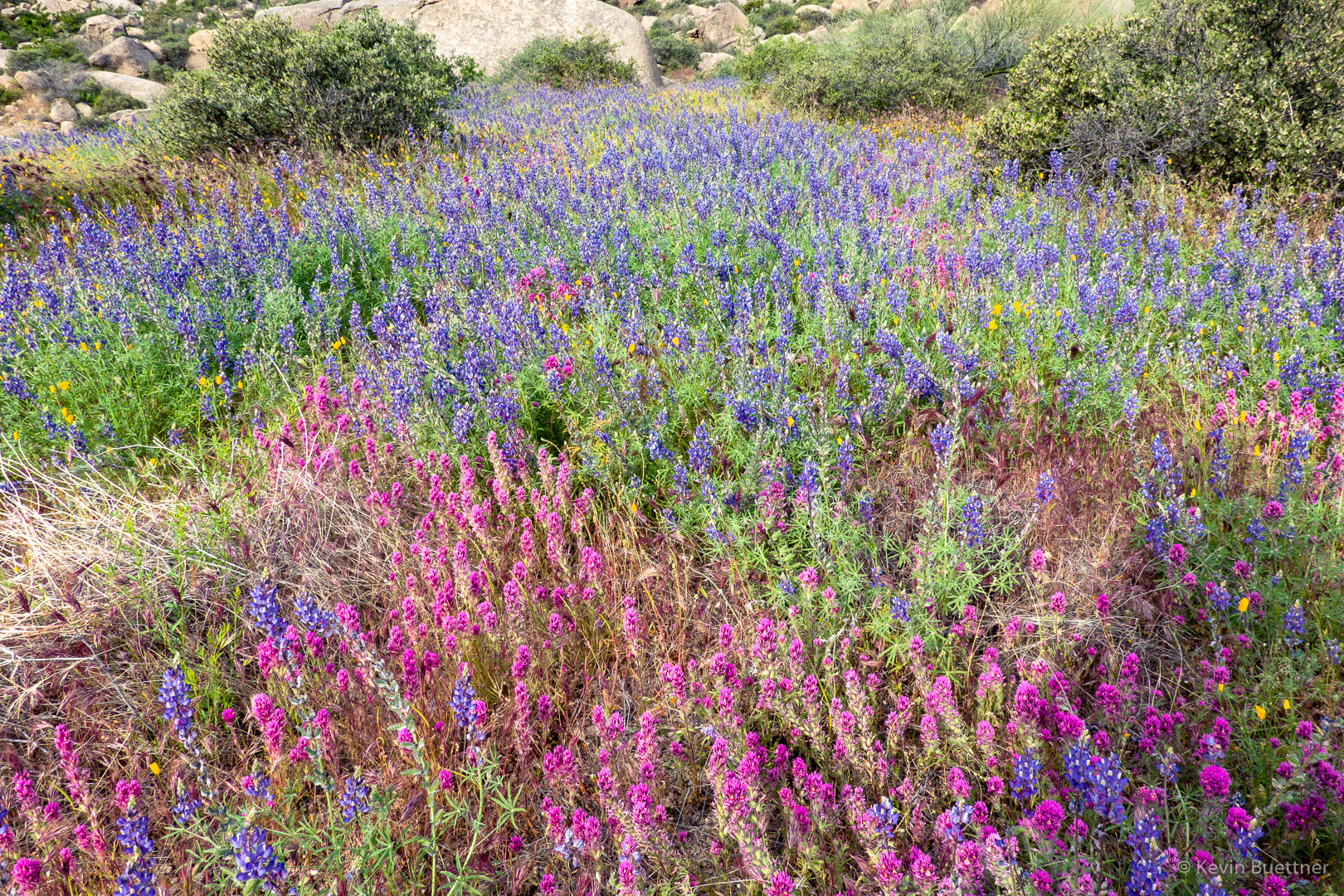
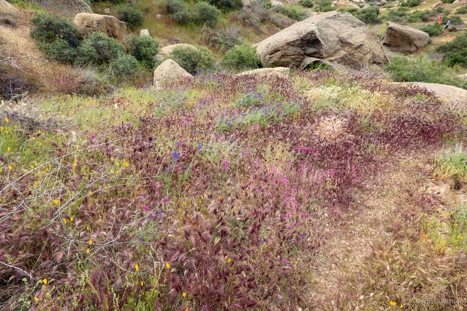
One of the many patches of owl clover, lupine, and poppies:
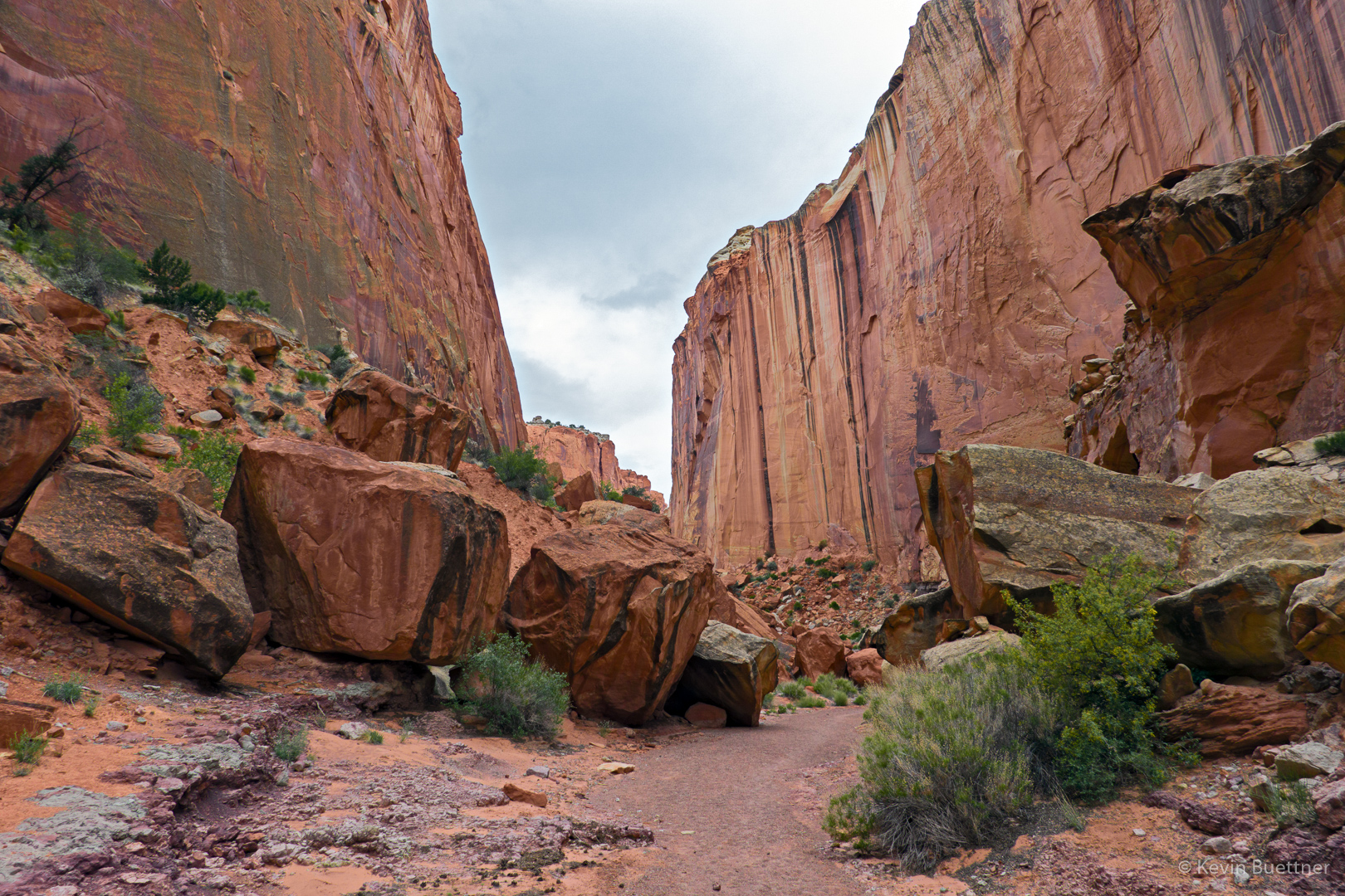
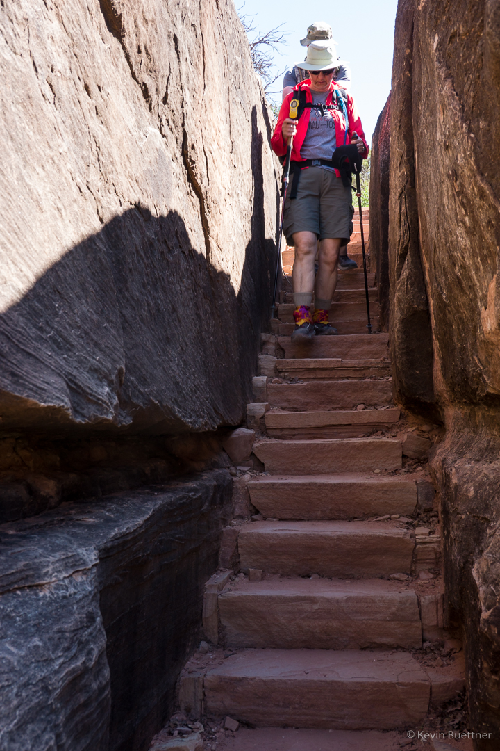
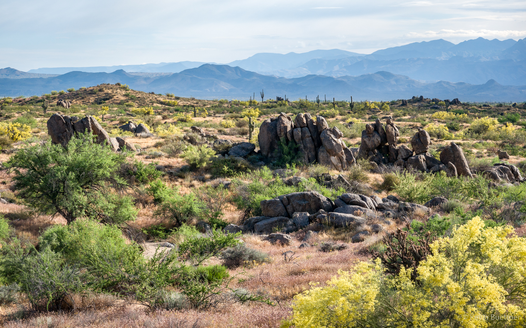
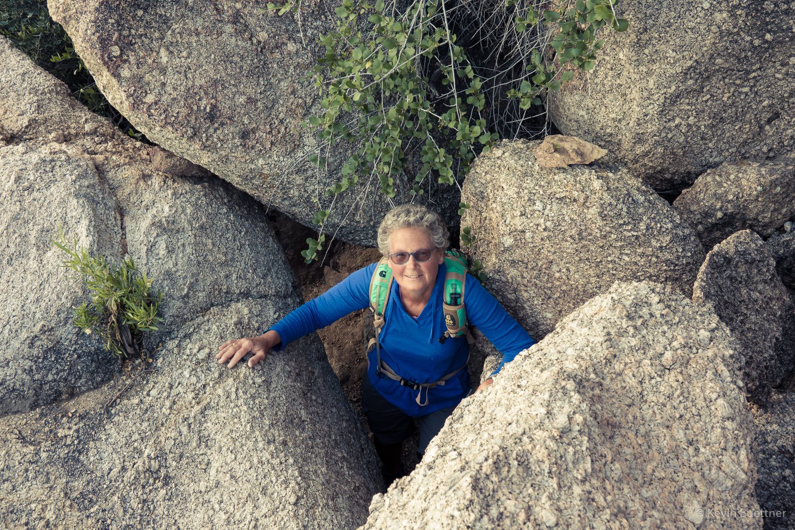
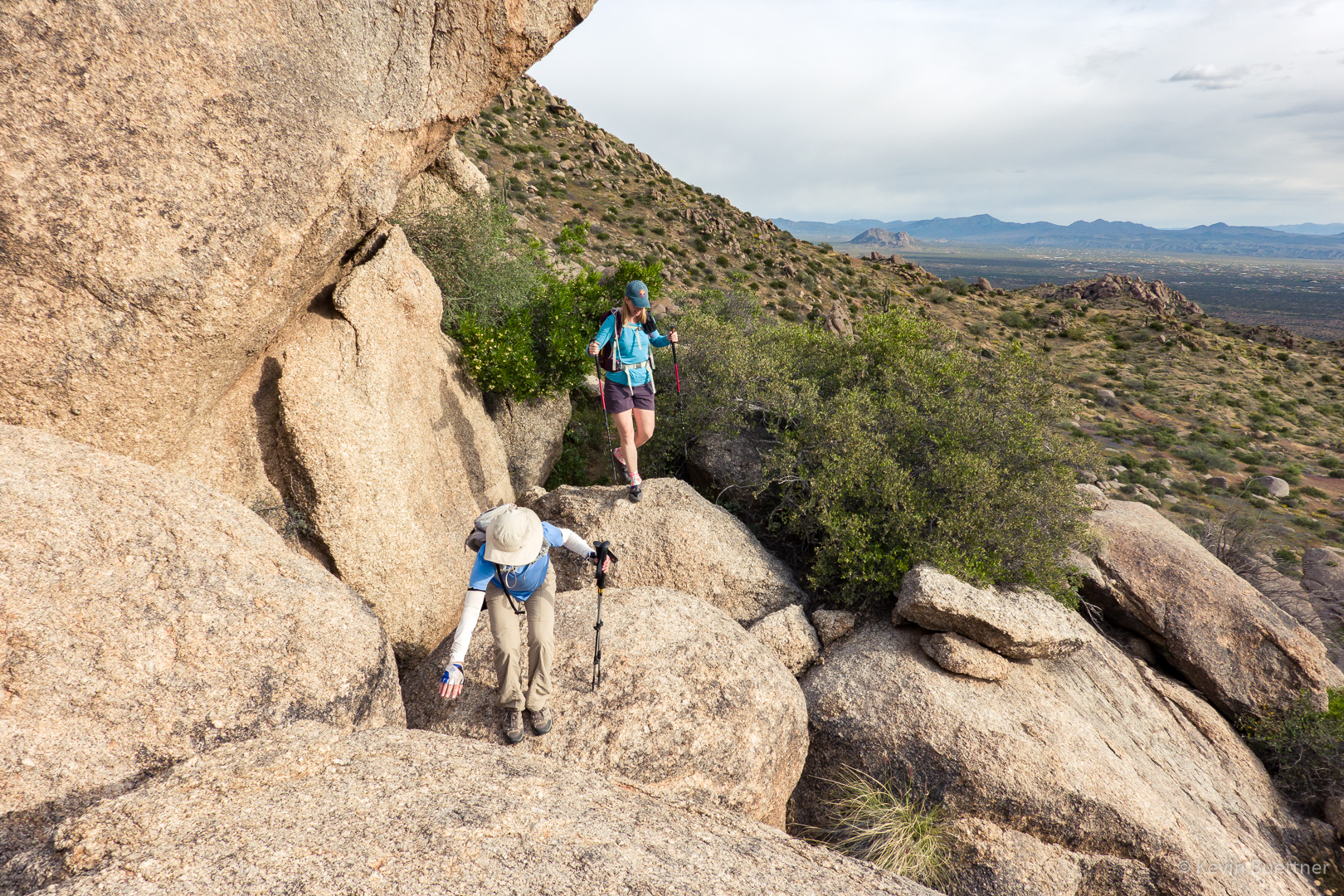
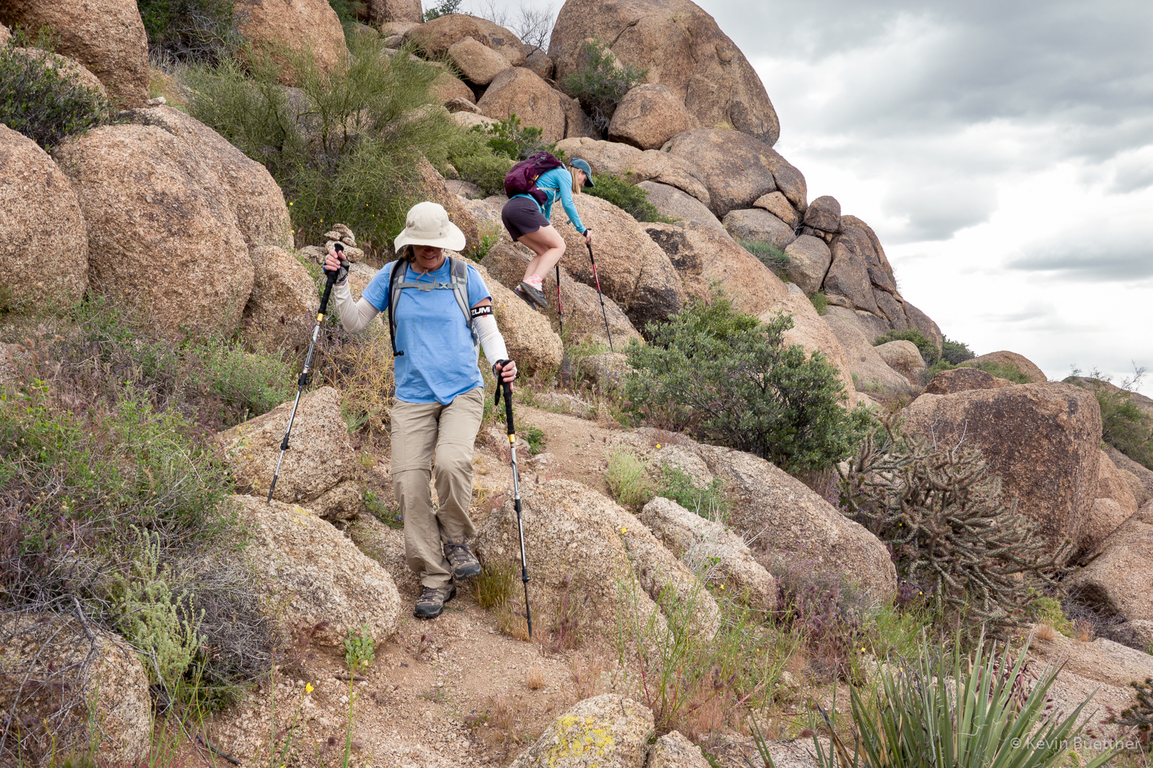
(Big) Boulder hopping:
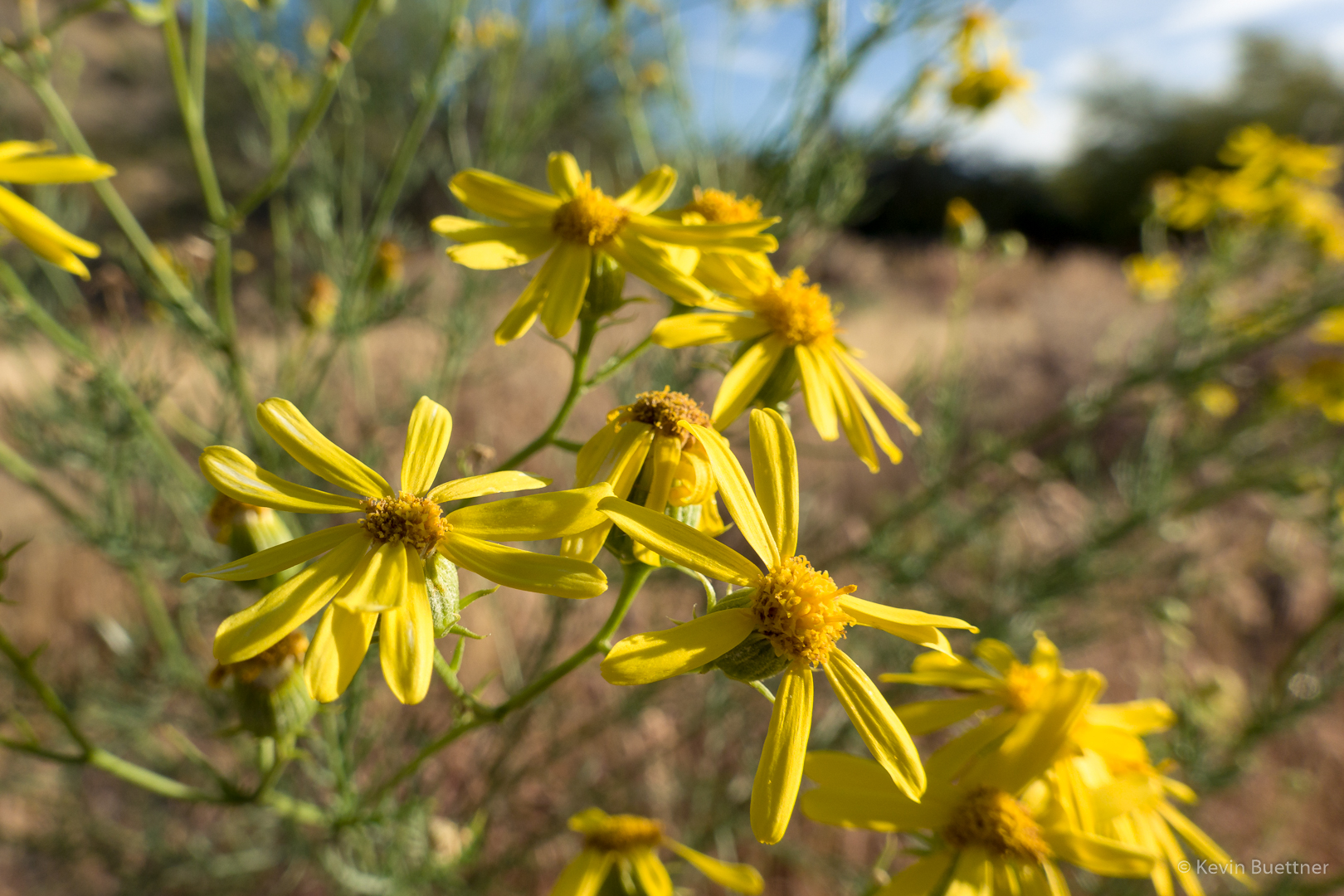
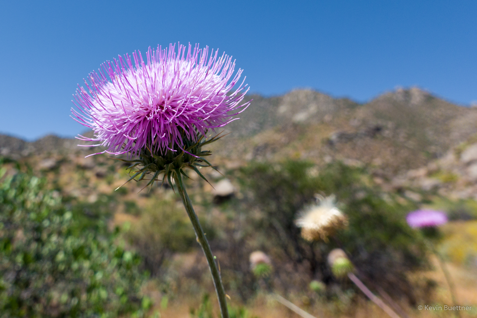
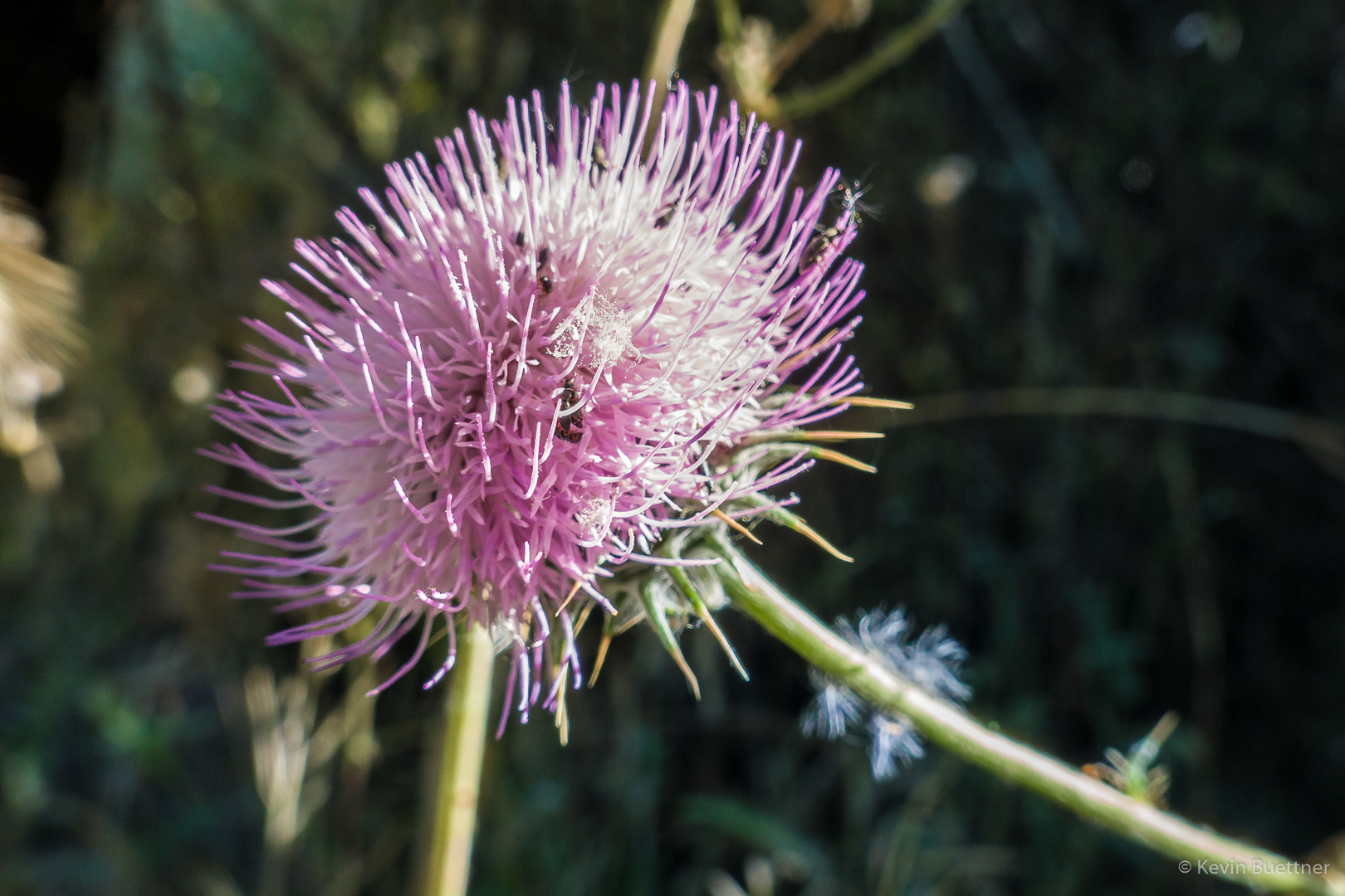
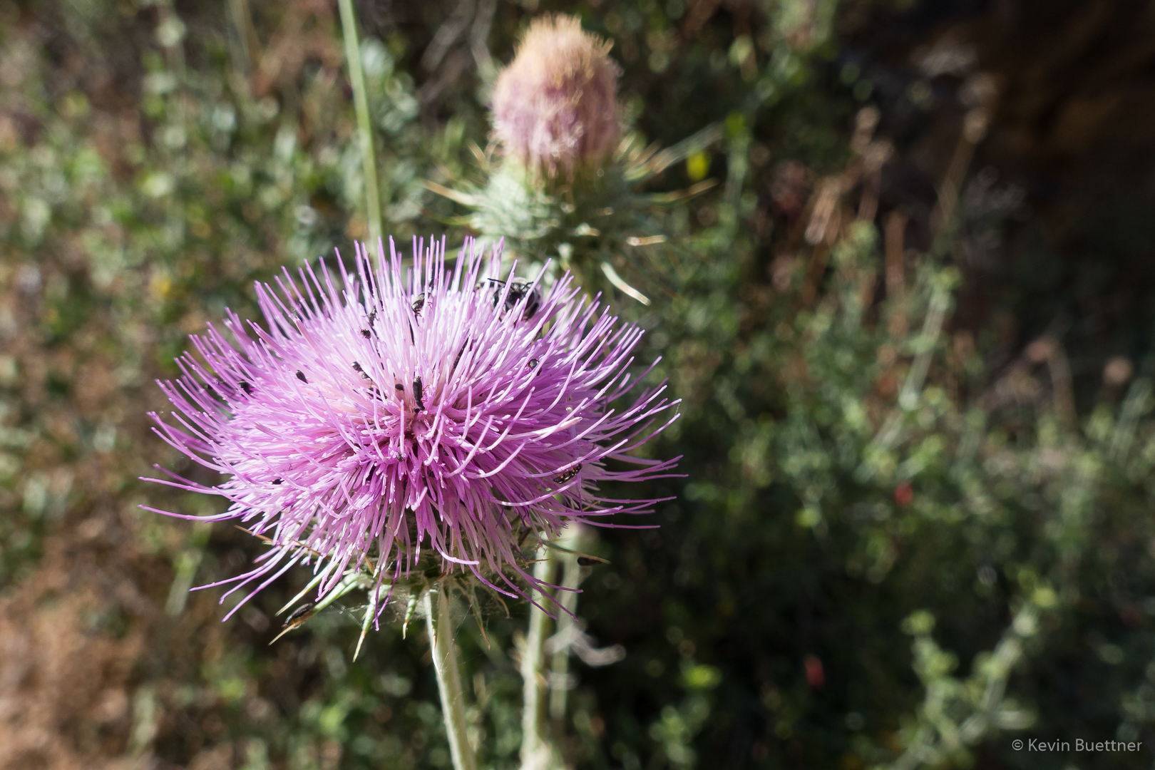
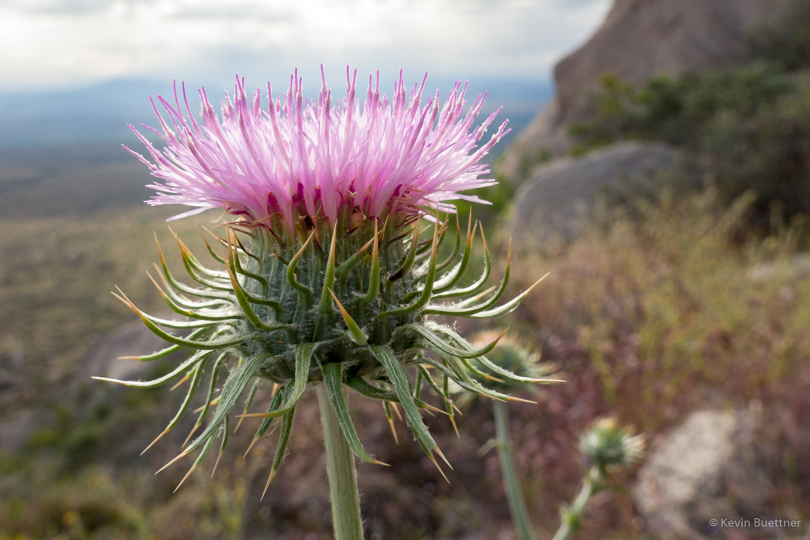
Thistle:
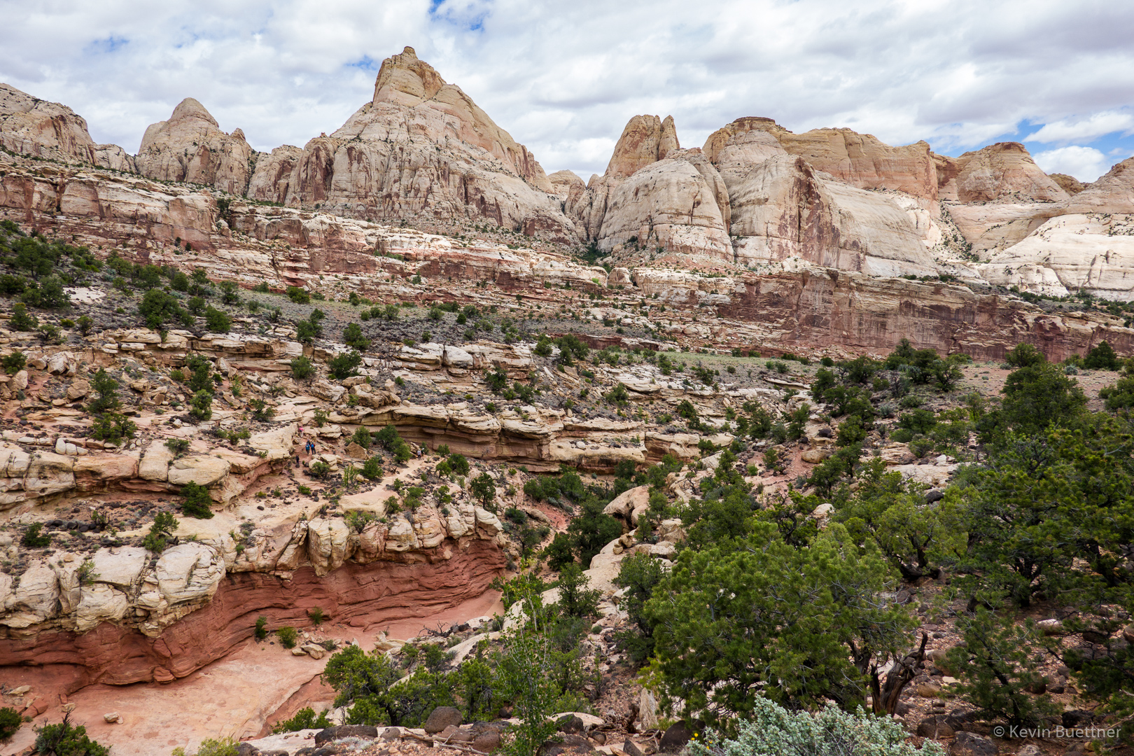
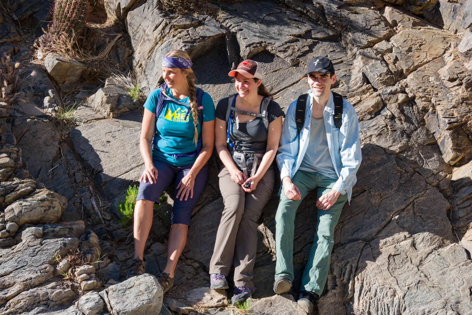
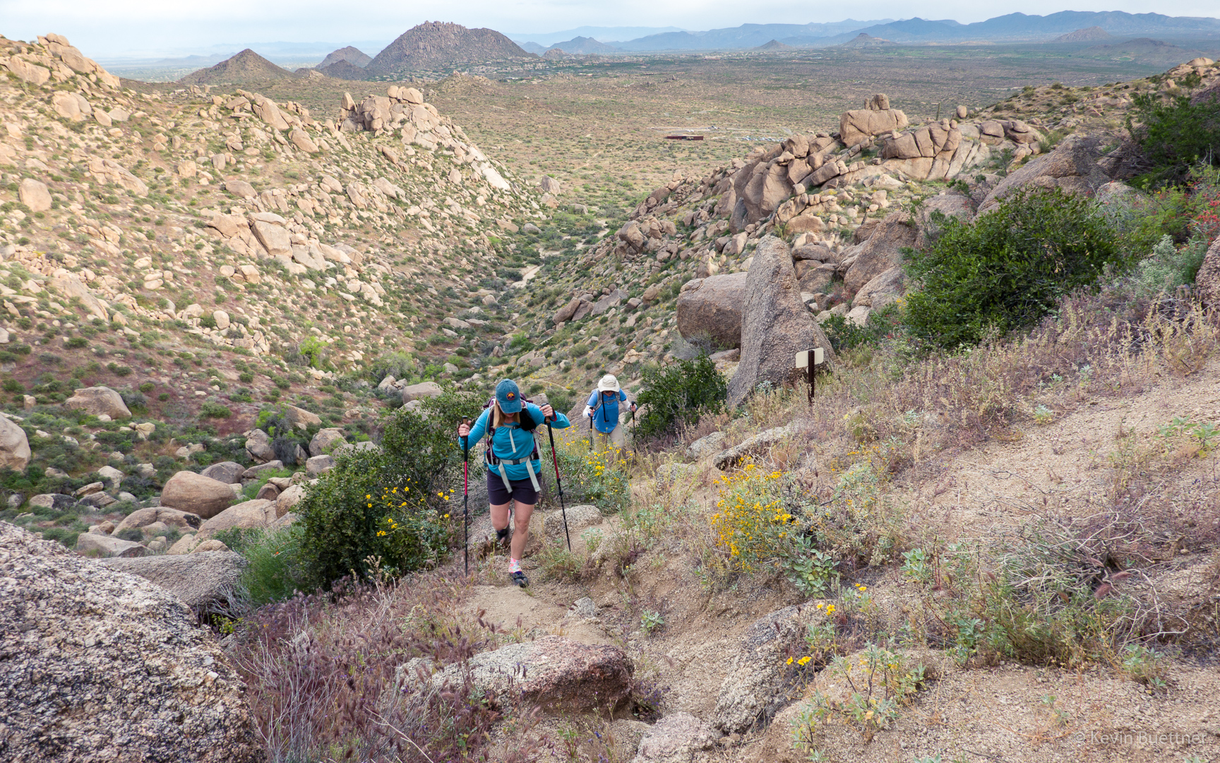
Nora and Heather, below the main wall at Hog Heaven:
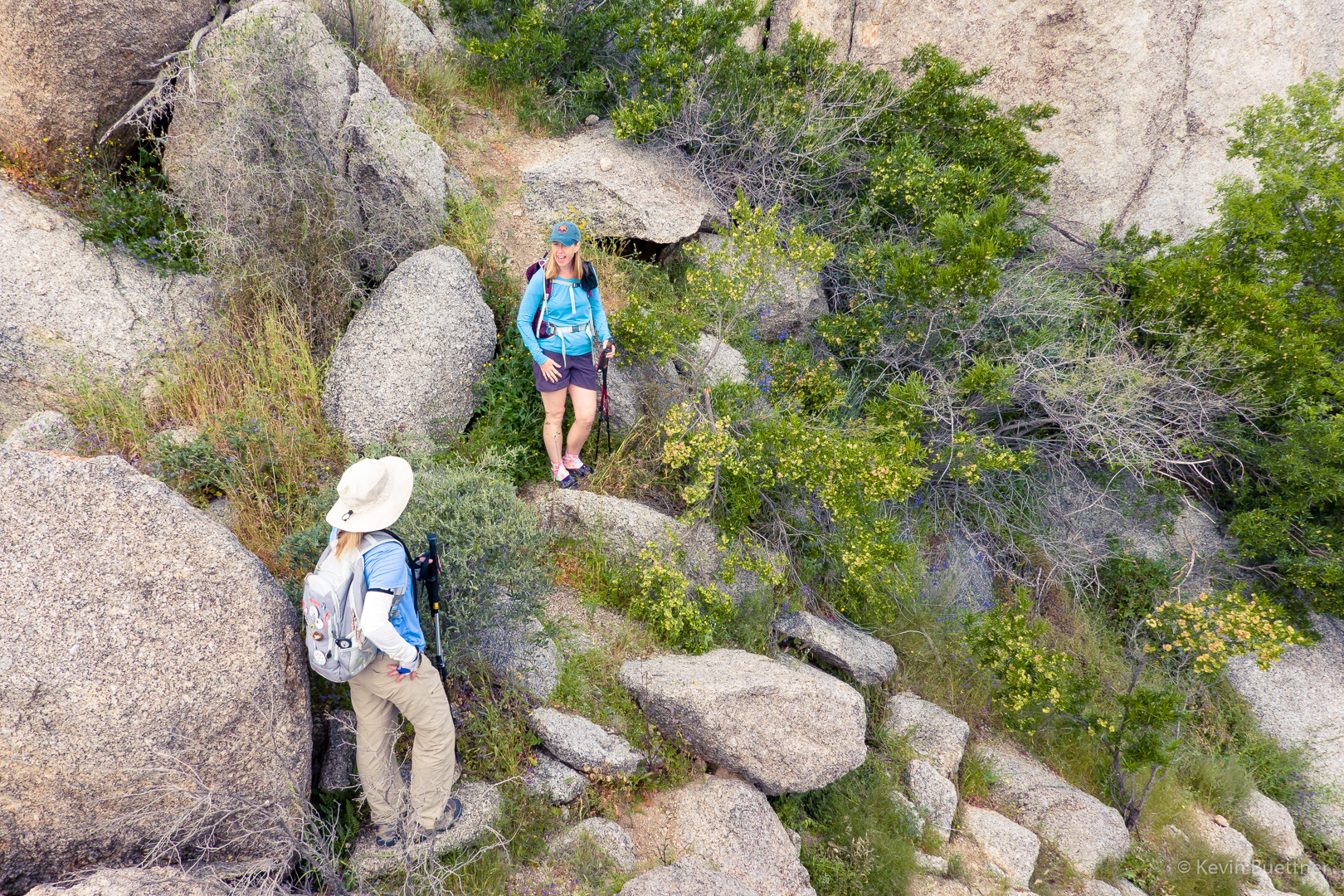
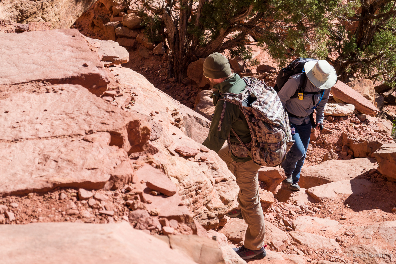
Heather and Nora, making their way up some steep terrain below the Thumbnail Pinnacle:
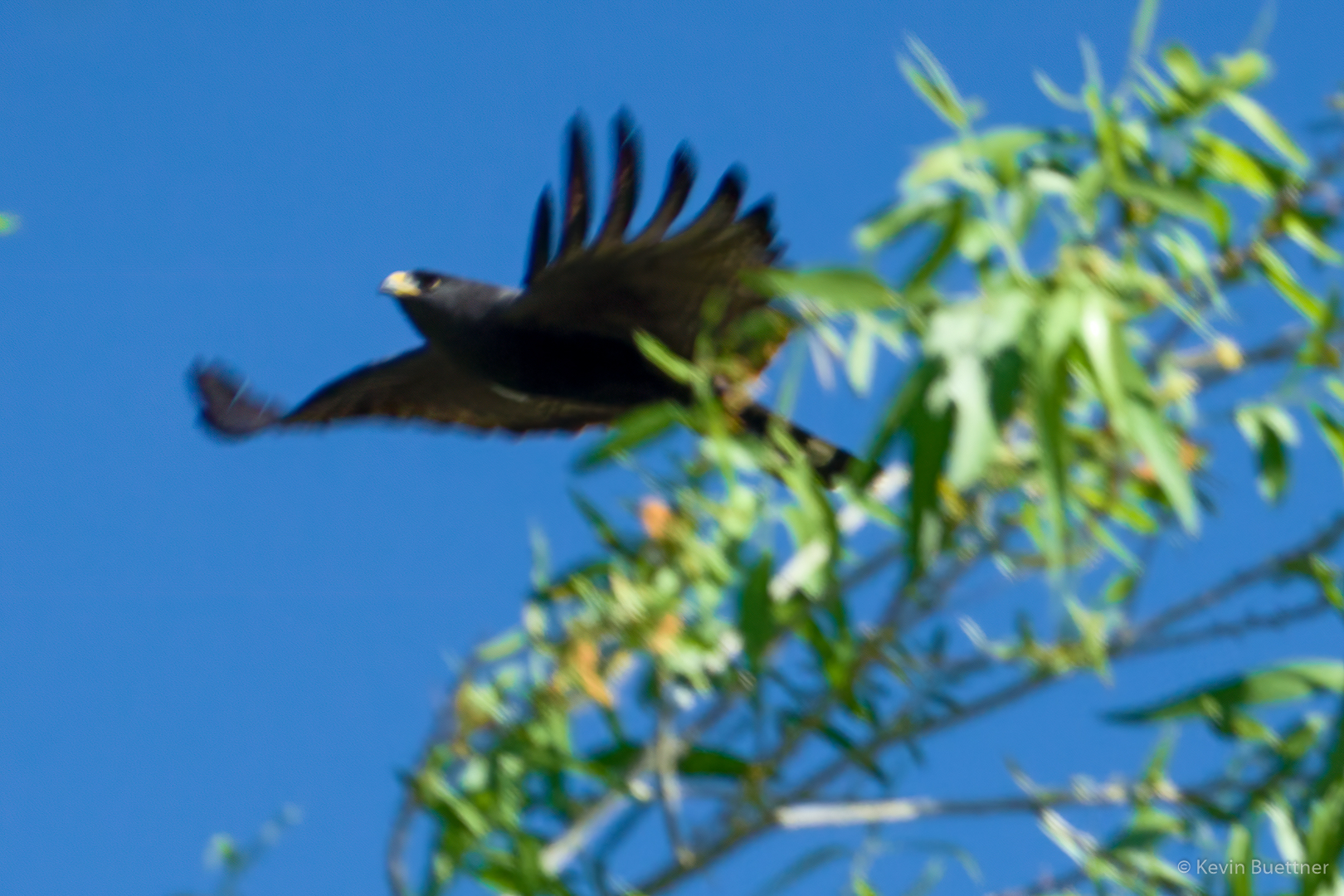
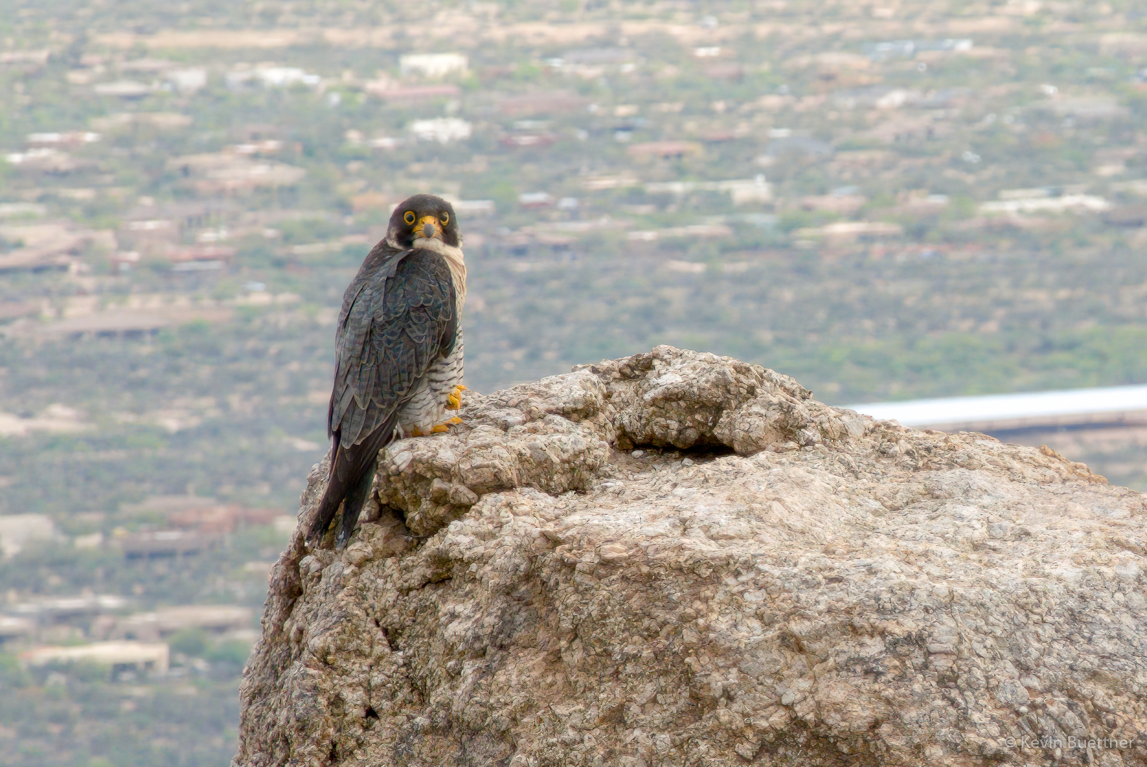
I originally thought that this was a hawk, but in the comments, Cathy says that she thinks it’s a Peregrine Falcon. I think she’s right. In any case, we saw this bird as we continued to make our way up to the Thumbnail Pinnacle. It hung around on that pinnacle as we passed it. We weren’t especially close to it – once again, I used Topaz Gigapixel AI to enhance the detail. (I also used this software on the owl photo from last week.)
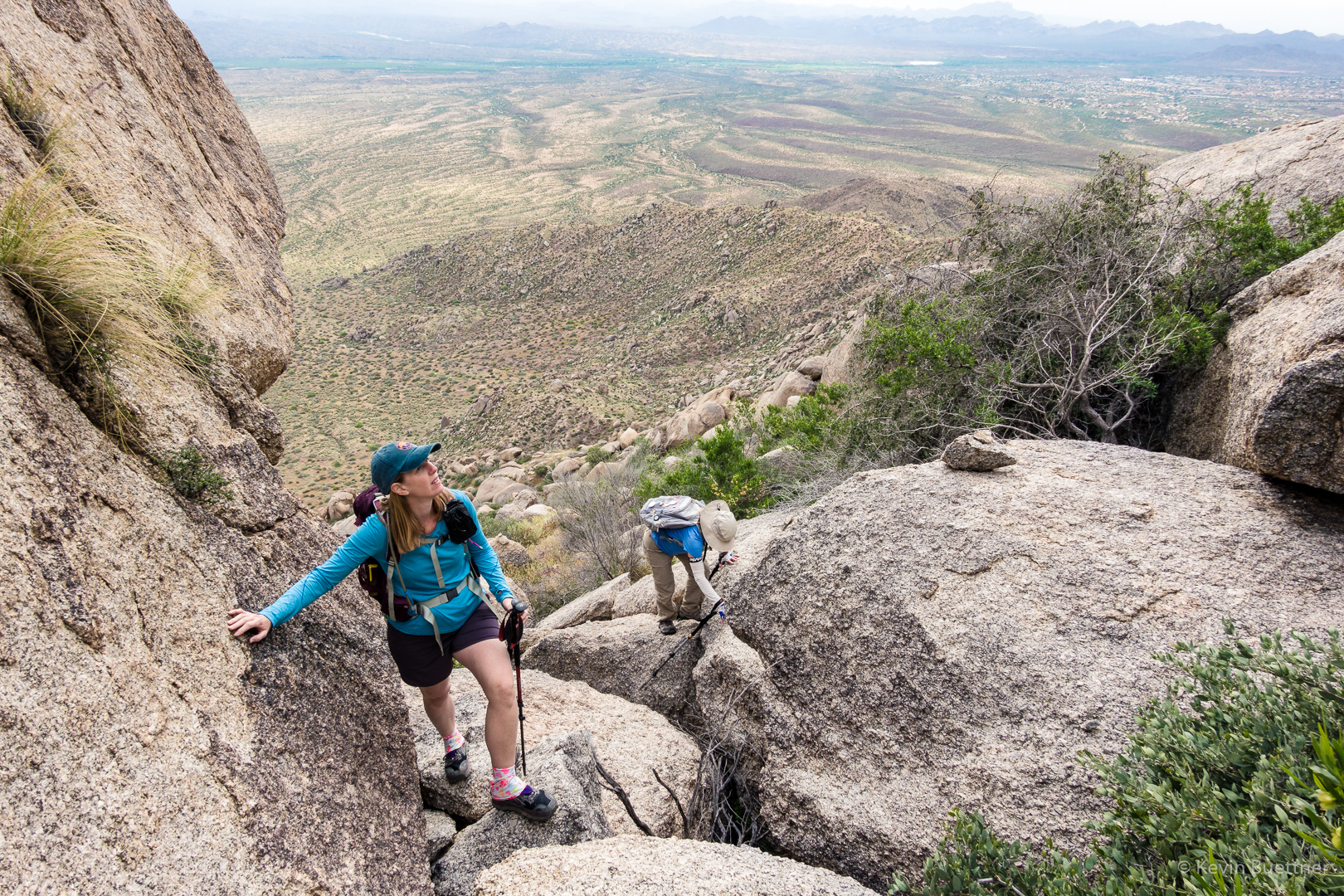
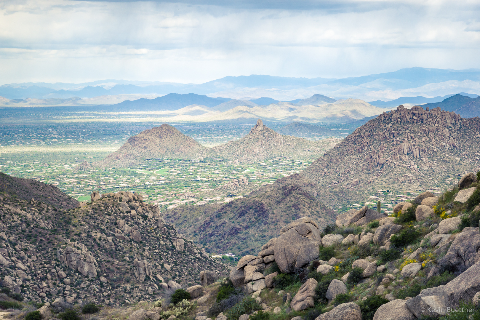
We’re near or above the Thumbnail Pinnacle now, looking towards Scottsdale:
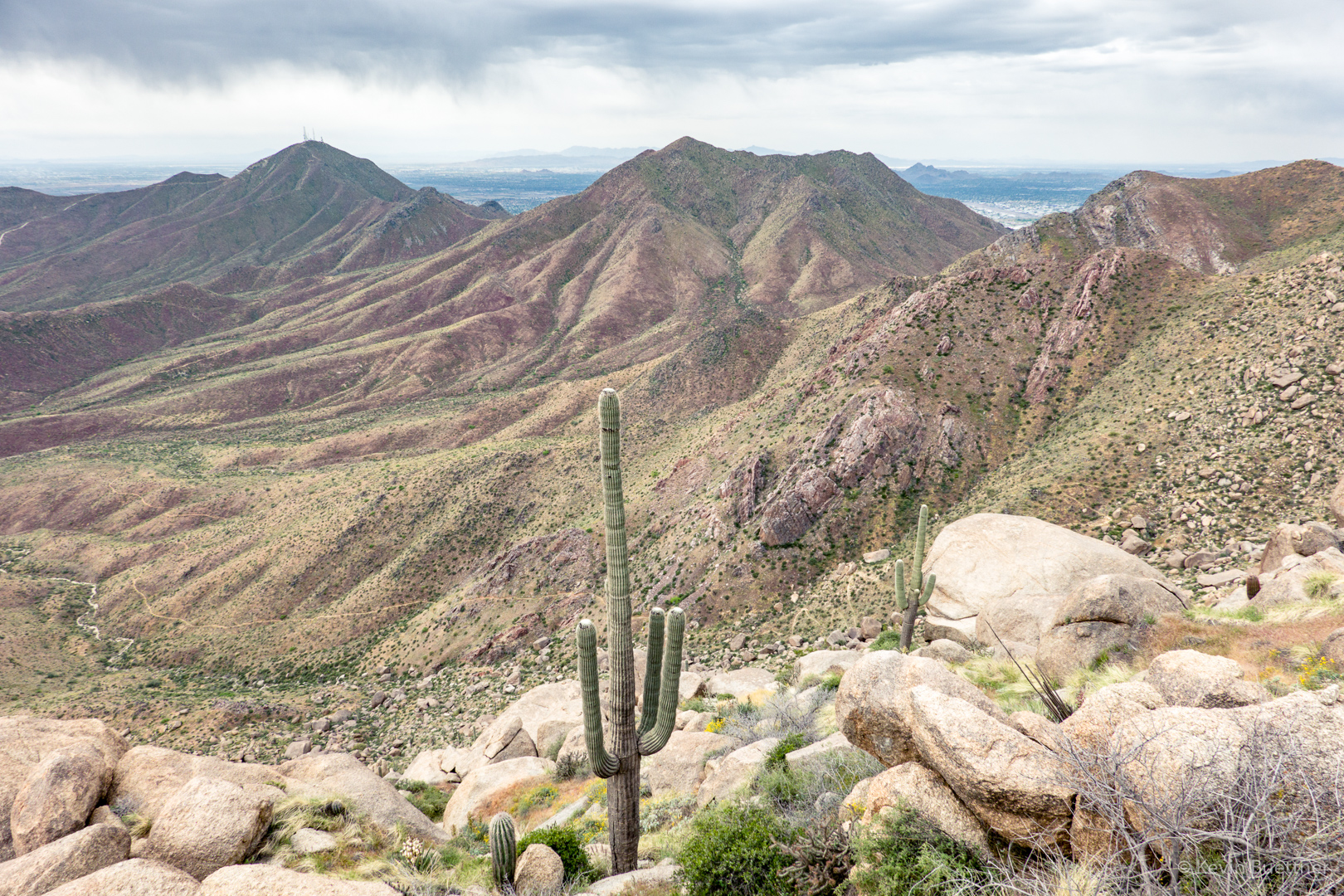
We continued up to the ridge leading over to the East End. The Thumbnail Pinnacle is well below us here, looking more like a spire. In the distance is Weaver’s Needle and the Flatiron. Towards the right and somewhat closer is Fountain Hills with the Fountain.
Another view looking toward Scottsdale. Thompson Peak is the one with the antennas. Also visible is the East End Trail, far below us.
Blister beetle – thanks to Linda for the ID:

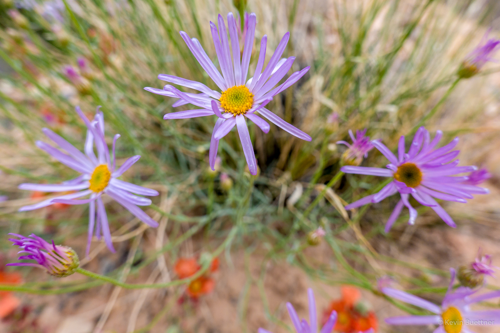
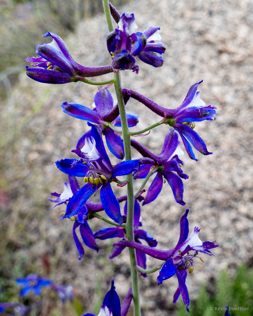
I’m not sure what this flower is; it was incredibly blue/purple though. (Update: Linda identified it as Larkspur / Delphinium.)
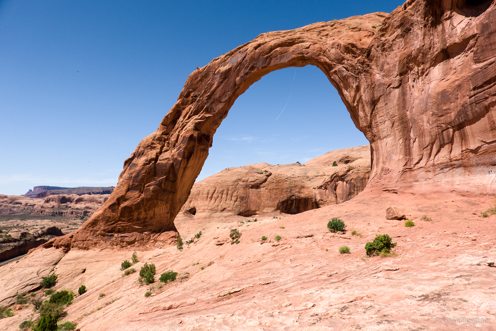
Tom’s Thumb with the edge of Gardener’s Wall below it and slightly to the right.
Another view of that ridge; also visible in this photo is Glass Dome at the left.
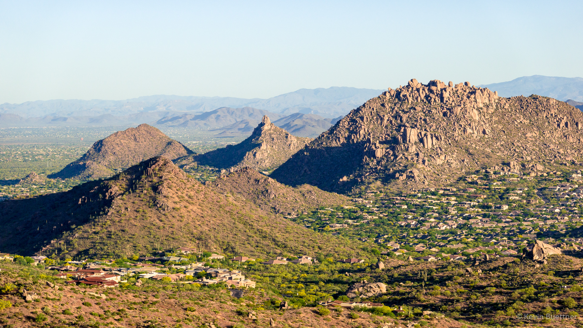
A view of Pinnacle Peak (center) and Troon Mountain at the right:
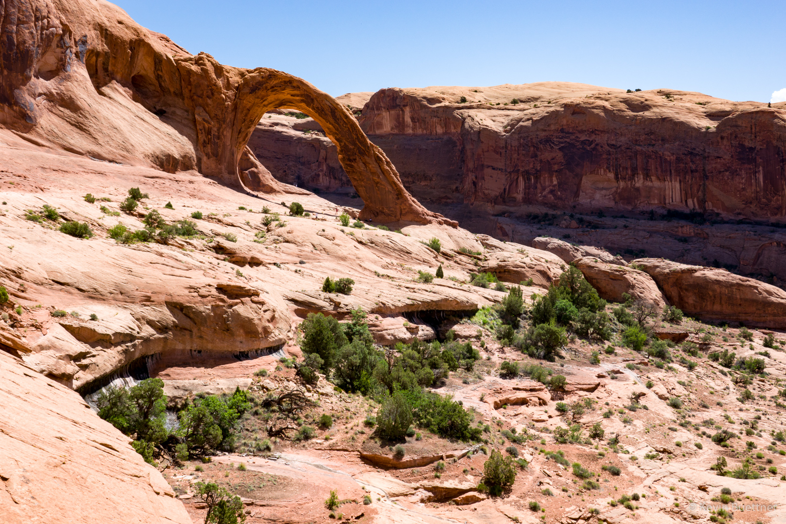
We’re nearly down to Tom’s Thumb Trail now. The two prominent pinnacles in this photo are Glass Dome on the left and Tom’s Thumb on the right. Again, the edge of Gardener’s wall can be seen at the far right.
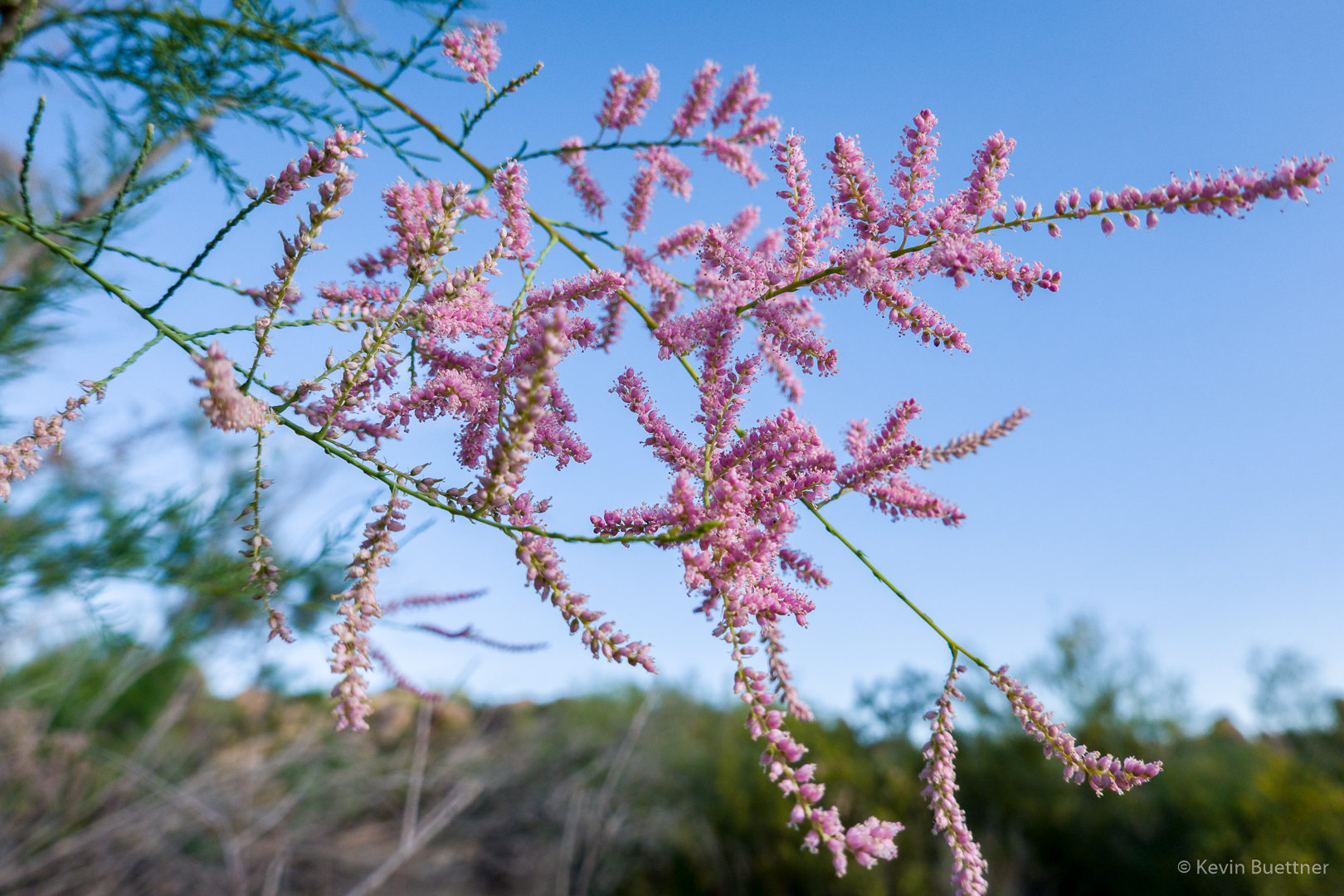
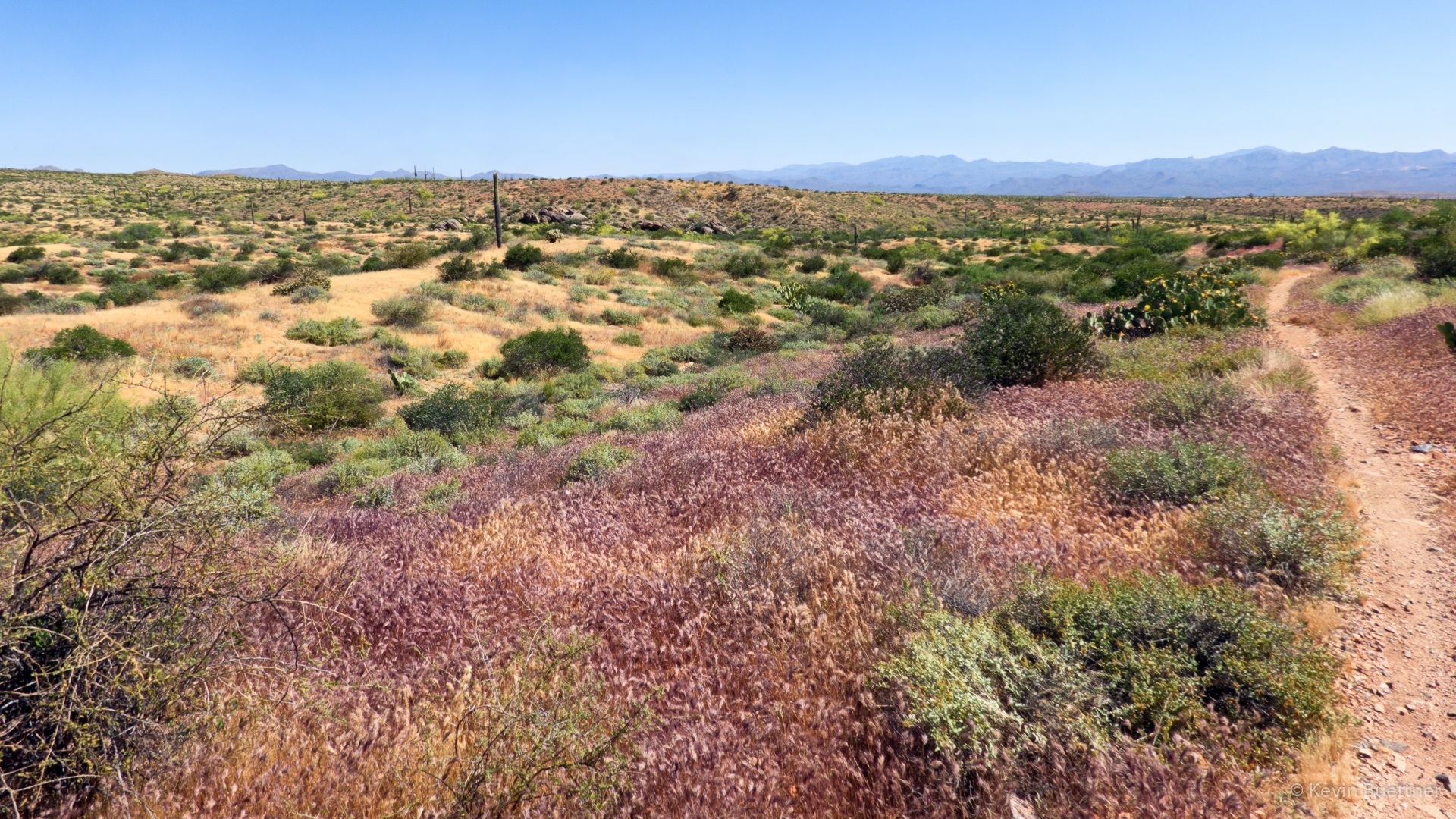
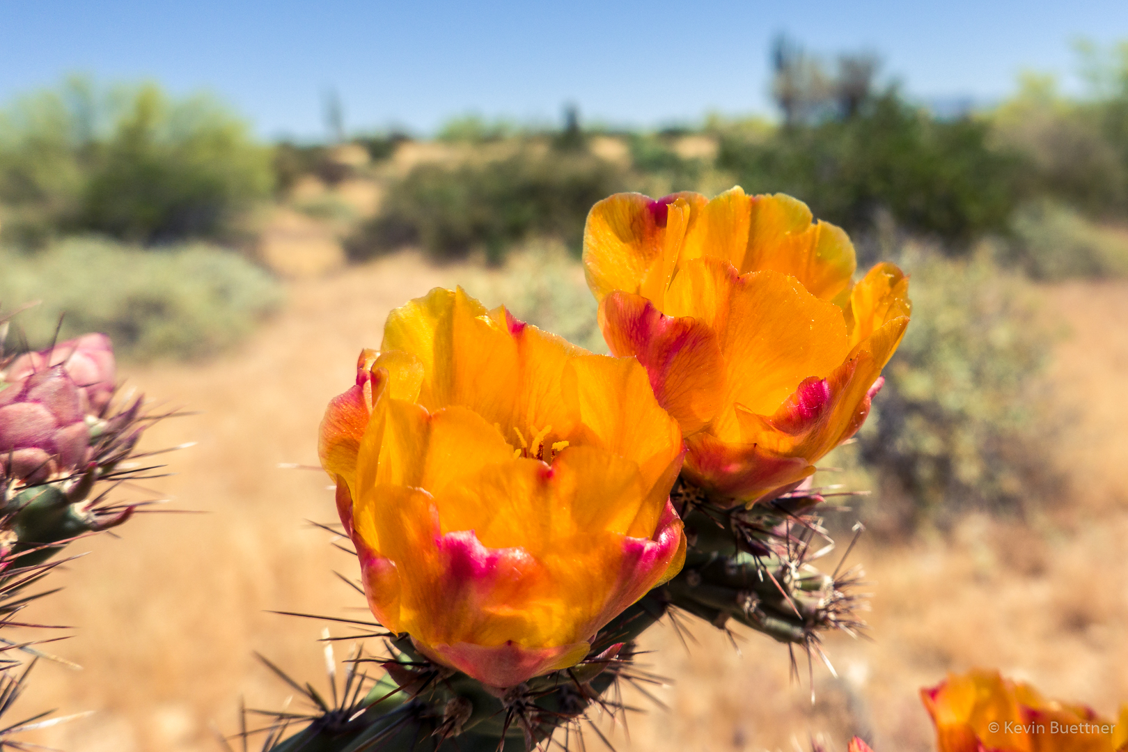
Another patch of dry grasses and flowers:
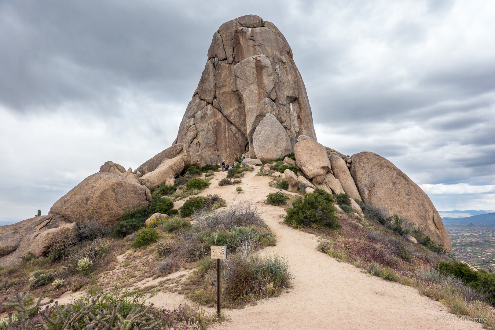
Tom’s Thumb:
A view of Tom’s Thumb from the other side. The Class 4 West Corner route can be seen in this photo. (Mountain Project has it rated at 5.2.) This was my first climb way back before there were “easy” trails leading to Tom’s Thumb.
Nora and Heather, descending part of the Lost Wall Loop. (It was pretty much all descent, much of it loose and/or rocky, after we left Tom’s Thumb.)
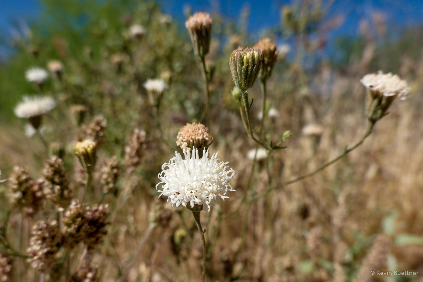
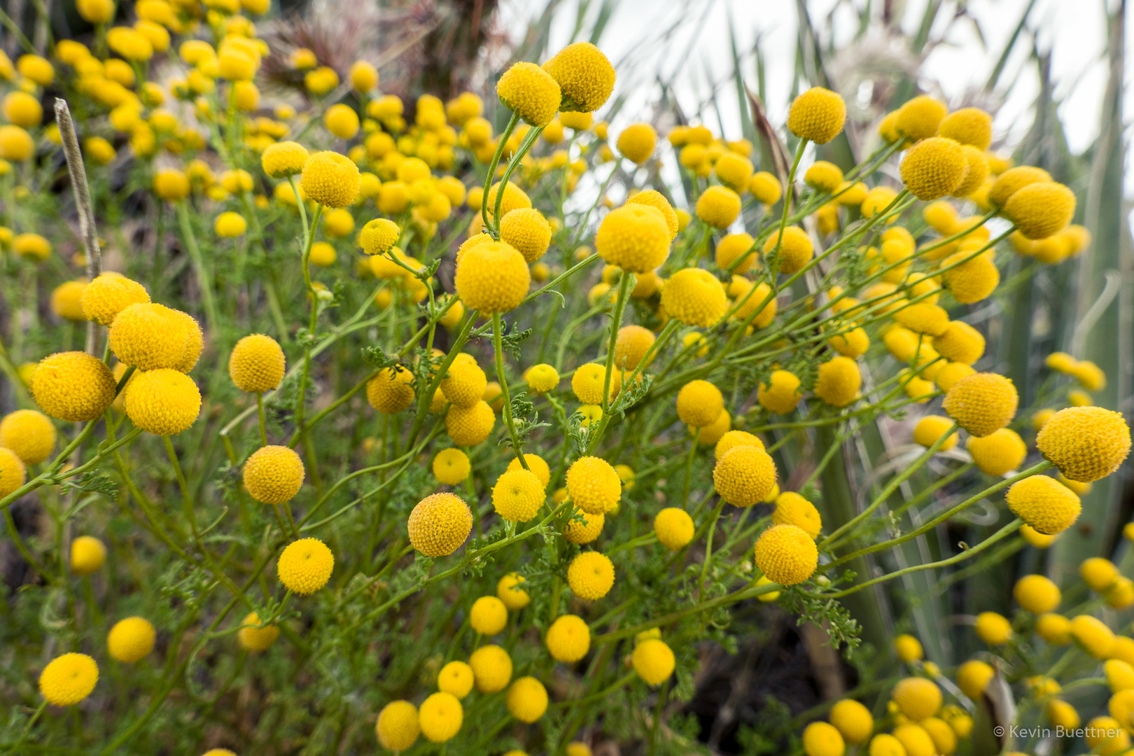
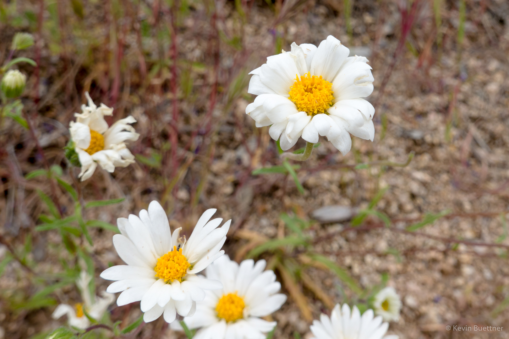
Globe Chamomile:
Another view of Tom’s Thumb – this is one of my favorite spots for getting a photo of Tom’s Thumb.
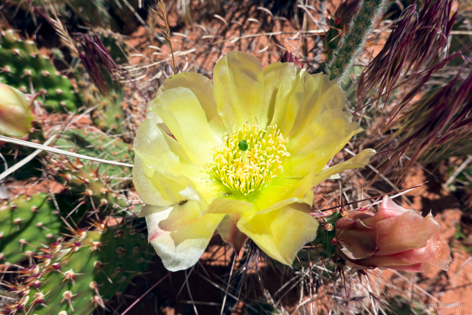
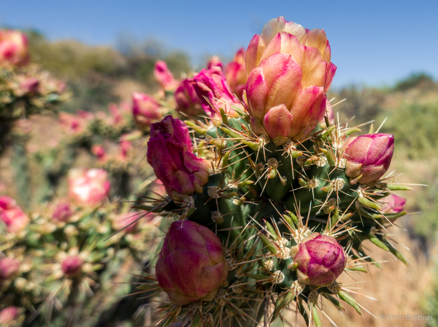
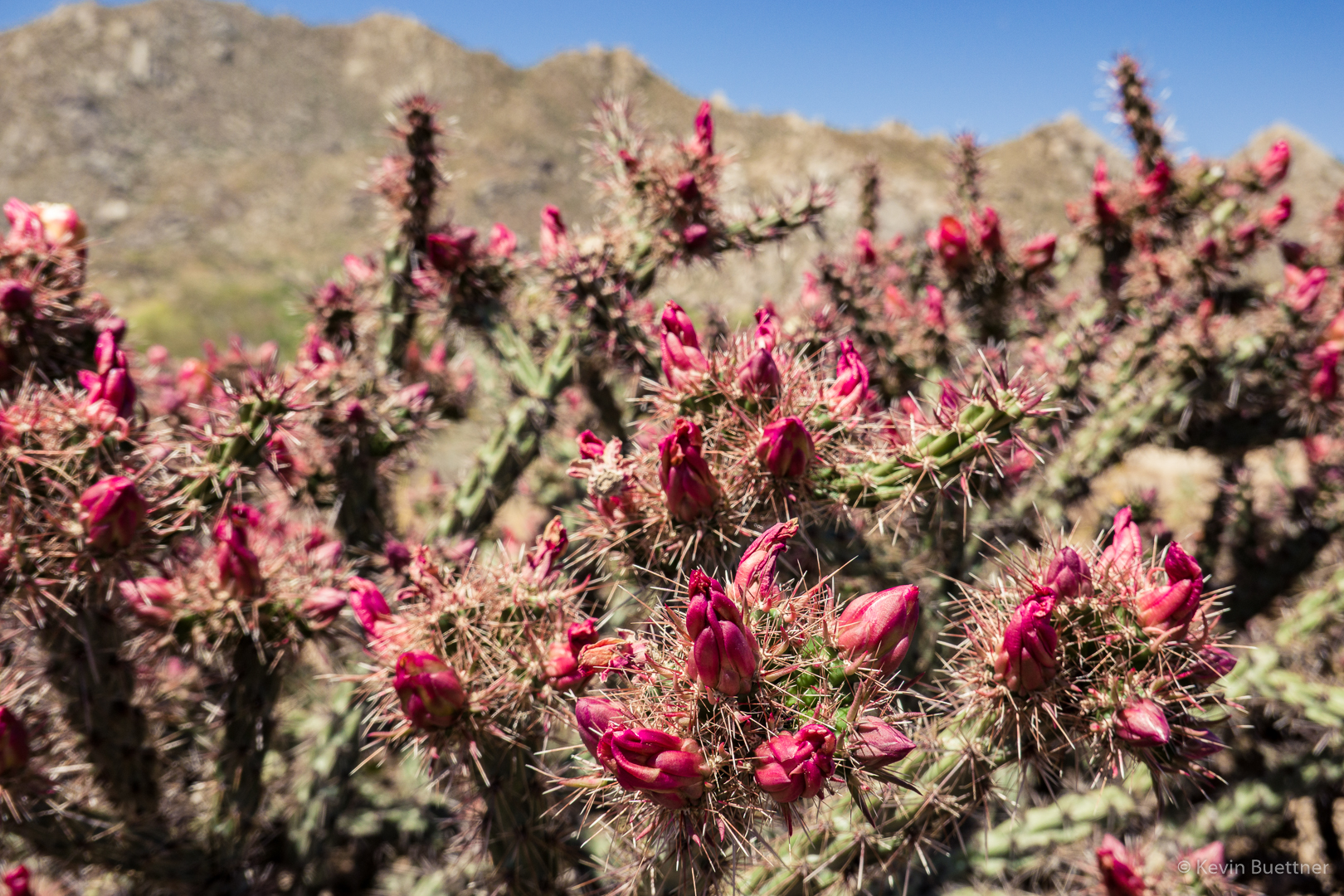
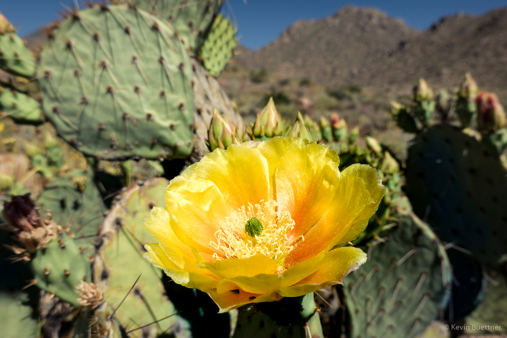
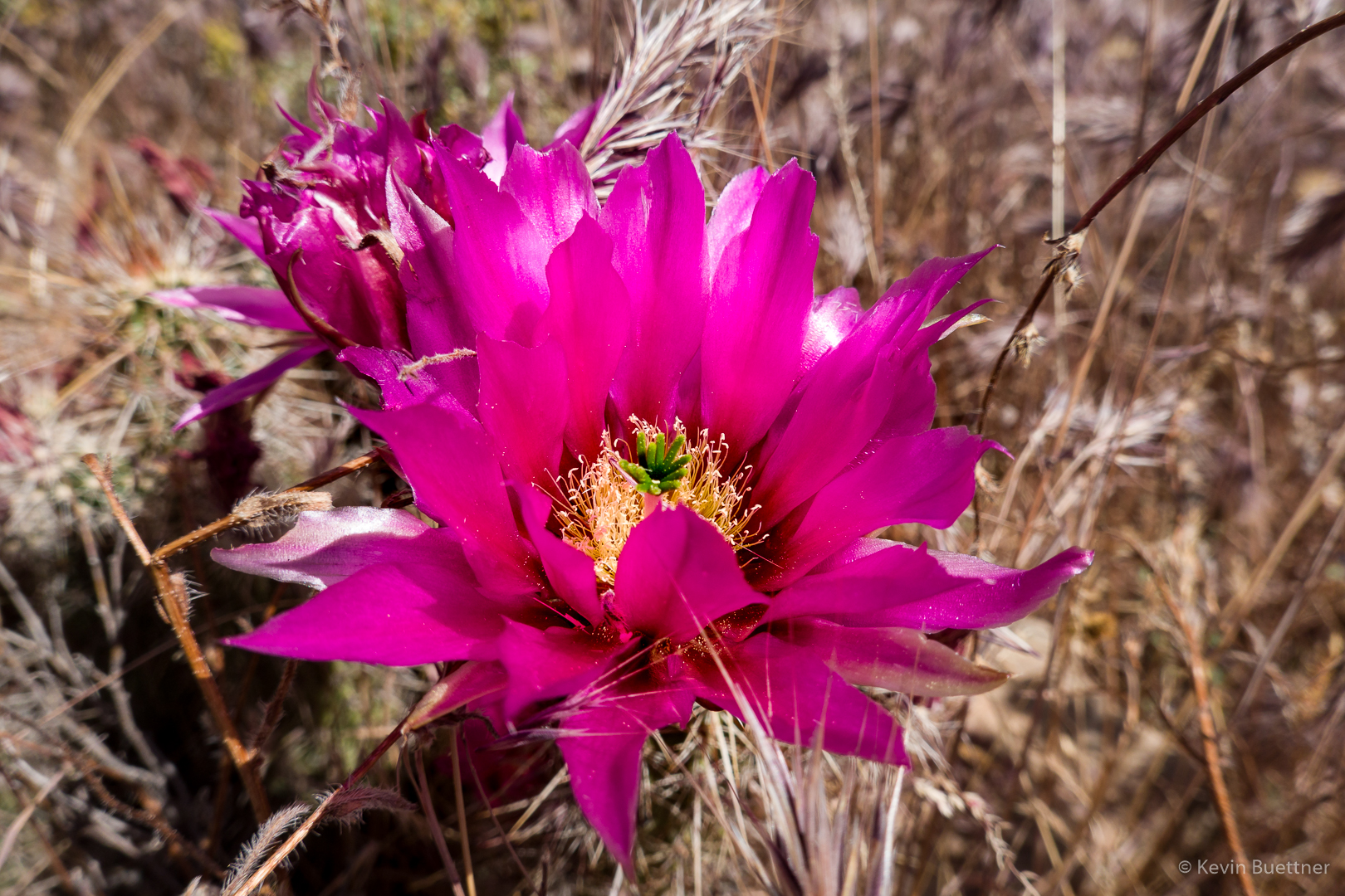
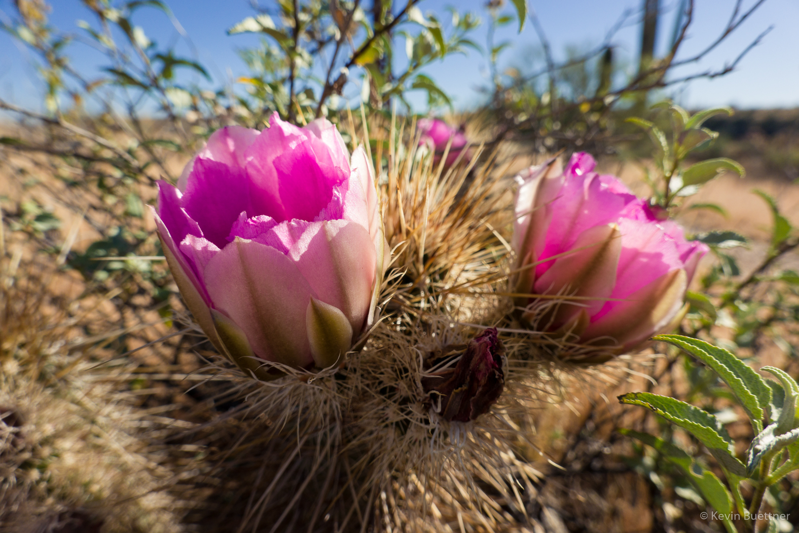
Hedgehog Blossom; we saw quite a few of them on the ridge prior to resuming our descent.

Chicory:
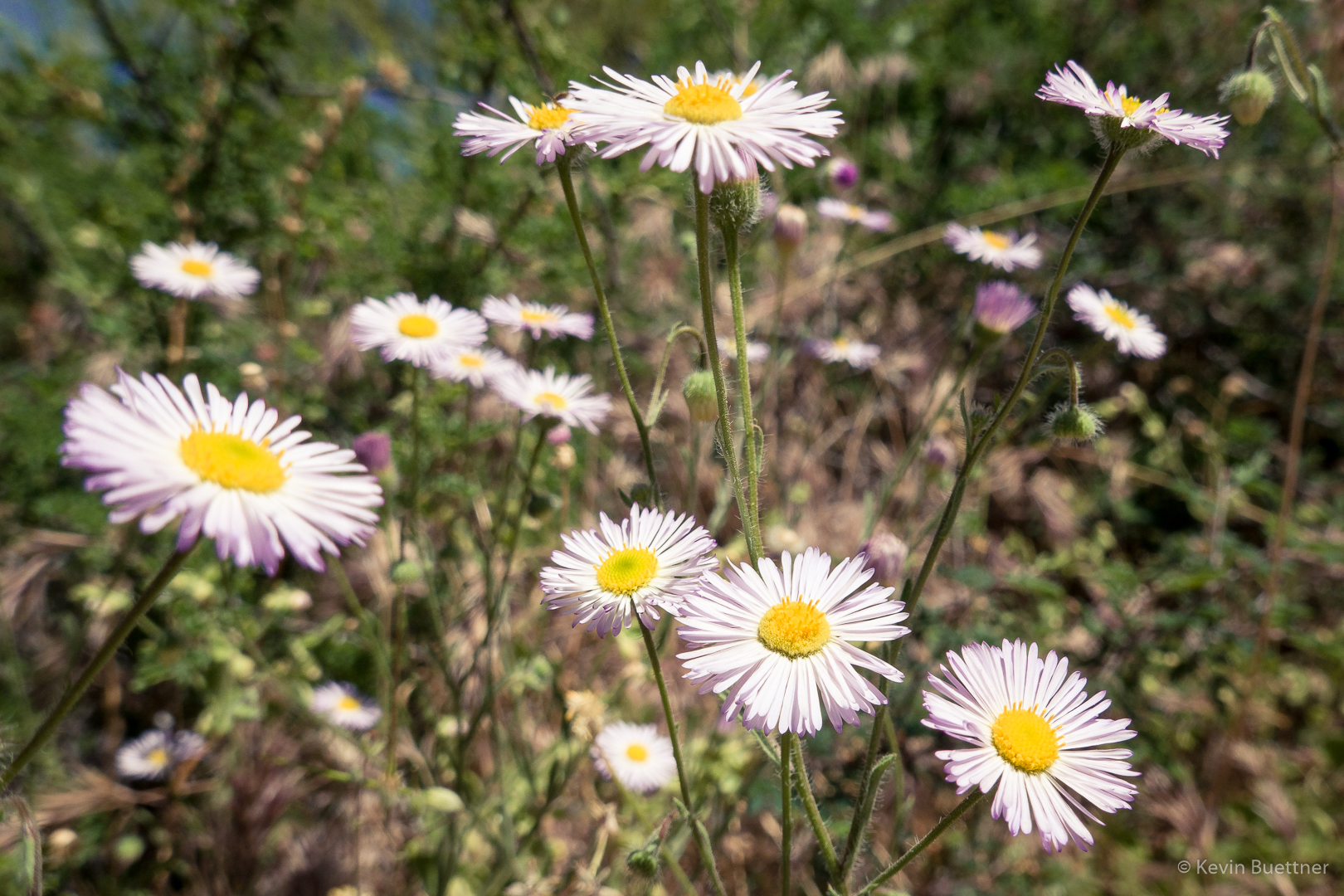
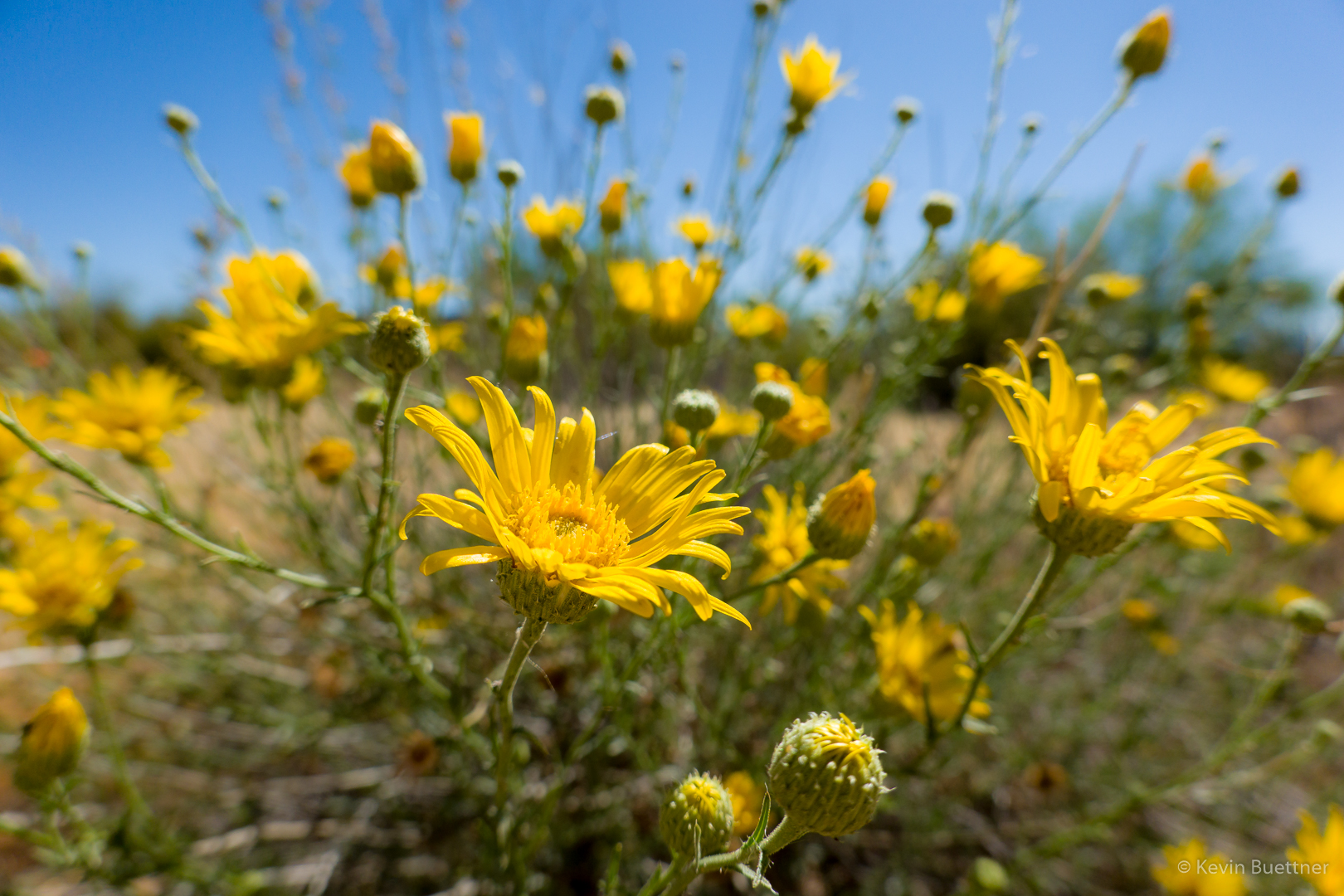
Blackfoot Daisy? (Not sure about this one.)
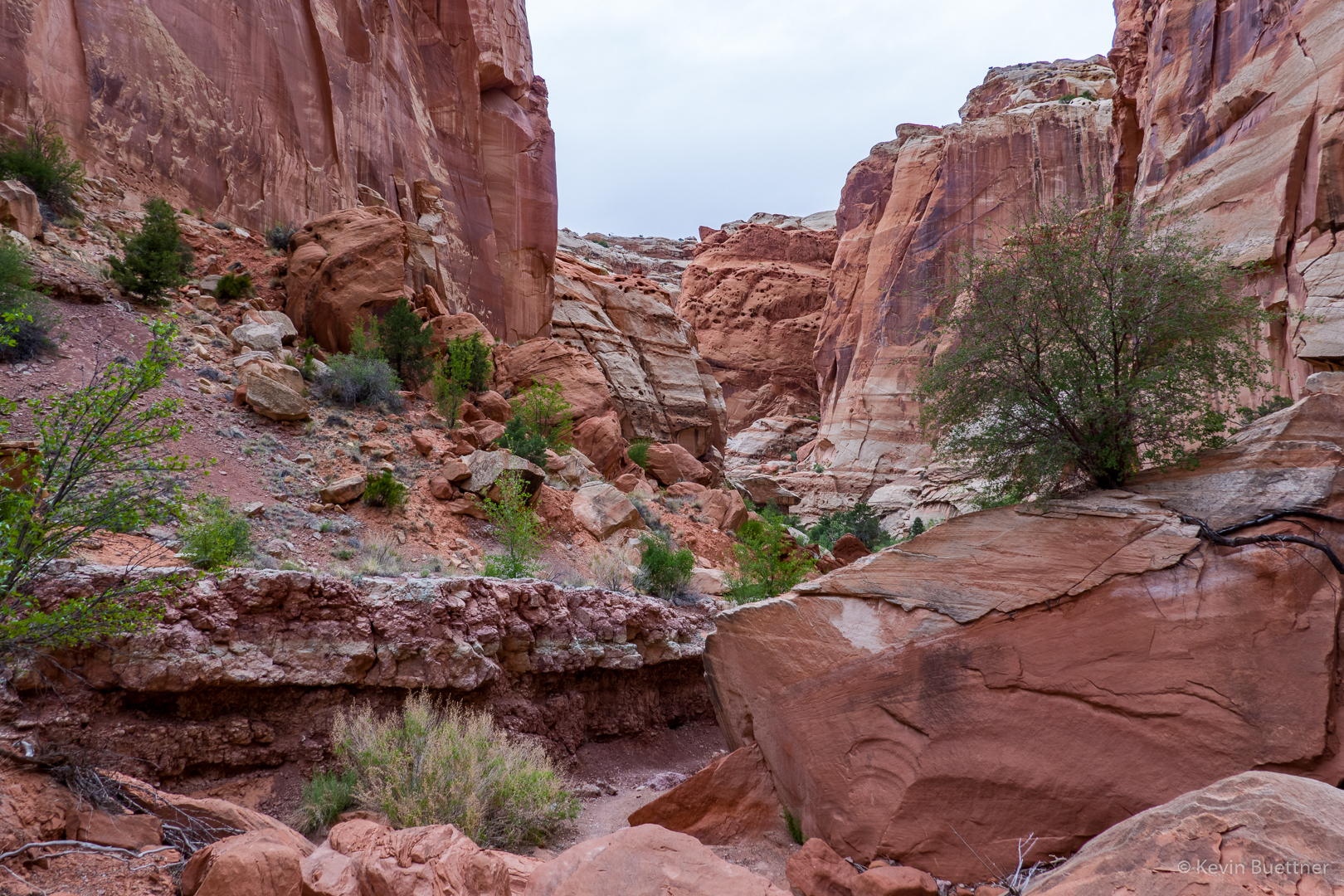
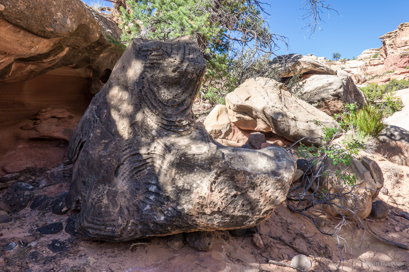
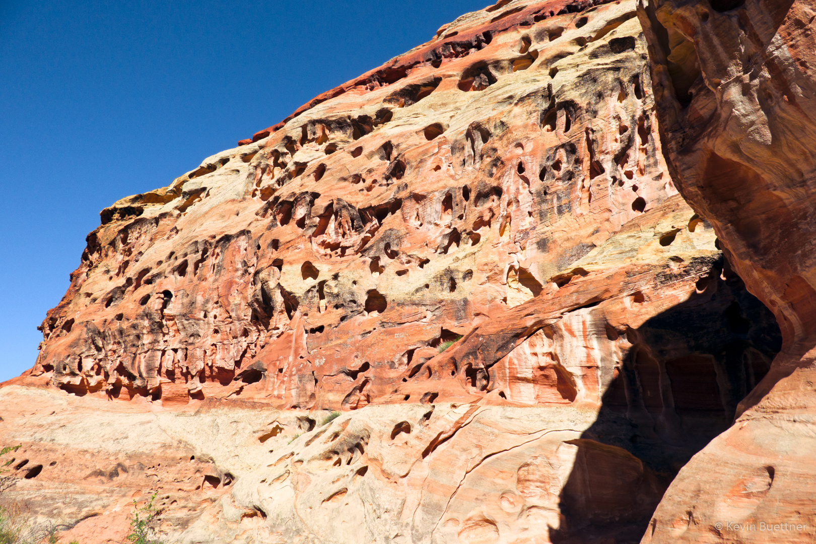
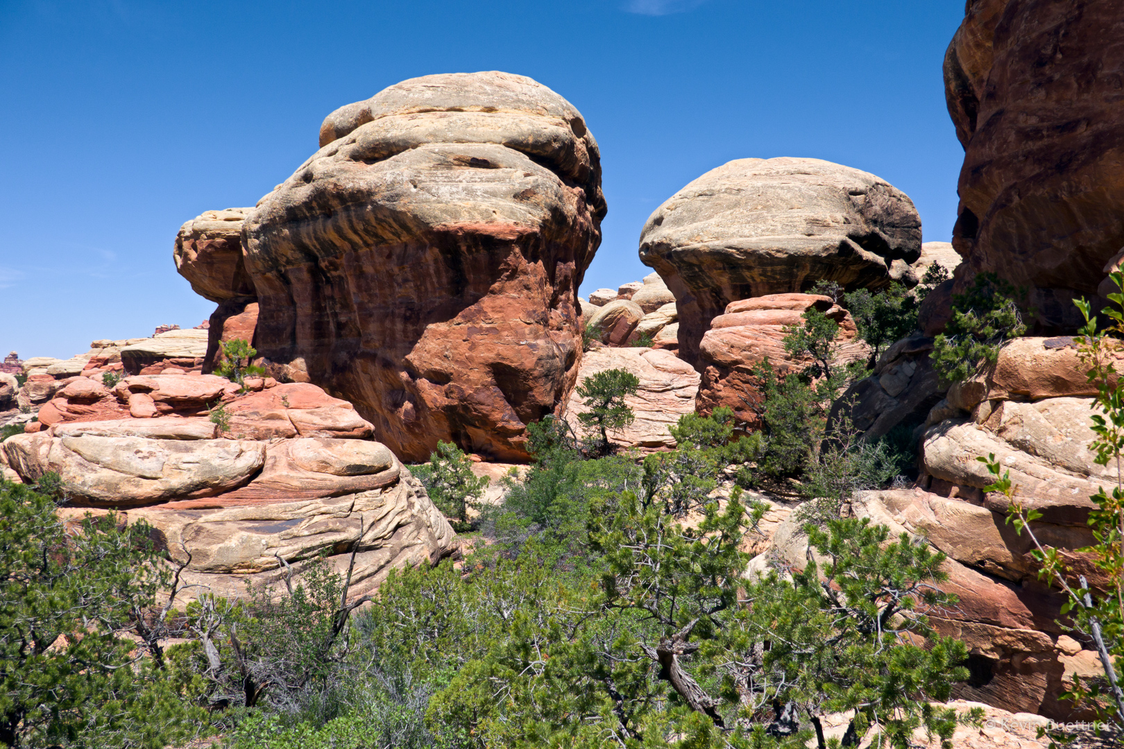
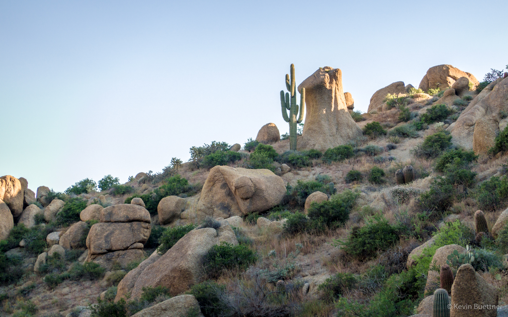
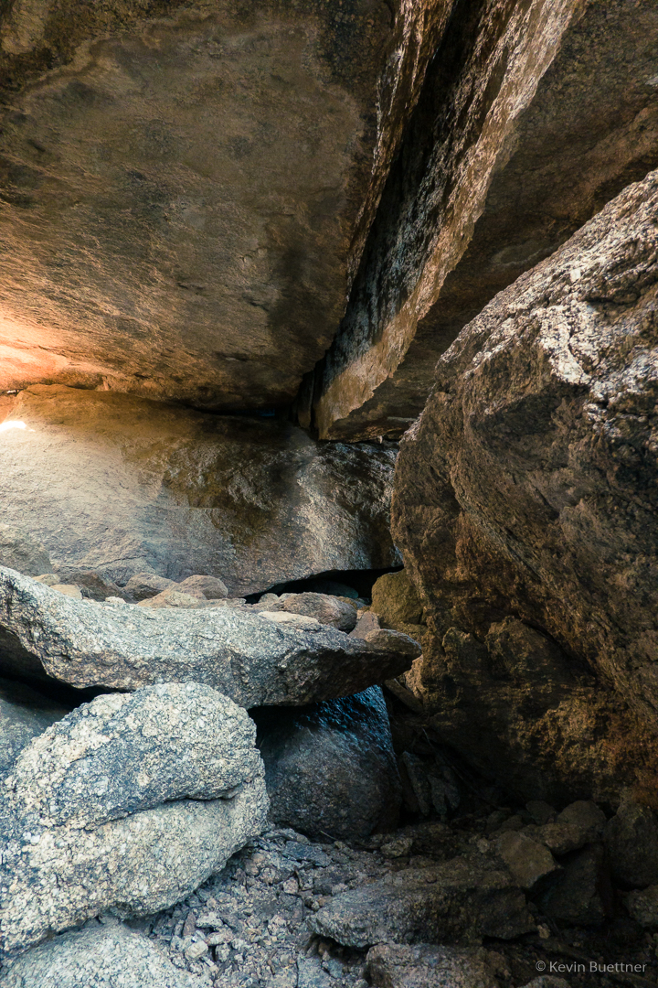
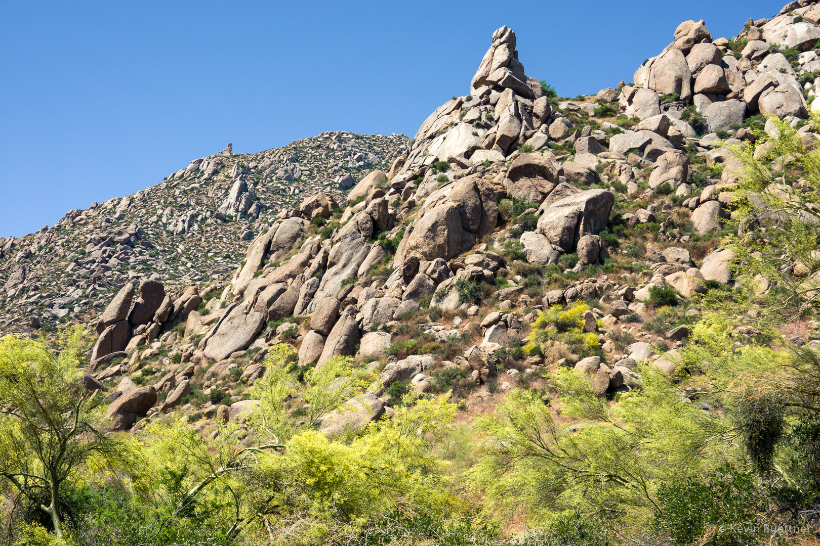
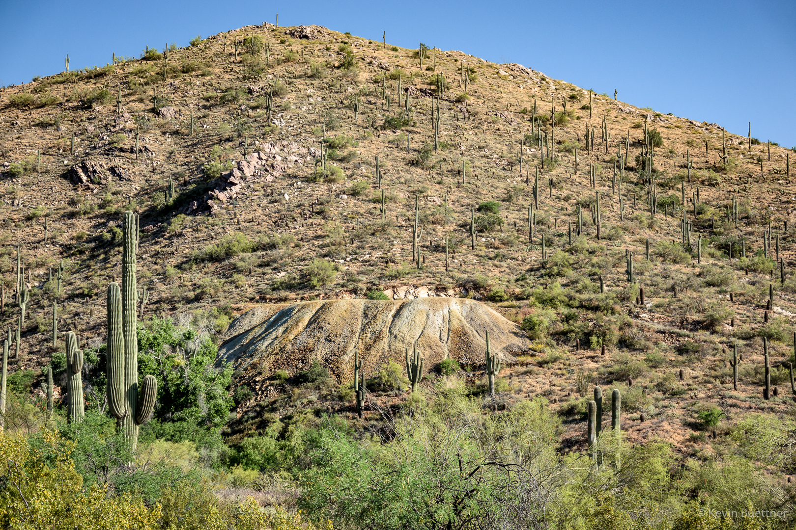
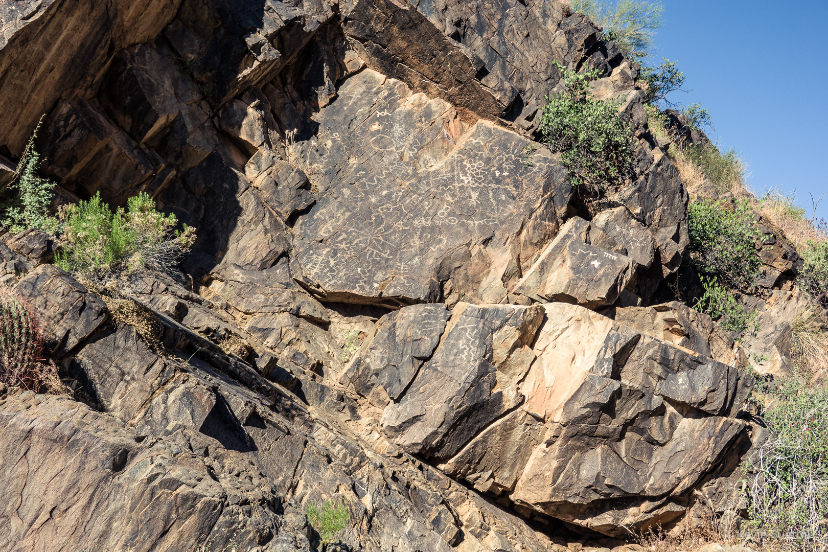
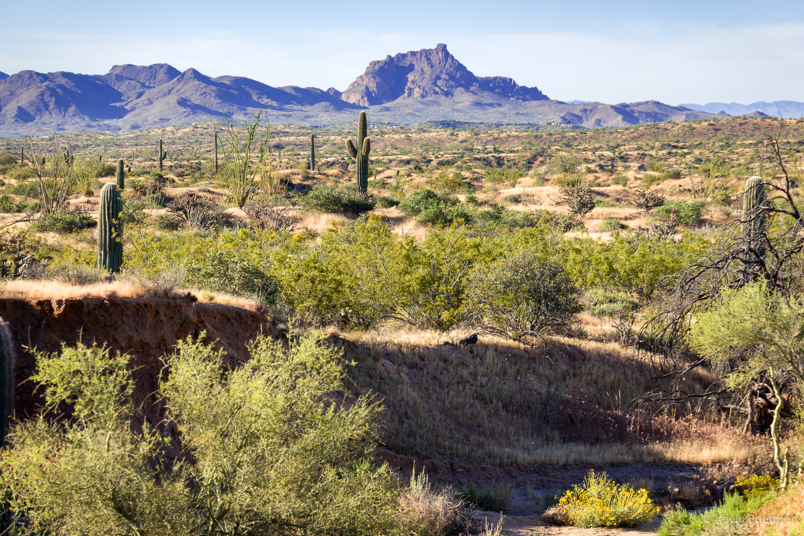
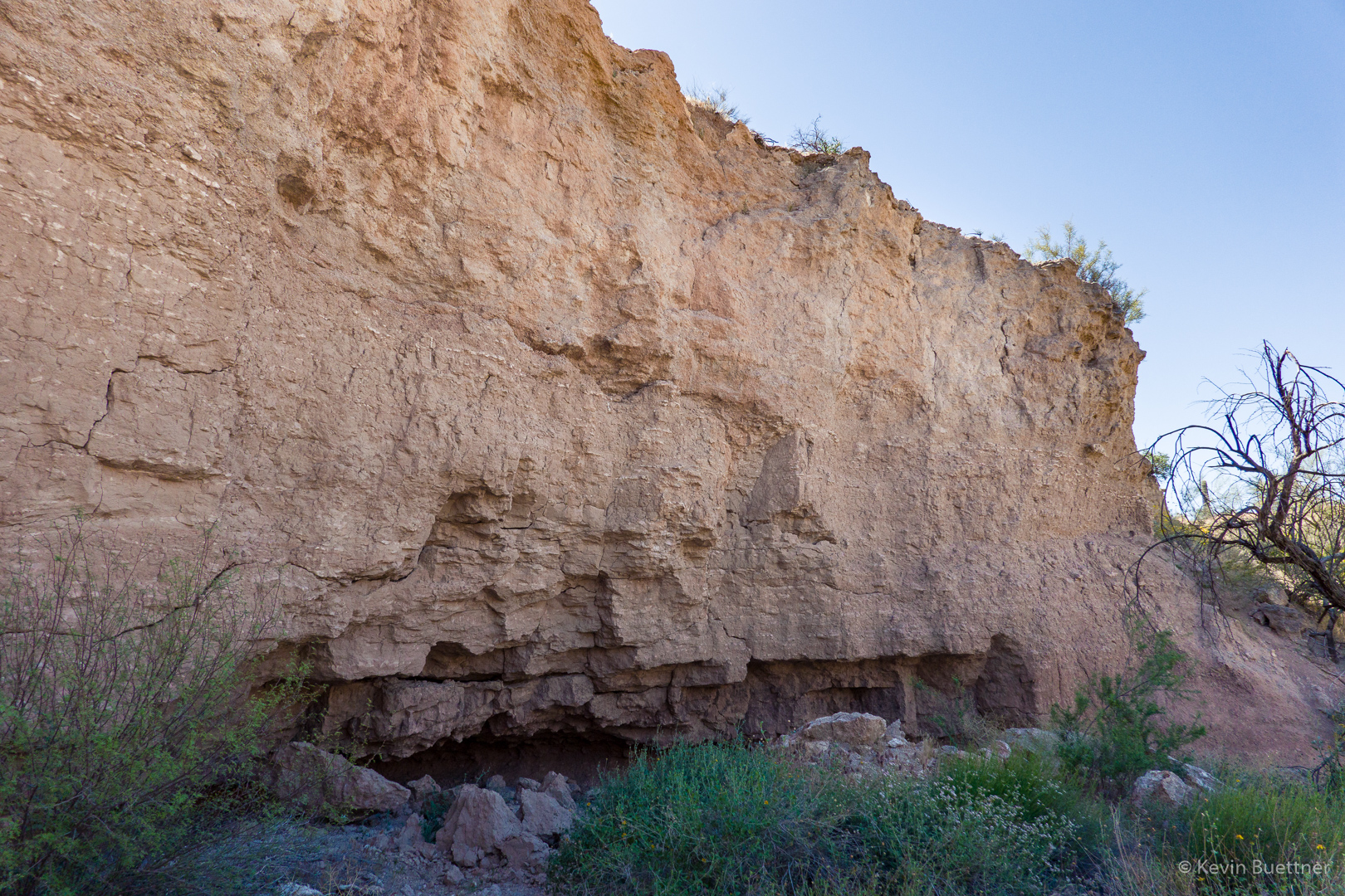
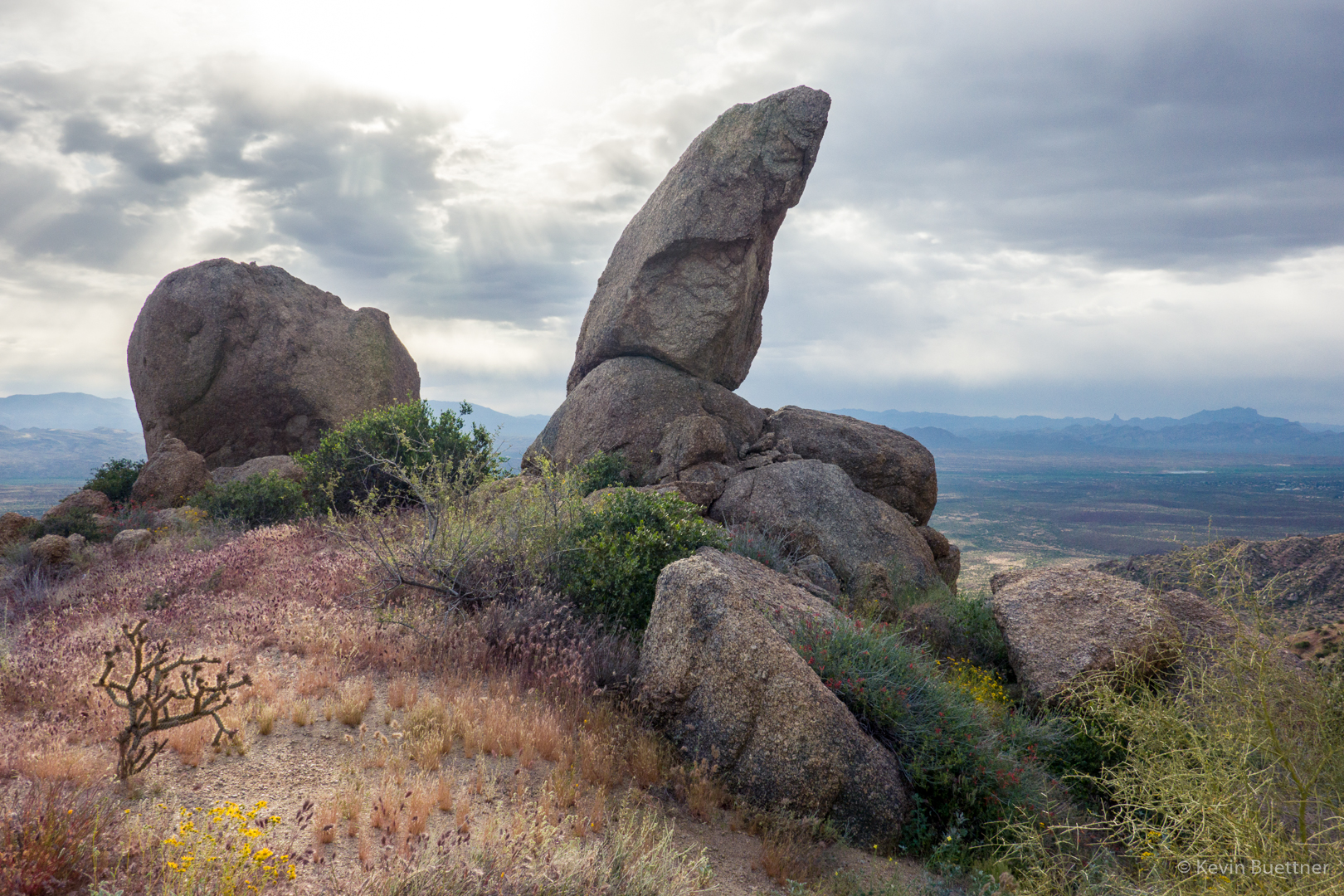
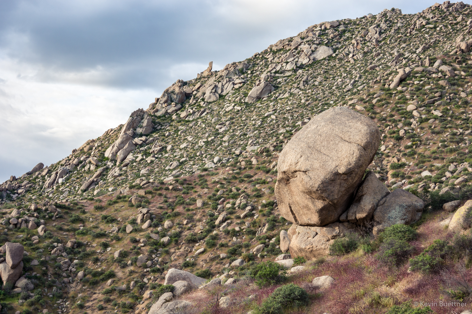
Another interesting rock formation on the Lost Wall Loop:
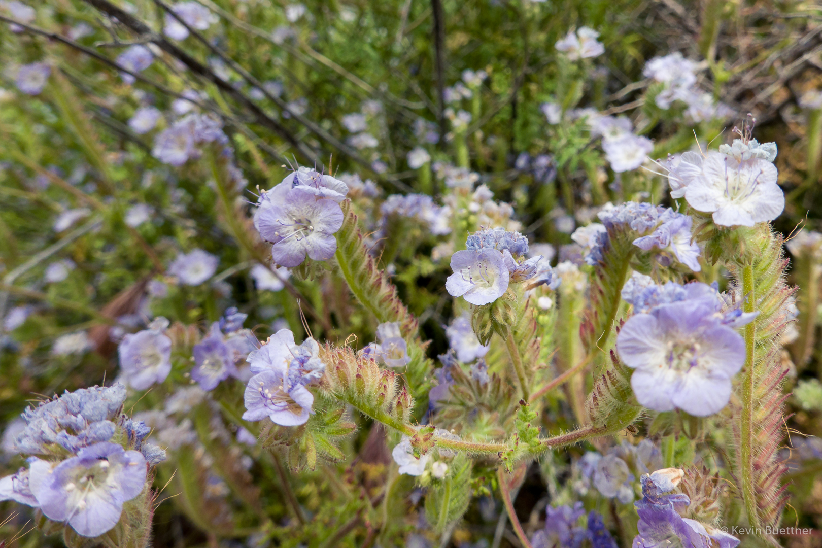
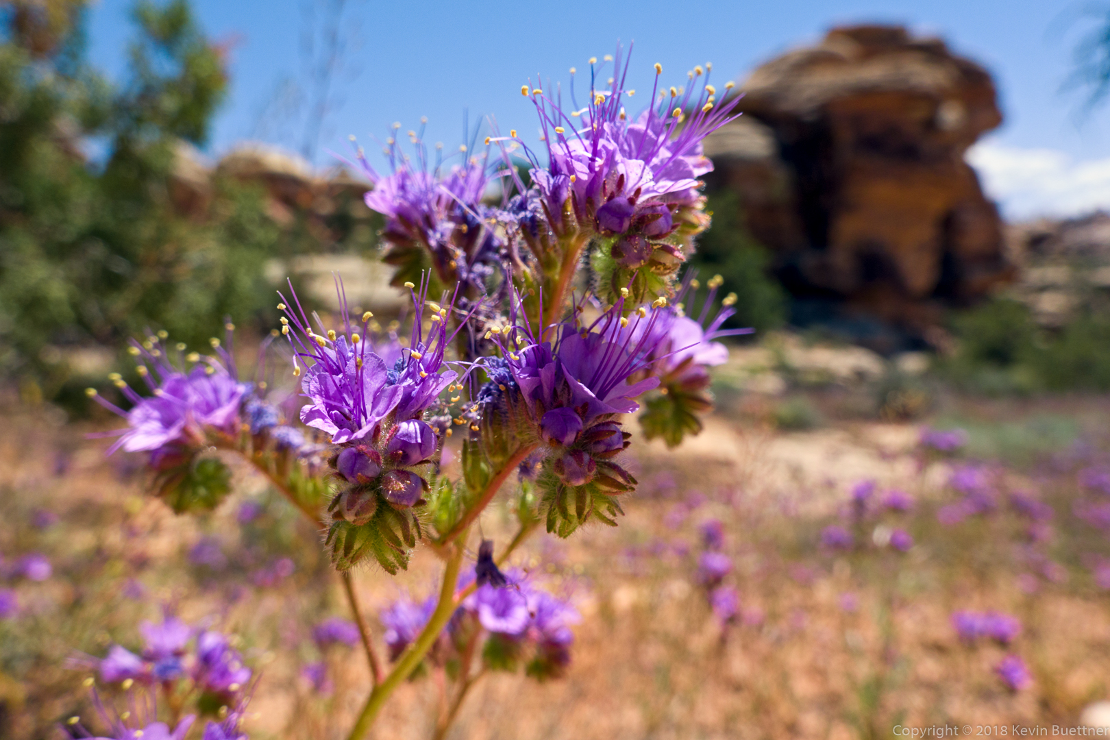
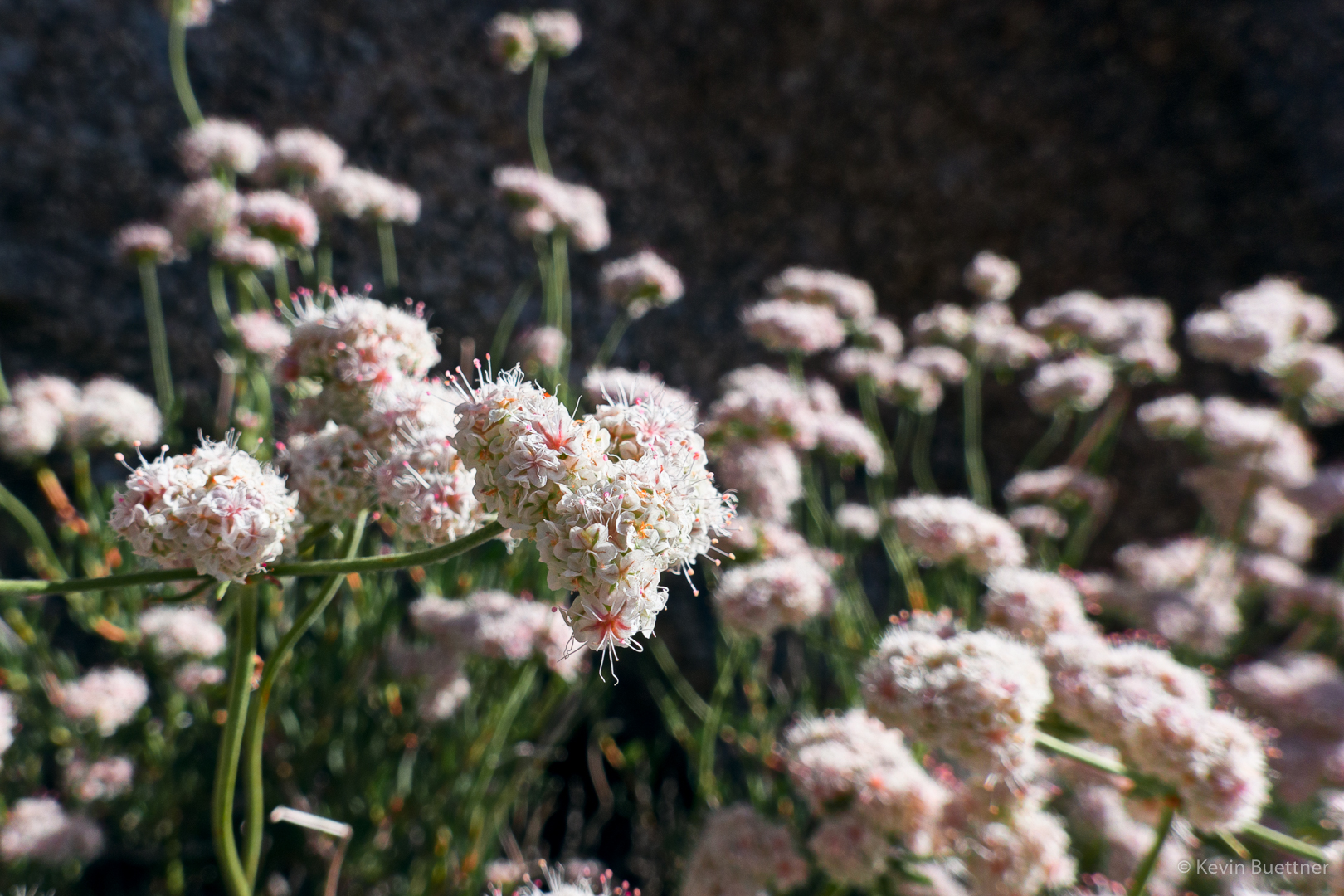
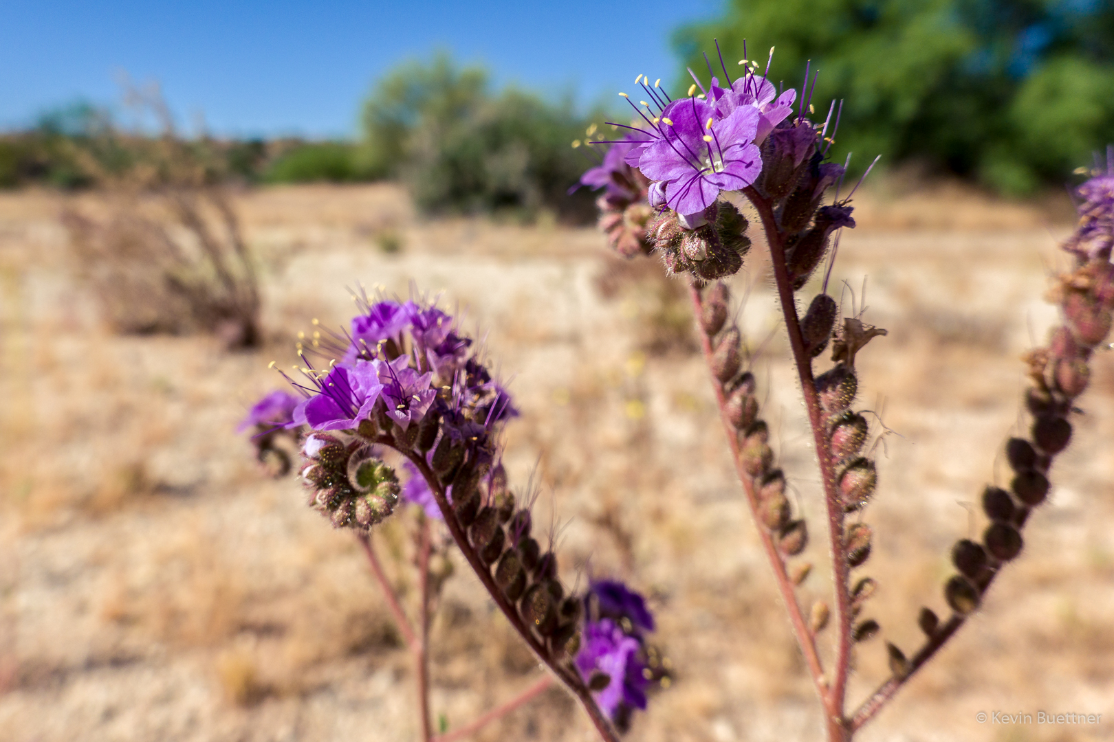
Phacelia (I thought it was Fiddleneck, but Linda corrected me on the ID). What was remarkable about this bunch of flowers was how high they were growing. They’re usually no more than a foot or two off the ground. Other nearby vegetation allowed this clump of it to reach up to perhaps four feet in height.