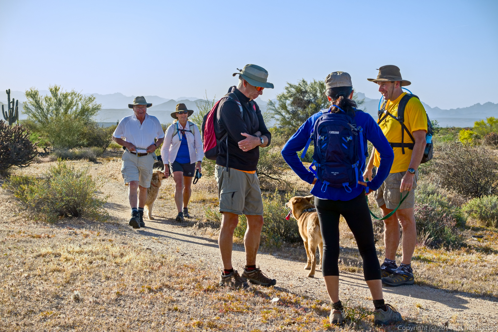
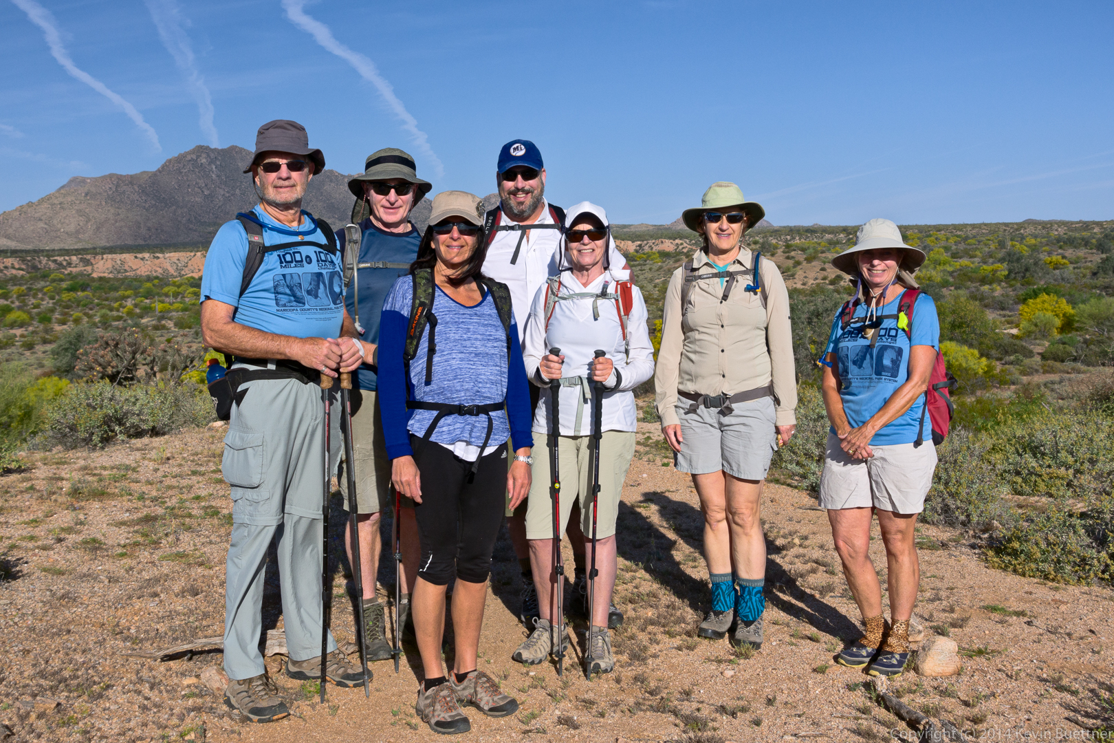
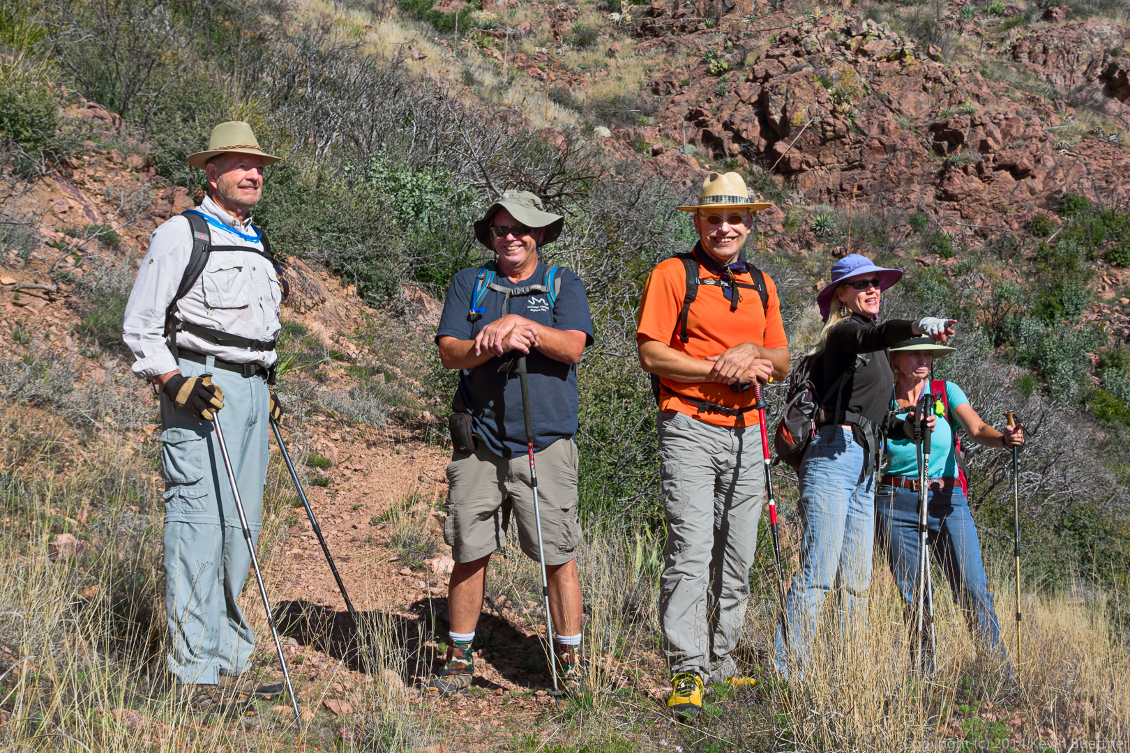
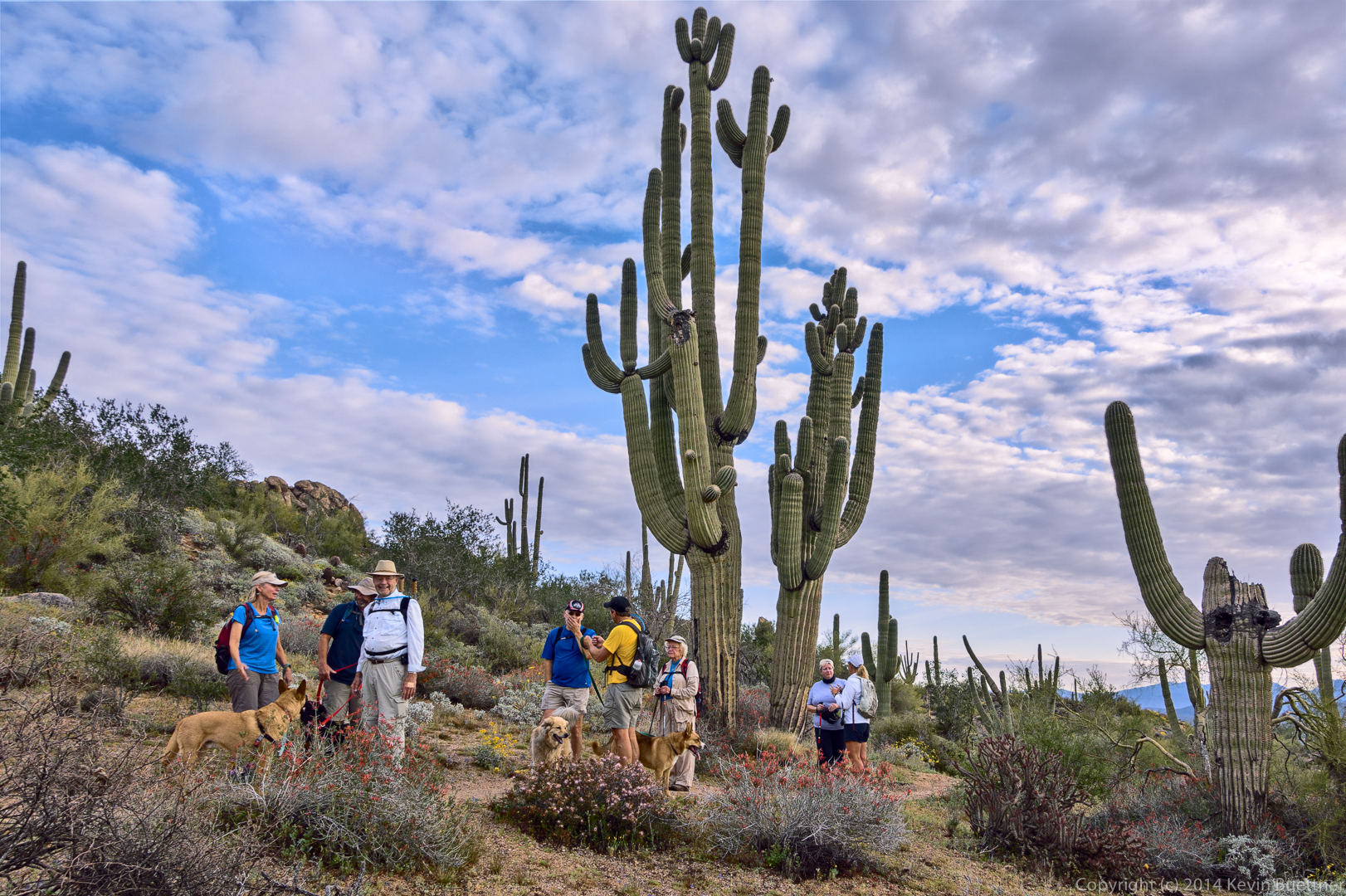
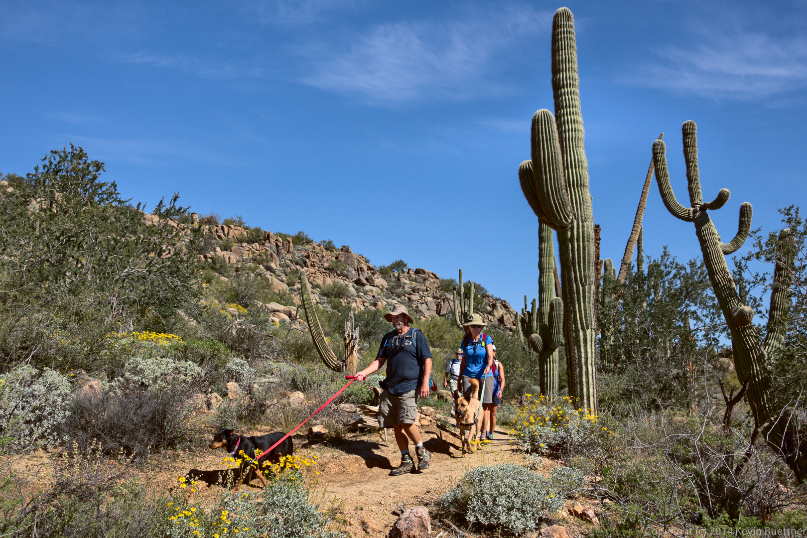
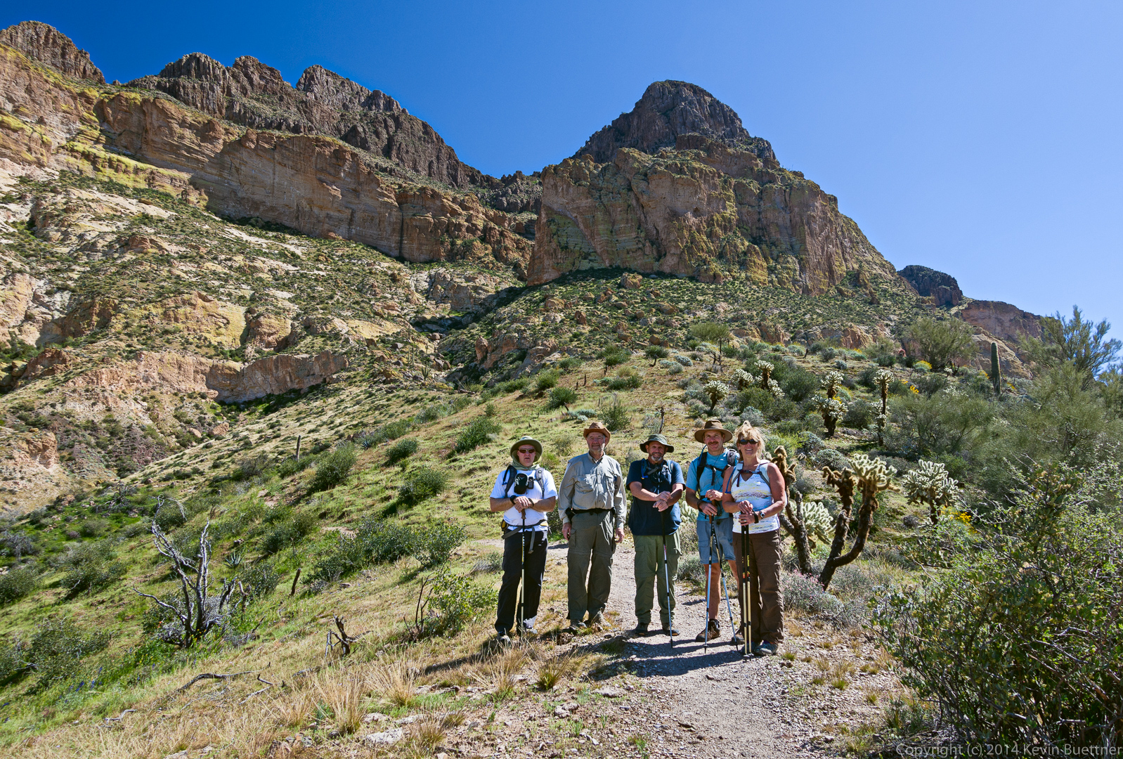
On Friday, March 6, Bob, Allen, Janet, Bill, and I hiked to the summit of Picketpost Mountain.
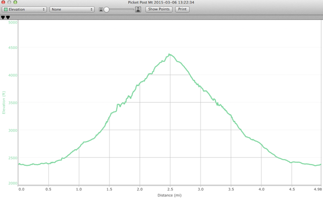
Allen sent me this plot of the elevation profile from our hike:
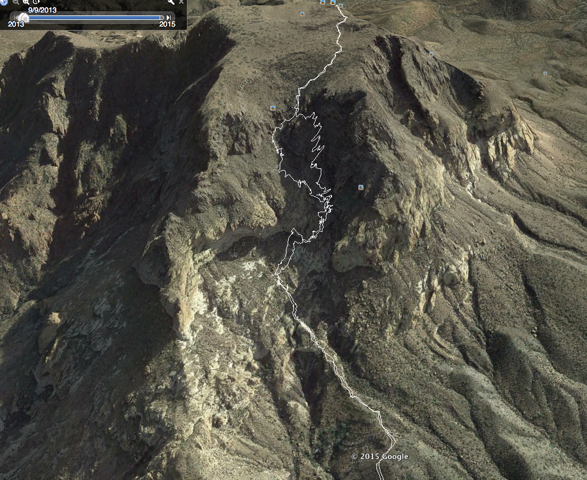
Here is a plot of our hike (also from Allen). We took a somewhat different path back in some of the steeper, looser sections. The path that we used to go down was somewhat easier than that which we used for the ascent.
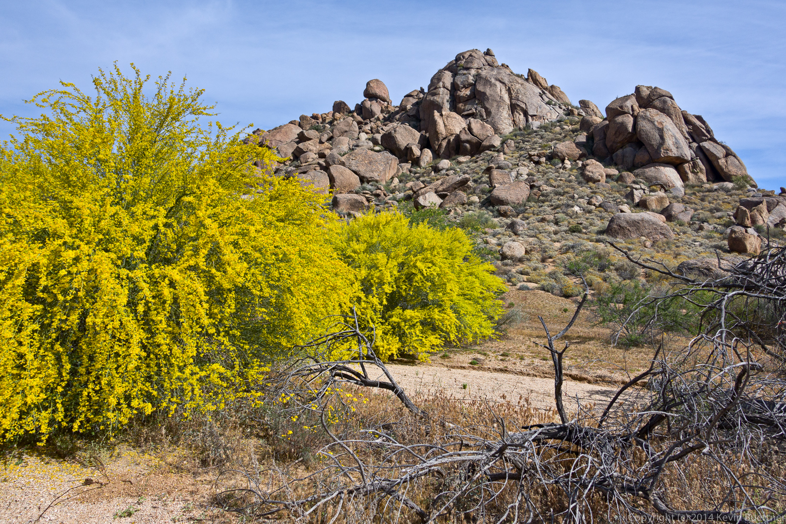
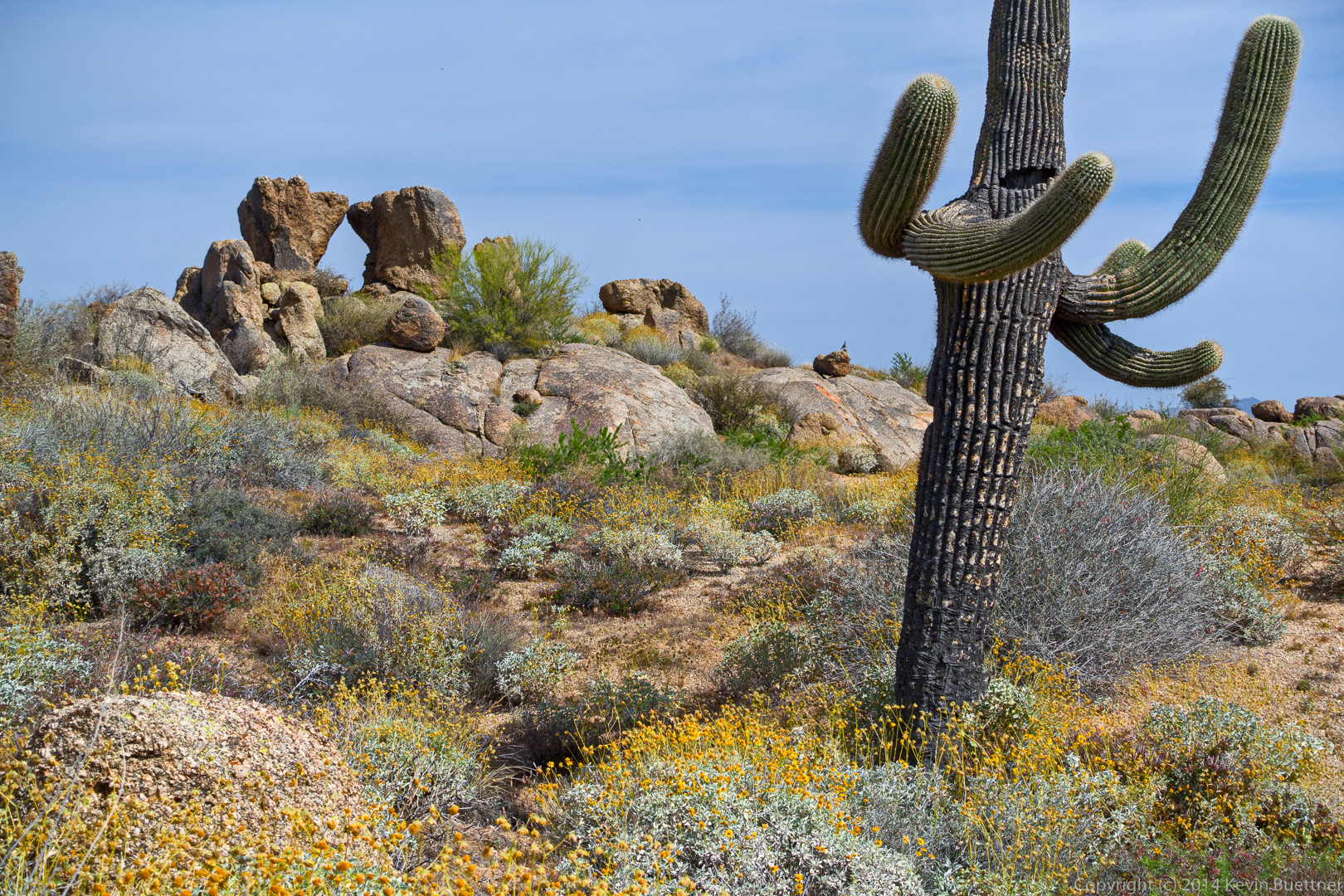
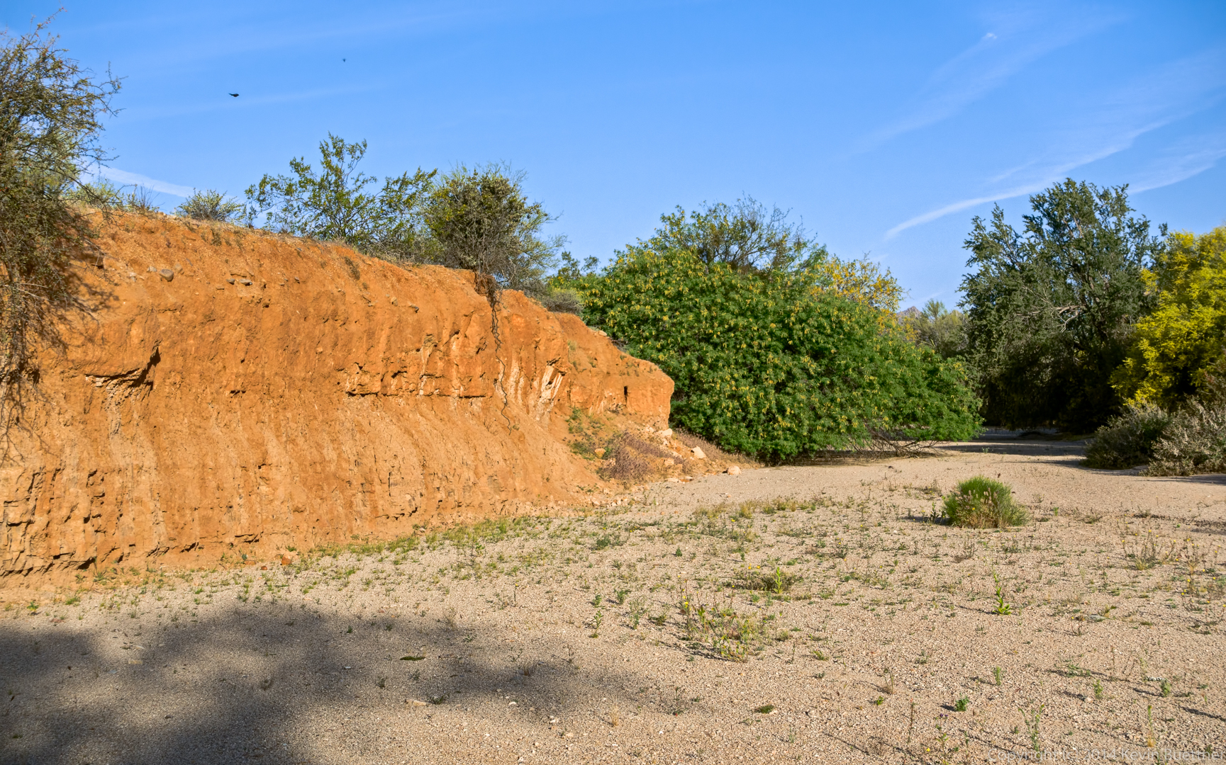
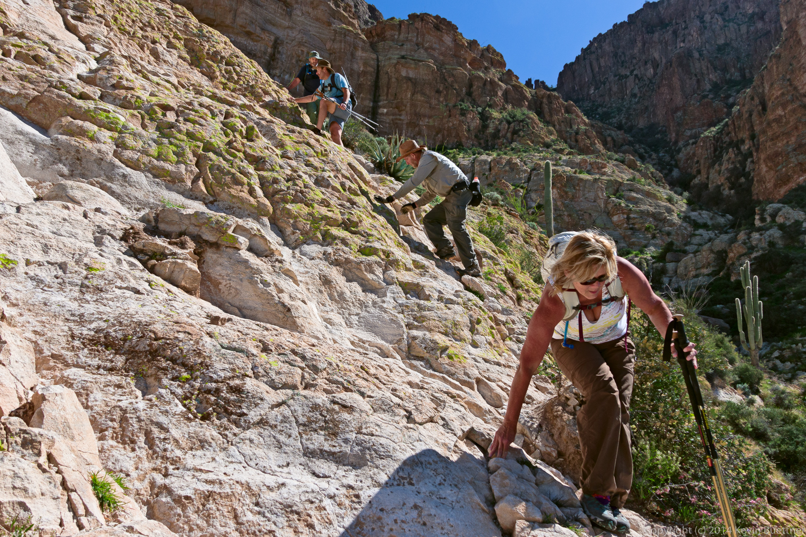
Something isn’t quite right in the first few photos here, but I can’t quite figure out what it is. Many of my photos from early in the day were in the shade of Picketpost Mountain. It could be that I should have used different techniques for color correcting the portions in the shade.
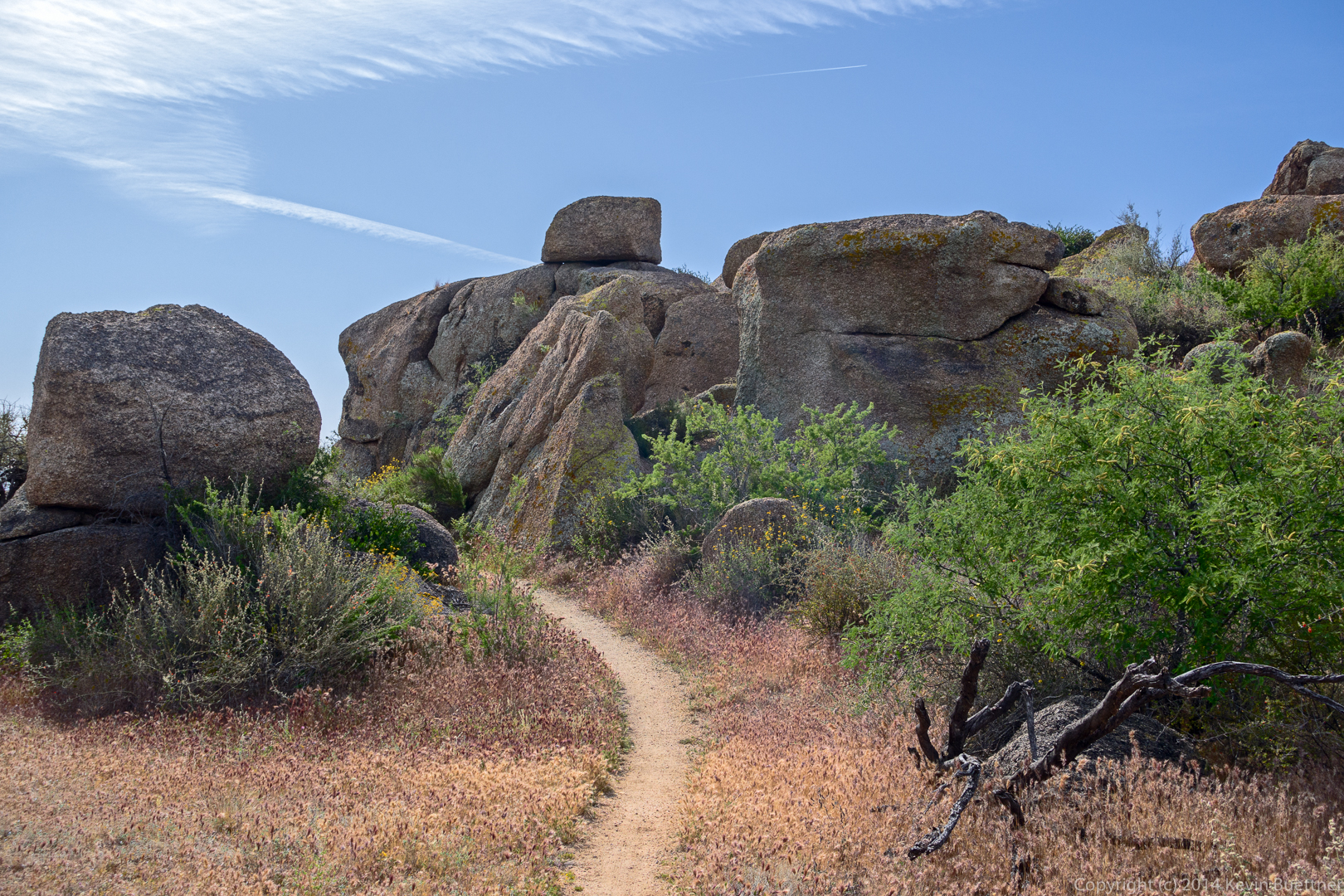
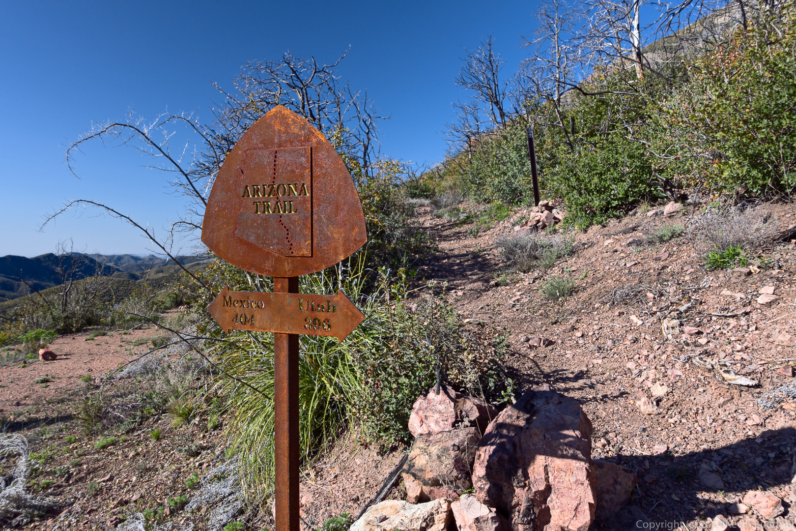
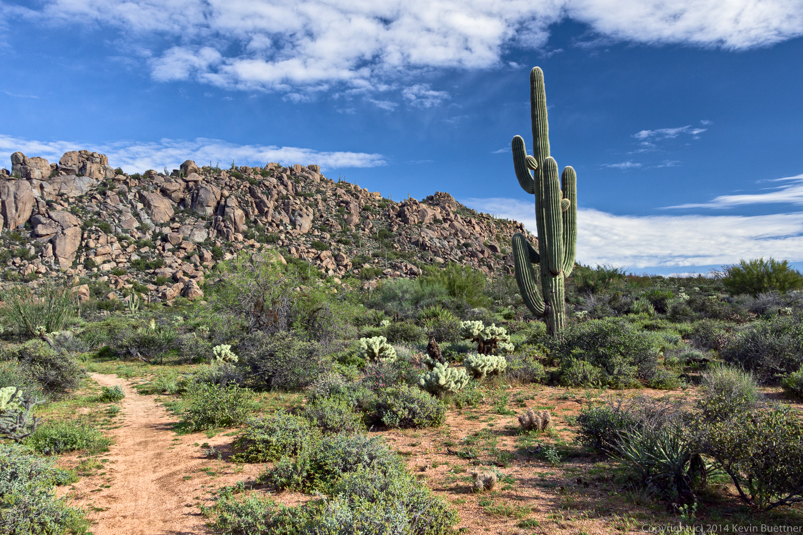
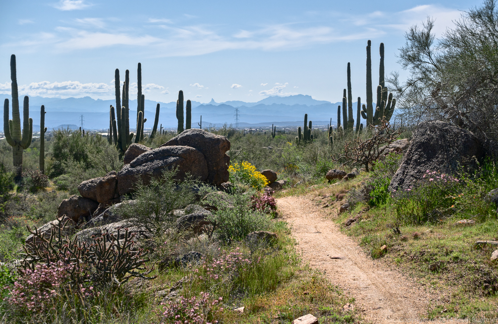
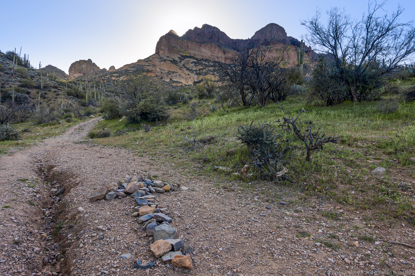
The hike starts on a portion of the Arizona Trail. The arrow made out of stones points to the correct path up to the summit of Picketpost Mountain. We had passed another likely path perhaps a quarter mile prior to encountering this one.
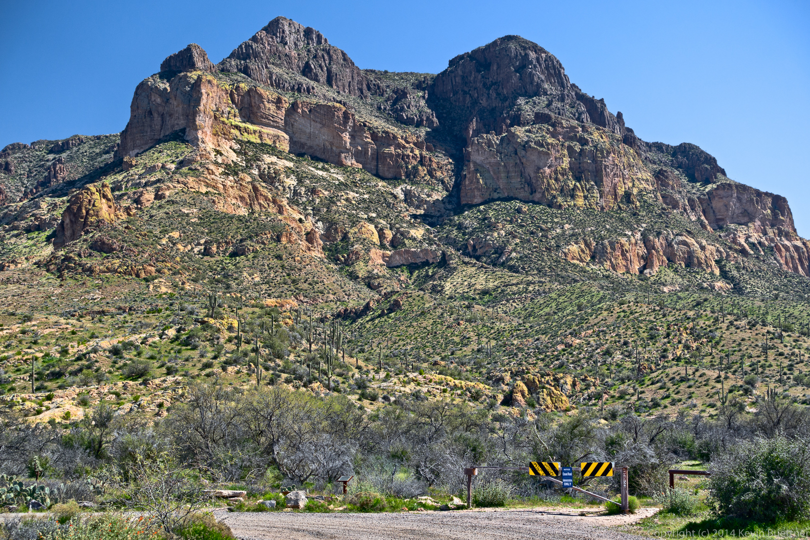
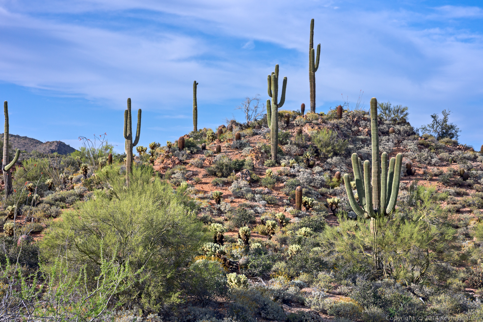
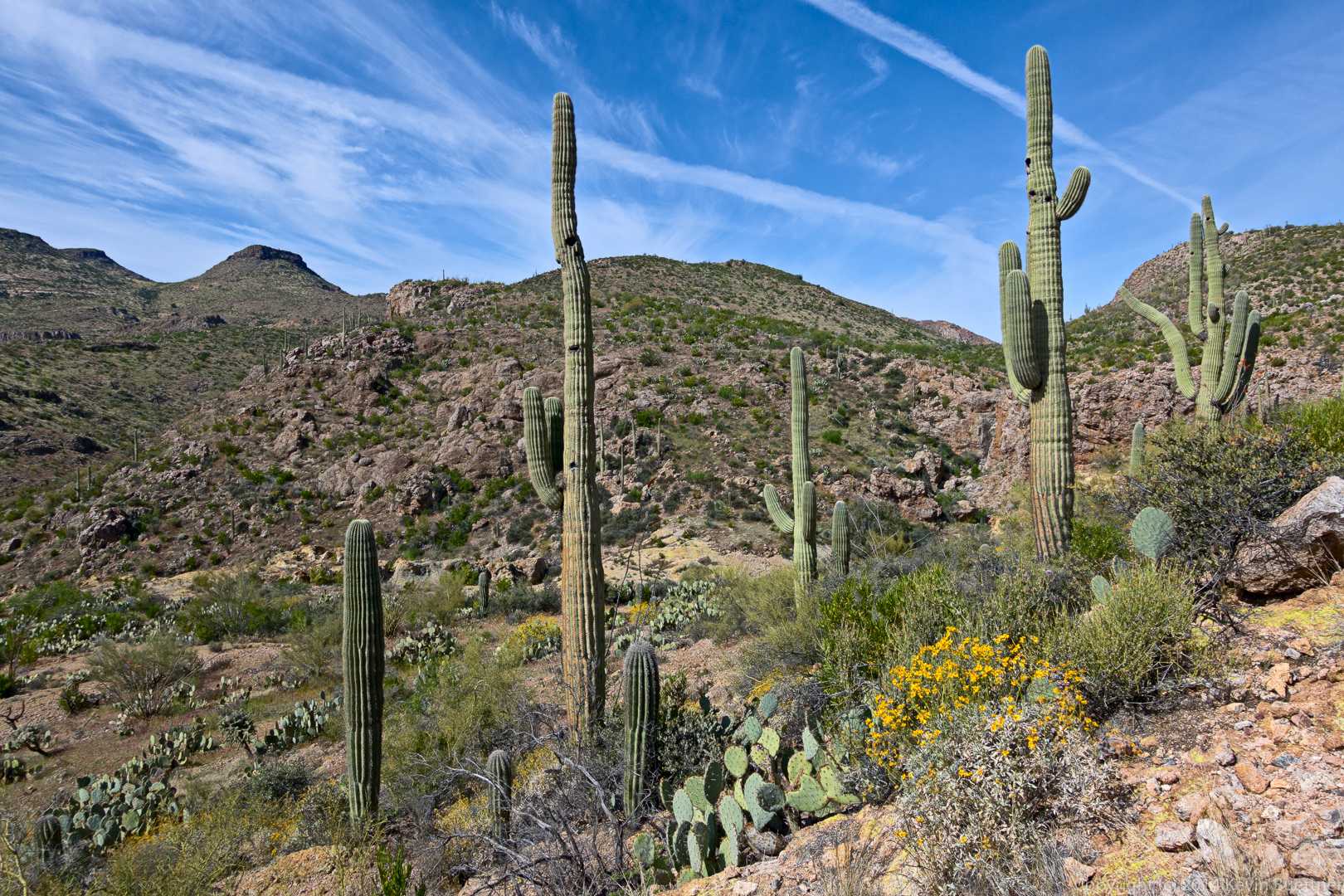
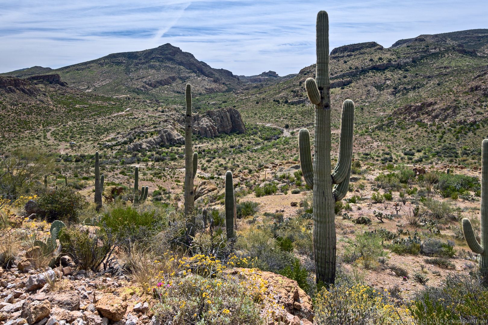
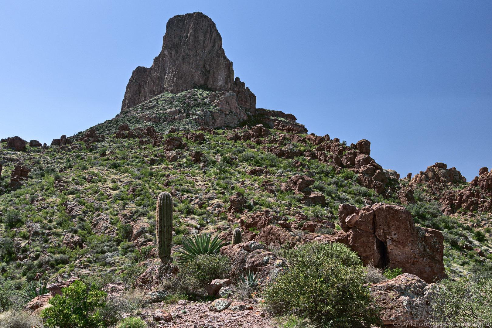
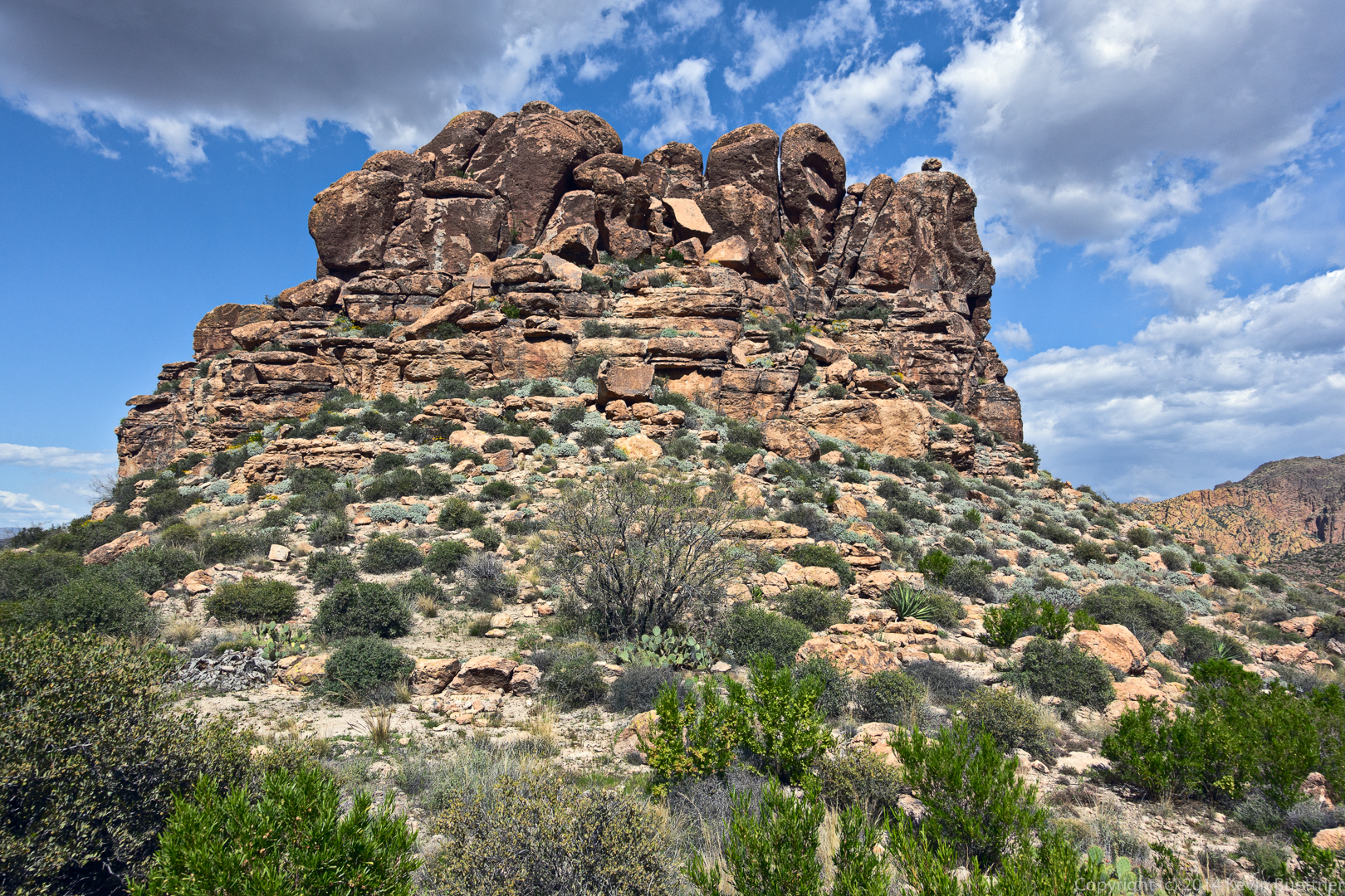
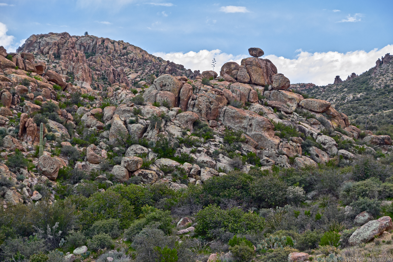
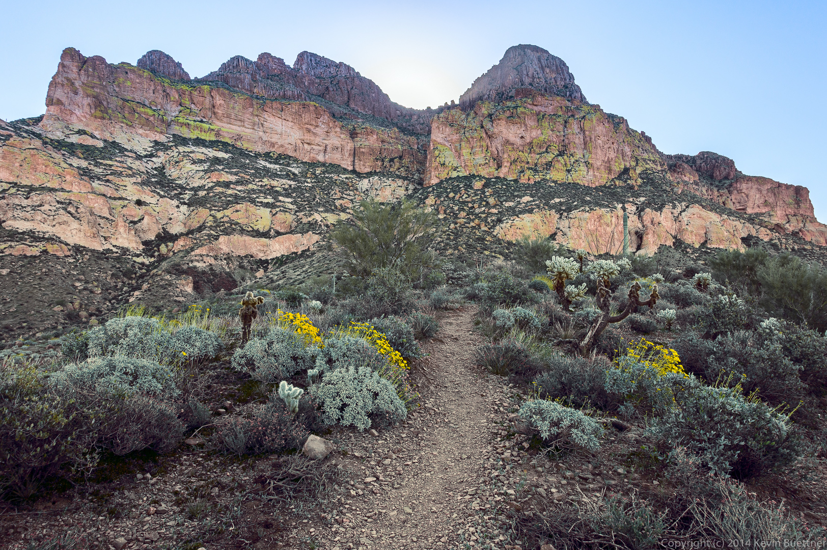
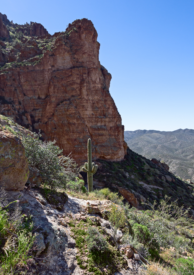
A view of Picketpost Mountain from the lower slopes. The hiking path goes up the “crack” just right of center.
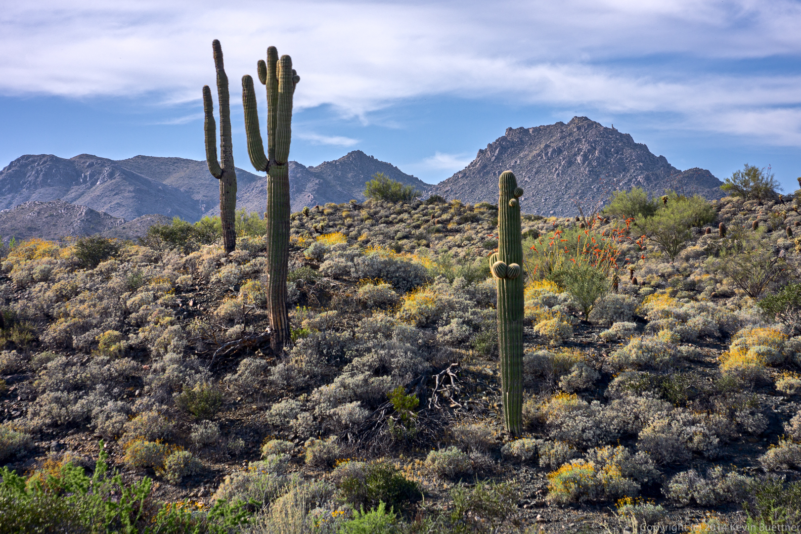
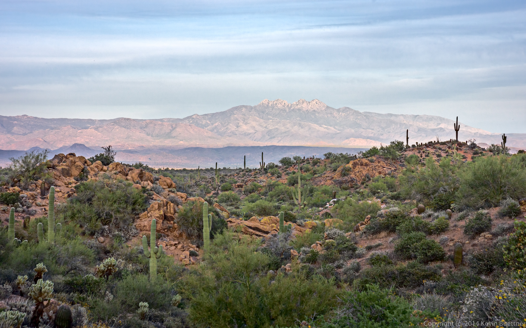
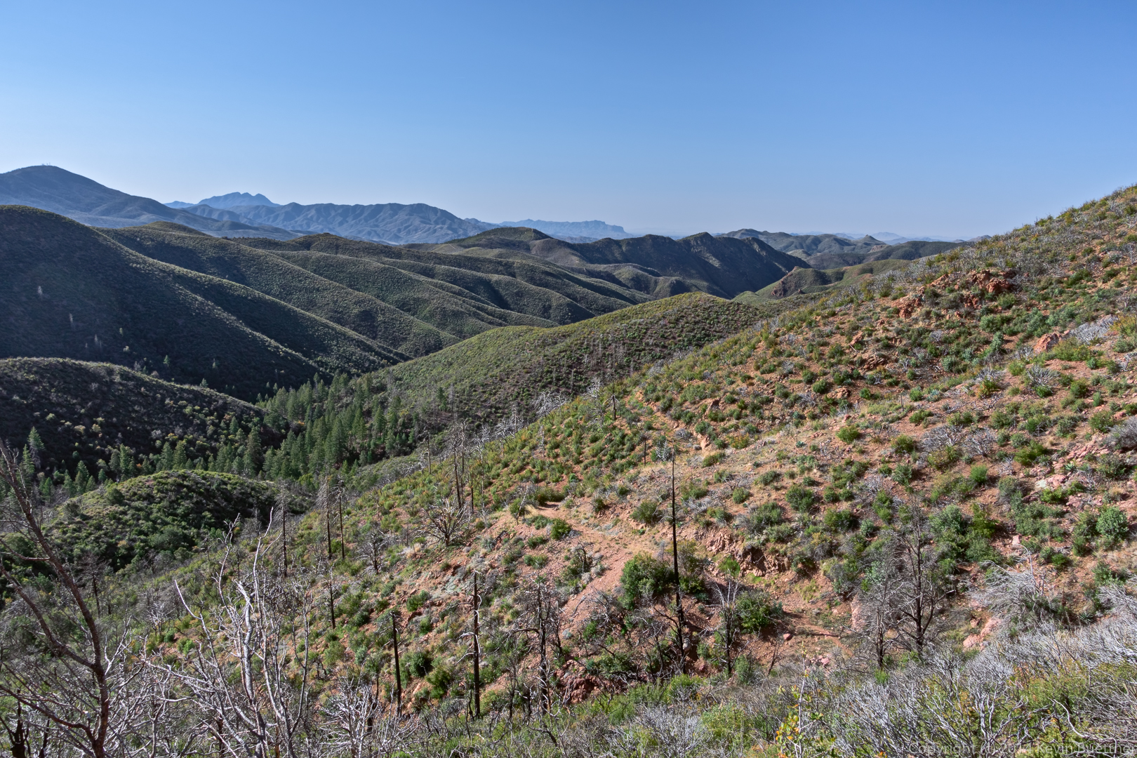
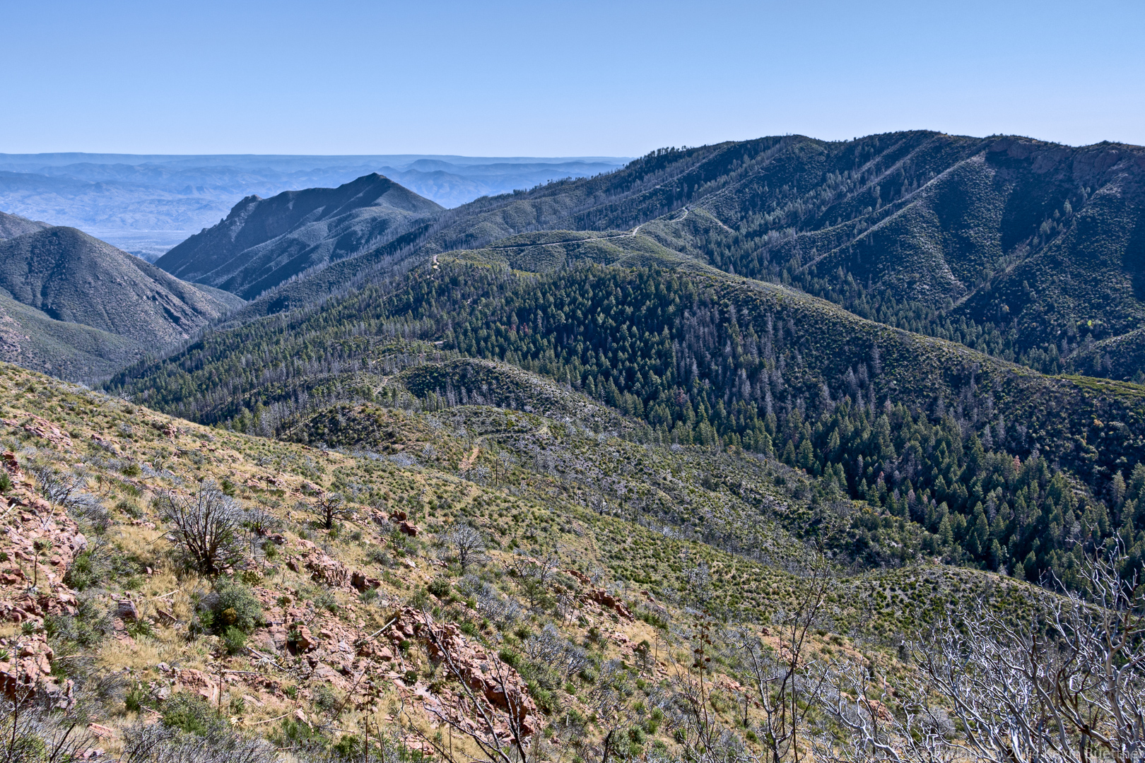
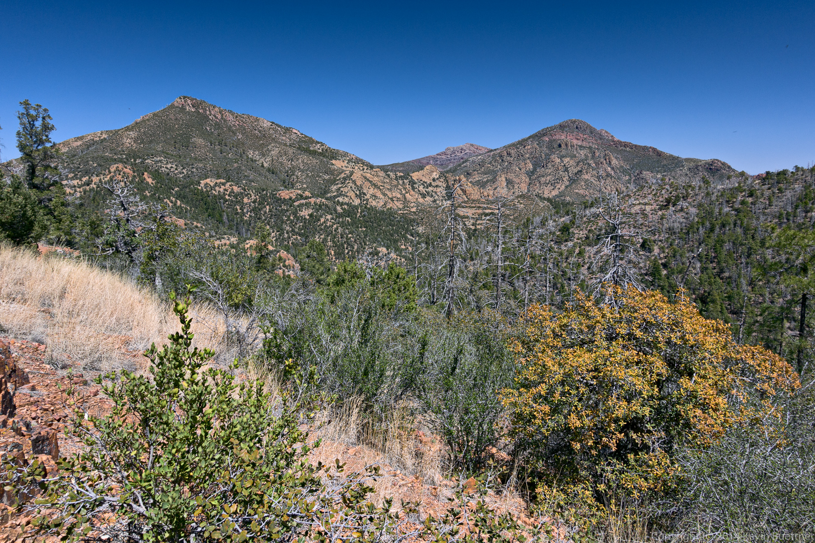
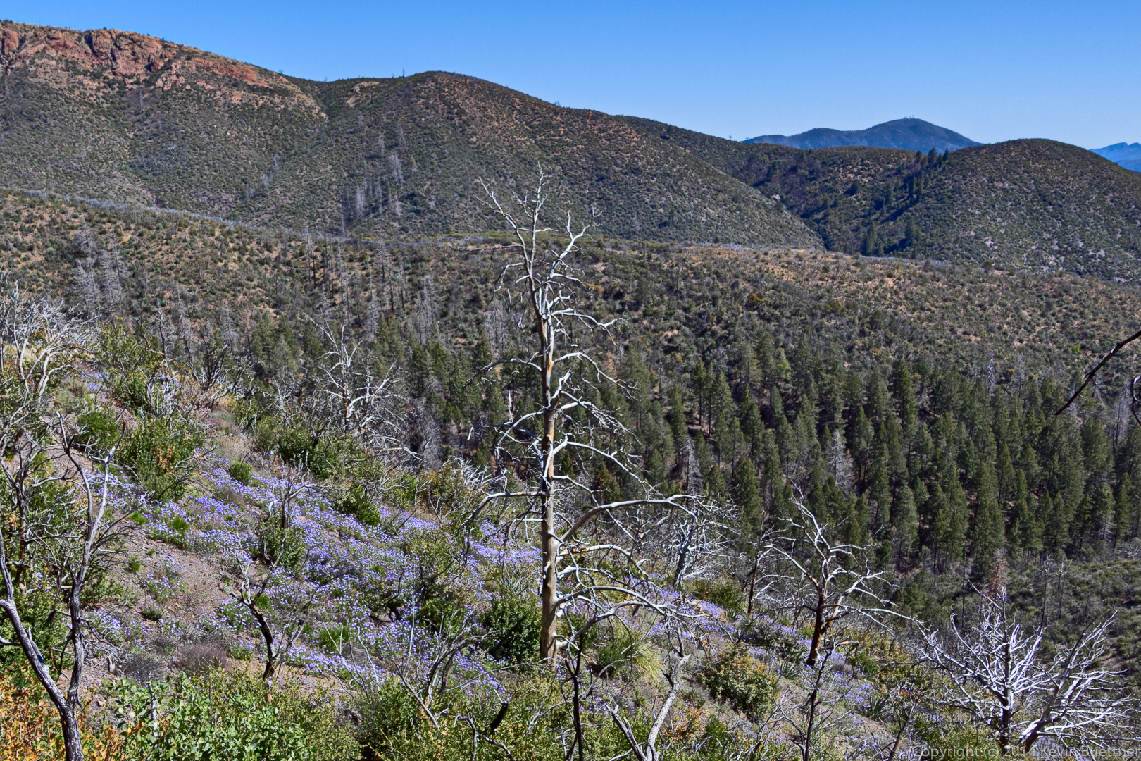
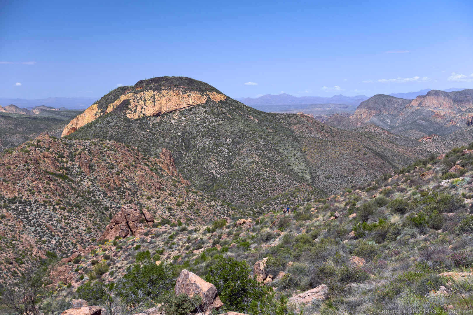
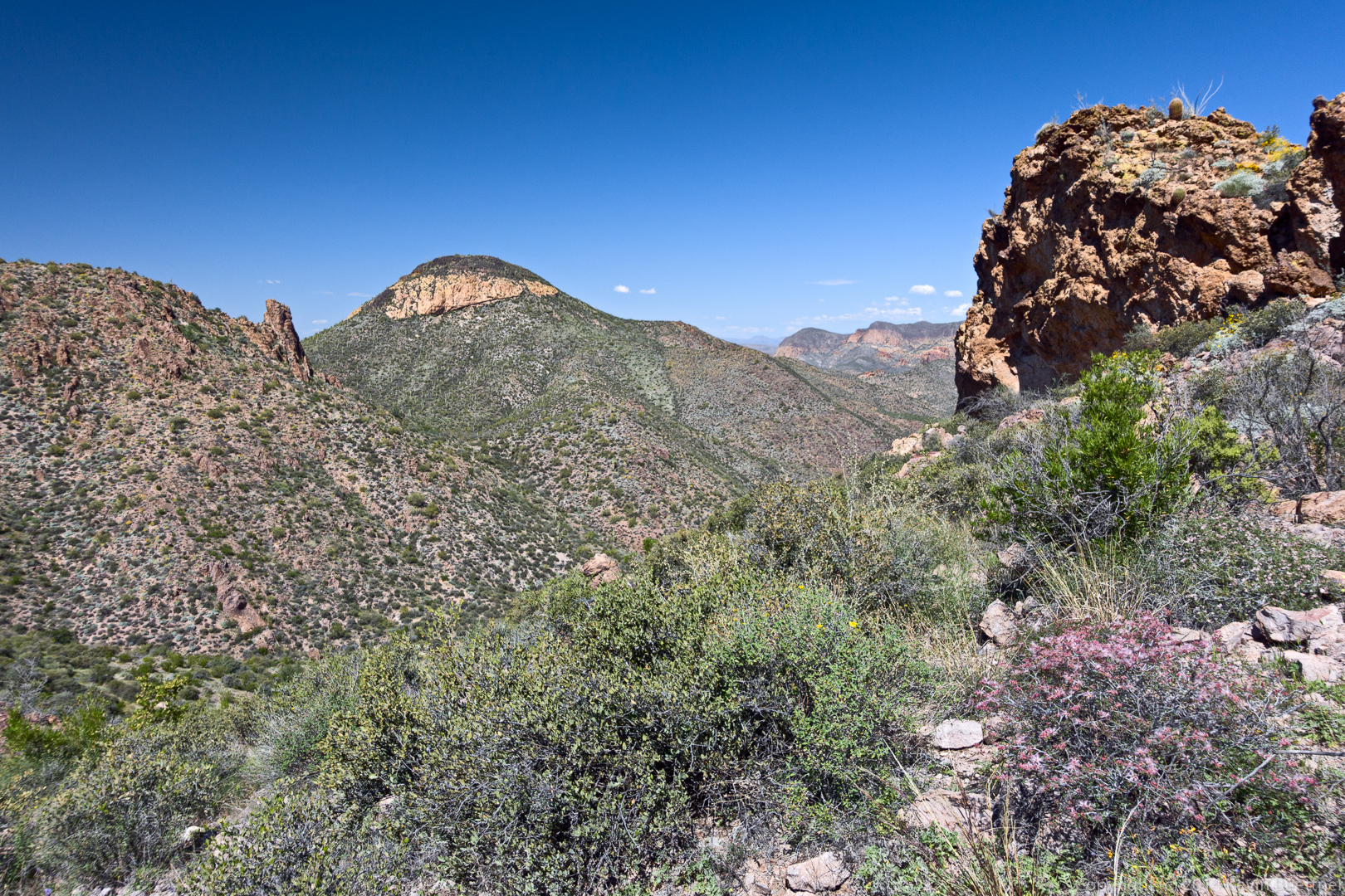
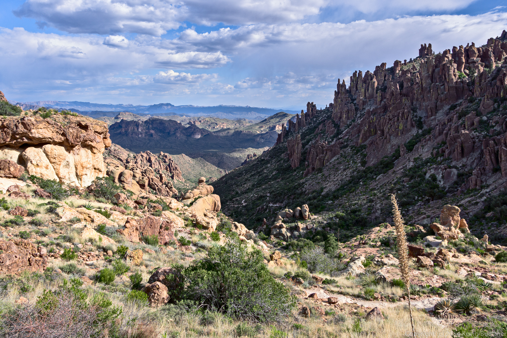
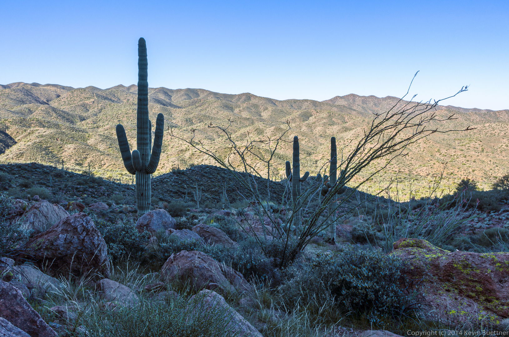
A view looking in the other direction.
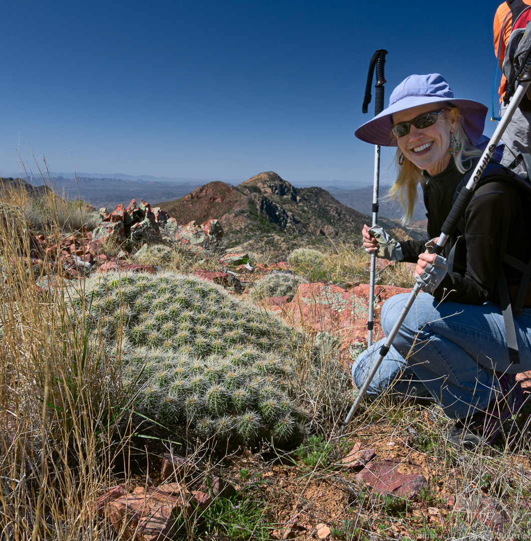
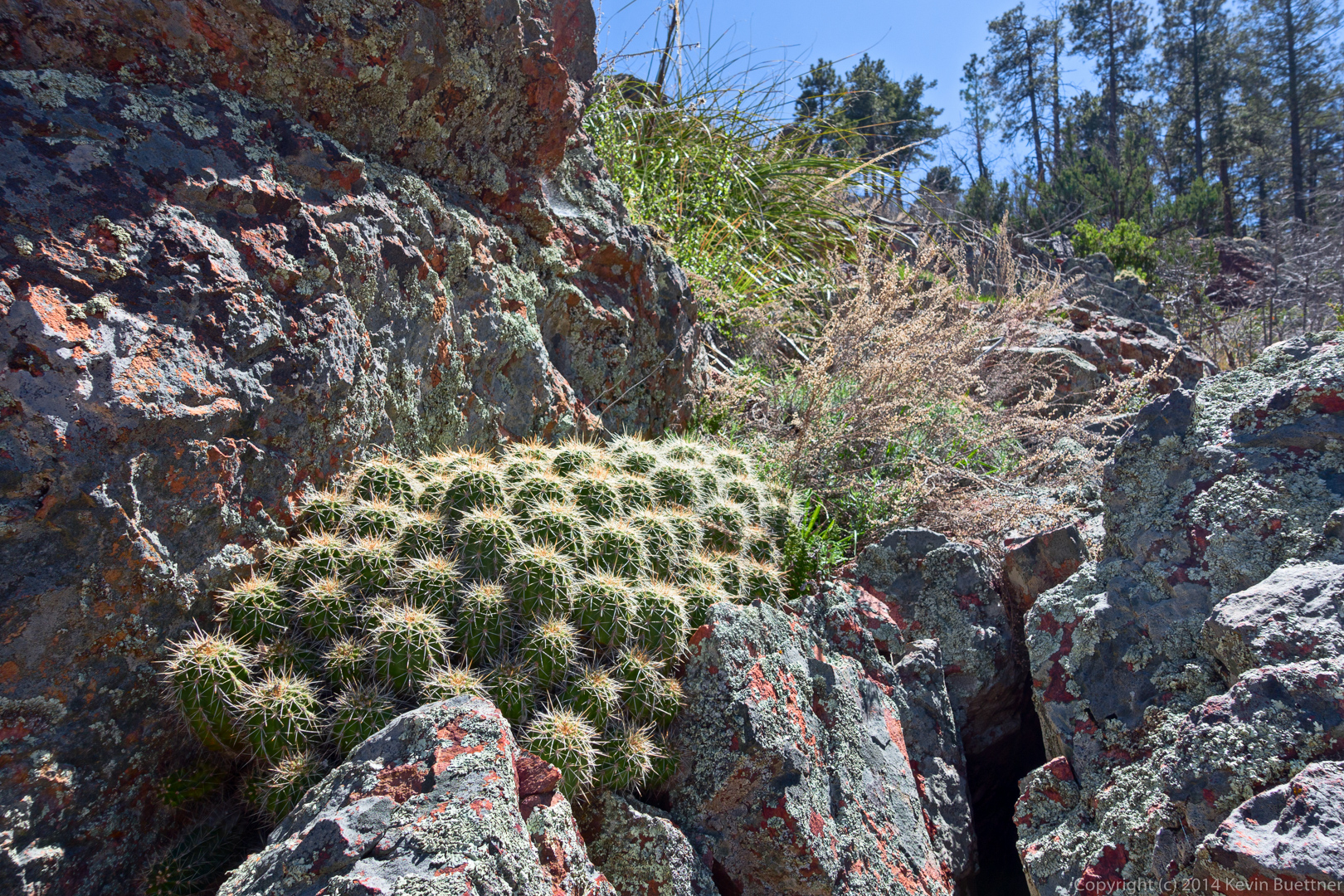
I thought the barrel cactus growing sideways was interesting.
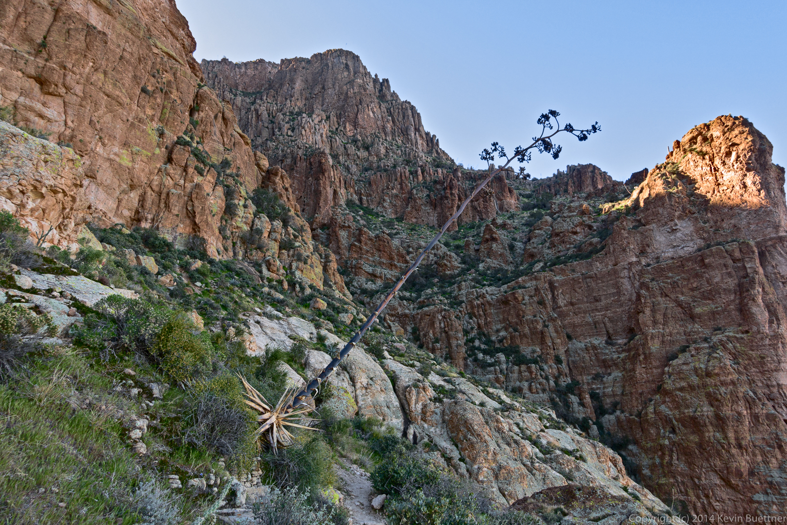
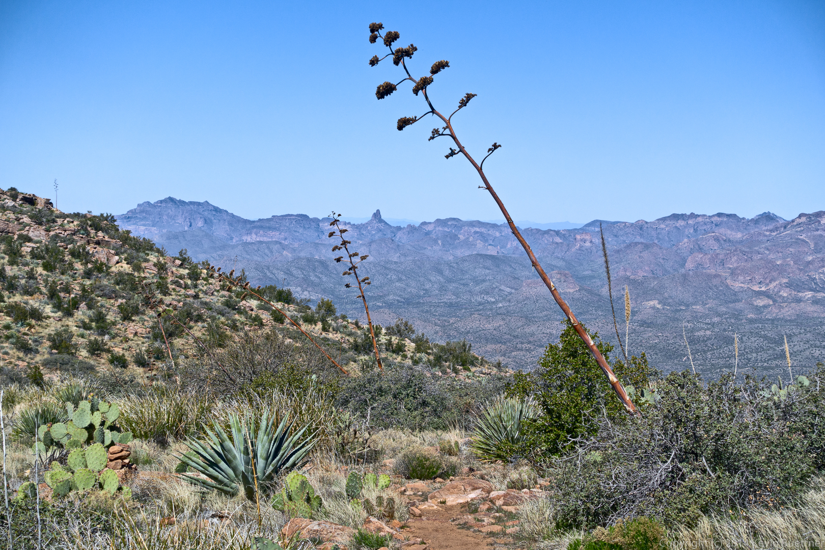
We saw many agave stalks on this hike.
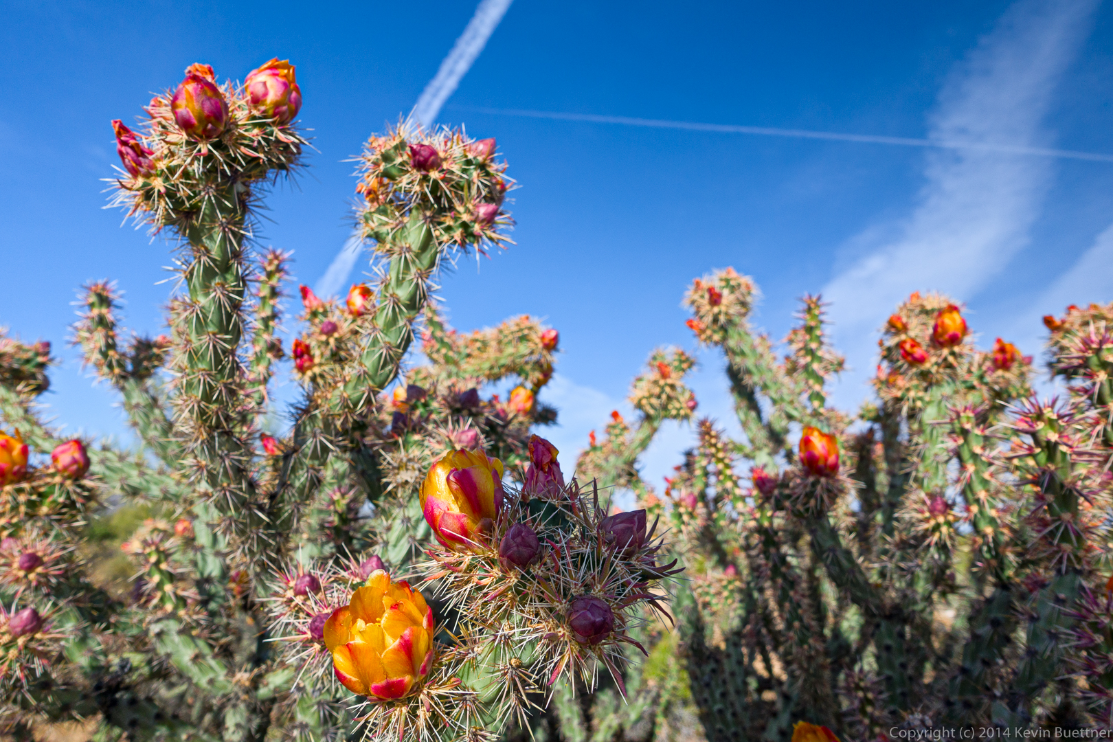
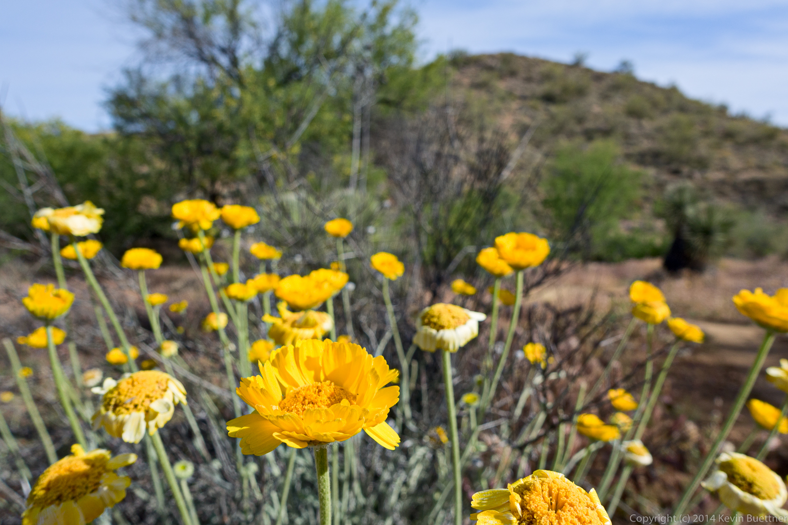
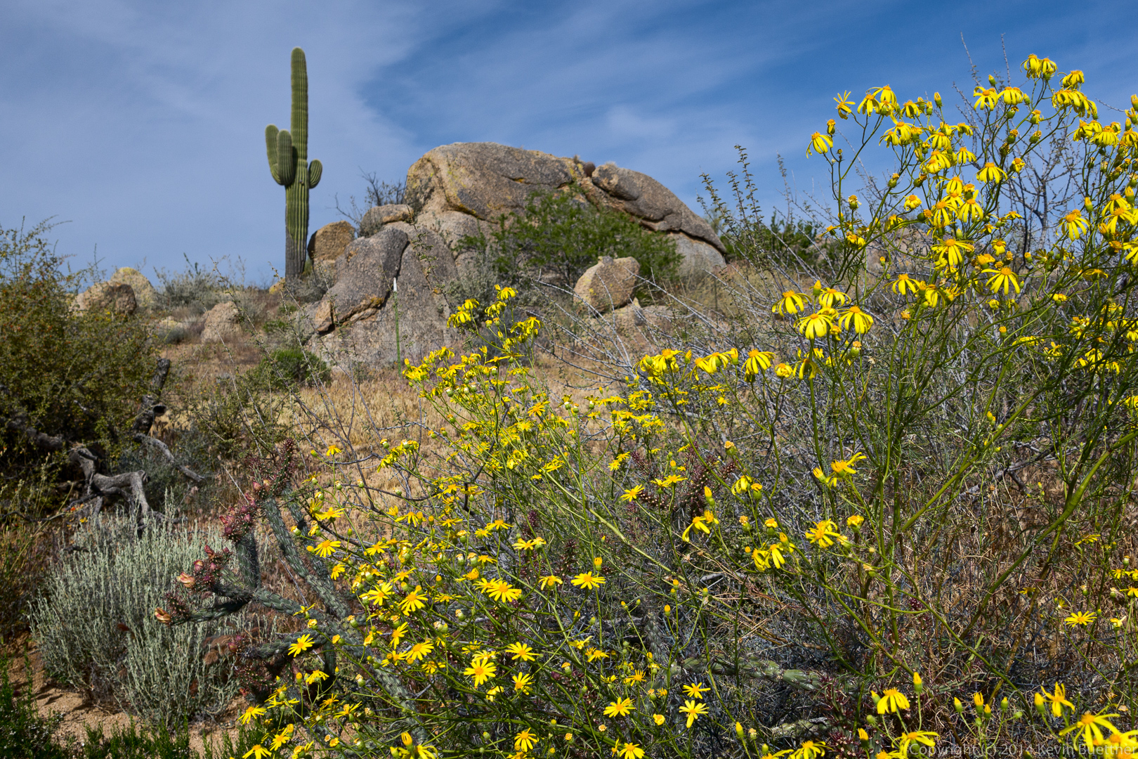
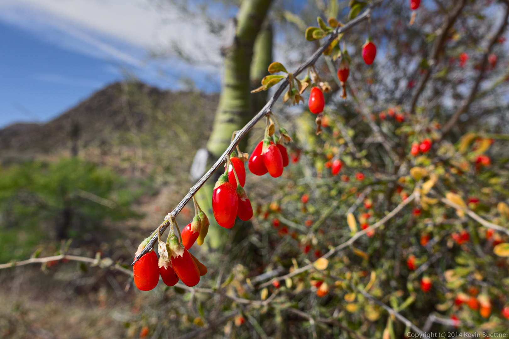
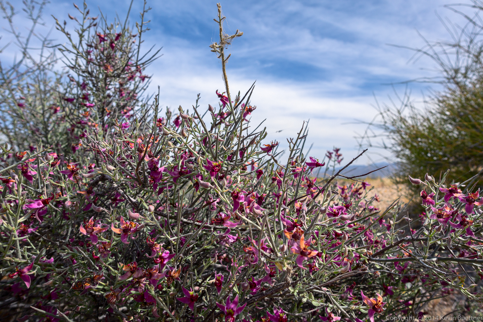
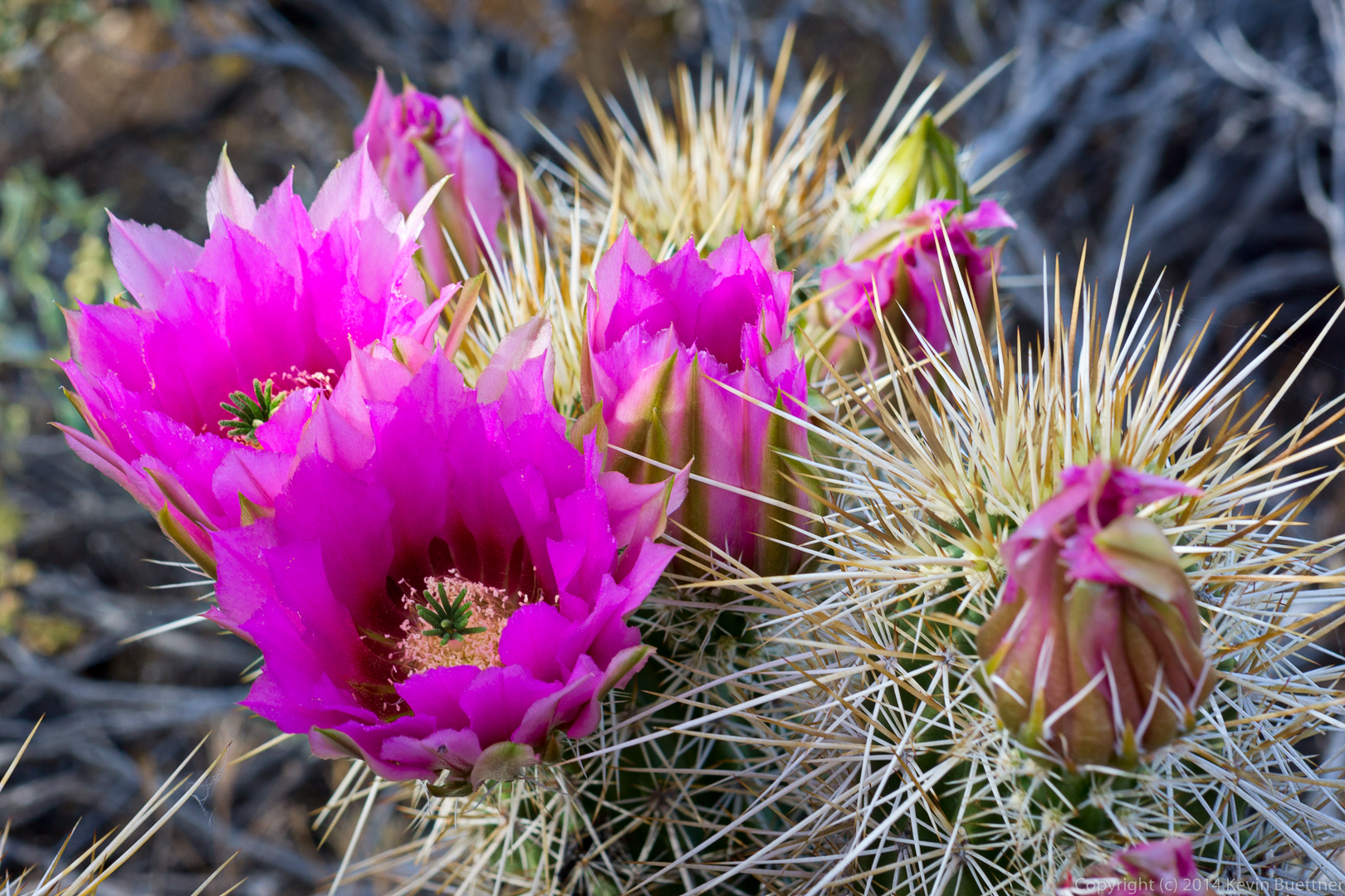
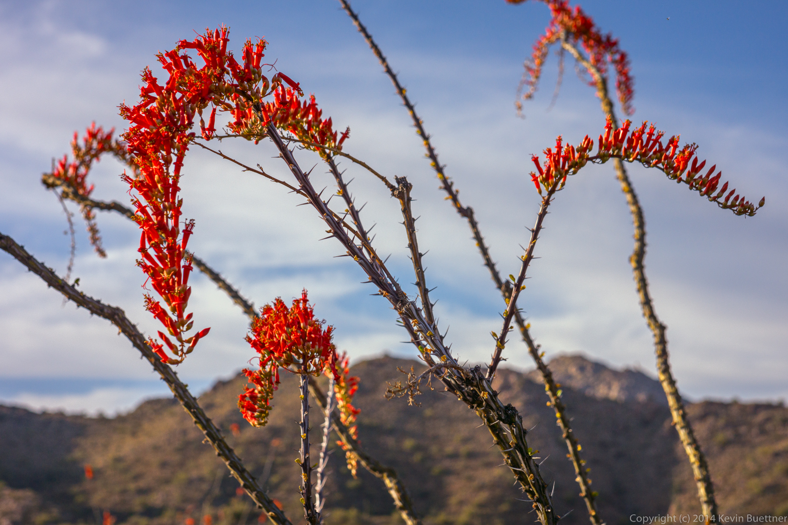
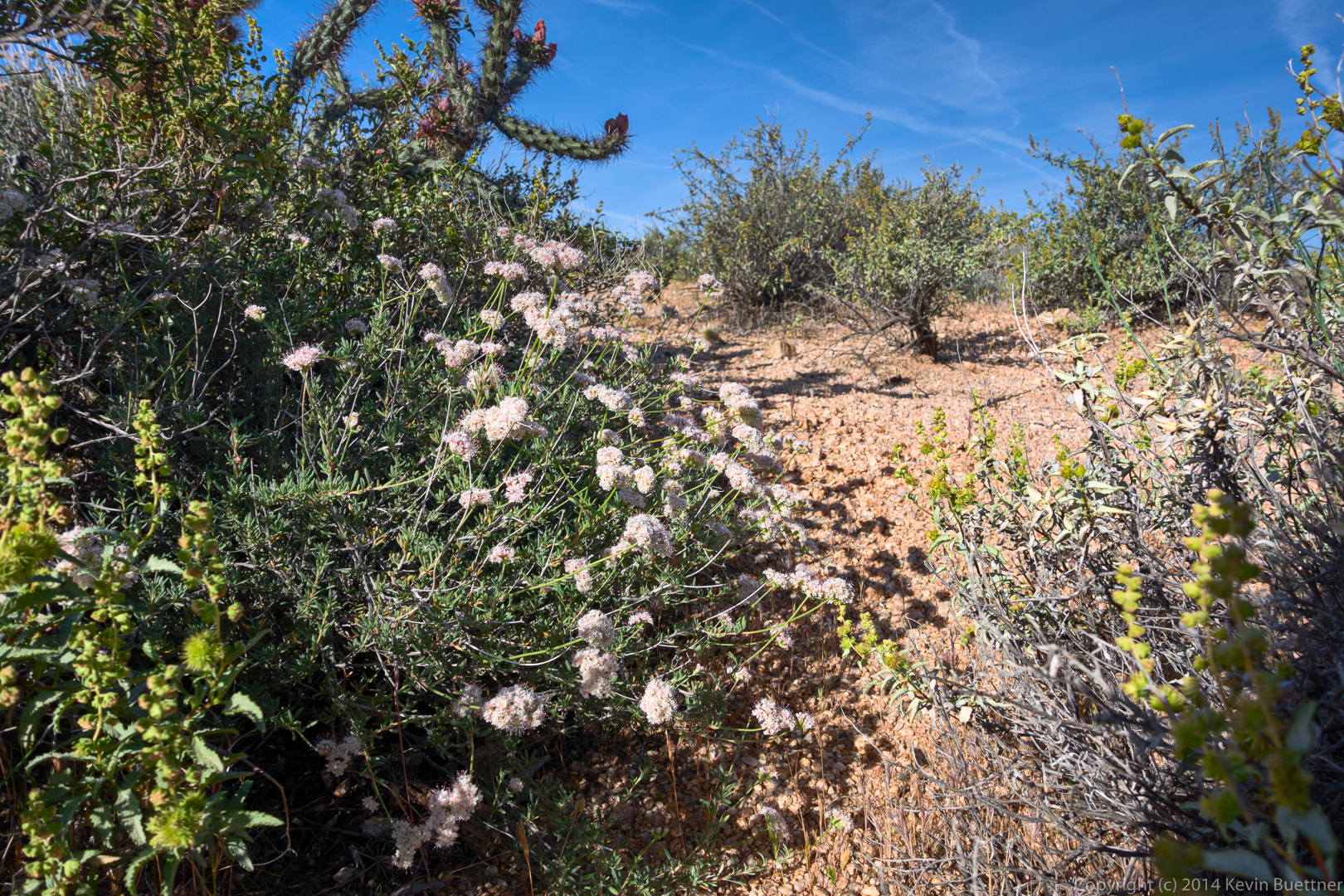
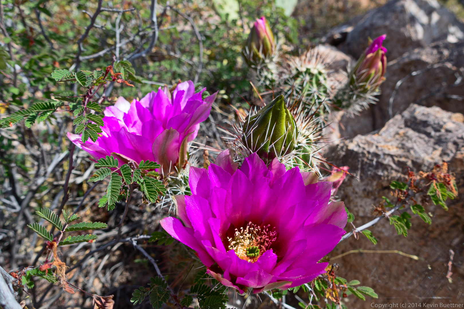
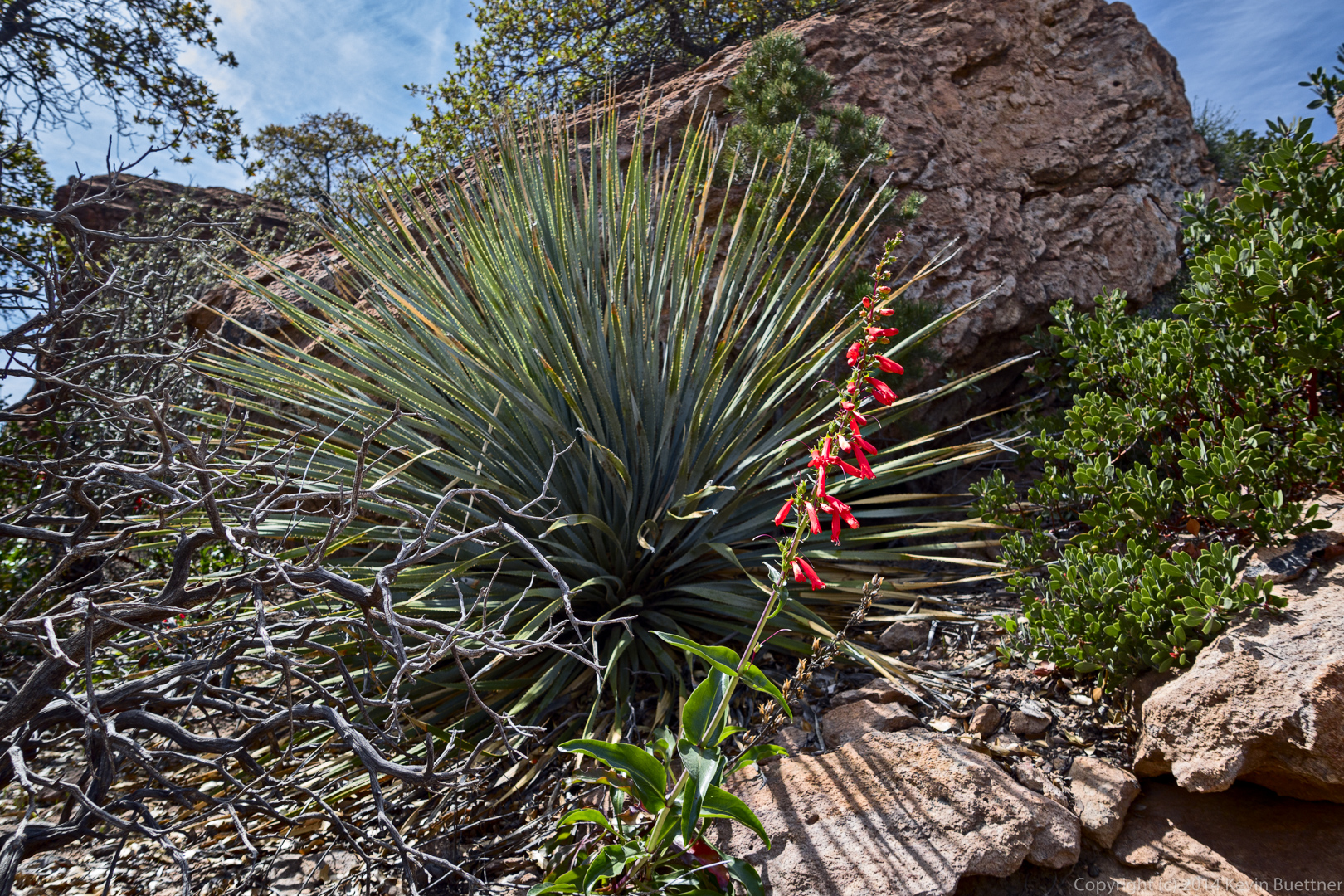
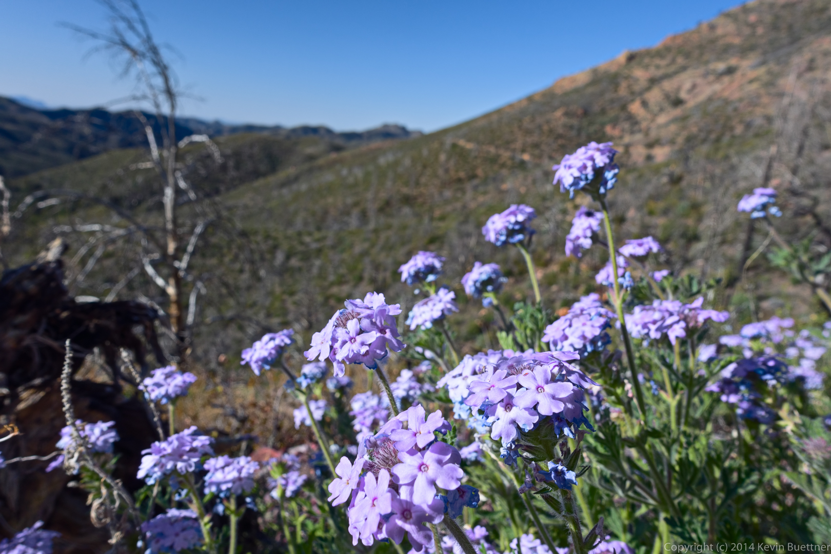
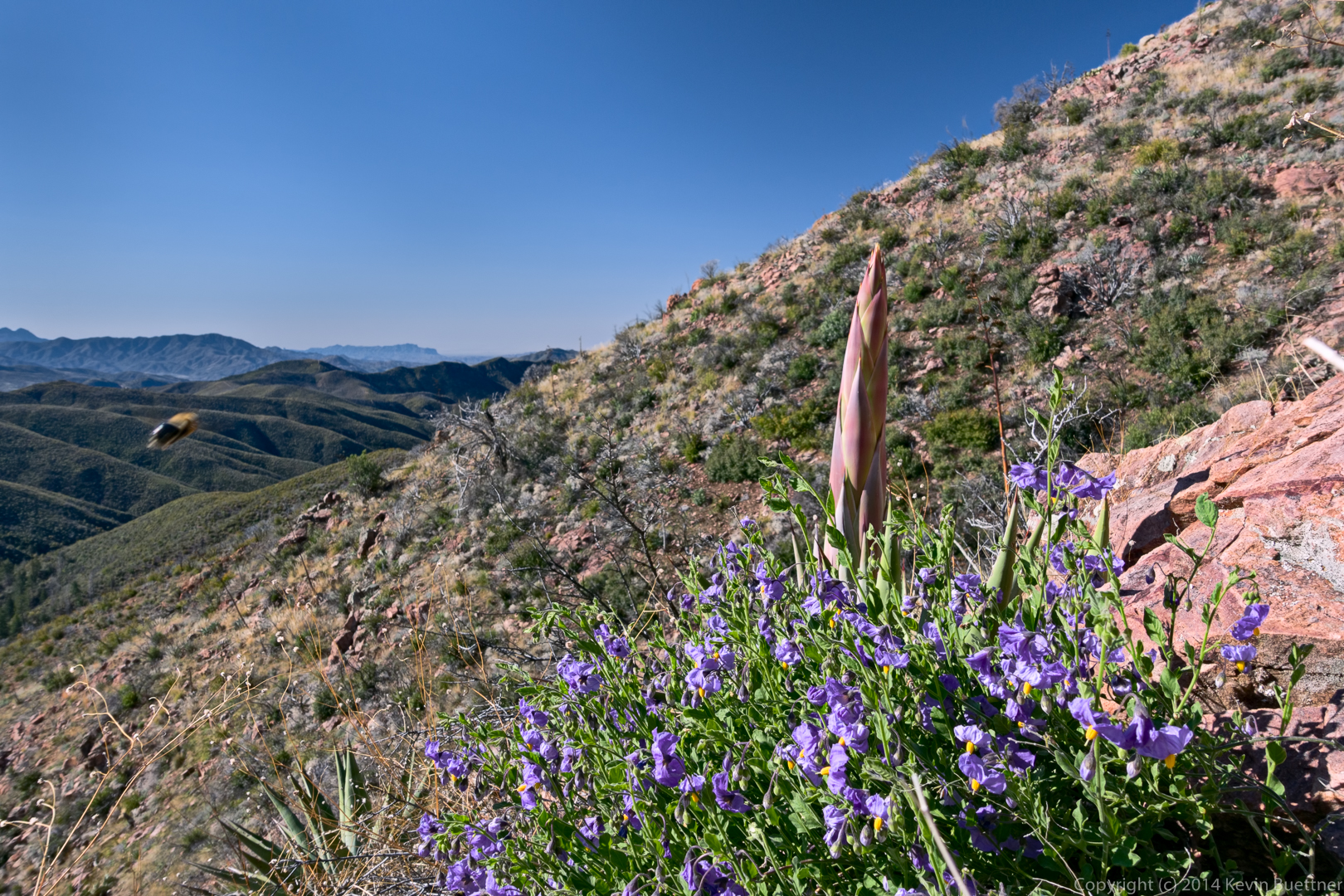
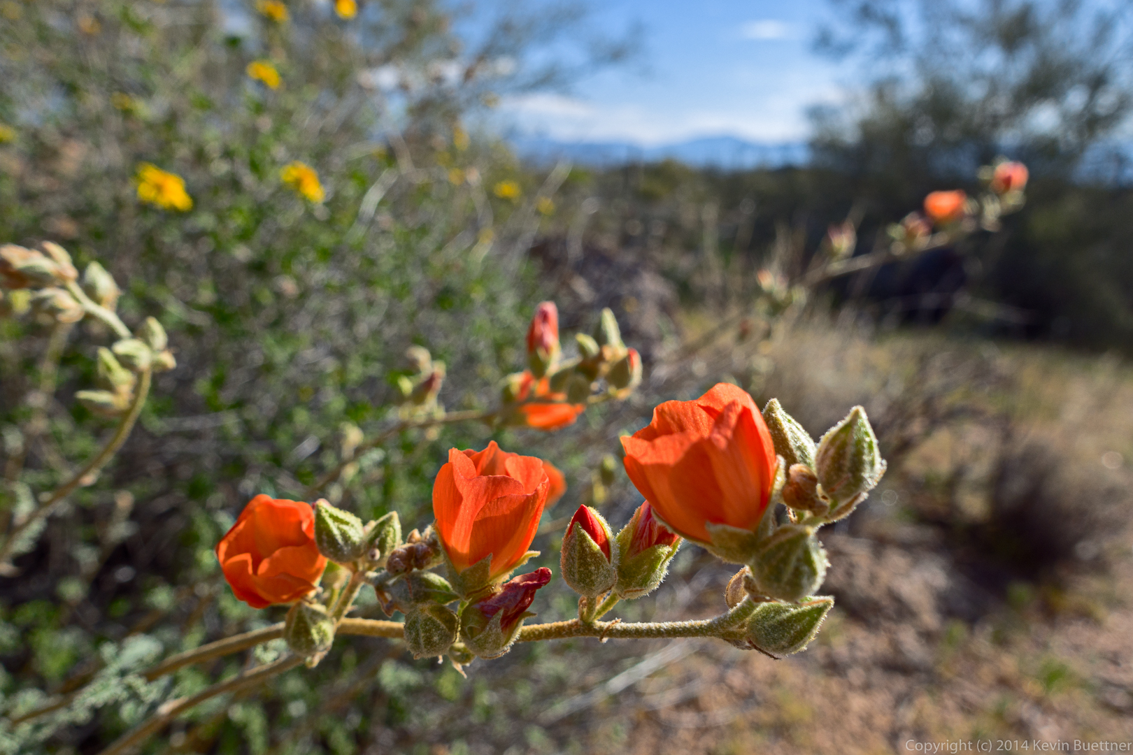
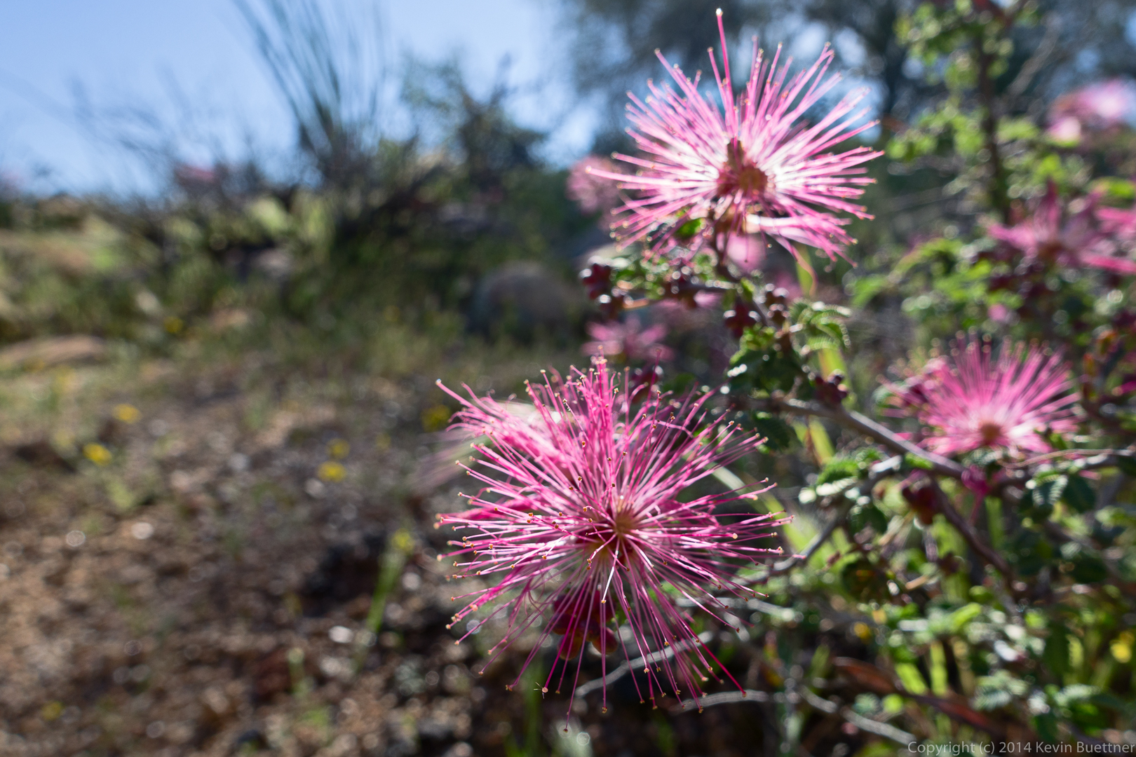
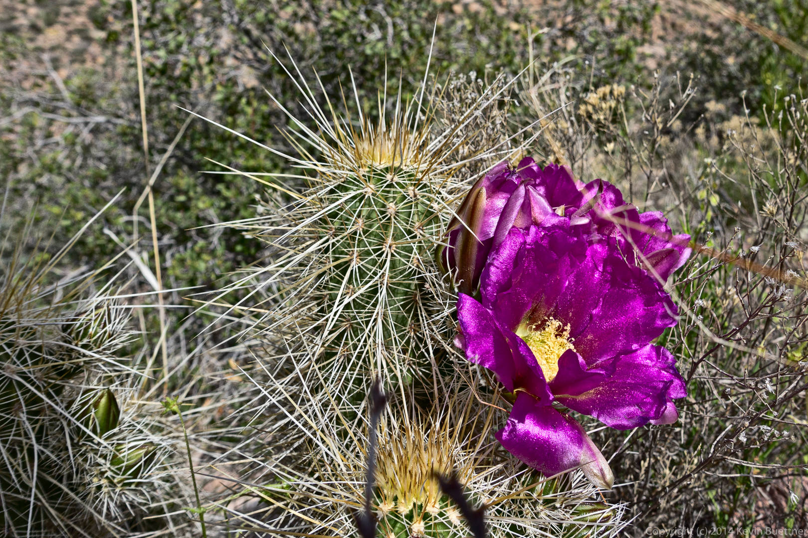
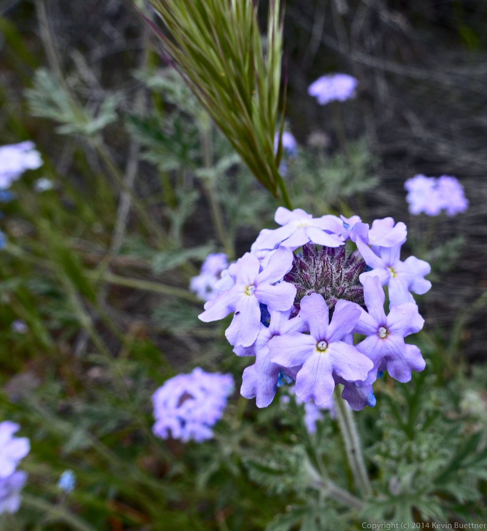
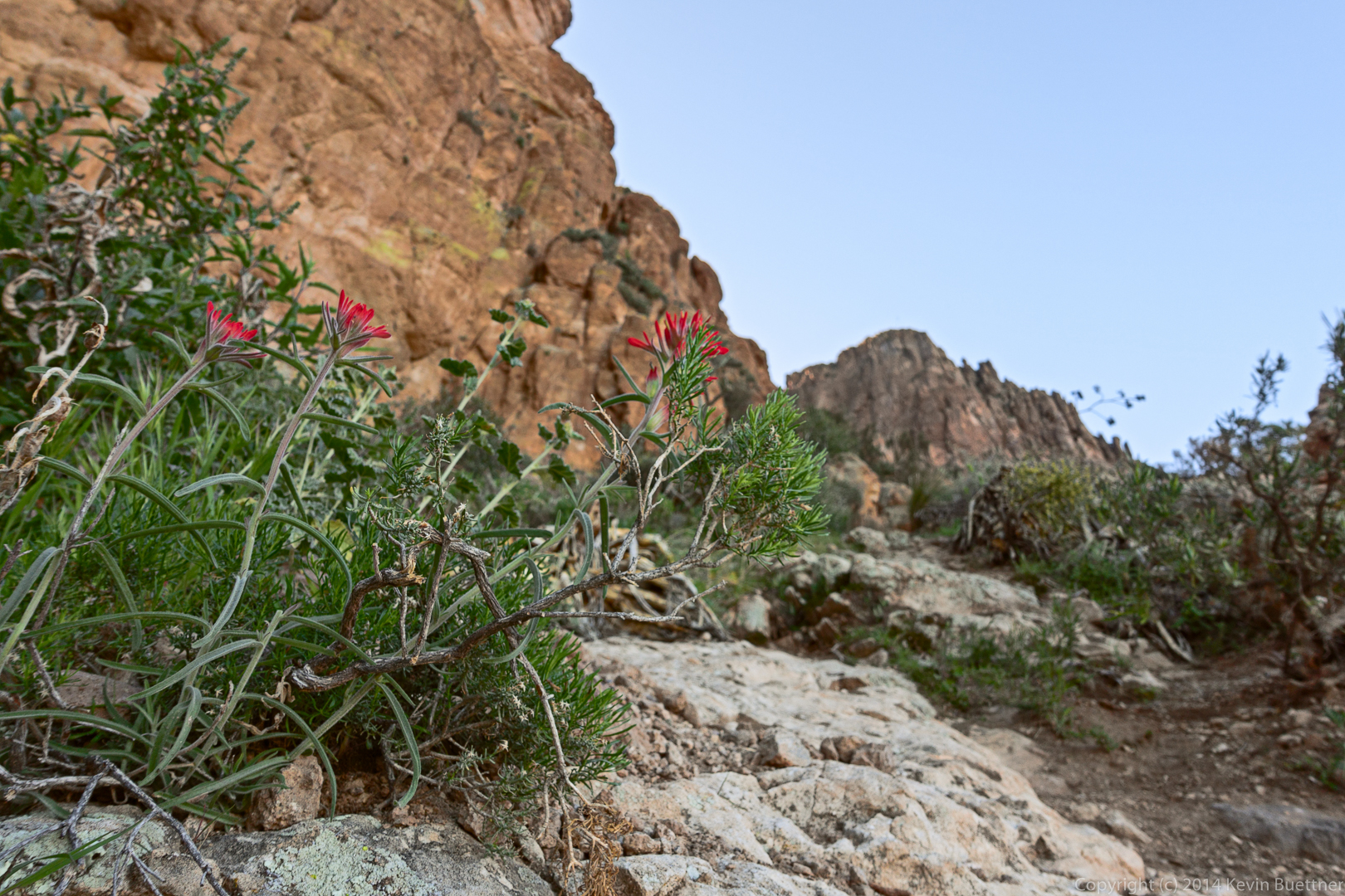
I don’t know what these red flowers are…
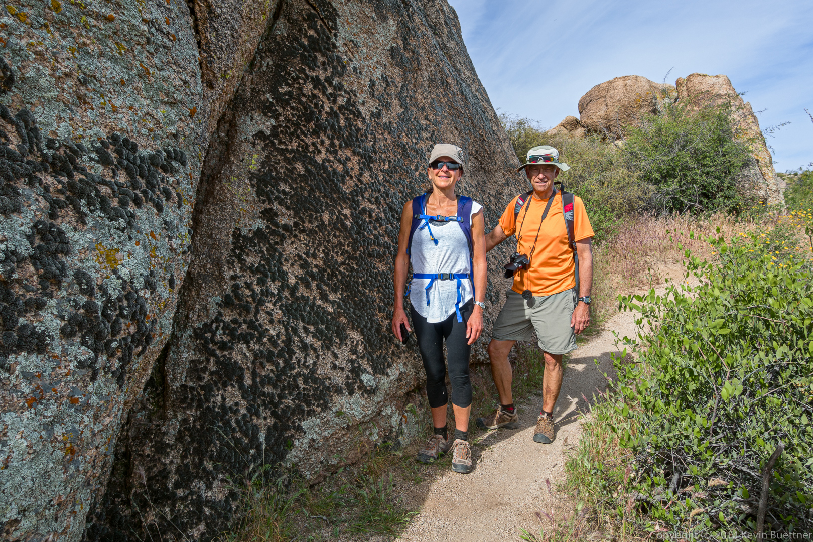
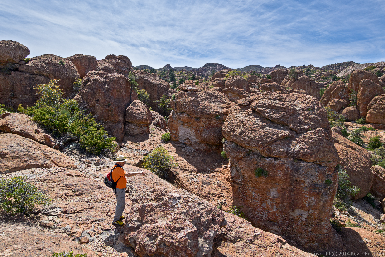
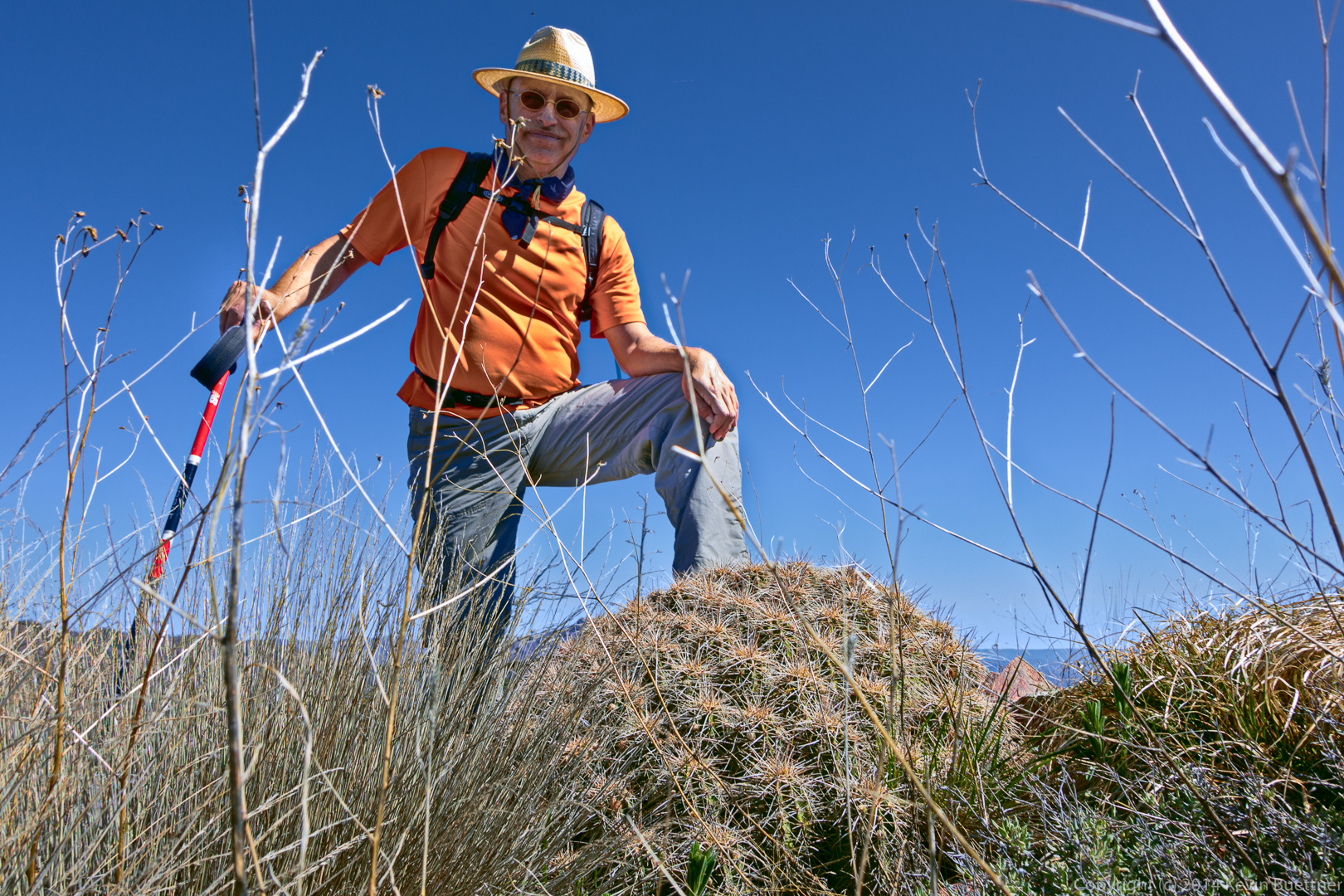
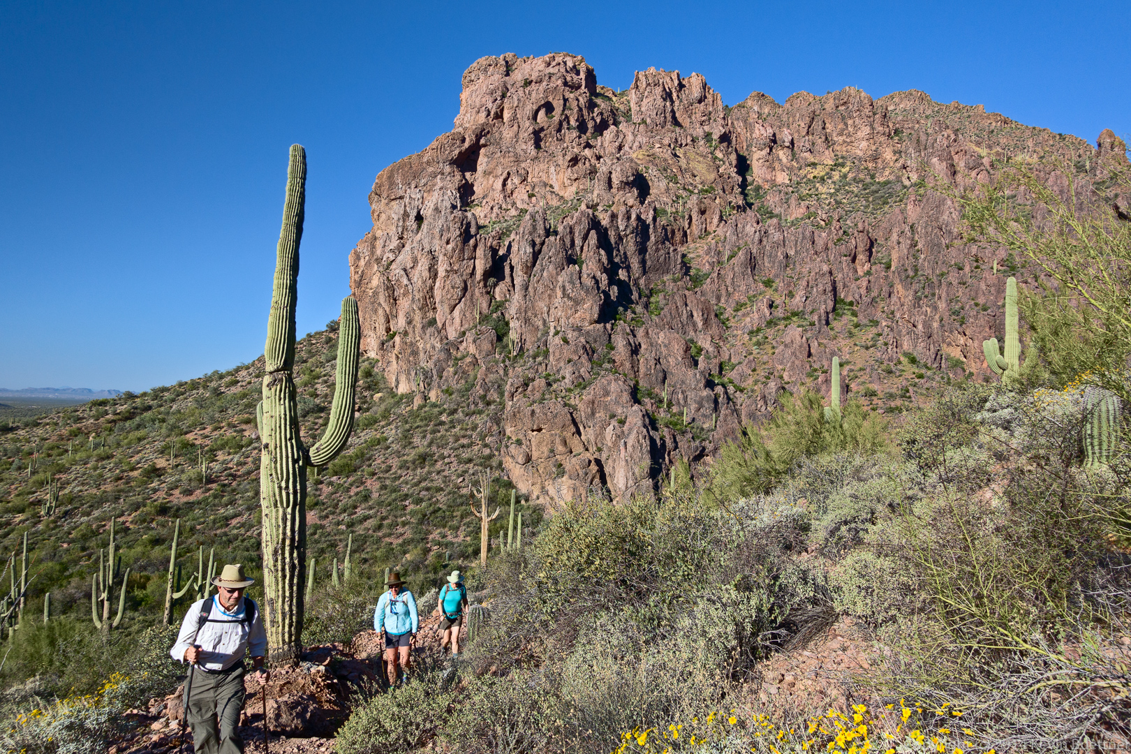
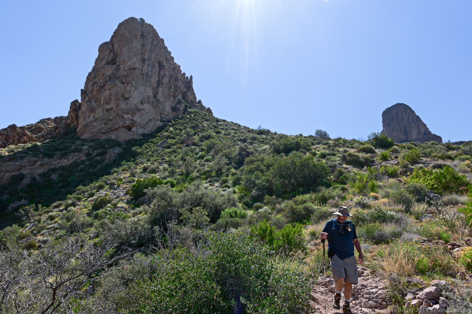
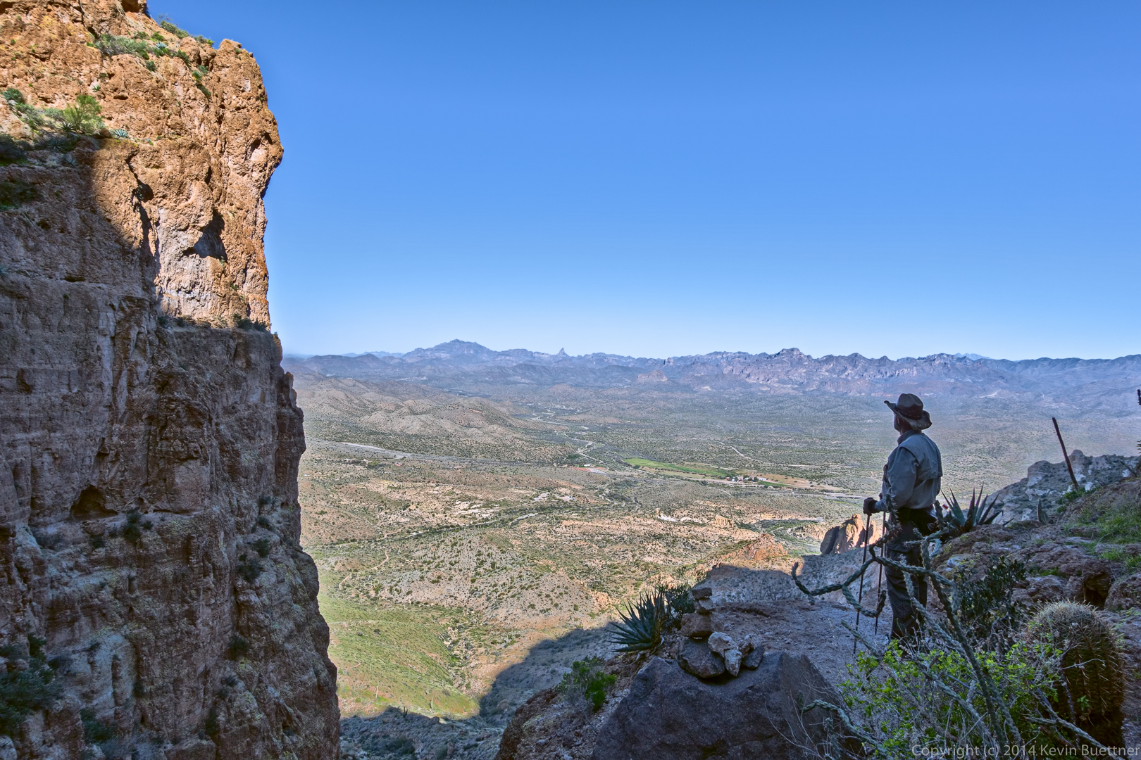
Bill enjoys the view from midway up:
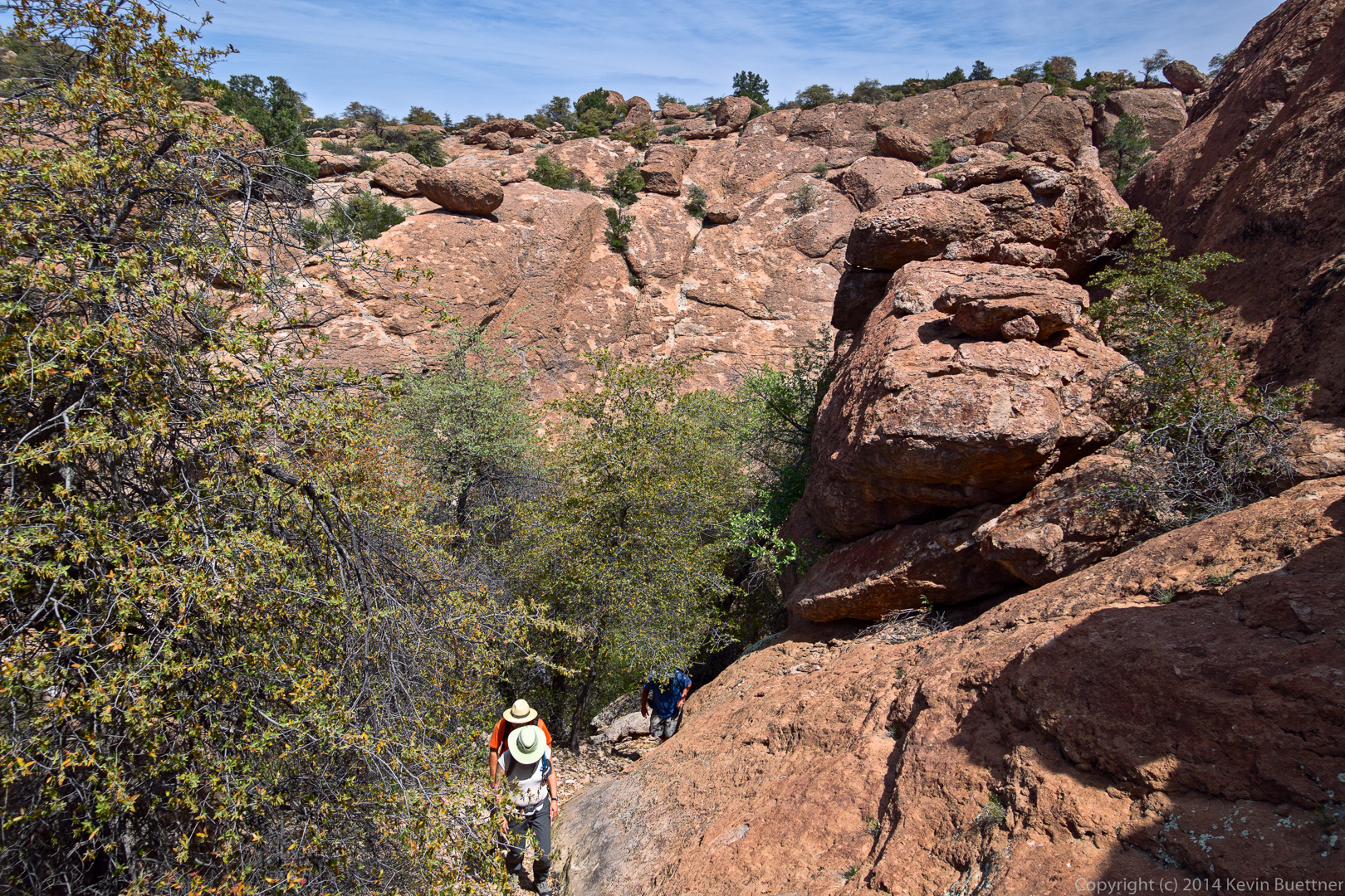
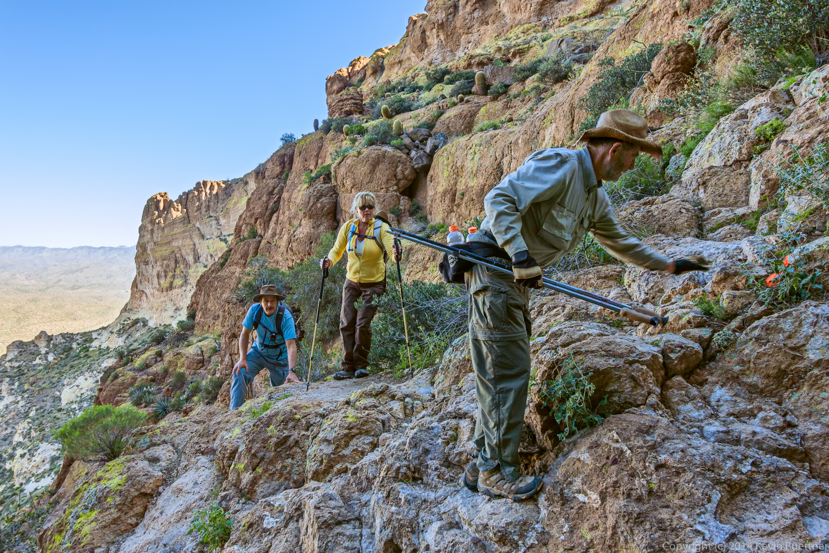
There were a few spots with some exposure…
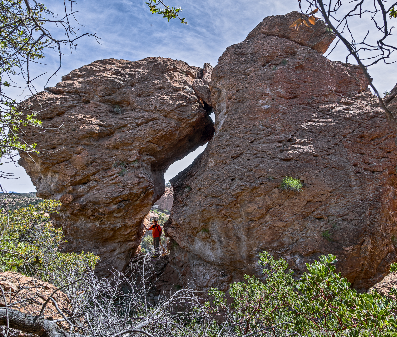
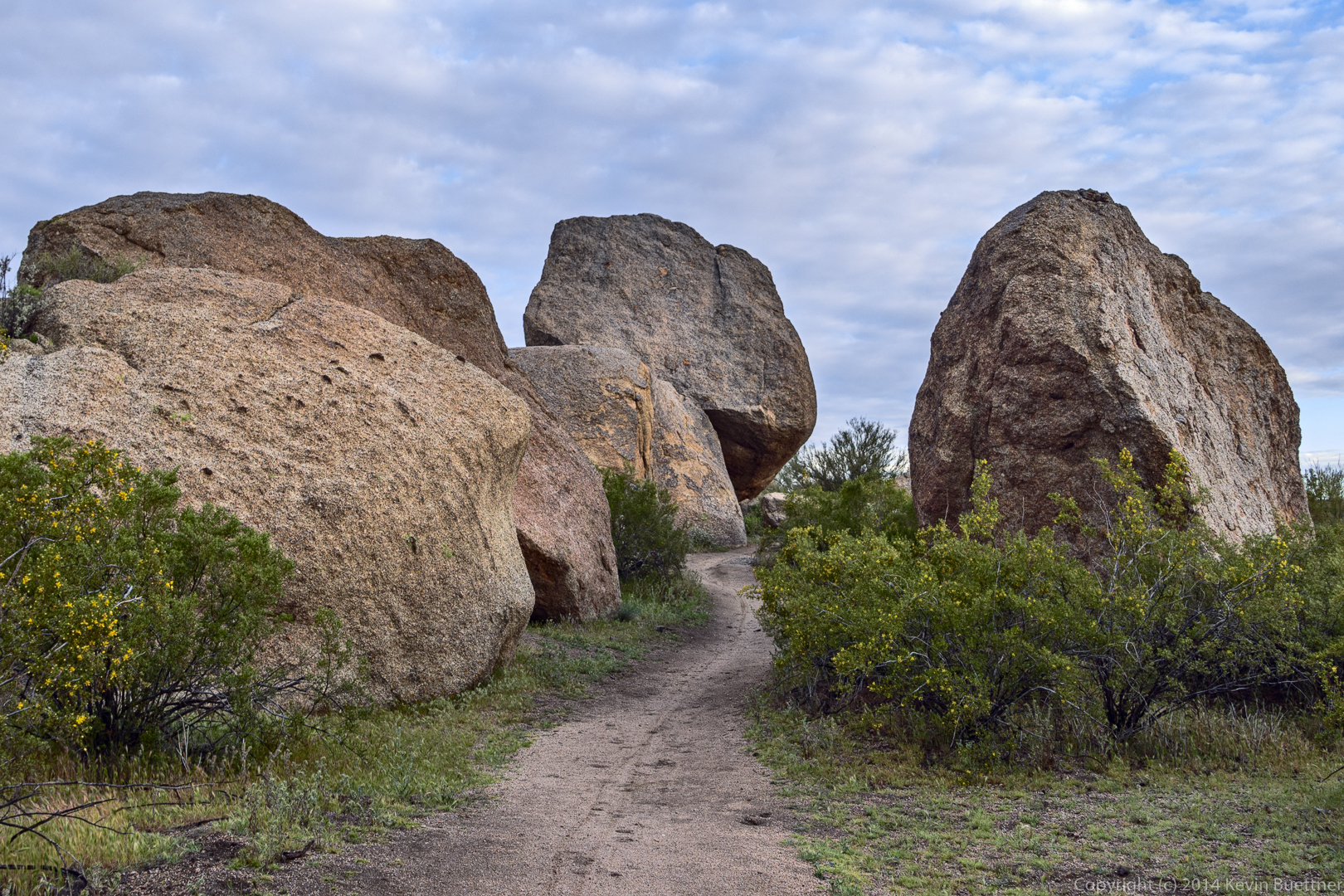
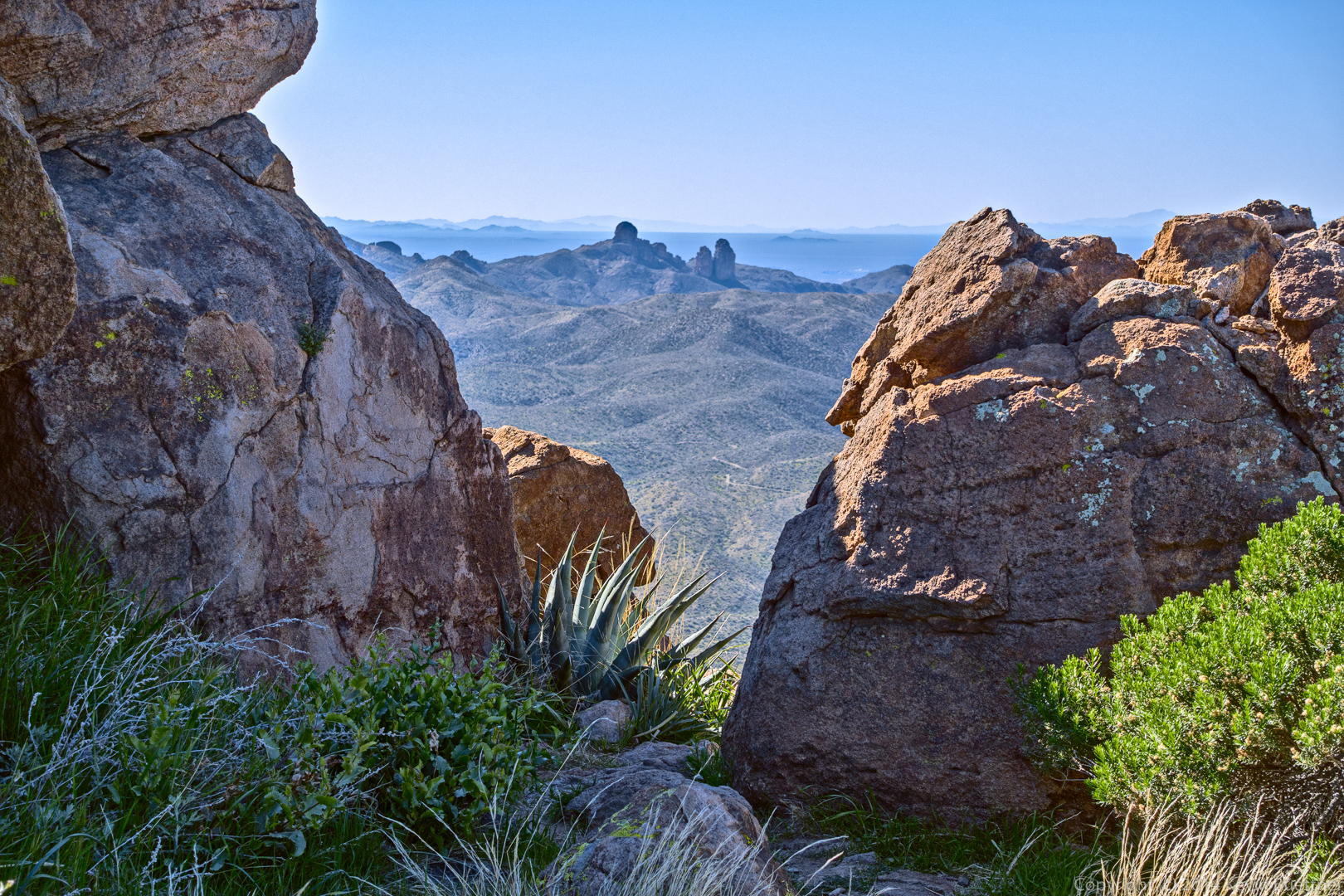
This is the view from near the summit. A side path lead to a gap in the boulders.
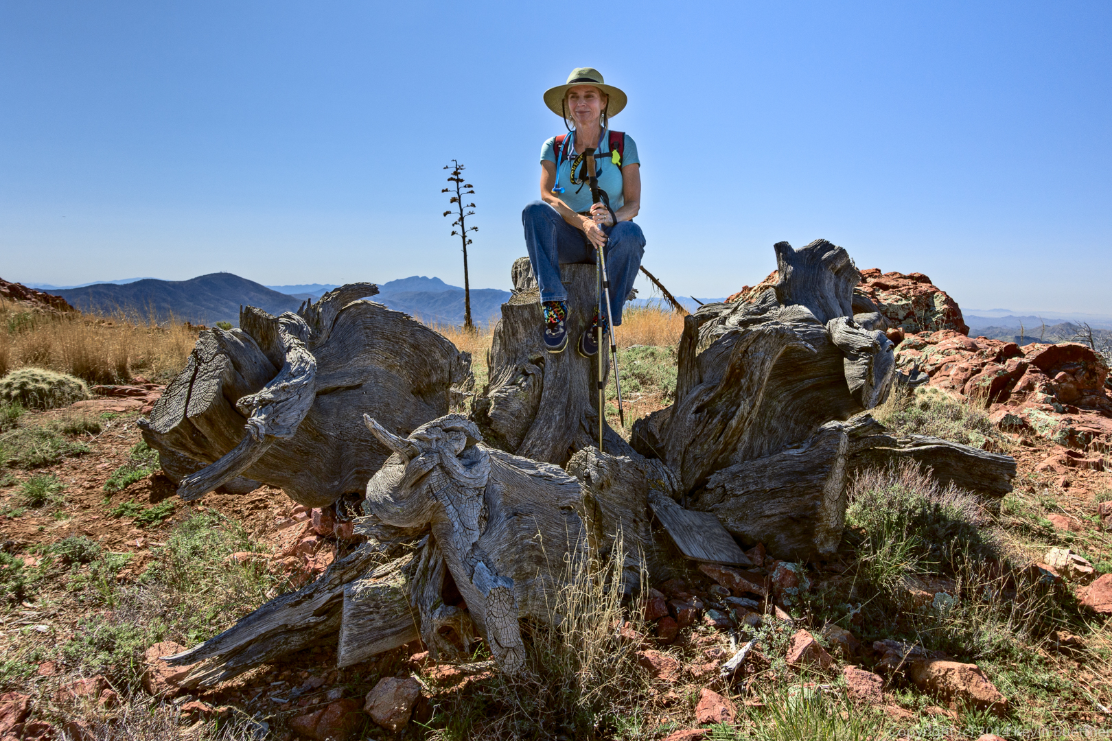
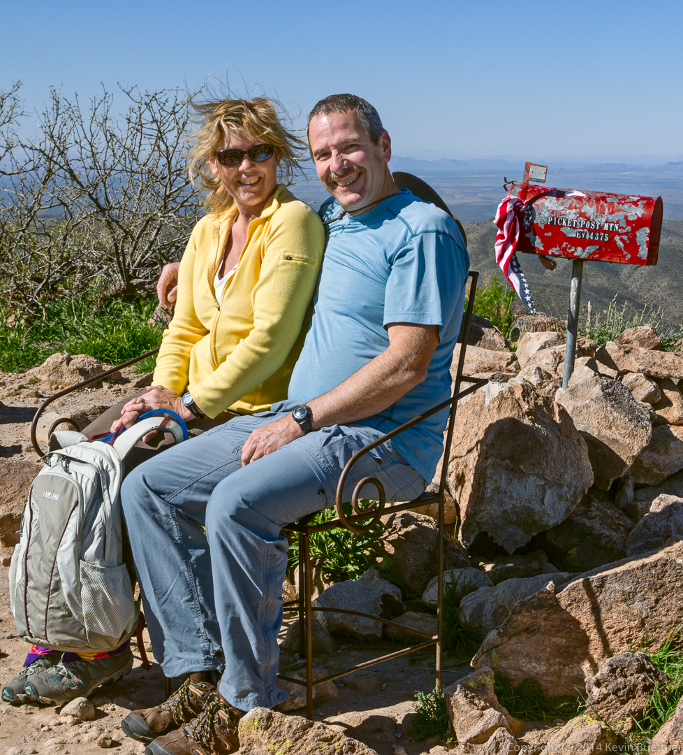
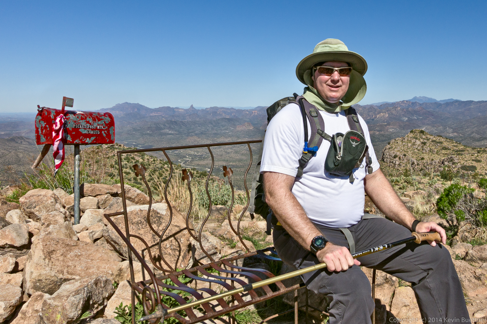
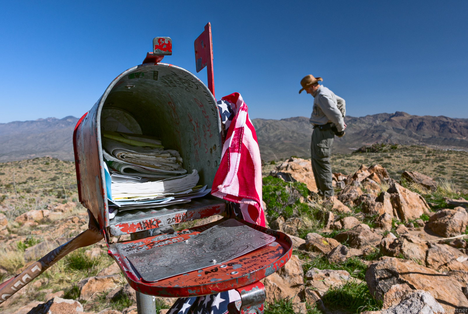
There is a mailbox at the summit! We each posed on the bench near the mailbox…
Janet and Allen:
Bill:
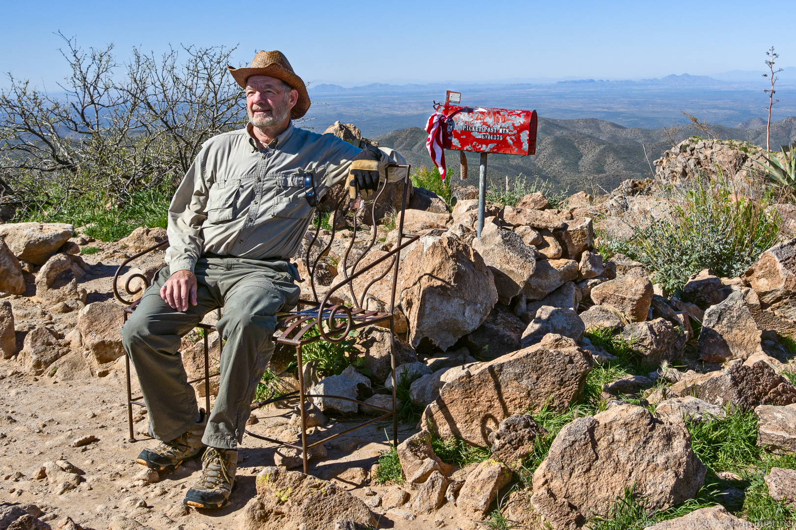
Bob:
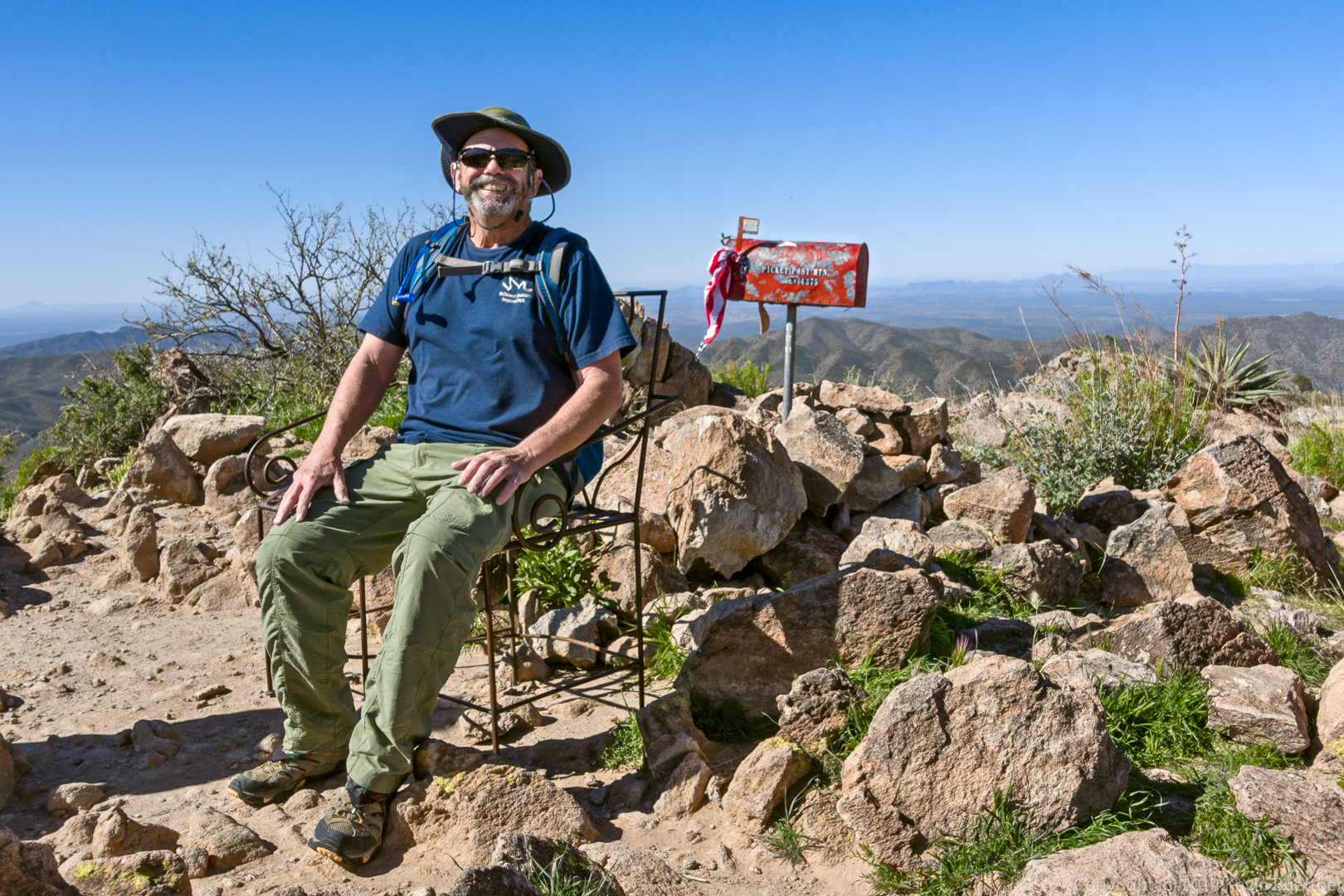
Kevin:
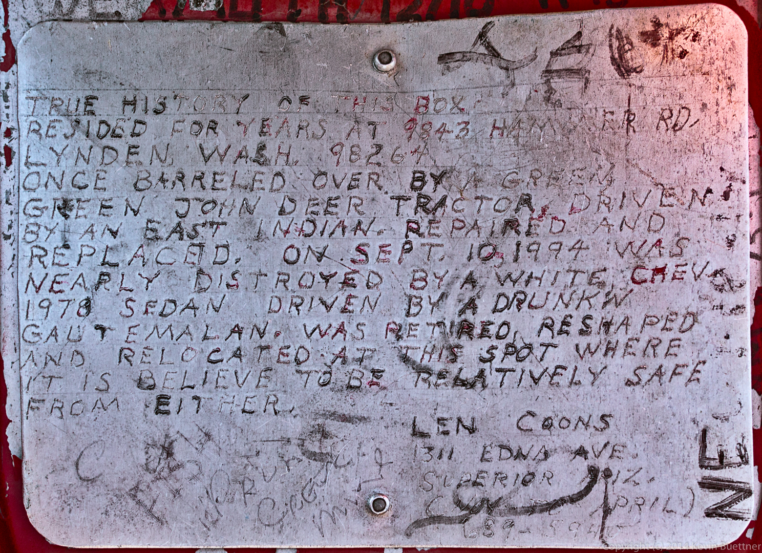
This is the story about how the mailbox came to be on the top of Picketpost Mountain:
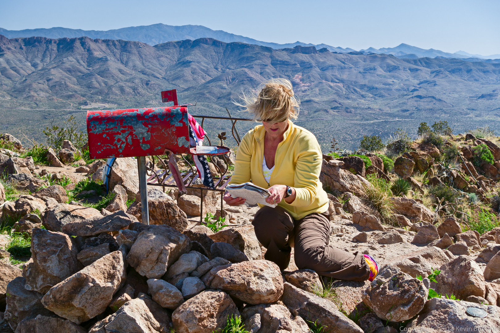
The hike to the top of Picketpost Mountain is not especially easy, yet a lot of people have been there. The mailbox contains a number of summit register books. (Janet was examining a few that aren’t in the mailbox in this photo.)
Janet, looking at the summit logs:
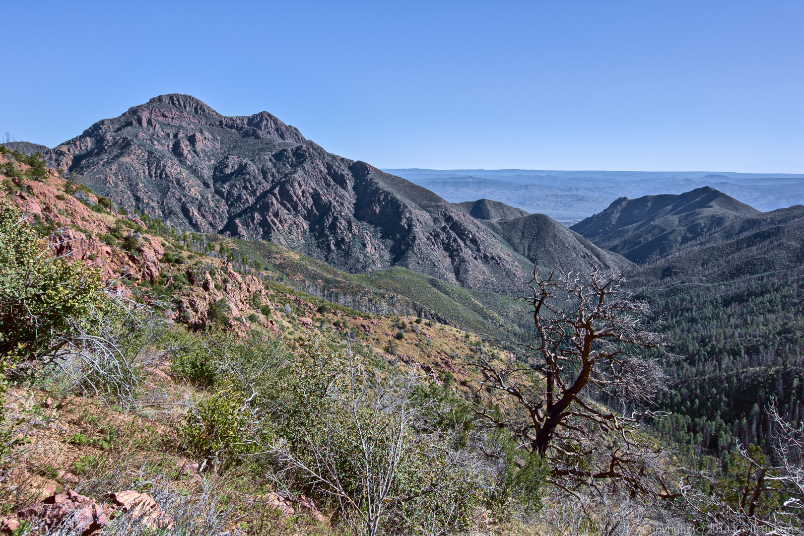
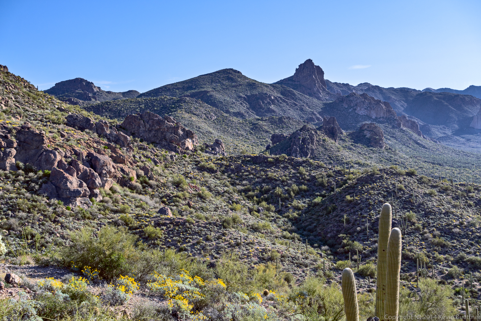
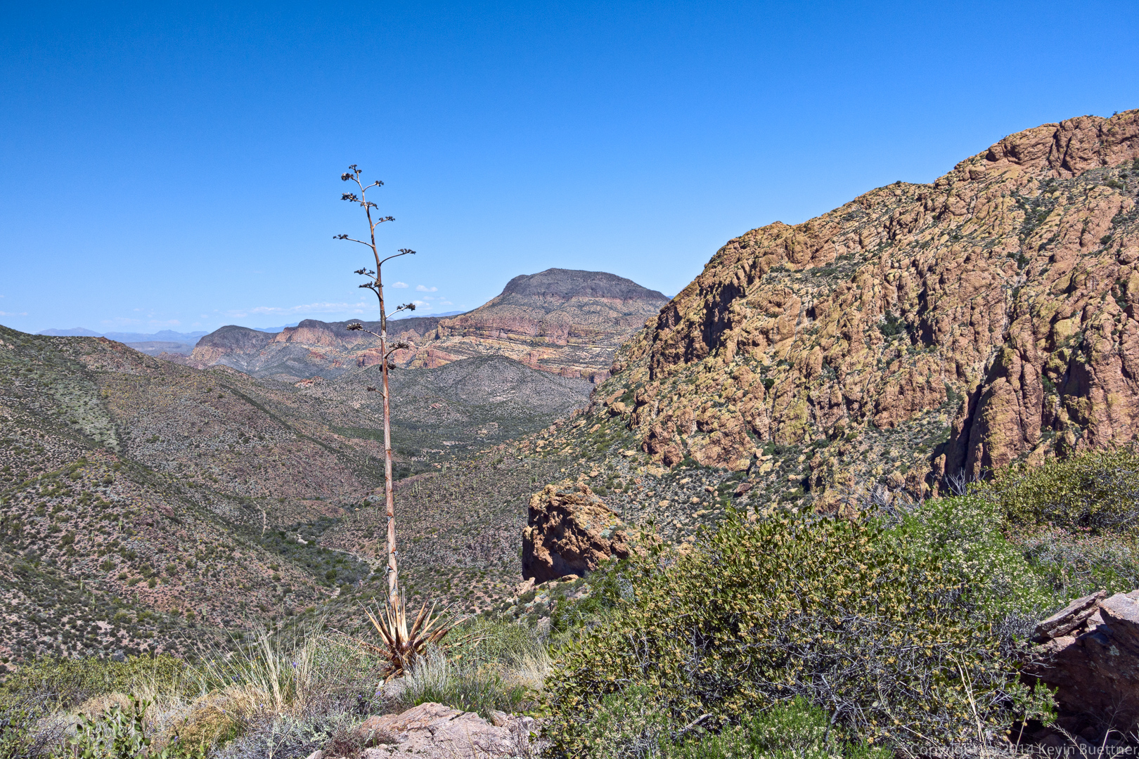
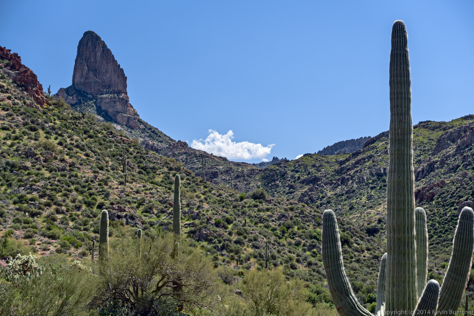
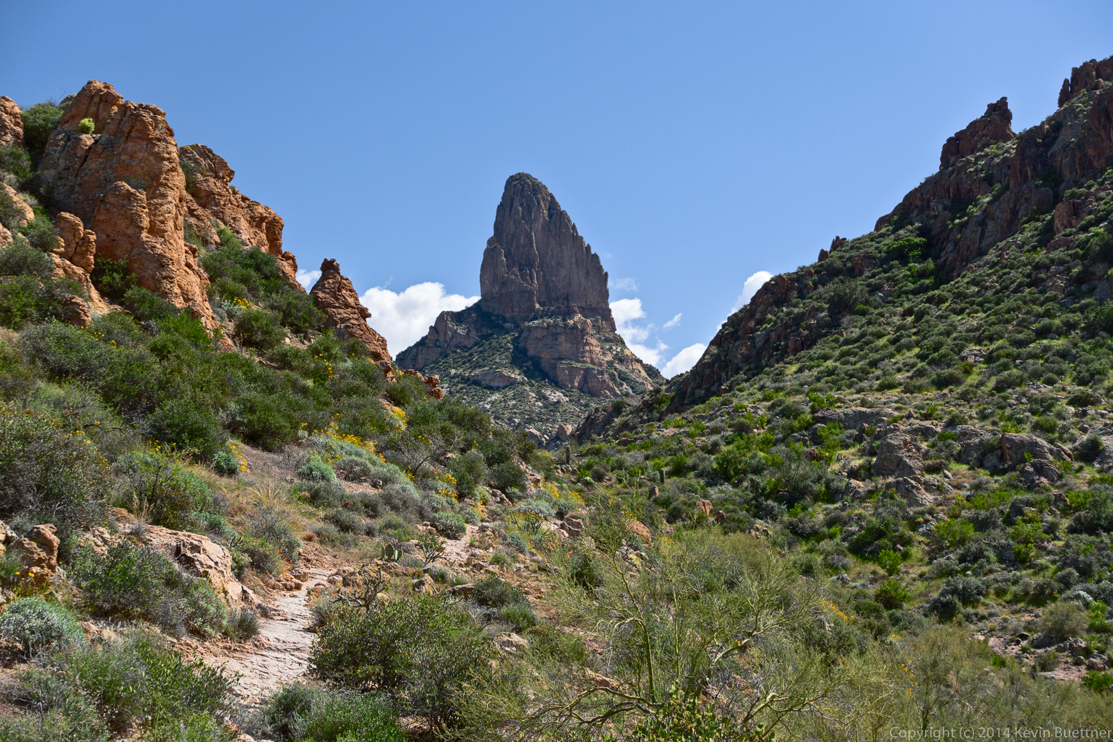
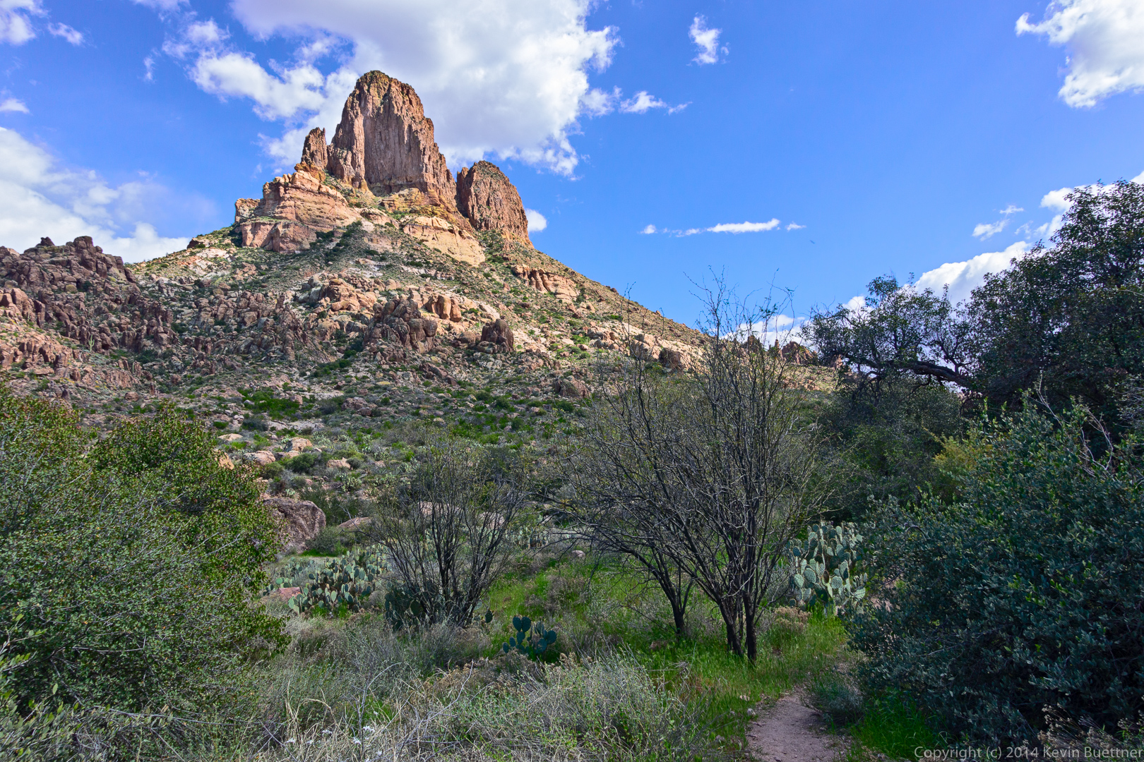
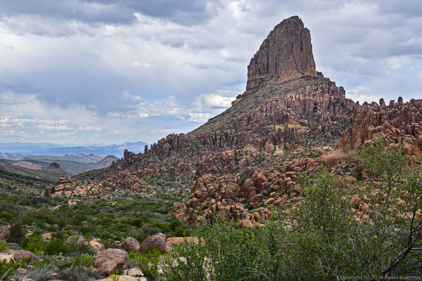
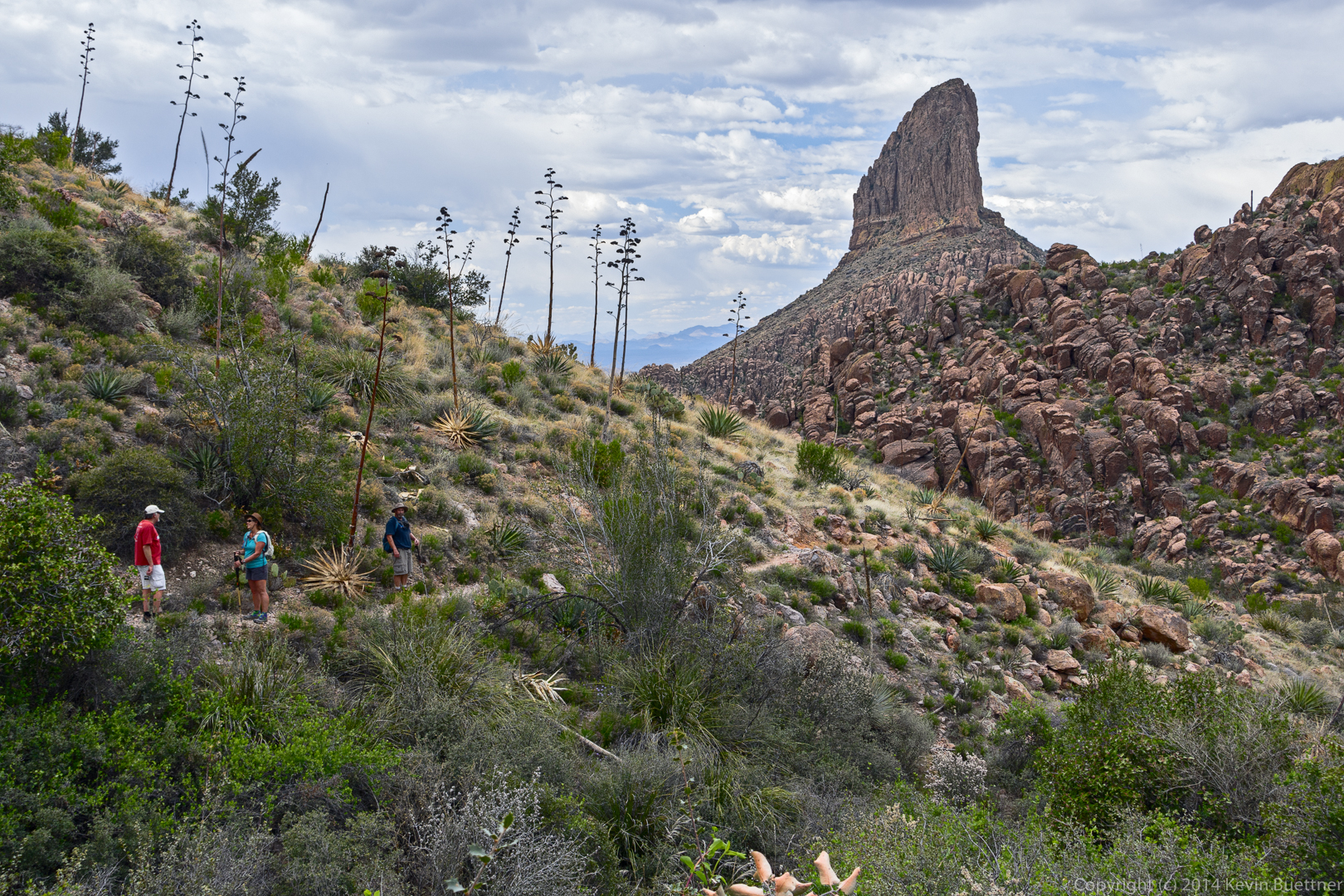
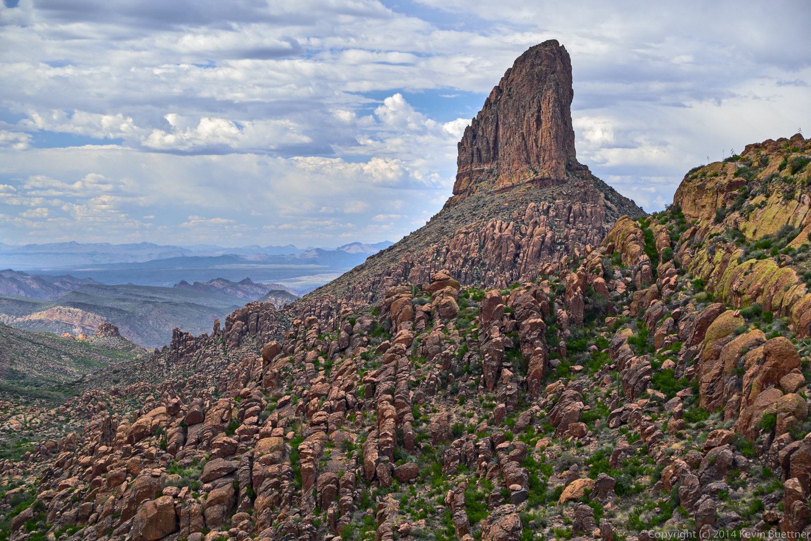
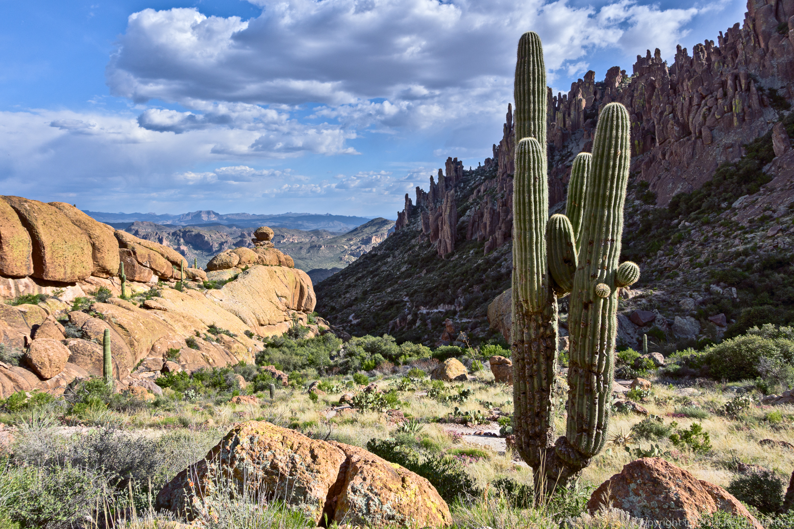
A view of Weaver’s Needle as we started downward.
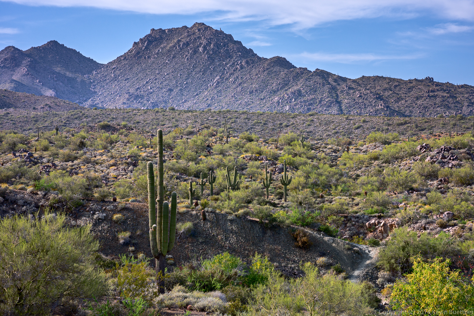
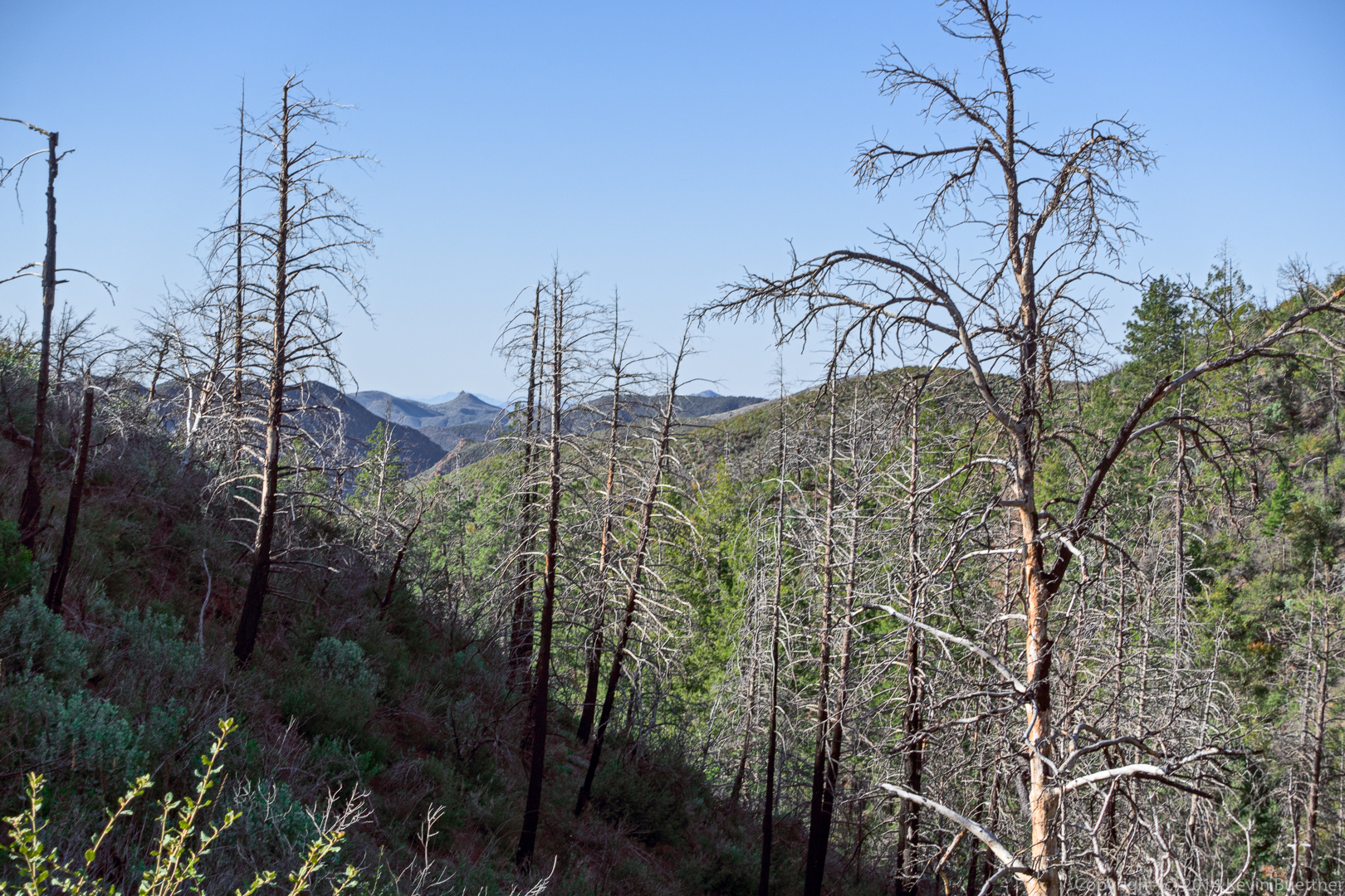
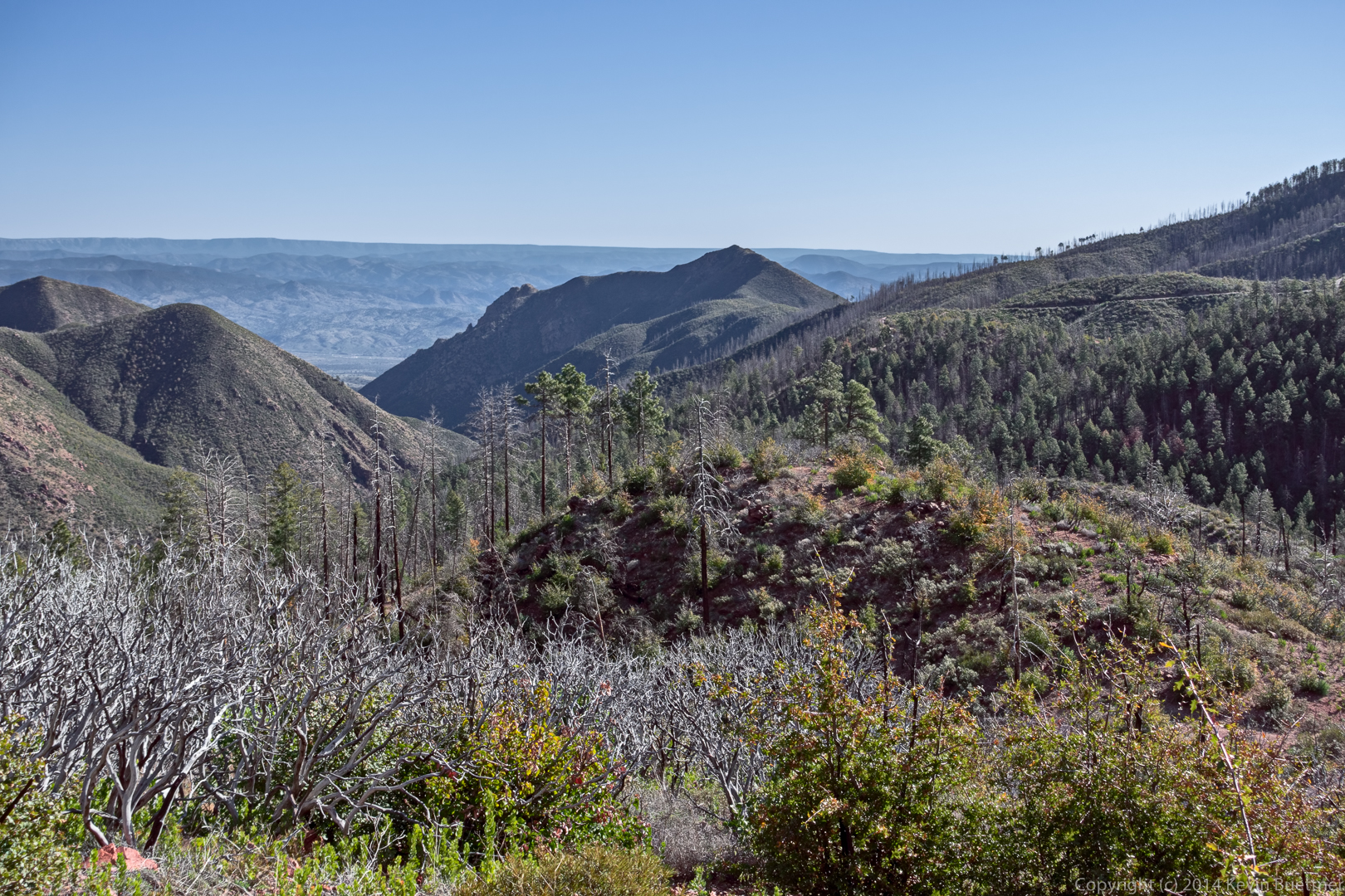
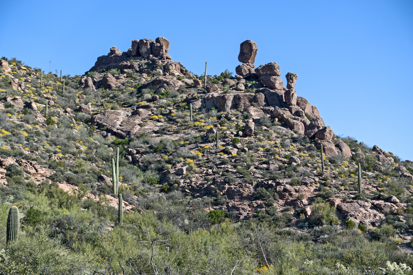
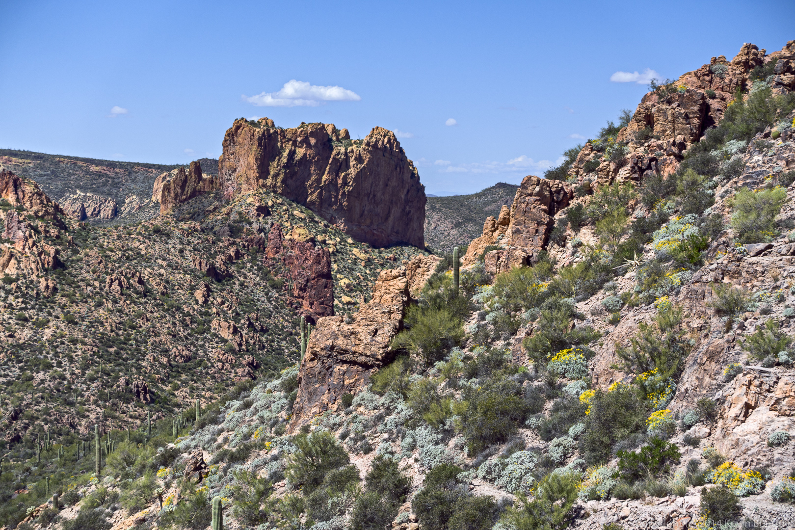
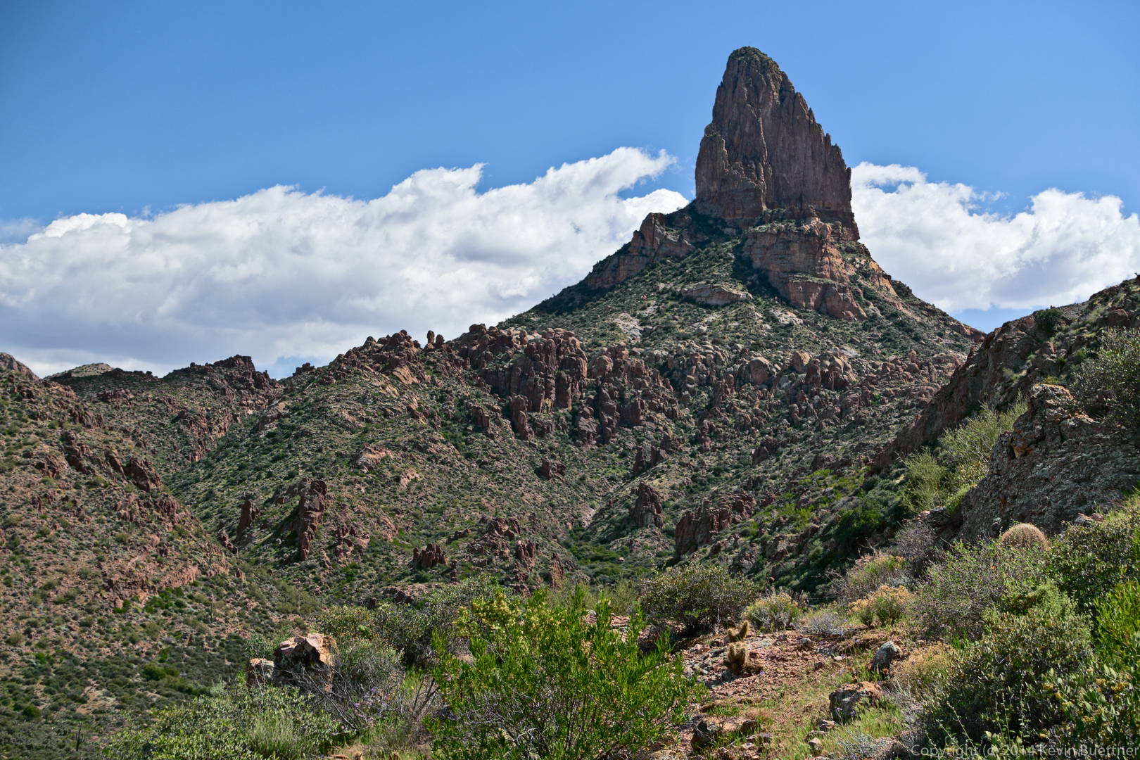
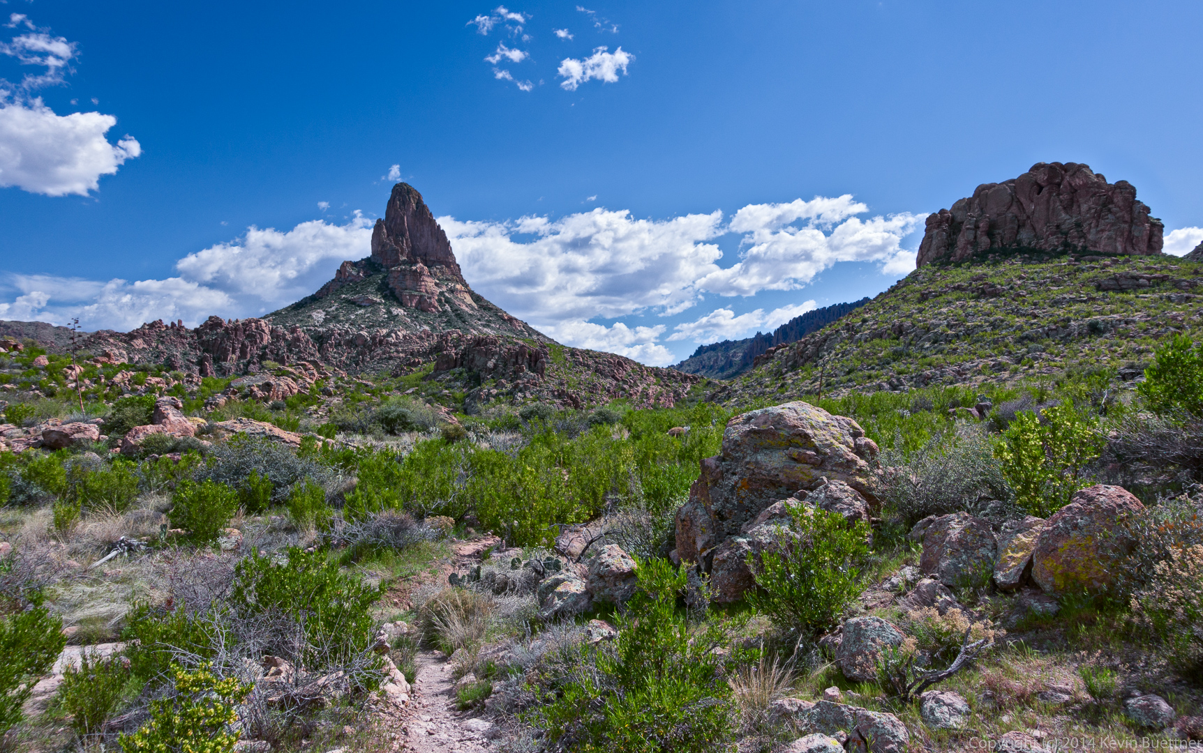
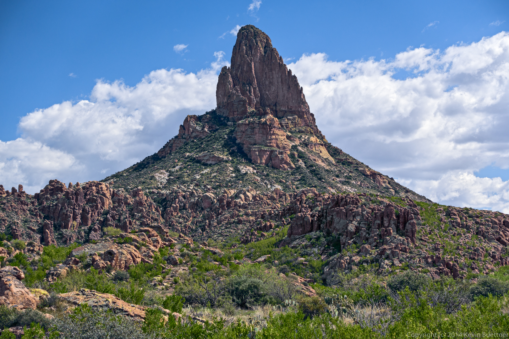
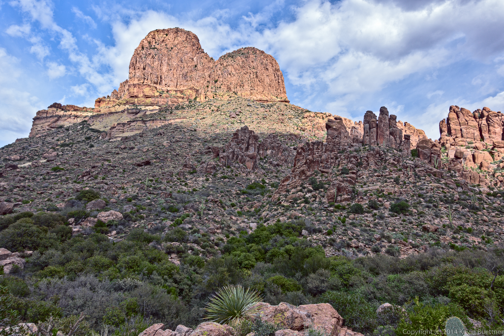
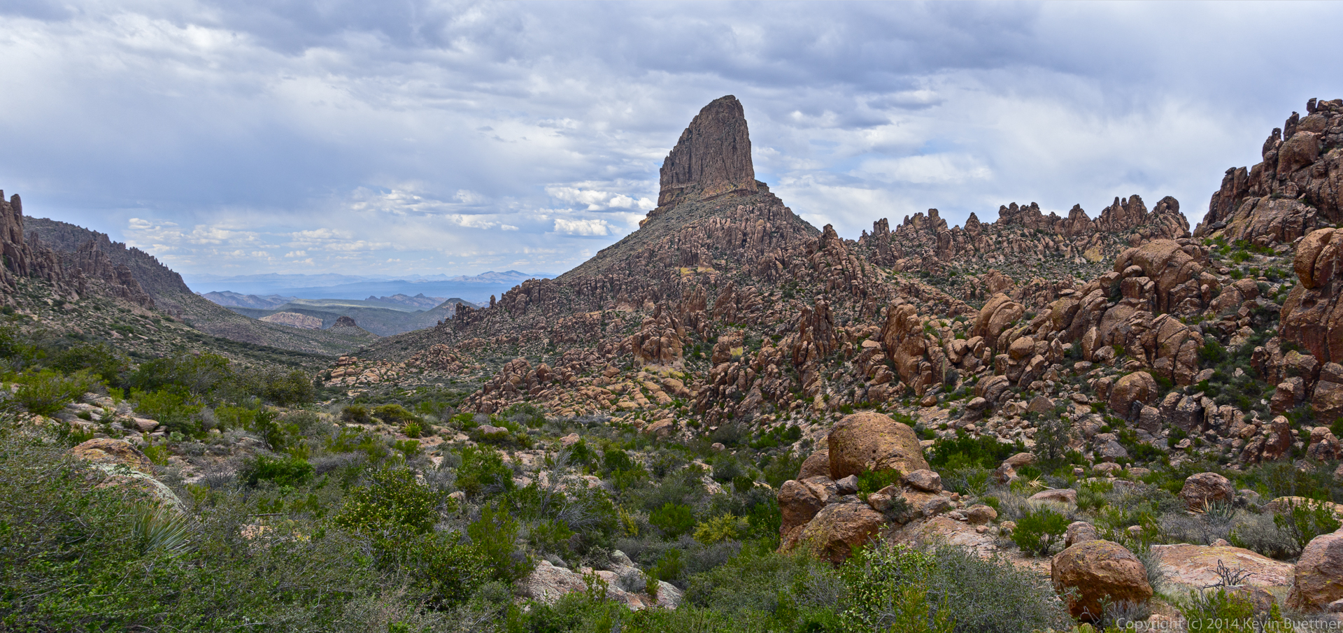
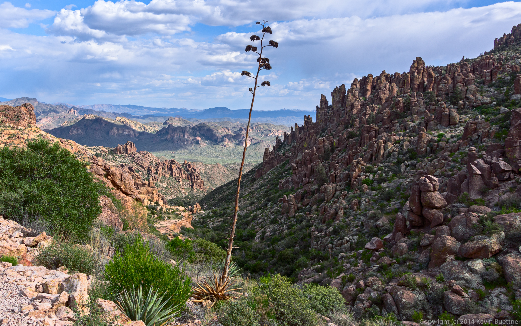
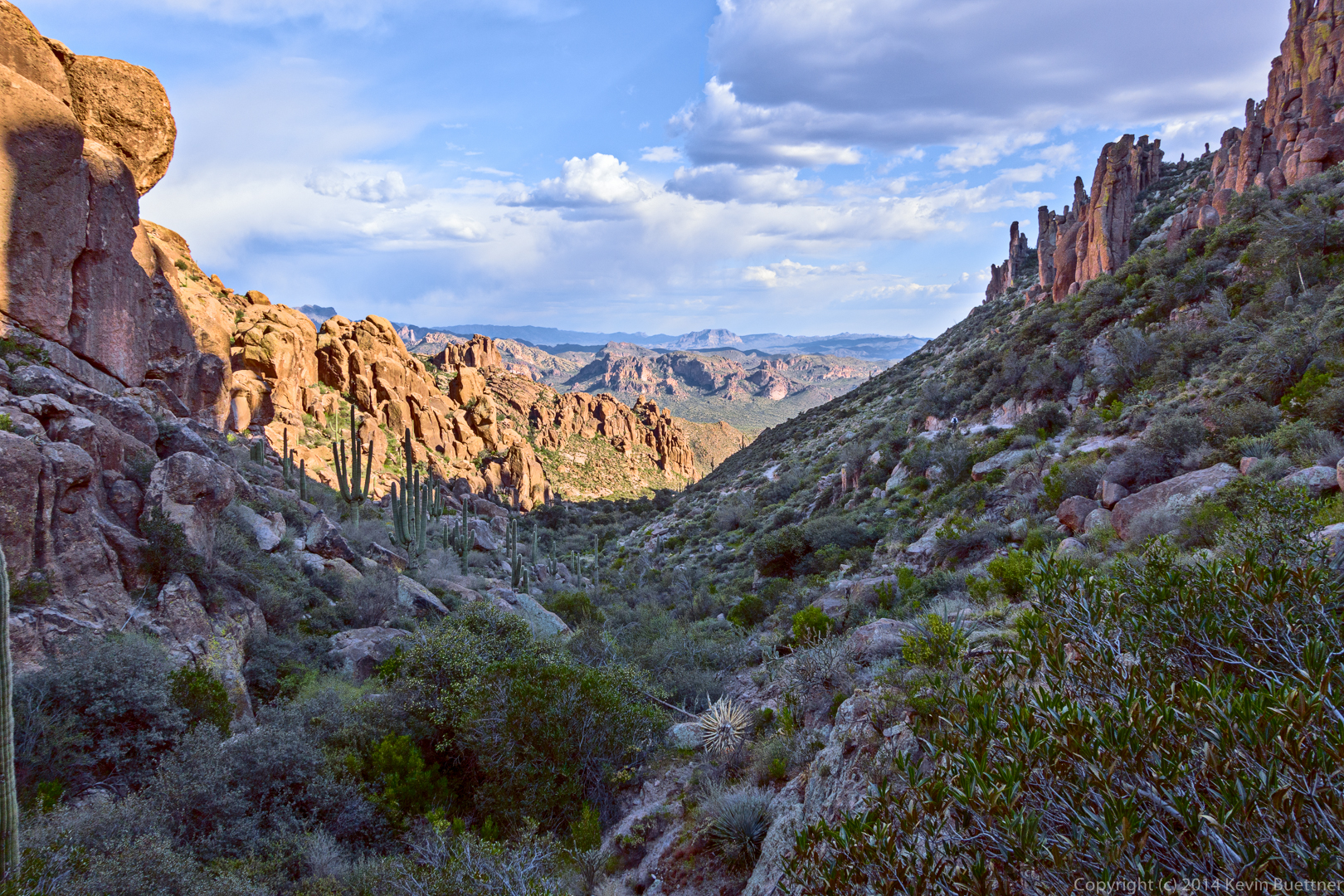
Another view from early in our descent:
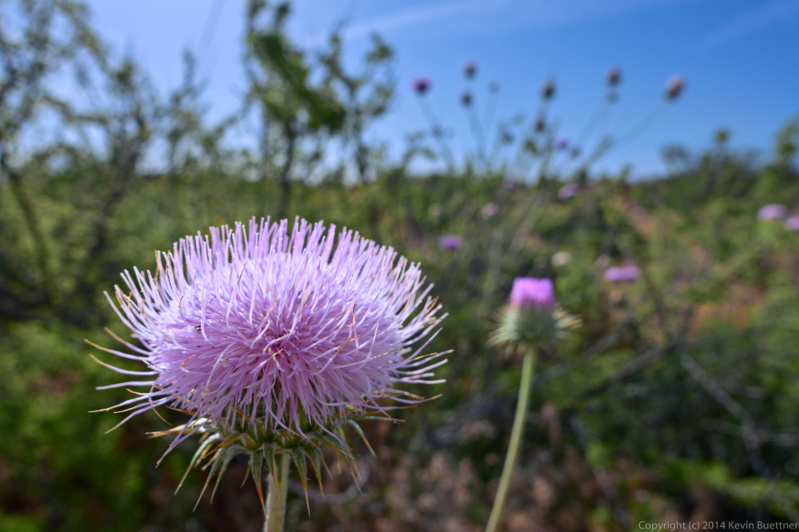
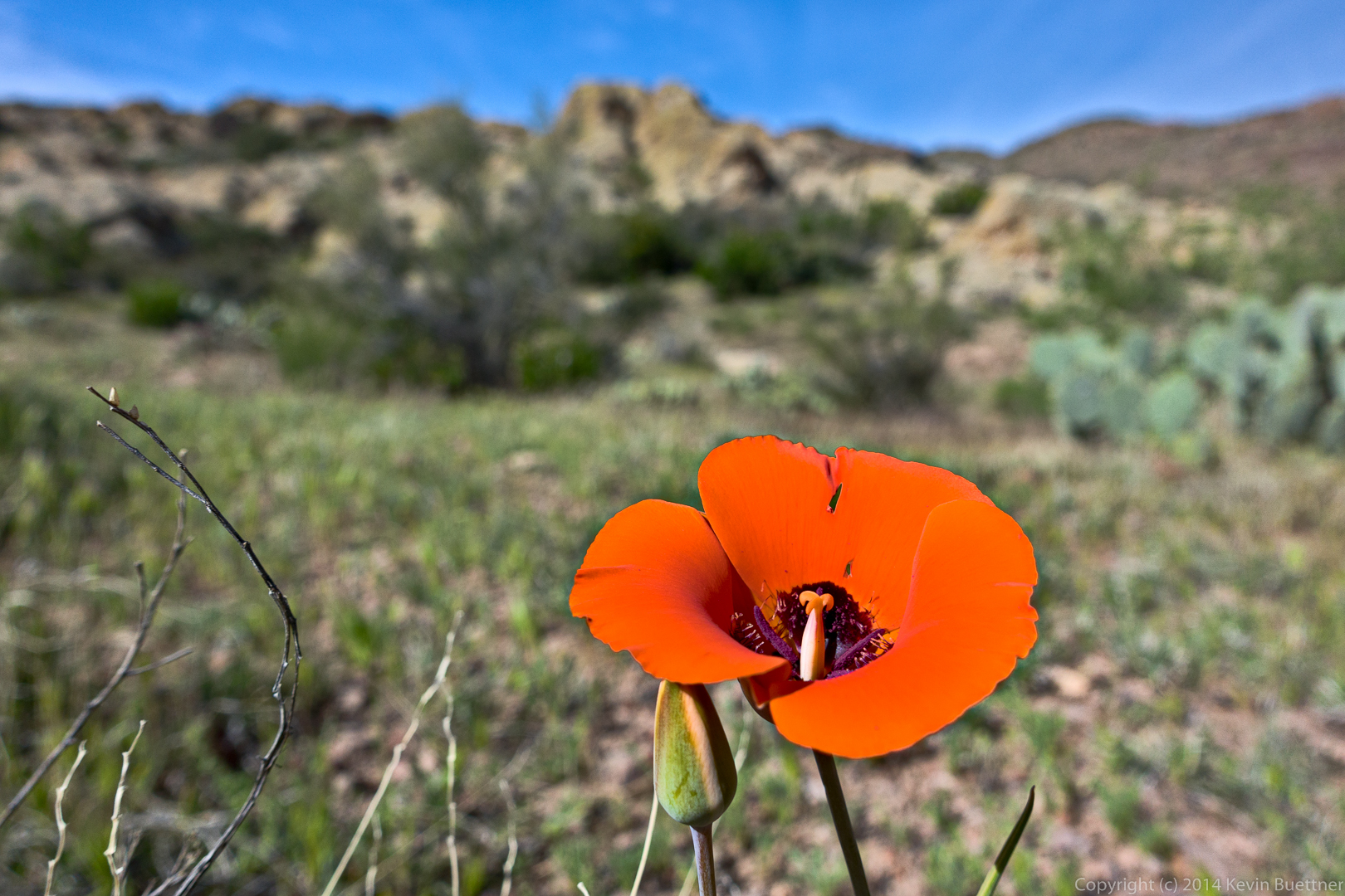
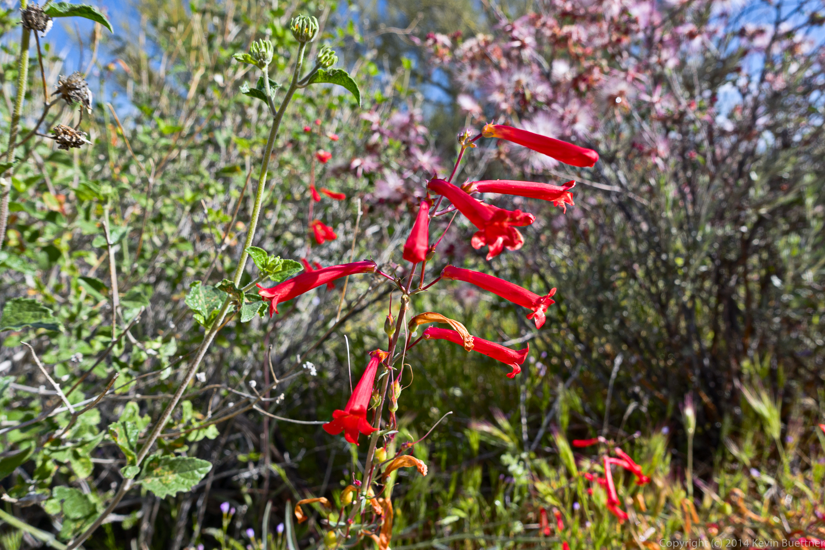
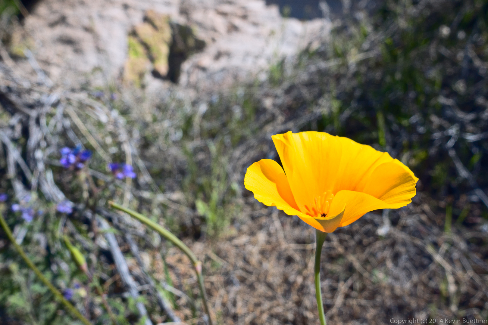
This is a Mexican Poppy:
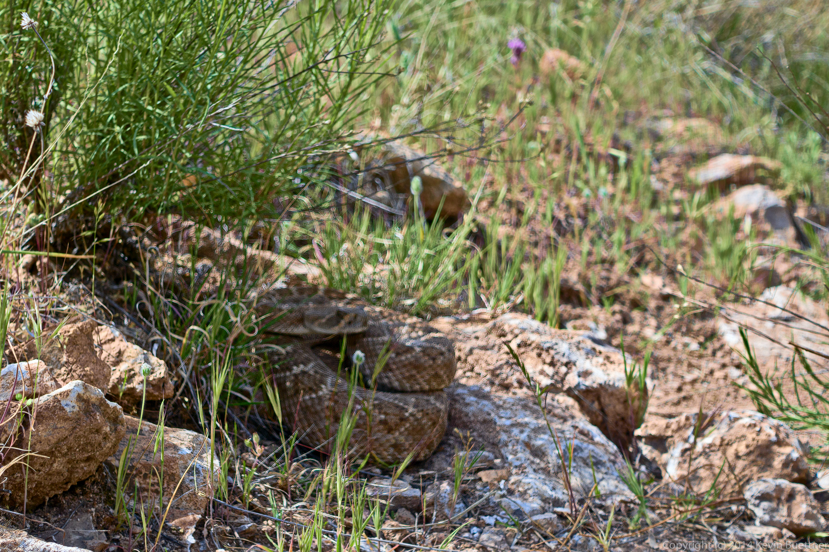
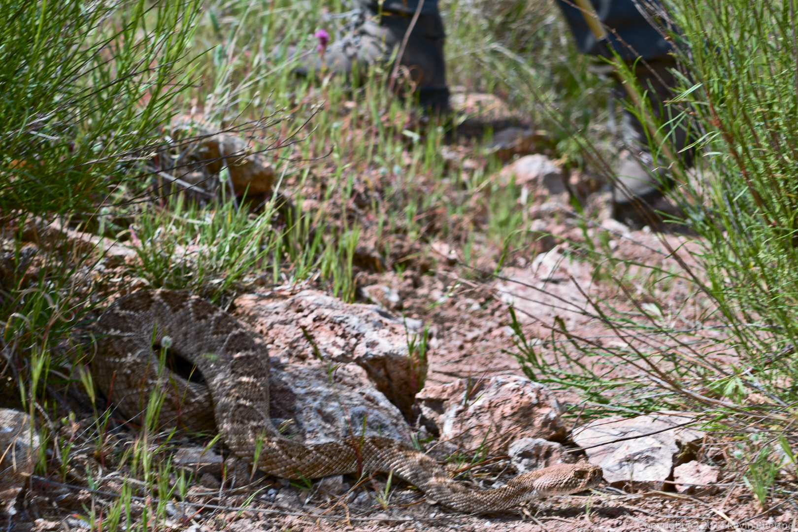
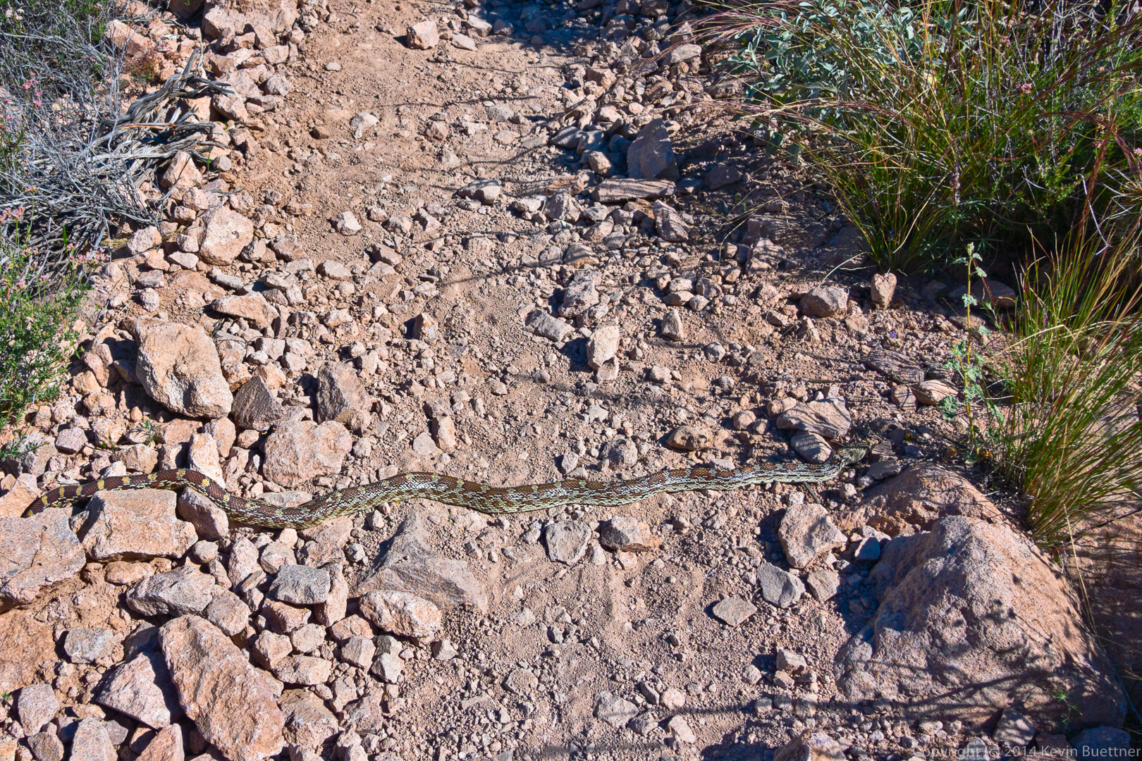
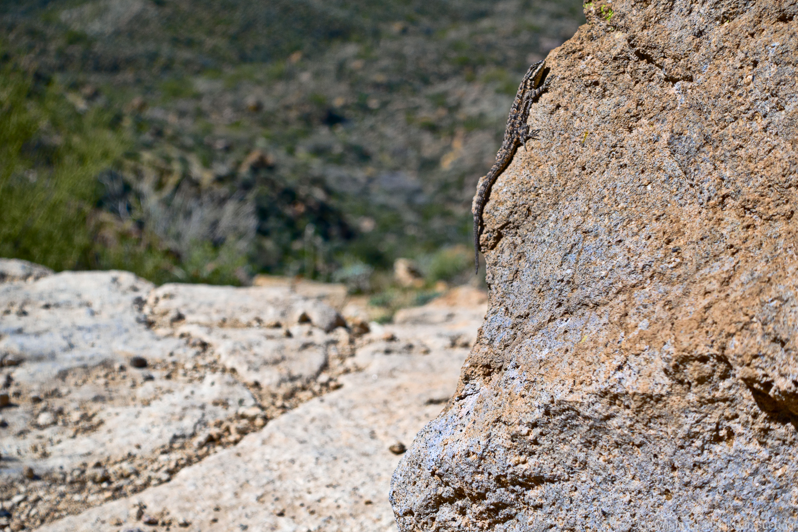
A lizard:
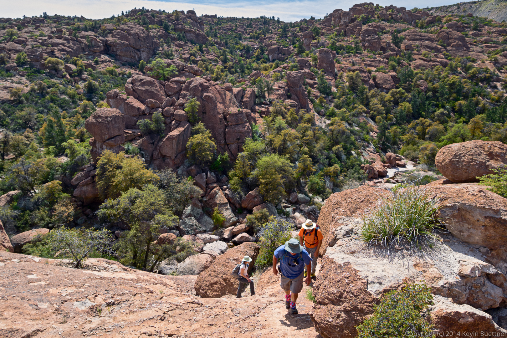
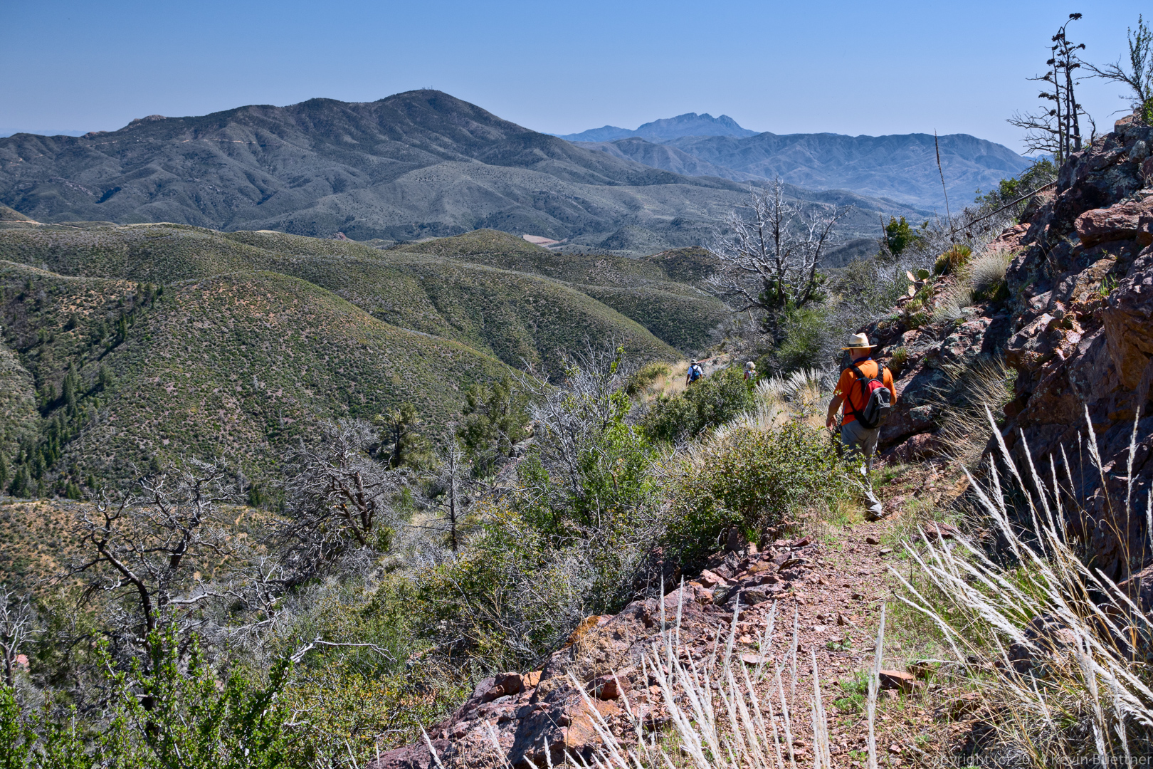
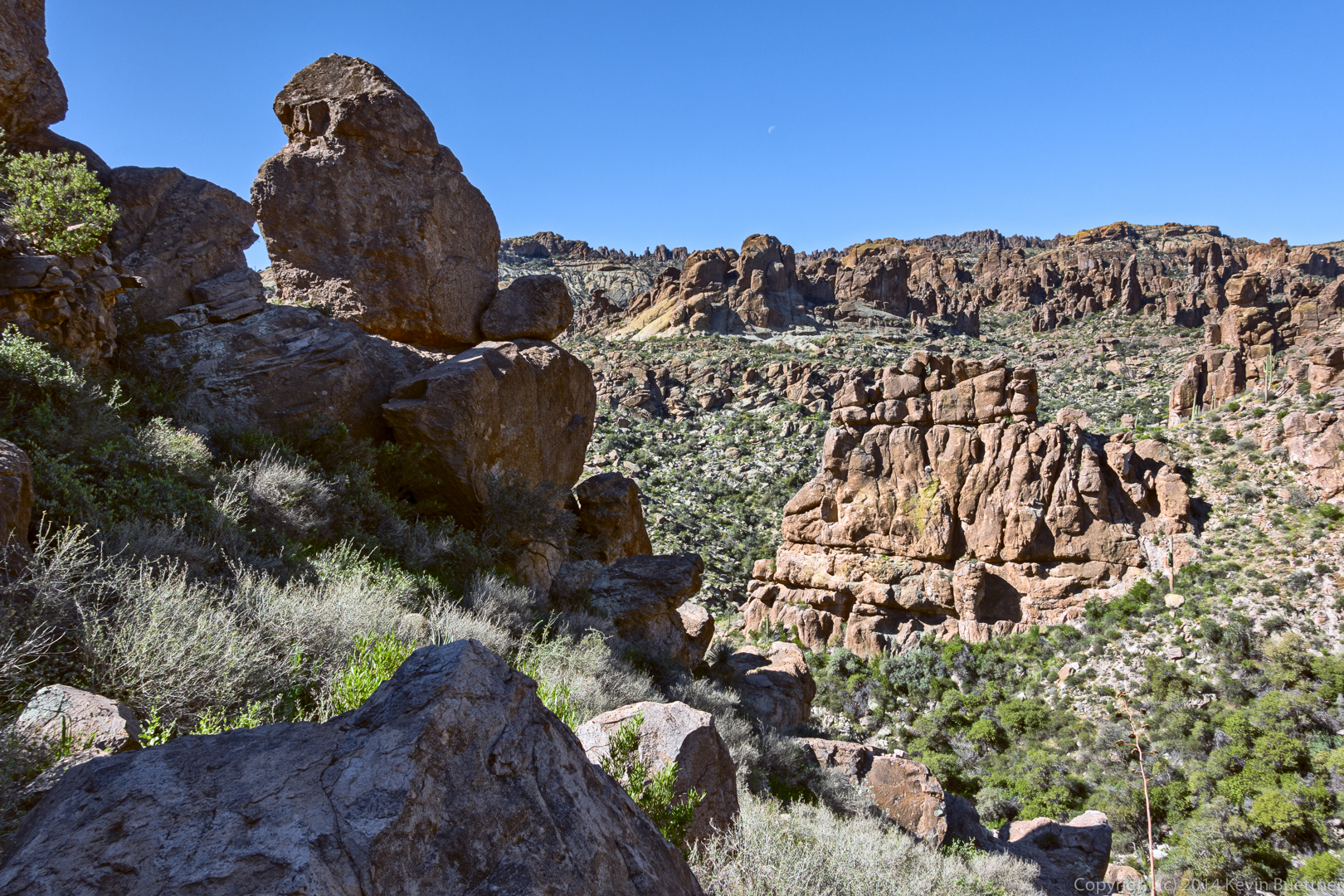
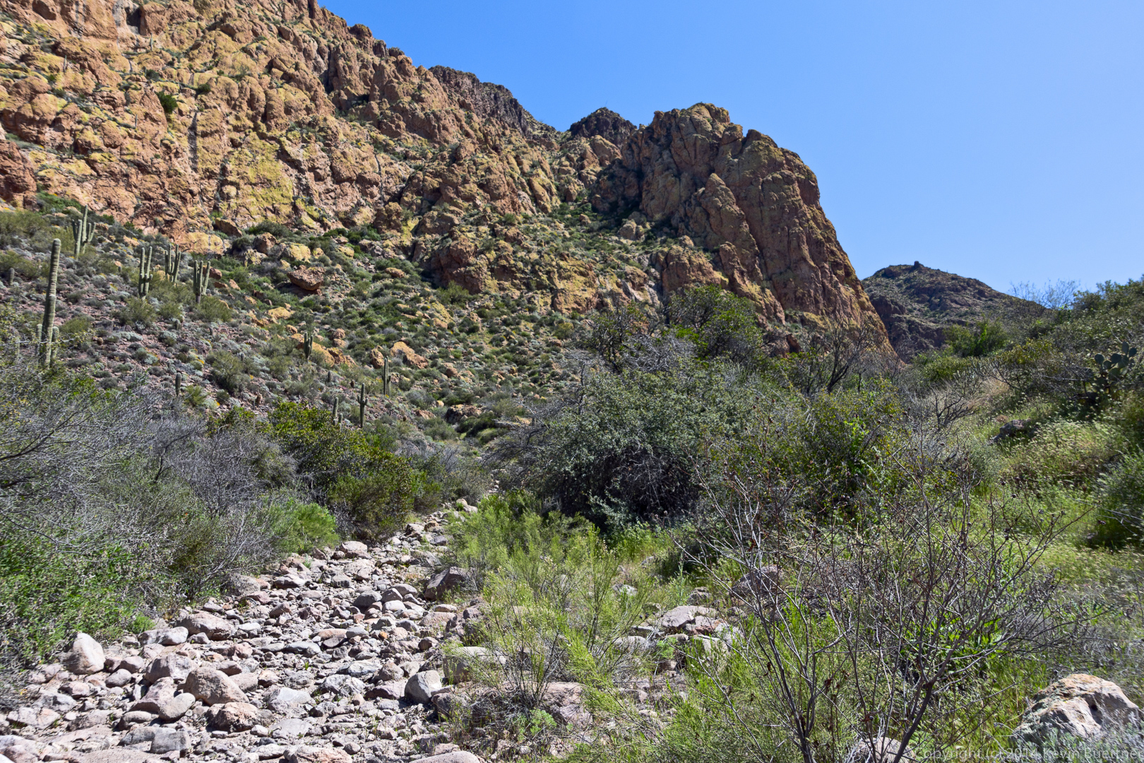
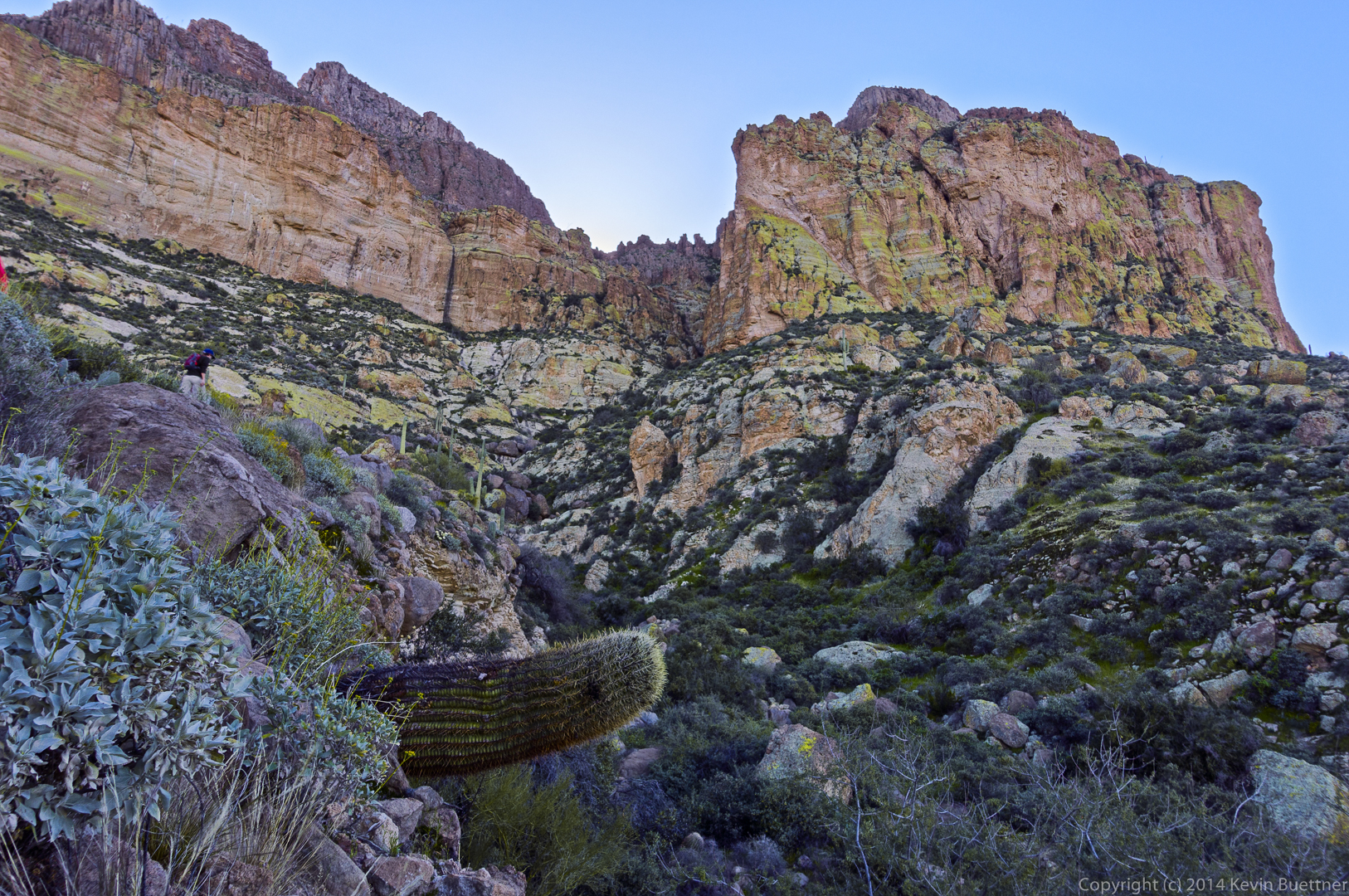
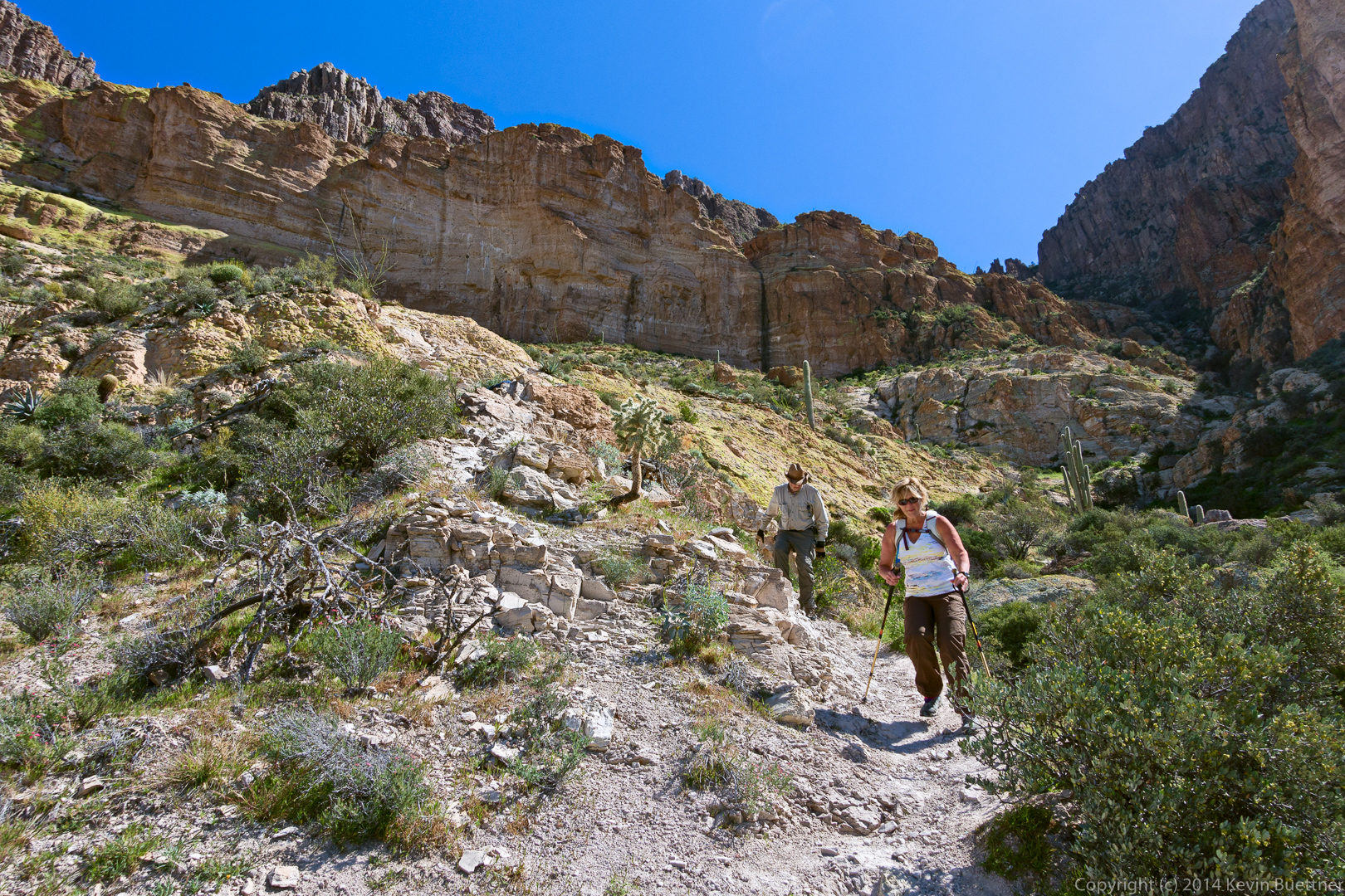
This was the last steep section of the descent:
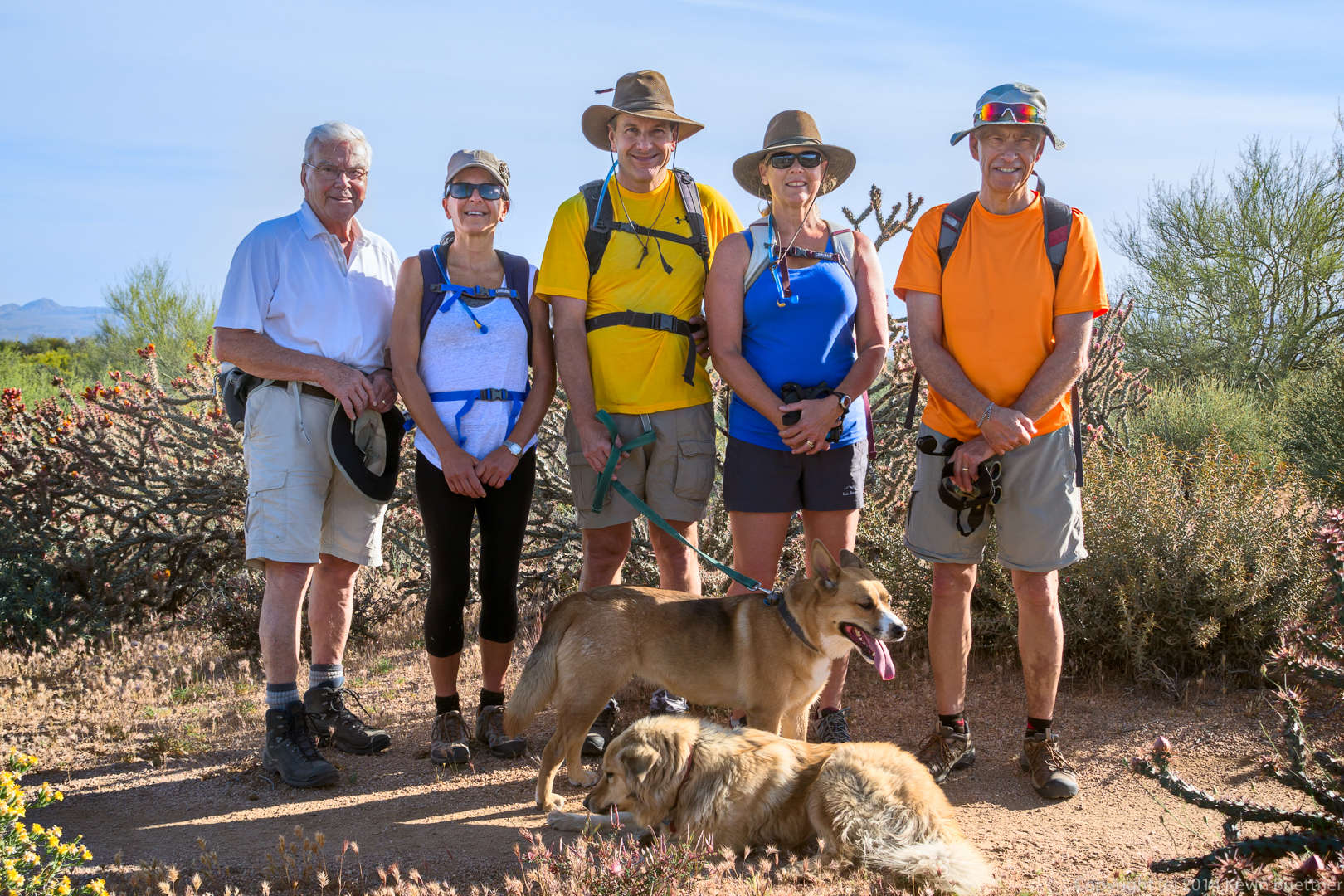
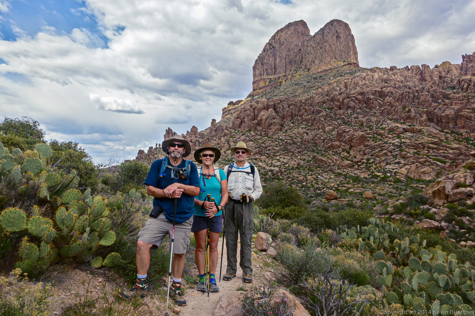
Kevin, Bill, Bob, Allen, and Janet:
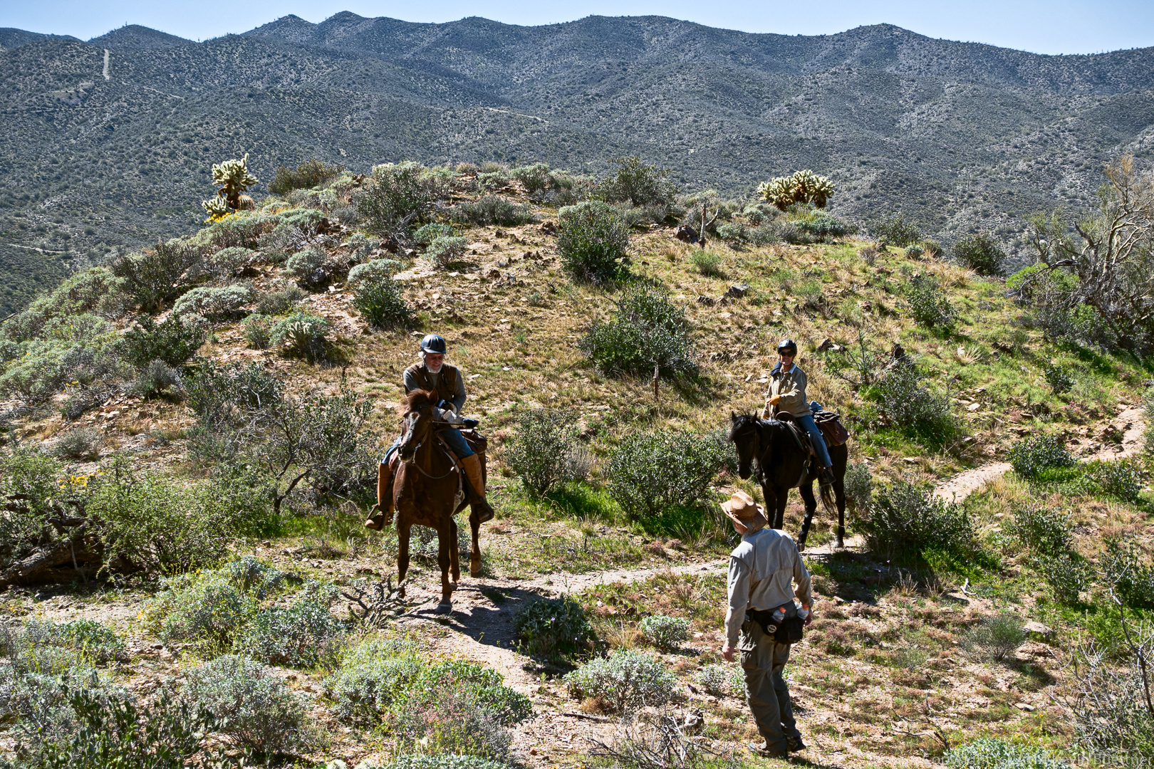
Much to our surprise, we saw two equestrians coming up the trail. I don’t think they made it to the top. I’d be surprised if they made it even a quarter of a mile further from this point.
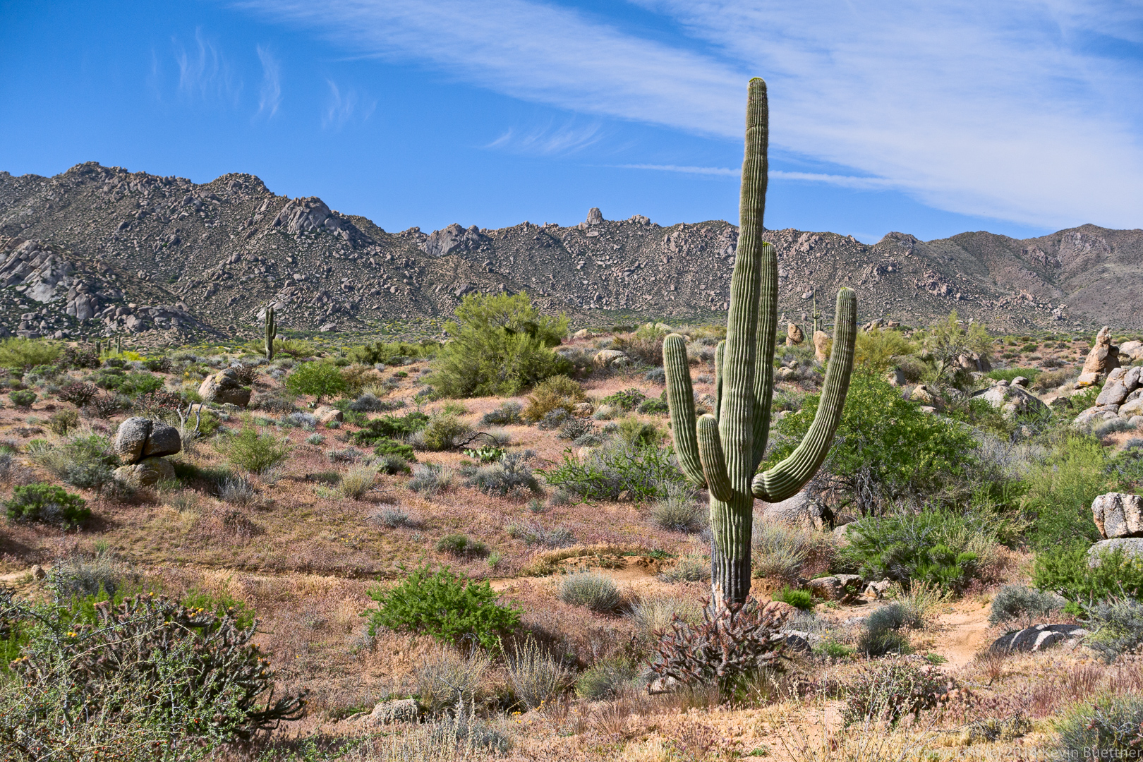
A view of Picketpost Mountain from the parking lot: