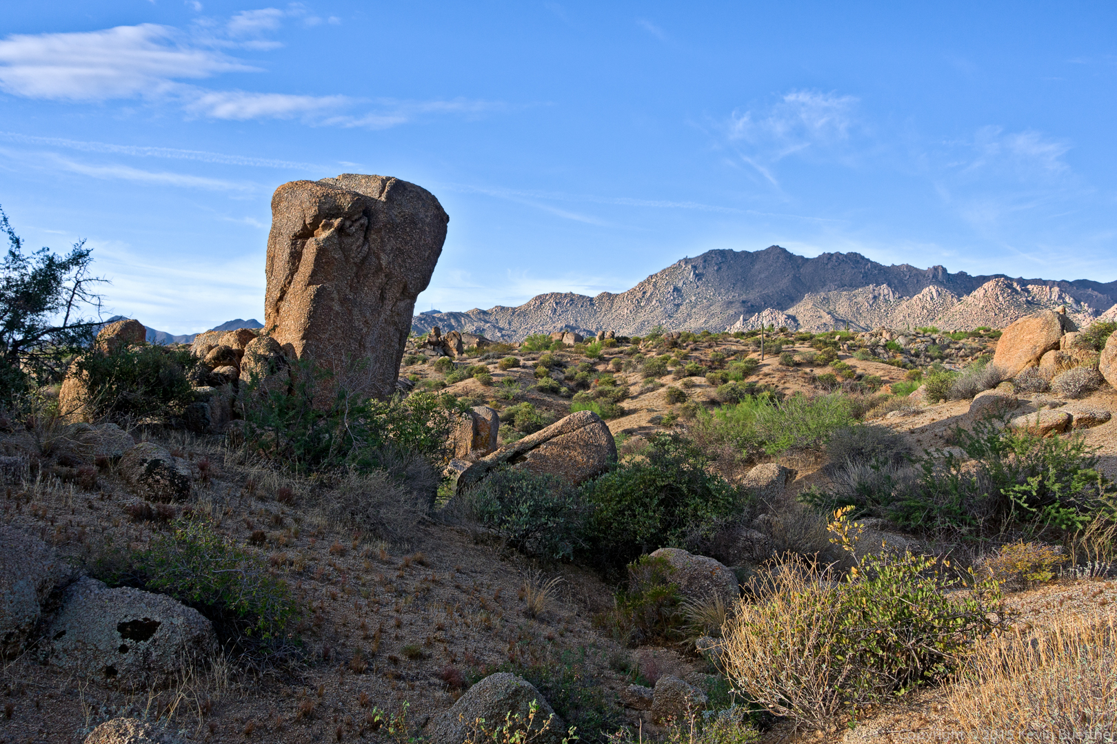
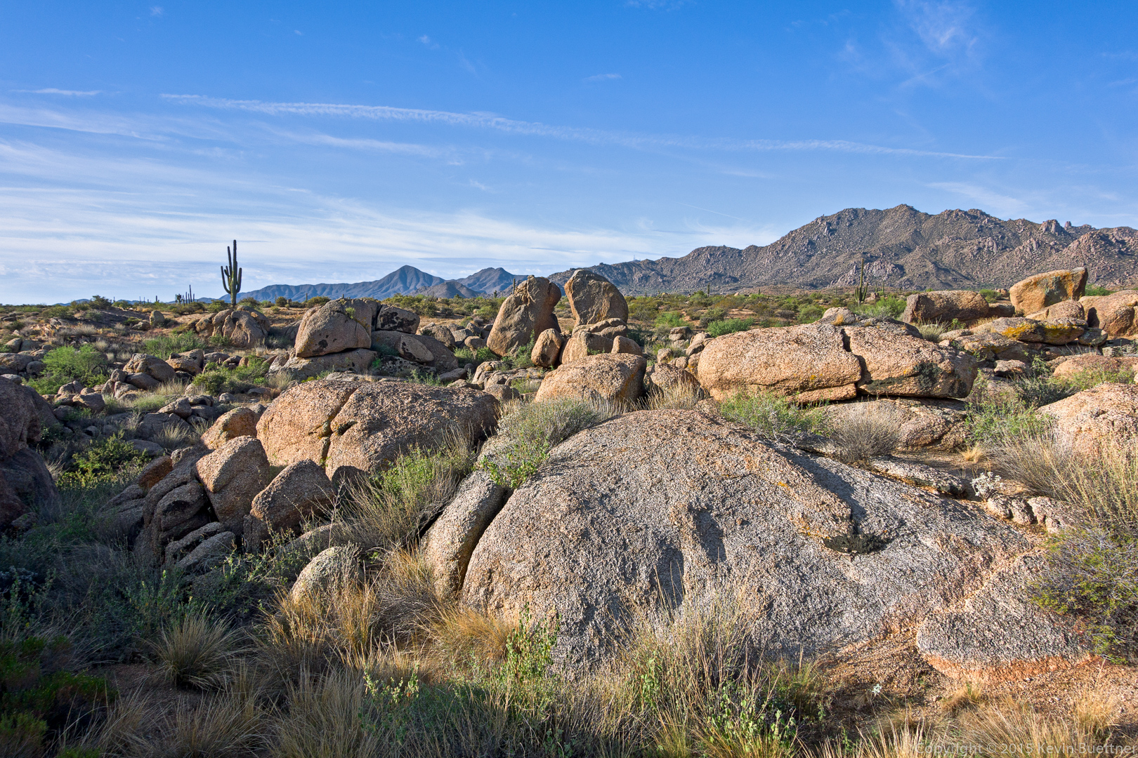
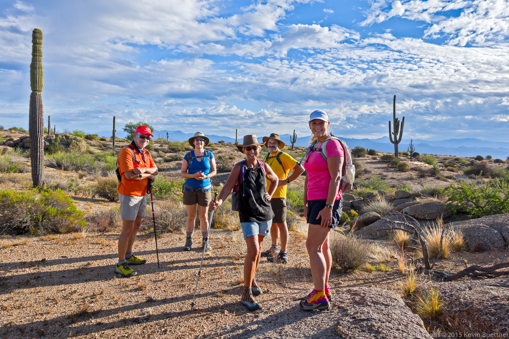
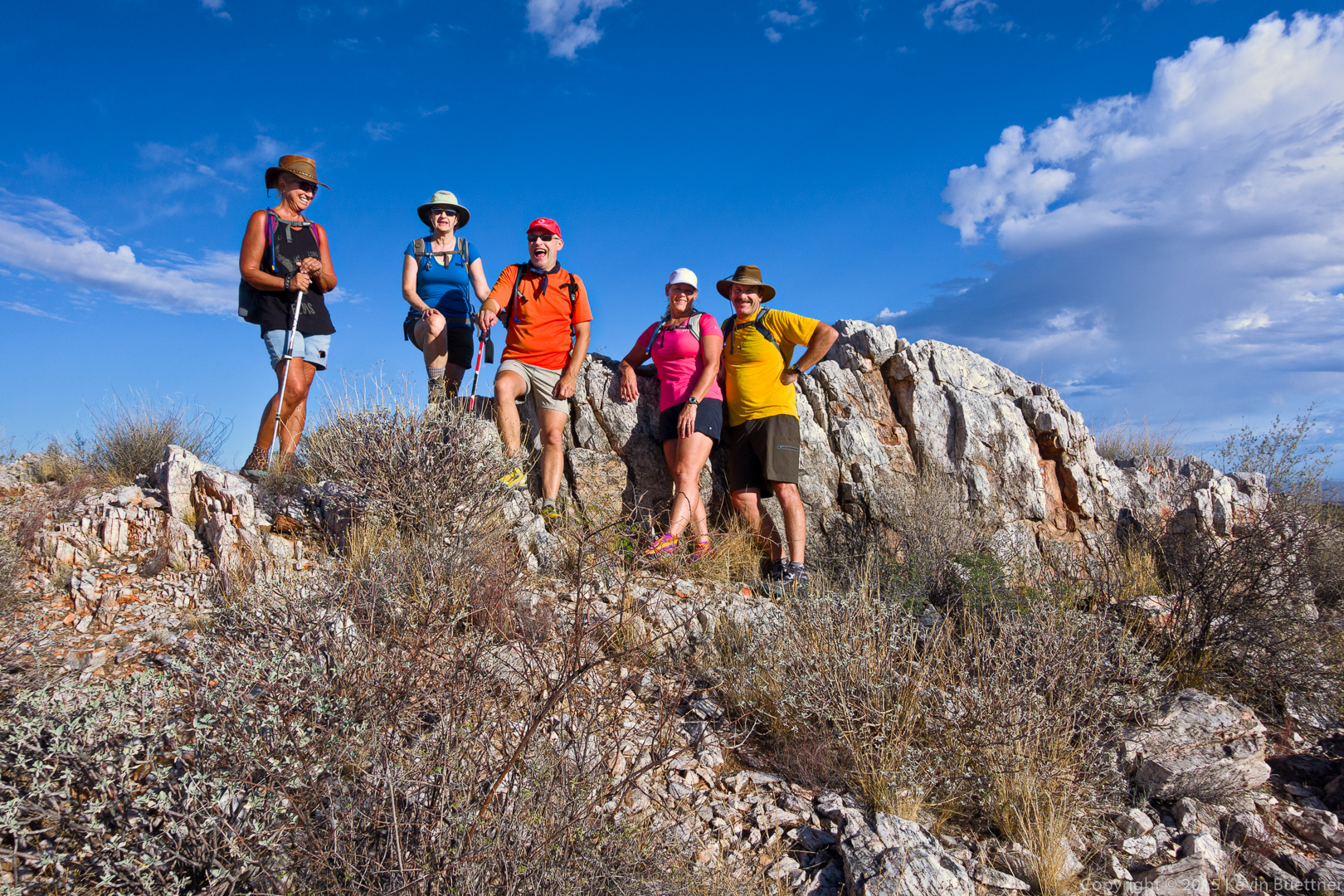
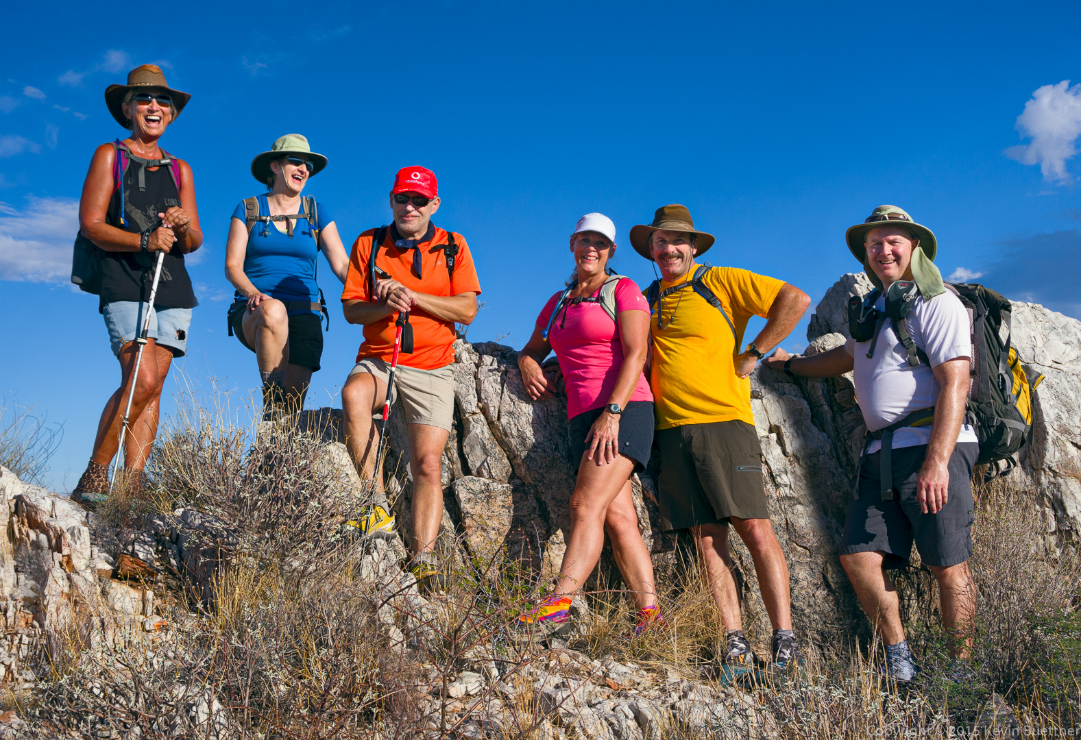
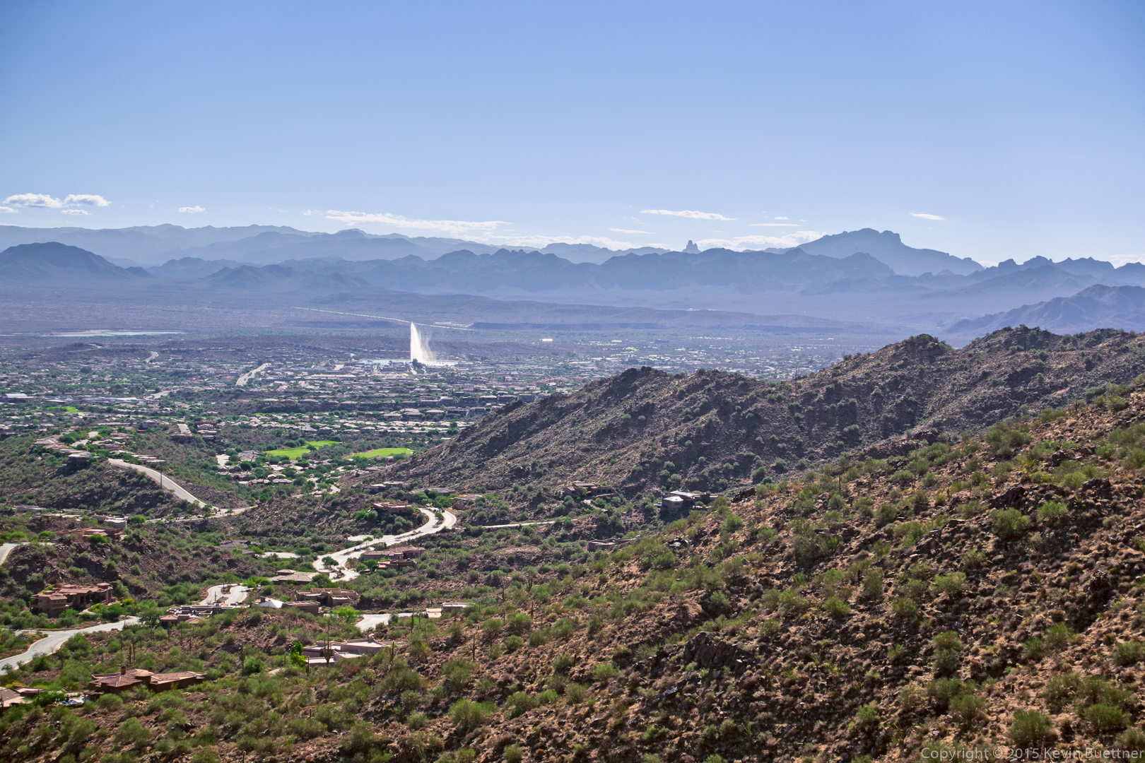
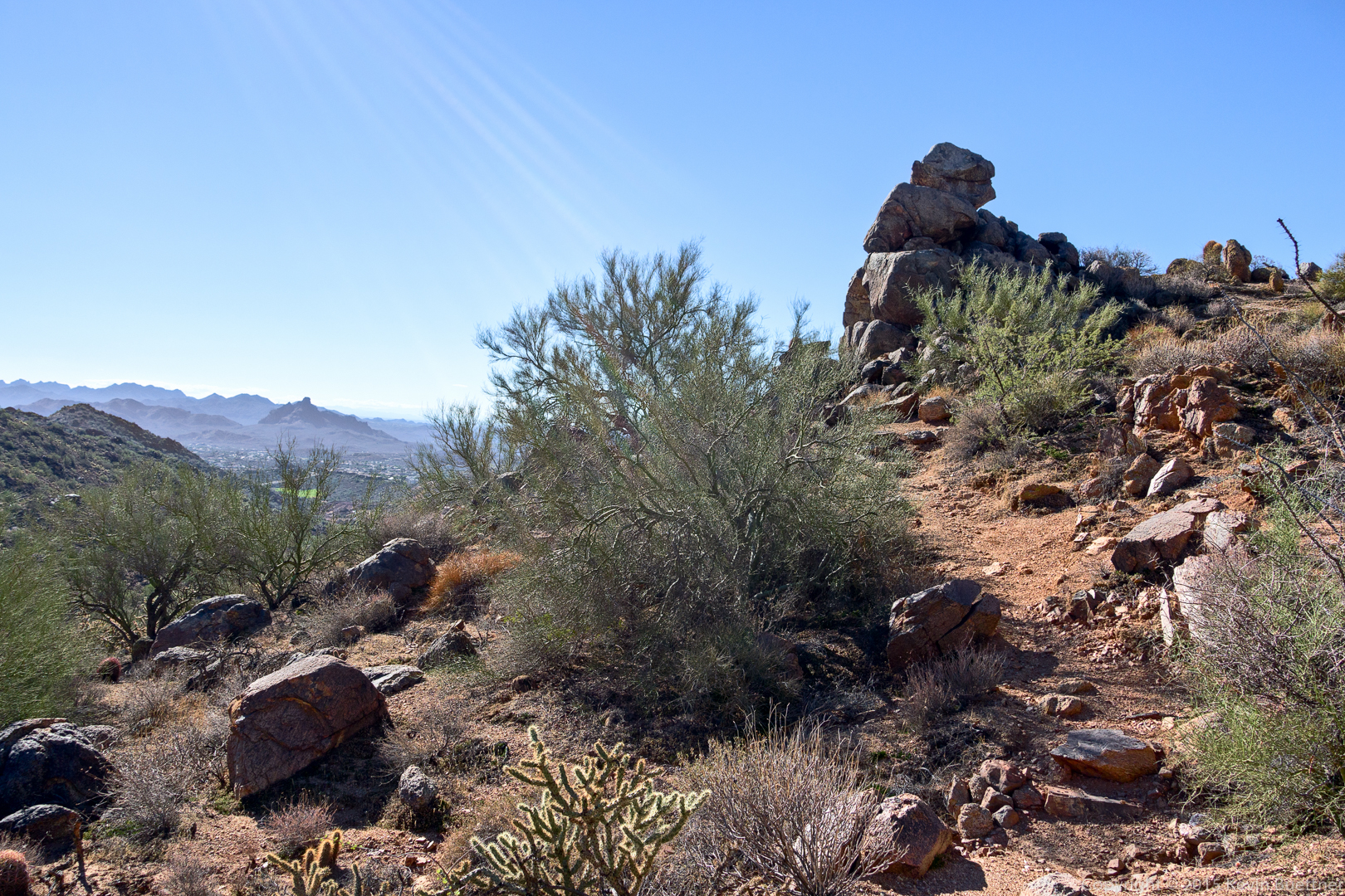
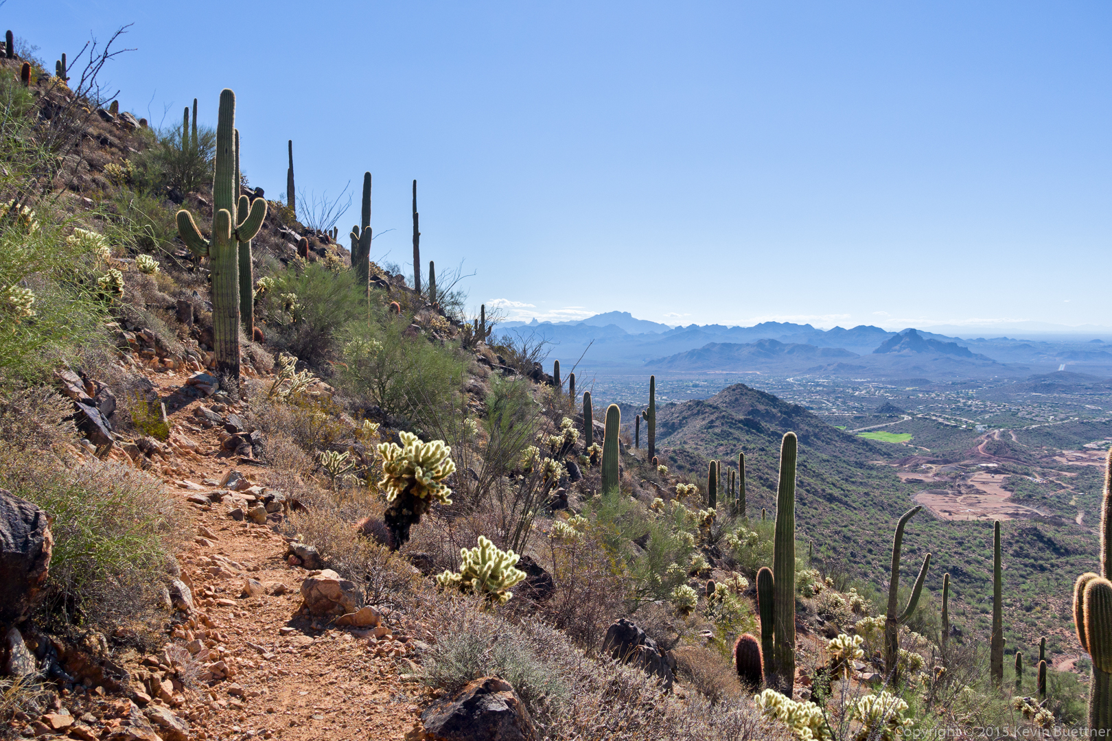
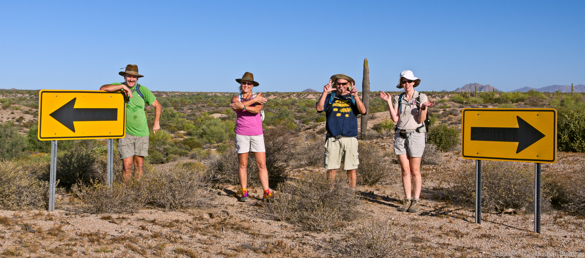
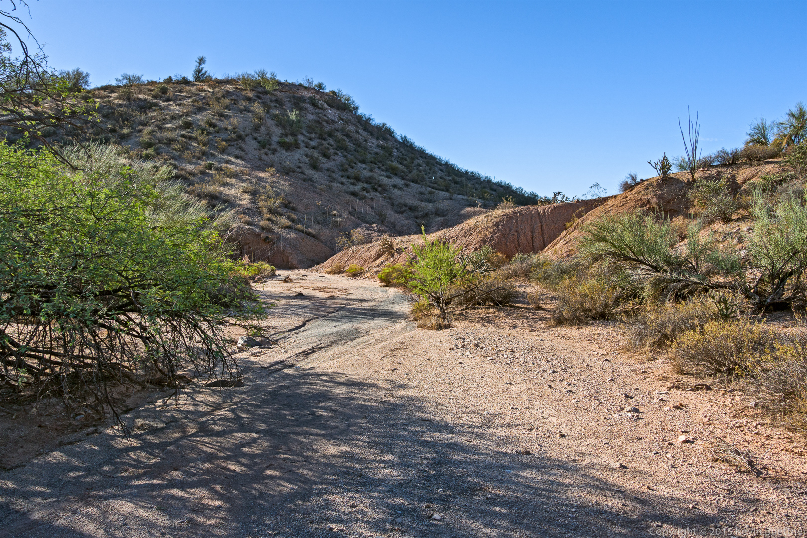
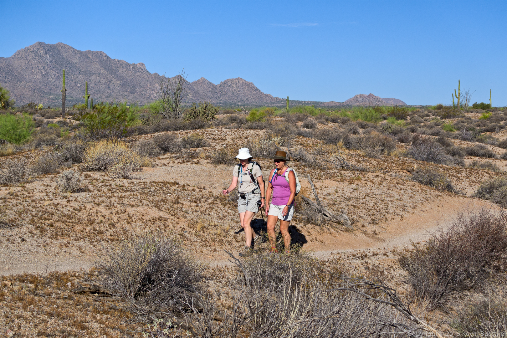
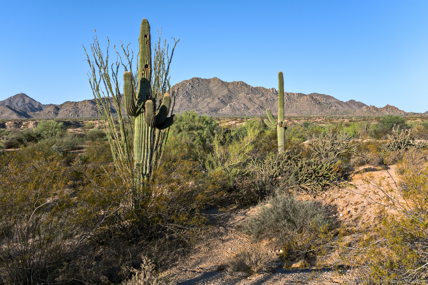
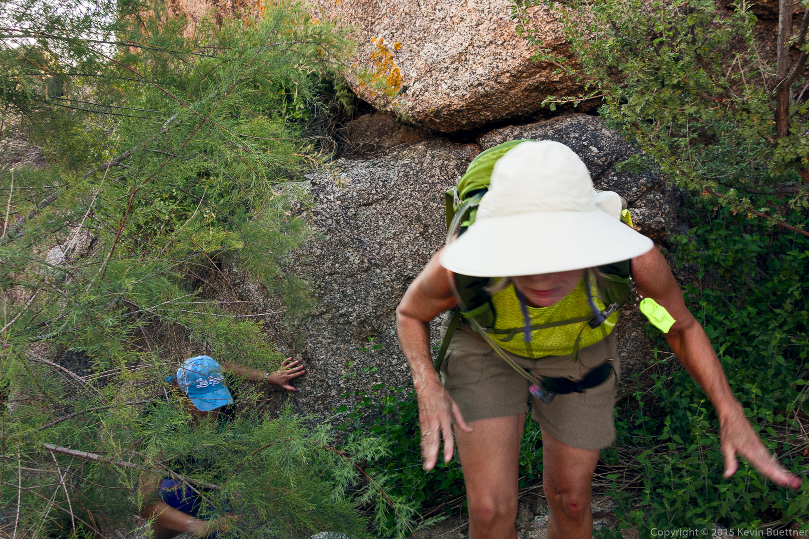
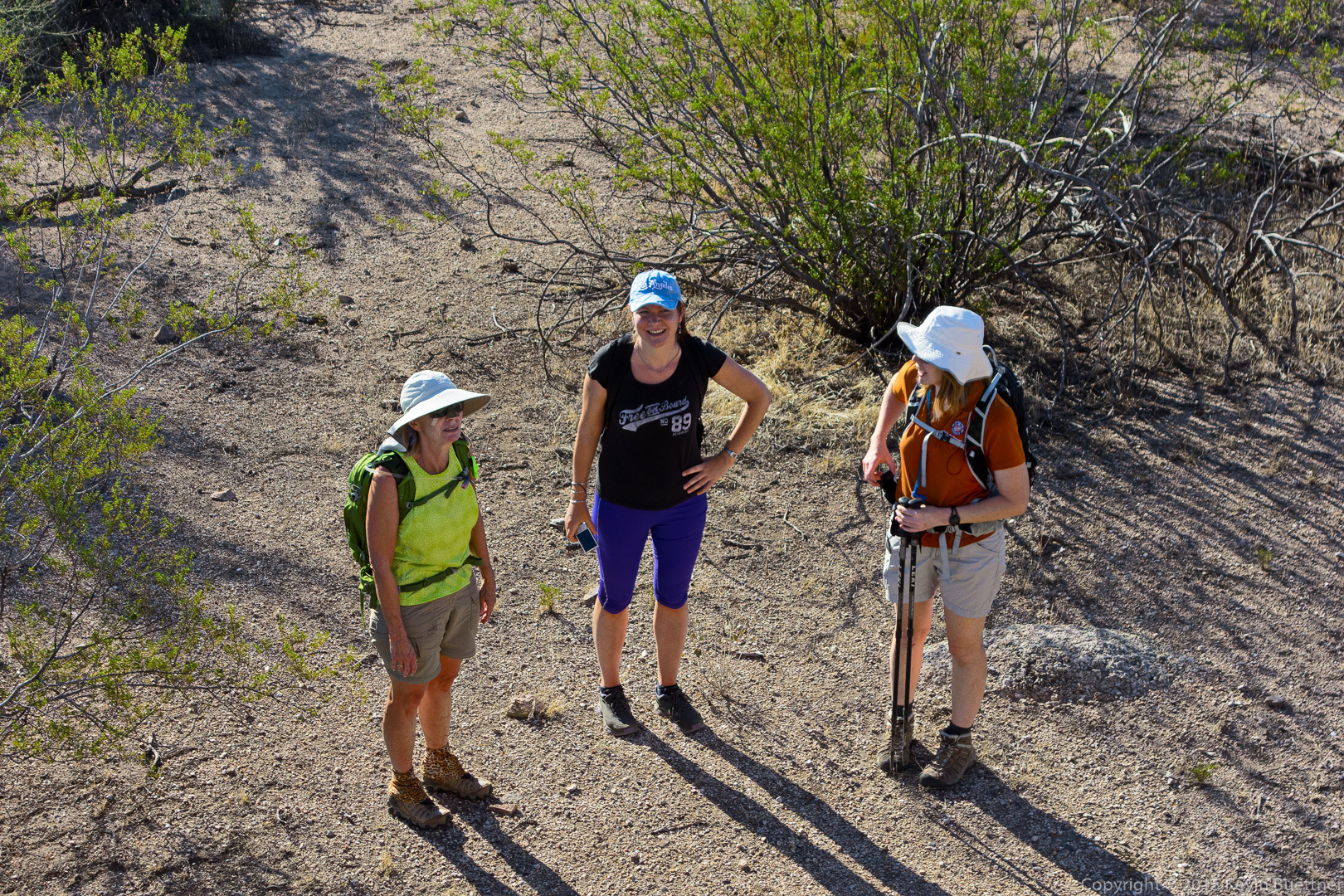
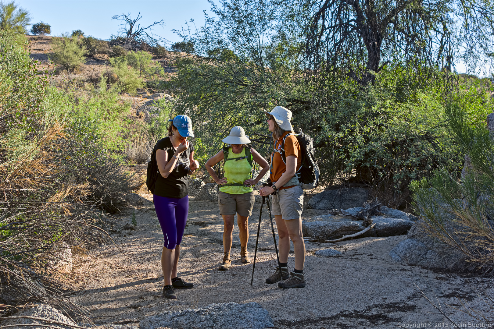
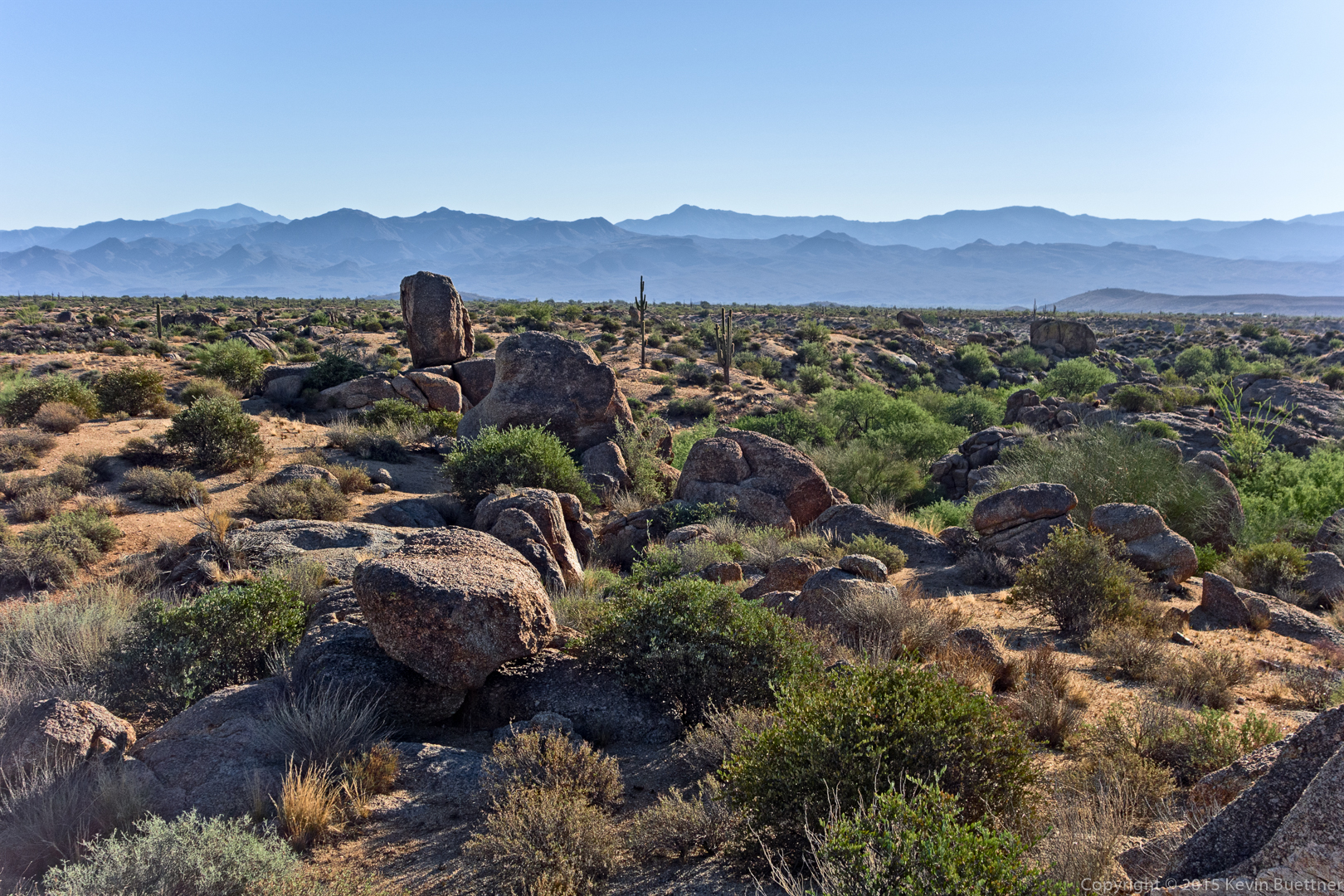
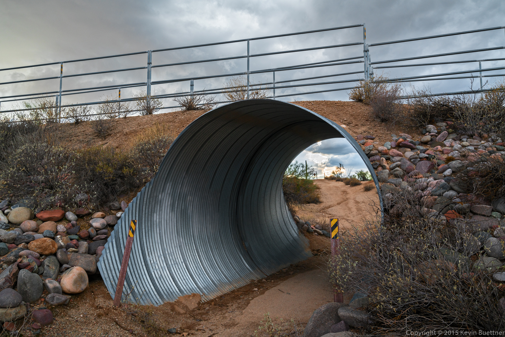
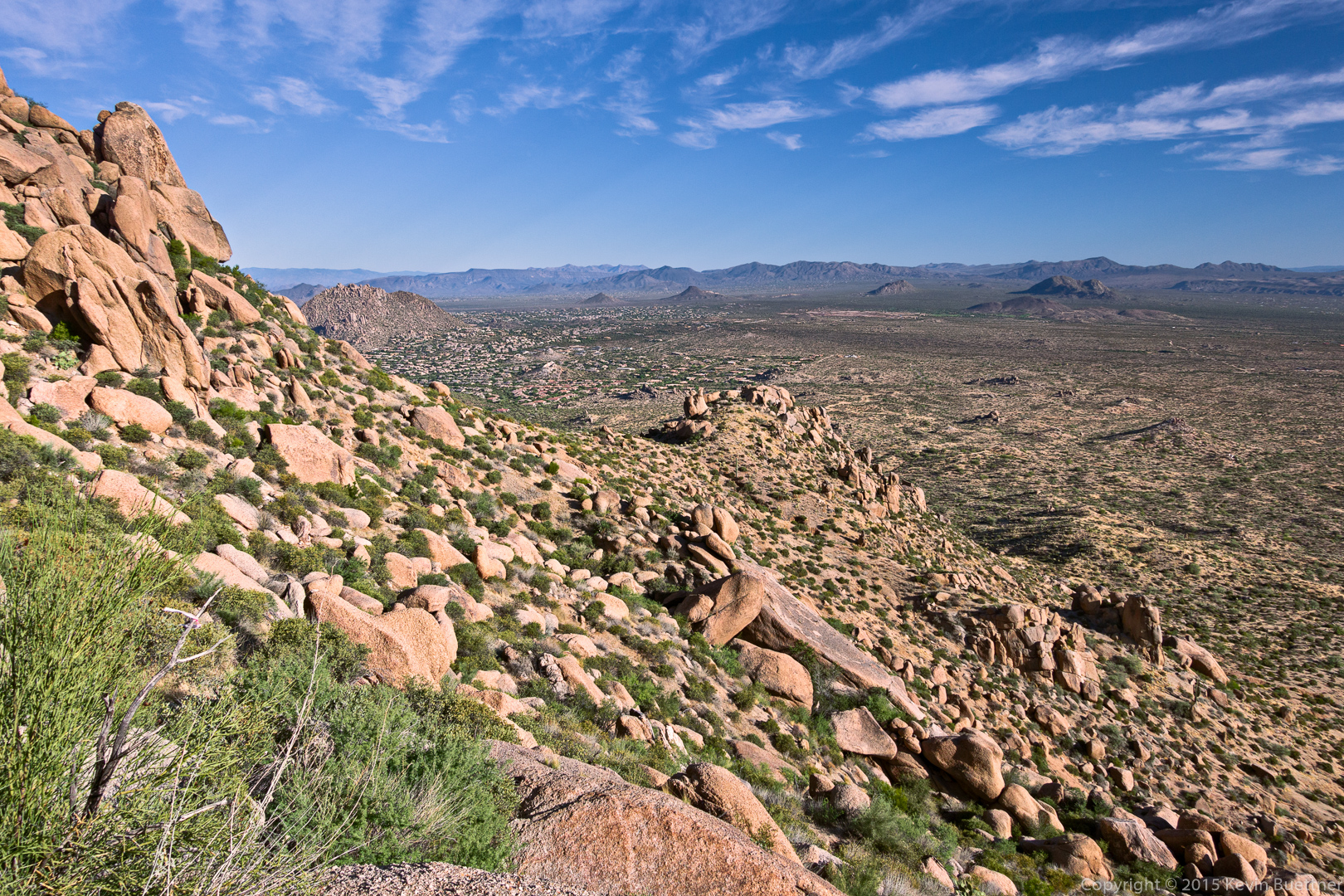
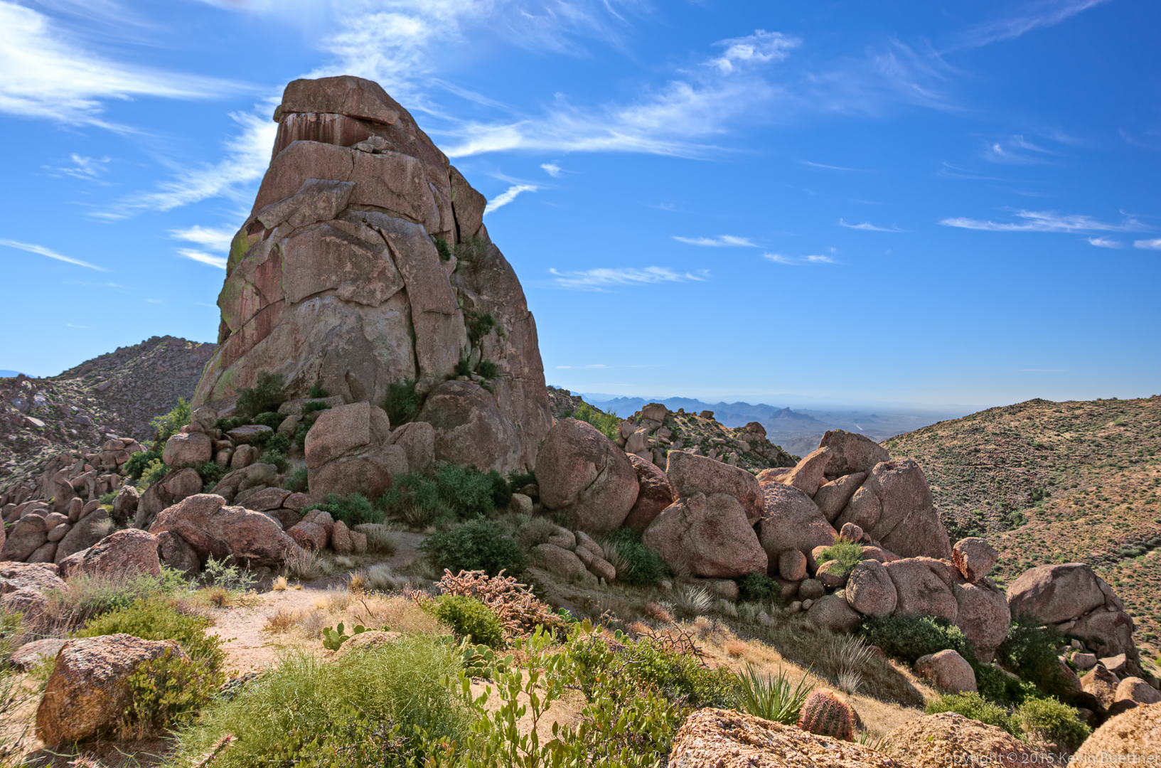
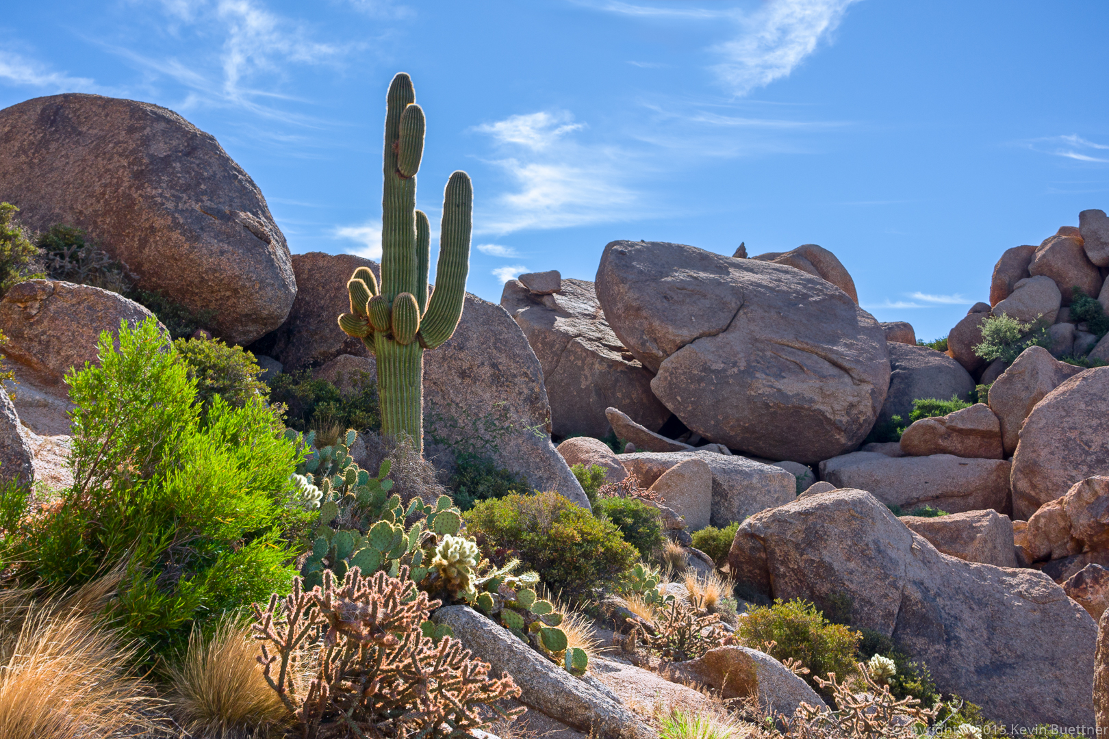
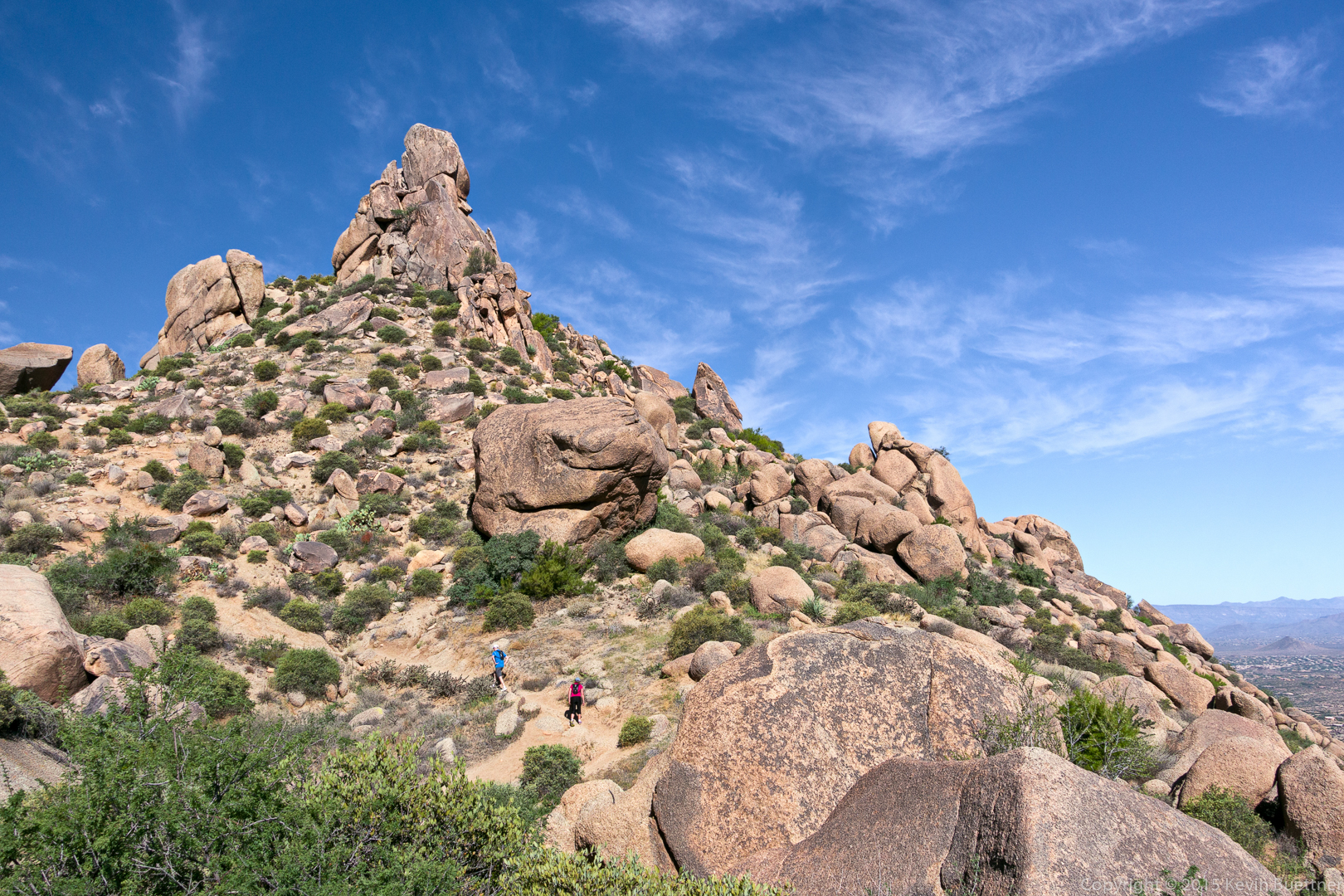
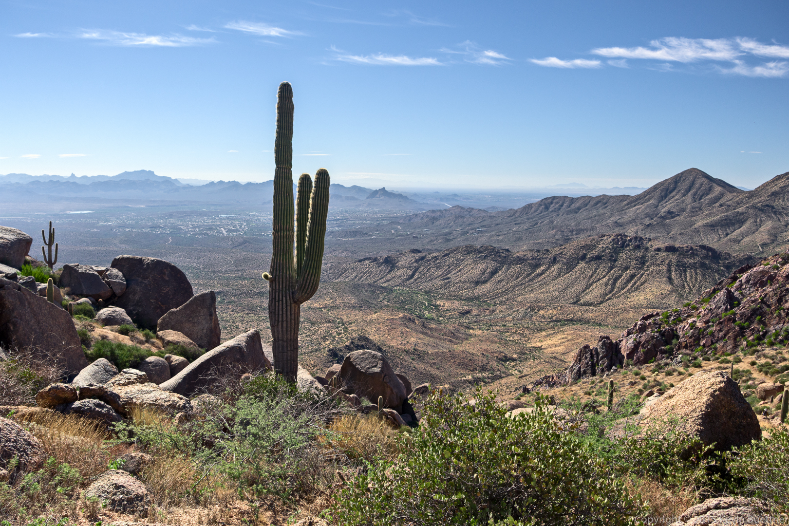
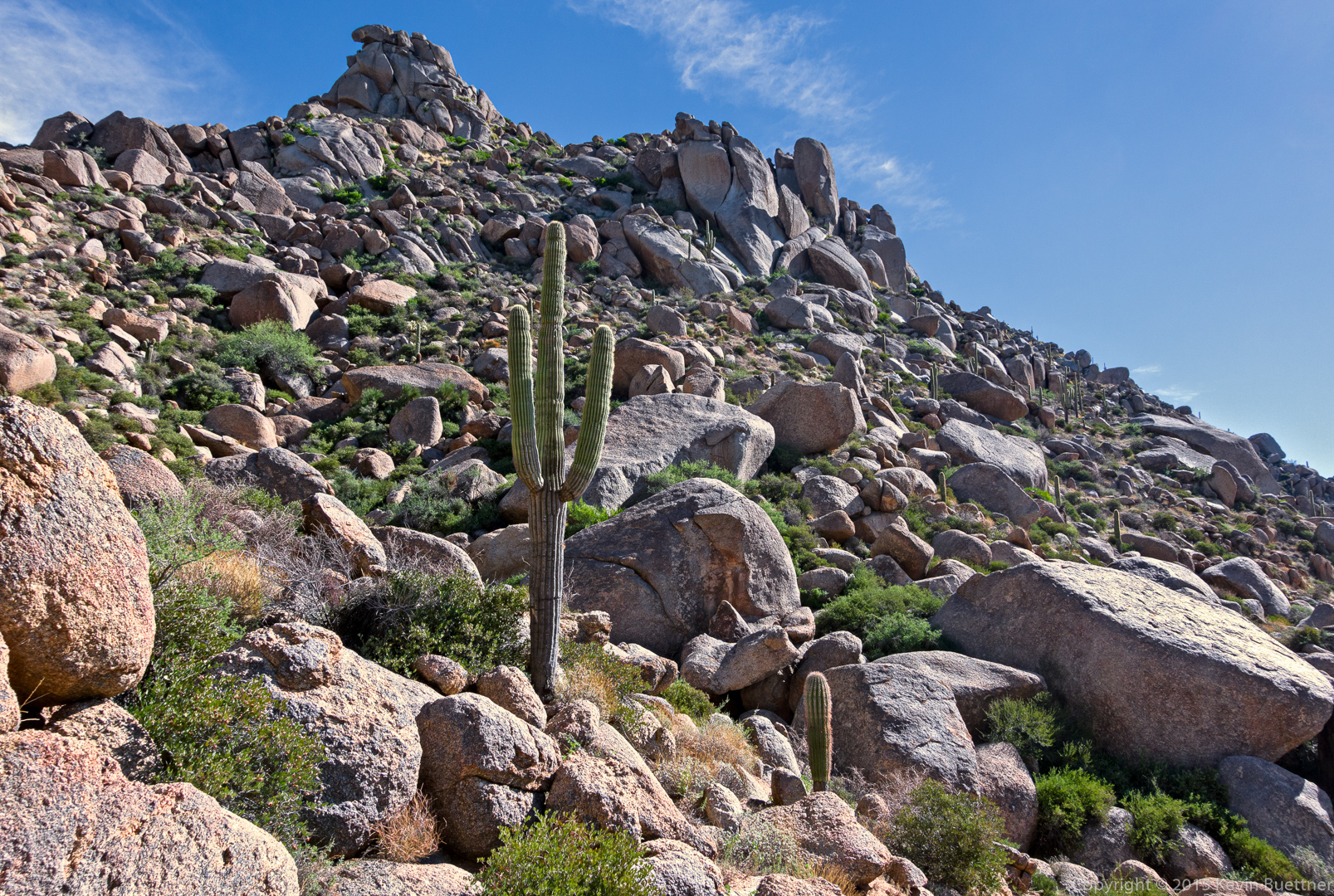
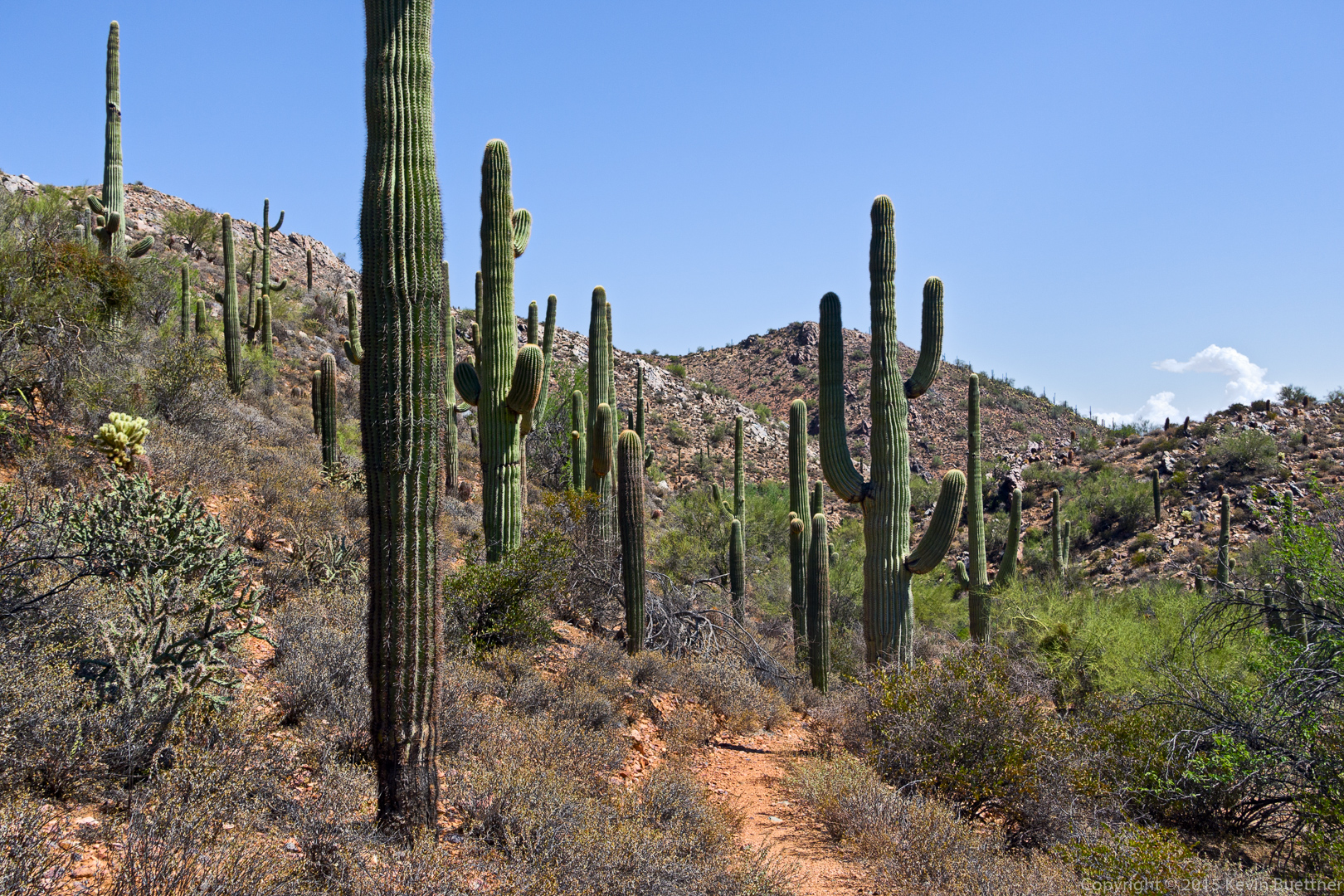
Nancy, Marilyn, Janet, Allen, Nick, and I hiked eight miles on Friday. Starting at the Wagner Trailhead, we hiked up to the Pemberton and then returned on the Bluff Trail.
Hike descriptions and/or photos.
Nancy, Marilyn, Janet, Allen, Nick, and I hiked eight miles on Friday. Starting at the Wagner Trailhead, we hiked up to the Pemberton and then returned on the Bluff Trail.
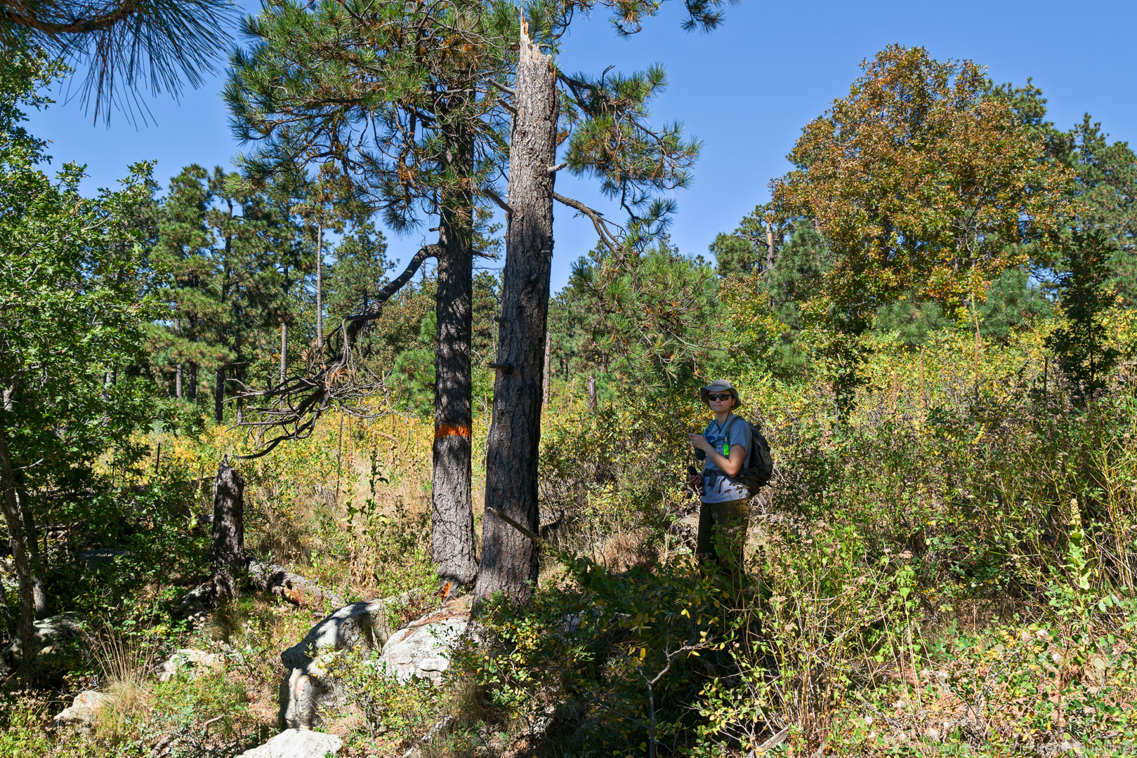
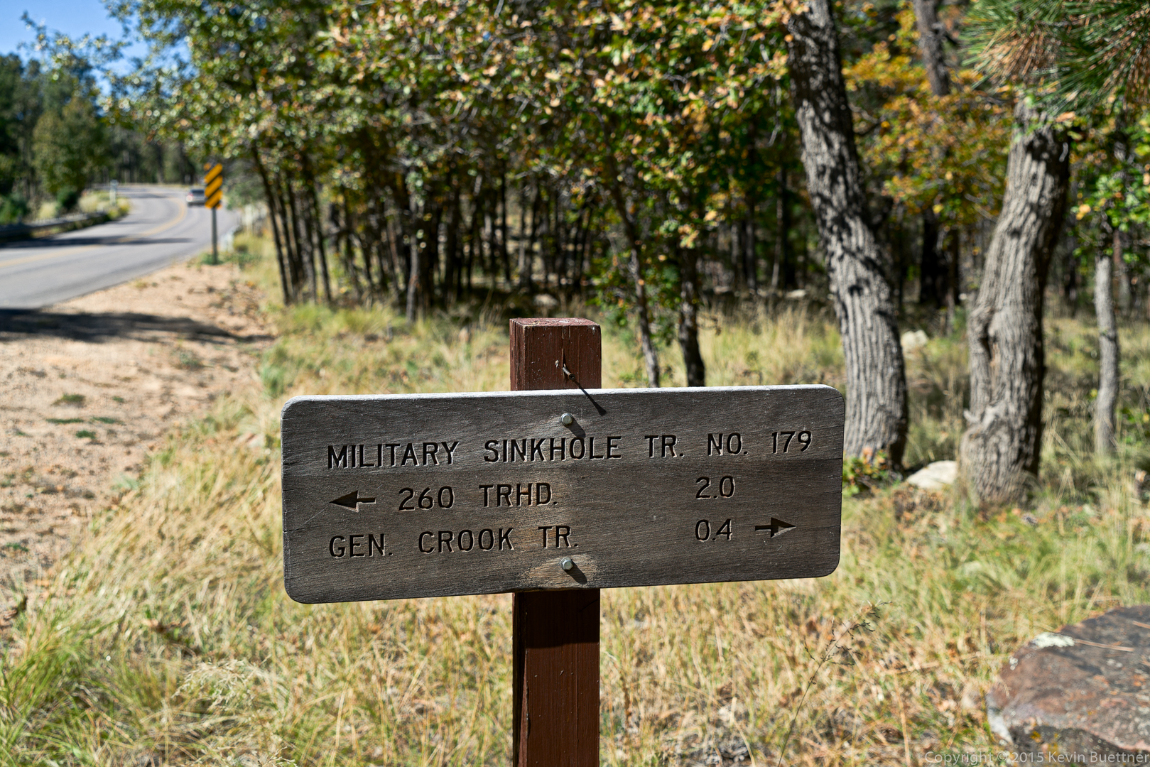
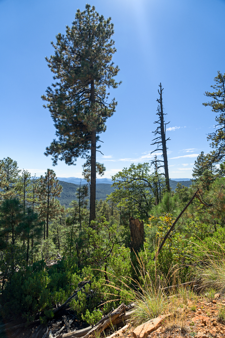
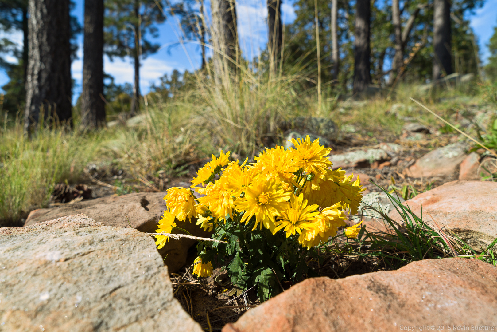
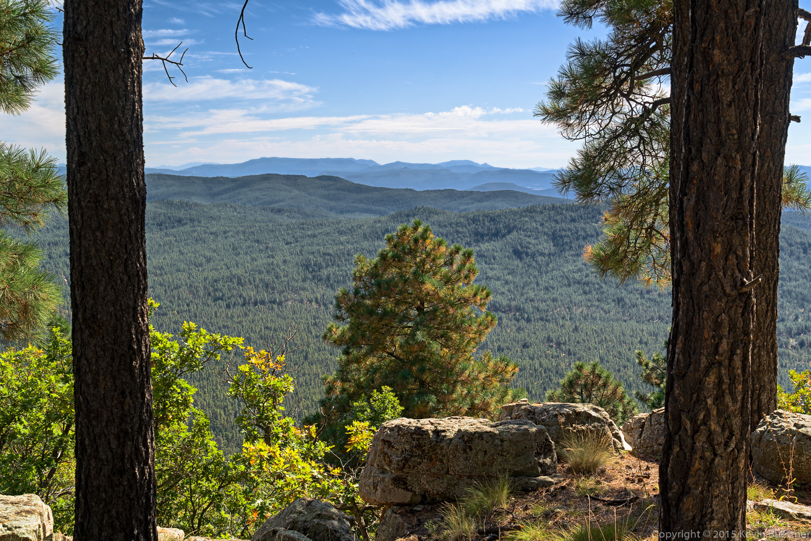
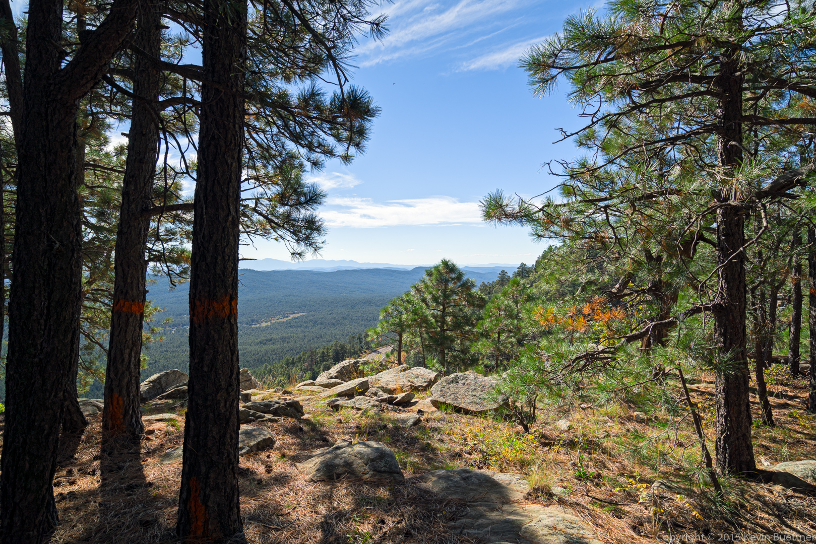
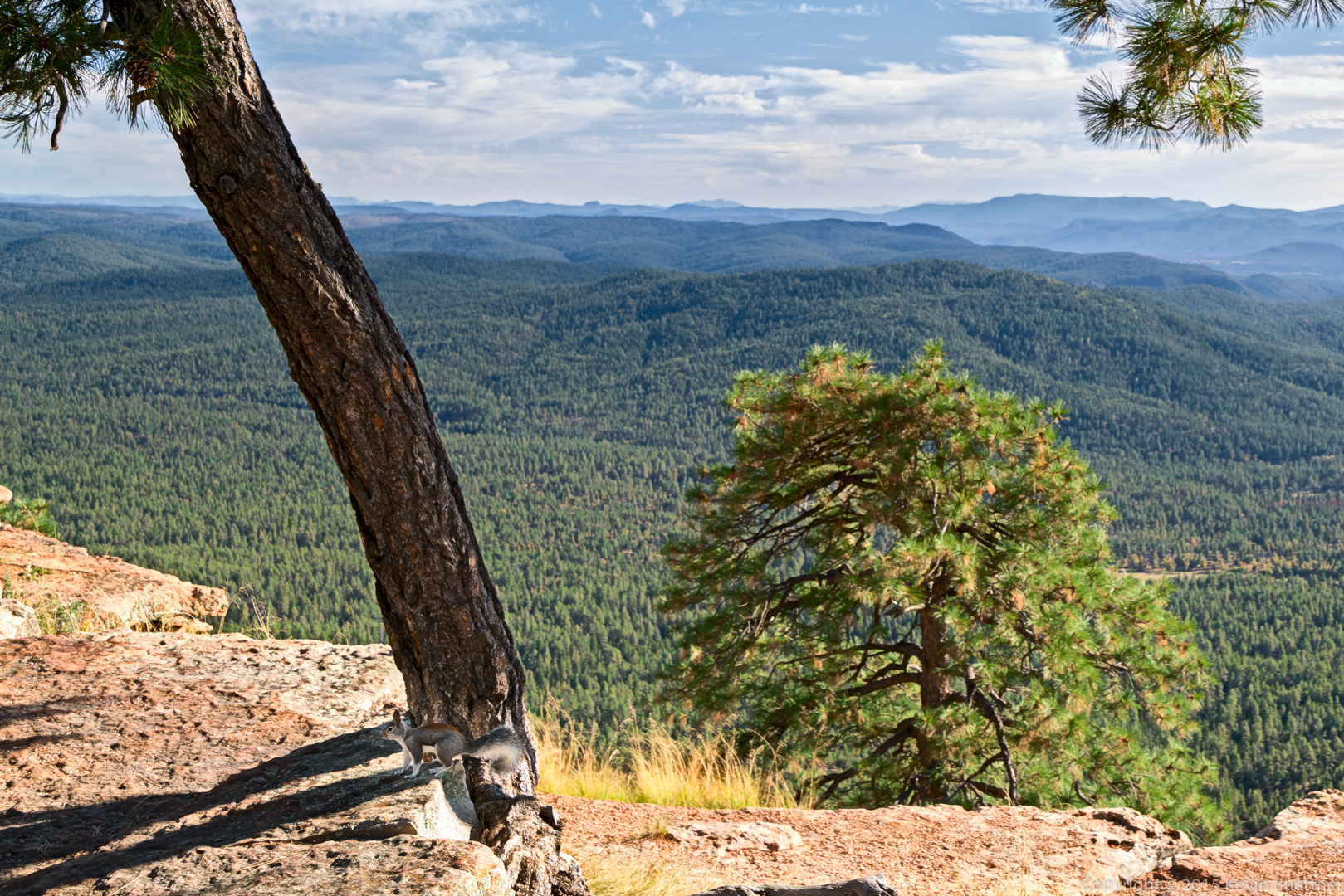
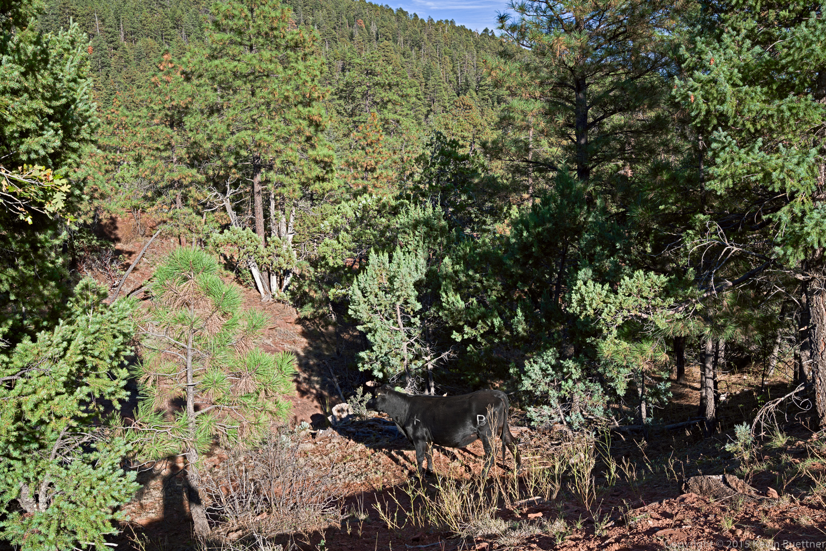
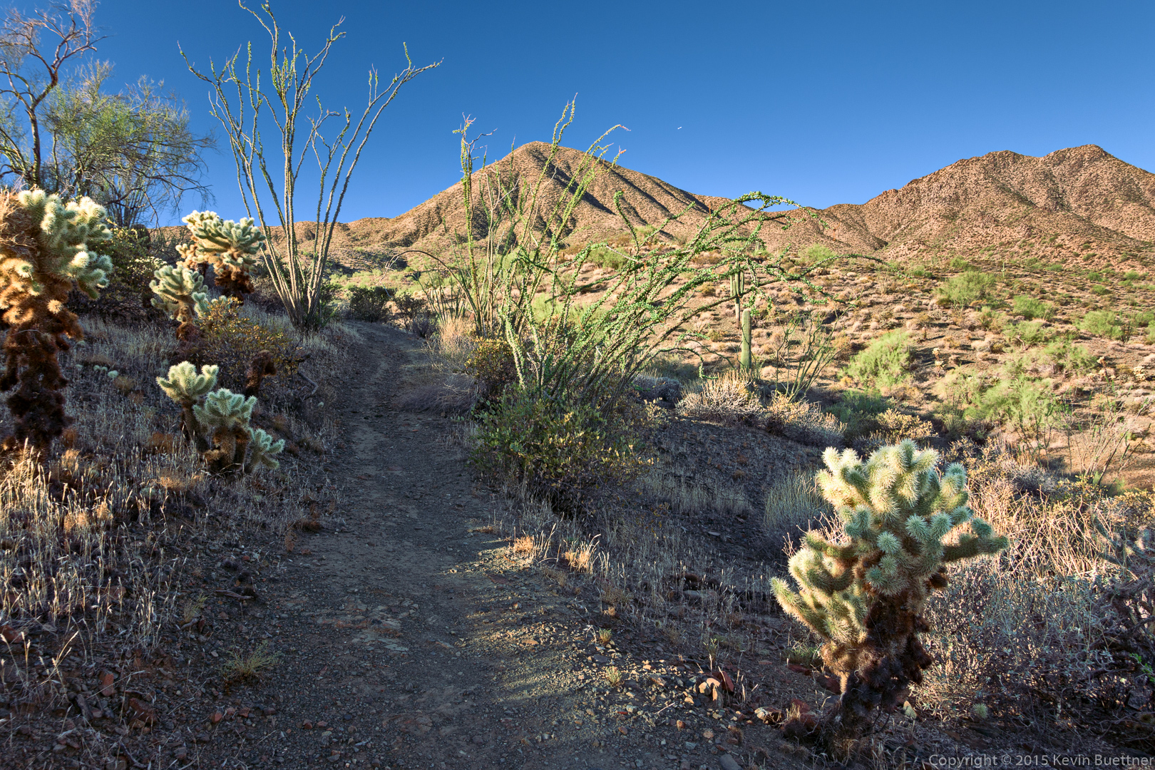
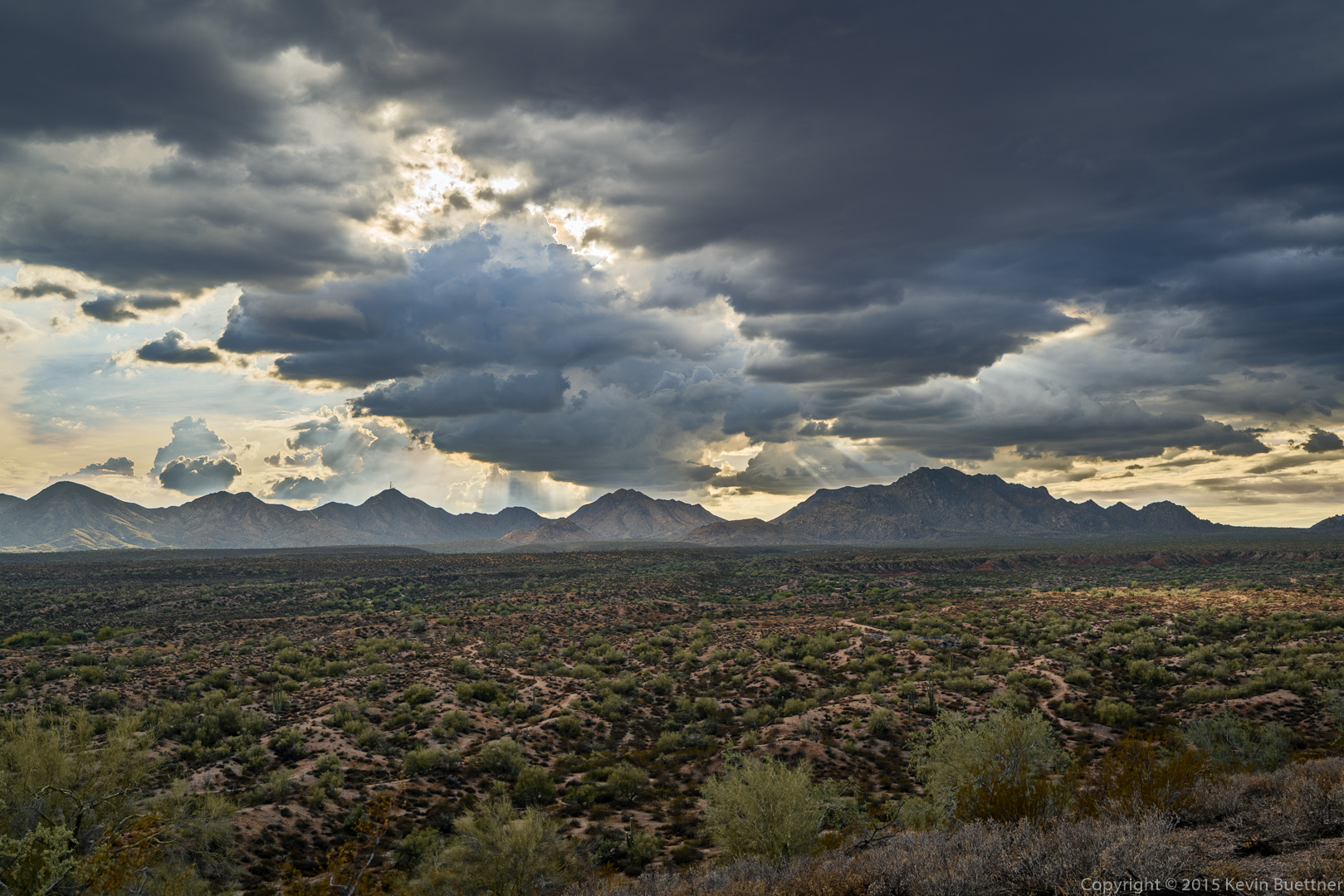
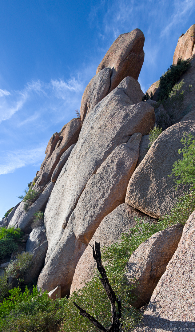
Marilyn, Marie, and I hiked the Rim Lakes Vista Trail #622 on Wednesday. We started at the trailhead on FR300 perhaps a quarter of a mile from 260. We hiked to the Military Sinkhole Viewpoint and then down about 0.6 miles. When we got back to the top, I went to look for the General Crook Trail, which was supposed to be 0.4 miles from the view area. However, when I got there, I found a gravel road along with another sign which said that the General Crook Trail was 0.5 miles further. When we returned, we drove to several other view areas and then eventually to Trailhead Two-Sixty where we saw a cow.
Had we hiked all the way down the Military Sinkhole Trail #179, we would have ended up at Trailhead Two-Sixty. It appears that there is also an intersection with the Highline Trail at the same location.
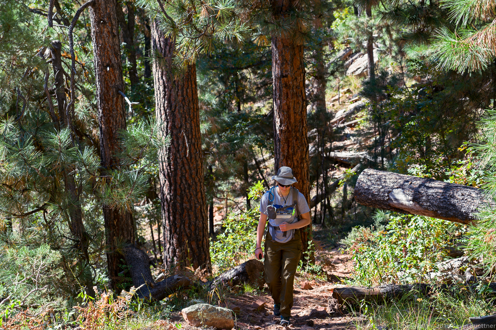
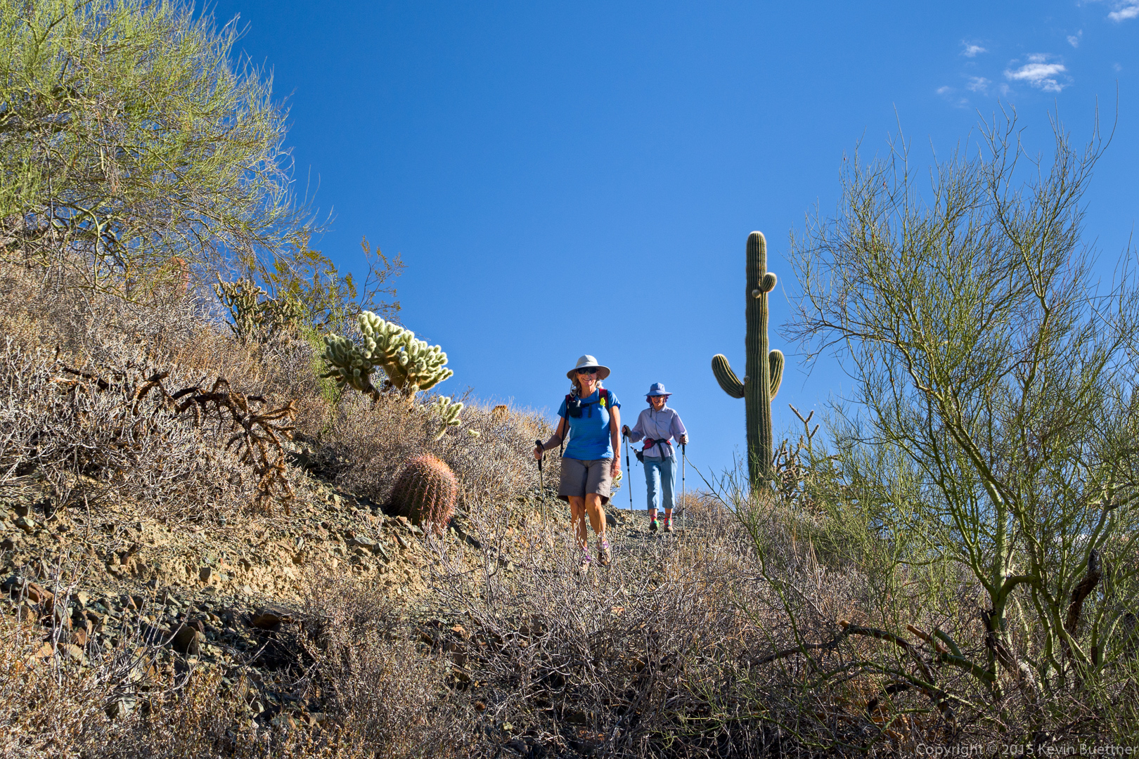
Marie, near the beginning of the hike:
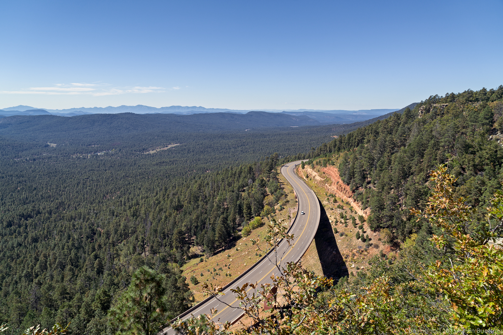
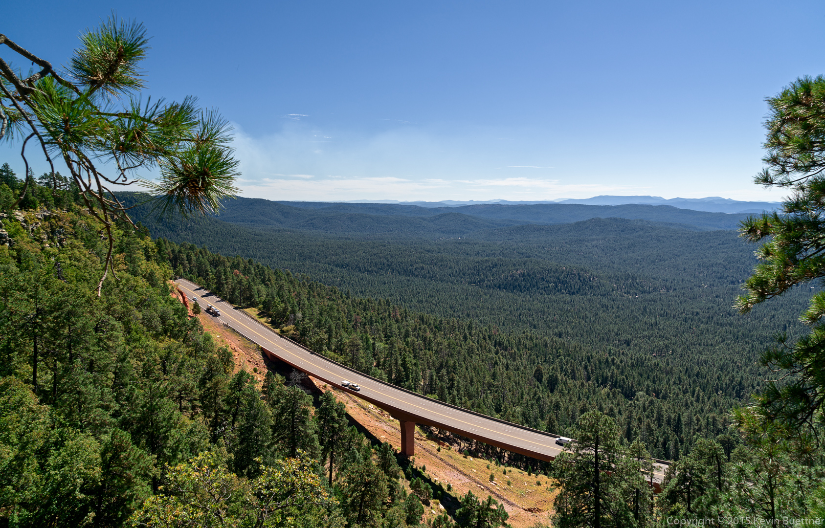
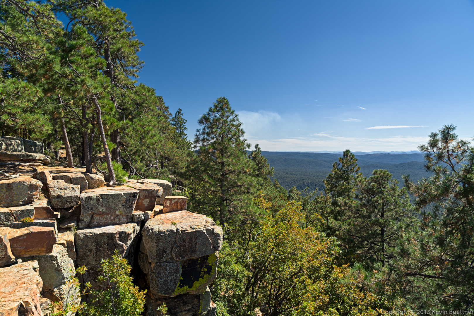
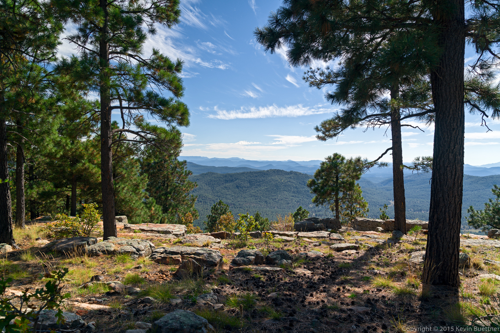
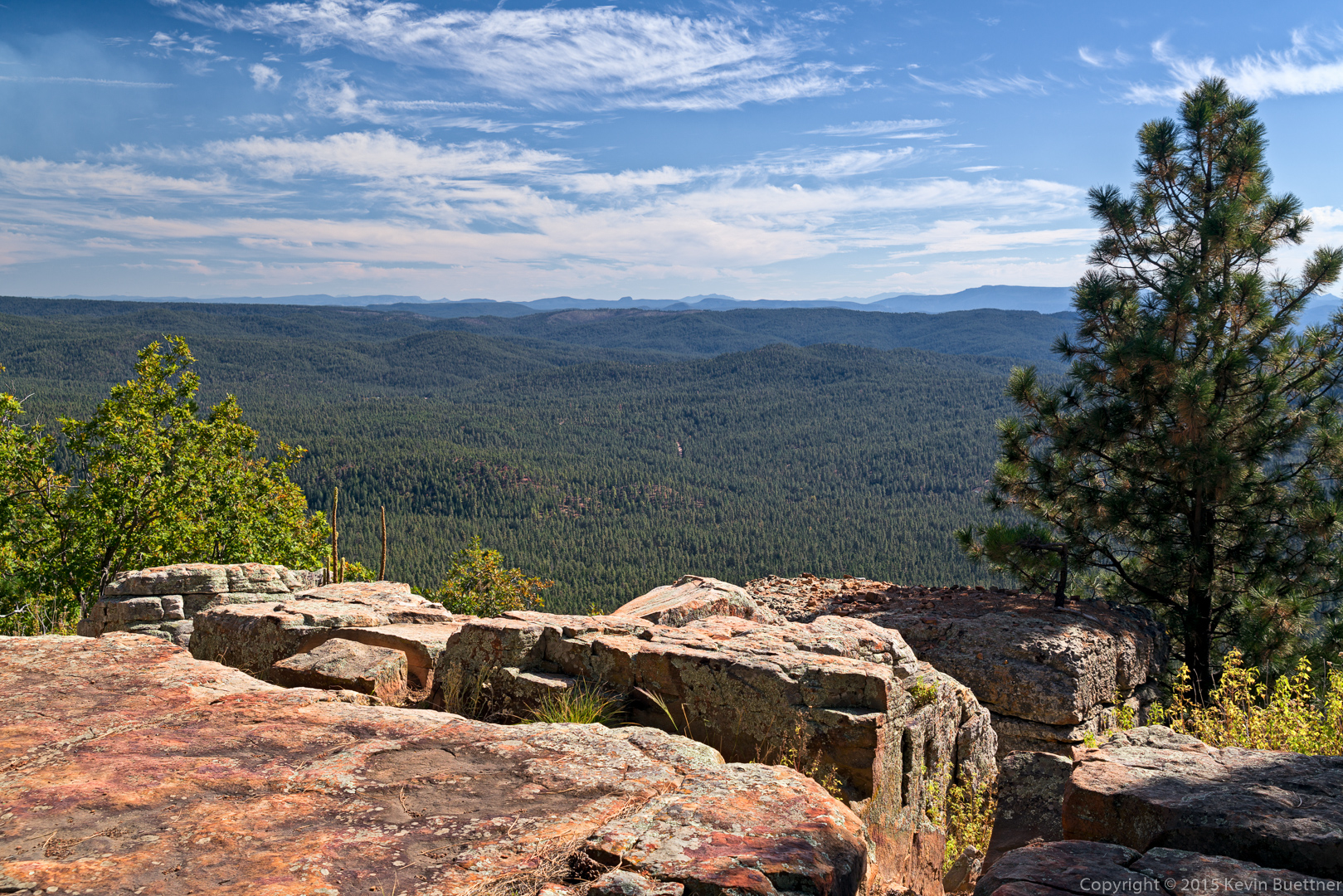
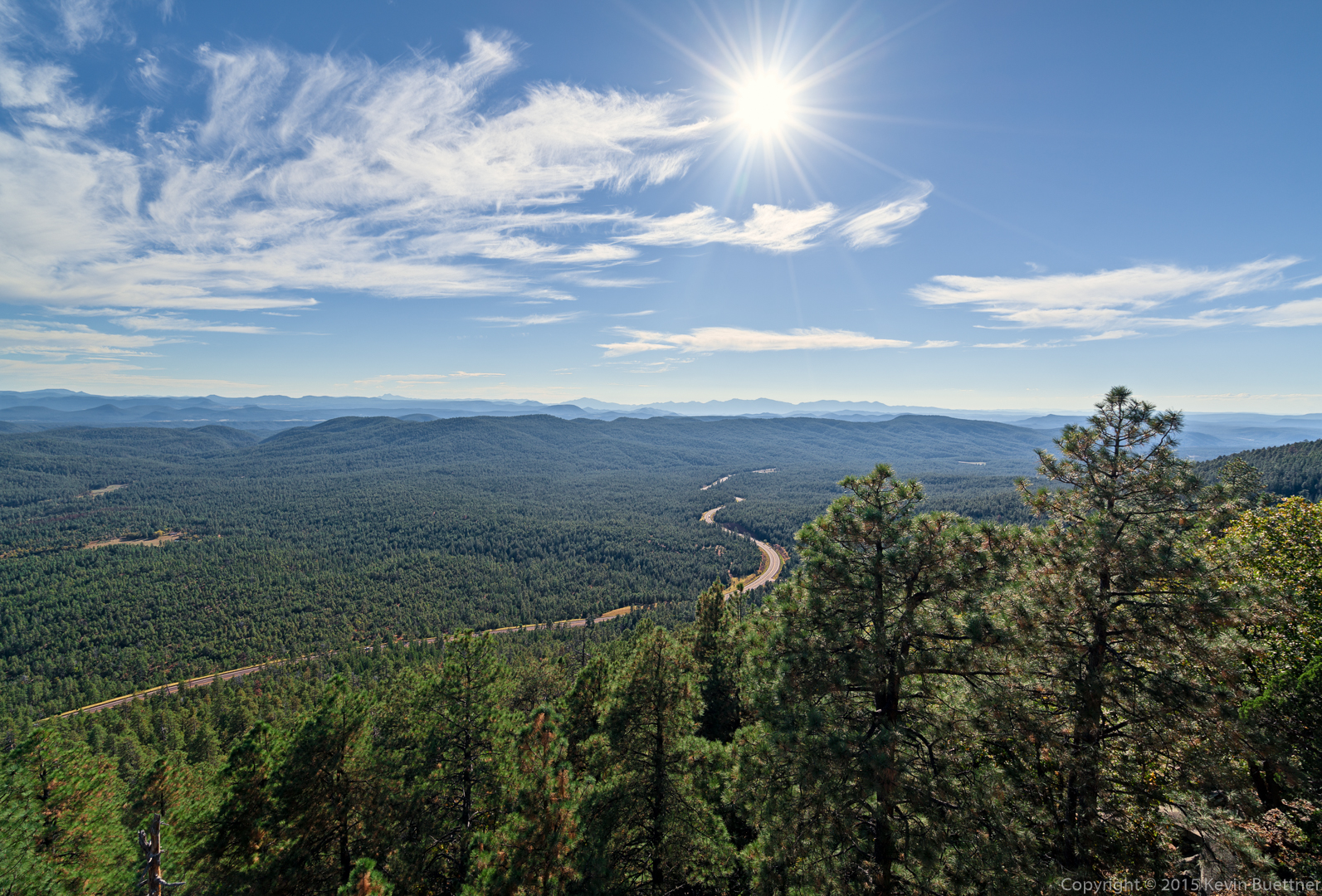
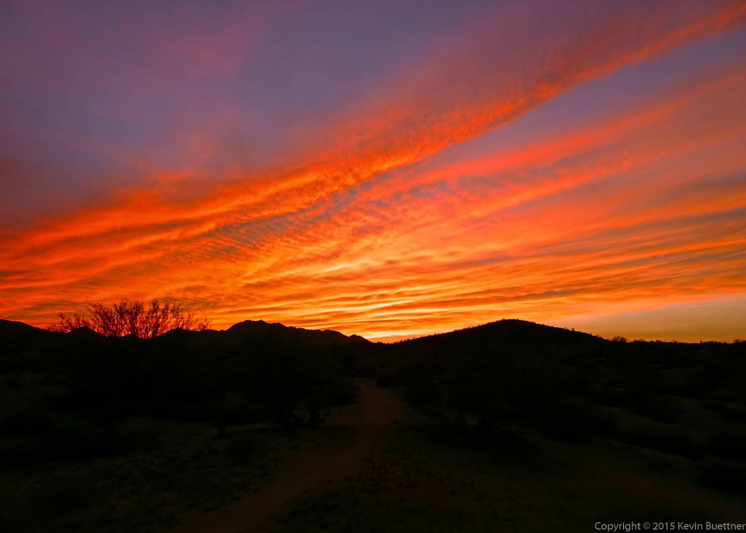
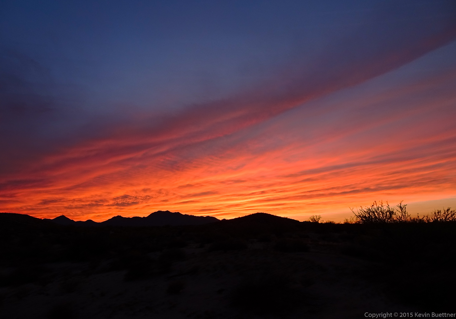
Two views of Highway 260:
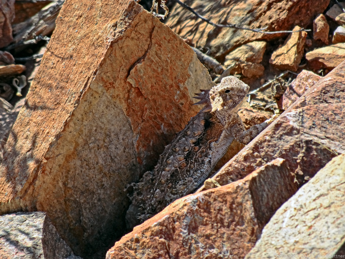
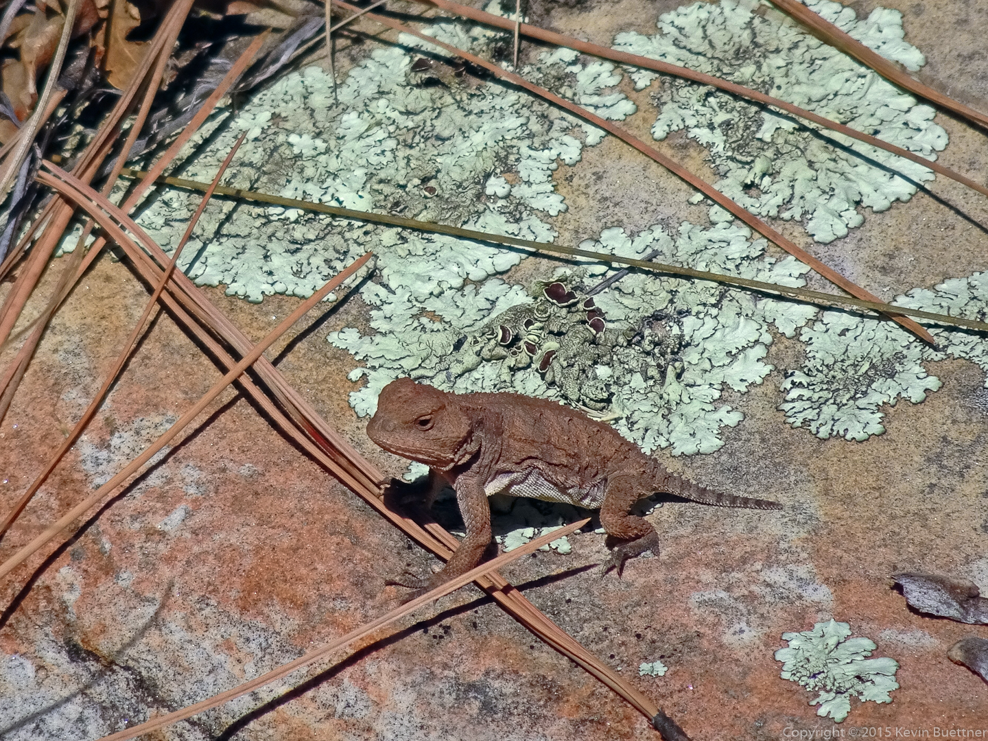
This photo of a small lizard is the only photo I took with my HX90V.
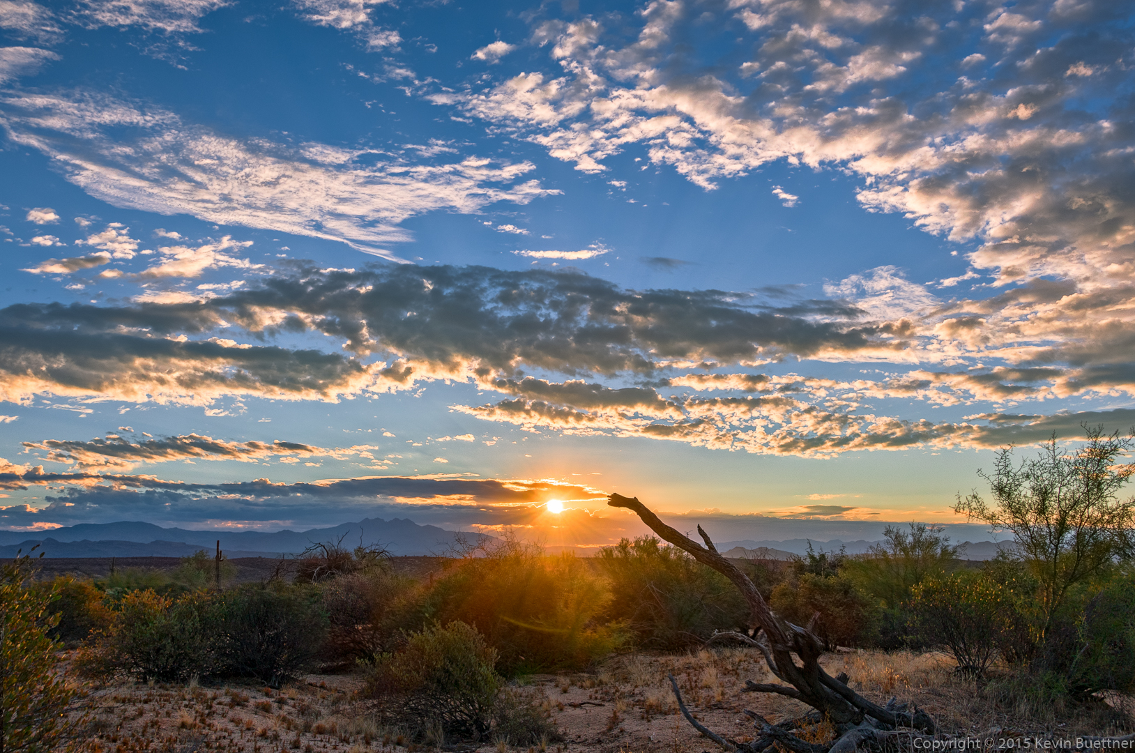
The Sony FE 16-35 lens was exceptionally clean with regard to flare. I made this photo with two shots, one with the sun which I used for the entire sky and another for the portion of the photo below the horizon. But the frame with the sun showed only minor flare artifacts near the bottom of the photo. I could have easily cleaned those up without resorting to using two exposures.
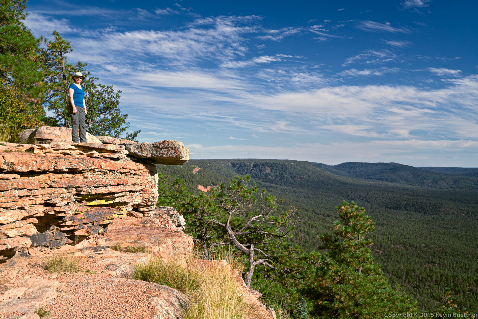
Marilyn at one of the view areas to which we drove after our hike. I told her that it would have been a more interesting photo had she stood on the rock outcropping.
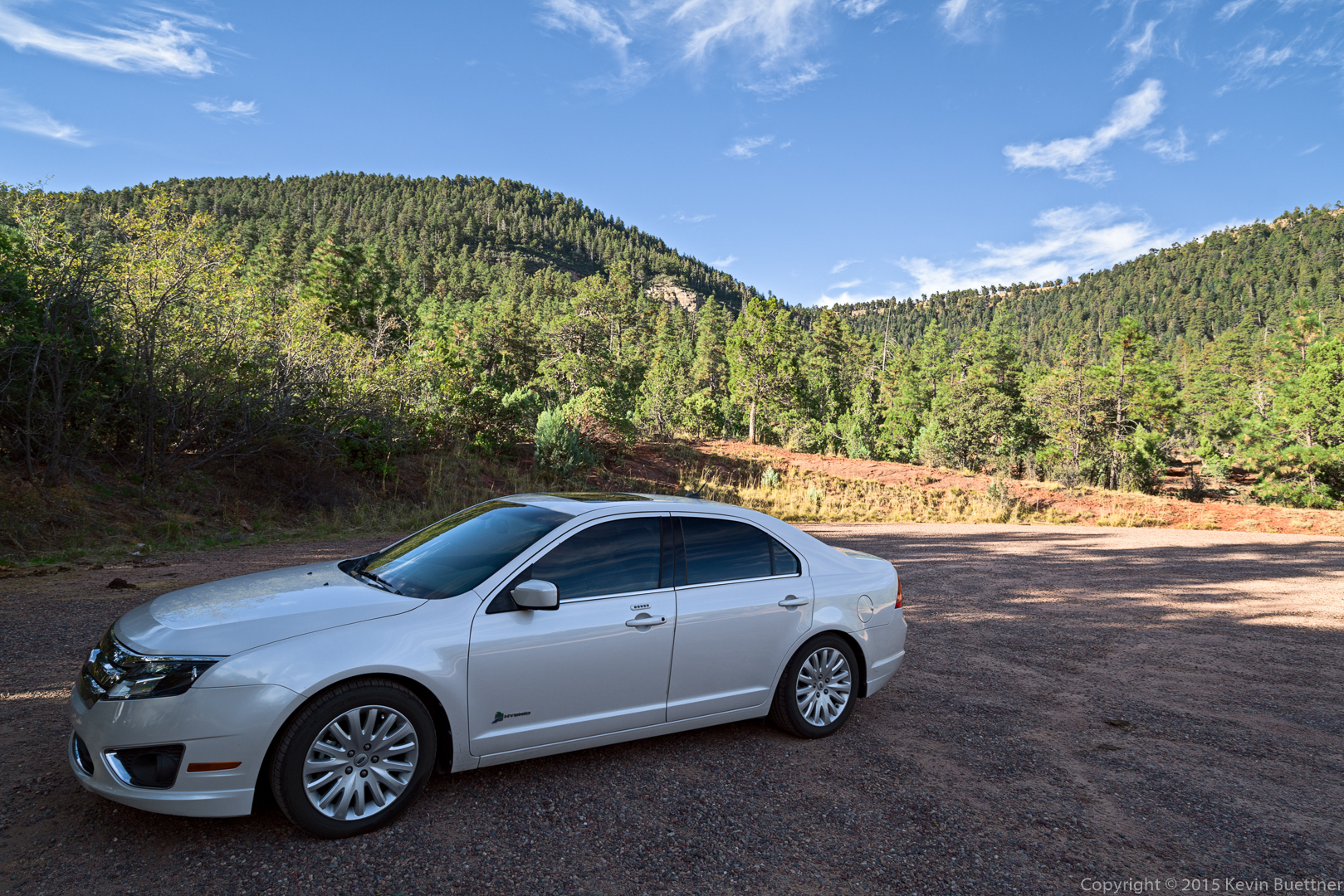
I thought this was an interesting photo of our Ford Fusion Hybrid. The edge distortion from the wide angle lens made the car look more “muscular” than it really is.
Here’s the cow that we saw; It came from the Highline Trail, walked through the parking area, and then reentered the forest on the other side of the parking lot.
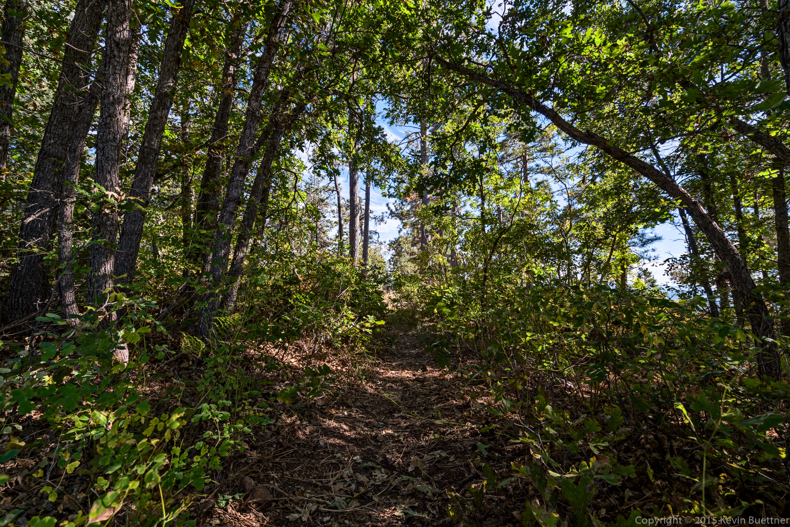
I got these photos on the Escondido Trail while hiking with Marie on Saturday evening.
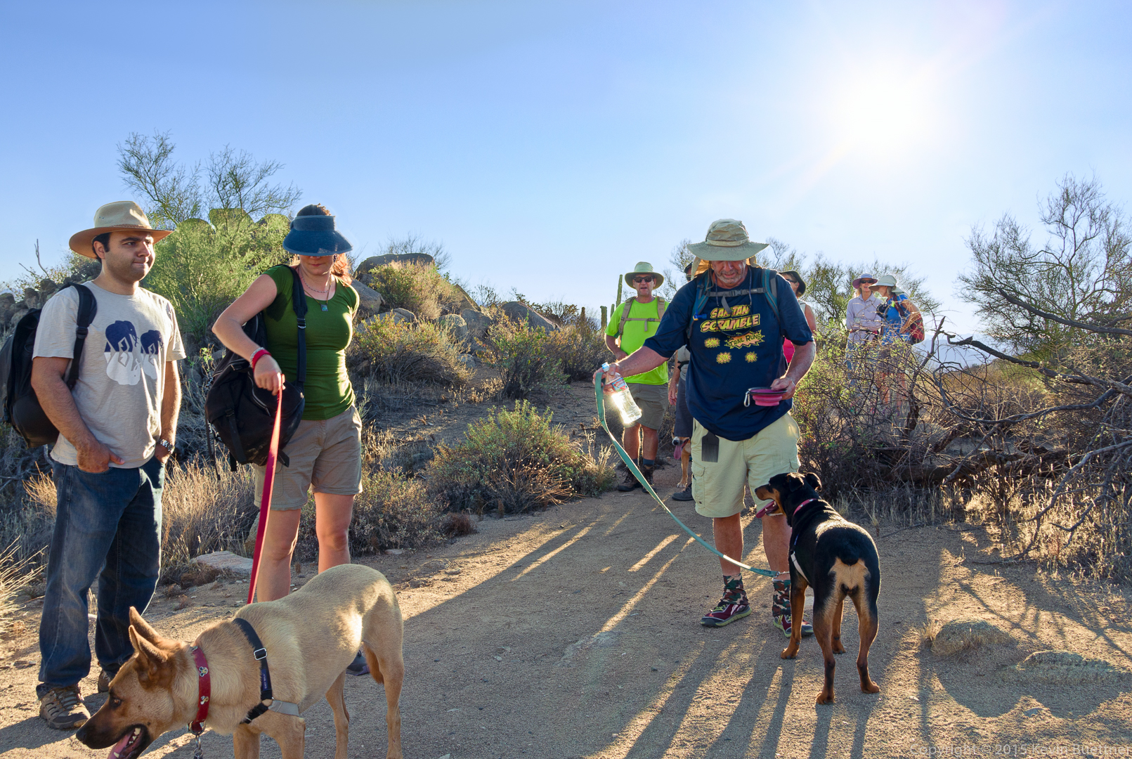
Bob, Janet, Allen, Linda, Denise, Matt, Jerry, Krisztina, Dod, and I hiked the Dixie Mine and Sonoran trails on Friday. Bob brought along Sarge and Kina. Janet and Allen brought their dogs, Bella and Savannah.
A view of the McDowells from the Dixie Mine Trail: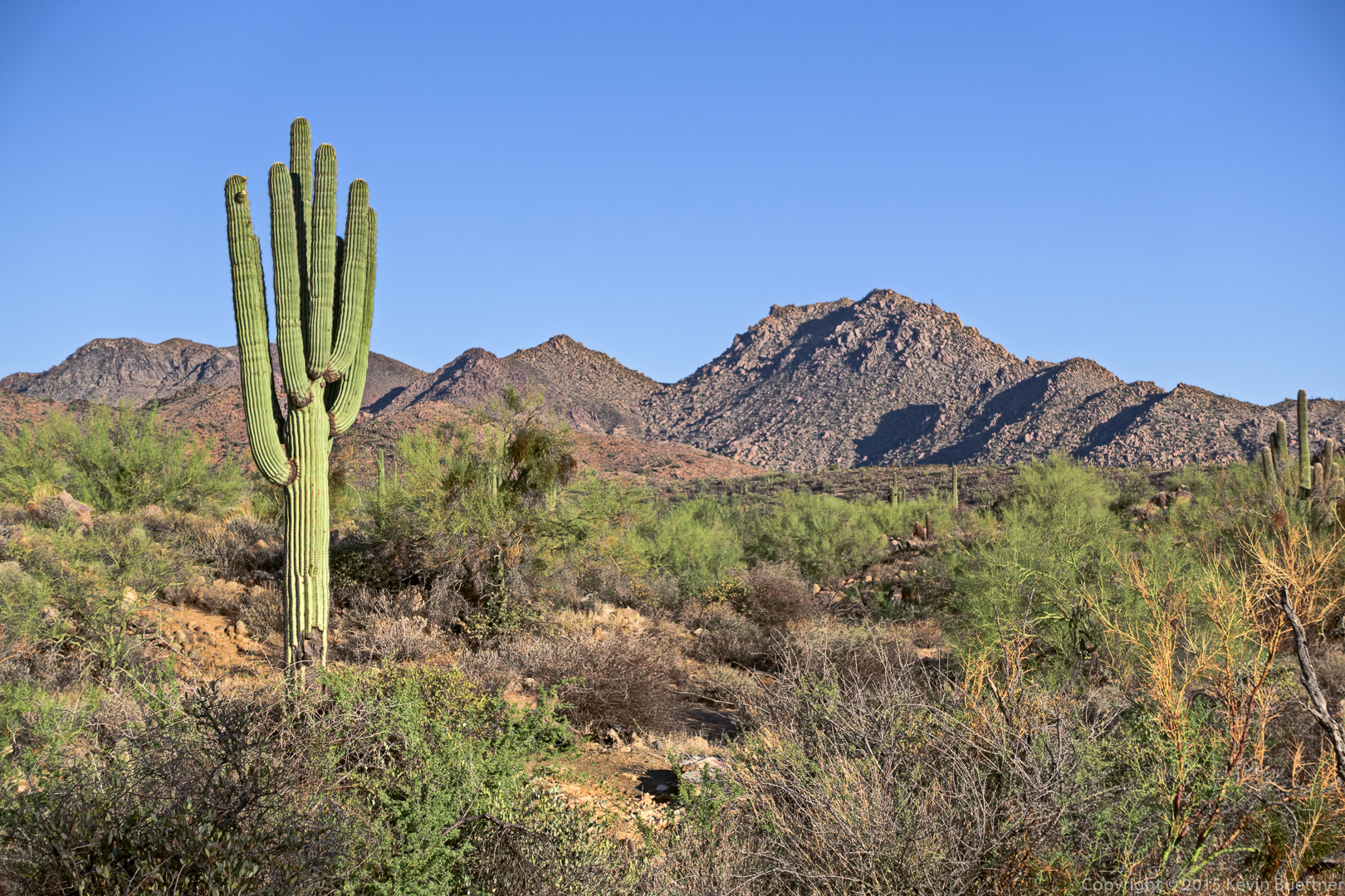
We took a water break at the intersection of the Sonoran and Dixie Mine trails.
A view from the Sonoran Trail:
Linda and Denise on the Sonoran Trail:

Switchbacks on the Sonoran Trail:
A view of the Fountain (and parts of Fountain Hills):
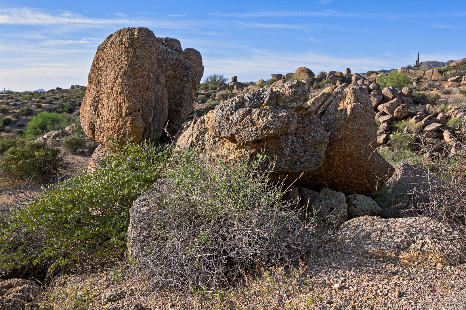
A rock formation on the Western Loop Trail:
Another view from the Western Loop Trail; note that Adero Canyon construction has begun.
For Friday’s hike, Bob, Janet, Allen, Amy, and I hiked six miles in the competitive track area.
I arrived at the Horse Staging Area early for these photos:


This is a view from near the beginning of the Technical Loop:

These large arrows are on one of the service roads.
A view of one of the smaller washes that crosses the service road:
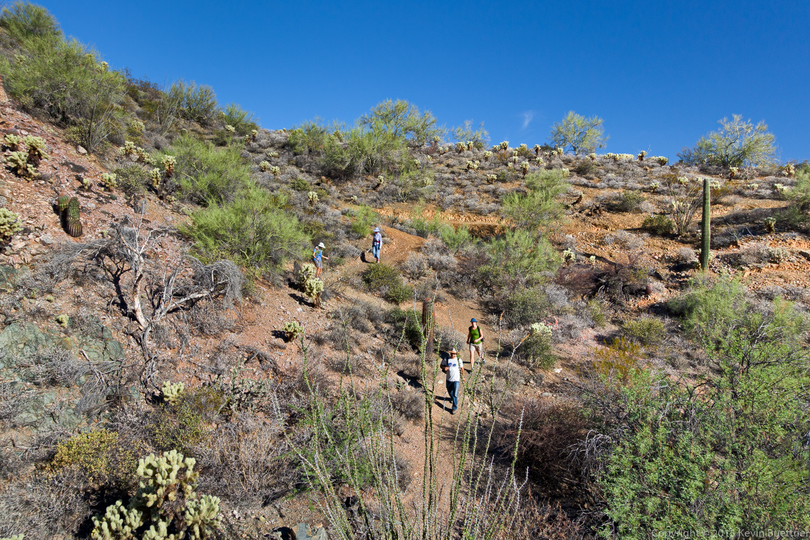
Amy and Janet are hiking the Sport Loop.
Another view from the Technical Loop:

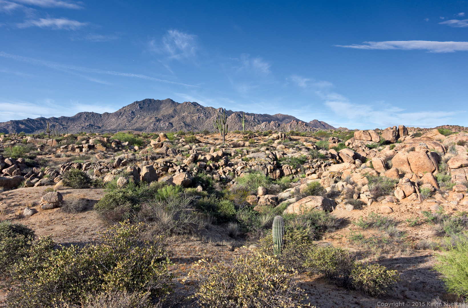
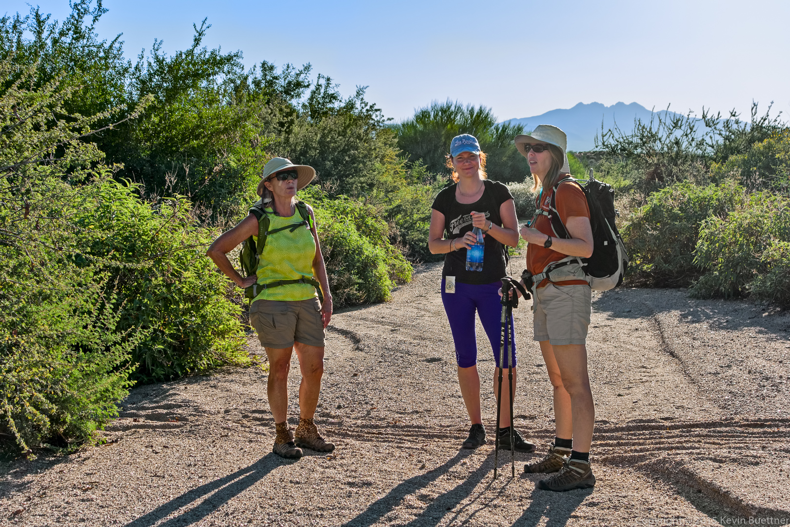
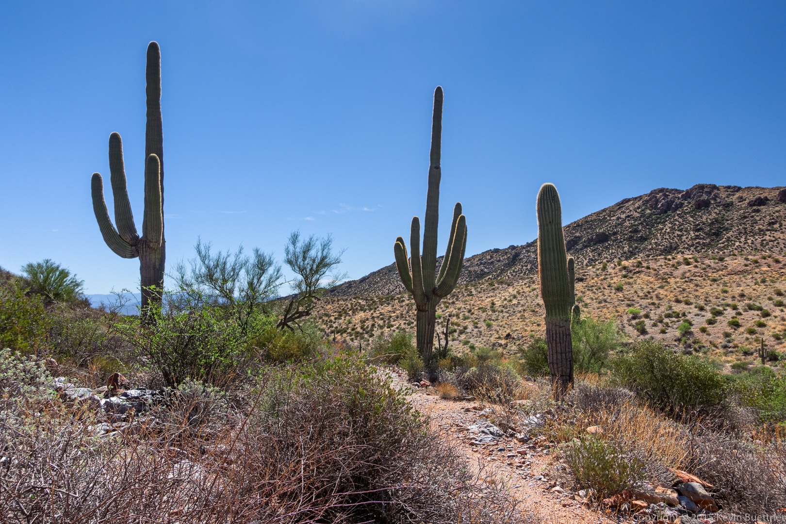
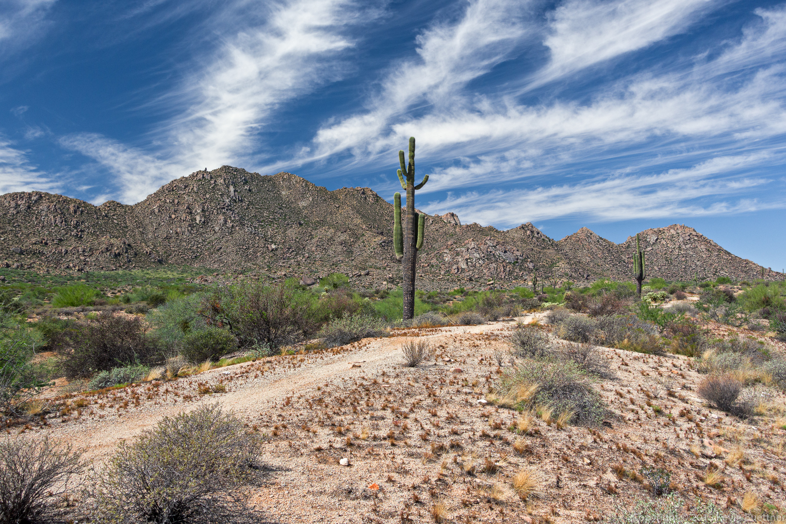
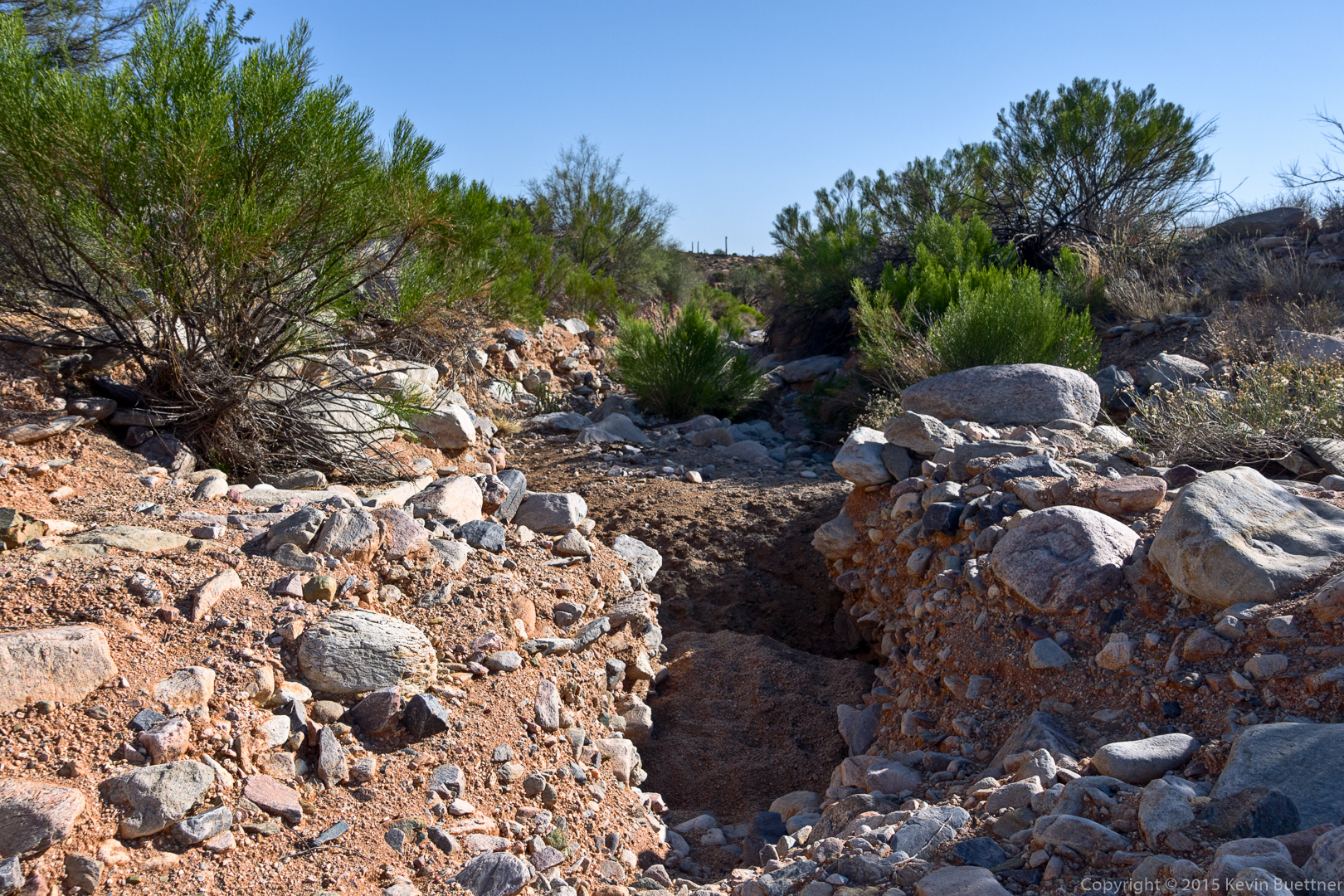
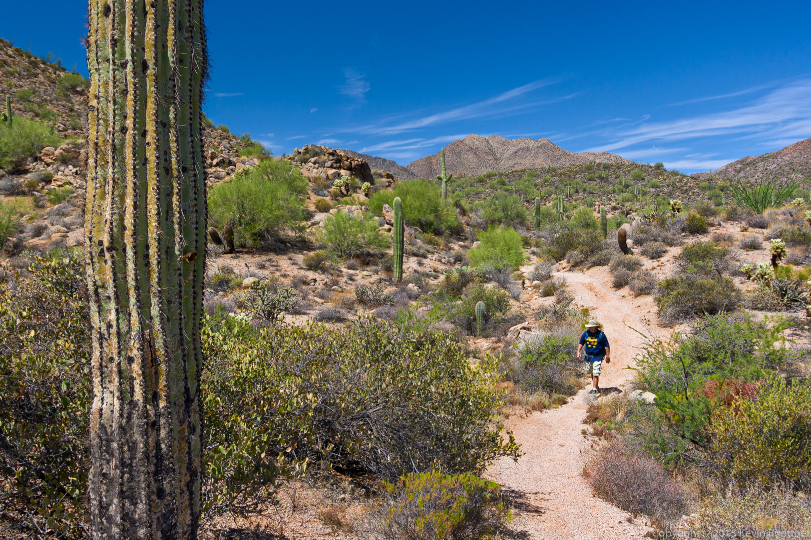
Krisztina, Amy, Linda, and I hiked about seven miles today starting from the Wagner Trailhead.
I forgot to bring my camera with me today, but Linda kindly loaned me hers. Thanks, Linda! Amy helped out too by sending me some of her photos.
A view from the Granite Trail:
 Amy spotted this Western Diamondback Rattlesnake as we hiked the Granite Trail.
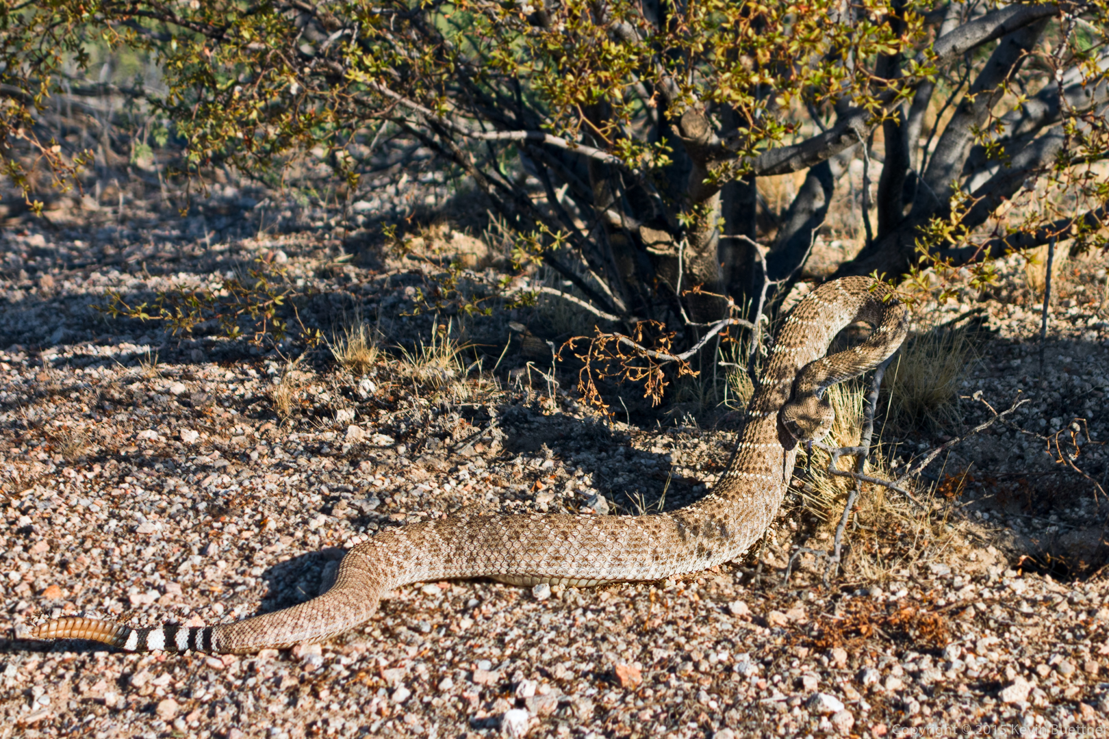
Stopping for water at the Bluff Trail Wash.
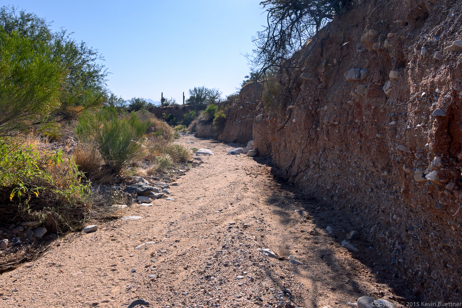
Amy sent me these two photos at the rocky section of the Bluff Trail Wash.
Linda ducks under some vegetation in the wash.
Looking down from a small boulder that I climbed.
Amy sent me this photo of me atop the boulder.
Krisztina stops to taste a jojoba seed.
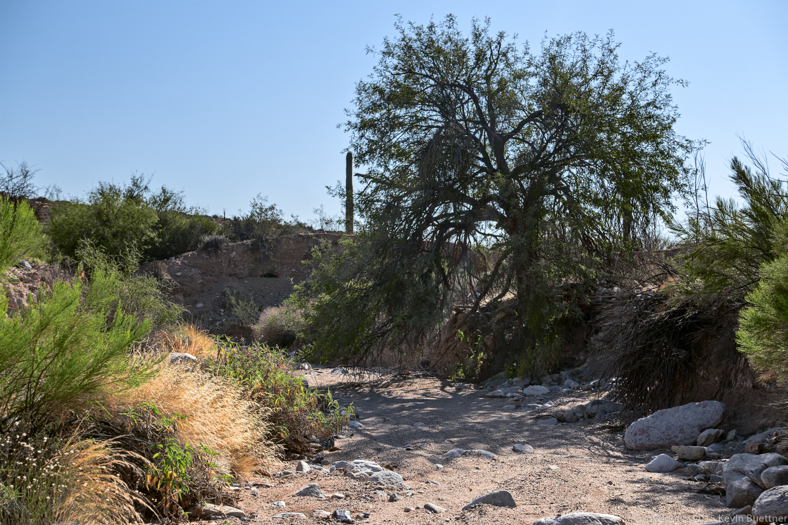
A view from above the wash.
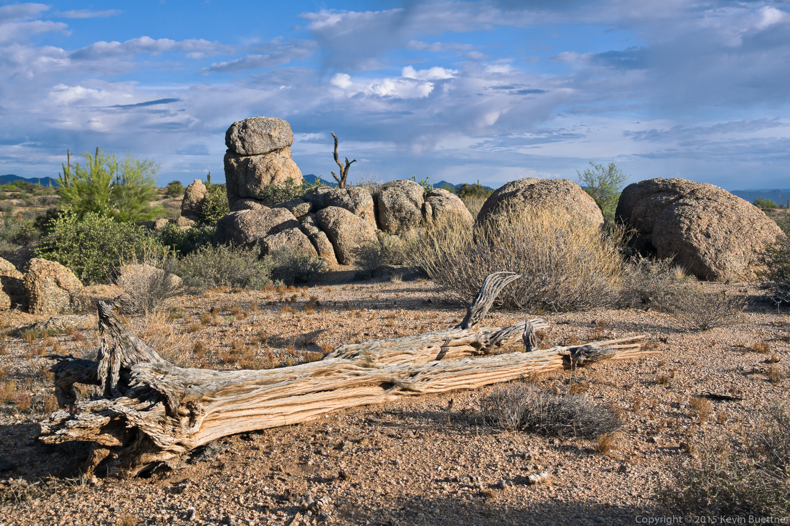
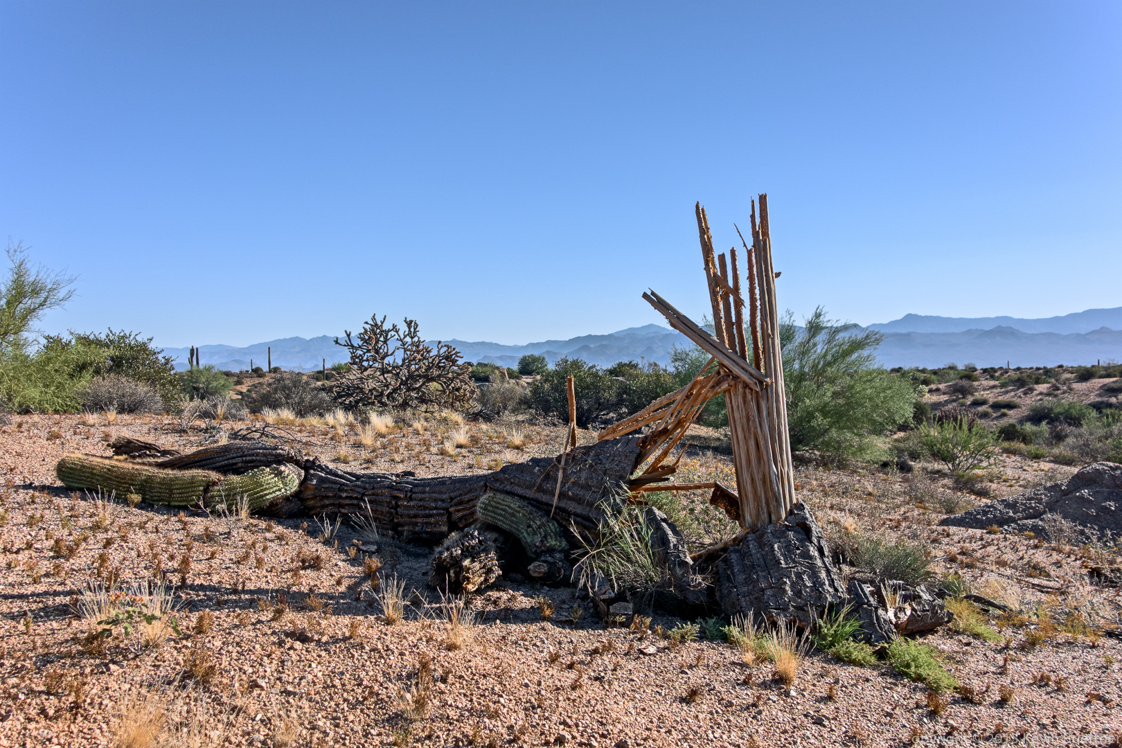
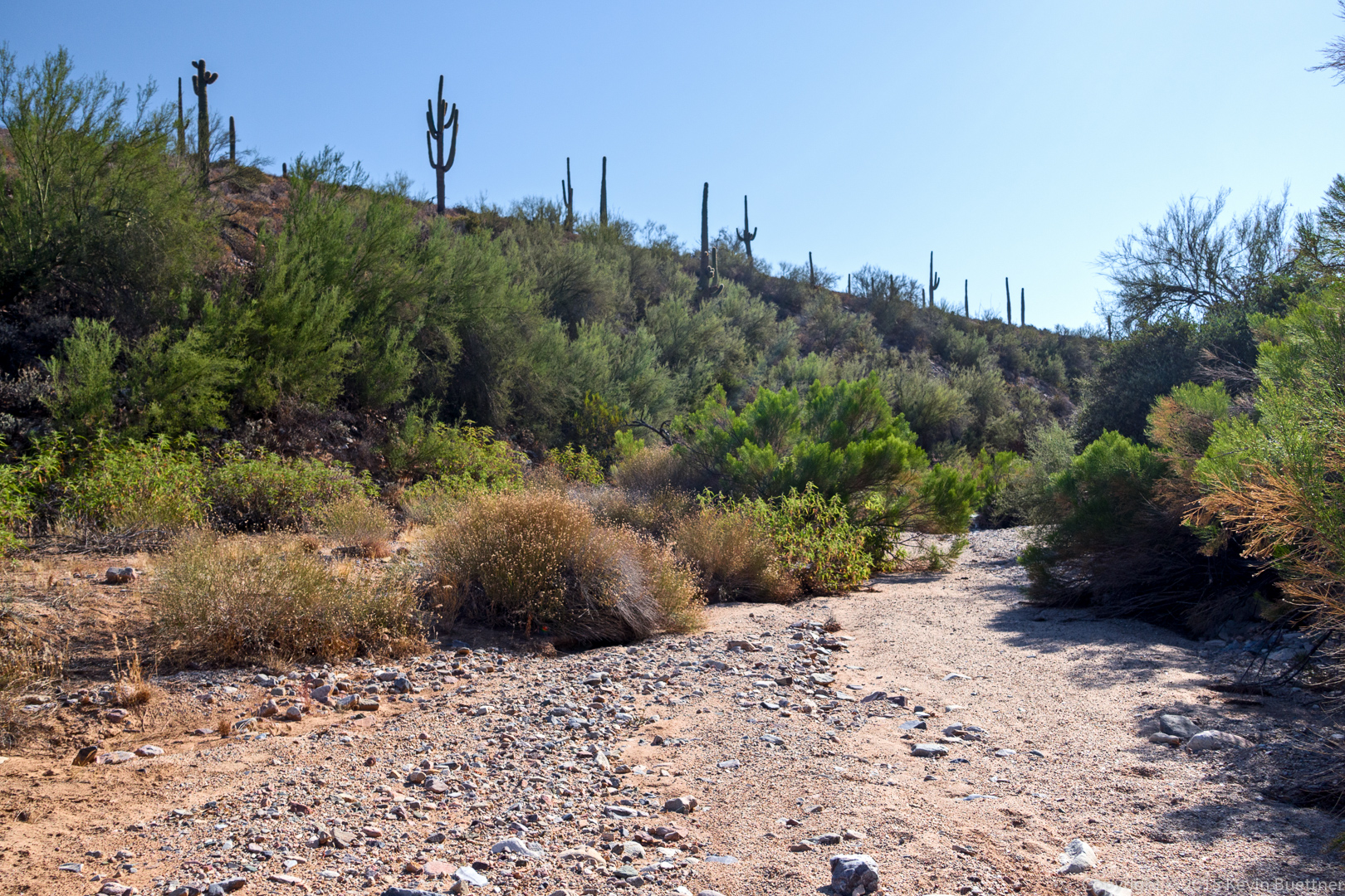
We came upon this dead saguaro along the Bluff Trail. It appears to have fallen recently.
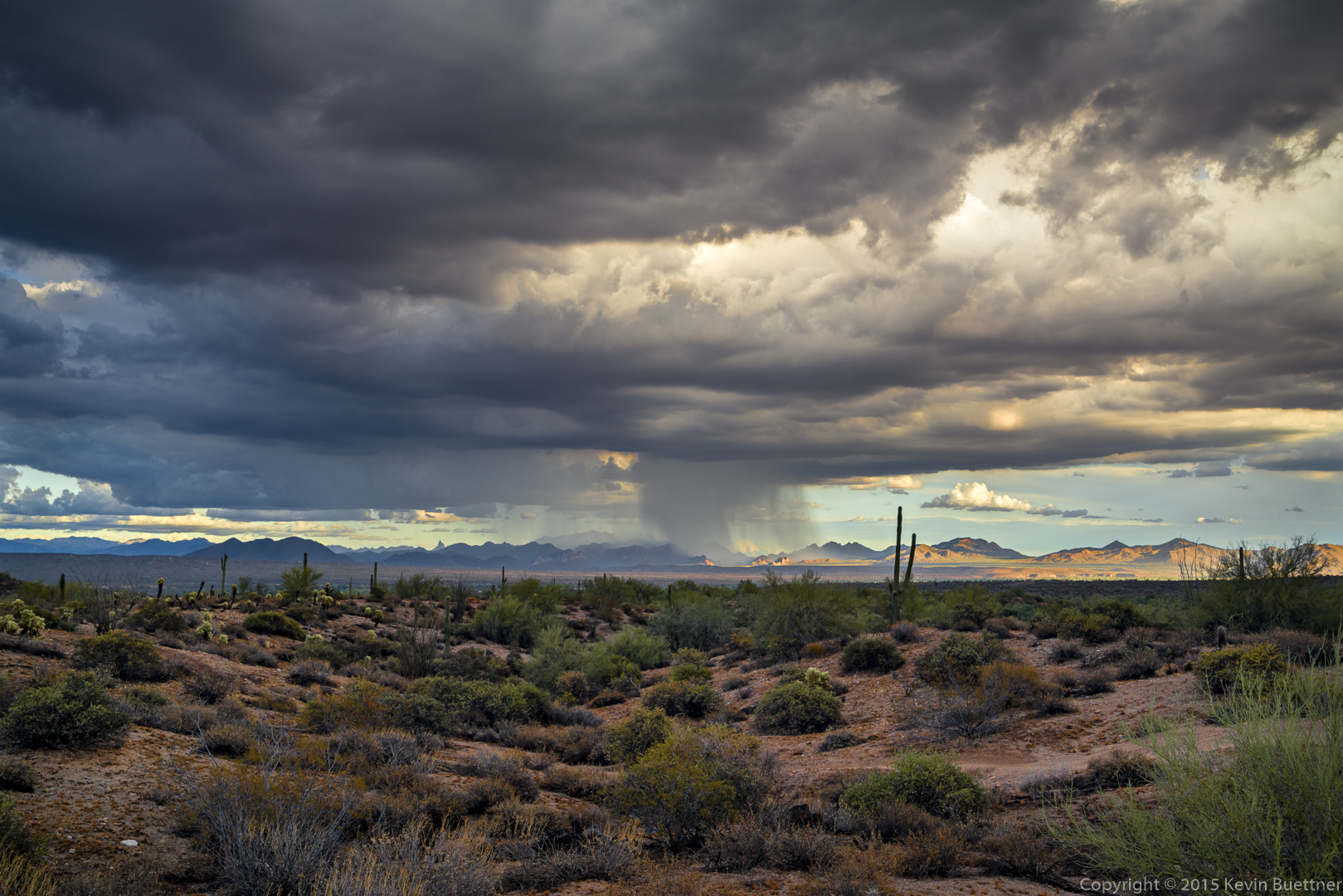
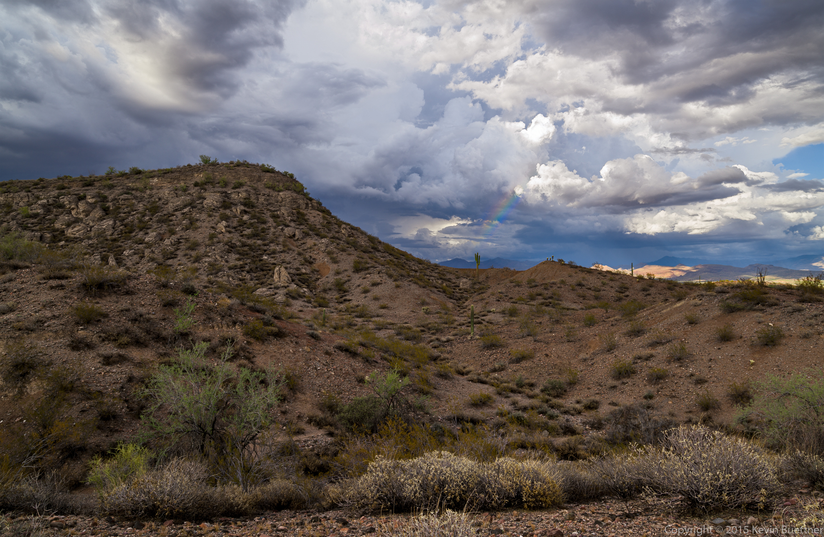
I hiked the Tech Loop on Tuesday evening, with the last mile or so in the rain.
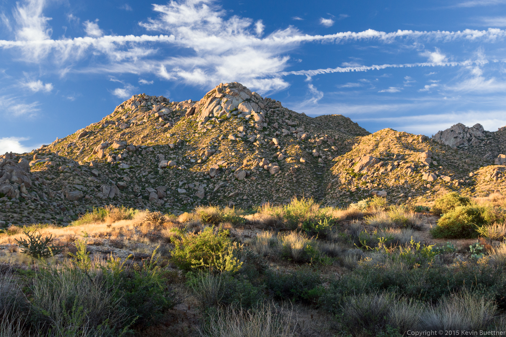
Bob and I hiked a big loop starting at the Tom’s Thumb Trailhead. We hiked about 10.5 miles with over 2,000 feet of total ascent. The first three miles took three hours!
This is a view of Morrell’s Wall from the parking area shortly after sunrise. (We arrived too late for me to get a sunrise photo.) Gardener’s Wall is also visible at the far right.
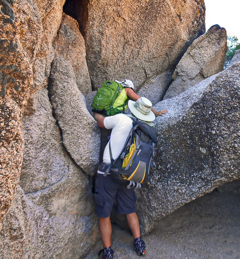
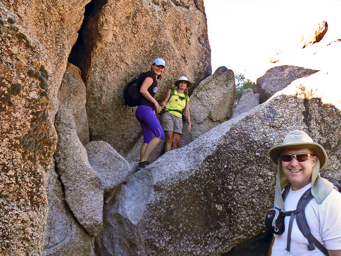
We hiked the Tom’s Thumb Trail to the first climber’s access trail. This is a view looking up the mountain from that trail. The largish slab about a quarter of the way from the right edge and a quarter of the way down from the top of the photo is the Half and Half Wall. The rock formation above it and somewhat to the right is (I think) the Lost Wall. The rock formation just slightly left of center is Lost in the Air. Bob and I visited the top of the Half and Half Wall where we saw a number of rappel anchors at the top. We then followed a trail over to Lost in the Air. I don’t think Lost in the Air gets many visitors. This portion of the trail did have occasional cairns (which were often just a single rock placed on another boulder) and ribbons. One of the challenges was to spot these markers. The other challenge was to move in that direction. There was one spot in particular that I found exciting. The move wasn’t especially difficult, but there was just enough exposure to make it mentally challenging. 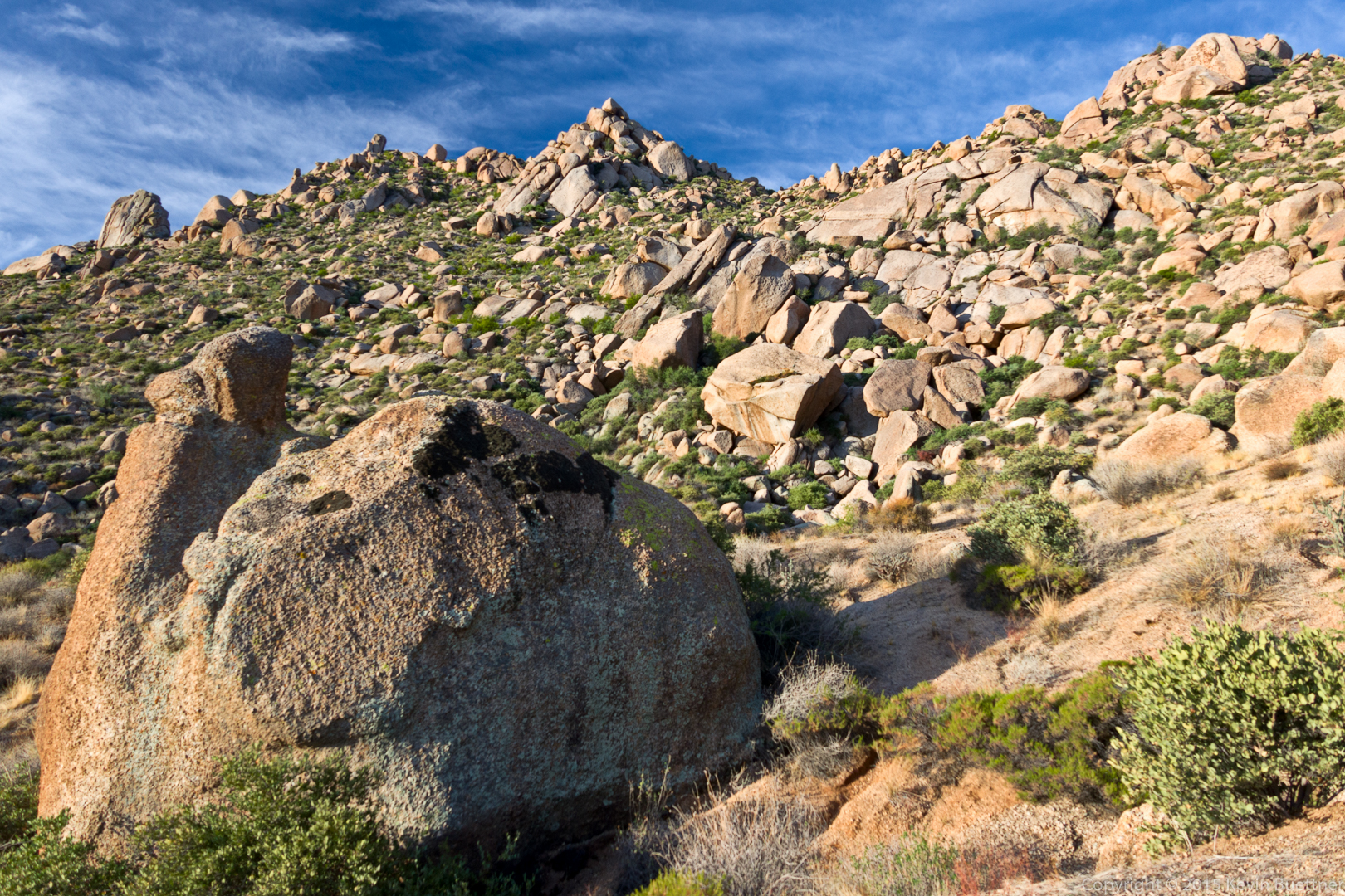
This is a view from the Half and Half Wall.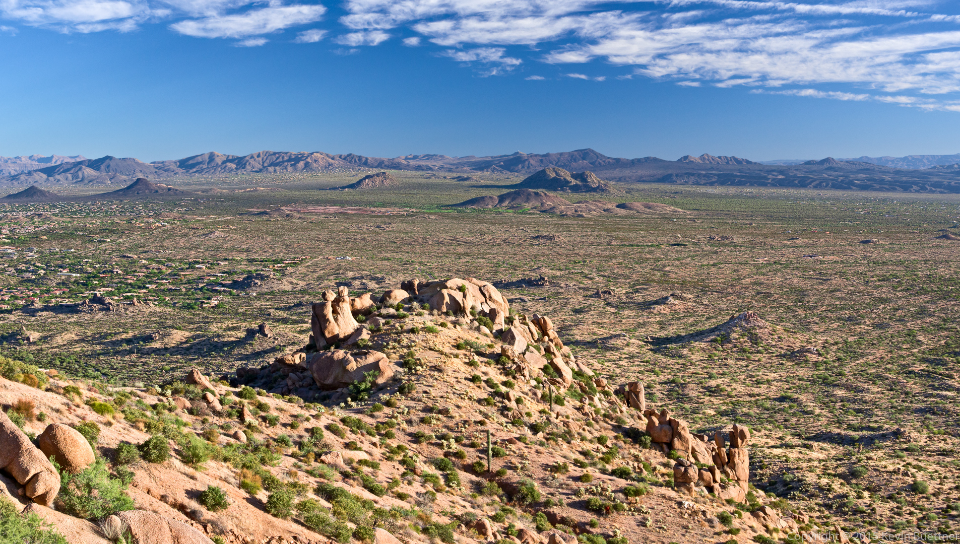
This is part of the Lost in the Air formation. I think I stitched together six shots to make this one photo.
This is the view to the north from Lost in the Air. The top of Half and Half Wall is just right of center and up about a quarter of the way from the bottom of the photo. It’s not especially steep at the top. We had to walk down twenty to thirty feet to get to the rappell anchors.
We found a way to hike up past Lost in the Air.
Tom’s Thumb and the Rist were visible when we got to the ridge. (Glass Dome and the top of Gardener’s Wall are visible in this photo. Weaver’s Needle and Four Peaks can be seen far in the distance.)

Tom’s Thumb:
We came upon this saguaro and boulders as we made our way around Tom’s Thumb.
This is a view of Glass Dome from the Tom’s Thumb Trail. I had stopped to dump my spare 40oz water bottle into my 3L CamelBak reservoir prior to our descent of the East End Trail. I drank all of my water on this hike.
A view looking toward Fountain Hills from the East End Trail:
Another view from the East End Trail. The rock formation at the very top of this photo is Goat Hill. The East End summit is a short ways (less than a quarter mile) beyond that rock formation.
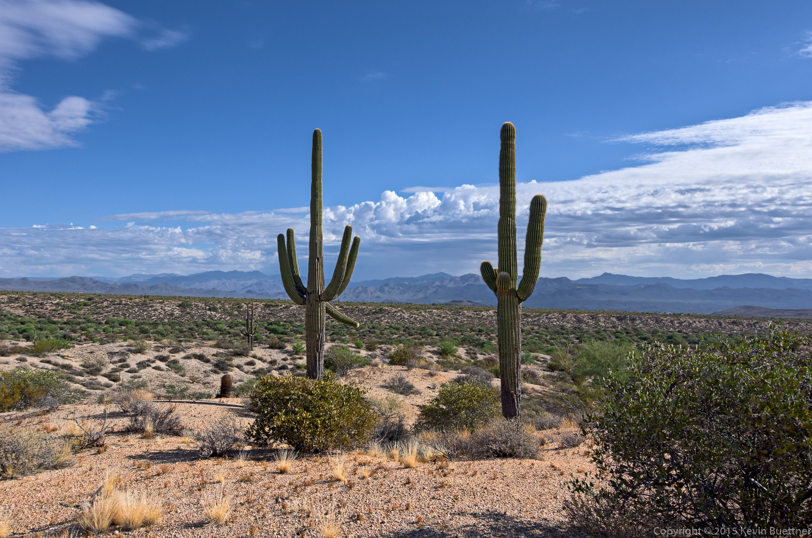
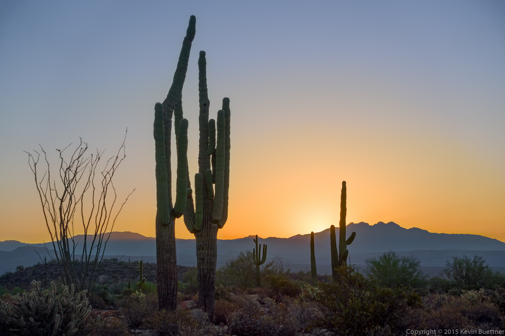
Saguaros on the Windmill Trail:
A view looking back at Windgate Pass. I think we’re still on the Windmill Trail here.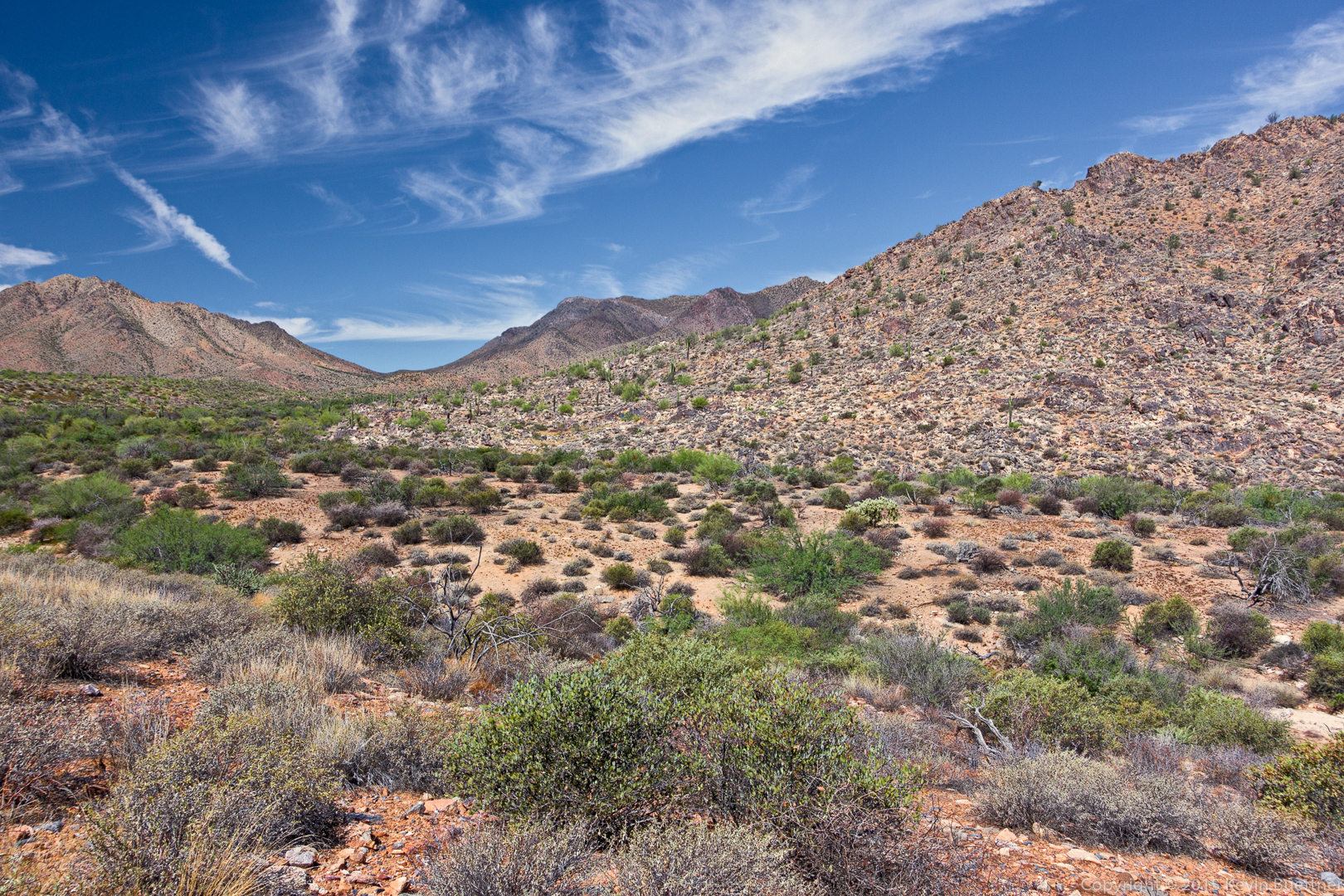
We hiked down the Coachwhip Trail, turned left on Pemberton, and then left again on Boulder. This shot was taken from either the Boulder Trail or the Pemberton Trail.
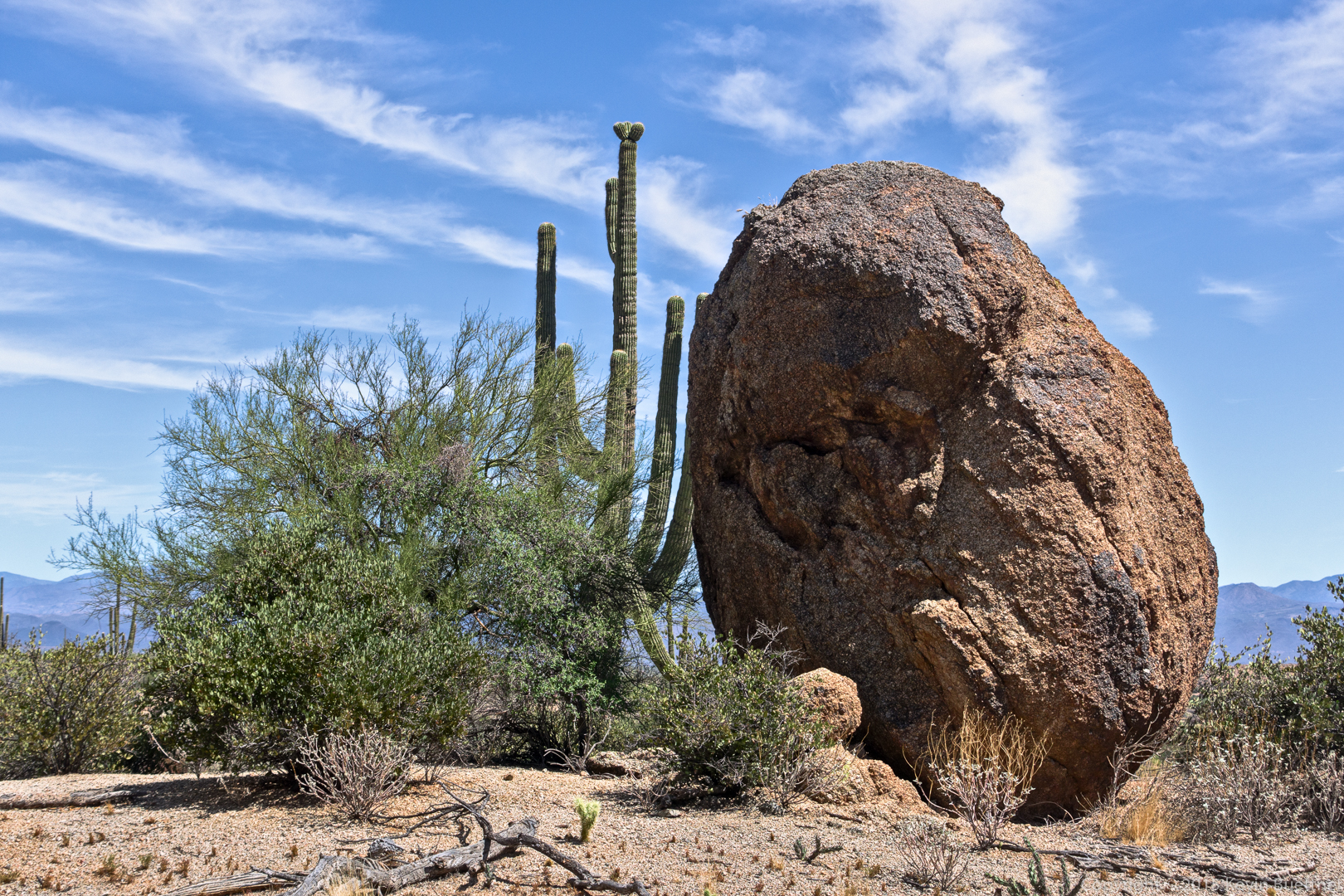
This large boulder is on the Marcus Landslide Trail. We hiked the Marcus Landslide Trail back to the parking lot.
Linda and I hiked a little over 12 miles on Friday. We began at the Horse Staging Area and made our way over to the Pemberton. We hiked to the Dixie Mine Trail, went perhaps half a mile, and then hiked many miles in a wash that lead back to the competitive track area. We crossed the Long Loop just before that trail climbs up to the South Ridge. We continued following the wash until it again intersected the Long Loop. We returned via a combination of the Long Loop and one of the service roads.
Sunrise from the Horse Staging Area:
A view from T-Bone Ridge on the Technical Loop: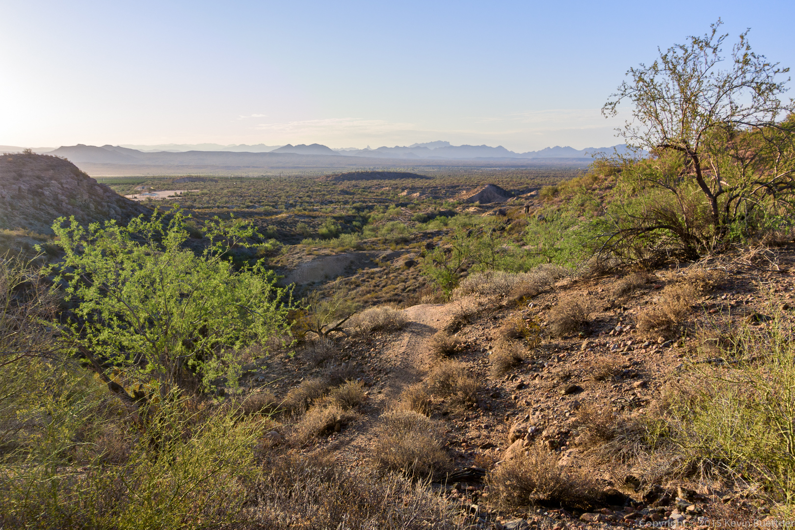
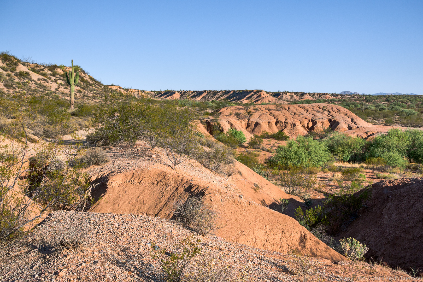
This is one of the clay pits near the Pemberton Trail:
This is where we entered the wash, just off of Dixie Mine Trail.
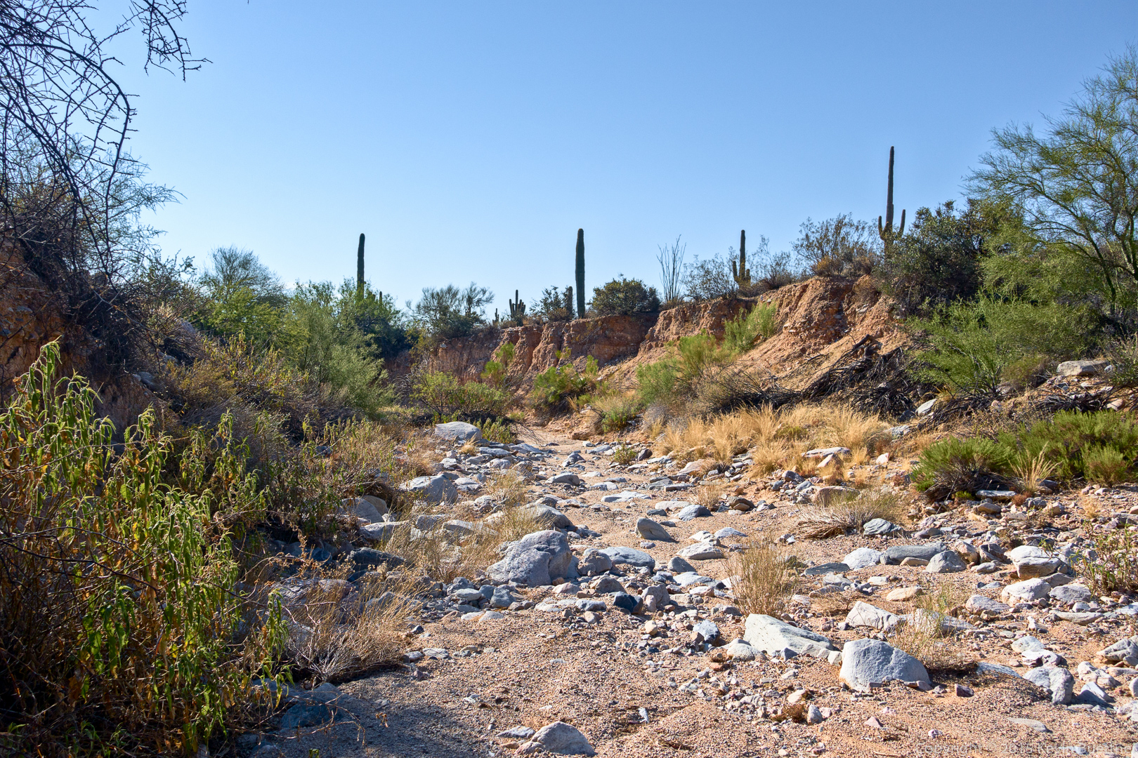
More views of the wash…
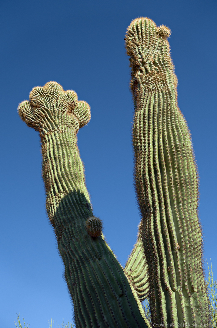
Linda noticed an unusual saguaro. It sort of looked like a crested saguaro at the top of one of the arms, but we couldn’t decide if it would turn into a crest or if separate arms would eventually form.
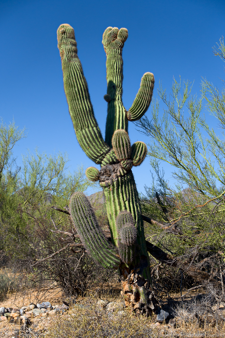
Here’s a closer look at the top of the saguaro. The left arm sort of looks like a crest, but it also has distinct humps.
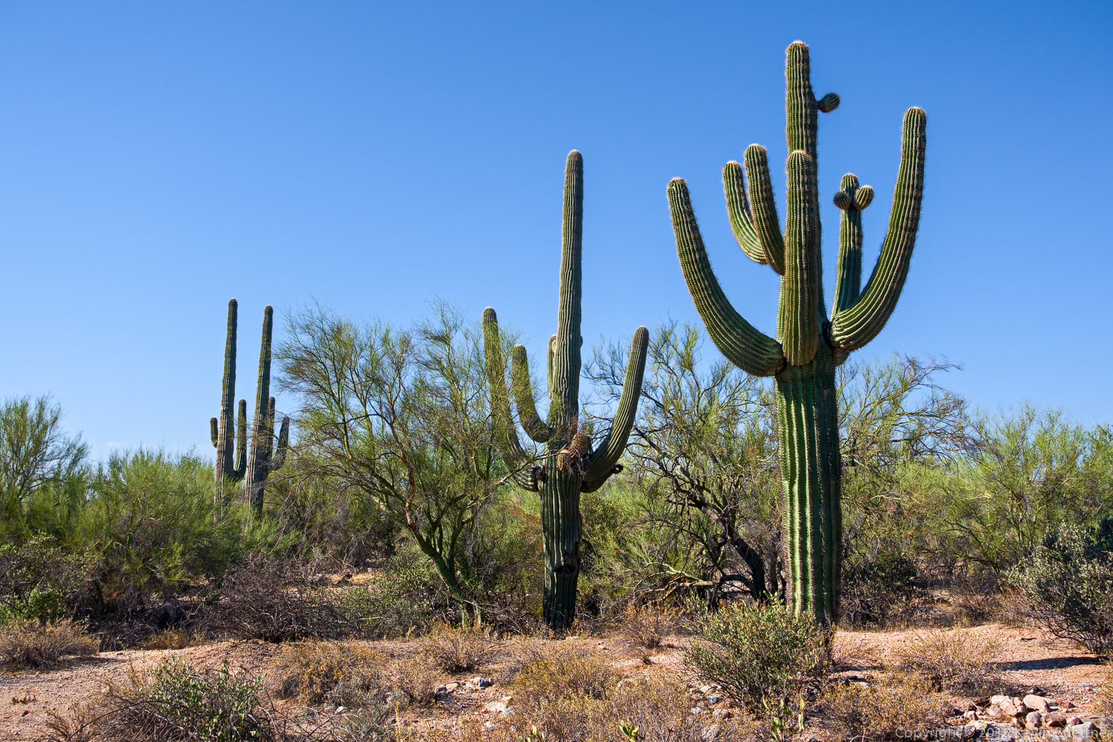
Other nearby saguaros:
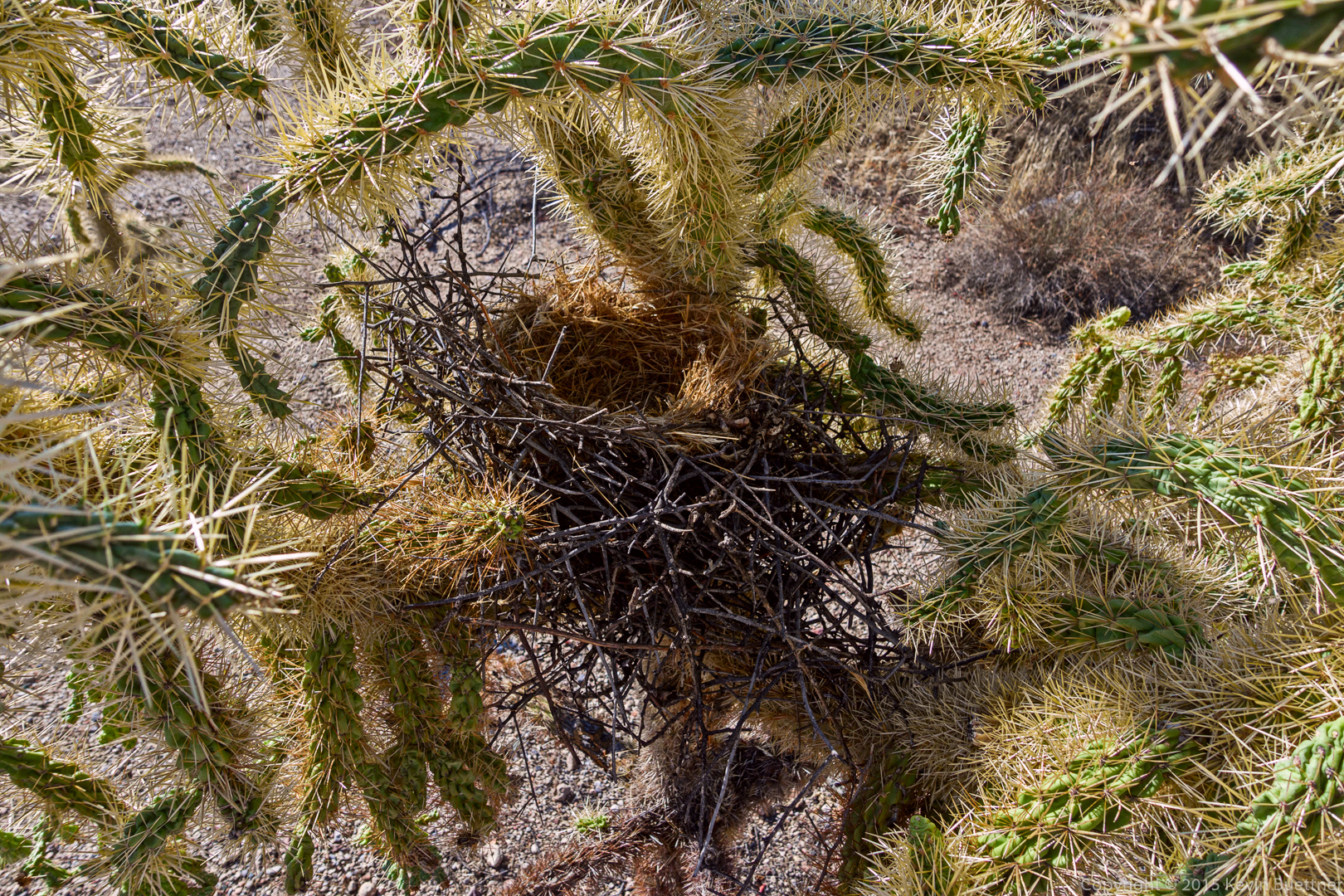
Linda also found this bird’s nest in a chain fruit cholla:
Bob and I hiked a little over 12 miles with 2100 feet of elevation gain starting from the Dixie Mine Trailhead at the end of Golden Eagle Blvd. We hiked Dixie Mine to Coachwhip, Coachwhip to Windmill, Windmill to Bell Pass, and Bell Pass to Prospector. As we were descending Prospector, we hiked up an old road leading to a prominent ridge. When we got to the end of the road, we continued following an lesser used trail to the summit. When we returned to Prospector, we hiked back to the service road, then down the road to the Dixie Mine Trail, which lead us back.
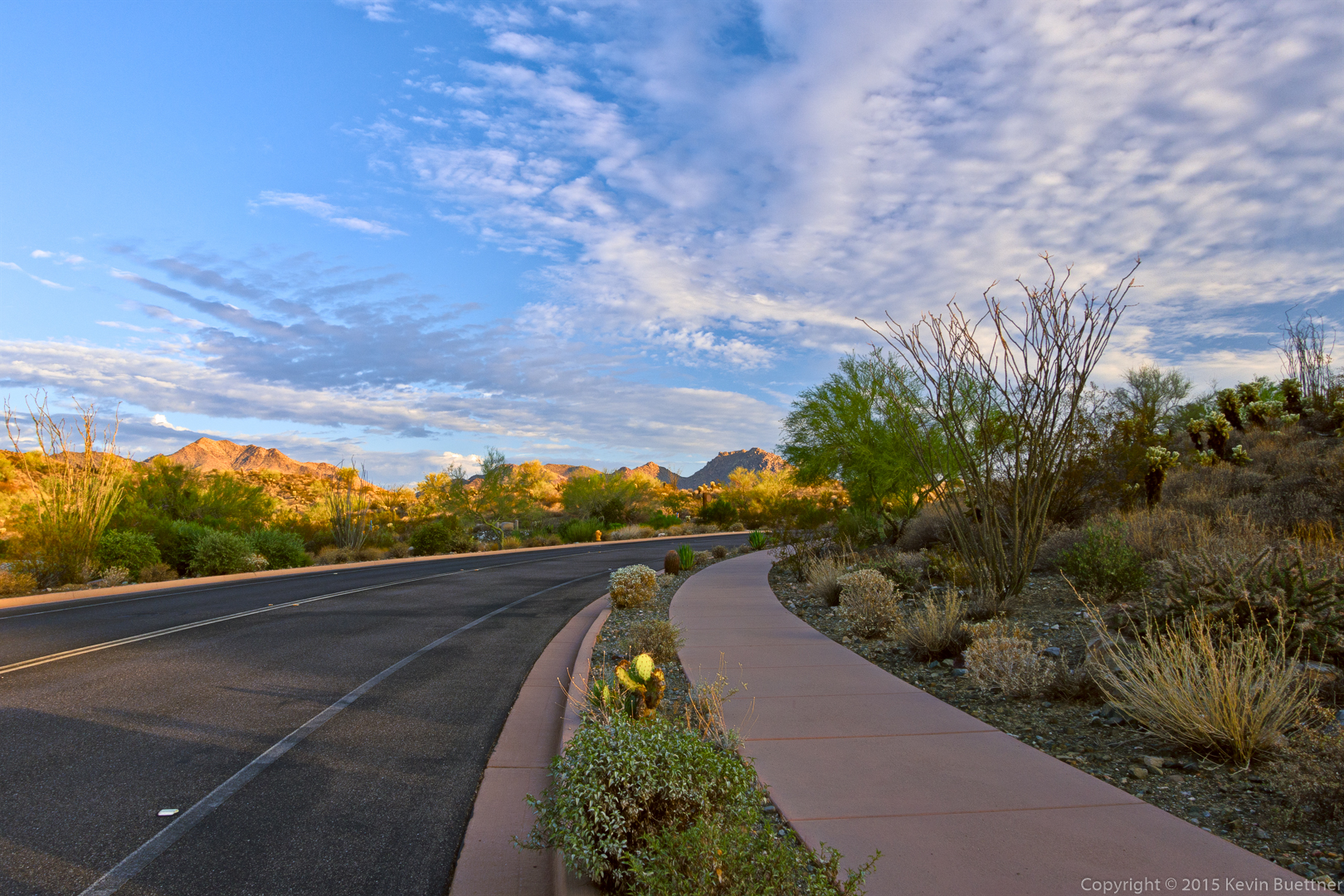
This is an early morning view as we hiked through Eagle’s Nest, a gated community which is in between the parking area and the actual start of the Dixie Mine Trail. I normally try to avoid pictures of sidewalks and roads, but I thought the clouds and the golden mountains in the distance made for a good picture.
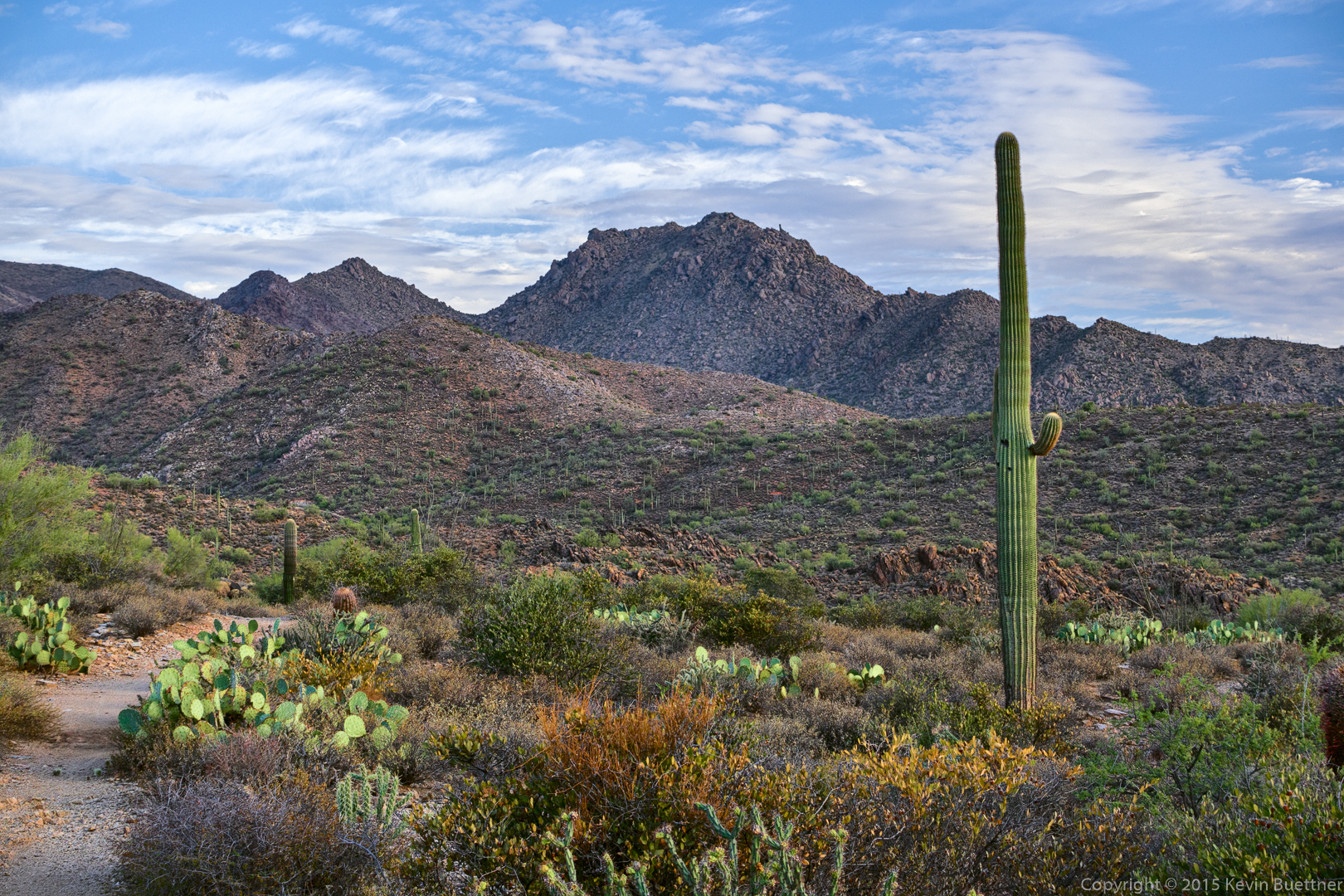
A view of the McDowells from the Dixie Mine Trail.
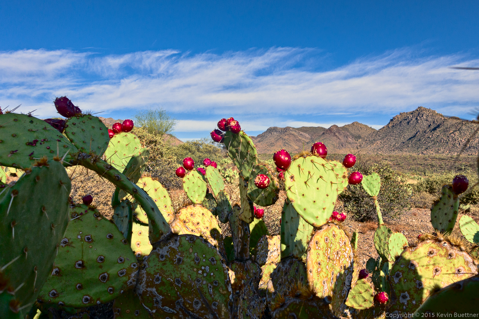
Prickly Pear on the Coachwhip Trail:
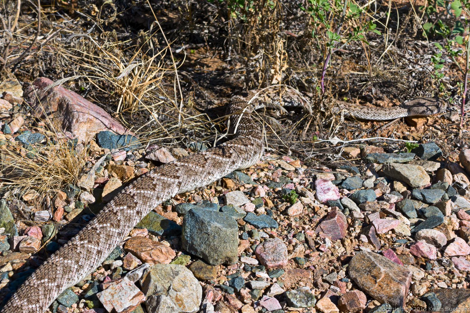
Bob saw this rattlesnake on the Bell Pass Trail. I walked right by it without seeing it!
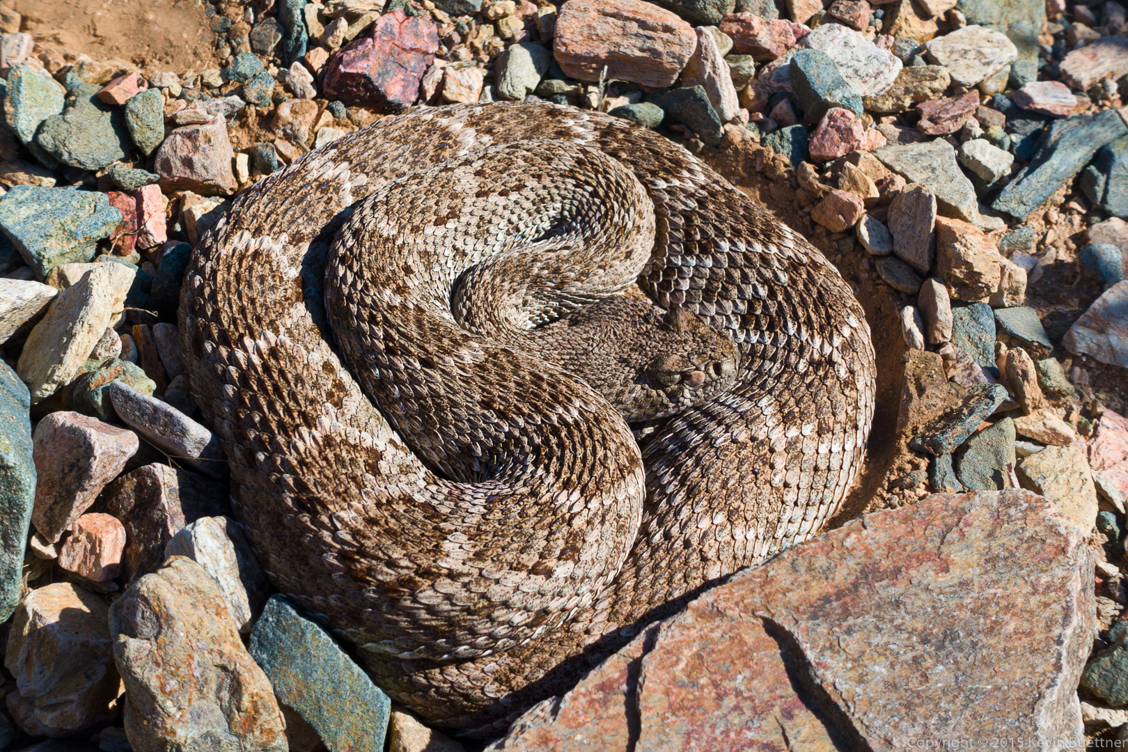
Our photography eventually woke it up…
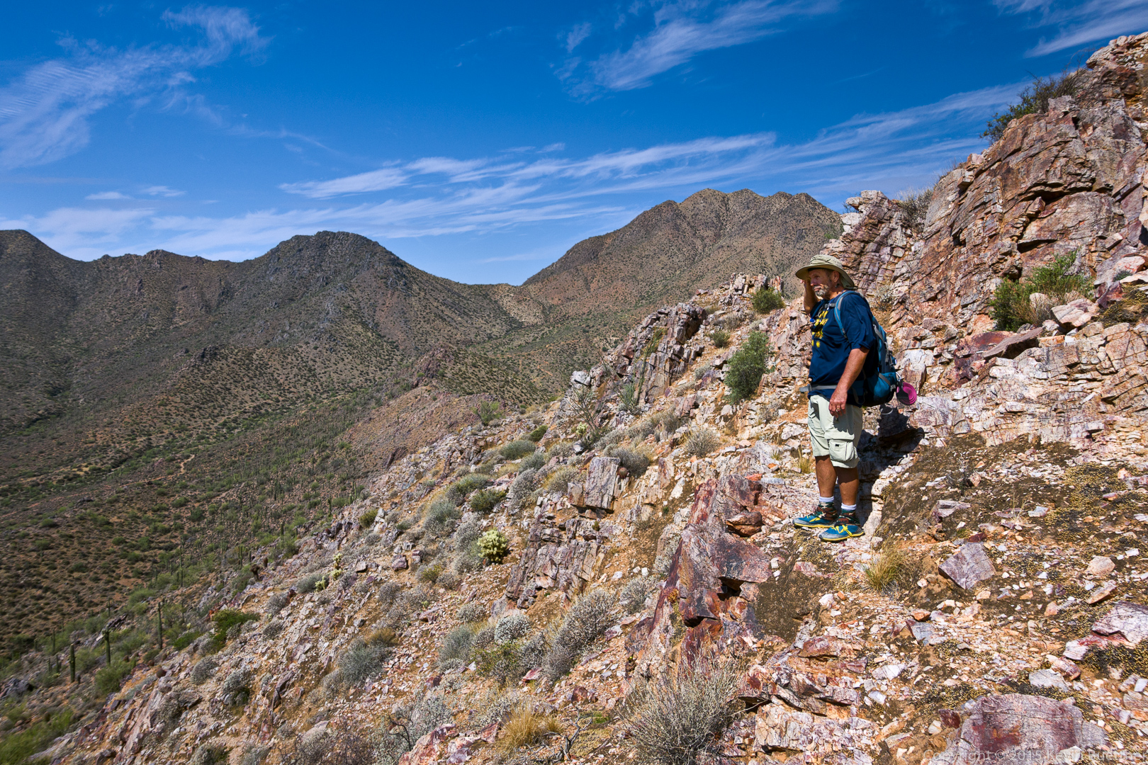
Bob, on our way back from our side trip to the top of one of the ridges.
I saw these small cacti growing out of the rock at the top of the ridge.

We also saw this small but healthy ocotillo atop the ridge. It doesn’t seem to me that it would get enough water atop the ridge, yet somehow it’s remarkably green!

This is a view from the Prospector Trail of the ridge that we had summited. We were definitely not the first to visit the top of that ridge – we saw a folding chair at the top.
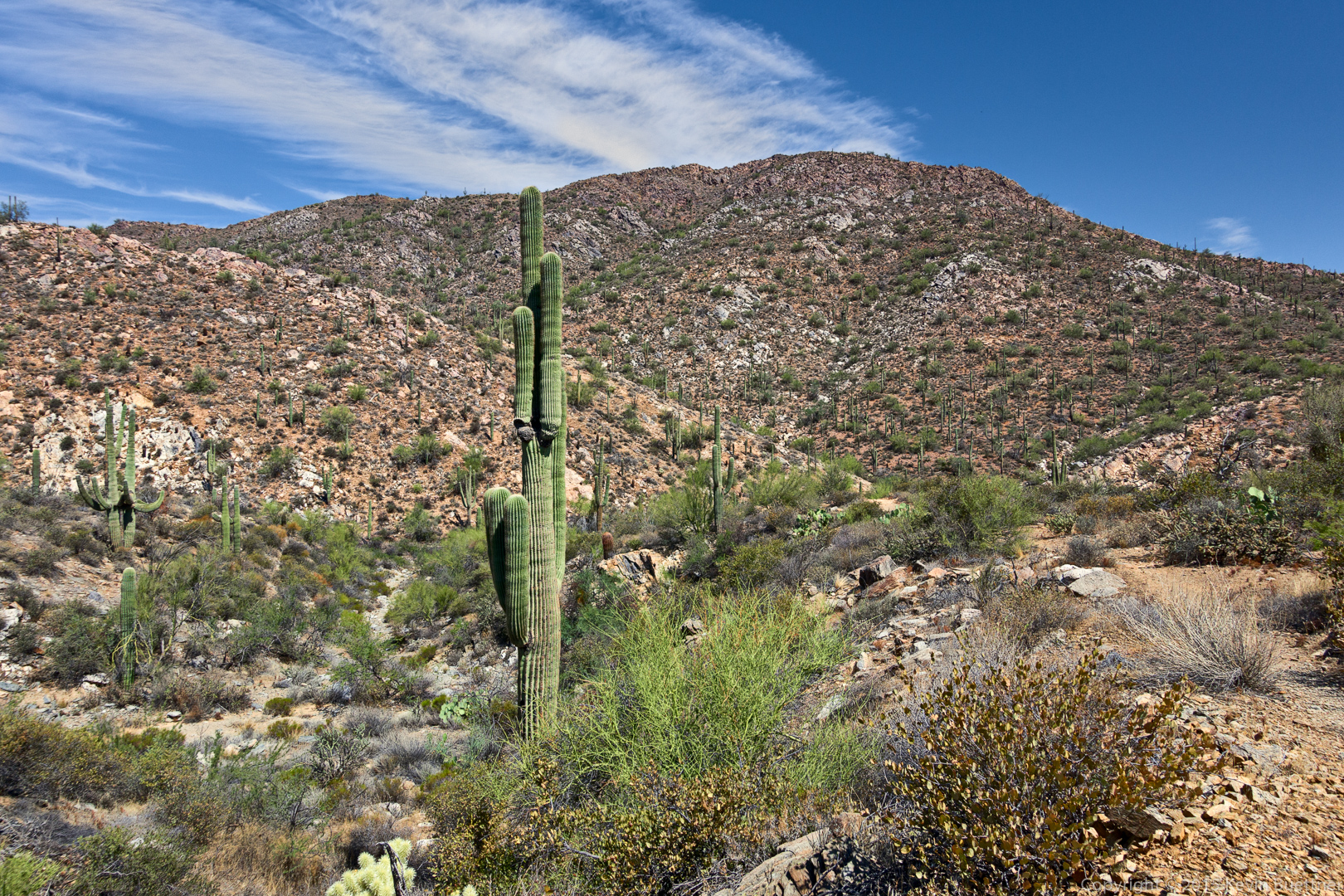
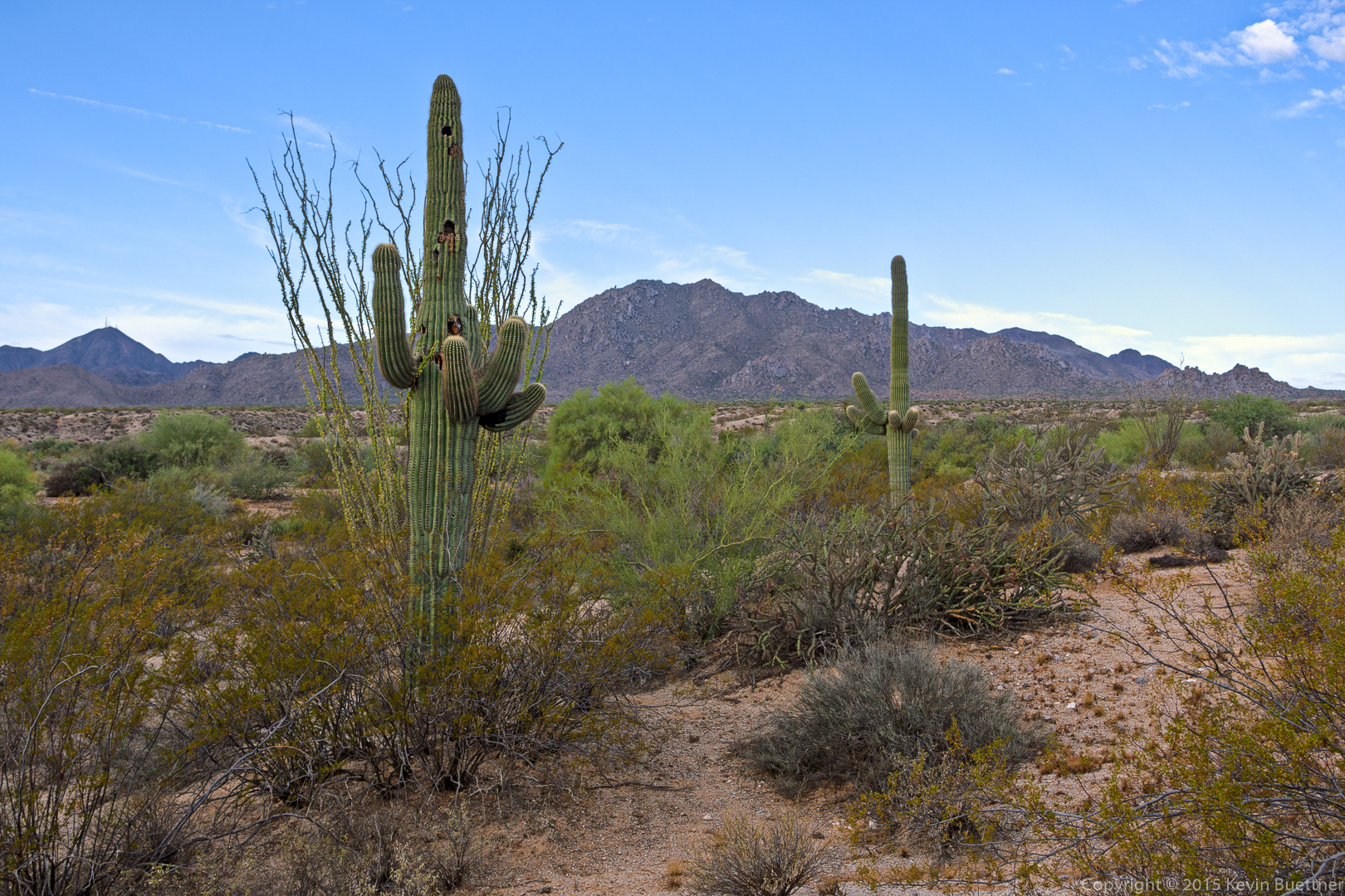
Saguaros on the Prospector Trail:
Bob, hiking back on the Dixie Mine Trail.
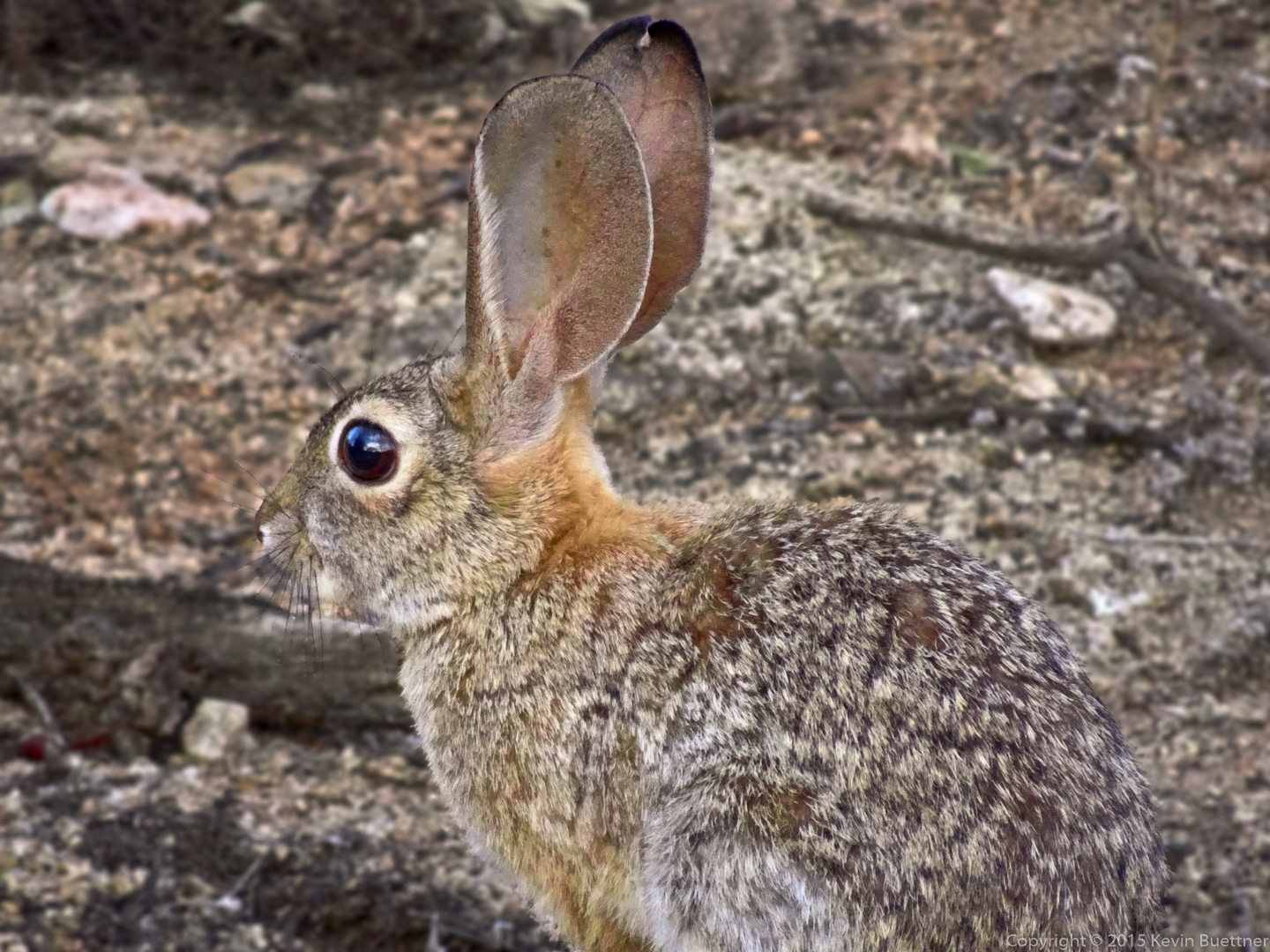
We saw this bunny early in our hike. (These two photos come at the end since they were taken with the Sony HX90V. The HX90V has a much longer zoom than the RX100M3, but its image quality is not as good.)
We saw this horned lizard on the Bell Pass Trail, not far away with the intersection of the Prospector Trail.