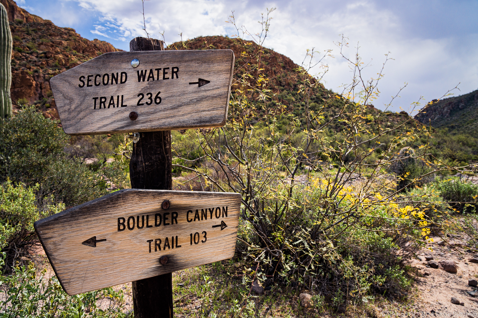
Bob, Sarge, Venie, Linda, Nancy, Marilyn, and I hiked the Boulder Canyon Trail in the Superstition Mountains on Friday. We hiked out to the intersection with the Second Water Trail #236 and then returned via the same route. My GPS showed just over 9 miles with over 2,000 feet of total ascent when we finished.
The hike starts from the parking lot of the Canyon Lake Marina. There are parking places designated for hikers near the road. As you cross the road, you walk by the one lane bridge that you probably crossed on your way to the Marina. This bridge crosses Boulder Creek which, I think, is fed by the waterway of Boulder Canyon.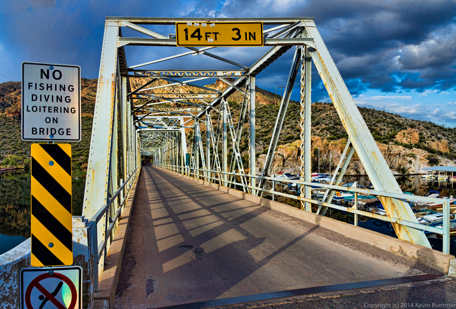 A view of Boulder Creek shortly after we started hiking up the Boulder Canyon Trail.
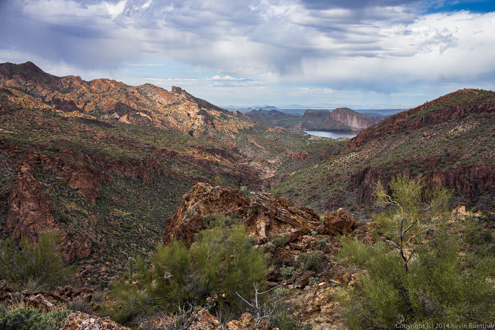
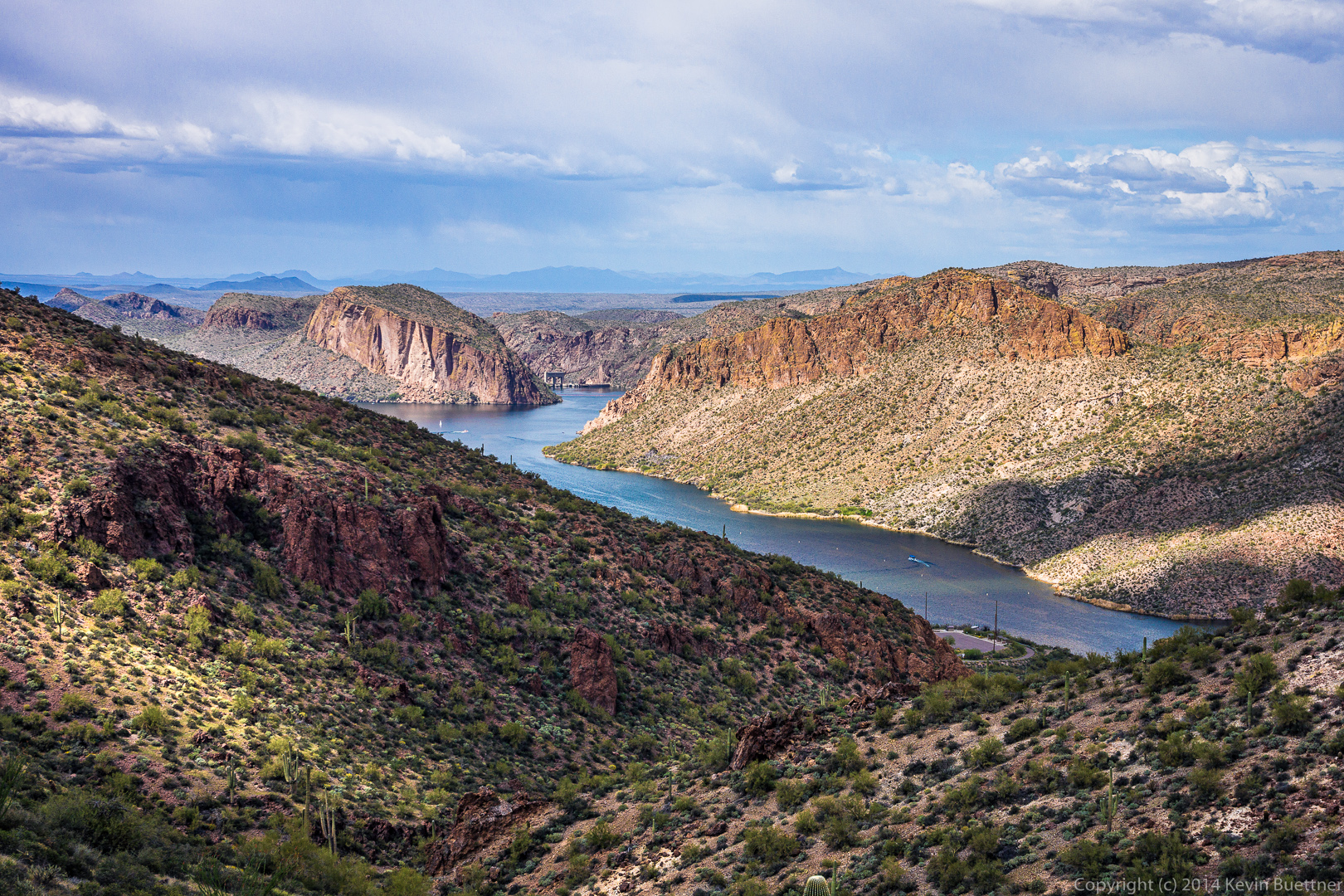
 Canyon Lake:
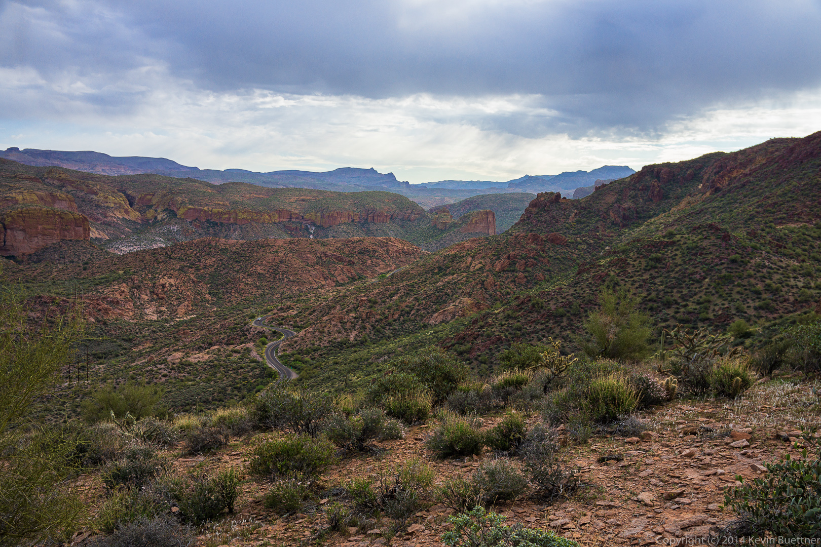
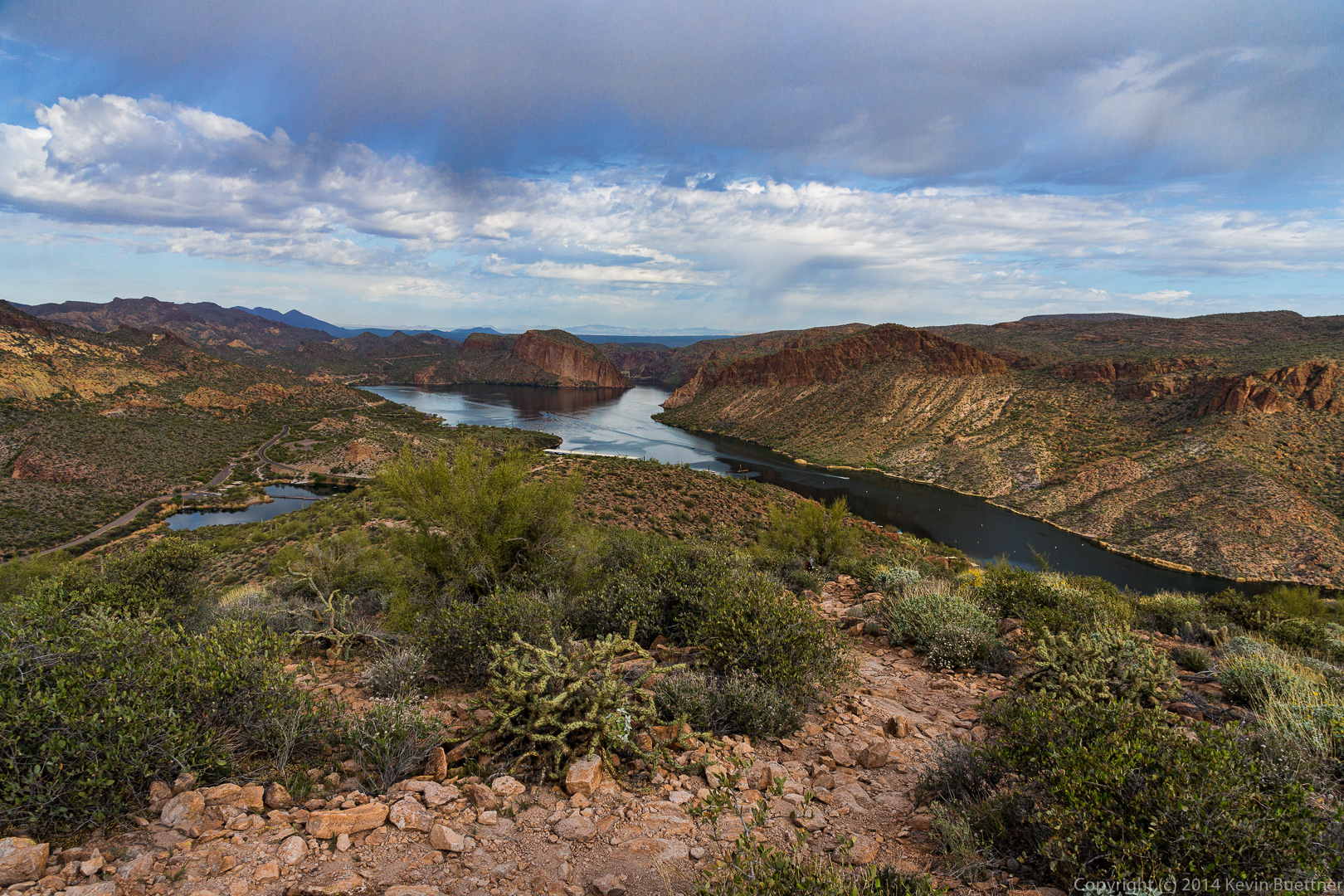
 A view looking east. The road visible in this photo is Arizona 88, also known as the Apache Trail.
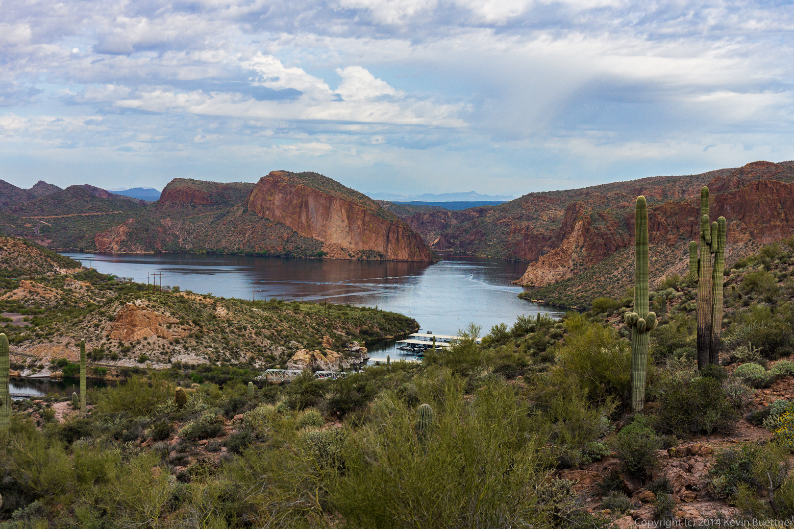
 Another view of Canyon Lake.
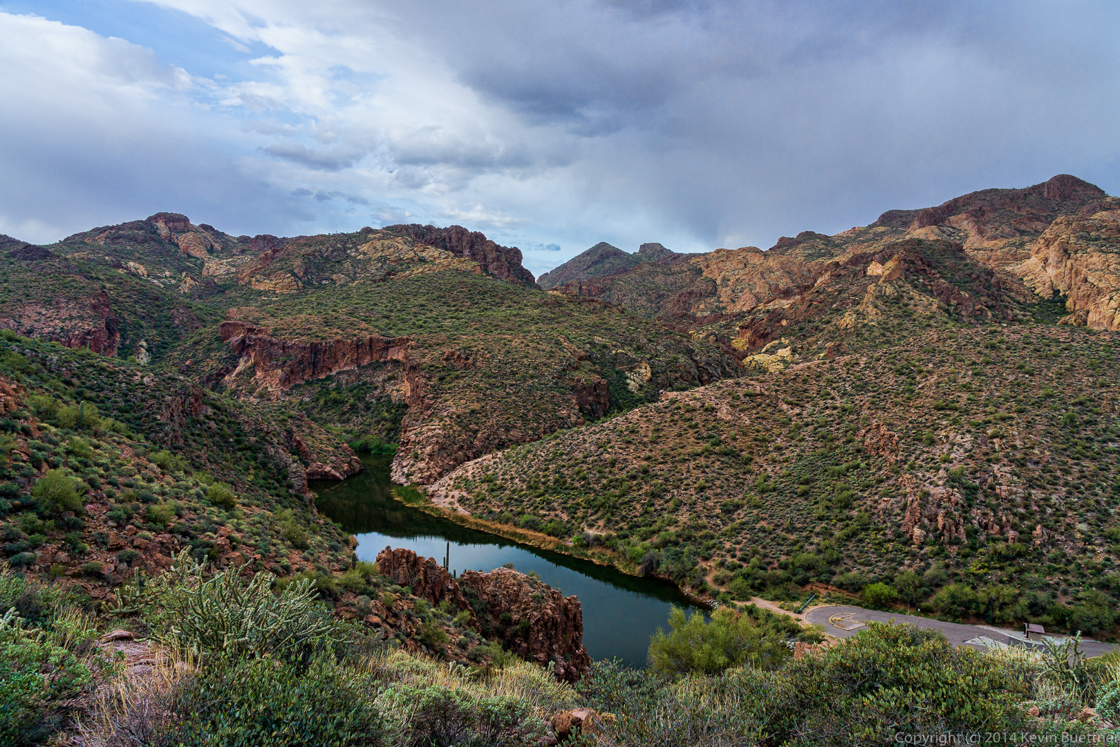
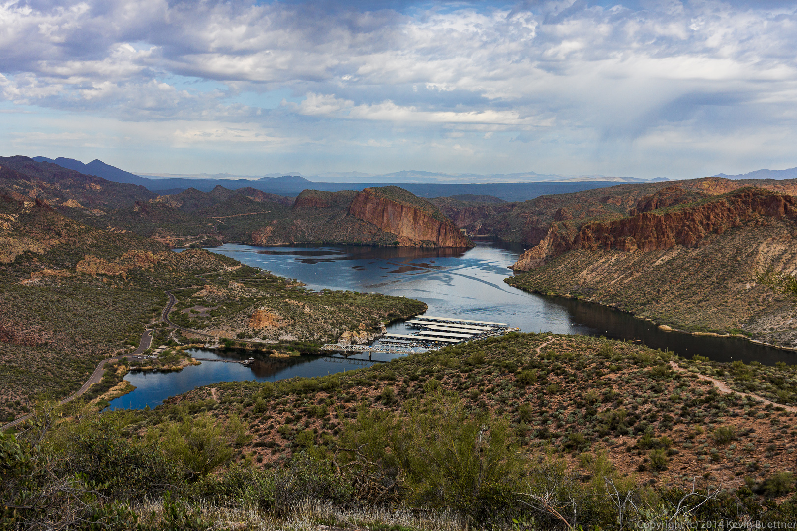
 Yet another view of Canyon Lake. The Boulder Creek Bridge is visible in this photo.
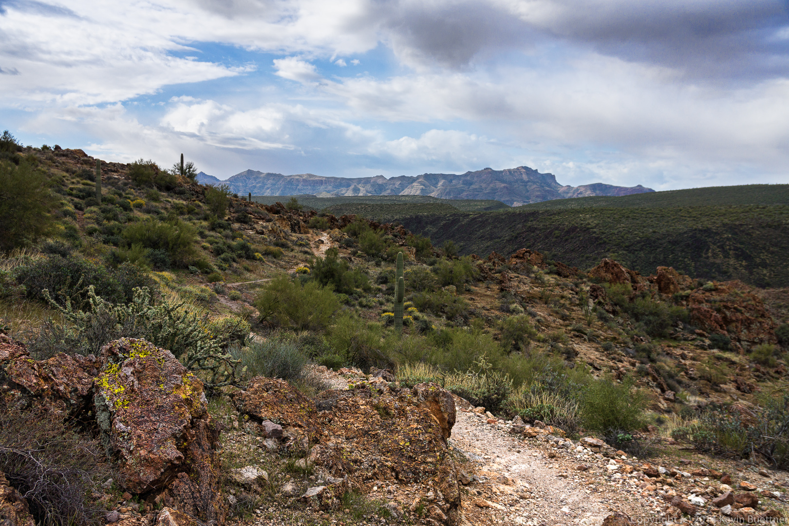
 The Boulder Canyon Trail has a longish uphill section that starts pretty much after crossing the road. Midway up, we got our first views of Battleship Mountain and Weaver’s Needle. At this point, the Boulder Canyon Trail overlooks Boulder canyon at the right in this photo.
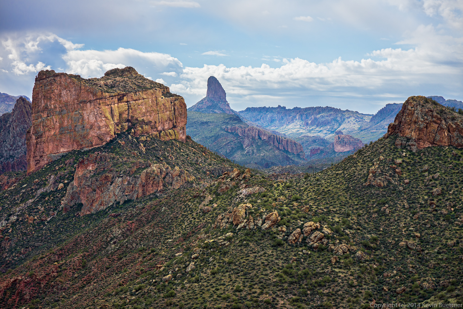
 I used a 16-70mm zoom lens on my camera for this hike. I used it at the long end to get this photo of Battleship Mountain and Weaver’s Needle.
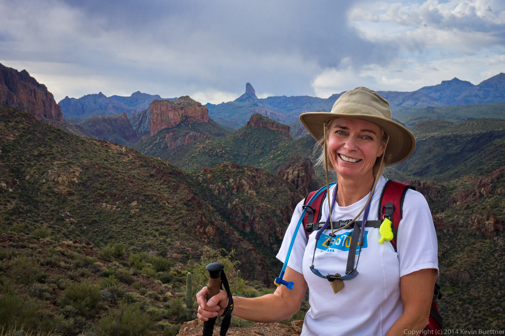
 Linda posed for this photo with Battleship Mountain and Weaver’s Needle in the background.
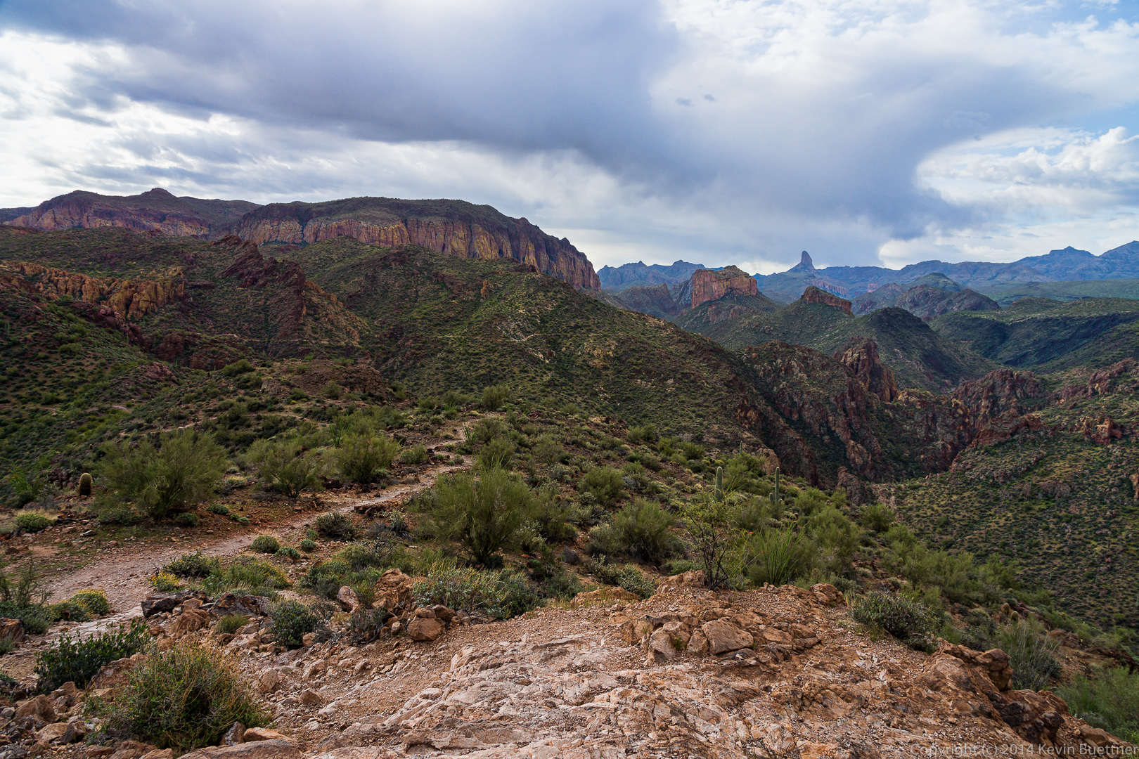
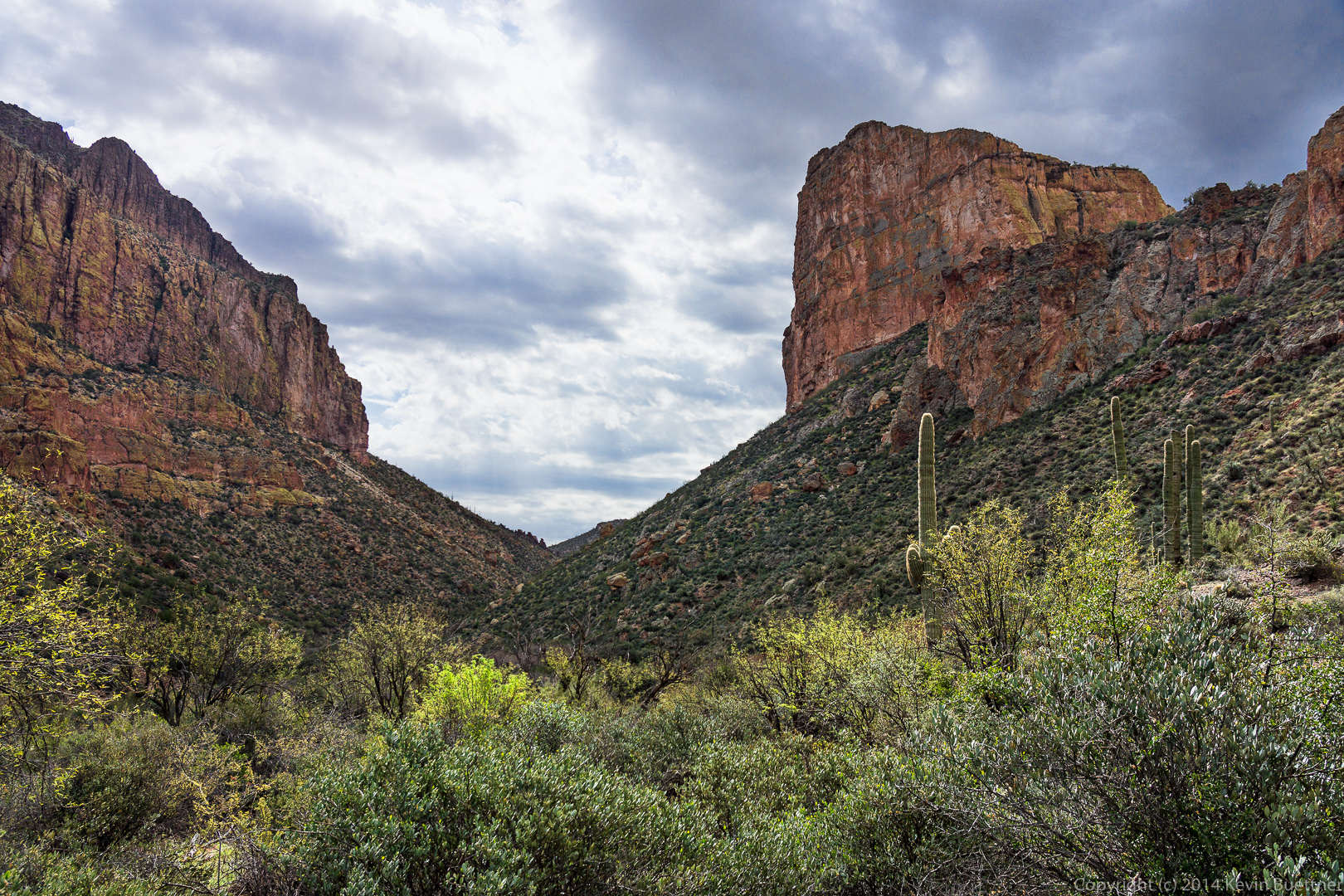
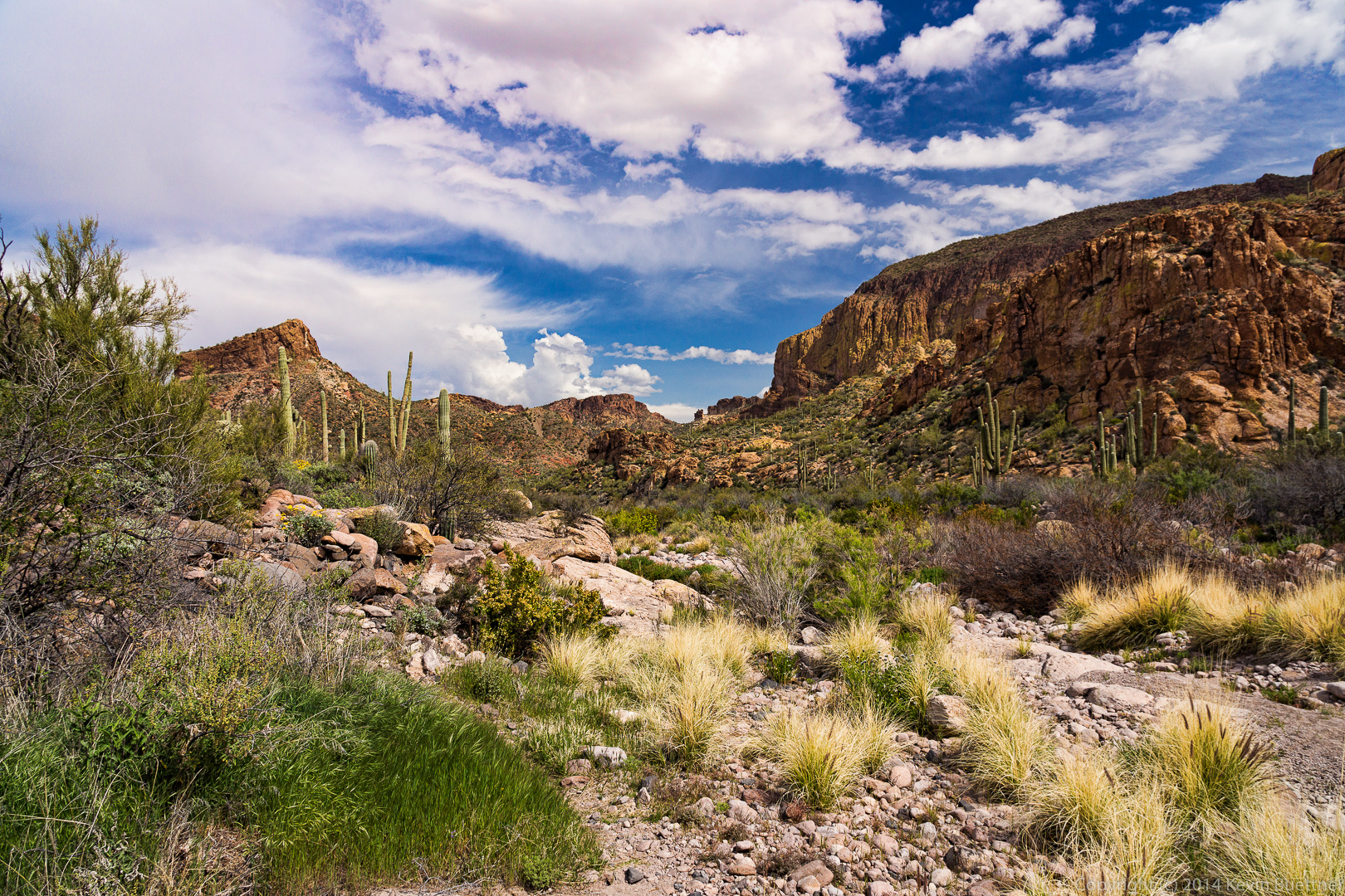
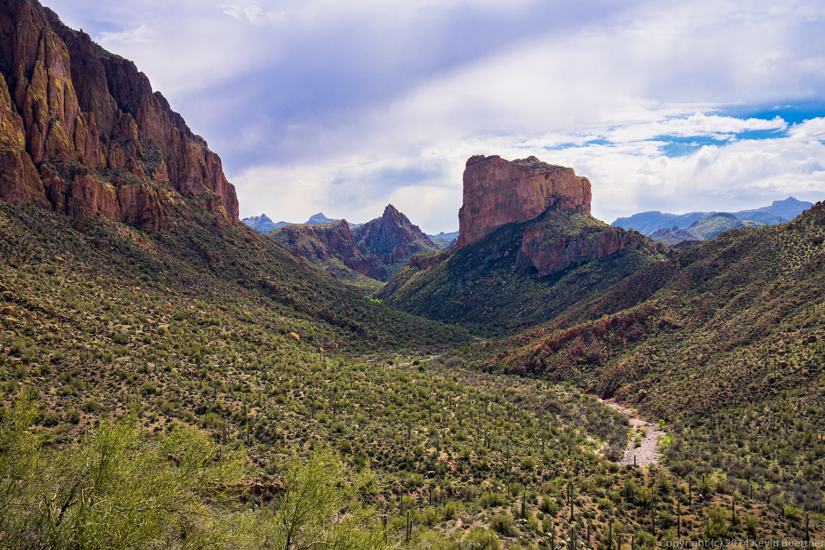
 This photo shows the Boulder Canyon Trail, Boulder Canyon, with the walls of La Barge Canyon, Battleship Mountain, and Weaver’s Needle in the Distance.
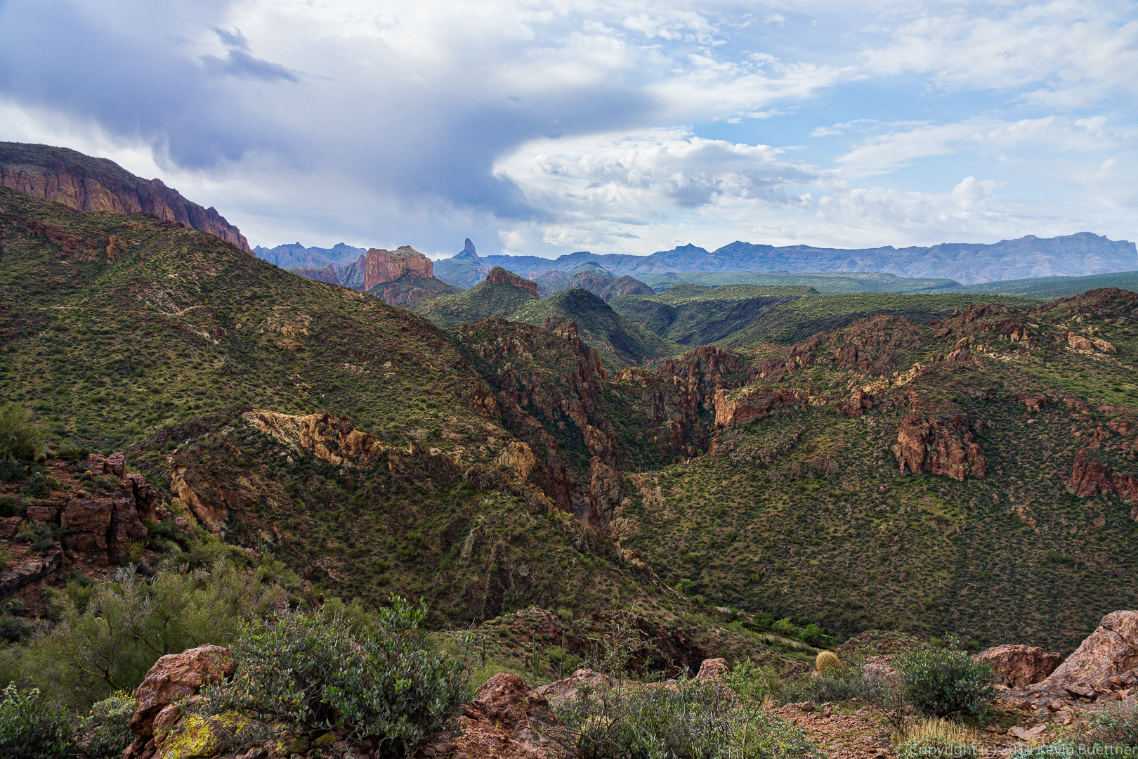
 I think this is my favorite photo (from this set) of Boulder Canyon.
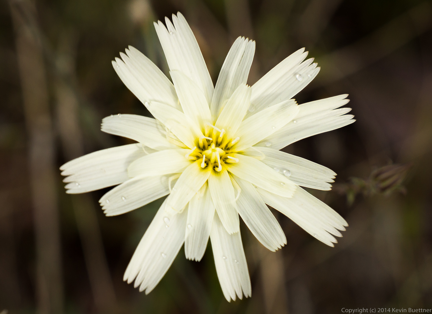
 Linda told me that this is a Chicory Flower.
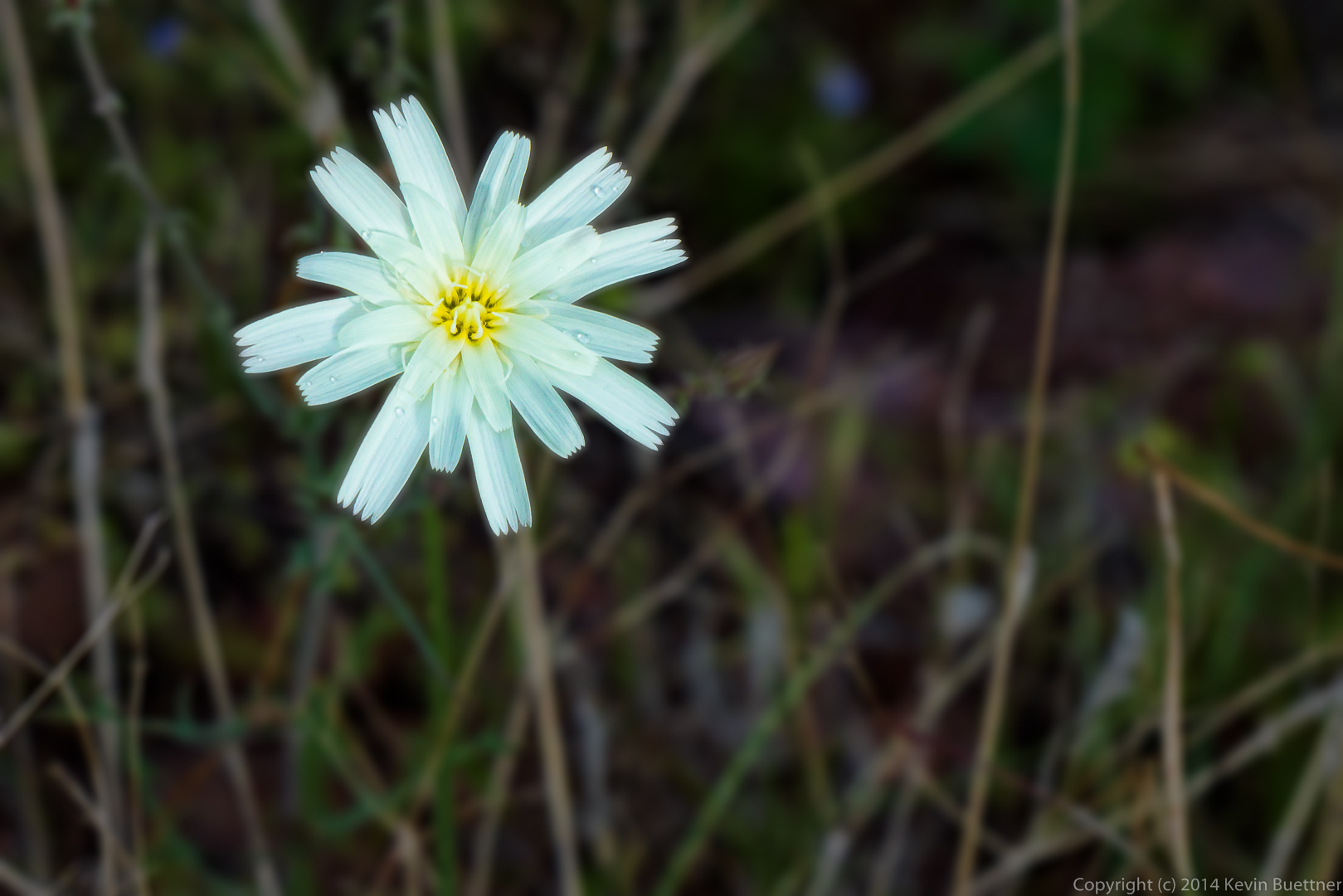 Another view of this flower. We hiked through a light rain shower early on in the hike, hence the water droplets on the flower.
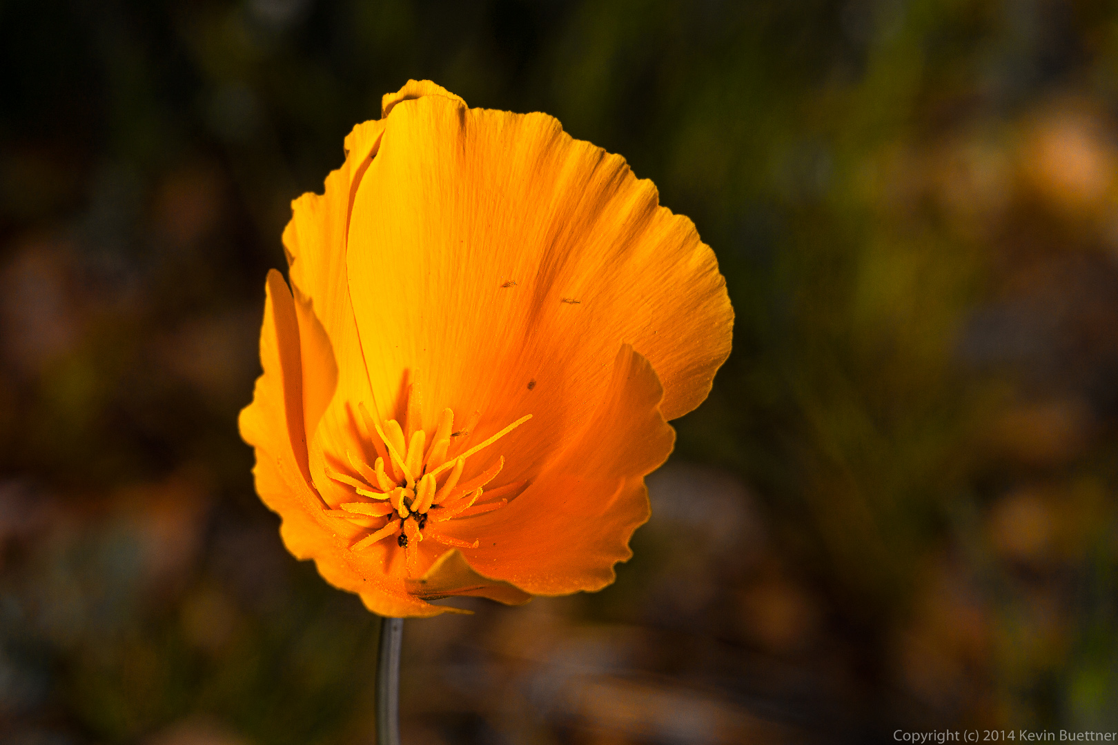
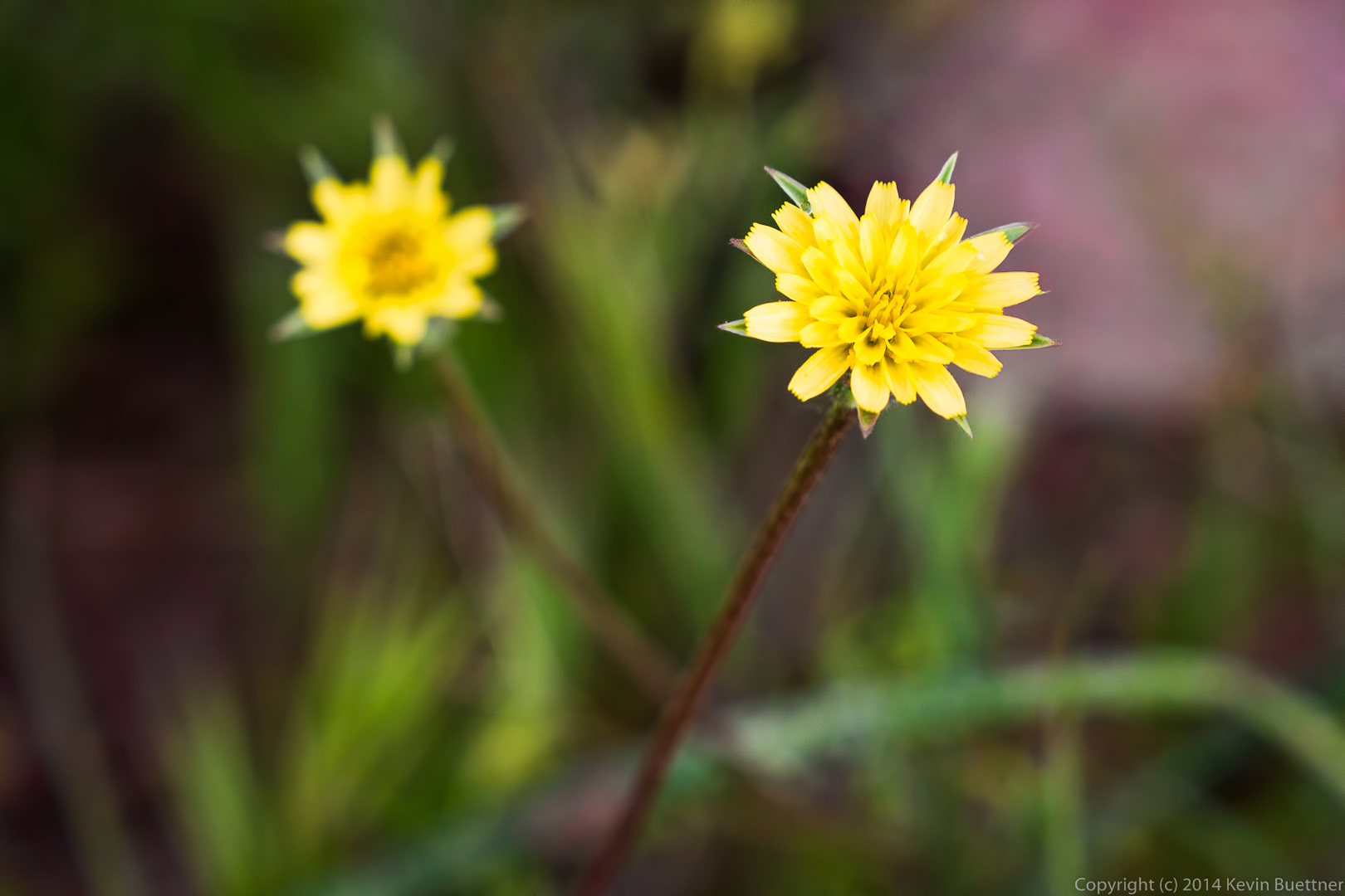
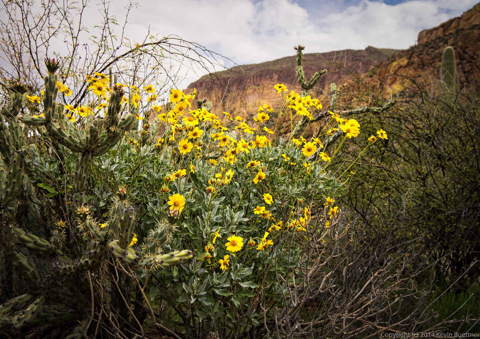
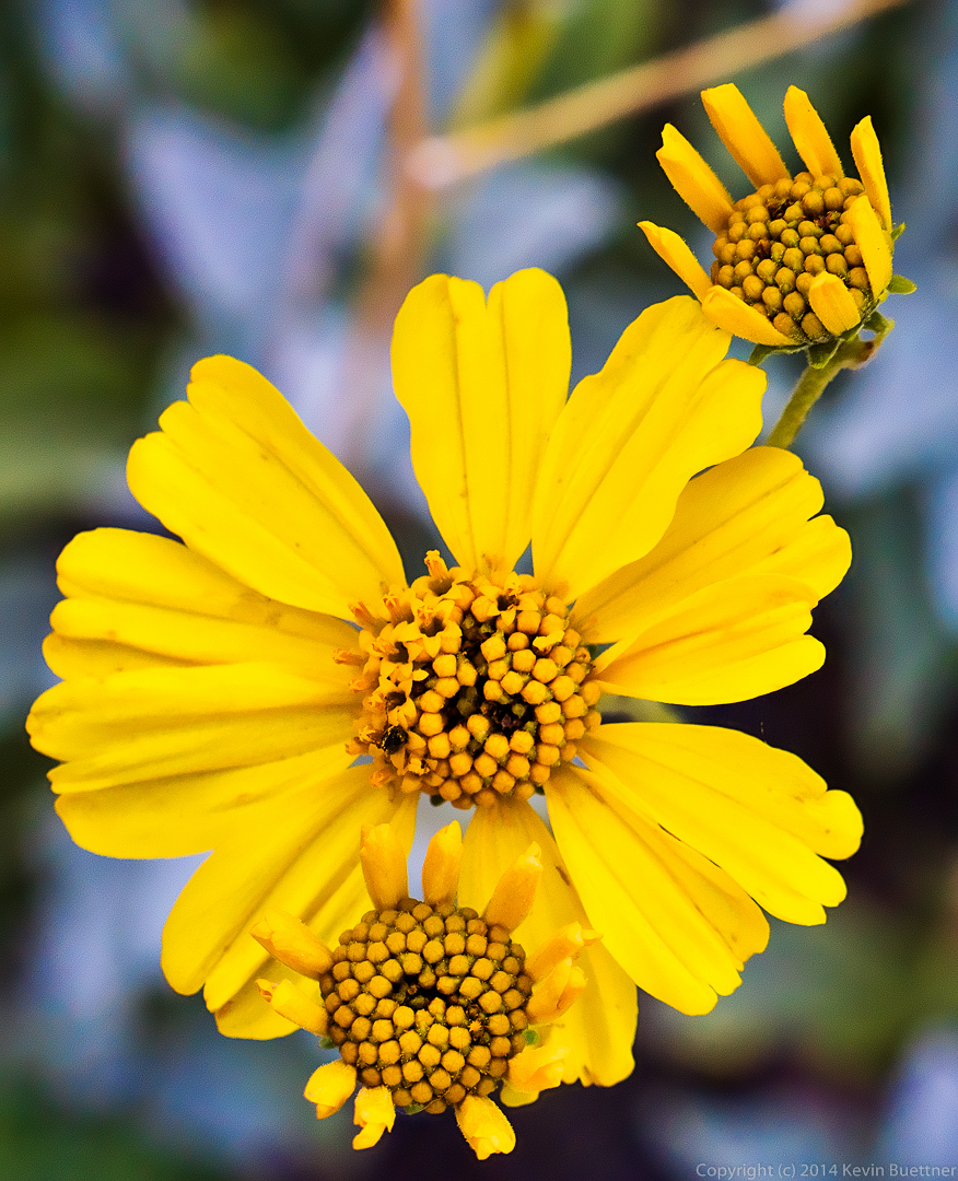
 A yellow flower that I haven’t been able to identify.
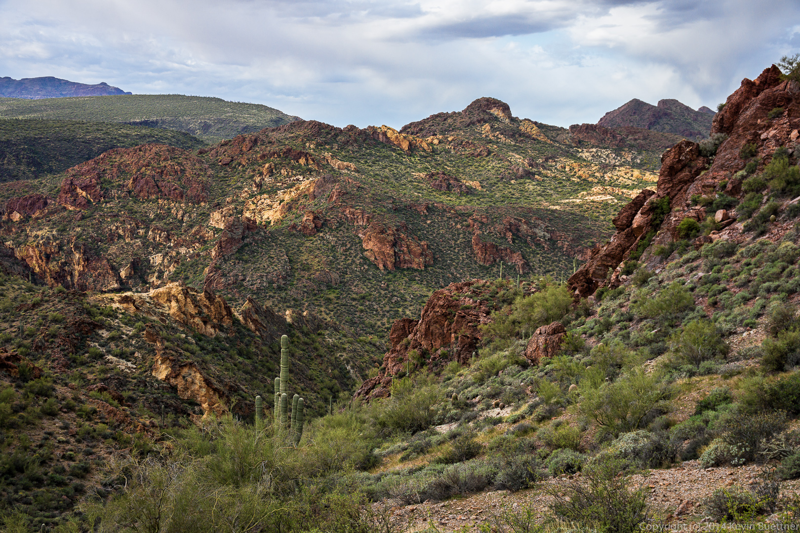
 I think this is a view looking back along Boulder Canyon.
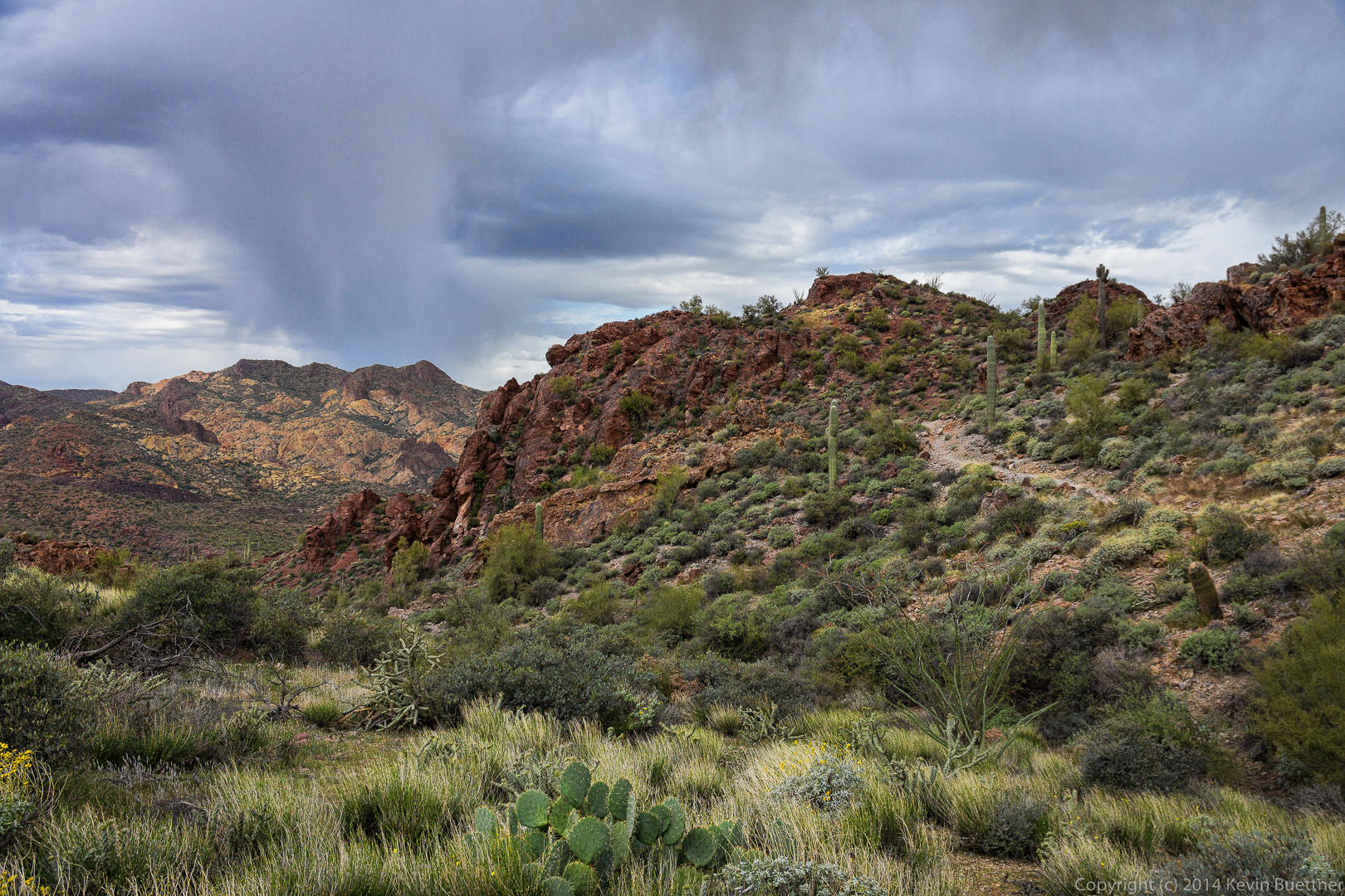
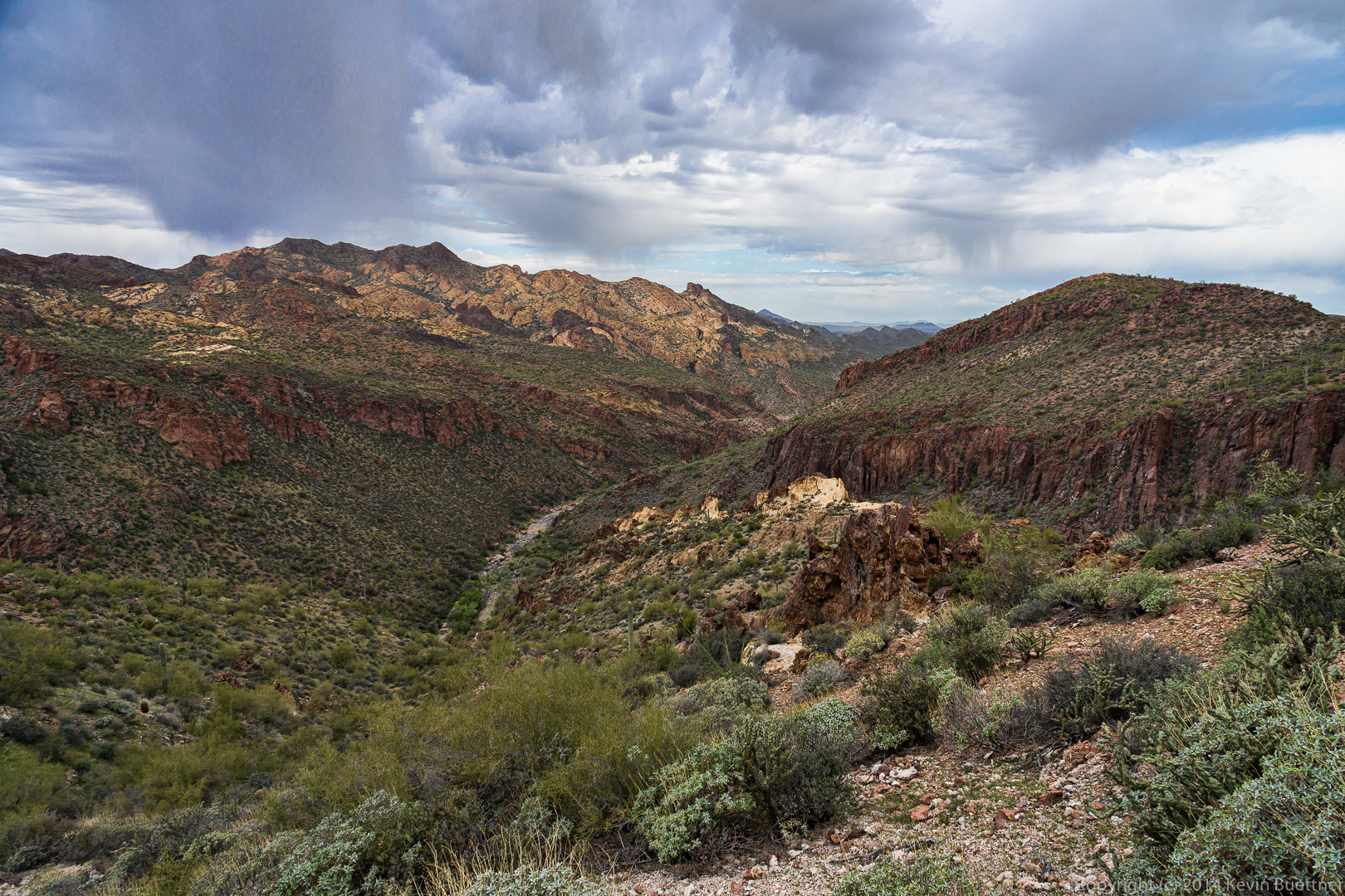
 A rain shower off in the distance. Also, a look back at the trail.
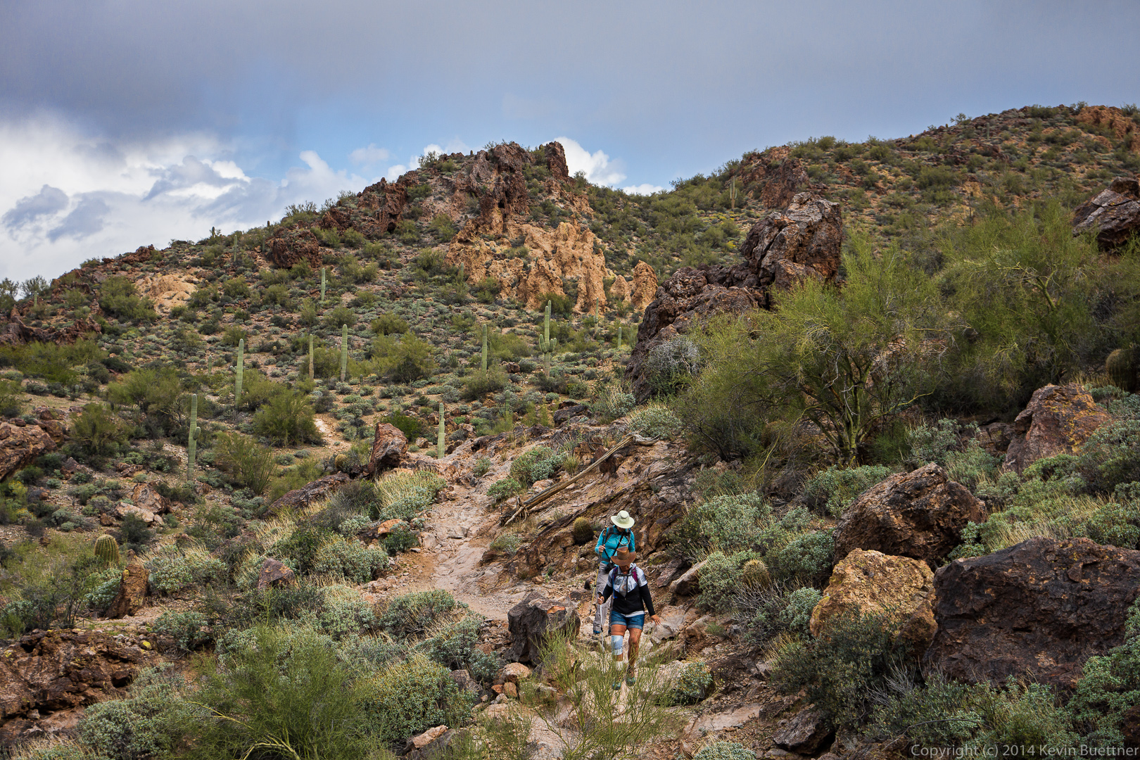
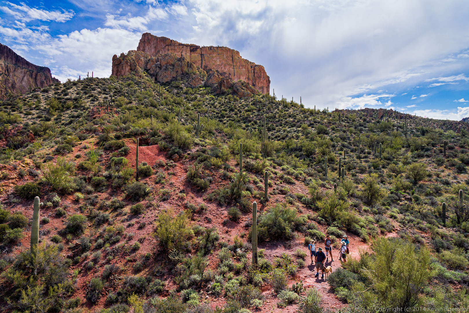
 Marilyn and Nancy descend a portion of the trail.
 A look forward before beginning our descent to La Barge Canyon.
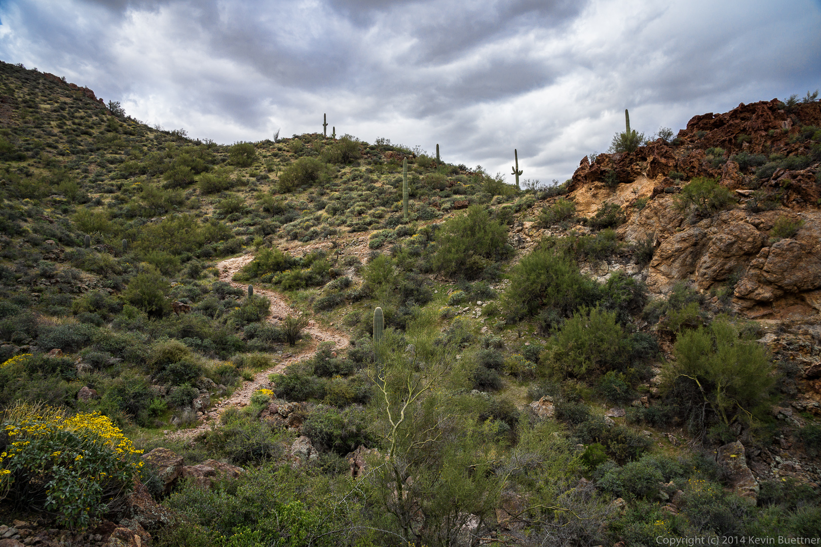 Another view of Boulder Canyon.
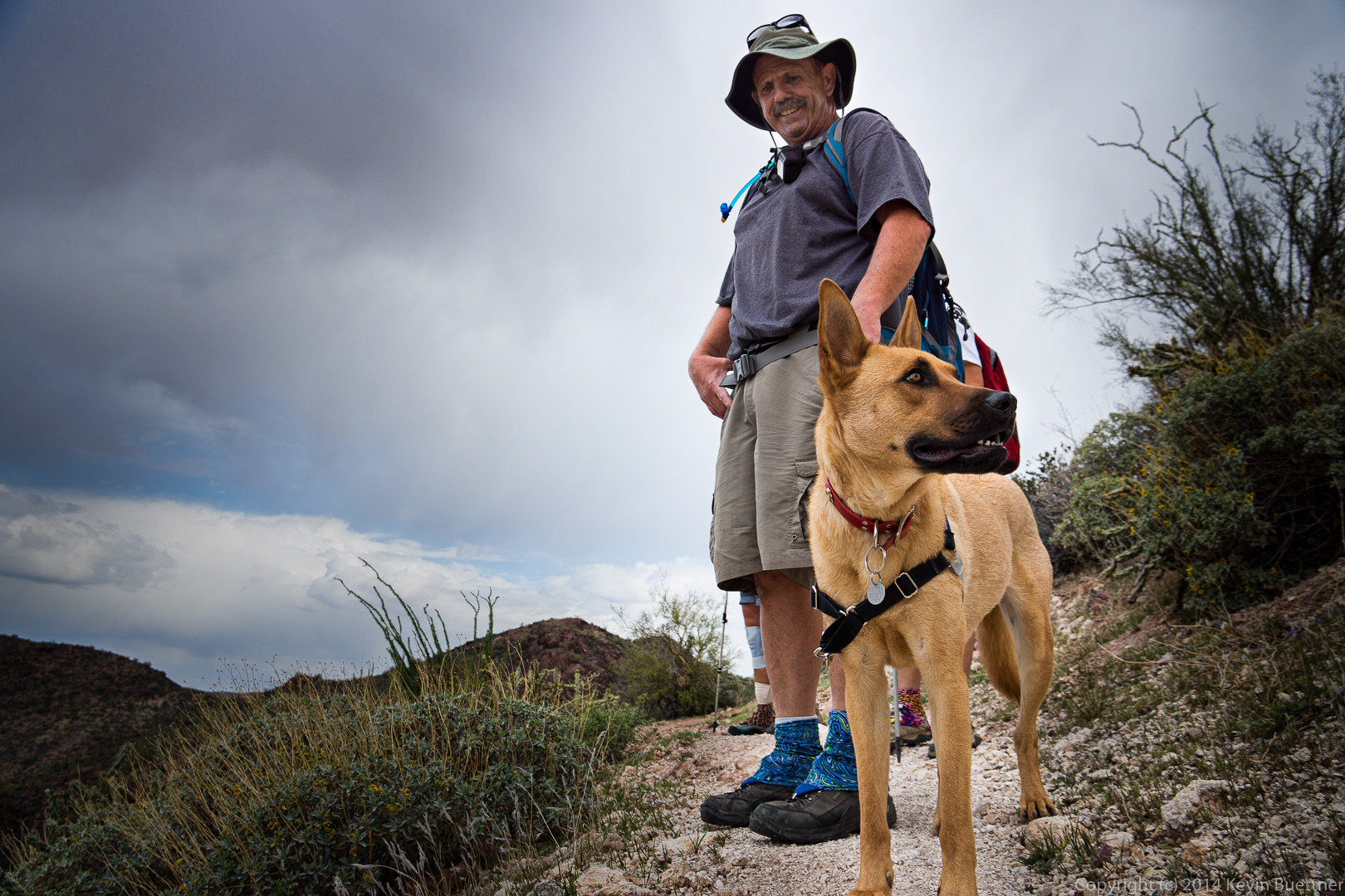
 Bob with Sarge.
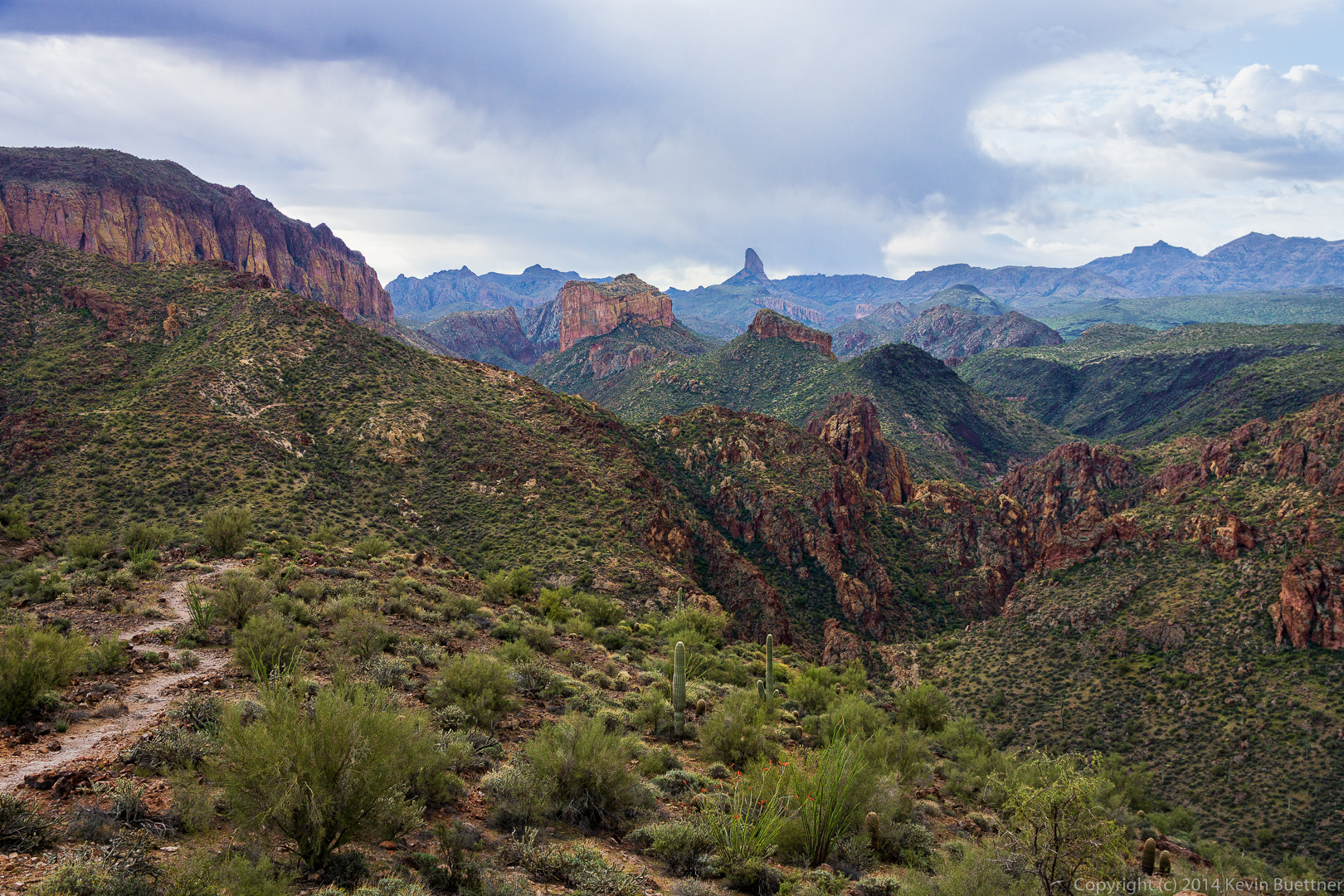
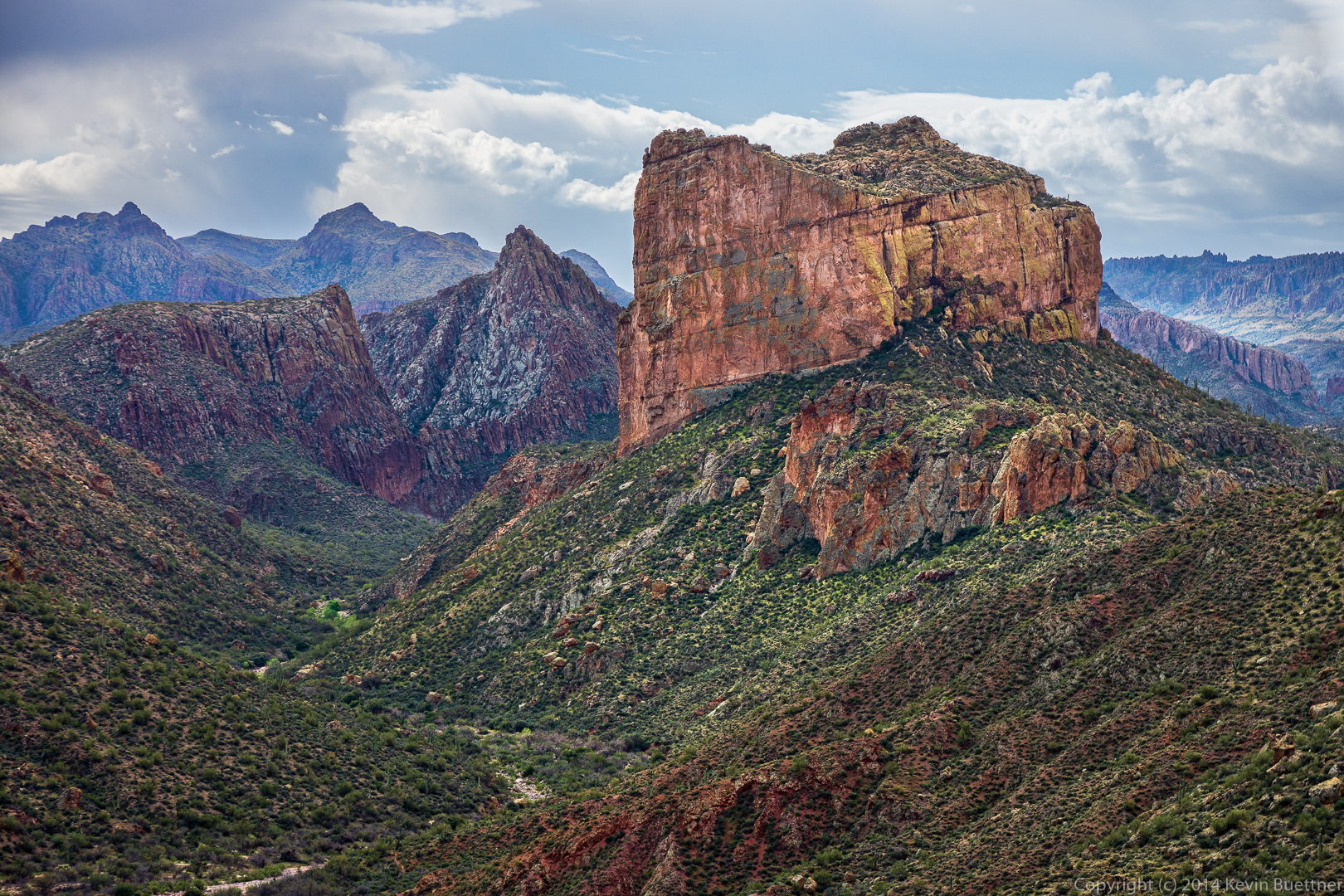
 I think the prow of the Flatiron can be seen in this photo near the right of the mountain range in the distance.
 Canyon Lake had disappeared from view for a long while, but became visible again for a short while.
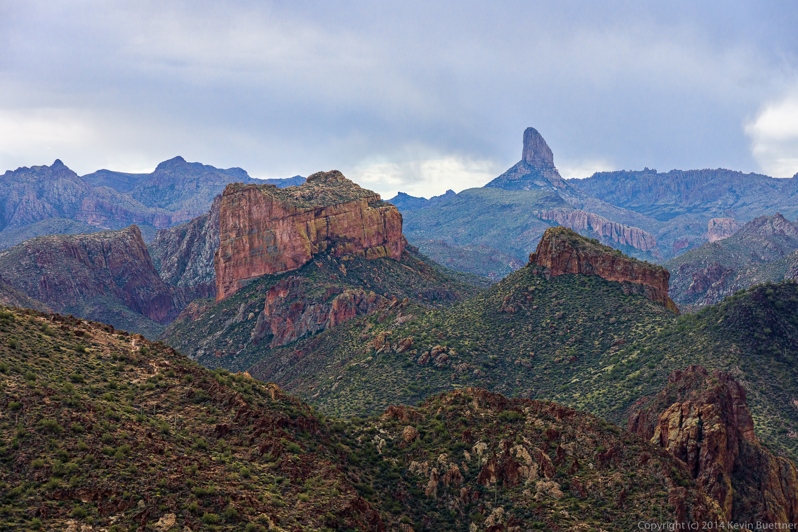
 Another view of Battleship Mountain and Weaver’s Needle together. This was close to the our last view of Weaver’s Needle until we made the return trip.
 At this point, Weaver’s Needle is hidden behind Battleship Mountain.
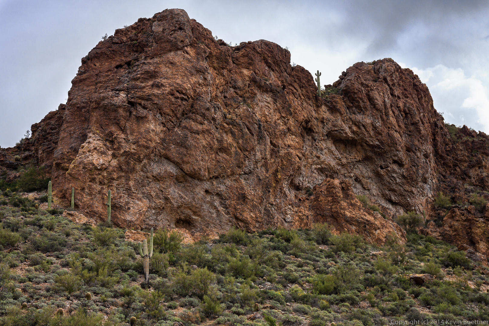
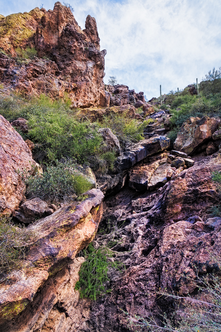
 An interesting rock formation that we passed on the way.
 I think this is La Barge Canyon. Our trail lead us across LaBarge Canyon.
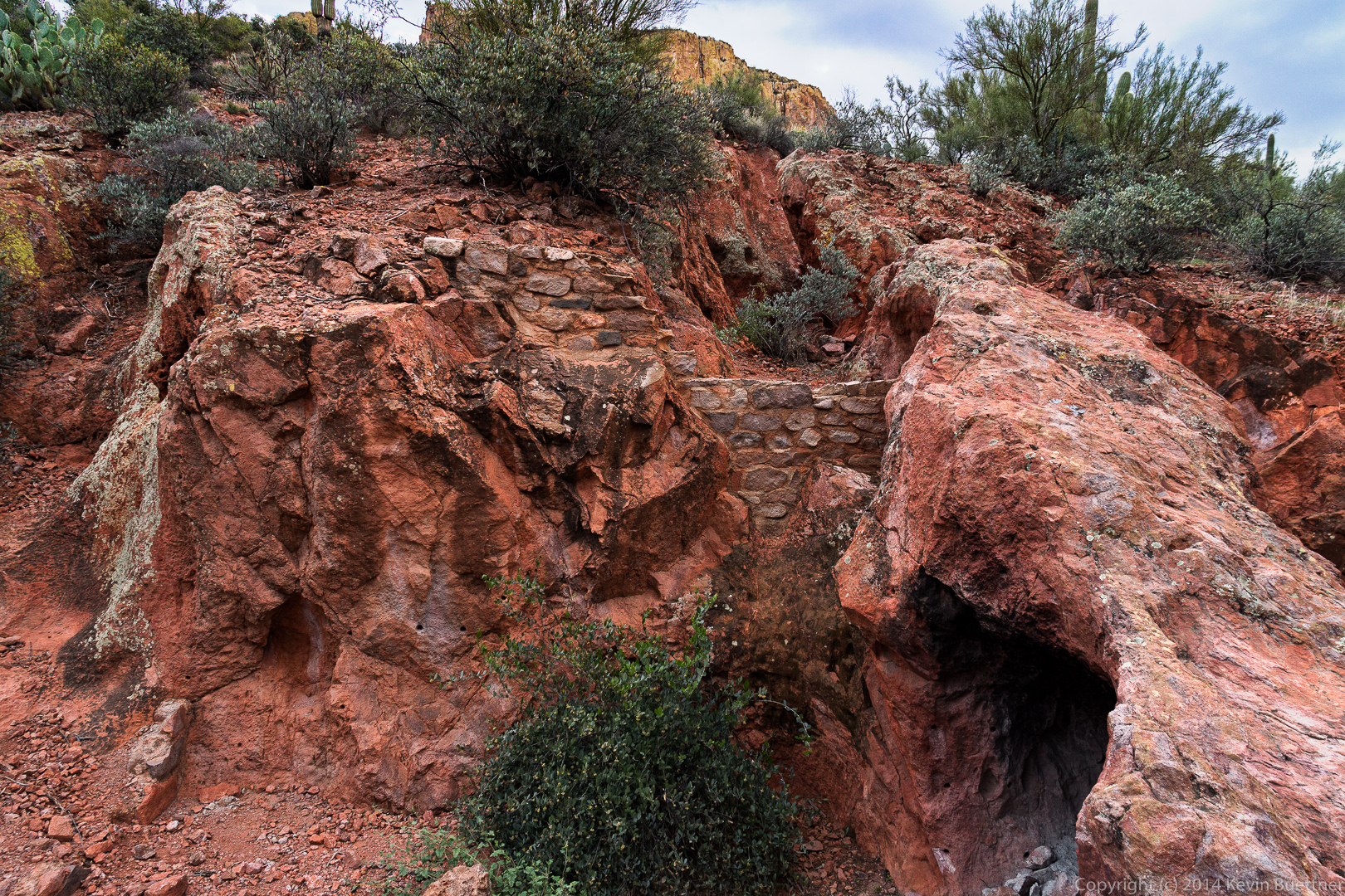
 There are some old mining ruins along the way.
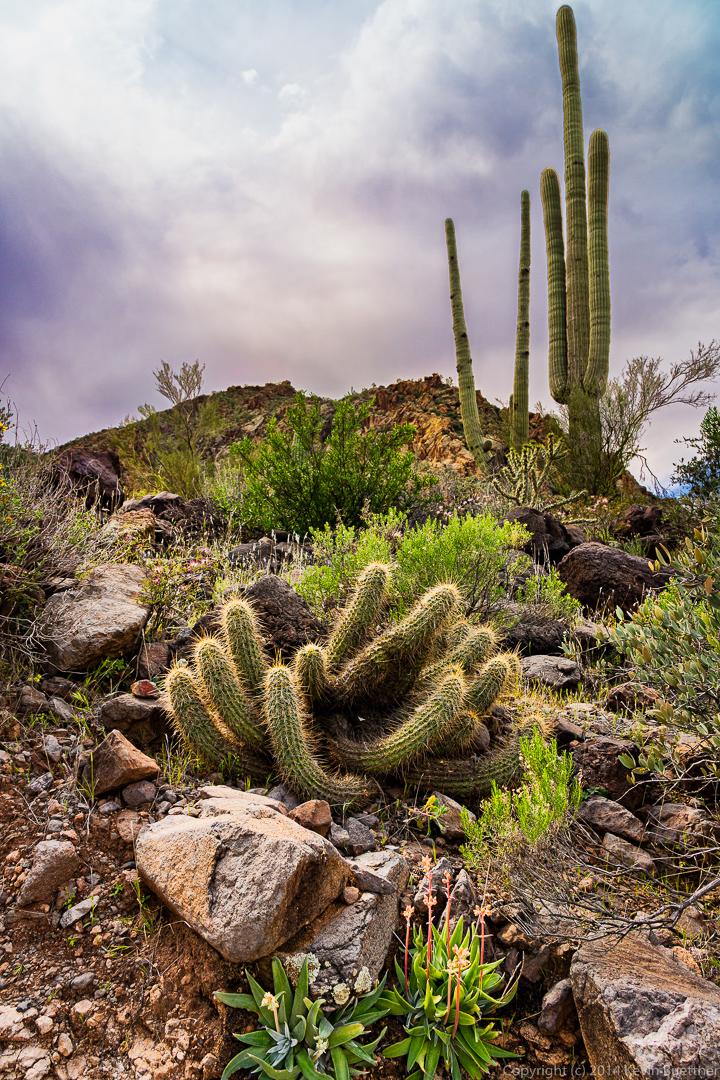
 A Buckhorn Cholla? (Most of the ones I see branch out a lot more.)
 Brittlebush with a wall of La Barge Canyon in the background.
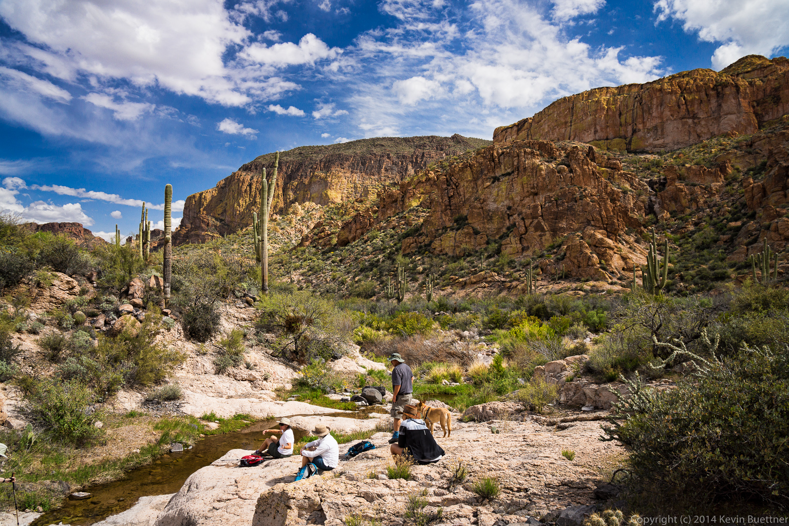
 We stopped to eat lunch on this large rock next to a creek.
 A variety of flora a this location.
 A view of Boulder Creek / Boulder Canyon. There were pools of water in the creek, but I didn’t see any flowing water at this point.
 At this point the Boulder Canyon Trail crosses the creek a (large) number of times. Having hiked over four miles at this point, we turned back instead.
 Another view of our lunch location.
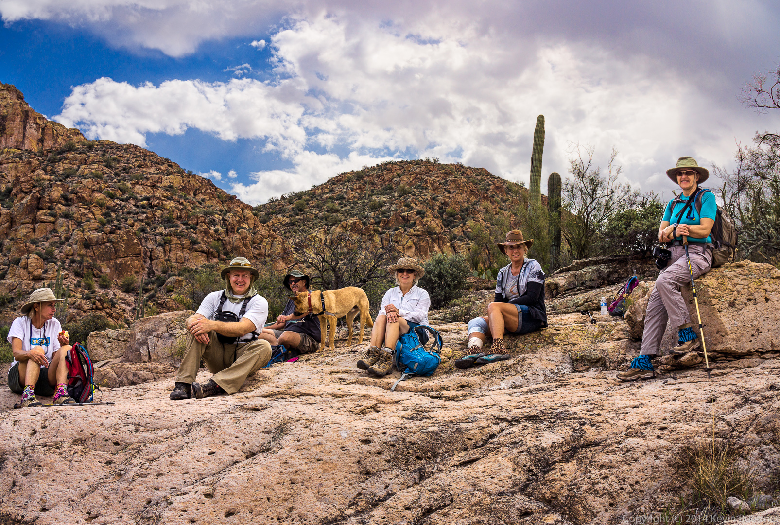
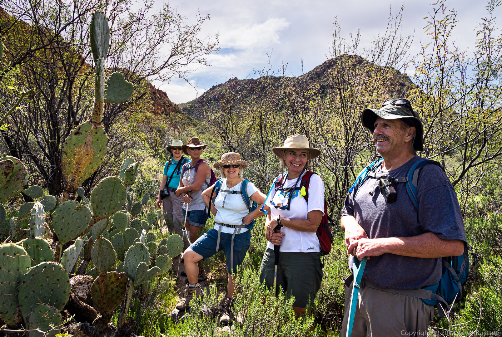
 This was actually composed from two exposures. In the first one, Venie, Linda, and Bob were looking my way, and in the second, Marilyn and Nancy were looking towards the camera, but the rest were not.
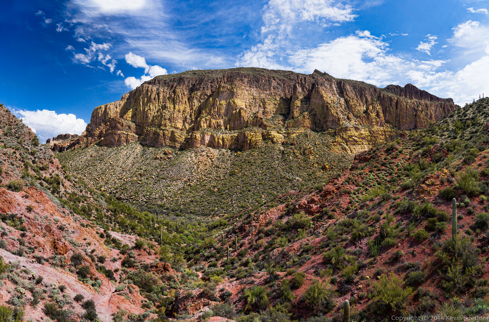
 This is a panorama composed from ten exposures. Even though I had a 16mm lens (at its widest), I could only see small sections of this scene through my viewfinder.
 Another view of Battleship Mountain. I climbed a small hill just off the main trail to get this shot. I don’t think it was visible from the trail down where the rest of the group are.
 A look at Battleship Mountain midway back up one of the long hills on the way back. It was afternoon at this point; it had become quite sunny (and warm) along this stretch, but the clouds reasserted themselves later on.
 Another interesting rock formation that we saw on the way back.
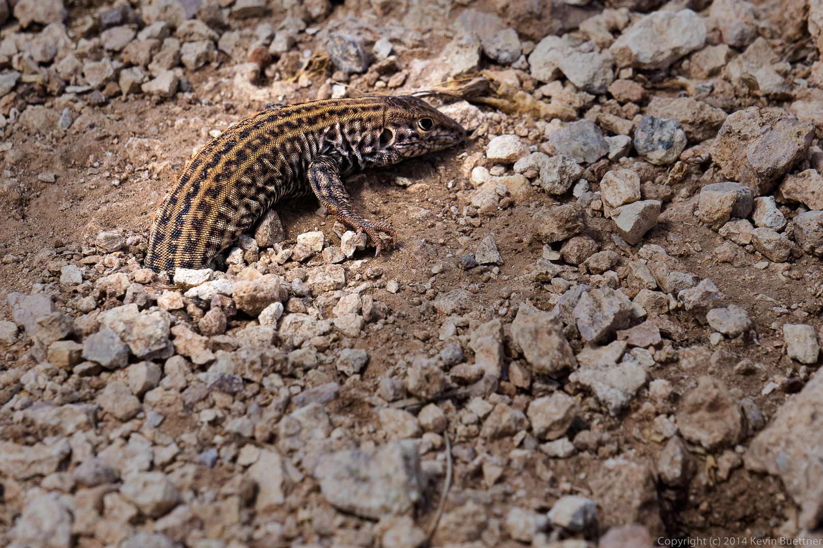
 We came across this lizard who had trouble getting out of its hole. It thrashed around for quite a while in an attempt to get out, though it stayed still when I took this and several other photos. Bob cleared some of the rocks and dirt around the hole to help it get out. The ground was incredibly hard.
 Canyon Lake in the afternoon.
 Brittlebush flowers:
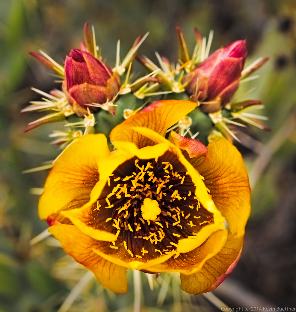
 Buckhorn Cholla flower: