Last Friday’s hike started at the Dixie Mine Trailhead at the end of Golden Eagle Blvd. We hiked out Dixie Mine until we came to the Sonoran Trail. We hiked Sonoran until it ended at the Promenade Trail. We took the Promenade Trail a short ways further and then took the Western Loop Trail up to the overlook at the top of the hill. After a short break, we continued on the Western Loop Trail, which lead us back to the Promenade. On the way down, we noticed another trail, the Overlook Trail, that none of us had hiked yet. It wasn’t very far away, so we hiked it too. We returned via the Promenade, Sonoran, and Dixie Mine trails.
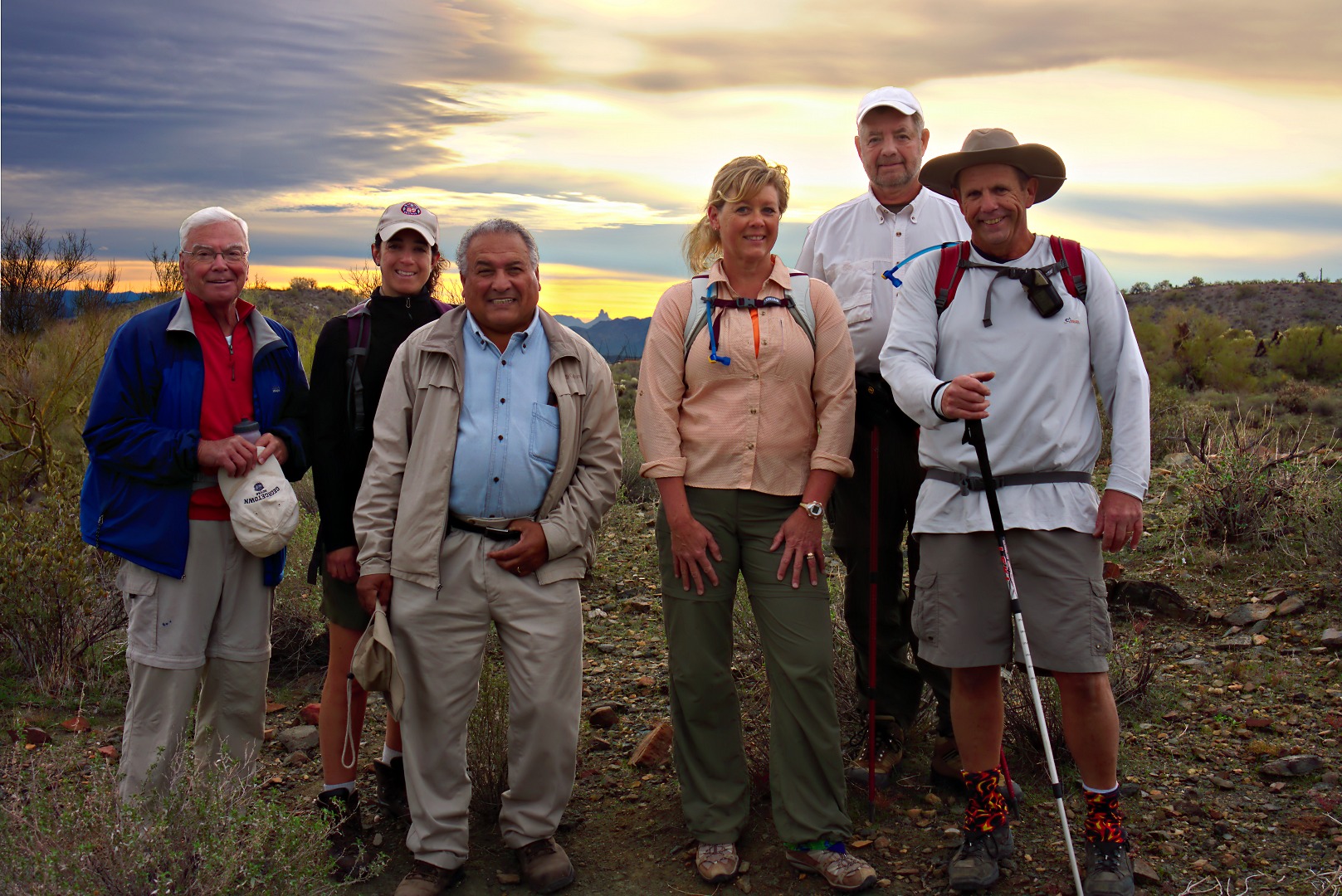
Seven of us hiked on Friday, John, Amy, Lynn, Janet, Bill, Bob, and myself. (I’m not in the picture this week…) Bob, Janet and I hiked over eleven miles. Amy turned around to hike back with John and Lynn at the three mile point. Bill hiked out to the start of the Western Loop Trail with us and then continued on a ways on the Promenade Trail before turning around.
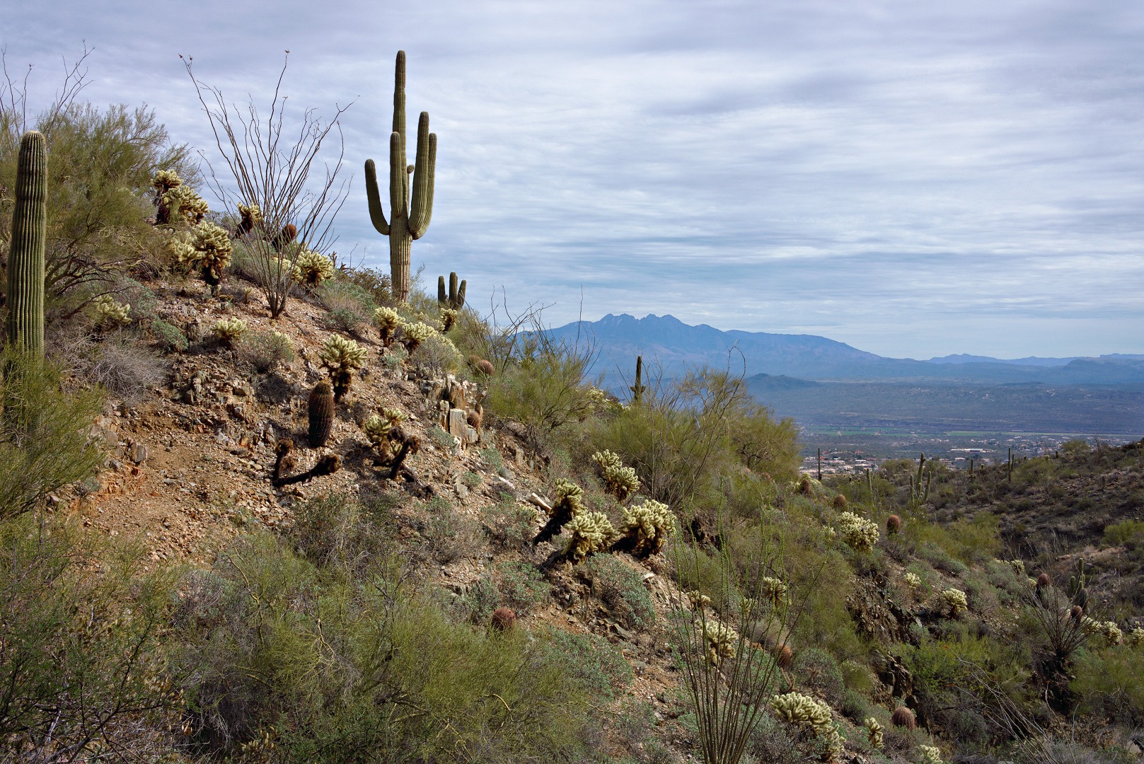
A view of Four Peaks from the Sonoran Trail:
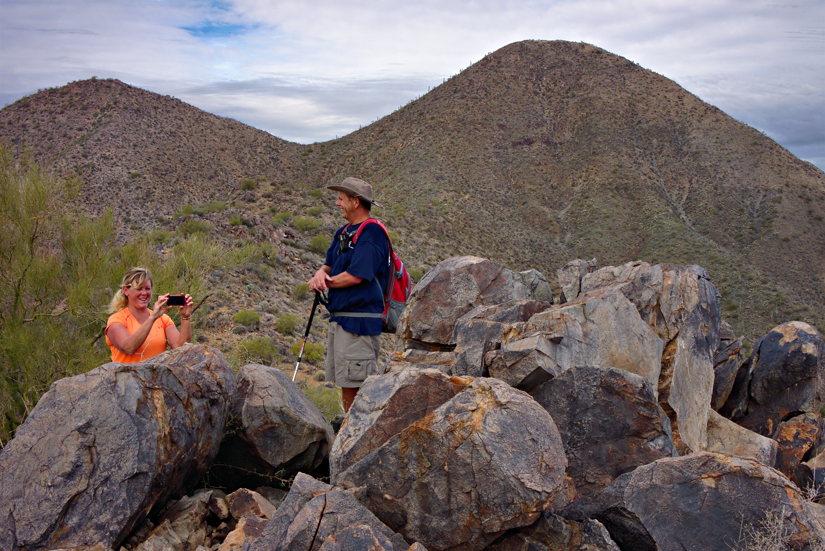
Bob and Janet at the overlook accessible from the Western Loop Trail. (This is different from the Overlook Trail which we hiked later.)
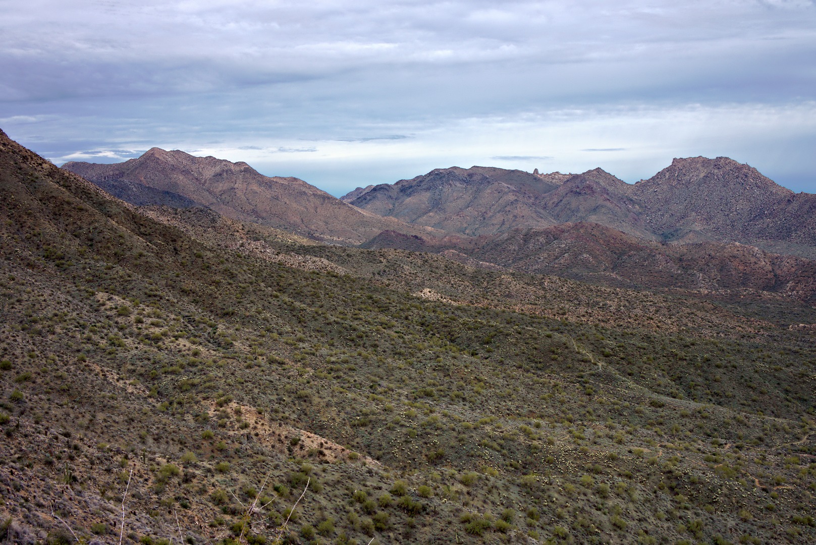
A view of some of the McDowells from the Western Loop Trail Overlook:
We saw many more saguaros and other cacti as we descended the Western Loop Trail on the other side of the hill.
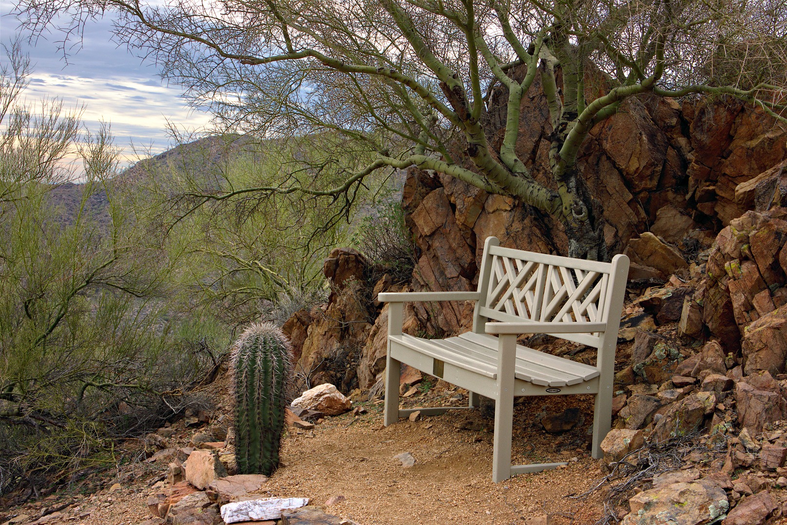
Part way down the Western Loop Trail, at the Adero Canyon Overlook, is a bench upon which to rest. None of us needed rest, I guess, because none of us sat down on it.
I saw this boulder a short ways further down the trail. Four Peaks in the the background:
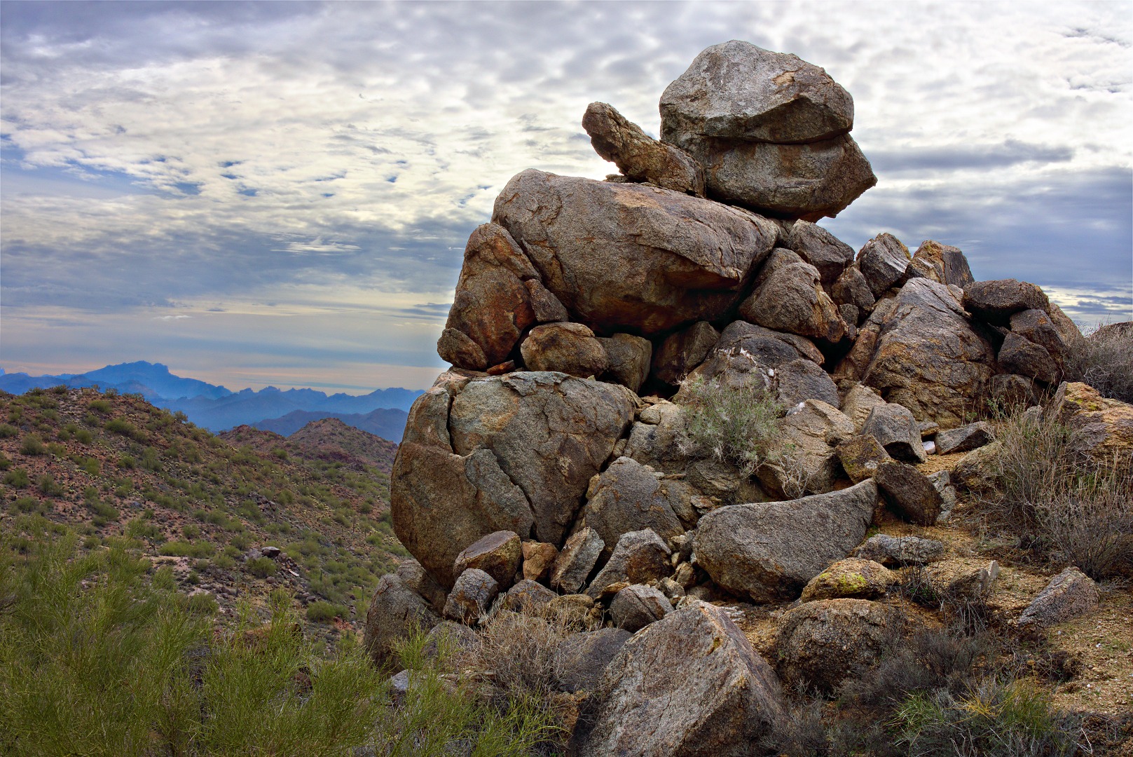
We saw this rock outcropping on the Western Loop Trail, somewhat before it rejoined the Promenade Trail.
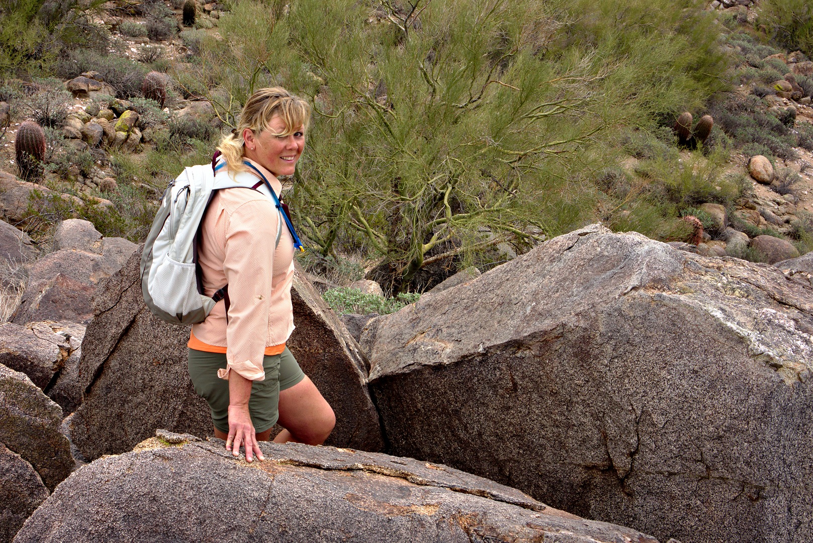
We proceeded on to the Overlook Trail and stopped briefly to climb a rock pile. I took this photo of Janet from the top. (It wasn’t a very big rock pile.)
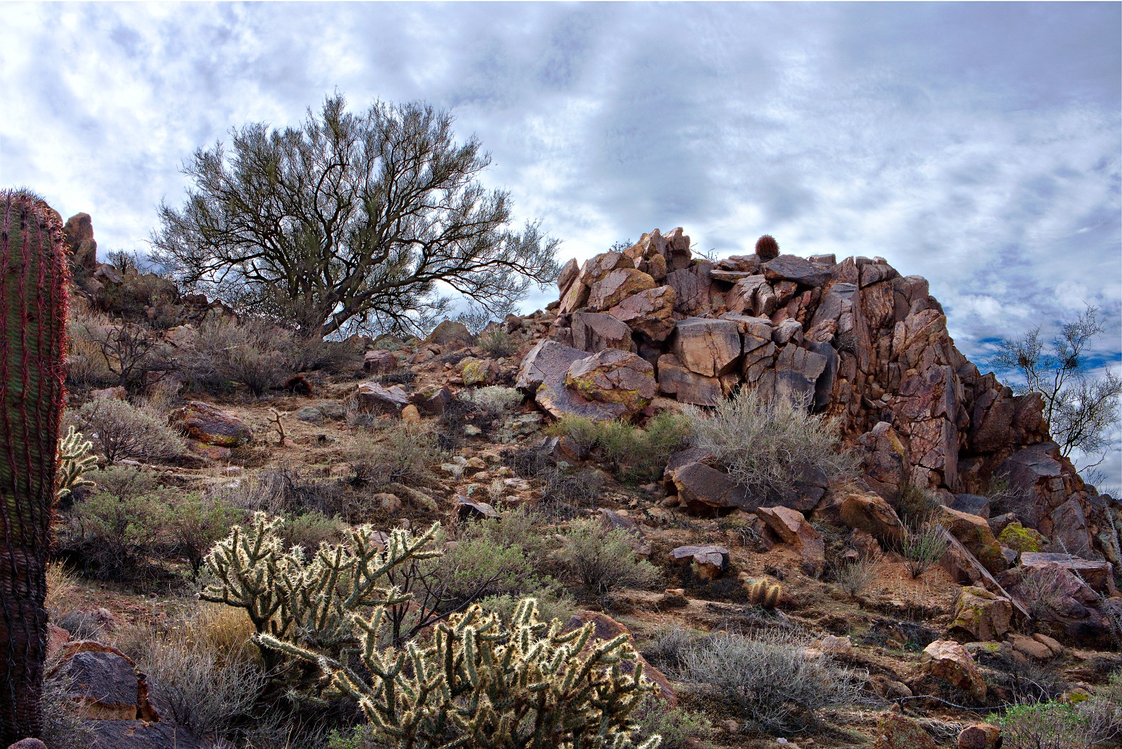
We saw yet another rock pile as we hiked the Overlook Trail. It’s a very scenic trail, but you have to have to hike perhaps four and a half miles from where we started to get to it. I would guess that it’s closer to the other access point that the town has planned. (I’ve never started from that access point, so I don’t know for certain.)
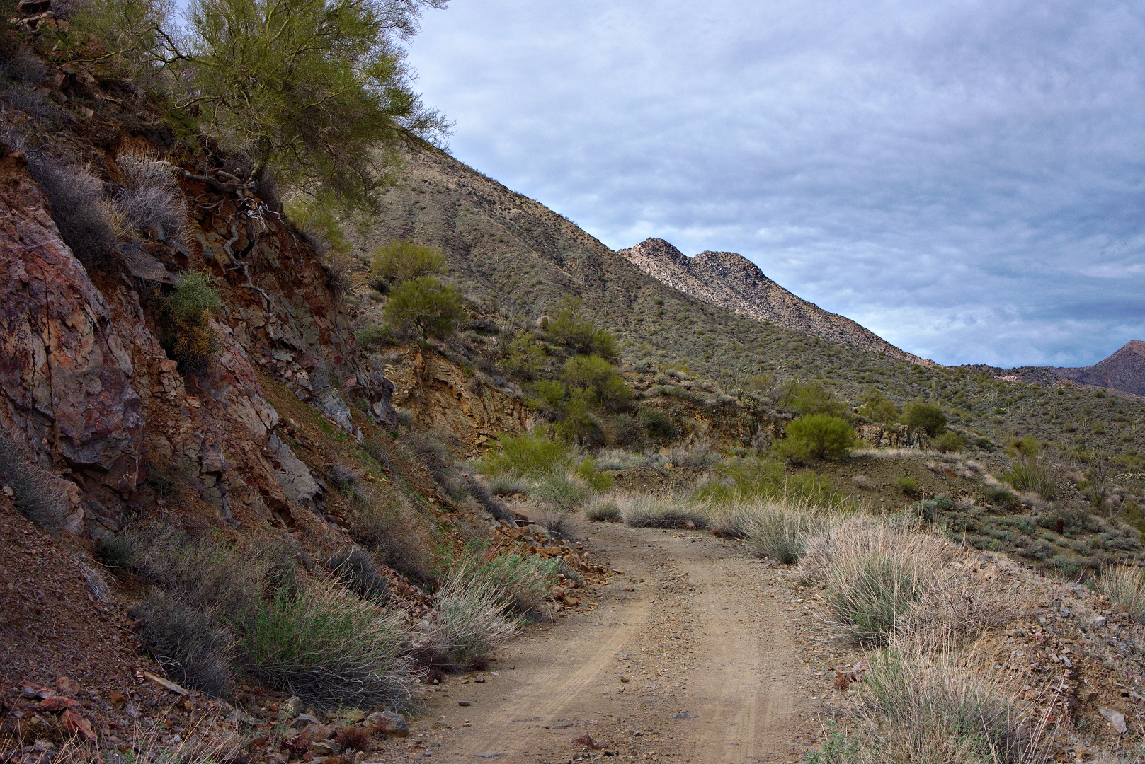
A view of (and from) the Promenade Trail. It’s actually an old jeep road which can be seen on the hillside from many places in Fountain HIlls. (I used to run on part of this road many, many years ago.)
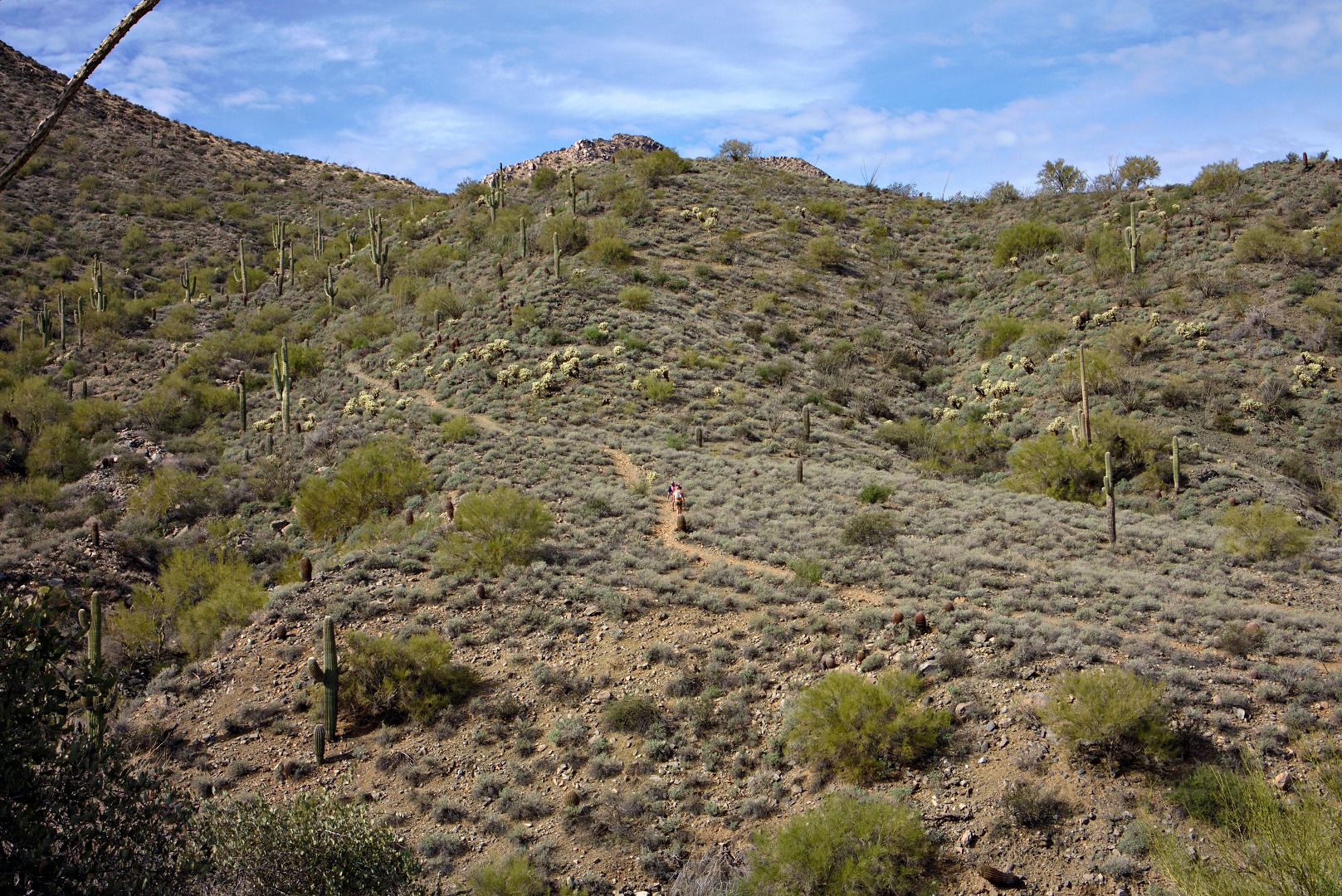
Bob and Janet hike up the section of the Sonoran trail with the longest, most sustained, amount of vertical ascent on the way back. (There are longer uphill sections on the way out.)
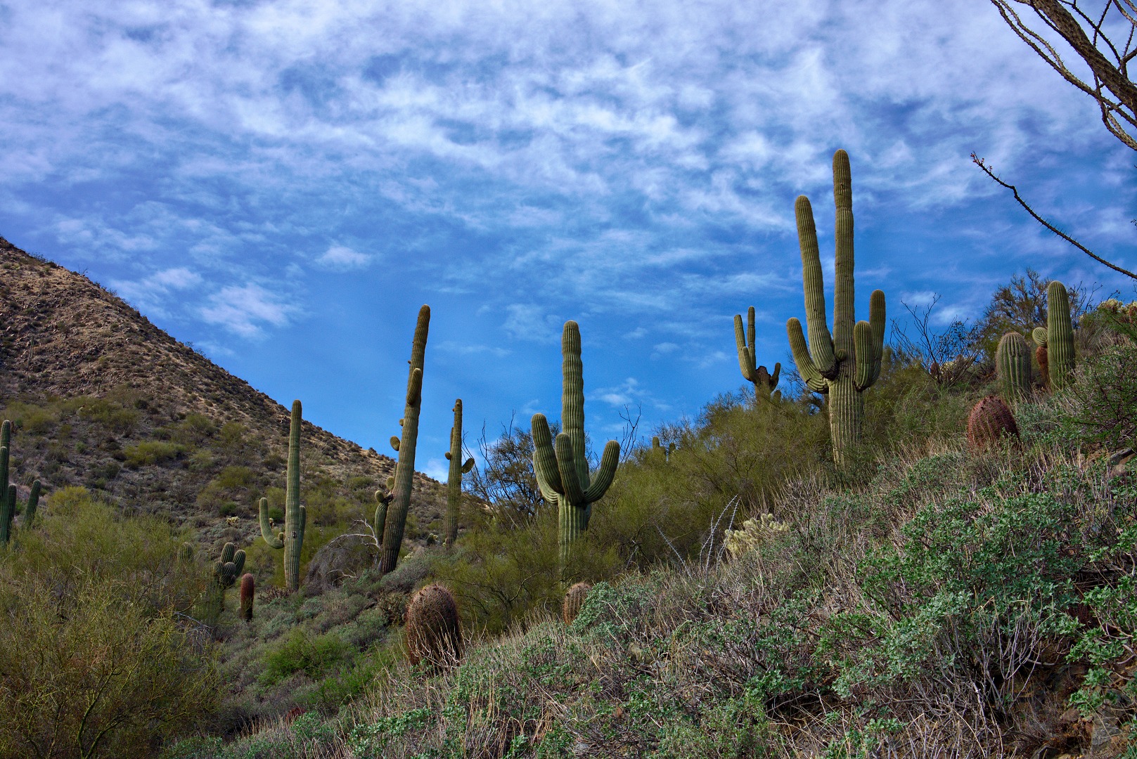
Saguaros along the Sonoran Trail:
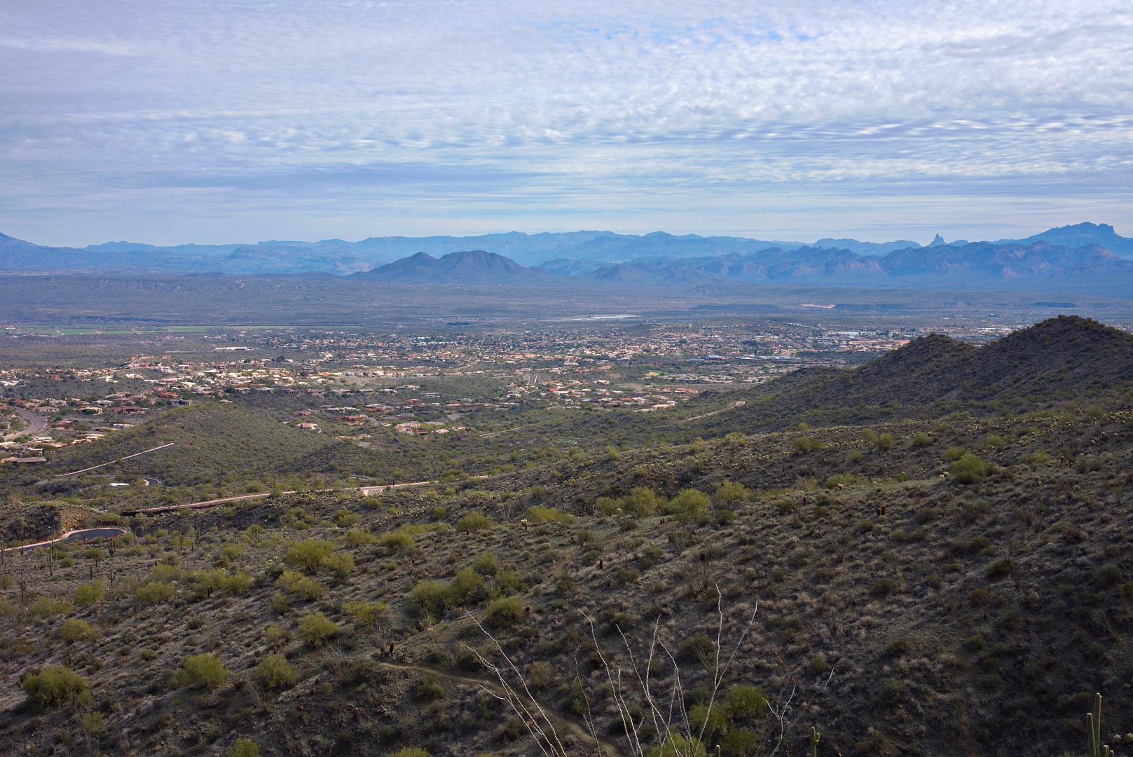
A view of Fountain Hills from the Sonoran Trail:

