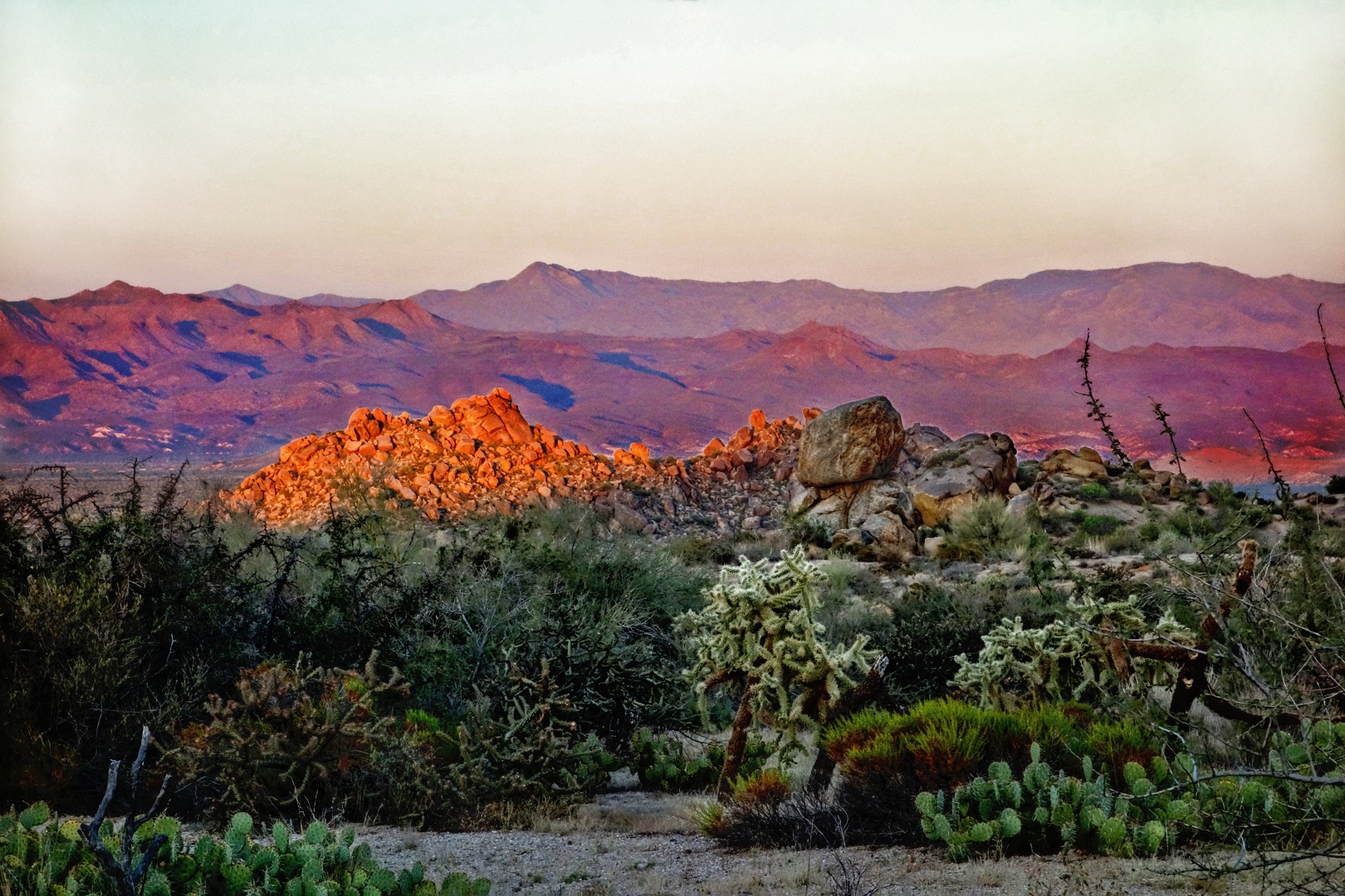
This photo was taken last Sunday just before sunset from the Feldspar Trail in the McDowell Sonoran Preserve. The setting sun gave Rock Knob a nice reddish orange glow.
Month: October 2012 (page 3 of 3)
Marilyn and I drove out on 128th street (from Dynamite / Rio Verde Drive) last night to hike the Marcus Landslide Trail. The Friday Hike group hiked a significant portion of the Marcus Landslide Trail, but we did not reach the end. Marilyn and I hiked the Marcus Landslide Trail in its entirety. I had hopes that it would meet up with one of the other Preserve trails, but it doesn’t. But it doesn’t exactly dead end either. It forks at one point and loops back to the fork. After hiking it, I remembered that I had seen that loop on a map at some point in the past. I probably saw it on the map of rock climbing access trails. After scouring the Preserve website, I believe that this may be the most accurate map for trails in the area. The Northern Mountain Region map, at the time of this writing anyway, is out of date.
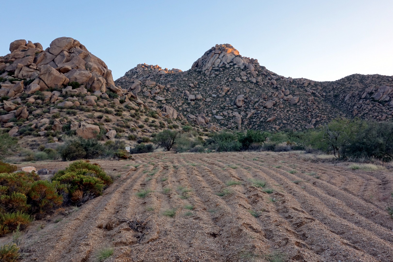
When we visited the area in the past, we parked at one of several temporary parking areas. These parking areas are no longer accessible. Several of the areas that we visited on our hike had been plowed up and will presumably be re-vegetated. The old roads in the area have been plowed up too. Here’s what’s left of the road that used to go up to one of the temporary parking areas:
Morrell’s Wall is visible in the center of the photo, above.
Parking is now available at the newly constructed trailhead at the end of 128th St. As far as I can tell, 128th St no longer goes through to Paraiso. It appears that portions of Paraiso have either been converted to short sections of trail or have been plowed up and re-vegetated. The new parking area has spaces for 200 vehicles and 12 horse trailers. It has restrooms, but the doors were locked when we were there last night. No water is available at this time (nor in the foreseeable future). A grand opening ceremony is scheduled for October 18, 2012.
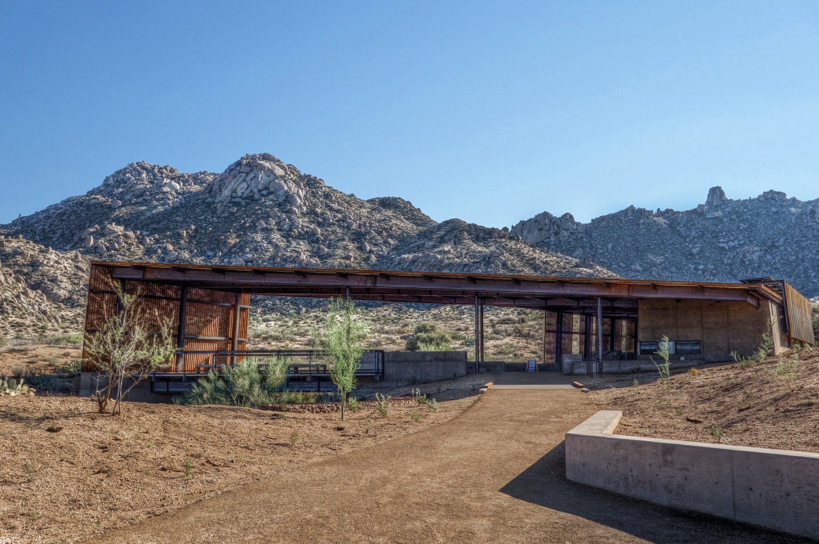
As Marilyn and I hiked out to the Marcus Landslide Trail, it became obvious that we had somehow missed the turnoff to the Tom’s Thumb Trail. It turns out that the Tom’s Thumb Trail is accessible by walking through the shelter at the trailhead:
Morrell’s Wall, Gardener’s Wall, and Tom’s Thumb are all visible in the above photo. If you look closely, you can see a small white sign on the sidewalk within the structure. This sign indicates that the Tom’s Thumb Trail goes through the structure.
The Marcus Landslide Trail is accessible off to the camera’s left – it does not appear in the above photo. You can also get to it by hiking through the structure, but you’ll need to turn off (left) on the new Feldspar Trail to get there. This junction is near the location of the (old) lower temporary parking area. Access to the three Sven Tower Climbing areas is just off the Feldspar Trail too. There is a canyon there known as Mesquite Canyon.


